Black Hills, SD Expedition No. 283 – White Tail Peak (11-6-21)

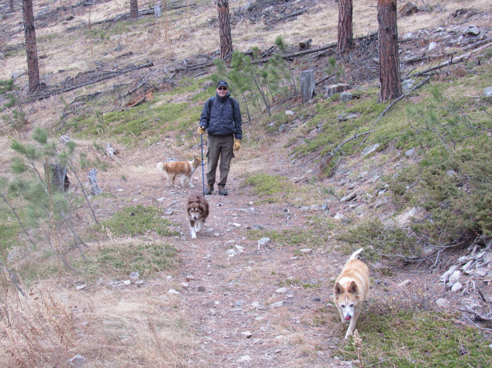
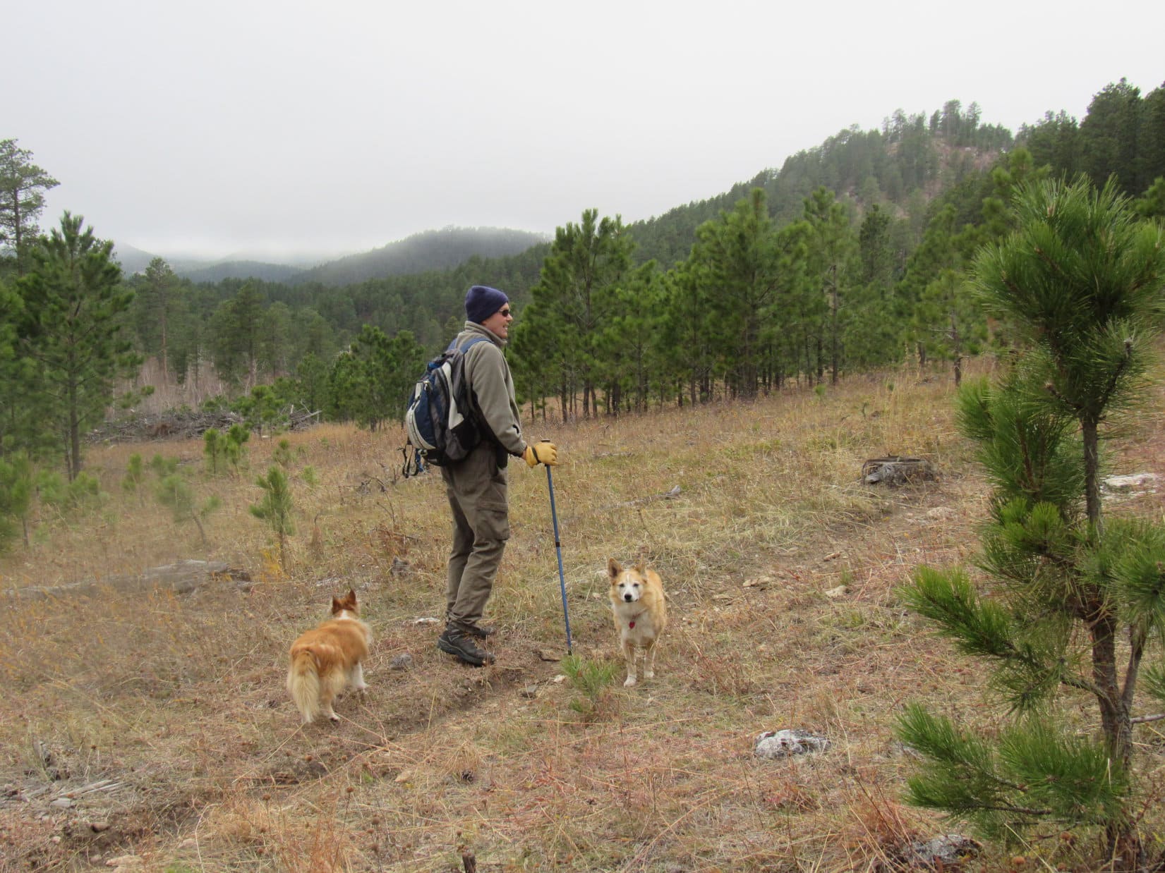
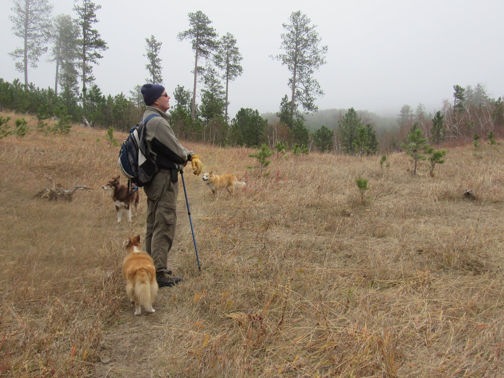
9:49 AM, 54ºF – At the end of USFS Road No. 599, SPHP parked the RAV4 at a big circular turnaround.  Lupe hopped out.  Nice and warm for early November, but she was here a little later than she ought to have been if she wanted to climb both White Tail Peak (6,962 ft.) and Peak 6962.

Parked at the end of USFS Road No. 599. Photo looks NW.

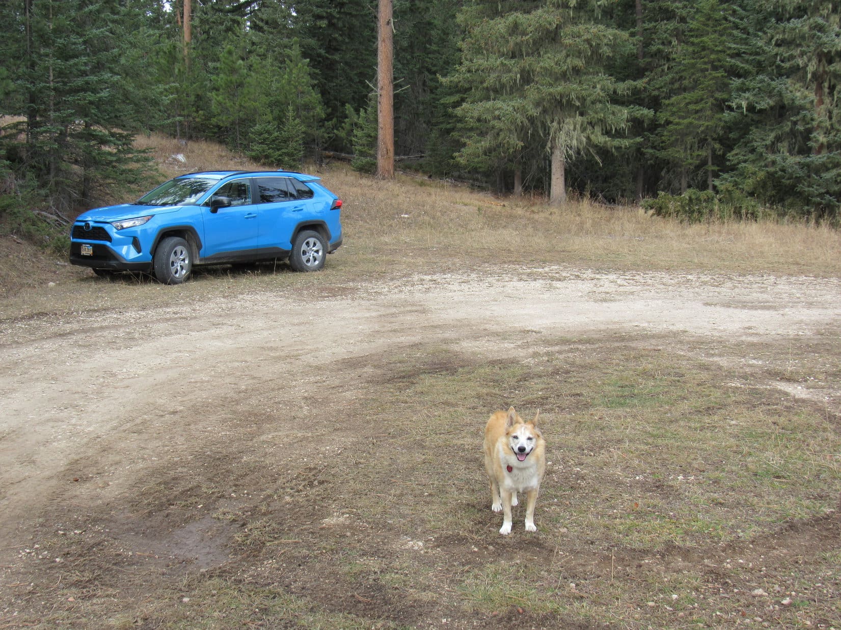
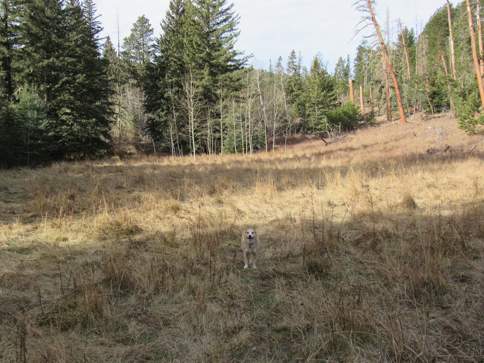
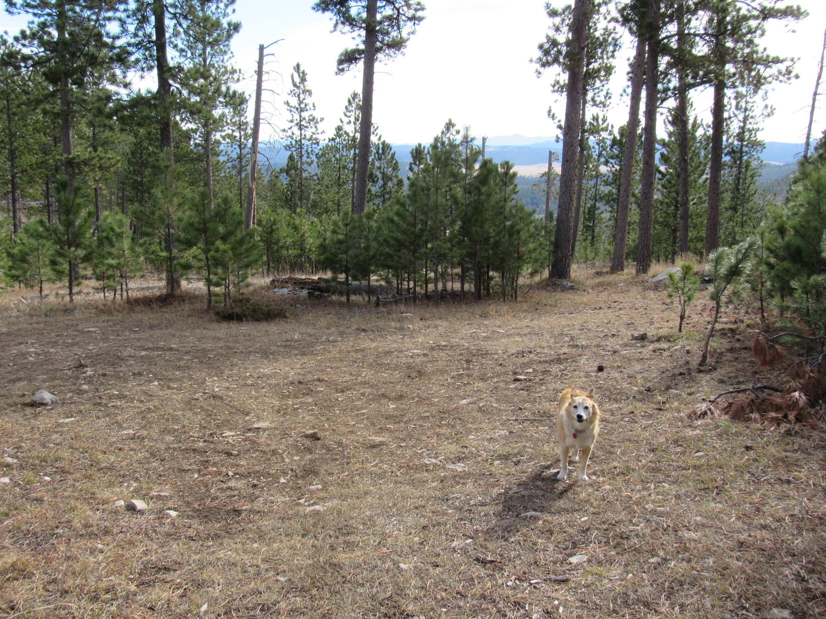
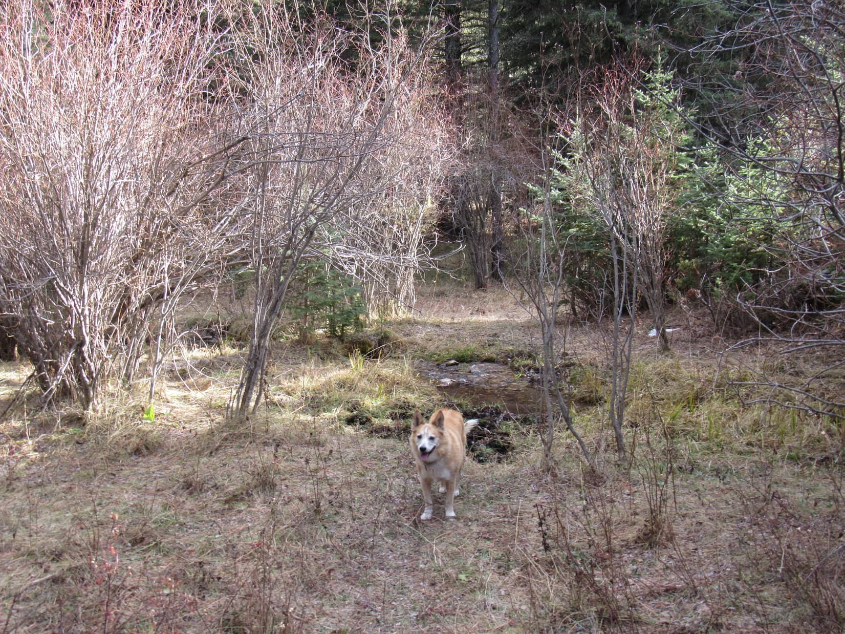
No need to decide which peak to shoot for yet, though.  The first mile would be the same for either one.  Eager to get going, Lupe headed NW into a dense forest, following an old barbed wire fence up the valley of the North Fork of Castle Creek.

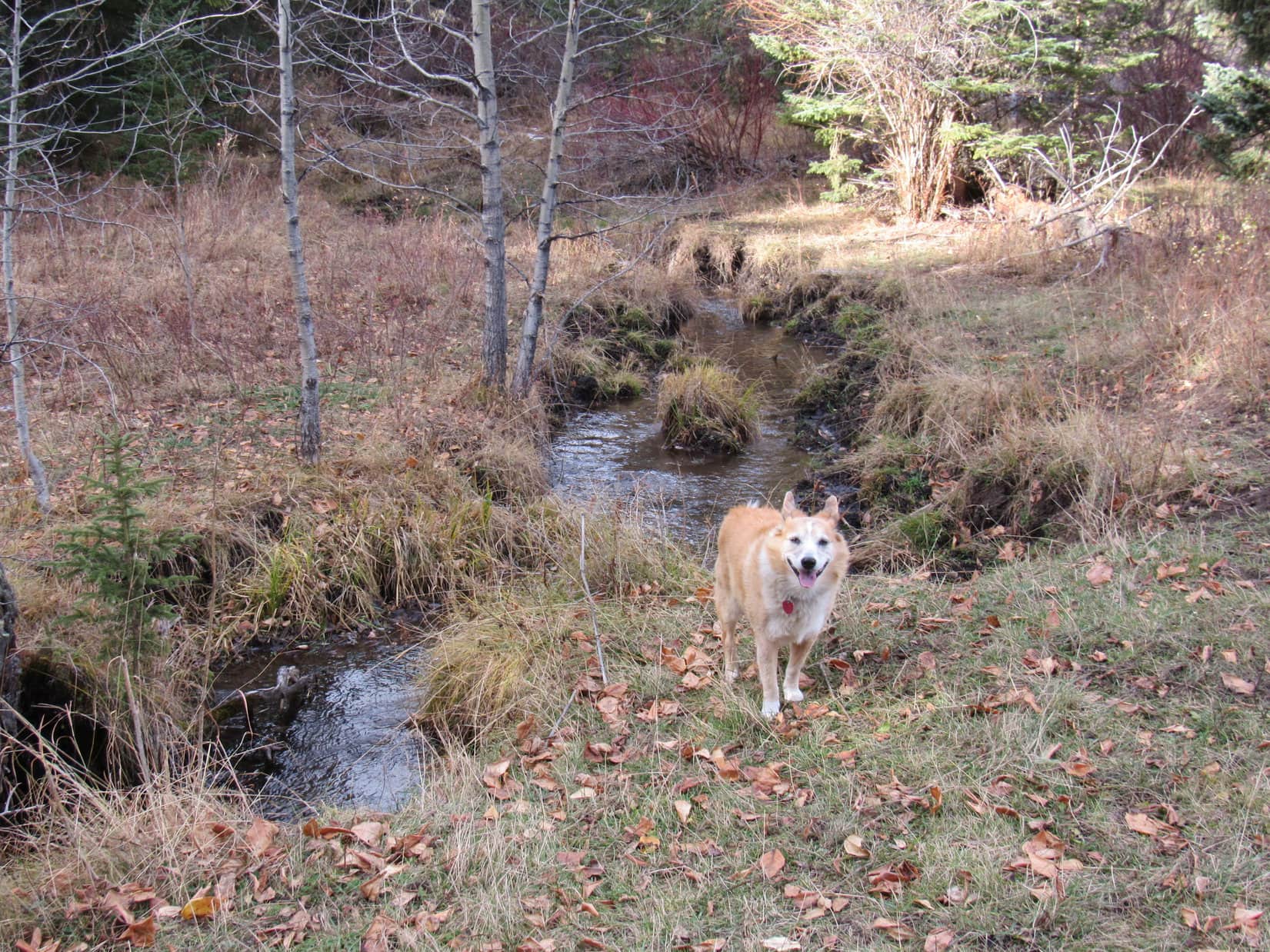
The forest was sort of a mess, full of deadfall.  SPHP’s progress was slow.  Fortunately, Lupe didn’t have far to go, before the forest opened up a bit.  Ducking through the barbed wire fence, she quickly came to the North Fork of Castle Creek.  Although small, the stream had decent flow.

Following the barbed wire fence.
At the first little clearing.
By the North Fork of Castle Creek.

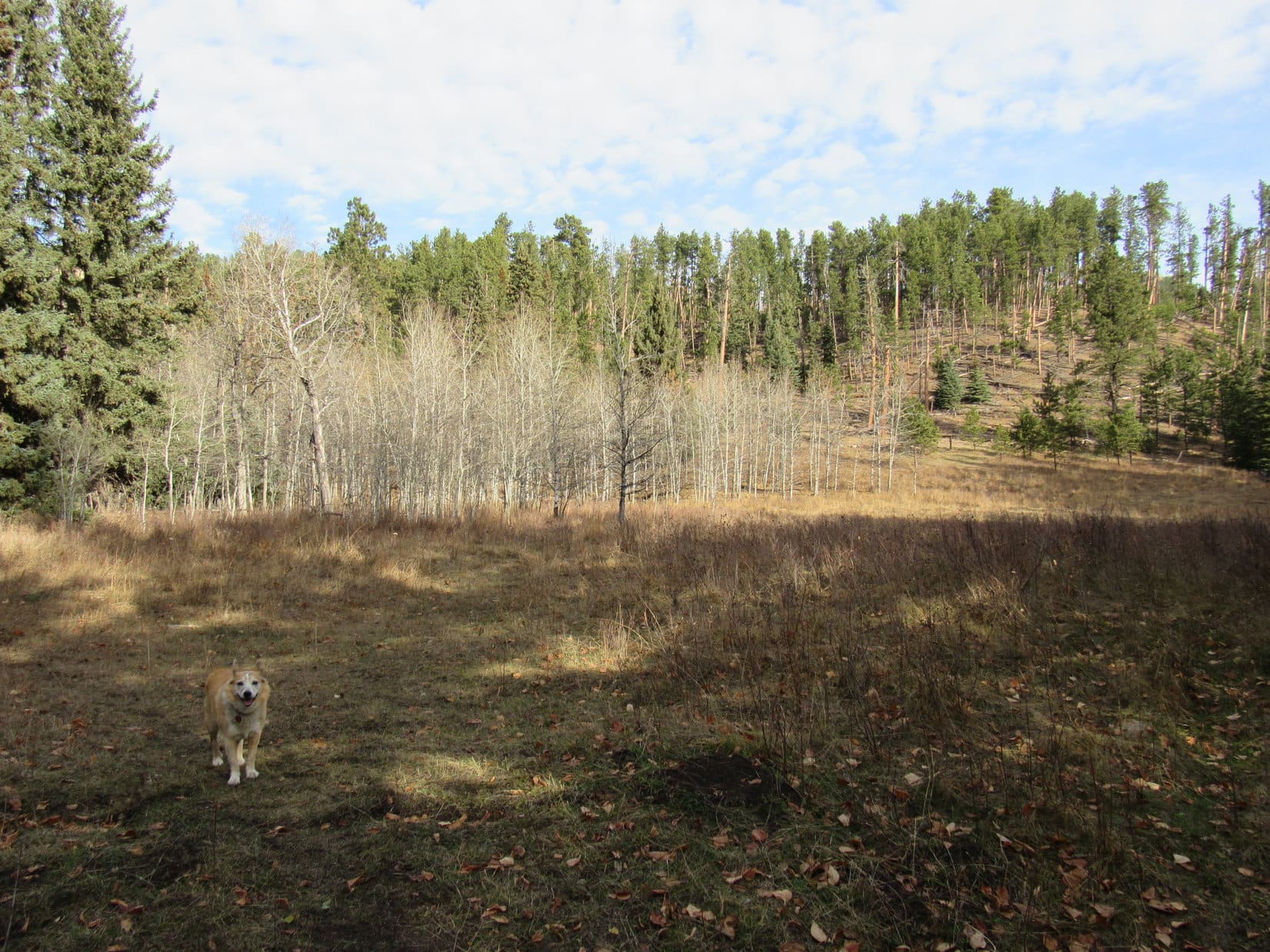
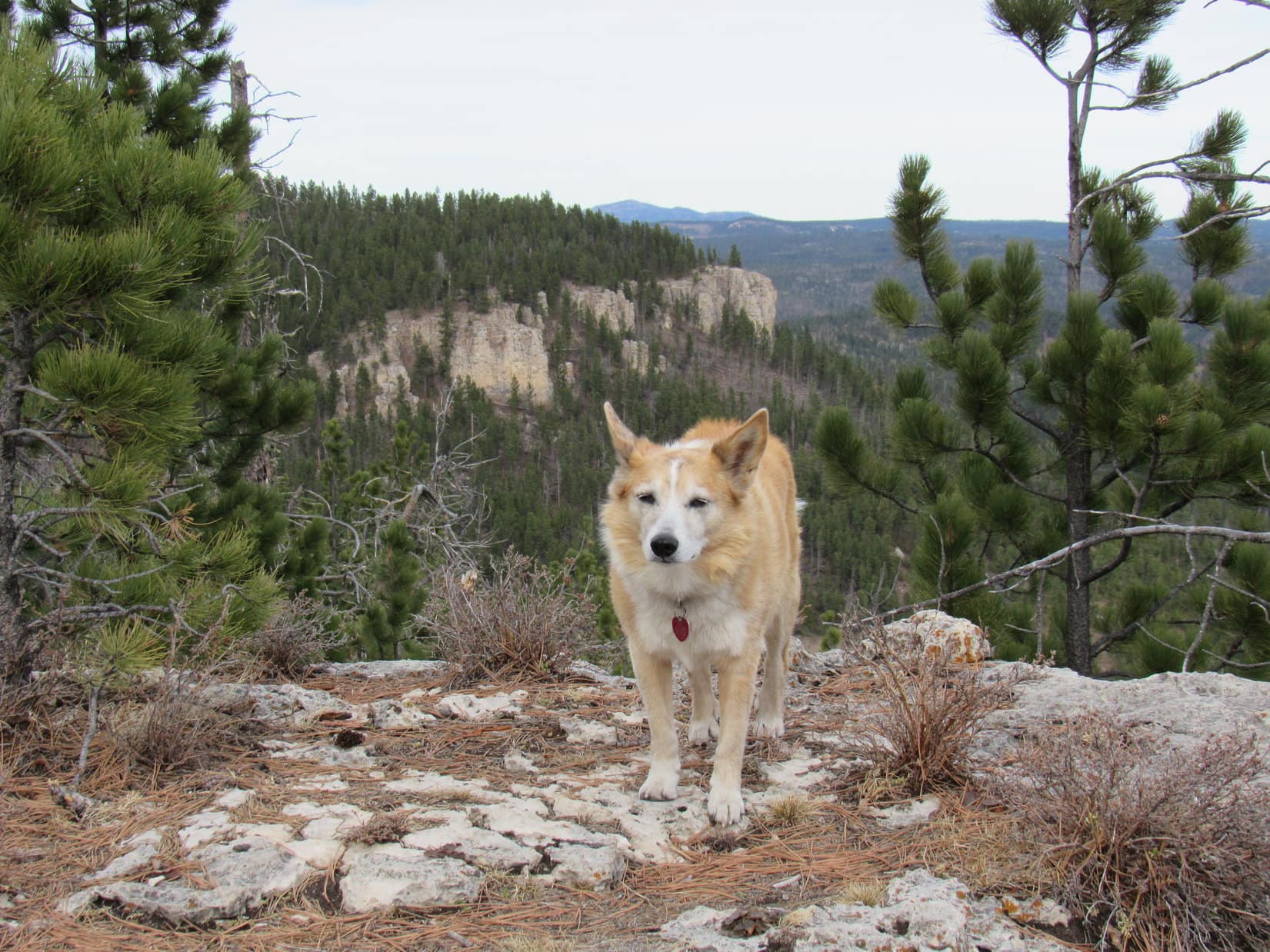
Beyond the creek was a larger clearing with a big stand of aspens at the far end.  Turned out there was an open lane through the aspens.  A faint trail ran through it.  Following the trail, Lupe came to another meadow.  To the N were some limestone cliffs, part of the S end of White Tail Peak.

The first big clearing after crossing the North Fork of Castle Creek. Photo looks NNW.
In the lane leading to the next meadow. Photo looks WNW.
In the second big meadow. Photo looks NW.
Cliffs at the S end of White Tail Peak. Photo looks N.

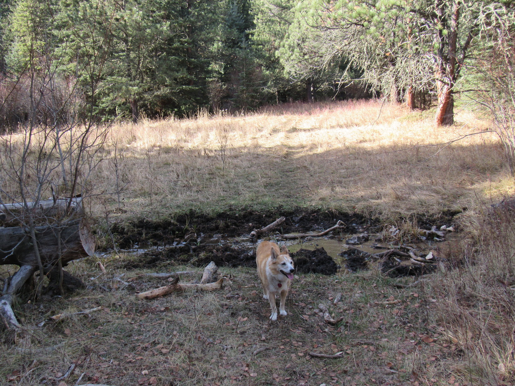
SPHP was surprised when the trail persisted instead of fading away.  Certainly made life easy!  A mile from the start, Lupe came to a place where the valley divided.  The North Fork of Castle Creek forked here, too.  At a muddy spot, the trail crossed one of the tributaries.

Continuing up the valley. Photo looks W.
About to cross a tributary of the North Fork of Castle Creek. Photo looks W.

Decision time, Loopster!  White Tail Peak or Peak 6962?

Seems like an awfully long time since we’ve been to either one, SPHP.

Oh, it has been for sure!  4 years since we were last at White Tail Peak, and 6 since Peak 6962.

Either one is fine with me, SPHP.  Do you have a preference?  Maybe we can still get to both today?

We’ll give it a shot.  If I had to choose, I’d say White Tail Peak.  Best views, although we really ought to explore Peak 6962 more thoroughly.

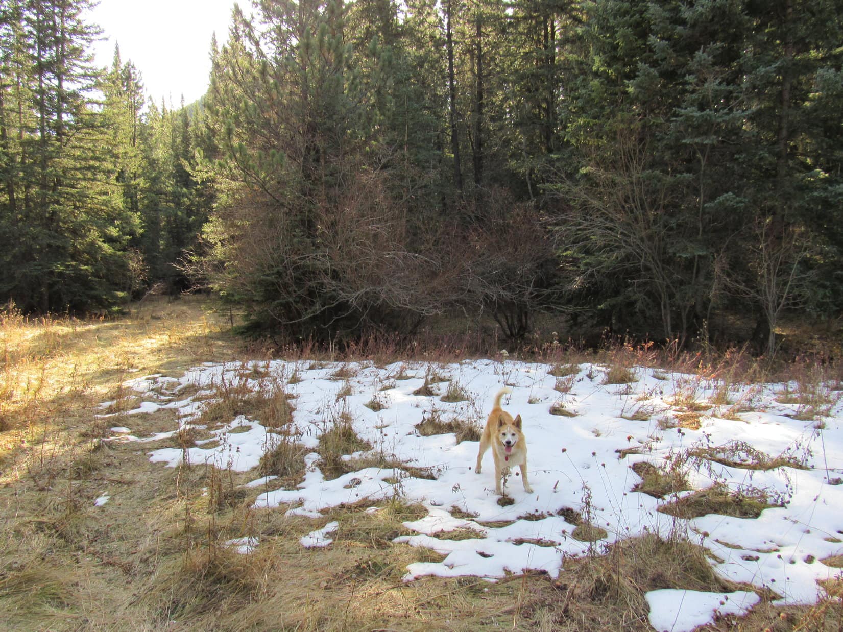
Best views won out.  White Tail Peak it was!  The American Dingo left the divide bearing R as she continued up the branch of the valley to the NW.  This decision soon paid off with the discovery of the still considerable remnants of a melting snow bank to frolic on.

Oh, joy! Nothing like finding a snowbank on a warm day! Photo looks SSE.

0.25 mile from the first divide, the valley split again.  What was left of the North Fork of Castle Creek came from the L.  The valley to the R (NE) was completely dry.  Loop was now 1.5 miles SW of White Tail Peak as the crow flies, so that was the way to go.

Nearing the second major divide of the valley. Lupe again went R. Photo looks NNW.

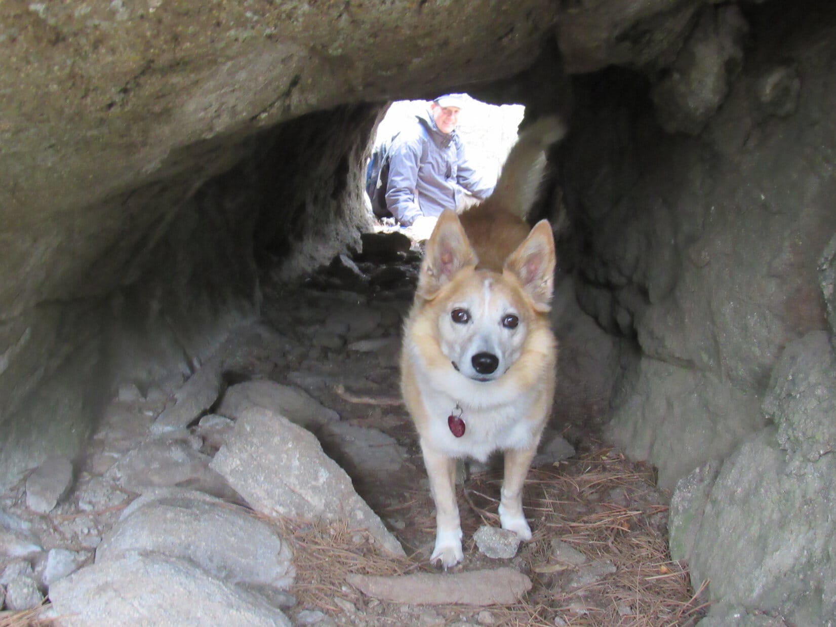
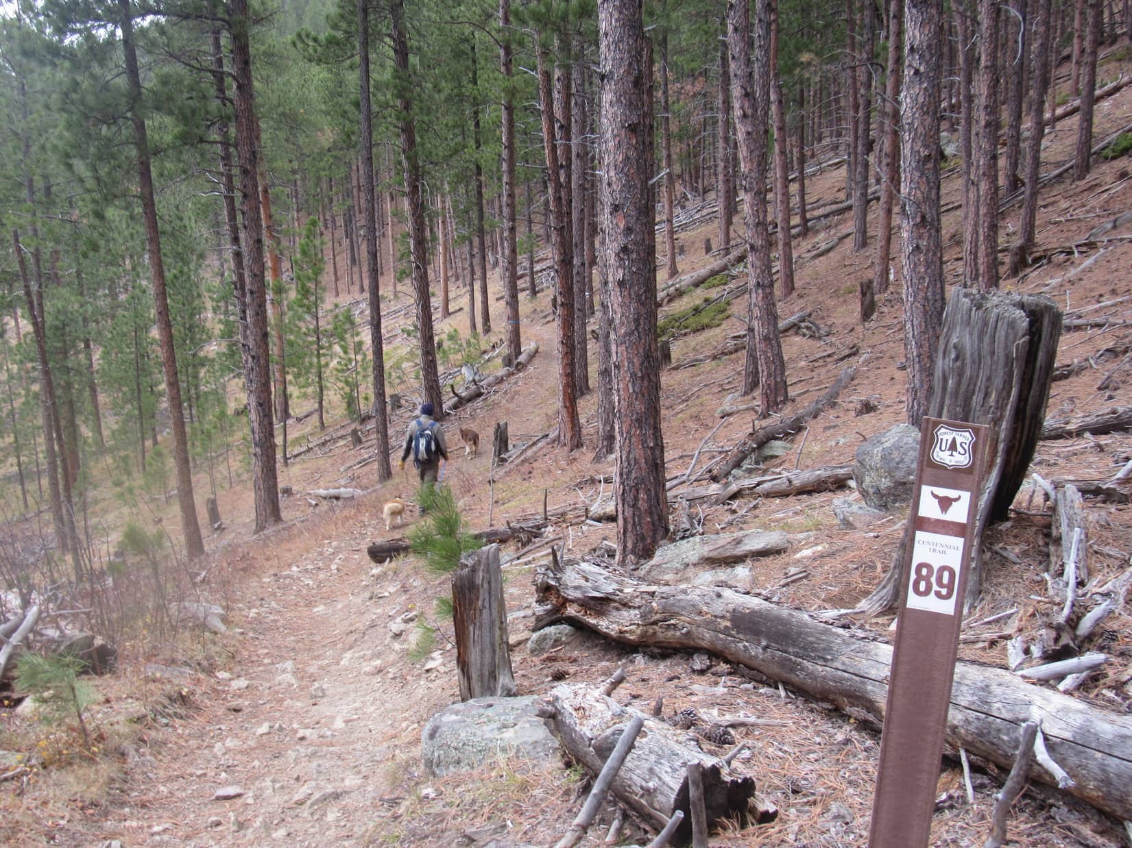
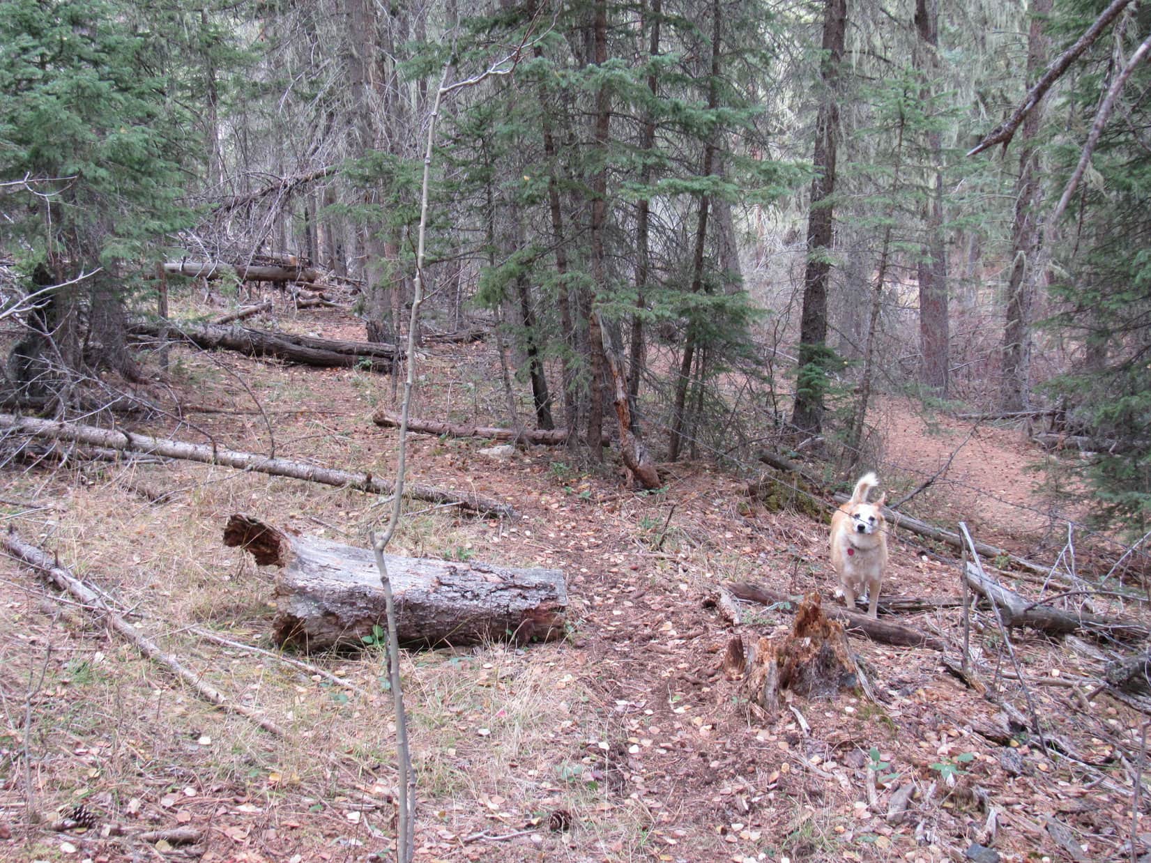
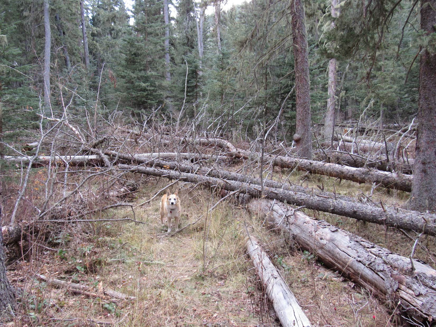
Soon after entering the NE branch, the valley deteriorated into more of a big, steep-sided ravine.  A dense forest grew here, partially choked with deadfall.  If it wasn’t for another unexpected path that wound through it all, passage would have been difficult.  Lupe came to a sign for a defunct research area.  A little farther on, she passed another.

By the first “research natural area” sign.

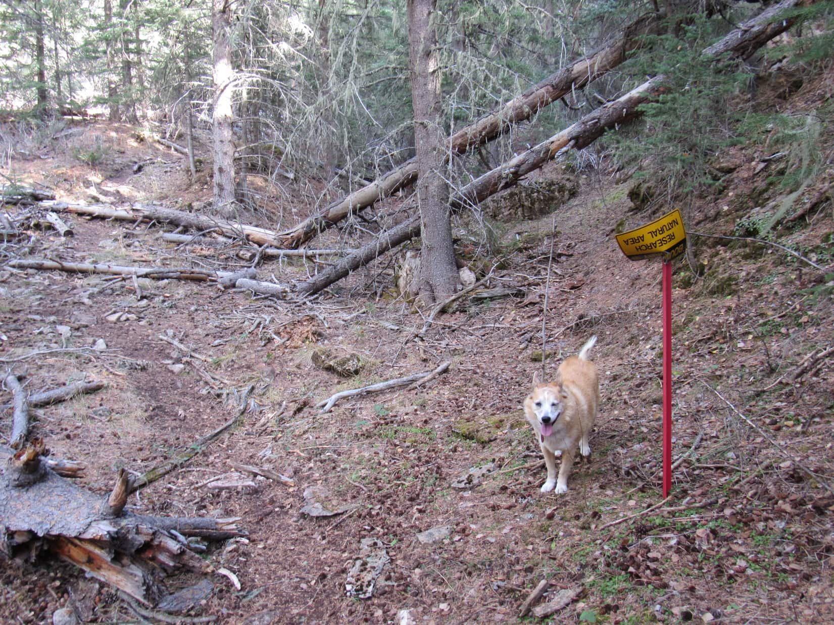
The path in the ravine was steeper than the nearly level trek back by the North Fork of Castle Creek.  Before long, the path climbed partway up the L side of the ravine, well above a V-shaped bottom.  As Looper kept going, she got past the densely forested section into more open territory.  Here the ravine curved N and broadened out.

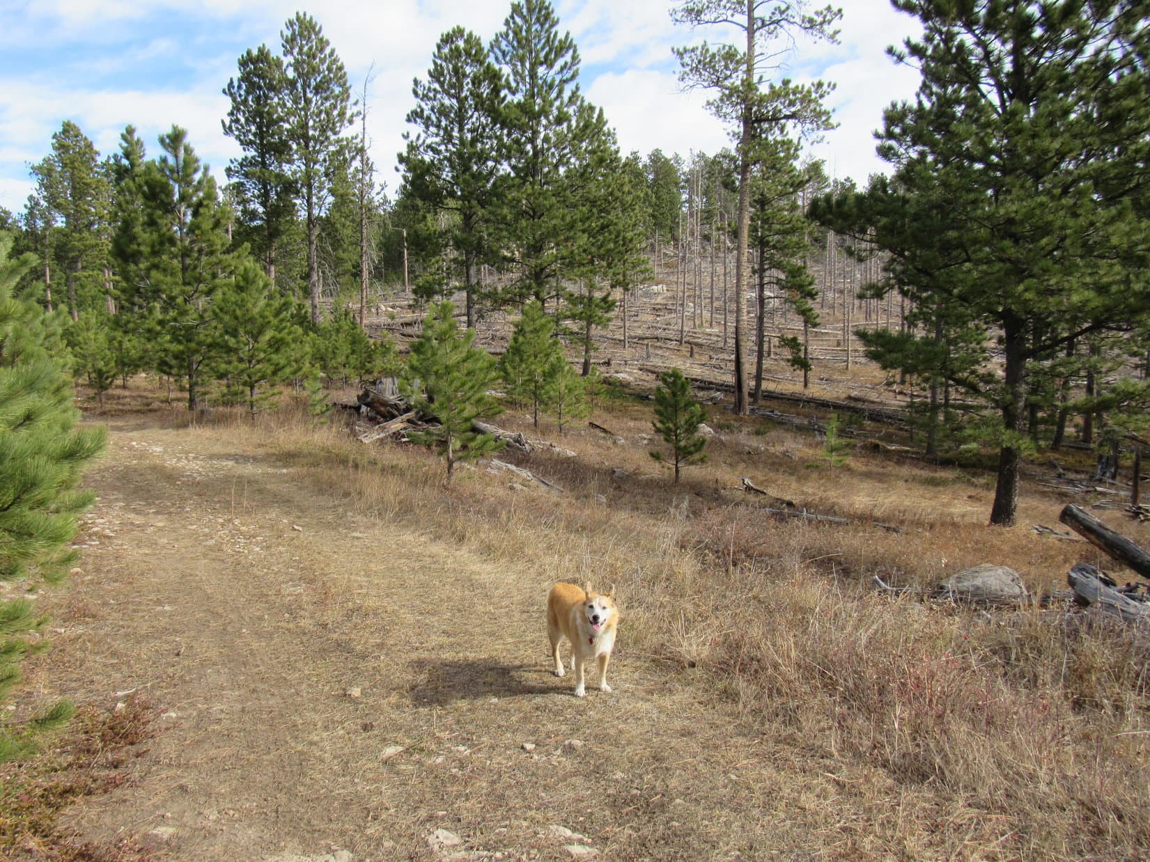
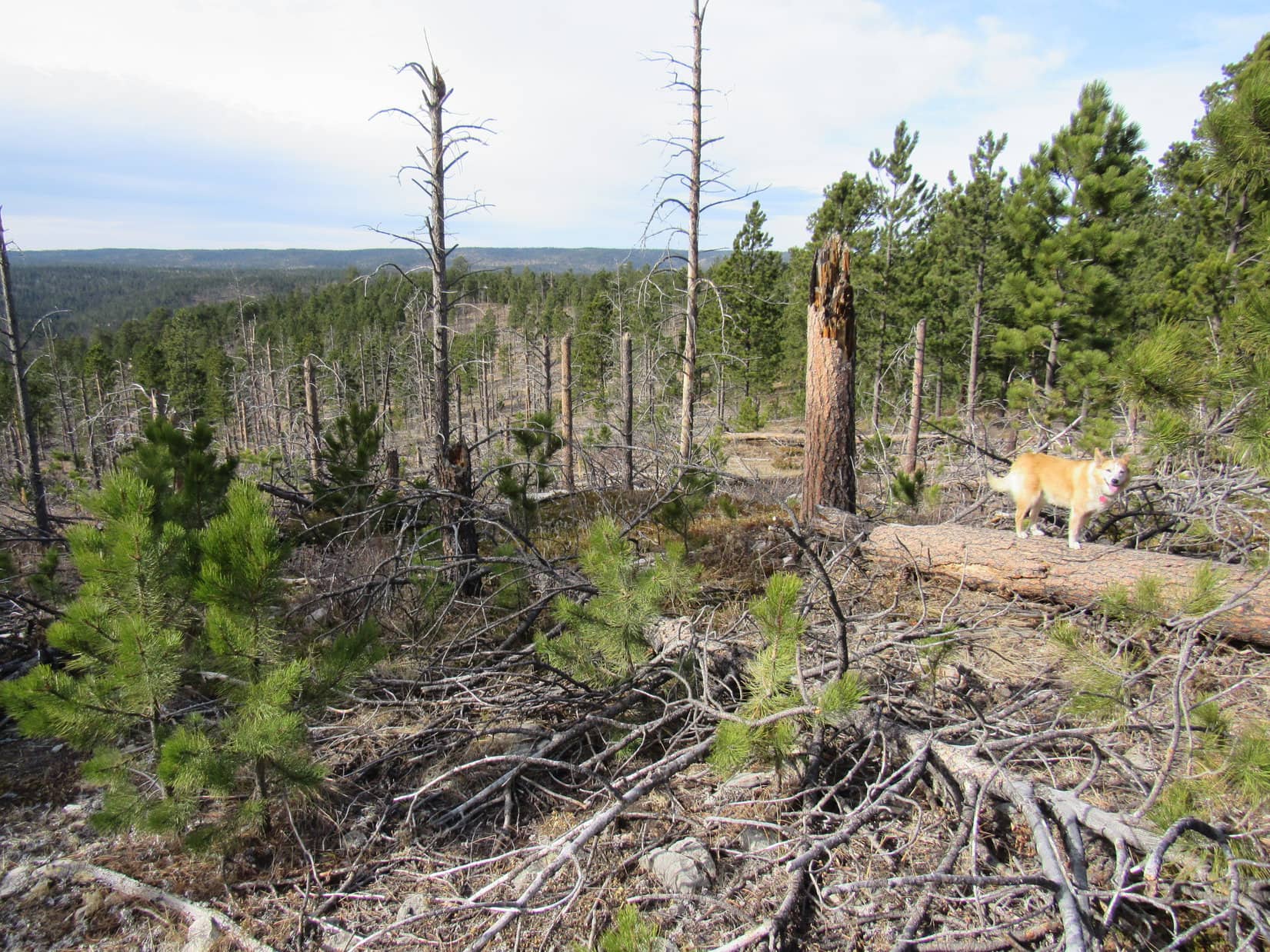
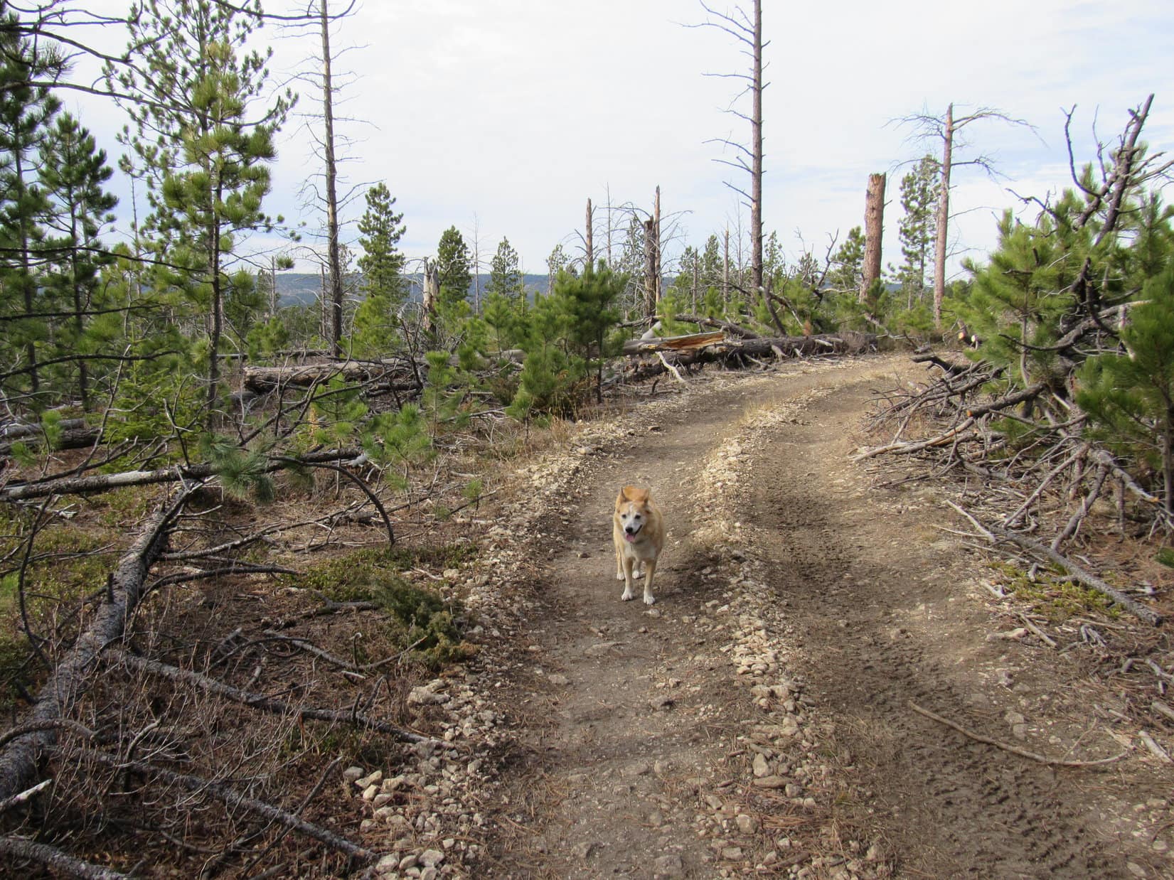
The path ultimately led to the S end of an old abandoned road. This was USFS Road No. 190.1O.  Lupe followed the road N to a large clearing, part of which held the charred remnants of a giant burn pile left over from a logging operation.

By now the ravine had virtually melted away.  This was a more gently sloping region.  Heading NE past the charred area, Lupe came to another old road that went E.  No sign, but this had to be USFS Road No. 190.1P.

Beyond the densely forested part of the ravine where it started to broaden out. Photo looks NNE.
Approaching the burn pile area after leaving USFS Road No. 190.1O. Photo looks NNE.
USFS Road No. 190.1P where Loop reached it. Photo looks E.

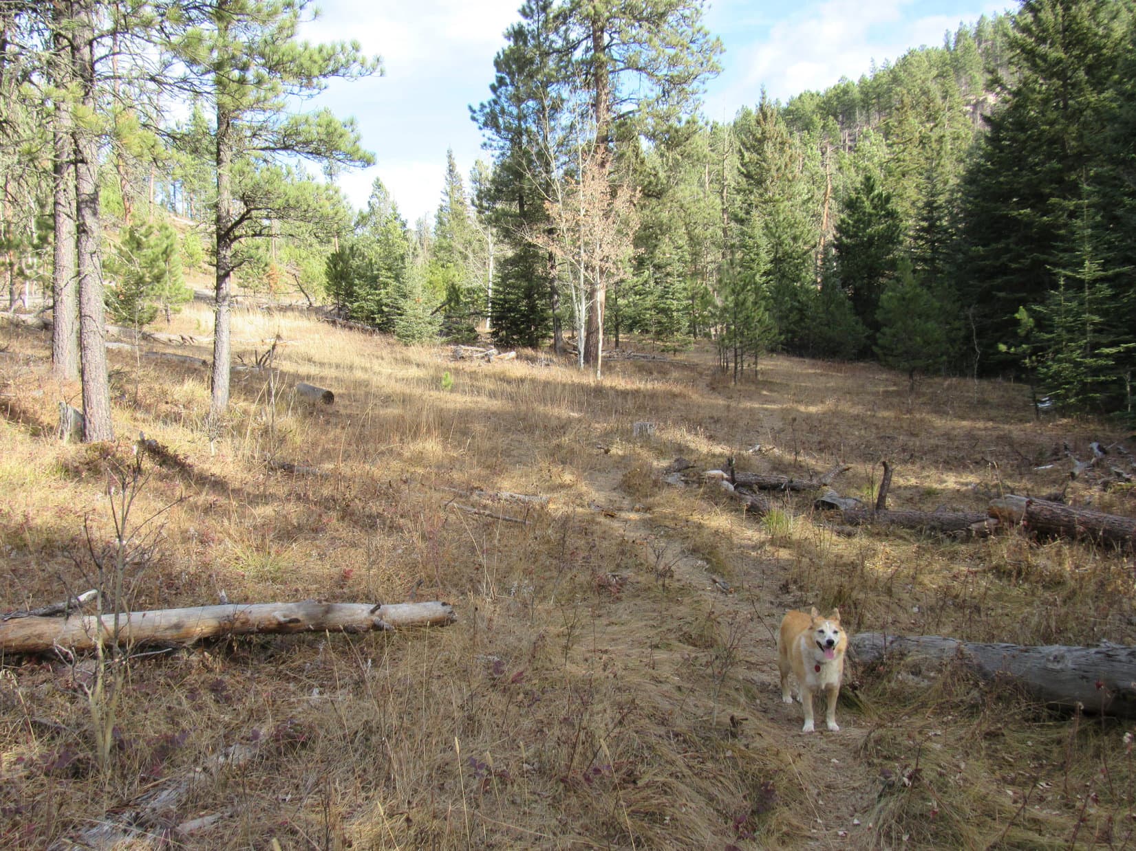
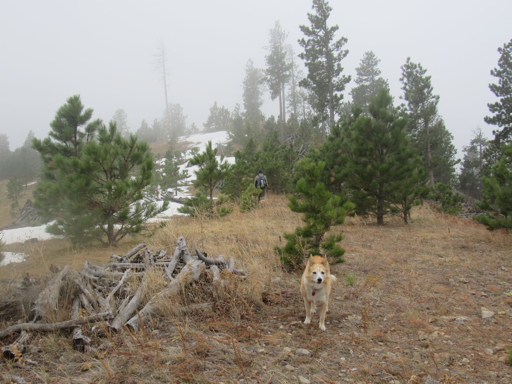
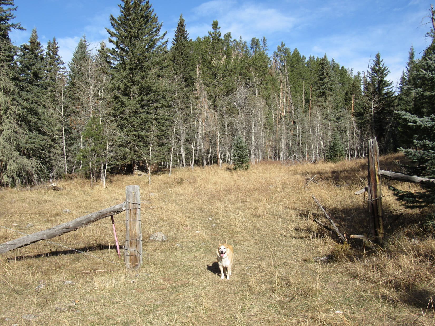
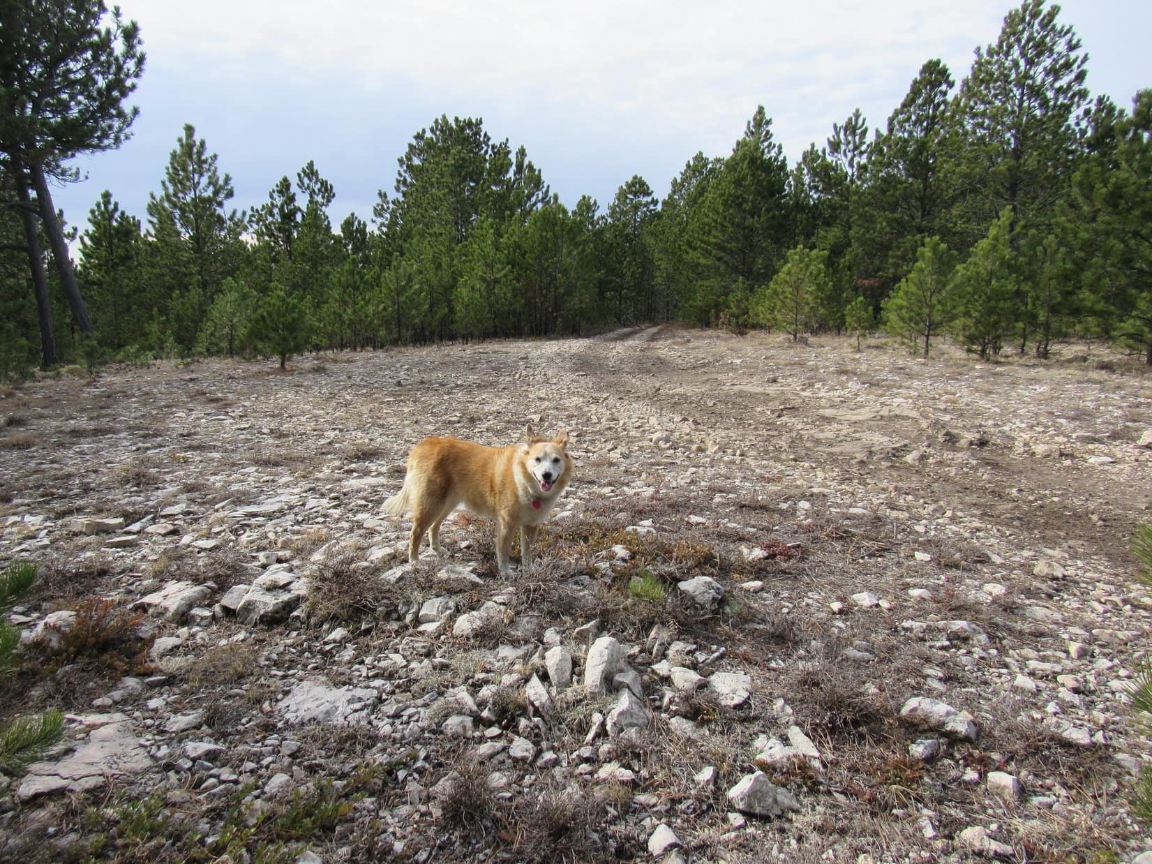
Taking No. 190.1P, the road climbed E for a little way, then flattened out as it turned S.  Half a mile on No. 190.1P brought Lupe to a small, flat clearing where the road ended.  This was high territory near the end of White Tail Peak’s long SW ridge overlooking the valley of the North Fork of Castle Creek, but other than a partial view to the SE, trees effectively hid the views.

At the S end of USFS Road No. 190.1P. Photo looks SE.

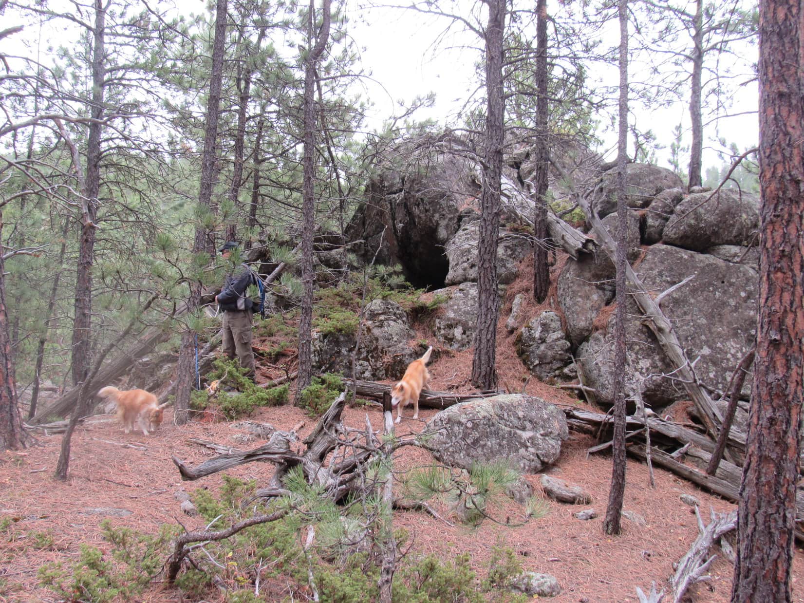
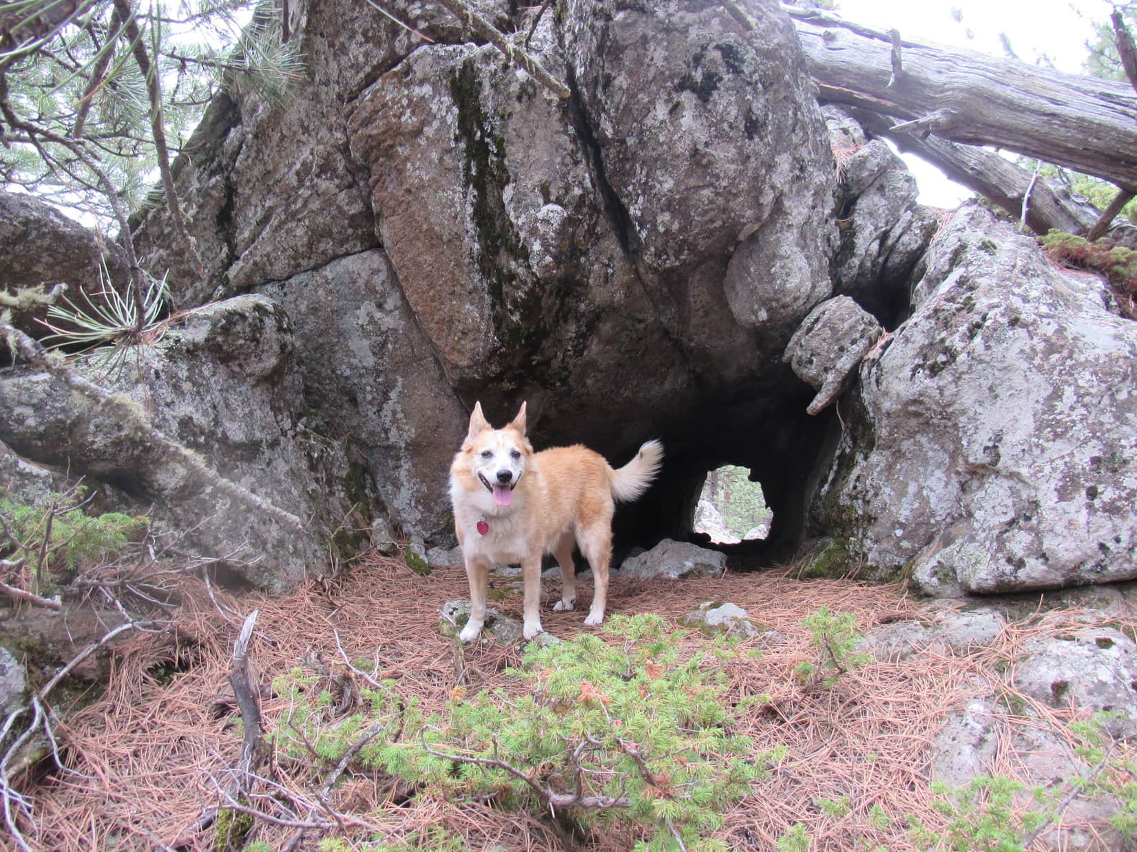
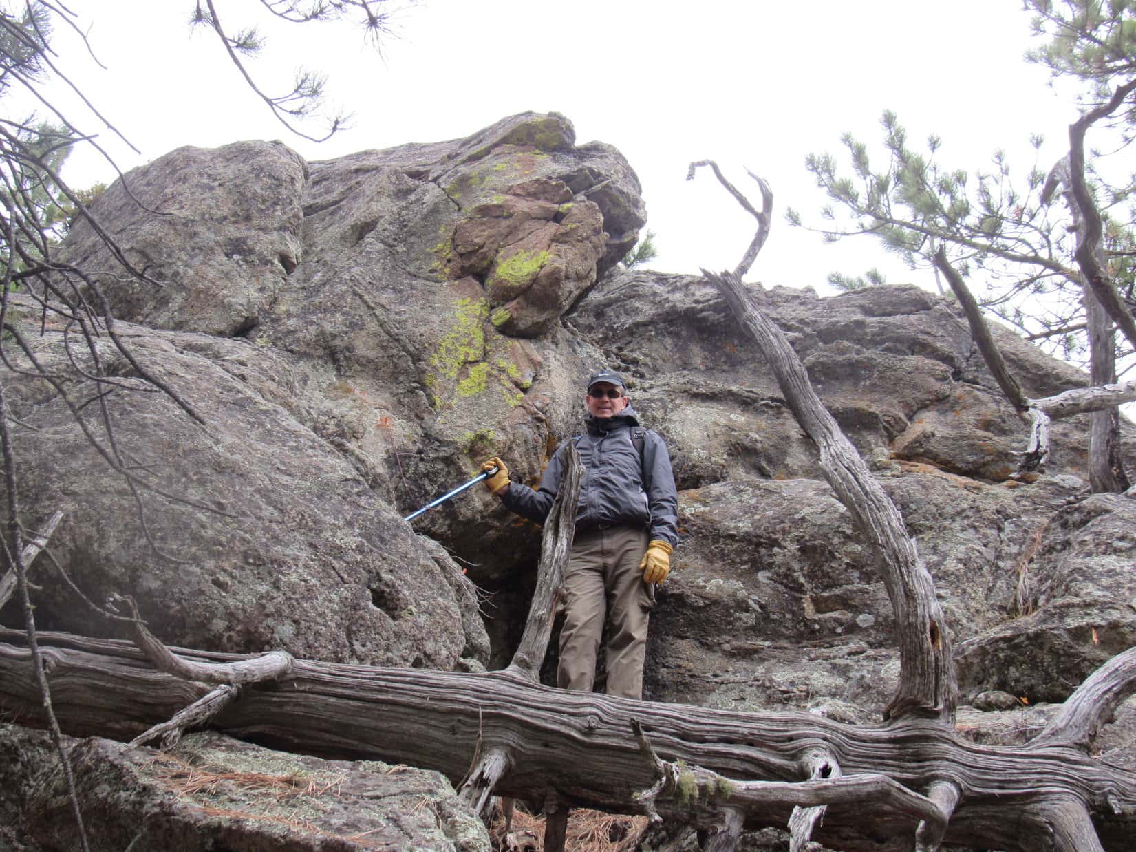
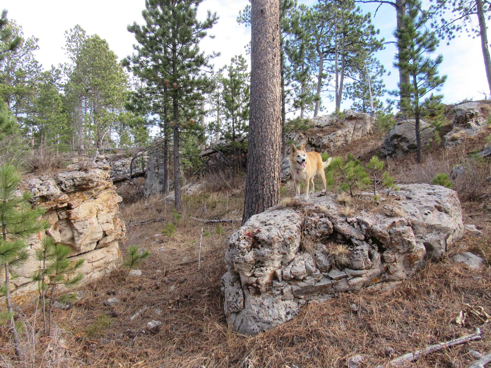
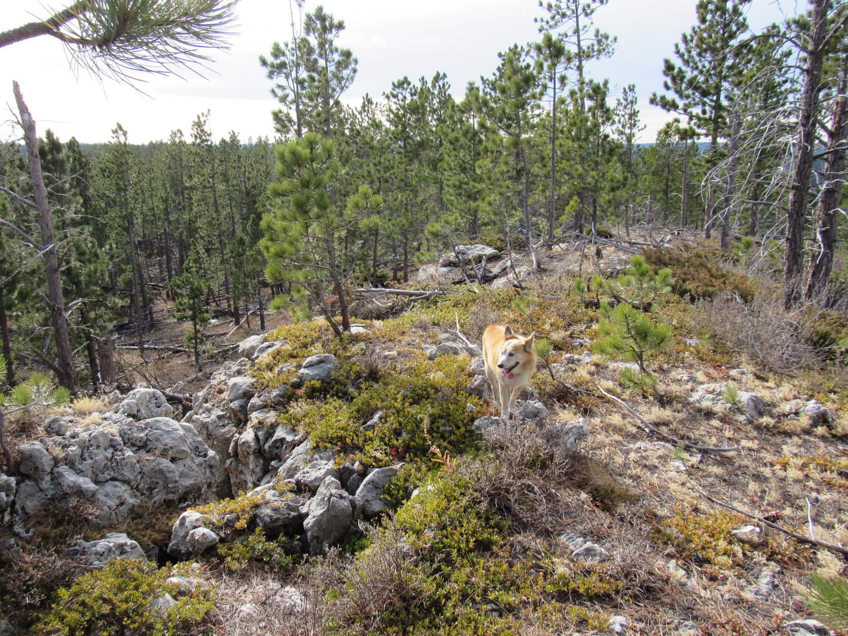
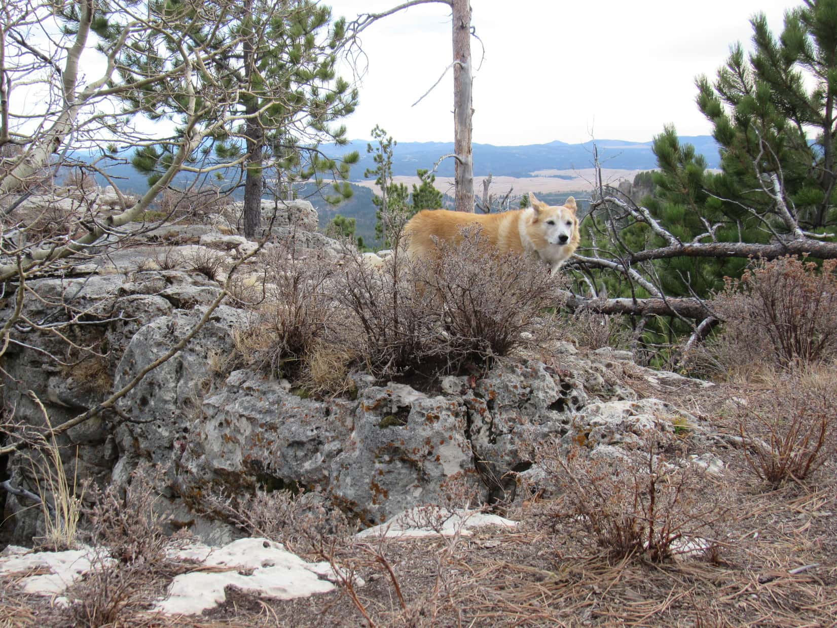
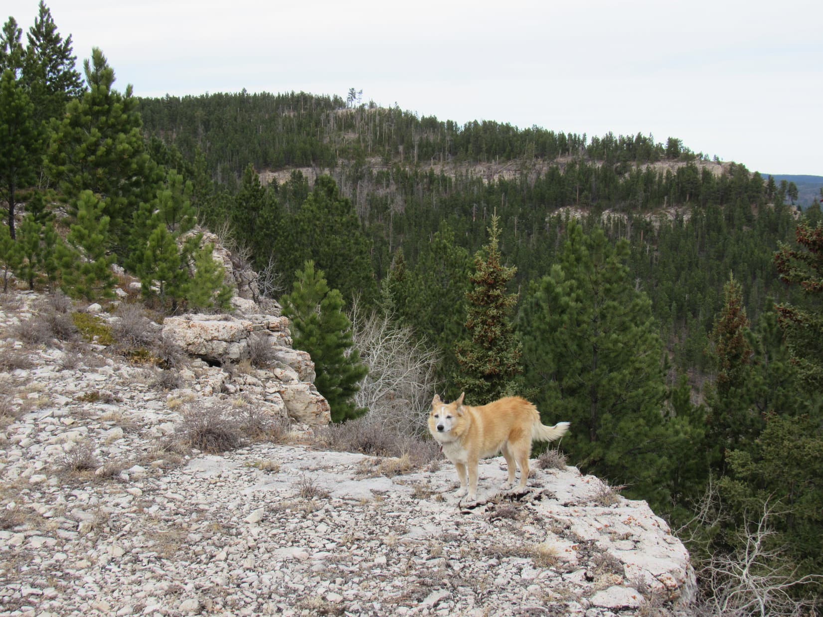
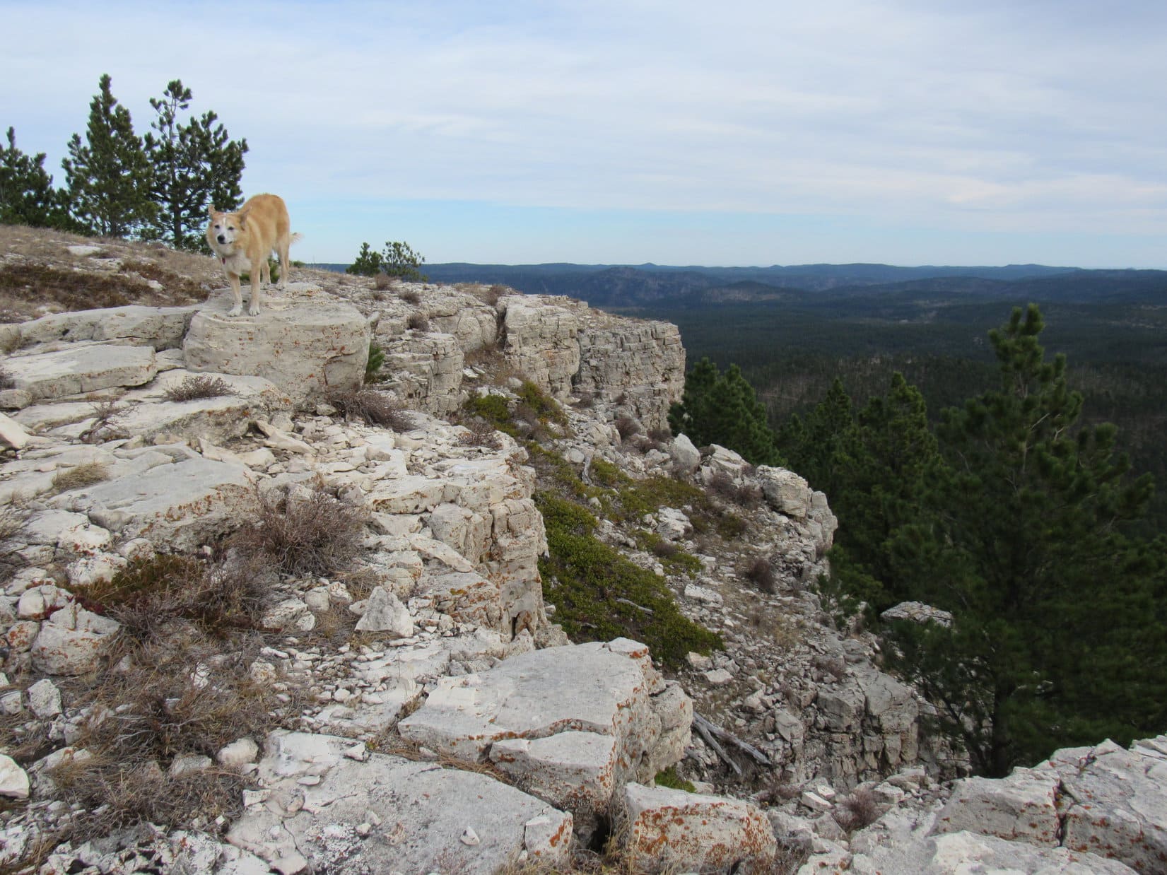
A higher part of White Tail Peak’s SW ridge was only a little farther NE.  Abandoning USFS Road No. 190.1P, Lupe crossed an open slope littered with deadfall.  This led to a somewhat steeper, but still easy climb in a live forest.  Near the top, Lupe began encountering small limestone outcroppings.

Lupe reached the S end of the upper portion of White Tail Peak’s long SW ridge.  Lots of trees up here, too, but also some nice views from rocks along the edge.

Beyond the valley of the North Fork of Castle Creek, peaks along the E edge of the limestone plateau were in sight.  Peak 6962 was closest.  Flag Mountain (6,937 ft.) was next, then Green Mountain (7,164 ft.) and Copper Mountain (6,920 ft.).  Even Medicine Mountain (6,878 ft.) could be made out.

Far to the SE, Black Elk Peak (7,231 feet) was visible way beyond Reynolds Prairie.

About to leave USFS Road No. 190.1P to cross the deadfall-laden slope behind Lupe. Photo looks NE.
Among the limestone outcroppings. Photo looks NE.
S end of White Tail Peak’s SW ridge looking over the valley of the North Fork of Castle Creek. Flag Mountain (R of the tree) and Peak 6962 (Center). Photo looks S.
Black Elk Peak (L) on the horizon beyond Reynolds Prairie. Medicine Mountain in the distance behind the tree at (Center), then proceeding R: Copper Mountain, Green Mountain, Flag Mountain & Peak 6962. Photo looks SSE.

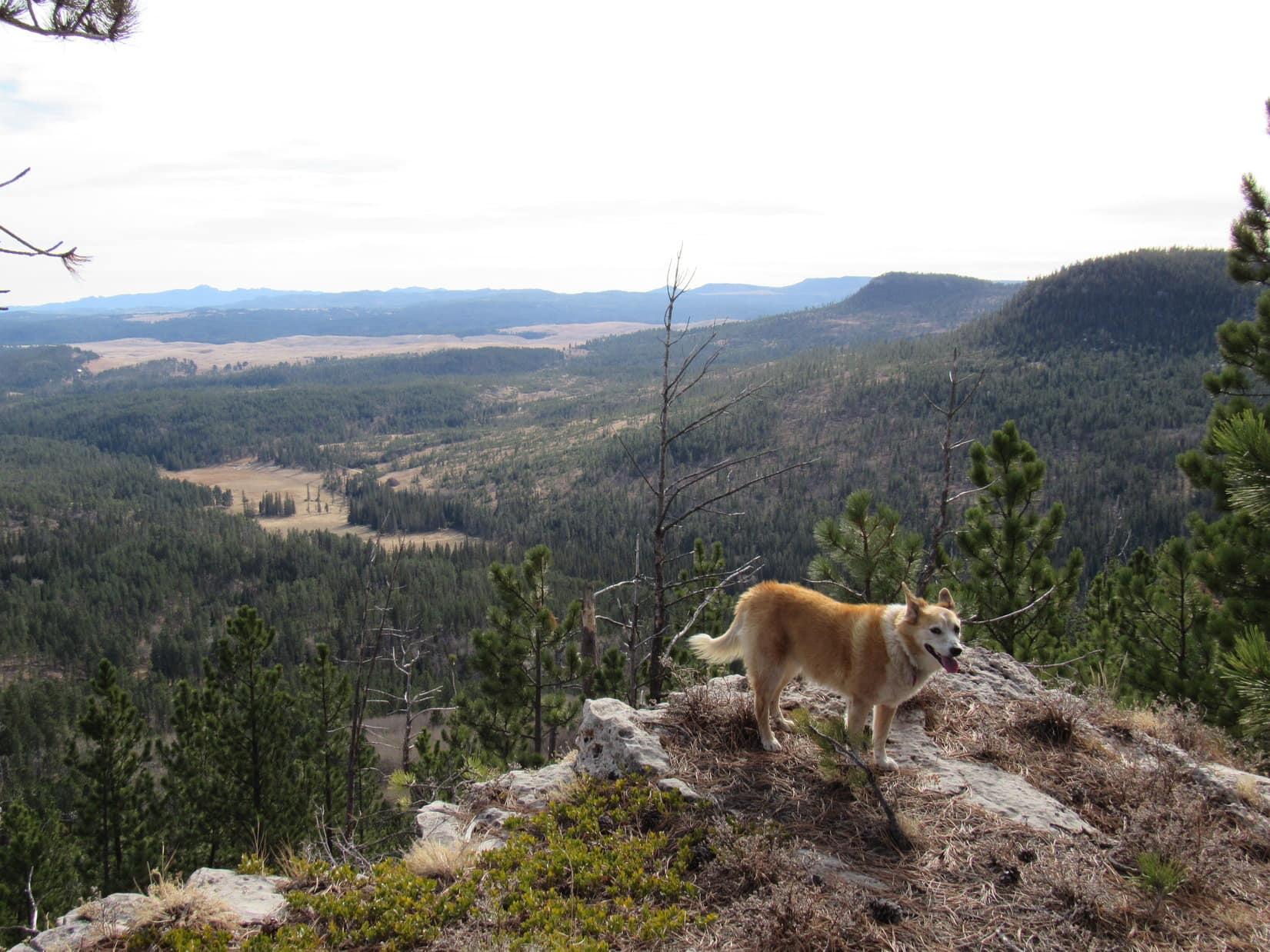
White Tail Peak (6,962 ft.) is located along the E edge of the limestone plateau country, a large elevated region of the western Black Hills, much of which lies close to the Wyoming border.  It’s a complex peak involving multiple ridges extending out from an unremarkable summit.  Some of the best views are from two ridges, a long one and a short one, that both extend out to the SE.

The end of the long SE ridge was a favorite spot on White Tail Peak.  Lupe had a good view of it from here.

S end of White Tail Peak’s long SE ridge (Center) from the SW ridge. Photo looks ENE.

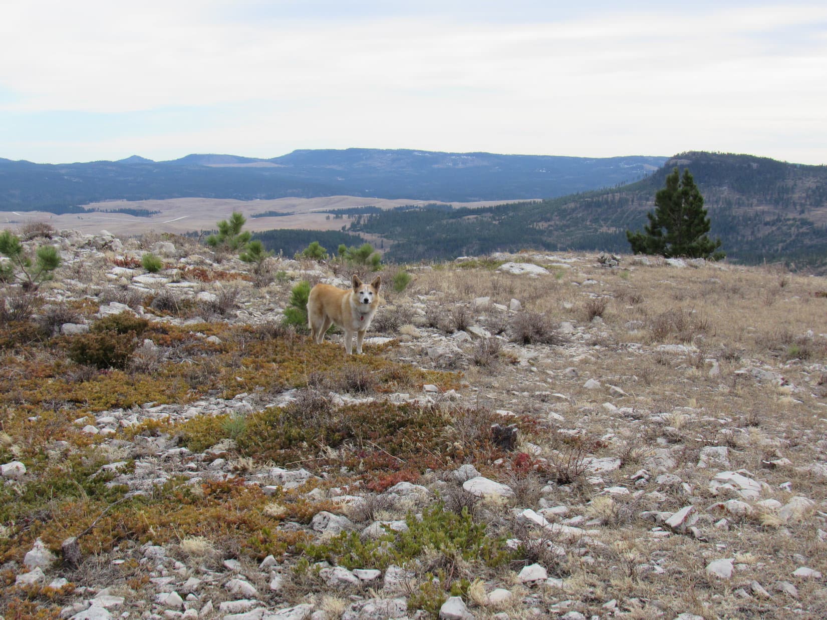
The plan was to visit both of the SE ridges.  On the way there, Lupe could tag White Tail Peak’s summit, which was still more than 0.67 mile away.  After lingering a few minutes at the S end of the SW ridge, the American Dingo headed  N.

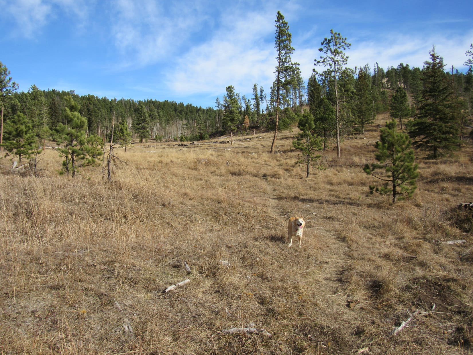
For a little way, Lupe continued to gradually gain elevation.  Eventually the ridge leveled out.  Forest hid most of the views, although Loop did come to one spot with a view to the W.  Nothing too scintillating, just more forested ridges not quite as high as White Tail Peak.

Toward the N end, as the SW ridge merged into the rest of the mountain, the terrain began to rise again curving toward the NE.  Lupe came to a little high point, but this wasn’t the top yet.

Following the nice, wide SW ridge N. Photo looks NNE.
Looking W farther into the limestone plateau country.
At a little high point where the SW ridge joins the rest of the mountain. Photo looks SW.

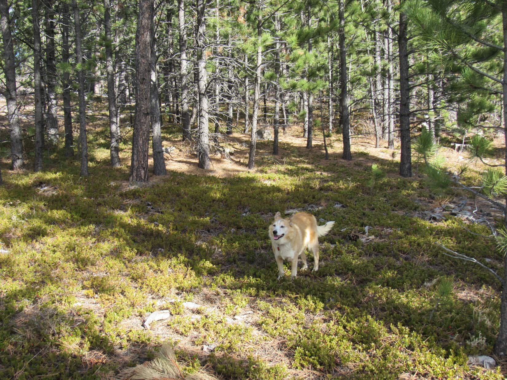
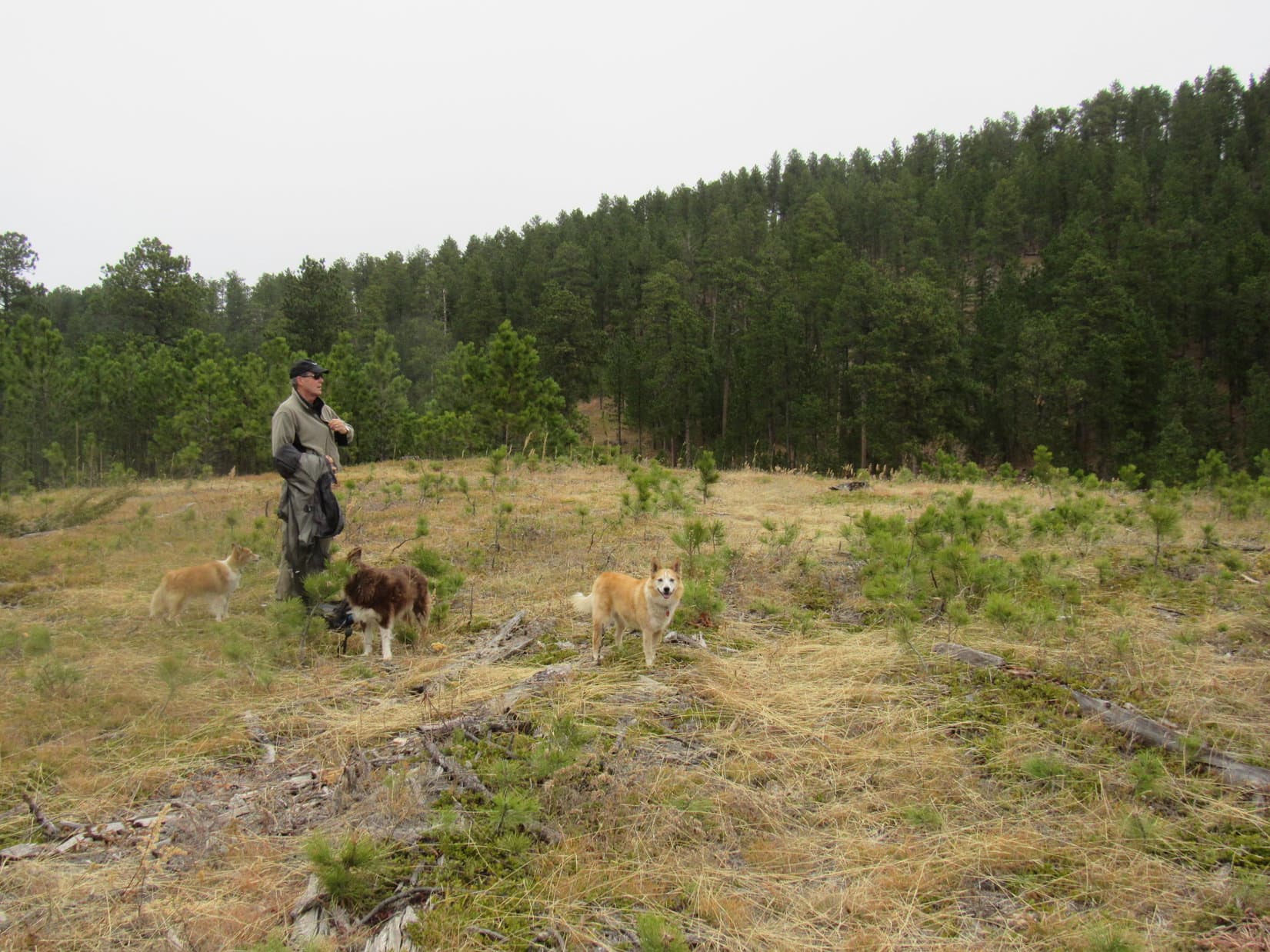
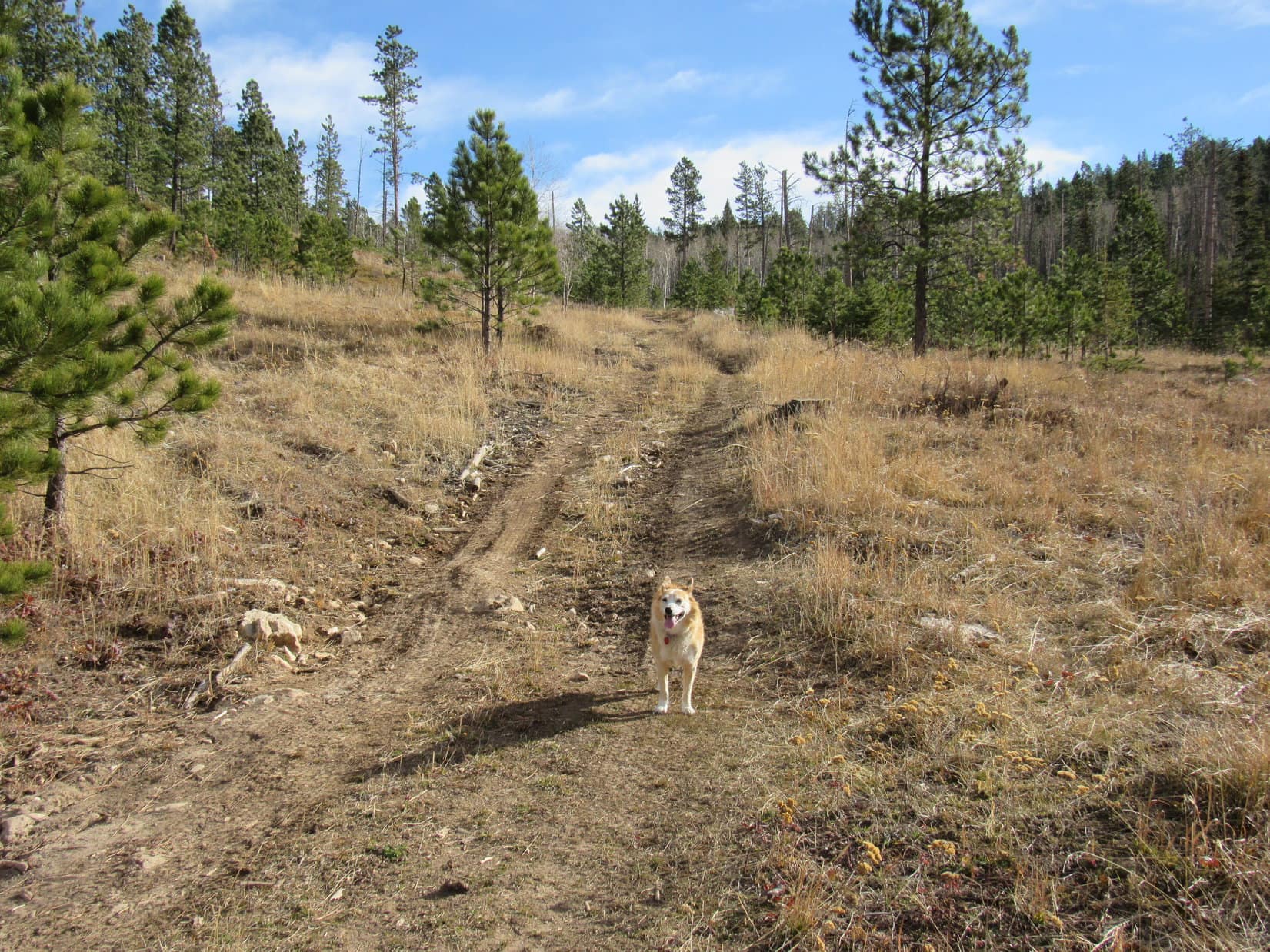
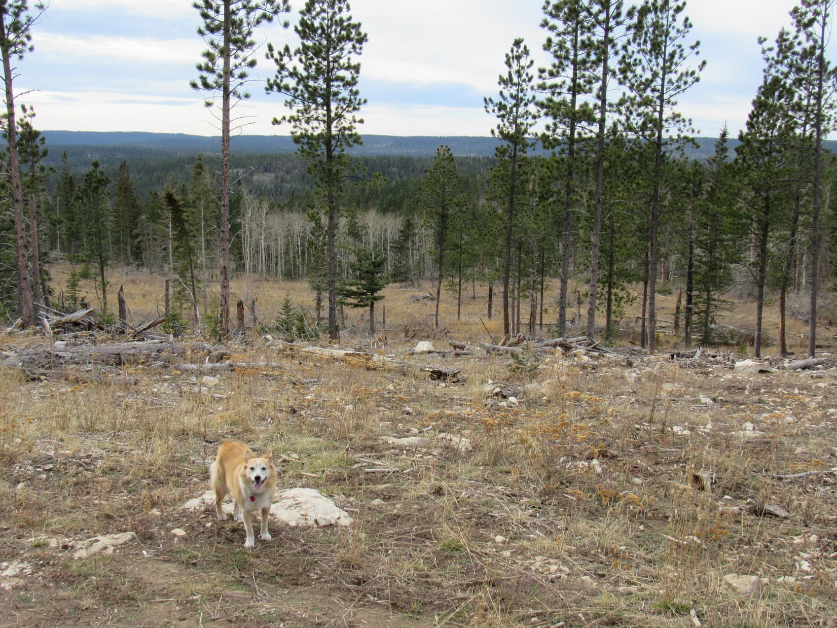
Beyond this high point the terrain was fairly flat.  The territory to the N contained the shattered remnants of a forest killed by pine bark beetles.  Staying in a live forest, Lupe went ENE along the edge of the dead zone.  Even the live forest contained plenty of deadfall, but she didn’t have far to go before reaching a road.

This road was USFS Road No. 190.1Q.  Following it E, the Carolina Dog quickly arrived at the true summit of White Tail Peak (6,962 ft.), a small, flat clearing full of broken limestone slightly elevated above the level of the surrounding terrain.

USFS Road No. 190.1Q. Photo looks WNW.
True summit of White Tail Peak. Photo looks WNW.

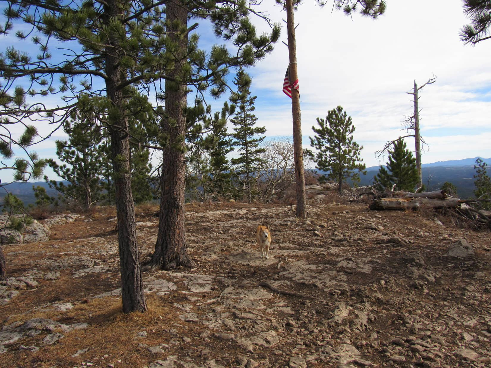
No. 190.1Q went right through the clearing.  Not much to see here, so Lupe paused only long enough for a photo before continuing on.  The good stuff was a little farther.  Gradually losing elevation, the road wound SE through the forest, finally coming to the end of White Tail Peak’s short SE ridge.

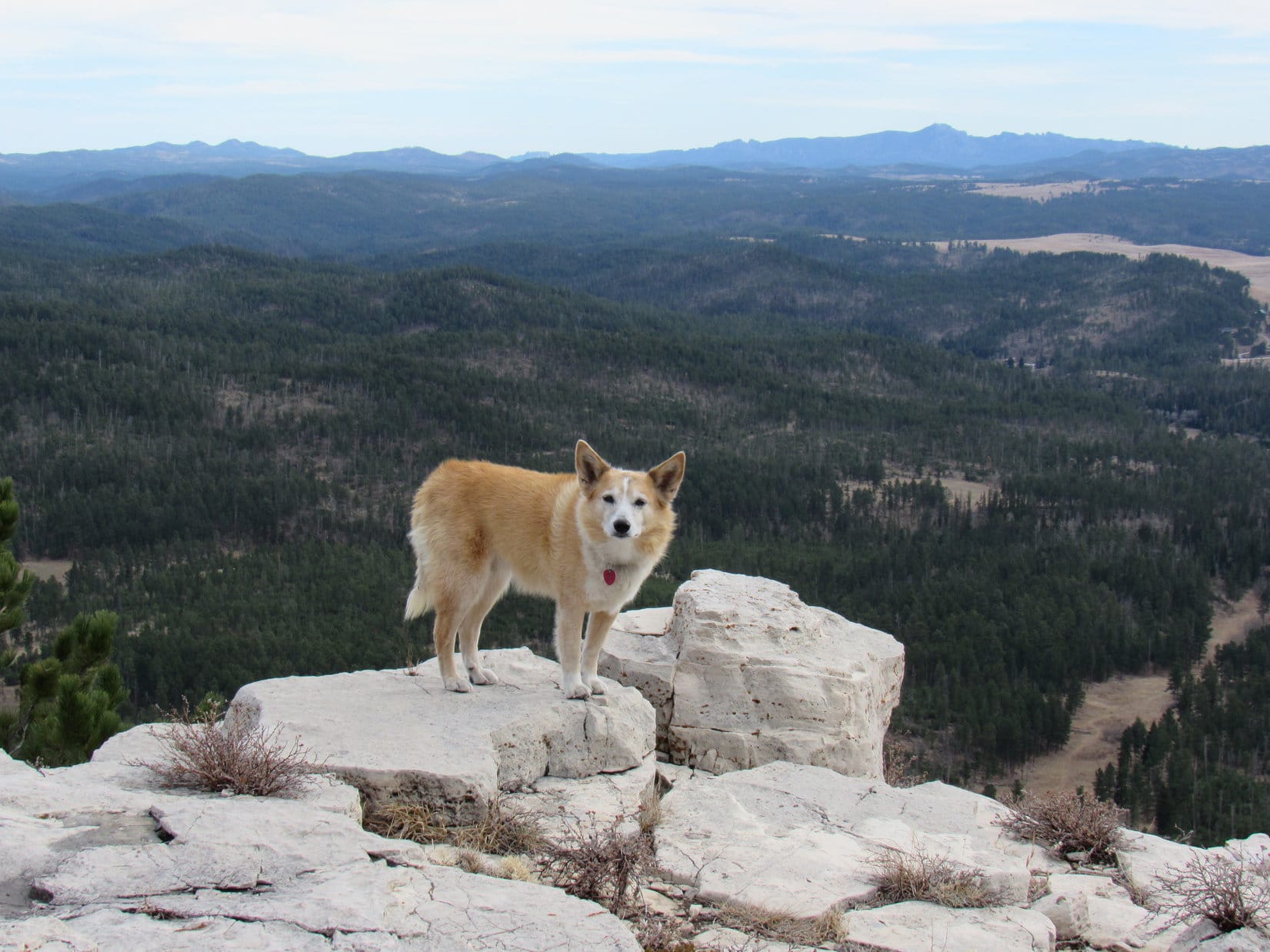
Lupe arrived to find an American flag wrapped around a tree.  Plenty of room to move around a level limestone platform here, and great views to the S and E.  In addition to all the major peaks Loop had seen from the SW ridge, both Custer Peak (6,804 ft.) and Terry Peak (7,064 ft.) were in sight, too.

Near the end of White Tail Peak’s short SE ridge. Photo looks SE.
Terry Peak (Center) in the distance. Photo looks N.
Reynolds Prairie beyond Lupe. Photo looks SSE.
Very end of the short SE ridge. Black Elk Peak (R) on the horizon. Photo looks SE.

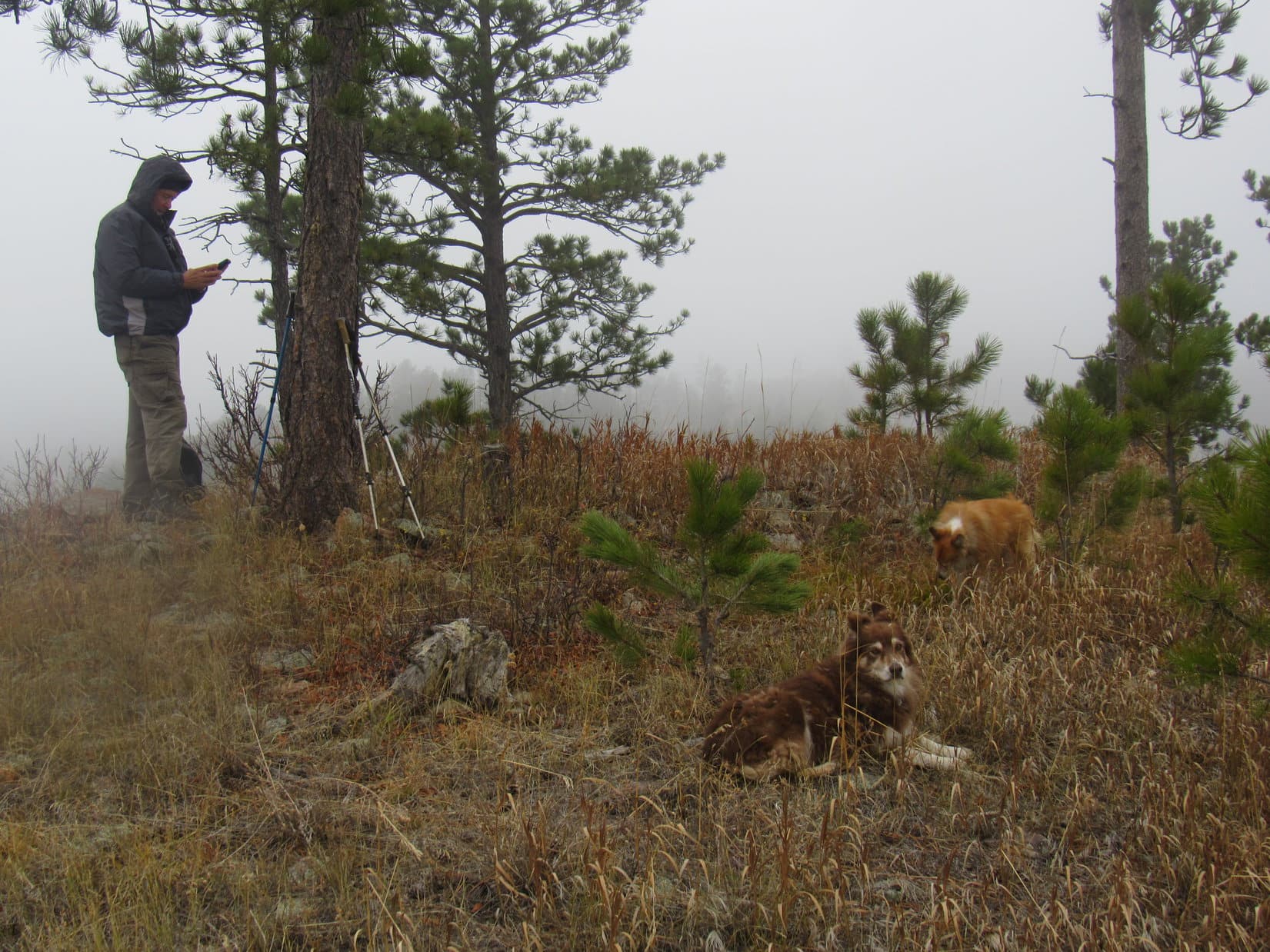
A 30 minute break was taken for water, a shared chocolate coconut bar, Taste of the Wild, and an apple, all consumed while enjoying the views.  Pressed for time on a November day, Lupe then left the short SE ridge following No. 190.1Q almost all the way back to the summit.

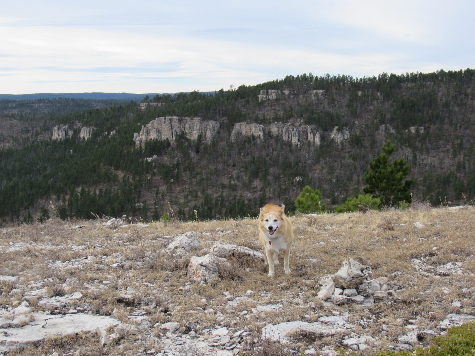
100 feet before reaching the summit again, Lupe turned L (SW) onto a much fainter jeep trail leading down into the forest.  Heading S, the jeep trail soon leveled out just E of, and 40 feet below, a narrow limestone spine along the start of the long SE ridge.  The road continued another 0.25 mile, coming to an end at a viewpoint where Loop could see the short SE ridge which she had just been to.

On the jeep trail leading onto the long SE ridge. Photo looks S.
White Tail Peak’s short SE ridge as seen from the end of the jeep trail. Photo looks N.

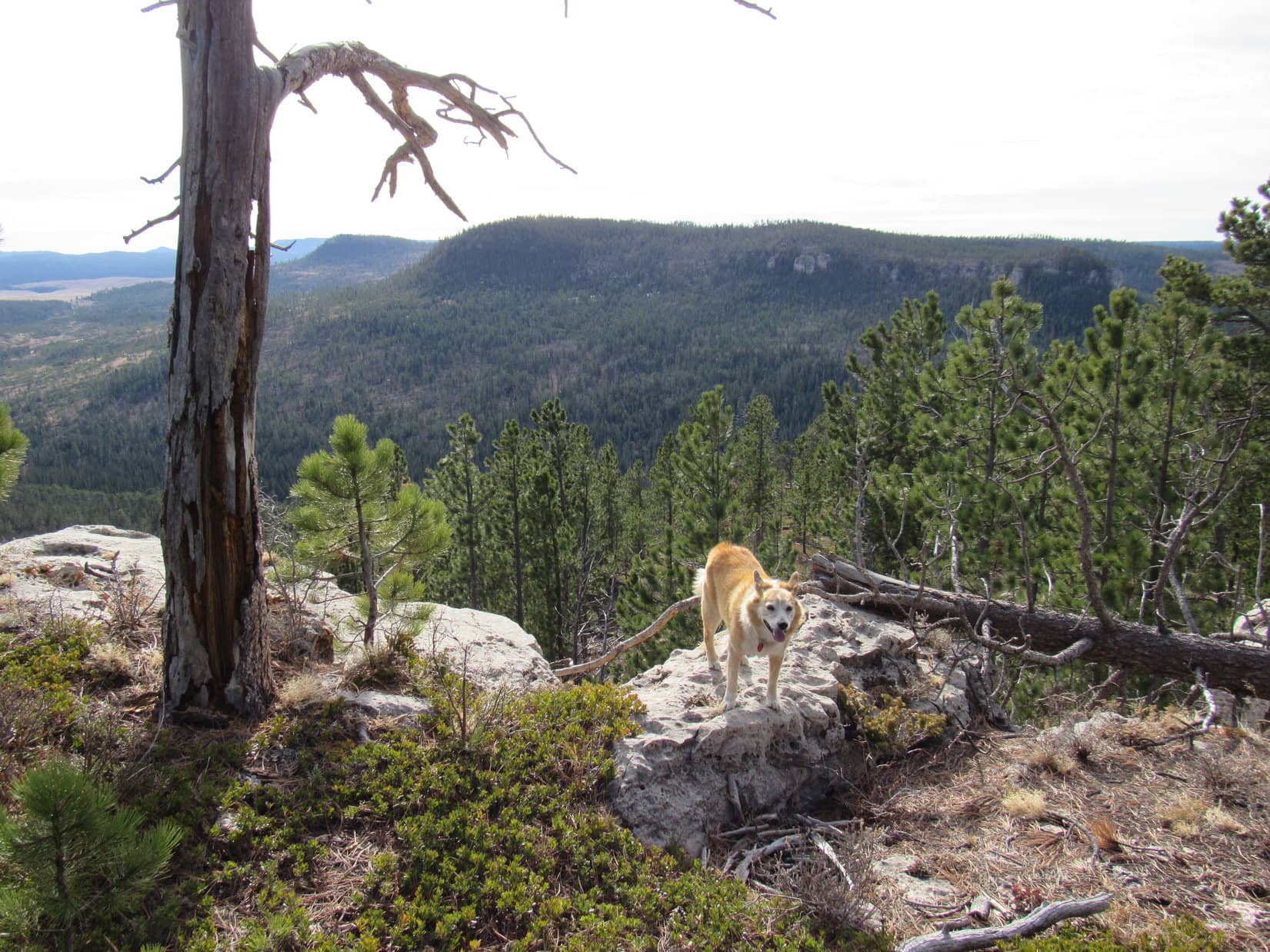
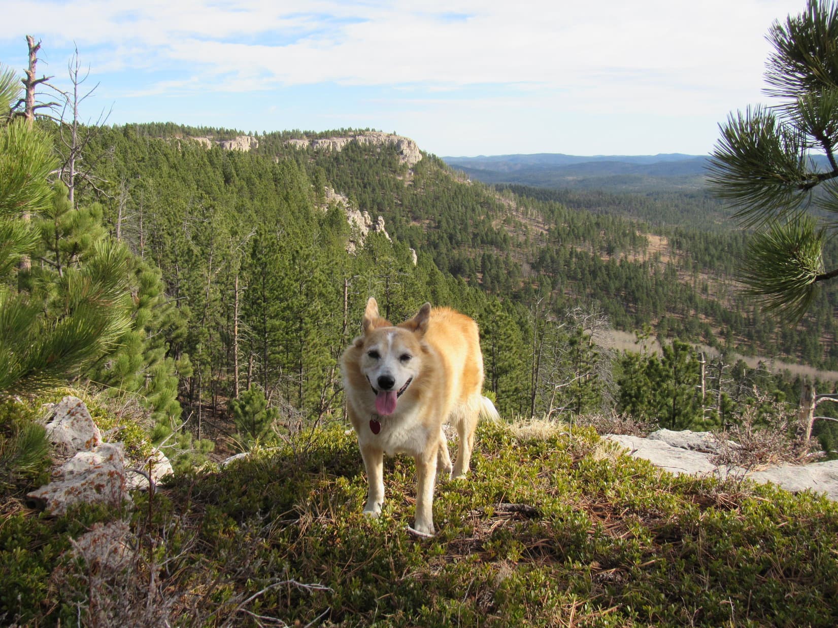
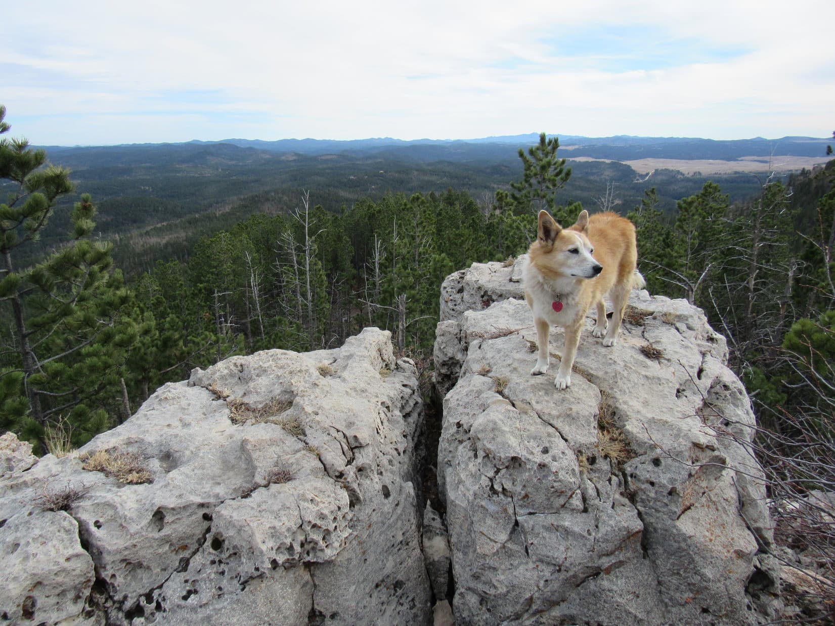
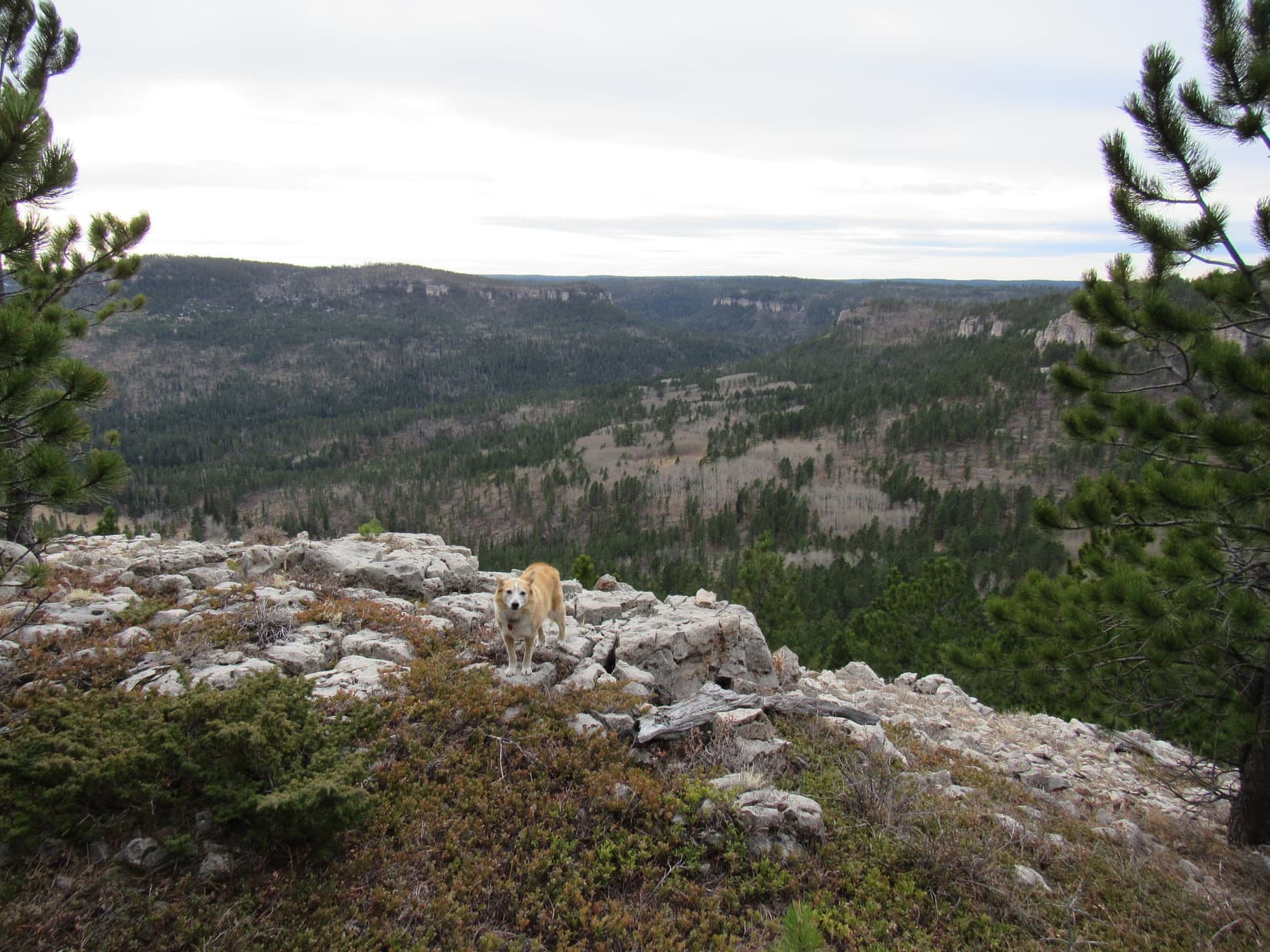
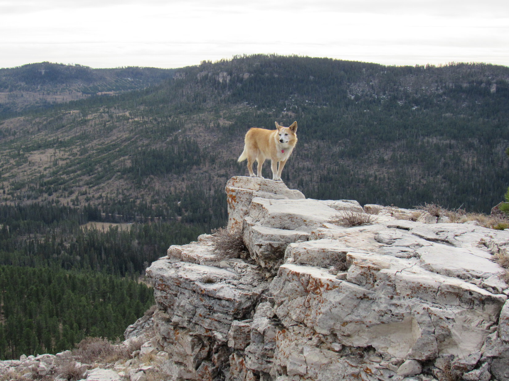
This was not the end of the long SE ridge.  However, the jeep trail went no farther due to a minor, but sudden drop ahead.  Easily negotiating the drop on paw, Lupe continued on.  A short climb followed by a gradual descent and the forest gave way to a big clearing.  The end of the ridge was now just ahead.

Medicine Mountain (L), Copper Mountain (L of Center), Green Mountain (Center), and Flag Mountain (R) with Reynolds Prairie in the foreground. Photo looks S with help from the telephoto lens.

Unobstructed, the views to the S from the end of White Tail Peak’s long SE ridge were wonderful!  Stretching from E to W, they encompassed a vast expanse of the central Black Hills.  Lupe enjoyed the marvelous scene from lofty perches along the edge of limestone cliffs.

Black Elk Peak (L). Photo looks SSE with help from the telephoto lens.
White Tail Peak’s SW ridge from the long SE one. Photo looks WSW.
Along the edge. Photo looks ENE.
Green Mountain (far L), Flag Mountain (L) and Peak 6962 (R of Center). Photo looks S.
Five Points (6,221 ft.) (L) and Black Elk Peak (R). Photo looks SE.

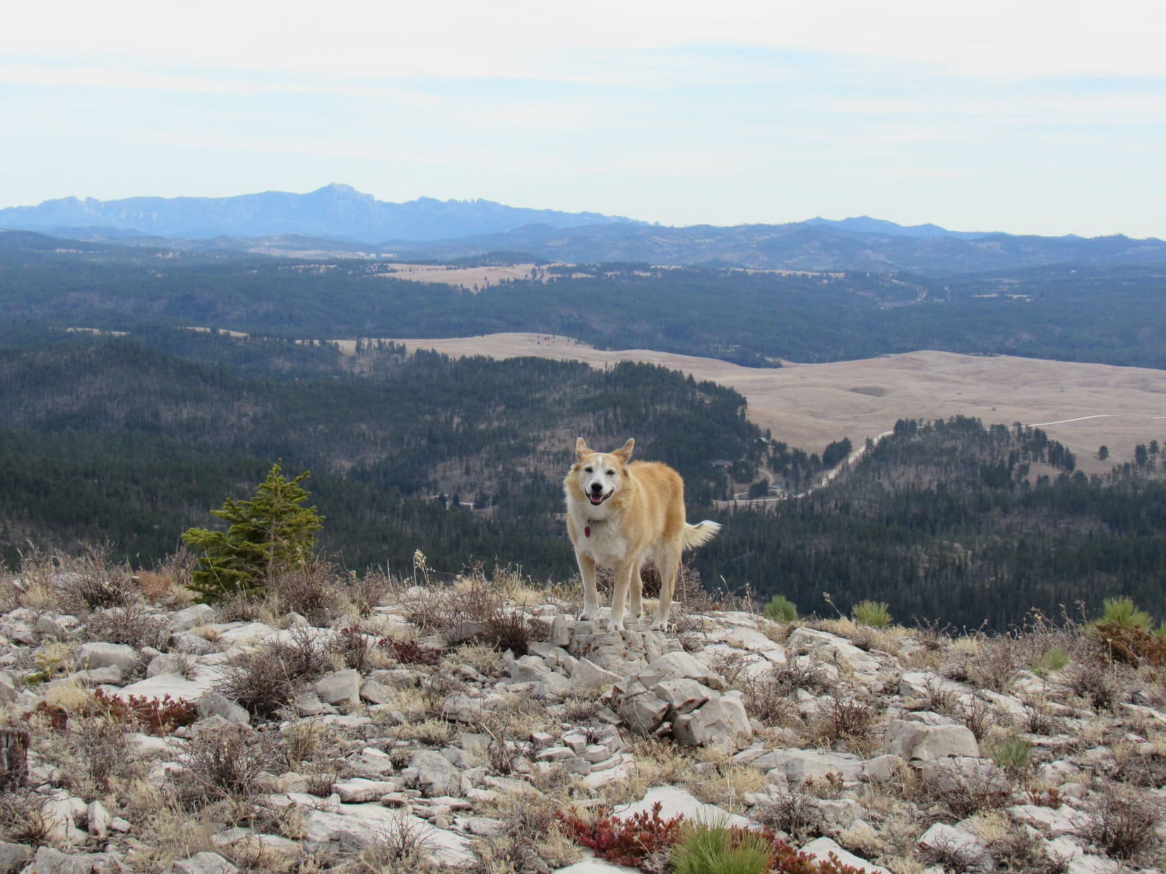
1:03 PM, end of White Tail Peak’s long SE ridge – This was the premier viewpoint of the entire mountain, but whether Lupe could stay a while depended on what else was actually going to be on the agenda.

Gotta love White Tail Peak!  Magnificent view, isn’t it, Loop?  What do you want to do, though?  Still interested in Peak 6962?

Will we have enough time for it, SPHP?

Probably, but the sun will be down before 4:30 PM.  Sort of depends on how hard it is to get up there.  Coming from the W like we did the only other times we’ve been there, the deadfall was terrible.  If it’s like that coming from the N, we might not have enough daylight.  In any case, we’d have to get going right away, if we don’t want to be stumbling around in the dark on the way back.

Well, if we don’t try for Peak 6962, what are our other options?

Oh, we’ve never really fully explored White Tail Peak’s N ridge.  That might be pretty interesting.  Could hang out here for a while then head that way.  Plenty of time to do that.

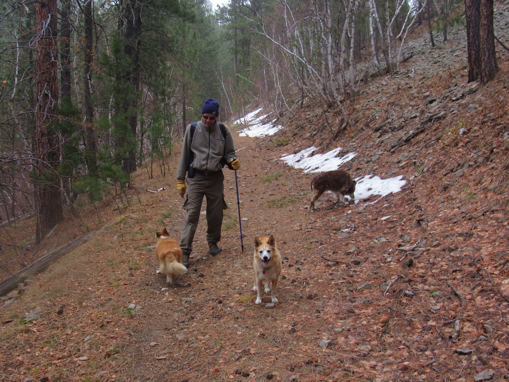
Right or wrong, ambition won out.  Peak 6962 had been more or less part of the plan all along.  Lupe was soon heading back N again.  Along the way she stopped briefly to admire a great view of the valley of the North Fork of Castle Creek, the same valley she’d explored earlier in the day that would serve as her return route, too.

Peak 6962 (L), valley of the North Fork of Castle Creek (Center). Photo looks SW.

After going over White Tail Peak’s true summit again, Lupe followed USFS Road No. 190.1Q farther N than where she’d reached it on the way up.  She then abandoned the road to turn SW down a broad valley.  This was a shortcut back to the burn area close to No. 190.1O, allowing Loop to avoid having to retrace her earlier exploration of the SW ridge.

Taking a shortcut back to USFS Road No. 190.1O. Photo looks SW.

The shortcut worked great!  Loopster made it back to the North Fork of Castle Creek where the valley first divided NW of Peak 6962 with time enough for a quick ascent.  Crossing the creek, she took the branch of the divide she hadn’t explored this morning.  A mile S, then a mile E, and the American Dingo would be back at Peak 6962’s summit for the first time in over 6 years!

About to cross the North Fork of Castle Creek to set out for Peak 6962.

Didn’t happen.  Should have stayed up on White Tail Peak enjoying the views and exploring the N ridge!  Lupe didn’t get far heading S through the valley before coming to serious deadfall.  No fortuitous, unexpected paths through it all here!  When a slow, miserable trek demonstrated no sign that the deadfall was going to end anytime soon, that was it.

Eh, not happening! Photo looks S.

Sorry, Loop.  It’ll be dark by the time we can force our way through 2 miles of this nonsense.

Are we done then, SPHP?

Yes, afraid so.

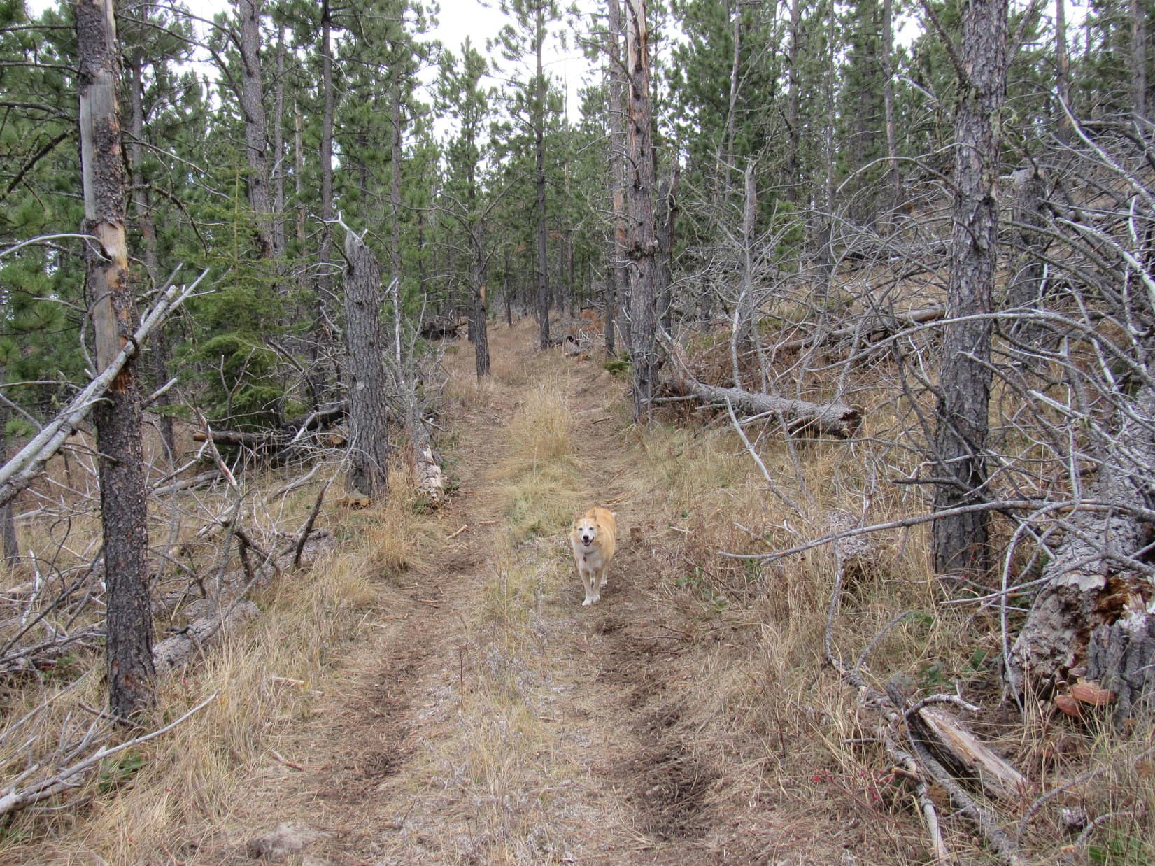
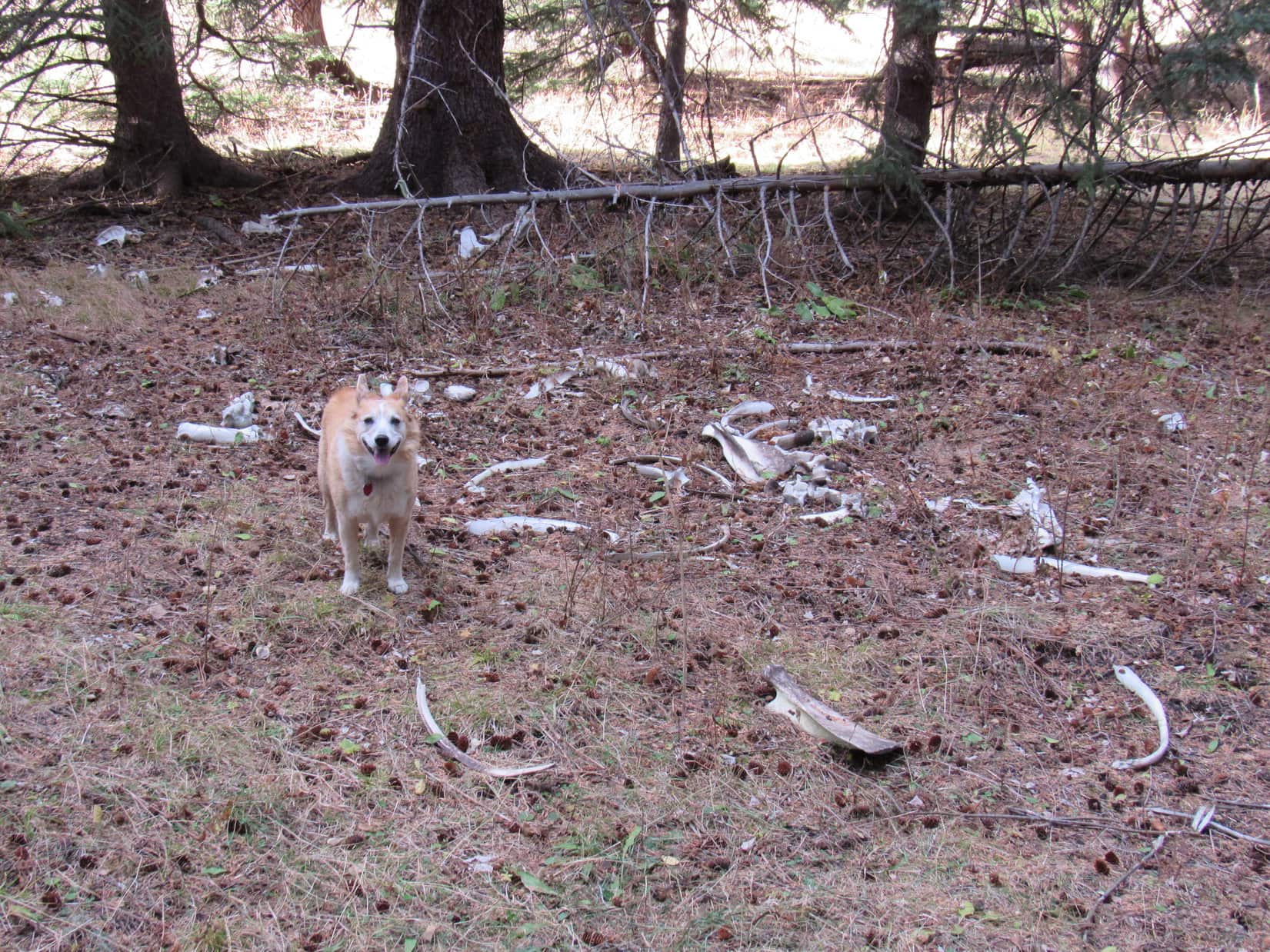
A pleasant mile back E through the valley of the North Fork of Castle Creek was all that remained of Black Hills, SD Expedition No. 283.  Along the way, Lupe discovered the scattered bones of some big animal, which made for some interesting sniffing.  She still made it back to the RAV4 before the sun was down.

At the interesting boneyard.

Guess, the good news is that we still have reasons to come back to visit both Peak 6962 and White Tail Peak another day, SPHP!

Come to think of it, that was good news!  (End 3:30 PM)

Peak 6962 from White Tail Peak, Black Hills of South Dakota 11-6-21

Links:

Next Black Hills Expedition                  Prior Black Hills Expedition

Black Hills, SD Expedition No. 209 – White Tail Peak (10-1-17)

Want more Lupe adventures?  Check out Lupe’s Black Hills, SD & WY Expeditions Adventure Index, Master Adventure Index, or subscribe free to new Lupe adventures!

Black Hills, SD Expedition No. 282 – Centennial Trail No. 89: Elk Creek to Peak 5261 (10-30-21)

The “Ponderosa Hike” along Centennial Trail No. 89 had worked out so well for new Cousin Laddie and Cousin Dusty yesterday, that SPHP had proposed another jaunt along the Centennial Trail this morning.

What a difference a day made, though!  Yesterday had been sunny and warm, almost summer.  On the way to the Elk Creek trailhead, Uncle Joe drove under a dark cloud hanging over the hills.  Late fall, maybe even early winter, greeted Lupe as she leapt out of the RAV4.  Definitely on the chilly side!

In fact, it was so chilly that the American Dingo soon leapt right back into the warm comfort of the RAV4, staying there until Uncle Joe and SPHP were ready to hit the trail.

A chilly start at Centennial Trail No. 89’s Elk Creek trailhead.

Despite the temperature plunge, everyone was in good spirits!  Soon Loop and Cousin Dusty were leading the way as Centennial Trail No. 89 started NNE up a wooded ravine.  Before long the trail left the ravine, climbing to a flatter region of open pine forest toward the NW.  This flat stretch didn’t last long, either.  The trail began climbing again as it curved up a hillside.

In the open forest, starting to climb again.

Rounding a sharp bend, the trail resumed a NE course, climbing more steeply.  This turn had scarcely been left behind when Uncle Joe spotted a curious rock formation 200 feet off toward the SE.  Looked like there was a cave over there!  The whole gang ventured over to investigate.

The rock formation proved to be a high point at the end of a small flat region overlooking a forested ravine.  Sure enough, there was a dark opening into the rocks!  While caves aren’t all that unusual in the Black Hills, nearly all of them are found in limestone formations.  These rocks clearly weren’t limestone, so Uncle Joe’s discovery was a rare find.

By the mysterious cave.

Cousins Dusty and Laddie weren’t inclined to investigate any further.  What if a mountain lion lived there?  Lupe, however, wasn’t worried at all.  Without hesitating in the least, the Carolina Dog went up to peer into the black opening.

Cousins Dusty and Laddie look on, ready to run for it, if Lupe gets eaten by a lion.

No need to worry about any mountain lions!  If there was one, it’s already escaped out the back.  This isn’t a cave, it’s a tunnel!

Loopster was right!

At the tunnel’s entrance.

A tunnel!  That was really strange.  Uncle Joe and SPHP both took a look.  The tunnel was about 20 feet long, perfectly straight, uniform diameter, and slanted somewhat down toward the S.  Other than a few loose rocks, the bottom was fairly smooth.

The rock formation the tunnel went through looked completely natural, but neither Joe nor SPHP could decide if this tunnel was natural, or not.  If human-made, what purpose had it served?  Dingo-sized, Lupe could have trotted through it with ease, but the tunnel seemed too small for most human projects.  No signs of any other construction were round about.  Odd, very odd.

Uncle Joe scrambled around to the back side of the tunnel, which exited the rock formation next to a drop-off.  He then tried to entice Lupe to go through the tunnel to join him.

Maybe even Lupe was starting to get the willies?   The American Dingo entered the tunnel, but even though she could see Joe at the far end, she refused to go all the way through.

Uncle Joe by the tunnel’s exit above the drop-off.
Loop partway in, getting spooked despite Joe’s encouragement to come on through!
Joe framed by the tunnel’s exit.

Whether human-made or natural, the tunnel was so unusual that there seemed to be no explanation for its existence.  Finding no clues, and in case a mountain lion might be on its way back home, everyone returned to Centennial Trail No. 89 leaving the mystery unsolved.

Continuing on, the trail climbed a bit steeply, but soon the slope became much more gradual.  Eventually the trail began curving N.  Abandoning it, everyone headed for a minor ridge to the E for a look around.  Not much to be seen up here, so a shortcut was taken down a slope to the N to rejoin Centennial Trail No. 89 at a saddle where it crossed unmarked USFS Road No. 169.

Up on the minor ridge. HP5141 (R). Photo looks N.

After crossing the road, the trail began angling WNW along the SW slopes of HP5141.  Before Centennial Trail No. 89 headed back into the forest, there was a bit of a view of hills to the NW, their tops softened and blurred by the low hanging clouds.

N of USFS Road No. 169. Photo looks WNW.

0.25 mile beyond USFS Road No. 169, a small clearing was reached at a second pass between HP5141 and HP5212.  A sign indicated that it was a mile back to the Elk Creek trailhead.  The trail continued W from here traversing a steep slope, but remained fairly level.

Once past the S end of HP5212, Centennial Trail No. 89 gradually began to curve N.  The trail first lost, then regained some elevation, eventually going over another minor pass.  Meanwhile, the sky was darkening as the gray clouds blanketing the region slowly crept down the hillsides.

Dusty, Joe, and Laddie leading the way SW of HP5212. Photo looks NW.

Getting colder out!  A barely detectable mist began.  The trail widened as it reached an old roadbed.  Patches of snow left over from a prior storm added to an increasingly wintery feel.

Patches of snow added to a wintery atmosphere as the sky darkened and a light mist began.

Winding along the mountainside, the trail continued N.  Uncle Joe began to wonder if maybe it wasn’t getting to be time to turn back?  However, Lupe had been here before.  SPHP was convinced that it wasn’t much farther to a junction with a trail that went to the Sturgis Reservoirs, and that junction was very close to Peak 5261, today’s peakbagging objective.

The chilly march went on and on.  The trail junction was farther than SPHP remembered, but it finally appeared.  From here, Centennial Trail No. 89 curved E, climbing 60 feet up to a broad grassy pass.

At the junction with the trail to the Sturgis Reservoirs. Centennial Trail No. 89 continued up to the R (E) from here. Photo looks NE.
Up at the pass N of Peak 5261. Photo looks SE.

Peak 5261 was only 0.2 mile S of this pass.  The trail didn’t go up there, but the N slope was only moderately steep.  Cousins Dusty and Laddie couldn’t get this close and not go to the top to claim their Peak 5261 peakbagging success, could they?  That would be a shame!

Peak 5261 from the pass. Nothing to it! Photo looks S.

Following a long snowbank, Lupe started up first, leading the way.

Heading up Peak 5261. Photo looks S.

Peak 5261’s summit was only 120 feet higher than the pass.  Soon the N slope was leveling out.  The top of the mountain could be seen a short distance ahead.

Peak 5261’s summit region. Joe heading for the true summit. Photo looks S.

Of course, everyone got there.  Cousins Dusty and Laddie secured their second Black Hills peakbagging success in two days.  Unfortunately, this ascent wasn’t as successful in other respects.  Cold and foggy with a chill, damp breeze, conditions were none too pleasant.

Back at home this morning, the day had been sunny and bright.  SPHP had chosen this destination partly because getting here wouldn’t be too hard for Cousin Dusty, who was now 15, but also in part for the views of Custer Peak (6,804 ft.) and Bear Butte (4,422 ft.).  Cousin Dusty had made it, but the views were a disappointing no show.

We made it, but the views didn’t! Sorry about that! Joe and Lupe at Peak 5261’s summit.
Joe strikes a dramatic pose pointing out the fabulous display of nothing but fog while Lupe and Laddie gather round.

Too miserable out to linger!  Plans for a summit celebration involving chocolate coconut bars, Kinkaid bars, and apples were cancelled.  A few minutes at the top, and the whole pack headed back down Peak 5261’s N slope to pick up Centennial Trail No. 89 again.

Merely a postponement!  The Peak 5261 ascent celebration actually did come off due to popular demand a mile later at a more sheltered spot.  Not to be denied, Lupe, Dusty and Laddie all got their chocolate coconut bar rewards.

Then it was back through the wintery fog, all the way past the Tunnel of Mystery to the Elk Creek trailhead.

Tomorrow was Halloween!  Sadly, Uncle Joe, Dusty and Laddie would all be heading back home to Colorado.  Meeting cousin Laddie and getting to introduce him to the Black Hills had been fun, and it had been terrific to hit the trail with Joe and Dusty again.

Joe, Dusty, and new cousin Laddie on Peak 5261, Black Hills of South Dakota 10-30-21

Links:

Next Black Hills Expedition                       Prior Black Hills Expedition

Black Hills, SD Expedition No. 274 – Centennial Trail No. 89: Elk Creek to Alkali Creek (4-10-21)

Centennial Trail No. 89 Brochure & Map

Want more Lupe adventures?  Check out Lupe’s Black Hills, SD & WY Expeditions Adventure Index, Master Adventure Index, or subscribe free to new Lupe adventures!