Black Hills, SD Expedition No. 270 – Peak 5520 & Five Points (3-20-21)

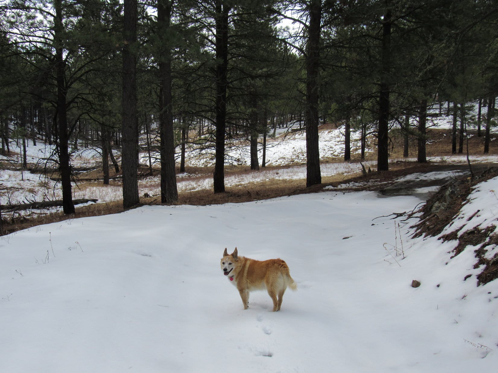
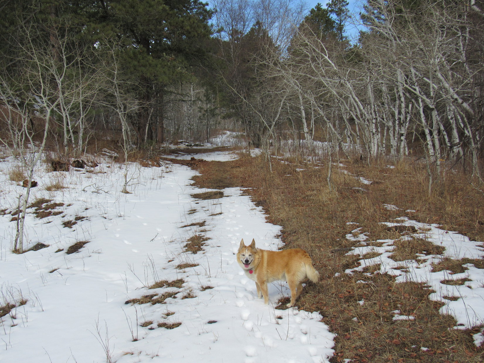
8:52 AM, 46ºF, junction of Horse Creek Road & USFS Road No. 243.2J – The snow was crunchy underpaw as Lupe set out.  Gonna warm up, though!  Supposed to be quite a nice day.  Soon enough the snow would start turning to slush.

At the start of USFS Road No. 243.2J. Photo looks SE.

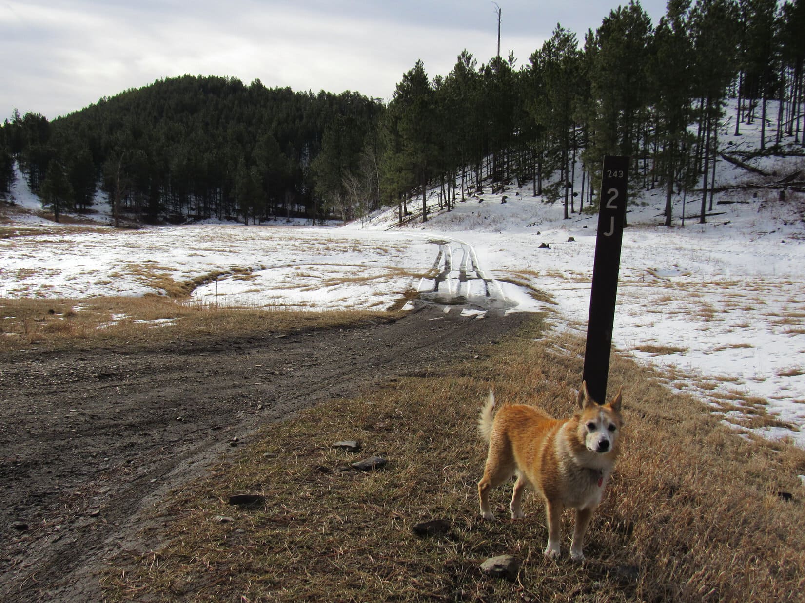
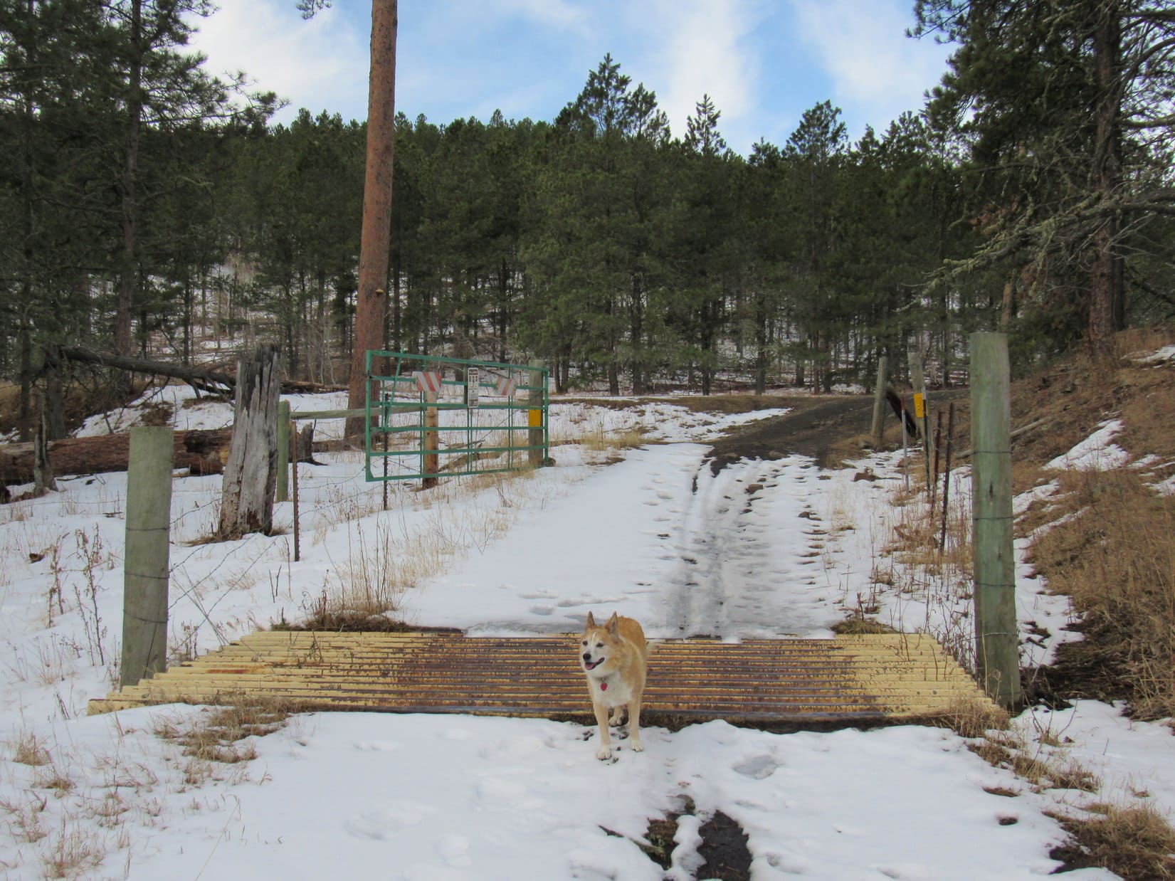
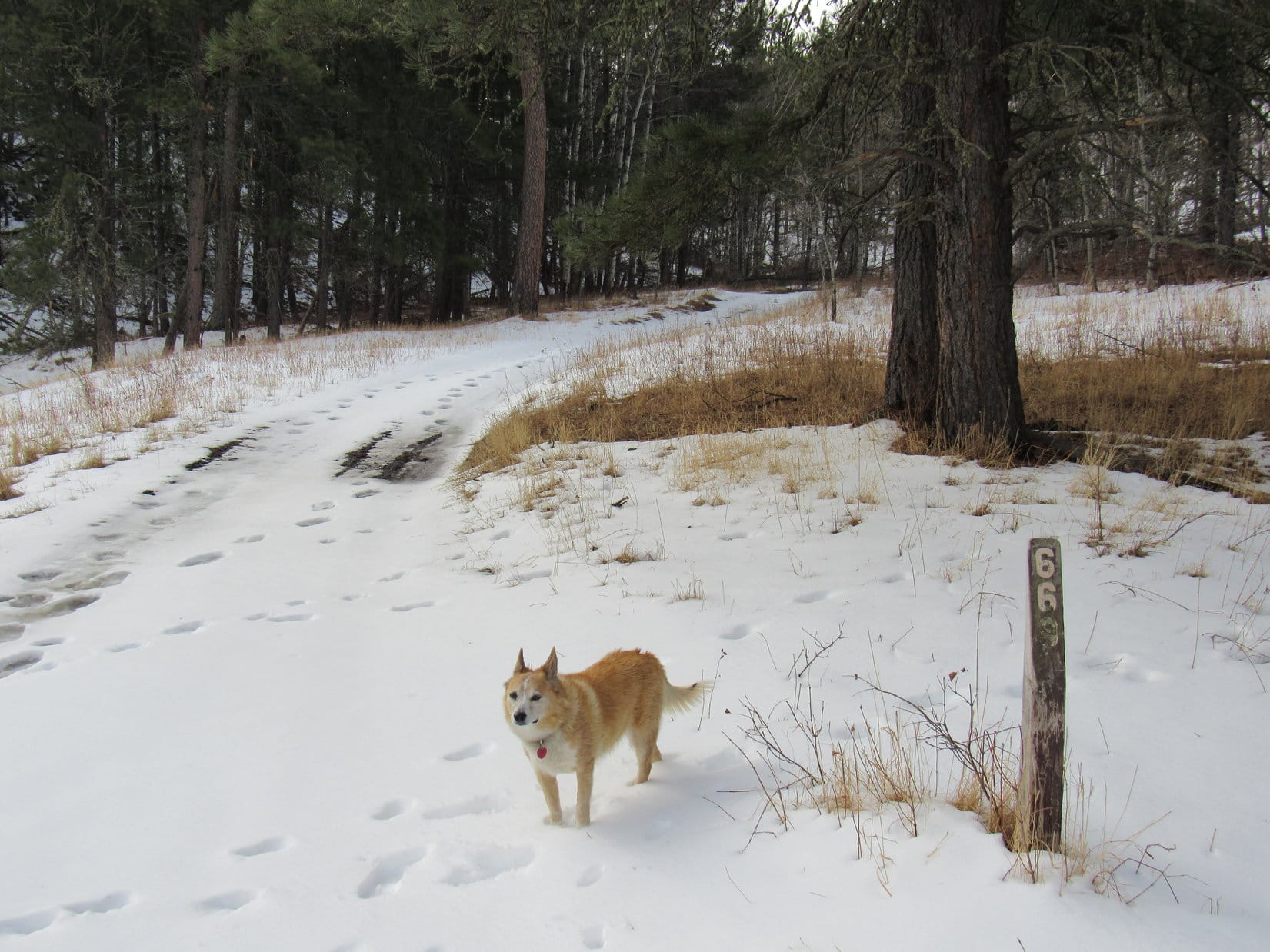
Lupe was in fine spirits!  Deer around the first bend only brightened the mood further.  USFS Road No. 243.2J wound SE down a valley, crossing Horse Creek 3 times.  Only the second crossing had any flow.  After 0.5 mile, the road curved SW and started uphill.  Ahead was a cattle guard, and beyond it, a green gate.

Heading down the Horse Creek valley. Photo looks SW.

Will wonders never cease?  Look at that, Looper!  The gate is open!

What do you suppose it means, SPHP?  It’s never been open before.

Who knows?  Except that we don’t to have to crawl under or over the fence for once.

By the cattle guard with the marvelous open green gate beyond it. Photo looks WSW.

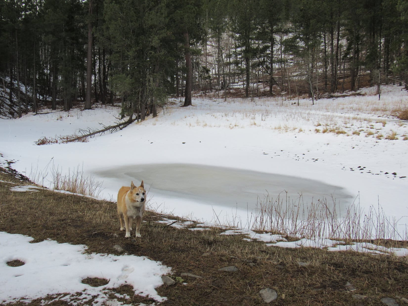
Immediately beyond the gate was a tiny pond Lupe had seen many times before, and beyond it, a junction with USFS Road No. 669.  After checking out the frozen pond, Lupe headed for No. 669.

By the frozen pond. Photo looks S.

W as usual, SPHP?

Not this time, Loop.  Go S!

S!  Really?  We never go S here.

Oh, yes we do.  You went all the way down Gordon Gulch once.

Gordon Gulch?  That was forever ago!  We’re going back there?

Only to a little part of it.

About to head S on USFS Road No. 669. Photo looks SE.

Climbing gradually, USFS Road No. 669 got snowier and snowier as it wound SE up a little valley.  Before long, a hill could be seen on the L.

That must be it, Loop!

We’re going to climb that hill, SPHP?

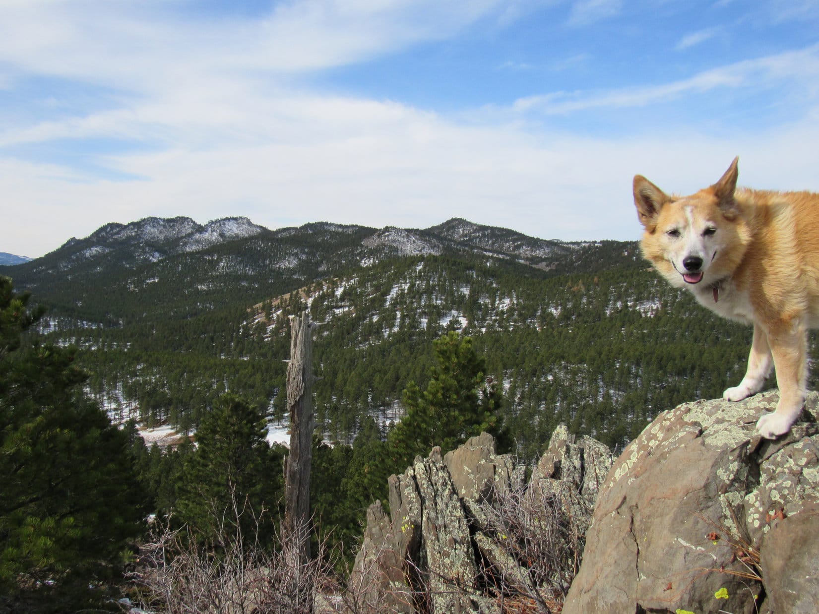
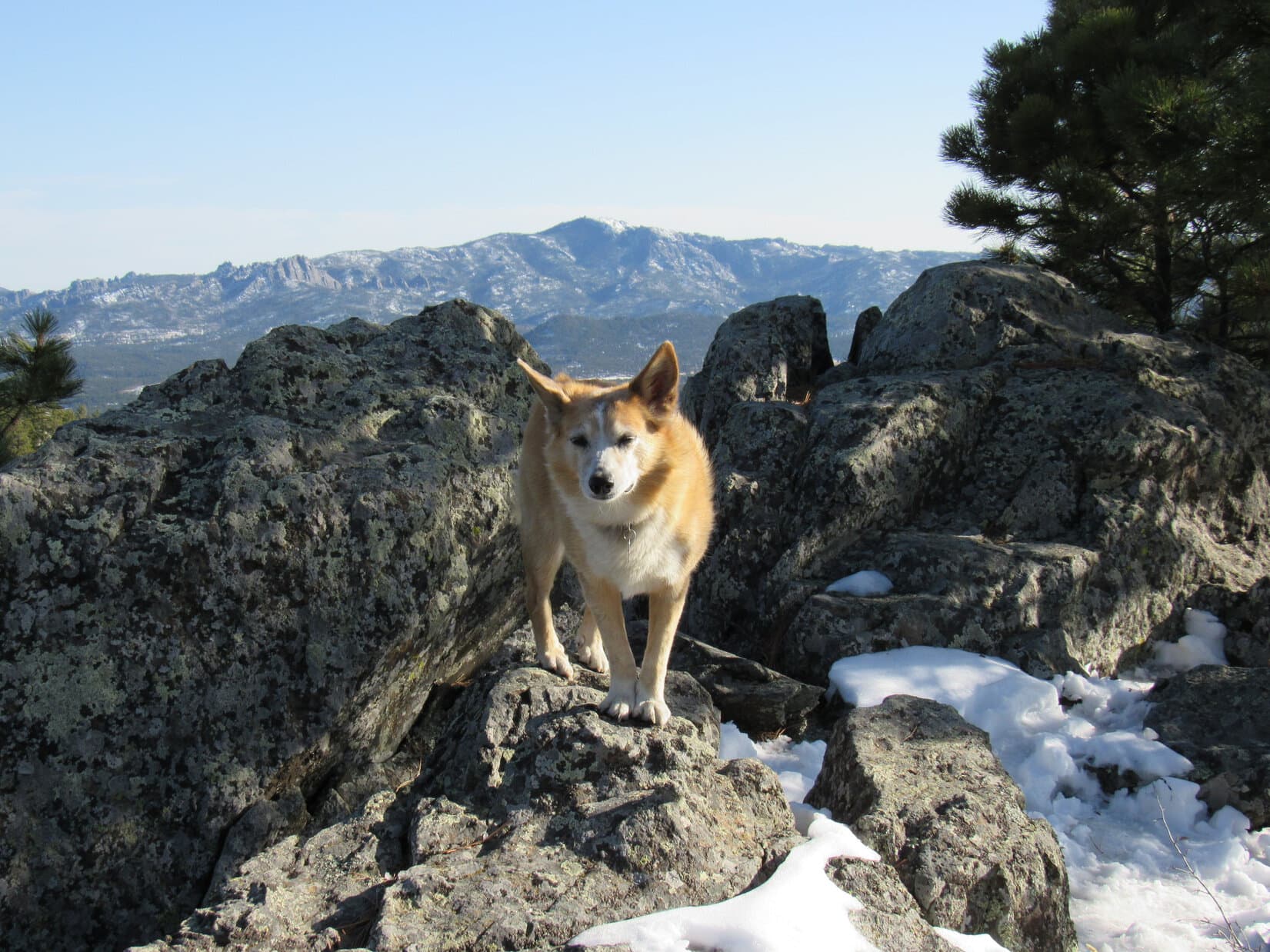
Most definitely!  That’s Peak 5520!

Another Lists of John peak?

Yes.  Gives us something new to shoot for.

Heading up USFS Road No. 669. Photo looks SSE.
A first glimpse of Peak 5520 (Center). Photo looks ESE.

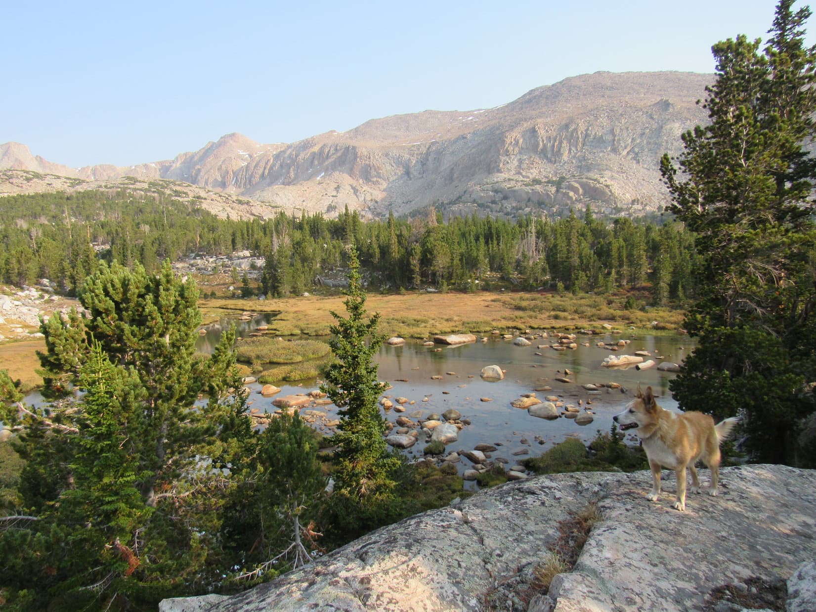
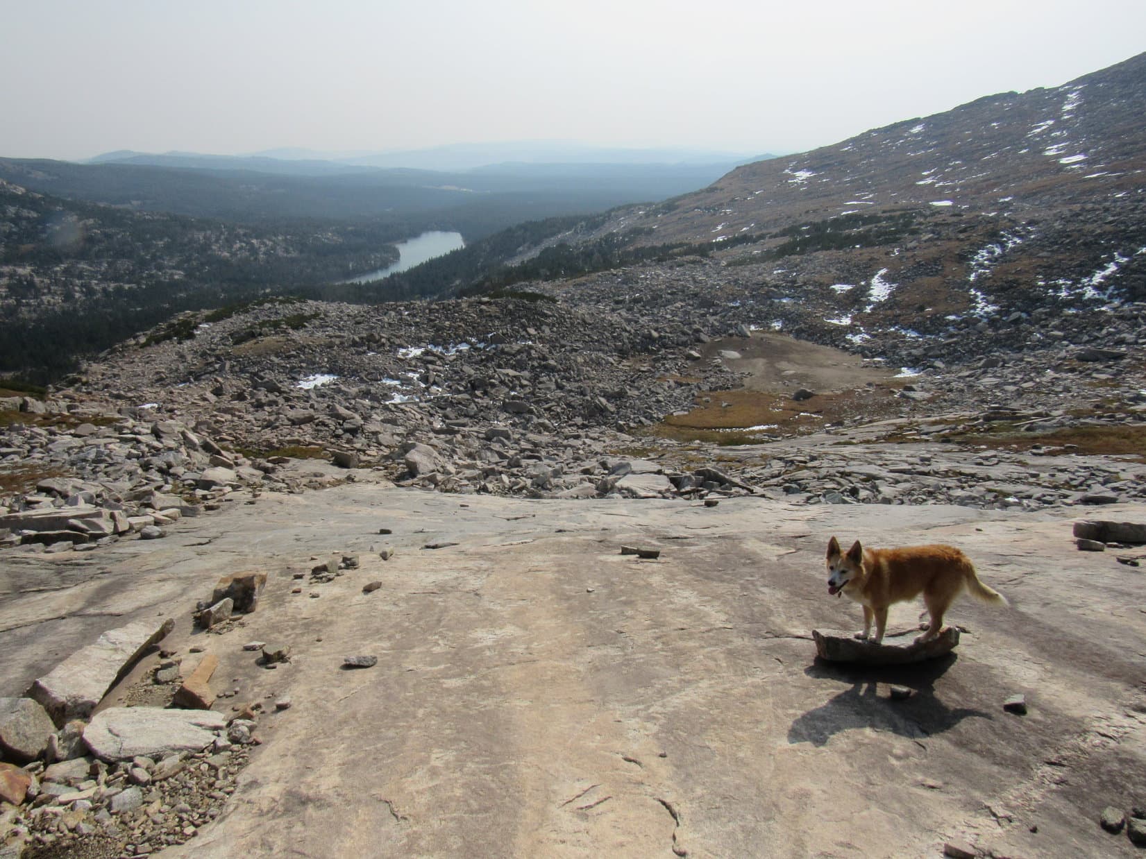
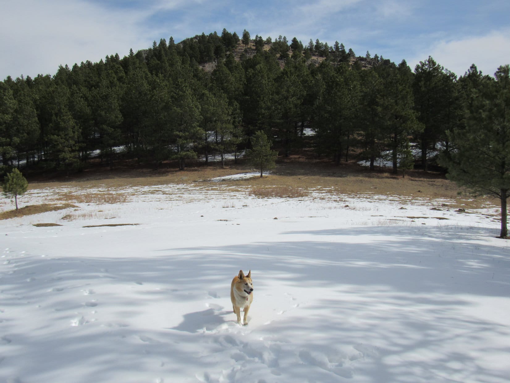
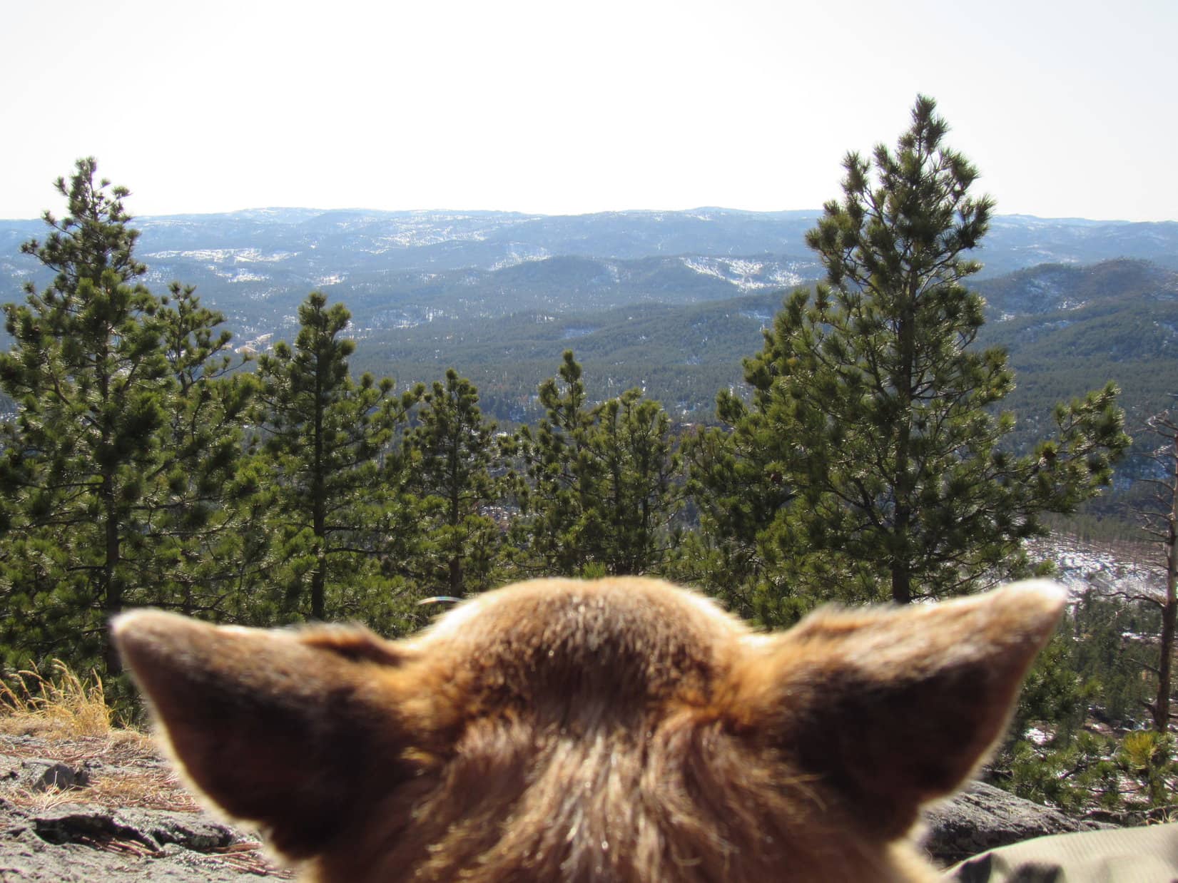
Sticking with the road, Lupe reached a spacious clearing at a pass 0.5+ mile from the frozen pond.  The clearing provided an unobstructed view.

Peak 5520 (Center) from the pass. Photo looks NE.

Looks pretty easy, SPHP!

Duck soup, Looper!  Nothing wrong with that!

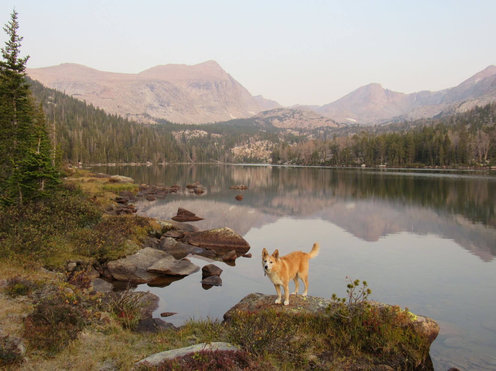
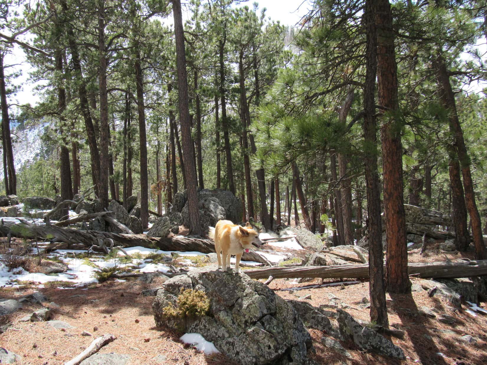
A short climb through the forest led to surprisingly open ground only partway up.  Lupe was excited to see several deer bound away.  A mighty nice view of Black Elk Peak (7,231) appeared before she even got close to the top.

Even easier than it looked! Partway up Peak 5520. Photo looks N.
Black Elk Peak (Center). Photo looks S.

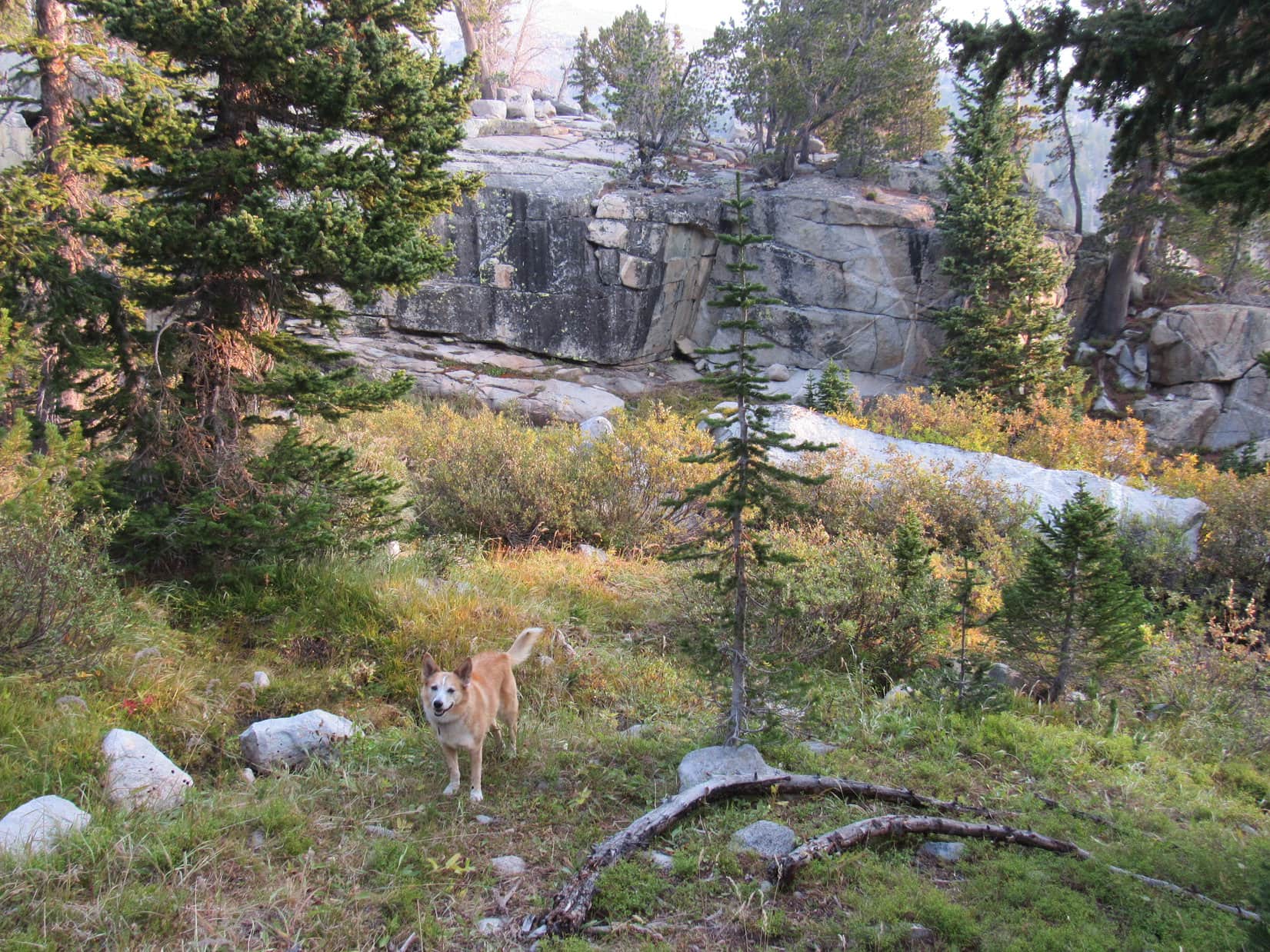
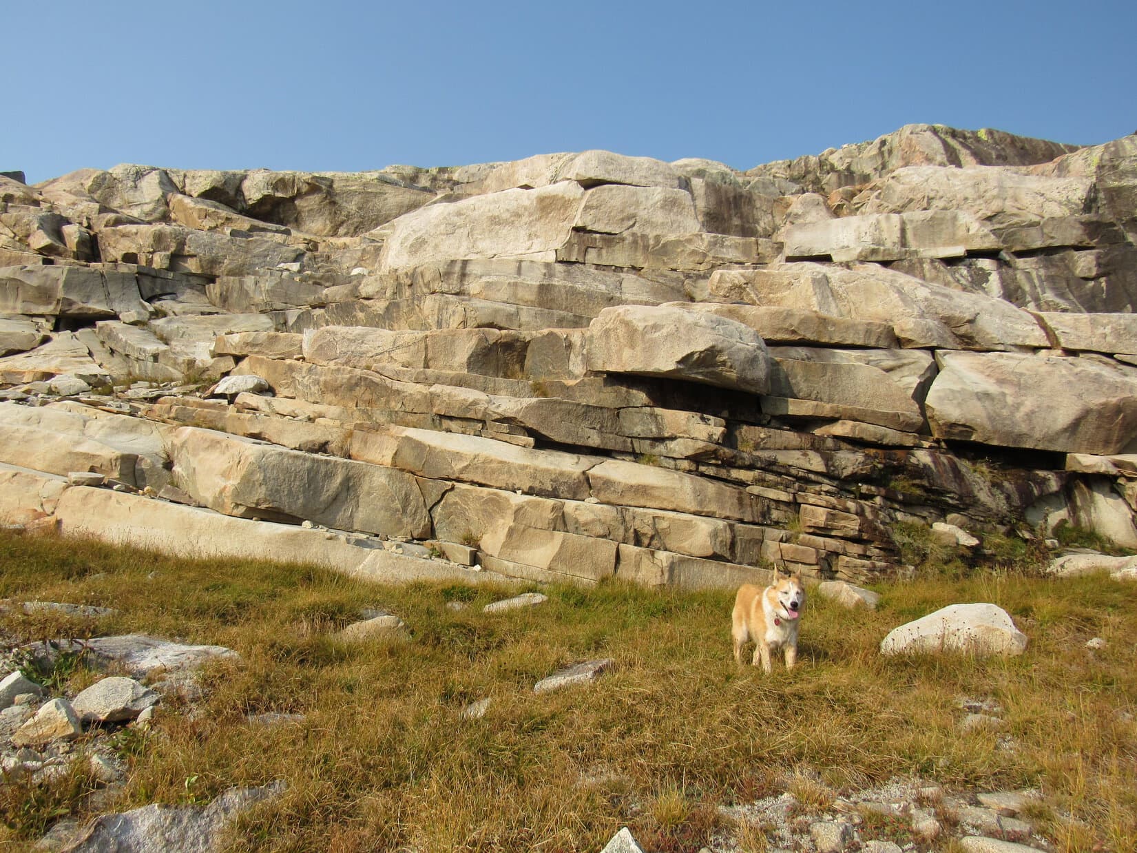
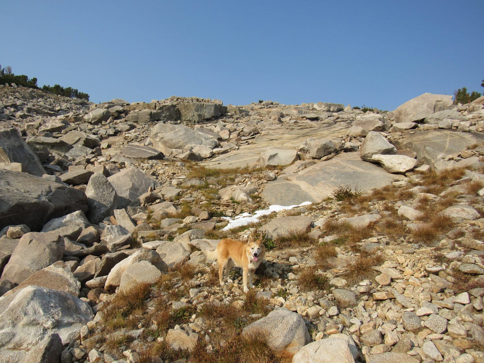
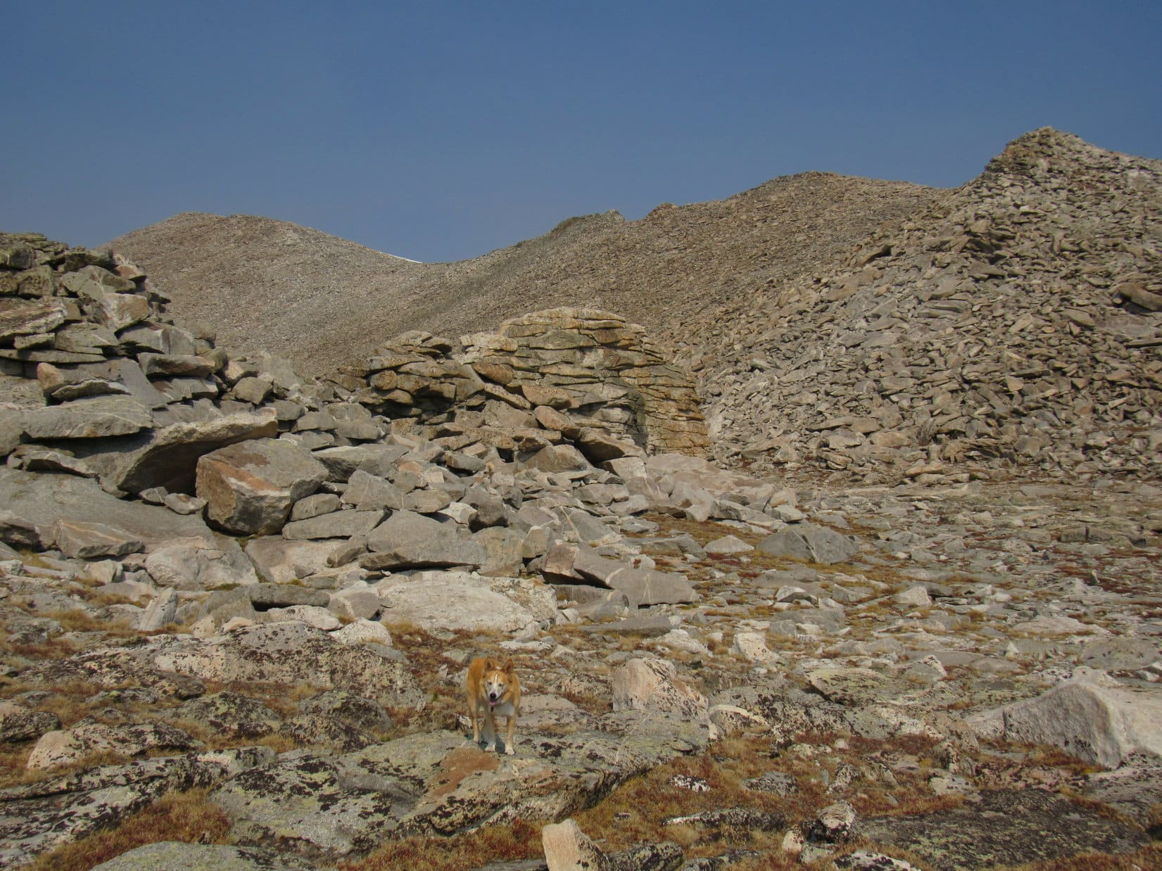
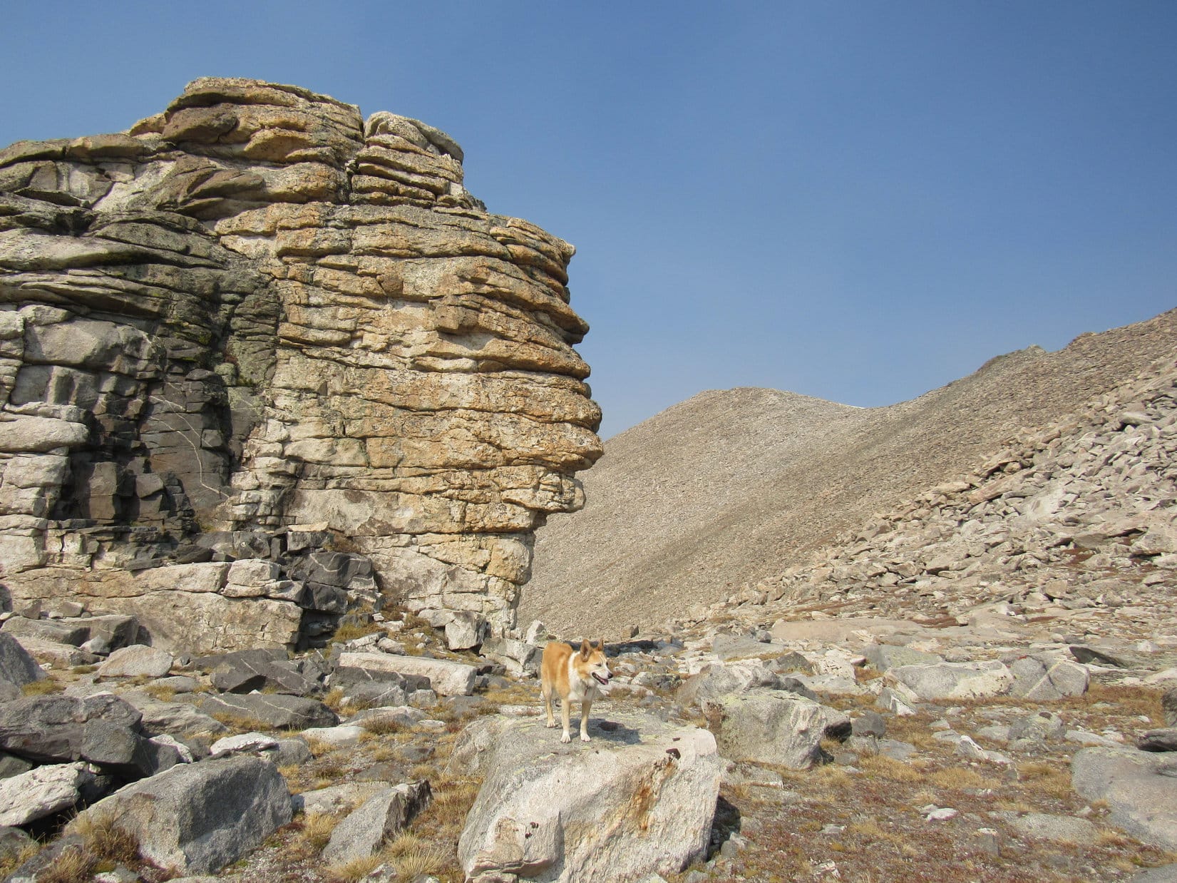
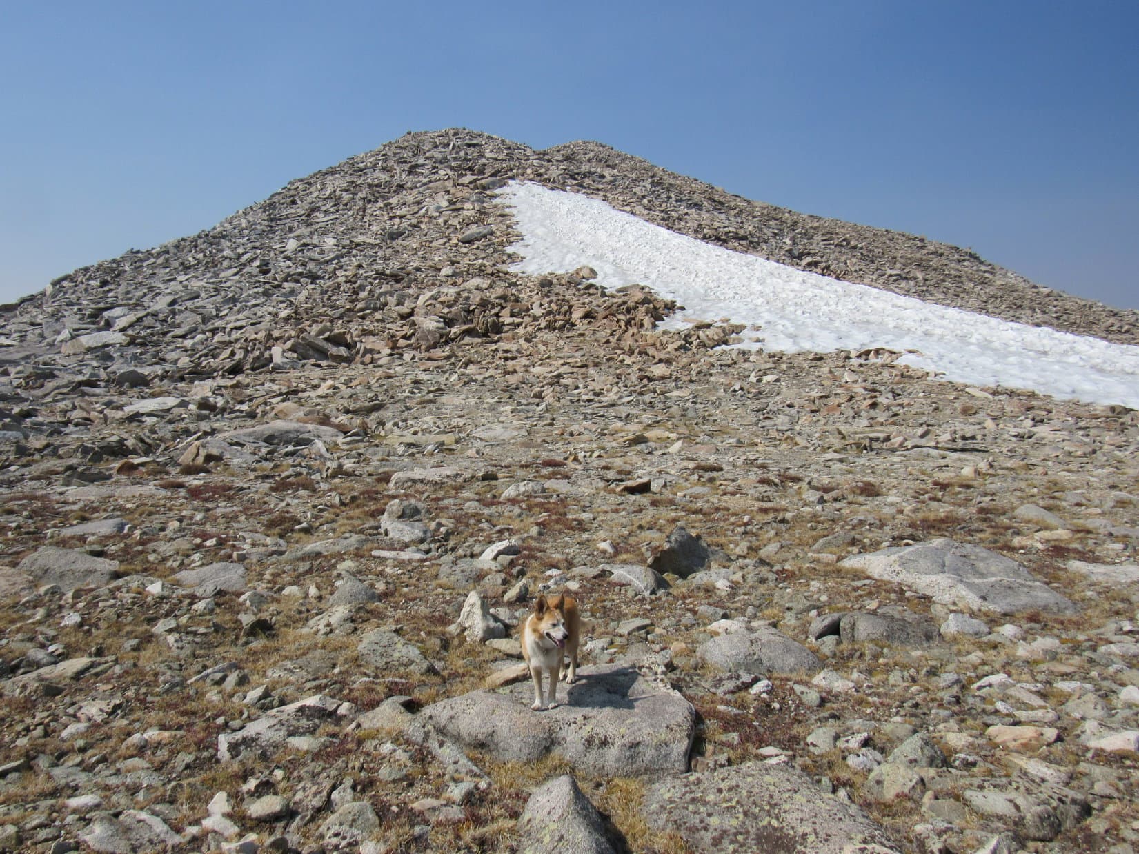
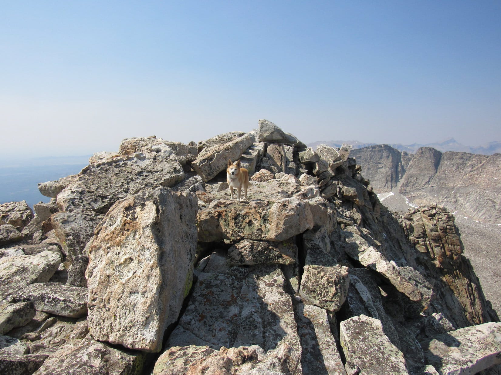
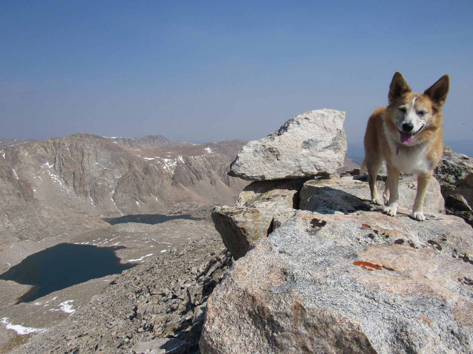
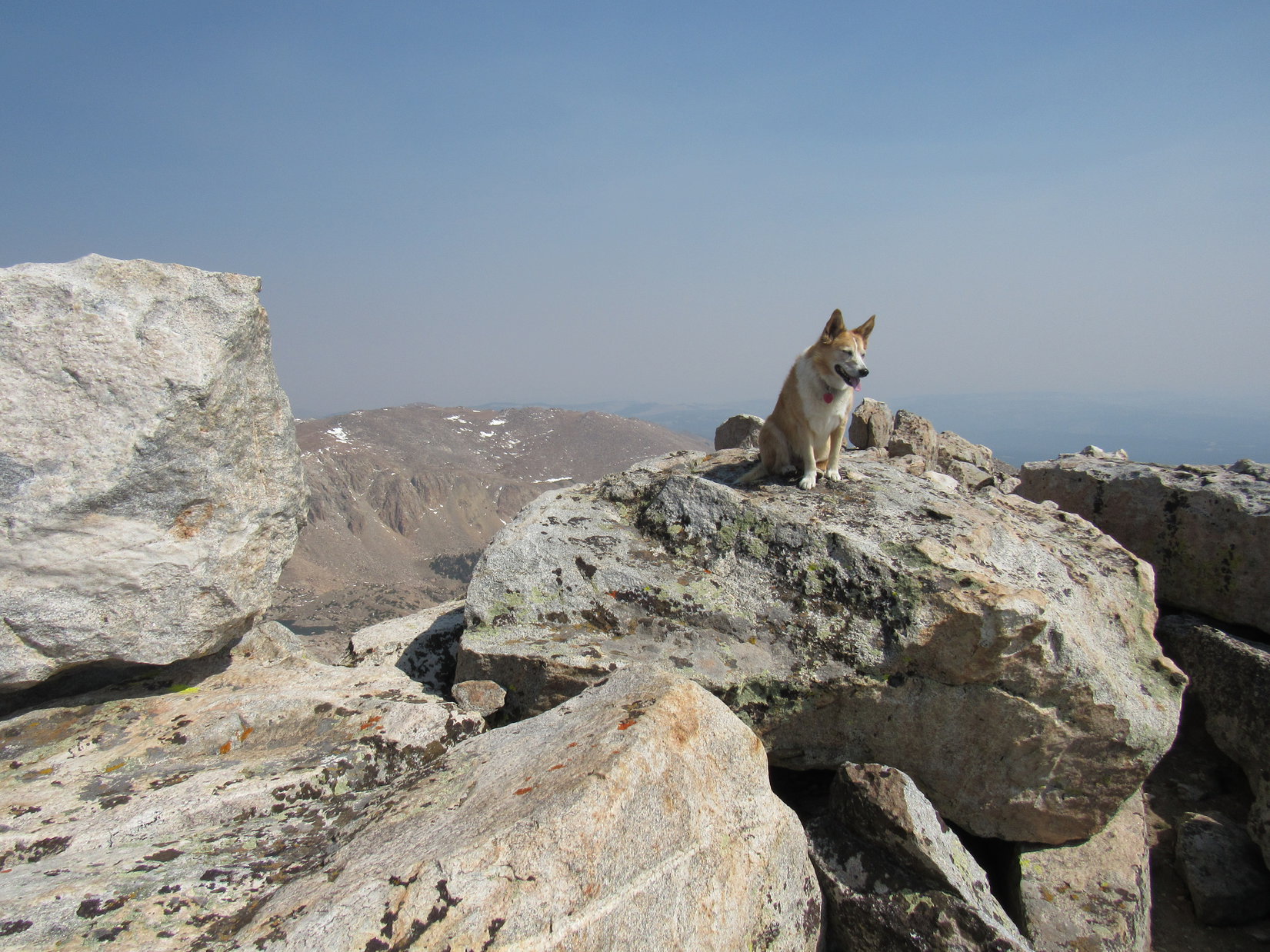
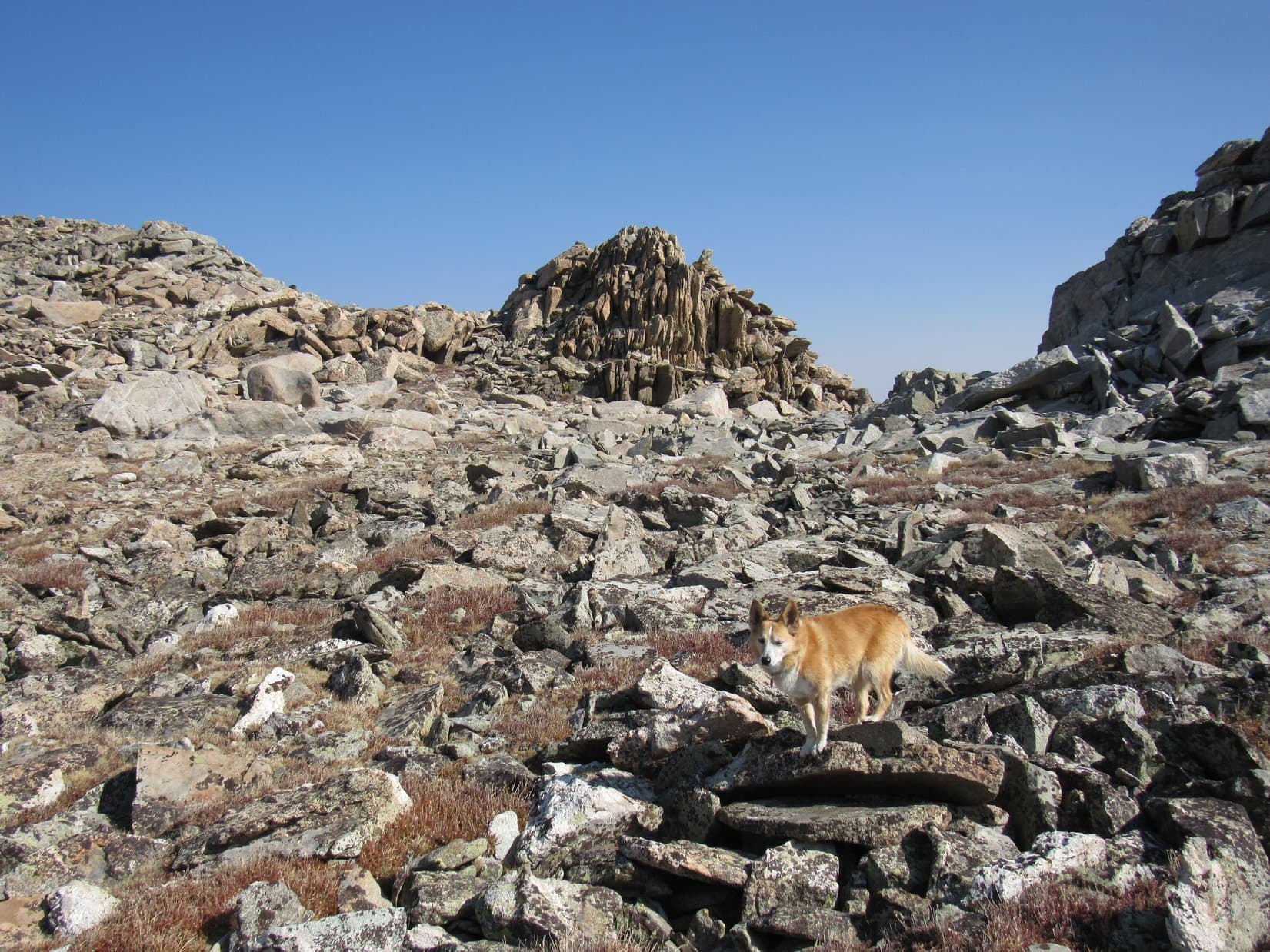
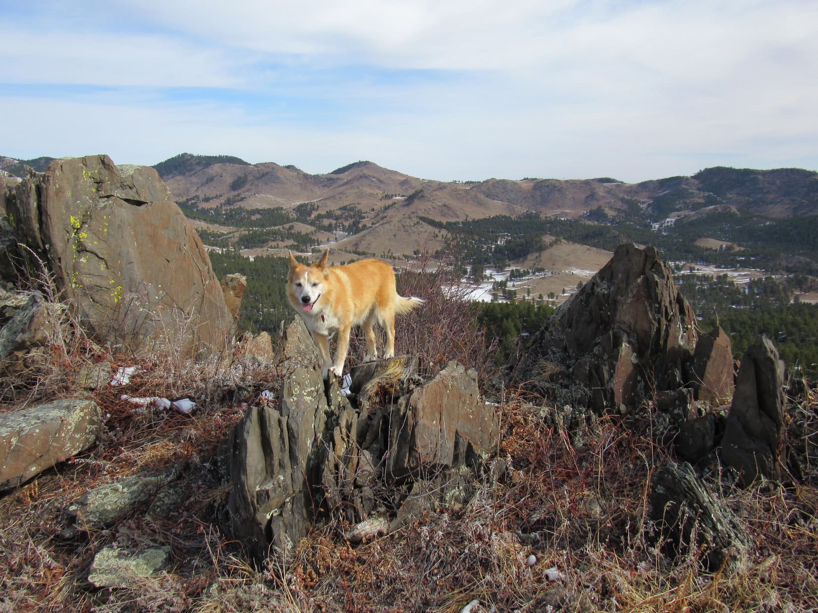
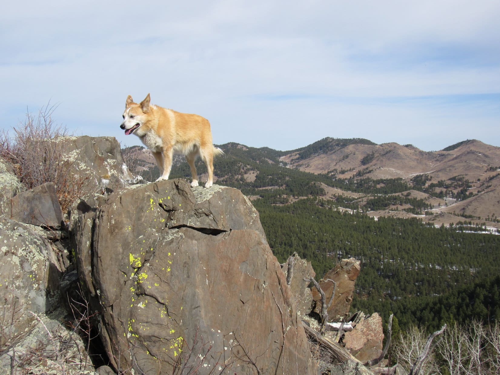
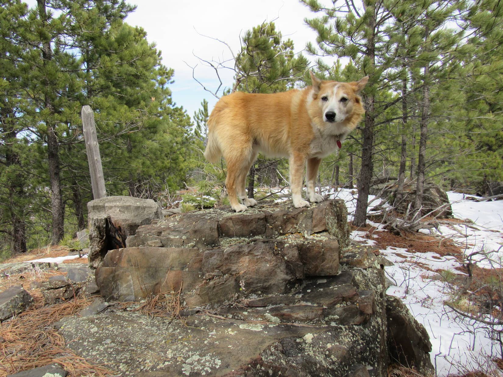
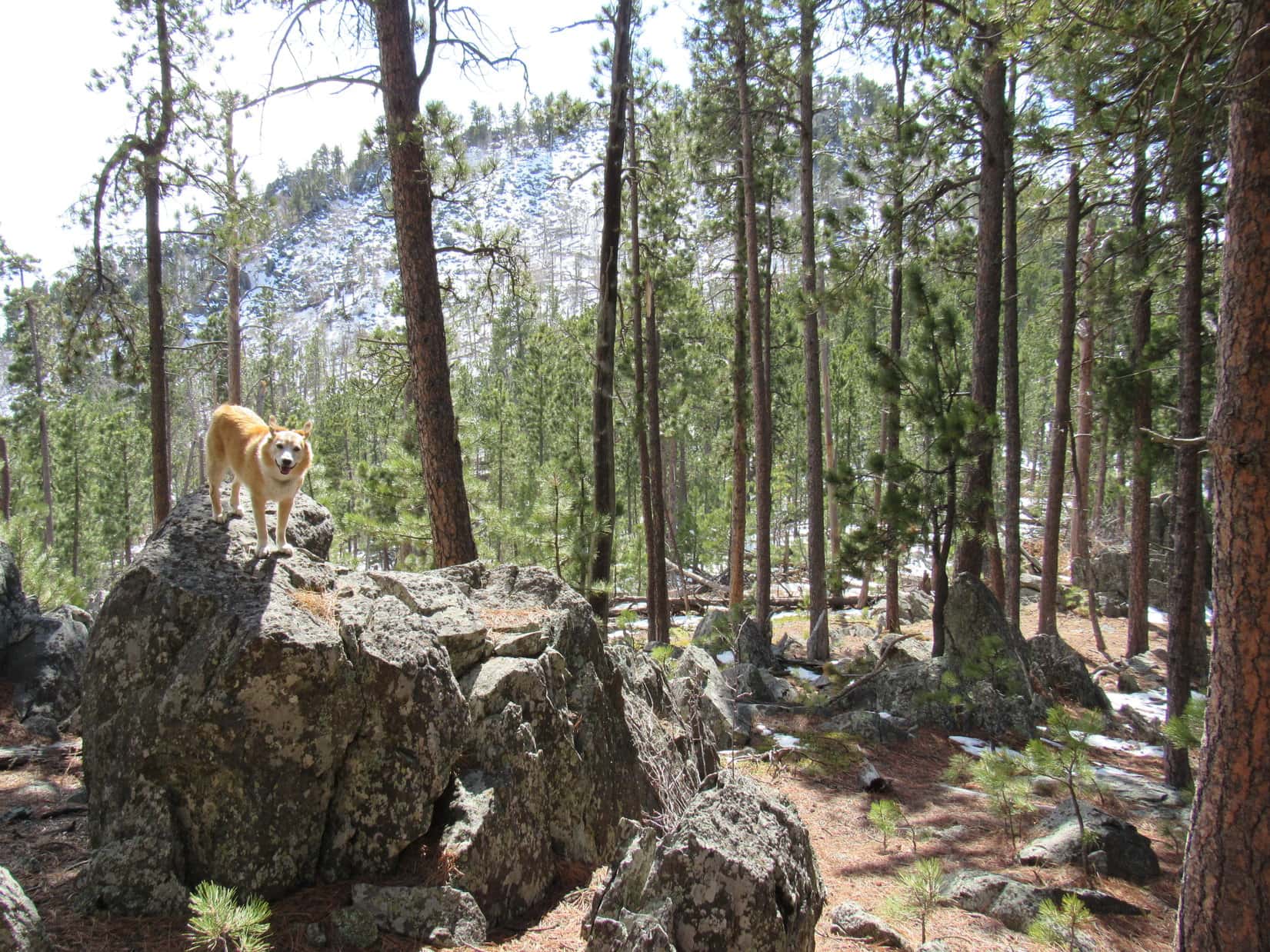
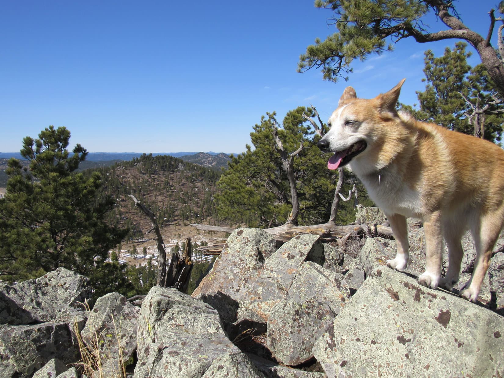
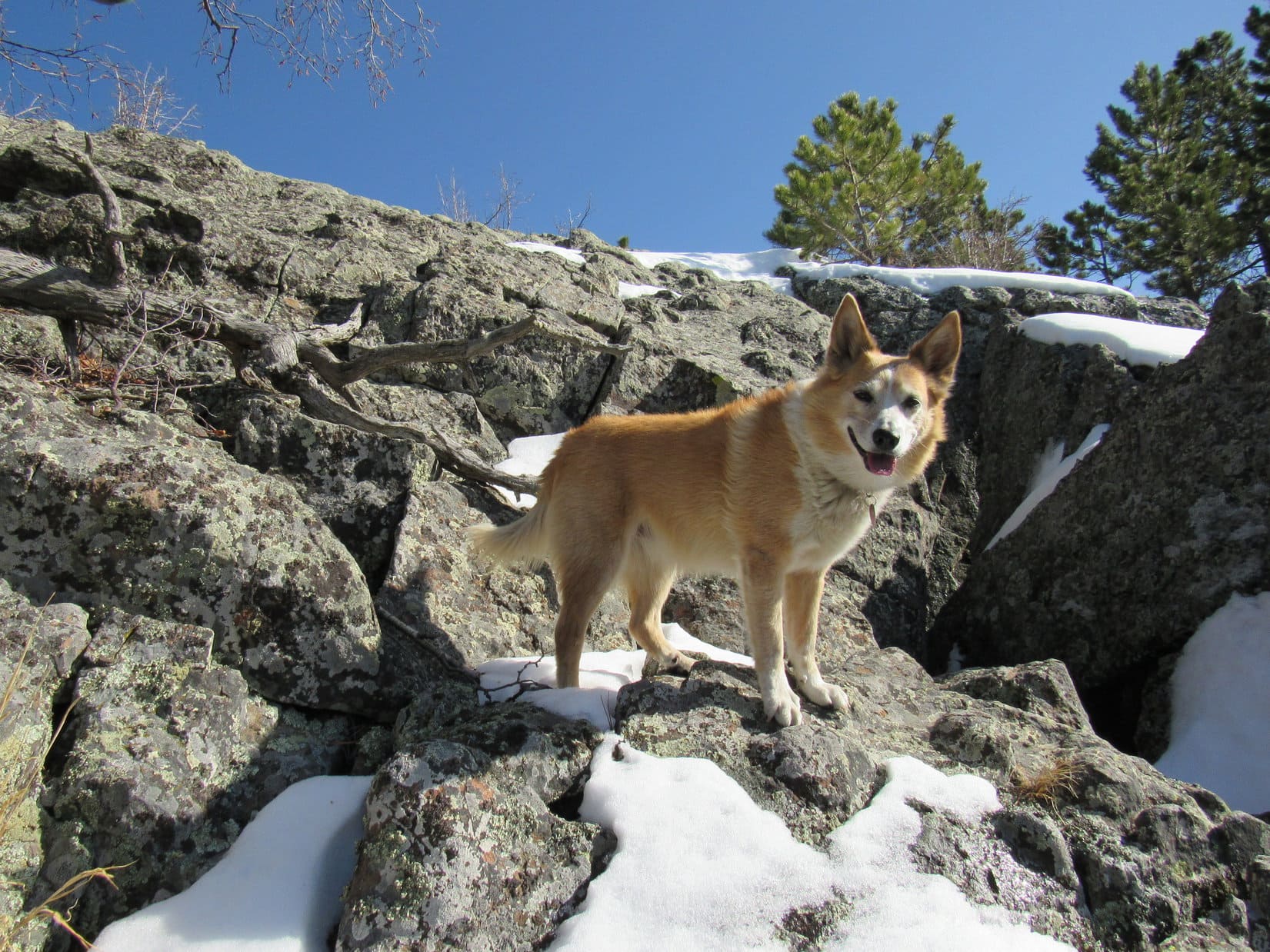
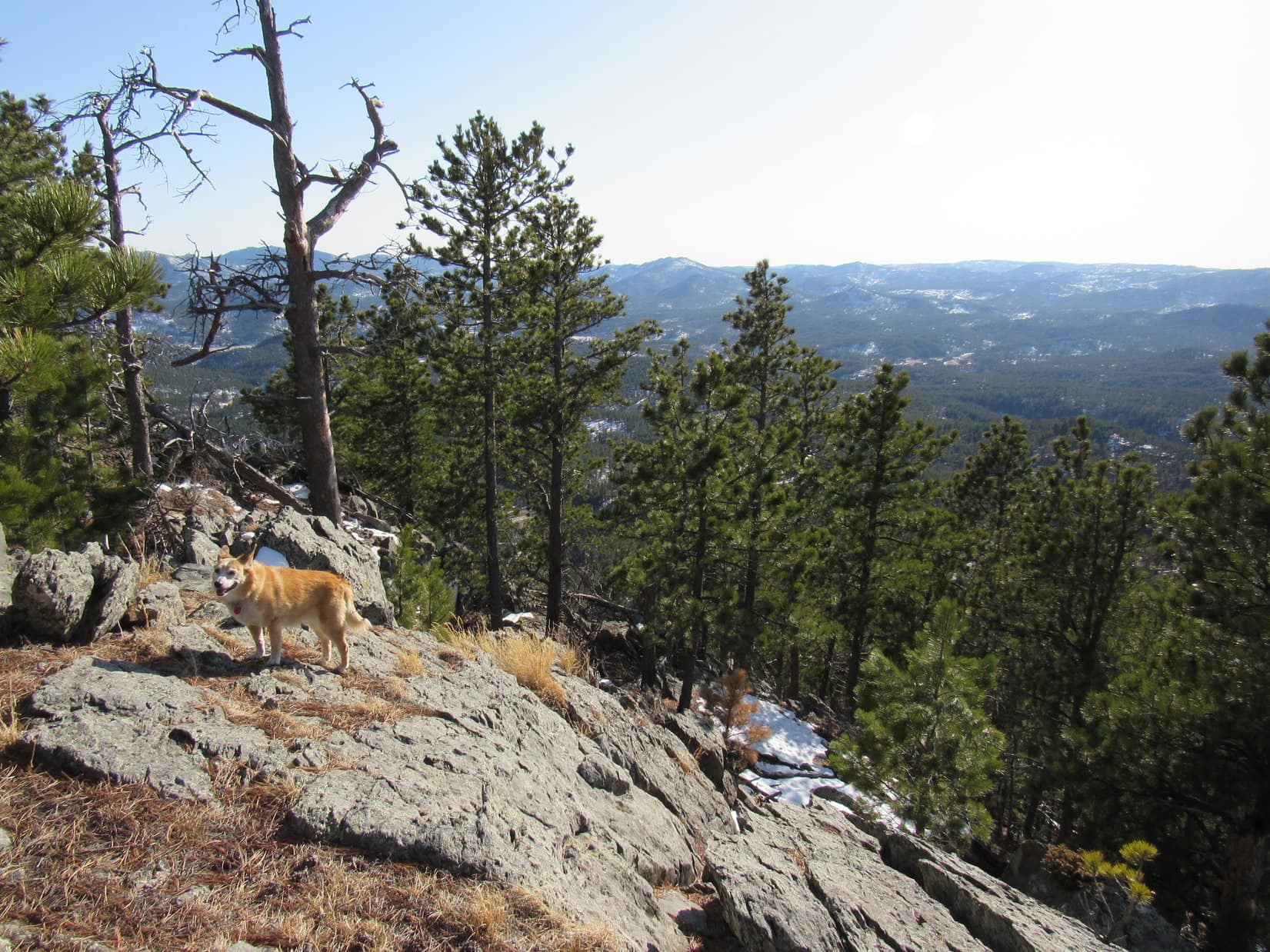
The climb wasn’t a big one.  Approaching the summit, Loopster entered a region of scattered pines and rock formations.  The summit, at the N end of a sloping ridge, proved to be the rockiest part of the mountain.

Getting close to the top. Photo looks N.
Peak 5520’s summit region. Photo looks NW.

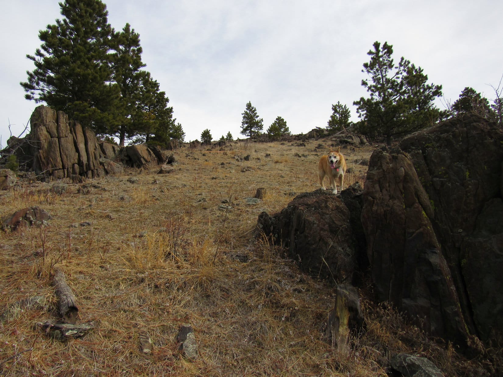
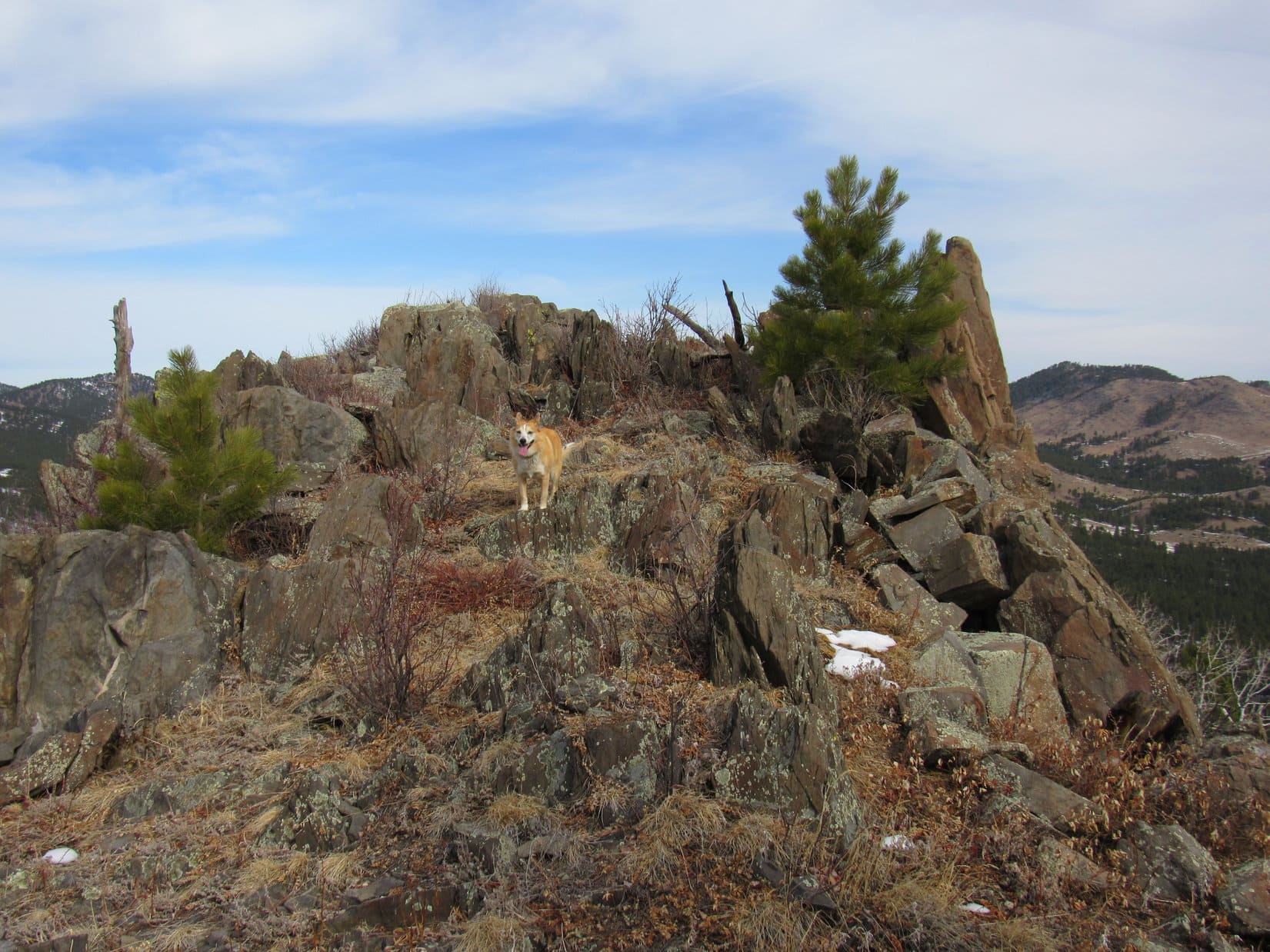
The top of the mountain was a jumble of rocks and bushes.  One of the very highest rocks had a nice flat top.  Lupe got up onto it.

Summit of Peak 5520. Photo looks NNW.

Congratulations, Loopster!  Another peak climbed!

Thank you, SPHP!  Nothing to it!  Quite the views up here!

I’ll say!  Rather surprising.  Guess it’s because there are hardly any trees.  Hey, this rock is a few inches higher than the one you’re on.  Mind moving over to it?

Maybe for a minute or two.

At the true summit, a somewhat more precarious perch. Photo looks E.
This platform rock is better! Mount Warner (R), Peak 5741 (far R), with Samelias Peak between them. Photo looks SE.

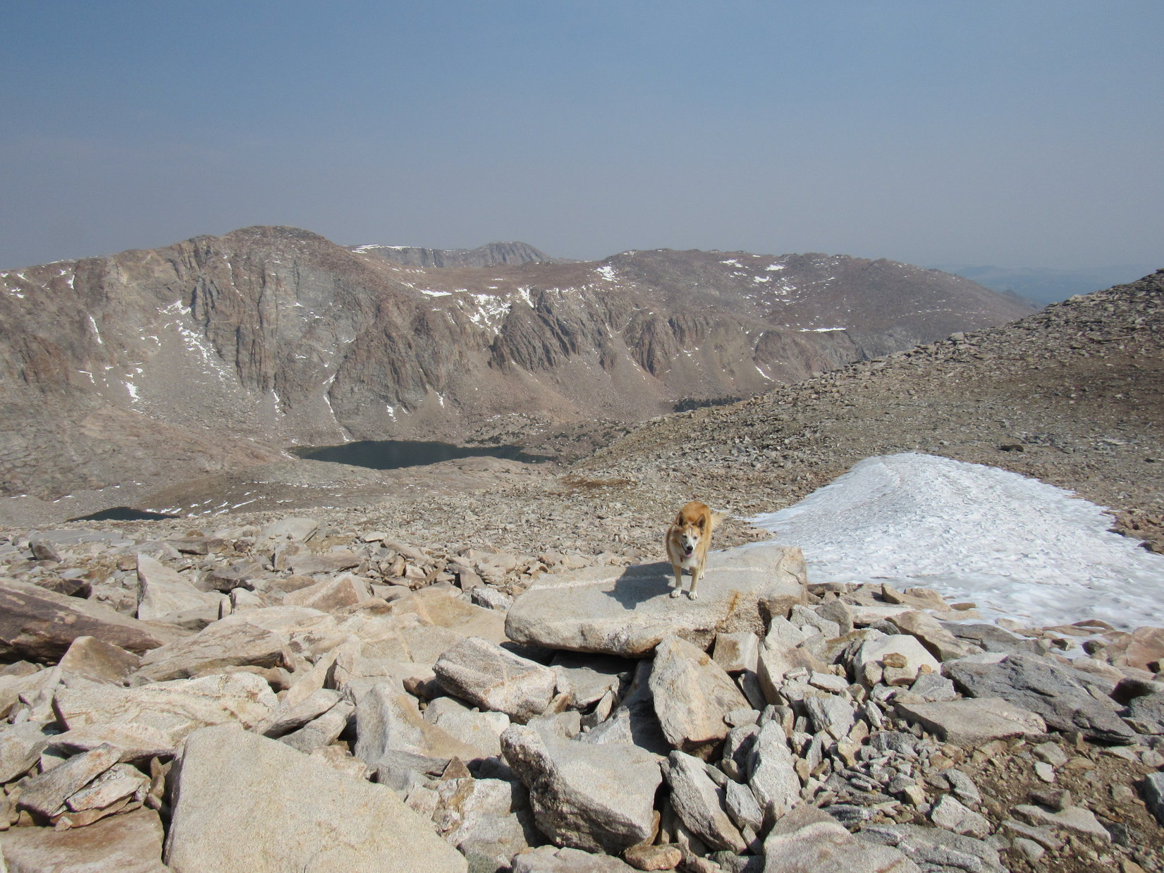
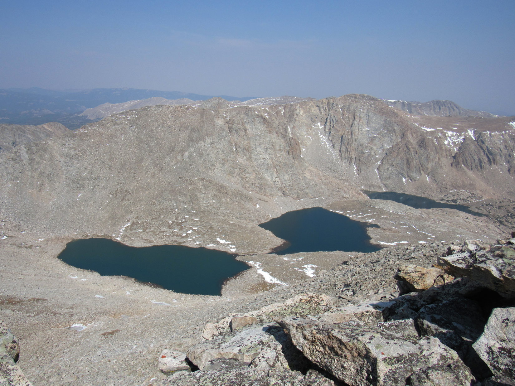
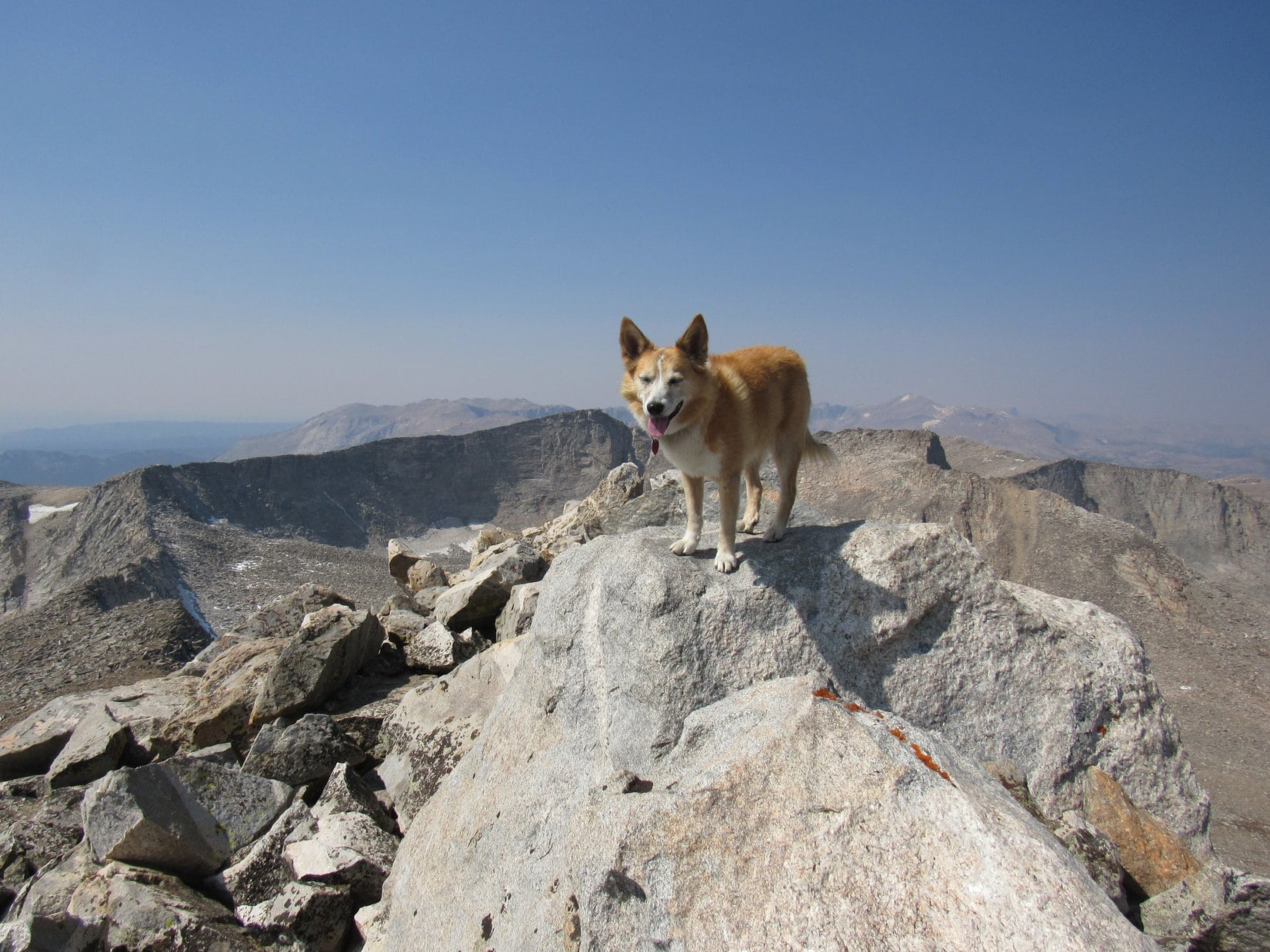
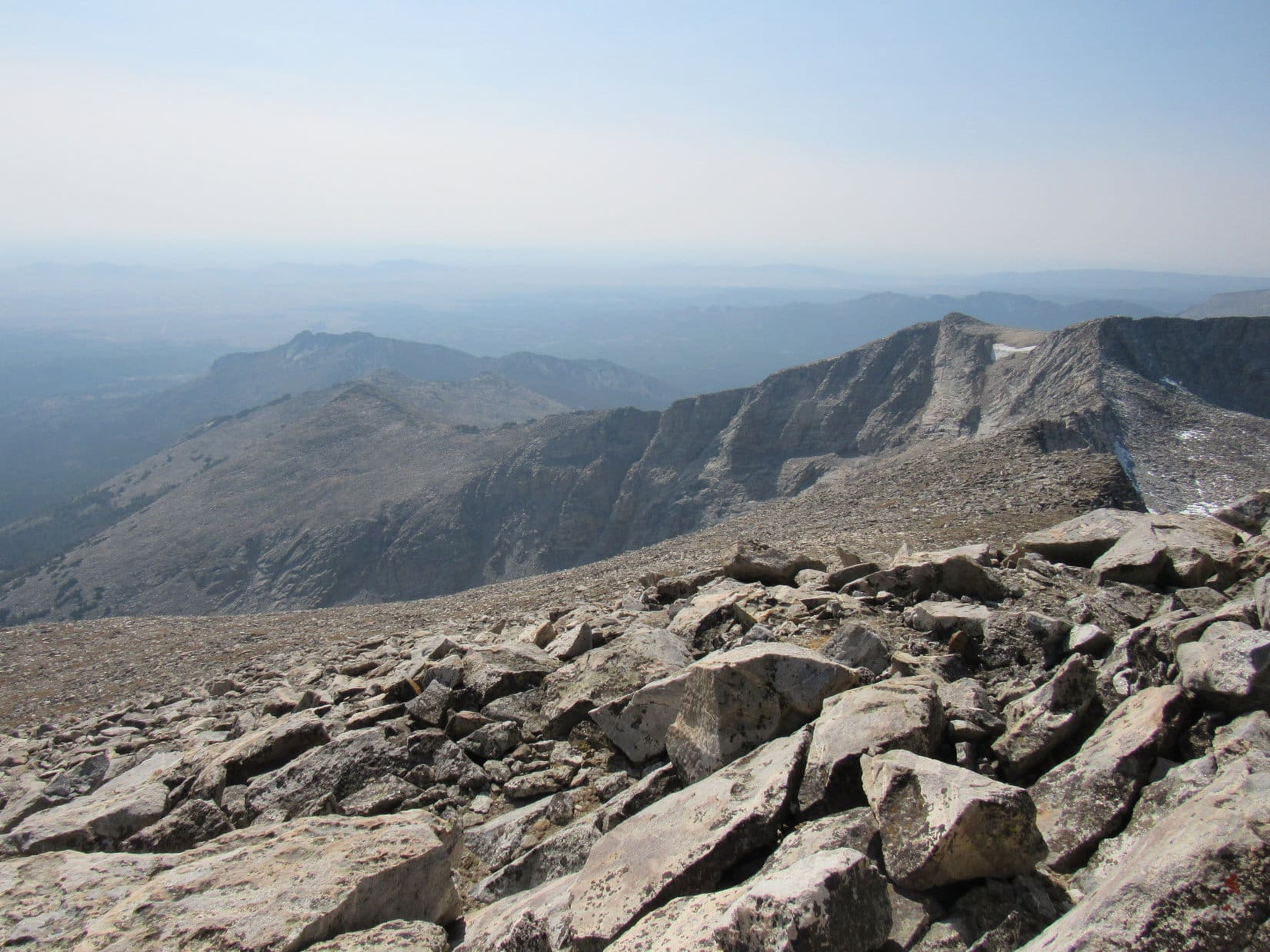
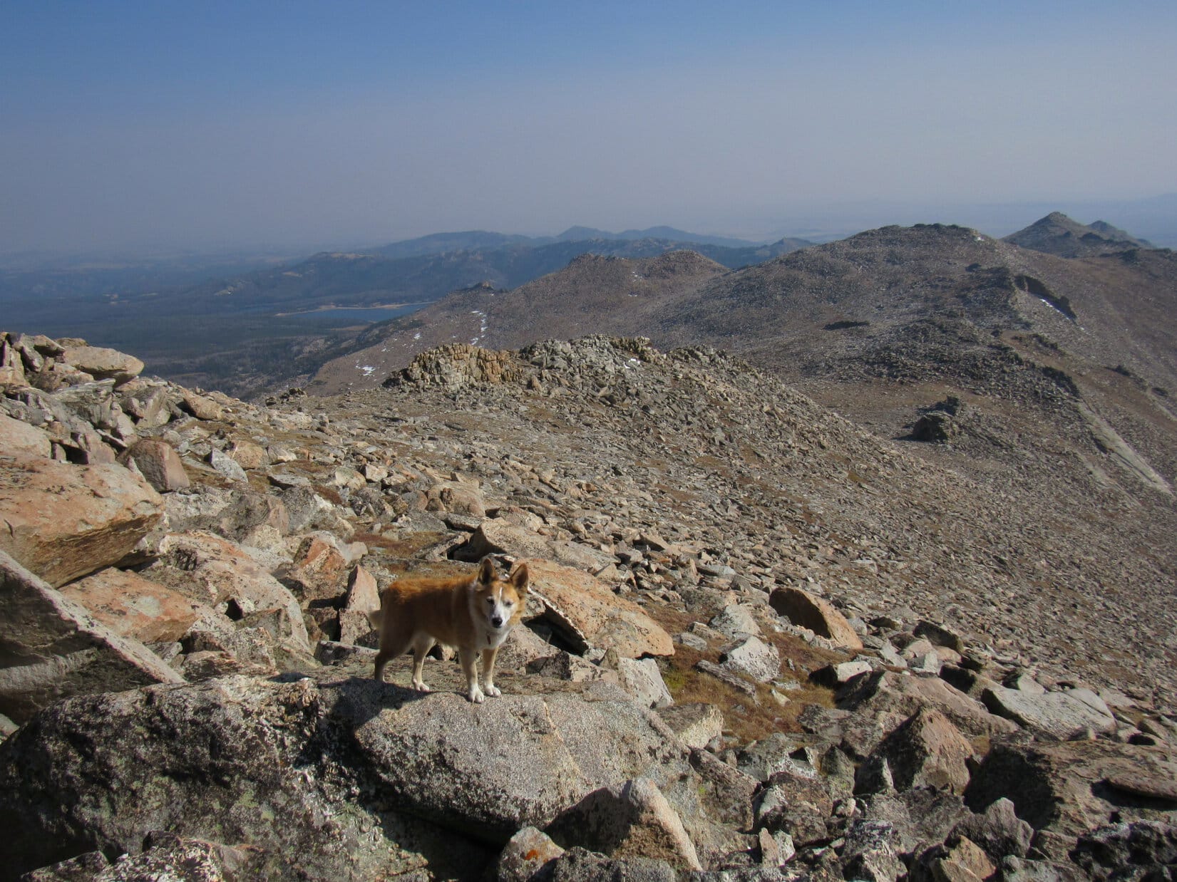
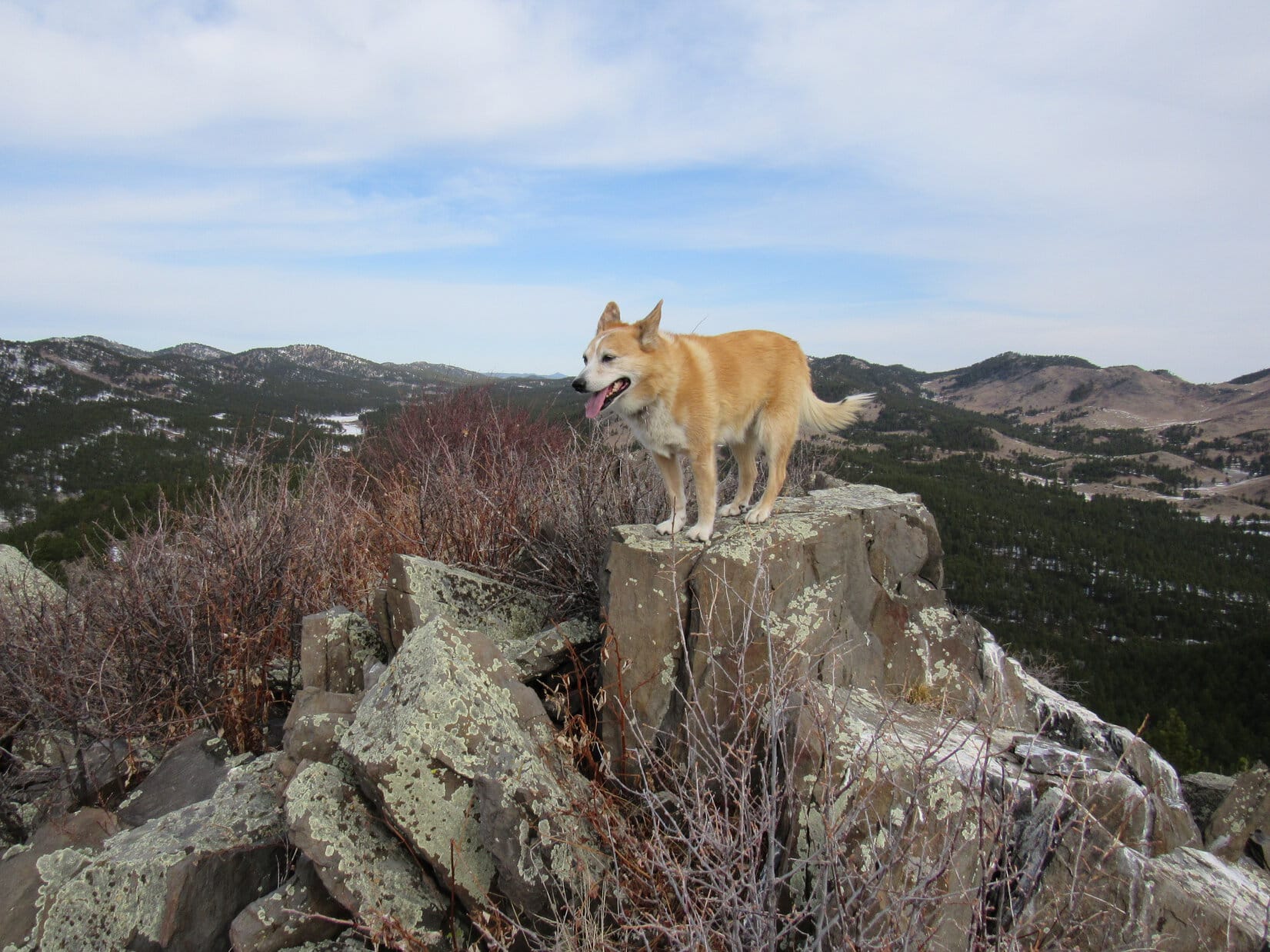
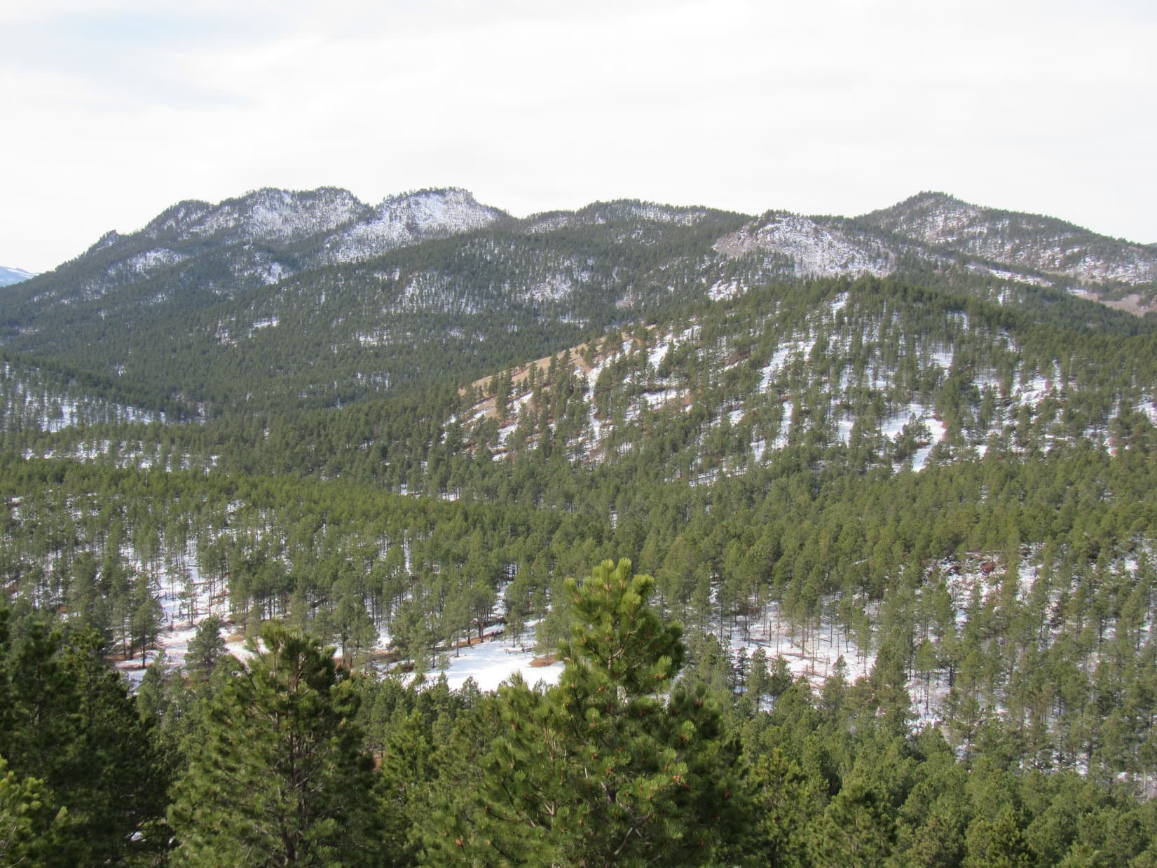
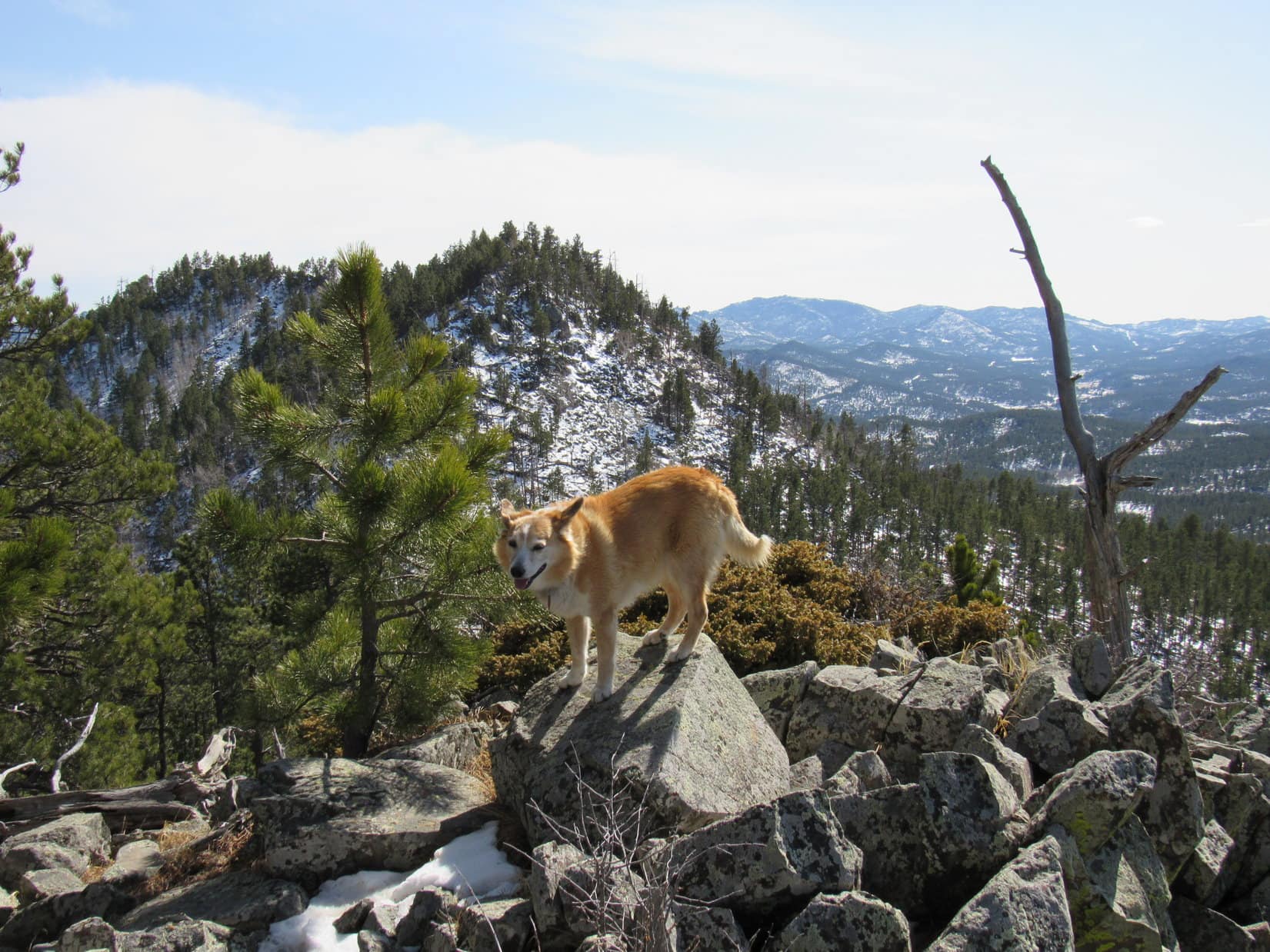
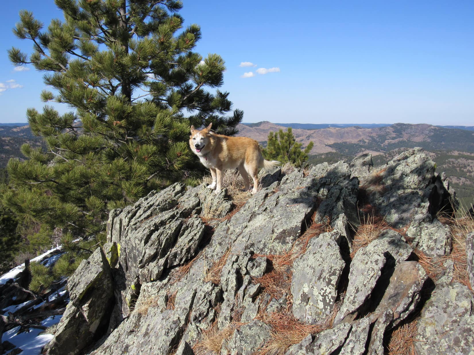
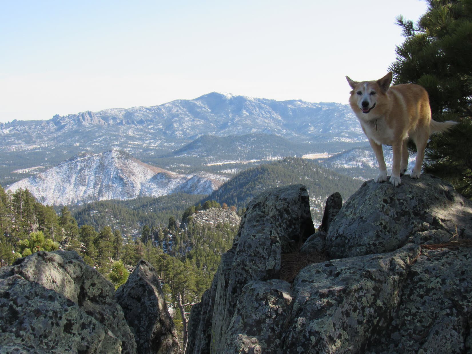
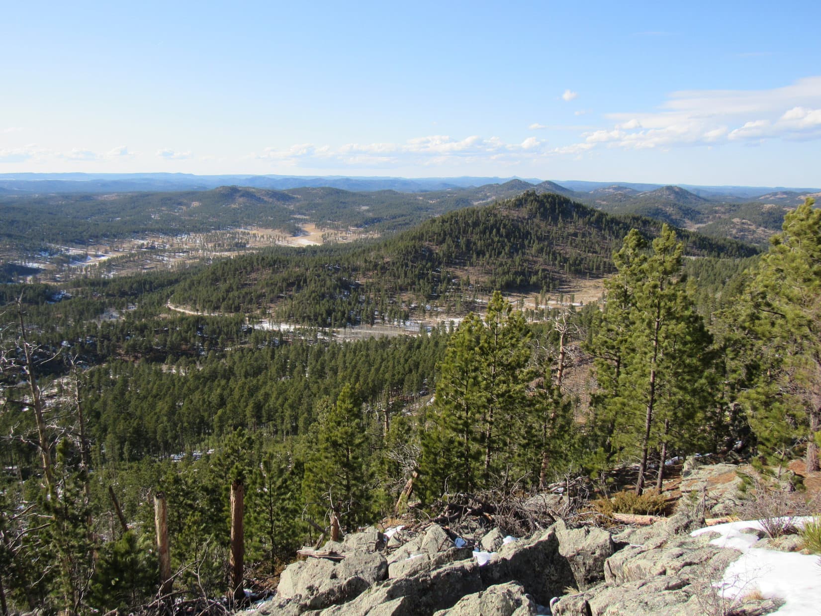
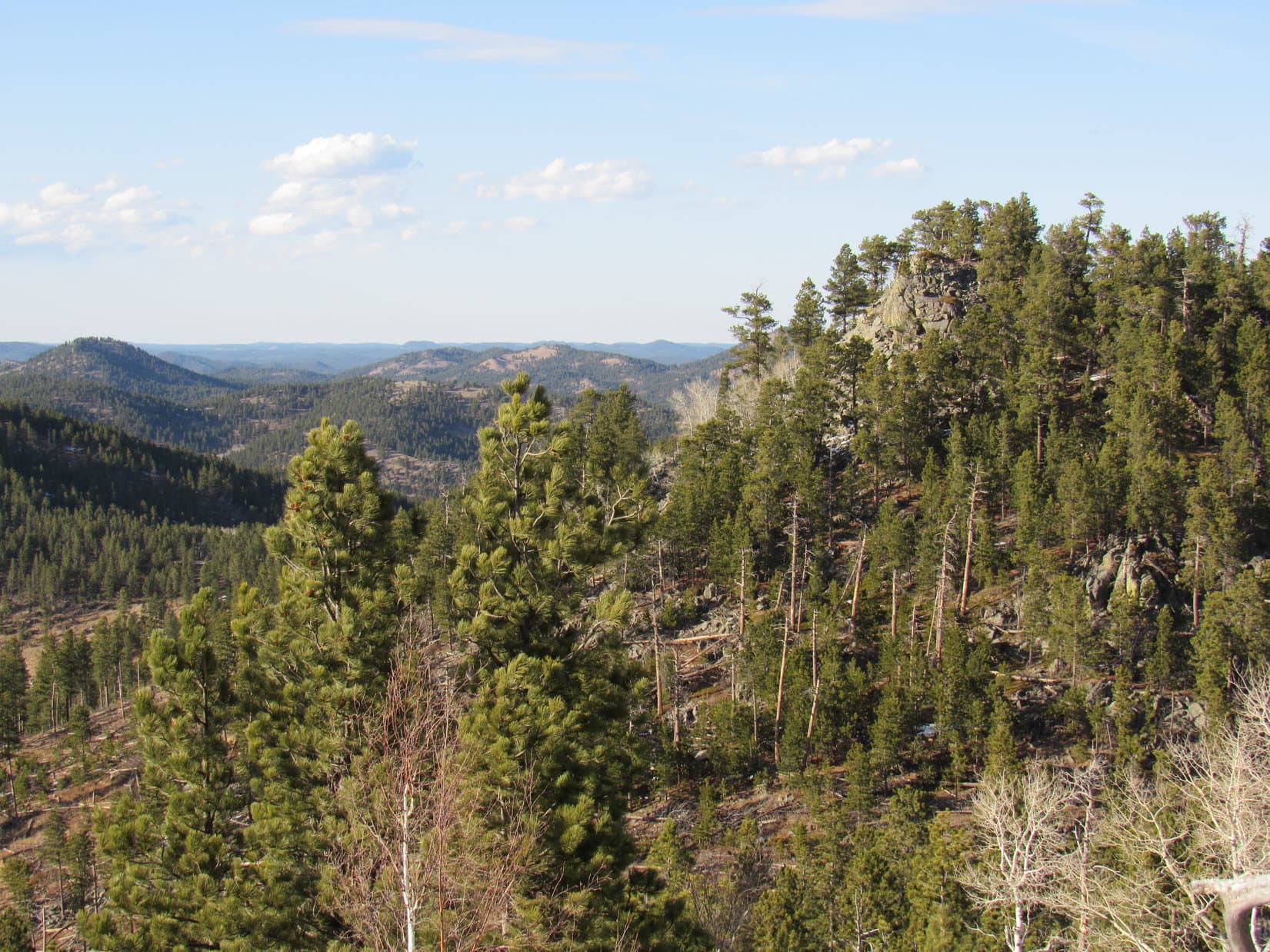
Success was celebrated with a chocolate coconut bar, but not right up at the true summit.  Retreating a little to the S, Lupe and SPHP found a more comfortable spot to hang out.  Even though Peak 5520 wasn’t all that high, the views really were quite impressive.  The American Dingo enjoyed a panorama of higher peaks in virtually every direction.

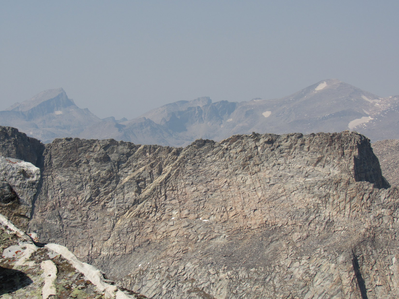
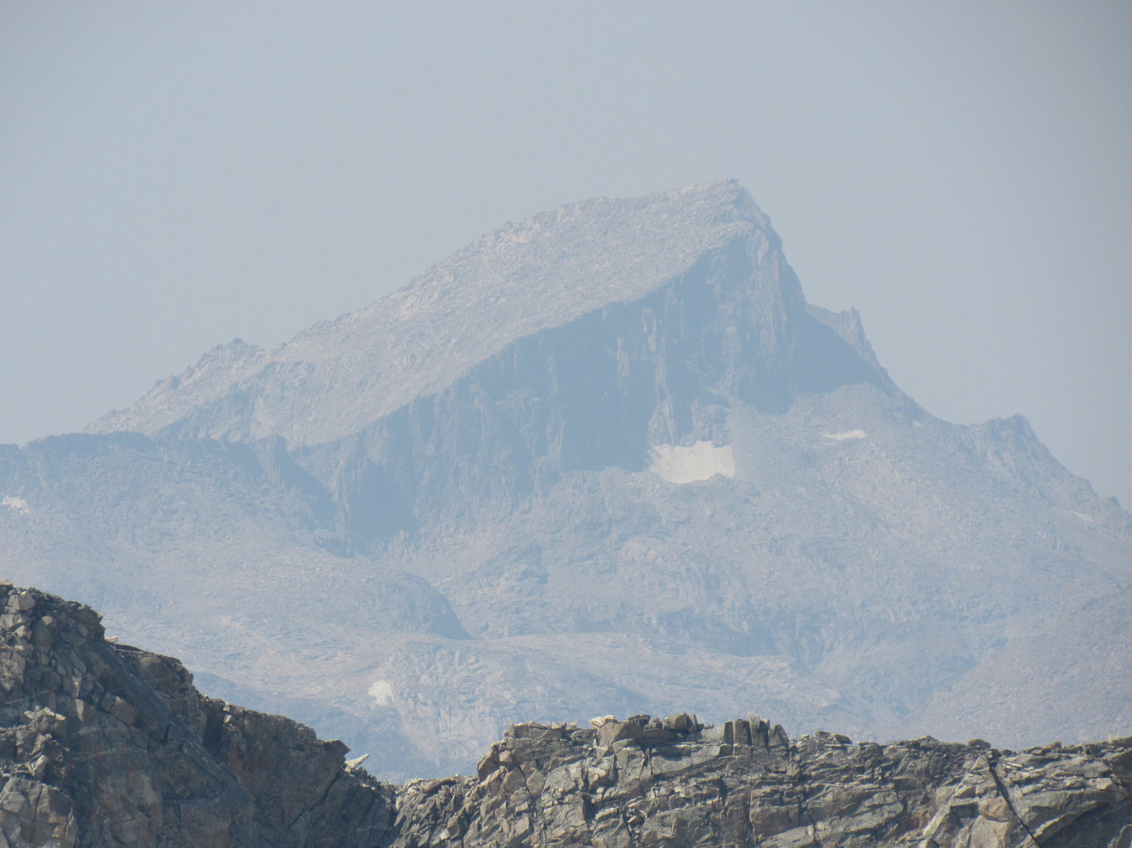
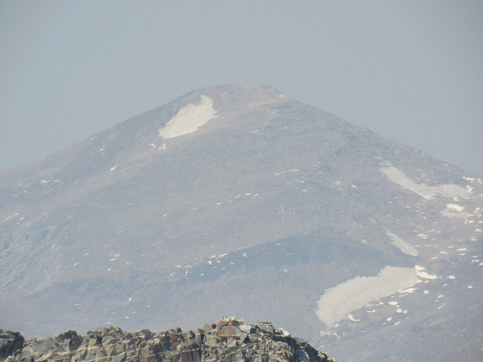
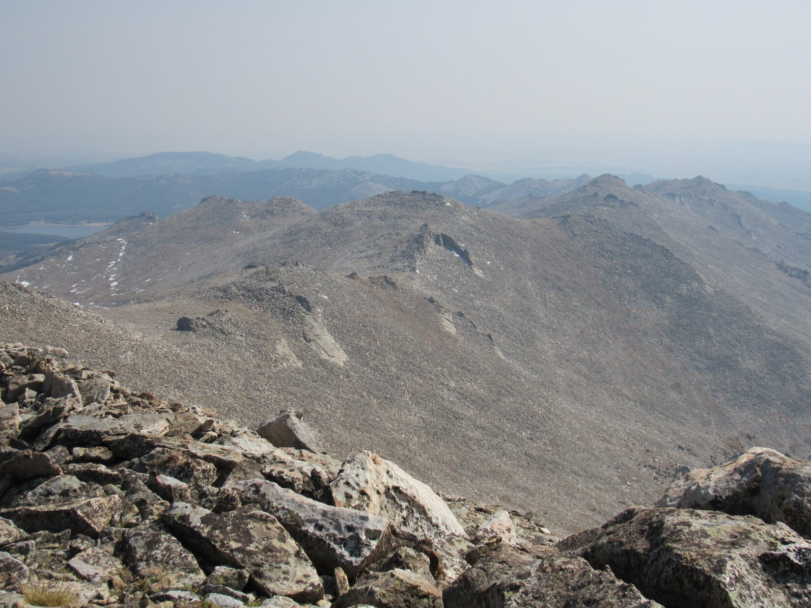
Highlights to the N included New Year’s Eve Peak (6,046 ft.), Peak 5917, and Peak 5800Black Elk Peak (7,231 ft.) dominated the S horizon.  Mount Warner (5,889 ft.) and Samelias Peak (5,856 ft.) were visible to the SE.

New Year’s Eve Peak (L), Peak 5917 (Center) and Peak 5800 (far R). Photo looks NNE.
New Year’s Eve Peak (R) and Peak 5917 (far R). Photo looks N.
The 3 peaks L of Center are Mount Warner (L), Samelias Peak (Center), and Peak 5741 (R). Black Elk Peak (far R) on the horizon. Photo looks SSE.
Black Elk Peak. Photo looks S with help from the telephoto lens.

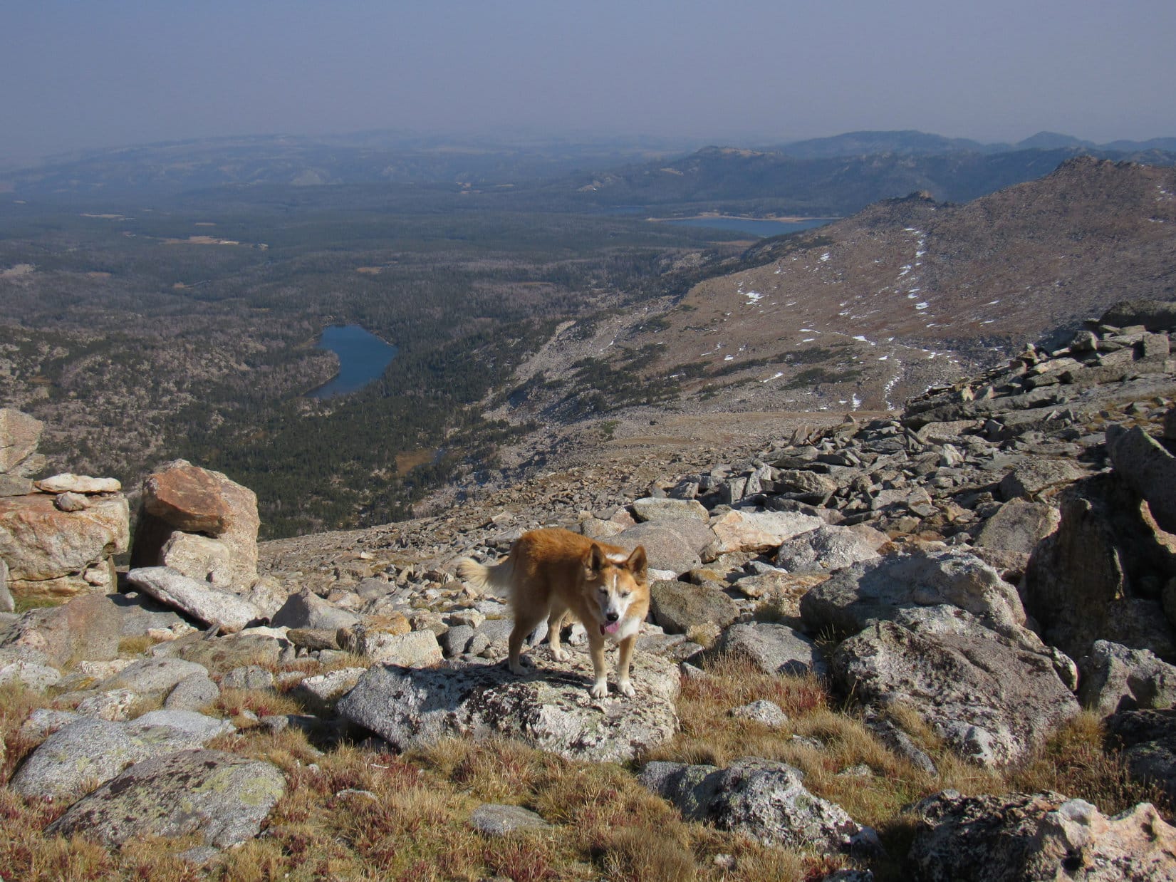
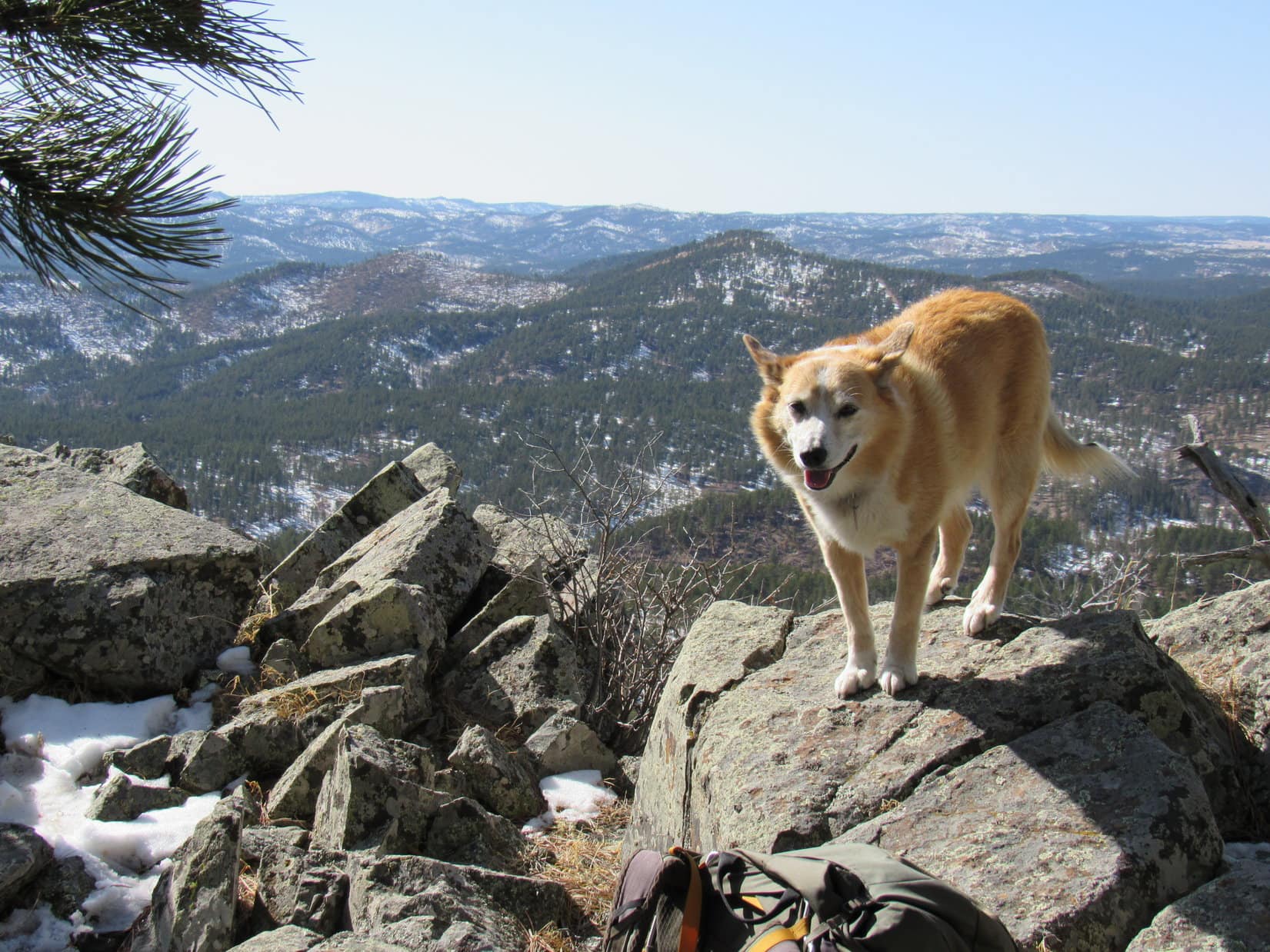
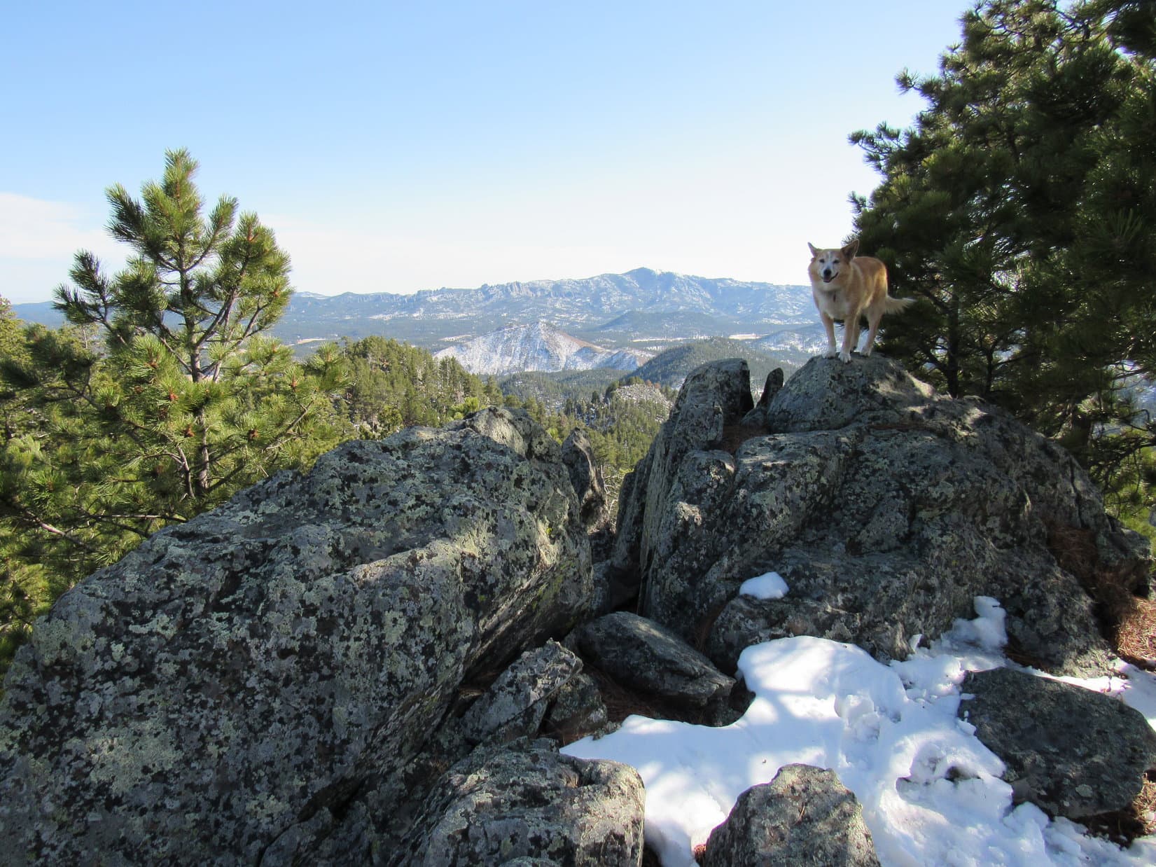
The chocolate coconut bar was gone in a flash.  Lupe and SPHP lounged about for a while.  To the SW was a view of special interest.

Peak 5520 is a fabulous spot, SPHP, but what’s next?

Look over there, Loopster!  See the big lumpy ridge?  That’s gotta be the best view we’ve ever had of Five Points (6,221 ft.).  Somewhat to the N of it you see False North Point (6,130 ft.).  There is another Lists of John peak, Peak 6040, off to the W that we can’t see from here.  False North Point is sort of on the way to it.

Oh, I get it!  So you’re thinking we’ll just tag False North Point on the way to Peak 6040.

Exactly!

Are we going to hit Five Points, too?

Nope!  Won’t have time for that.  Peak 6040 is far enough away so that we’ll be doing good if we can get False North Point, too.

Ready? Let’s go! Five Points (L) and False North Point (Center). Photo looks SW.
Five Points (L) and False North Point (R). Photo looks SW with help from the telephoto lens.

Lots more adventure ahead!  Departing Peak 5520, Lupe returned to USFS Road No. 669.  The road divided at the pass into 2 unmarked branches, one continuing SSE straight down into Gordon Gulch.  The Carolina Dog took the other branch heading SW instead.

A final look at Peak 5520 from back at the pass. Photo looks NE.
Looking SW, the direction Lupe was about to go.

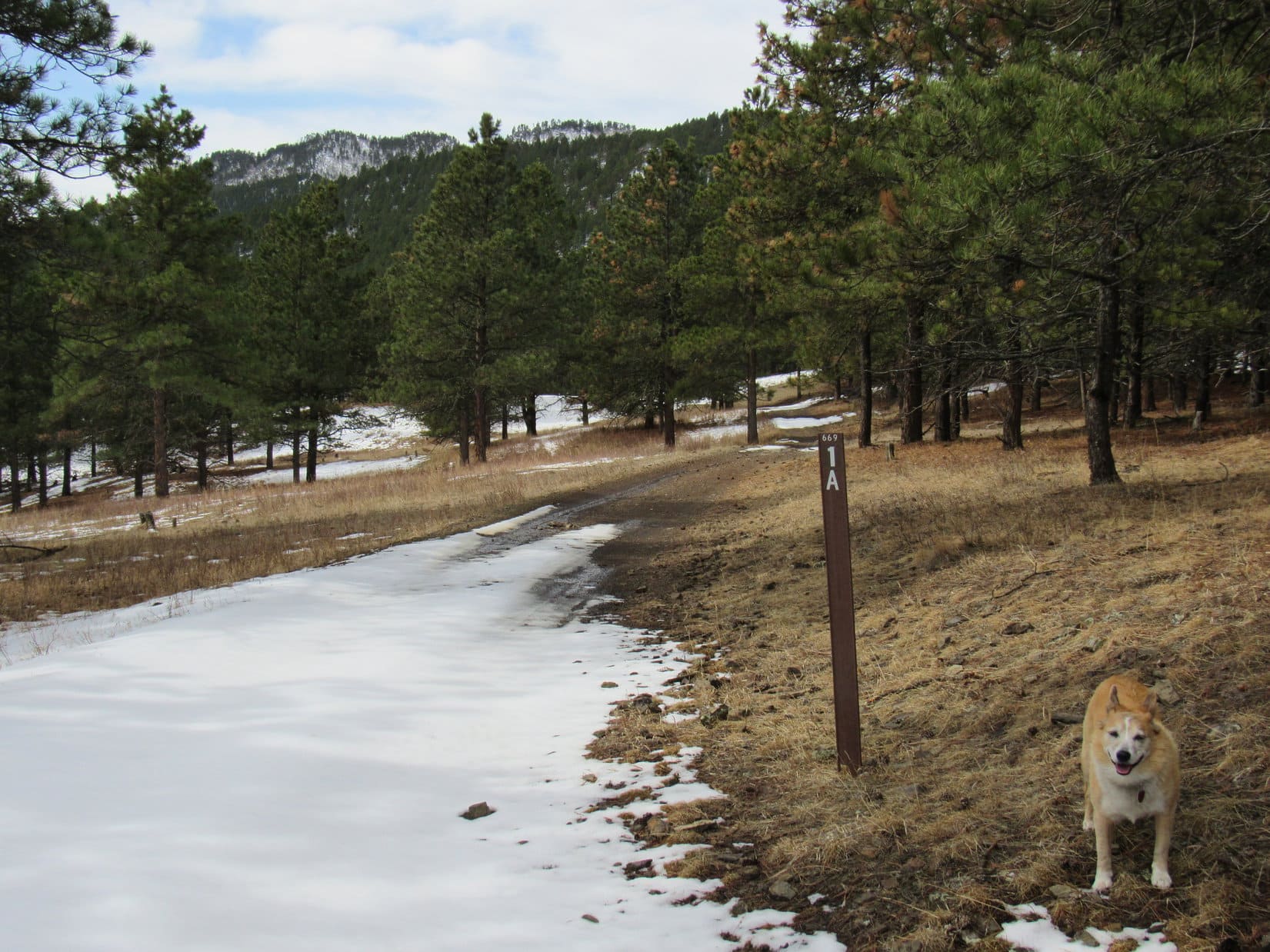
Descending into a shallow valley, one of several comprising the upper reaches of Gordon Gulch, the road going SW quickly turned S.  After 0.33 mile, it again angled SW and climbed a little.  Loop arrived at a high spot where the road divided again, one branch going L, the other continuing SW.

This time there was a marker.  A wand next to the road continuing SW indicated that this was USFS Road No. 669.1A.

Heading down the shallow valley. Photo looks SSW.
At the high spot next to the No. 669.1A wand. Five Points (L). Photo looks SW.

Go straight, SPHP?

Yes, I think so, but hang on a minute, Loop!  Let me check the topo map!  Somewhere along in here we need to turn W or NW, and I haven’t noticed a road or valley going that way yet.  Want to make sure we haven’t missed it already.

Checking the map, it seemed pretty clear that this junction was at the crest of a little ridge extending SE from Peak 5549.

So, what does the map say, SPHP?

Says to keep going straight like you thought, Looper.  Shouldn’t be too far to the next valley.  We’ll turn NW there.

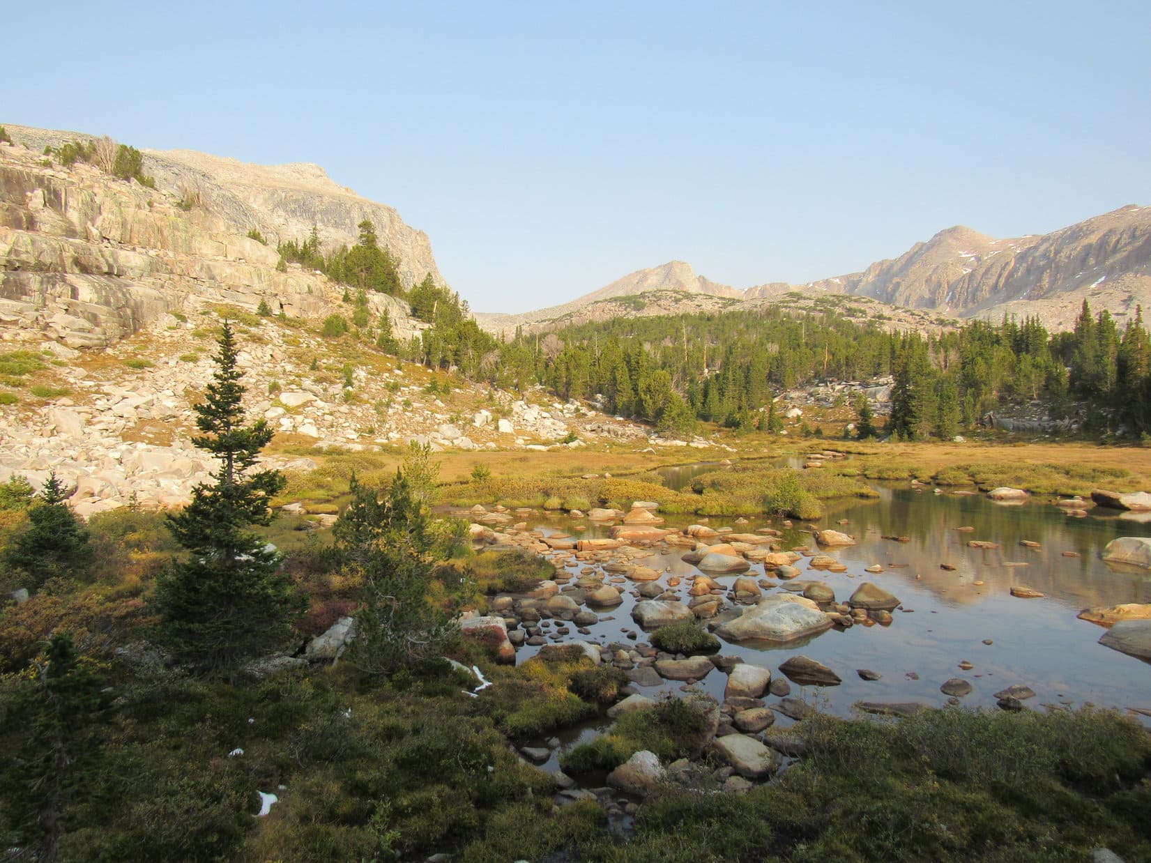
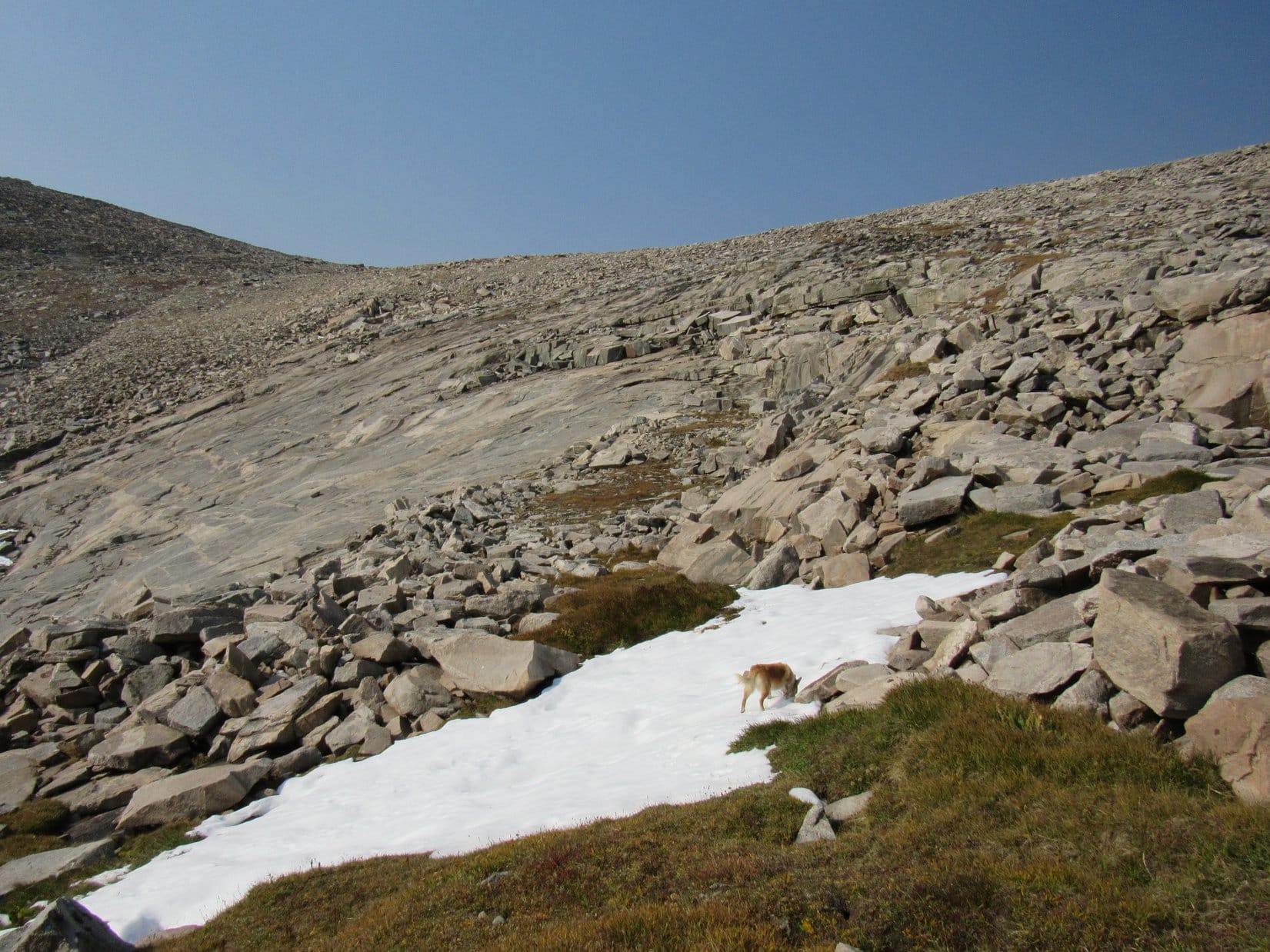
Which is how it all turned out.  No. 669.1A did lead down into another valley, which it immediately crossed before continuing SW up the far side.  Abandoning No. 669.1A, Lupe instead turned NW following a fainter unmarked road up the valley.

In the next valley. USFS Road No. 669.1A continues up the other side. Photo looks SW.
On USFS Road No. 669.1A, which Lupe abandoned to head NW staying to the R of the peak seen L of Center. Photo looks WNW.
Starting up the valley on the fainter road. Photo looks NW.

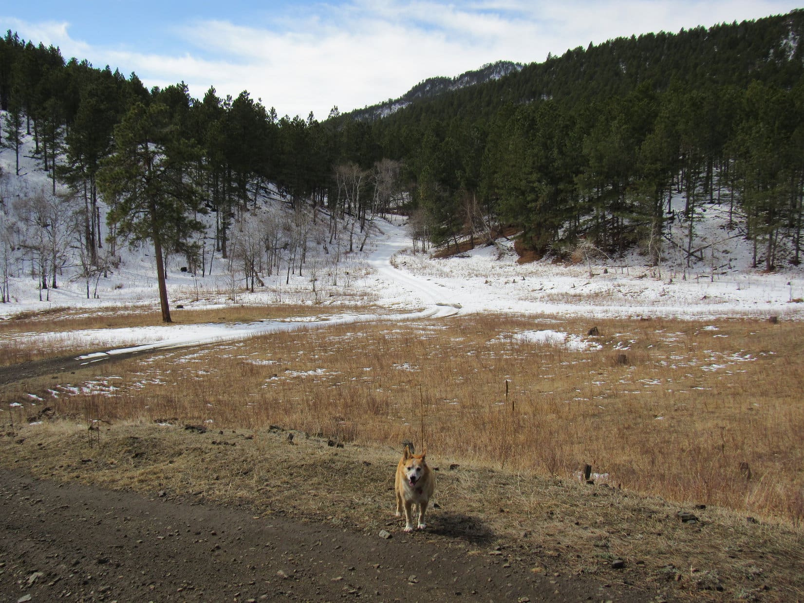
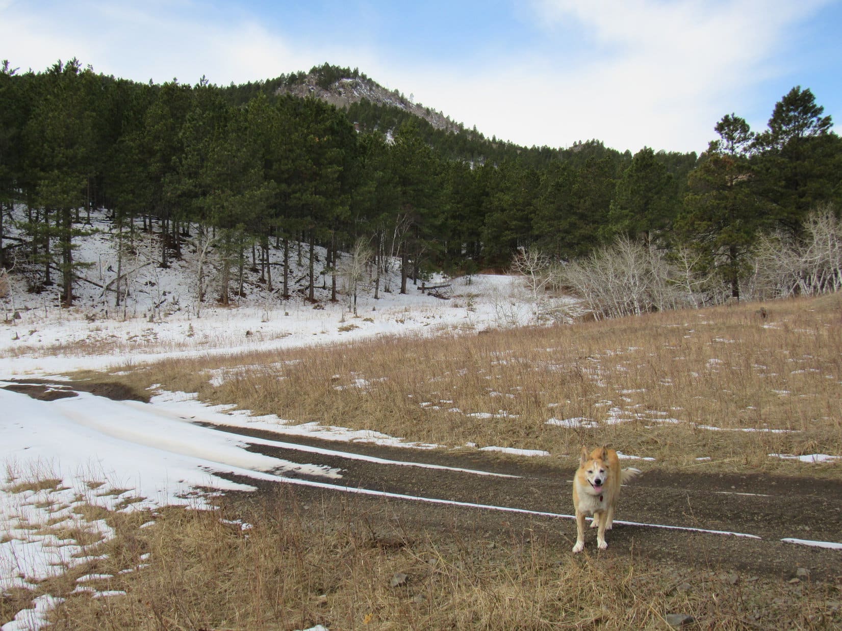
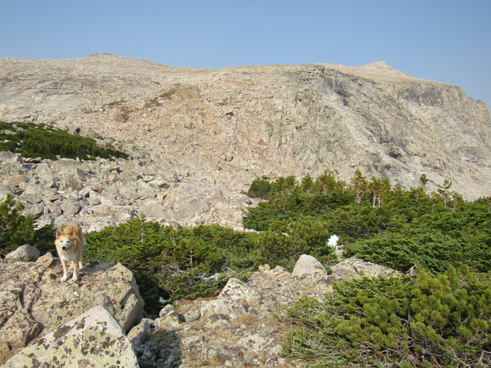
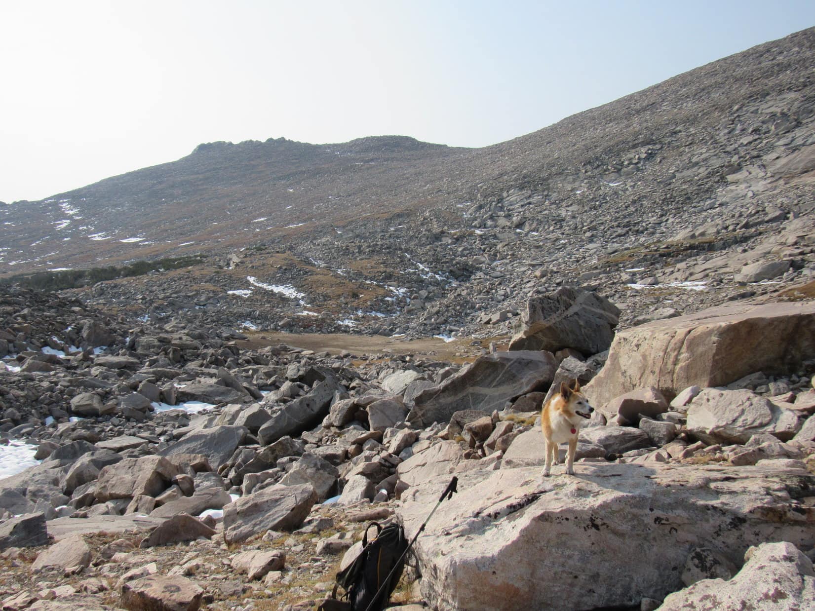
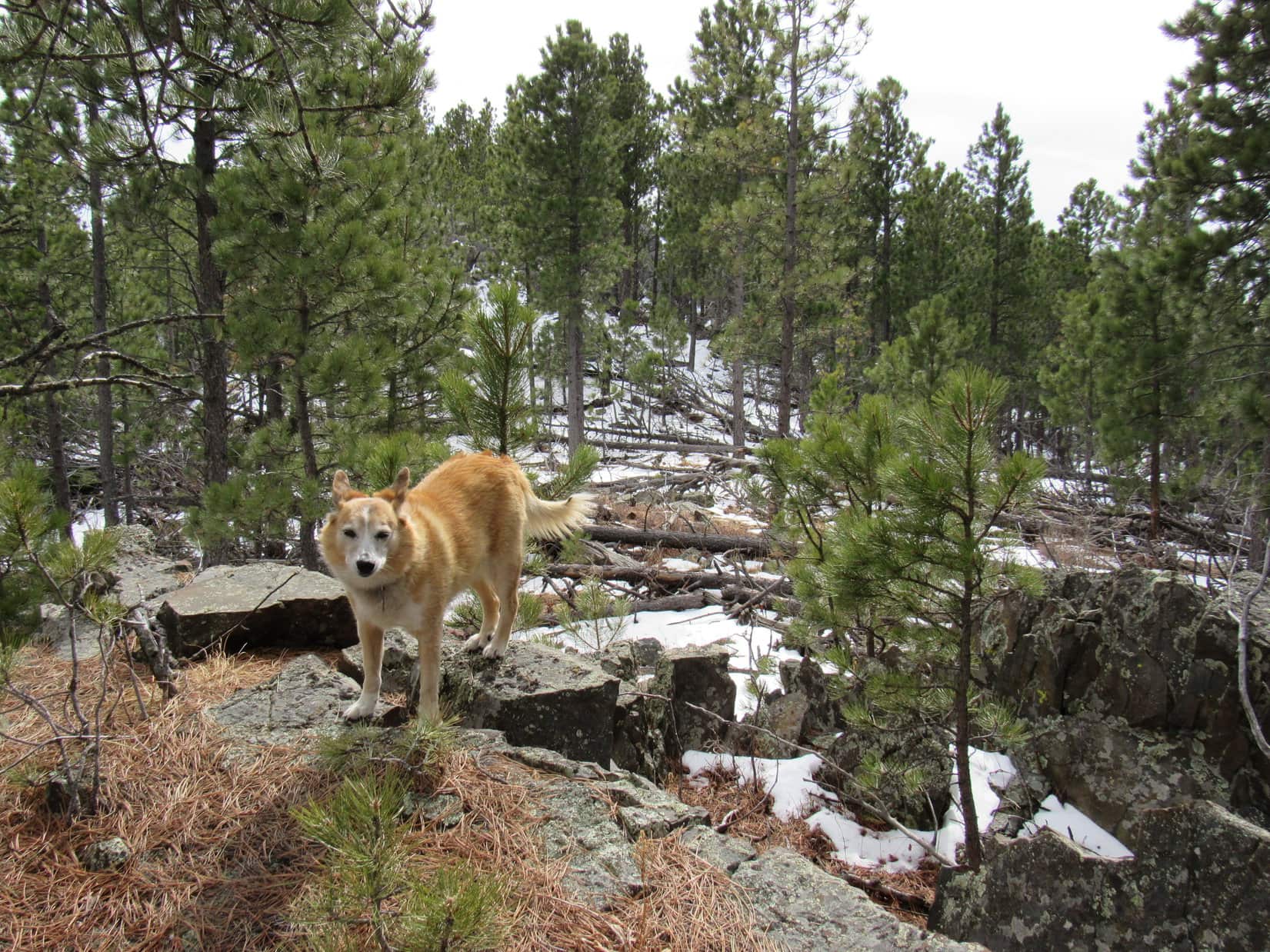
The valley Lupe was going up now wasn’t as shallow as the others she’d passed through on the way here.  The sides were steeper and higher, but the road was decent and headed in the right direction.  For a while, Loop made good progress, gaining elevation at an easy pace.

However, the situation was deteriorating by the time the road began to curve W.  The faint road was getting fainter, and Lupe was coming to more and more deadfall.  No sign that anyone had been here in ages!

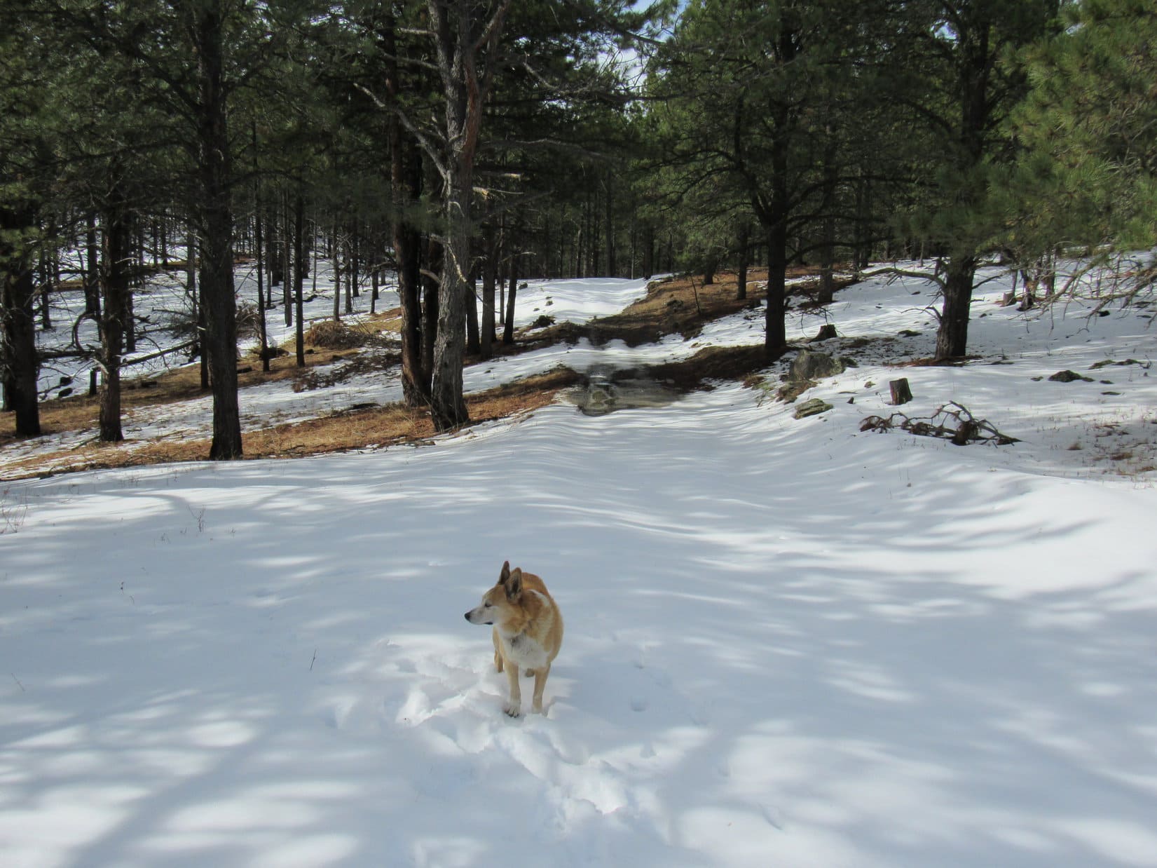
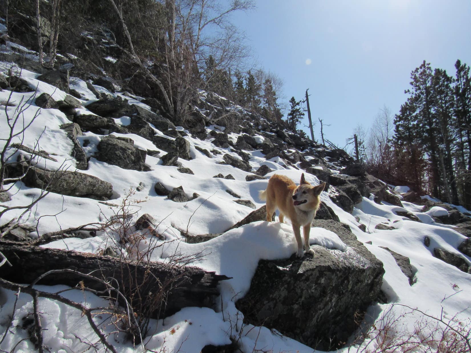
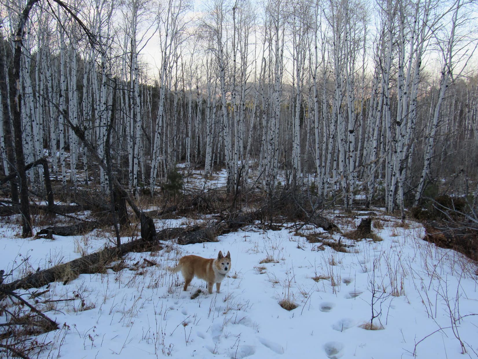
Forcing a way through the steadily worsening deadfall rapidly turned into tedious work.  The road became intermittent, then vanished.  The N half of the valley, where the road had been, was largely snow-free, but choked with dead pines.  The S side still had a foot of snow blanketing the ground amid a dense stand of aspens, but far less deadfall.

Giving up on the non-existent road, Lupe switched to traveling through the aspens.  Not a great route, but definitely easier than contending with all the deadfall!

Among the aspens. Photo looks WSW.

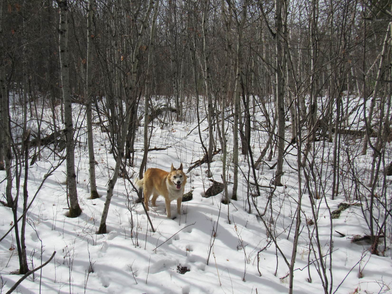
The snowy trudge among the aspens went on and on.

How much farther to False North Point (6,130 ft.), SPHP?

Not entirely sure Loop.  It’s off the edge of the map that I printed out.  Don’t think it’s too much farther, though.

Off the edge of the map?

Yes.  Think we need to turn S pretty soon.  Watch for a valley we can take to the L.

A valley did eventually appear on the L.  Lupe turned up it, still traveling amid the dense aspens.  This valley climbed at a somewhat faster rate.  SPHP kept expecting the American Dingo to come to a pass, but stopped her before she did.

What’s up, SPHP?

Not sure, Loop.  We can’t be too far from False North Point, but this valley doesn’t seem quite right.  Maybe we ought to start climbing out of it?  I was going to wait until we got to a pass, but it’s taking longer than I thought it would.

So, head up the hill here?

Yeah, let’s try that.  I think this is actually all part of False North Point.  We’ll recognize it once we get to the top.

Lupe started up the pine-covered slope on the R side of the valley.  The Carolina Dog was soon leaping over deadfall again.

Back in the pines and deadfall. Photo looks SW.

Looper kept climbing, but nothing seemed familiar.  She hadn’t been to False North Point in 2 years.  SPHP remembered even more deadfall and a steeper route than this, but maybe she wasn’t on quite the same part of the mountain?

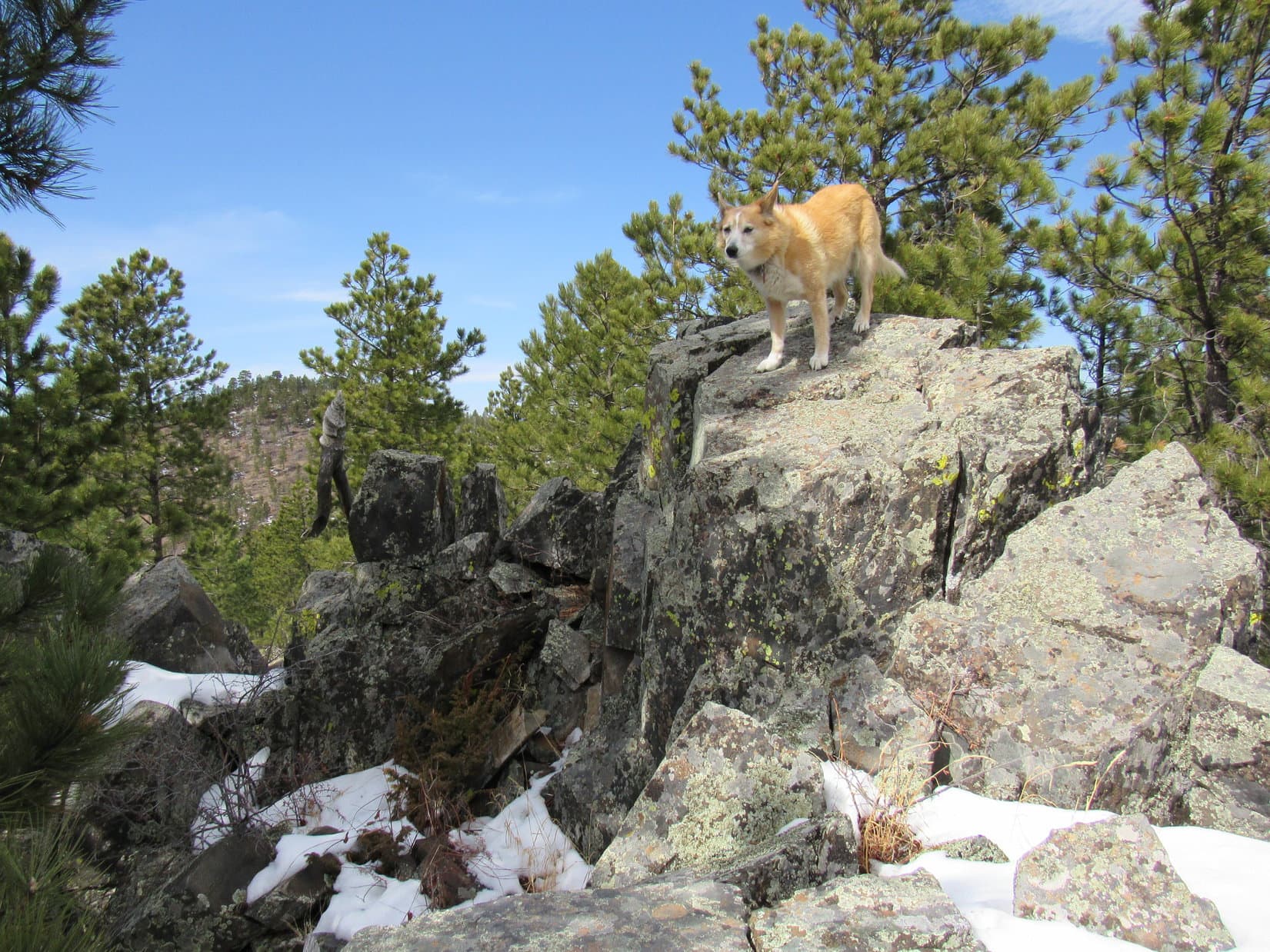
Oh, here we are, SPHP!  Made it to the top!

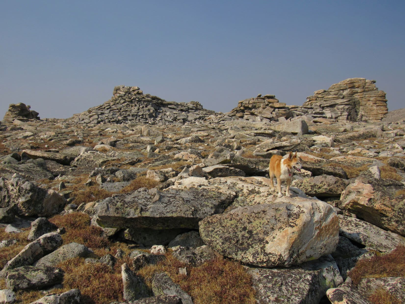
A tall wooden pole stuck up out of a cairn, the true summit rock sitting off to the L 10 feet beyond it.

By the wooden pole. Photo looks SSW.

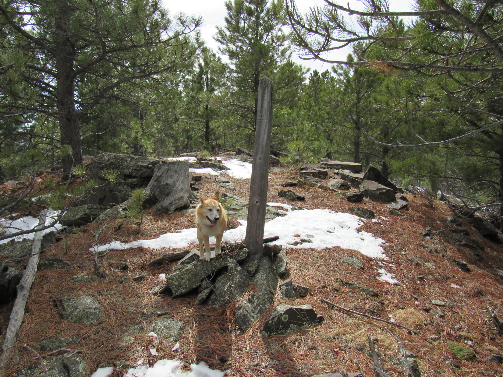
Congratulations again, Loopster!  Mighty fine job!

So, where are we, SPHP?  This isn’t False North Point (6,130 ft.)!

No, it’s not!  It’s around here somewhere, though.  Want to take a break?

Got any more chocolate coconut bars?

The chocolate coconut bar supply hadn’t run out yet, so Loop did get to split another one with SPHP.  She also had some Taste of the Wild and water, while SPHP munched an apple.  Moving around a bit, a higher peak could be glimpsed to the W between the trees.

That looks suspiciously like False North Point, doesn’t it, SPHP?

Indeed it does.  Seems we’ve climbed the wrong mountain.

False North Point (Center). Photo looks WSW.

So, are we going to go over there, SPHP?

Yeah, I suppose.  Climb up on the top rock here for a moment, then we’ll keep following this ridge.  It’ll probably take us down to an easier route over to False North Point.

At the true summit of wherever this was. Photo looks NNE.

As expected, Lupe lost a little elevation as she continued along the ridge past the high point, but the terrain then flattened for a while.

Look, SPHP!  There’s higher ground ahead!

Huh!  So there is.  Keep going, Loop!  Maybe this really is False North Point, and we just haven’t gone far enough yet?

Higher ground ahead. Photo looks S.

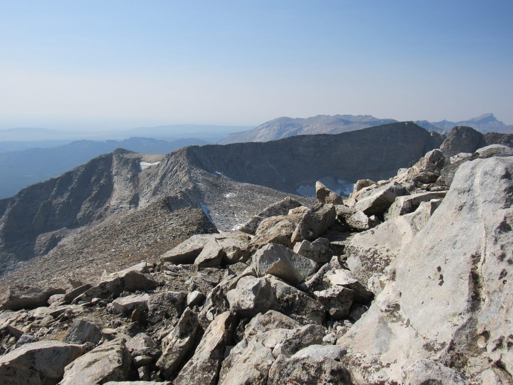
Lupe kept going.  The terrain kept rising.  She reached a second high point.  Although Loop had netted a fair amount of elevation gain since leaving the cairn with the post, a glance back to the WNW showed she still wasn’t quite as high as the peak she’d seen before.

At the second high point. False North Point (L). Photo looks WNW.

Directly ahead, still some distance away, there was an even higher peak.

Another mountain ahead, SPHP! Photo looks SSW.

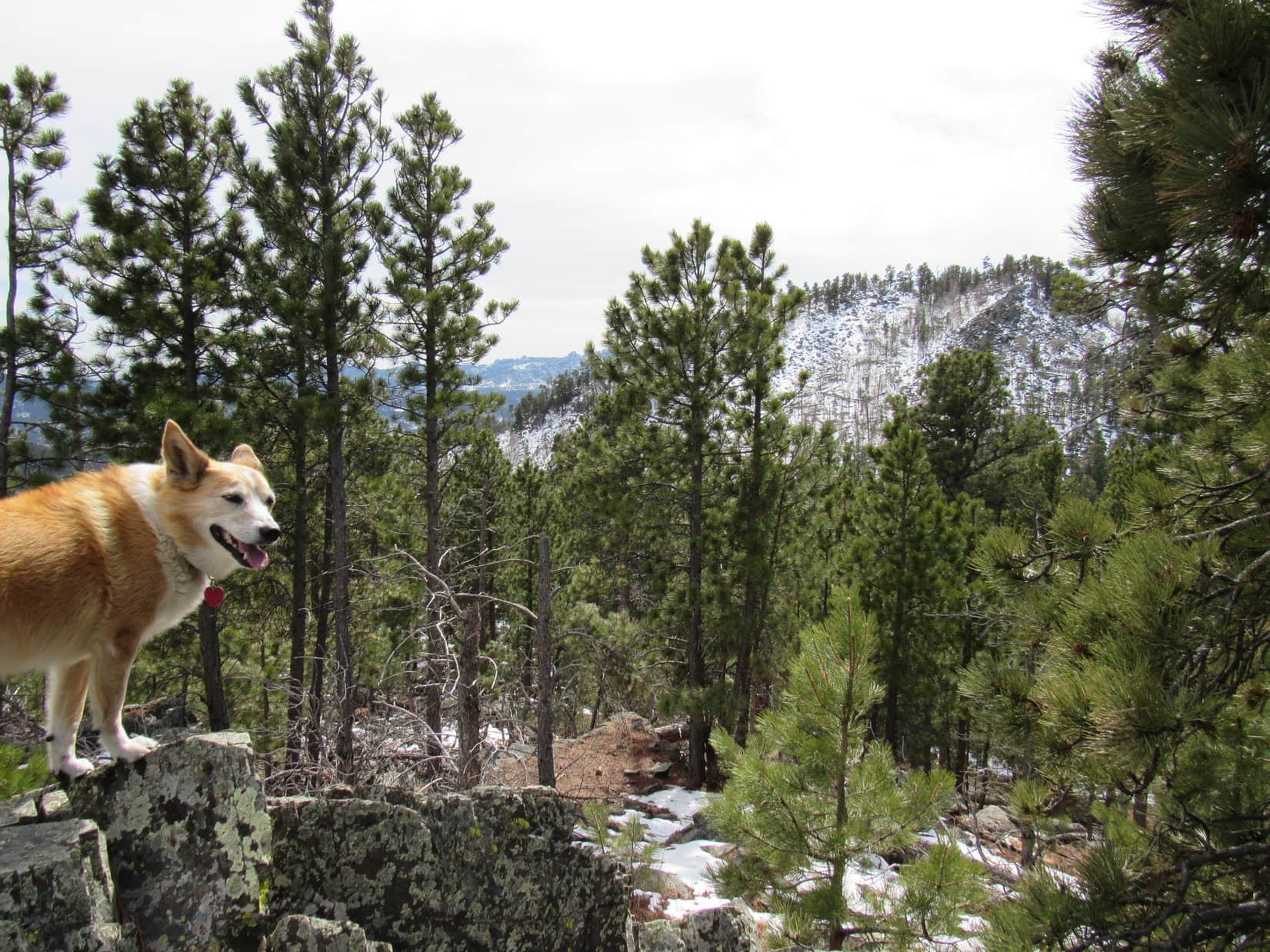
Next time I better print out more of the topo map.  Somehow we’re way off course, Looper!  That’s got to be Five Points (6,221 ft.) ahead!

So, False North Point actually is behind us now?  We’re between them?

Afraid so, Loop.

Are we turning around then, SPHP?

No.  Since we’re this close, let’s skip False North Point and continue on to Five Points.  Been a long time since we’ve been there.

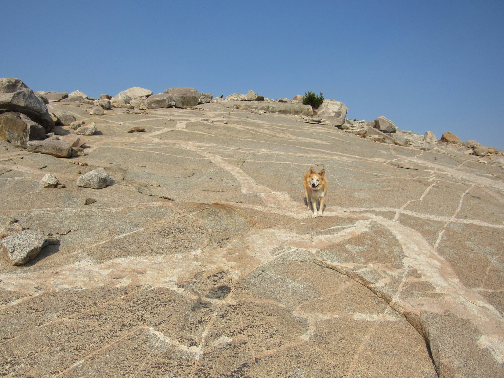
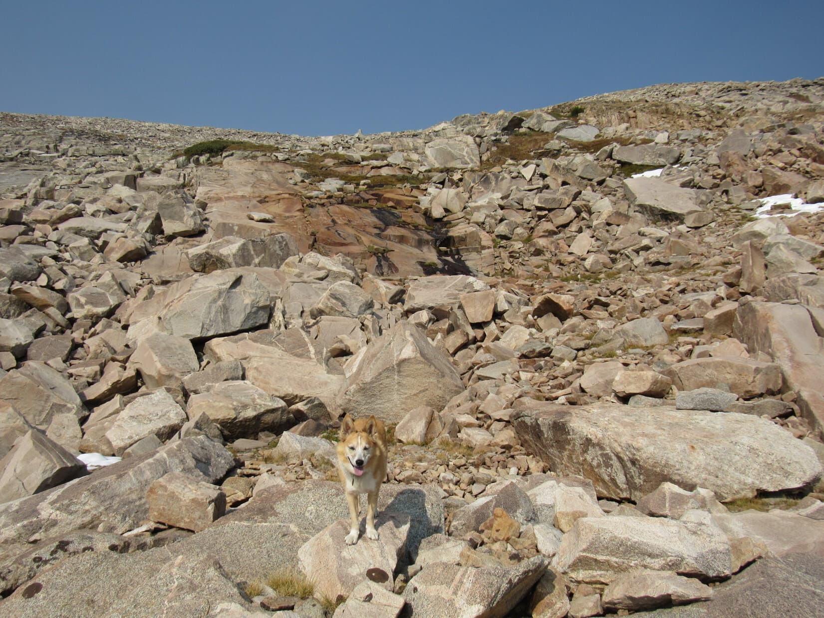
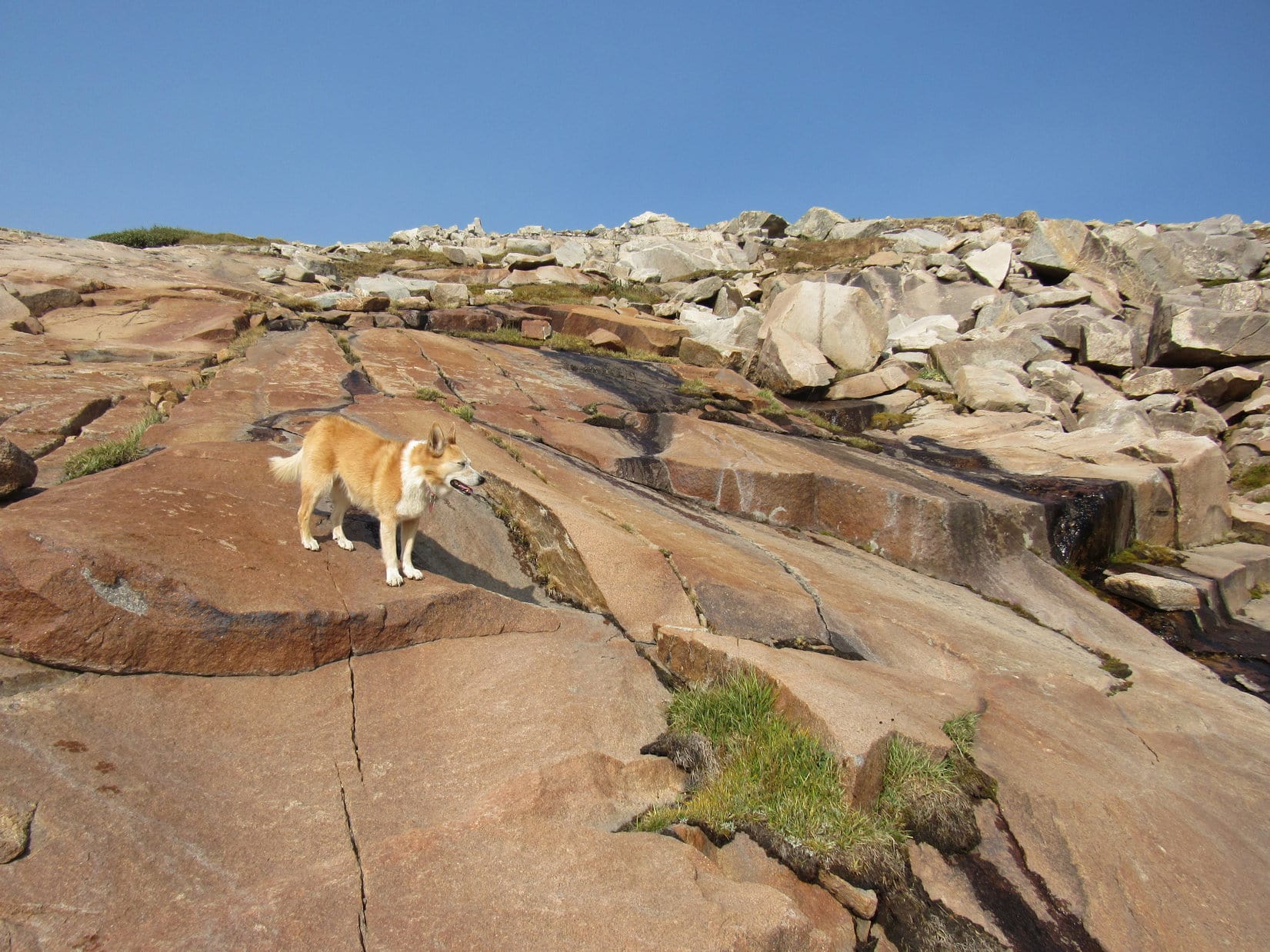
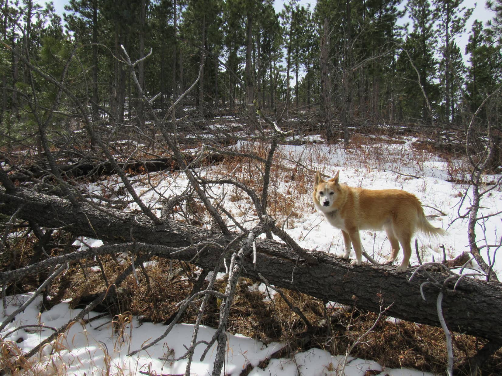
On the easy, scenic trek down to the saddle leading to the next peak, Lupe lost more than 100 feet of elevation.  Not much deadfall to contend with, and a variety of interesting rocks were scattered among the trees.

Heading for the next peak. Photo looks S.
Getting closer. Photo looks S.

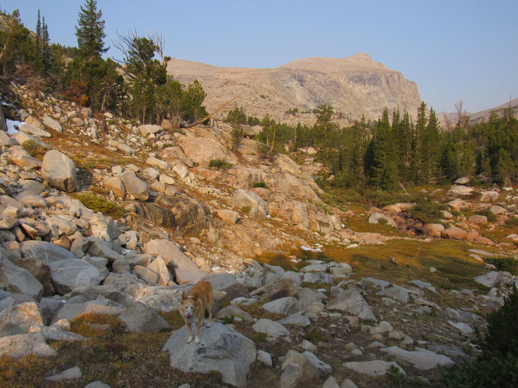
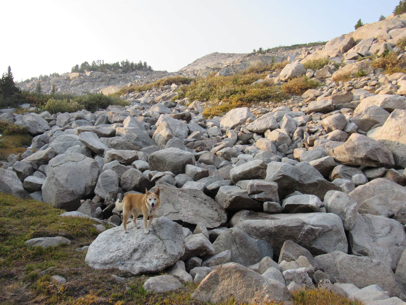
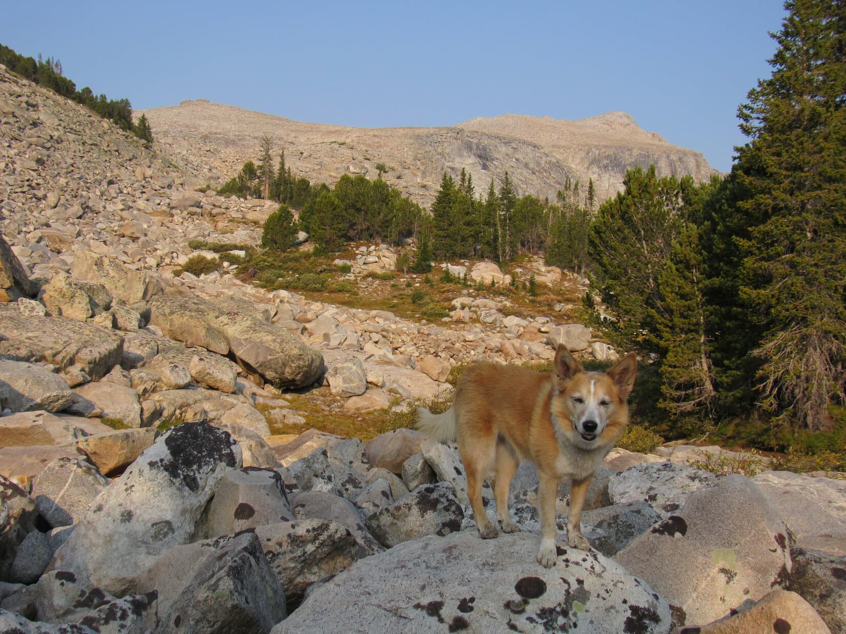
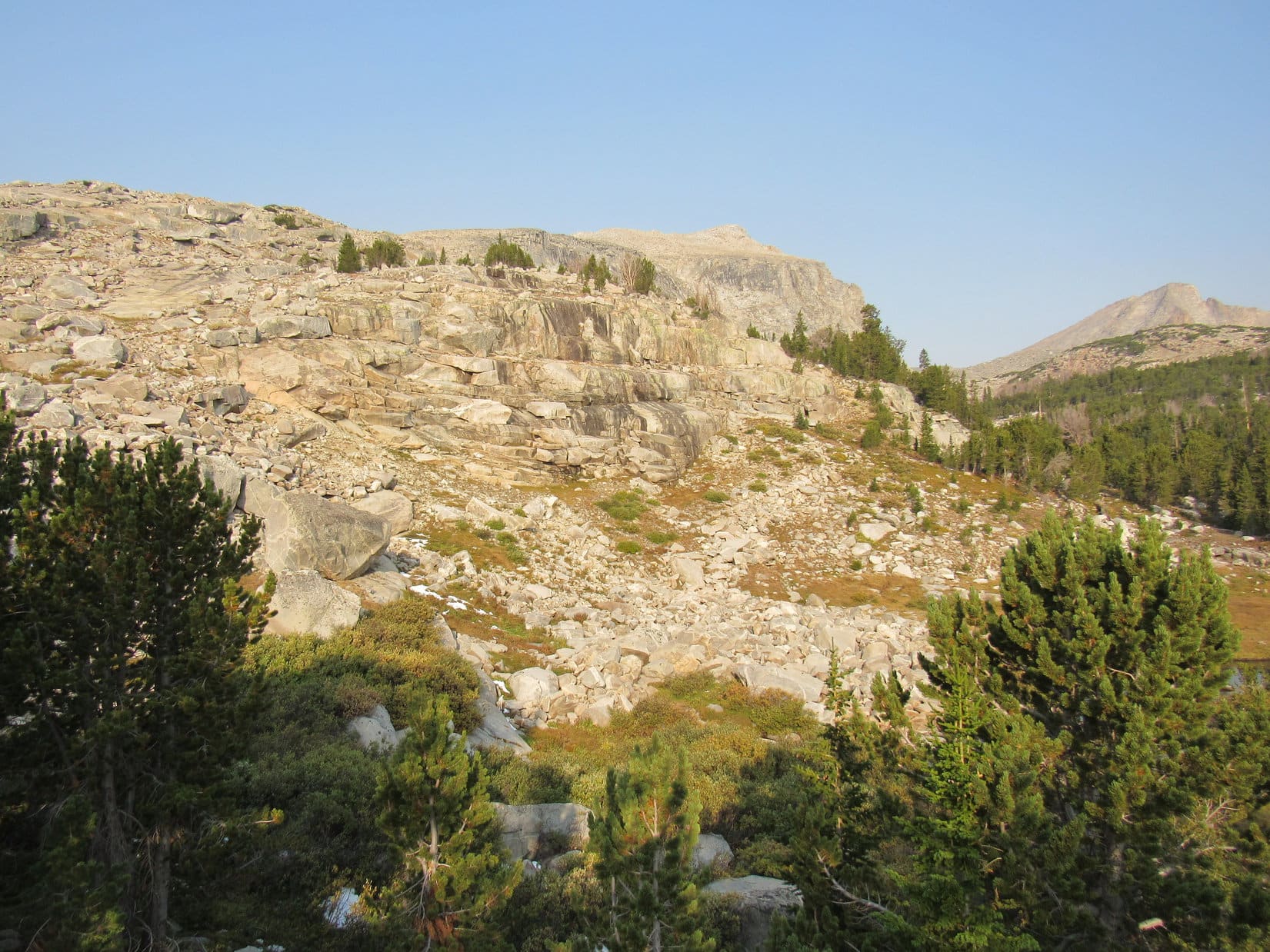
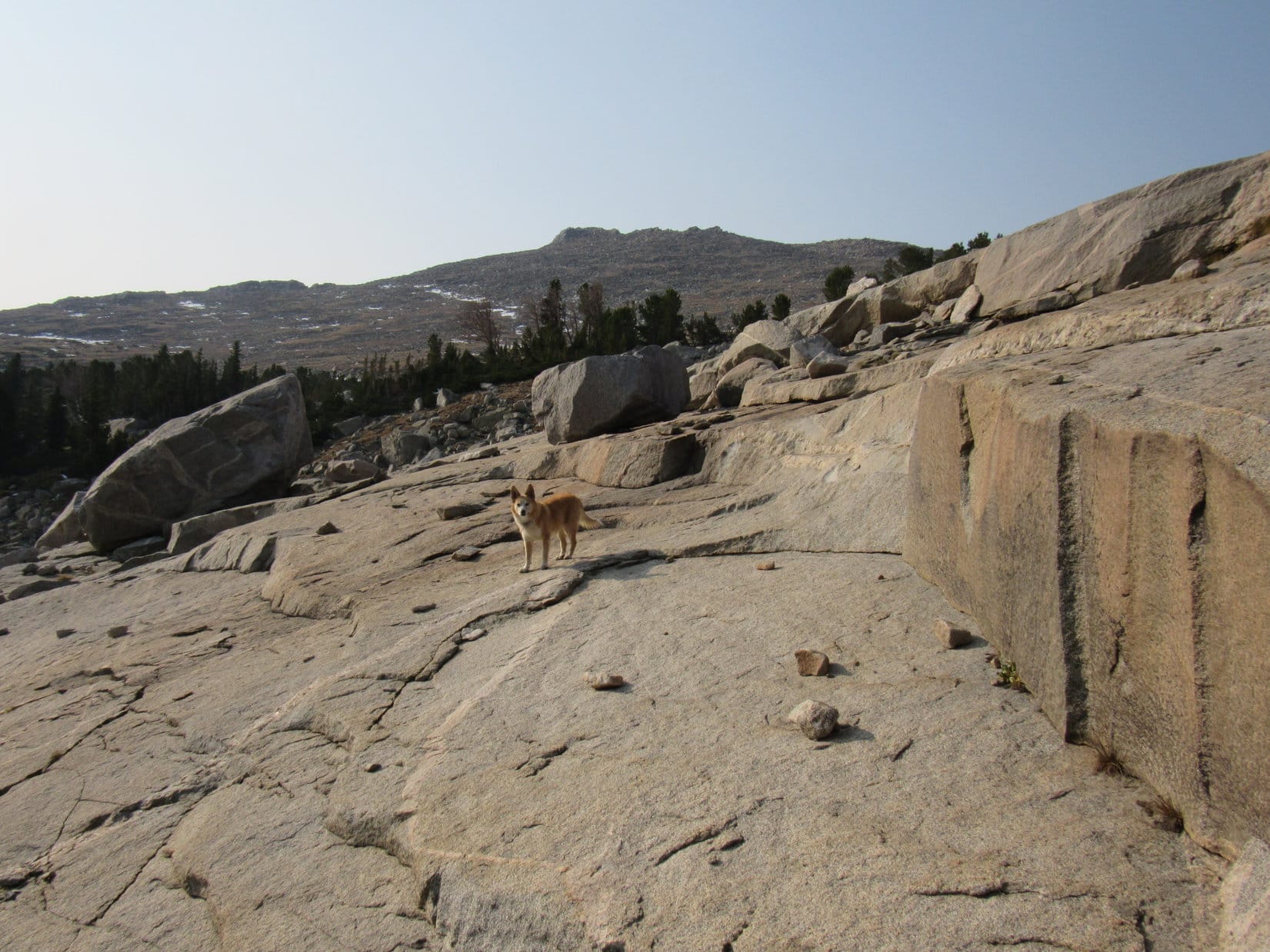
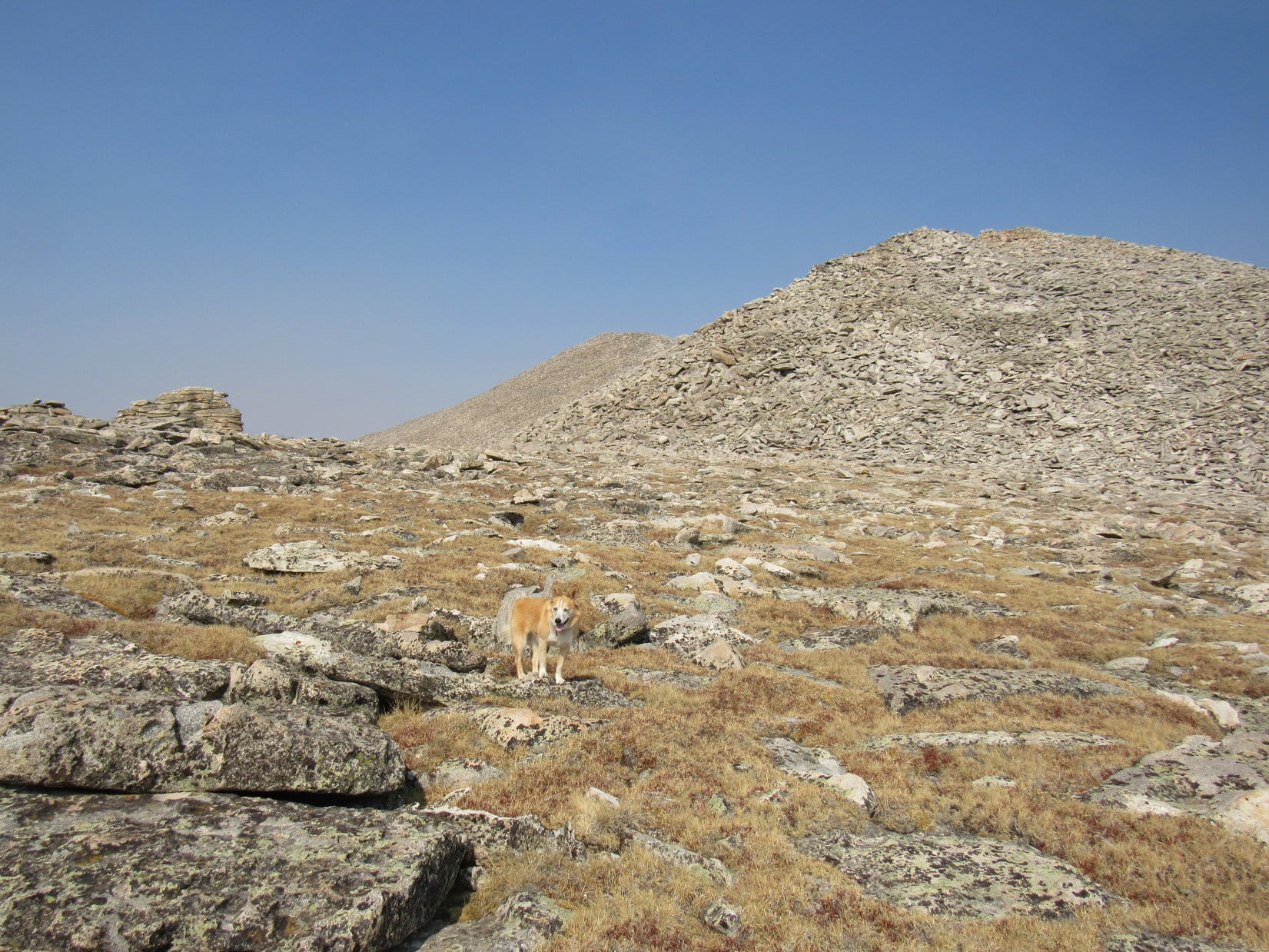
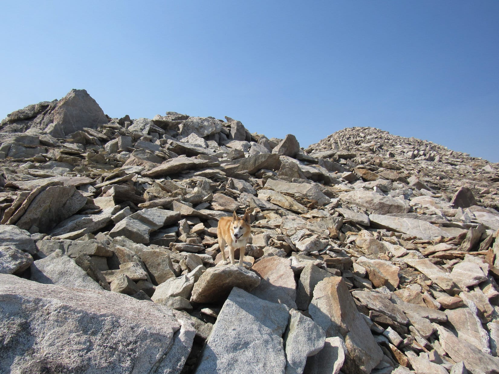
At the base of the next mountain, Loop faced a very steep climb.  At first, she had to leap over deadfall.  Higher up, she came to a boulder field.  The overall scale of the mountain wasn’t nearly as large, but rocks were so big, it almost felt like she was in the Bighorns.

Heading up. Photo looks S.
Quite the scramble for the Black Hills! Photo looks SSE.

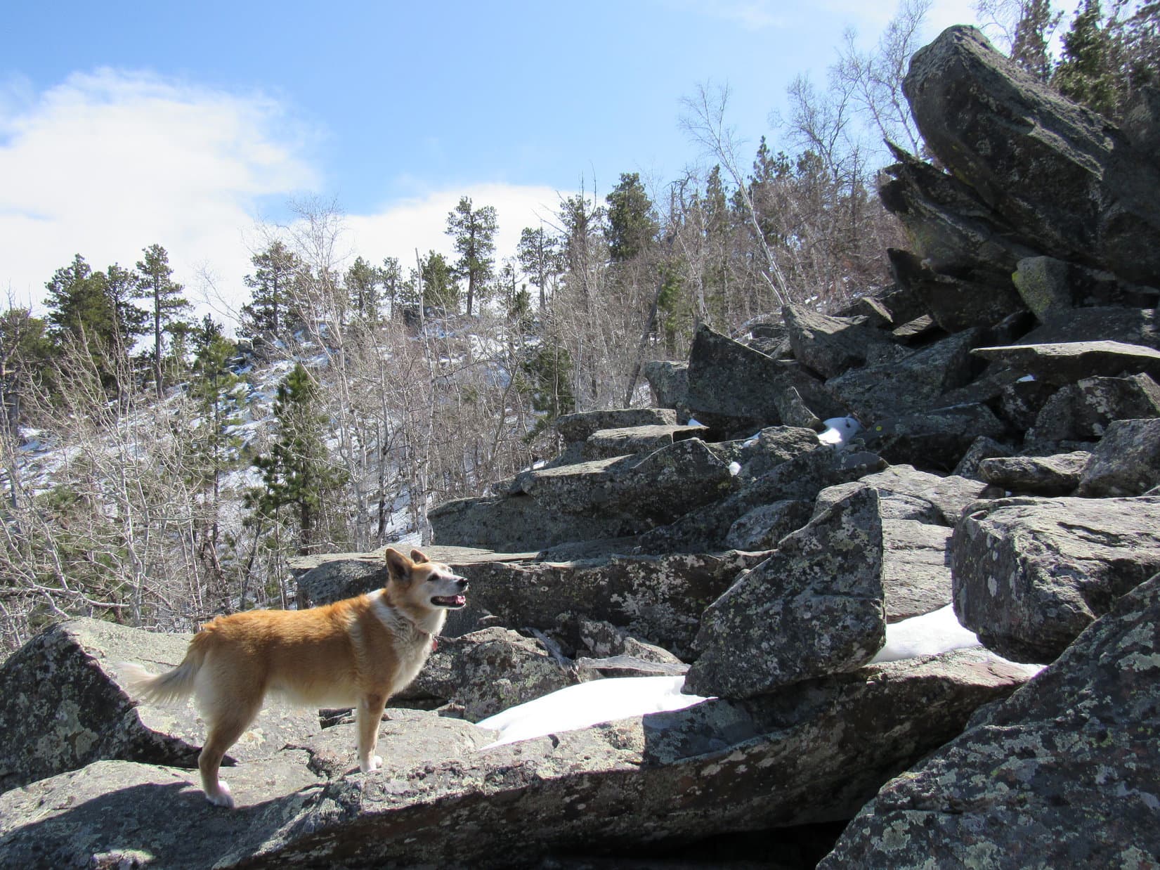
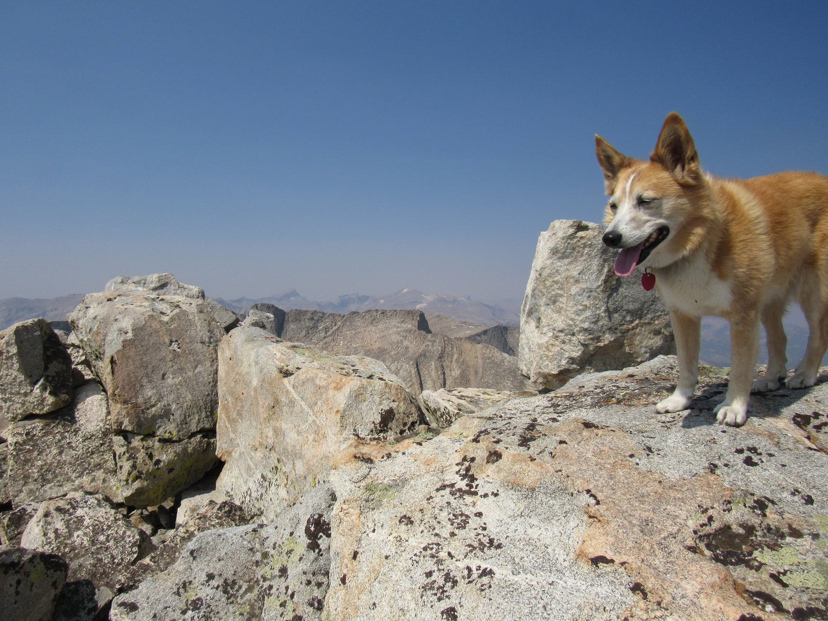
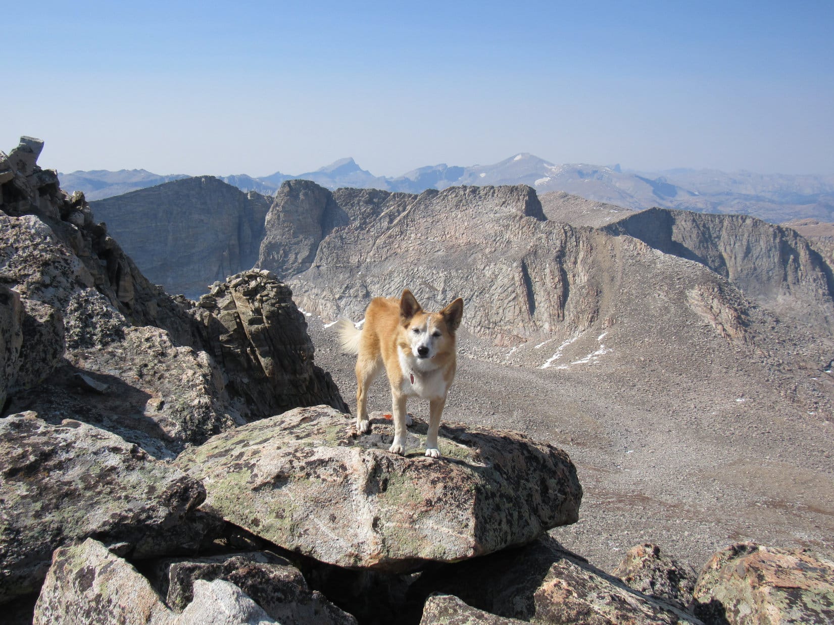
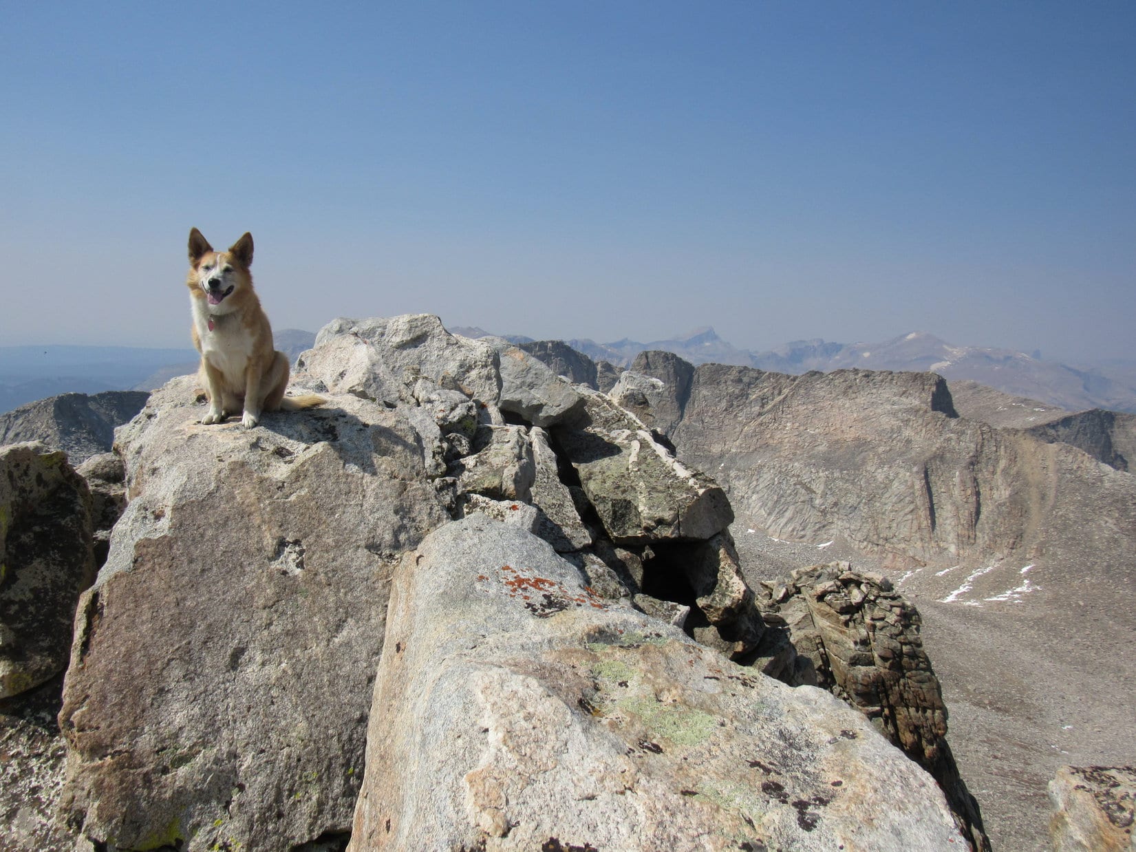
At one point, it almost looked like Lupe was stuck.  Fortunately, swinging around to the E a bit revealed an acceptable route higher.  The American Dingo was soon approaching the summit.  A bleached branch sporting several vertical limbs was perched along the W edge.

Oh, I remember that branch!  Don’t you, SPHP?  To think that it has still been sitting up here all this time!

I do remember it, Loop!  Quite distinctive!

By the distinctive branch. Photo looks SW.

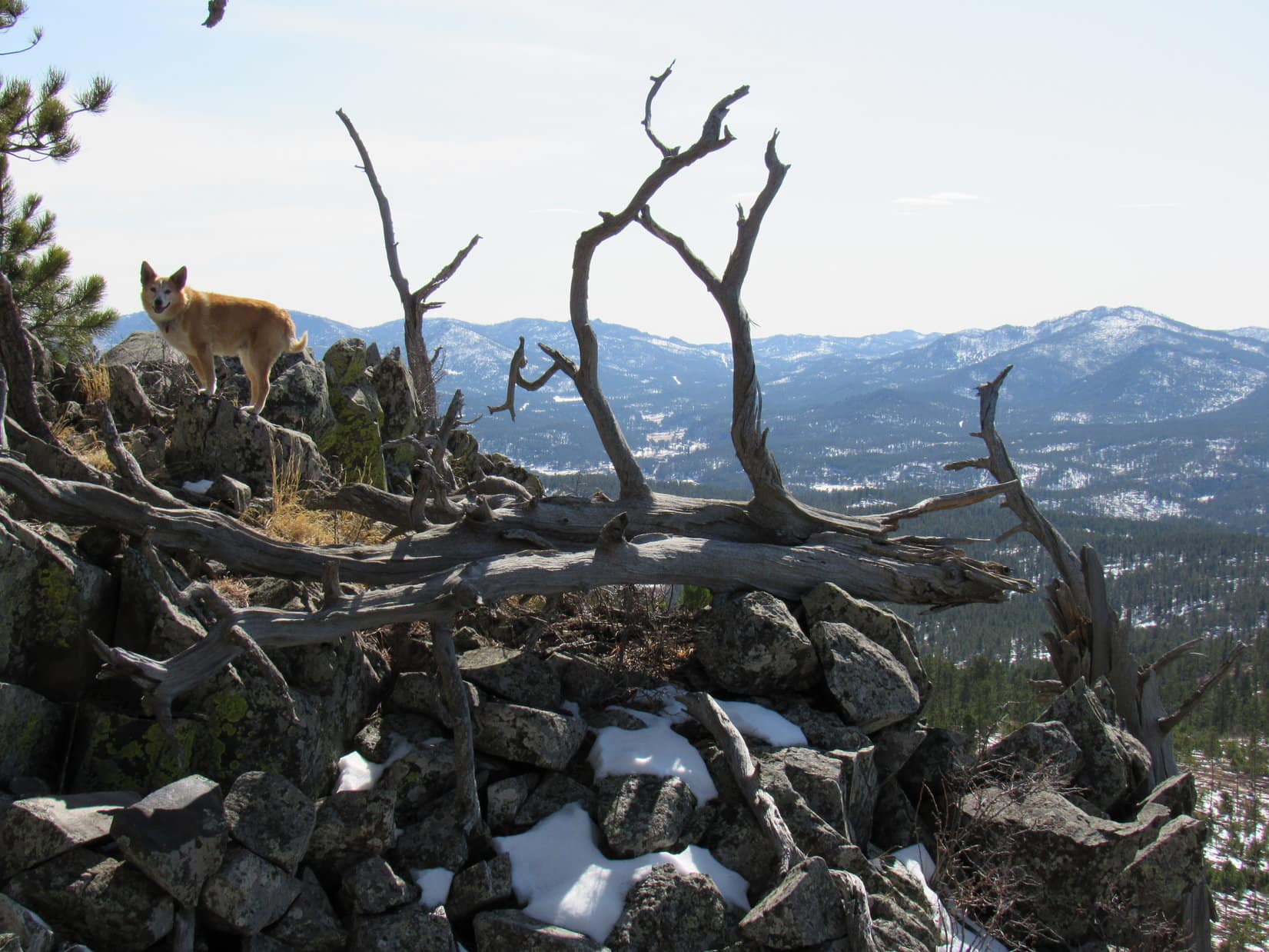
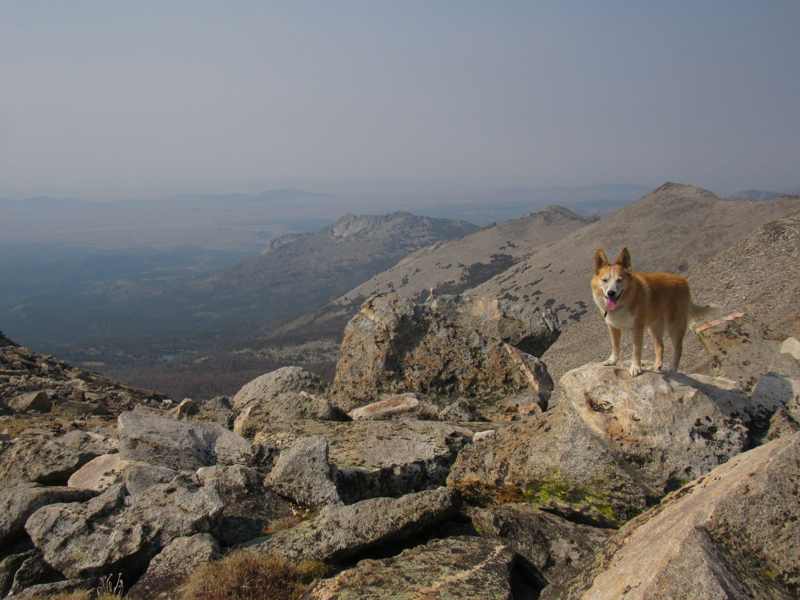
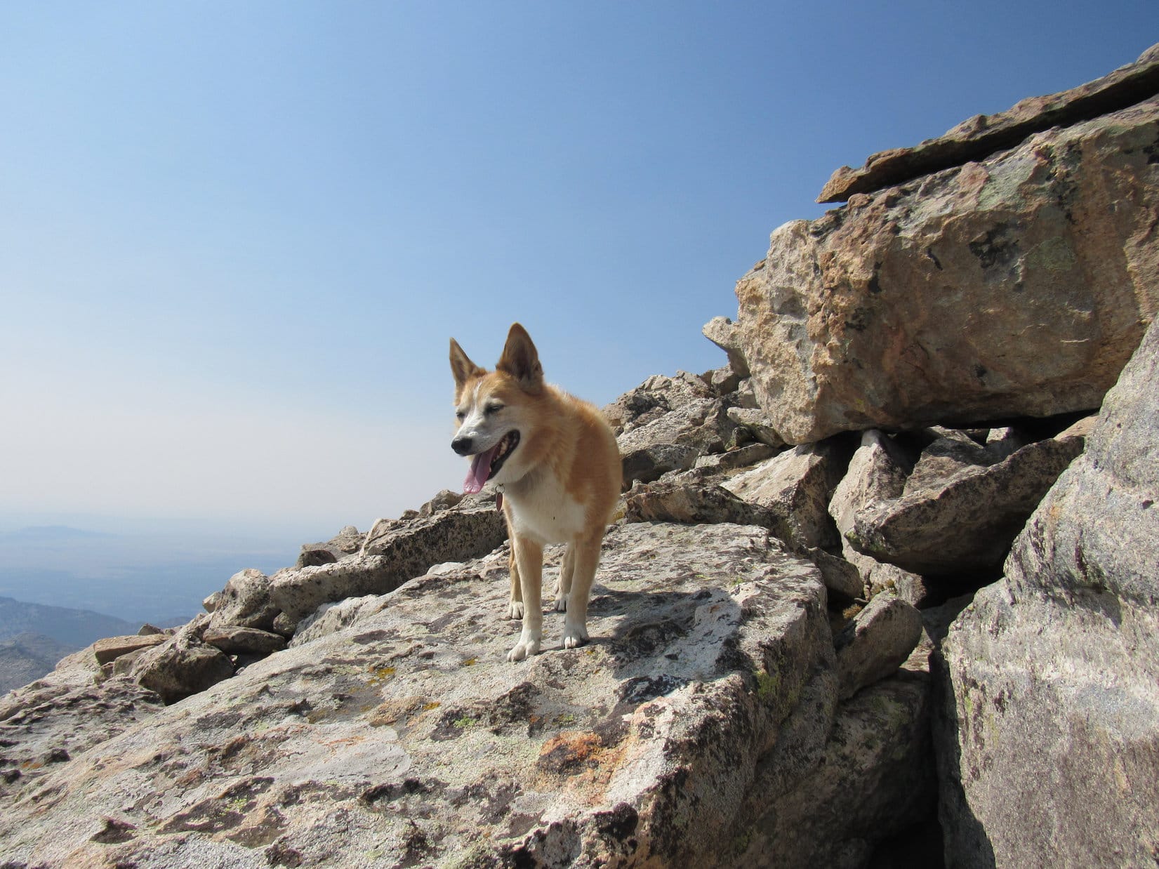
Lupe went on to the highest rock, which was just beyond the distinctive branch.  The views were terrific!   It was easy to see that she was well above False North Point now.

At the top. False North Point (L). Photo looks NNW.

Congratulations on climbing Five Points (6,221 ft.), Loopster!  That was some scramble, wasn’t it?  Well worth it, though!  This is fabulous!

Why, thank you, SPHP!  Mind if I ask a question?

Of course, not!  Fire away!

If this is Five Points, what’s that over there?

Oh, good grief!

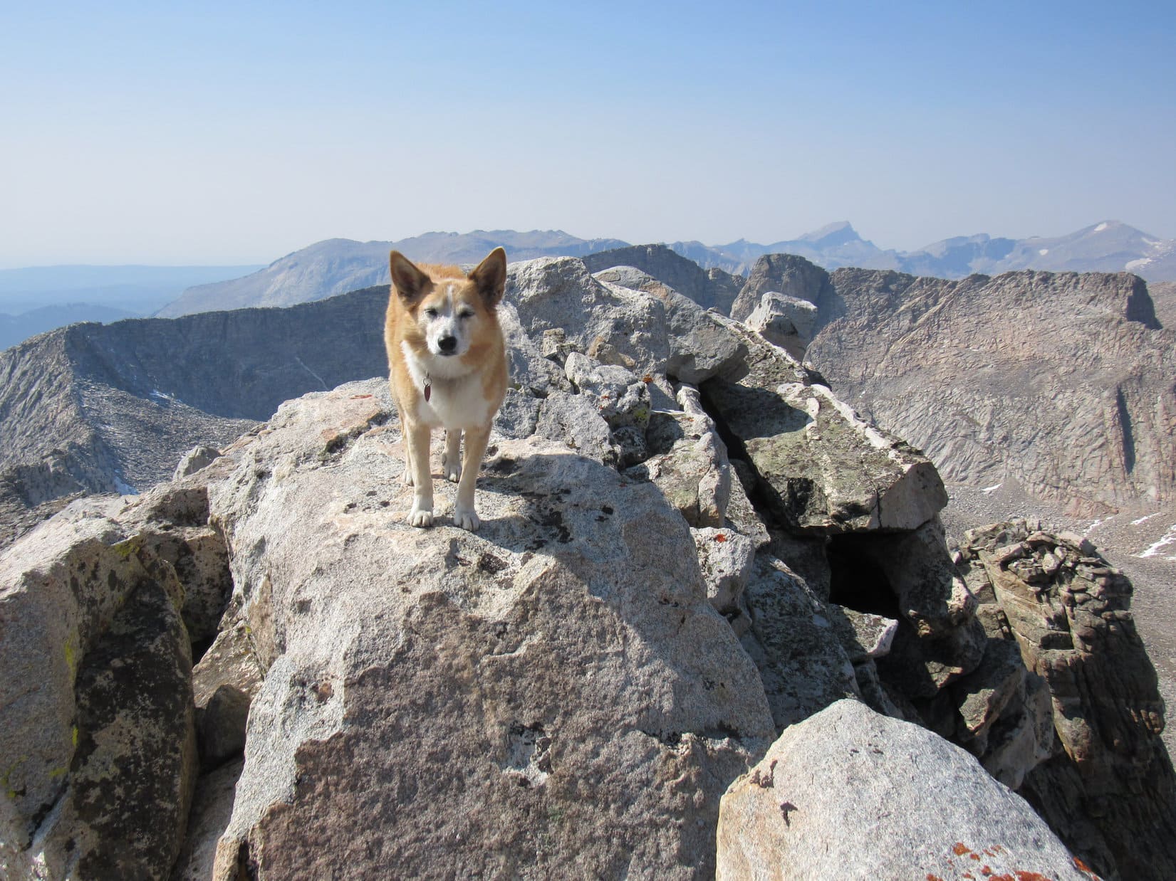
Due S, 0.25 mile away, was a higher peak.

Five Points summit (L of Center). Photo looks S.

We climbed the wrong mountain again, SPHP?

Yes and no!  I’m a dope.  It all makes perfect sense.  That’s the true summit of Five Points over there.  We’re actually on North Point here, or what you might call True North Point.

So, this is part of the Five Points region, but not the highest point?

Correctamundo, as we can plainly see.

True North Point was a great spot, and it had been quite the little jaunt getting here.  Loop might as well take another break and enjoy the views for a while.  No chocolate coconut bar this time around, though.  Only one left.  Going to save it for either Five Points or Peak 6040.  Lupe had to settle for more Taste of the Wild.

Union Hill (6,120 ft.) (R of Center). Photo looks W with help from the telephoto lens.

A pleasant half hour shot by.  Decision time!  Five Points or Peak 6040?  Not enough daylight remaining for both.

Wasn’t the plan, Loop, but we’re not getting this close to Five Points and not doing it.  That OK with you?

Peak 6040 isn’t going anywhere, SPHP.  We can climb it another time.

Onward, then!  Puppy, ho!

Next stop, Five Points summit (Center)! Photo looks S.

The S slope of True North Point was steep, but the descent was easier than expected.  The S exposure meant little or no snow.  Lots of deadfall, but not until Lupe was already almost down to the saddle leading to Five Points.  Crossing the saddle in nothing flat, the Carolina Dog started up Five Points’ N slope.

Snowy, steep, and badly infested with deadfall about sums it up.  The climb was a slow trudge higher, but True North Point had actually been tougher.  Five Points became a rocky scramble, too, but not until Lupe was already fairly close to the top.
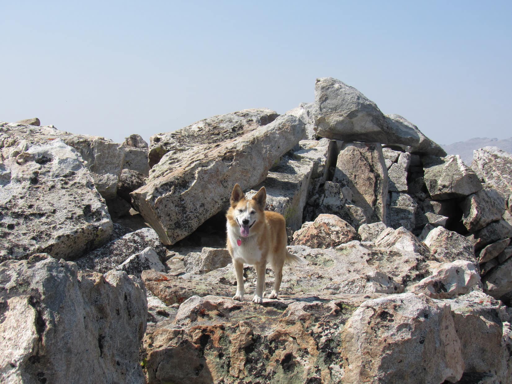
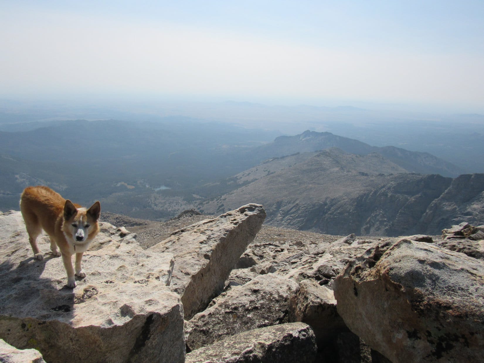
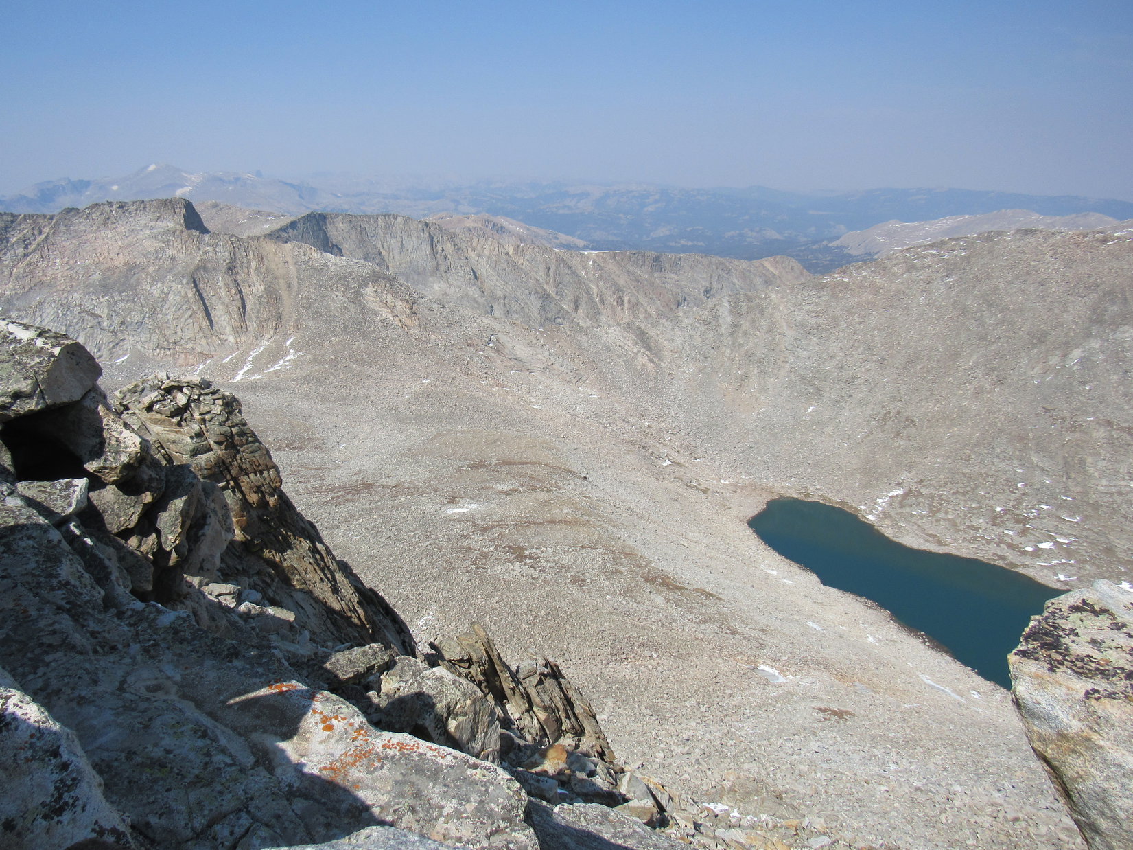
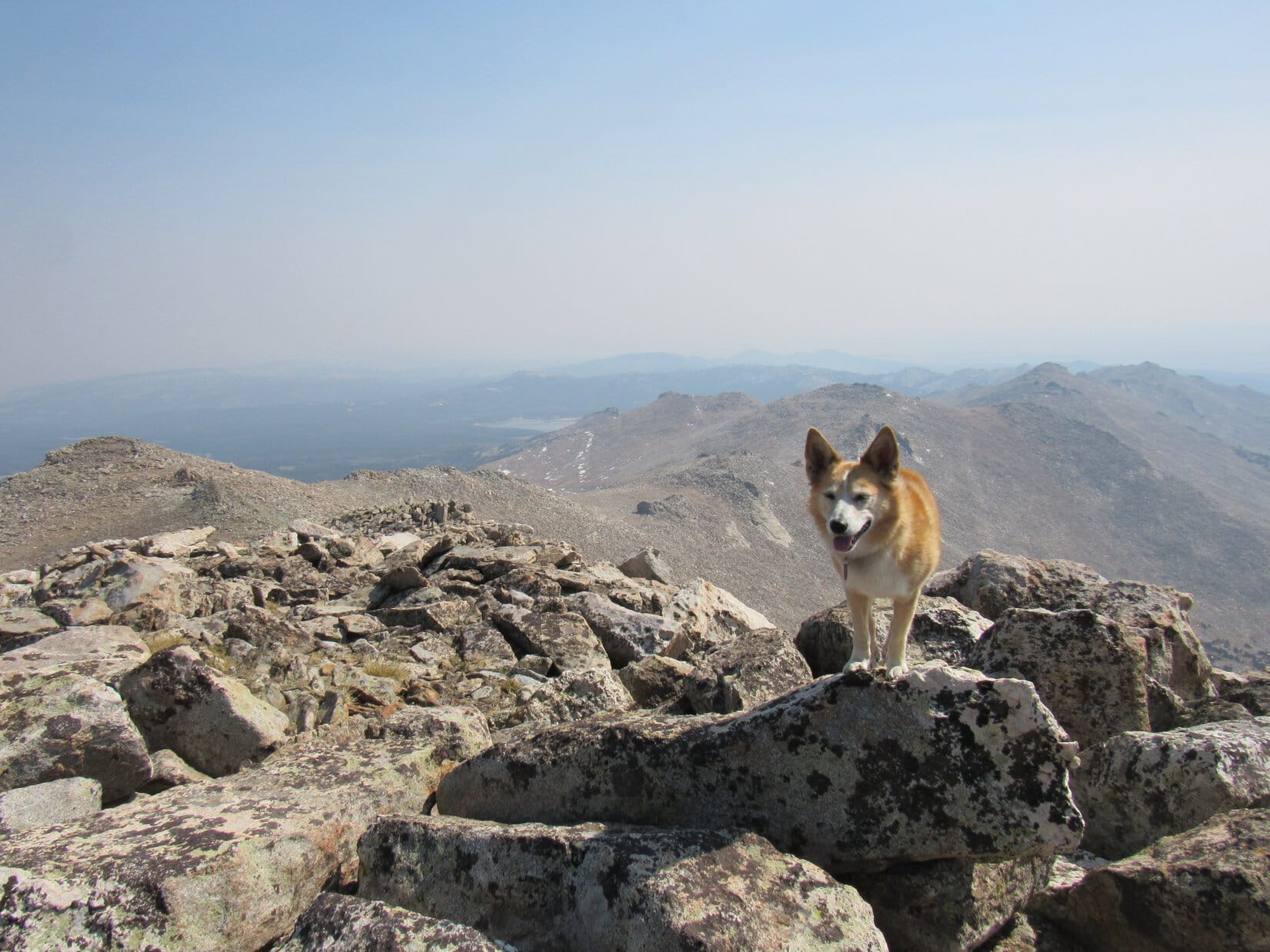
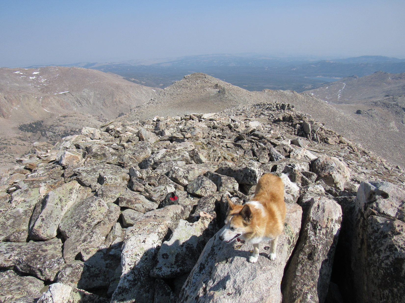
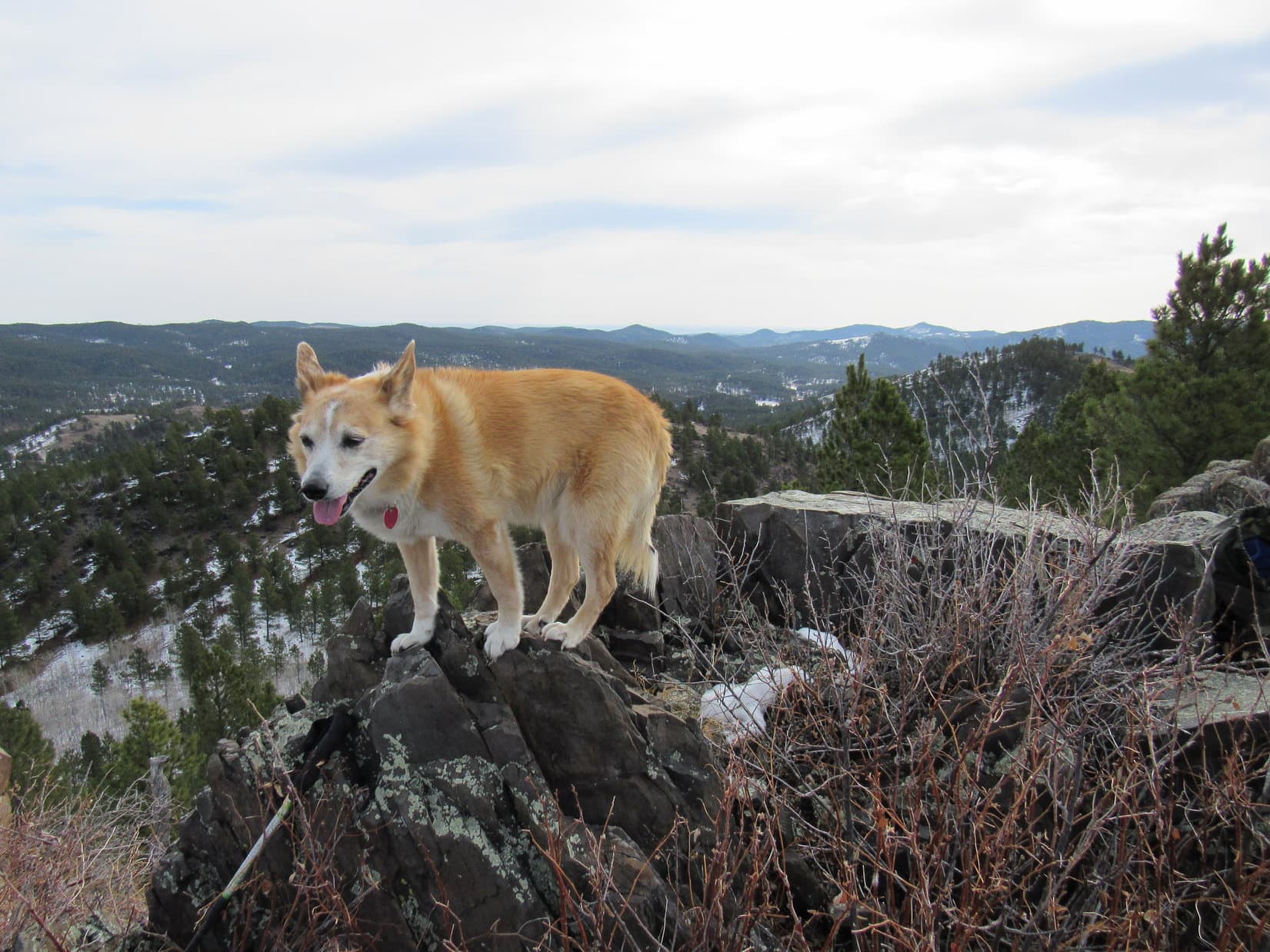
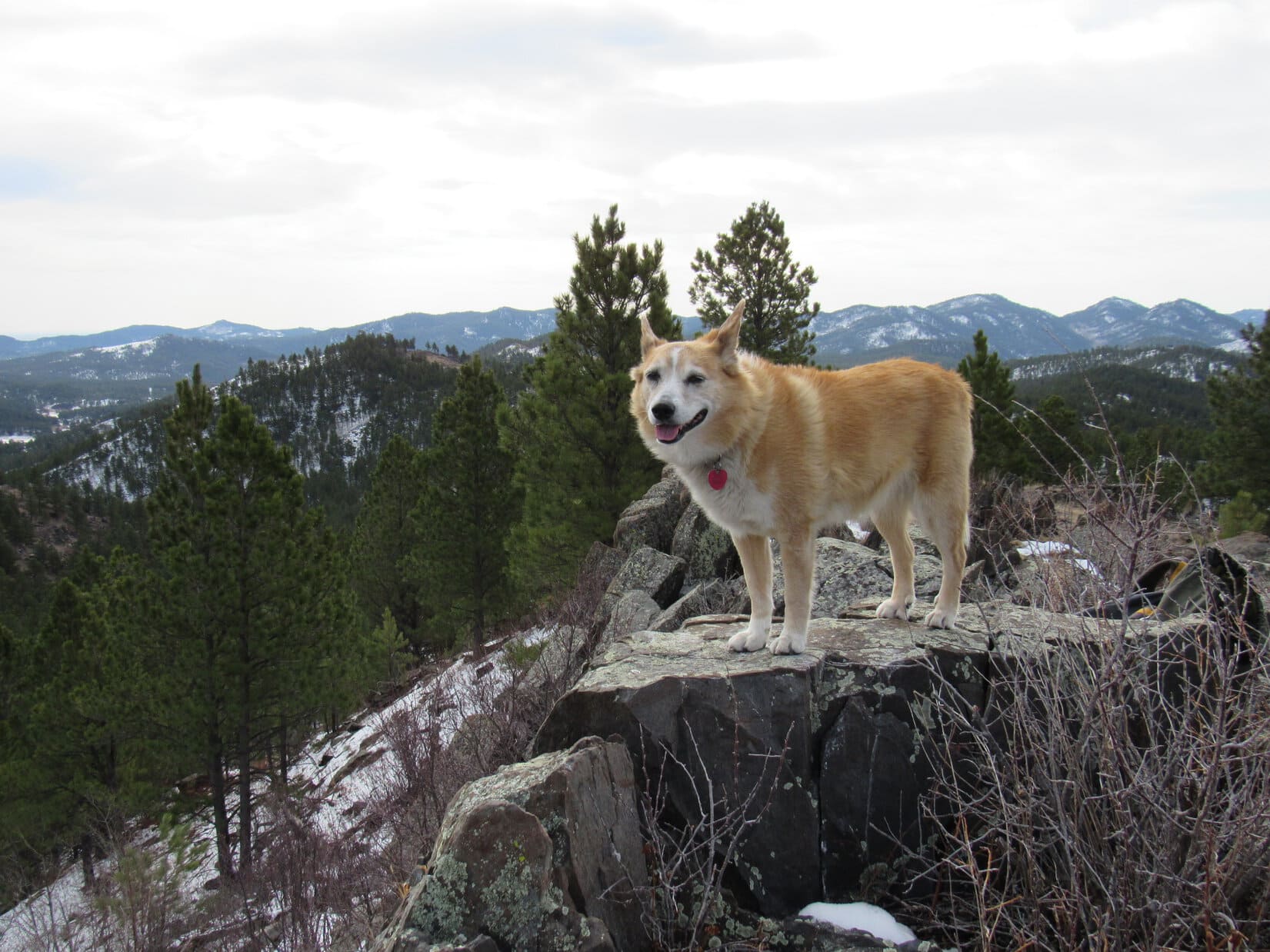
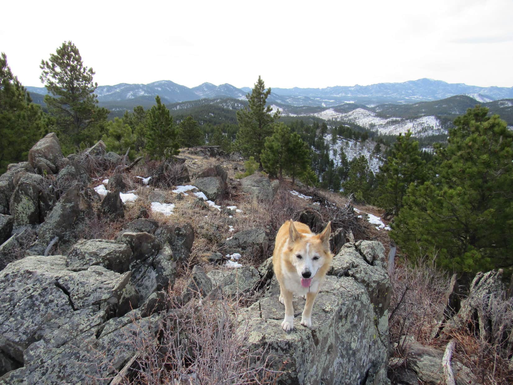
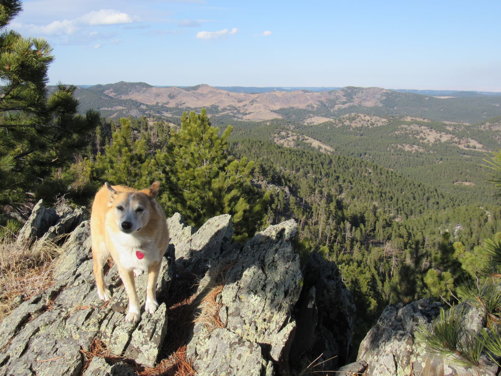
Above the deadfall, high on Five Points’ N slope. Photo looks SW.
Near the top. Photo looks S.

3:56 PM, 58ºFFive Points (6,221 ft.) had 2 rocky high spots separated by 100 feet.  The American Dingo reached the one at the N end first.  Whether it was any higher or lower than the one at the S end was hard to say.  Trees prevented any direct visual comparison, partially blocking the views in other directions as well.

Five Points, at the N end. Photo looks NE.
At the S high spot. Photo looks S.
Black Elk Peak (Center). Photo looks S with help from the telephoto lens.

Finally made it, Looper!  Congratulations, again!  More to Five Points than this, but I’m pretty sure you’ve hit the true summit at one of these spots.

Glad to hear it, SPHP!  Now, about that last chocolate coconut bar!

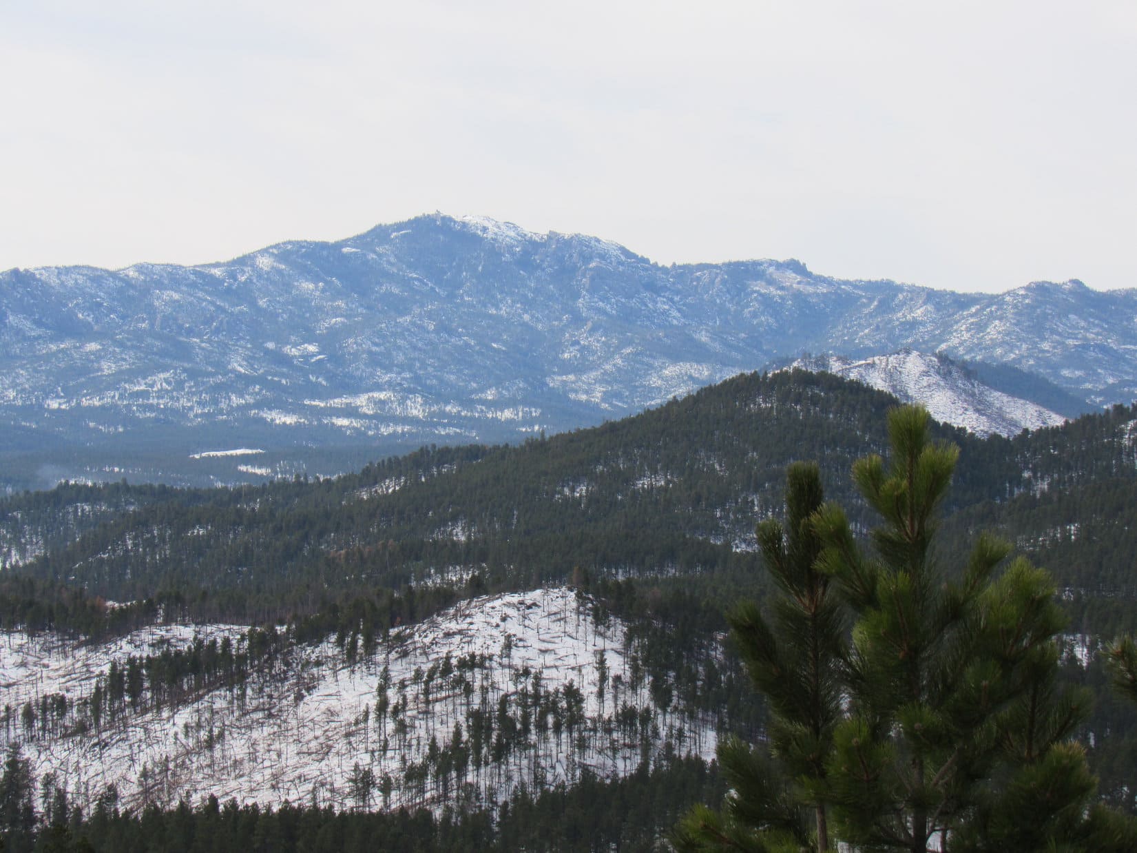
In a sunny spot between the two high points, Lupe curled up on SPHP’s lap.  Provisions disappeared, and a while was spent contemplating the big view of snowy hills and ridges to the W.

Looking SW from Five Points.

At last, a breeze began to blow out of the SW.  Lupe stirred, too.  Getting to be that time.  Sniffing back and forth along the summit ridge, Loop took in the sights and scents of Five Points.

False North Point (L of Center) in the foreground. Photo looks NNW.
A more open view. False North Point (R of Center). Photo looks NNW.
Looking SSW.

Before it was over, Loop returned to both high points several times.

New Year’s Eve Peak (L), Peak 5917 (L of Center) and Peak 5800 (R) from the N high spot. Photo looks NE.
Black Elk Peak (Center) from the S high spot. Photo looks S.

Exactly an hour after arriving, Looper left Five Points picking her way down the very steep NW slope through heavy deadfall.

True North Point (R) during the descent. Photo looks N.

A time-consuming descent!  Even after the slope began to diminish, the deadfall remained thick for a long way before it finally came to an end.  In filtered evening sunlight, Lupe explored animal trails NW through the snowy forest.

Upon reaching USFS Road No. 249, Lupe followed it NE.  The road soon bent sharply W.  Loop left it, heading NNE across a field toward the pass between False North Point and the ridge she’d traveled earlier that led to the true one.  Up at the pass, Loop and SPHP ducked under a fence.

A need for speed now!  The sun was sinking.  Ahead was a long valley filled with aspens, another part of the same aspen-filled valley Lupe had been in earlier.  Following a snowy path, the American Dingo plunged into the thick of it.

The path disappeared.  Lots of deadfall, but most of it wasn’t big.  Lupe leapt over countless downed trees.  More than 0.33 mile from the pass, she turned NW and went over another one.  Oh, of course!  This was it!  This was the pass where Loop had begun her last ascent of False North Point more than 2 years ago.

Beyond the pass, Loopster entered another valley, one she was familiar with.  USFS Road No. 669 went through here.  This was the upper end of the route W of the frozen pond.

1.5 miles back to the frozen pond!  Another 0.5 mile back to the G6.  No worries now, on a known route.  Light fading, curly tail held high, Lupe trotted down the quiet valley leaving deep impressions in the slushy-soft snow.  (End 7:38 PM, 41ºF)

Heading into the aspens on the way back, Black Hills of South Dakota 3-20-21

Links:

Next Black Hills Expedition                        Prior Black Hills Expedition

Black Hills, SD Expedition No. 144 – Five Points (10-31-15)

Want more Lupe adventures?  Check out Lupe’s Black Hills, SD & WY Expeditions Adventure Index, Master Adventure Index, or subscribe free to new Lupe adventures!

Atlantic Peak, Wind River Range, Wyoming – Part 2: Atlantic Lake to the Summit! (9-15-20)

Days 3-6 of Lupe’s 5th Summer of 2020 Dingo Vacation to Wyoming!

9-15-20, 7:27 AM, Atlantic Lake – Squirrels!  A great way to start any day.  An American Dingo’s shrill enthusiasm broke the tranquility of the mountain air.

Loopster!  Hush!  You’ll wake up the campers.

Well, lucky them!  They’re missing out!  Lots of squirrels here.  No doubt they’ll want to get in on the action!

Yeah, keep that up, and I’m sure they’ll be coming over to thank you any minute now.  Anyway, c’mon, we’re ready.  You can look for more squirrels after we get sufficiently past their camp.

Smooth as silk!  Scarcely a ripple disturbed the surface of Atlantic Lake.  Such a beautiful spot!  Unfortunately, no improvement in air quality.  A little smokier than yesterday, if anything.  Disappointing, but sadly not entirely unexpected.

Atlantic Peak (L of Center) from Atlantic Lake. Photo looks WNW.

The Carolina Dog set out heading W along the S shore, utilizing a mix of faint use trails.  Soon turned out that there was a better trail a little off in the forest, away from the lake.  As this region narrowed, Lupe traveled along the base of rock formations or slides.  Big rocks sometimes created openings along the shoreline that provided viewpoints.

Atlantic Lake shortly after sunrise. Photo looks ESE.
A little farther on.

Near the W end of Atlantic Lake, Lupe came to a vacant campsite.  Not a bad spot!  If SPHP had known about it yesterday, Loop would have spent the night here.  A rushing stream was just beyond the campsite.  Leaving Atlantic Lake, Loopster followed the stream up a steep forested slope.  Crossing the stream after the terrain leveled out to some degree quickly proved to be a mistake.

At the campsite near the W end of Atlantic Lake.
Heading up the stream.
Loop crossed the stream (hidden in the bushes) here, but ran into difficult terrain on the other side.

Returning to the S bank, Looper kept going, venturing through a region bounded by a steep rocky slope on the L (S), and the stream and forest on the R (N).  She was often forced to scramble over talus at the base of rock slides.  Only intermittent signs of any use trail now.

Following the base of the slope. Atlantic Peak (R). Photo looks WNW.
Best to stay low and keep heading W for a while yet! Photo looks S.
Crossing talus. Atlantic Peak straight up from Lupe. Photo looks WNW.

After a while, the stream disappeared in the forest.  Lupe eventually came to the brink of a wide ravine.  She needed to get across it, but was too high.  A pond was visible 50 feet lower off to the N (R).  This seemed like a decent landmark to check progress against, but the topo map didn’t show a pond in this region at all.  Puzzling.

The mysterious unmapped pond. Silas Peak (12,248 ft.) (L). Photo looks NNW.
Need to get over there! Photo looks WNW.

Retreating into the forest, Lupe found a way to get down close to pond level.  The pond was actually a wide spot in the same stream she’d been following earlier.  Crossing only a minor tributary, Loop made it over to the base of the rock formations W of the ravine.  The American Dingo’s ascent of Atlantic Peak (12,490 ft.) was about to start in earnest.

Looking up Atlantic Canyon. Silas Peak (R). Photo looks NW.
Made it across the ravine! Ready to start climbing? Photo looks WSW.

Going around the S side of the first rock formation, Loop found herself on a rocky slope that would have been a slow trudge for SPHP, if not for exposed slabs providing excellent routes higher.  The slabs were steep, but dry, so traction was good.  Staying on the slabs as much as possible, Lupe and SPHP traipsed toward an increasingly blue sky.

These slabs we’re coming to are the way to go! Photo looks SW.
In the heart of slab country. Photo looks S.
Wouldn’t want it to get too much steeper, but we’re doing great! Photo looks W.

All good things must come to an end, and the slabs did, too.  Lupe came to two high spots densely covered with low evergreens.  Reaching the top of the first one, a world of rock was visible beyond it.  Looked like some pretty rough ground.

At the first high spot. Second high spot (L) ahead. Photo looks W.

The evergreens were so thick, it was hard to push through them.  Turned out to be easier to avoid them altogether by staying along the N edge of this hill.  After getting past them, Lupe went SW toward the second high spot.  She never quite got to the top of this next high point, again finding it easier to simply avoid the whole evergreen situation by staying NW.

Immediately beyond the second high spot was a ravine choked with talus.  Fortunately, this ravine wasn’t terribly wide, enabling SPHP to rock hop through it all without losing too much time.

Lupe resumed her ascent.  The slope ahead was rocky and steep, but she again came to a series of slabs creating easy routes higher.  Between the slabs, she often found lanes of vegetation to follow.  Progress was good.  At about 11,000 feet, Loop could see a rock-free depression to the S that was somewhat lower.  Maybe a tarn that had gradually filled in with sediment?

Looking down on the sediment-filled depression (Center). Photo looks SSE.

Comprising much of the enormous slope W of the depression was a huge expanse of exposed slabs.  Looked steep at the upper end, and SPHP wasn’t eager to head that far S.  Nevertheless, Lupe inched toward the slabs as she continued up the mountain.  Soon a much smaller orange slab with a tiny meltwater stream appeared ahead.

Orange slab dead ahead! Photo looks W.
On the orange slab. Photo looks W.

Above the orange slab, a series of grassy benches existed among all the rocks.  Various ramps connecting these benches enabled a winding route higher without having to do much scrambling.  Lupe reached the N edge of the enormous slabby region far above the sediment-filled depression.  A good chunk of Atlantic Lake was now in sight.

Exploring a grassy bench. Photo looks SW.
Atlantic Lake (L) and the sediment-filled depression (R). Photo looks E.

The slope Lupe was climbing was taking her W toward the ridge SSE of HP12261, Atlantic Peak’s eastern subpeak.  The American Dingo was now getting close to the apparent top of this ridge, but SPHP realized that was merely an illusion.  Fearing a long talus scramble ahead in the as yet unseen region above the slabs, reality ultimately proved to be much kinder.  Far more vegetation and less rock than expected.  Cake!

Above all the slabs now, and my, isn’t this nice! HP12261 (R). Photo looks NW.

Before long, Lupe was approaching the genuine top of the ridge, a broad rock-strewn region between HP12261 and HP11801.  The true summit of Atlantic Peak (12,490 ft.) was already coming into view.

Along the W side of the crest of this ridge sat a line of rock formations, several separate mounds of talus of varying size and shape.

Approaching the ridgeline. Atlantic Peak (Center). Photo looks NW.
Approaching rock formations along the W side of the crest. Photo looks WSW.

Going to the rock formation at the S end of the line, Loop peered over the edge, getting her first look at a huge expanse of territory S of Atlantic Peak.  Unfortunately, a grand panorama of Wyoming’s sagebrush plains beyond the Wind River Range was hazy and indistinct.  Darn smoke!

The smoke was bad, but it wasn’t terrible.  Lake 9590 was visible in the Blair Creek drainage, and so were the Sweetwater Needles (10,548 ft.) 1.5 miles beyond it.

Lake 9590 (L), Sweetwater Needles (Center), Peak 11101 (R), and Peak 11456 (far R). Photo looks SW.

After surveying this smoke-diminished scene, Loop headed N, passing E of the rest of the rock formations.

E of the rock formations. Atlantic Peak (L) and HP12261 (R). Photo looks NW.
Atlantic Peak (R of Center) from the N end. Photo looks NW.

From the formation at the N end, Atlantic Peak’s summit was in sight less than 0.75 mile NW.  So were the long slopes leading to it.  Rocky and steep, but nothing intimidating.  Merely a time-consuming grind.  SPHP got things off to a poor start by leading Lupe angling higher, which soon put her in talus.  Would have been better to have stayed lower where there was more vegetation.

Not that far now! Atlantic Peak (Center). Photo looks NW.
Looking back to the SSE. Peak 11892 (Center) with Peak 11761 poking up just to the R.

Climbing was often easier than going straight ahead or back down, so Loop kept working her way higher.  Trending NNW, the Carolina Dog gained a fair amount of elevation, but never reached the elusive top of the ridge above.  None of these maneuvers provided significant relief from the talus.

A wretchedly slow traverse, but SPHP eventually got through the worst of it.  A stretch of smaller rock and patches of vegetation allowed spurts of progress.  More rock, including talus still ahead, but not as intense as what Lupe had just come through.

Looking better now! We’ll aim for the saddle near that snowbank. Photo looks NW.

Upon reaching the big saddle between Atlantic Peak and HP12261, Loop had only 300 feet of elevation still to go.  A long, icy snowbank provided a useful ramp up a good part of it.  Above the snow was another talus climb that wasn’t too bad.  Staying toward the N, Lupe skirted a minor subpeak and came to a large flat spot.  Another 50 or 60 foot scramble and she’d be on top!

W end of the saddle between Atlantic Peak (Center) and HP12261. Photo looks W.
Heading up the snowbank. Photo looks W.
Glancing back. Silas Peak (L), saddle leading to HP12261 (R). Photo looks ENE.
Coming up to the minor subpeak (L). Atlantic Peak (R). Photo looks W.
Scrambling for the top! Photo looks WSW.

9-15-20, 1:22 PM, Atlantic Peak – Lupe came up at the E end of a 200 foot long E/W summit ridge.  The whole thing was a collection of talus with a steep slope to the S, and an absolute cliff to the N, the highest rocks mostly right along that fearsome N edge.

E end of Atlantic Peak’s summit ridge. Photo looks W.
Time to find the true summit and chalk this one up as a peakbagging success!

Although not quite to the true summit yet, the views were tremendous!  Due to the smoke’s interference with the clarity of distant objects, the most interesting view was of the Saddlebag Lakes and another unnamed lake tucked below the vertical S face of Silas Peak (12,248 ft.) way down in Atlantic Canyon.

Saddlebag Lakes (L & Center). Silas Peak (R). Photo looks NNE.

Despite the talus, it was relatively easy to maneuver W looking for the true summit.  A white rock resting on a larger boulder, both on the brink of the precipice to the N, proved to be the high point, although another boulder 20 feet farther W appeared to be nearly as high.

The white rock was too small, sloped, and close to the edge for Lupe to get up on.  However, she could easily touch the top with her paw, and stand on the boulder supporting it.  She also visited that other boulder in contention to the W to complete her peakbagging success.

At the true summit of Atlantic Peak. Highest rock next to Loop. 2nd highest rock (L). Photo looks NW.
One of the Saddlebag Lakes (far L) with Silas Peak and an unnamed lake beyond it. True summit rock by Lupe. Photo looks NE.
On the 2nd highest rock. West Atlantic Peak (12,430 ft.) (Center) is the high point of the dark ridge beyond Loop. Photo looks NW.

So much to see!  Atlantic Peak’s long W ridge curled N to a high point that had to be West Atlantic Peak (12,430 ft.).  Miles beyond it, partially obscured by the haze, were several recognizable giants of the SE Wind River Range.  Temple Peak (12,972 ft.), East Temple Peak (12,600 ft.), and mighty Wind River Peak (13,192 ft.) were all dimly displayed.

Atlantic Peak’s W ridge (L of Center). Mount Nystrom (12,356 ft.) (R of Center), West Atlantic Peak (R), and Temple Peak (far R) in the distance. Photo looks WNW.
Mount Nystrom (far L), West Atlantic Peak (L), Temple Peak (L of Center), East Temple Peak (Center), and Wind River Peak (R of Center). Photo looks NW.
Temple Peak (L), East Temple Peak (Center), and Wind River Peak (R). Photo looks NW with help from the telephoto lens.
Zoomed in on Temple Peak. Icky haze! Photo looks NW.
Wind River Peak. Same story!

To the SW was the view of Lake 9590 in the Blair Creek drainage and the Sweetwater Needles (10,548) that Lupe had seen before from the rock formations in the saddle between HP11801 and HP12261.  However, she now saw them from a different perspective as she peered down Atlantic Peak’s SW ridge.

Lake 9590 (L) and the Sweetwater Needles (R). Photo looks SW.
Atlantic Peak’s SW ridge (Center). Sweetwater Needles (L) beyond Peak 11456. Atlantic Peak’s connecting W ridge (R). Photo looks WSW.

Lupe gazed down into Atlantic Canyon, she surveyed the route she’d taken up from the SE, and sat on many a boulder.  After a good long while, though, it was time for a break.

With nowhere to rest close to the true summit, Lupe retreated back to the E, choosing shady spot where SPHP put sweatshirts and a jacket on a rock to provide some cushioning.  Looper munched her Taste of the Wild and inhaled the beef jerky SPHP offered before trying to nap.

Looking NNW over Atlantic Canyon. One of the Saddlebag Lakes (R).
HP12261 (L), Peak 11892 (straight up from Lupe), Peak 11761 (R). Photo looks SE.
The saddle where Lupe first reached the ridgeline (far L). Peak 11892 (Center) and Peak 11761 (R) all in the foreground. Christina Lake (far L), Granite Peak (10,404 ft.) (L) and Pabst Peak (10,261 ft.) (L of Center) in the distance. Photo looks SE.
Chillin’ on Atlantic Peak. Photo looks E.
High in the mighty Winds of Wyoming! Photo looks NW.
Catching a couple of z’s.

3rd time had been a charm!  The American Dingo finally really was way up here on Atlantic Peak.  SPHP drank a Coke, pondering the splendid scenes in all directions.  A shame it had to be so smoky, but what a spot!

The melancholy moment arrived.  Looper stood again at the summit of Atlantic Peak.  All the planning, long anticipation, and effort to get here!  Not just here, but to any big remote peak.  The joy of success!  Precious minutes savoring it all, the world at your paws!  Then suddenly it’s on the verge of over and done with, a fabulous airy place almost certainly never to be seen again.  An instant both wonderfully real and terrible.

Back on top. Photo looks WNW.

9-15-20, 2:52 PM, Atlantic Peak – Well, no sense in brooding.  Just the way things are, have always been, and always will be.  Plenty of fun yet to come!  1.5 hours after arriving, Lupe left the summit of Atlantic Peak.

About to head down. HP12261 (Center). Photo looks E.

During the return, Lupe varied the route a bit.  Instead of heading back to the saddle between HP12261 and HP11801, she stayed higher going through minor passes SE and SW of HP12261.  After going through the second pass, an enormous long slope was in sight.  Lots of rock.  All the usual travails and little assists.  And way down in the valley, a blue gem, Atlantic Lake!

Approaching the first pass SW of HP12261 (R). Photo looks SE.
Second pass SE of HP12261 (L) with Christina Lake beyond it. Lupe’s route up went through the lower pass seen on the R. HP11892 (R) and HP11761 (far R). Photo looks SE.
At least it’s all downhill now! Atlantic Lake (L) and Christina Lake (R of Center). Photo looks SE.

The sun was down and light beginning to fade as Lupe headed E along the S shore of Atlantic Lake.  Not much farther to the tiny house!  SPHP was surprised to see a campfire.  Sort of expected the campers might be gone by now.  Two people!  They hailed SPHP.  Up to greet them.

So Lupe and SPHP met Peter and Meghan Cielenski, brother and sister, from Cincinnati, Ohio.  Right away, a miracle!  Peter and Meghan knew Lupe!  What?  Turned out Meghan’s boyfriend, Josh, had found The (Mostly) True Adventures of Lupe while researching a prior trip to Tayo and Coon lakes here in the Wind River Range.  Tayo Lake was on the way to Wind River Peak, which Loop had climbed in 2017.

Astonishing!  First time anyone had ever recognized Lupe from her blog!  SPHP asked Meghan and Peter if they were planning on staying up for a while, and if it would be OK to join them?  Answer – affirmative on both counts!  A quick trip to the tiny house to ditch the backpack and feed Loop before heading back to the campfire.

Starting to get dark already, but maybe enough light for a photo?

Lupe with Peter & Meghan Cielenski. First (and only so far!) people ever to recognize Lupe from T(M)TAOL.
Peter & Meghan Cielenski with Loop. A little fuzzy due to low light conditions. It was much darker than it looks.

Peter and Meghan were both very friendly, and a fun evening was spent with them.  Unaccustomed to a campfire, Lupe mostly hung back in the shadows, listening to the conversation.

Peter had discovered the Wind River Range back in 2019.  Already on his 3rd trip, he was a fan!  Peter’s main interest was in fly fishing.  He showed SPHP photos of brilliantly colored Golden Trout he’d caught when he and Meghan had gone all the way up Atlantic Canyon to the Saddlebag Lakes yesterday.

Meghan was a runner.  She sometimes runs marathons, and was more into exploring than fishing.  Meghan was hoping to see some shooting stars.  Wyoming wish granted!  The Milky Way appeared in the heavens as the night turned black.  A zillion stars glittered overhead.  A few fell, as sparks from the campfire’s embers sailed skyward in brief, doomed efforts to meet them.

The Cielenskis offered SPHP a Snickers bar, peanut M&M’s, and Babybel cheeses wrapped in cellophane and red wax so they’ll keep.  SPHP had never seen Babybel cheeses before, but they were good, and a really big hit with Lupe!  When the Cielenskis declined beef jerky offered by SPHP, the Carolina Dog made sure none of that went to waste, either.

Dingo recommended!

Good times with Kevin and Meghan!  But the evening wore on, the fire faded to embers, and it got late.  A fabulous, long day in the mountains.  Eventually everyone was ready to say good-night.

9-16-20, 8:04 AM, Atlantic Lake – Ready to go!  If anything, Atlantic Lake was even smoother this morning when Lupe appeared to bid a final farewell to Atlantic Peak.  A few moments to reflect, and it was nearly Puppy, ho! time.  Before departing, the American Dingo ventured back to Peter and Meghan’s camp to say good-bye.  No activity.  Maybe they were already out and about?

Final moments at Atlantic Lake.

On the way back to the trailhead, several groups of Californians were met.  All had fled the bonfire their drought-stricken home had become.  Some described smoke so thick that day turned to night.  Not good!  Some Year of Perfect Vision this turned out to be!

9-16-20, 1:10 PM, Christina Lake trailhead – The Atlantic Peak adventure was over.  A guy was changing a flat tire on his pickup truck when Lupe got back to the trailhead.  Not especially happy about it, he blamed the sharp gray rock they’d repaired the access road with recently, which he claimed were cheap tailings from an iron mine.  He had relatives that had suffered 8 flats on this road in the past 2 months.

Fortunately, the G6’s tires were fine.  No damage on the way in.  Now all they had to do was survive the trip out.  Still looking good upon reaching pavement on Hwy 28 at the SE end of the Winds.  SPHP turned S.

Lots more to do in the Wind River Range on this Dingo Vacation, if the weather and sky would co-operate!  Looper had a blast barking at cows along the Lander Cutoff.  Wind out of the WSW, though.  The mountains were barely visible when the G6 pulled into Pinedale.  Discouraging.

9-17-20, 2:30 PM, 80ºF, New Fork Lake – Chilly this morning, but the day had warmed up nicely.  Lupe had seen a moose and been entertained for hours by a squirrel in a big spruce tree at the dispersed camping site.  Trip journal caught up, it was time for a last stroll down to the beach.

Dispersed camping site near New Fork Lake.
Squirrel fever!

A hint of fall, aspens on the hillsides were suddenly yellow.  Beautiful!  Not a problem, but the smoke obscuring the mountains was.  No change overnight, or during the day thus far.  Apparently not much chance that the smoke was going to dissipate anytime soon, either.

Might as well face it.  Further delay wasn’t going to help.  Atlantic Peak was it, a one mountain Dingo Vacation!  Terribly inefficient, but it had been great fun.  No regrets!

A touch of fall at New Fork Lake.
Hopes dashed at New Fork Lake.

The American Dingo headed for home.  Normally a classic western scenic drive, but smoke was everywhere.

9-18-20, 6:53 AM, Wright, WY – Well, isn’t that special?  The G6’s R rear tire was nearly flat.  After airing it up at a gas station, SPHP asked the convenience store cashier where it might be possible to get it repaired?  R & B Tire, a mile or two back along Hwy 387.

Stroke of luck!  R & B Tire opened at 7:00 AM.  No waiting.  The tire was repaired and the G6 good to go in no time.  $18.00.  Say, by the way, had the mechanic found a nail in the tire, or what was the issue?

Nope, no nail.  A small, sharp shard of gray rock.

Figured.

(End, 9-18-20, 11:10 AM, 66ºF, breezy, smoky)

Atlantic Peak, Wind River Range, Wyoming 9-15-20

Links:

Next Adventure                         Prior Adventure

Atlantic Peak, Wind River Range, Wyoming – Part 1: The Christina Lake Trail & Beyond to Atlantic Lake (9-14-20)

Big Sandy to Jackass Pass & Cirque of the Towers, Wind River Range, Wyoming (9-1-15)

Wind River Peak, Wyoming – Part 1: Worthen Meadow to Tayo Park (7-8-17 & 7-9-17)

East Temple Peak, Wind River Range, Wyoming – Part 1: Big Sandy Opening to Clear Lake (7-18-20)

Want more Lupe adventures?  Choose from Lupe’s Summer of 2020 Dingo Vacations to Wyoming, Utah & Montana Adventure IndexDingo Vacations Adventure Index or Master Adventure Index.  Or subscribe free to new Lupe adventures.