Black Hills, SD Expedition No. 271 – Lowden Mountain, Peak 6040 & Union Hill (3-28-21)

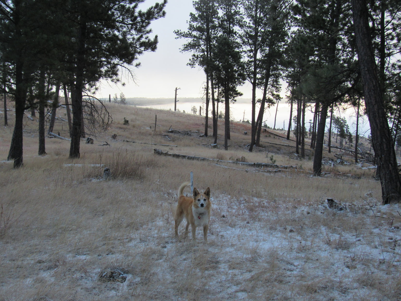
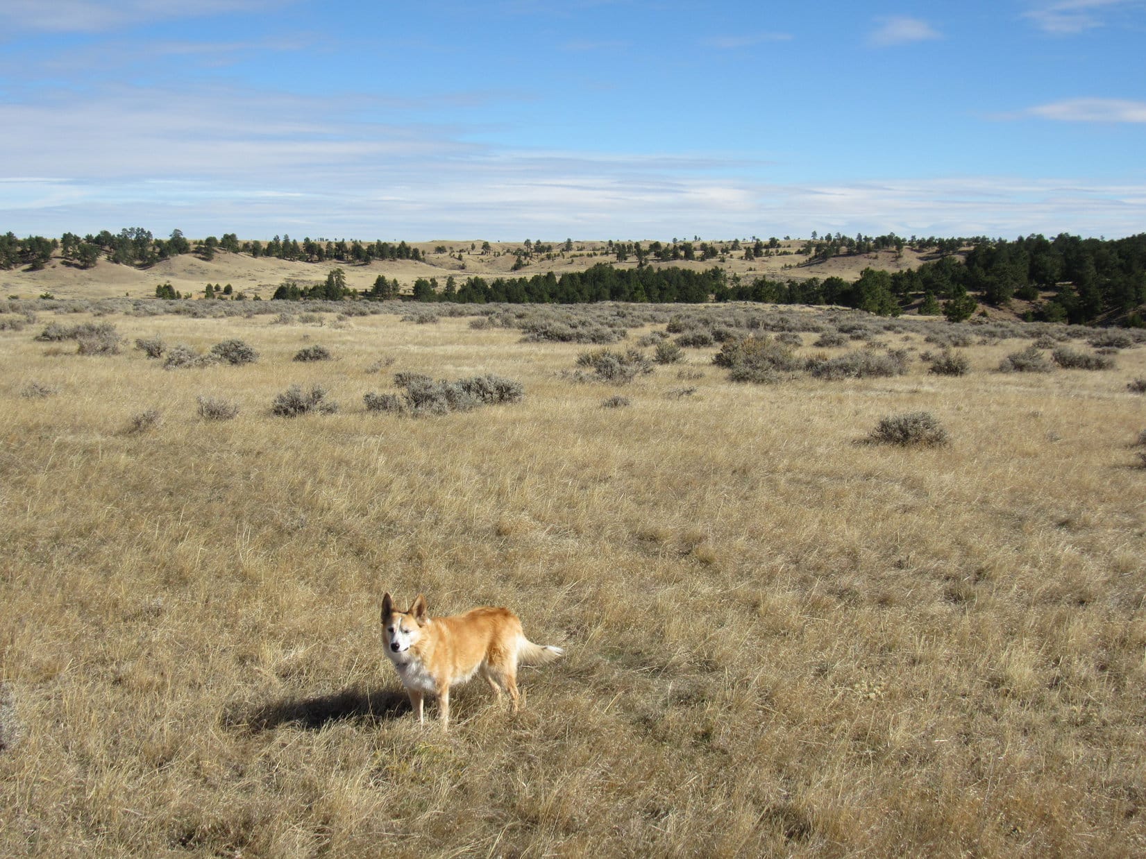
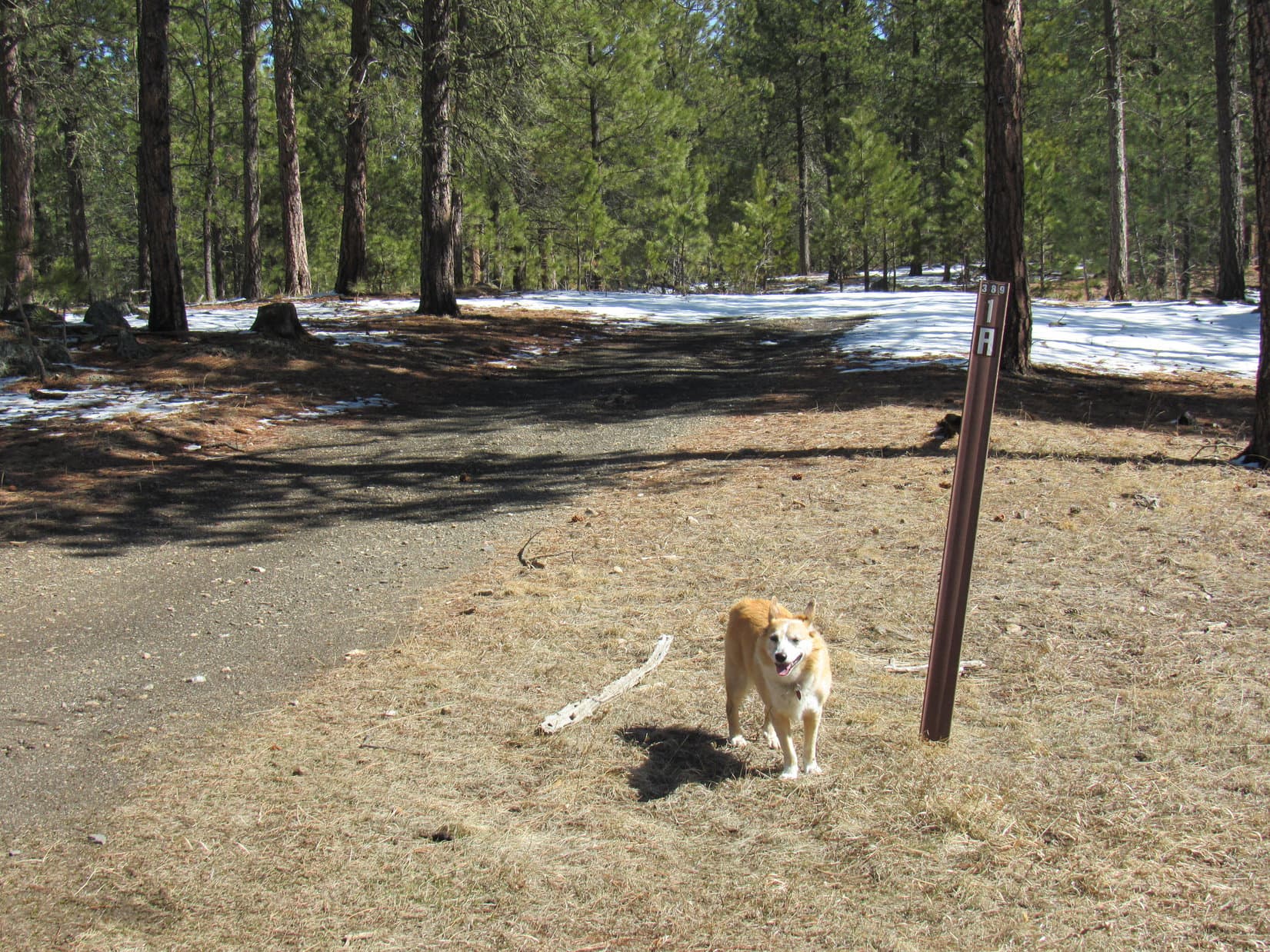
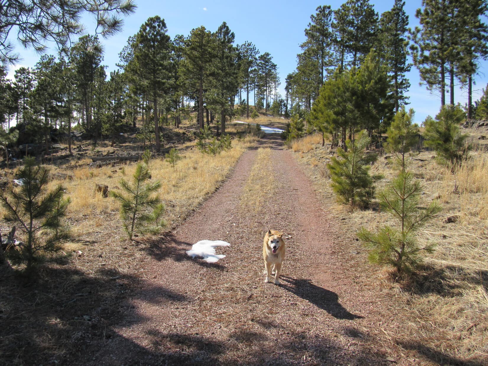
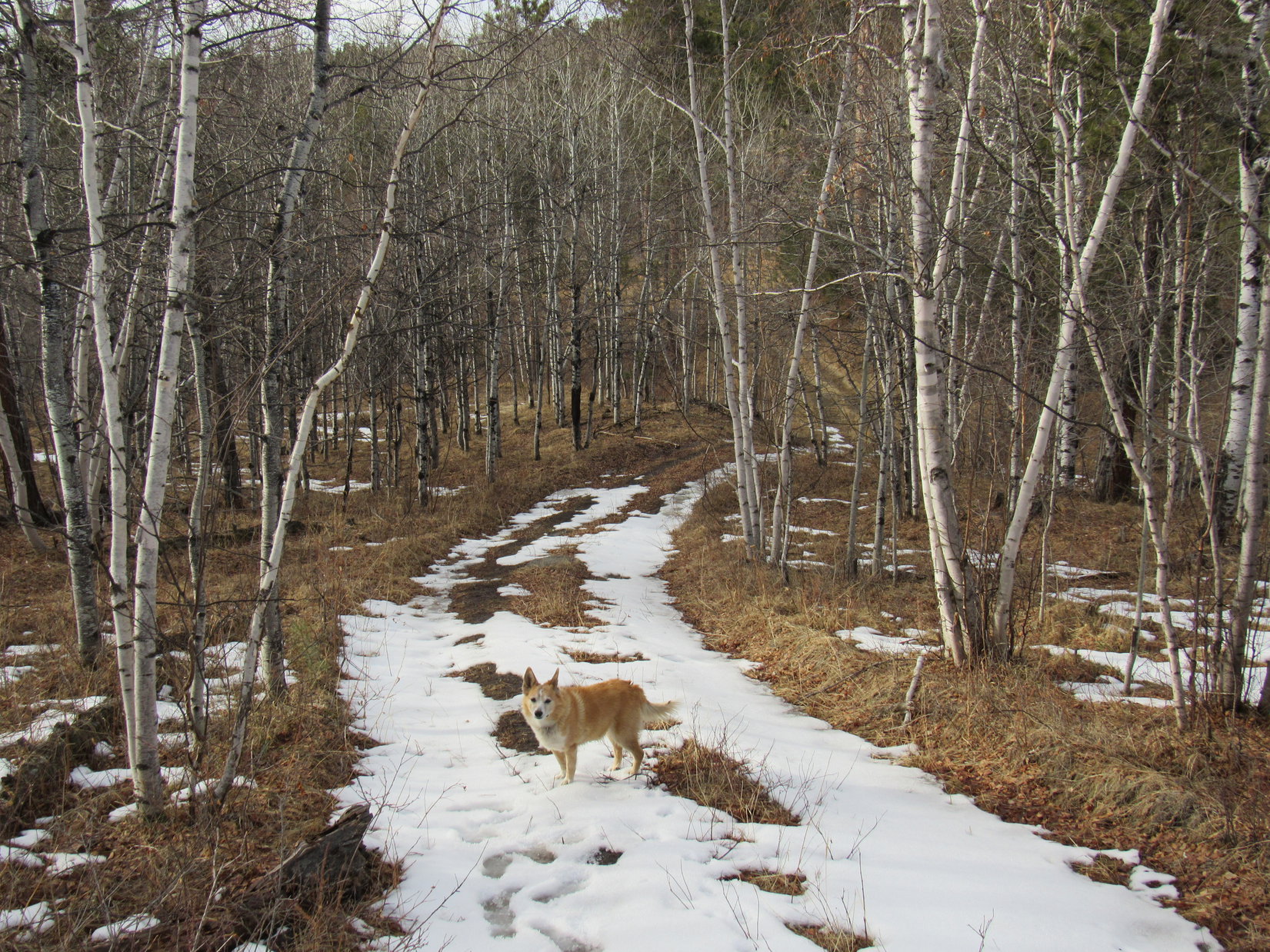
8:52 AM, 41ºF, Newton Lake – After a roll in the grass near Newton Lake, Lupe snorted then trotted across both Deerfield Road and the Mickelson Trail.  Disappearing into the pines, she headed N up a short slope.

Things had changed since the last time she’d been here.  The forest had been thinned and groomed.  The Carolina Dog passed neat tipis of slash destined for burning.  Beyond the tipis, Lupe picked up USFS Road No. 389.1Q, which headed straight for Lowden Mountain (6,055 ft.).

Heading up the slope after crossing the highway. Photo looks N.
Among the slash tipis.
Lowden Mountain from USFS Road No. 389.1Q. Photo looks NNW.

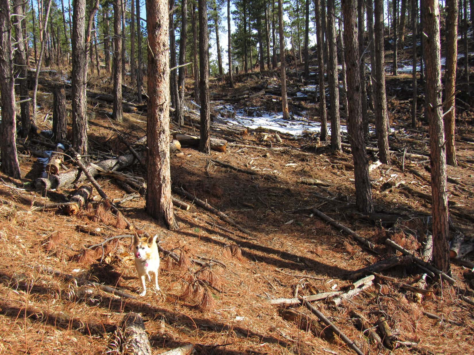
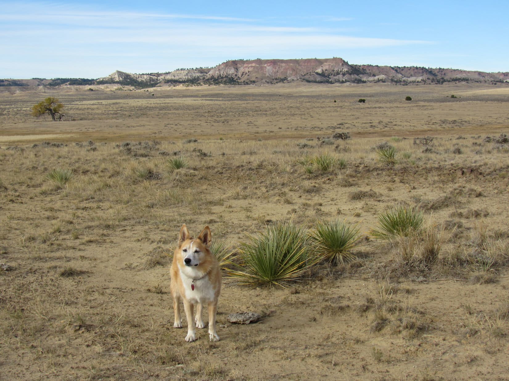
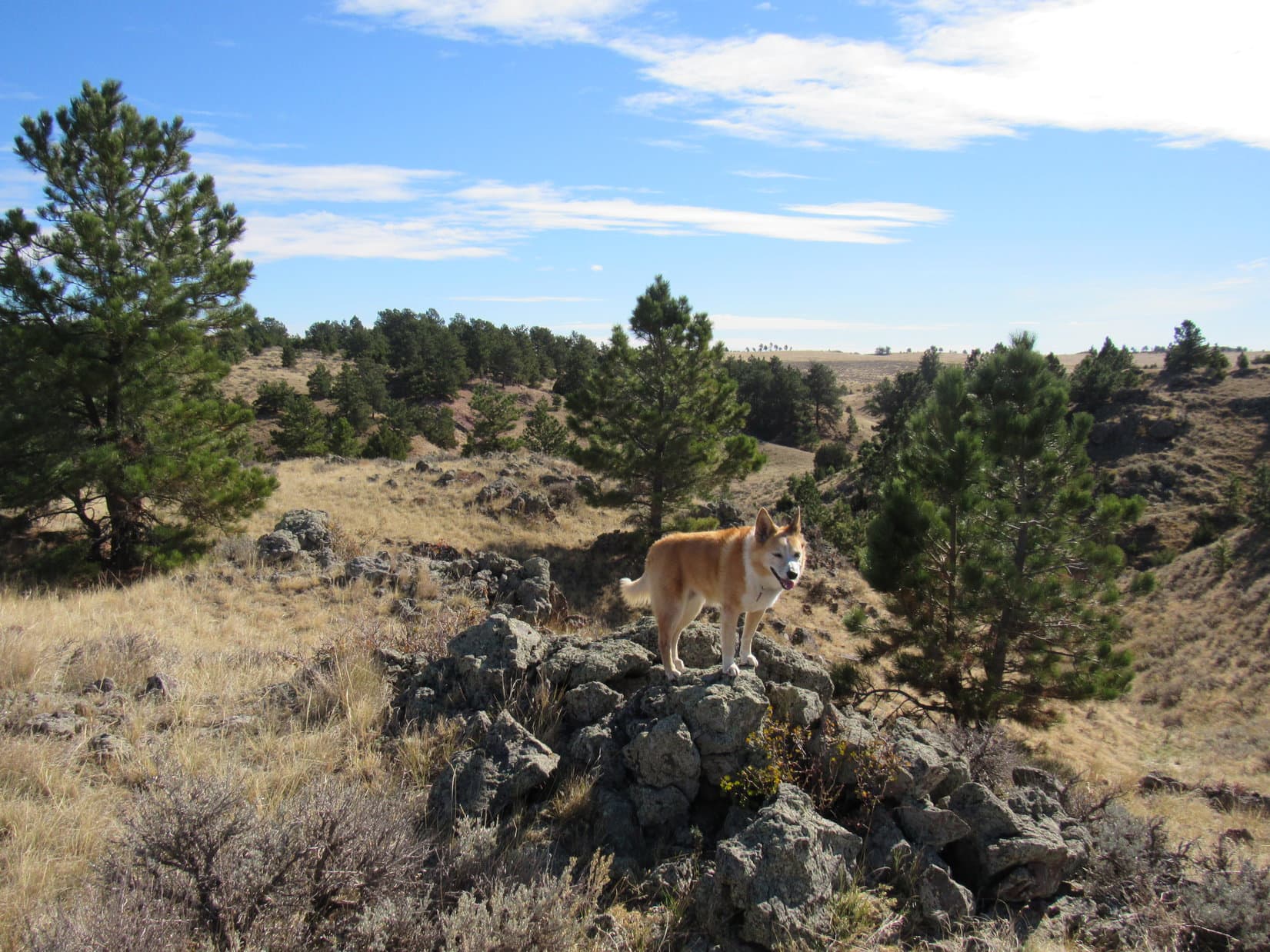
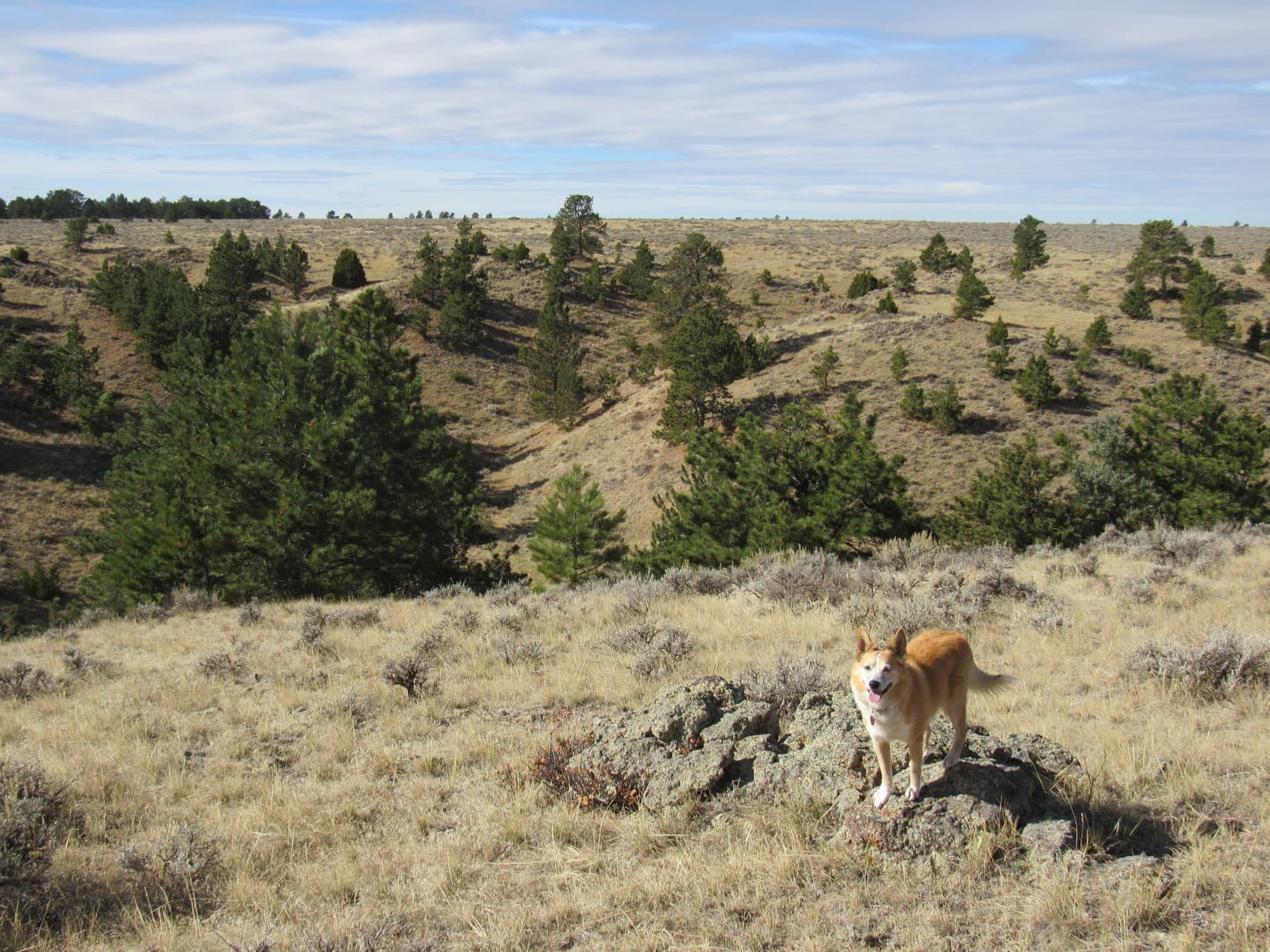
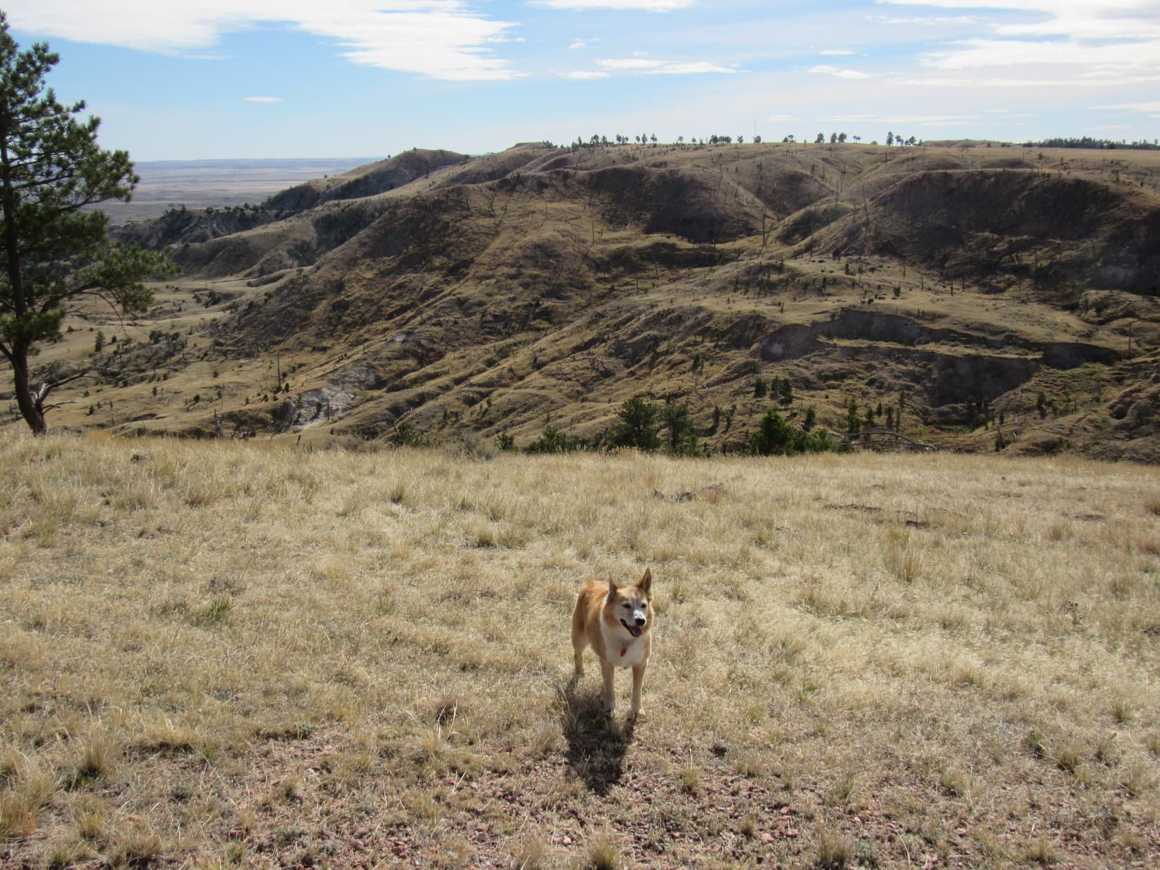
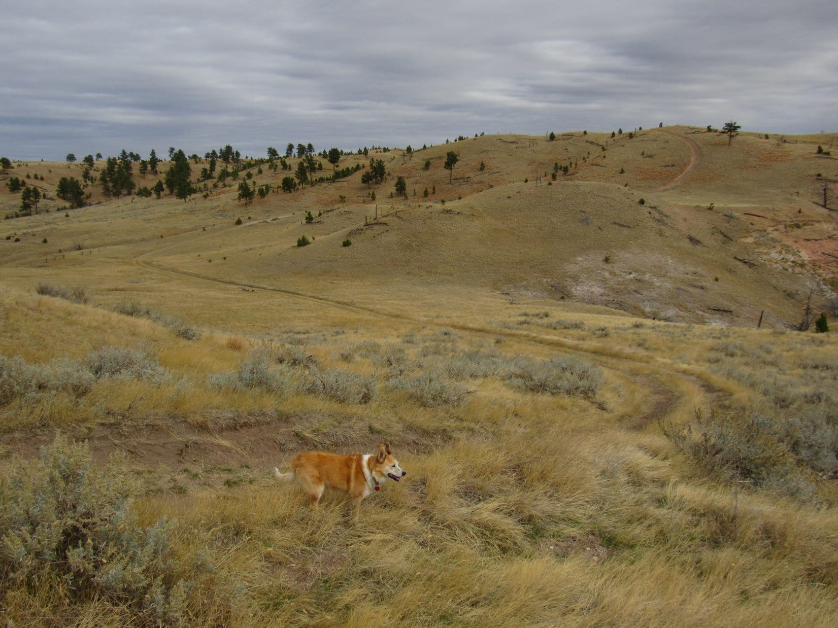
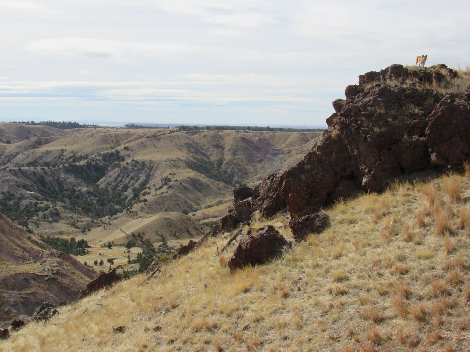
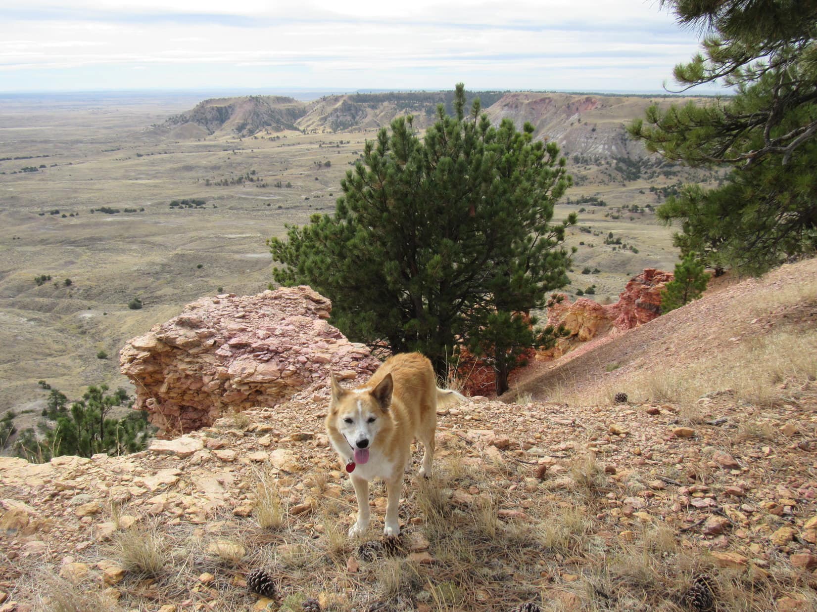
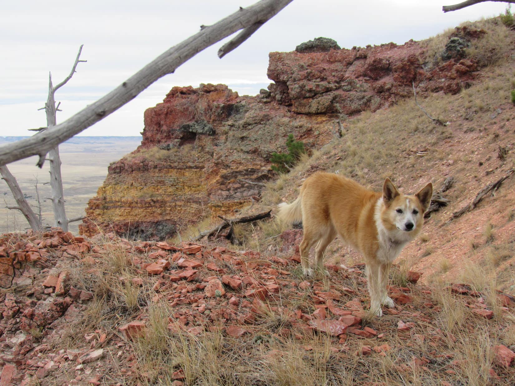
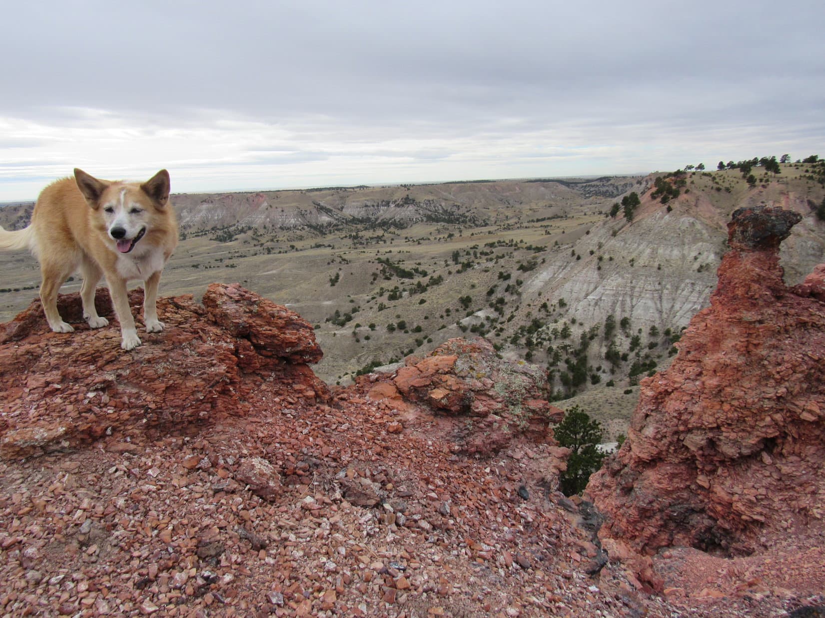
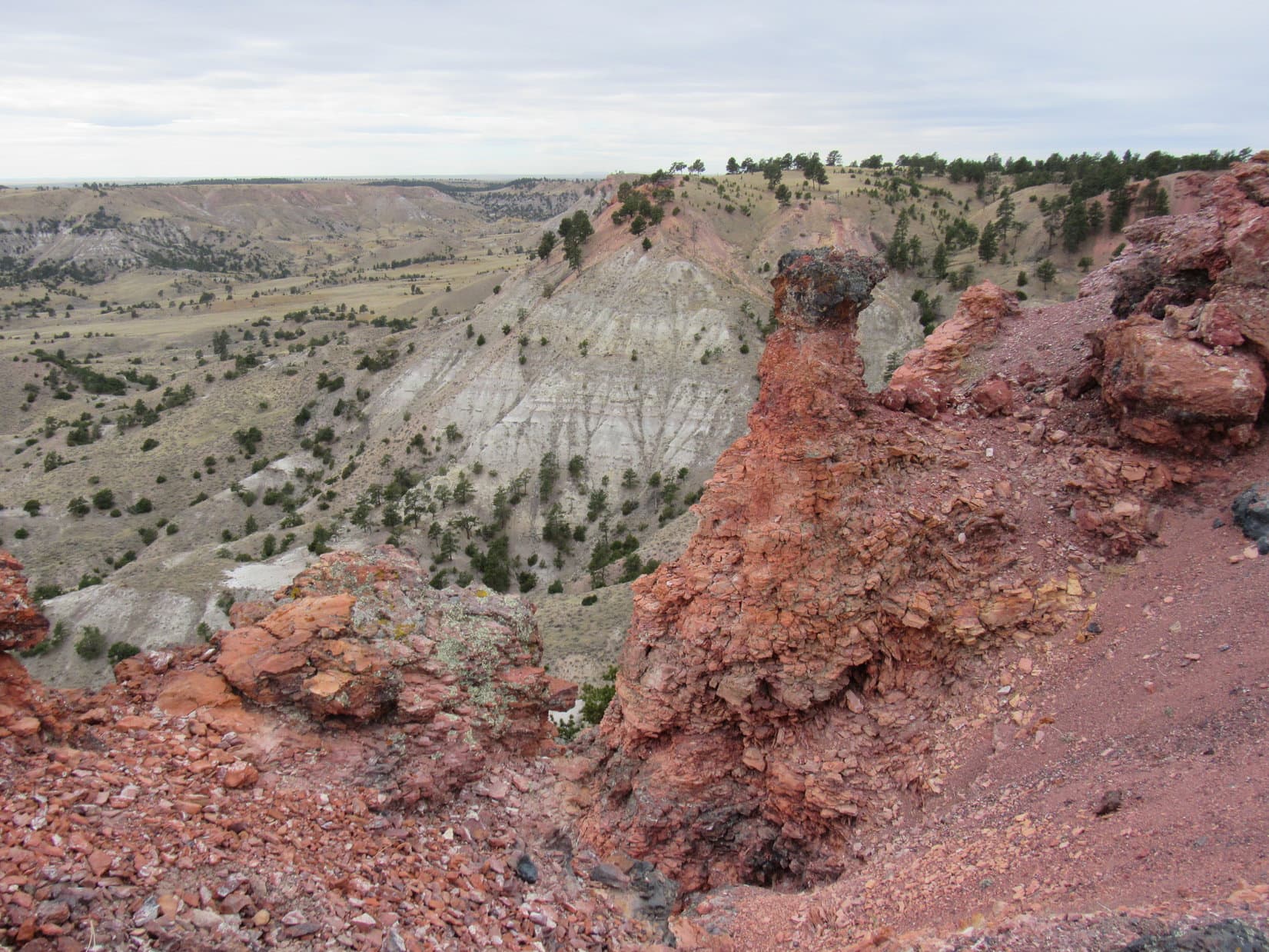
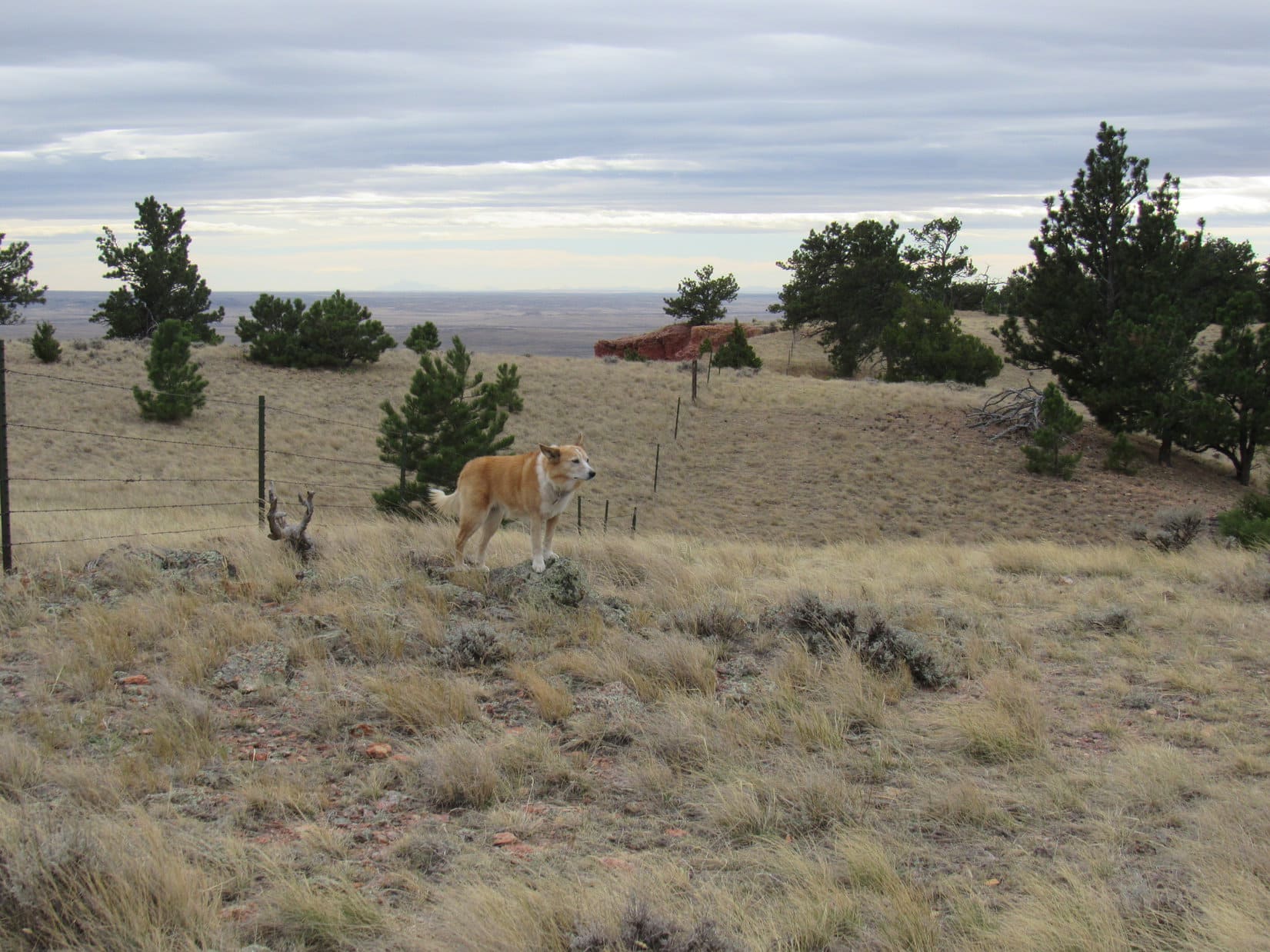
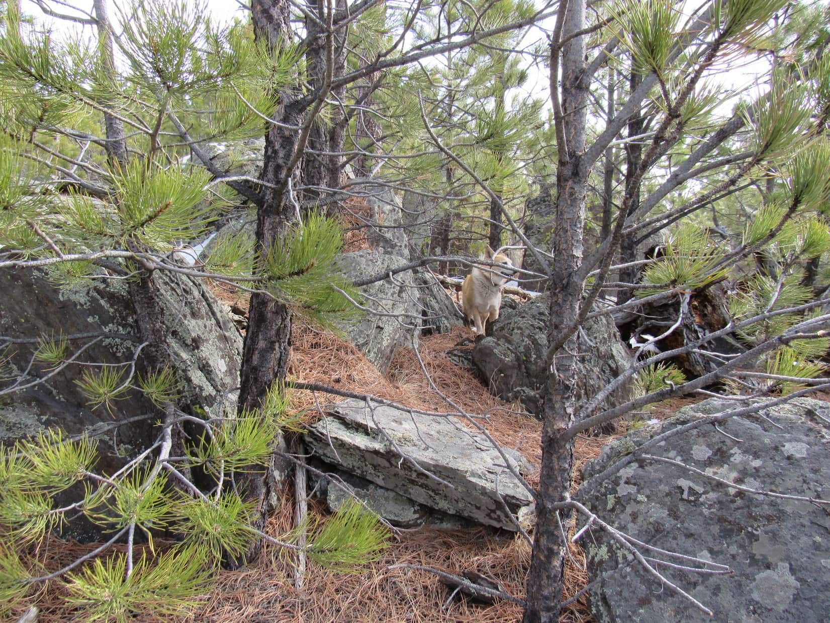
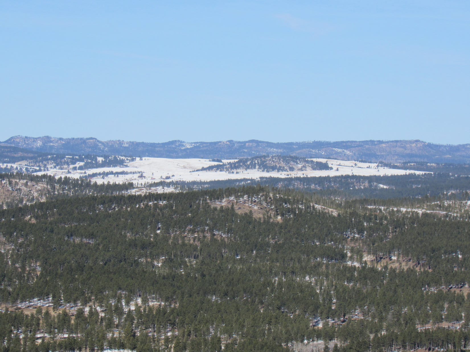
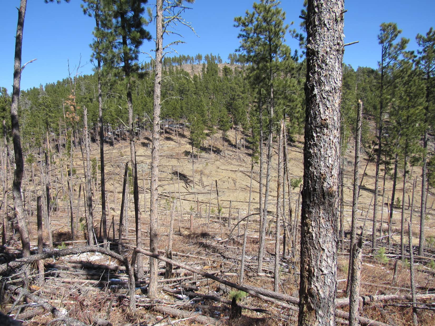
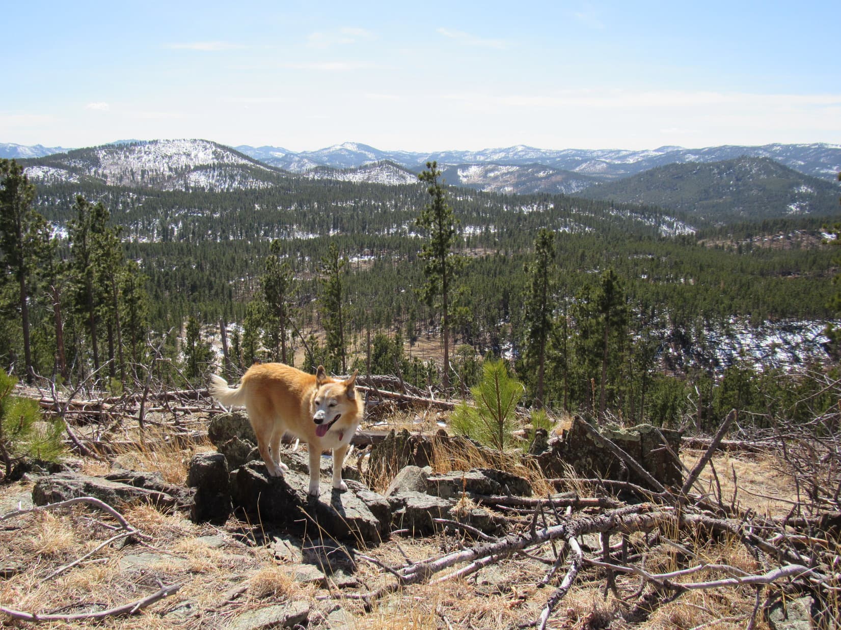
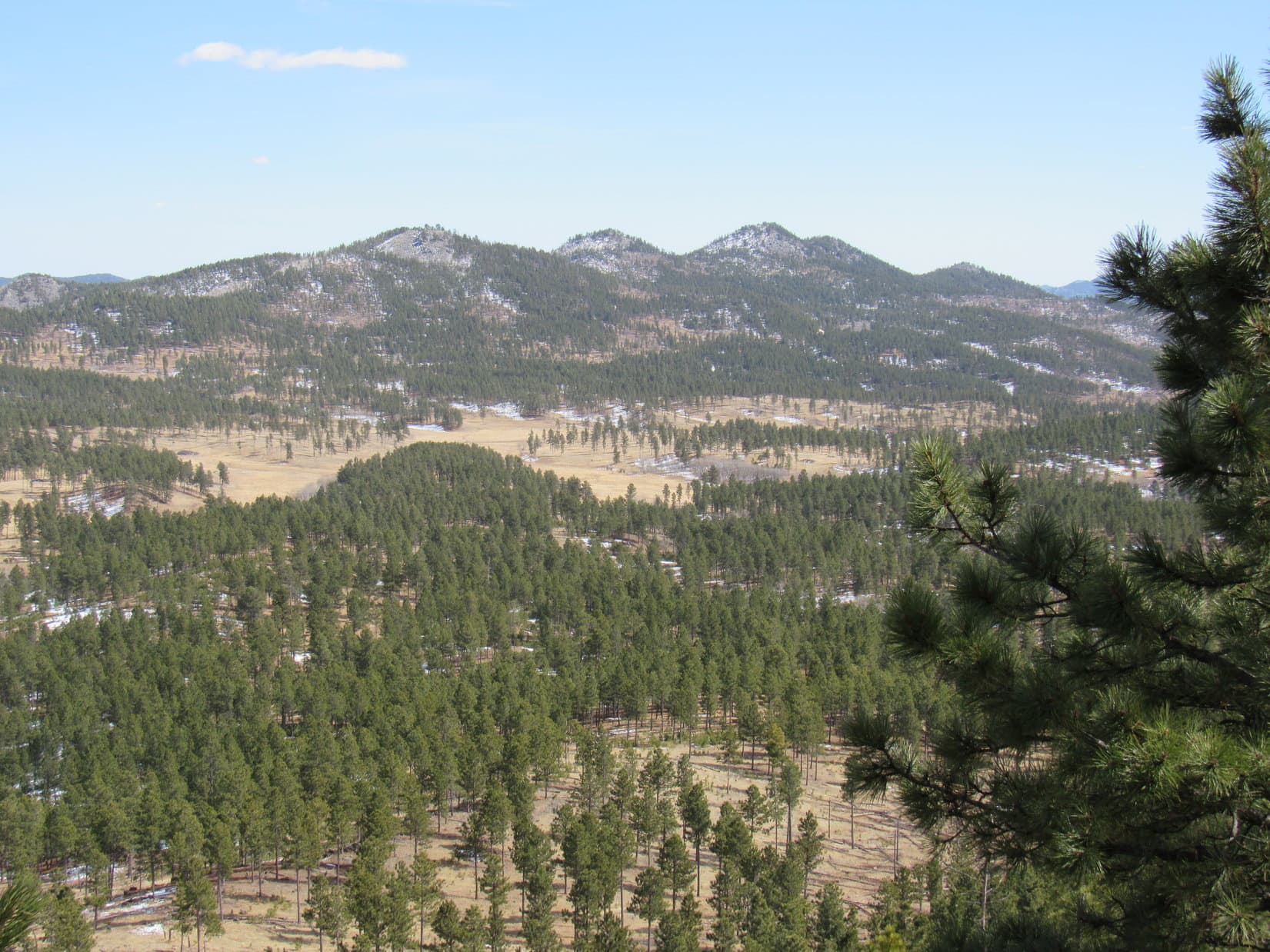
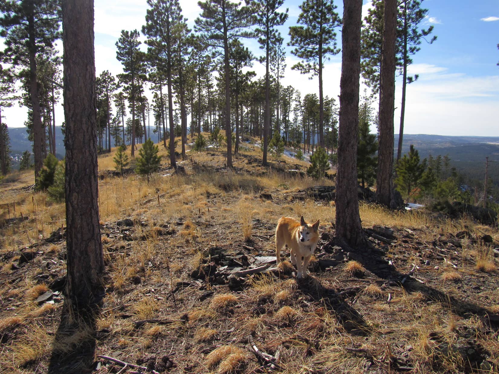
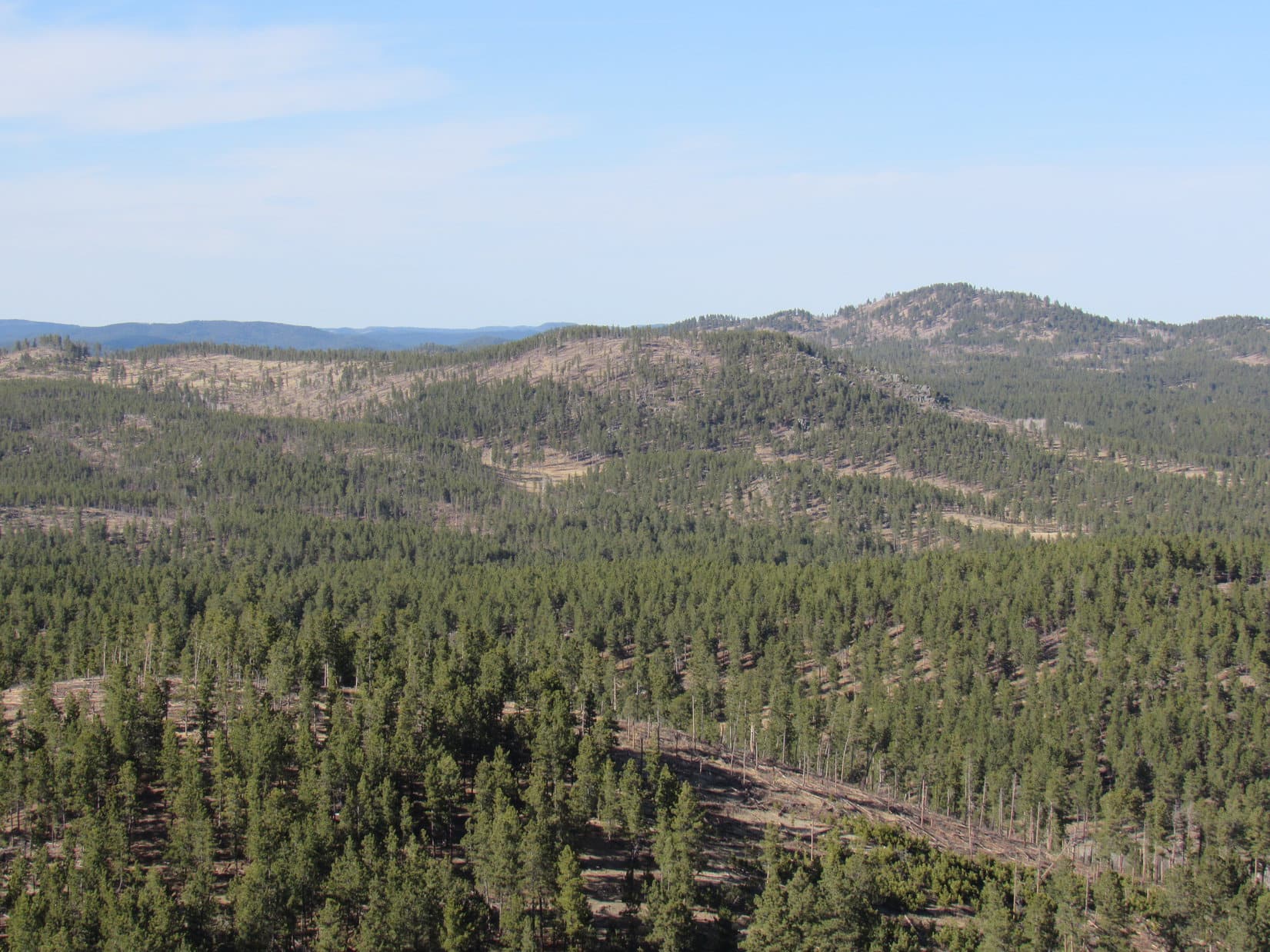
At the base of the mountain was a “T” intersection with USFS Road No. 389.1B.  Abandoning both roads, Loopster started up Lowden’s S slope.  She soon began coming to rock formations along a SE ridge.  Union Hill (6,120 ft.) and a few others could be seen off to the E.  Higher up, there was even a big view to the SW.

Union Hill (L) from one of the first rock formations. Photo looks E.
Higher up, looking SSW.

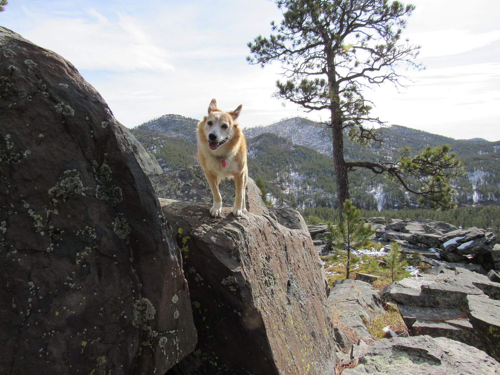
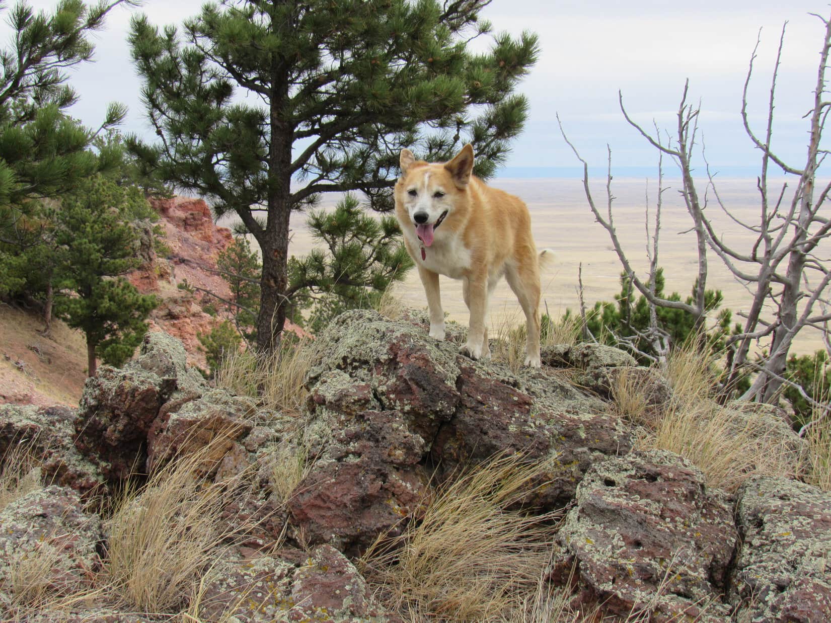
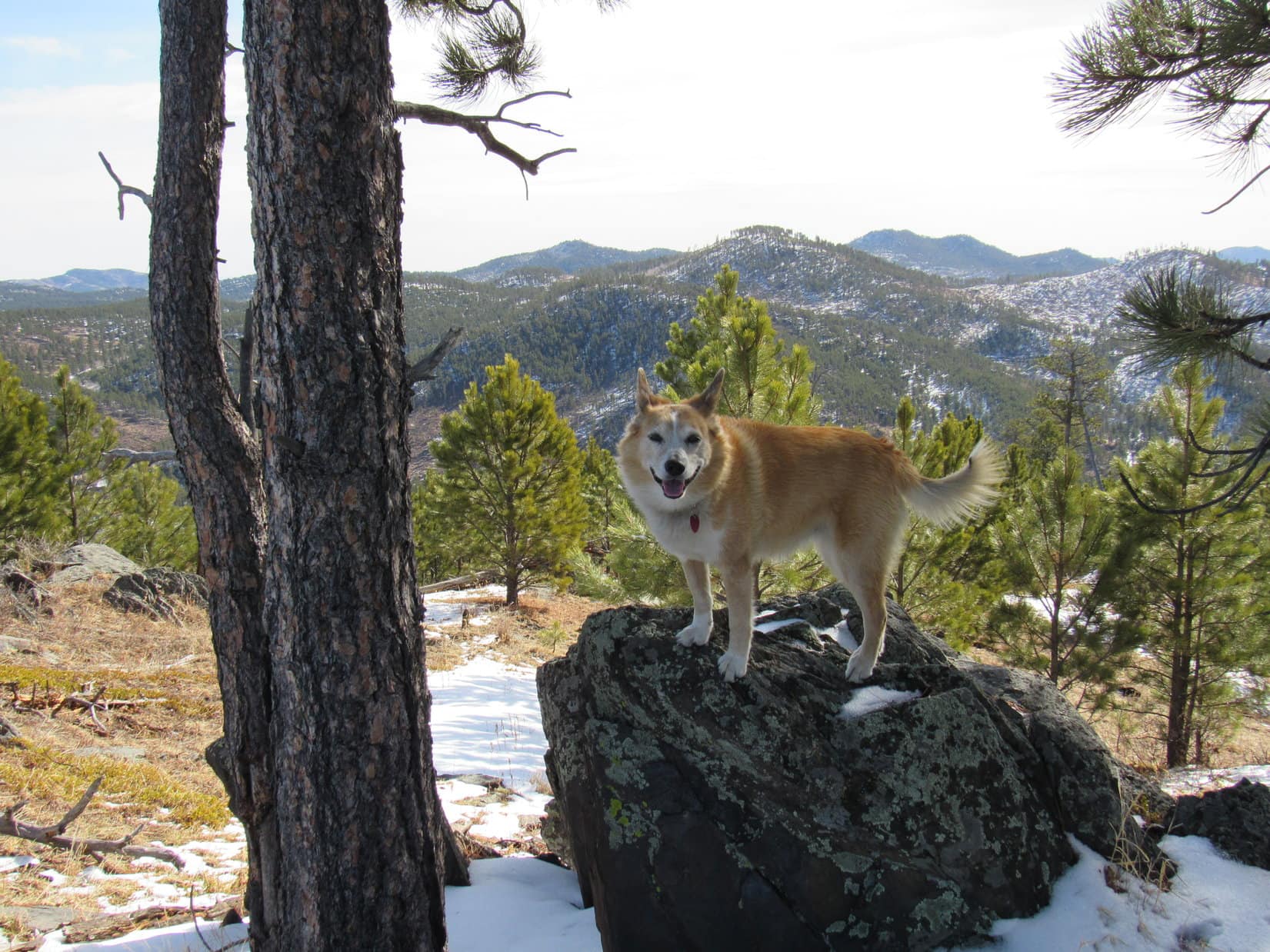
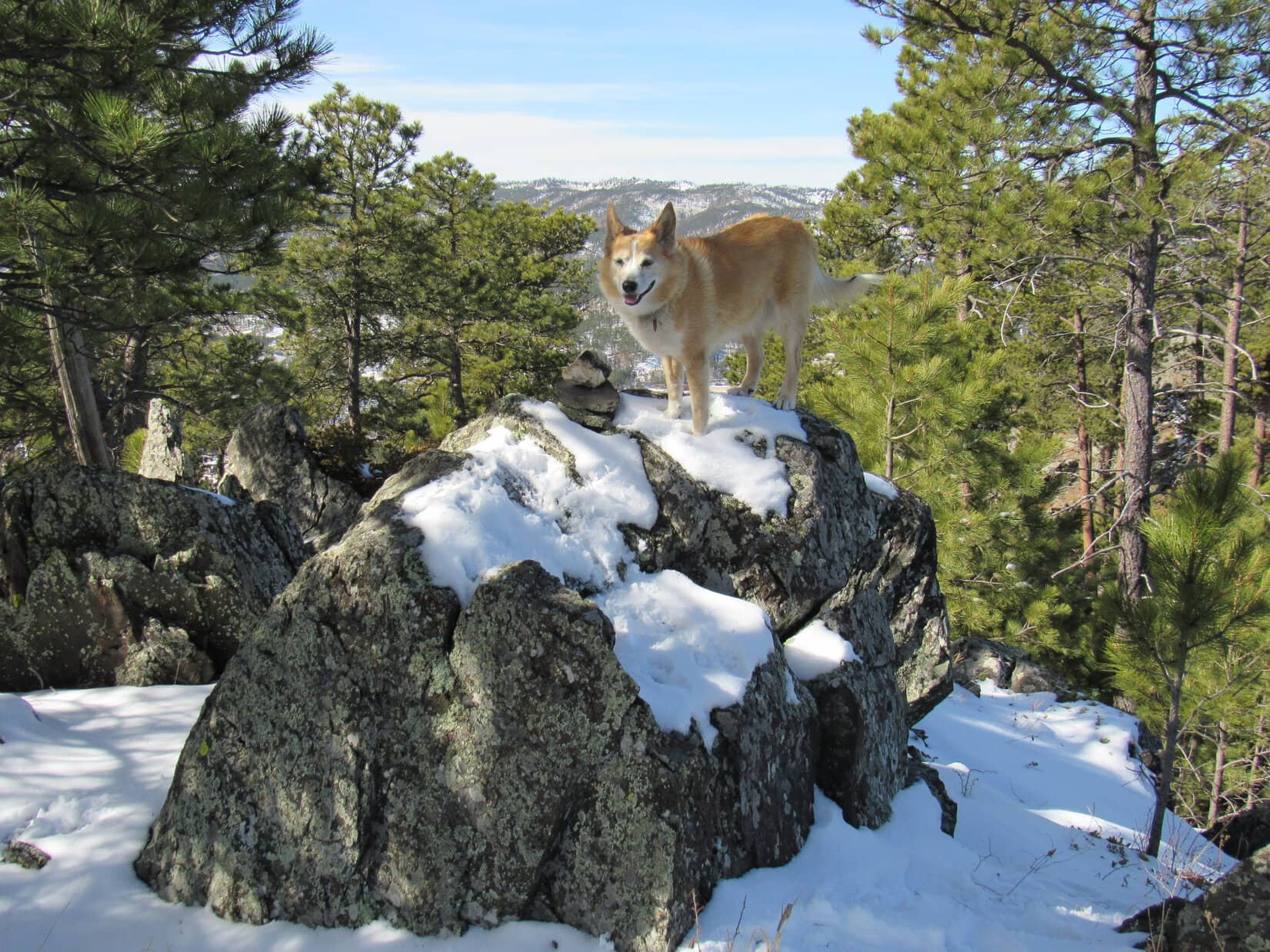
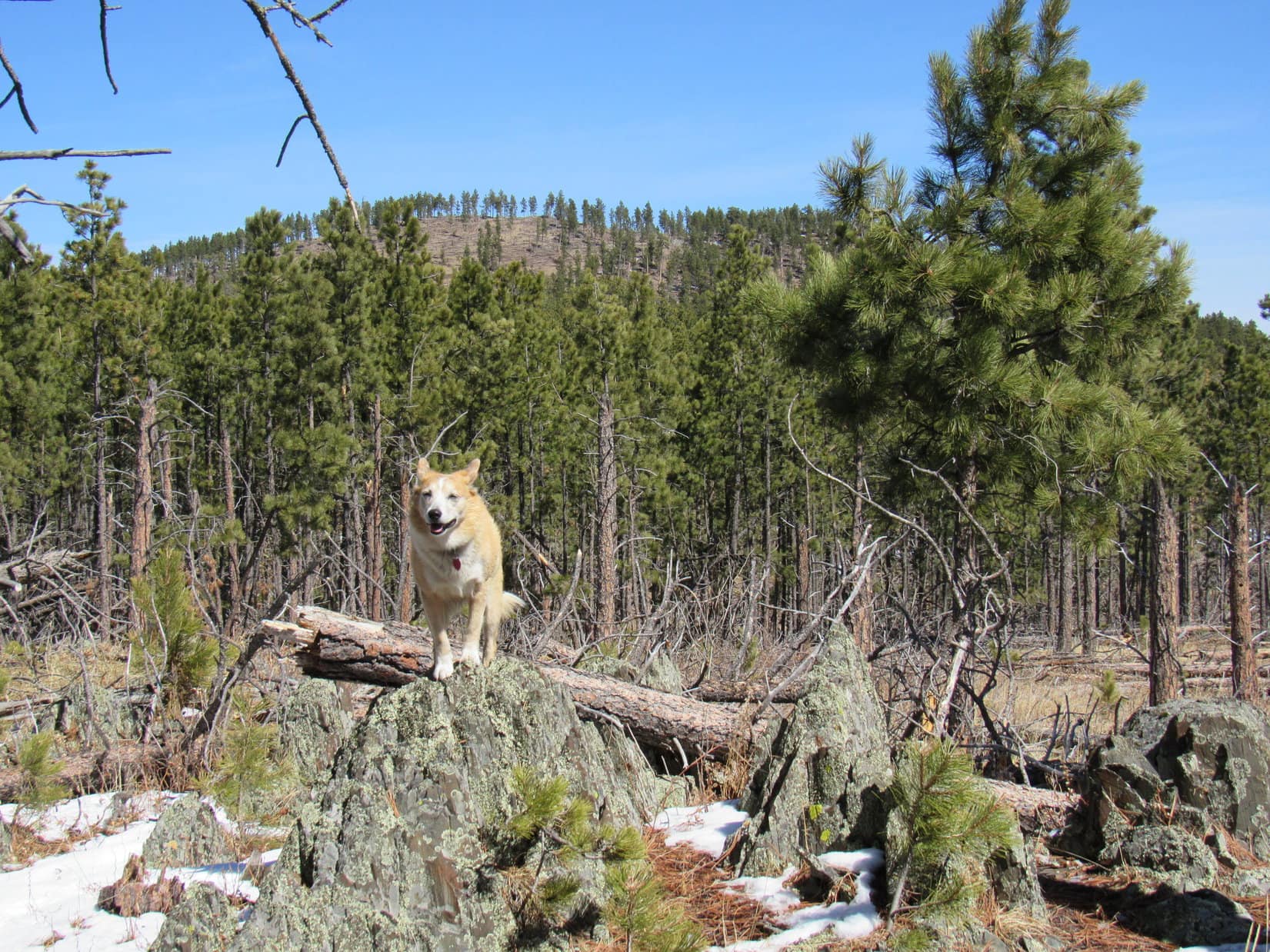
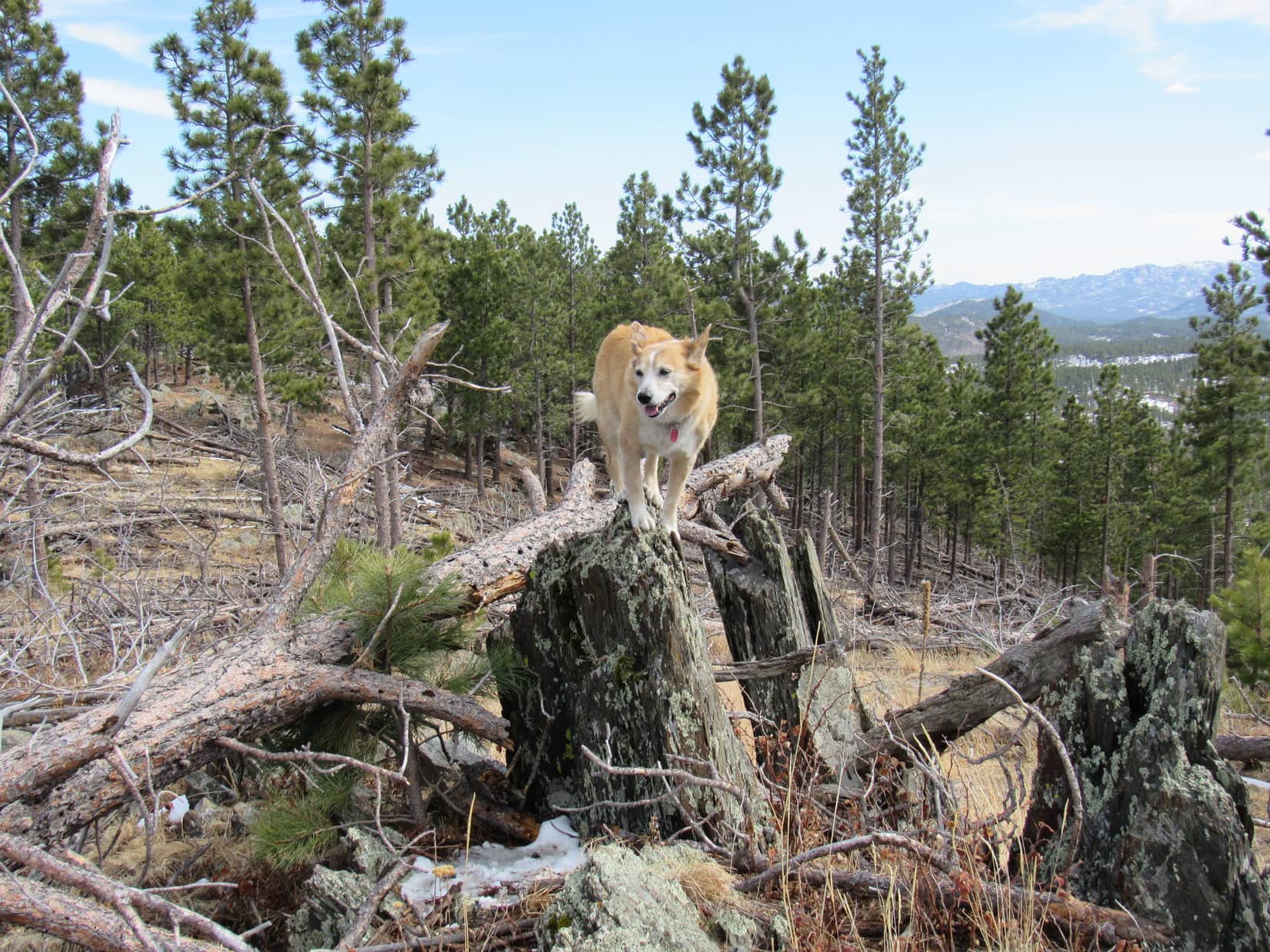
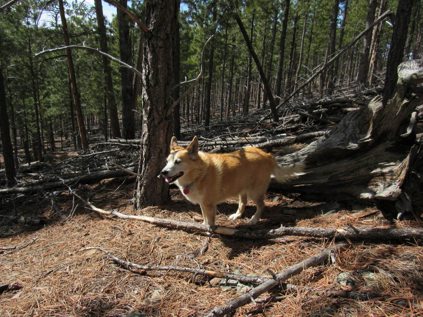
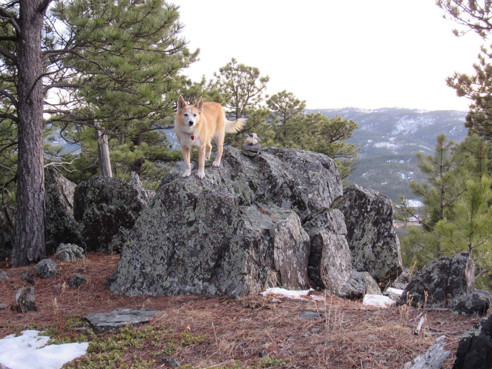
The climb varied, featuring a series of rock formations, stretches of open forest, small clearings, and thickets of dog hair pines.  Initially steep, the slope eventually diminished.  Near the end, a sunny, open lane led to a collection of boulders at the top.

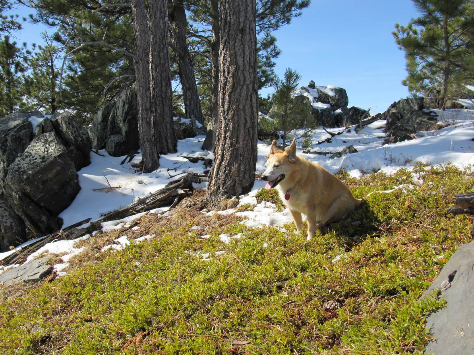
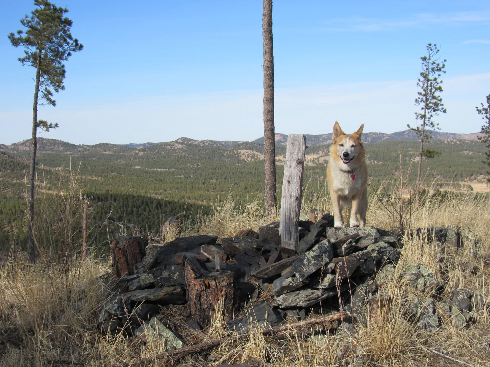
Someone had built a tiny cairn on the summit rock.  Lupe hopped up next to it.  Lowden Mountain (6,055 ft.)!  Oh, it was good to be back!

Exploring among the dog hair pines.
Near the top. Photo looks WNW.
This is it! The true summit of Lowden Mountain! Photo looks W.
More of the summit region. Photo looks W.

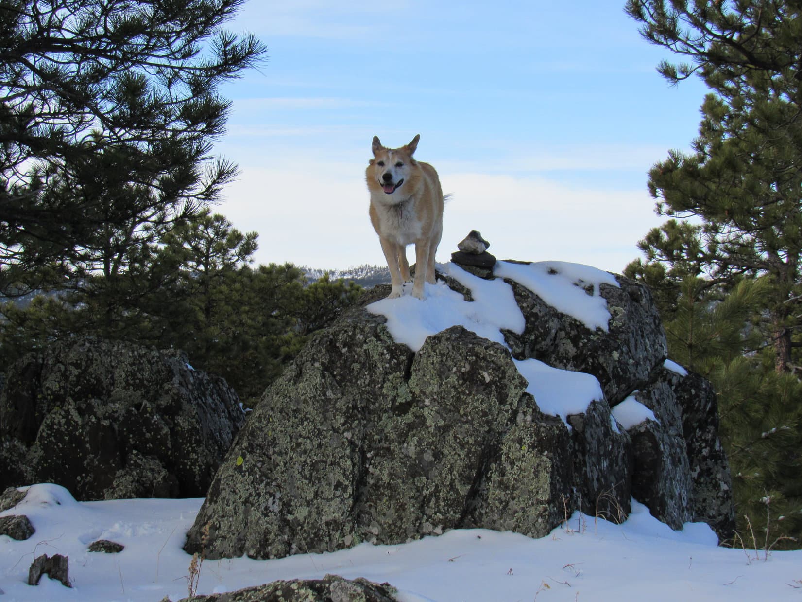
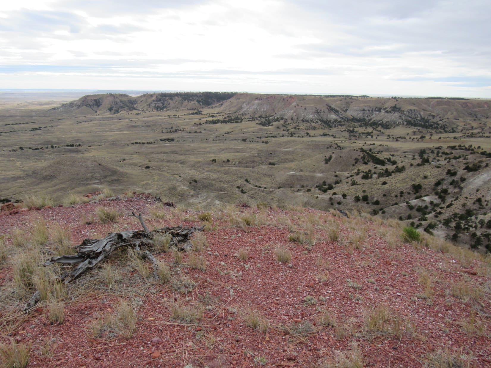
A nice green patch of kinnikinnick was close to the true summit.  SPHP took off the pack and sat down.

More than 6 years since the last time we were here, SPHP!

Hard to believe it, isn’t it, Looper?  Glad we’re back!  Always liked Lowden.

We ought to have a celebration!

Umm, yeah.  What sort of celebration did you have in mind, sweet Dingo?

Got any chocolate coconut bars in that pack, SPHP?  I bet you do!

Heh.  Should have said sweet-tooth Dingo.  Yes, just so happens that I do have a few chocolate coconut bars.  Kind of early in the day for it, but OK.

On the kinnikinnick carpet. True summit beyond Lupe. Photo looks W.

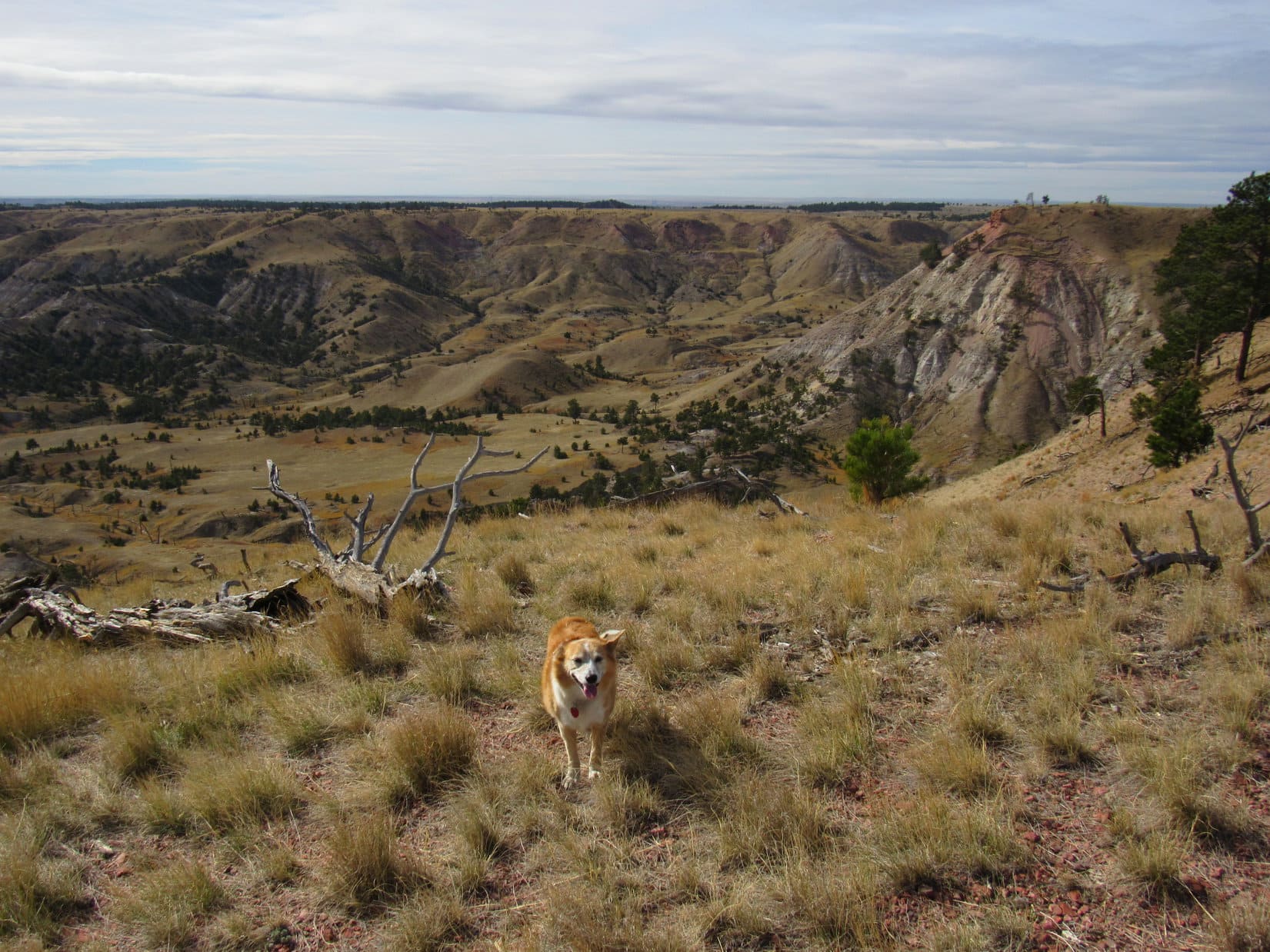
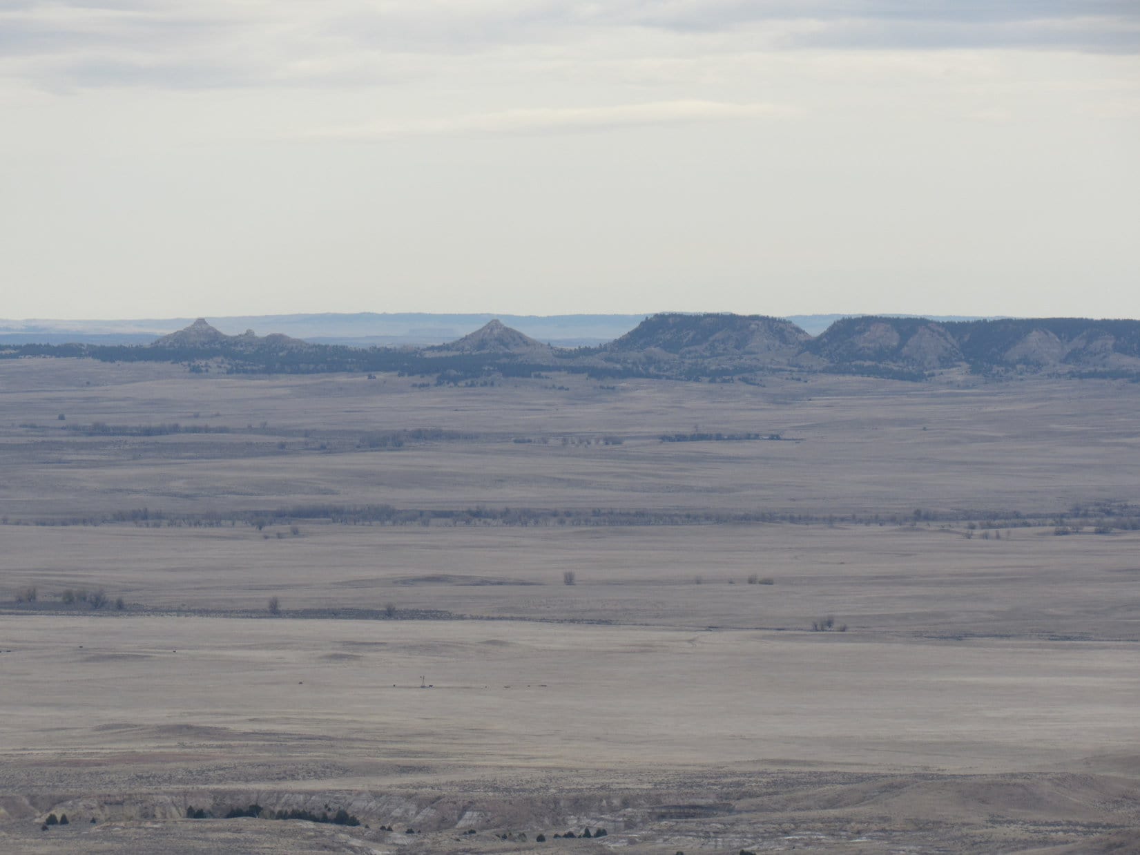
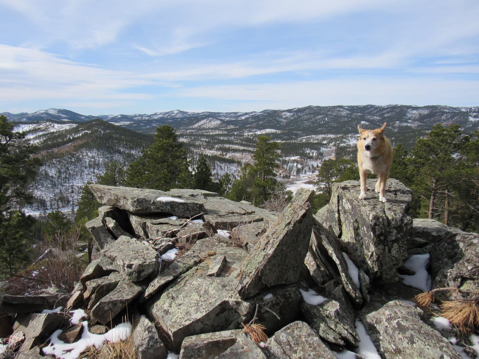
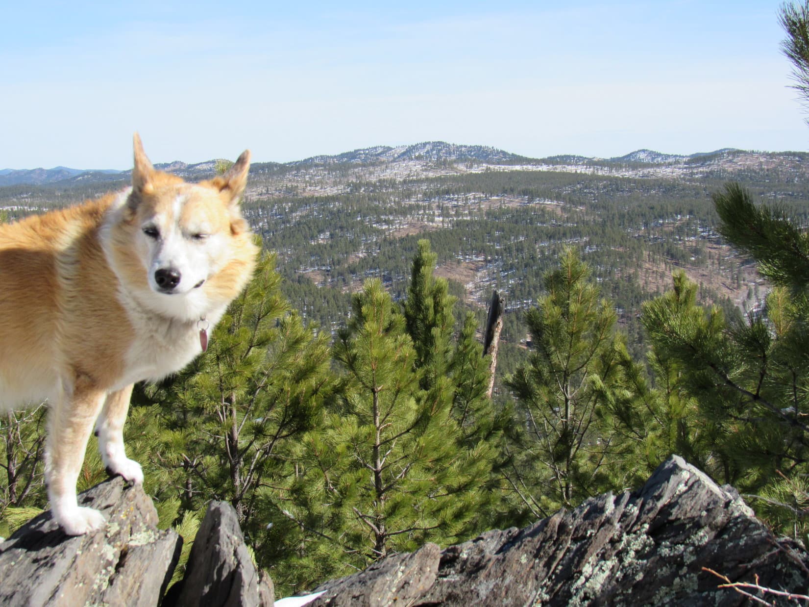
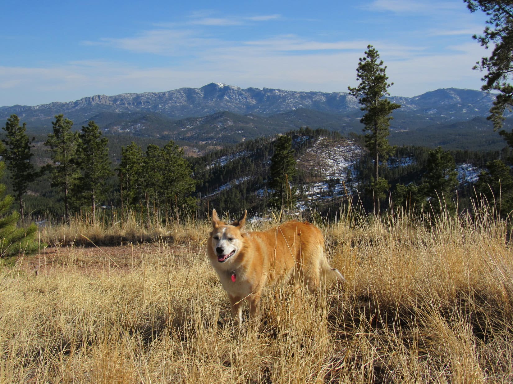
The chocolate coconut bar met its match.  Lupe stayed resting on SPHP’s lap.  Two big views from here.  Black Elk Peak (7,231 ft.) was the most impressive, but False North Point (6,130 ft.), Five Points (6,221 ft.), and Union Hill were also of great interest.

On Expedition No. 270, Lupe had climbed Five Points instead of False North Point due to SPHP’s navigation errors, and Union Hill might be in the cards today.

Black Elk Peak (L). Photo looks SSE.
Union Hill (beyond Lupe) with False North Point (L) and Five Points (R) in the background. Photo looks E.

Are we going to keep up our Lowden Mountain traditions, SPHP?

Oh, I think we should, if we wind up with enough time, Loop.

I hope we do!  What else is on the agenda?

Well, remember how I messed up on our last expedition, and we never got to Peak 6040?

How can I forget?  Of 3 peaks we were going to climb, we managed to get to 1.

True dat, but we also got to Five Points as a nice consolation prize, even if it was unplanned.  Anyway, we can take another stab at Peak 6040 from here.  After that, who knows?  Redfern Mountain (6,075 ft.), Peak 6167 and Union Hill (6,120 ft.) will all be in range depending on what direction we decide to go.

Peak 6040 is the near ridge at far R. Peak 6167 (Center). Photo looks NNE.

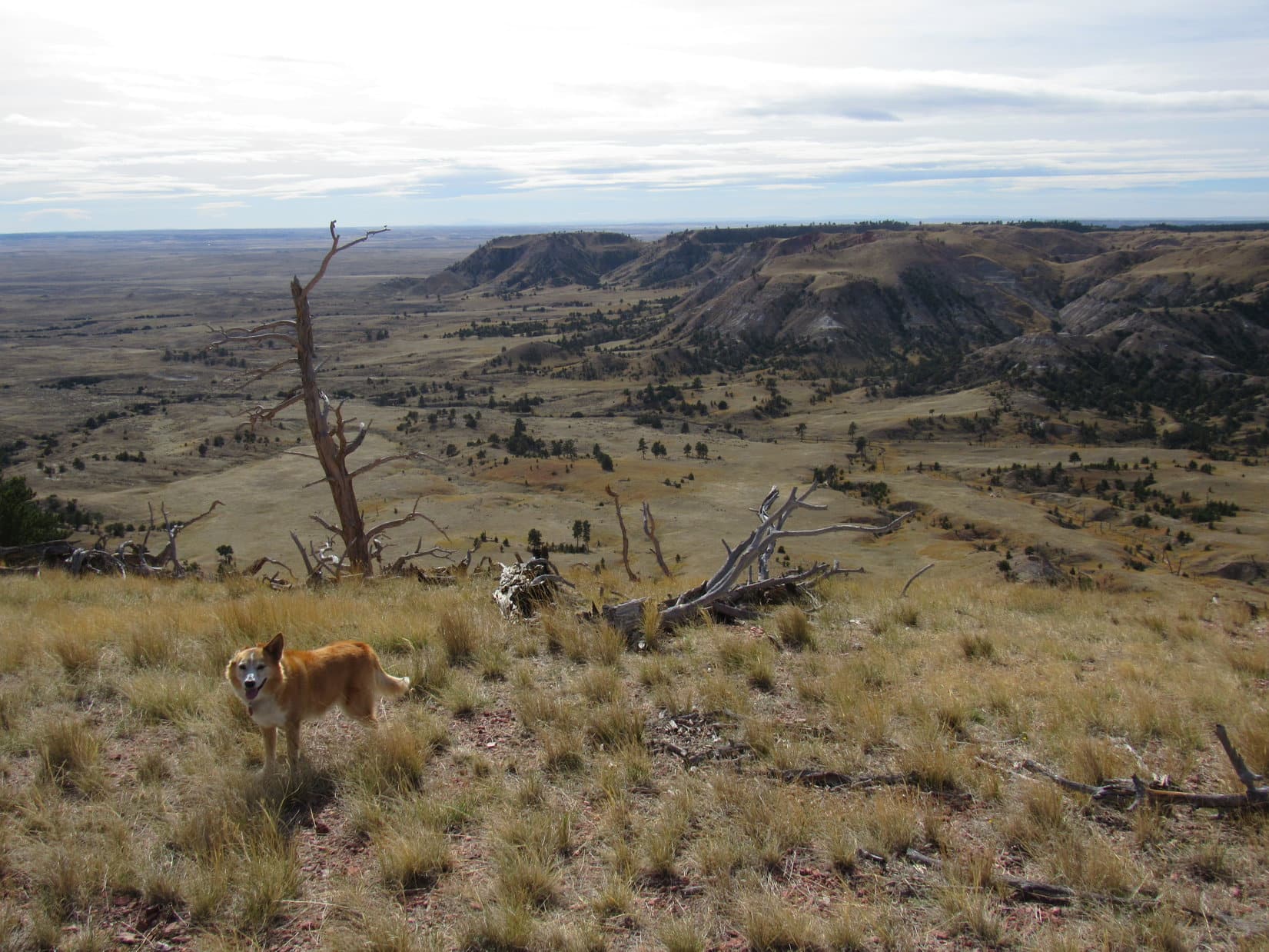
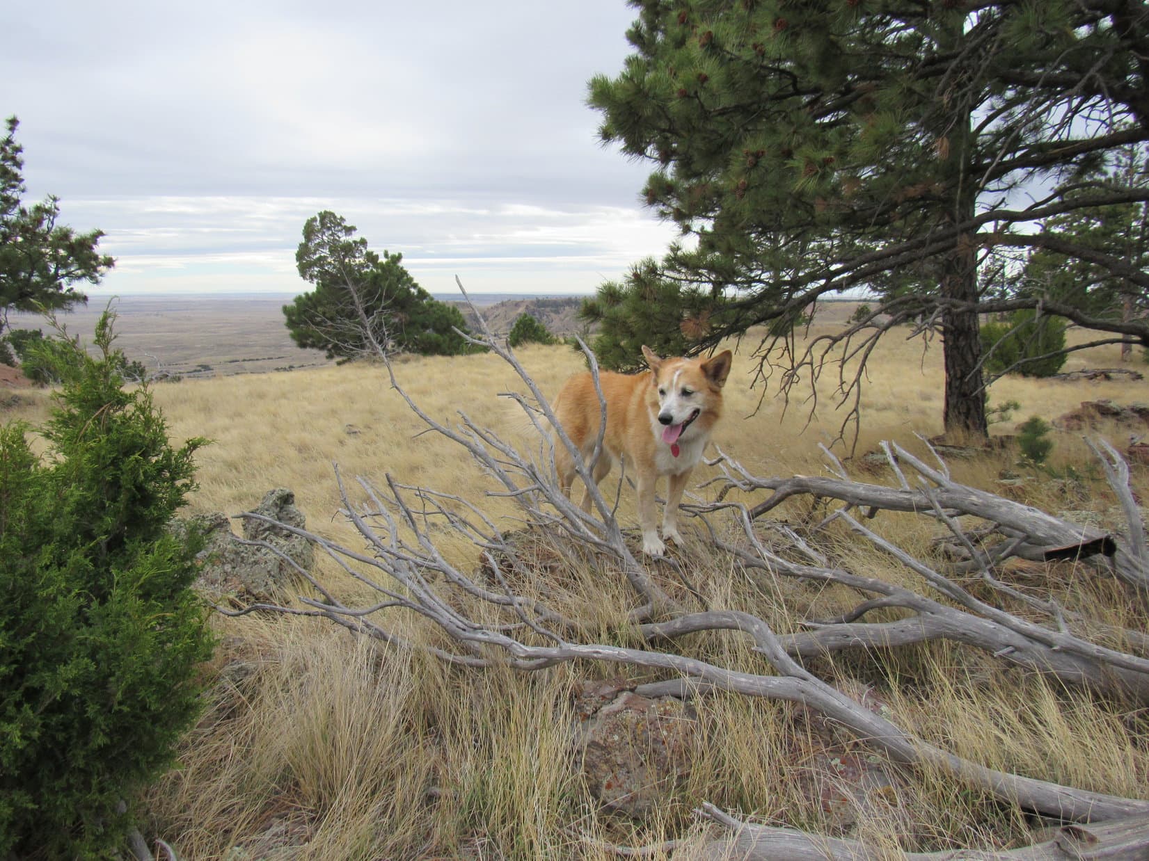
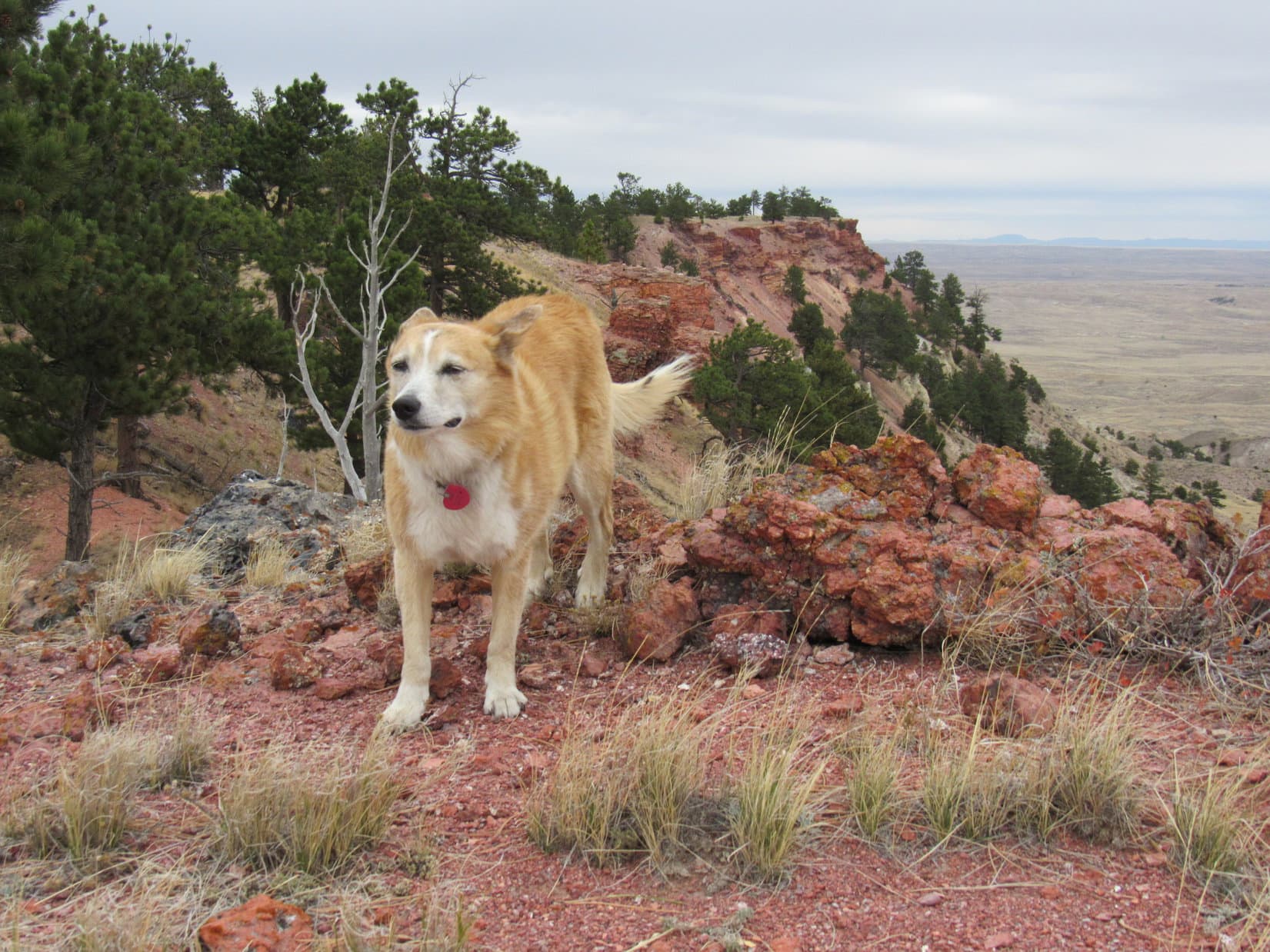
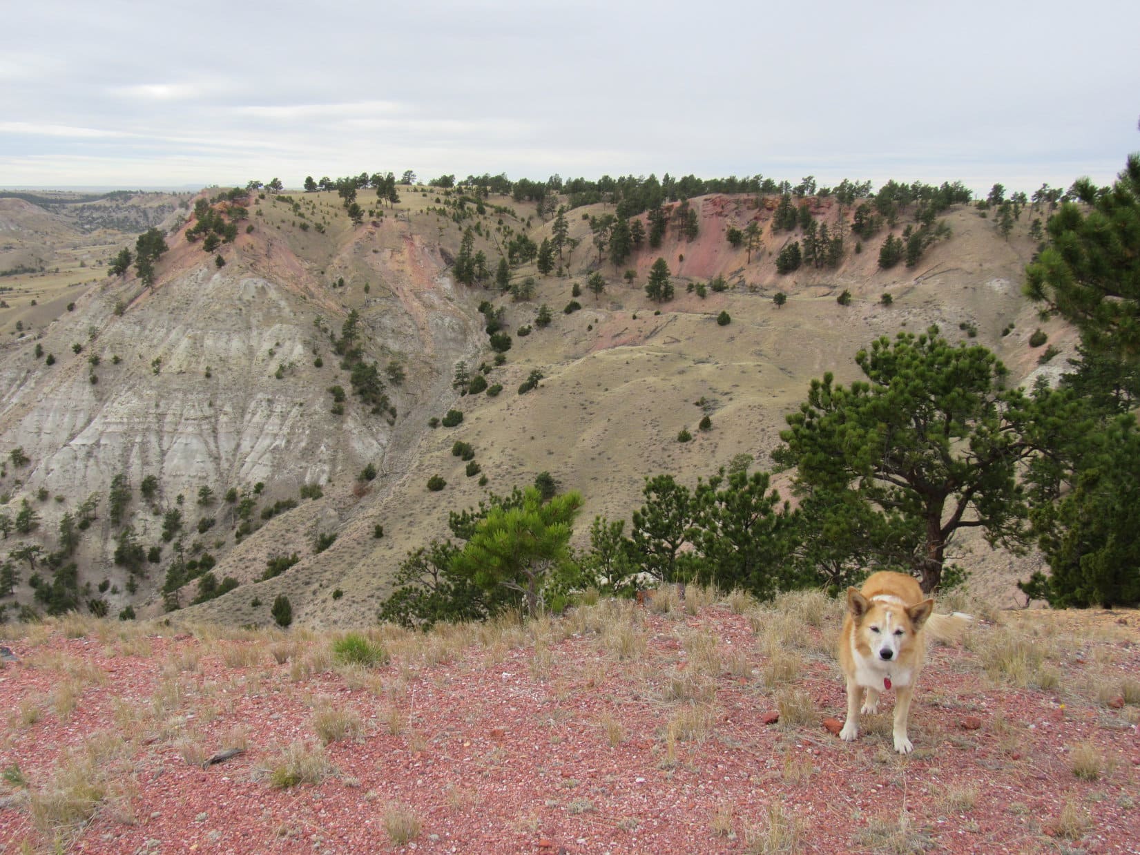
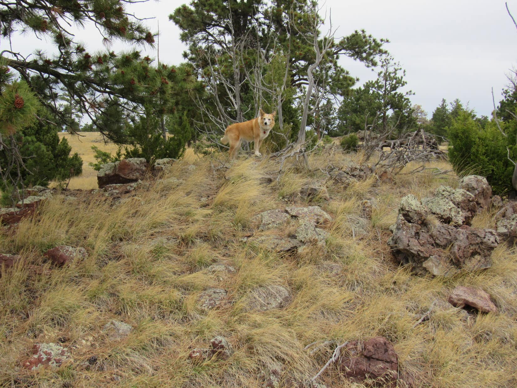
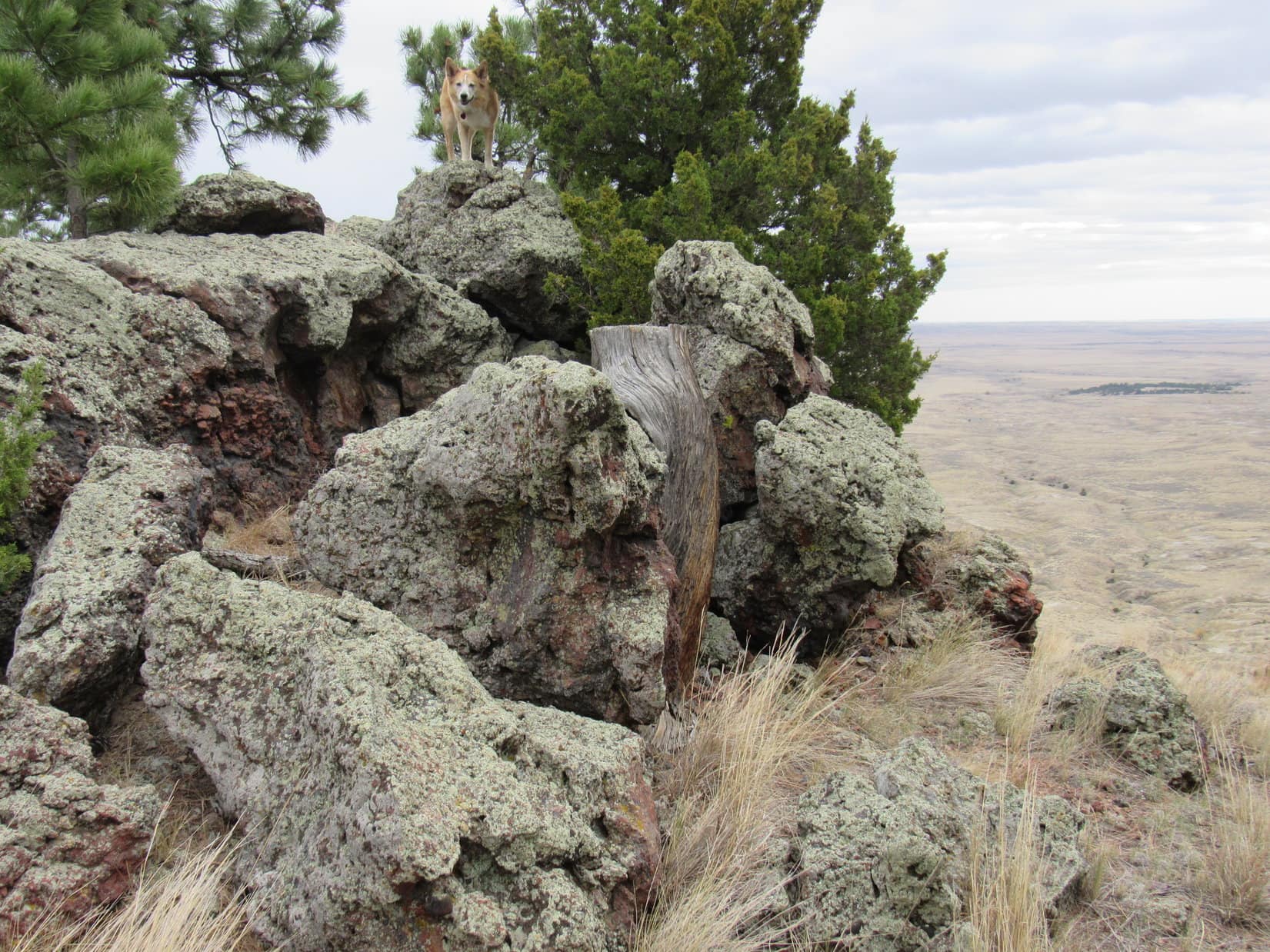
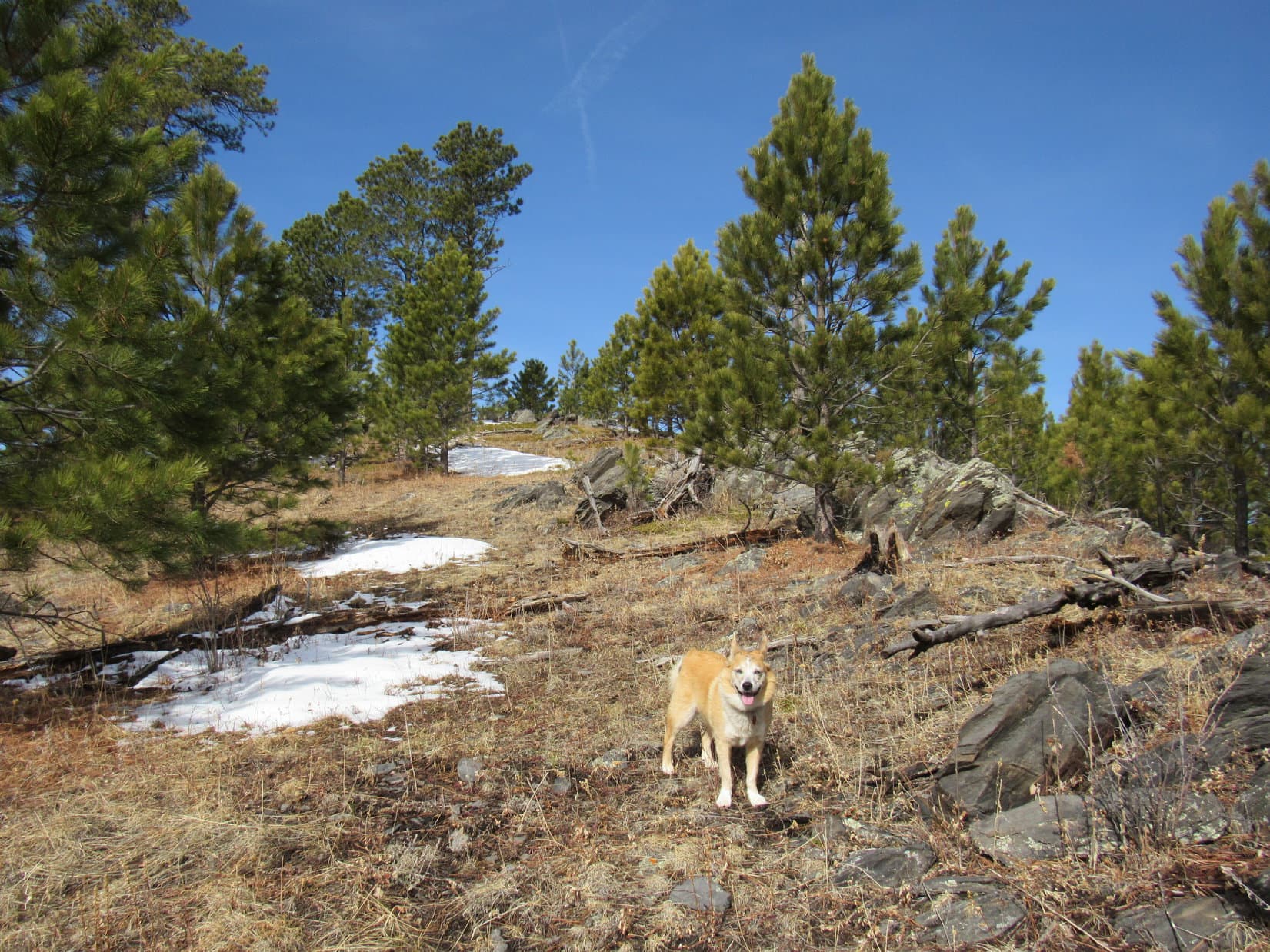
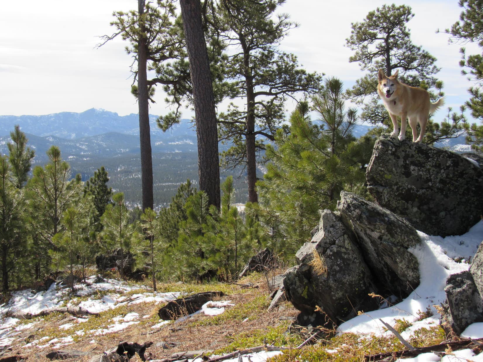
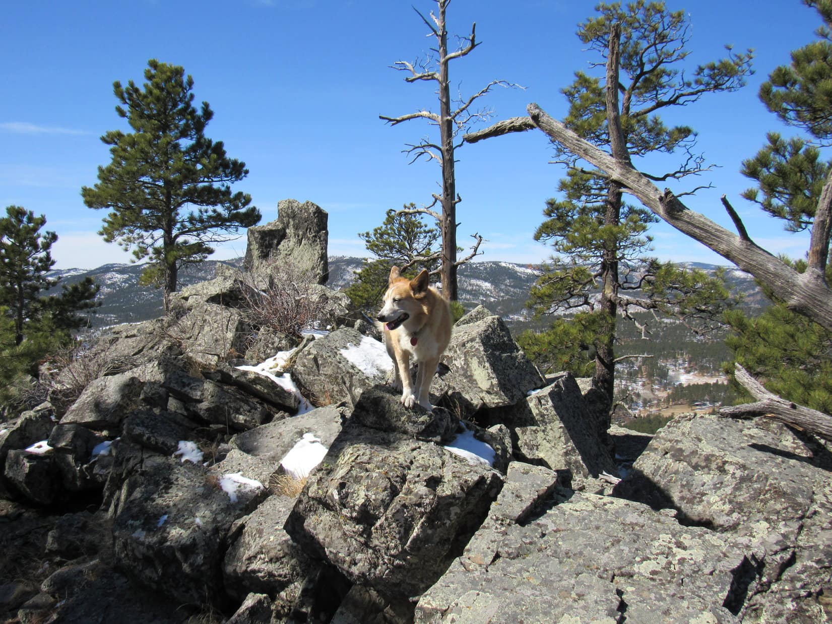
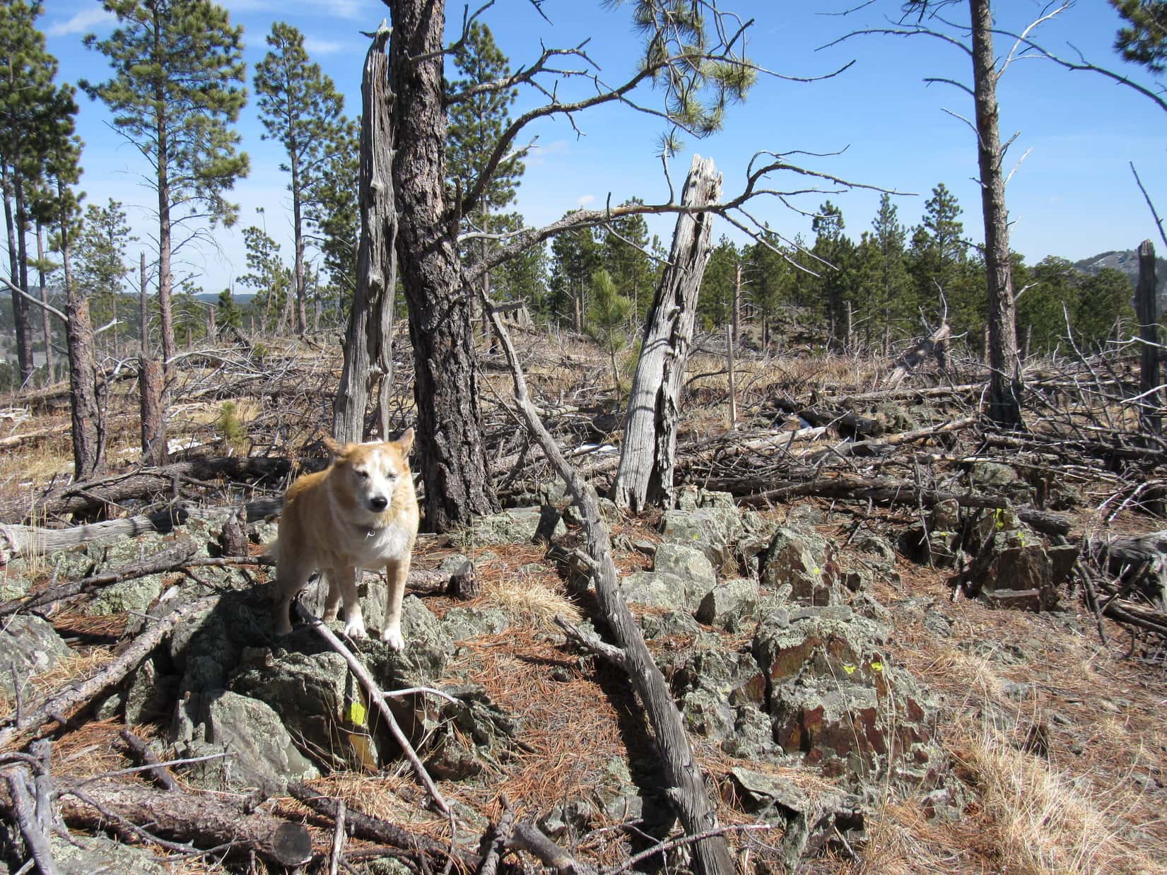
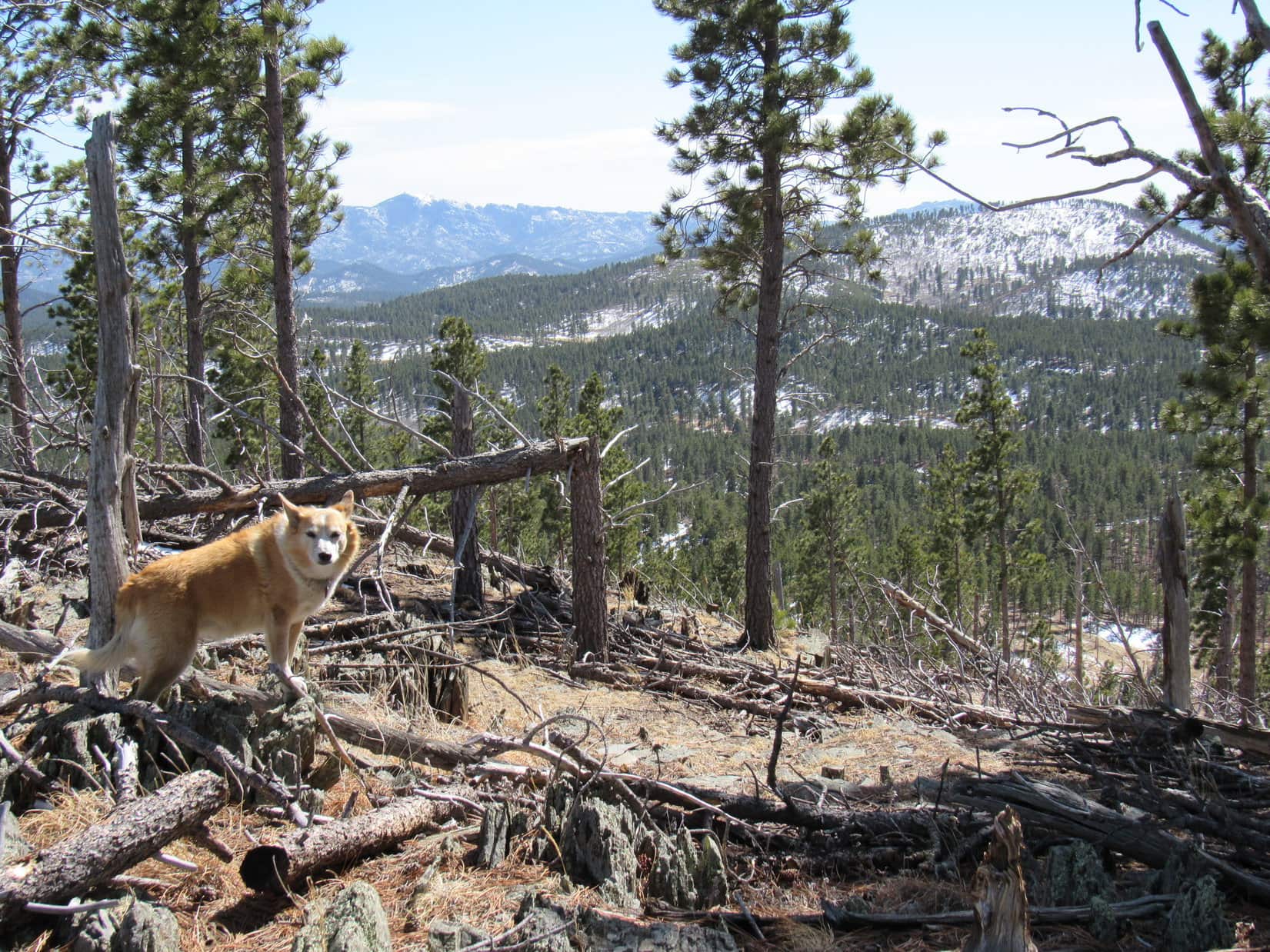
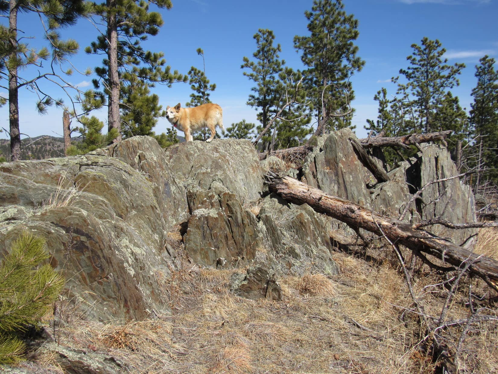
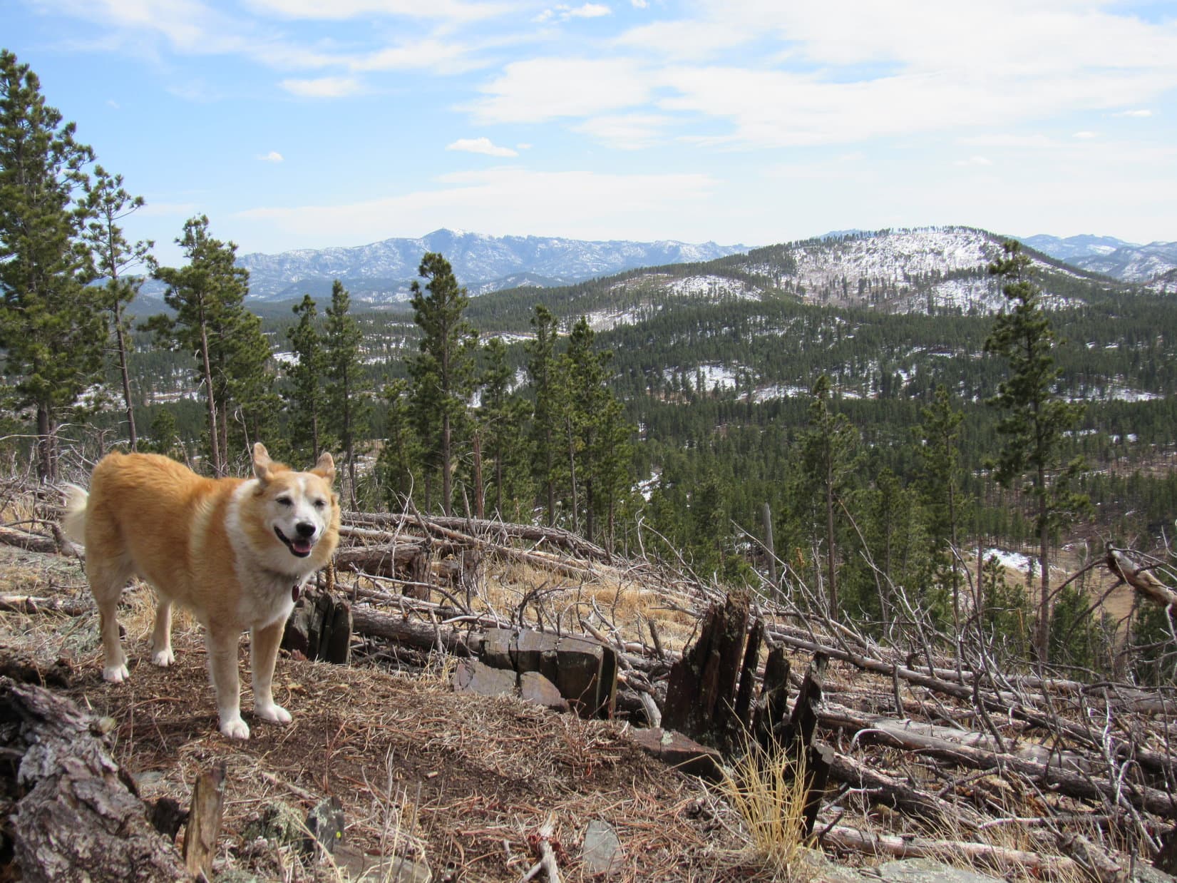
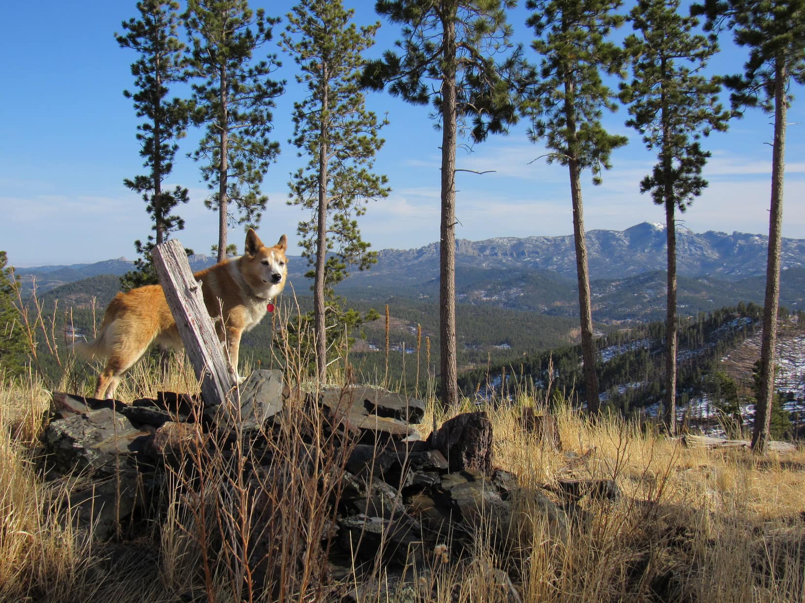
One Lowden Mountain tradition, a visit to the somewhat lower W ridge, could be taken care of before Lupe left the mountain.  After revisiting the summit boulder, she headed NW down a 12 foot slope into another region of dog hair pines.  Forcing a way through, SPHP snap, crackled, and popped countless little branches following the American Dingo.

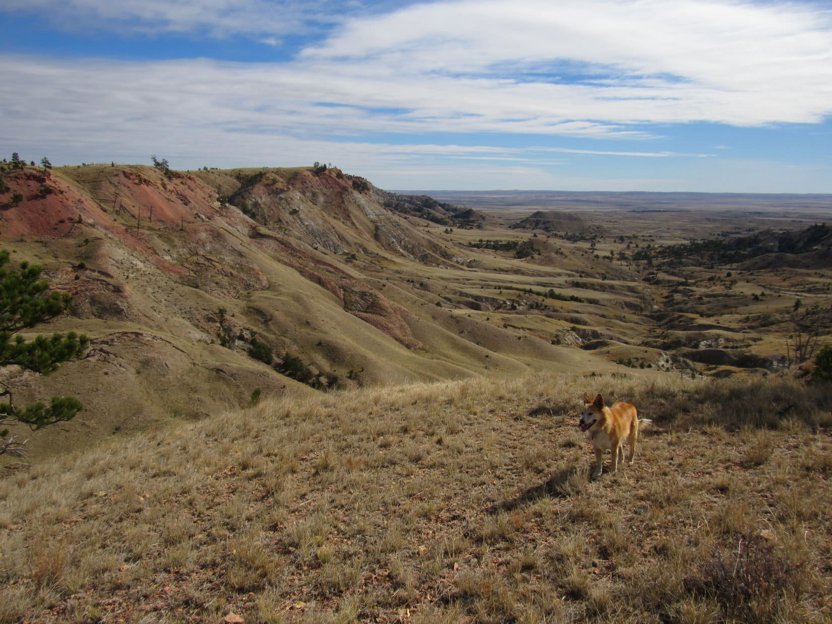
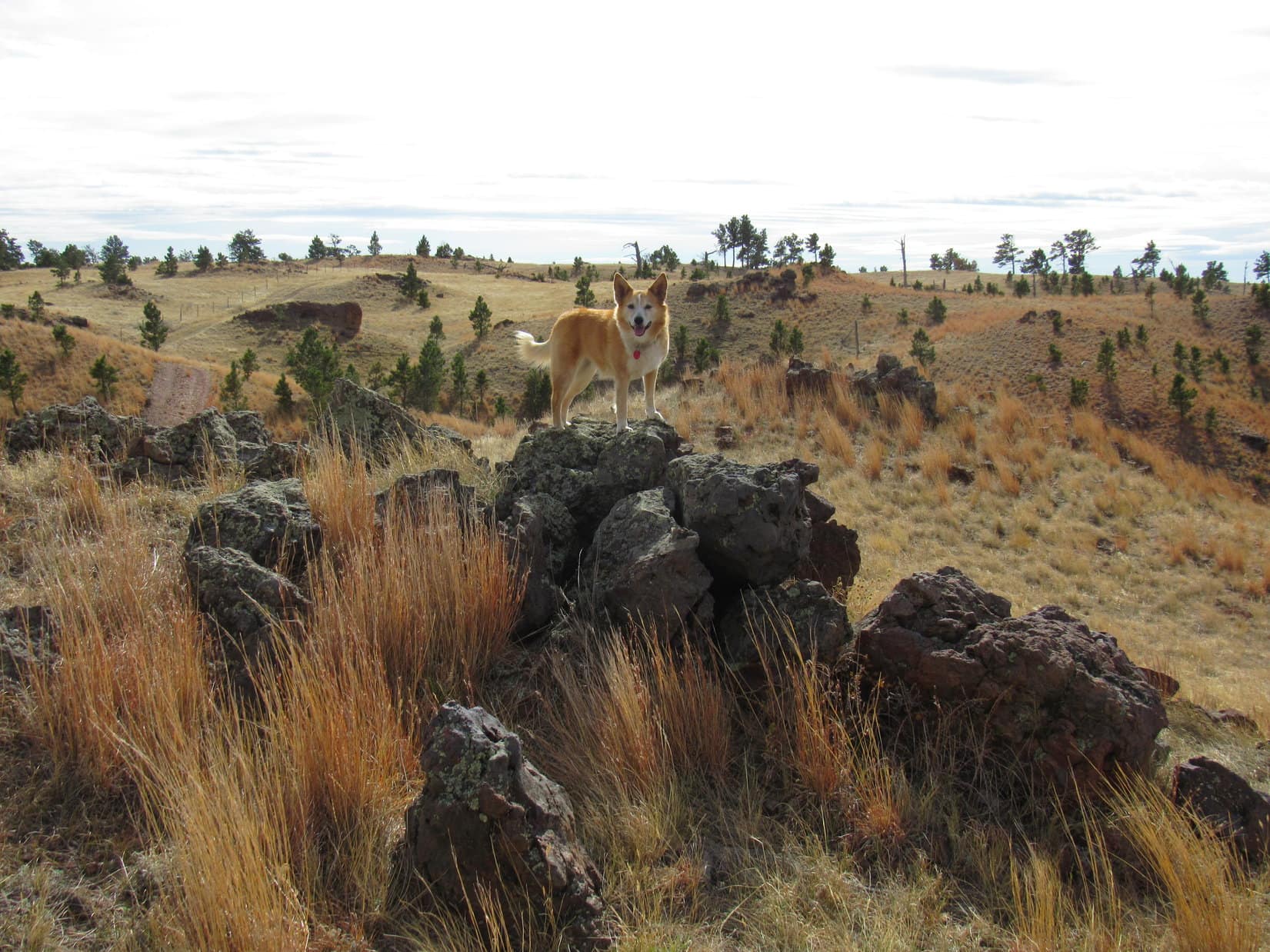
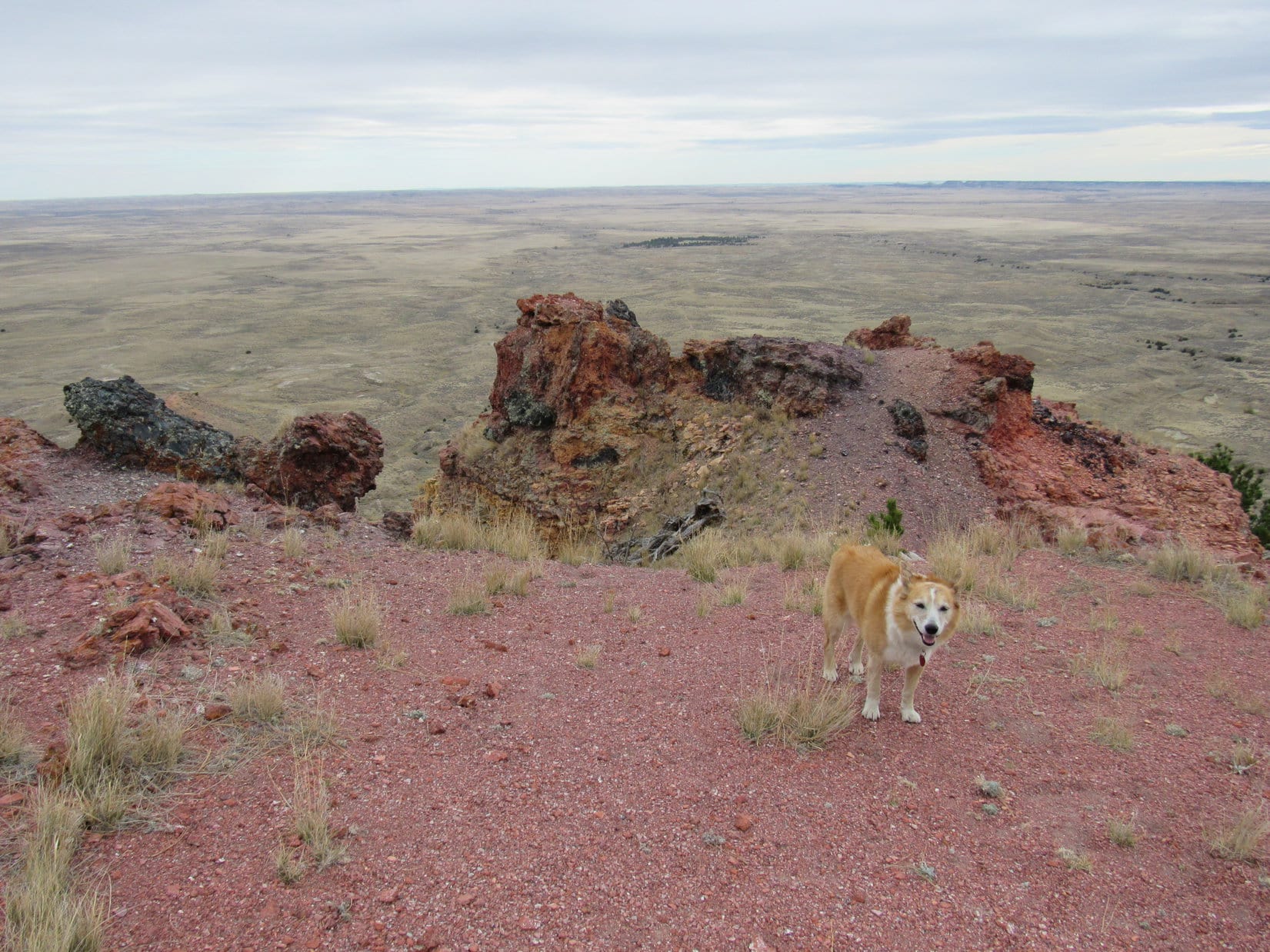
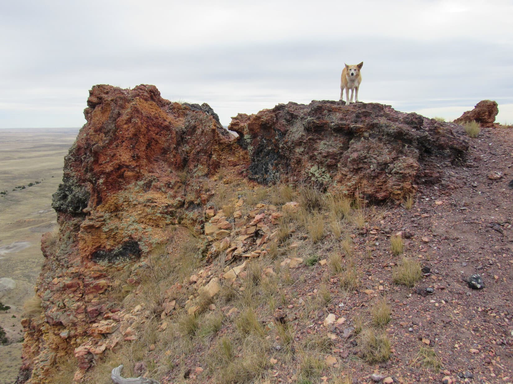
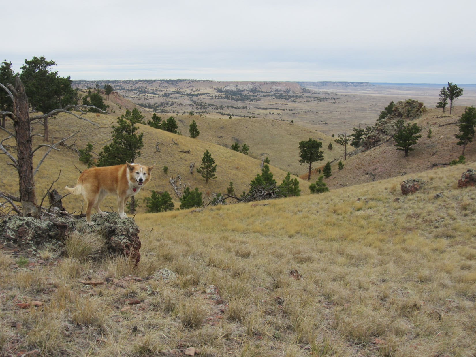
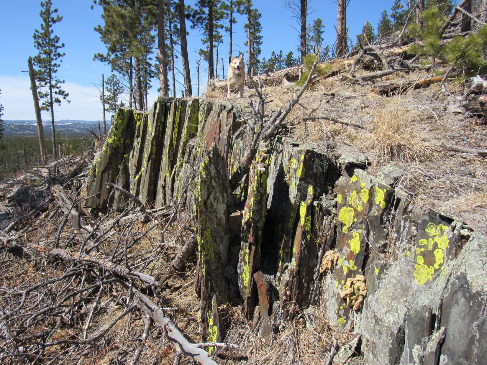
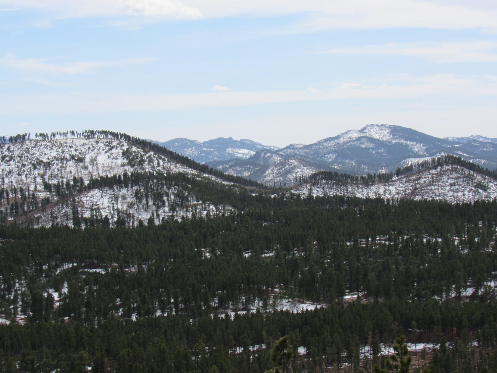
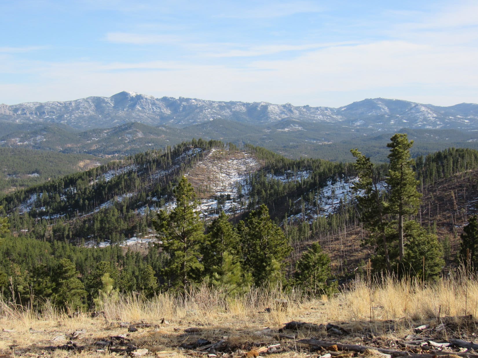
Although several large trees marred the views, the W ridge featured the biggest rock formations on Lowden Mountain.  Lupe always came out here to scramble around a little.  From the right spot, it was possible to obtain a distant look at Signal Knob (6,200 ft.) and higher peaks beyond.

Back at Lowden Mountain’s true summit. Photo looks W.
Out on the W ridge. Photo looks WSW.
Signal Knob (R of Center) is the low dome in the snowy field. Photo looks NW with help from the telephoto lens..

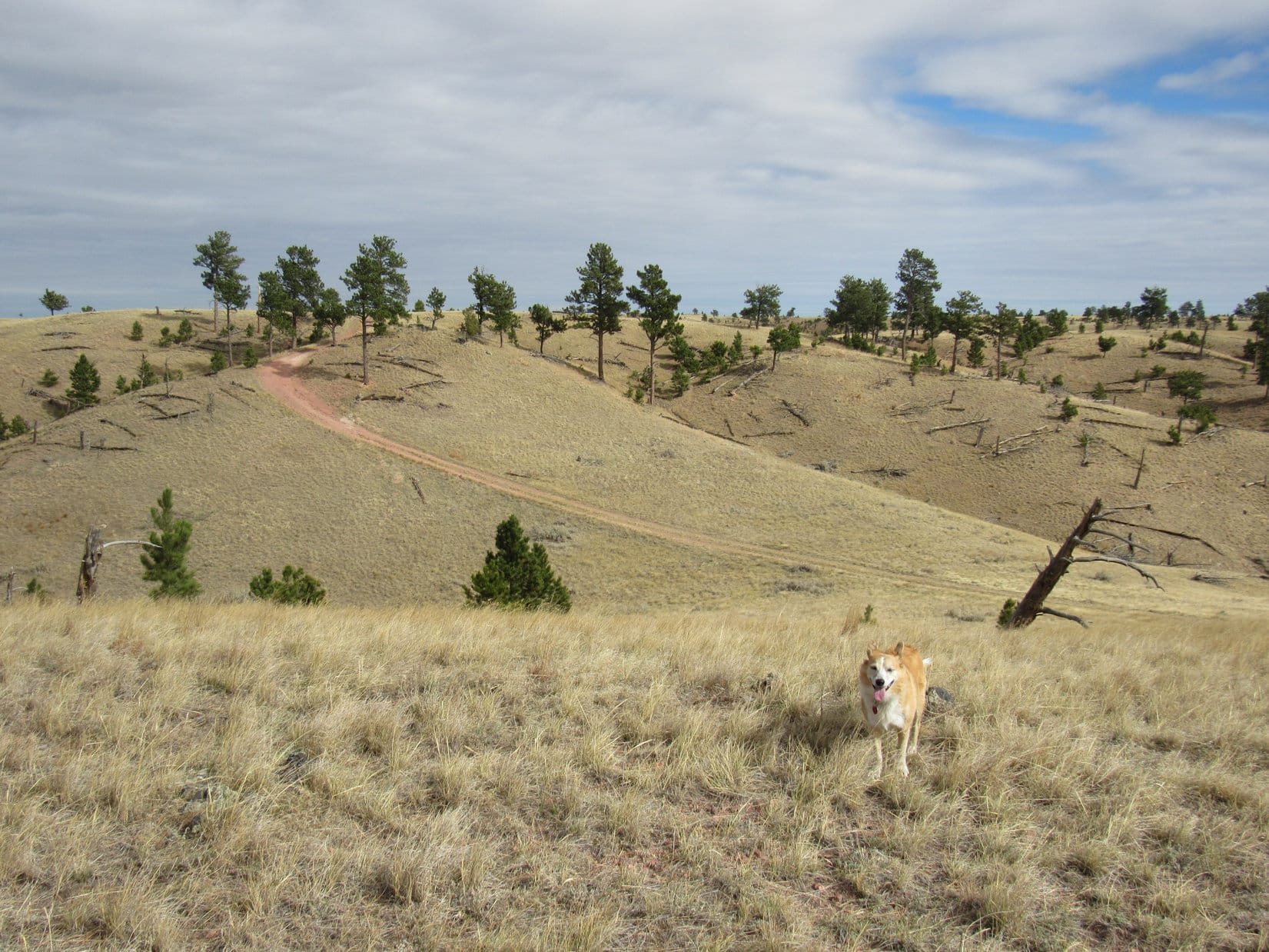
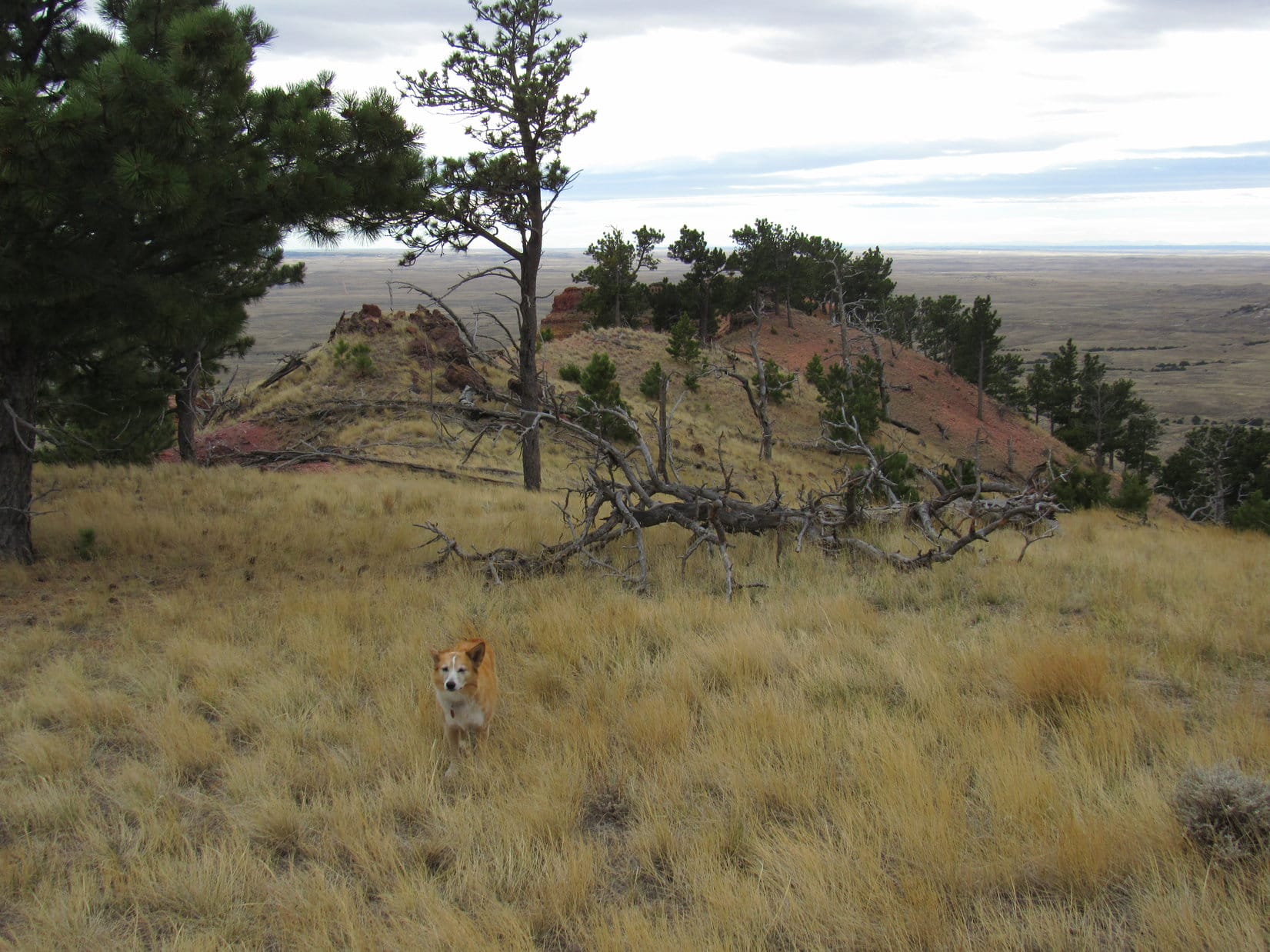
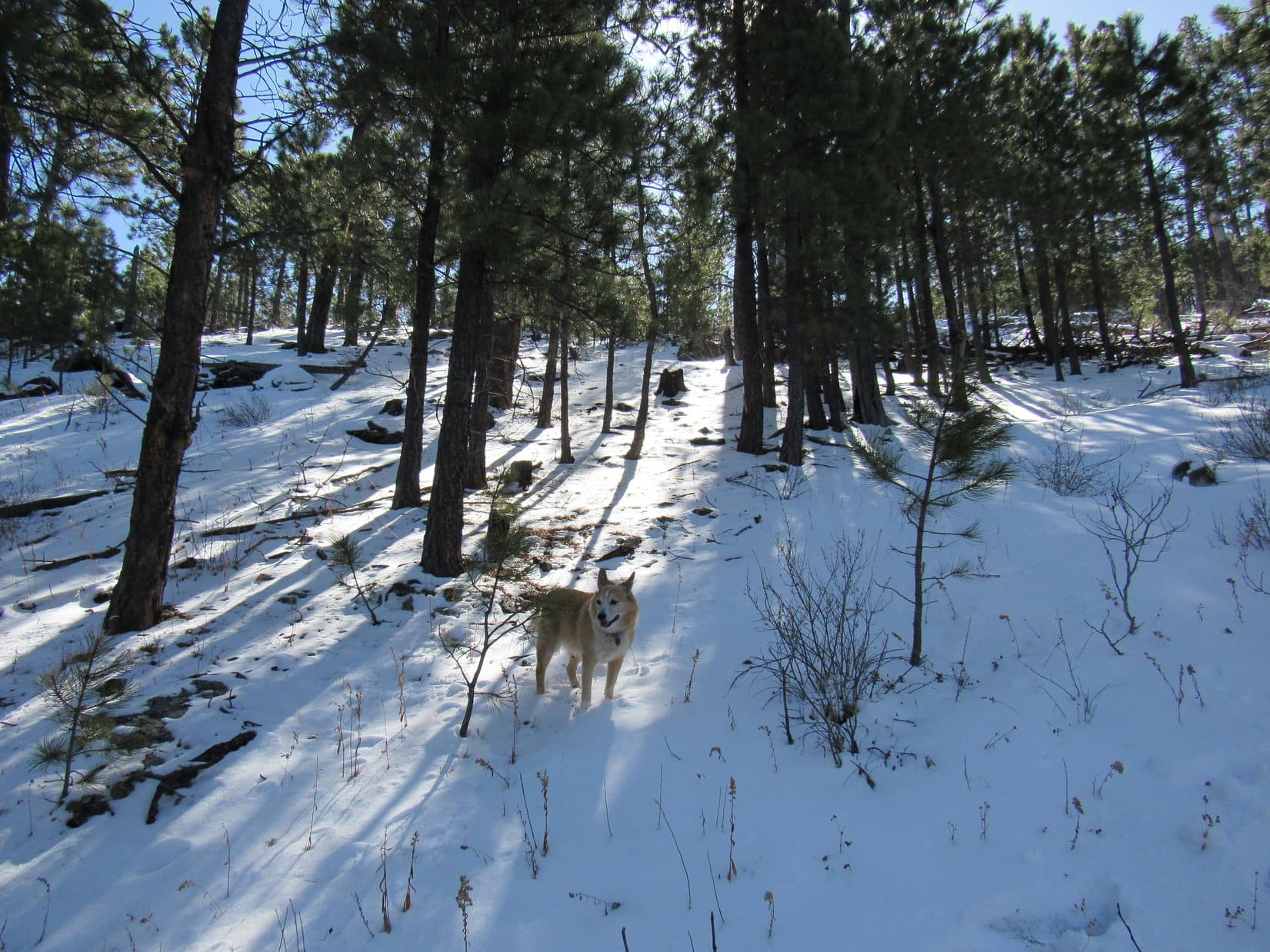
45 minutes after arriving at Lowden Mountain’s summit, Lupe was on her way down the steep N slope.  In some places the snow was nearly a foot deep, which was good because it gave SPHP some support.

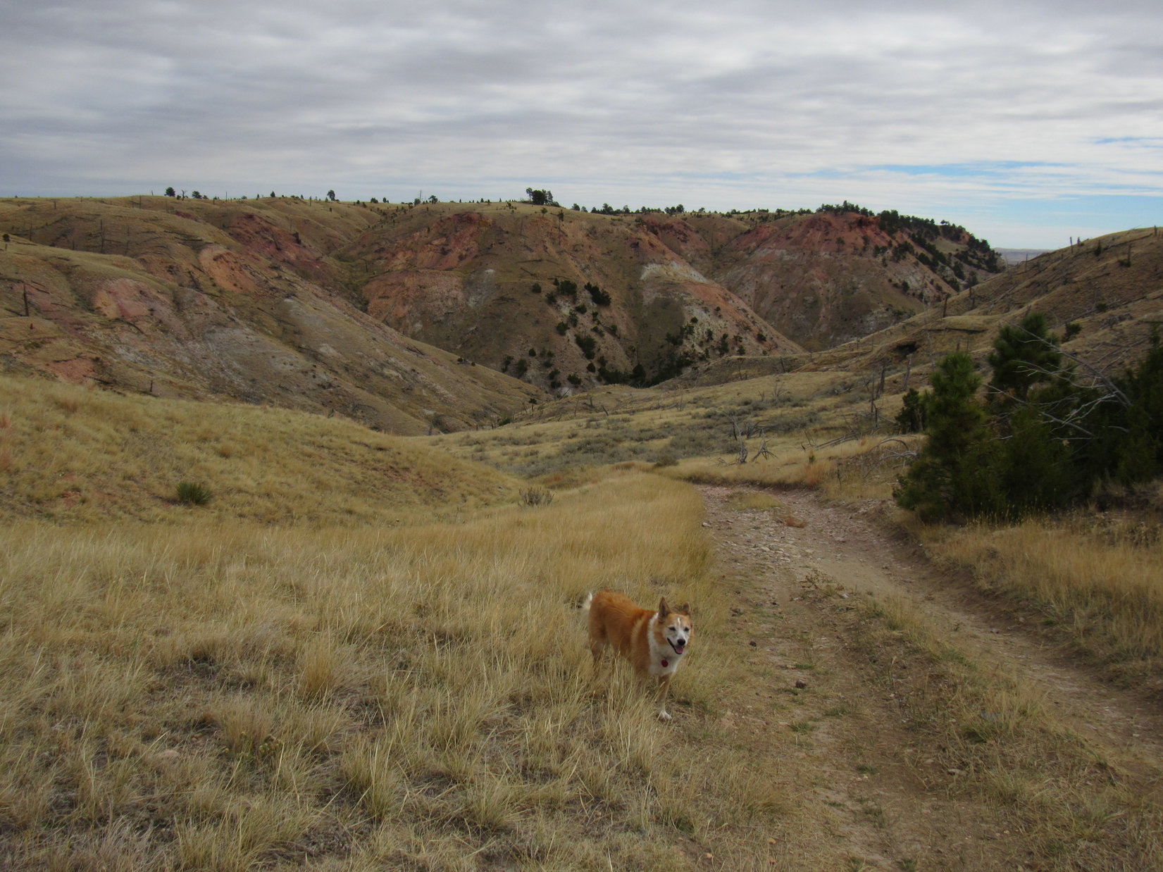
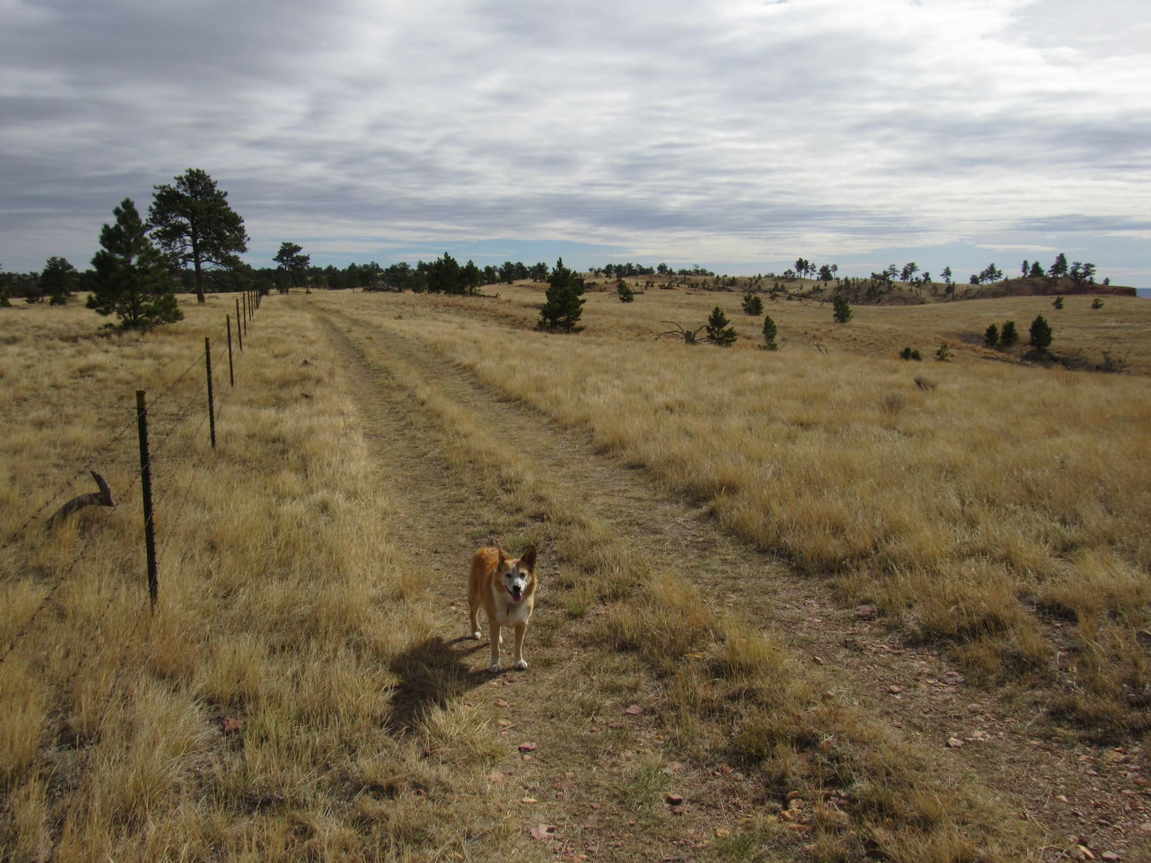
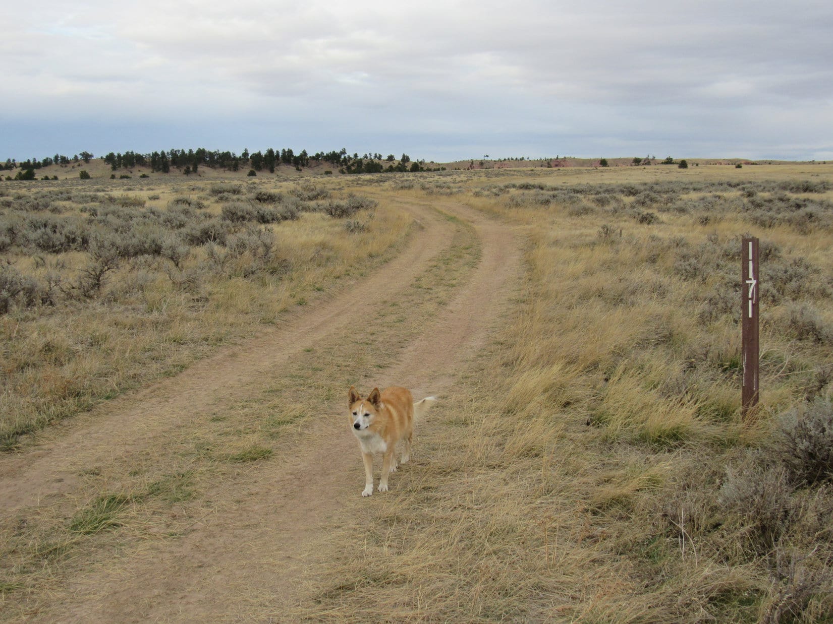
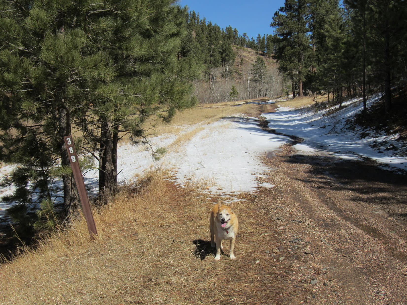
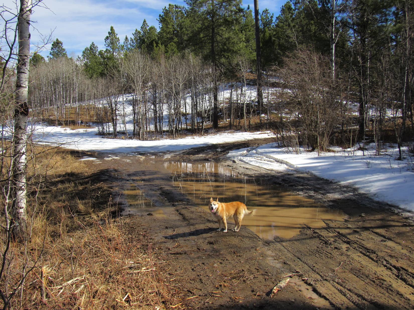
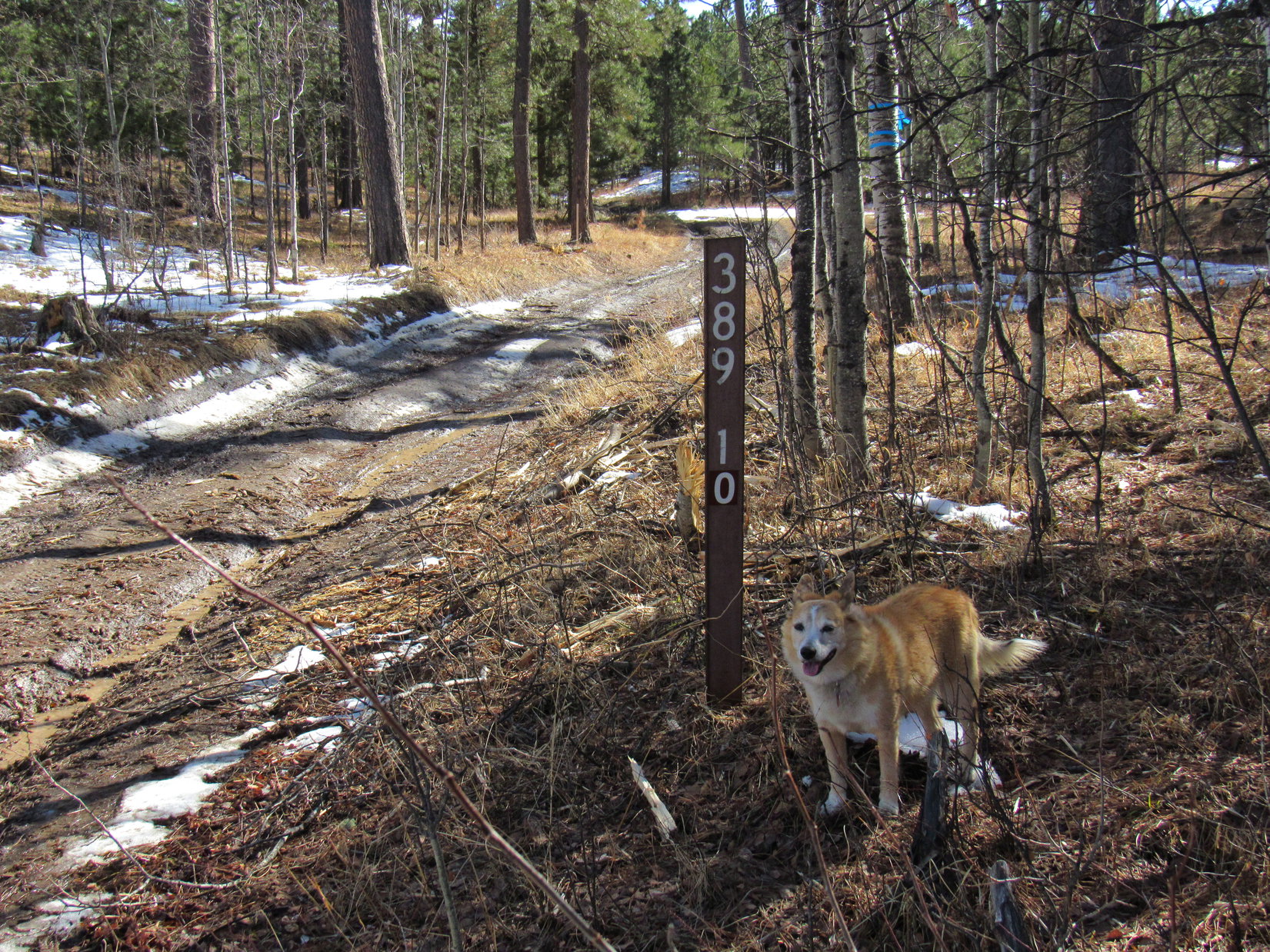
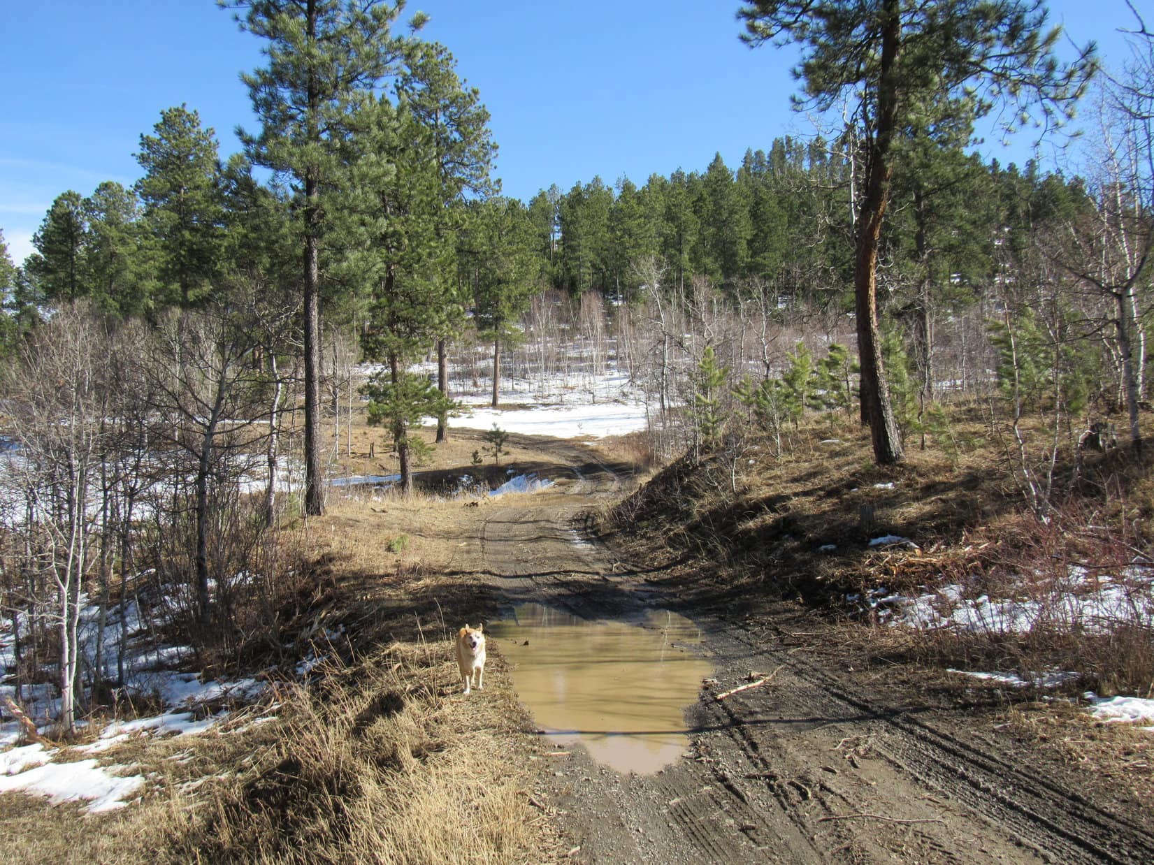
The slope diminished farther down the mountain.  Lupe came to a more open stretch that was littered with deadfall.  Working her way through it, she reached USFS Road No. 389.1K.  Following the nearly level road E, then N, the Carolina Dog arrived at a junction with No. 389.1A.

Starting down Lowden Mountain’s N slope. Photo looks SSE.
On USFS Road No. 389.1K. Photo looks NNE.
At the junction with No. 389.1A.

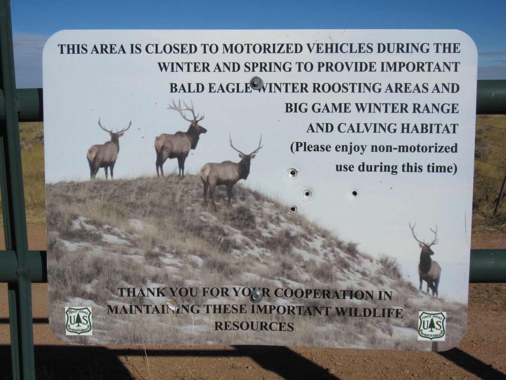
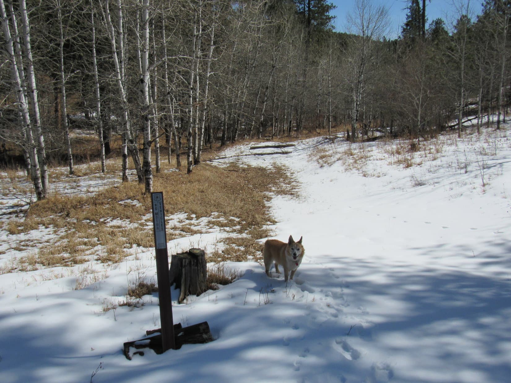
The branch of No. 389.1A that went E soon started winding downhill.  The road turned N bringing Lupe to another intersection.  Abandoned USFS Road No. 389.1L, marked only with a “No Motor Vehicles” wand, went E here disappearing into a small valley.

At the W end of abandoned USFS Road No. 389.1L. Photo looks E.

I remember this, SPHP!  Isn’t this the way to the Gold Mountain Mine?

Indeed, it is, Looper.  We’re almost there!

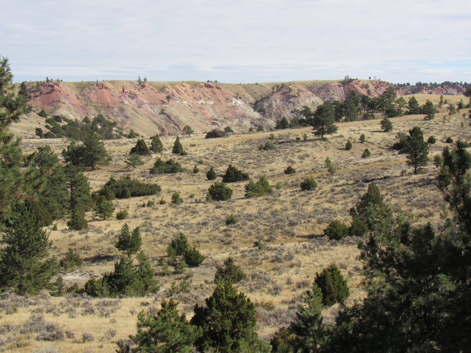
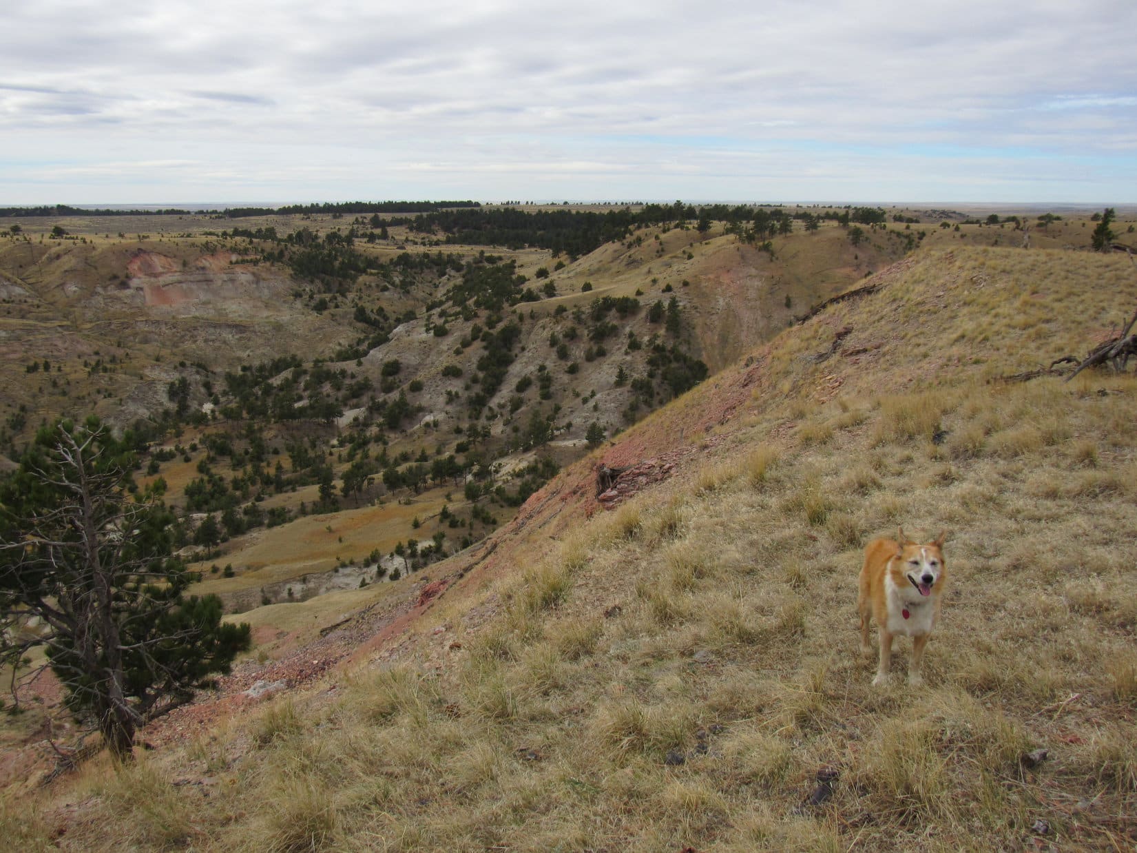
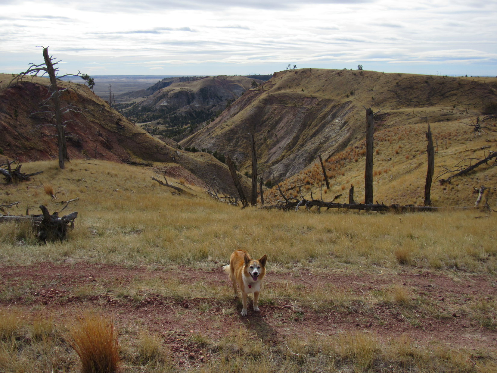
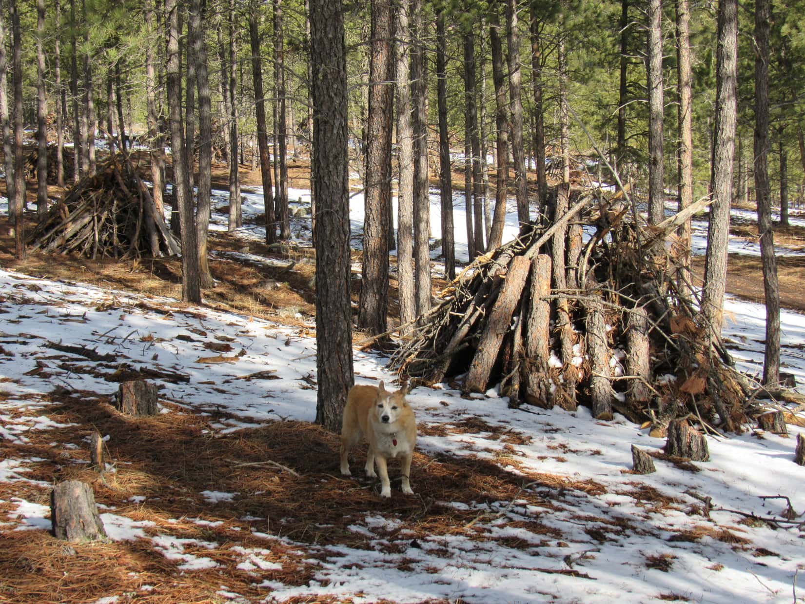
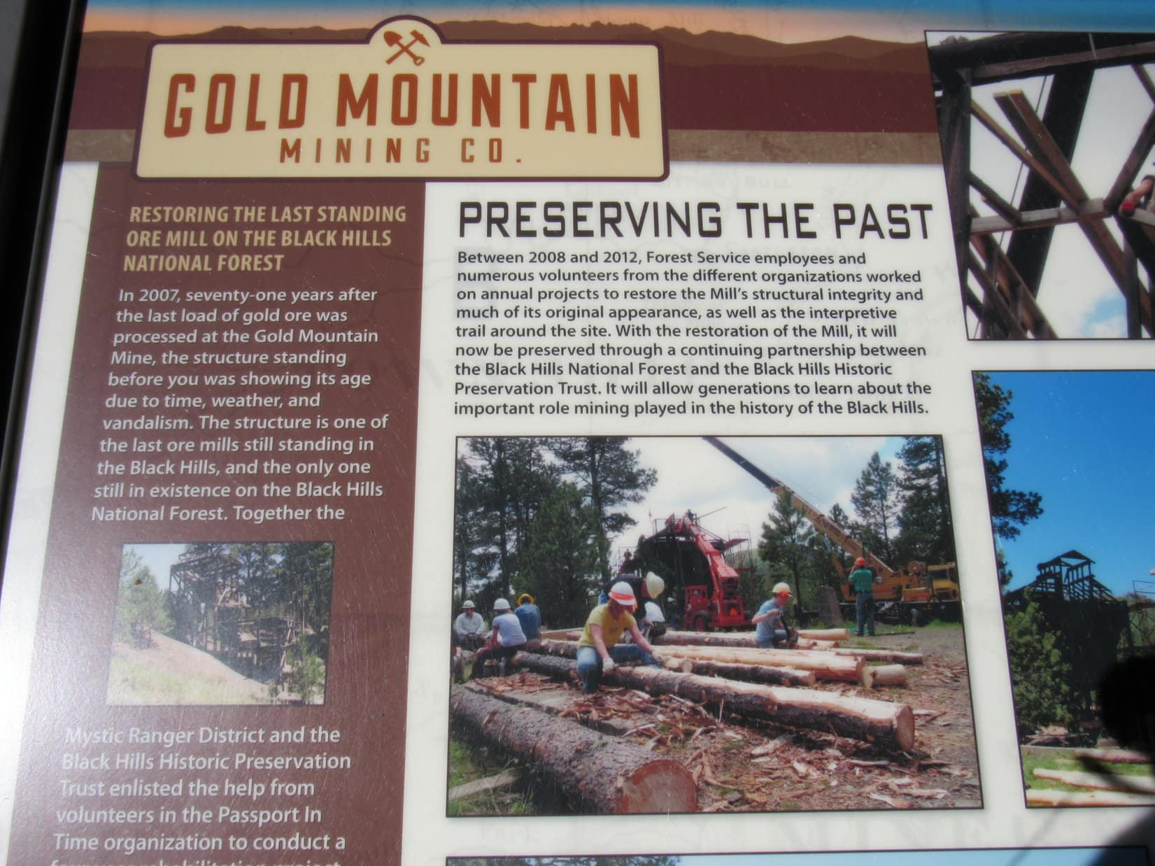
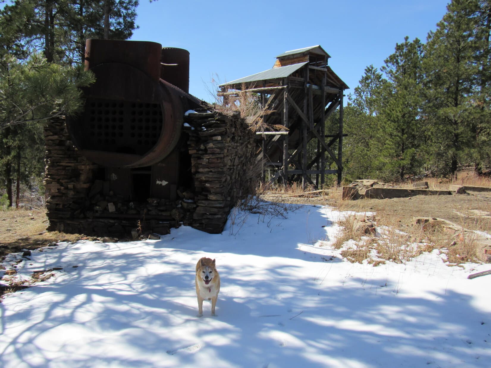
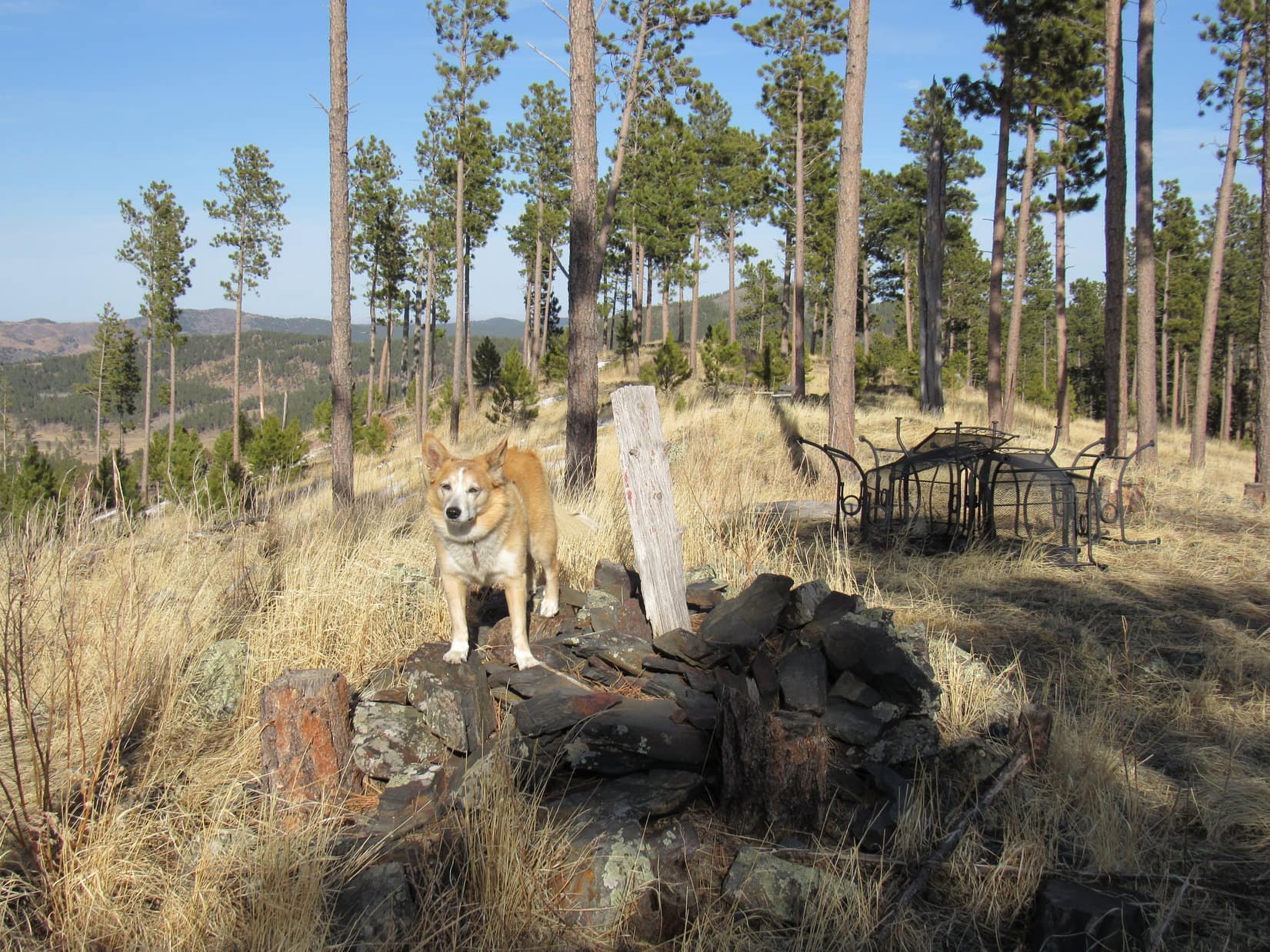
Less than 0.1 mile down No. 389.1L, the Gold Mountain Mine sat up on a hillside to the N.  Lupe went up check it out.  The main features were a big multi-story mill structure overlooking the valley, and a metal kiln or boiler supported by loose rock walls.

At the Gold Mountain Mine. Photo looks NE.

Suppose there’s still any gold laying around here, SPHP?

Not likely, Looper.  In fact, stick close to me.  Used to be a lot of broken glass, especially up by the boiler or kiln, or whatever that thing is.

The Gold Mountain Mine had been partially restored.  At least 7 plaques were on display.  Lupe sniffed about nearby while SPHP had a look at some of them.

Preserving the past.
The Gold Mountain mill.
Another look at the mill. Photo looks NW.
Up by the boiler or kiln(?) Photo looks W.
Still some broken glass around, but not as much as there used to be. Photo looks NW.
Where the gold came from.
Pans and placers.
There used to be a bunny living in this contraption! Photo looks W.
Hard rock mining.
The Gold Mountain Mine can be seen from Lowden Mountain (R)! Photo looks SW.

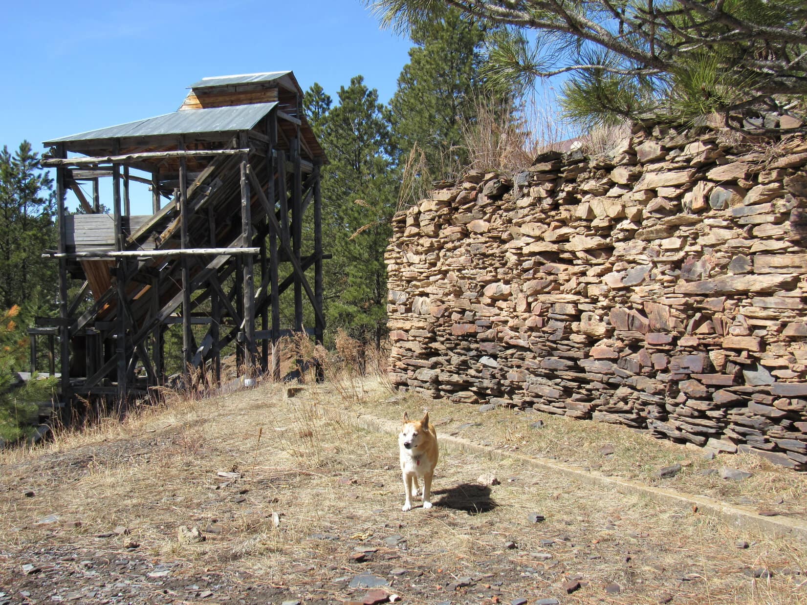
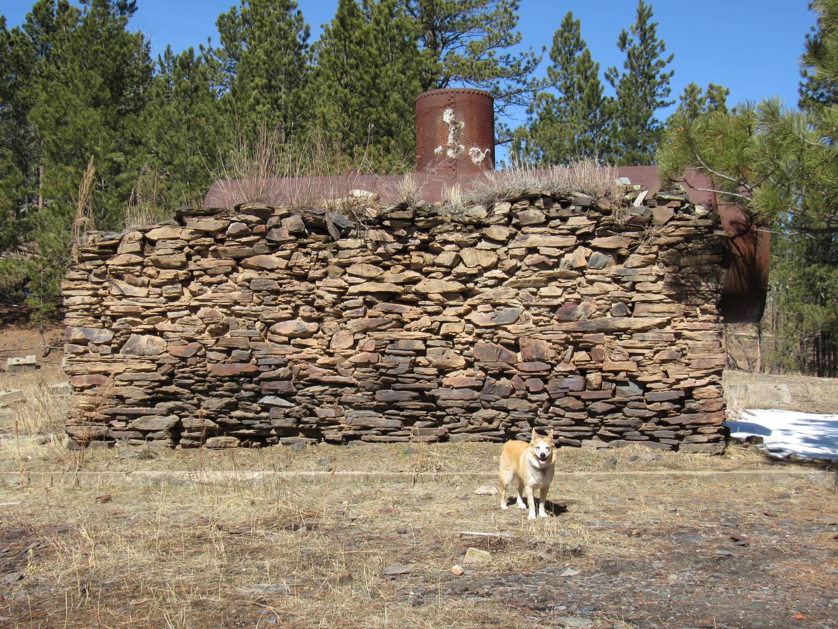
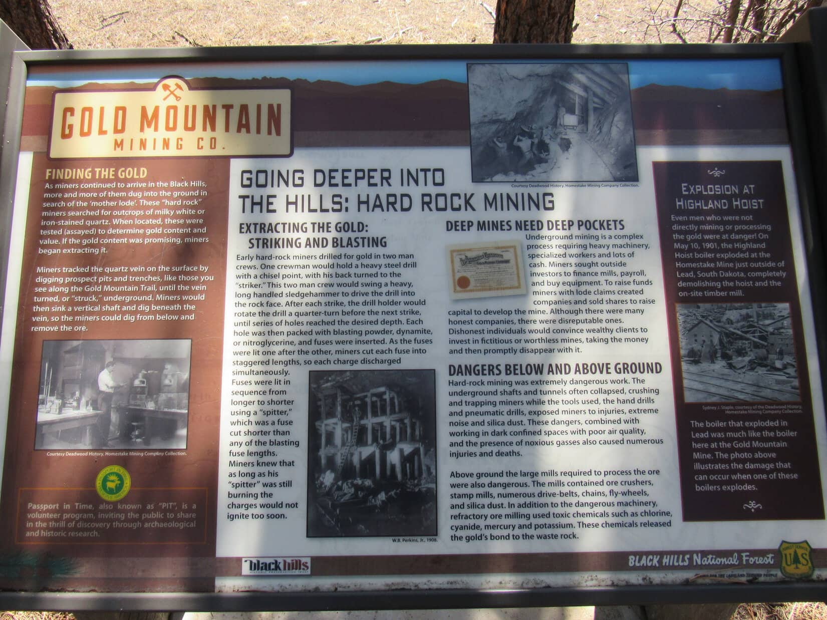
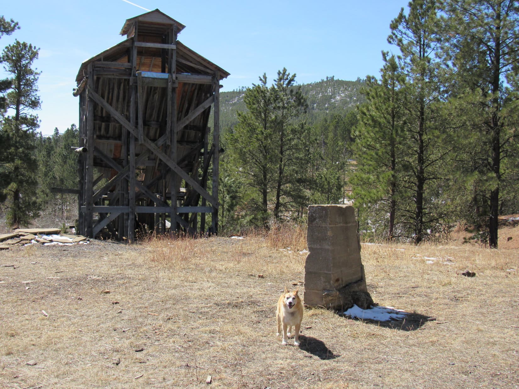
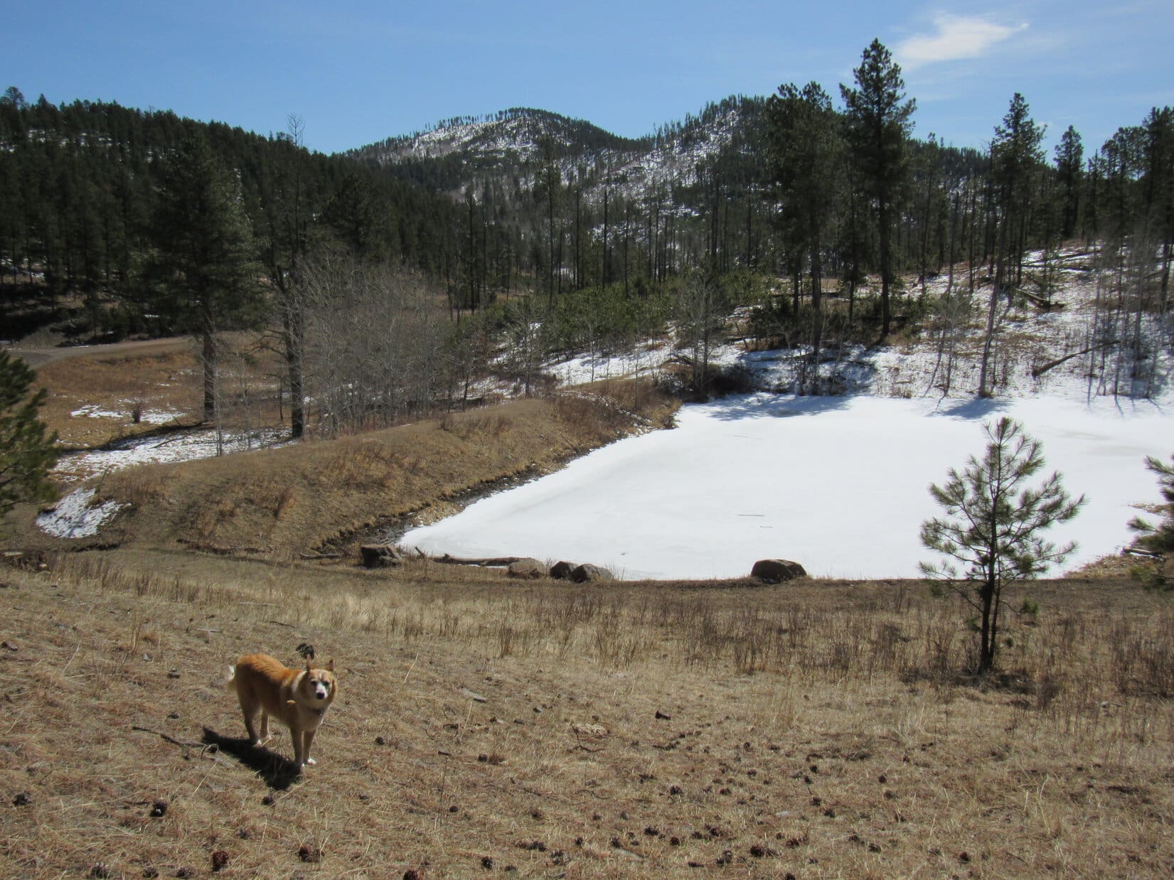
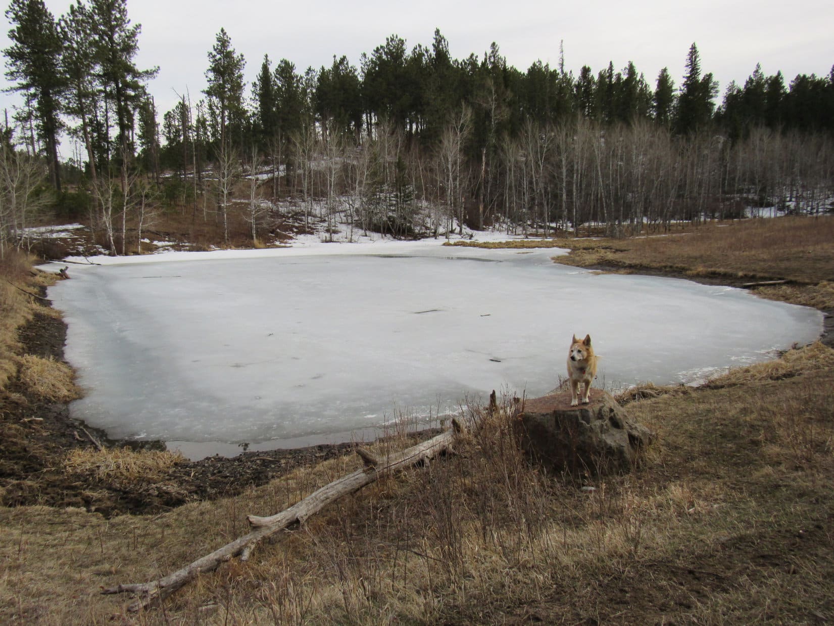
Lupe’s visit to the Gold Mountain Mine kept another Lowden Mountain tradition intact.  Always fun to see it, but Loopster was more likely to get shards of glass in her paws than nuggets of gold.  A quick visit, and SPHP encouraged the American Dingo to move along.  Down a slope to the SE was a frozen pond, and a nice view of Union Hill (6,120 ft.).

Union Hill (L of Center) from the pond SE of the Gold Mountain Mine. Photo looks SE.

Burnt Fork Road (USFS Road No. 389) was visible on the far side of the valley below the pond.  Reaching the road, SPHP turned NE following it up another valley.

SPHP!  Wait!  Aren’t we going to climb Union Hill?  We’re real close to it!

Umm, I don’t know, Loop.  Thought we better get that pesky Peak 6040 out of the way first, since we’ve never been to it before.  Don’t want to fail for the 2nd expedition running, do we?  Besides, by tagging Peak 6040 first, we can keep our options open on where to go next.

Guess we’re going this way! On Burnt Fork Road. Photo looks N.

0.5 mile up Burnt Fork Road it turned E going over a pass.  SPHP stopped to consult the topo map.

That’s odd!  Believe we’re a little N of HP5772, but the map doesn’t show the road going this way.

So, what do you propose, SPHP?

No more than 0.67 mile to Peak 6040 from here, if I’m right.  Looks like easy terrain according to the map.  Let’s just go for it!

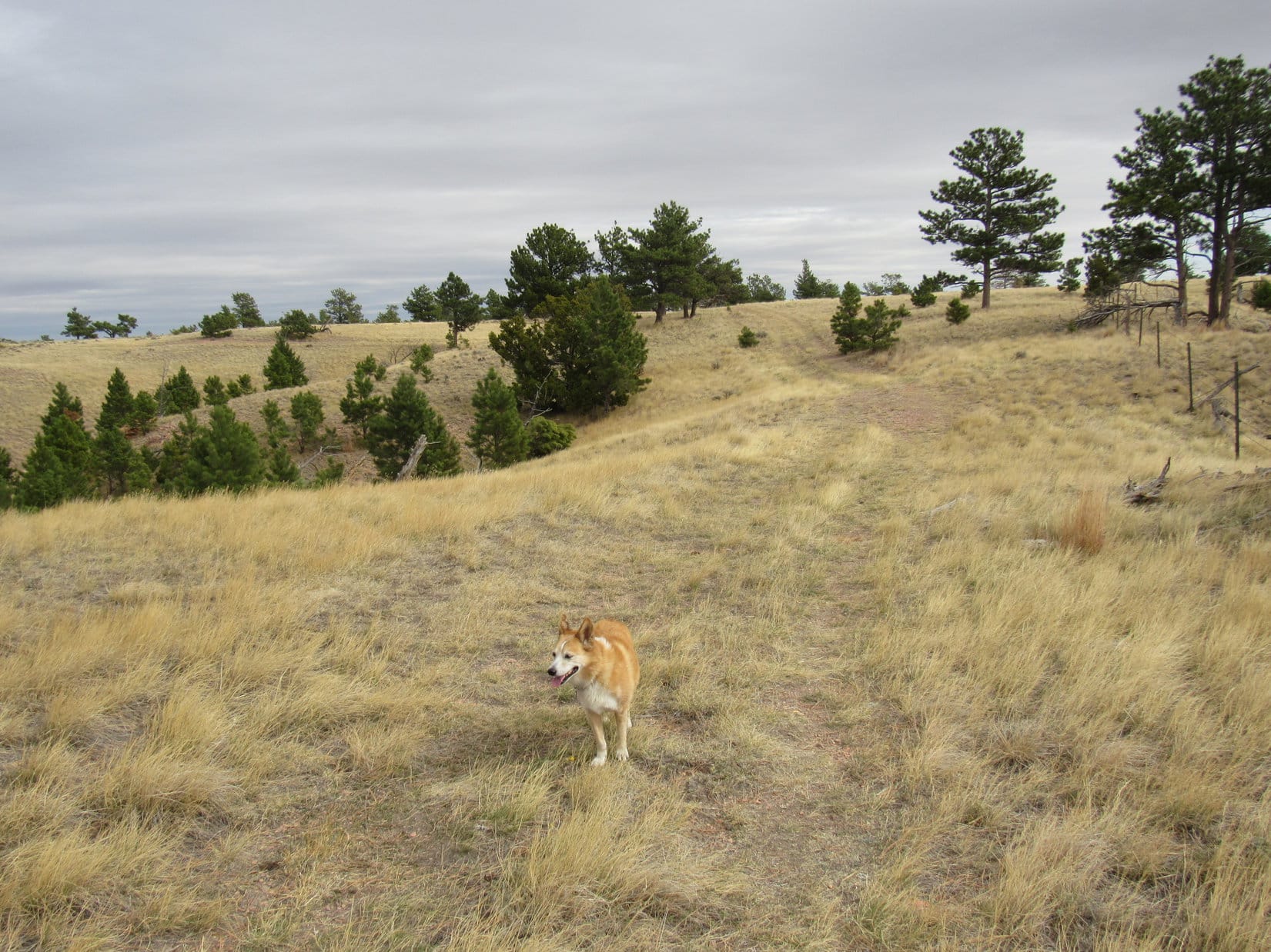
Heading NNE through the forest, Lupe soon came to a minor high point.  A considerably higher ridge was visible to the NE.  Didn’t look all that far away.

That must be Peak 6040! Photo looks NE.

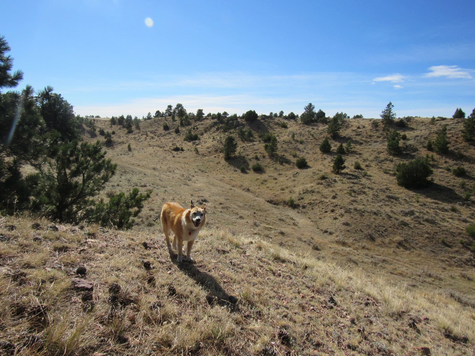
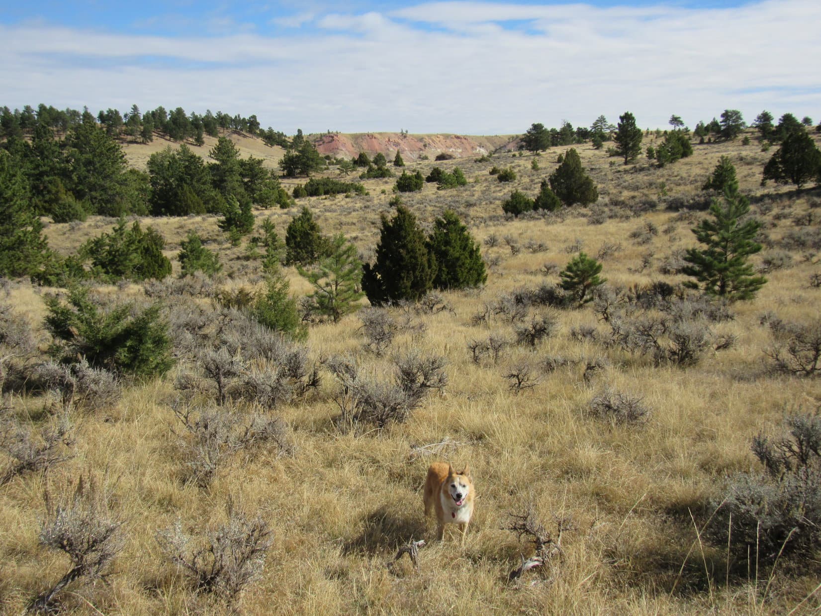
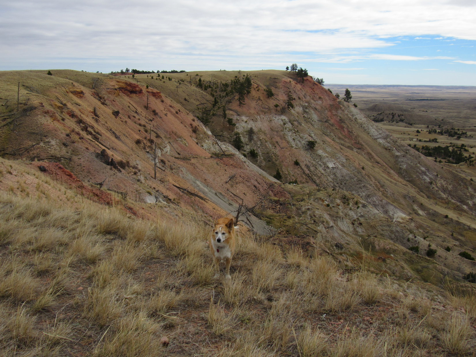
Getting to Peak 6040 was harder than it looked.  Beyond the first high spot, Lupe crossed 2 drainages, losing 30 or 40 feet of elevation both times. The terrain was easy, but the deadfall was icky.  The uphill SW slopes of the ridges separating the drainages weren’t bad, but the rest of the trek was full of it.  The NE downslopes and bottoms of the ravines were particularly clogged.

Crossing the first drainage. Photo looks NE.
On a SW upslope, a super highway by comparison. Photo looks ENE.

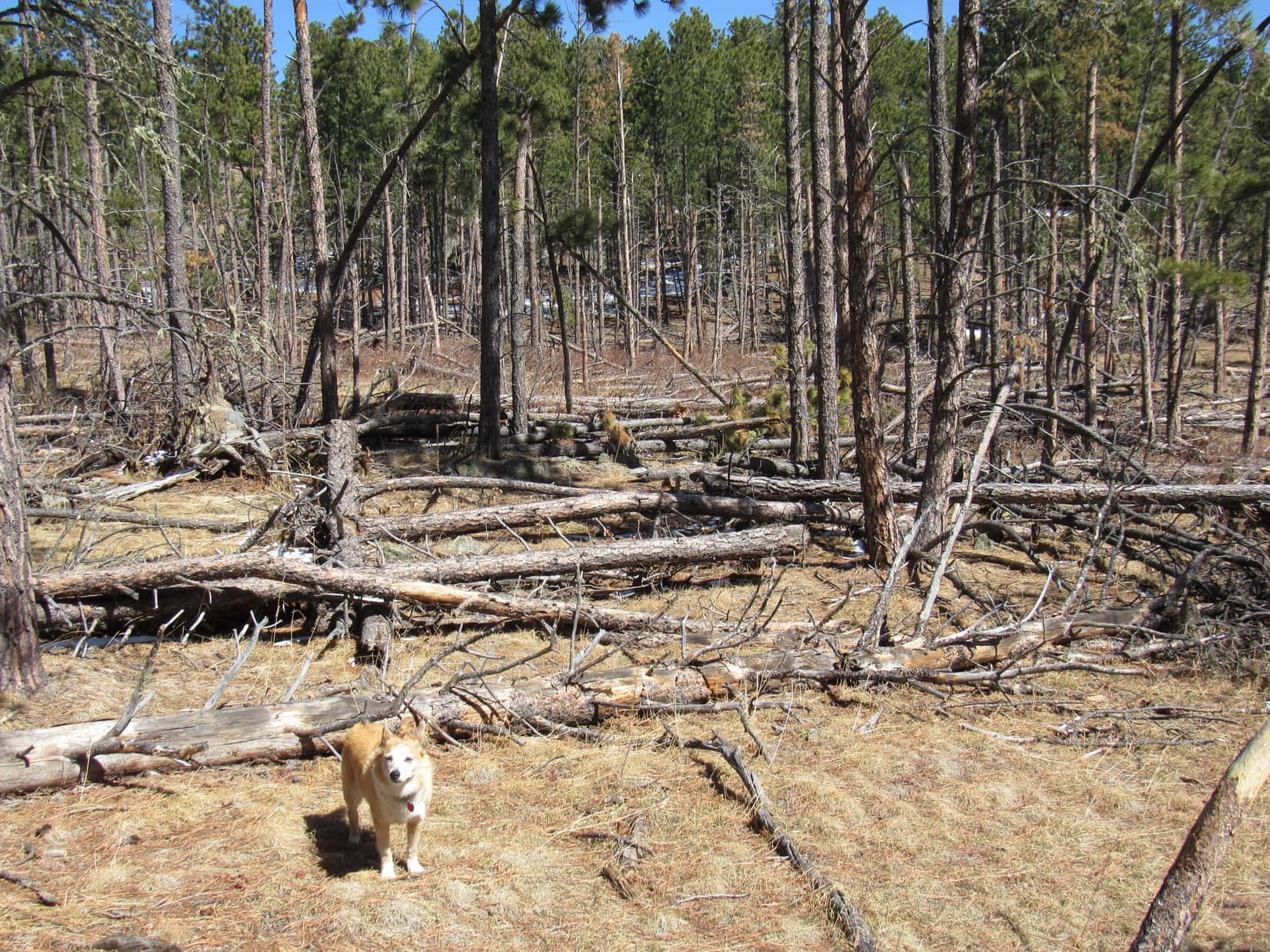
One more ridge and valley to go just to get to the base of Peak 6040.  This valley was deeper than the others, and also loaded with deadfall.  Lupe lost twice as much elevation.  Took a while, but once the American Dingo got across this last valley she was past the worst of the deadfall.  Only a 250 foot climb remained.

Getting there! Peak 6040 dead ahead! Photo looks NE.

Still some deadfall on Peak 6040’s SW slope, but not enough to prevent Lupe from weaving through it all without much trouble.  She was soon approaching the summit, with nice views back to the SW.

Almost there! Photo looks NW.
Along the upper rim. Union Hill (L) and Lowden Mountain (R). Photo looks SSW.

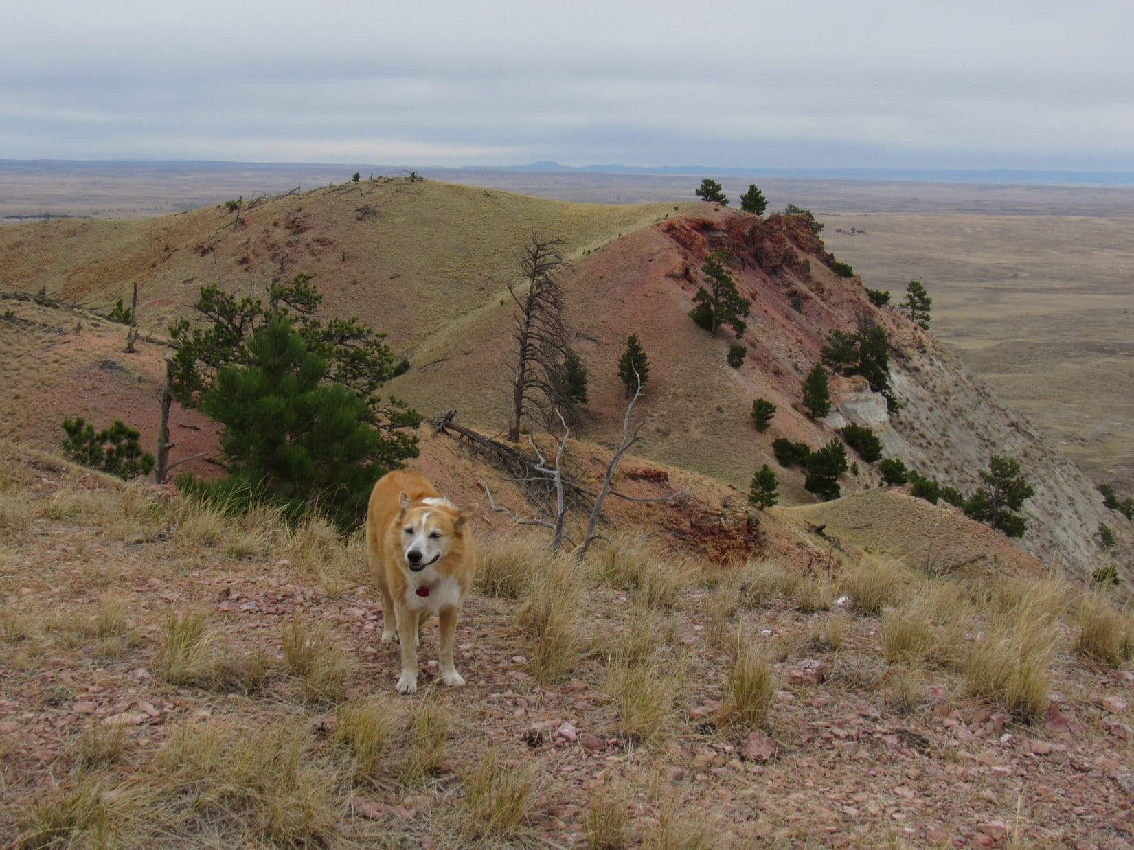
1:40 PM, 58ºF – Peak 6040’s summit region was big, grassy, and littered with deadfall.  Not too pretty!  A collection of 5 foot tall rocks stood on end near the NE edge, one of two possible true summit locations.  The other high point was NW of where Loopster came up among some low rock outcroppings.

Without bothering to go to either true summit candidate, Lupe and SPHP picked a sunny spot along the SW edge and sat down.  A cool breeze blew out of the W.

Chocolate coconut bar time, SPHP?

Absolutely, sweet-tooth Dingo of mine!

The chocolate coconut bar survived 10 seconds, followed by Taste of the Wild and water.  SPHP ate an apple.  Peak 6040’s summit might have a case of the uglies, but the views were really nice!  For half an hour, Loop and SPHP relaxed in the breeze, basking in bright sunshine.

Well, Loop, if we’re going to do anything else today, we better get with it!

Ready when you are, SPHP!

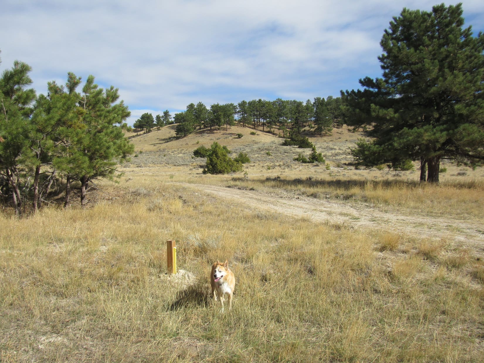
A brand new 4 foot high, 4-sided skinny stick stuck up out of the ground 20 feet N of where Lupe had been resting.  Little metal tags near the top of each side had stampings indicating that this was some sort of a survey marker.  Peak 6040’s NW high point was another 15 feet NW.  Looper got up on the highest rocks.

At the NW high point, possibly the true summit. Photo looks ESE.
Same spot. Black Elk Peak (L) and Union Hill (R). Photo looks SSE.

After visiting the NW high point, Lupe went over to the SE one where the rocks were standing on end.  The highest rock, only a few inches taller than some of the others, provided a precariously narrow perch.  Perhaps the true summit, but SPHP couldn’t tell for sure.

At the SE high point. Photo looks E.
On the skinny, possibly true summit. Photo looks SE.

Less than 2 miles away, Peak 6167 was visible to the NNE.  Might be the Carolina Dog’s next destination, but a trek through who knew how much deadfall suddenly seemed potentially ill-advised.  Nearly 2 miles of it would be horrendous.

Peak 6167 (Center). Photo looks NNE.

Peak 6040’s summit ridge extended several hundred feet farther SE.  This region was slightly lower, narrower, and more heavily forested.  Abandoning the Peak 6167 idea for the moment, Lupe explored way out to the very end before finally coming to a viewpoint.

Beyond Marshall Gulch was a terrific look at the region Loop had visited on Expedition No. 270.  False North Point (6,130 ft.), True North Point, and Five Points (6,221 ft.) were all lined up in a row.

False North Point (L), True North Point (Center), and Five Points (R). Photo looks SE.

2:43 PM, 58ºF – The Carolina Dog’s hour on Peak 6040 was over.  Lupe was back at her initial rest spot along the SW edge.  SPHP stood gazing S still trying to figure out what peaks those were in the distance between Union Hill and Zimmer Ridge (6,600 ft.).

Union Hill (L) and Zimmer Ridge (R). Photo looks S with help from the telephoto lens.

Where to next, SPHP?

Well, what do you think, Loop?  Options are Peak 6167, Redfern Mountain, and Union Hill.  Doubt we’ll have time enough to complete your Lowden Mountain traditions if we choose 6167 or Redfern.  Could probably still do it if you want to go to Union Hill, though.

Carolina Dogs aren’t fussy.  Any of these choices would have been fine with Loop.  SPHP too, for that matter.  The Lowden Mountain traditions won out in the end.  A last glance at the views from Peak 6040, and Lupe was heading back down the SW slope.

Guess we’re heading for Union Hill (R) after all! Black Elk Peak (L). Photo looks S.
Heading down Peak 6040’s SW slope. Photo looks W.

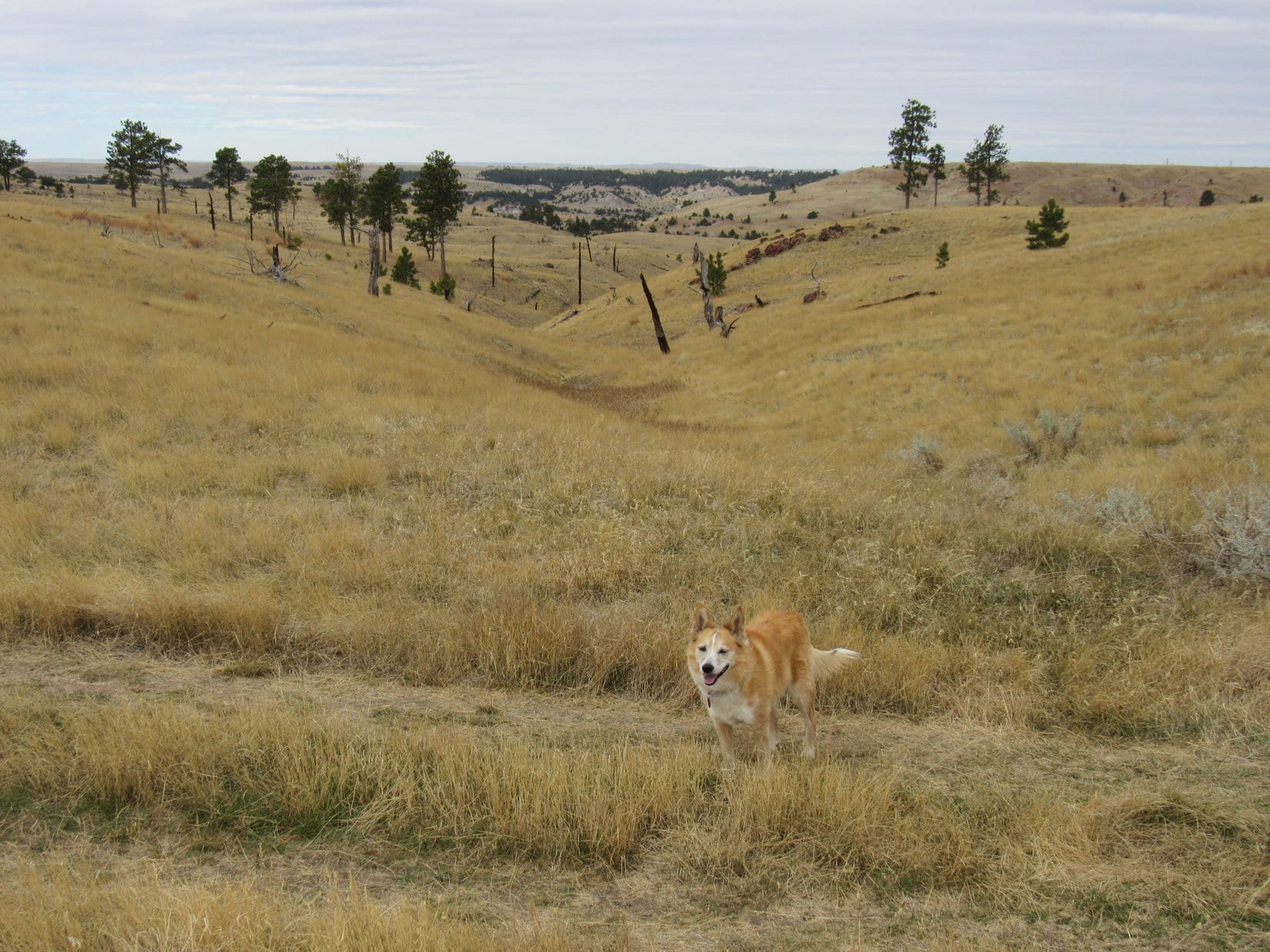
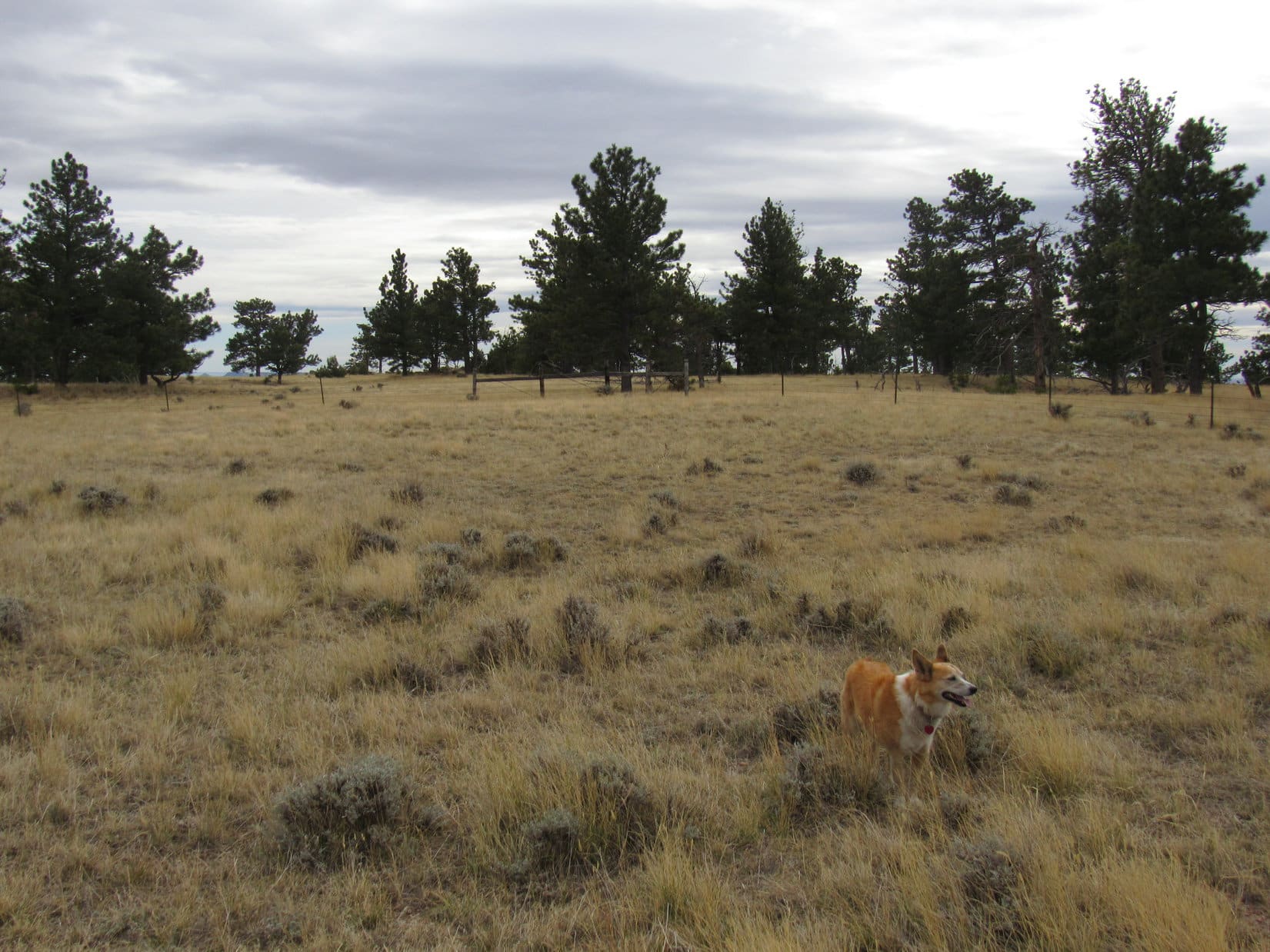
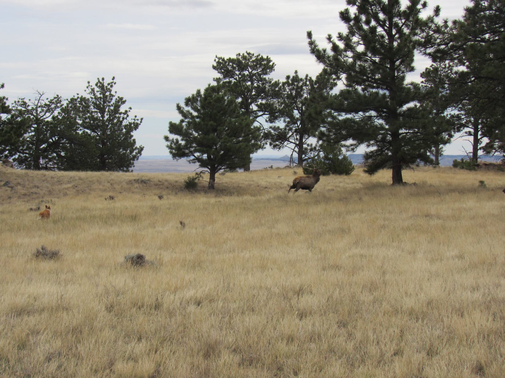
Upon reaching the valley, Lupe turned S following it lower, a maneuver that avoided most of the wretched deadfall.  She saw several deer before leaving the valley to cut SW across gentle terrain in an open forest, and soon arrived back at USFS Road No. 389 only a short distance NW of a junction with No. 389.1O.

Back on USFS Road No. 389. No. 389.1O takes off to the R just ahead. Photo looks SE.
At the N end of USFS Road No. 389.1O. Photo looks S.

No. 389.1O was a shortcut that went S up over a gentle pass.  Entering the next valley, the road turned SE going down to another intersection with USFS Roads No. 389 and No. 254.  Looper followed No. 389 SW to the base of Union Hill.

On USFS Road No. 389 again, which turns to the R at the snowy spot just ahead. No. 254 is seen veering off to the L. Photo looks SE.
Start of the last snowy stretch of USFS Road No. 389. Union Hill directly ahead. Photo looks SW.

Leaving No. 389, Lupe began her ascent of Union Hill.  Upon reaching the top of the mountain’s NE shoulder, she came to a road that wound W practically all the way to the summit.

Approaching the top. Photo looks WNW.

4:16 PM, 57ºF, Union Hill – The light was beautiful when Lupe reached the E end of Union Hill’s summit ridge.  Long and gently rounded, the ridge ran E/W, a mix of long grass and nicely-spaced tall pines.  Would have been comfortably warm out, but a gusty 10 to 15 mph breeze out of the NW made it feel a bit cool.

At the E end of Union Hill’s summit ridge. Photo looks W.

The true summit was near the W end.  Lupe paused to enjoy a gorgeous view of Black Elk Peak (7,231 ft.) and Sylvan Hill (7,000 ft.) on the way there.

Black Elk Peak (L of Center) and Sylvan Hill (far R). Photo looks S.

Someone had carted a bench swing and metal patio chairs up here.  The true summit, marked by a wooden post sticking up out of a loose cairn, was just beyond the chairs.  The post was clearly the same one that had been here more than 6 years ago.  Tiny bits of the peeling red paint that had been on it then still remained.

At the true summit. Photo looks E.
On Union Hill. Photo looks NNE.

After visiting the true summit, SPHP thought taking advantage of the bench swing might be fun.  Lupe hopped up next to SPHP, but leapt off a moment later.

What is that thing, SPHP?  It’s making me sea-sick!

Oh, come on!  It’s just a swing!  A rather nice amenity, if you ask me.

I’m not asking you, SPHP!  I’m telling you it makes me sick.  Besides, it’s facing into the wind, and I don’t care for that much, either.

The swing has a grand view of Peak 6040!

Been there, done that!  Why don’t we get down out of the breeze where we can ponder the fabulous view to the S instead?  By the way, we’ve made it to Union Hill (6,120 ft.), so isn’t it about chocolate coconut bar time again?  You’re holding out on me!

Peak 6040 (Center) and Peak 6167 (R) from Union Hill. Photo looks N with help from the telephoto lens.
Black Elk Peak (L) and Sylvan Hill (R) from the point of the last chocolate coconut bar’s demise. Photo looks S.

Union Hill was a great spot, but time waits for no Dingo.  Lupe couldn’t linger too long, if she intended to complete her last Lowden Mountain tradition.  40 minutes after arriving, she again stood in the breeze next to the summit post.

Union Hill true summit. Black Elk Peak (R). Photo looks SSE.

Onward!  Puppy, ho!

Union Hill’s NW slope was steepish with some deadfall, but not too bad.  The worst of the deadfall was near a saddle reached after the first leg of the descent.  Heading down into the valley to the N, Looper eventually picked up part of USFS Road No. 389.1N.

On USFS Road No. 389.1N. Photo looks NW.

No. 389.1N soon headed off in the wrong direction.  Turning W, Lupe left it, continuing down the valley.

Her Union Hill descent ended upon reaching Burnt Fork Road.  A 0.25 mile trek N brought the American Dingo to USFS Road No. 389.1L SE of the Gold Mountain Mine.  Loop paused briefly by the frozen pond before hurrying on, by-passing the mine.

By the frozen pond again. Photo looks S.

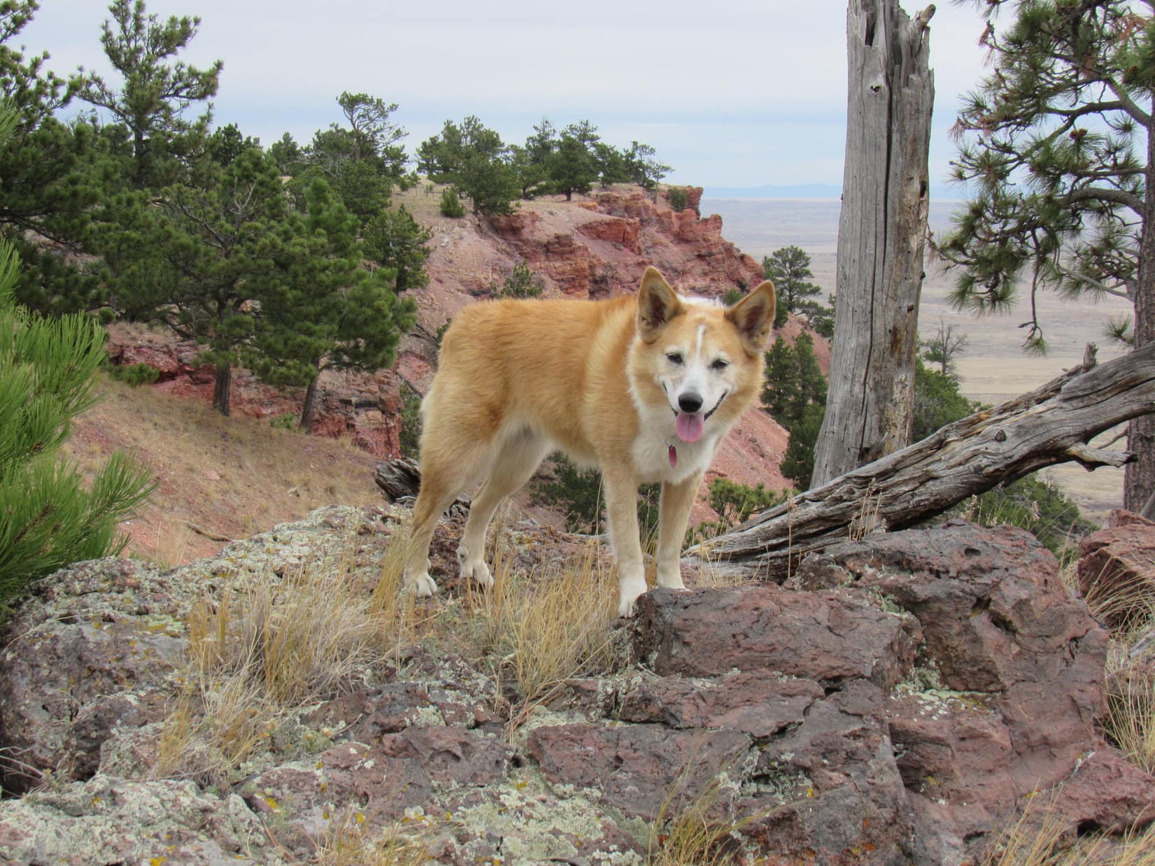
Trotting along the winding roads, Lupe retraced her morning route.  Soon she was heading up Lowden Mountain’s N slope.

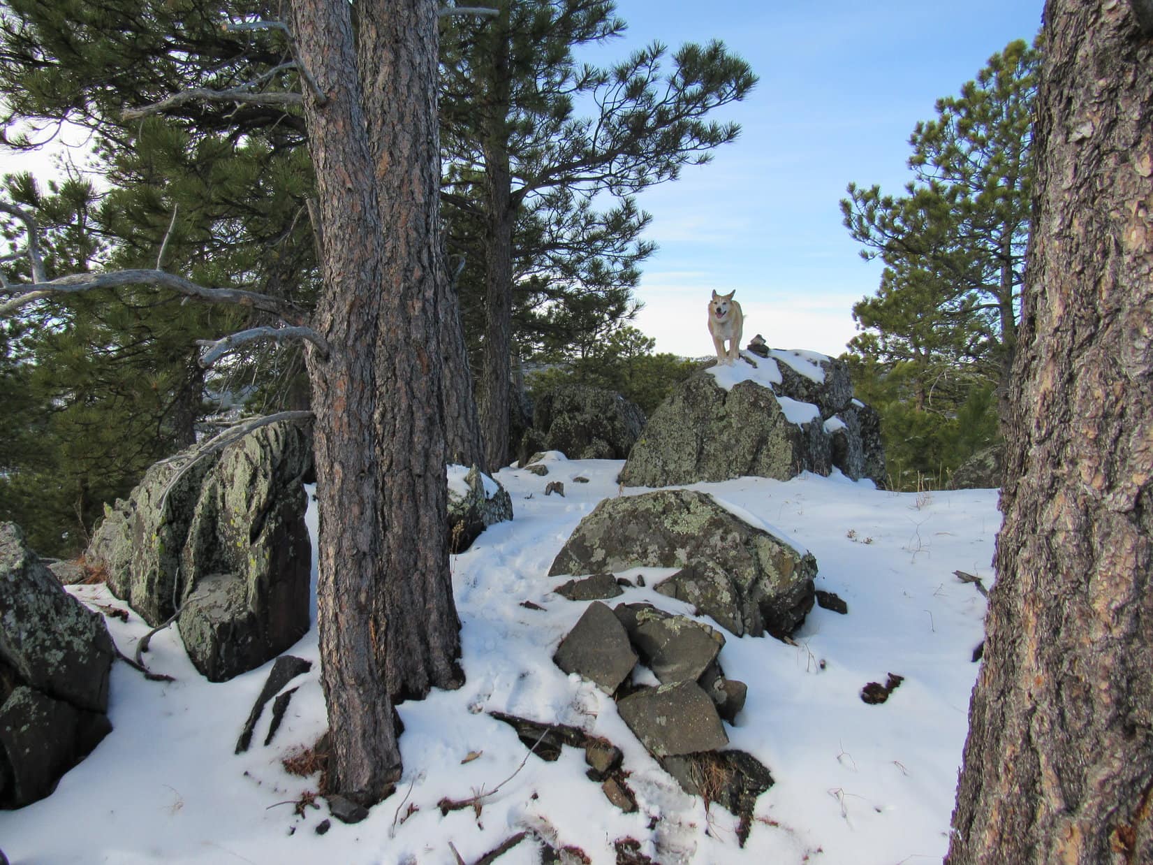
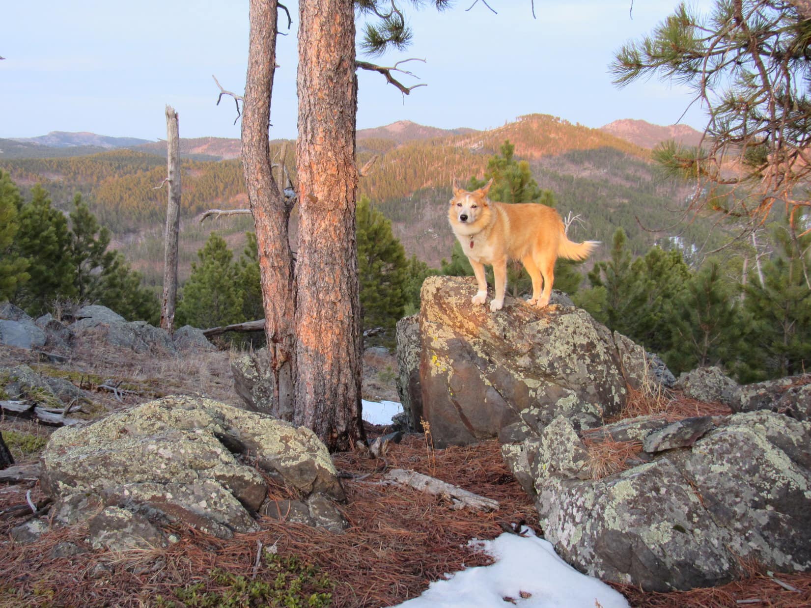
6:44 PM, 50ºF, Lowden Mountain – The sun still hovered barely above the horizon when Loopster reached the summit boulder again.  Success!  All traditions complete!  Lupe had been to Lowden Mountain (6,055 ft.) in 2013 and 2014.  On both occasions she had climbed it twice on the same day, and now she had just done it again in 2021.  Only 3 days on Lowden Mountain, but 6 ascents!

Back at Lowden Mountain’s summit. Photo looks WSW.

This was the only place where Lupe had a goofy tradition like that, yet it seemed fitting to have kept it despite the passage of so many years.  She didn’t stay long, less than half an hour.  Yet before the Carolina Dog left, the evening sun suddenly broke through the clouds.  To the E, False North Point, Union Hill, and Five Points stood all aglow.

For a few moments, Lupe did, too, high on old friend Lowden Mountain.  (End 8:09 PM, 42ºF)

Lowden Mountain, 2nd ascent of the day, Black Hills of South Dakota 3-28-21

Links:

Next Black Hills Expedition                  Prior Black Hills Expedition

Black Hills, SD Expedition No. 107 – Lowden Mountain & Union Hill (12-6-14)

Want more Lupe adventures?  Check out Lupe’s Black Hills, SD & WY Expeditions Adventure Index, Master Adventure Index, or subscribe free to new Lupe adventures!

Mile High Hill in the Rochelle Hills, Wyoming (10-16-20)

7:42 AM, 20ºF, Black Hills, USFS Road No. 282 just N of Hwy 16, W of Jewel Cave National Monument – A bank of fog filled the valley beyond the hill Lupe now stood on, paws in an inch of new snow that must have fallen overnight.  It had been 37ºF when the G6 pulled out of the driveway this morning, with a high in the 50’s expected.  So much for that.  20ºF here!

SPHP hadn’t bothered to check the forecast for anywhere else.  After passing Crazy Horse, everything had changed on the way into Custer.  Snow on the ground, and the temperature plunged as SPHP drove into a dense fog.  Stayed that way W of Custer, but this hill was a high point.  High enough to be above the fog.

I don’t know, Loopster!  Had no idea it was going to be like this.

We’re going to keep going aren’t we, SPHP?

I suppose.  Newcastle isn’t that much farther.  Guess we can go see how things are down on the plains, but if it’s all socked in, or any colder than this, that’ll be it.  No sense in doing Mile High Hill (5,280 ft.) in the fog!

A frigid start for mid-October!

9:01 AM, 32ºF, corner of Lynch Road & Piney Creek Road – A mile back, SPHP had turned S off Hwy 450 at MP 37.1.  Now Lupe stood near the old Darlington school.  Conditions were considerably improved.  What had ultimately proven to be merely an extensive ground fog had broken up on the way here.  Blue sky now!  A heat wave, too, at a balmy 32ºF.

Lupe had been at this intersection several times in the past few years, as SPHP tried to figure out if it was even possible for the American Dingo to get to Mile High Hill.  This was as far as she’d ever gotten, but a little new information had been gleaned during each visit.  Last time Loopster had been here a few months ago, Piney Creek Road had been a sea of mud, but not now.  Mile High Hill was a go!

The big question was how close the G6 could get to it.  Piney Creek Road (Piney Canyon Road on the topo map) might still be 4WD territory.

Piney Creek Road (L) and the old Darlington school (R) from the junction with Lynch Road. Photo looks W.

Still 9 or 10 miles to go just to get to the Rochelle Hills, a region of flat-topped ridges hundreds of feet high.  Incredibly, as the high point of the Rochelle Hills, Mile High Hill’s claim to fame was that it was one of only 19 “peaks” in the entire mountainous state of Wyoming with at least 25 miles of isolation, meaning no higher ground in a 25 mile radius in any direction.

Not expecting much of a climb, Lupe had plenty of time to stop at scenic points along the way.

Looks like Piney Creek is all dried up this time of year! Photo looks SSW.
Love the old cottonwoods!
Approaching the Rochelle Hills. Photo looks WSW.
Mile High Hill is somewhere back in there! Photo looks S.

Piney Creek Road was fine for miles, although gravel so coarse that the G6 occasionally scraped bottom had been dumped in various low spots.  These points were all passable, but the whole road eventually began to deteriorate once it turned S a couple of miles from the Rochelle Hills.

However, the road soon turned W again, starting up Piney Canyon.  Here, Piney Creek Road had recently been repaired with a fine layer of reddish gravel.  Smooth sailing for the G6 the rest of the way up to the junction with Rochelle Hills Road!

Heading up Piney Creek Canyon. Photo looks WSW.
Up on the plateau, near the junction with Rochelle Hills Road. Photo looks S.

13 miles from the Darlington school, right after Piney Creek Road went over a buried pipeline, the G6 reached the junction up on a plateau of sagebrush grasslands and scattered stands of junipers.

Turning SE on Rochelle Hills Road, SPHP drove slowly.  Rochelle Hills Road wasn’t nearly as good as Piney Creek Road had been.  Rocky and pot holey in spots, but still quite passable for the G6.  Although Mile High Hill was supposed to be on USFS land, “No Hunting or Fishing without permission on the Two Rivers Ranch” signs were posted on barbed wire fences.  The road crossed a couple of cattle guards along fence lines.

SPHP was watching for a 4WD road that veered off to the L.  This road was shown less than 2 miles from Piney Creek Road on the topo map, and went all the way to Mile High Hill.  Unfortunately, no sign of it.

At about 2 miles, SPHP did pass a road on the R (S) with a brown wand saying “1171D”, which seemed right, and shortly after “1171D”, a road appeared on the L marked “1171”, but the map showed nothing here, and that was the reverse of the expected order.  Off to the E, a tower could be seen at the far end of a vast field.

Maybe “1171” went over to the tower, which might have been installed since the map was created?  In any case, it was clear that Rochelle Hills Road was soon about to head down off the plateau.  Turning around, SPHP drove NW very slowly.  Nothing seemed any different than before, and the lack of any definitive landmarks other than some convoluted ravines made it hard to tell exactly what was what.

Back at Piney Creek Road, another check of the map yielded no further clues.  Turning around again, SPHP drove SE on Rochelle Hills Road once more, this time parking the G6 at a big flat area just past an open green gate.  This was a high spot (Point 5145 on the topo map) which couldn’t be too far W of where the missing road to the L was delineated on the map.  Lupe hopped out.

You seem to be lost, SPHP!

Yes, and no, Looper!  We’ve got to be close to where I thought we could just follow the 4WD road shown on the map all the way to Mile High Hill, but I haven’t seen it.  Might have to just head NE from here.  See that reddish road heading up onto a ridge about a mile away?  A couple of big ravines between here and there, but if we can get to it, I’m thinking that might be the road that goes to Mile High Hill.

The sign doesn’t help?

Sign?  What sign?

The big one on the green gate.

Huh?  Oh!  That sign.  Actually, I hadn’t noticed it, Loop, was always busy looking the other way for the non-existent 4WD road.  Let’s check it out!

At Point 5145 along Rochelle Hills Road. Photo looks E.
USFS sign on the gate.

In addition to the sign on the green gate, two smaller brown signs were along the barbed wire fence.  Hiking and horseback riding permitted.

Glad you pointed this sign out, Loopster!  Doesn’t explain what happened to our missing road, but at least I’m now 100% certain we’re parked on USFS land, and not on the Two Rivers Ranch.

So we’re going to start for Mile High Hill (5,280 ft.) from here?

Yeah, seems to be the thing to do.

11:02 AM, 38ºF, Rochelle Hills Road, green gate at Point 5145Crossing Rochelle Hills Road, Loopster set out heading NE across a grassy plain.  Sagebrush was ahead, and beyond it a ravine draining to the N.  Worried about cactus for Looper’s sake, SPHP was relieved to see little or none.

Upon reaching the sagebrush, the Carolina Dog turned E.  Descending a small side ravine, she followed it down to the big one, crossed it, and started up the other side.

Heading out across the grassy plain. Photo looks NE.
About to descend into the side ravine (R). Photo looks E.
The main ravine after crossing it from the R. Photo looks SSE.
Looking SW back across the main ravine.

Continuing E through pine forest over a small hill, Lupe soon saw a gray and pink-sided ridge in the distance.  A road was already in sight not too far away!  Loop headed down to it.

Starting down the other side of the hill after crossing it. Photo looks ENE.
The gray and pink-sided ridge, with the road in the foreground. Photo looks ENE with help from the telephoto lens.
Heading for the road. Photo looks ENE.

Didn’t take Loop long to reach the road.  Well, that was easy!  No worries about cacti now!  This road might even be No. 1171, if it curved this way instead of going to the tower?  Lupe could check that out on the way back.  In the meantime, she followed the road N.  Near the bottom of a gentle slope was a marker for the buried pipeline.

By the buried pipeline marker. Photo looks NNE.

Continuing N, the American Dingo passed W of low pine-forested hills.  The road then began to curve NE.  Directly ahead was the reddish road SPHP had seen from the G6.

Approaching the reddish road visible from back at the start. Photo looks NE.

Beyond the reddish segment, which led up onto a ridge, the road curved SE climbing more slowly.  Things were matching up with the topo map.  Seemed like Loop must be on the right track!  SPHP felt confident that the Carolina Dog really was on the road to Mile High Hill.

A high spot was ahead.  The road curved N again just before getting to it.  Looper left the road to take a look, and was rewarded with impressive views of the upper NW Keyton Creek drainage.

Looking S across part of the Keyton Creek drainage. The tower Lupe had seen earlier from the G6 was visible to the naked eye on the far plateau (Center).
Looking SE down Keyton Creek (R).

Returning to the road, it immediately swooped down into a minor saddle to the N.  After climbing up onto a plateau on the far side, the road again resumed a SE course.  A vast region was visible ahead.

About to venture down into the saddle. Photo looks NE.
Up on the next plateau. Photo looks SE.

After a longer trek SE along this plateau, the pattern repeated.  The road again curved N.  Lupe again left to take a look from a high point near the edge, before returning to head N.

Upper Keyton Creek drainage (L). Photo looks WSW.
Looking SE along the edge of the plateau.

After passing a minor grassy drainage beyond which a long ridge, one of the Pumpkin Buttes (6,052 ft.), could be seen on the far horizon, Looper came to a little hill.  From here, the road wound down into a deeper and wider saddle than the first one.

The grassy draw Lupe passed shortly after turning N again. Photo looks NW.
Starting down into the next saddle. Photo looks ENE.
The big saddle and the ridge beyond. Photo looks NE.

Once up onto the next ridge, the road turned SE for a third time.  While the road had never ventured far from the S edge of the high country, the Keyton Creek valley was now so close that Lupe could sometimes see down big side ravines.  A NW/SE oriented fence appeared, and the road ran straight alongside it for a while.

Getting mighty scenic from right here on the road! Photo looks S.
Following the fence. Photo looks SE.

The road eventually curved S away from the fence after getting past a large ravine.  This region featured the first significant rock formations Lupe had come to.  She snooped around a bit before continuing on.

First big rocks we’ve come to! Photo looks SSE.
On a dramatic point overlooking part of the Keyton Creek valley. Photo looks SW.

The road now wound S or E for a while, always staying fairly close to the edge of the plateau.  Lupe was now getting E of the Keyton Creek valley where it broadened out onto the wide open plains beyond the Rochelle Hills.  Periodically checking on the views, it was amazing how beautiful it all looked from up here!

W end of the Keyton Creek valley. Photo looks WSW.
E end of the valley with the Rochelle Hills beyond. Photo looks SW.

On a stretch heading E, the road eventually came to the fence line again.  This time, there was a gate.  After going through the gate, the road again paralleled the fence for a while, but on the other side.

No signs! Guess it’s OK to go through. Loop at the gate. Photo looks E.

Before going too much further, the fence turned NE in order to avoid the edge of the plateau.  The road turned, too, staying within the fence.

By now, Lupe had come a long way.  She was easily 4 or 5 miles from the G6, perhaps more the way the road had wound around.  Couldn’t be too much farther to Mile High Hill.  Ducking under the fence, the Carolina Dog continued a short distance SE, venturing out to a point.

Along the edge here, the upper layers of rock looked volcanic – brittle and laden with unusual minerals.  Bright oranges and yellows!  Deep reds and purples!  About 0.33 mile E, across a deep ravine, was another point.  This point was topped with a layer of intensely red-orange stone.  Nearly surrounding it, steep slopes dropped to a band of chalky white cliffs, and thence to the prairie 600 feet below.

A narrow ridge connected Red Point to a slightly higher, forested plateau only a short distance to the N.  Mile High Hill (5,280 ft.)!

Red Point (straight up from Loop) and Mile High Hill (far L). Photo looks E.
Colorful rocks (R) along the edge of this first point. Photo looks SW.

Close to her destination, Lupe returned to the road, which went N a short distance before winding E.  The plateau was narrower along in here, but soon broadened out.  The American Dingo had reached Mile High Hill.

Approaching Mile High Hill. Photo looks E.

Mile High Hill was scarcely any higher than the approach to it.  Toward the N, a spacious area of grasslands dotted with pines sloped gradually downhill.  Since the road curved that way, this was the end of the road trek.  Slightly higher ground was to the SE, so Lupe headed that way looking for the true summit.

On Mile High Hill, heading off in search of the true summit. Photo looks SE.

Ducking under the fence again, Loopster caught sight of a giant deer!  Startled by her approach, the giant deer took off, racing away through an open forest.  In seconds, it vanished below the edge of the plateau.  A brief, but exciting introduction to Mile High Hill for the Carolina Dog!  However, the giant deer had been alone.  Loop encountered no more during her search for the true summit.

The giant deer races away!

The region in the biggest 5,280 foot contour on the topo map, where the true summit was marked on Peakbagger.com, was flat as a pancake.  No cairn or any discernable highest spot.  However, along the SE edge of the plateau were several rock outcroppings.  Lupe visited what appeared to be the highest one, easily scrambling to the top.  Whether it was any higher than the pancake was debatable.

On a possible true summit location along the E edge. Photo looks NE.

The second largest 5,280 foot contour shown on the map was near the S end of the plateau.  Continuing in that direction, Lupe came to a mound of stones 4 or 5 feet high, topped by the gray, weathered branches of a dead tree.

Impossible to say for sure, Looper, but I think this is it!

The true summit of Mile High Hill, SPHP?

If I had to guess, and I do, since the trees prevent us from having a clear view of the other high spots, yes, I’d say this pile of stones is the summit.  Congratulations on reaching the top of Mile High Hill (5,280 ft.)!

The true summit of Mile High Hill, as near as SPHP could determine. Photo looks SW.

40 or 50 feet from the edge of the plateau, the true summit wasn’t much of a viewpoint.  Lupe continued S to the edge where the ridge leading to Red Point was in sight.

Approaching the ridge leading to Red Point. Photo looks S.

Gone were the morning’s blue skies!  The ground fog hadn’t returned, but high overhead a vast mournful blanket of dismal gray increased a sense of ancient remoteness, silence, and loneliness.  The wind picked up, gusting unpredictably out of the W at 15 mph, seemingly purposely gathering and concentrating its force in sudden blasts designed to thwart Lupe’s advance as she headed for Red Point.

At an initial high spot along the ridge leading to Red Point. Photo looks NNE.
Not far from the end after a short downclimb for a better look at the colored rock. Photo looks S.
In the wind at Red Point. Photo looks NNE.

Most of the ridge was forested.  Lupe was already close to the end when she reached a flat spot beyond the last of the trees.  Bordered by colorful rock formations, gritty red soil and tufts of grass covered Red Point.

Just ahead, a short, gravelly red sand slope led SE down to a smaller airy platform at the far end of the ridge.  The multi-colored rocks down there were every bit as impressive as the sweeping views.

Might as well go down to the very end, don’t you think? Photo looks SE.
At the SE end of Red Point. Photo looks S.
Looking SW toward the Keyton Creek valley.

Going back up to the larger high spot where the precipices weren’t quite so close, Lupe curled up on SPHP’s lap.  55ºF, certainly warm enough, but the wind still made it seem a bit cool.  What a vantage point, though!

The E edge of the Rochelle Hills region stretched miles away to the SW, well beyond the lower end of the Keyton Creek valley.  To the SE, a tan plain broken by long gullies extended to the horizon.  The Miller Hills, a smaller line of ridges than the Rochelle Hills, were visible to the SSE.

Rochelle Hills from Red Point at the far S end of Mile High Hill. Photo looks SW.
Miller Hills. Photo looks SSE with help from the telephoto lens.

To the W, Lupe could see the region where the giant deer had run off to and some of the territory she’d been by on the way here, including the point where she’d first seen Mile High Hill and Red Point.

Looking W at the region Lupe had come from on her journey to Mile High Hill.
Rochelle Hills from Red Point at the S end of Mile High Hill. Photo looks WSW.

A glorious half hour spent in grand isolation at Red Point shot by.  Time to move on.  More to see up on Mile High Hill!  Returning briefly to the true summit, Lupe then explored N along the E rim, stopping at various high points and scenic spots along the way.

Back at the true summit of Mile High Hill. Photo looks N.
At a rocky high point along the E edge. Photo looks E.
Scenic spot along the E rim. Photo looks NE.

One more sizable 5,280 foot contour existed on Mile High Hill.  It was N of Point 5272 along the E rim, well to the N of the other high points Lupe had visited.  Loop went all the way to it, posing on a small rock near the fence that seemed to be the highest point.  She then kept going N until it was clear nothing higher was out this way.

On the horizon, beyond a nearby lower hill, was the long blue line of home.  The Black Hills!

At the NE high point. Possibly the real true summit, but who knew? Photo looks S.
Look! More hills and ridges to the N! Wonder if it’s all officially part of the Rochelle Hills? Photo looks NNW.
As far NE as Lupe went on Mile High Hill. Black Hills (Center & R) on the horizon. Photo looks NE.

Home.  Nearly 3:00 PM already.  Probably time to start back.

Mile High Hill had been fun!  A great, easy trek, and surprisingly scenic, an unexpected delight.  SPHP was glad the American Dingo had finally made it here.

The wind weakened.  Only a gentle breeze as Loopster crossed the long plateaus on the way back.  Never really was much cactus to speak of.  The Carolina Dog roamed fearlessly, pausing every now and then to see the sights.  Far to the NW, long ridges of the Pumpkin Buttes came into view for a while.

Glad we finally made it to Mile High Hill! What a beautiful place! Photo looks NNW.

Loop followed the road all the way.  In the end, it did hook into Rochelle Hills Road.  Yup, she’d been on No. 1171 all this time.

At the start of No. 1171 just off Rochelle Hills Road. Photo looks NE.

Nothing left except a 0.60 mile march on Rochelle Hills Road to HP5145, the green gate, and the G6.  Curly tail held high, the Carolina Dog trotted NW, her fabulous Mile High Hill adventure, years in the making, finally complete.  (End 4:43 PM, 59ºF)

Mile High Hill in the Rochelle Hills, Wyoming 10-16-20

Links:

Next Adventure                         Prior Adventure

Want more Lupe adventures?  Choose from Lupe’s Summer of 2020 Dingo Vacations to Wyoming, Utah & Montana Adventure IndexDingo Vacations Adventure Index or Master Adventure Index.  Or subscribe free to new Lupe adventures.