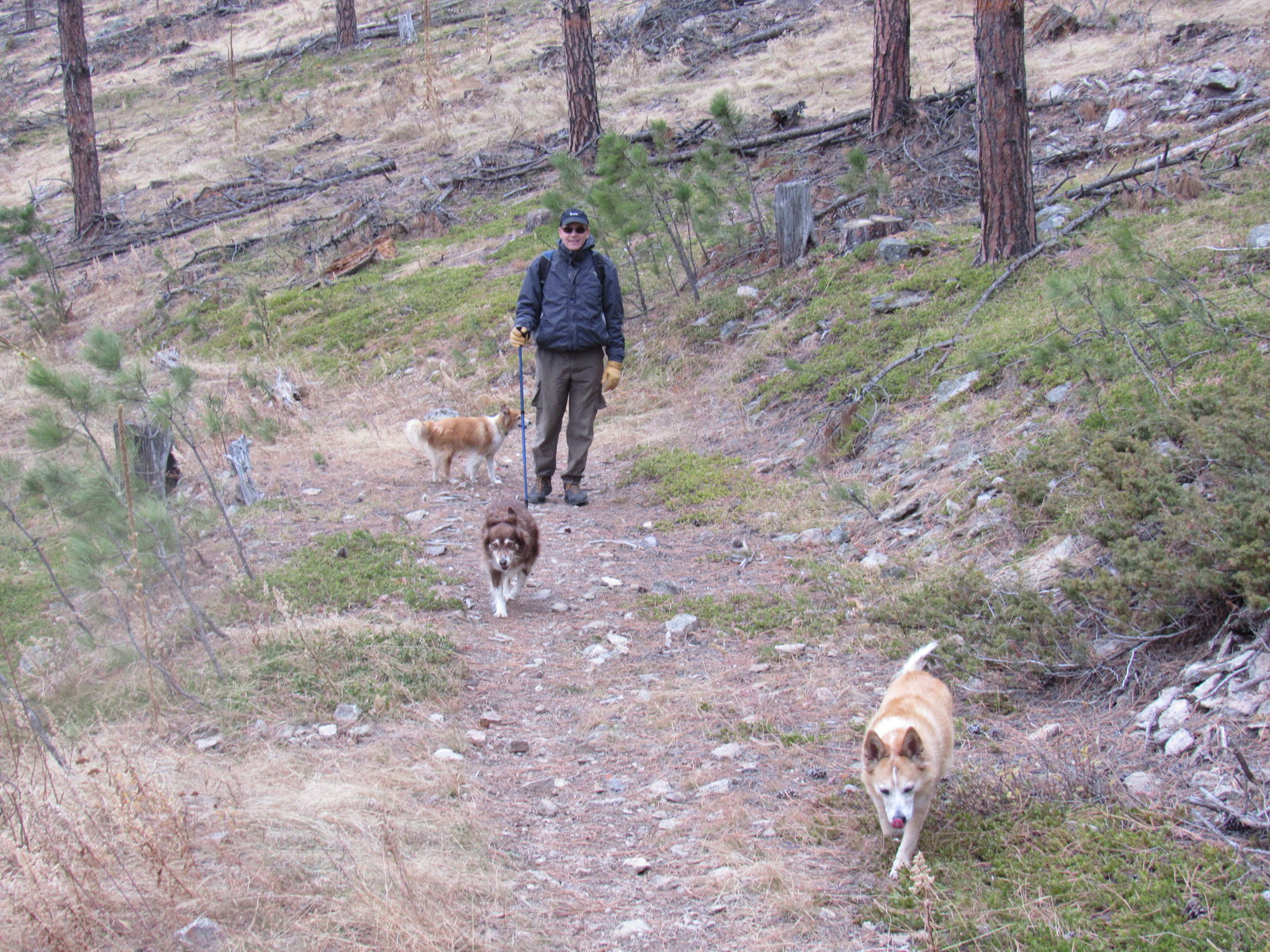
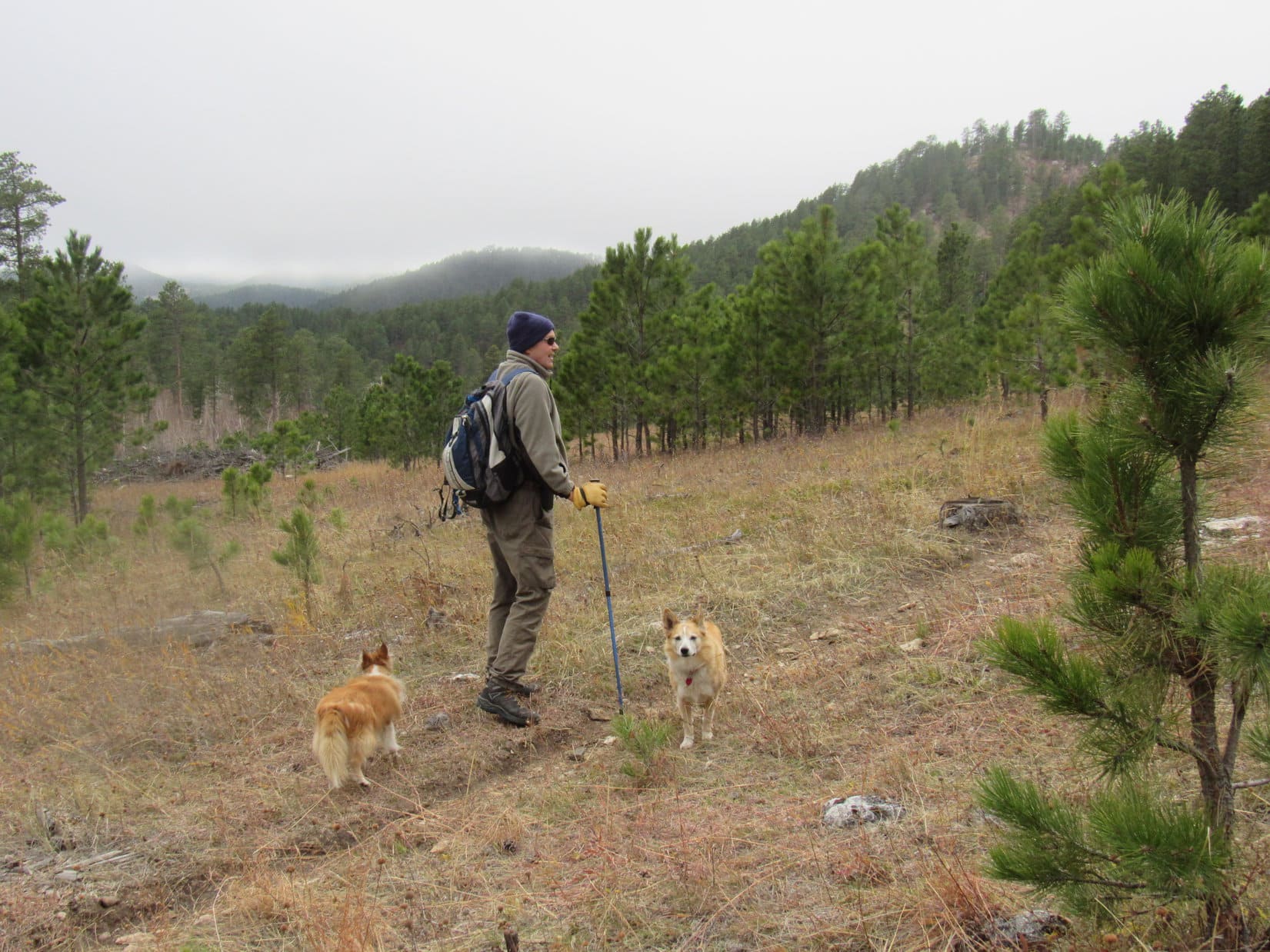
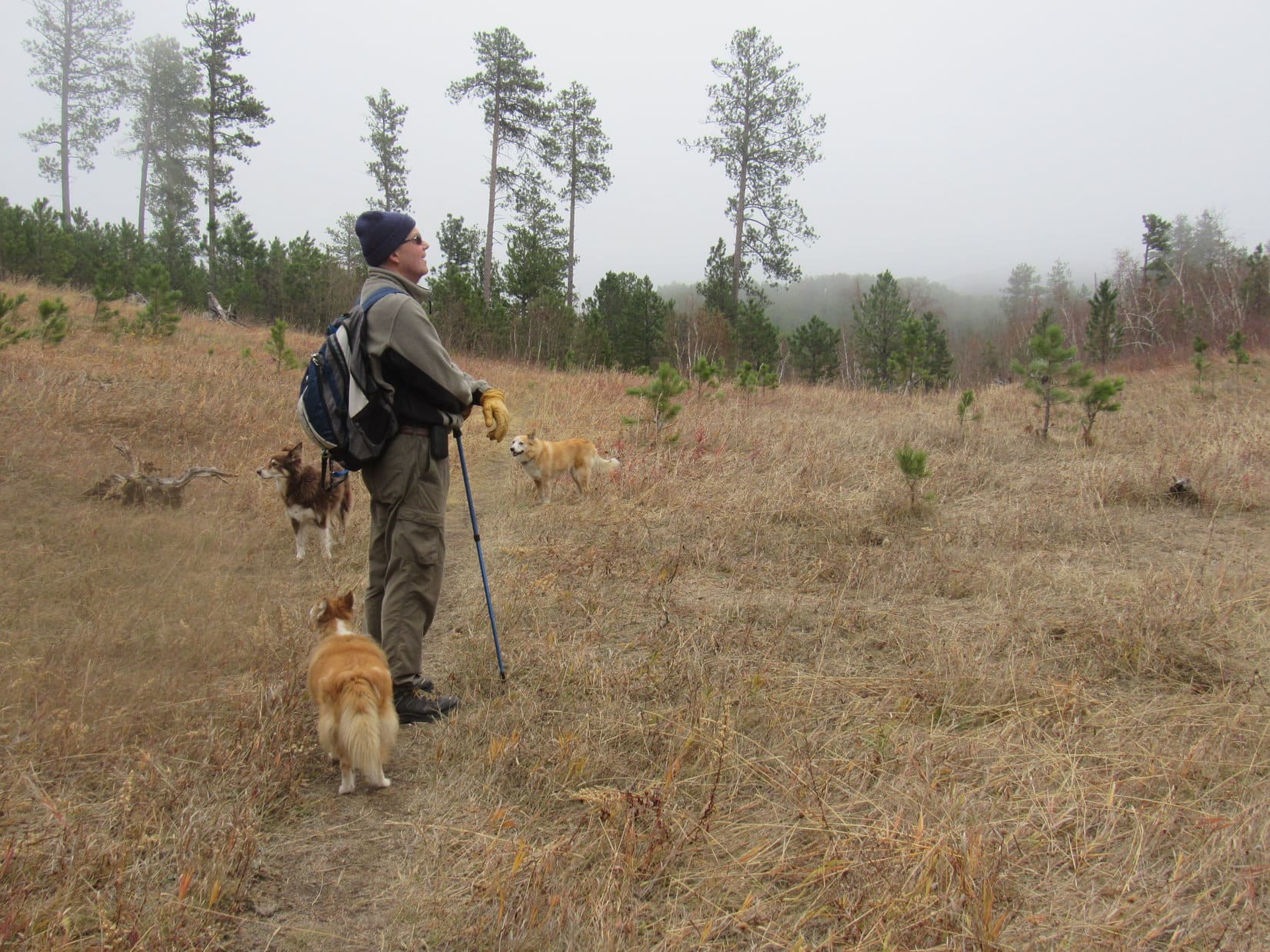
8:06 AM, 50ºF, Centennial Trail No. 89, Alkali Creek trailhead – Kind of a gray day, but pleasantly warm for December.
Centennial Trail No. 89 again, SPHP?
Hah! Yeah. You don’t mind do you, Loop?
Oh, no! I love the Centennial Trail, it’s just that we’ve been here several times recently. I was sort of expecting something different.
Well, you can blame poor planning on my part, Loopster. I should have checked out the Meade County Lists of John peaks before we came down here from the Elk Creek trailhead on Expedition No. 274. Didn’t even think about that. We could have tagged a couple of 300+ foot prominence peaks along the way.
So we’re going back to tag them today, SPHP?
Yup! Shouldn’t be too hard, we’ll be on Centennial Trail No. 89 most of the time. The peaks we’re going to are way back up in the hills, but not too far from the trail.

Crossing the access road, Lupe set out following Centennial Trail No. 89 WNW through grasslands overlooking scrub oaks down in the Alkali Creek valley. She soon reached I-90, passed through a tunnel beneath it, under a railroad trestle, then up into a big field. From here, the trail headed SW gradually climbing toward the hills.


Right after Centennial Trail No. 89 reached the forest at the base of the hills, Lupe left it venturing a short distance NW to a viewpoint where Alkali Creek passed through a narrow gap between small limestone cliffs. The creekbed was just a dry wash here.

Once back on Centennial Trail No. 89 again, the trail made a quick loop S before returning to the Alkali Creek valley. Heading SW, Lupe passed a scenic cliff, then entered a two-toned forest – the dark green of all the Ponderosa pines above, and dry orange of dead leaves still clinging to bushes below.


The trail soon left the Alkali Creek valley, turning SE up a side ravine. A layer of limestone cliffs capped the ridge to the NE. Lupe wandered up beneath the cliffs to sniff around and check them out.

Near the upper end of the ravine, just past the last of the cliffs, Loopster came to Poett’s Corner. By a rickety wooden gate, a poster was attached to a tree. A bell hung below the poster.


Although Lupe had been past Poett’s corner on several other Black Hills expeditions, she had never seen Poett. Poett was nowhere in sight now, either.
Kind of makes you wonder if Poett is still around, doesn’t it, SPHP?
Yes, it does, Looper. No telling what’s happened to Poett. Maybe Poett moved away, or has become bored with this trail and doesn’t come here any more?
Well, whatever happened, I hope Poett’s OK, SPHP! Hate to think that Poett might have gotten lost or stolen, or anything terrible like that.
Me, too, Loop, but seems likely we’ll never know the truth.
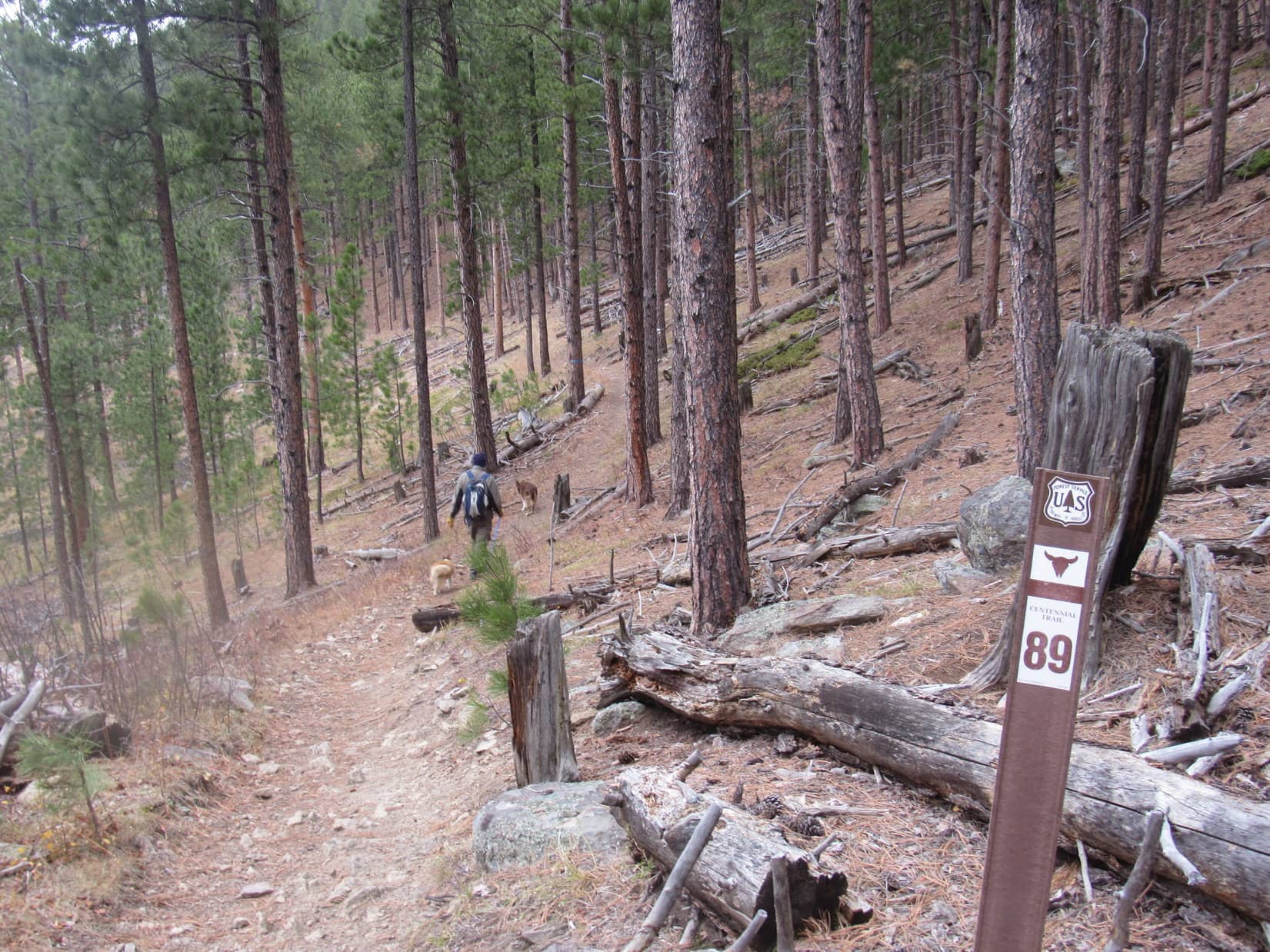
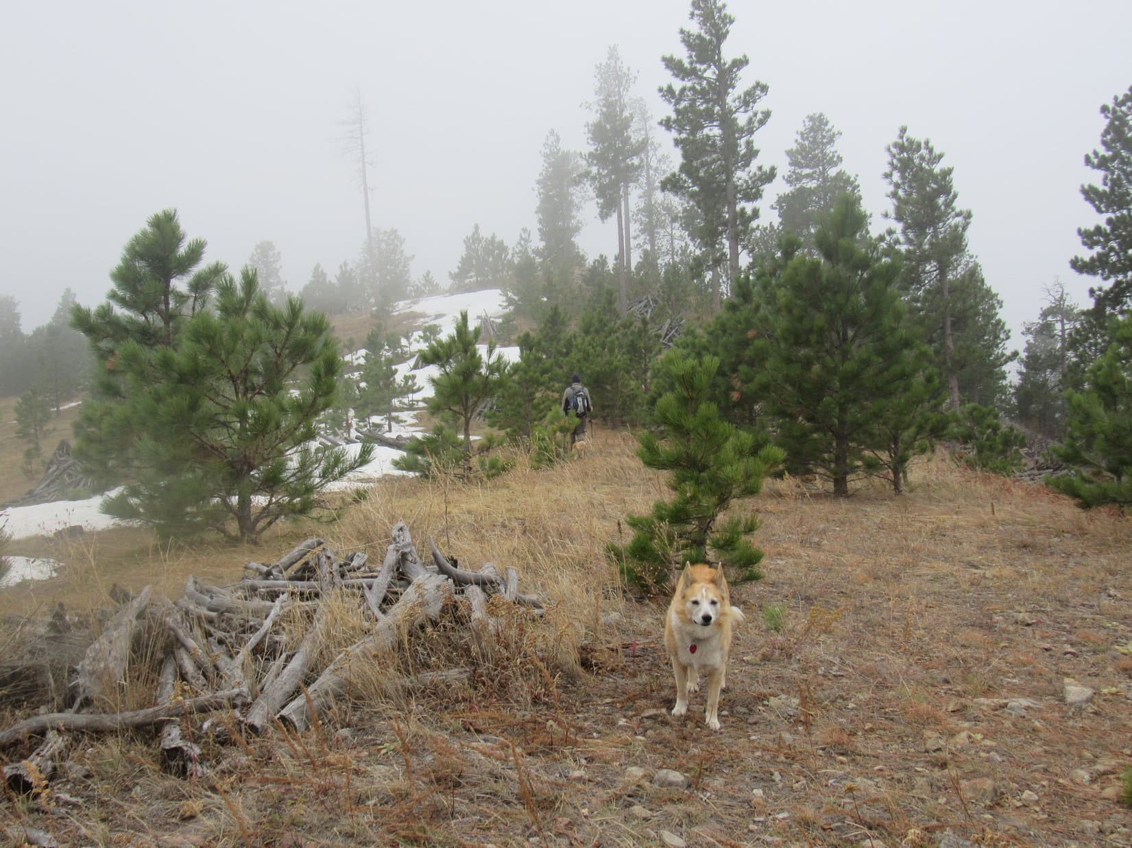
Centennial Trail No. 89 curved away from Poett’s Corner. It wound through the forest for a couple more miles, climbing steadily most of the time. At one point there was a view of Bear Butte (4,422 ft.) way out on the prairie to the NNE, but other than that, there was generally little to see except the forest itself.


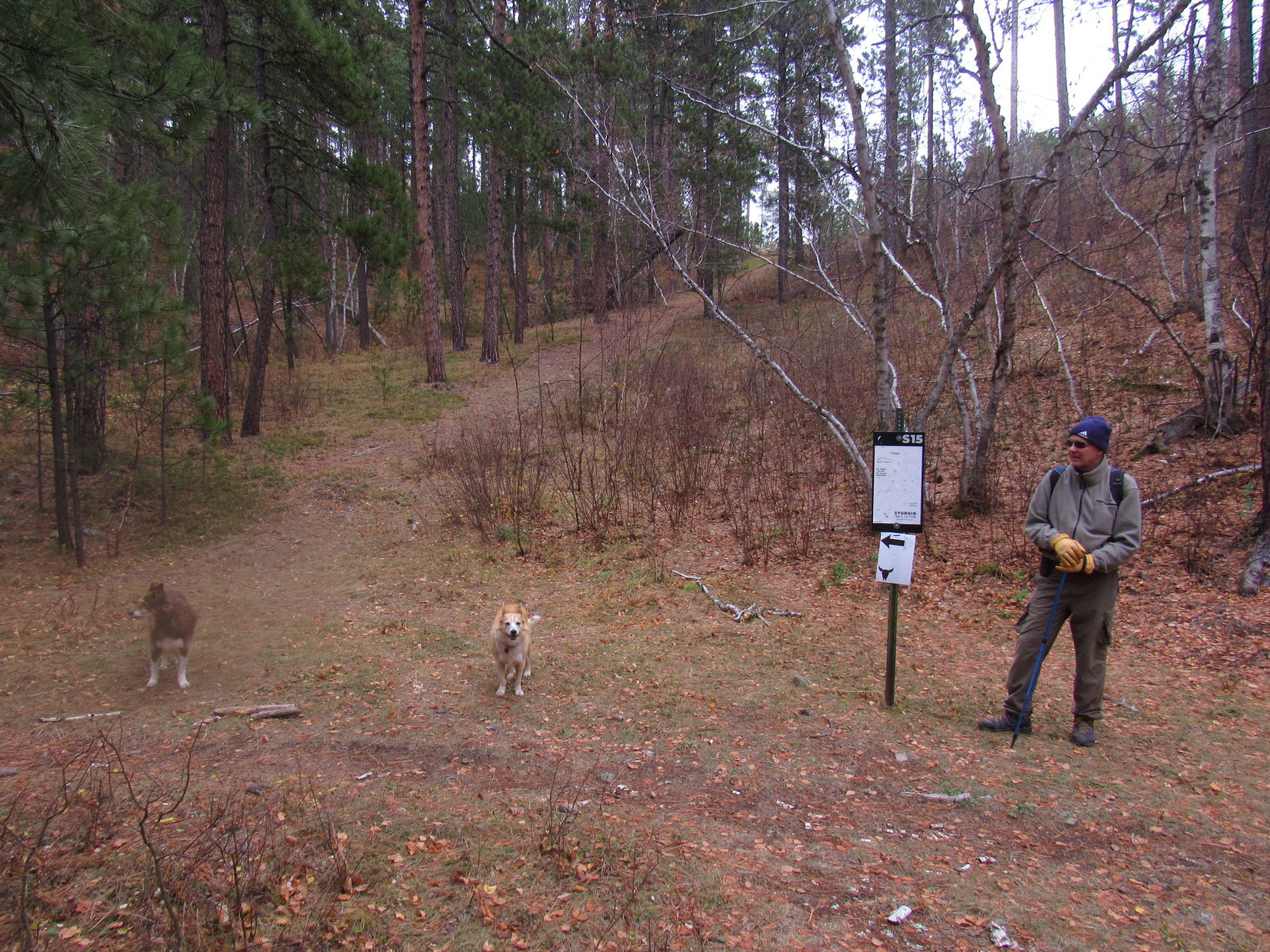
Roughly 4 miles from the Alkali Creek trailhead, Centennial Trail No. 89 reached a ridge where Lupe came to a junction. While No. 89 continued over the ridge, another trail branched off to the R heading farther up it. A sign indicated that this was the way to the Sturgis City Dams.
Which way, SPHP?
Sturgis City Dams, Looper, but let’s have a look at Peak 4760 first.
From a small clearing near the trail junction, an unremarkable hill was visible a mile S. Heavily forested, it didn’t appear much different from countless others in the Black Hills region.

Is that it, SPHP?
Yup. Guess we won’t be seeing much from up there by the looks of it. Way too many trees. Oh, well! Carry on, Loopster! Maybe Peak 4780 will be better?
Taking the trail that went past the Sturgis City Dams sign, Lupe headed up the ridge.

The trail climbed at an easy pace along the broad ridge. Progress was rapid. Most of the ridge was forested, but sometimes there were views. Bear Butte came into sight again, followed by parts of Sturgis.


How much farther to Peak 4780, SPHP? And why didn’t we go to Peak 4760 first, since we could already see it back at the junction?
Because we’re already on Peak 4780’s E ridge, Loop! The summit is close to the W end of the mountain, only 0.75 mile from the trail junction. Not much of a climb. We should get there pretty soon at this rate.
More than halfway along the ridge, the Sturgis City Dams trail angled over to the S edge, and began heading down. To the N, abandoned USFS Road No. 139.1E came up the N slope from the E, climbing more steeply than the trail had been as it continued W. The road provided another good look at Bear Butte as Lupe left the trail to follow it higher.


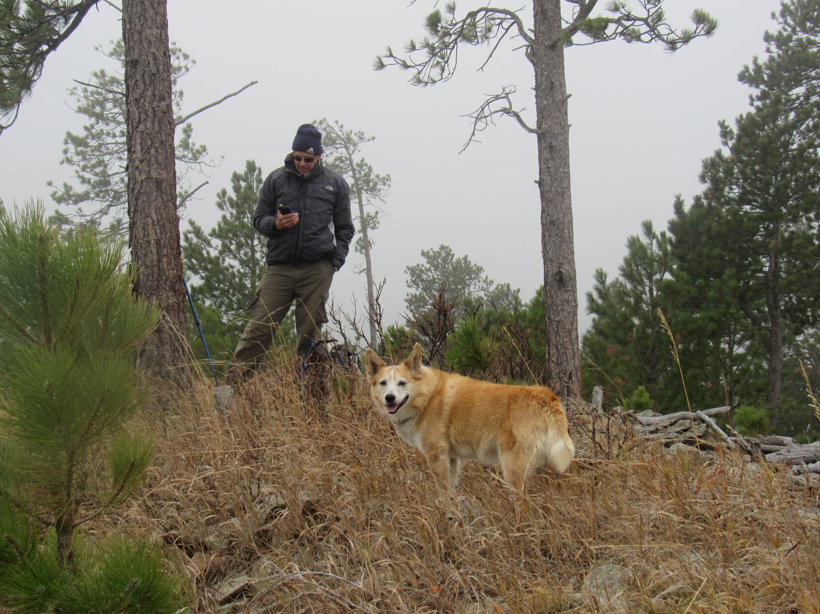
As No. 139.1E topped out, it faded away. Lupe had reached Peak 4780’s summit region, but the exact location of the true summit wasn’t entirely clear yet. A small hill just to the N appeared to be a likely candidate, so the American Dingo climbed it.


Loopster kept exploring. The terrain rose slowly as she headed farther W. The Carolina Dog finally reached a region near the S edge where the terrain leveled out again. SPHP was pretty certain this had to be the true summit of Peak 4780.

Really nothing to see here except the forest. A fairly large area was very nearly the same elevation. A few tens of feet farther W, Lupe found a bit of a clearing where she had a view of rumpled green hills to to the SW from a little line of broken limestone. It was a sunny spot, and a good place to take a chocolate coconut bar break.
While SPHP dug one out of the pack, Lupe relaxed. Turned out the grass was full of hundreds of ladybugs! Swarming all over Looper’s fur, they must have tickled. She snapped up several ladybugs before turning her attention to the chocolate coconut bar when offered.


Lupe followed up the chocolate coconut bar with Taste of the Wild and water while SPHP munched an apple. Once that was gone, it was time to take a little more of a look around. A stump near the spot where Loop had taken her rest break offered a view of Veteran Peak (5,333 ft.).

Part of the slope below the break spot was open and grassy, so Looper ventured down there, too. She was rewarded with a more sweeping view than had been available from up on top, part of which included a really good look at Peak 4760 where she would be heading next.


Unsurprisingly, the view from this new angle didn’t alter SPHP’s opinion that Lupe wouldn’t being seeing much other than trees from Peak 4760, either, but that didn’t mean she wasn’t going to make the journey. Never know what might be up there or along the way!
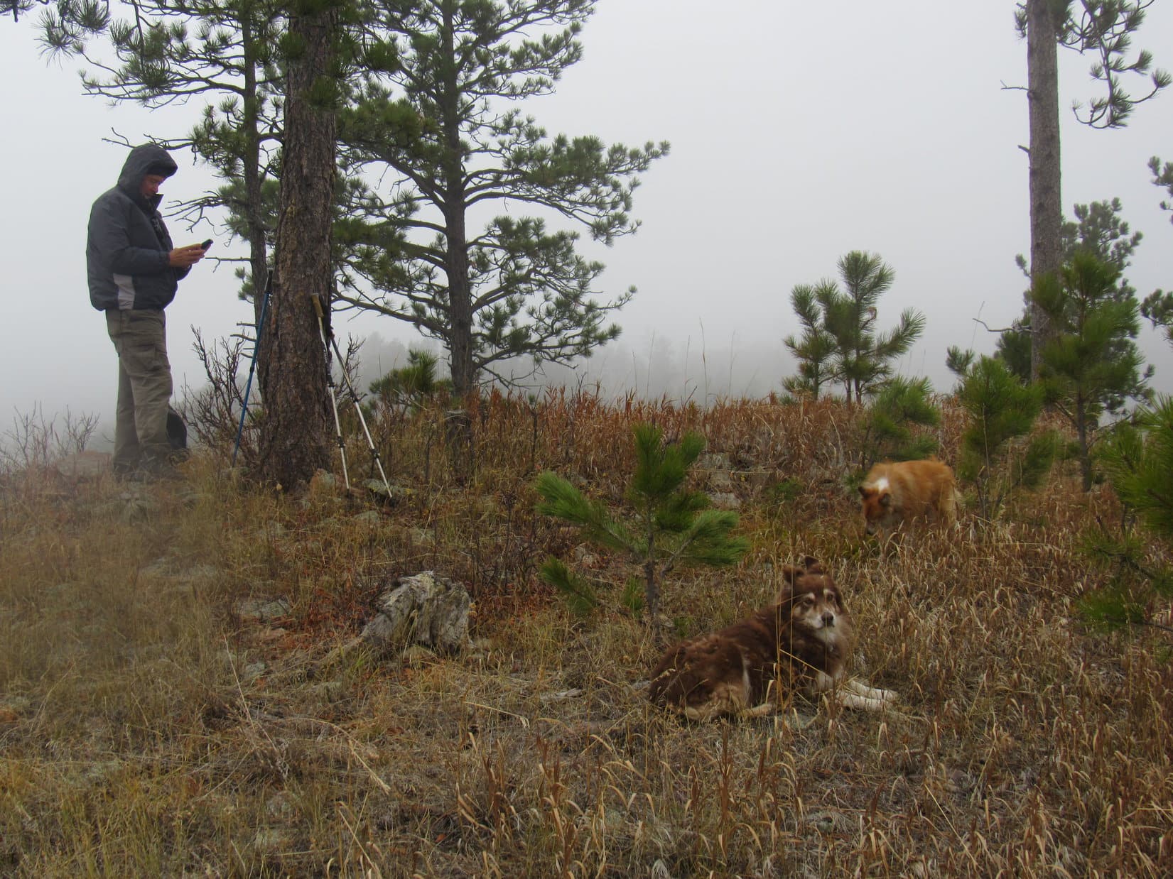
Returning to the top of the ridge, the American Dingo paid another brief visit to Peak 4780’s true summit before continuing on. Soon reaching the W end of the mountain, Lupe paused briefly to admire a better view of Veteran Peak before heading down.


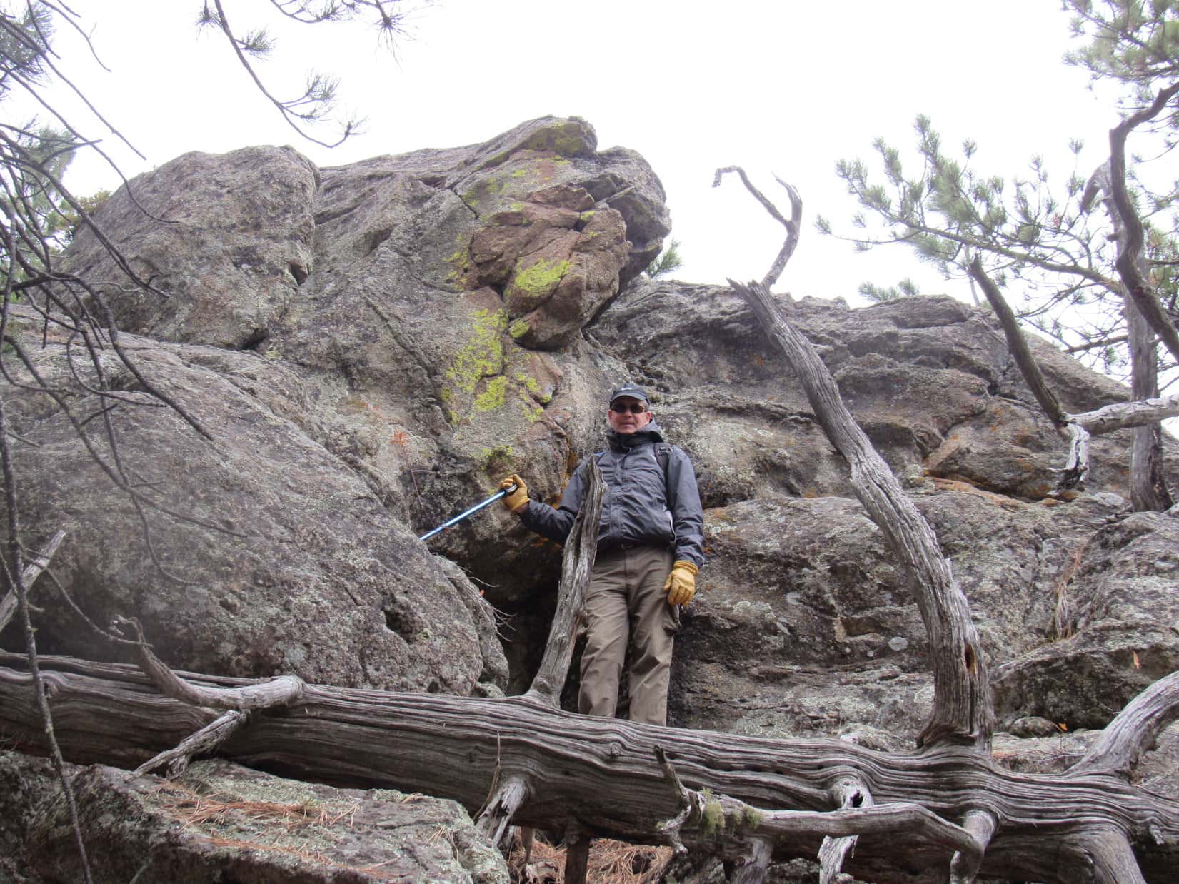
Peak 4780’s upper W slope was surprisingly steep. Fortunately a band of cliffs was not continuous. Lupe found a way to get through it. The slope below the cliffs was still fairly steep, but posed no real problem on the way down to a saddle where the terrain leveled out.


Once down at the saddle, Lupe turned SE. At first, she lost a little more elevation, but after running into a trail, she started regaining it again.
This was probably the same trail that went to the Sturgis City Dams, but Loop didn’t stay on it very far this time. Instead, she soon headed S through a field down to USFS Road No. 139.


After a short incline, Lupe followed No. 139 more than 0.75 mile E as it lost elevation, slowly at first, but much more quickly toward the end. In a secluded valley, the Carolina Dog came to a place she recognized.
Centennial Trail No. 89 crossed the road here. Lupe followed the trail S up a hill. It then leveled out and wound around to the W for a bit before turning SE the rest of the way to Bulldog Creek.


Bulldog Creek was very small, but at least had some water in it when Lupe was last here back on Black Hills, SD Expedition No. 274. Now the creekbed was bone dry. Abandoning Centennial Trail No. 89, Loopster followed the creekbed downstream.

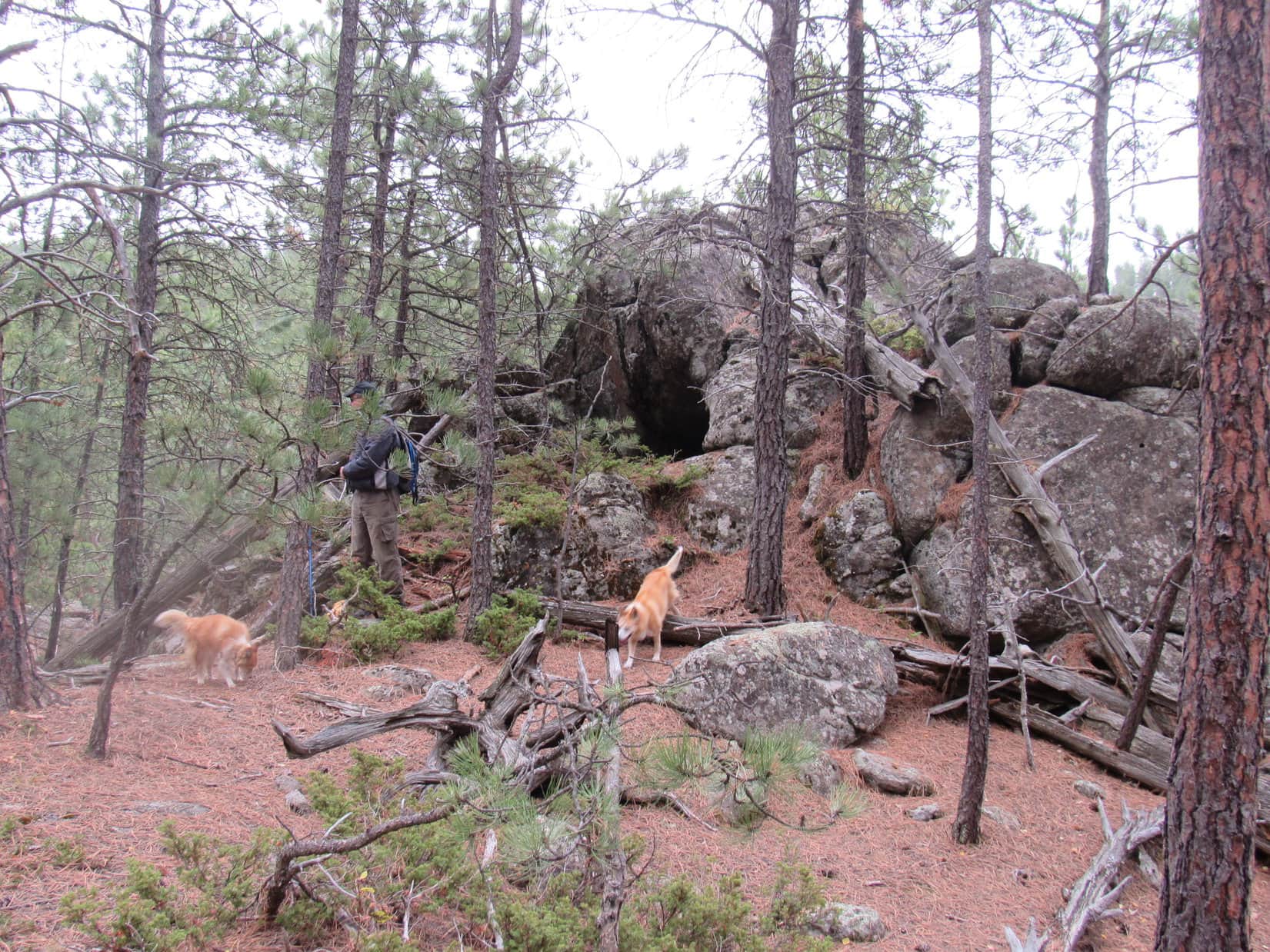
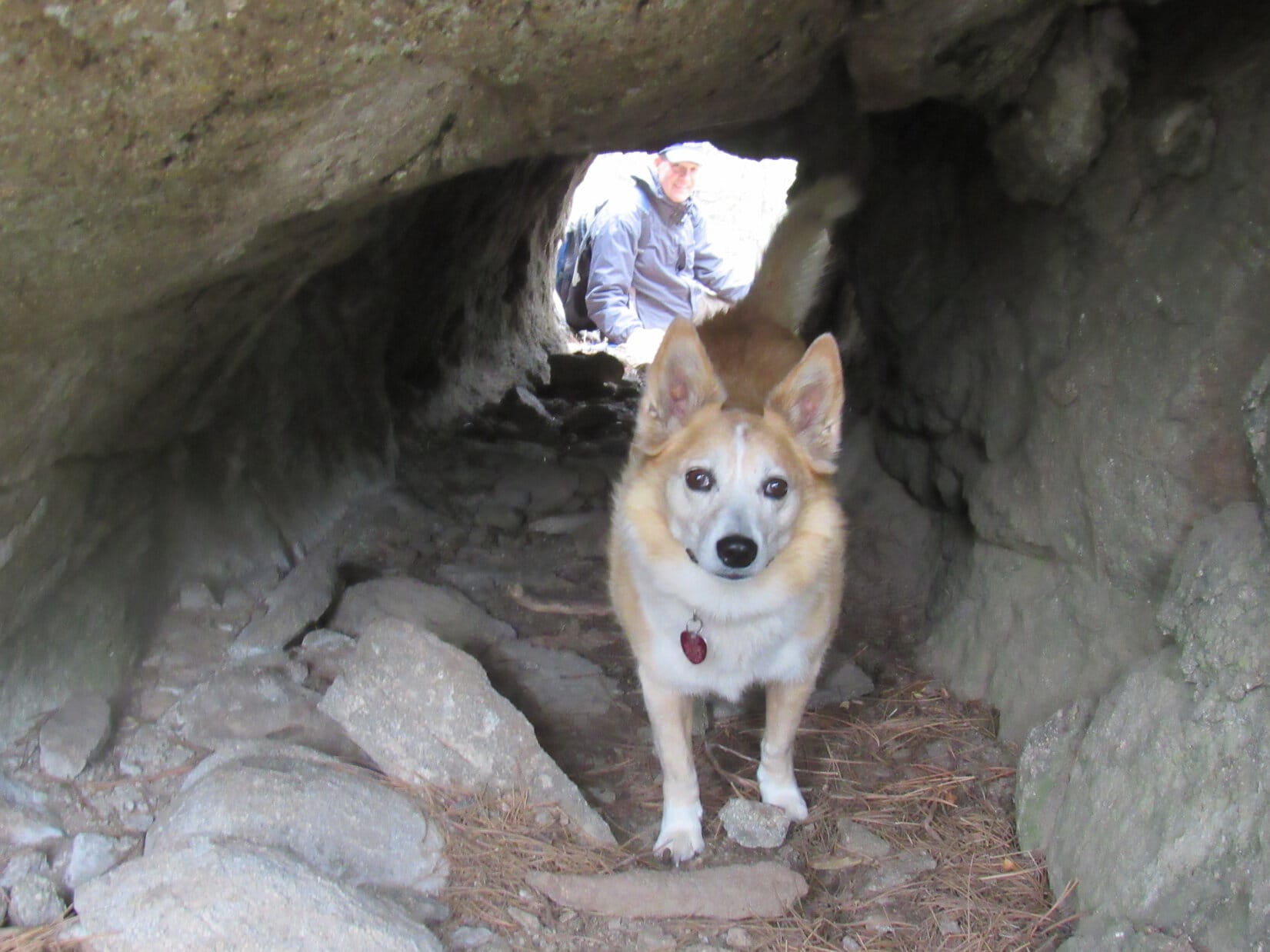
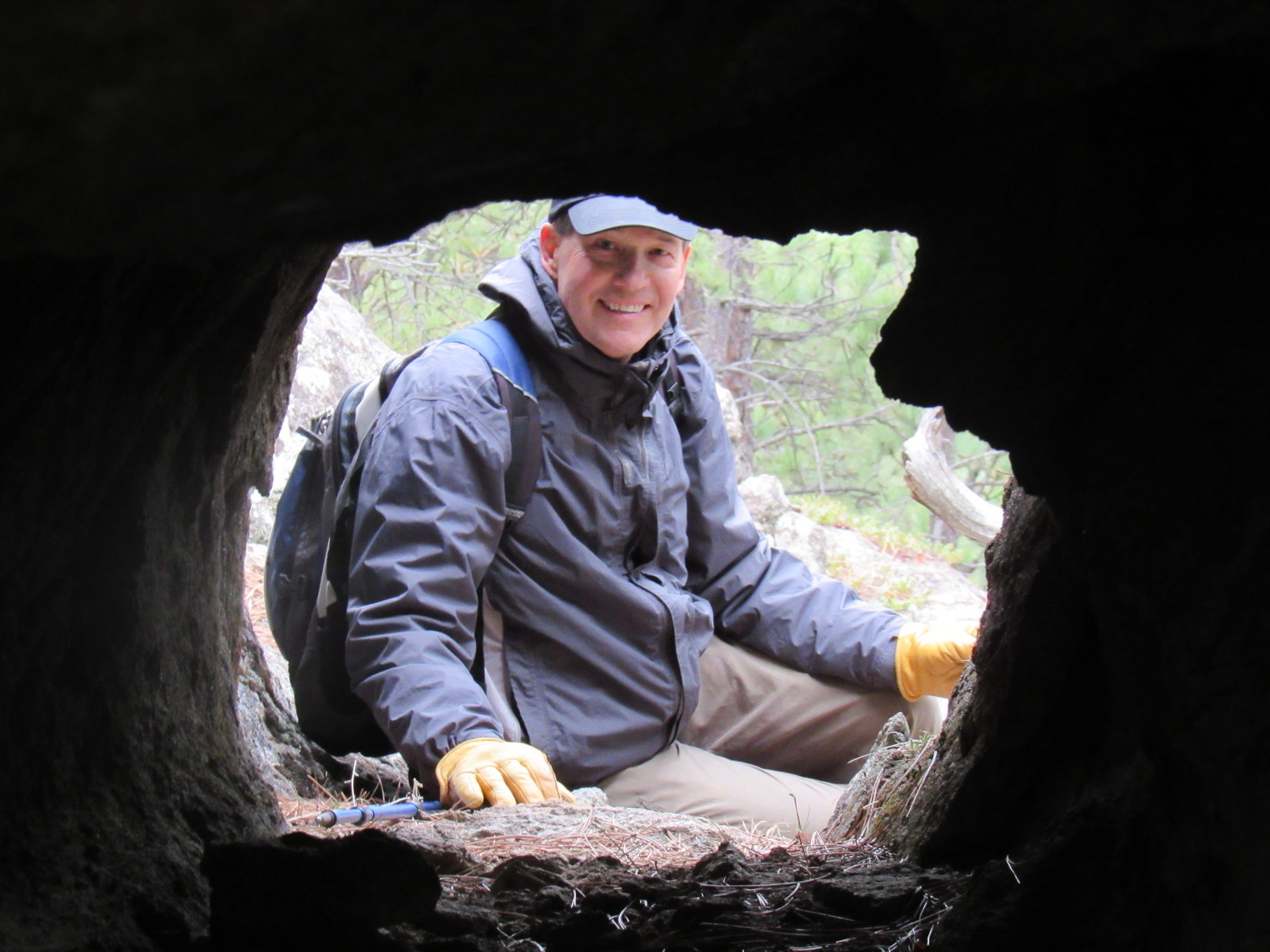
Many branches hung over the creekbed. SPHP often had to duck. More problematic, some deadfall was across it, too. Following the creekbed E, Lupe soon came to a towering wall of rock that forced the stream S.

Around this bend, Bulldog Creek was a total mess. Deadfall choked the creekbed, which actually had some standing water in it here. Loopster helped herself to a drink, while SPHP thrashed around trying to force a way through.

SPHP’s progress was dreadfully slow. Fortunately, Lupe didn’t need to follow Bulldog Creek much farther. It quickly turned E again. When it did, Lupe continued S, leaving the wretched stream behind.
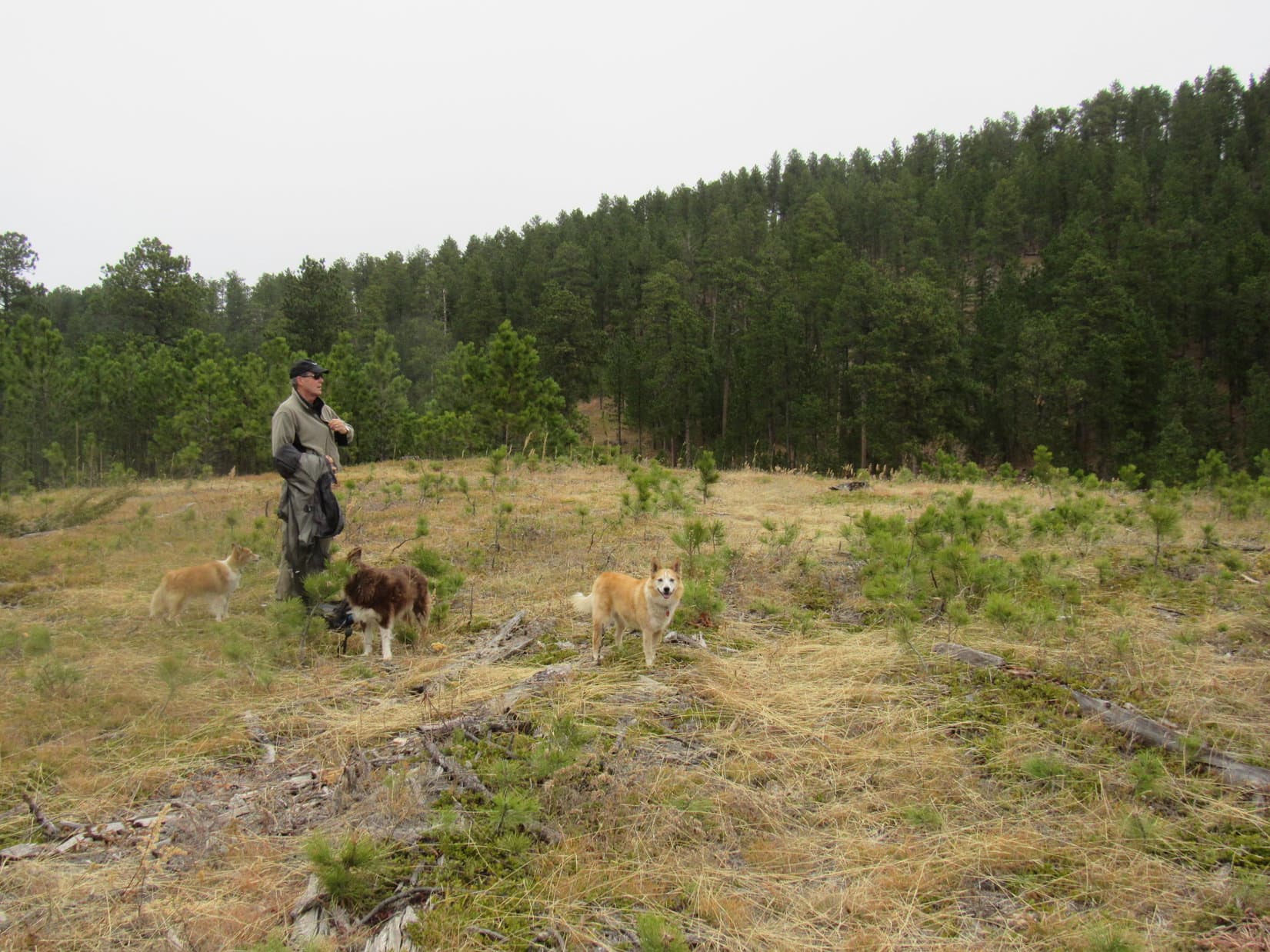
Loop was now entering a valley in a very remote region. No sign that anyone ever comes this way! The plan was to follow the valley 0.33 mile S up to a saddle directly W of Peak 4760’s summit, then turn E making a direct assault. However, the floor of the valley was so thick with bushes, that SPHP found it easier staying toward the E.
The terrain forced Lupe higher and higher above the valley floor. SPHP finally realized that it would probably be easier to head SW straight up the mountain right here than try to traverse the increasingly steep slope leading to the saddle W of the summit.

The climb got steeper and steeper. SPHP was on the verge of clinging to trees, and paused repeatedly to gasp for breath. At one point there was a little open spot where Lupe could look back and see Peak 4780, but mostly it was just trees, trees, and more trees.
After gaining hundreds of feet of elevation, the rate of climb diminished slightly. The American Dingo persevered, finally reaching Peak 4760’s N ridge. She was already very high on the mountain. Beginning a search for the true summit, Lupe turned S.

It wasn’t much farther. A sunny lane led right to it.

In a flash, Lupe was there!

2:11 PM, 65ºF, Peak 4760 true summit – The summit was a surprising place. Despite its prior densely forested appearance, a clearing ran along a short ridge. Although only a partial glimpse of Peak 4780 was available, Veteran Peak (5,333 ft.) was in sight again.

The steep climb had made a genuine rest break a high priority. Before checking out the views, SPHP dug another chocolate coconut bar out of the pack, while Lupe laid down. Ladybugs were holding a convention in the unbelievably warm early December sunshine here, too, but there weren’t as many of them as there had been at Peak 4780.
Although Peak 4760 felt very remote, Lupe clearly wasn’t the only one to ever be here. However, the last visitors might have left a mighty long time ago. Five exceedingly rusty cans and a broken plastic spoon were grouped together right at the true summit.

After devouring her remaining Taste of the Wild, Looper slurped some water. SPHP polished off the last apple. Not much exploring to be done up here, but the time had come for it.
Heading S, the summit ridge soon began to slope lower, broadening out somewhat as it did so. There were scattered trees, but open ground, too. In fact, the best views from Peak 4760 were over this way.


December afternoons are short. It was a long way back to Alkali Creek. Lupe lingered only 20 minutes up on Peak 4760 before SPHP grabbed the 5 rusty cans and broken spoon, and tossed them in the pack. Loop then started down the N ridge.
Lupe hadn’t lost much elevation yet, when she came to a place where a limestone platform jutted out toward the NW. From the end, there was a nice view of Peak 4780.

Then it was down, down, down Peak 4760’s N ridge! Lupe scrambled around a few rock formations, and dodged deadfall. When the N ridge eventually broadened out, becoming less distinct, Loop stayed toward the W, which put her on steep terrain.
After a long descent, Lupe reached Bulldog Creek 0.33 mile downstream of where she’d left it earlier. It was completely dry here. After crossing the creekbed, she had to scramble 40 feet up a steep bank to reach USFS Road No. 139 again.
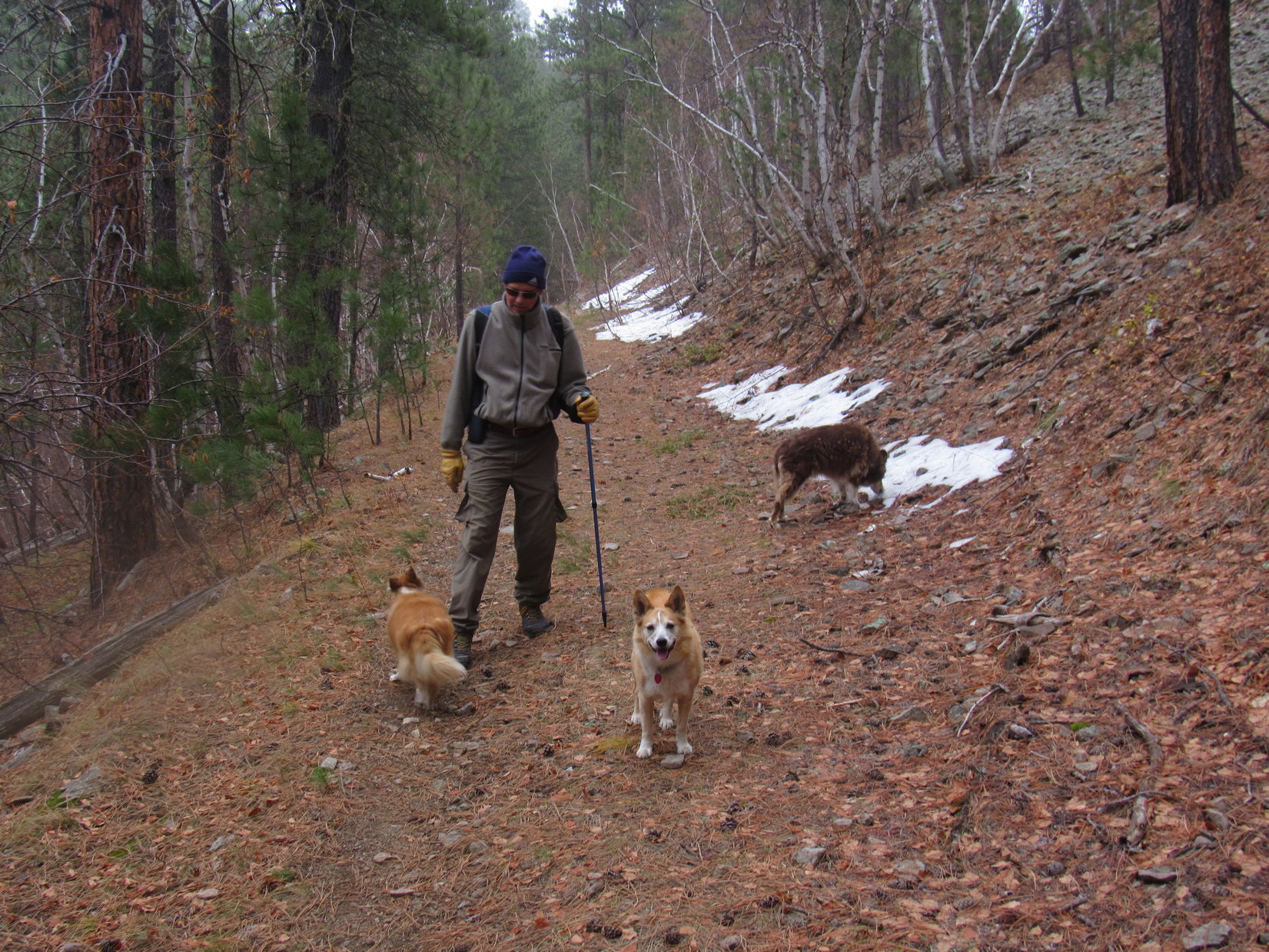
0.5 mile on No. 139 brought Lupe back up to where Centennial Trail No. 89 crossed it. This time she took the trail N, eventually reaching the same junction where the trail to the Sturgis City Dams split off toward Peak 4780’s summit. Downhill essentially all the way back to the Alkali Creek trailhead from here.
Getting late, though! Light was fading as SPHP was finally able to pick up the pace. Considerable progress had been made down the mountain when suddenly there was movement in the deepening gloom ahead.
A dog! Not just any dog, either. Tail slowly wagging, Poett stood alone on the trail, waiting to greet Lupe!
They sniffed. Then Poett joined the procession, preferring to fall in at the end of the line. Still some distance down to Poett’s Corner. SPHP was glad when Poett began to fall behind. Evidently, Poett was going to be content to return home, instead of following Lupe past his gate and bell.
What a way to end the day, Loopster! You finally got to meet Poett, canine celebrity of the N Centennial Trail!
We were lucky, SPHP! I’m so glad to see that Poett’s well and still actively patrolling his part of Centennial Trail No. 89!
And who knows? If you head up into the Black Hills from the Alkali Creek trailhead, Poett may be there still. (End 5:31 PM, 51ºF)

Links:
Next Black Hills Expedition Prior Black Hills Expedition
Centennial Trail No. 89 Map & Brochure
Black Hills, SD Expedition No. 274 – Centennial Trail No. 89: Elk Creek to Alkali Creek (4-10-21)
Want more Lupe adventures? Check out Lupe’s Black Hills, SD & WY Expeditions Adventure Index, Master Adventure Index, or subscribe free to new Lupe adventures!