10-28-21 – Lupe could hardly believe her big soft Dingo ears! Uncle Joe, Aunt Andrea, and Cousin Dusty were coming from Colorado. Not only would they be here tonight, but Lupe had a brand new cousin that was coming with them, too!
When Cousin Laddie gets here, Loop, you’re going to have to be extra nice to him. Laddie’s had a tough life and might be scared. He’s a nice dog, a little Sheltie not even as big as you. So, no growling or rough-housing! Got that?
Why? What happened to Cousin Laddie, SPHP?
Oh, I don’t know the whole story, but Laddie’s been at the shelter. He got adopted, but a few months ago Laddie was grabbed by the neck and torn into by another dog in the same family that adopted him, and was just about done in. To survive, Laddie needed thousands of dollars worth of surgery. The fur on his chest is still growing back. Laddie’s also missing almost all his front teeth, which were rotten and had to be pulled back when he first got to the shelter.
No teeth? My poor cousin! His bark must be worse than his bite!
Probably right about that, Loop, but he still has his back teeth.
How come you’ve never mentioned Cousin Laddie before, SPHP?
Because he’s a brand new cousin. He just joined the family when Aunt Andrea and Uncle Joe agreed to adopt him, since he couldn’t stay with the same family any longer after being attacked. In fact, Laddie is his new name. He used to be called Danny Boy.
It was all true! Later that evening Uncle Joe, Aunt Andrea, and Cousins Dusty and Laddie did arrive. Loopster raced around barking for joy, wild with delight! Extremely curious about Cousin Laddie, she sniffed and sniffed. SPHP hadn’t said anything about sniffing. Lupe sniffed so much that Laddie maybe did get a little scared, but nothing bad happened.
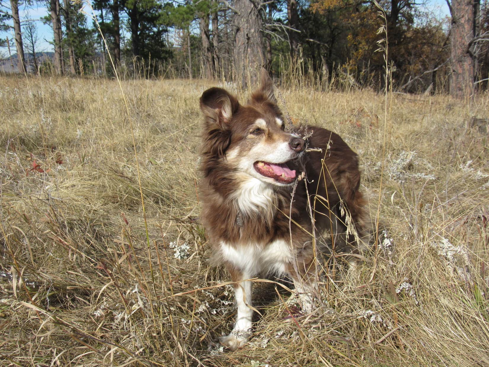
The amazing thing about Cousin Laddie was that he was almost the same color as Lupe. Laddie’s fur was a lot longer, though, except on his chest where it had been cut. Laddie did have one front tooth, an upper canine on the L side. That lone tooth gave Laddie sort of a crooked smile. SPHP later said that Uncle Joe and Aunt Andrea should have named him Snaggle Fang.
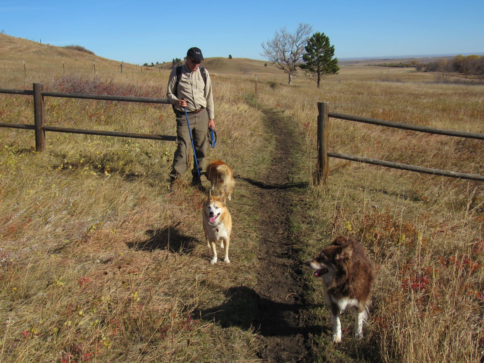
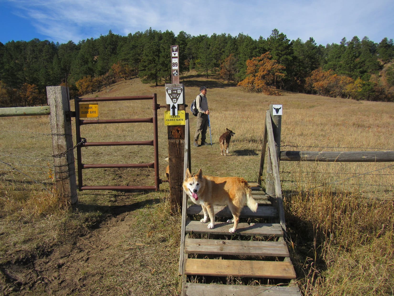
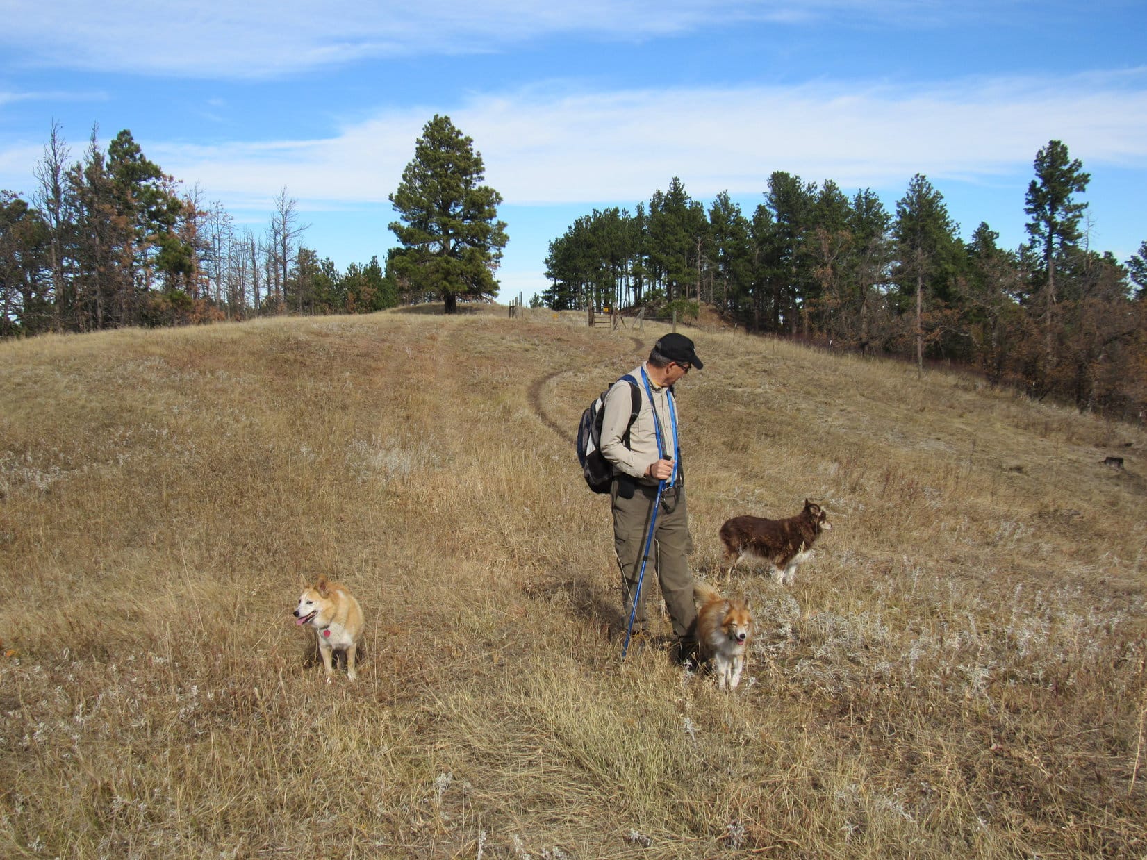
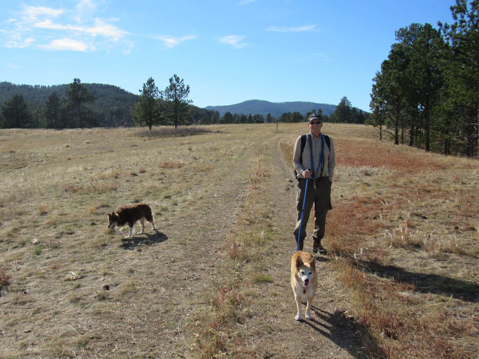
10-29-21, Centennial Trail No. 89, Alkali Creek trailhead – Everyone was excited! Cousin Laddie was about to get his first introduction to the Black Hills. Cousin Dusty was 15 now, so the hike had to be a relatively easy one. The stretch of Centennial Trail No. 89 N of the Alkali Creek trailhead to a ridge overlooking the old 7th cavalry post at Fort Meade was one of Uncle Joe’s favorites, and would do nicely. He always called it the Ponderosa hike.
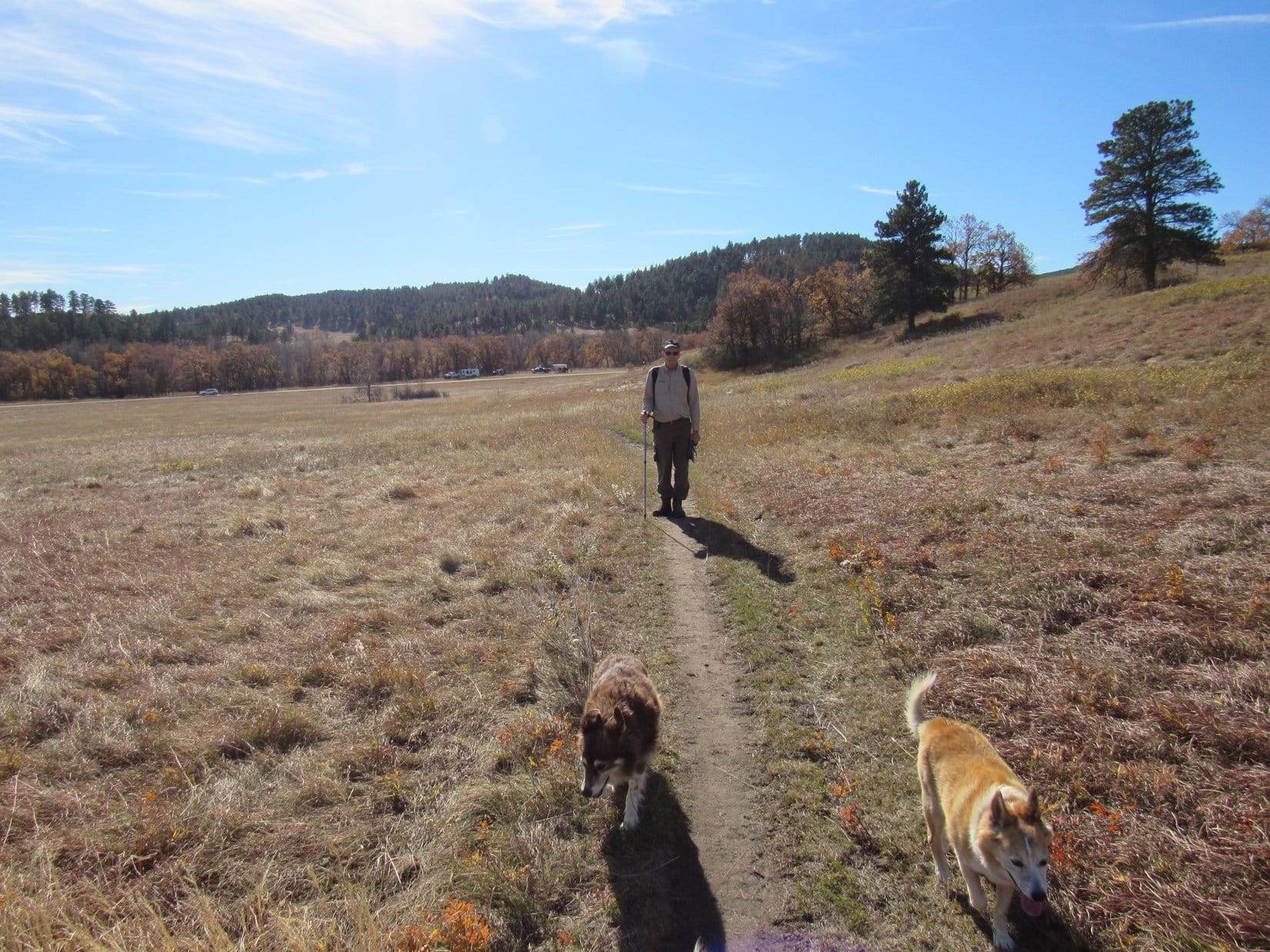
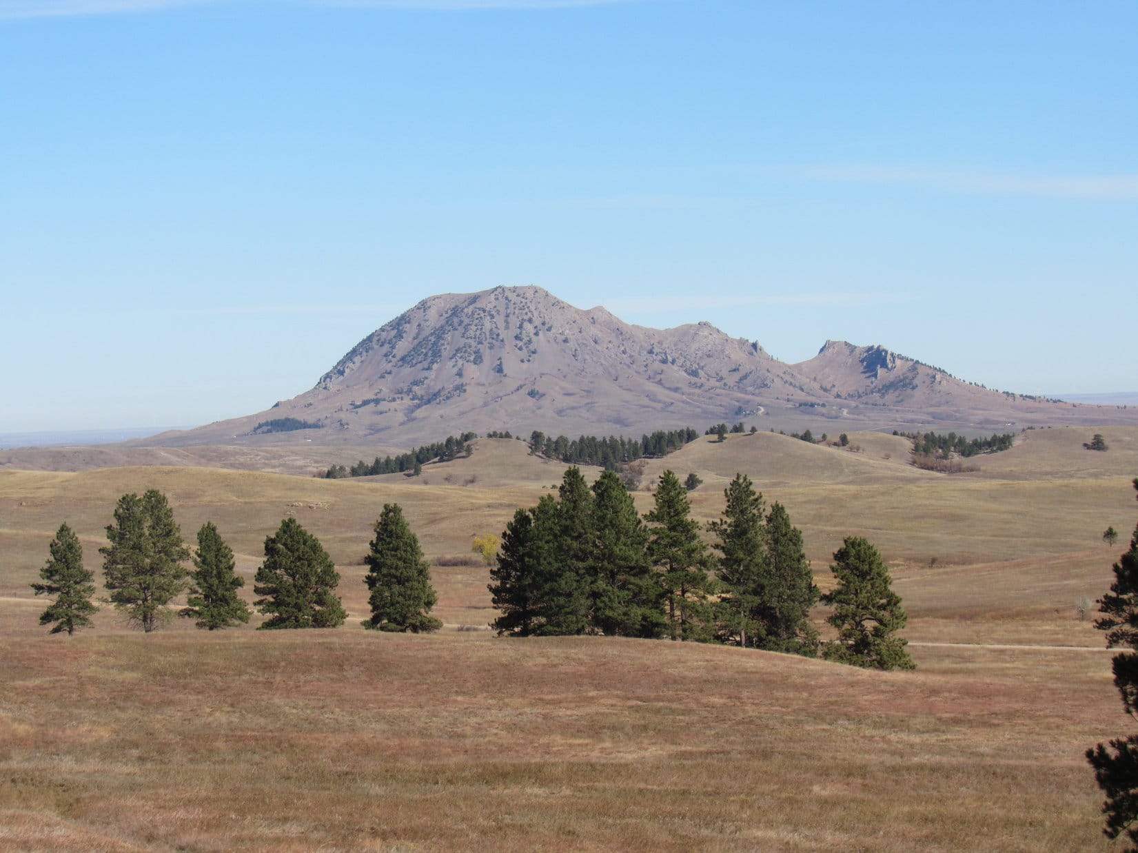
The first part of the trail was an easy stroll through the grasslands. Soon Bear Butte (4,422 ft.) was coming into view. At the top of a rise, the trail diverged by a gate in a barbed wire fence. Centennial Trail No. 89 went L here, heading W for a forested ridge.

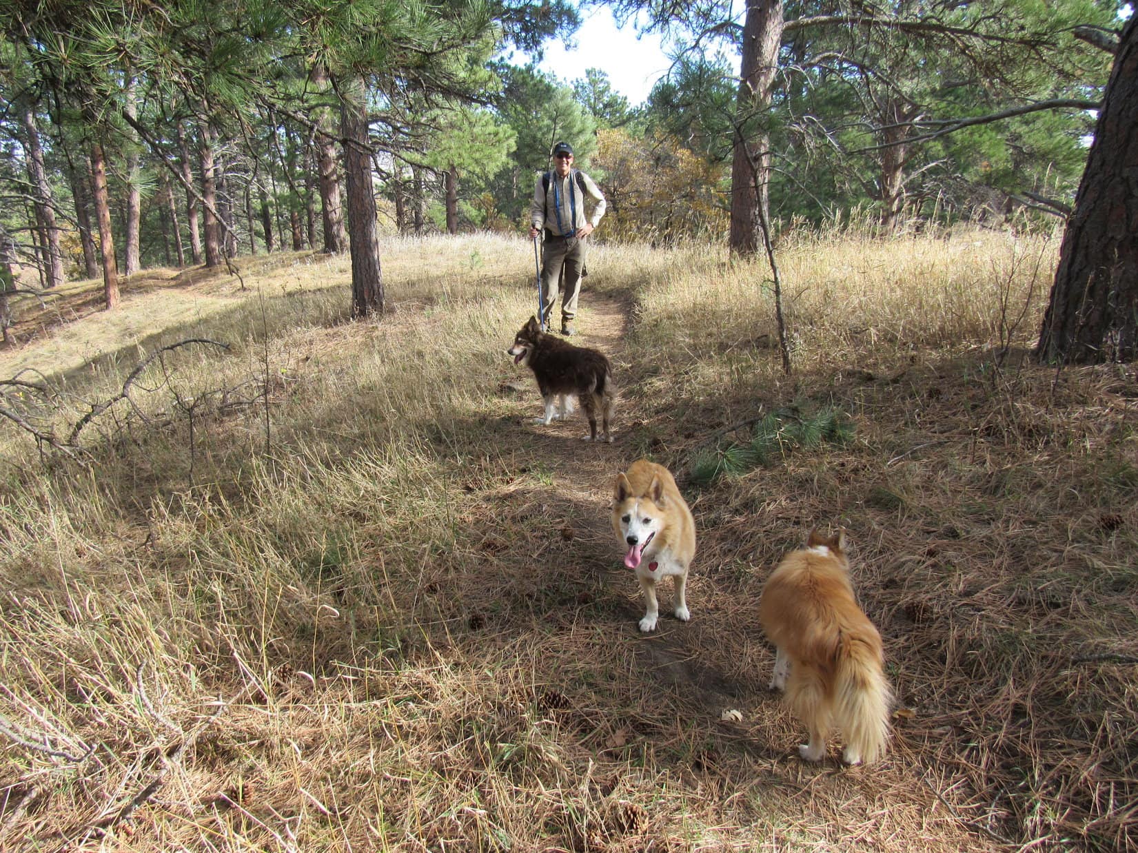
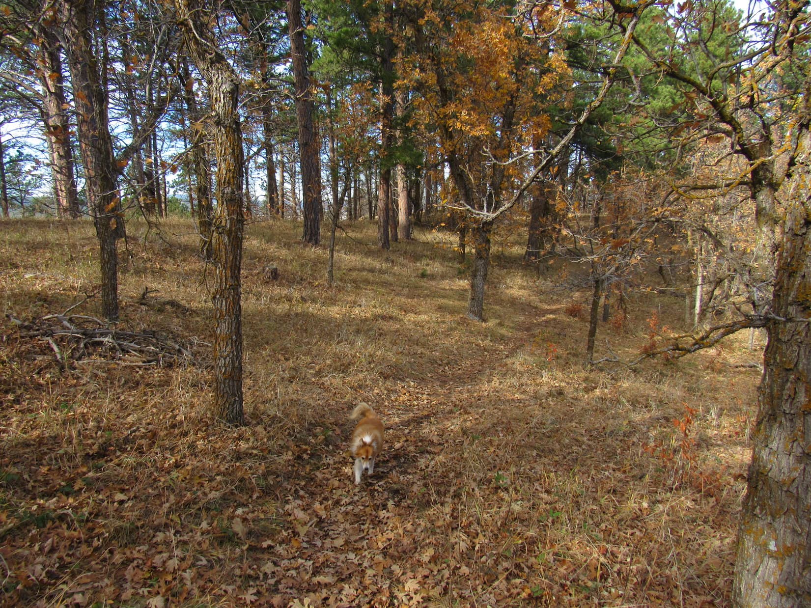
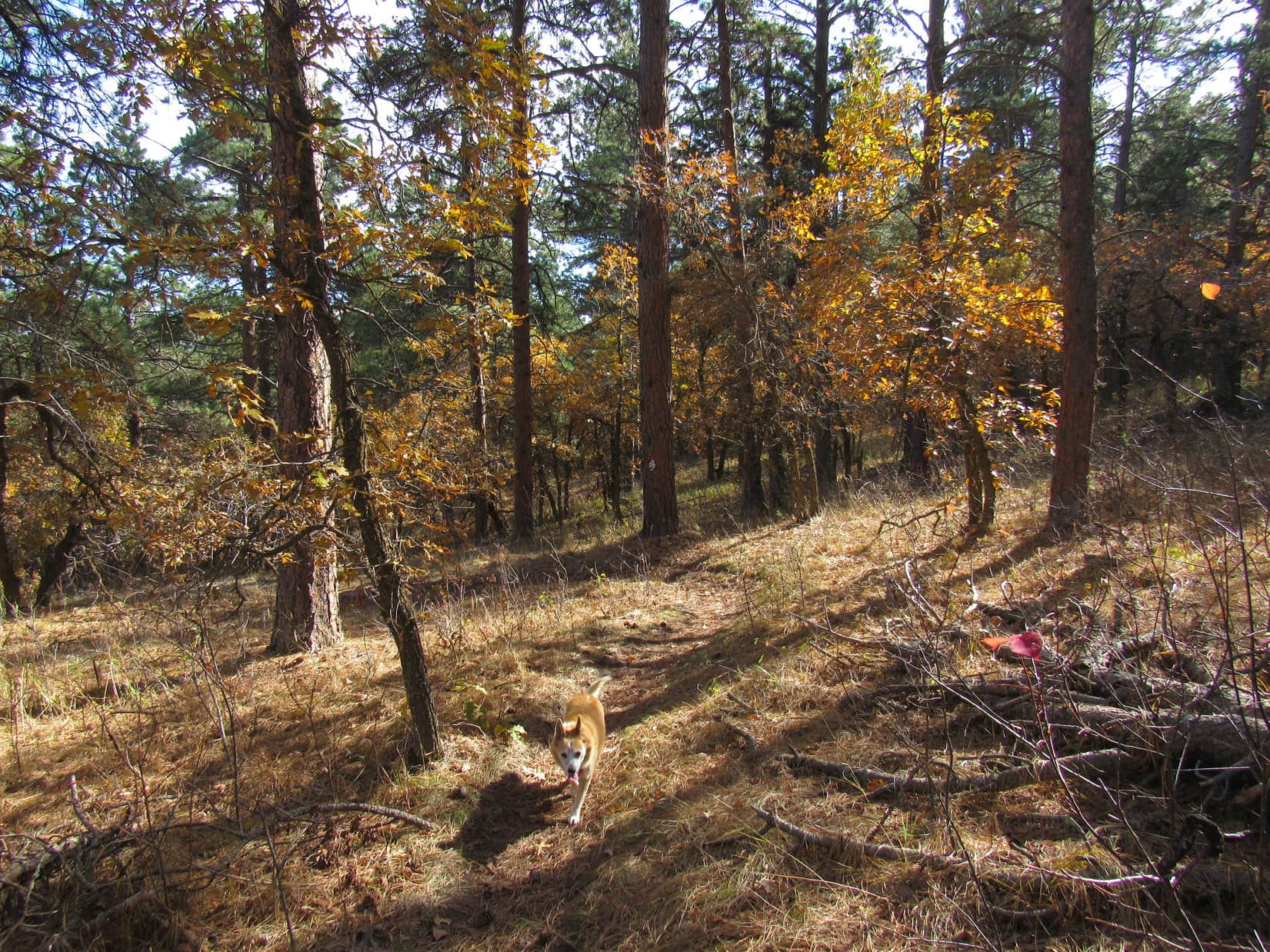
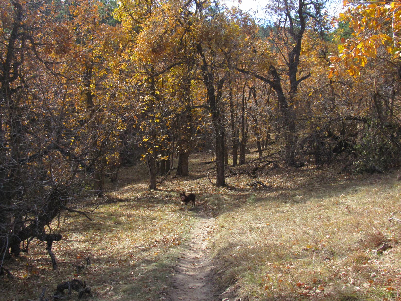
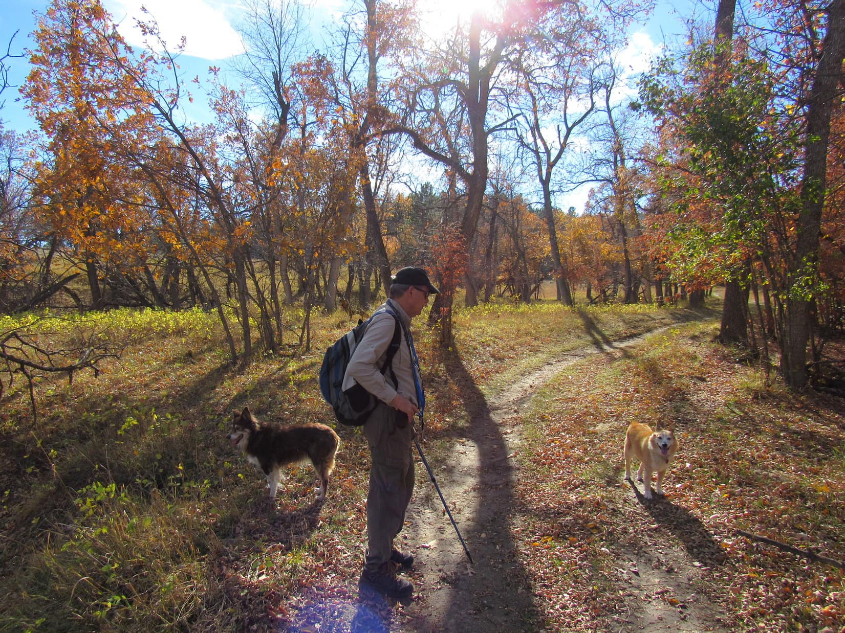
Upon entering the forest at the base of the ridge, Centennial Trail No. 89 continued W, working steadily higher on a winding course. At nearly the end of October, autumn leaves still clinging to the scrub oaks were well past their scenic best, but did add splashes of color. Cousin Dusty, a veteran of many prior adventures in the Black Hills, was doing great! She often took turns leading the way with Lupe.
Still unaccustomed to the Black Hills and his new life, Cousin Laddie was happiest sticking close to Uncle Joe.


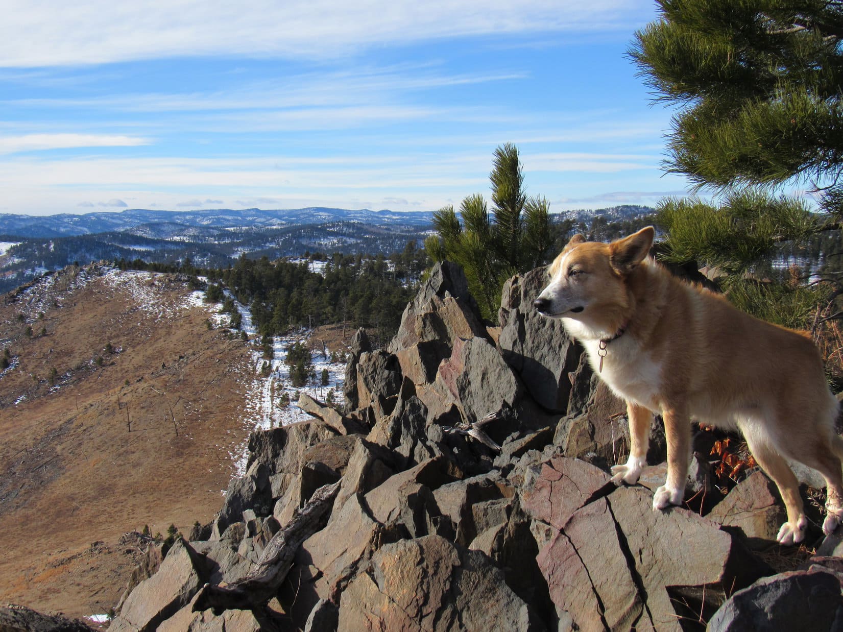
Centennial Trail No. 89 reached the top of the ridge at its far S end. Here the trail leveled out. Peak 4027, true summit of the entire mile long ridge, was only a little farther N. The trail went practically right to it, but never did go quite all the way to the top, sweeping around the hillside E of the summit instead.
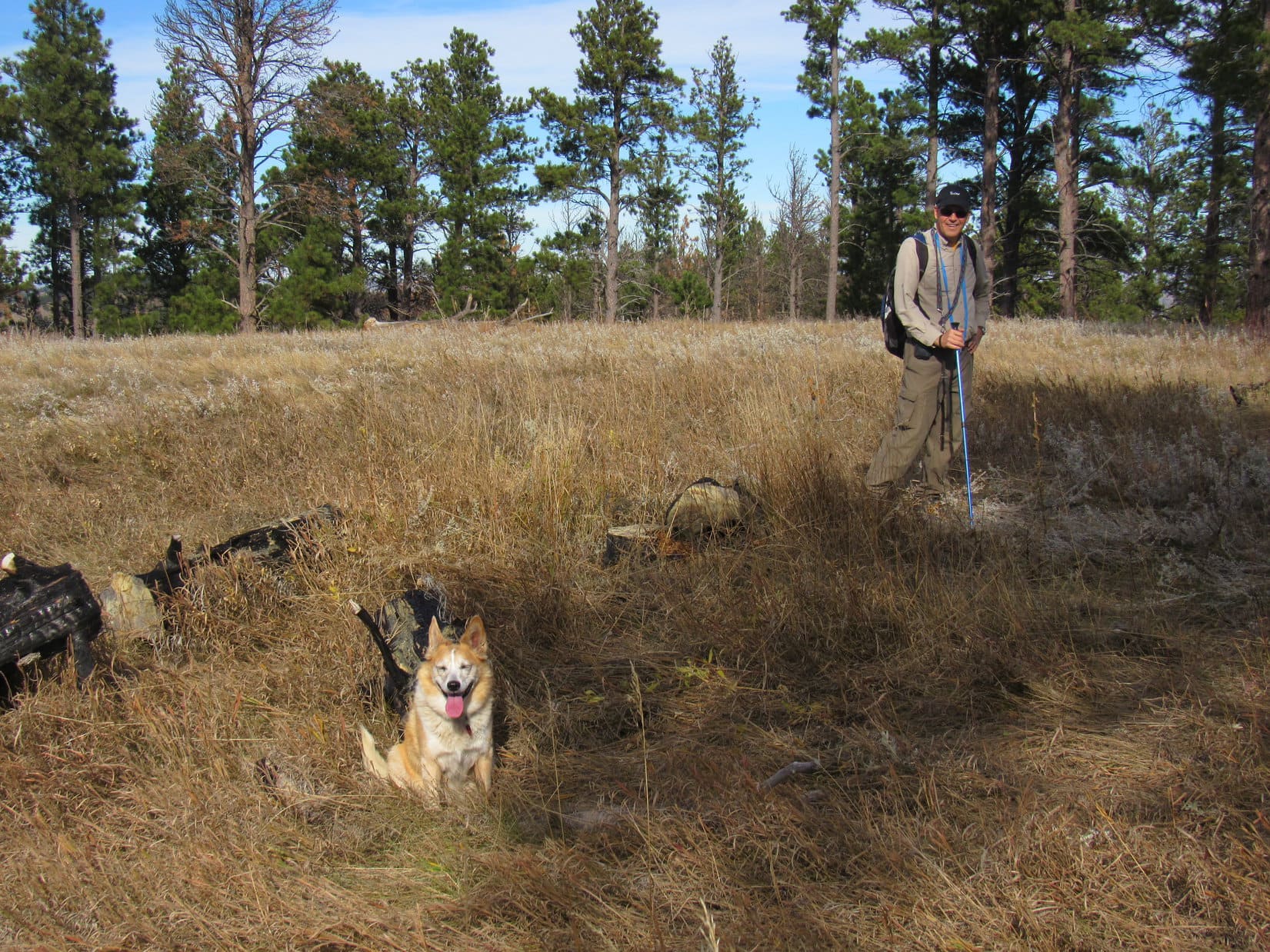
Naturally, being this close, Lupe had to tag the high point! The Carolina Dog left Centennial Trail No. 89, venturing up to the summit. Everyone else followed as a matter of course.
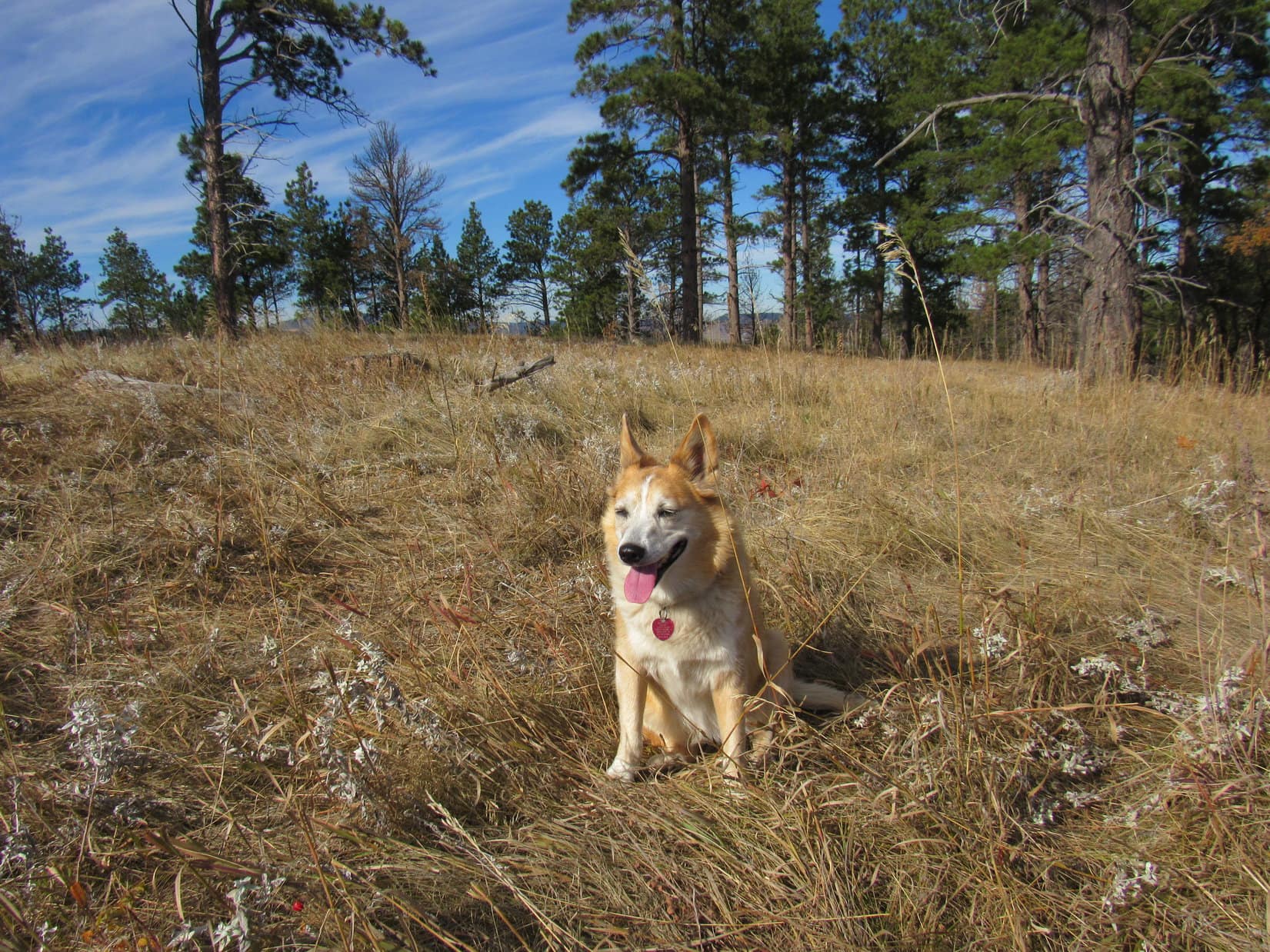
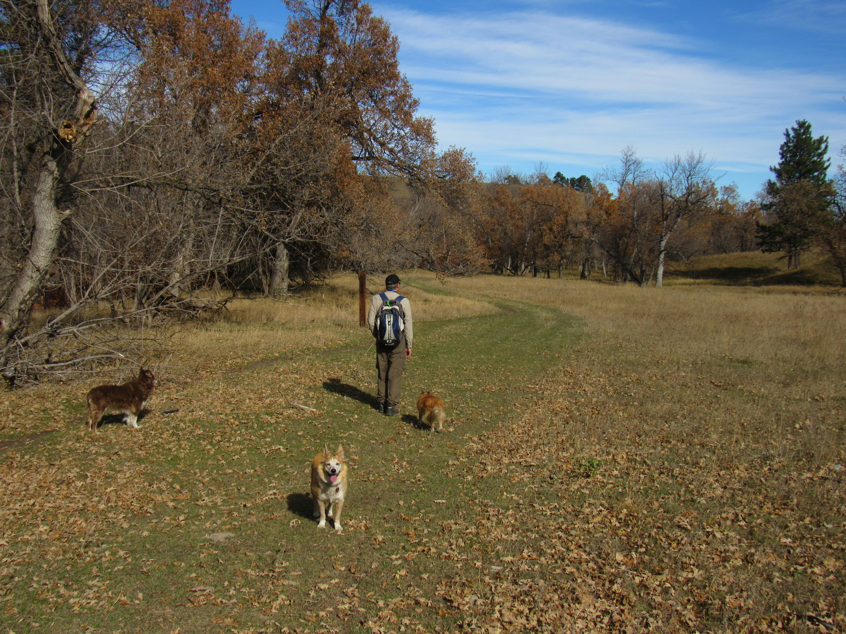
It took only a couple of minutes to reach the top, a big, flat, grassy field ringed by Ponderosa pines in most directions. Lupe, SPHP, Cousin Dusty, and Uncle Joe had all been here before, but this was Cousin Laddie’s first Black Hills peakbagging success. Peak 4027 was super easy, but Laddie seemed happy enough with it.
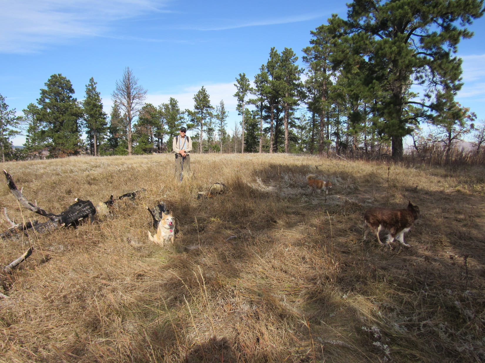
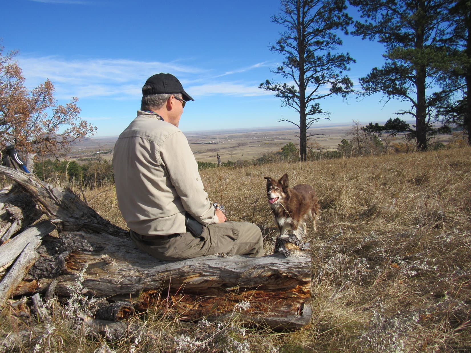
A short break was taken up on Peak 4027. Although trees blocked the views in most directions, Bear Butte and the prairies E of the Black Hills were on display. SPHP had brought apples and chocolate coconut bars. Uncle Joe shared Kirkland bars. All of the dogs enjoyed some chocolate coconut bar, and Cousin Dusty even wanted the apple cores. Water was available, too.

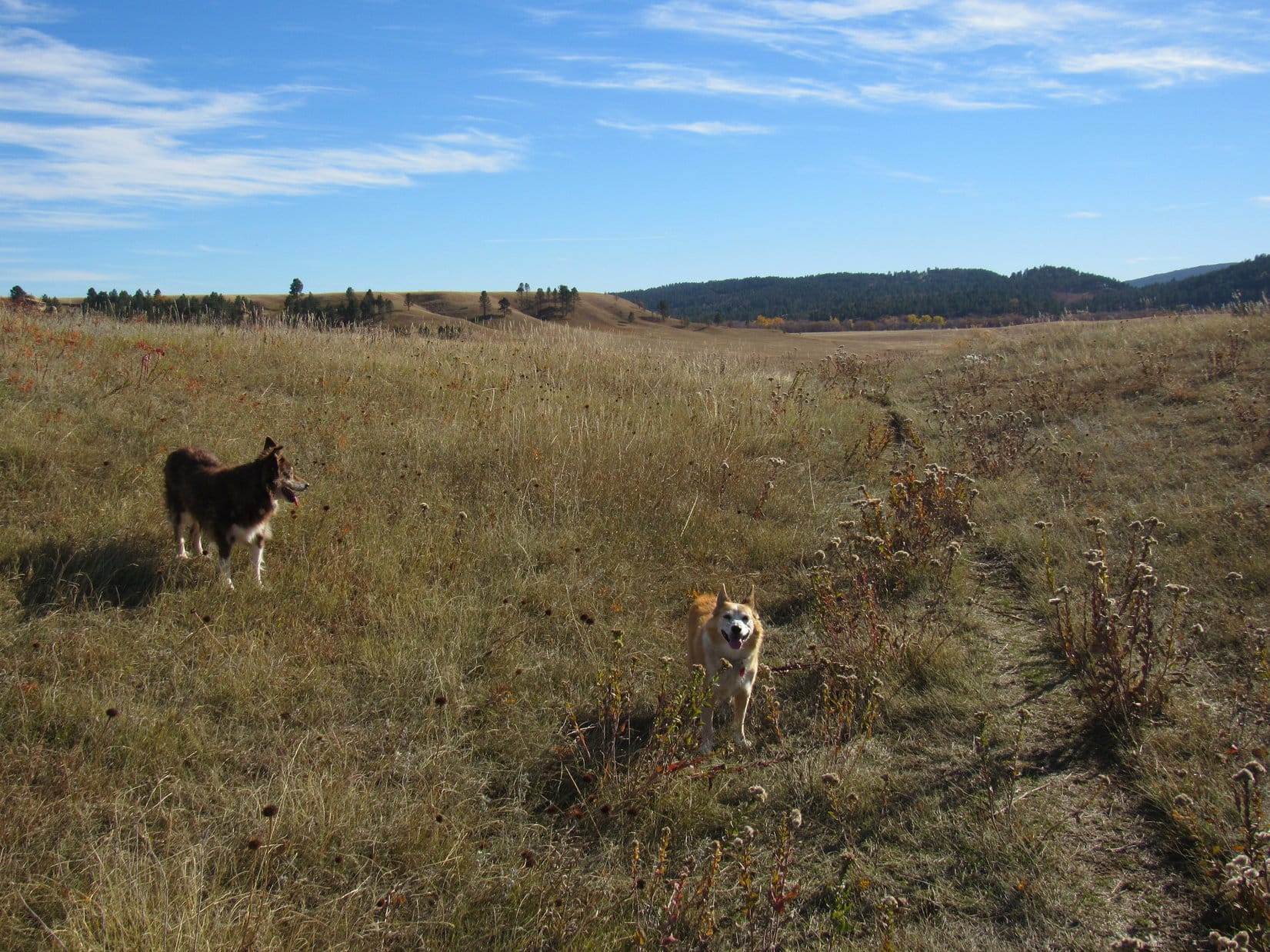
When all the goodies were gone, it was time to continue on. From Peak 4027, Centennial Trail No. 89 ran another 0.75 mile all the way to the far N end of the ridge. Most of this route was forested, but there was a big clearing approaching HP3983, and a little past HP3983 was a viewpoint off to the L (W) overlooking I-90.
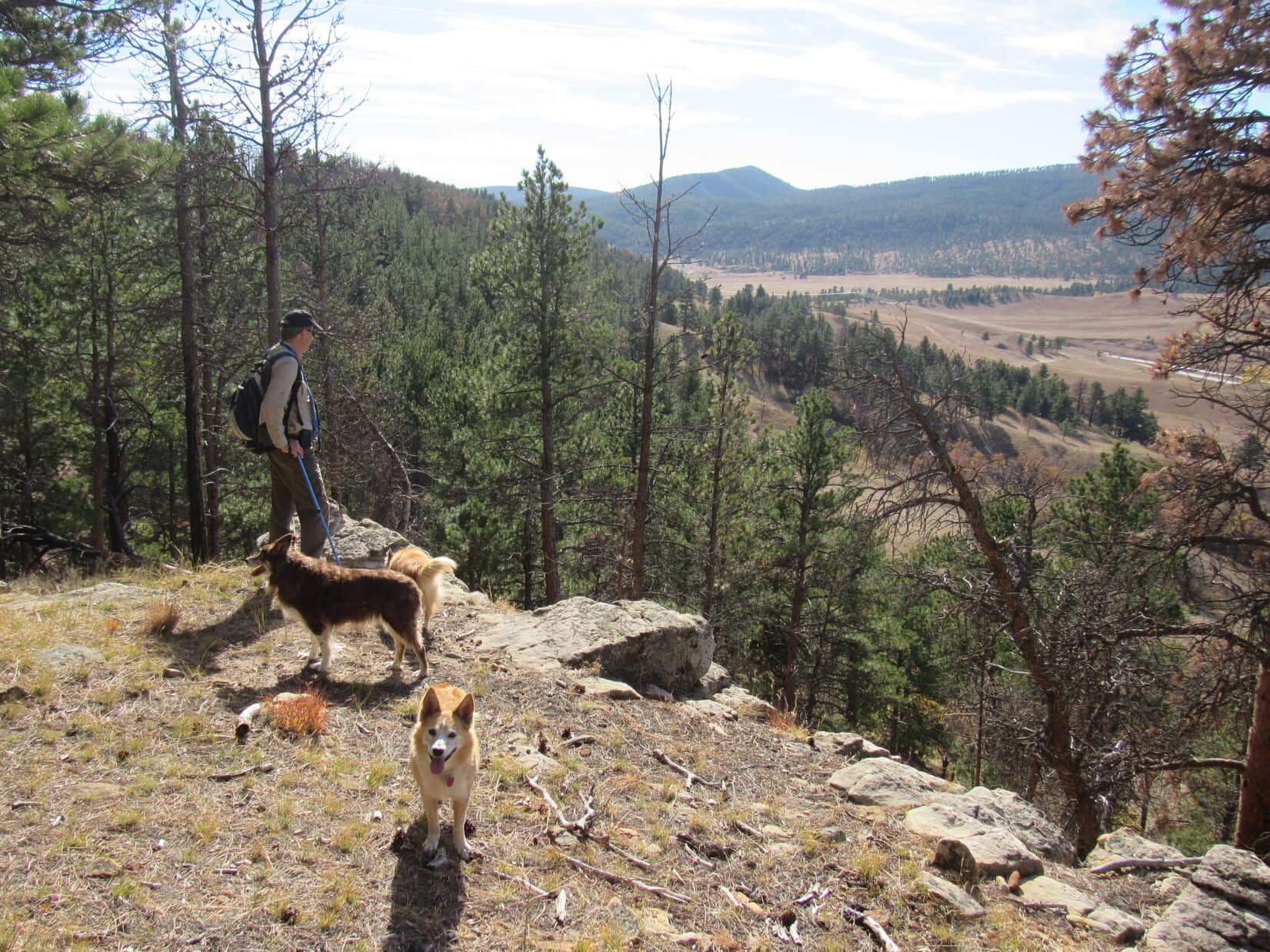
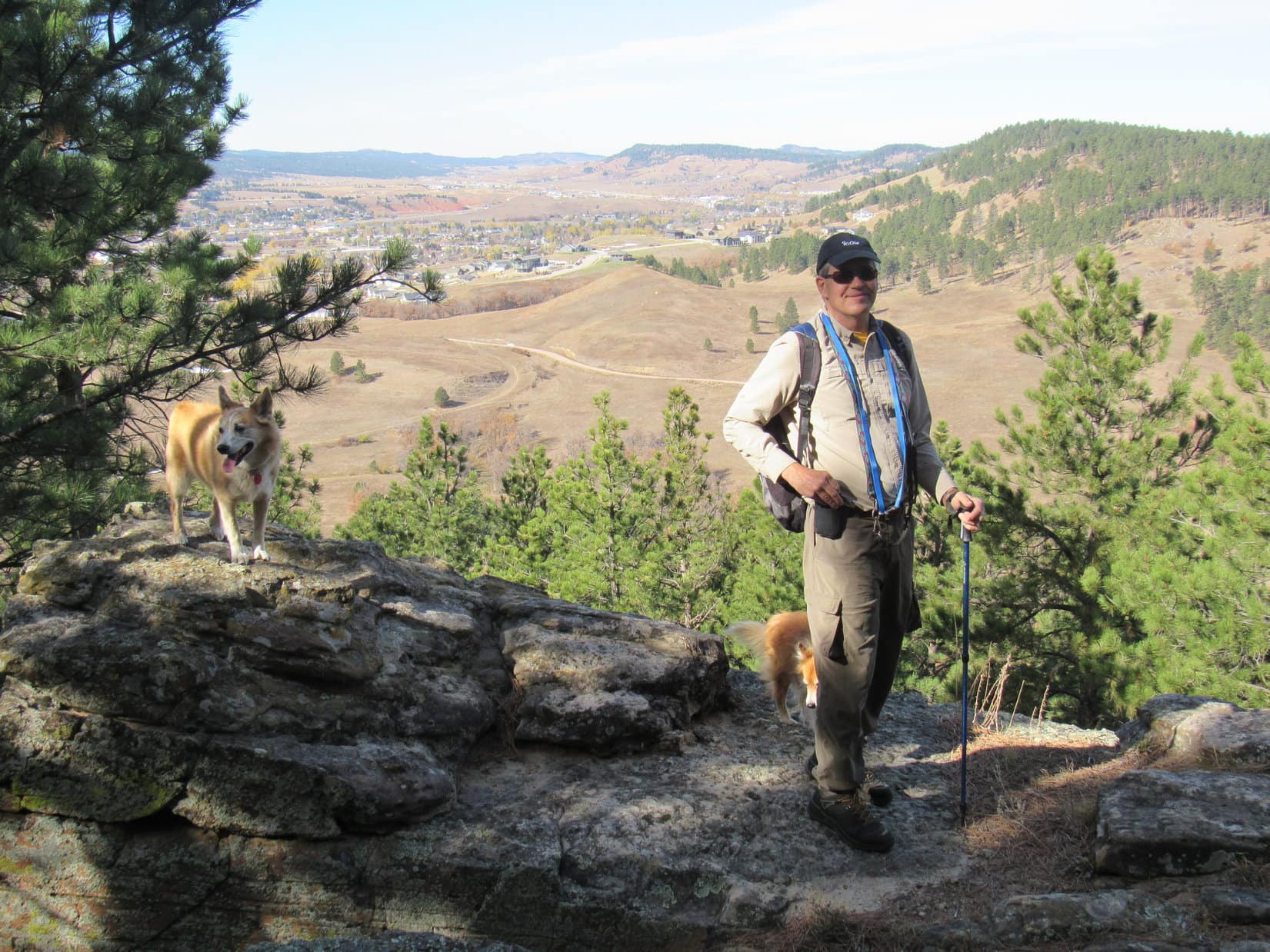
At the N end of the ridge was another viewpoint overlooking the town of Sturgis. Oyster Mountain (4,040 ft.), Sly Hill (3,920 ft.), and Peak 3950 were all in sight, too.
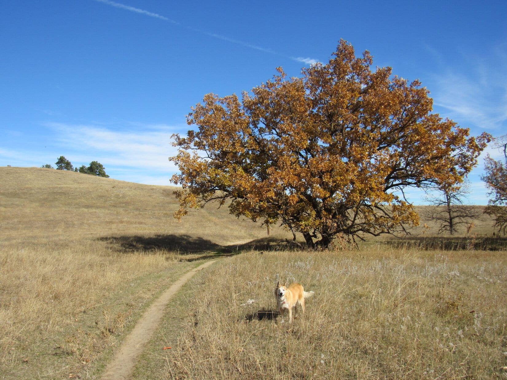
From the Sturgis viewpoint, the trail began descending NE. Halfway down the mountain it curved back into a valley to the S, then turned NE again upon reaching the valley floor. Scrub oaks were the most scenic feature of this trek, especially lower down where, protected from the wind, they still had quite a few leaves.
The valley of the scrub oaks eventually led clear down to Old Stone Road. Centennial Trail No. 89 crossed the road, entering a larger, flatter drainage which continued NE out toward the prairie. The trail soon curved E, but everyone abandoned it to take a shortcut up a grassy slope onto the ridge to the N.
Overlooking both Fort Meade and Bear Butte (4,422 ft.), the top of this ridge was the traditional end of the “Ponderosa Hike”.

Hardly a cloud in the sky, and incredibly warm for practically the end of October! A little farther W along the ridge, everyone hid out from the sun in the shade of a few large pine trees enjoying a second rest break. More bars, more apples, more water!


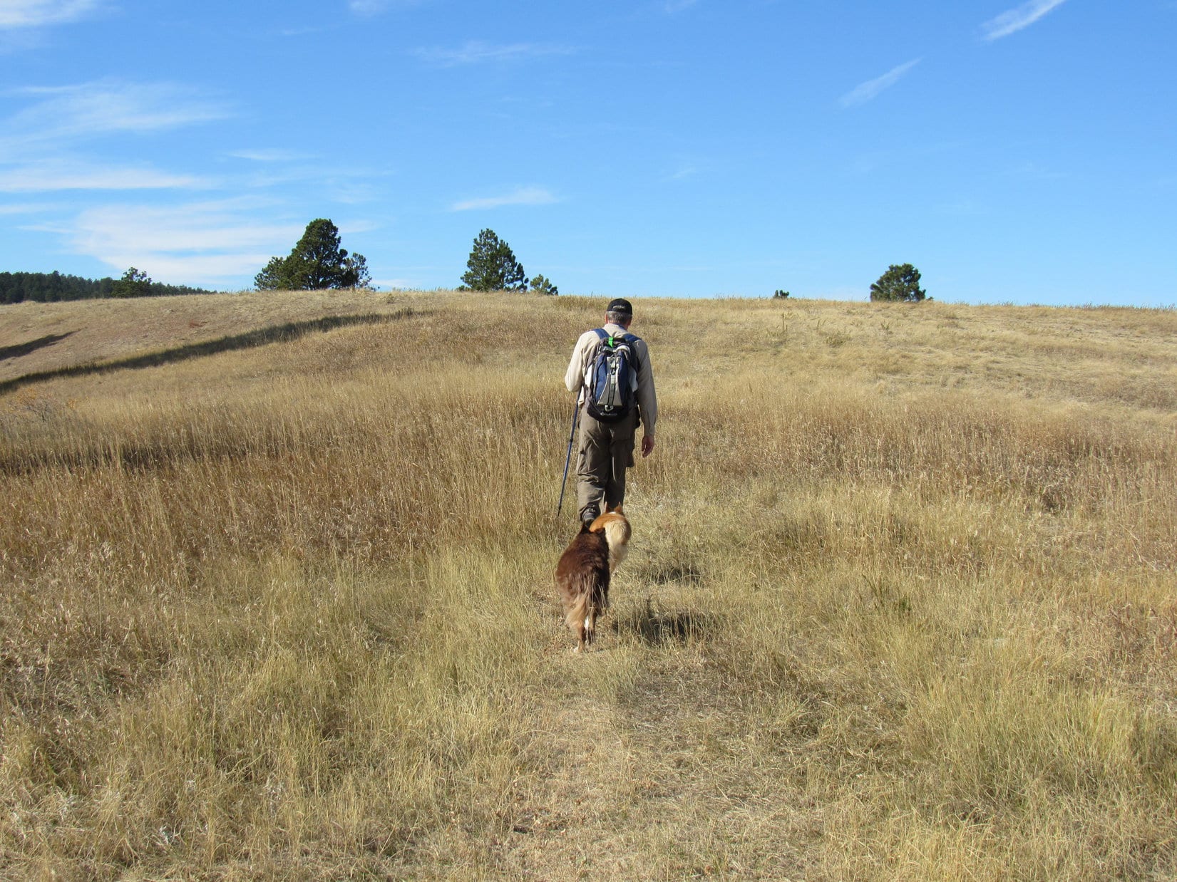
When the time came to start back, there was some discussion of possibly exploring farther W first. In the end, though, the whole pack headed right back down the grassy ridge’s S slope.

Rejoining Centennial Trail No. 89 down in the wide drainage, the pack followed it SW only a short distance. Before reaching Old Stone Road, it was decided not to return via the ridge leading to Peak 4027. Instead, a different trail was taken that went S down on the rolling prairie.
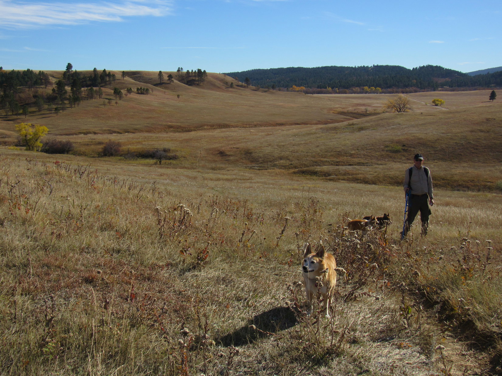
Near the end, Centennial Trail No. 89 was eventually rejoined at the gate where it turned W going up to the forested ridge and Peak 4027. Getting just plain hot out! The sun was a beast with the temperature soaring into the mid 70’s ºF. In their fur coats, Lupe, Dusty and Laddie were all panting, tongues hanging out on the final stretch.
Arrival back at the Alkali Creek trailhead was promptly celebrated with a much anticipated cold drink out of Alkali Creek. Lupe and Laddie both eagerly waded in and drank their fill, but Dusty wasn’t satisfied with just getting her paws and insides wet. Instead, she plunked herself right down in the stream and stayed there.
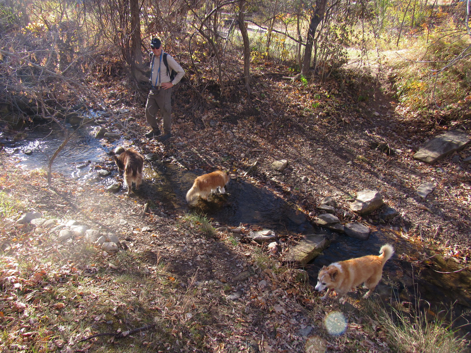
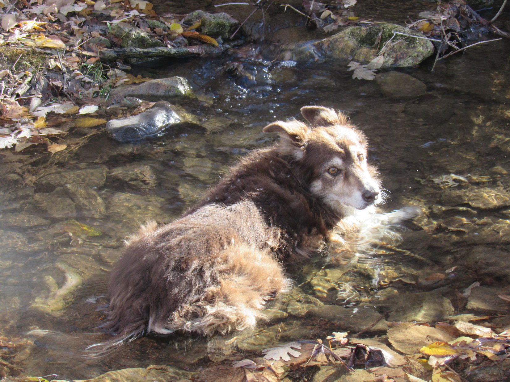
No one was going anywhere, and Black Hills Expedition No. 281 wasn’t finished, until Cousin Dusty was ready to declare it over and done with. Taking her sweet time about it, Dusty finally got sufficiently cooled down to come dripping out of Alkali Creek.
A little under 4 hours round trip on a summery October afternoon, the Ponderosa hike had been a great choice! Easy enough for Dusty, and a gentle introduction to Black Hills peakbagging for Laddie, the day had been a success.
Links:
Next Black Hills Expedition Prior Black Hills Expedition
Centennial Trail No. 89 Brochure & Map
Want more Lupe adventures? Check out Lupe’s Black Hills, SD & WY Expeditions Adventure Index, Master Adventure Index, or subscribe free to new Lupe adventures!