
Lupe was delirious with delight! The shocking news SPHP had just given her was so incredibly wonderful! Why, Christmas was coming! Not only that, but Cousin Dusty and Uncle Joe were in town all the way from Colorado. Cousin Mark had even come with them. They all wanted to go on a Black Hills Expedition with Loop. Nothing too fancy or long, but enough to get a workout and see a few sights.
Was the American Dingo up for that? Oh, boy! Was she ever! She barked and leapt at SPHP. What’s the holdup? Let’s go right now!
Loopster raced through the front door of Grandma’s house and greeted everyone with great joy and energy. It was true! They were all here! Dusty was instantly excited, too, and responded in kind. Greetings all around. Dusty and Lupe both looked at SPHP expectantly. Oh, yeah. They both knew that Grandma had a big bag of Beggin’ Strips downstairs. Of course, they each got one. Sly dingo Loop grabbed two.
Start – 9:51 AM, 27°F at the junction of Highway 385 & USFS Road No. 710
Kind of cold and snowy, but this was a good spot for a quick romp in the hills. Peak 5917 was only a little more than a mile away. Several options from there depending how things were going. With minimal delay the whole gang started up No. 710. The road headed W up a shady valley N of Peak 5800. Cousin Dusty led the way.


After 0.75 mile on No. 710, the road reached the upper end of the valley. The terrain flattened out. No snow here. The road curved S passing through an open stand of tall Ponderosa pines.

Beyond the pines the road turned W again, and began to fade. Ahead was a region of grasslands dotted with scattered pines. Peak 5917 was already in sight.

Soon everyone was on the way up Peak 5917’s SE slope. Mark and Dusty were out in front.


Mark and Dusty reached the summit well before Joe, Lupe and SPHP caught up.


December. Not especially cold, but definitely cool out. A chilly breeze was blowing out of the W. Prior to leaving Peak 5917, a group photo was hastily arranged.

What now? Was everyone done? The closest options for extending the trek were New Year’s Eve Peak (6,046 ft.) a mile NW as the ridges went, go only halfway there to Pistol Point, or head SE back to Peak 5800.
Pistol Point sounded good to everyone. Mark, Dusty and Joe started down Peak 5917’s SW slope. Loop lingered briefly at the summit before following after them.


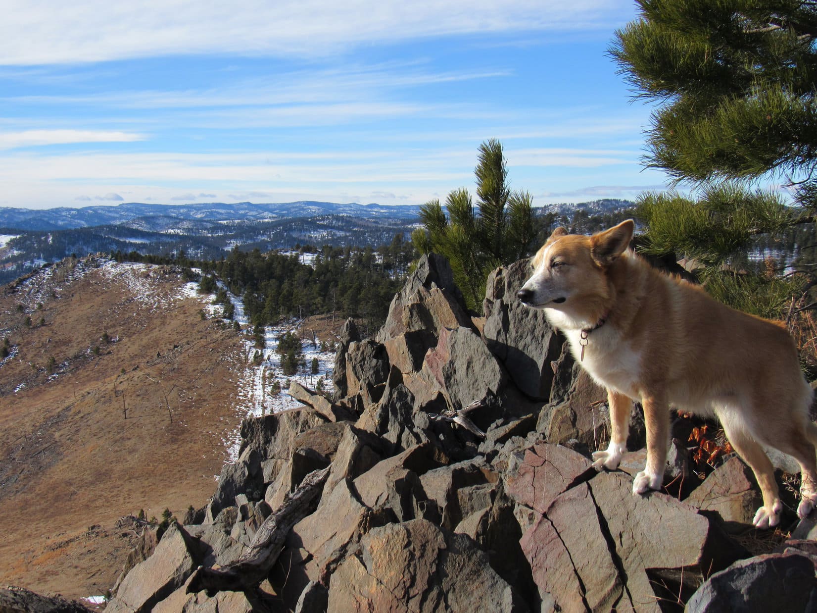
Pistol Point is only 0.5 mile SW of Peak 5917. Cousin Mark was soon poised atop the rocky ridge.


Pistol Point offers the same sweeping 180° views to the S that Peak 5917 does from only a slightly different perspective. The W wind was still chilly. If it hadn’t been for the breeze, New Year’s Eve Peak, only 0.5 mile NW, probably would have happened.
As it was, though, Cousin Dusty was shivering. At 12 years old, she was doing great to have come this far leading the way most of the time. Best to head back, though, to get her out of the cold wind.


Dusty felt better as soon as she was out of the wind. The trek back to the G6 was scenic with great company to share the day with. The route back was the same, minus an excursion up to Peak 5917 again.


Before long, everyone was heading down the valley on snowy USFS Road No. 710. A ride back to Grandma’s house for goodies and more fun was waiting at the end of the road. Best of all, the festivities would continue for the next several days, because, you know, Christmas was coming! (12:52 PM, 29°F)

Links:
Next Black Hills Expedition Prior Black Hills Expedition
Want more Lupe adventures? Check out Lupe’s Black Hills, SD & WY Expeditions Adventure Index, Master Adventure Index, or subscribe free to new Lupe adventures!