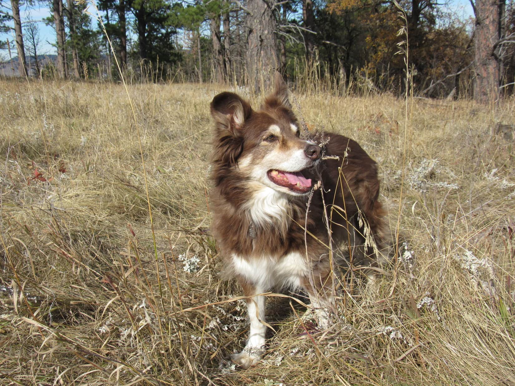
Uncle Joe, Aunt Andrea, and Cousin Dixie had arrived yesterday from Colorado, visiting Hotel Lupe for the first time this year. The excited Carolina Dog knew what that meant – adventure time in the Black Hills! However, on this Friday morning before Memorial Day, the first stop was a sad one, because it was also the first time they’d been here since Grandma died last December. At the Black Hills National Cemetery, Andrea placed a bouquet of red, white, and blue flowers on Grandma and Grandpa’s grave.
The Alkali Creek trailhead of Centennial Trail No. 89 was only a mile from the cemetery, and the starting point for one of Uncle Joe’s favorite hikes in the Black Hills. Due to its mix of rolling prairie and Ponderosa pine-covered ridges, it sort of reminded him of the old western show Bonanza, and he always referred to this region as the Ponderosa Hike. Now with Grandma gone, for the first time ever, Aunt Andrea was going to get to experience the Ponderosa Hike along with the rest of the gang.
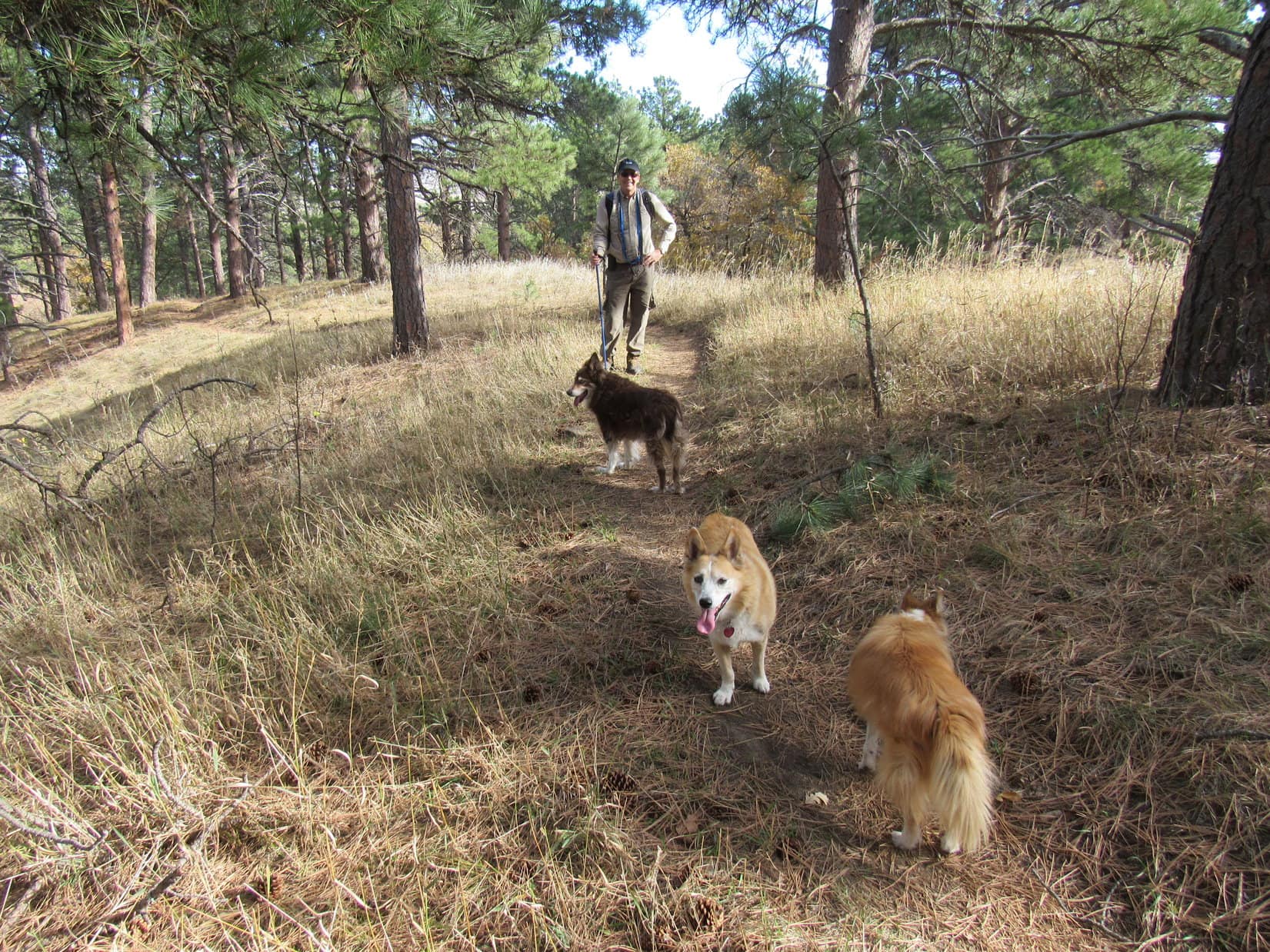
9:17 AM, Centennial Trail No. 89 at the Alkali Creek trailhead – For late May, it was a cold day. With a stiff N wind blowing, the humans were all bundled up. On the other paw, both Lupe and Dixie seemed to relish the invigorating fresh air. They were raring to go!

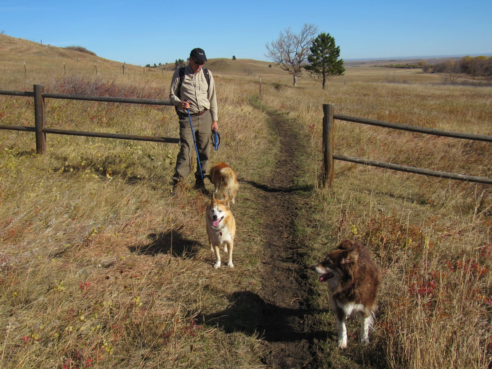
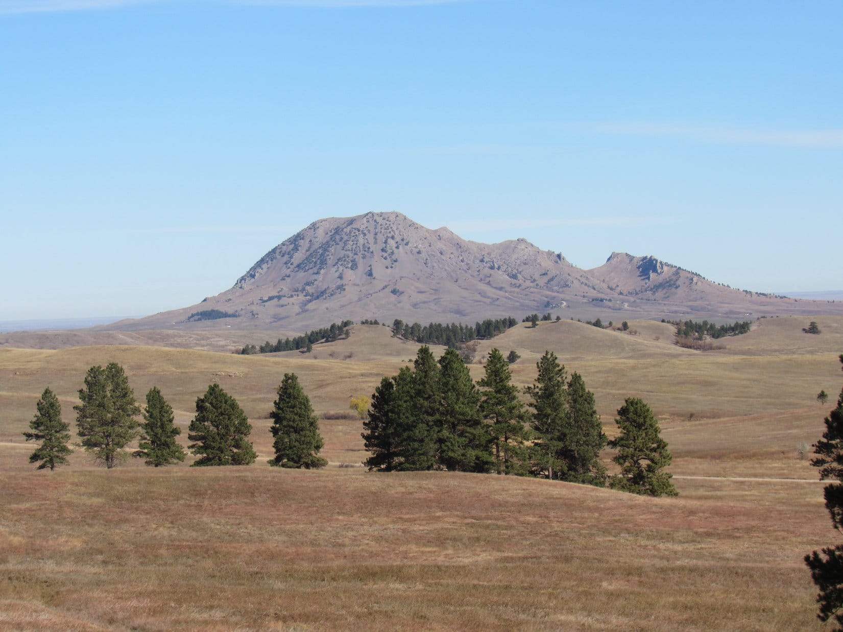
After crossing Horse Soldier Road, Centennial Trail No. 89 swung around to the E side of the first ridge and headed N. Bear Butte (4,431 ft.) was soon in sight from the top of a small rise. There was a trail junction here. Beyond a gate, Centennial Trail No. 89 went off to the L, heading W for the trees at the base of the ridge.


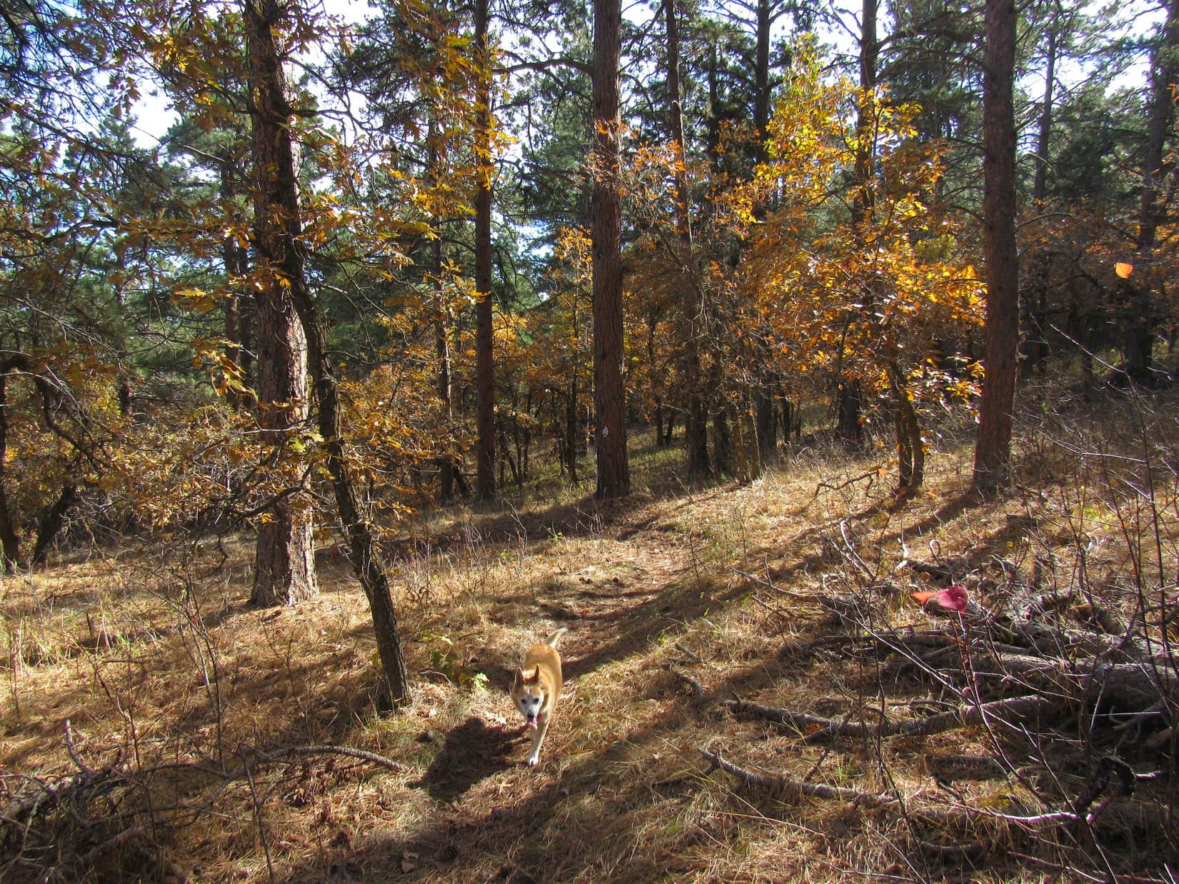
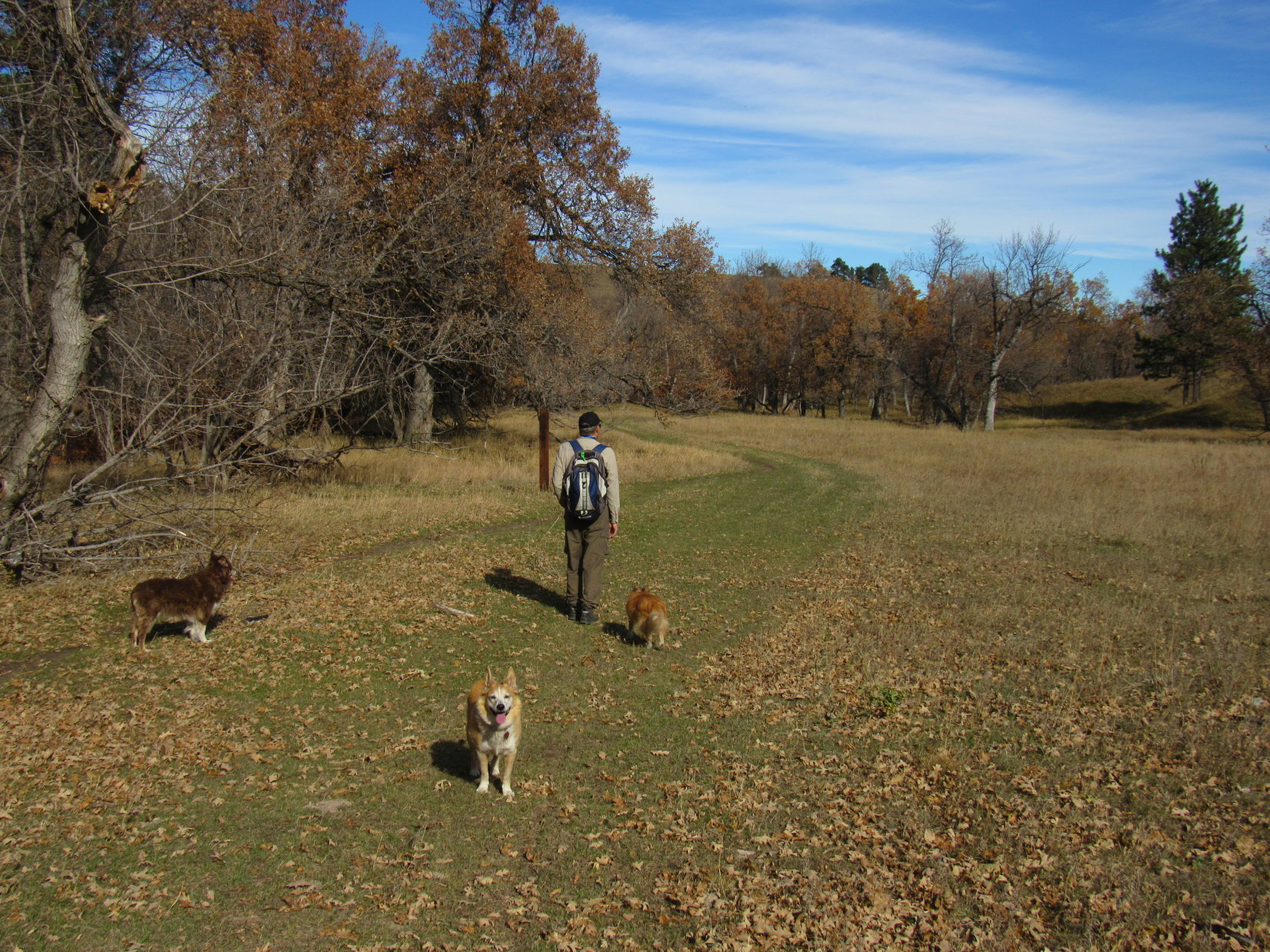
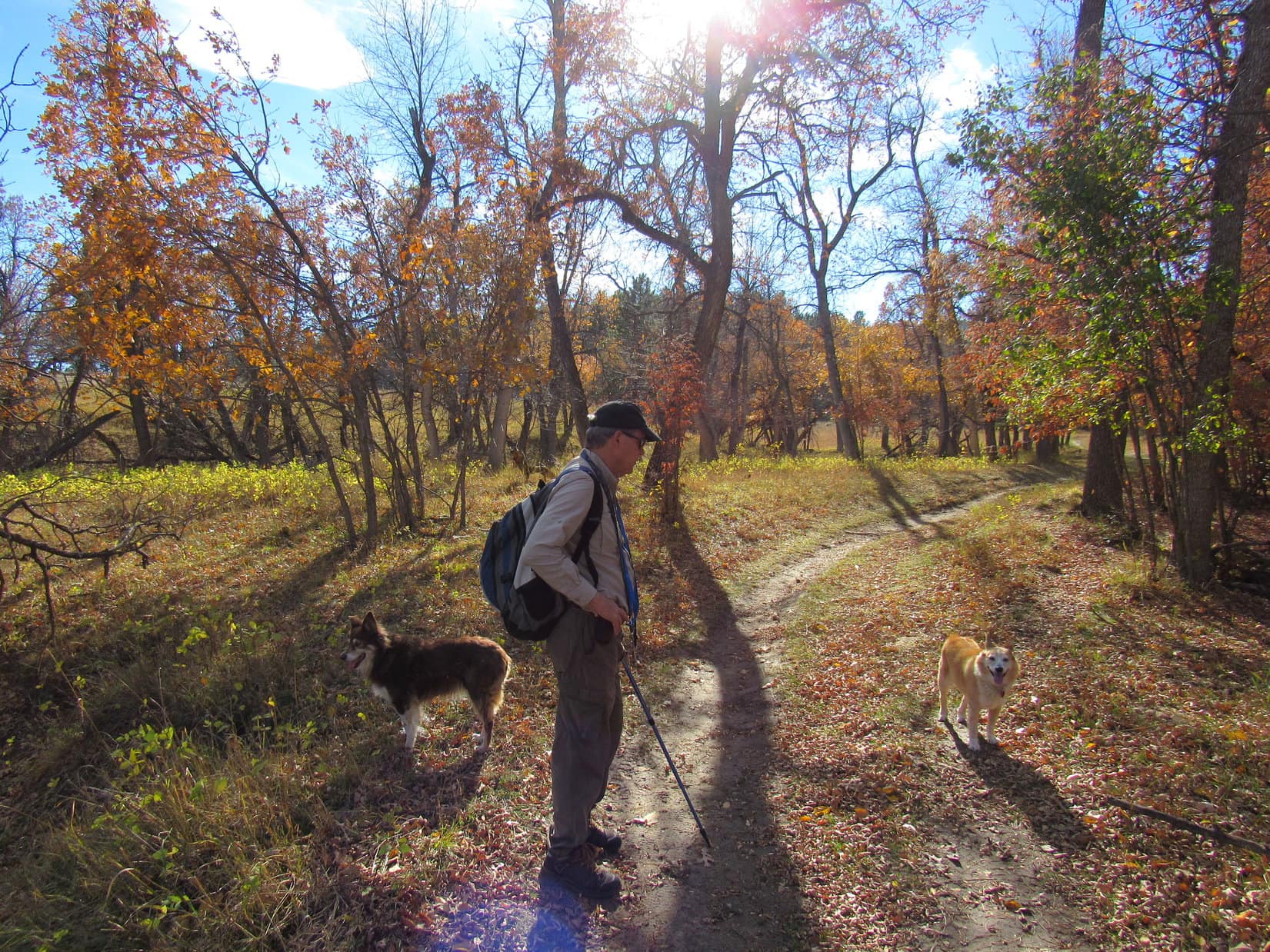
Approaching the trees, the trail angled NW, heading toward a region of scrub oaks. Climbing steadily among them, it first wound around to the N before curving back to the S.

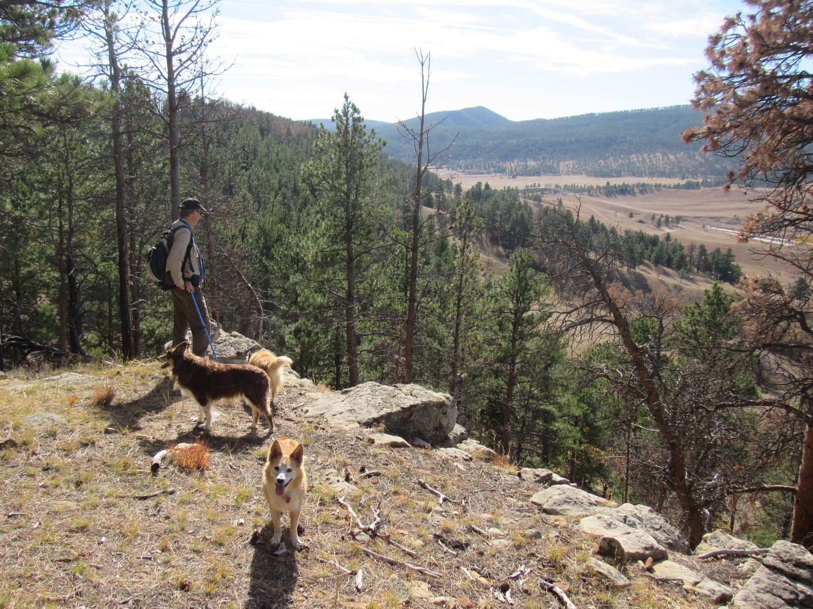
After gaining some elevation, the oaks gave out. Continuing higher, the trail now wound through a mostly Ponderosa pine forest. Near the top of the ridge, the forest was quite open. The trail even went through a small meadow.


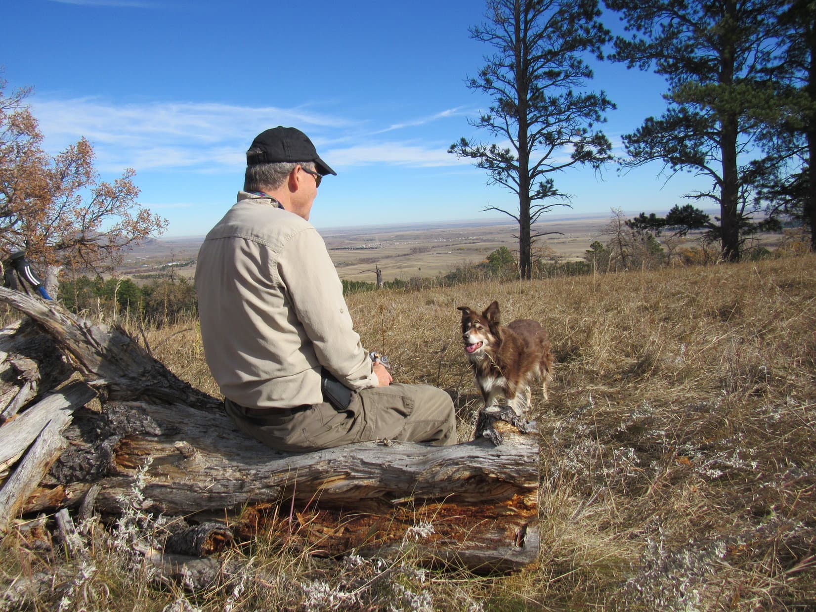
As the terrain began leveling out, a short distance off-trail there was a view of the Black Hills National Cemetery to the S. It was sad to think that both Grandma and Grandpa were down there now. It still almost didn’t seem real.

Soaring high overhead, the late May sun was warming the day up. Now somewhat sheltered from the wind by the pines, and also warmed by the exertion of the climb, suddenly the humans were all feeling the need to shed some layers.

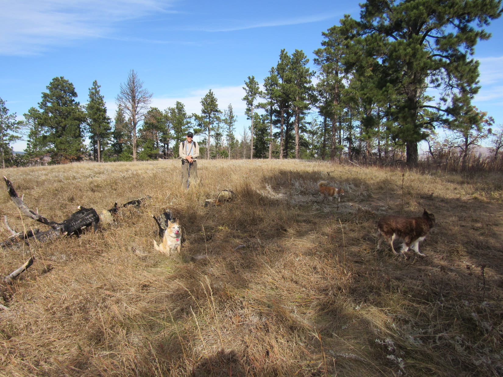
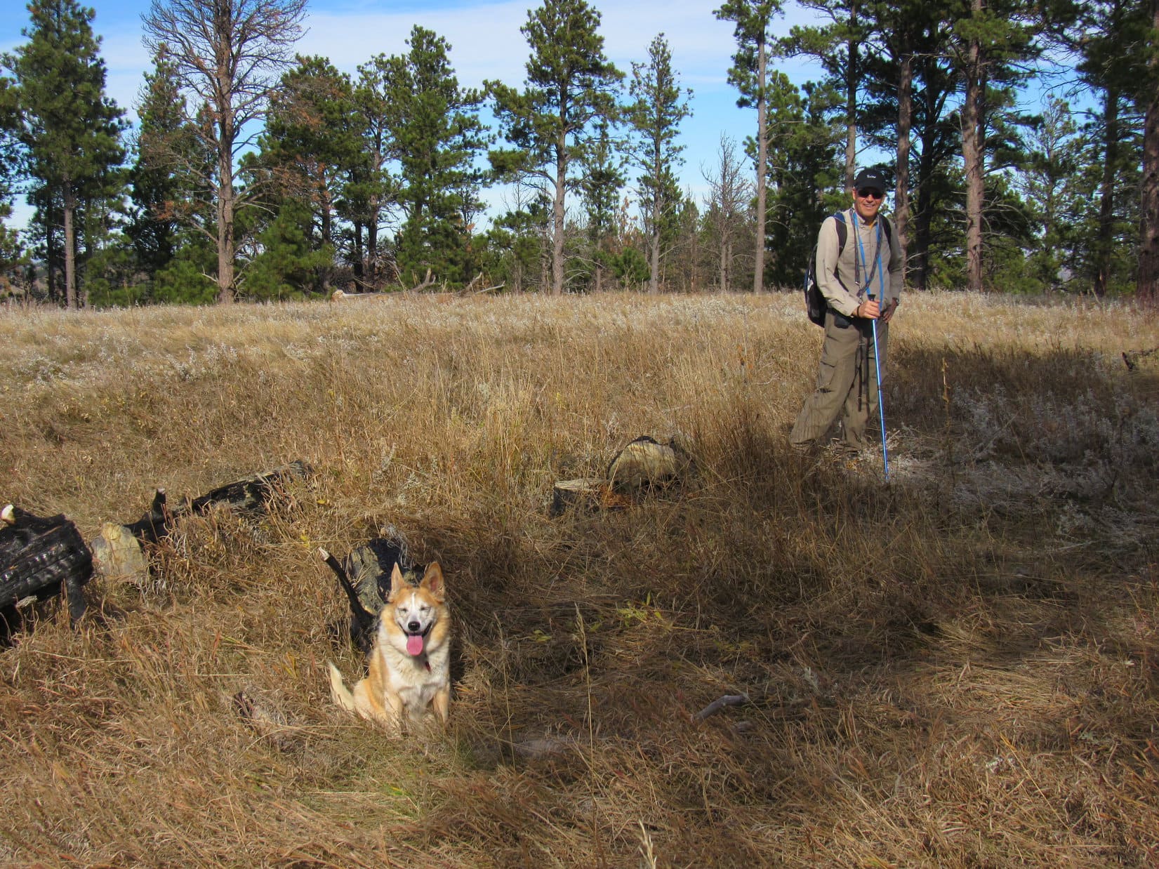
From the cemetery viewpoint, Centennial Trail No. 89 turned NNW, now gaining elevation very slowly. Peak 4027, the high point of the entire ridge, was only 1/8 of a mile farther. However, the trail didn’t go quite all the way up to the top, instead leveling out shortly after entering a big meadow where it swung around to the E, avoiding the actual summit.

Almost there, and not tagging the summit? That would never do! Lupe and SPHP insisted that everyone just had to make the short off-trail stroll to the top. With minimal extra effort involved, it was an easy sale.
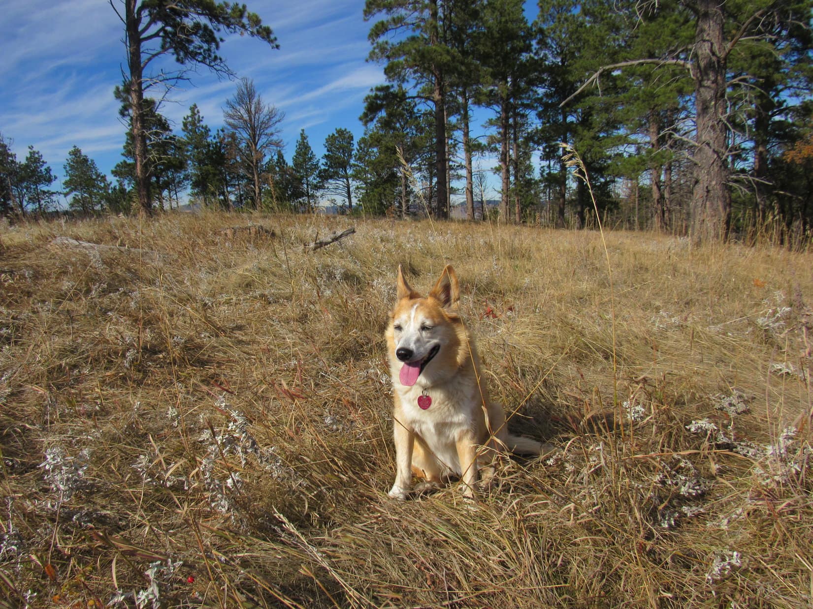
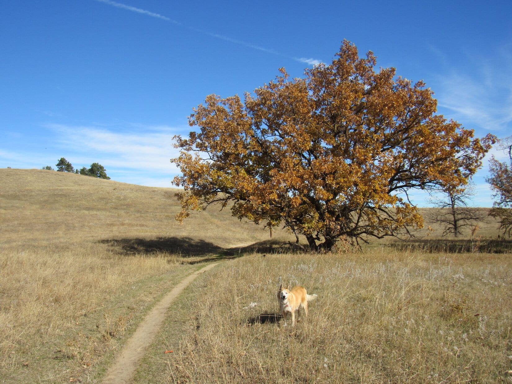
Peak 4027’s summit region was mostly a roomy, flat meadow of tall grass with pines around the edges. There were even a few oaks. Nothing too exciting or special about it, except that Peak 4027 did sport a terrific view of Bear Butte off to the NNE.


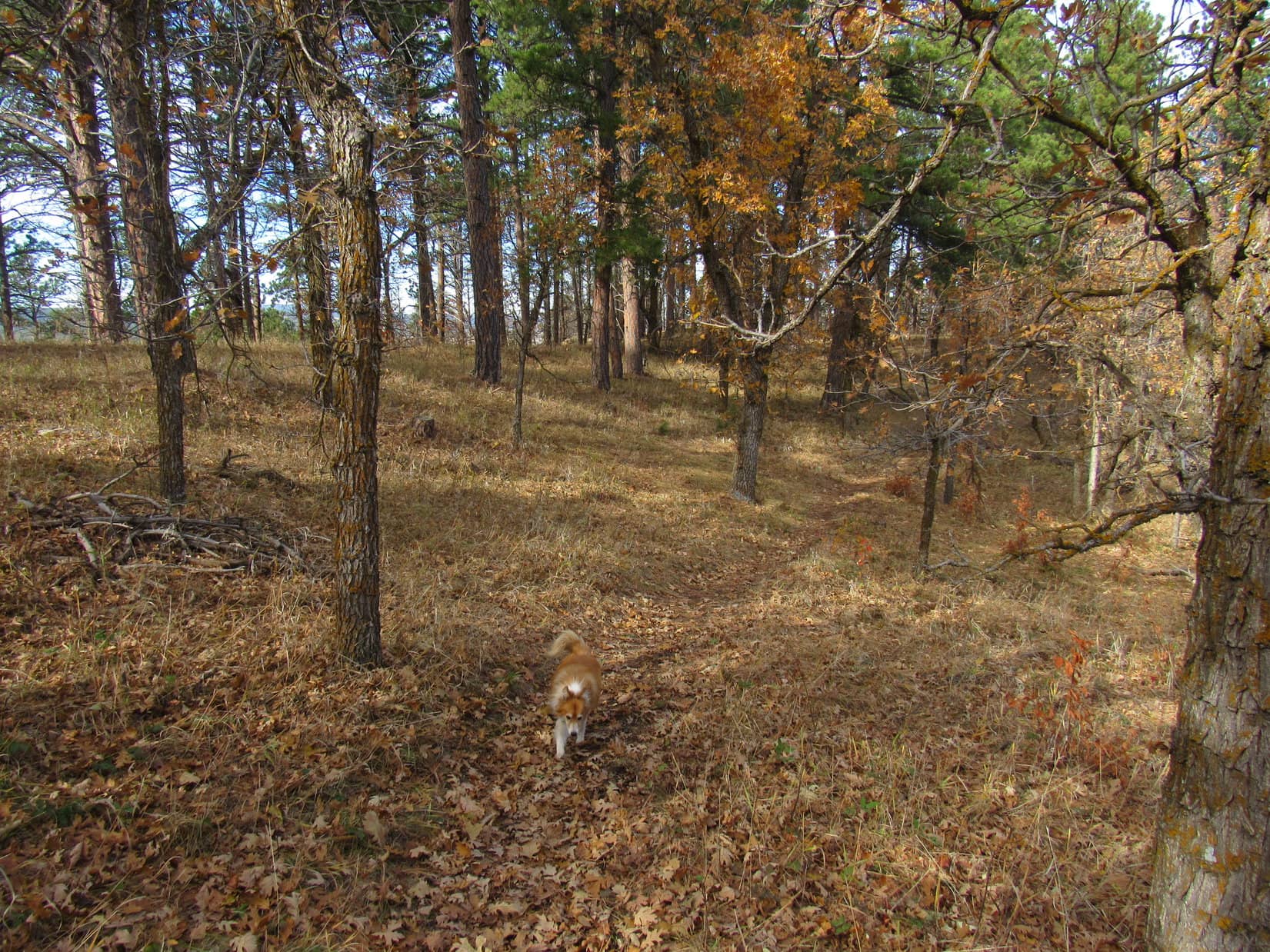
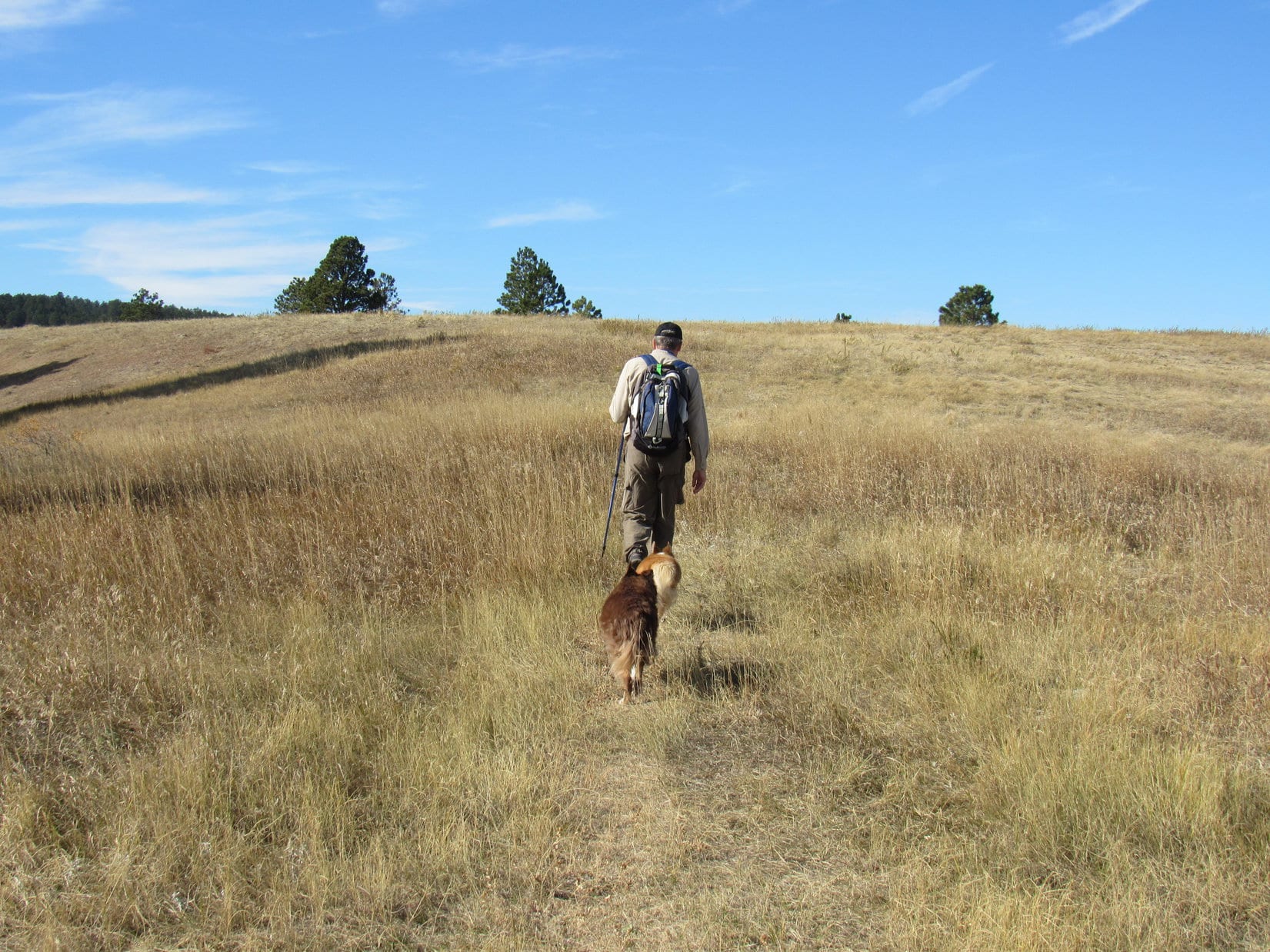
Returning to Centennial Trail No. 89, it continued N from Peak 4027 on or near the crest of the ridge, now gradually losing elevation as it went through a mixed pine and scrub oak forest.


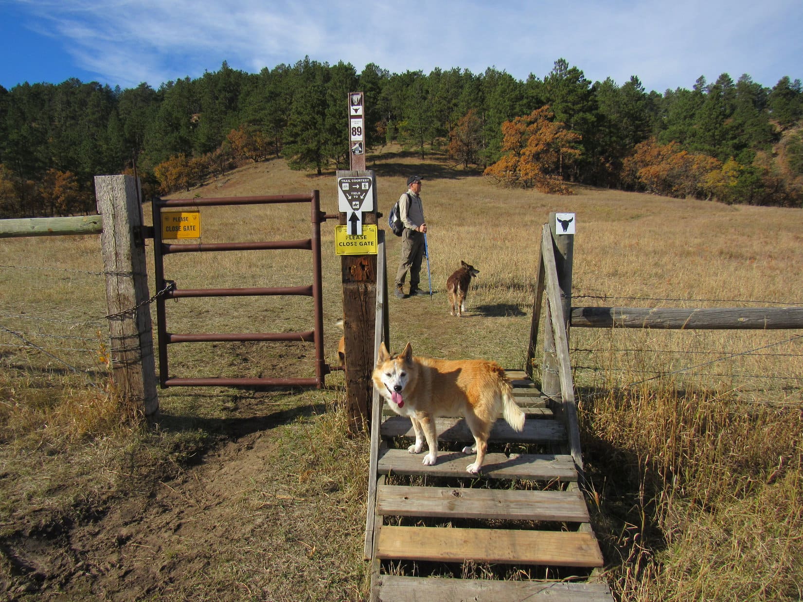
HP3983, the second highest point on this ridge, was 0.5 mile N of Peak 4027. Shortly before getting there, the trail began gaining elevation again as it entered another big meadow. There was a second gate up here, and a little beyond it an old dirt road took off heading NE down into the forest.


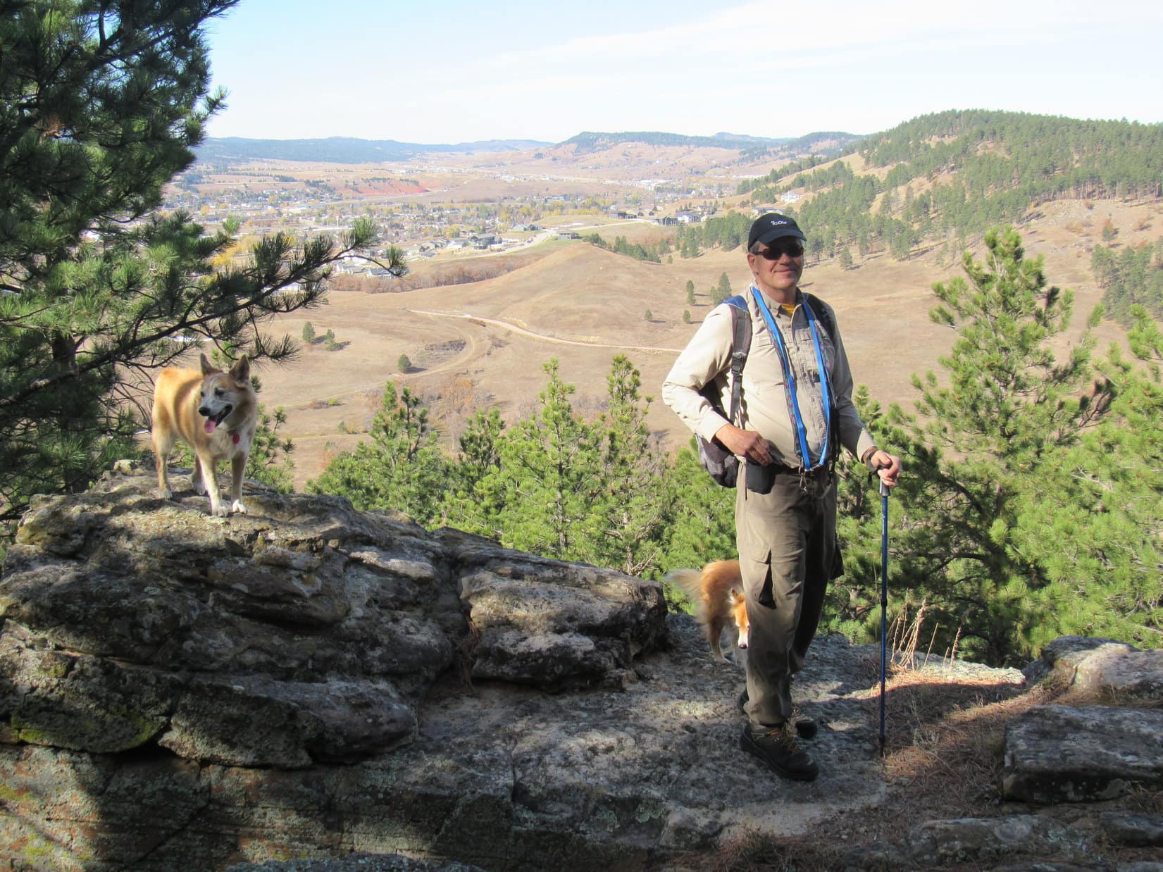
Sticking with Centennial Trail No. 89, it continued N past HP3983, soon dropping into the forest as well. After a dip of 50 feet, the trail regained half of it before starting down again. Another viewpoint was just ahead. From a rock formation with a cliff edge, the town of Sturgis was in sight.
The cliff didn’t faze Lupe at all.

Joe and Andrea weren’t fazed, either, but they wouldn’t let Dixie get near it. Only a year old, Cousin Dixie was too rambunctious.

From the N viewpoint, Centennial Trail No. 89 began winding down a lower ridge running NE. Before losing too much elevation, an opening in the forest provided a beautiful distant view of the prairie beyond the Black Hills.

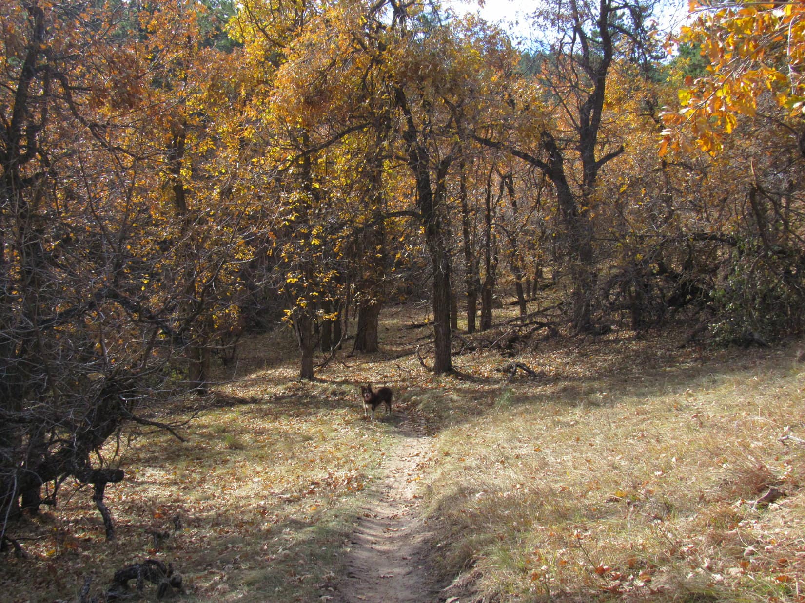
The trail eventually wound down into a valley of scrub oaks.

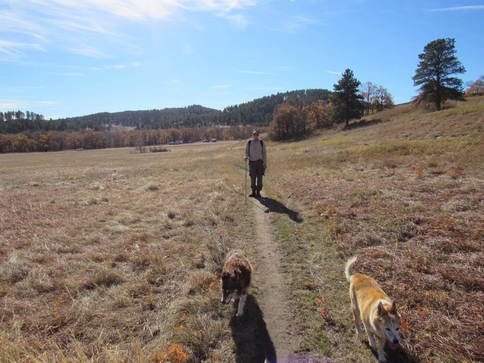
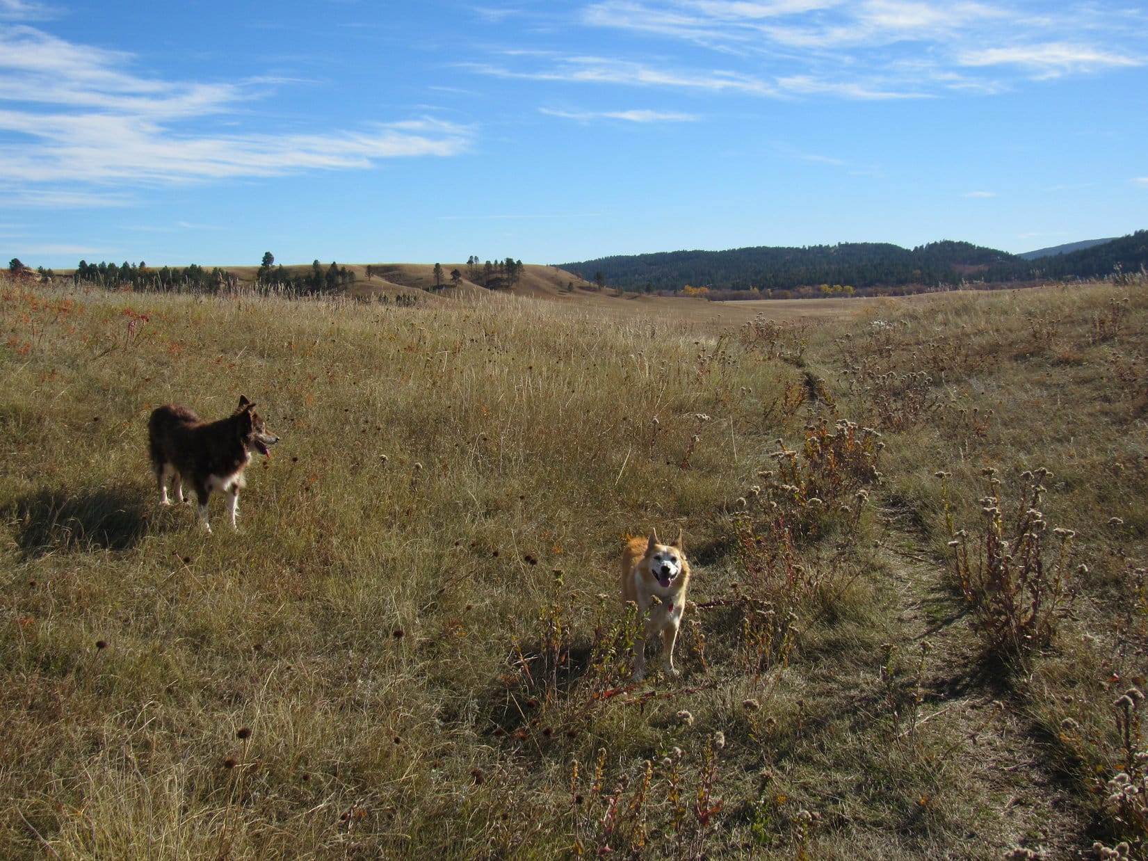
After losing all the elevation previously gained, the valley emptied back out onto Horse Soldier Road again. Centennial Trail No. 89 continued NE on the other side. This was the start of the mostly prairie portion of the Ponderosa Hike. In late May, even the prairie was green and lush.

Almost immediately after crossing Horse Soldier Road, Trail No. 10 took off to the L. Lupe and SPHP had been on it before, but no one else had. It wasn’t yet part of the official Ponderosa Hike, although it might be possible to include it as part of a loop. In any case, Andrea still needed to experience the usual route. For now, Trail No. 10 got by-passed.


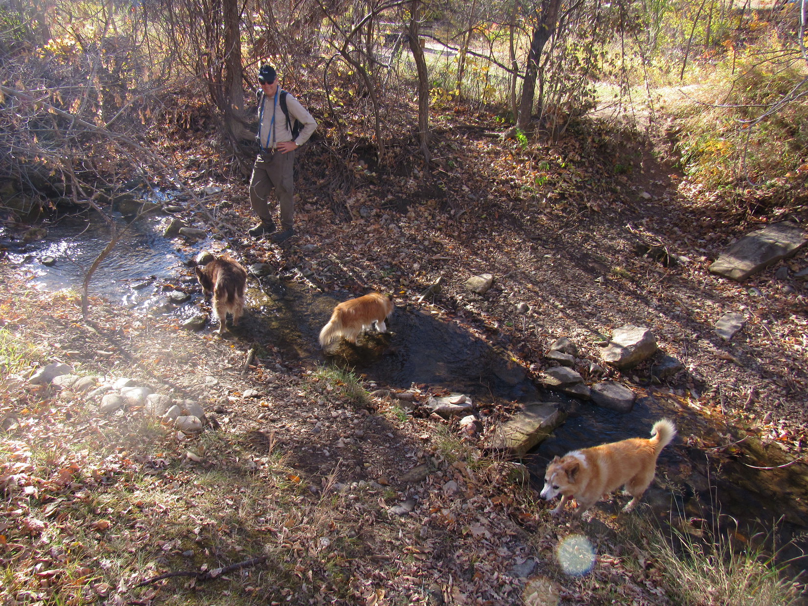
Discovering a tiny stream flowing out of a culvert, Dixie and Lupe had no qualms about helping themselves to a drink, even though the stream was rather mucky.

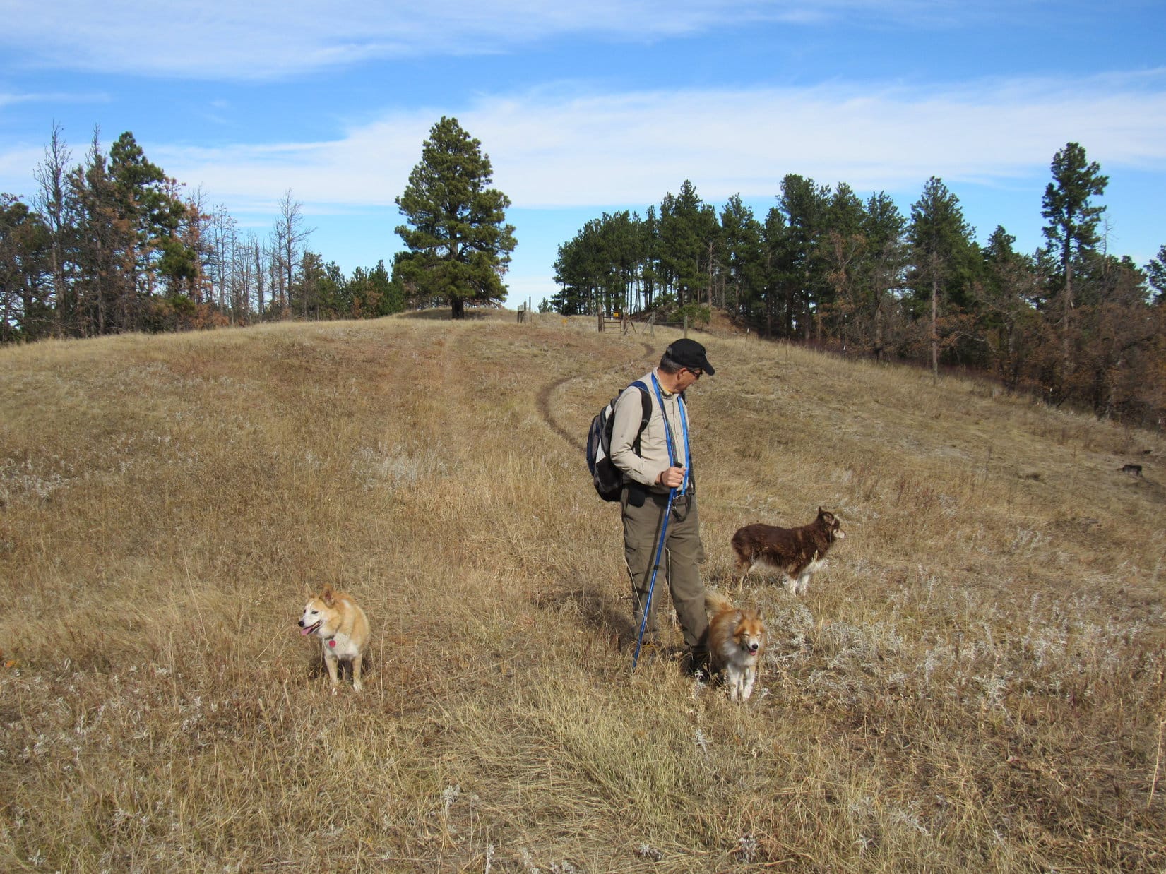
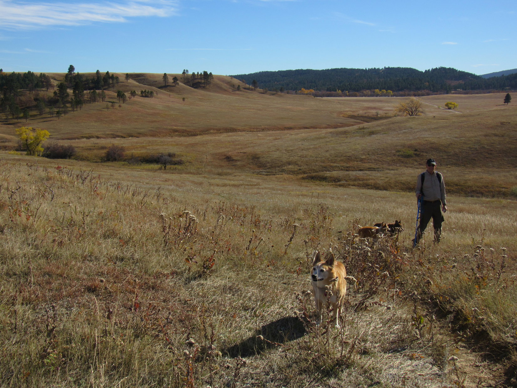
As Centennial Trail No. 89 headed out onto the prairie, the final ridge of the Ponderosa Hike came into view. Less than 150 high, this ridge wasn’t nearly as big a climb as the Peak 4027 ridge had been.

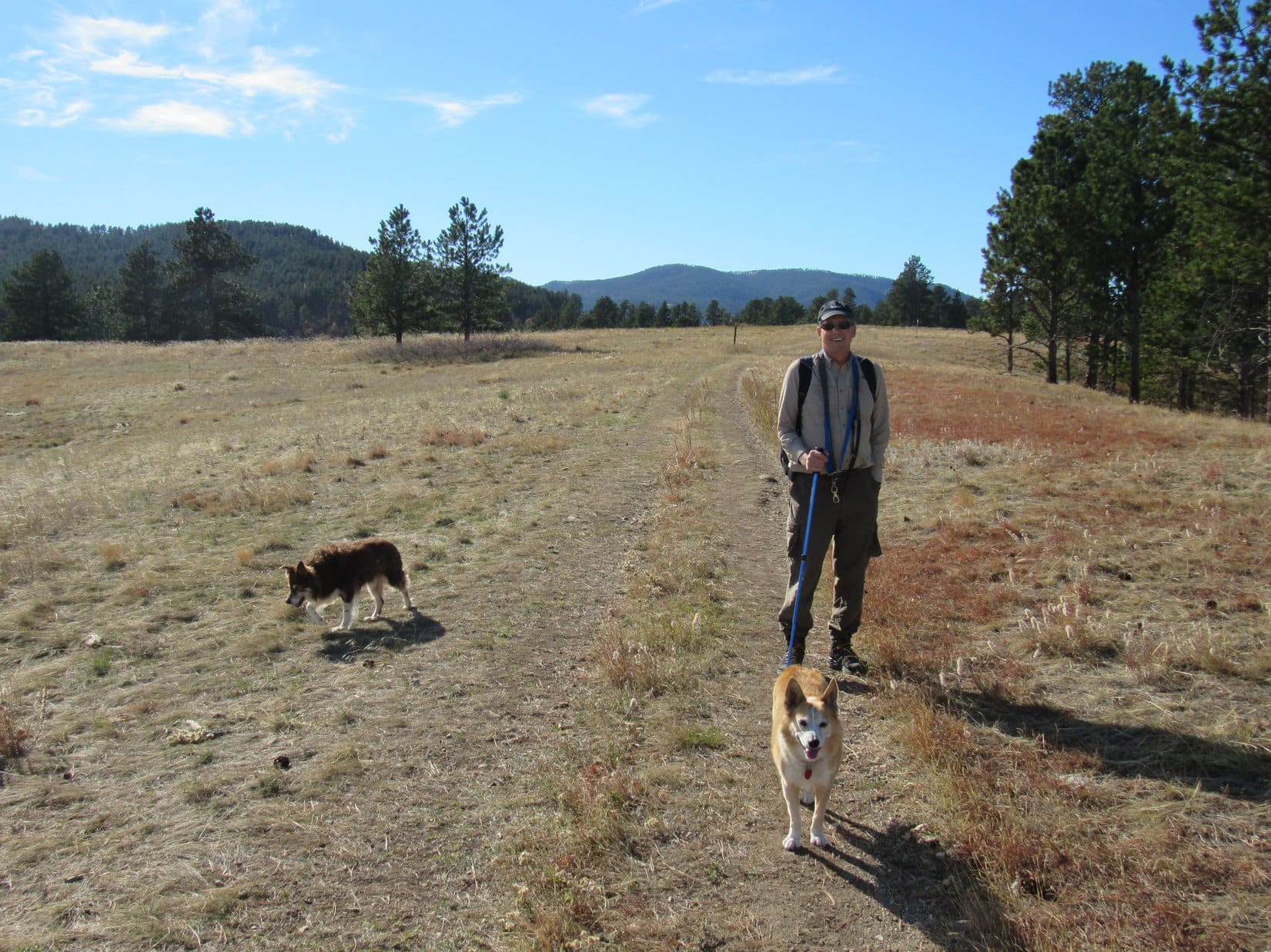
The trail soon wound up to the top of this second ridge. Bear Butte and Fort Meade were both in sight from up here.

It had always been a Ponderosa Hike tradition to take a seat in the shade of a few pines, and enjoy a rest break while contemplating these views. However, due to the brisk N wind, which still felt quite cool, the S side of the ridge was more appealing today.
Abandoning the windy N edge, a suitable spot far enough down the S slope to provide some protection from the wind was chosen instead. The humans munched on energy bars and apples. Dixie and Lupe had Taste of the Wild, water, and split a chocolate coconut bar. The panoramic view of rolling green prairie and low forested ridges was very pleasant.


Although Centennial Trail No. 89 continues N all the way to the top of Bear Butte, this second ridge was the usual endpoint of the Ponderosa Hike. The route taken back to the Alkali Creek trailhead varies, but so far has never involved a complete retracement of the Peak 4027 ridge.
Today, the first part of the return consisted of a simple off-trail romp wandering S through the prairie. Dixie and Lupe had a blast running free, sniffing and exploring along the way. After crossing Horse Soldier Road again, another trail eventually led back to Centennial Trail No. 89 at the first gate.

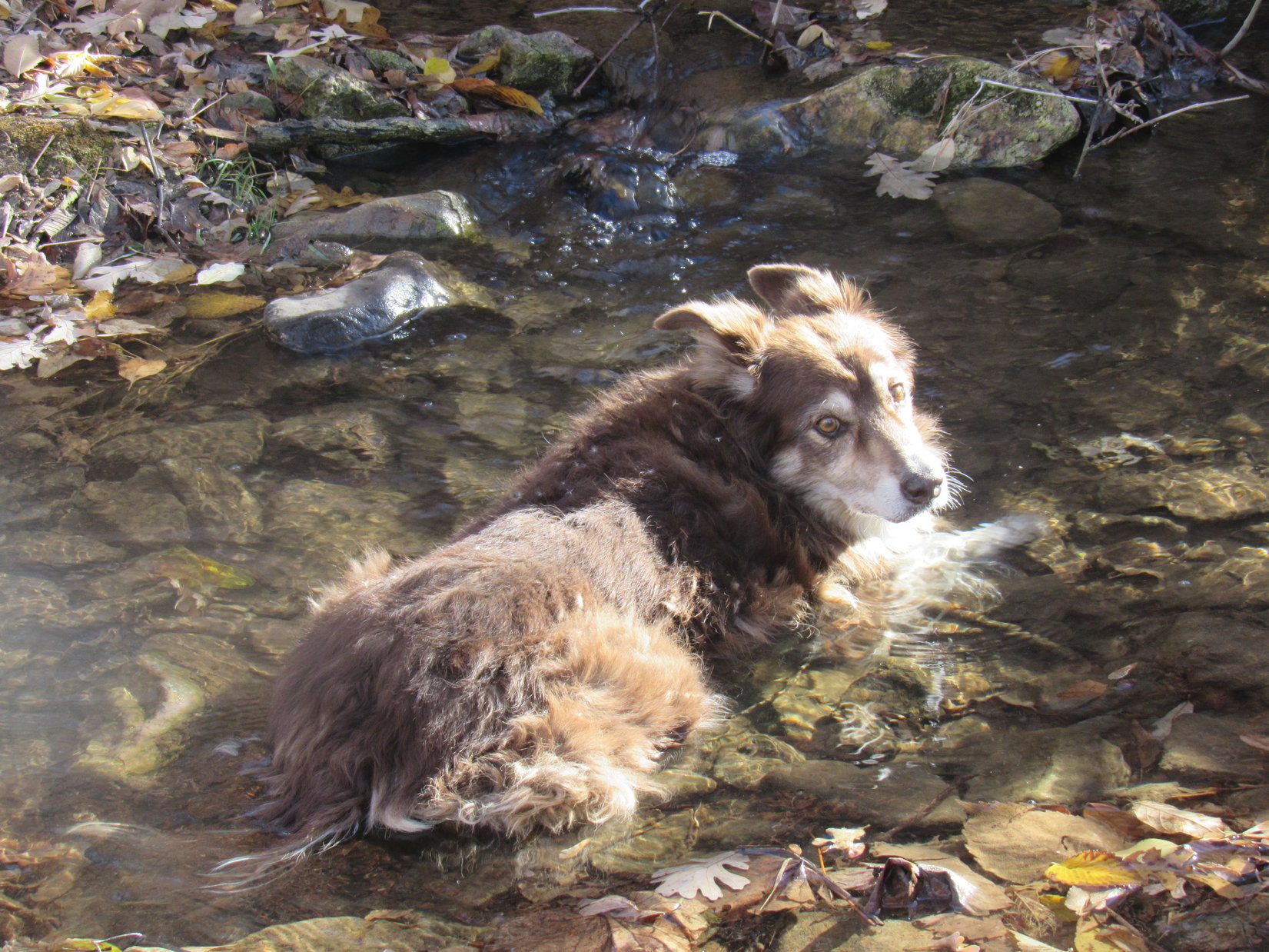
1:00 PM – Once back at the Alkali Creek trailhead, Dixie and Lupe both helped themselves to a drink from Alkali Creek.

The day was still young! A big success, as usual, the Ponderosa Hike had taken only a few hours. Andrea had survived her initiation with flying colors, yet none of Hotel Lupe’s guests seemed to have any idea what to do next. Maybe it was time to head back to Hotel Lupe?

What, already? Perish the thought! Lupe and SPHP had other ideas … to be continued


Links:
Next Black Hills Expedition Prior Black Hills Expedition
Centennial Trail No. 89 Map & Brochure
Uncle Joe’s Scrollable GPS Track
Want more Lupe adventures? Check out Lupe’s Black Hills, SD & WY Expeditions Adventure Index, Master Adventure Index, or subscribe free to new Lupe adventures!