Part 2 of Day 13 & Day 14 of Lupe’s 1st Summer of 2021 Dingo Vacation to New Mexico!
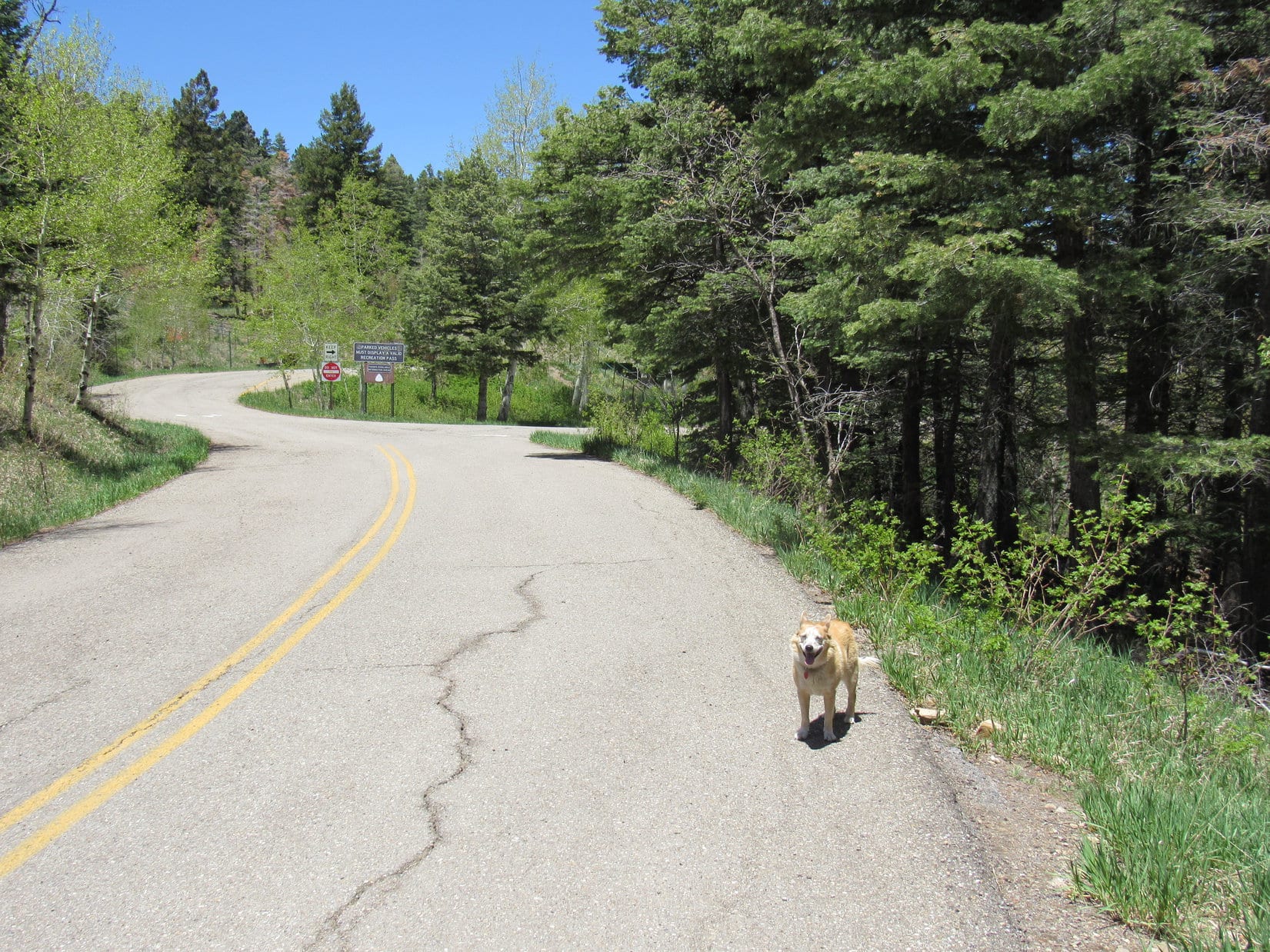
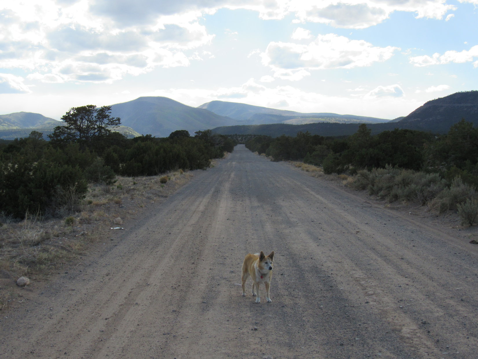
5-20-21, 5:13 PM – Heading NW out of Espanola SPHP missed the turn off Hwy 84/285 to the Jemez Mountains. This mistake had been corrected, though, and the American Dingo now stood in the middle of USFS Road No. 144 – a wide gravel road as flat as a pancake, straight as an arrow. Miles away loomed two massive peaks.
Which one is Chicoma Mountain (11,561 ft.), SPHP?
Not entirely sure, Looper. Might be either one, or maybe neither, but if I had to guess, the one straight ahead seems most likely.
At the end of the long straightaway, No. 144 began climbing steadily as it curved NW. Next came a shorter straight stretch NNE that led up to the steep S face of Clara Peak (8,549 ft.). Turning W again, the drive was spectacular, featuring tremendous exposure. No. 144 narrowed and grew rocky as it wound along the mountainside, ramping ever higher.
SPHP was thankful there was no traffic at all. No. 144 finally curved N and flattened out W of Los Cerros (8,434 ft.). SPHP parked the RAV4 at a wide spot. Time for another look!
Once underway again, No. 144 lost 200 feet of elevation, then leveled out for a bit before resuming its long climb. The road kept deteriorating. Fewer and fewer smooth sections, more and more rough stretches. No exposure here, though, making the drive less nerve-wracking. After passing through mostly open territory, No. 144 entered a dense forest. No signage except for occasional mile markers. The RAV4 crept higher mile after mile.
Are we there yet, SPHP? How far is it to Chicoma Mountain, anyway?
About mile marker 28 or 29, I think. Might be tricky to recognize the right spot. We’ll need to be watching for Trail No. 276 on the L if we ever get to the top of this endless climb.
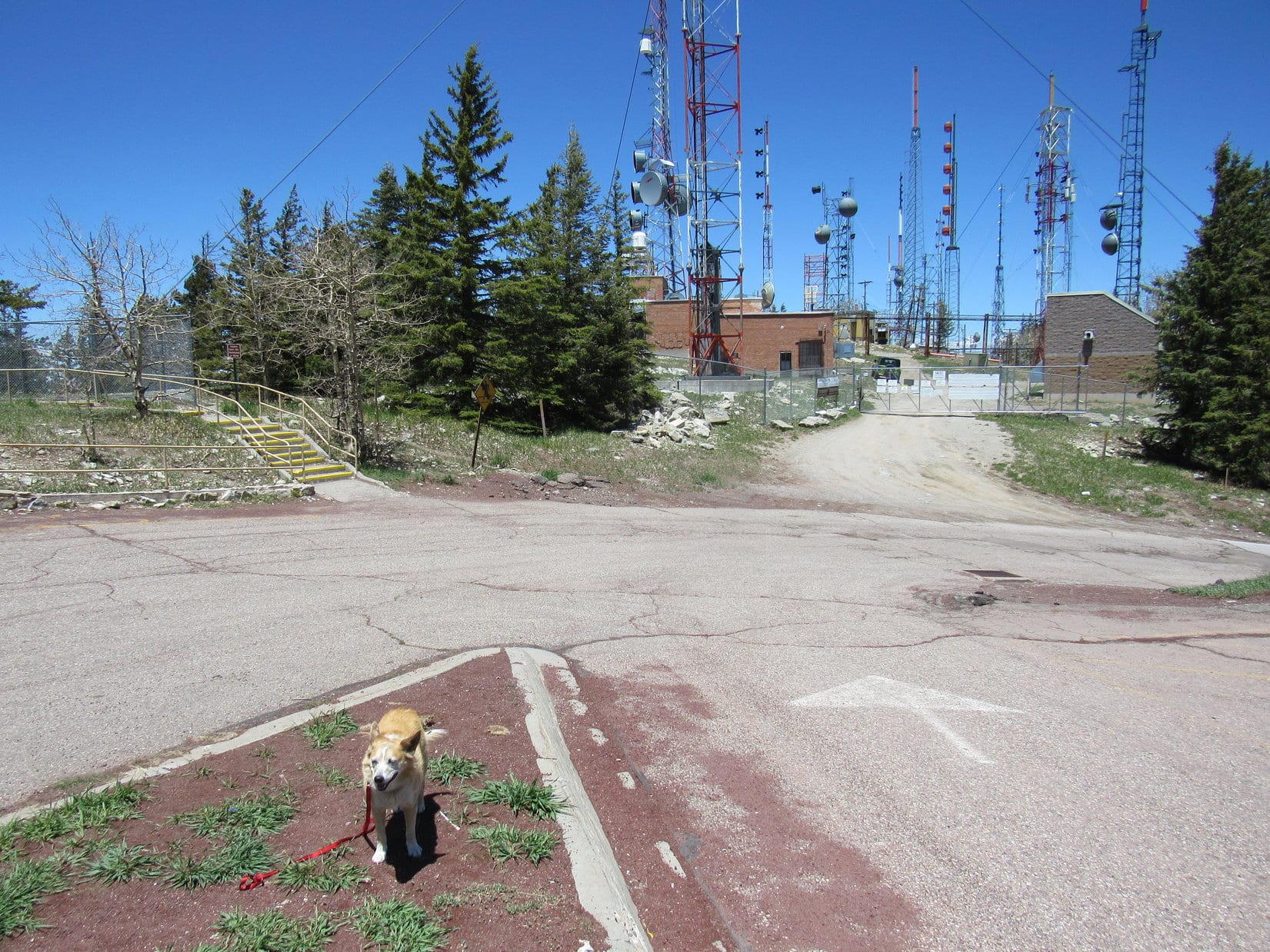
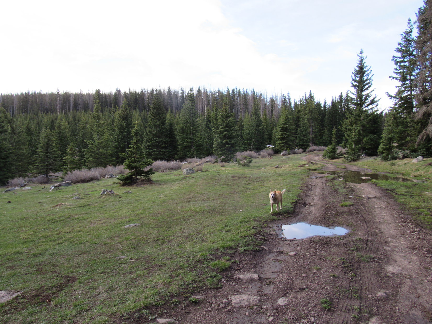
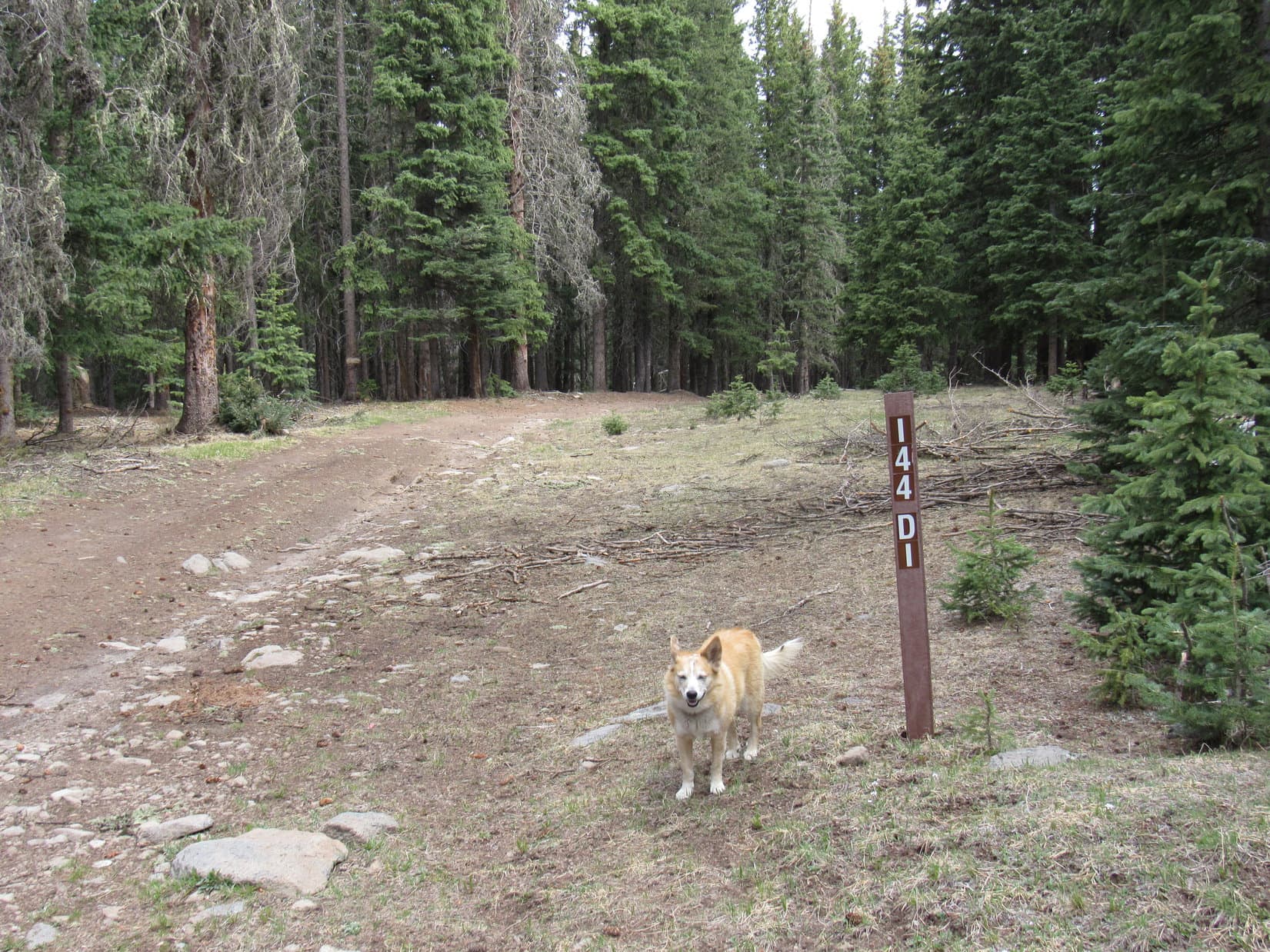
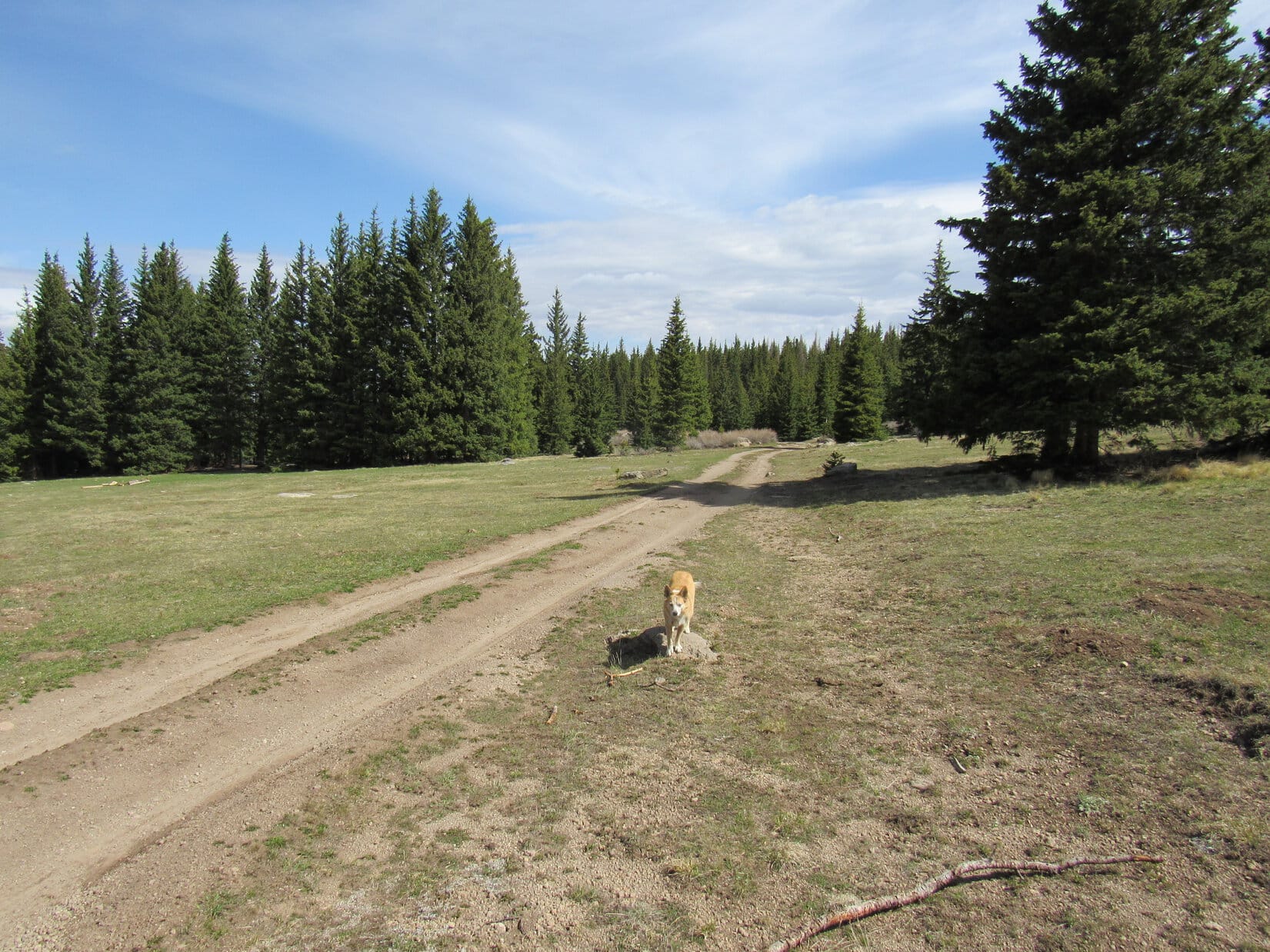
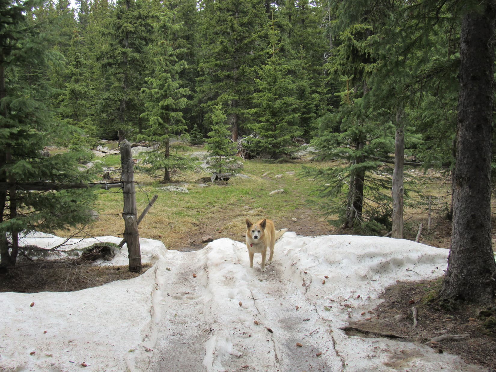
The RAV4 finally reached a pass. No. 144 angled WNW starting down the other side. Only 100-200 feet from the top MP28 appeared. Just beyond it USFS Road No. 144.D1 took off to the N (R). SPHP drove a little farther before turning around and parking.
Think we’re close, Loop. Come on! Let’s see if we can find Trail No. 276!
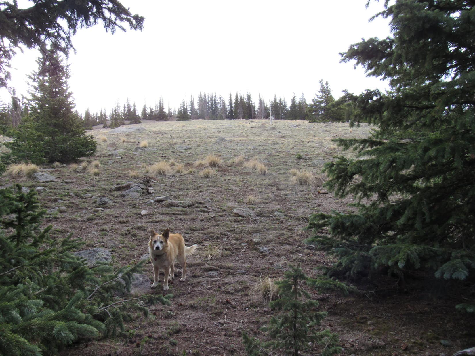
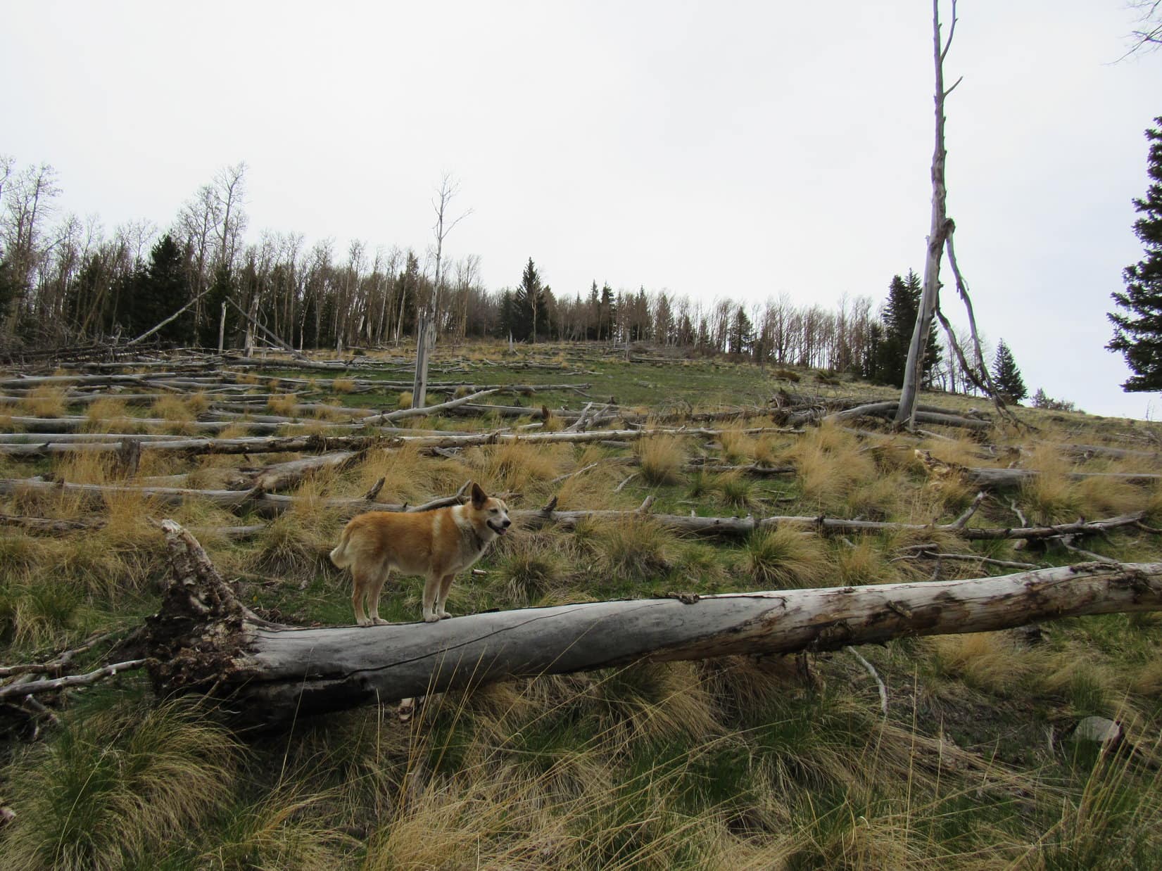
After being cooped up in the RAV4 all afternoon, Lupe was eager to get out and sniff. Finding a narrow break in the trees, the Carolina Dog roamed WSW up a hill. If the RAV4 was parked where SPHP thought it was, this hill was Peak 11,110.
Lupe sniffed like a Dingo possessed! A little way into the forest she came to a grassy lane with a wand marked 144.X1. The barely recognizable abandoned road soon petered out. Loop went all the way to the top of Peak 11110. No sign of Trail No. 276, but a couple of miles off to the SE was a glimpse of an even higher hill. Chicoma Mountain? Probably.
But where was Trail No. 276? It was supposed to go all the way to the top of Chicoma Mountain from somewhere around here. The sun was getting low, but enough daylight remained to do a little more scouting. Returning to the RAV4, SPHP drove back over the pass. After 0.33 mile, a side road appeared heading W into the forest.
SPHP parked the RAV4 again. Lupe leapt out. Less than 100 feet in on the side road a badly leaning wand marked 114.U stood at a curve.
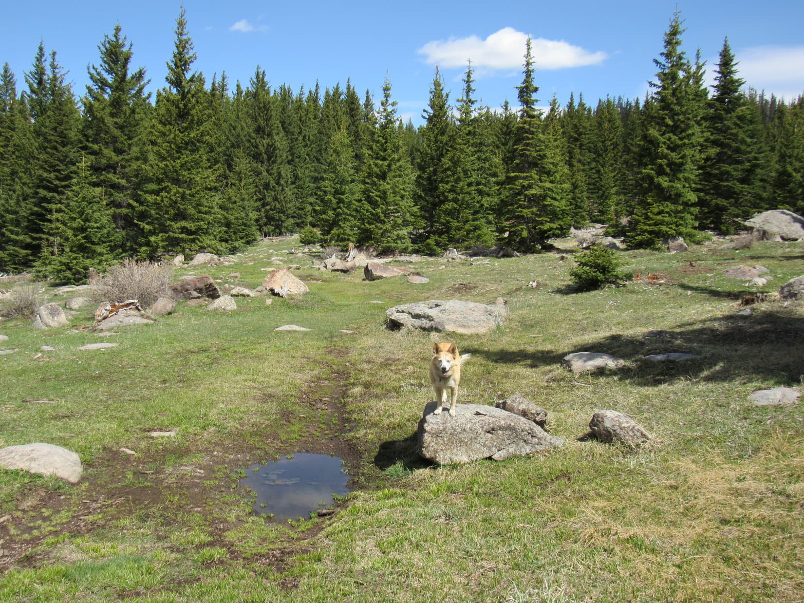
No. 144.U was muddy. It went S to an enormous flat saddle between HP11021 and Chicoma Mountain. The saddle region was only partially forested. Exploring SW across the saddle, Loop found old stone campfire rings and human trash in the meadows. Way over toward the SW end, a distinct, but unsigned trail headed SE into the forest.
Hah! Good job, Loopster! This must be Trail No. 276!
Let’s check it out, SPHP!
After going through the forest a little way, the trail left the trees. Just ahead it traversed a large steep grassy slope. To the W was a big view of Santa Clara Canyon, but something was wrong. Up to this point the trail had been pretty level. Ahead it sloped gradually downhill.
Huh? I don’t get it.
What’s wrong, SPHP?
How can this be Trail No. 276, Loop? We should be going up! Sure doesn’t look like this trail is ever going to get to the top of Chicoma Mountain.
Are you convinced we’re in the right area, SPHP?
Yeah. Almost 100%.
Well, at least that’s something. Getting dark. Maybe we better go back to the RAV4? We can figure out what to do in the morning.
5-21-21, 6:29 AM, 43ºF, USFS Road No. 144 near 144.U –
Daylight in the swamps, SPHP!
Ugh! Already? So it is, sweet puppy!
Chicoma Mountain (11,561 ft.) or bust, SPHP!
Eh, won’t be that bad! Hang on, I’ll be right with you, Looper!
Any bright ideas this morning, SPHP?
Oh, sort of. Since we weren’t able to find Trail No. 276, there’s really only a couple of options that make much sense. Either way, we take No. 144.U back to the saddle NW of Chicoma. Option No. 1 is to stick with No. 144.U, which the topo map shows turning E continuing partway up the mountain before dead-ending. Then it’s a bushwhack S to the summit.
And option No. 2?
Simply abandon the road at the saddle and bushwhack up from the NW. Might still run into Trail No. 276, or whatever’s left of it, somewhere along the way.

Since Lupe showed no great preference between the available options, SPHP chose to stick with No. 144.U as far up the mountain as possible. However, an unexpected fork appeared before Loop reached the end of No. 144.U.
Which way, SPHP? Up?

This unmarked fork wasn’t shown on the map. No. 144.U went straight from here, but had just about leveled out. At least the side road to the R was gaining elevation.
Yeah, stick to the R, Loopster! Might as well take the side road higher. Pretty sure they keep the summit at the top of this mountain!
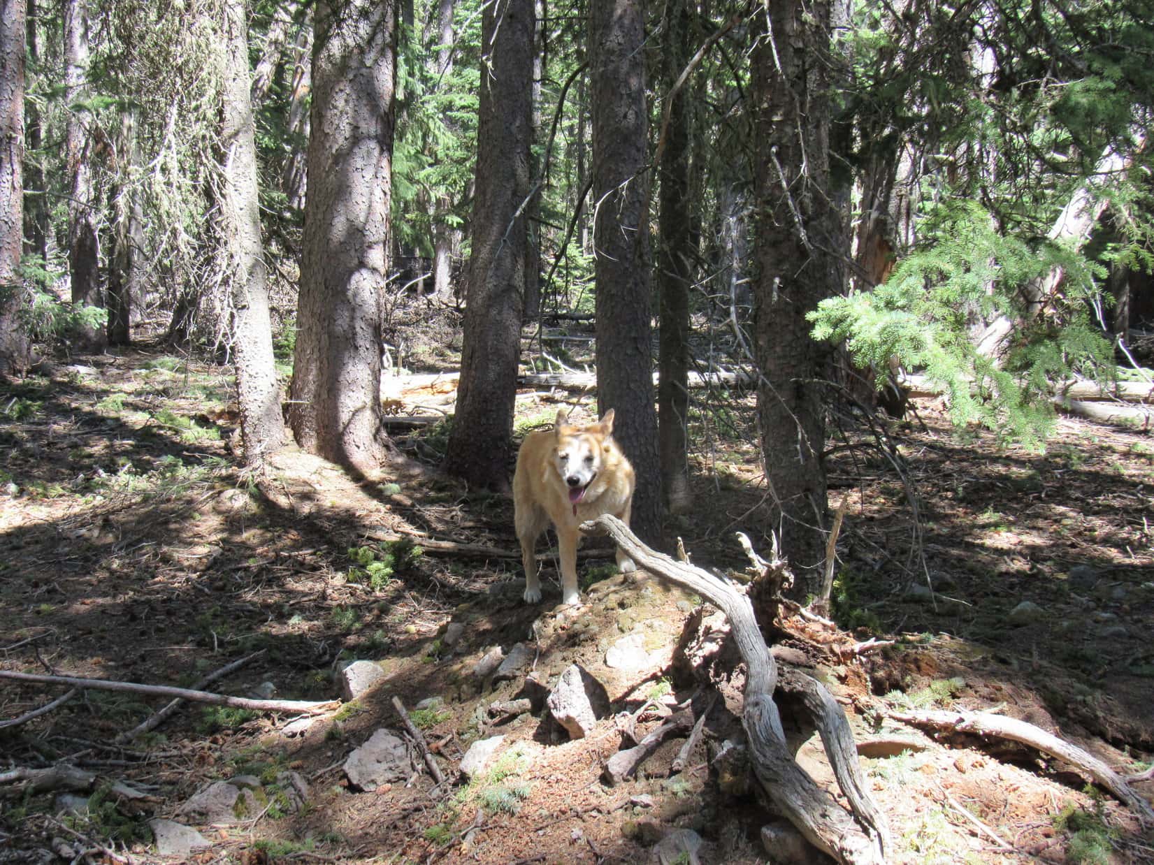
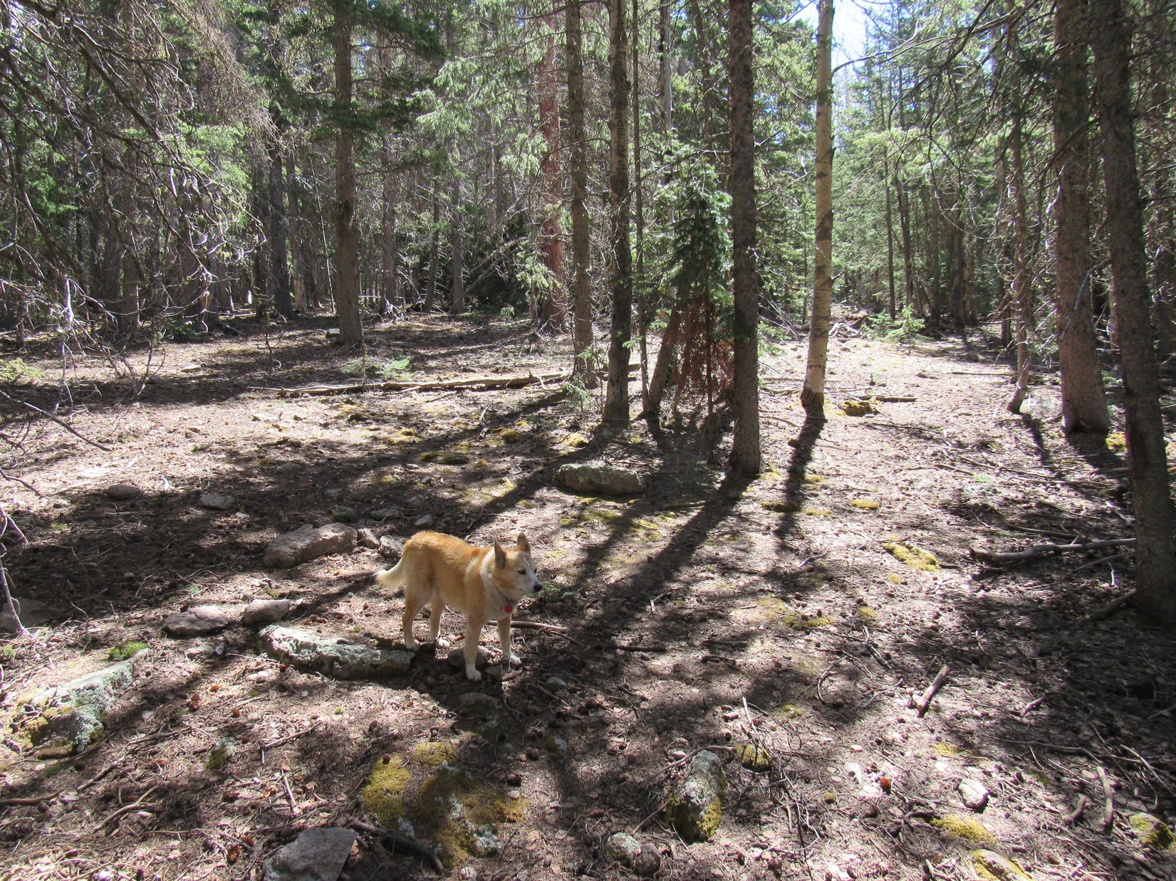
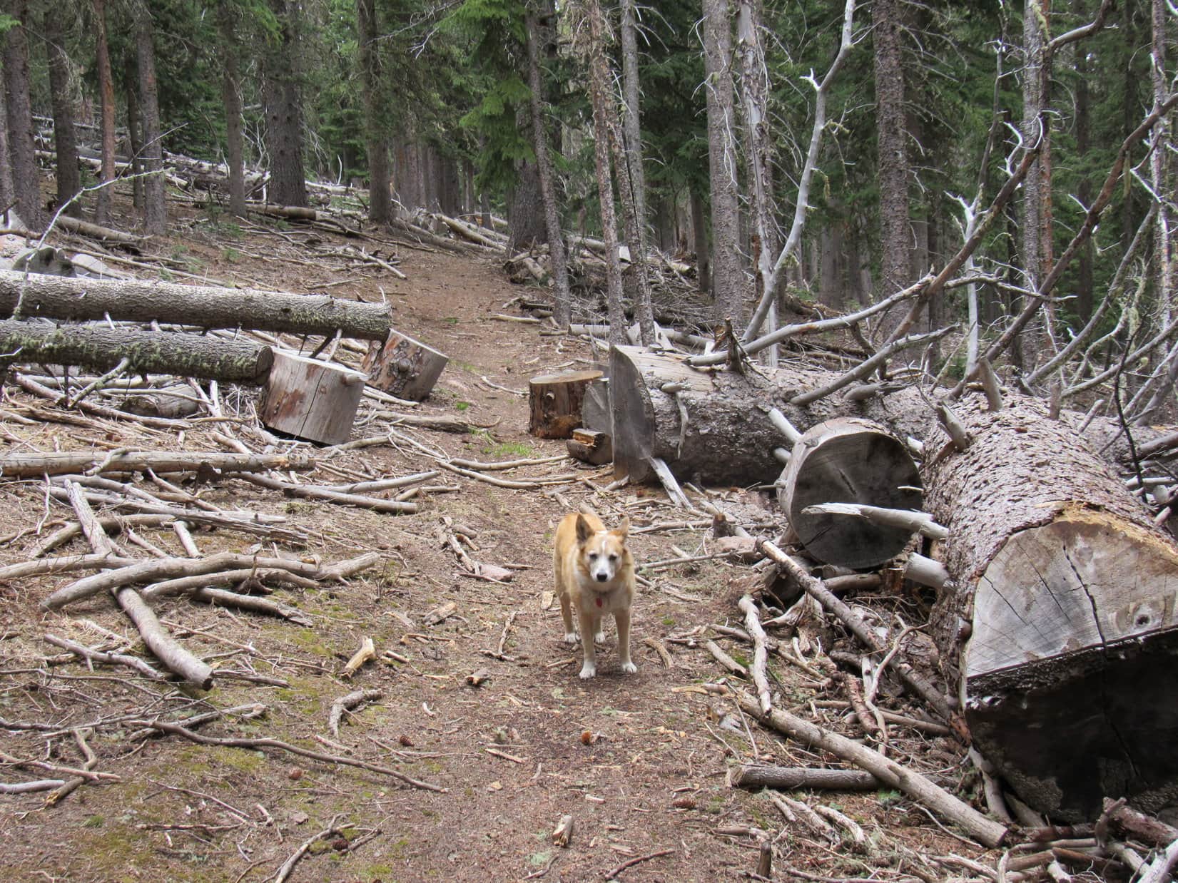
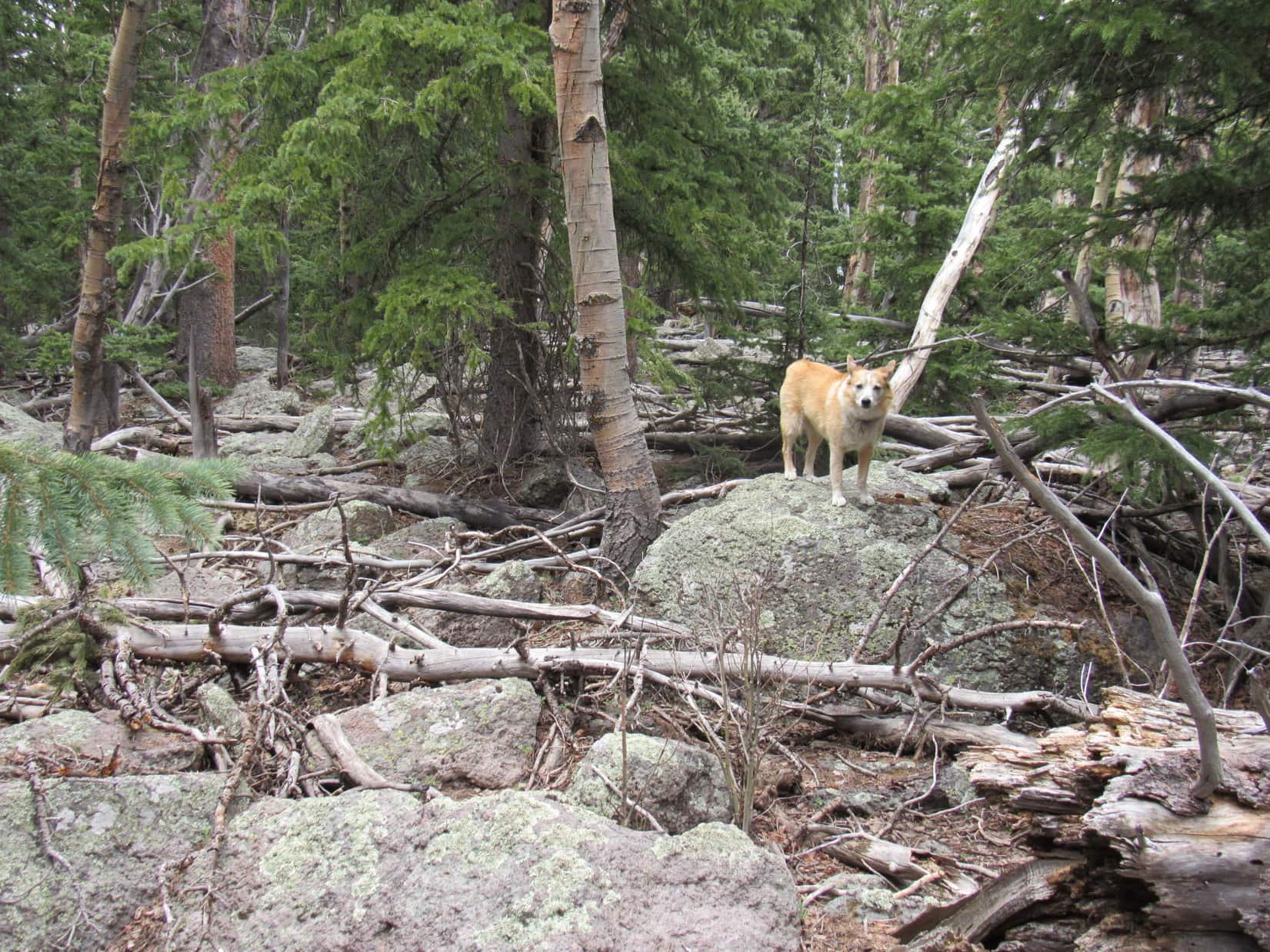
Heading SE, or maybe S, the side road wound farther up the mountain. Soon it began to play out, more or less as anticipated. The route finally vanished completely on a slope in open forest where a fair amount of deadfall was present.
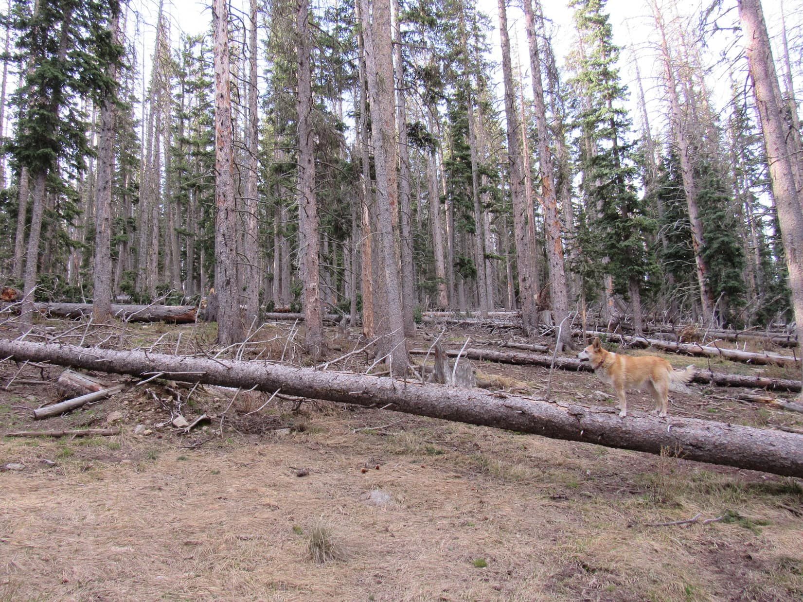
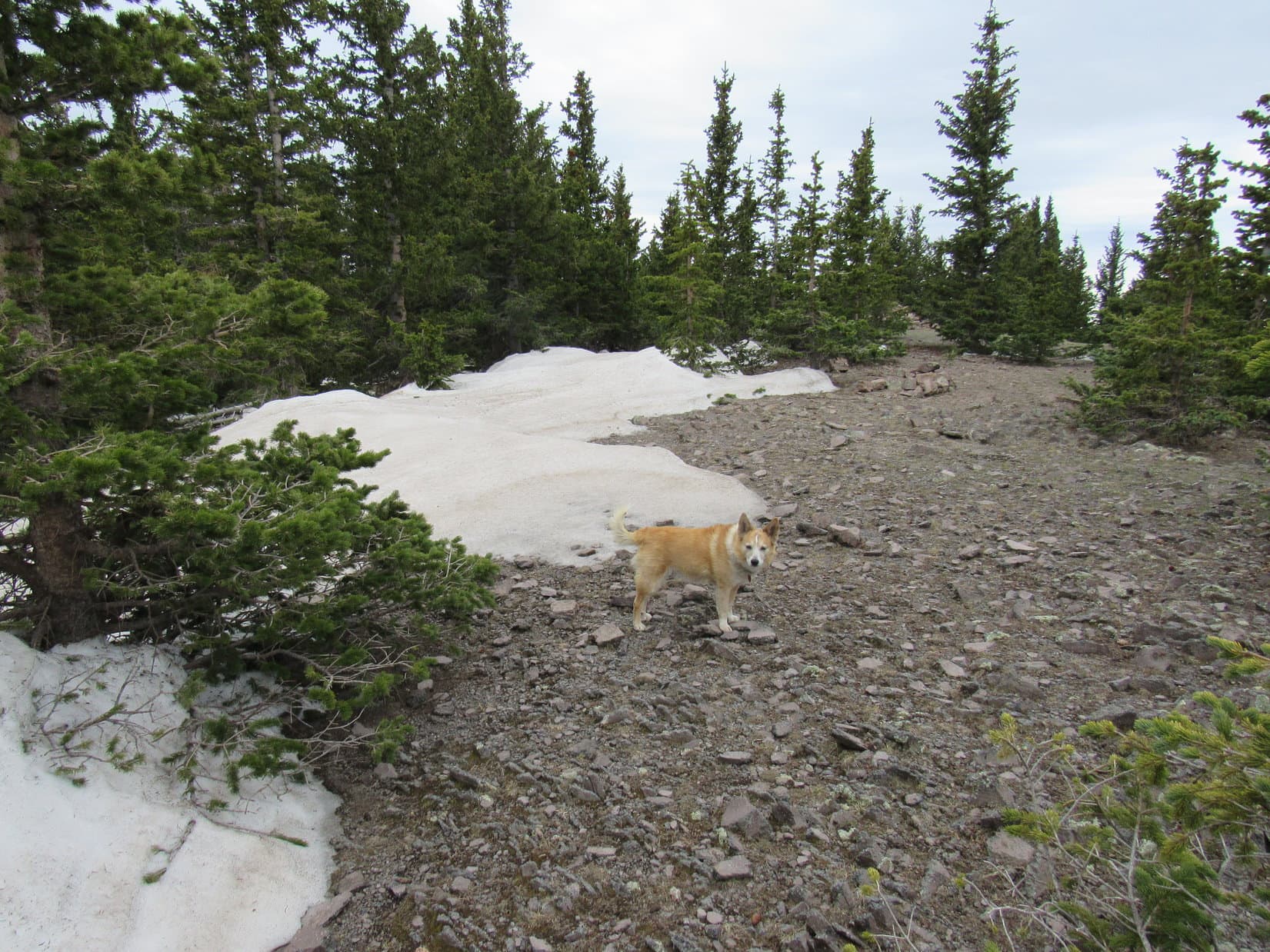
Leaping over deadfall as she came to it, Lupe continued higher. The slope wasn’t all that steep, and soon just about flattened out completely. This flat region was more densely forested, contained 3 foot high snow drifts and even more deadfall, and proved to be surprisingly large. Still, Lupe didn’t have much trouble weaving through it all.
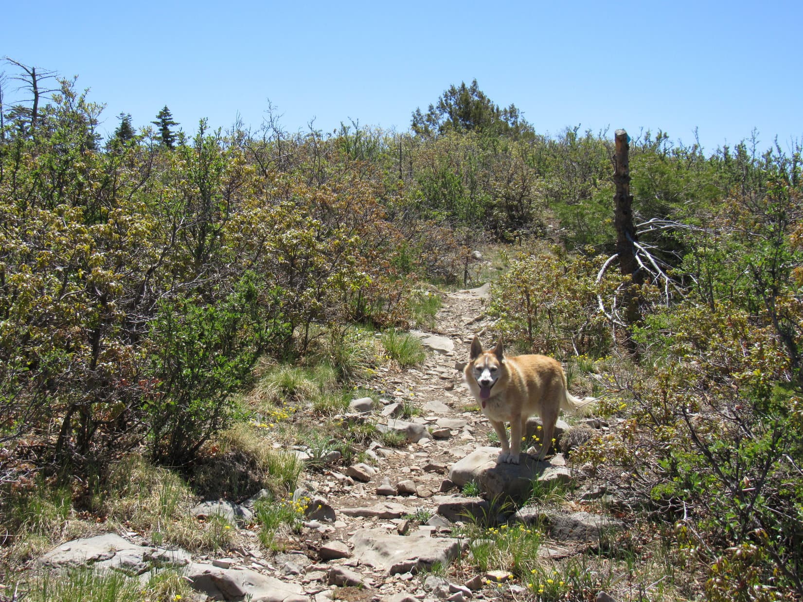
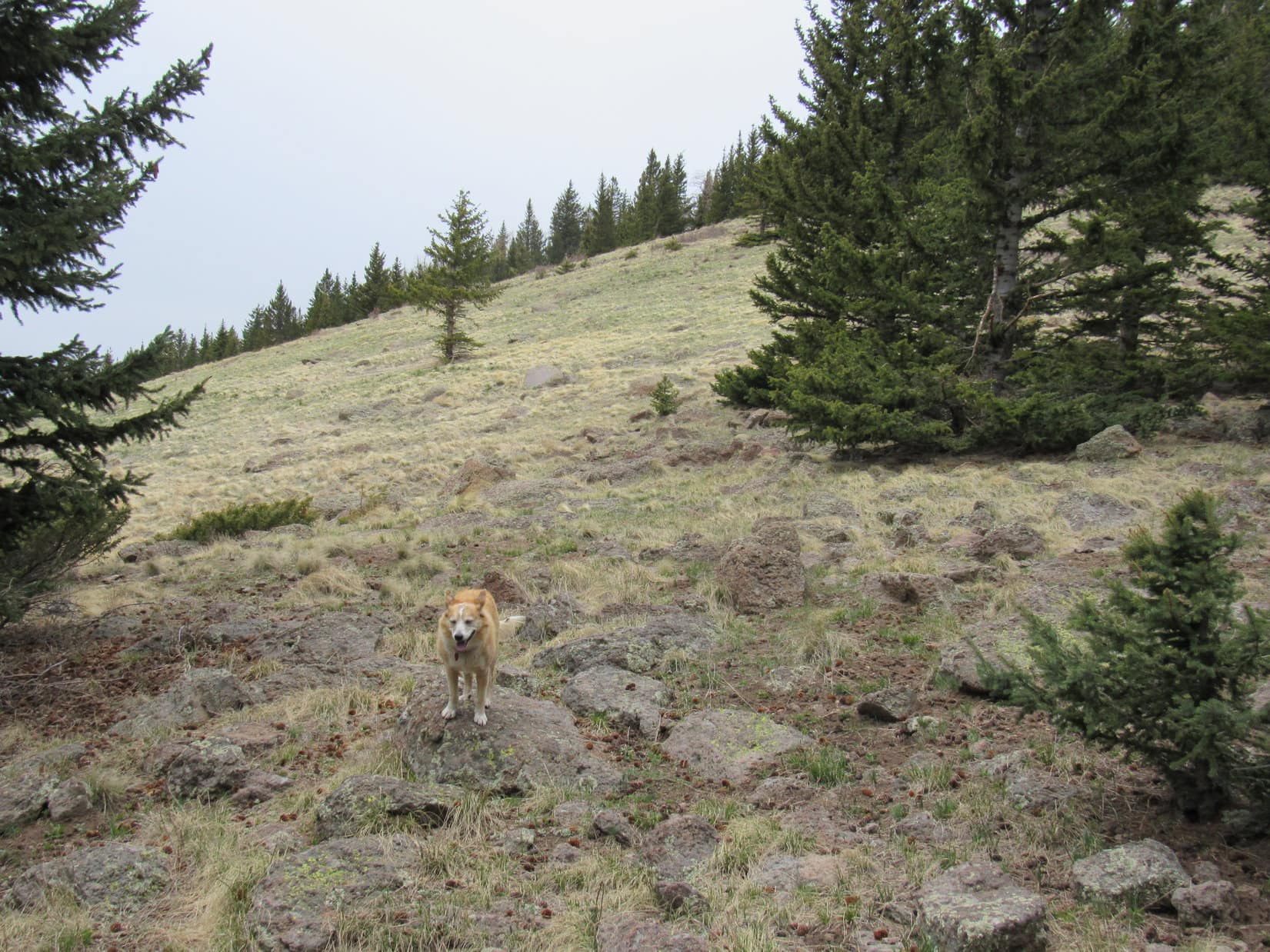
Glimpses of another, steeper slope eventually appeared ahead. The first part of this slope was all thickly forested, too, but Lupe hadn’t climbed too much higher when a large grassy meadow appeared. Not that far from the top of the mountain now!
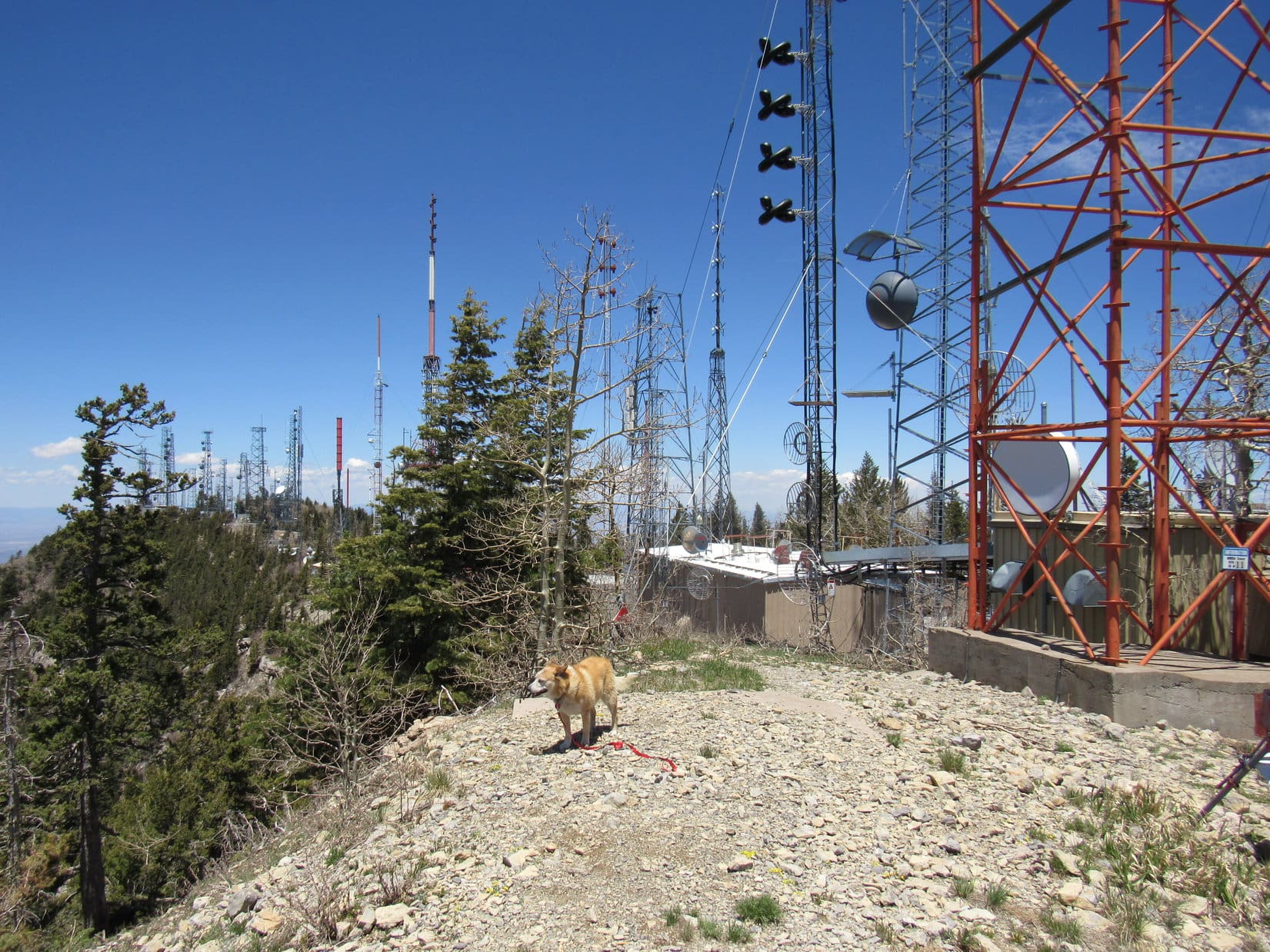
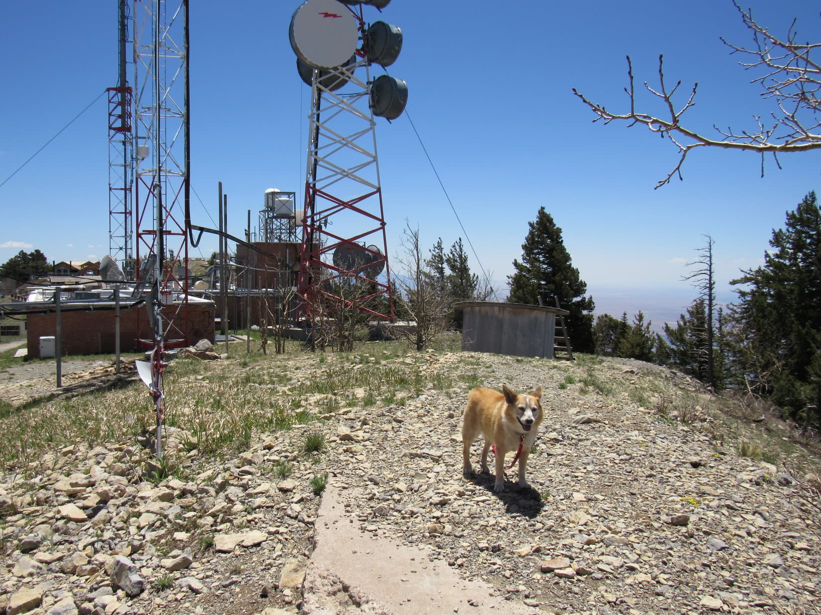
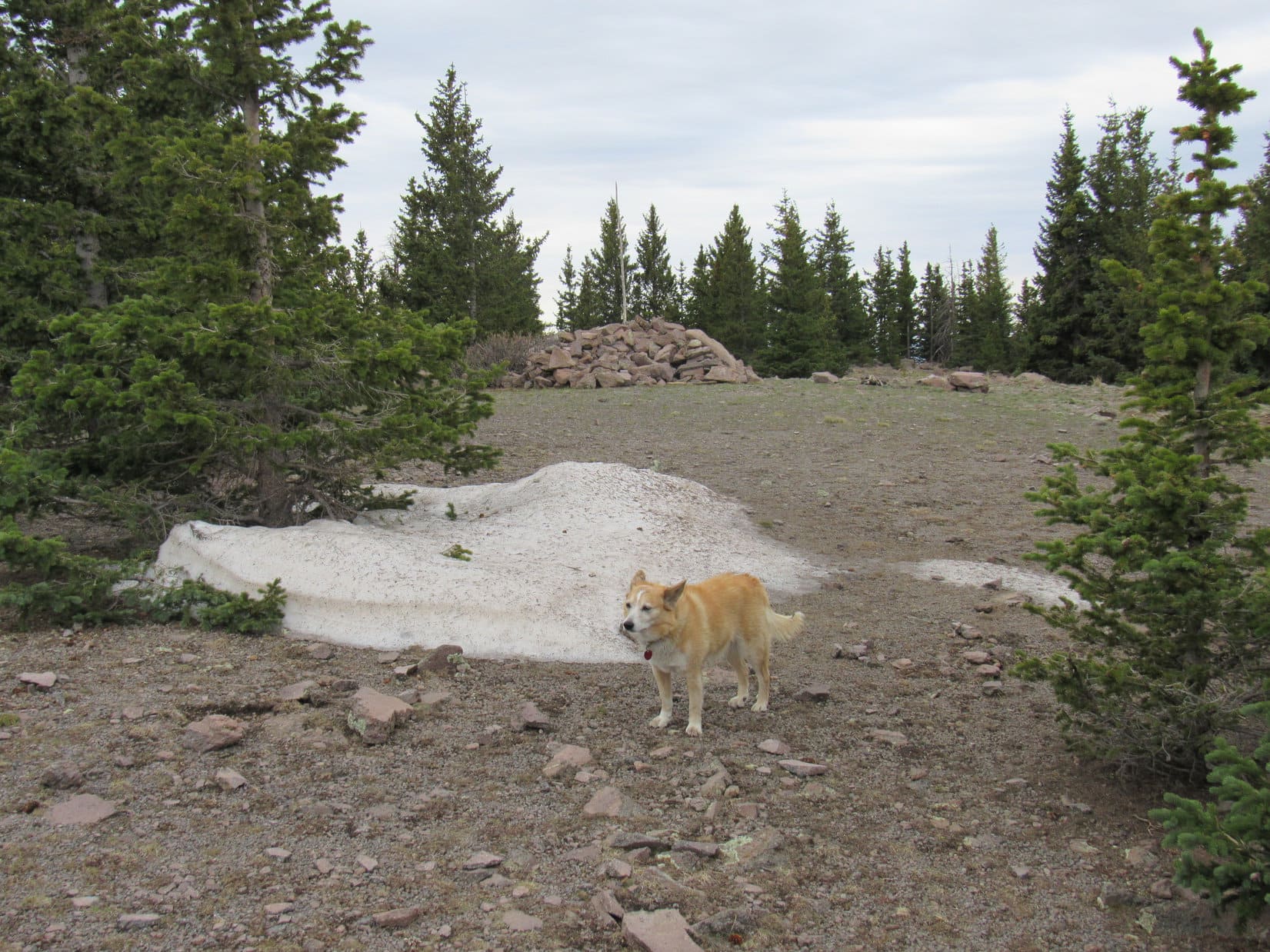
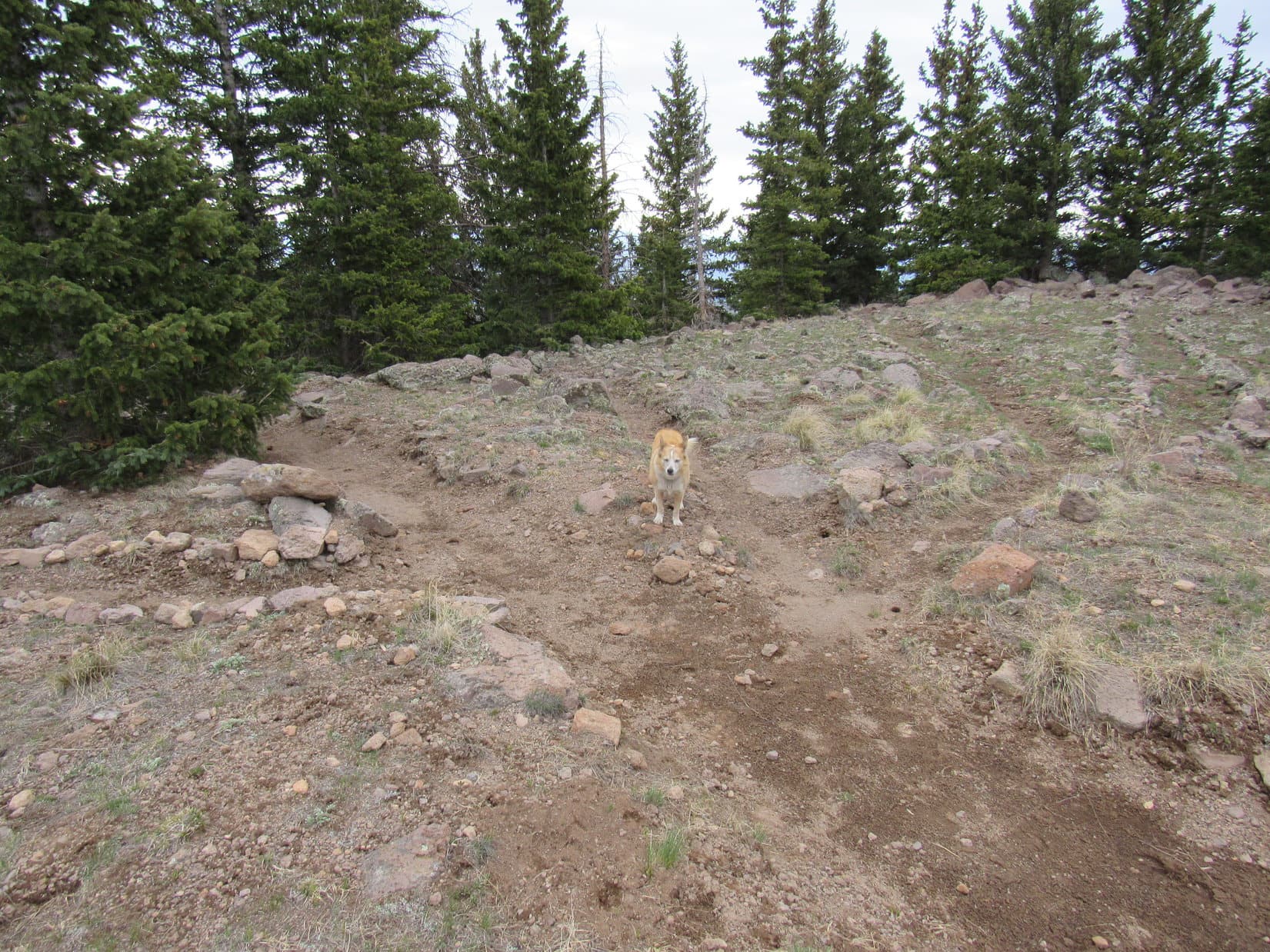
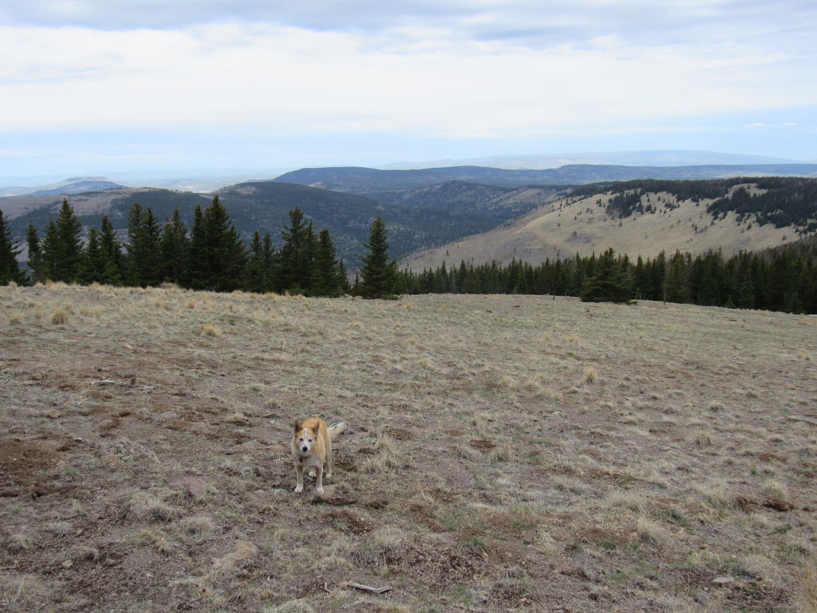
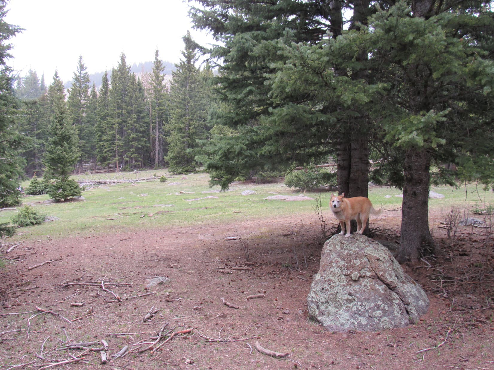
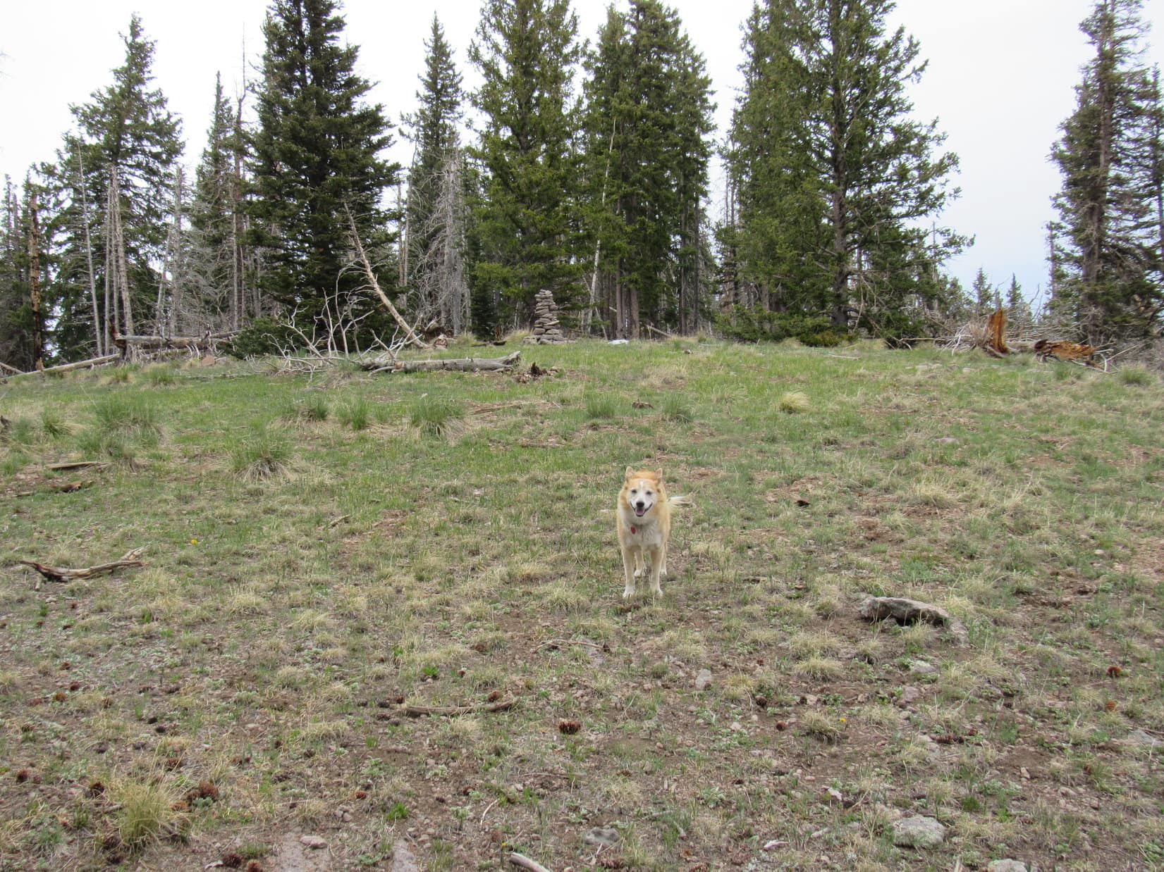
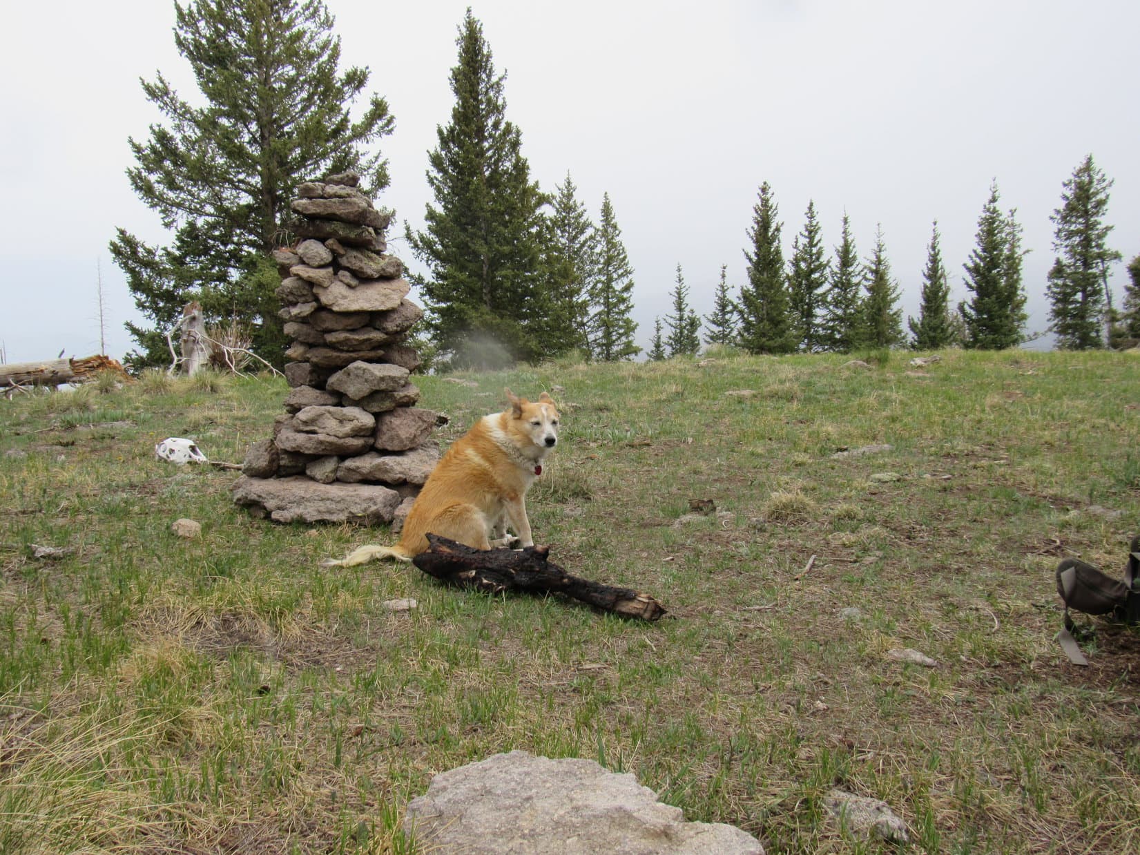
Loopster came up near the NE end of a summit region 500 feet long and 50 to 100 feet wide. This whole area was quite flat. Most of it was open terrain covered with pebbles and short grass. Spruce trees, bordered by snow drifts in some places, ringed nearly the entire perimeter, choking off the views except toward the NE.
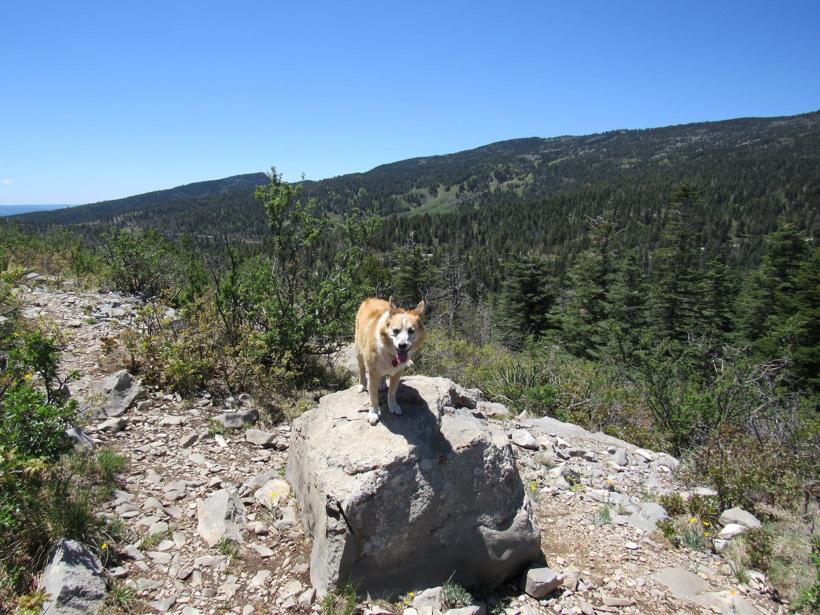
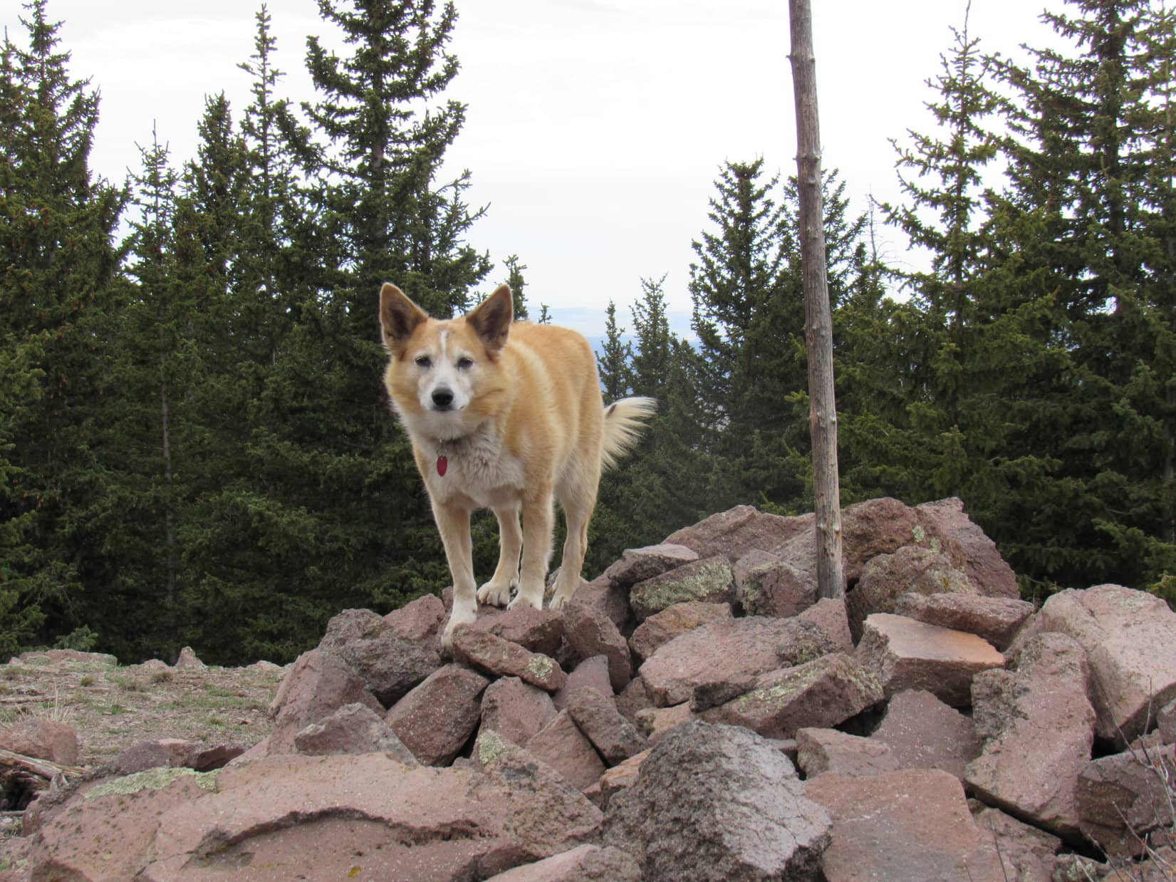
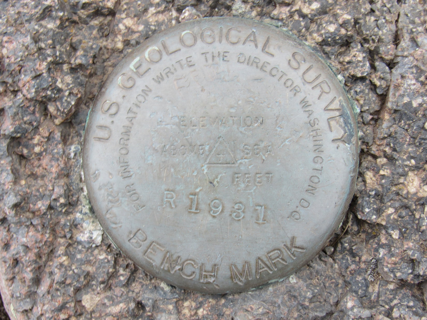
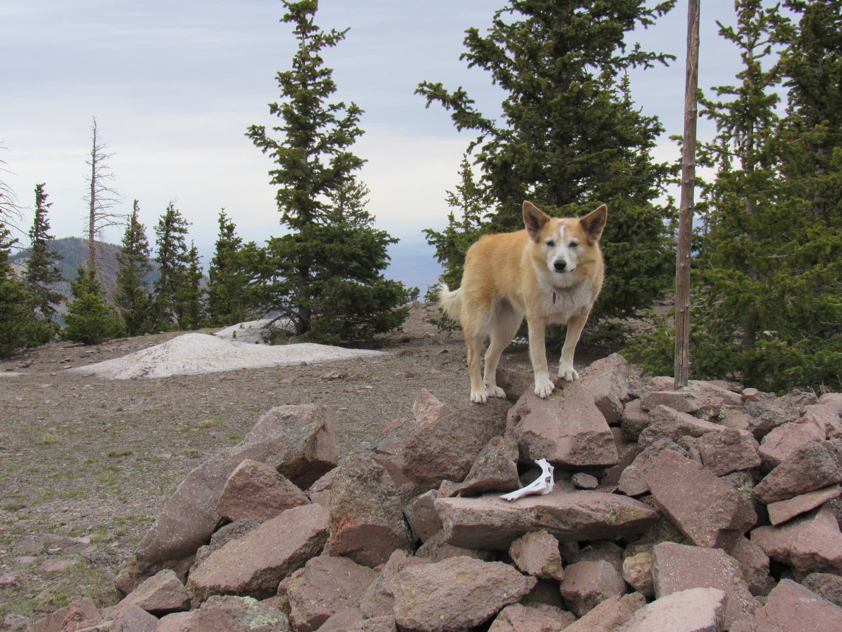
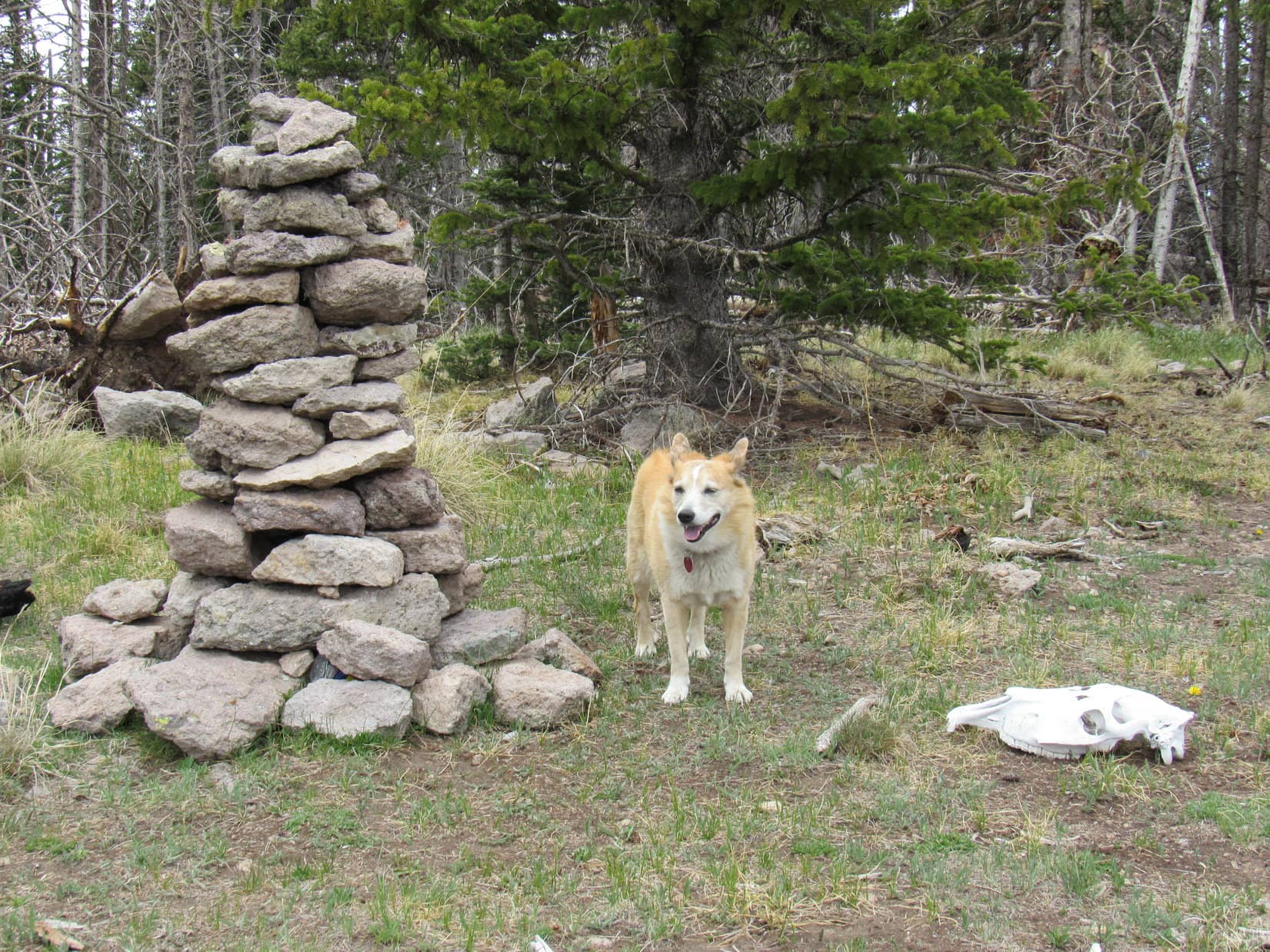
A massive cairn of much larger rocks topped by a tall wooden pole was visible 2/3 of the way toward the SW end. Lupe ventured over and scrambled up to claim her Chicoma Mountain (11,561 ft.) peakbagging success!
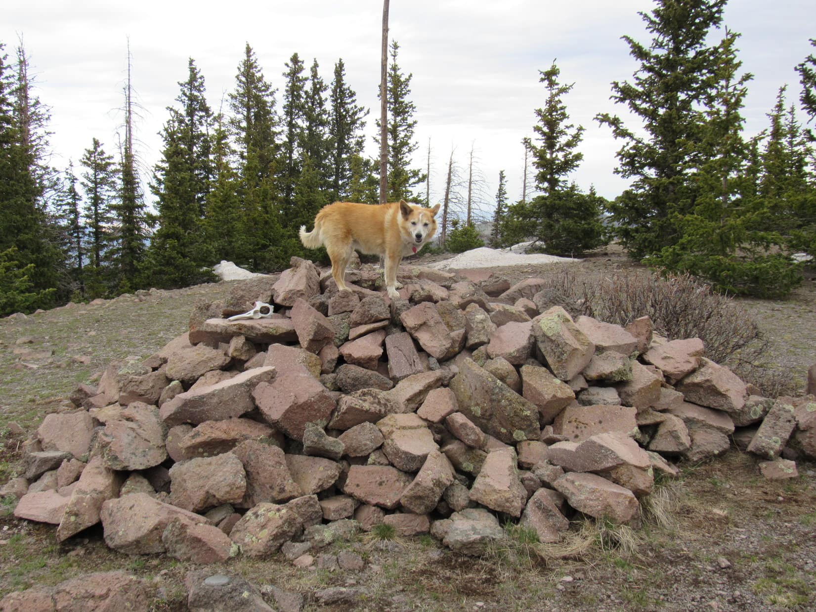
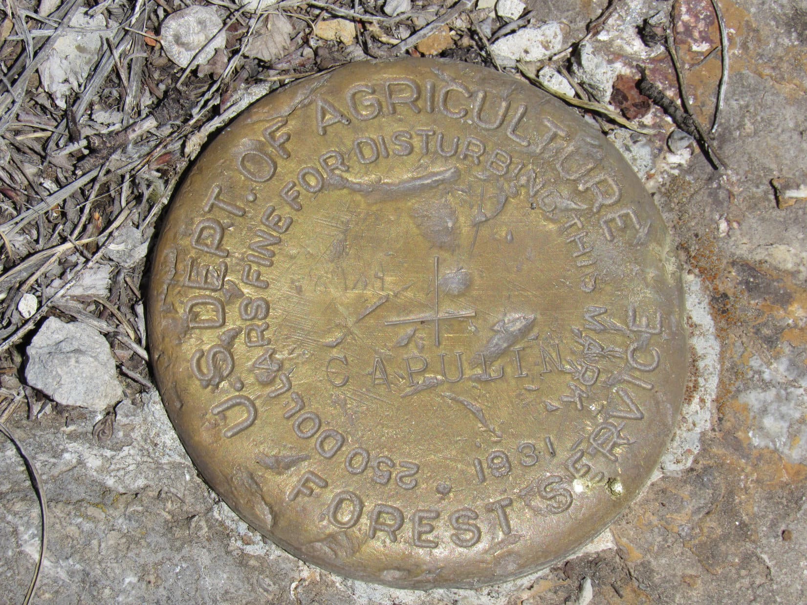
The topo map showed a “Langley” survey benchmark. This was easily found near the cairn, but lacked the expected Langley stamp.
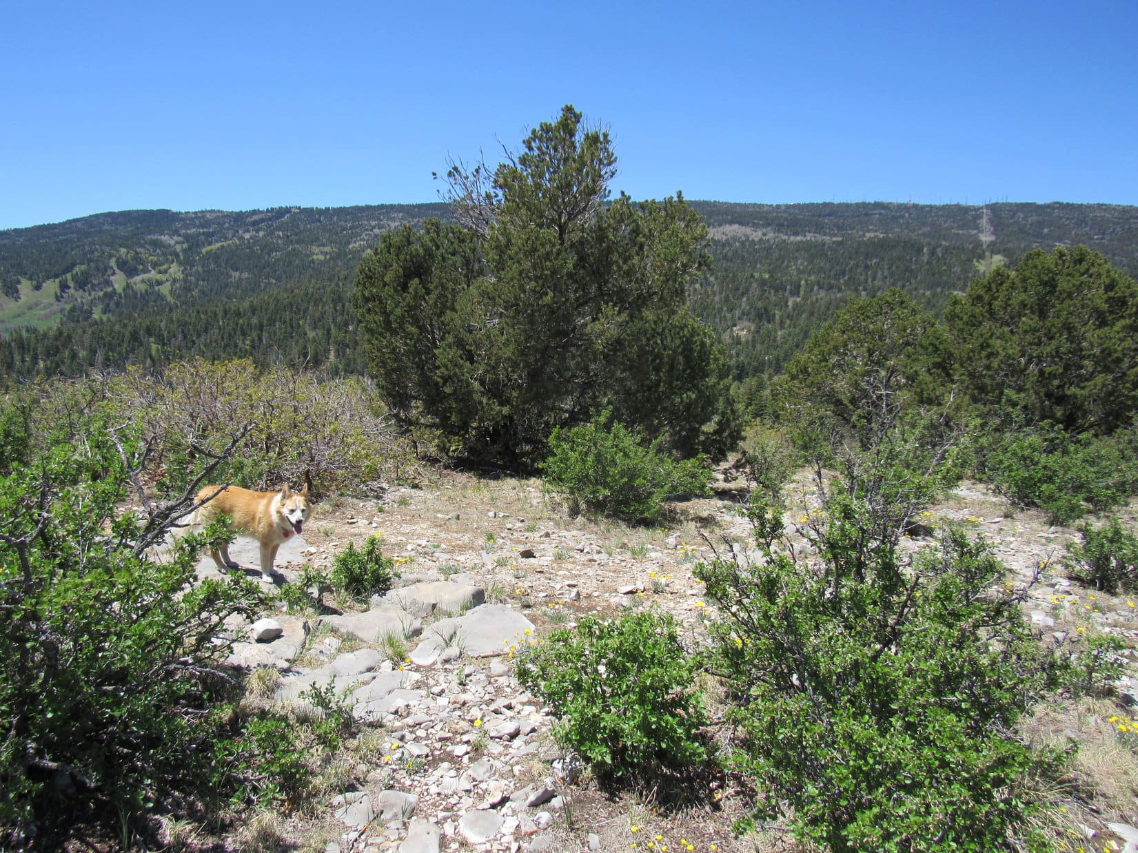
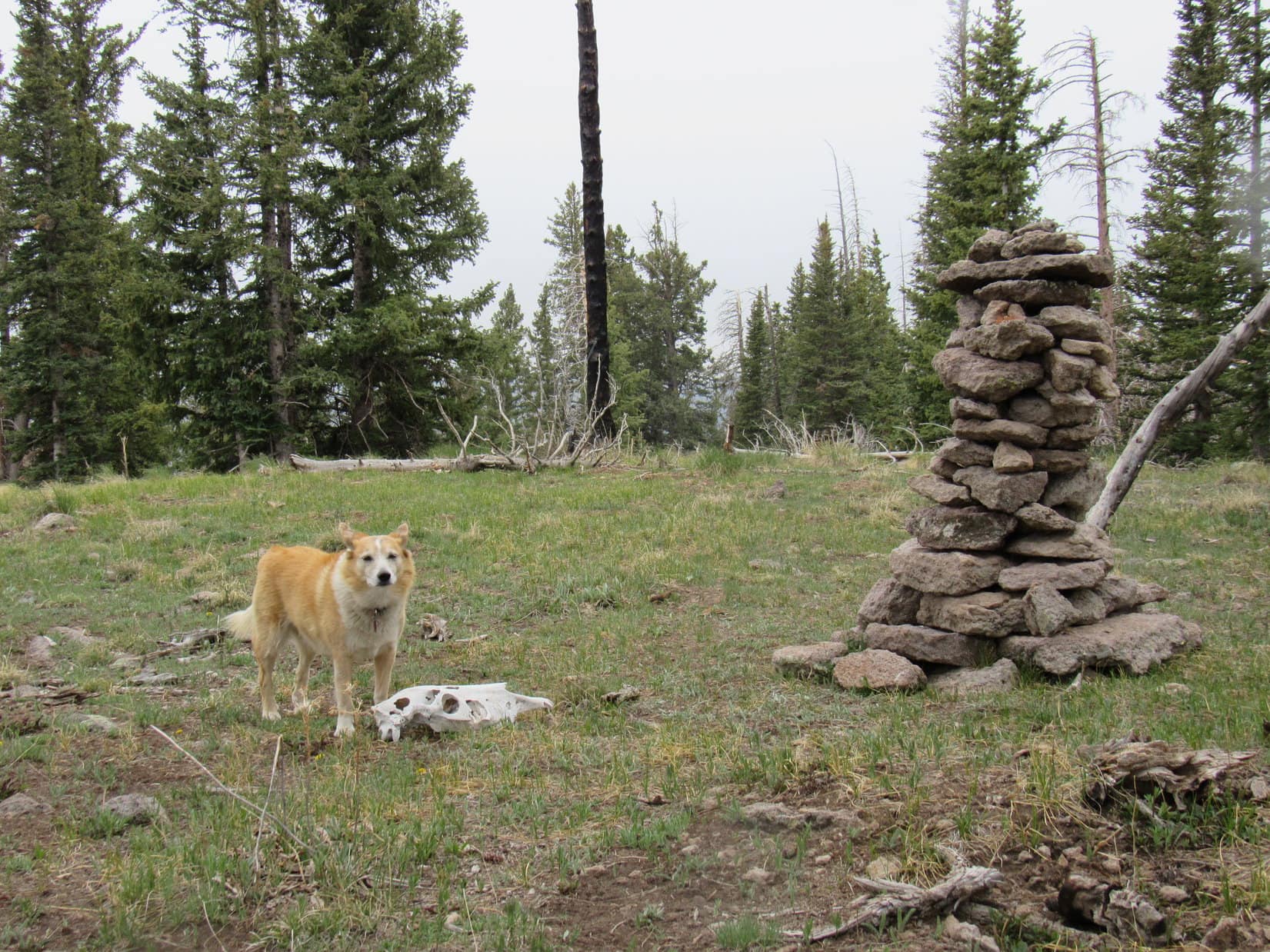
After visiting the cairn and survey benchmark, Lupe began exploring the rest of the summit region. At the far SW end, she came to an odd spot where 5 paths outlined in rock radiated out from a single point. Maybe one of these paths was Trail No. 276?
A quick sniff along each path revealed that they all simply vanished among the trees a few tens of feet from the point of origin. Strange!
Looper wandered back past the cairn to the opposite end of the summit region. After enjoying the views, SPHP encouraged the American Dingo to return to the 5 odd paths. Had anything been missed there?
A more extensive check revealed only tree-broken glimpses of distant unknown peaks.

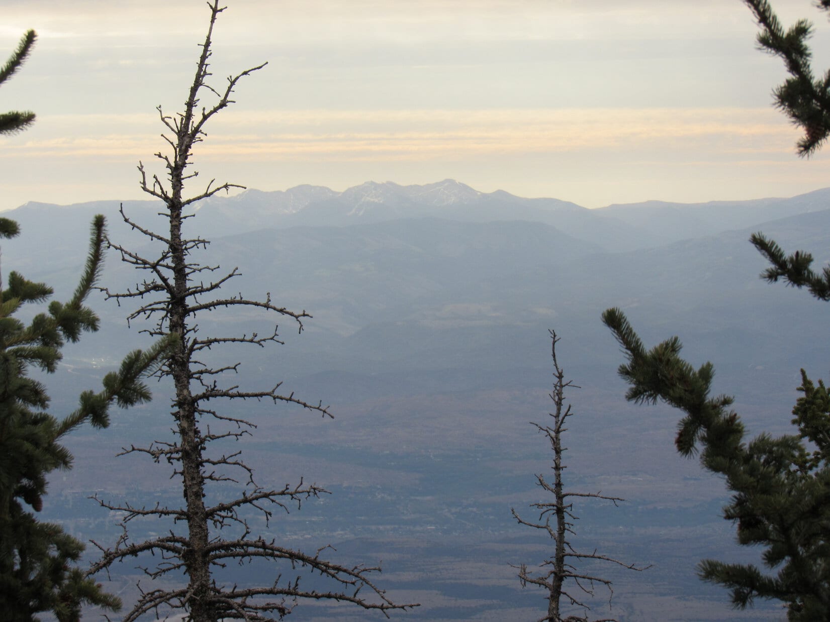
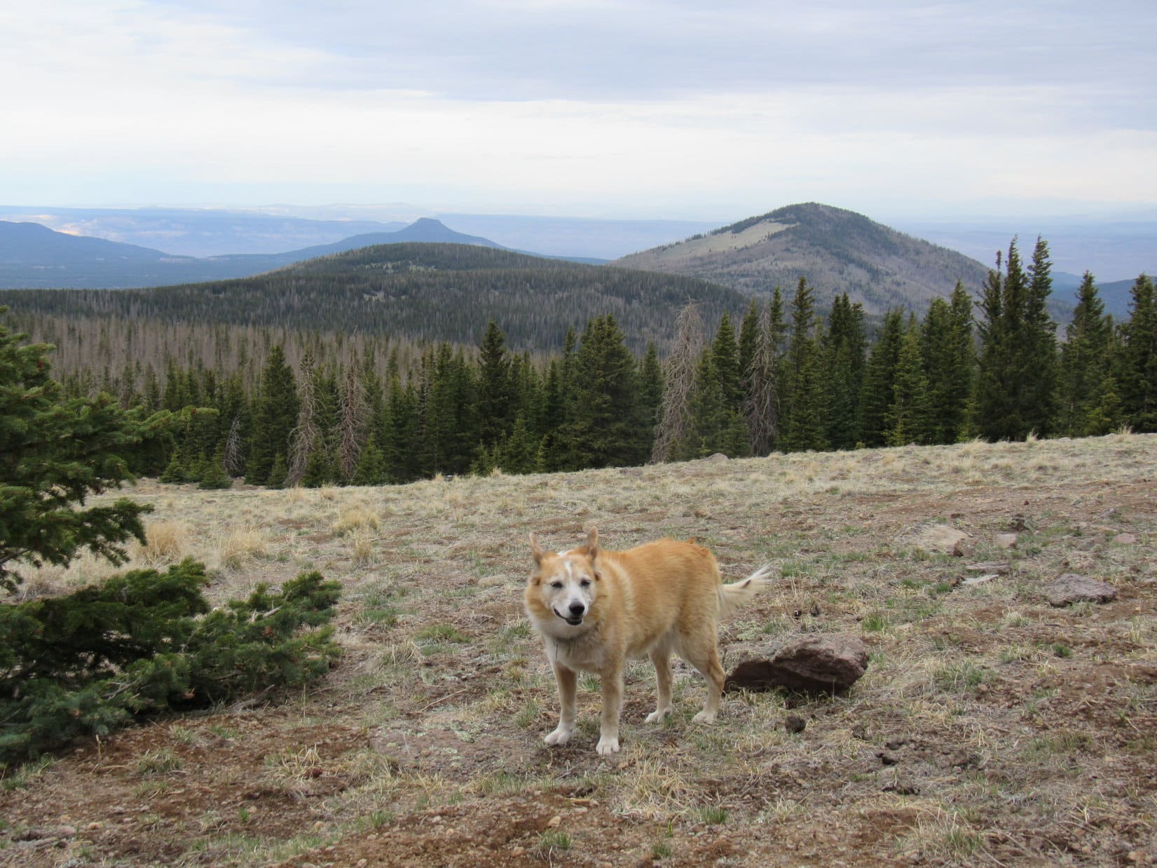
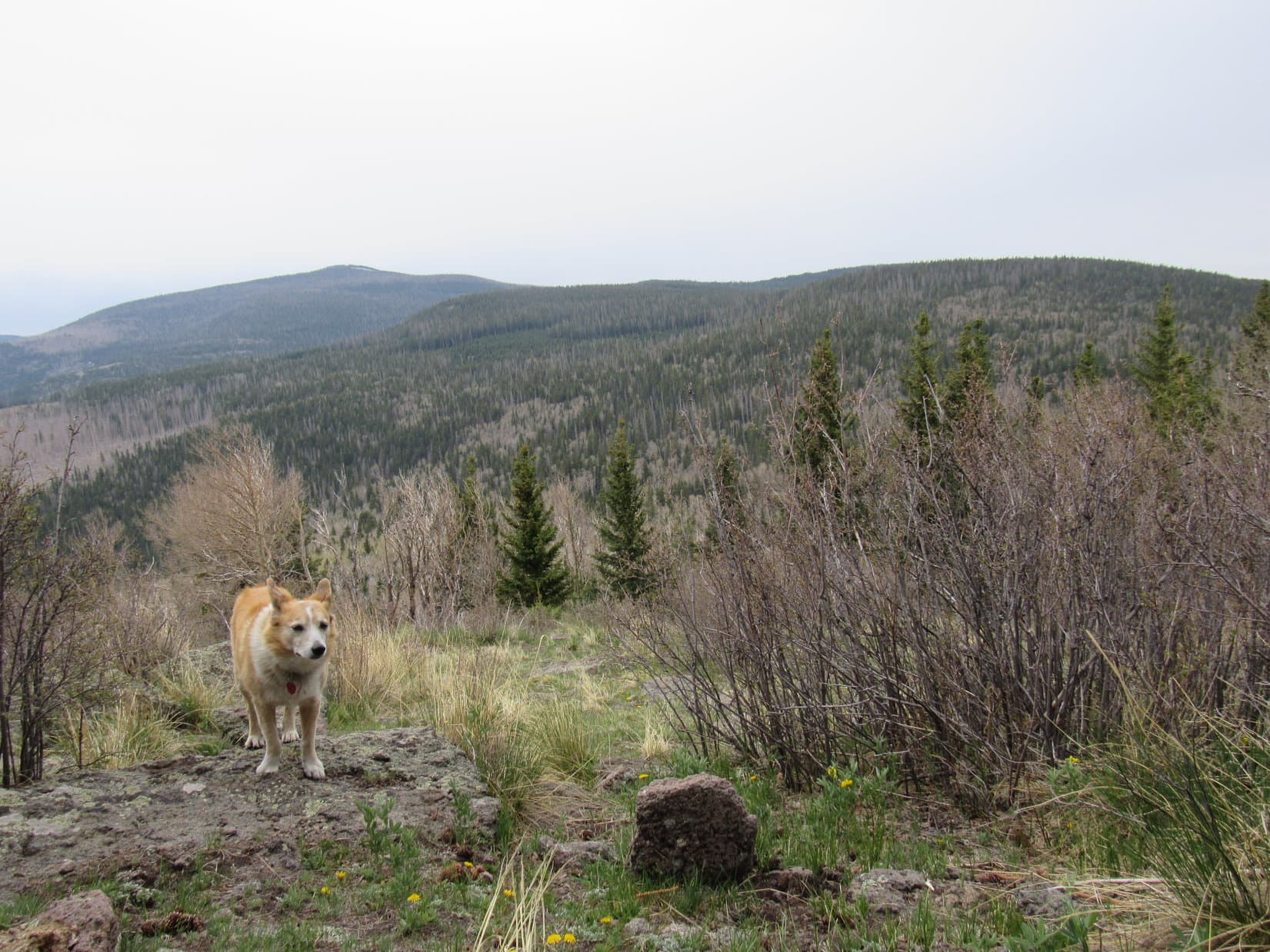
40 minutes after arriving, Lupe returned briefly to Chicoma Mountain’s huge summit cairn. A final photo and she was off to where the views were best, not on top of the mountain, but 30 or 40 feet lower, just below the trees overlooking the long grassy N slope she had come up. Here there were sweeping panoramas of many mountains.
Only one was familiar to SPHP – Polvadera Peak (11,232 ft.), Lupe’s next destination.
SPHP still hadn’t entirely given up on finding Trail No. 276. Rather than descend by the exact same route, Option 2 was the plan. Lupe headed NW down the long grassy slope aiming straight for the saddle leading to HP11021, precisely the route Trail No. 276 took on the map.
The views were splendid out on the open slope all the way down to the forest. However, Loop eventually arrived at the saddle without having seen any sign of Trail No. 276. It simply didn’t exist in recognizable form anymore. Picking up USFS Road No. 144.U again, a leisurely pace was taken back to the RAV4 while SPHP gathered numerous Lupe treasures humans had carelessly discarded along the way.


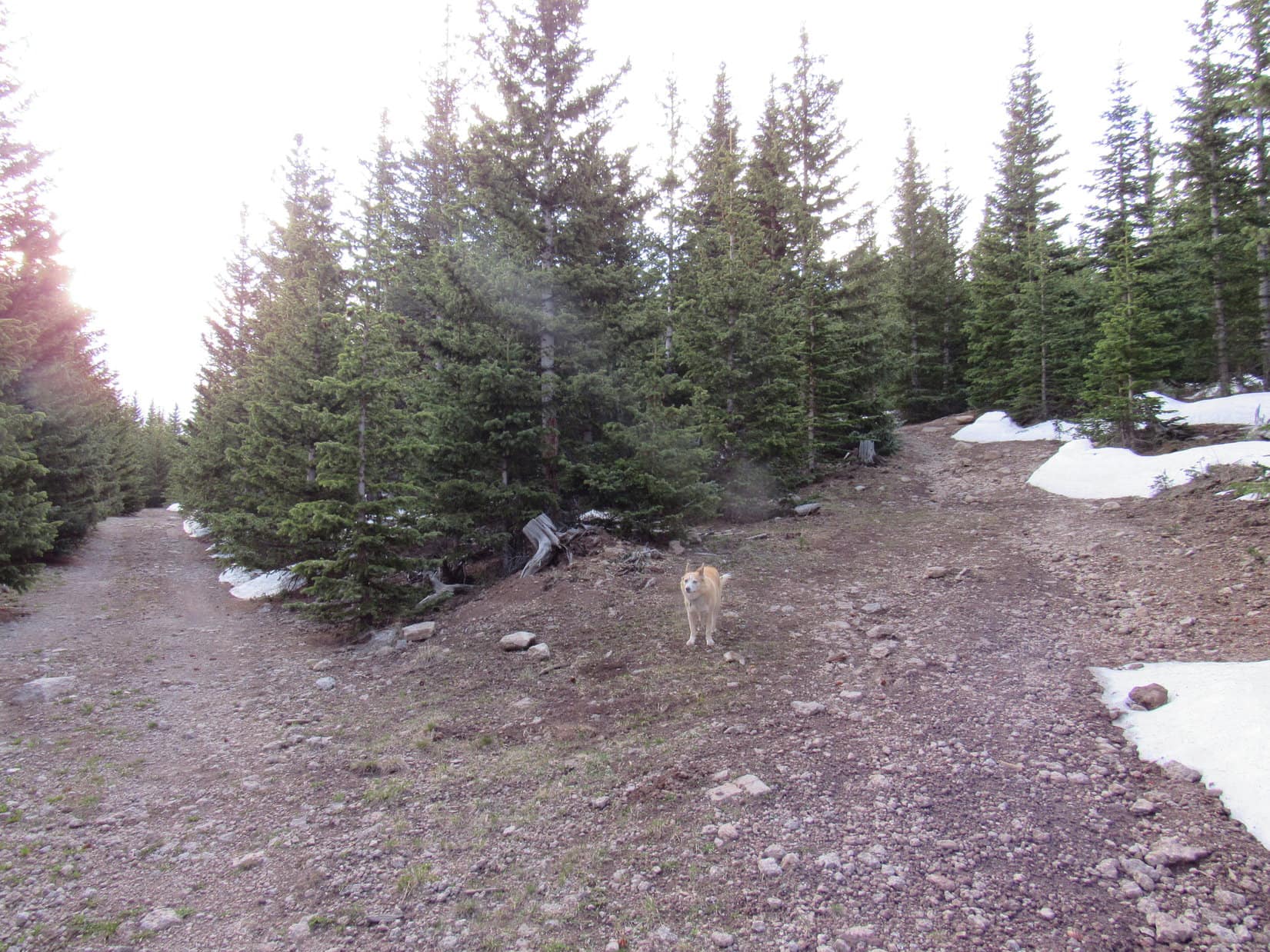
5-21-21, 9:58 AM, 50ºF – Even at SPHP’s pace Chicoma Mountain hadn’t taken all that long. Still early. As soon as SPHP parked the RAV4 after the short drive up to USFS Road No. 144’s high point, Lupe bounded out rarin’ to go again. Trotting NW, she quickly reached the junction with No. 144.D1.
According to the map, Polvadera Peak was a little under 2.75 miles due N of this junction. No. 144.D1 would take Lupe only the first mile, but Trail No. 108 would then get her another mile closer, leaving only 0.75 mile of bushwhacking up Polvadera’s S ridge. Shouldn’t to be too hard! Assuming that is, that there actually was a Trail No. 108.
The trek on No. 144.D1 was super easy, a pretty straight shot gradually downhill or on the level with only minor course corrections the entire way. The road started out in the forest, eventually passing through sunny meadows before entering another stretch of forest.

In practically no time at all, Lupe reached the saddle S of HP10899. So far, so good, but it didn’t take long to realize that there was trouble. No. 144.D1 ought to have curved away to the SW here, but just seemed to end. More importantly, Trail No. 108 was supposed to continue N and traverse the E flank of HP10899. No sign of it. Of course.
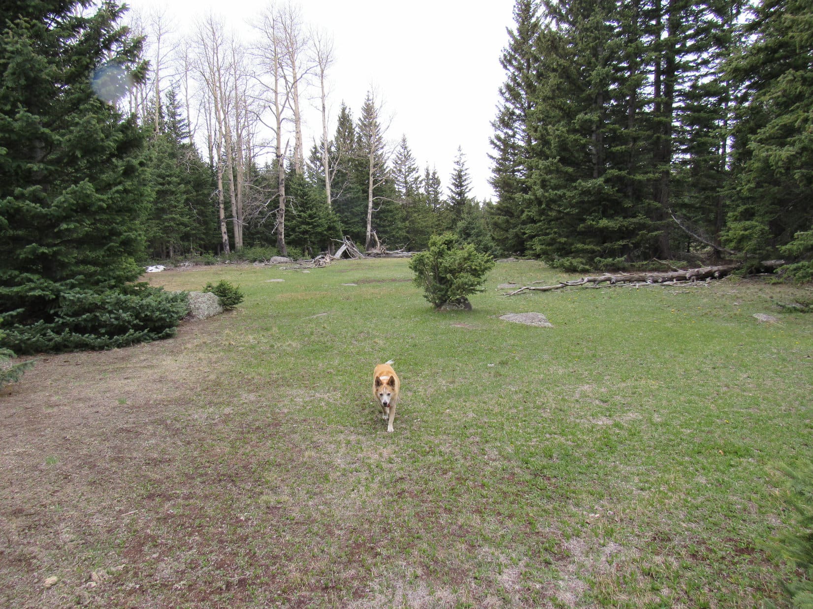
Directly ahead was a meadow liberally endowed with assorted light gray boulders. Entering the meadow, Lupe went under a rickety barbed wire fence. Scouting around a bit ended in disappointment. Lovely area, but no sign of Trail No. 108.
Huh. Couldn’t be that easy, could it, Looper?
So we just go to where the trail is supposed to be and bushwhack it. Right, SPHP? We’ll get there! We got to Chicoma Mountain easily enough!
Yeah, I don’t know, Looper. Nearly 2 miles to the top of Polvadera Peak from here, 4 times the bushwhacking we did at Chicoma. Maybe we should climb HP10899 and see what things look like from up there? Might be able to catch a glimpse of Polvadera Peak to keep us properly oriented.
Leaving the meadow behind, Lupe continued N. The trek up HP10899 wasn’t a big deal, only 130 feet of gradual elevation gain, but through thick forest. The top of the mountain was a big flat region. Looper did come to what appeared to be a marginally higher “summit”, a little pile of dirt only 1 or 2 feet tall. Completely surrounded by trees, everything looked the same in all directions. Absolutely no views at all.
This worked well, didn’t it, SPHP?
Oh, hush, sarcastic Dingo of mine! Let’s keep going. We’ll come to an opening somewhere along the line.
Shouldn’t we go back? At least bushwhack where the trail is supposed to be? Might find it!
You and I both know there is no trail. Not any more. This map is ancient! Waste of time and effort!
This time Lupe followed as SPHP led the way N. The flat region came to an end. No views yet. SPHP started down a slope that soon became steeper than the trek up the S slope had been. Lupe lost what seemed like a fair amount of elevation. Still nada.
Would you stop pawing the back of my leg, please?
Sure, if you’ll stop and listen for a moment, SPHP!
OK. Whatever! What do you want to say, Loop?
Are we going the right way?
Best as I can determine.
How are you navigating?
Using the shadows the trees cast on the ground.
It was cloudy at Chicoma Mountain only a little while ago. What happens if the sun disappears again? These mountains aren’t rugged, but they’re big. Hardly any roads. Without any landmarks in this forest, well …
Well, what? You’ll sniff our way back if I get turned around. We haven’t gone that far yet.
What if it rains and washes the scent away?
Oh, come on, worrywart Dingo! We’re in New Mexico – practically the whole state is desert.
So it never rains?
Sheesh! Of course, it does. But hardly ever. What’s gotten into you, anyway?
Just a feeling, SPHP.
Nothing changed. Continuing lower, the vast, featureless slope went on and on. Trees, trees, and more trees.
Upon reaching a flatter, sunnier spot, SPHP paused. The forest wasn’t nearly so thick here, yet still no views. No definitive clues on the map, either. The saddle S of Polvadera Peak that Lupe was seeking was a big one, but far enough away so that it wouldn’t take much of a mistake in direction to miss it. Hmm.
Alright, you win, Loopster! Seems ridiculous. This ought to be easy, just march right on down to the next saddle, but you’ve got me spooked now. Let’s go back.
Wasn’t as far back up to the top of HP10899 as SPHP had imagined. A mere 150 feet of elevation? Would have guessed twice that at least! Lupe managed to go right back to the same little pile of dirt at the “true summit”.
Stay farther E than we were before as we head S from here, Looper. Best chance of finding the trail, if there actually is one.
SPHP was totally demoralized by the time the American Dingo reached the boulder-strewn meadow again. Polvadera Peak should have been cake! Not going to find any trail. Chickening out and turning back had only ensured defeat.
Lupe wandered farther E through the meadow. Finding no indication of fictitious Trail No. 108, she turned SW to return to USFS Road No. 144.D1.
Guess this is it, aye, Loop? Too bad. Thought Polvadera Peak would be a fun one.
After sneaking back under the rickety fence, Lupe came to a road in the forest again, but nothing looked familiar. Going a little way W didn’t help the situation, so she ventured back to the E. To SPHP’s surprise, Looper came to an open gate in the rickety fence. Partially covered by snow, what looked like a faint ATV trail passed through the opening.
Here we go, SPHP! Let’s check this out!
Near the E end of the meadow, the ATV track wound its way N among a few scattered young pines, but soon faded away. Shucks! Disappointed again! Going a little farther though, a couple of large cut logs were seen ahead right along the edge of the forest. No path went toward them, but maybe a long shot worth investigating? Last chance, in any case.
So, what do you think, SPHP? This is it, isn’t it?
You’re right, Loop! This must be Trail No. 108, or whatever’s left of it!
Heading NNE into the forest, a distinct path went right past the cut logs.
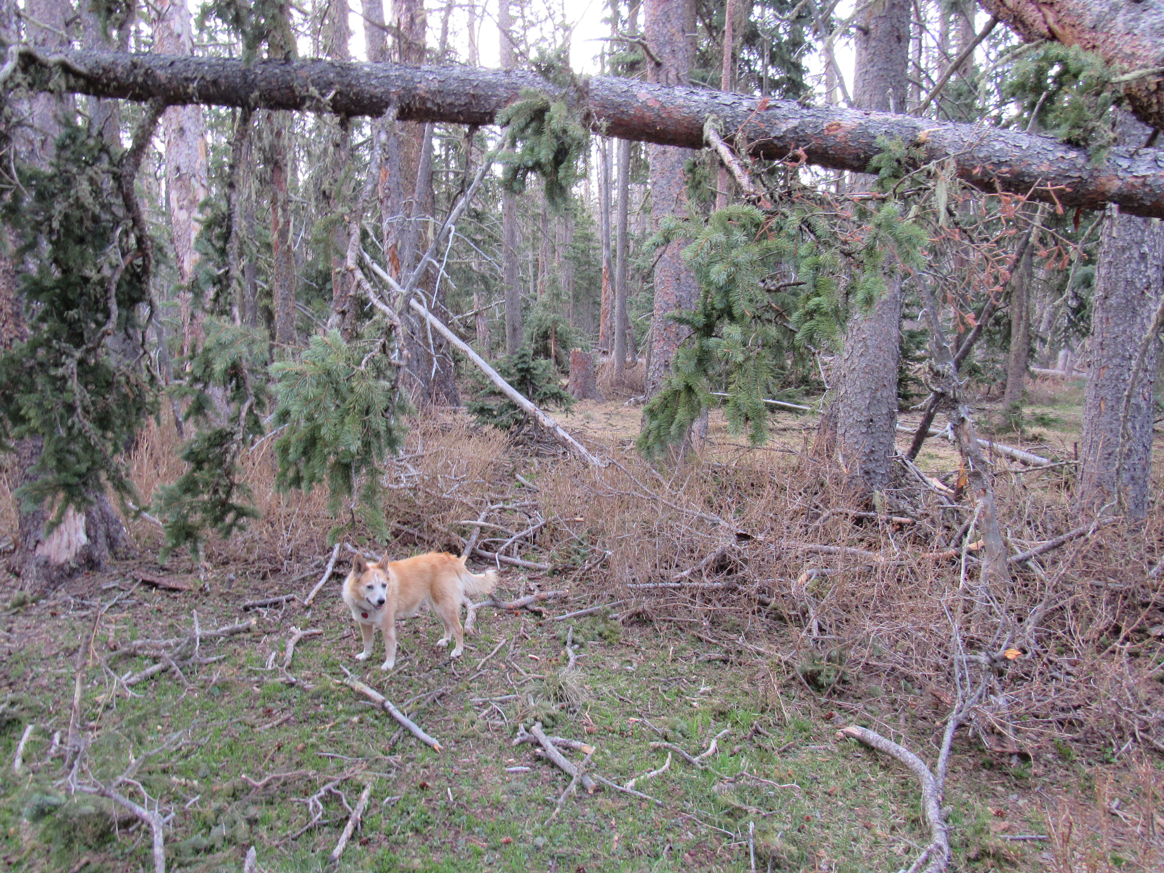
Trail No. 108 went almost due N varying its course very little. It started out fairly level, but Lupe was soon steadily losing elevation. Many cut logs were along the route, yet maintenance had apparently ended years ago. None of the cuts looked recent. Loop encountered deadfall with some degree of regularity, but it wasn’t too bad. Short use paths often existed around it.
Trail No. 108 looked so seldom traveled that it seemed quite possible it would soon vanish completely. However, confidence grew as it went on and on. The downhill trek was easy. The entire route was forested, with a pleasing sense of remote seclusion. The American Dingo made rapid progress. Eventually there were glimpses of Polvadera Peak ahead.


Trail No. 108 finally did vanish, but not until it reached a meadow near Pass 10419, the saddle directly S of Polvadera Peak. A cool breeze was blowing out of the W, and it was sprinkling rain when Lupe arrived. At the edge of the meadow a big rock stood near several spruce trees.
Hold on, Loop! Let’s shelter under these trees, while I check the map.
What! Shelter? From the rain you mean? Here in the desert, SPHP, where you can just stumble through the mountains navigating by the shadows cast by trees basking in eternal sunshine?
Yes, smart-alecky Dingo! That’s precisely what I mean.
Trail No. 108 had ended a bit W of Pass 10419. As soon as the rain quit, Lupe went out into the meadow to look for it. The meadow extended clear up to the pass where she discovered another trail. This proved to be a section of the Rechuelos Trail. It went through a stretch of forest to another smaller meadow just E of the pass.
Meanwhile, SPHP had been keeping an eye toward the N looking for some sort of use trail going up Polvadera Peak’s S ridge, but hadn’t seen anything other than thick forest full of deadfall.

Just going to have to choose a spot, SPHP! Where do you want to start?
Hmm. Guess you’re right, Loopster. The forest wasn’t quite as thick on the W side of the pass, was it? Let’s head back over that way again.
W of Pass 10419, the situation didn’t really seem much better. Heading N, the Carolina Dog plunged into the forest. Mighty slow going at first, but the ground began sloping higher almost immediately.

Fortunately, the deadfall situation soon improved. Didn’t take long to reach a distinctive large shark fin-shaped rock in a more open area. Looked like there was a meadow just a little farther up the slope, too!

A short climb brought Lupe to the lower edge of a steep meadow where big tufts of yellow grass nestled amid the branchless gray trunks of old blowdown. Higher up, the grass was greener near the edge of another forest above the meadow.
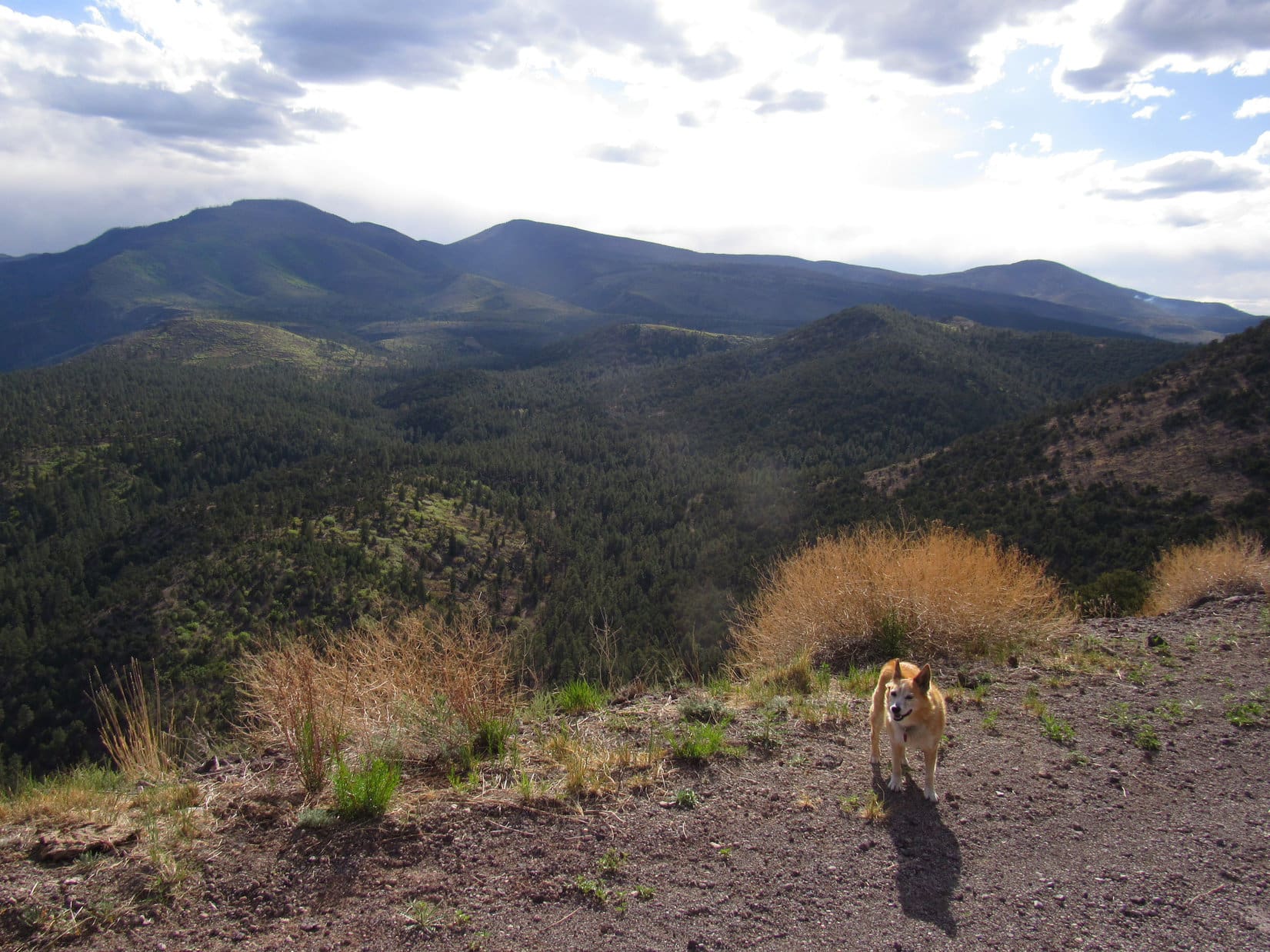
SPHP paused often during the climb to gasp for air. Chicoma Mountain, where Lupe had been only a few hours ago, was in sight off to the SSE.
Continuing N after reaching the trees above the meadow, the slope of the terrain diminished considerably. This region was full of rocks and small diameter deadfall. Despite these obstacles, progress was good. Loopster eventually came to a big grassy meadow on the W side of the mountain. This meadow was steeper terrain again, but easier than hopping rocks and deadfall, so Lupe climbed through it never straying far from the edge of the forest.


Above this upper W side meadow was more forest full of lichen-covered rocks. Steeper than the first such area, it featured less deadfall than the earlier one. The terrain soon began to level out.
5-21-21, 2:22 PM, Polvadera Peak – Once again, the Carolina Dog emerged from the forest. A small meadow filled the central and E portions of the flat region ahead. To the N, near the far end, stood a slender 5 foot tall cairn. This was it! The summit of Polvadera Peak (11,232 ft.)!
Muchos felicidades, Loopster! You made it! Polvadera Peak!
Didn’t think we were going to, did you, SPHP?
Hah, no! Not for a while there when we couldn’t find Trail No. 108! Thought we were sunk.
Well, here we are! How about going over to the cairn and taking a break? I’m tired! Got anything to eat in that pack?
Oh, of course!
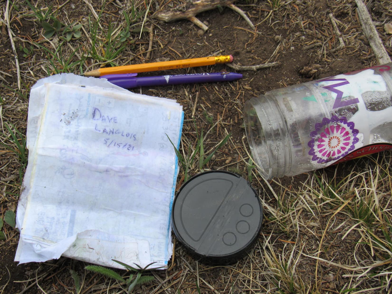
The weather was deteriorating. Windy, cold, and gray. Lupe laid down by a spruce tree a few feet W of the cairn. Fetching a jar partially hidden among the rocks at the base of the cairn, SPHP sat down next to her. Loopster crunched some Taste of the Wild, then tried to doze while SPHP examined the jar’s contents.
Hmm. Not much. A pencil, a pen, and a sopping wet registry signed by Dave Langlois on 5-15-21, just 6 days ago. The rest of the registry was so wet that SPHP was afraid to turn the pages, fearing they would simply disintegrate.
Using a Kleenex, SPHP dried the jar’s interior. Placing the registry in a plastic bag, SPHP put it back in the jar. The pencil, pen, and a single dry piece of paper with Lupe’s name on it completed the collection, which was then returned to its hiding place in the cairn.
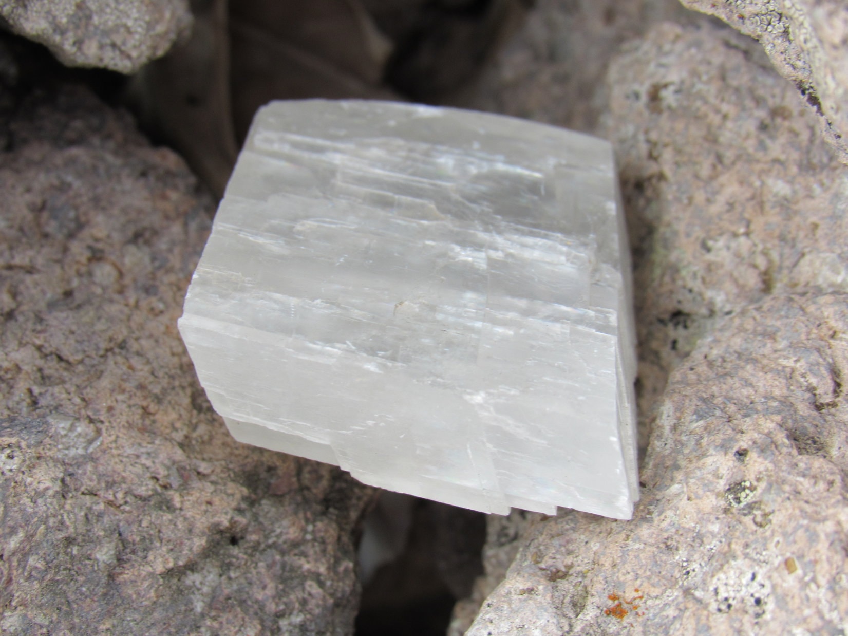
The registry wasn’t the cairn’s only item of interest. Two fancy stones were hidden in a cleft near the top. One was a small square block of white crystal. SPHP couldn’t get it out without damaging the cairn, and thus never really got a good look at the other stone stashed beneath it. What could be seen looked pointed like a big tooth, pink at one end.
Lupe’s summit hour was not what had been hoped for or expected only a short while ago. Like Chicoma Mountain, Polvadera Peak was another case where a ring of trees blocked the views in most directions. Even so, there were only a few trees along the E edge where there should have been a grand panorama, but the weather kept getting worse and worse. Every now and then Loop accompanied SPHP over to the E edge take a peek, but there was never anything to see.
Most of the time Lupe simply sat with SPHP in the shelter of the spruce tree W of the cairn. More than 50 minutes after arriving, conditions were getting just plain miserable. A cold rain was falling as the wind roared out of the W. Snowflakes had been seen.
Come on, Loop! Let’s get out of here!
Puppy ho! time, SPHP?
Yeah! We’ve evidently overstayed our welcome!
Lupe left Polvadera Peak heading S through the forest, and soon reached the big open meadow on the W slope. Totally exposed to the fierce wind and frigid rain, the descent was no picnic, but this was the fastest, easiest way down.
In order to keep heading S, the American Dingo eventually had to enter the forest again. By then conditions were improving. Lupe discovered a use trail that brought her down to the meadow W of Pass 10419 directly across from the rock by the spruce trees at the N end of Trail No. 108.
The rest of the return was pleasant and uneventful. Near the end, SPHP began gathering Lupe treasures along USFS Road No. 144.D1.
Back at the RAV4, Lupe had a big meal, after which she promptly conked out on her pink blanket. The storm had passed, though, so SPHP invited her out for an evening sniff. Preferring the comfort of the RAV4, the Carolina Dog politely declined, returning to Dingo dreamland.
Long glowing beams of sunlight filtered through the trees. Alone in a chilly W breeze, SPHP continued gathering up Lupe treasures near the RAV4 until the sun collided with western ridges and sank from view. Chicoma Mountain and Polvadera Peak! What a day it had been!
Links:
Next Adventure Prior Adventure
Want more Lupe adventures? Choose from Lupe’s Summer of 2021 Dingo Vacations to New Mexico, Wyoming & the West Coast Adventure Index, Dingo Vacations Adventure Index or Master Adventure Index. Or subscribe free to new Lupe adventures.