
Part 1 of Day 13 of Lupe’s 1st Summer of 2021 Dingo Vacation to New Mexico!
Seriously? We’re just going to drive up, SPHP? Wouldn’t it be more fun to take the Sandia Peak Aerial Tramway? I’ve never been on a tram before!
I know it, but there’s a reason for that. Doubt they would allow an American Dingo on the tram, Loopster.
Crestfallen, Lupe’s ears drooped with disappointment.
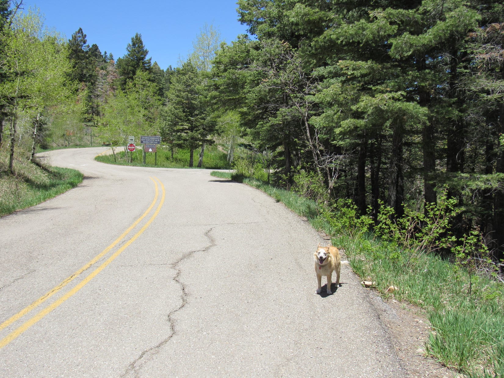
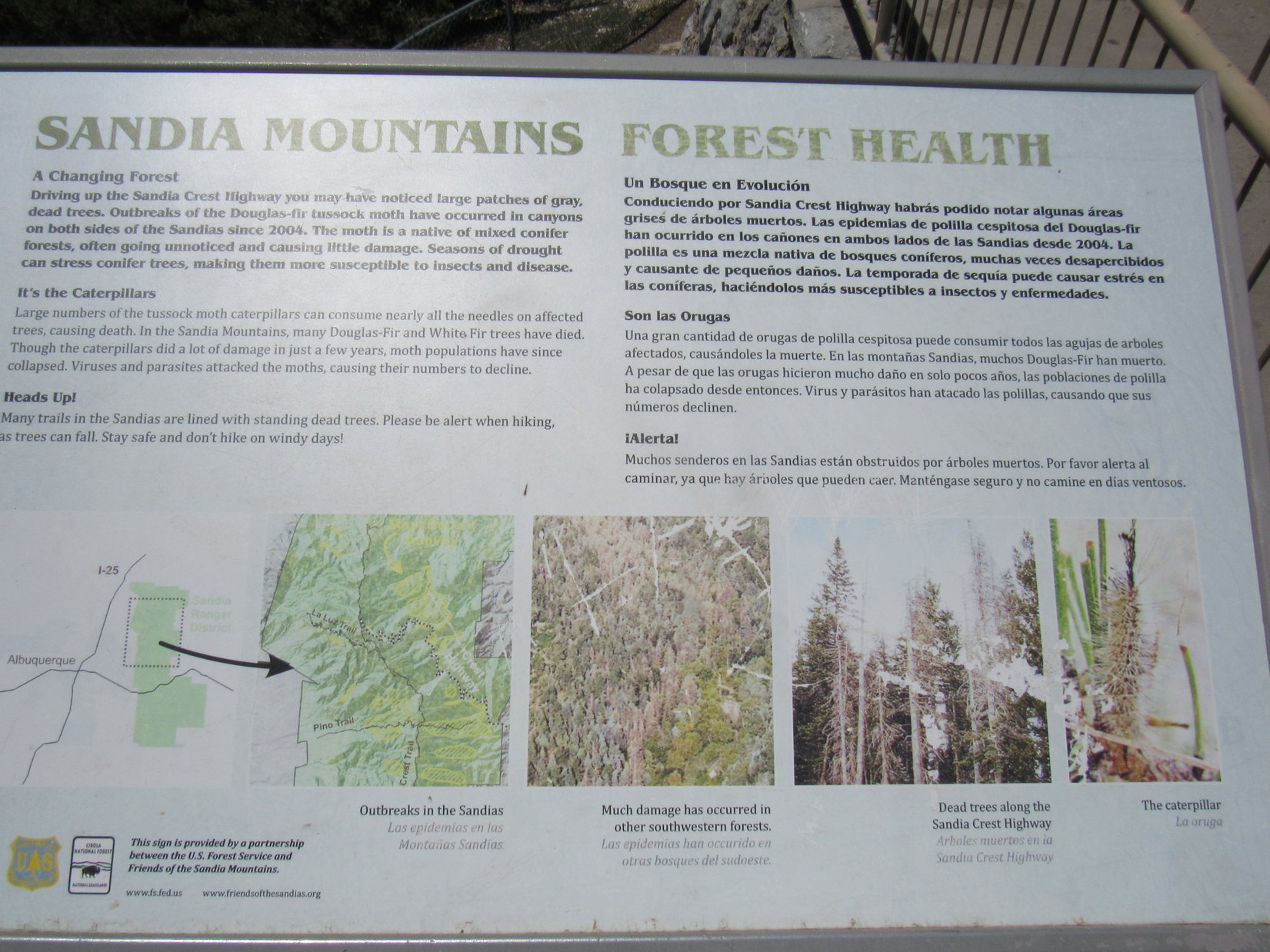
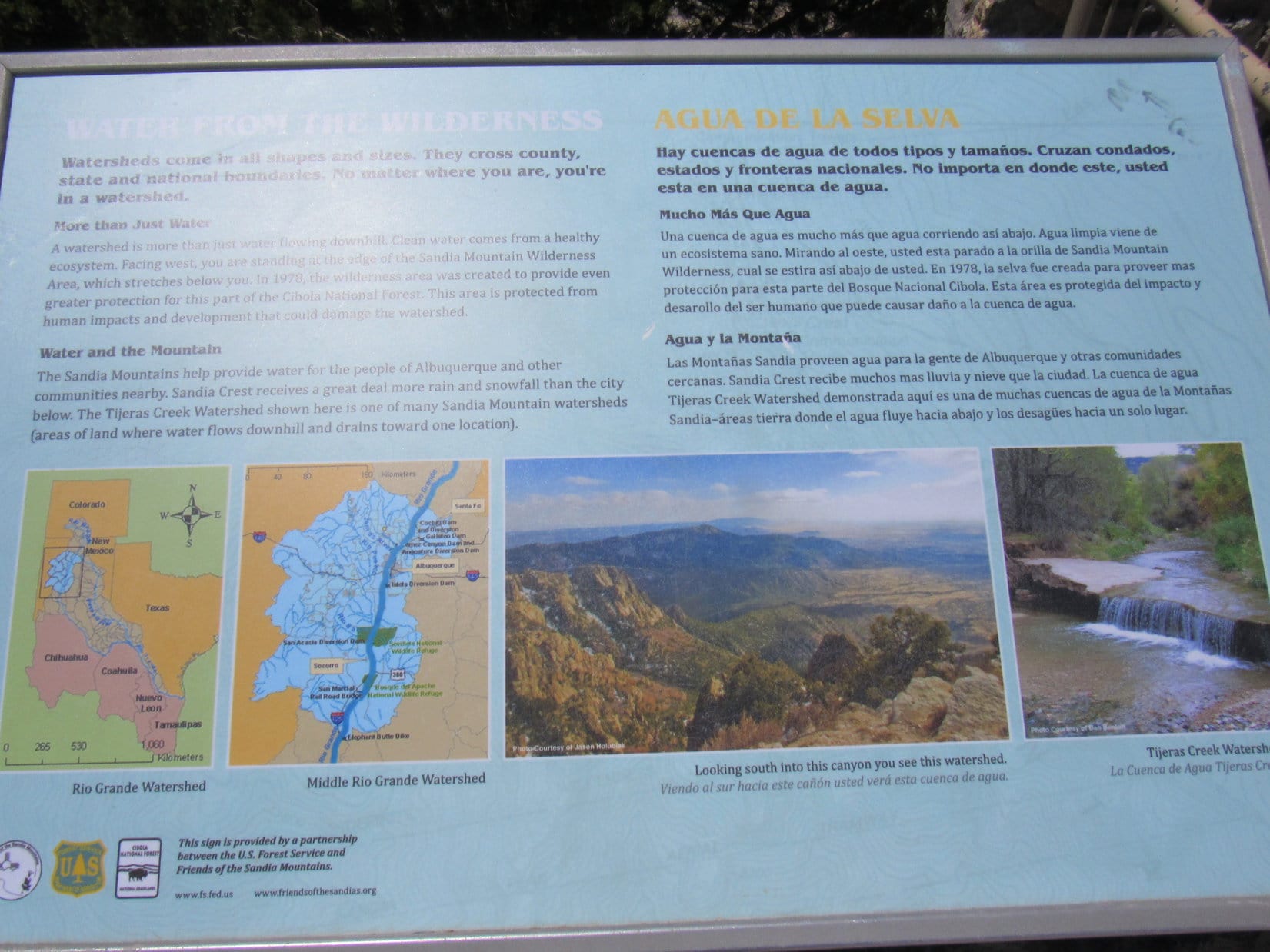
Admittedly, driving clear to the top of Sandia Crest was a chincy way of getting up such an enormous mountain, but SPHP really didn’t believe the tram would prove to be a viable option. Furthermore, after Loop’s big adventure up Mount Taylor (11,301 ft.) and La Mosca Lookout (11,036 ft. ) yesterday, SPHP wasn’t terribly inclined to take on 3,200 feet of elevation gain on La Luz Trail No. 37, either. E of Albuquerque, SPHP turned off I-40 to head N on Hwy 14. At San Antonito came a L turn onto Hwy 536, start of the long winding route up to Sandia Crest’s summit.
No. 536 was a lovely wide paved road all the way to the top, but instead of driving directly to the summit, SPHP parked the RAV4 at the Capulin Spring picnic ground. This close to Albuquerque, Sandia Crest was likely to be busy. Lupe might enjoy a short, much more private romp up Capulin Peak (8,929 ft.) to work off a little excess energy first.
Completely in favor of this notion, Lupe cheered up. 600 feet N of a locked gate across the road leading to the Capulin Snow Play Area, she came to a faint trail. Blue diamonds marked the way as the trail lost 80 feet of elevation heading E into the forest before beginning a slow, steady climb.

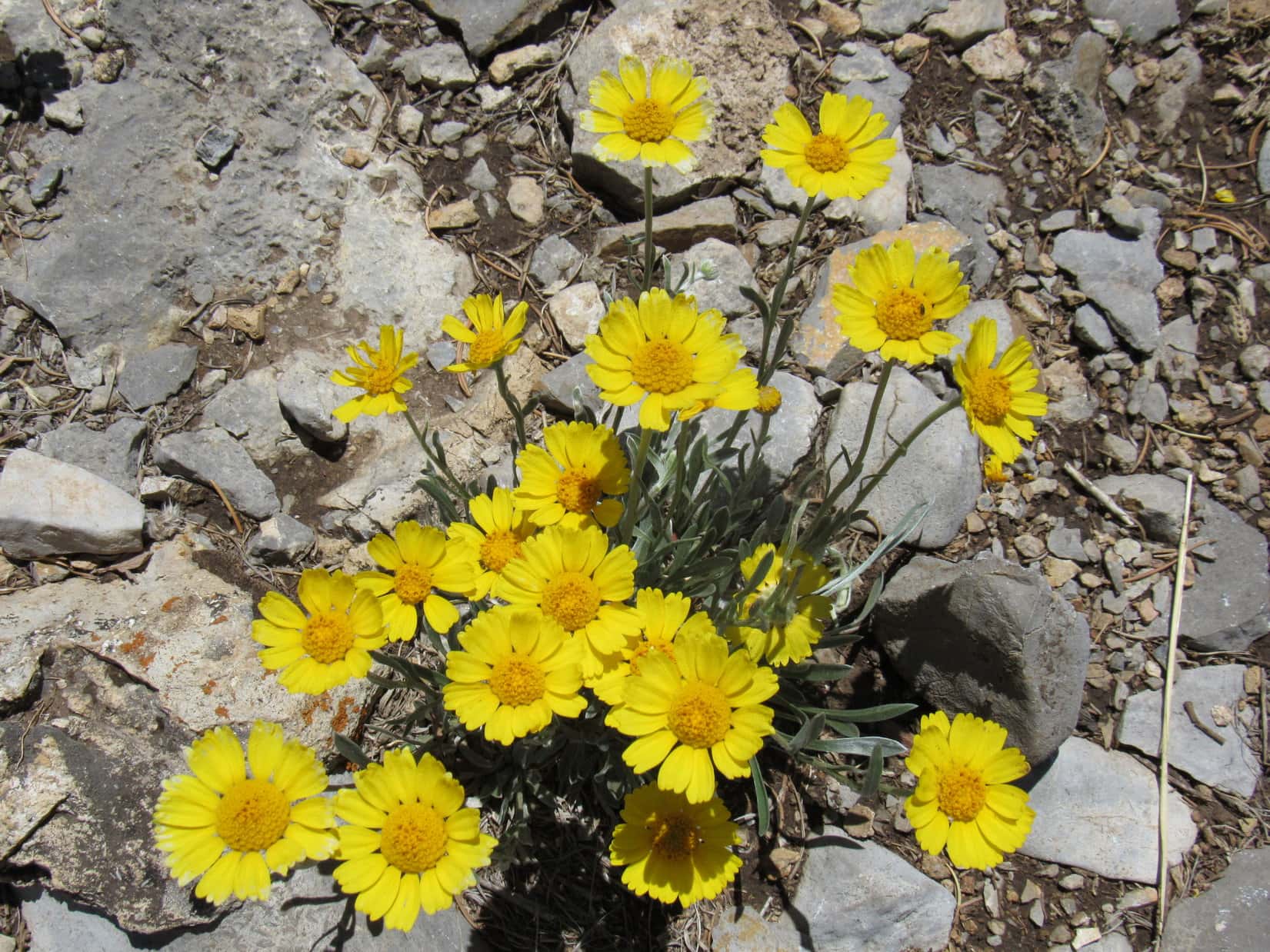
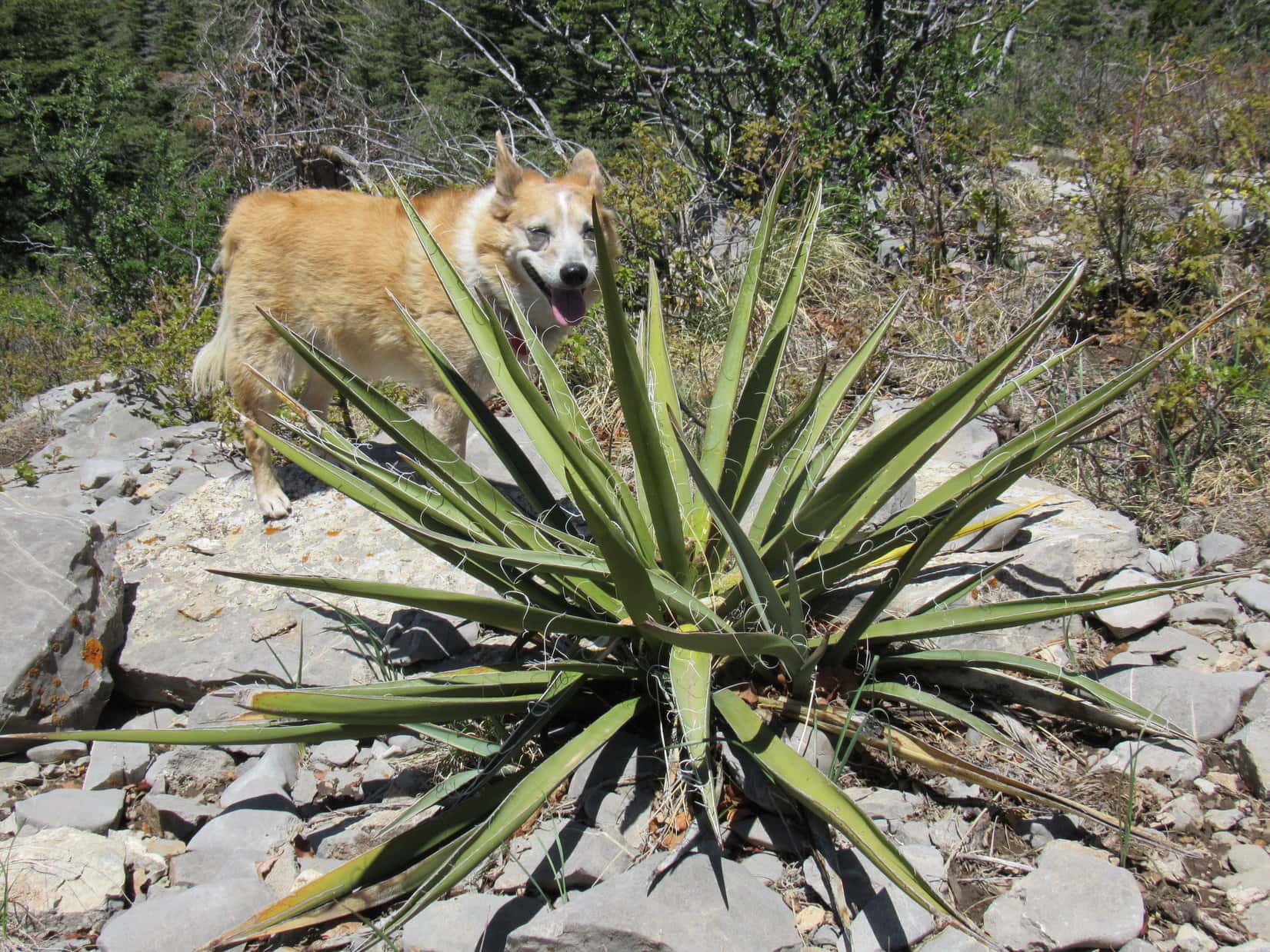
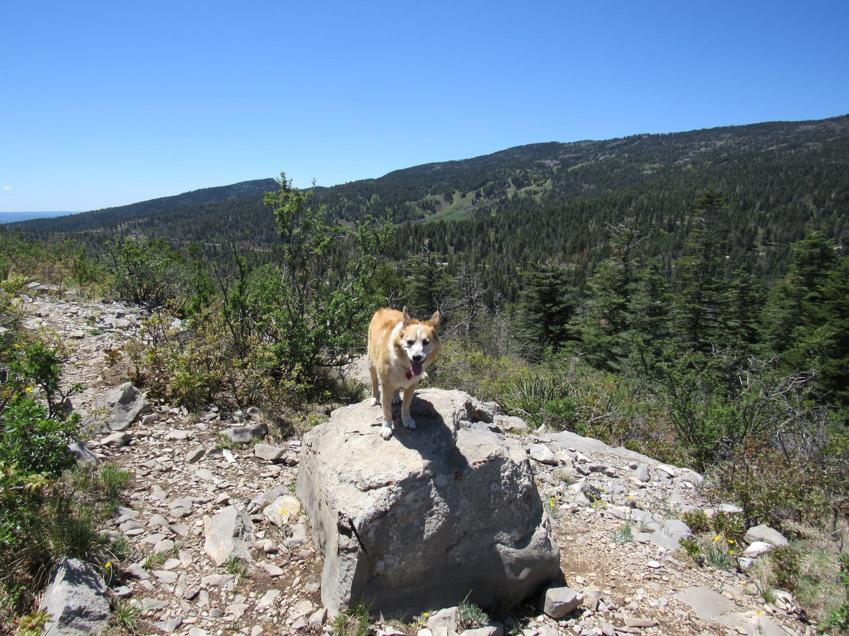
Capulin Peak’s summit was only 0.5 mile away. The route started out forested and shady, but Loop soon reached a sunnier region of shrubs, bushes, scattered wildflowers and exotic New Mexican desert plants.

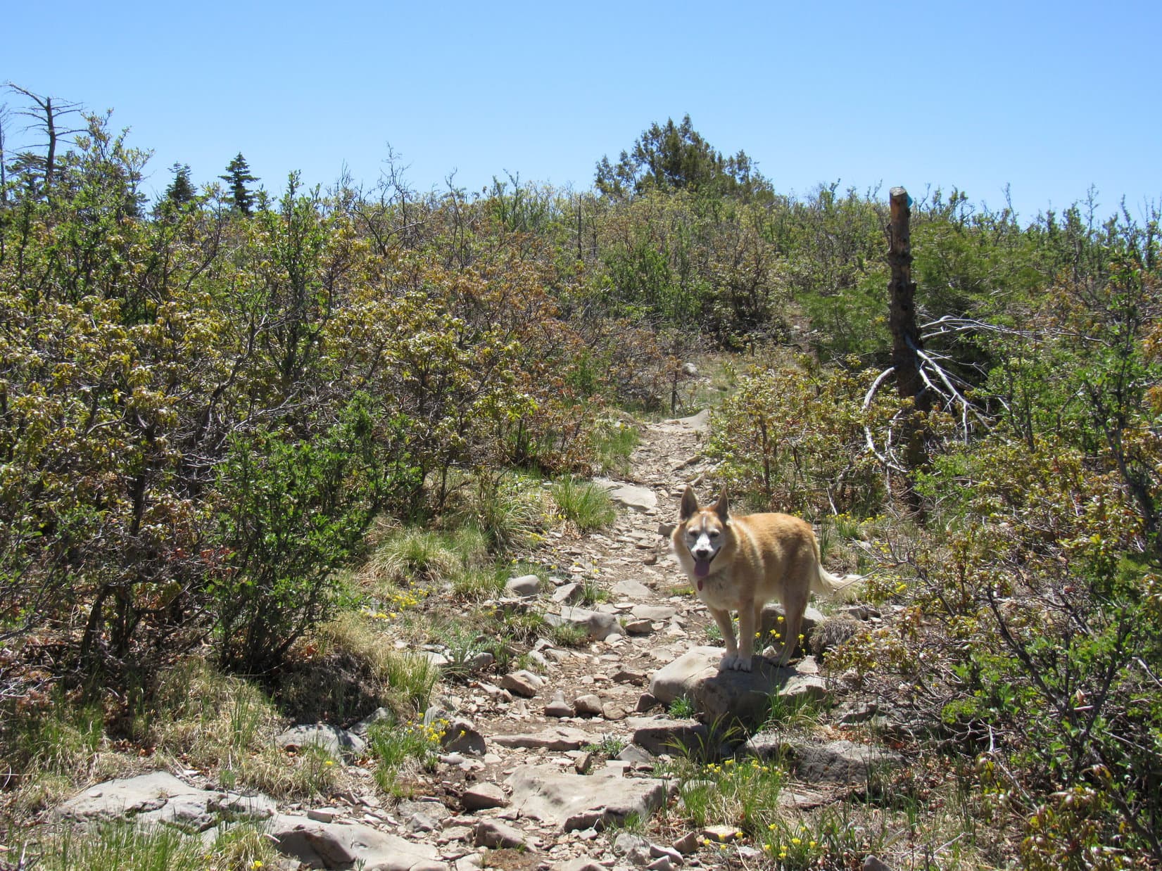
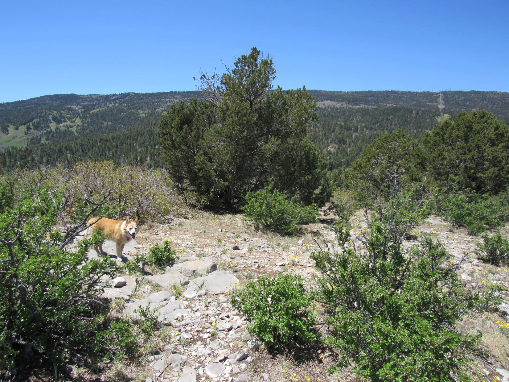
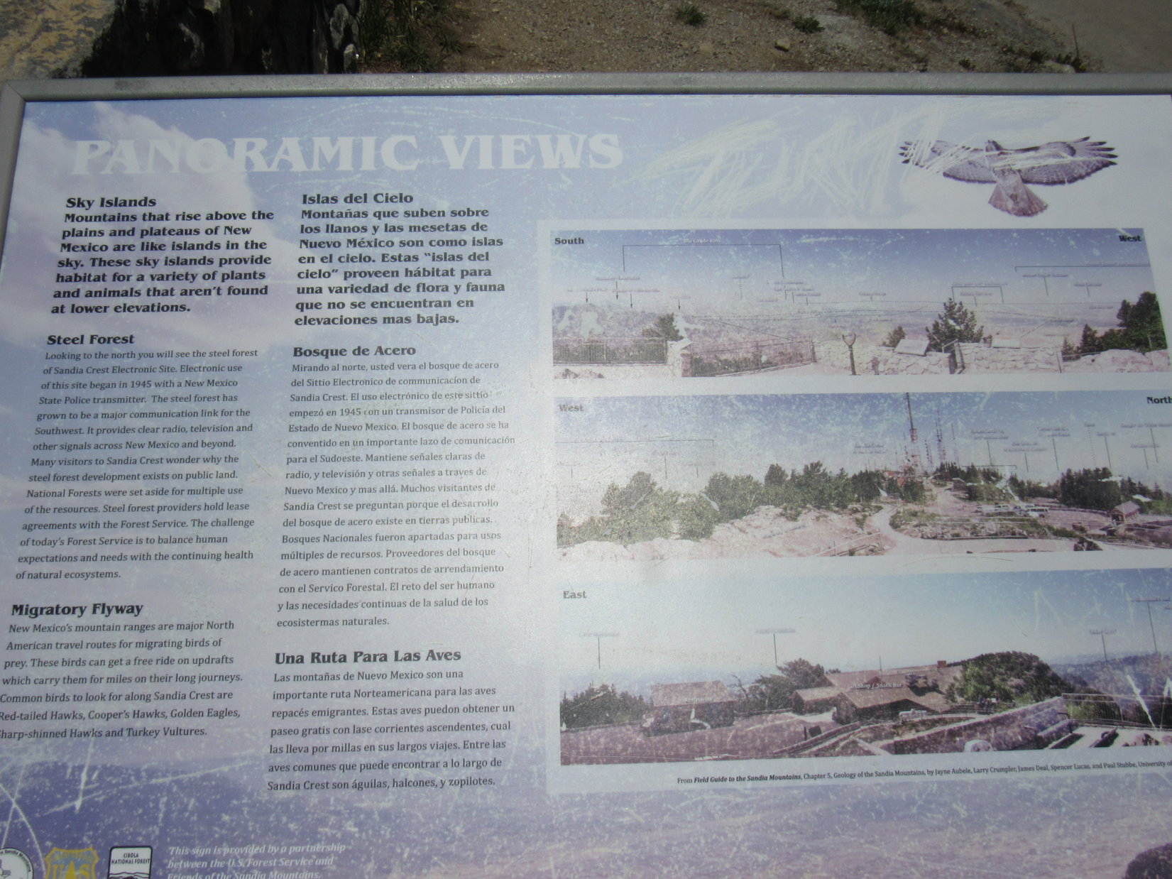
From the Blue Diamond trail’s low point only 230 feet of elevation gain was required to get to Capulin Peak’s summit. The terrain was already leveling out as Lupe reached the bushes. Running SE along the upper lip of a limestone escarpment, the trail provided views of more forest to the E. The big view, however, was W toward Sandia Crest (10,678 ft.), an enormous ridge 1,750 feet higher running N/S for miles. A cluster of towers was visible near the high point.
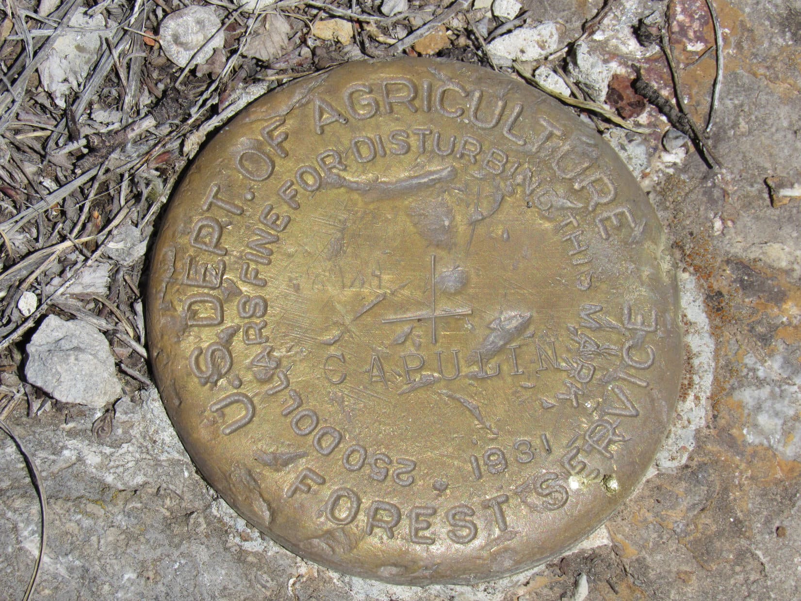
Capulin Peak (8,929 ft.) was supposed to have a survey benchmark, but whether it could be found in the bushy summit region seemed doubtful. However, the American Dingo’s search for it soon proved successful. Surrounded by rocks in a little open spot, the benchmark was readily visible roughly 50 feet N of the summit’s S end, 15 feet E of the edge of the escarpment.
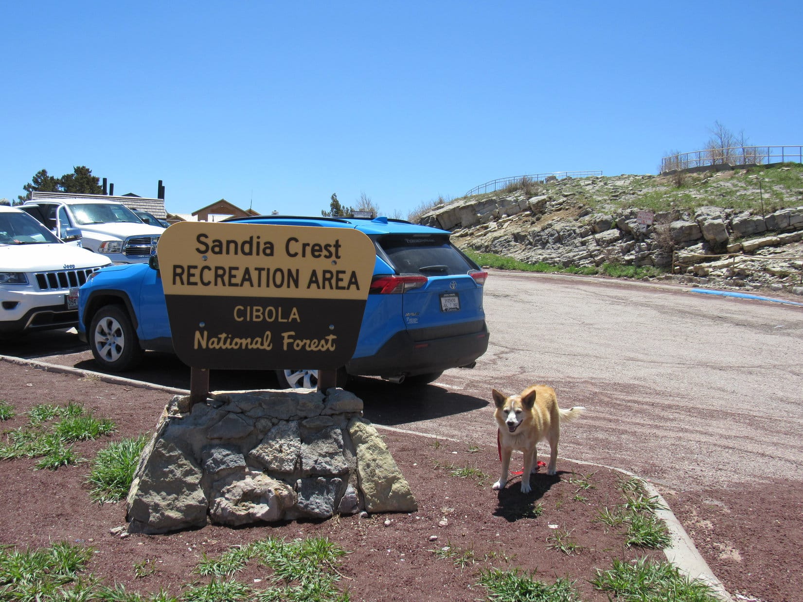
Visiting Capulin Peak was fun, but that was about all there was to it. Lupe returned to the RAV4. SPHP finished the long, winding drive up to Sandia Crest (10,678 ft.).
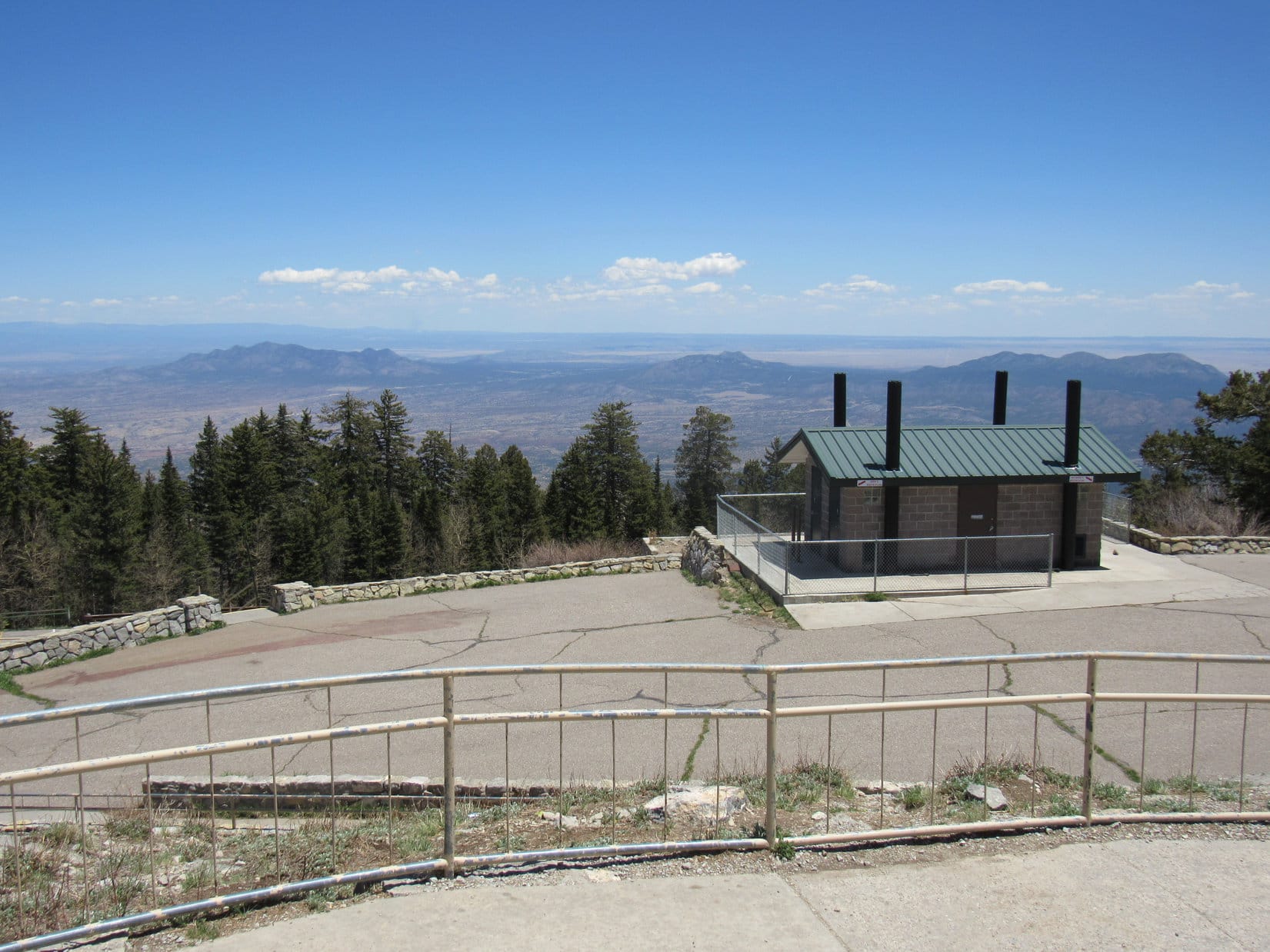
2 parking lots were at the top of the mountain. The upper one was more than half full, but the lower one was virtually empty. Signs said that a parking permit was required, but where to acquire one wasn’t clear. SPHP parked the RAV4 regardless.
Hmm. Didn’t realize we needed a parking permit, Loop! Looks like we’re going to be outlaws.
You can probably get a permit at the visitor center, SPHP! It’s right over there, at the S end of this parking lot.
Maybe, but these signs seem to imply that the permits have to be acquired somewhere else in advance. Not going to risk asking at the visitor center only to be kicked out because they don’t sell them here. Came too far for that! We won’t be sticking around for long, anyway. Come on! Let’s have a quick look before we get evicted!
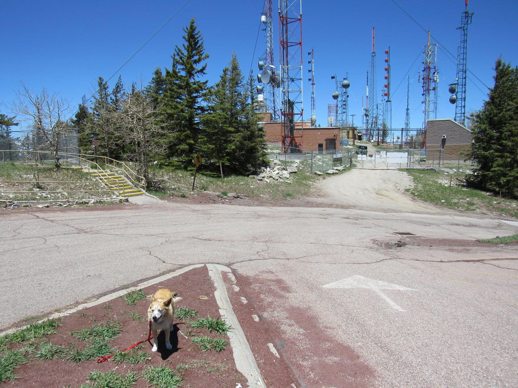
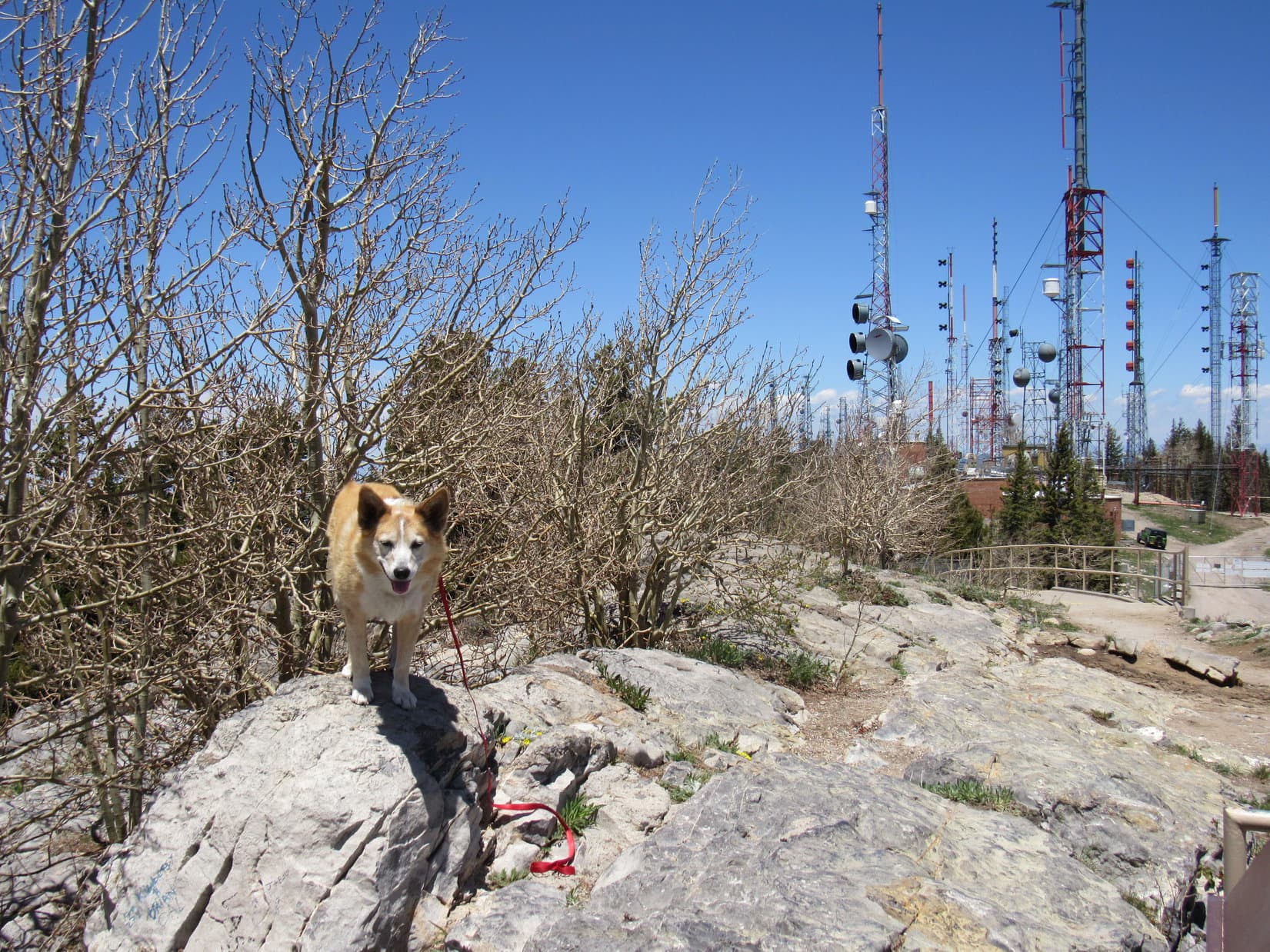
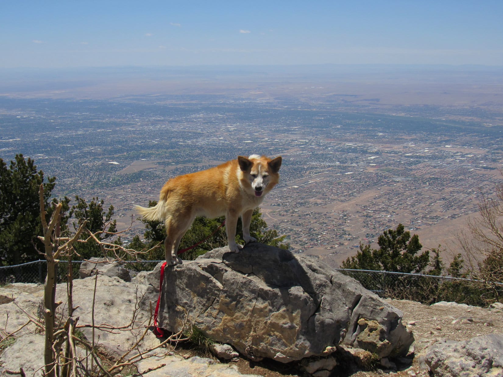
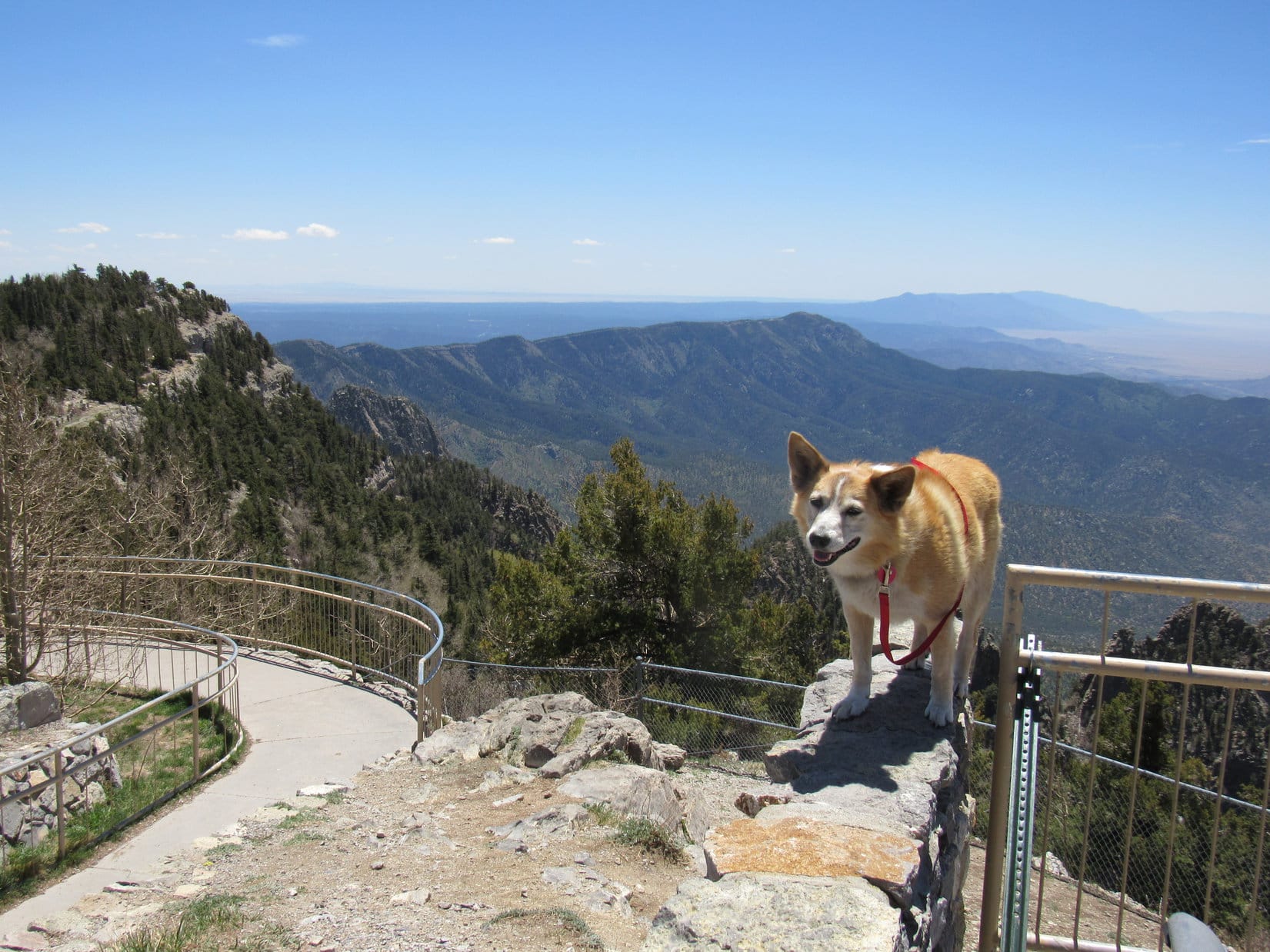
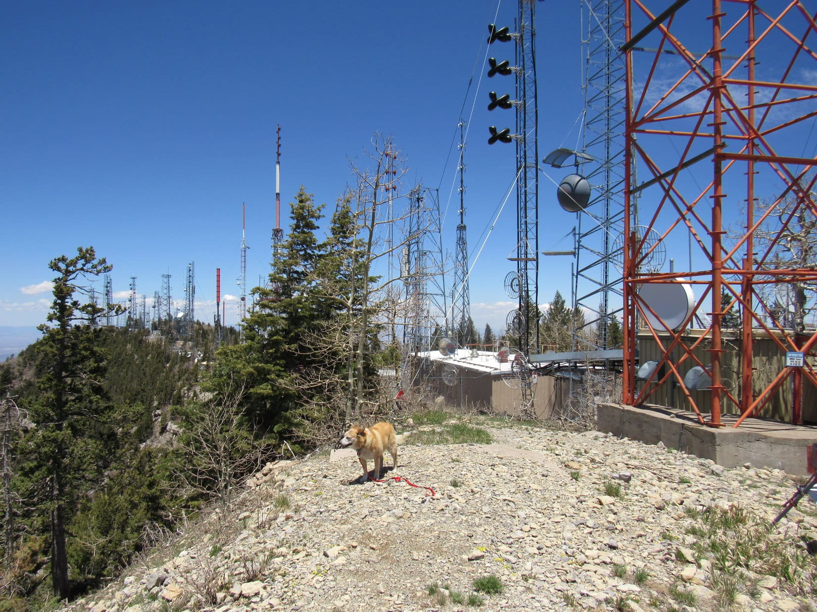
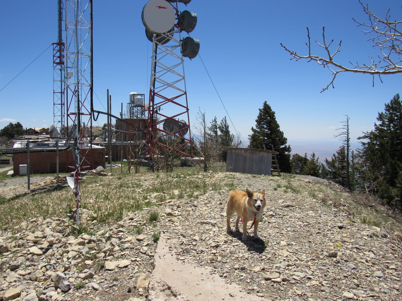
The towers Lupe had seen from Capulin Peak were N of the parking lot. Despite signs warning against radiation exposure, the American Dingo was going to compound SPHP’s parking lot villainy by paying a visit to that area, because that was technically where the Sandia Mountain Wilderness High Point (10,600+ ft.) was. First, though, she sauntered boldly up the sidewalk ramp to Sandia Crest’s true summit.
Venturing beyond the railing (horrors!), Loopster got up on the highest rocks, which were barely 20 feet above the parking lot.
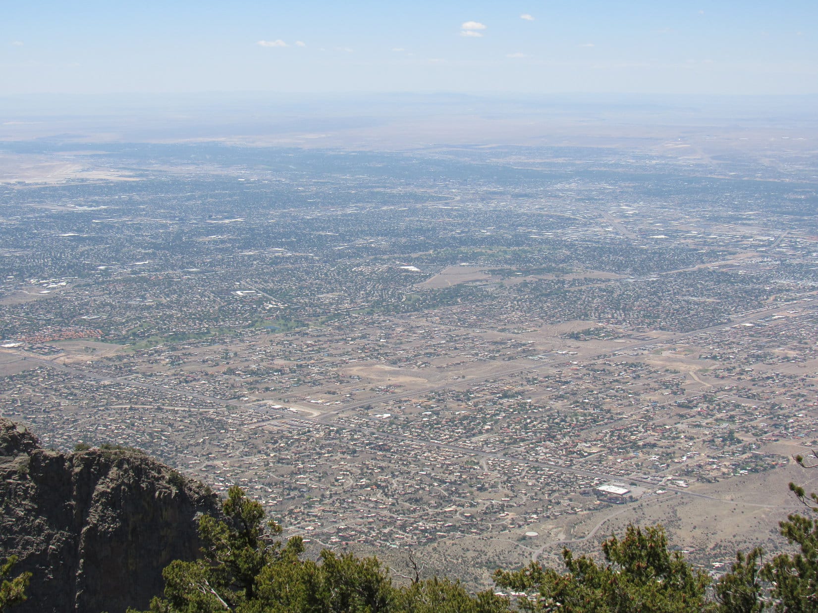
A stiff 20 mph breeze was blowing out of the W. Although the view was hazy, Mount Taylor (11,301 ft.) was faintly visible on the far horizon. Much closer, and somewhat clearer, the vast metropolis of Albuquerque was in sight 3,200 feet lower down at the base of Sandia Crest. The tram was nowhere to be seen, but couldn’t have been too far away.
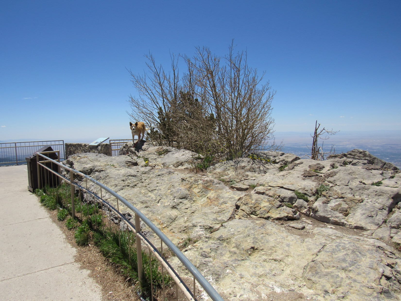
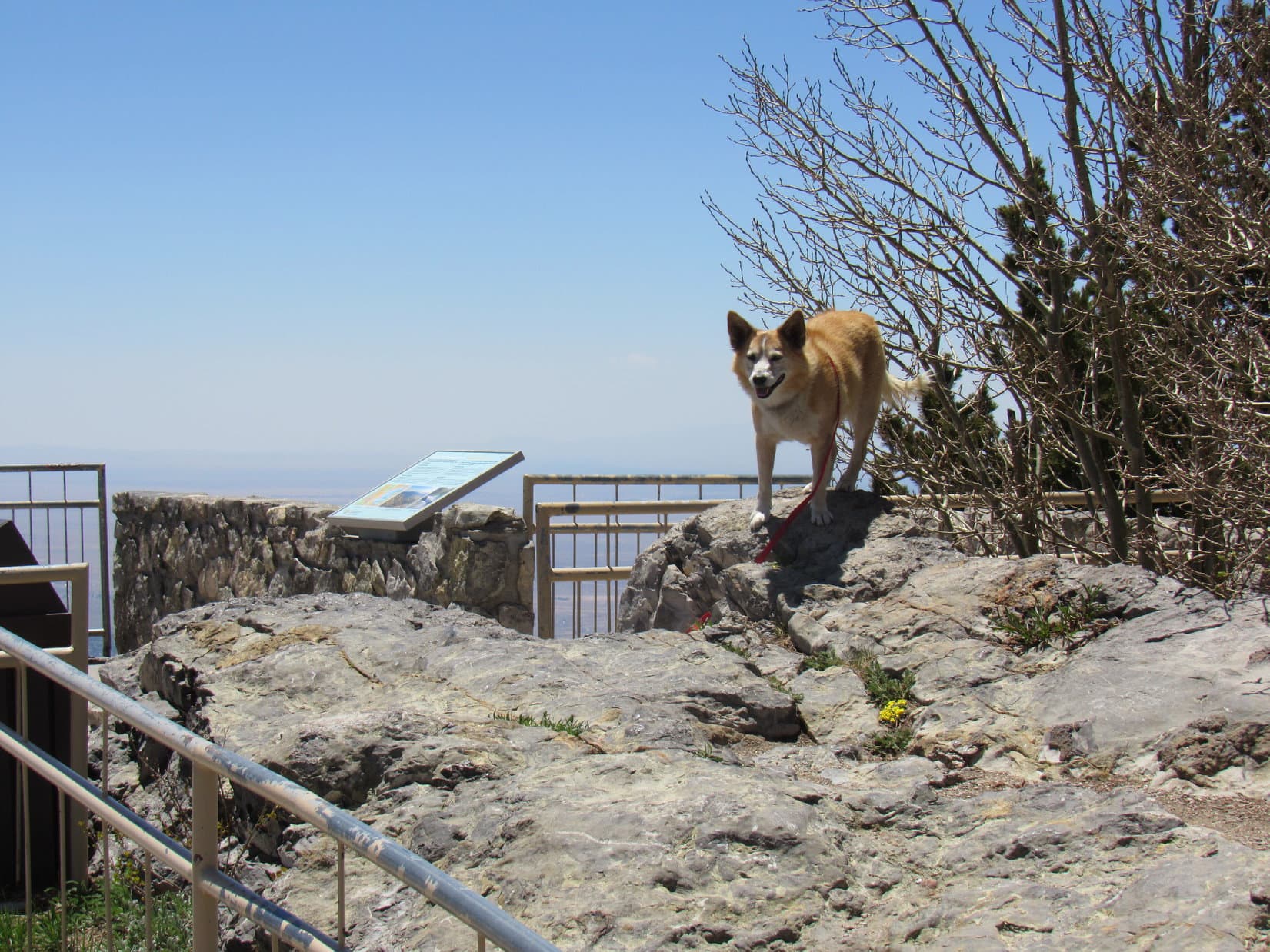
Just S of the true summit the sidewalk led to a cement platform where several plaques were posted. The best view from the platform was SSE along the length of the Sandia Crest ridgeline, but there were interesting views to the E as well.
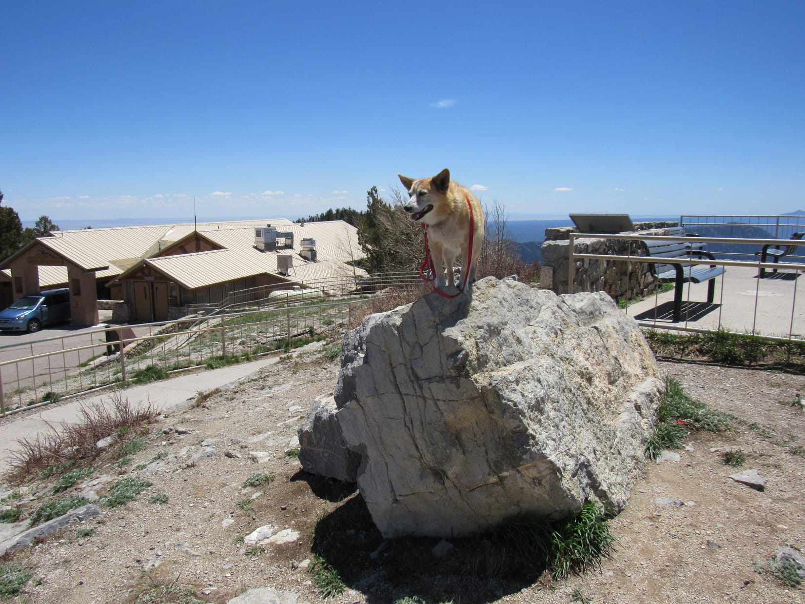
A mere 15 minutes after arriving, Lupe concluded her brief Sandia Crest explorations with a stealth visit to the Sandia Mountain Wilderness High Point (10,600+ ft.) in the steel forest. A short trek along the W side of a fence got Loop to where she could reach this destination.
The Carolina Dog didn’t dillydally. A couple of photos, and it was time to vamoose before SPHP’s parking lot piracy was discovered by the powers that be!
Capulin Peak and Sandia Crest were just a fun side excursion on a mainly travel and positioning day. Looper still had a long way to go! After leaving Sandia Crest, SPHP turned N onto Hwy 14 again down at San Antonito. Scot-free from her oh-so-recent crimes, the American Dingo was safely away and onto the next great thing!
Links:
Next Adventure Prior Adventure
Want more Lupe adventures? Choose from Lupe’s Summer of 2021 Dingo Vacations to New Mexico, Wyoming & the West Coast Adventure Index, Dingo Vacations Adventure Index or Master Adventure Index. Or subscribe free to new Lupe adventures.