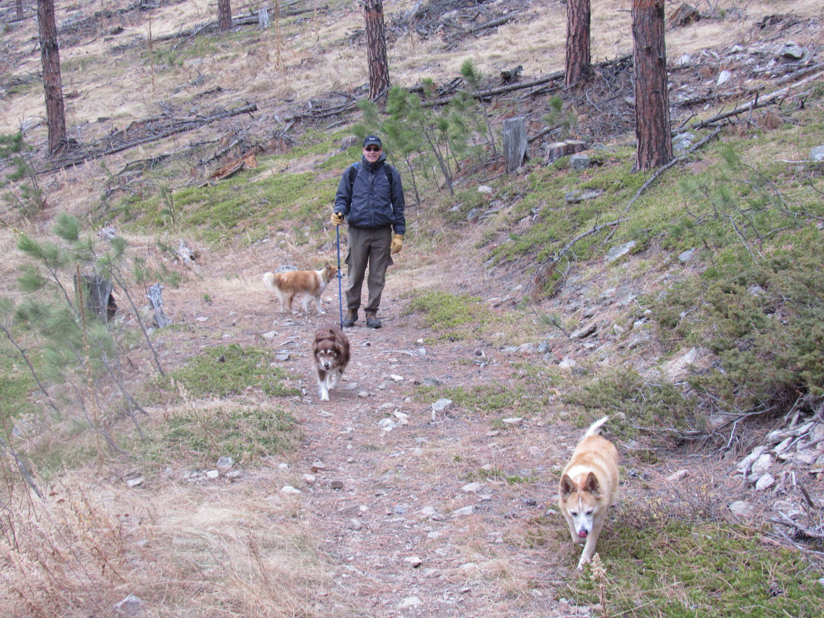
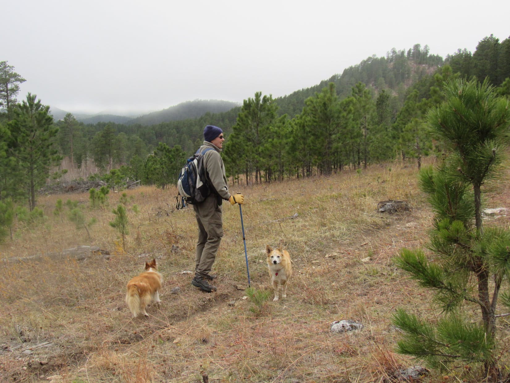
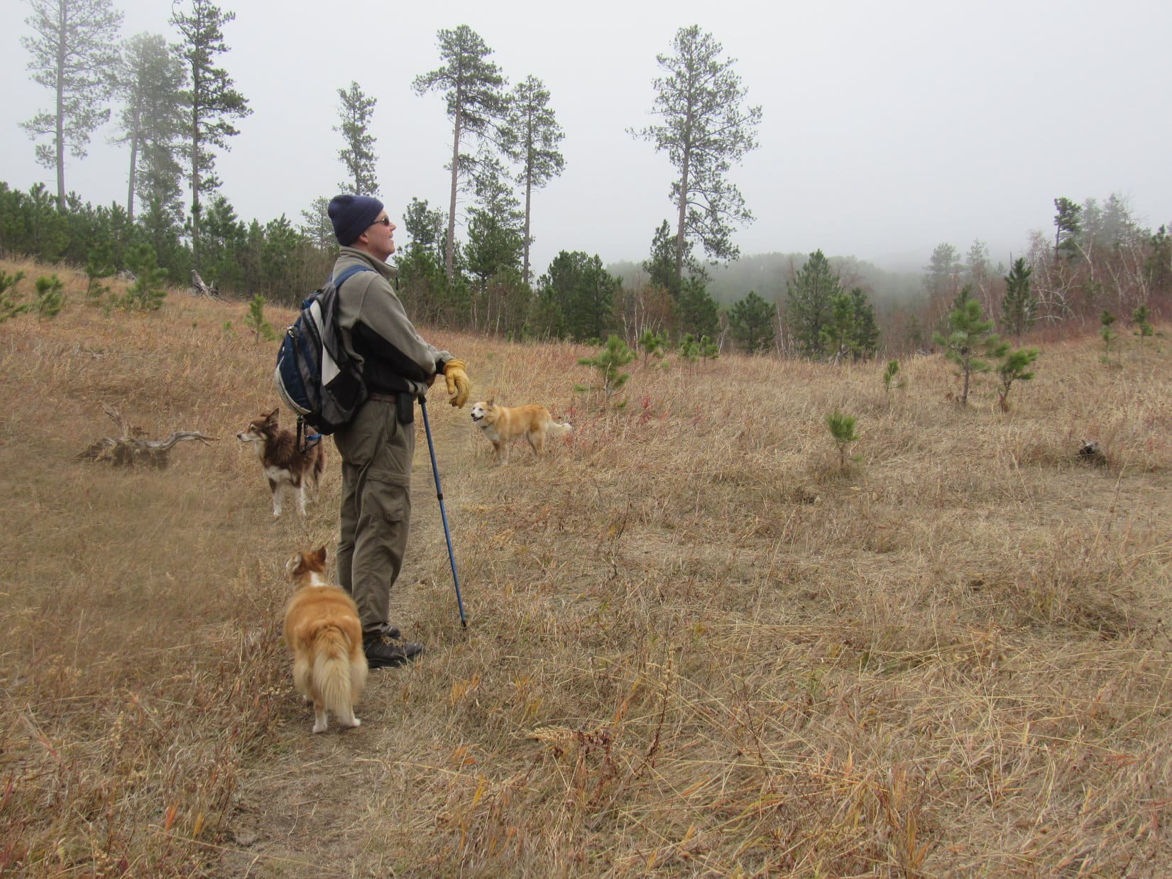
11:48 AM, 32ºF, Sylvan Lake Picnic Area – Oh, the news was wonderful! Yesterday evening Cousins Dusty, Laddie, and Uncle Joe had arrived for a visit. Lupe was thrilled! The enthusiastic American Dingo knew what that meant – good times on joint expeditions in the Black Hills! The real question had been where to go? Cousin Dusty would be turning sweet 16 in less than 2 months, and wasn’t up to anything long or strenuous.
This morning, SPHP had suggested the loop trail around Sylvan Lake, a choice agreeable to all, but hadn’t taken the lake’s 6,145 foot elevation fully into account. Mid-April, but there was ice on the lake, snow on the ground, and a chill in the air as Lupe and her cousins set out from the picnic area for a counter-clockwise tour around the lake. It was so cold out that only a couple of Canadians were hardy enough to be hanging out down by the beach.


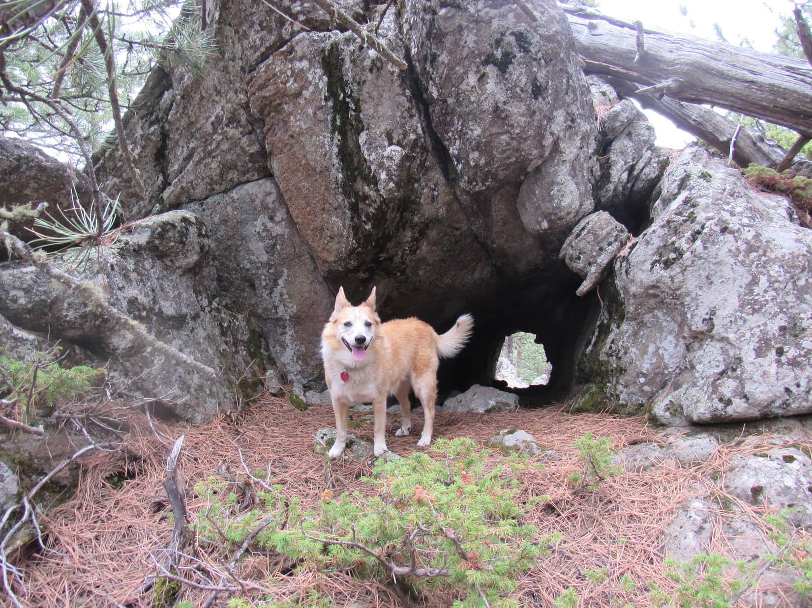
Beyond the beach, the trail wound NW past massive granite formations and improbable spires. Going over a bit of a rise, another part of Sylvan Lake came into view. Cousin Dusty was doing great! She even led the way, happy to be back in the Black Hills again.


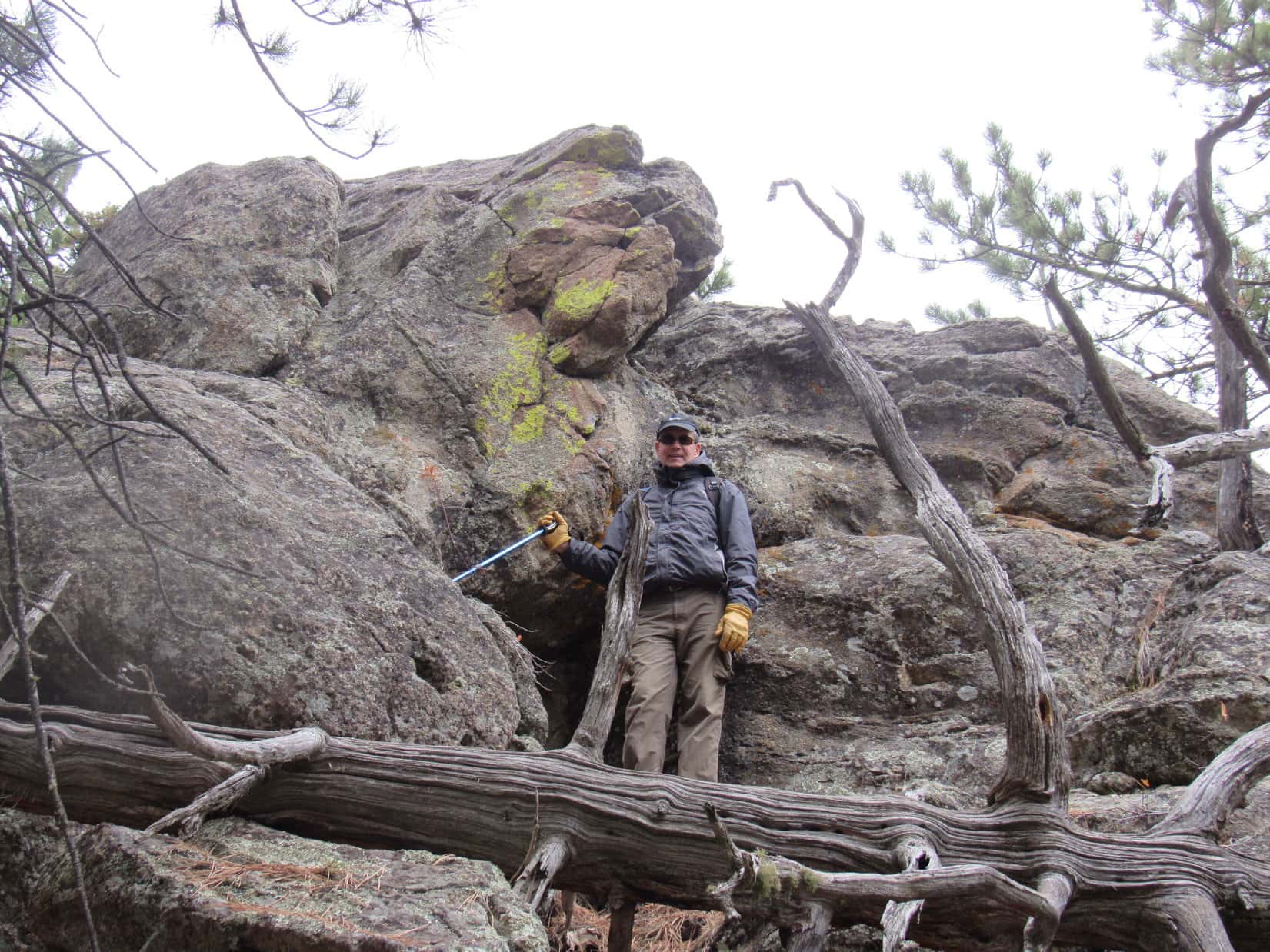
Going around a bay, the trail climbed onto rock formations overlooking Sylvan Lake. On this cold, overcast morning, the scene was mostly gray and white. Pines added a green too subdued to break a wintery mood.


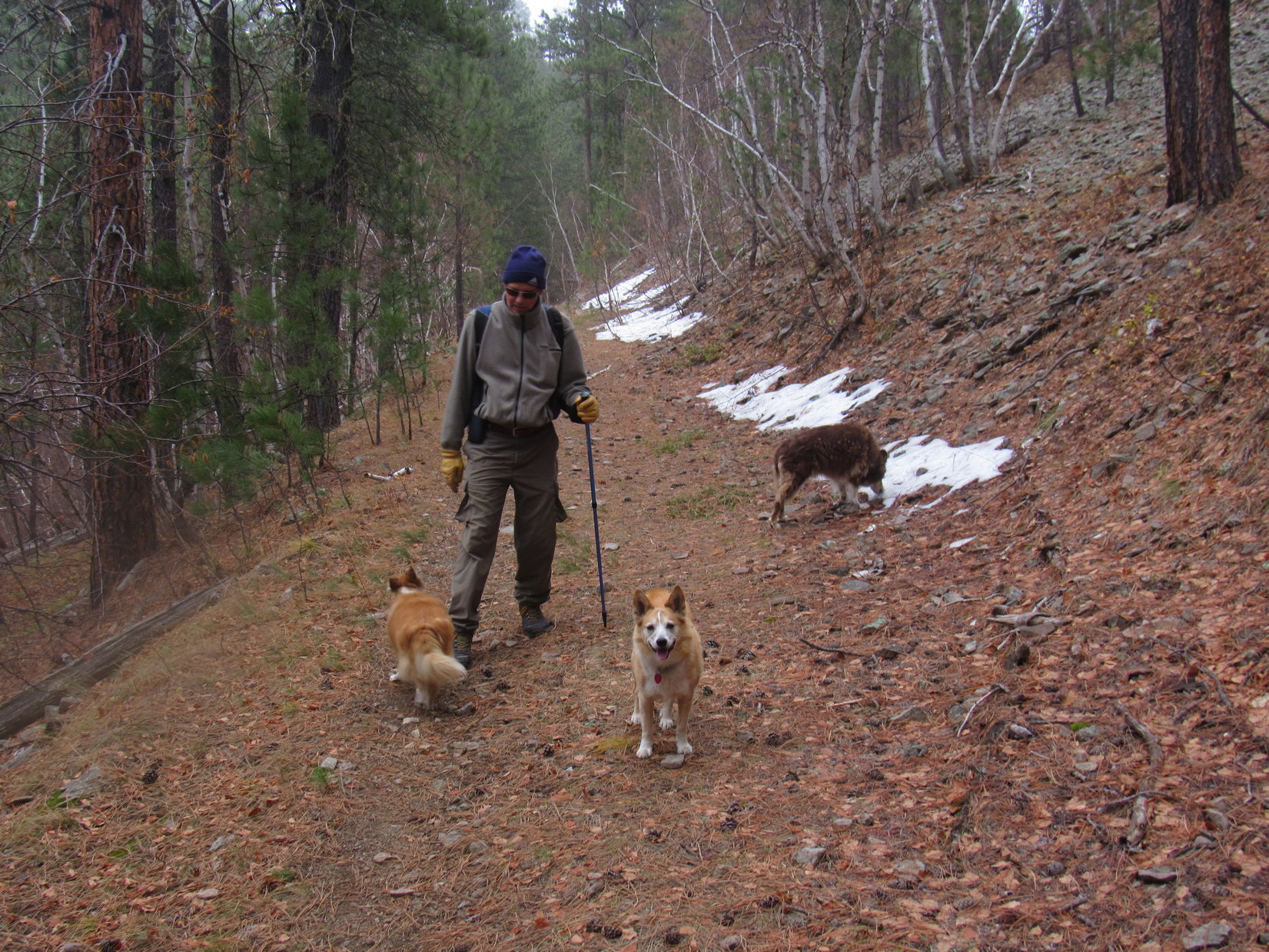
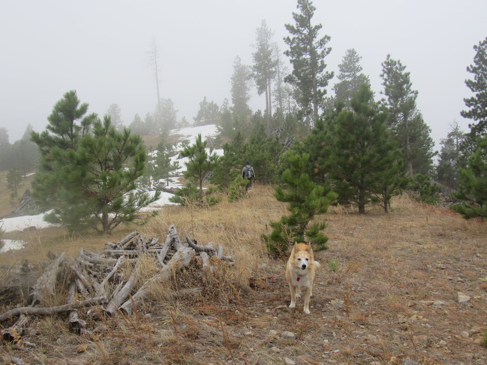
Joe, Dusty, and Laddie got a head start as the trail turned SW descending into Sunday Gulch. Protected from the sun by towering rock formations, there was even more snow down here. Water seeped from a big crack in the granite.


Once down in Sunday Gulch, it was only a short distance to a junction with Sunday Gulch Trail No. 6 near the Sylvan Lake dam. The cloud cover thinned, and the sky brightened. Suddenly, winter seemed to be losing its grip. A hint of spring was in the air.

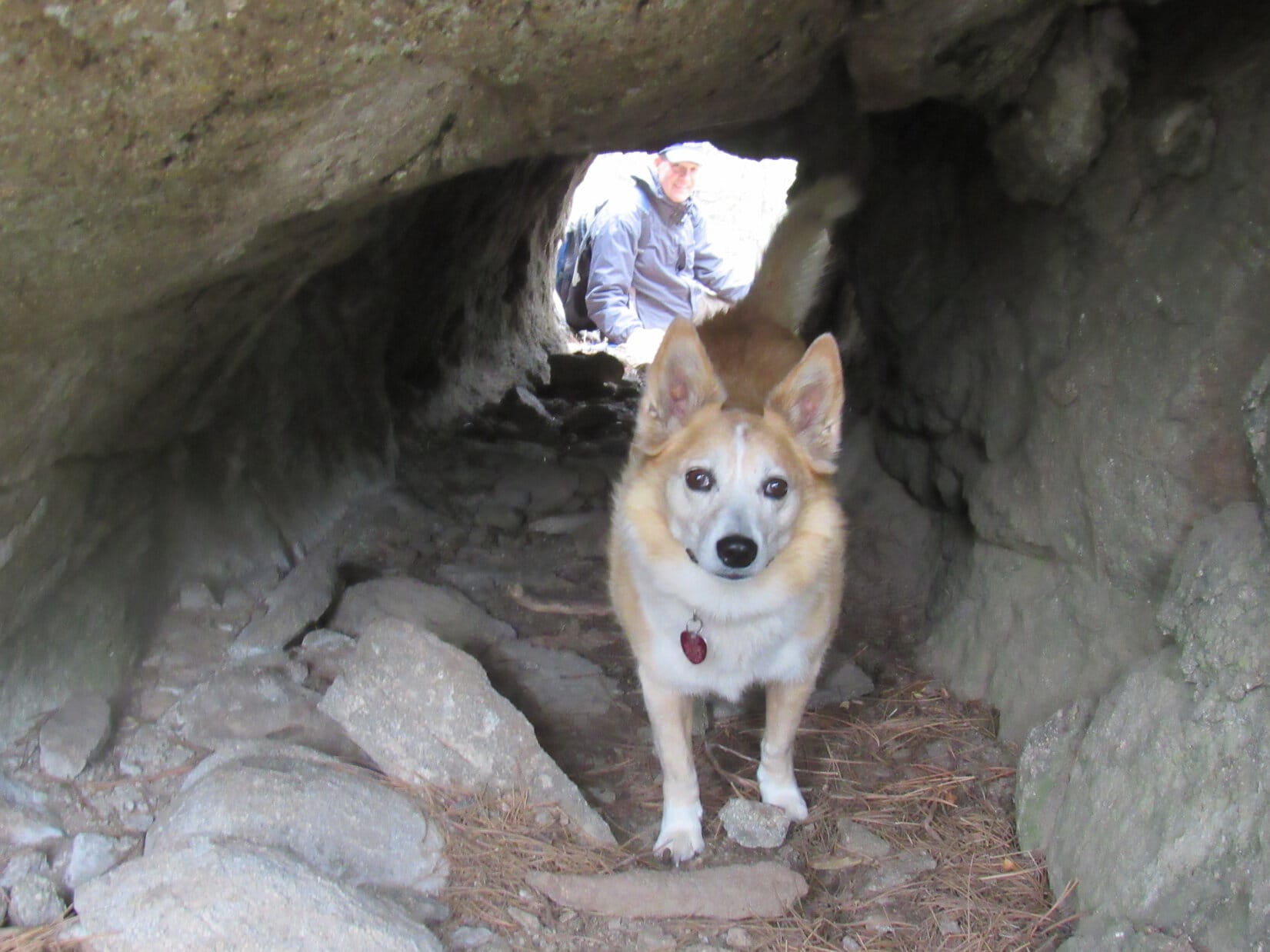
Sunday Gulch Trail No. 6 is scenic, but steep. Cousin Dusty wasn’t going to be able to take on a side excursion like that. In fact, she had a bit of a problem with the next section of the Sylvan Lake trail. Beyond the dam, the trail turned S going up a series of snowy steps that led into a narrow passage between vertical rock walls.
The passage was a sheet of ice! A minor rise near the end was so slick that Dusty could scarcely get up it. Repeatedly losing traction, she kept sliding back. Joe had to brace himself between the rock walls to try to give her a helping paw.


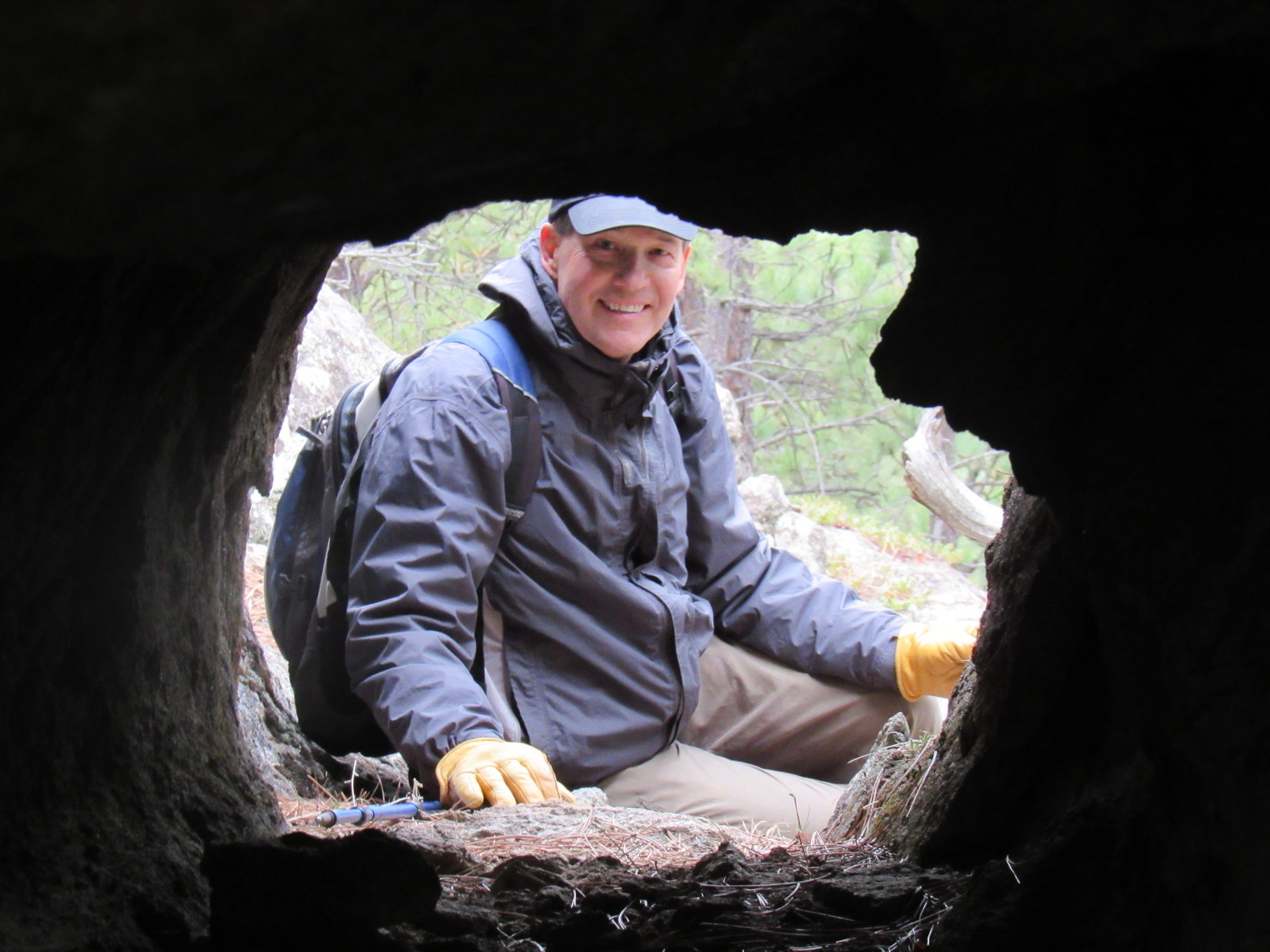
After a couple of comical attempts, Dusty got the extra help she needed. Emerging from the narrow passage at lake level near the dam, the rest of the path around the lake was a cinch. Flat as a pancake, the trail ran right along the SW shore nearly all the way to the S end of the lake.


Didn’t take long at all to get there.


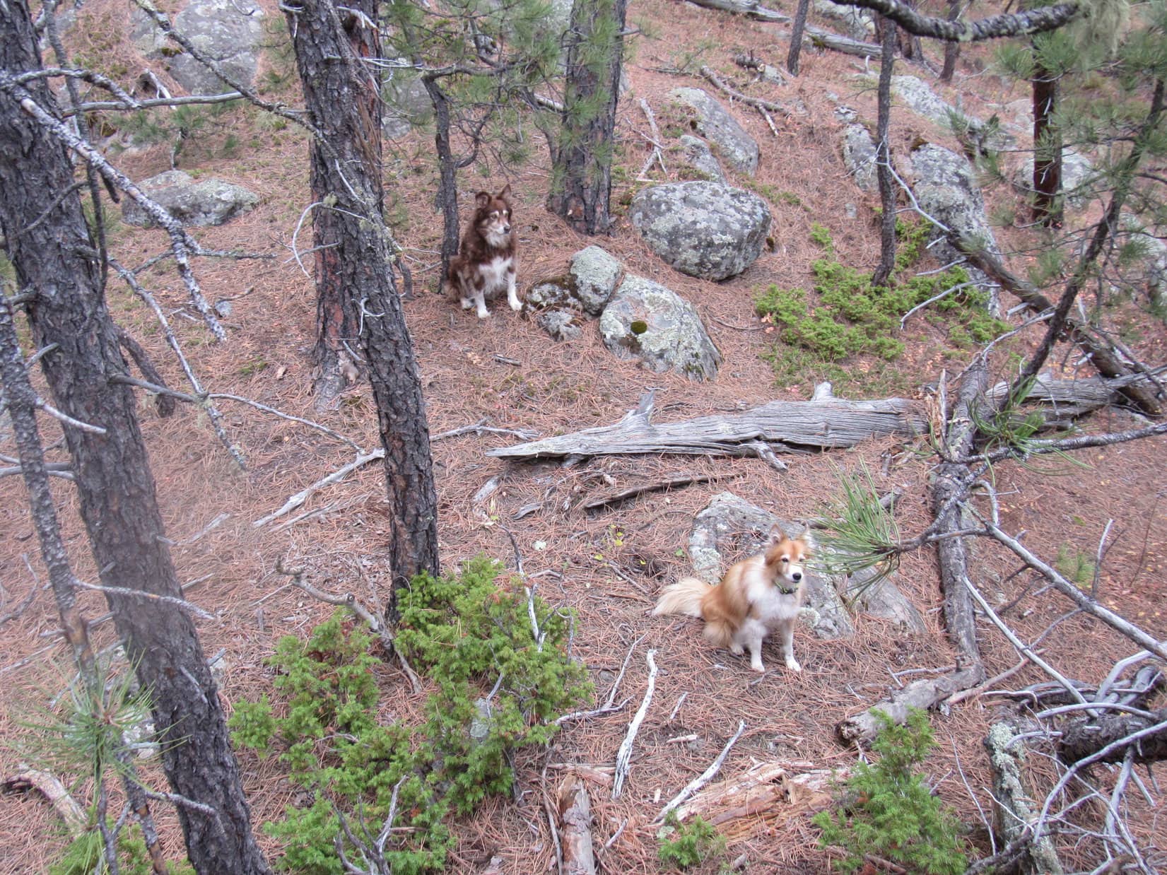
The scenic jaunt around Sylvan Lake was almost complete. Not much farther back to the picnic area now. Cousin Dusty seemed perplexed. Other than the one icy spot that everyone had had a little trouble with, she was doing fine. The adventure couldn’t be over already, could it?

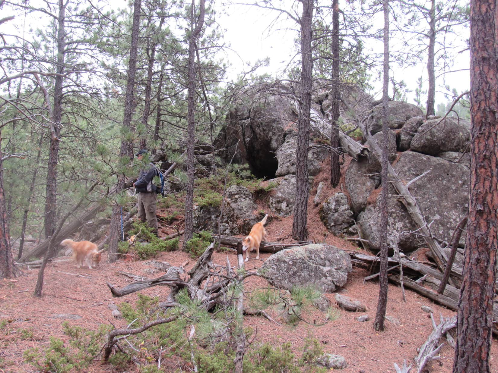
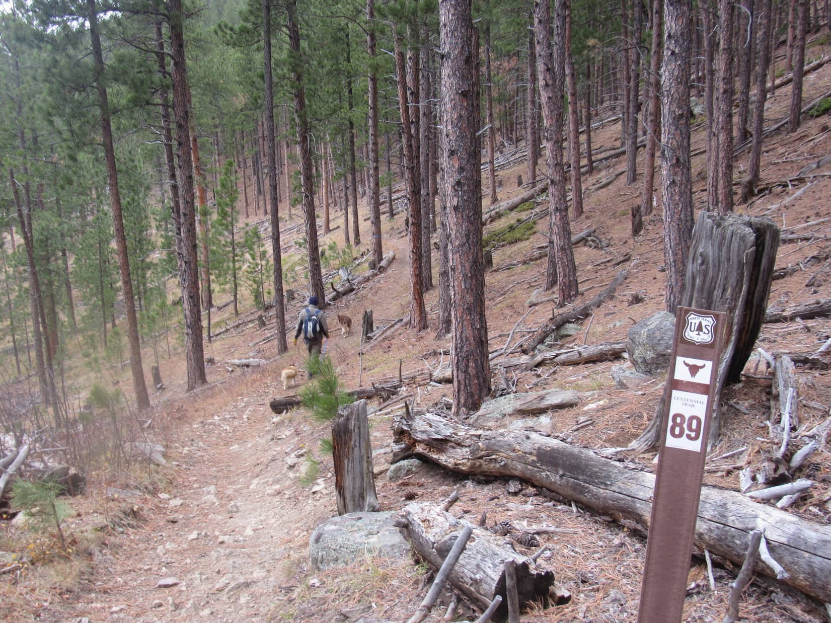
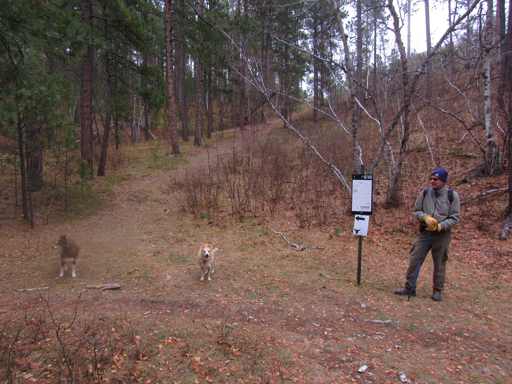
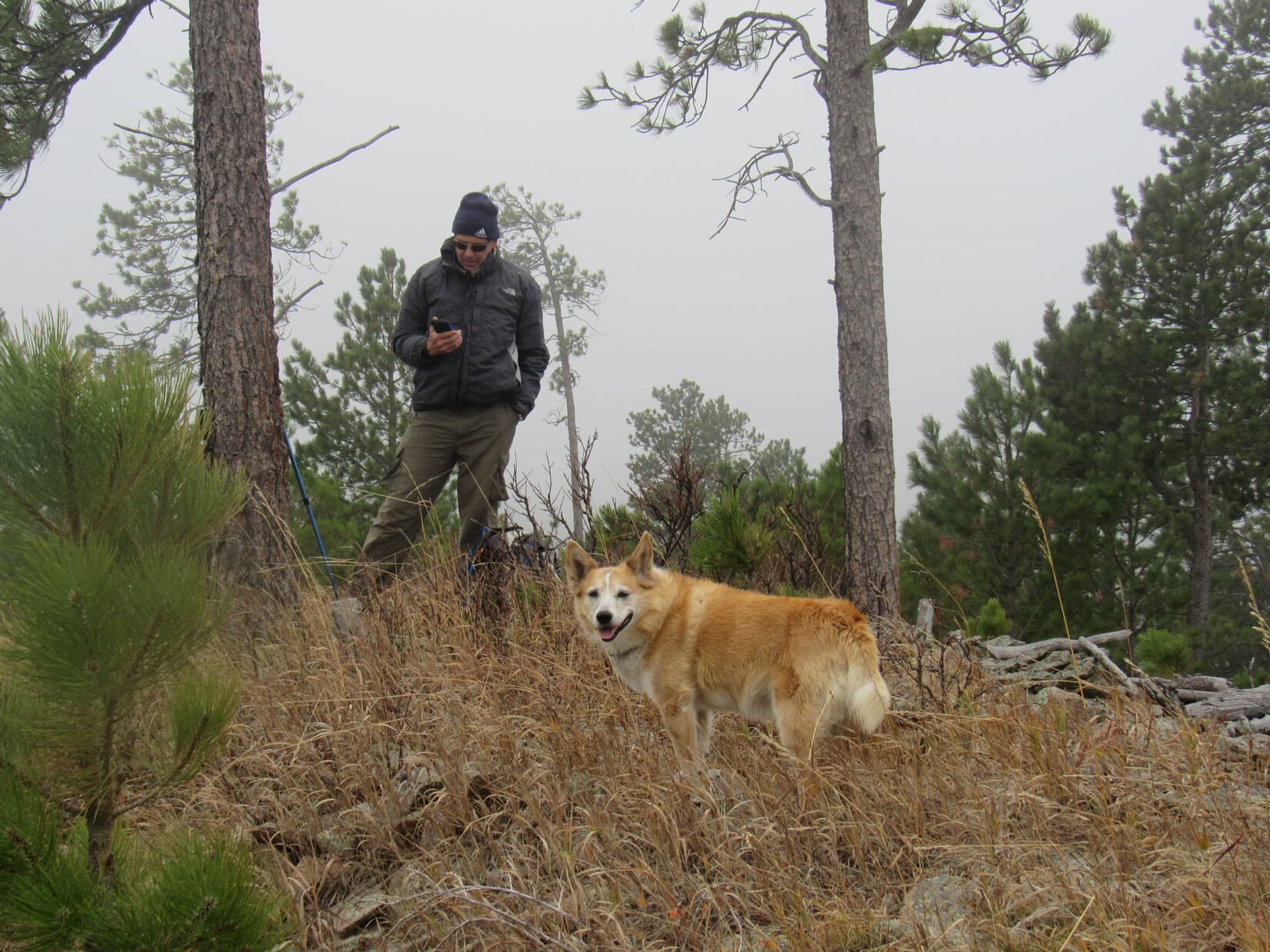
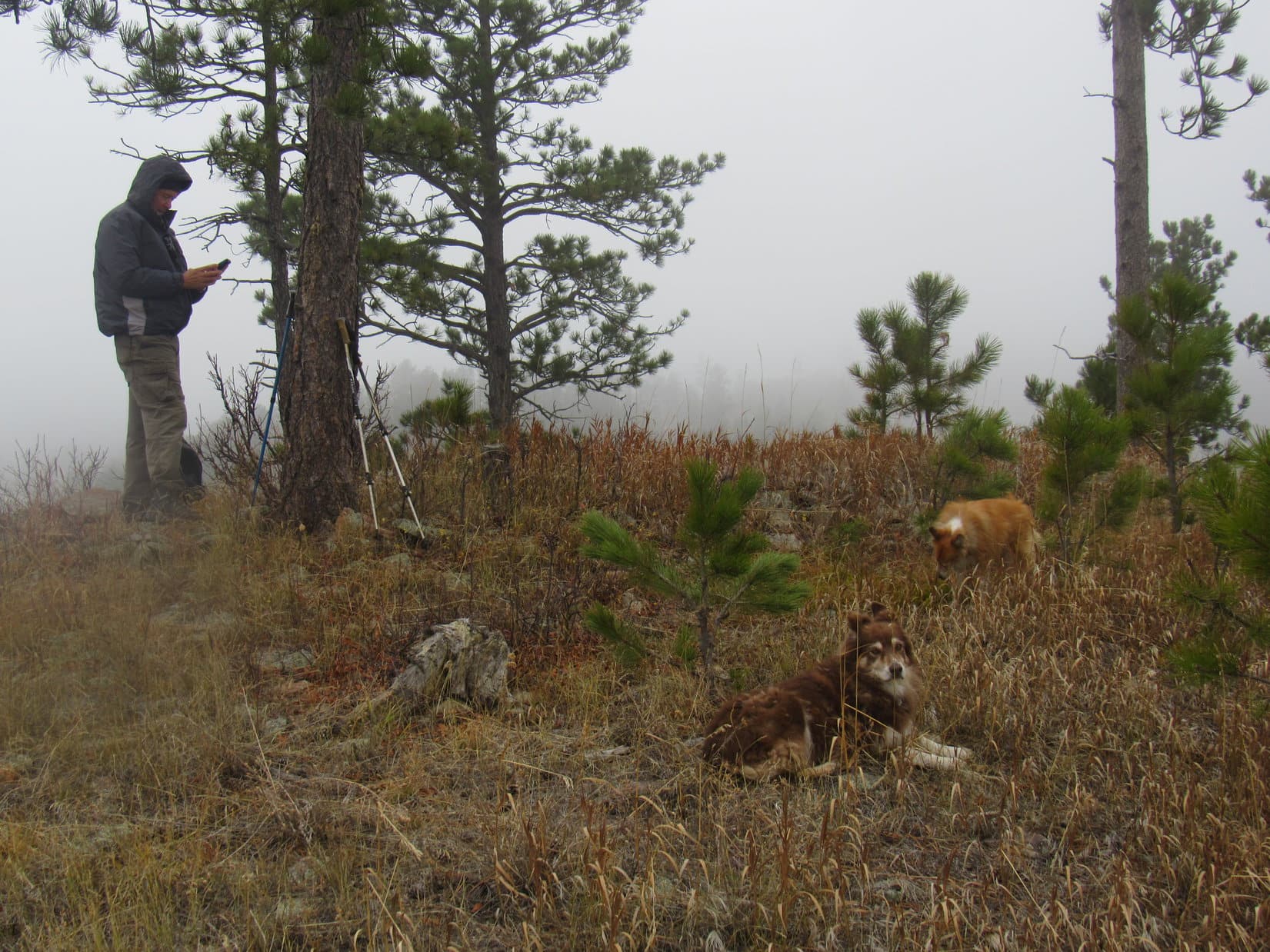
Joe proposed extending the trek with a stroll along Needles Highway No. 87, which remained closed to vehicles for the season. After 0.33 mile, a shortcut was taken up to the high point of Little Devils Tower Trail No. 4 between the trailhead and the picnic area back at Sylvan Lake.

A log served as a bench during a rest break. The dogs shared a chocolate coconut bar, while Joe and SPHP munched on apples and Kind bars. The party broke up after Laddie barked at hikers on the trail.
The return to the Sylvan Lake picnic area on Little Devils Trail No. 4 was quick and easy. Downhill all the way!

1:45 PM – When everyone got back to the RAV4, there was still plenty of time to do something more today, but that was up to Uncle Joe and his assessment of how Cousin Dusty was faring.
Dusty appeared to be fine. SPHP suggested Custer State Park’s wildlife loop. Dusty might enjoy exploring the rolling grasslands. Would take a while to drive there, with a good chance of seeing buffalo somewhere along the way.
A buffalo hunt, whether from the RAV4 or out on the prairie, sounded like a great idea! Lupe was clearly in favor, and no one else seemed to have any objections.
2:36 PM – Buffalo had already been seen by the time Uncle Joe parked at a curve along CSP Road No. 2 about 0.33 mile N of Racetrack Butte. Lupe had given her cousins live demonstrations of how to bark ferociously at bison from the safety of the RAV4. Laddie was interested, but hadn’t quite picked up on it yet.
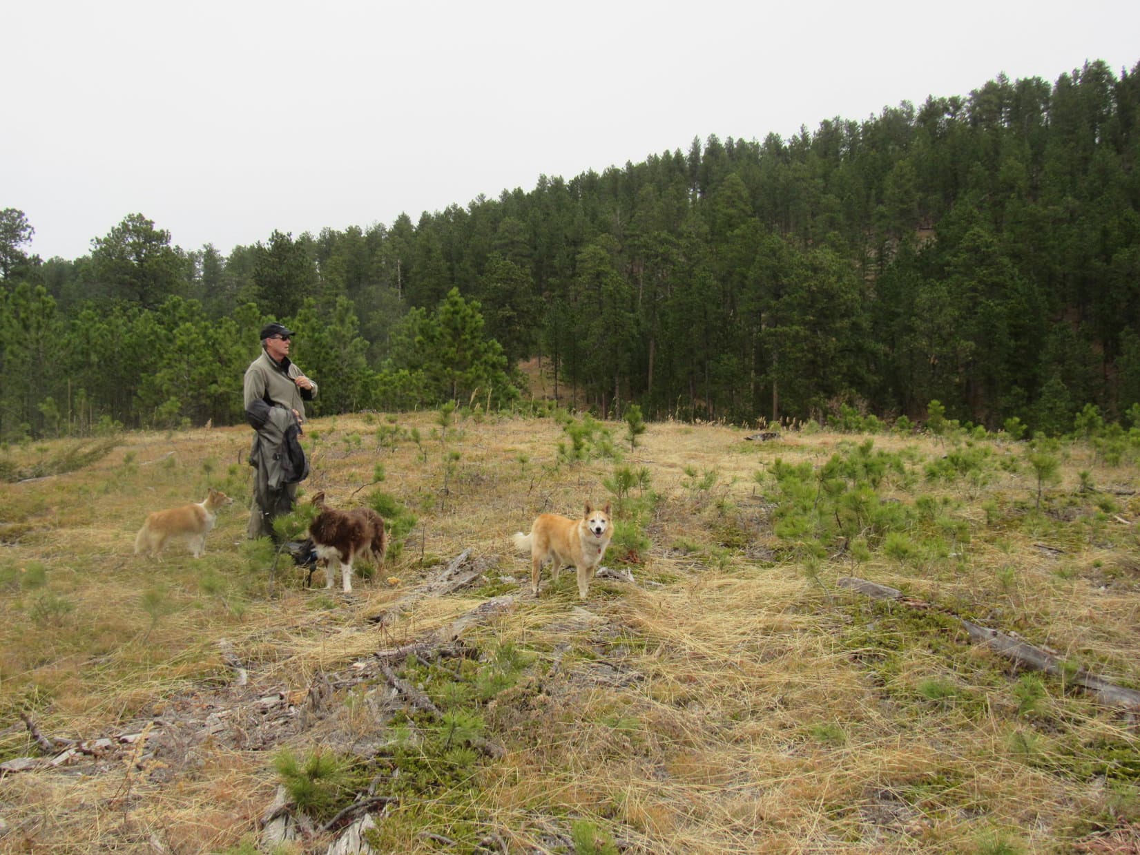
Dusty was ready for another outing, if it wasn’t a long one. The plan was to climb a nearby flat-topped ridge hoping to spot more buffalo from a safe distance.

Upon reaching the top of the ridge, the buffalo hunt became an instant success. Two buffalo were relaxing on the prairie up here. Not exactly a thundering herd, but they were impressive. Upon seeing an American Dingo, both got up to keep an eye on Lupe, but didn’t really do anything except stand there.

Both buffalo soon decided they might as well eat grass. Sensible enough, but not terribly exciting. A lone pine stood near the SE end of the ridge. Ought to be a great view of Racetrack Butte (4,320 ft.) and quite a bit of surrounding territory from over there. Might as well check it out.

The hunch paid off! From the end of the ridge there was a terrific view of a whole herd of buffalo in the valley next to Racetrack Butte.

This was a fabulous vantage point! Many brand new calves were among the herd. Joe, Dusty, Laddie, and SPHP all watched in fascination.

Lupe was fascinated, too, but the excitement of seeing so many buffalo all at once quickly became almost unbearable. The Carolina Dog began whining so loudly that the bison must have heard her. All of a sudden, several began ambling off to the E. Before long, they were running.
None of the buffalo wanted to be left behind. Evidently convinced utter disaster threatened, the whole herd began stampeding away. This did nothing to calm Lupe down. Whining more than ever, the frustrated American Dingo watched the bison vanish across the prairie.

Within minutes, the show was over. The buffalo had provided quite a spectacle!

That wasn’t the end of all the excitement, though! Once back in the RAV4, part of the same buffalo herd that had fled the Carolina Dog’s mere whining when she was way up on the ridge far from them, had stopped right on CSP Road No. 2, blocking the road. Now that Lupe was barking hysterically right next to them from the RAV4, most barely glanced up.


Joe eventually had to ease the RAV4 slowly through the herd to get them to move enough to get by. It was a good thing he got through, or Lupe would have busted a gut. The whole experience left her foaming at the mouth, chest heaving. Laddie had been so impressed that even he’d joined in for a moment.
That still wasn’t the end, though. Lupe had plenty more chances to bark like a nutcase. Wildlife was everywhere! On the way out of Custer State Park, Loop saw more buffalo, a huge herd of elk, lots of mountain sheep, marmots, wild turkeys, and turkey vultures. Uncle Joe was amazed at the quantity and variety of wildlife around, not to mention just about deaf, by the time the Custer State Park adventure was over.


The reprieve of silence didn’t last long. Outside the park, this was cattle country. Cows and horses! Lupe had to give them all what for.
So glad Uncle Joe, and cousins Dusty and Laddie were here! What a great day!
Links:
Next Black Hills Expedition Prior Black Hills Expedition
Want more Lupe adventures? Check out Lupe’s Black Hills, SD & WY Expeditions Adventure Index, Master Adventure Index, or subscribe free to new Lupe adventures!