
Days 6 & 7 of Lupe’s 2nd Summer of 2021 Dingo Vacation to Wyoming!
6-27-21, 9:20 AM, at a pullout along Chief Joseph Scenic Highway No. 296 –
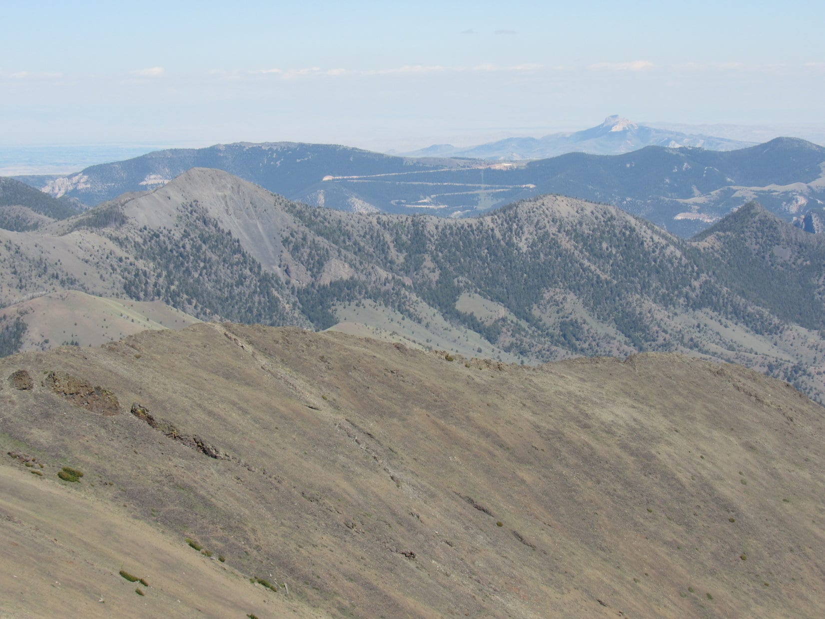
Is that Windy Mountain (10,262 ft.)?
SPHP consulted the topo map.
No, can’t be. It’s too close to the highway, Loop. Don’t think we can see Windy Mountain from here. Probably Peak 9352. Those must be the Cathedral Cliffs below it. Keep an eye out for the Reef Creek Picnic Area when we hit the highway again. Can’t be much farther.

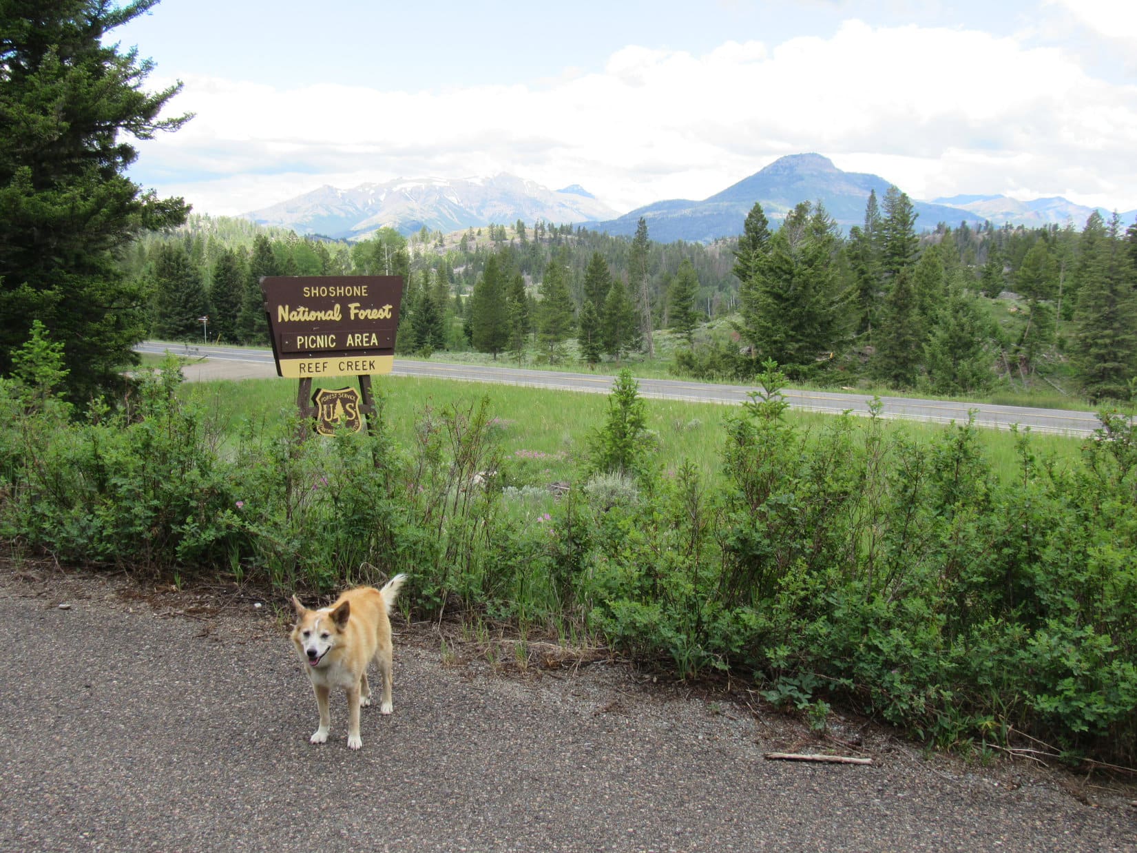
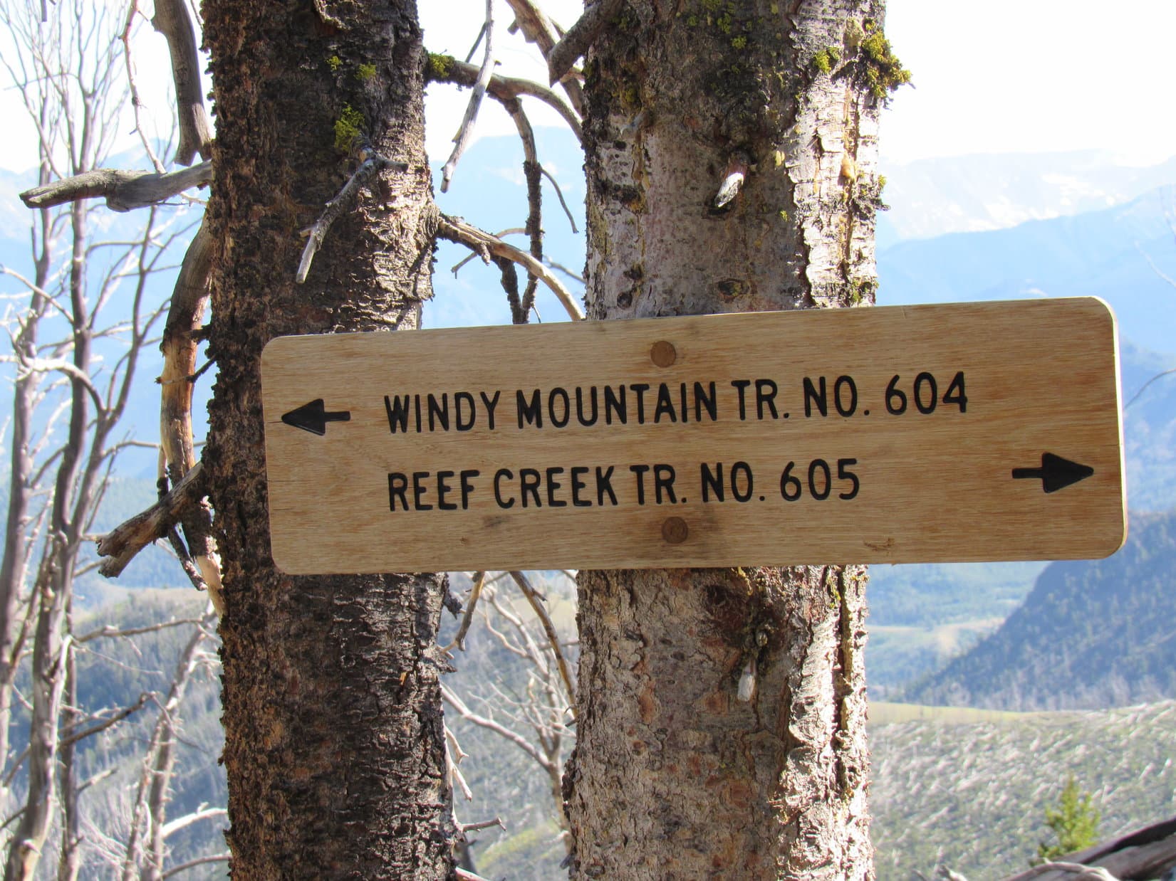
That was for sure. The RAV4 had barely gotten back onto the highway when a sign appeared on the L (S) side of the road.
There it is, SPHP! Reef Creek Picnic Area!
SPHP pulled into a paved semicircular drive. Lupe hopped out for a look around. The Reef Creek Picnic Area was small. Several picnic tables tucked back in among the trees and a restroom seemed to be about it.
Hmm. Supposed to be a trail here, Looper. See if you can find it. Might not be used much, since this is the long way to Windy Mountain.
Are you sure the trail still exists, SPHP?
No, not at all. Just hoping it does.
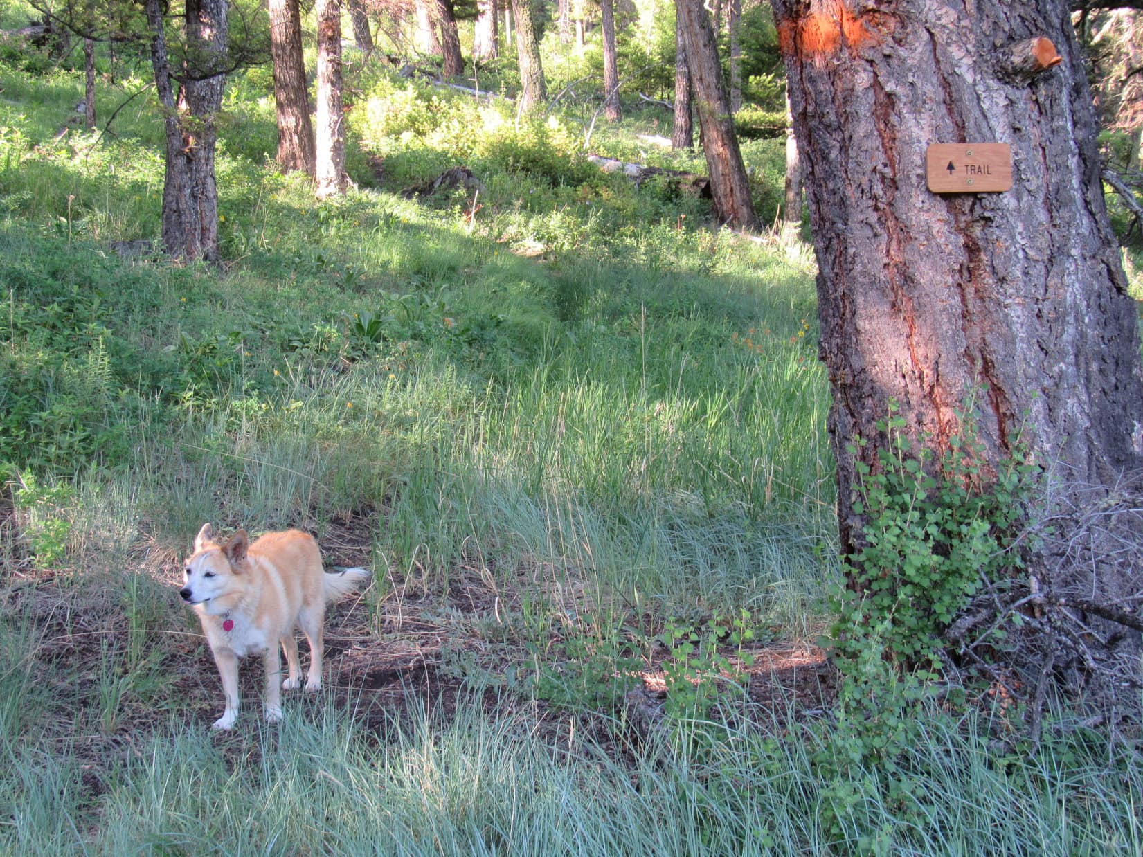
A search commenced. No luck, at first, but then there it was! 100 feet from the parking lot, well beyond a picnic table toward the SW, a big tree bore a small new sign. All it said was “Trail”. Next to the tree, a faint path disappeared into the forest.
This must be it, Loop! Reef Creek Trail No. 605!
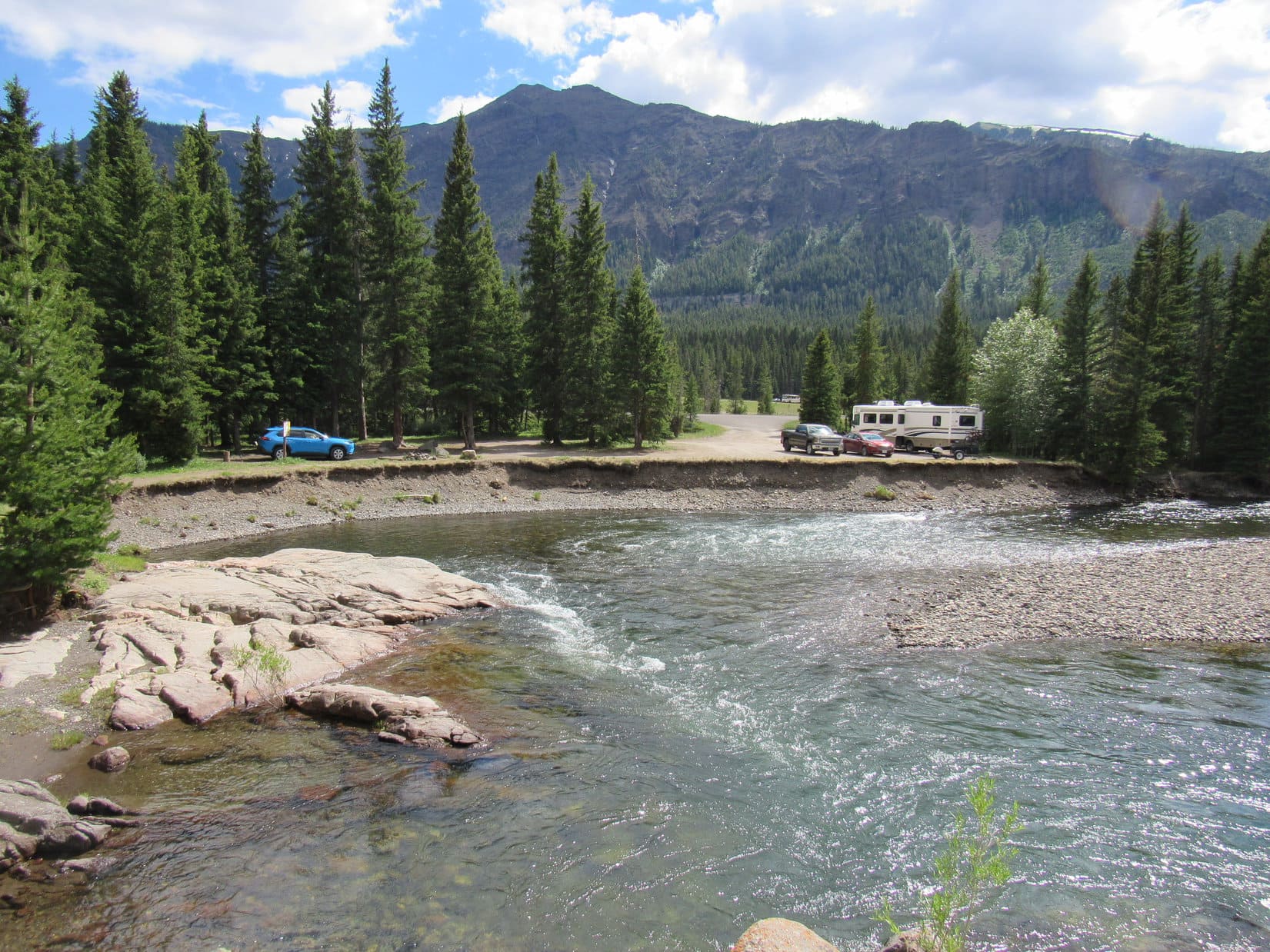
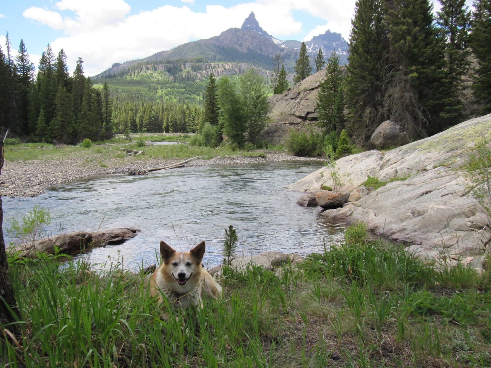
And that was that. Reconnaissance complete! After two big climbs in two days, the American Dingo had the rest of the day off. Fortuitously, a favorite spot along the Clarks Fork of the Yellowstone River just off Beartooth Highway No. 212 was only a 30 minute drive away. Lupe passed the rest of the day peacefully along the gorgeous river with its stunning view of Pilot Peak (11,699 ft.) and Index Peak (11,240 ft.).

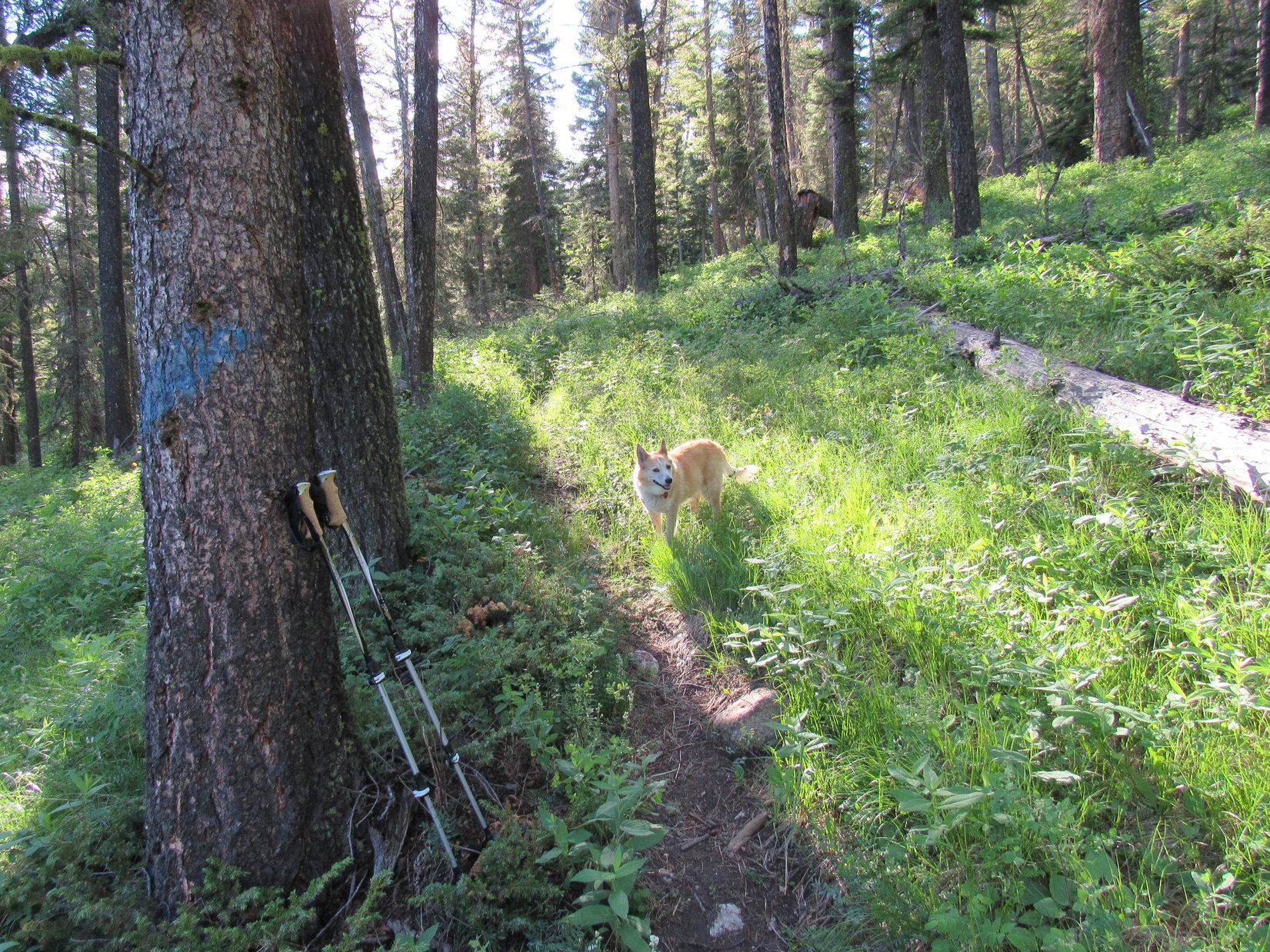
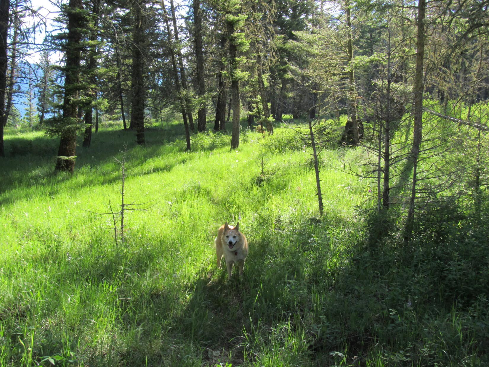
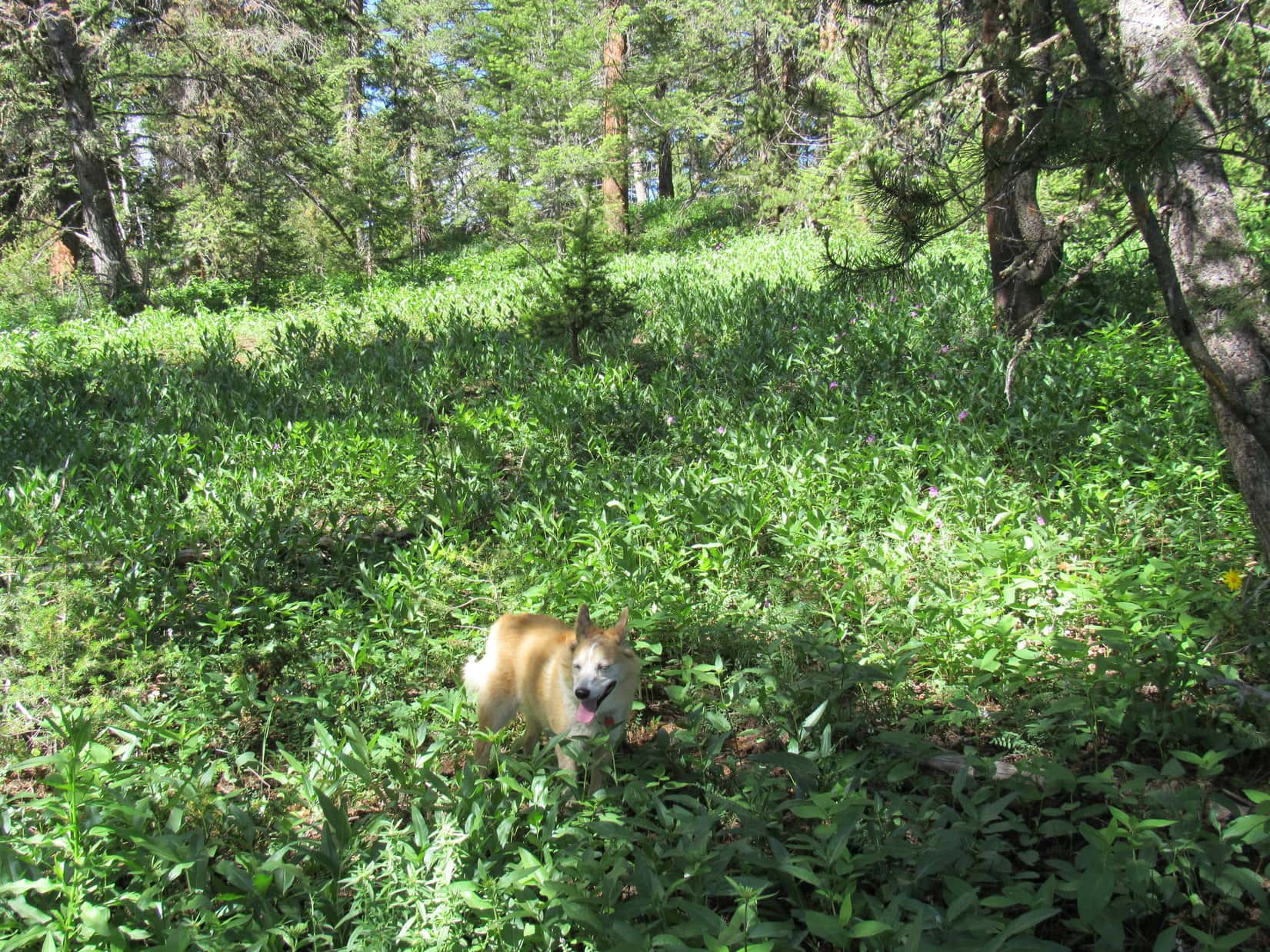
6-28-21, 7:55 AM, Reef Creek Picnic Area – All rested up, the Carolina Dog once again stood by the big tree with the “Trail” sign at the start of Reef Creek Trail No. 605. As soon as SPHP was ready, she set out. The trail climbed steadily, winding up a fairly aggressive forested slope devoid of any distant views. The good news was that although this route appeared infrequently traveled, the trail was surprisingly easy to follow.
20 minutes brought Lupe to a broad bench of more open forest where the trail leveled out. For a little way, the trail ran ENE along the flat ground before gradually turning SE and beginning to climb again.
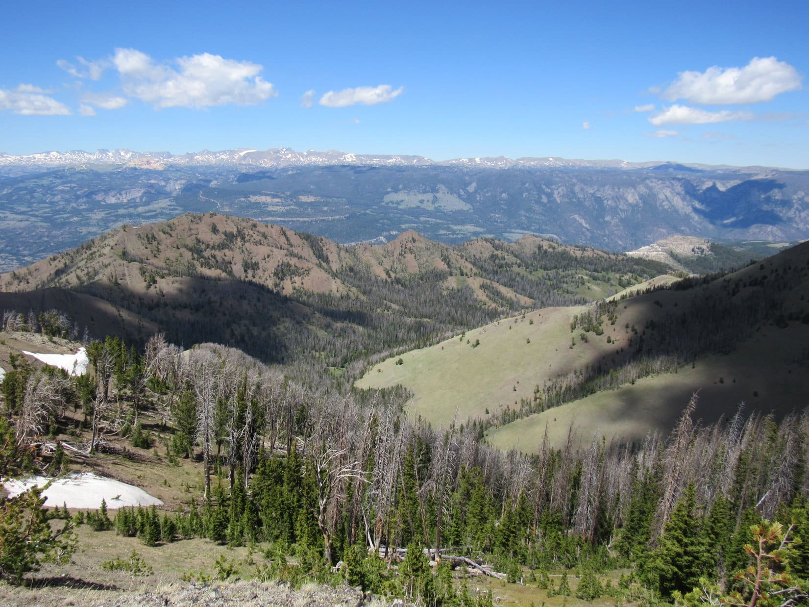
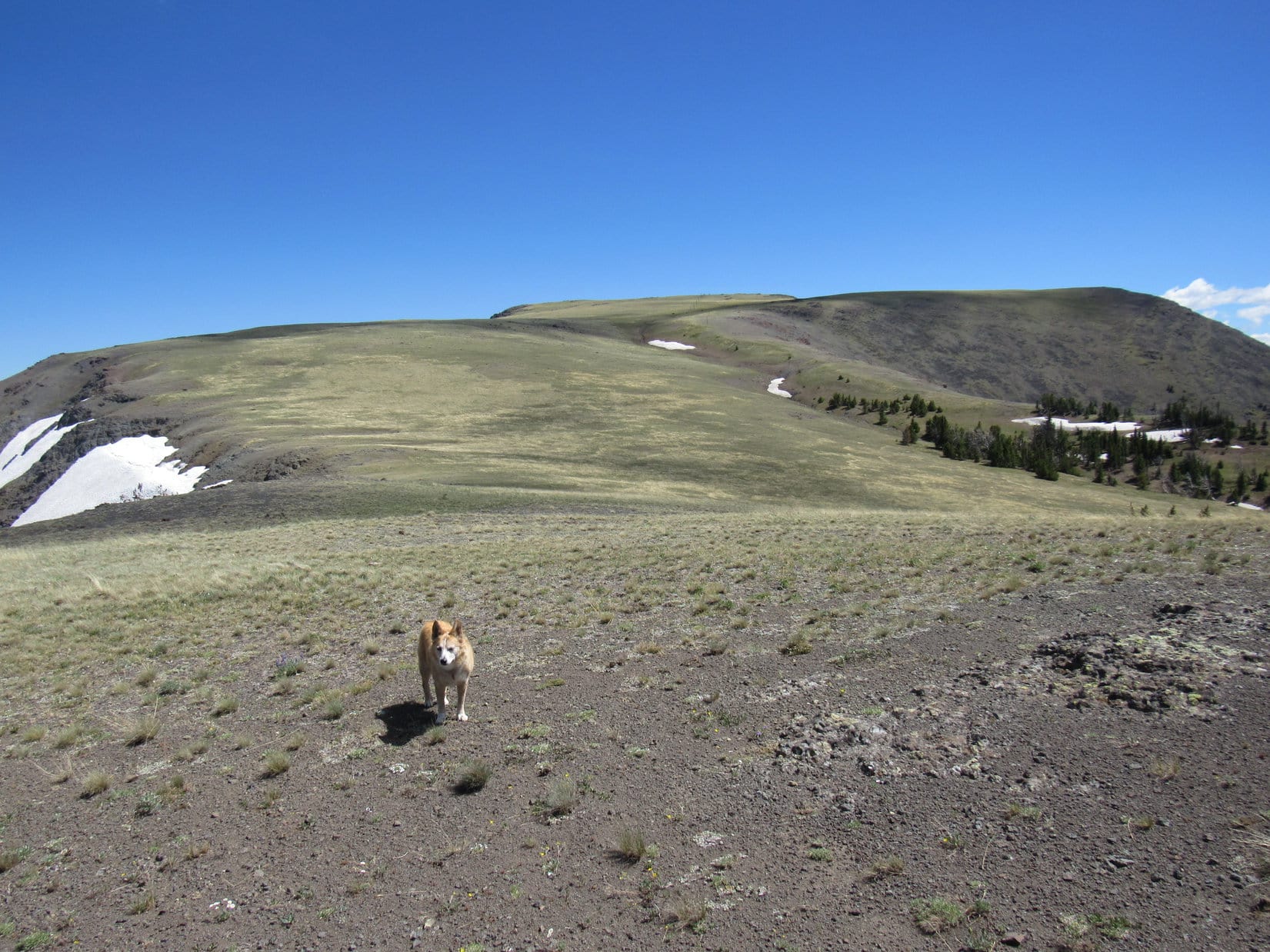
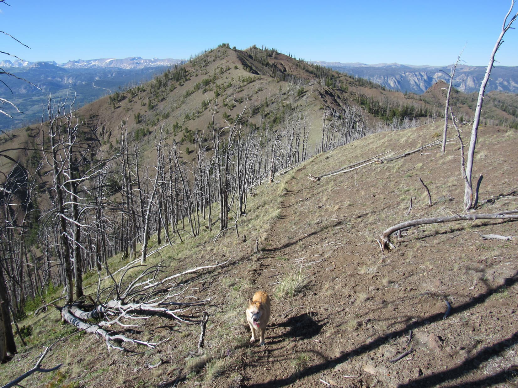
Half an hour and the rate of climb diminished. Lupe came to a clearing providing first views of the surrounding territory. She’d already made a lot of progress, gaining close to 800 feet of elevation. Of course, she still had a very long way to go, but so far everything was going as expected. To the SW, Looper could now see the big ridge SE of HP8580. No. 605 would take her around that ridge.
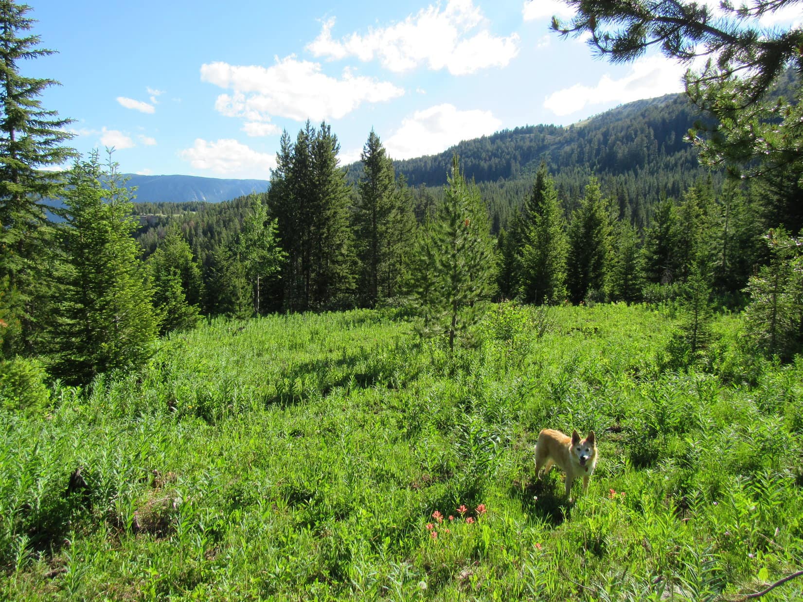

Soon Reef Creek could be heard, although not seen, in a valley to the E. Lupe came to a large, flat meadow. Looked like super easy terrain, but the American Dingo had barely started across it, when the bright green meadow proved to be soft and wet. No. 605 vanished in a mucky marsh.
Not anxious to slog through the muck, SPHP looked around. Nearby, an open lane wide enough to be a road headed WSW through the forest. Maybe the trail actually went that way for a bit? Lupe followed the dry lane, but when it didn’t turn back to the SE within a few minutes, SPHP realized this route had to be a mistake.
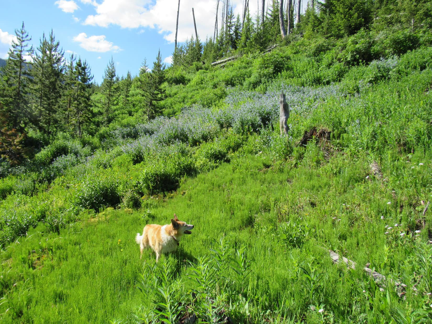
Abandoning the lane, Lupe turned SE, roaming higher through a region of scattered pines that led to another meadow that eventually proved to be even boggier. The American Dingo got as far as a small stream that ran through the bog, but did not cross it. Instead, Looper followed the stream SW straight up the slope, all the way to a spring gushing out of the mountain amid a luxuriant display of bluebells.

On the way up to the spring, it looked like Loopster had gained so much elevation that she ought to be able to simply climb up and over the ridge SE of HP8580 without too much trouble. If successful, this would be a shortcut, eventually allowing her to return to Reef Creek Trail No. 605 down in the valley on the far side of the ridge.
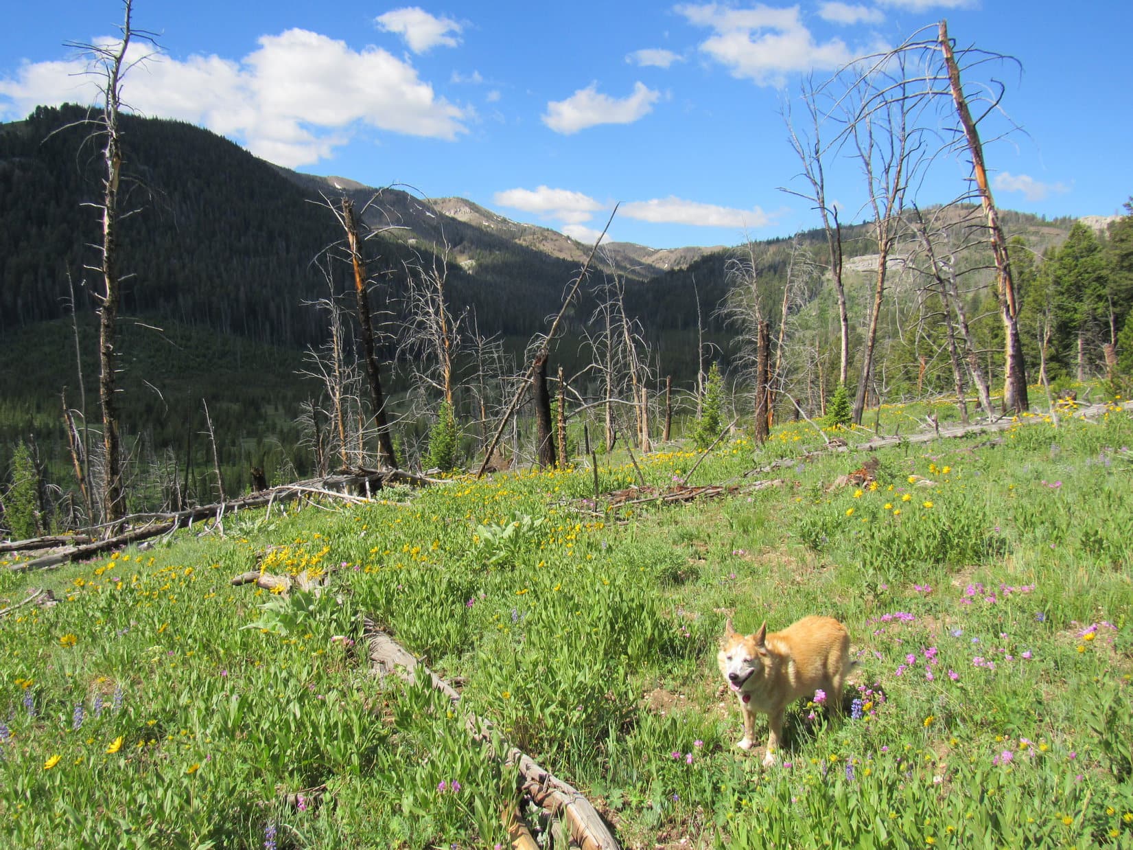
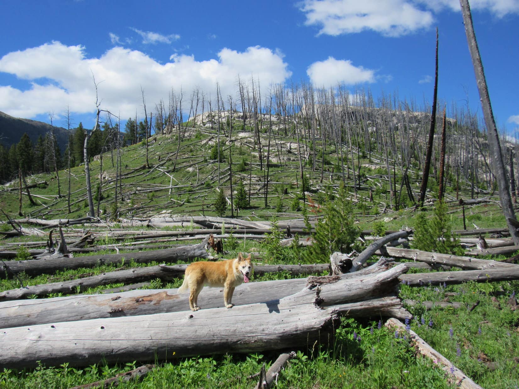
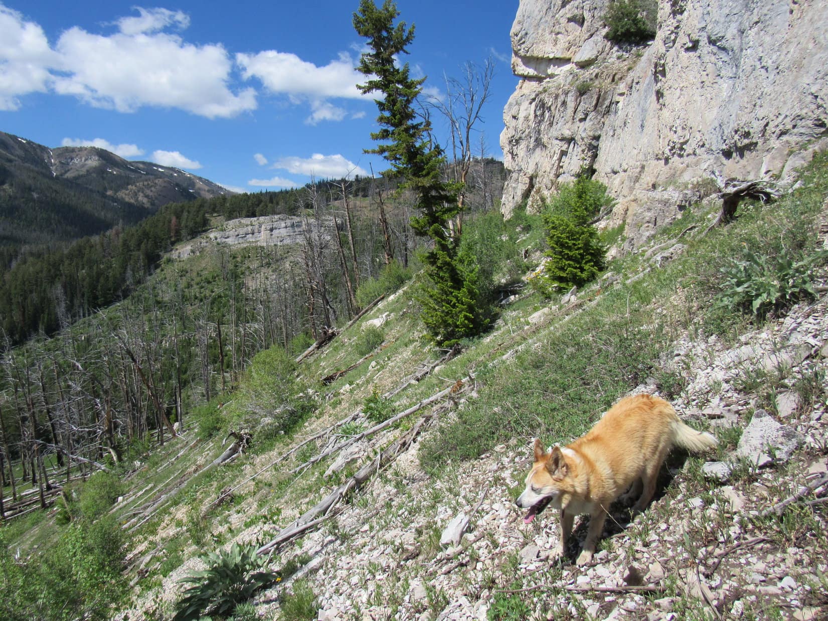
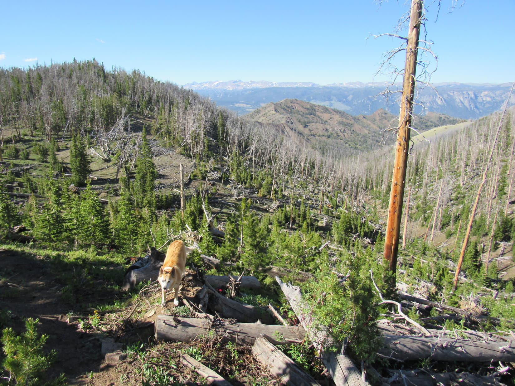
Encouraged by SPHP, Lupe started up the steep slope above the spring, but the climb quickly turned into a tough slog. This region had burned some years ago. Young trees crowded a jumble of deadfall. Naturally, the slope continued much farther than it had appeared from below.

The rate of climb finally began to diminish. Once past the burnt area, most of the deadfall vanished. The worst was over. Passing through a beautiful mature forest, Lupe reached the crest of the ridge and crossed over. On the other side, she came to a clearing full of wildflowers with a view of the Reef Creek valley ahead.
During a rest break among the flowers, SPHP made a terrible discovery.
Loopster! I’ve lost our map! I don’t have it on me!
Think, SPHP! When was the last time you definitely did have it?
Above the spring, back at a huge standing dead tree we stopped at for a quick breather. I remember looking at it.
Maybe you left the map there, then? That tree shouldn’t be hard to find. Want to go back?
Eh! I don’t know. Hate to go all that way. The map might have fallen out of my pocket somewhere else. Can probably make do without it. I looked at it quite a few times on the way up, and the route isn’t that tricky.
Really? Are you sure that’s wise, SPHP?
Wise? Maybe not, but I suspect we’ll be fine. All we have to do is get back to Trail No. 605 down in the valley ahead of us, and follow it to No. 604, which comes up from Sunlight Basin. No. 604 will get us the rest of the way to the summit. Trails all the way! What could go wrong?
That did sound simple enough, but once the break at the wildflower clearing was over, SPHP proposed a new plan. Traveling some distance up the Reef Creek valley, No. 605 would eventually head up onto this same long ridge that HP8580 was part of. Why lose 200 feet of elevation going down into the valley when Lupe could simply follow the ridge?
Expressing no reservations over this change, the cooperative Carolina Dog struck out heading W along a game trail. Only minor elevation loss was incurred as Lupe traversed the forested slope S of HP8580, putting her into position for a short climb to the saddle between it and HP8462.
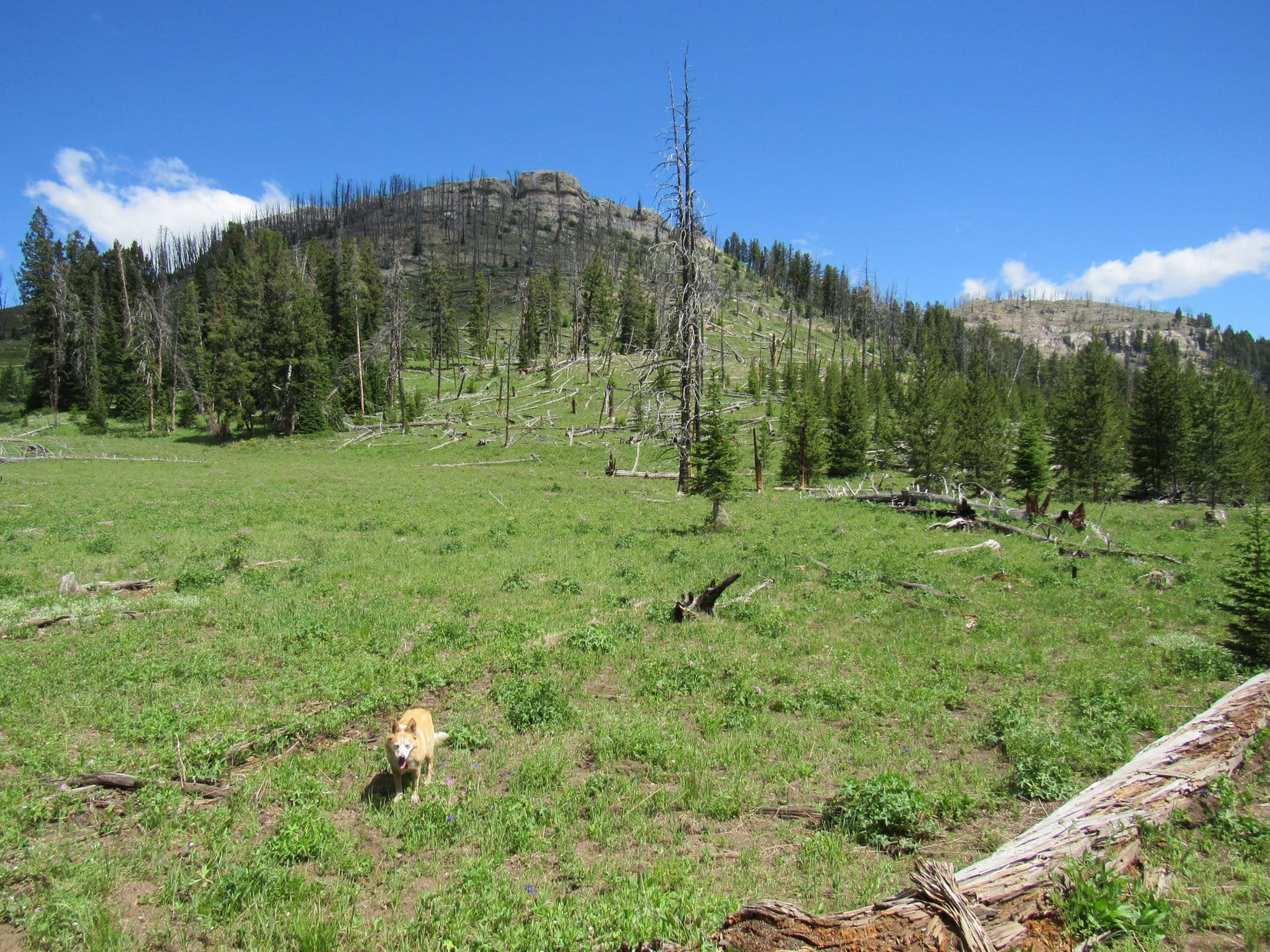
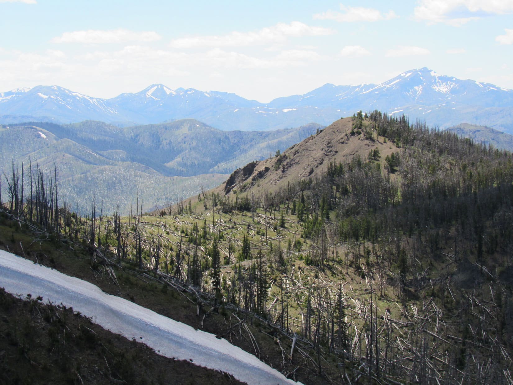
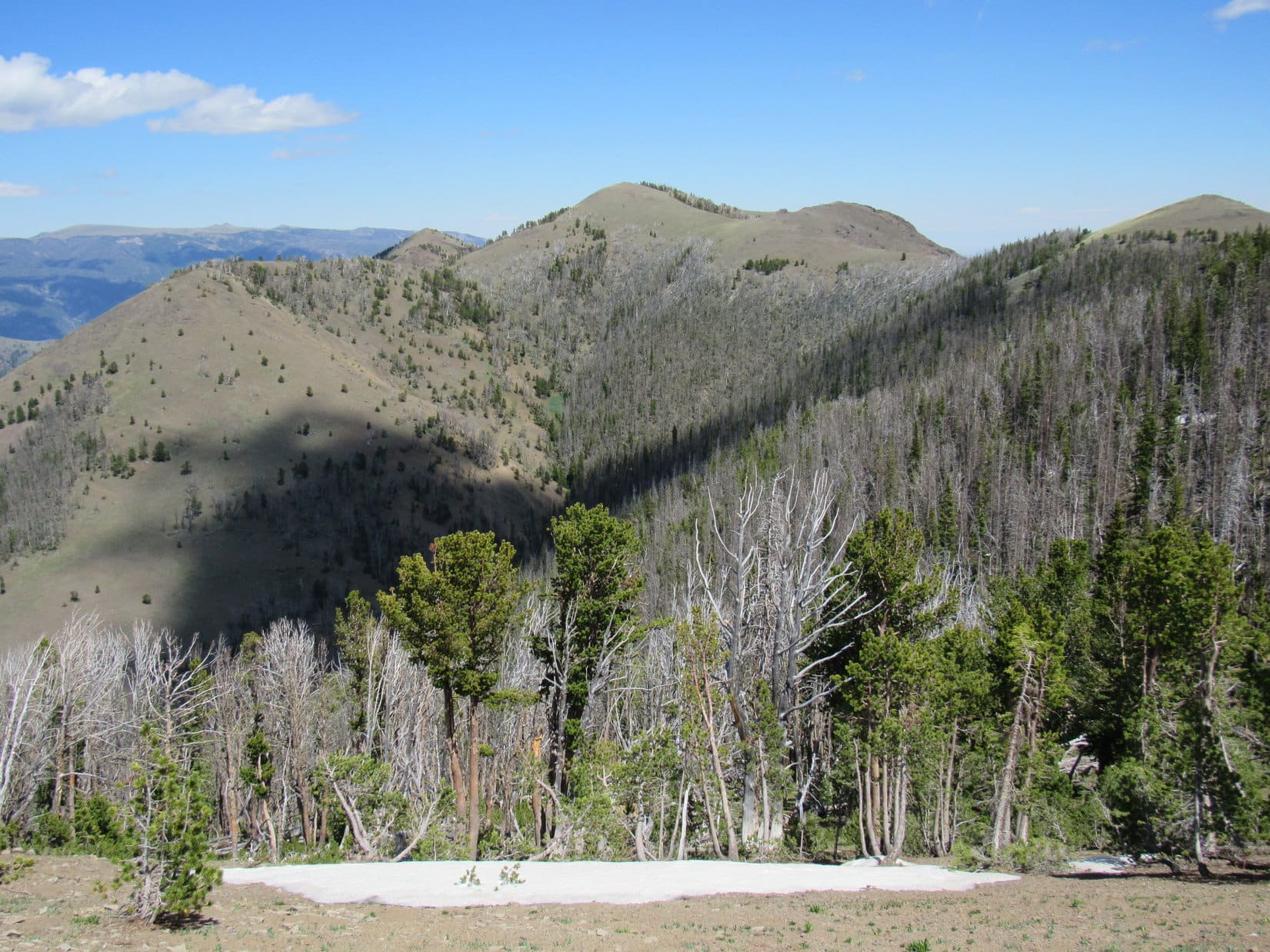
Upon reaching the saddle, HP8462, most of which had burned, was in sight immediately to the SW. HP8462 consisted of two hills each capped by a layer of white rock. Lupe climbed to the top of the lower hill, but SPHP feared she might cliff out on the far side if she went all the way to the top of the higher one. Instead, she attempted the same trick used at HP8580, trying to traverse the slope immediately E of the summit.
This time the traverse didn’t work as well. Lupe wound up on a very steep slope just below the summit’s capstone. SPHP’s progress was slow on the loose rock. Worse yet, it soon became apparent that once beyond HP8462 Loop faced a substantial drop to the next saddle along the ridge followed by a big climb up to HP8706.
Took a while to get down to the next saddle. By then, SPHP had had a change of heart.
This business of trying to stay up on the ridge isn’t working out Looper. Too much up and down along the way. Never should have tried it. I hereby christen HP8462 “Dum-dum Point”!
I knew you’d figure it out sooner or later, SPHP! Ready to head down into the Reef Creek valley to pick up the trail before we waste any more time losing and regaining the same old elevation over and over again?
Absolutely, let’s do it!

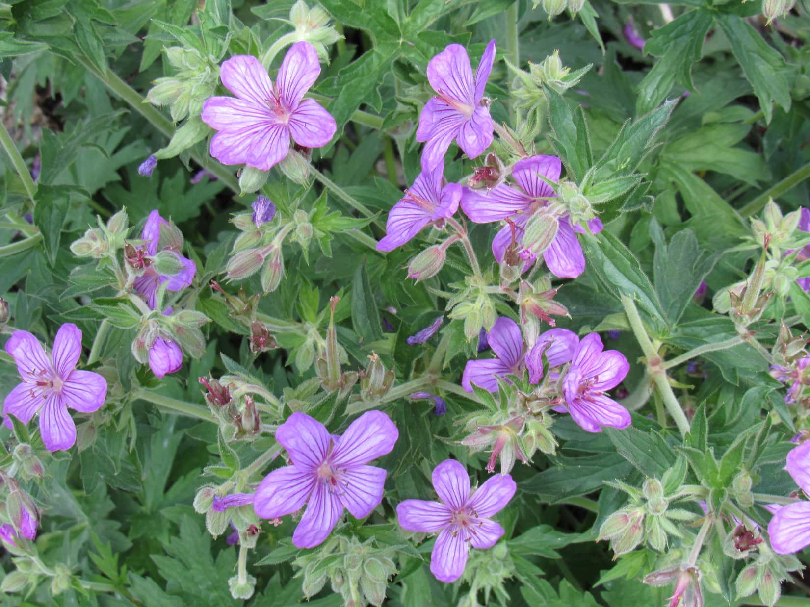
Instead of losing a mere 200 feet like she could have earlier on, Lupe lost more like 340 feet of elevation from Dum-dum Point on the way down into the Reef Creek valley. Close to the bottom was a huge field full of purplish pink wildflowers. Trail No. 605 did not pass through this field, but Lupe ran into it 100 feet after entering the forest at the lower end.
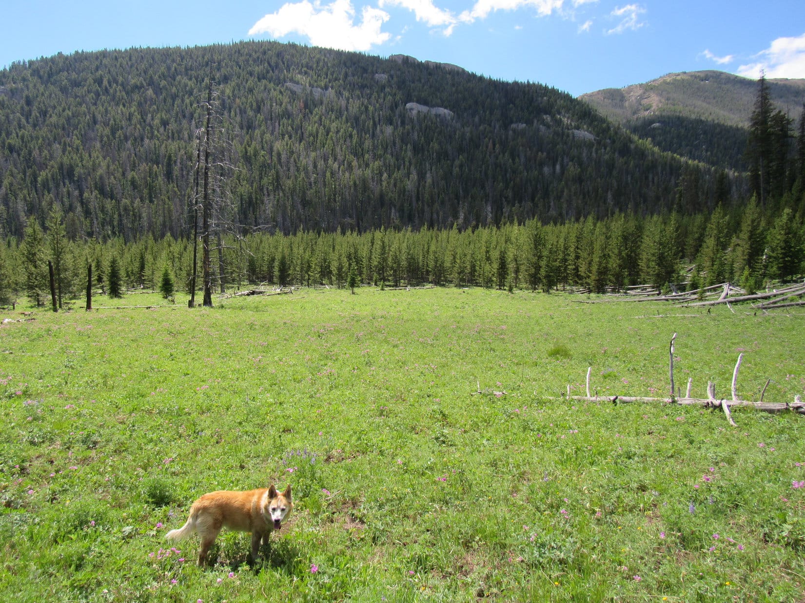

All that wandering around traversing slopes and trying to stay up on the ridge had been a time and energy-consuming waste, but once back on Trail No. 605 everything seemed fantabulous again. The only thing Lupe had to do now was stick with the trail the rest of the way.
SPHP remembered from the topo map that No. 605 would eventually split off to the R from a route that continued farther up the Reef Creek valley. Make that turn, and Loopster was as good as up on Windy Mountain!
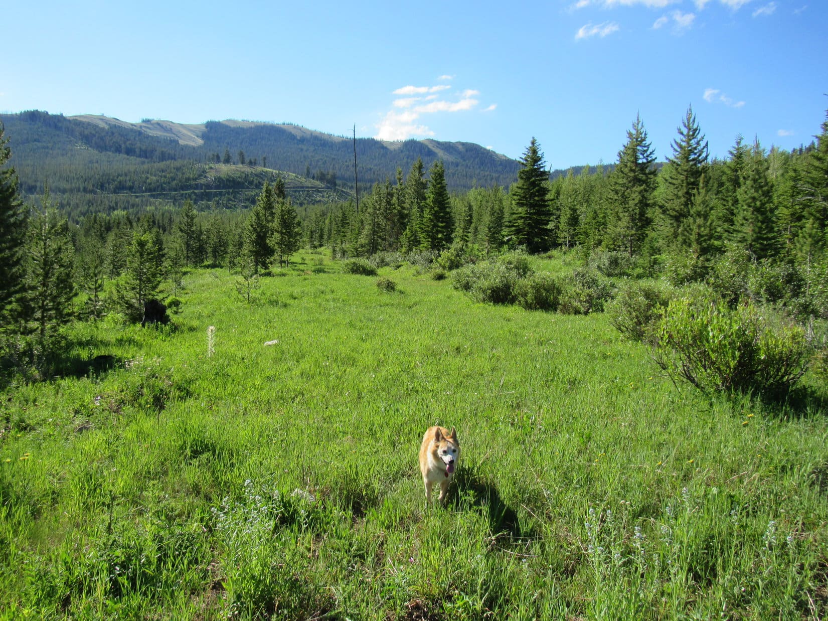
No. 605 was level where the Carolina Dog reached it, but soon started gaining elevation as she followed it up the valley. Except for occasional small meadows where the trail tended to fade, this whole region was forested. SPHP watched for the turn where No. 605 took off to start its climb out of the valley. Progress was good, but the trail went on and on, and the intersection did not appear.
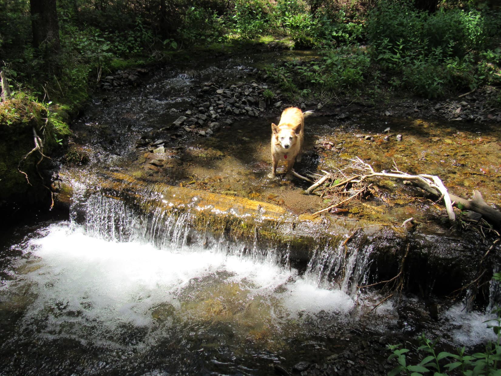
After 40 minutes, the trail reached Reef Creek at a point where a fallen log created a small waterfall. Lupe cooled her paws down and helped herself to a drink.
The trail followed the NW side of the creek for a while, before crossing it at a non-obvious point. However, this crossing was soon figured out. Lupe doubled back to it when the trail vanished. After leaping over to the SE side, Loop entered a long meadow where the trail faded away. She found it again at the far end shortly before the trail crossed back over to the NW bank.

By now, SPHP realized that the junction where No. 605 left the valley to climb up onto the huge ridge to the W must have been missed. However, the pass at the upper end of the valley was now sometimes seen ahead. No. 605 was supposed cross that saddle as the big ridge swept around to the E toward Windy Mountain. Figuring Looper might as well attempt to intercept No. 605 at the pass, SPHP encouraged her to keep following Reef Creek toward it.
She did, but the trail began to fade. The valley gradually narrowed, and Reef Creek became a trickle. Lupe started coming to deep snow drifts among a dense pine forest. The drifts hid what remained of the trail. They held the Dingo’s weight, but not SPHP’s. The pass wasn’t all that much farther, but getting to it was going to take forever and a day.


Peering through open forest up a steep slope on the E side of the valley, a big grassy clearing could be seen about 100 feet higher. It looked equally steep, but if Lupe could get up there, maybe she could eventually get to Windy Mountain that way? Worth a shot.
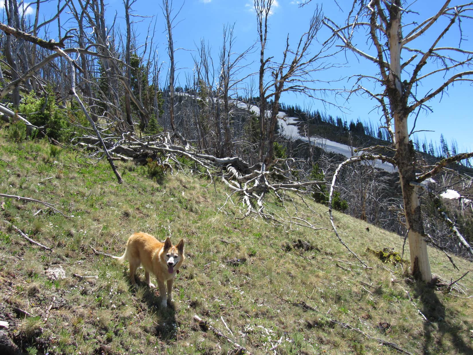
SPHP stopped repeatedly to gasp for air. At times the slope seemed on the verge of becoming almost scary steep, but Lupe managed to reach the grassy clearing. High above, at the upper end, was a standing white forest of dead trees, with new growth visible among the skeletons.
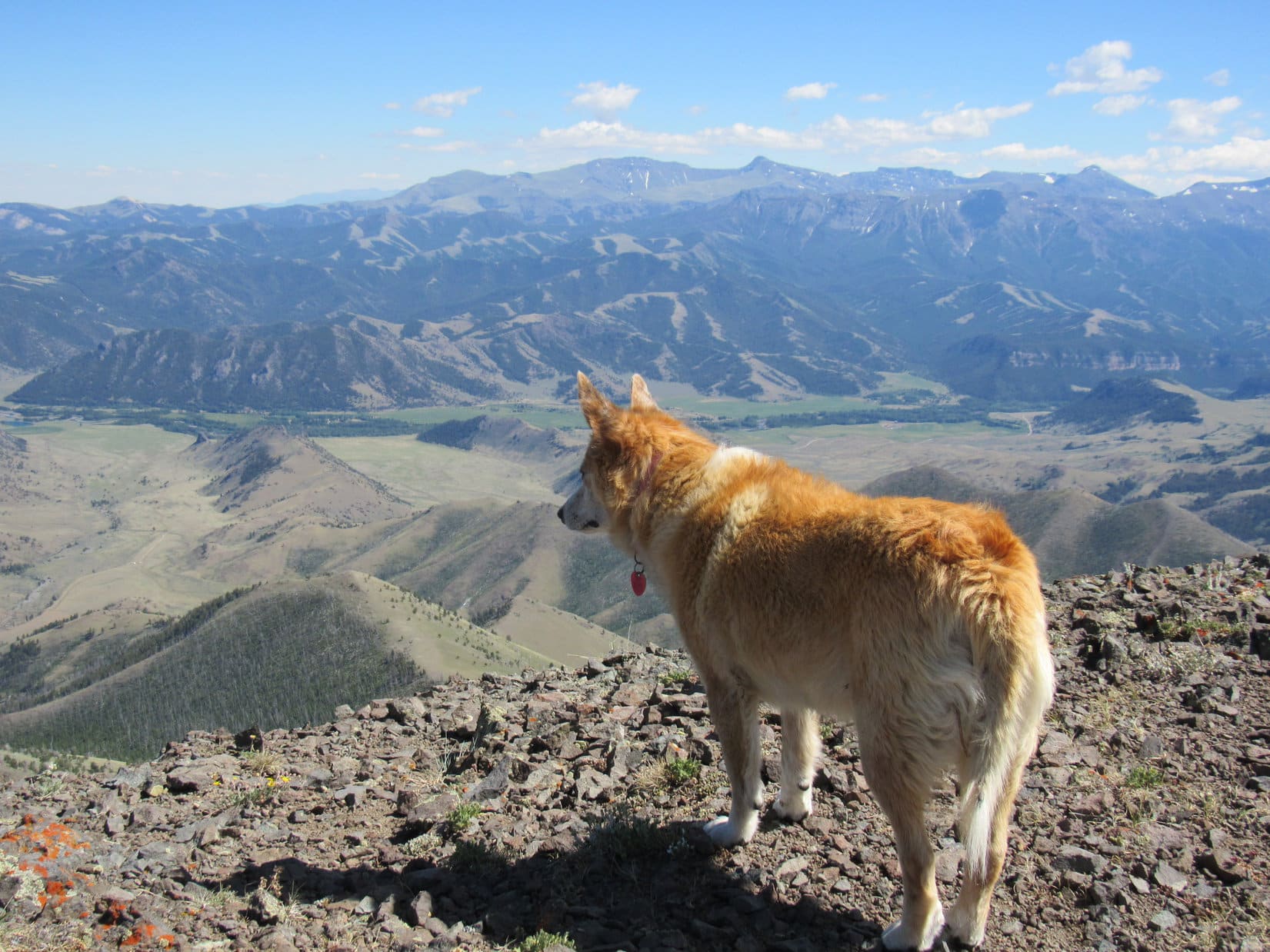
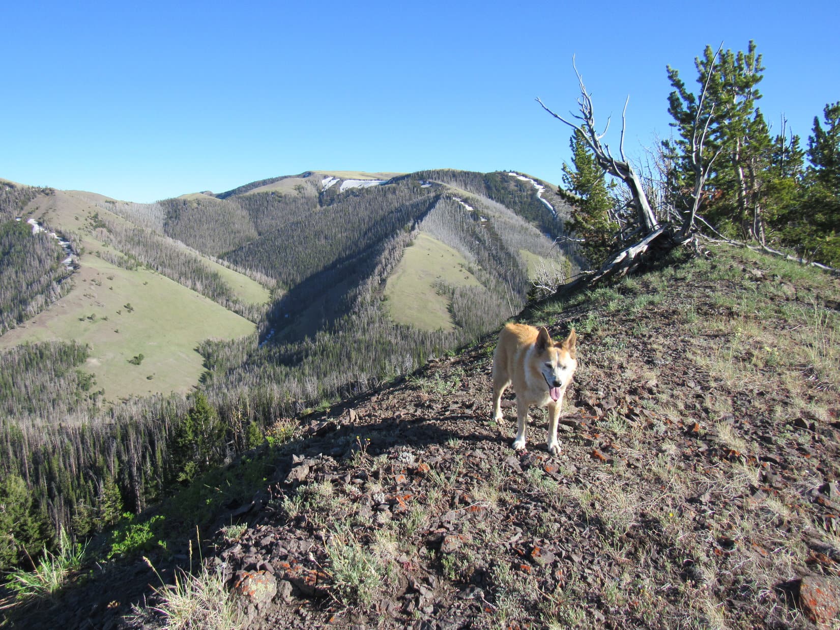
As Lupe continued higher, views of the Reef Creek valley and the ridge to the W where Trail No. 605 ought to be improved rapidly. After a while, she could see over the lower part of the ridge.
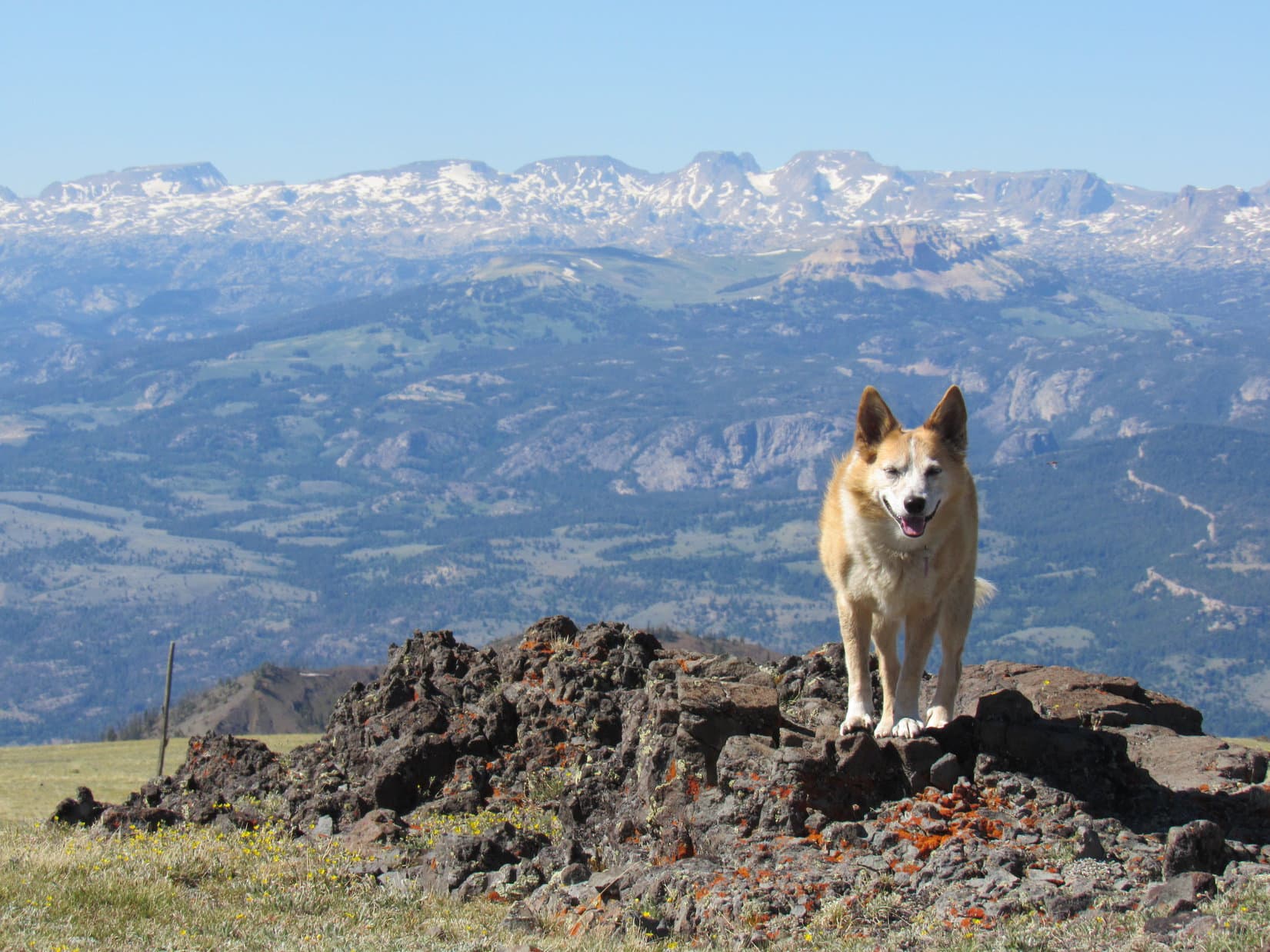
Far to the N, snow-capped peaks along the spine of the Beartooths were visible. Sky Pilot Mountain (12,047 ft.), which the American Dingo had climbed in 2020 after failing to get to Castle Mountain (12,612 ft.) with mountaineering friend Jobe Wymore, was in sight!

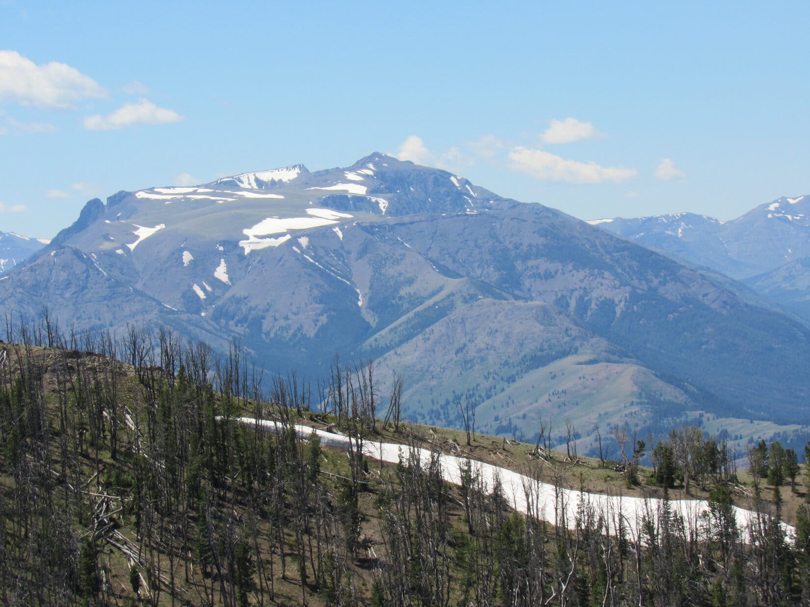
By the time Lupe reached the both dead and new growth forest, the slope wasn’t quite as steep. SPHP’s rate of ascent improved slightly, as Lupe roamed among the trees. Off to the R (SW) was another steep slope featuring a long snowbank. To the NW was a view of an intriguing peak that must have been Hurricane Mesa (11,064 ft.).

800 feet above where she’d left Reef Creek, Lupe reached a small flat ridge that was out in the open. The pass she had been trying to get to earlier was now visible far below off to the SW. HP9841, one of Windy Mountain’s subpeaks, was off to the ENE, and appeared to be a mere hill not an awful lot higher than where the American Dingo was now.
The view ahead was most encouraging! The ridge Loop was on led to a forest, but it appeared that some kind of a top was just beyond it.
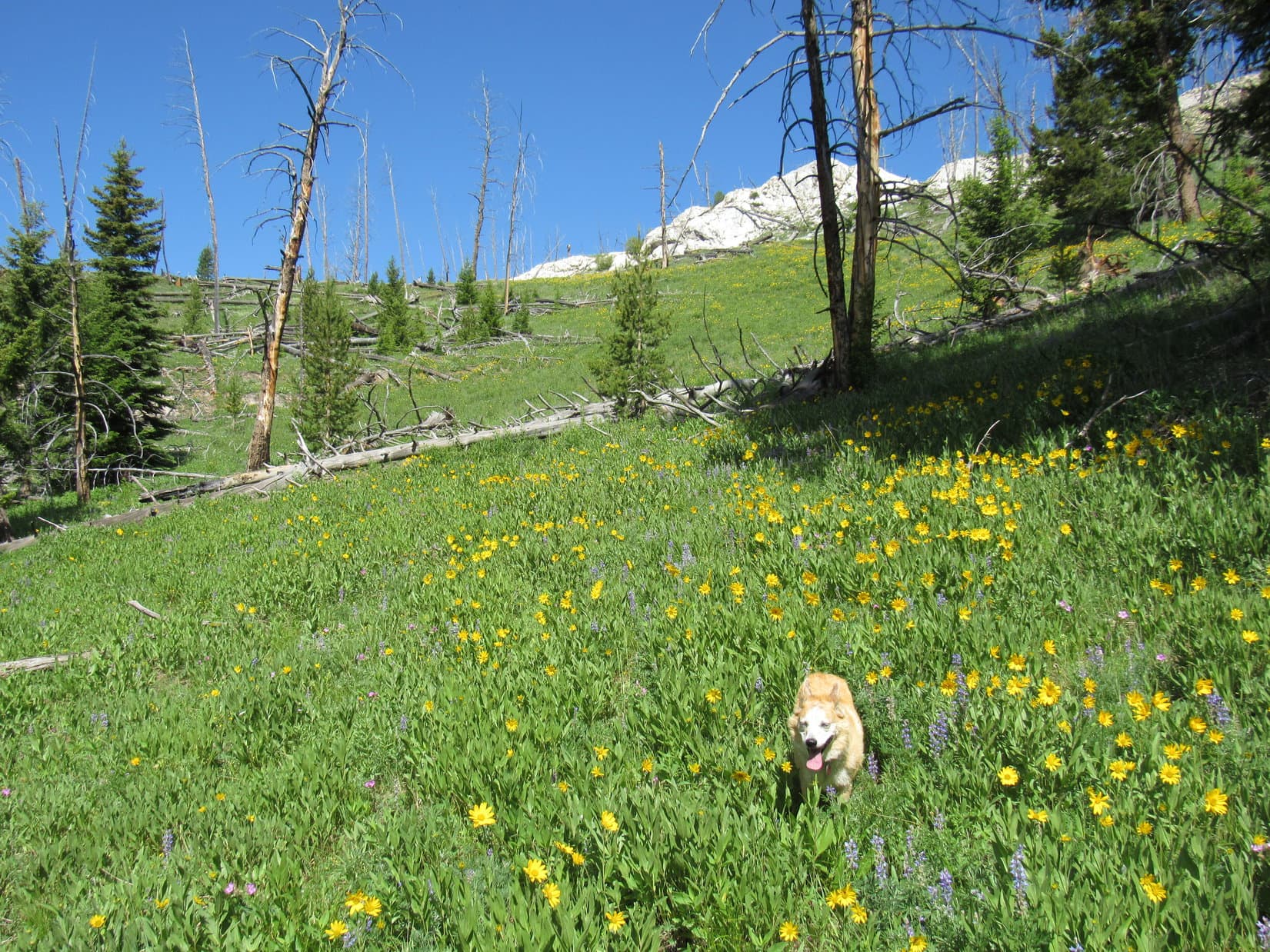
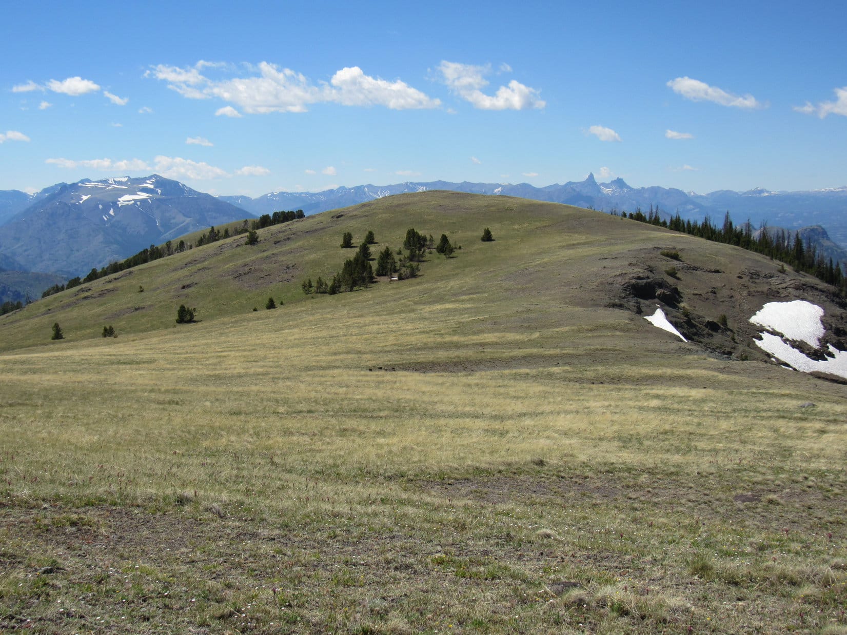
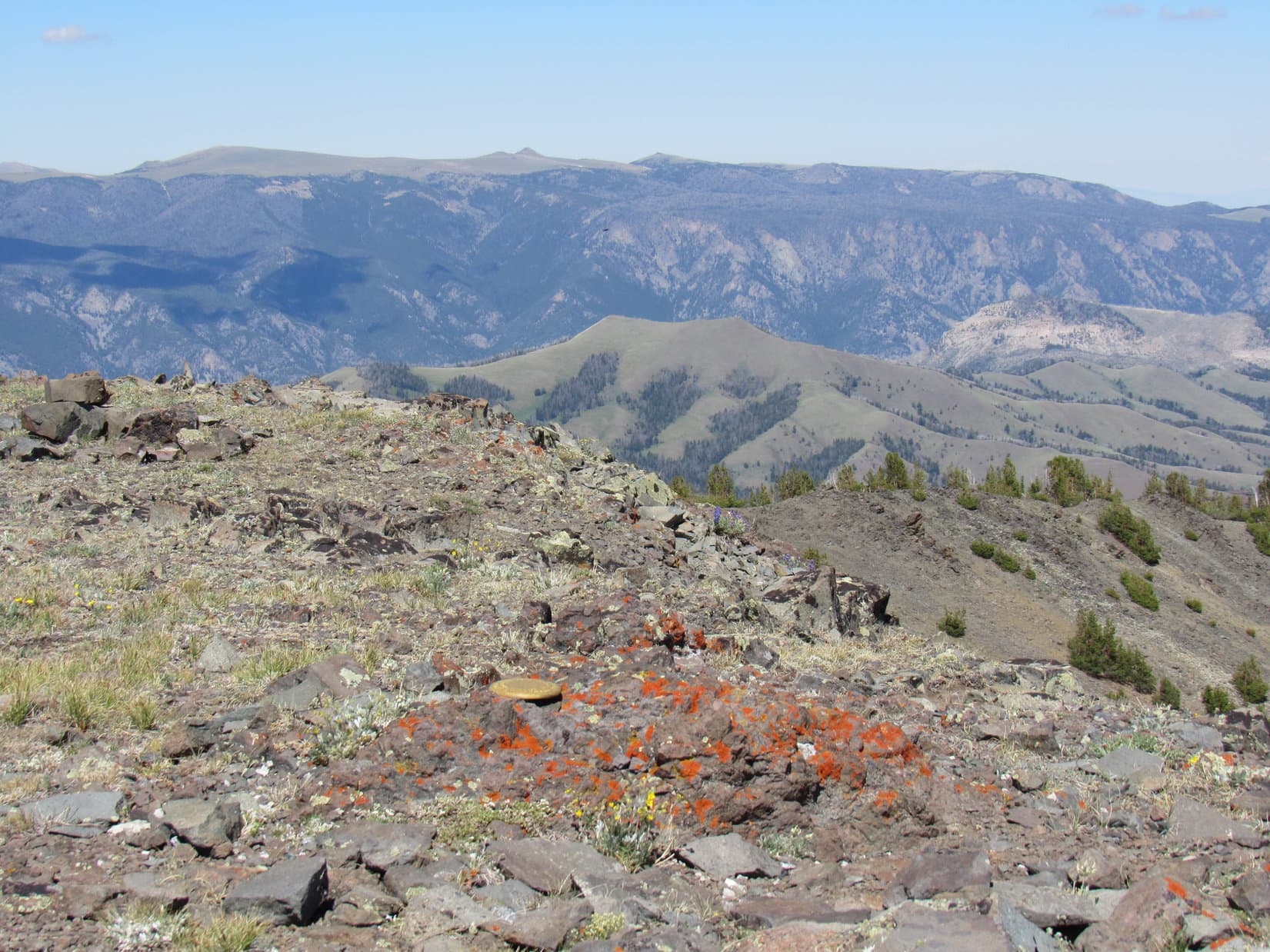
Climbing to and through the next forest, Lupe soon emerged on open ground along the upper NE slopes of HP9974. No need to go to the top of this barren hill, for Windy Mountain (10,262 ft.) was directly ahead, the summit still some 300 feet higher somewhere at the far end of a vast grassy slope that rose steadily SSE for 0.67 mile.
As Lupe headed up the grassy plain, SPHP gloated.
Hah! Told you we’d make it, Looper! Map or no map!
True enough, SPHP. But for a mountain with a trail all the way to the top, we’ve sure done a lot of off-trail thrashing around in tedious terrain.
Oh, don’t worry about that now! Over and done with! Before you know it, we’ll be seeing the world from the glorious summit of Windy Mountain! On the return we can learn from our mistakes cruising down the trail all the way back to the RAV4. Easy squeezy!
Our mistakes, SPHP?
Well, sort of. We’re a team, aren’t we?
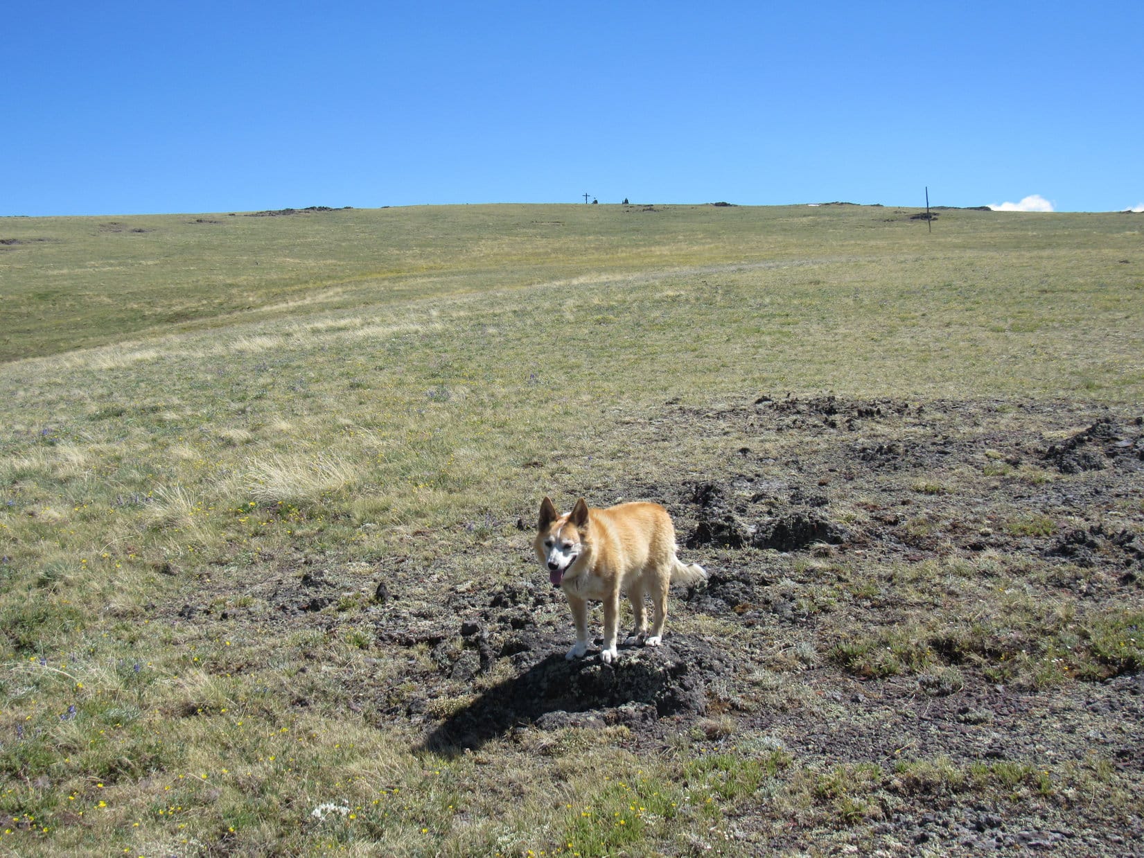
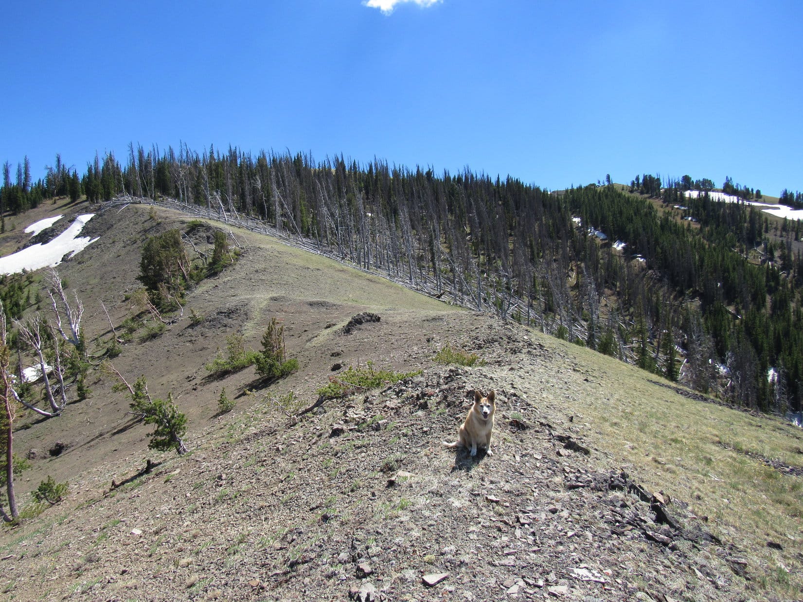
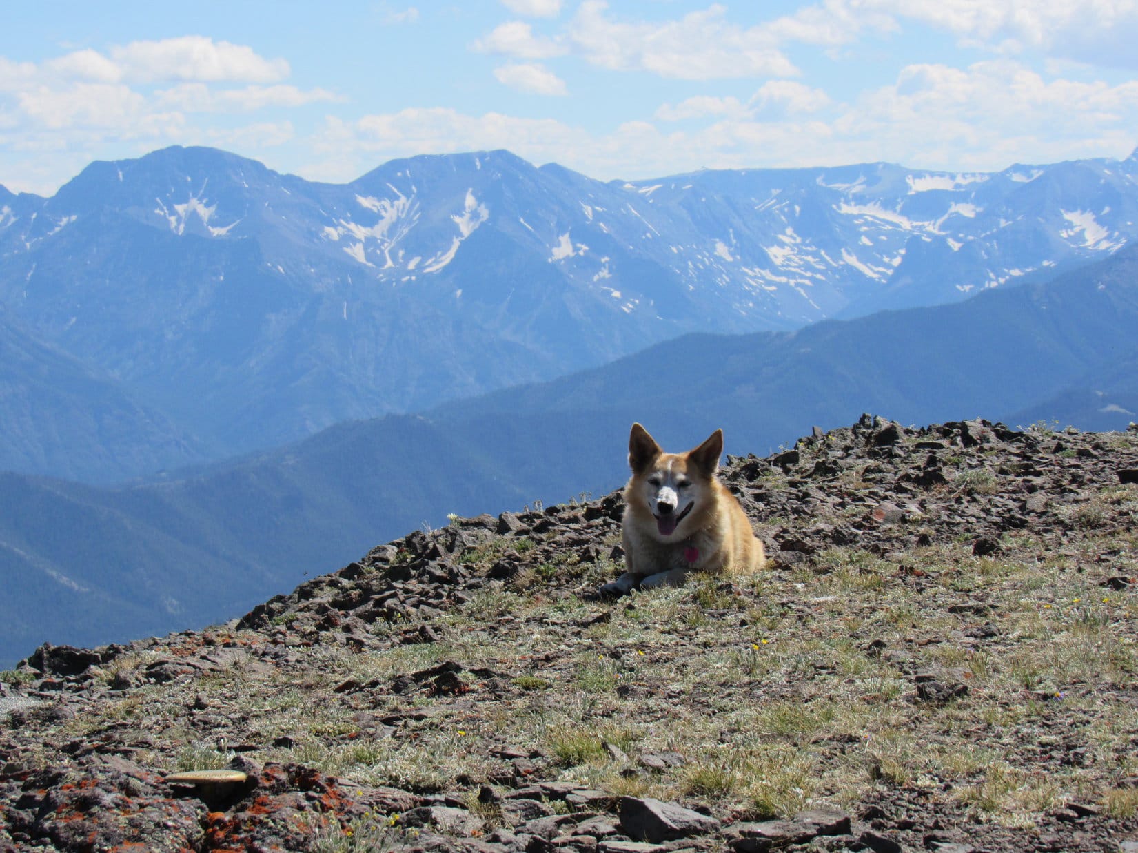
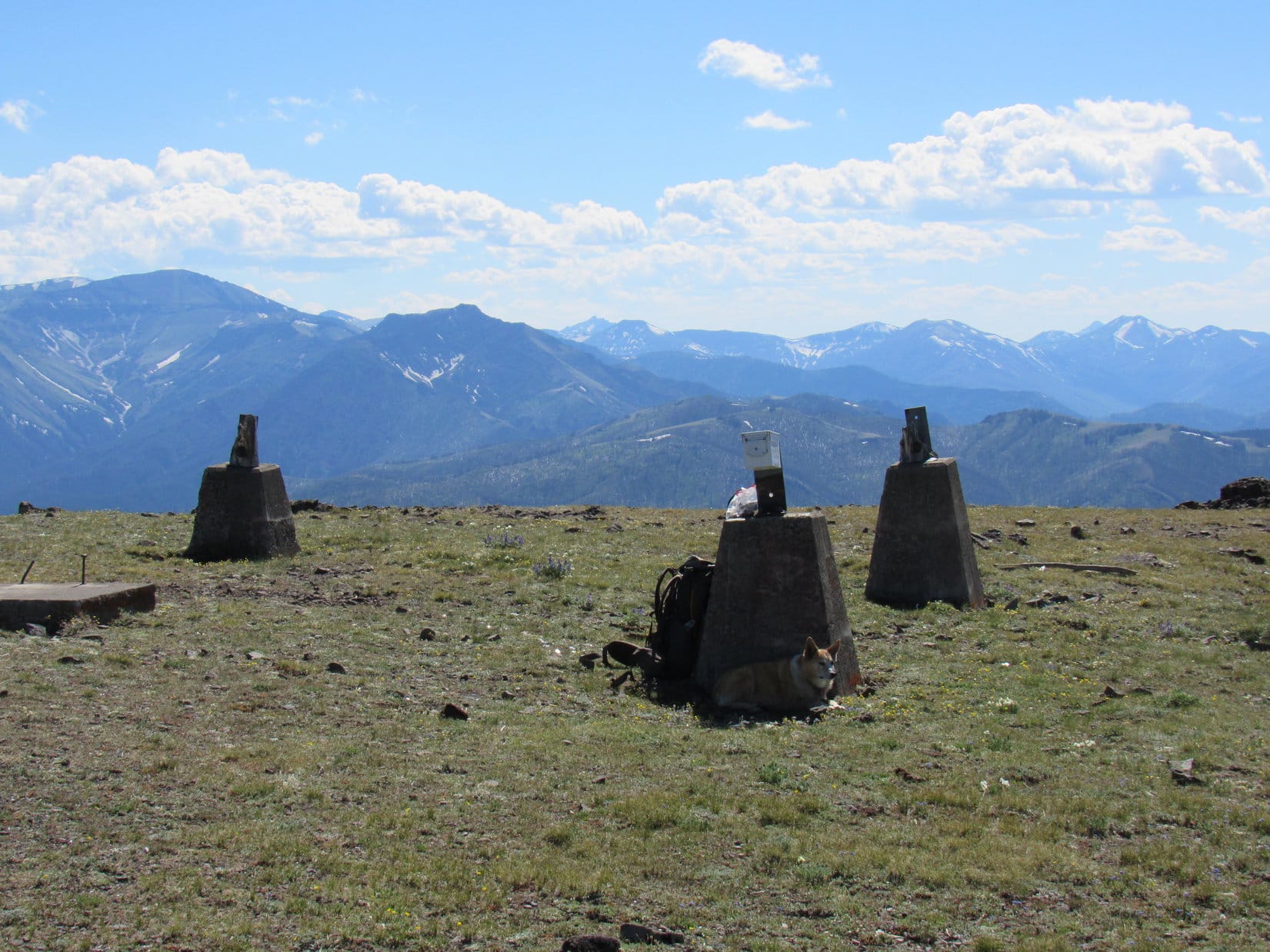
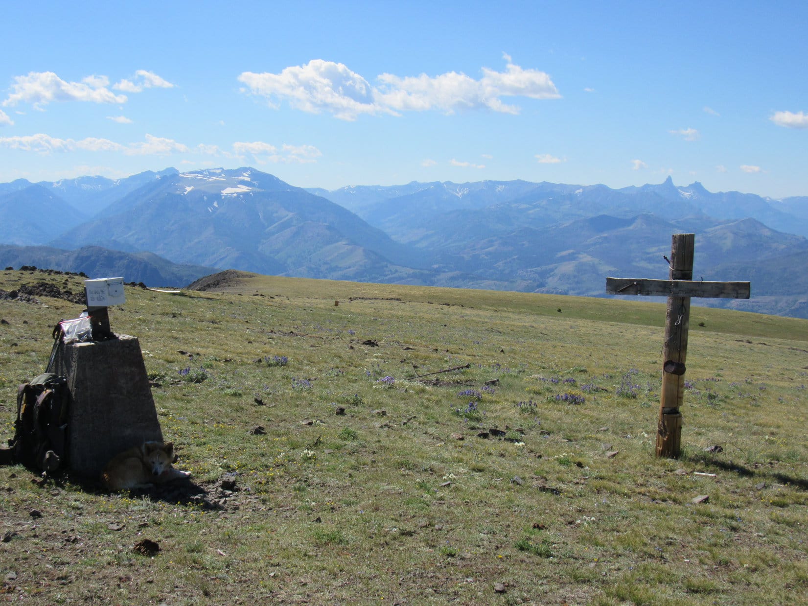
Near the top, a line of widely separated tall poles along Trail No. 604 led toward the summit. Loopster was already almost there by the time she reached them. Windy Mountain’s summit region proved to be a large flat expanse, sparsely vegetated, sloping gently to the N, but bordered by cliffs all along the S edge.
No trees, bushes, large rocks, or other obstacles were present to obstruct the sweeping views in all directions. Four concrete pylons marked the corners of a now absent structure, and near them stood a 10 foot tall wooden cross. One of the pylons featured a mailbox marked “Big Windy Mountain Elev 10,262 ft.”
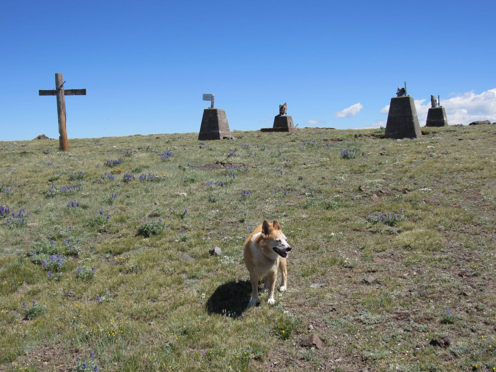

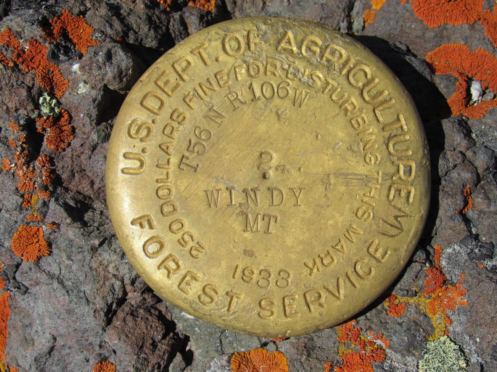
Lupe and SPHP were both ready for a long break. A spot was chosen along the SE lip of the mountain 12 feet from a survey benchmark. Shaking the Carolina Dog’s paw, SPHP congratulated Loopster on her successful, if unorthodox, ascent of Windy Mountain.
For a long time neither Lupe nor SPHP stirred. Conditions were perfect! Clear, calm, mid 70’s ºF. Magnificent views all around! Eventually it was time to get up, though, to enter Lupe’s name in the registry contained in the mailbox, move around a bit, and take some photos.
The American Dingo generally cooperated, but tended to slink away to the shade of the concrete pylons during any lulls in the action. Not a good thing, since there was a fair amount of broken glass near them. Fortunately, no tragedy ensued.
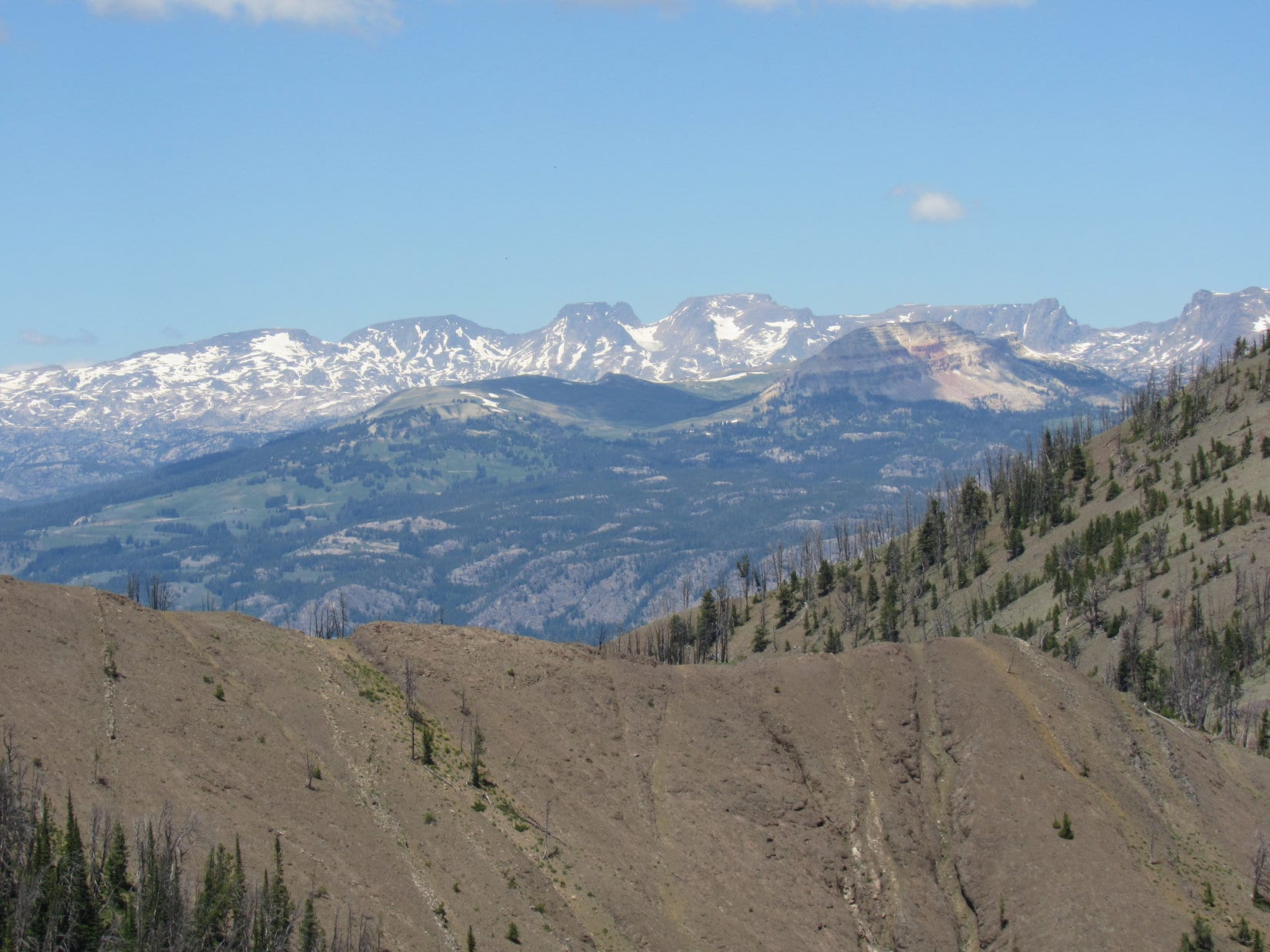
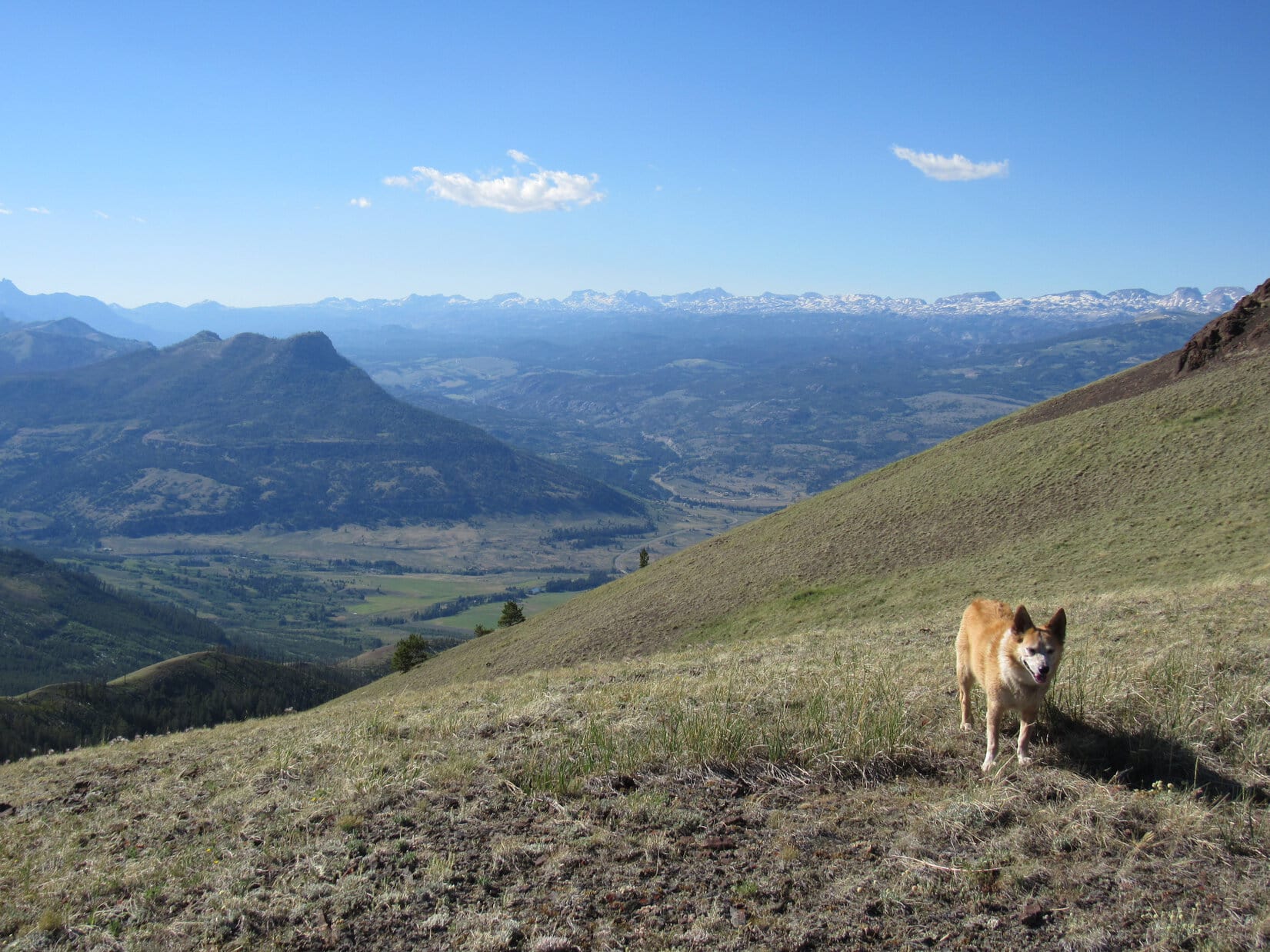
Many beautiful peaks were in sight. SPHP knew only a few. Far to the SE, Heart Mountain (8,123 ft.) was visible beyond Dead Indian Pass. Robbers Roost (12,040 ft.) and Trout Peak (12,244 ft.) were to the S. Almost none of the splendid mountains to the SW or W were familiar.
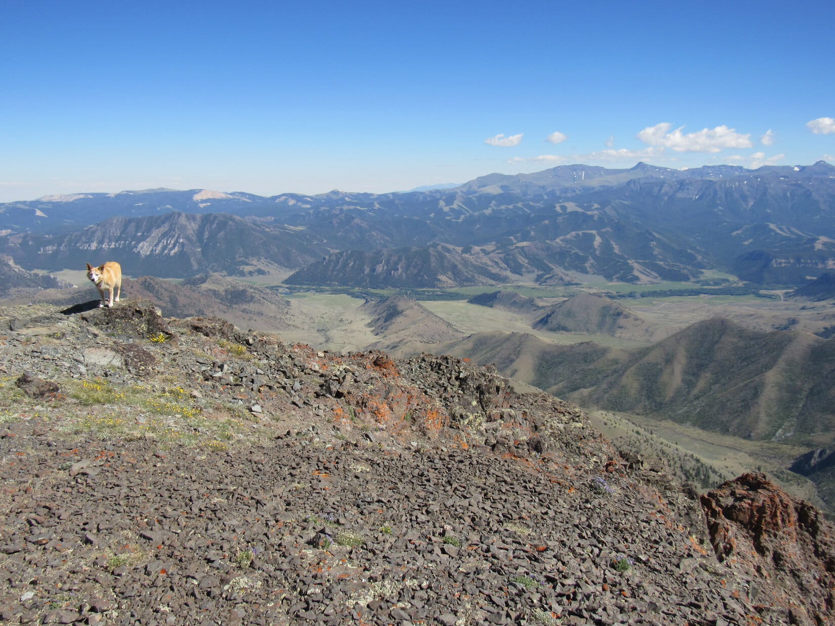
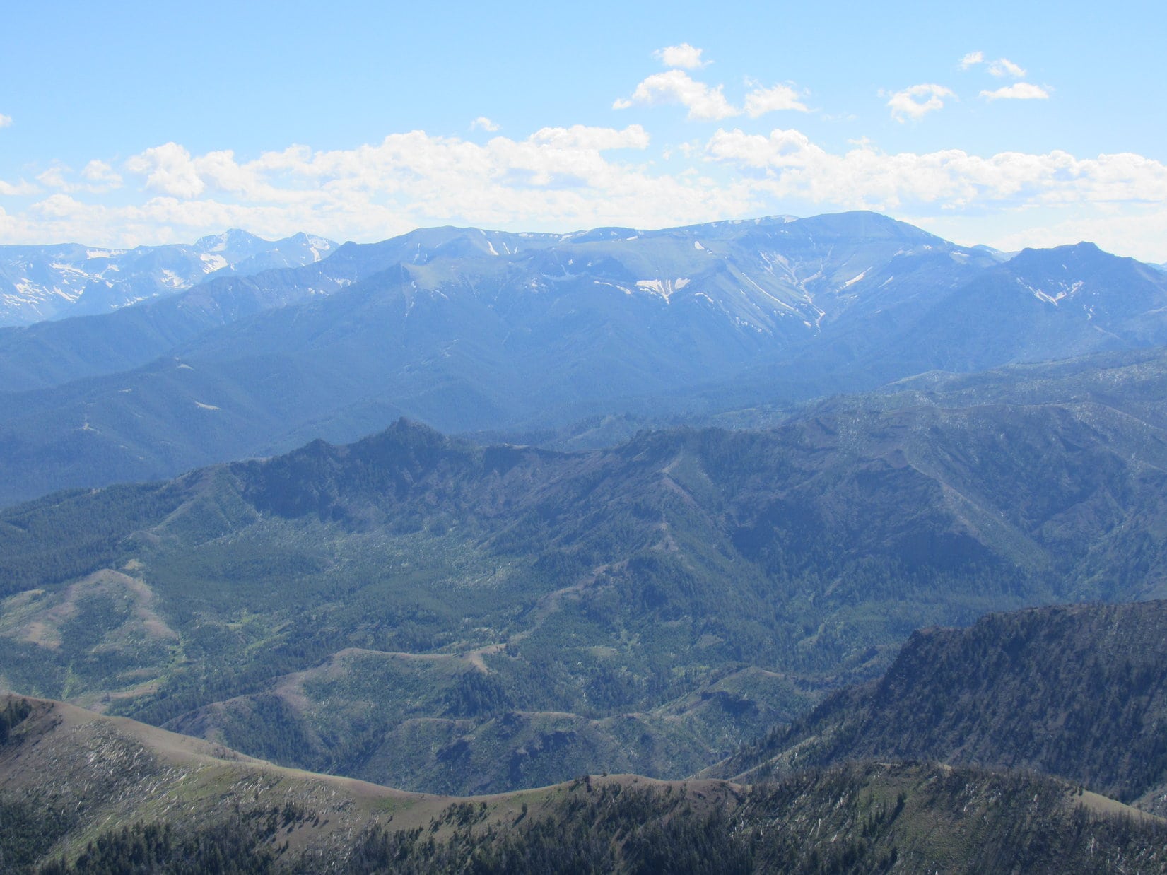
Hurricane Mesa (11,064 ft.) and more distant Pilot Peak (11,699 ft.) and Index Peak (11,240 ft.) were all to the NW.
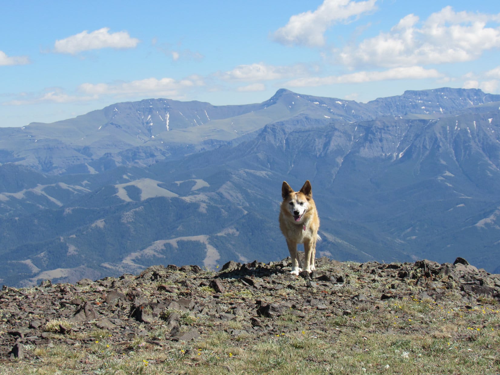
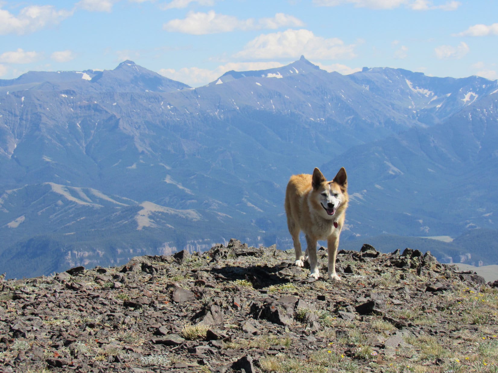
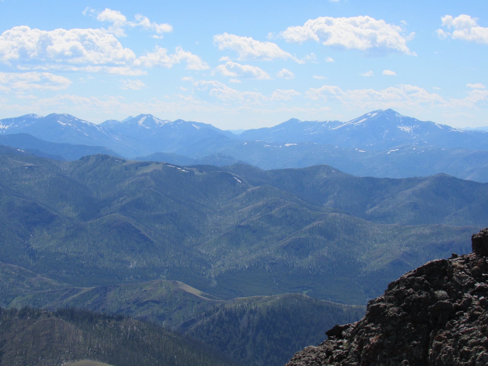
Far to the N, many grand peaks were on display strung out along the spine of the Beartooth Mountains. Glacier Peak (12,320 ft.), Mount Villard (12,345 ft.), Tempest Mountain (12,469 ft.) and Mount Peal (12,409 ft.) were all recognizable near Granite Peak (12,799 ft.), Montana’s highest mountain. Lupe had been to Tempest Mountain.
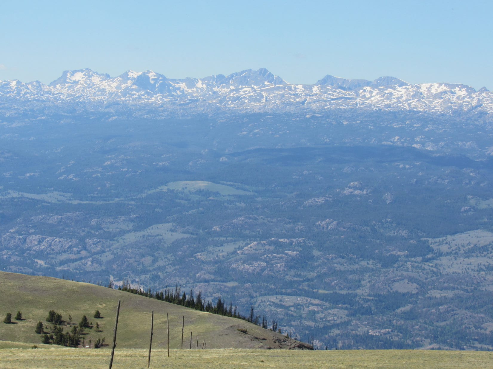
Almost due N were Snowbank Mountain (12,084 ft.), Salo Mountain (12,250 ft.), Castle Rock Mountain (12,401 ft.), Castle Rock Spire (12,450 ft.), Castle Mountain (12,612 ft.) and Sky Pilot Mountain, (12,047 ft.) with Beartooth Butte (10,514 ft.) in the foreground.
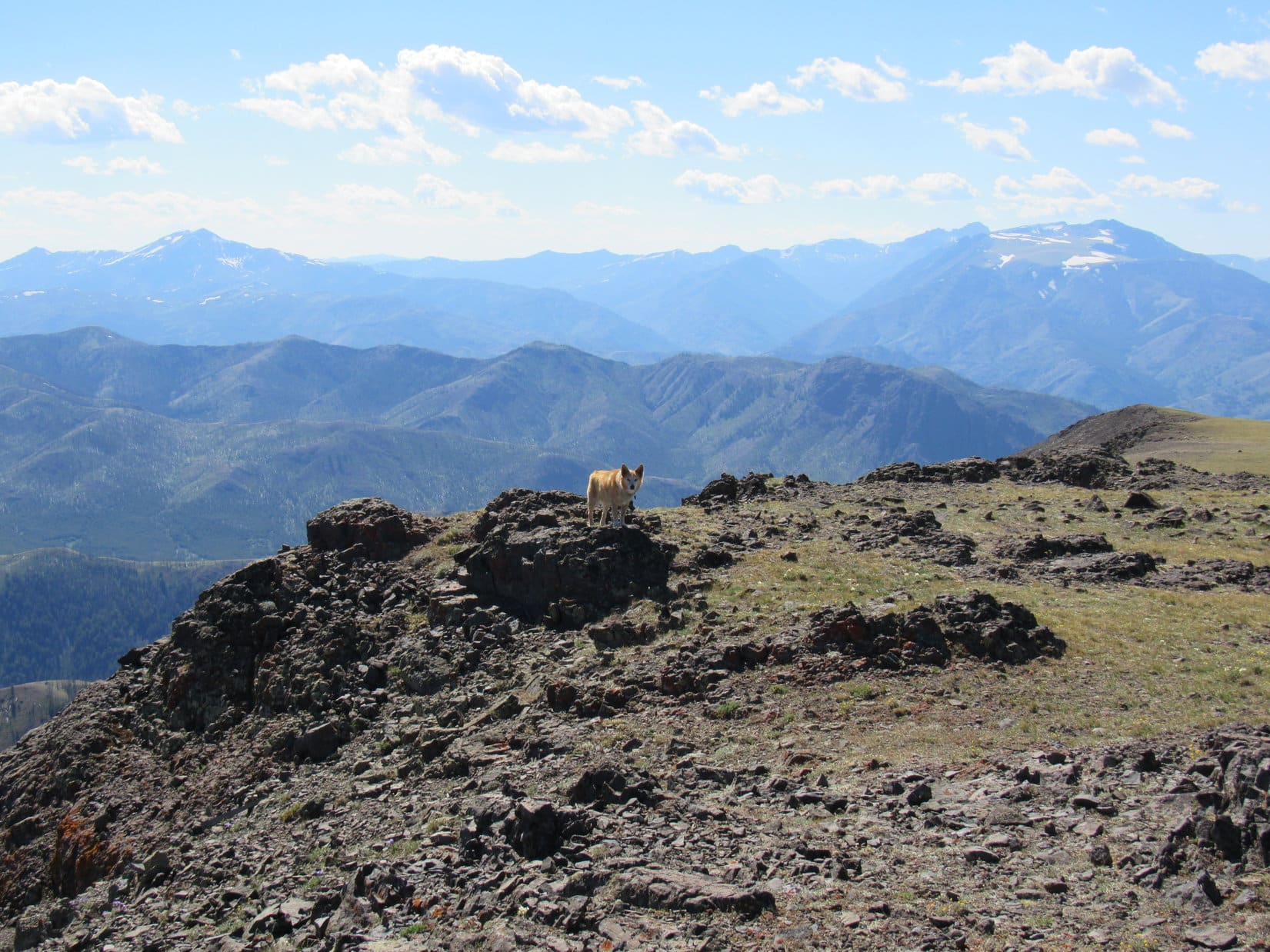
So much to see! Mountain glory in all directions, but time waits for no Dingo. 75 minutes after arriving, Lupe stood again near the old wooden cross, the mighty Beartooths of Montana arrayed far beyond her. A final look, and the inevitable descent began.

It all went swimmingly at first, just as SPHP had said it would. Taking Windy Mountain Trail No. 604, the short way up from Sunlight Basin, Lupe followed it down to the junction with Reef Creek Trail No. 605.

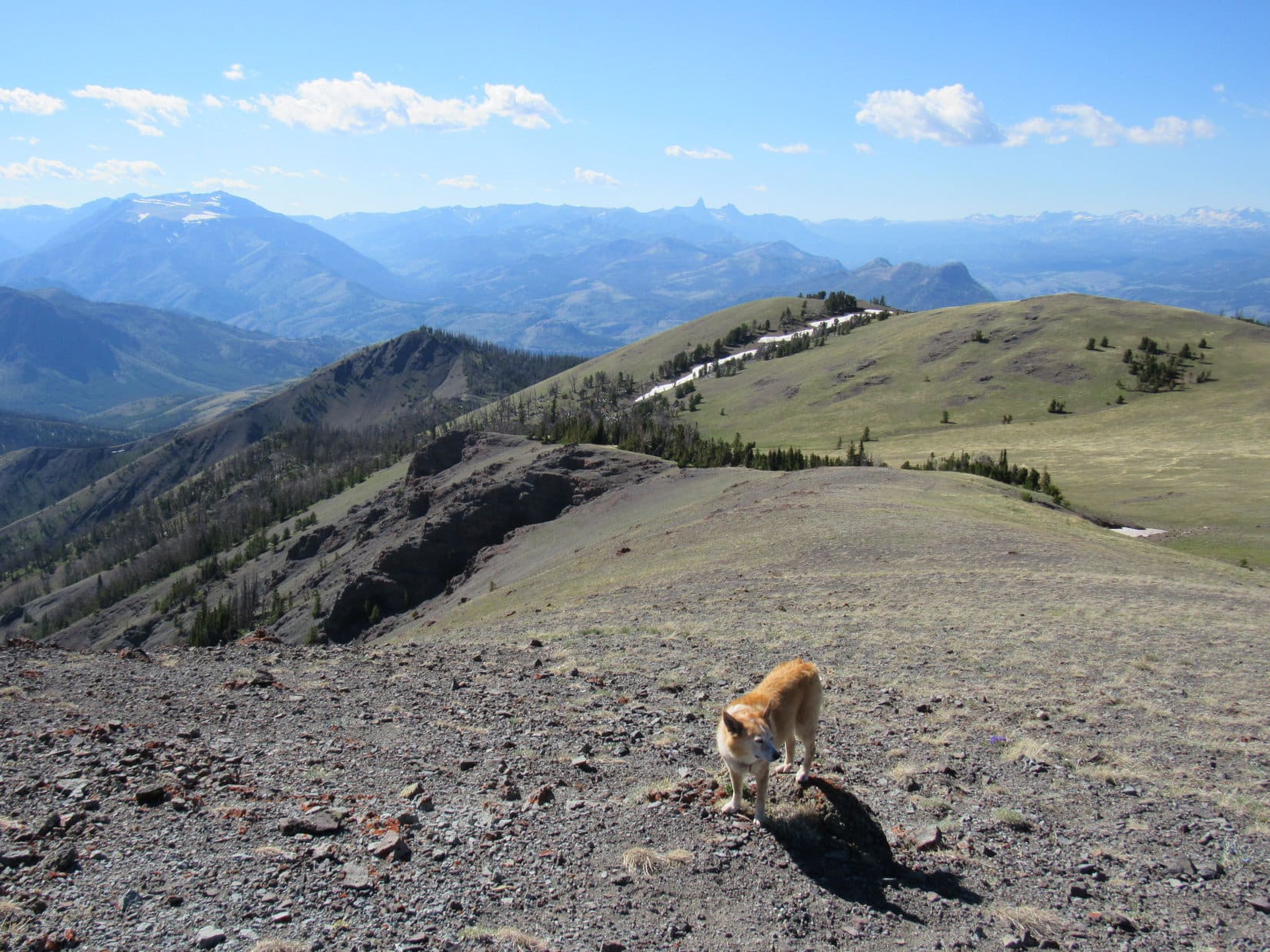
No. 605 finally got Lupe to the pass at the upper end of the Reef Creek valley SPHP hadn’t been able to make it to from below. From here, the trail curved N following the ridge W of the Reef Creek valley, most of the time staying at or near the crest.
Loopster continued to enjoy spectacular views, and got to see Windy Mountain from a new perspective, including much of the route across the valley she had traveled during her ascent. Despite occasional minor uphill stretches along the big ridge, progress was rapid.
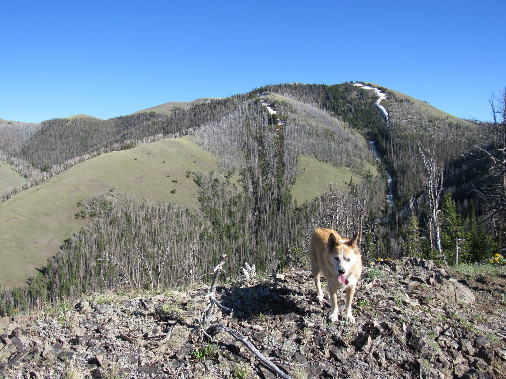
All went well until Lupe started getting close to Peak 9352. The first sign of trouble began when she reached a level, but narrow section of the ridge leading to it. This low point, slightly over 9,000 feet, seemed like a logical place for No. 605 to leave the ridge and start descending into the Reef Creek valley, but instead the trail continued NNE all the way across this section and started to climb.
Lupe kept going, gaining 100 feet before reaching a little dip. Here the trail simply vanished. No sign of it continuing on toward Peak 9352, or down the steep forested slope leading into the Reef Creek valley.
Oh joy! What now, SPHP?
Not sure, Loop. We’ve come a long way. I’ve been expecting we’d reach wherever No. 605 heads down into the Reef Creek valley for a while now, but this doesn’t seem to be the place.
If only we had a map, SPHP! We’d know what to do then, or at least where to look!
Oh, hush, sarcastic Dingo! We just need to find a decent route down into the valley. We’ll be fine!
Hoping the trail would reappear, SPHP encouraged the American Dingo to keep following the ridge. That meant another climb of more than 150 feet before reaching a second flat section of the ridgeline. Peak 9352 was now directly ahead, and not very far away. Still no sign of the trail, though. Shadows were lengthening. A sense of uneasiness grew.
Peak 9352 had two high points, the closer one apparently being the true summit. Lupe passed within 40 feet of the top on a traverse toward the lower point, from which the ridge presumably went on.
The Carolina Dog never completed this traverse. Looking down the slope leading into the Reef Creek valley, an open channel went between two walls of rock. Steep, but definitely doable without much trouble.
Let’s go that way, Looper!
The channel went fine, but the steep descent continued far below it. In a gloomy forest, Lupe soon found herself trapped within an increasingly rough and narrow drainage. Cliffing out was a real possibility, as a slow, anxious descent went on and on.
Fortunately, there always seemed to be a way past each pinch point. At last, another steep drainage joined in from the R. Amid a jumble of rock and deadfall, the rate of descent soon diminished. Suddenly, there it was! No. 605!
Great work, Loopster! You found it!
Even making fast tracks, it took a surprisingly long time to reach the junction with the trail Lupe had followed so far up Reef Creek. It was easy to see why this turn had been missed earlier in the day. Coming up the valley, No. 605 had split off making a hard R. There was a sign up on a tree, but it was situated along No. 605 after the turn, inconspicuous from the valley route.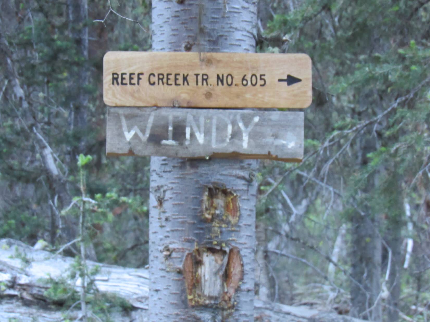
The sun was still up, but time was getting to be of the essence, since SPHP hoped to get through the marsh, still miles away, before dark. Wasting no time at the junction, Lupe headed NE following No. 605 down the valley.
Confidence was high, progress excellent, but Looper’s Windy Mountain adventure wasn’t over yet. Beyond where Lupe had picked up No. 605 after the Dum-Dum Point fiasco, the Carolina Dog reached a stretch of trail she hadn’t been on before. For a long way it was nearly flat.
Approaching the area near the end of USFS Road No. 115, a much higher starting point for Windy Mountain than the picnic ground, Lupe came to open territory. Staying toward the L, she passed 4 or 5 new trail signs. None said anything more than “Trail”. Beyond these signs No. 605 began curving E, then faded away in a big meadow. Going straight eventually put Loopster on it again.
Reef Creek could now be seen down in a deep ravine on the R (S). Along the upper edge, the trail began a gradual descent. Suddenly there was motion on the slope to the N! A dark form, 200 feet away.
Loop, a bear!
In an instant, Lupe locked gazes with a medium-sized black bear. One bark, and the bear took off, running for its life.
Must have tangled with a Carolina Dog before, aye?
When you’re at the top of the food chain, you get a lot of respect, SPHP.
Evidently.
0.67 mile SE of HP8580, Reed Creek Trail No. 605 rounded the ridge Lupe had climbed over earlier in the day and turned N. The sun was down, and light was fading when it vanished into the marsh.
The marshy region proved much larger than anticipated. SPHP tried staying high, toward the L (NW) to get around it, but the maneuver soon proved futile. Unfazed, Lupe splish-splashed right on through, while SPHP’s boots (new ones, of course!) got immersed in muck. Took a while to slog through it all to dry ground.
Dusk was closing in as Looper once again searched for the trail. Down, down, mostly through open lanes between stands of conifers, but in the twilight nothing looked familiar. Finally, Lupe came to a broad bench.
Oh, I remember this, Loop! The trail leaves this bench somewhere off to the W. Shouldn’t be too far. C’mon! Find that spot and we’ve got it made in the shade!
That’s great, SPHP! Much shadier, and it’ll be pitch black!
Hurrying W toward the last light, the trail did not appear. Inexplicably, the flat bench went on and on.
An end finally came. Lupe stood at the brink of a cliff. This was it. No way forward. Dimly, the cliff could be seen stretching unbroken back to the E for a long way. The dark terrain to the N all looked hundreds of feet lower. A sudden shock as the truth sank in.
Loop, this isn’t the same bench! It’s down there! We’re way too high!
Back E then, SPHP?
Yeah! Fast as we can. All the way past these cliffs.
Night! The little flashlight had to come out. Loopster was so far E that Reef Creek could be heard shortly before a small ravine led down to the N. Was this the way? Hard to tell. Exploring it a little lower the ravine broadened out. Yes, there did seem to be a faint path.
Reef Creek Trail No. 605! Lupe was on it again. No worries now.
Windy Mountain (10,262 ft.), what a day! Back at the RAV4, 15 hours after departure, an exhausted Carolina Dog closed her eyes, twitching paws revealing that she was already setting off for new adventures in Dingo Dreamland. (End 10:52 PM, 55ºF)
Links:
Next Adventure Prior Adventure
Want more Lupe adventures? Choose from Lupe’s Summer of 2021 Dingo Vacations to New Mexico, Wyoming & the West Coast Adventure Index, Dingo Vacations Adventure Index or Master Adventure Index. Or subscribe free to new Lupe adventures.