Black Hills, SD Expedition No. 282 – Centennial Trail No. 89: Elk Creek to Peak 5261 (10-30-21)

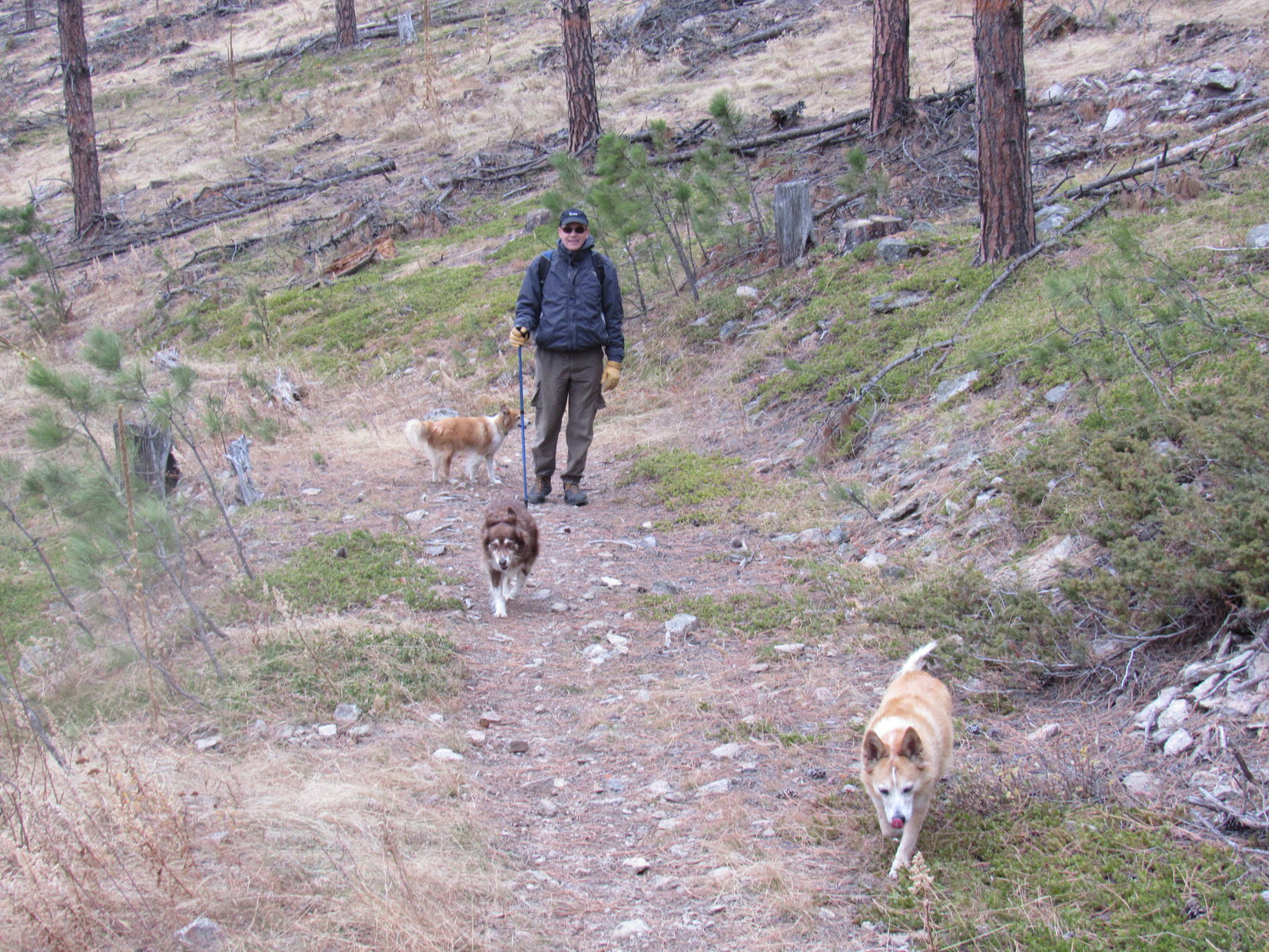
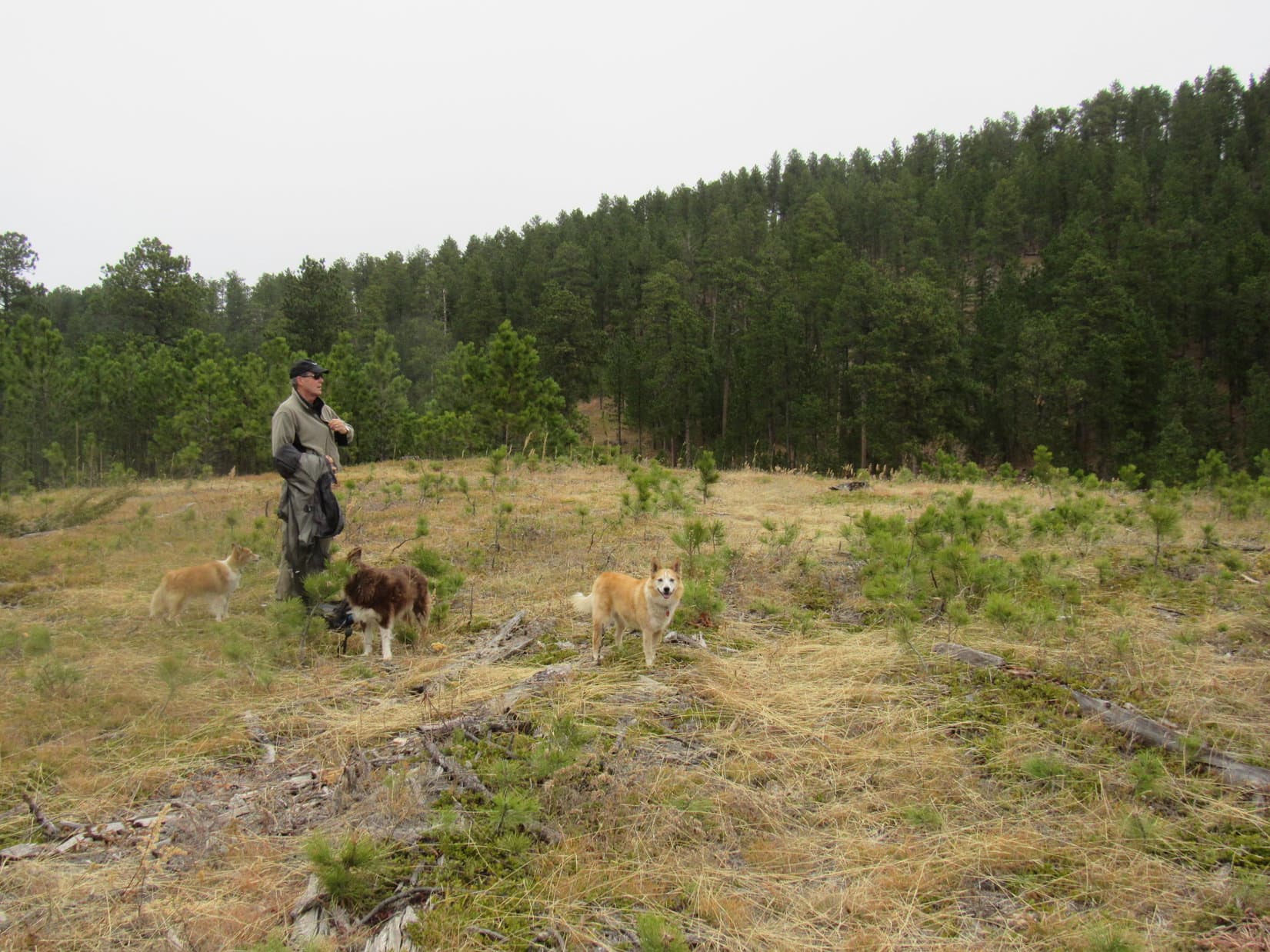
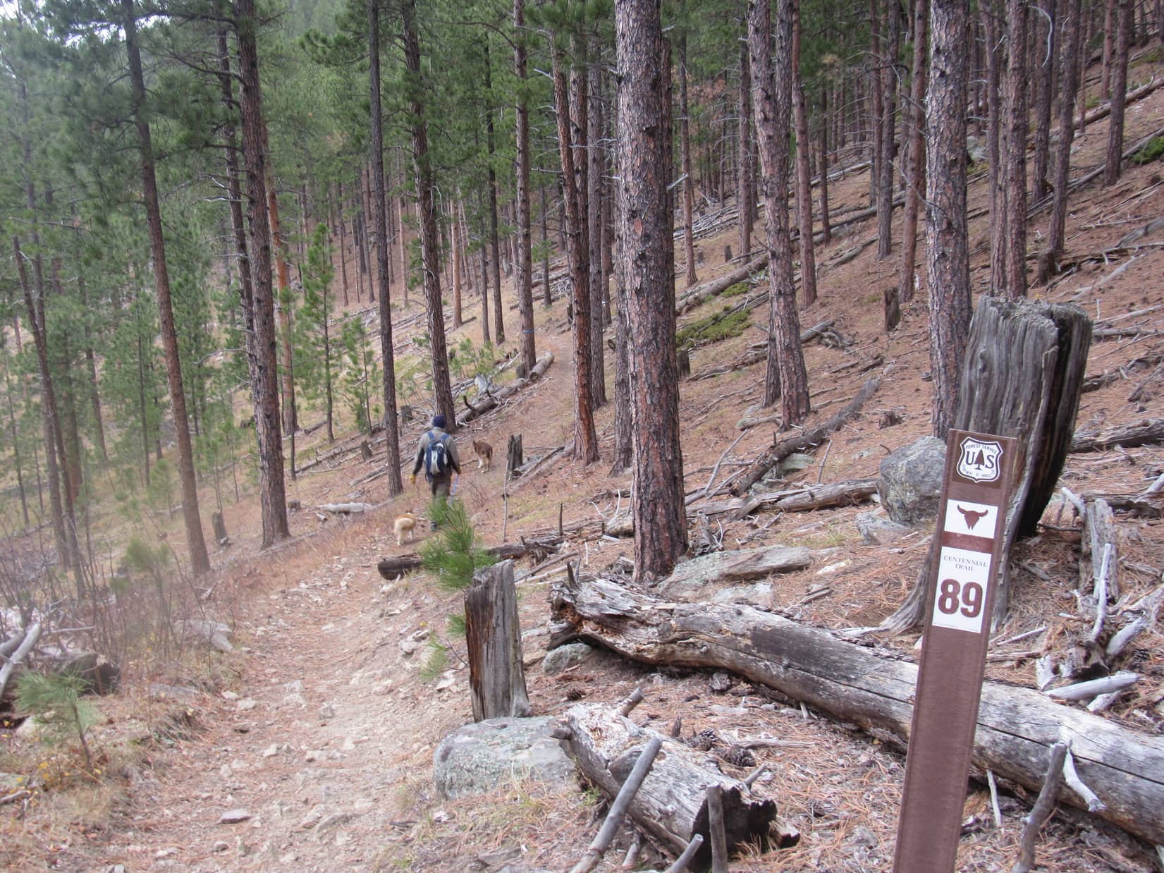
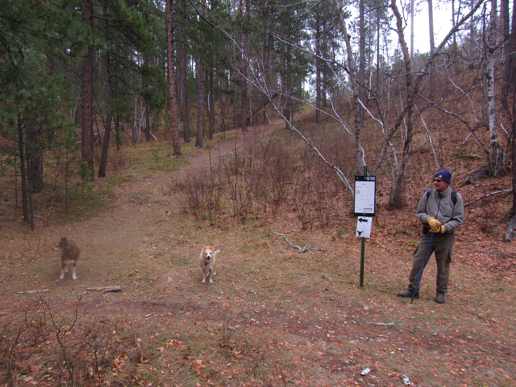
The “Ponderosa Hike” along Centennial Trail No. 89 had worked out so well for new Cousin Laddie and Cousin Dusty yesterday, that SPHP had proposed another jaunt along the Centennial Trail this morning.

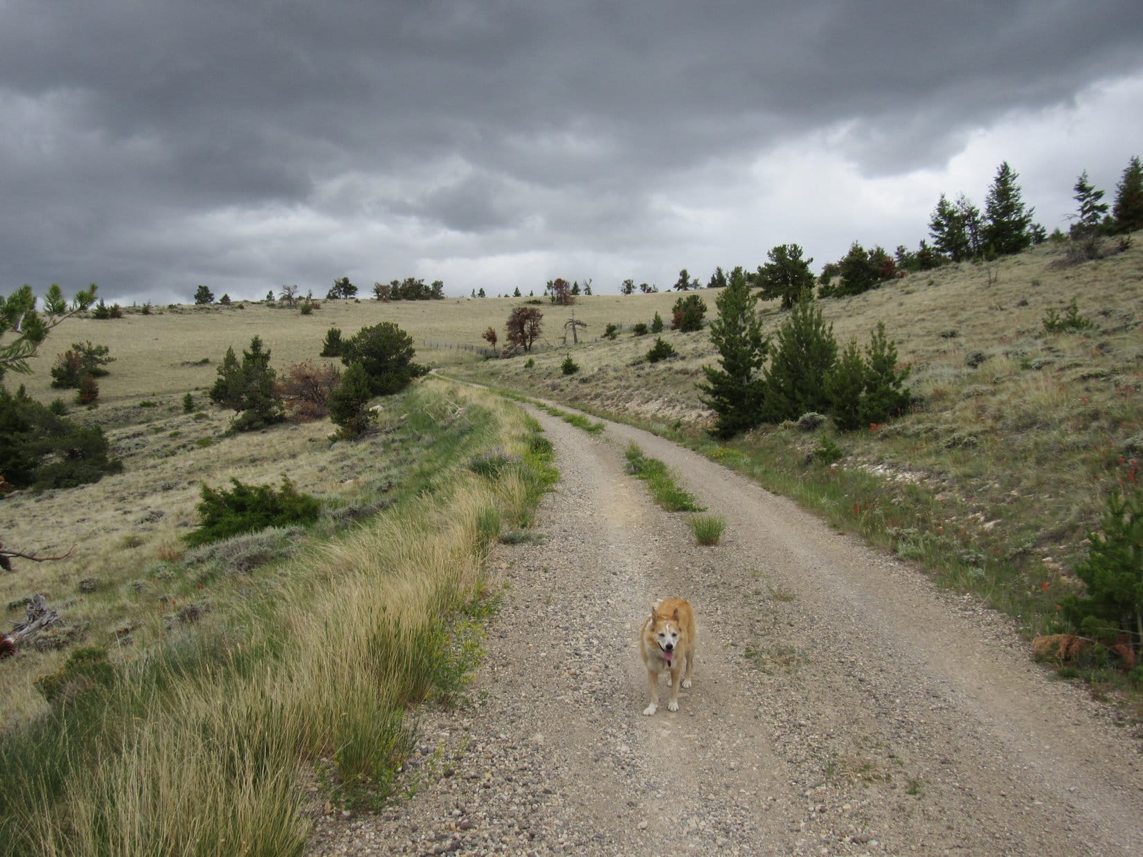
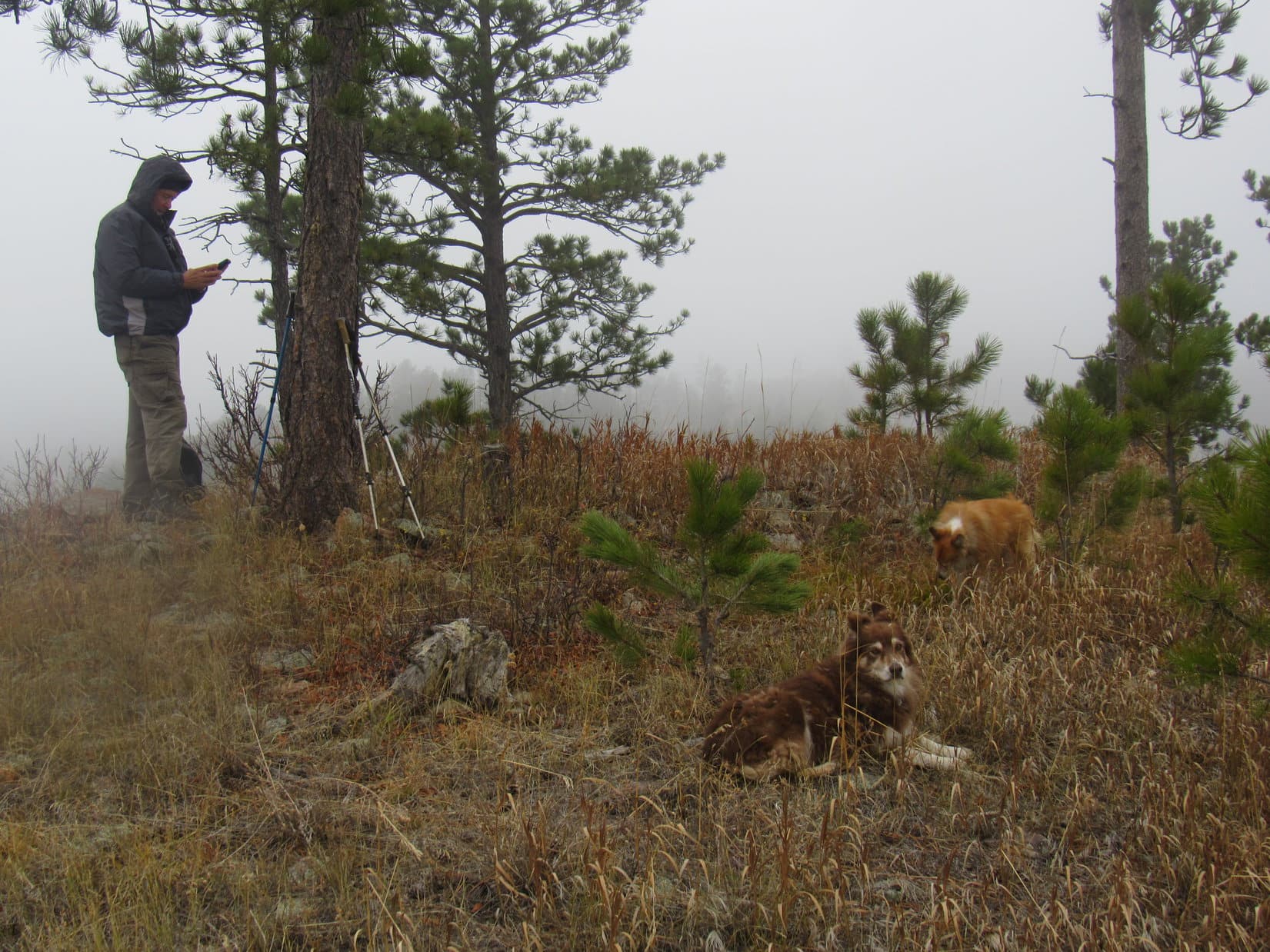
What a difference a day made, though!  Yesterday had been sunny and warm, almost summer.  On the way to the Elk Creek trailhead, Uncle Joe drove under a dark cloud hanging over the hills.  Late fall, maybe even early winter, greeted Lupe as she leapt out of the RAV4.  Definitely on the chilly side!

In fact, it was so chilly that the American Dingo soon leapt right back into the warm comfort of the RAV4, staying there until Uncle Joe and SPHP were ready to hit the trail.

A chilly start at Centennial Trail No. 89’s Elk Creek trailhead.

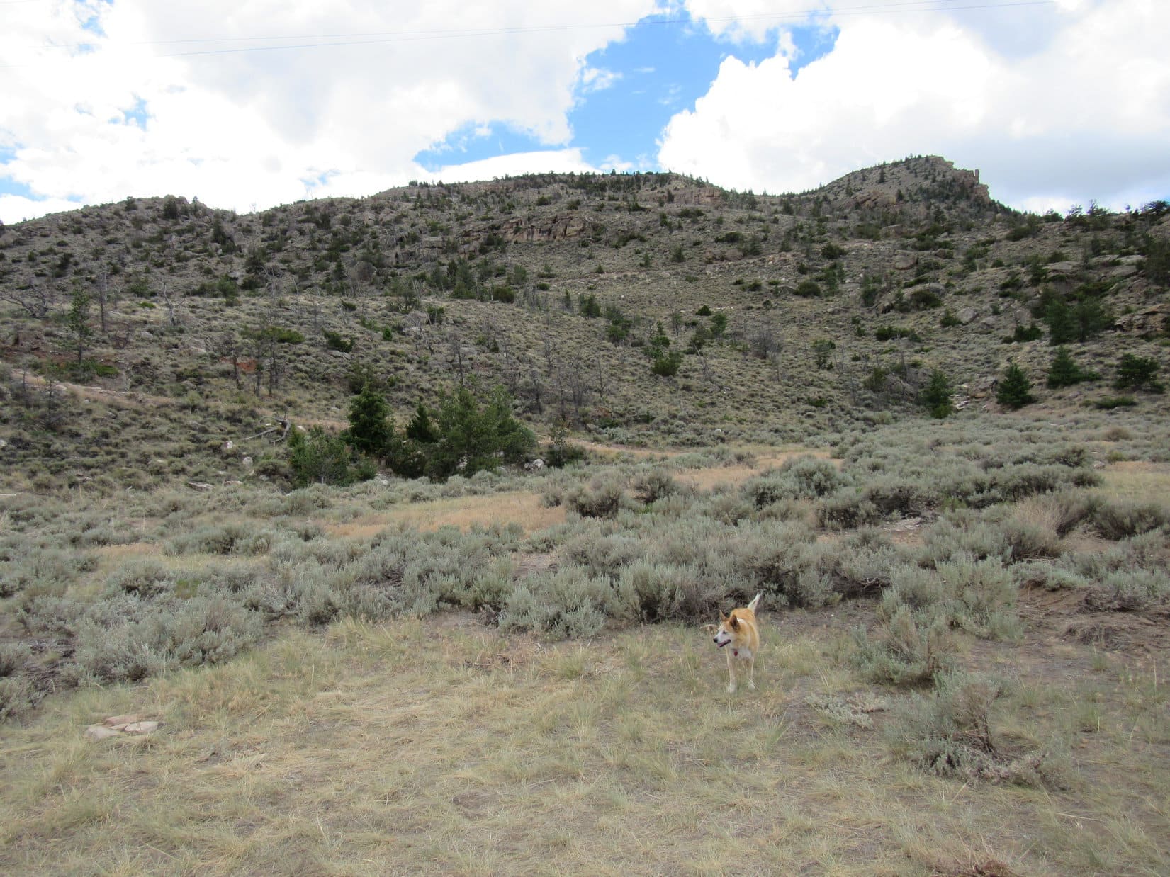
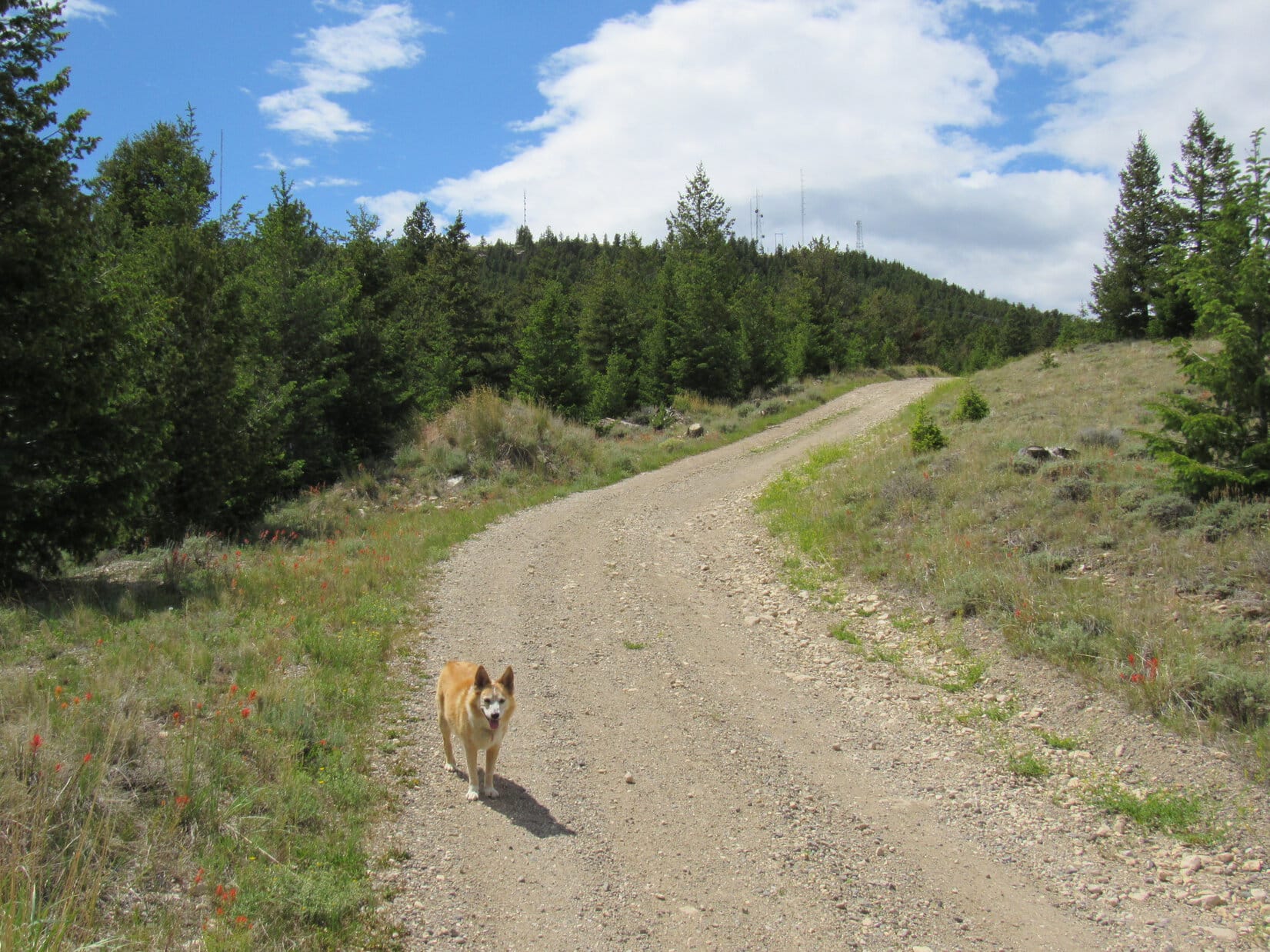
Despite the temperature plunge, everyone was in good spirits!  Soon Loop and Cousin Dusty were leading the way as Centennial Trail No. 89 started NNE up a wooded ravine.  Before long the trail left the ravine, climbing to a flatter region of open pine forest toward the NW.  This flat stretch didn’t last long, either.  The trail began climbing again as it curved up a hillside.

In the open forest, starting to climb again.

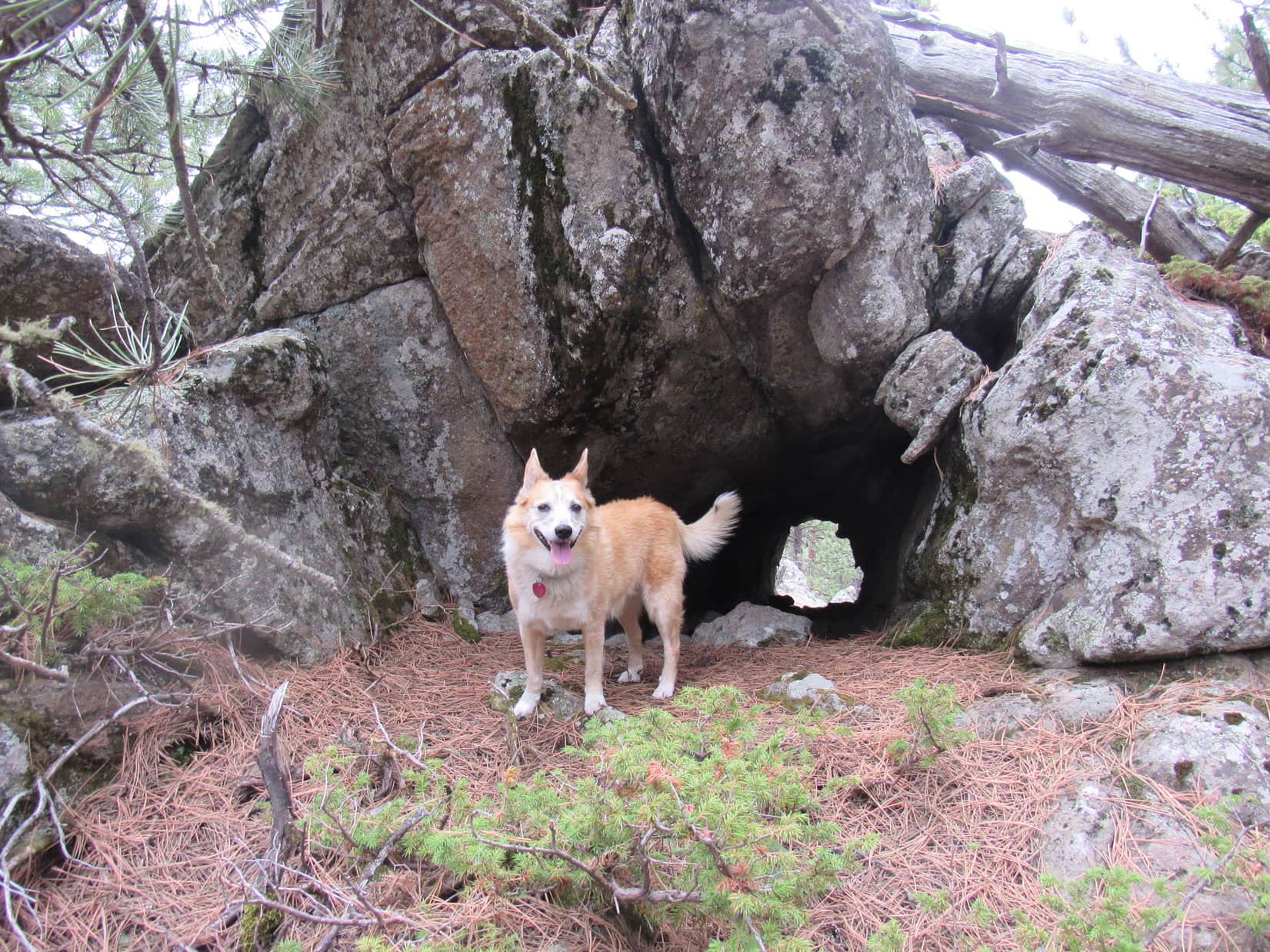
Rounding a sharp bend, the trail resumed a NE course, climbing more steeply.  This turn had scarcely been left behind when Uncle Joe spotted a curious rock formation 200 feet off toward the SE.  Looked like there was a cave over there!  The whole gang ventured over to investigate.

The rock formation proved to be a high point at the end of a small flat region overlooking a forested ravine.  Sure enough, there was a dark opening into the rocks!  While caves aren’t all that unusual in the Black Hills, nearly all of them are found in limestone formations.  These rocks clearly weren’t limestone, so Uncle Joe’s discovery was a rare find.

By the mysterious cave.

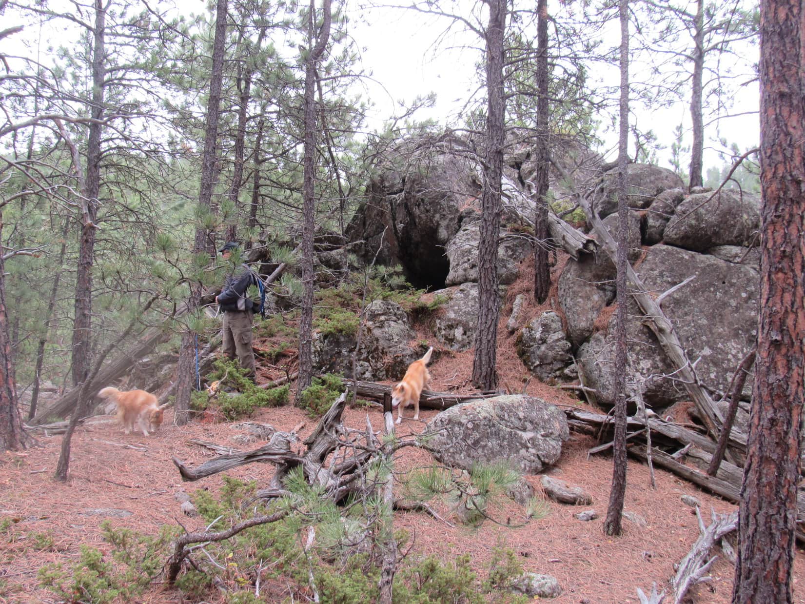
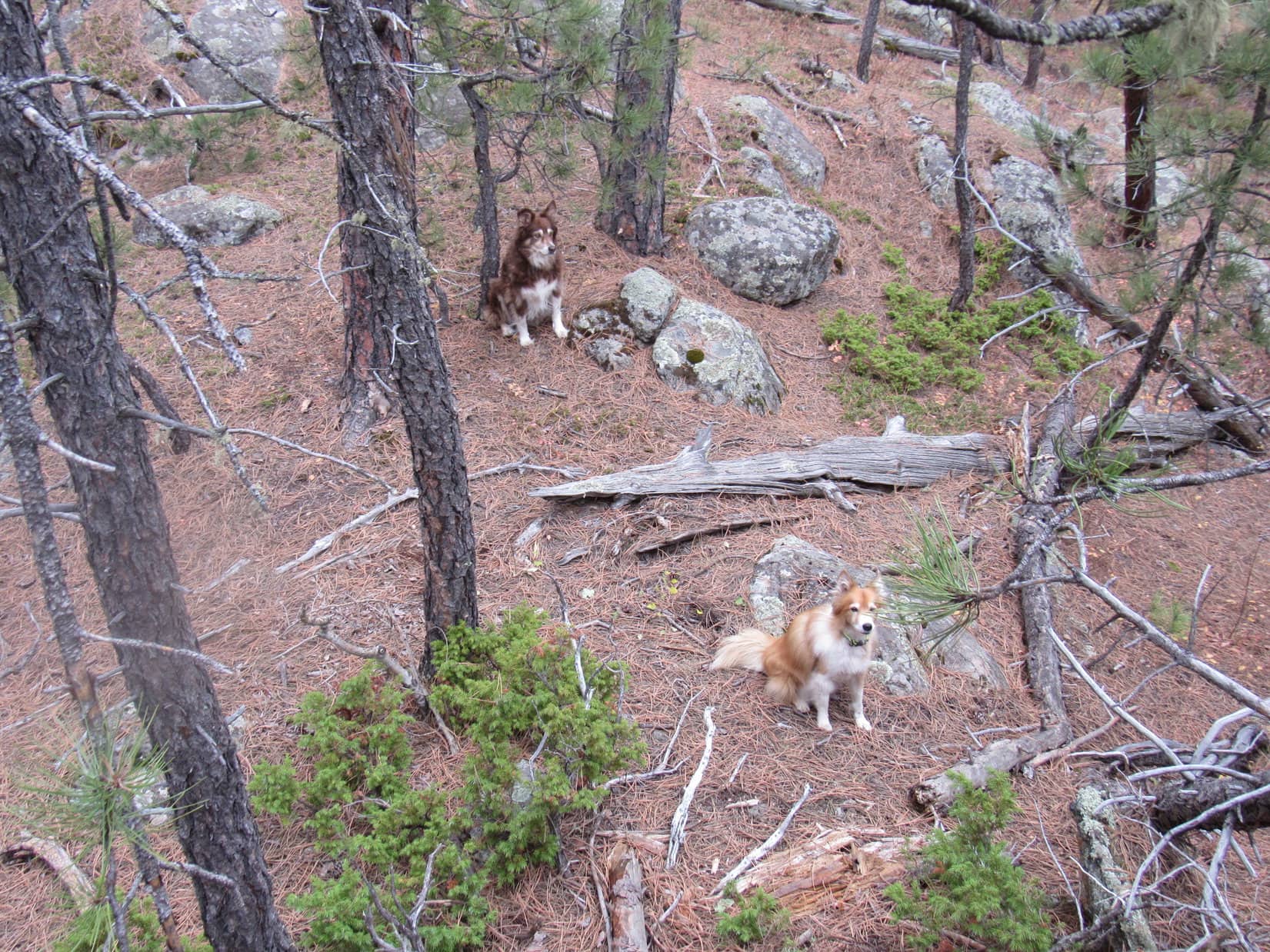
Cousins Dusty and Laddie weren’t inclined to investigate any further.  What if a mountain lion lived there?  Lupe, however, wasn’t worried at all.  Without hesitating in the least, the Carolina Dog went up to peer into the black opening.

Cousins Dusty and Laddie look on, ready to run for it, if Lupe gets eaten by a lion.

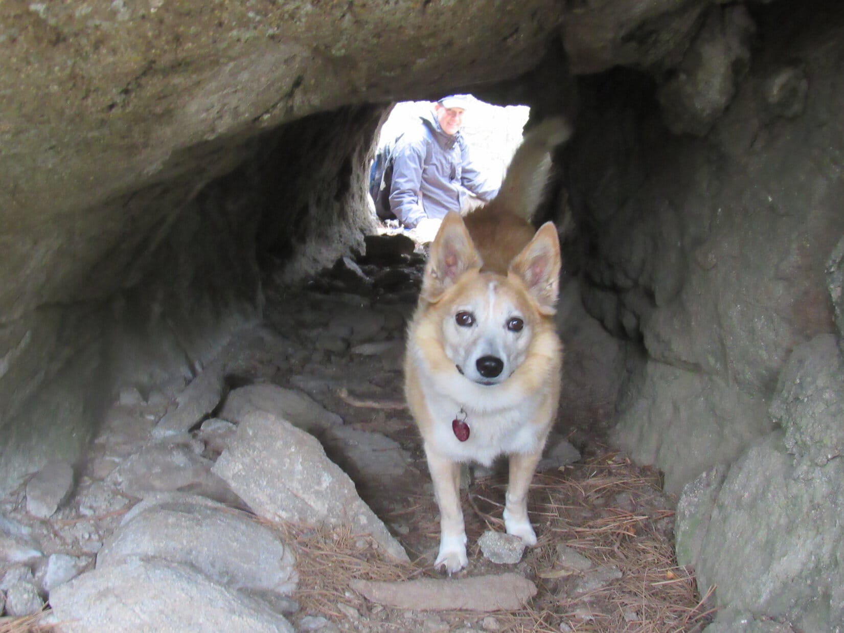
No need to worry about any mountain lions!  If there was one, it’s already escaped out the back.  This isn’t a cave, it’s a tunnel!

Loopster was right!

At the tunnel’s entrance.

A tunnel!  That was really strange.  Uncle Joe and SPHP both took a look.  The tunnel was about 20 feet long, perfectly straight, uniform diameter, and slanted somewhat down toward the S.  Other than a few loose rocks, the bottom was fairly smooth.

The rock formation the tunnel went through looked completely natural, but neither Joe nor SPHP could decide if this tunnel was natural, or not.  If human-made, what purpose had it served?  Dingo-sized, Lupe could have trotted through it with ease, but the tunnel seemed too small for most human projects.  No signs of any other construction were round about.  Odd, very odd.

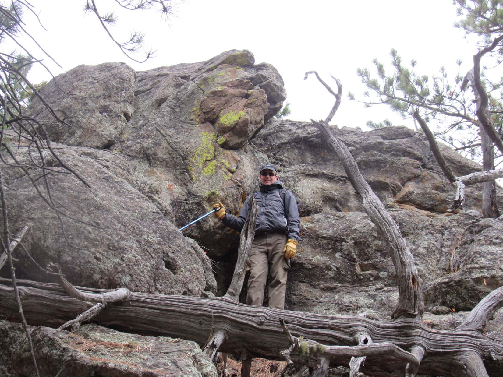
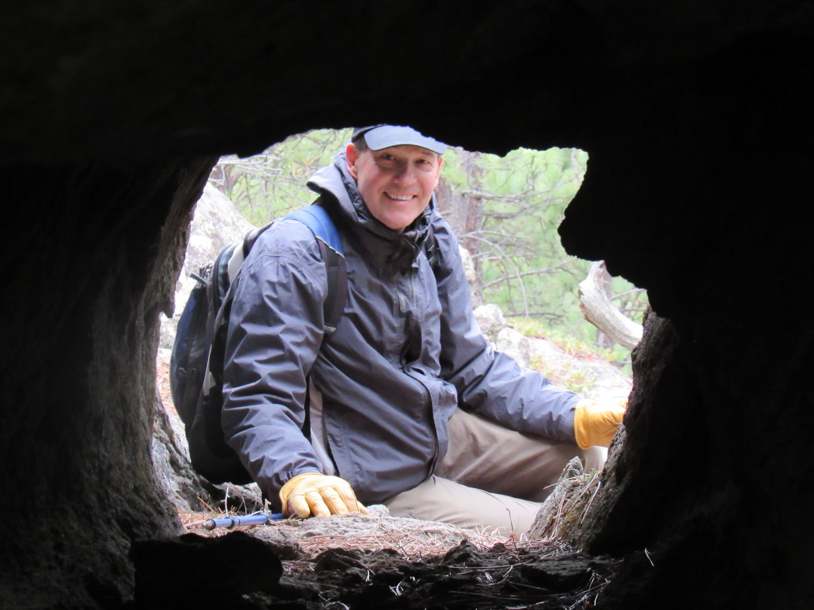
Uncle Joe scrambled around to the back side of the tunnel, which exited the rock formation next to a drop-off.  He then tried to entice Lupe to go through the tunnel to join him.

Maybe even Lupe was starting to get the willies?   The American Dingo entered the tunnel, but even though she could see Joe at the far end, she refused to go all the way through.

Uncle Joe by the tunnel’s exit above the drop-off.
Loop partway in, getting spooked despite Joe’s encouragement to come on through!
Joe framed by the tunnel’s exit.

Whether human-made or natural, the tunnel was so unusual that there seemed to be no explanation for its existence.  Finding no clues, and in case a mountain lion might be on its way back home, everyone returned to Centennial Trail No. 89 leaving the mystery unsolved.

Continuing on, the trail climbed a bit steeply, but soon the slope became much more gradual.  Eventually the trail began curving N.  Abandoning it, everyone headed for a minor ridge to the E for a look around.  Not much to be seen up here, so a shortcut was taken down a slope to the N to rejoin Centennial Trail No. 89 at a saddle where it crossed unmarked USFS Road No. 169.

Up on the minor ridge. HP5141 (R). Photo looks N.

After crossing the road, the trail began angling WNW along the SW slopes of HP5141.  Before Centennial Trail No. 89 headed back into the forest, there was a bit of a view of hills to the NW, their tops softened and blurred by the low hanging clouds.

N of USFS Road No. 169. Photo looks WNW.

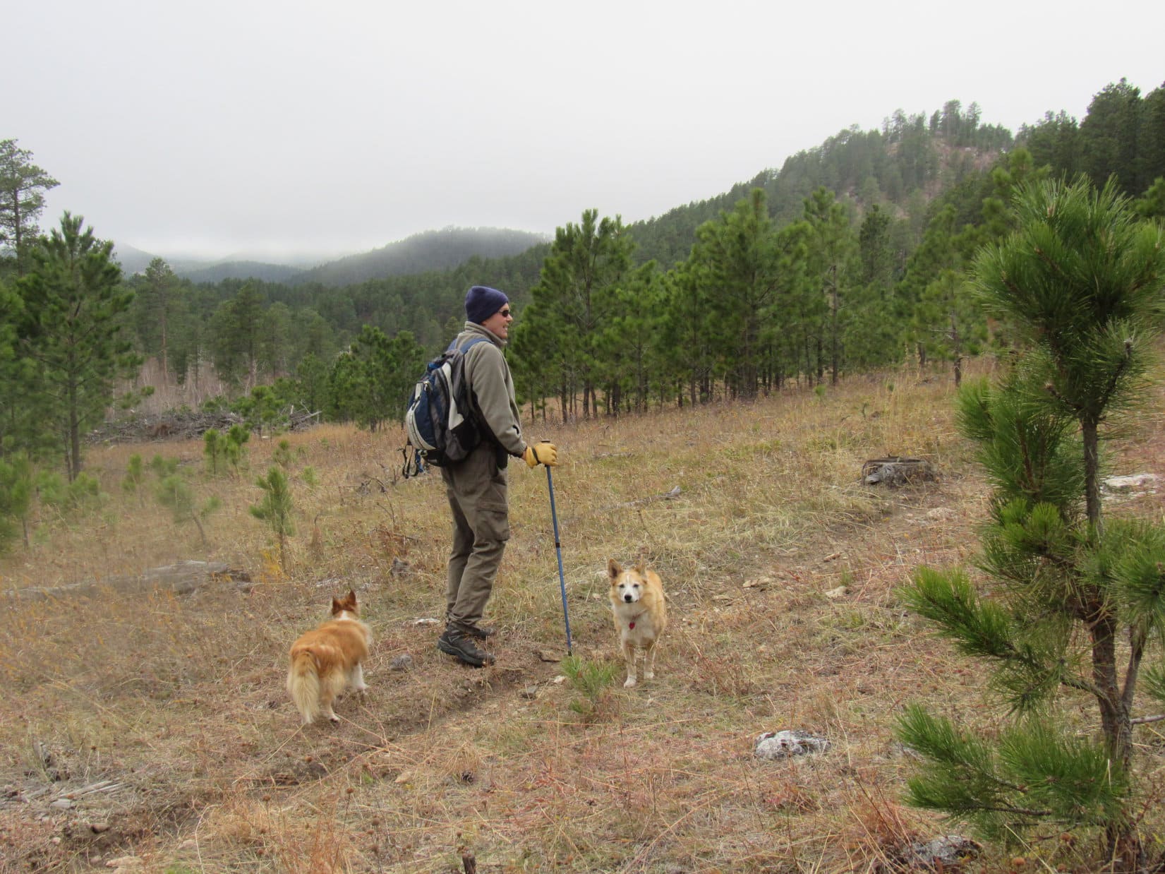
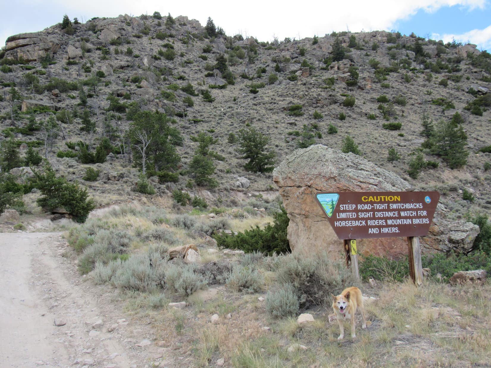
0.25 mile beyond USFS Road No. 169, a small clearing was reached at a second pass between HP5141 and HP5212.  A sign indicated that it was a mile back to the Elk Creek trailhead.  The trail continued W from here traversing a steep slope, but remained fairly level.

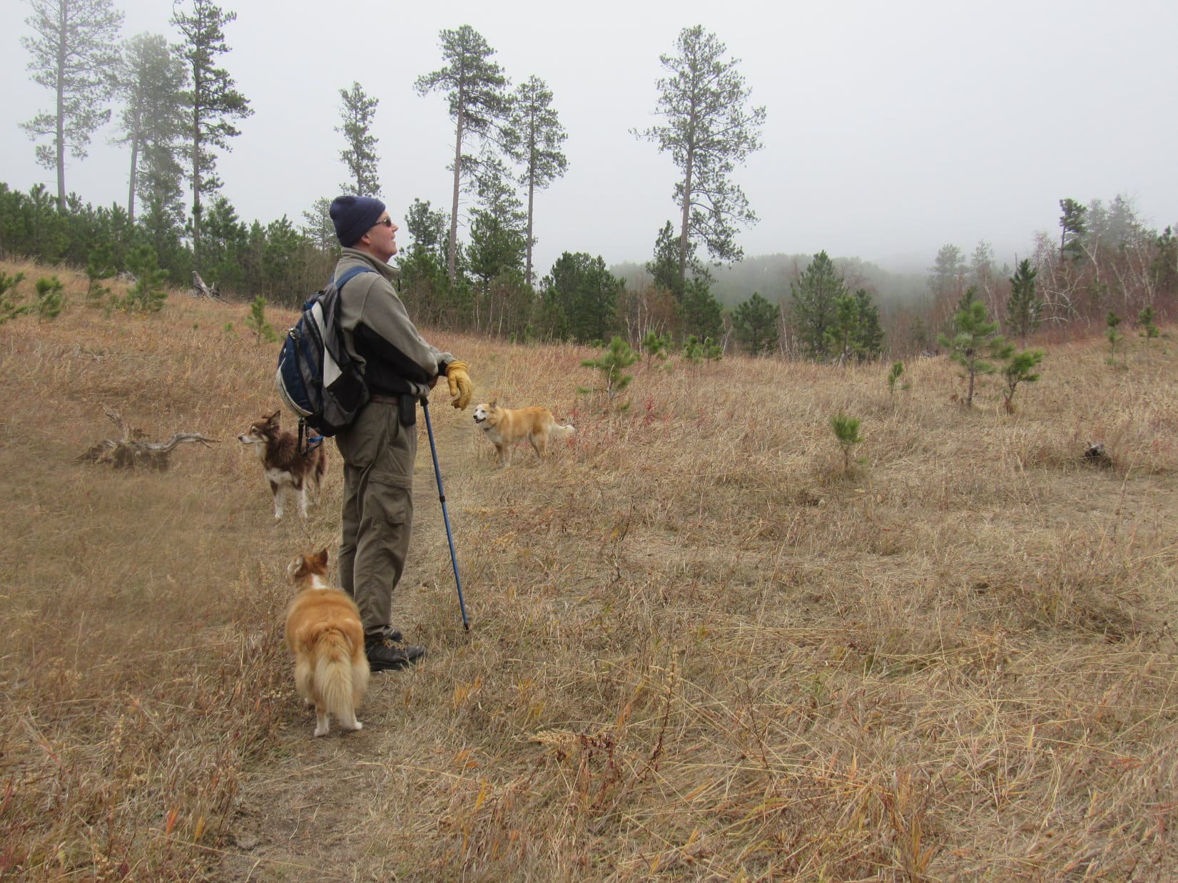
Once past the S end of HP5212, Centennial Trail No. 89 gradually began to curve N.  The trail first lost, then regained some elevation, eventually going over another minor pass.  Meanwhile, the sky was darkening as the gray clouds blanketing the region slowly crept down the hillsides.

Dusty, Joe, and Laddie leading the way SW of HP5212. Photo looks NW.

Getting colder out!  A barely detectable mist began.  The trail widened as it reached an old roadbed.  Patches of snow left over from a prior storm added to an increasingly wintery feel.

Patches of snow added to a wintery atmosphere as the sky darkened and a light mist began.

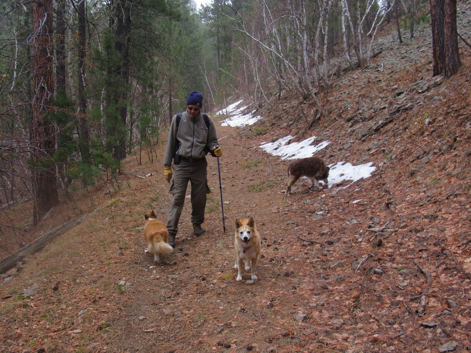
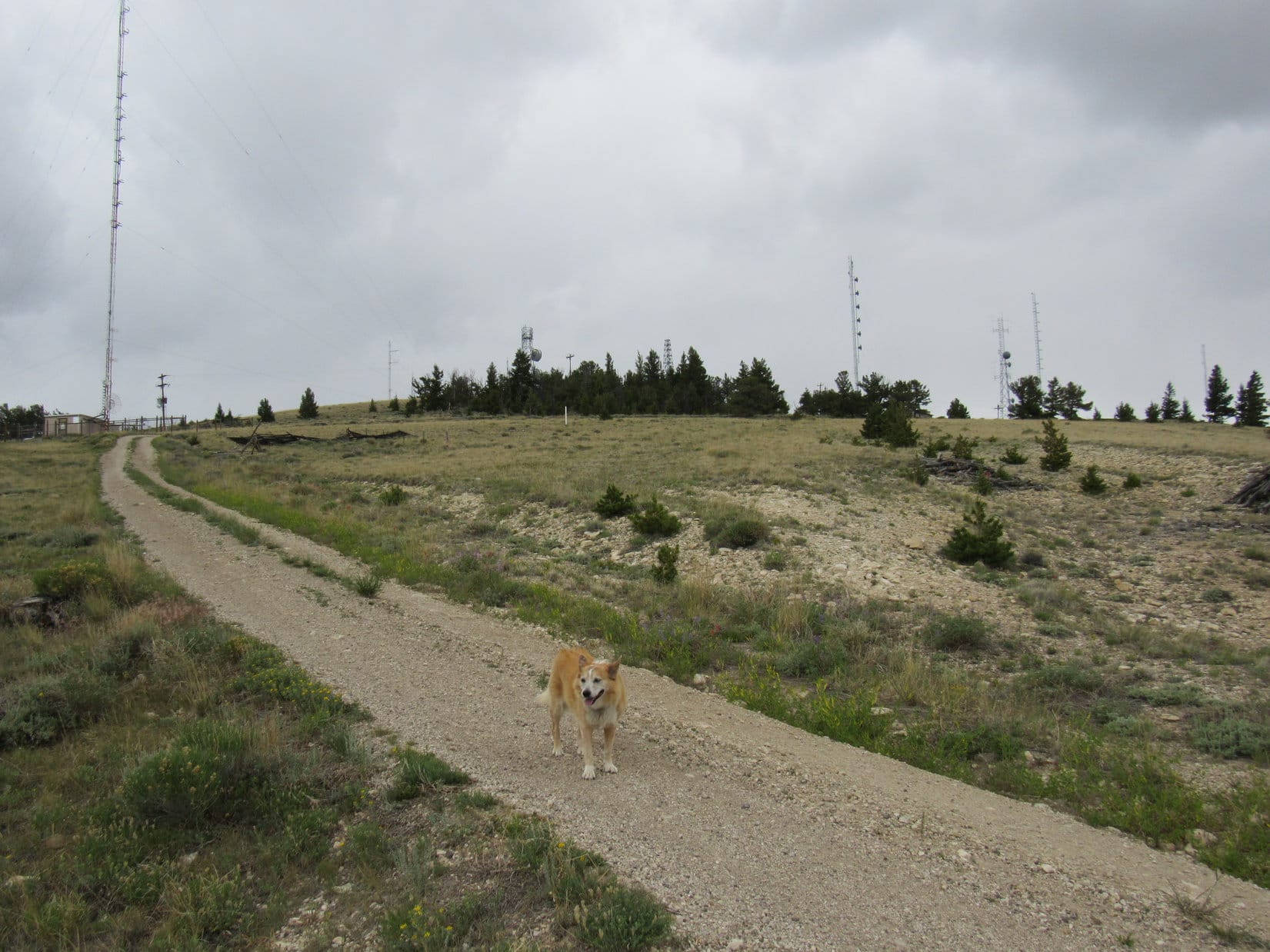
Winding along the mountainside, the trail continued N.  Uncle Joe began to wonder if maybe it wasn’t getting to be time to turn back?  However, Lupe had been here before.  SPHP was convinced that it wasn’t much farther to a junction with a trail that went to the Sturgis Reservoirs, and that junction was very close to Peak 5261, today’s peakbagging objective.

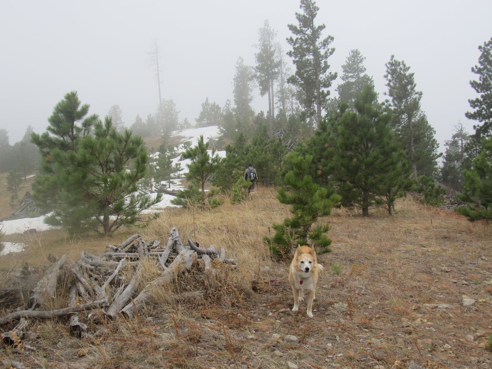
The chilly march went on and on.  The trail junction was farther than SPHP remembered, but it finally appeared.  From here, Centennial Trail No. 89 curved E, climbing 60 feet up to a broad grassy pass.

At the junction with the trail to the Sturgis Reservoirs. Centennial Trail No. 89 continued up to the R (E) from here. Photo looks NE.
Up at the pass N of Peak 5261. Photo looks SE.

Peak 5261 was only 0.2 mile S of this pass.  The trail didn’t go up there, but the N slope was only moderately steep.  Cousins Dusty and Laddie couldn’t get this close and not go to the top to claim their Peak 5261 peakbagging success, could they?  That would be a shame!

Peak 5261 from the pass. Nothing to it! Photo looks S.

Following a long snowbank, Lupe started up first, leading the way.

Heading up Peak 5261. Photo looks S.

Peak 5261’s summit was only 120 feet higher than the pass.  Soon the N slope was leveling out.  The top of the mountain could be seen a short distance ahead.

Peak 5261’s summit region. Joe heading for the true summit. Photo looks S.

Of course, everyone got there.  Cousins Dusty and Laddie secured their second Black Hills peakbagging success in two days.  Unfortunately, this ascent wasn’t as successful in other respects.  Cold and foggy with a chill, damp breeze, conditions were none too pleasant.

Back at home this morning, the day had been sunny and bright.  SPHP had chosen this destination partly because getting here wouldn’t be too hard for Cousin Dusty, who was now 15, but also in part for the views of Custer Peak (6,804 ft.) and Bear Butte (4,422 ft.).  Cousin Dusty had made it, but the views were a disappointing no show.

We made it, but the views didn’t! Sorry about that! Joe and Lupe at Peak 5261’s summit.
Joe strikes a dramatic pose pointing out the fabulous display of nothing but fog while Lupe and Laddie gather round.

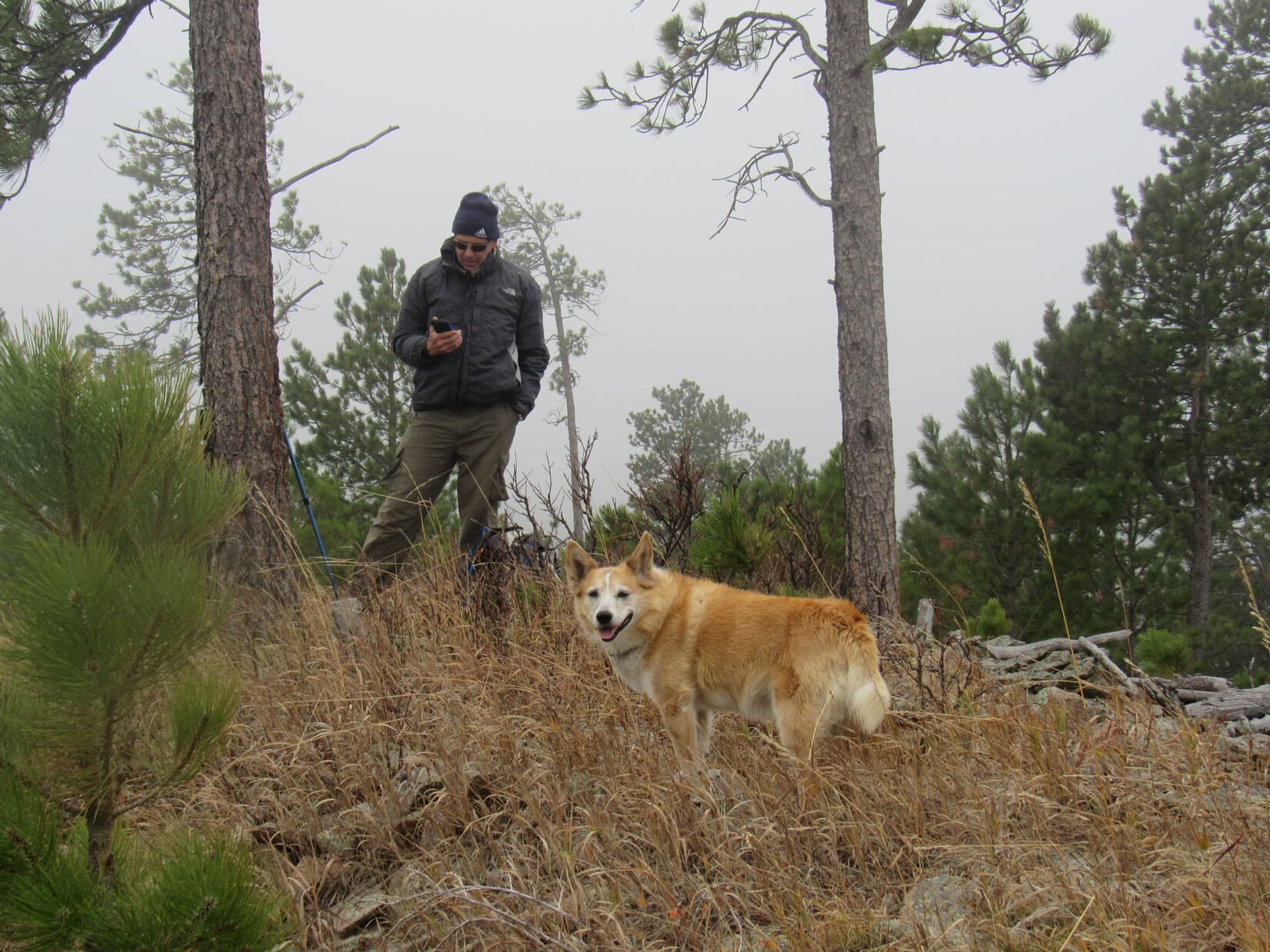
Too miserable out to linger!  Plans for a summit celebration involving chocolate coconut bars, Kinkaid bars, and apples were cancelled.  A few minutes at the top, and the whole pack headed back down Peak 5261’s N slope to pick up Centennial Trail No. 89 again.

Merely a postponement!  The Peak 5261 ascent celebration actually did come off due to popular demand a mile later at a more sheltered spot.  Not to be denied, Lupe, Dusty and Laddie all got their chocolate coconut bar rewards.

Then it was back through the wintery fog, all the way past the Tunnel of Mystery to the Elk Creek trailhead.

Tomorrow was Halloween!  Sadly, Uncle Joe, Dusty and Laddie would all be heading back home to Colorado.  Meeting cousin Laddie and getting to introduce him to the Black Hills had been fun, and it had been terrific to hit the trail with Joe and Dusty again.

Joe, Dusty, and new cousin Laddie on Peak 5261, Black Hills of South Dakota 10-30-21

Links:

Next Black Hills Expedition                       Prior Black Hills Expedition

Black Hills, SD Expedition No. 274 – Centennial Trail No. 89: Elk Creek to Alkali Creek (4-10-21)

Centennial Trail No. 89 Brochure & Map

Want more Lupe adventures?  Check out Lupe’s Black Hills, SD & WY Expeditions Adventure Index, Master Adventure Index, or subscribe free to new Lupe adventures!

Cedar Mountain, Absaroka Range, Wyoming (6-26-21)

Day 5 of Lupe’s 2nd Summer of 2021 Dingo Vacation to Wyoming!

Six miles up the spectacular Shoshone River canyon W of Cody, the RAV4 emerged from the last of 3 tunnels along Hwy 16/20/14.  Immediately off to the L was the Buffalo Bill Dam Visitor Center.  SPHP drove another couple of miles to the first pullout along the big reservoir.

C’mon, Looper!  Let’s have a look at Cedar Mountain (7,880 ft.)!

Happy to escape the RAV4 for a while, Lupe accompanied SPHP down to Buffalo Bill Reservoir’s shoreline, a rocky beach littered with driftwood bleached white by the sun.  The beautiful lake consisted of two big arms, one extending miles W near the highway and another off to the S.

Along the E shore loomed a mighty triangular-shaped mountain, it’s rugged W face composed of a series of cliffs overlooking the lake.

Cedar Mountain from the N shore of Buffalo Bill Reservoir. Photo looks E.
Buffalo Bill Reservoir. Sheep Mountain (7,892 ft.) (L). Photo looks WSW.

That’s Cedar Mountain, SPHP?

Sure is, Loop!  Don’t worry, though.  We won’t be going up that way! 

As waves rolled in, the Carolina Dog enjoyed a sniff along the N shore before SPHP suggested checking out the visitor center.  10 minutes later, Lupe was hopping out of the RAV4 at a paved parking lot right across a narrow channel from Cedar Mountain.  The visitor center was a short stroll away.

Setting out for the visitor center. Photo looks NE.
The channel leading back to the main part of the lake from the dam. Lower slopes of Cedar Mountain (L). Photo looks WSW.
Approaching the Buffalo Bill Dam visitor center. Photo looks NE.

The visitor center was not Dingo friendly, but Lupe was free to look around outside.  A walkway over the dam, which was right next to the visitor center, provided a stunning view of the Shoshone River canyon.

Near Buffalo Bill Dam and the visitor center. Cedar Mountain (R). Photo looks E.
Shoshone River canyon from the walkway over the dam. Photo looks NE.

It’s all very scenic, SPHP!  Wonder what the views are like from way up on Cedar Mountain?  Must be incredible!

Oh, I bet they are, Loopster!  Let’s go find out!

Driving E back down the Shoshone River canyon into Cody, SPHP missed the sign for Spirit Mountain Road, mostly likely because there wasn’t one.  The turn eventually proved to be about 2 miles W of Walmart, on the L (S) from that direction, just before Cedar Mountain Trail Rides.  SPHP parked the RAV4 at a large trailhead 150 feet from the highway.

Cedar Mountain Trail Rides, on the L (S) side of Hwy 16/20/14 heading W out of Cody, is just past the L turn onto Spirit Mountain Road. Photo looks WNW.
At the trailhead. Photo looks SW.

11:59 AM, 67ºF – Ready to go!  The American Dingo left the trailhead on a dusty path which soon joined an even dustier trail used by the trail ride horses.  Cedar Mountain’s lower slopes were sparsely dotted with cedars, alright, but Sagebrush Mountain might have been a better name.  The horse trail quickly led to Spirit Mountain Road, which could be seen switchbacking ever higher up the NE slope.

Setting out for Cedar Mountain! Photo looks SW.
Sign passed early on along Spirit Mountain Road.

The road hike wasn’t very exciting, but at least it was easy, just a steady climb winding up the mountain.  The predominate sagebrush didn’t block the views, which inevitably improved as Lupe trudged higher.  Cumulus clouds sailed overhead providing shade, but whenever the sun came out, so did the Carolina Dog’s tongue.  Starting to get hot!

At a sharp turn where there were some rock formations, Lupe left the road for water promised by SPHP and a look around.  Nearby, stretches of the Shoshone River could be seen.  McCullough Peaks (6,547 ft.) were visible off to the NE beyond Cody.  The most dramatic view was due N of Heart Mountain (8,123 ft.).

McCullough Mountains (Center) beyond Cody. Shoshone River (L). Photo looks NE.
Heart Mountain (Center). Photo looks N with help from the telephoto lens.
Spirit Mountain Road from near the first rock formation viewpoint. Photo looks W.

Continuing on, the day grew sunnier.  Loopster plodded along behind SPHP, panting hard, clearly not too into this baking hot trek.  Whenever SPHP paused for a look at the tremendous views or to gasp for air, the Carolina Dog sought the shade of the nearest cedar tree.

After many switchbacks, the road straightened and leveled out.  Towers could be seen ahead up on Cedar Mountain’s E summit.  It wasn’t much farther to a vacant parking area near a trail to Spirit Mountain Cave.

Towers on Cedar Mountain’s E summit (Center) appear ahead as Spirit Mountain Road finally begins to level out. Photo looks SW.
Sign at the start of the Spirit Mountain Cave trail. Photo looks W.

A key had to be acquired in advance in order to visit Spirit Mountain Caverns.  Since SPHP hadn’t bothered to get one, there was no point in taking this side trail.  Looper continued along the road.  Soon she came to another vacant parking area near a blue gate.

This blue gate was as far as the public was supposed to drive along Spirit Mountain Road.  Beyond this gate were 2 miles of private property.  It was SPHP’s understanding that continuing on paw was acceptable, as long as one stayed on the road.  In any case, the gate was standing wide open when Lupe reached it.

At the blue gate.

The American Dingo pressed on, coming to a brown gate, also open, 15 minutes later.  Beyond the brown gate the road resumed its climb.  Lupe passed through a short stretch of much thicker cedar forest.  Beyond the forest, she entered more open territory again.  This region was grassier with far less sagebrush.

By now, Lupe was getting quite high on the mountain.  A short break was taken beneath a big cedar tree near a sharp bend in the road.  Water and a shared chocolate coconut bar.  Clouds were again providing relief from the sun, but these clouds were darker, and so many had moved in that the weather suddenly seemed iffy.

By a nice clump of orange Indian paintbrush.
At the brown gate.
Beyond the first dense stretch of cedar forest.

However, the sky brightened again.  Loopster kept going.  The towers of Cedar Mountain’s E summit came back into view, still several hundred feet higher.  Lupe passed a house on the R before reaching a green gate.  It was open, too.

Towers ahead again! Getting closer to the E summit. Photo looks W.
At the green gate.

Shortly after passing the green gate, Loopster started coming to the first of many towers scattered over the E summit region.  The weather now seemed ominous.  The sky had darkened again, and a strong breeze blew out of the NW.  Rain, possibly hail, appeared imminent.  Hurrying on, SPHP looked for shelter.

A gray concrete block building appeared on the L just prior to a fork in the road.  Looked like it would do in a real emergency, but things weren’t that dire yet.  Staying L at the fork, Lupe went a bit farther, ultimately seeking refuge in another patch of cedar forest as a gale suddenly swept over Cedar Mountain.  Huge raindrops pelted Loopster as she reached the trees in the nick of time.

Approaching the first towers of the E summit region.

Or so it seemed.  Not really, though.  No sooner had the Carolina Dog reached the forest, which was a little way from the road, than the storm passed.  The rain stopped.  The wind died away.  A squall, nothing more.

That’s it?  Hah!  I thought we were in for it, Loopster!

Maybe we ought to hang out here for a while yet, SPHP.  Just to make sure we’re in the clear again.

I suppose that makes some sense.  Sure, why not?

Another chocolate coconut bar would help to pass the time, SPHP!  Got any more?

Oh, I see!  Yes, but we only have one left.  Don’t you want to save it for the summit?

No.

Silly me.  Asking questions I already know the answer to.

The last chocolate coconut bar helped to pass all of about 10 seconds, and that only because SPHP took 9 to tear it into bite-sized pieces rather than one great wolf-it-down gulp.  Re-energized, Lupe returned to the road.

A couple more towers passed shortly after the demise of the last chocolate coconut bar.

Although Cedar Mountain’s E summit region incorporated quite a large area, Lupe didn’t have much farther to go to get to the top.  After passing W through another stretch of forest, the road climbed a small rise.  Here, several more towers and sheds were scattered along a narrow ridge.

A small rock outcropping proved to be the high point.  For the first time during her ascent, Lupe had a view to the W, quite a spectacular one overlooking the Shoshone River canyon and the N shore of Buffalo Bill Reservoir.  Rattlesnake Mountain (9,116 ft.) was just across the canyon, and Trout Peak (12,244 ft.) was visible among others on the horizon.

Cedar Mountain’s true summit, still 0.75 mile off to the WSW, was now in sight, too.

Near the E summit’s high point. West (true) summit (L). Photo looks WSW.
At the E summit’s high point. Photo looks W.

The best view was from the E summit’s far W end, only a short distance past the high point.  The road went right to it.

True summit (L), Buffalo Bill Reservoir (Center) from the W end of the E summit. Photo looks W.
Buffalo Bill Reservoir (L), Trout Peak on the horizon (R), Rattlesnake Mountain (far R). Photo looks WNW.

From this grand viewpoint, the road went S down a steep open slope, then turned WSW toward the W summit.  Lupe lost 250 feet of elevation before the road bottomed out in yet another forest and began to climb again.  At the very end, a shorter steep slope led to a collection of small antennas.

On the way to the W (true) summit.
Approaching antennas at the end of the road. Photo looks W.

The true summit of Cedar Mountain (7,880 ft.) was a 12 foot diameter platform of rock just beyond the antennas.  The views of Buffalo Bill Reservoir 2,500 feet below, and the mountainous territory beyond it were stupendous!

Buffalo Bill Reservoir from Cedar Mountain’s W (true) summit. Photo looks WSW.
Looking SSW.
Trout Peak (L) on the horizon. Rattlesnake Mountain (R). Photo looks NW.
A glance back at the E summit (Center). Photo looks ENE.

A 20-25 mph NW wind was sweeping over the exposed platform when Lupe arrived.  Clouds raced by, but except for occasional stronger gusts, the weather never really threatened again.  Loop didn’t care for the wind at all, and spent nearly her entire summit hour either hunched down on the rock, or curled up on SPHP’s lap.  Most of the time she was in shadow, but there were moments of sunshine, too.

Relaxing at the true summit. Photo looks W.
W arm of Buffalo Bill Reservoir. Photo looks W.
S arm. Photo looks SW.

High plains to the SE.
Heart Mountain. Photo looks N with lots of help from the telephoto lens.

Cedar Mountain was an awesome vantage point, but the NW wind was relentless.  Lupe was ready when it was time to go.  The American Dingo had one more thing to do up here, though!  She was all the way back at the fork in the road at the E summit, when SPHP had a surprise for her.

Final moments at the true summit. Photo looks WSW.

Loopster, want to see a buffalo?

A buffalo?  Up here?  Sure!

Taking the fork to the R (N) that Lupe hadn’t explored earlier on the way up, it was less than 0.2 mile to a tombstone near cliffs overlooking the Shoshone River canyon.  Nearby, on a platform of rock at the brink of the precipice, a buffalo stood alone in a gale.

A white buffalo!  You were right, SPHP!

Awe and a touch of trepidation soon turned to disappointment when the buffalo did nothing, and a cautious sniff test subsequently revealed it to be a mere statue, not the real thing.  In fact, the poor buffalo was a little worse for the wear, missing its horns and in need of fresh paint.  Still it was a pretty cool buffalo, and certainly enjoyed a magnificent view.

At the E summit fork in the road. The R fork heads for the buffalo. Photo looks NNW.

By the white buffalo of Cedar Mountain. Heart Mountain (R) in the distance. Photo looks NNW.

Next to the buffalo, at the base of the platform, was a green metal box.  Opening it, SPHP found another box of orange plastic tucked into foam padding.  This box contained an elegant leather bound registry.  Due to the fierce wind, SPHP read only one or two entries before adding Lupe’s name, and putting it all away again.

The fancy registry in the orange-tinted plastic box.

So, who was Breck Moran, SPHP?  Was he a friend of the buffalo?

Don’t really know much about Mr. Moran, Loop.  Says here that he was a crusader for Wyoming’s development.  The buffalo is actually in honor of Buffalo Bill, who founded the town of Cody among many other exploits during a long, adventurous life.

So, Buffalo Bill was a friend of the buffalo?

No, not really.  He was a famous buffalo hunter who killed thousands of them to supply Kansas Pacific Railroad workers with meat in the late 1860’s.  But he must have liked buffalo.  His 1906 will said he wanted to be buried up here on Cedar Mountain with a statue of a buffalo.  However, in 1917, Buffalo Bill died while on a trip to Colorado, and his wife had him buried on Lookout Mountain (7,374 ft.) in Golden instead.

So, Buffalo Bill liked buffalo, but killed thousands of them?  That doesn’t make any sense, SPHP!

Humans can be funny that way, Loopster.

Funny peculiar, maybe, SPHP!  Not funny haha, especially for the buffalo!

Think of Buffalo Bill and the buffalo like Dingoes and squirrels.  You love squirrels, but if it weren’t for trees, you’d be known as Squirrel Loop!

Evidently the American Dingo wasn’t sure what to say to that.  She made no response.  Taking leave of the white buffalo on it’s windy platform with the spectacular view high on Cedar Mountain, perhaps it was food for thought as Lupe returned to the road and started the long, winding trek back down to the RAV4.  (End 8:01 PM, 75ºF).

Buffalo Bill Reservoir from Cedar Mountain, Absaroka Range, Wyoming 6-26-21

Links:

Next Adventure                             Prior Adventure

Want more Lupe adventures?  Choose from Lupe’s Summer of 2021 Dingo Vacations to New Mexico, Wyoming & the West Coast Adventure Index, Dingo Vacations Adventure Index or Master Adventure Index.  Or subscribe free to new Lupe adventures.