Days 11 & 12 of Lupe’s 1st Summer of 2021 Dingo Vacation to New Mexico!
5-18-21, evening –
Stopped raining, SPHP!
Your point, Loop?
Can we go for a walk?
Oh, I suppose. Why not?
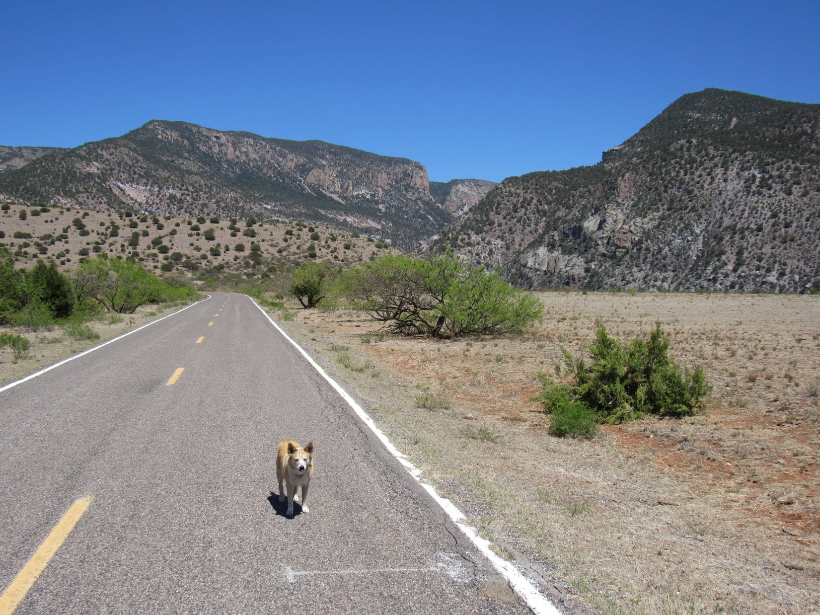
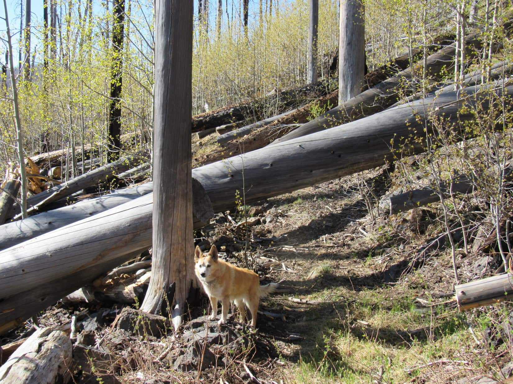
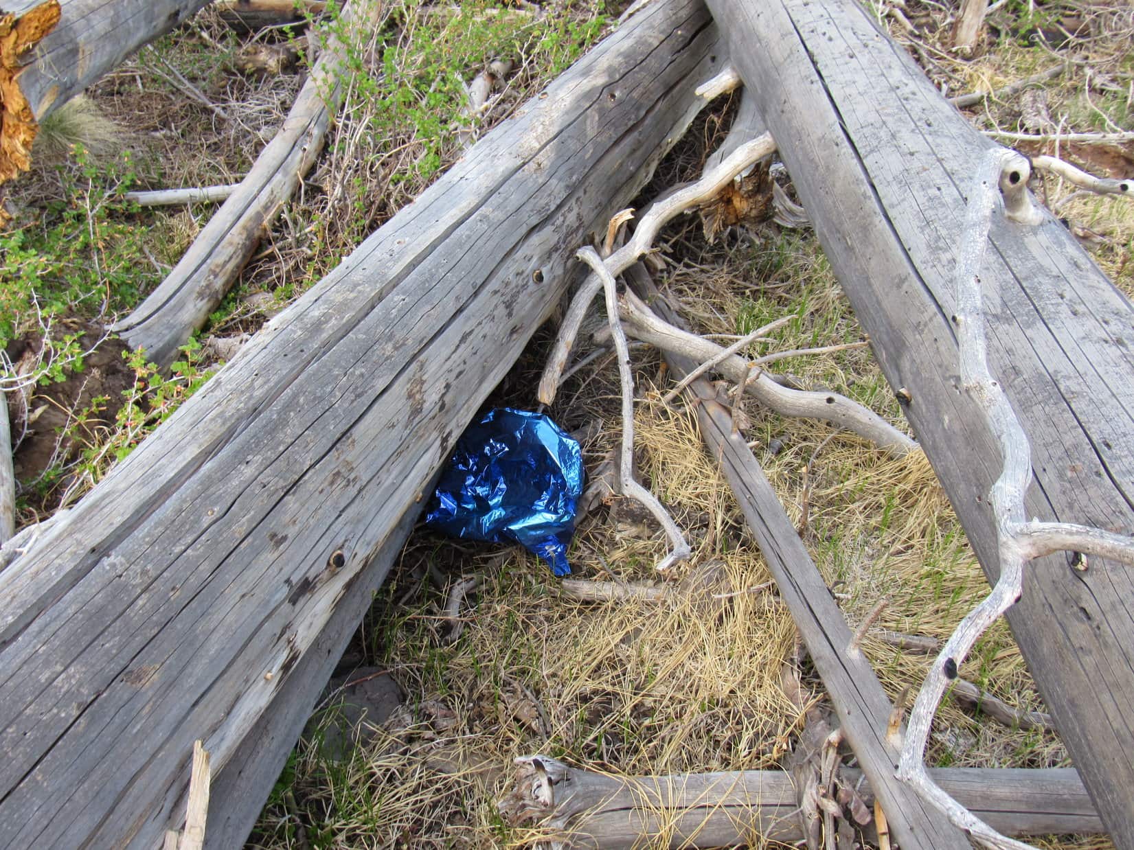
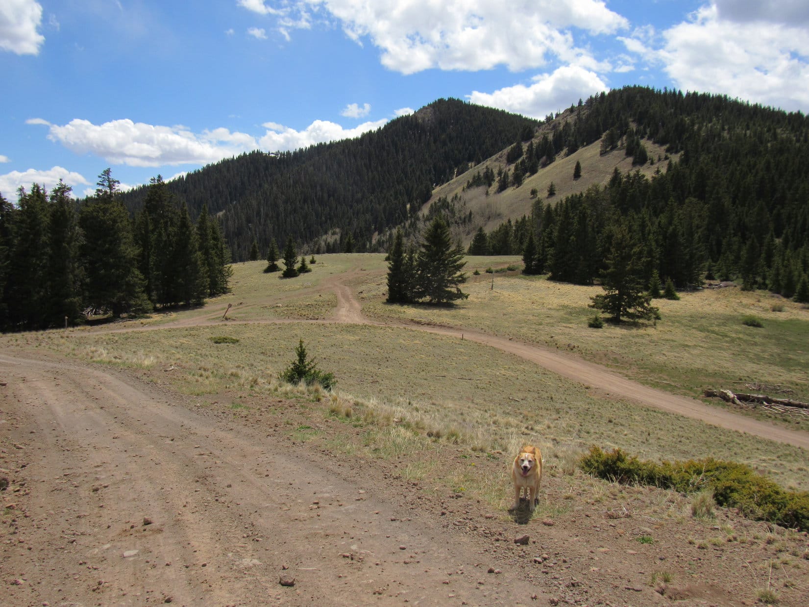
Strolling SE from the Gooseberry Trailhead on USFS Road No. 193, a junction with unmarked No. 501 was soon reached. A less developed road, it looked more intriguing. The Carolina Dog had barely started sniffing S along it when SPHP noticed a collection of white plastic gallon milk jugs abandoned E of the road. Strange. Who just dumps stuff like that in the forest, anyway?
A little past the milk jugs a faint trail headed E.
Wonder where this goes, Looper?
Let’s find out, SPHP!
10 minutes brought Lupe to two water troughs, a round blue one and a rectangular green one. Both were full.
Odd. Wonder why these are here?
Maybe deer drink from them, SPHP?
You might be right, Loop. Sure doesn’t seem like cattle country. In any case, we better head back before it gets dark. I didn’t bring a flashlight.
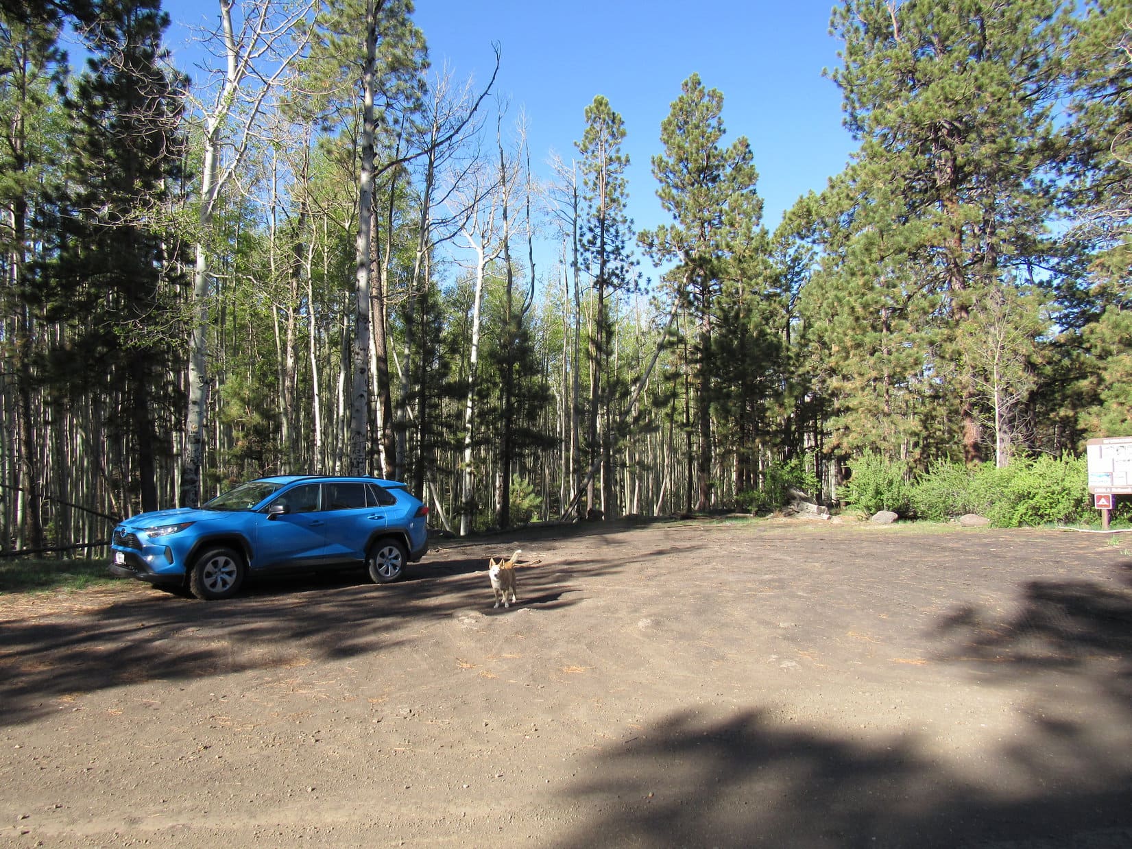
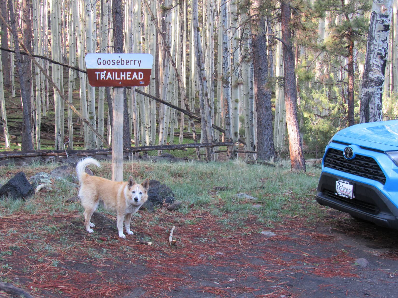
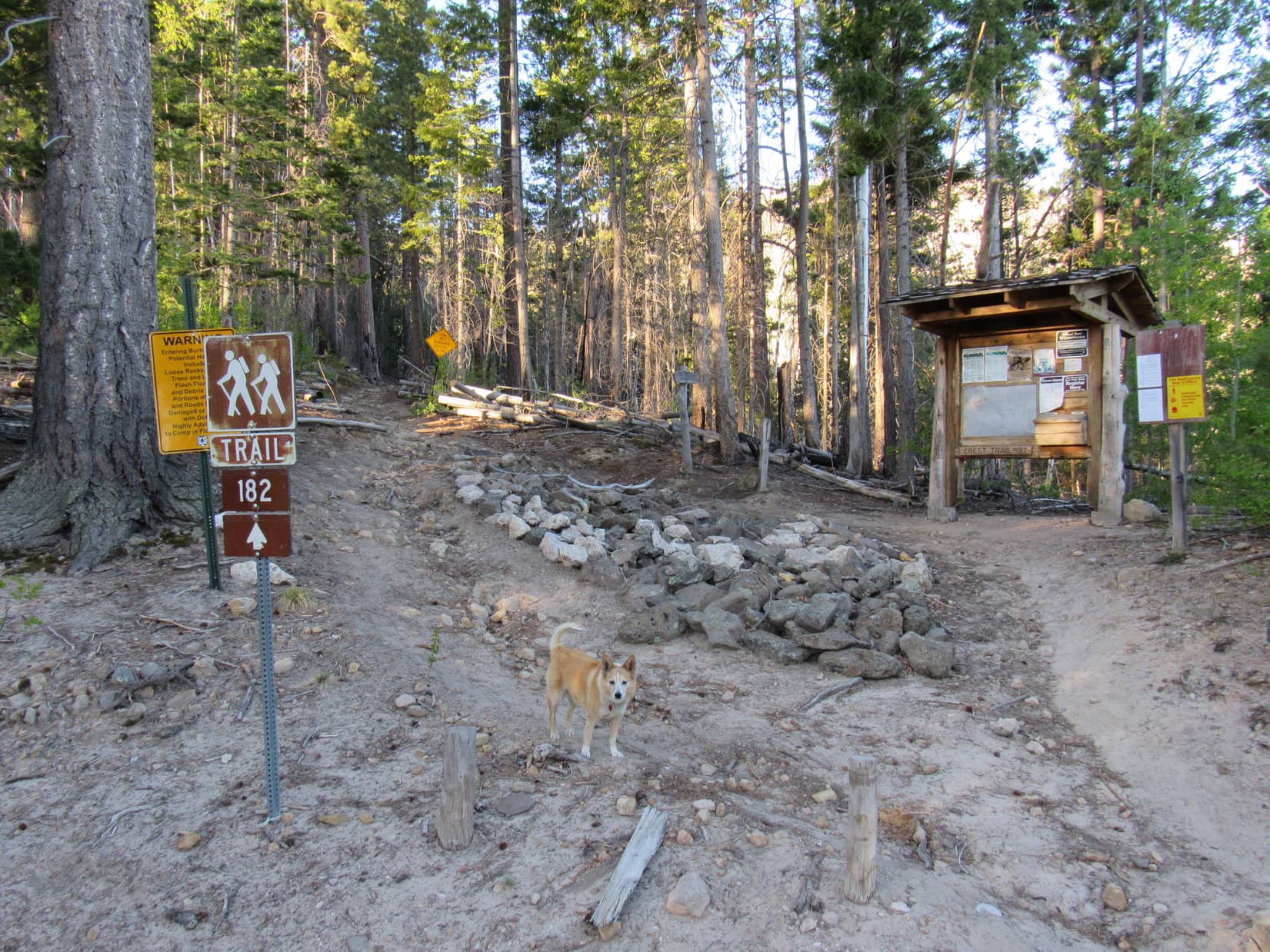
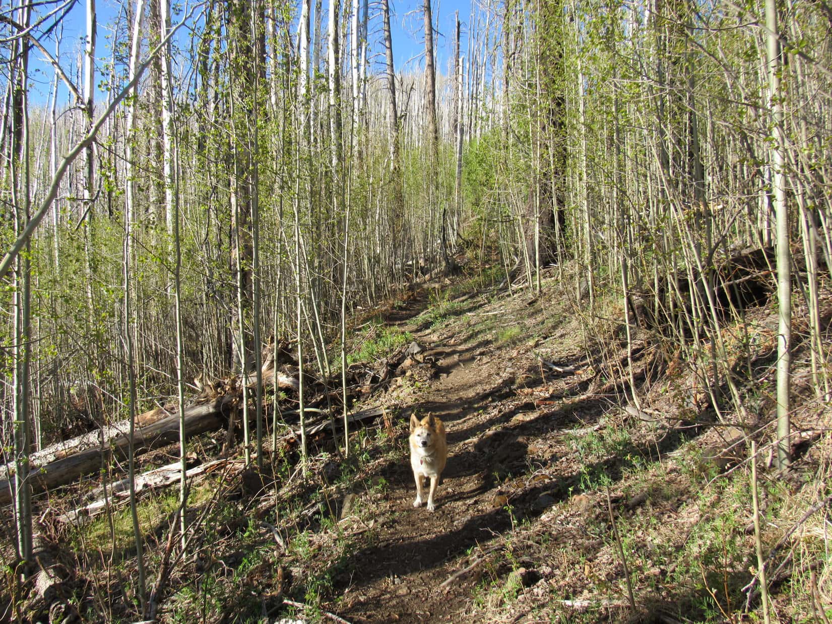
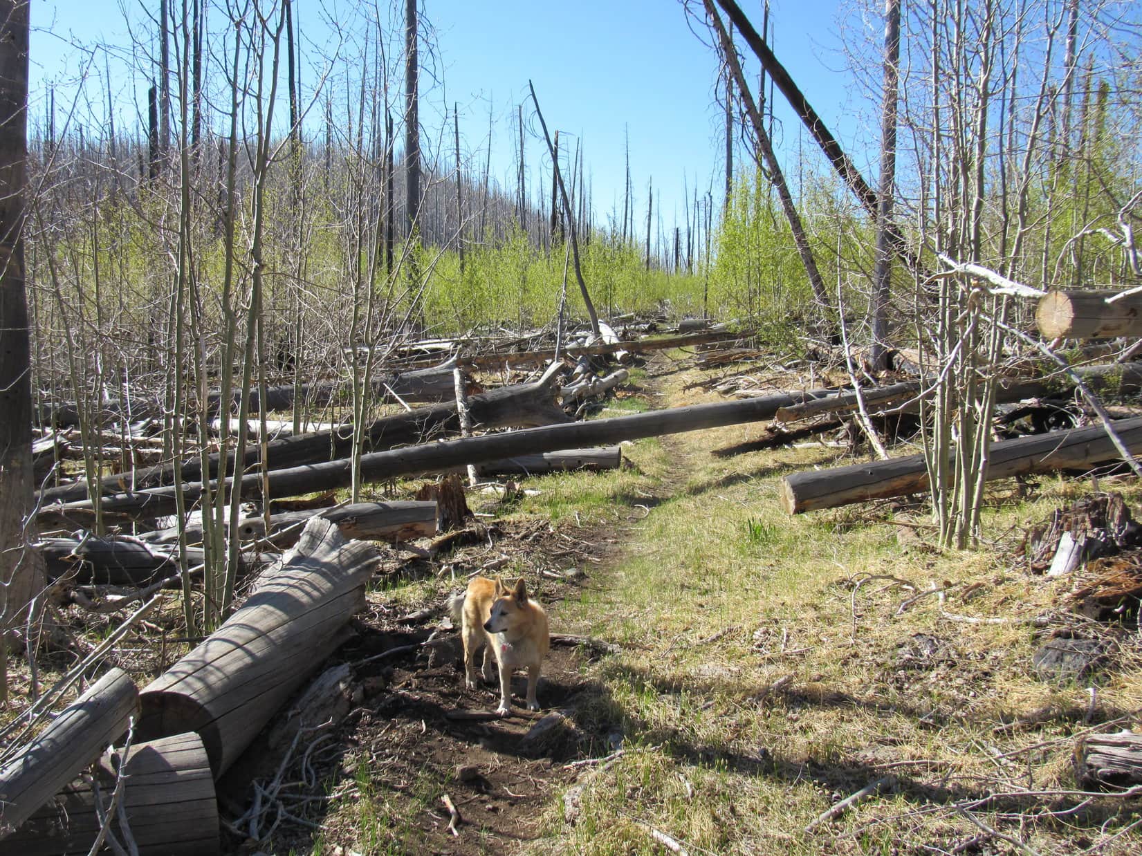
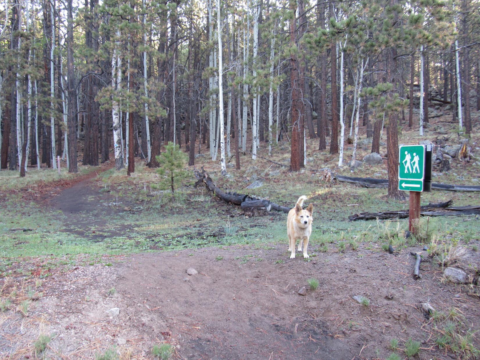
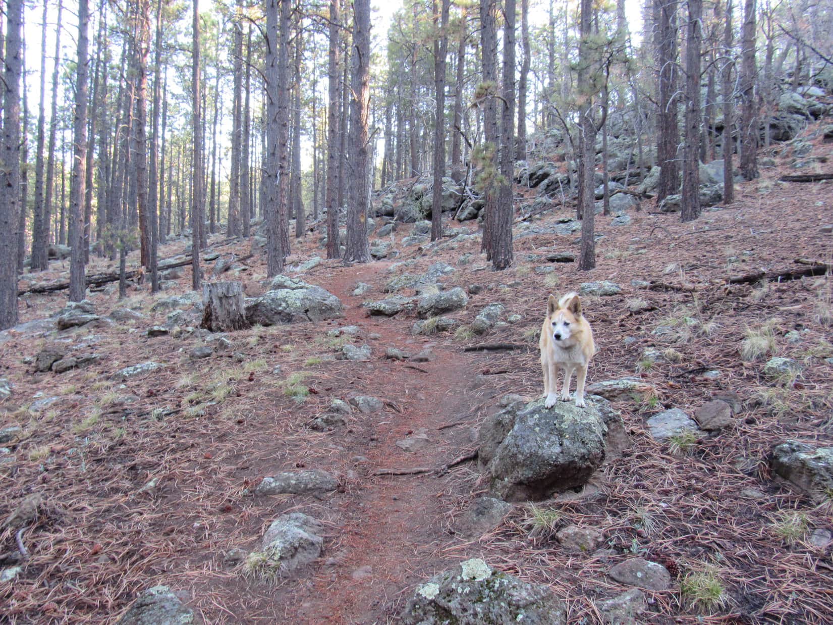
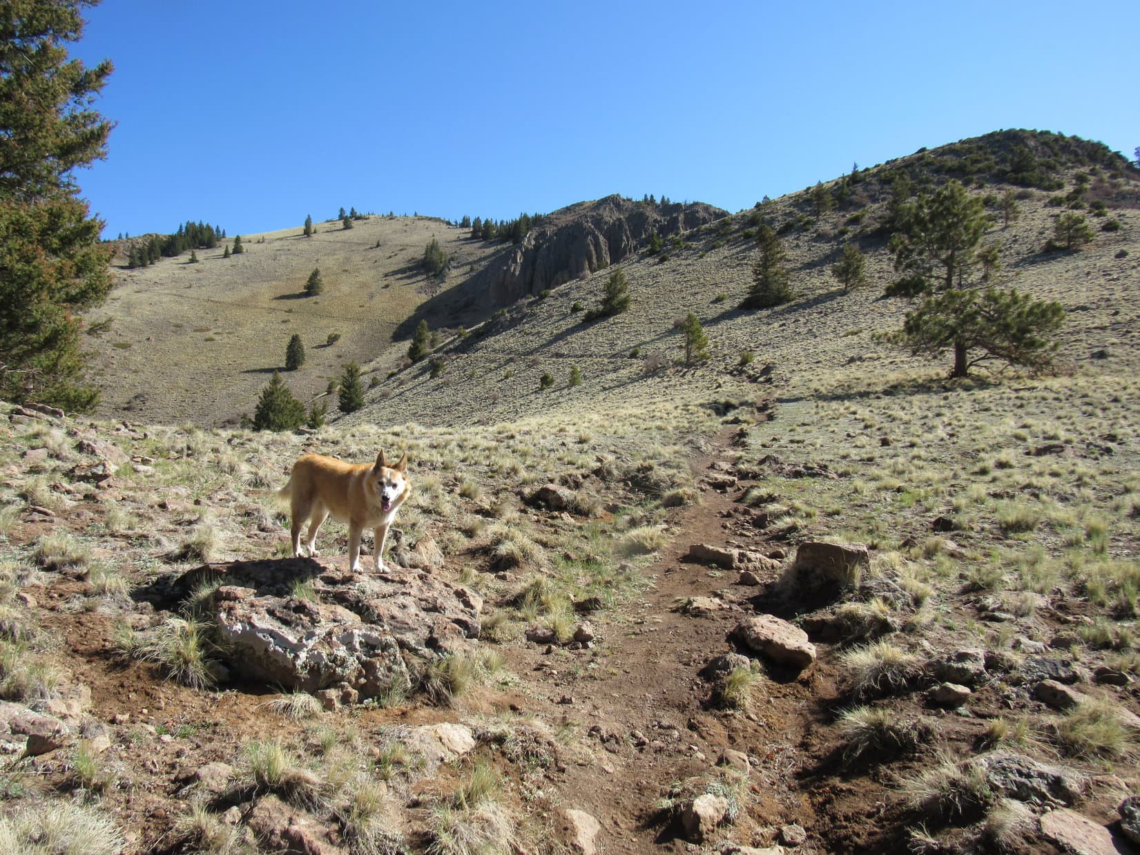
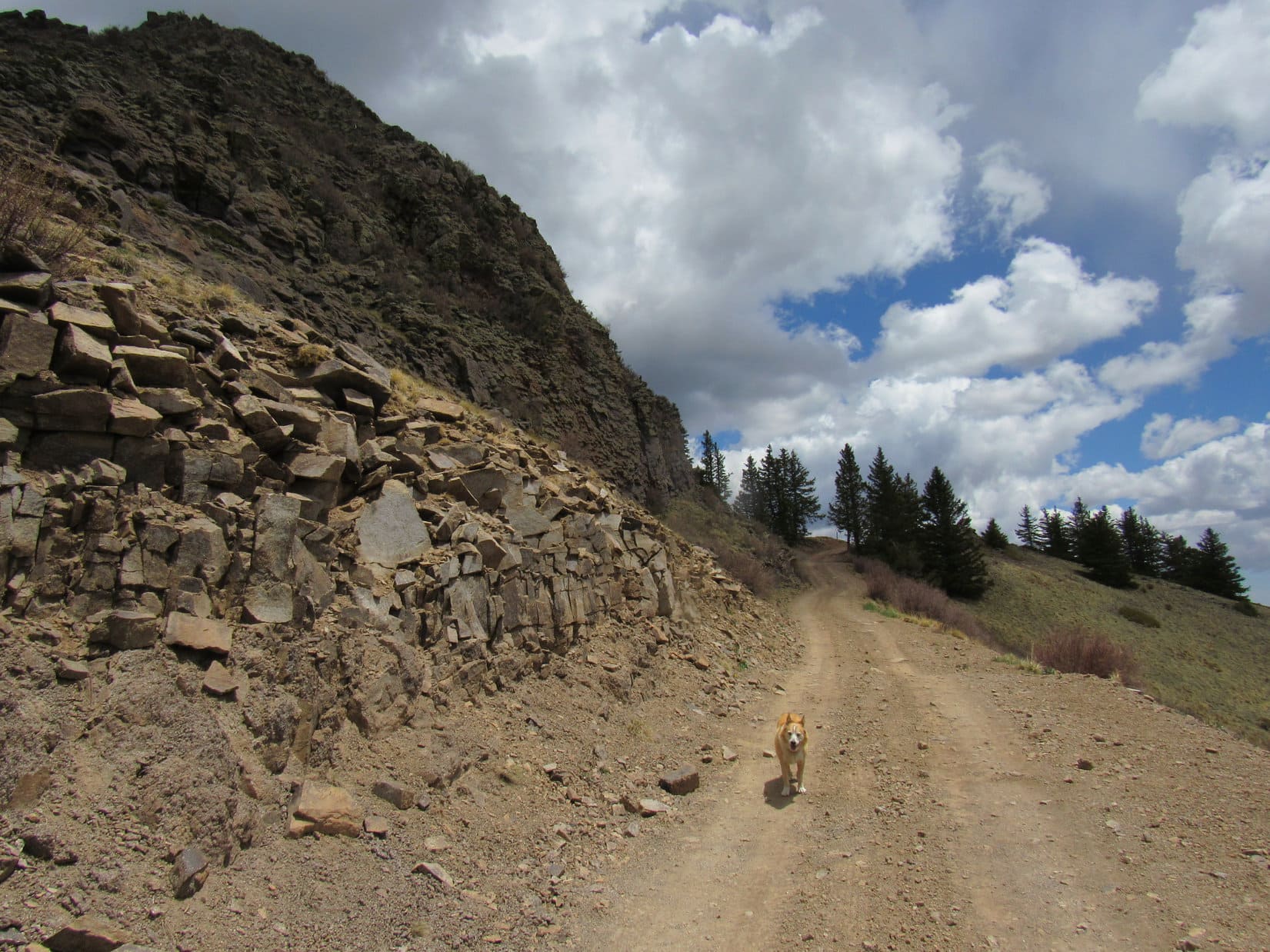
5-19-21, 7:32 AM, 37ºF, Gooseberry Trailhead – Show time! Crossing USFS Road No. 193, Lupe headed NE up Trail No. 77, climbing through open forest past lumpy gray-brown rocks sporting light green lichens. The American Dingo was soon past most of the rocks. The trail leveled out as it curved SE. Upon reaching larger rock formations, the trail dropped 40 feet into a broad valley.
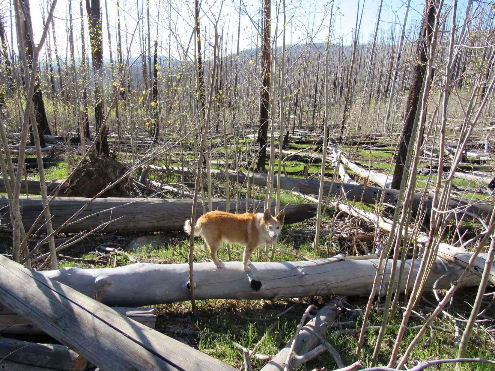
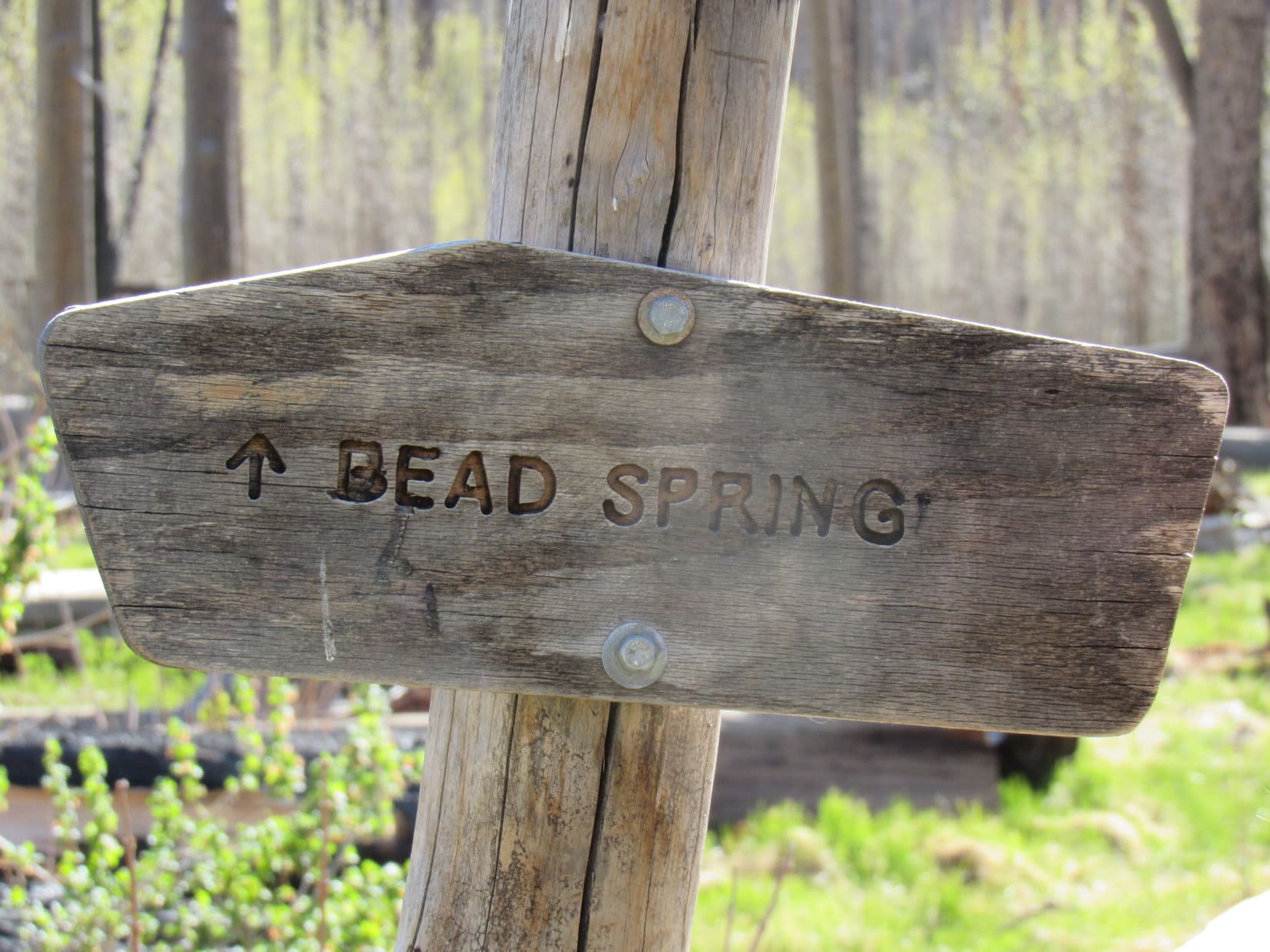
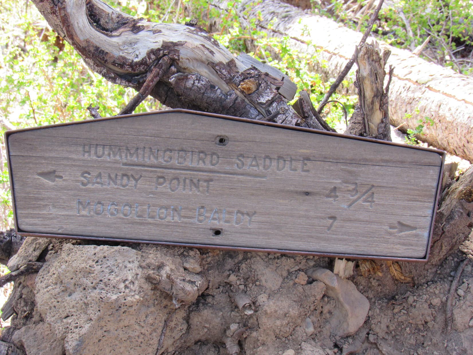
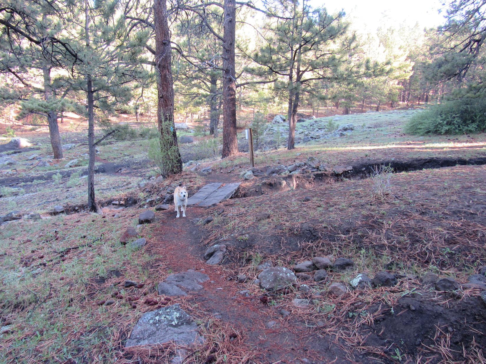
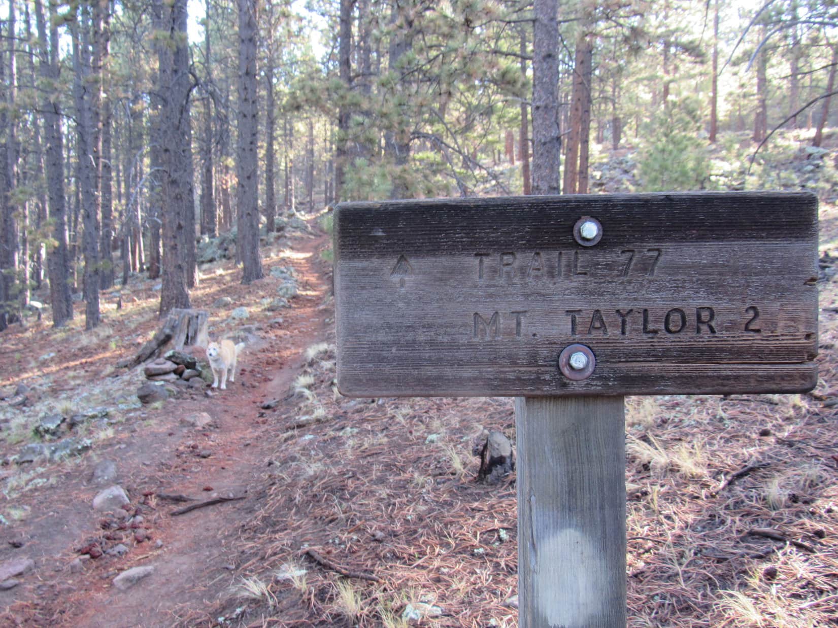
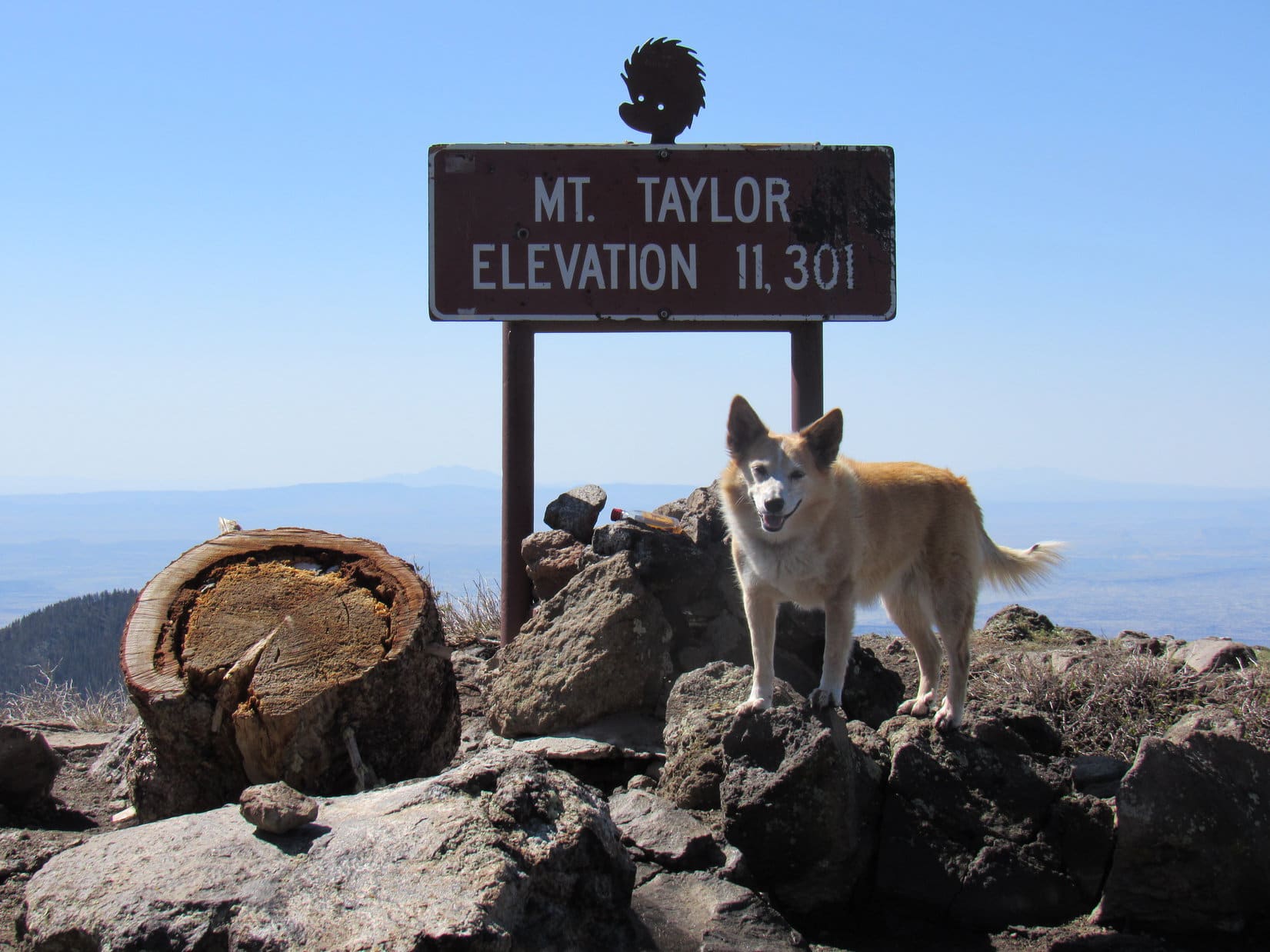
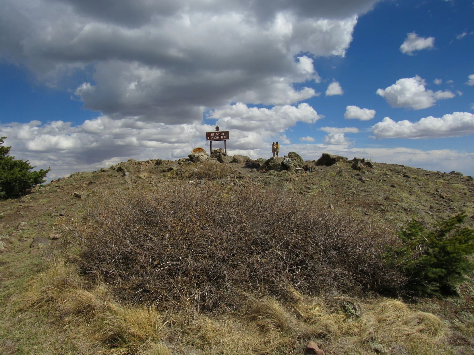
The Gooseberry Spring drainage contained several dry gullies, including one crossed by planks. On the far side, a switchback brought Lupe to a sign. Only 2 miles to Mount Taylor (11,301 ft.)!
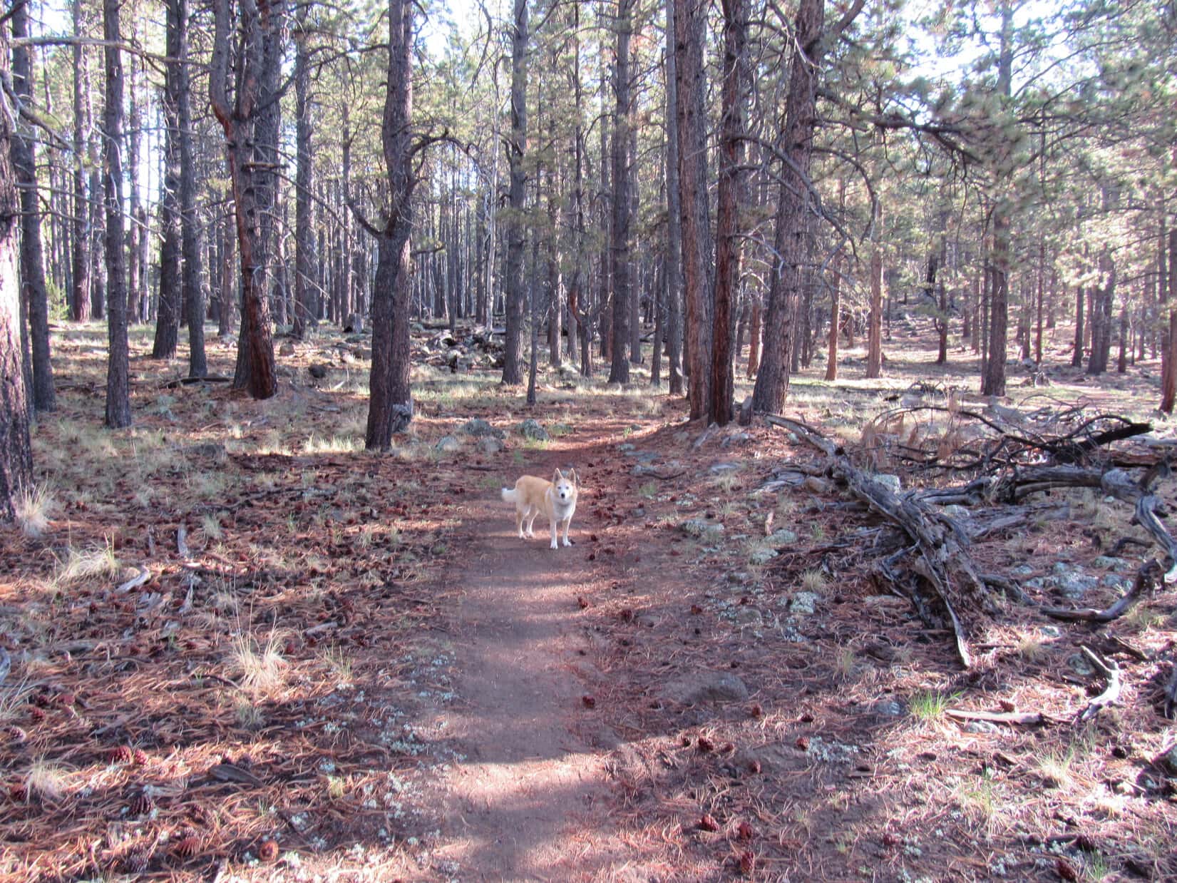
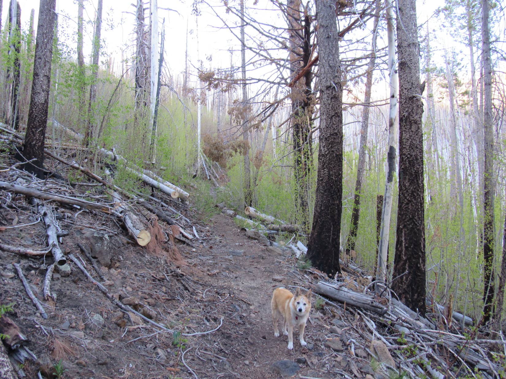
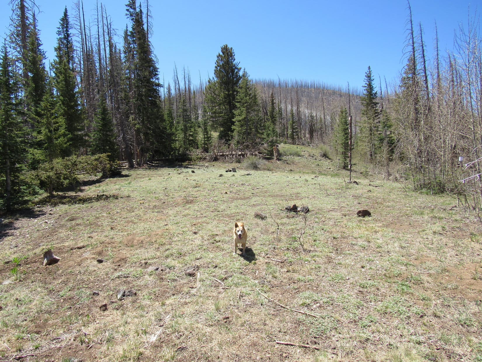
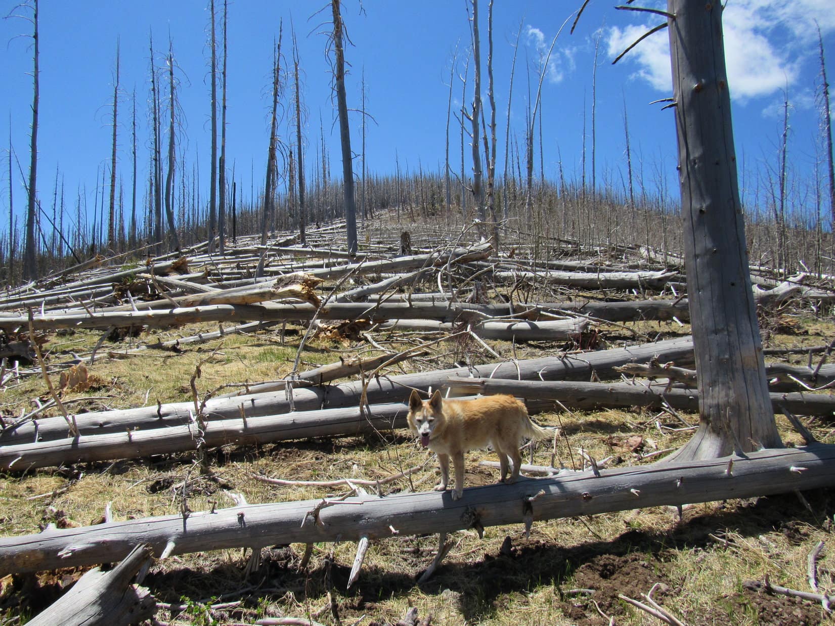
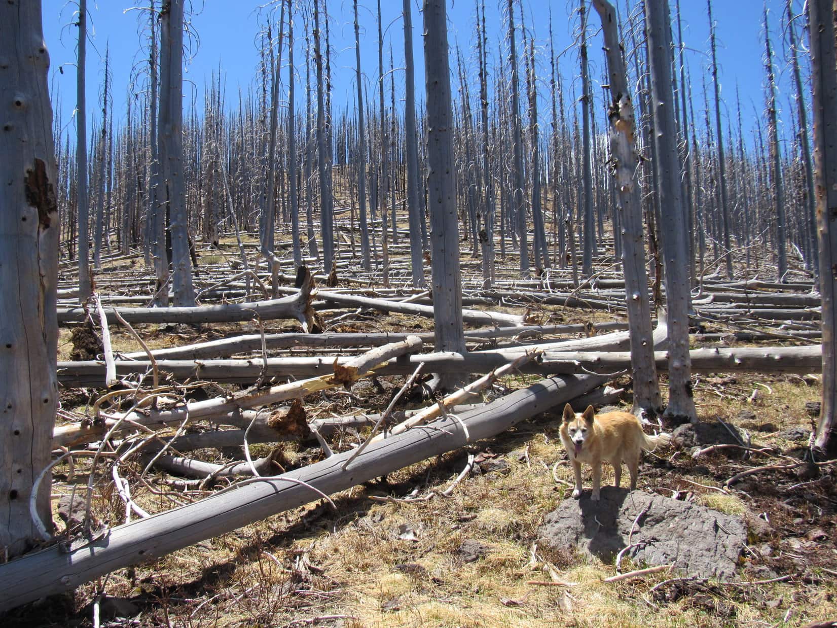
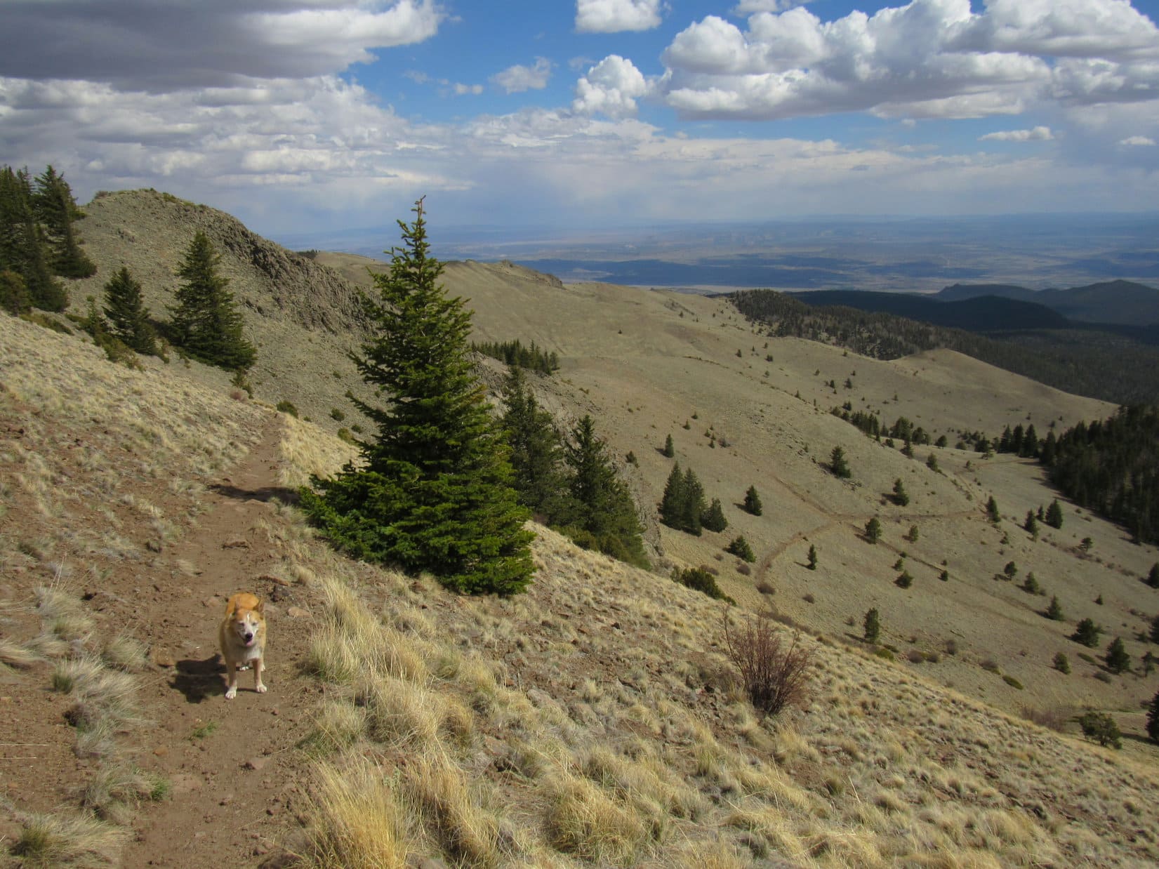
SE of the Gooseberry Spring drainage, Trail No. 77 resumed a steady climb. Loopster passed through a beautiful stand of large white-barked aspens. Sometimes there were glimpses of the big rounded ridge on the other side of the valley.

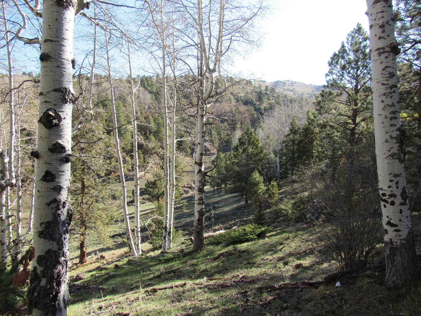
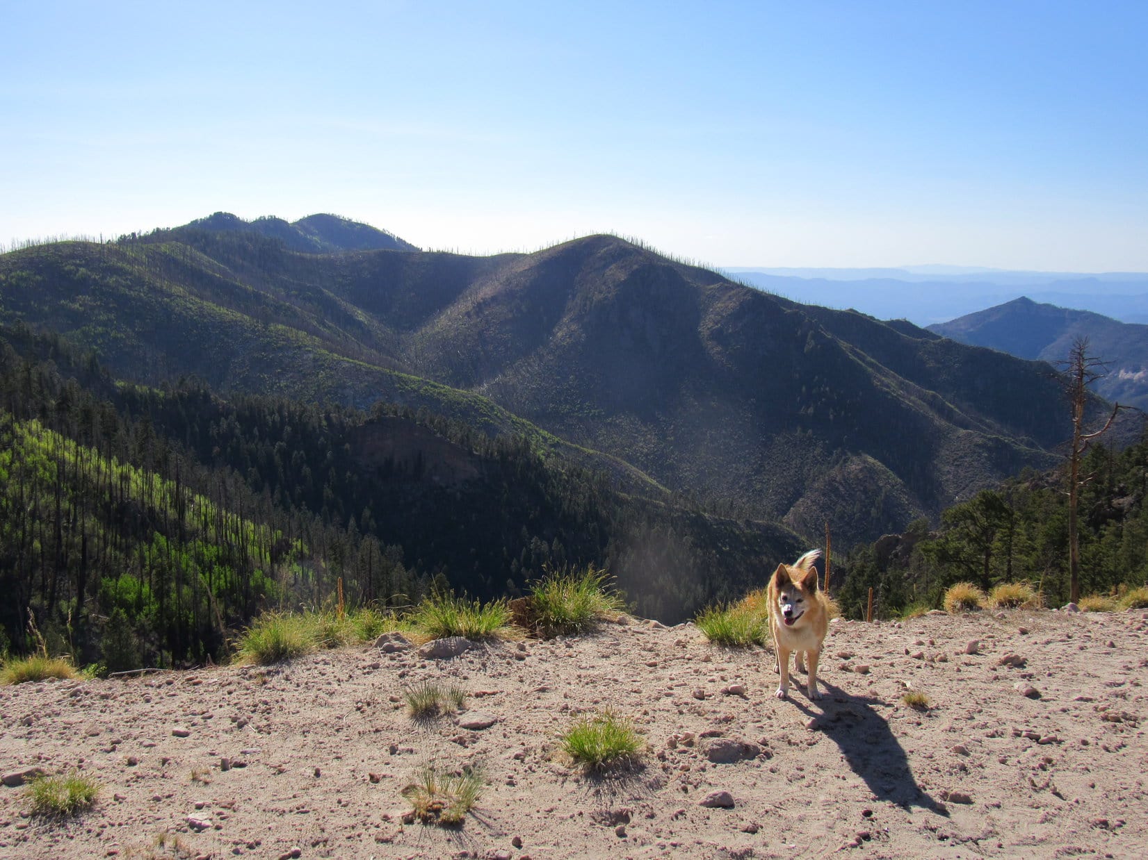
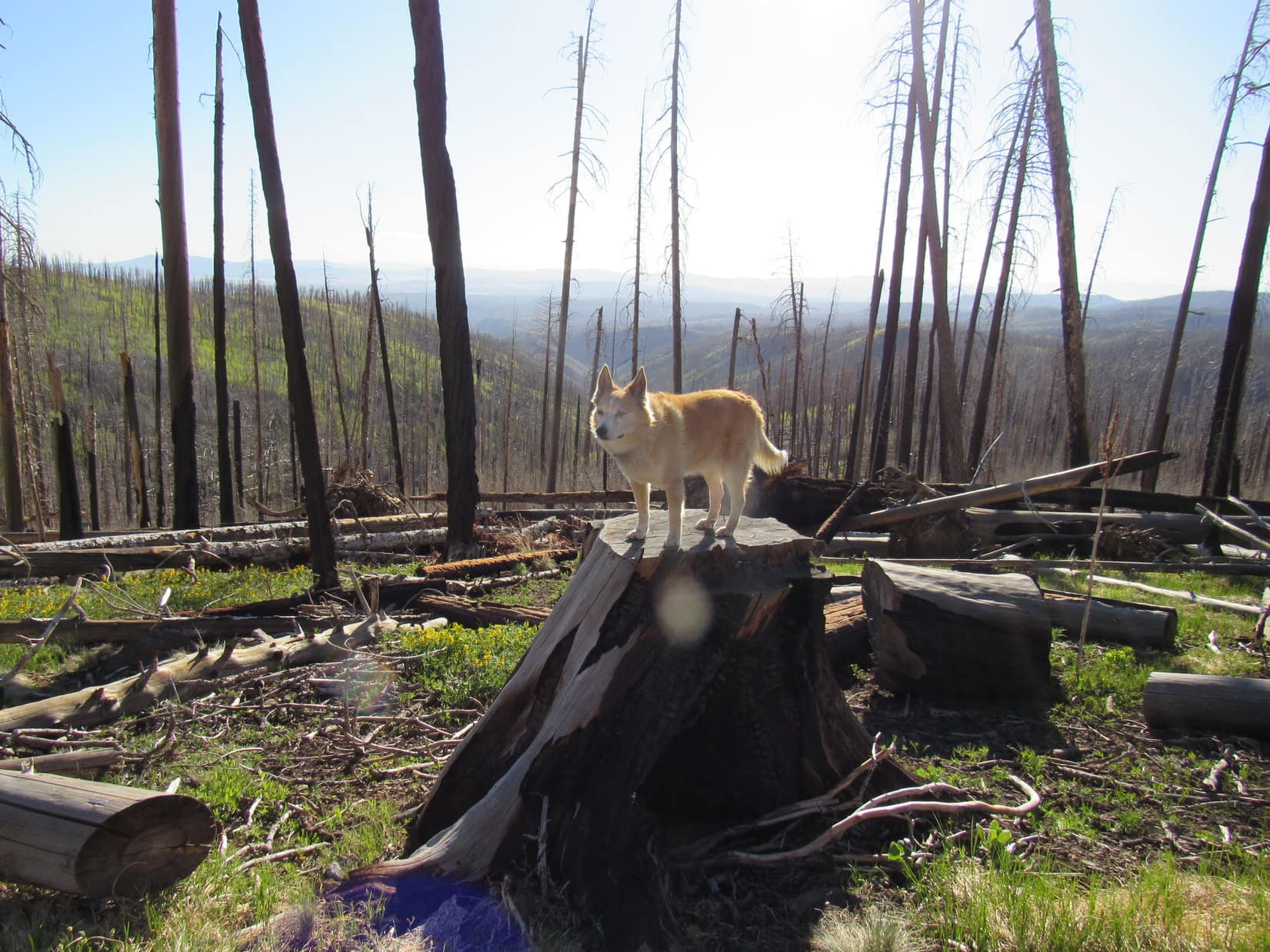
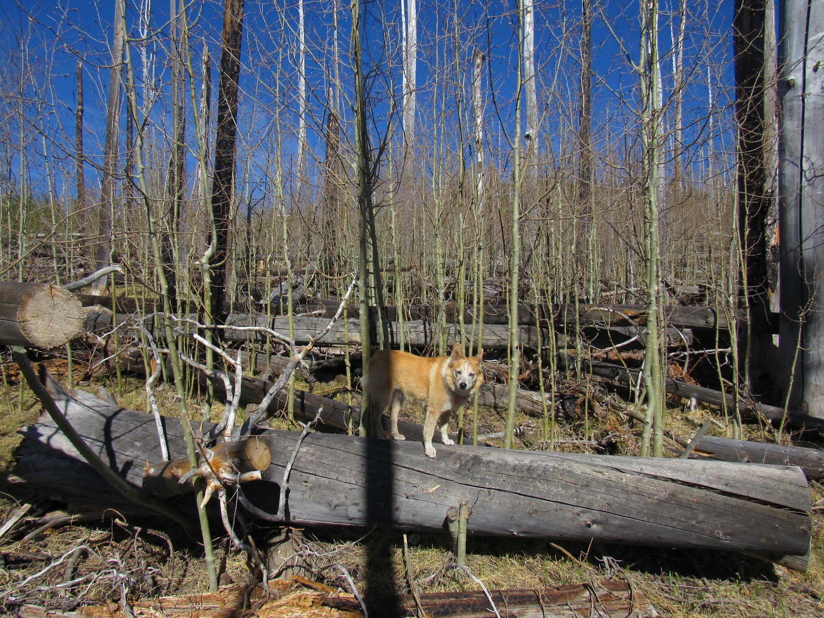
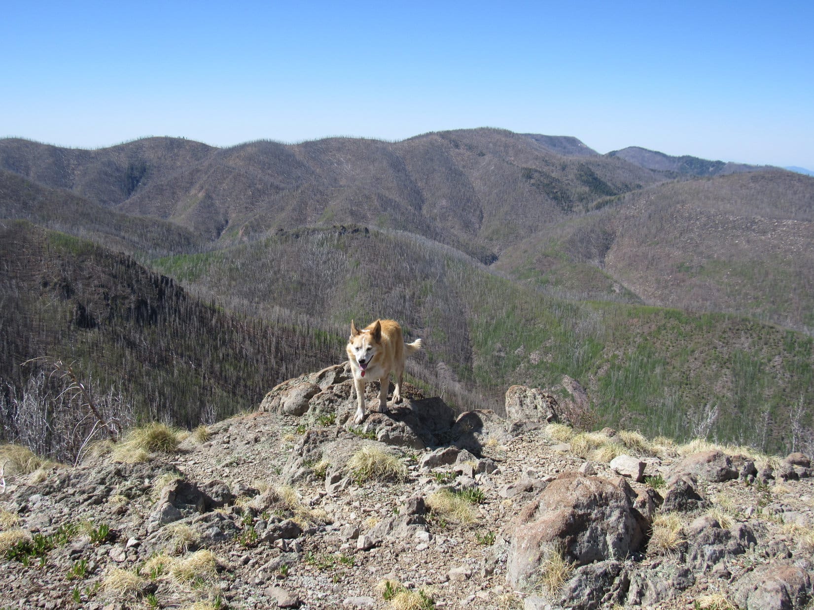
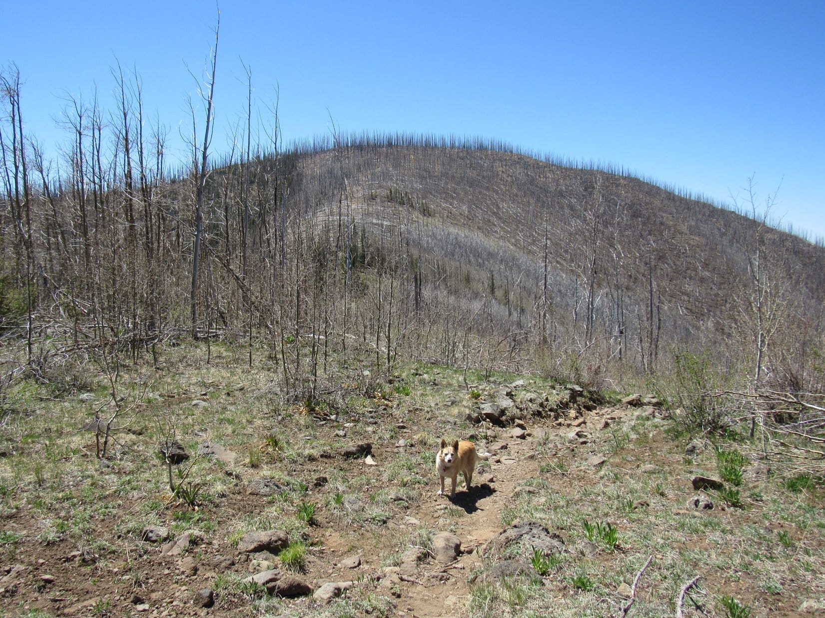
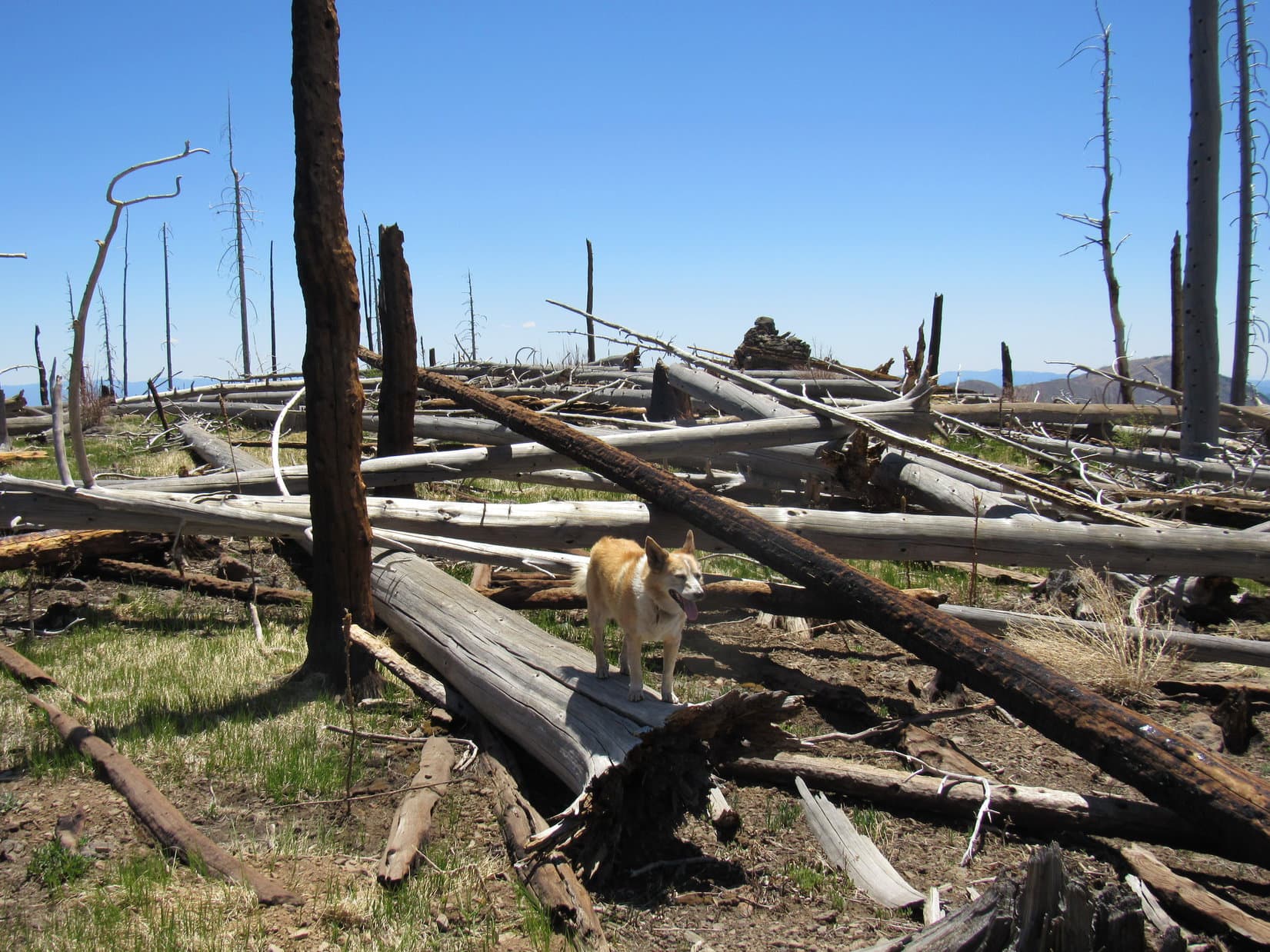
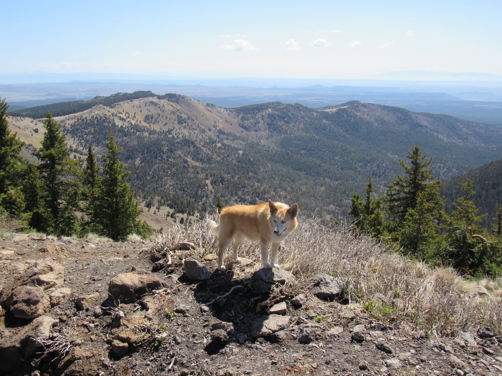
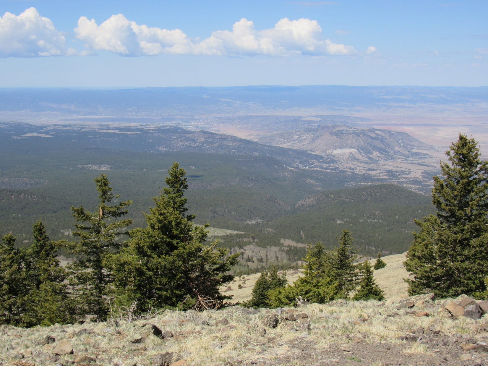
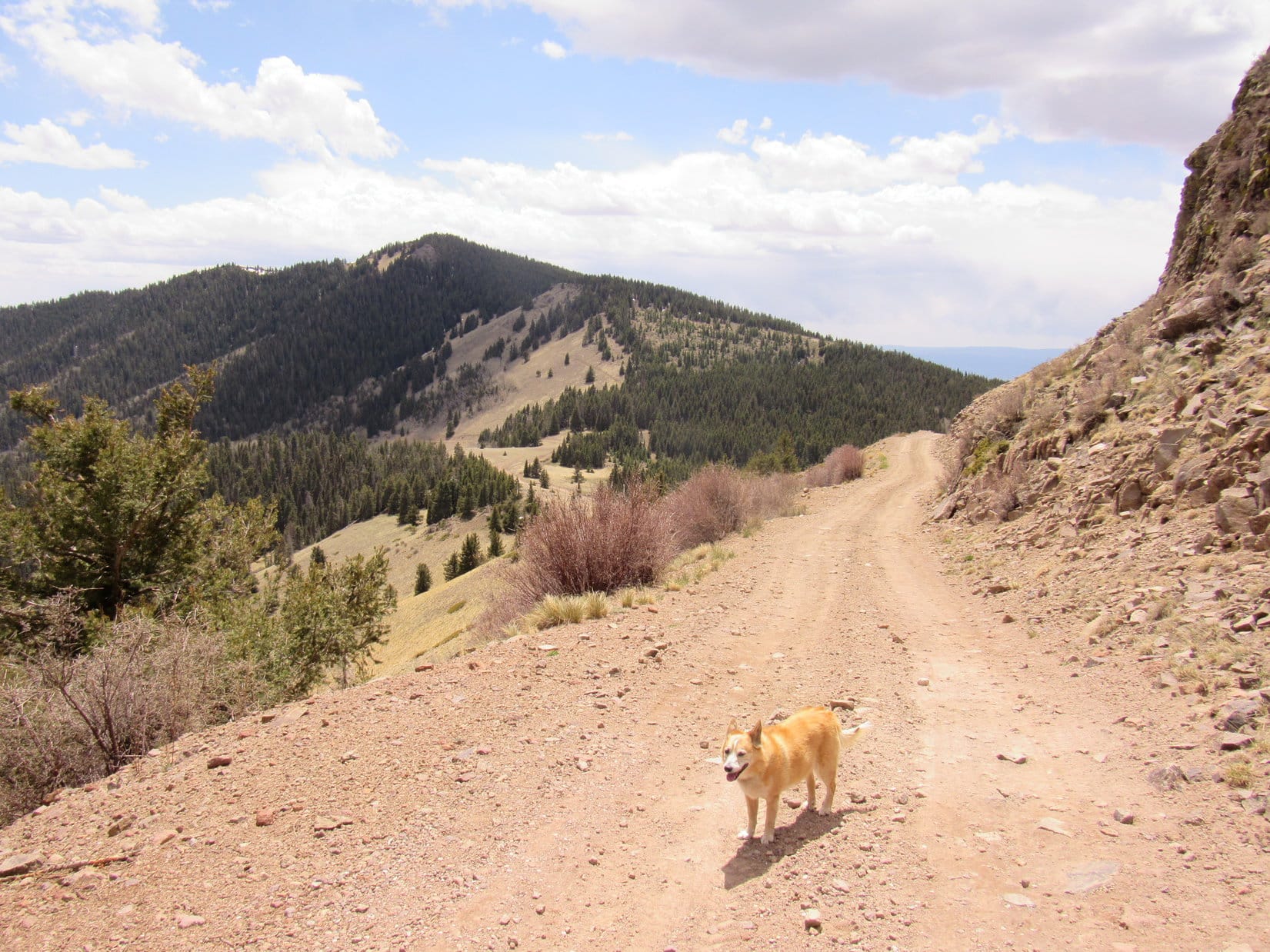
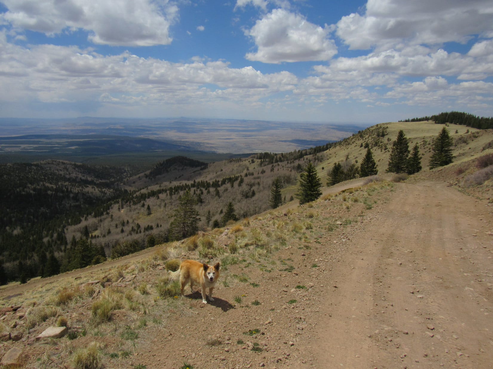
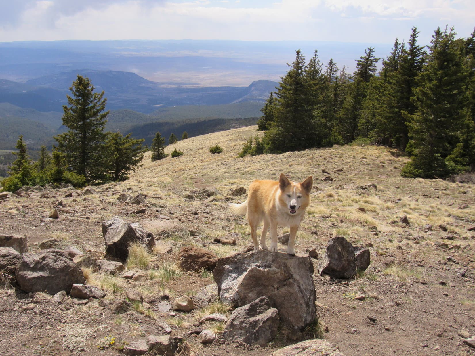
Beyond the aspens, Trail No. 77 broke out of the forest. A 0.5+ mile long slope, mostly open, but dotted with pines, rose to the E. As Lupe gained elevation, distant views appeared back to the W. Trees were scarce by the time the Carolina Dog reached a minor saddle at the upper end of the slope. Crossing the saddle, the trail started up the SE side of a ridge providing views of Rinconada Canyon.
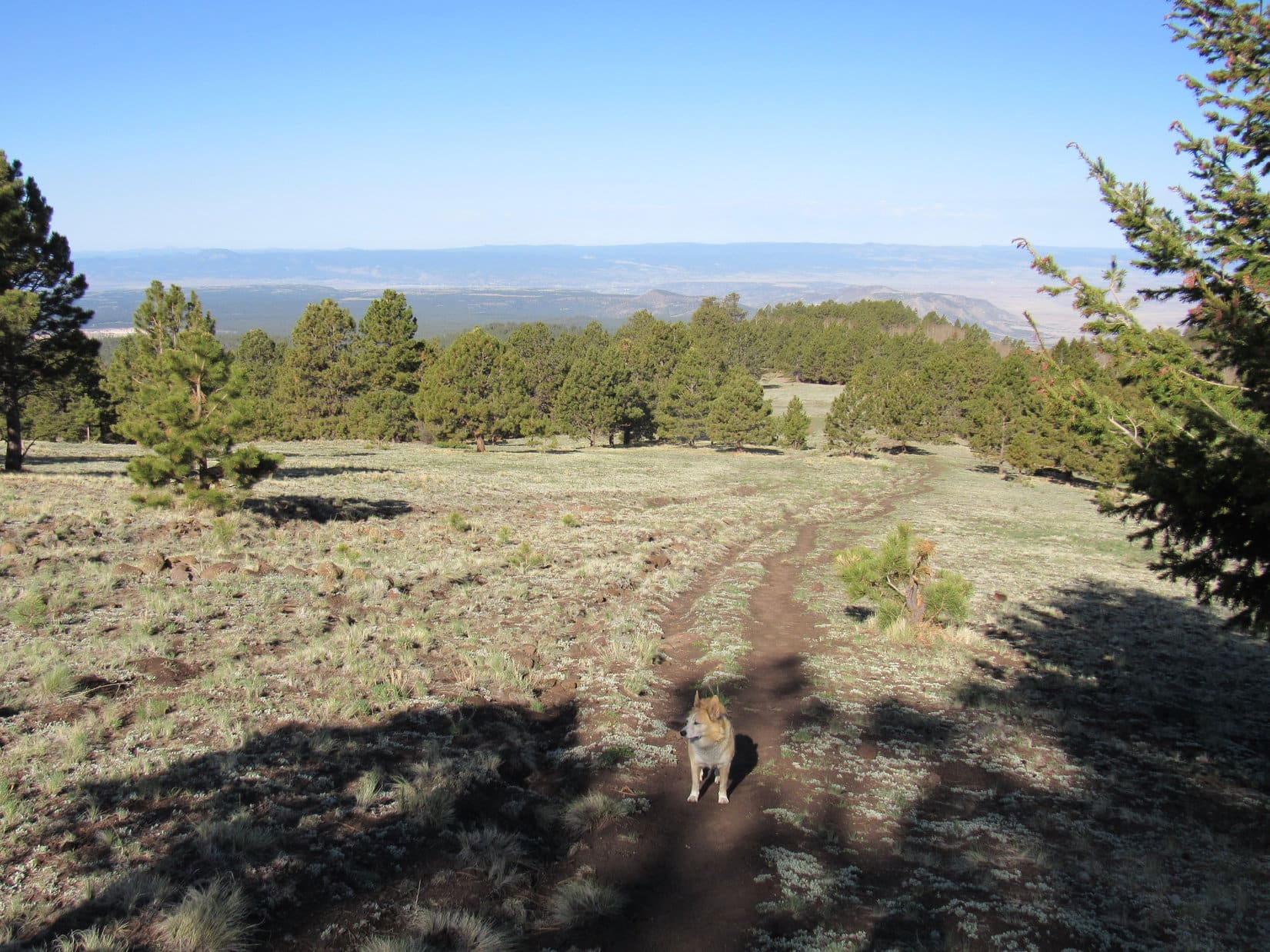
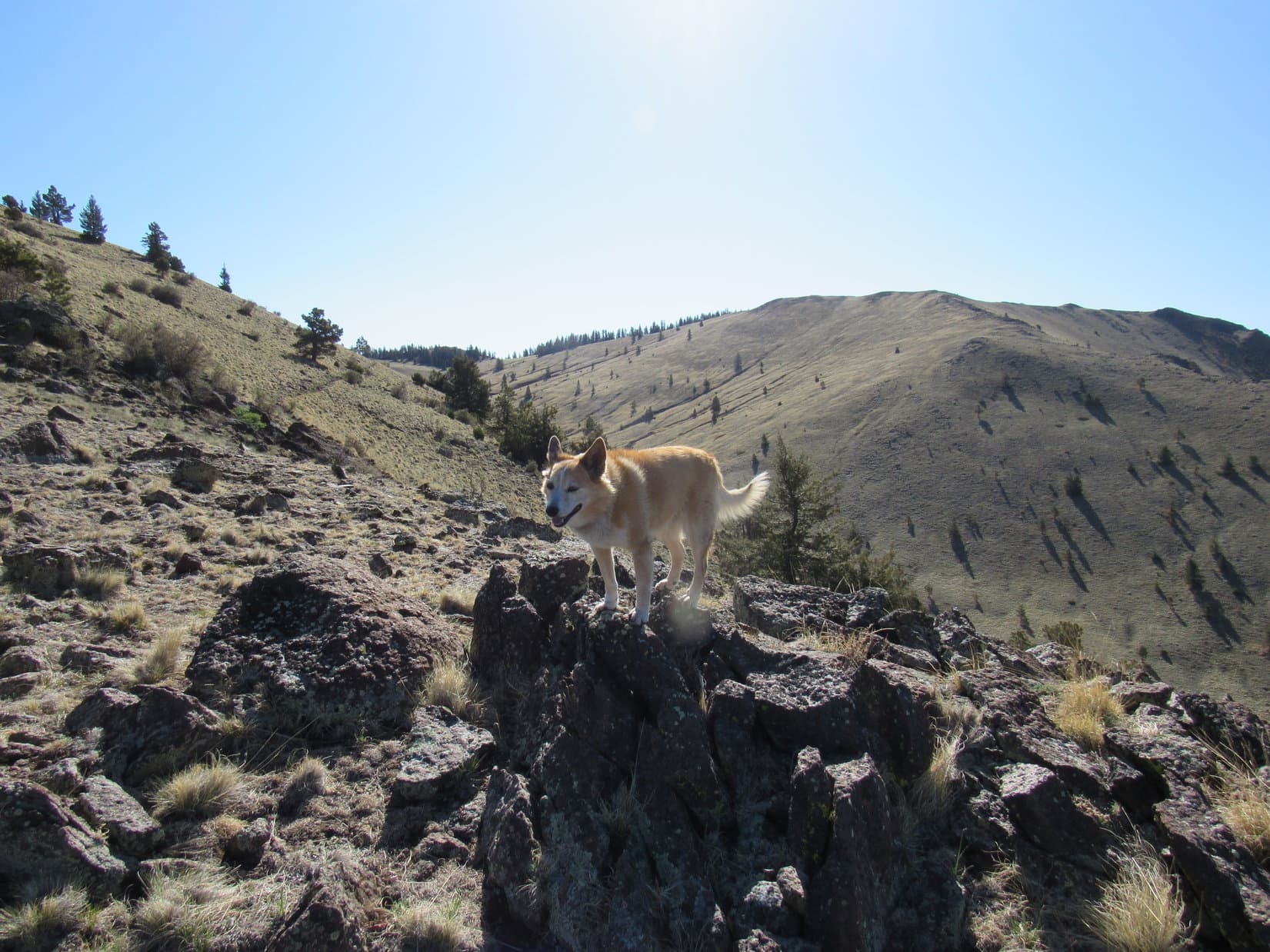

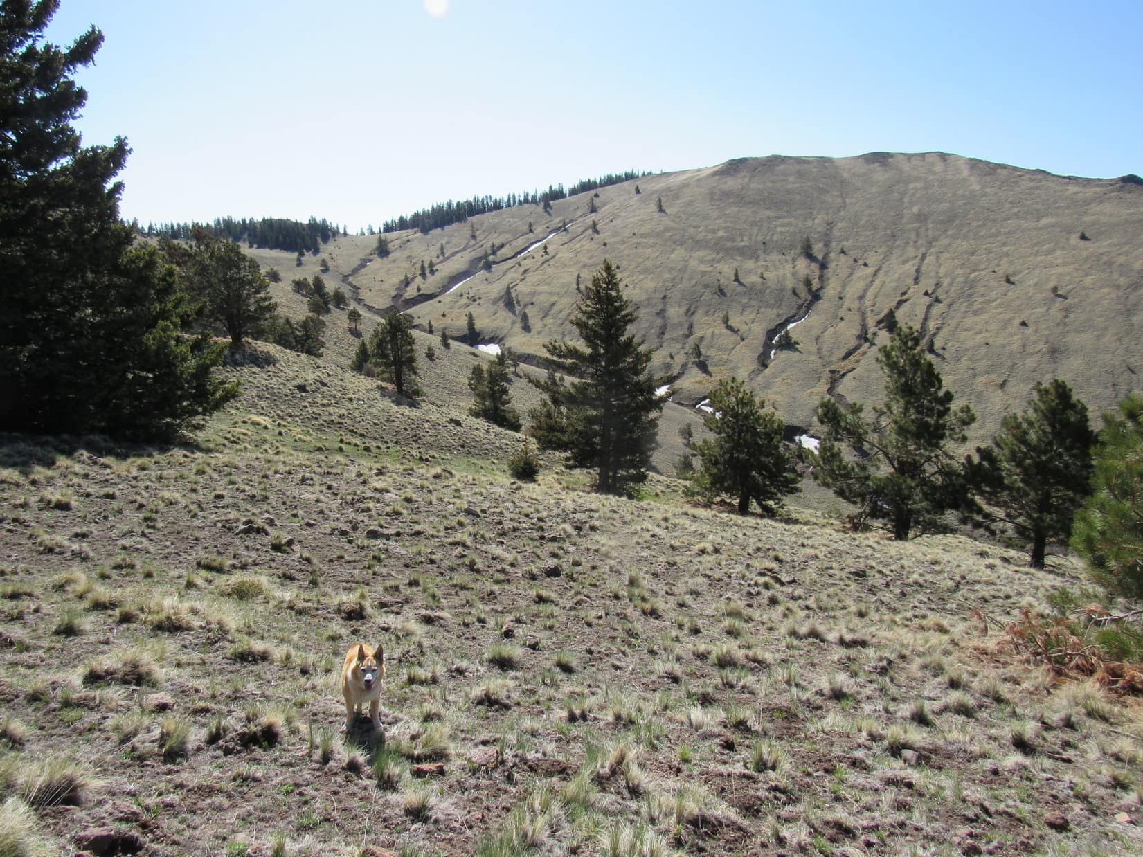
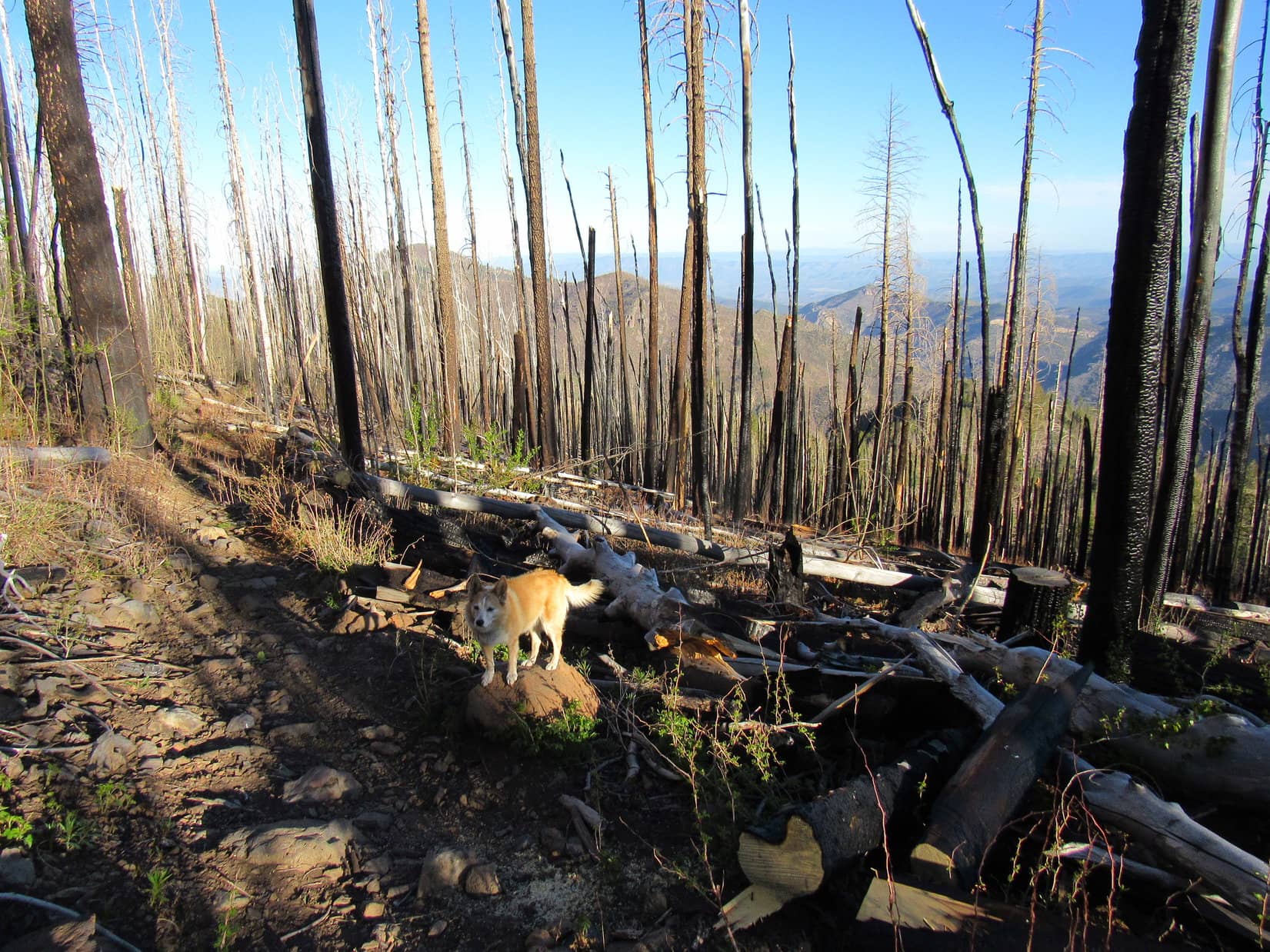
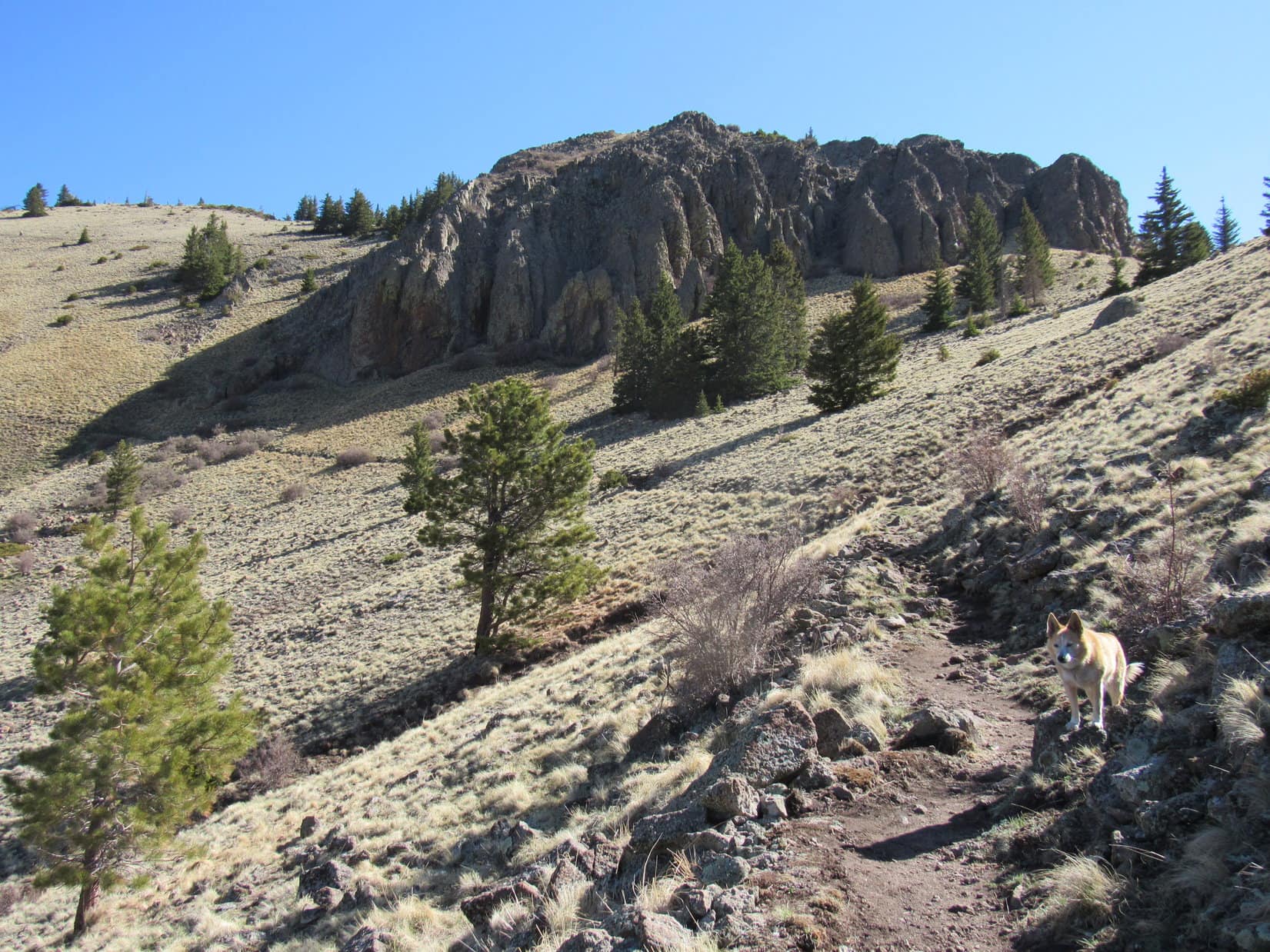
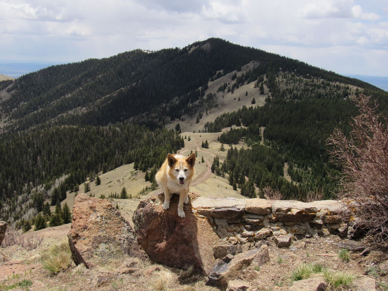
After 0.25 mile on the Rinconada Canyon side of the ridge, Trail No. 77 crossed back over to the Gooseberry side again at an open spot where the ridge was broad and gently rounded. Due N, long switchbacks were now visible leading to the top of a big hill. The trail passed a cluster of large rock formations along the way.
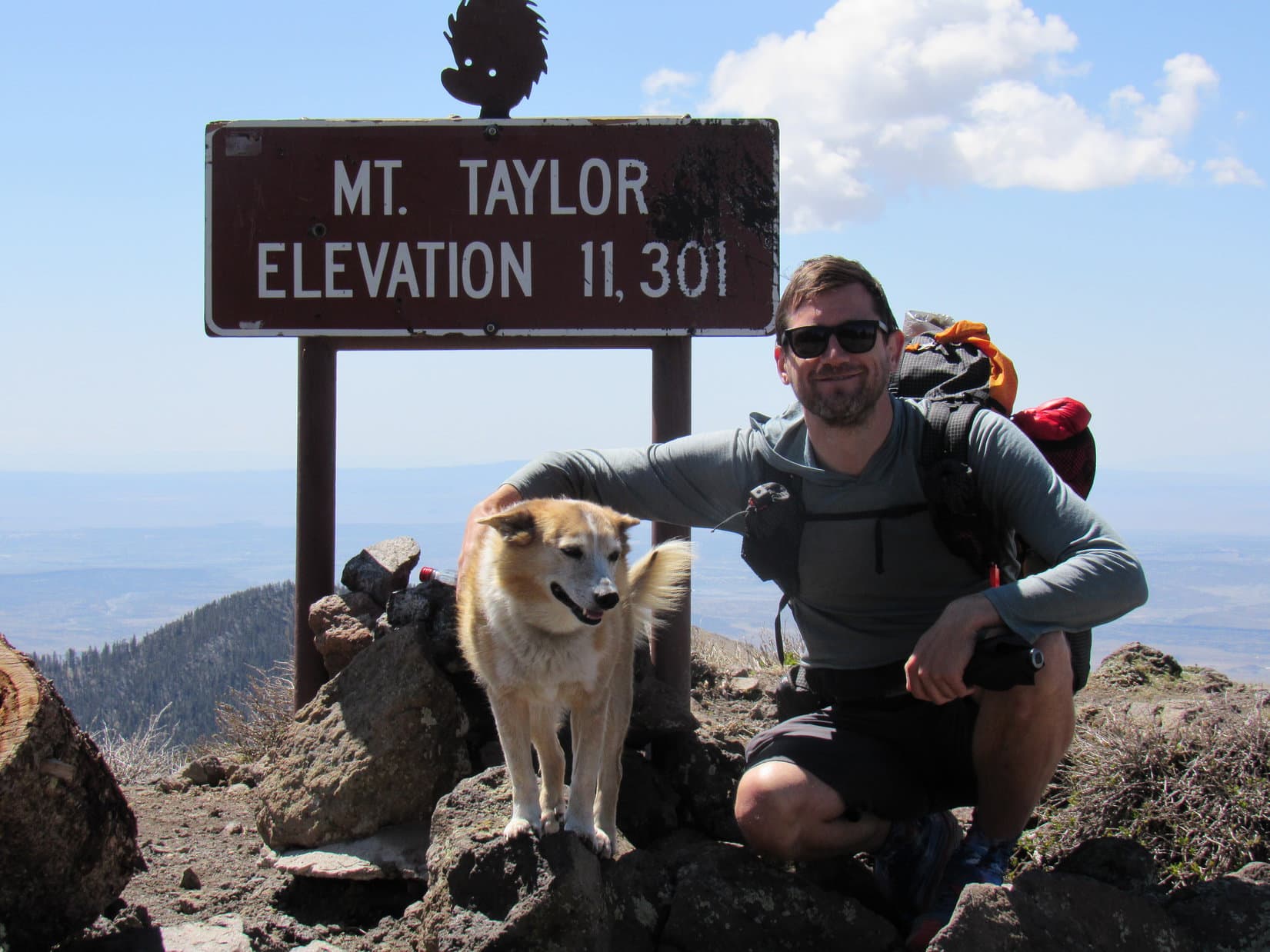
Two people were already at the summit when the Carolina Dog arrived. Loop briefly met Jay of Jay Wanders Out, and “Pocket Rocket”, a young woman from Germany. Pocket Rocket was through hiking the 3,100 mile CDT (Continental Divide Trail). Taking a break from logistical support, Jay was accompanying her. Apparently Mount Taylor (11,301 ft.) is an optional alternate route along the official CDT.
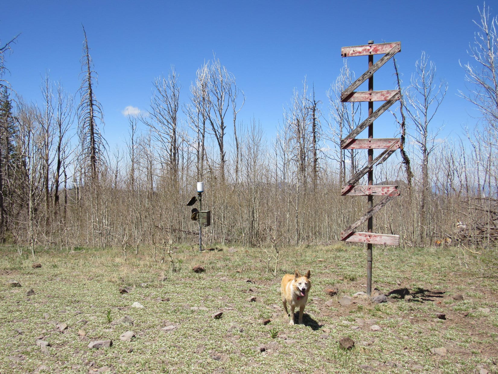
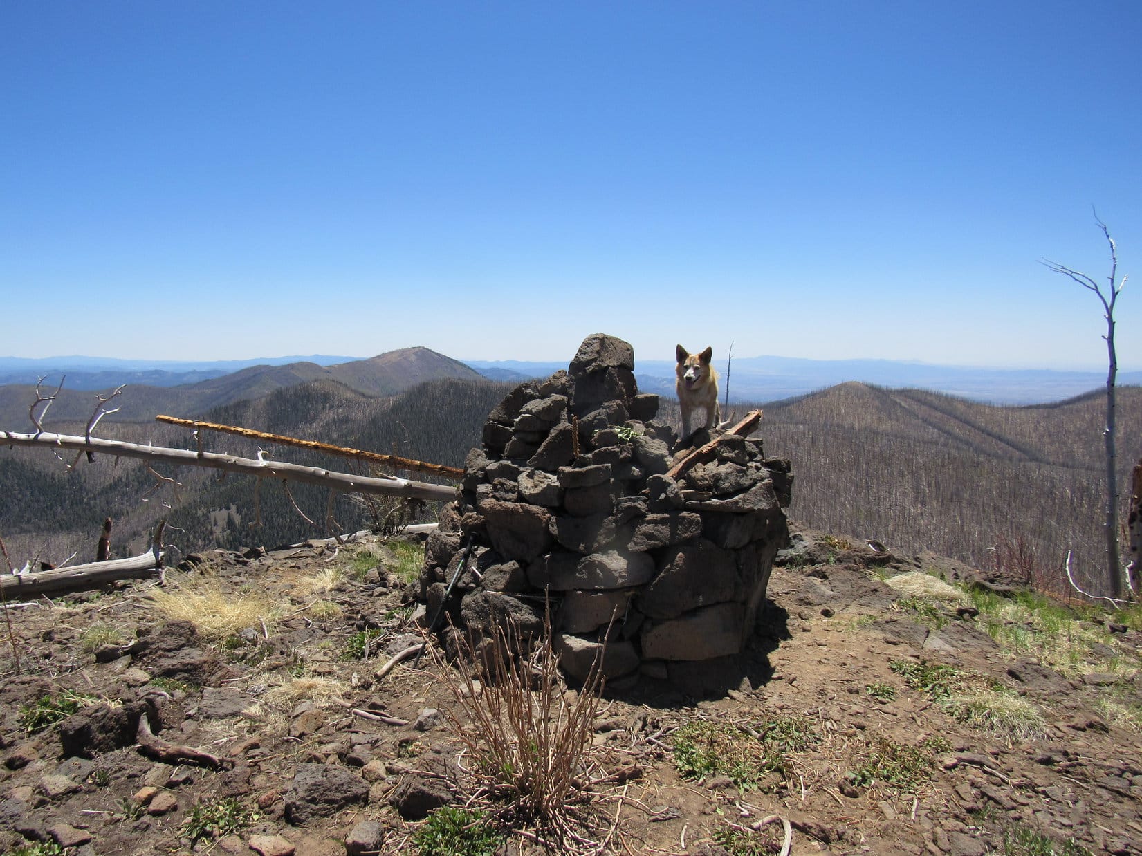
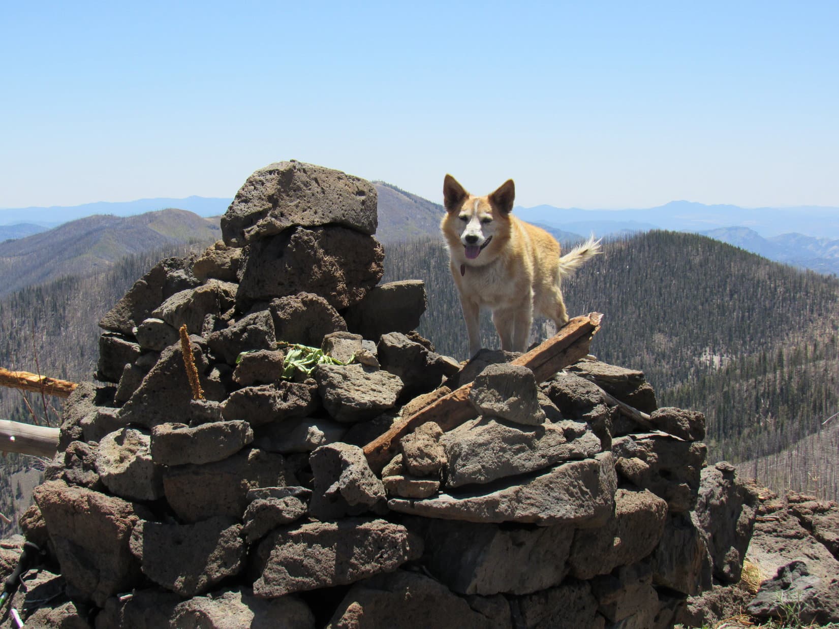
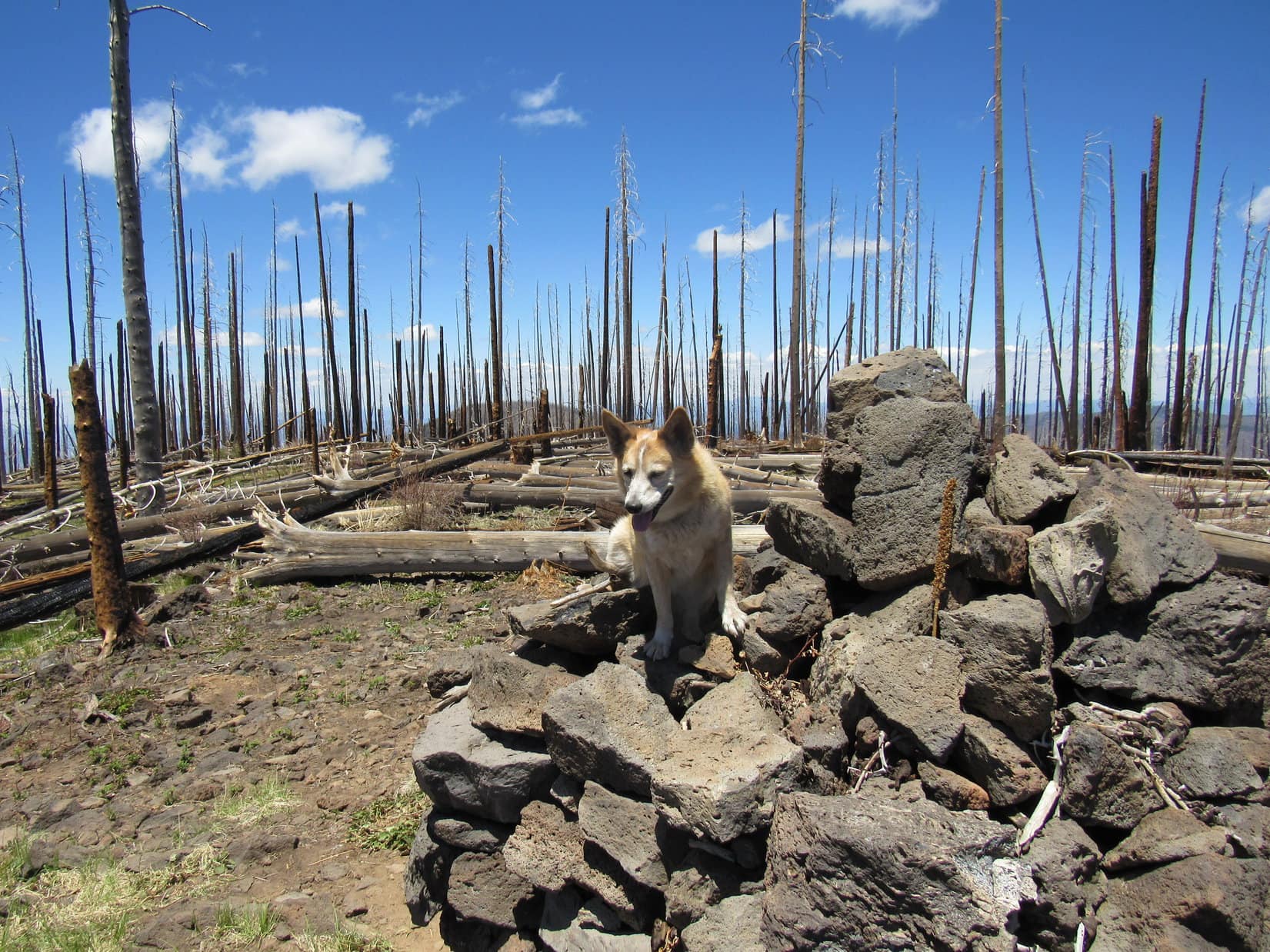
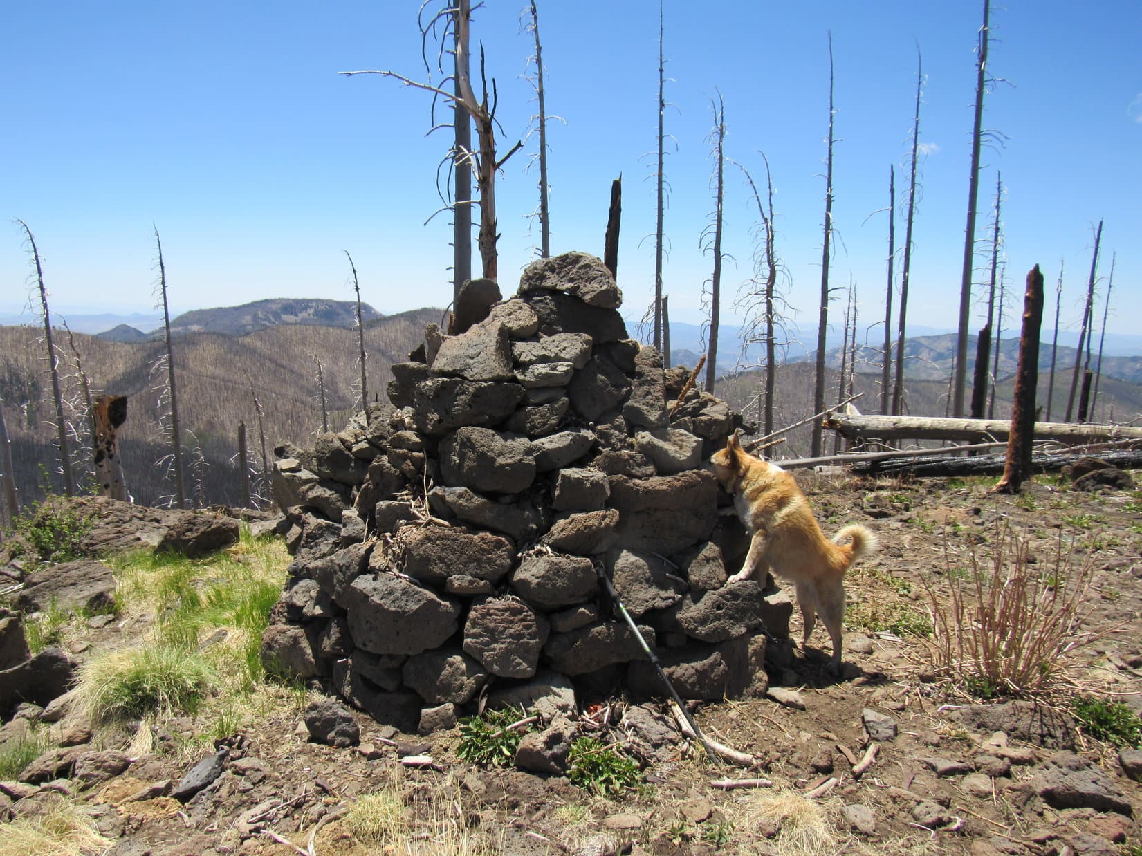
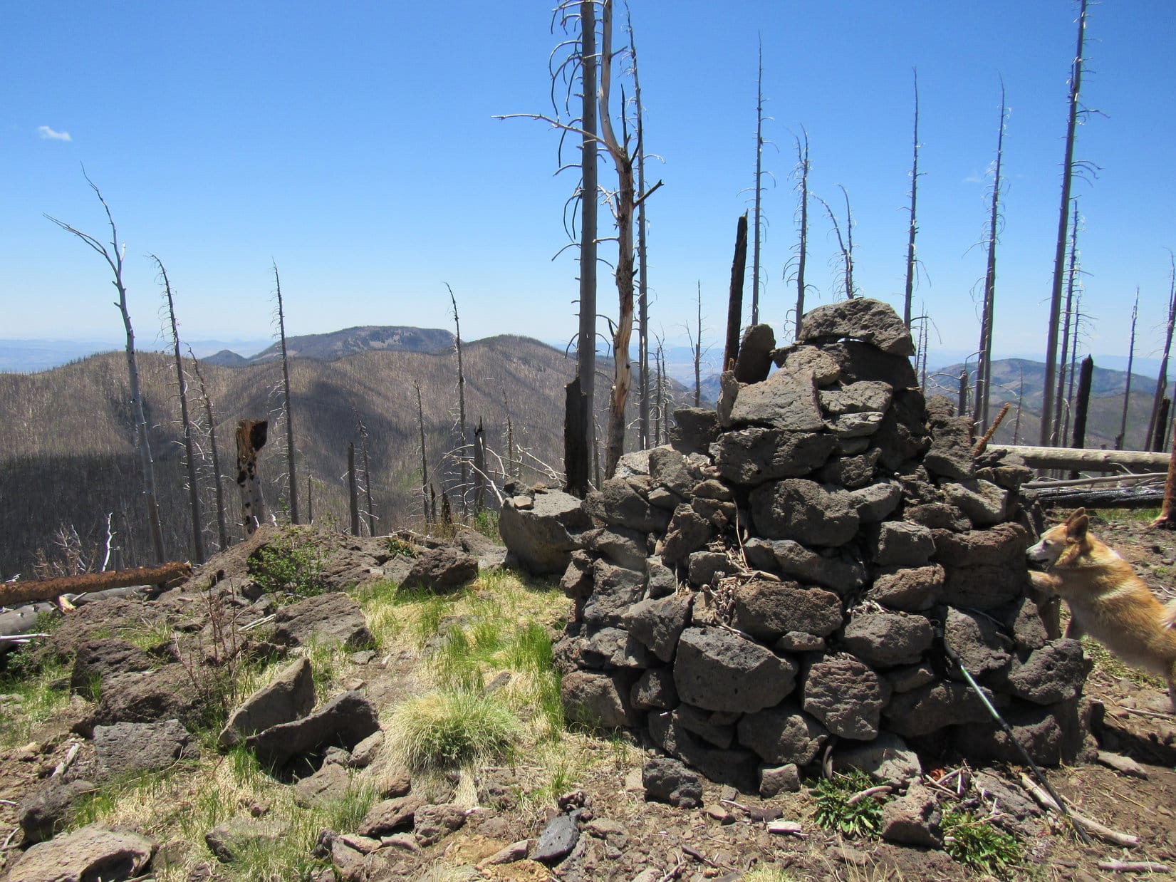
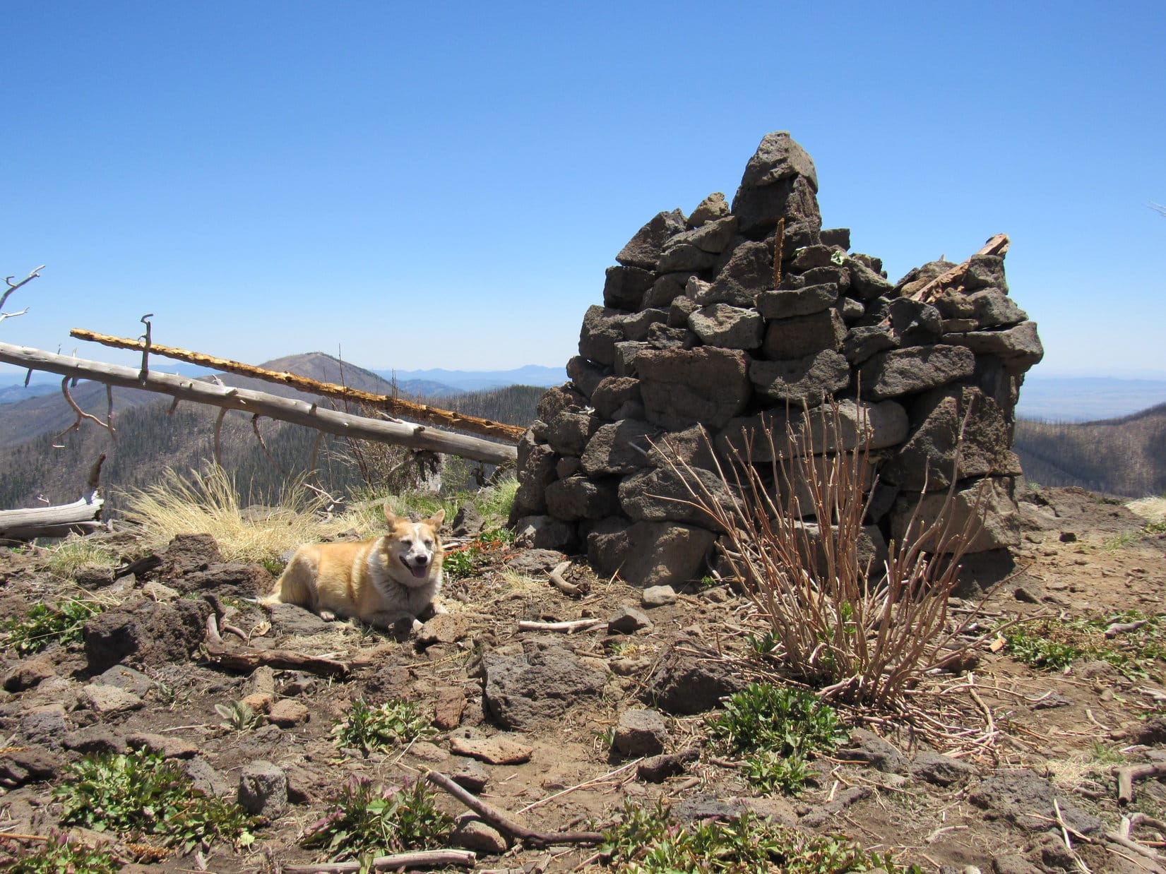
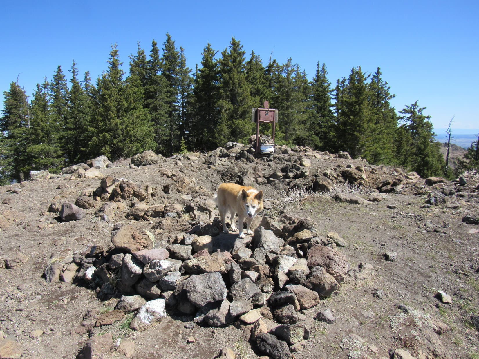
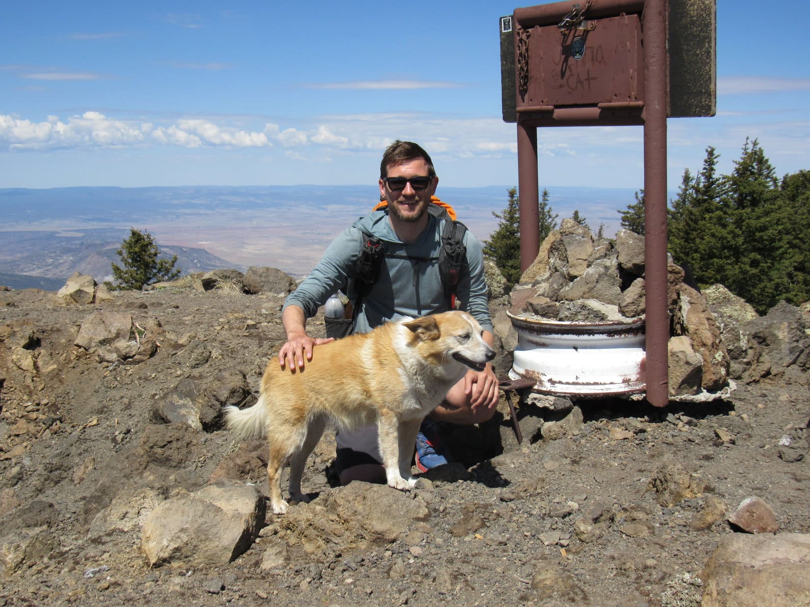
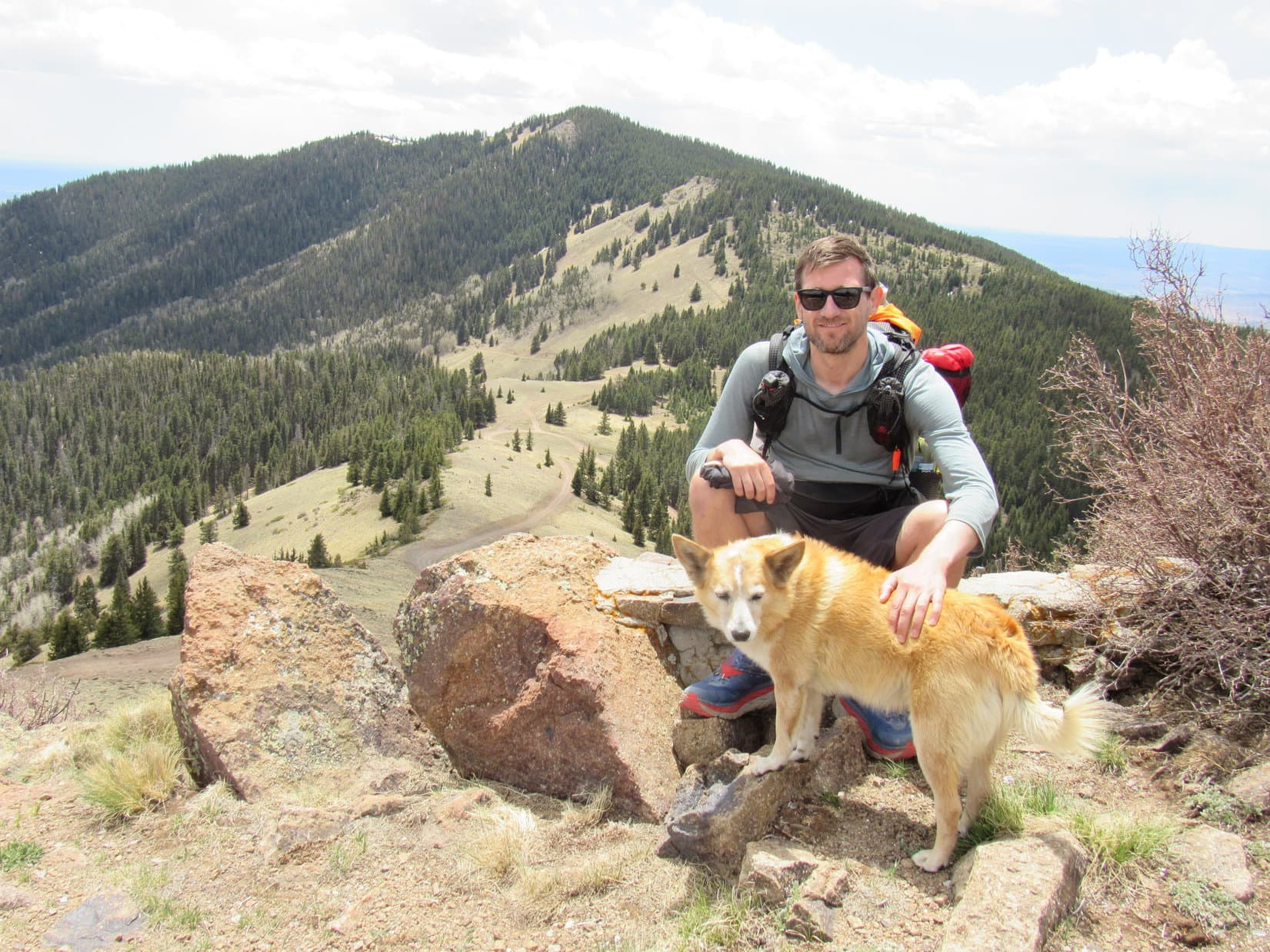
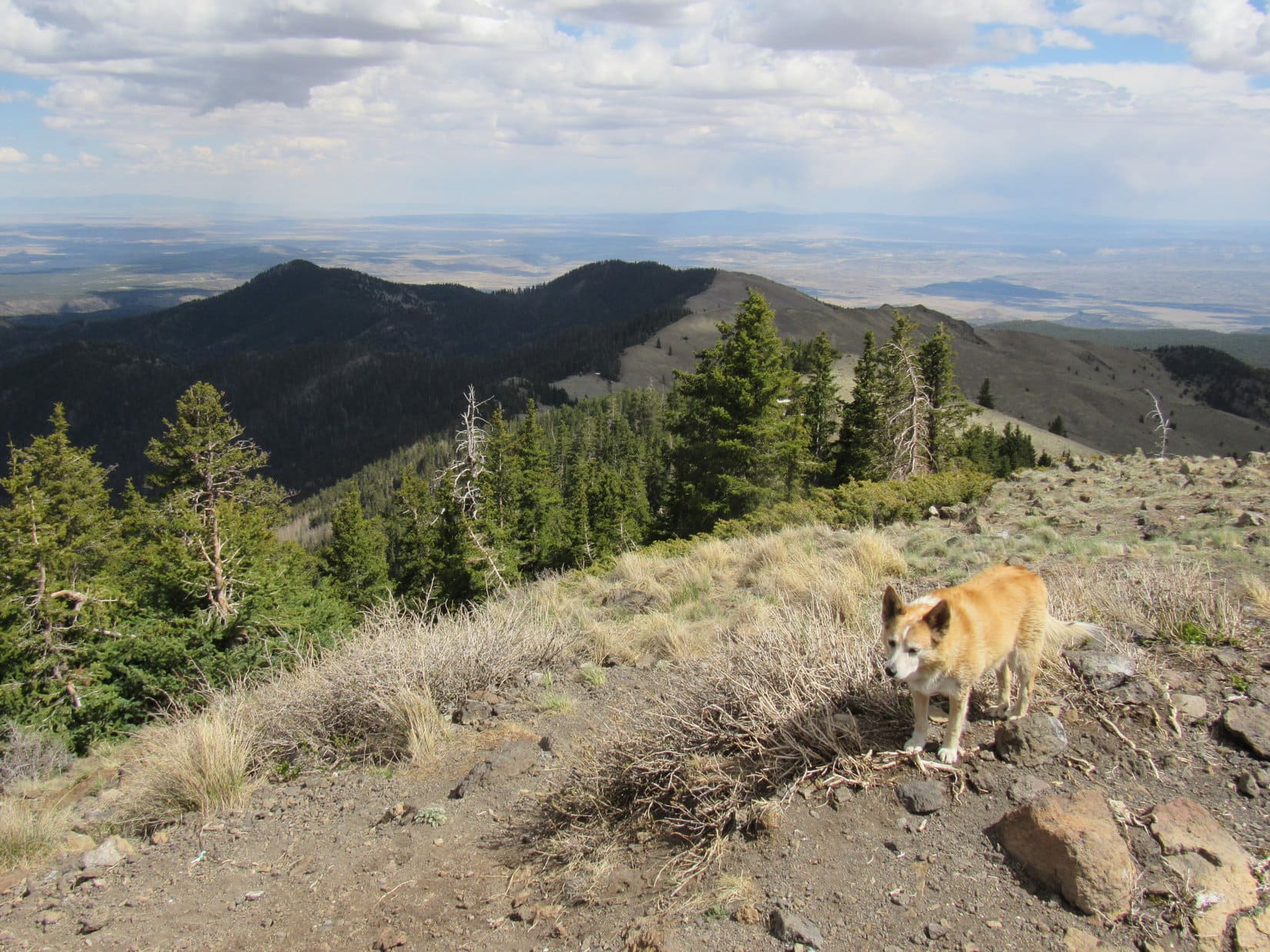
Jay and Pocket Rocket soon moved on, leaving Lupe and SPHP alone on Mount Taylor. Not much to explore. The summit region was plenty roomy, but wasn’t huge. Most of it was rocky and open with sweeping views, except toward the forested N slope. A sturdy metal sign stood at the high point, topped by an image that looked like Pogo. Behind this sign was a man-made crater several feet deep that served no discernable purpose. Beneath the sign someone had left a plastic whiskey bottle, contents partially consumed.
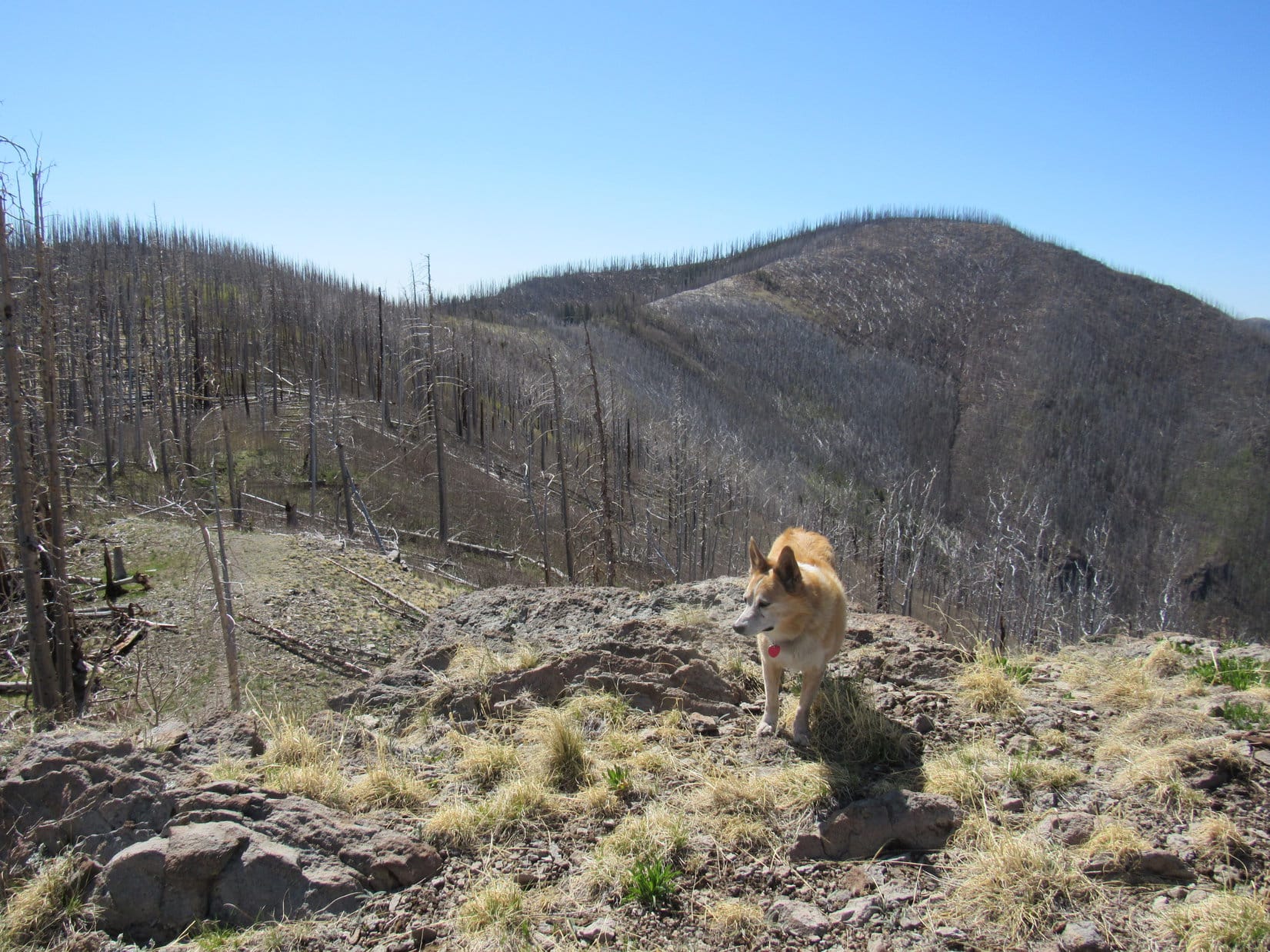
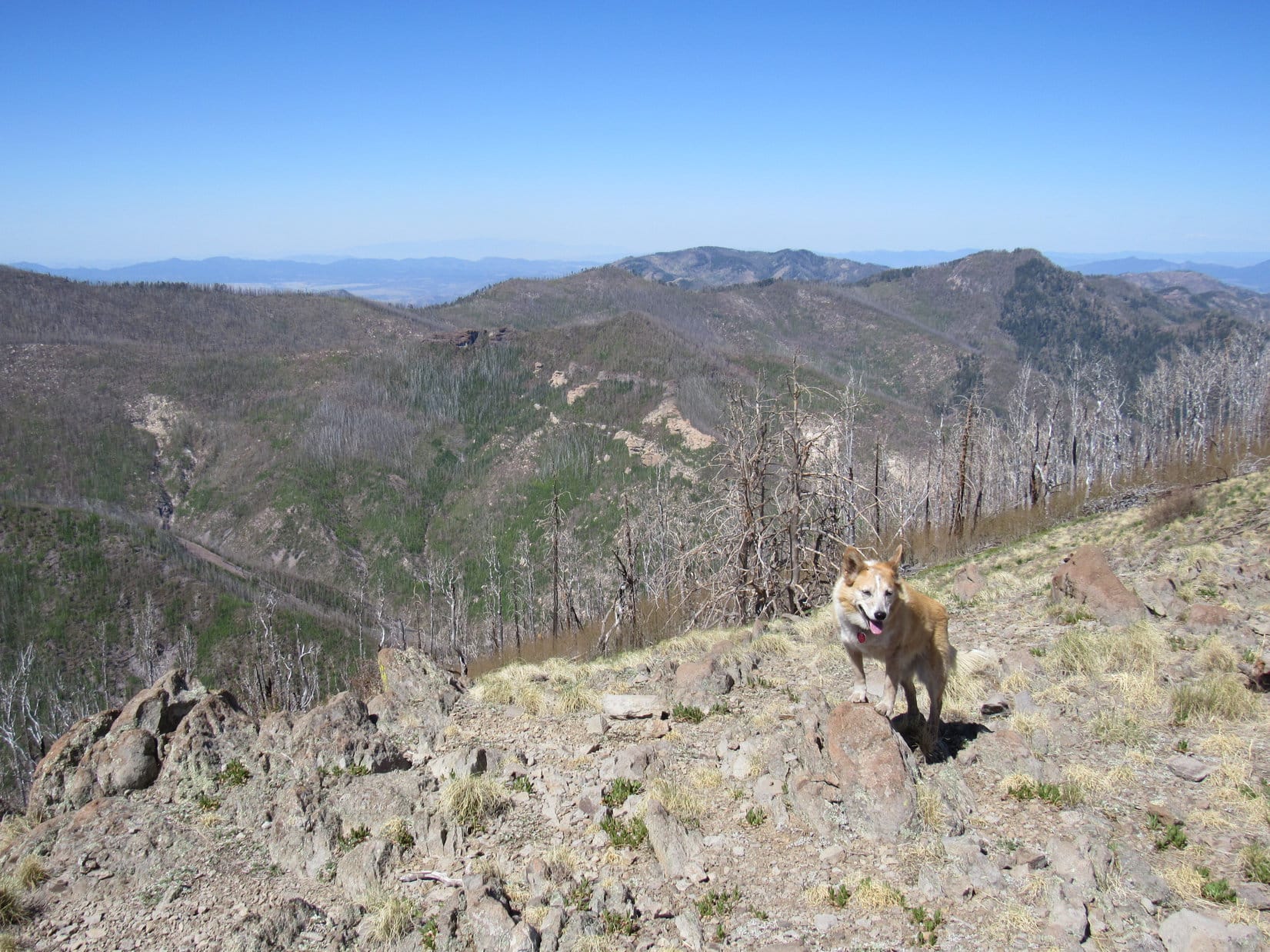
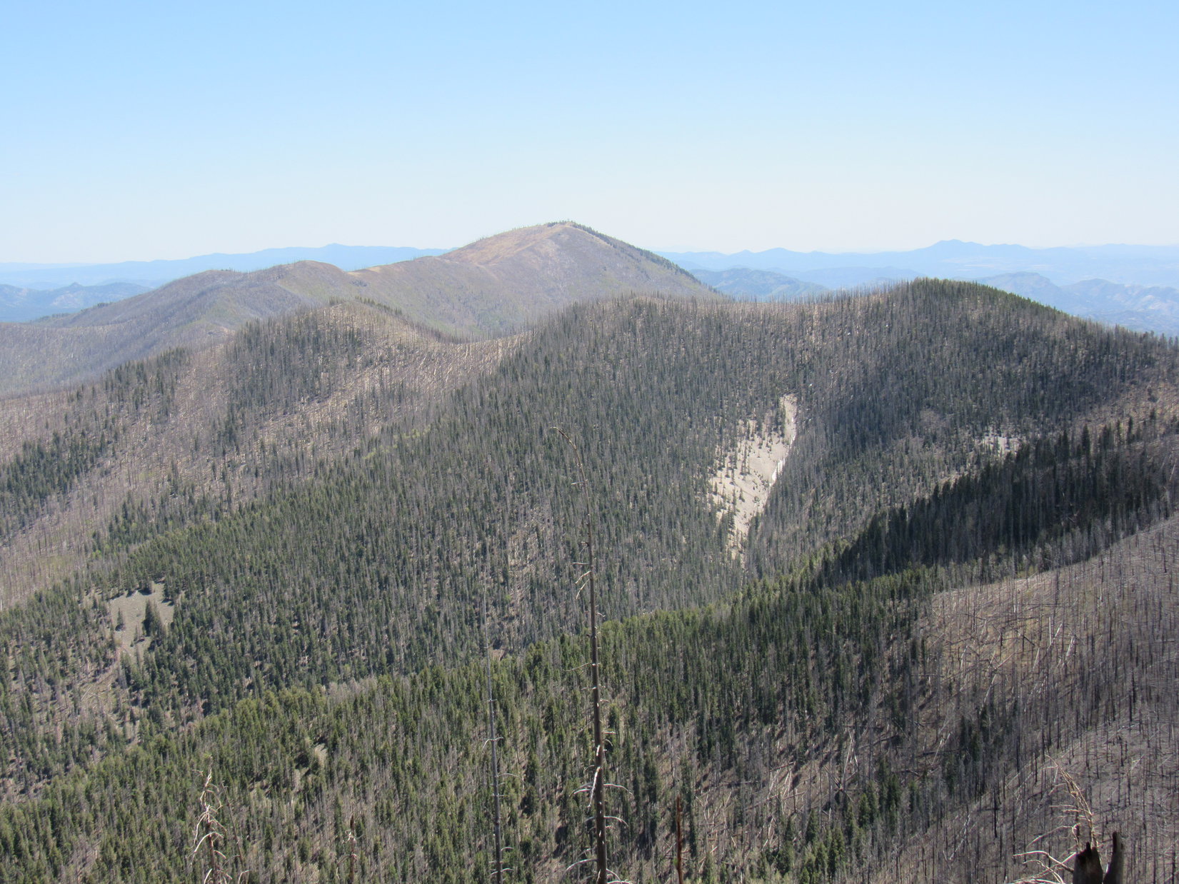
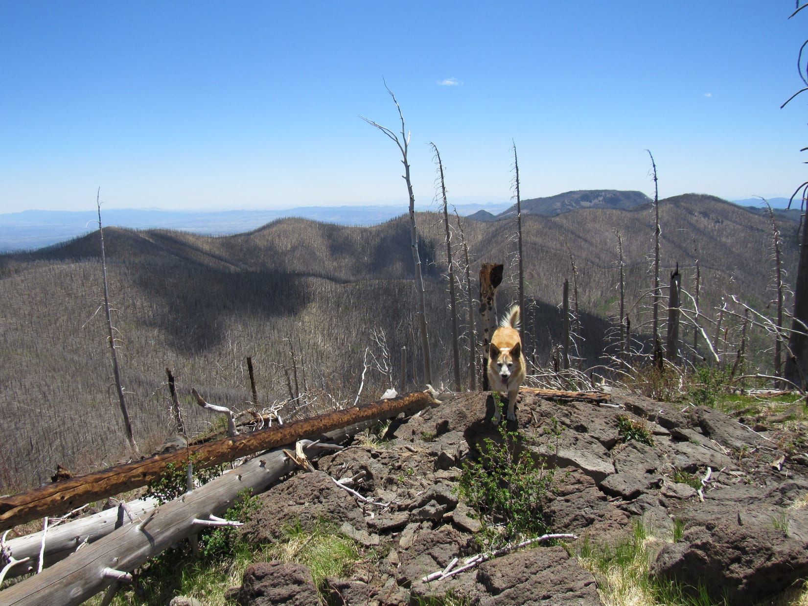
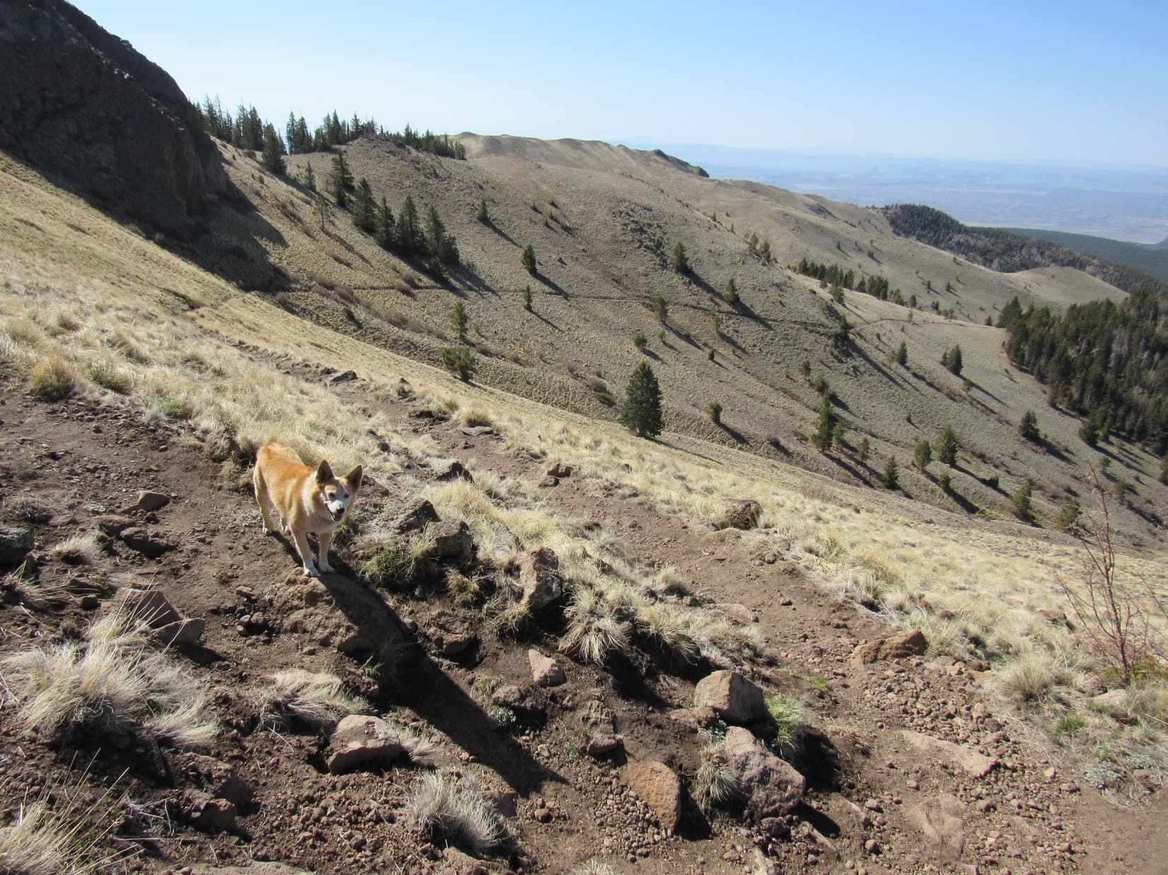
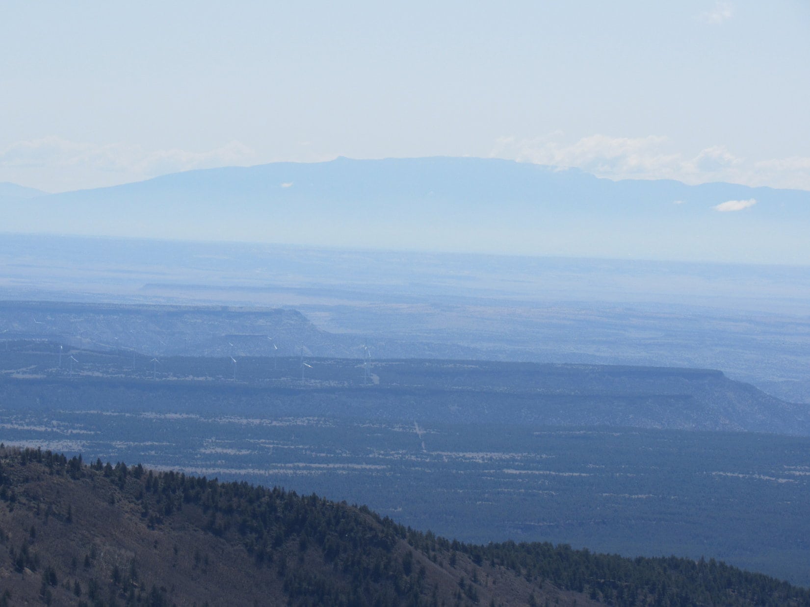
Unfortunately, the atmosphere was rather hazy. Despite the haze, far to the SSE a double-topped peak could be made out that looked like it might be Ladrones Benchmark (9,210 ft.). A long distant ridge to the E was almost certainly Sandia Crest (10,678 ft.). Lupe could see many lower hills and ridges, but nothing else stood out as being anywhere close to as high as Mount Taylor.
40 minutes after arriving at the summit, Lupe was relaxing enjoying the views when suddenly there was a noise, followed by a friendly greeting. Mary Poppins was here! Well, the Swiss version, anyway. Carrying a small black umbrella, a young man from Switzerland appeared. Lupe met Pascal – trail name “Crush”.
Like Pocket Rocket, Crush was also hiking the CDT. In fact, Crush knew Pocket Rocket, having met her on the Pacific Crest Trail (PCT) back in 2018. Since he’d started at the Mexican border a week later than Pocket Rocket, Crush hadn’t caught up with her on the CDT yet. SPHP told him he had missed her right here on Mount Taylor by just half an hour.
In addition to the PCT, Crush had also hiked the Arizona Trail, an 800+ mile long experience where he had seen 10 rattlesnakes per day. Crush spent 8 months every year traveling the world. Praising the long trails the Americans had built, Crushed marveled at the vast emptiness of the United States. Scandinavia was the only part of Europe as hiker friendly that still had significant open space.
Why the umbrella on such a sunny day? Crush preferred the umbrella to the chemicals in sunscreen.
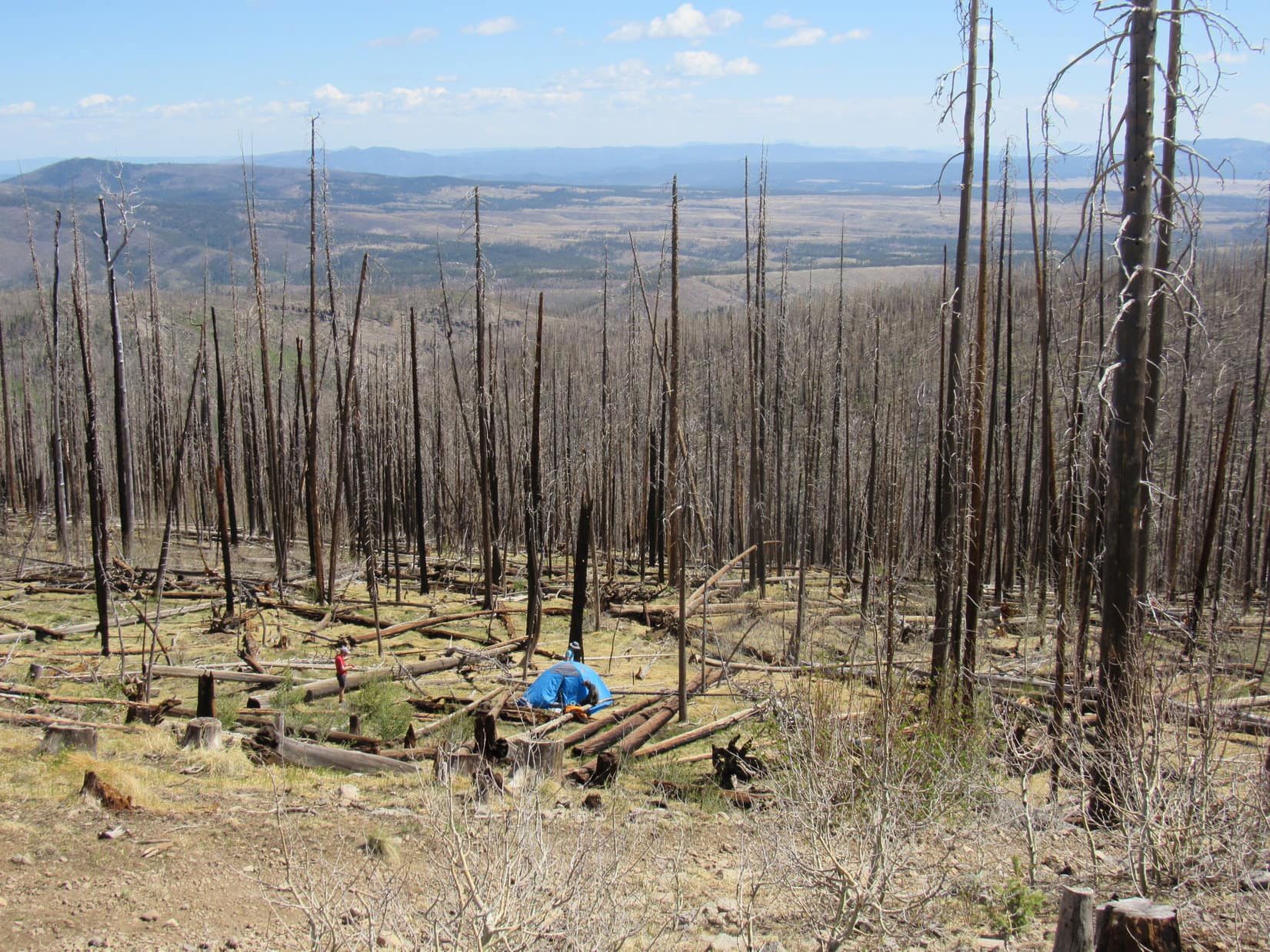
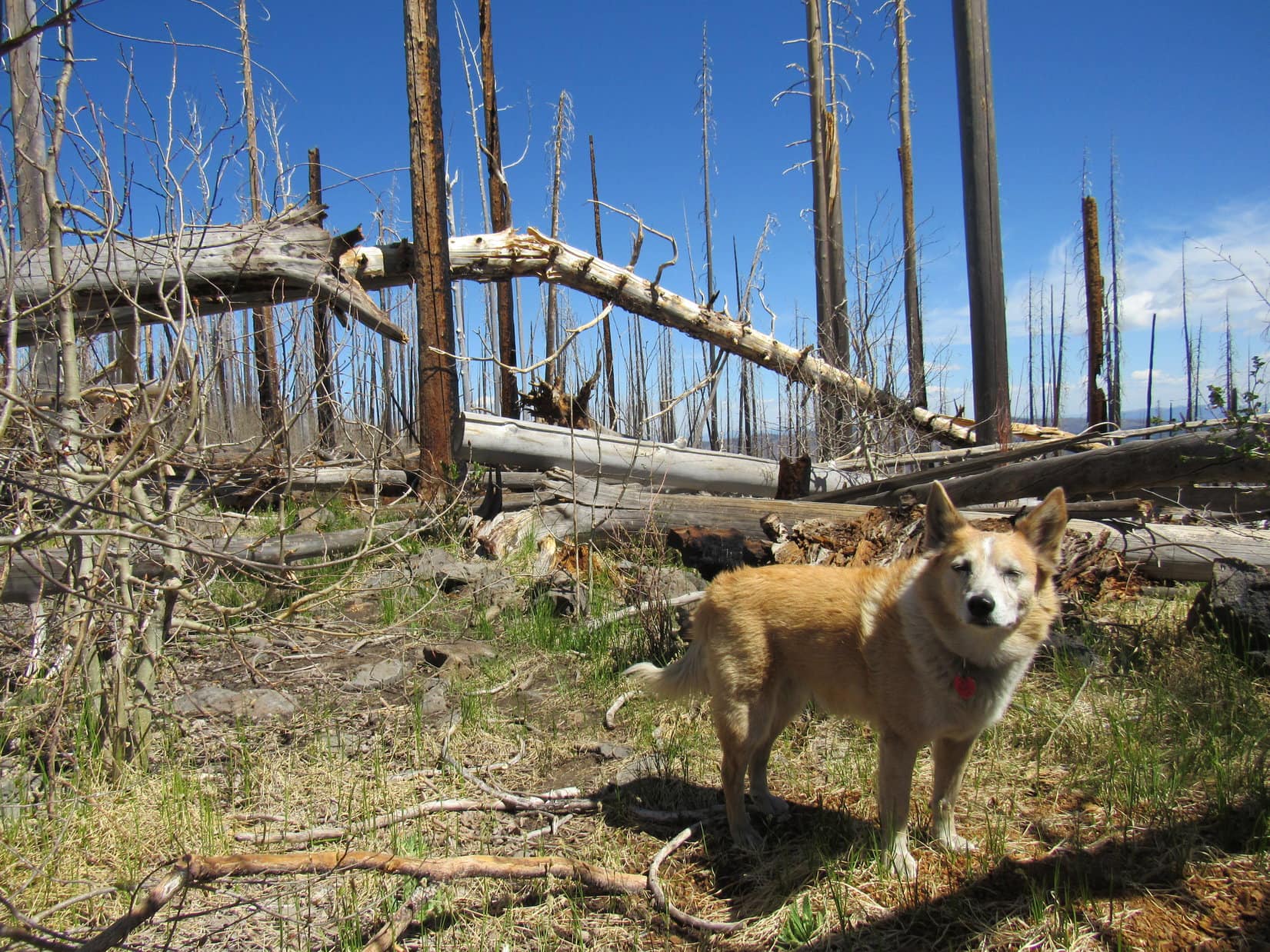
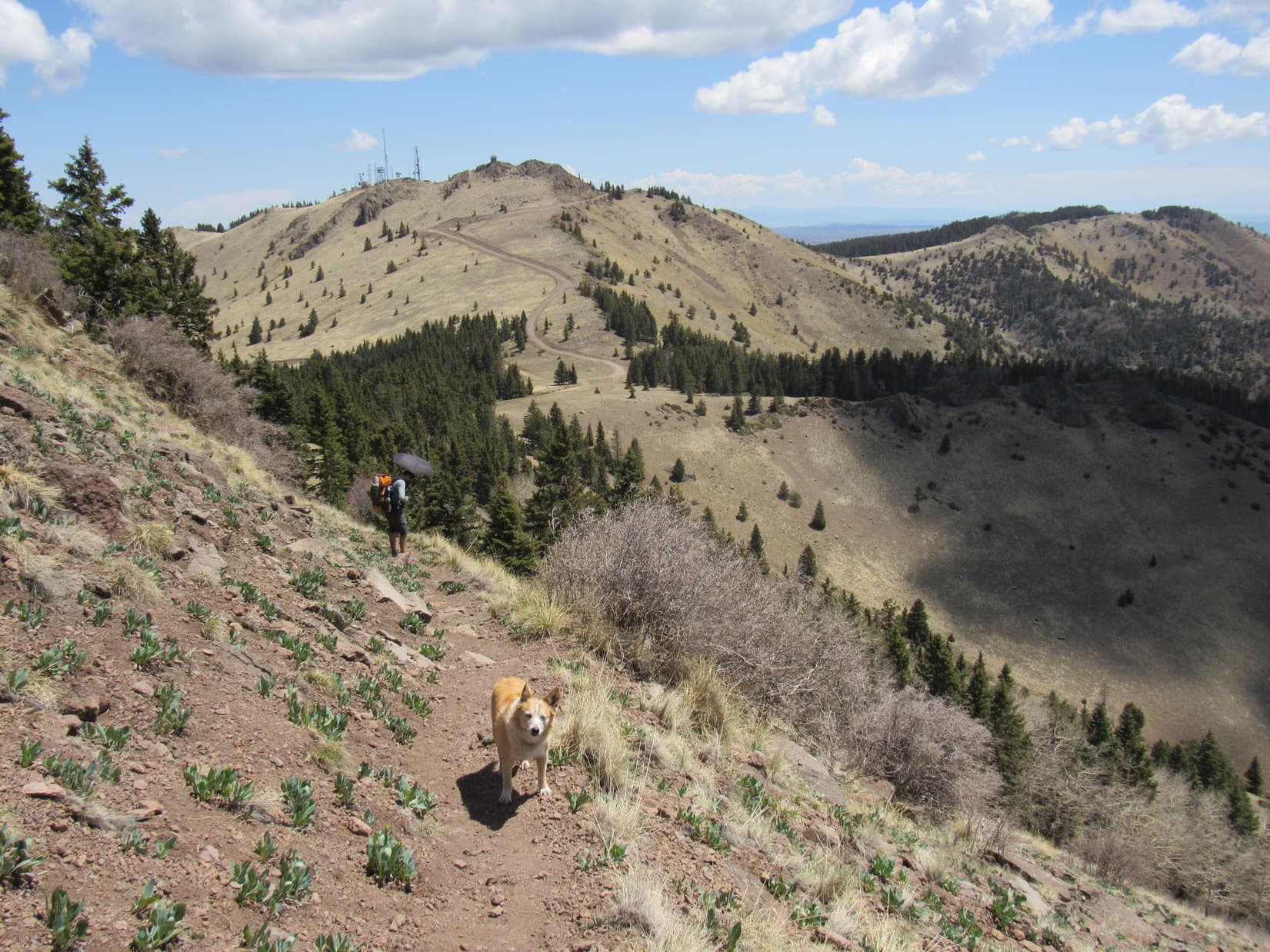
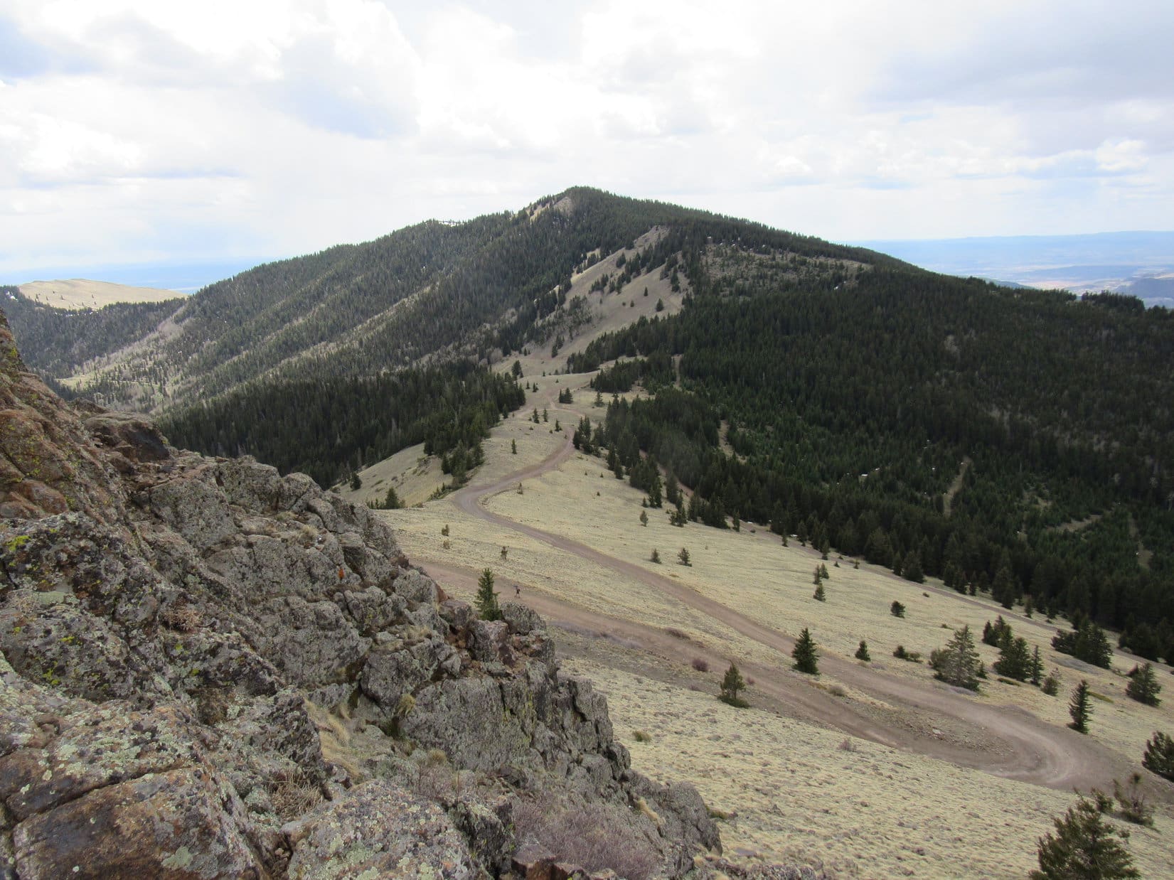
Still early in the day. La Mosca Lookout (11,036 ft.), only 1.25 miles NE as the crow flies, was going to be Lupe’s next stop. Since La Mosca was Crush’s next destination, too, Loop and SPHP joined him on the descent from Mount Taylor. Lupe was happy to find a bit of snow still melting in the forest on Mount Taylor’s upper N slopes. Shortly after leaving the forest, La Mosca Lookout came into view.


On the way down to the saddle leading to La Mosca Lookout, Jay was coming back up Mount Taylor, having parted ways with Pocket Rocket, who was continuing N along the CDT. Turned out Crush and Jay had known each other for several years, but had never actually met before.
20 minutes went by as Jay and Crush exchanged greetings, and had a chat. The big news was that the recent spring snowstorm in Colorado had dumped a lot of snow. Parts of the CDT were still impassable up that way. CDT’ers who had gotten an early start on the trek N this year were stacked up waiting for the snow to melt.
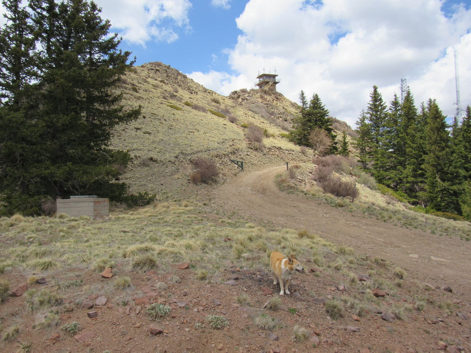
Jay eventually went on his way. Looper’s journey to La Mosca Lookout resumed. By now it was lunch time. Down at the saddle leading to La Mosca, Crush decided to stop and eat in the shade of another forested area. Meanwhile, Lupe and SPHP continued up a gravel road leading to the lookout.
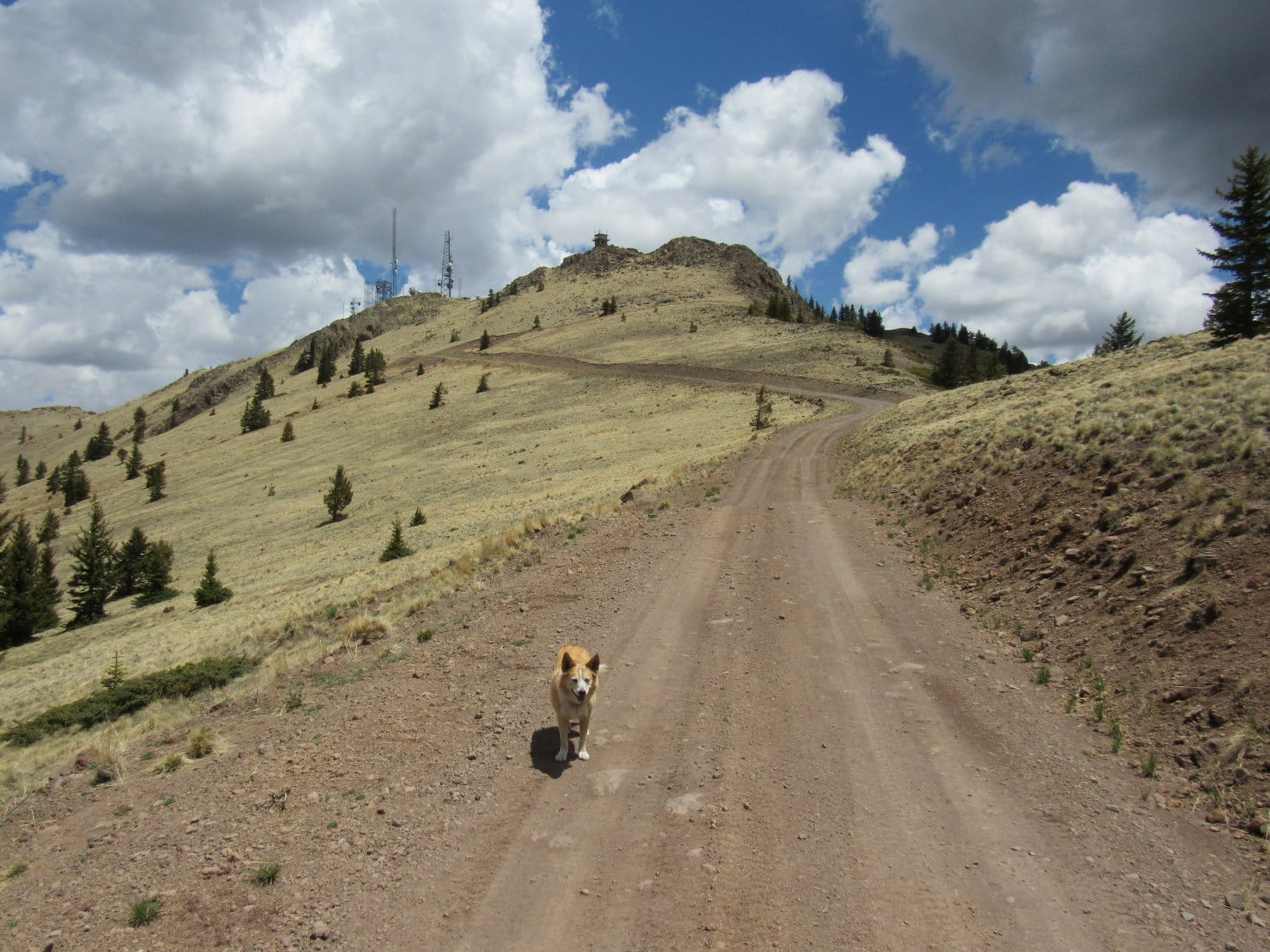
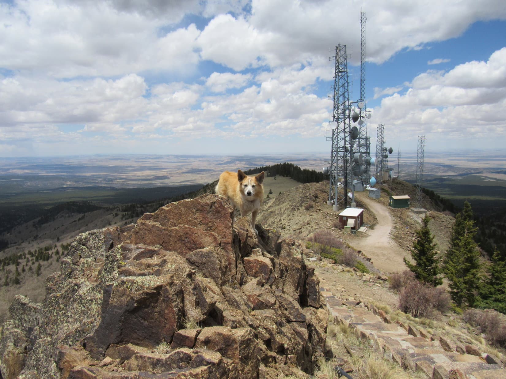
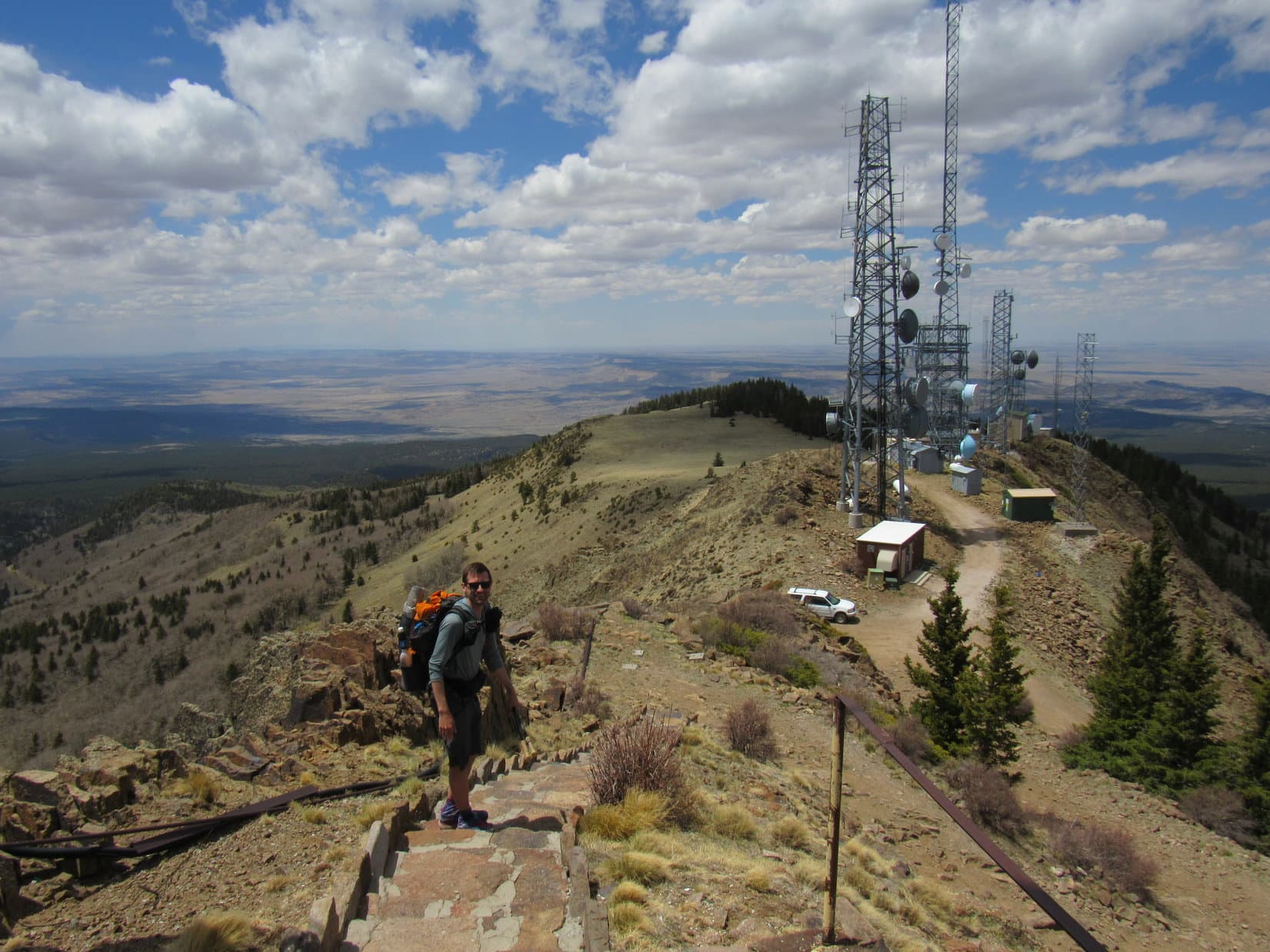
The road curled around La Mosca’s upper S slopes over to the E side of the mountain before turning N. It soon ended between a collection of big towers and a stone stairway leading up to the actual fire lookout tower perched on the true summit.
A worker was getting the lookout tower ready prior to the summer fire season. Several windows had been broken out, so SPHP helped Lupe avoid the numerous shards of glass strewn about.


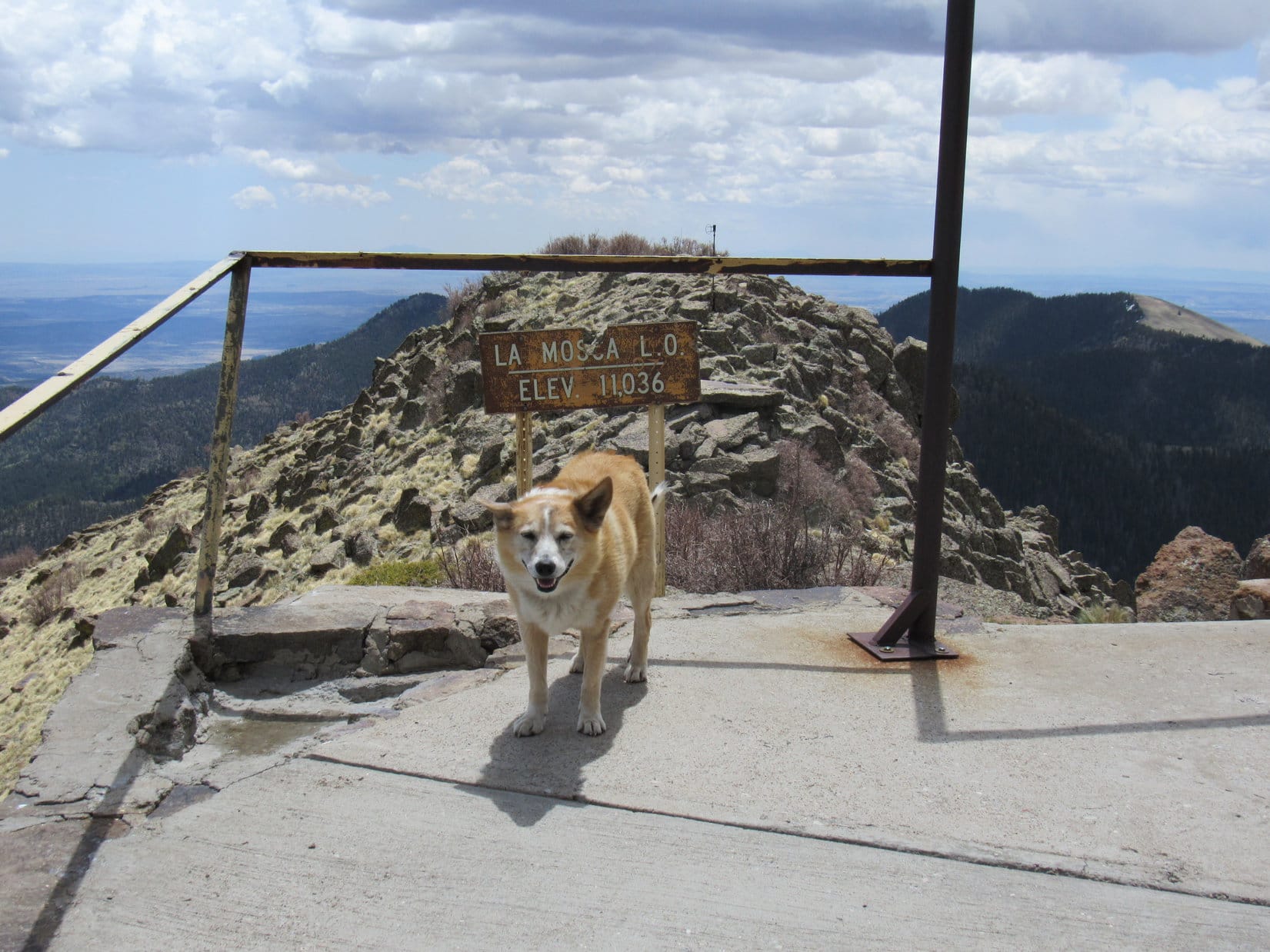
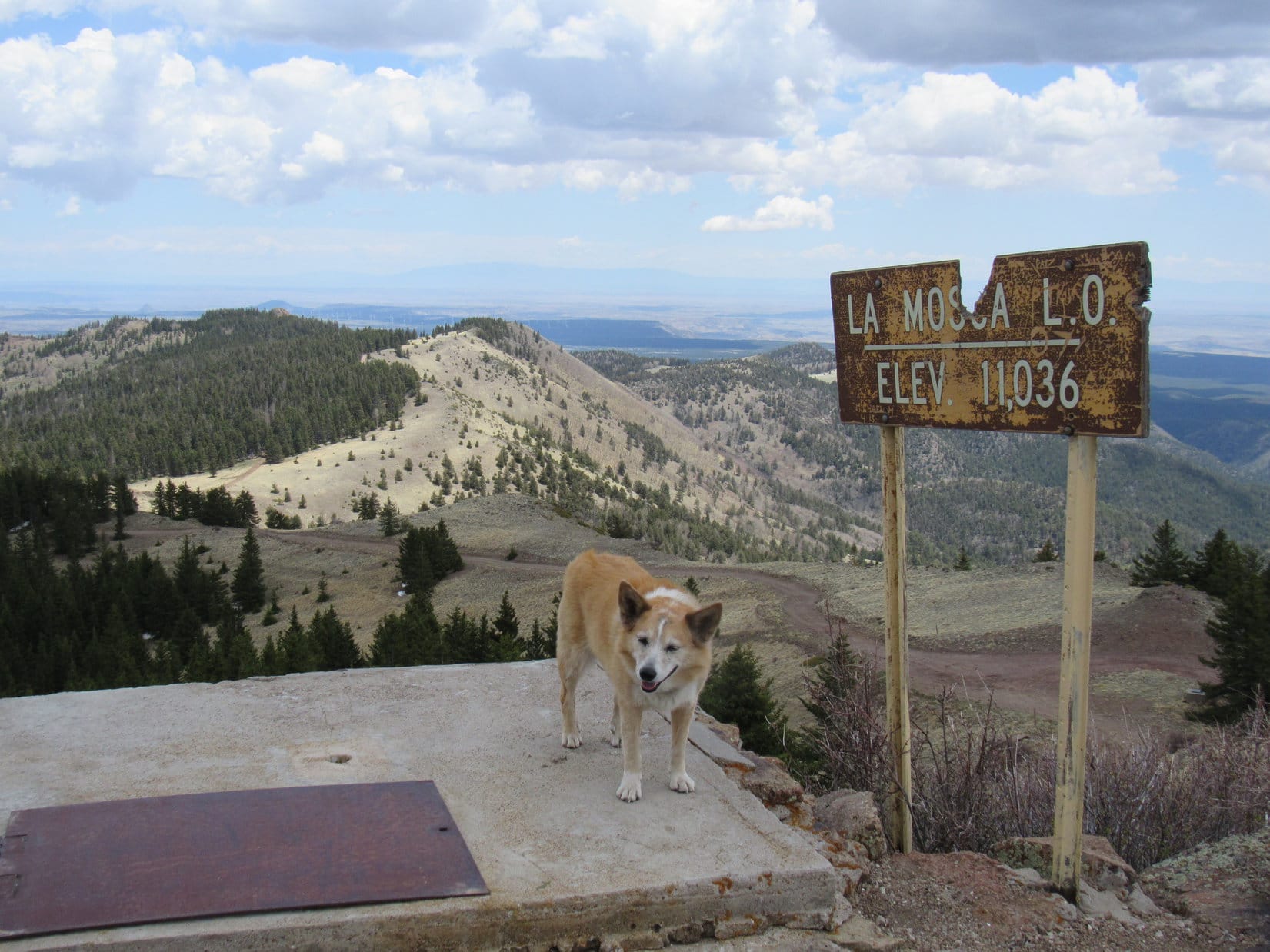
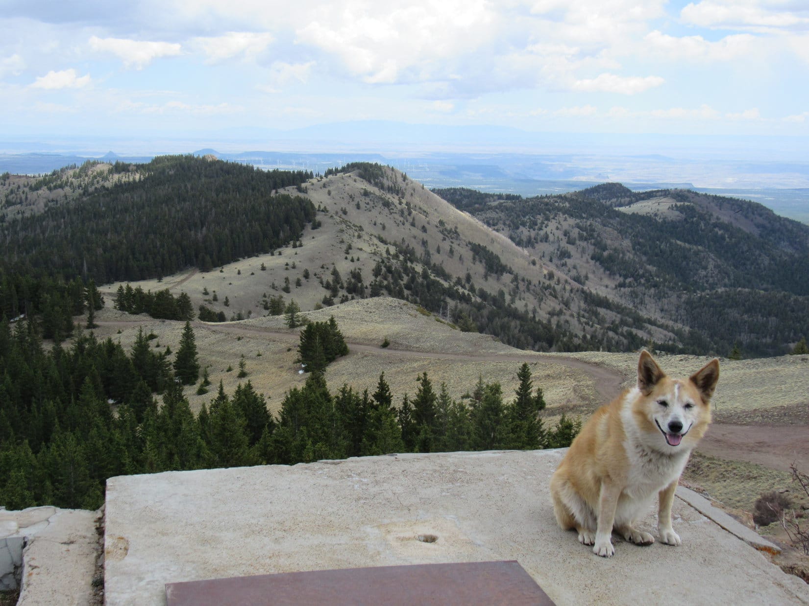
Not a single tree! La Mosca Lookout (11,036 ft.) provided unobstructed views in all directions. A battered sign SE of the tower proclaimed the elevation. To the N were views of mysterious, rumpled desert lowlands. Sandia Crest (10,678 ft.) was visible on the E horizon, while Mount Taylor (11,301 ft.) dominated the view to the SW.
Lupe kept an eye out for Crush, and eventually saw him coming up the road. He soon joined Loopster and SPHP up on La Mosca Lookout.
A good time was had by all. Crush stayed visiting for nearly half an hour before descending La Mosca’s stone steps to resume his long adventures N along the CDT. Shortly after Crush left, Lupe began her descent, too. Time to head back to Mount Taylor!
No one was around the 2nd time Lupe reached Mount Taylor’s summit. Crush had signed a registry stashed in a foldable shelf attached to the back of the Pogo sign. SPHP hadn’t noticed it earlier. This time SPHP added Lupe’s name to the registry.

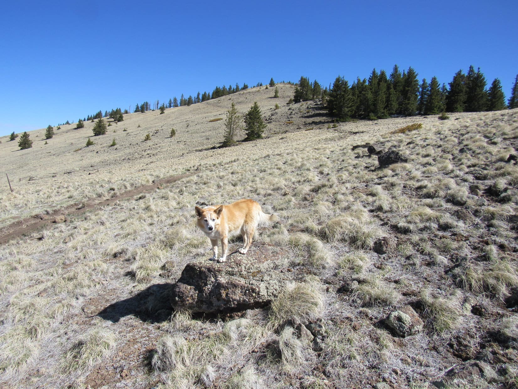
20 minutes were spent enjoying the views again before the American Dingo began her 2nd descent, this time heading back to the Gooseberry trailhead. Lupe met several more groups of CDT hikers coming up the mountain, but none as friendly as Crush had been.
5-19-21, 5:23 PM, 66ºF, Gooseberry trailhead – Two young men were cooking a meal along the edge of the trailhead parking lot when Looper arrived back at the RAV4. They were from Albuquerque, and had hiked up Taylor Mountain and back down again in the time between Lupe’s 2 ascents. However, they’d started out a day ago from farther down the mountain, and still had a long way to go to get back to their vehicle. Tired and hungry, they didn’t seem inclined to say much more than that.
Lupe was also hungry, so SPHP heated up a can of beef stew. Full of stew, the Carolina Dog was resting on her pink blanket in the RAV4 while SPHP put away the propane stove when another CDT hiker appeared. He asked if anyone knew where the local CDT water cache was?
Yeah, as a matter of fact, Lupe and SPHP knew! All those white plastic gallon milk jugs Loop had found yesterday evening along USFS Road No. 501 weren’t actually milk jugs abandoned in the forest. They were the CDT water cache! Crush had happened to mention the water cache up on Mount Taylor.
SPHP gave the CDT’er directions on how to find the cache, which wasn’t far away. How much water did he need, anyway? Lupe and SPHP had extra water available right here in the RAV4, too. Offering profuse thanks, the CDT’er took only a single small water bottle from the RAV4 before disappearing up Gooseberry Trail No. 77.
The water conversation with the CDT’er had broken the ice with the two young men from Albuquerque. As soon as the CDT’er left, they said they were about out of water, too, and asked meekly if Lupe and SPHP had any more that could be spared?
Sure! Got at least a dozen extra bottles! Help yourselves to as much as you want! They did, taking half of the extras. A friendly conversation ensued. When they found out that Lupe intended to head E to Sandia Crest tomorrow, they told SPHP about La Luz Trail No. 37 that went all the way to the top of Sandia Crest from E Albuquerque. There was also a Sandia Peak Aerial Tramway that went up from Tramway Boulevard. Freshly rehydrated, the grateful Albuquerqians eventually continued their trek down the mountain.
Are we going to take the tramway up Sandia Crest, SPHP?
Hmm. I don’t know, Looper. First I’ve heard of it. Not sure what they might think about having an American Dingo passenger? A road goes all the way to the top, too, which is probably both easiest and cheapest, but the tram might be more fun.
Taylor Mountain, La Mosca Lookout, meeting Crush, Jay, and Pocket Rocket. Today had been a blast, too!
Links:
Next Adventure Prior Adventure
Want more Lupe adventures? Choose from Lupe’s Summer of 2021 Dingo Vacations to New Mexico, Wyoming & the West Coast Adventure Index, Dingo Vacations Adventure Index or Master Adventure Index. Or subscribe free to new Lupe adventures.