9:05 AM, 47ºF, Custer State Park, Center Lake –
Center Lake is still frozen, SPHP!
Yeah, but don’t trust it, Loop. We’re going around the lake, not over it.
A path went S from the beach along the W shore. Easy as pie at first, but soon the shoreline started getting sort of steep and rocky. The Carolina Dog got by an initial tight spot, but more obstacles quickly decided SPHP that she’d be better off climbing W a bit. The maneuver worked, but the 40 feet of elevation gained all had to be lost again by the time Lupe made it around to the S end of the lake.


Center Lake is created by a dam over Coolidge Creek. Loop was going to have to cross the spillway. Not a big deal. Coolidge Creek is a relatively small stream. Spread out over the spillway, it was only inches deep.


After crossing the spillway, a trail was visible in a field below the dam. Descending to the trail, the American Dingo was soon climbing at a good clip as she followed it ENE. After gaining 100 feet of elevation, the trail began to level out, briefly turning SE.

We’ll need to climb this slope on the R, Loop.
Leave the trail, SPHP?
Yup. It’s just going to go back N along the E side of the lake.

And where are we going, SPHP?
HP5005 initially, Loop. Hoping we’ll see our real objective from there.
Continuing SE after leaving the trail, Looper gained another 100 feet of elevation. This got her to a flat spot next to a small rock formation. There was a bit of a view from here.

This wasn’t HP5005 quite yet, which was only a little farther E. After a short break, Lupe headed up there. A big hill was in sight 0.6 mile ESE.
That’s where we’re going, Loop! Peak 5212.


SW portions of the South Fork of Bear Gulch were between HP5005 and Peak 5212. Rather than cross this fairly deep valley, Lupe could avoid at least some of the elevation loss she would otherwise incur by following a connecting ridge around the upper end of the gulch.
Starting down HP5005‘s S slope, Lupe quickly came to a clearing where Mount Coolidge (6,023 ft.) and Peak 5440 were in sight.


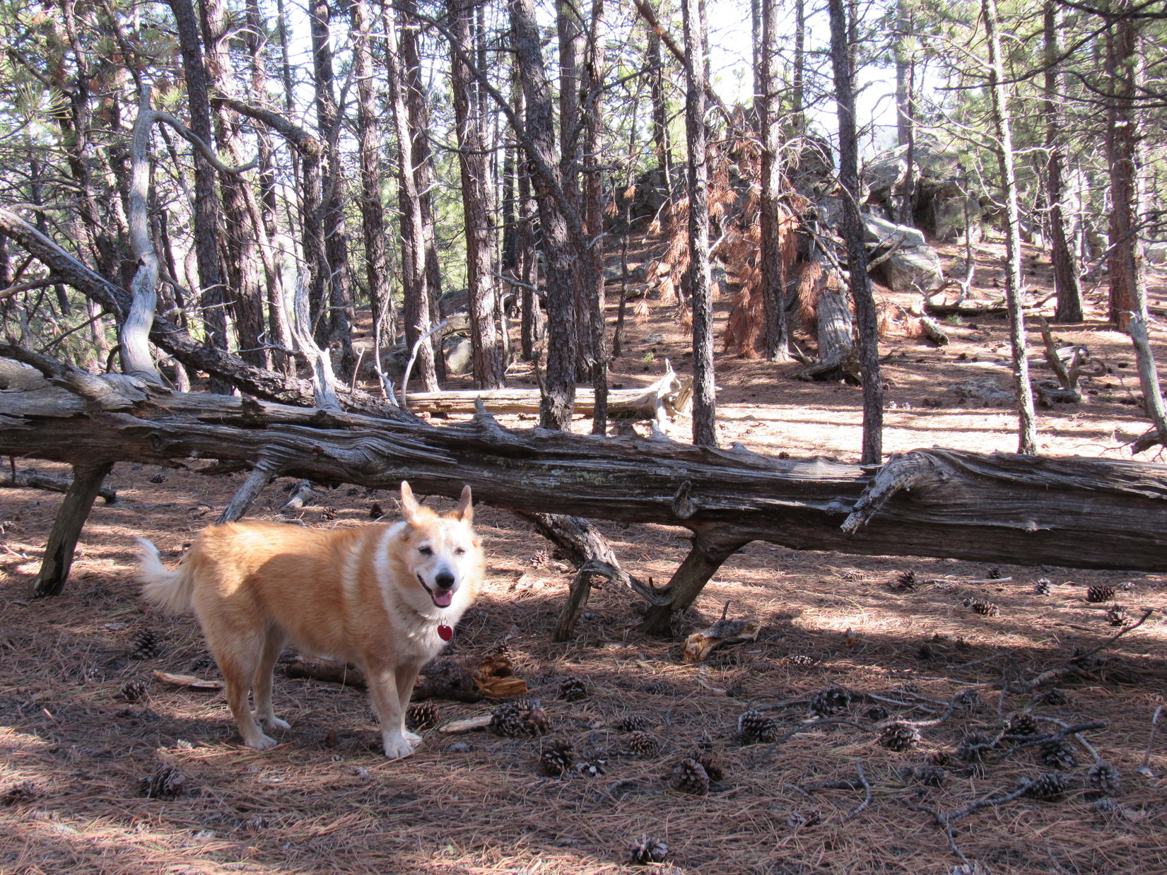
The ridge route was nice and wide without obstacles other than quite a bit of slash on the ground, but wasn’t without some elevation loss itself. The biggest drop of roughly 140 feet came early on S of HP5005. Most of this loss had to be regained almost immediately. Upon reaching HP4960, a flat-topped hill, Loop crossed it.

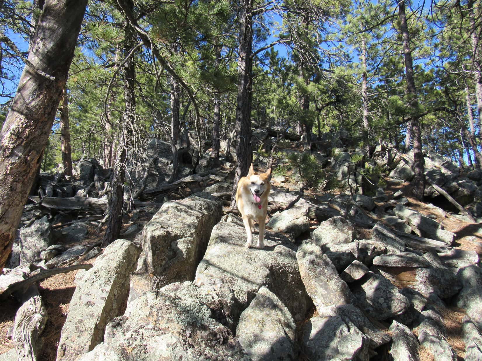
Beyond HP4960, the ridge went E. Not as much up and down now, but the ridge was narrower and presented more obstacles. A minor high point was capped with good-sized rock formations. Once around it, Lupe came to an area with a fair amount of deadfall.


None of these obstacles presented any real difficulties, they just slowed things down a bit. Lupe was soon on her way up Peak 5212’s SW ridge.


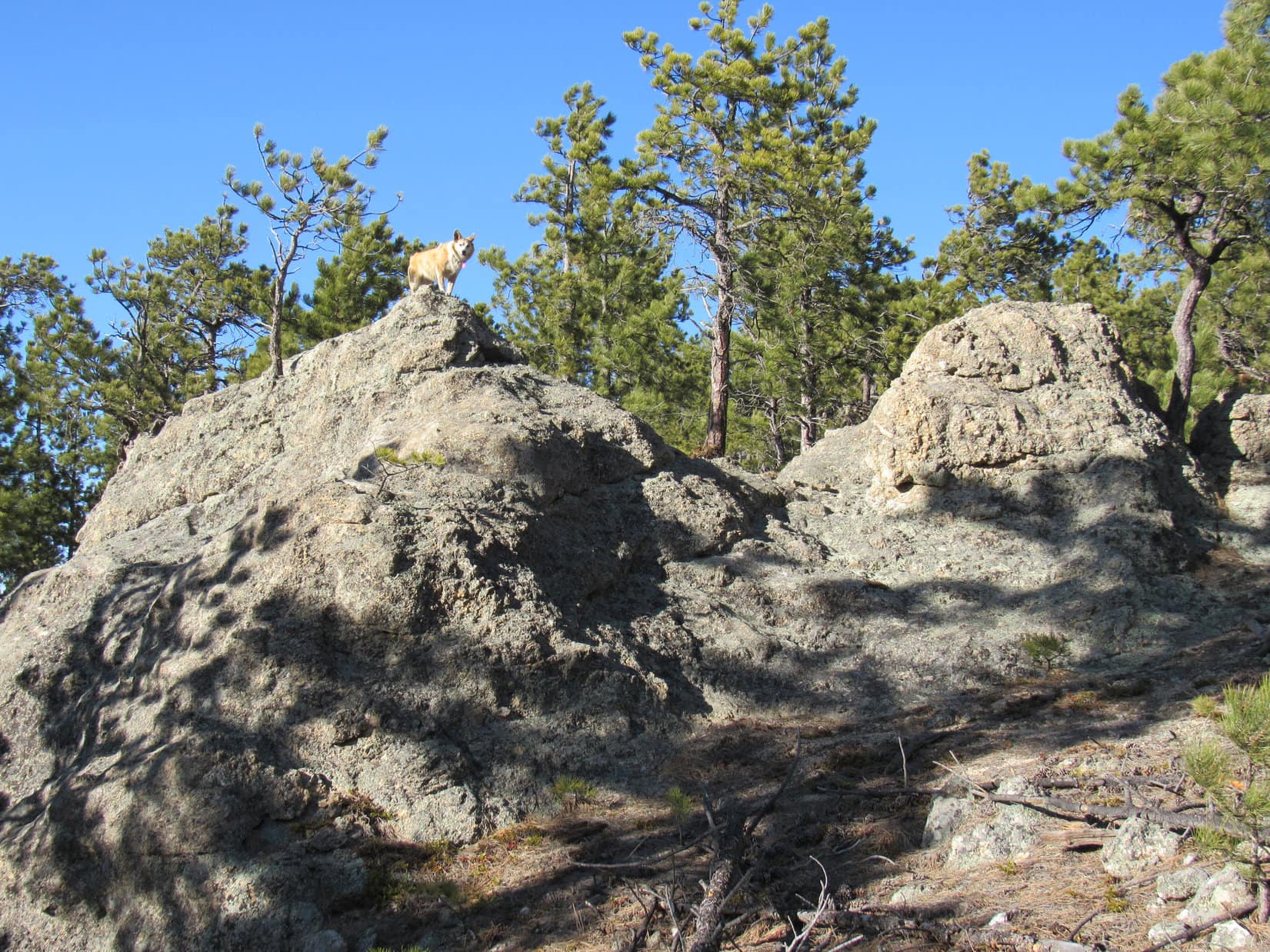
11:12 AM, 53ºF – Peak 5212‘s summit region was large and much more open than expected. The true summit was easily identified, a boulder along the S edge with a great view of Peak 5440 and Mount Coolidge off to the SW, with more distant Northeast Cicero Peak (6,240 ft.) visible between them.


Congratulations, Loopster! You’ve just bagged another Lists of John peak. Only one left in Custer State Park that you haven’t been to yet.
Really? Can we see it from here, SPHP?
Nope, but you’ll be seeing it later on today. We’ll drive closer to it once we’re done here.
This calls for a chocolate coconut bar, SPHP!
Indeed it did! SPHP split one with Loop, then sat munching an apple. Lovely day! Always nice when the American Dingo arrived on a new peak that actually had some views like this, instead of being buried in trees. Nearly half an hour shot by before anyone stirred.
About time we had a look around, Loop. Let’s check out what else we can see from up here.
Hoping to catch a good view of HP5160, SPHP led Lupe partway down the SE ridge, but quickly gave up on that idea to avoid undue elevation loss. Heading NW back past the true summit was more successful. A line of hills featuring massive rock formations was visible off to the NE. Black Elk Peak (7,231 ft.) and the Cathedral Spires (6,840 ft.) were in sight beyond Peak 5688 to the NW.


Circling back to the true summit along Peak 5212’s upper S slope, Lupe finally did get a great view of HP5160.


Having seen what there was to see, Looper headed back down the SW ridge. Retracing her entire ridge route, the Carolina Dog was soon back at HP5005.


From HP5005, instead of continuing back the same way, Lupe explored farther NE along the ridge. She soon came to another high point where a flat, open area was strewn with rocks, tufts of tall grass, and scattered pines. SPHP was under the impression that this area might even be a bit higher than HP5005. In any case, it offered a final view of Peak 5212.


The ridge played out beyond this last high point. Descending a N slope, Looper kept exploring. Coming down a little E of, and below, a broad, flat region, she turned NW, going up and over it. This led to a descent into a forested valley, and eventually back to the same trail Lupe had first reached down by Center Lake’s dam.
Following the trail NW, it first went up to a bit of a high spot with a view of the spillway, before descending to a road that went past a picnic area on the NE side of Center Lake. The rest of the return was mostly just a road hike around the N end of the lake. (End 1:18 PM, 58ºF)


1:49 PM, 58ºF, French Creek Horse Camp – SPHP parked the RAV4 over at the trailhead for Centennial Trail No. 89.
The French Creek Horse Camp! We were here not that long ago, SPHP!
That’s right, Loop! Explored Centennial Trail No. 89 from Badger Hole, and went on to Peak 5120 from here.
Ugh! Hope we’re not doing that again, SPHP! Remember all the deadfall on the way there? Ghastly!
Yes, but we survived. Anyway, we’re not going to Peak 5120 again. Going to visit that last Lists of John peak here in Custer State Park that you haven’t been to yet, Peak 5213!
Peak 5213, SPHP? A mere one foot higher than Peak 5212 where we just were? Hope they’re like twins! Peak 5212 wasn’t that hard, and had some nice views.
Before leaving the French Creek Horse Camp, Lupe ran down to French Creek and helped herself to a drink. Last time she’d been here, the creek had been frozen over, but ice remained only along the banks now.

The route to Peak 5213 started out the same way as going to Peak 5120 had. After crossing a bridge over French Creek, Loop followed CSP Road No. 4 nearly 0.5 mile SE up to Pass 4780. A couple of bighorn sheep the American Dingo saw disappearing over the ridge to the W created some excitement along the way.


This time, instead of heading NE from Pass 4780 like she’d done on the way to Peak 5120, Lupe turned W on a dirt side road. A short climb through the forest led to a flat, open region.
A line of hills was now in sight to the SW.
Oh, joy! We’re in for it again, aren’t we Loop?
Most of the hills had burned. Going to be deadfall city, just like Peak 5120 had been! Maybe not, though, if this road went the right way.

Yeah, good luck with that! Instead of continuing SW toward Peak 5213, after going over a little rise, the road dipped, then curved NW, vanishing down a valley. No choice. Abandoning the road, Lupe started climbing the deadfall infested ridge leading to the highest hill in sight.
Slow going, but the Carolina Dog remained cheerful.

What a mess! Loopster leapt over, or snuck under, countless dead trees. Fortunately, most were relatively small diameter. Bit by bit, Lupe was closing in on her objective.

It wasn’t until the Carolina Dog got to a rocky, deadfall-choked top that SPHP realized where she was.
Congratulations, Loop! Kind of an ordeal, wasn’t it?
Here we are, though, SPHP. We made it!
Umm, yeah, about that. There’s good news and bad news, Looper. Which do you want first?
I’ll take the good news, SPHP.
The good news is that we made it this far.
This far? What do you mean by that, SPHP? Isn’t this Peak 5213?
Uh, yes and no. Mostly no. That’s the bad news. Peak 5213 is sort of a big ridge with 3 high points all nearly the same elevation strung out N/S along it. We’re at the N summit now. See those two flat-topped hills to the S? Those are the other summits. The topo map only shows only one specific elevation other than contours – 5,213 feet way over at the S summit. Lists of John just calls this mountain Peak 5220 based on contour levels and shows the central high point as the presumed true summit.
So, what you’re telling me, SPHP, is that we still have to go to both of those other hills?
I knew you’d be thrilled, Looper!


Well, with 3 high points to visit, Lupe clearly wasn’t going to have time for any traditional summit hour up on each one. In fact, there was no sense in dilly-dallying. Loop was going to be spending plenty of time slogging through the deadfall, and would not feel at all cheated out of a genuine Peak 5213 experience.
Loop did stay on the N summit long enough to check out a nice view to the NW, where Daisy Peak (5,948 ft.), Custer Mountain (6,089 ft.) and Mount Coolidge (6,023 ft.) were all in sight.

Not bad, but … Onward! Puppy, ho!
The American Dingo started down the N high point’s SW slope destined for the ridge connecting all 3 high points. Once there, Lupe turned S. Fighting deadfall all the way, she made it to the middle high point’s NW slope. Less deadfall here meant the required 100 feet of elevation gain didn’t take her long.


The central high point’s summit encompassed a much larger region than the N summit, which had been small and cramped. Loopster reached a plateau of rocks, wisps of tall yellow grass, and tree trunks. A couple of rocks along the NE edge appeared to be the absolute high point.


From the N summit, the other two high points appeared to be roughly the same elevation, but the perspective from the middle summit gave quite a different impression. The N summit looked definitely lower. Even the S summit looked a bit lower, but not convincingly enough to make a trip over there unnecessary.


Lupe continued on. The saddle leading to the S summit was broad and relatively deadfall free. Felt good to be able to move freely again! Loop was approaching the saddle’s low point, when she suddenly stopped and started whining, staring all the while toward the S high point’s E slope.
Giant deers, SPHP! A whole herd of them going up onto the S summit! Hurry up, I want to see them!


Must have been 20 giant deer, or more, but Lupe was whining so loudly that they could hear her and quickly vanished from view. They’d still been going up, though, as if they still intended to finish their climb of Peak 5213’s S summit.
SPHP tried, but although the saddle was relatively deadfall free, the S summit’s N slope was full of deadfall. Branches snapped and cracked as SPHP trudged higher. Noisy and slow! Not a good combination.
4:07 PM, 54ºF, Peak 5213 S summit – Unsurprisingly, too late! By the time SPHP reached the top, there was no sign of the giant deers. Loop was disappointed. Ahead stretched the largest summit plateau of all. It was another scene of desolation, but not quite as rocky as either of the other two summits. The marginally highest rocks were toward the SW, gripped in the clutches of the roots of a fallen tree.


Views all around from here. Perhaps the best one was off to the WNW where Northeast Cicero Peak (6,240 ft.), Daisy Peak (5,948 ft.) and Custer Mountain (6,096 feet.) were on display about 5 miles away.

Well, that’s a wrap, Loop! Think it’s safe to say that you’ve been to the top of Peak 5213 now, no matter which high point is actually the true summit.
Any opinion on which one is really the true summit, SPHP?
Hard to say. Not the N high point, but either here or the middle high point might be it. And how about an opinion from you, Loop? Which mountain did you enjoy more, Peak 5212 or Peak 5213?
Peak 5212 was easier, prettier, and had some nice views, SPHP, but with big horn sheep and giant deers, Peak 5213 is my favorite!
Really? Despite all the wretched deadfall, and 3 summits to visit, Loop?
Yes! It was worth it to see the bighorns and giant deers.
Well, good! Glad the deadfall didn’t bother you that much, cause you’ll be seeing a lot more of it on the way back.
And she did! Heading N down off Peak 5213’s S summit, Lupe went past both the middle and N summits again, but didn’t climb them a second time. Instead, she continued N, then NW, along the ridge before finally descending into a valley to the W. The Carolina Dog didn’t fully escape the deadfall until she reached Centennial Trail No. 89 down in the valley.
This stretch of the trail was actually a road. A road that was still soft and mucky due to snow melt. Avoiding the mud, Lupe spent more time off road than on it, but the situation improved by the time she reached CSP Road No. 4 again SW of the French Creek Horse Camp.

The rest was super easy. CSP Road No. 4 was flat and firm. A beautiful evening stroll ended back at the French Creek Horse Camp with Lupe enjoying another cold, clear drink from French Creek before leaping back into the RAV4. Expedition over, time to go home! (5:41 PM, 55ºF)
Links:
Next Black Hills Expedition Prior Black Hills Expedition
Want more Lupe adventures? Check out Lupe’s Black Hills, SD & WY Expeditions Adventure Index, Master Adventure Index, or subscribe free to new Lupe adventures!