Black Hills, SD Expedition No. 190 – Peak 5846, Peak 5880 & Peak 5840 (2-6-17)

Busy Carroll Creek Road (County Road No. 313) wasn’t a very good place to park, but would have to do.  SPHP pulled as far over on the W shoulder of the wide county road as possible.  With so much snow around, this was as good as it was going to get for the G6.  Lupe bounded out, eager to begin her day of fun in the Black Hills (9:59 AM, 49°F).

Only 100 feet back to the N, Lupe reached the intersection with Fox Ridge Road.  A short trek on Fox Ridge brought Lupe to her originally intended starting point at USFS Road No. 685.  The road was unmarked and snowy.  Fortunately, some vehicle with knobby tires had packed the snow down in a couple of tracks, making the hike along the road a lot easier than it otherwise would have been.

Lupe starts out on snowy USFS Road No. 685. Photo looks NW.

Lupe was about 5 miles SSW of Custer, SD.  Her mission on Expedition No. 190 was to climb 3 more Brian Kalet peaks.  Peaks 5846, 5880 & 5840 were all strung out along a line running roughly NW/SE.  None of them were in view yet.  Lupe would have to follow USFS Road No. 685 more than 2 miles, just to reach the pass between Peaks 5846 & 5880.

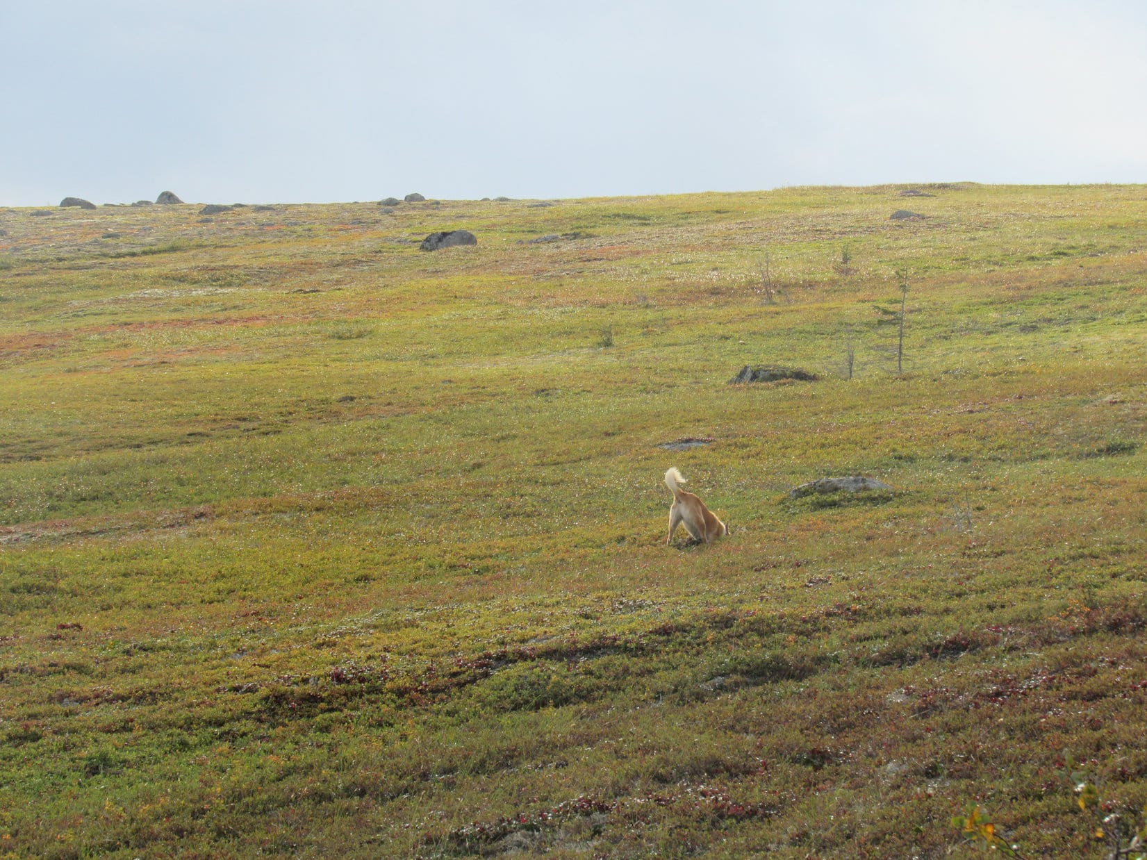
With so much snow around, Lupe couldn’t easily go running off exploring the forest like she usually does.  She tried a few times, but bounding through snow almost up to her neck was hard work.  Like SPHP, Lupe soon resigned herself to trudging along in the tire tracks on the road.  She alternated between leading and following, often pausing right in front of SPHP to sniff the air, thereby forcing a temporary halt.

SPHP tried switching tire tracks frequently to avoid trampling the Carolina Dog, but each time SPHP switched, Lupe switched, too.  She wanted to be in the exact same tire track as SPHP.  Sigh.  Good thing there wasn’t any big rush.  Between the snow and Dingo delays, Expedition No. 190 was off to a leisurely start.

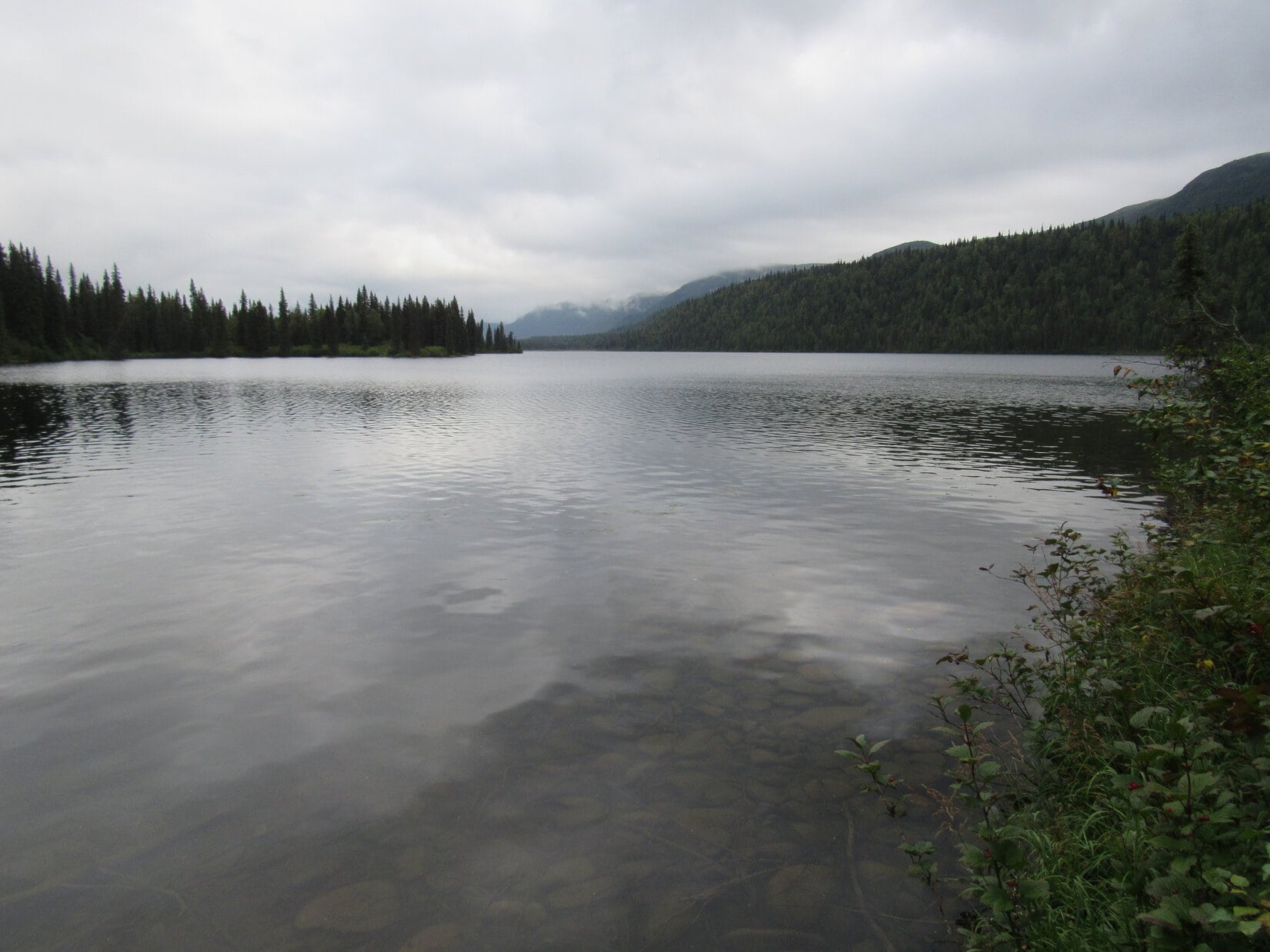
After the first big bend in the road, Lupe was out of sight of any sign of civilization other than the snowy road going forward.  A S breeze was blowing.  The sky was blue with a few thin clouds.  Despite the snow, at close to 50°F, this was a warm day for early February.  The road hike was a nice one, winding mostly SW through the forest.

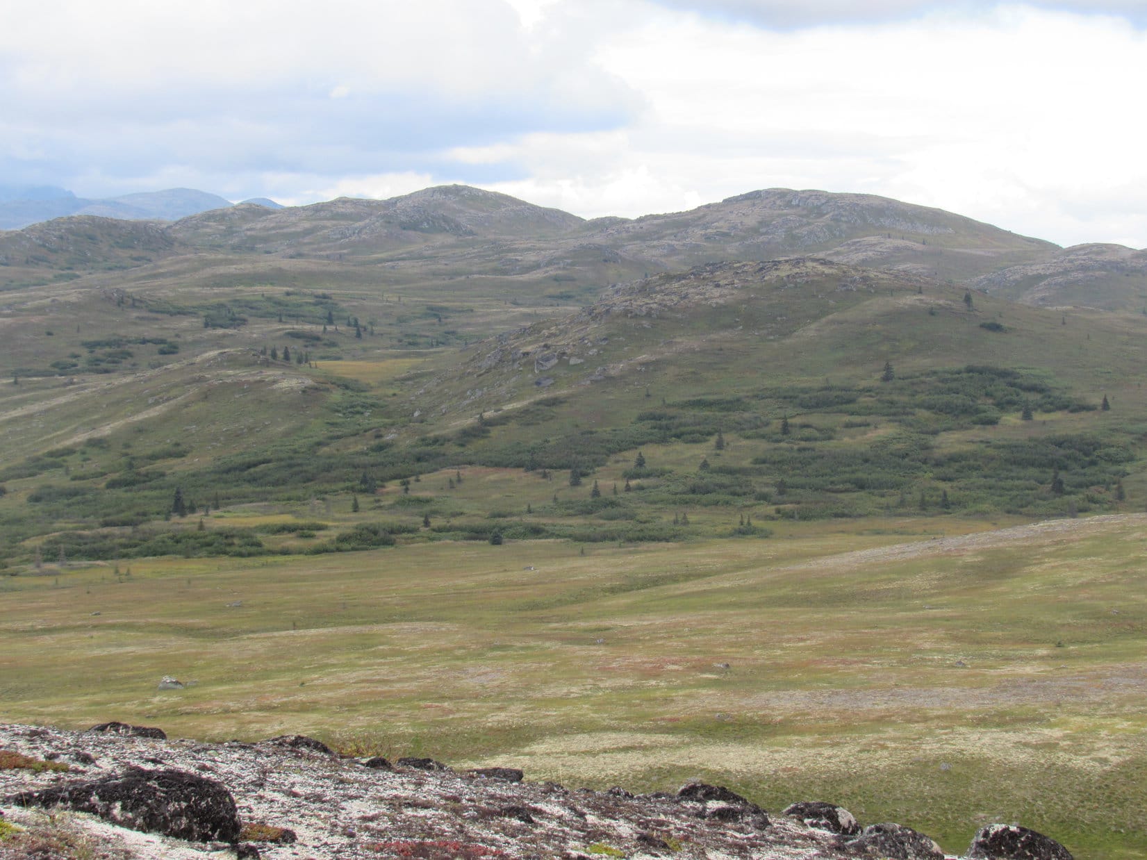
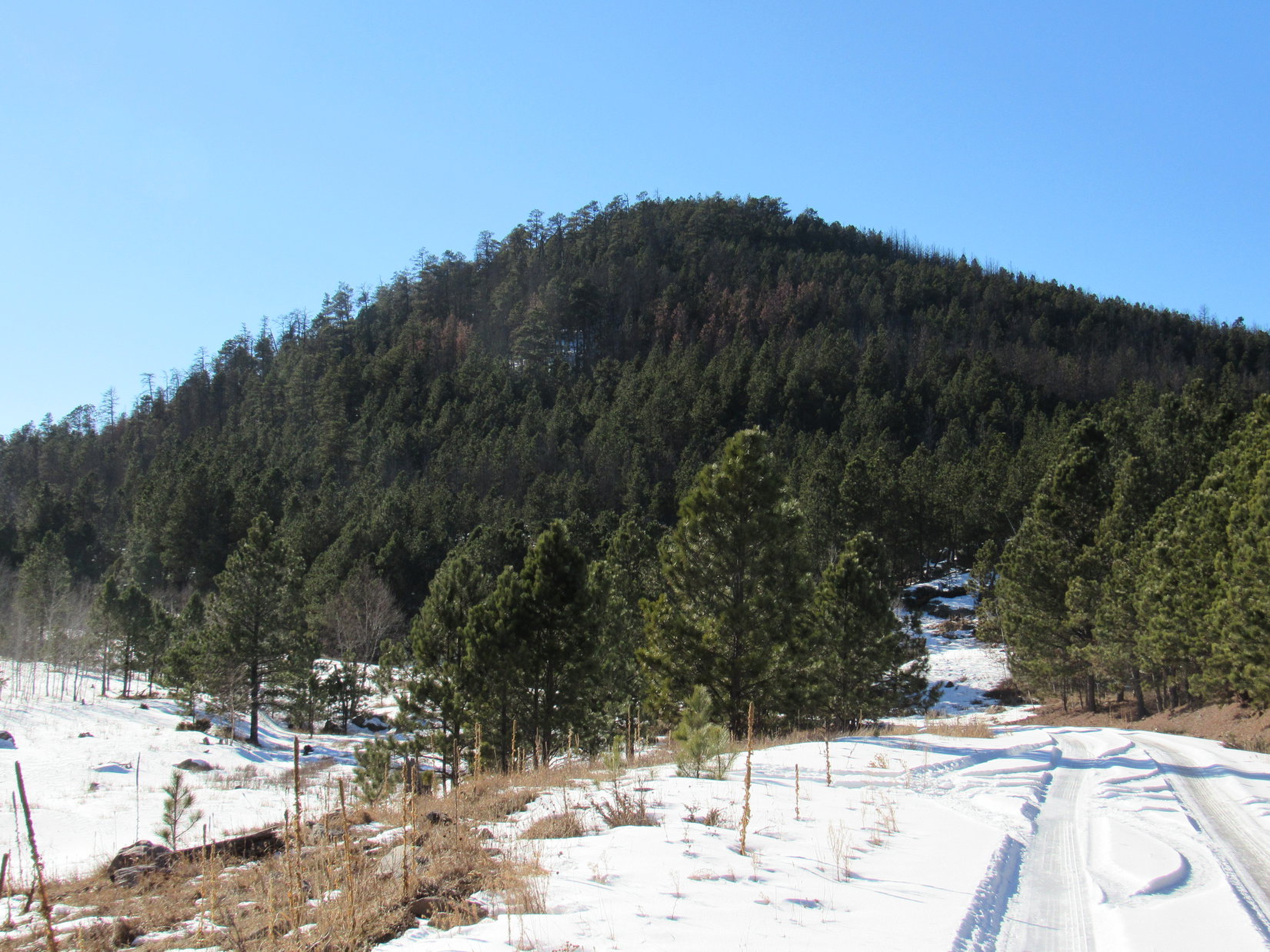
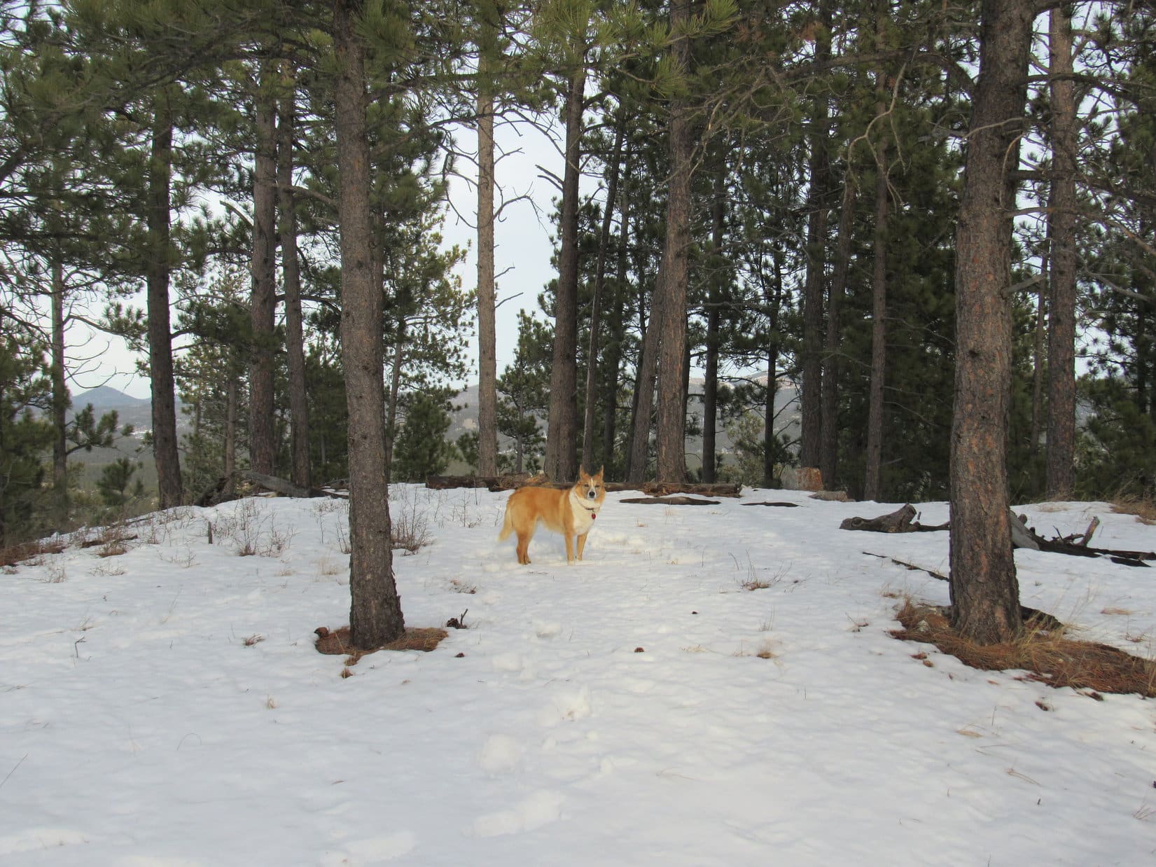
No. 685 gained elevation gradually for a while before leveling out.  Eventually it started a long, slow decline into a valley.  By now, Lupe could see part of the middle mountain, Peak 5880, ahead through the trees.

Peak 5880 was the first of Lupe’s objectives to come into view between the trees as she followed USFS Road No. 685. Photo looks WSW.

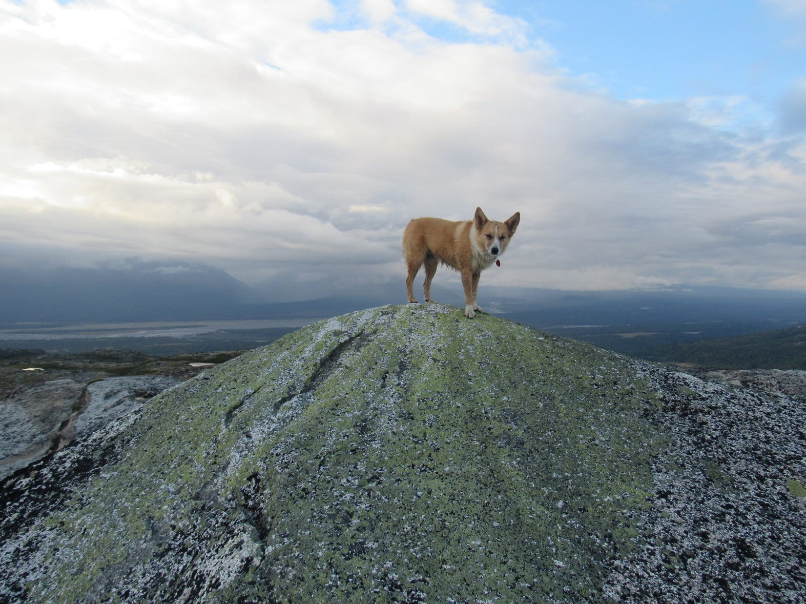
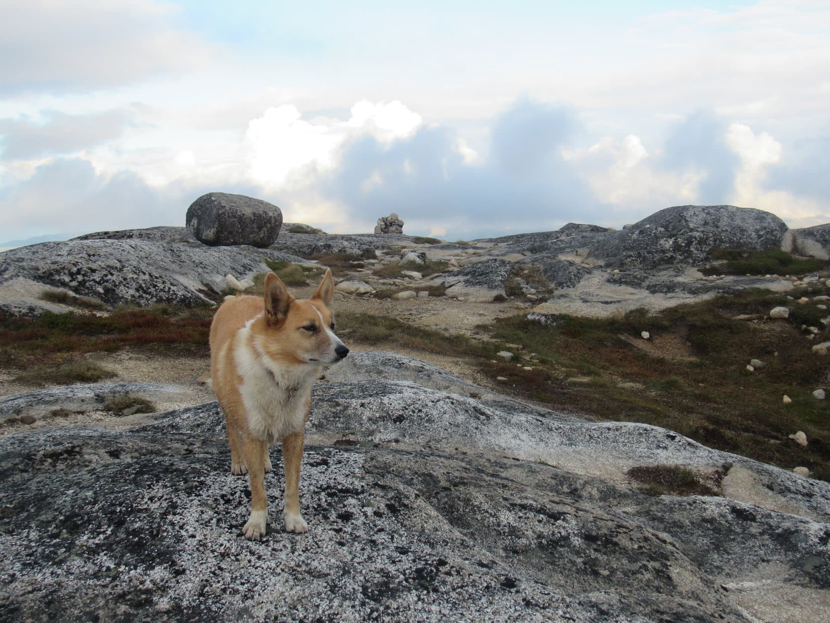
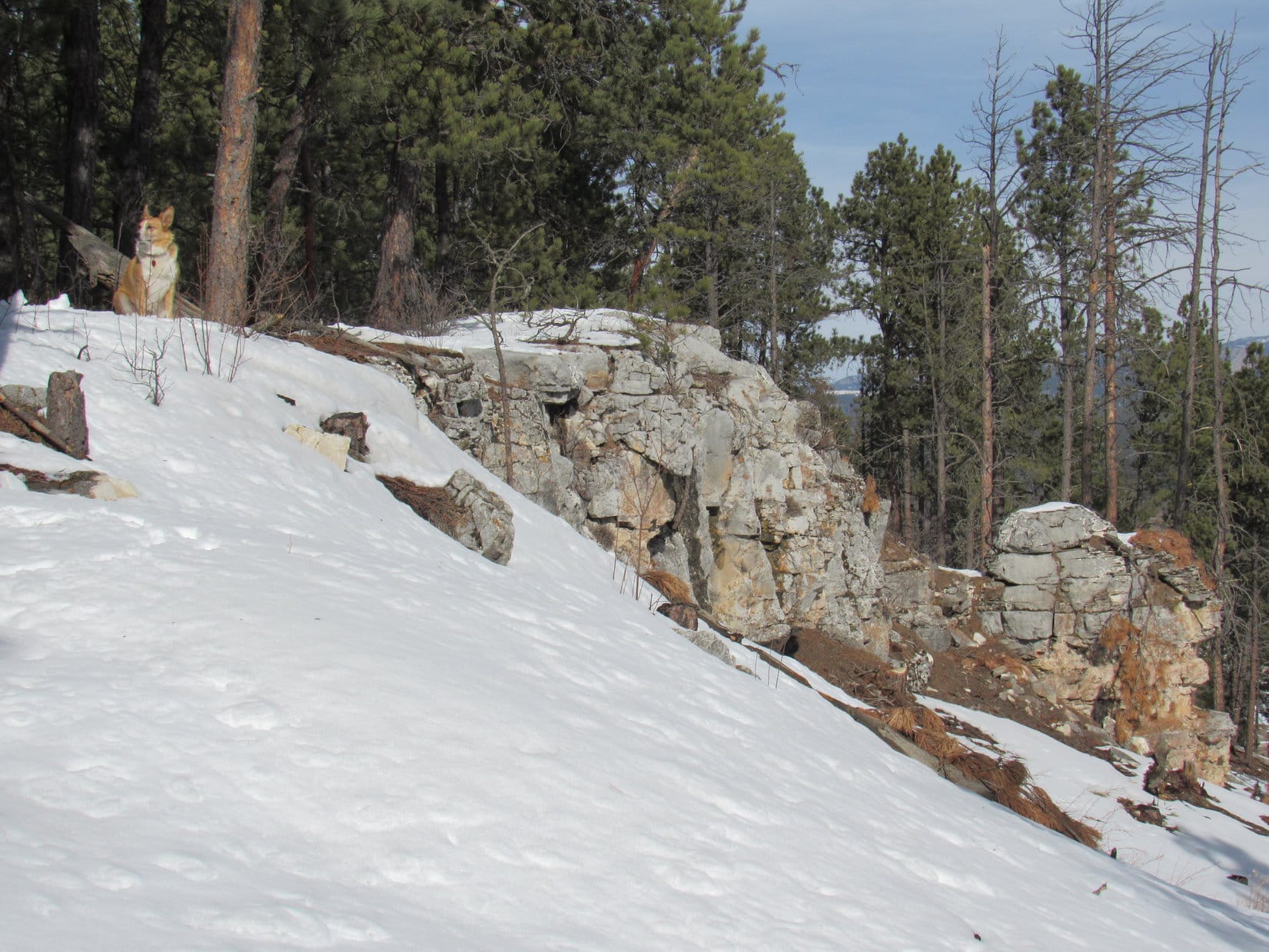
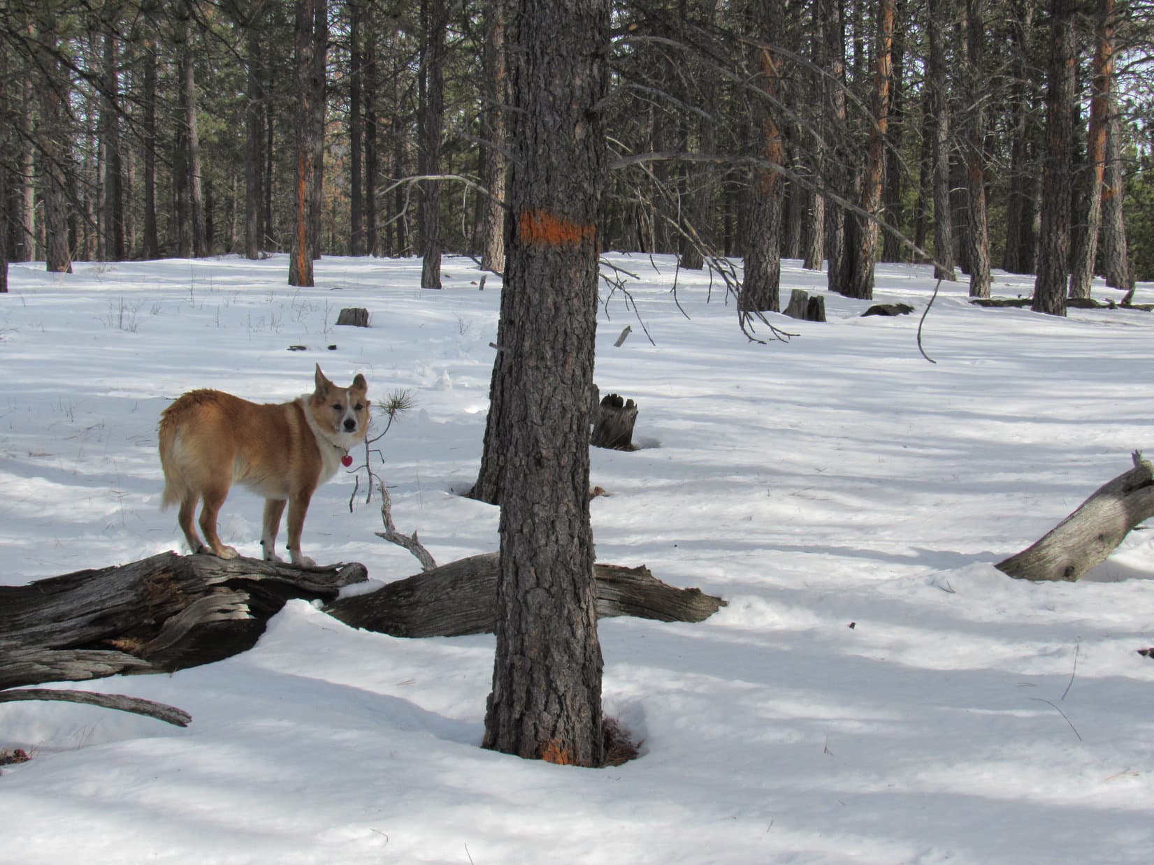
A little farther on, Lupe left the road briefly to climb up on a rock formation to the N.  SPHP thought she might have a good view of Peak 5846 from here.  She could see it, but the vantage point wasn’t as good as SPHP had hoped.

Lupe on the rock formation N of the road. She could see Peak 5846 ahead, but the view from this vantage point wasn’t as good as SPHP had hoped. Photo looks W.

As the road descended, Lupe lost all of the elevation she had gained, and then some.  At the lowest part of the valley, the road skirted the S side of a big field of private property.  When the road curved S away from the field, Lupe started seeing deer in the forest.  Deer aren’t quite as much fun as squirrels, but they do hold Lupe’s interest.

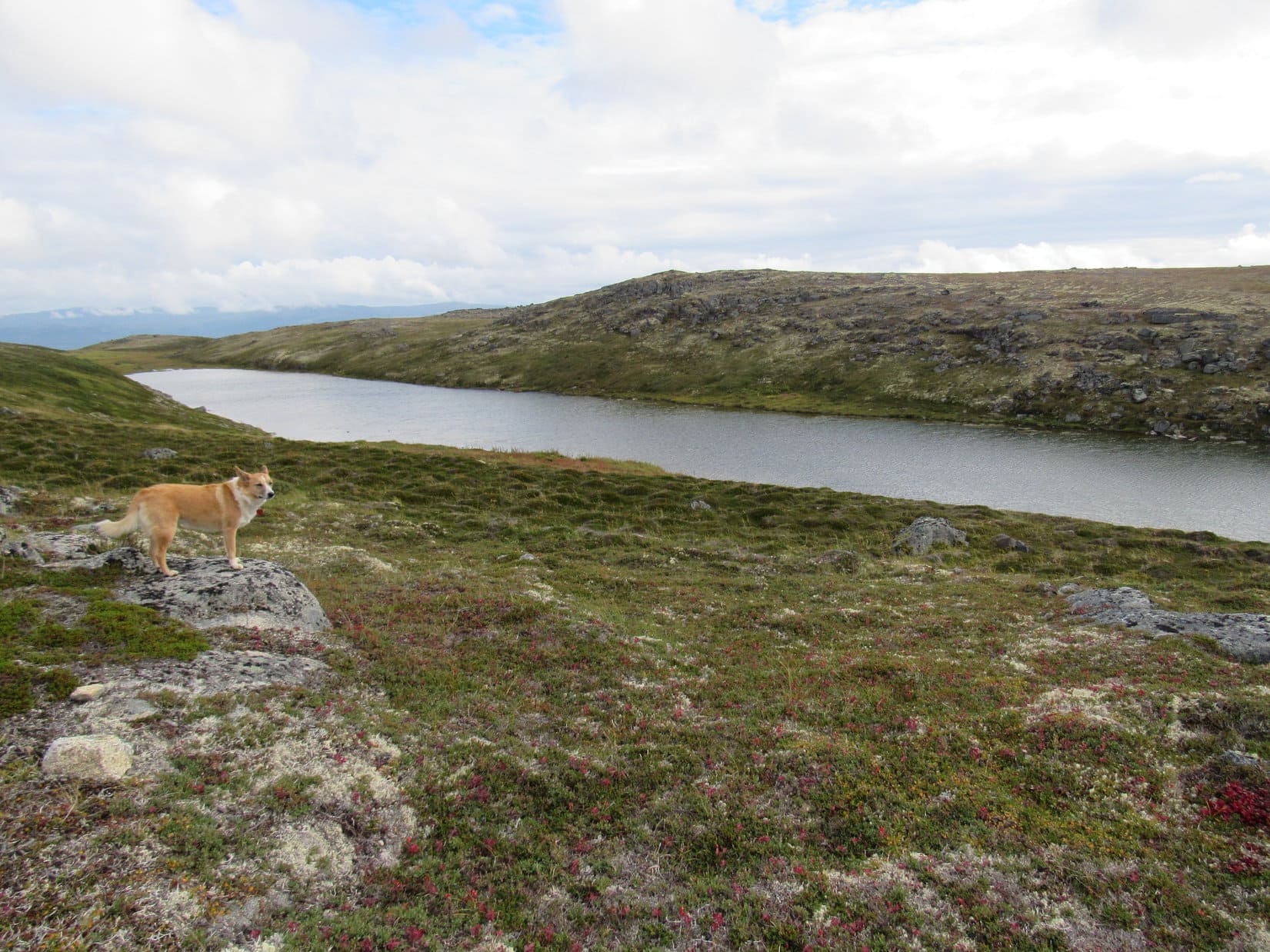
After leaving the big field behind, No. 685 gained elevation again.  Lupe eventually reached the pass between Peaks 5846 & 5880.  The pass wasn’t as snowy as the road had been.  Perhaps that was why a large herd of deer was hanging out here.  The deer promptly fled into the forest as Lupe approached.

Lupe reaches the pass between Peaks 5880 & 5846. Ahead USFS Road No. 685 descends into Ninemile Draw. Photo looks SW.

Only Peak 5846 was NW of the pass.  SPHP decided Lupe should climb it first.  Peak 5846 has two high areas.  Lupe climbed the closest S one first, coming up near the NE end of this area from the SSE.  The climb was steep, but only required Lupe to gain a few hundred feet of elevation.  When Lupe got up to where the terrain started leveling out again, she had a halfway decent view of Peak 5880 back to the SE.

Lupe reaches the NE end of the S high area of Peak 5846. She had a halfway decent view of Peak 5880 from here. The pass between the two peaks, which she had just climbed up from, is seen below. Photo looks SSE.

The highest part of the S high area is at the far S end of Peak 5846.  Lupe wasn’t anywhere near the S high point where she came up.  However, the true summit of the mountain was in the opposite direction at the N end of the N high area, anyway.

Lupe’s first task was to reach the true summit.  Off to the W, Lupe saw a thinly forested snowy hillside.  To the R of the hillside appeared to be a saddle leading over to the N high area.

To her W, Lupe saw this thinly forested snowy hillside(L). A saddle to the NW(R) appeared to lead over to the N high area where the true summit of Peak 5846 is located. Photo looks WNW.

Lupe went to the top of the snowy hillside, before crossing the saddle to the NW.  The NE side of the saddle was full of snow, but the ground to the SW was largely snow-free.  Unfortunately, a hazardous downed barbed wire fence was in the saddle.  SPHP lifted Lupe over it, but kept finding more barbed wire on the ground ahead.  The barbed wire made this a dangerous place for Lupe!  SPHP made her stay close.

The N high area of Peak 5846 is irregularly shaped.  The highest ground is near the NE edge of the mountain along a ridge leading NW.  Right away, Lupe came to a line of small cliffs along a narrow, rocky part of this ridge.

As soon as she had crossed the saddle, Lupe reached these small cliffs along a narrow part of the rocky ridgeline ahead. Photo looks N.

Although the ridgeline was quite narrow immediately N of the saddle, Lupe and SPHP had no problem following it NNW.  Lupe still had to be careful, though.  SPHP found one more section of downed barbed wire partially hidden in the snow.

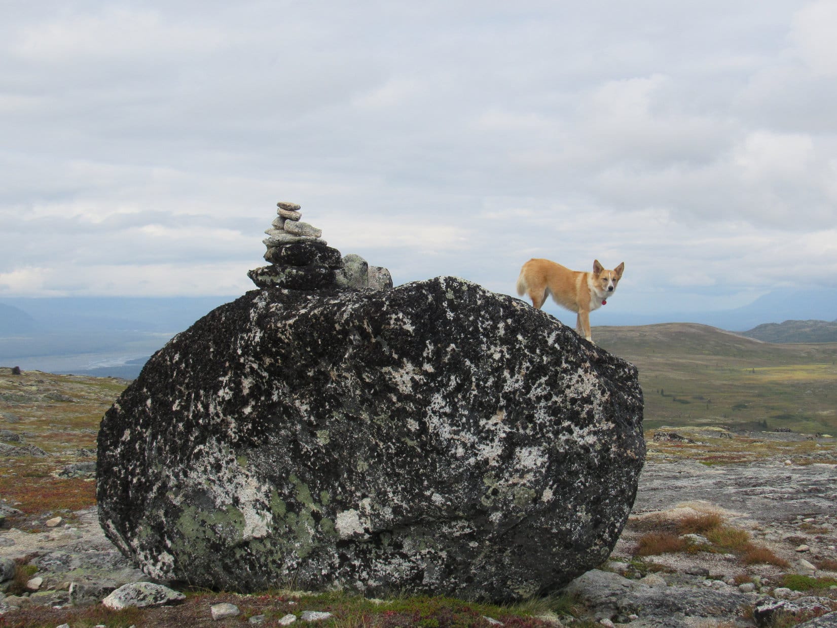
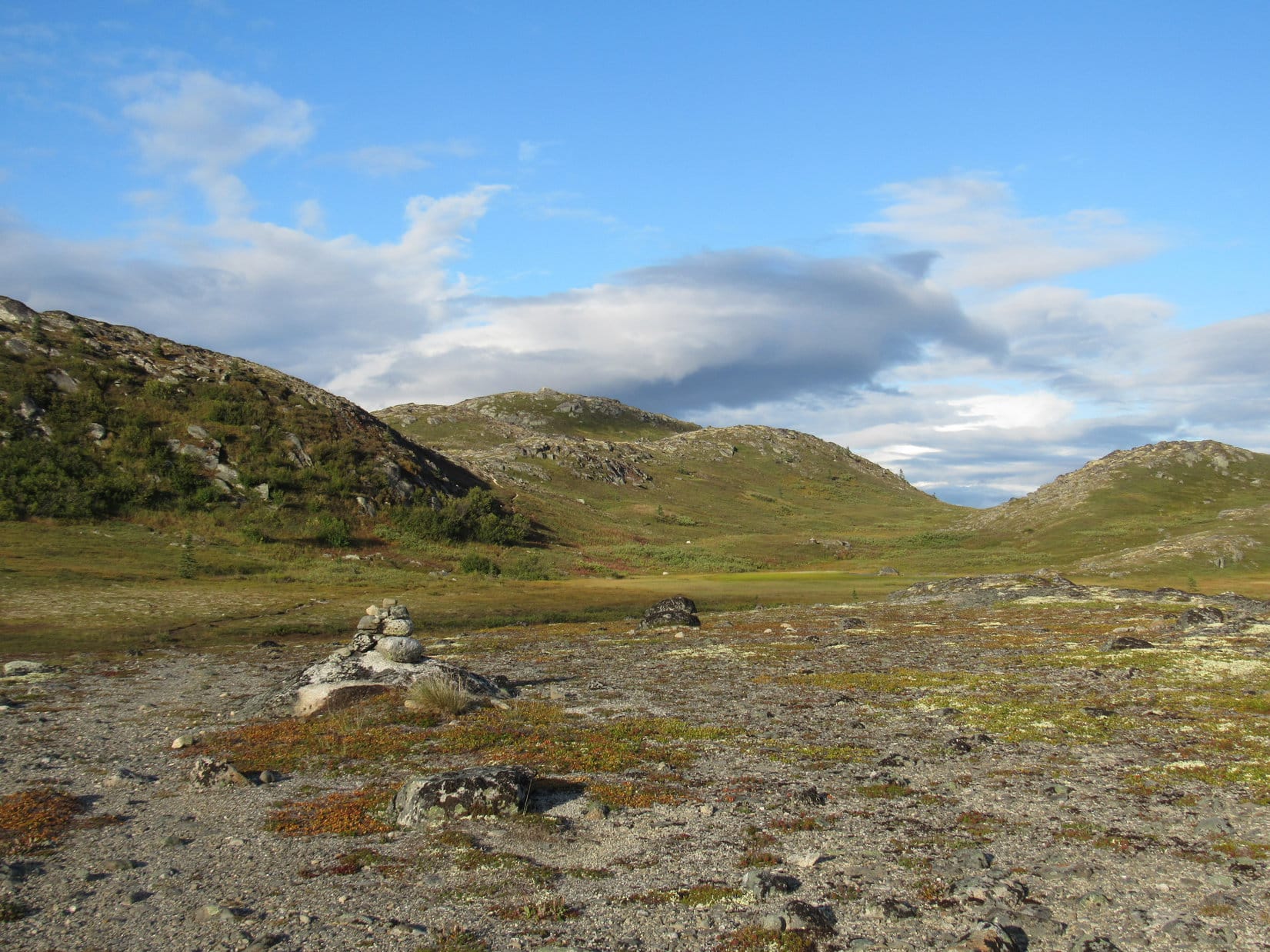
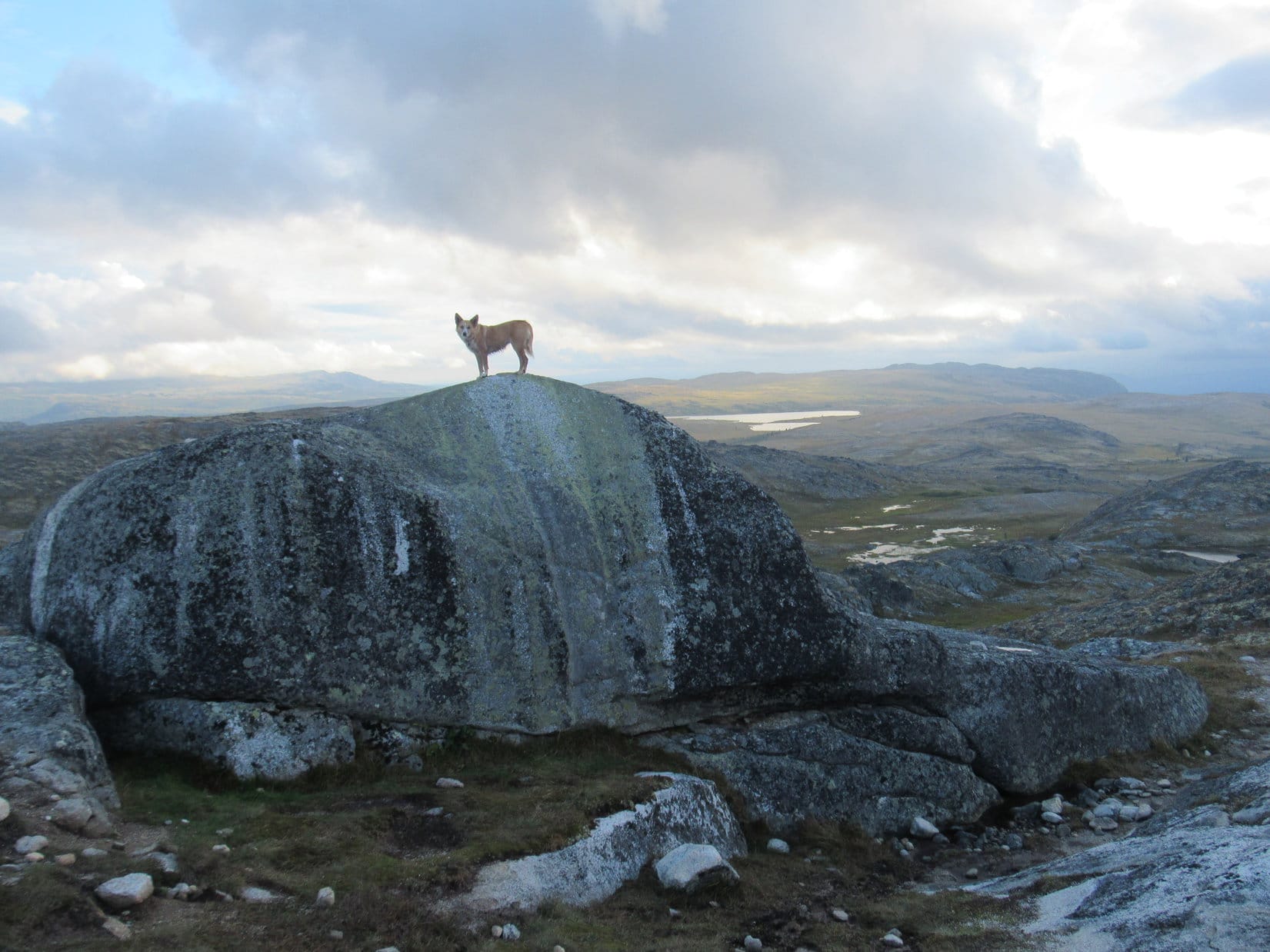
After going a few hundred feet, the ridge broadened out greatly.  Lupe was now gaining very little additional elevation as she continued NW.  Right out in the open, she soon discovered a small cairn in the snow.

Lupe found this small cairn in the snow in an open area. At first, SPHP thought Lupe might have reached the true summit of Peak 5846 right here. Photo looks NE.

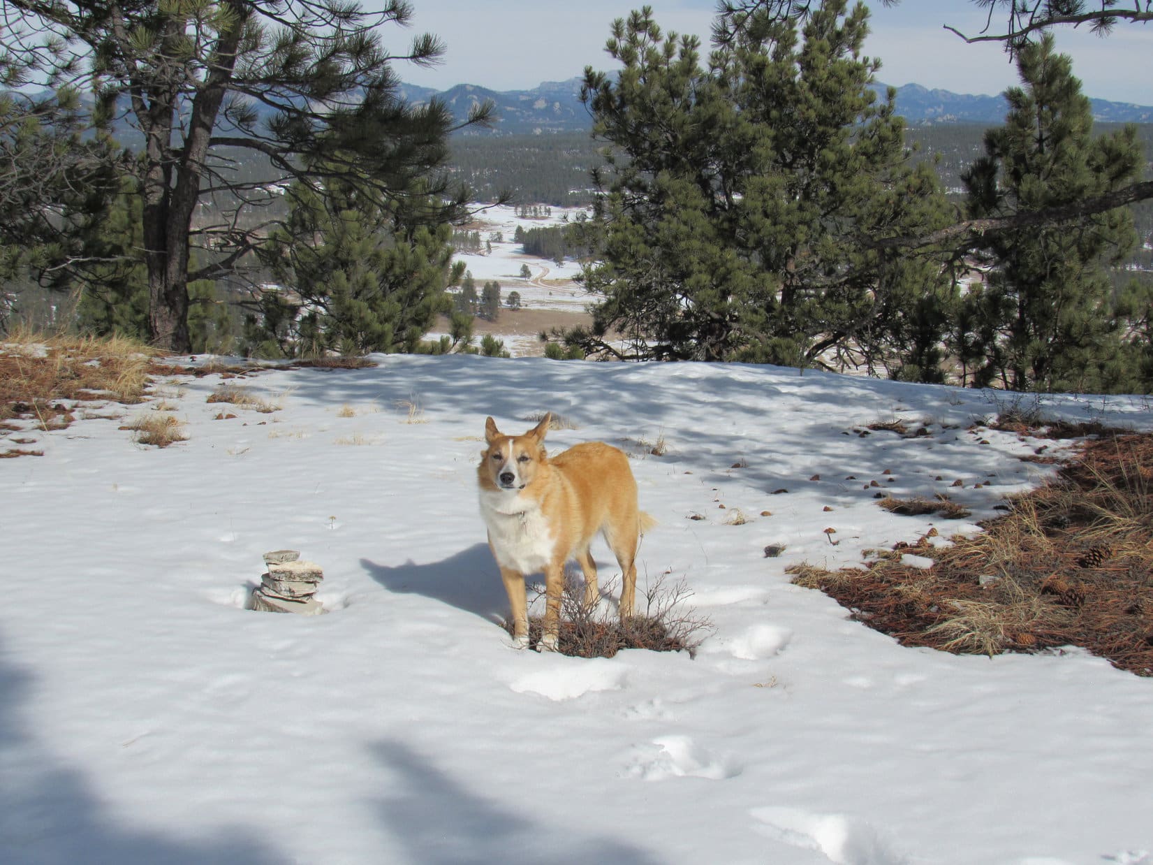
Was Lupe at the true summit of Peak 5846 already?  SPHP wasn’t sure.  The map showed the true summit at the far N end of the peak.  It looked like Lupe might still have farther to go.  Continuing onward, only 50 feet N of the little cairn, she came to a great open view to the NE.

50 feet N of the little cairn was this great open view to the NE toward Black Elk Peak (7,231 ft.) (Center).
Black Elk Peak(Center) and Cathedral Spires (6,840 ft.)(R). Photo looks NE using the telephoto lens.

Lupe entered the forest again, still going N.  Yes, there was higher ground ahead!  Lupe didn’t have much farther to go, though.  Soon she was up on a big snowy level area at the highest point on the mountain.  She had reached the true summit at the N end of Peak 5846!

Lupe reaches the true summit of Peak 5846! The summit area was very roomy. Here, Lupe is on the very highest ground was near the NE end. Photo looks W.
A broader view of Peak 5846’s summit. Photo looks W.
Lupe slightly NW of the highest point on Peak 5846. Photo shows the W end of the summit area. Lupe and SPHP took a break beyond the most distant snowy spot on the far right. Photo looks W.

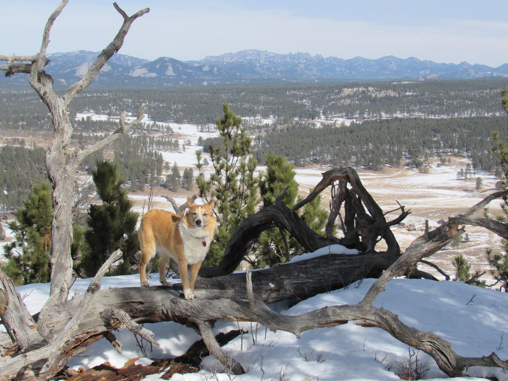
The most dramatic view from Peak 5846 is toward Black Elk Peak off to the NE, but Lupe had already seen the best view of it from the viewpoint near the little cairn before she even reached the true summit.  Lupe and SPHP wandered over to the W end of the summit area, to see what Lupe could see over that way.

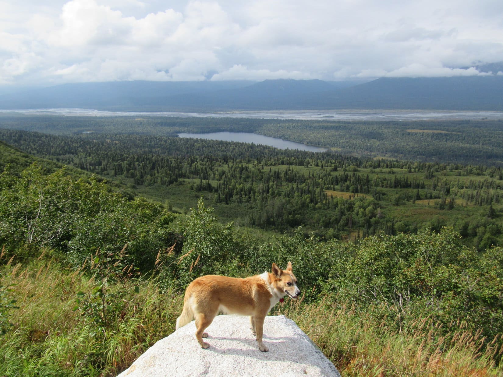
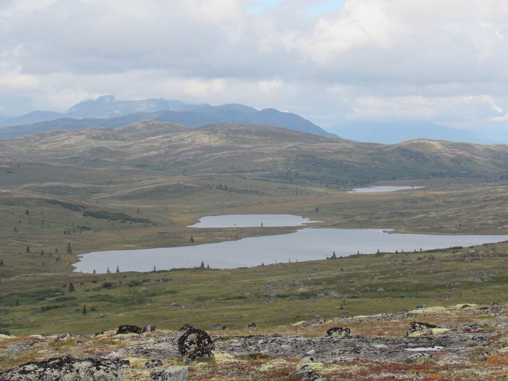
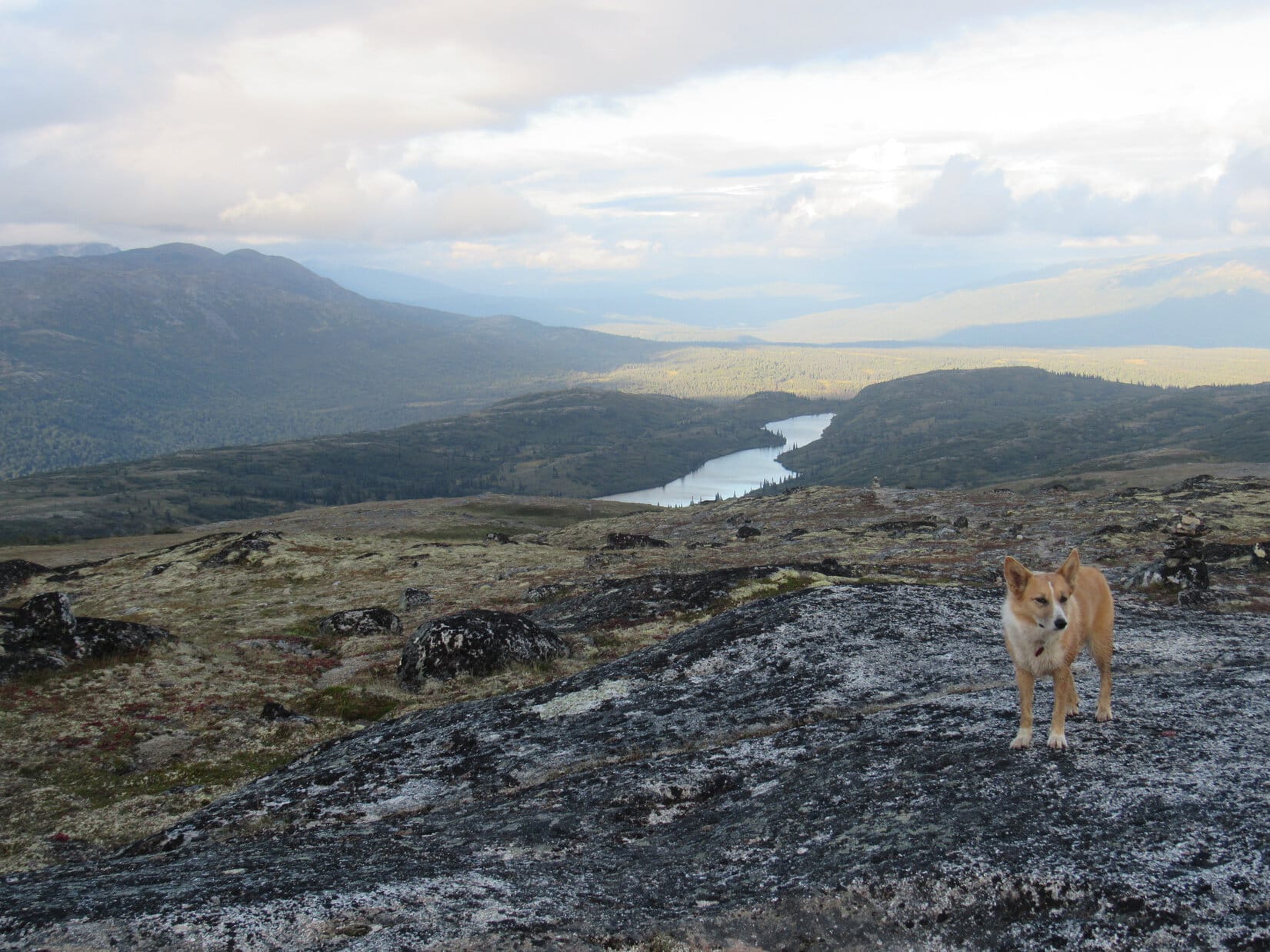
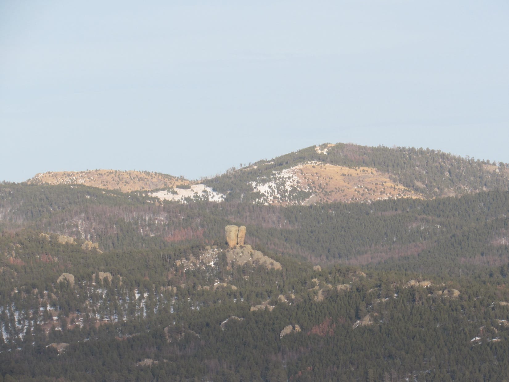
She had quite a nice view of Twin Sisters 2 miles to the NW.  Beyond Twin Sisters, Lupe could see higher hills in the distance.

From the W end of the summit area, Lupe had a good view of Twin Sisters (Center & R) about 2 miles to the NW.
Twin Sisters seen through the telephoto lens. Photo looks NW.

A little down the NW slope was a patch of snow-free ground.  Even though the wind had shifted to the W now, Lupe and SPHP took a break here.  SPHP ate an apple while enjoying the view.  Lupe wasn’t too hungry yet, but she had a little Taste of the Wild.

The W breeze wasn’t terribly strong, but still felt chilly.  The day wasn’t getting any warmer, that was for sure.  Lupe was happy when SPHP wrapped a spare purple Columbia pullover around her.

Lupe was happy to wear SPHP’s purple Columbia pullover in the cold W breeze during break time. Photo looks SE.
View to the W from Lupe’s break point at the NW end of Peak 5846’s summit.

Lupe still had two more mountains to climb.  Break time was limited to 15 minutes.  When it was over, the American Dingo returned briefly to the true summit of Peak 5846.  She then started S, retracing her route past the great NE viewpoint, the little cairn, along the narrow rocky ridge, and across the saddle leading back to the S high area.

However, Lupe did not turn E here to go back down the SE face of the mountain.  Instead, she continued S all the way to the S high point of Peak 5846, which she found at the top of a small forested knoll.  Lupe paused only briefly here before beginning her descent.  The S face of the mountain was steeper than where she’d come up, but had very little snow.

Peak 5880 from the S end of Peak 5846. Photo looks SE.
Lupe starts down the steep S face of Peak 5846. Photo looks E.

Lupe went all the way down to the pass where she’d left USFS Road No. 685 earlier.  She crossed the road a little SW of the high point of the pass, and began climbing from the NW up to the N ridge of Peak 5880.  The N face of the mountain was all forested, snowy, and fairly steep.  As Lupe reached the N ridgeline, the terrain started leveling out, although Lupe continued to gain some elevation.

Shortly after the slope of the terrain decreased, Lupe made a most interesting discovery.  Proceeding S along the ridgeline, the American Dingo found tracks – really big tracks – in the snow.  These weren’t the normal deer, wild turkey or rabbit tracks that Lupe usually comes across.  Not at all!  Lupe sniffed very carefully – mountain lion!

No doubt about it.  A very big kitty was around here somewhere!  The lion tracks looked fairly fresh, perhaps only 2 or 3 hours old.  The lion had been heading S along this same N ridge.  Lupe started following the mountain lion’s trail.

Fortunately, the N ridge was short.  To continue on to the summit of Peak 5880, Lupe soon needed to make a loop toward the E in order to stay on the high ground.  The lion hadn’t gone this way.  Lupe was disappointed when she had to quit following the lion, but SPHP thought perhaps it was best not to make a mountain lion’s acquaintance anyway.

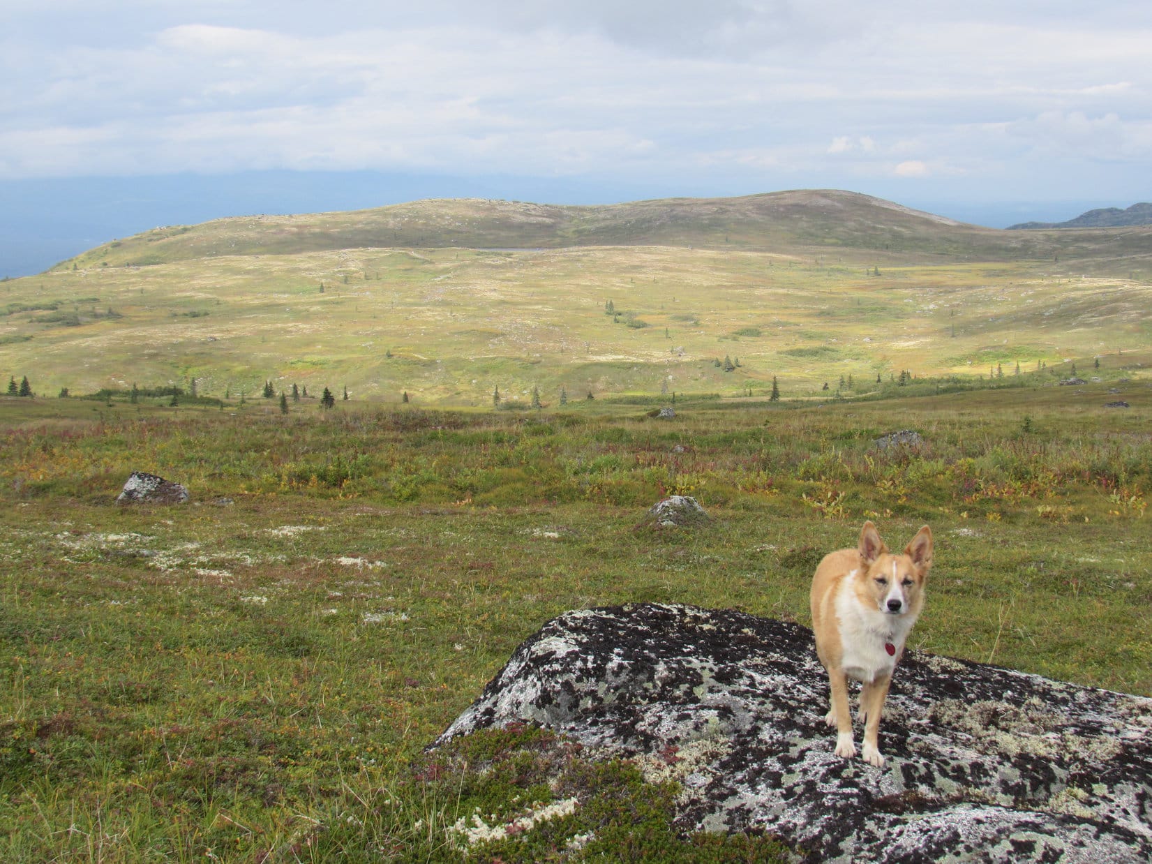
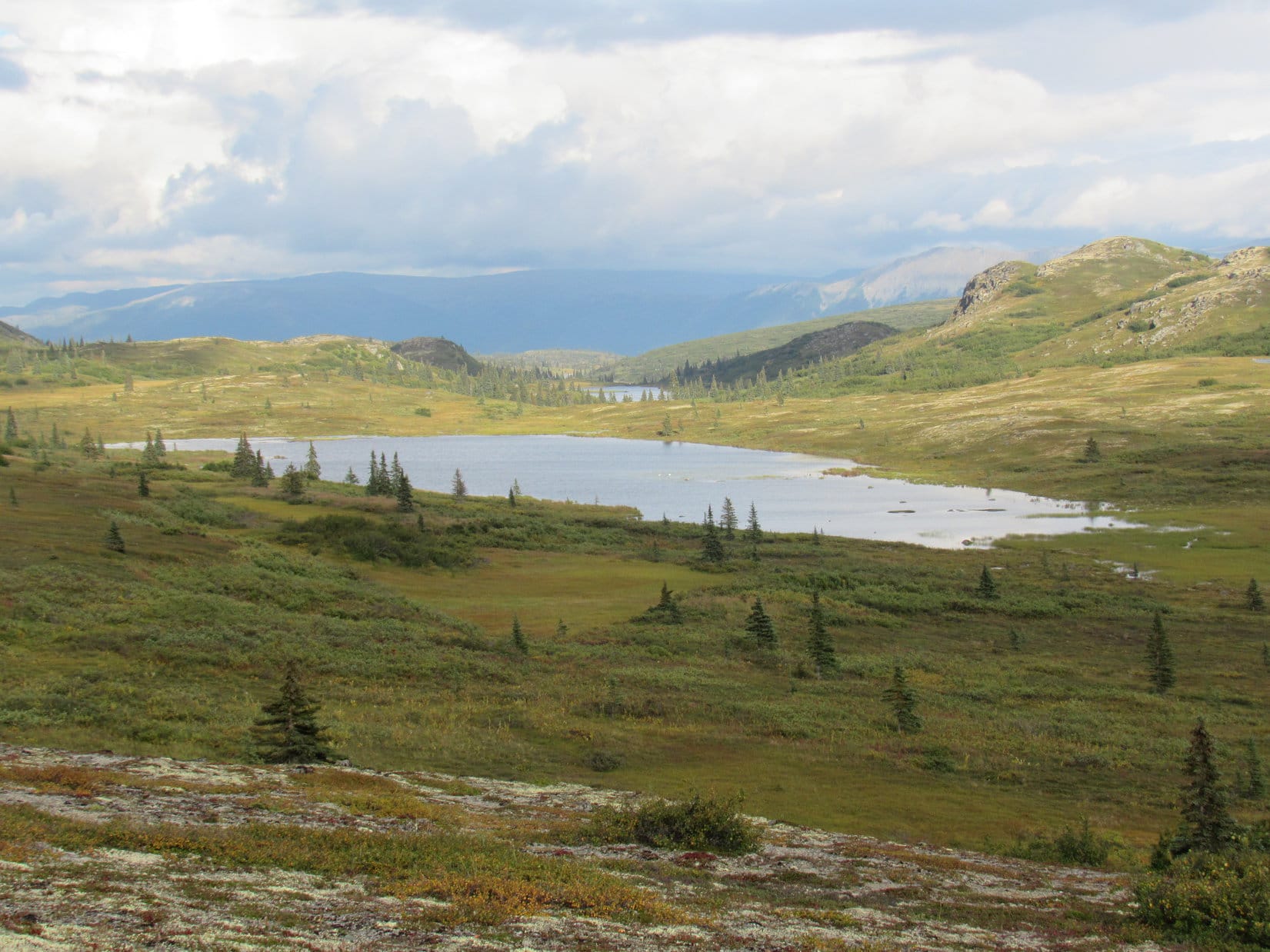
Lupe was still gaining elevation as she followed the ridge ESE.  On her way, she came to a snowy clearing where she had a good view off to the N.  To the NW, she could see Twin Sisters again, poking up behind Peak 5846, where she had just been.

Mountain lion tracker Lupe on her way up Peak 5880. Off to the NW, she could see Twin Sisters(L)again poking up above Peak 5846 where she’d just come from. Photo looks NNW.
Bear Mountain (7,166 ft.) is the high distant ridge on the L. The smaller distant hill straight up from Lupe may be Medicine Mountain (6,878 ft.). The darker, closer hill on the R may be Atlantic Hill (6,393 ft.). Photo looks N.

The Peakbagger.com topo map showed 3 small areas on Peak 5880 enclosed by the 5,880 ft. contour.  Lupe was now approaching 2 of them midway along the ESE trending portion of the ridgeline.  Theoretically, any of these 3 areas might be the true summit of Peak 5880, although Brian Kalet had marked the 3rd, slightly larger area as the true summit.

Lupe came to only one high spot in the region where the topo map showed 2.  It was clearly the highest point around this part of the mountain.  This NE high point was located very close to a junction of ridges where Lupe needed to turn SW to reach Brian Kalet’s chosen summit.

This short, narrow stretch of the ridge was clearly the highest point Lupe came to NW of the contour Brian Kalet marked on Peakbagger.com as the true summit of Peak 5880. Photo looks S.

From the NE high point, Lupe followed a broad ridge going SW intending to find Brian Kalet’s true summit.  She lost a little elevation at first, but the terrain soon leveled out and began a gradual rise again.  Lupe came across another set of mountain lion tracks, but they were older than the tracks she had been following earlier.

After a 5 minute trek to the SW, a snowy hill became visible to the W through the forest ahead.  Climbing it from the E, SPHP was quickly convinced that Lupe was indeed about to reach the true summit of Peak 5880.  This hill was easily higher than where Lupe had been before.  Brian Kalet was right!

Lupe found the true summit of Peak 5880 in a large, flat, thickly forested area at the top of the hill.

Lupe reaches the true summit of Peak 5880! Photo looks WSW.
Lupe still at the true summit. There were no views here other than of the forest. Photo looks SE.

The snow was nearly a foot deep on the densely forested hill.  Lupe had no views of anything except more forest from the true summit.  She sniffed around the area for only 5 or 10 minutes.  The day was wearing on.  If Lupe was still going to try to climb Peak 5440, as well, she needed to get going.

Lupe retraced her route back to the NE high point, then turned ESE staying near the NE edge of the mountain.  An annoying barbed wire fence went this direction, too.  SPHP had to help Lupe across it several times.

Lupe was now gradually losing elevation.  She came to small cliffs at the ESE end of the ridge.  However, the way was open to turn S.  Lupe lost more elevation crossing a wide expanse of forest.  A fair amount of deadfall timber in this area forced lots of little detours.

By the time Lupe reached the last high point toward the S end of Peak 5880, she had seen 4 sets of mountain lion tracks, although only the first set had looked really fresh.  At the S high point, Lupe was ready for another break.  SPHP found a small snow-free spot among a stand of little pines.  Lupe had more Taste of the Wild.  SPHP wrapped her in the purple Columbia pullover again.  After 10 or 15 minutes, she was ready to continue onward.

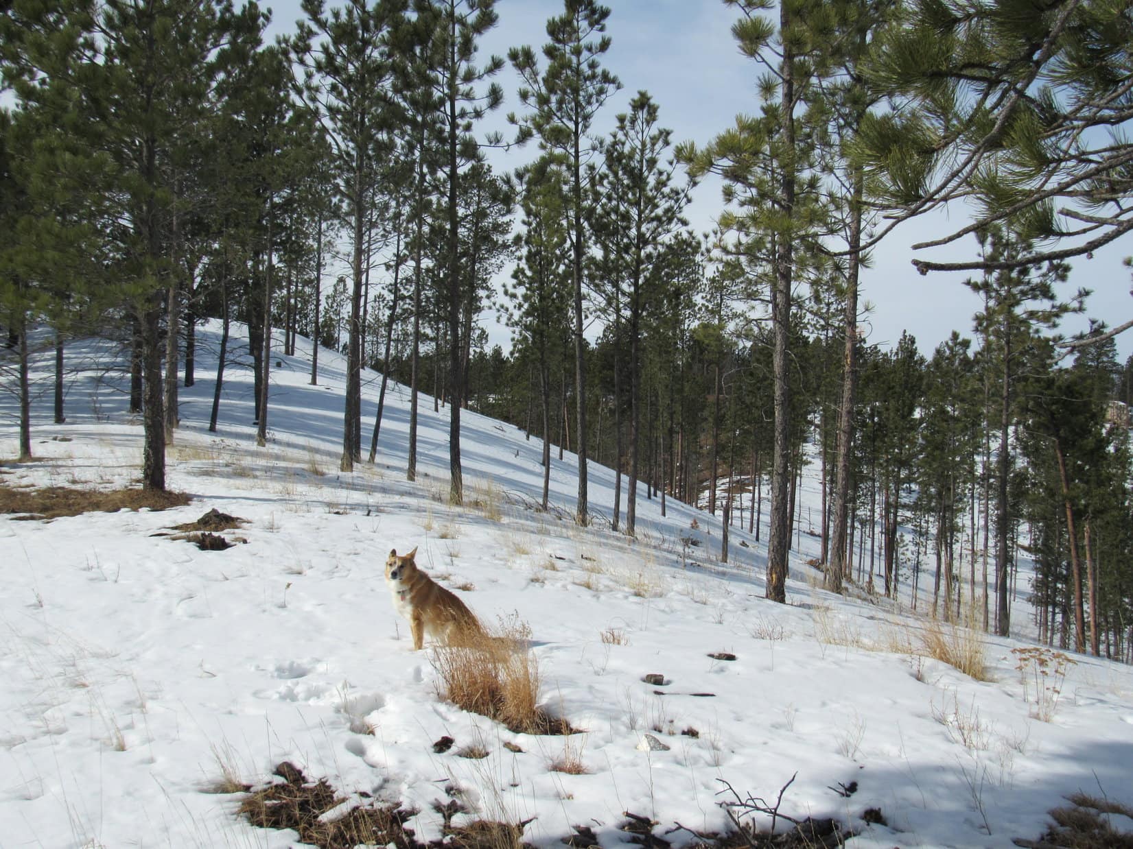
Following a ridge that curved around to the SW, Lupe lost elevation steadily.  The topo map showed a minor road ahead, and Lupe reached it at a saddle.  This whole area was full of snow.  Lupe crossed the road going S.  The road was heading ESE and about to lose elevation.  Lupe plunged onward through the snowy forest, trying to maintain elevation up on the hillside.  The terrain forced her SE.

The topo map showed another lower pass a short distance ahead.  Lupe successfully maintained elevation until she reached the slope leading down to this second pass.  She found another road down here, and an intersection just to the E.  Lupe left the roads, and began her climb up the N ridge of Peak 5840.

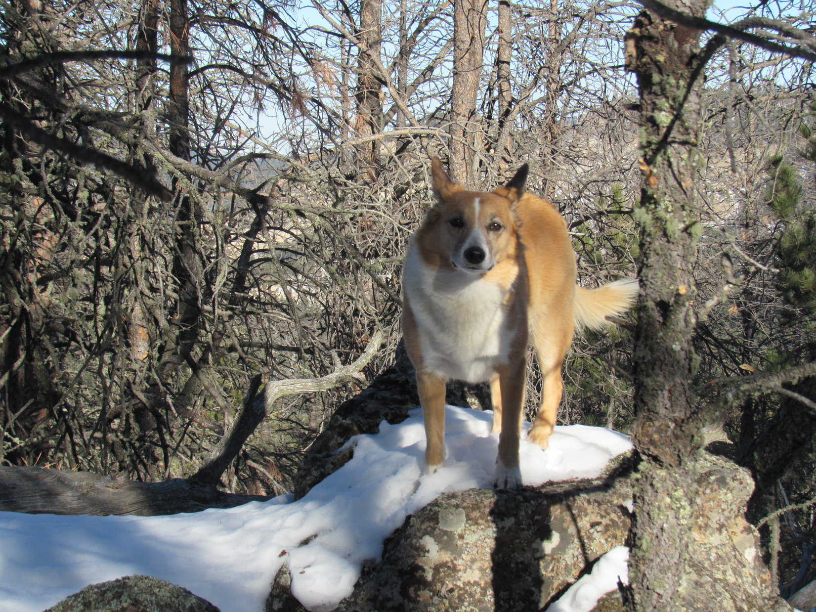
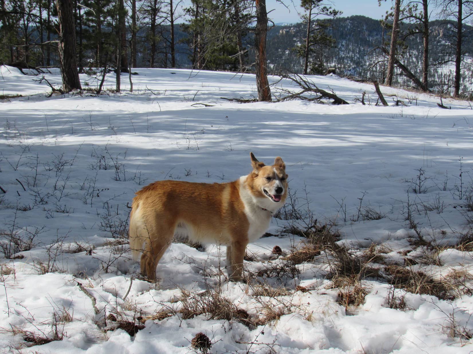
At first, Lupe was climbing from the NW along a fairly steep snow-covered slope.  She gained a couple hundred feet of elevation before the slope became more gradual and the ridgeline turned S.  Higher up, Lupe came to a couple of halfway decent viewpoints along the way, but she didn’t linger long this late in the day.

Lupe reached the true summit of Peak 5840 at a junction of three ridges.  The summit area was much smaller than on Peaks 5846 & 5880, but had plenty of room to move around.  Once again, forest prevented Lupe from getting more than a glimpse of any distant views from the top of the mountain.

Lupe stands at the true summit of Peak 5840, completing her 3rd successful Brian Kalet peak ascent of the day! Photo looks E.
Lupe on Peak 5840.
Another view of the summit area. The W ridge of Peak 5840 can be seen heading off into the trees beyond Lupe. Photo looks W.
Lupe didn’t find any mountain lion tracks on Peak 5840, but she was still following in Brian Kalet’s footsteps.

Upon reaching the summit of Peak 5840, Lupe had successfully concluded her mission to climb 3 more Brian Kalet peaks today.  Even though the sun was getting quite low by now, she still had a little time to relax up on top of the mountain.  SPHP put the purple Columbia pullover back around her to keep her warm while she rested.

Lupe had a couple of requests.

Can I have some love, please?

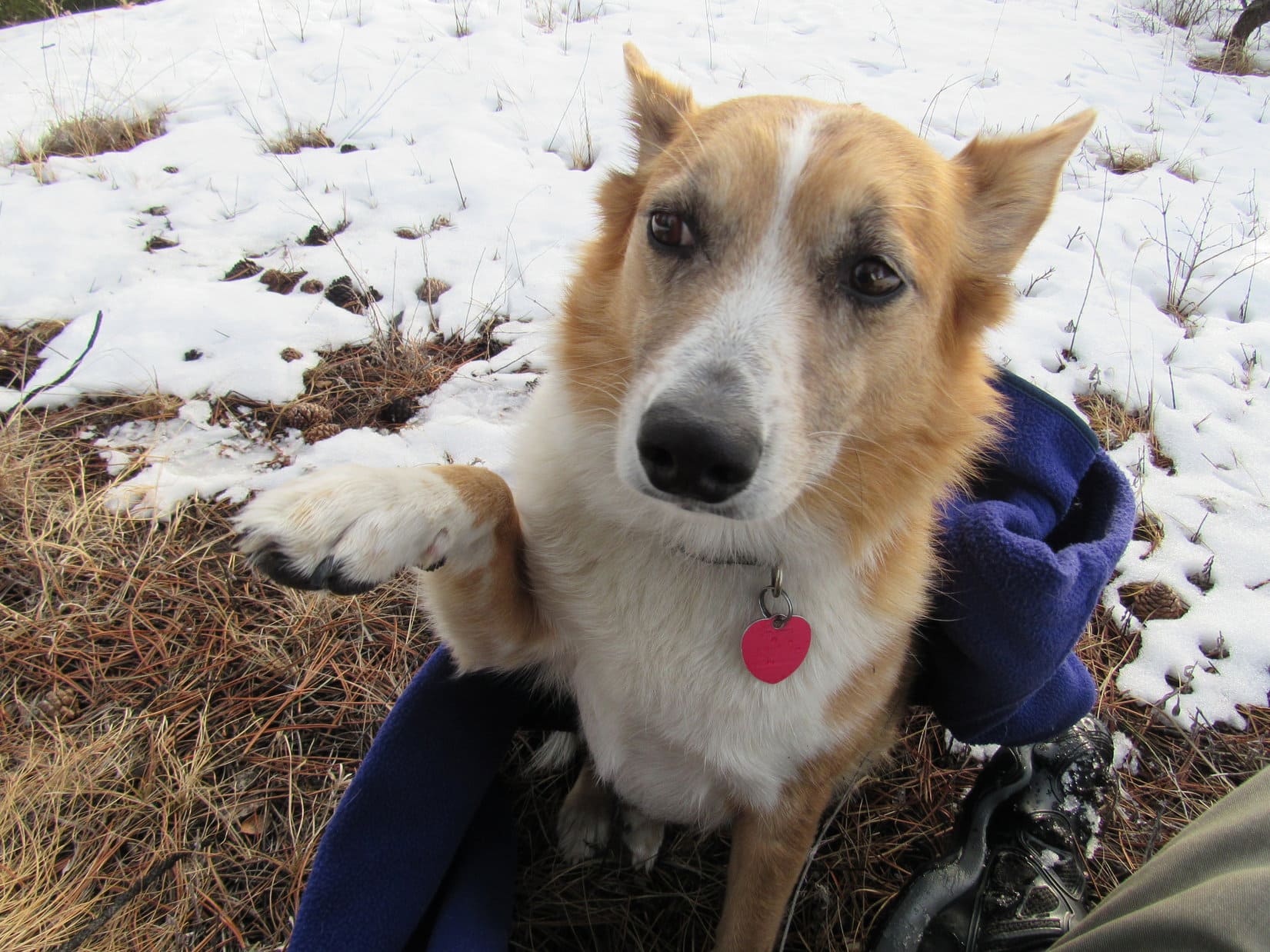
First, she wanted love.  SPHP gave her a generous dose, and praised her for her 3 latest peakbagging successes earned despite having to spend so many hours in the cold, deep snow.

All the tender love made Lupe happy.  Next, she thought more Taste of the Wild would hit the spot.

Full of love, Lupe thought she’d tank up on Taste of the Wild, too.
That Taste of the Wild was good! How about a love chaser?

The Taste of the Wild disappeared.  Lupe begged for a little more loving, because, well, Carolina Dogs give away tons of love and enjoy receiving lots, too.  SPHP was most happy to comply with Lupe’s request.  Soon Lupe was feeling pretty good about the situation.

Soon Lupe was feeling good about the situation. She was toasty warm, full of nutritious Taste of the Wild, and dearly loved.

After a relaxing break on Peak 5840, it was time to get going again.  The sun would still be up for a little while, but the G6 was miles away.  Lupe posed for her final summit photo before heading down the mountain.

Lupe poses for a final photo at the top of Peak 5840. Photo looks S.

On the way down, Lupe and SPHP paused briefly at one of the viewpoints.

Medicine Mountain (6,878 ft.) is the distant peak at the far L. Atlantic Hill (6,393 ft.) is the closer, darker hill L of Center. Photo looks N from the N ridge of Peak 5840.
Northeast Cicero Peak (6,240 ft.) (R) and the rock Lupe knows as “Cracked Molar” (Center). Cracked Molar’s real name is Beecher Rock. Photo looks NE using the telephoto lens.

There wasn’t time enough left in the day for Lupe to retrace her original route to Peak 5840 back over Peak 5880, and then back along USFS Road No. 685.  When Lupe reached the pass N of Peak 5840, she turned NE following USFS Road No. 308.1F (Reservoir Road).

SPHP was surprised when No. 308.1F quickly led Lupe into a residential area.  The road eventually took Lupe N of these homes before winding NE through the forest again.

The light of day was fading, and so was No. 308.1F, by the time Lupe reached Carroll Creek Road.  SPHP was glad No. 308.1F hadn’t disappeared entirely in the dark forest.  The short cut back to Carroll Creek Road had worked!  Lupe had saved a lot of time and distance.

Lupe’s adventures on Black Hills, SD Expedition No. 190 were almost over.  Together, Lupe and SPHP started the 1.5 mile trek N along Carroll Creek Road back to the G6.  As stars began to appear overhead, Lupe and SPHP wondered if somewhere up on Peak 5880, a giant cat was beginning its nightly prowl?  (5:41 PM, 41°F)

On Carroll Creek Road.

Links:

Next Black Hills Expedition                 Prior Black Hills Expedition

Want more Lupe adventures?  Choose from Lupe’s Black Hills Expeditions Adventure Index or Master Adventure Index.  Or subscribe free to new Lupe Adventures.

K’esugi Ridge: Whimbrel Hill & the Golog Benchmark, Denali State Park, Alaska (8-19-16)

Day 21 of Lupe’s Summer of 2016 Dingo Vacation to the Canadian Rockies, Yukon & Alaska

Lupe was still in Alaska in gorgeous Denali State Park.  Unfortunately,  she wasn’t going to get a clear view of Denali (20,310 ft.) today, either.  Rain had fallen overnight.  It wasn’t raining now, but the morning sky was socked in with clouds.  Looked like another morning would be wasted waiting on the weather.

SPHP drove to Byers Lake at milepost 147.0 along the George Parks Highway (Alaska Route 3), and found a picnic ground.  Lupe and SPHP enjoyed a leisurely brunch.  After Lupe’s long day yesterday spent climbing Indian Benchmark (4,558 ft.) and K’esugi Mountain (4,700 ft.) near the N end of the K’esugi Ridge Trail, maybe a restful morning was a good thing.

Nearby, a man sat under a large canvas canopy.  He worked for a company renting out canoes and kayaks for short term use on Byers Lake.  The company also offered rafting trips on the Chulitna River.  Despite the cool, overcast weather, he was doing some business.

Finally, noon was approaching.  Still nothing, but gray skies and the occasional stray raindrop.  Was Lupe going back up to K’esugi Ridge, or not?  It was a long way to the Golog Benchmark (2,970 ft.).  Decision time.  Even though Lupe was unlikely to see Denali (20,310 ft.), she would undoubtedly enjoy the trek.  Best get going.

Signs said the suspension bridge over Byers Creek NE of the lake was unusable.  Lupe would have to go the long way on the Byers Lake Trail around the SW end of the lake to get to the Cascade Trail.  The long way added an extra 1.3 miles, but there was nothing to be done about it.  So what?  Lupe didn’t care.

Lupe on the Byers Lake Trail. Photo looks E.
Byers Lake, Denali State Park, Alaska. Photo looks NE.

At the SW end of Byers Lake, Lupe came to a long wooden bridge across the Byers Creek outlet.  The smooth flowing stream was very wide and several feet deep.

Lupe on the long wooden bridge across the Byers Creek outlet from Byers Lake. The entire bridge over the placid stream was about 100 feet long. Photo looks N.

Three people were standing on the bridge, peering into the water.  SPHP asked what they were doing.  They were watching salmon swim upstream, came the reply.  SPHP looked into the water, but saw nothing.  Just wait, SPHP was told.  The salmon come swimming up in small groups every 3 to 5 minutes.  Sometimes they swim downstream from the lake, too.

Looking S (downstream) along Byer’s Creek. Three people were watching salmon swim upstream from this bridge when Lupe arrived. Photo looks S.

Sure enough!  In only a couple of minutes, several salmon did come swimming upstream.  They passed beneath the bridge, swimming slowly.  The salmon appeared tired, perhaps exhausted, from their long migration all the way from the ocean to Byers Lake.

The poor salmon were already starting to disintegrate.  They were arriving at Byers Lake battered and scarred from their heroic journey.  They bore long white wounds on their backs where scales had flaked off, or been torn away from the flesh.  The sight was both tragic and inspiring.  The salmon deserved pity, respect, and admiration.

The salmon in Byers Creek were readily spotted by the long white scars on their backs where their scales were missing. The poor battered salmon had earned pity, respect and admiration.

One salmon was all red, except for its green head.  That was a sockeye salmon.  Lupe and SPHP stayed watching the salmon for 20 minutes before continuing on.

On the SE side of Byers Lake, the Byers Lake Trail was often muddy and slick.  A great many tree roots made the trail rough and uneven.  In places, large mushrooms grew near the trail.  A few of them were brilliantly colored, and quite striking in appearance.

Large mushrooms grew in places along the Byers Lake Trail. Most of them were dull colors, but a few were brilliantly colored and striking in appearance.

Lupe passed by a small remote campground near the NE end of the lake.  No one was there.  Lupe was well beyond Byers Lake by the time she reached a junction with the Cascade Trail.

The Cascade Trail connects the Byers Lake Trail to the long K’esugi Ridge Trail popular with multi-day backpackers.  Lupe had gained very little elevation coming around Byers Lake.  Most of her elevation gain for the day would come along the Cascade Trail.

The Cascade Trail started off rising gently, but that changed pretty quickly.  Soon Lupe was gaining elevation steadily at a good clip.  The first part of the Cascade Trail was still down in a forest.  Ferns grew in great abundance on the forest floor.

On the Cascade Trail.

Before long, a roaring waterfall could be heard off to the NE, no doubt the cascade the trail was named after.  Lupe never had a good view of it, however.  The trail never got that close.

The trail passed over a small hill, then lost a little elevation going down to a creek.  Lupe was still seeing colorful mushrooms along the way.  Once down by the creek, the trail started a more serious climb.  There were two creek fords, which were easily passable this time of year using stepping stones.

More colorful mushrooms. These were along the Cascade Trail.

The trail followed the creek up a narrow ravine for a while, then finally left it and began to switchback up onto K’esugi Ridge.  The map SPHP had along showed the Cascade Trail was only 2.0 miles long.  Maybe SPHP was just worn out from Lupe’s previous day’s adventure, but it seemed twice that long.

After an endless stretch down in the forest and then among tall bushes, Lupe was finally high enough above the dense vegetation to get a view of the progress she’d made.  Byers Lake already looked surprisingly far away.

Lupe finally reached this viewpoint after a long climb on the Cascade Trail. Byers Lake(Center) was already surprisingly far away. The Chulitna River is seen in the distance. Photo looks WNW.

Lupe left the switchbacks behind.  The Cascade Trail began to straighten out, climbing more directly up the slope toward the top of K’esugi Ridge.  Gradually the slope of the terrain lessened.  There was more good news, too!  The sky was getting brighter.  The clouds weren’t as gloomy and gray as before.  Little patches of blue sky began to appear.

Before reaching the top of K’esugi Ridge, the Cascade Trail ended at an intersection.  Lupe avoided taking the Upper Troublesome Creek Trail, which turned S (R).  Both of her peakbagging objectives, Whimbrel Hill and the Golog Benchmark, were to the NE.  Lupe headed ESE (L) on the K’esugi Ridge Trail.

The top of K’esugi Ridge wasn’t much farther.  Lupe gradually gained another 200 feet of elevation.  The trail had nearly topped out by the time Lupe reached a barren hillside overlooking Mini-Skinny Lake to the S.

The K’esugi Ridge Trail had nearly topped out by the time Lupe reached this barren hillside overlooking Mini-Skinny Lake. Photo looks SSE.

The K’esugi Ridge Trail gradually turned NE as Lupe continued on past Mini-Skinny Lake.  For a while the trail was nearly level, passing over open tundra.  Large boulders dotted the landscape, especially toward the NE end of the hill Lupe was on.  With encouragement from SPHP, she got up on one of the biggest ones, which was sporting a cairn.  From the boulder, Lupe could see her two peakbagging objectives for the day, still miles away.

As Lupe continued on the K’esugi Ridge Trail beyond Mini-Skinny Lake, large boulders dotted the tundra ahead. Photo looks ENE.
Lupe got up on the largest boulder she could find, which sported a cairn. Whimbrel Hill is the low ridge seen just to her R. Golog Benchmark is the highest distant point in the sunshine beyond the lake on the R. Photo looks NE.
Whimbrel Hill is in the distance to the R of Lupe.
Golog Benchmark(L) is the highest of the light-colored hills beyond the lakes. Photo looks NE using the telephoto lens.

Lupe had reached the NE edge of the big hill she was on.  Ahead, K’esugi Ridge was miles wide, all wind-swept tundra.  Lupe saw scattered lakes and ponds.  A few trees struggled for survival.  Bushes several feet high clustered near some of the creeks and wetlands.  The terrain was undulating.  From here on, all elevation changes would be gradual.

Whimbrel Hill (2,645 ft.) was the closest of Lupe’s objectives, still a couple miles to the NE.  Lupe started down the hill, following K’esugi Ridge Trail toward it.

Lupe on her way to Whimbrel Hill. The summit is the high point seen directly above her. Photo looks NE.

After losing a fair amount of elevation, the K’esugi Ridge Trail disappeared as Lupe reached a marshy valley full of bushes.  A stream with significant flow weaved through it all.  Water seemed to be everywhere.  Right next to where the trail had been heading, there was even a small pond with a couple of ducks on it.

Lupe saw two ducks on this little pond. One flew away at Lupe’s approach, but this one was unperturbed.

Lupe had no problem leaping over the stream, but SPHP went upstream, hoping the flow diminished in that direction.  The stream was only a few feet wide, but it was fairly deep.  Swampy ground made it hard to even get close to the stream’s edge, which was often poorly defined.

What SPHP didn’t realize was, this stream comes from the largest of the small lakes in the area.  The flow wasn’t going to diminish upstream.  Nevertheless, SPHP finally found a way across.  Lupe continued NE on the K’esugi Ridge Trail, which reappeared on drier ground about where it could have been expected, if SPHP had simply splashed directly across the marsh.

The K’esugi Ridge Trail brought Lupe fairly close to the largest lake in the area, passing to the NW of it.  N of the lake, the trail reached its closest point from Whimbrel Hill, which was still almost 0.5 mile farther N.

Lupe, now past the stream in the marshy valley, approaches the largest lake in the area. The K’esugi Ridge Trail never reached the lake, but passed fairly close by to the NW of it. Photo looks NE.
The K’esugi Ridge Trail ran next to this pond S of Whimbrel Hill(R). Once past this pond, Lupe left the trail to go climb Whimbrel. Photo looks N.

Lupe and SPHP left the K’esugi Ridge trail, and made the easy trek across the tundra to Whimbrel Hill.  At the summit, Lupe found a rock shaped like a pedestal, or very flat mushroom.  Rocks piled on top served as a rough cairn.  Lupe jumped onto the pedestal to claim her first peakbagging success of the day!  She graciously received congratulations from SPHP.

Lupe on the rock pedestal at the summit of Whimbrel Hill. The hill seen on the horizon beyond her is where she had just come from. Photo looks SW.
Lupe still on the summit pedestal on Whimbrel Hill. Golog Benchmark is on the horizon just L of Center. Lupe still had a long way to go to get there! Photo looks NE.
Lupe on a different rock, with a view of the largest lake in the area. Photo looks S.

At Whimbrel Hill, a decision had to be made.  Due to Lupe’s very late start, it was already late in the day.  Golog Benchmark was still a long way off to the NE.  Going all the way to it clearly meant getting back to the G6 well after nightfall.  Was Whimbrel Hill the end, or should the American Dingo forge on ahead to Golog?

The weather was basically good and seemed stable.  Off to the NW, Denali and the Alaska Range were still cloaked in dark clouds.  Rain showers could always be seen drifting NE along the Chulitna River valley in that direction.  Over K’esugi Ridge, however, the clouds weren’t nearly so dark.  Occasionally, Lupe basked in sunshine.

The terrain was easy, and Lupe would have trails to follow all the way back.  This was probably Lupe’s only chance to ever get to Golog.  If she left K’esugi Ridge now, who knew when, or if, she would ever return?  The sun would still be up for another couple of hours.

Should Lupe go on to the Golog Benchmark(L) despite the late hour, or skip it? The bottom line was, conditions were OK, and this was probably Lupe’s only chance to ever go there. Photo looks NE.

Chance of a lifetime!  If the Carolina Dog was ever going to see Golog Benchmark, she had best get going.  Lupe and SPHP headed SE down Whimbrel Hill angling to meet up with the K’esugi Ridge Trail farther NE than where Lupe had left it.

Lupe had a blast on K’esugi Ridge!  She displayed enormous energy racing across the tundra, sometimes so far from SPHP that she had to be called back to make certain she didn’t get lost.  The distant tiny Dingo always returned at top speed, full of enthusiasm.  It was still disappointing to SPHP that Denali wasn’t going to make an appearance, but that was the hand that had been dealt.

Lupe wouldn’t have changed a thing.  Of all the grand adventures Lupe had on her Summer of 2016 Dingo Vacation to the Canadian Rockies, Yukon, and Alaska, Lupe might well rank this day roaming free on K’esugi Ridge as the best.

Lupe came to many little streams and ponds.  The K’esugi Ridge Trail had lots of mucky, wet sections, and minor creek crossings.  SPHP soon learned how to tell where the wetlands were by the appearance of the vegetation in the area.  Lupe climbed rocks and hillsides.  She investigated holes in the ground.  She sniffed everywhere, discovering whatever mysteries float in the Alaskan breeze.

The tundra was alive with brilliantly colored low-lying plants.  Crowberries and other berries were in great abundance.  Beauty spread from beneath Lupe’s paws as far as the eye could see in every direction.  What a fabulous place and wonderful day to be alive!  The trek to Golog was long, but easy and magnificent.

Lupe spent most of her day on K’esugi Ridge running. She made frequent stops to investigate rocks and plants. Here she investigates a hole in the ground. She remained steadfastly enthusiastic despite receiving only a mouthful of dirt as a reward.
Lupe reached the K’esugi Ridge Trail again well to the NE of where she had left it. Photo looks SW back toward the largest lake in the area.
Crowberries like these grew in great abundance on K’esugi Ridge, and in many other places Lupe visited in Alaska. Sometimes SPHP ate a few. Not as good as blueberries, but they weren’t bad.
Another of the larger lakes Lupe saw on K’esugi Ridge.
No, that’s not the top of Golog ahead, but Lupe was steadily getting closer. Photo looks NE.
Red berries of unknown variety. SPHP didn’t try any of these. Lupe didn’t either.
Approaching Golog Benchmark from the SW. Photo looks NE.
The last marsh before the climb to the top of Golog. Photo looks S.

At last, Lupe drew near Golog.  The trail rose steeply, twisting to avoid boulders.  The climb took only a few minutes.  Lupe arrived up on a fairly level summit area perhaps 60′ x 100′ in size.  There was little vegetation.  Most of the area was exposed bedrock.  A huge boulder coated with light green lichens, was perched at the very top.

A chill and rather strong breeze was blowing.  Although it had been sunny out not long before, the sun had sunk into the storm clouds to the NW hanging over the Alaska Range.  Lupe took a break and had some Taste of the Wild, partially sheltered from the wind by the huge boulder.  Meanwhile, SPHP searched around for a survey benchmark, but found none.

Lupe climbed to the top of the crowning boulder, to see if the actual survey benchmark was there.  No, not here either, but Lupe had made it to the top of Golog Benchmark hill!  Congratulations were in order once more.  SPHP shook her paw, praising the energy, endurance, and enthusiasm she had displayed coming all this way.

Lupe on Golog’s huge crowning boulder coated with light green lichens. Photo looks NE.

This photo shows much of the terrain Lupe covered on K’esugi Ridge this day. The largest lake and the ridge beyond it where Mini-Skinny Lake is located are to Lupe’s R in the sunlight. The low light-colored ridge on the R edge of the photo is Whimbrel Hill. Photo looks SW.

Lupe jumped down off the huge boulder to escape the cold SW breeze.  SPHP searched the larger summit area again, but never found the actual survey benchmark.  That was a bit surprising.  There was no question that Lupe was on the highest point around, and the trail had come right to it.  This had to be Golog!

For 20 minutes, Lupe and SPHP remained on Golog.  Lupe had seen only one person on K’esugi Ridge all day.  In the chilly breeze, beneath the cloudy sky, the beautiful, vast, wild tundra felt desolate, forlorn, forgotten.  The K’esugi Ridge Trail went on past Golog continuing NE for miles.  Lupe could see Skinny Lake ahead (the big Skinny Lake, not Mini-Skinny), hundreds of feet lower than Golog.

From Golog, Lupe could see Skinny Lake. The K’esugi Ridge Trail continues on passing close by to the N (L) of Skinny Lake.

Somewhere out there, miles beyond Skinny Lake, the N end of the trail passed near K’esugi Mountain where Lupe had such a good time yesterday.  Wouldn’t it be fun to backpack the entire trail someday?  Yes, someday.  A someday that likely would never come.  Yet Lupe was here now, still young, strong and happy.  A moment to be cherished and enjoyed.

Lupe’s time on Golog passed quickly.

Most of the larger summit area on Golog was exposed bedrock. The Chulitna River valley is in the distance. Photo looks WSW.
Looking NW toward the Chulitna River valley and stormy Alaska Range beyond. Somewhere over there, hidden by the storm, was Denali, the highest mountain in North America.
Looking E along Golog’s summit.
Whimbrel Hill(Center). The K’esugi Ridge Trail is seen below. Photo looks SW.

After Lupe left Golog, the sun managed to break through the clouds.  Briefly, the tundra glowed, illuminated by weak, slanting rays.  Earth’s star was fighting a losing battle.  Gloom swallowed it whole a final time.  Shadow spread over K’esugi Ridge.

For a while, Lupe resumed her energetic forays racing over the tundra, but even Carolina Dogs eventually tire.  After two long days exploring the glories of K’esugi Ridge, Lupe was out of gas.  She returned to SPHP on the trail.  She begged SPHP to carry her, or stop and rest.

SPHP was close to being played out, too.  There was no way Lupe could be carried any significant distance.  There wasn’t time to take long rest breaks, either.  Lupe needed to make it back to the junction with the Cascade Trail before it got too dark.  It was important not to miss the turn.  Lupe got a few short rest breaks, but that was all she was allowed.

Lupe on the way back. She is on a narrow plank bridge across one of the many wetlands along the K’esugi Ridge Trail. This bridge was long, skinny, and even had a curving 90° turn in it. It was one of the very few improvements along the trail. Photo looks SW.

Lupe arrived at the Cascade Trail while there was still enough twilight for SPHP to spot the junction.  Lupe made the turn.  The Cascade Trail hadn’t gotten any shorter, even though Lupe was now going downhill.  When the American Dingo reached the black forest, the headlamp had to come out.

On and on, in the dark.  Lupe seemed to have gained a second wind.  SPHP, on the other hand, was dragging.  By the time Lupe made it back to the Byers Lake Trail, each step was painful.  Tree roots on the trail didn’t help.

Finally, it was over.  SPHP limped back to the G6.  Lupe jumped inside, anxious to lay down.  Gads!  3:37 AM.  No wonder.  A piece of paper was under the windshield wiper.  A reminder from officialdom that the $5.00 parking fee for the new day was already due.  Splendid.

Well, Loop, we should get our $5.00 worth tomorrow.  I doubt I’ll be able to budge from this spot.  No response.  Lupe was gone – still running joyful and free across the Alaskan tundra in Dingo Dreamland.  Run, Loop, run!

Links:

Next Adventure                    Prior Adventure

K’esugi Ridge: Ermine Hill & Peak 3700, Denali State Park, Alaska (9-4-18)

K’esugi Ridge: Ermine Hill, Denali State Park, Alaska (8-26-17)

K’esugi Ridge: Indian Benchmark & K’esugi Mountain, Denali State Park, Alaska (8-18-16)

Denali State Park

Denali State Park Brochure

Map & Guide to K’esugi Ridge South Trail System

Map & Guide to K’esugi Ridge North Trail System

On K’esugi Ridge, Denali State Park, Alaska

Want more Lupe adventures?  Choose from Lupe’s 2016 Canadian Rockies, Yukon & Alaska Adventure Index, Dingo Vacations Adventure Index or Master Adventure Index.  Or subscribe free to new Lupe adventures.

Black Hills, SD Expedition No. 189 – Peak 5778 & Peak 5834 (1-30-17)

9:49 AM, 44°F, junction of Lower French Creek Road & USFS Road No. 341 –  More snow than SPHP expected.  Although lots of snow had finally started melting back home, not much appeared to have melted here.  Either that, or this part of the Black Hills had received considerably more new snow out of the last little storm.

Whatever.  Lupe didn’t care.  She was just happy to be doing something again.  January had been a tough month on the American Dingo.  Way too much time had been spent staring out the window at the cold, barren winter landscape.  This was only her 2nd Black Hills, SD expedition of 2017.  By this time in 2016, she’d been on 5.  Lupe was raring to go!

The Carolina Dog was here to continue her explorations of the southern Black Hills peaks Brian Kalet had added to the Peakbagger.com data base last spring.  Her first objective was Peak 5778, located 0.33 mile SE of Stockade Lake, and 1 mile due E of where Lupe was starting out from.  She crossed over to the E side of Lower French Creek Road, and headed ENE into the snowy forest.

A gradual climb ended on a forested ridge where Lupe had a nice view to the N.  She could also see part of Stockade Lake.

A gradual climb through the snowy forest led to this small ridge with a view to the N. On the L from L to R are Little Devil’s Tower (6,960 ft.), Cathedral Spires (6,840 ft.), and Black Elk Peak (7,231 ft.). The middle peak on the R is Peak 6735  . Photo looks N.
Loopster looking quite happy about finally being out in the Black Hills again on Expedition No. 189. Part of frozen Stockade Lake is seen beyond her. Photo looks ENE.

From this first viewpoint, Lupe turned E, following the ridgeline down through the forest.  She hadn’t gone too far before the road leading to the Stockade Lake dam came into view below.  Lupe went N down a short, snowy slope to the road.

Here in the shade, the road was snow-packed and slippery, but it soon led Lupe E to sunshine at Stockade Lake.  Peak 5778 was now in view dead ahead.

Lupe reaches the Stockade Lake dam. The spillway is on the other side of the road at the far end. Peak 5778 is in view on the R. Lupe planned to climb it going up the long N slope from the L. Photo looks E.

Before crossing the bridge over French Creek, Lupe left the road to take a quick look at French Creek below the spillway.  The stream was mostly iced over, but part of it was open and free flowing.  A little downstream of the bridge, it went over another drop where a small waterfall was bordered on each side by ice formations.

Ice on part of the Stockade Lake spillway is seen beyond the bridge over French Creek. Photo looks ENE.
French Creek just below Stockade Lake. Photo looks ENE.

After checking out French Creek, Lupe returned to the road, crossed the bridge, and continued on around the SE end of Stockade Lake.  From a deserted picnic ground along the S shore, Lupe had a view of the biggest part of Stockade Lake.  Some of the highest and roughest ground in the Black Hills could be seen beyond the lake in the distance.

Stockade Lake from the SSE shore. Photo looks NNW.
Little Devil’s Tower is the dome of rock on the L. The jagged rocks to the R of it are the Cathedral Spires. Black Elk Peak is the highest point on the R. The wall of rock just to the L of Black Elk is Peak 6920. Photo looks NNW using the telephoto lens.

Lupe continued on around the SE shore of Stockade Lake until she was almost even with the far E end of the lake.  She then left the road to scramble up a bank to the E which brought her to the top of a small ridge.  Upon reaching the ridgeline, Lupe was excited to see a few deer.  The deer ran off, but Lupe found a squirrel tree, too, another encouraging development!

Lupe was now directly NW of Peak 5778.  It was time to begin her journey up the NW slope.  The minor ridgeline she was on slowly faded, blending into the rest of the slope.  The terrain gradually became steeper as Lupe climbed.  The forest in this area had been thinned by logging operations.  Lupe had some tree-broken views, but no clear views.

The climb was steady, but only moderately steep.  A good 6″ of snow covered the entire slope most of the way up.  The snow, and a fair amount of slash left behind by the logging operations, were the only obstacles.  The route up wasn’t very rocky.  Lupe had an easy time, but somehow the climb seemed tougher to SPHP than it should have been.  All that sitting around during the holidays and cold weather in December and January hadn’t done SPHP any good, either.

After a steady slog up the snowy slope, Lupe was finally getting close to the summit.  The ground started leveling out.  Lupe encountered much less snow up here, but many more rocks.

Lupe near the top of the NW slope of Peak 5778. She’s coming back down to see what’s keeping SPHP. Deconditioning from inactivity during the holidays and two months of cold weather were SPHP’s lame excuse. Photo looks SE.

At the top of Peak 5778, Lupe reached a narrow summit ridge oriented NW/SE.  It wasn’t very long, maybe 40 or 50 feet.  Lupe found the highest rocks of the true summit near the SE end.  SPHP congratulated Lupe on her successful ascent of another Brian Kalet peak!

Lupe reaches the true summit of Peak 5778. Photo looks SE.
Looper looking good on Peak 5778. Another successful ascent of a Brian Kalet peak!

The forest on much of the NW slope of Peak 5778 had been thinned by loggers, but the logging operations hadn’t extended to the upper part of the mountain.  The summit ridge was still heavily forested.  Although glimpses of nearby mountains could be seen between the trees, the only even partially clear view from the top of Peak 5778 was toward Custer Mountain (6,089 ft.) to the WSW.

Lupe had been on top of Custer Mountain only 12 days ago near the end of Black Hills, SD Expedition No. 188.

The only even partially clear view Lupe had from Peak 5778 was toward Custer Mountain (6,089 ft.) to the WSW. Lupe had been on top of Custer Mountain only 12 days ago near the end of Black Hills, SD Expedition No. 188.
The forest had not been thinned on top of Peak 5778. Here, Lupe is on the summit ridge with a typical “view”. Photo looks NNW from the true summit.

It hadn’t taken Lupe long to climb Peak 5778.  With no views to ponder, there wasn’t much reason to stick around and take a break this early in the day.  Lupe and SPHP stayed only 10-15 minutes up on Peak 5778 before starting down again.

Lupe explored a different route on the way down the mountain.  She followed a ridge going WSW.  This was actually a more interesting route than the NW slope had been.  The Carolina Dog discovered a series of rock outcroppings in the forest along the way.  Before losing much elevation, Lupe found a fairly decent viewpoint.

From one of the rock outcroppings, Lupe could see several peaks she had been to before.  Kruger Peak (5,838 ft.) and Daisy Peak (5,948 ft.) were both lined up directly in front of higher and more distant Northeast Cicero Peak (6,240 ft.).

Kruger, Daisy and Northeast Cicero Peaks are all lined up L of Center, with NE Cicero Peak being the distant high point. Lupe has been to all 3 of those peaks a couple of times on earlier Black Hills expeditions. Expedition No. 189’s next peakbagging goal is also in view here as the small, darkly forested hill seen on the far R in front of the distant ridge. That hill is Peak 5834. Photo looks SSW.

After losing quite a bit of elevation going down the WSW slope of Peak 5778, Lupe started turning NW.  By the time she reached the base of the mountain, Looper was close to the road near the SE end of Stockade Lake.  Upon reaching the road, Lupe retraced much of her original route back to the G6 (12:28 PM, 48°F).

With the days still being as short as they are in late January, Lupe got a ride in the G6 closer to her next Brian Kalet peak objective, Peak 5834.  S of Custer Mountain, SPHP parked the G6 again along USFS Road No. 337 (Glen Erin Road) about 0.33 mile S of County Road No. 343 (the Hazelrodt Cut-Off).  Lupe was still a couple miles NNE of Peak 5834 (12:43 PM, 48°F).

Lupe followed No. 337 going SSW for 1.5 miles, passing to the W of both Kruger and Daisy Peaks.  The road was snow-packed and quite slippery.  Even Lupe skidded around on some wet, icy spots.  However, there was no traffic at all, and the road was an otherwise easy stroll.  Lupe gained elevation along the way, but very slowly.

Lupe more than a mile S of the G6 on USFS Road No. 337 on her way to Peak 5834. The road was snow-packed and slippery, but a lovely walk with no traffic at all. Photo looks S.

When Lupe was getting close to Peak 5834, she saw a big rock formation of rounded boulders on the W side of No. 337.

As Lupe was getting close to Peak 5834, she came to this big rock formation on the W side of USFS Road No. 337. Photo looks SW.
A closer look at this rock formation NNE of Peak 5834. Photo looks SW using the telephoto lens.

Peak 5834 was soon in view ahead.

After passing by the big rock formation, Peak 5834 came into view ahead. Photo looks SW.

Lupe followed USFS Road No. 337 until she was at the base of Peak 5834.  She wasn’t quite far enough S to be directly E of the summit yet, but left the road here to follow a drainage leading up to the WNW.  She followed this draw almost all of the way up to a saddle N of the mountain.  Nearing the saddle, she turned S to start her climb up the N slope of Peak 5834.

Peak 5834 was densely forested.  Many trees had been killed by pine bark beetles, but there were still plenty of live trees, too.  Once again, there were no views to speak of as Lupe climbed.

For some reason, the snow was even deeper on the N slope of Peak 5834 than it had been on the NW slope of Peak 5778.  For most of the way up, Lupe was having to leap through foot deep snow.  In places, it had drifted even deeper.  As usual, Lupe did fine, though, leading the way while SPHP brought up the rear.  Other than the deeper snow, the climb was pretty similar to Lupe’s trek up Peak 5778.

However, when Lupe reached the summit, she found the top of Peak 5834 was quite different.  The summit area on Peak 5778 had only been a short narrow ridge.  The top of Peak 5834 included a much larger area.  Peak 5834’s summit was shaped like a big boomerang, with the center of the boomerang toward the NW.  Two big arms extended out from the center, one to the E and the other to the SW.  Lupe reached the summit area near the middle of the E arm.

Lupe explored the E arm of the boomerang, but found no clear views.  She then went W toward the high point, perhaps 200 feet away.  This was the true summit of Peak 5834.  It was none too pretty.  Lupe got up on the highest rocks of a small rock formation to claim her latest peakbagging success, but dead pines were all she could see.

Lupe reaches the summit of another Brian Kalet peak, Peak 5834! What a great look at dead pines! Photo looks NE.
Lupe on the true summit of Peak 5834. She first reached the summit area back in the pines seen a little R of Center. Photo looks ENE.

A dead tree trunk extended out to the W from the true summit.  The W end of the dead tree was even a little higher than Peak 5834’s summit.  Lupe readily agreed to strike a dramatic conquering Dingo pose from this lofty dead tree.

The best view from the summit of Peak 5834 was of this mighty American Dingo! Photo looks NNE.

A little to the W of the true summit was another minor high point, but it wasn’t quite as high.  More interesting was a ridge only a few feet high toward the end of the SW arm of the boomerang.  It looked sunnier and more open over there.  Maybe there would be some views and less snow?

Looking SW along the SW arm of the boomerang from a point not too far from the true summit of Peak 5834. Maybe there would be less snow and more of a view over this way?

Lupe went over to the little ridge at the end of the SW arm of the boomerang.  The ridge was very small, just a line of medium-sized rocks really.  However, the SW side of the little ridge was snow-free and dry.  Lupe did have better views from here, too.  Trees still interfered to a significant extent, but Lupe could see a few things.

Lupe reaches the minor ridge at the end of the SW arm of the boomerang. The SW side is snow-free and dry, while the NE side is all snowy. Photo looks WNW.
So, SPHP, how’s this for a Dingo-on-a-dead-tree look? Photo looks NE. Same great Carolina Dog, but I liked the other dead tree better, actually.
Another Dingo-on-a-dead-tree look. Photo looks NW.

With a bit of a view and some nice dry, snow-free ground on the SW side of the little ridge, this was the place to finally take a break.  Before settling down, Lupe posed for a photo of the best view from here, a distant forested ridge off to the SW.  Somewhere in that direction 3 more Brian Kalet peaks were lined up in a row.

Maybe that distant ridge was where those Brian Kalet peaks were?  It seemed quite likely.  If so, Lupe would probably soon be exploring that ridge on Expedition No. 190.  It was fun to think about the adventure to come, and fun to simply relax and enjoy being right here, right now, with Lupe on seldom visited Peak 5834.

The best view from Peak 5834 was from the SW end of the boomerang. Here, Lupe could see a distant ridge of blue hills off to the SW. Somewhere in this general direction are 3 more Brian Kalet peaks Lupe might go see on Expedition No. 190. Maybe Lupe would be exploring that far ridge before long? Photo looks SW.
Lupe could also see Northeast Cicero Peak from the SW end of Peak 5834. There wasn’t a good clear view, but the summit could be seen. This photo looks SSE at the summit using the telephoto lens.

SPHP sat on the ground beside Lupe, while eating an apple.  Lupe was offered some Taste of the Wild, but she wasn’t hungry.  Instead, she sat contentedly basking in the sunshine.

Lupe had plenty of daylight left to get back to the G6, but not enough to tackle any more peaks on Expedition No. 189.  For now, she was happy right here on quiet Peak 5834, staring off toward that distant blue ridge.

Lupe basks contentedly in the sunshine. Photo looks ENE.
It was great being out in the Black Hills again on Peak 5834.

All told, Lupe and SPHP spent 40 minutes or so up on Peak 5834 before it was time to mosey on.  On the way back, Lupe went down the N slope again, but a little farther to the W.  When she reached the saddle to the N, instead of going down the draw to the ESE to the road, Lupe angled NNE staying on higher ground.  Together, Lupe and SPHP explored the snowy forest.

Lupe went quite a distance NNE before she finally lost the rest of the elevation she’d gained, and hit USFS Road No. 337 again.  From then on, it was an easy trot back along the road to the G6 (4:31 PM, 38°F).

It had been a nice day, a beautiful outing.  Lupe had successfully climbed 2 more Brian Kalet peaks.  They weren’t the most spectacular peaks around, but it was still fun to be out and seeing someplace new.

Sometimes that, and being together, is all it’s about.

On USFS Road No. 337 on the way back to the G6 from Peak 5834.

Links:

Next Black Hills Expedition                        Prior Black Hills Expedition

Want more Lupe adventures?  Choose from Lupe’s Black Hills Expeditions Adventure Index or Master Adventure Index.  Or subscribe free to new Lupe Adventures.