Black Hills, SD Expeditions No. 346 – Cousin Dixie Pays a Visit (10-9-25 to 10-12-25)

10-9-25, 12:30 PM – What a ruckus!  Both thrilled and amazed, Lupe was barking frantically.  Not to be outdone, Cousin Dixie was barking while leaping for joy.  Oh, happy day!  Uncle Joe, Aunt Andrea and Cousin Dixie had just arrived from Colorado.

Hotel Lupe’s welcome package included ice cream for all.  Outdoor fun commenced a short while later with a Geyser Loop romp through the park.  Excited as she could be, Cousin Dixie kept dashing in and out of a mucky stream, repeatedly emerging as a black-pawed Aussie.

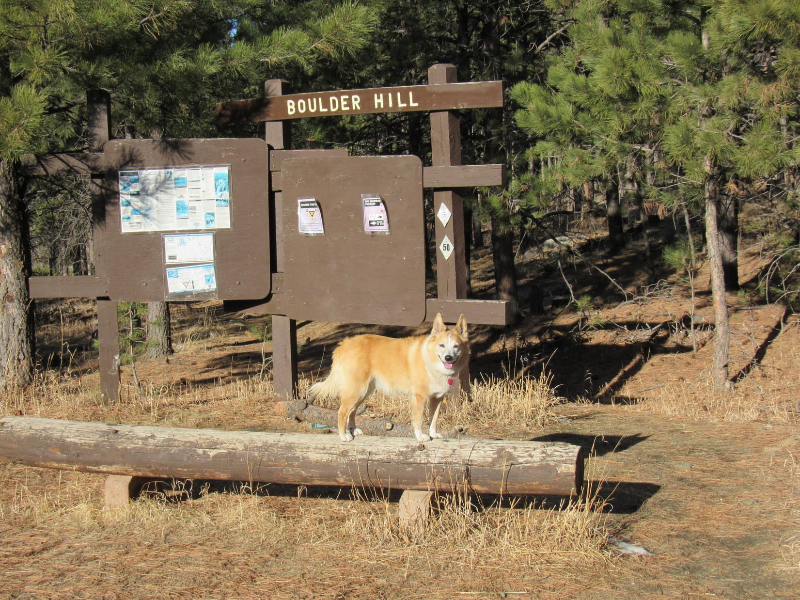
10-10-25, 10:21 AM – As expected, after getting all settled in at Hotel Lupe yesterday, the main event of every subsequent day that Cousin Dixie was around was destined to feature at least one adventure in the Black Hills.  After breakfast, Uncle Joe had asked SPHP for suggestions on something easy, scenic, and not too long to start out with.

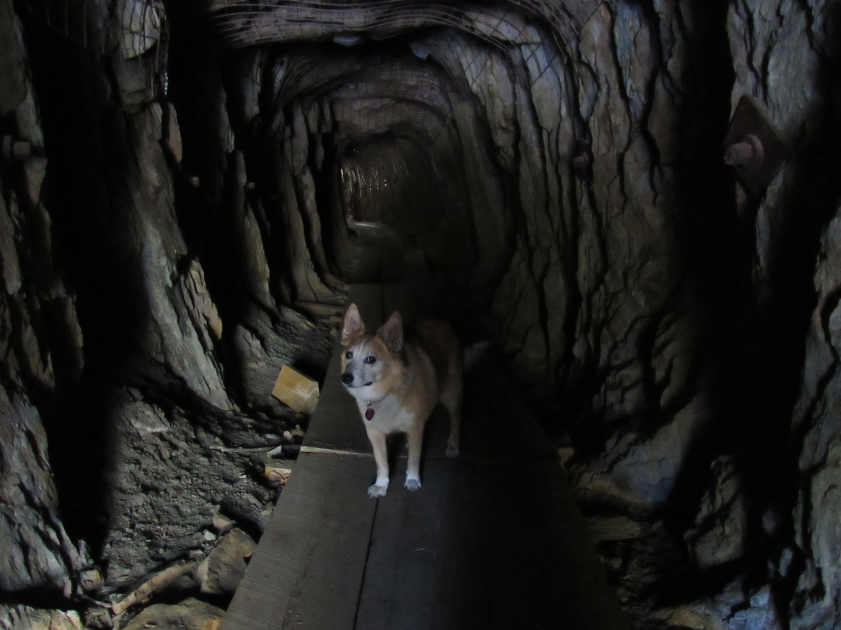
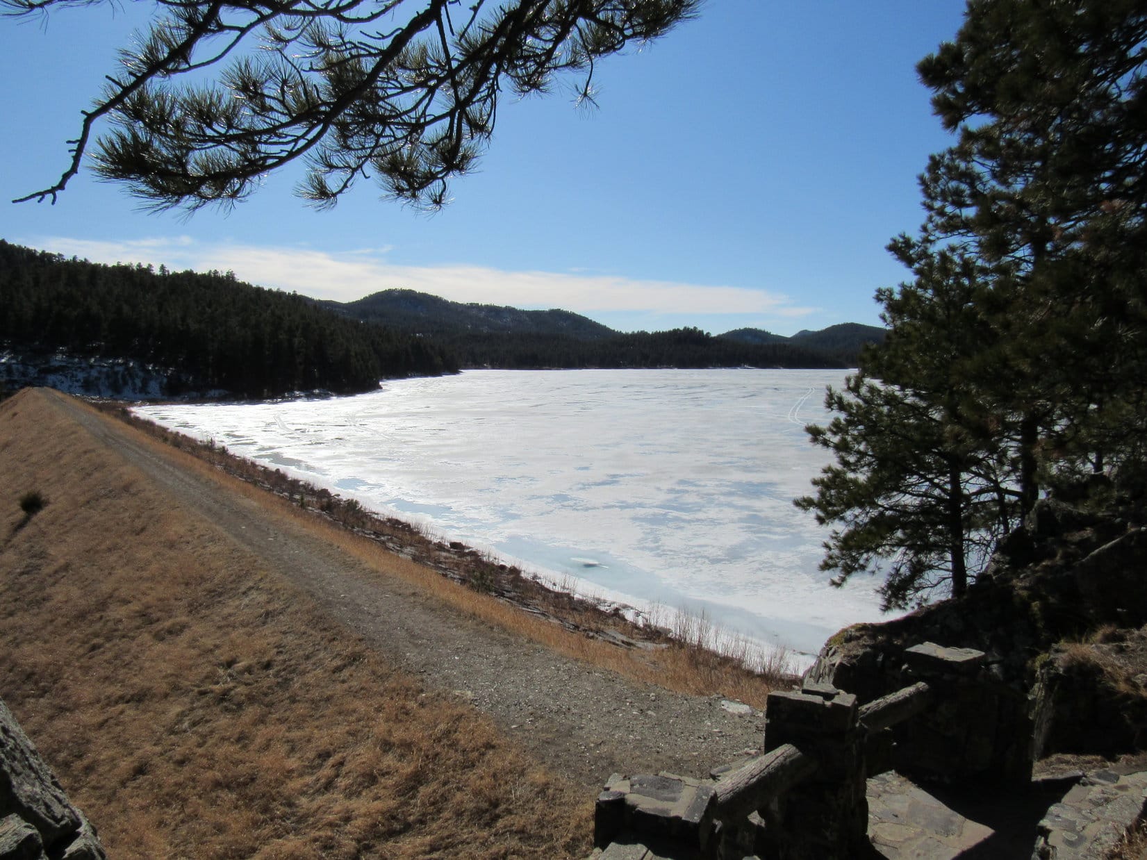
How about a hike around Sylvan Lake?  This proposition was readily agreed to by all.

Uncle Joe, Aunt Andrea, Cousin Dixie and Lupe at Sylvan Lake. Photo looks NNW.

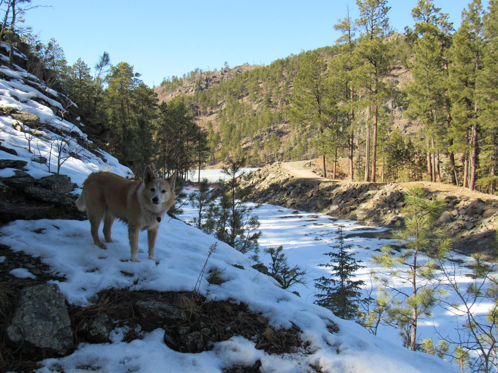
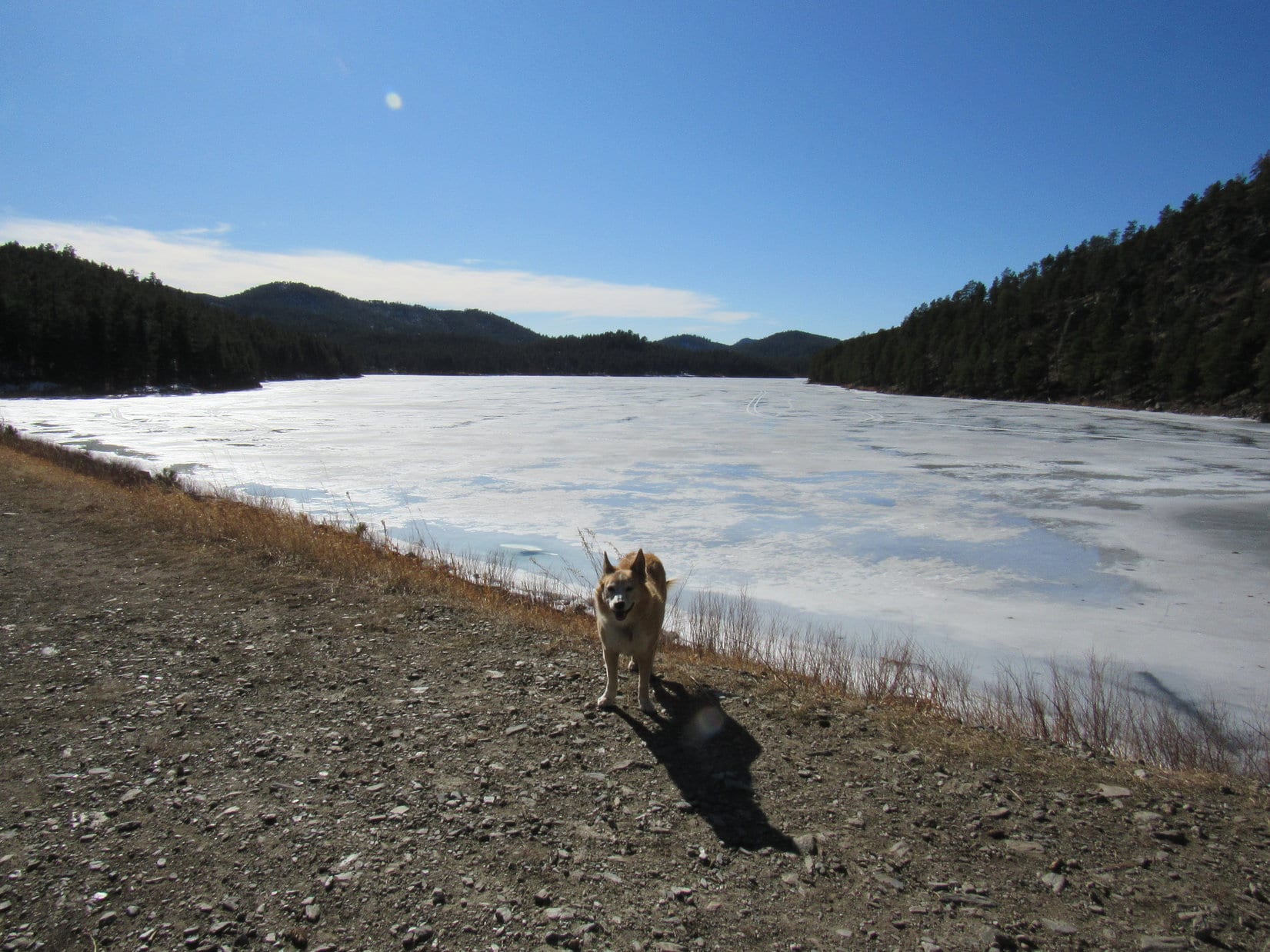
Sylvan Lake was an excellent idea!  However, upon arrival, unexpected trail maintenance made fully executing the loop plan impossible.  The portion of the trail around the lake that went below the dam was closed.  No loop for the Loopster, or anyone else, permitted!

Nothing to do but make the best of the situation.  A horseshoe pattern would still work!  Starting out along the SW side of the lake close to the store’s parking lot, Lupe led everyone NW along the broad gravel path that went to the dam.

Sylvan Lake. The dam is toward the L over by the line of rocks. Photo looks NW.
Lupe near the dam, which is just beyond the rock she’s on. Photo looks NE.

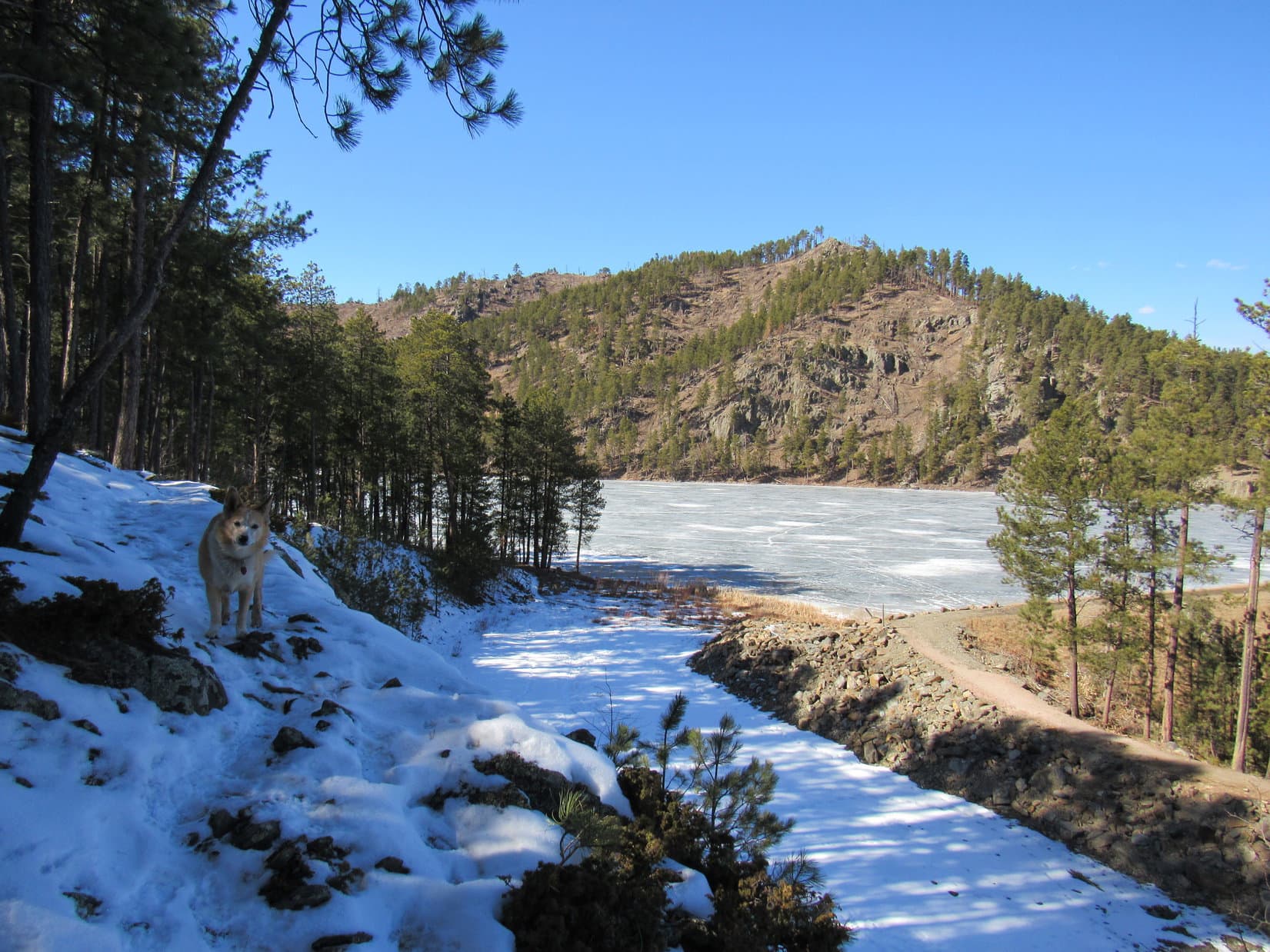
After visiting the dam, everyone headed back counter-clockwise almost clear around the lake over to rock formations that weren’t that far from the other end of the dam.

Joe, Dixie and Lupe on rock formations at the other end of the horseshoe. Photo looks WSW.

After taking in the view, this end of the horseshoe also had to be retraced clear back to Shadow waiting at the parking lot.  Fine and dandy, happily the horseshoe technique had worked.  Never really was any doubt about it.  However, there had been another drawback to the Sylvan Lake trail.  Quite justifiably, a throng of other people and dogs were at this popular destination.  Cousin Dixie really would have preferred to be freer to roam and burn off some 2 year old Aussie energy.

Heading back to Shadow at the parking lot. Photo looks NE.

So where to?  Even having to do nearly the entire Sylvan Lake loop trail twice hadn’t taken long at all.  Plenty of time to explore another trail.

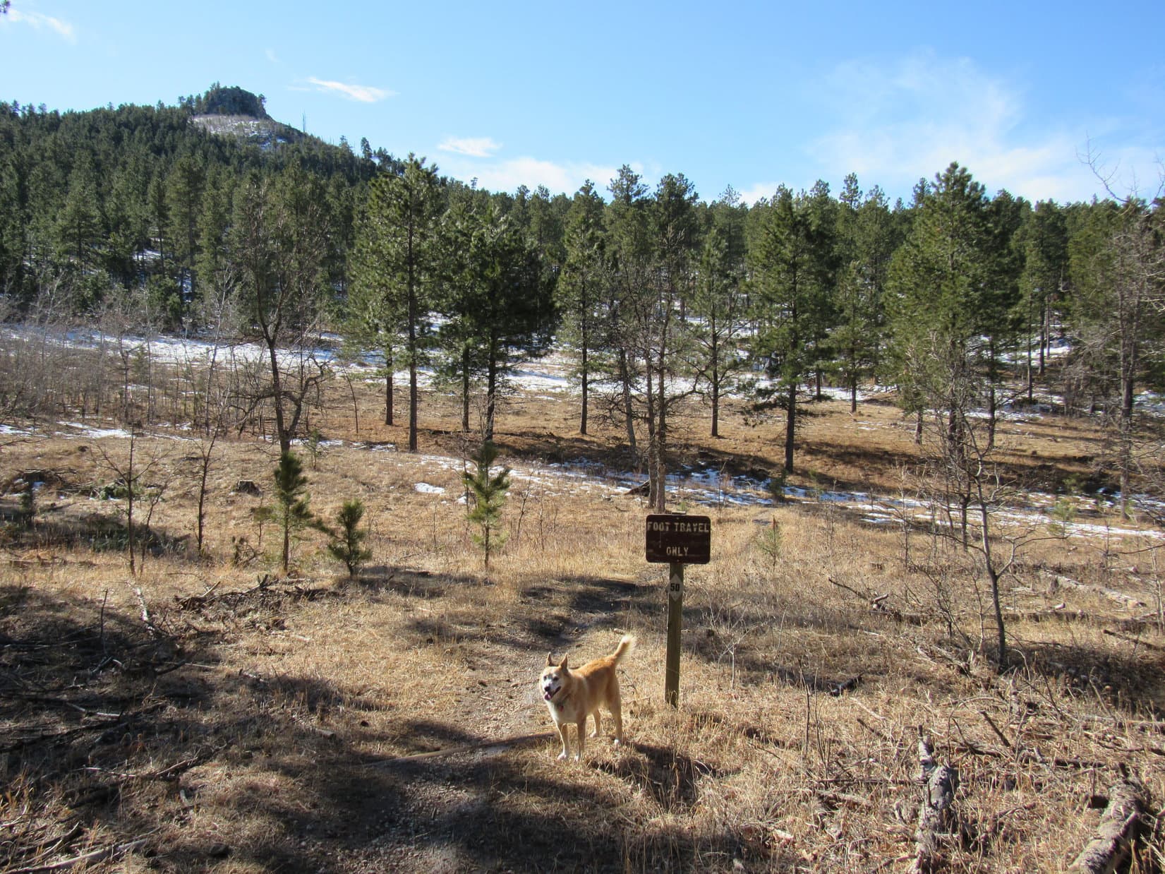
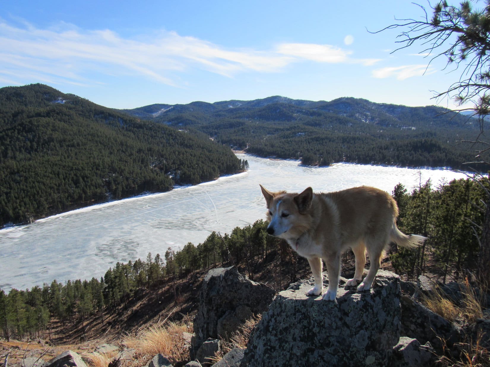
Lots of terrific trails are accessible from the Sylvan Lake area, but they would likely be busy, too.  No worries!  SPHP had the answer – a trek along Centennial Trail No. 89, either N or S, from the Iron Creek Horse Camp trailhead.  A bit of a drive, but a very scenic one along Needles Highway No. 87.  Wouldn’t take that long to get there, and cousins Dixie and Lupe would own the trail!  SPHP was sure of it.

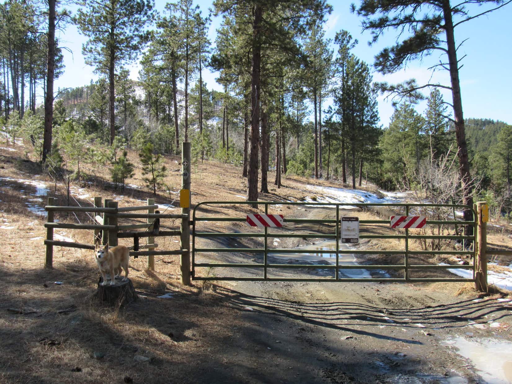
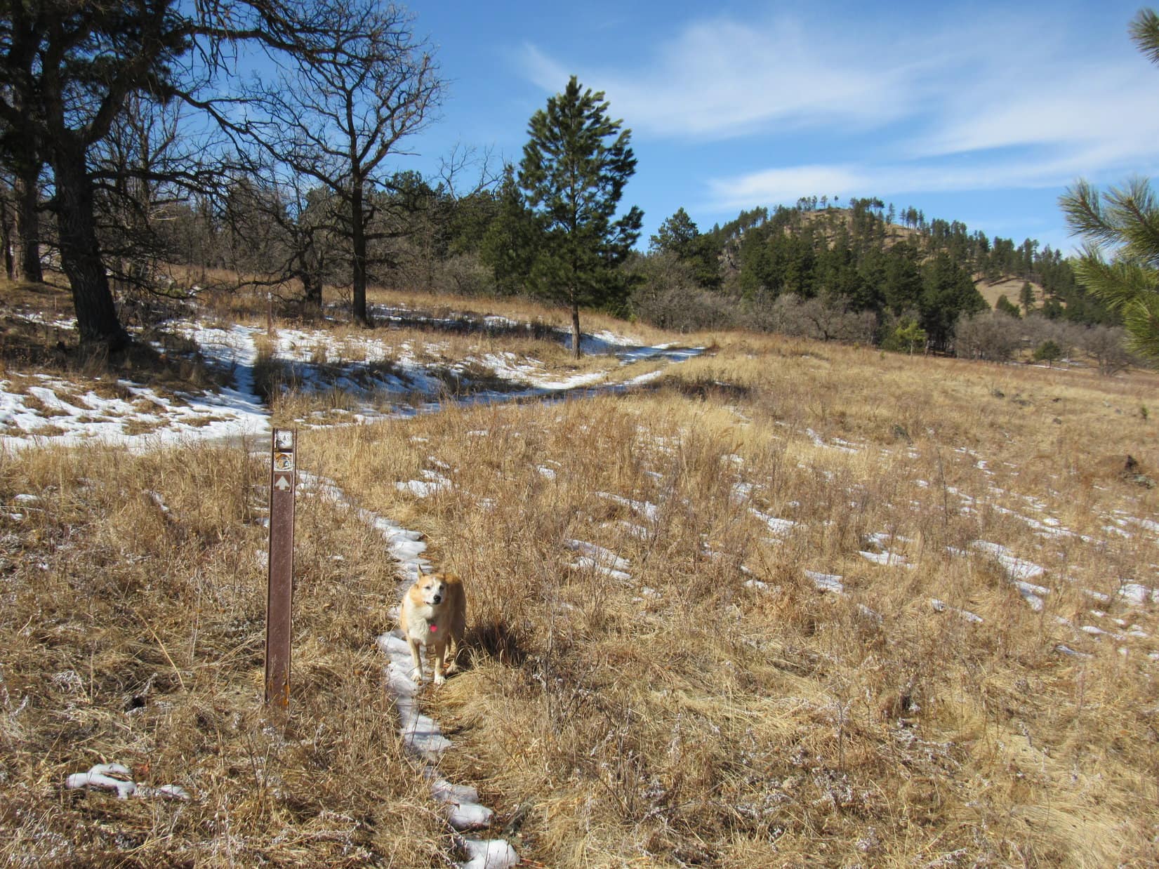
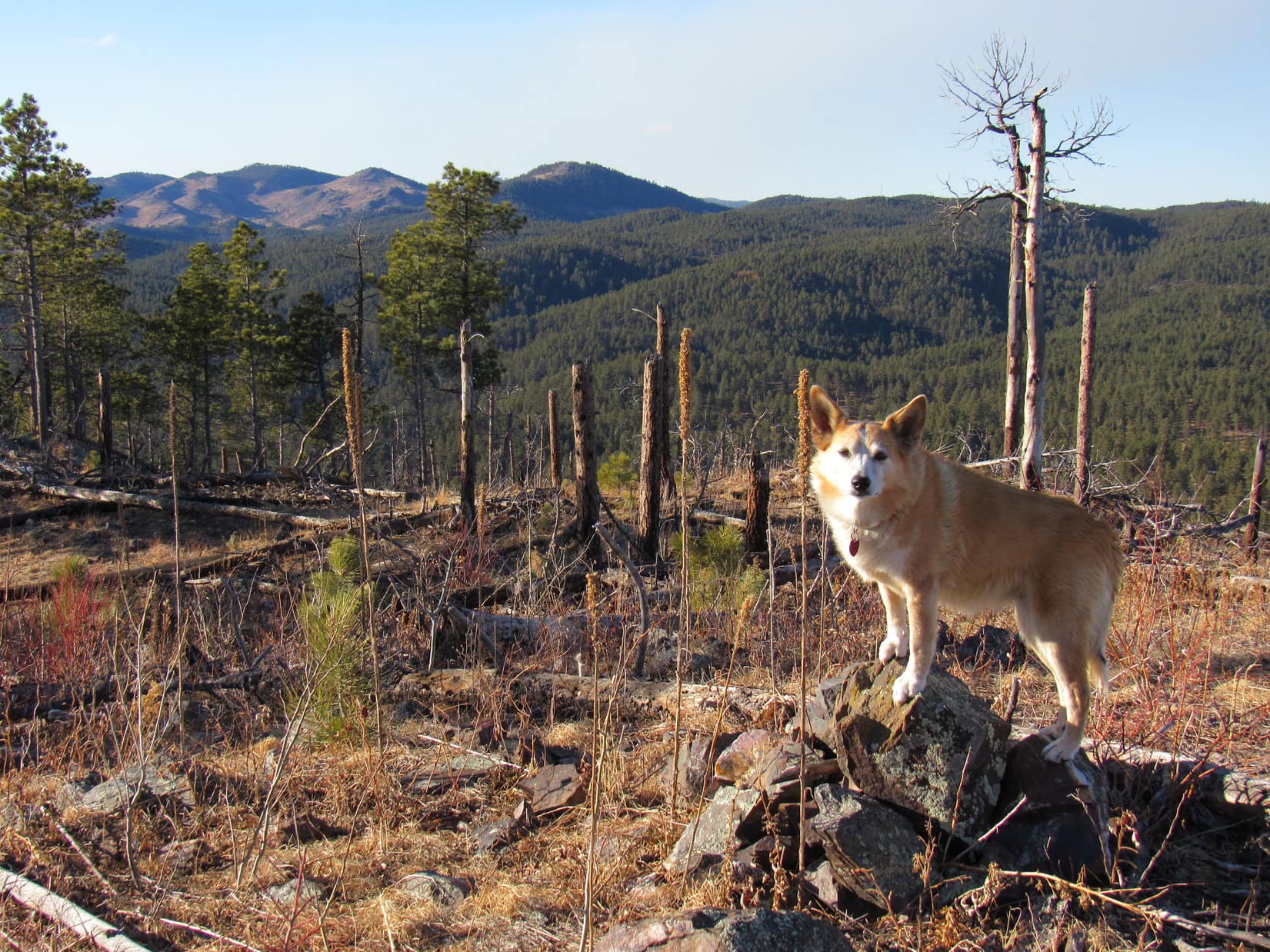
10-10-25, 11:46 AM, Iron Creek Horse Camp Trailhead, Centennial Trail No. 89Ahh, yes!  This was looking good!  Shadow was the only vehicle in the small parking lot at the trailhead.  The only question now was, which way?  N farther into the Black Elk Wilderness, or S away from it?

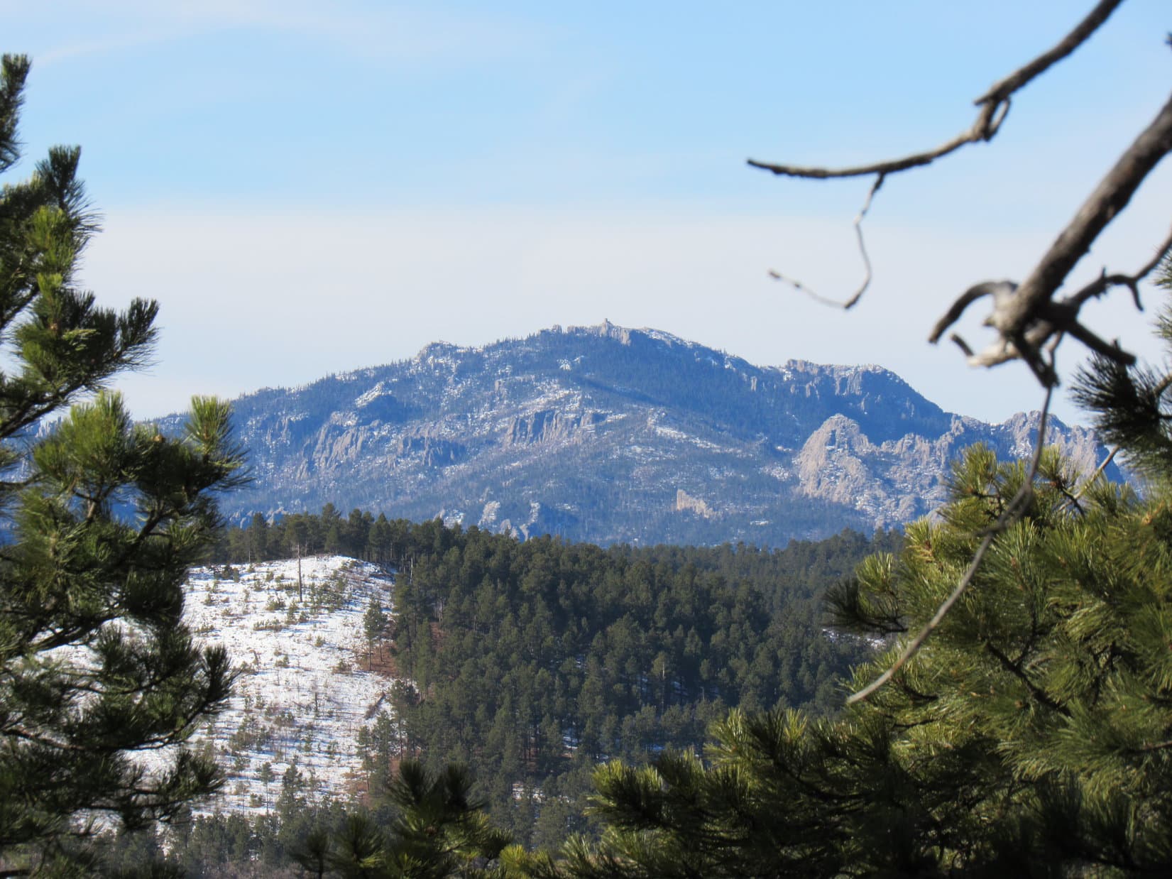
N into the wilderness was more scenic – full of big granite formations.  On the other paw, S would be easier terrain.  Really nothing too difficult either way, and complete privacy was highly likely in both directions.

Centennial Trail No. 89 at the Iron Creek Horse Camp trailhead. Photo looks NE.

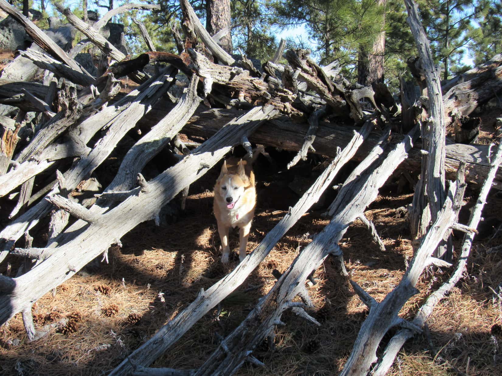
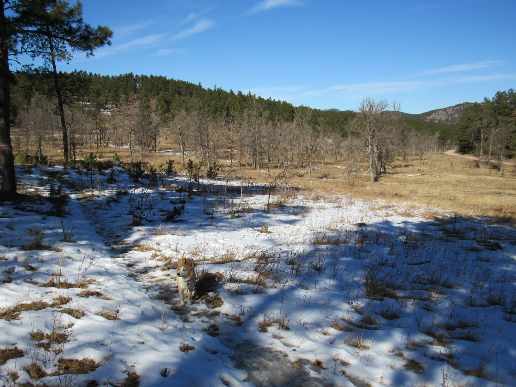
N it was, by unanimous consent!  Following the trail up over a small rise, it then quickly descended to Iron Creek.  Dixie promptly waded into a mucky pool upstream of a makeshift bridge.  This experience was much to Cousin Dixie’s liking, even if not greeted with the same enthusiasm by Uncle Joe and Aunt Andrea.

Cousin Muddy Paws emerging from Iron Creek. Photo looks N.
Crossing the makeshift “bridge”. Photo looks E.

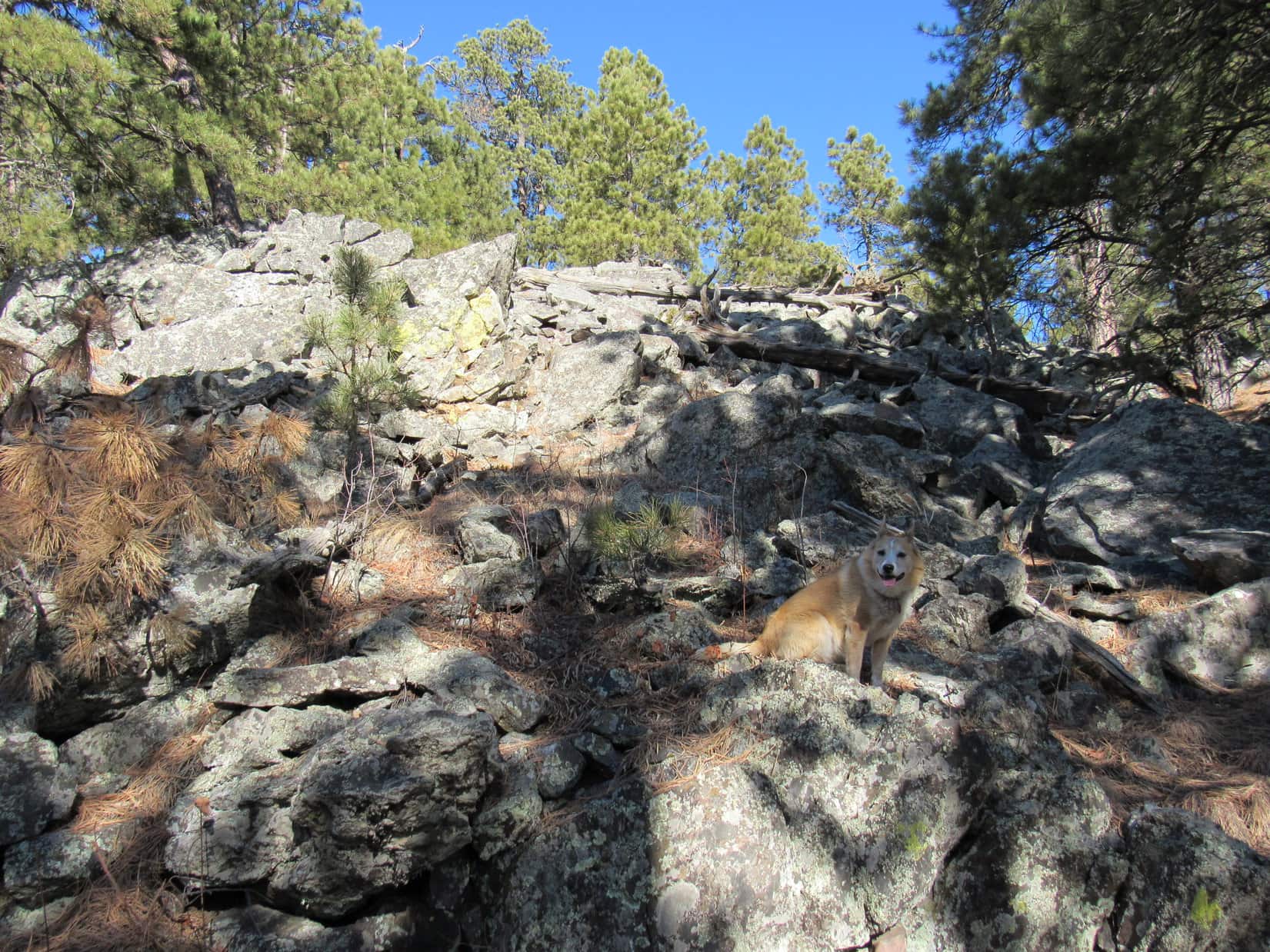
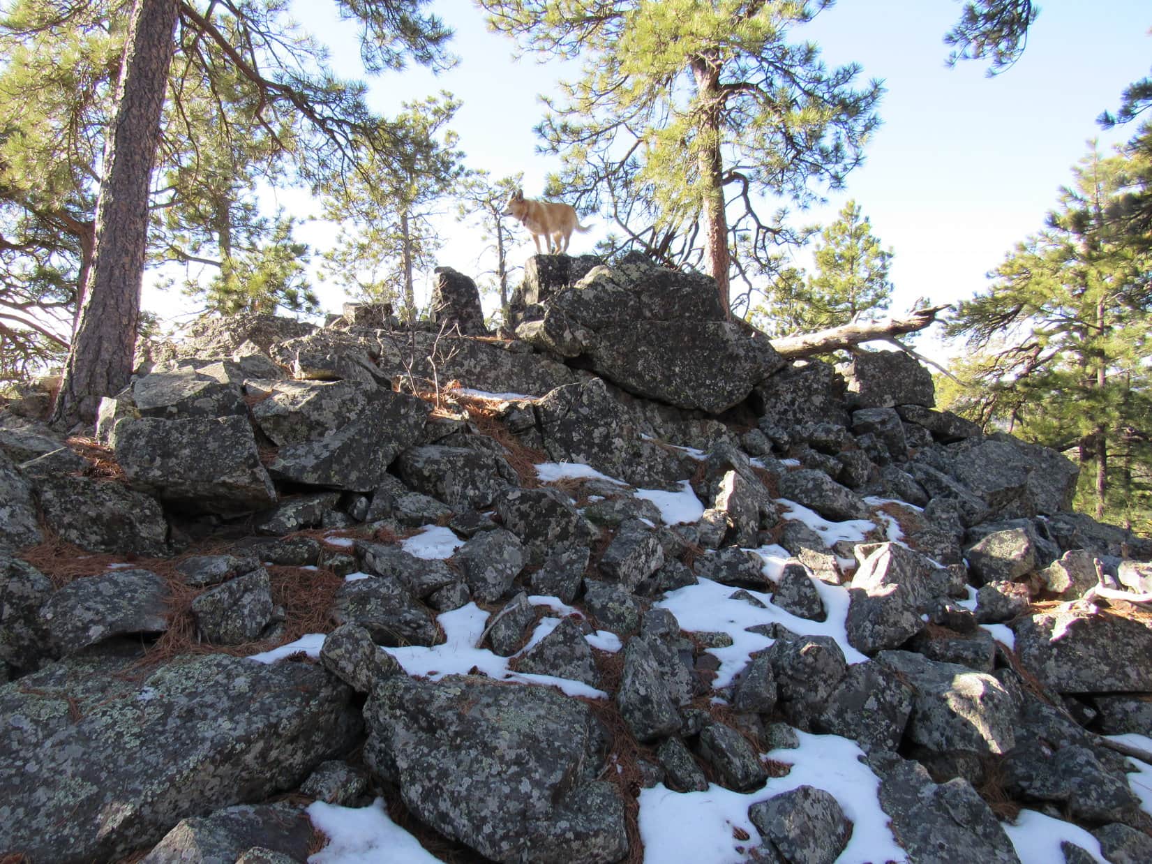
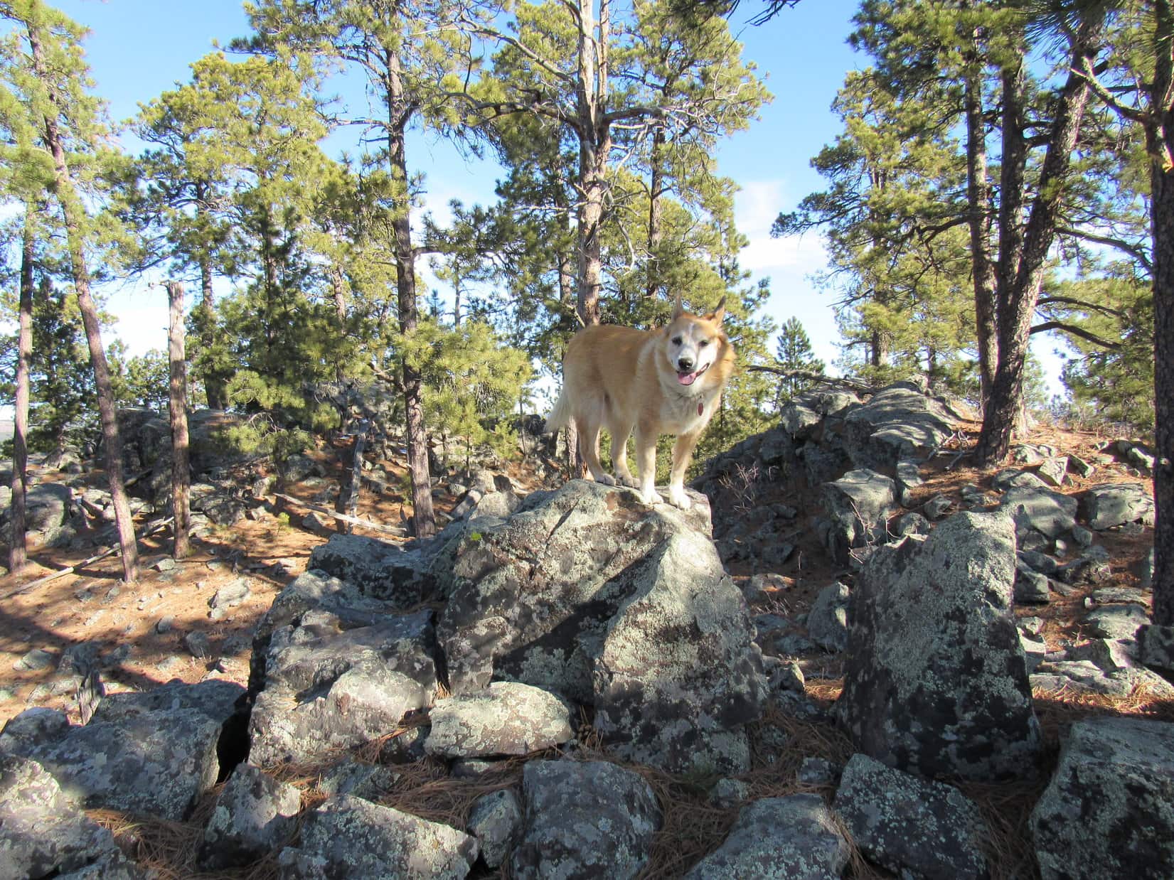
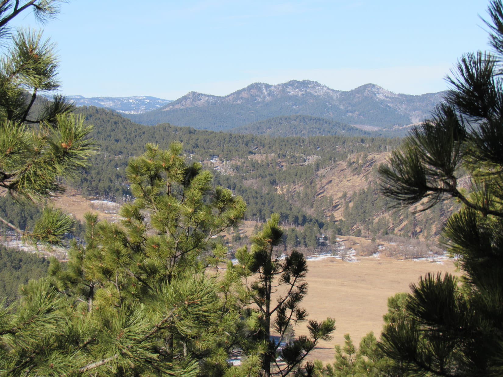
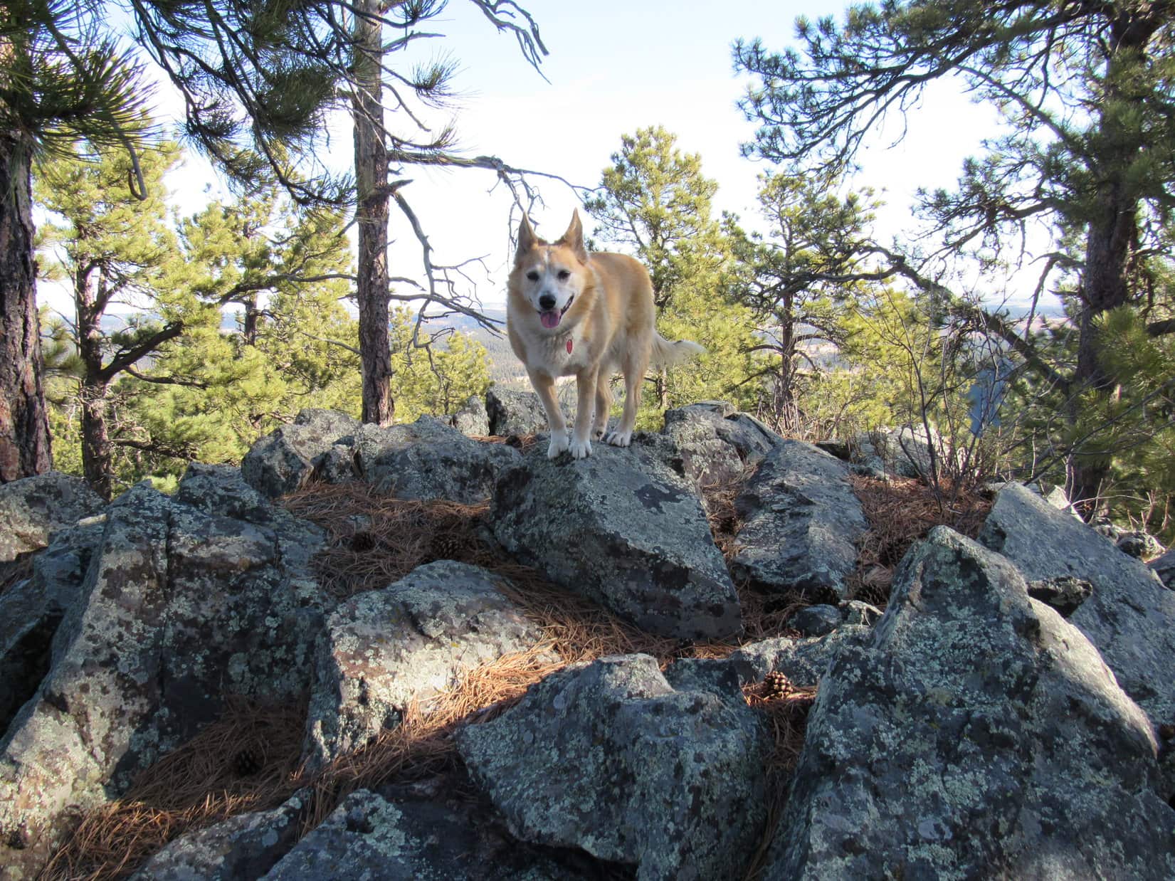
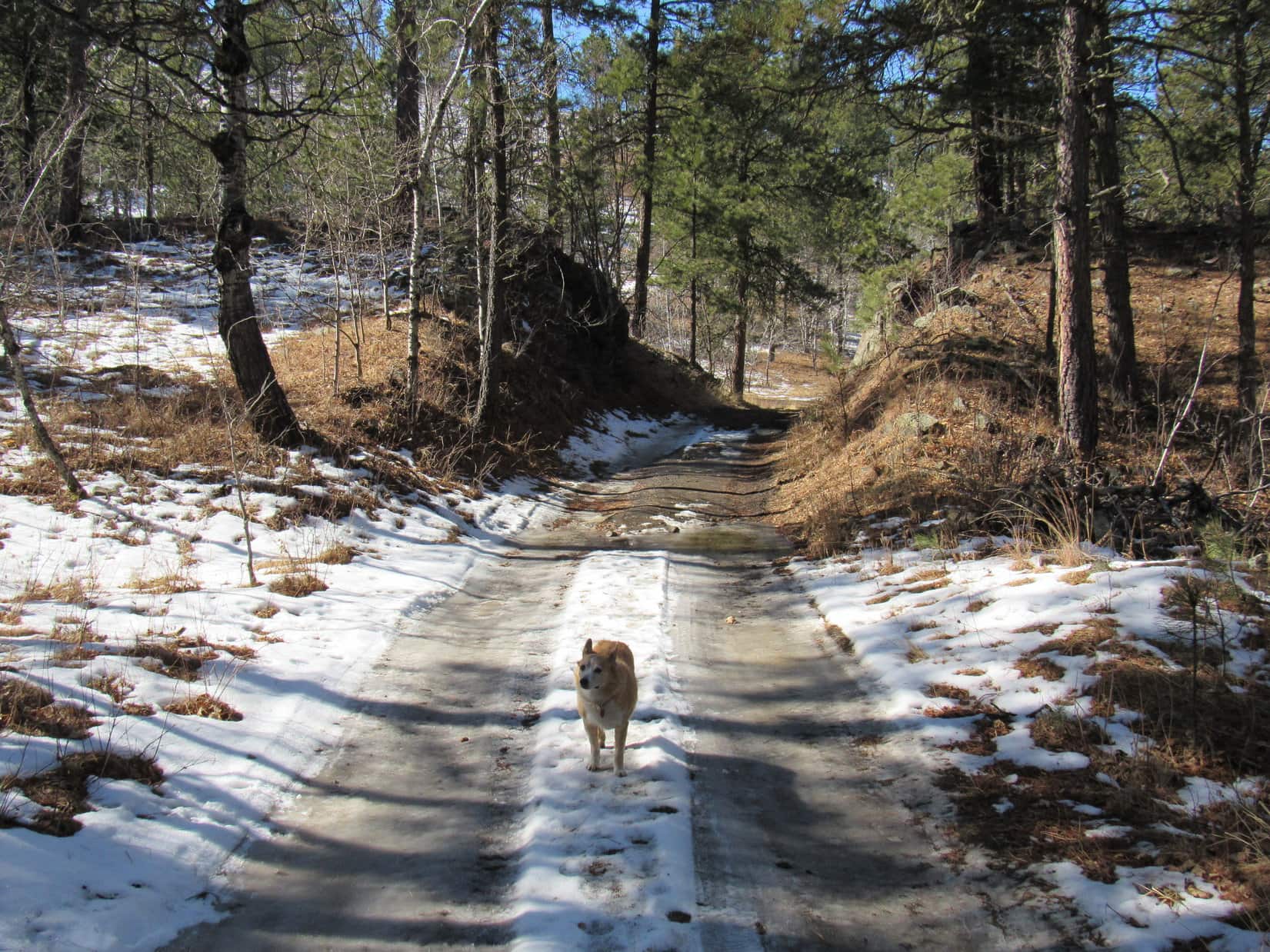
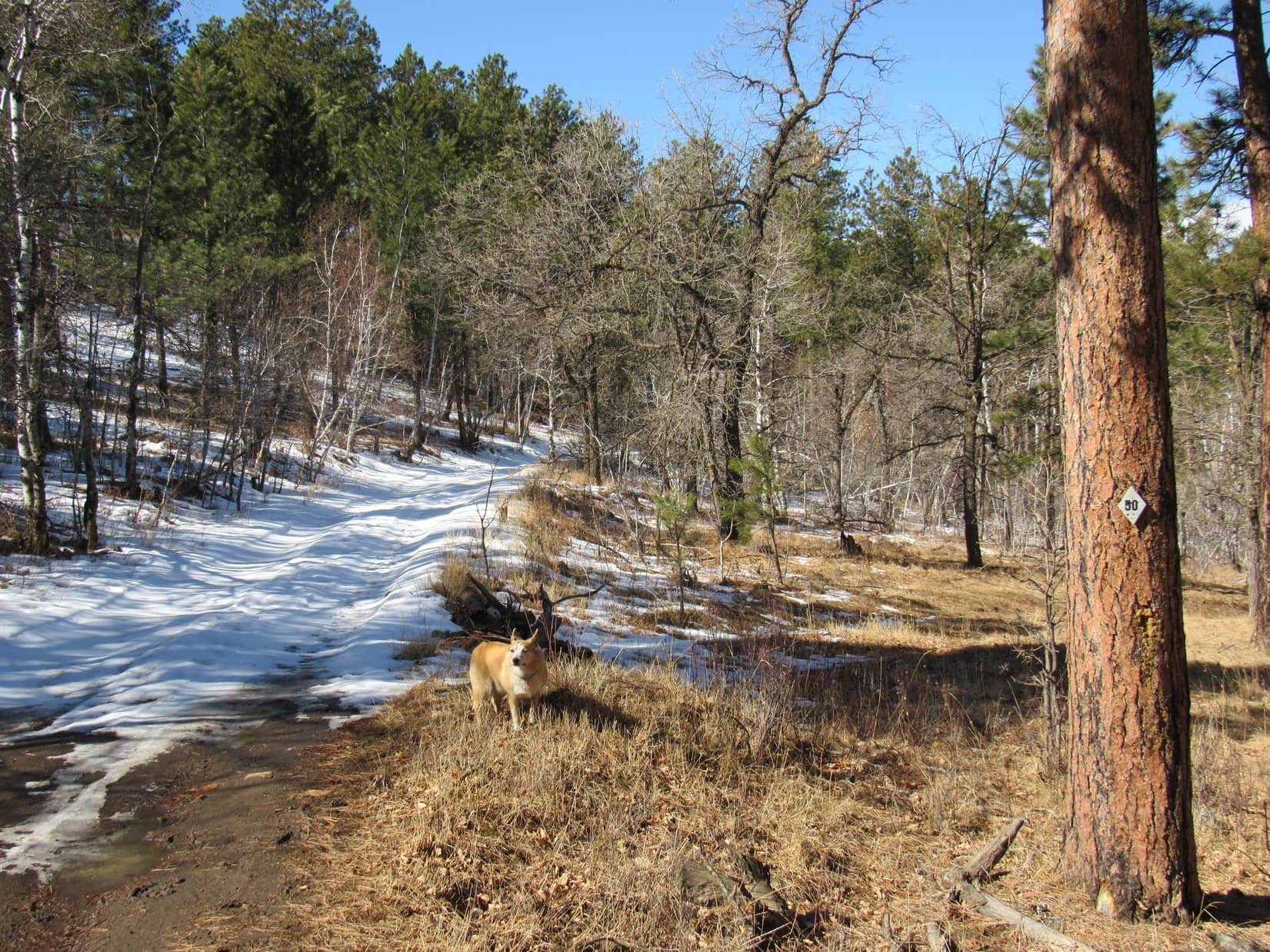
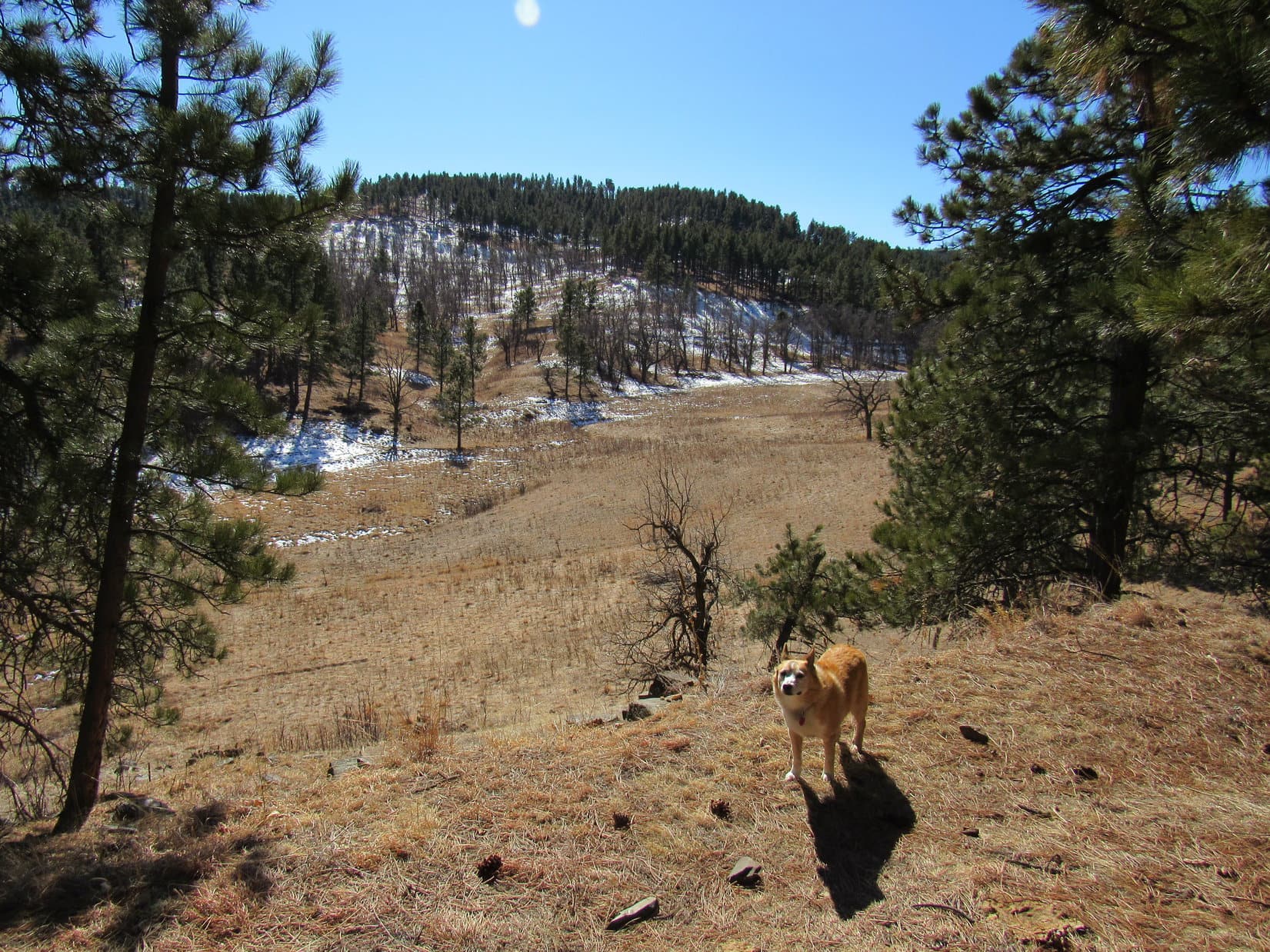
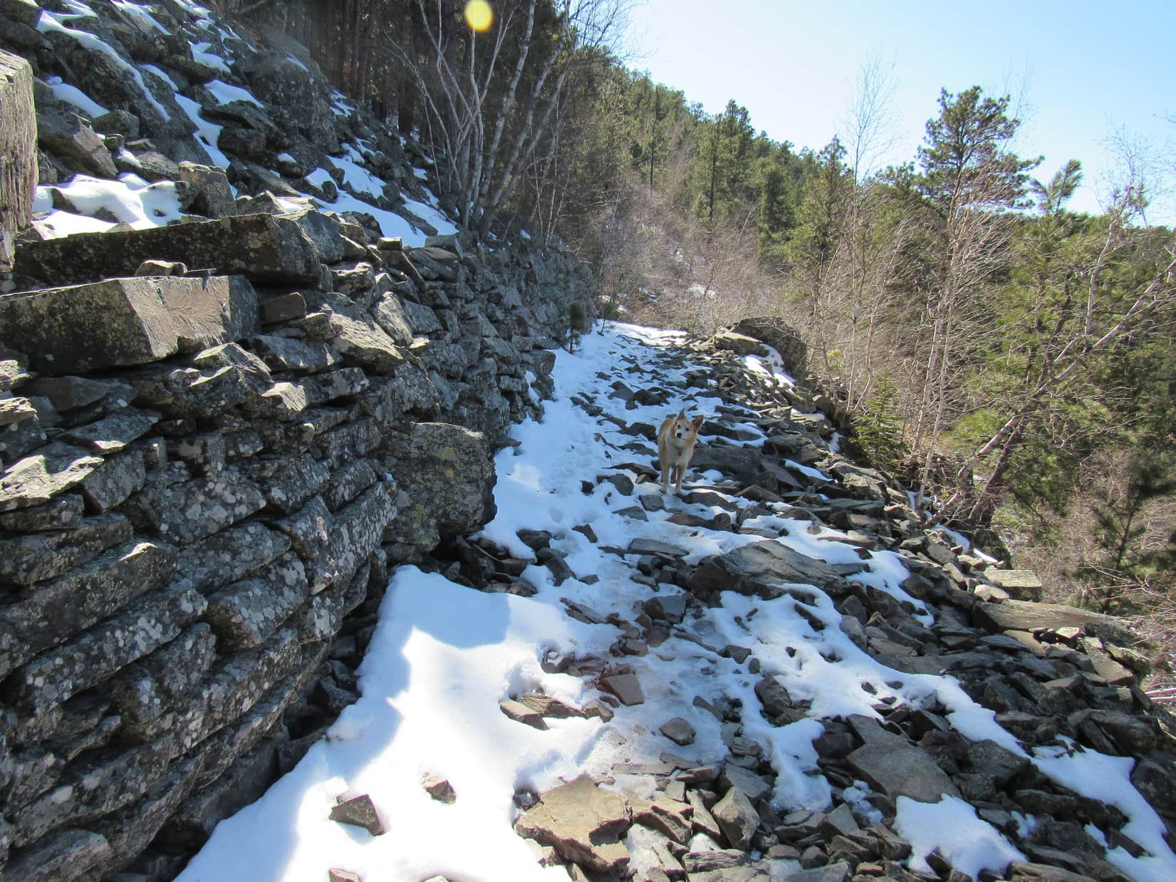
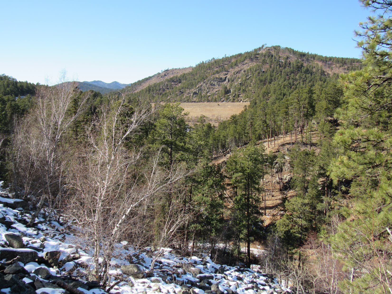
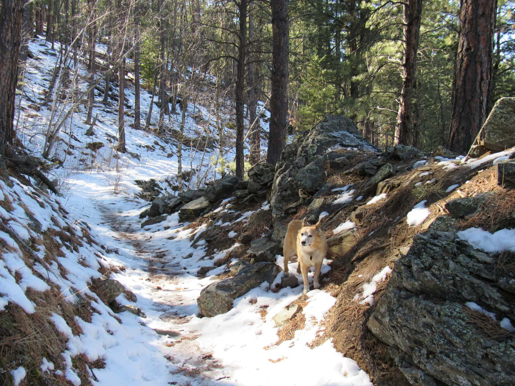
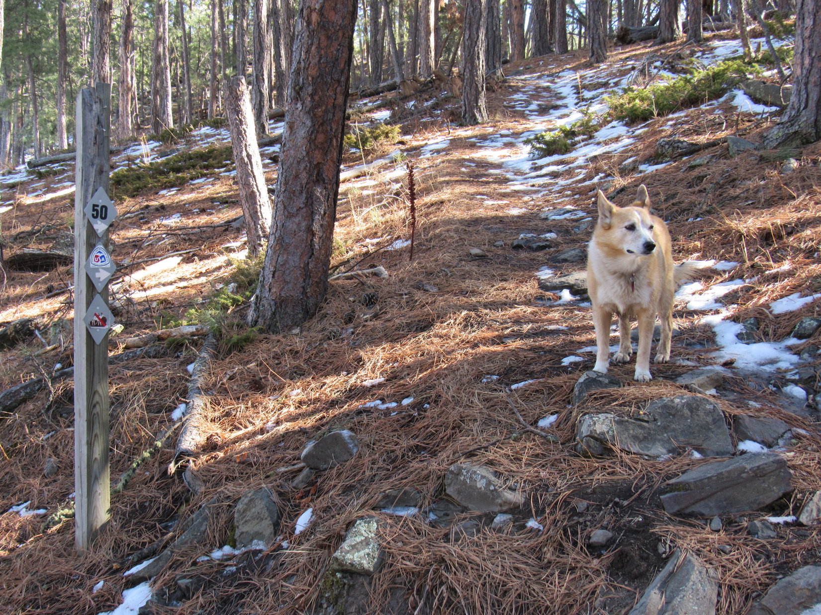
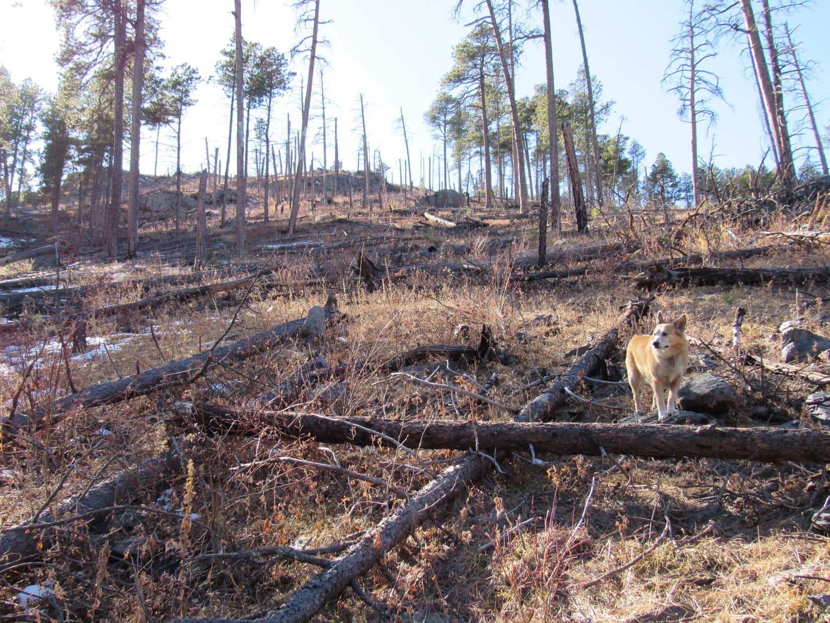
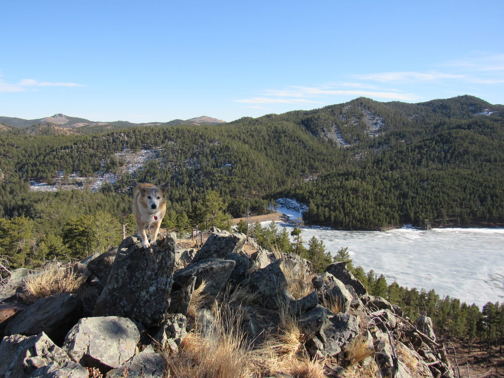
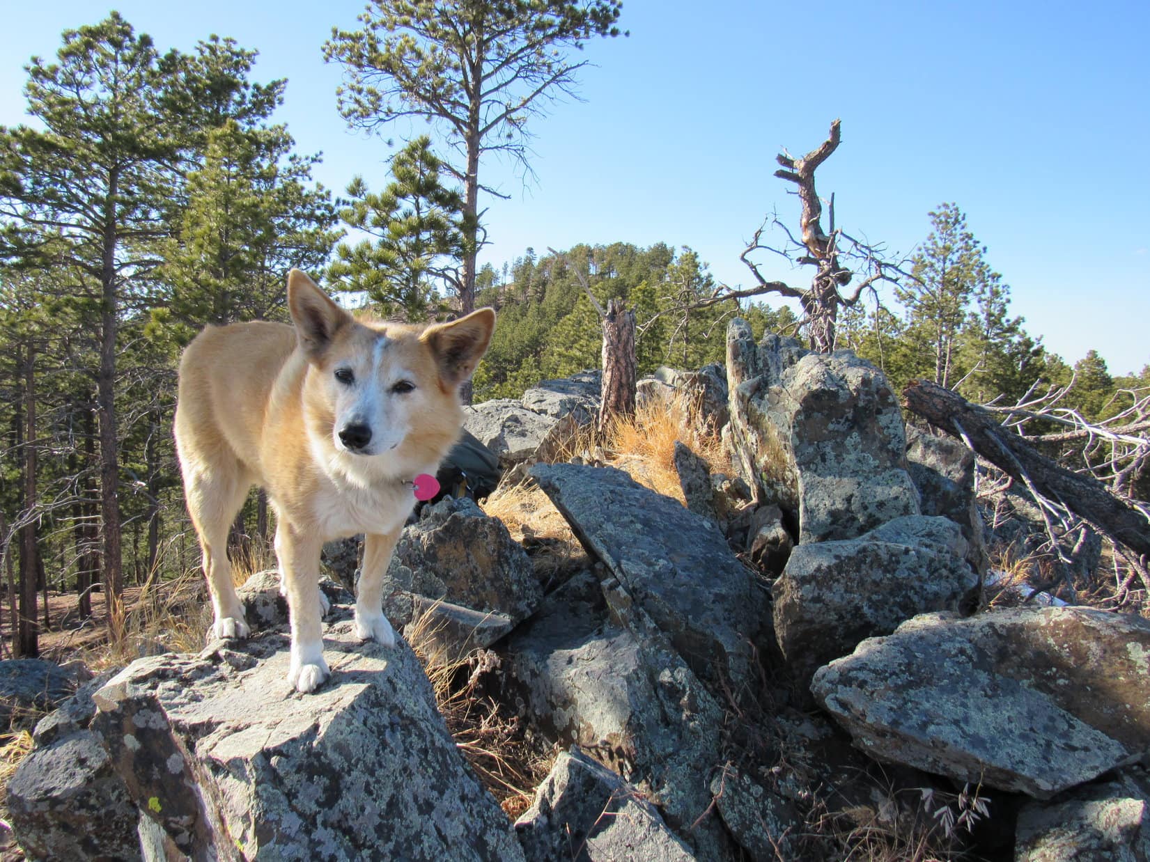
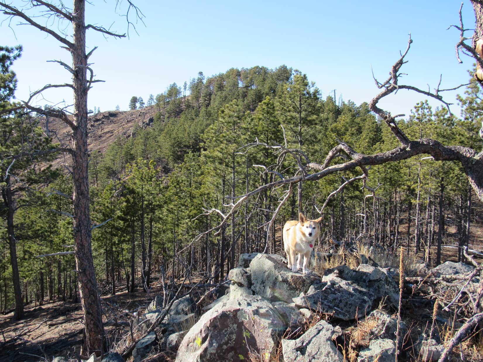
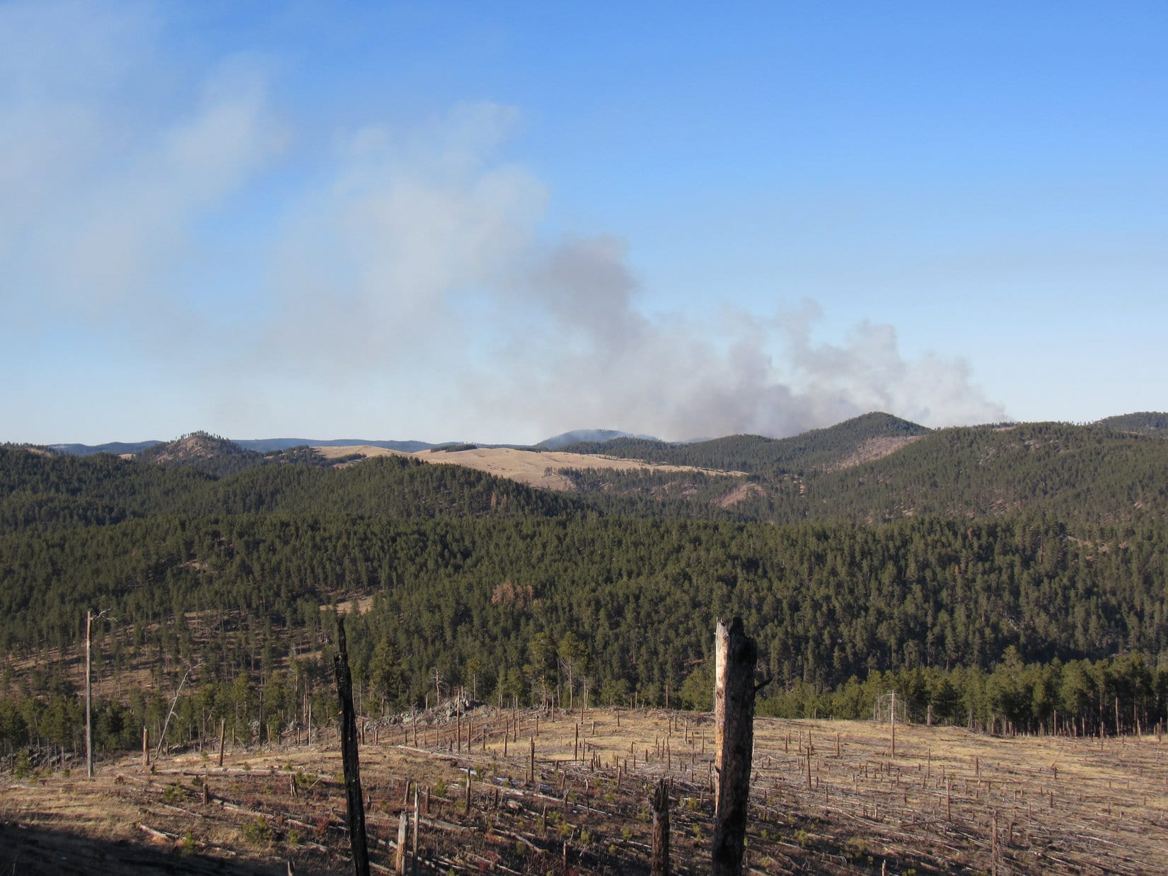
Temporarily muddy paws were no big deal.  The adventure continued!  Some fall colors were on display, although admittedly already past their prime.  Centennial Trail No. 89 wound gradually higher through a quiet valley.  Soon enough, the trail steepened, climbing into the region of big granite formations.

Approaching one of the first big granite formations.

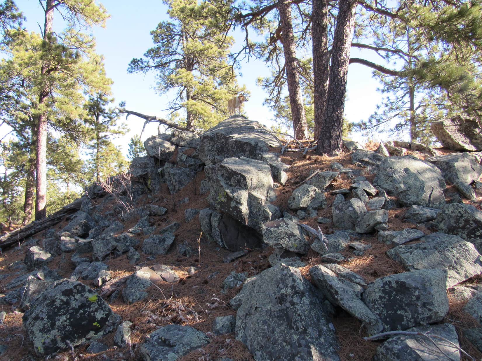
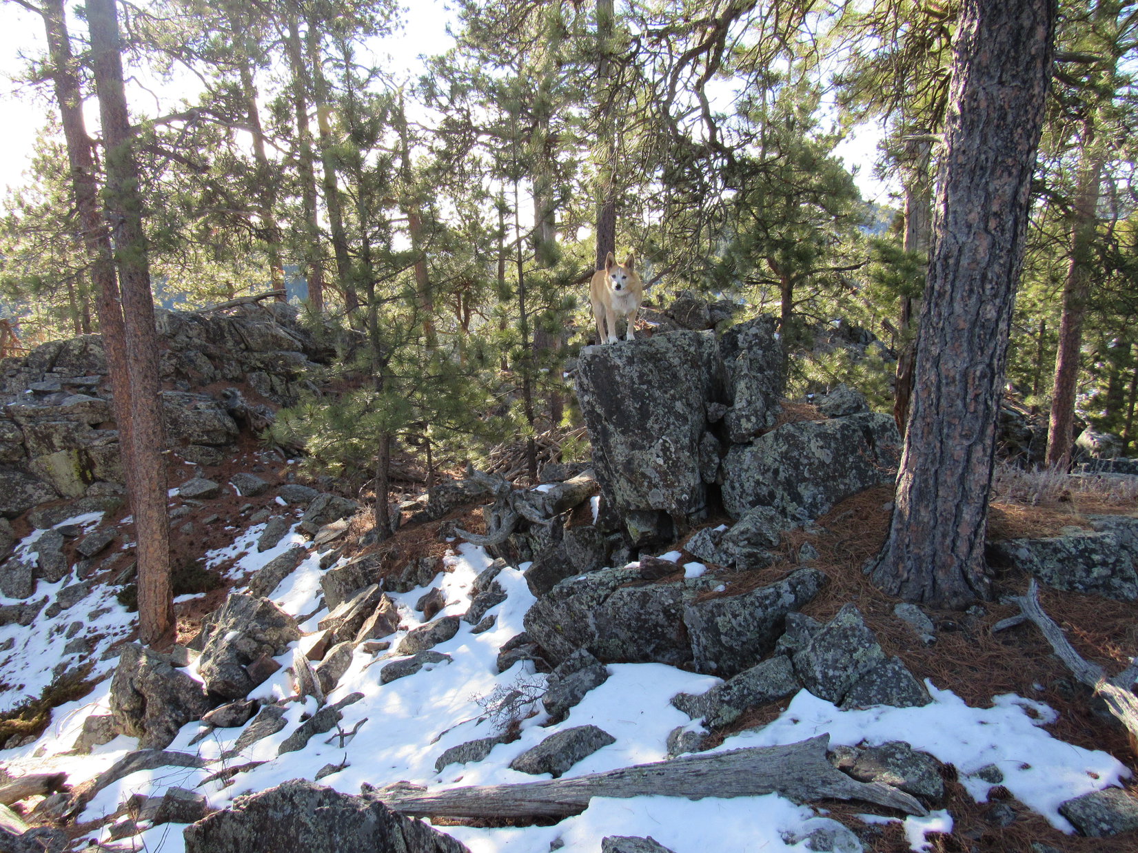
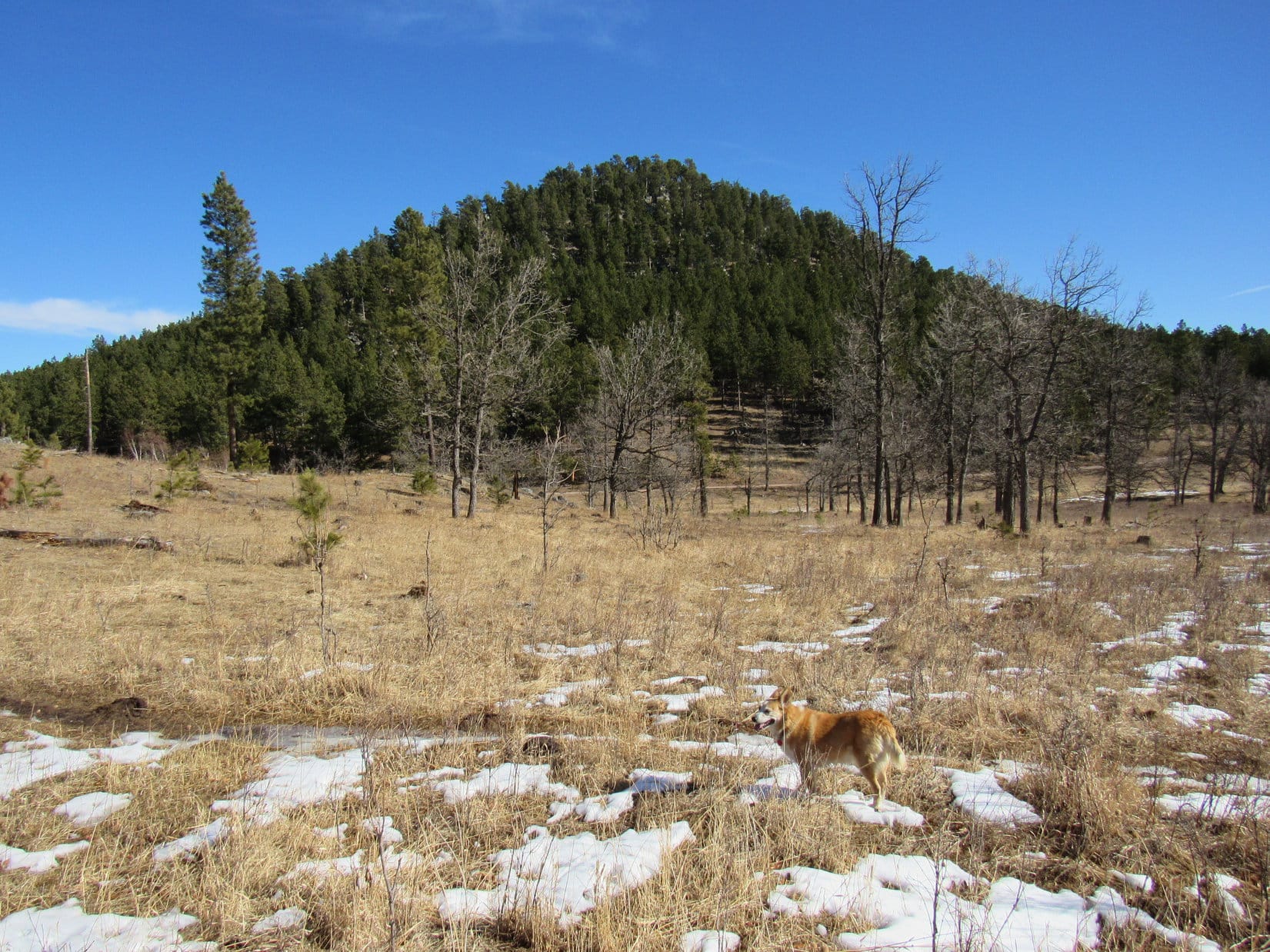
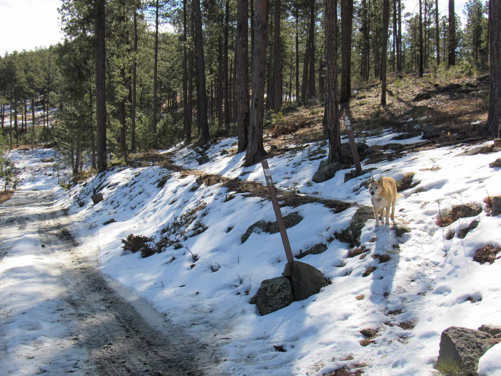
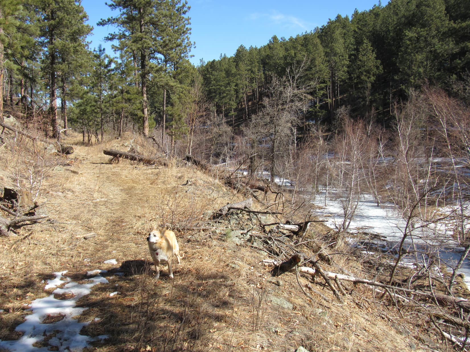
A short break was taken near one of the smaller rock formations.  Uncle Joe provided water, cheese sticks, and energy bars to interested parties.  SPHP had apples available.  Continuing on, the trail wound past more rock formations, eventually coming to a junction where Centennial Trail No. 89 shared a short stretch ahead with Grizzly Creek Trail No. 7.

Andrea and Dixie near one of the smaller granite formations. Photo looks W.
The whole pack at the junction of Centennial Trail No. 89 (R) and Grizzly Creek Trail No. 7 (L). Photo looks SE.

It was only a few hundred feet to where the trails parted ways again.  At this point there was some discussion of which route to take from here, or whether to simply call this good, and head back?

Decision time! Grizzly Creek Trail No. 7 (L), Centennial Trail No. 89 (R), or back to the Iron Creek Horse Camp trailhead? Photo looks W.

Sticking with Centennial Trail No. 89 a little farther won out.

Exploring Centennial Trail No. 89 a bit farther. Photo looks NNE.

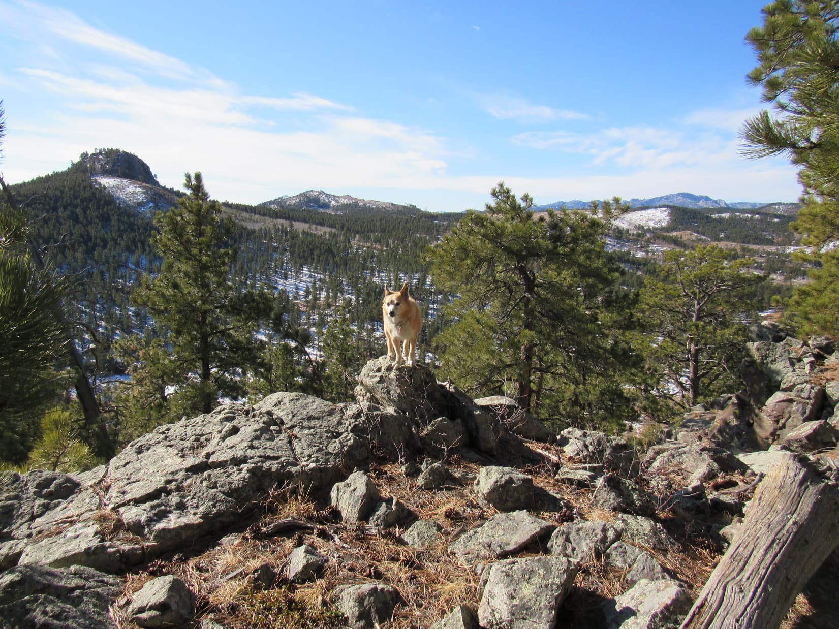
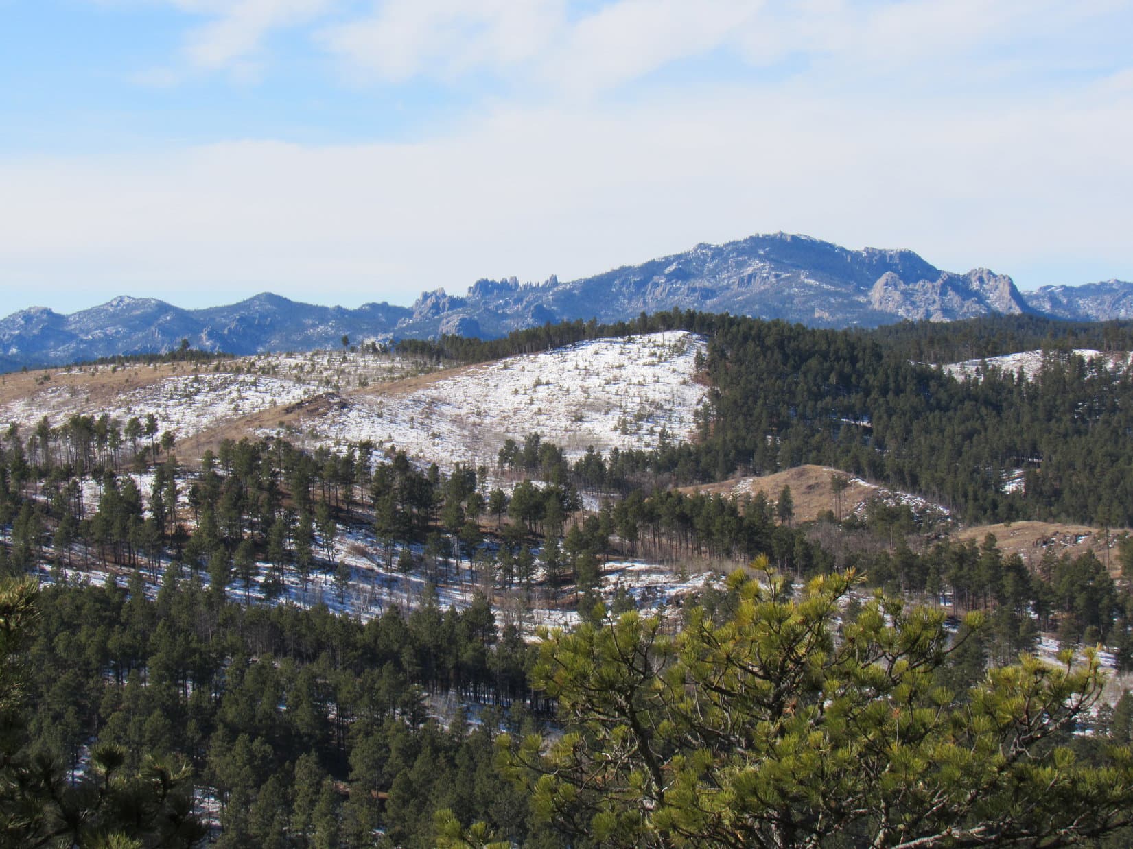
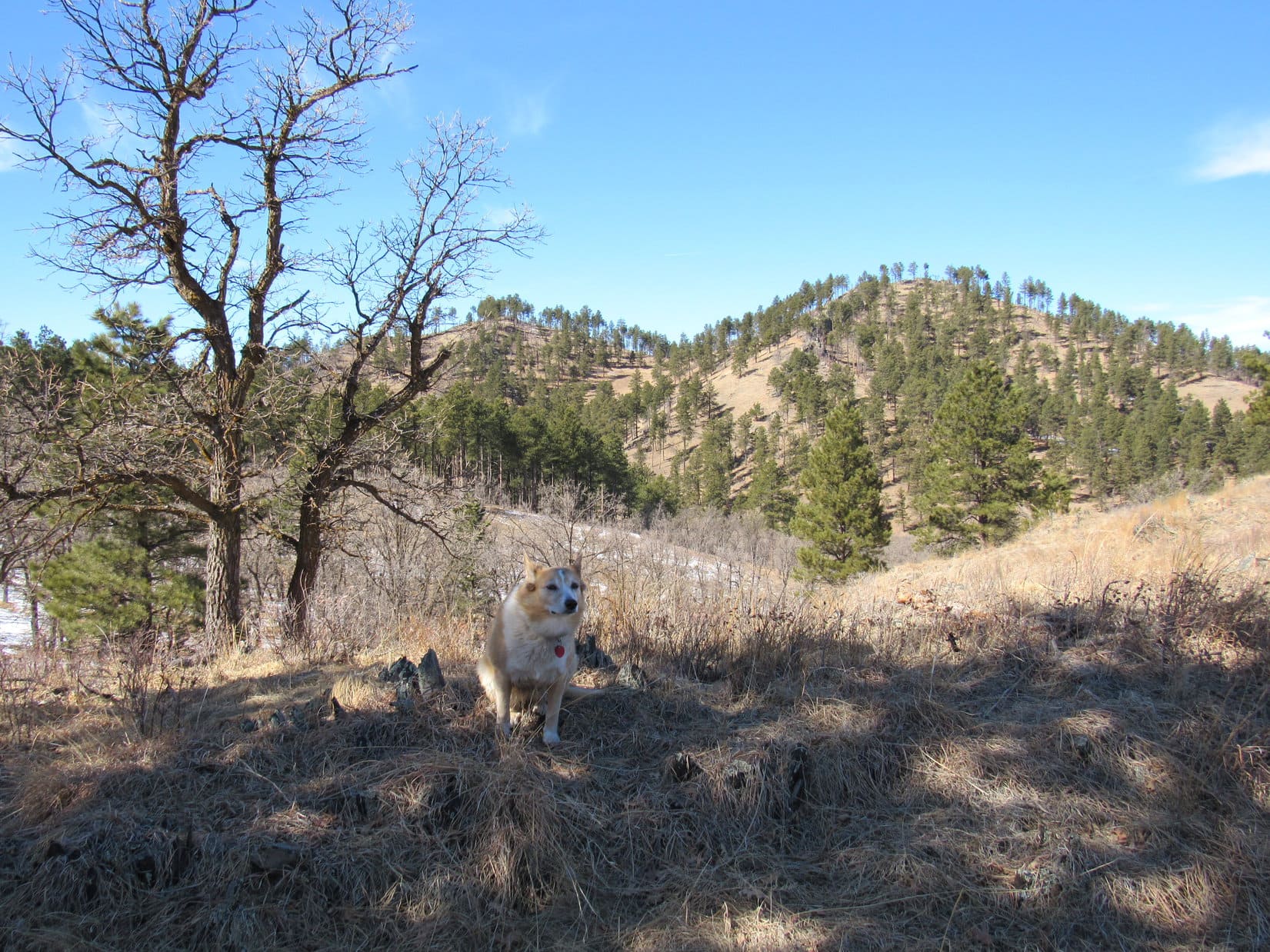
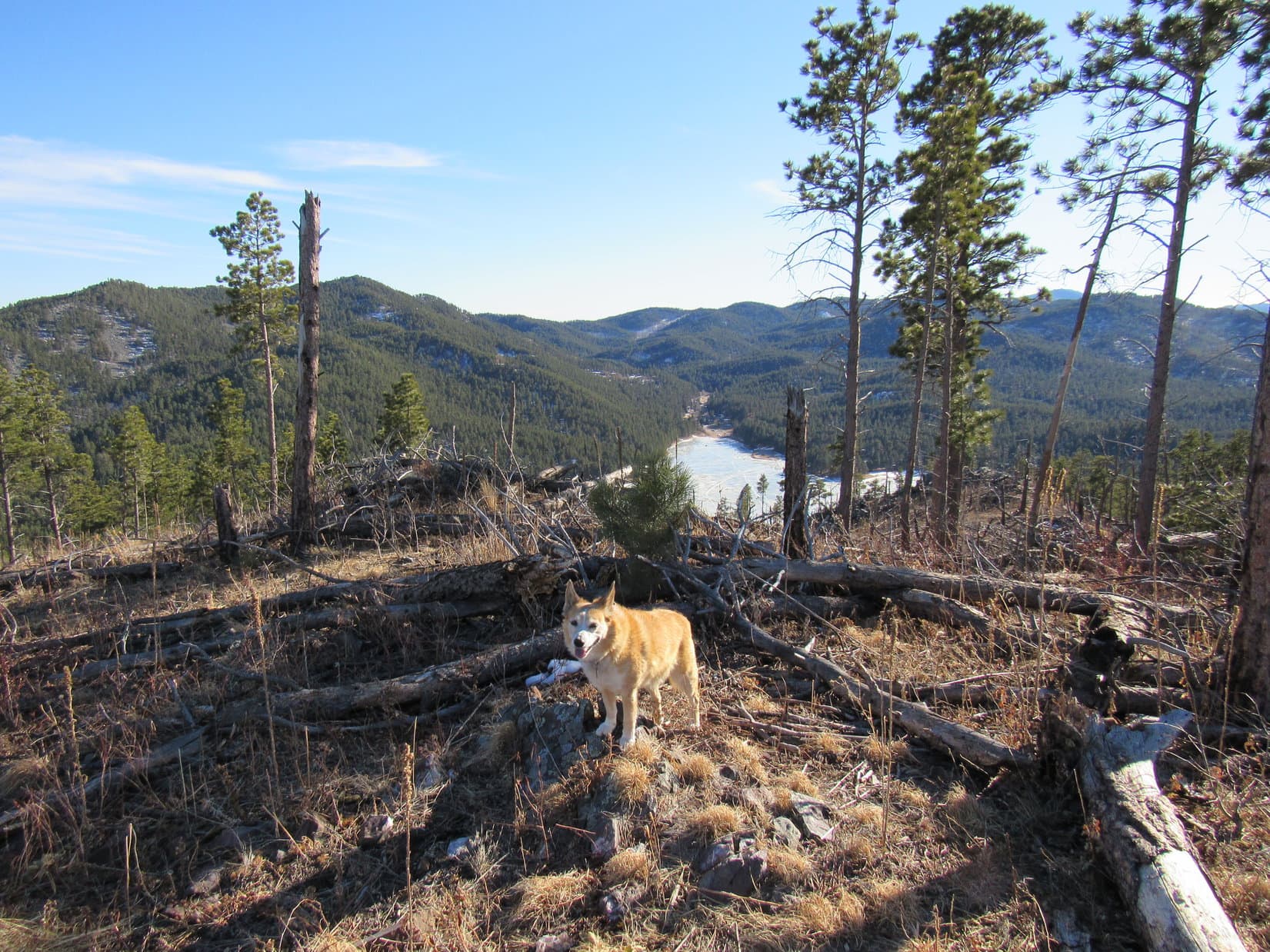
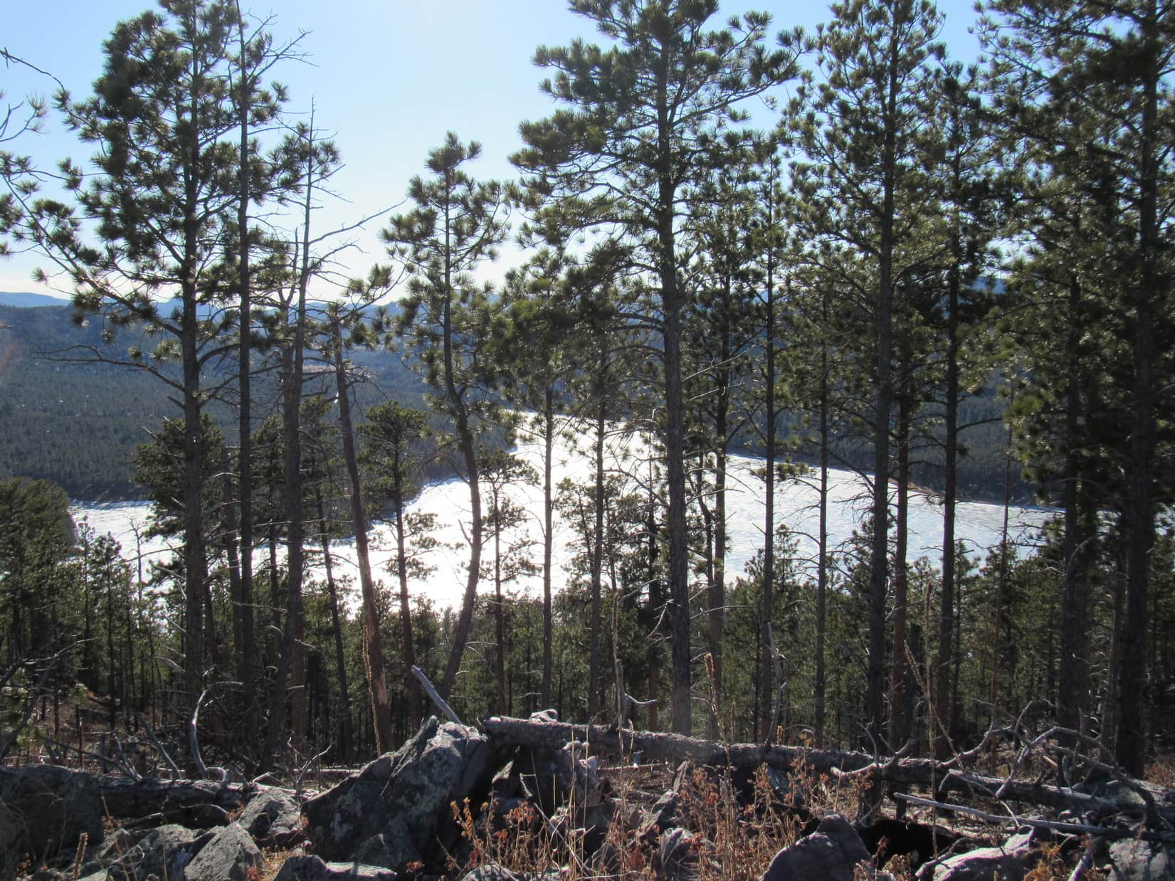
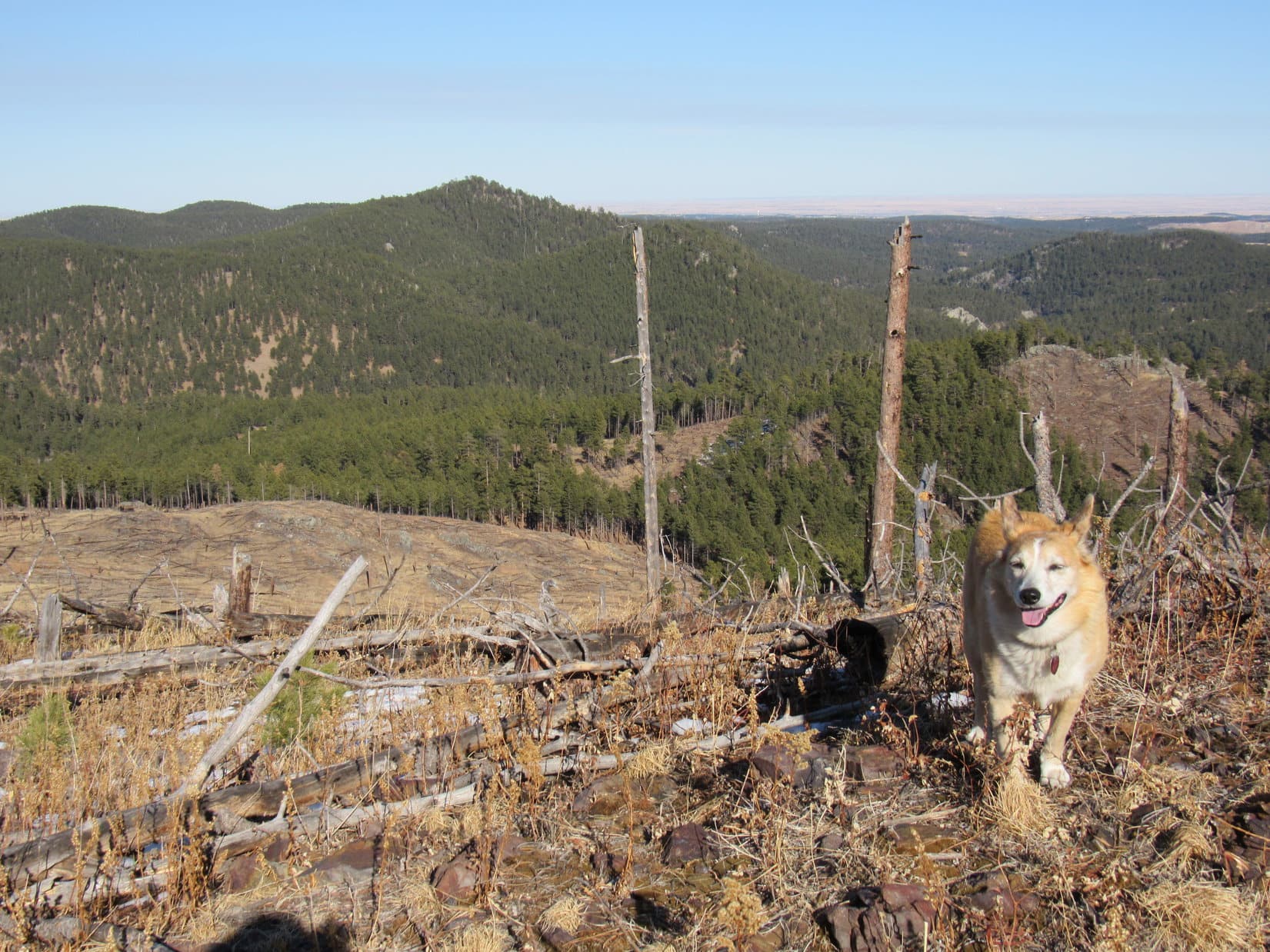
0.3 mile led to a minor pass, which became the turnaround point.  This pass was nearly to a junction with the Centennial Bypass Trail, which goes to the picnic ground on Iron Mountain (5,451 ft.).  However, that destination would have been significantly farther.

At minor Pass 5340, the turnaround point. Photo looks S.

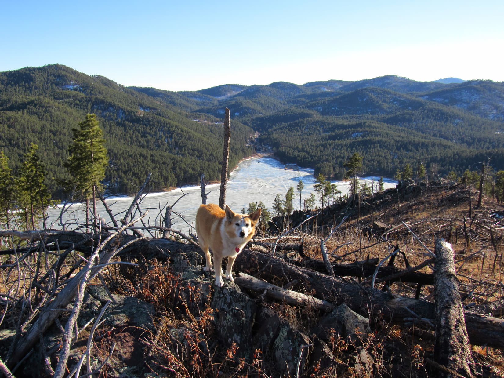
On the way back, another stop was made at the granite formation where the rest break had been taken earlier.  No food, this time.  Instead a bit of scrambling around on the rocks was in order.  It was view appreciation time!  (End 10-10-25, 2:15 PM)

Lupe and Joe checking out the views. Photo looks W.
Admiring a massive granite formation after a bit of scrambling. Photo looks NE.

10-11-25, 10:03 AM – Since Centennial Trail No. 89 had been such a hit yesterday, SPHP suggested another trail, even more remote, for today’s romp in the Black Hills.  Nearly a year and a half ago, Dixie, Joe, Andrea and Lupe had set out along Deerfield Lake Loop Trail No. 40L from the Gold Run trailhead, and explored a section of the 11 mile long loop that circumnavigates the entire lake.

Why not pick up from where Dixie and the gang had left off back then?  The Deerfield Reservoir dam would be only 2 or 3 miles farther.  Lupe had actually been there with her friend Poppy in late April this year.  It was an easy trek.

So that became the plan.  Dixie was thrilled to be off-leash in the Black Hills again!  Trails close to where she lives in Colorado are much more restrictive.

Lupe, Andrea, Joe and Dixie on Deerfield Lake Loop Trail No. 40L. Photo looks NNE.

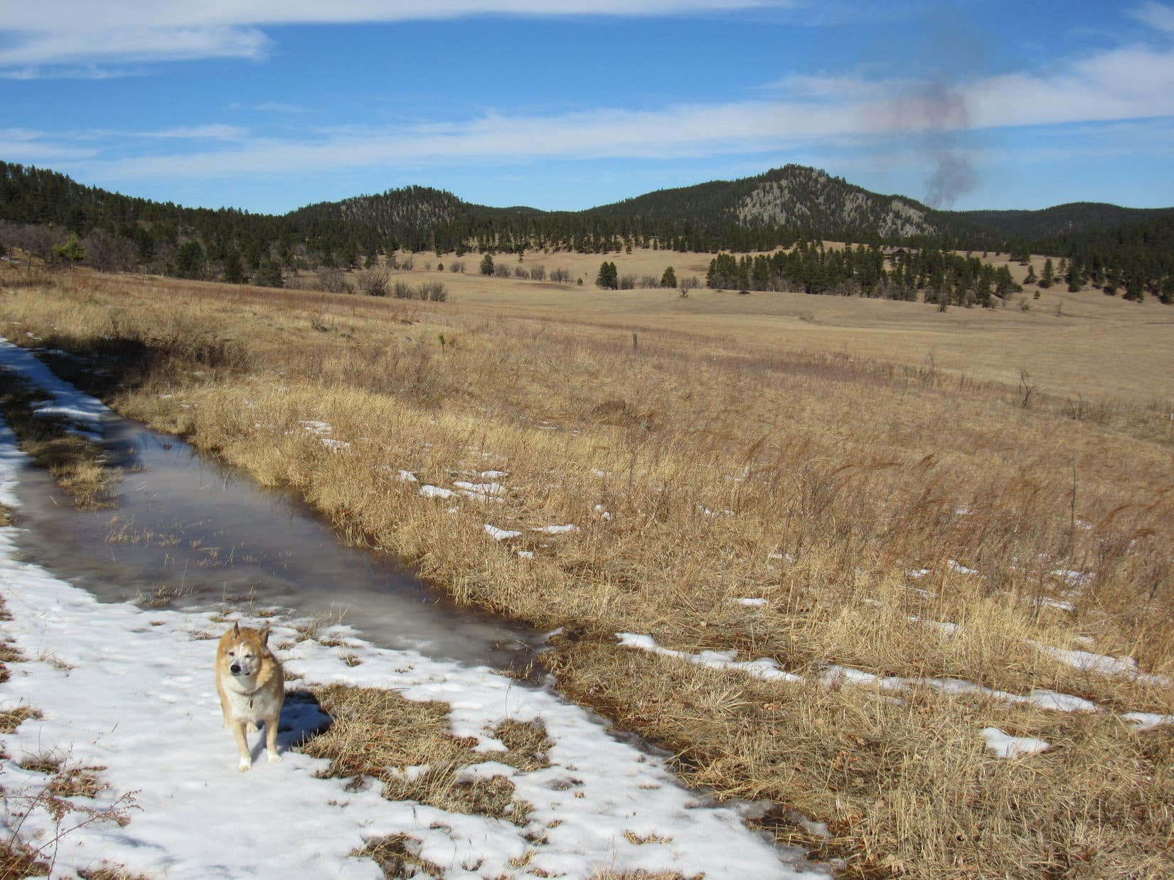
Starting near Deerfield Cove Road (USFS Road No. 607), Deerfield Lake Loop Trail No. 40L was a gentle downhill stroll virtually all the way to Castle Creek.  A tiny stream that was easily rock-hopped a couple of times was the only obstacle along the way.

Deerfield Lake Loop Trail No. 40L followed the old USFS Road No. 607.1B roadbed most of the way. Super easy!
Arriving at Castle Creek. Photo looks NW.

Castle Creek went through a culvert, so there was no need to ford it.  Just beyond Castle Creek, a short stint on USFS Road No. 307 led to a view of the Deerfield Reservoir discharge pipes from the gaging station at the base of the dam.  Water shot out of the duel pipes with impressive force.

Castle Creek exiting the base of the Deerfield Reservoir dam. Photo looks WSW.

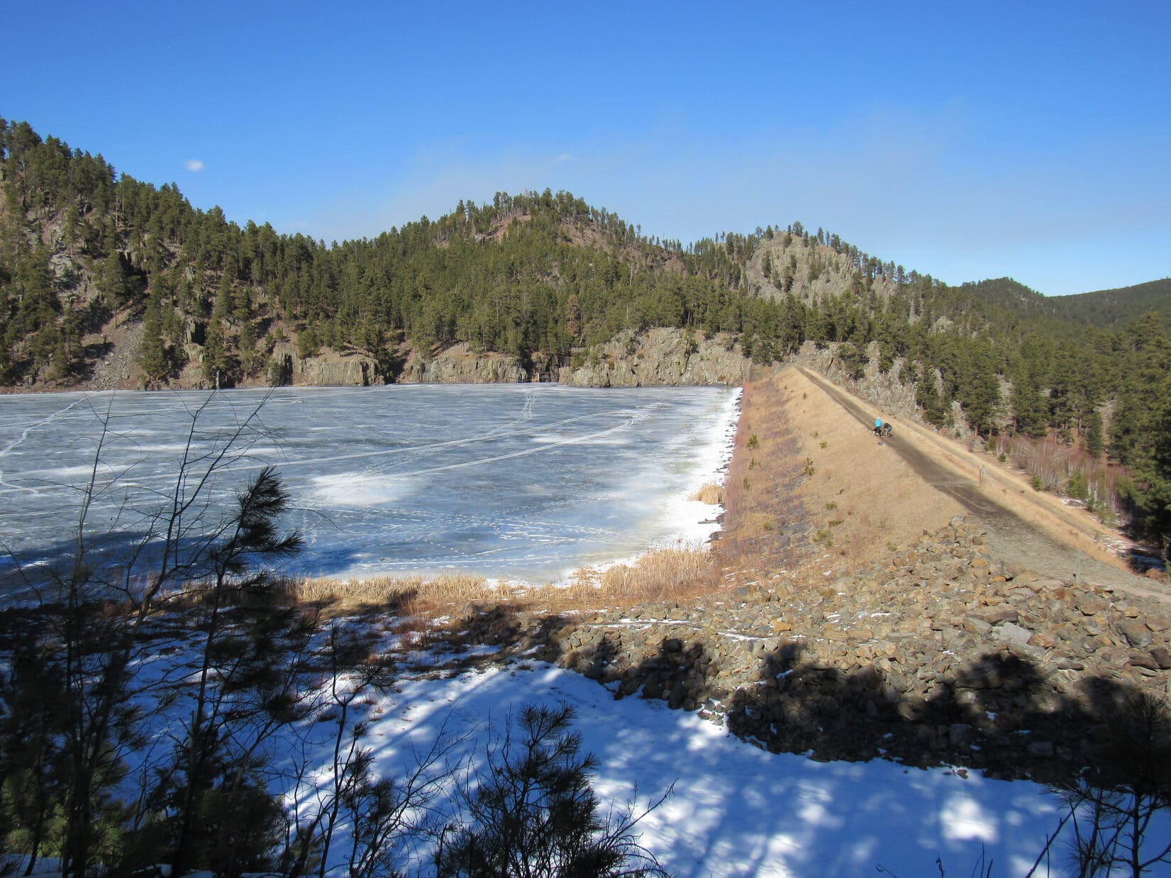
A steepish side road with a single big switchback provided easy access to the top of the dam.

Heading up the dam access road. Photo looks NW.

The best view of Deerfield Reservoir was over at the SE end of the dam.  An open slope nearby was a good spot to take a break.

Crossing the dam. Break spot is on the grassy slope at Center. Photo looks ESE.
Best dam view of Deerfield Reservoir. Photo looks WSW.
Taking a break on the hillside overlooking Deerfield Reservoir. Photo looks SW.

Once again, Uncle Joe provided cheese sticks and energy bars.  SPHP still had apples available, plus water and Taste of the Wild for the dogs.  Not entirely satisfied, Lupe and Dixie selfishly conspired to devour most of SPHP’s cheese stick, too.

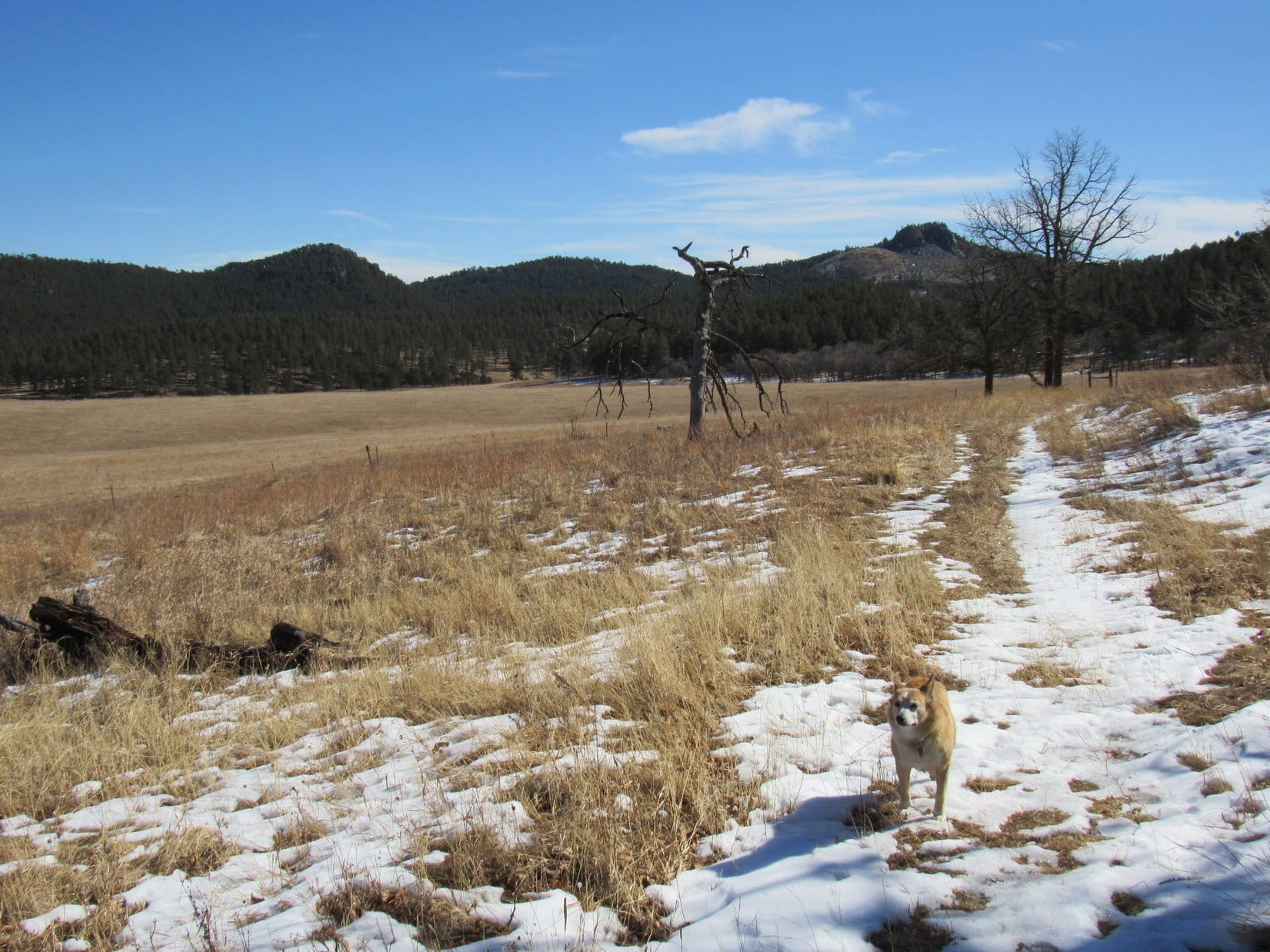
Back in April, when Lupe had been here with Poppy, HV & LV, she’d gone as far as the end of the N bay, which really wasn’t all that much farther.  Today, when the rest break was over, everyone headed back across the dam in that general direction, but only went as far as the first hill NW of the dam.  From there, a circle was made back to the E in order to pick up Deerfield Lake Loop Trail No. 40L again.

Starting the trek S back to Shadow, this part of the trail went right by a terrific view of the Deerfield Reservoir dam with Castle Creek below it.  (End, 10-11-25, 12:51 PM)

Deerfield Reservoir dam and Castle Creek. Photo looks SW.

Once back at Shadow, that was it for today’s adventure in the Black Hills, but Uncle Joe had another plan up his sleeve.  He’d brought his portable ham radio, and wanted to make some ham contacts from Dinosaur Hill (3,673 ft.) in Rapid City.

Evidently, Cousin Dixie and Aunt Andrea weren’t much into ham radio.  They preferred spending the rest of their day relaxing at Hotel Lupe.  However, fondly remembering the glory days of Uncle Joe’s ham radio adventures from various Black Hills peaks with Summits on the Air, Lupe and SPHP tagged along.

Dinosaur Hill wasn’t the best ham radio spot.  Farther S along Skyline Drive, the ridge Dinosaur Hill was part of was even higher.  Better yet, there was even a parking lot right up on the crest of the ridge.

After attaching a 17 foot long telescoping antenna to the top of his car with a magnetic base, it wasn’t long before Uncle Joe was ready to start transmitting and receiving.

Uncle Joe running a fly-by-afternoon ham radio operation up on Skyline Drive.
Uncle Joe’s Elecraft KX3 Transceiver.

Unfortunately, no Summits on the Air operation today.  Years ago, Uncle Joe had lost his ability to log into that system under his old account for some unknown reason.  That meant no huge radio traffic jam of other ham operators trying to make contact with him.  Nevertheless, Joe did make successful Morse Code contacts with other ham radio operators in Pennsylvania, Nevada, Arizona, and California.

While Joe entertained himself with the radio, Lupe and SPHP admired the views of Rapid City and the Black Hills.

Rapid City from Skyline Drive with Black Elk Peak (L of Center) in the distance. Photo looks SW.

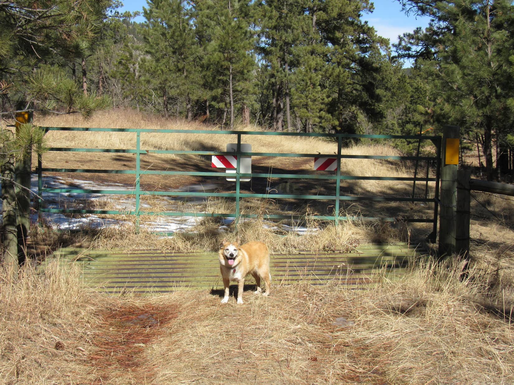
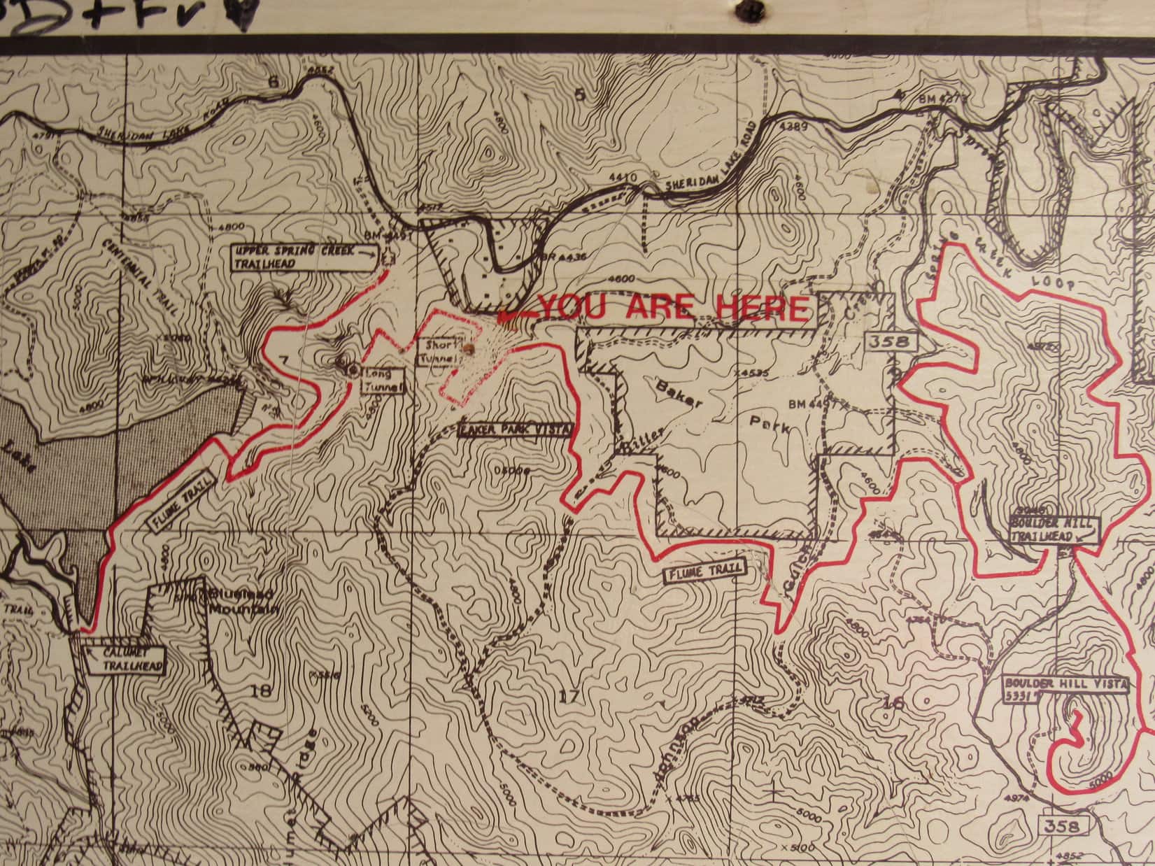
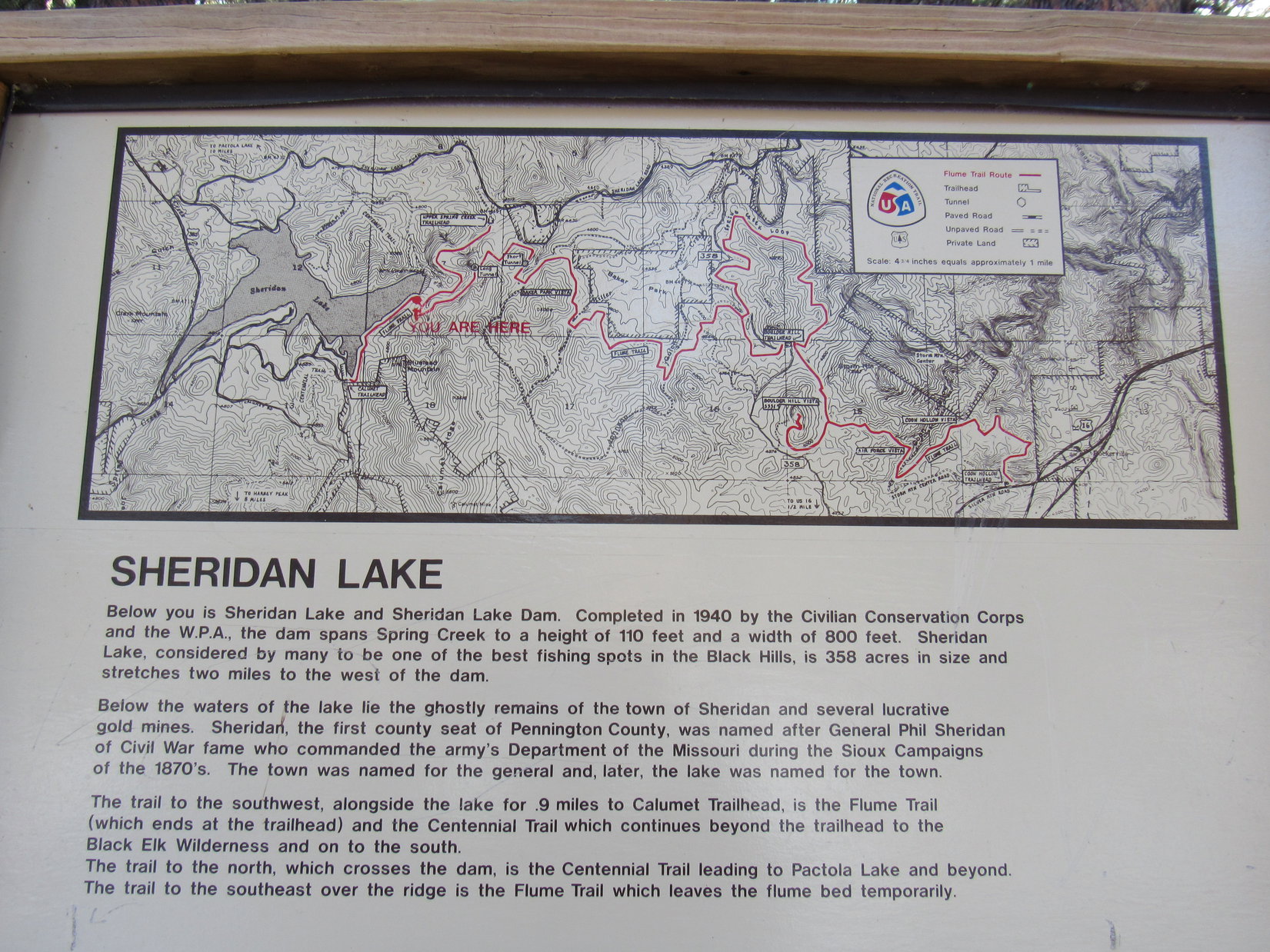
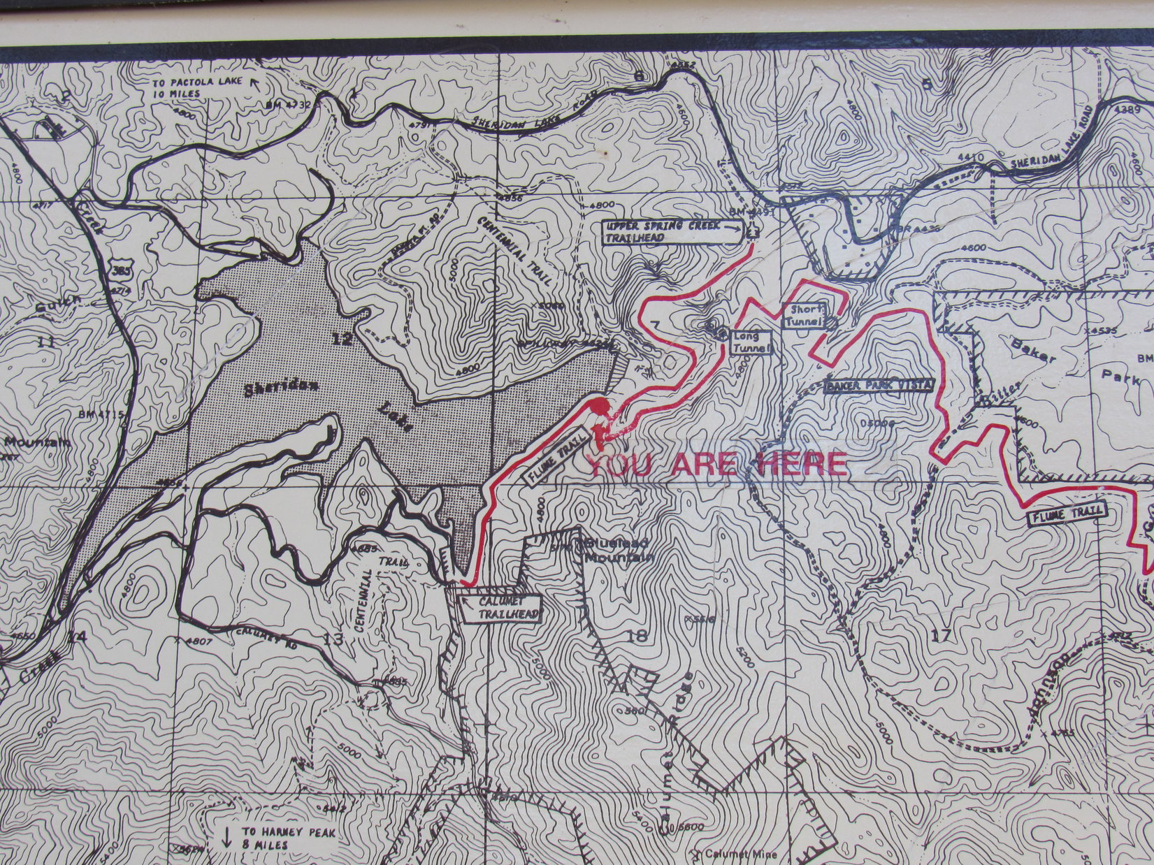
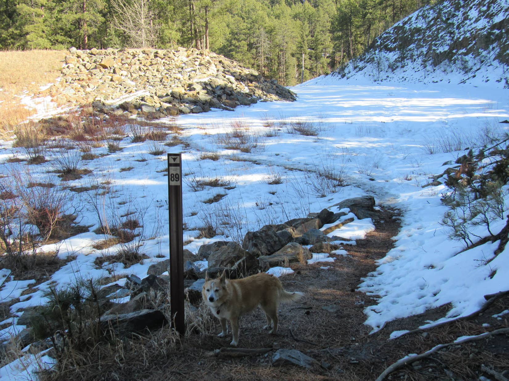
10-12-25, 1:33 PM – How time flies when you’re having fun!  Cousin Dixie’s last day in the Black Hills before having to head back home to Arvada, Colorado had already arrived.  A scenic jaunt from the Spring Creek trailhead up to Centennial Trail No. 89 at the Sheridan Lake dam was on tap this afternoon as Dixie’s final adventure of this visit.

Setting out from the Spring Creek trailhead off Sheridan Lake Road. Photo looks SW.

The trail to Sheridan Lake began with a bit of rockiness along Spring Creek, but once past that one spot, this was another super easy route.

At the one and only rocky spot. Photo looks WSW.
Beyond the rocky spot with smooth sailing along Spring Creek. Photo looks SW.

Most of this spur trail wasn’t that close to Spring Creek as it wound up a deep valley.  However, it did cross the creek at several points along the way.  Lupe and SPHP hadn’t been here in a while, and were surprised to see new, gently arched bridges with handrails at each crossing.

Joe, Andrea, and Dixie on the first bridge. Photo looks W.
Andrea demonstrates her bridge-crossing technique.
A scenic spot along the way. Photo looks NE.
The last bridge. Photo looks W.

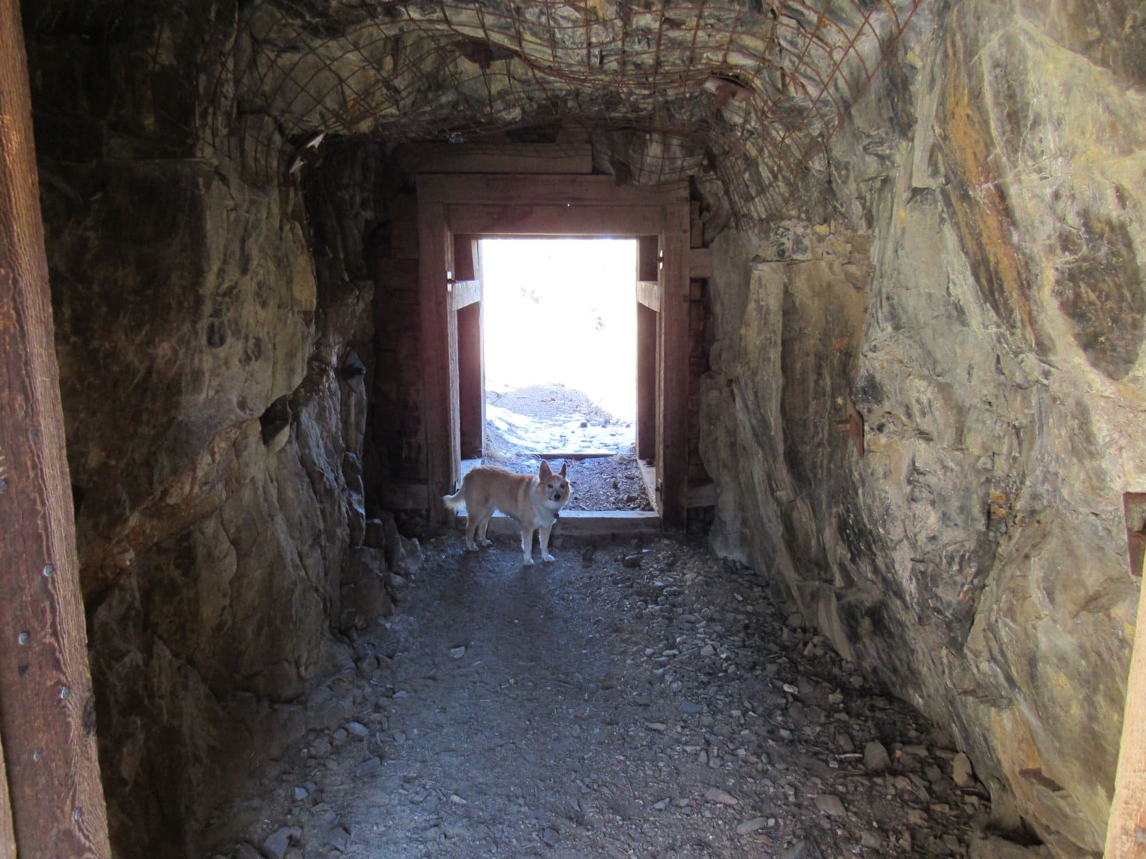
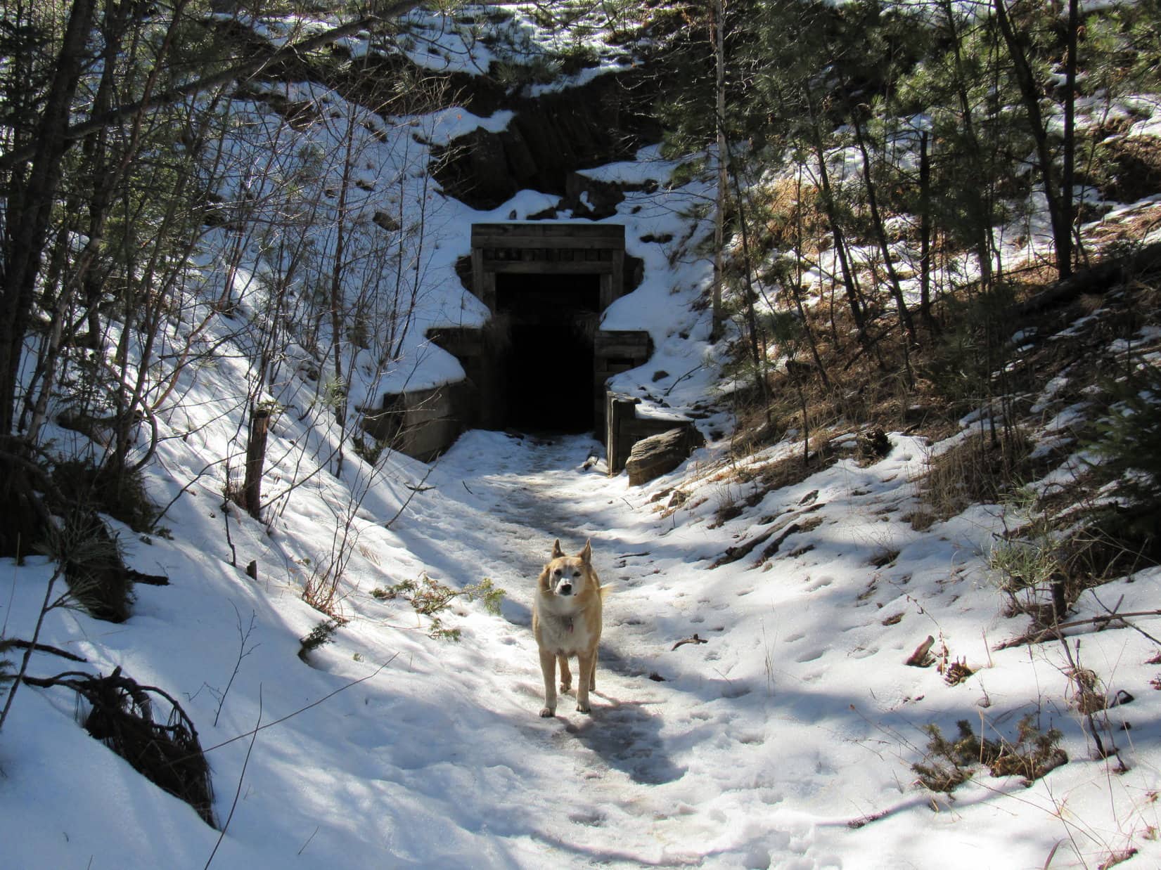
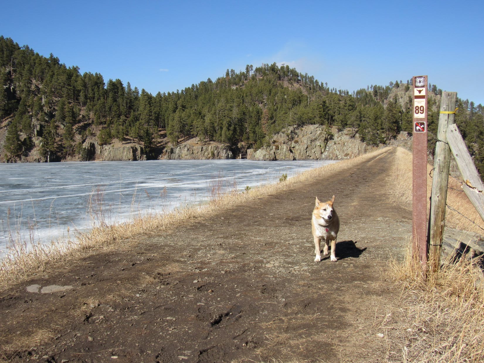
Part of Sheridan Lake dam was already visible from the last bridge over Spring Creek.  Once up to it, everyone crossed the dam to return to a spot previously reached along Centennial Trail No. 89  while coming from the Dakota Point trailhead during Cousin Dixie’s last visit in October, 2024.

Approaching the Sheridan Lake dam (R). Photo looks W.
Up on the dam. Photo looks SW.

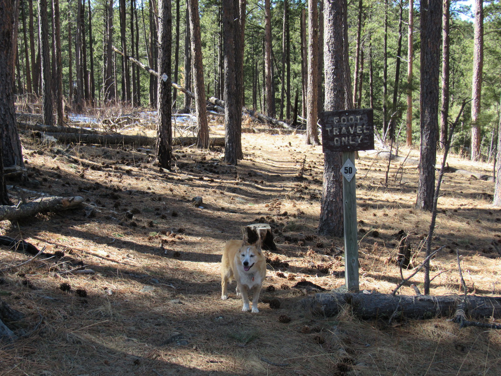
Heading back across the dam, the plan was to continue S on Centennial Trail No. 89 along the SE shore of Sheridan Lake.  Actually, somewhat above it.  Most of the time, the trail stayed 20 to 30 feet above lake level.

Heading back to the S end of the dam. Photo looks SW.
Sheridan Lake from the S end of the dam. Photo looks WNW.
Andrea checks out a fairly elaborate makeshift shelter near the trail.
Andrea and Joe on Centennial Trail No. 89 above the SE shore of Sheridan Lake. Photo looks WSW.

The whole pack got almost to the Flume trailhead at Blue Wing before turning back.  And that was it for Cousin Dixie’s adventures in the Black Hills with Lupe on this visit.  One last evening of fun and togetherness at Hotel Lupe remained, but farewells were destined to take place shortly after dawn tomorrow morning.  (End 10-12-25, 3:47 PM)

Oh, it had all been such fun!  Lupe and SPHP look forward to hosting Uncle Joe, Aunt Andrea, and Cousin Dixie at Hotel Lupe again.

Together at Sylvan Lake, Black Hills of South Dakota 10-10-25.

Links:

Next Black Hills Expedition                 Prior Black Hills Expedition

Lupe & Cousin Dixie’s GPS Tracks:

Sylvan Lake (10-10-25)

CT No. 89 N from the Iron Creek Horse Camp (10-10-25)

Deerfield Reservoir Dam (10-11-25)

Spring Creek to Sheridan Lake (10-12-25)

Centennial Trail No. 89 Map & Brochure

Deerfield Trails No. 40 & No. 40L Map & Brochure

Want more Lupe adventures?  Choose from Lupe’s Black Hills, SD & WY Expeditions Adventure Index, Master Peak Map, Master Adventure Index, or subscribe free to new Lupe adventures!

Black Hills, SD Expedition No. 267 – Flume Trail No. 50: Boulder Hill to Sheridan Lake (3-3-21)

8:26 AM, 32ºF, Boulder Hill trailhead along USFS Road No. 358 – A bit of a chill in the air when Lupe leapt out of the G6, but not a cloud in the sky.  Supposed to warm up nicely.  In fact, it had already been unseasonably warm the last couple of days.  Not much snow left at all, although some lingered on N slopes and in shady spots.

Raring to go at the Boulder Hill trailhead.

The Boulder Hill trailhead!  Been a while since we’ve been here, SPHP.  Are we going to climb Boulder Hill again?

Nope, not today, Loop!  How about a romp along Flume Trail No. 50 all the way to Sheridan Lake?

Sounds good, SPHP!  The Flume Trail is a snap!

Oh, we’re gonna toughen it up a bit, though.  Climb 2 or 3 peaks with more than 300 feet of prominence that I dug up from Lists of John.

I knew there would be a catch!

Hah!  Wouldn’t want it to be too easy now, would we?  One of those peaks is right here, just NW of the trailhead.  Let’s tag it first, then hit the trail.

Peak 5048 wasn’t going to be all that much of a climb.  350 feet ought to about do it.  The E slope looked easier than the S slope did, so Loopster worked her way around that way.  Partway up, she caught a glimpse of Boulder Hill (5,331 ft.) less than a mile away.

Boulder Hill from Peak 5048’s SE slope. Photo looks S.

Most of the ascent was on pine needles with some deadfall in the mix.  A short scrambly stretch appeared just before Lupe reached the top.  Peak 5048’s summit proved to be kind of unusual, 120 to 150 feet across with 3 separate rock formations forming distinct high points.  Lupe climbed the SE one first.

A little scrambly just before reaching the summit. Photo looks NW.
On Peak 5048’s SE high point. Photo looks S.
Rest of the summit region from the SE high point. Photo looks N.

Peak 5048 was too heavily forested to permit much in the way of views, although it was possible to catch glimpses of Black Elk Peak (7,231 ft.) and Five Points (6,221 ft.) by moving around a bit.

Five Points (R of Center). Photo looks W with help from the telephoto lens.
Black Elk Peak (Center). Photo looks SW with help from the telephoto lens.

The Carolina Dog visited all 3 of Peak 5048’s high points.  The NW one proved to be the true summit.  SPHP shared a chocolate coconut bar with her there.

On the NE high point. Photo looks NNE.
On a rock near the NW high point. NE high point (L). Photo looks S.
At the NW high point, Peak 5048’s true summit! Photo looks NNE.

Loop completed her tour of Peak 5048 by checking out a crude shelter tucked in the low spot between the 3 high points.  Roomy enough for an American Dingo, but it sure looked like the roof would leak.  On such a beautiful day, Lupe had no need for a shelter, anyway.

Not exactly a marvel of engineering, but I suppose it would be better than nothing!

Lupe was already starting back down the mountain when she stumbled onto the best view of all from just below the SE high point.  An open spot provided a nice panorama of Boulder Hill, Silver Mountain (5,405 ft.), and Black Elk Peak.

Boulder Hill (L), Silver Mountain (L of Center) & Black Elk Peak (R). Photo looks SSW.
Black Elk Peak (R). Photo looks SW with help from the telephoto lens.

With her exploration of Peak 5048 complete, Lupe returned to Flume Trail No. 50 at the Boulder Hill trailhead and headed W.

After a short stretch in pine forest, the trail crossed USFS Road No. 358, entering more open territory.  This was all part of Section 2 as shown on the Flume Trail map.  Passing through a field of scrub oak, the trail went slowly downhill.  Lupe got a nice look at Peak 5048 from below.

Entering the open region right after crossing USFS Road No. 358. Boulder Hill (L). Photo looks S.
Approaching the scrub oaks. USFS Road No. 358 (R). Photo looks W.
Peak 5048. Photo looks NE.
Gradually losing elevation. Photo looks N.

Near the end of Section 2, the trail gained roughly 40 feet before starting gradually down again.  0.6 mile from the trailhead, Looper reached an intersection.  Loop B, which took the long way (3.8 miles!) back to the Boulder Hill trailhead, was to the R.  Section 1 of the Flume Trail, which went to Sheridan Lake, was to the L.

The intersection, as seen from Loop B. Section 1 starts right behind Lupe, which is the way she needed to go. Photo looks SW.

Section 1 started out winding NW along mostly pine-forested hillsides.  The trail was very flat along in here, apparently following the original route of the old Spring Creek to Rockerville flume bed.

On a snowy stretch near the E end of Section 1. Photo looks NW.
Passing through some dog hair pines. Photo looks W.

15 minutes brought Lupe to a road.  Where to?  No sign of where the trail went from here.  SPHP initially thought the trail must cross the road, but could see no indication of it on the other side.  However, a more careful search revealed a couple of 1 inch tall stubs of a broken wand right along the edge of the opposite side of the road.

Arriving at the road. Photo looks ESE.

Aha!  Must be the way!  Continuing WNW, the direction the trail had been going where it reached the road, Lupe plunged ahead.  While she sniffed through snowy open forest, SPHP kept an eye out for some clear indication of the trail, because there was no real sign of it yet.

After 400 or 500 feet, the American Dingo came to a barbed wire fence.  Still nothing.  Suspicious.  The trail had been really easy to follow until it reached the road.  Following the fence line S, Lupe was soon at the road again.  Maybe she ought to follow it?

The road was muddy, full of slush and big puddles.  0.2 mile S brought Lupe to a green gate.  A “50” diamond on the L post confirmed that she was going the right way.

At the green gate. Photo looks SW.

Beyond the gate, the road kept winding S or SW.  Lupe finally came to a cut where the road started turning W.  Just past the cut was a junction with another road that went S.  Fortunately, another “50” diamond was on a tree to the W.  Helpful!  Ignoring the road to the S, Lupe went W.

Coming to the “cut”. Photo looks SW.
“50” diamond on the tree to the R. Photo looks WSW.

Soon turning SW again, the road remained quite level as Lupe followed it along the SE side of a shallow valley.  (Johnson Gulch about a mile NW of Boulder Hill on the topo map.)

On the SE side of Johnson Gulch (R). Photo looks SSW.

The valley narrowed, and Loop reached another junction.  75 feet S of this intersection, a leaning brown wand showed where Flume Trail No. 50 finally left the road.  After crossing a tiny frozen creek, the trail went N on the W side of Johnson Gulch, eventually turning NE as the valley widened out.  Boulder Hill (5,331 ft.) came back into sight.

On the W side of Johnson Gulch (R) now, shortly after the Flume Trail left the road. Photo looks NE.
Boulder Hill (L of Center) beyond Johnson Gulch. Photo looks SW.

Flume Trail No. 50 kept coming to various intersections with old jeep trails or USFS Roads, but seldom followed them.  Johnson Gulch fed into a huge open field to the N known as Baker Park.  Before getting all the way to it, the trail curved W again, but for a while Lupe enjoyed mostly tree-broken views of Baker Park.

The Flume Trail crosses another old jeep trail. Peak 5040 (R). Photo looks WNW.
Peak 5171 (R) beyond Baker Park. Photo looks NNW.

Somewhere along in here, it became clear that the Flume Trail was no longer following the old flume bed.  The trail headed W up onto a grassy ridge.  Peak 5006 and Peak 5040 were both in view only 0.5 mile WNW.

Lupe had been going for quite a while now, and this seemed like a good spot to take a break.  Stopping in the shade of a large, lone pine tree, SPHP had an apple, and split another chocolate coconut bar with Loop.

At the break spot. Peak 5006 (Center) and Peak 5040 (R). Photo looks WNW.

After a nice rest, Lupe continued on her way.  The trail headed NW along the ridge, which soon ended.  Flume Trail No. 50 switchbacked down a NE slope, turned NW at the bottom close to Baker Park, then looped SW up the Bittersweet Creek valley.  Bittersweet Creek was non-existent, no surface water at all.  The grassy terrain was quite gentle, and before long the American Dingo was across the valley, heading N again.

Near Baker Park (L) after leaving the ridge. Peak 5048 (L), Storm Hill (Center) and Boulder Hill (R). Photo looks ESE.
Bittersweet Creek valley. Photo looks S.

The single track trail came to yet another road, and this time followed it NW for a while, as evidenced by occasional “50” diamonds on the trees and other markers.  Steadily gaining elevation, it soon became apparent that any views of Boulder Hill were about to be left behind for good.

Last glance back at Boulder Hill. Photo looks SE.

As the road headed farther into the trees, Lupe came to a second green gate.  No “50” diamonds or any other markers here.  Didn’t seem right.

At the second green gate. Photo looks NNW.

Glancing around, SPHP could sort of make out what might be a diamond 150 feet away at the top of a slope to the SW.  Looper went to investigate.  Sure enough!  The Flume Trail must have left the road a little way back.  It was up here.

Back on track! Photo looks W.

The whole mood of Flume Trail No. 50 changed as Lupe continued over the rise.  Losing some elevation on the other side, she entered a denser pine forest.  Gone were all the relatively open views and gentle terrain, although the trail itself was super easy.  Reaching the old flume bed, the trail leveled out again, but the mountain slopes on each side were much steeper than before.

Back on the old flume bed. Photo looks W.

Flume Trail No. 50 again made another long foray SW along the SE side of a deeper valley.  A tiny creek crossed at the far end was frozen solid.

Crossing the frozen creek where the valley floor finally rose enough to meet the trail.

Now on the NW side of the valley, the trail narrowed as it headed NNE.  After a bit, a wall of rock appeared ahead.  The trail went straight for a wood-framed black opening.  Lupe had reached the first of 2 tunnels.

Approaching the short tunnel. Photo looks NE.

This was the short tunnel.  Hardly anything to it, except for a trail system map posted inside on the R as Lupe entered.  SPHP paused briefly for a quick look, before the Carolina Dog went out the other end of the tunnel.

Map in the short tunnel.
A closer look at the relevant portion.
Loopster waiting at the far end. Just about the entire tunnel is in view here.

Even though it was short, the tunnel was still pretty cool.  Definitely an unmistakable landmark along the way.  After going through the tunnel, the trail continued N, but it wasn’t long before it bent sharply W.

The stretch ahead was flat, but icy and narrow, with exceptionally steep banks on both sides.  Sheridan Lake Road was visible down in the Spring Creek valley on the R (N).

Icy and narrow as the trail heads W shortly after going through the short tunnel.

The icy, narrow, steep situation persisted as Flume Trail No. 50 curved NW.  However, it soon curved W again, then SW.  As the Spring Creek valley got left behind, the surrounding terrain was no longer as steep.  Just a pleasant stroll through sunlit forest again!

Beyond the narrow, icy stretch. Photo looks WSW.

Everything proceeded along smoothly enough for another 10 minutes.  Then Lupe came to a cut.  A few minutes beyond the cut, another dark opening appeared.

At the cut. Photo looks W.
The long tunnel entrance.

Peering into the long tunnel, Lupe saw a path of 3 planks laid side by side leading into the darkness.  No light could be detected indicating any opening at the far end.  Spooky!

Spooky! You sure about this SPHP?

The Carolina Dog ventured in.  She didn’t have to go very far before light could be seen quite some distance ahead.  Reassuring!  Confident now that there actually was another end to this tunnel, Lupe kept going.

There’s light ahead, SPHP! I think this is going to be OK. Follow me!

Some of the plank flooring was loose and sagged under SPHP’s weight.  Lupe had no problem, but the ceiling was low enough in spots to make SPHP stoop.  The light at the far end of the tunnel kept growing, though.  Gonna be fine!

Keep coming! Not much farther now!

The short tunnel was only what, 20 or 30 feet long?  The long tunnel was 10 times that.  All went well until the end when SPHP’s head bashed into the very last timber overhead.

Smooth move, SPHP!

Thanks, Loop!  Just call me Grace!

You, OK?

Yeah, mostly.  Only whacked my head.  Can’t be too serious!

Past the long tunnel, the world seemed incredibly bright.  Spring Creek, many times larger than the little trickles Lupe had come to so far, could now be heard way down in the canyon ahead.  Traversing another steep slope, Flume Trail No. 50 headed S past a big wall of rock.

Past the long tunnel now, in a much rockier region. Photo looks S.

Looper was soon past the wall, the trail remaining quite level the entire way.  Rocky portions of the flume bed were still ahead as Flume Trail No. 50 curved WSW.

The trail became quite rocky as it wound along the old flume bed. Photo looks SW.
A particularly impressive display of the work that must have gone into building the flume route way back in 1880. Photo looks WSW.

The rushing sound Spring Creek was making down in the canyon meant one thing.  Looper was getting close to Sheridan Lake!  Before long, the dam appeared ahead.

Sheridan Lake dam (Center). Peak 5200 (R). Photo looks WNW.

Taking it’s sweet time getting there, the trail made one last foray to the S.  Near the end, the trail was sort of messed up.  Hard to tell exactly where it went.  Lupe wound up overlooking the spillway from a spot that couldn’t have been part of the official trail.

Continuing along the snowy path.
Almost there, but off the official trail. Sheridan Lake spillway (R). Photo looks NW.

A short steep scramble, tricky for SPHP with the slippery snow, got Lupe back on track.  The frozen surface of Sheridan Lake came into sight.  A few minutes later, Loopster reached Flume Trail No. 50’s junction with Centennial Trail No. 89.

Back on Flume Trail No. 50 approaching frozen Sheridan Lake. Peak 5200 (Center) on the opposite shore. Photo looks NW.
Even with the dam now. Photo looks NNE.
Looper where Flume Trail No. 50 meets Centennial Trail No. 89. Photo looks SE.

Heading down to the lake, SPHP spotted another trail system map like the one back at the short tunnel.

Flume Trail No. 50 went on to a choice of 2 different trailheads from here.  One route went SW paralleling the lakeshore for nearly a mile, all the way to the Calumet trailhead at Blue Wing.  Another spur of similar length left the Sheridan Lake dam, winding NE down along Spring Creek to the Upper Spring Creek trailhead.

Flume Trail system map posted near Sheridan Lake.
Once again, a closer look at the relevant portion.

Which way, SPHP?  Or are we heading back now?

Oh, no!  We’re not done yet, Loop.  You’ve still got a mountain to climb!  Remember I said we would climb 2 or 3 peaks today?  That big hill right across the lake is Peak 5200.  We’re going over there next.

So, cross the dam?  Is that how we get there?

Righto, Dingo!

About to cross the spillway to get to the dam. Photo looks ESE.
Up on the dam, which is part of Centennial Trail No. 89. Photo looks N.
Sheridan Lake is 3 times as big as what we can see from here! Loop near the N end of the dam. Photo looks WSW.

The Sheridan Lake dam was as far as Lupe was taking the Flume Trail today.  Crossing the dam, she came to a stone stairway at the N end that wound up onto a small hill.  On the other side of the hill, an excellent footbridge spanned a narrow, vertical-sided gorge where Spring Creek left Sheridan Lake.

Sheridan Lake and the dam from the stone stairway. Photo looks SW.
At the footbridge over Spring Creek. Photo looks NW.

The intention was to follow a road going up the valley N of the bridge all the way to a pass before turning toward Peak 5200, but the road turned out to be muddy and soft.  Lupe didn’t get far before SPHP was ready to abandon it.  Turning W, the American Dingo started up a steep slope.

The shattered remains of a forest created a deadfall mess.  Lupe leapt over it all, as SPHP tried to pick the easiest winding route higher.  The more elevation Loop gained, the worse the deadfall seemed to be, but at last she arrived at a high spot at the end of Peak 5200’s SE ridge.

Heading up to Peak 5200’s SE ridge. Photo looks WSW.

The true summit was still another 0.2 mile NW and 140 feet higher, but since this high spot was fairly open and closer to Sheridan Lake, the views might actually be better from here.  Time for a break, in any case.  The high point was small and rocky.  Lupe found SPHP’s lap by far the most comfortable spot to enjoy the view.

Boulder Hill (5,331 ft.) and Silver Mountain (5,405 ft.) were in sight more than 3 miles SE.  Lupe had actually traveled a lot farther than that to get here.  The Flume Trail had done an enormous amount of winding around.  The N end of Calumet Ridge (5,601 ft.) was less than 1.5 miles S.  Bluelead Mountain (5,170 ft.), where Lupe had seen a mountain lion in 2016, was even closer, but was so small by comparison that it didn’t appear significant at all.

Most of the E third of Sheridan Lake was in view, including half of the dam.  Mount Warner (5,889 ft.) stood well beyond the lake, 3 miles SSW.

Boulder Hill (L) and Silver Mountain (L of Center) in the distance. Calumet Ridge (far R). The mid-level hill below Calumet is Bluelead Mountain. Photo looks SE.
Calumet Ridge (far L) and Mount Warner (Center) beyond Sheridan Lake. Photo looks SSW.

An apple and some Taste of the Wild vanished.  Loopster and SPHP split a chocolate coconut bar.  This was a cool spot, but the sun’s angle was beginning to impart a certain degree of urgency.

Time to get to the top!  Heading NW, Lupe pushed for the summit.

The SE ridge high point with Peak 5200’s summit (Center) in the background. Photo looks NW.
About to head for the top. Photo looks NW.

Some deadfall to deal with, and that was about it.  Lupe arrived at the top of Peak 5200 to find it more open than SPHP expected.  Two small collections of stones separated by 15 or 20 feet vied for absolute high point.  Much roomier up here than on the SE ridge, and not very rocky.

Only a small piece of Sheridan Lake was visible to the S.  More could be seen to the W, but just a tree-broken view.

Peak 5200 summit. Calumet Ridge (L), Sheridan Lake (Center), and a glimpse of Black Elk Peak (R). Photo looks S.
Tree-broken view to the WSW with help from the telephoto lens.

Long ago a fire had wiped out the entire forest on Peak 5200’s N slope.  In fact, smoke from a controlled burn was visible right now some miles away, drifting W toward Twin Sisters (5,244 ft.) and the grasslands of the Bald Hills.

Twin Sisters (L) and the Bald Hills (Center). Photo looks N.

Peak 5171, also on today’s list of possible climbs, was in sight to the NE.  SPHP dithered.  Yes or no?  The Carolina Dog was completely in favor of pondering the question over the last chocolate coconut bar.  The Taste of the Wild supply took another hit, too.

We going for it, or not, SPHP? Peak 5171 (L of Center). Photo looks ENE.

Nope.  Too late in the day.  Might be dark before Lupe could even get there.  Peak 5171 was out.  Another time.

45 minutes went by up on Peak 5200.  Toward the end, Lupe ventured far enough down the S slope to get a better view of Sheridan Lake.

Sheridan Lake from Peak 5200. Calumet Ridge (L), Mount Warner (R) and Black Elk Peak (far R). Photo looks S.

Her last act was to perch on Peak 5200’s N high point.  Familiar territory was off to the NW.  New Year’s Eve Peak (6,046 ft.), Peak 5917, and Peak 5800 were all in sight.

R to L: Peak 5800 (L of Center), Peak 5917, New Year’s Eve Peak. Photo looks NW.

Onward!  Puppy, ho!

The trek back commenced.  Heading E, SPHP contemplated going down the N slope.  Rejecting that notion due to the amount of deadfall, a clear view of Peak 5200’s S slope all the way down to Sheridan Lake appeared steep, but not all that bad.

Deceptive!  Not the way to go!  Not only steep, but choked with deadfall practically the entire way.  A use trail ran near the lakeshore when Lupe finally got down there, but despite some decent stretches, it was up and down over rocks and deadfall trying to get past pinch points.

Happily, it all worked in the end.  Loop made it back to Centennial Trail No. 89 and the footbridge over Spring Creek.  The sun hung low in the W as she headed S across the dam.  An hour until sunset max.

It was a long, winding march back on Flume Trail No. 50, but Lupe made good time.  Even so, Orion was brilliant in the night sky long before all was said and done.  (End 7:52 PM, 33ºF)

Flume Trail No. 50, Black Hills of South Dakota, 3-3-21

Links:

Next Black Hills Expedition                    Prior Black Hills Expedition

Black Hills, SD Expedition No. 268 – Flume Trail No. 50: Coon Hollow to Boulder Hill & Loop B (3-7-21)

Flume Trail No. 50 – Map & Brochure

Want more Lupe adventures?  Check out Lupe’s Black Hills, SD & WY Expeditions Adventure Index, Master Adventure Index, or subscribe free to new Lupe adventures!