Lupe’s 11th Birthday (12-14-21)

8:37 AM, 47ºF, USFS Road No. 216 about 0.7 mile SE of Custer Peak – Better take the warm jacket!  Sort of a surprise.  With a high 20ºF above normal expected, SPHP had thought a light jacket would suffice.  A 25 mph wind out of the W changed everything.  Not exactly cold, but it did feel pretty cool out.

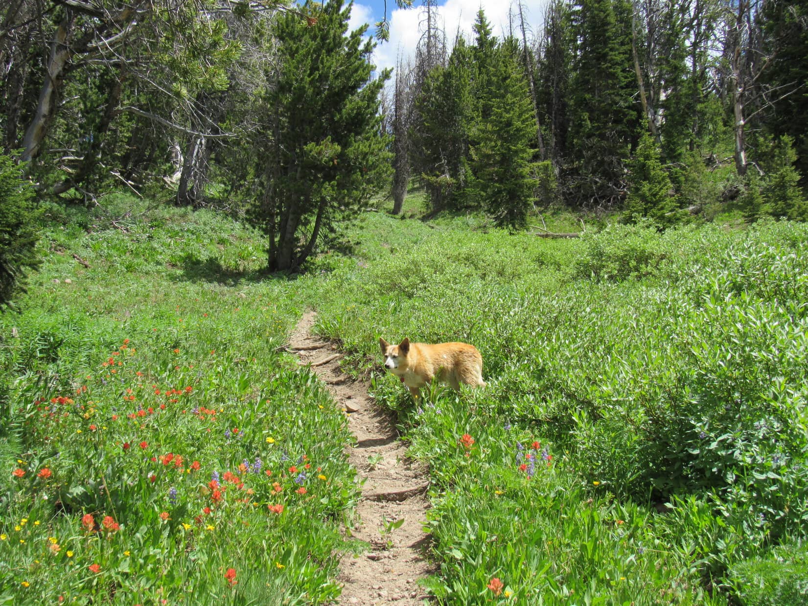
The birthday girl was unfazed!  For a mid-December birthday, conditions weren’t bad at all.  Could be a lot worse.  Thrilled at the chance to spend the day roaming the Black Hills, Lupe headed W on USFS Road No. 216.

Setting off for an 11th birthday romp in the hills. Photo looks W.

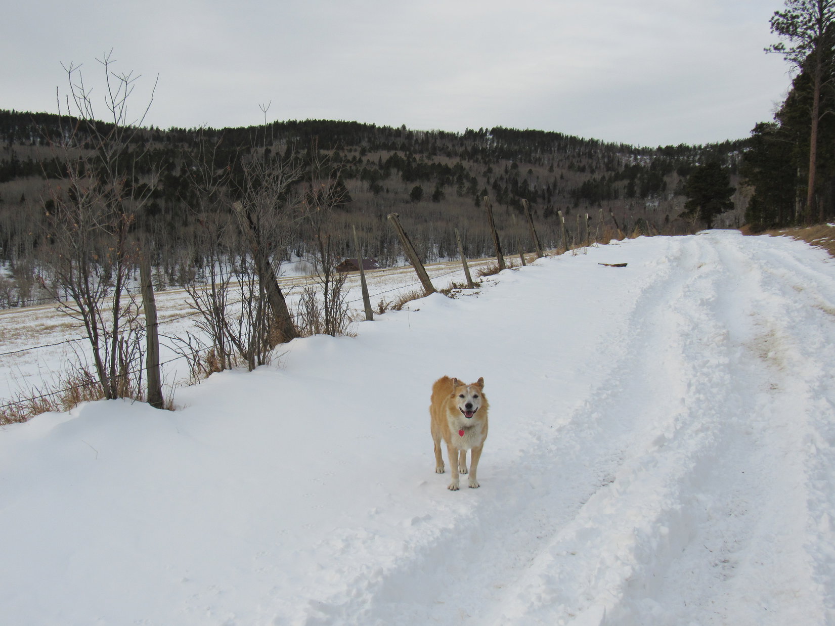
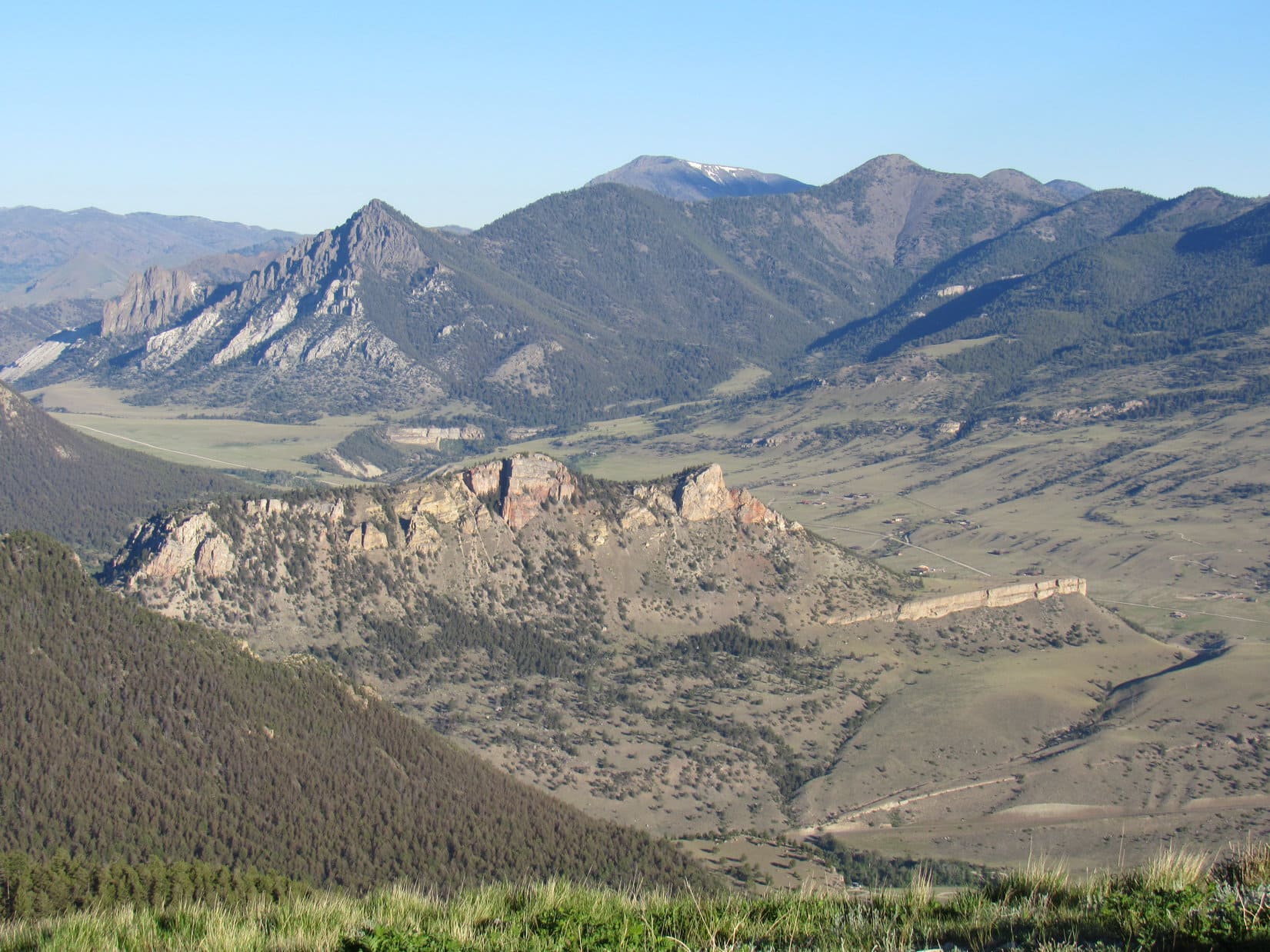
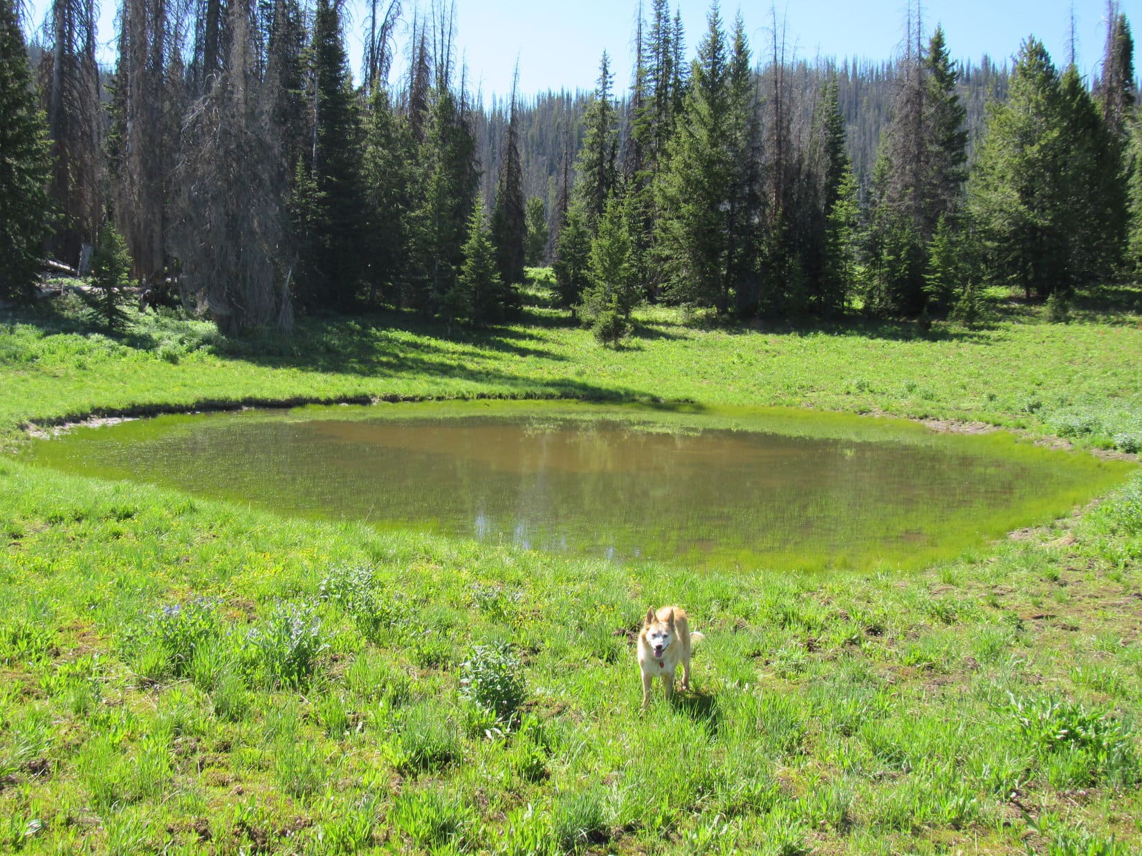
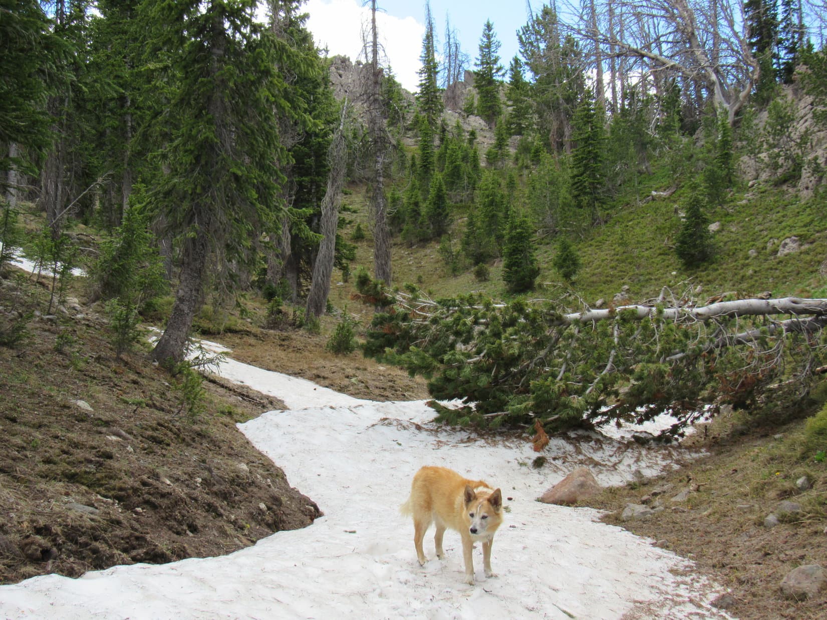
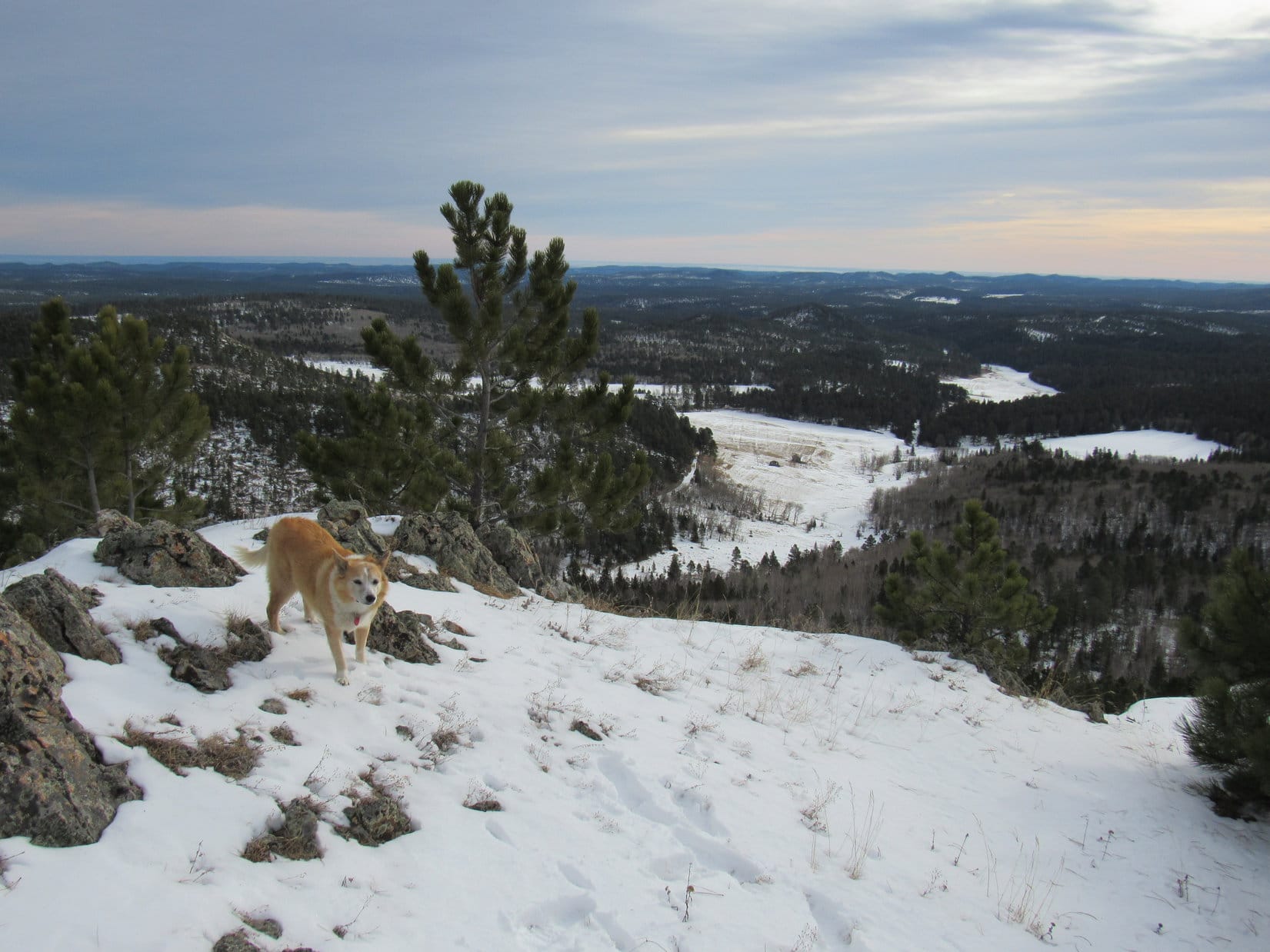
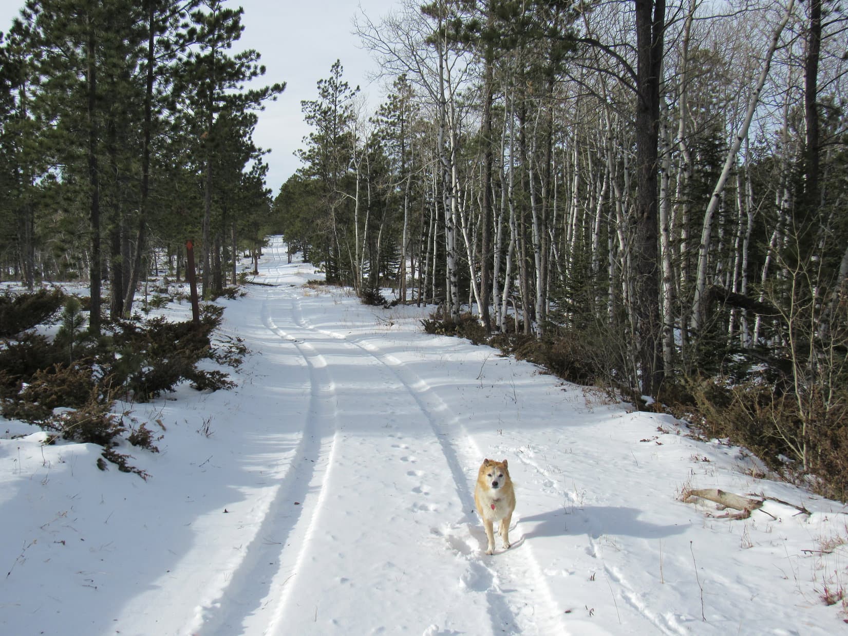
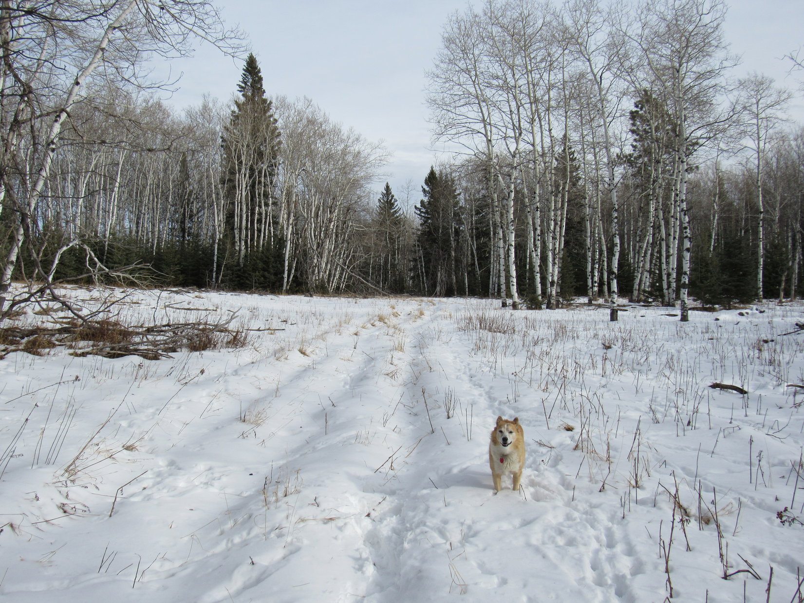
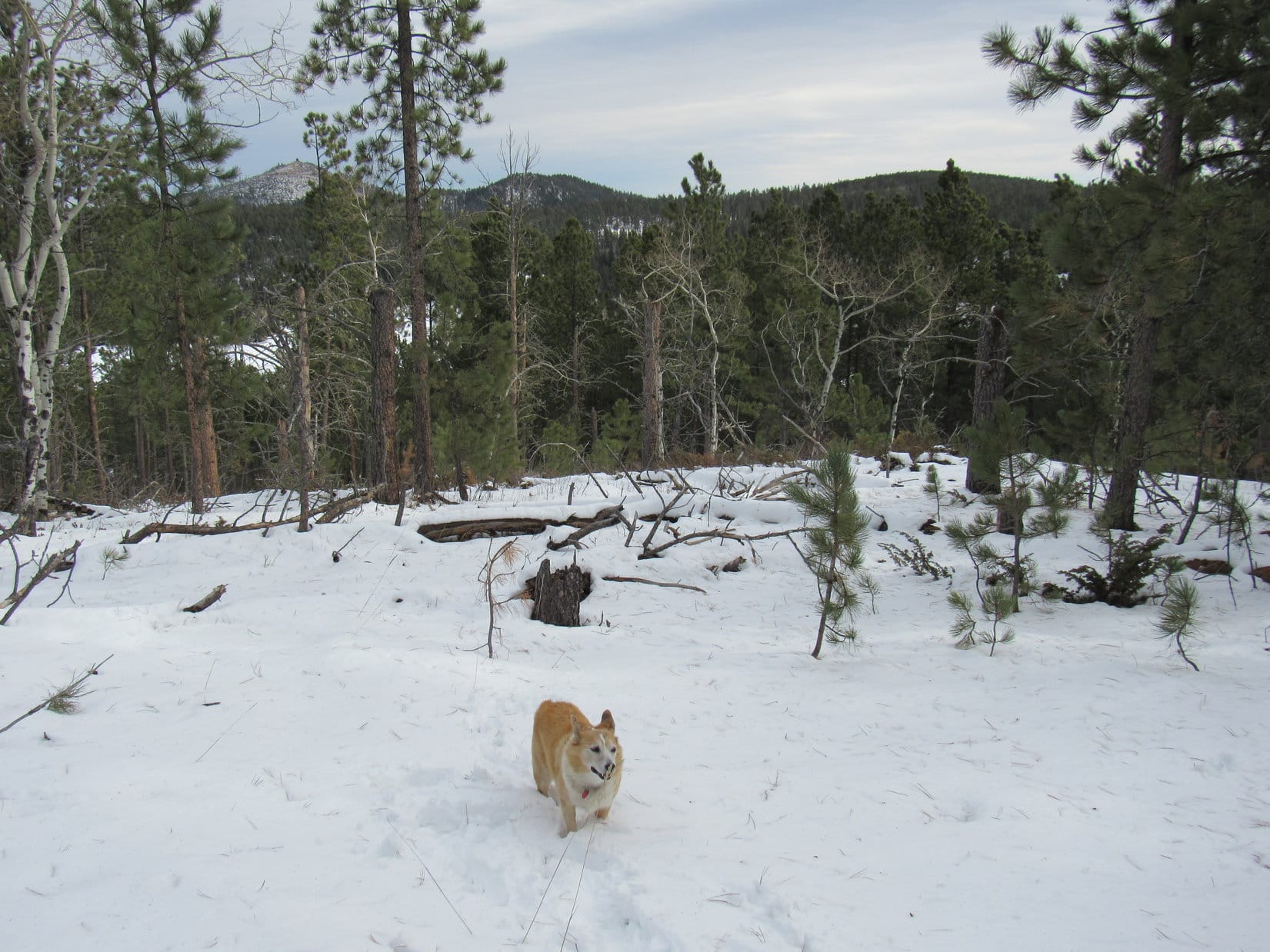
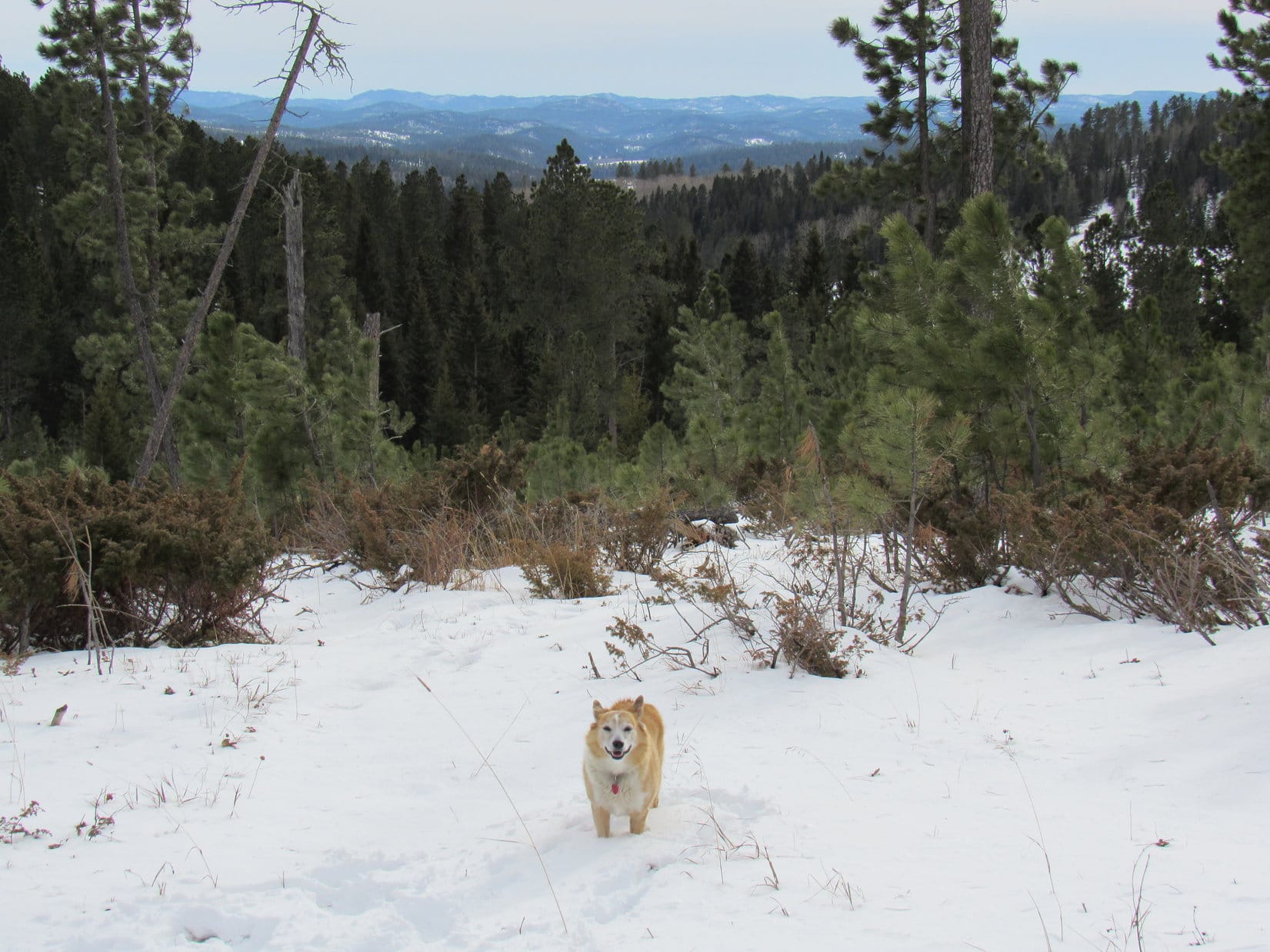
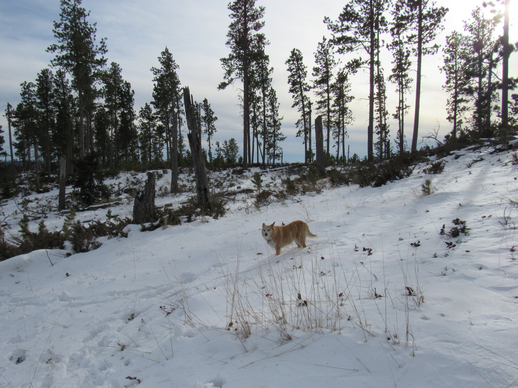
The road went past a beautiful snowy field flanked by pine and aspen covered mountains.  Beneath an overcast sky, the contrast between the white field and the dark pines made it easy to see how well the Black Hills live up to their name.

Pausing to admire the snowy field and Black Hills. Photo looks S.

This stretch of USFS Road No. 216 was familiar territory.  As the road gradually turned NW, Peak 6600 came into view.

Approaching Peak 6600 (R of Center). Photo looks WNW.

Are we going to Custer Peak (6,804 ft.), SPHP?

Sort of intended to, Loop, but with it so windy right now, maybe it would be better to wait until later in the day?  Hoped it would be sunnier than this, too.  How about we hit it on the way back, if there’s still time?

Fine with me, SPHP, but on the way back from where?

Oh, remember back in February when we climbed both Custer Peak and Peak 6600, then went on to try to climb Peak 6480, but never got very far because it got so foggy and started to snow?

Of course, I do!  Is Peak 6480 where we’re going now?

Yup, if we can find it.

No. 216 began climbing more steeply.  A little shy of the saddle between Custer Peak and Peak 6600, Lupe reached the junction with No. 216.1A, the spur to Custer Peak.  No. 216 leveled out as it made a big sweeping curve around to the SSE.  Since conditions hadn’t improved, Lupe stuck with No. 216, foregoing any attempt on Custer Peak.

At the junction with USFS Road No. 216.1A where No. 216 makes the big curve. Lupe came up from the L, and kept going to the R. Photo looks SE.

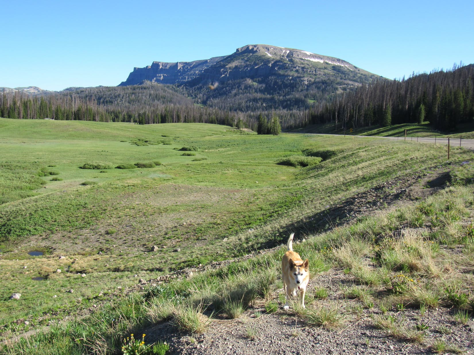
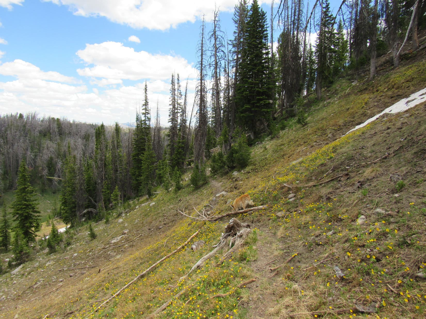
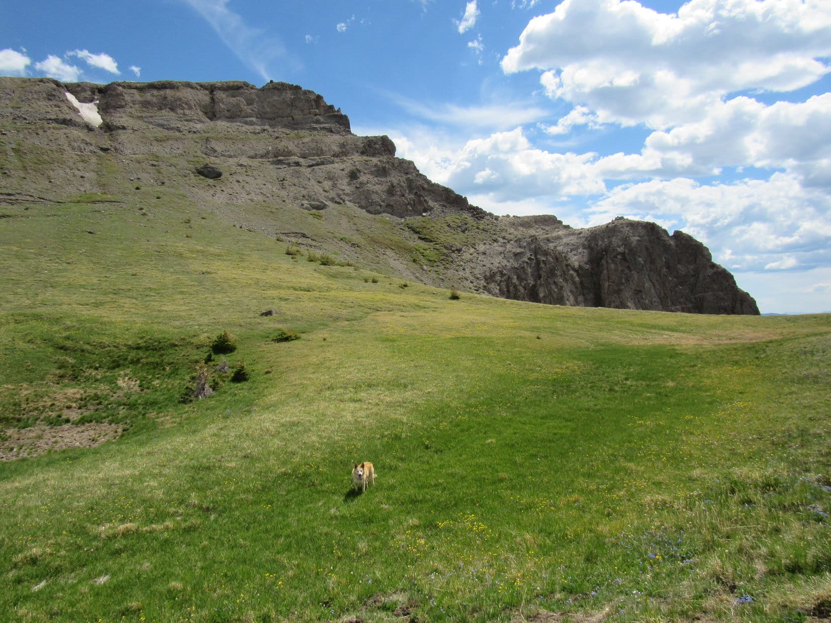
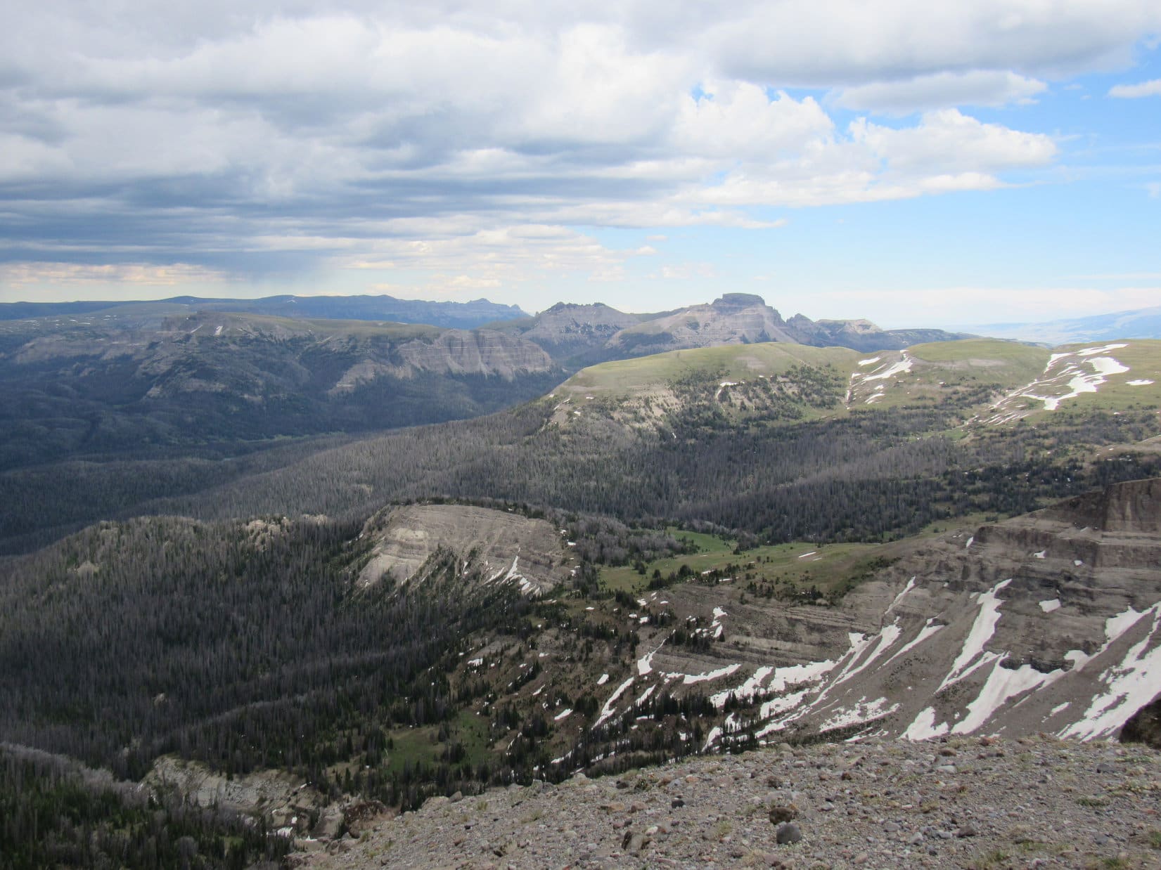
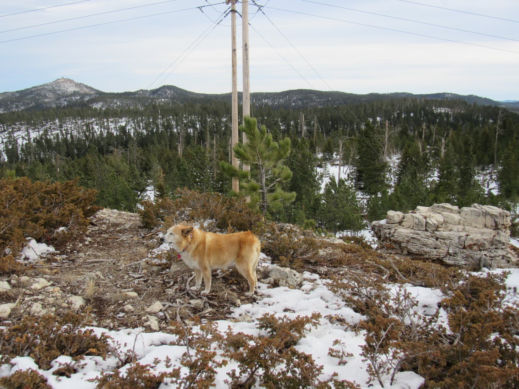
Beyond the big curve, No. 216 soon began angling S along the lower E slopes of Peak 6600.  The road provided a nice view of Custer Peak from along in here.  A bit farther on, No. 216 started gaining elevation again as it curved W around the S end of Peak 6600.  A decent view to the SE began to appear as Lupe got higher.

Custer Peak (R of Center) from USFS Road No. 216. Photo looks NNE.
Looking SE.

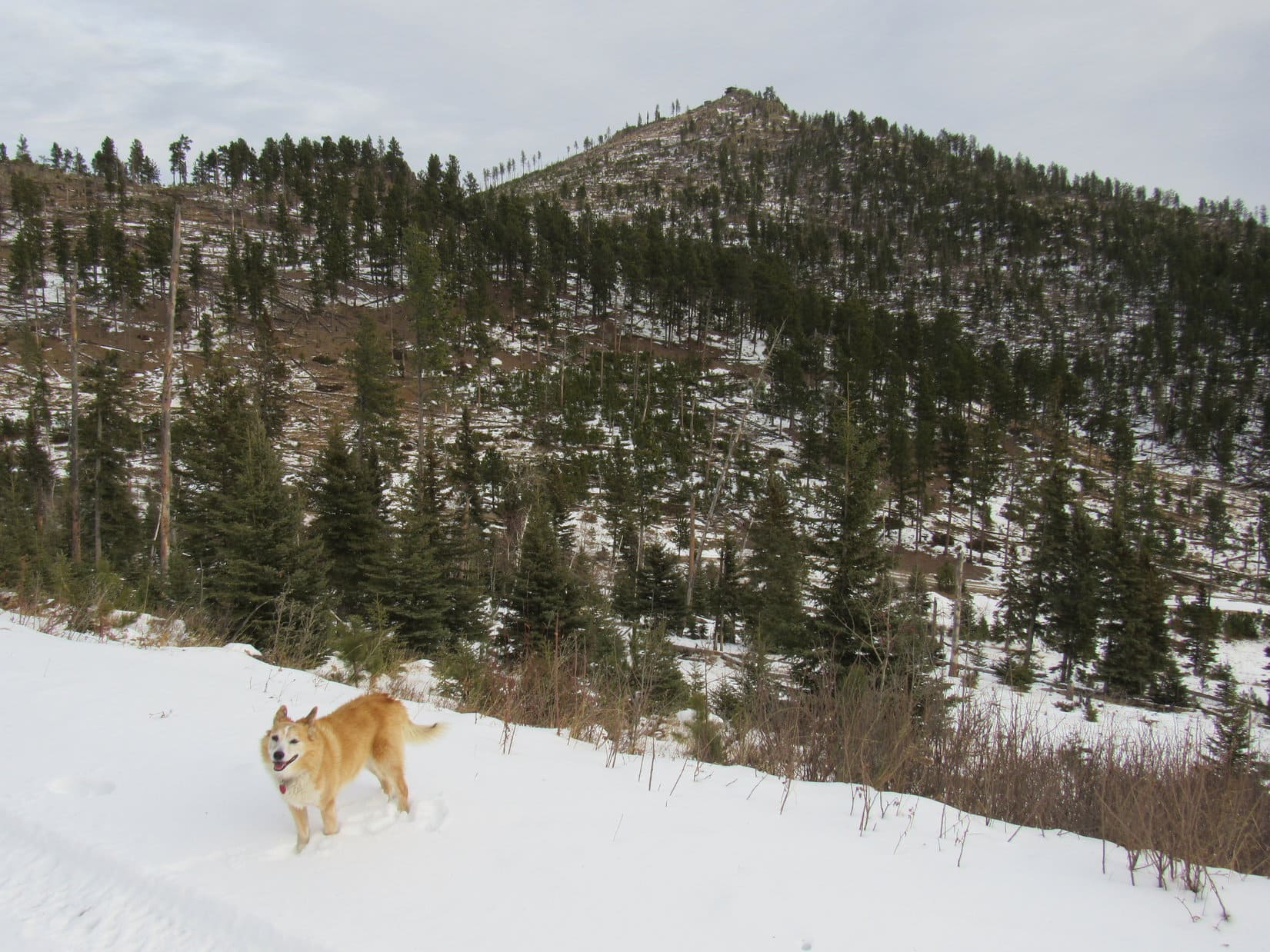
The road went past the end of Peak 6600’s S ridge.  Still windy, but the sky had brightened.  Weak sunshine cast shadows on the snow.

Loopster!  Want to go up Peak 6600 while we’re so close?  Won’t take long.  At least it’s kind of sunny now.  Might not be on the way back.

The American Dingo was all for it!  Leaving No. 216, she headed N.

Starting up Peak 6600. Photo looks NNE.

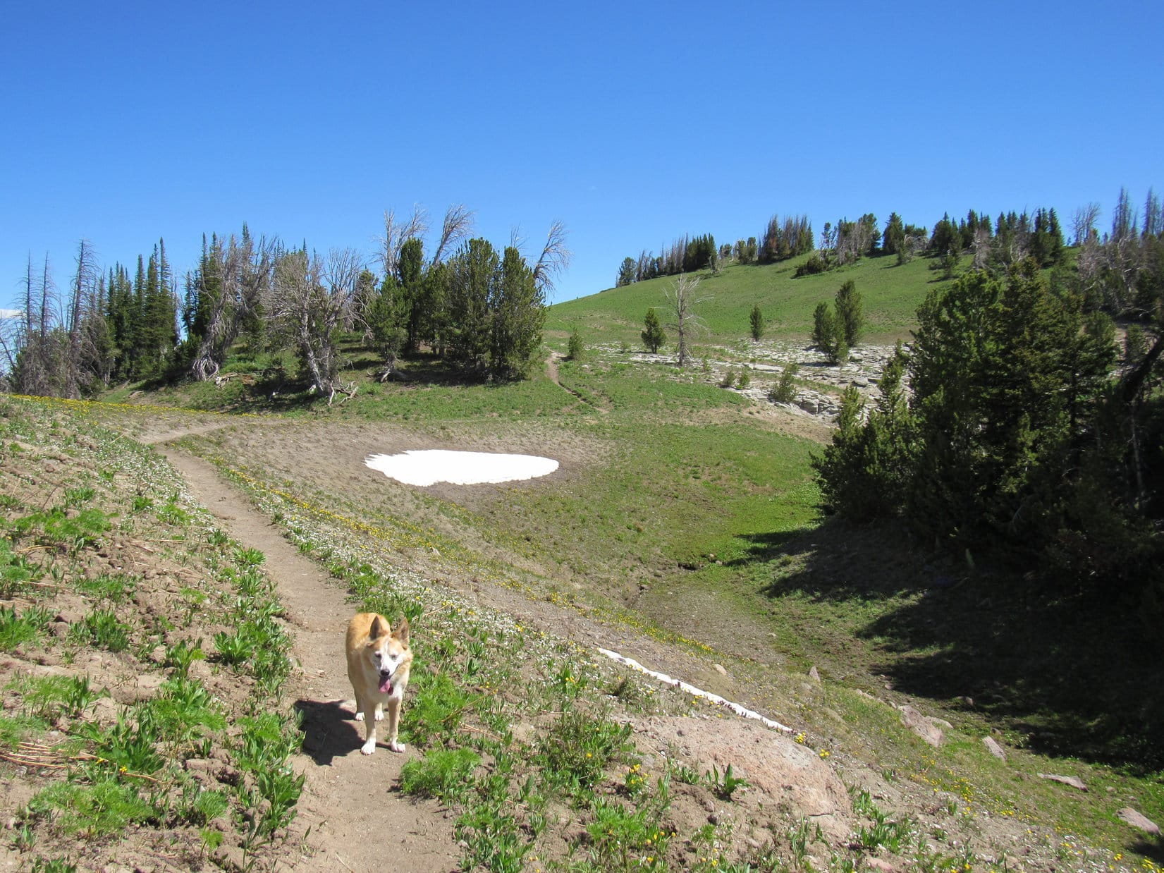
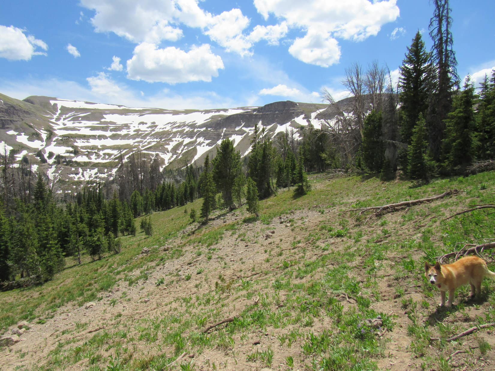
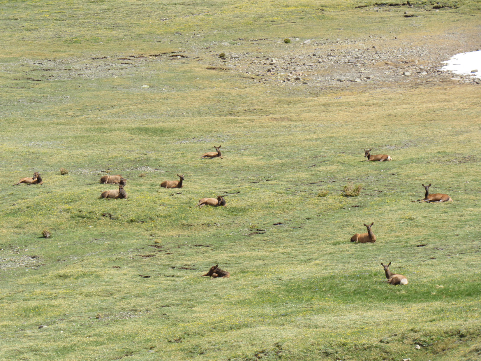
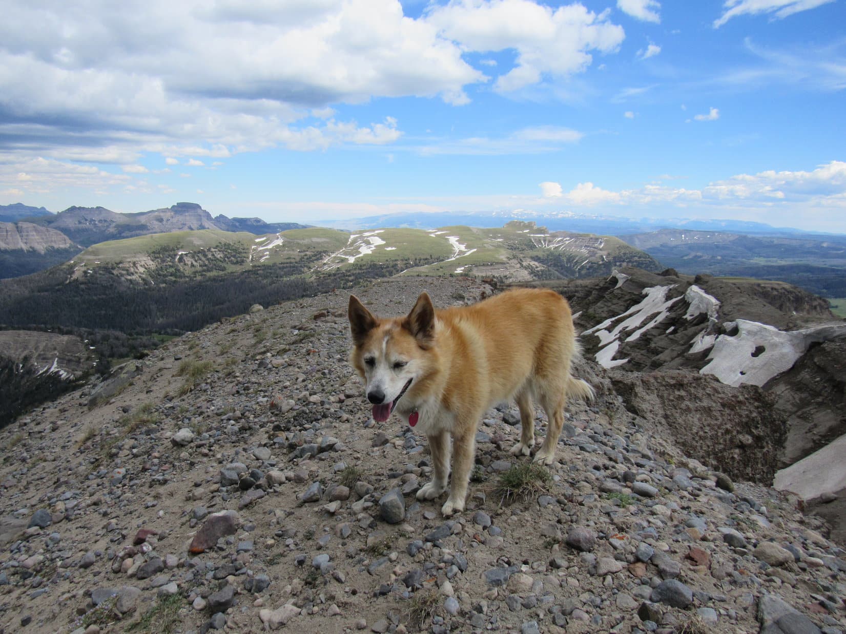
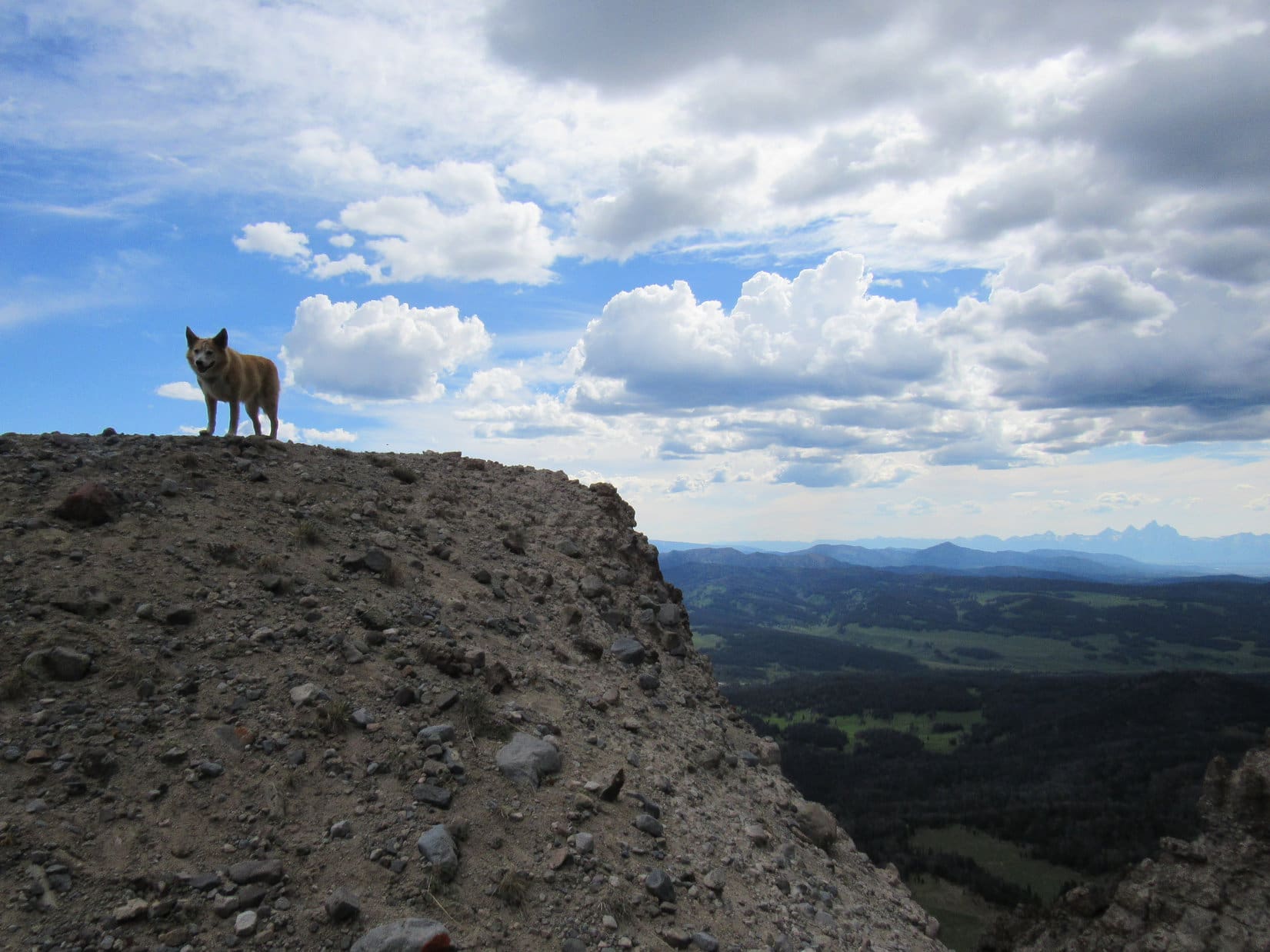
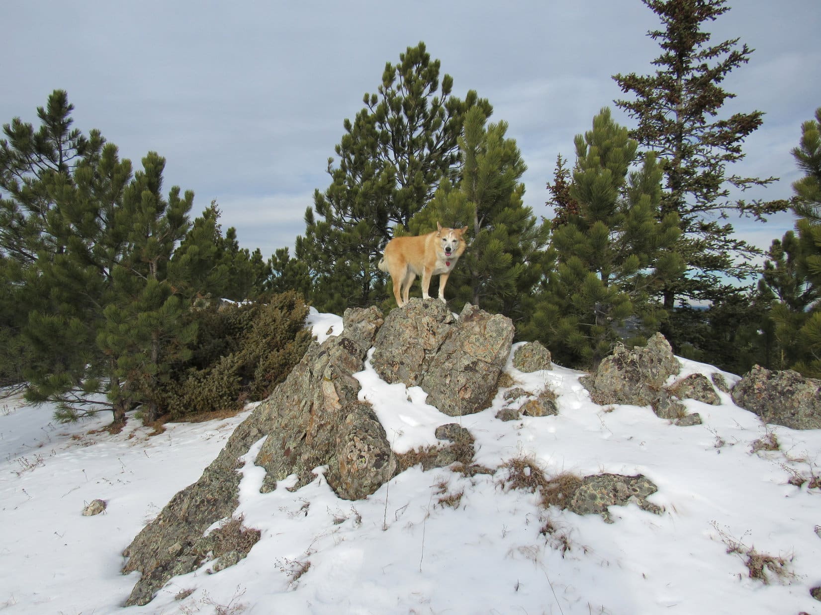
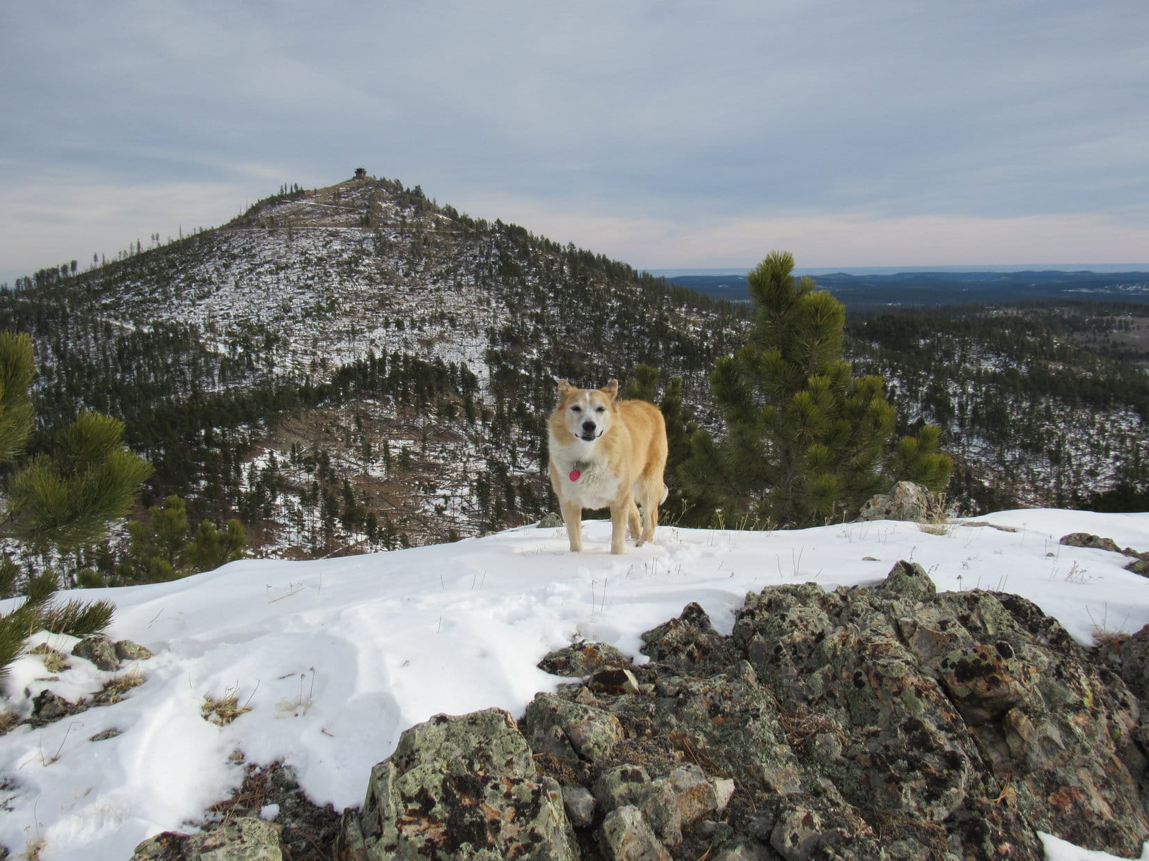
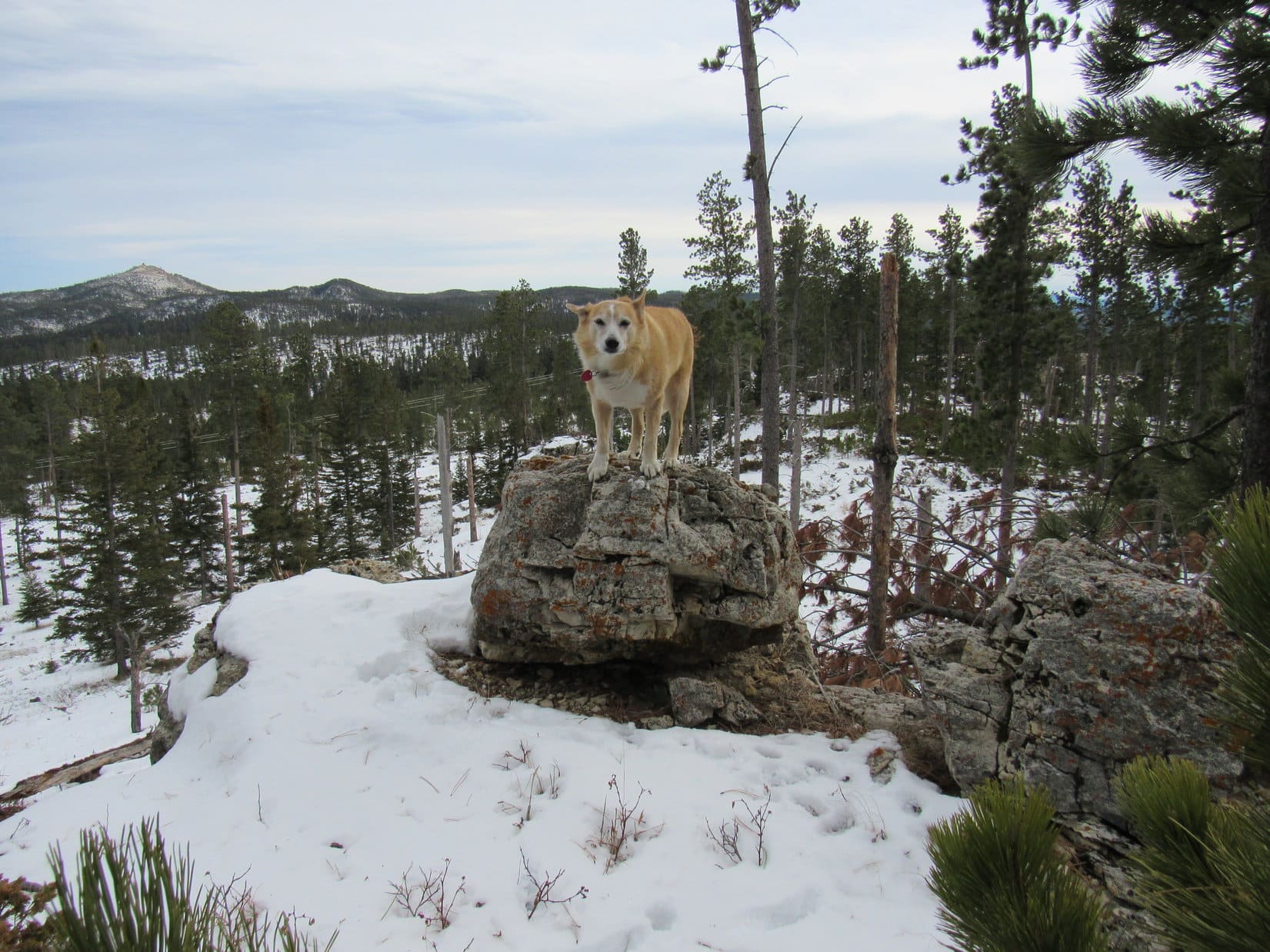
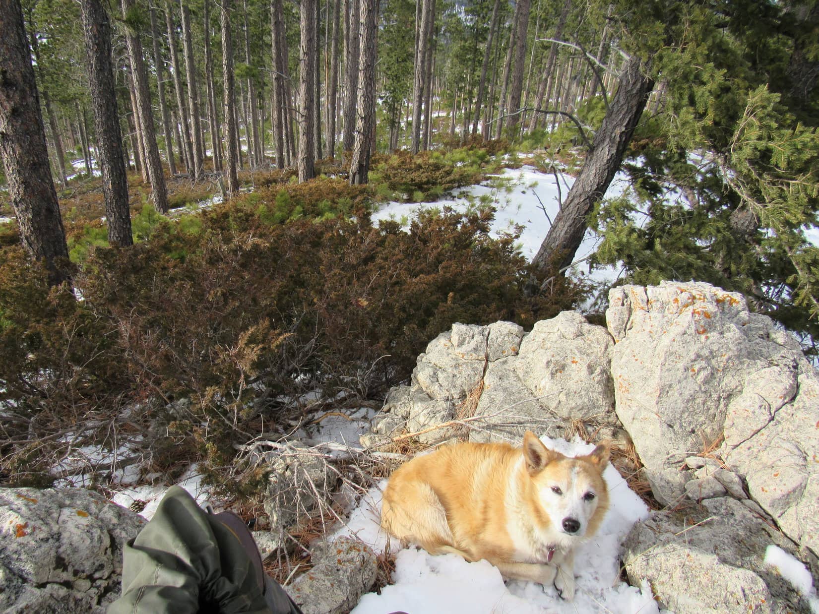
At first there was quite a bit of deadfall to contend with, but Lupe had no trouble getting past it.  By the time the S ridge started getting rocky, she was already close to the top.  Peak 6600’s true summit was along a line of rocks next to a small clearing at the SE end of a long summit ridge.  The clearing provided excellent views toward the S.

Shaking the birthday girl’s paw while she stood on the highest rocks, SPHP congratulated Lupe on her first mountain ascent as an 11 year old.

Getting a little rocky near the summit. Photo looks N.
View from the clearing by the true summit. Photo looks SE.
On the true summit of Peak 6600! Photo looks N.

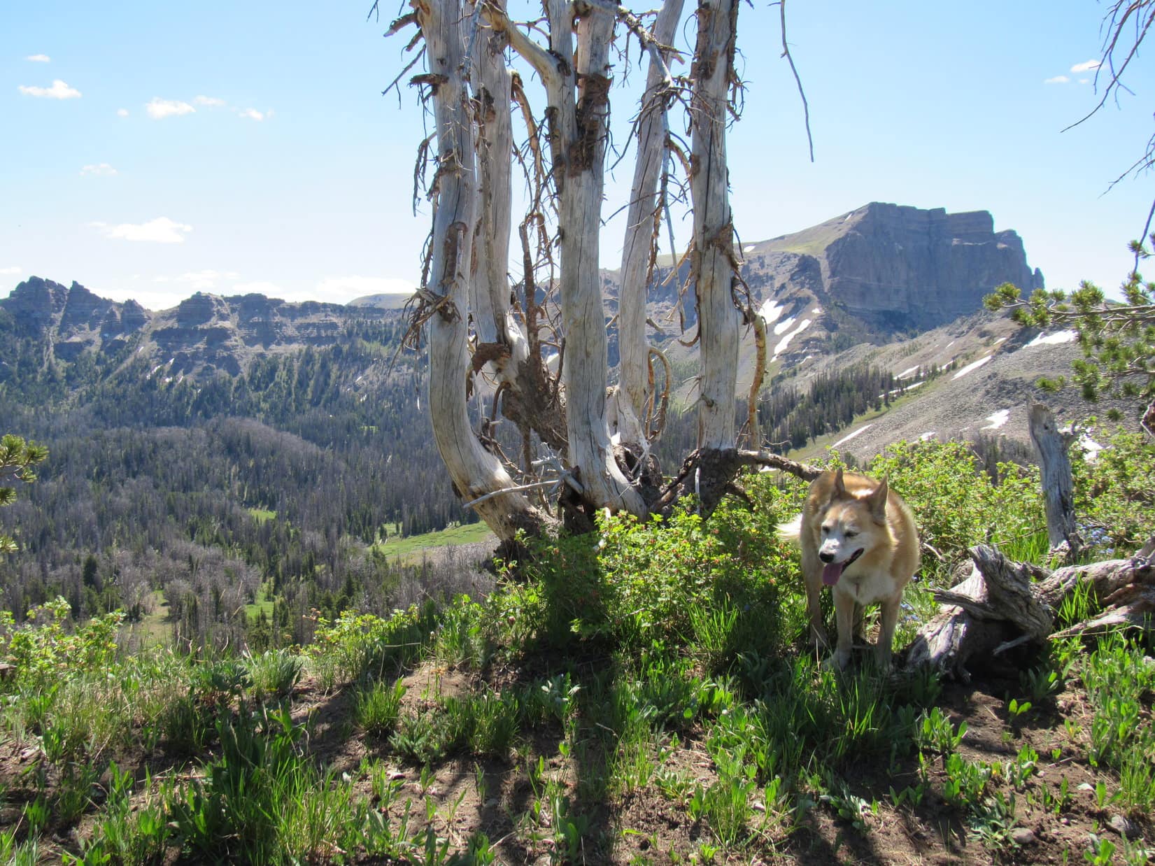
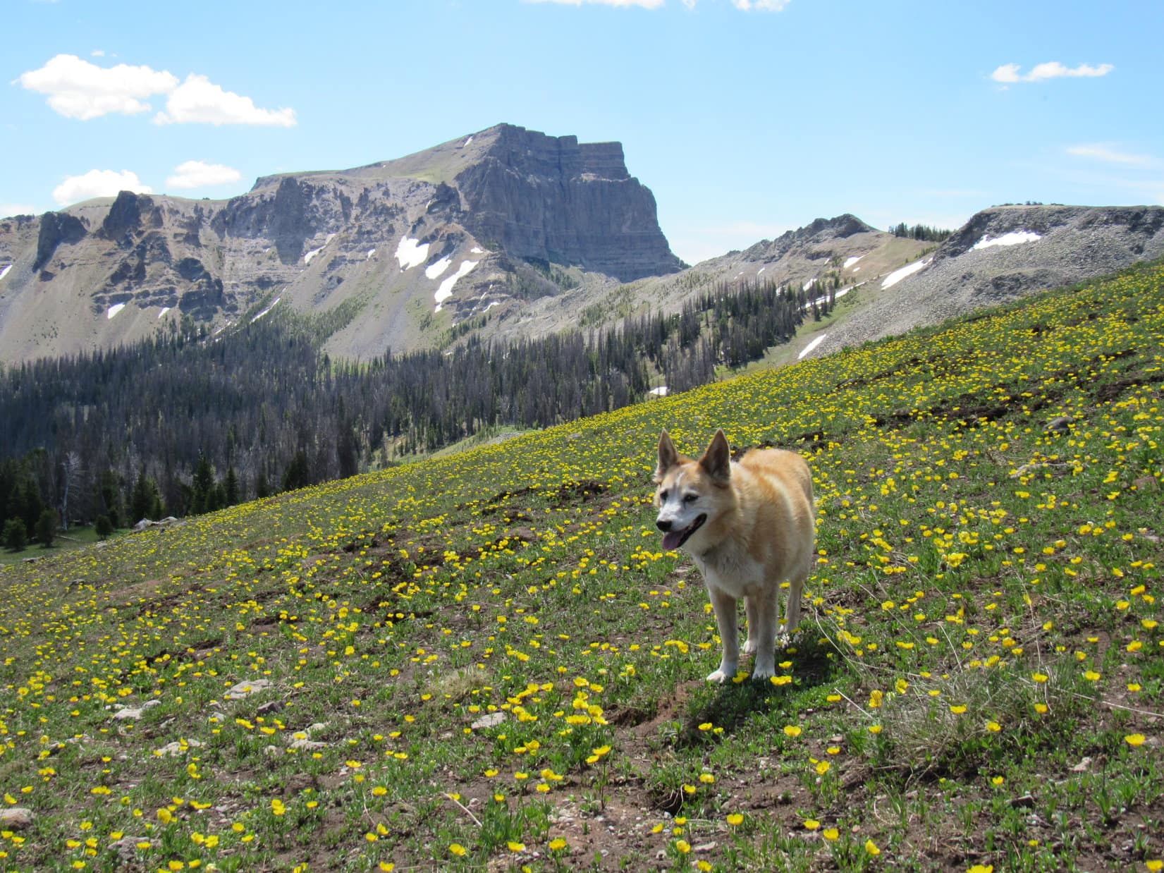
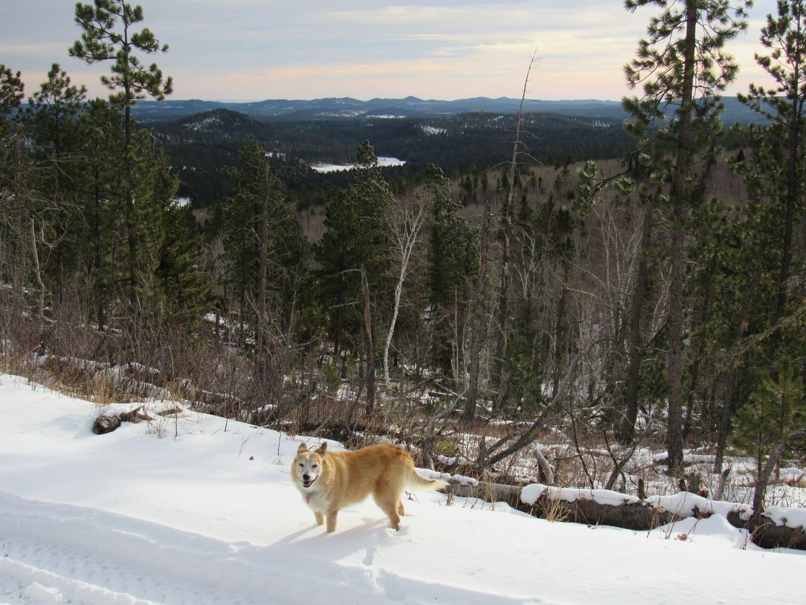
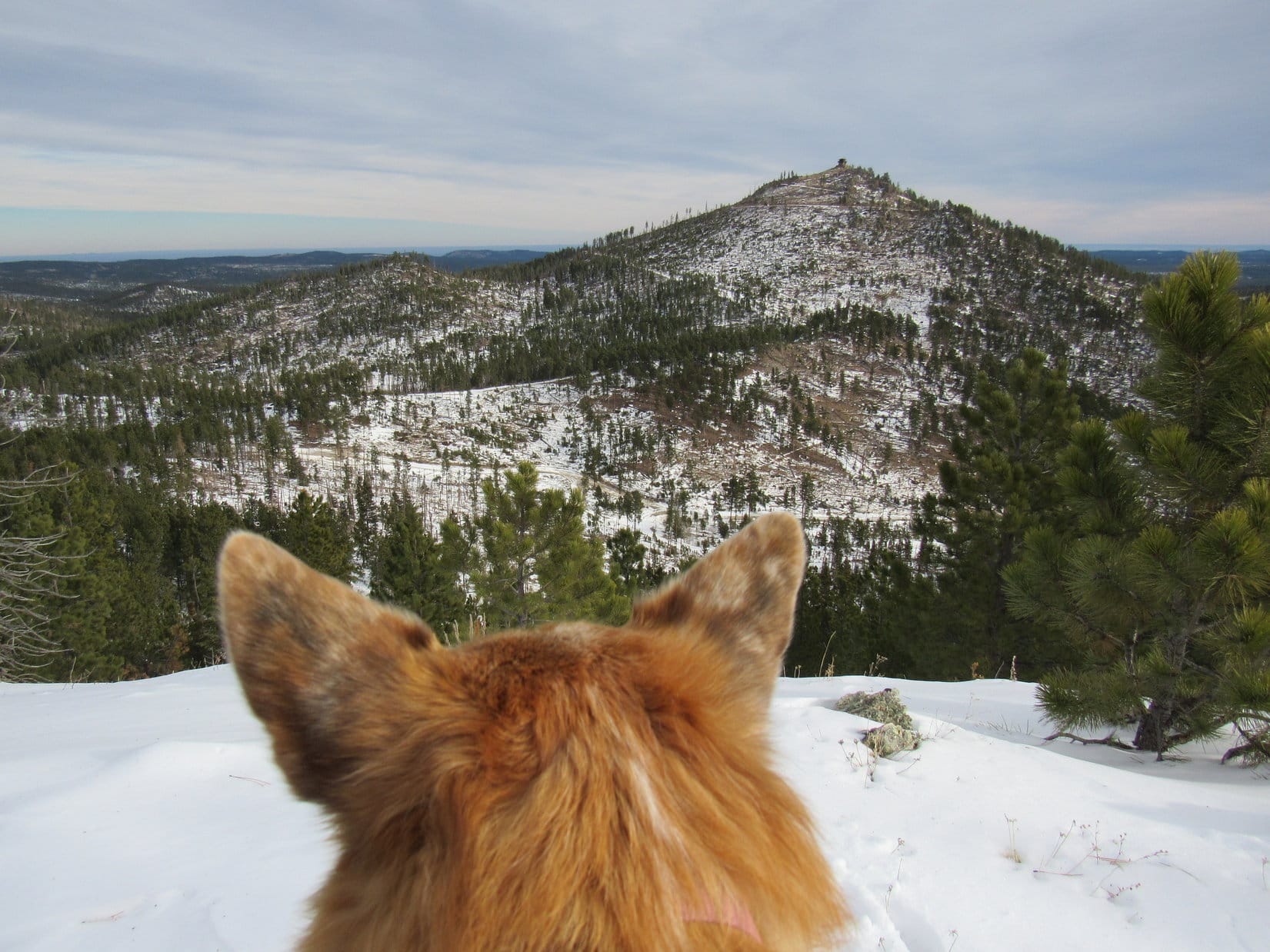
Custer Peak (6,804 ft.) was visible from the true summit region, but the best, most open viewpoint was 700 or 800 feet away over at the opposite NW end of Peak 6600’s long summit ridge.  The still powerful SW wind shook the pines, as Lupe wound her way through the forest to get there.

At the NW viewpoint. Photo looks NNE.
Looking back toward the true summit (L). Photo looks SSE.
Custer Peak (L) from the NW viewpoint. Photo looks ENE.

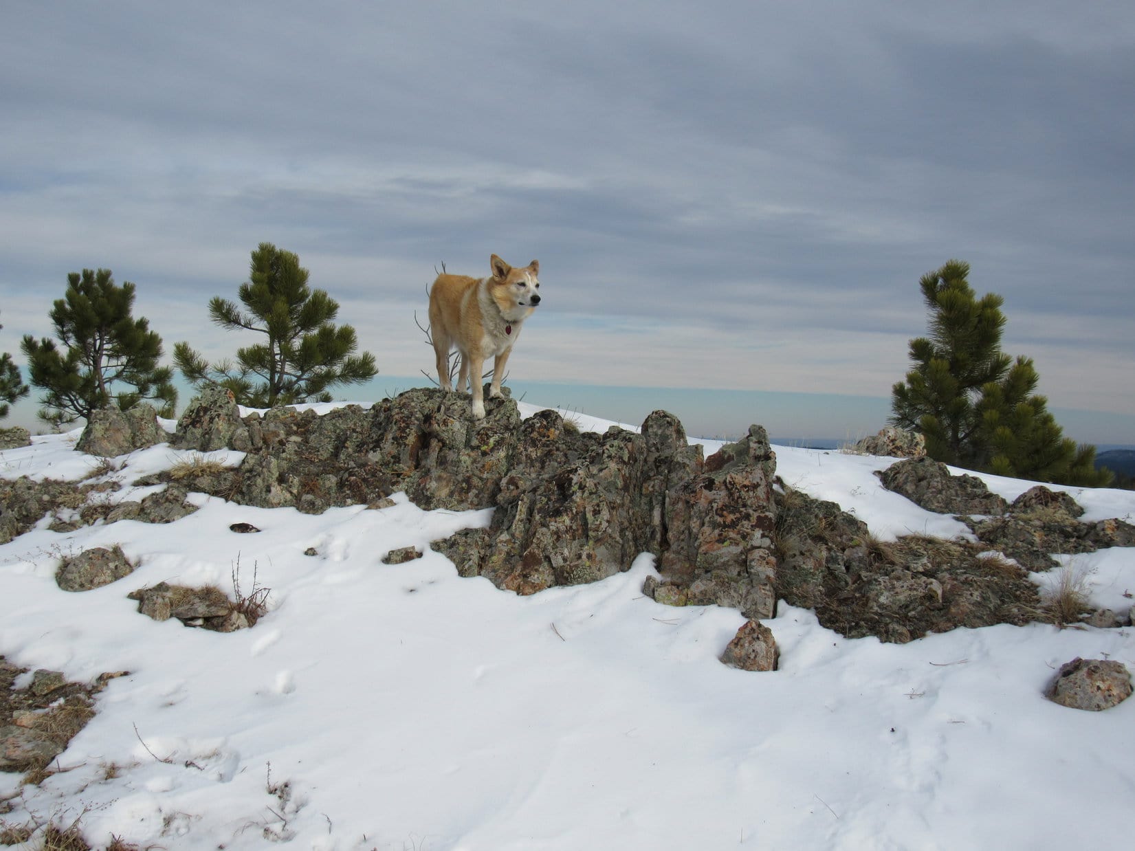
Since the NW viewpoint was a favorite spot on Peak 6600, a short break was taken to share a chocolate coconut bar while enjoying the views.

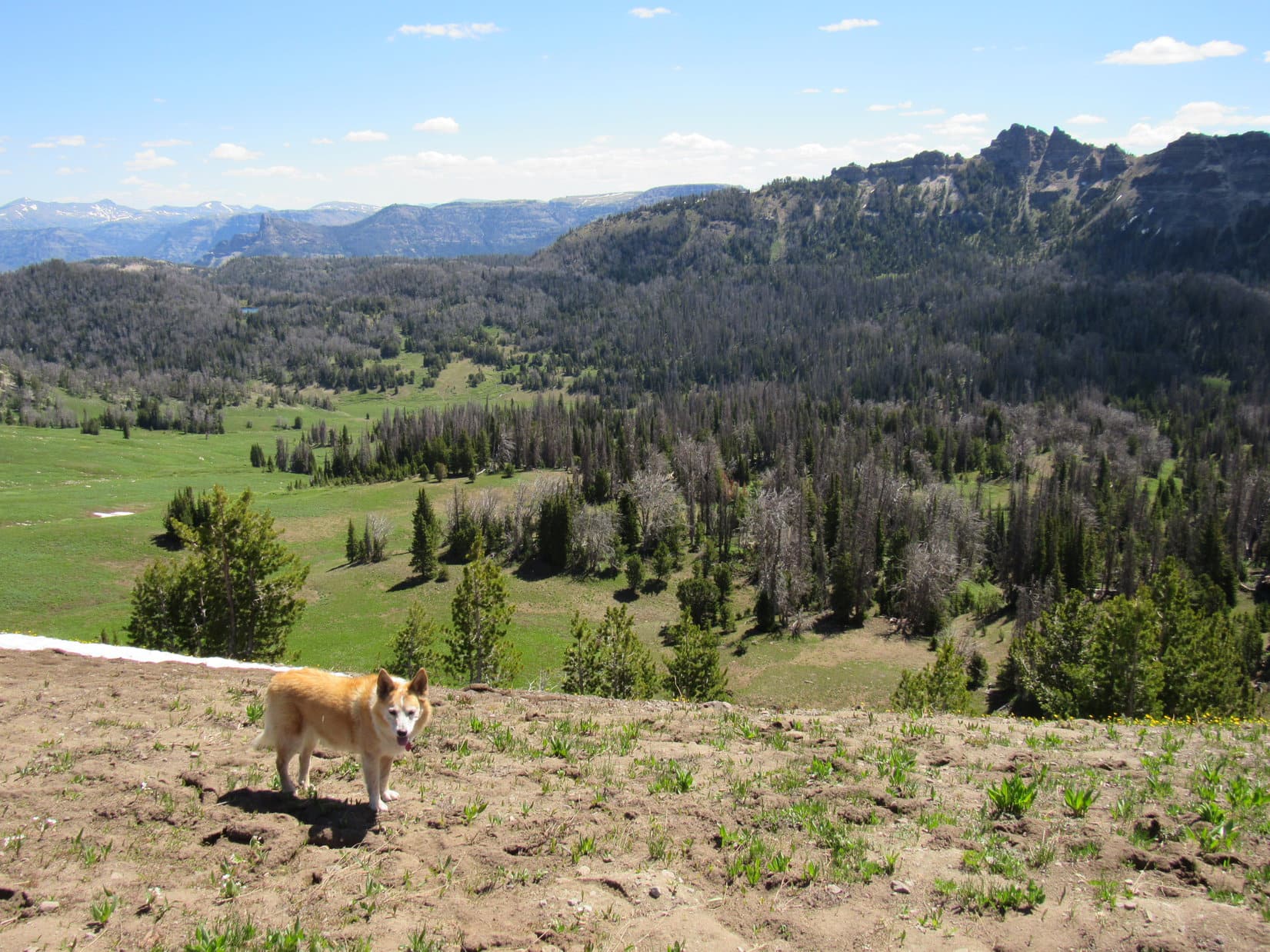
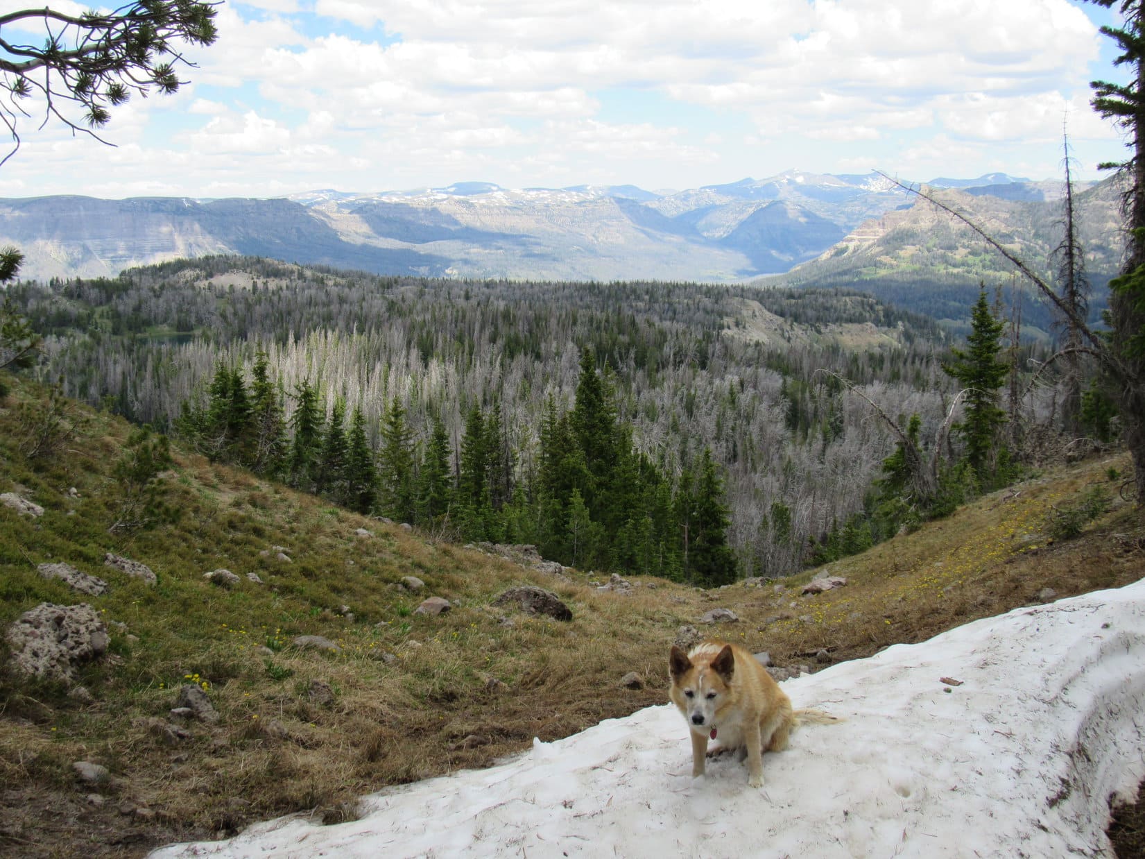
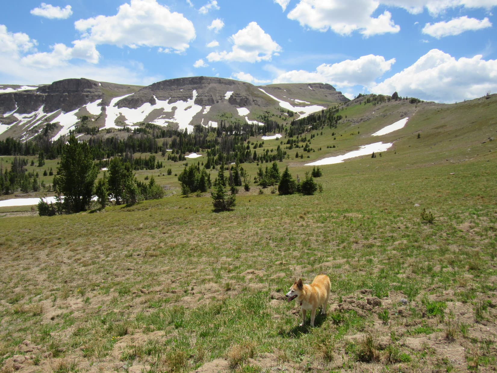
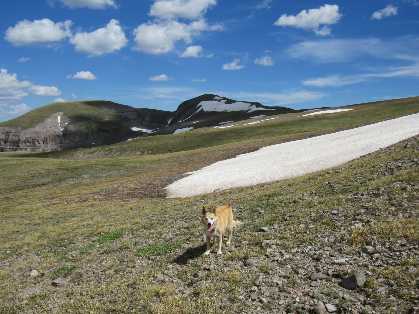
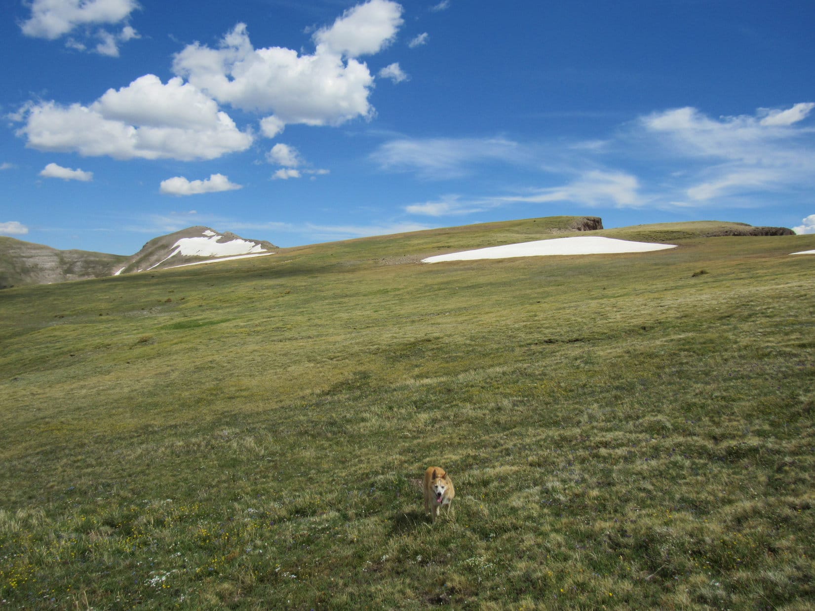
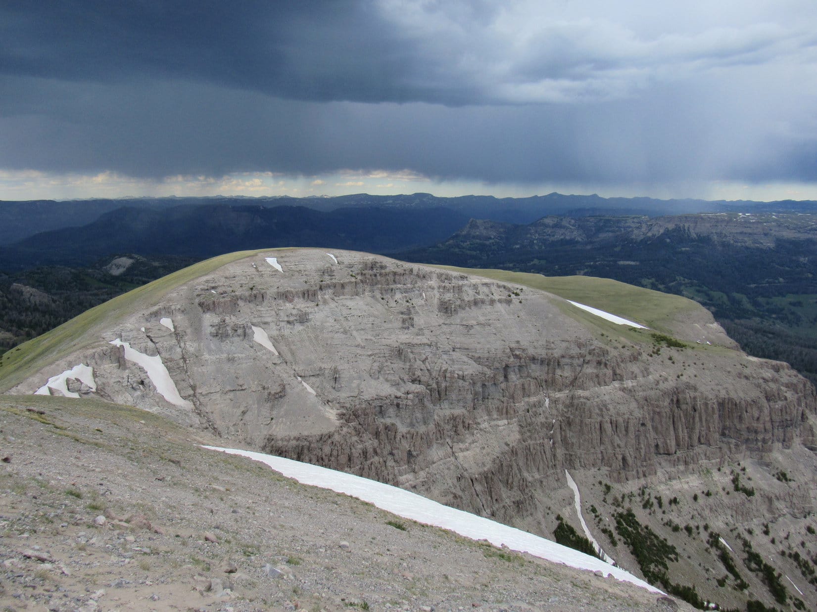
The cool, gusty SW wind prevented a prolonged stay.  Before departing, SPHP surveyed the territory off to the NW.  A snowy ridge seen several miles away had to be Peak 6480, Lupe’s next objective.

Contemplating Custer Peak during the chocolate coconut bar break. Photo looks NE.
Peak 6480 (Center) is the long snowy ridge in the foreground. Photo looks NW with help from the telephoto lens.

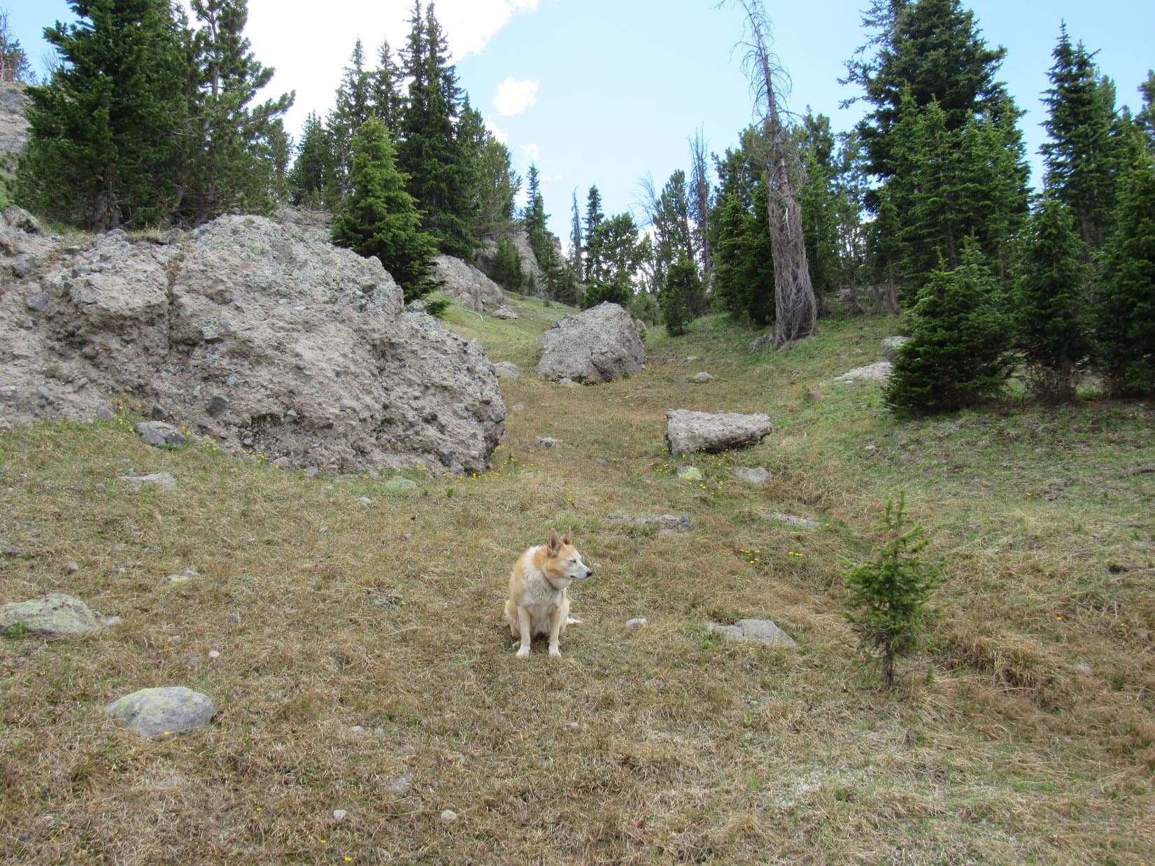
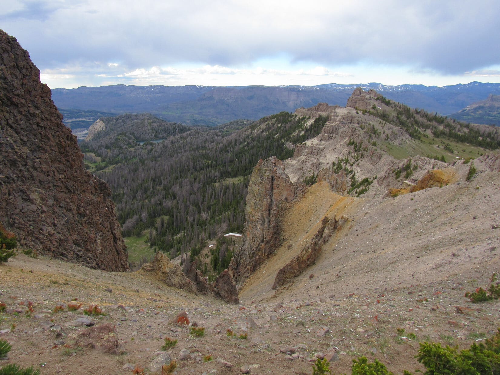
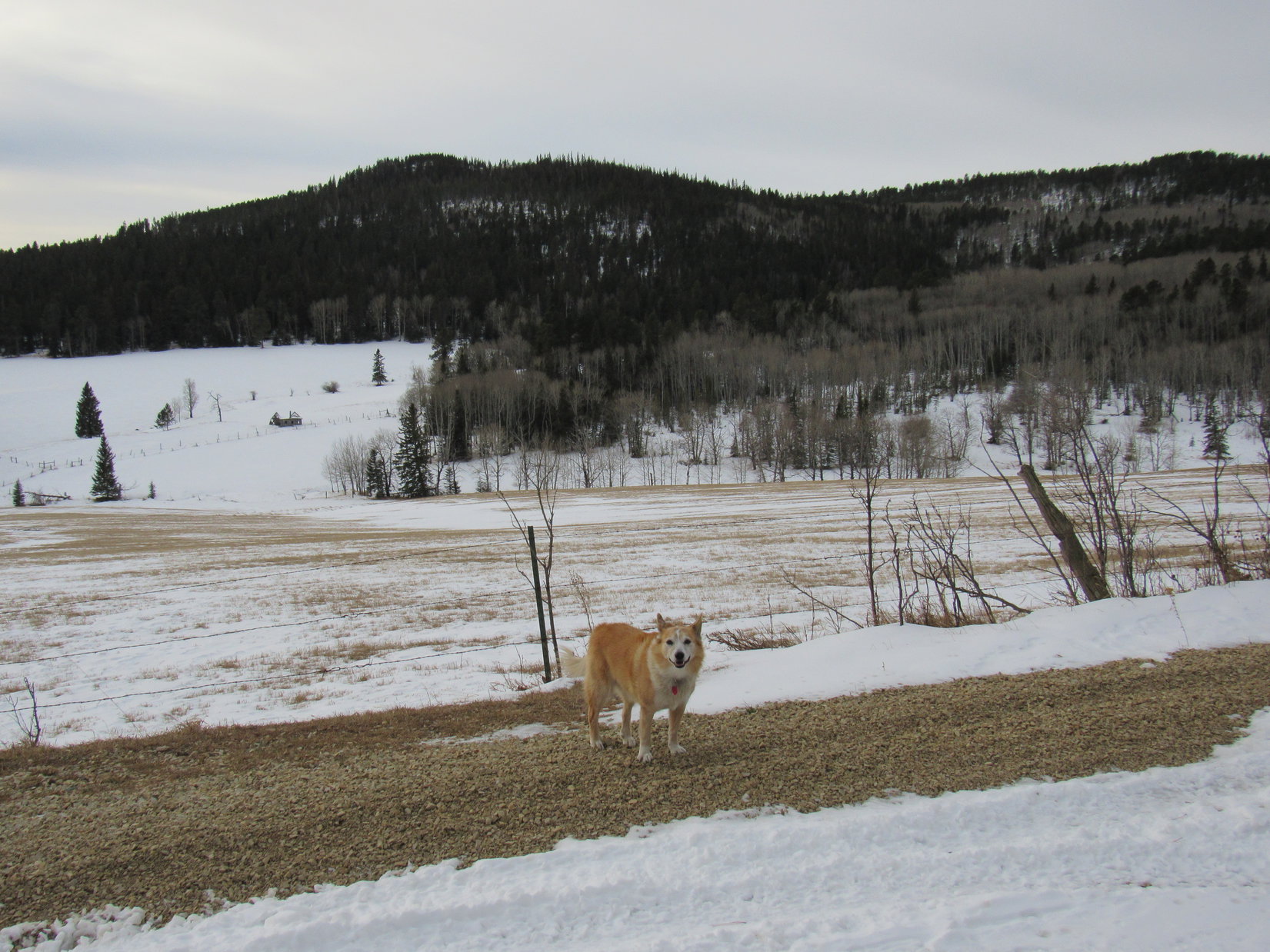
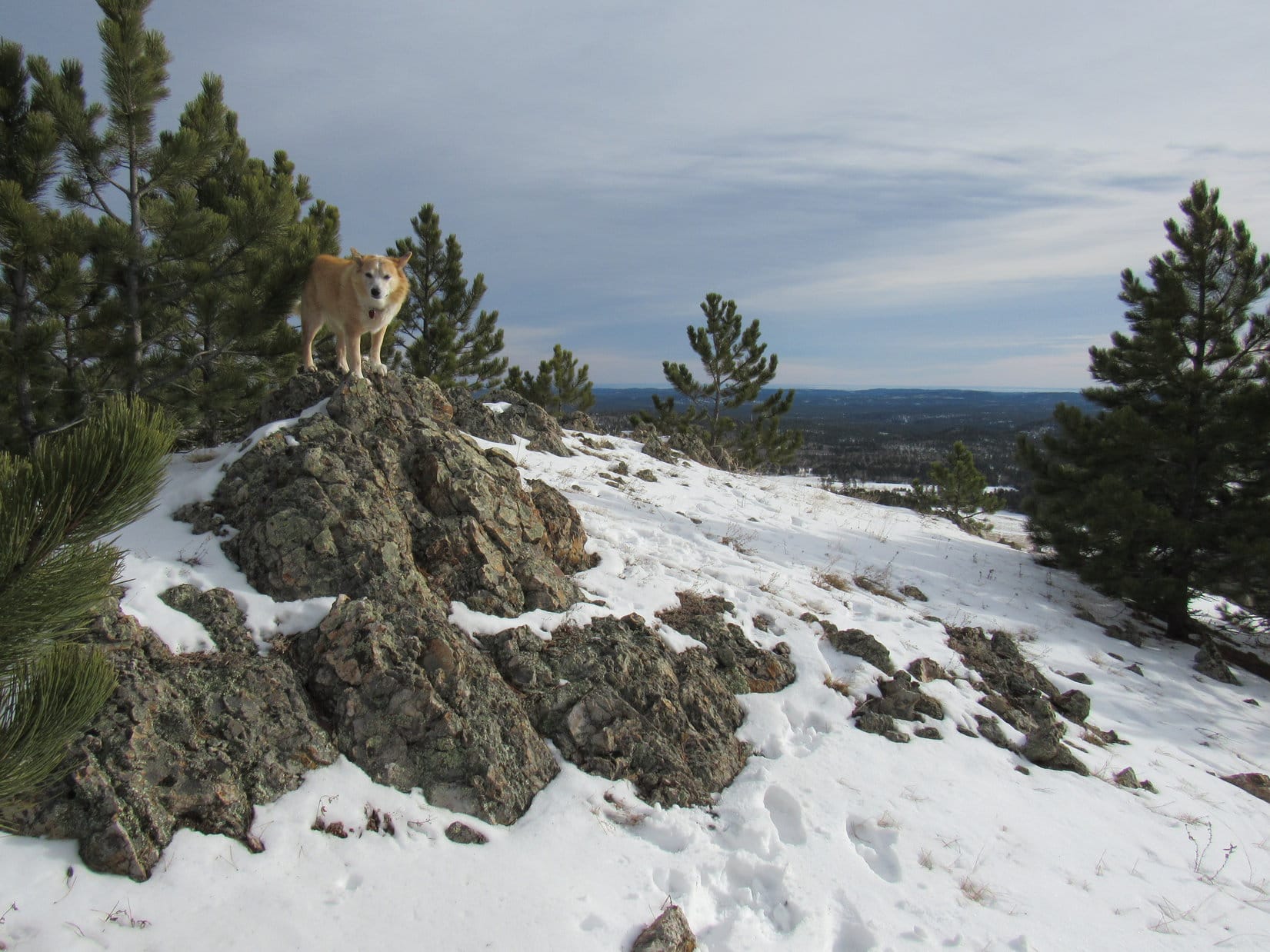
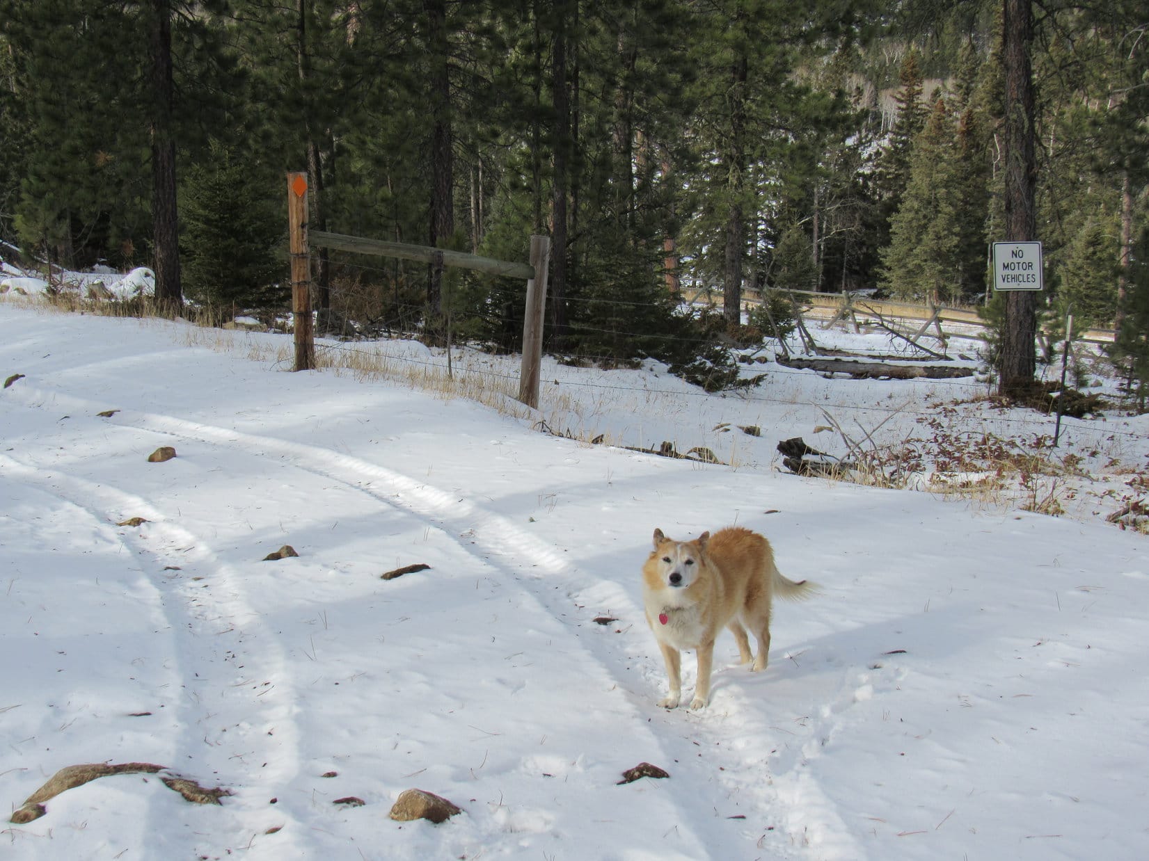
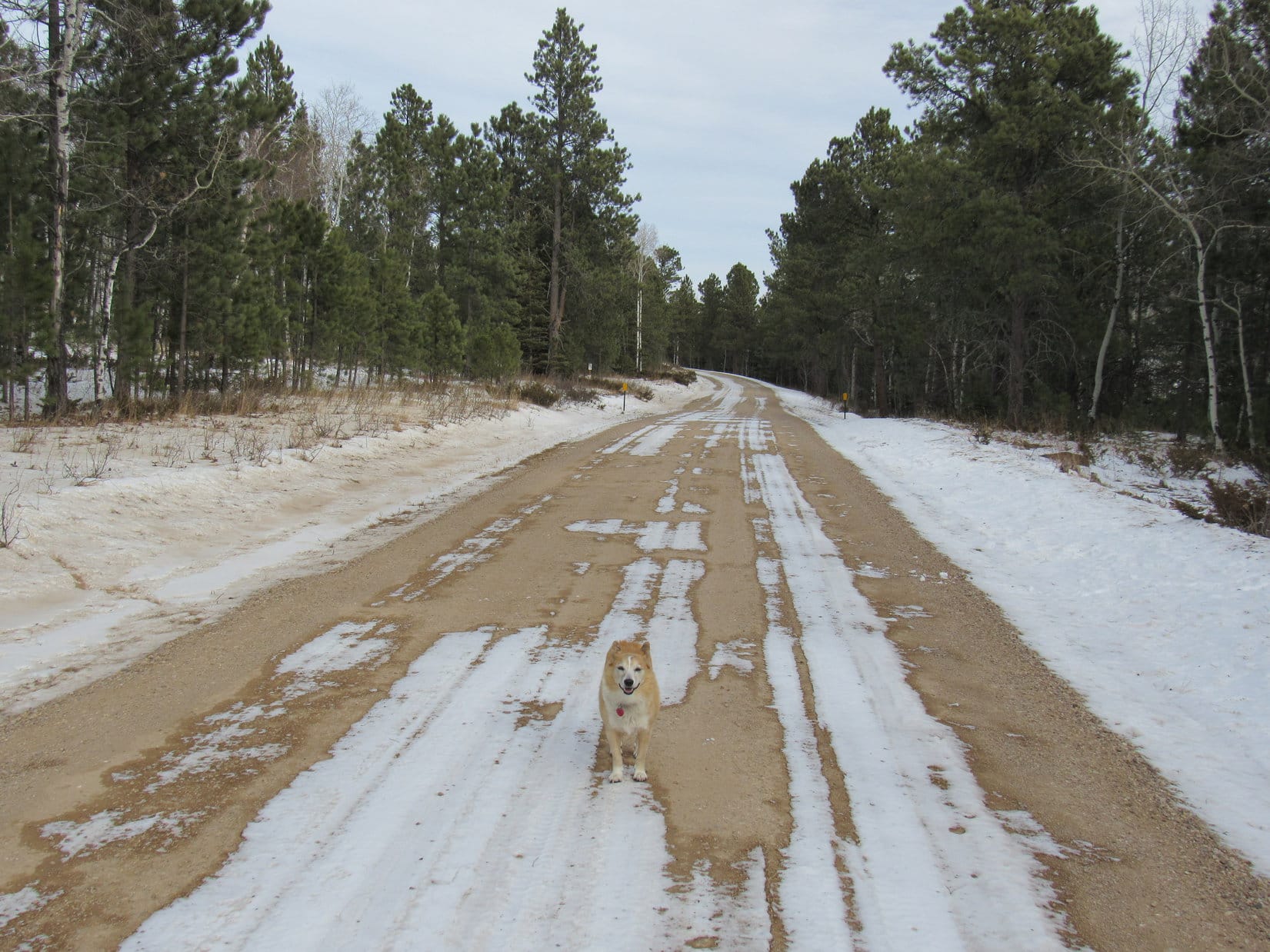
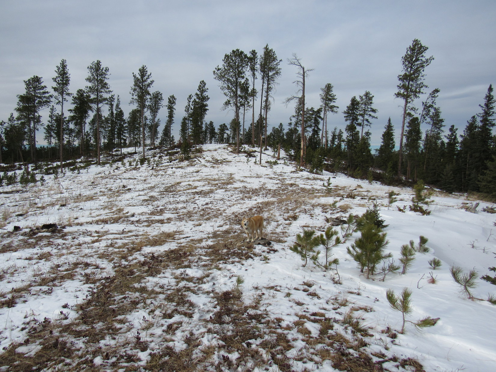
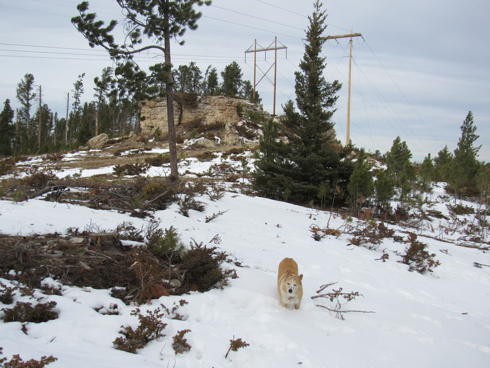
Soon the American Dingo was on her way back to the true summit.  She briefly got up on the highest rocks again before heading back down Peak 6600’s S ridge.  Reaching USFS Road No. 216 where she’d left it, Loopster followed it SW to a cattle guard where the road topped out near HP6427.

Back at Peak 6600’s true summit. Photo looks SE.
Heading down the S ridge. Photo looks SSE.
Back on USFS Road No. 216 at the cattle guard near HP6427. Photo looks SW.

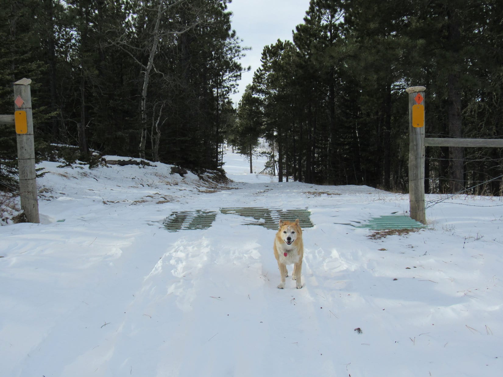
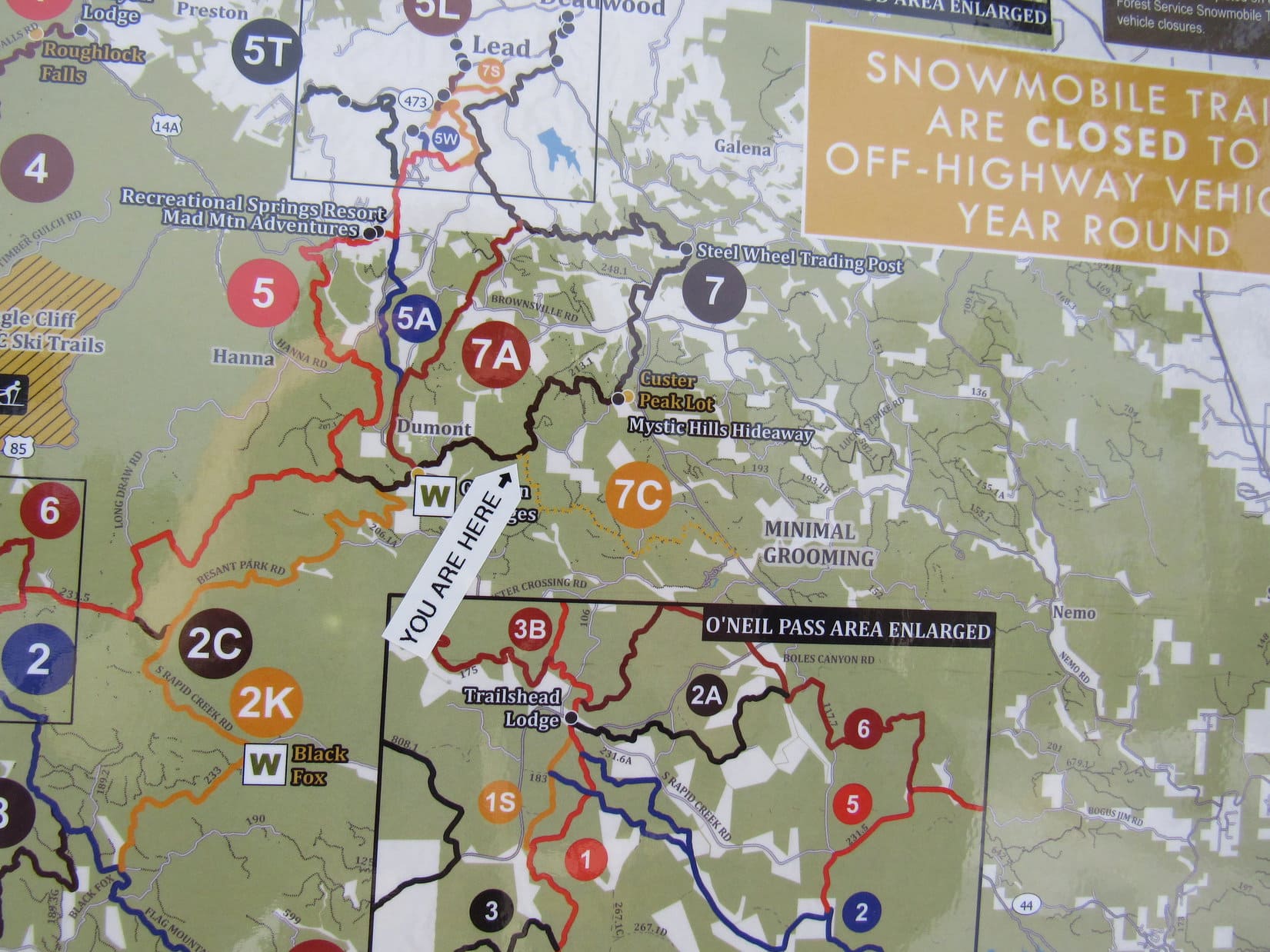
Ahead the road dipped a little.  Lupe soon reached an intersection where a snowmobile trail system sign was posted.  This sign was as far as she’d gotten on Black Hills, SD Expedition No. 265 before being forced to turn back due to snow and fog.

At the snowmobile trail system sign. Photo looks SW.
The sign was interesting, but on such a large scale that it wasn’t much help.

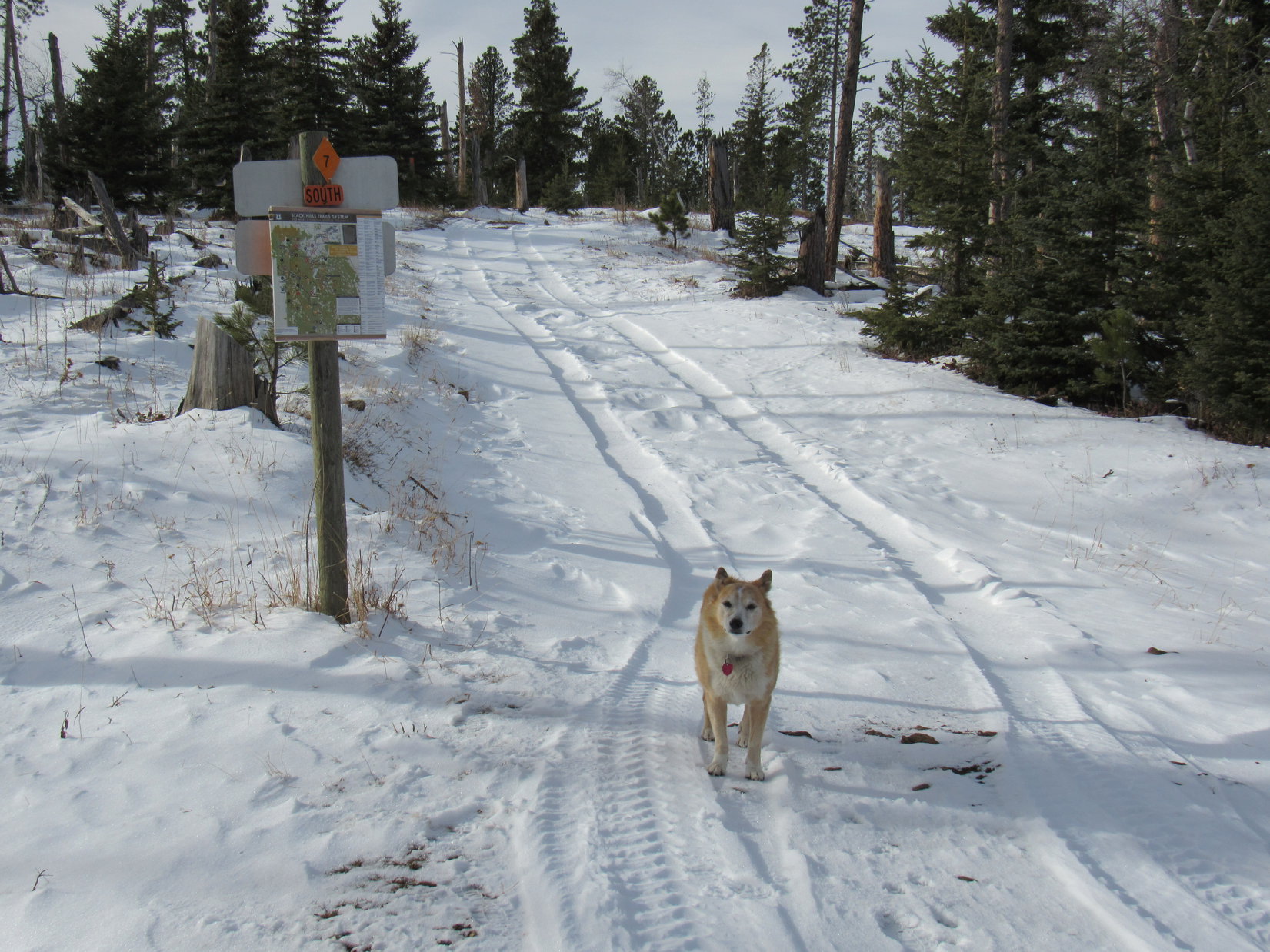
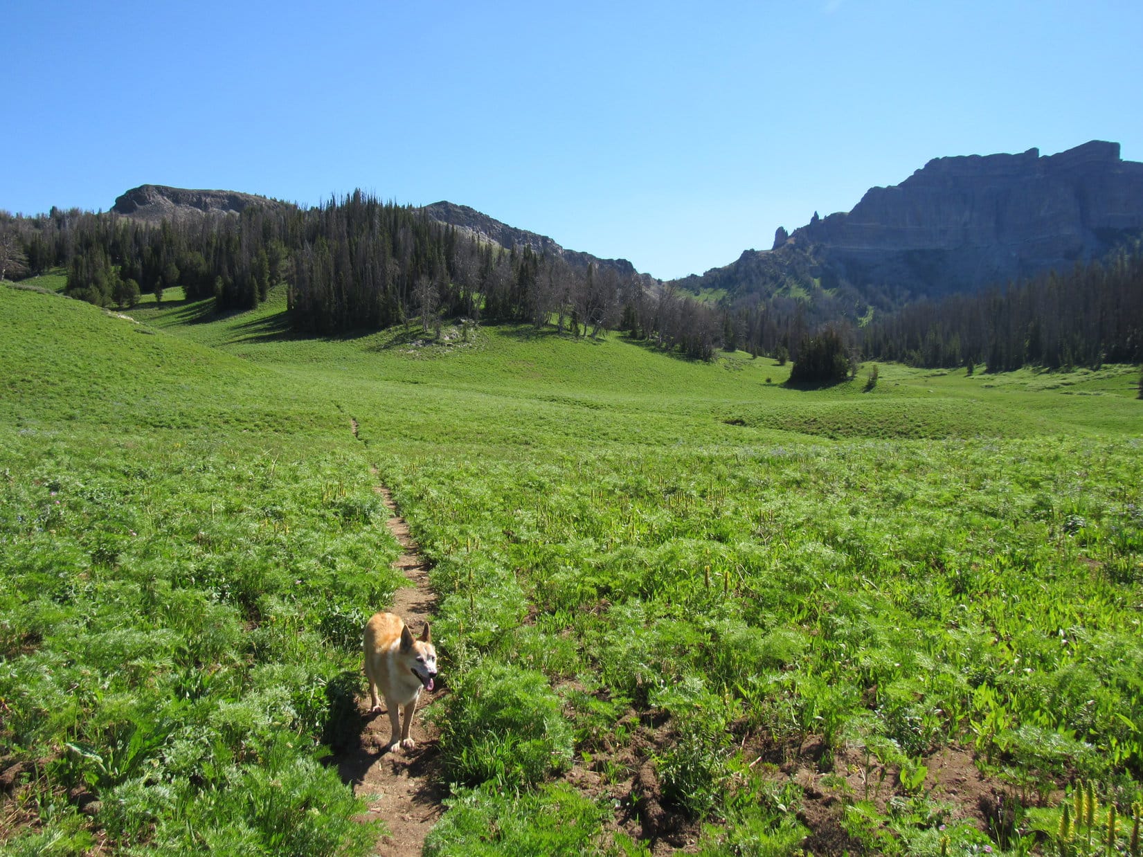
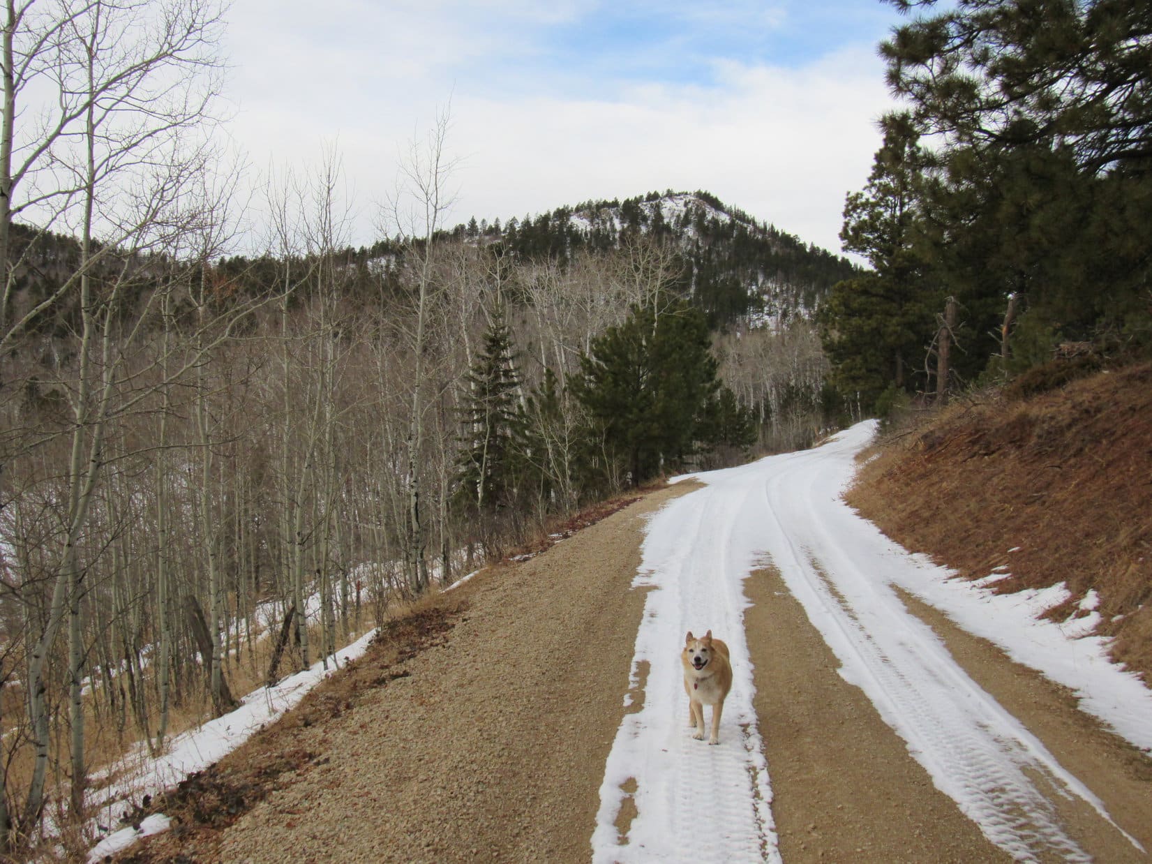
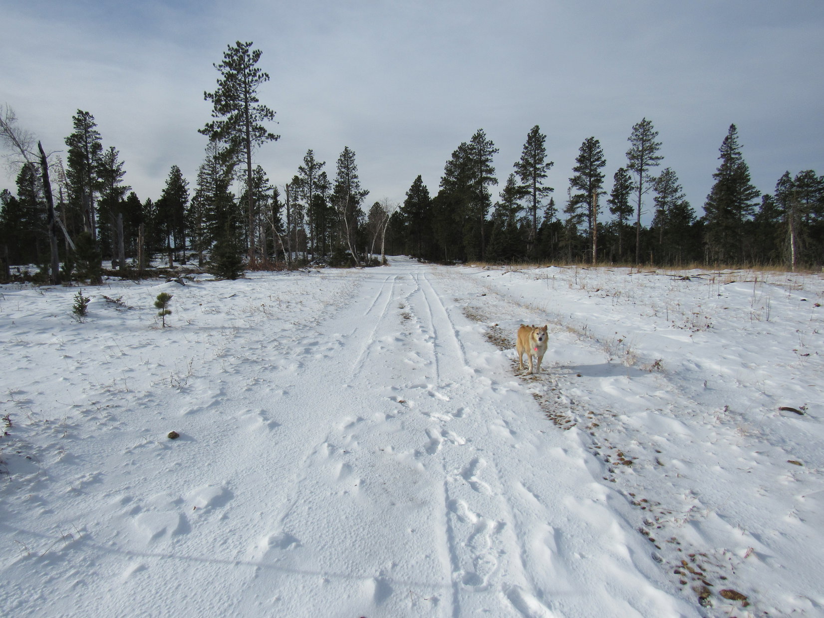
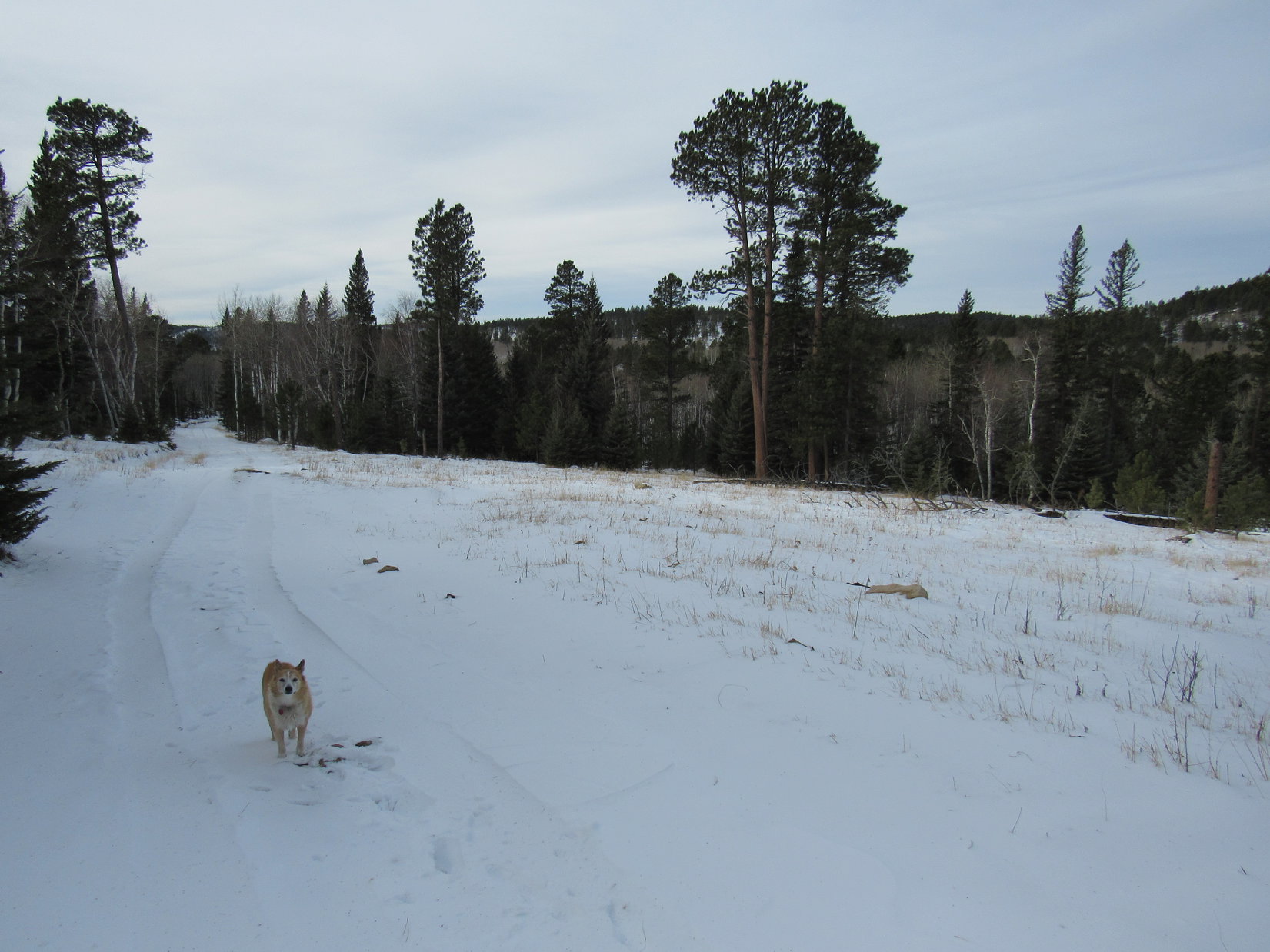
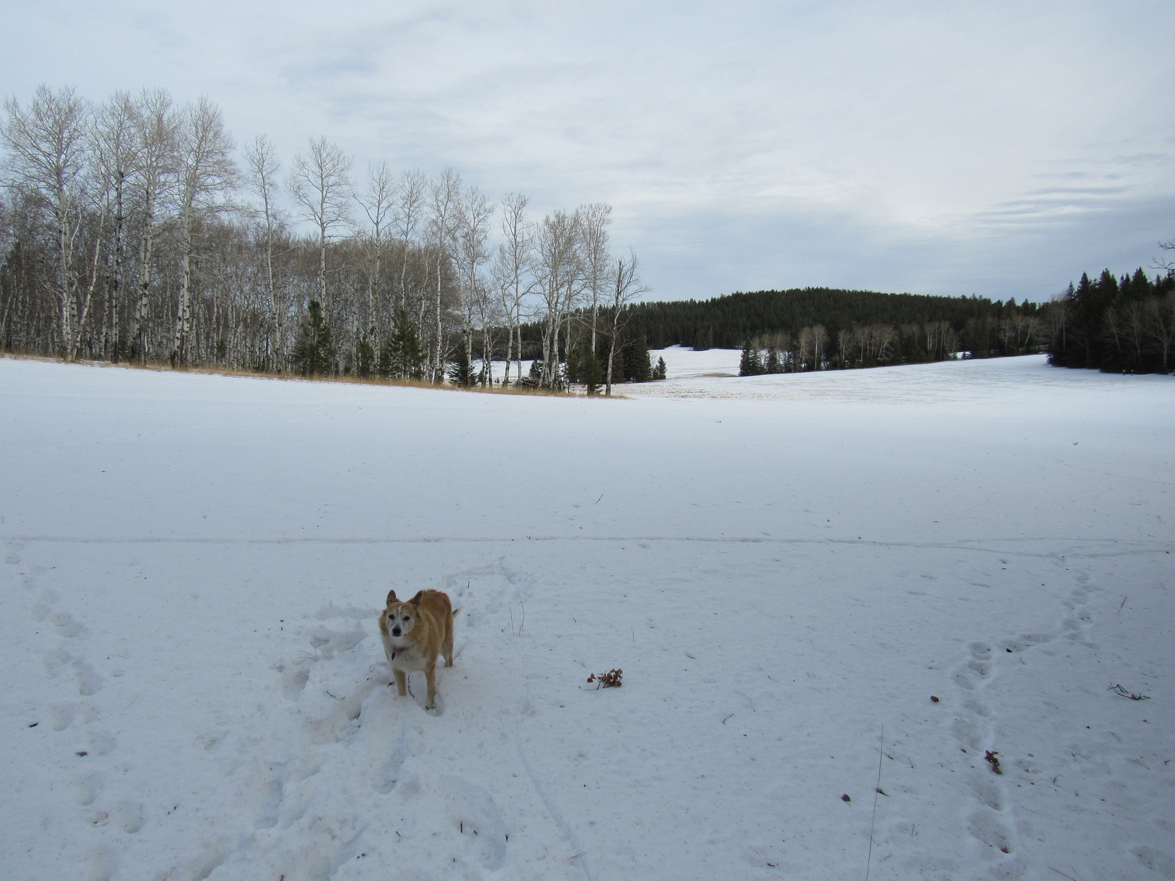
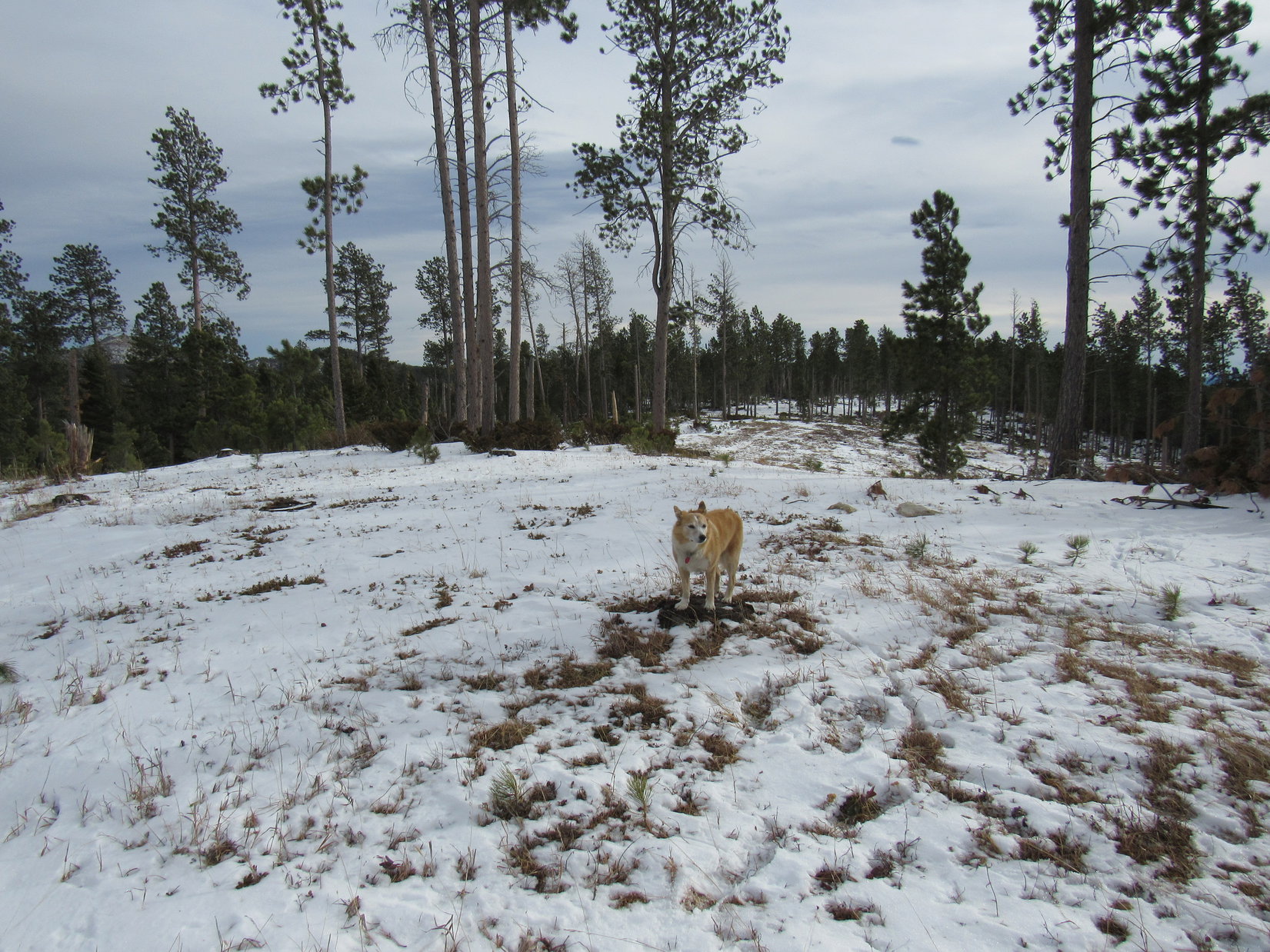
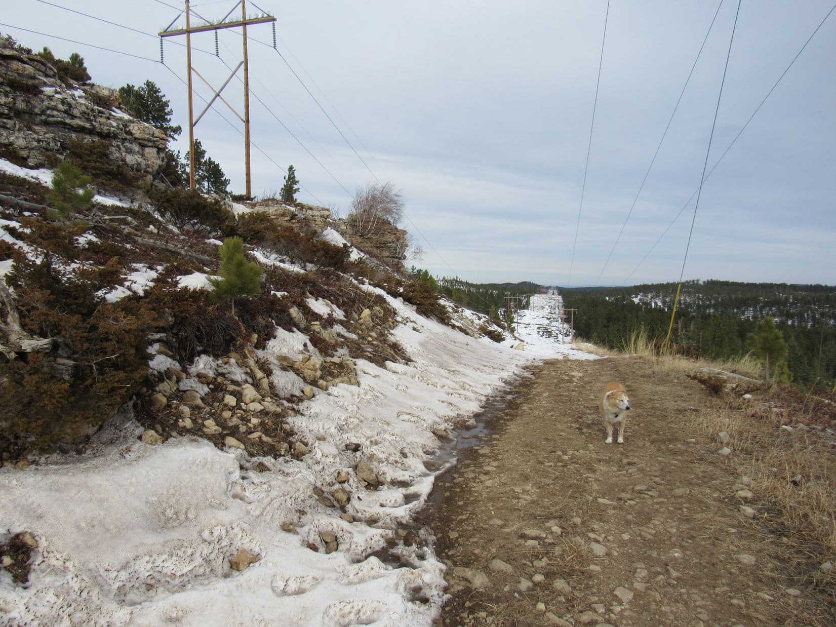
Continuing on past the intersection, the terrain rose a bit then flattened out.  A long march ensued along the snowy road as it gradually turned W, then NW, while staying up on fairly high ground.  Despite the balmy temperature, the SW wind still made it feel quite cool.

Beyond the intersection, continuing W along USFS Road No. 216. Photo looks W.
The snowy road went on and on. Photo looks WNW.

Do you remember any of this, Looper?  I’m sure we’ve been in this region before, but I must have it confused with somewhere else.  It’s not like what I thought I remembered.

Pleasant enough here, SPHP, but kind of non-descript.  Looks like a lot of places in the Black Hills.  Nothing stands out as familiar to me, either.  What does your topo map say?

Doesn’t even show a road here, just a trail, but I’m almost certain we’re still going the right way.

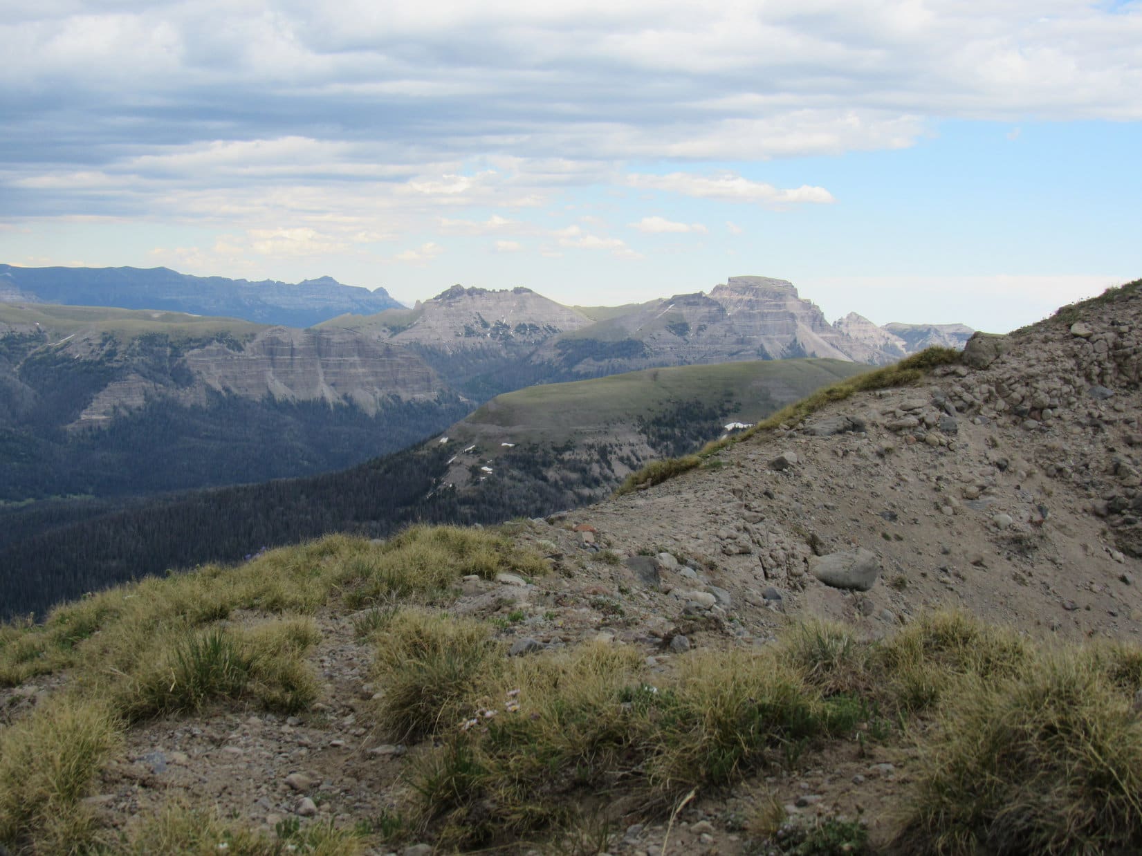
A brief glimpse of Terry Peak (7,064 ft.) came into sight just before the road reached the end of the high ground and began to drop.  After losing more than 100 feet of elevation, music could be heard.  At an unmarked intersection, the music seemed to be coming from off in the forest to the NE.  Peering over in that direction, Lupe saw what appeared to be a set of large, rusty wind chimes.  They were just hanging there in the forest, not close to any visible structure.

That’s kind of weird, SPHP!  But the chimes do sound good!

I like them, too, Loop!  Never have known they were there without this wind.

At the intersection near the wind chimes. Photo looks N.

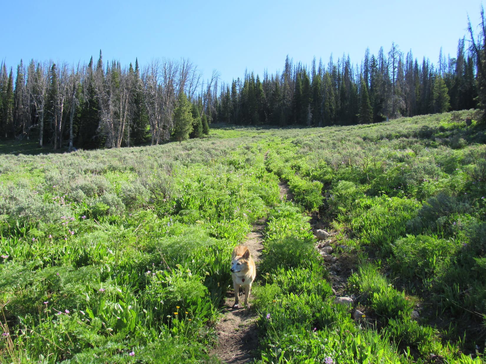
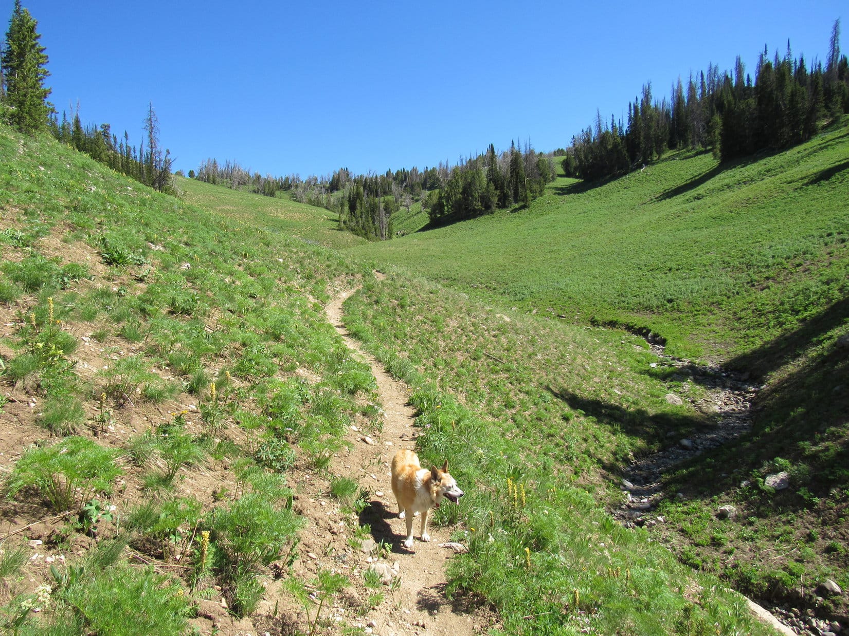
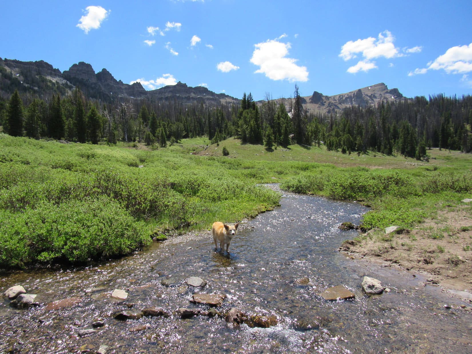
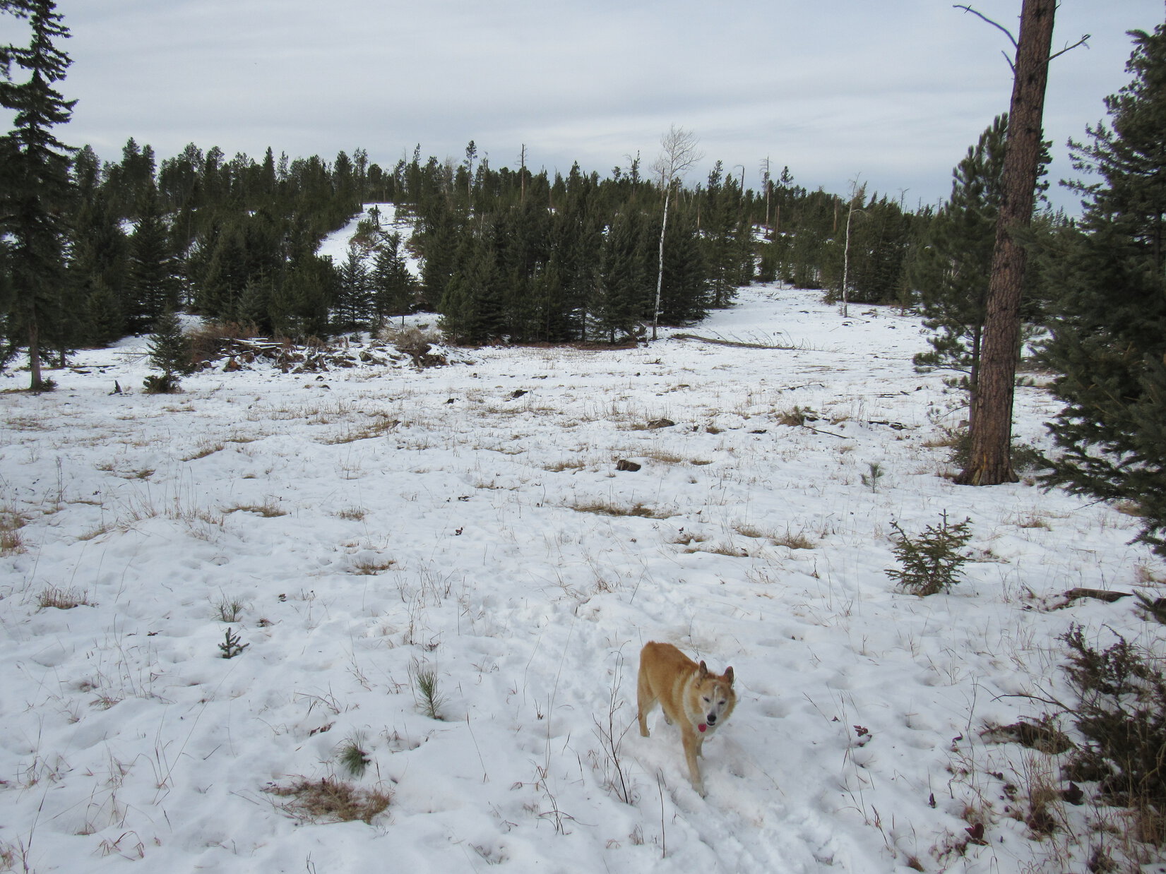
The road curved WSW here, still heading gradually downhill.  A quick check of the map revealed that this was likely USFS Road No. 561.1C.  Lupe followed it for more than 0.33 mile to where it curved SW.

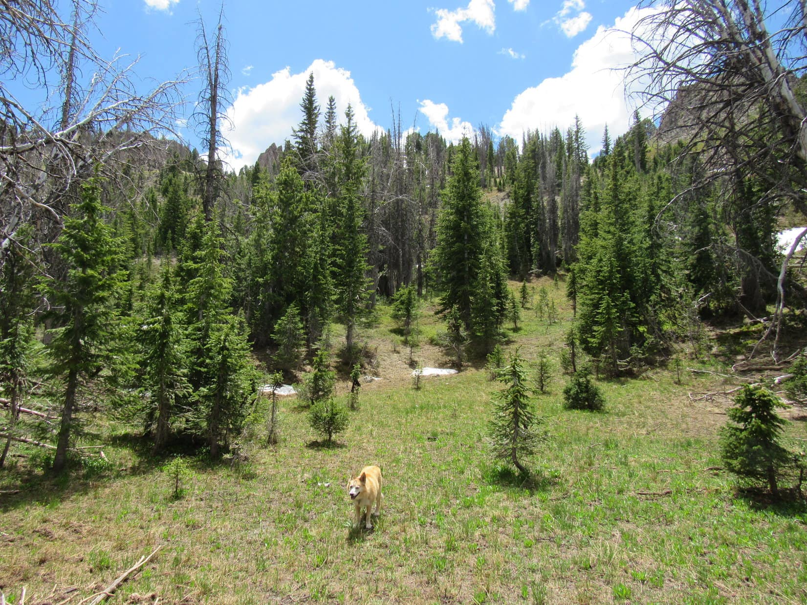
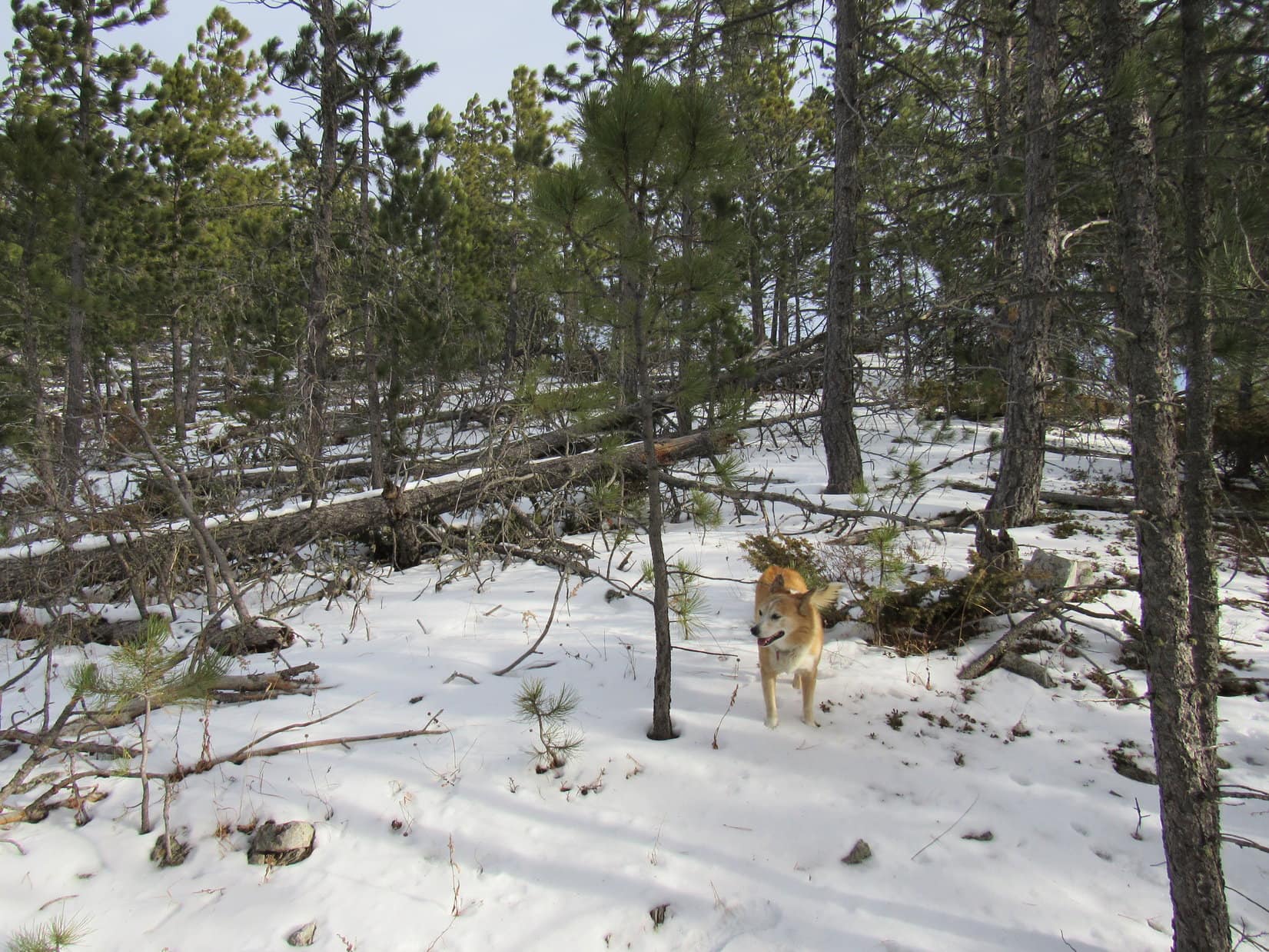
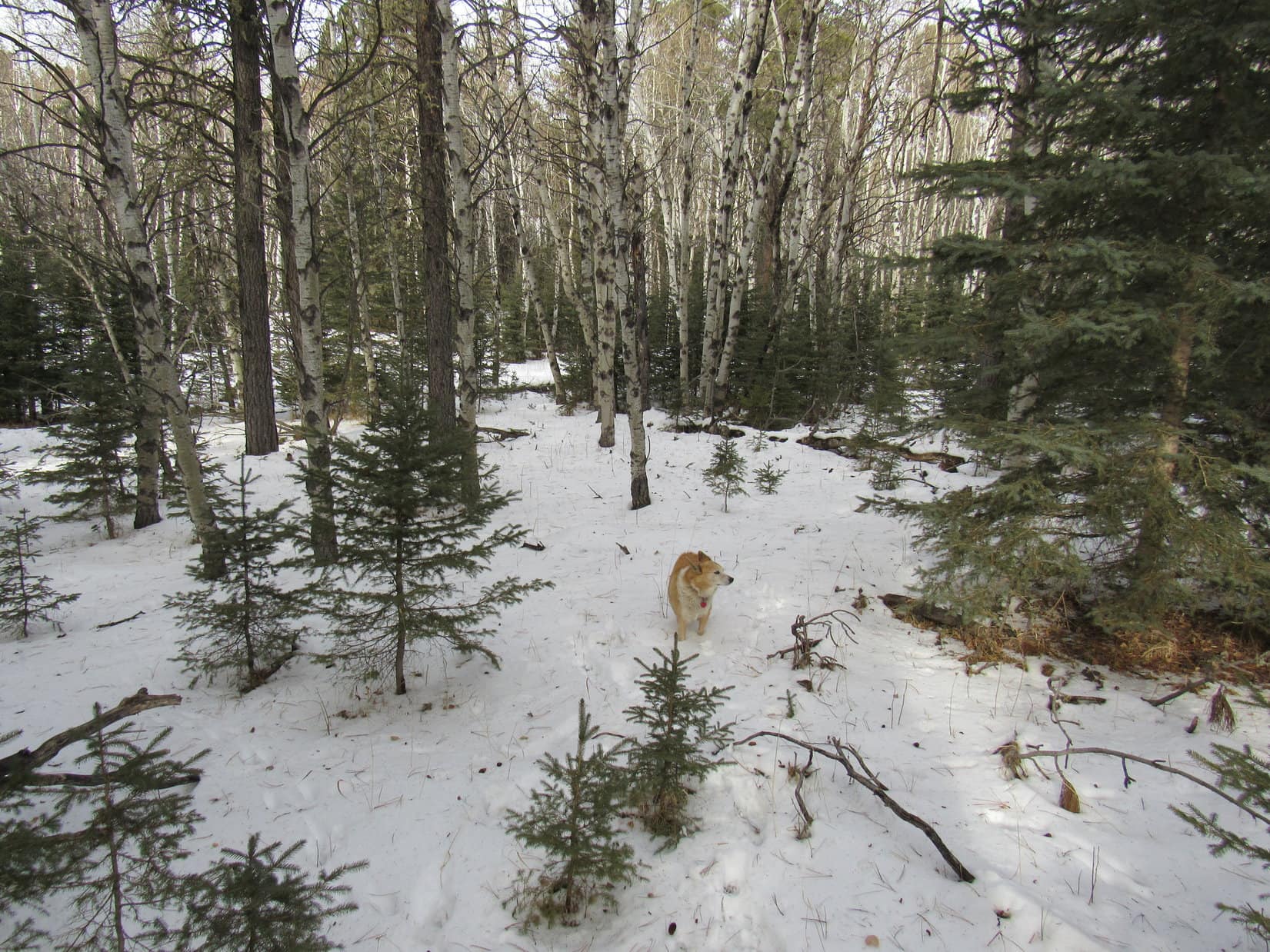
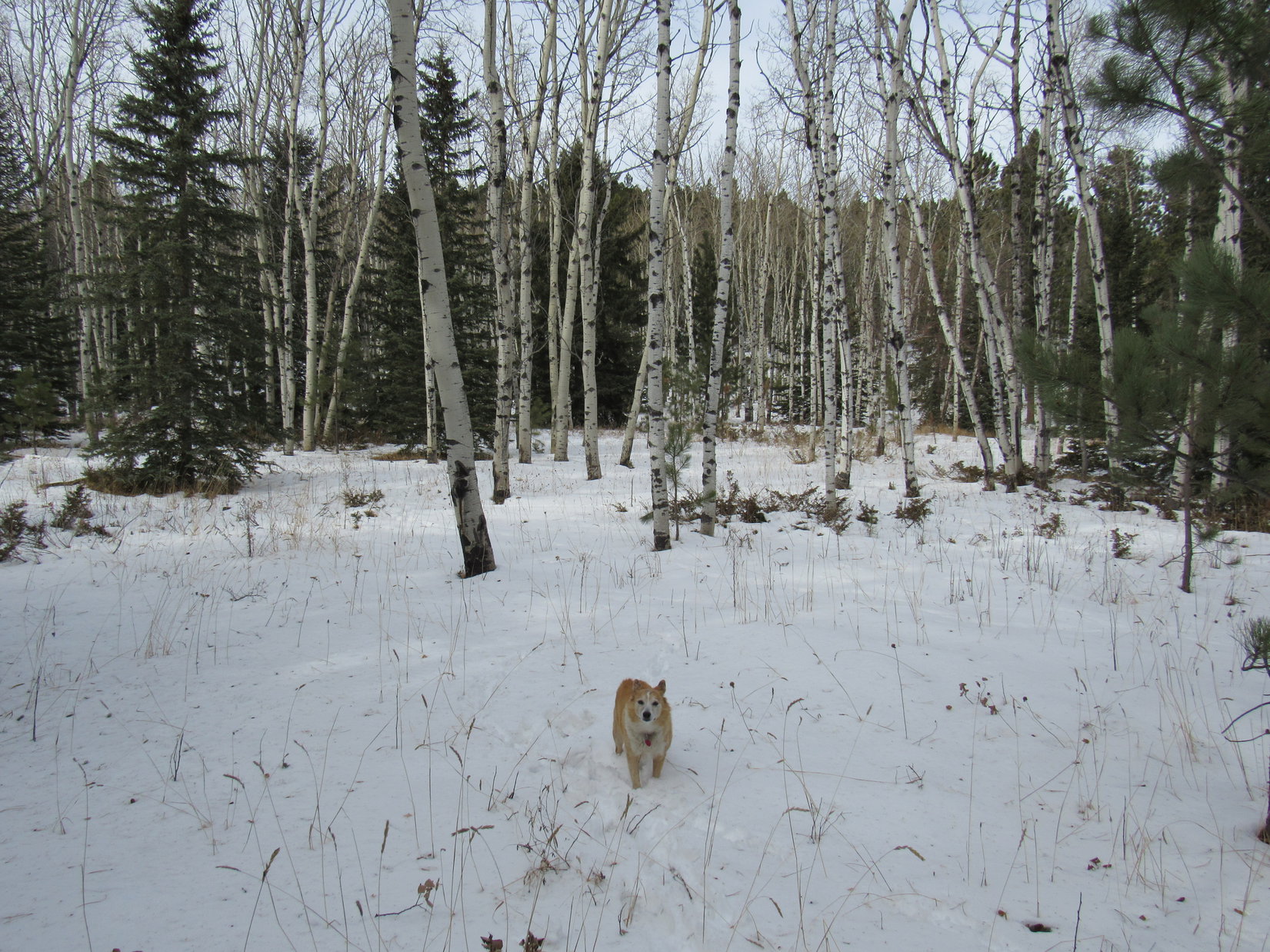
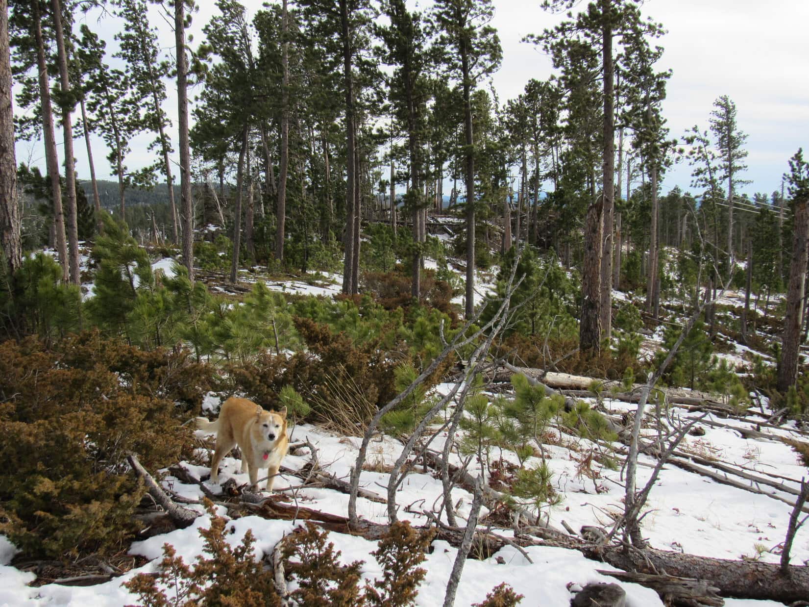
SW was the wrong way.  Peak 6480 still had to be NW.  Leaving the road, Lupe plunged N into the forest.  A short descent quickly leveled out at sort of a magical place full of Christmassy little spruce trees among tall white-barked aspens.

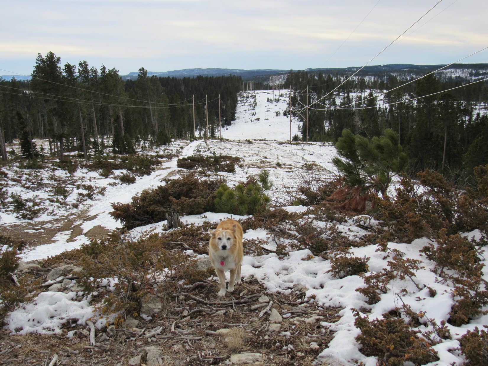
Just beyond the little spruce trees, Lupe came to an open lane that went a short distance E to a clearing.  Turning N again here, the terrain led up to the corner of a huge snowy field surrounded by a wooden pole fence.  Crossing a small corner of this field, Lupe returned to the forest.  A brief climb led to a big gravel road, clearly USFS Road No. 561 on the map.

Heading down USFS Road No. 561.1C. Photo looks W.
Among the little Christmassy spruce trees. Photo looks N.
At the clearing. Photo looks E.
The huge snowy field. Photo looks ENE.
On USFS Road No. 561. Photo looks NE.

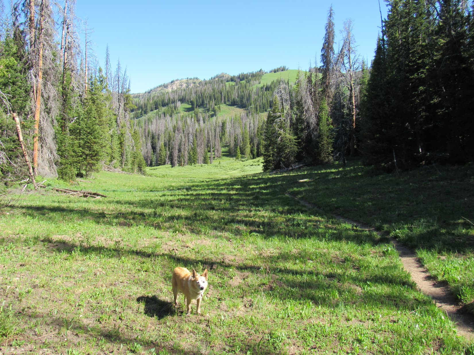
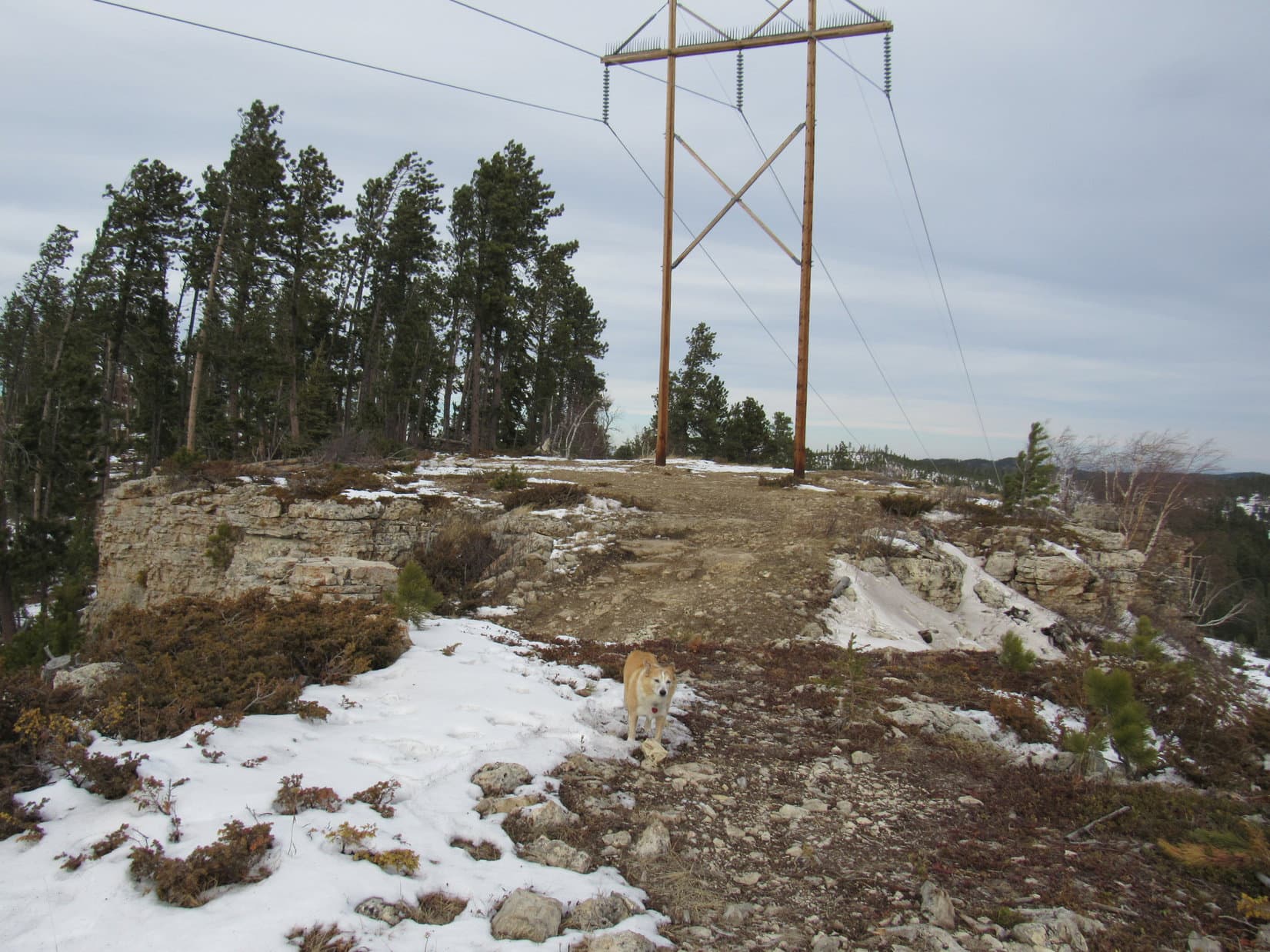
Crossing No. 561, Lupe headed NW right back into the forest.  At first, the terrain sloped gently, but soon she was climbing much more steeply.  Another pole fence was encountered.  A small power line ran along it.  Ducking under the fence, Loop kept climbing.  Before long she reached flatter terrain.

Continuing NW after crossing USFS Road No. 561. Photo looks NW.
By the wooden pole fence. Photo looks S.

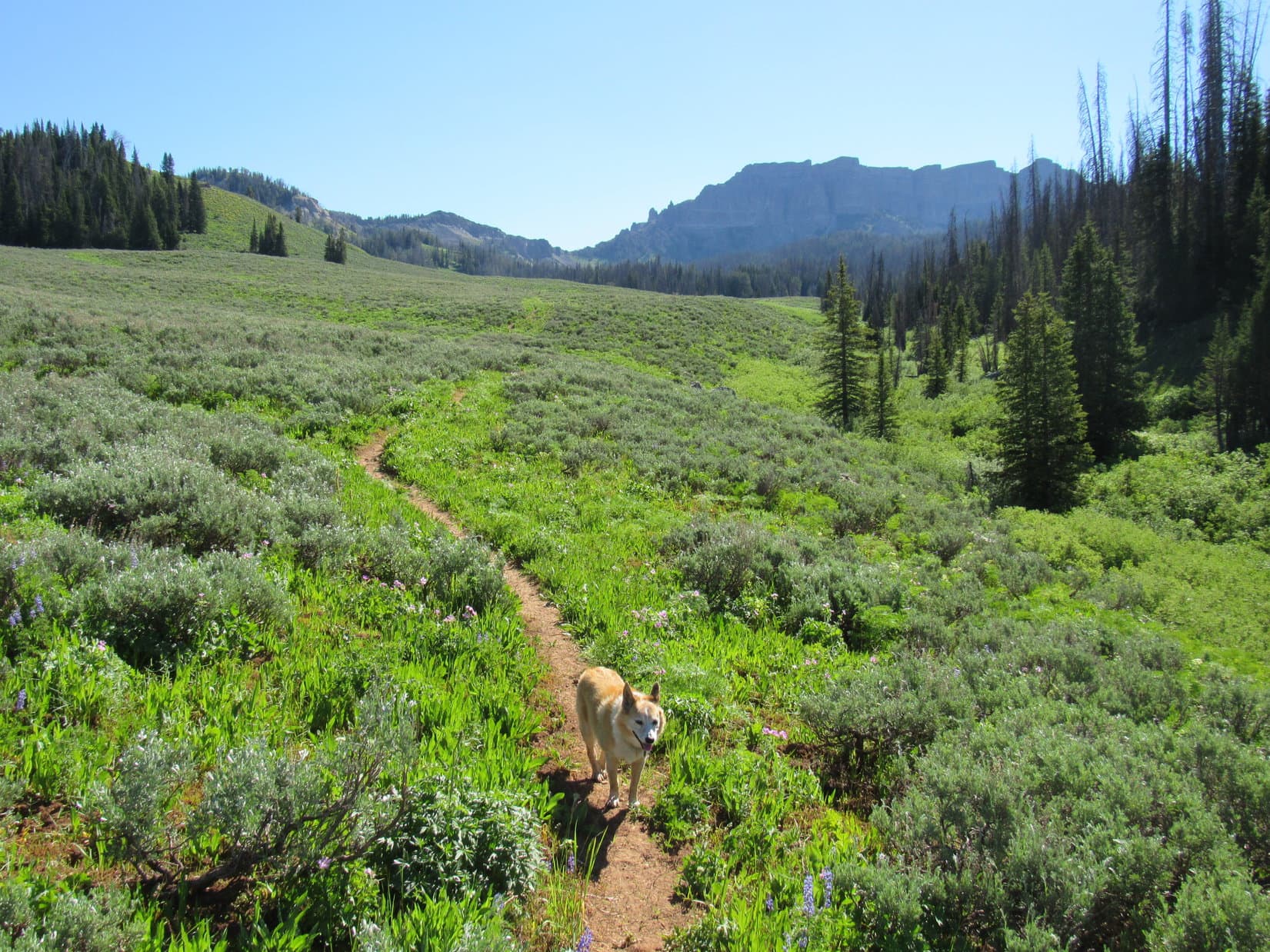
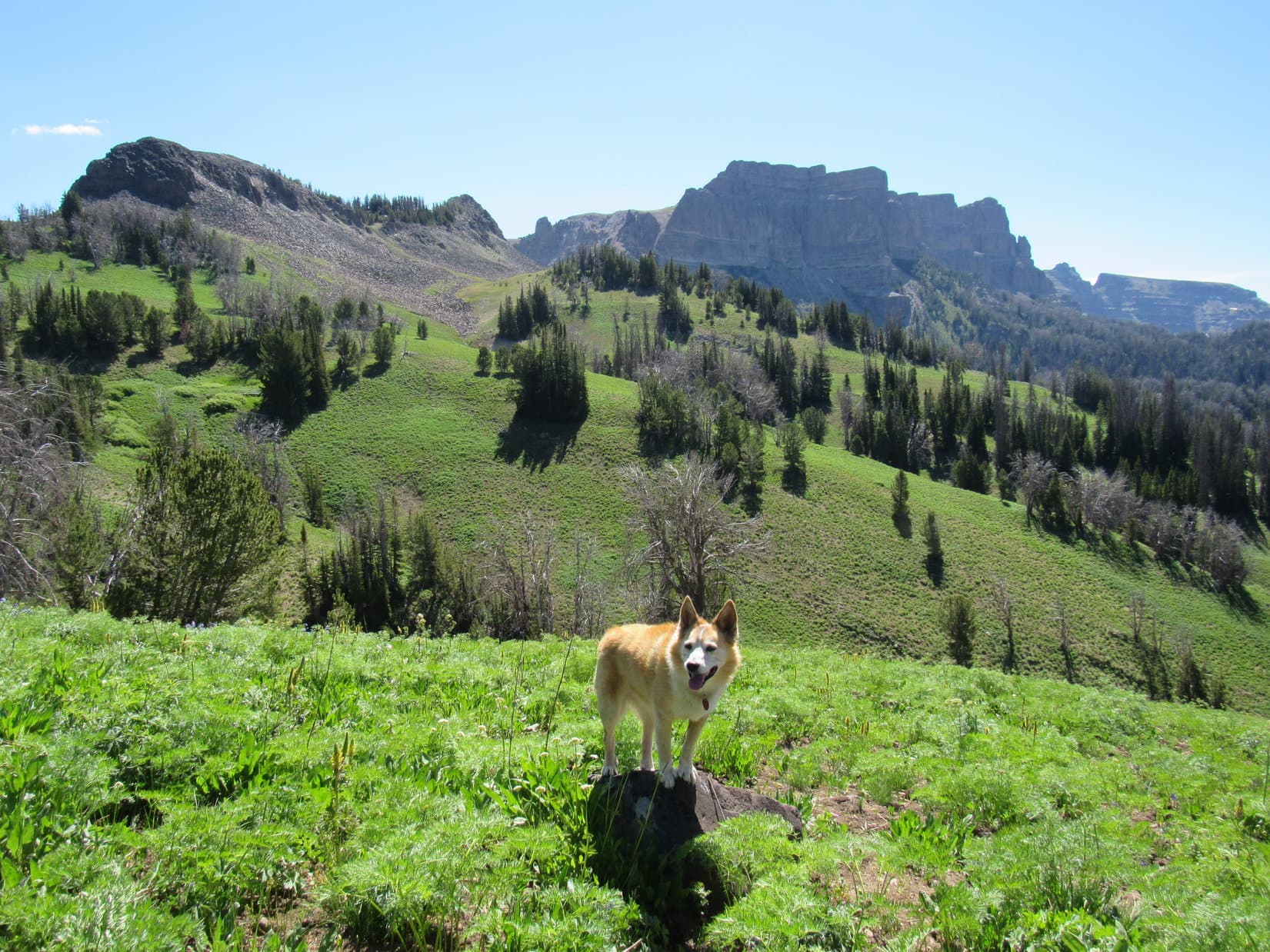
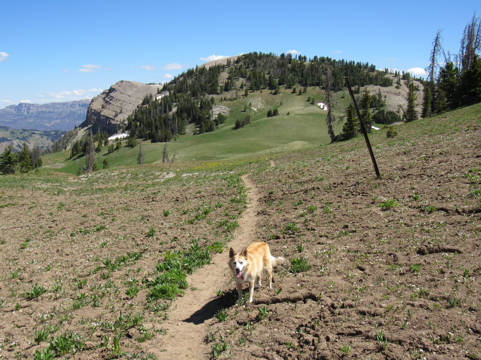
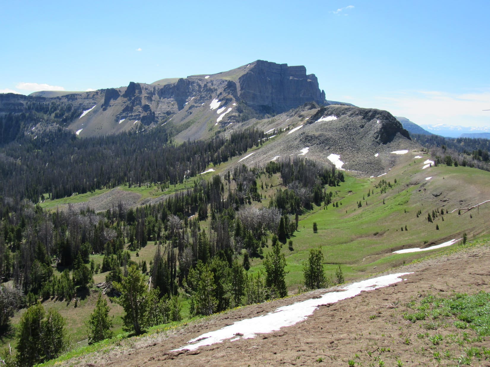
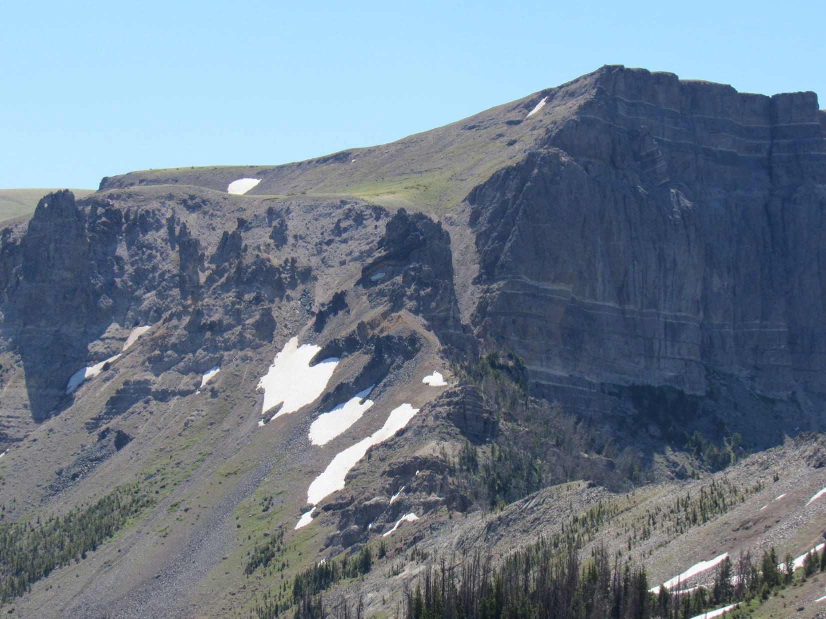
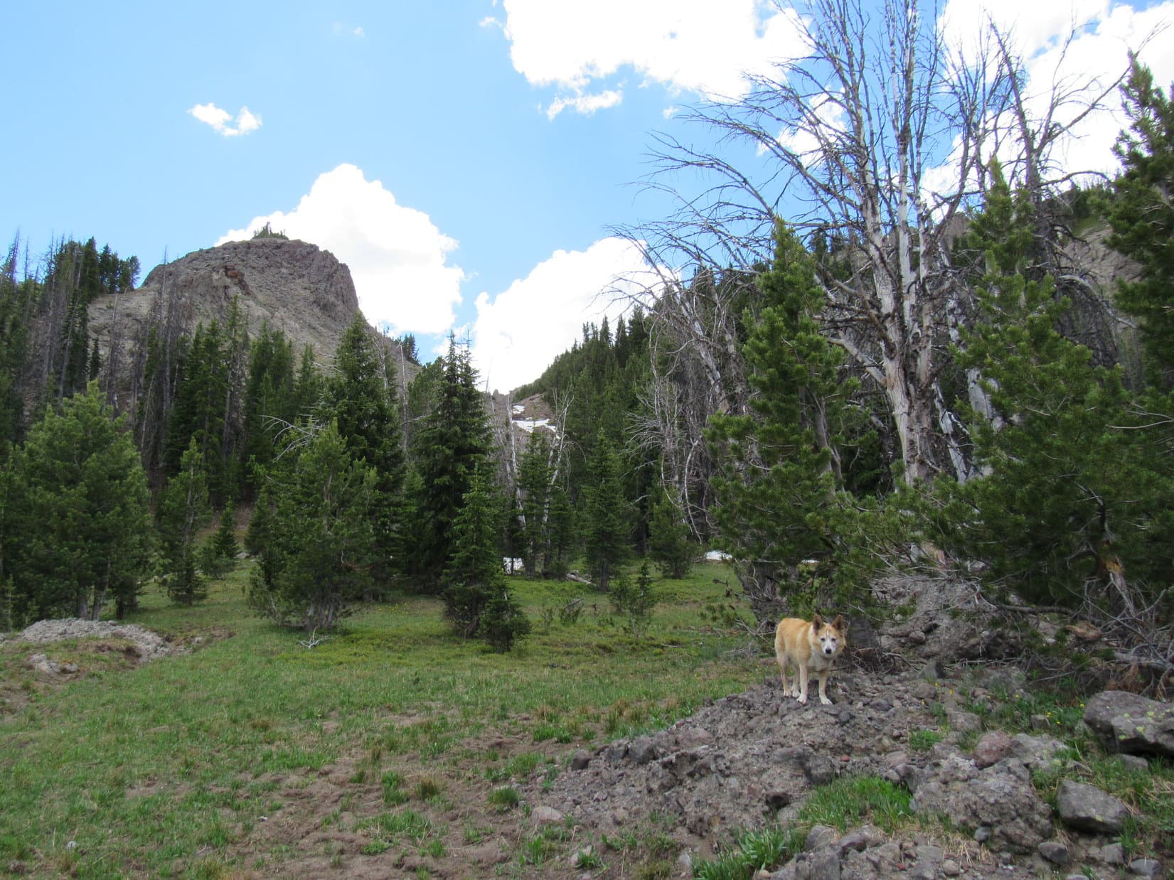
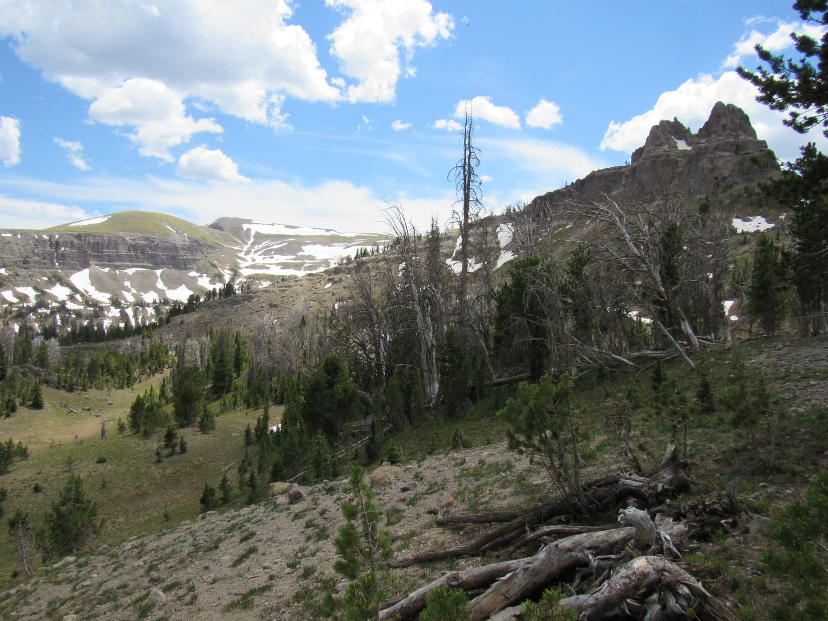
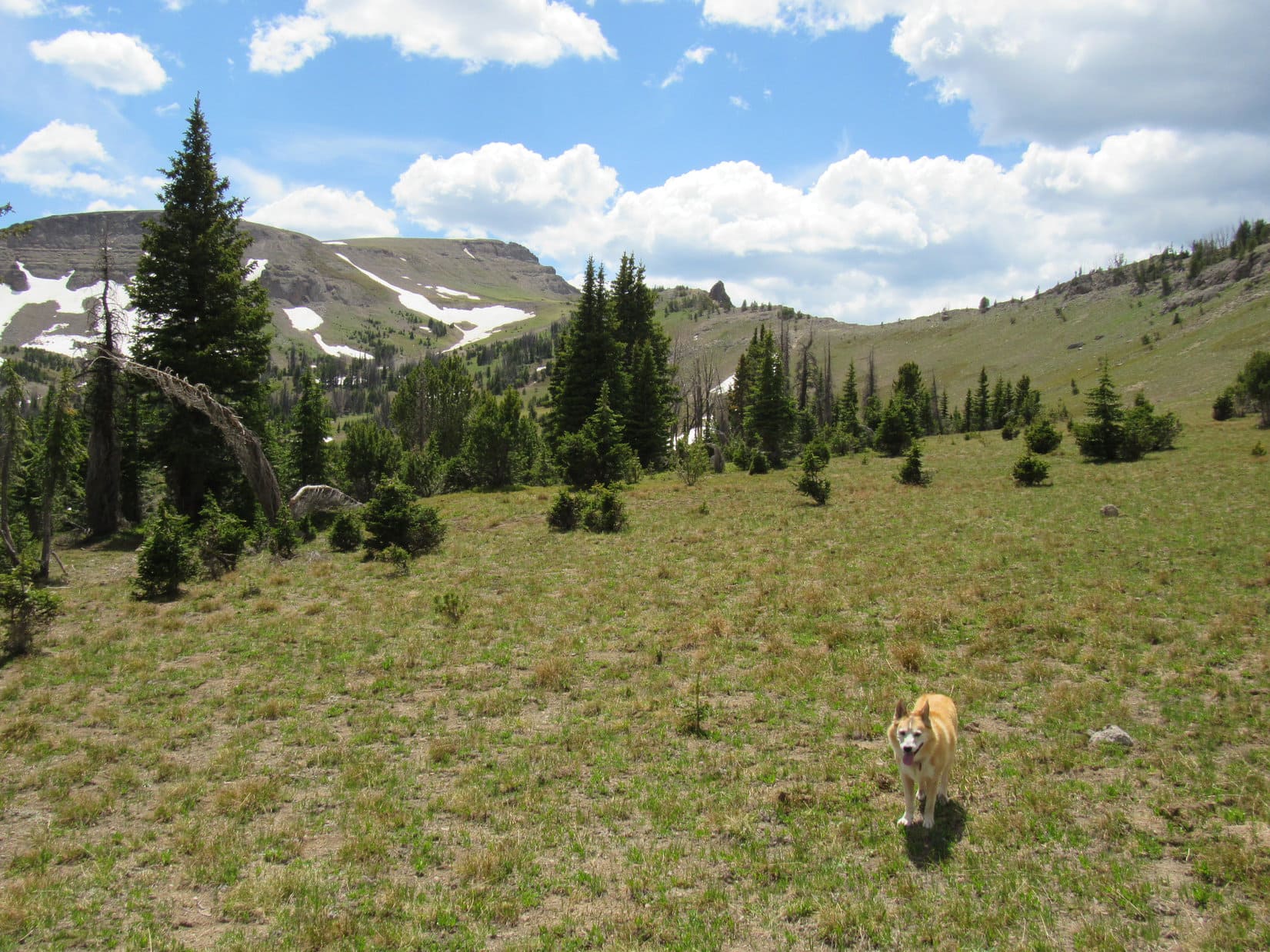
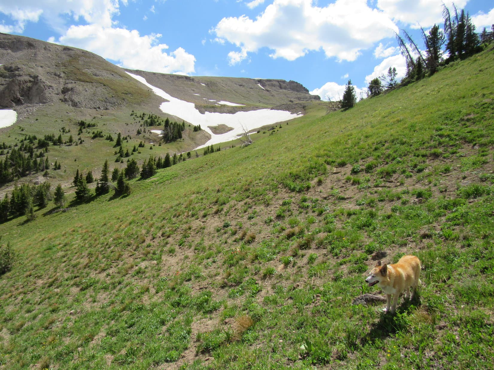
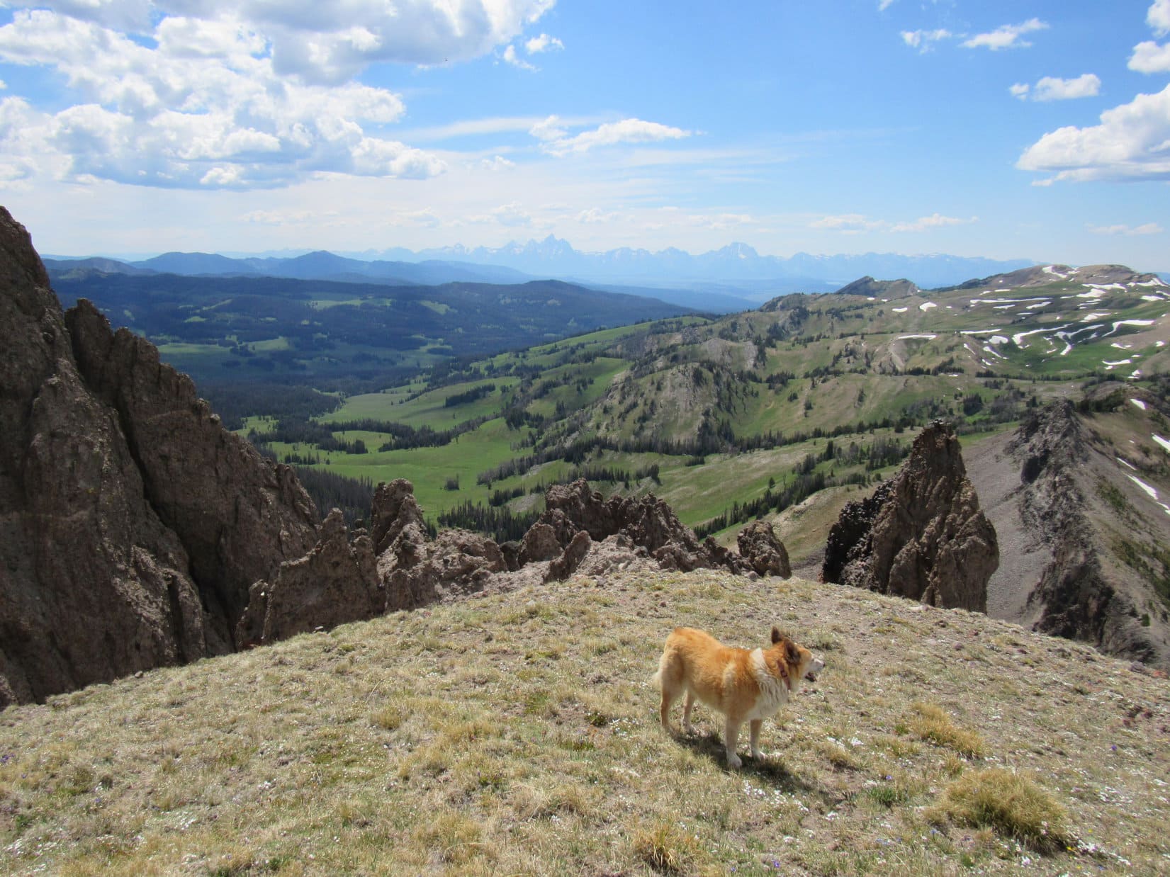
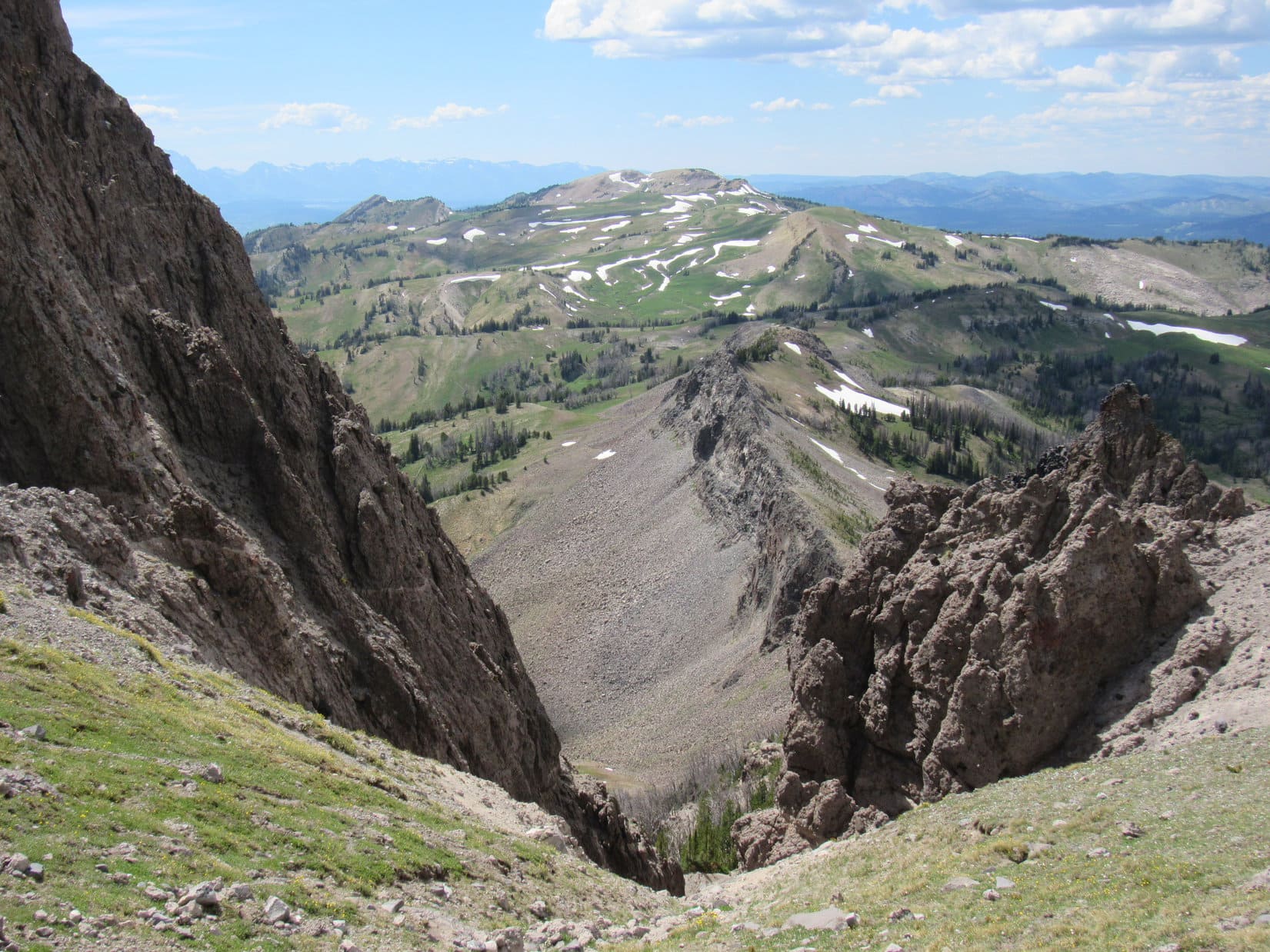
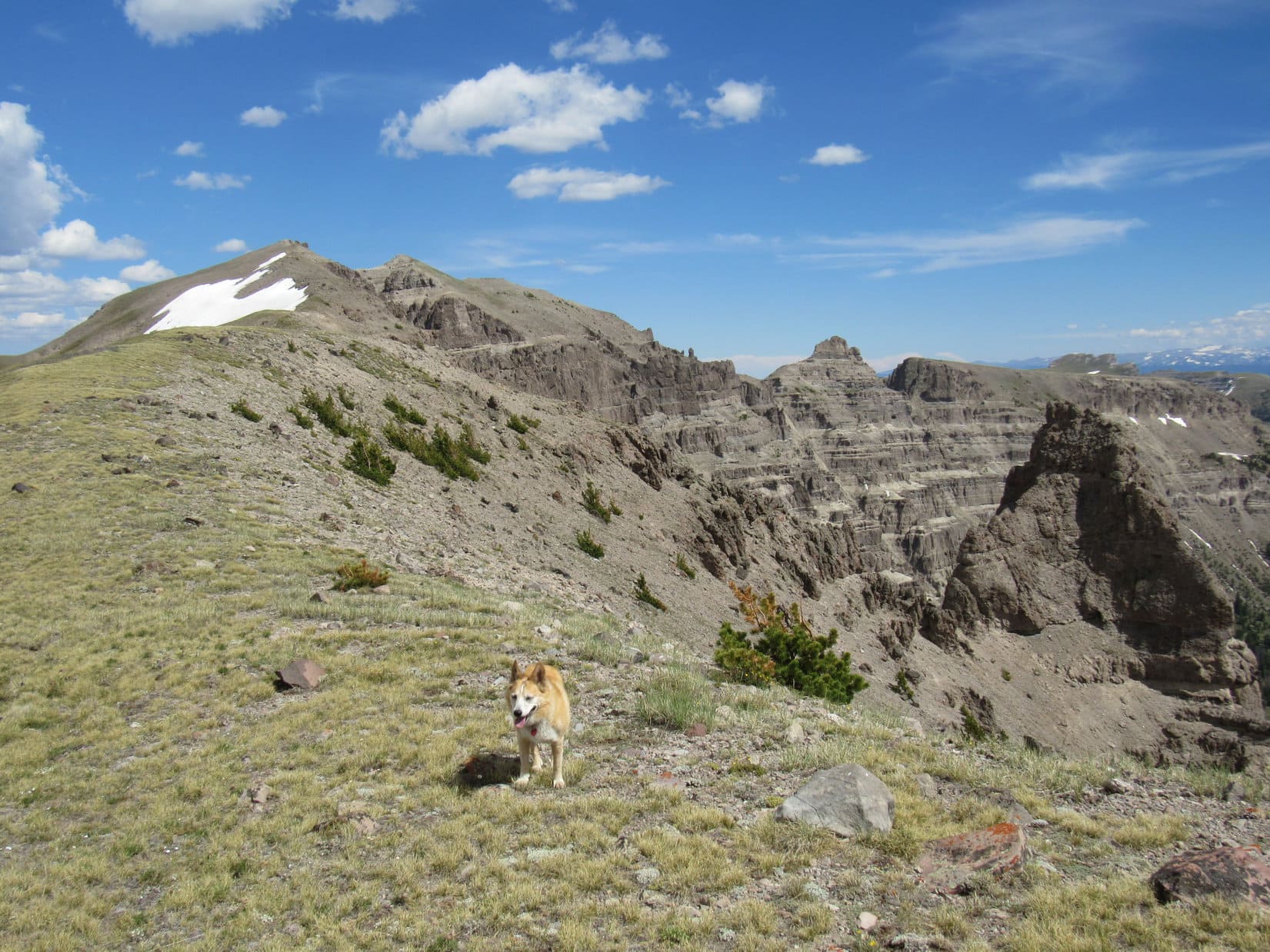
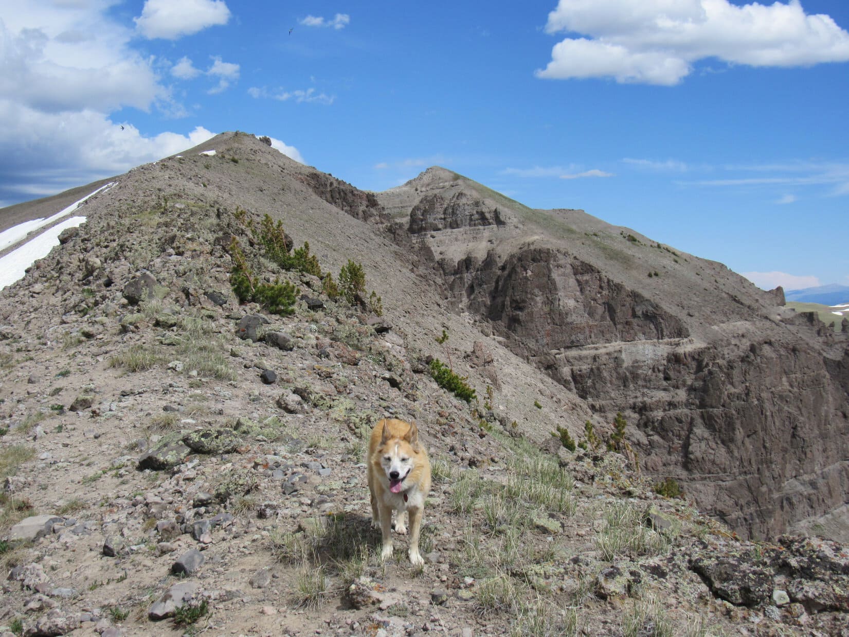
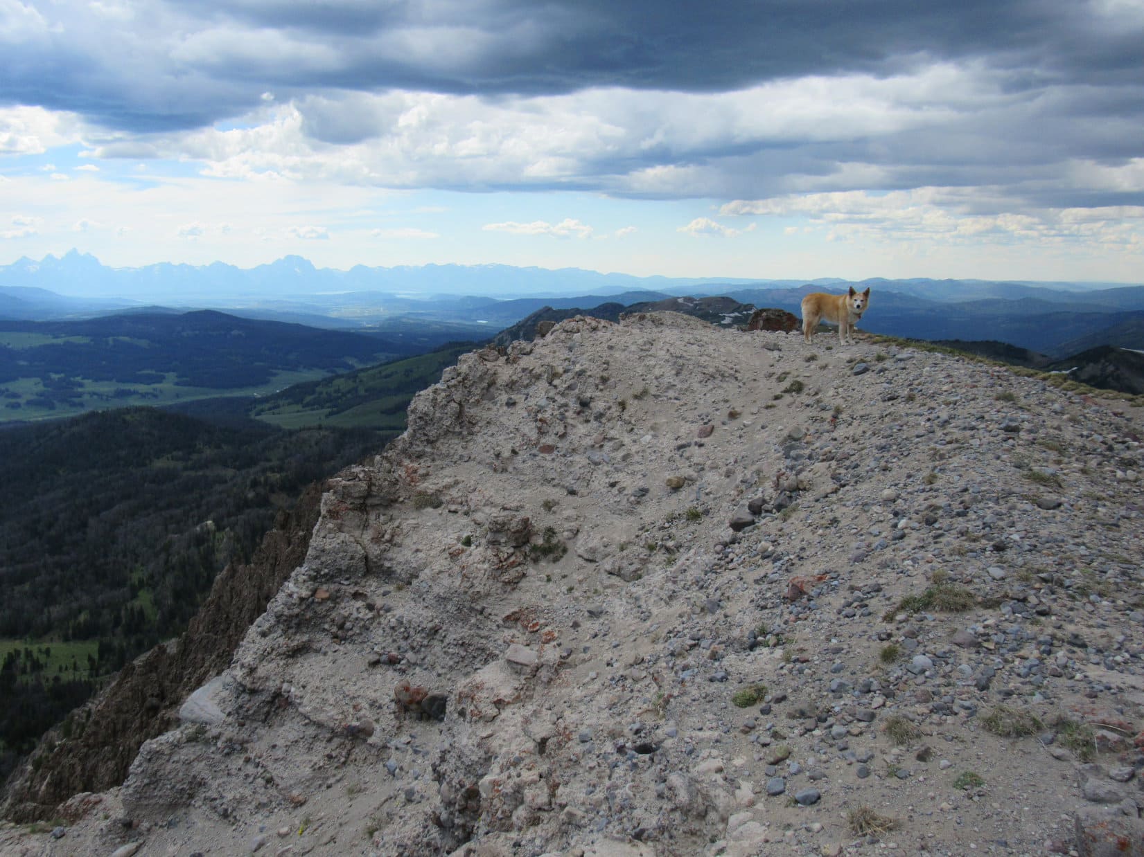
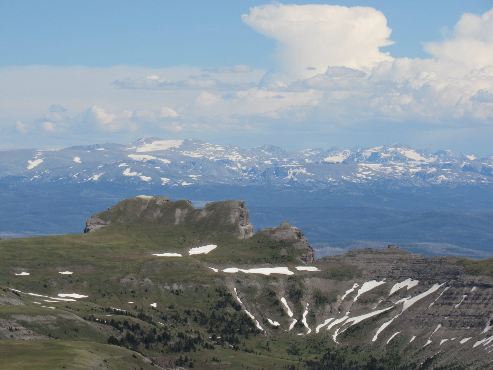
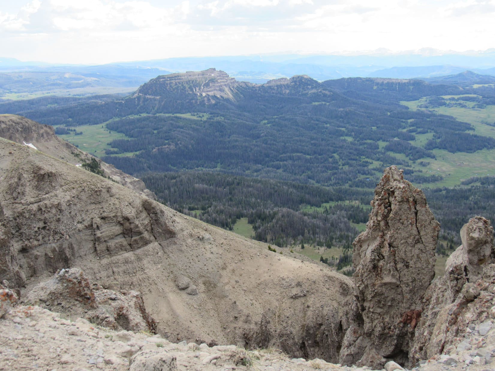
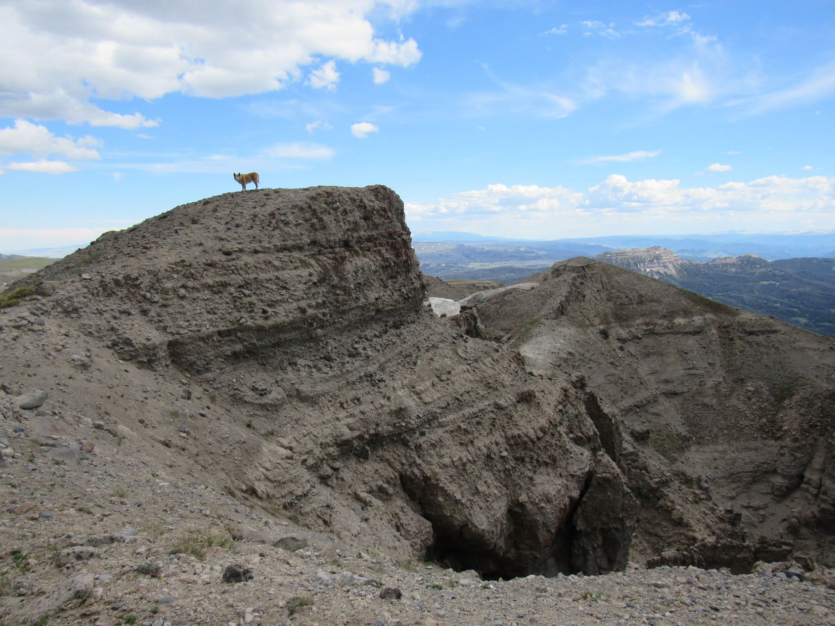
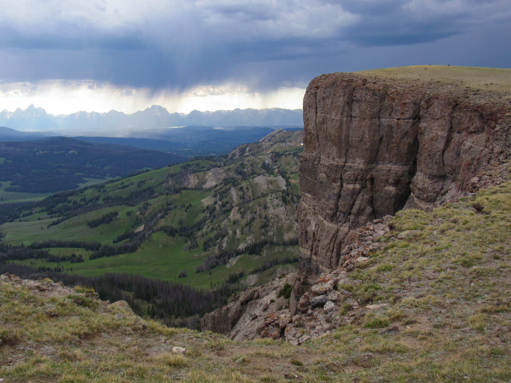
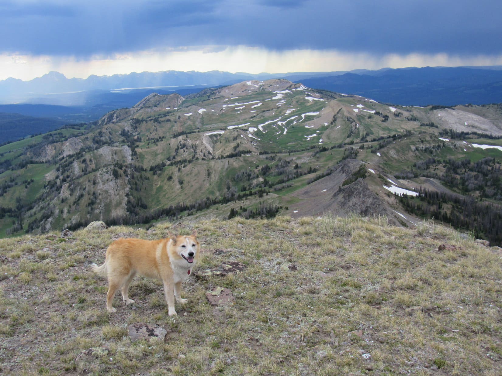
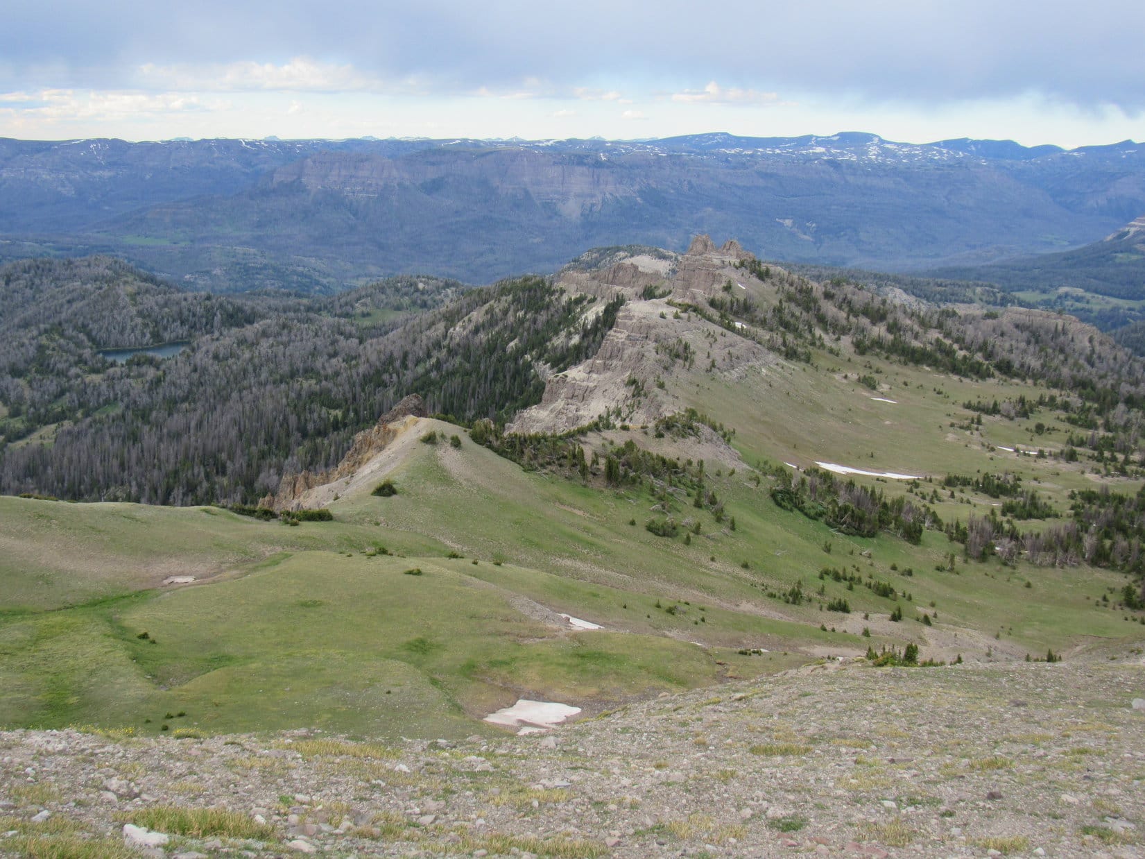
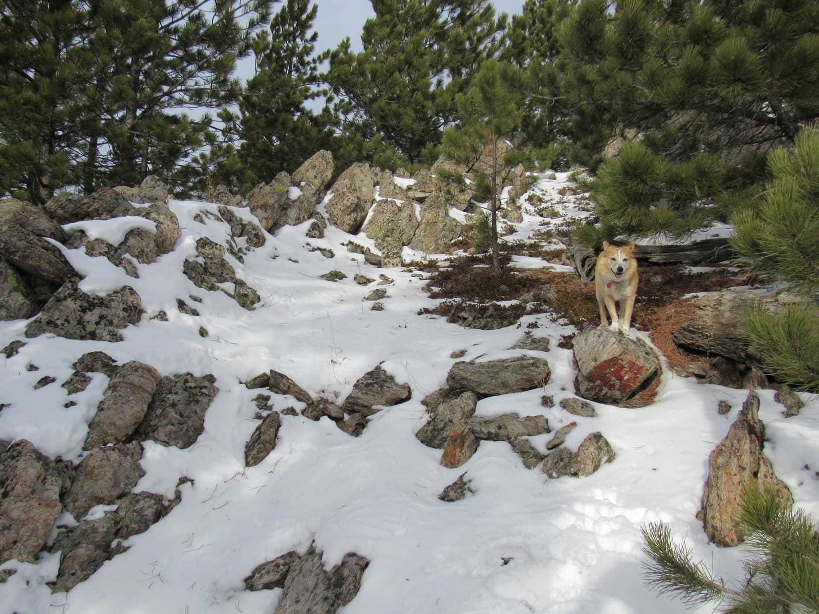
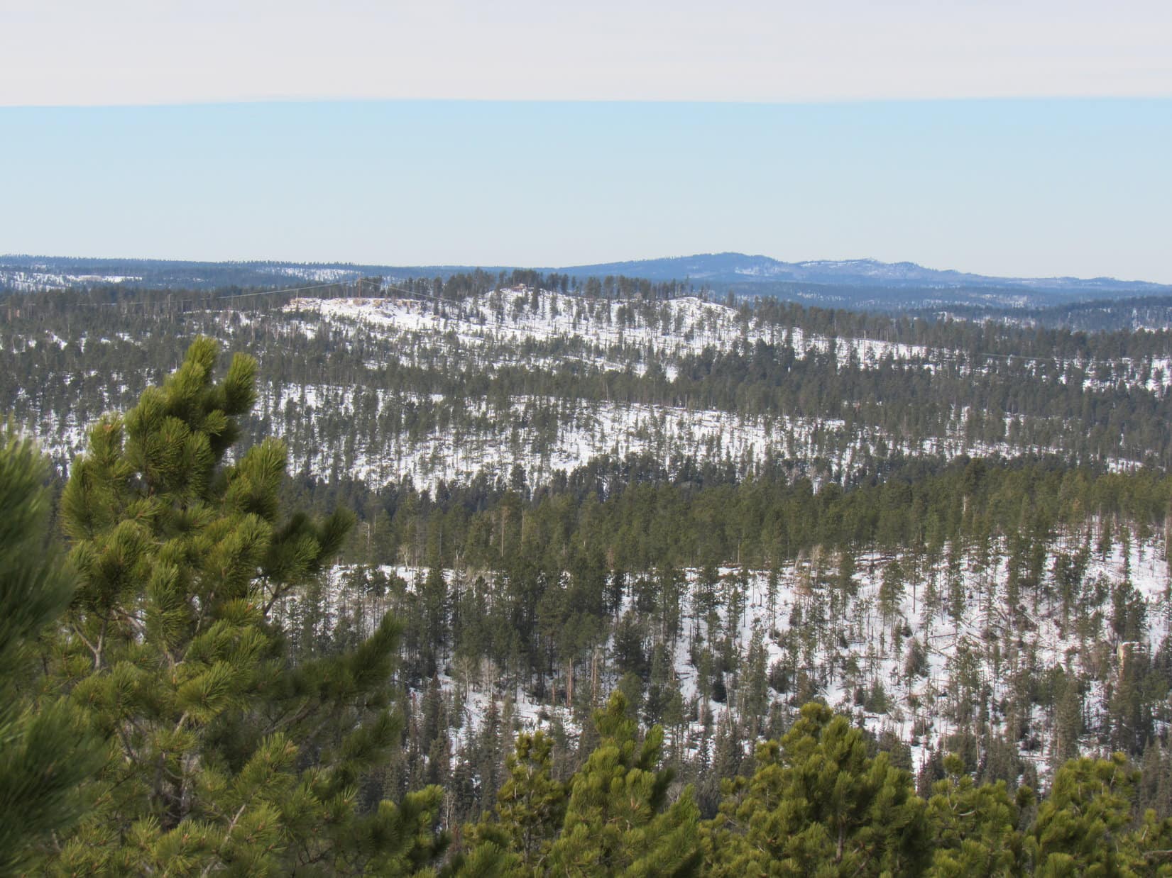
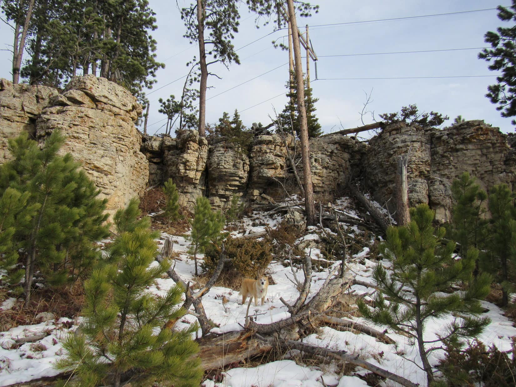
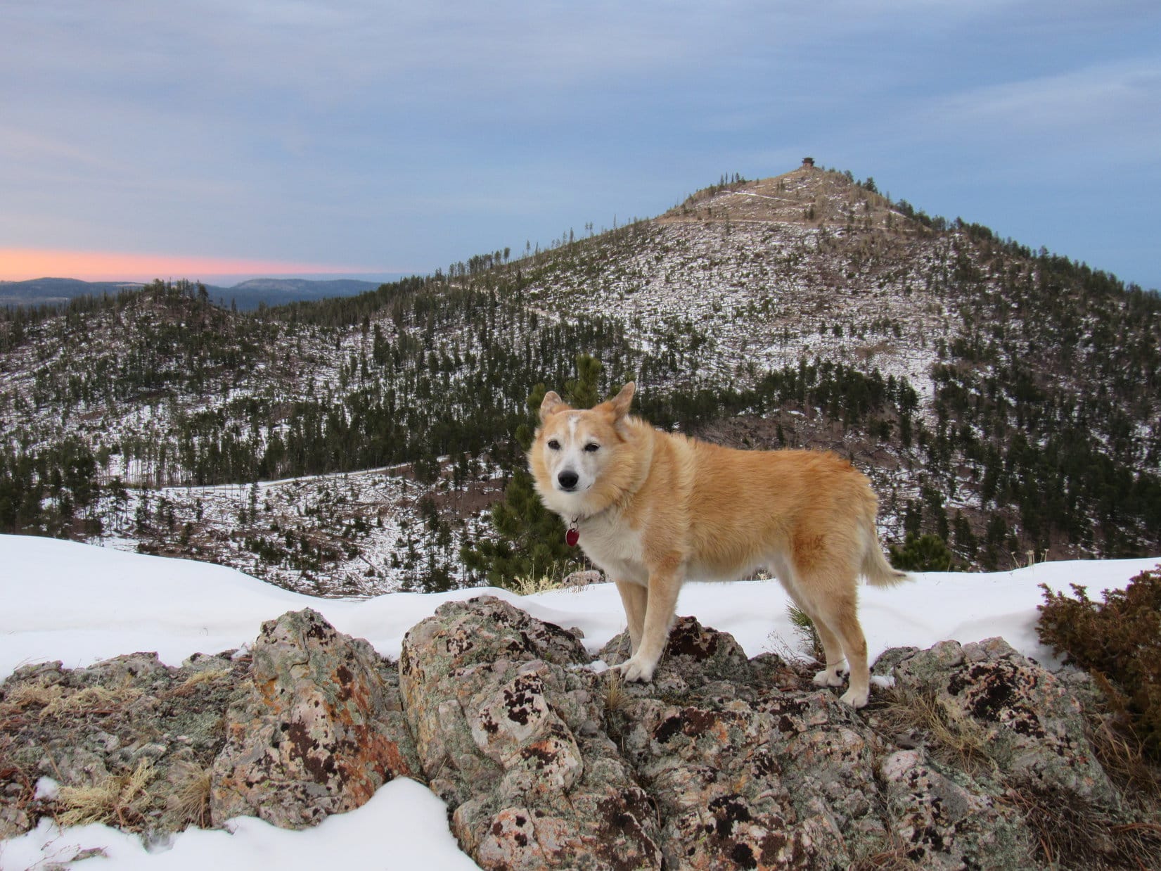
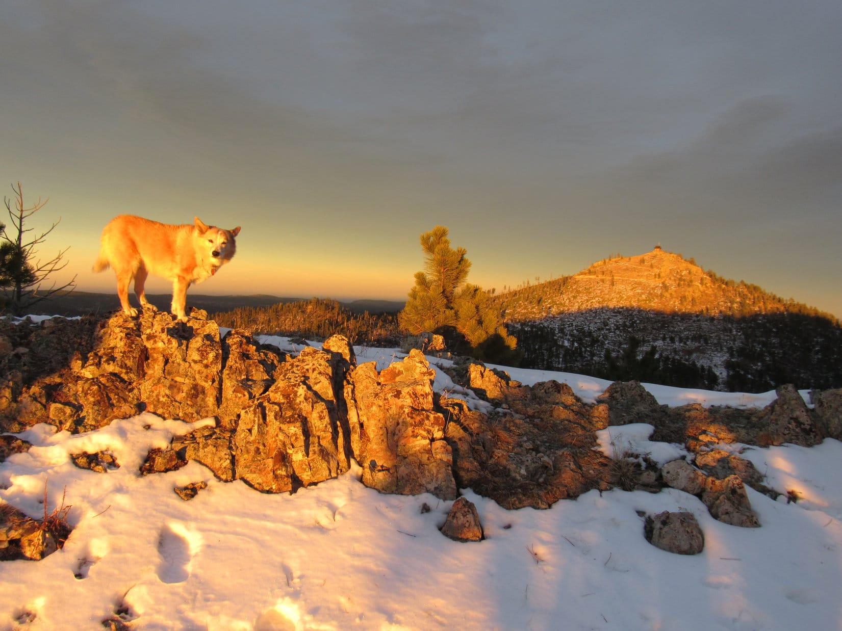
Lupe was now up on the SE end of the 6,400 foot ridge SE of Peak 6480.  Glancing back, both Custer Peak and Peak 6600 were visible 2 miles E.  This broad ridge ran NW/SE, so Loop followed it 0.2 mile to its high point at the far NW end.  From here, a big power line could be seen 0.5 mile farther NW atop a small cliff.  That was the S end of Peak 6480!

At the SE end of the 6,400 foot ridge. Custer Peak (L) and Peak 6600 (beyond Lupe) in the distance. Photo looks ESE.
Approaching the high point at the NW end of the 6,400 foot ridge. Photo looks NW.
Looking back from the high point of the 6,400 foot ridge. Photo looks SE.

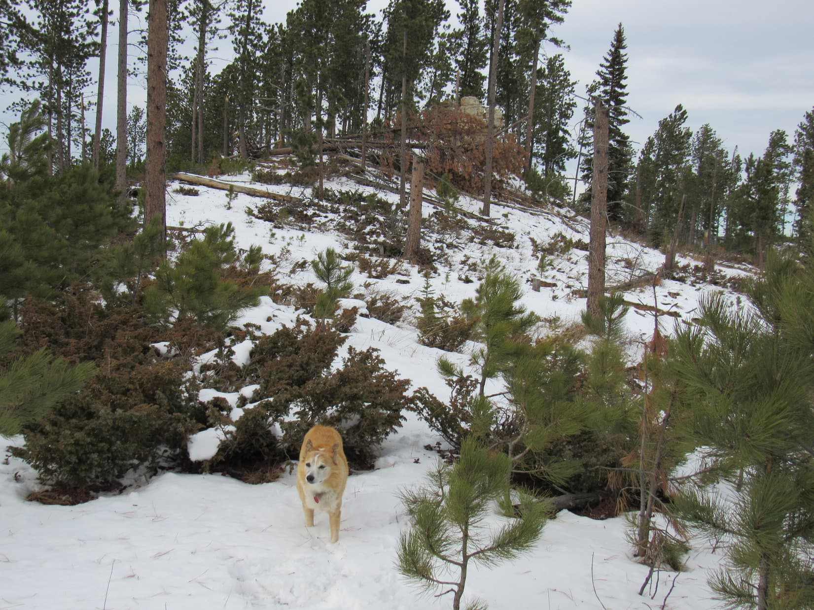
A gradual, mostly open slope led down to the broad saddle connecting to Peak 6480.  This region looked like it had been logged at some point.  Once across the saddle, Loopster began climbing as she continued NW, eventually reaching a region of young pines and large bushes where the terrain began to level out.  Lupe was already quite close to the big power line above the small cliff by the time she saw it again.

Crossing the saddle leading to Peak 6480. Photo looks NW.
View back to the S on the way up. Photo looks S.
Approaching the power lines on Peak 6480. Photo looks N.

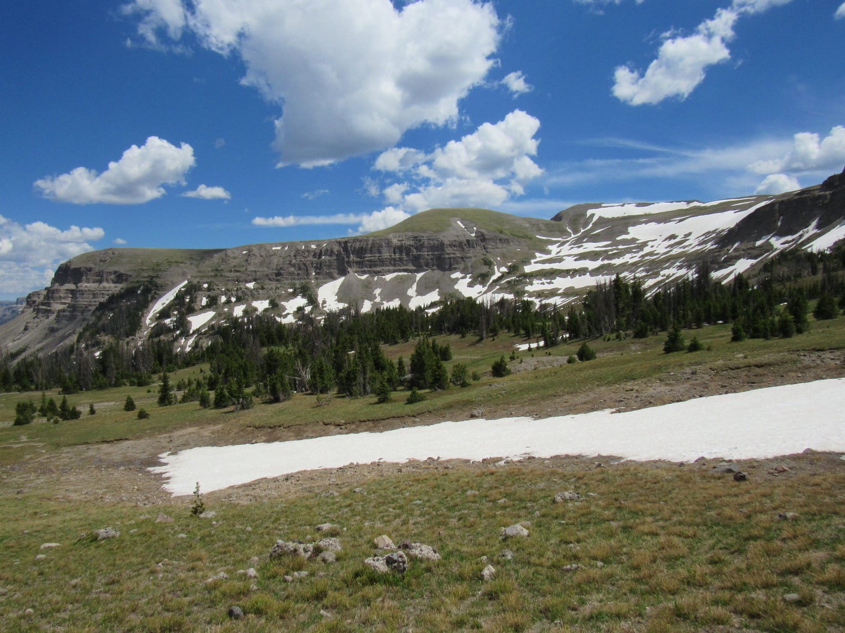
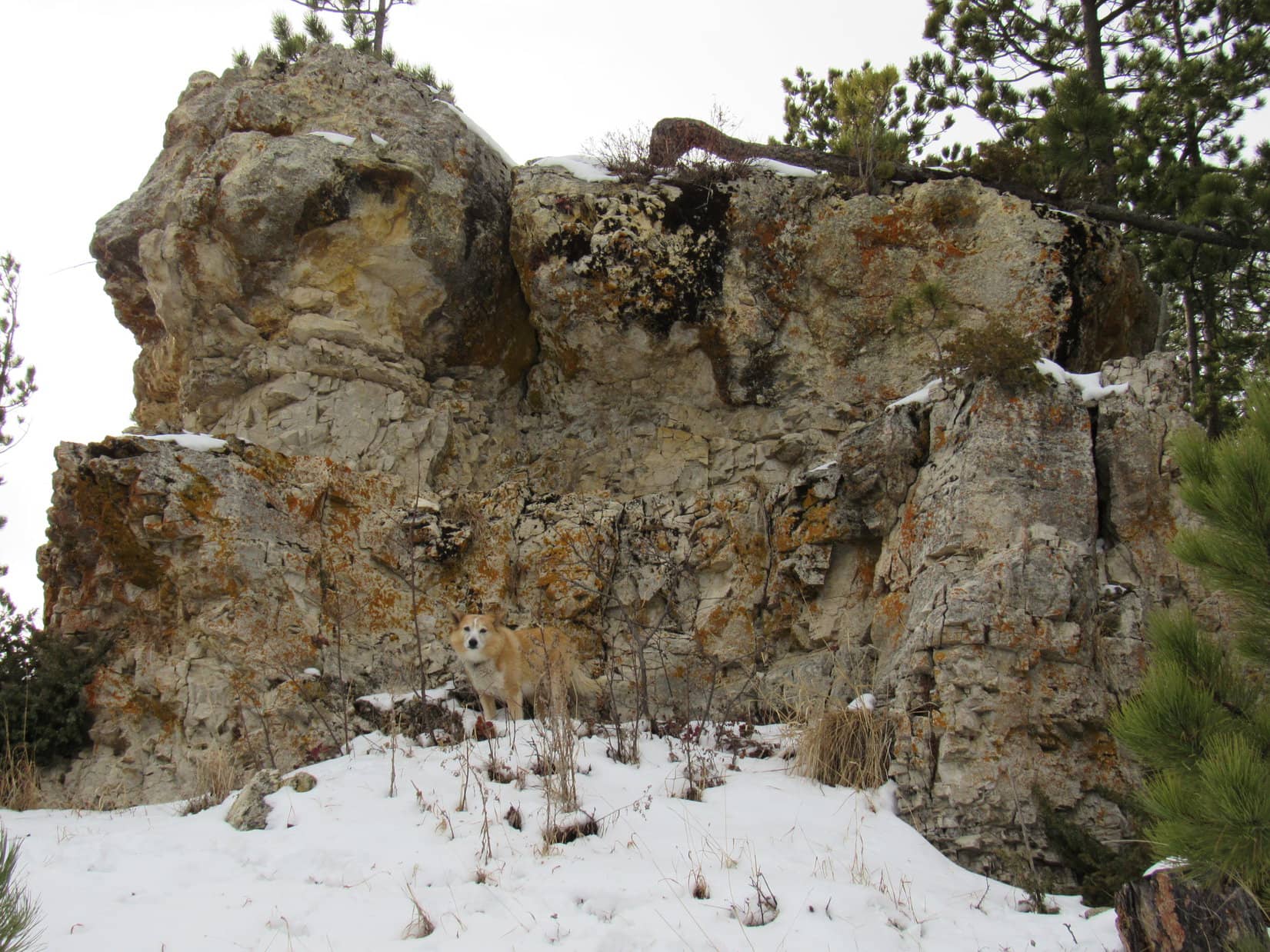
Turned out there were 2 big power lines running parallel to each other.  The cliff the higher one stood on wasn’t very tall.  Finding a route up was a cinch, but Lupe scrambled to the top rather reluctantly.

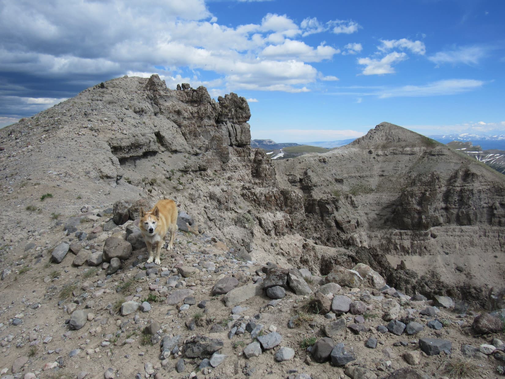
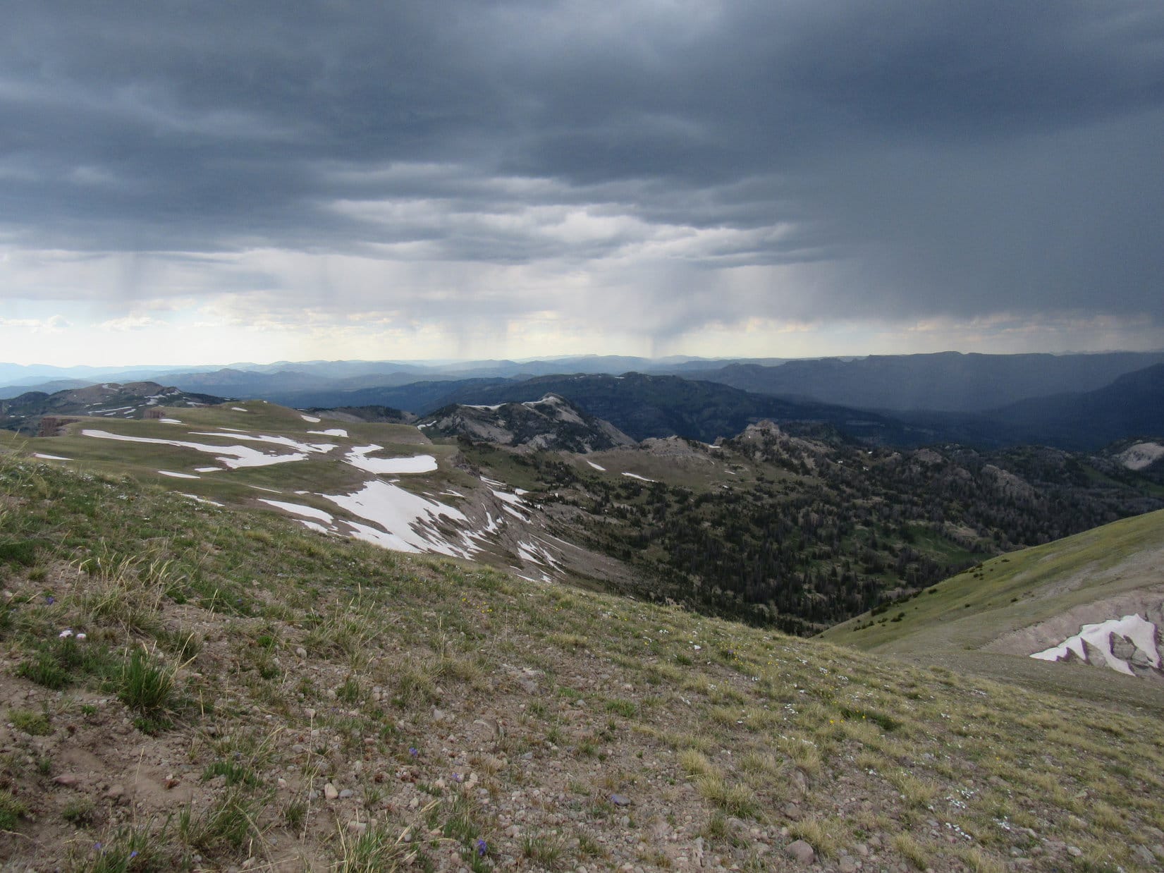
The wind had been blowing all day long.  Back in the forest and down in the valleys, it hadn’t been bad at all, often more heard in the treetops than felt.  This exposed limestone platform was another matter entirely.  The wind was stronger than ever here, a 35 to 40 mph gale out of the W.  Not much fun to a Carolina Dog’s way of thinking!

Although this was a good viewpoint, Lupe stayed only long enough for a quick look around.

By the power lines. Photo looks NNE.
On the limestone platform above the small cliffs. Photo looks SSW.
Custer Peak (far L) and Peak 6600 (L). Photo looks SE.
The upper power line. Photo looks N.

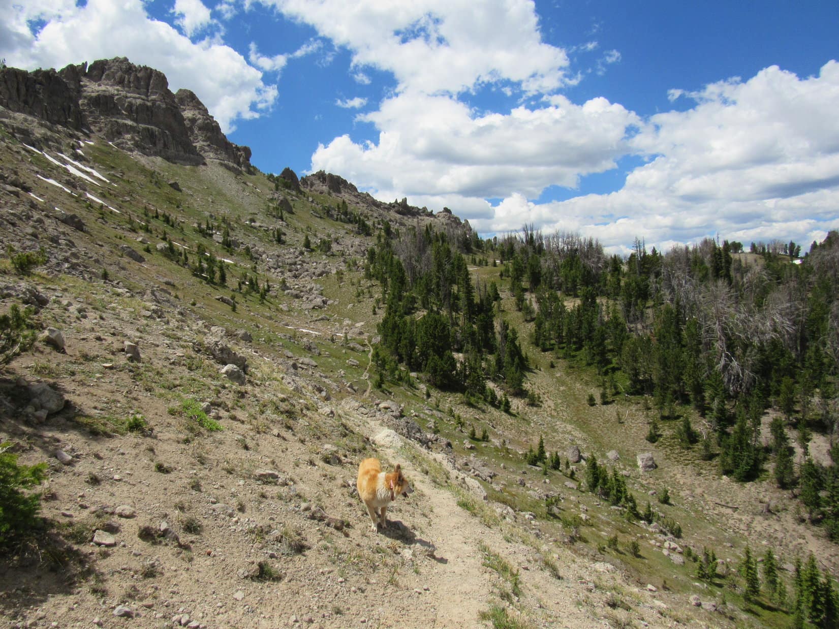
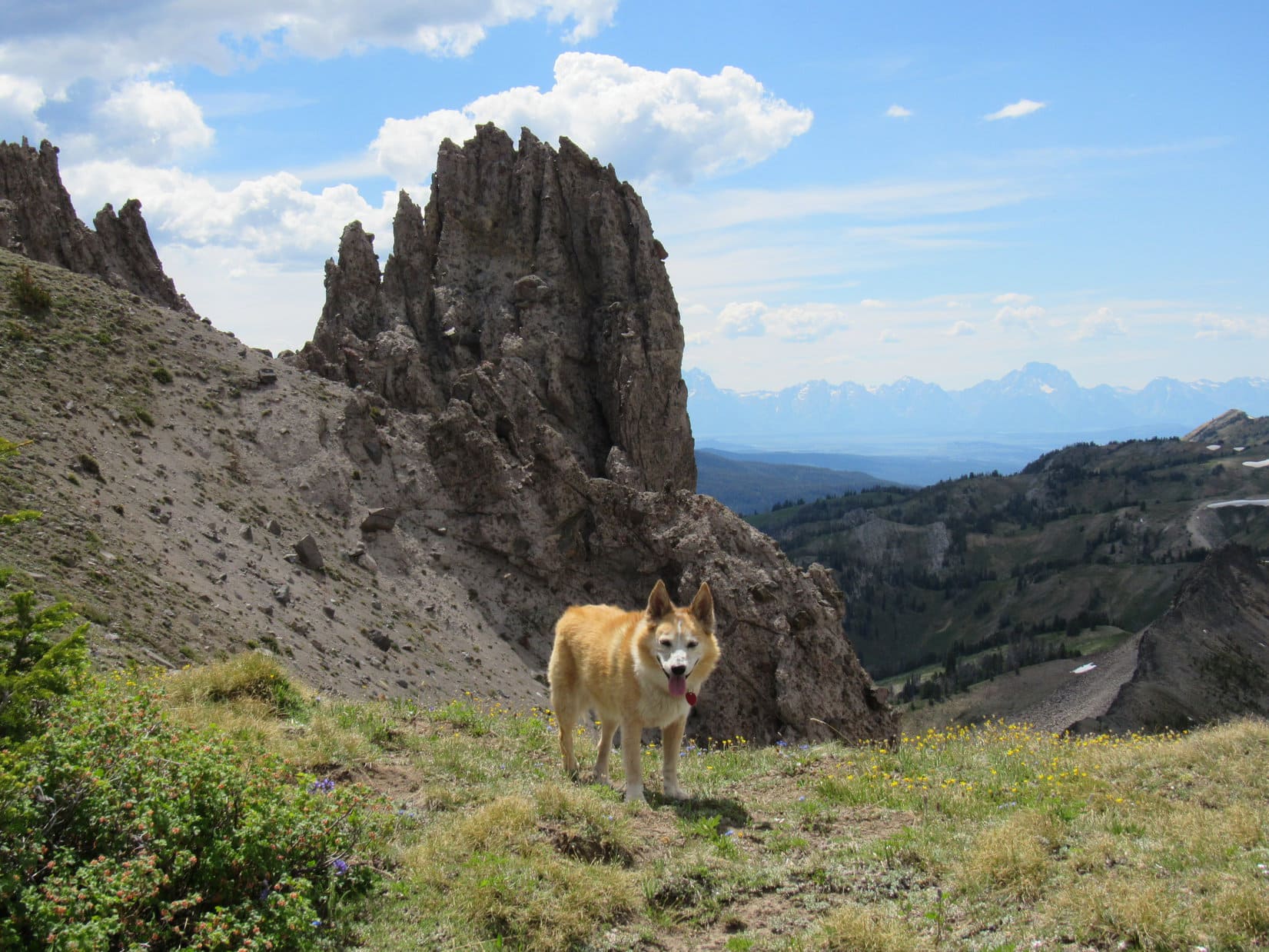
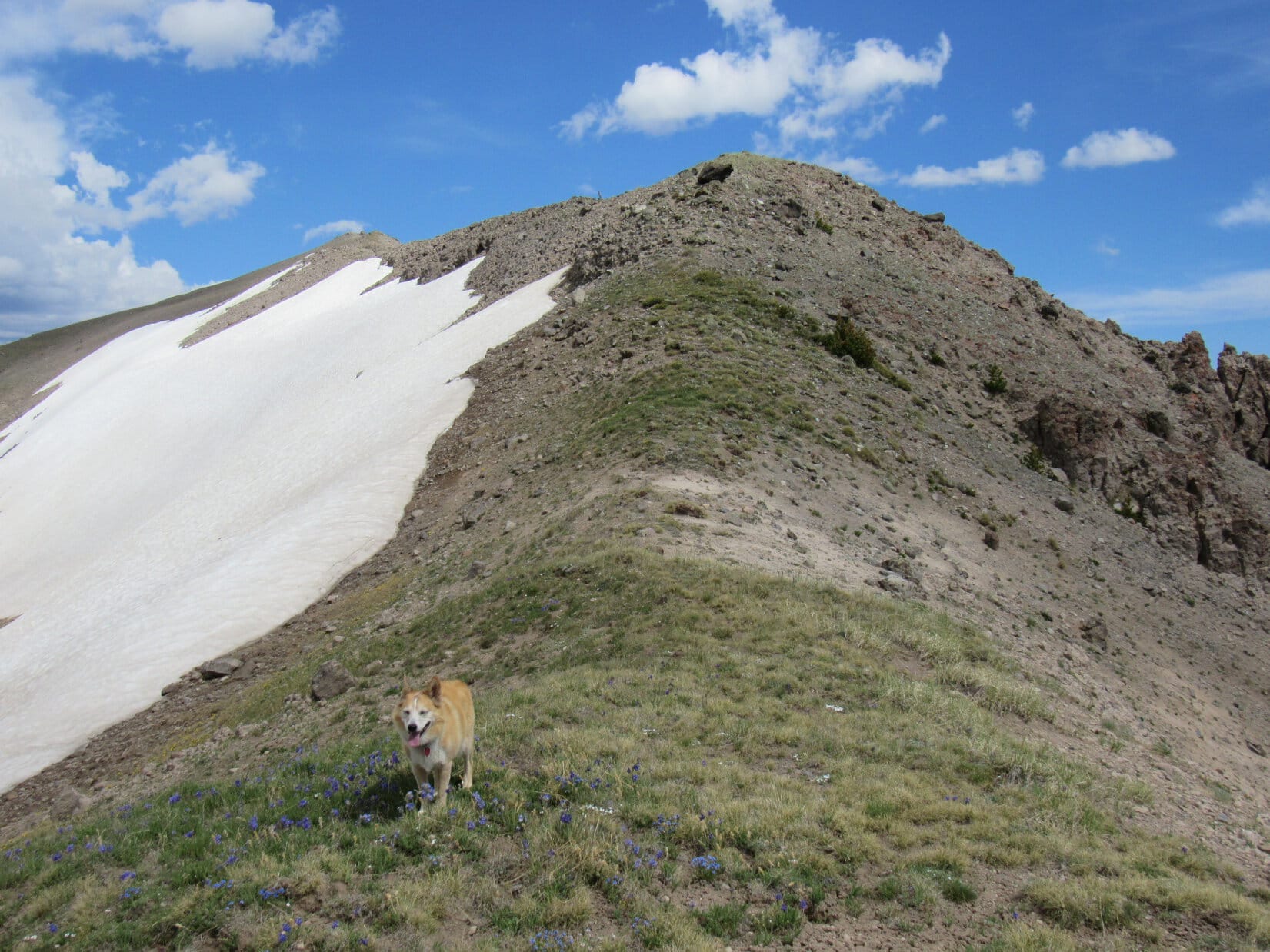
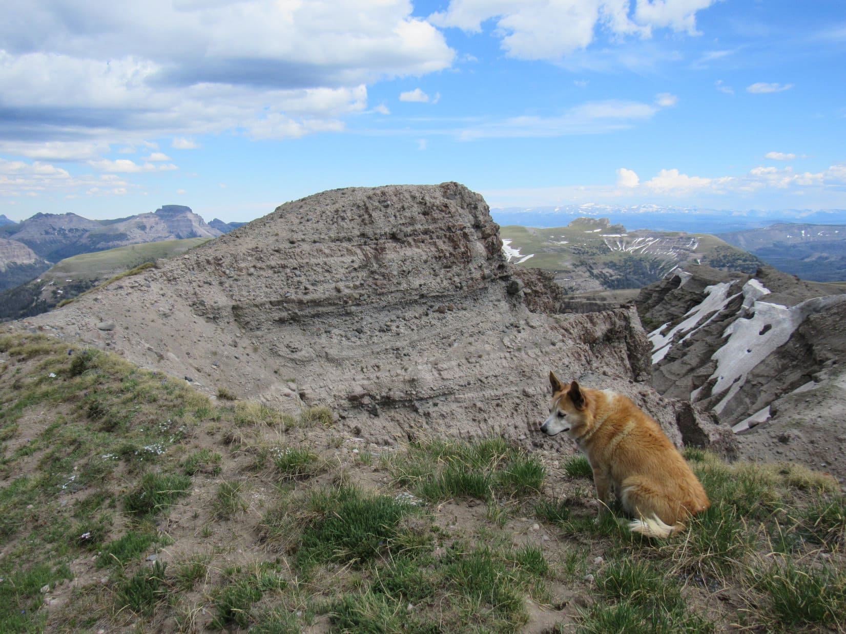
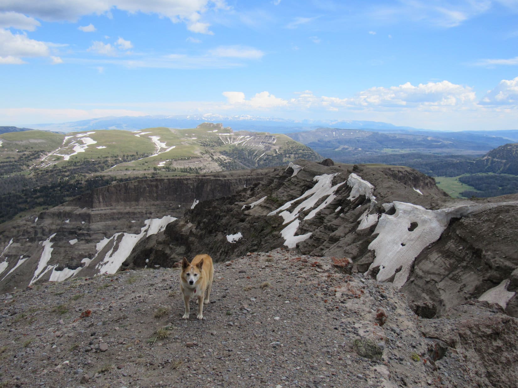
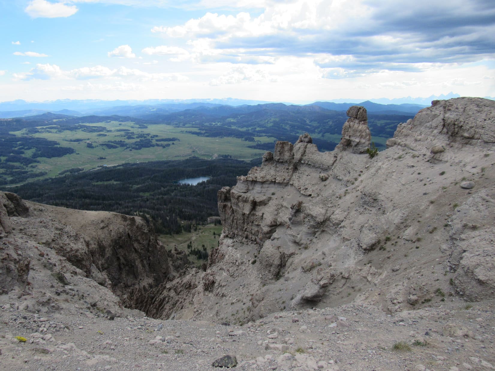
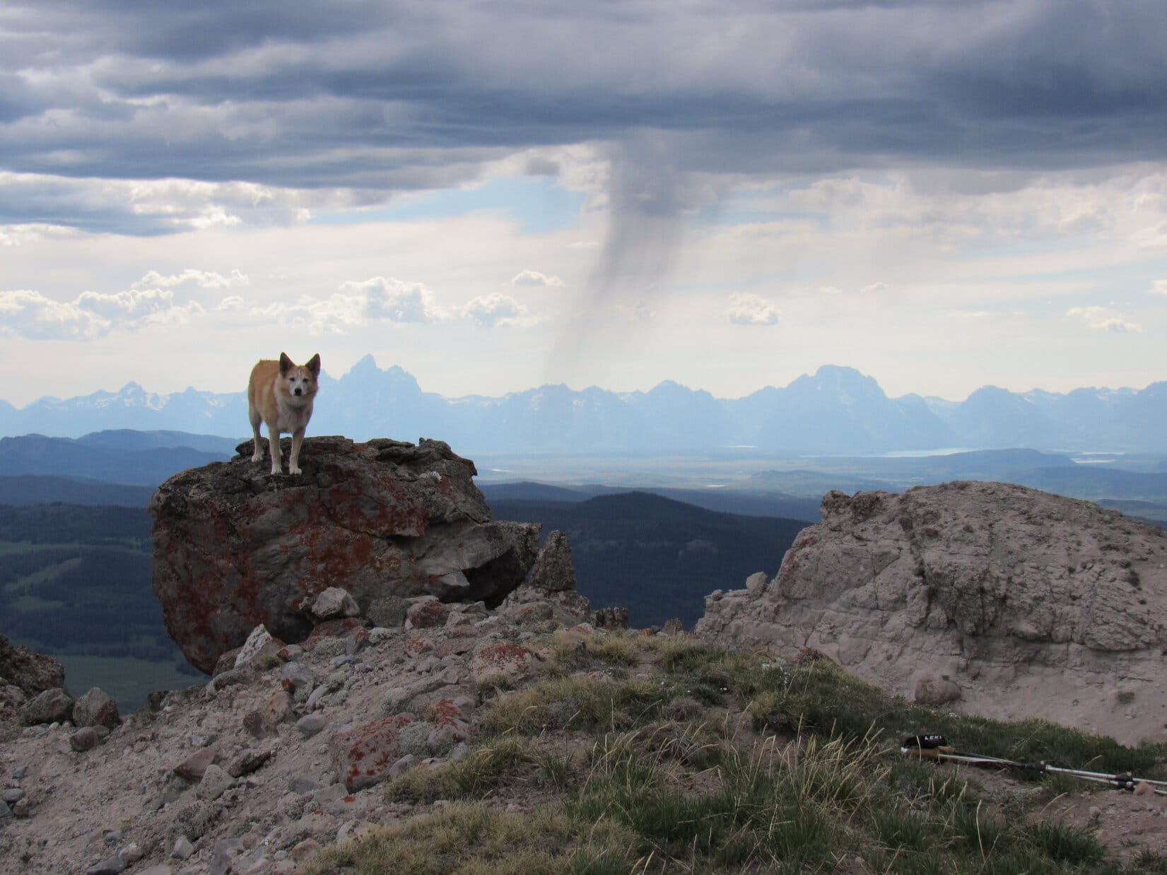
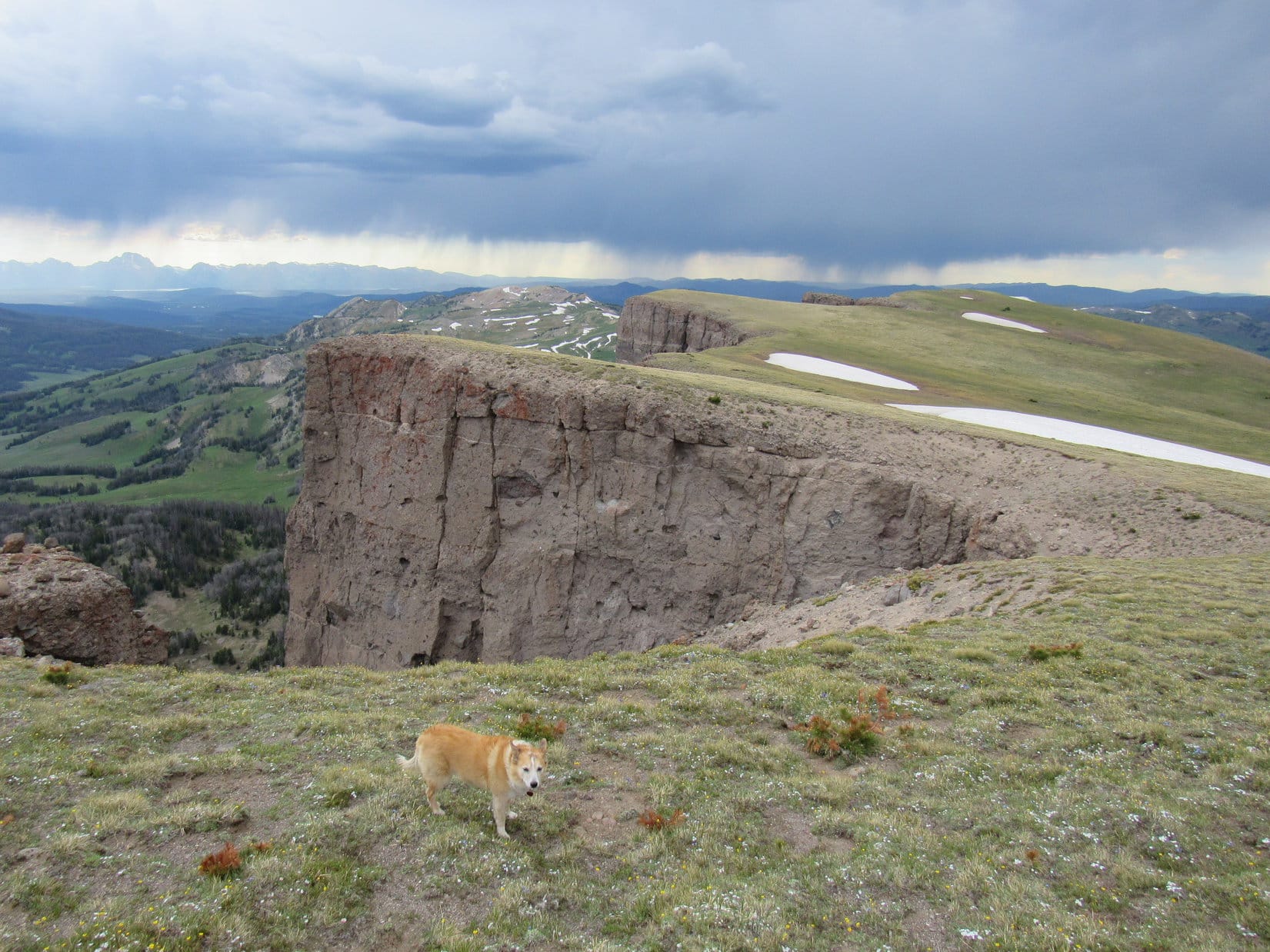
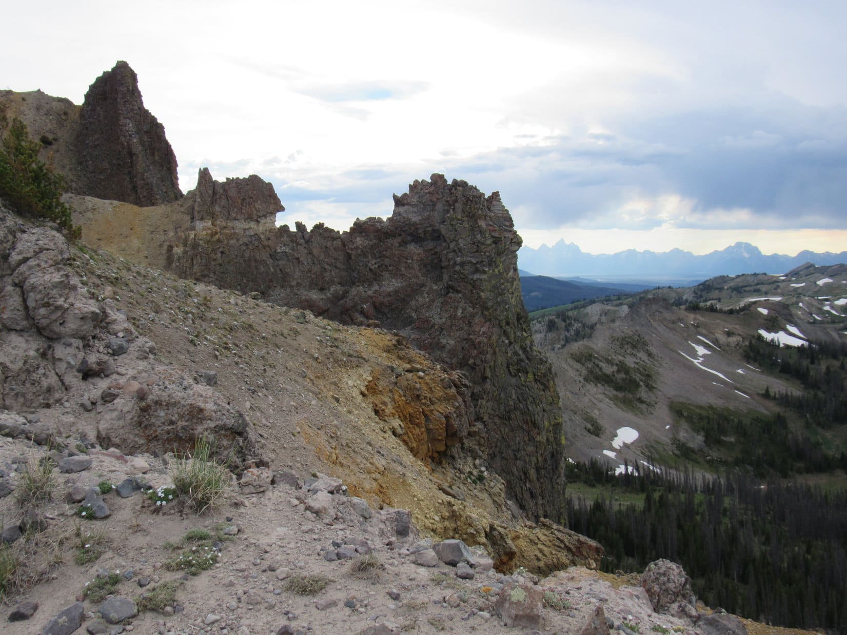
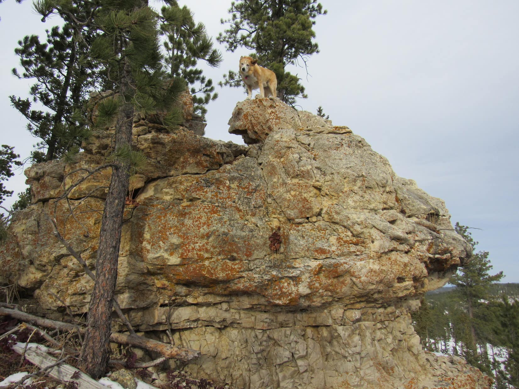
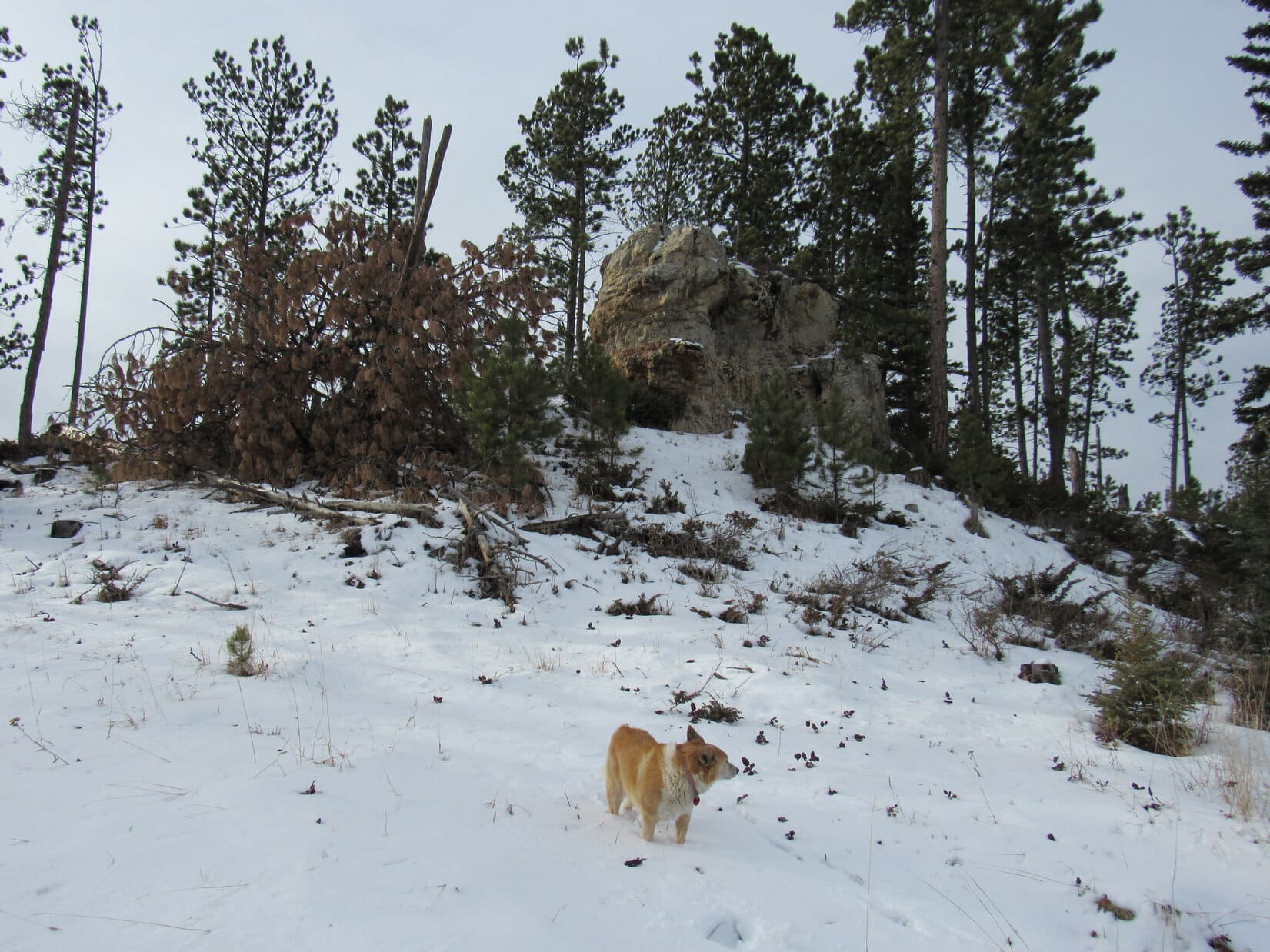
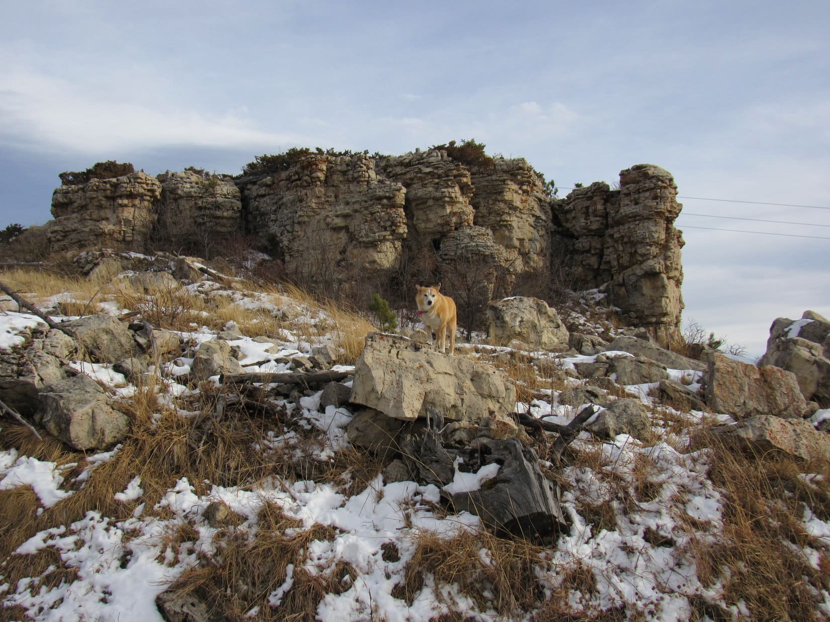
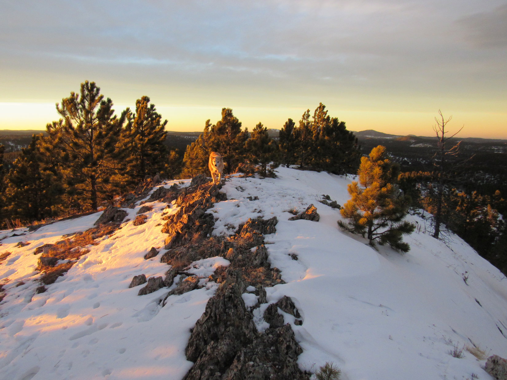
The power lines weren’t at the true summit.  Lupe was happy to leave the exposed platform to look for it.  Continuing NNW partially protected by the forest again, a rock outcropping appeared ahead.  Clearly higher than anything else around, that had to be it!

Approaching the true summit of Peak 6480 (R of Center). Photo looks NNW.

2:04 PM –  As Lupe approached the true summit of Peak 6480, tall pines swayed wildly with each new violent blast out of the W.  Getting worse!  40 to 50 mph!  A short climb led to two boulders perched on a small flat platform.  Despite the crazy wind, the American Dingo leapt up onto the highest one.

Custer Peak (far L) and Peak 6600 (L) from the true summit of Peak 6480. Photo looks ESE.

A couple of quick photos, and that was it.

That’s good, Loop!  Get off that rock before you get blown off!

Only a few feet below the top, the Carolina Dog tried to find a place to get comfortable.  SPHP sat so awkwardly on a rock, that SPHP’s lap was soon rejected.  Laying on a little patch of snow, Lupe stared up at SPHP somewhat accusingly.

Attempting to relax on Peak 6480.

You sure know how to show a birthday Dingo a good time, don’t you, SPHP?  What a hurricane!

Heh!  Yeah, this is going to be a birthday peak to remember isn’t it, Loop?

Or forgotten!  What do you have against palm trees, SPHP?  I’ve never even seen one!  Couldn’t we go somewhere with palm trees on my birthday for a change?

Oh, well, I didn’t know you were even interested in palm trees, Looper!

I am now!

Attempting to relax and simply enjoy being on Peak 6480 while watching the trees sway alarmingly was only partially successful.  At any moment one might snap off entirely, a sobering thought considering the millions of beetle-killed trees that were now deadfall in the Black Hills.

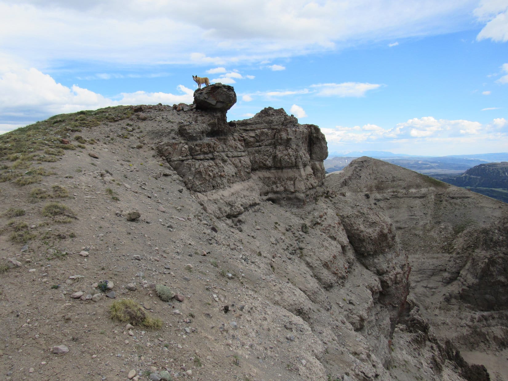
After 20 minutes, an exceptionally powerful gust put an end to Lupe’s stay.  Ripping SPHP’s stocking cap off, the wind flung it off into space.  Peering over the edge, there it was, caught on a short dead tree branch only a few feet away, but unfortunately 20 feet above the ground.

OK, that’s it!  A few more photos, Loop, then let’s get out of here!

Despite the disappointing lack of palm trees, the birthday girl complied, returning to the summit rock for the last time.

By the highest rock again. Photo looks ESE.
A precarious perch in the gale.
Final moments atop Peak 6480.

Circling around to the E side of the summit block before departing, Lupe took shelter from the wind, while SPHP saw to retrieving the stocking cap.  Turned out that it had already blown off the tree branch, and was now caught in a bush only a couple of feet above ground level.  Grabbing it before the cap could launch off on new adventures, SPHP restored it to its rightful place.

At least that was easy!  C’mon, Looper!  Let’s go!

Well protected from the wild W wind on the E side of the summit block. Photo looks W.
A last look back at Peak 6480’s summit. Photo looks N.
About to depart. Photo look SSW.

On the way back to the power lines Lupe stayed a little to the W, below the line of small cliffs.

Heading back to the power lines. Photo looks SSE.
Below the cliffs. Photo looks SE.
A scenic spot near the power lines. Photo looks SE.

The rest of the return was virtually identical to the route taken to Peak 6480.  The journey seemed to go faster on the way back.  Lupe arrived at the lower end of Peak 6600’s S ridge again while it was still light out.

Let’s climb Peak 6600 again, SPHP!

Really?  Would you like to, Loop?

Sure!  The wind isn’t so bad now!  We can even go on to climb Custer Peak, can’t we?  You said we could this morning, remember?

Sounds like a plan, Looper!  Let’s do it!

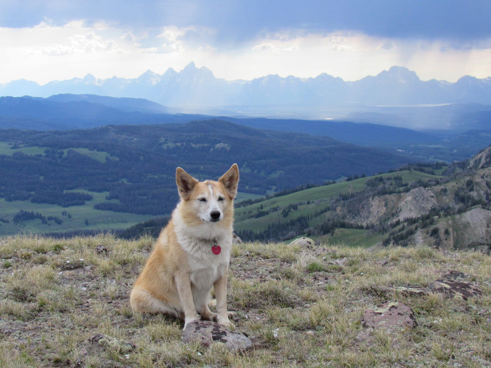
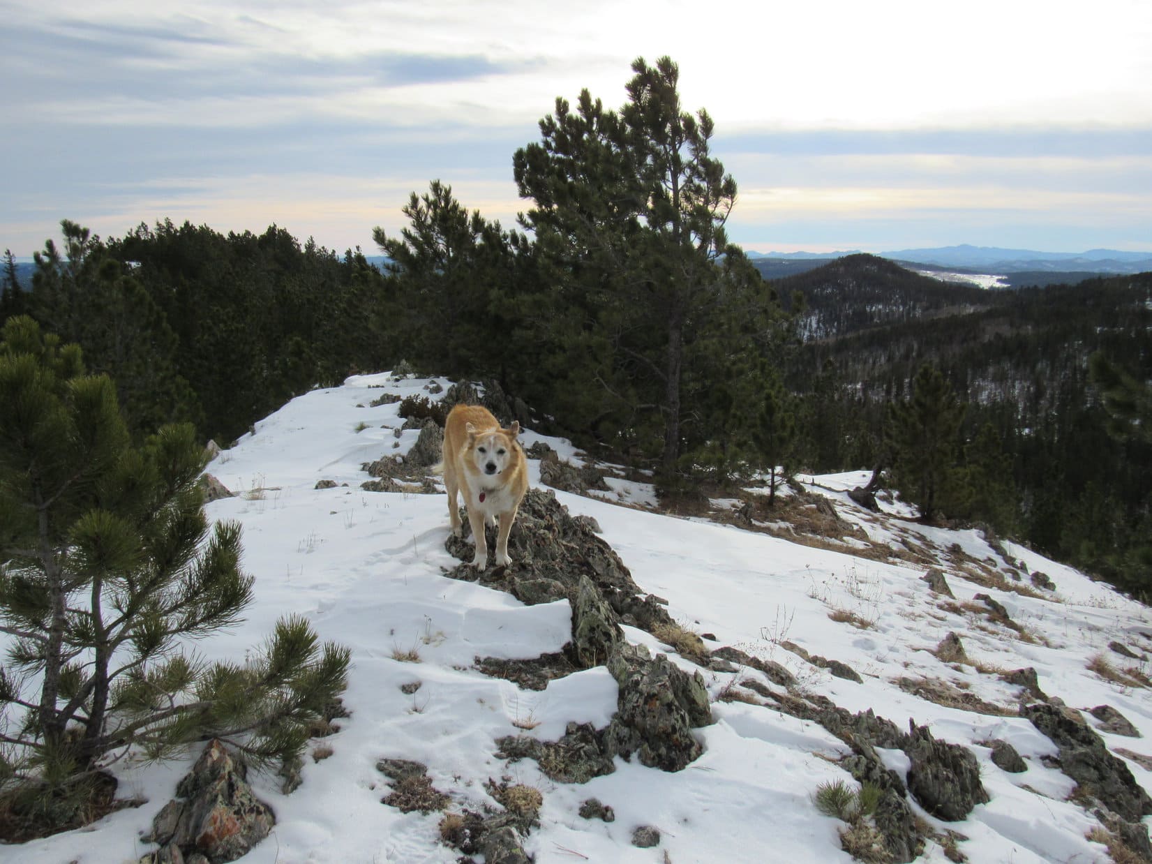
Lupe returned to Peak 6600’s summit.  However, by the time she got to the NW viewpoint, it was too late to go on to Custer Peak.  The sky had been overcast or nearly so all day, but was now clear to the NW.  Far to the SW, the sun suddenly dipped below the remaining cloud cover.  For the first time, the American Dingo stood in brilliant sunshine.

Wouldn’t last!  The sun was already hovering barely above the horizon.

Custer Peak (R) from Peak 6600’s NW ridge for the 2nd time today. Photo looks NE.
In the alpenglow. Photo looks NW.
End of a long day.

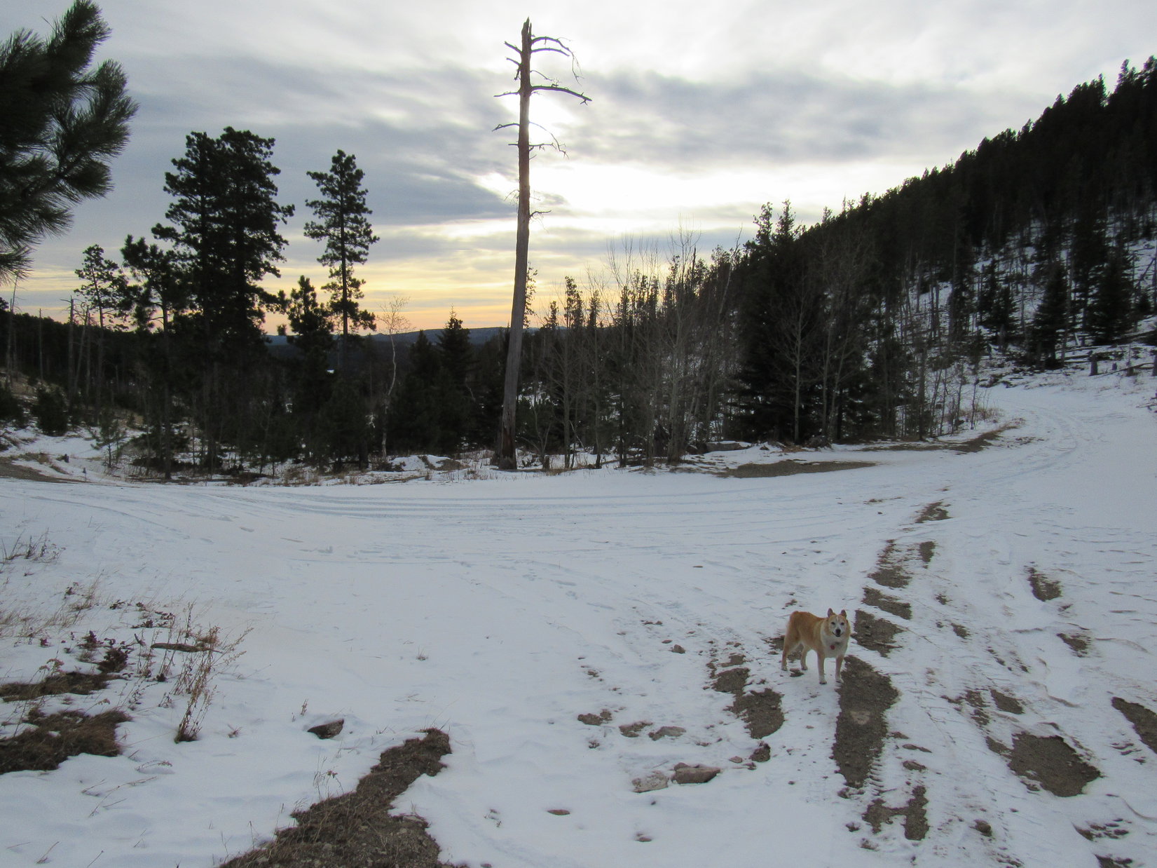
10 minutes, and the sun vanished.  Looper headed down the N ridge.  Although short, this route was snowy and very steep at first, and full of deadfall lower down.  Light was fading fast when Lupe finally reached USFS Road No. 216.1A.  Didn’t matter.  A pleasant, downhill road trek the rest of the way.

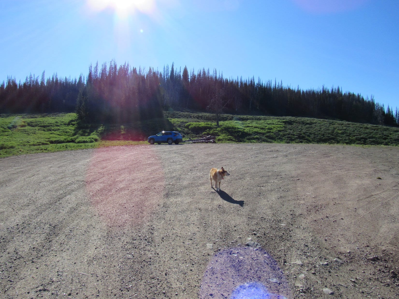
5:09 PM, 47ºF –  Dark and still breezy.  SPHP turned the key and the RAV4 sprang to life.  Time to head home, but not for long!

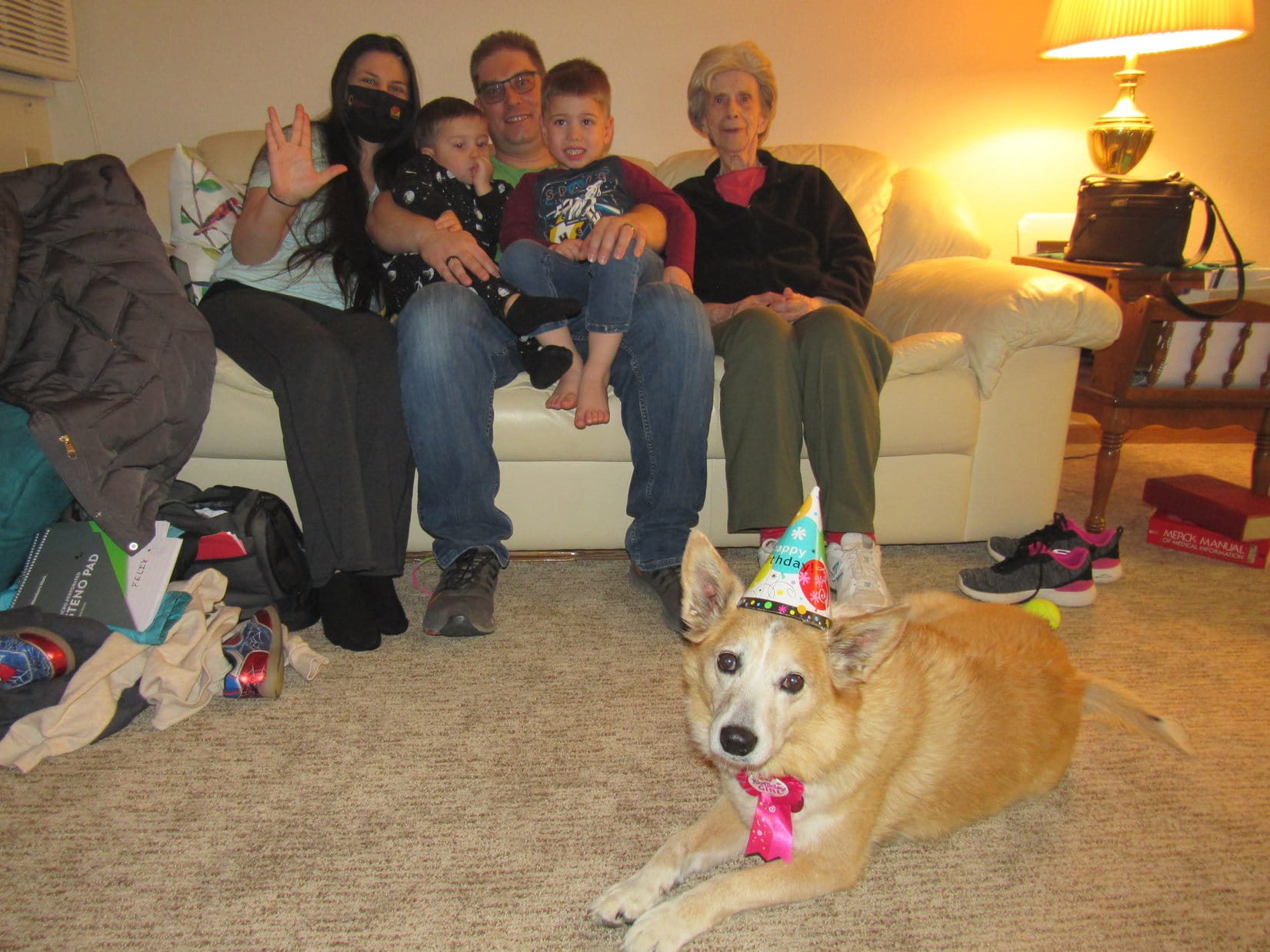
7:00 PM – Let the festivities begin!  Barking excitedly, decked out in her hat and birthday girl ribbon, the party animal rushed into Grandma’s apartment.  Oh, there were guests!  The more, the merrier!  Xochitl, Steve, Felix and Asher were all here, too.

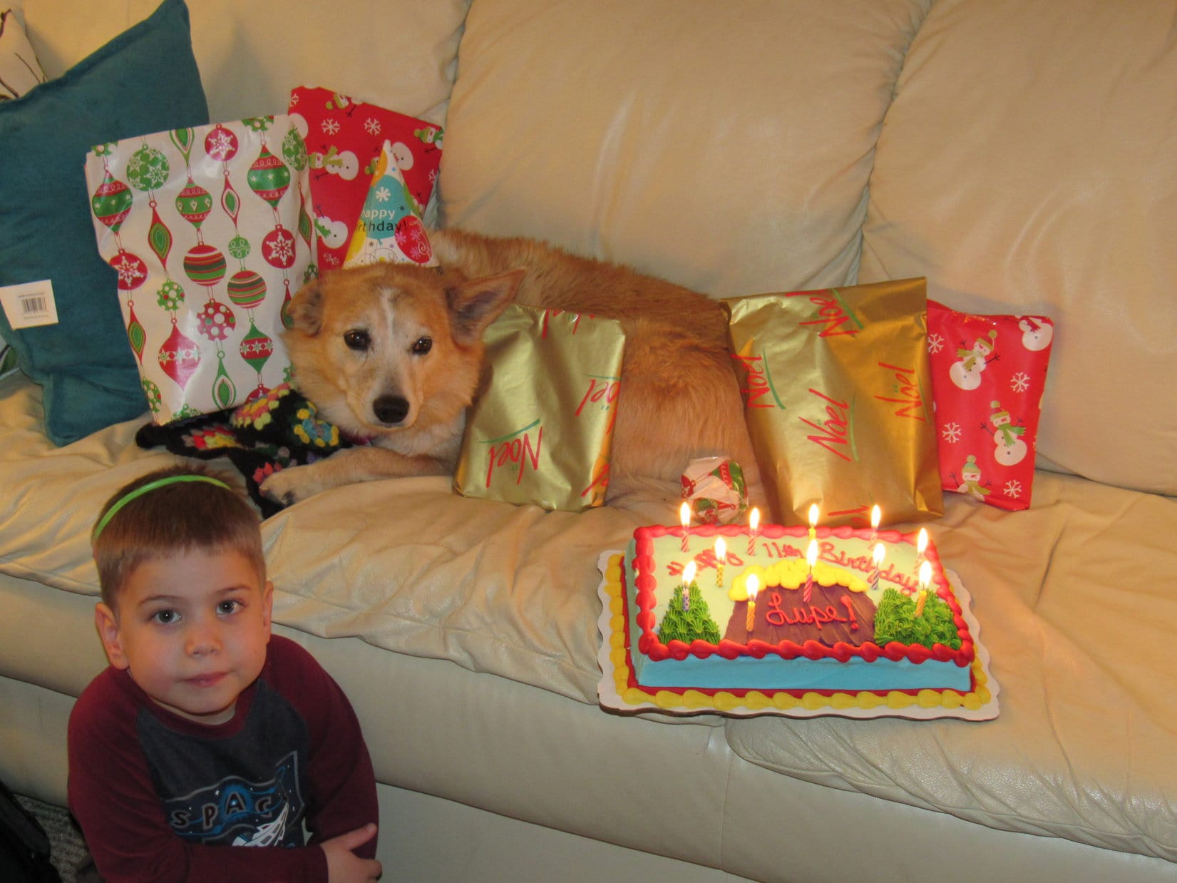
SPHP wasted no time getting things underway, giving Lupe a Busy Rib Hide as an initial treat.  Felix petted Lupe while she chomped away, then helped SPHP stick 11 candles into the fabulous 11th birthday cake.  Soon Lupe was on Grandma’s white couch, surrounded by presents and an 11 alarm fire!

Felix and Lupe. The party began with a Busy Rib Hide treat and gentle pats.
The 11th birthday cake appears!
With Felix and the fire hazard.

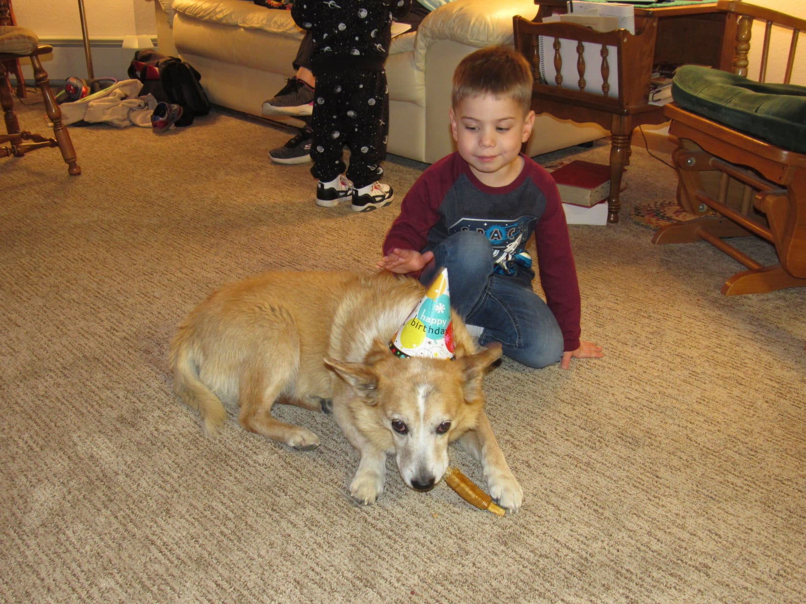
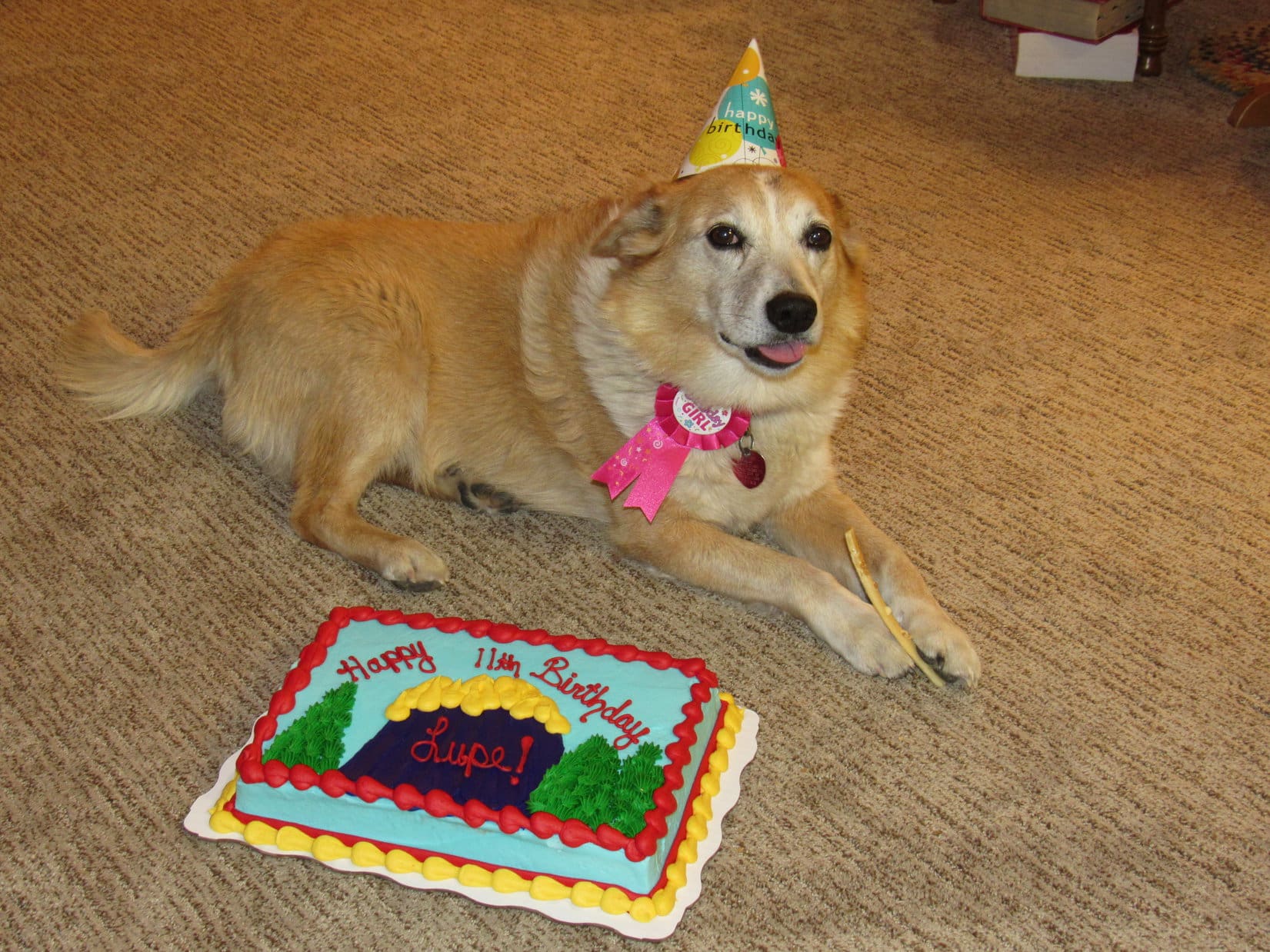
Everyone sang “Happy Birthday” to Lupe, then cake and ice cream was served.  Felix declared the cake “delicious” and almost as good as the shark cake he had on his birthday.  Lupe didn’t touch the cake or ice cream she was offered, evidently hoping and holding out for something even better.

Once everyone had their fill, it was time to open presents.  Felix and Asher helped Lupe out.  The lucky Dingo got plenty of birthday loot!

Zuke’s Hip Action
Ol’ Roy Rawhide Rolls
Kong Squeaker Ball
Purina Busy Rib Hides
Golden Rewards Chicken Jerky

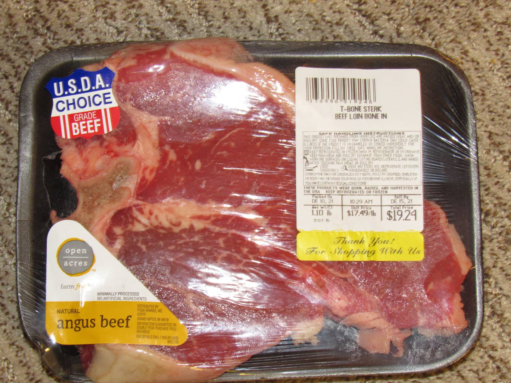
All that and more!  The Carolina Dog wasn’t disappointed.  The grand prize she’d been waiting for was included, too.  A T-bone steak!

Lupe’s traditional birthday T-bone!

While the steak was broiling in the oven, SPHP got everyone together for a group photo.

Lupe’s 11th birthday guests L to R: Xochitl, Asher, Steve, Felix & Grandma.

Organizing the group photo took so long that when SPHP opened the oven afterwards to check on Lupe’s T-bone, a thick cloud of smoke came billowing out!  Soon Grandma’s apartment was a smoky haze.  Windows had to be opened to air the joint out.

Grandma’s fire alarm didn’t go off, but every other one in the complex did.  Suddenly there were knocks on the door!  Out in the hallway, a crowd of anxious people wondered what was going on?

Apparently, when you turn 11, it’s a really big deal!  Lupe tried to look innocent.

Who, me? Oh, no! Everything’s fine!

Fortunately, the T-bone steak was perfect.  Nice and pink in the middle, and not burned a bit.  How it had produced such a vast cloud of smoke was a mystery.  A full investigation would have been conducted, but a certain American Dingo promptly devoured the evidence!

And, oh girl!  Was it ever good!

11 years old, December 14, 2021

Links:

Double Digit Dingo! – Lupe’s 10th Birthday (12-14-20)

Lupe’s 12th Birthday! (12-14-22)

Black Hills, SD Expedition No. 265 – Custer Peak & Peak 6600 (2-3-21)

Want more Lupe adventures?  Choose from Lupe’s Dingo Tales Index or Master Adventure Index.  Or subscribe free to new Lupe Adventures.

North Breccia Cliffs, Absaroka Range, Wyoming 6-30-21

Days 8 & 9 of Lupe’s 2nd Summer of 2021 Dingo Vacation to Wyoming!

6-29-21, early, Reef Creek Picnic Area, Chief Joseph Scenic Highway – After pulling a piece of paper out of a back pocket, SPHP was stunned.

Loopster!  Guess what!  You won’t believe this.  I had it all along!

Had what, SPHP?

The Windy Mountain topo map.  Had it the whole time yesterday!  It was in my back pocket.  Sure would have made things a lot easier, if I’d known that.

SPHP, you mean to tell me that you didn’t check all of your pockets, and never actually lost the map?

Crazy, I know!  I thought I’d looked everywhere, but, yeah, that’s the case.  Just found it.

So we did all that steep off-trail wandering for no reason at all?

Seems that way, Loop.  I guess you could say that.

You’re right, SPHP!  I can hardly believe it.  You may not have lost the map, your mind on the other paw, I’m not so sure about.

Without the map yesterday, Windy Mountain (10,262 ft.) had turned into somewhat of an ordeal.  Didn’t matter now, though.  Lupe had made it to the top even without the map, and today was a rest day.  She could snooze as much as she wanted to while SPHP drove.  At a stop at Dead Indian Pass for a photo looking back at Windy Mountain, the American Dingo didn’t even bother getting out of the RAV4.

Windy Mountain (Center) from Dead Indian Pass. Photo looks WNW with help from the telephoto lens.

By noon, the snoozing was about over.  S of Thermopolis, Lupe waded in the Wind River while SPHP went for a swim in Rattler Whirlpool.  Cows and horses on the drive to Lander provided too many frenzied barking opportunities to even think about passing out.

Wading in the Wind River at Rattler Whirlpool. Photo looks downstream.
Rattler Whirlpool. Photo looks upstream.

6-29-21, 2:20 PM, 80ºF – Lander city park!  Lupe recognized it instantly.  Always a good time, the rest of the day would get spent right here.  The Middle Popo Agie River sure looked low for this time of year, but the park was still full of soft green grass beneath the old cottonwoods.  SPHP worked on the trip journal.  Meanwhile, Looper watched squirrels and sniffed with other dogs until it got dark.

Taking it easy in Lander City Park.

6-30-21, 8:23 AM, Hwy 287/26 NW of Dubois near Togwotee Pass  –  Several miles ahead, a massive ridge stood N of the highway.

Hope you got all rested up yesterday, Looper, cause I think that’s it!

That’s North Breccia Cliffs (11,240 ft.), SPHP?

Believe so, Loop!

Going to be a long day, isn’t it?

Especially the way we’re going to go about it, Loopster!  Big Chicken route, here we come!

North Breccia Cliffs (Center) from the Togwotee Pass region. Photo looks N.

5 miles NW of Togwotee Pass, SPHP started looking for a R turn onto USFS Road No. 30042.  A gravel road appeared almost immediately.  No sign, but SPHP tried it.  Ahh, there was a sign right after making the turn!  “Holmes Cave T.H.”  This was it!

The huge trailhead proved to be only 0.1 mile from the highway.  Good thing the trailhead was so big, because the joint was jumping when Lupe arrived on this beautiful morning at the end of June.  With a little luck, SPHP managed to find a spot to squeeze the RAV4 into the mix.  Excited, the American Dingo leapt out to mingle with the crowd.

By the Holmes Cave trailhead sign. Photo looks N.
Actually the crowd was running a little late. Holmes Cave trailhead.

6-30-21, 9:05 AM, 57ºF, Holmes Cave trailhead, 5 miles NW of Togwotee Pass – Taking USFS Road No. 30042, Lupe set out for North Breccia Cliffs, pausing almost right away for a drink out of a big mud puddle fed by a tiny trickle of a stream.  From the puddle, the road went NE up a gentle rise, quickly topping out and turning N.

An ancient cabin was just ahead beyond a somewhat larger stream, which was easily crossed on a few decaying boards of dubious strength that served as a bridge.  The road ended at the cabin, but Holmes Cave Trail No. 6057 continued N.  After a gradual gain of more than 200 feet of elevation, Lupe reached a minor pass.  Partially forested hills were in sight beyond the pass, as the trail began a gentle descent into a valley.

Setting out on USFS Road No. 30042. Photo looks NE.
Approaching the ancient cabin at the end of the road. Photo looks N.
At the start of Holmes Cave Trail No. 6057. Photo looks N.
Heading up to the first minor pass. Photo looks N.
At the pass with a view of the next valley. Photo looks NNW.

After losing some elevation, the trail began curving NE again.  Lupe came to a region of low bushes.  The Carolina Dog passed a mucky area along a seeping hillside before reaching a small stream.  This was soon followed by another stream, the largest one yet, but it still wasn’t very big.  Loop waded across while SPHP easily rock-hopped it.

Beyond the streams, Holmes Cave Trail No. 6057 continued NE, now heading up a beautiful, green valley.  Even the sagebrush looked great!  Part of the meadow contained an enormous dense stand of bushes chest high on SPHP, a veritable jungle to Lupe where she couldn’t see a thing.  Fortunately, other than another muddy stretch, the trail was good as it passed through this huge thicket before crossing another small stream.  By now, the NW end of North Breccia Cliffs (11,240 ft.) was in view.

Beyond the minor pass as the trail heads NE. Photo looks NE.
At the first little stream beyond the mucky stretch.
Crossing the next, and largest, stream so far.
The NW end of North Breccia Cliffs (R) comes into view. Photo looks ENE.

Swarms of butterflies flitted and danced among countless wildflowers as the trail proceeded toward the still distant cliffs.  Several big yellow and black Swallowtails were among them.  Passing a small pond on the R (S), SPHP dubbed it Swallowtail Pond.

By Swallowtail Pond.

Beyond Swallowtail Pond, instead of continuing toward North Breccia Cliffs, Holmes Cave Trail No. 6057 began curving N, steepening as it started a long climb out of the valley.

If we were like most climbers, Looper, we’d probably leave the trail along in here and head straight for the NW end of North Breccia Cliffs.  That’s the popular short route I’ve read about online.

But we’re going the long way because you’re a big chicken, right SPHP?

Exactly!  The direct route is a good 4 miles shorter one way than what we’re going to attempt, but involves heading up a long chute of loose rock.  I’m under the impression that the chute is only class 2+, but the pictures I’ve seen freak me out.  Appears to be incredibly steep!  No doubt you could make it, Loop, but I’m not having anything to do with that crazy chute.

The sun felt hot on the trudge up out of the valley.  As Lupe got higher, the popular climber’s chute SPHP was scared of came into view.  Still a mile off, but checking it out with the help of the camera’s telephoto lens didn’t change SPHP’s opinion.  Nope, not doing that!

Beyond Swallowtail Pond. Peak 10385 (L of Center), North Breccia Cliffs (R). The most popular climber’s route up North Breccia Cliffs leaves the trail and heads for the pass seen ahead on the R. Photo looks NE.
Climbing out of the valley. Photo looks N.
The steep climber’s chute (Center) comes into view. Peak 10385 (L of Center), North Breccia Cliffs (R). Photo looks ESE.
Peak 10385 (L), North Breccia Cliffs climber’s chute (R). Photo looks ESE with lots of help from the telephoto lens.

The sunny trudge N continued for 0.67 mile to a pass where Holmes Cave Trail No. 6057 topped out on an open slope just W of HP10218.  Ahead was a gradual descent toward the saddle leading to HP10392, which was now in sight directly ahead.

Approaching HP10218 (R). Photo looks N.
At the pass just W of HP10218. HP10392 (Center) dead ahead! Photo looks N.

Getting to be about time for a break, SPHP!  Since we’re so close and there are some trees up there, why don’t we check out HP10218?  We can sit in the shade and have a look around.

Sounded good!  The Carolina Dog was soon relaxing up on HP10218.

As expected, HP10218 was a terrific viewpoint!  Off to the SE was a great look at the long ridge leading to the NW end of North Breccia Cliffs, plus the best view yet of the feared Class 2+ chute.  To the N was a nice look at HP10392.  Mighty Grand Teton (13,770 ft.) was even in sight far beyond the rolling country WSW of HP10218.

On HP10218. NW end of North Breccia Cliffs (R). Photo looks SE.
NW end of North Breccia Cliffs (Center), Peak 10385 (R). Photo looks SE.
Zoomed in on the climber’s chute (Center). Photo looks SE.

A blue speck was visible in the forest beyond a broad valley to the NE.  That was Holmes Cave Lake, where Lupe was headed next.  As soon as break time was over, the American Dingo returned to Holmes Cave Trail No. 6057, which would take her right to it.

Holmes Cave Lake (L) barely visible in the forest. North Breccia Cliffs’ long N ridge (R). Photo looks ENE.

On the way down to the saddle leading to HP10392, the trail vanished in a vast field of yellow and purple wildflowers.  A few cairns marked the way as the route turned E leaving the saddle.  Small springs seeped from an enormous hillside, creating a creek.  After crossing a muddy region, Loop picked up the trail again as it reappeared heading ENE down into the huge drainage N of Peak 10385.

Among the buttercups. NW end of North Breccia Cliffs (Center). Peak 10385 (R). Photo looks SE.

An easy 0.67 mile trek led down to a sparkling shallow stream.  Beyond this low point, the trail continued NE up into the forest.  After regaining 200 feet of elevation over 0.3 mile, Lupe arrived at Holmes Cave Lake.

Crossing the stream. Photo looks SSE.
Starting up to Holmes Cave Lake. Photo looks NE.
Holmes Cave Lake. Photo looks NNE.

The little lake was lovely, but the air was humming with what initially appeared to be giant mosquitoes.  Turned out they were actually some kind of super-sized gnats.

These gnats are driving me crazy, SPHP!

Yeah, me too, Loop!  Thought we’d take another little break here, but let’s keep going.  This is it for Holmes Cave Trail No. 6057, though.  Head E!

No it isn’t!  The trail keeps going right past the lake, SPHP!

I know.  It goes to Holmes Cave, which is only another 0.5 mile, but we don’t need to go there.

All this way, and we aren’t going to get to see the cave?

Nope, not unless we still have the daylight and oomph for it on the way back.  Still a long way to North Breccia Cliffs.  Like I said, head E!  Time to find out if my Big Chicken route avoiding that chute is going to work!

Leaving the S end of Holmes Cave Lake, the Carolina Dog went E toward a scraggly looking forest half full of dead trees.  A minor climb led to a lumpy region of small hills and valleys.  Lupe tried to take a break on one of the first hills, but this forest harbored real mosquitoes, which soon put an end to that notion.

The far N end of North Breccia Cliffs’ long N ridge was already in sight.  Steep, but it didn’t look too bad.

Heading into the scraggly forest E of Holmes Cave Lake. Photo looks E.
N end of North Breccia Cliffs’ long N ridge from the exceptionally short break spot. Photo looks E.

Climb that ridge, SPHP?

No.  Don’t think so, Loop.  Saw some impossible rocky terrain along that ridge on the way here.  Let’s try going around the N end.  Farther E, the topo map looks like there might be an easier way.

On the way over to the N end of the ridge, Looper made an unexpected and welcome discovery.  A trail!  Looked seldom used, but it was good enough to follow and going the right way.

Following the faint trail around the N end of the N ridge. Photo looks E.

At first the trail was level, but it soon began a slow descent.  Looked like it might be destined to go all the way down into the valley to the N.  Not good!  However, after only a relatively minor drop, the trail leveled out again before beginning to climb a bit.

Soon Lupe was past the end of the first big ridge she was trying to get around.  Still following the faint trail, which now trended SE, she gained a little more elevation before reaching a clearing where it faded away completely.  Looking S, a steep route higher was visible between the N ridge and a big rock formation to the E.  Might work!

Just E of the main N ridge (R) with a potential route higher (Center). Photo looks S.

However, this first route looked pretty steep.  Another potential route S was a little farther E.  Perhaps a bit easier?  Loopster gave it a go.

About to head up toward the R. Photo looks S.

Steep, and about twice as big a climb as it looked like from below, but it worked!  Not at all scary.  Upon reaching the upper end of the steep part, a snowbank partially filled a little valley that wound gradually higher.  This valley soon curved SE and broadened out into another steepish slope, but this one was even easier.

Heading up the steep part. Not bad at all!
Looking back from the top. Photo looks N.
Going up the little valley. Photo looks S.
On the upper slope. Photo looks S.

A short climb and Looper reached a flat, forested hilltop.  Considerably below her to the W was a valley that the route she hadn’t taken must have led to.  Evidently that route would have been less of a climb.  Off to the E, quite close by, was a slightly higher hill than the one Lupe was on.

Hah!  We made it!  That must be HP10332 over there, Looper.

And that enormous hill way off to the S is where we’re going, SPHP?

Yup!  That’s North Breccia Cliffs (11,240 ft.)!

Not very cliffy from this direction, is it?

Nope.  Think you’ve got this one now, Loopster!  Made in the shade!

Well, not quite.  Still a couple of miles to go, and who knew what the true summit might be like?  Furthermore, there was a steep ridge that was in the way, jutting out to the E from the main N ridge.  Happily, it looked like Lupe ought to be able to get past it without too much trouble.

Full of confidence, the American Dingo headed S.

North Breccia Cliffs summit (L) from a little W of HP10332. Photo looks S.

In order to avoid losing too much elevation, Lupe stayed a little toward the W.  She soon came across a decent trail originating from the valley the first route higher must have led to.

This new trail made it all a cinch!  Heading straight toward the E ridge, it got the Carolina Dog around it, no sweat.

The newly discovered trail leading to the next ridge. Photo looks SSE.
Looking back from the E ridge. Lupe came over the pass on the R. Photo looks NNW.

Continuing S beyond the ridgeline, Lupe traveled on fairly level terrain through a mix of forest and meadow.  Before long, the trail faded away.  Angling SW up a short open slope, Looper reached a huge meadow.  Just E of the rugged N ridge, this meadow extended S all the way to the NW end of North Breccia Cliffs.

Past the E ridge, where the trail fades away. North Breccia Cliffs summit (L). Photo looks S.
Up on the long meadow that goes all the way to the NW end of North Breccia Cliffs (L). Photo looks SW.

Smooth sailing all the way!  Roaming at will, Lupe raced through the vast meadow sniffing everywhere.  Even SPHP made rapid progress.  Looper spotted a giant deer way down in the upper Holmes Cave Creek drainage to the E.  She frolicked on a huge snowbank.  Glorious fun!  But toward the end, the super easy trek began to steepen.

Wow! Dingo heaven! Photo looks S.
North Breccia Cliffs summit (R), HP11444 (Center). Photo looks SE.
Zoomed in on the giant deer.
The joy of snow! Photo looks E.
Closing in on the NW end of North Breccia Cliffs. Photo looks SW.

Shortly before reaching the area above the climber’s chute, Lupe made it to the top of the N ridge.  Wild-looking rock formations stood along the brink of a precipitous drop to the W.  In the distance, she now had quite a view of the Tetons.

Up on the N ridge. Mount Moran (12,605 ft.) (R) on the horizon. Photo looks W.

6-30-21, 3:25 PM – Certainly took long enough, but the Big Chicken route had worked!  Near the NW end of North Breccia Cliffs’ upper plateau, Lupe reached a sweet meadow.  This was the region that the climber’s chute that SPHP had been so desperate to avoid led up to.  Naturally, the Carolina Dog had to take a look at what she’d missed out on.

The meadow above the climber’s chute, which is ahead on the R. Photo looks S.
Venturing over to the edge. Angle Mountain (10,600 ft.) (far R). Teton Range on the horizon. Photo looks W.

Yowser!  Can this be right, Loop?  Is this it?  The climber’s chute?

You tell me, SPHP!  You’re the one with the map!

Yeah, I think it is.  Has to be doesn’t it?  But this can’t possibly be Class 2+, can it?  I mean, just look at it!  Ghastly!

Sloping ever more steeply, a grassy funnel-shaped region emptied into an abyss between two cliffs.  The long, loose dirt and rock section of the climber’s chute wasn’t even visible beyond a lip where it all fell away.

Near the brink of the climber’s chute. Angle Mountain (Center) in the distance. Peak 10385 (Center) along the ridge in the foreground. HP10218 (R). Photo looks NW.

I take it you’re not inclined to save us 4 miles by utilizing this shortcut on the way back, huh, SPHP?

You can bet your sweet curly tail on that, Dingo!  I don’t even dare get close enough for a real look.  Big Chicken route and Holmes Cave Trail No. 6057 all the way, both ways, no matter how long it takes!

A use trail angling SE up a steep slope got Lupe up onto North Breccia Cliffs’ enormous summit plateau.  This plateau sloped gradually down to the N, the long line of SW facing cliffs still out of sight to the S along an edge more than 100 feet higher than where Loop came up.  Beyond a gently rolling, treeless plain, the true summit was more than a mile away over at the SE end.

Crossing occasional big snowfields, Lupe headed straight for the summit.

On the upper plateau. Summit (Center). Photo looks SE.

Coming over a slight rise, Lupe beheld a wondrous sight!  A whole herd of giant deers lay basking in the warm, end of June sunshine!

Out in the open like this, it was impossible to get by without spooking them.  Soon the entire herd was racing away down the slope to the N, a splendid and most fascinating sight!

The giant deers vanished.  Lupe continued on toward the summit, finally reaching the edge of the cliffs not too far from it.  The view was terrific, but suddenly, worryingly, actually attaining the true summit didn’t seem quite so certain.  The upper plateau was much narrower here, rapidly compressing to a ridgeline.  Beyond an initial high point stood two more that looked potentially higher.  Whether the ridge connected to the more distant ones without an impassable break wasn’t entirely clear.

Time was suddenly an issue, too.  A long line of showers had developed off to the NW, not too far away.  Showers were one thing, but lightning would be another.  Distant rumbling spurred the Carolina Dog on.

Pressing on after the giant deers ran off. Summit (L). Photo looks SE.
Finally along the edge of North Breccia Cliffs, but which of those high points (L) ahead is the true summit? Photo looks SE.
Climbing toward the first high point (L). Photo looks SE.
Getting there, but the middle high point is looking like the true summit.

Increasingly, the middle high point looked like the true summit.  Better not be!  It was still a way off, and the ridge Looper was on was already narrow enough.  Good chance it wouldn’t be passable that far.

Almost at the first high point! Second one on the R.

Lupe reached the first high point.  Sort of.  The situation turned out to be more complex than was previously evident.  A cluster of 3 separate high spots were strung out along the ridge.  The next 2 weren’t much farther, but both were clearly higher.

Getting to the middle spot was easy.  A boulder decorated with orange lichens perched right along the edge of the fearsome cliffs was the tippy top here, but the last spot, an elevated platform only 25 feet farther SE was even higher.

The ridge narrowed on the way to it.  No problem most of the way, but the last little stretch, a mere 10 feet, connecting to the platform looked dicey.  Super narrow, it featured a cliff on one side and a steep slope that plunged toward a giant free fall on the other.  How much room, if any might be up on that platform wasn’t clear.  Might not even be a foot wide.  Unnerved, SPHP sat down.

Hang on, Looper!  Let’s take a break.

Keep going, SPHP!  Let’s do this before the storm hits!

I don’t like it!  We don’t even know if that’s the true summit yet.  Let me check the topo map.

C’mon, SPHP!  We know that it’s higher than where we are now!

Wait, Loop!  Please, stay!  I gotta calm down.  Give me a few minutes.

At the rest spot so close to the platform (Center). Photo looks SE.

A sudden single bolt of cloud to ground lightning off to the W added to SPHP’s anxiety.  Total cake walk all this way, and now this!  SPHP shared a half-melted chocolate coconut bar with the American Dingo, then had a look at the topo map.

Gah!  Huge mistake!  The map SPHP had printed out and brought along didn’t extend far enough to include either of the two more distant high points Lupe had seen on the way up.  Even worse, what was shown was on such a large scale that details weren’t legible.  Utterly useless here!

The line of showers to the NW was growing longer at both ends.  Didn’t seem to have moved much, though.  Raining hard now in some spots, but despite all the rumbling, so far only that one bolt of lightning had been seen striking the ground.  Still, better get with it.  Now or never!

Standing up, SPHP walked the remaining distance over to the near end of the scary section of the ridge leading to the platform.

Luck of the Dingo!  Skinny enough, but it wasn’t nearly so bad as it had looked just a few feet from it.  Moments later, Lupe was poised atop the platform!

Scary, narrow part of the ridge (R) from close up. Eh, not so bad! Photo looks SE.
Success! Up on the platform.

Congratulations, Loopster!  This is it!  You’ve just reached the true summit of North Breccia Cliffs (11,240 ft.)!

Oh, joy!  It was true!  Lupe stood up on an L-shaped platform that was clearly the highest point around.  Nothing else even in contention!  The platform wasn’t all that large, but there was room enough to stroll around a bit.

Teton Range (L) from the true summit of North Breccia Cliffs. Photo looks NW.

The true summit of North Breccia Cliffs was an airy place!  Fantastic views in all directions.  Off to the SSE, Mount Sublette (11,060 ft.) was a funny-looking grassy ramp to nowhere launching skyward off the edge of a vast, grassy plain.  The Wind River Range was visible far beyond it.

To the SE, Pinnacle Buttes (11,516 ft.) looked a lot more like a butte than a pinnacle.

Mount Sublette (L of Center) beyond Lupe. Photo looks SSE.
Zoomed in on Mount Sublette (L) in the foreground. Wind River Range beyond.
Pinnacle Buttes (R) in the distance. Photo looks SE.
HP11444 (L of Center) is the rounded half of a hill in the foreground. Photo looks NNE.

Two Ocean Mountain (10,724 ft.) was due S, and Lost Lake could be seen off to the SW.

Two Ocean Mountain (L of Center). Photo looks S.
Lost Lake (L of Center). Photo looks SW.

6-30-21, 5:13 PM – The showers drifted away to the E, taking the worst of the thunder along with them, but the weather remained questionable.  Accordingly, Lupe didn’t stay up on the true summit for too long.  Getting late in the day, anyway.  Before leaving the summit region, Lupe checked out the snazzy boulder at the second highest spot.

Still up on the true summit platform. Photo looks SW.
Final moments at the true summit. Photo looks SSE.
On the boulder at the middle high point. Grand Teton visible next to Lupe. Mount Moran (R). Photo looks W.
Same spot, different perspective.

Plenty of adventure ahead, with more to see on the long trek back!  Shortly after departing, a fierce cool wind sprang up out of the N while Lupe was still up on the exposed ridge.  Once down to the broader plain, she took shelter in a depression until it passed.

Starting back. Photo looks NW.

Although Loop didn’t hit all the high points along the way, the Carolina Dog stayed near the cliffs as she journeyed NW, enjoying the views from many scenic spots she hadn’t been to earlier.  Before heading down to the meadow above the climber’s chute, she ventured way out to the NW end of the upper plateau.

Near the cliffs along the upper plateau. Photo looks NW.
Tetons (L) from the cliff edge. Photo looks W.
At the NW end of the upper plateau. Angle Mountain (Center). Photo looks NW.
Looking down on the N ridge from the upper plateau. Photo looks NE.

Heading NE from the climber’s chute on the Big Chicken route, Lupe stayed up along the N ridgeline enjoying the views for quite a long way.

Once on the trail past the E ridge, Loop followed it into the valley she hadn’t explored on the way up.  At the bottom of the steep descent at the end, SPHP built a little cairn, since this was probably the best route.

By the cairn near the best way up along the Big Chicken route. Photo looks S.

Lupe never did get to see Holmes Cave, or even Holmes Cave Lake again.  Instead she wandered through confusing territory on a route meant to be a shortcut back down to the stream.  She eventually got there, but it didn’t seem like any time or distance had been saved.

No worries!  Holmes Cave Trail No. 6057 the rest of the way back now!  Although she’d begged for rest breaks earlier, after crossing the stream, the American Dingo seemed energized by the fading light.  Lupe led the way, often pausing to see if SPHP was still coming.

Night!  A mile before the end, the flashlight had to come out.  In silence, a weary march continued beneath shimmering stars.

Yet what a great day it had been!  Sure hadn’t been any shortcut, quite the opposite, but the Big Chicken route had been a success!  Lupe had made it safely up onto Wyoming’s fabulous North Breccia Cliffs, and that was all that mattered.  (End, 10:37 PM, 46ºF)

North Breccia Cliffs, Absaroka Range, Wyoming 6-30-21

Links:

Next Adventure                          Prior Adventure

The Much Shorter, More Popular Climber’s Route:

9-5-18 Trip Report & GPS Track by Garrett Carlson

Want more Lupe adventures?  Choose from Lupe’s Summer of 2021 Dingo Vacations to New Mexico, Wyoming & the West Coast Adventure Index, Dingo Vacations Adventure Index or Master Adventure Index.  Or subscribe free to new Lupe adventures.