Doubletop Peak, Gros Ventre Range, Wyoming – Part 1: On the Dry Fork Trail to Brewster Lake (7-3-21)

Day 12 of Lupe’s 2nd Summer of 2021 Dingo Vacation to Wyoming!

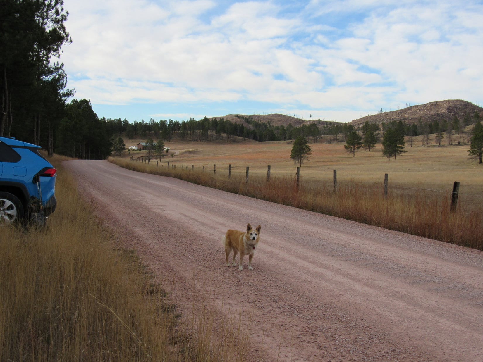
7:54 AM, 61ºF – A gorgeous July morning!  Last evening’s cloudburst had worked its magic.  Clear, calm, and pleasantly cool at the new Kinky Creek trailhead.  At least, that’s where SPHP thought Lupe was.

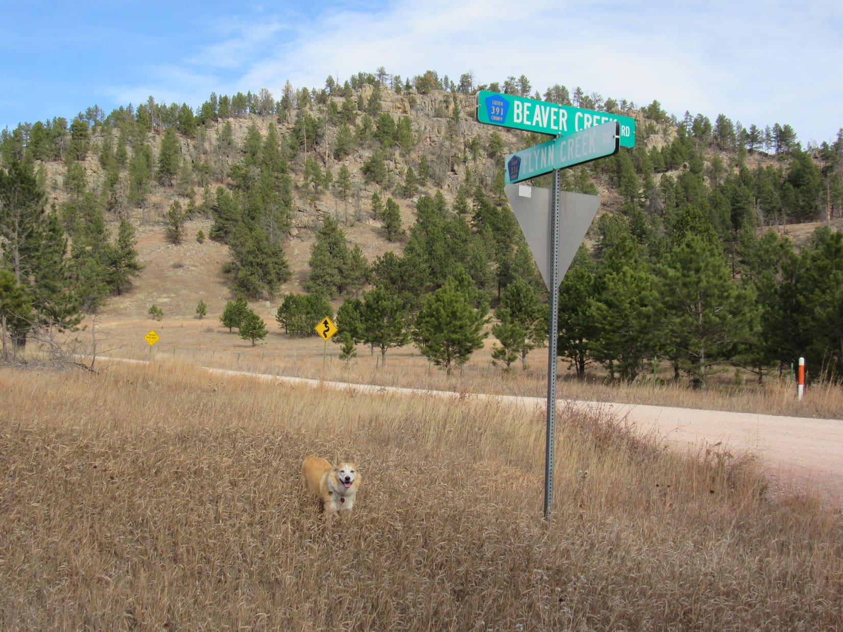
From what SPHP had been able to gather online, the former Kinky Creek trailhead had been moved from it’s old location on Kinky Creek.  Exactly where to had never been clear, but from the looks of the big parking area next to a gate leading into a private ranch, this was likely it, despite no sign of Kinky Creek.

At what SPHP presumed was the new Kinky Creek trailhead.

A tattered poster of the Gros Ventre Wilderness next to a trail leaving the W end of the parking lot added some degree of certainty to the “this is the new trailhead” theory, but that was it for signs of confirmation.

At the start of the trail. Photo looks NW.

Whether this was the new Kinky Creek trailhead or not didn’t concern the American Dingo in the least.  She liked the looks of what was going on.  An even bigger than normal adventure appeared to be in the works!

We’re taking the tiny house, SPHP?

Yes, indeedy, Looper!  My best guess is that this new trailhead shaves about a mile or a bit more off the old one way distance of 11 or 12 miles, but that still leaves a mighty long round trip day hike.  So, to heck with that!  We’ll just take our time and enjoy the adventure.

11 or 12 miles to where, SPHP?

Doubletop Peak (11,720 ft.), the highest mountain in the entire Gros Ventre Range, Loop!  We won’t get there today, though.  With any luck, we’ll camp at Brewster Lake this evening.  Lugging all this gear, I’m sure I’ll be ready to stop by then.

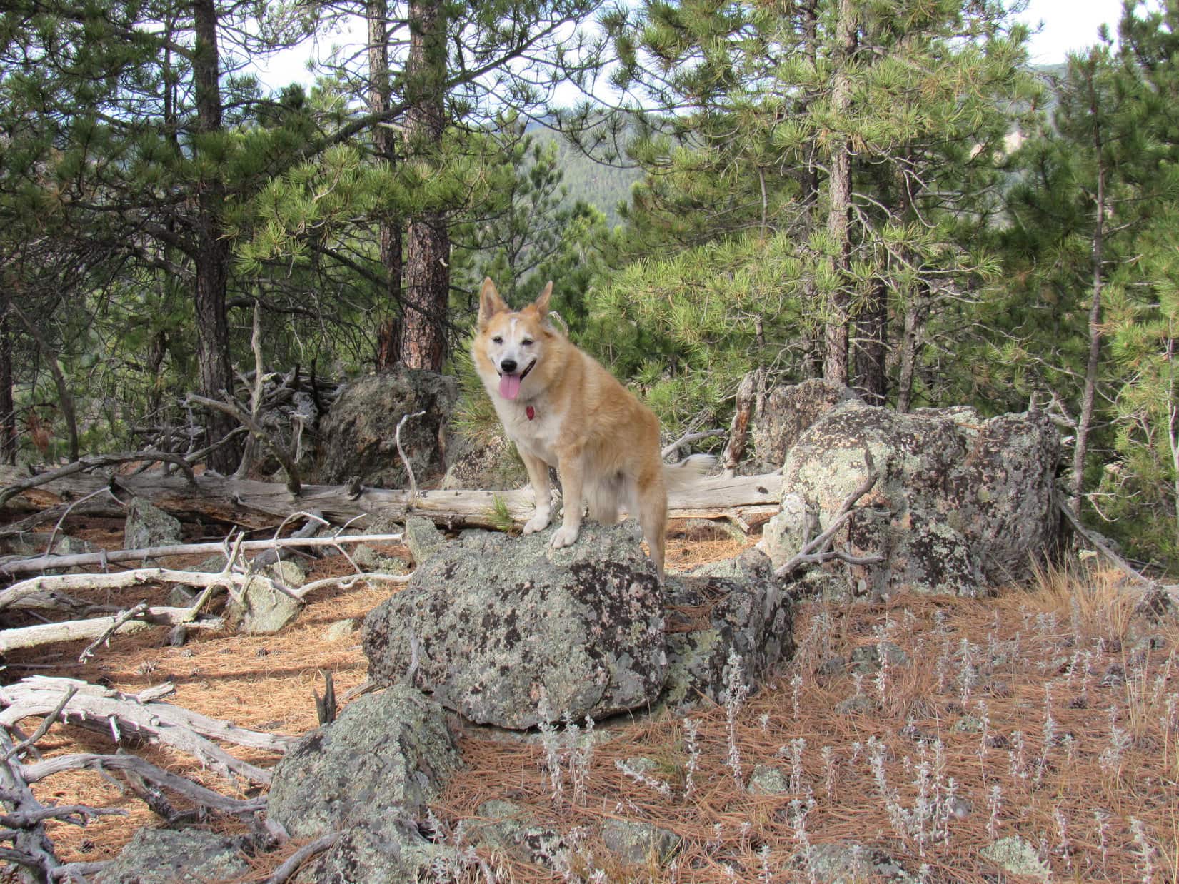
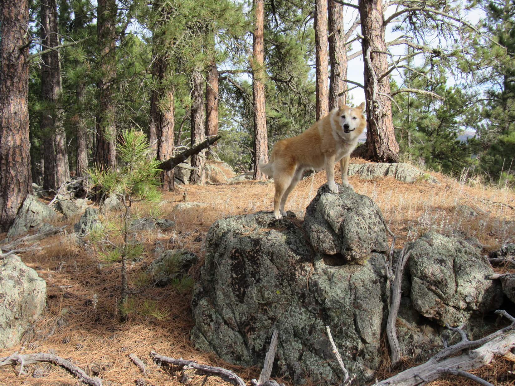
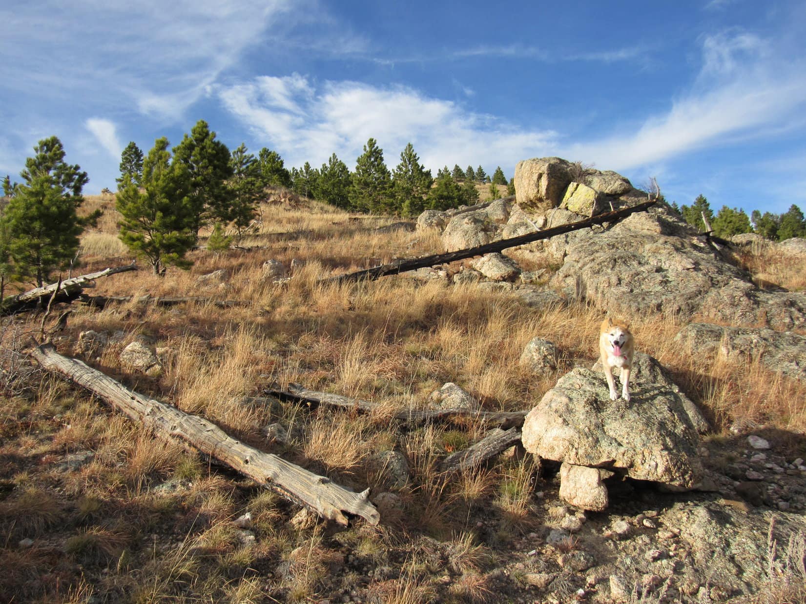
Sounded good to Lupe.  She wasn’t going to be lugging anything!  Easy day at the start of a fabulous Gros Ventre Wilderness adventure for her.  SPHP strapped the heavier-than-normal pack on, and the American Dingo was on her way.

Setting off for mighty Doubletop Peak!

All the vegetation was still sopping wet from last night’s downpour as the trail led through a lush green forest.  Fortunately, the trail itself was merely damp and not a sea of mud.  Starting out level, it soon began an easy, switchbacking descent.

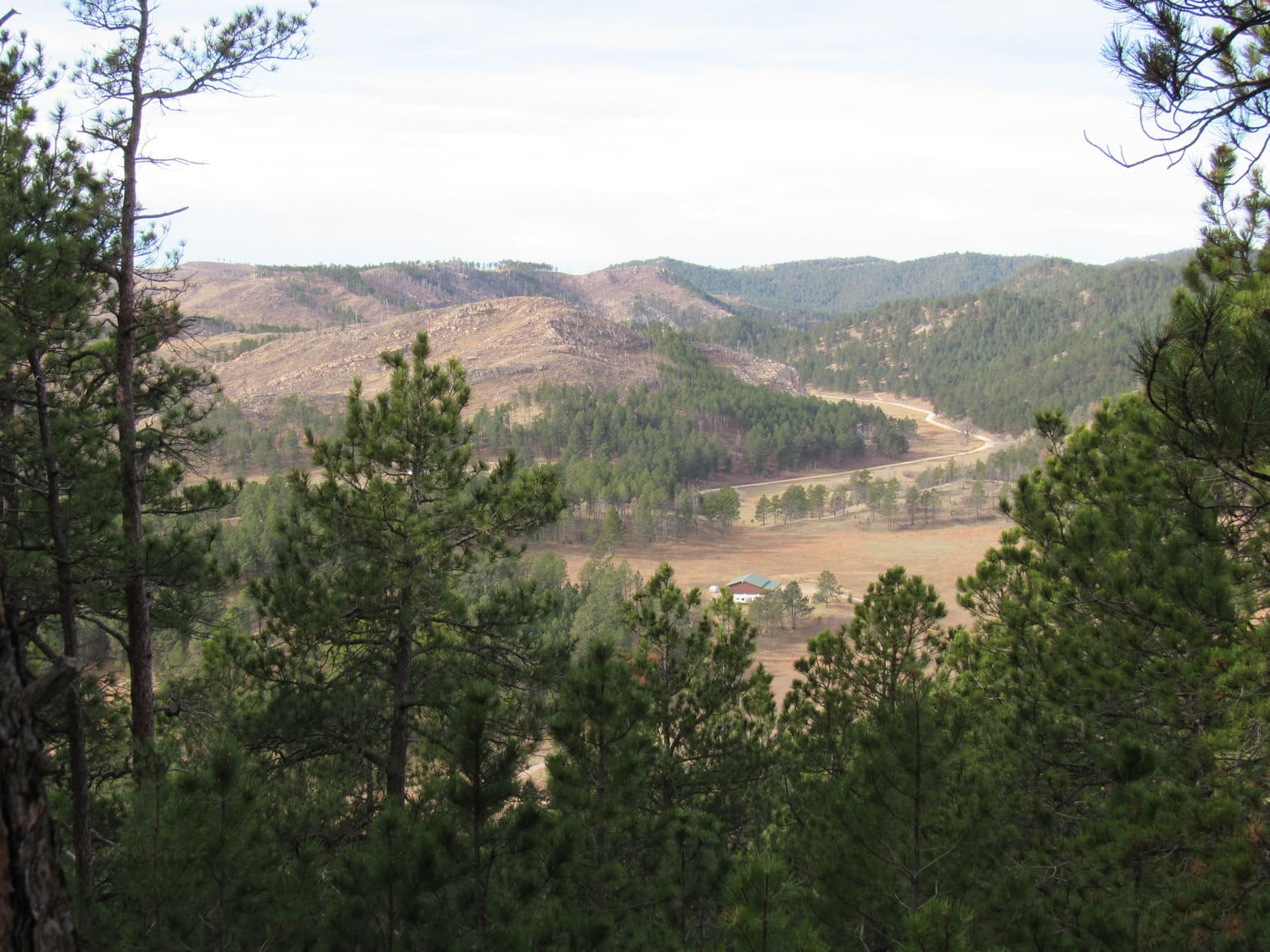
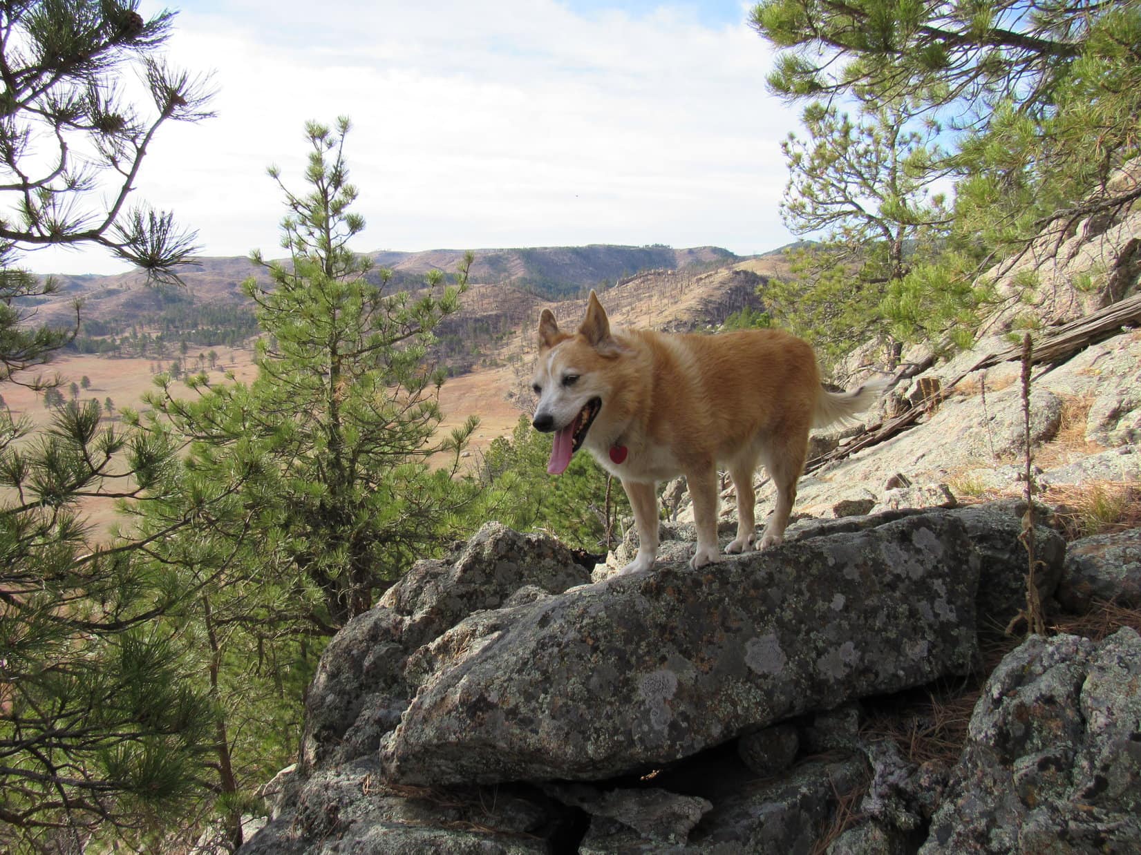
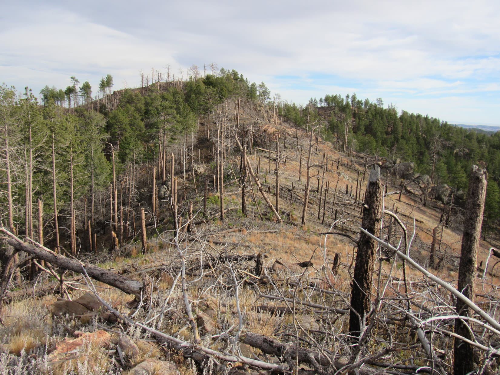
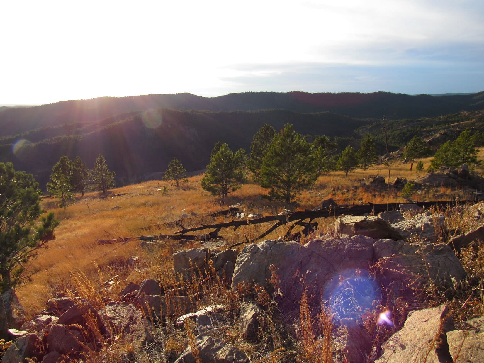
Partway down into a big valley where the confluences of Clear Creek, Kinky Creek, and the Gros Ventre River were, an opening in the forest permitted initial glimpses of the surrounding territory.  The SE end of Sportman Ridge was in sight.  Far to the SW, patches of snow clung to an enormous gray ridge.  SPHP wasn’t completely sure yet, but the high point of that ridge might be Doubletop Peak.

SE end of Sportman Ridge (Center). Photo looks NW.
Initial view up the Clear Creek valley. Doubletop Peak (Center), Triangle Peak (R). Photo looks SW with lots of help from the telephoto lens.

The trail soon bottomed out in forested lowlands, where Lupe came upon several signs.  Happily, they confirmed that thus far she had been on the Kinky Creek trail, and that she was going the right way to get to the Dry Fork trail.  However, there rather oddly did not appear to be any actual trail junction at these signs.

Signs where the Kinky Creek trail leveled out.

The Kinky Creek trail headed W from here.  Lupe soon came to another sign where the trail actually did fork.  The Horse Crossing was straight ahead.  No indication of where the trail angling toward the R went, but presumably, the Human Crossing.

The Horse Crossing sign.

What makes you say that, SPHP?  Kind of presumptuous of you humans, isn’t it?  Could go to the Dingo crossing, couldn’t it?

Oh, sweet Dingo!  Not to worry!  Everyone realizes that Dingoes cross wherever they please.  No reason to limit them to this crossing or that.

A nice recovery by SPHP!  Lupe liked that explanation.

Continuing straight, the American Dingo soon came to the dry wash of an exposed river bed.  The Clear Creek Horse Crossing was just a little farther.  When Lupe got there, SPHP didn’t like the looks of it.  Clear Creek was several feet deep, and flowing swiftly over a bottom of rounded stones.  Trying to cross it here didn’t look like much fun.

Before we do anything drastic, Loopster, wha’dya say we have a look at the Human Crossing first?

Returning to the Horse Crossing sign, the trail to the Human Crossing was taken next.  The Human Crossing was somewhat downstream from the Horse Crossing.  SPHP wasn’t really expecting it to be any better, but when Lupe arrived there, it clearly was.

Despite the washed out remains of a bridge attached to the far bank, the Human Crossing was definitely the way to go!  Clear Creek was still rocky and fast-flowing, but only 1.5 feet deep here.  Neither SPHP nor Lupe had any problem fording it.

At the Human Crossing on Dry Creek. Photo looks W.

A short distance beyond the Human Crossing, Lupe came to another trail junction with a sign that was both helpful, yet also confusing.  The Clear Creek trail went L, the Gros Ventre River trail went R, and the Dry Fork trail that went to Brewster Laker was straight ahead.

Trail junction sign beyond (W of) the Clear Creek Human Ford.

Seemed simple enough, except for one thing.  A trail went L, and a trail went R, but the Dry Fork trail, which supposedly went straight, didn’t seem to exist.

SPHP knew Loop would need to climb the ridge directly beyond the sign, but was reluctant to simply take off into the forest.  After all, this was supposed to be a trail hike, not an exhausting, trackless, bushwhacking expedition.

The mystery was soon solved.  Exploring to the R along the Gross Ventre River trail, Lupe came to another fork within 30 feet.  No signage here, but the branch to the L angled straight toward the base of the ridge Lupe needed to take.

Good job, Looper!  Think you found Dry Fork trail No. 98!

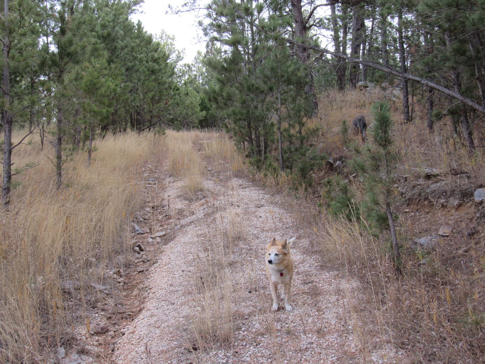
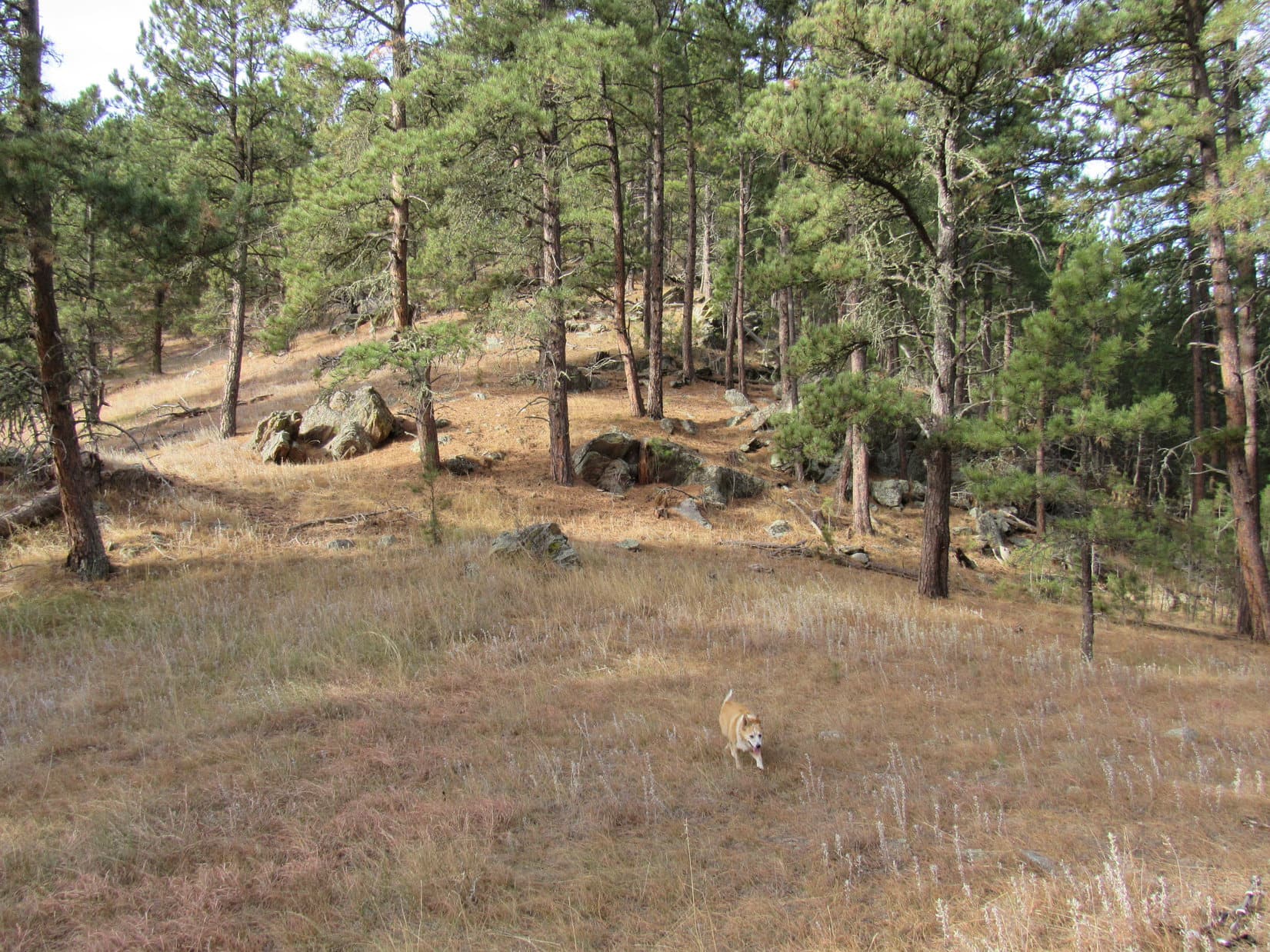
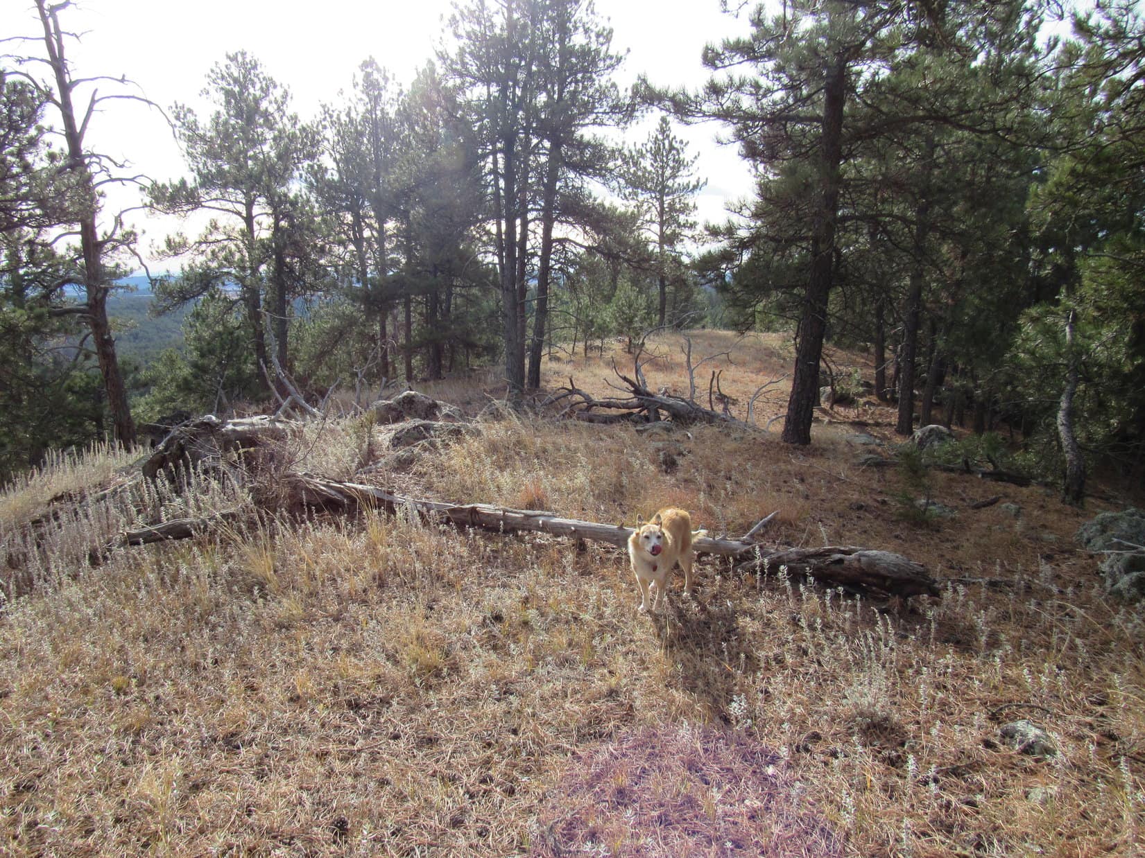
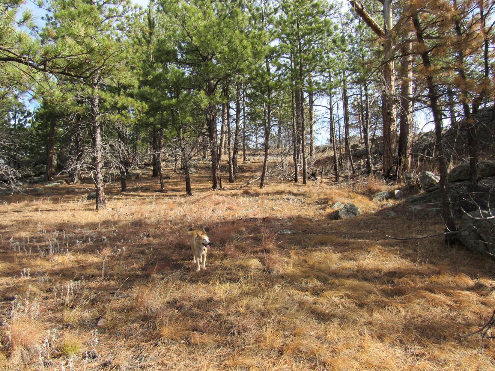
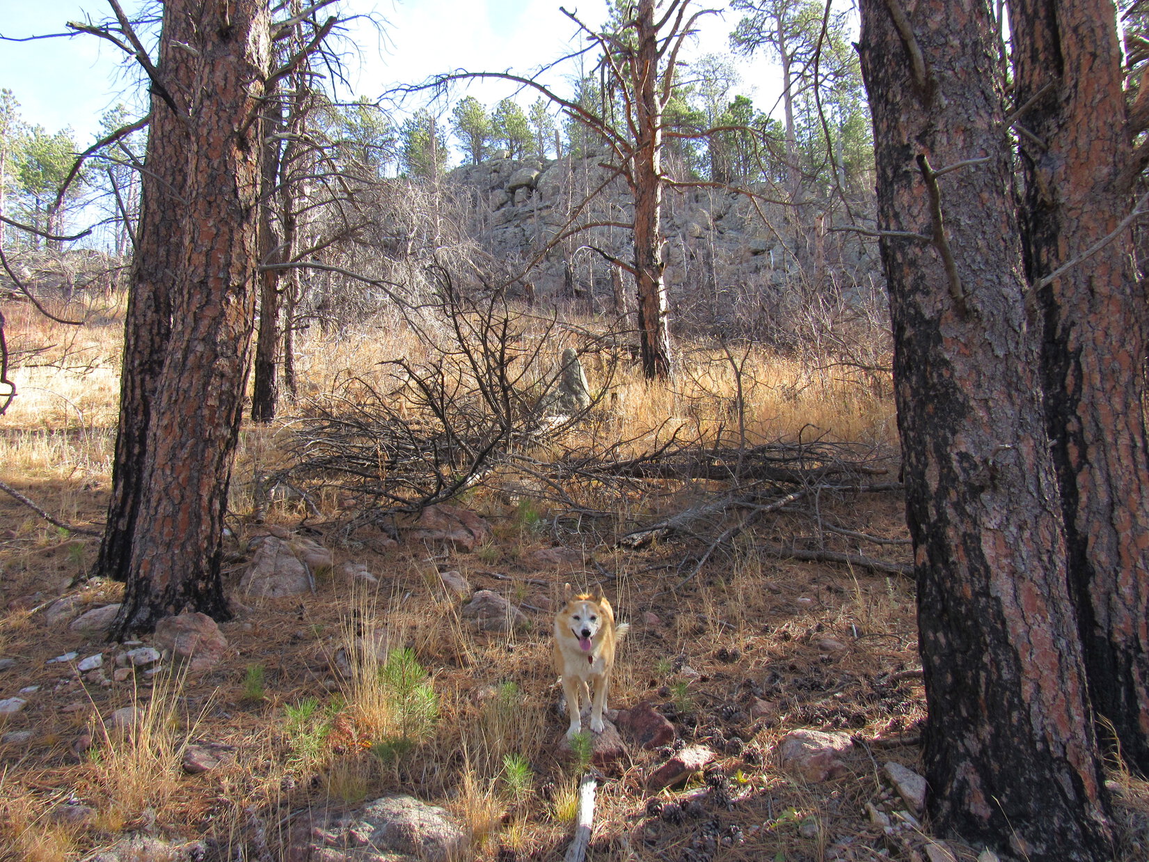
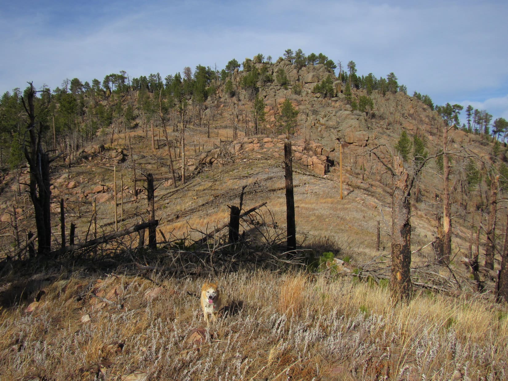
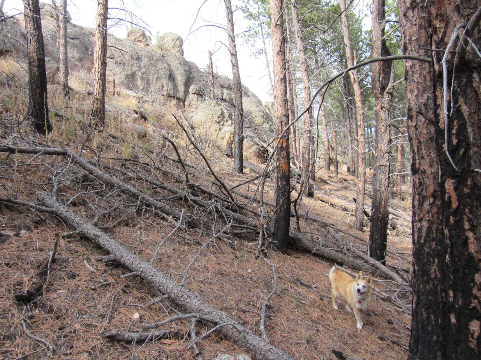
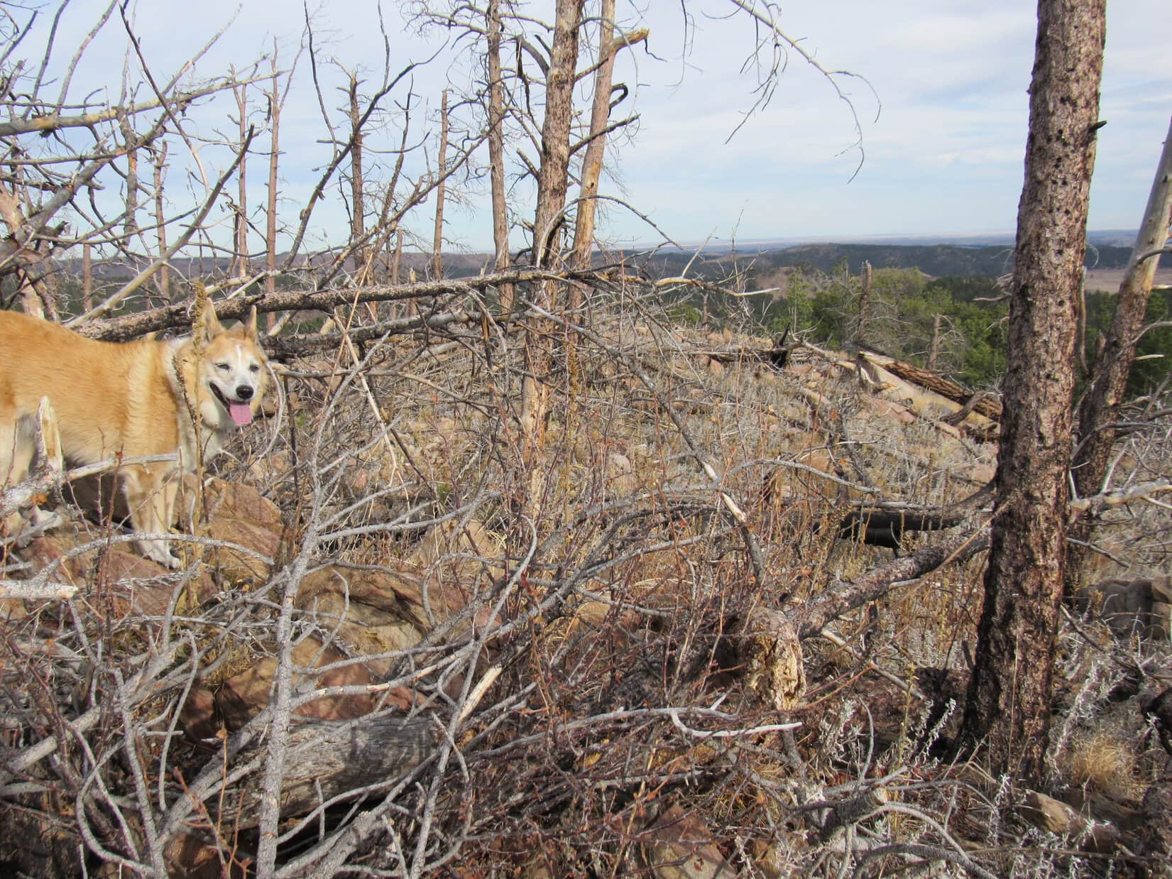
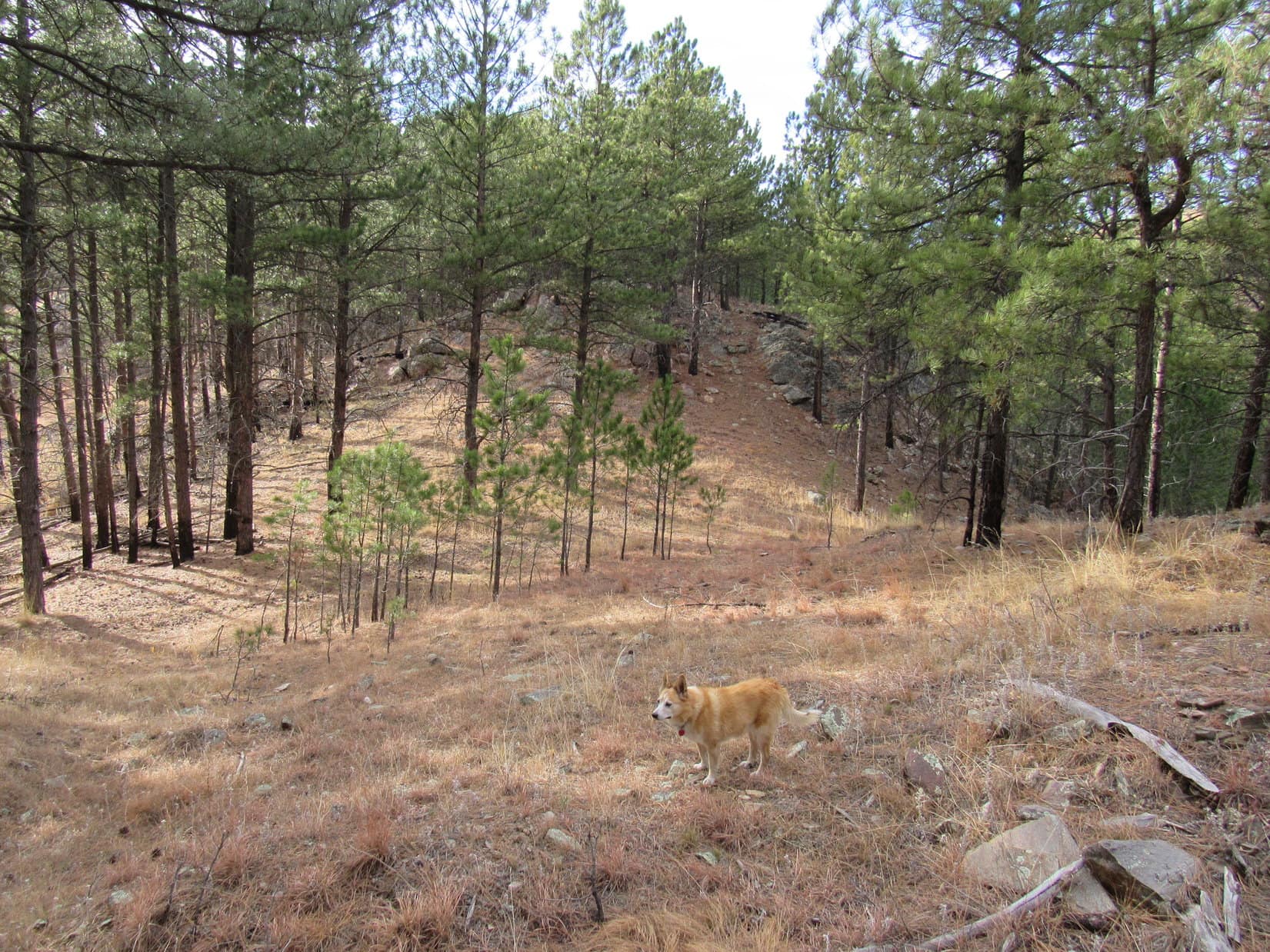
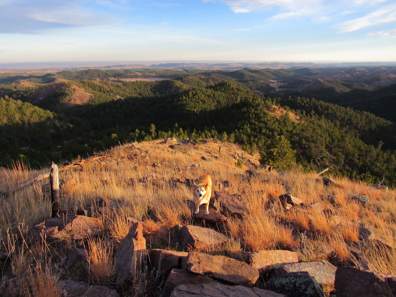
For a mile or more after leaving the big valley, Dry Fork trail No. 98 climbed through the forest, a little steeply at first, but not so bad after gaining some elevation.  Nothing to see except trees, but at least the trail was in decent shape – easy to follow with no deadfall across it.

In the forest on Dry Fork trail No. 98. Photo looks, ahh, who cares? Looks the same in all directions.

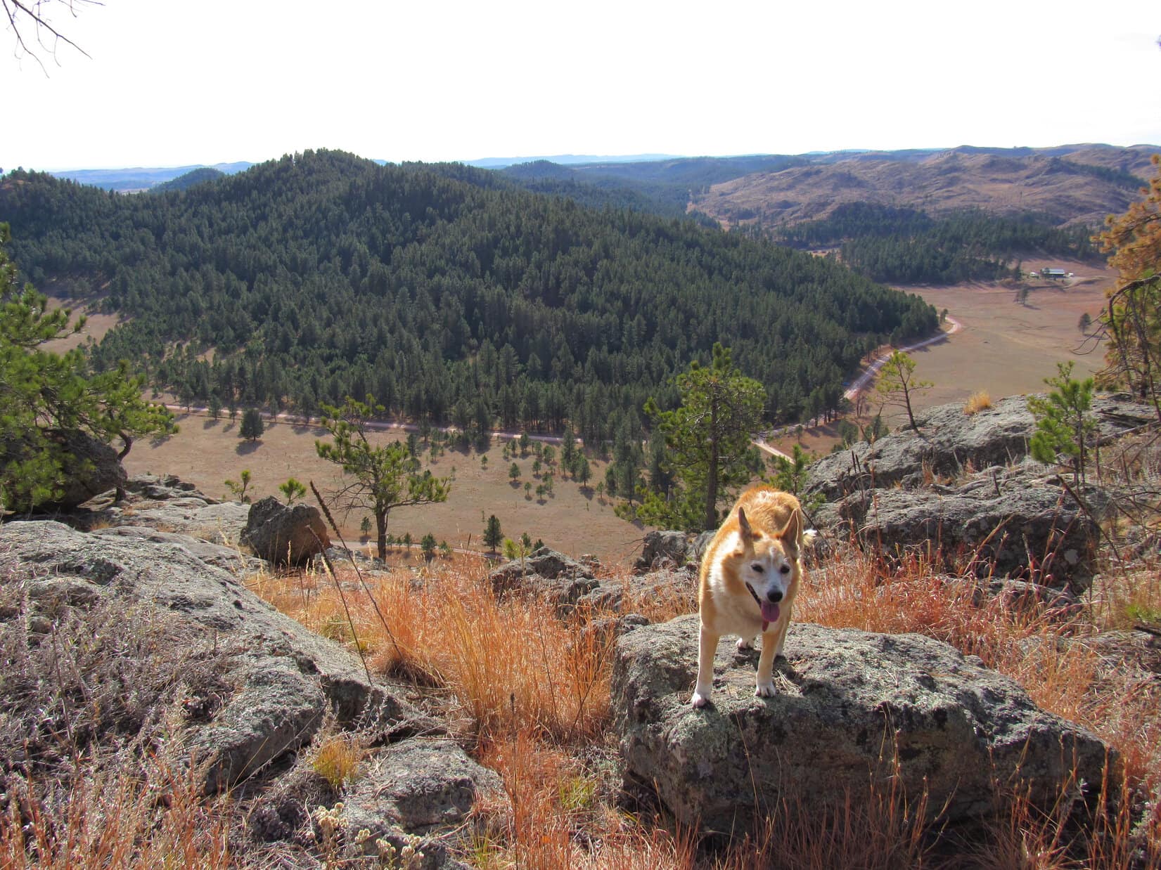
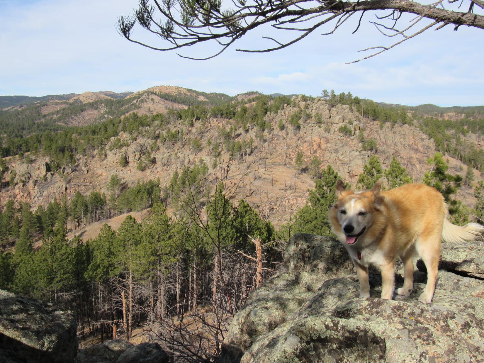
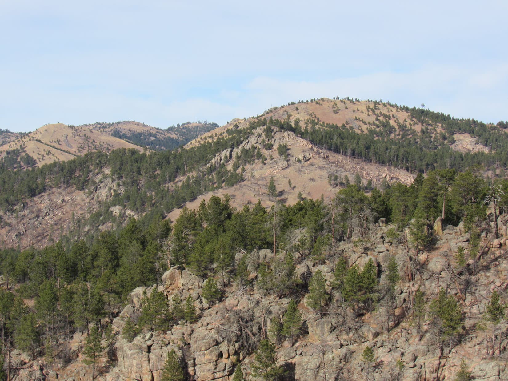
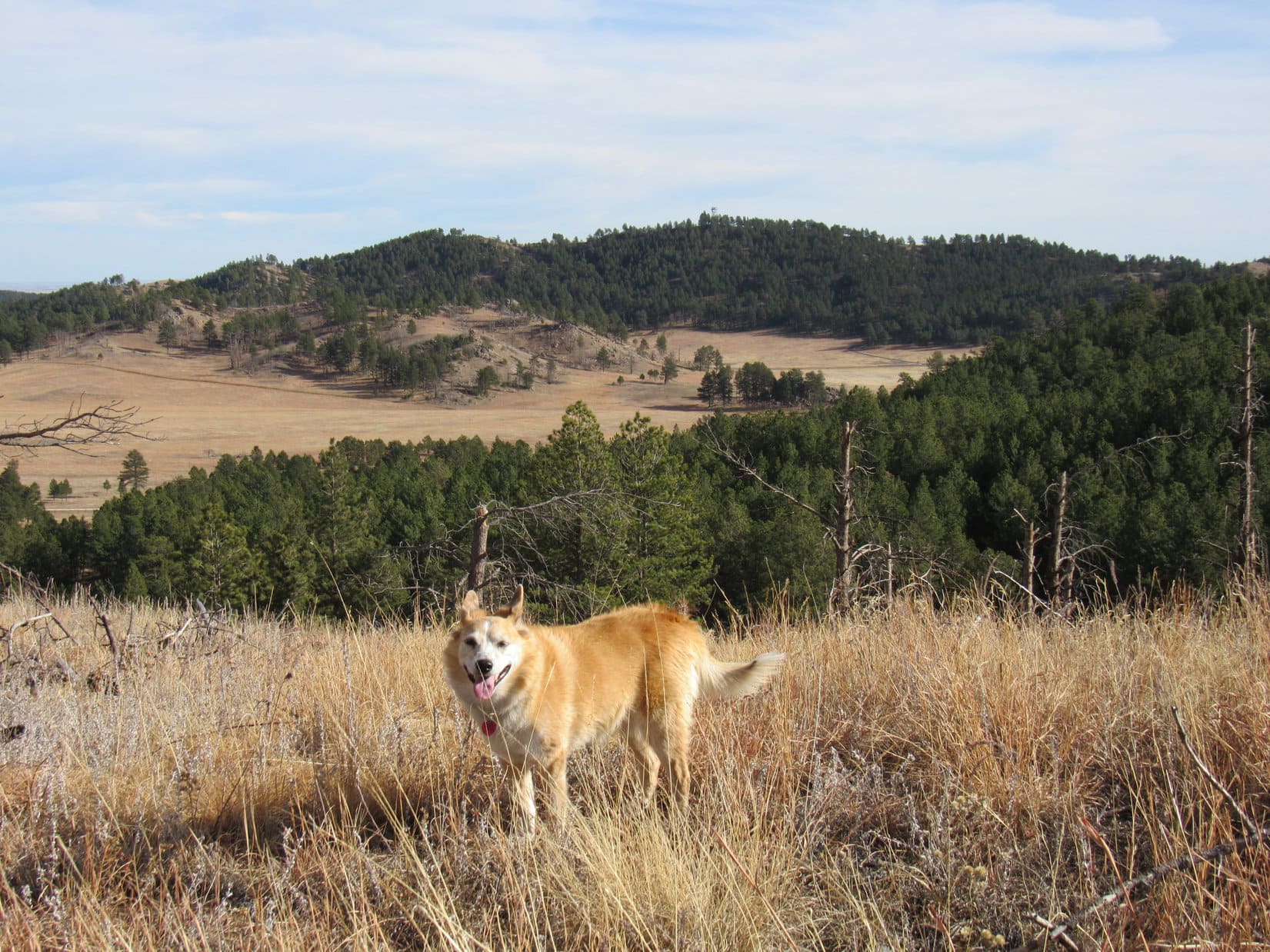
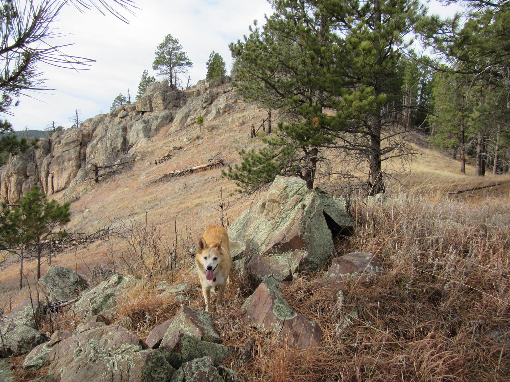
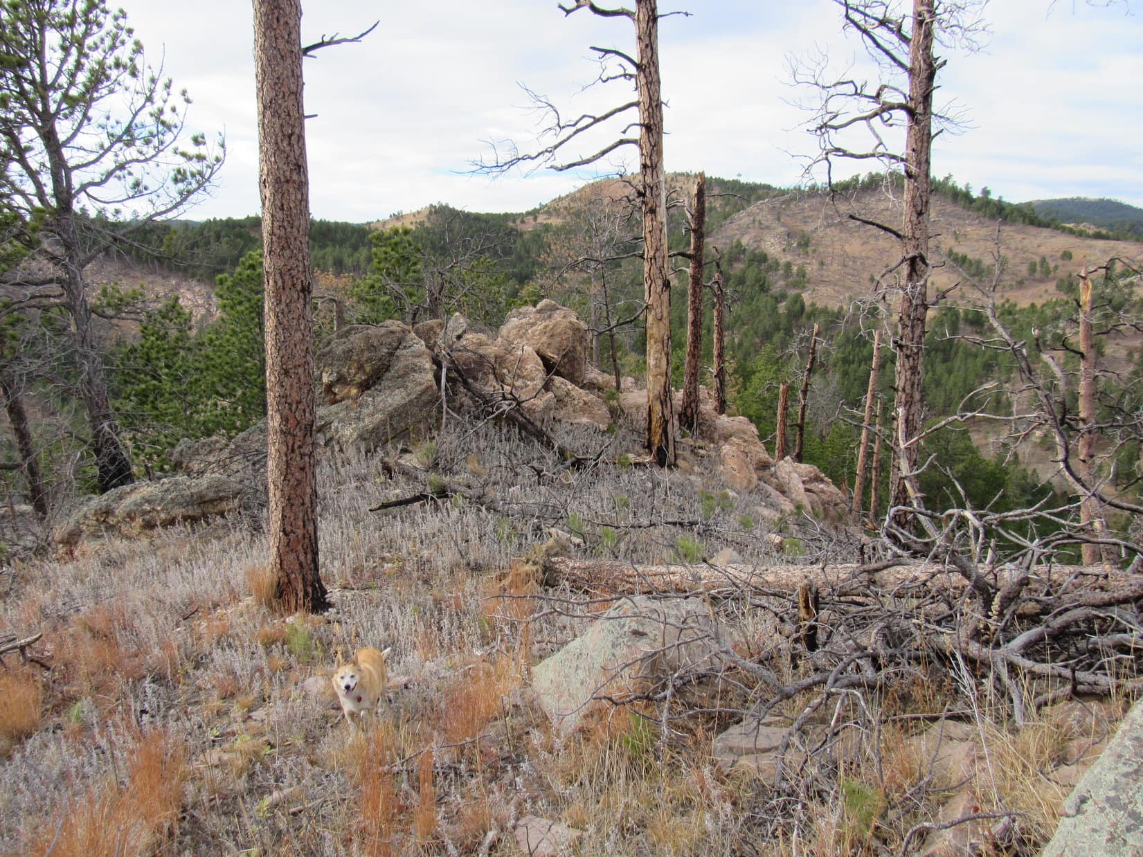
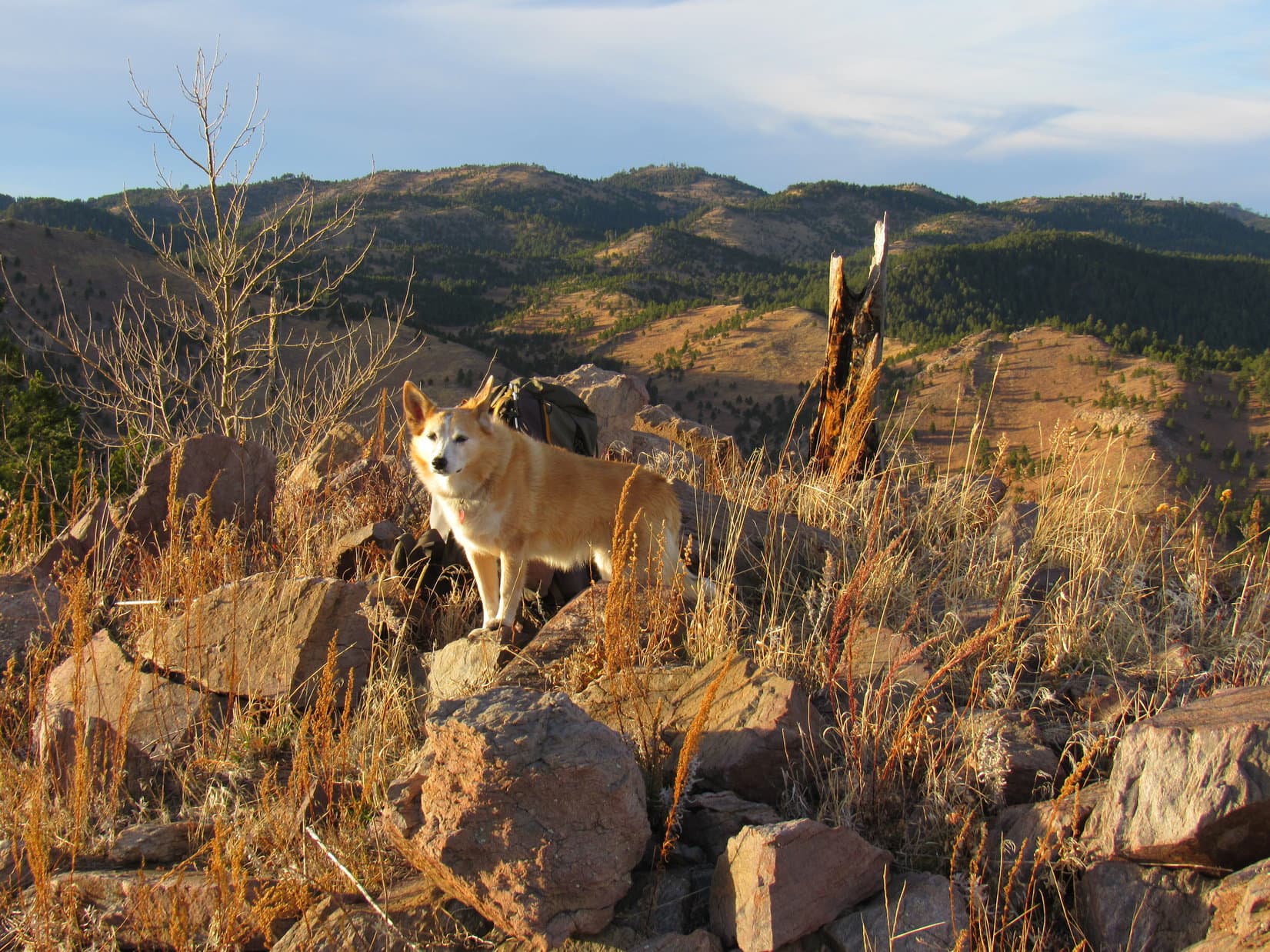
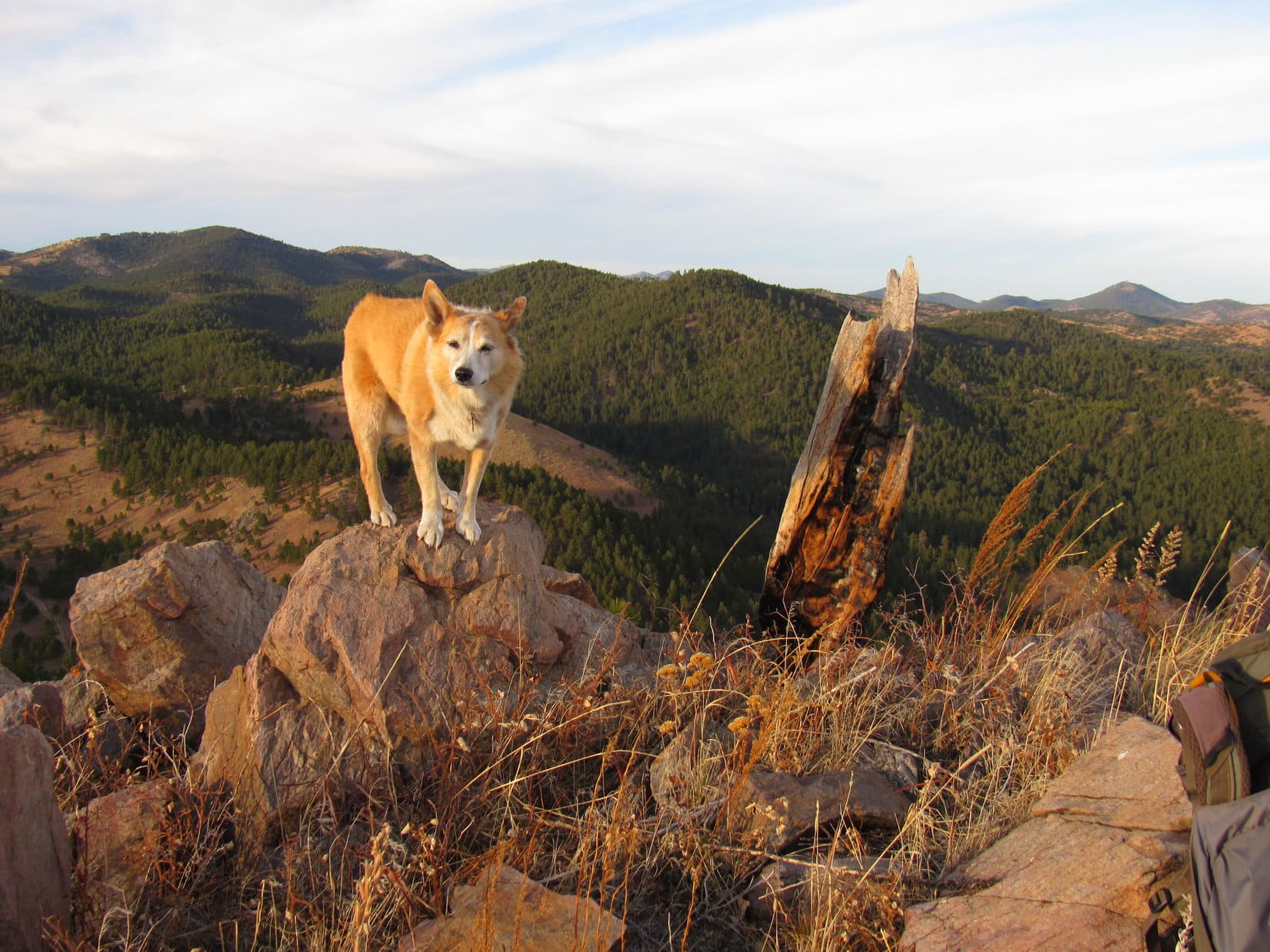
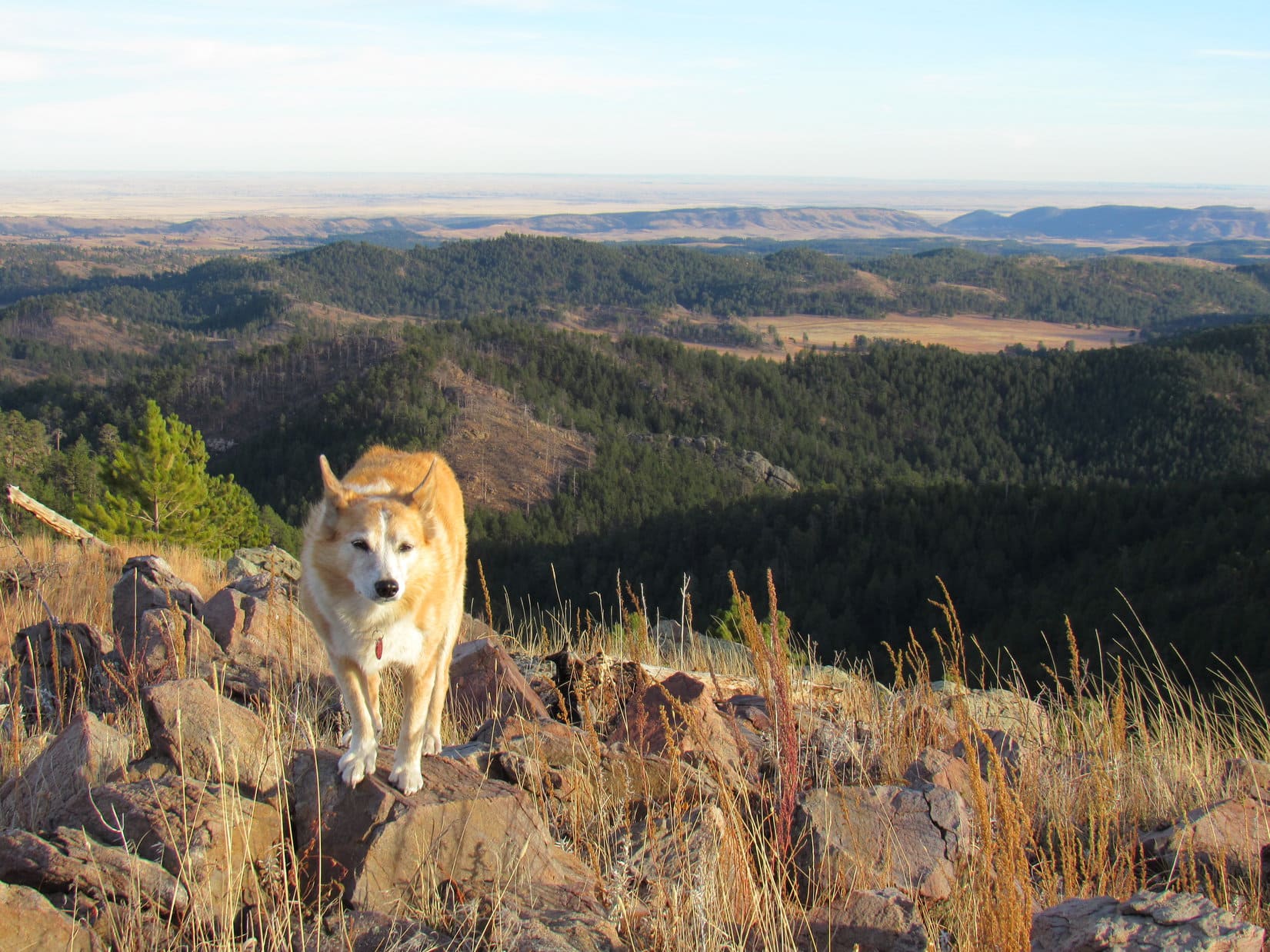
The Dry Fork trail eventually made it over to the S side of the huge ridge Lupe was climbing.  Here there began to be some sagebrush clearings that provided views of the mountains.  Early on, Lupe got glimpses of the Red Hills at the far upper end of the Clear Creek valley.

Red Hills West (10,408 ft.) (R of Center) in the distance. Photo looks SSW up the Clear Creek valley.

As Looper continued higher, she began seeing more spectacular peaks beyond the Dry Fork drainage.  Doubletop Peak (11,720 ft.), Triangle Peak (11,535 ft.) and Peak 11626 were all in view.

Doubletop Peak (far L), Triangle Peak (L) and Peak 11626 (R). Photo looks SW up the Dry Fork Creek drainage.
Zoomed in on Doubletop Peak (L) and Triangle Peak (R). Photo looks SW.

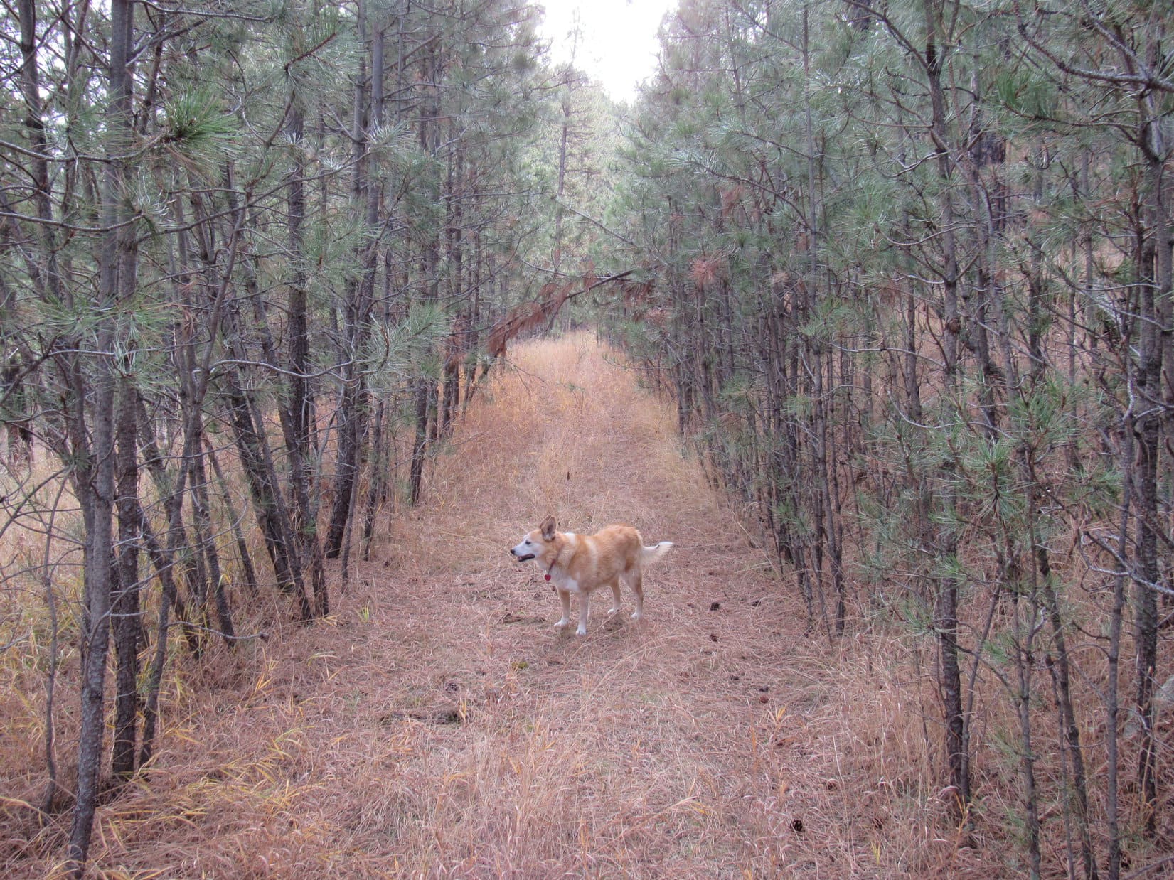
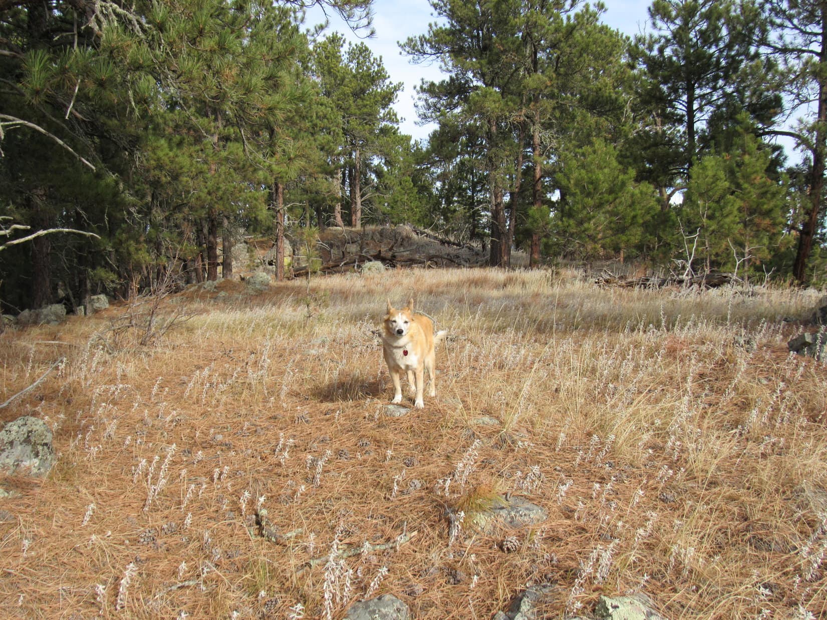
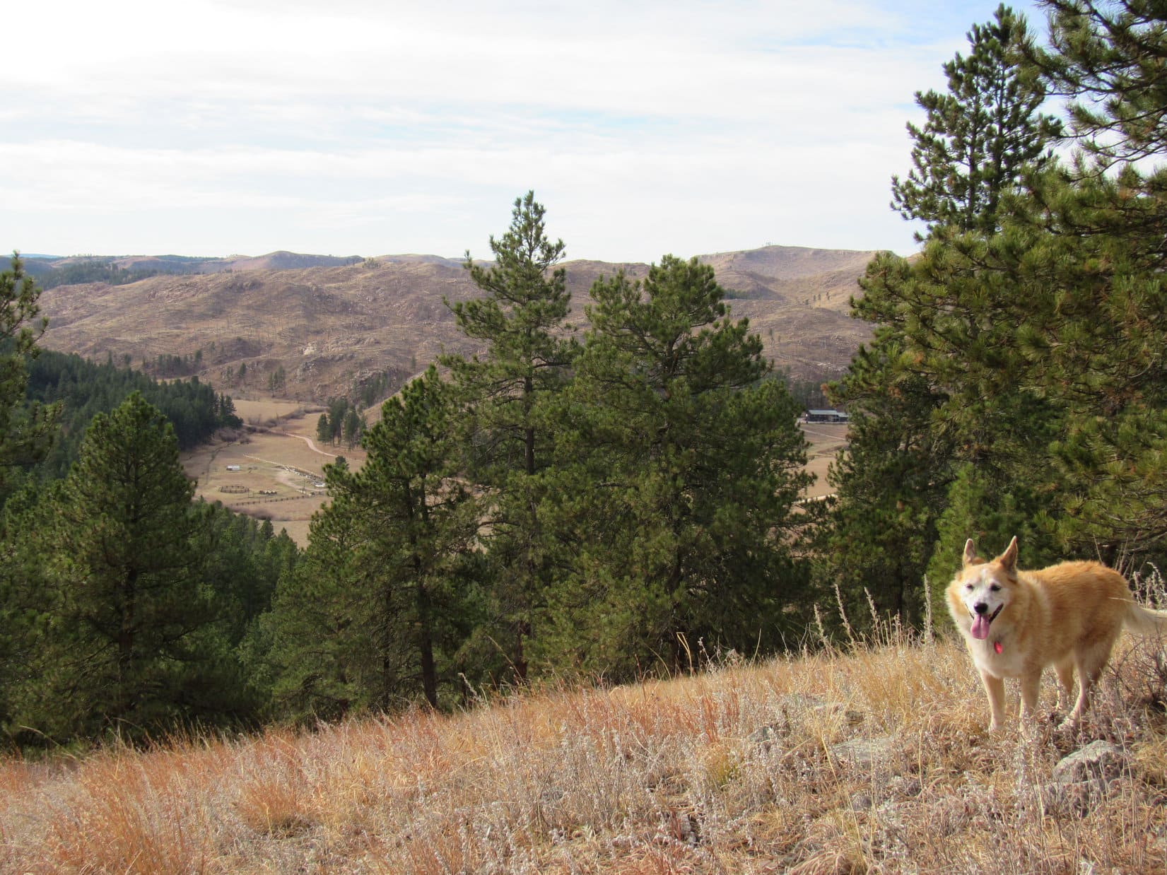
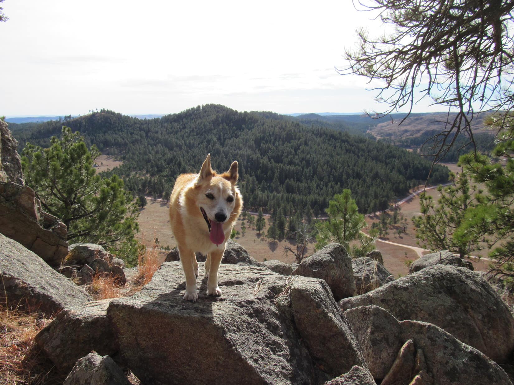
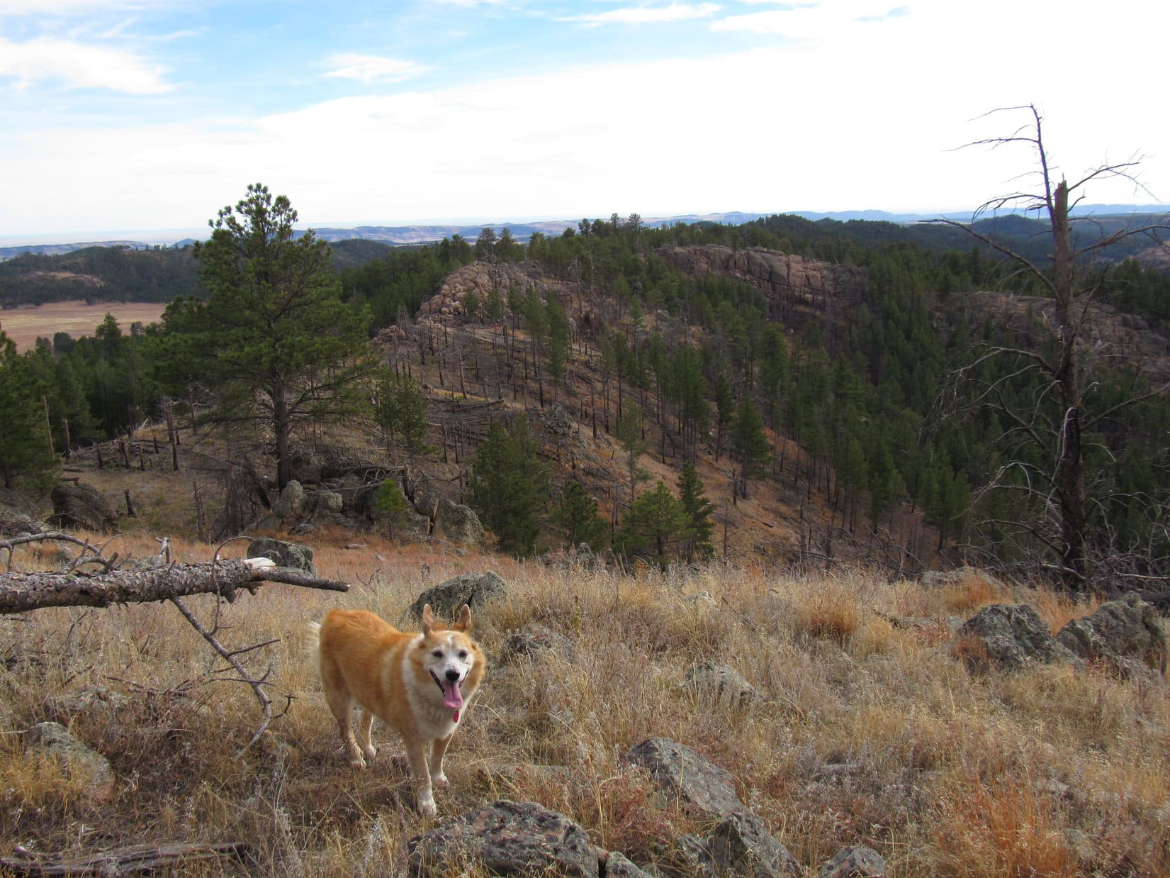
The trail still veered off into the forest now and then, but never strayed far from the S edge of the ridge.  Doubletop Peak eventually disappeared from view, but Triangle Peak could still be seen from all the clearings.  SPHP began watching for Trail No. 96, which should branch off to the R on its way N to the Gros Ventre River valley.

Temporarily back in the forest again.
Triangle Peak (L of Center) from another sagebrush clearing. Photo looks SW.

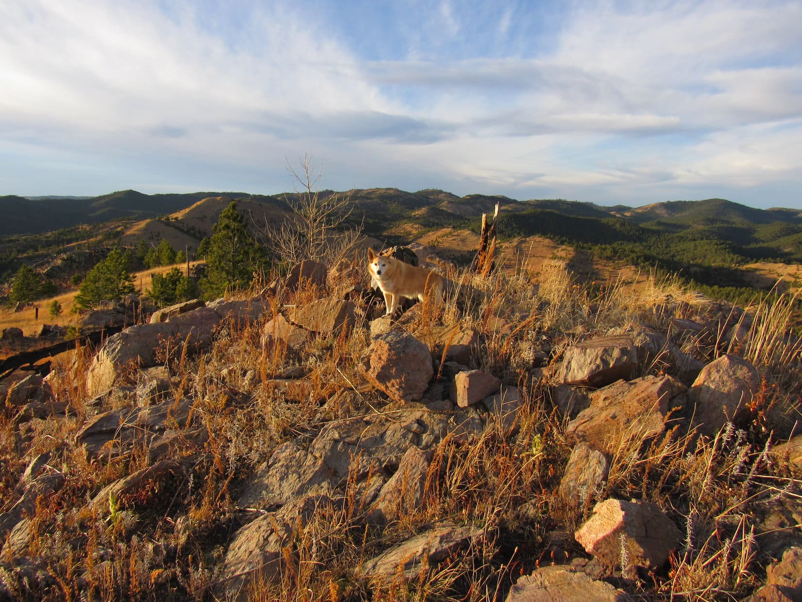
Lupe finally came to a place where the trail forked.  Presumably, the R branch was Trail No. 96, but there was no signage here to confirm that notion.  Loopster took a break in the shade while SPHP consulted the topo map.

At the fork where what might have been Trail No. 96 angles off toward the R. Photo looks W.

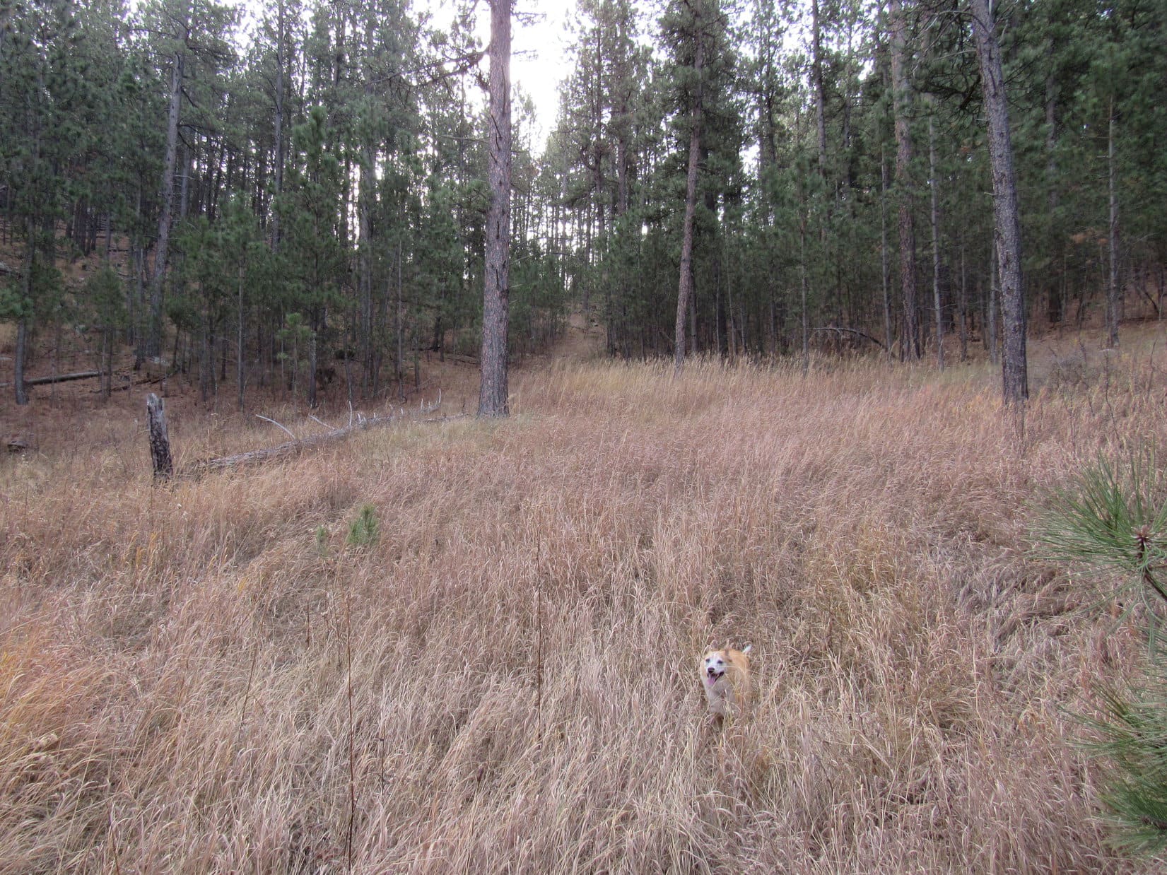
Staying toward the L, the American Dingo carried on.  Dry Fork trail No. 98 promptly entered a very large sagebrush clearing and began heading steadily downhill.  When it made a switchback, descending even more rapidly, SPHP started to fret.

Hang on a minute, Looper!  This doesn’t seem right.

Did we go the wrong way, SPHP?

Not sure.  Let me check the map again.

The map wasn’t much help.  Wasn’t really a confidence booster that this was the right way, either.  It didn’t show Dry Fork trail No. 98 losing any significant amount of elevation in one chunk along in here.  The trail ought to be holding its own, or maybe even gaining a little elevation, yet this trail appeared destined to descend clear down to Dry Fork Creek.

If it did that, then looped back down the valley to the confluence with Clear Creek, Lupe would never get to Doubletop Peak!

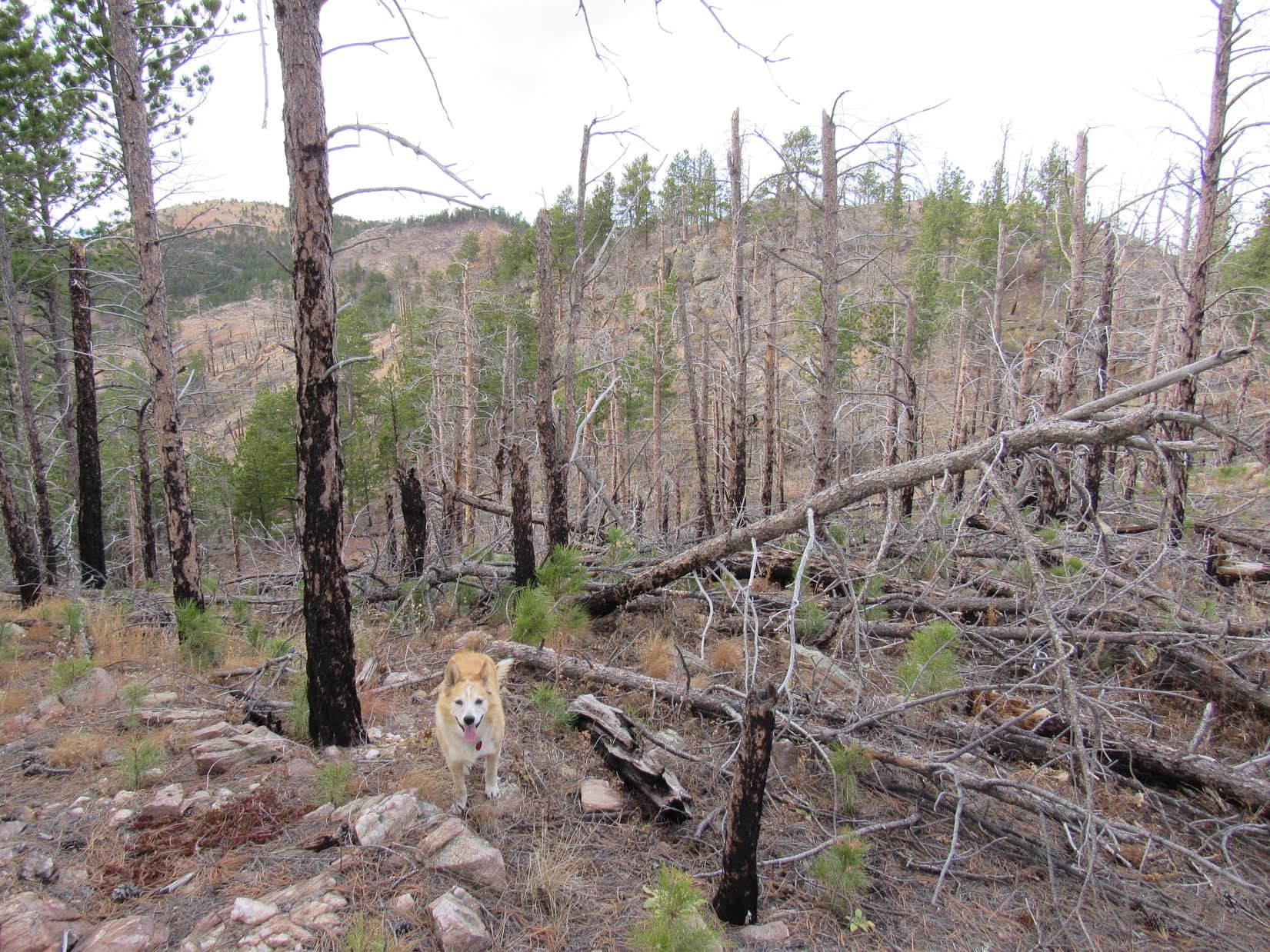
However, there didn’t seem to be much choice.  Rather than set off on a bushwhack or return to the last fork, Lupe kept going.  Fortunately, the trail soon began to level out, and turned up the valley, not down.

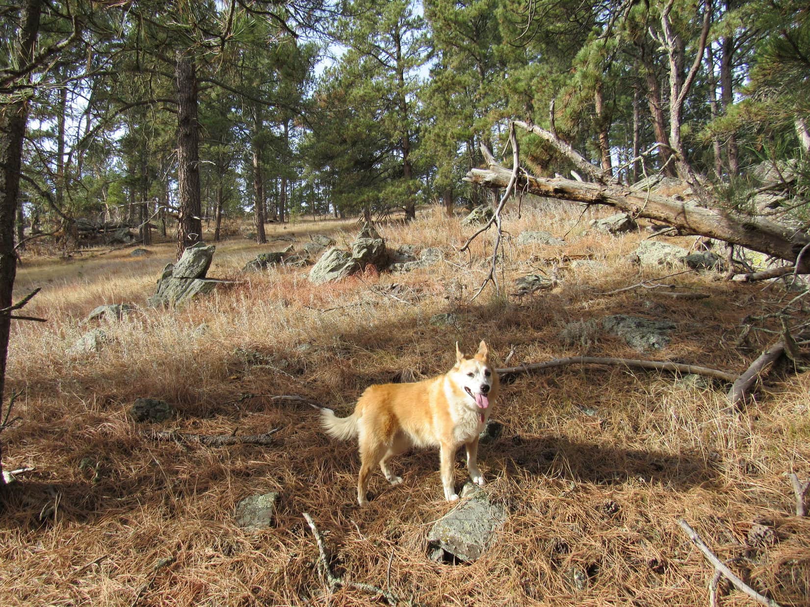
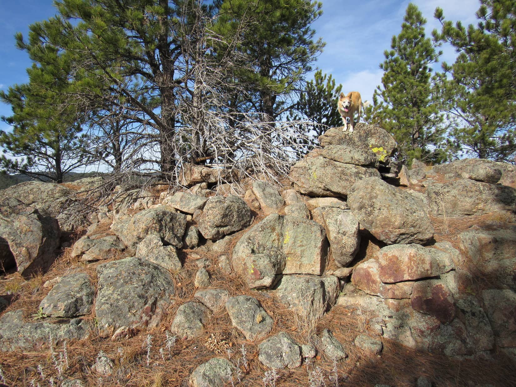
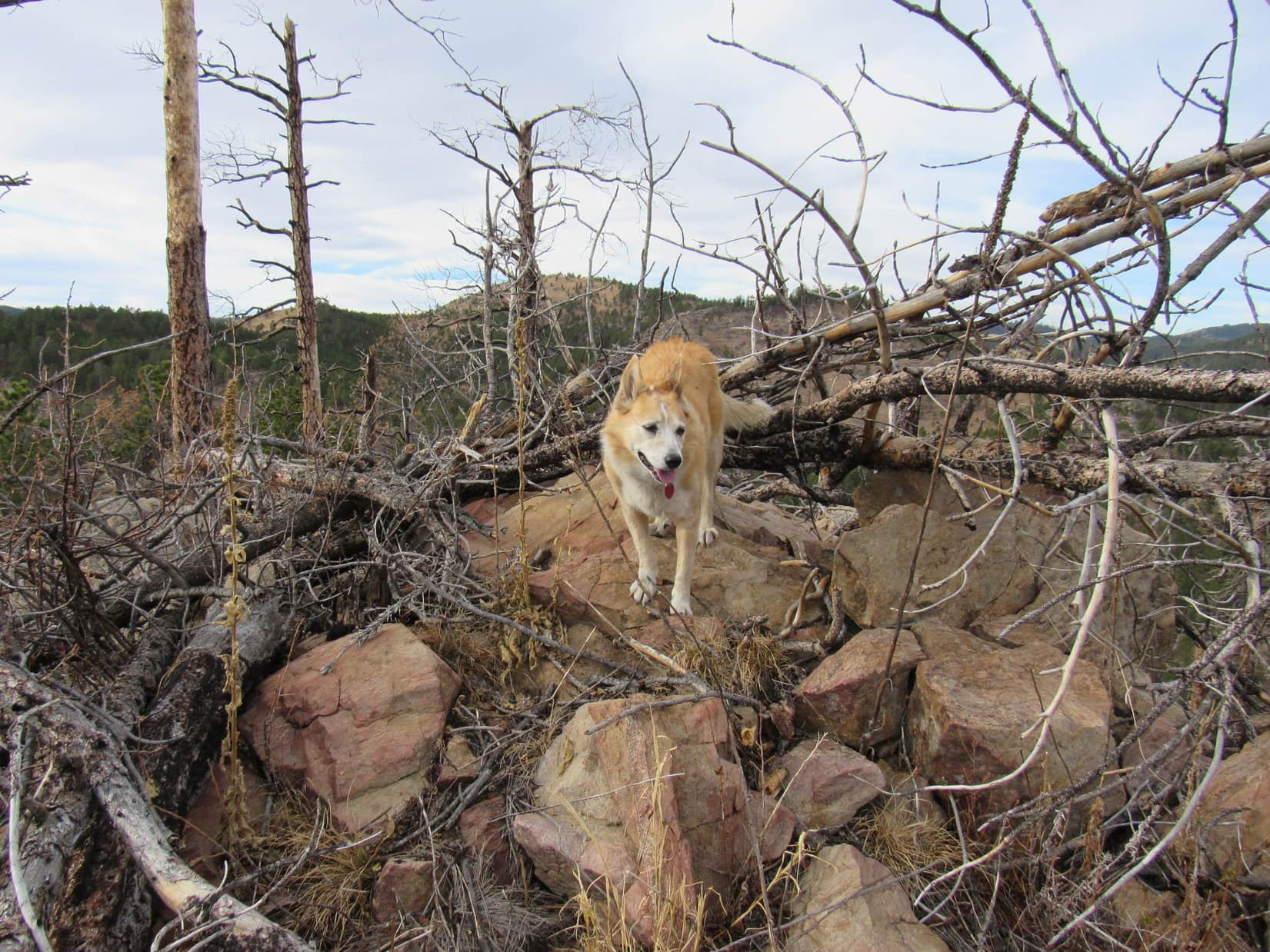
The Carolina Dog was on a densely forested stretch again when suddenly there was a disturbance nearby.  A great fluttering was followed by an annoyed clucking as a gray bird strutted back and forth along a small log just off the trail.  Looked like some sort of grouse to SPHP.

The grouse made no attempt to fly away, instead preferring to scold both Lupe and SPHP for the rude, unexpected intrusion.  Maybe it had a nest nearby?  After watching the bird strut its stuff for a couple of minutes, Looper moved on, leaving the grouse to its boldly defended seclusion.

The fearless grouse.

The trail eventually did approach Dry Fork Creek.  However, as SPHP had already concluded it would by now, rather than following the stream down the valley, it continued upstream.  Within 5 minutes, Lunch Lake was coming into view ahead.

Near Dry Fork Creek. Photo looks SW.
Approaching Lunch Lake. Triangle Peak (Center). Photo looks SW.

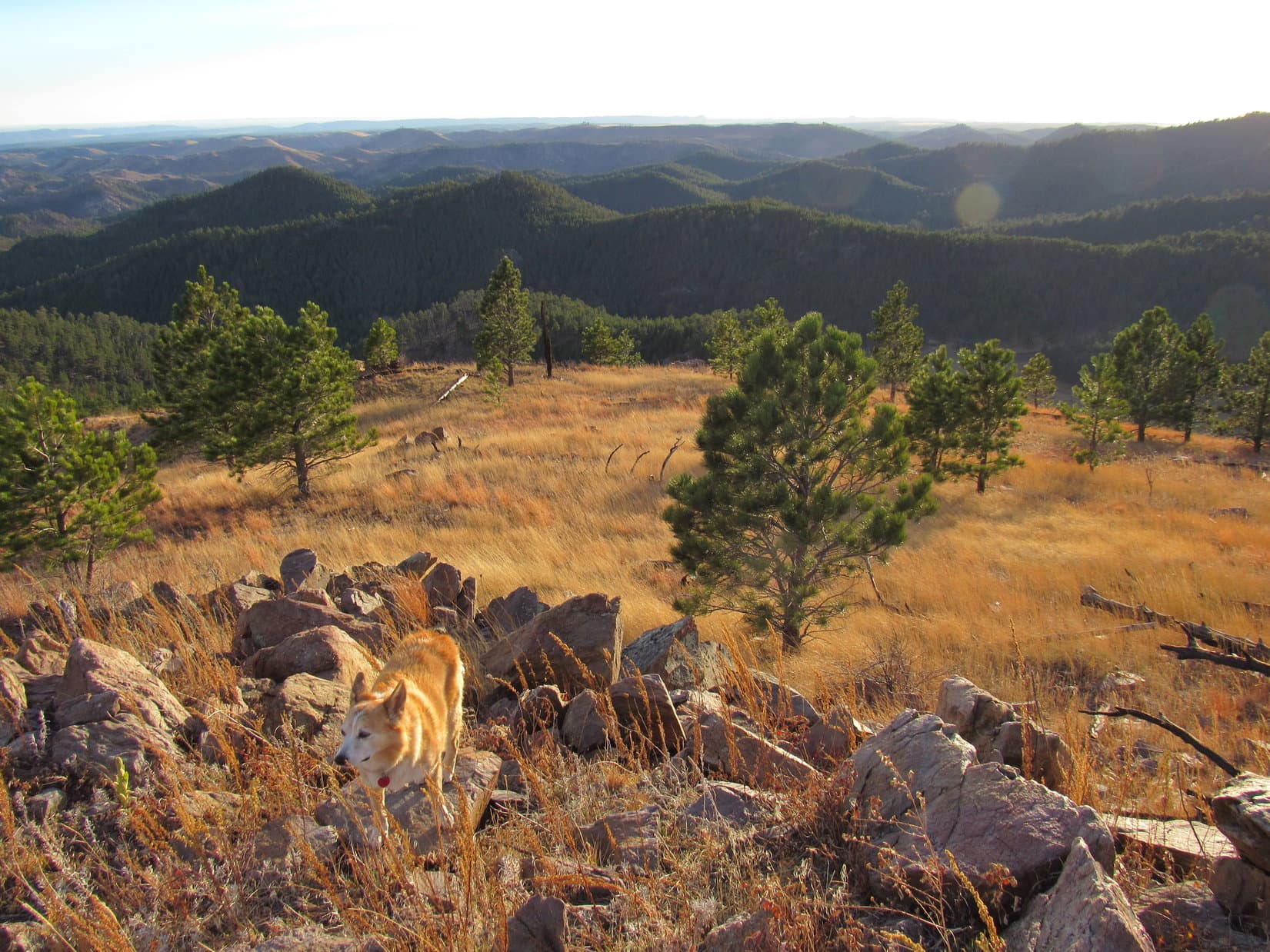
11:40 AM, Lunch Lake – A small, sagebrush-dotted ridge overlooked Lunch Lake and the outlet where Dry Fork creek left it.  Sunny and warm!  Almost lunch time!  Aptly-named, Lunch Lake was easily the most scenic spot so far along the Dry Fork trail.  For 25 minutes, Lupe and SPHP relaxed and snacked while enjoying the splendid views.

At Lunch Lake. Triangle Peak (Center). Photo looks SW.
By the outlet channel where Dry Fork Creek leaves Lunch Lake. Photo looks SW.

When it was time to move on, Lupe continued W on Dry Fork trail No. 98, passing the N shore of Lunch Lake.  The Carolina Dog stopped now and then to admire the lake from this new perspective.  However, Lunch Lake was eventually lost from view as the trail steadily gained elevation and took Lupe back into the forest.

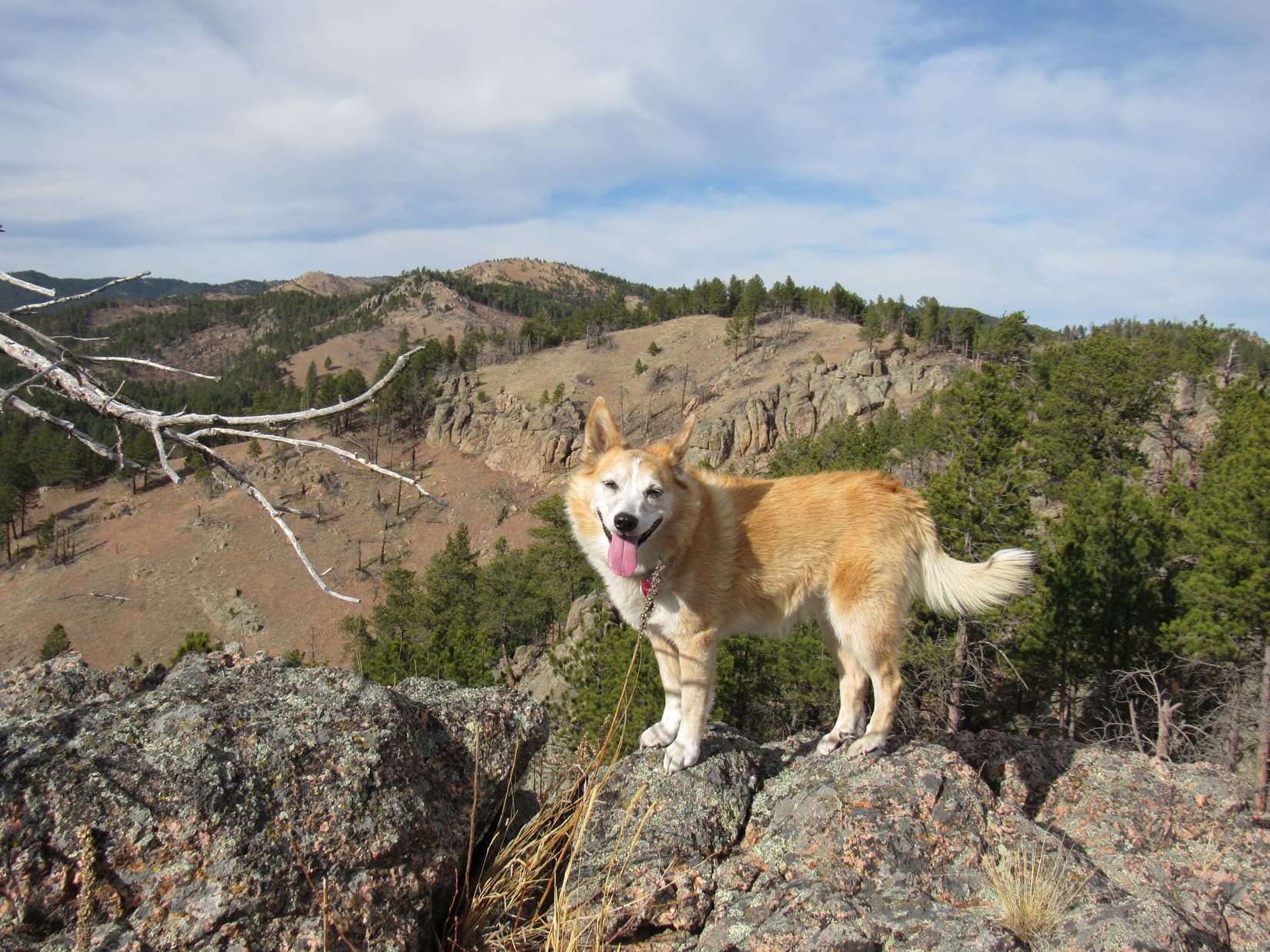
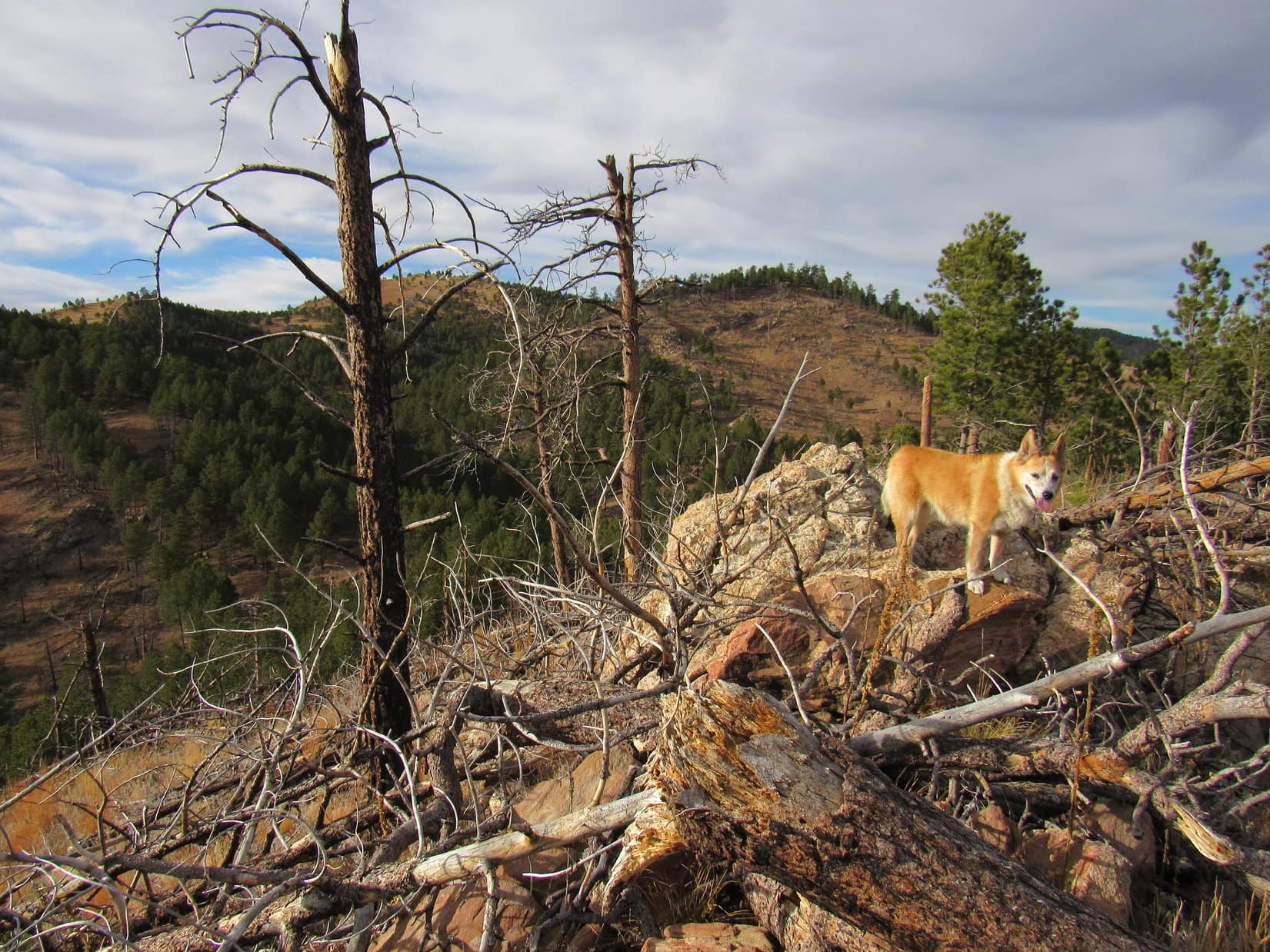
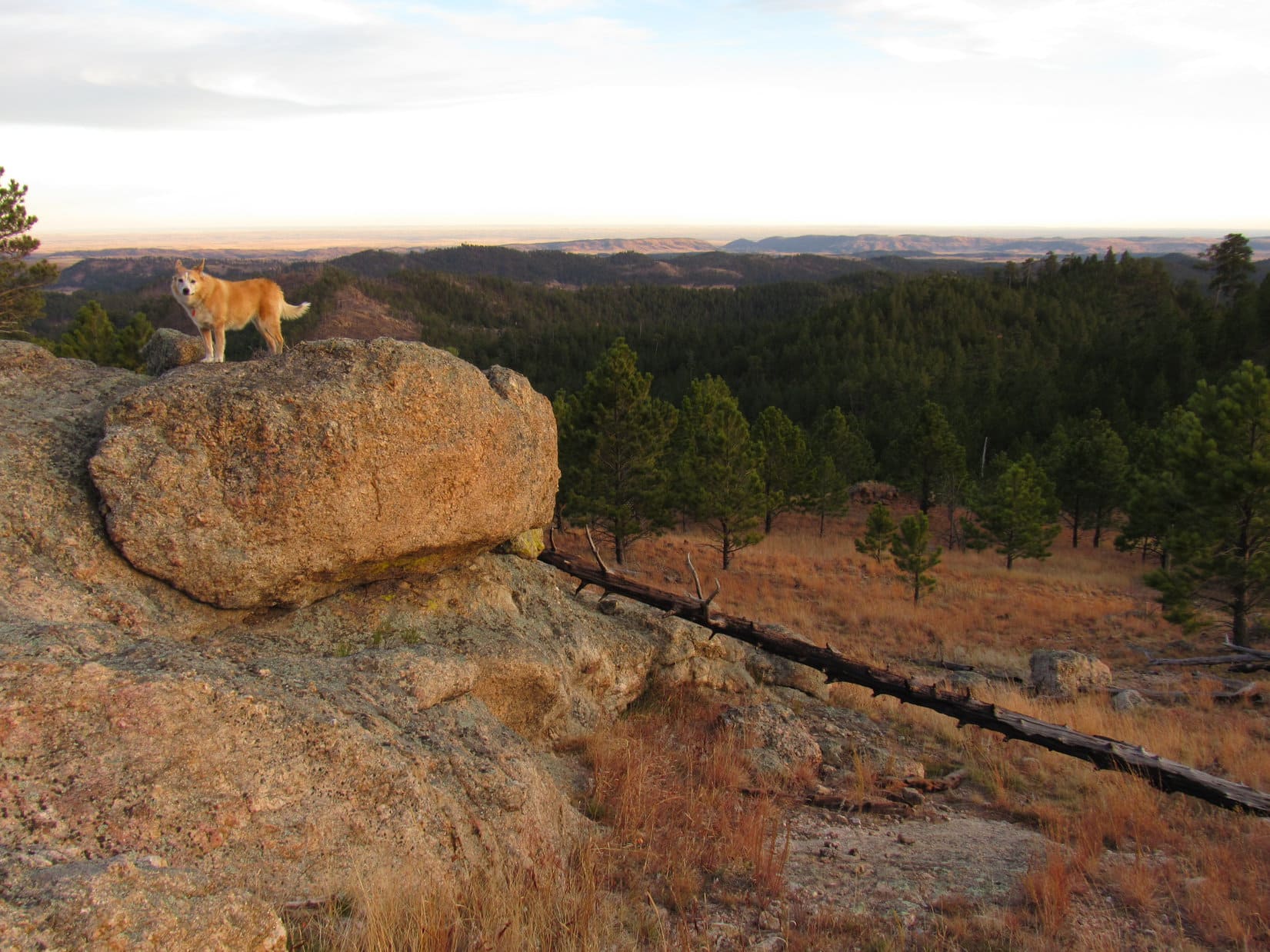
N of the trail, and way above it, was a long line of cliffs separated below by a steep grassy strip from a jumble of rough-looking talus.

Along Lunch Lake’s NE shore, about to hit Dry Fork trail No. 98 again. Triangle Peak (far R). Photo looks SSW.
Leaving Lunch Lake behind. Photo looks SE.
Below the cliffs. Photo looks NNW.

Dry Fork trail No. 98 followed the cliffs W before starting to angle SW away from them.  A marshy region containing several large ponds was just ahead.  The trail dipped almost to the ponds’ level, passing S of them as it skirted the marsh on firm, flat ground.

Approaching the first ponds. Photo looks WSW.
By-passing the marshy ponds. Photo looks NW.
Beyond the first ponds. Triangle Peak (Center) ahead. Photo looks SW.

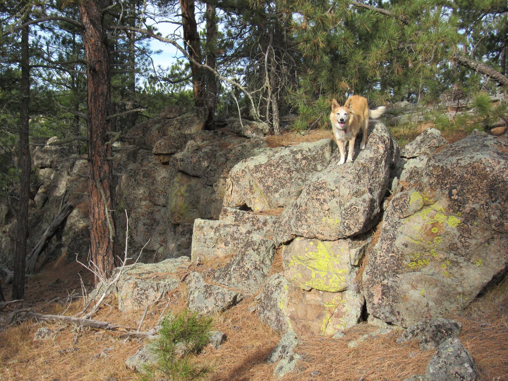
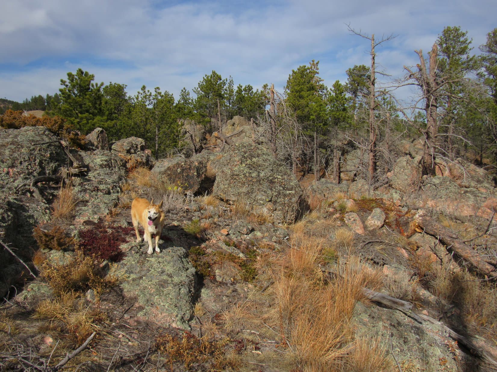
The trail led to another pond with a mucky shoreline dotted with light gray rocks.  Near this pond, even the trail got soft.  However, Lupe was soon on firm pawing again as Dry Fork trail No. 98 curved W, and began climbing into a rockier region.

By the last big pond with the mucky shore. Triangle Peak (R). Photo looks SW.
Heading up into firmer territory. Photo looks W.

After gaining 160 feet of elevation, the trail topped out and turned SW.  A headwall could be seen ahead.  Toward the S end, Dry Fork Creek rushed out of a narrow gash.  The trail dipped as it headed that way, crossing a small stream where Loopster helped herself to a drink.

Crossing a little tributary of Dry Fork creek. Photo looks NE.
Approaching the headwall and Triangle Peak. Photo looks SW.
Dry Fork Creek as it comes foaming out of the gash. Photo looks SW with help from the telephoto lens.

As Lupe approached the headwall, Dry Fork trail No. 98 angled well N of the gash.  The headwall turned out to not be a wall so much as merely a steepish forested slope.  Nothing tricky about it, but progress was slow.  Unaccustomed to the heavy pack, SPHP was running out of gas.

Forest eventually gave way to a region of small rocks.  The top of the slope wasn’t much farther.

Approaching the top of the “headwall”. Photo looks SW.

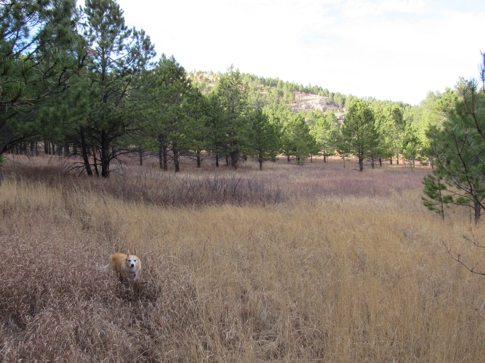
The terrain leveled out.  A line of trees was at the far end of a meadow.  Upon reaching the trees, a short, steepish descent began.

2:50 PM, Brewster Lake – Dry Fork trail No. 98 switchbacked down to a long green meadow.  This was it!  Lupe had arrived!  Two tents sat next to a line of spruce trees along Brewster Lake.  A dog laying by one of the tents immediately raised the alarm when it saw a Carolina Dog coming down the trail.

Turned out there were 3 dogs!  While Lupe raced down to sniff with them, SPHP headed for the E end of the meadow.  Loop soon returned to watch SPHP put up her tiny house for the first time this year.  Naturally, as soon as it was set up, the American Dingo wanted to try it out.  She seemed reasonably satisfied with the result.

Oh, you know you’re on a great adventure when the tiny house gets set up!

The tiny house was roughly 200 feet from where Dry Fork Creek left the NE end of Brewster Lake.  Lupe and SPHP wandered down that way for a look around.

What a fabulous setting!  Even better than Lunch Lake!  Brewster Lake nestled at the foot of towering Triangle Peak (11,535 ft.).  To the W, the same mountains Lupe had seen from Lunch Lake were much closer.

At Brewster Lake. Triangle Peak (L). Photo looks SW.
The mountains beyond Brewster Lake. Photo looks WSW.

Even Dry Fork Creek was more impressive here.  A far cry from dry, it was a good-sized stream as it left Brewster Lake flowing NE through a channel leading to the gash where it would roar down the headwall.

Triangle Peak from the Dry Fork Creek outlet. Photo looks S.
Dry Fork Creek as it leaves Brewster Lake. Photo looks NE.

Mid-afternoon!  Nice to have arrived at Brewster Lake before the whole day was shot.  SPHP had grown thoroughly weary of the heavy pack and was glad to be rid of it.  Lupe was ready to take it easy, too!  After sharing a few chocolate coconut bars, an afternoon snooze fest ensued.

At times, a dog could be heard yapping incessantly in the distance, but neither Lupe nor SPHP paid the least bit of attention.

A tired Dingo gains admittance to the tiny house prior to an afternoon snooze fest!

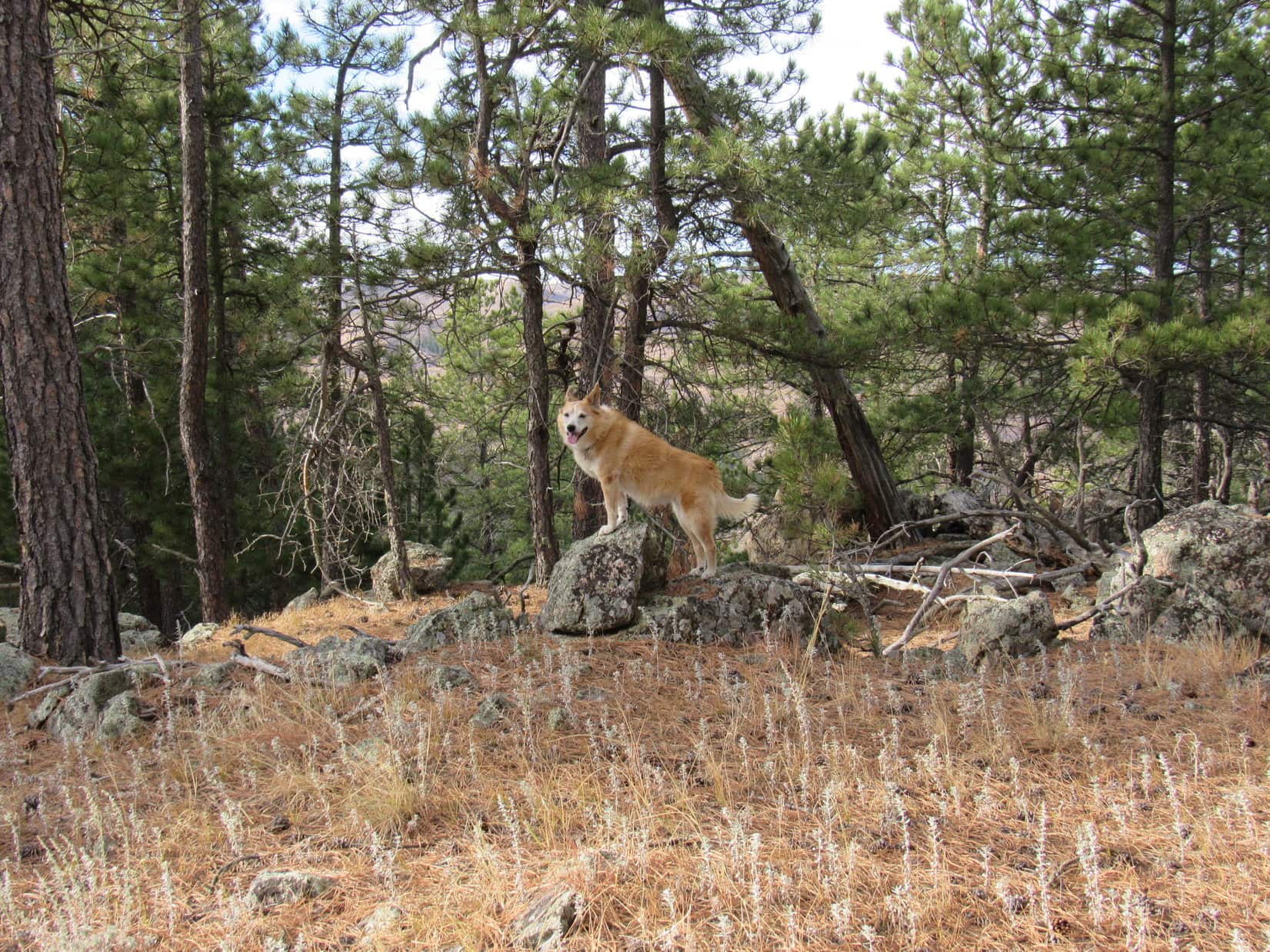
6:22 PM, Brewster Lake – At least somewhat refreshed on a beautiful July evening, Lupe stood next to the N shore of Brewster Lake.  Way over at the far W end was the awesome, rocky territory she would be exploring tomorrow on her way to Doubletop Peak (11,720 ft.).

Hopes were high!  Didn’t look bad at all from here!

Along the N shore of Brewster Lake. Peak 11626 (R). Photo looks WSW.

After returning to the tiny house, SPHP decided to pay a brief visit to the neighbors.  All 3 dogs raised a ruckus as Lupe approached.

Dale and Shannon were the only people the Carolina Dog had seen all day.  They loved to fish, and had never even heard of Doubletop Peak.  The spaniel and a dachshund were theirs.  Porter, a terrier, belonged to a neighbor, but had been lucky enough to get invited along.

Dale and Shannon were so friendly that the brief visit turned into an hour.  They were from Jackson.  Dale was retired, and had once been USFS manager of this sector of the Gros Ventre wilderness.  Shannon was still working, but didn’t say at what.  Both had interesting stories to tell, the sort of stories one hears in the mountains.

Shannon had once climbed Wind River Peak (13,192 ft.) with a full pack, then had to be emergency air-lifted out after suffering a torn ACL.  Dale told stories of bear encounters, and one about a guy who had hiked into the mountains to some hot springs in winter, then nearly froze to death on the way back wearing only flip-flops and a towel when he couldn’t remember where he’d stashed his pack.

But the story Lupe liked best came after Dale asked if their dachshund had disturbed anyone?  The fishing had been good this afternoon.  Dale had caught a several nice cutthroat trout.  All had been released, except the biggest one, which had been fried up for dinner and shared with all the dogs.

The problem was that their dachshund was a fishing fanatic!  He always got so excited that he barked incessantly, and became frantic trying to bite the fish whenever Dale or Shannon tried to land one.

The only bad part of this story was that Lupe hadn’t revived early enough from her nap to participate in the delicious fish fry!

Evening at Brewster Lake, Gros Ventre Range, Wyoming 7-3-21

Links:

Next Adventure                          Prior Adventure

Doubletop Peak, Gros Ventre Range, Wyoming – Part 2: Brewster Lake to the Summit! (7-4-21)

Want more Lupe adventures?  Choose from Lupe’s Summer of 2021 Dingo Vacations to New Mexico, Wyoming & the West Coast Adventure Index, Dingo Vacations Adventure Index or Master Adventure Index.  Or subscribe free to new Lupe adventures.

Black Hills, SD Expedition No. 284 – Peak 4980 & Peak 5604 (11-15-21)

9:01 AM, 55ºF – Oh, that might be it!  On the second pass along Beaver Creek Road (Custer County No. 391) 0.1 mile SSW of the junction with Flynn Creek Road (Custer County No. 336), SPHP spotted a faint turn to the E.  Room enough to park the RAV4 in front of a barbed wire fence.  Beyond a gate, a dirt road went up into the forest.

Something else was beyond the gate, too – an old brown fiberglass wand marking USFS Road No. 391.1D.

Come on out, Loop!  Found it!

Minutes after bounding out of the RAV4, the Carolina Dog was following what remained of long abandoned No. 391.1D.

Beaver Creek Road where USFS Road No. 391.1D takes off. Photo looks SW.
Setting out on USFS Road No. 391.1D Photo looks E.

The road made a short climb to the E, then curved SE as it began to level out. Grass as tall as Lupe covered the flat lane ahead.

Most of No. 391.1D turned out to be a pleasant grassy lane. Photo looks SE.

Private property was just down the slope to the E as Lupe sniffed along.  Passing through a short stretch lined with little Ponderosa pines on each side, Loop reached a tall grass clearing where No. 391.1D faded away.  A minor pass was just ahead.

Between the little Ponderosas. Photo looks SE.
The tall grass clearing at the end of USFS Road No. 391.1D. Photo looks S at the pass.

Lupe made it up to the pass in a flash.  Grassy, but not as tall here.

Which way, SPHP?

Up that slope to the W, Looper!

At the minor pass. Photo looks W.

The slope to the W was a bit longer, but an easy climb, too.  Roaming an open forest featuring scattered rocks, the American Dingo soon reached an initial high point.

Heading up the slope W of the pass.

10:39 AM, 55ºF – Lupe got up on one of the highest rocks.

Where to now, SPHP?

Congratulations, Loopster!  You have just climbed Peak 4980!

What?  Already?  We’ve barely gotten started!

Peak 4980 summit. Photo looks SW.

Yeah, I know.  This peak is a super easy one, a cinch following the road.  Don’t worry, though, Loop.  More on the agenda!  The next peak will be tougher and a lot farther.

Sounds good, SPHP!  Is the next peak far enough away to require a fair amount of energy to get there?

Oh, yes!  I’d say so.

In that case, since we’ve already climbed a mountain, maybe we ought to have a chocolate coconut bar.  Just to keep our energy levels up, you know?

Conniving Dingo!  Kind of early in the day, but I suppose we can do that.

After water and a shared chocolate coconut bar, Lupe explored Peak 4980’s summit region.  The first rock she’d gotten up on wasn’t quite the true summit.  Several rocks were candidates for that title, but one a little farther SW seemed clearly a tad higher than the others.

At the true summit of Peak 4980. Photo looks WSW.
Claiming an easy peakbagging success!

The highest part of Peak 4980’s summit region was 25 feet in diameter and toward the N end.  However, a minor dip led to a 200 foot long flat grassy area to the S.  Lupe sniffed along the length of it, while SPHP checked for views.

My that chocolate coconut bar was tasty! Lupe still licking her chops. Photo looks S toward the flat grassy end of the summit region.
In the grassy region. looking back toward the true summit. Photo looks N.

Eh!  Not much for views.  Glimpses to the SE that might have been nice minus a few trees, but that was about it.  Loop did a little scrambling on the rock formations separating the upper and lower summit areas, but that was about all there was to Peak 4980.  Half an hour after arriving, she revisited the true summit rock before departing.

Along the edge of the dip. Photo looks NW.
Briefly back at Peak 4980’s true summit. Photo looks NE.

Instead of taking the same easy route along USFS Road No. 391.1D back to the RAV4, Lupe explored Peak 4980’s N ridge.  More challenging, but nothing major.  Heading down to the saddle leading to the first subpeak along the ridge, there actually was a spot with a view.  The subpeak had a better one.

Glimpse of the Beaver Creek valley while heading down Peak 4980’s N slope. Photo looks W.
View from the first subpeak N of Peak 4980. Photo looks SW.

The final descent from the end of the N ridge got rocky and steep, but was soon all over and done with.  Lupe reached USFS Road No. 391.1D again.  Only a quick downhill march remained.

Back at the RAV4 along Beaver Creek Road. Photo looks NW.

Truth was that the RAV4 could get Lupe much closer to the next peak on the agenda, but where was the fun in that?  The American Dingo was surprised when SPHP walked right on by it.  At the junction 0.1 mile NNE, SPHP led Loop NW on Flynn Creek Road.  Another 0.1 mile got her to a R turn onto a side road going to the Cold Springs ranger station and a cemetery.

Directly ahead was a hillside that got quite steep and rocky near the top.  If Lupe could get up there, the intention was to follow a long ridge that went N, then NW, all the way to Peak 5604, her ultimate destination.

At the junction of Beaver Creek Road and Flynn Creek Road. Photo looks N.
At the turn to the Cold Spring ranger station and cemetery. Photo looks NW.
Heading for the hillside. Photo looks N.

The hillside really didn’t look all that bad, but once Loop left the road and started climbing, SPHP made the mistake of venturing too far E.  This ended up putting her on some of the steepest, rockiest terrain.

Starting to get rather rocky on the way up. Photo looks N.
Hmm. Not too far from the top, but mighty steep. Photo looks NE.
Getting some views! Photo looks SW.

In several spots, it looked like Lupe might get stuck.  Fortunately, there was always a way higher.  Loopster managed to reach the upper edge without needing any boosts from SPHP.  She was rewarded with a nifty view of Peak 4980 where she’d been only a little while ago.

Peak 4980 (L of Center) beyond Lupe. Photo looks S.

Beyond the edge, Lupe found a forested ramp that sloped gradually up toward the ENE between parallel lines of rock formations.  The absolute top of this hill couldn’t be much farther, so Lupe went to find it.

The highest rocks she came to along the S edge provided an even better view of Peak 4980.

On the easy, wide ramp. Photo looks ENE.
The grand view of Peak 4980 (L) from some of the highest rocks along the S edge. Photo looks S.

However, the top of the hill proved to be along the N edge, not the S edge.  Venturing across a flat region, Lupe came to a pile of boulders.  She promptly scrambled up, reaching the summit of HP5000.

At the summit of HP5000. Photo looks NNW.

Too many trees to get a decent view to the N, but a lower spot a little to the W did have one.  2.5 miles NNW as the crow flies, Lupe could now see Peak 5604, her ultimate destination.  More than twice as far away, the top of Cicero Peak (6,166 ft.) was in sight, too.

HP5072, the next hill along the proposed ridge route to Peak 5604, was of more immediate concern.  Beyond a saddle 160 feet below where Lupe was now, its S face looked a lot like the hillside she had just climbed.  Not all that big, but rocky and steep.

In fact, the territory ahead all looked rougher than SPHP expected.  Lupe was perched at the brink of a cliff, rather than a nice easy slope leading down to the saddle to HP5072.  Suddenly, it was clear that the American Dingo was in for a long day, not the stroll along a gentle ridge that SPHP had envisioned.

Peak 5604 (L of Center). HP5072 (R) in the foreground beyond Lupe. Photo looks NNW.
Cicero Peak (L of Center) in the distance. Peak 5604 (R). Photo looks NNW with help from the telephoto lens.

A short water and rest break was taken while contemplating this view, but the scene didn’t change.  The route N looked every bit as rugged as before.  Nothing to be done about it, though, except to start putting one paw in front of the other.  Lupe left HP5000 heading WSW back down the ramp while searching for a break in the cliffs.

She had to go farther than expected to find one, and even then a bit of scrambling was involved, but Loop finally got below the drop-off.  The going was still a little slow, since the forest down here had a fair amount of deadfall to contend with, but the situation improved as Lupe headed N across the saddle leading to HP5072.  In fact, as she started up the N end of the saddle, she came to a nice view of Rankin Ridge (5,013 ft.), the high point of Wind Cave National Park.

Looking back at HP5000 after finding a way down from the cliffs. Photo looks SE.
Crossing the saddle leading to HP5072 (Center). Photo looks N.
Rankin Ridge (Center), the high point of Wind Cave National Park. Photo looks E.

Staying toward the L (W), the climb up HP5072‘s S face wasn’t bad at all.  Lupe passed near some gigantic boulders at the top, but no attempt was made to see if it was feasible to get up on them.  The general impression was that any effort to do so would only be a waste of valuable time.

HP5072 was the S end of the longest, most consistent, part of the ridge Lupe was trying to follow.  Several minor high points were ahead.  The next objective was HP5227 near the N end, more than a mile away.

Thickly forested terrain N of HP5072 soon led to the first of the minor high points.  This was a rocky spot providing another view of Peak 5604, which was still a long way off.  Beyond this first high point, the ridge narrowed and remained quite rocky.  Loop was soon forced down off a spine of massive rock formations.

E of, and well below, these rock formations, the Carolina Dog traversed a steep slope until she could get past them.

Peak 5604 (Center) from the first minor high point N of HP5072. Photo looks NNW.
N of the first minor high point, the ridge was rocky and narrowing. Photo looks NNE.
Traversing the forested slope E of the ridgeline. Photo looks N.
Back up on the ridge, approaching the next minor high point. Photo looks N.

The second minor high point along the way wasn’t as rocky.  More open toward the S, Lupe had a nice view of the route she had been traveling.

Looking back along the ridge. Photo looks SSE.

Still more up and down along the ridge to go!  HP5227 finally came into sight.  Getting there was a dismal undertaking.  Deadfall choked nearly the entire remaining distance, and HP5227 itself was no better.  Upon reaching the summit, SPHP had to snap a multitude of branches so Lupe could get to the highest rocks.  Minus the deadfall, the views would have been pretty decent from here, but it was practically impossible to move around.  HP5227 was just an ugly mess!

Approaching HP5227 (R). Peak 5604 (far L). Photo looks NNW.
HP5227 summit. Peak 5604 (Center) in the distance. Photo looks NW.
Like sticks? If so, HP5227 is amazing! Photo looks E.

Peak 5604 was still nearly a mile NW.  Almost 200 feet of elevation now had to be lost over 0.25 mile to get down to the last major saddle leading to it.  Lupe visited a couple of rock outcroppings during the descent.

Approaching the first rock outcropping NW of HP5227. Peak 5604 (R of Center), HP5422 (R). Photo looks NW.
At the second rock outcropping NW of HP5227. Peak 5604 (L) and HP5422 (R). Photo looks NW.
Looking back at HP5227 (Center) from the second rock outcropping. Photo looks SE.

By the time Lupe got down to the saddle, she’d left the horrid deadfall behind.  Going W from the saddle, the Carolina Dog quickly discovered a game trail that climbed slowly through forest as it gradually turned NW.  The trail led to a tall grass meadow in the valley SE of Peak 5604.

At the saddle between HP5227 and Peak 5604. Photo looks NW.
Following the game trail. Photo looks NW.
Entering the meadow. Photo looks NNW.

The trail vanished.  Lupe continued NW and the terrain soon steepened.  Turning WNW, the American Dingo reached Peak 5604’s S ridge, already quite high on the mountain.  All that remained was a steady trudge to the top, passing scattered pines, minor rock formations, and a bit of deadfall along the way.

Climbing Peak 5604’s broad, poorly defined, S ridge. Photo looks NNW.
Getting close to the top! Photo looks NNW.

3:52 PM, 65ºF, Peak 5604 –  Nothing to it, but it had taken a long time to get here.  Lupe arrived at Peak 5604’s summit as the sun was getting low.  A light breeze stirred out of the W.  Incredibly warm out, maybe a record for this date in the middle of November?

After standing on the highest rock to claim her peakbagging success, Lupe looked for a place to relax.  Most of the top of the mountain was meadow, but the small elevated region near the true summit was rockier than decent consideration for comfort would have dictated.  For a while, the Carolina Dog wound up on SPHP’s lap.

Success! At the true summit of Peak 5604. Photo looks NW.

Time for the traditional water, apple, chocolate coconut bar, and Taste of the Wild break!

Congratulations, Loopster!  Harder than I thought it would be, but we got here!

Peak 5604 was so worth it, though, SPHP!

Yes, the ridge route was fun, although, as usual, I could have done without all the deadfall.

Dream on, SPHP!  Par for the course in the Black Hills, and you know it!  Anyway, don’t forget!  It’s a good thing we came this way, because we now know the secret location of the precious Pink Dingo!

Precious Pink Dingo!  What on earth are you talking about?

That huge gem we found, SPHP!  The enormous pink one!  It must be worth millions!  I still don’t know why you just left it there.

You mean that fist-sized piece of rose quartz?  Yes, a very nice specimen, but it isn’t worth millions.

Of course, it is, SPHP!  Admit it!  The Pink Dingo is the most magnificent geological discovery we’re ever made in all our wanderings!

Aren’t you forgetting the geodes we found once, Loop?

No, I’m not.  They were pretty, but small.  The Pink Dingo outshines them all!

Well, maybe so, Looper, but why are you calling a chunk of rose quartz “the Pink Dingo”?  It wasn’t shaped like a Dingo at all.

Don’t you know anything, SPHP?  Panthers are world famous for finding an incredibly valuable pink gem.  Mastermind thieves are always trying to steal it.  It’s called the Pink Panther!  Everyone else on the planet knows it isn’t shaped like a panther, but named in honor of the panther that found it!  You must be related to that inspector Clouseau in the documentary.

Ahh, I see.  So now there’s the Pink Dingo!

Undeniably discovered by an all-American Dingo, SPHP!  As you are my witness, the Pink Dingo is going to make us rich and famous!  You’ll see!

Rich and famous!  All due to the fabulous, newly discovered Pink Dingo!  Certainly a happy thought to mull over while gazing out at panoramic views enhanced by the slanting rays of the evening sun.

Higher country was off to the NW, where the old fire lookout tower was visible on Cicero Peak (6,166 ft.).  Not quite as high, and farther away, Mount Coolidge (6,023 ft.) was NNE.  None of the territory to the S or E was as high as Peak 5604.  Lupe could see all the way to Buffalo Gap.  To the W, miles long Bowman Ridge hid what lay beyond it.

Loopster had never been to Bowman Ridge.  Might be fun to explore it sometime.  Maybe another Pink Dingo, or even a Pink SPHP, was over there?

Cicero Peak (Center). Photo looks NW with help from the telephoto lens.
Mount Coolidge (far R) in the distance. Photo looks N.
Buffalo Gap (R) in the distance. Photo looks ESE.
Bowman Ridge along the horizon. Photo looks W.
The way Lupe had come up. Photo looks S.

Nearly an hour after arriving at Peak 5604, Lupe once again stood on the highest rock.  SPHP started down first, then called her when her summit hour was complete.

Final moments on Peak 5604. Photo looks, E.

Then it was down the mountain’s S ridge again in the beautiful evening sunlight.

Leaving the summit region. Photo looks N.
Heading down the S ridge. Photo looks SSE.

Still some sniffing and exploring to do, but the sun was setting.  Instead of returning by the same route, which would have been horrendous in the dark, Lupe eventually turned SW off Peak 5604’s S ridge, descending into a valley.

Still exploring! On the biggest rock of the S ridge. Photo looks SE.

The valley led down to Flynn Creek Road.  Road hike the rest of the way back now.  As dusk deepened and the silver stars appeared, the Carolina Dog was excited by the sight of deers grazing in the meadows.

Oh, and it was sort of fun to dream of becoming rich and famous, too!  (End 5:13 PM, 46ºF)

Peak 5604, Black Hills of South Dakota 11-15-21
The precious Pink Dingo!

Links:

Next Black Hills Expedition                     Prior Black Hills Expedition

Pink Panther theme song

Want more Lupe adventures?  Check out Lupe’s Black Hills, SD & WY Expeditions Adventure Index, Master Adventure Index, or subscribe free to new Lupe adventures!