Black Hills, SD Expedition No. 291 – Peak 4980, Peak 5163 & Peak 5321 (1-17-21)

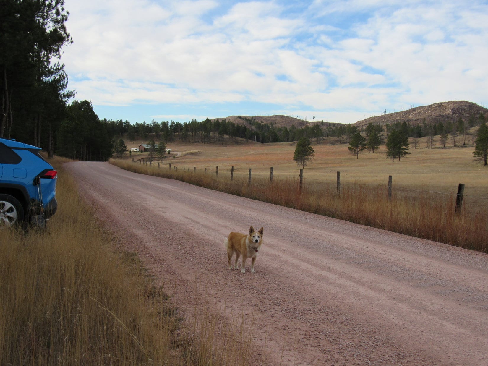
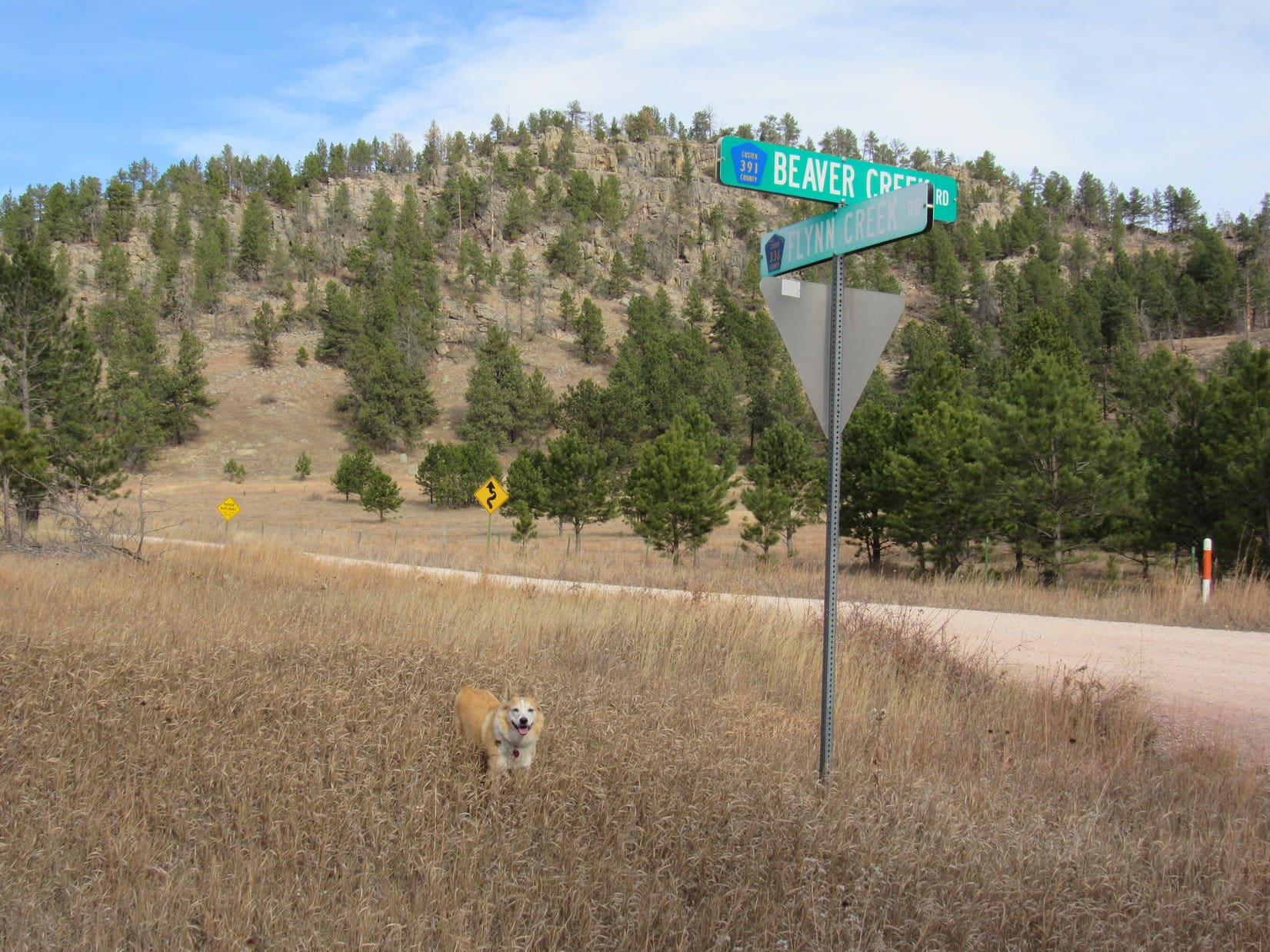
8:12 AM, 26ºF, junction of Erskine Gulch Road (USFS Road No. 145) & USFS Road No. 149 –

Dang, Loop!  Wasn’t supposed to be this cold!

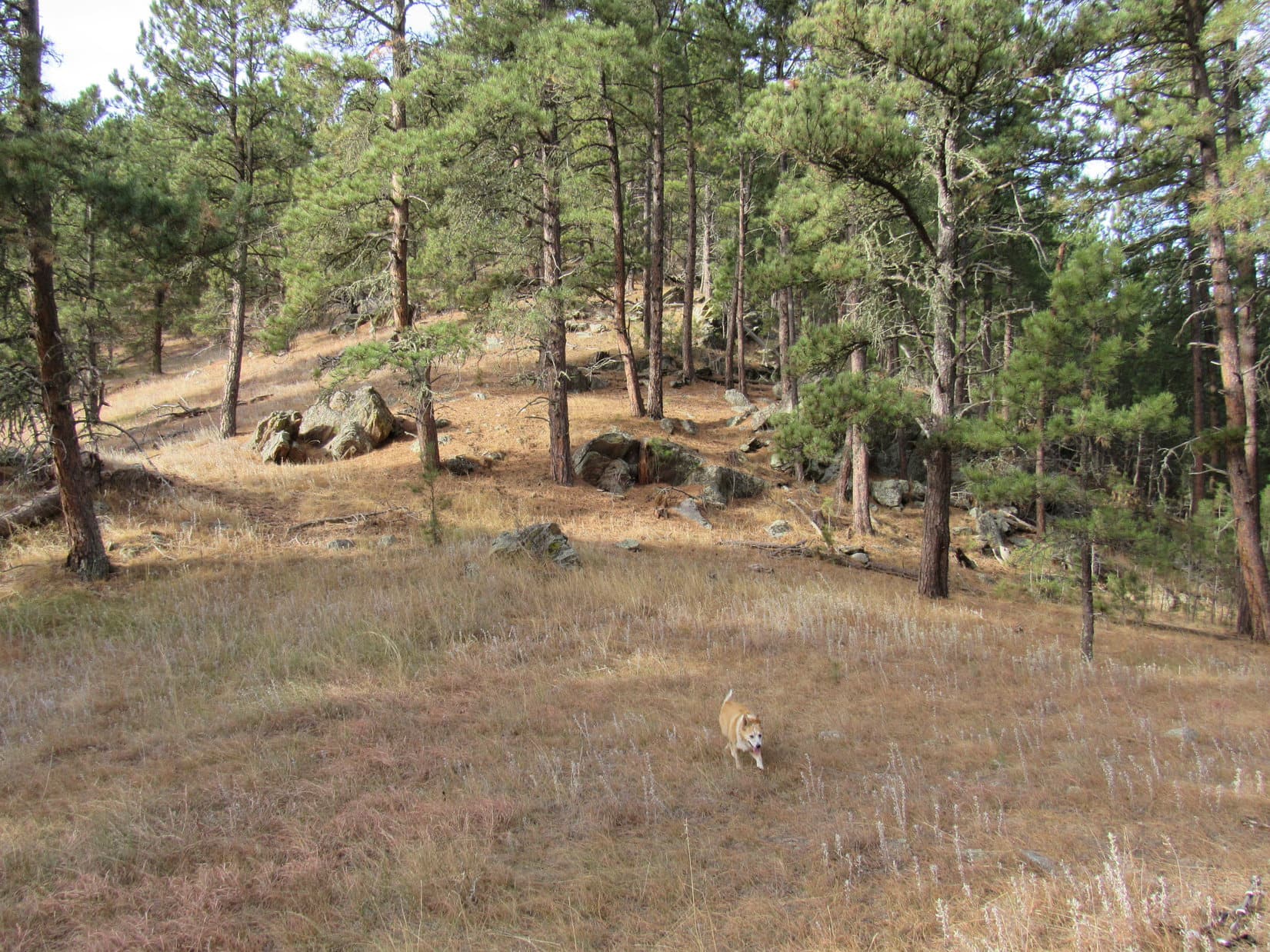
Thrilled that the Lists of John mini-blitz had her back in action again so soon, Lupe didn’t mind the cold at all.  Going to warm up a little later on anyway.  A skiff of snow that had fallen last night was barely enough to turn USFS Road No. 149 white as she set out heading SE.

Parked at the start of USFS Road No. 149. Photo looks SE.
Setting out on No. 149. Photo looks SE.

Gaining a little elevation, Loop soon made it to a high spot where the road curved E.  Sunlight streaming through the pines strengthened the notion that it really would begin to warm up soon.  Beyond the curve, No. 149 dipped entering a small valley.

At the sunny curve. Photo looks SE.
Heading into the valley. Photo looks ESE.

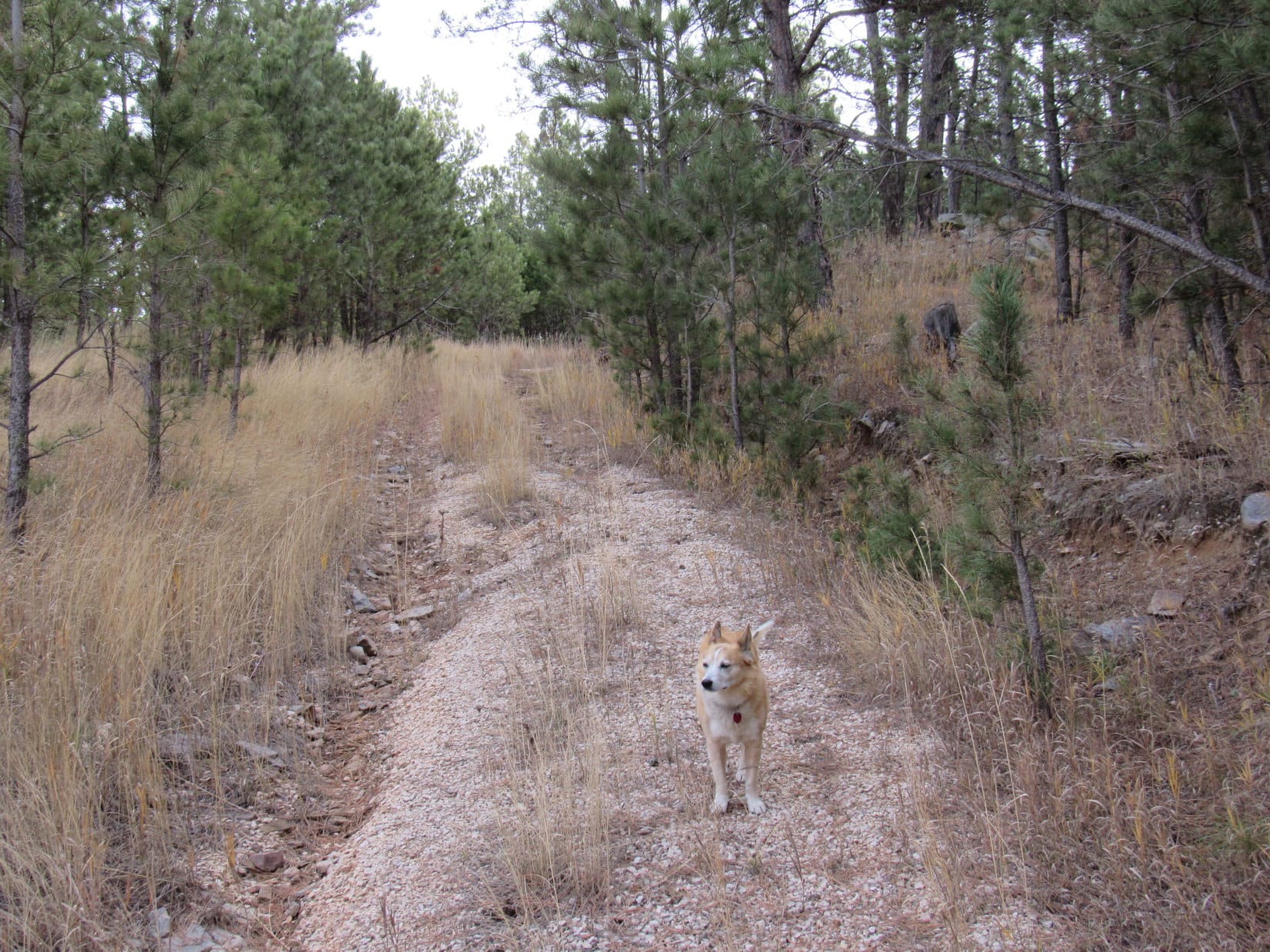
Before long, the road bottomed out and began climbing toward a pass.  Some stretches of No. 149 had recently been improved along in here by the addition of coarse new gravel.

Pass 4762 ahead. Photo looks NE.

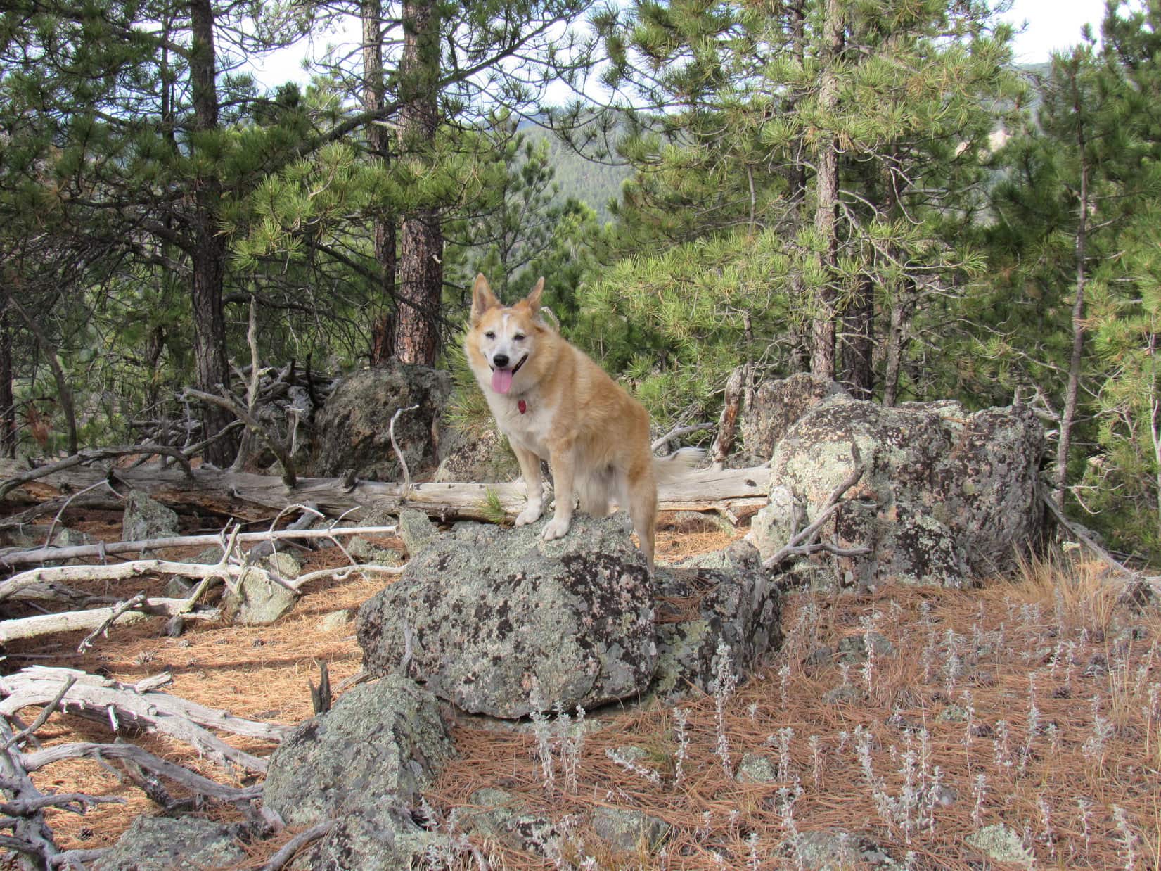
Upon arriving at Pass 4762, Lupe found herself back in the sunshine at a 4-way intersection.

Which way, SPHP?  Where are we going?

We’re on our way to Peak 4980, Loop!  Go S on No. 149.2A here.  Not too far, though.  Should see No. 149.2B on the R before we get up to the top of this next rise.  We’ll want to take 2B over to the saddle NE of HP4950.

2B, or not 2B, that is the question!

Hah!  Clever, Loop, but no question about it.  Most definitely, 2B!  But not until after 2A.

Leaving Pass 4762 on USFS Road No. 149.2A. Photo looks SE.

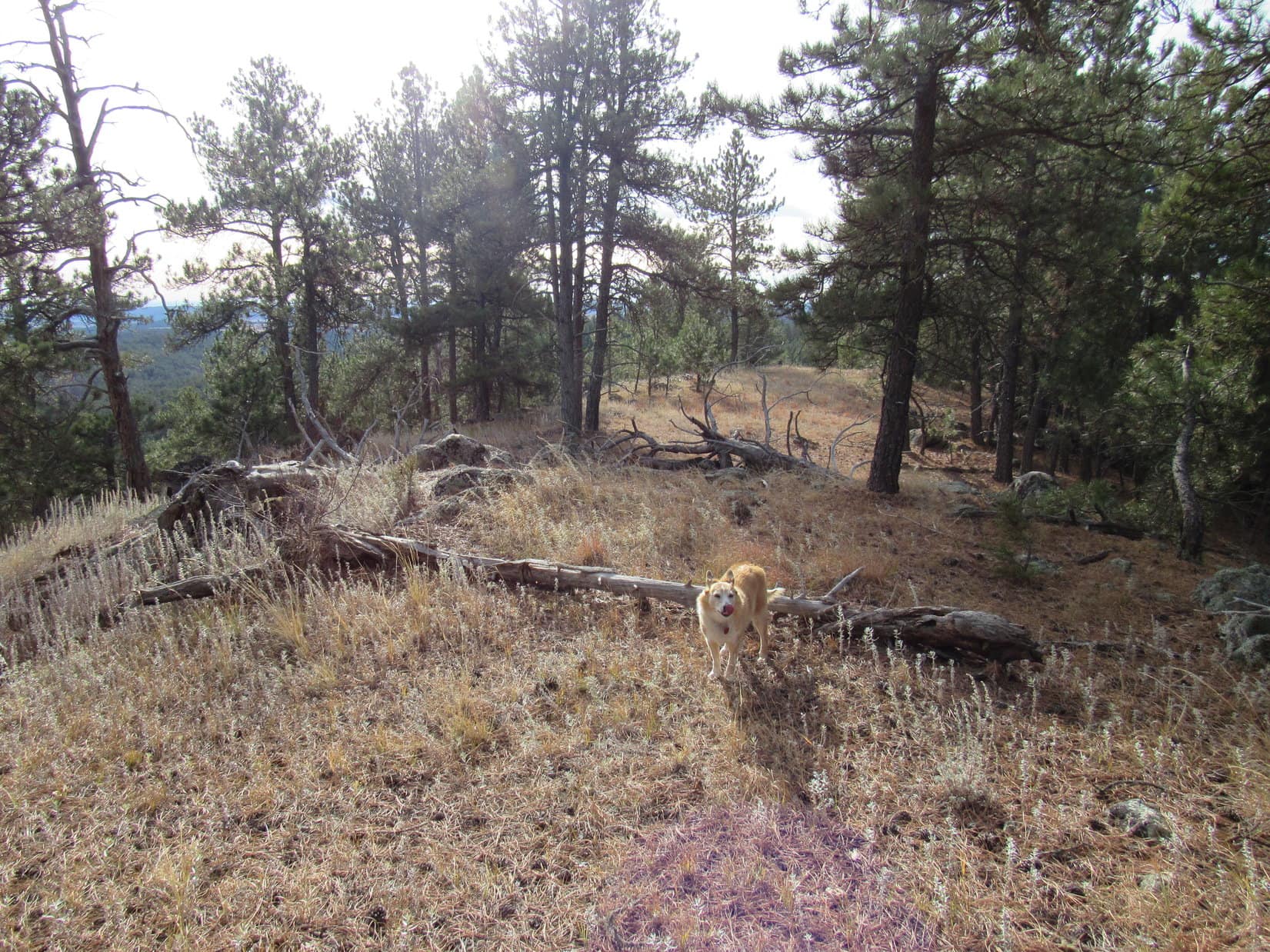
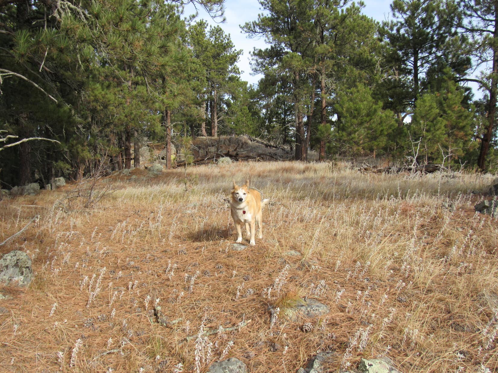
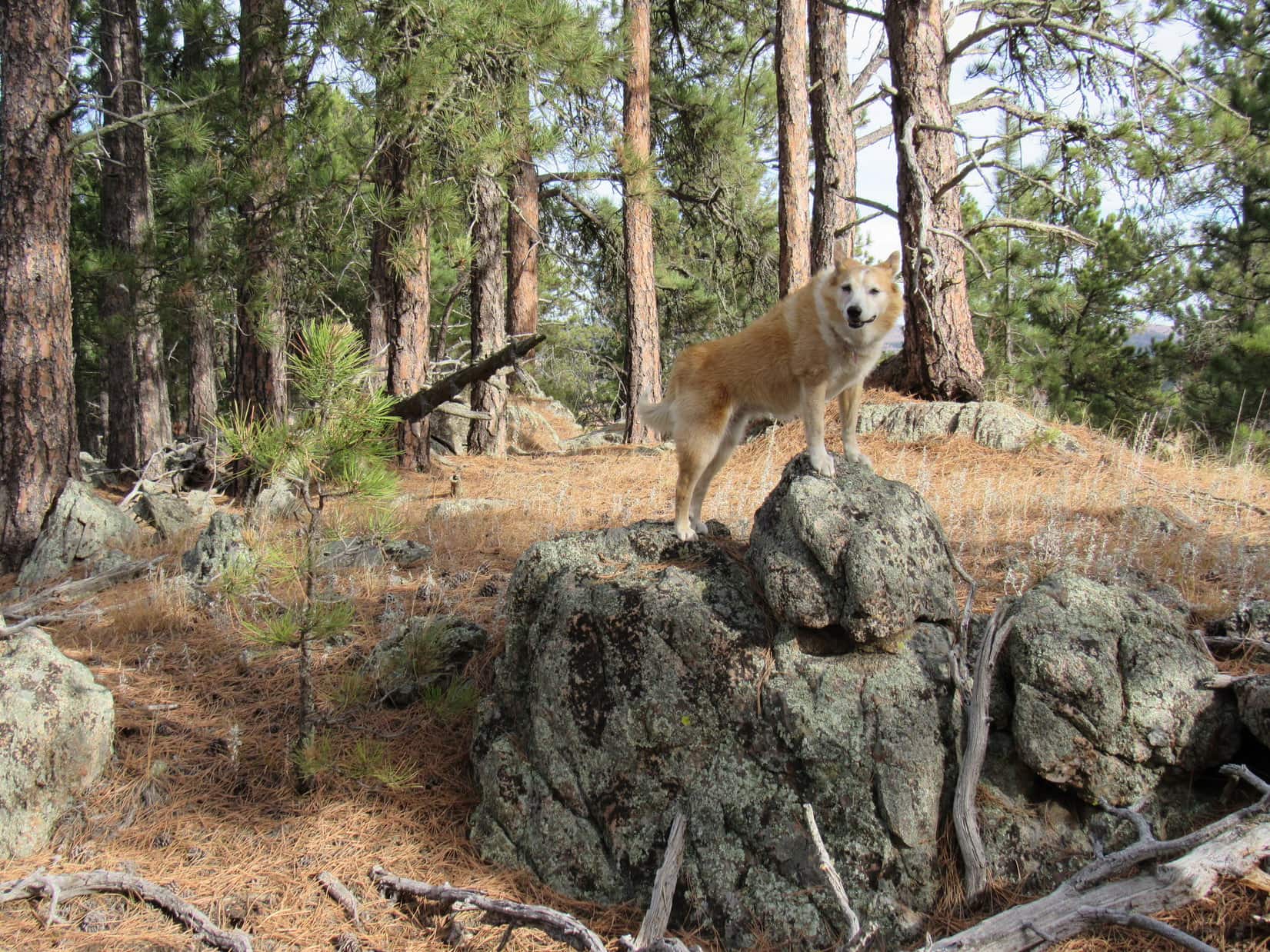
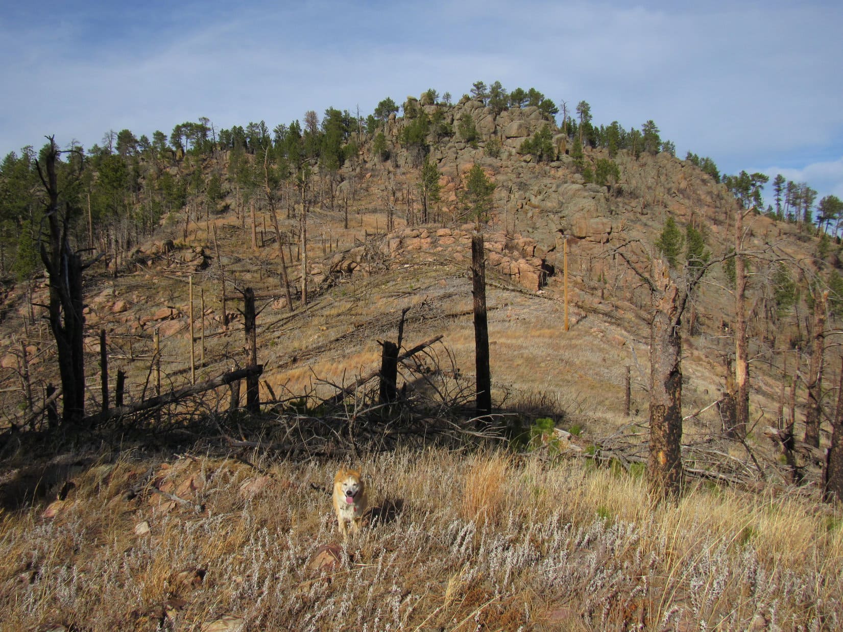
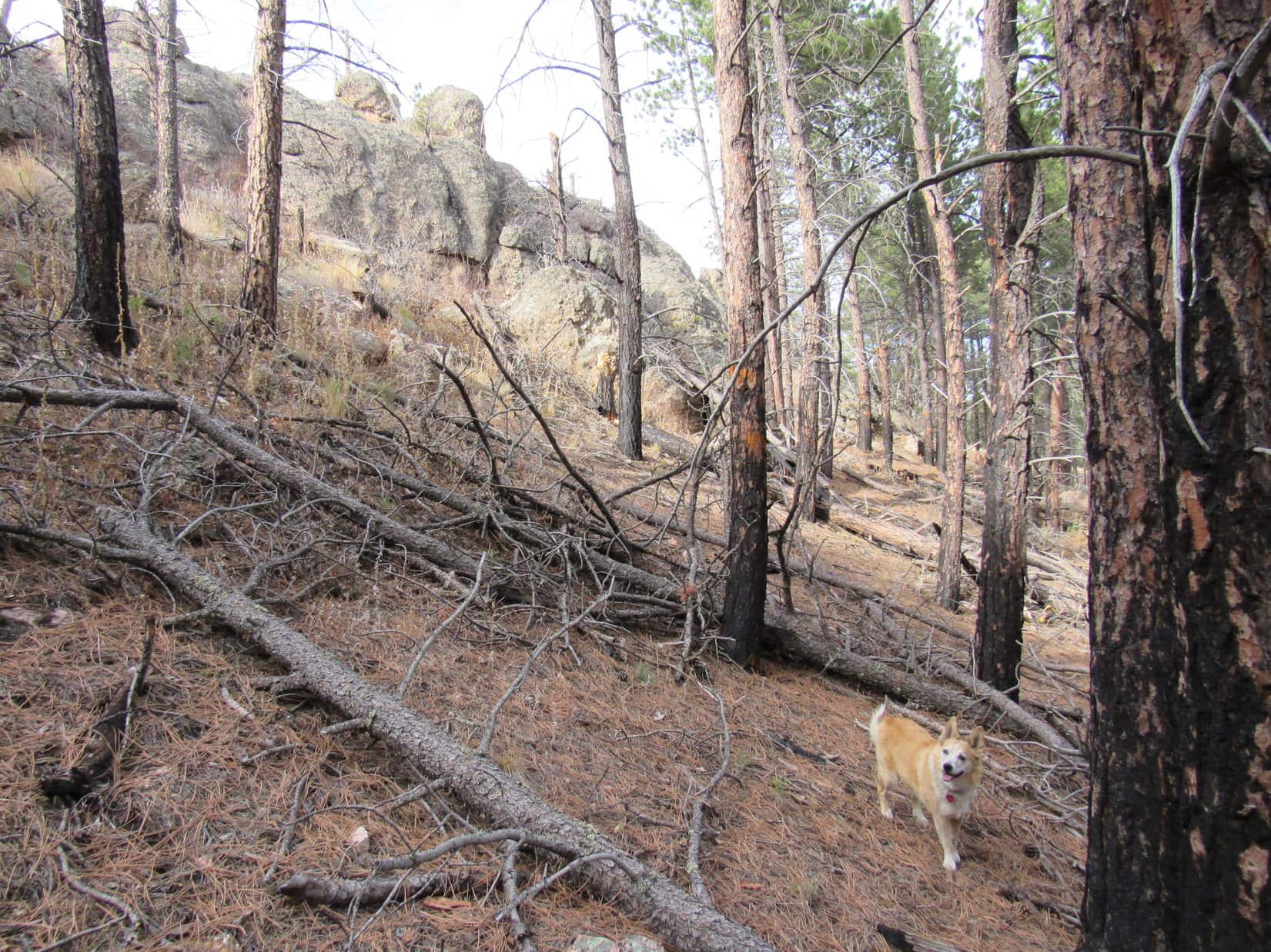
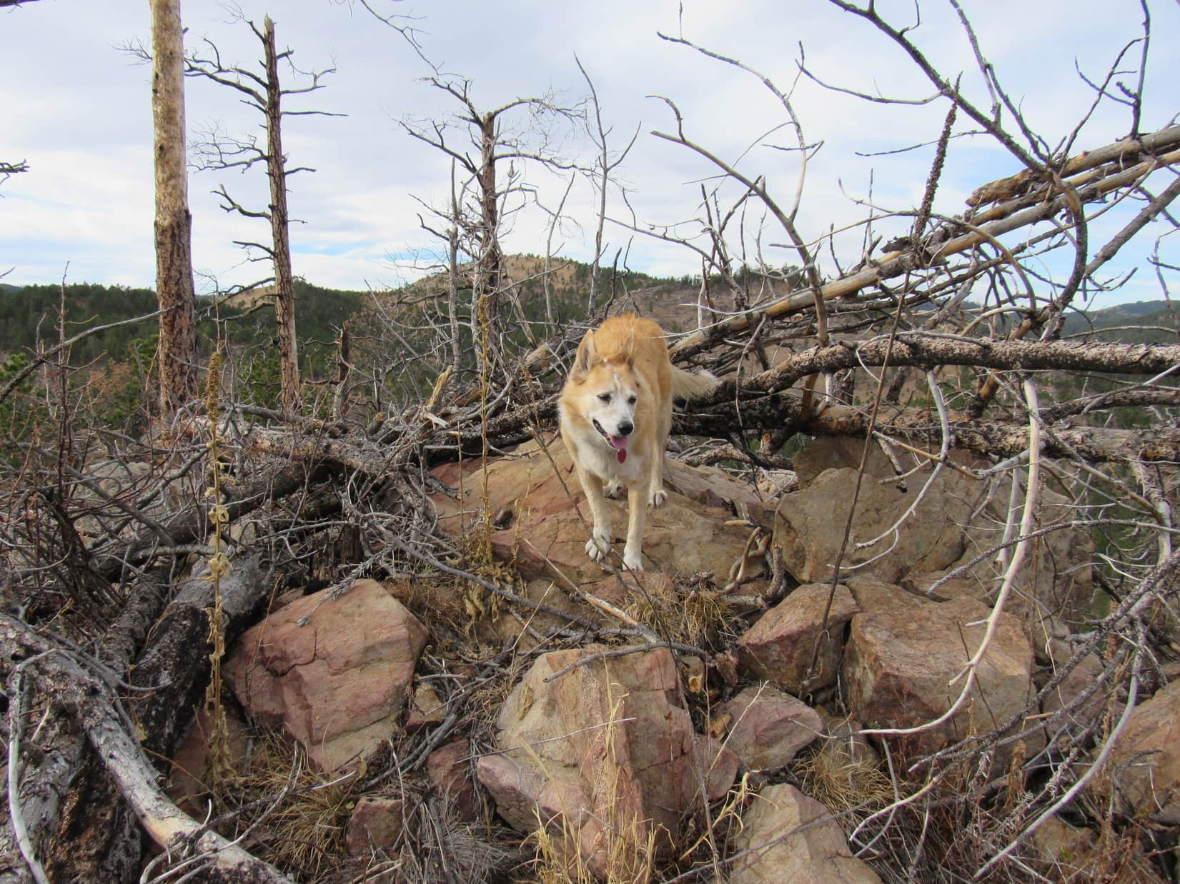
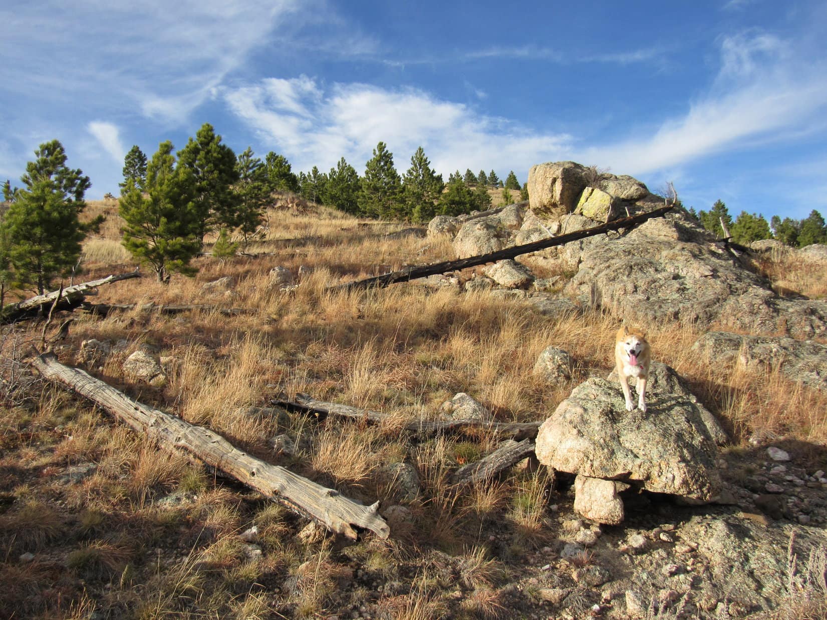
A short stint S on 2A, and 2B appeared on the R, as anticipated.  2B went W, then SW, to the saddle NE of HP4950.  From here, the road continued down into the valley SW of the pass.  Instead of going that way, Lupe abandoned the road, traveling WSW through gently rolling territory straight to HP4950 itself, which turned out to be nothing more than a large flat region in the pines with no distinct high point.

At the turn onto No. 149.2B. Photo looks SW.
No. 149.2B. The saddle NE of HP4950 is in the trees just ahead. Photo looks SW.
At the saddle. Loop headed off to the WSW (R) from here.
Bound for HP4950. Photo looks SW.
At HP4950. Photo looks S.

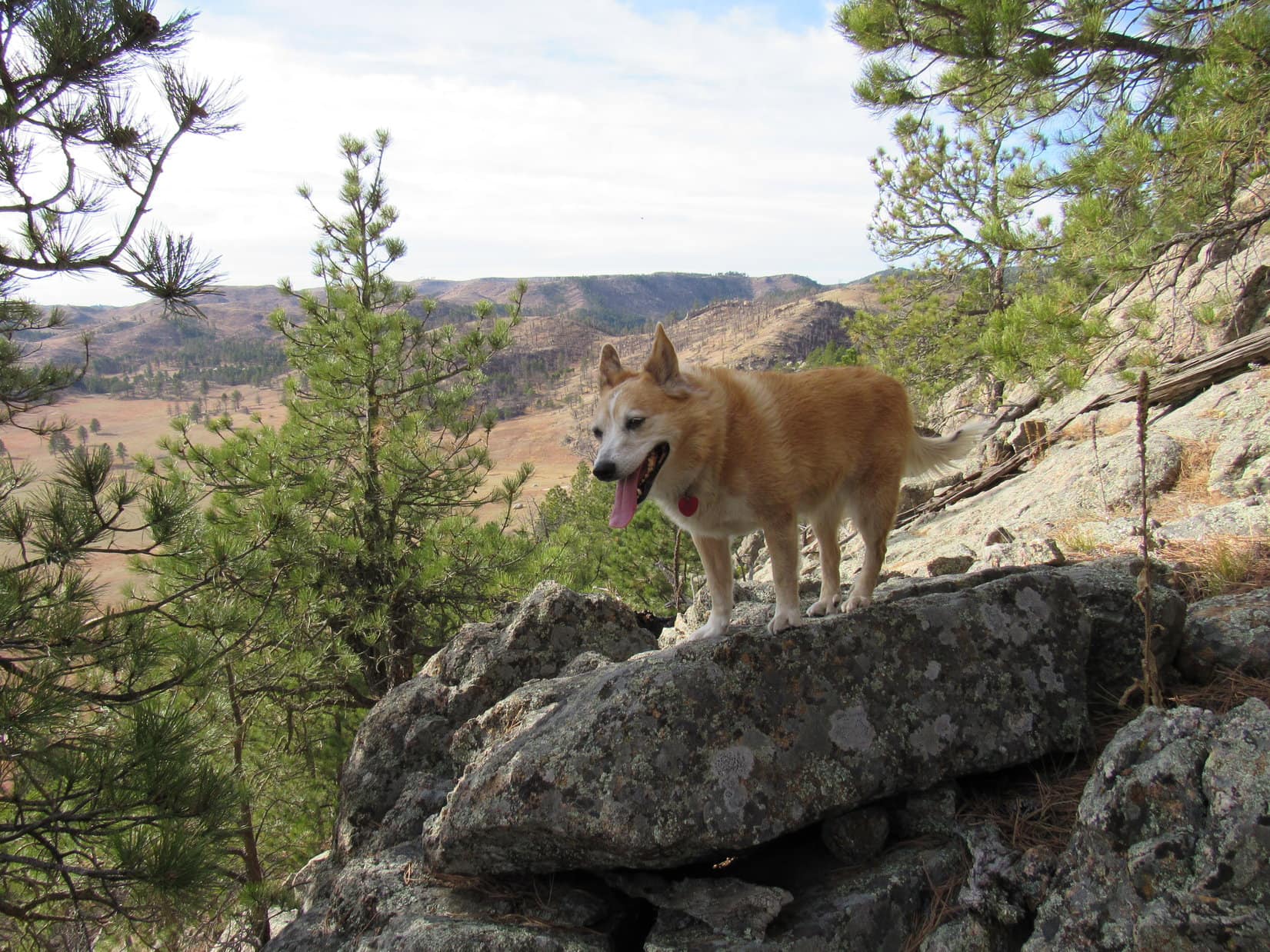
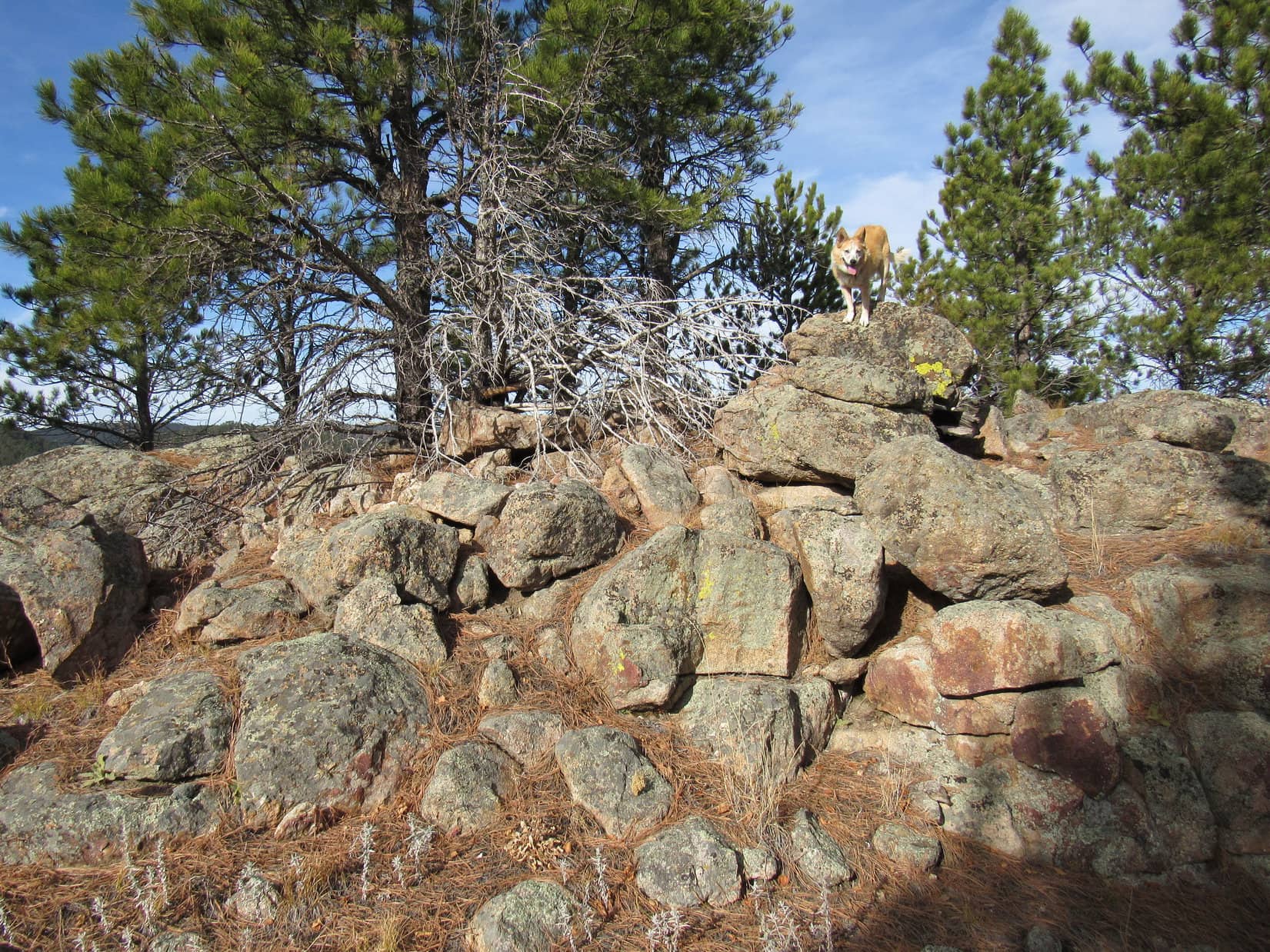
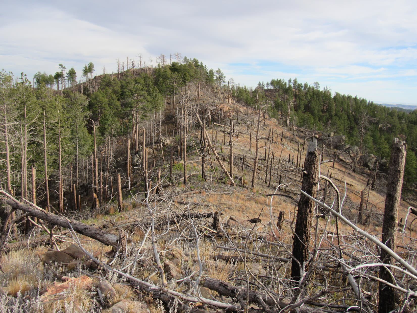
HP4950 wasn’t as dull a spot as an initial impression might lead a Dingo to believe.  Cliffs were only a few tens of feet W of what appeared to be the marginally highest ground, but so many trees grew right up to the edge that it wasn’t possible to see much.

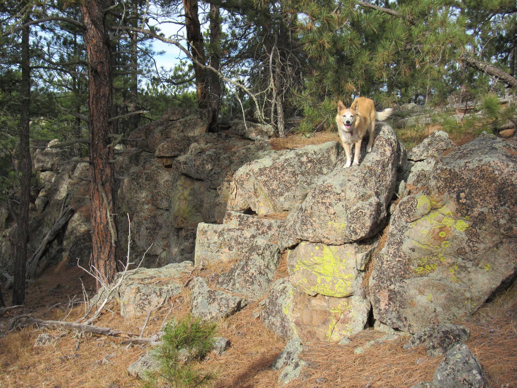
Venturing S not too far from the brink, the Carolina Dog went in search of a viewpoint.  She soon came to one where SPHP was surprised to see two cairns.  The smaller cairn had a narrow view of a mountain less than a mile NW that Lupe had been to before.

Why, that’s Steamboat Rock (5,081 ft.), isn’t it, SPHP?

Correcto mundo, Loopster!

We haven’t been there in years!  Wonder if Pugg’s Keep is still up there?

Hah!  I wonder if Pugg ever came back to clean up his unkept keep?

Steamboat Rock (Center) from the small cairn. Photo looks NW.

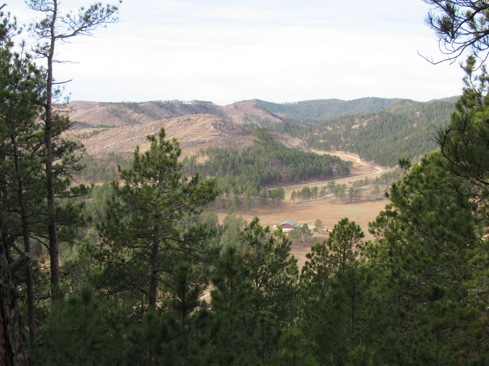
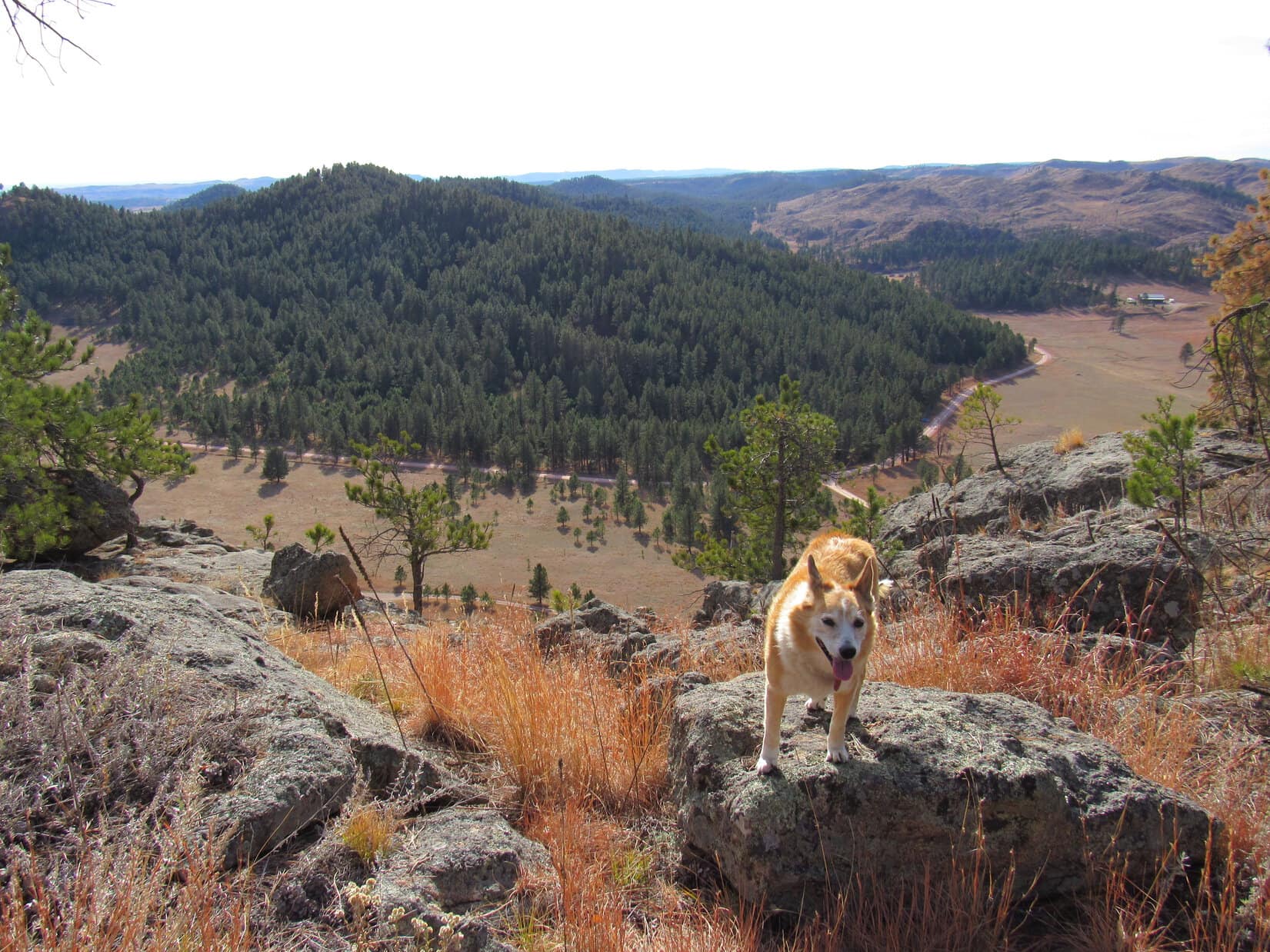
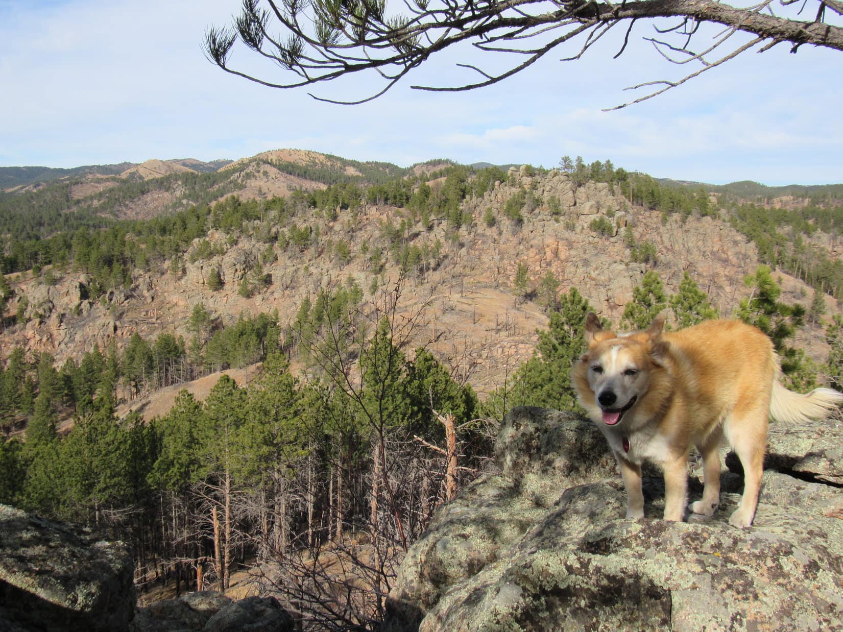
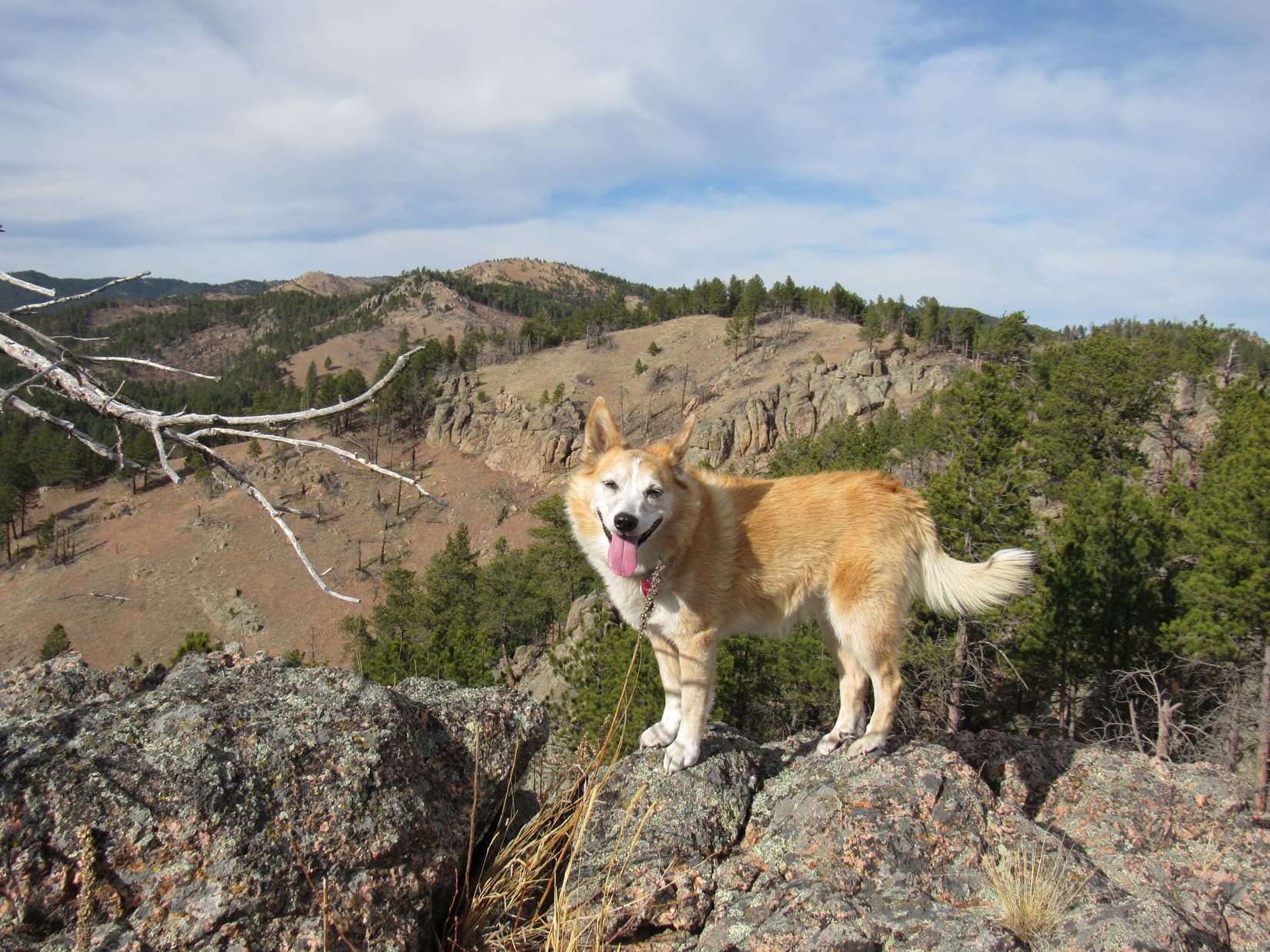
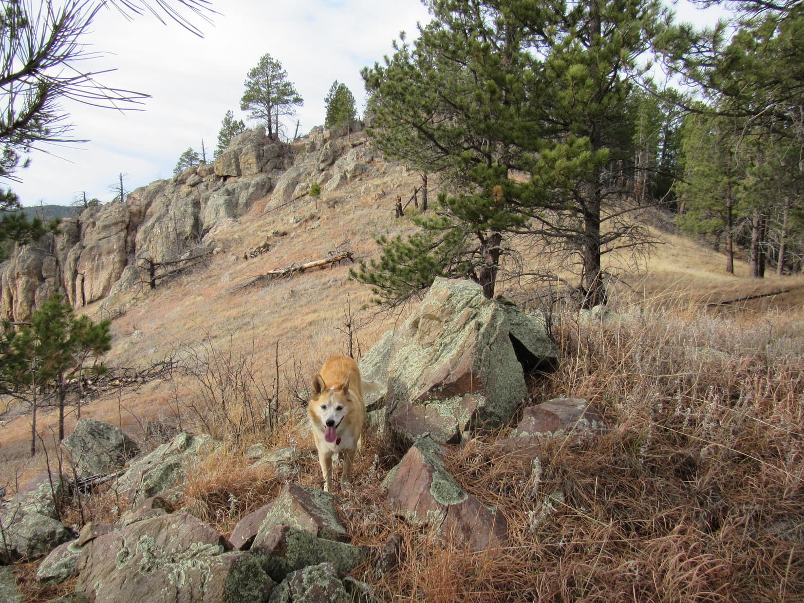
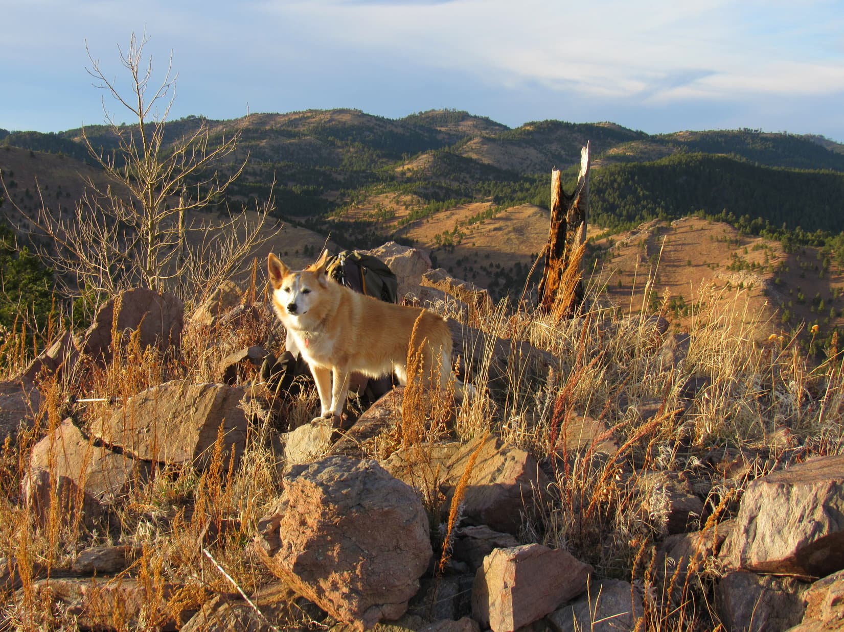
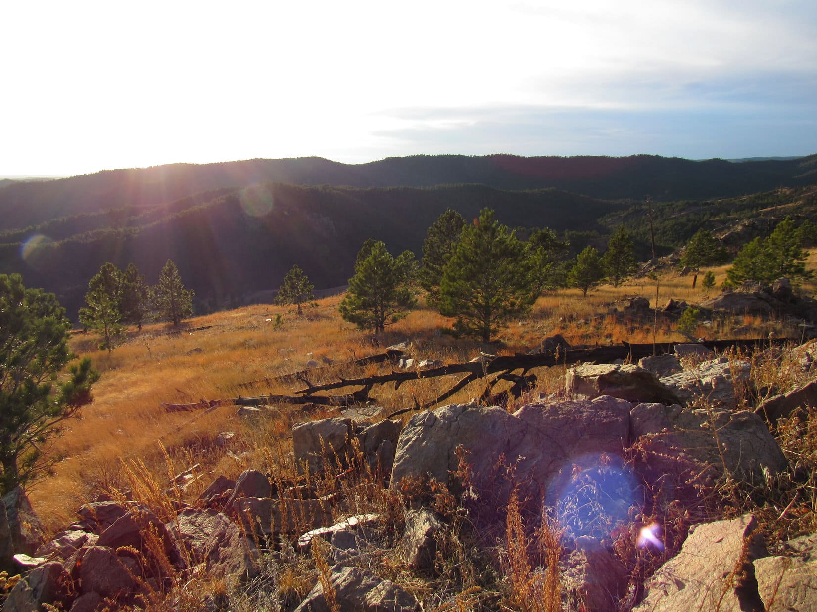
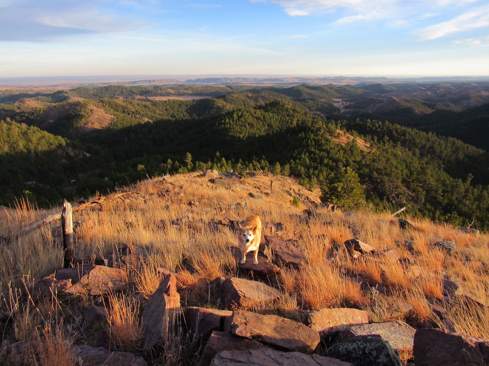
From the larger cairn, Loop caught a first glimpse of her destination.  Peak 4980, a rounded hill with a cliff to the W just like HP4950, was only 0.5 mile S.  Green Mountain (5,240 ft.) was also in sight a little farther away.  Peering over the edge near the cairn, Box Elder Creek could be seen way down by Nemo Road.

Peak 4980 (Center). Photo looks SSW.
Peak 4980 (L), Green Mountain (Center), and Box Elder Creek (R). Photo looks SSW.

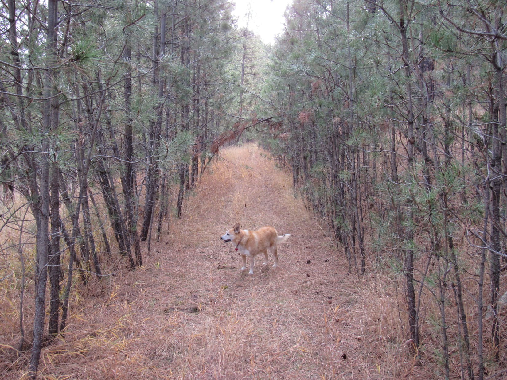
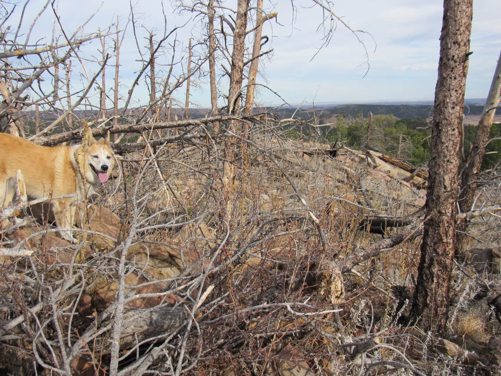
Heading S from HP4950, Looper traveled down a gradually narrowing ridge.  Another surprise was in store when she came to a flat open area right along the edge of the cliffs.  In addition to a more sweeping view, a flagpole jutted up from a third cairn.  No flag, though.

Steamboat Rock (Center), Nemo Road and Box Elder Creek (L) from the flagpole. Photo looks NW.

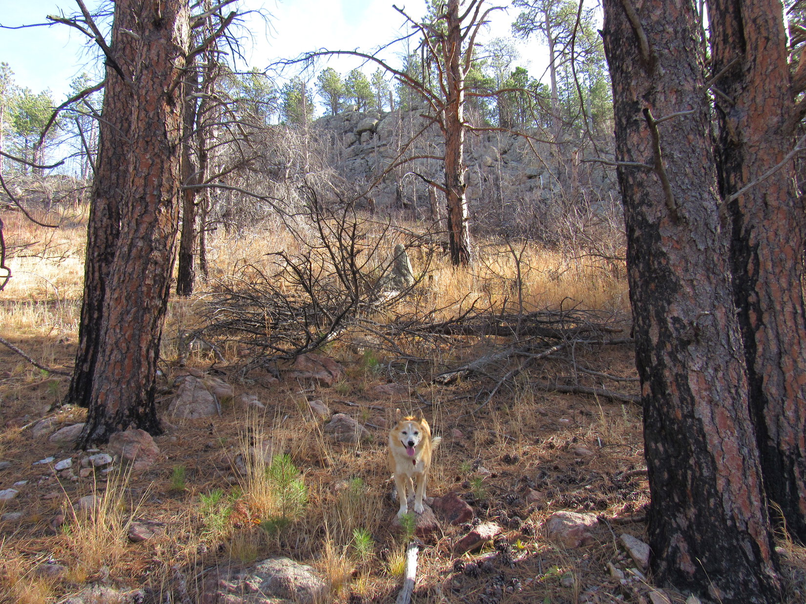
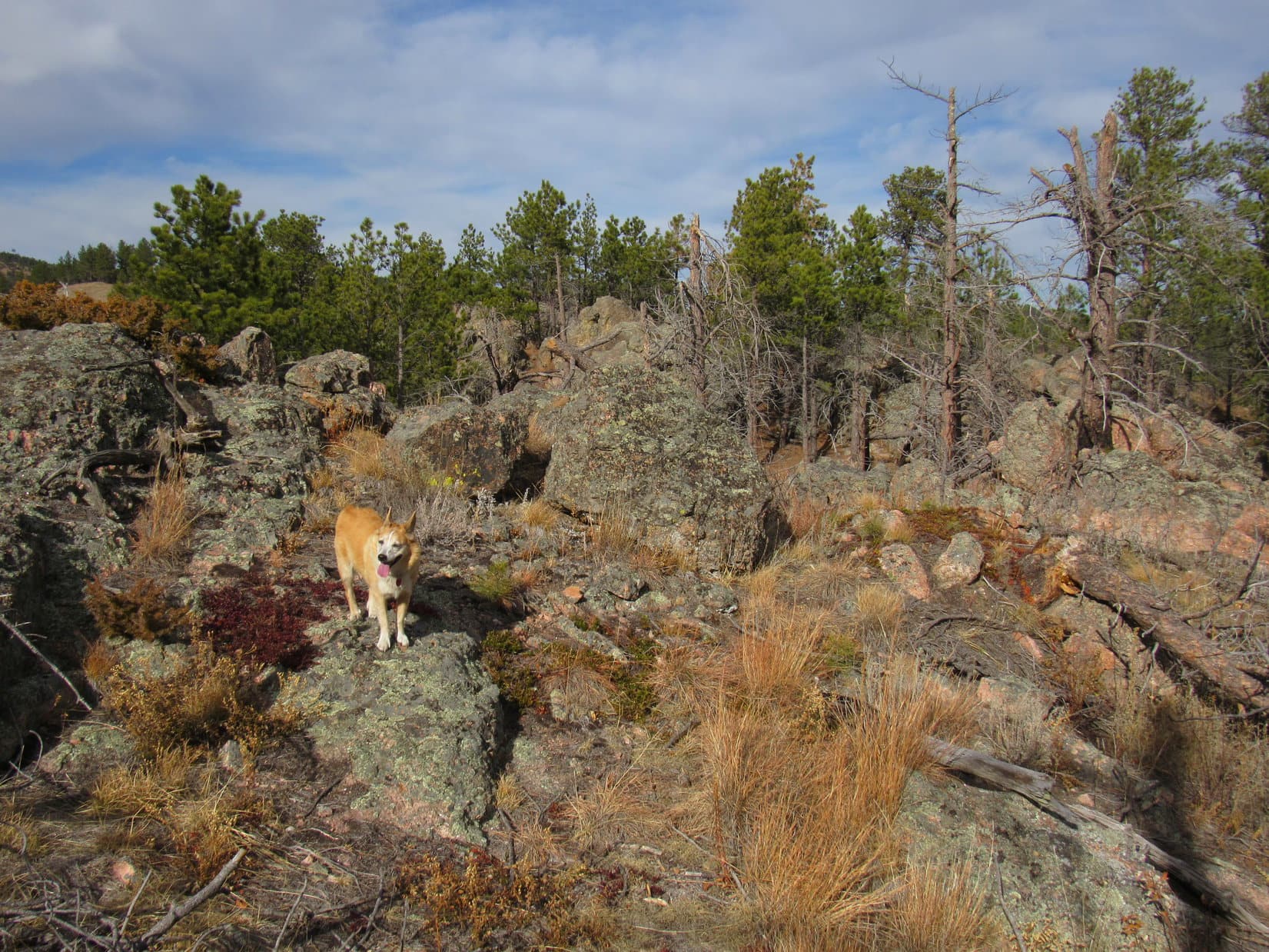
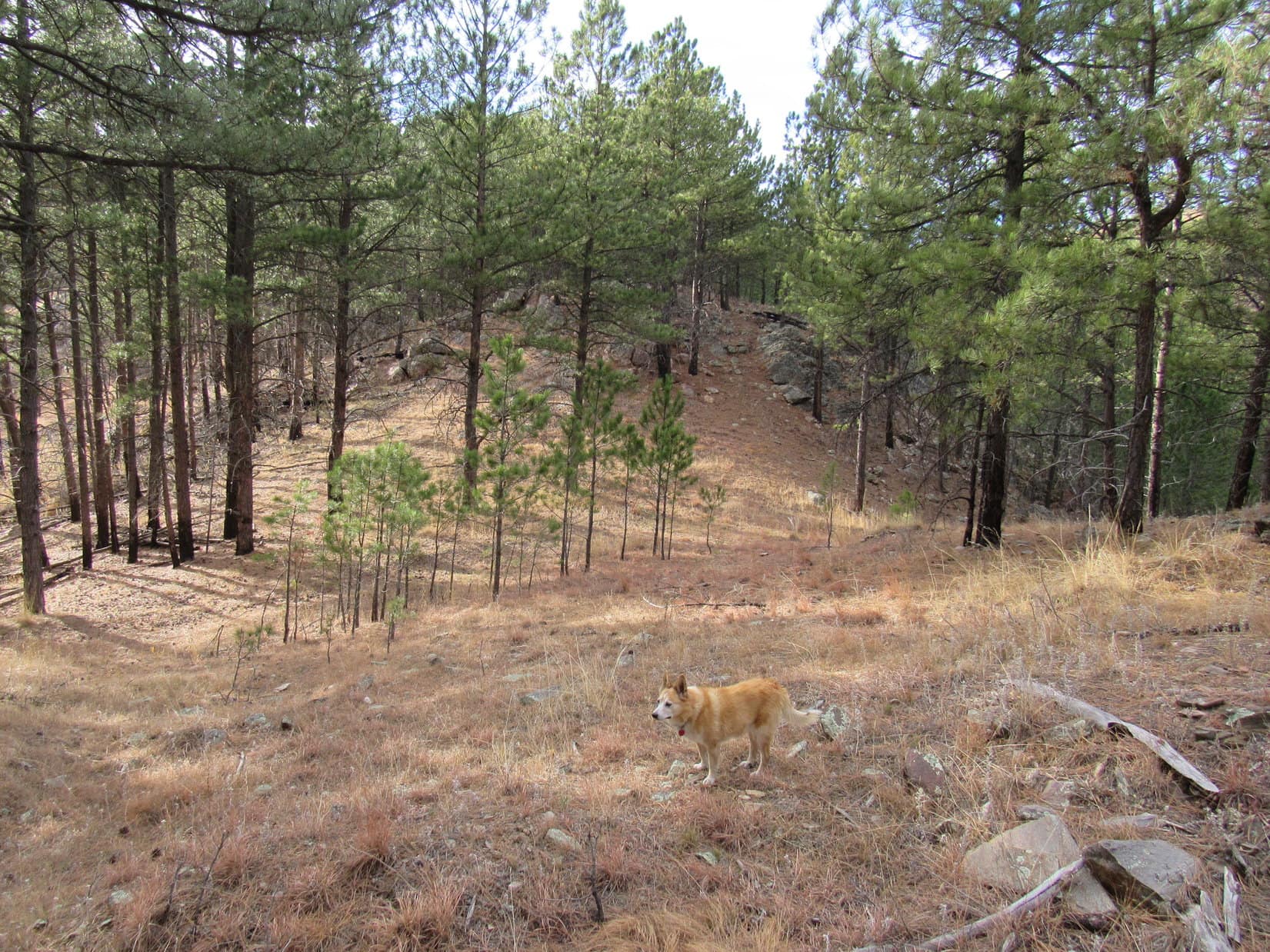
As Lupe closed in on the saddle leading to Peak 4980, the limestone ridge she was on began to break up.  Soon it was too rough to remain up on top, but that didn’t present any serious obstacle.  Staying somewhat E of, and below the ridgeline, the American Dingo managed to get past the saddle to where she could start climbing Peak 4980’s NE slope.

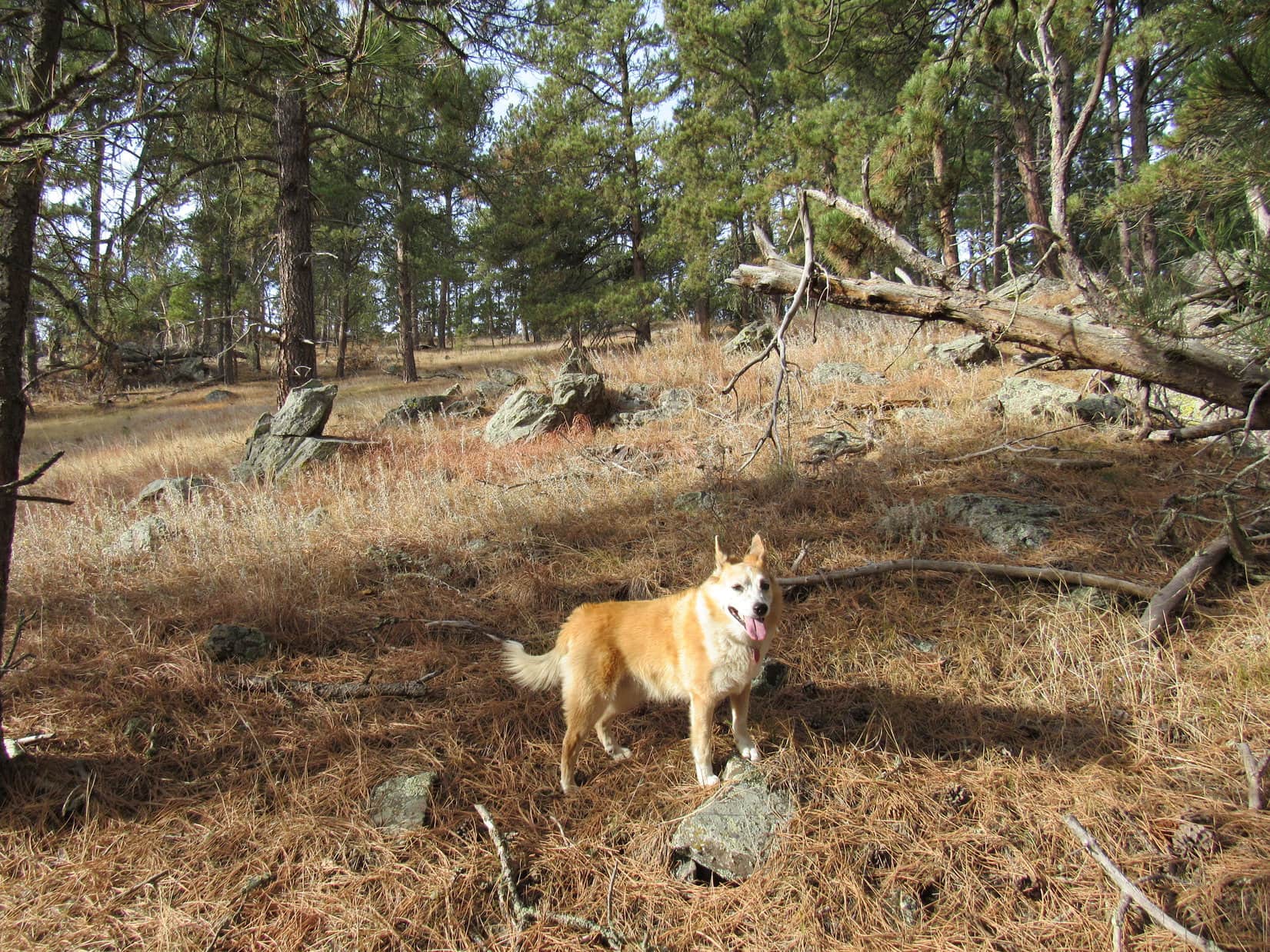
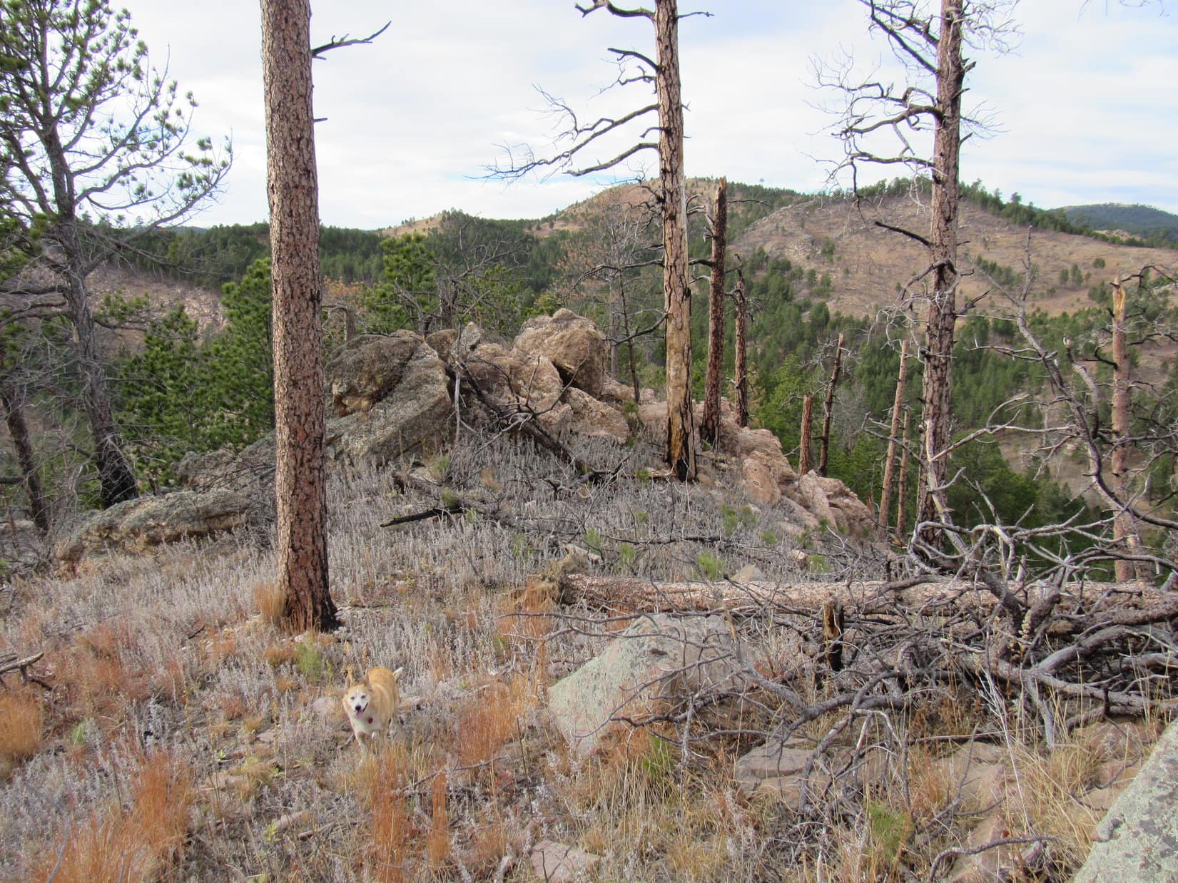
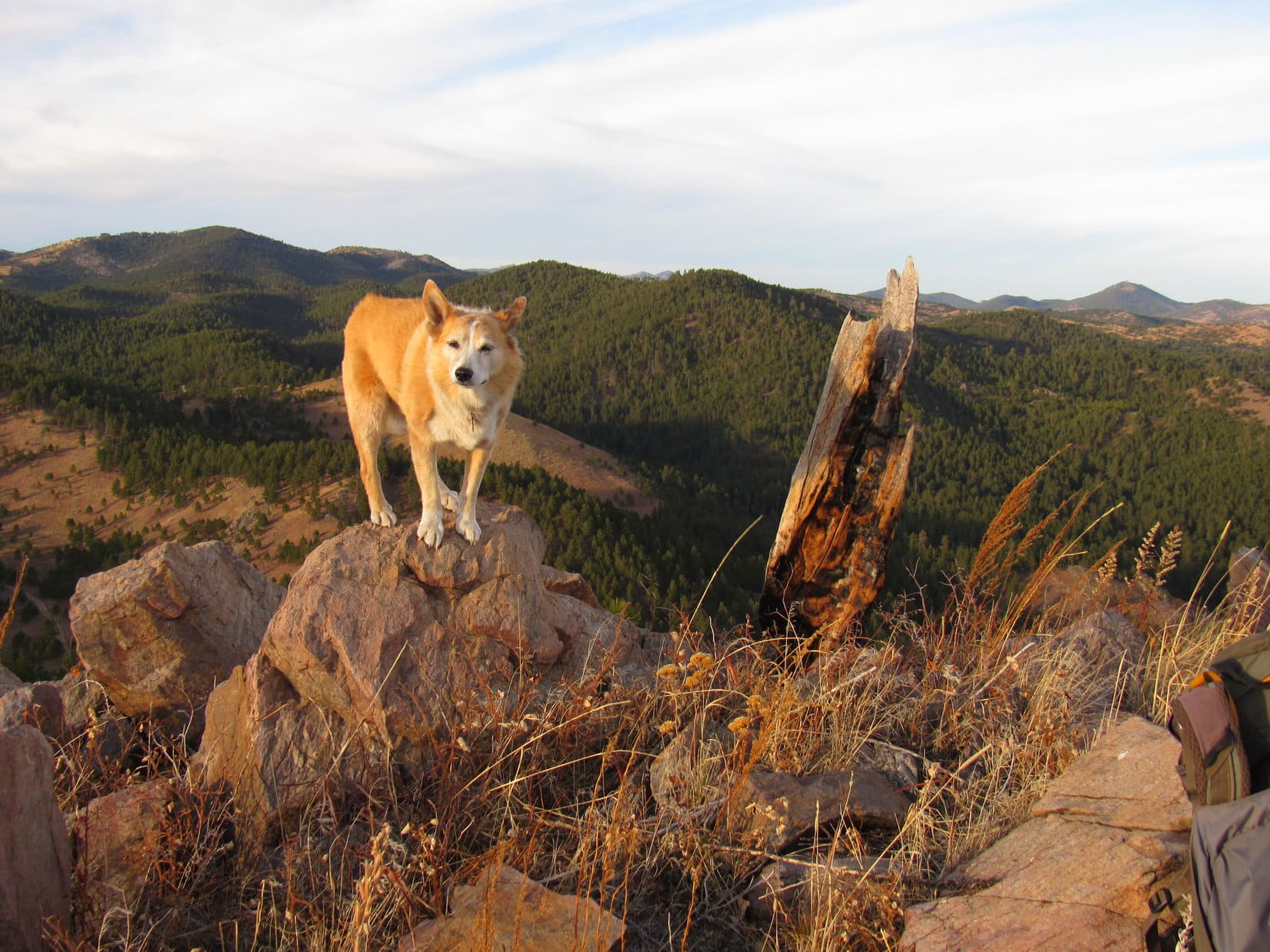
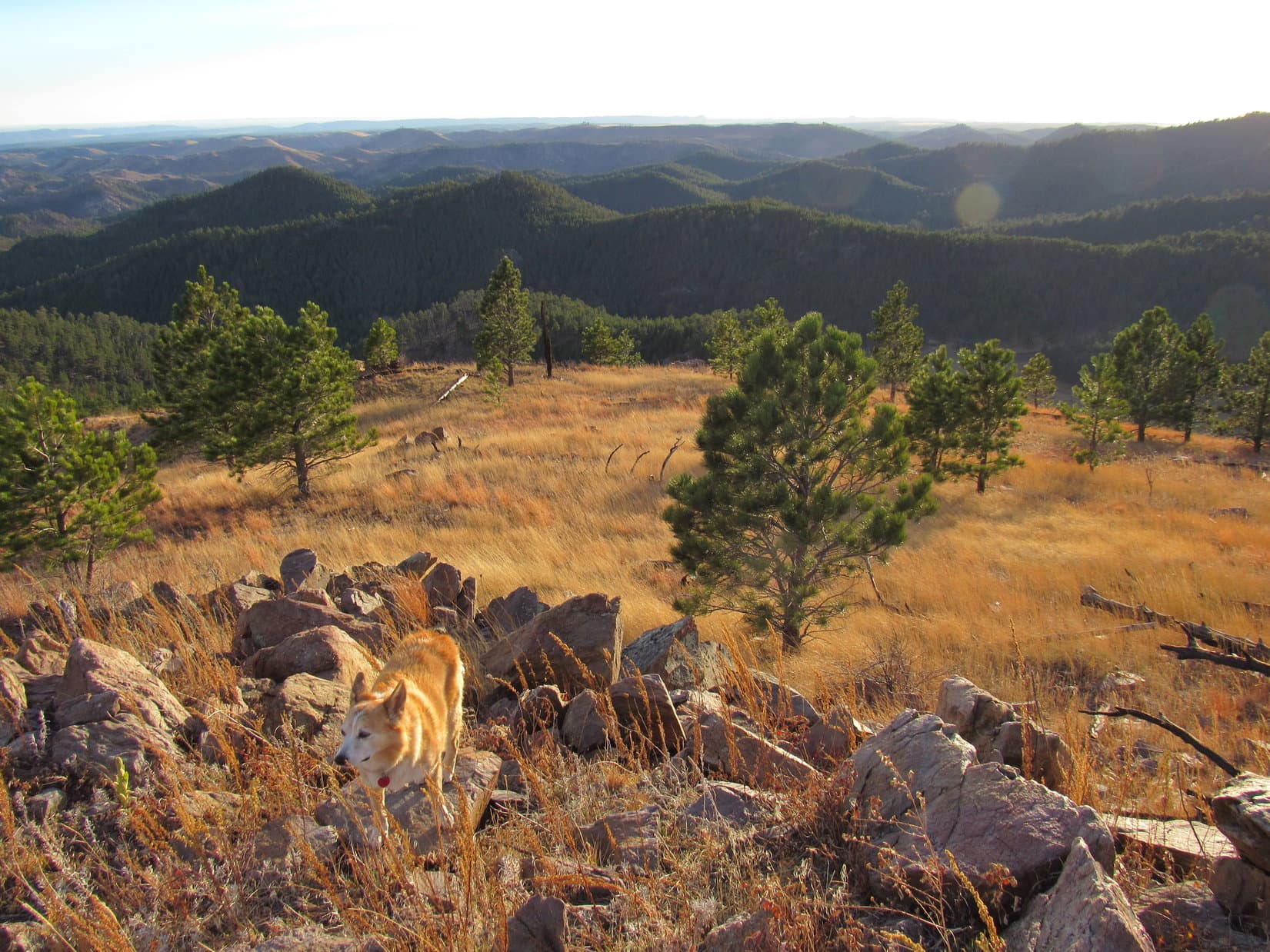
The climb was steep, but relatively short, and not difficult.  At one point, Lupe could see an interesting little summit off to the SE.  Near the top of the steep part, she went by a big limestone outcropping.  Above it, the terrain leveled out to a large degree.  An easy stroll to another forested, flat, featureless summit region was all that remained.
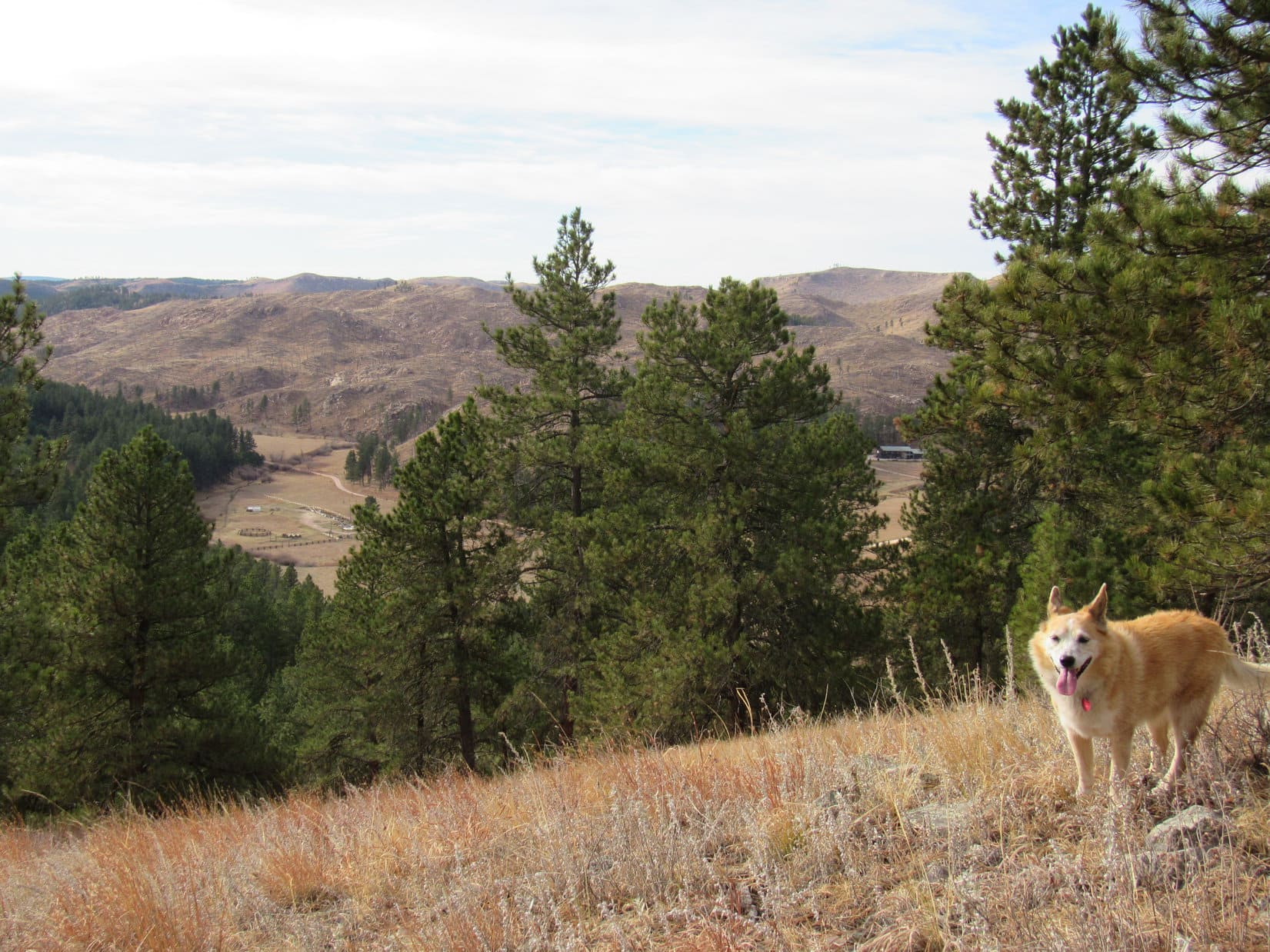
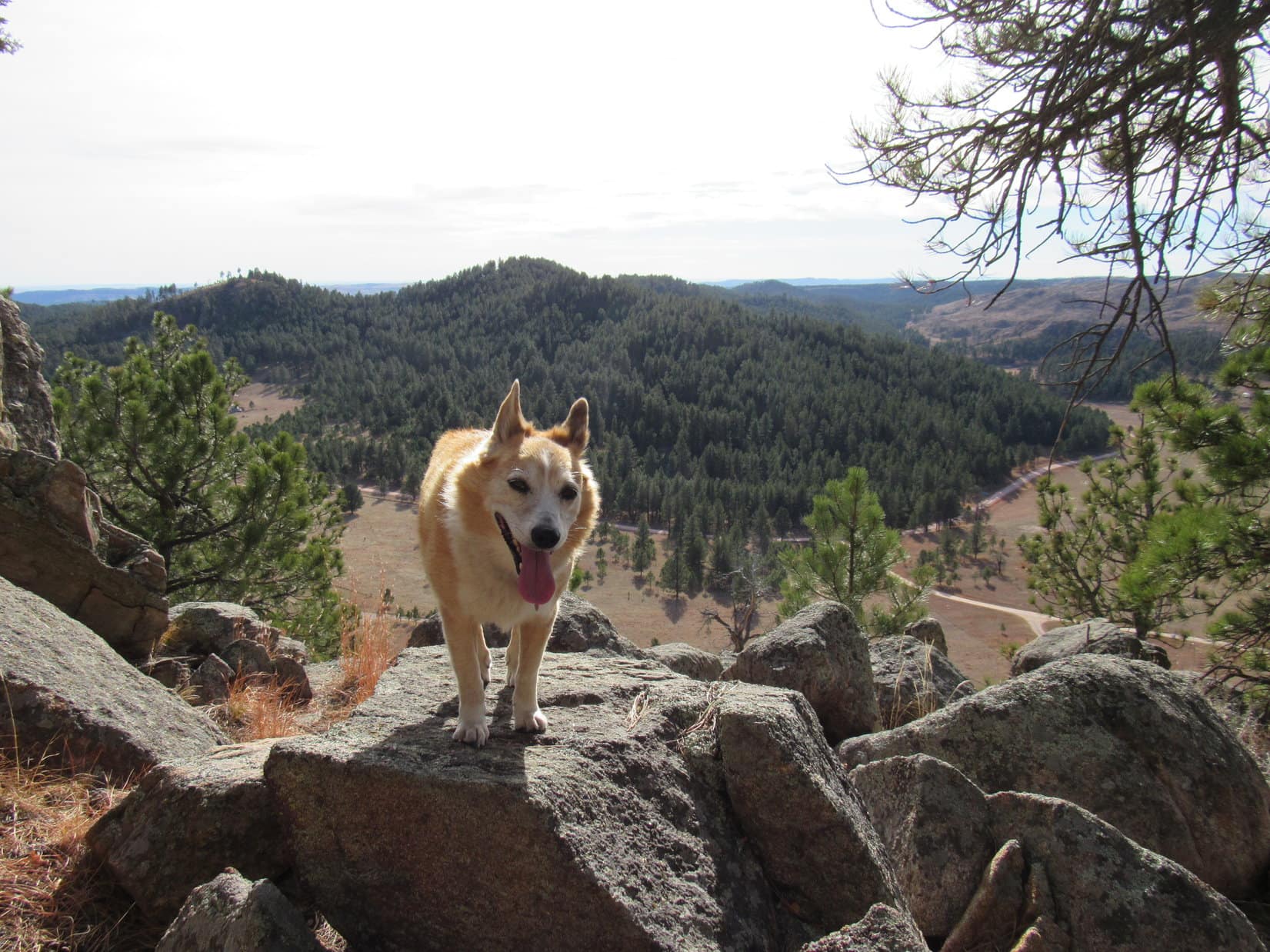
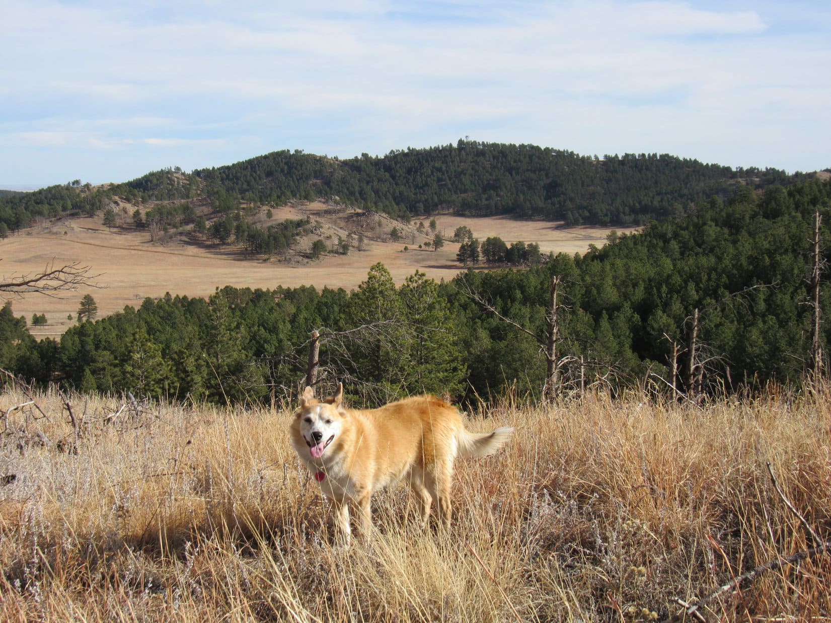
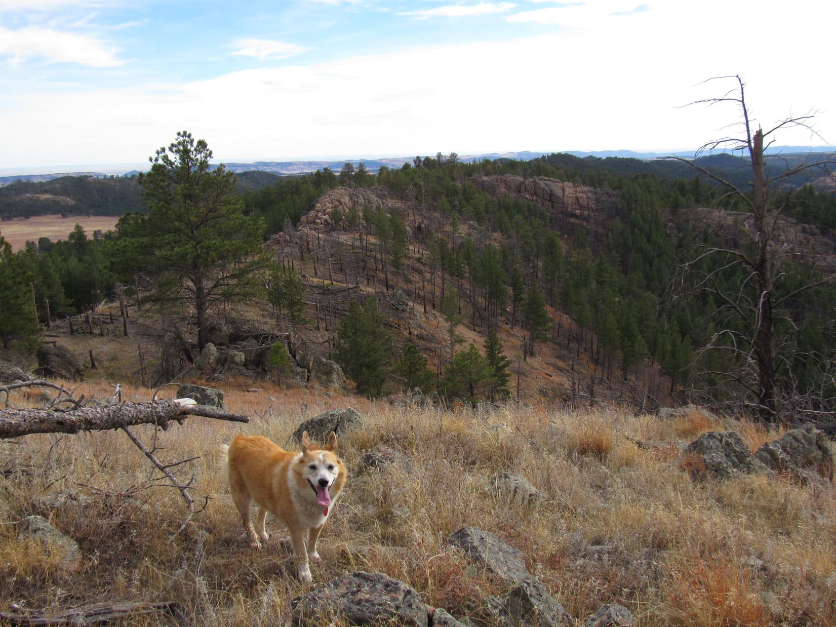
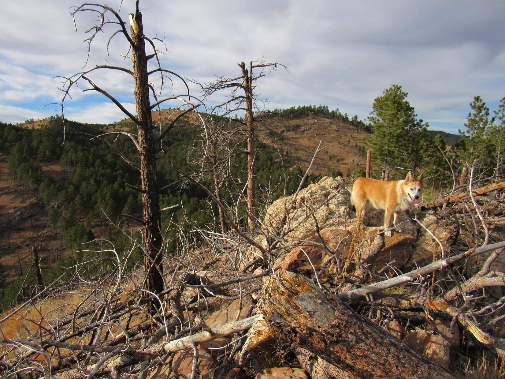
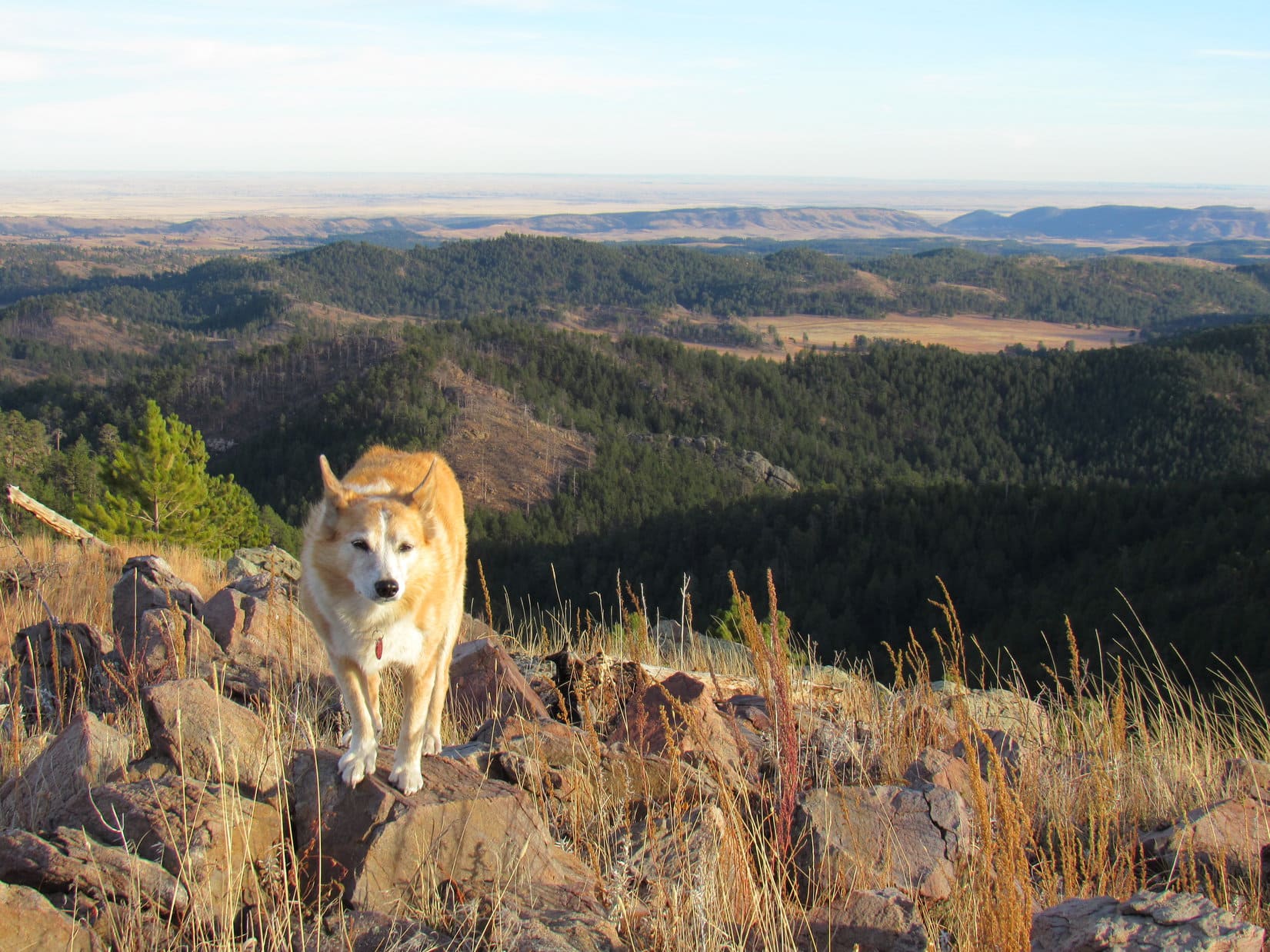
By a limestone wall as the ridge S of Peak 4950 begins to break up. Peak 4980 (L). Photo looks SW.
Starting up Peak 4980. Photo looks SW.
A distinctive HP (Center) off to the SE.
Entering the summit region. Photo looks SSW.

9:58 AM, 45ºF, Peak 4980 What passed for the summit, as near as SPHP could determine it, was none too scintillating.  However, only marginally lower, less than 100 feet away, were some sweet views from cliffs along the S and W edges of the mountain.  A brief stop at the high point, and Lupe proceeded right to the cliffs to enjoy a rest break featuring a shared chocolate coconut bar along with the lovely panoramas.

Peak 4980 true summit. Photo looks SW.
Along the edge. Green Mountain (Center). Photo looks SW.
Looking NNE back at HP4950 (Center).
Steamboat Rock (L). Photo looks NW.

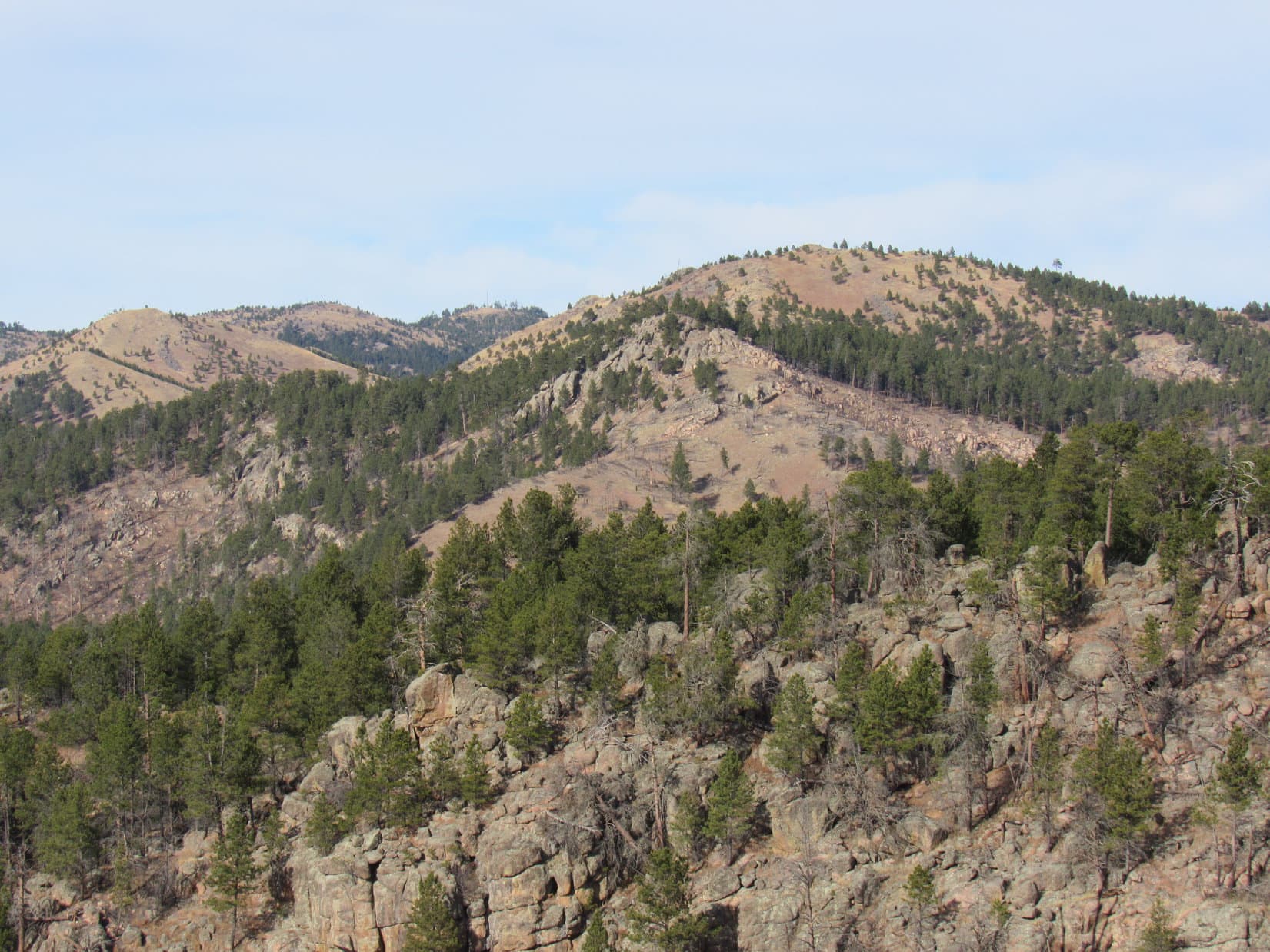
In addition to Steamboat Rock and Green Mountain, a few other peaks could be identified among the many rolling hills.  Peak 5701 stood out off to the NW.  To the S, Peak 5136‘s long E ridge was in sight.

Peak 5701 (R of Center). Photo looks WNW.
Peak 5136 (beyond Lupe). Photo looks S.

The day was already warming up nicely.  In relative comfort, Lupe and SPHP sat together admiring the views, but not for long.  The Lists of John mini-blitz must go on, ya know!  Soon the Carolina Dog was heading back down Peak 4980’s NE slope.

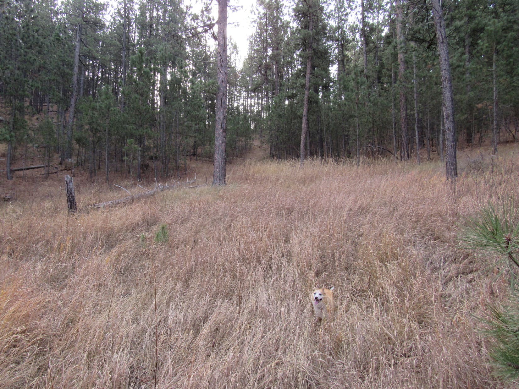
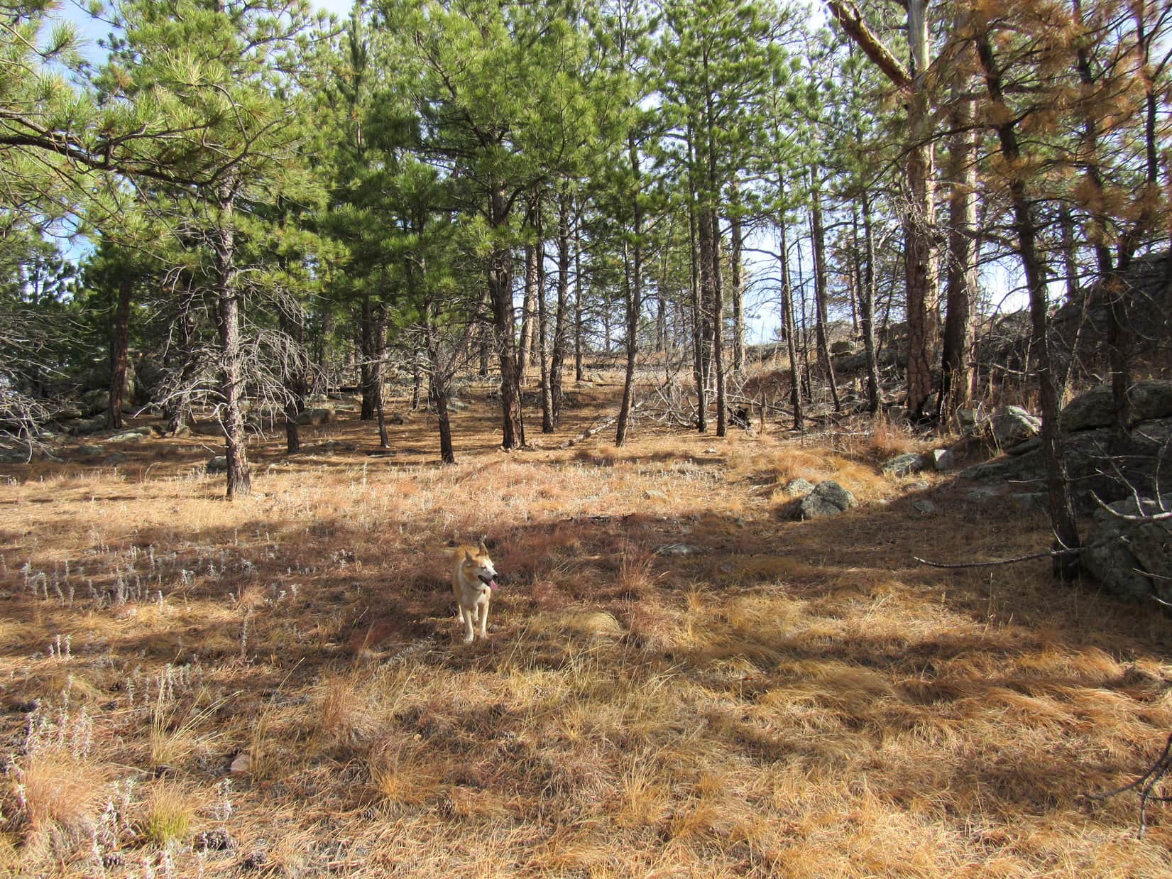
The return was fun and easy!  Loopster had seen lots of deer on the way to Peak 4980, and they continued to amuse on the way back.  Skipping HP4950 this time, Lupe explored the valley to the E, eventually picking up USFS Road No. 149.2B again.  Once back at the saddle NE of HP4950, the rest of her route back was identical.  (11:21 AM)

On USFS Road No. 149.2B, approaching the saddle NE of HP4950 (L of Center). Photo looks NE.

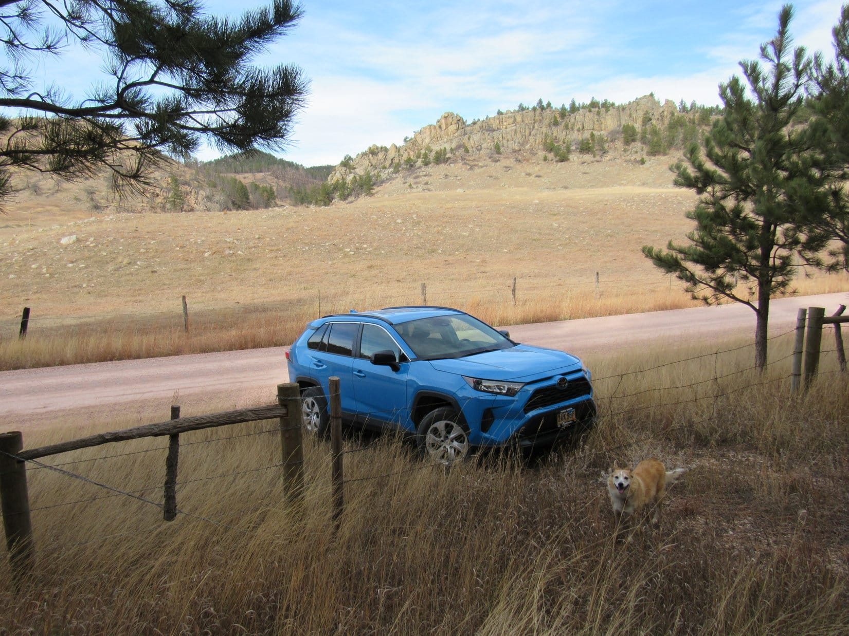
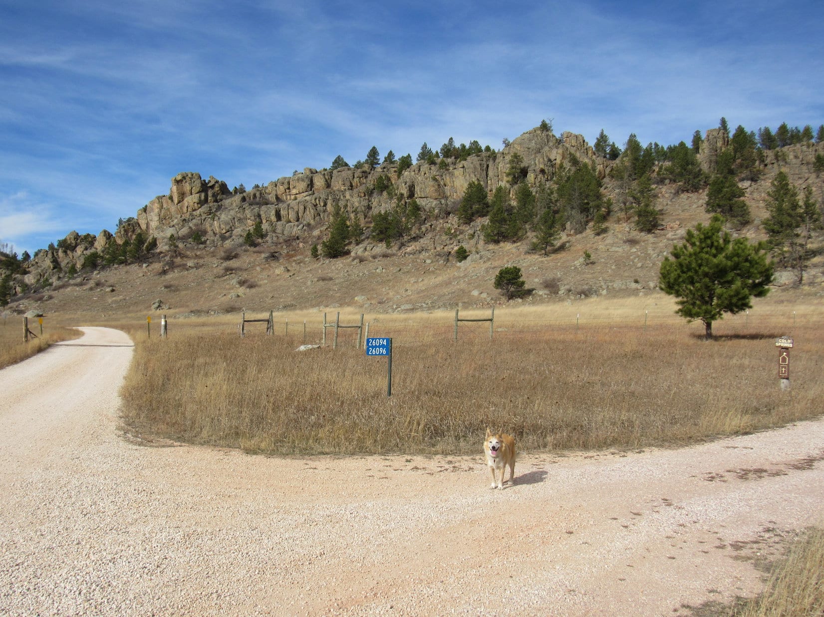
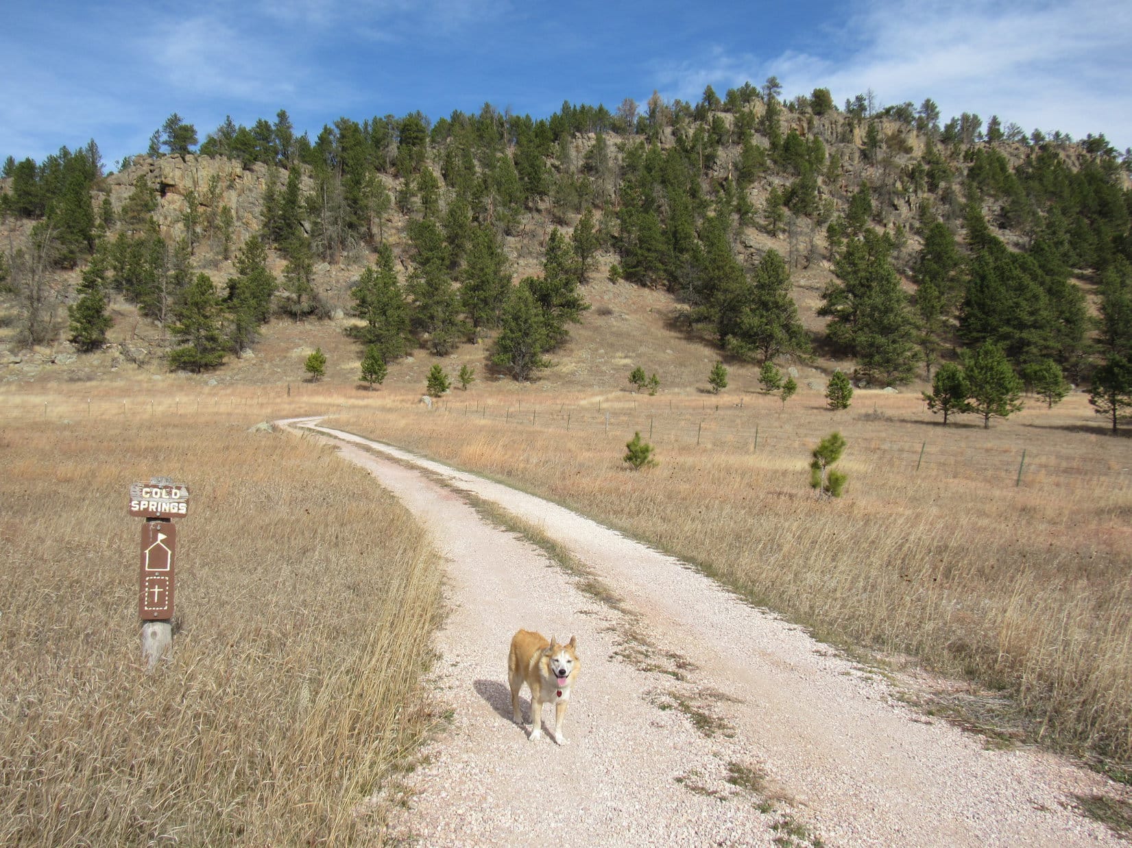
11:31 AM, 49ºF, junction of Merritt Estes Road (County Road No. 208) and USFS Road No. 208.1I

One peak climbed!  So, what’s next, SPHP?

Peak 5163, Looper.  In fact, that ridge to the E is where Lists of John shows the summit.

Oh, snap!  This is going to be easy then, SPHP!

Eh, not quite as easy as you’re thinking, Loopster.  The topo map also shows a cluster of 4 small 5,160 foot contours a little over 0.5 mile SSE of the Lists of John summit location.  To really be certain you’ve actually hit the mountain’s high point, we’re going to have to check them out, too.

At the start of USFS Road No. 208.1I. Photo looks SE.

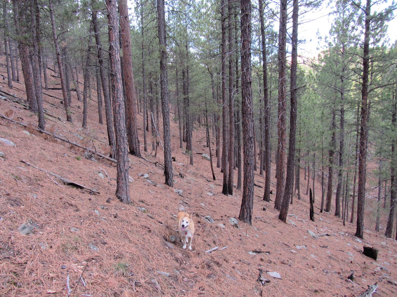
Striking out for Peak 5163, Lupe followed USFS Road No. 208.1I SE up a broad, shallow valley.   Although the map didn’t show the road going very far, it actually went all the way up to a saddle 0.25 mile SSW of the summit, and beyond.  Leaving the road at the saddle, Loop headed up the slope to the NE.

On the way up to the saddle. Photo looks SE.
At the saddle, about to venture up the slope on the L. Photo looks E.

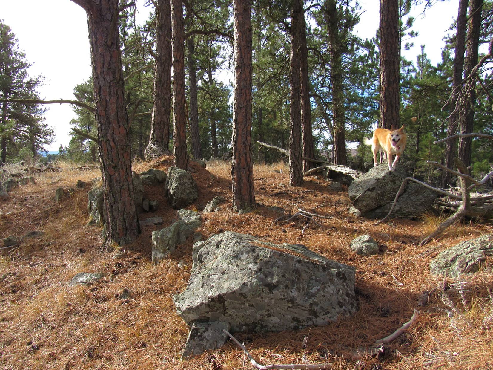
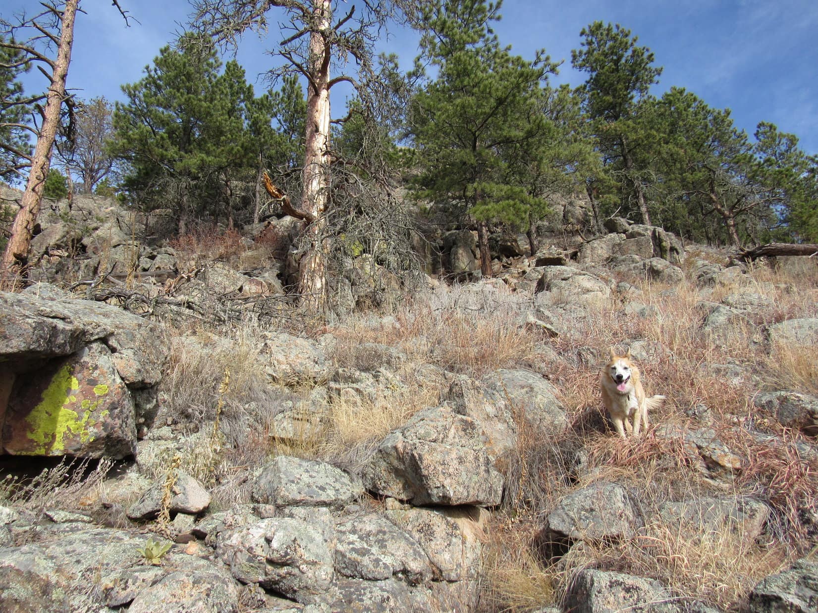
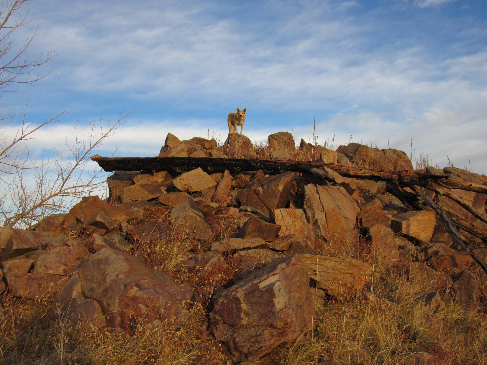
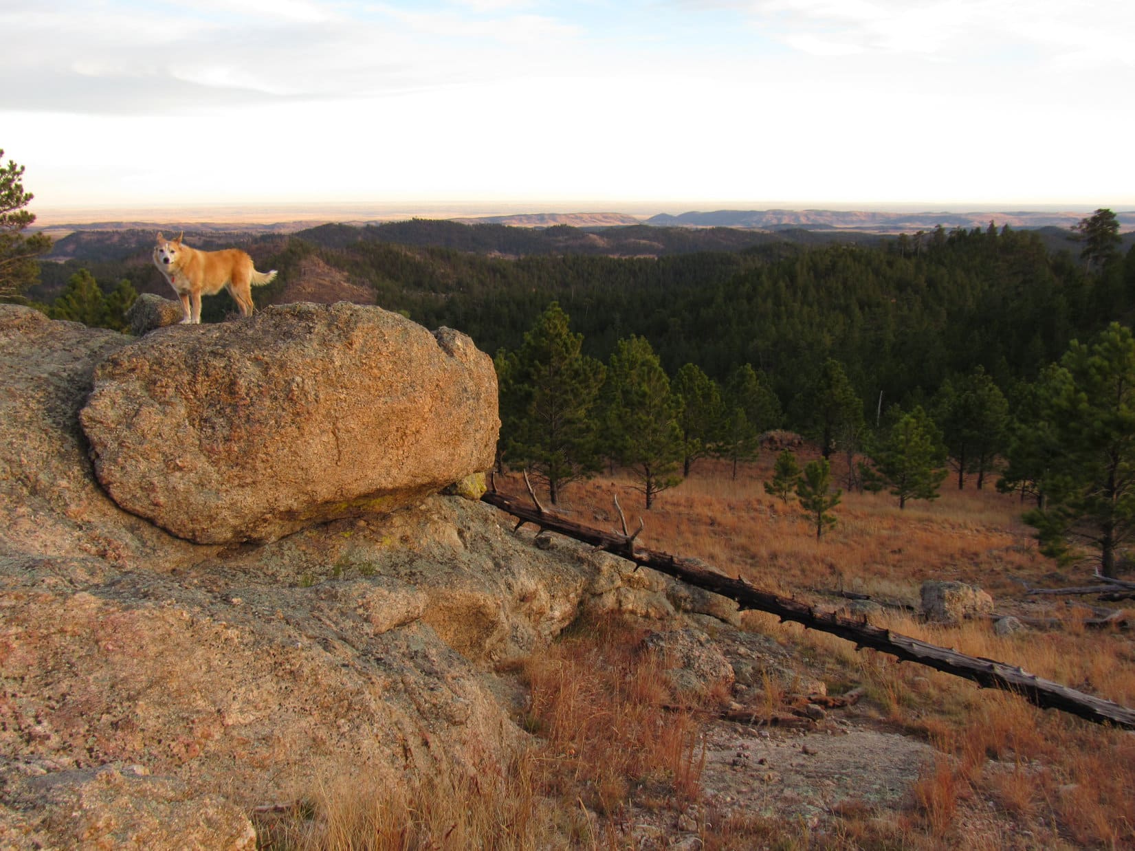
An easy climb, and not a very long one!  Near the top, Lupe passed some rock formations.  Above them, the terrain remained somewhat rocky for a little way as it began leveling out.  It wasn’t far to a lone 2 foot high boulder out in the middle of a large flat region.

Among the rock formations near the top of the slope. Photo looks NNE.
Starting to level out. Photo looks NE.

Hop up on that rock, Loop!

Is this the true summit already, SPHP?

Might be.  We’ve got to be close to where Lists of John shows the high point, and I don’t see anything higher.

Atop the fearsome summit block. Photo looks W.

Whoooeeee, SPHP!  Peak 5163!  What a climb!  How about a hard-earned  chocolate coconut bar to celebrate?

Seems a little premature, doesn’t it, Looper?

Oh, cruel one of mine!  You aren’t going to make me go to all the contours way down S running on empty, are you?

Hmm.  I suppose not, Miss Drama Dingo.  But don’t expect another one down there, even if we come to a clearly higher point.  This is it for the chocolate coconut bar supply today.

Sitting together next to the towering apparent summit, the last chocolate coconut bar had just performed it’s vanishing act when suddenly there was gunfire to the S.  Not good!  The Carolina Dog wasn’t going to want to go that way now.

Hunters!  Let’s hide, SPHP!

Why?  You’ll be fine, Loop.  Just stay close to me.

Now, SPHP!  Something’s coming!

Something was coming!  200 yards SE, a red pickup truck cautiously crept into view, then stopped partially hidden by trees.  A few minutes later, several deer came racing by, greatly exciting the Carolina Dog, but she didn’t bark.  Maybe hanging around where hunters were really wasn’t such a hot idea?

Can we just go, SPHP?

Yeah.  We can sneak S now that they’ve come up this way, Loop, but first we ought to have a look around farther N.  Still a fair amount of territory over that way we haven’t ruled out as the summit yet.

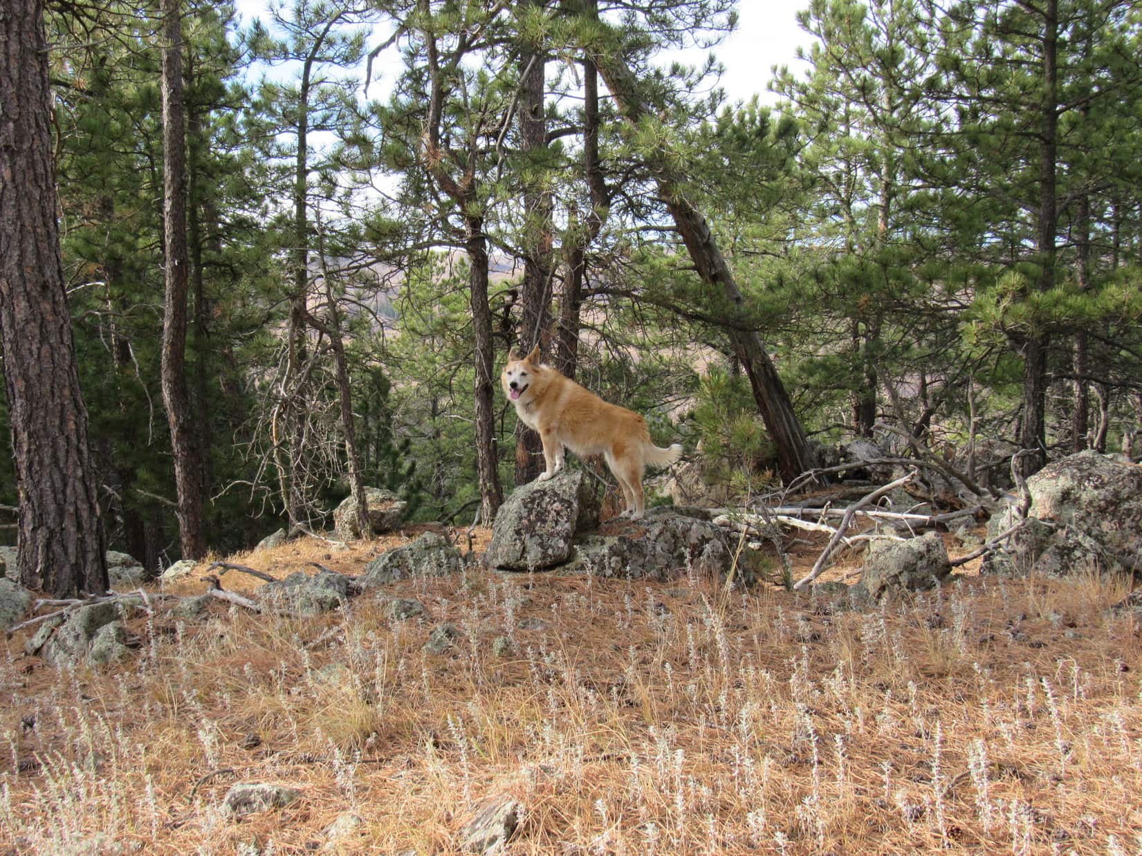
Good thing Lupe went N!  She hadn’t gone far when a big rock formation near the WNW edge of the mountain came into sight 300 feet ahead.  Seemed to be the only one of its kind, and definitely Peak 5163’s N high point.  Quite likely the mountain’s true summit, too!

Peak 5163 true summit. Photo looks N.
Yes! This does seem more like the top of a mountain! Photo looks W.
Another view. Photo looks NW.
Definitely higher than anything over this way. Photo looks NE.

Satisfied yet, SPHP?

Yes, I think so!  This is at least the mountain’s N summit.

On the way S, the Carolina Dog stayed close to the mountain’s W edge, giving the hunters a wide berth, and passing a few views along the way.

Looking SW.
View to the NW.

Once S of the red pickup’s position, Lupe headed SE through open forest down a gradual slope.  Upon reaching an area where the terrain leveled out, she discovered a road not shown on the map.  Must be how that truck got up here!

Sneaking off to the S end of the mountain. Photo looks SSE.
At the unexpected road. Photo looks S.

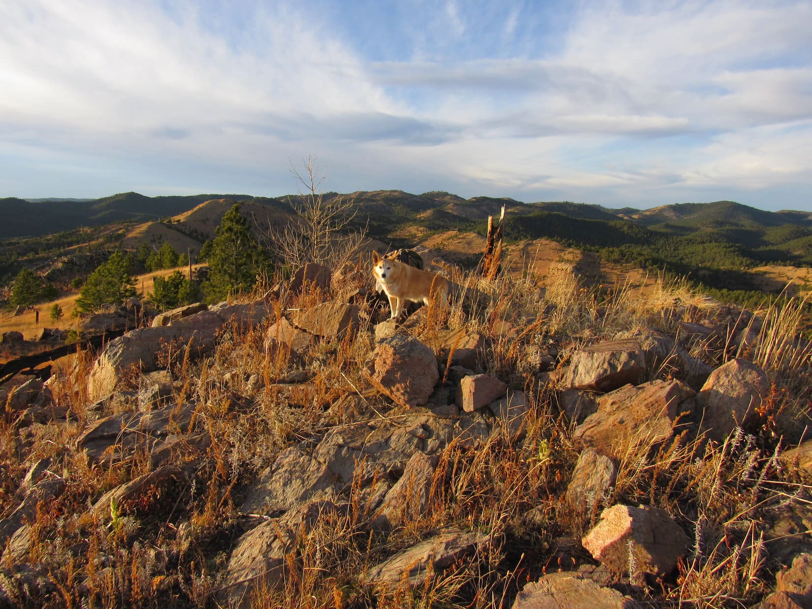
Hurrying S, in case the hunters decided to try their luck back this way again, Lupe soon came to where the road curved W before starting down the mountain.  Abandoning it, she kept going S, starting an easy climb.  It wasn’t too far to the top of a high region that was fairly flat.  Those 5,160 foot contour areas had to be somewhere around here!

Heading for the high ground at the S end of the mountain. Photo looks SSW.

Starting toward the SE, then working her way back NW, the Carolina Dog did find 4 marginally higher points than the surrounding territory.  The forest was so dense that it was impossible to say for certain which one might have been highest, but SPHP got the impression that the farther NW she went, the higher the terrain.

Who knew for sure, though?  Any slope was minimal, and with so many trees, none of the high points were clearly visible from any of the others.

But, SPHP!  We found a cairn at the 3rd high point!  Remember?

Yeah, but that doesn’t necessarily mean anything, Loop.  People every bit as lost and confused as I am build plenty of cairns.

At the far SE high point. Photo looks NE.
On the not quite as far SE high point. Photo looks NW.
By the cairn at the sort of NW high point. Photo looks NW.
The far NW high point. Photo looks E.

Lupe had done as much as she possibly could on Peak 5163.  Somewhere along the way, she must have visited the true summit.  Seemed like the big rock formation way back at the N end of the mountain was probably it, but whether it was or not hardly mattered.

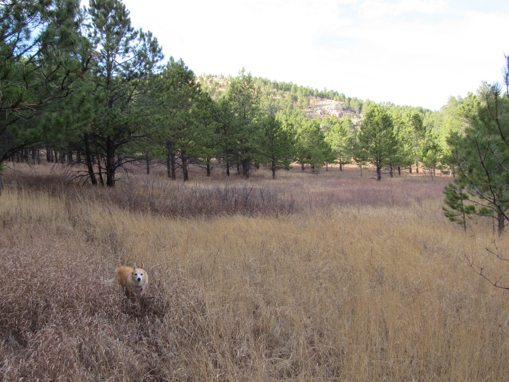
After congratulating Loopster on yet another Lists of John peak climbed, it was time to return to the RAV4.  Heading NNE back to the road she’d discovered, Lupe took it W.  She lost a fair amount of elevation on the way down to a valley where she eventually reached USFS Road No. 201.

The valley SW of Peak 5163. Photo looks SW.

No. 201 led back to Merritt Estes Road at a point 0.6 mile SSW of the RAV4.  The remaining road hike went quickly.  Two peaks complete!  (1:51 PM)

2:03 PM, 50ºF, junction of Piedmont Road (USFS Road No. 144) and USFS Road No. 144.1A – Still early afternoon, but mid-January shadows were already lengthening.  Time enough for one more mountain, though!  Lupe’s List of John mini-blitz continued, as the American Dingo set out heading SE on No. 144.1A.

There was snow underpaw until Lupe reached a sunny turn where the road curved SW.  Sunlight streamed through the pines.  The road soon curved again, this time heading S.  Loop quickly arrived at a fork not shown on the topo map.

About to set out on USFS Road No. 144.1A (R). Photo looks SE.
Signage at the start. Photo looks SSE.
In shadow on snowy No. 144.1A. Photo looks SE.
At the sunny turn. Photo looks WSW.

The fork in the road was actually good news.  As expected, No. 144.1A curved away to the E here, but that wasn’t the way Lupe needed to go.  Happily, ATV Trail No. 8276, the road not shown on the map, went SSW, which was great!  Apparently, the Carolina Dog wasn’t going to have to do much bushwhacking to get to Peak 5321.

Taking No. 8276, the road climbed slowly on the way over to the W side of HP5243, where it leveled out and turned SW.  At first, it looked like No. 8276 might head straight to Peak 5321’s summit, but well before Lupe got that far, it turned WNW.

Eh, that was OK.  Lupe was gaining at least a little elevation again.  Sticking with the road was the easiest thing to do.  Maybe No. 8276 would end up approaching Peak 5321 from the N?

At the unexpected fork where ATV Trail No. 8276 (R) leaves USFS Road No. 144.1A (L). Photo looks SSW.
On No. 8276 heading around to the W side of HP5243 (L). Peak 5321 is the forested hill on the R. Photo looks S.

Soon the amount of sunlight filtering through the pines indicated that Lupe must be approaching the NW end of the mountain.  She was almost there when Trail No. 8276 turned SSE toward the summit.  However, off to the W, there was a platform of limestone with a terrific view.  There was even a bench nearby.  Gotta check this out!

Lupe had reached Ash Point.

Getting close to the NW end of the mountain. Photo looks WNW.
Ash Point was established by the “Yogi Clan” according to the plaque.
Ash Point. Custer Peak (R of Center) and Terry Peak (R) faintly on the horizon. Photo looks WNW.

Ash Point was cool!  To the W, the limestone platform had a grand view overlooking Nemo.  Custer Peak (6,804 ft.) and Terry Peak (7,064 ft.) were on the WNW horizon.  A great look at Green Top (5,360 ft.) and White Mansion (5,340 ft.) was off to the NNW.

Nemo from Ash Point. Custer Peak (R) and Terry Peak (far R) on the horizon. Photo looks W.
Greentop (L of Center) and White Mansion (R of Center). Photo looks NNW.

Impressive!  Glad we stopped by Ash Point, Loop!

Scenic highlight of the day, so far, SPHP!

Agree, but you still have a mountain to climb.  Shall we?

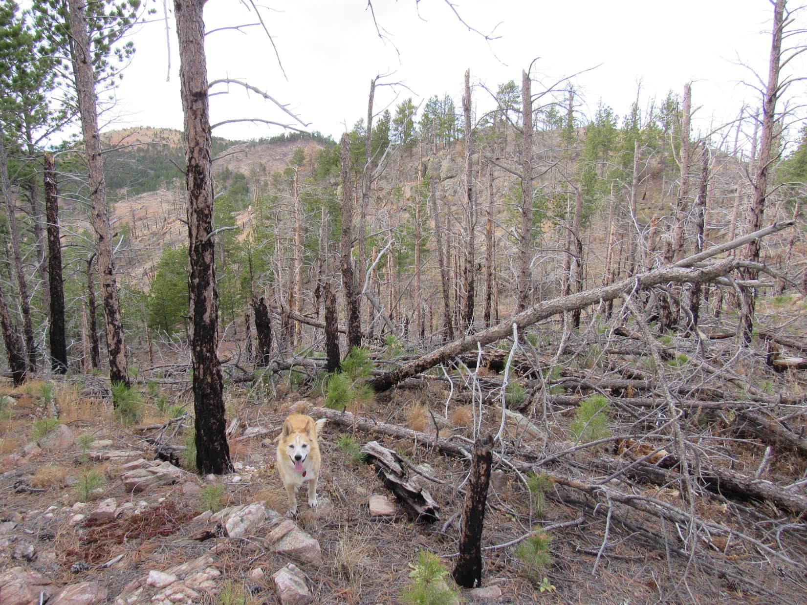
Returning to ATV Trail No. 8276, Lupe followed it SSE climbing steadily up the gentle slope leading to Peak 5321’s forested summit.  However, the road soon veered more to the ESE.  Not really the right direction.  When deadfall started appearing across it, that was the last straw.

Abandoning the road, the Carolina Dog explored SW in search of the summit.  Couldn’t be too much farther.  A short romp higher through a deadfall-infested mess, and the terrain leveled out.  Continuing WSW, a marginally higher region with no clear high point seemed to be about it.

Up top, searching for the true summit. Photo looks S.
Peak 5321 summit. Photo looks SW.

So this is it, aye, SPHP?  The true summit of Peak 5321?

Near as I can tell, Looper.  Congratulations on attaining your third Lists of John peak of the day!

Thanks, SPHP!  Ash Point was way better, though.

Well, Ash Point is part of this same mountain, kind of a package deal.  In any case, want to relax here for a bit?  Out of chocolate coconut bars, but you can still have some Taste of the Wild, if you want it.

A W breeze sighed in the pines, as Lupe enjoyed her Taste of the Wild.  SPHP sat munching an apple.

At the rest spot. Photo looks NE.

After finishing the apple, SPHP stood up.

Ready to call it a day, Loopster?  Too late for any more mountains.  We can visit Ash Point on the way back again.  One other option, though, if you’d rather keep going.

What do you have in mind?  Keep going where, SPHP?

Oh, just a hunch that might be fun to check out.  Been looking at the map.  Those cliffs at Ash Point run N/S all along the W side of this mountain.  Can’t see them from here, because we’re back in the trees.  On the map, it looks like there is a big level platform S of here, about 100 feet lower than where we are now.  Want to check it out?  Might be another viewpoint down there.

How far away is this platform, SPHP?

Not even 0.25 mile.  Won’t take long.  Might not be anything there, though.

Now or never, SPHP!  Why not?

Leaving Peak 5321’s summit and heading S, Lupe soon came to a road.  Probably Trail No. 8276 again, but that wasn’t entirely clear.  In any case, the road wound SSW right on down to the level region the Carolina Dog intended to explore.  Things were looking pretty promising as the road headed for an edge just ahead.

Exploring the platform. Photo looks SSW.

American Point, SPHP!  You were right!  Glad we came!  This is awesome!

On a limestone platform, slightly below the road level along the edge of the mountain, an American Flag waved in the breeze.

Boxelder Creek from American Point. Photo looks SSW.

The views from American Point were similar to those from Ash Point.  Nemo and most of the same peaks were visible from a slightly different angle.  Far to the S, Black Elk Peak (7,231 ft.) was in sight, too.

Black Elk Peak (L) on the far horizon. Photo looks SSW.
Nemo (L), Custer Peak (far L) and Terry Peak (L) on the horizon. Photo looks NW.
Greentop (L edge), White Mansion (L) and Peak 5300 (Center). Photo looks N.

American Point was along the W edge of Peak 5321, but not at the far S end of the big platform.  Completing her explorations, the Carolina Dog went the rest of the way S, where she found another viewpoint which was also sweet, but not quite as dramatic.

Black Elk Peak (Center) from the S end of the big platform. Photo looks S with help from the telephoto lens.

Three Lists of John peaks visited!  The American Dingo’s mini-blitz was going well!  On the way back, Lupe revisited all of Peak 5321’s highlights, including American Point, the summit, and Ash Point, and still made it back to the RAV4 before dark.

It had been a great day!  (4:13 PM, 45ºF)

Peak 5321 near American Point, Black Hills of South Dakota 1-17-22

Links:

Next Black Hills Expedition                  Prior Black Hills Expedition

Black Hills, SD Expedition No. 153 – Steamboat Rock, Pugg’s Keep & Greentop (1-23-16)

Want more Lupe adventures?  Check out Lupe’s Black Hills, SD & WY Expeditions Adventure Index, Master Adventure Index, or subscribe free to new Lupe adventures!

Black Hills, SD Expedition No. 284 – Peak 4980 & Peak 5604 (11-15-21)

9:01 AM, 55ºF – Oh, that might be it!  On the second pass along Beaver Creek Road (Custer County No. 391) 0.1 mile SSW of the junction with Flynn Creek Road (Custer County No. 336), SPHP spotted a faint turn to the E.  Room enough to park the RAV4 in front of a barbed wire fence.  Beyond a gate, a dirt road went up into the forest.

Something else was beyond the gate, too – an old brown fiberglass wand marking USFS Road No. 391.1D.

Come on out, Loop!  Found it!

Minutes after bounding out of the RAV4, the Carolina Dog was following what remained of long abandoned No. 391.1D.

Beaver Creek Road where USFS Road No. 391.1D takes off. Photo looks SW.
Setting out on USFS Road No. 391.1D Photo looks E.

The road made a short climb to the E, then curved SE as it began to level out. Grass as tall as Lupe covered the flat lane ahead.

Most of No. 391.1D turned out to be a pleasant grassy lane. Photo looks SE.

Private property was just down the slope to the E as Lupe sniffed along.  Passing through a short stretch lined with little Ponderosa pines on each side, Loop reached a tall grass clearing where No. 391.1D faded away.  A minor pass was just ahead.

Between the little Ponderosas. Photo looks SE.
The tall grass clearing at the end of USFS Road No. 391.1D. Photo looks S at the pass.

Lupe made it up to the pass in a flash.  Grassy, but not as tall here.

Which way, SPHP?

Up that slope to the W, Looper!

At the minor pass. Photo looks W.

The slope to the W was a bit longer, but an easy climb, too.  Roaming an open forest featuring scattered rocks, the American Dingo soon reached an initial high point.

Heading up the slope W of the pass.

10:39 AM, 55ºF – Lupe got up on one of the highest rocks.

Where to now, SPHP?

Congratulations, Loopster!  You have just climbed Peak 4980!

What?  Already?  We’ve barely gotten started!

Peak 4980 summit. Photo looks SW.

Yeah, I know.  This peak is a super easy one, a cinch following the road.  Don’t worry, though, Loop.  More on the agenda!  The next peak will be tougher and a lot farther.

Sounds good, SPHP!  Is the next peak far enough away to require a fair amount of energy to get there?

Oh, yes!  I’d say so.

In that case, since we’ve already climbed a mountain, maybe we ought to have a chocolate coconut bar.  Just to keep our energy levels up, you know?

Conniving Dingo!  Kind of early in the day, but I suppose we can do that.

After water and a shared chocolate coconut bar, Lupe explored Peak 4980’s summit region.  The first rock she’d gotten up on wasn’t quite the true summit.  Several rocks were candidates for that title, but one a little farther SW seemed clearly a tad higher than the others.

At the true summit of Peak 4980. Photo looks WSW.
Claiming an easy peakbagging success!

The highest part of Peak 4980’s summit region was 25 feet in diameter and toward the N end.  However, a minor dip led to a 200 foot long flat grassy area to the S.  Lupe sniffed along the length of it, while SPHP checked for views.

My that chocolate coconut bar was tasty! Lupe still licking her chops. Photo looks S toward the flat grassy end of the summit region.
In the grassy region. looking back toward the true summit. Photo looks N.

Eh!  Not much for views.  Glimpses to the SE that might have been nice minus a few trees, but that was about it.  Loop did a little scrambling on the rock formations separating the upper and lower summit areas, but that was about all there was to Peak 4980.  Half an hour after arriving, she revisited the true summit rock before departing.

Along the edge of the dip. Photo looks NW.
Briefly back at Peak 4980’s true summit. Photo looks NE.

Instead of taking the same easy route along USFS Road No. 391.1D back to the RAV4, Lupe explored Peak 4980’s N ridge.  More challenging, but nothing major.  Heading down to the saddle leading to the first subpeak along the ridge, there actually was a spot with a view.  The subpeak had a better one.

Glimpse of the Beaver Creek valley while heading down Peak 4980’s N slope. Photo looks W.
View from the first subpeak N of Peak 4980. Photo looks SW.

The final descent from the end of the N ridge got rocky and steep, but was soon all over and done with.  Lupe reached USFS Road No. 391.1D again.  Only a quick downhill march remained.

Back at the RAV4 along Beaver Creek Road. Photo looks NW.

Truth was that the RAV4 could get Lupe much closer to the next peak on the agenda, but where was the fun in that?  The American Dingo was surprised when SPHP walked right on by it.  At the junction 0.1 mile NNE, SPHP led Loop NW on Flynn Creek Road.  Another 0.1 mile got her to a R turn onto a side road going to the Cold Springs ranger station and a cemetery.

Directly ahead was a hillside that got quite steep and rocky near the top.  If Lupe could get up there, the intention was to follow a long ridge that went N, then NW, all the way to Peak 5604, her ultimate destination.

At the junction of Beaver Creek Road and Flynn Creek Road. Photo looks N.
At the turn to the Cold Spring ranger station and cemetery. Photo looks NW.
Heading for the hillside. Photo looks N.

The hillside really didn’t look all that bad, but once Loop left the road and started climbing, SPHP made the mistake of venturing too far E.  This ended up putting her on some of the steepest, rockiest terrain.

Starting to get rather rocky on the way up. Photo looks N.
Hmm. Not too far from the top, but mighty steep. Photo looks NE.
Getting some views! Photo looks SW.

In several spots, it looked like Lupe might get stuck.  Fortunately, there was always a way higher.  Loopster managed to reach the upper edge without needing any boosts from SPHP.  She was rewarded with a nifty view of Peak 4980 where she’d been only a little while ago.

Peak 4980 (L of Center) beyond Lupe. Photo looks S.

Beyond the edge, Lupe found a forested ramp that sloped gradually up toward the ENE between parallel lines of rock formations.  The absolute top of this hill couldn’t be much farther, so Lupe went to find it.

The highest rocks she came to along the S edge provided an even better view of Peak 4980.

On the easy, wide ramp. Photo looks ENE.
The grand view of Peak 4980 (L) from some of the highest rocks along the S edge. Photo looks S.

However, the top of the hill proved to be along the N edge, not the S edge.  Venturing across a flat region, Lupe came to a pile of boulders.  She promptly scrambled up, reaching the summit of HP5000.

At the summit of HP5000. Photo looks NNW.

Too many trees to get a decent view to the N, but a lower spot a little to the W did have one.  2.5 miles NNW as the crow flies, Lupe could now see Peak 5604, her ultimate destination.  More than twice as far away, the top of Cicero Peak (6,166 ft.) was in sight, too.

HP5072, the next hill along the proposed ridge route to Peak 5604, was of more immediate concern.  Beyond a saddle 160 feet below where Lupe was now, its S face looked a lot like the hillside she had just climbed.  Not all that big, but rocky and steep.

In fact, the territory ahead all looked rougher than SPHP expected.  Lupe was perched at the brink of a cliff, rather than a nice easy slope leading down to the saddle to HP5072.  Suddenly, it was clear that the American Dingo was in for a long day, not the stroll along a gentle ridge that SPHP had envisioned.

Peak 5604 (L of Center). HP5072 (R) in the foreground beyond Lupe. Photo looks NNW.
Cicero Peak (L of Center) in the distance. Peak 5604 (R). Photo looks NNW with help from the telephoto lens.

A short water and rest break was taken while contemplating this view, but the scene didn’t change.  The route N looked every bit as rugged as before.  Nothing to be done about it, though, except to start putting one paw in front of the other.  Lupe left HP5000 heading WSW back down the ramp while searching for a break in the cliffs.

She had to go farther than expected to find one, and even then a bit of scrambling was involved, but Loop finally got below the drop-off.  The going was still a little slow, since the forest down here had a fair amount of deadfall to contend with, but the situation improved as Lupe headed N across the saddle leading to HP5072.  In fact, as she started up the N end of the saddle, she came to a nice view of Rankin Ridge (5,013 ft.), the high point of Wind Cave National Park.

Looking back at HP5000 after finding a way down from the cliffs. Photo looks SE.
Crossing the saddle leading to HP5072 (Center). Photo looks N.
Rankin Ridge (Center), the high point of Wind Cave National Park. Photo looks E.

Staying toward the L (W), the climb up HP5072‘s S face wasn’t bad at all.  Lupe passed near some gigantic boulders at the top, but no attempt was made to see if it was feasible to get up on them.  The general impression was that any effort to do so would only be a waste of valuable time.

HP5072 was the S end of the longest, most consistent, part of the ridge Lupe was trying to follow.  Several minor high points were ahead.  The next objective was HP5227 near the N end, more than a mile away.

Thickly forested terrain N of HP5072 soon led to the first of the minor high points.  This was a rocky spot providing another view of Peak 5604, which was still a long way off.  Beyond this first high point, the ridge narrowed and remained quite rocky.  Loop was soon forced down off a spine of massive rock formations.

E of, and well below, these rock formations, the Carolina Dog traversed a steep slope until she could get past them.

Peak 5604 (Center) from the first minor high point N of HP5072. Photo looks NNW.
N of the first minor high point, the ridge was rocky and narrowing. Photo looks NNE.
Traversing the forested slope E of the ridgeline. Photo looks N.
Back up on the ridge, approaching the next minor high point. Photo looks N.

The second minor high point along the way wasn’t as rocky.  More open toward the S, Lupe had a nice view of the route she had been traveling.

Looking back along the ridge. Photo looks SSE.

Still more up and down along the ridge to go!  HP5227 finally came into sight.  Getting there was a dismal undertaking.  Deadfall choked nearly the entire remaining distance, and HP5227 itself was no better.  Upon reaching the summit, SPHP had to snap a multitude of branches so Lupe could get to the highest rocks.  Minus the deadfall, the views would have been pretty decent from here, but it was practically impossible to move around.  HP5227 was just an ugly mess!

Approaching HP5227 (R). Peak 5604 (far L). Photo looks NNW.
HP5227 summit. Peak 5604 (Center) in the distance. Photo looks NW.
Like sticks? If so, HP5227 is amazing! Photo looks E.

Peak 5604 was still nearly a mile NW.  Almost 200 feet of elevation now had to be lost over 0.25 mile to get down to the last major saddle leading to it.  Lupe visited a couple of rock outcroppings during the descent.

Approaching the first rock outcropping NW of HP5227. Peak 5604 (R of Center), HP5422 (R). Photo looks NW.
At the second rock outcropping NW of HP5227. Peak 5604 (L) and HP5422 (R). Photo looks NW.
Looking back at HP5227 (Center) from the second rock outcropping. Photo looks SE.

By the time Lupe got down to the saddle, she’d left the horrid deadfall behind.  Going W from the saddle, the Carolina Dog quickly discovered a game trail that climbed slowly through forest as it gradually turned NW.  The trail led to a tall grass meadow in the valley SE of Peak 5604.

At the saddle between HP5227 and Peak 5604. Photo looks NW.
Following the game trail. Photo looks NW.
Entering the meadow. Photo looks NNW.

The trail vanished.  Lupe continued NW and the terrain soon steepened.  Turning WNW, the American Dingo reached Peak 5604’s S ridge, already quite high on the mountain.  All that remained was a steady trudge to the top, passing scattered pines, minor rock formations, and a bit of deadfall along the way.

Climbing Peak 5604’s broad, poorly defined, S ridge. Photo looks NNW.
Getting close to the top! Photo looks NNW.

3:52 PM, 65ºF, Peak 5604 –  Nothing to it, but it had taken a long time to get here.  Lupe arrived at Peak 5604’s summit as the sun was getting low.  A light breeze stirred out of the W.  Incredibly warm out, maybe a record for this date in the middle of November?

After standing on the highest rock to claim her peakbagging success, Lupe looked for a place to relax.  Most of the top of the mountain was meadow, but the small elevated region near the true summit was rockier than decent consideration for comfort would have dictated.  For a while, the Carolina Dog wound up on SPHP’s lap.

Success! At the true summit of Peak 5604. Photo looks NW.

Time for the traditional water, apple, chocolate coconut bar, and Taste of the Wild break!

Congratulations, Loopster!  Harder than I thought it would be, but we got here!

Peak 5604 was so worth it, though, SPHP!

Yes, the ridge route was fun, although, as usual, I could have done without all the deadfall.

Dream on, SPHP!  Par for the course in the Black Hills, and you know it!  Anyway, don’t forget!  It’s a good thing we came this way, because we now know the secret location of the precious Pink Dingo!

Precious Pink Dingo!  What on earth are you talking about?

That huge gem we found, SPHP!  The enormous pink one!  It must be worth millions!  I still don’t know why you just left it there.

You mean that fist-sized piece of rose quartz?  Yes, a very nice specimen, but it isn’t worth millions.

Of course, it is, SPHP!  Admit it!  The Pink Dingo is the most magnificent geological discovery we’re ever made in all our wanderings!

Aren’t you forgetting the geodes we found once, Loop?

No, I’m not.  They were pretty, but small.  The Pink Dingo outshines them all!

Well, maybe so, Looper, but why are you calling a chunk of rose quartz “the Pink Dingo”?  It wasn’t shaped like a Dingo at all.

Don’t you know anything, SPHP?  Panthers are world famous for finding an incredibly valuable pink gem.  Mastermind thieves are always trying to steal it.  It’s called the Pink Panther!  Everyone else on the planet knows it isn’t shaped like a panther, but named in honor of the panther that found it!  You must be related to that inspector Clouseau in the documentary.

Ahh, I see.  So now there’s the Pink Dingo!

Undeniably discovered by an all-American Dingo, SPHP!  As you are my witness, the Pink Dingo is going to make us rich and famous!  You’ll see!

Rich and famous!  All due to the fabulous, newly discovered Pink Dingo!  Certainly a happy thought to mull over while gazing out at panoramic views enhanced by the slanting rays of the evening sun.

Higher country was off to the NW, where the old fire lookout tower was visible on Cicero Peak (6,166 ft.).  Not quite as high, and farther away, Mount Coolidge (6,023 ft.) was NNE.  None of the territory to the S or E was as high as Peak 5604.  Lupe could see all the way to Buffalo Gap.  To the W, miles long Bowman Ridge hid what lay beyond it.

Loopster had never been to Bowman Ridge.  Might be fun to explore it sometime.  Maybe another Pink Dingo, or even a Pink SPHP, was over there?

Cicero Peak (Center). Photo looks NW with help from the telephoto lens.
Mount Coolidge (far R) in the distance. Photo looks N.
Buffalo Gap (R) in the distance. Photo looks ESE.
Bowman Ridge along the horizon. Photo looks W.
The way Lupe had come up. Photo looks S.

Nearly an hour after arriving at Peak 5604, Lupe once again stood on the highest rock.  SPHP started down first, then called her when her summit hour was complete.

Final moments on Peak 5604. Photo looks, E.

Then it was down the mountain’s S ridge again in the beautiful evening sunlight.

Leaving the summit region. Photo looks N.
Heading down the S ridge. Photo looks SSE.

Still some sniffing and exploring to do, but the sun was setting.  Instead of returning by the same route, which would have been horrendous in the dark, Lupe eventually turned SW off Peak 5604’s S ridge, descending into a valley.

Still exploring! On the biggest rock of the S ridge. Photo looks SE.

The valley led down to Flynn Creek Road.  Road hike the rest of the way back now.  As dusk deepened and the silver stars appeared, the Carolina Dog was excited by the sight of deers grazing in the meadows.

Oh, and it was sort of fun to dream of becoming rich and famous, too!  (End 5:13 PM, 46ºF)

Peak 5604, Black Hills of South Dakota 11-15-21
The precious Pink Dingo!

Links:

Next Black Hills Expedition                     Prior Black Hills Expedition

Pink Panther theme song

Want more Lupe adventures?  Check out Lupe’s Black Hills, SD & WY Expeditions Adventure Index, Master Adventure Index, or subscribe free to new Lupe adventures!