Days 1 & 2 of Lupe’s 4th Summer of 2021 Dingo Vacation to the Bighorn Mountains of Wyoming!
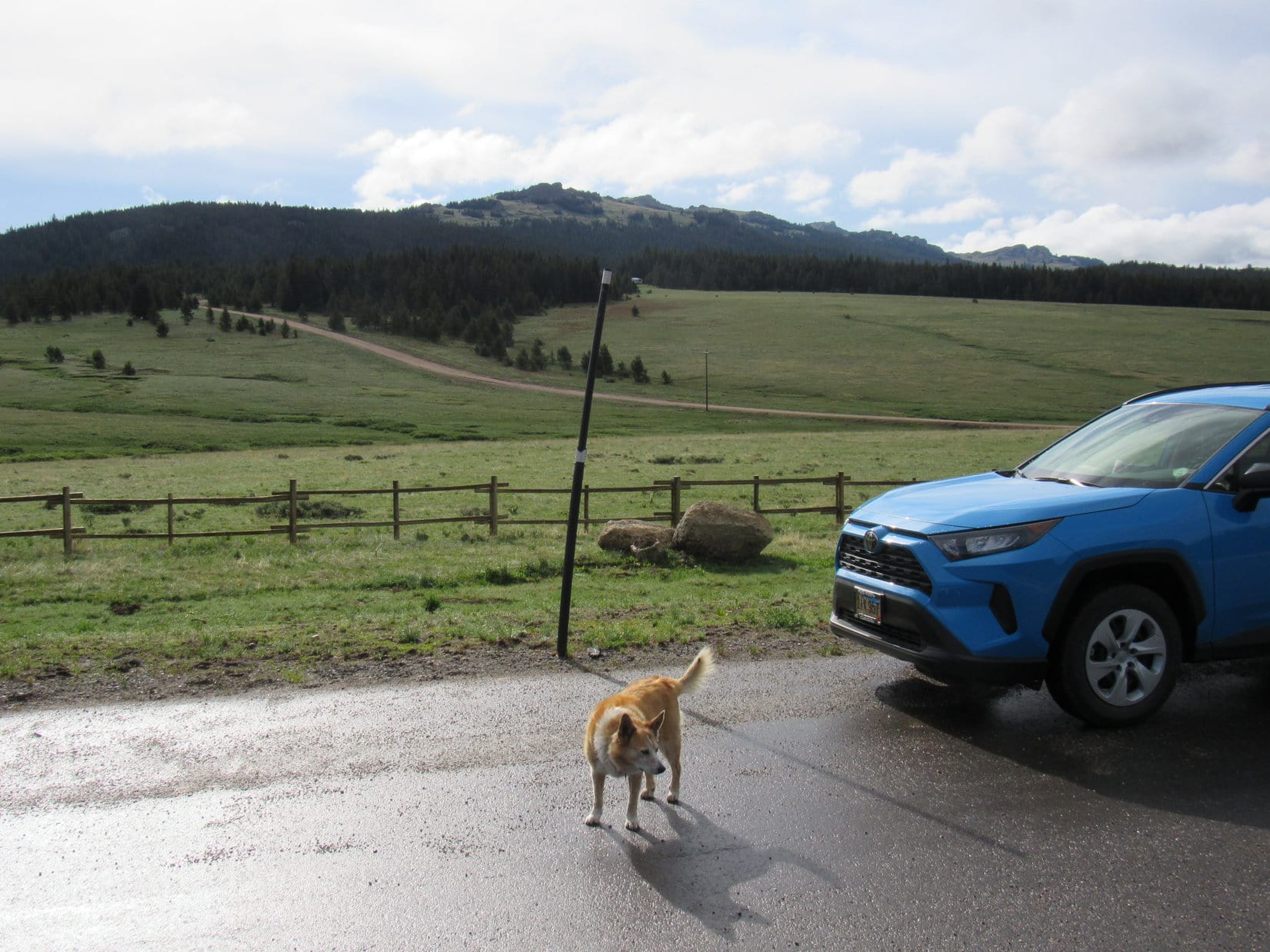
9-25-21, morning – Emerging from the store, SPHP was suddenly struck by a change. For the first time in 2.5 months, a crystal blue sky was over the Black Hills. No smoke! The forecast was for highs in the low 90’s ºF the next few days, and, as usual, not a drop of rain. Returning to the RAV4 where Lupe was waiting, a spur of the moment decision.
Loopster, it’s on!
Oh, that’s fabulous, SPHP! Great news! Mind telling me what on earth you’re babbling about? What’s on?
Mather Peaks (12,400 ft.), SE of Florence Pass, way up along the spine of the Bighorns, was what was suddenly on. Summer of 2021’s unexpected last gasp! The rest of the morning and better part of the afternoon were spent furiously packing. The sun was down, but it was still light out, by the time Lupe hopped out of the RAV4 for a look at the mountains.

9-26-21, 6:22 AM, at a big paved pullout N of Hwy 16 –
You’re awake, Loopster? Good! I’ve been looking at the map. Would sure love to camp at Gunboat Lake tonight, and come at Mather Peaks from the NW tomorrow, or the next day. Think that’s doable based on what we saw up at Florence Pass back when we went to Bomber Mountain in 2018. Not entirely sure that route will go, though, and it’s definitely the long way around. Quite a bit shorter, and probably wiser, to come up from the S off Lost Twin Lakes Trail No. 065. Anyway, how are you feeling? Ready for some glorious Bighorn Mountains action?
Ears drooping, sad hazel eyes stared back at SPHP. A moment later, Lupe puked all over the RAV4’s dash.
Feeling that marvelous, aye? Don’t worry about it, Loop. I’ll clean it up!
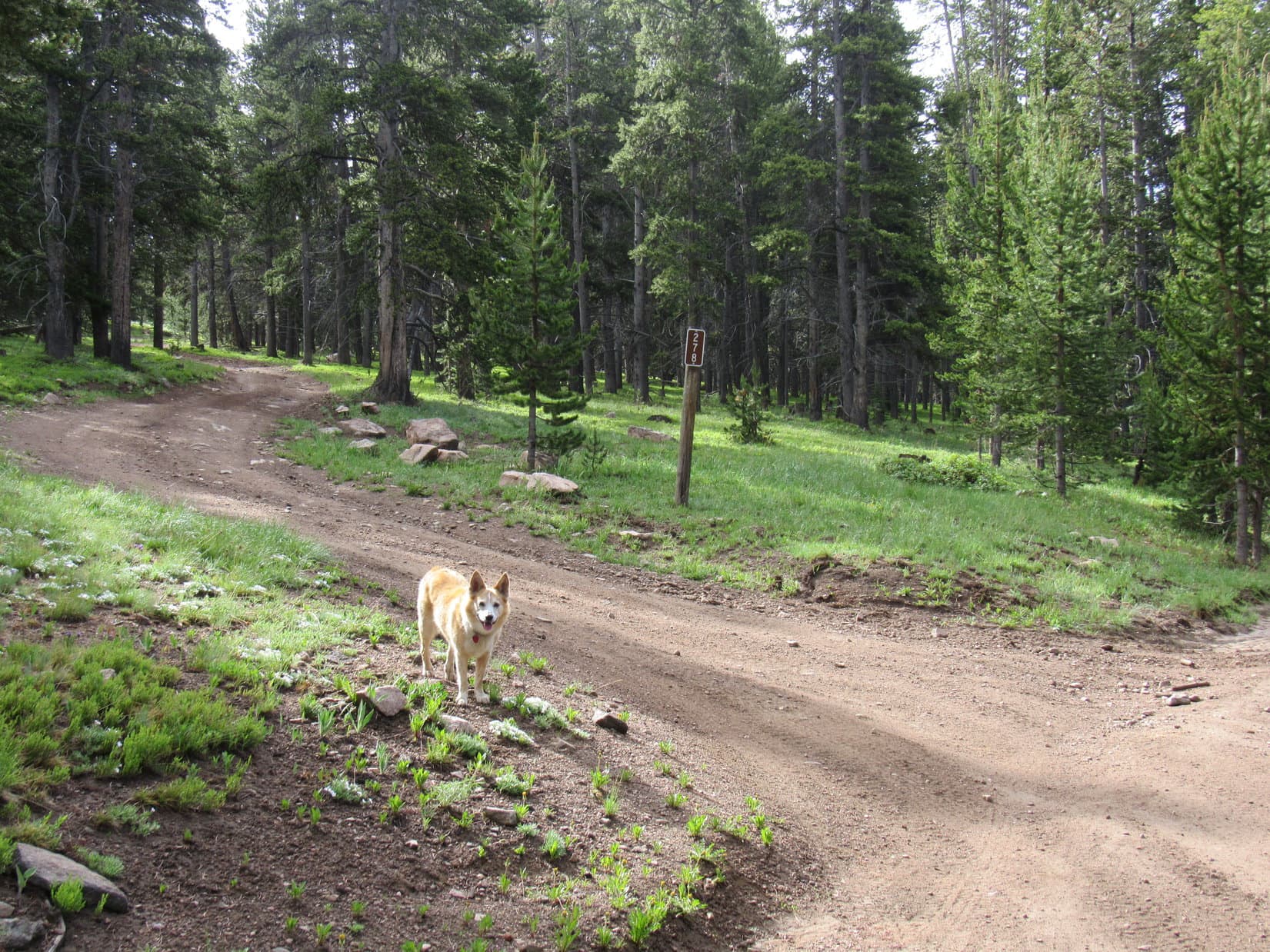
9-26-21, 8:12 AM, 37ºF, West Tensleep Lake trailhead – Nothing quite like puking your guts out for a good holistic cleansing to get your day off on the right paw! By the time SPHP was ready, the American Dingo was feeling much better as she set off on Lost Twin Lakes Trail No. 065.

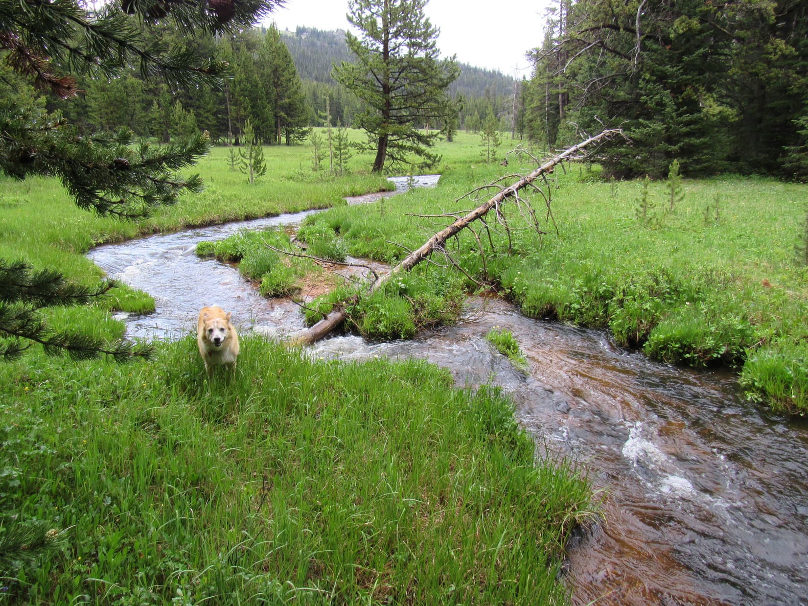
Loop searched for squirrels as the trail headed NNE through the forest for 0.75 mile before turning E, and descending to a clearing along Middle Tensleep Creek. The creek was very low this time of year, but cold, clear, and invigorating.


After crossing a tiny tributary, Lost Twin Lakes Trail No. 065 followed Middle Tensleep Creek upstream only a short distance. Almost as soon as the trail reached the forest again, there was a nice waterfall off to the R. Would have been a great place for a picnic, but it was still way too early for that.


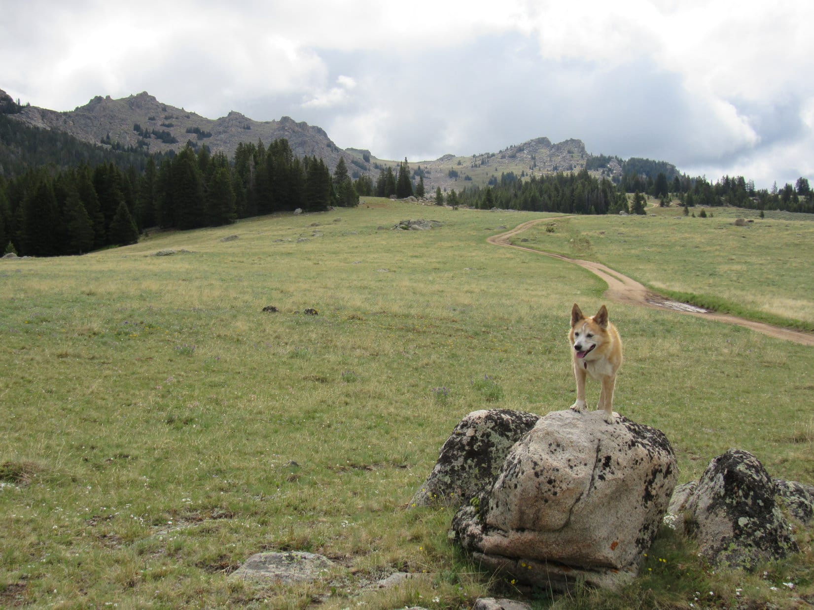
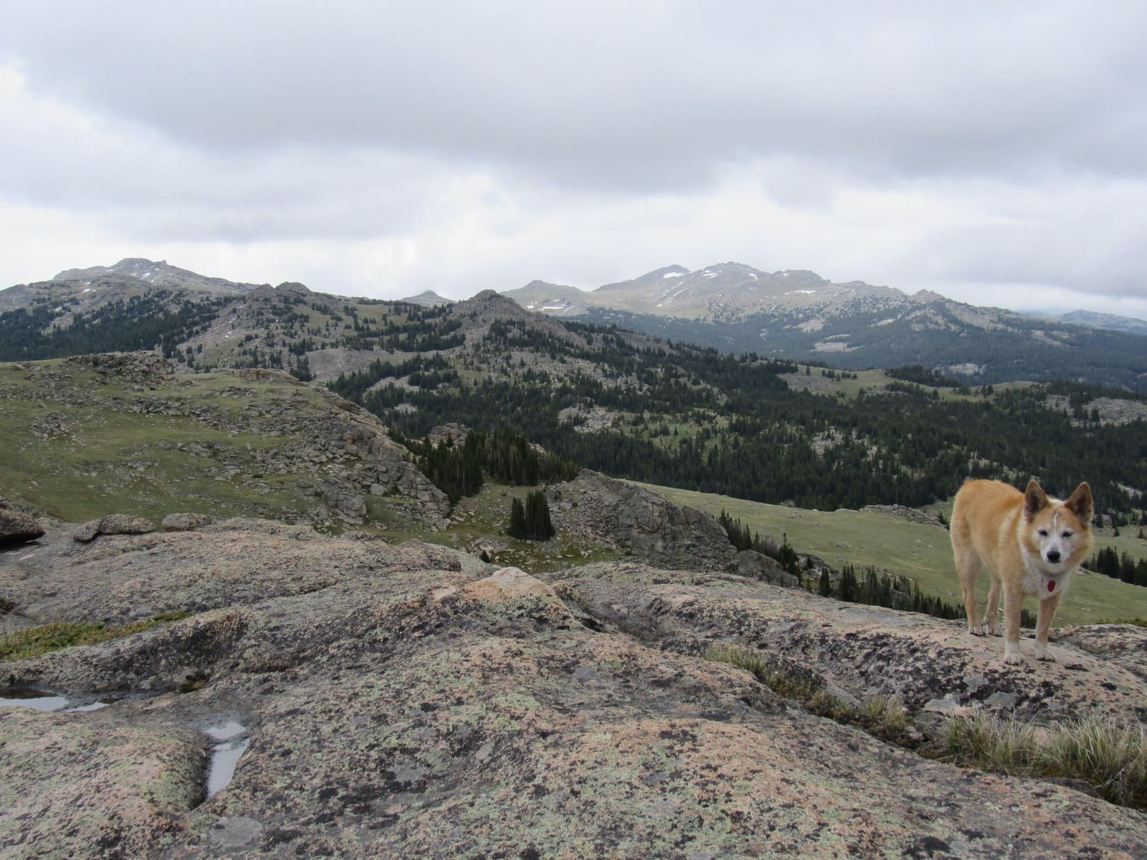
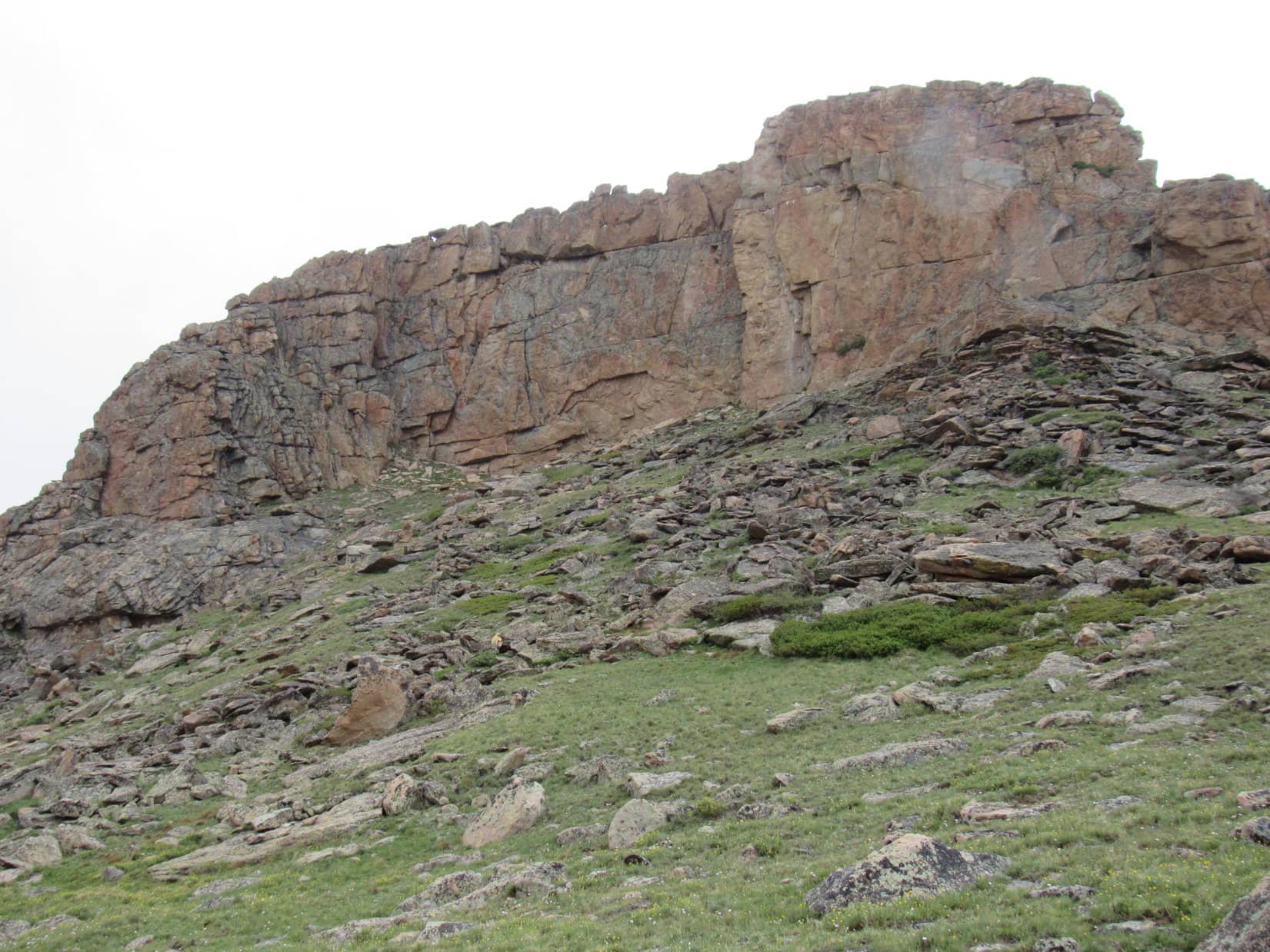
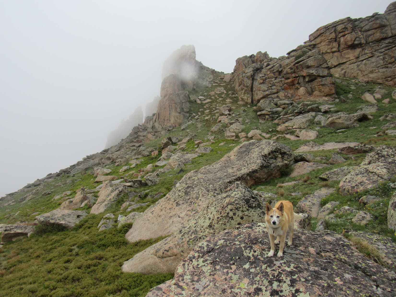
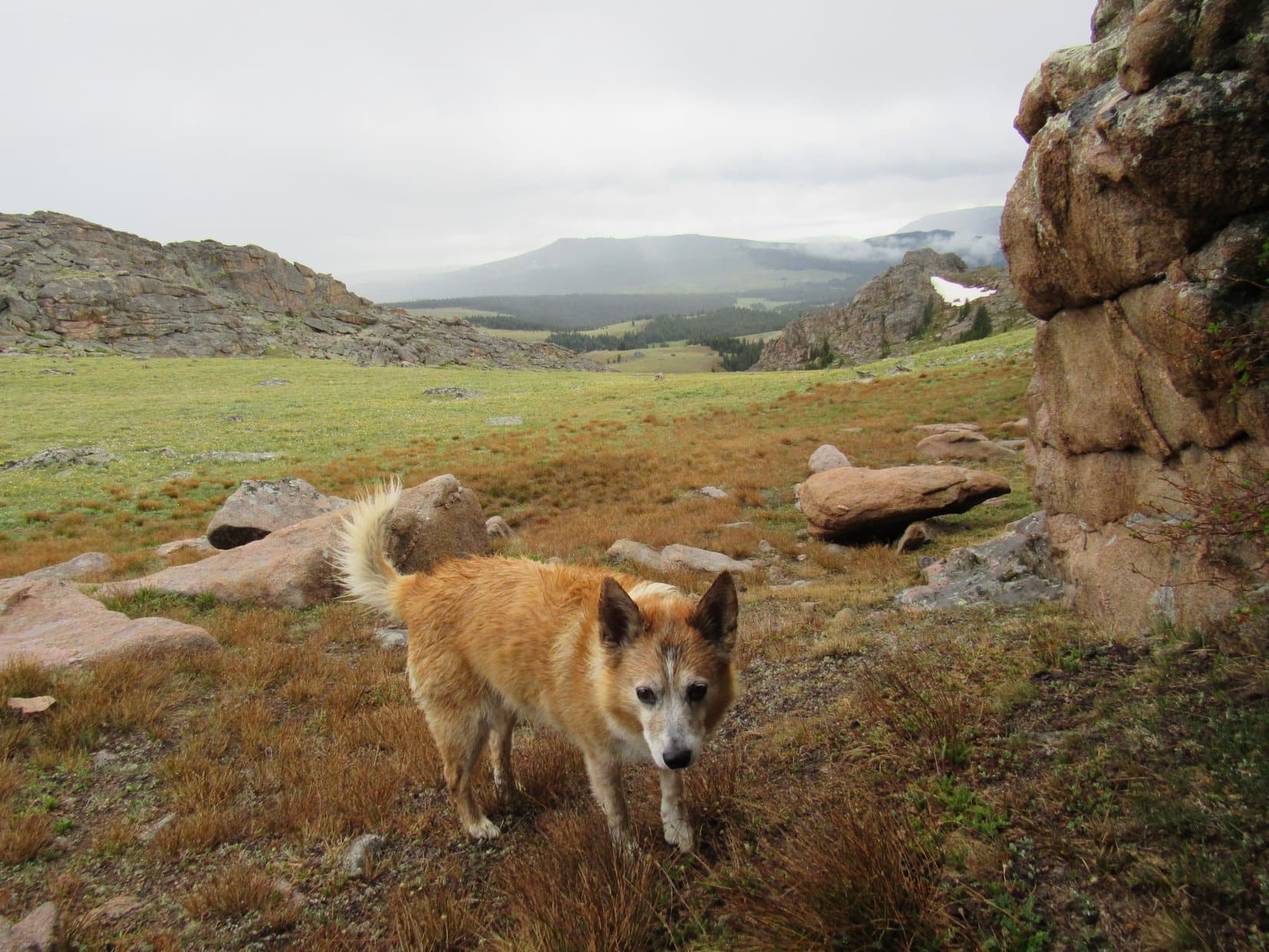
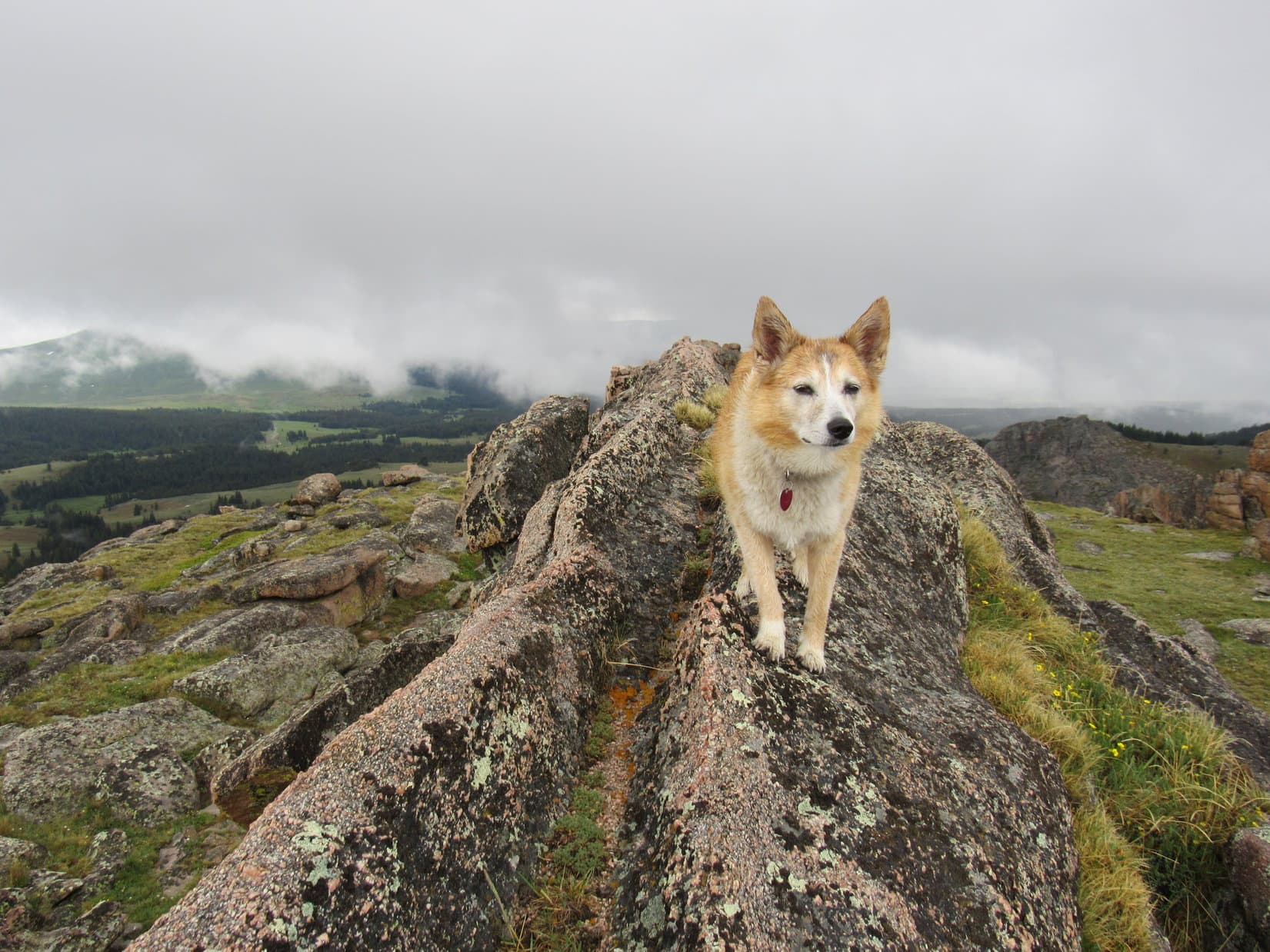
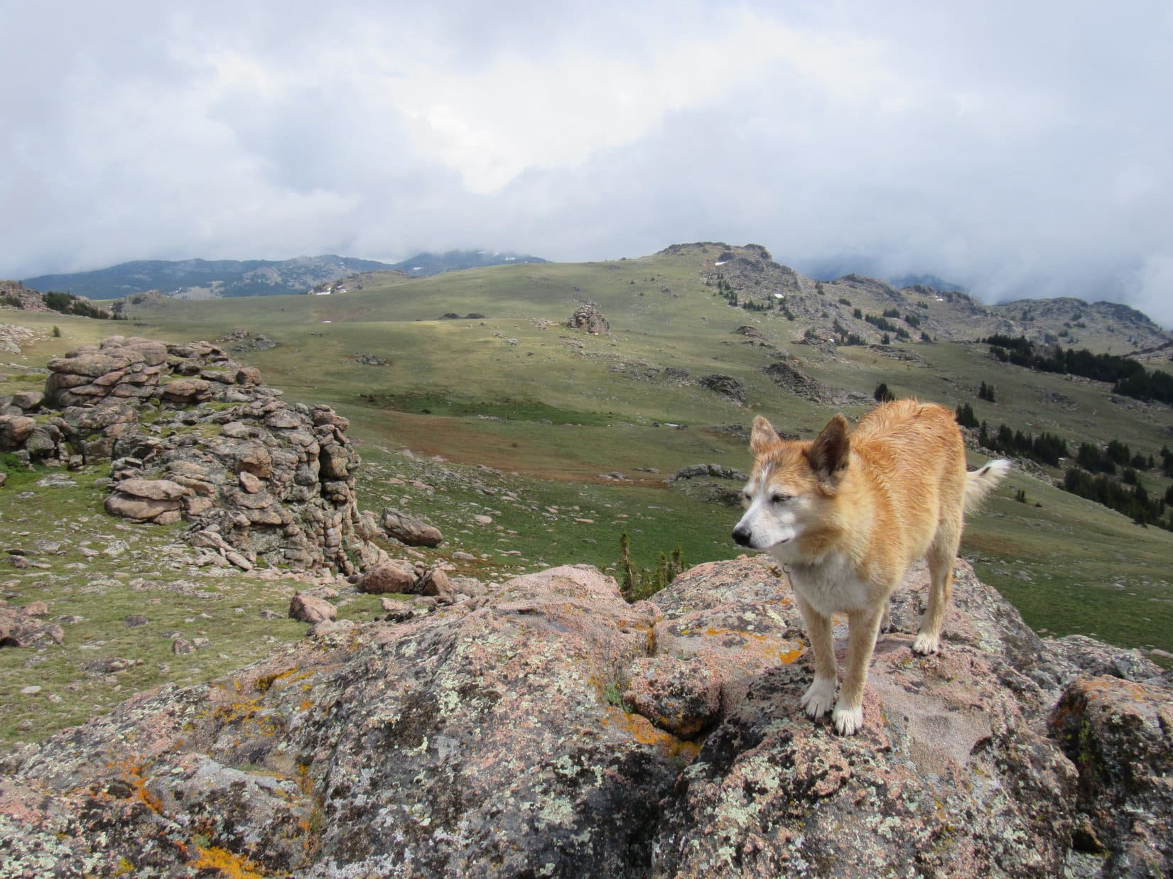
After visiting the waterfall, Loopster returned to the trail, which now left Middle Tensleep Creek behind as it turned NE, climbing steadily through the forest. 0.75 mile got the American Dingo up to a clearing on the side of a hilltop. A high stony mountain was visible roughly 4 miles away.
Is that Mather Peaks, SPHP?
Not sure, Loop. Hard to tell from here, but that’s the right vicinity. Might be Mather’s W summit, which isn’t quite as high as the E one.

From this initial viewpoint, the trail jogged SE before turning NE again. Near this turn there was a view of Lost Twin Lakes Peak (12,015 ft.). Other mountains were in sight, too, as the trail descended toward a big open section of the Middle Tensleep Creek valley.


The trail flattened out. Remaining well N of Middle Tensleep Creek, it went no farther into the valley. Lupe was soon climbing back up into the forest again. After a relatively short stint N, the trail curved SE, crossing a larger tributary of Middle Tensleep Creek. Happily, an easy rock hop this time of year!


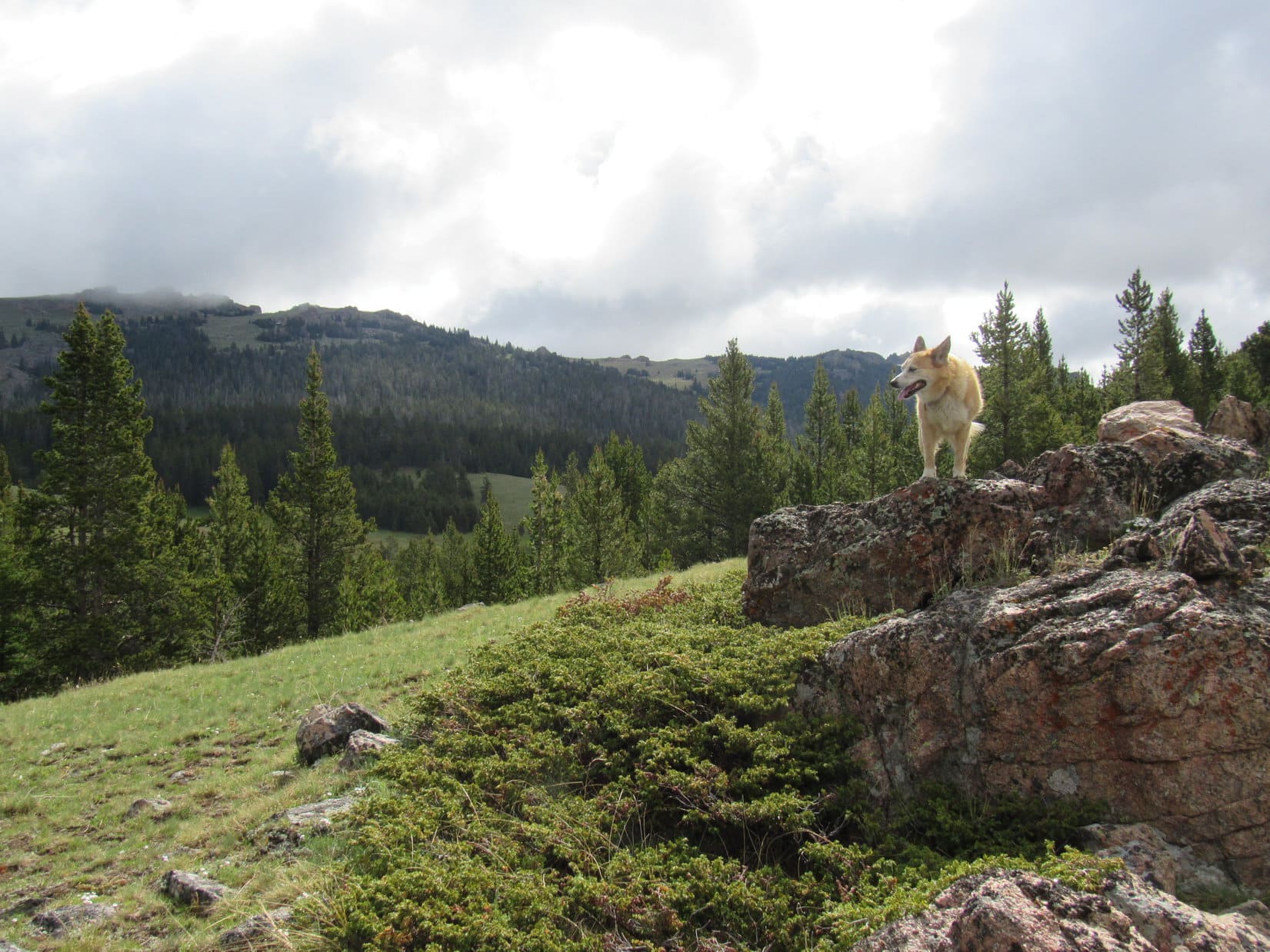
Immediately after crossing the tributary, a short climb led to a minor high point featuring another clearing, and yet another view NE. Mirror Lake wasn’t far from here. Leaving the trail, Lupe soon caught glimpses of it beyond the trees.

Continuing on down to the lake, Lupe explored much of its SW shore. The pristine lake lived up to its name. A fried chicken break was taken more to justify prolonging Lupe’s stay than out of hunger.


Even a big chunk of fried chicken didn’t last long. Loop was soon back on Lost Twin Lakes Trail No. 065, which passed close to Mirror Lake’s S cove, but never actually went to it. Instead, the trail by-passed the lake, continuing NE up the Middle Tensleep Creek valley.

In a flat area not far from Mirror Lake, the trail again got quite close to Middle Tensleep Creek. Naturally, Lupe sauntered over for a look.


The easy flat stretch only went so far before the valley narrowed. Lupe was soon climbing fairly steeply up the side of a V-shaped section where she got nearly 100 feet above the stream.

Lugging a heavy pack, SPHP was glad when the trail flattened out as the valley widened again.
Hey, SPHP! Look off to the R. Isn’t that Darton Peak? We were there less than a year ago, remember?
Yup, you’re right, Loop! How could I forget Darton? So many humongous boulders near the summit, I wasn’t sure we would find a way up.
We made it, though, SPHP!
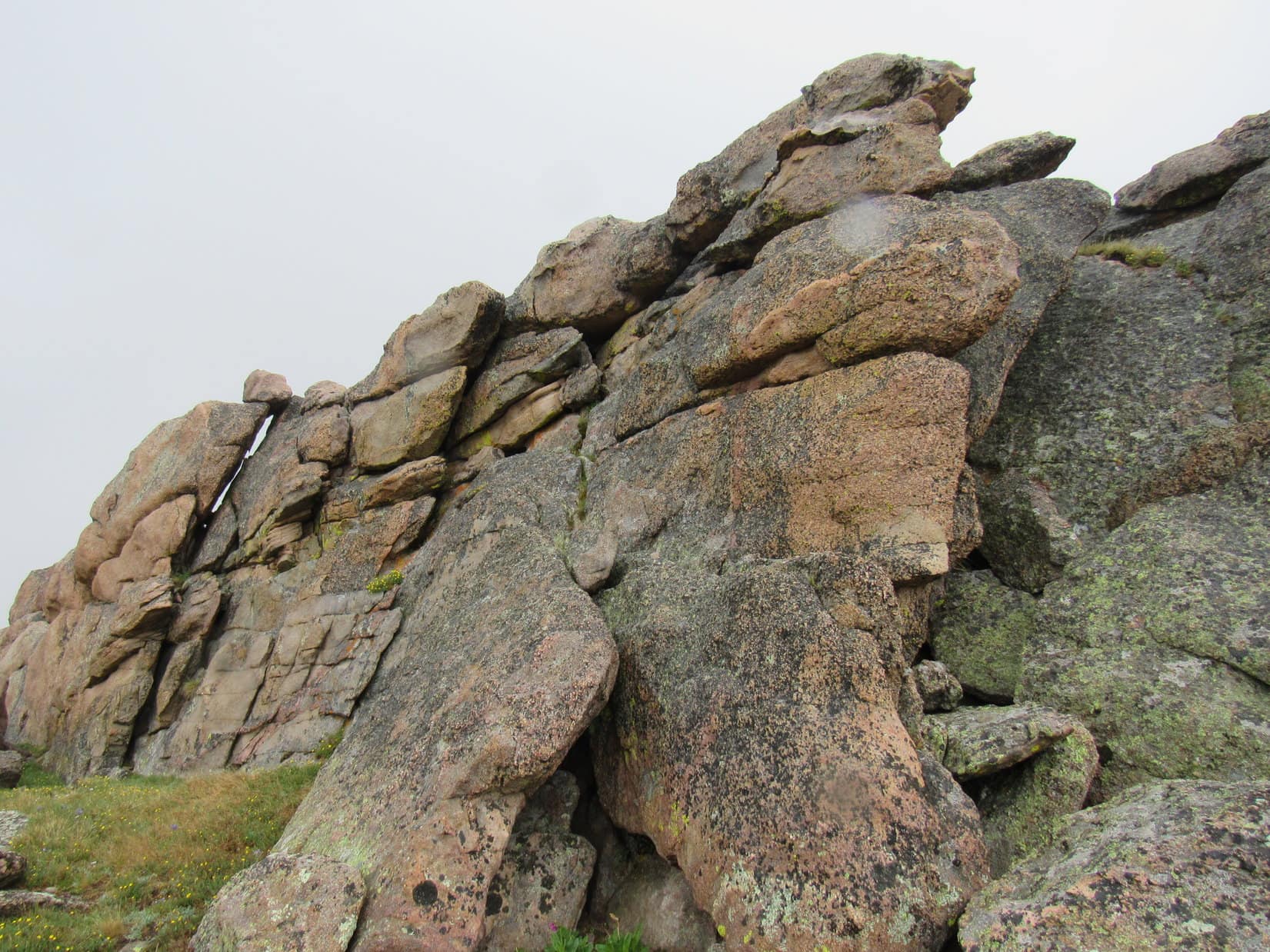
We did, Loop, but still worries me a bit. Wouldn’t be surprised if we run into a similar situation at Mathers. Might get a little dicey! The rocks we see don’t look all that impressive from way down here, but there’s so much talus along the spine of the Bighorns.

By the time the trail got close to Middle Tensleep Creek again, Miss Hot Paws was ready for a drink.


Beyond this next flat stretch along the stream, the trail climbed again. However, it soon topped out, as it turned SE. The headwall toward the region where the Lost Twin Lakes are hidden away at the upper end of the valley was now in sight.
Hey, Loop! Let’s take a break. I need to check the map.
Leaving the trail, Lupe was quite happy to relax in the shade of nearby pines for a few minutes. Her appetite recovering now after her early morning queasiness, the Carolina Dog even enjoyed some of the fried chicken that SPHP had taken to munching on again.

Alrighty! Think we need to abandon Lost Twin Lakes Trail No. 065 here, Loop, to head N. In fact, we could have turned N a little earlier. If we wait any longer, we’ll go up the wrong valley.
Sounds great, SPHP! Exploring new territory – my favorite thing! Other than squirrels, of course.
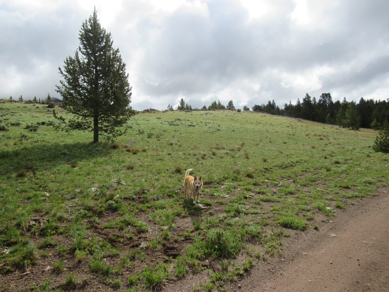
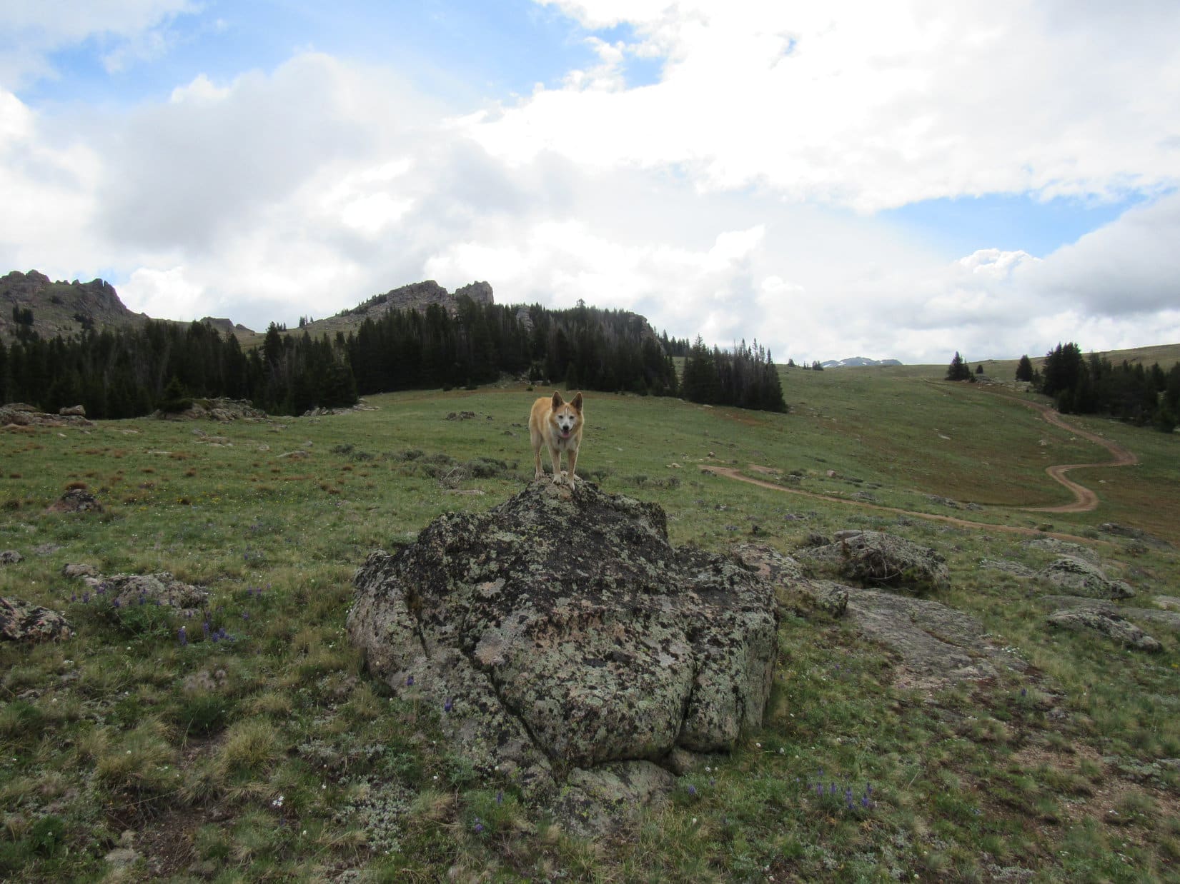
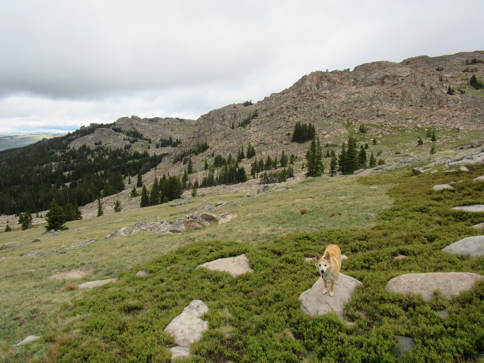
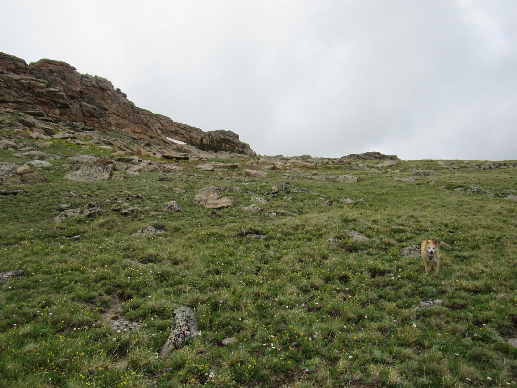
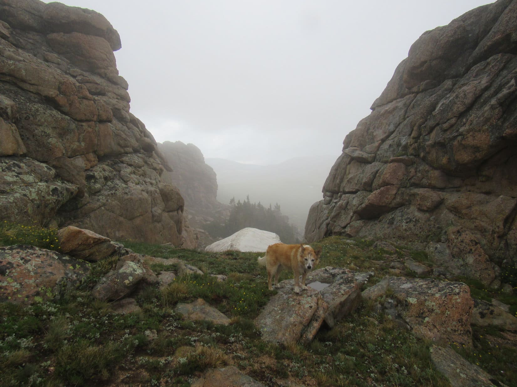
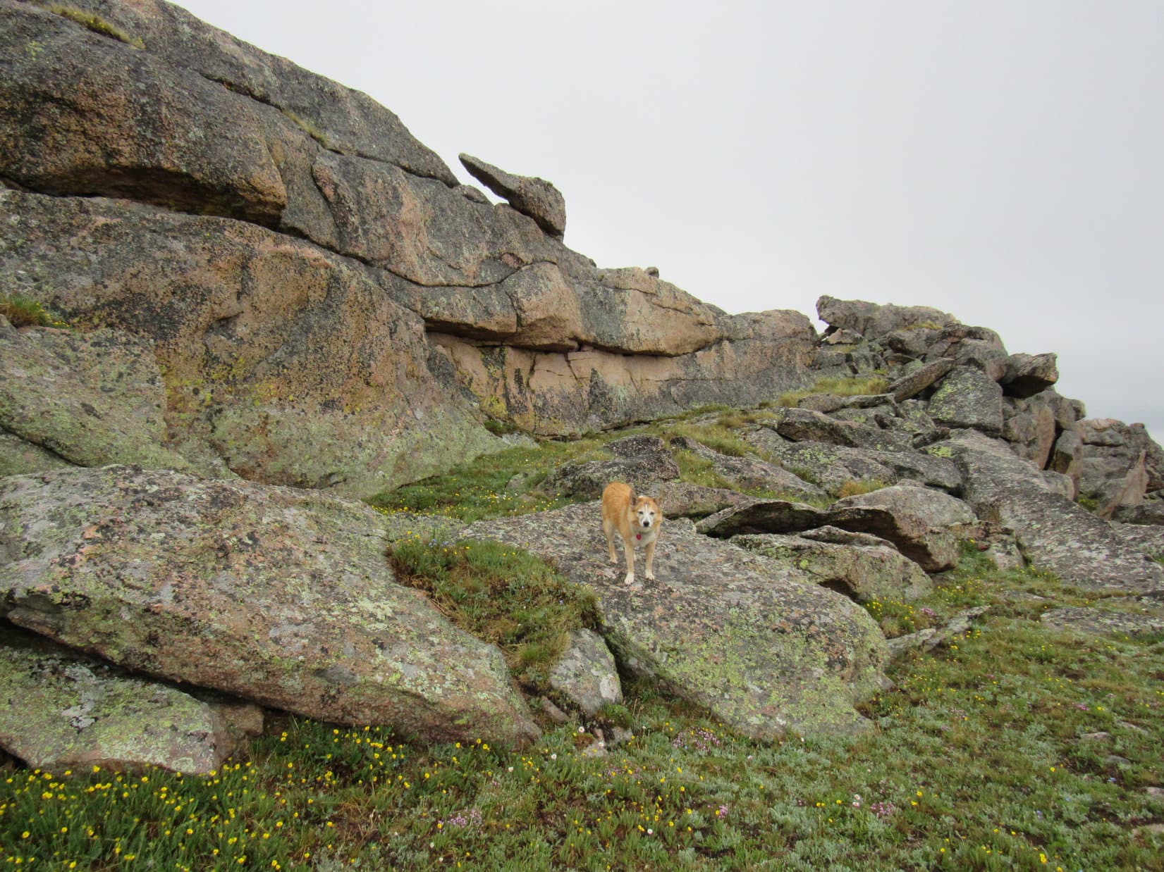
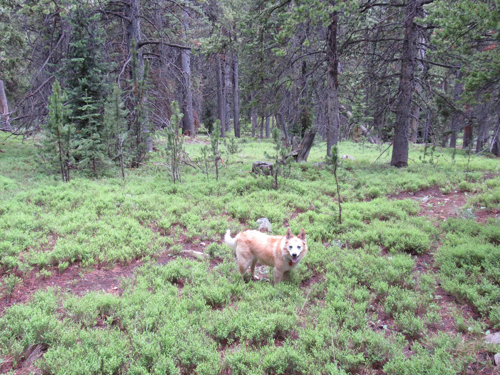
Abandoning Lost Twin Lakes Trail No. 065 for good, the American Dingo started N through a rumpled region that was mostly forested. She was climbing most of the time, but not at any great pace, since the idea was just to intercept the floor of a side valley that went N to two small lakes.
Although there were some rocky spots, this was all easy terrain. For quite a long way, Lupe enjoyed roaming in and out of the forest, and all seemed to be going according to plan.


The forest began thinning out, and the terrain was getting rockier, when Lupe first caught sight of the valley she was supposed to be going up.


Rather than having intercepted the valley, Lupe was already somewhat above it. Would have been easy to simply head down to it, and actually looked like the thing to do. The broad valley floor appeared to be gently sloping terrain. Going up it ought to be cake!
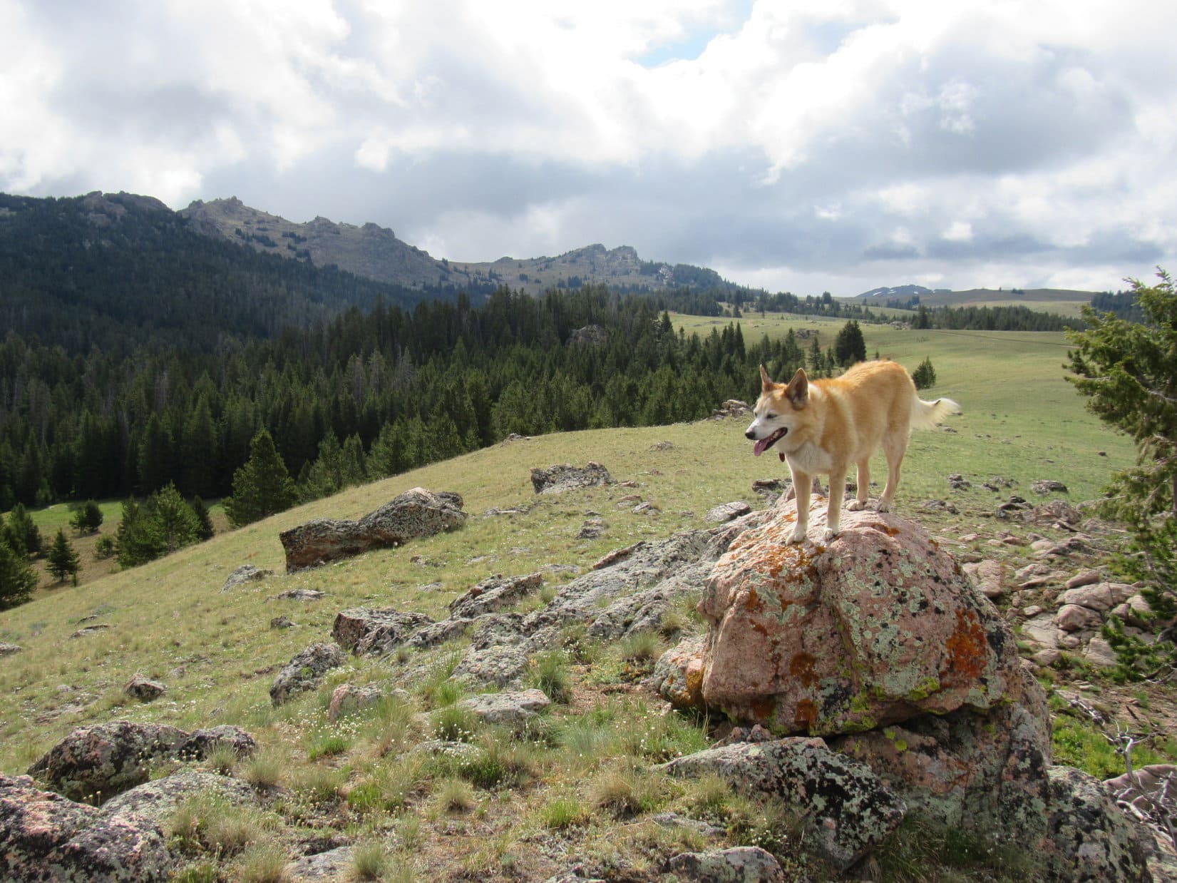
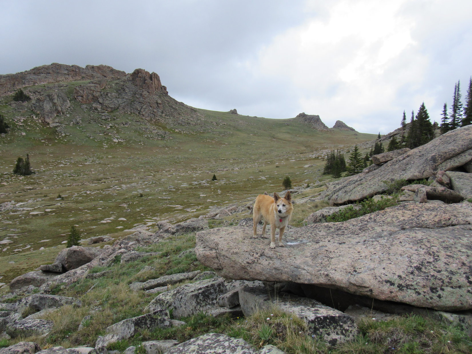
Yet, as usual, SPHP was reluctant to surrender elevation already gained. Urging Lupe onward, progress continued as the terrain kept steepening. She soon had a splendid view of Lost Twin Lakes Peak (12,015 ft.) back to the S.

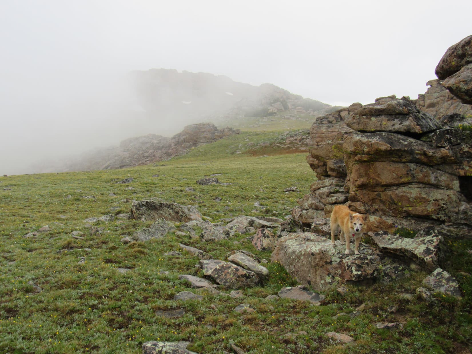
For a while, staying high seemed to be working. However, inevitably, the American Dingo encountered more and more rock. Lupe was now so high above the valley floor that going down to it would have been much trickier, and involved lots more elevation loss.

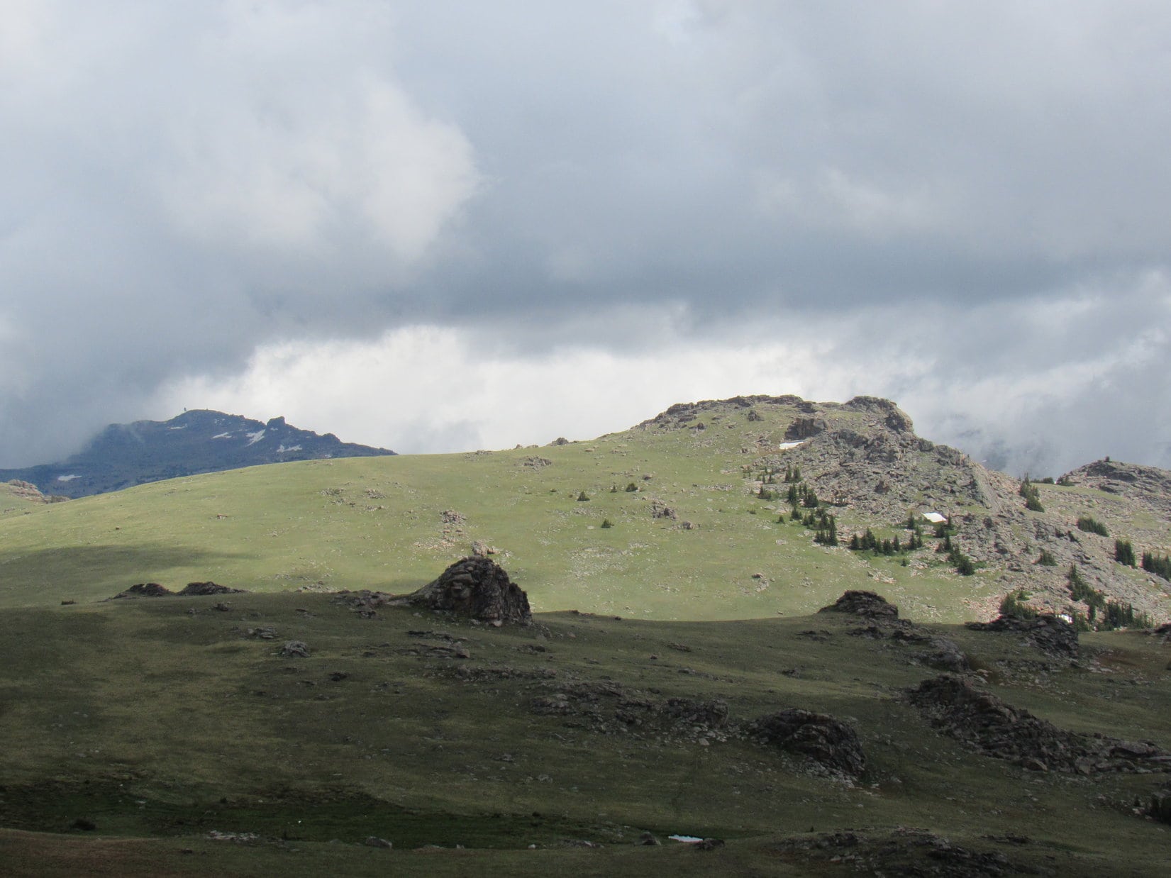
Mather Peaks (12,400 ft.) was visible above and beyond the upper end of the valley, although it wasn’t clear if the true summit was in sight yet. An awful lot of rock was between here and there!

Checking the topo map again, a steep, but feasible slope to the E must have led up to the region near HP10827. Unfortunately, that meant it was too soon to turn E.
Guess we’re committed now, Loop. Gotta keep going N!
Never learn, do you, SPHP?
Nope, but so what? C’mon! Puppy ho!

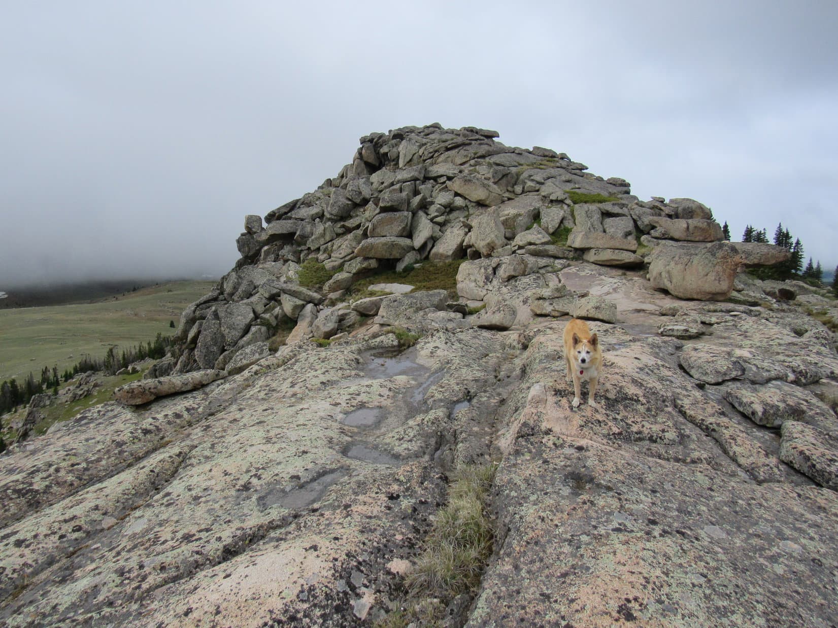
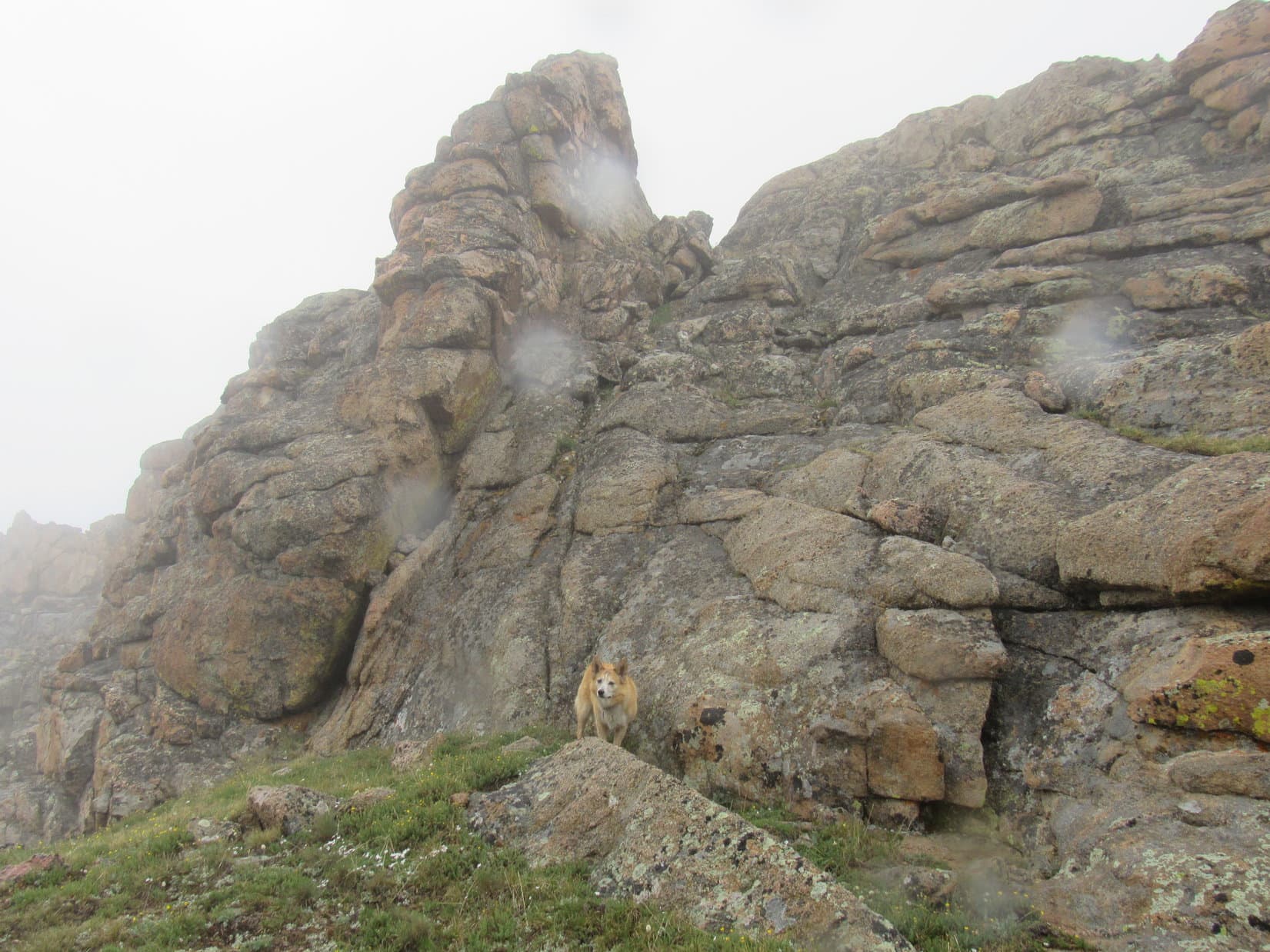
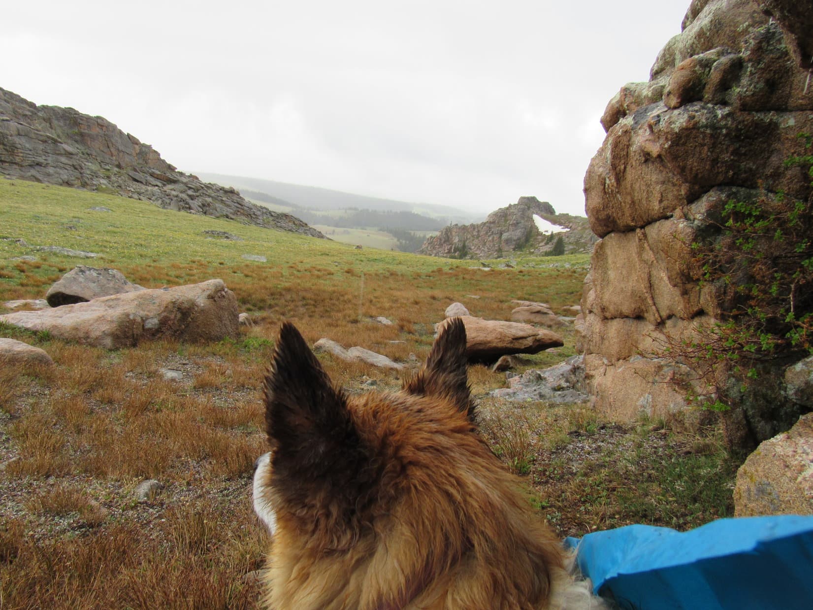
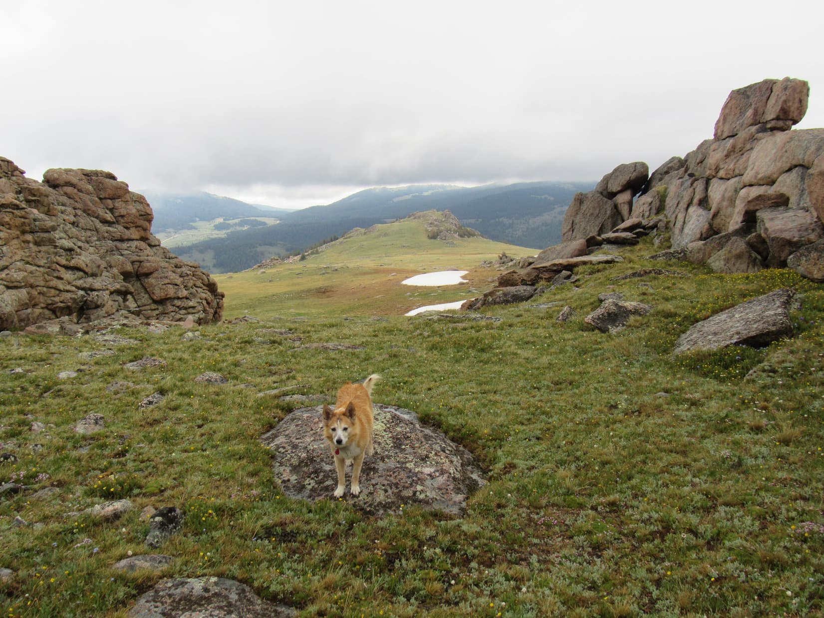
Scrambling past a bit of a bulge W, Lupe got a better look at the territory ahead. The branch of the valley following a creek NE that she should have been taking was now in sight, tantalizingly sweeping obstacle-free toward her destination farther N. Meanwhile, up where the American Dingo was, the slope ahead was nothing but a giant jumble of rock.

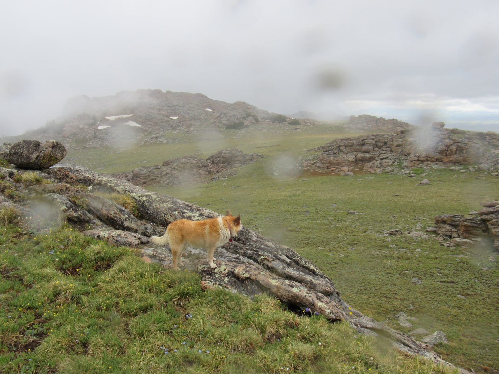
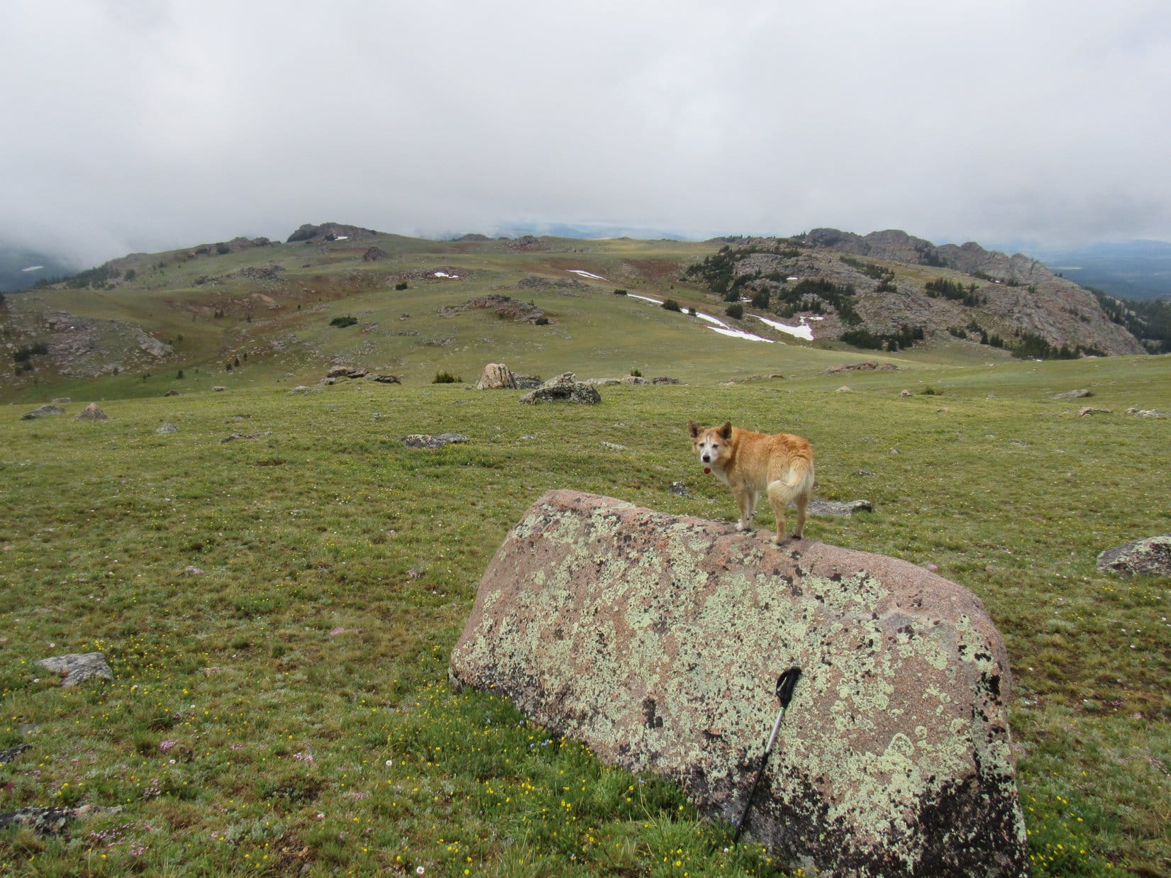
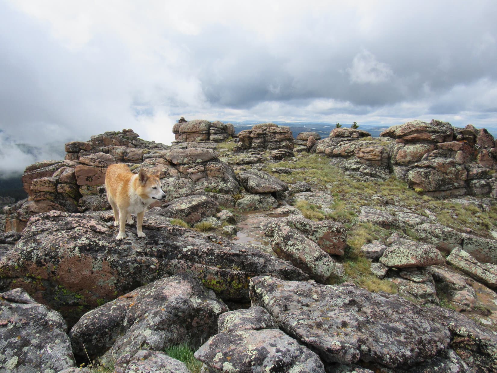
A slow, deliberate, rock-hopping slog N through the talus ensued. At least the rocks weren’t so huge that progress was impossible, forcing a retreat, and the scenery was magnificent! Looper had plenty of time to enjoy it, while SPHP stumbled onward.


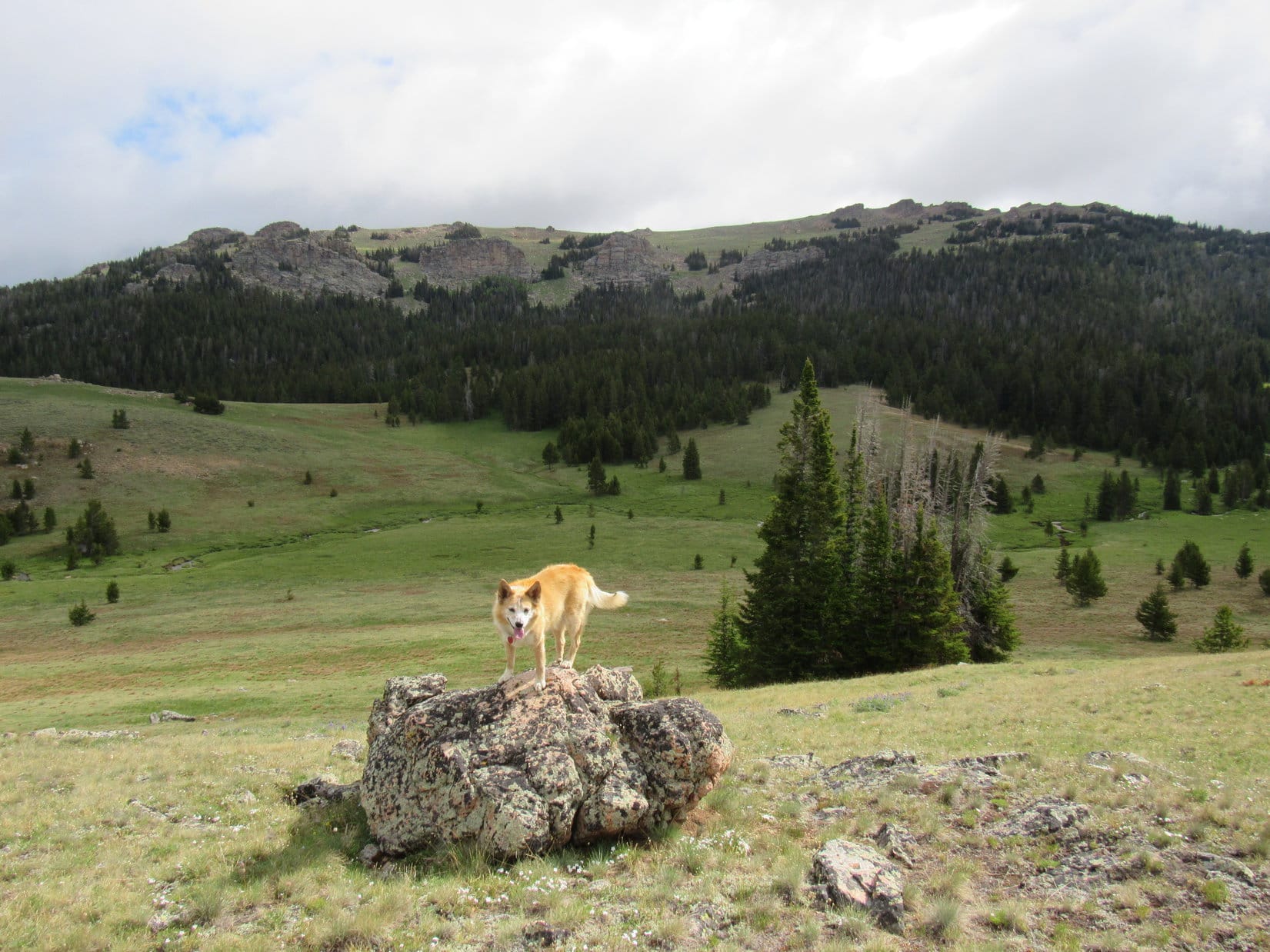
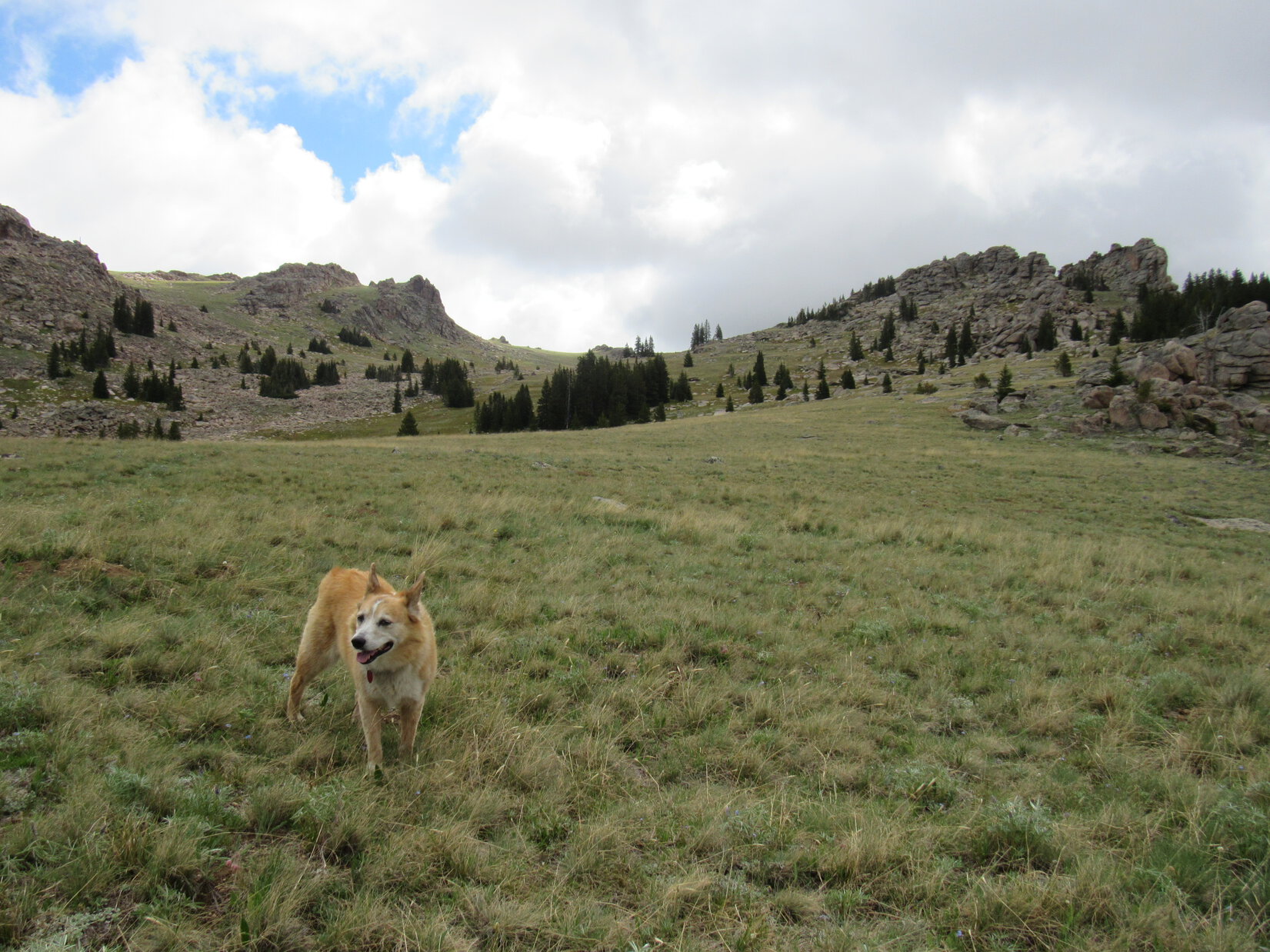
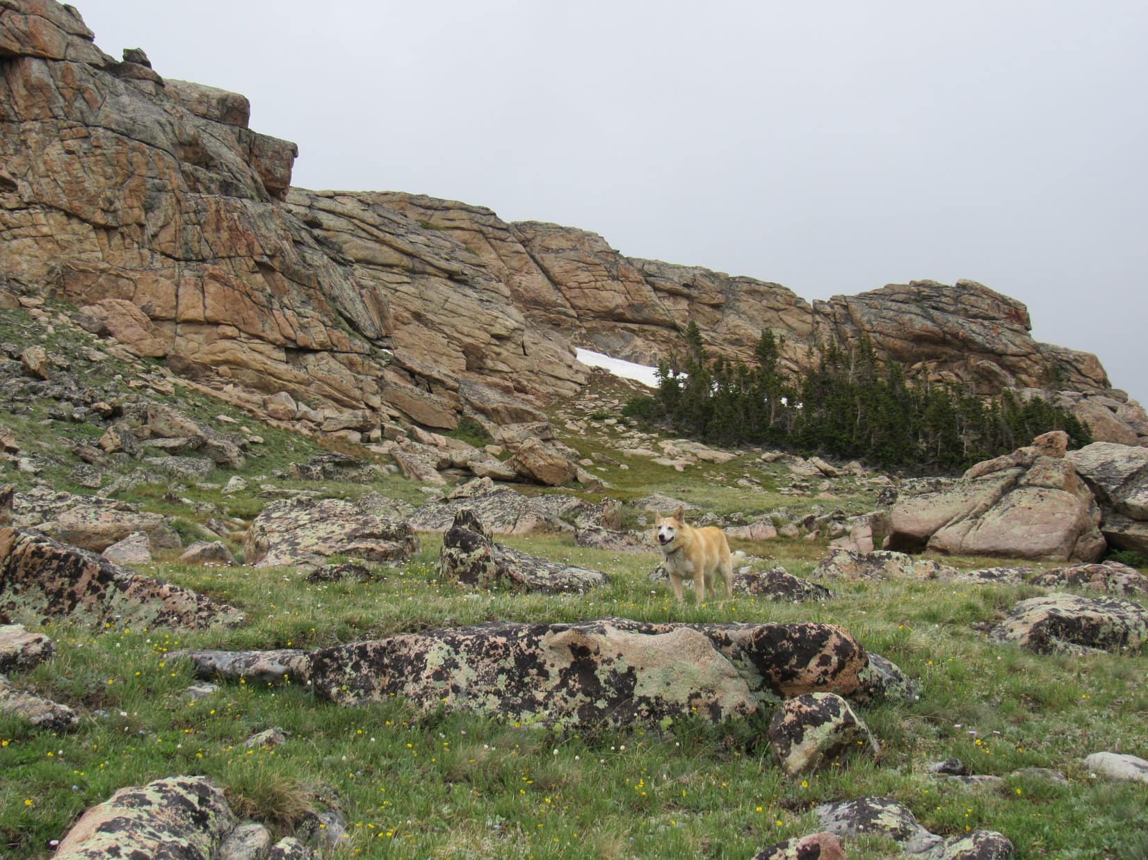
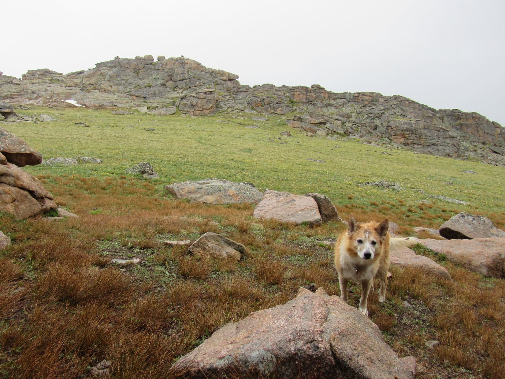
Losing considerable elevation was unavoidable, or the rock hop would have gone on much longer. SPHP finally got past the worst of the talus. A tawny grassy area was now not too far ahead, where the lovely valley route and SPHP’s ludicrous rock tour route would converge.


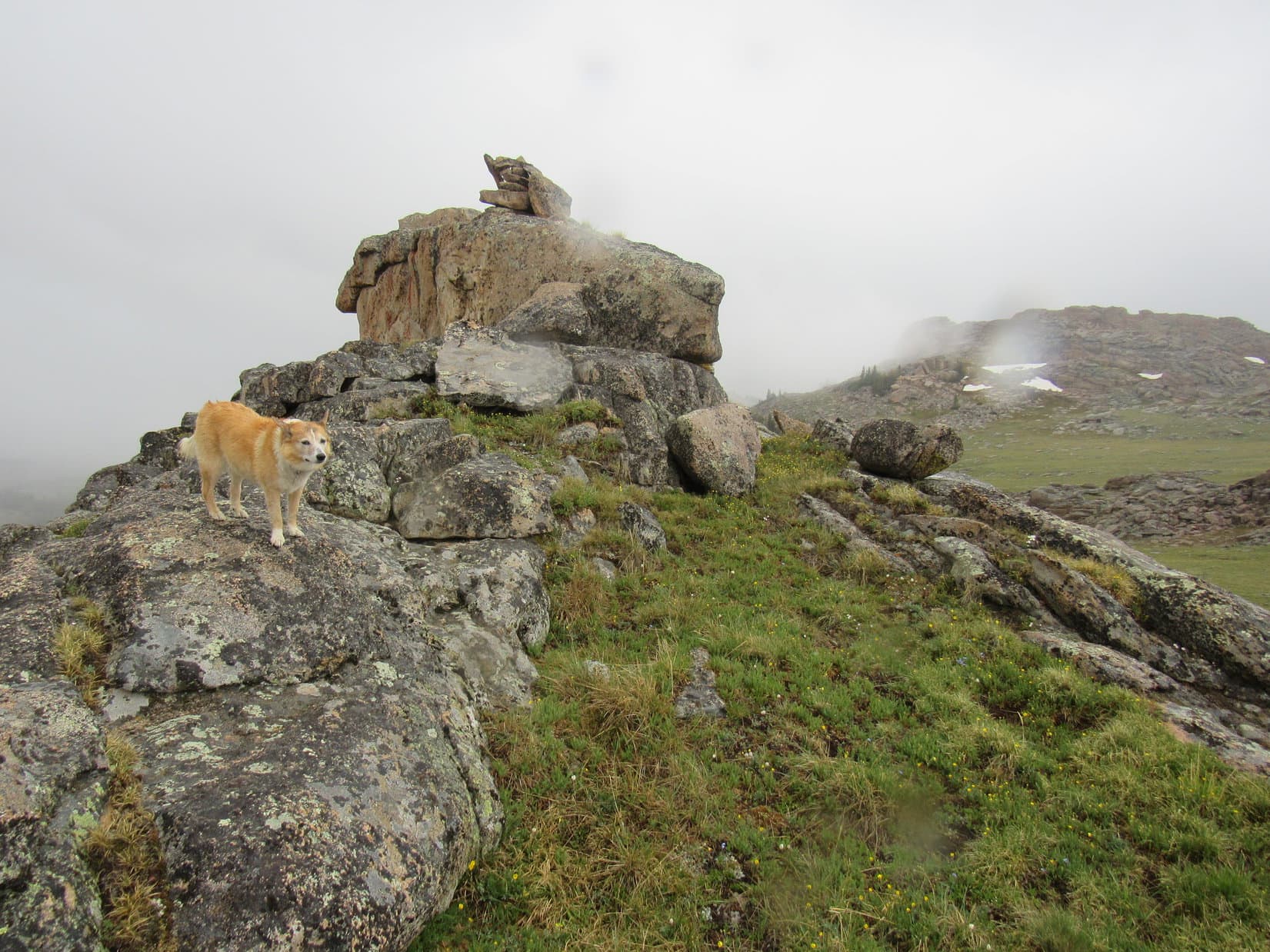
The situation improved steadily. Oh, yeah! This was what the route was supposed to be like, grassy and smooth, with scattered boulders merely for scenic enhancement rather than an endless obstacle course.

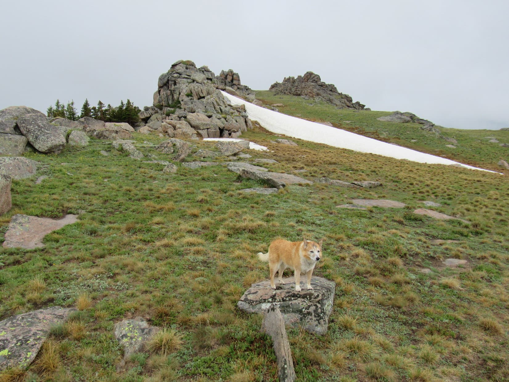
Upon reaching the main grassy region, it encompassed a large area that sloped gradually up to the NE. With virtually no snow remaining on the peaks at this time of year, given the dry appearance of the vegetation, Lupe was delighted to find a spring bubbling out of a hillside.
With cold, clear water, soft grass, and splendid surroundings at paw, plus a growing weariness to contend with, a rest break was in order. Easily conning SPHP out of a chocolate coconut bar, the Carolina Dog took advantage of the opportunity.


What a great spot, SPHP! Why not camp right here?
Tempting indeed, Loopster! But I think we should gain as much elevation as we can today. Expecting an awful lot of rock to contend with tomorrow, so even though we aren’t that far from Mather Peaks, let’s keep going.
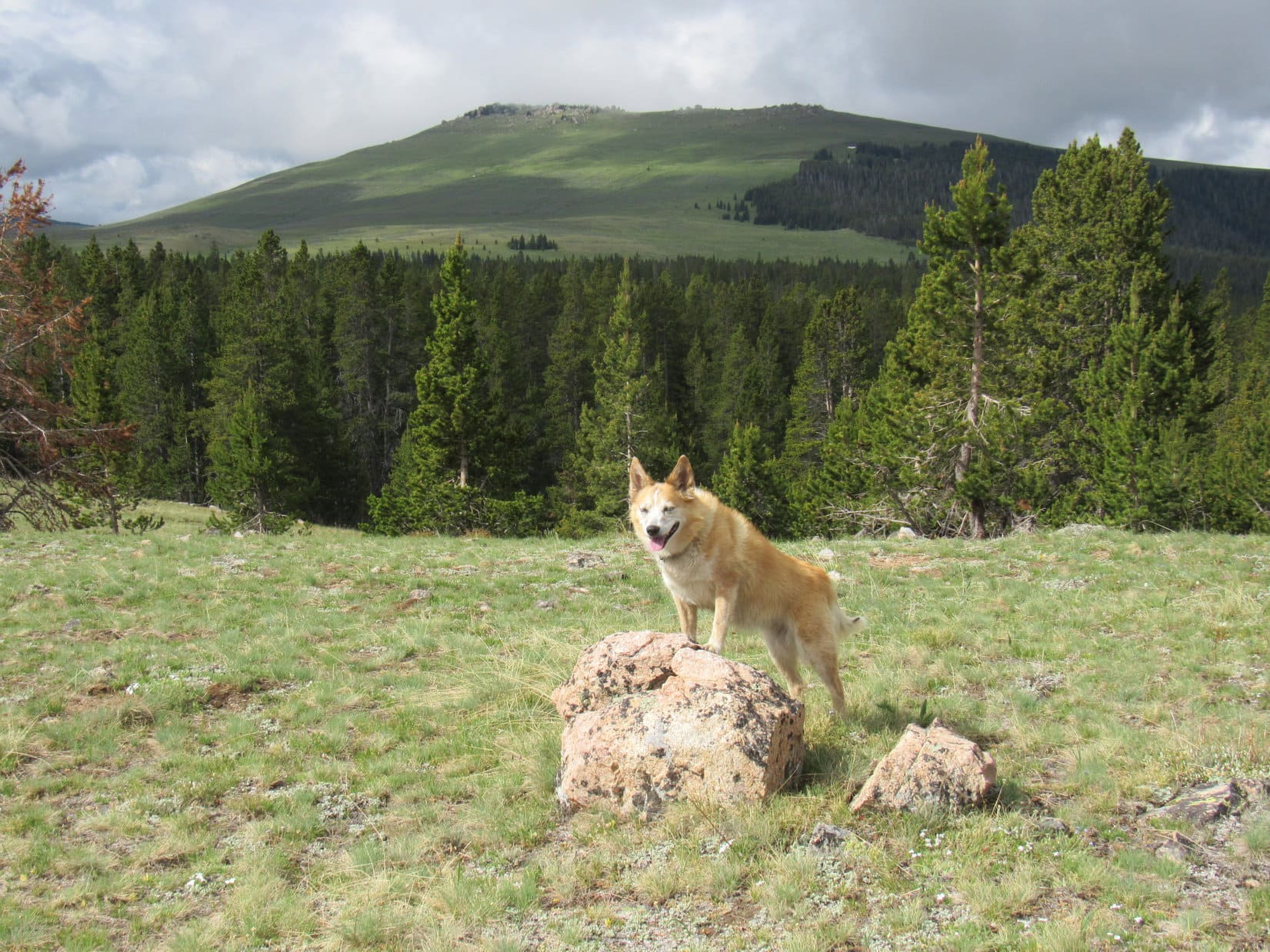
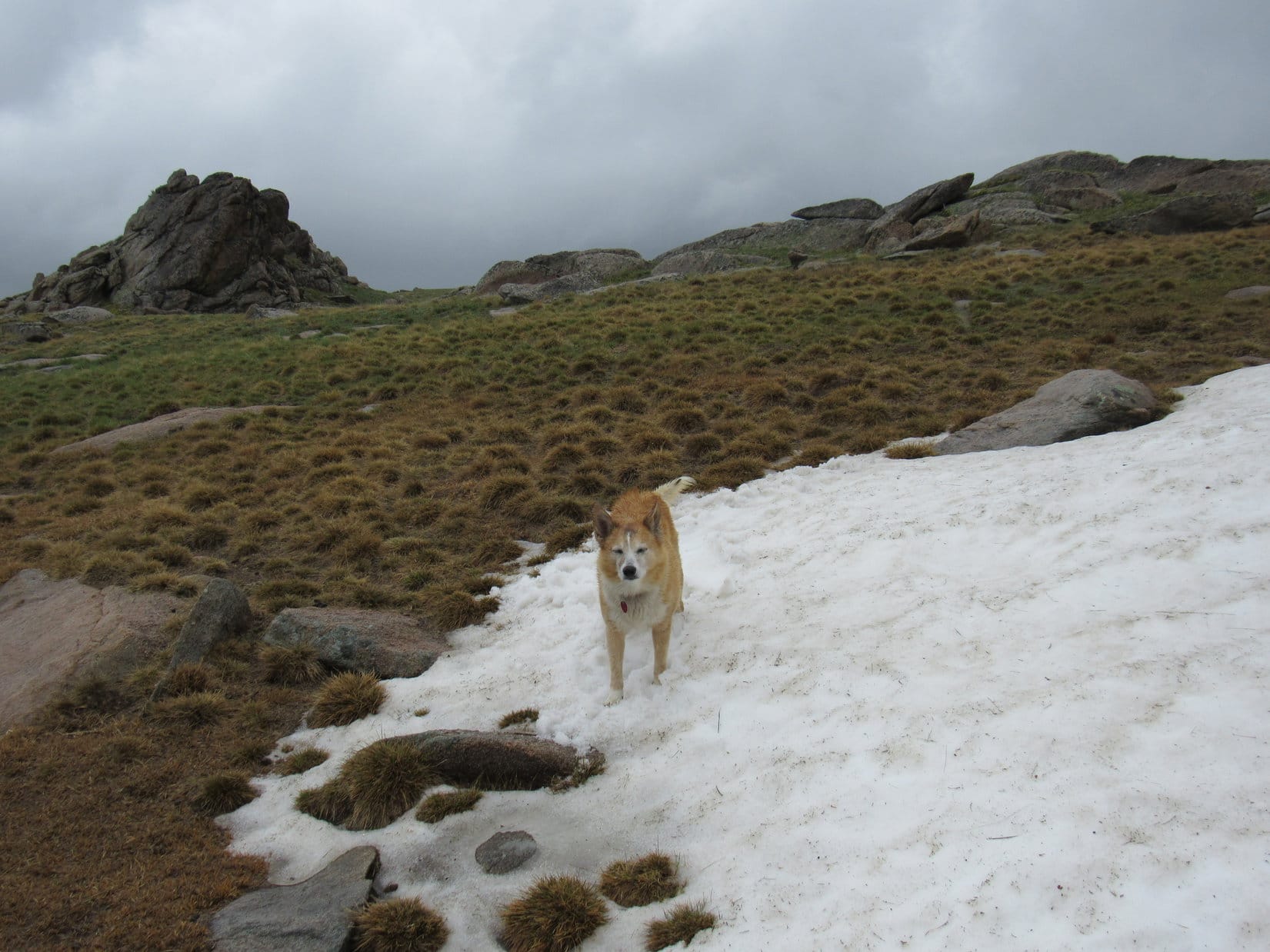
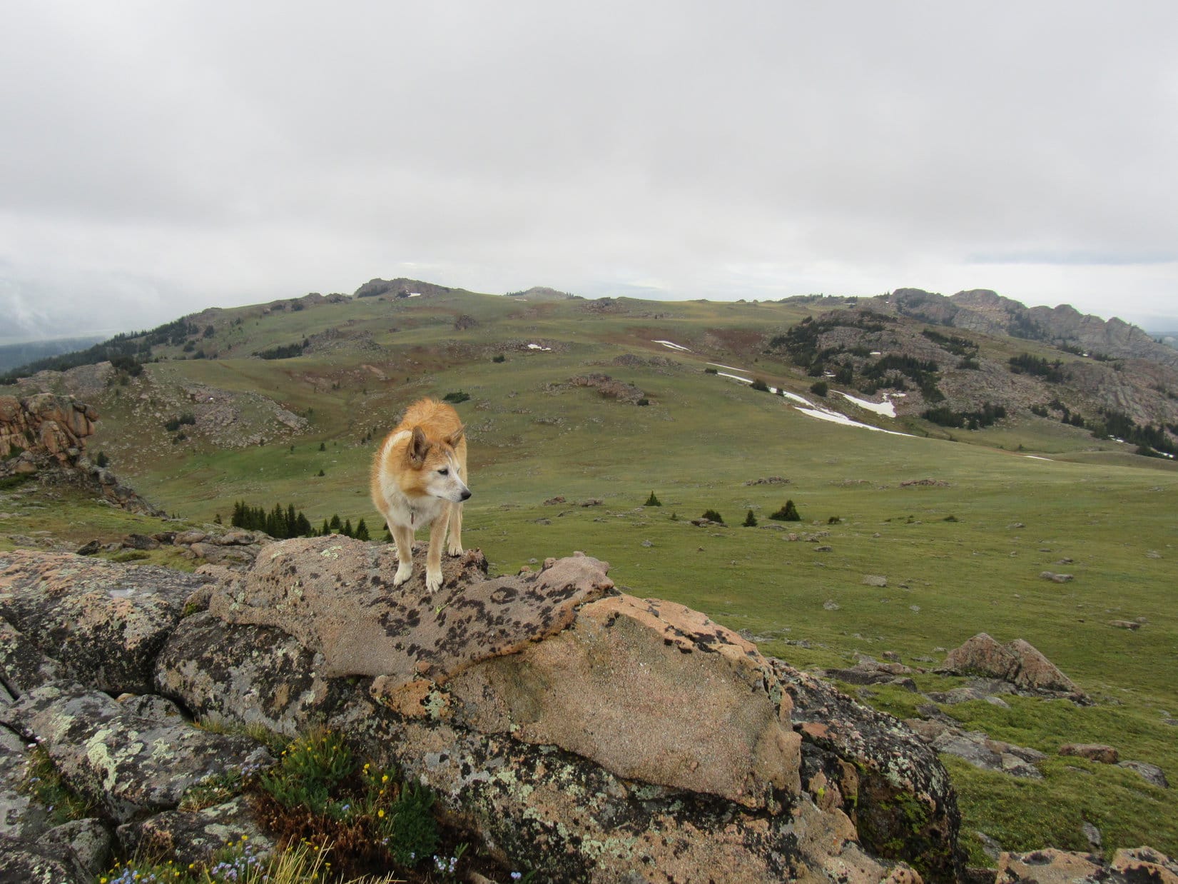
Nearly an hour slipped away before the Carolina Dog bid the cheerful spring a fond farewell. Avoiding rivers of rock as much as possible, Lupe continued NE up a broad slope.

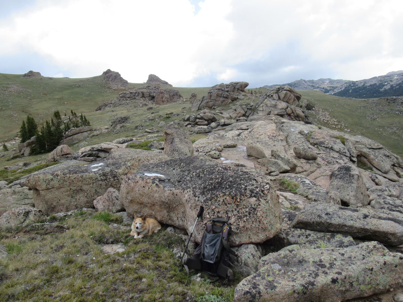
The broad slope went on and on, the rate of climb gradually decreasing as Loop roamed higher. At long last, SPHP was weary enough to call it good in a grassy region that didn’t extend as luxuriously much farther anyway. Lupe relaxed, while SPHP assembled the tiny house.


9-26-21, 6:33 PM, Mather Peaks base camp – Nearly 2 hours after arriving at base camp, Lupe emerged from the tiny house. After a bite to eat and that nice long break, even SPHP felt somewhat revived. Late September now, though, so the long days of summer were no more. The sun would remain above the horizon only another half an hour, if that.

How high are we here, SPHP?
Hmm. Not sure, Looper. I’d guess around 11,300 or 11,400. Still a good 1,000+ feet to go tomorrow.
1,000 isn’t that much, SPHP! We did way more than that already today.
Oh, yeah! Close to 3 times as much, counting all the ups and downs.
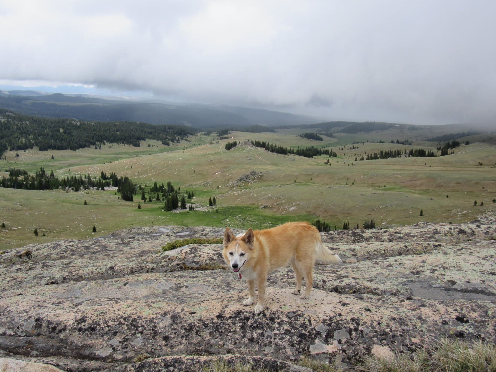
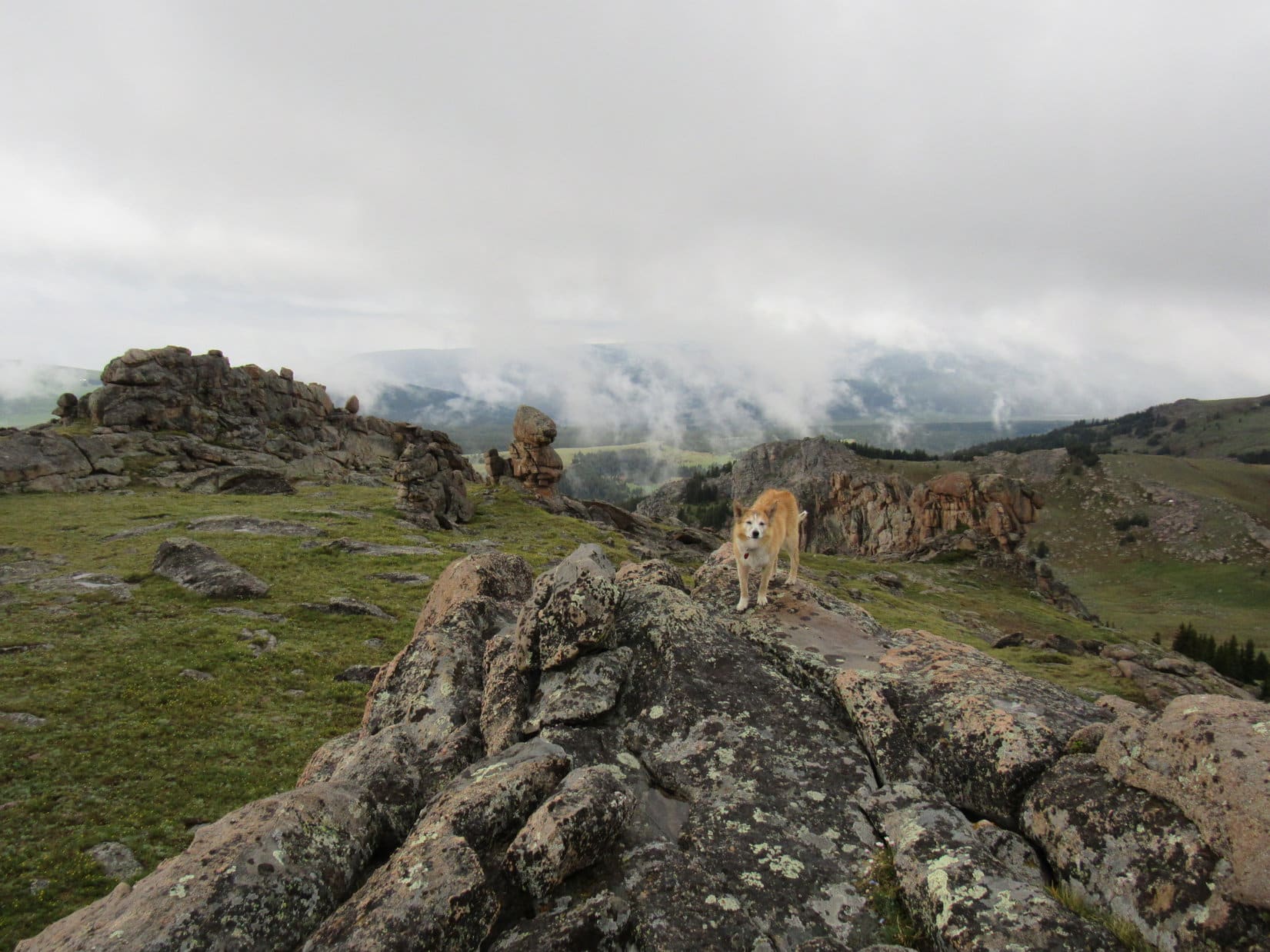
Weren’t that many downs, SPHP, but you’re probably right. Sure looks like we’re high in the Bighorns now. Look at how tiny Mirror Lake is!
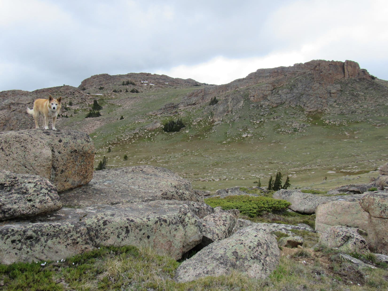
Yes, a splendid view isn’t it? Want to see another one, Loop? Bet we can see Darton Peak (12,275 ft.), if we go another 0.25 to 0.50 mile E.
Sure, if you think you’ve got it in you, SPHP!
I do. Not all that steep up here, and not having to lug the pack will make a huge difference.
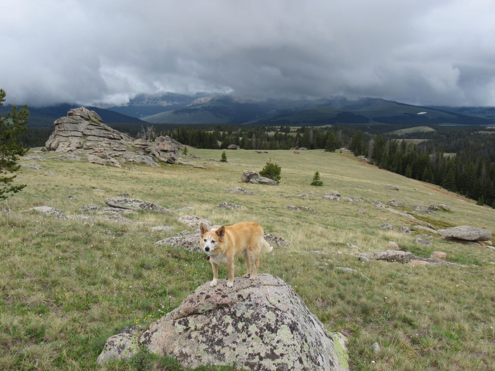
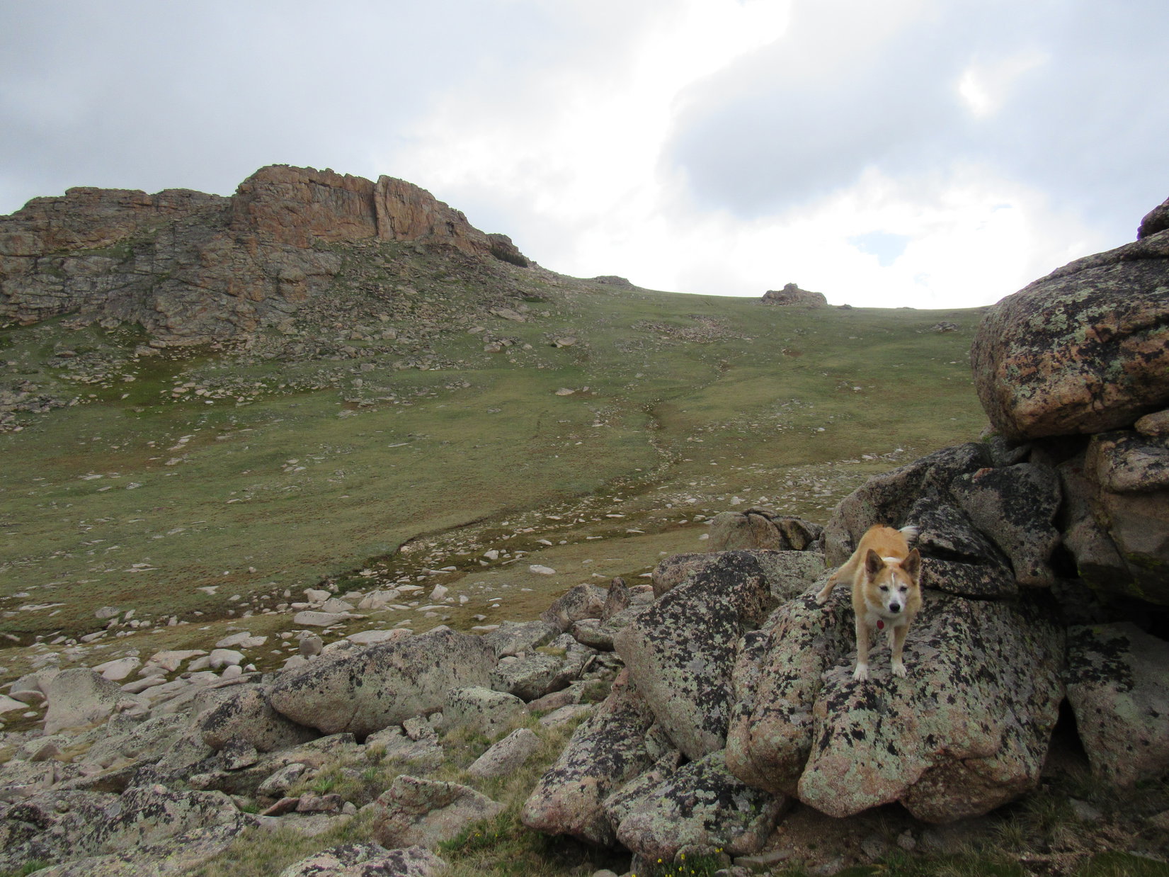
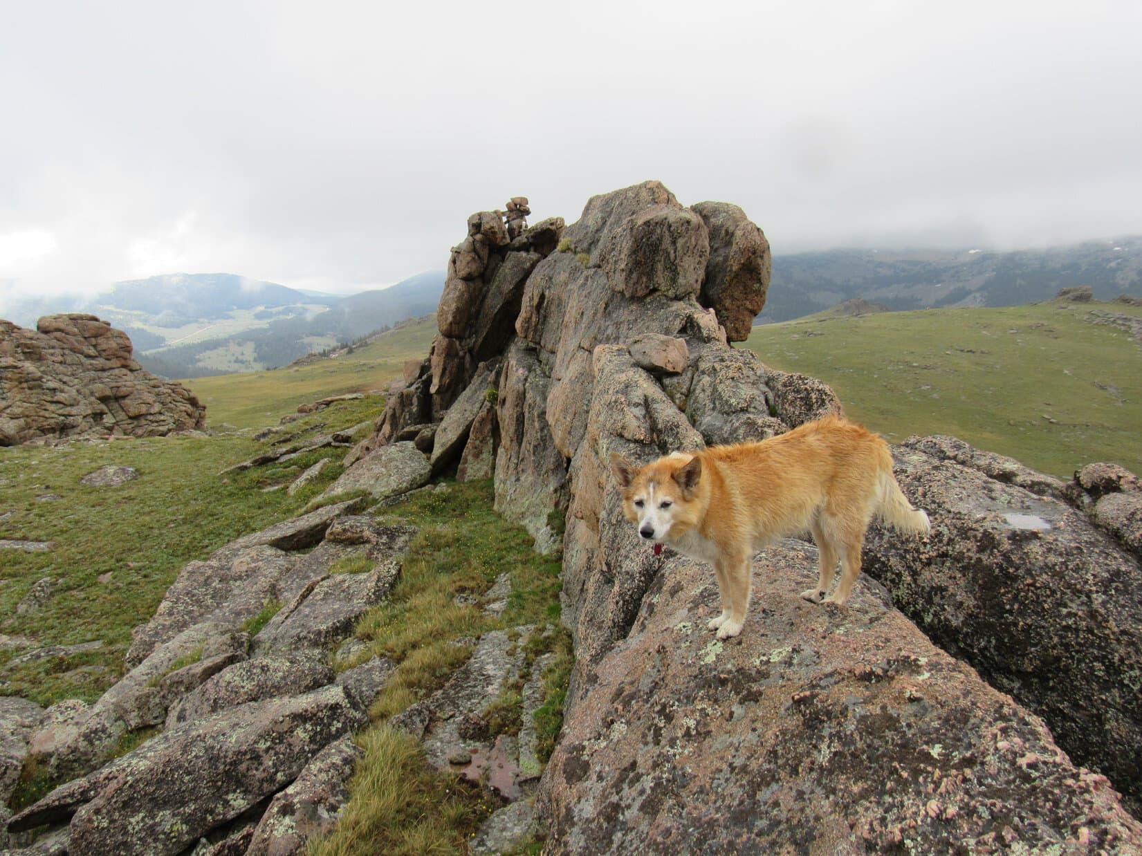
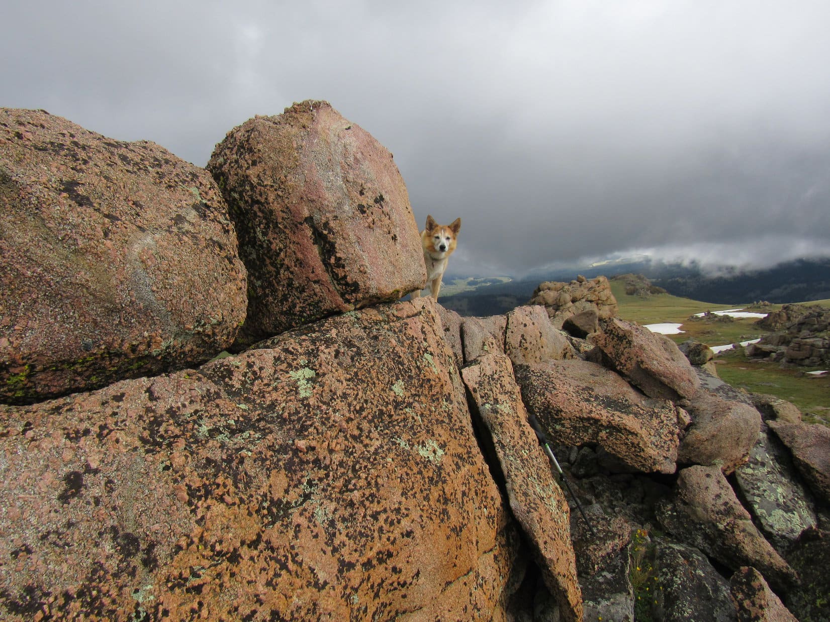
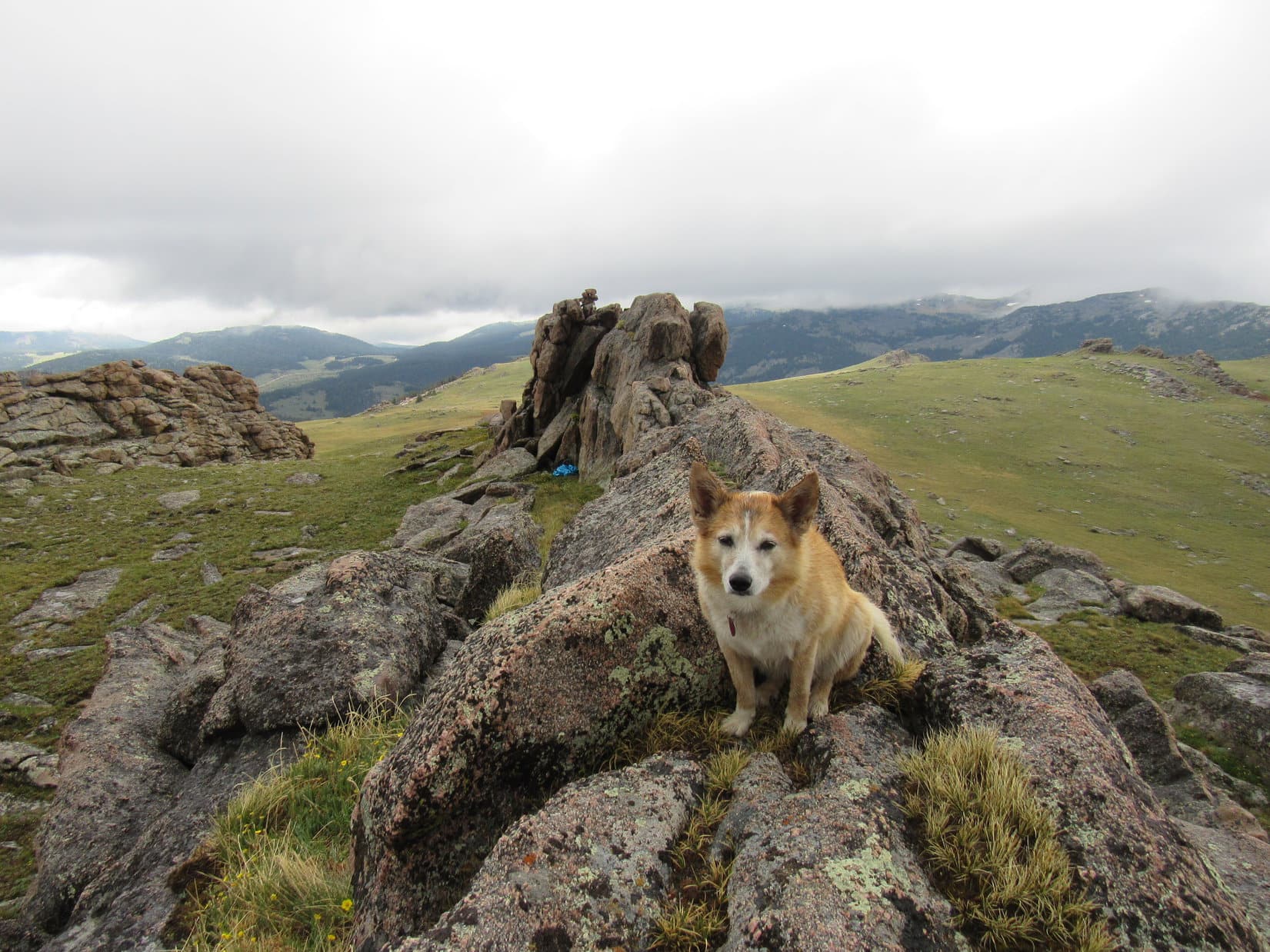
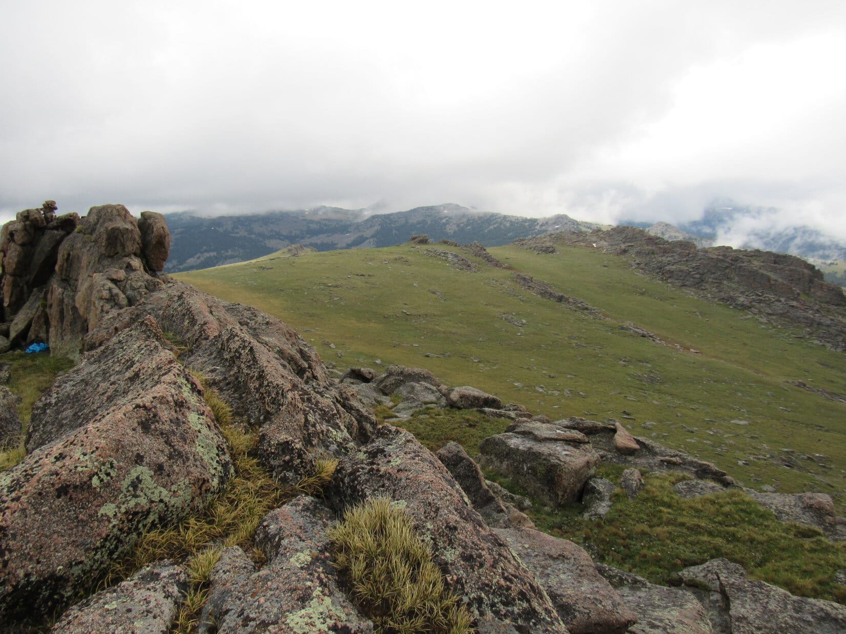
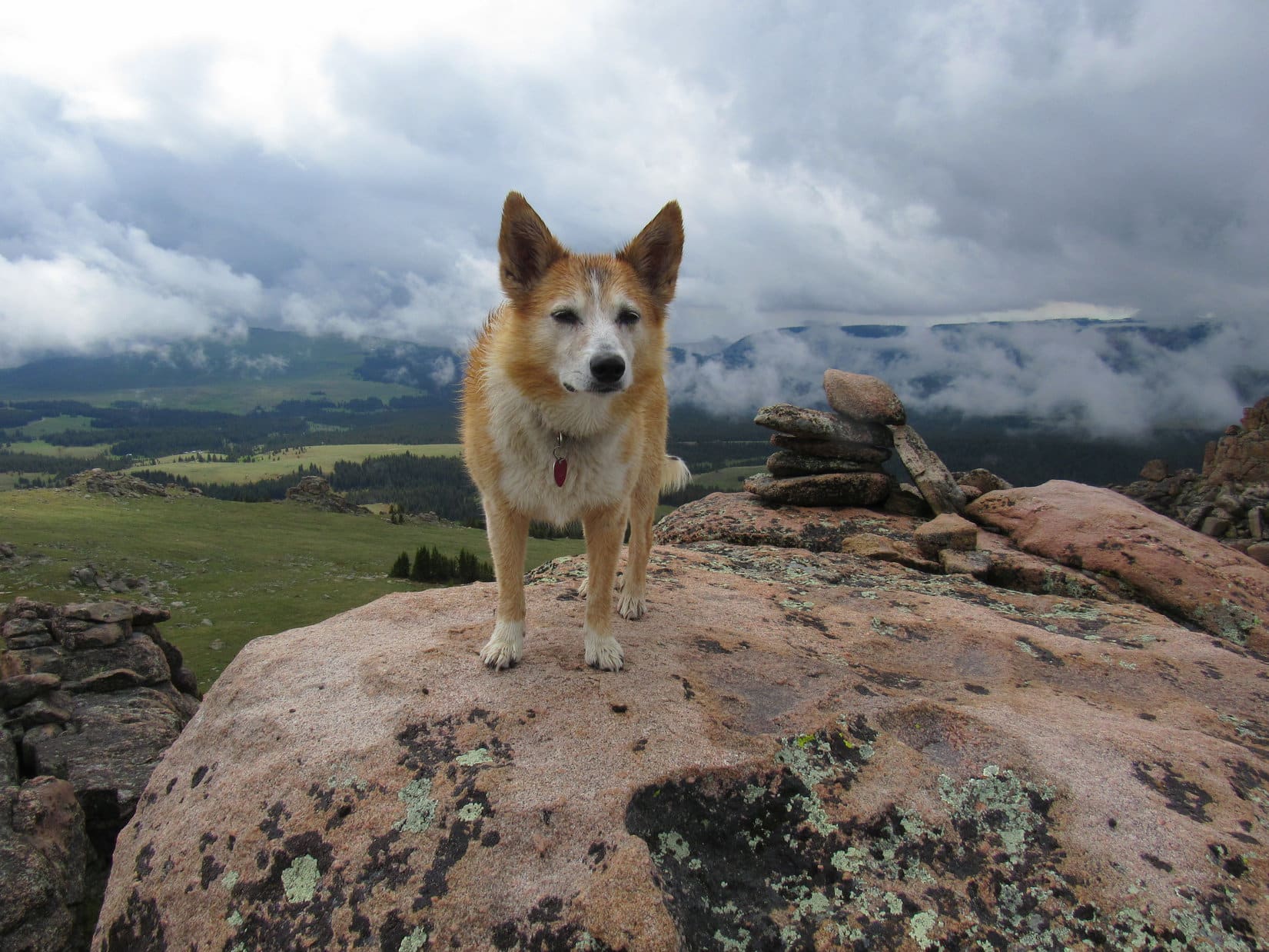
A pleasant romp E up a gentle alpenglow lit slope ensued. Before long, a tall dark figure, wide at the shoulders, could be seen ahead.
What is that, SPHP? A vampire?
Sort of looks like one, doesn’t it, Loop? Must be a shadow, though. What would a vampire be doing way up here?
What vampires do everywhere, SPHP! Sucking blood!
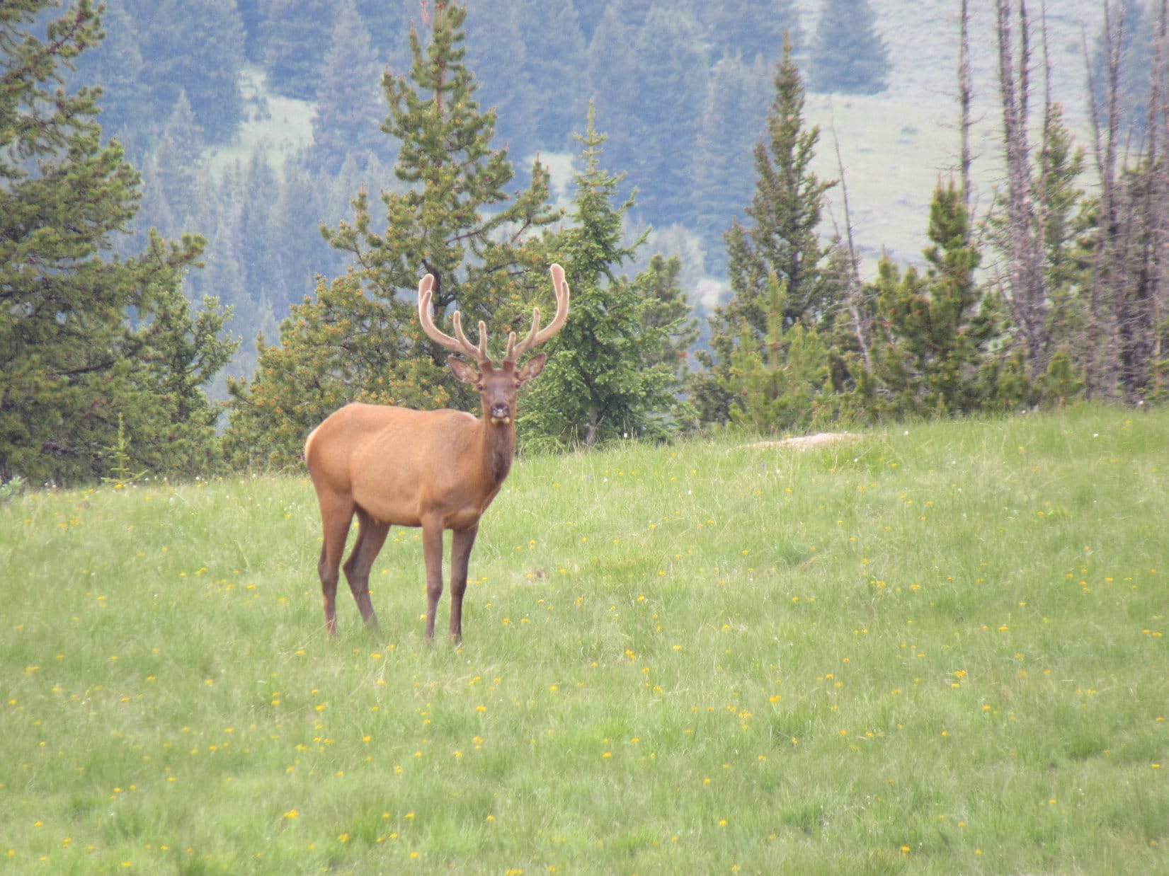
Oh, poo! No blood up here, Loopster! Haven’t seen any wildlife at all.
There’s our blood, SPHP! Tonight, while we snoozing in the tiny house!
Well then, let’s go beat the crap out of that vampire right now while the sun is still up, Loop! No sense waiting until it’s pitch dark to take it on. Vampires are stronger at night!
The ferocious American Dingo charged ahead, intent upon tearing into the vampire! Meanwhile, SPHP’s distance estimate proved accurate. Darton Peak, and even the top of Bighorn Peak (12,324 ft.), soon came into view off to the S.

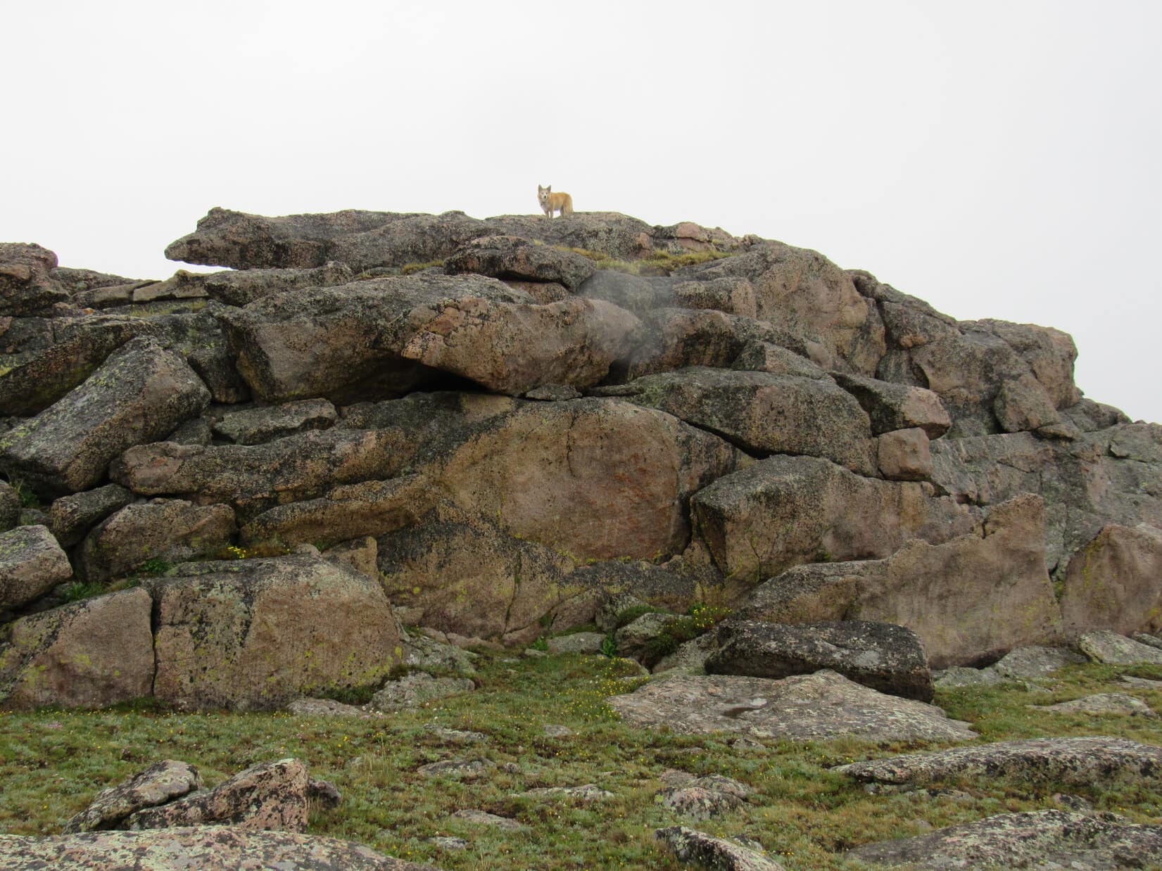
As Lupe approached, the vampire changed, glimmering at first, then starting to glow!
Hah! Did you see that, SPHP? This wimpy vampire is terrified of Carolina Dogs! Transformed itself into just another rock before I could get at him.
Might say he’s petrified, Loop! Hope he stays that way.

Another 0.25 mile E might have gotten Lupe to a view of Angeline Lake, but Vampire Rock was as far as she went. Darton Peak, Bighorn Peak, and Lost Twin Lakes Peak were all splendid from right here. Besides, the sun was already almost on the horizon. By the time Loop made it back to base camp, it was gone.
Big day tomorrow! At least the American Dingo could snooze peacefully without having to worry about any wayward vampires!

Links:
Next Adventure Prior Adventure
Mather Peaks, Bighorn Mountains, Wyoming – Part 2: Base Camp to the Summit & Beyond!
Want more Lupe adventures? Choose from Lupe’s Summer of 2021 Dingo Vacations to New Mexico, Wyoming & the West Coast Adventure Index, Dingo Vacations Adventure Index or Master Adventure Index. Or subscribe free to new Lupe adventures.