Days 10 & 11 of Lupe’s 3rd Summer of 2020 Dingo Vacation to Wyoming & Montana!
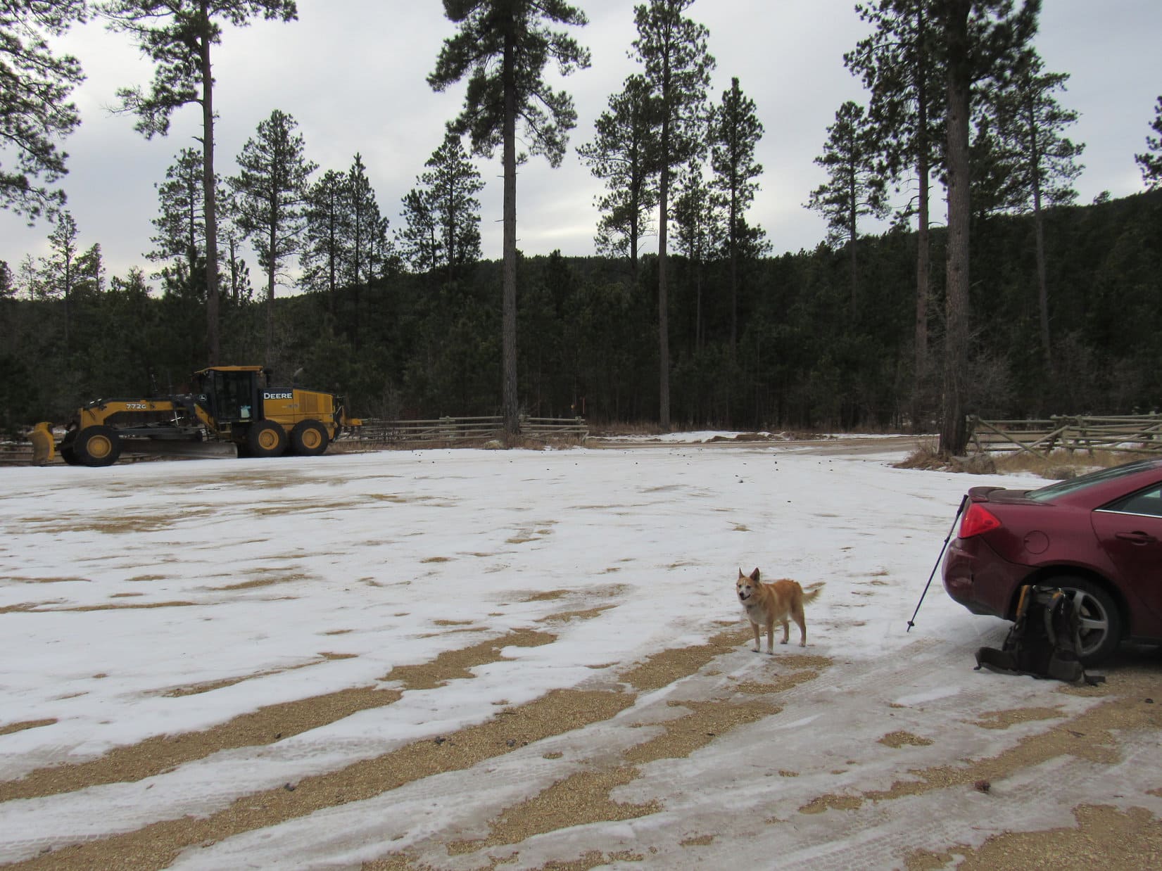
8-14-20, Daybreak, 32ºF, Upper Taylor Fork trailhead, Madison Range, MT – Just getting light out. The sun wouldn’t be up for a while yet. Jobe was up already, busily rearranging gear in his Rubicon when SPHP came to. Lupe sniffed excitedly, raring to go as soon as SPHP let her out of the G6. Maybe she was expecting another Koch Peak (11,293 ft.) outing?
That wasn’t in the cards, a travel day was. Wasn’t long before Jobe was ready. Handshakes and pawshakes, and he was off. The G6 followed the Rubicon across the bridge over Taylor Creek a minute later. For 3 snail-paced bumpy miles, the Koch Peak adventure was sort of still on. Wasn’t until the turn E into the rising sun on Taylor Fork Road that SPHP was certain the G6 wouldn’t pop a tire.
At Hwy 191, SPHP turned N down the Gallatin River valley. Heavy traffic even this early in the day. At I-90, the G6 headed W. Jobe was long gone. His adventures were taking him E to Billings tonight. Been fun, but Lupe wouldn’t see her friend Jobe Wymore again this year. The Carolina Dog was off for parts unknown! W of Butte, SPHP turned S on I-15. Never been here before! Let the next adventure begin!
8-14-20, 11:40 AM, Hwy 43 – The Big Hole River was plenty wide, but not terribly deep. Peering into the water, the rocks forming the river bottom were all slimy and green, thick with long strands of algae swaying in the current. Slippery! Lupe did not venture in, preferring to admire the river’s sparkling surface from a dry rock.

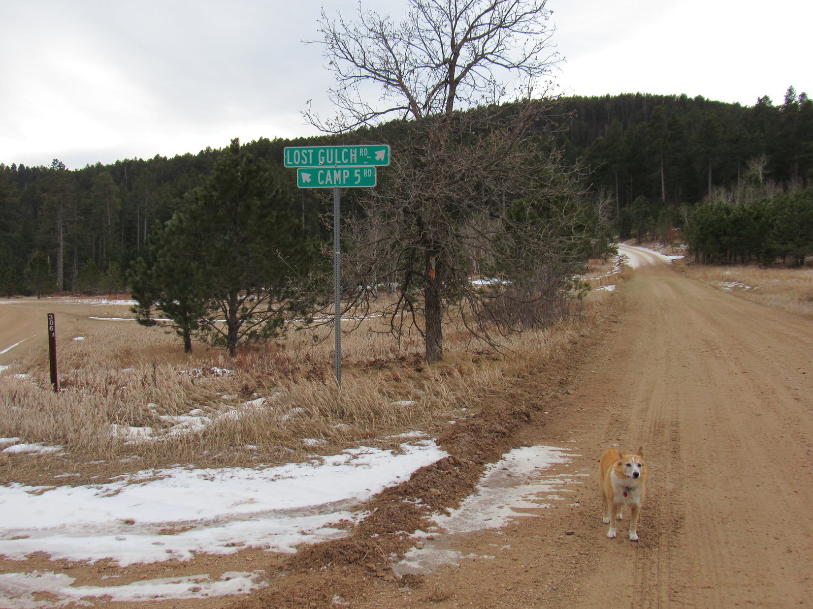
Hwy 43 ended at a “T” intersection with Hwy 93 at Lost Trail Pass along the Idaho – Montana border. Sticking with Montana, SPHP turned N. At Conner came a L (W) turn on West Fork Road, a shortcut which crossed both the E and W Forks of the Bitterroot River en route to Hwy 473.
Not far now! Heading SW on Hwy 473 for a couple of miles, an access point for the W Fork of the Bitterroot River appeared on the L just before the Trapper Creek Job Corps Center came into view on the R. Another 0.5 mile, and the highway crossed Trapper Creek. Immediately beyond it was a sign for a R turn saying “Forest Access Baker Lake”.
8-14-20, 1:21 PM, W Fork of the Bitterroot River – Lupe waded in the cool, clear cool waters of the Bitterroot River. No slimy green algae coating the rocks here! Every pebble on the bottom stood out in crisp, watery relief. SPHP waded in with the Carolina Dog for a few minutes, but she was soon more interested in a squirrel scolding her from the trees above the riverbank than cooling off.

SPHP relaxed on a tiny sandy beach. It had been too early to want to head up to the Baker Lake trailhead, so upon finding the access road, SPHP had simply turned around. Tempting to take a swim, but the trip journal needed attention. Two hours listening to the soothing rippling waters zoomed by. Loop would have preferred to continue the squirrel siege, but really hadn’t been making any progress with it. In any case, it was time to move on.
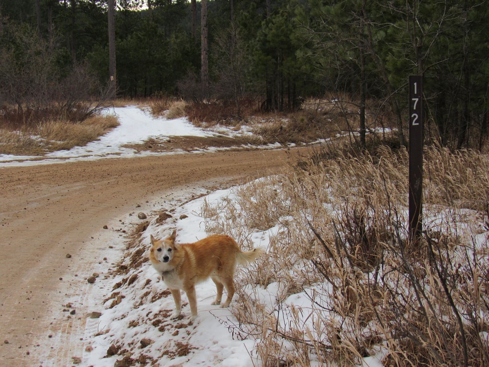
According to the topo map, the Baker Lake access road left Hwy 473 as USFS Road No. 363. After crossing a big meadow, proof appeared on the R as the road turned up into the trees.

A mile from the highway, a big sign at a junction with Baker Lloyd Road (No. 5629) said 9 miles to the Baker Lake trail. SPHP continued straight, sticking with No. 363, which by now was climbing steadily and getting both washboardy and very dusty.

Another mile on No. 363 led to a spot where roads curved both L and R. Directly ahead on a hillside was a “363”, apparently meant for the road going off to the L. Instead, SPHP made a sharp R turn onto a road with a small sign saying “5634” with a hiking symbol below it.
The 8 miles on USFS Road No. 5634 were an adventure of their own! Nearly the entire way the road wound crazily or made long switchbacks along a steep forested slope. The rate of climb was never worrisome, in fact, parts of the route were level or close to it, yet the whole drive was unnerving, especially where openings appeared in the forest. It was then possible to see the plunging mountainside and a vast airy expanse over to mountains miles to the E, mountains no higher than where the G6 now crept cautiously along.
However, the true source of anxiety was the extreme narrowness of the road, which produced a greatly heightened sense of always being on the brink. No. 5634 was fine for one vehicle, but what if another was met on its way down the mountain? The prospect of having to back down for who knew how far was dreadful, yet it must happen all the time.
An answer came 3 miles into the journey. A vehicle did appear coming the other way. Luck of the Dingo! A Jeep! No way two vehicles could pass on the road at this point, but the Jeep pulled almost entirely off the road leaning at a 40º angle on the uphill slope. The G6 squeezed past.
Onward! G6, ho!
Should have come up earlier in the day! 3 more times vehicles appeared heading down. Luckily, all these instances occurred at points where it actually was possible to sneak by, the only abuse suffered by the G6 the rude scraping of tree branches along the passenger side.
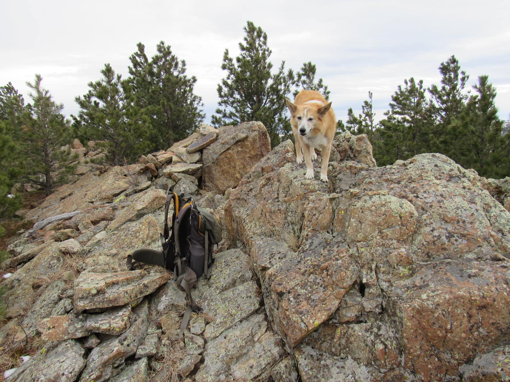
8-14-20, 4:02 PM, Baker Lake trailhead – The Baker Lake trailhead proved to be little more than a long wide spot where USFS Road No. 5634 simply dead-ended. Room enough to carefully turn around, if the joint wasn’t too overrun already, which it might have been if those 4 vehicles that had already departed had still been up here.
SPHP did turn around, parking the G6 facing back out as close to the exit as possible. Might help avoid getting hemmed in when the time came to depart! An hour after leaving Hwy 473, the American Dingo hopped out. If Loopster was as relieved as SPHP to finally be here, she gave no indication of it.
A short stroll past pickups and SUV’s to the end of the road led to the usual display of rules and regulations, but little of interest specific to this location. Hours yet until the sun would set, but here on the E side of the mountain, much was already in shadow. 20 feet beyond the display, a well-worn single track trail curved up into the sullen deep green gloom of tall densely-packed conifers.
The evening wore on. By nightfall, only 5 vehicles remained.

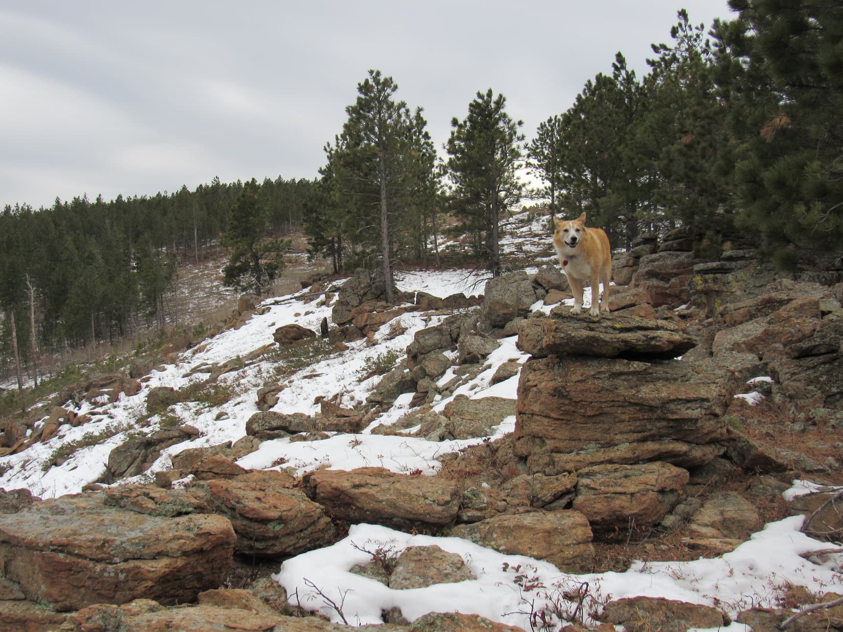
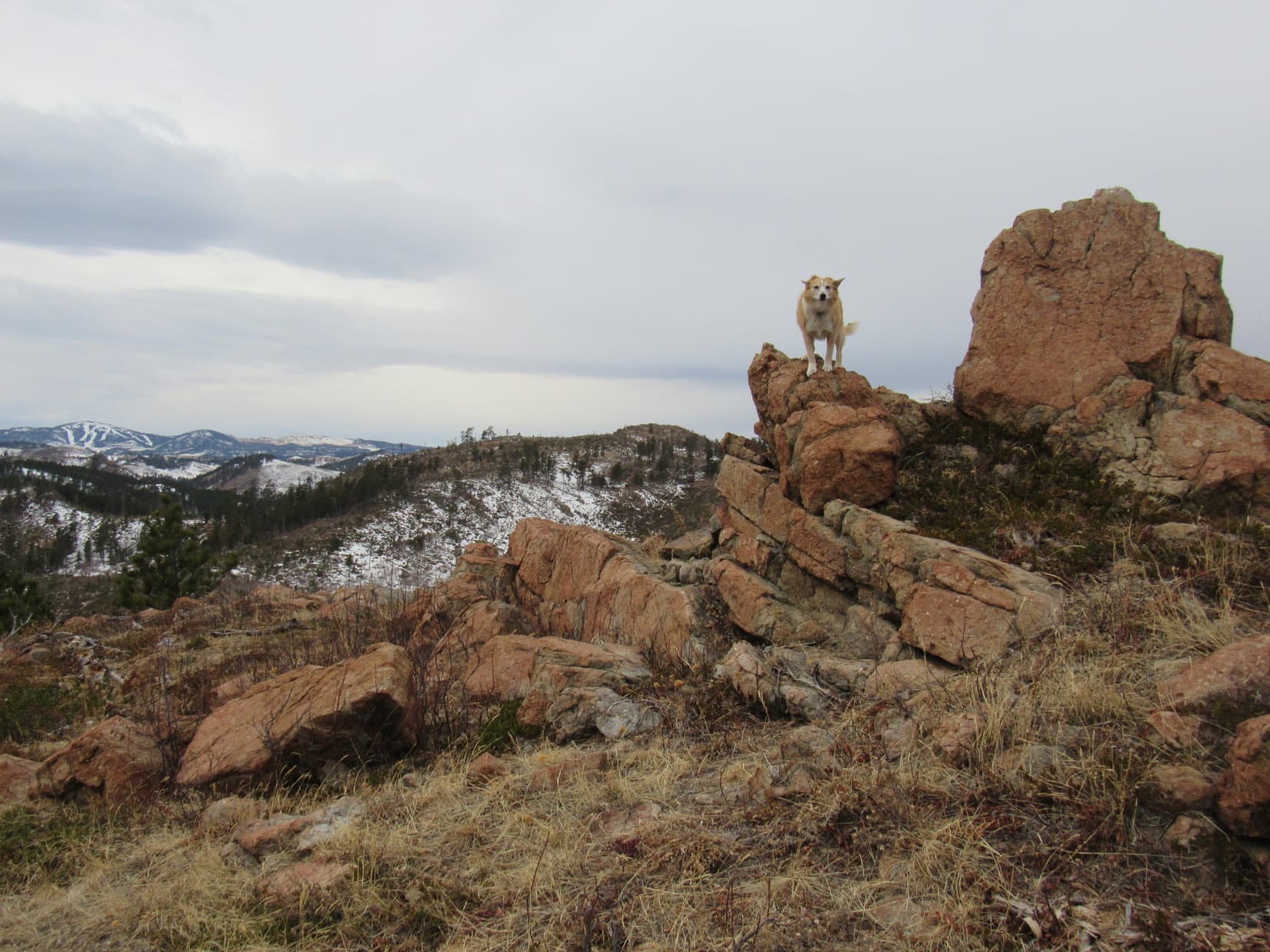
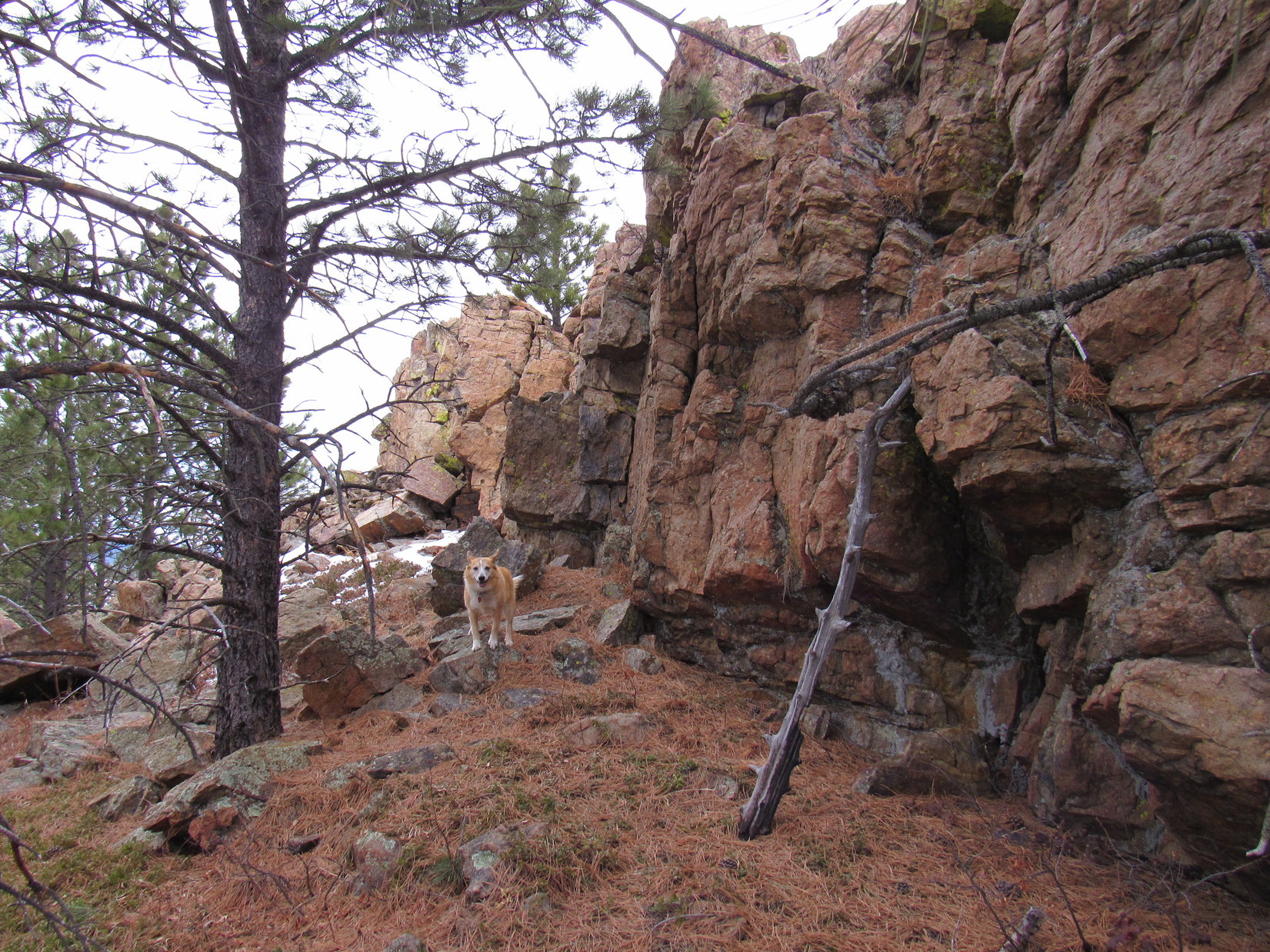
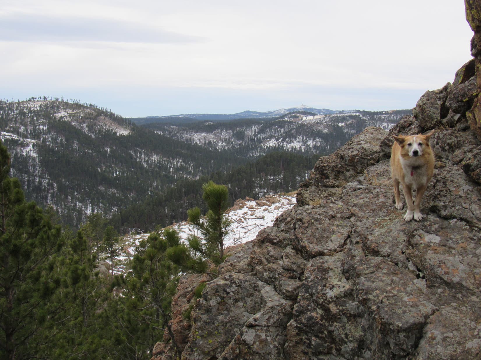
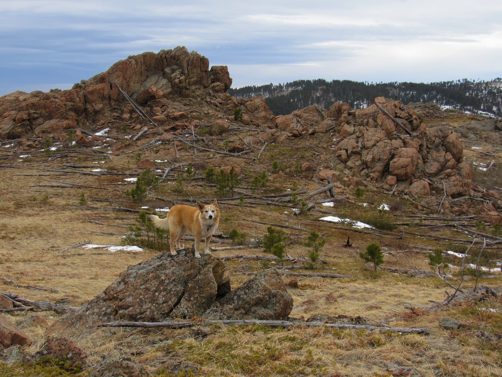
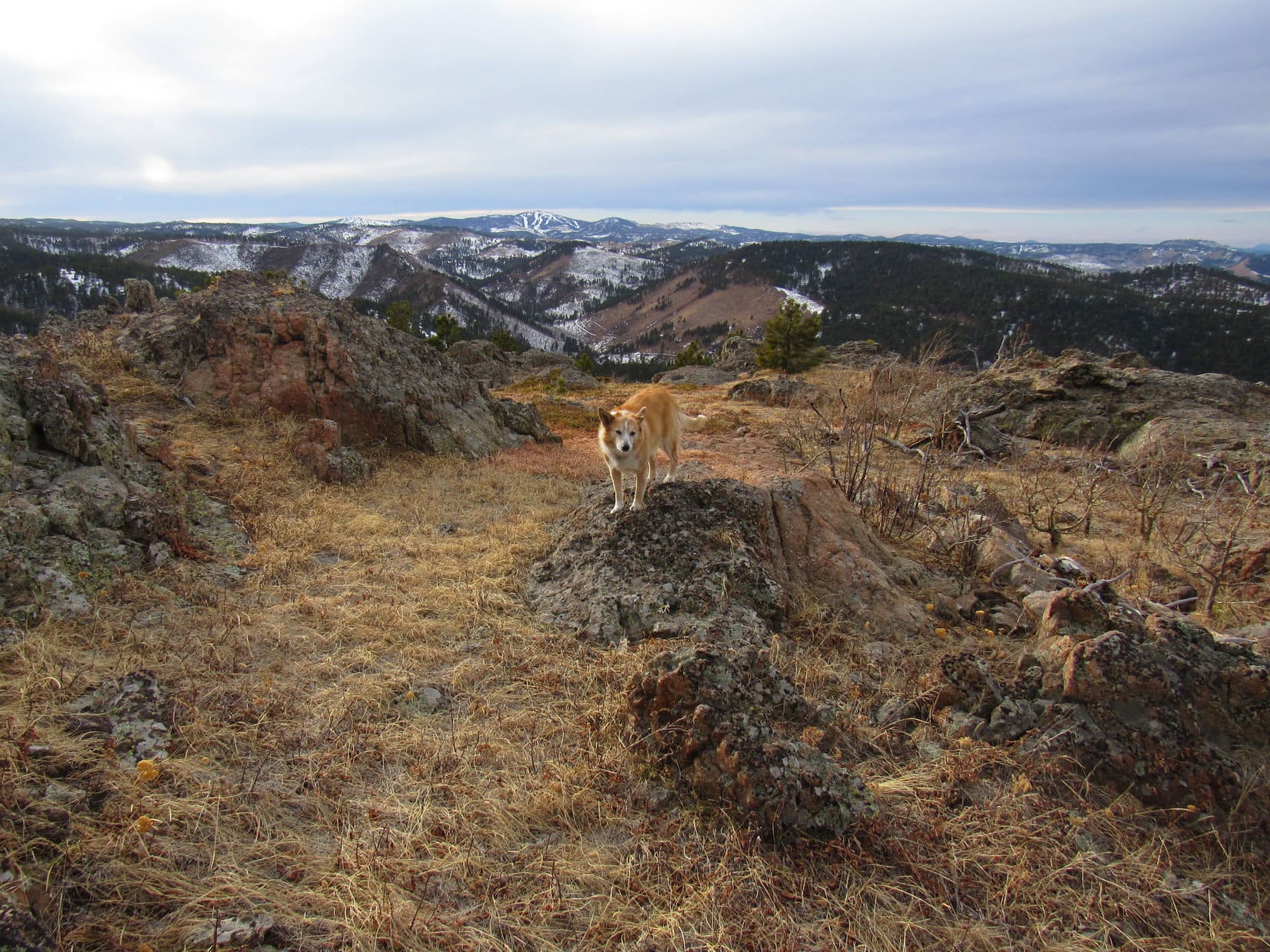
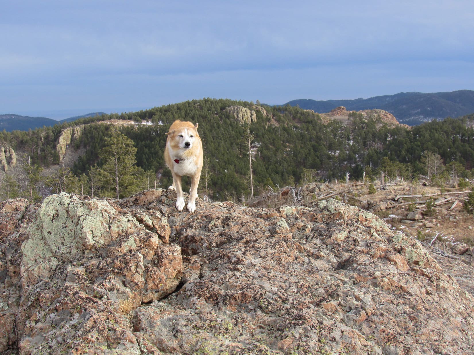
8-15-20, 7:55 AM, 52ºF, Baker Lake trailhead – Morning sunlight filtering through the trees completely dispelled yesterday’s gloom as Lupe set off for Baker Lake on Trail No. 234. The trail began with a short steep climb W or SW through thick forest before leveling out as it turned S. Upon reaching a small clearing, the trail started switchbacking higher. Before long, Looper came to a huge rock formation out in a larger opening.
This must be Baker Point! Lupe scrambled partway up for a look. Kind of hazy out, especially to the E.


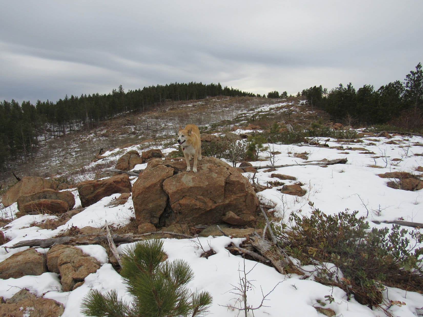
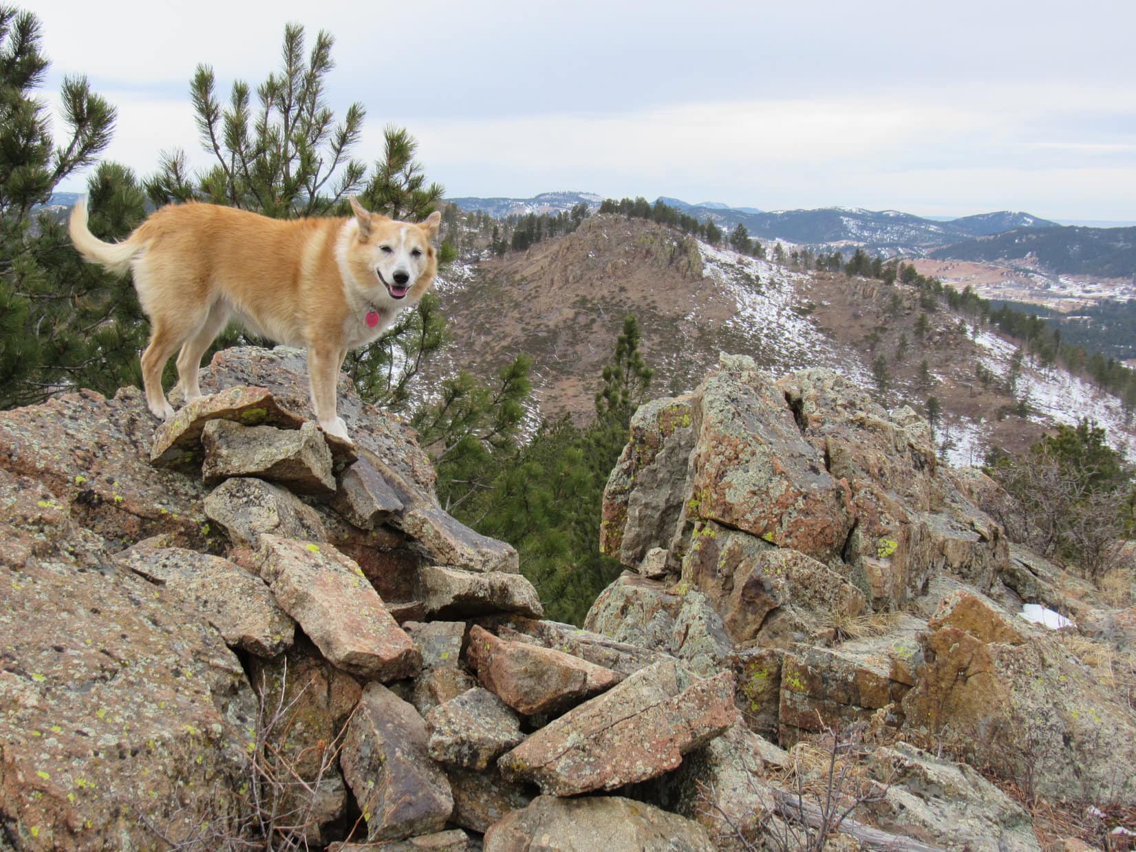
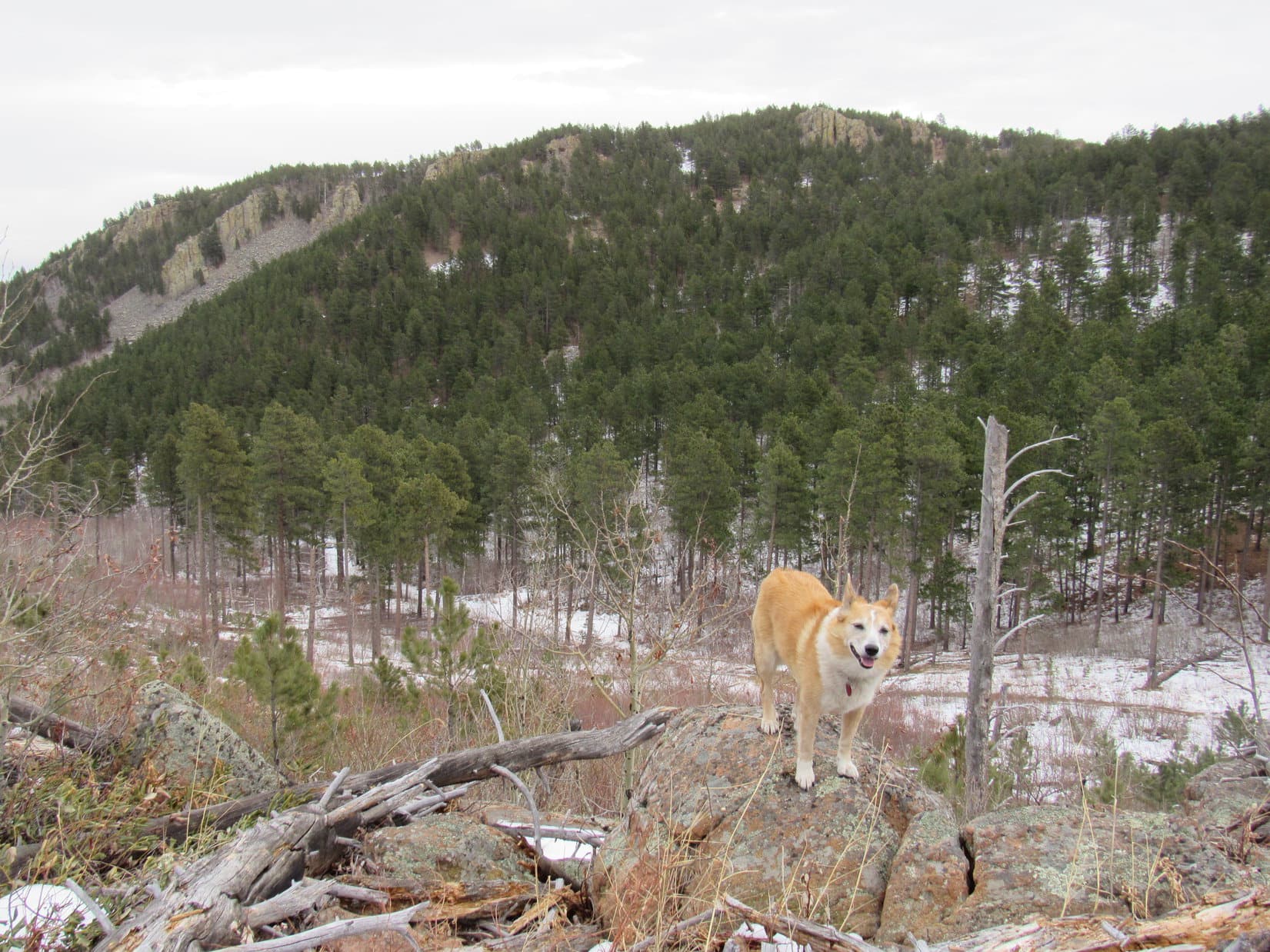
At Baker Point, Lupe reached the start of a broad ridge sloping slowly, but steadily higher. The trail headed WNW along this ridge passing through a more open forest of younger trees. After gaining perhaps 200 feet of elevation, the trail left the ridgeline to head more directly W or WSW along a slope N of the Baker Creek valley, flattening out as it did so, and even losing elevation in spots.
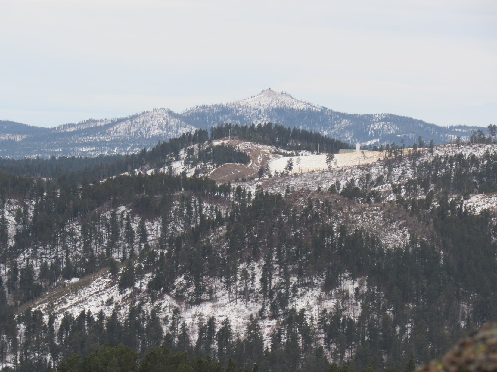
Glimpses of the ridge to the SW that Lupe ultimately needed to get over to began appearing. Eventually, Loop caught sight of towering cliffs on the E face of East Trapper Peak (9,928 ft.), too.


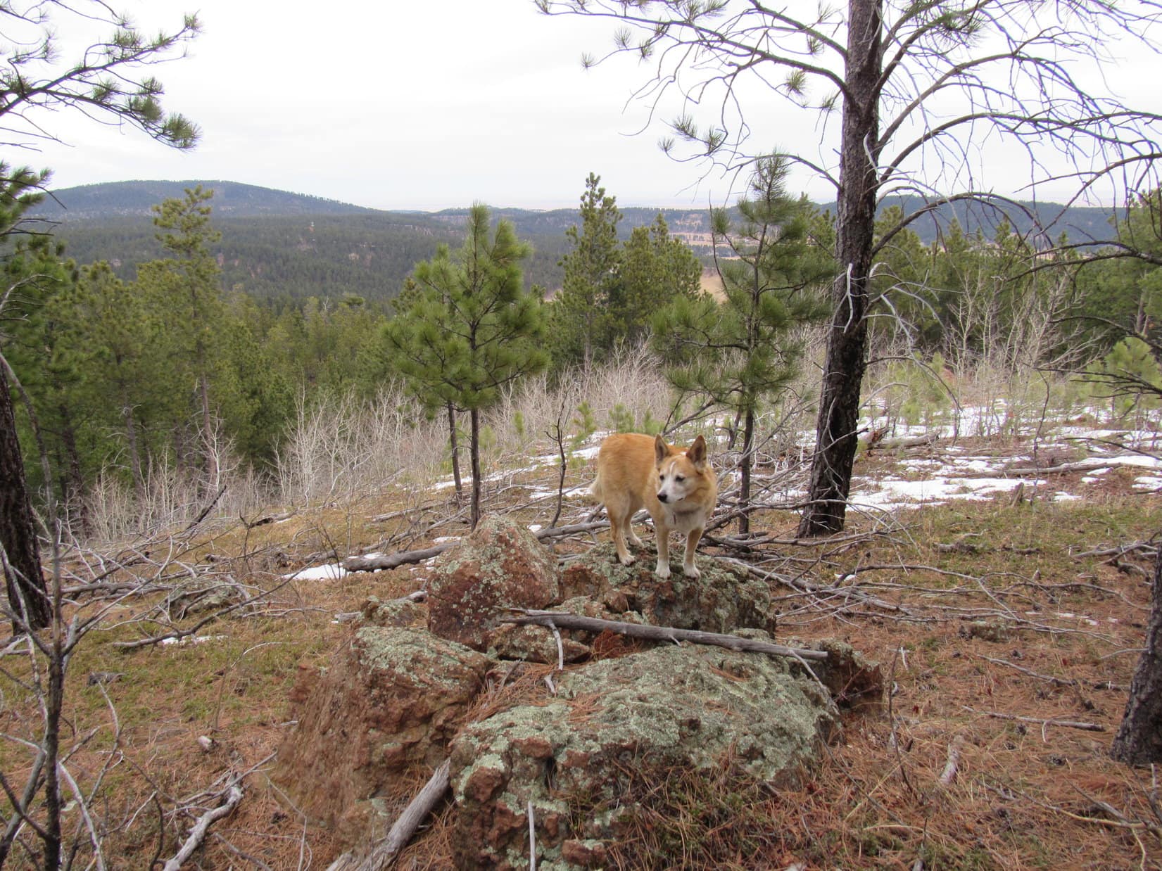
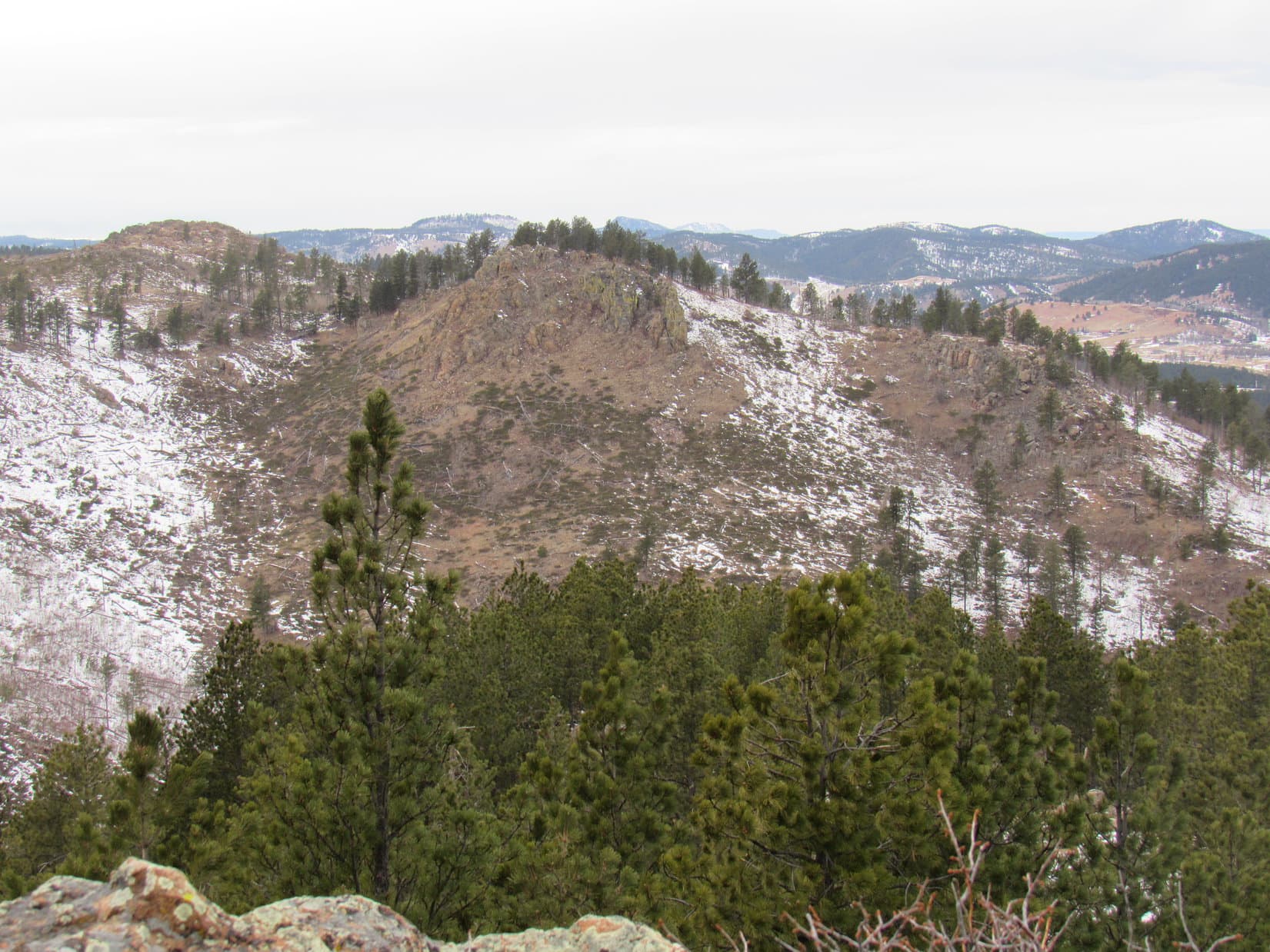
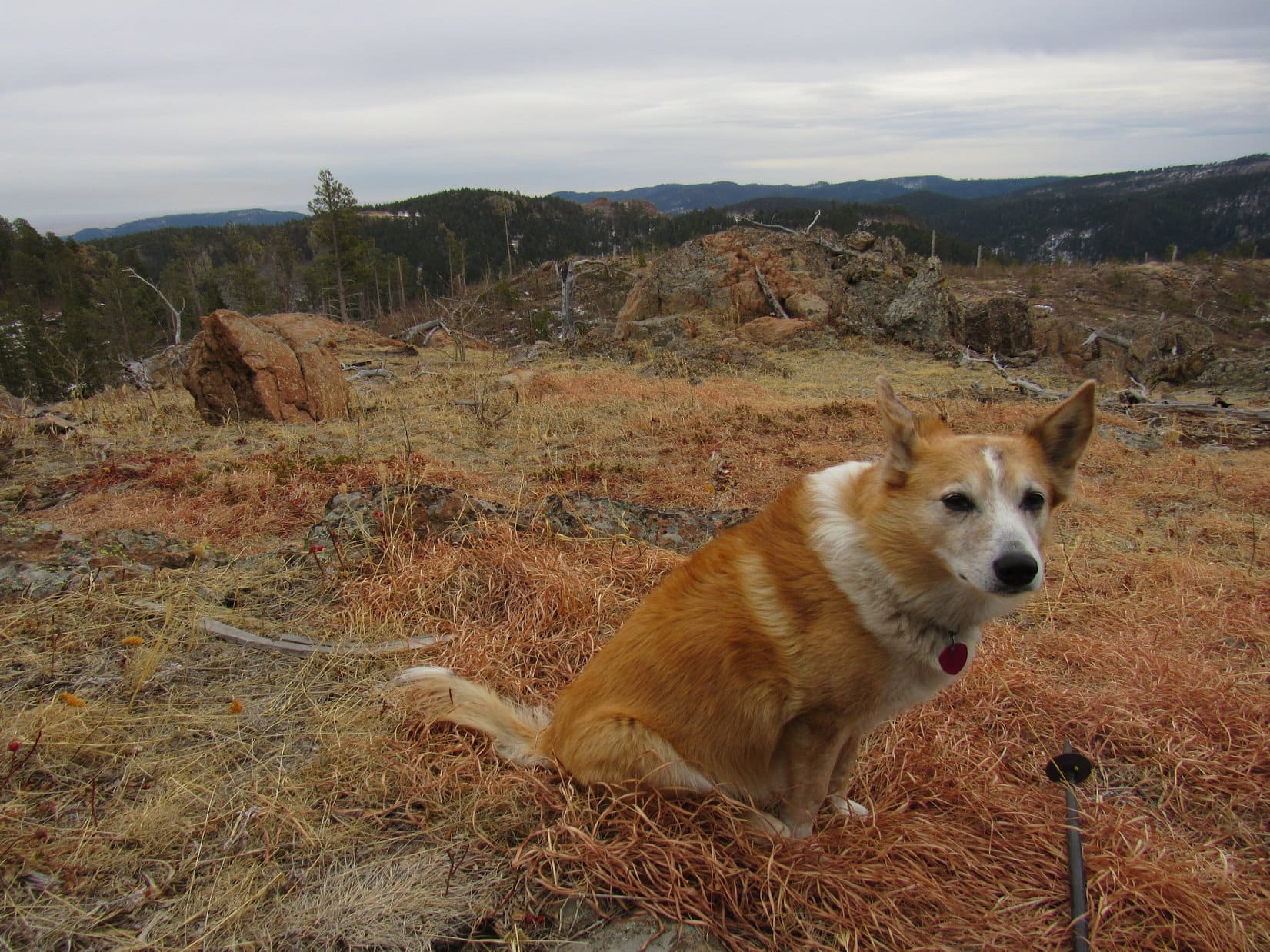
After losing 80 feet of elevation, a big opening was reached on the N (R) side of the trail. This region contained many huge rocks that had long ago crumbled ago from the ridge the trail had abandoned, the top of which was now in sight at least 100 feet higher.

From this low point, the trail began climbing again as it wound among boulders and tree roots in an older forest. Close to Baker Lake exposed slabs of rounded bedrock appeared. With so much rock about, the forest was more dispersed. Upon reaching Baker Creek, Loop crossed a bridge of three small logs before following the stream to its source.


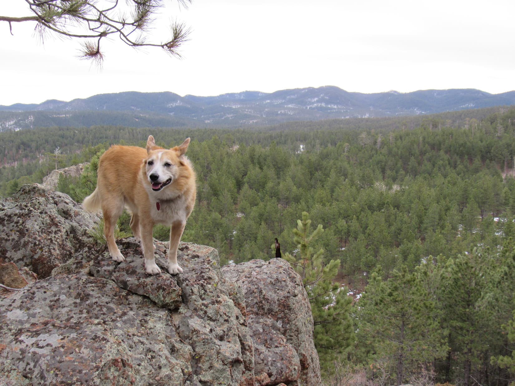
Lupe found Baker Lake tucked away in a spectacular setting! Large rock formations bordered the E and S shores, and magnificent mature forests encircled the lake wherever sufficient soil was present. Huge protective ridges pressed in from the N and S, and off to the W was a splendid view of the E face of East Trapper Peak. Mirror smooth, the lake doubled the grandeur of its surroundings in near perfect reflections.


Evidently, Baker Lake is a popular destination. Exploring boulders and bedrock along the E shore, Lupe saw colorful tents and hammocks both nearby, and over on the W side of the lake. However, getting to Baker Lake was merely a good start to the day for the peakbagging Dingo.
Trapper Peak (10,157 ft.) was Lupe’s destination. Unseen, except for the E summit, Trapper Peak was still another 2,300+ feet higher and 2 miles away. There was actually an official Trapper Peak trail No. 133 that came up the mountain’s humongous SE ridge, but the Baker Lake route that Lupe was taking was shorter, more scenic, and required 640 feet less elevation gain.
The whole trick to making the Baker Lake route work was to get up onto the ridge S of the lake, which was merely a different part of the same SE ridge the official trail went up. However, the topo map showed the N face of this ridge being very steep for 200+ feet. Didn’t look so bad from here at the lake, though. Lupe headed for it, staying somewhat E of the lake following an easy route higher along bedrock slabs.


SPHP had previously seen GPS tracks of routes others had successfully tried from Baker Lake. Nearly all of them went up toward the lower E end of the part of the ridge closest to the lake. A shaded area full of trees could be seen between two cliffy spots as Lupe got closer. Figuring this was the way to go, suspicions were soon confirmed by the discovery of a use trail near the bottom of the slope.


The slope the use trail went up was steep, very steep, but not all that rocky. SPHP clung to trees, branches, bushes – basically whatever was available, whenever available. With 4 on the floor, Loopster had no trouble. Near the top, the rate of climb diminished. Gonna make it!


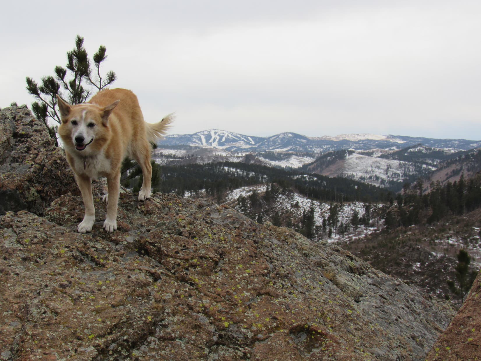
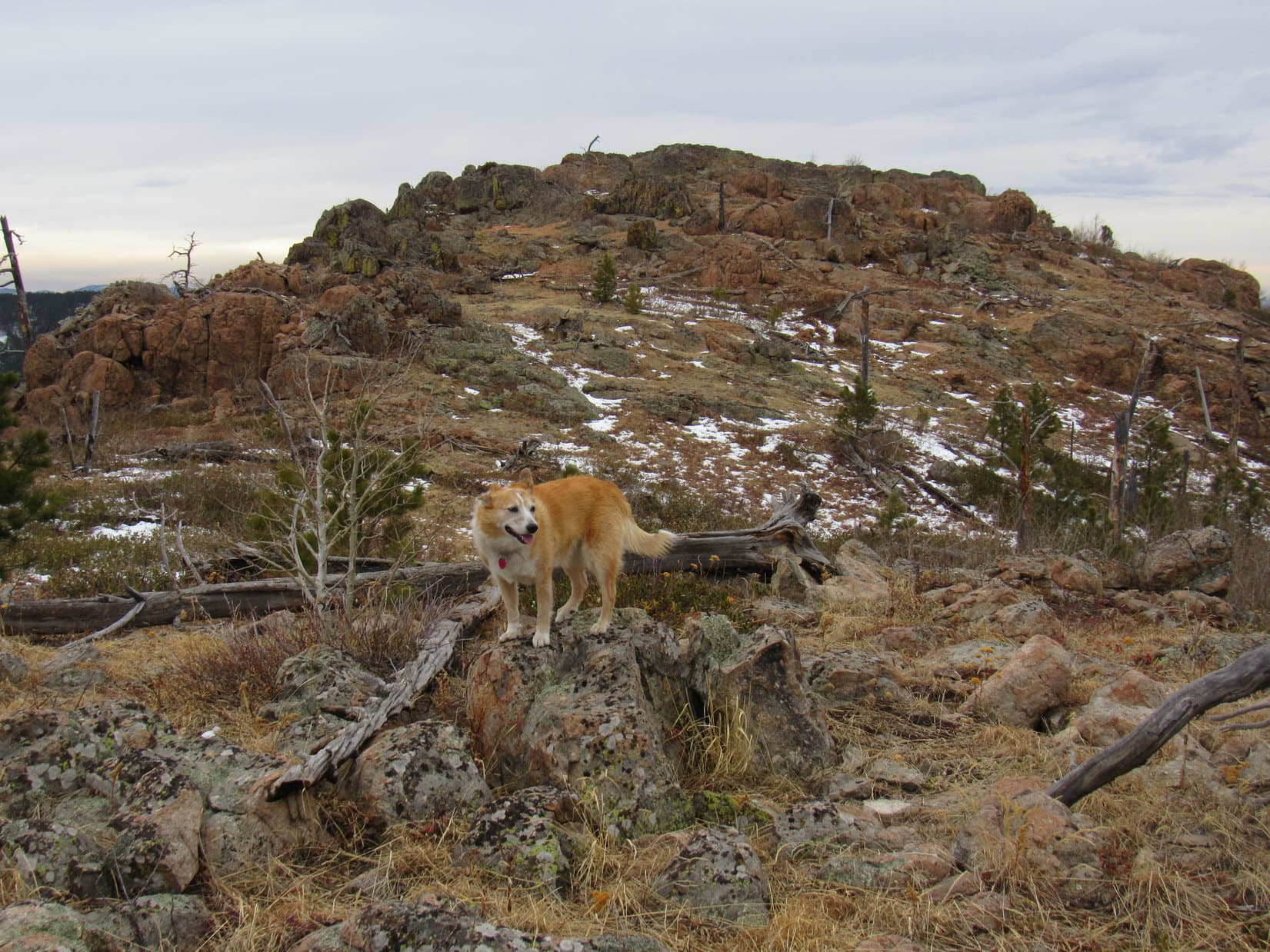
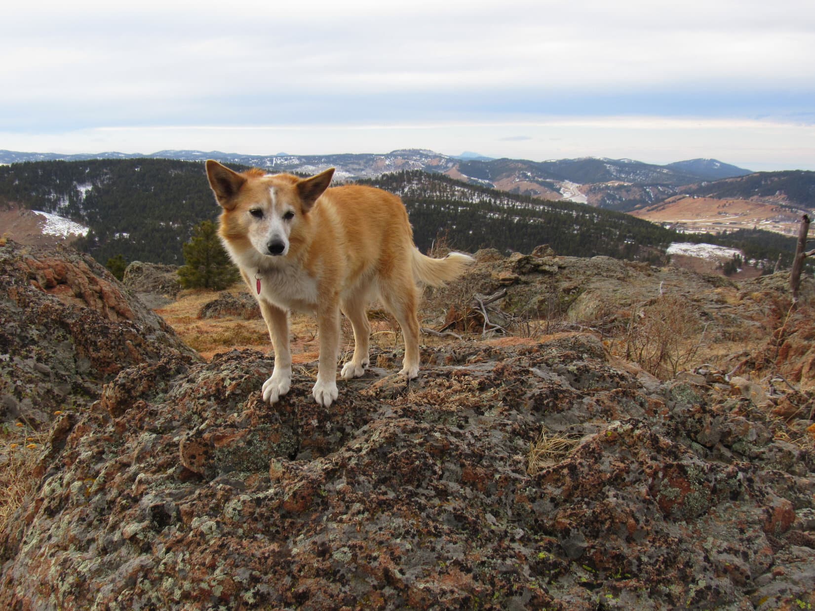
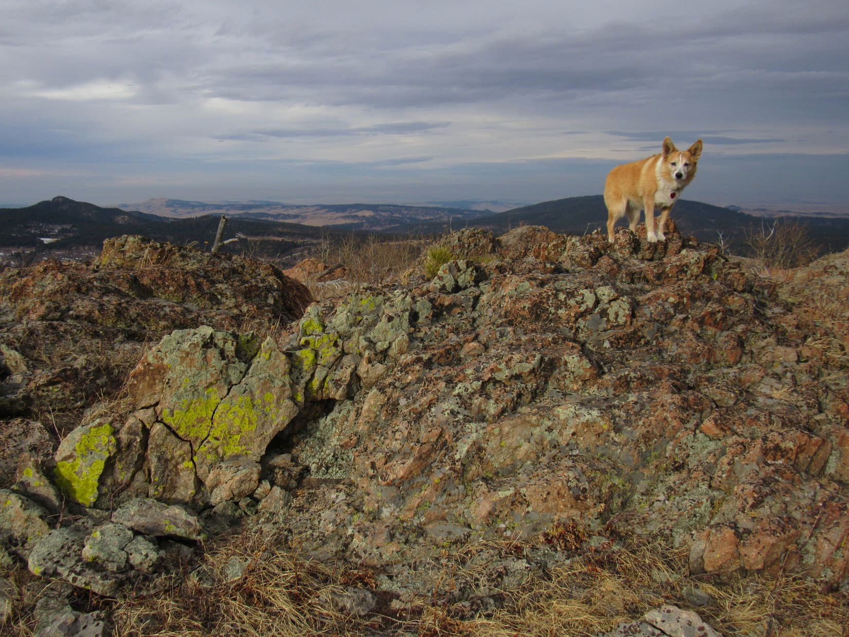
Up on top, a large pile of deadfall was near the big flat spot where the use trail came up. The use trail turned R here, heading W just S of a line of cliffs. However, before going that way, Lupe scrambled over some of the deadfall to a rocky high point visible just a little to the NE. This high point featured several large dead trees, and was a terrific viewpoint. Baker Lake could be seen from here, as well as both East Trapper Peak (9,928 ft.) and North Trapper Peak (9,801 ft.).


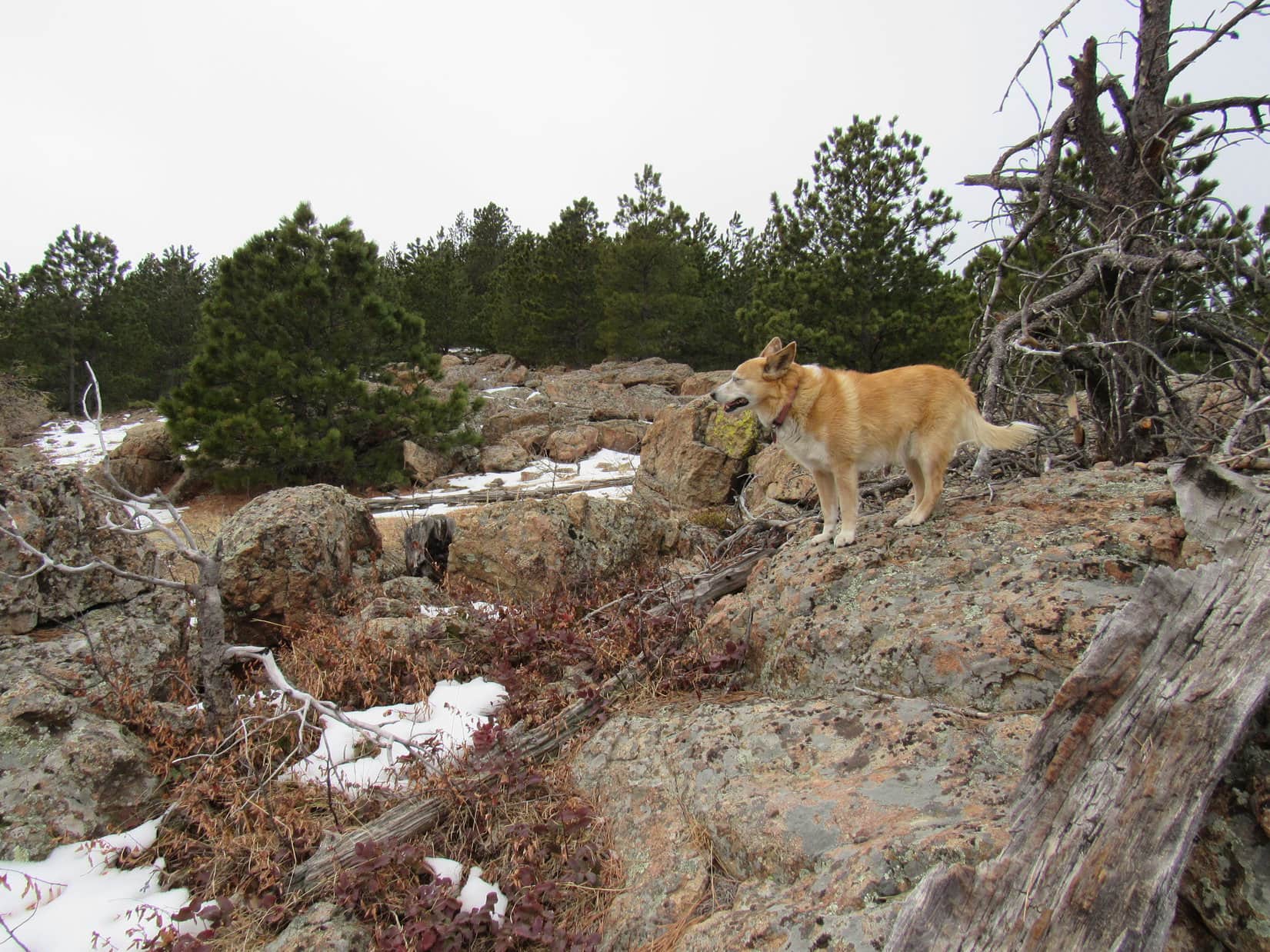
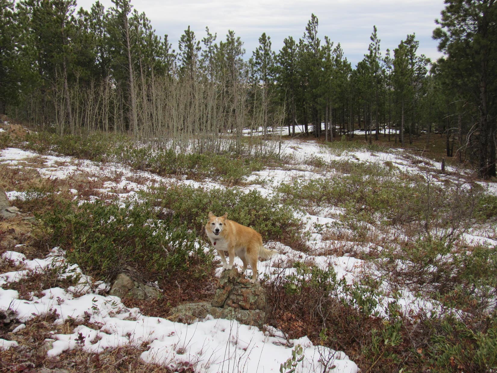
Reaching the ridgeline meant that the only tricky part of the ascent was over, but the Carolina Dog still had a long way to go. Returning to the use trail, she now followed it W through a forest different from the one down by Baker Lake. Up here, the trees were smaller, more spaced out, and many were dead.

The use trail gained elevation at an easy to moderate pace that didn’t vary much. Every now and then, Lupe ventured N to the edge of the cliffs to check out the views. She finally came to a point where Middle Lake was in sight, along with just a glimpse of Gem Lake above it.

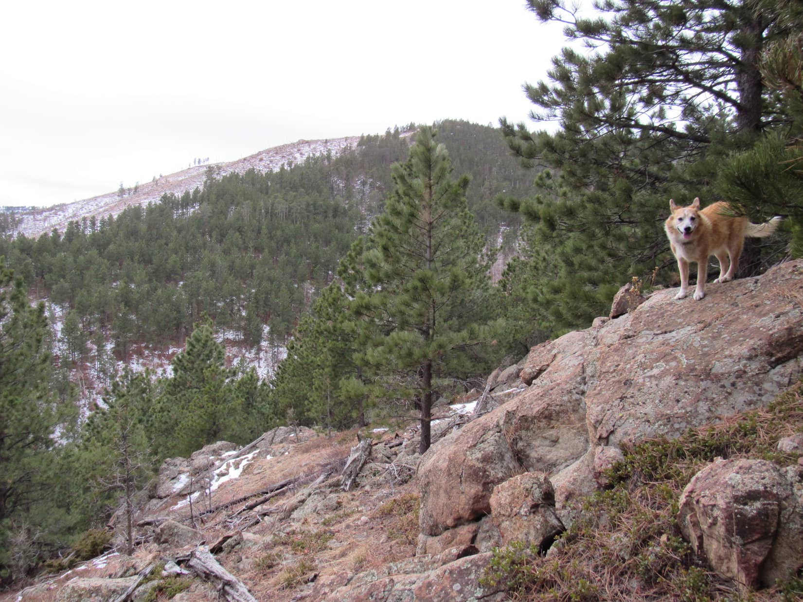
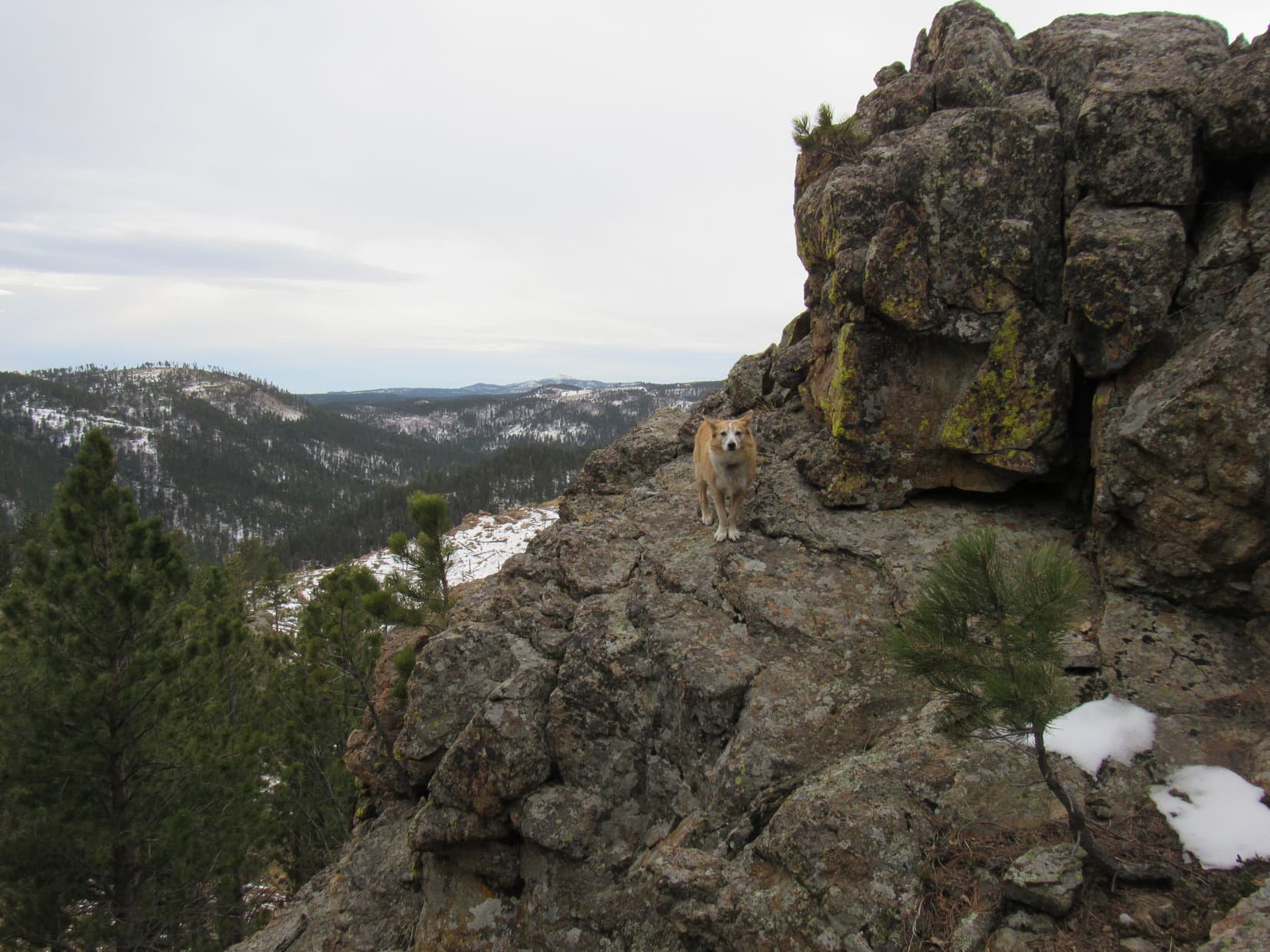
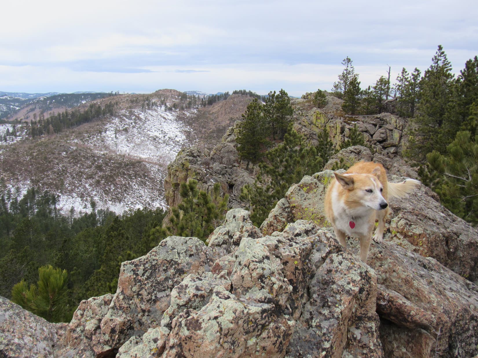
Close to this viewpoint, the terrain steepened as Loop climbed a ridge of light-colored talus. These rocks tended to be flattish, which made them an easier scramble than they might otherwise have been. Lichens gave all the rocks on top of the ridge a mottled dark gray and light green cast.
This ridge was HP8768 on the topo map. Ahead was a chasm due to a large notch in the main ridge, and a terrific view of East Trapper Peak.


Lupe now had to veer SW along the talus ridge to avoid the chasm. The talus slowed things down, but eventually played out. Back in the forest, Loop soon turned W again, quickly regaining the elevation she’d lost leaving HP8768 and more.
By now the use trail was intermittent, but the overall route was clear. The open forest and moderate pace of climb made travel relatively easy. Lupe kept heading W, constantly gaining elevation. Eventually the line of cliffs to the N began to curve NW.
A high point of light-colored rocks now appeared near the edge, but the terrain steepened rapidly in that direction, and a young densely-packed forest made attaining that high point difficult. Abandoning the attempt to follow the cliffs any farther, Lupe took a course more to the WNW.
The forest soon began to thin. Suddenly it ended. A few thin lines of stunted trees ran down a long slope of scattered rocks and loose soil. Directly ahead were several distant high points.

Wandering higher on the vast open slope beyond the forest, Lupe now had views of mountains to the SW. A ridge of dark stone appeared to the N, the summit of East Trapper Peak (9,928 ft.). Instead of going to it, the American Dingo aimed for the saddle leading to Trapper Peak.


On the way to the saddle, Lupe came across the official Trapper Peak trail No. 133 bound for the same destination. By then, she didn’t have much farther to go. The broad flat saddle between East Trapper Peak and Trapper Peak proved to be terrain similar to the giant slope Looper had just come up, a rock-strewn plain of gritty loose soil and short, sparse vegetation.


Before heading for Trapper Peak’s summit, Lupe ventured over to the N edge of the saddle. Here, beyond a giant cirque, was a tremendous view of a series of rugged peaks and jagged ridges extending from North Trapper Peak (9,801 ft.) all the way to El Capitan (9,983 ft.).

At the W end of the saddle, the official Trapper Peak trail vanished as far as SPHP could tell. Two high points were visible ahead, the more distant one clearly higher than than the one Lupe faced at the moment. Gonna be slow going! All talus from here on.

Lupe hadn’t seen anyone along the entire Baker Lake route except right at Baker Lake, but the official Trapper Peak trail was busy. Hikers were coming and going. From here, most seemed to head W right over this first high point. Following their example, Looper did the same.

From the top, which turned out to be a series of mini high points along a talus ridge modestly higher toward the W, the next high point ahead was in full view. Definitely the true summit! Whether coming up onto this first ridge was really the best route or not seemed doubtful. At the W end, the American Dingo faced a short, but very steep down climb in big talus to get to a minor saddle leading to the final ascent.
Maybe it would have been better to stay lower simply skirting this ridge to the S? Hard to say. Didn’t matter now. Lupe did what she had to do.


8-15-20, 1:18 PM, Trapper Peak – Made it! Well, almost. Having scrambled up from the S, Lupe was now a little SW of the true summit, maybe 20 or 25 feet below it. Quite a few people around. Lots up on top. Still early, the Carolina Dog could wait for them to clear out. Time for a rest, anyway. Except for a bit of haziness, the weather was perfect.
Hah! That was SPHP’s opinion. The American Dingo was hot. While SPHP found a perch from which to enjoy the views, Loop searched for a comfortable spot with a bit of shade. None! Giving up on finding any, Lupe finally plunked herself down on a patch of dirt to pant and snap at flies. A couple bowls of water provided at least some relief.

A little SW of where Lupe and SPHP were hanging out, an airy platform of rock provided a tremendous vantage point. Like the true summit, it was occupied. However, when it eventually opened up, Loop went over that way for a look around.


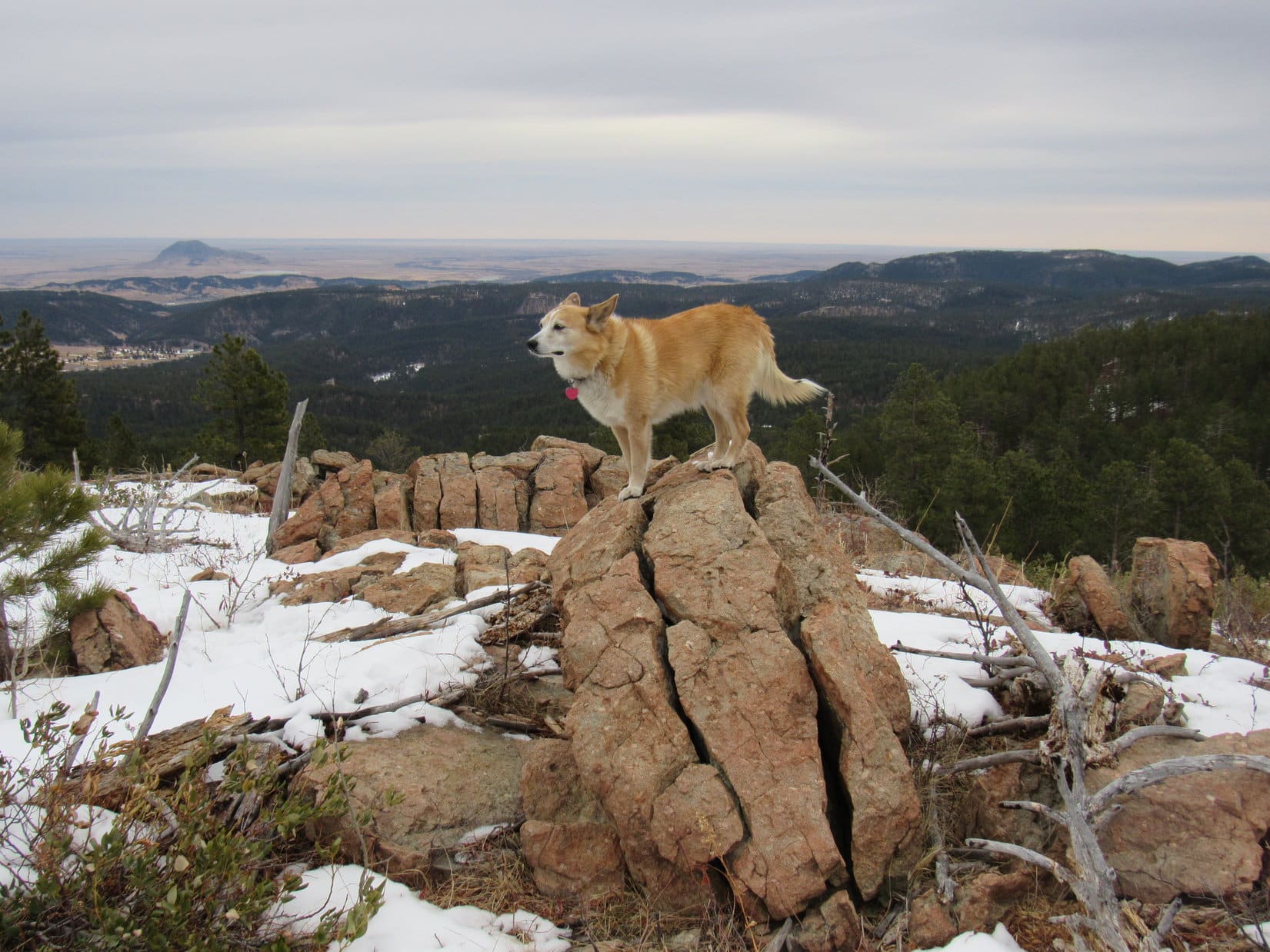
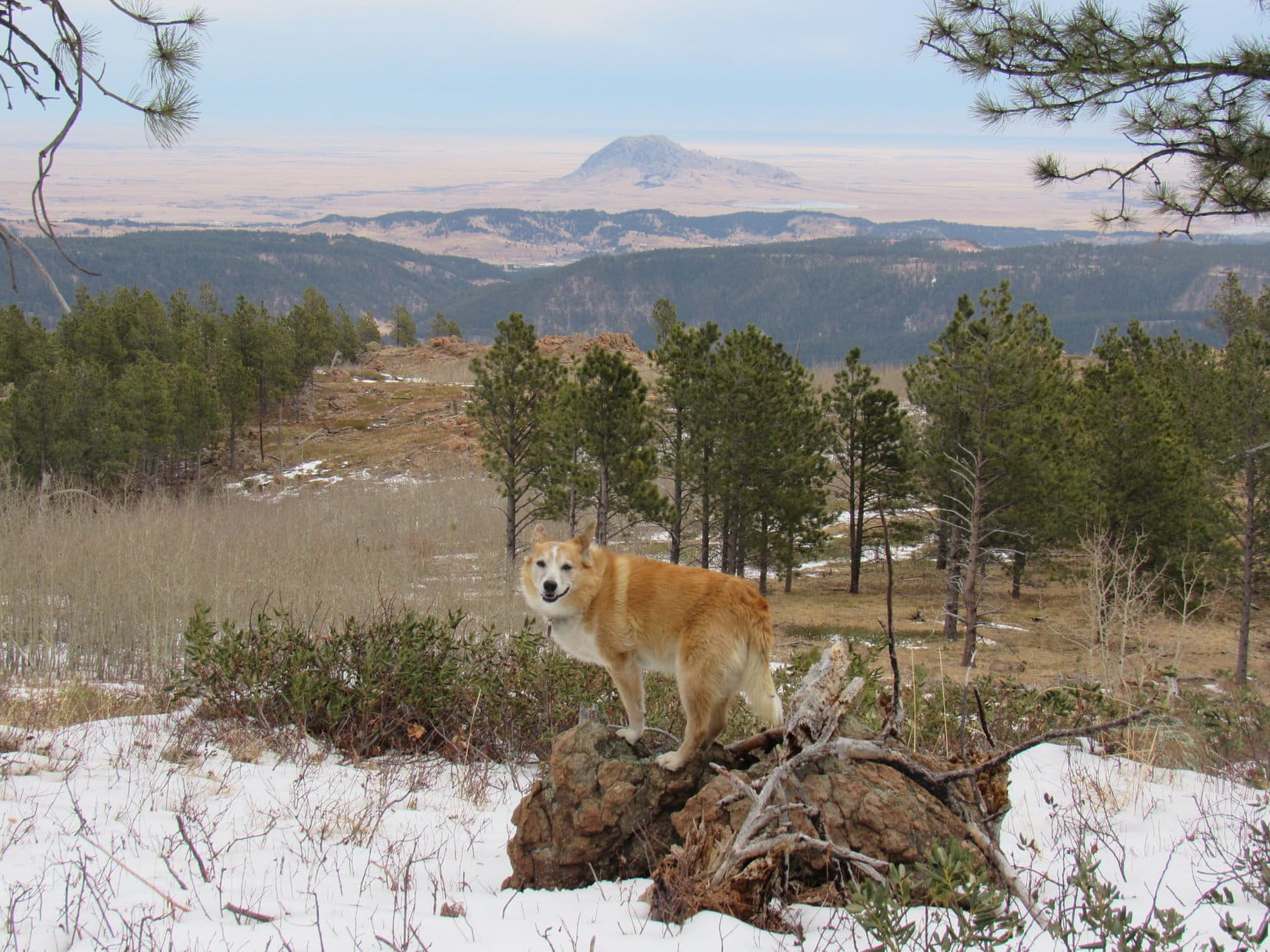
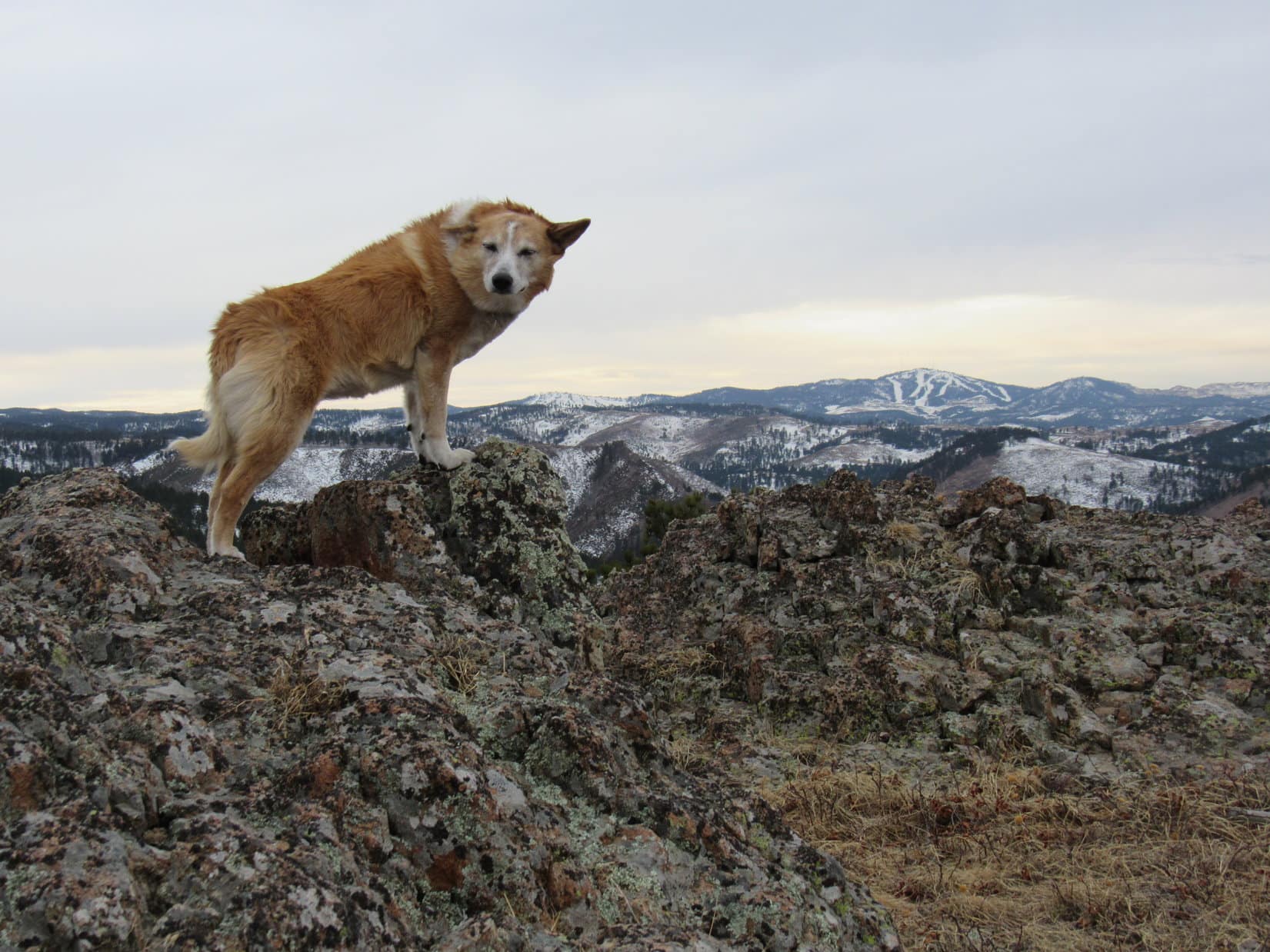
To the S and SW, Boulder Peak (9,804 ft.), East Boulder Peak (9,480 ft.) and HP9587 stood out. Beyond them a huge expanse of lesser peaks and ridges stretched to the horizon.


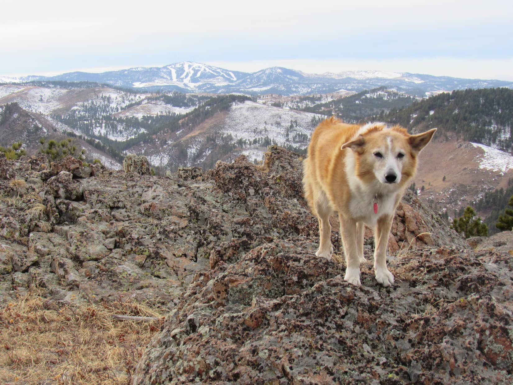
Due N, and more than 2,500 feet lower, a good chunk of Cave Lake was visible. Sugarloaf Peak (9,586 ft.) towered a couple of ridges past it, while El Capitan (9,983 ft.) dominated the scene farther NNW.


People continually came and went. Most stayed up at the true summit only a little while before moving on, but a few lingered for a long time. Lupe was patient, but the summit was never unoccupied. More than 1.5 hours drifted by.
Alright. Ready or not, maybe it was time for action? Despite a couple in the middle of enjoying a picnic up there, SPHP encouraged Loopster to proceed. On a mountain this busy, complete privacy was a luxury.


Looper got high, very high! But not quite all the way to the tippy top yet. East Trapper Peak was in view again, and so was the entire SE ridge that the official Trapper Peak trail comes up.


Lupe and SPHP kept inching closer to the picnickers. They finished eating, but the woman started calling people on her cell phone. Meanwhile, Loopster discovered a survey benchmark, and got up on one of the very highest rocks.


Lupe had been waiting for a turn on the summit rock for nearly 2 hours now. The couple was sitting right next to it. SPHP finally apologized for the intrusion, as Loop leapt up to the true summit. Close to the highest point, another survey benchmark was attached to this rock.


Fortunately, the couple was friendly. They didn’t mind Lupe being up here, too. The American Dingo took the liberty of going past them to get over to the best view of North and East Trapper Peaks.


Unfortunately, the phone conversations quickly headed S. Suddenly, the woman was weeping as she spoke with her mother. Awkward, but the situation didn’t last. Trapper Peak’s joyful mood had been ruined for the couple. They left, heading down the mountain.
Sad that their Trapper Peak experience ended that way, but it worked for Lupe. For the first time she had the true summit all to herself. Still people not too far away, so the Carolina Dog better enjoy it while she could.


8-15-20, 3:29 PM, Trapper Peak – The true summit photo shoot hadn’t taken long, but Loop had now been at or near the top of Trapper Peak for over 2 fabulous hours. So this was it, the inevitable moment of truth.

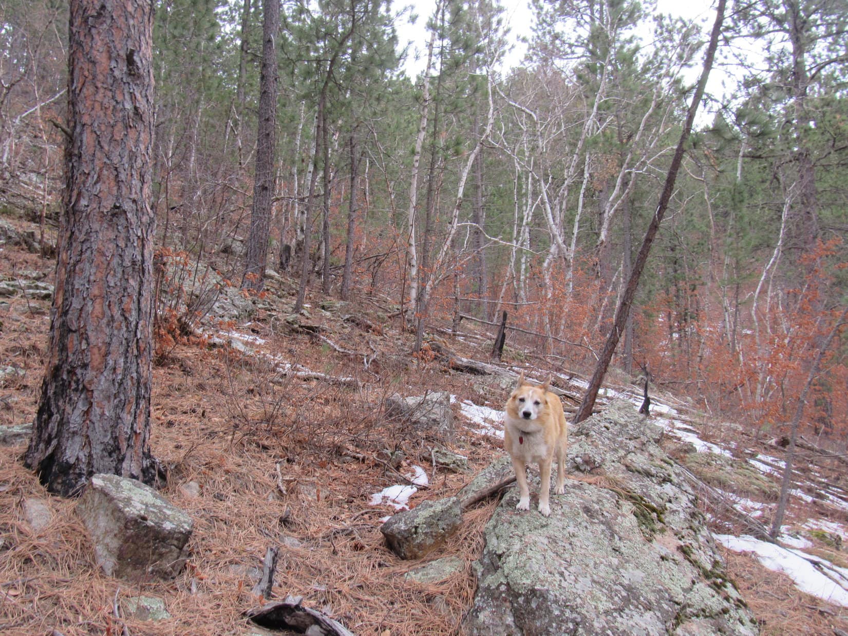
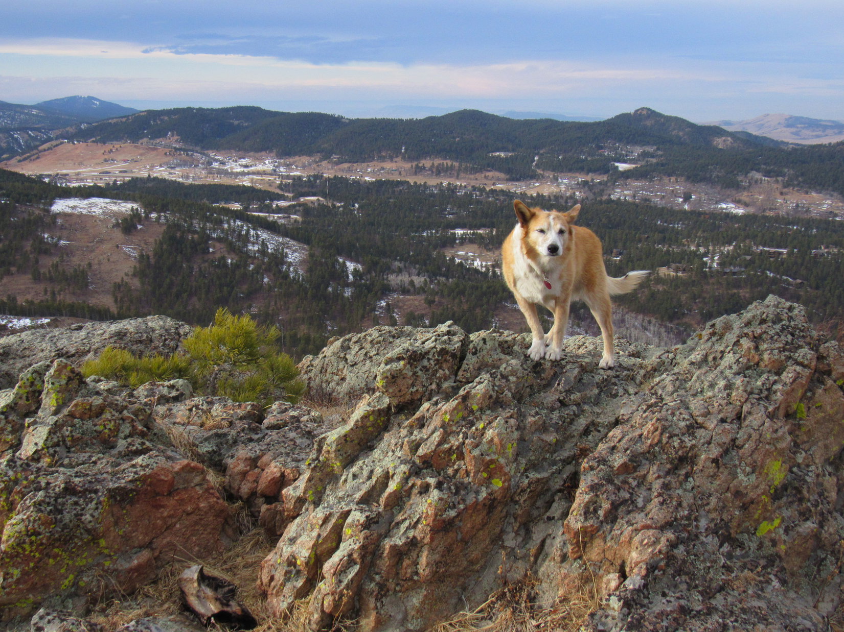
While the return was simply a matter of retracing the same basic Baker Lake route, Lupe changed things up a bit, making new discoveries and having new experiences along the way.
After scrambling down to the little saddle between Trapper Peak and the first high point to the E, Loop followed a trail S, losing elevation instead of going up and over that talus ridge. Once she turned E, cairns were all over the place, but still no path. Just a jumble of large talus, same as the ridgeline had been.
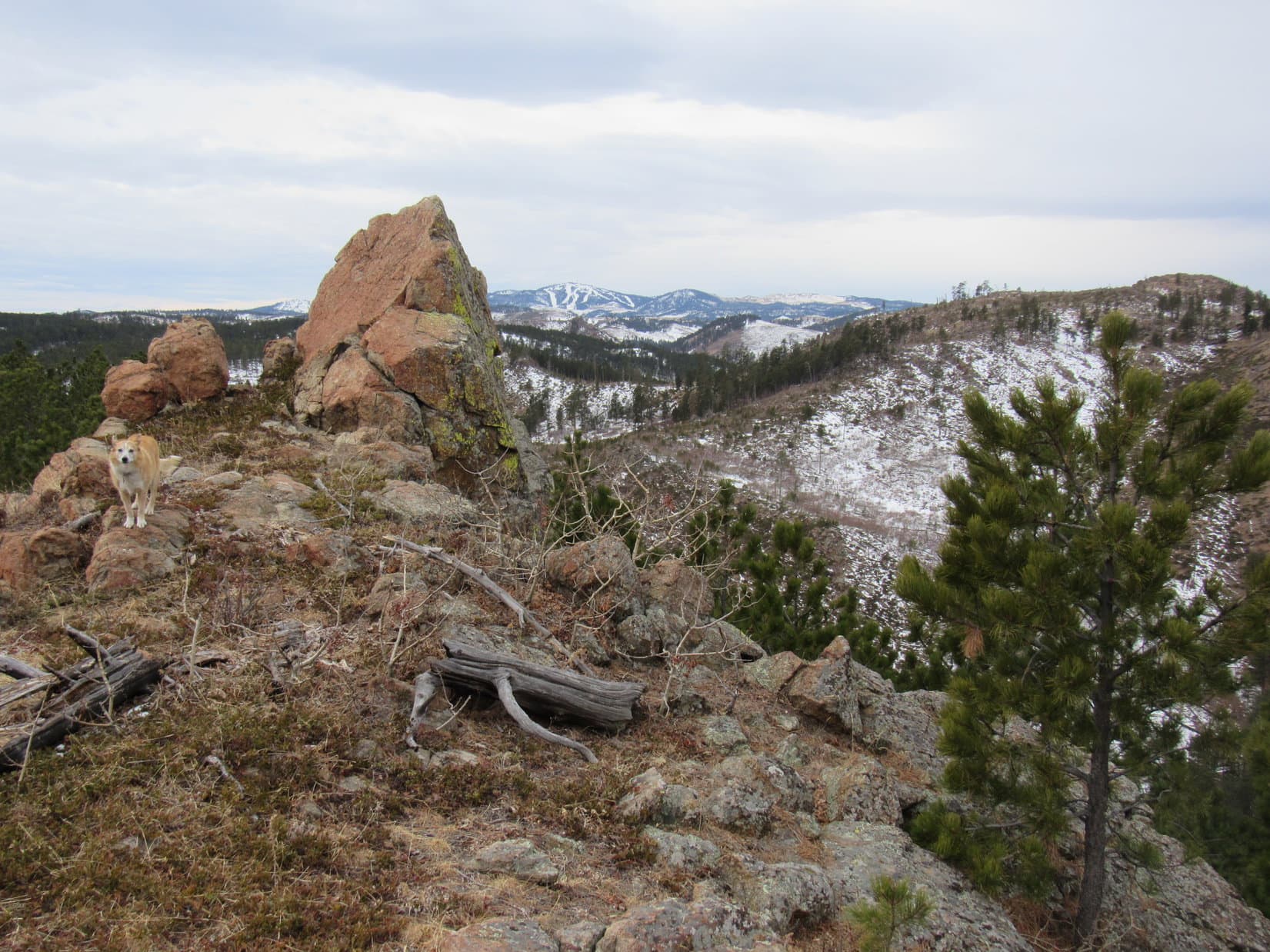
So, no matter which route was taken, it was simply a time-consuming talus trek over to the big saddle W of East Trapper Peak. Once Lupe got there, instead of jumping on the official Trapper Peak trail to start down the enormous SE slope, Lupe climbed East Trapper Peak (9,928 ft.). This was easily accomplished from close to the SE end of the summit ridge where she didn’t have to do much scrambling.
For no more effort than it took, the side jaunt up East Trapper Peak was very worthwhile! The views of Trapper Peak were splendid, and even Baker Lake and most of the route back to it were visible from up here.


During the return, those boots started bothering SPHP’s paws again. Lupe suffered no such inconveniences. Once back in the forest, the Carolina Dog had a blast racing about searching for squirrels, while SPHP hobbled after her.
The talus ridge at HP8768 was easily avoided. However, this success was completely overshadowed by a mistake SPHP made descending the very steep slope leading down to Baker Lake.
Instead of staying toward the E (R), halfway down SPHP led Loop down a path more to the W. This missed the nice trek on the slabs Lupe had taken earlier in the day that would have gotten her back to Baker Lake with little difficulty. The American Dingo dropped much further down into a jungle of deadfall, boulders, bogs, and hollows. SPHP endured a lot of useless thrashing about before reaching the S shore of Baker Lake.
8-15-20, 8:40 PM, Baker Lake trailhead – Whew! What a day! Even Lupe was acting tired as SPHP limped gingerly to the G6. The Trapper Peak adventure wasn’t over yet. One more thing to do. After getting Loopster fed and the pack stuffed back into the G6, SPHP opened a Coke and a box of Dots, then turned the key.
In the morning, vehicles would be coming up super narrow USFS Road No. 5634. Now was the time to get back down to the highway. Twilight faded to black on the 8 mile Coke slurping, Dot munching journey back to USFS Road No. 363. Slowly, cautiously! Still took a long time, but the experience was much less nerve-wracking in the dark without those daunting views or oncoming vehicles to worry about.
Success! Took the better part of an hour, but so what? The American Dingo could now spend the night twitching and dreaming of her Trapper Peak adventures at the access area along the beautiful W Fork of the Bitterroot River. And why not? That was SPHP’s plan, too.

Links:
Next Adventure Prior Adventure
Want more Lupe adventures? Choose from Lupe’s Summer of 2020 Dingo Vacations to Wyoming, Utah & Montana Adventure Index, Dingo Vacations Adventure Index or Master Adventure Index. Or subscribe free to new Lupe adventures.