Black Hills, SD Expedition No. 275 – Mount Wheaton, Peak 4516, Peak 5171 & Peak 5741 (4-14-21)

Pleading eyes.

You promised, SPHP!

I know it, Loop, but it’s really not all that nice out for the middle of April.  Can’t you wait another day or two?

You P-R-O-M-I-S-E-D we would go today, SPHP!  Not even raining or snowy or windy!  Why can’t we go?

Tell ya what, Looper.  I’ll check the forecast, see what it says.

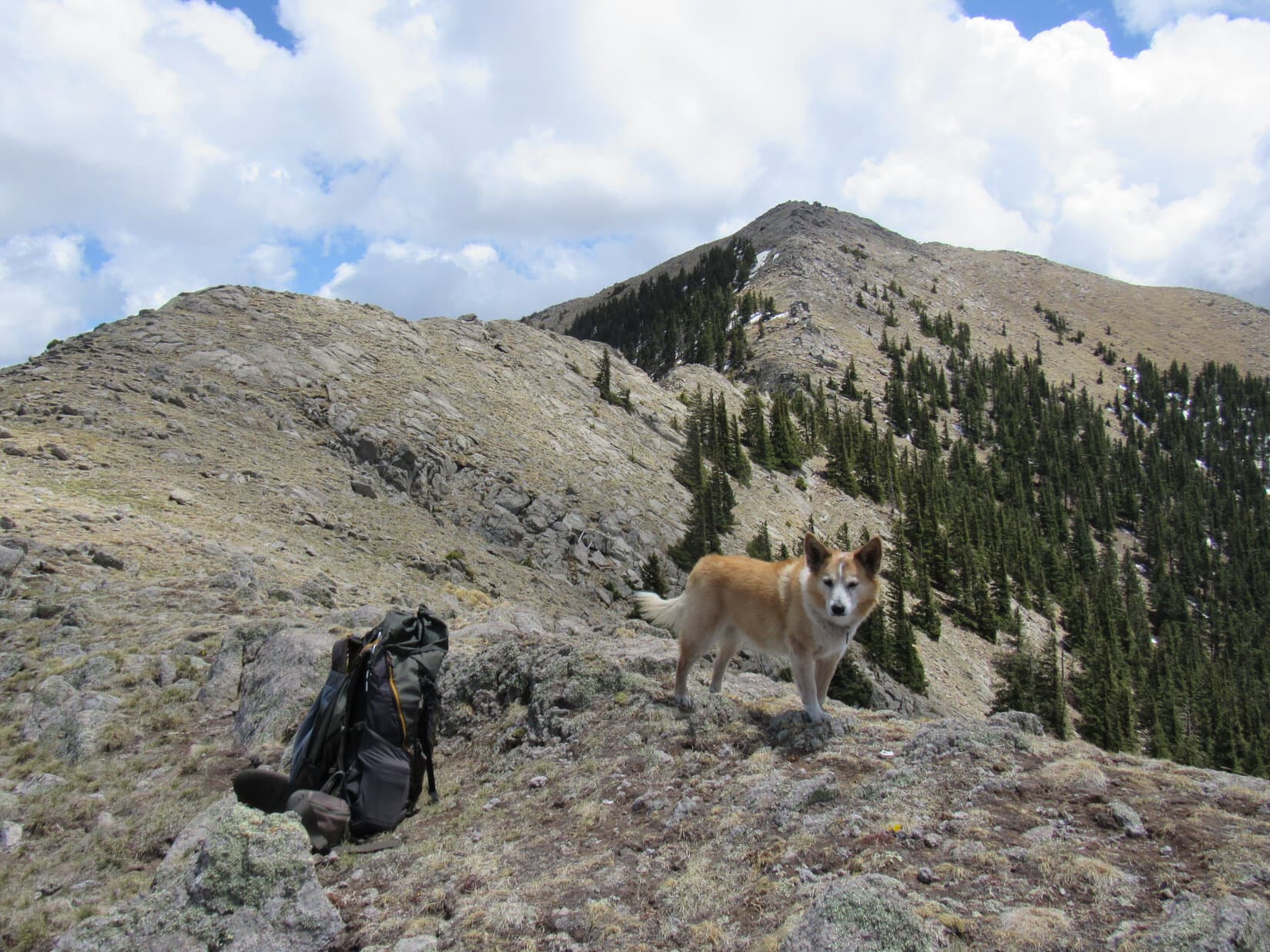
9:22 AM, 30ºF, Hisega Road – Past the last green house on the R, a little yellow and black National Forest boundary sign sat along a fence line.  SPHP pulled just off a side road beyond it, parking in the tall grass.  Not very warm out, below freezing, in fact, but even if the day was cold and blah beneath a gray sky, the luck of the Dingo was running hot!  Snow in the forecast the next 2 days had finally stirred SPHP to action, and as it now turned out, there actually was access to Mount Wheaton (4,600 ft.).

About to strike out for mighty Mount Wheaton! Photo looks W.

Mount Wheaton was going to be cake.  Over 300 feet of prominence, 340 feet to be precise, according to Lists of John, was the mountain’s claim to fame.  An easy trek, the summit wasn’t even a mile away.

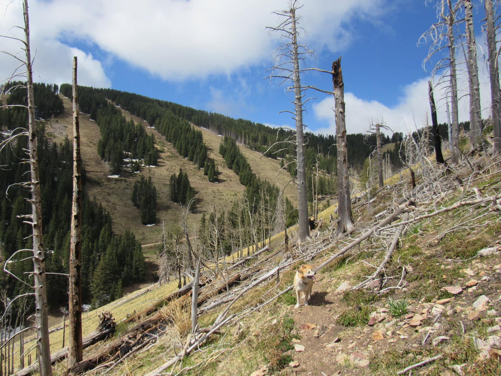
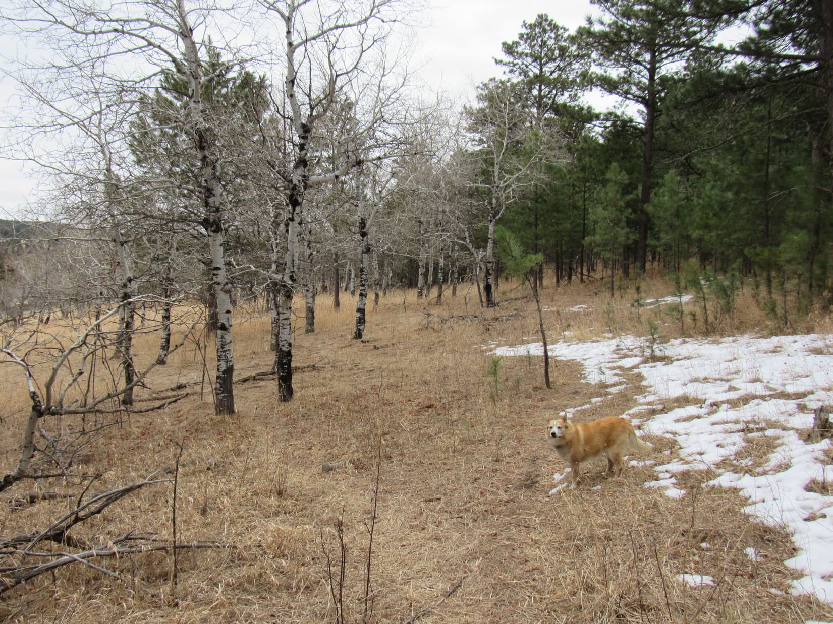
In any case, Lupe was happy as she set out, following the road W.  Past a row of pines, the road curved S heading for a gate at the E end of a low ridge.  Simply bypassing the gate, since no fence was on either side, Loop soon reached a meadow on top of the rise beyond it.  The terrain rose to the W, but Mount Wheaton didn’t look like much from here.

Rounding the first curve. Photo looks SW.
At the gate. Photo looks S.
In the meadow. Photo looks WNW.

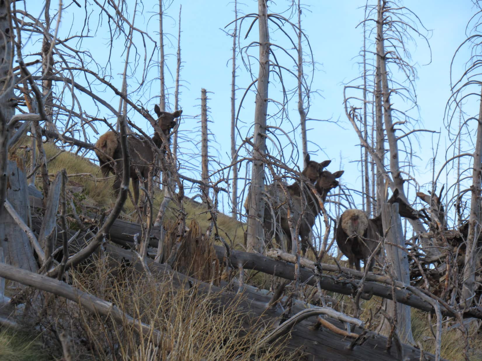
Abandoning the road, Loopster crossed the meadow.  Upon entering the forest she came across a path going W, and was excited to see several deer fleeing through the trees.

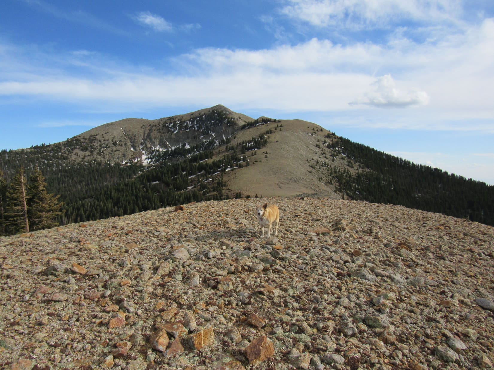
A hill soon appeared ahead.  An easy climb got Lupe to a rounded ridge running E/W.  An old log at the E end was oriented the same direction.  Only marginally higher, the highest ground proved to be between the log and a line of rocks 200 feet farther W.

Approaching the hill. Photo looks WSW.
On the old log at the E end of the ridgeline. Photo looks WNW.
At the line of rocks toward the W end. Photo looks WNW.

Looking ahead, the terrain sloped away.

Is this all there is to Mount Wheaton, SPHP?  I was hoping for more!

Seems rather skimpy to me, too, Loop, and I wasn’t expecting all that much to begin with.  Let me check the topo map.

The map insisted that there actually was more to Mount Wheaton.  Lupe had only reached the E high point.  The summit was a little farther and 100 feet higher at the W end of the next ridge.  SPHP encouraged the American Dingo to keep going.

A minor dip quickly led to the next rise.  Climbing from the E, Lupe saw red “W’s” on several trees.  “W” for Wheaton?  Seemed entirely possible.

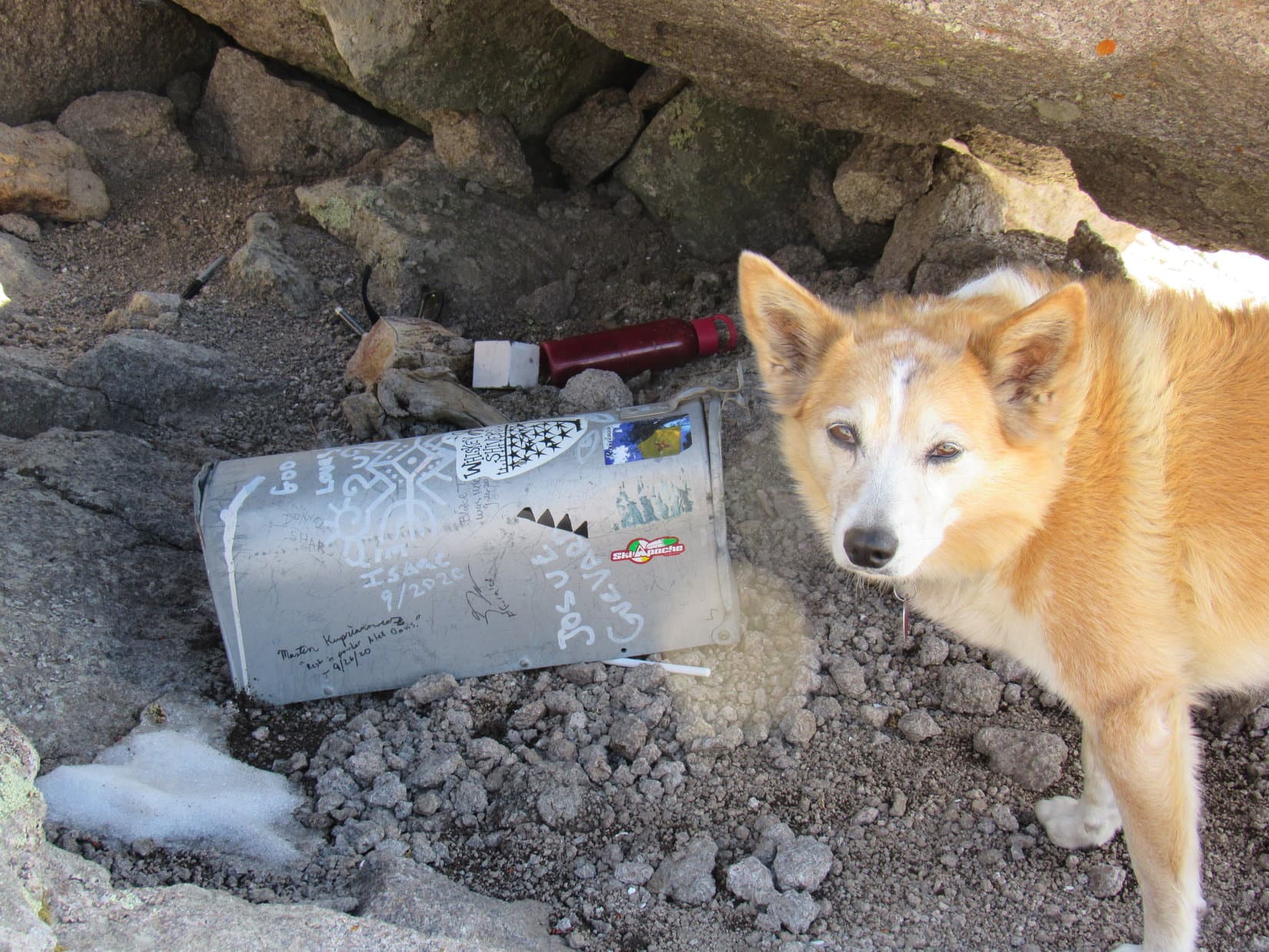
100 feet isn’t much.  The terrain soon began to level out.  Beyond a few rocks, Loop made an interesting discovery.  Part of a deer leg was laying on a bed of pine needles.  No sign of the rest of the deer.

Stay alert, SPHP!  Maybe it’s “W” for were-wolves?

Climbing the W ridge. Photo looks SW.
Getting close to where the terrain levels out. Photo looks WNW.
The disembodied deer leg.

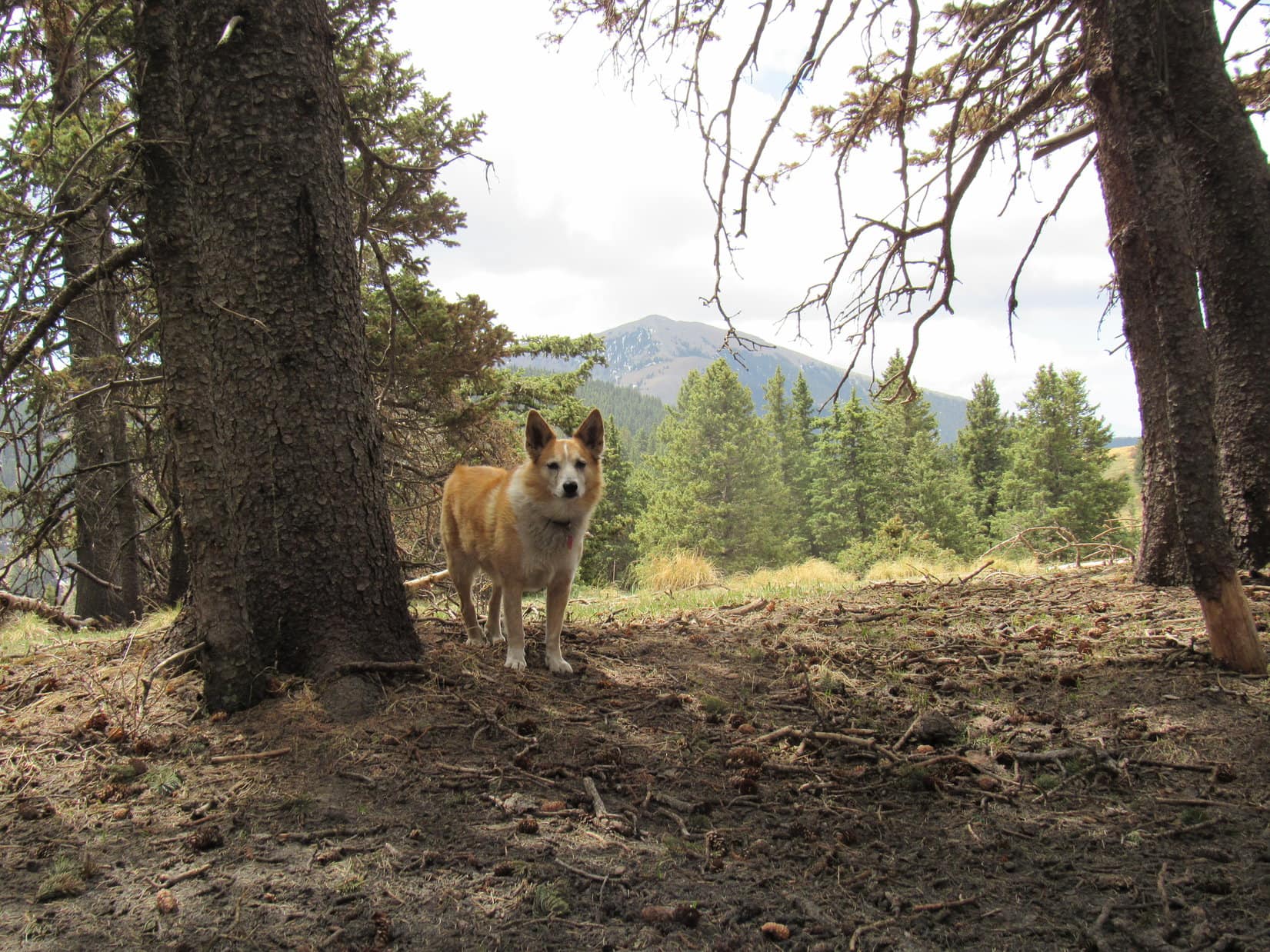
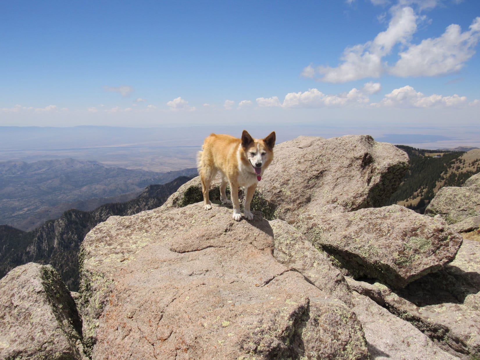
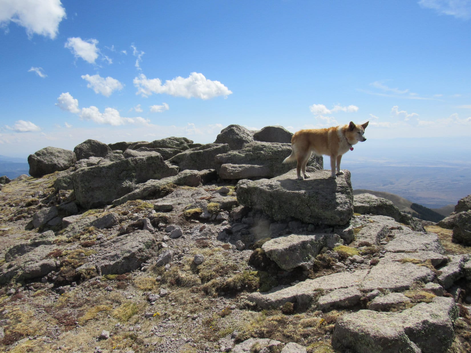
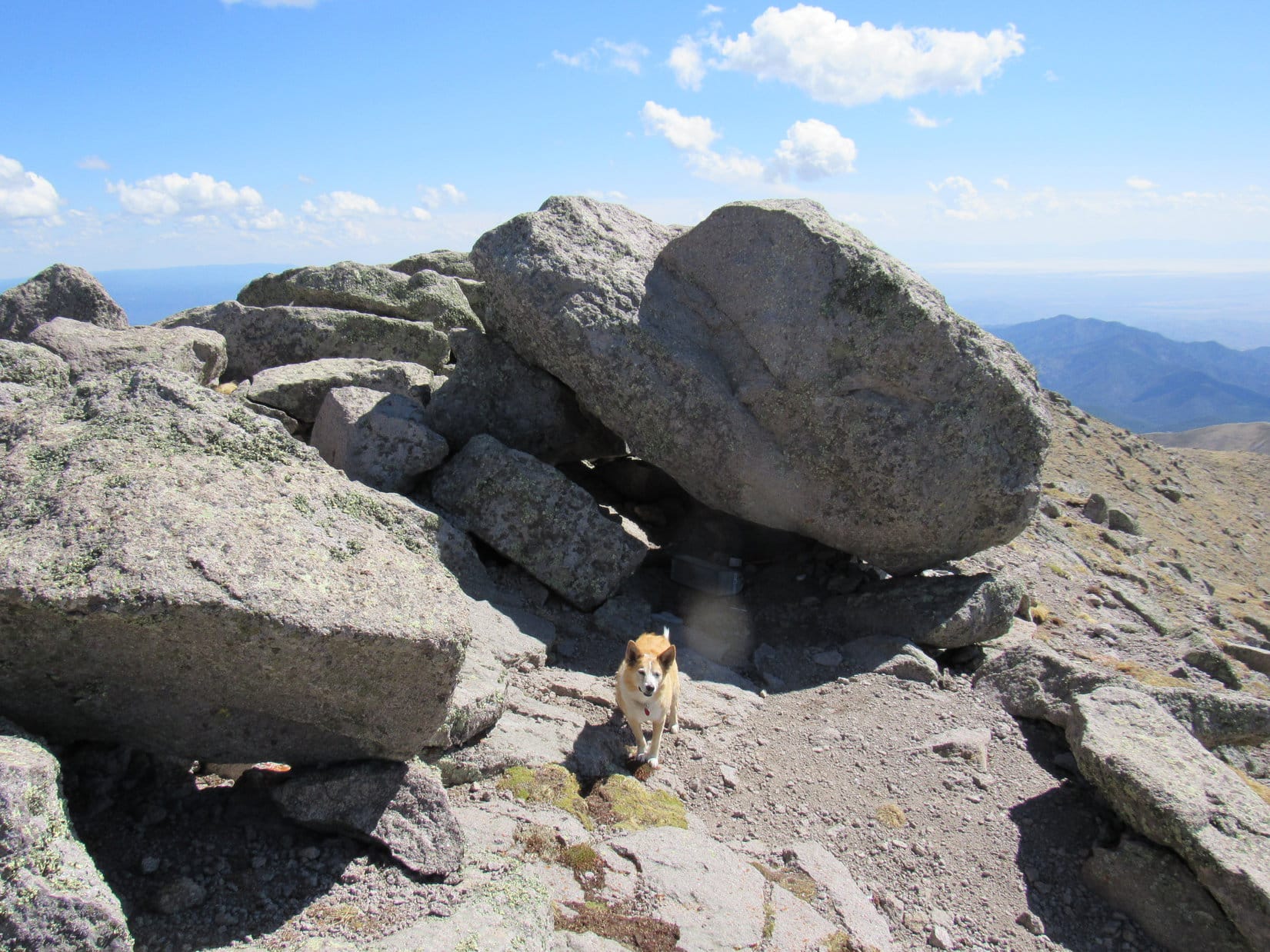
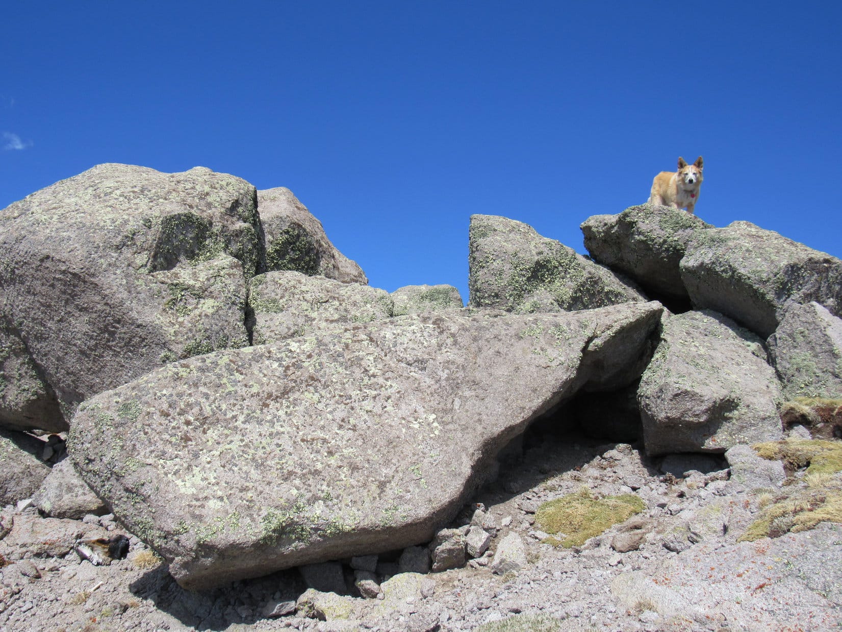
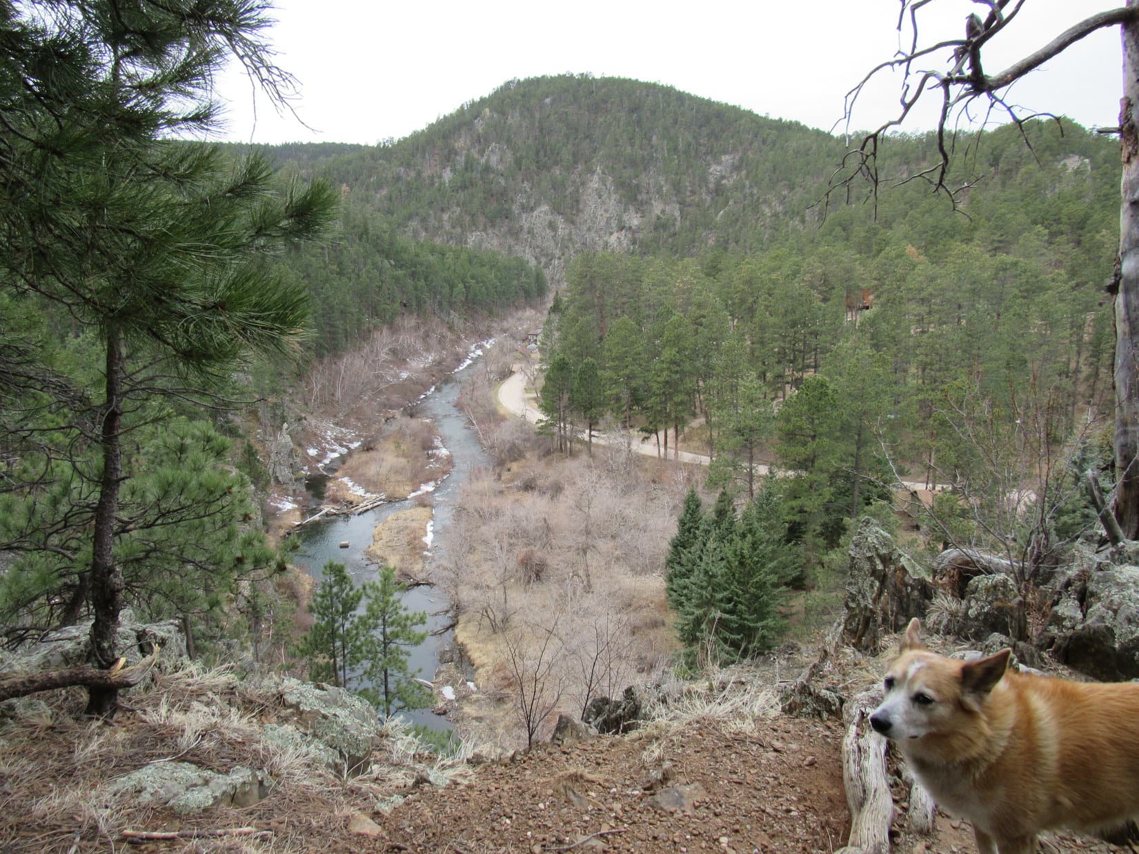
Mount Wheaton’s true summit wasn’t much farther, some high ground at the W end of the ridge.  A big cairn sat near the SW edge.

Mount Wheaton’s summit. Photo looks SW.
Nothing says success like standing on the summit cairn! Photo looks SW.

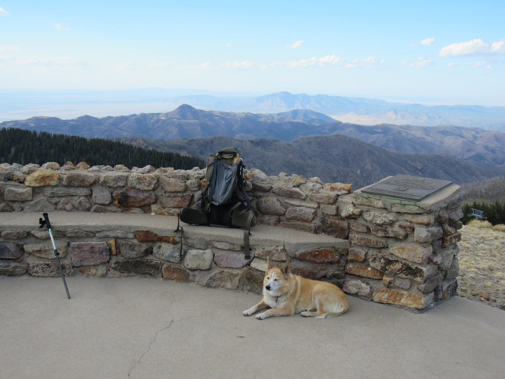
Mount Wheaton (4,600 ft.) wasn’t all that heavily forested, but enough trees were present to obscure the views in almost every direction.  By moving around a bit, it was possible to at least catch a few glimpses of what was out there.  Nearby Tomaha Point (4,700 ft.) and more distant Boulder Hill (5,331 ft.) and Silver Mountain (5,405 ft.) were visible to the S.  A better look at Commissary Point (4,598 ft.) was to the SE.

Disappointingly, there was no view of Thrall Mountain (5,091 ft.) at all.

Tomaha Point (L), Boulder Hill (Center) and Silver Mountain (R). Photo looks S with help from the telephoto lens.
Commissary Point (L). Photo looks SE with help from the telephoto lens.

And that seemed to be about it for Mount Wheaton.  Loopster left the summit retracing her route along the ridge.

Leaving Mount Wheaton. Photo looks E.

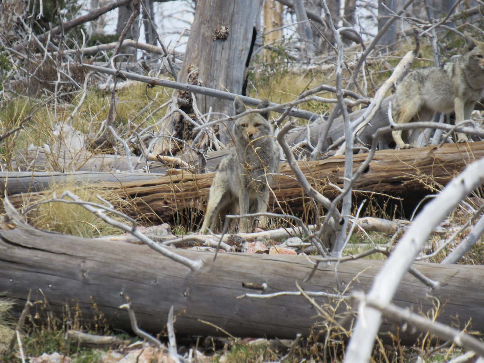
The American Dingo was already back down to the E high point when a man and a dog appeared, approaching from the E.  Lupe and SPHP met Duane and Rusty, a 6 year old Irish Setter who liked to carry big sticks and didn’t speak at all.  Duane did, though, and he had some interesting things to say.

Duane and Rusty live near Mount Wheaton, and enjoy a circular romp along some of the faint trails twice a day.  Rattlesnakes were in the area, and cougars, too!  That deer leg up on Mount Wheaton?  Yup, part of one of several recent cougar kills.  A year ago, Duane had seen a 4 foot rattler on this very same E high point.  Happily, too cold to have to worry about rattlers today.

The red “W’s on the trees did stand for Wheaton, and marked the course of the Mount Wheaton trail from the Wheaton College Summer Camp just N of the mountain.  If Lupe was interested in views, the best one was from the RazorBack Ridge trail, which led to a viewpoint overlooking Rapid Creek and ended at a sharp ridge SW of Mount Wheaton.

Well, why not?  Might as well take a look!  When Duane and Rusty went on their way, Lupe headed WNW down the Wheaton trail.

On the Wheaton trail.

Near a fence marking the Wheaton College Summer Camp’s S property line stood a tree with an “R” for RazorBack.  A sign with arrows pointed toward both Mount Wheaton and RazorBack Ridge.  The RazorBack Ridge trail followed a faint road SW.  “R’s” led over to cliffs overlooking Rapid Creek, just as Duane had said.  Thrall Mountain (5,091 ft.) was visible, too!

At the intersection where the Mount Wheaton and RazorBack Ridge trails part ways.
Rapid Creek (R) and Thrall Mountain (L of Center). Photo looks NW.
HP4815 (Center) beyond Rapid Creek. Photo looks SW.

Duane was right!  The view was worth the side trip.  However, what could be seen of RazorBack Ridge farther SW looked heavily forested.  Probably not much point in going all the way over there.

Lupe headed back up the RazorBack trail and part of the Wheaton trail.  Staying low, she explored another route Duane and Rusty had taken E.  It eventually led back to the meadow above the gate.  From there, it was a simple matter to follow the road back to the G6.  (11:10 AM, 32ºF)

On the Duane & Rusty route! Photo looks E.
Buzzards Roost (4,695 ft.) (Center) from the meadow. Photo looks SE.
Back at the gate. Photo looks N.

Mount Wheaton turned out to be fun, SPHP!  Except for one thing.

And what might that be Loop?

Not even 2 hours, and we’re back already!  Is that it?  Are we done?

Hah!  Not by a long shot!  Got 3 more Lists of John peaks for you today, but they are strung out so far from each other that we’ve got to drive to each one.  Almost like a mini Dingo Vacation!  A little early yet, but we’ve got to go through Rapid City on the way to the next one, so we’ll stop for lunch, then continue on to Peak 4516.

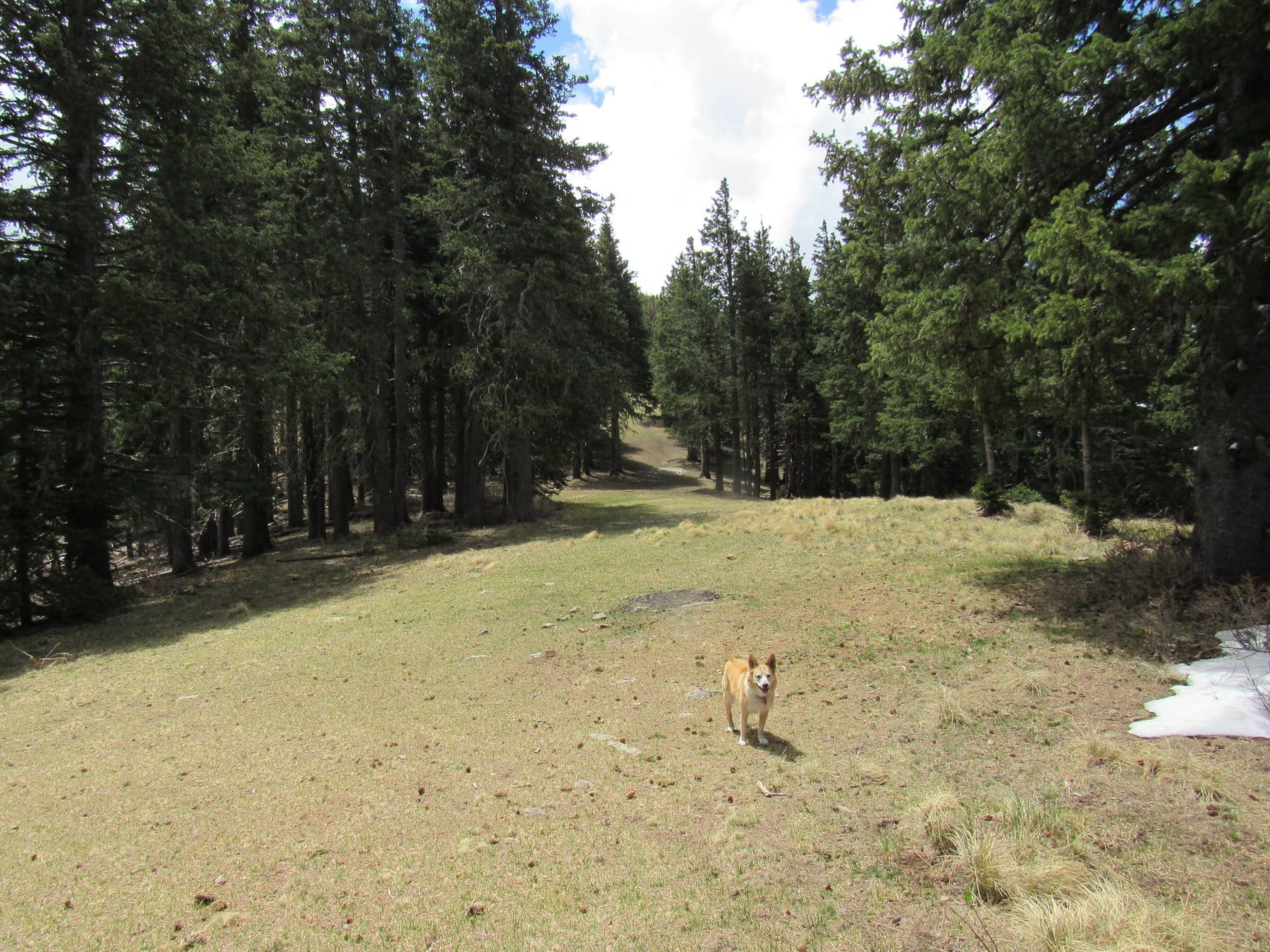
12:26 PM, 35ºF, Victoria Lake Road – A circular pullout on the R provided ample space to park the G6 shortly after leaving Sheridan Lake Road.  Still cloudy and cool, but a few little patches of blue sky were beginning to appear.  A trail the Carolina Dog had explored more than once what now seemed like ages ago, went NW up a short, gentle rise to a meadow.

Another super easy one, Looper!  Peak 4516 is only 0.5 mile away as the crow flies, a bit longer the way we’ll go.  Head for that slope!

The trailhead just off Victoria Lake Road. Photo looks N.
Top of the rise. Loop left the trail here to climb the slope beyond her. Photo looks NE.

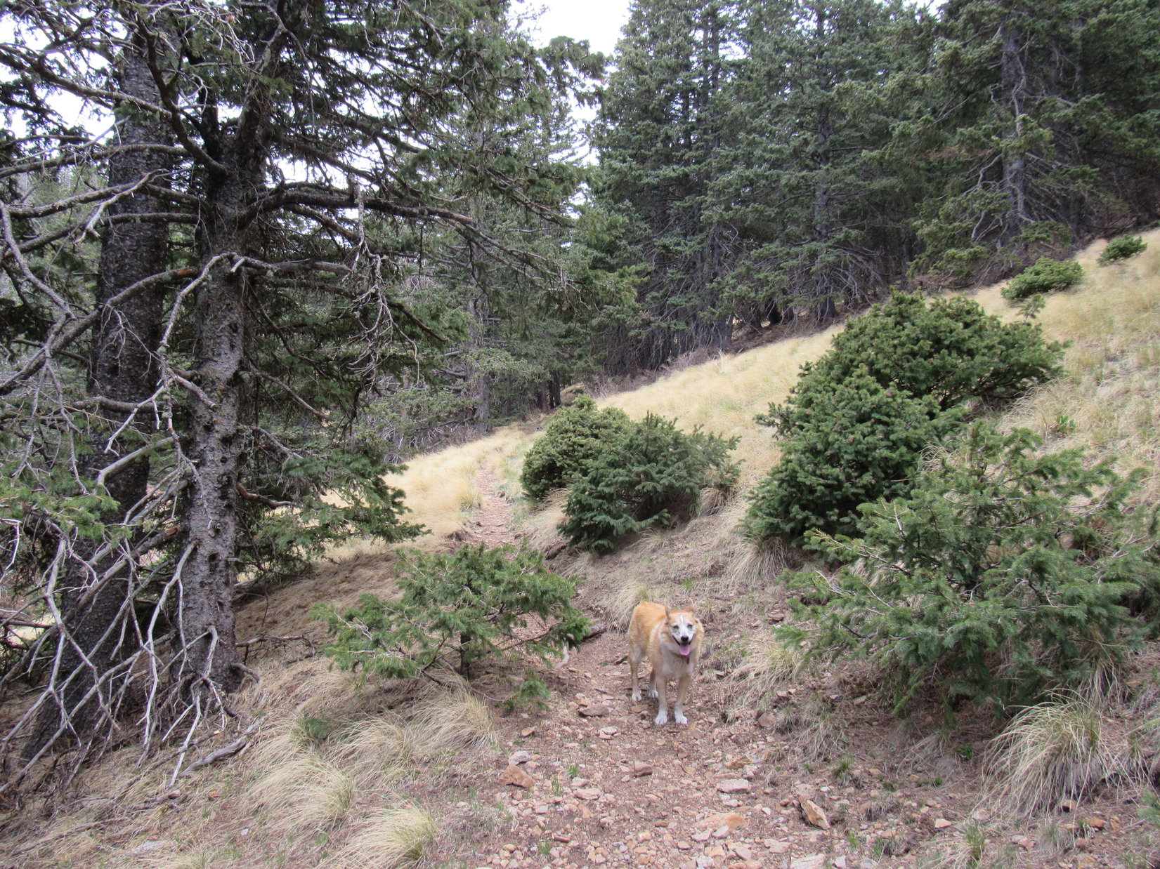
Much to SPHP’s surprise, Lupe almost immediately discovered a trail that wound up the slope to the NE.  This trail took her around the W end of a little ridge, passing a limestone formation on the way, then headed NE up the ravine S of Peak 4516.  The bottom of the ravine was kind of a mess, but the trail was clear.  A squirrel provided a few shrill moments of entertainment.

On the newly discovered trail. Photo looks NW.
Up on the limestone. Photo looks NNE.
In the ravine. Photo looks NE.

After crossing the bottom of the ravine, the trail merged with another one.  Lupe continued NE only a little way before turning N up a shallow, forested drainage.  A steeper climb led to yet another trail on the S side of a rounded hill.

That must be Peak 4516, SPHP!  We’re almost there!

Sure enough!  Looper was soon posing on the small chunk of limestone constituting the true summit.

In the valley S of Peak 4516. Photo looks NNE.
Approaching the summit from the SE. Photo looks NW.
Peak 4516 true summit! Photo looks NW.
Another view. Photo looks SW.

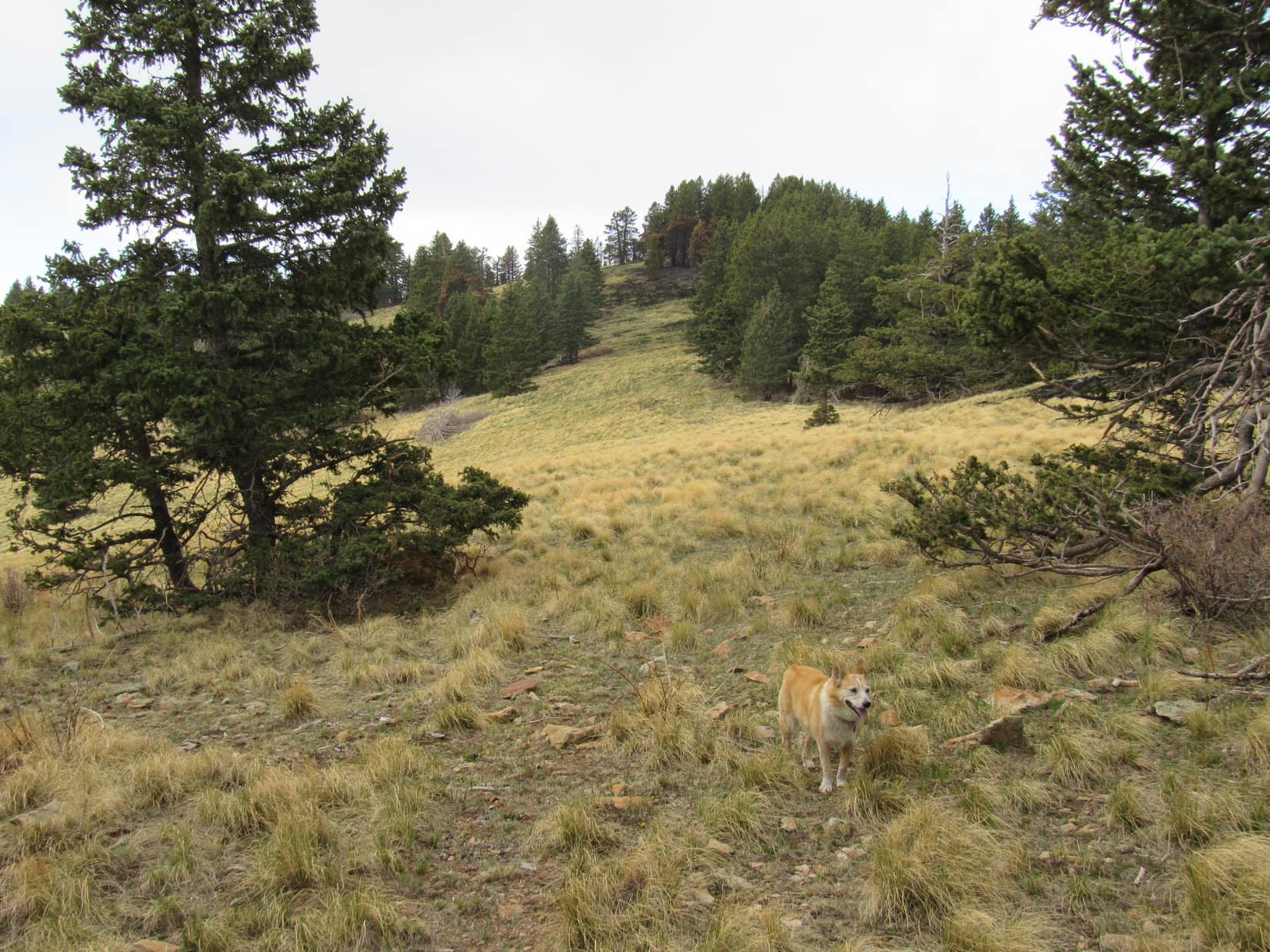
On the way back, Lupe took an even shorter route, exploring Peak 4516’s SW ridge before heading S right on back down to the trail in the ravine.

Exploring Peak 4516’s SW ridge. Photo looks SW.

Fun, but not even an hour for that one.  You’re going soft on me, SPHP!

Not entirely, Looper.  The next peak is going to be tougher.

1:32 PM, 38ºF, Spring Creek Picnic Area along Sheridan Lake Road – Sunny skies now!  The morning’s dreariness had departed, but still cool for the middle of April.  Before setting off for Peak 5171, Lupe helped herself to a drink, then sniffed along the edge of Spring Creek.

The Spring Creek Picnic Area is 0.5 mile due S of Peak 5171.
By Spring Creek.

What’cha think, Loop?  Long, scenic way up, or the short route?

Can we take the short route up, and the long way back, SPHP?  That way we’ll get to see it all.

Sounds like a plan.  Onward!  Puppy, ho!

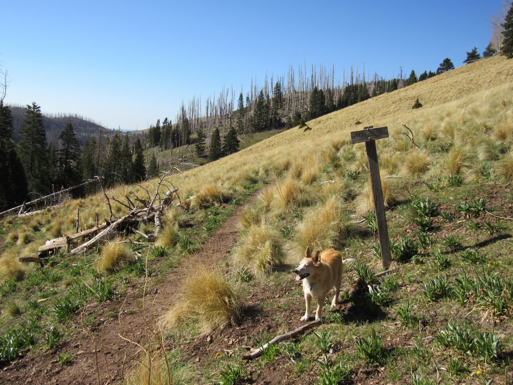
Lupe headed W on Sheridan Lake Road.  No traffic, since it was closed not far from here due to construction.  Upon reaching the mouth of the valley SW of Peak 5171, Loop left the pavement.  A brown wand for Trail No. 6710 stood next to a dirt road.

By the Trail No. 6710 wand. Photo looks NW.

A road!  Guess this is going to be easier than I thought, Looper!

Luck of the Dingo, SPHP!

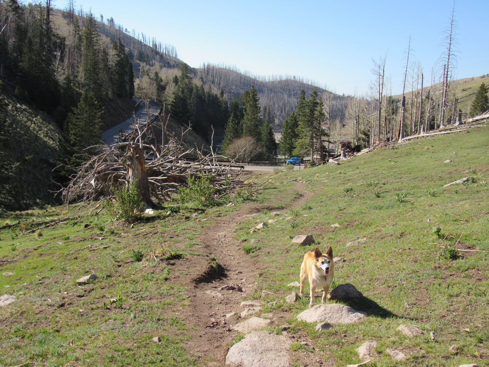
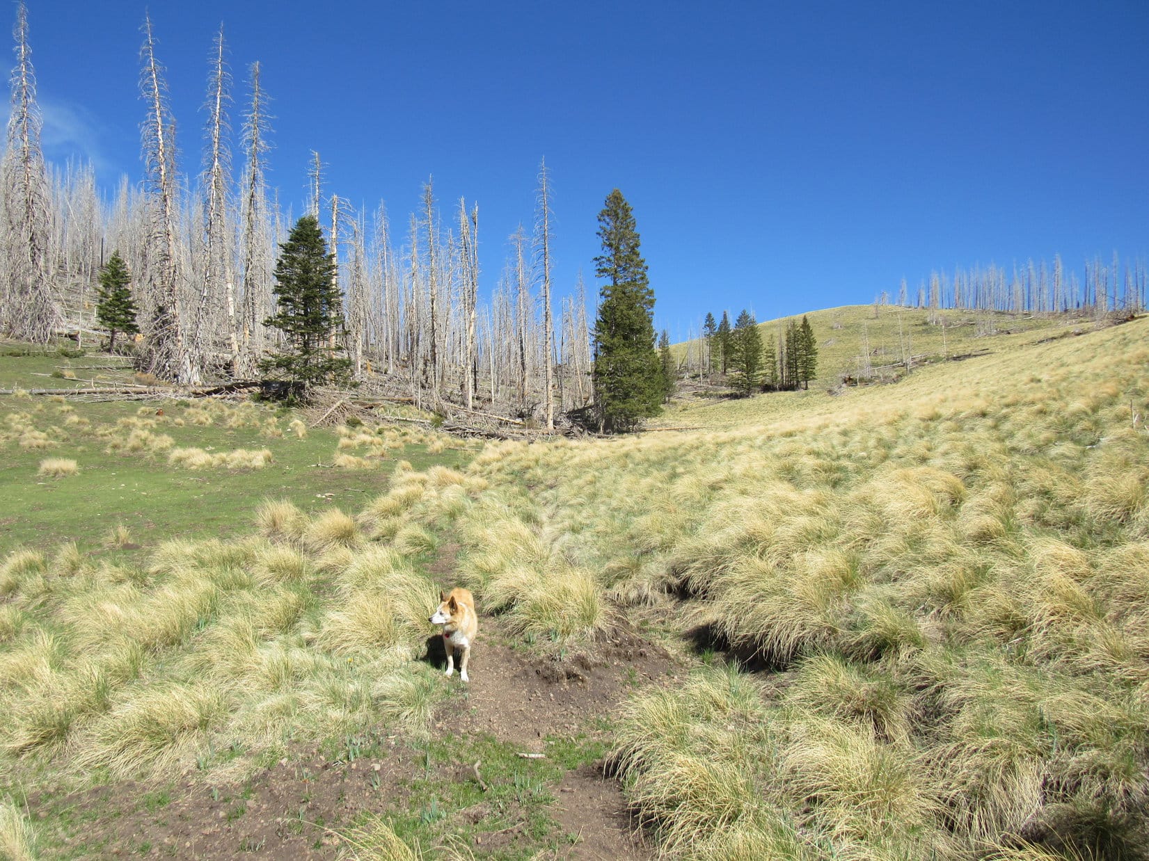
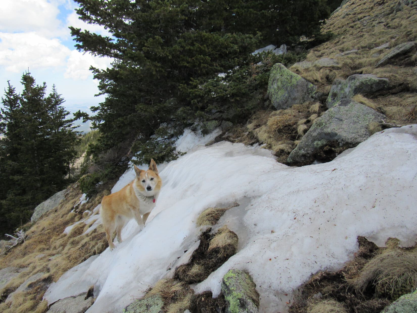
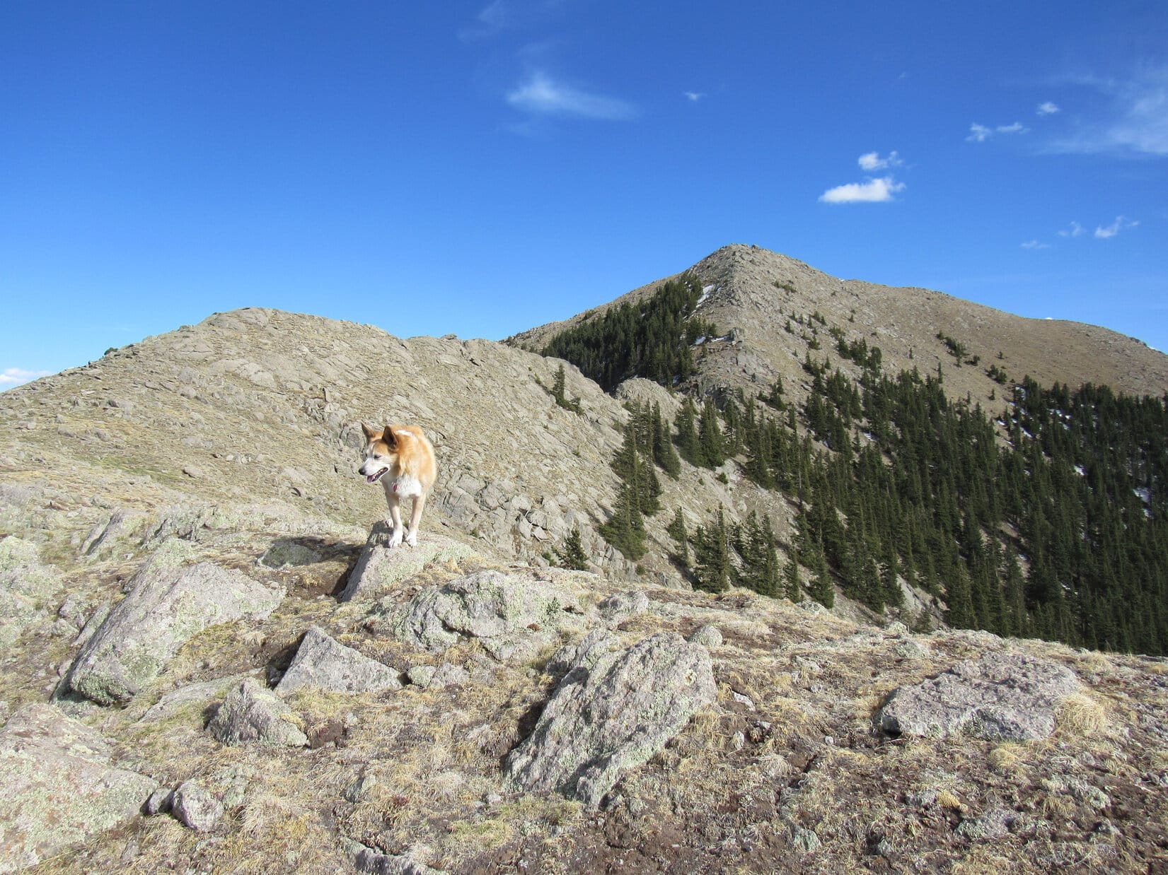
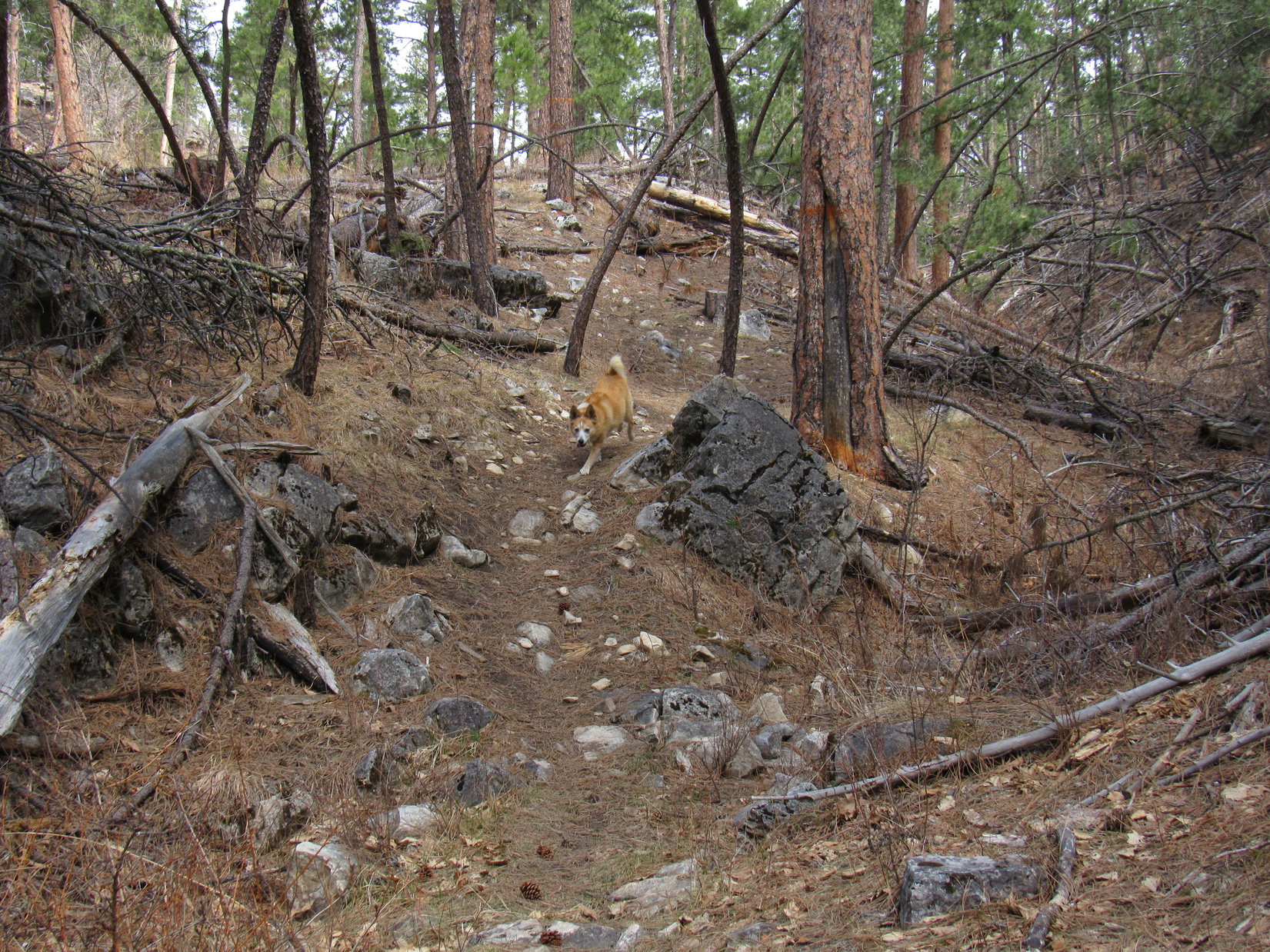
The road soon vanished, but a single track trail did go up the valley.  Eh, just as good!  No. 6710 quickly became quite steep, but eventually got easier.  Not much to see except trees.  After a 0.67 mile climb NW, the trail entered a more open region and curved NE.  Having already gained 500 feet of elevation, Lupe reached a broad saddle on Peak 5171’s NW ridge.  SPHP paused, taking a breather near a rock formation.

By the single track wand, only a little beyond the Trail No. 6710 one. Photo looks NNW.
Waiting on SPHP at the saddle NW of Peak 5171. Photo looks S.

A little more to Peak 5171 than Mount Wheaton or Peak 4516, isn’t there, Looper?

Most definitely!  I like it!  How much farther, SPHP?

Oh, not that much, maybe 0.4 mile and another 270 feet higher?

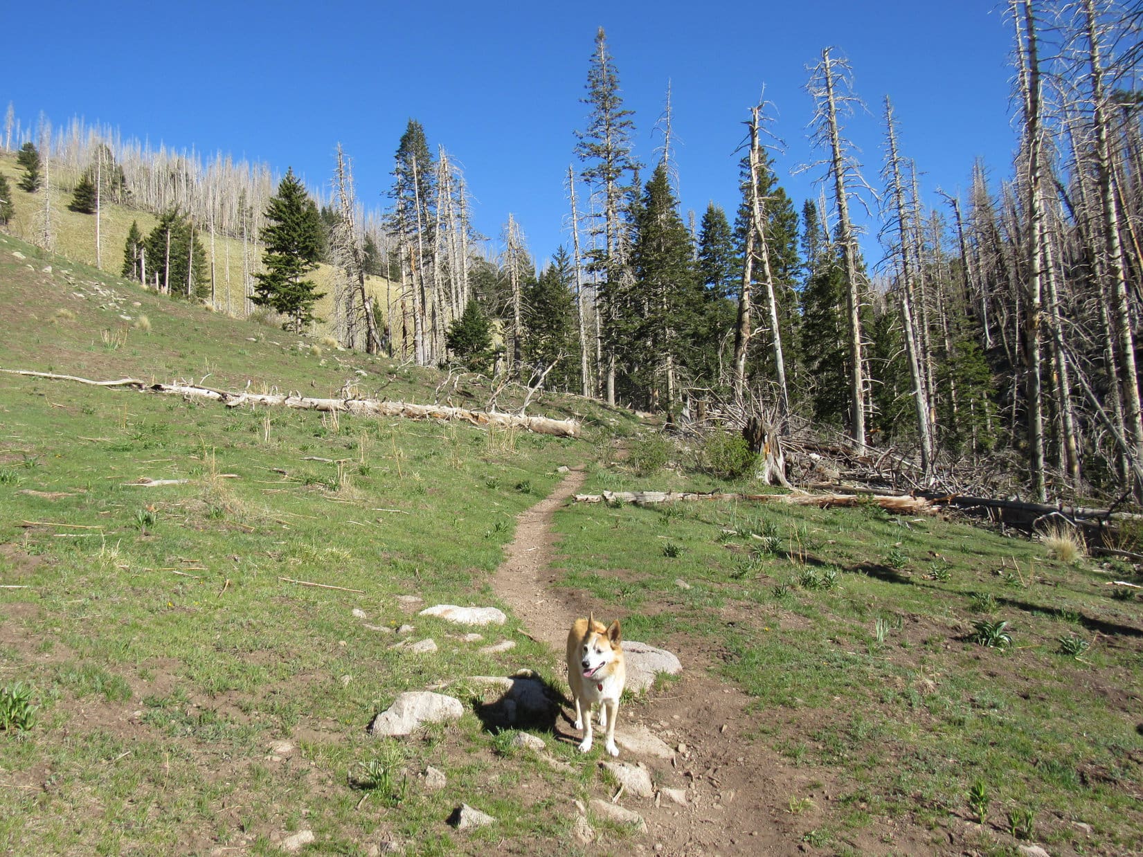
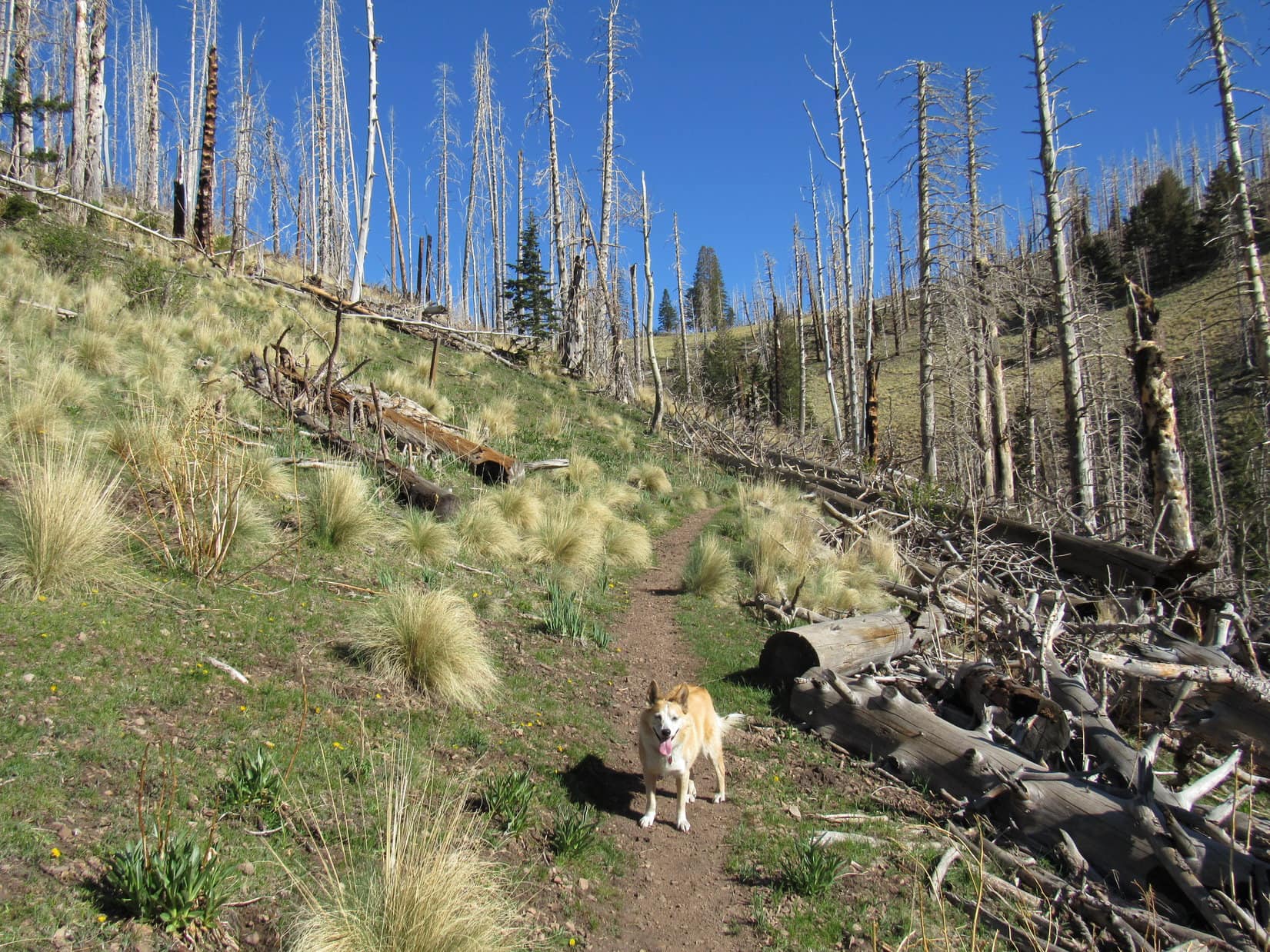
As soon as SPHP was ready, the Carolina Dog kept going.  A gentle slope led up into a dense forest.  Fortunately, the trees didn’t have many low branches to interfere with SPHP’s progress.  As the slope steepened, Lupe passed several rock formations.  No difficulties with them, either.

Heading into the dense forest. Photo looks ESE.

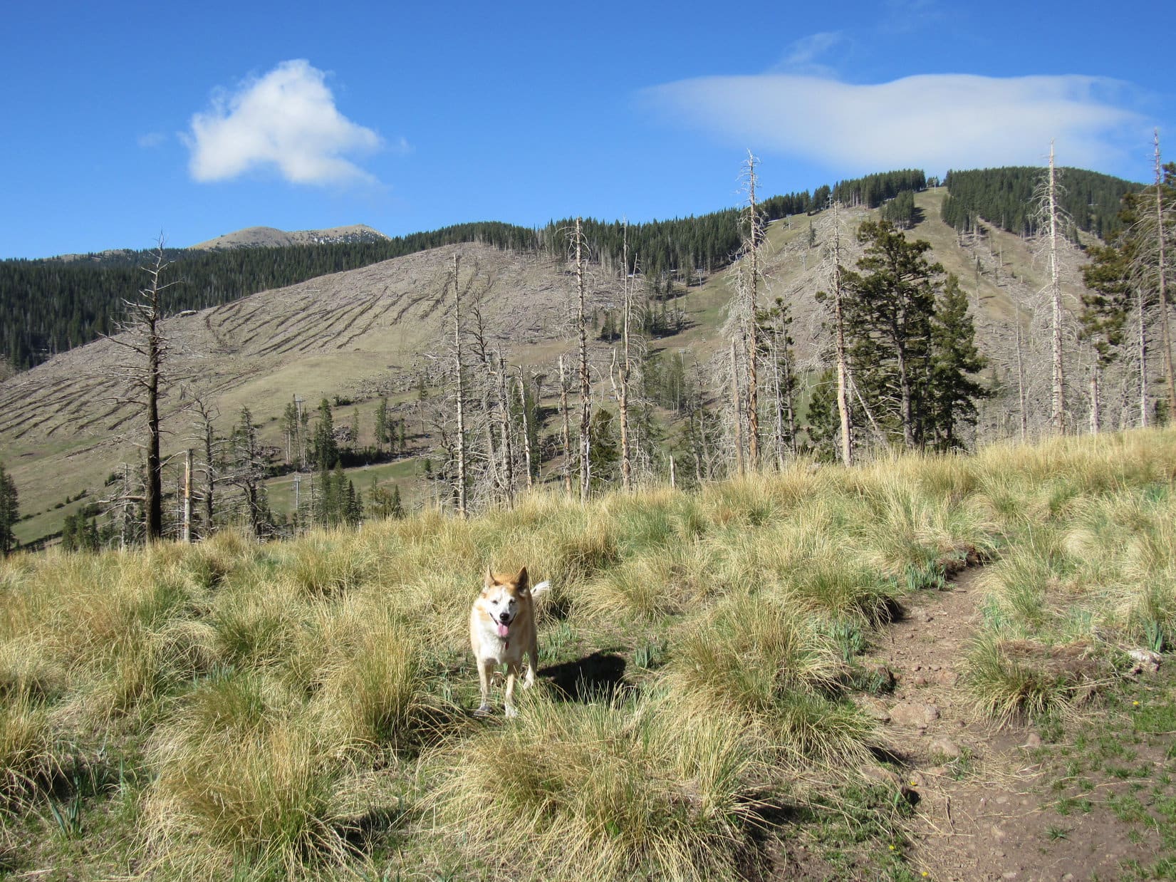
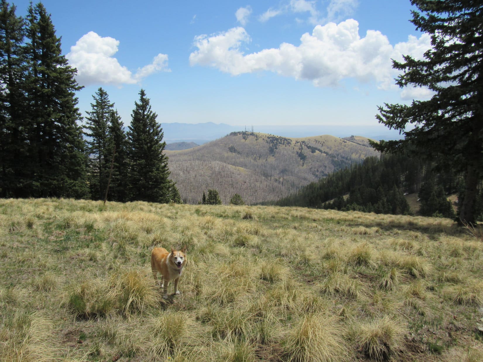
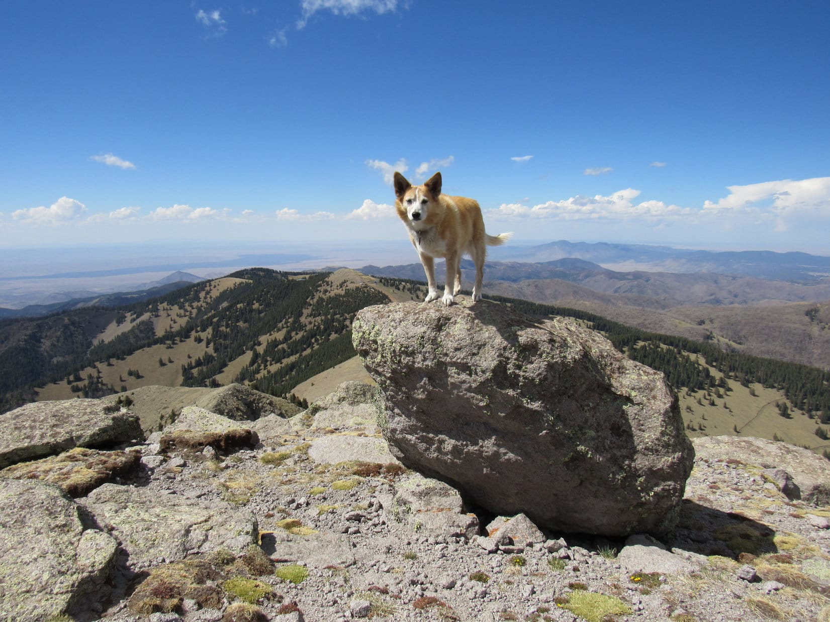
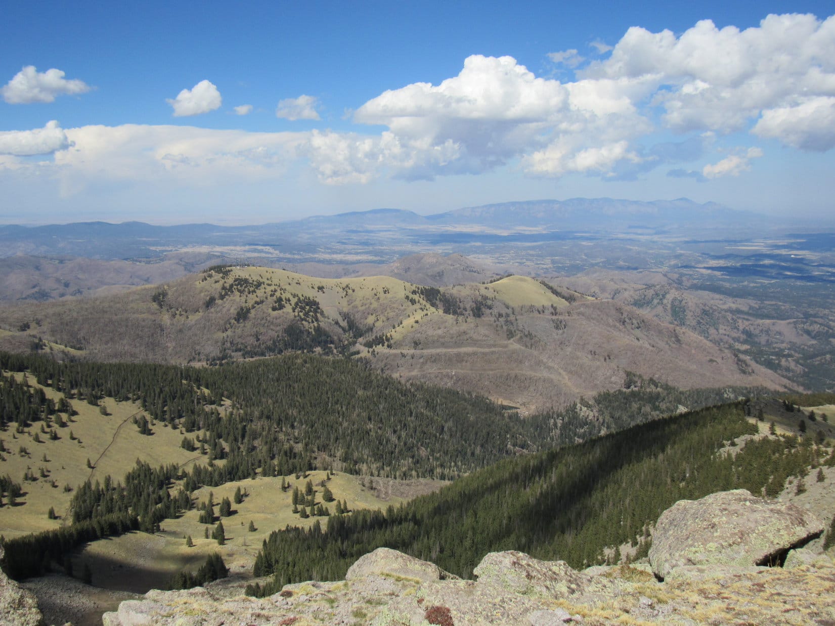
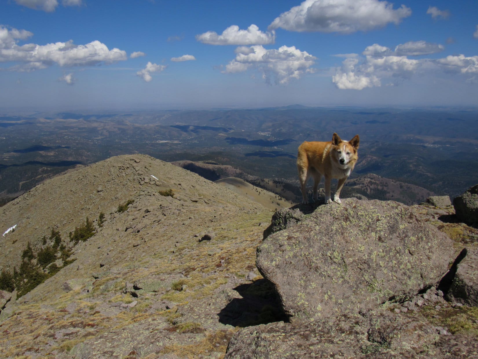
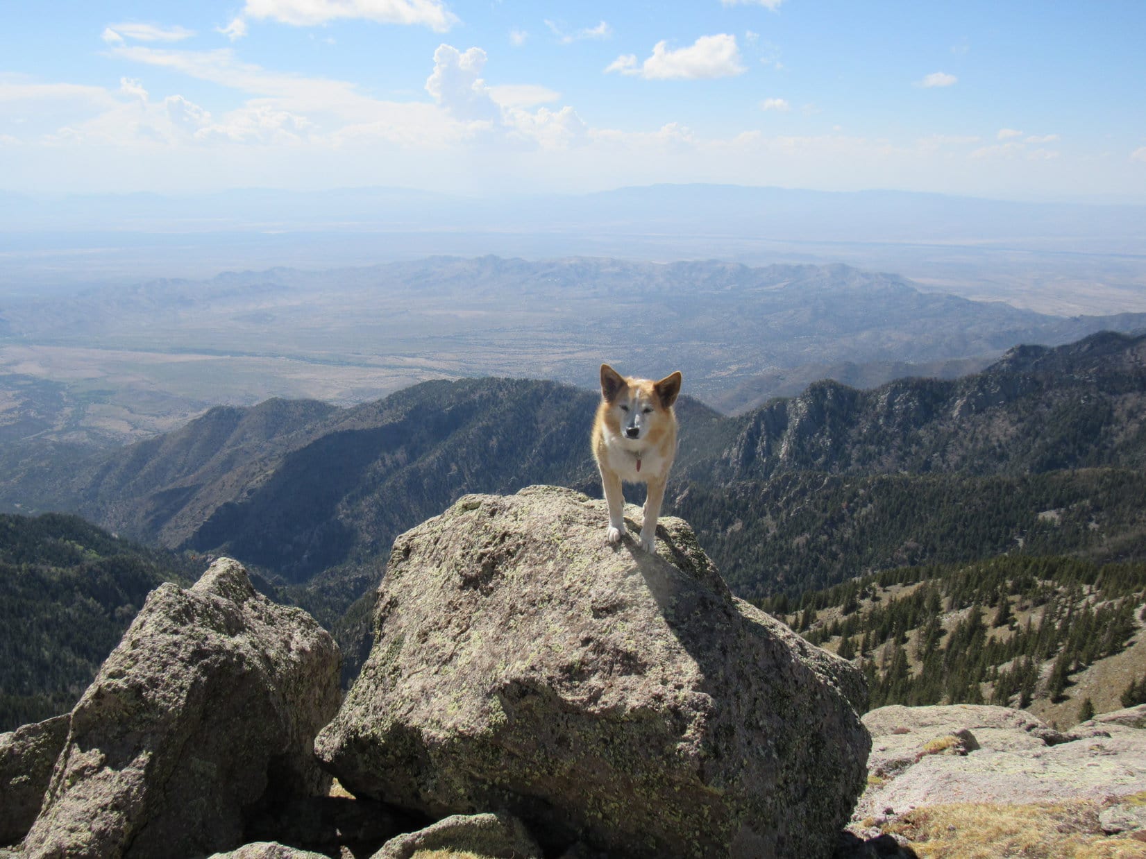
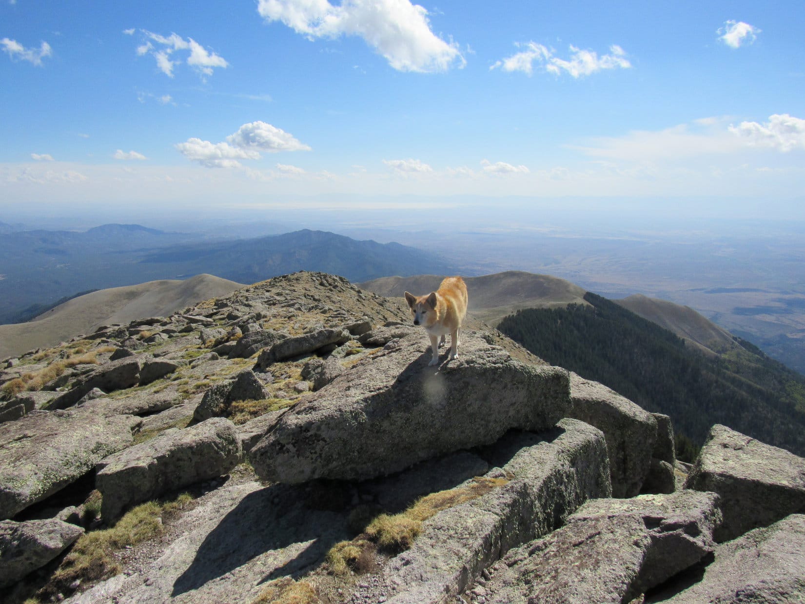
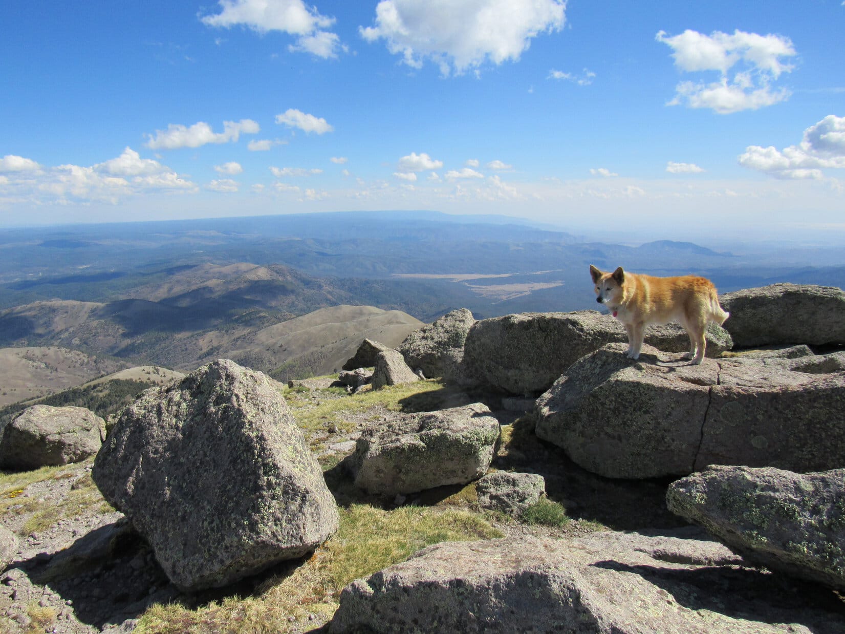
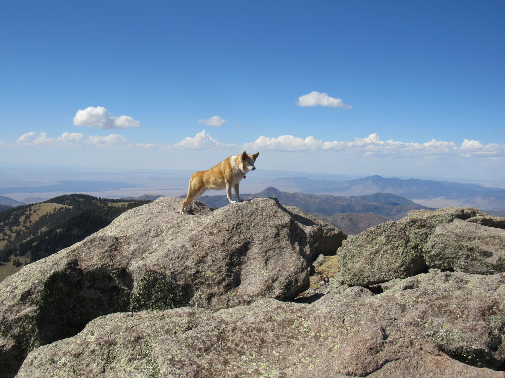
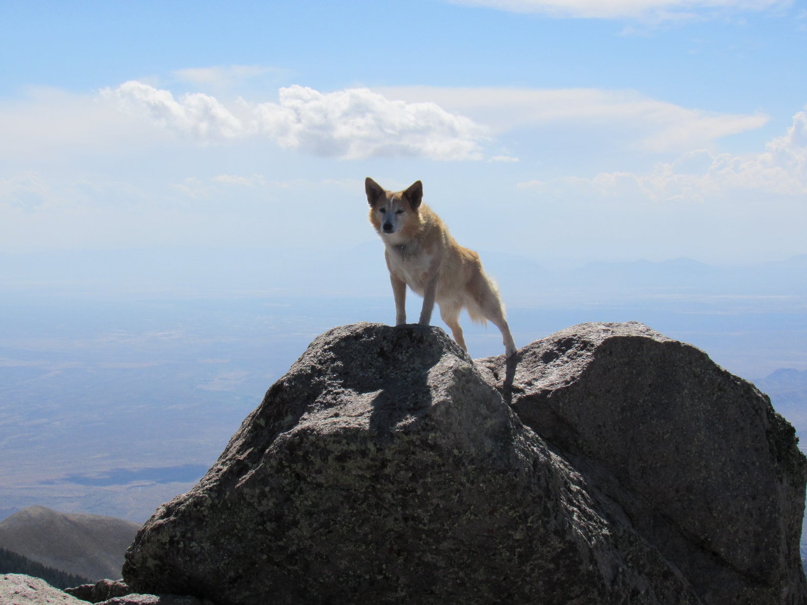
2:31 PM, 40ºF, Peak 5171 – Peak 5171’s summit wasn’t as thickly forested as the NW ridge, but enough trees, including several gigantic Ponderosa pines, were up here to block the views in most directions.  High ground consisting of a rounded region covered with pine needles connected short S and E lobes.  The true summit proved to be a little rock next to a broken tree near the end of the S lobe.

Peak 5171’s summit region. Photo looks W from the E lobe.
By the broken tree at the true summit. Photo looks SE.
On the highest rock. Photo looks S.

Time for a break!  The best views were toward the E or S, so Lupe and SPHP hung out on the SE slope between the S and E lobes.  Would have had a panoramic view if not for a single monstrous Ponderosa pine that towered up right smack in the center of the field of vision.

Any good news in that pack, SPHP?

As a matter of fact, there is, Loopster!  Care for a chocolate coconut bar?  Think we’ve earned one this time.

Ask a silly question, and a chocolate coconut bar blinks out of existence.  A little warmer would have been even better, but it was pretty nice up on Peak 5171.  Lupe curled up on SPHP’s lap, and for a while nothing happened.  Some kind of a huge bird circled lazily on the breeze before gliding away.  A turkey vulture?  Hard to say, it never got that close.

Lupe ventured over to a rock formation just to the E that looked like a decent vantage point.

HP4972 (far R). Photo looks SE.

How’s the view from there, Loop?

Good, but that colossal tree still messes it up.

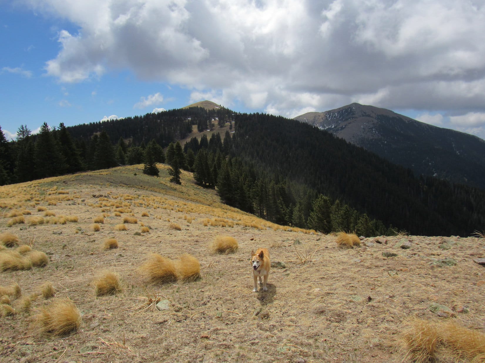
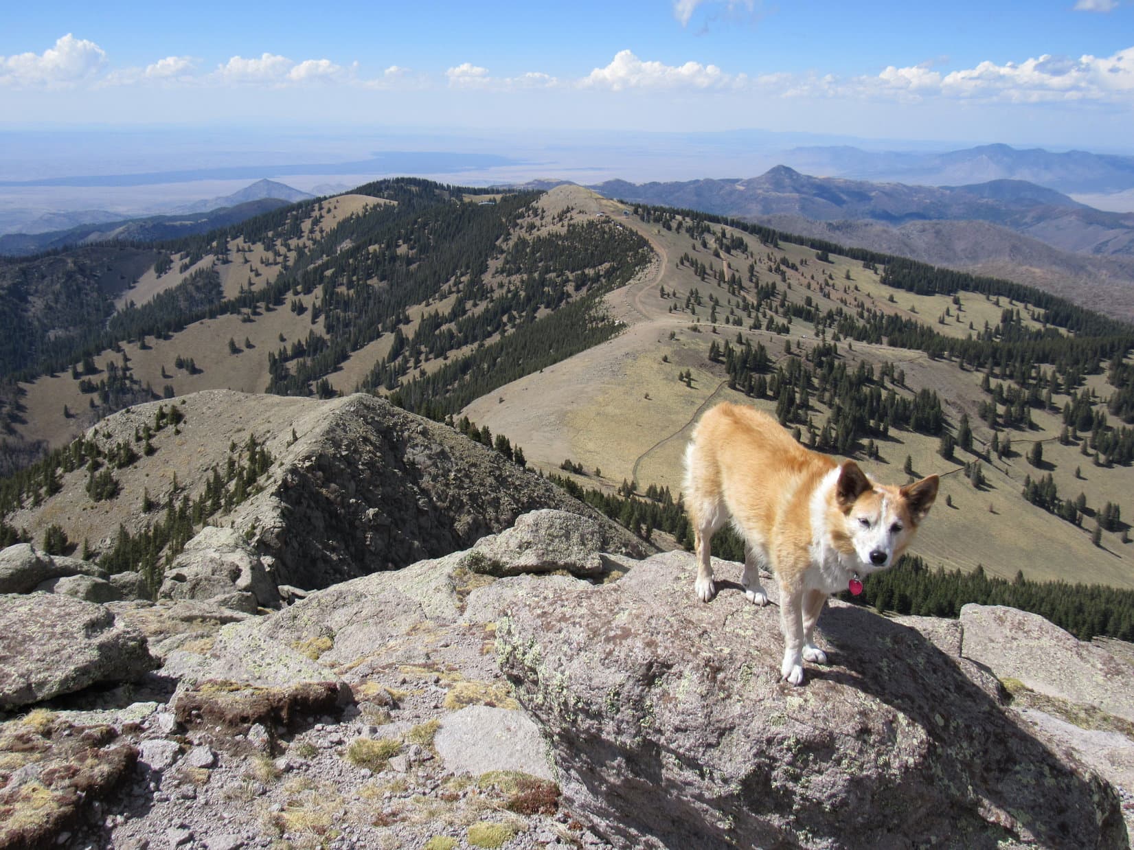
Peak 5171 is one of those summits where you have to move around some if you want to get a semi-clear look at the best the mountain has to offer.  Boulder Hill (5,331 ft.) and Silver Mountain (5,405 ft.) had both been visible from Mount Wheaton, but Peak 5171 was much closer to them.  The telephoto lens revealed more detail.

Silver Mountain (Center) beyond Baker Park. Photo looks SSE.
Another look with help from the telephoto lens.
Boulder Hill (L) and Silver Mountain (R). Photo looks SSE.

Part of the E end of Sheridan Lake was in sight.  The top of Peak 5200, which Lupe had visited not terribly long ago during her explorations of Flume Trail No. 50, could be seen as well.

Sheridan Lake (Center). Photo looks SW.
Sheridan Lake (L) and Peak 5200 (R, in the foreground). Photo looks SW with help from the telephoto lens.

Before her Peak 5171 tour was over, Lupe returned to the true summit and took in the views from a platform of rock nearby.

On the platform near the true summit. Photo looks SSW.

3:06 PM, 39ºF, Peak 5171 – 35 minutes gone!  Probably about as long as Lupe could stay up on Peak 5171, if she really intended to take the long way back and still hope to climb another mountain today.  SPHP grabbed the pack, and Loopster was on her way back down the NW ridge.

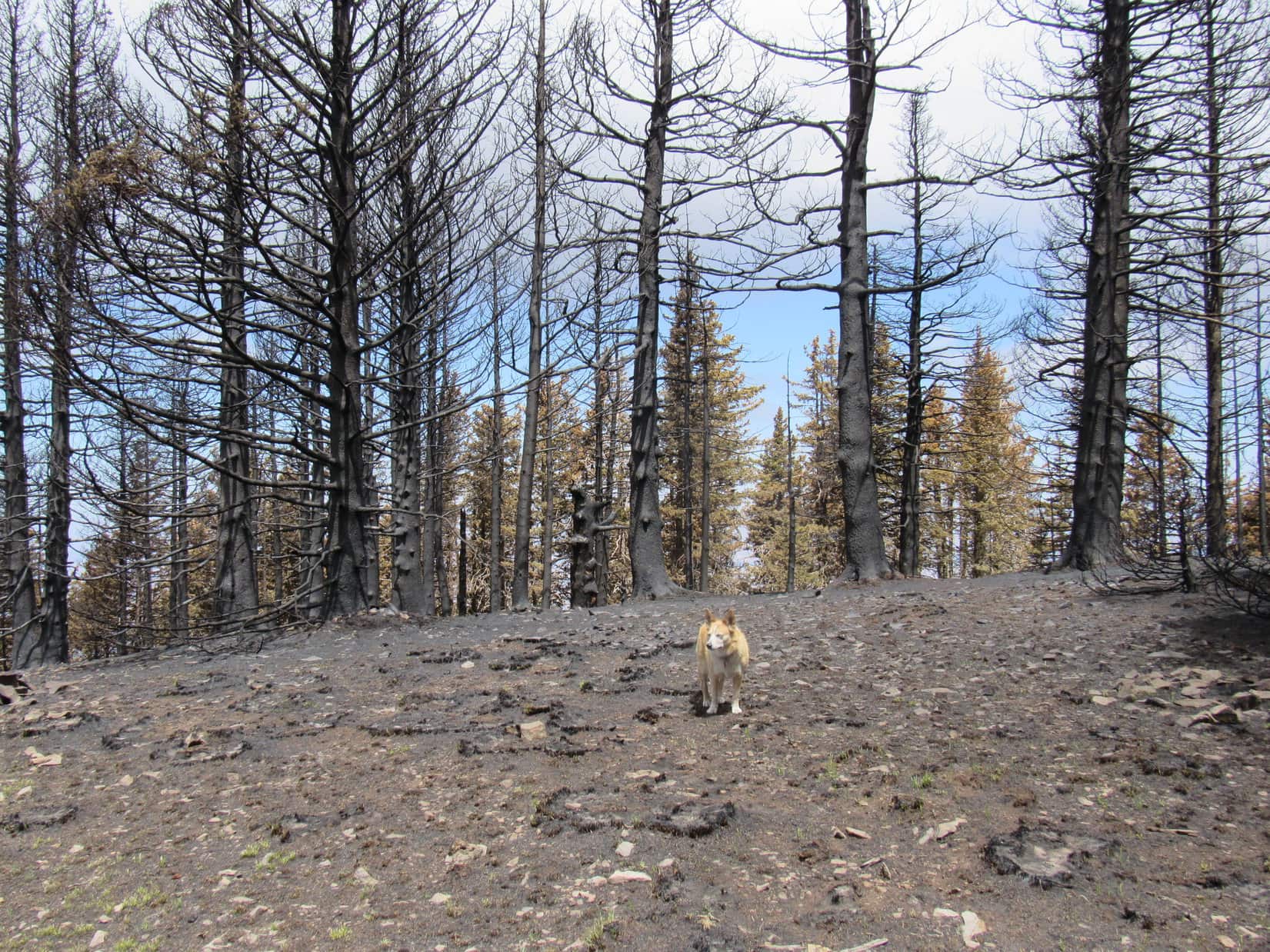
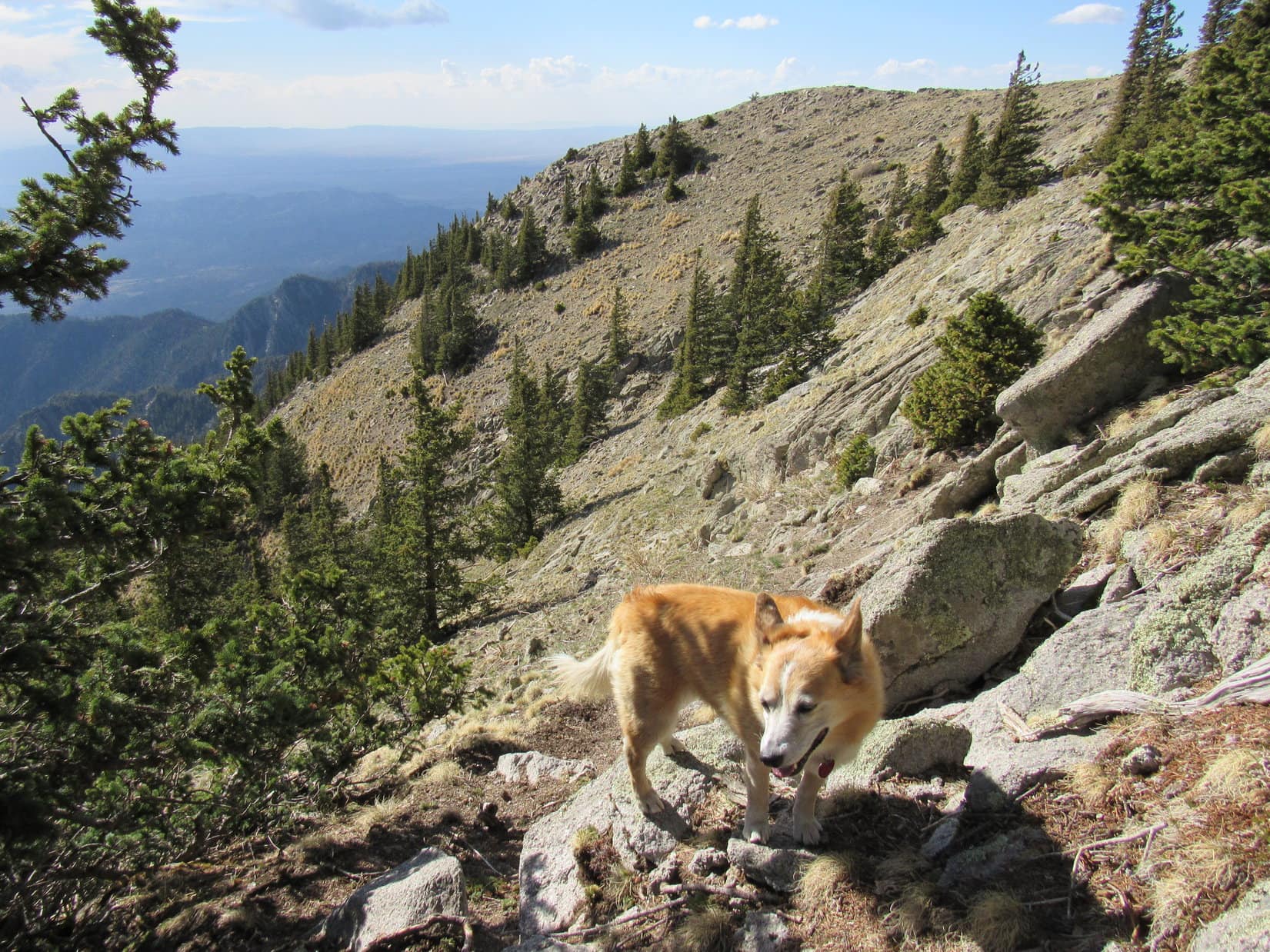
Loop abandoned her route up at the saddle where SPHP had taken the breather.  Here, she took a trail down the slope to the NE, but it soon shot off to the NW.  Lupe didn’t make the turn.  Instead she kept sniffing NE until she had wandered clear down to USFS Road No. 405.

N of Peak 5171 on USFS Road No. 405. Photo looks ENE.

No. 405 was scenic and gently downhill all the way, but also easily twice as long as the route Lupe had taken up Peak 5171.  The road wound clear around the E side of the mountain where the Carolina Dog went by the Balser Summer Home Group, a collection of nice older cabins.

Passing a Balser Summer Home Group cabin. Photo looks N.

Lupe was already close to Sheridan Lake Road by the time she reached USFS Road No. 405.1A, a more secluded route back to the Spring Creek Picnic Area.  No. 405.1A ended at a rocky slope, but by then the journey was nearly over.  (4:28 PM)

USFS Road No. 405.1A. Photo looks SW.

4:53 PM, 35ºF, Centennial Trail No. 89, Samelius Peak trailhead

Here?  We’ve been here lots of times, SPHP!

Yup!  But we’ve never climbed Peak 5741 before.  Today is the big day!

Fine with me!  Where is it?

Not too far, Looper.  It’s the peak NW of Samelius Peak (5,856 ft.)

Samelius Peak!  That’s where we had our interview with Michael Zimny of South Dakota Public Broadcasting last year!

Exactly!  So head N, if you’d like to do this.

This was a favorite area.  Didn’t have to tell the American Dingo twice.  Lupe went around the gate and headed up USFS Road No. 531.  Wasn’t long before the S end of Peak 5741 came into sight.

At the Samelius Peak trailhead of Centennial Trail No. 89.
About to set out on USFS Road No. 531. Photo looks NW.
Peak 5741 (L). Photo looks N.

Instead of heading straight for the mountain, Looper stuck with No. 531 until she got to the saddle NNW of Samelias Peak.  Here she left the road, gradually climbing NW through the forest along the S side of a ridge.  It wasn’t far at all to a bit of a view down Joe Dollar Gulch.

Looking NNW over Joe Dollar Gulch.

From this viewpoint, Lupe turned SW, crossing a minor saddle that led to a fairly steep climb among deadfall and patches of snow.  Every now and then there were glimpses of Samelius Peak (5,856 ft.) off to the SE.

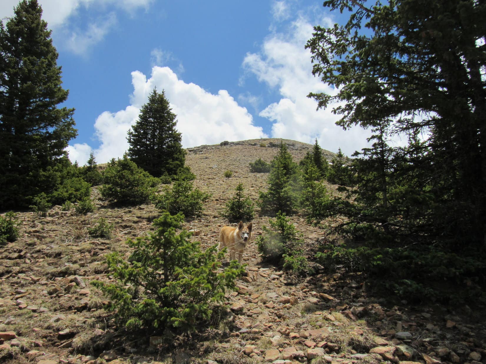
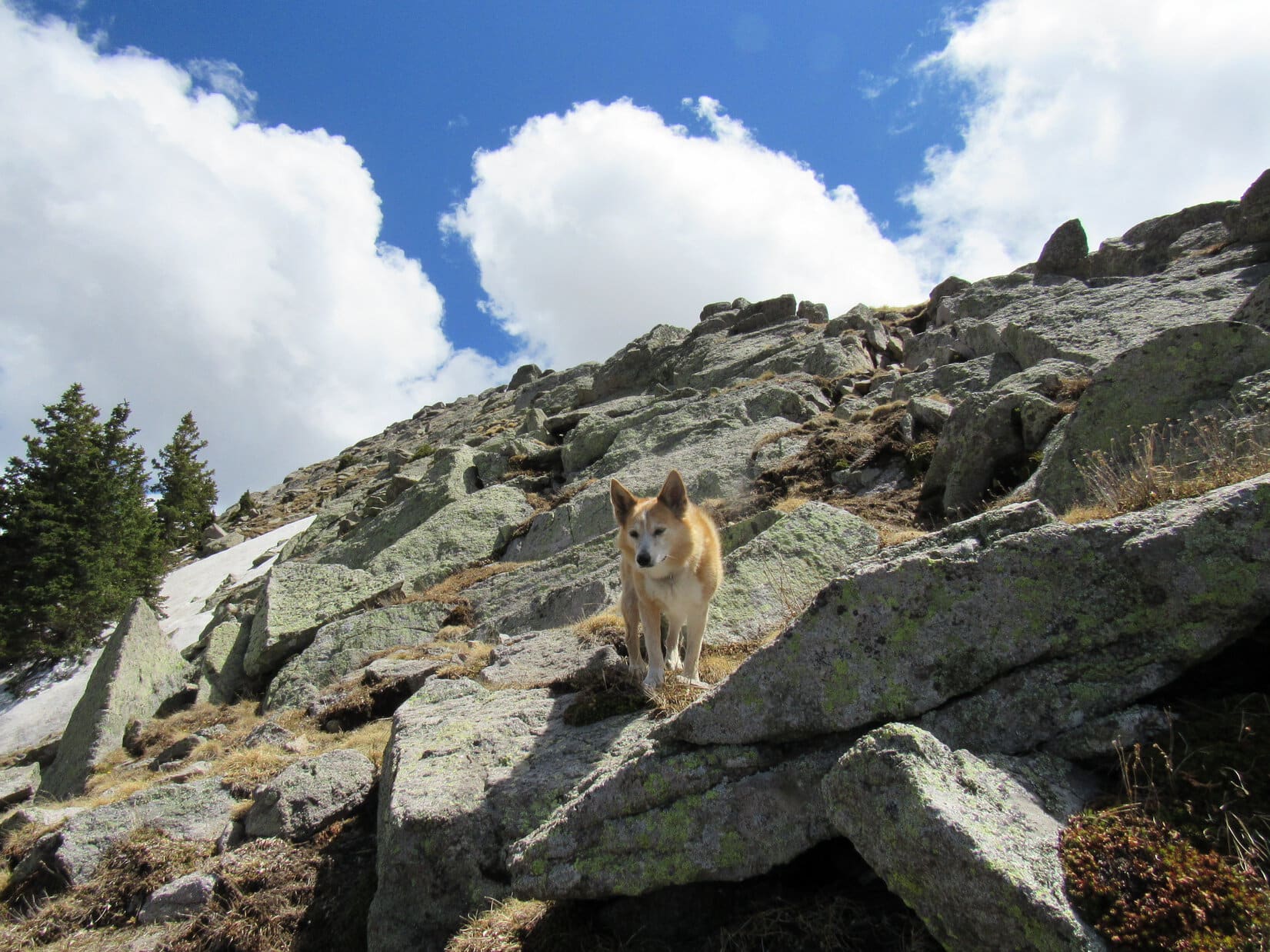
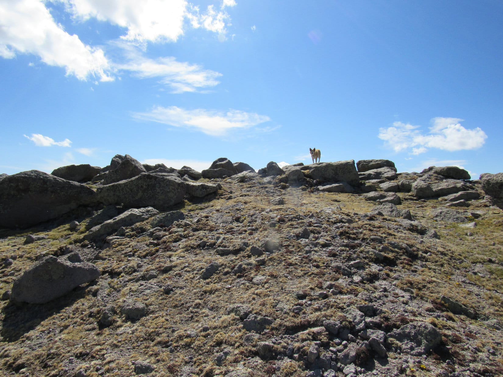
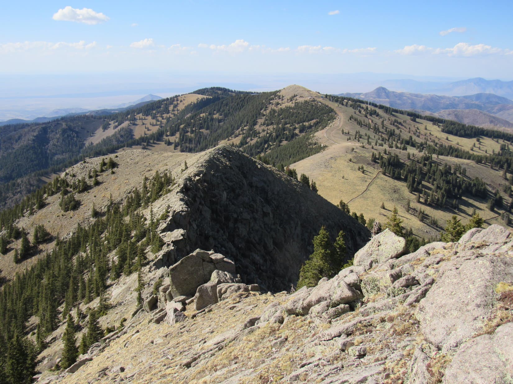
After gaining close to 300 feet of elevation, the Carolina Dog reached the SE end of Peak 5741’s summit ridge.  A fair amount of deadfall up here, too, but it wasn’t too bad.  The true summit was somewhere over near the opposite NW end of the ridge.  Still climbing, but much more slowly now, Loop headed NW.

Samelias Peak summit. Photo looks SE with help from the telephoto lens.
At the SE end of Peak 5741’s summit ridge. Photo looks WNW.

Within minutes, the ridge began to narrow, the deadfall worsened, and an unsettling sight appeared.  Just ahead, a boulder jutted 8 or 10 feet skyward above a mess.

Criminitly, Loop!  Don’t tell me that we can’t even get to the top!  Thought this was going to be a slam dunk.

Is that the true summit, SPHP?

I don’t know, but sure looks like it!

The problematic boulder (R of Center). Photo looks NNW.

Scrambling among the deadfall and rocks, closer inspection revealed that getting Lupe to the top of the problematic boulder might be nearly impossible without taking undue risk.  Just to get a few feet higher?  Not worth it!  Fortunately, it turned out that this wasn’t the end of the ridge.  Maybe there was still higher terrain ahead?

Lupe kept going, and sure enough, there was!  However, the situation at the next high point was practically a duplicate of the first one.  Another skinny, vertical boulder with no reasonable way to the top.

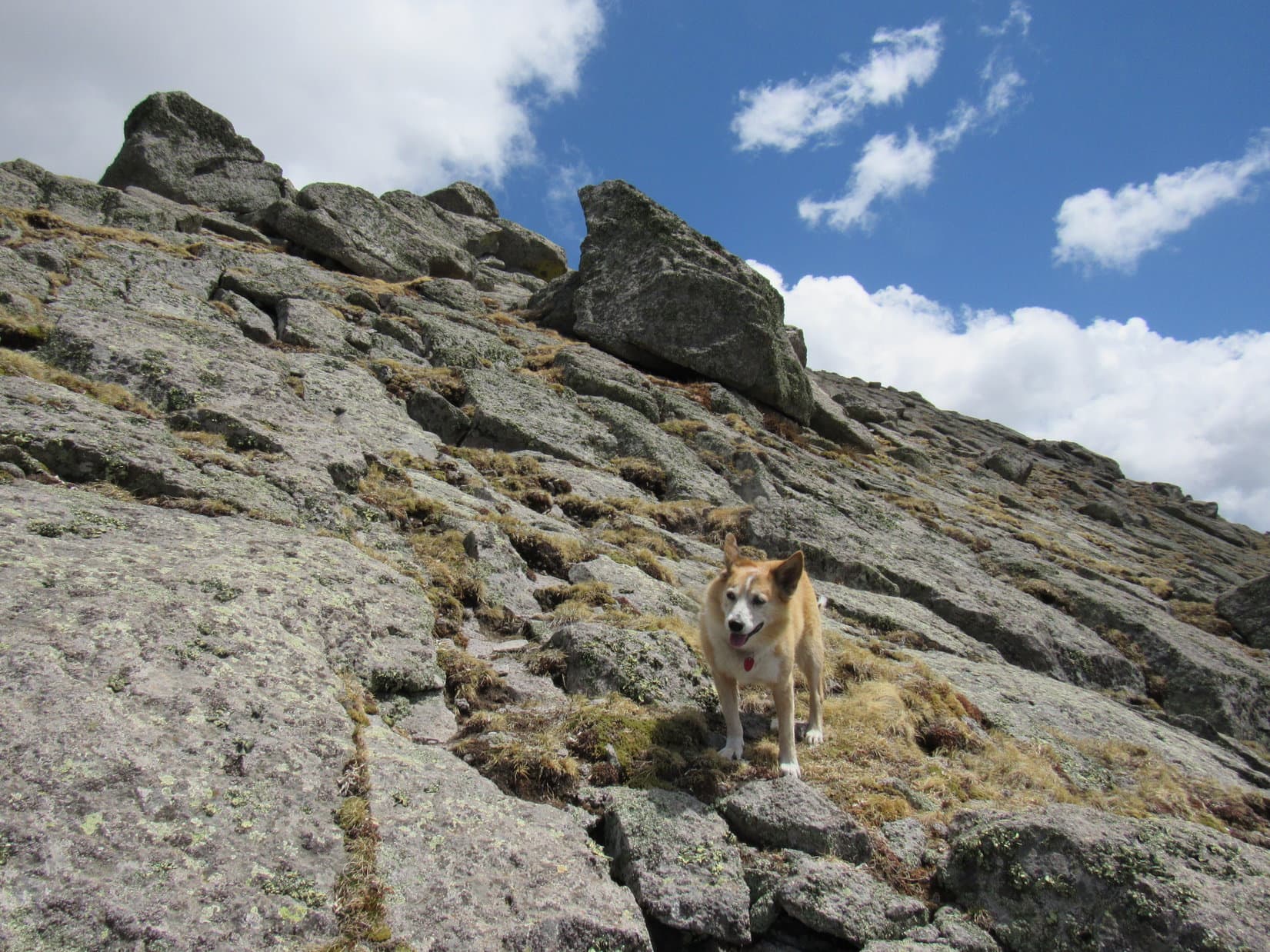
The ridge continued.  SPHP soon became convinced that the second high point wasn’t the top, either.  Lupe kept coming to marginally higher spots.  Occasionally, openings permitted views, including a nice one of Black Elk Peak (7,231 ft.).  The terrain rose more and more slowly, and the rock formations diminished in height.  Even the deadfall began to fade away.

Confidence grew.  Maybe this was going to work after all?

Black Elk Peak (Center). Photo looks SW.
A minor high point with a bit of a view. Photo looks S.

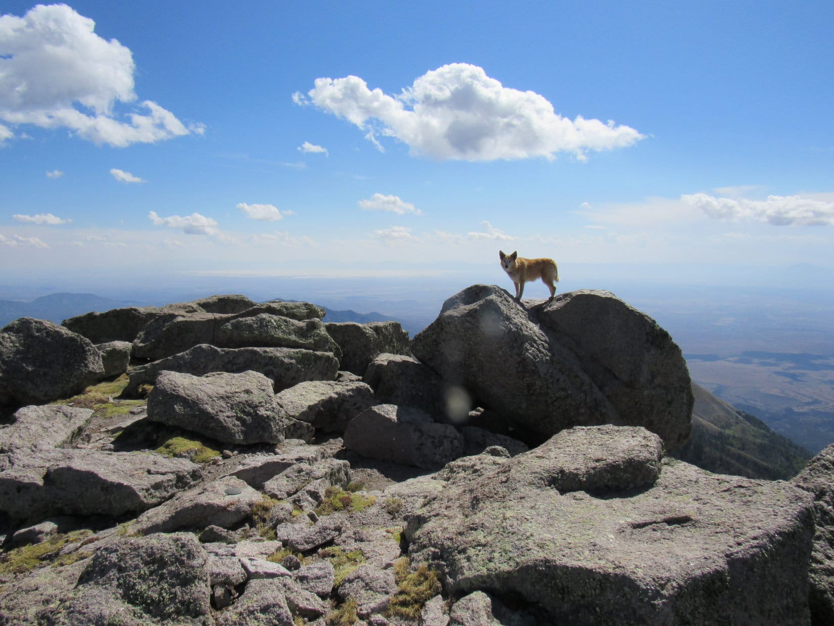
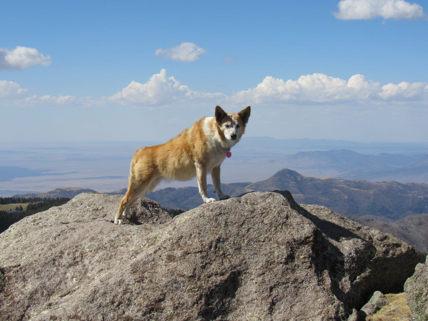
A flat rock scarcely any higher than others nearby appeared ahead, close what appeared to be the NW end of the summit ridge.  Lupe got up on it, but it soon turned out that a collection of bigger rocks that might be a bit higher existed 40 feet farther NNW.  No problem!  The American Dingo easily leapt onto the highest rock there, too.

Congratulations, Loopster!  I think you’ve done it!

SPHP shook Lupe’s extended paw.

At the highest point, or close to it, at the NW end of Peak 5741’s summit ridge. Photo looks NW.
At the likely true summit. Photo looks N.
Summit region from the true summit. Photo looks SE.

6:29 PM, 30ºF, Peak 5741 – In the area between the flat rock and likely true summit, a glowing green carpet of kinnikinnick covered a NW slope illuminated by the evening sun.  Lupe sat looking at a tree-broken view of Five Points (6,221 ft.) while SPHP dug a celebratory chocolate coconut bar out of the pack.  Smoke, or maybe steam, drifted S from the sawmill near Three Forks.

Felt cold in a light breeze way up here on Peak 5741, but long after the chocolate coconut bar vanished, Lupe and SPHP sat contemplating the beautiful scene near the end of a 4 peak day.

On the kinnikinnick. Photo looks ESE.
Five Points (Center) in the distance. Photo looks NW.

Looper had a look at Mount Warner (5,889 ft.), but forest hid the views in other directions.

Mount Warner (Center). Photo looks ENE with help from the telephoto lens.

The kinnikinnick faded, then glowed again.  Evening magic!  But time grew short, sunlit cheer returning more feebly after each passing cloud.

On the way back, Loop varied her route.  Near the SE end of Peak 5741’s summit ridge, the American Dingo went down a S slope steeper than the one she’d come up.  Reaching USFS Road No. 531 near it’s junction with Centennial Trail No. 89, Lupe prolonged the day by taking the longer Centennial Trail route back to the Samelius Peak trailhead.

See!  I was right, wasn’t I, SPHP?  We had a good time!  Aren’t you glad we went on Expedition No. 275, instead of frittering the day away at home?

SPHP couldn’t help but agree.  (7:40 PM, 31ºF)

Peak 5741, Black Hills of South Dakota 4-14-21

Links:

Next Black Hills Expedition                    Prior Black Hills Expedition

Want more Lupe adventures?  Check out Lupe’s Black Hills, SD & WY Expeditions Adventure Index, Master Adventure Index, or subscribe free to new Lupe adventures!

Sierra Blanca, Sacramento Mountains, New Mexico (5-13-21)

Days 4-6 of Lupe’s 1st Summer of 2021 Dingo Vacation to New Mexico!

5-11-21, before noon, I-25 in Colorado – After leaving Hotel Dusty, SPHP found the drive S from Denver in heavy traffic rather nerve-wracking.  Not Lupe!  The American Dingo considered it a smashing bore.  Nothing but city – not a cow or horse to bark at anywhere!  Meanwhile, low dark clouds blanketed the plains, obscuring the Rockies.  The sun hadn’t put in an appearance in 3 days.

Well into May already, yet the temperature barely budged, remaining chilly in a tight range between 37-41ºF for many miles.  S of Colorado Springs, the traffic finally started to thin out as open country began to predominate.  Approaching Walsenburg, vapor rising from several inches of heavy, wet, new snow created a foggy winter wonderland.

Looks like we’re on our way to Canada, SPHP!  I thought we were going to the desert?  How much farther is it, anyway?

Yeah, kind of nuts, isn’t it, Loop?  Have to admit I didn’t expect to see any snow!  We’re less than an hour from the border now.  Just think!  Your first new state since Alaska way back in 2016!  Are you excited?

Actually, I’m not so sure about this, SPHP.  Are they going to shave me at the border?  I like my fur, and don’t want to lose it, especially if it’s going to be so cold!

Shave you at the border?  What on earth are you talking about?

I’m talking about Nude Mexico, SPHP!  That’s where we’re going, right?  I’ve heard about those Mexican Hairless dogs.  Not having any fur might be fine for them, but we Carolina Dogs like the way we are, fur and all!  You always told me that I look beautiful in my fur, and now you want me to let them shave it all off?  Are you going to let them confiscate all your removable fur, too?  Not so sure you’ll be such a grand spectacle, either, if they do!  Maybe we should go to some other state?

Nude Mexico!  I never said we were going to Nude Mexico.  You need to clean out your ears, Looper!  We’re going to New Mexico!  N-E-W … NEW!

Clean out my ears!  Nothing wrong with my ears, SPHP!  I hear all kinds of things you’re completely oblivious to.  Learn to enunciate!  You’ve been mumbling again.  Anyway, I’m glad it’s New Mexico.  So they’re not going to shave me, right?

Of course not, silly Dingo!  Not even if you’re dying of the heat.

The snow and fog were gone before Lupe even got to New Mexico.  After going over Raton Pass, two mountains were visible in the distance.  An expanse of lowlands before them glowed yellow in sunlight, although no blue sky could be seen from here.

The promised land, Loopster!  New Mexico, your 13th state!  We crossed the border a few miles back.

This is more like it, SPHP!  Is that the desert down there?

To be sure!  We’ll soon be crossing it.

Down in the desert, vegetation was sparse as the RAV4 rolled S toward Las Vegas, NM, but every now and then Lupe saw a few horses to bark at.  Far to the W, thick clouds hung over deep blue ridges.  Stormy!  SPHP began to realize heading for the mountains of northern New Mexico wasn’t going to work, at least not yet.

Between Las Vegas and Santa Fe, SPHP left I-25, turning S on Hwy 3.  The drive was scenic, especially after crossing the Pecos River at Villanueva.  Skies cleared, and the temperature soared to 77ºF at one point as the miles clicked away.  By evening, Sierra Blanca (11,973 ft.) was in sight.

Sierra Blanca (Center) from Hwy 54 N of Carrizozo. Photo looks S.

5-12-21, 7:14 AM, 41ºF, Hwy 37 S of Nogal – Lupe stood on a little rise at the high point of a picnic ground.  The Carolina Dog was ready to climb mountains!  However, it had been windy all night and gotten much colder than expected.  Now, light mist rode a chill breeze.  A raw, gray day.  All the high peaks were lost in the clouds.

At the high point of the picnic ground.

What happened?  Can you believe this weather, Loop?  We’re in southern New Mexico for pity sake!  I thought it would be like summer!

We aren’t going to climb Sierra Blanca, SPHP?

Not in this soup!  No telling how cold and miserable it might be way up there!  Wouldn’t be able to see anything, anyway.

So, what’s Plan B?

Actually, Sierra Blanca was plan B.

Plan C, then!

Ya got me, Loopster.  Going to have to take a look at the map.

Light rain fell beneath sullen skies practically all the way to Roswell.  Plan C consisted of a couple of long shots.  Probably wouldn’t turn out to be much more than a long joy ride in the brand new RAV4, but being on the move seemed better than sitting around doing nothing all day.  At least Lupe would get to see a lot of new territory.

At the entrance to Carlsbad Caverns National Park.

Even before entering Carlsbad Caverns National Park, SPHP knew Loop wouldn’t be allowed to tour the cave.

A 7 mile drive up a scenic desert canyon ended at a fancy visitor center way up on a high plateau.  The view would have been spectacular on a clear day, but was murky and indistinct today.  Since it was still quite cool and gray, the plan was to let Lupe snooze in the RAV4 for an hour with plenty of water available and the windows partially open while SPHP toured the cave.

Nope.  Signs forbid leaving Dingos in vehicles.  Not all that surprising.  Probably good policy considering how hot it might get much of the year.  Kennels were available, but SPHP wasn’t too keen on that idea.  Caged and alone in a strange place?  Lupe would hate that!

Turned out that proof of a current rabies vaccination was required, and SPHP hadn’t brought any such documentation along, anyway.

As holes in the ground go, this one is supposed to be fabulous! At the visitor center.

Dingos weren’t allowed on any surface trails, either, so that was that.

Returning to Hwy 62/180, it wasn’t far to the only certain highlight of the day.  One day after entering New Mexico, her 13th state, Lupe made it to her 14th, the great state of Texas!

Entering the Lone Star State for the first time.
Getting high on Texas!

Plan C’s real prize was just ahead, Guadalupe Peak (8,749 ft.), highest mountain in Texas!  Climbing Guadalupe Peak would be awesome!

Arriving at Guadalupe Mountains National Park.

Hopes ran high entering Guadalupe Mountains National Park, but were quickly dashed.  A trail went 3,000 feet clear up to the top of the mountain, but no Dingos allowed!

Guadalupe Peak – so close, and yet so far! Frustrating!

Abandoning the park, skies cleared on the way down to the Salt Basin desert.  Lupe might not have gotten to visit Guadalupe Peak, but she did get to see it.

Leaving Guadalupe Mountains National Park behind. Photo looks N.
Guadalupe Peak (L) from the Salt Basin. Photo looks NE.

N of El Paso, Lupe returned to New Mexico.  As the evening sun sank in the W, Sierra Blanca was in sight again on the horizon.  The huge loop the American Dingo had traveled today had been scenic, but otherwise hadn’t accomplished much.  Maybe tomorrow would be a better day?

Sierra Blanca (L) in the distance. Photo looks NNE.

5-13-21, 8:38 AM, 50ºF – Cold, almost foggy, and in the low 40’s ºF again earlier this morning, but skies were blue now!  12 miles from Alto at the W end of Hwy 532, SPHP parked the RAV4 at a trailhead just before the entrance gate to Ski Apache.

The last half of the drive in had been spectacular as the narrow highway, hemmed in by guard rails of dubious strength, wound ever higher up the steep-sided slopes of Buck Mountain (10,769 ft.).  Much of the old forest had burned, revealing a dizzying expanse of the Sacramento Mountains.

The trailhead itself was tucked down in a bowl, away from the views.  Several pickup trucks could be seen down at Ski Apache, but the RAV4 was the only vehicle at the trailhead.  Two signs warned of the dangers of entering the burn area.  A permanent metal sign painted yellow with black lettering said to proceed at your own risk.  Paperwork stapled to a plywood plaque seemed to indicate the area was closed.

Closed!  But we’ve come so far, SPHP!

Heh.  Yeah.  If anyone asks, Looper, we’re going by the yellow sign!

Great minds think alike, SPHP!  C’mon, let’s go!

Glancing back at the trailhead after starting up Trail No. 15. Photo looks SE.

Trail No. 15 headed NW up the side of a ravine toward a short stretch of unburned forest.  Once past the trees, it continued through a meadow to a switchback that traversed a steeper grassy slope.  Upon reaching a flat spot, Lupe arrived a junction with Crest Trail No. 25.  From this junction, Sierra Blanca (11,973 ft.) was visible beyond Lookout Mountain (11,580 ft.).

Heading up the ravine toward the live trees. Photo looks NW.
Continuing higher. The saddle ahead leads to Buck Mountain, which is off to the R. Photo looks NW.
At the start of the switchback. Photo looks SSW.
Signage at the junction with Crest Trail No. 25. Photo looks NW.
Sierra Blanca (L) and Lookout Mountain (R) from the junction. Photo looks SW.

Proceeding W on Crest Trail No. 25, it slowly lost elevation traversing a slope. Lupe entered a forest of dead trees.  Many had fallen.  Fortunately, most had been cleared from the trail.  A chairlift and other Ski Apache facilities were visible down in the valley to the S.  Loopster didn’t see anyone, but the whine of a chainsaw filled the air.

In the burnt forest on Crest Trail No. 25. Photo looks WNW.
Ski Apache facilities down in the valley. Lookout Mountain (L). Photo looks SW.

Crest Trail No. 25 curved NW.  Lupe entered a big meadow that swept up toward HP10595.  A Trail No. 25 sign stood over by the edge of another burnt forest on the opposite side of the meadow.  Scratched into the sign, an arrow pointed S (L), but the trail itself seemed to have vanished.

In the meadow where Trail No. 25 vanishes. HP 10595 (R). Photo looks NW.
An arrow scratched onto this Trail No. 25 sign pointed S (L), although no trail seemed to go that way.

Starting up the slope to the S, Lupe found Crest Trail No. 25 again shortly after reaching the trees.  It switchbacked NW almost right away.  At first, the trail was easy to follow, but the deadfall hadn’t been cleared in this region.  Before long, so much blocked the trail that climbing directly up the steep slope to the W seemed easier than facing all the obstacles.

Enough of this! How about we just go right on up the slope? Photo looks NW.

This shortcut worked out well.  The forest was fairly open.  After gaining several hundred feet of elevation, Lupe came across Crest Trail No. 25 on its way back S.  The trail was in better shape up here.  Less deadfall!

Climbing through the open forest. Photo looks W.

As Crest Trail No. 25 began curving W again, there was movement above.  Two wild dogs stared down on Lupe!

Coyotes!

The trail climbed slowly as Lupe continued W.  Burnt forest gave way to more open slopes.  Ski runs were visible over on Lookout Mountain.  Part of the forest that hadn’t burned appeared ahead.  Shortly after Lupe entered the live forest, SPHP noticed a side trail taking off to the N (R).

Ski runs on Lookout Mountain (L). Photo looks W.
Approaching the live forest. Photo looks NW.

Looper hadn’t reached Ice Spring yet, but had to be getting close.  The White Mountain Wilderness High Point (11,300 ft.) was only 0.33 mile away.  A quick check of the topo map showed Crest Trail No. 25 veering off to the N at a junction with Lookout Trail No. 78A somewhere in this region.  No signage here, though.  Was this the junction?

The side trail looked much less used, but that might make sense.  Crest Trail No. 25 doesn’t go all the way to Sierra Blanca, instead passing S of the White Mountain Wilderness High Point before turning N to follow the crest of the ridge it’s named after to White Horse Hill (10,255 ft.) and points beyond.  Perhaps less popular destinations?

The plan all along was to visit both the White Mountain Wilderness High Point and Lookout Mountain, since they were more or less on the way to Sierra Blanca.  Maybe Buck Mountain, too, if there was time during the return.  Lupe took the side trail.

SPHP expected it to turn NW almost immediately, but it didn’t.  Instead Loop wandered among a maze of faint use trails that soon disappeared.  Apparently this wasn’t Crest Trail No. 25 after all.  Shucks!  Might as well keep climbing N, though!  200 feet higher and the Carolina Dog would be on the White Mountain Wilderness High Point’s E ridge.

The top of the E ridge was broad, forested, and almost flat where Lupe reached it.  Not much to see except trees.  The American Dingo sniffed W in search of the summit.  Before long, she came to a meadow.  The high point was just ahead.

White Mountain Wilderness High Point (Peak 11300) dead ahead! Photo looks W.

Although there were good views of both Lookout Mountain and Sierra Blanca while crossing the meadow, the White Mountain Wilderness High Point summit was buried in trees, and views were much more limited.  The actual high point appeared to be at the base of a large spruce tree.  Immediately to the W was a blackened area which had apparently been involved in a very recent fire.  More could be seen from over there, but the views were still tree-broken.

Sierra Blanca (Center) from the White Mountains Wilderness High Point summit. Photo looks S.
In the recent burn area W of the true summit. Photo looks N.

A 20 minute break was taken up on the White Mountains Wilderness High Point.  Lupe then traveled S through mostly open territory down to a saddle where she reached Crest Trail No. 25 again at an intersection with Lookout Trail No. 78.  Continuing S to a nearby gently sloped ridge, it proved to have a great view of Lookout Mountain and Sierra Blanca.

Signage at the Crest Trail No. 25 and Lookout Trail No. 78 intersection.
Lookout Mountain (Center) & Sierra Blanca (R) from the gentle ridge. Photo looks S.

Following the rounded ridge toward Lookout Mountain, Lupe picked up Lookout Trail No. 78.  After taking her back into the forest, No. 78 led down to an opening where Trails No. 78 & 78A converged.  This opening provided a nice look at Buck Mountain (10,769 ft.) back to the ENE.

Buck Mountain (Center). Photo looks ENE.
Signage at the Trail No. 78 & 78A convergence. No. 78A goes to Ice Spring.

A wide grassy lane continued S to a saddle, where it linked up with the Ambush Run of Ski Apache.  Ascending along the edge of the run, Lupe soon reached the upper end of a chairlift next to a large metal building.  Staying W of these facilities, the American Dingo passed several picnic tables with big views to the W, and came to a broad path.

Looking S from the clearing down the lane that leads to the Ambush Run of Ski Apache.
Near the chairlift and metal building. Photo looks SSE.
On the broad path after passing the chairlift and picnic tables. Photo looks S.

The top of Lookout Mountain (11,580 ft.) was just S of the ski facilities and about 150 feet higher.  Since it was quickly evident that the path was going to bypass the summit, Lupe left it.  Climbing a slope of small rocks and grass, she reached a thick circular concrete pad supporting a rock wall around most of the perimeter.

Approaching the summit of Lookout Mountain. Photo looks S.
On the concrete viewing platform at the top of Lookout Mountain. Photo looks W.

Concrete benches incorporated along the interior of the wall provided a nice spot to relax.  The panoramic views were impressive, but Lupe took only a short break.  Sierra Blanca was higher yet, and now beckoning from only a little more than a mile away!

View to the SW.
Sierra Blanca (Center) from Lookout Mountain. Photo looks S.

Another Ski Apache chairlift came into sight as soon as Lupe started for Sierra Blanca.  After passing it, Loop returned to the broad path.  When the path went through an opening in a zig-zaggy log fence, she deserted it again, following a use trail along the W side of a minor hill.

Another chairlift ahead! Sierra Blanca (R). Photo looks SSE.
Ski Apache chairlift on the S side of Lookout Mountain. Photo looks E.
Different angle. Photo looks NE.
Back at the broad path. Photo looks S.

The trek from Lookout Mountain to the saddle N of Sierra Blanca was easy.  However, Lupe now faced a fairly steep 500 foot climb up an open slope of grass and smallish rocks.  SPHP did a big bad wolf impression, huffing and puffing slowly higher while the Carolina Dog roamed at will.

Approaching the saddle N of Sierra Blanca. Photo looks S.

The 500 foot climb led to a short, level ridge that jutted out to the W.  SPHP insisted upon taking a somewhat extended breather here.  Ahead, a rockier and somewhat higher ridge led straight toward the summit.

Gazing back at Lookout Mountain (Center) from the first short ridge. Photo looks N.
Sierra Blanca from the first ridge. Photo looks S.

The E side of this next section was very steep, almost a cliff.  Continuing onward, Lupe stayed high on the W side, sometimes even right up on the ridgeline.  The terrain became rough, forcing her to downclimb a bit just before reaching a notch.

Approaching the still unseen notch. Photo looks S.

The notch provided a narrow opening to the E just past the cliffy region.  A use trail went through it, then turned S back up to the ridgeline, which soon became so bouldery Lupe had to abandon it.  Returning to the W side again, the Carolina Dog kept working her way higher.  This whole region was plenty steep.

Above and beyond the notch, enjoying a patch of melting snow. Photo looks E.
On the upper slopes.
Back over the W side, not far from the summit! Photo looks SSW.

5-13-21, 2:43 PM, Sierra Blanca (11,793 ft.) – By the time Lupe reached the top, clouds that had been building earlier on had largely dissipated.  Loop came up just S of the true summit boulder, located along the W rim of a region roughly 75 feet long N/S and 25 feet wide E/W.  Only distant haziness obstructed otherwise commanding views in all directions.

Up on top! The true summit boulder (R) is the next one over. Photo looks NNW.

Ready for a prolonged rest break, Lupe headed to the N end first, where she could relax while contemplating the region she had just journeyed through to get here.

On the biggest boulder at the N end of the summit region. Photo looks N.
Peering down on the route taken. Lookout Mountain (Center). The White Mountain Wilderness High Point (L) is the forested hill beyond it. Photo looks N.
Buck Mountain (L) in the foreground, with the Capitan Mountains (R) on the horizon. Photo looks NE.

Nearly an hour shot by blissfully hanging out at the N end.  SPHP finally felt sufficiently recovered to explore the rest of the summit region.  Lupe took this opportunity to enjoy the views in other directions, too.

Having a look around. True summit (Center). Photo looks SW.
Sierra Blanca’s E ridge (L). Photo looks ESE.
View to the NW.
White Sands Missile Range (Center) discernable on the horizon. Photo looks SW.
Looking S.

Two survey markers with arrows pointed toward a main “Sierra Blanca” benchmark located E of the true summit.  A spacious cavity below the true summit boulder harbored a mailbox.  It proved to be packed full of old registries.  SPHP added Lupe’s name to the most recent one, a red notebook that started with a 2020 entry.

Loop on the true summit boulder. The survey benchmark (lower L) is visible nearby. Photo looks SW.
The Sierra Blanca survey benchmark.
The mailbox containing the registries is stashed beneath the true summit (Center). Photo looks SSW.
A closer look.

After SPHP signed her into the registry, Loopster got up on true summit, striking a dramatic pose.

Looking N.
Looking W.

Sierra Blanca was awesome!  Hadn’t been hard to get here, either.  The Carolina Dog lingered an hour and 40 minutes, so long that she wasn’t going to have time to climb Buck Mountain on the way back.  Oh, well!  Time spent here was well worth it.  No regrets.

Lingering on Sierra Blanca. Photo looks W.

5-13-21, 4:22 PM – SPHP started down first.  The return, mostly along the same route, went well.  After passing through the notch again, Lupe took advantage of a use trail lower down on the W side of the rocky ridge that led back to the first ridge above the 500 foot grassy slope.  This use trail was easier than staying high, and definitely the way to go.

Final moments atop Sierra Blanca. Photo looks E.
Heading down to the notch. Photo looks N.
On the use trail leading back to the first ridge (R). Photo looks NNW.
Back at the first ridge. Sierra Blanca (R of Center). Photo looks SSE.

Lupe returned to Lookout Mountain (11,580 ft.), going over the hill she had skirted earlier.  During another short break, SPHP had a look at a couple of plaques attached to the rock wall.  The most interesting one pointed out the Carrizozo Malpais Lava Beds, site of the first atomic bomb explosion.

Sierra Blanca from the hill Lupe had skirted earlier in the day. Photo looks S.
Relaxing on Lookout Mountain, 2nd ascent. Photo looks N.
Atomic bomb explosion plaque. Not something you want too many of around!

Lupe did not revisit the White Mountain Wilderness High Point (11,300 ft.), instead taking the Lookout Trail No. 78A shortcut to Ice Spring (which she saw no sign of) and back to Crest Trail No. 25.

Now that it was about over, the most exciting part of the entire day was about to begin!  Lupe never saw the coyotes again, but the burned forest turned out to be full of giant deers emerging to graze!

Giant deers at day’s end.

Oh, it was a thrilling time on a great day, the day Lupe climbed her first peaks in New Mexico!  Reaching the RAV4 at dusk, the Carolina Dog was tired, famished, and perhaps more than a little sad that it was all over and done.  (5-13-21, 8:35 PM)

On Sierra Blanca, Sacramento Mountains, New Mexico 5-13-21

Links:

Next Adventure                         Prior Adventure

Want more Lupe adventures?  Choose from Lupe’s Summer of 2021 Dingo Vacations to New Mexico, Wyoming & the West Coast Adventure Index, Dingo Vacations Adventure Index or Master Adventure Index.  Or subscribe free to new Lupe adventures.