Days 10 & 11 of Lupe’s 2nd Summer of 2021 Dingo Vacation to Wyoming!
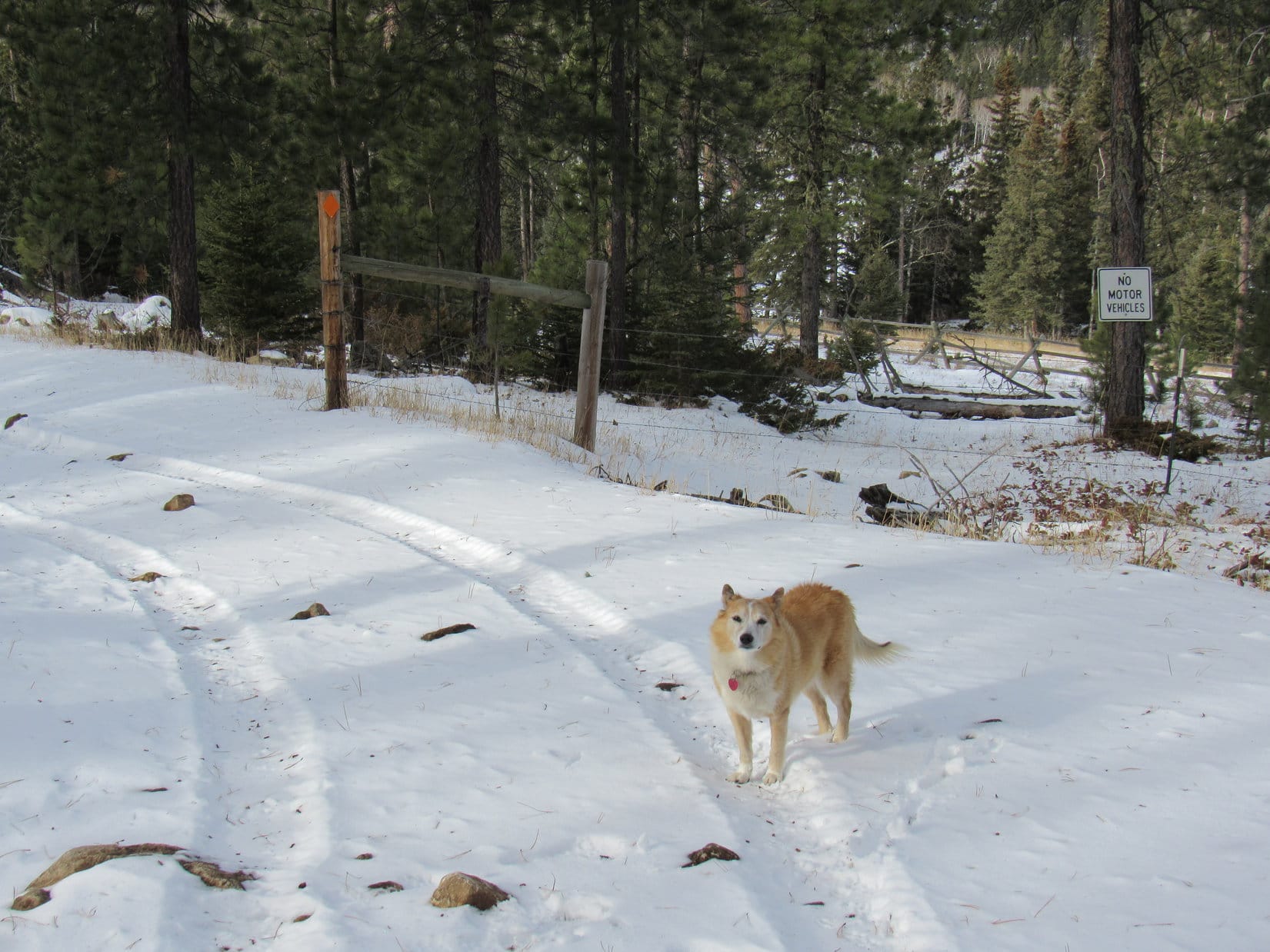
7-1-21, 7:00 AM, Holmes Cave trailhead 5 miles NW of Togwotee Pass (MP 20.7 of Hwy 287/26) – About ready to head out. Despite yesterday’s long trek to North Breccia Cliffs(11,240 ft.), Lupe had already been awake and alert when SPHP came to this morning. SPHP, on the other paw, was still feeling the effects, but no worries. This was going to be a rest day! Lupe didn’t have that far to go, and the RAV4 would get her there.
Hitting Hwy 287/26, SPHP turned R. Only 3 miles NW was a L turn onto USFS Road No. 30100, which was narrow, but in great shape. Quickly crossing Blackrock Creek, No. 30100 then went 7 or 8 miles SW through the forest, eventually reaching a signed intersection with No. 30160.
Sticking with No. 30100, SPHP turned L. The road wound downhill for a mile before reaching the South Fork of Spread Creek. After following this stream S for 2 miles, No. 30100 turned sharply L to cross it. Not the way to go!
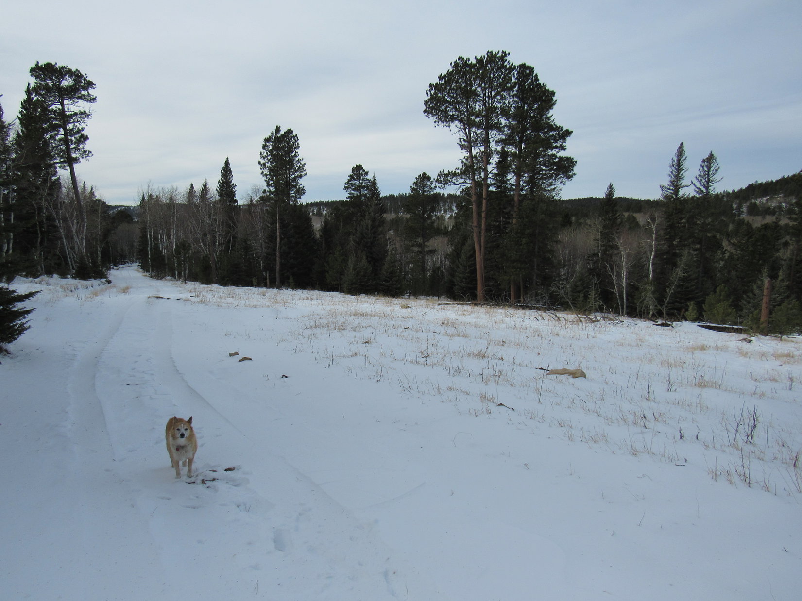
Another road continued straight S from here. No signage, but this was USFS Road No. 30250, and was the way to go. During the next 4 miles, No. 30250 made a sharp turn to the R (W), climbed steeply, then leveled out and became quite stony along some stretches before reaching the E end of Leidy Lake.
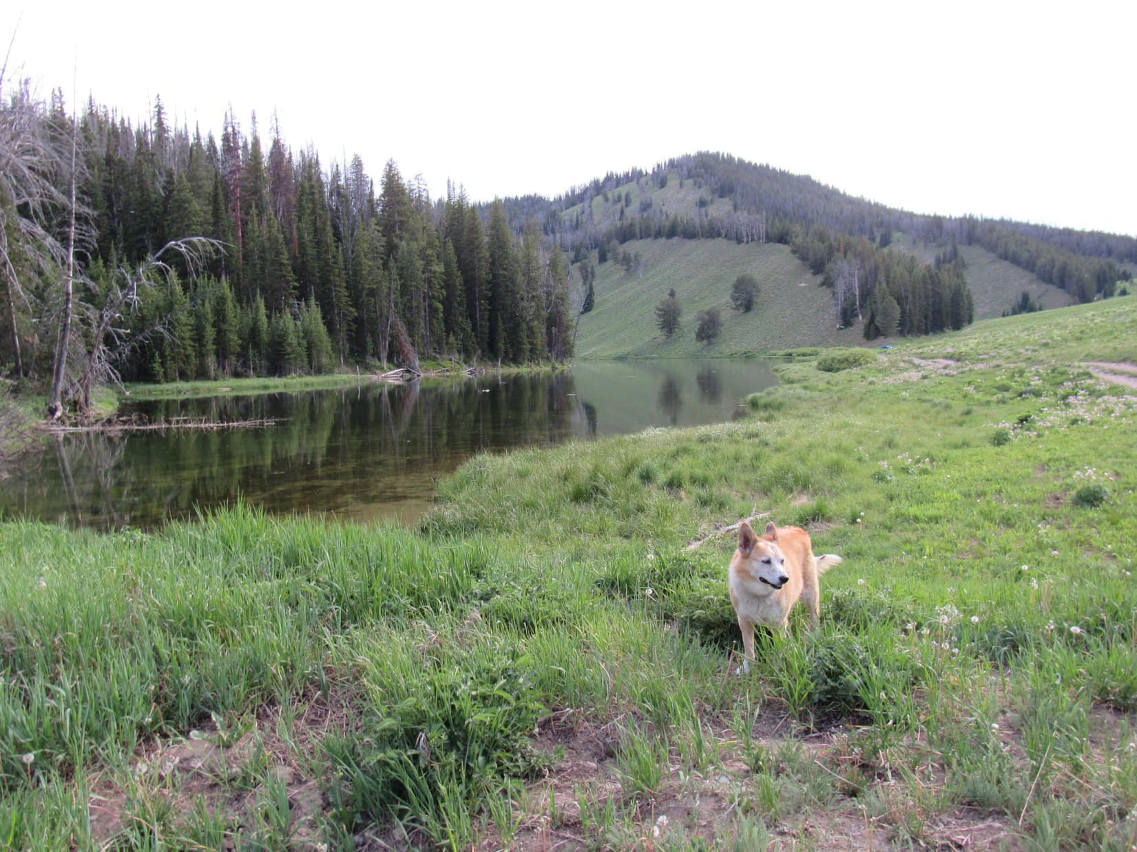
SPHP parked the RAV4 at a nice flat spot near the dam, and that’s where it remained the rest of the day, most of the time with a snoozing Dingo inside. Lupe ventured out occasionally to cool off in Leidy Creek, go for walks along Leidy Lake, or chase her squeaker ball. In the afternoon, the sky clouded up. Thunder rumbled for 2 hours, culminating in a brief rain shower, but that was it for excitement. Evening came, and so did the mosquitoes.
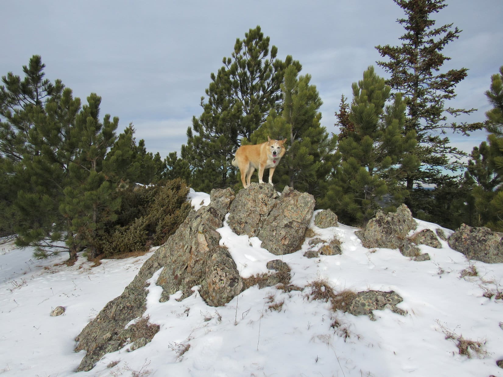
Evening at Leidy Lake. Photo looks SW.
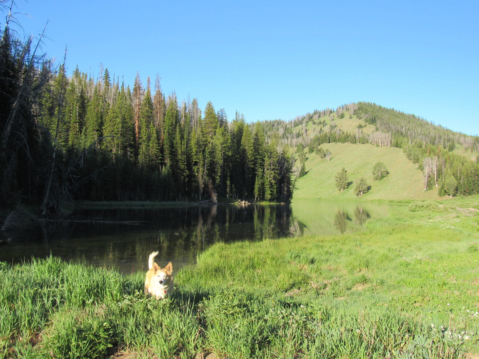
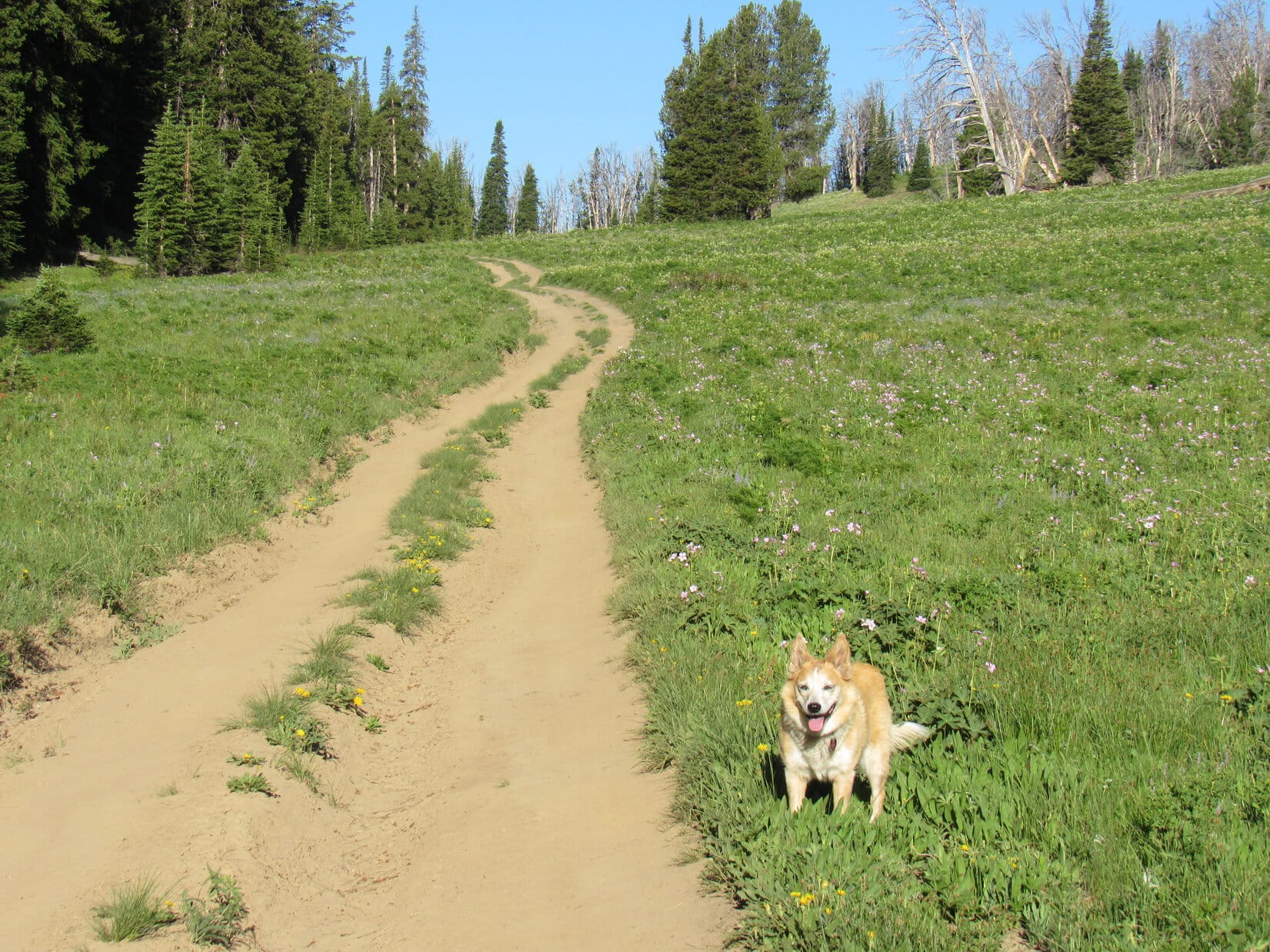
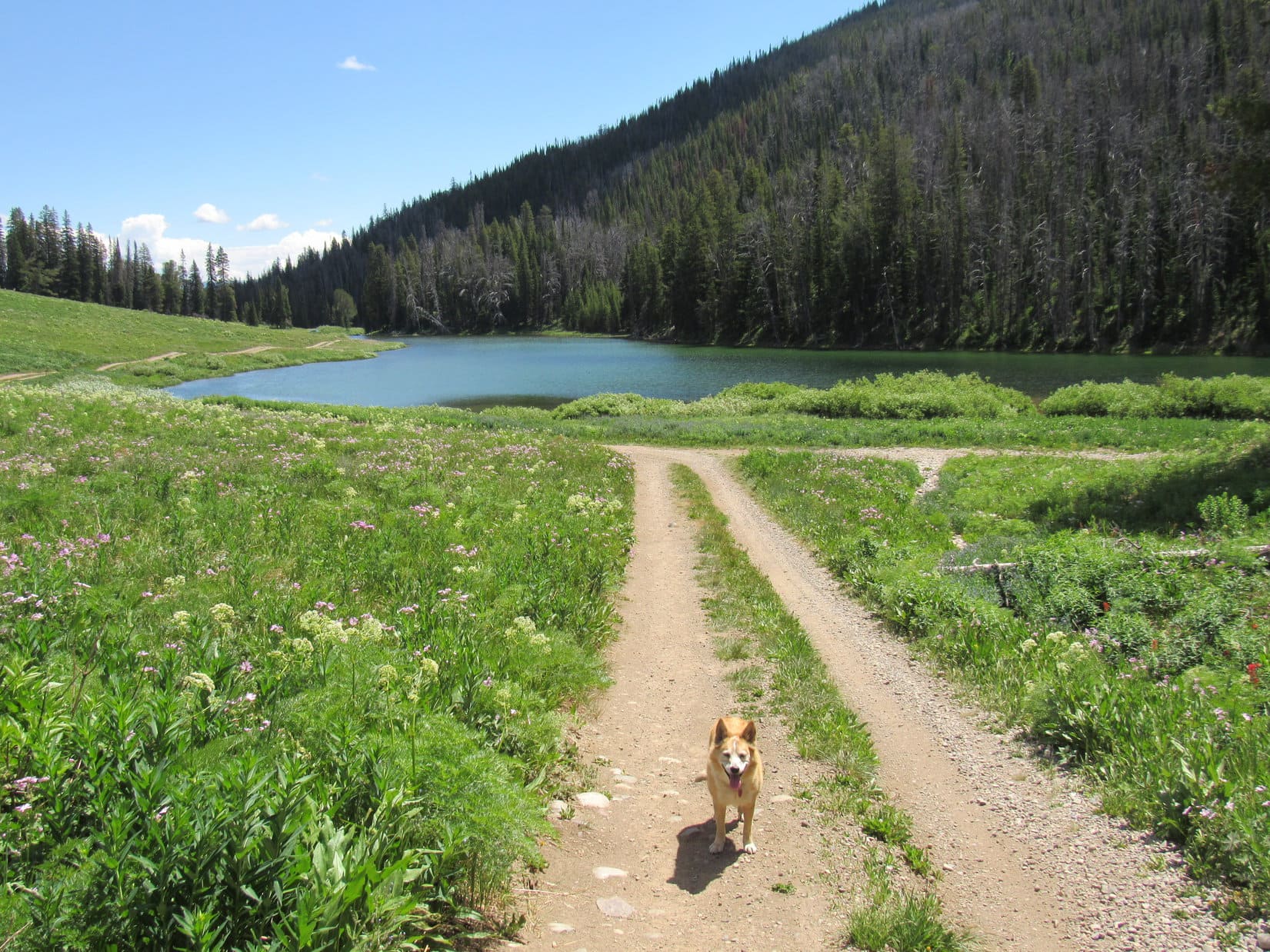
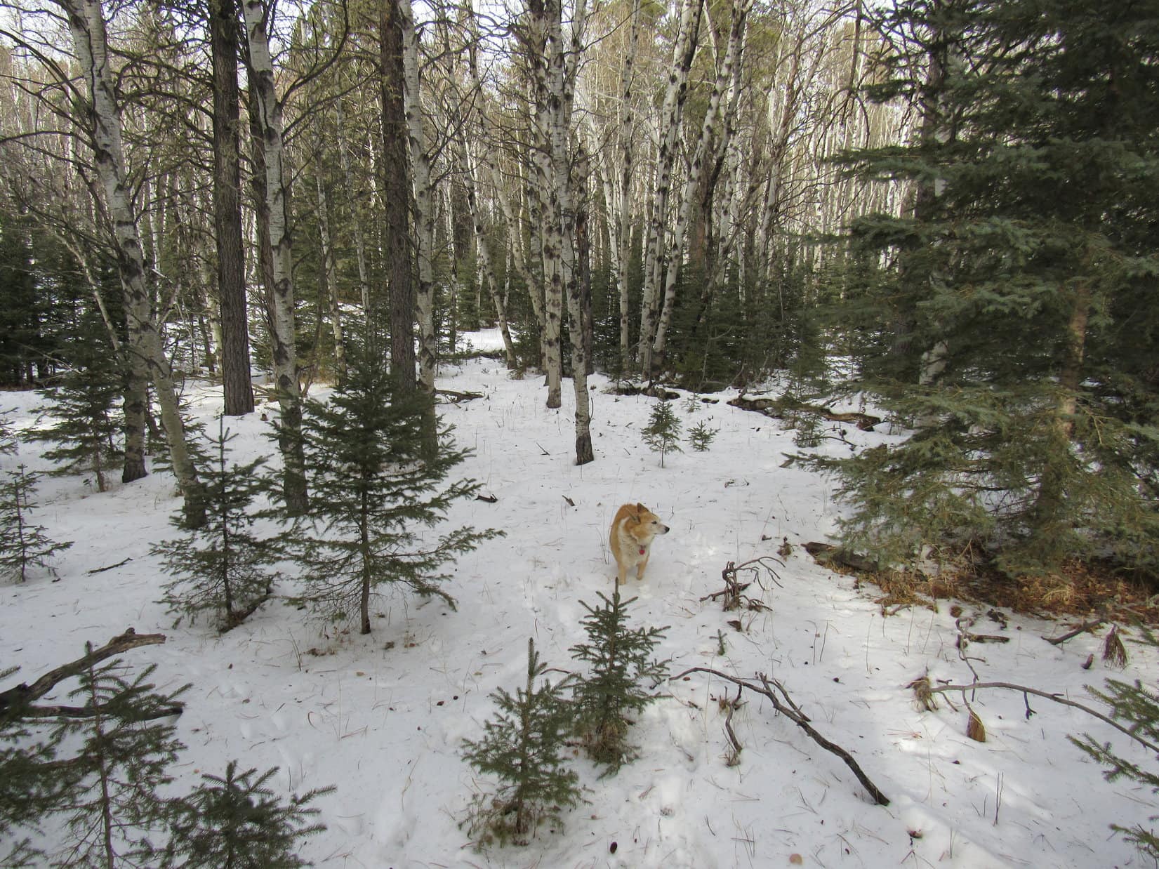
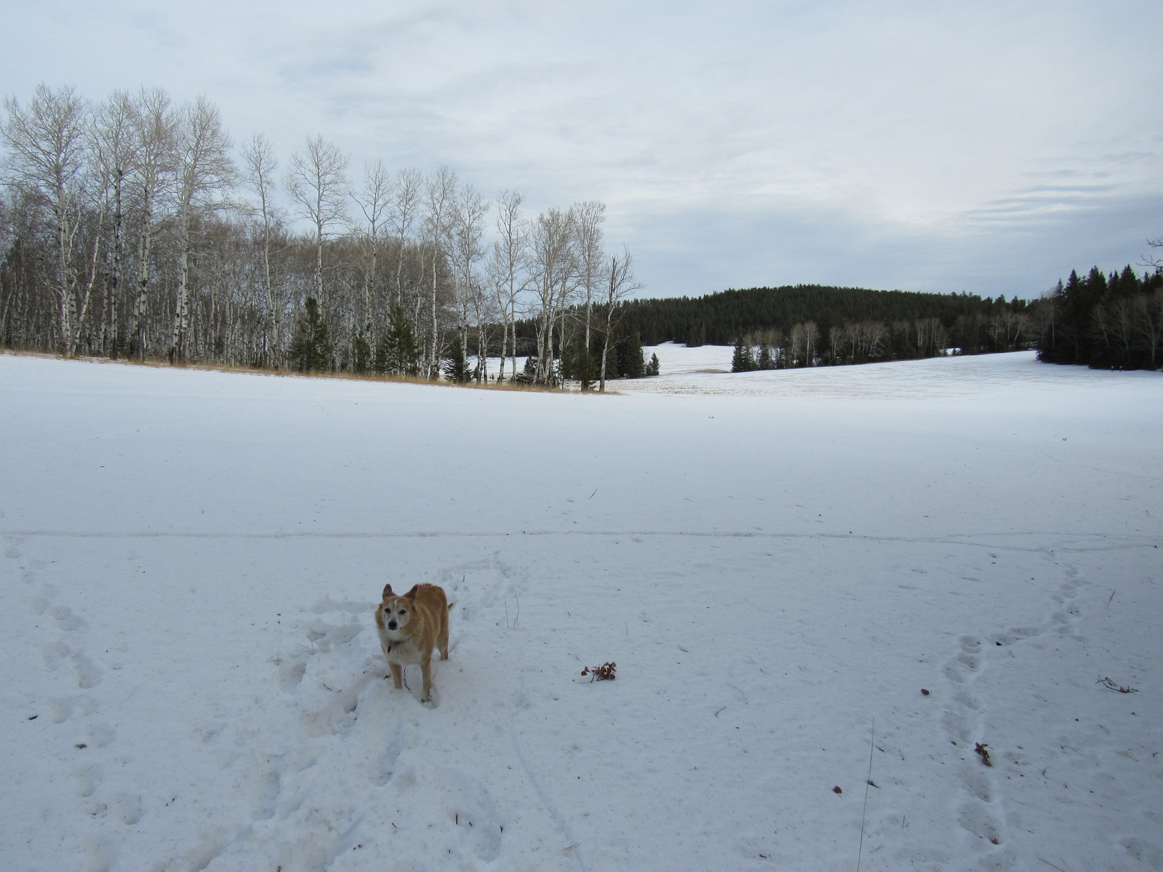
7-2-21, 7:09 AM, 56ºF, Leidy Lake – Not a cloud in the sky this morning! Sunny and bright. Loopster stood next to Leidy Lake squinting in the sunshine. She’d be doing a lot of that today. As soon as SPHP was ready, the Carolina Dog headed W on USFS Road No. 30250, which ran along the N shore of Leidy Lake.
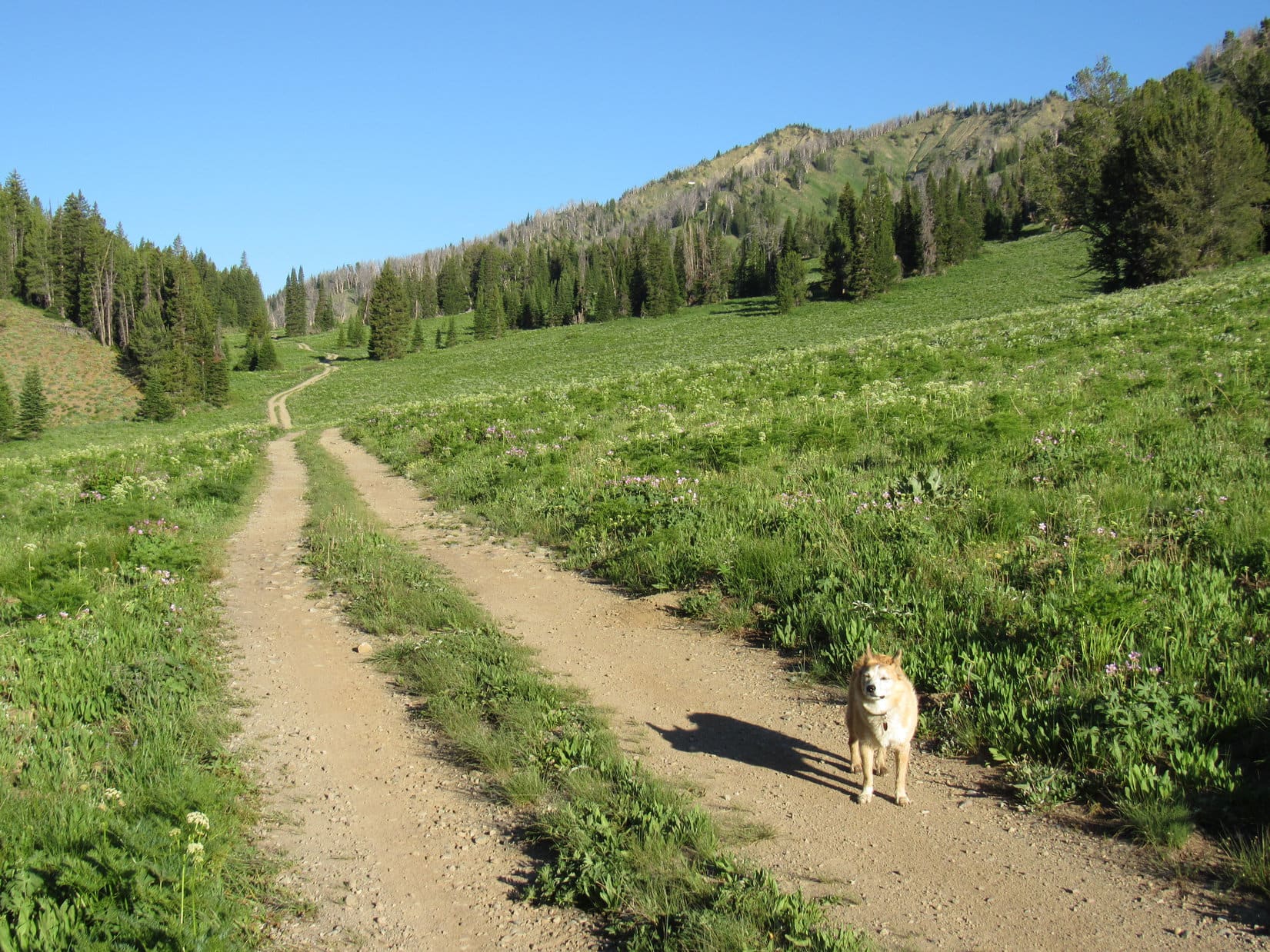
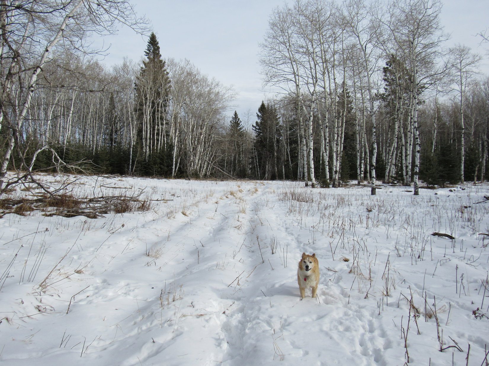
Leidy Lake wasn’t very big. Lupe was soon past it. The road continued W, beginning a steady climb up a long valley through a meadow full of pink wildflowers. Mount Leidy was already visible off to the WNW.
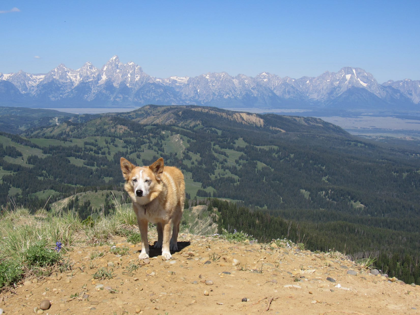
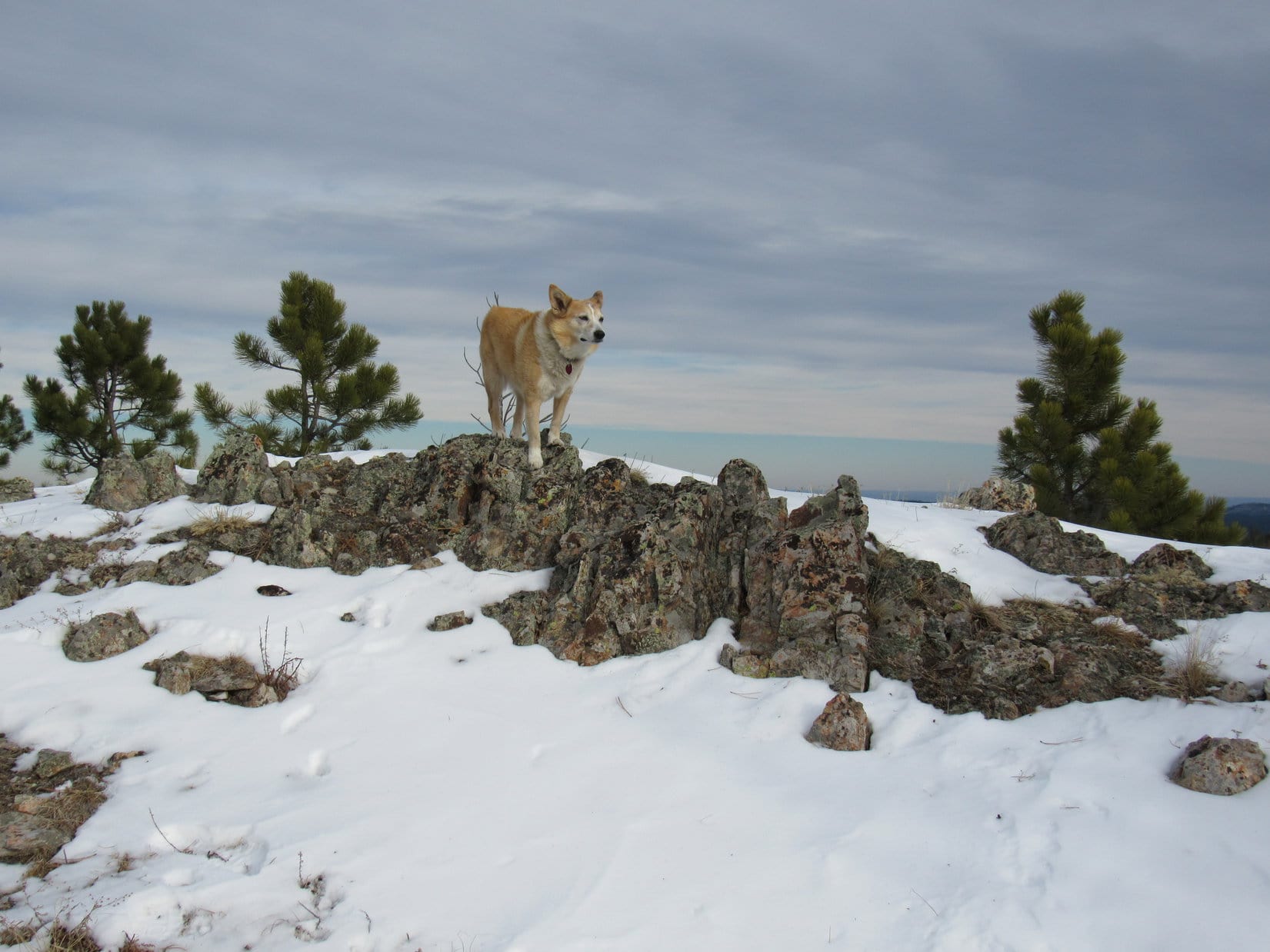
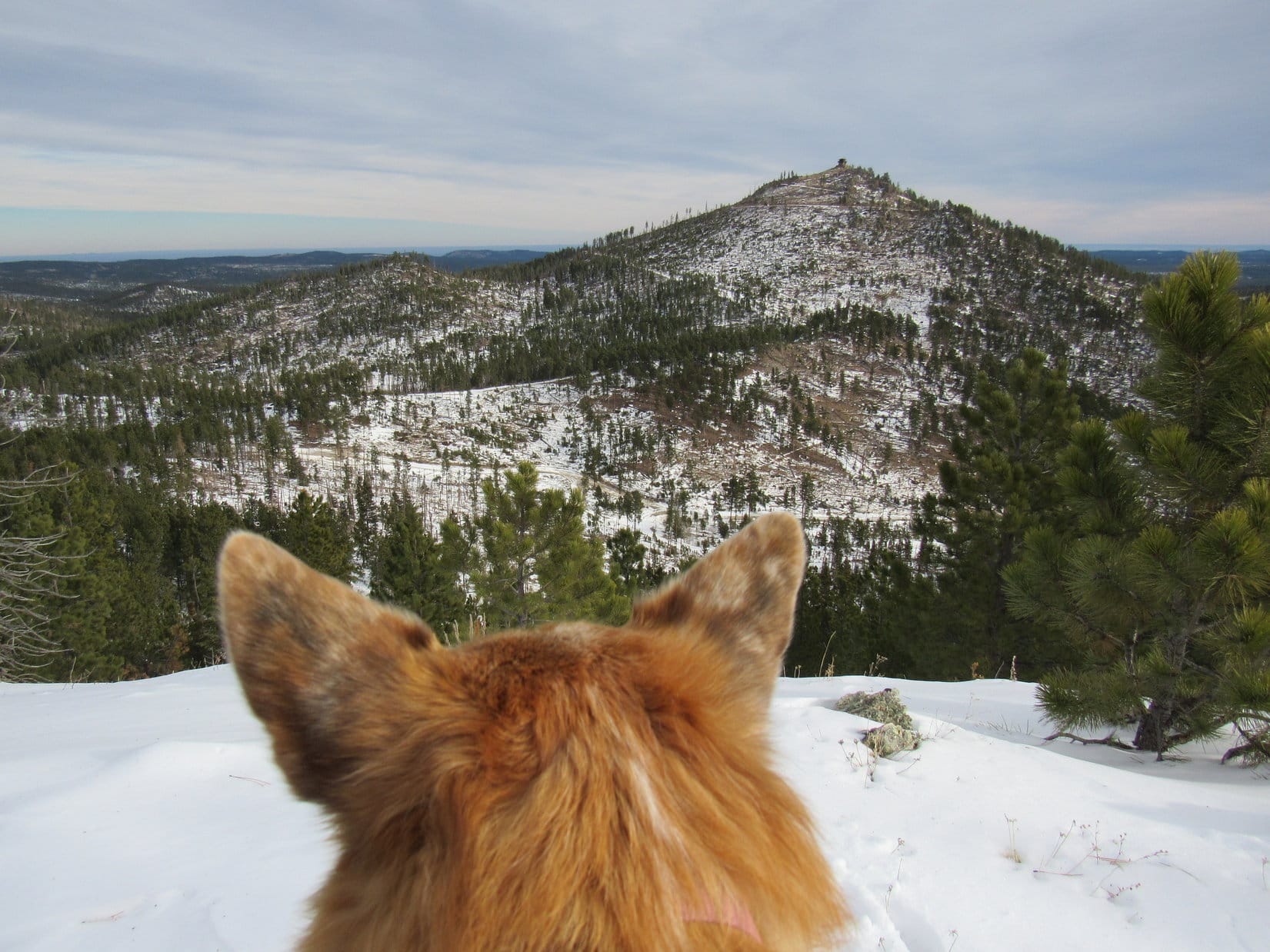
Ready to set out for Mount Leidy from Leidy Lake. Photo looks SW.Heading up the long valley after passing Leidy Lake. Mount Leidy (R) beyond Lupe. Photo looks W.Getting closer. Mount Leidy (R). Photo looks NW.
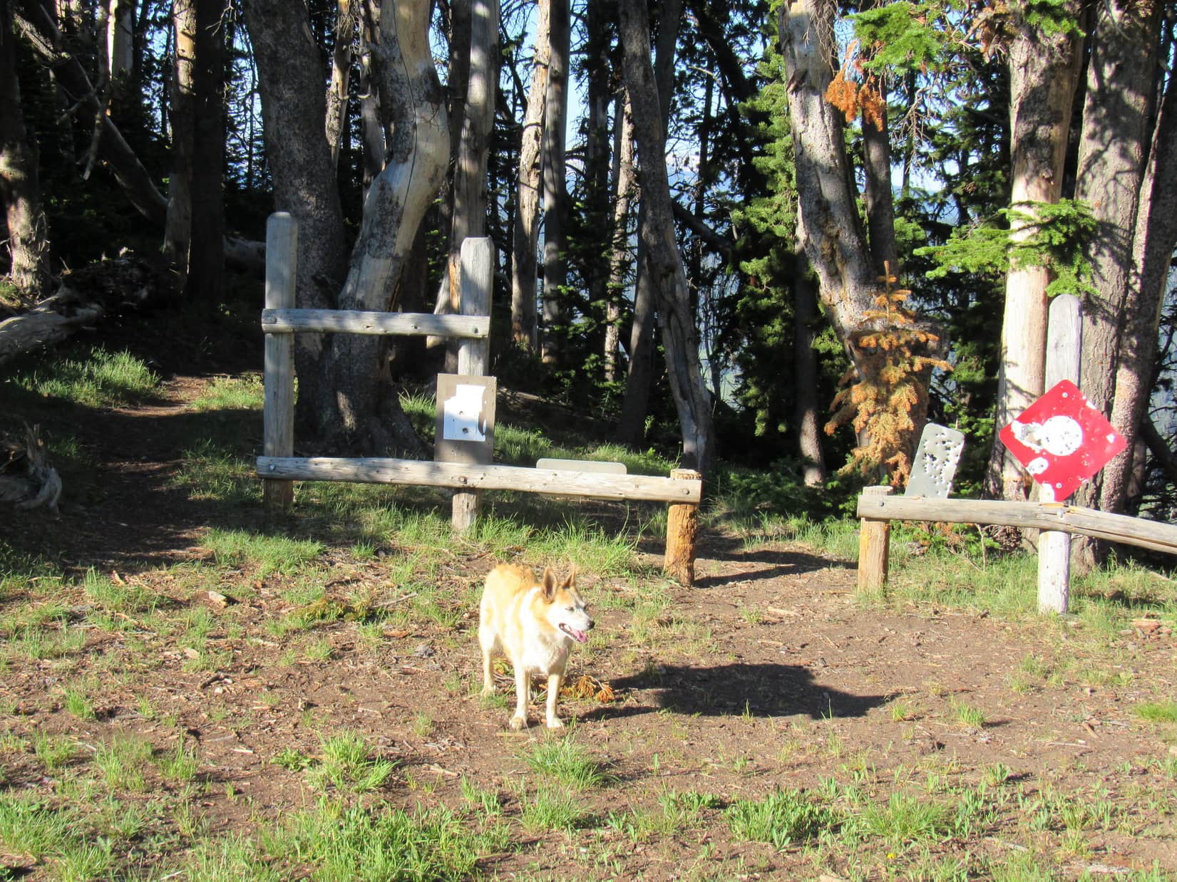
1.3 miles from the Leidy Lake dam, Lupe reached Pass 9176. USFS Road No. 30250 ended here. Could have driven the RAV4 this far easily enough. The road hadn’t been bad, and there was plenty of room to park up at the pass. There were also some trees providing shade. Lupe took advantage of it, while SPHP paused to apply some sunscreen.
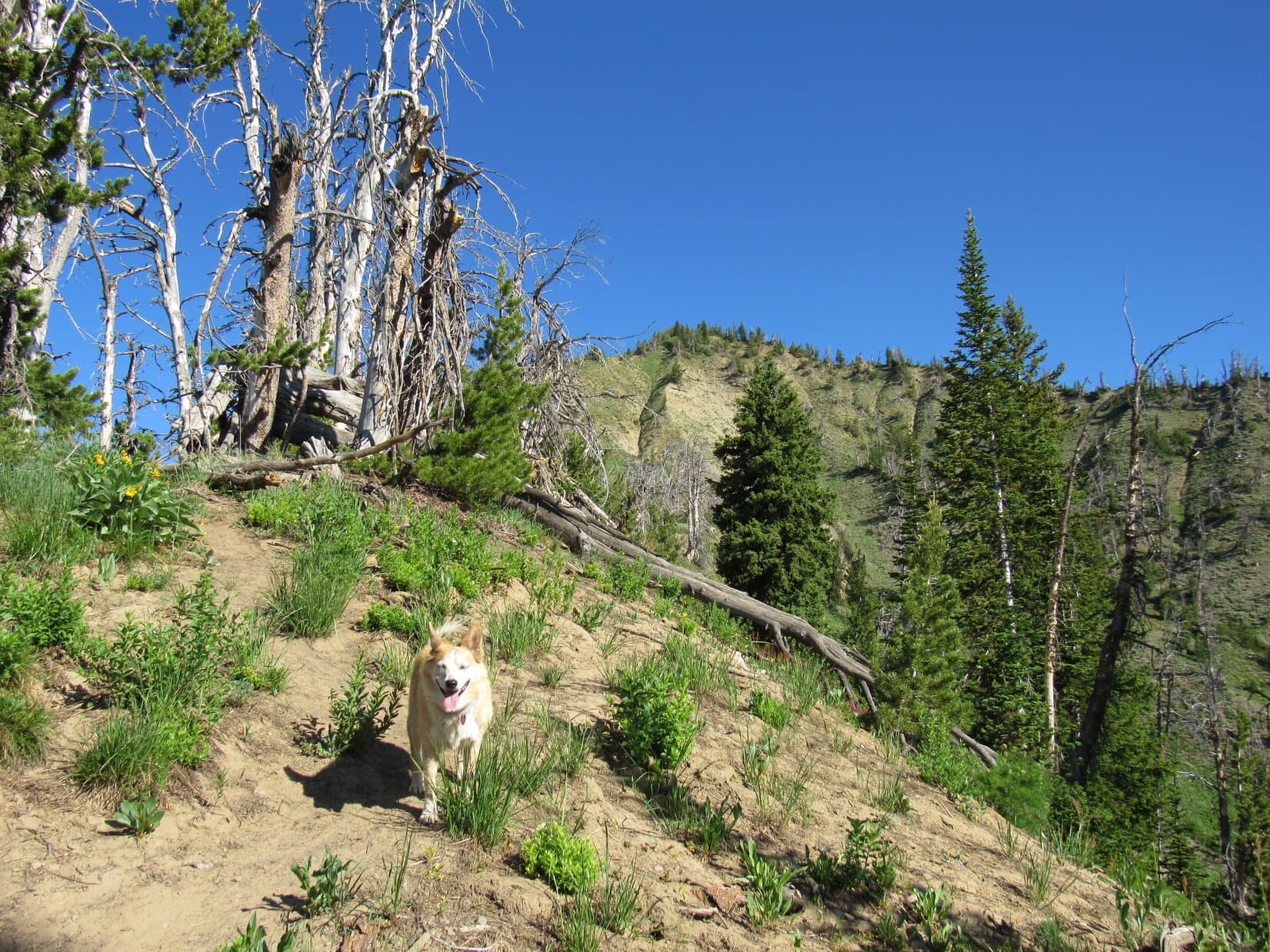
Two trails left Pass9176 heading S or SW. No signage indicating where they might go. Didn’t matter. Lupe didn’t need to take them. All she had to do was start climbing the slope on the N side of the pass. A use trail going that way led up into the trees.
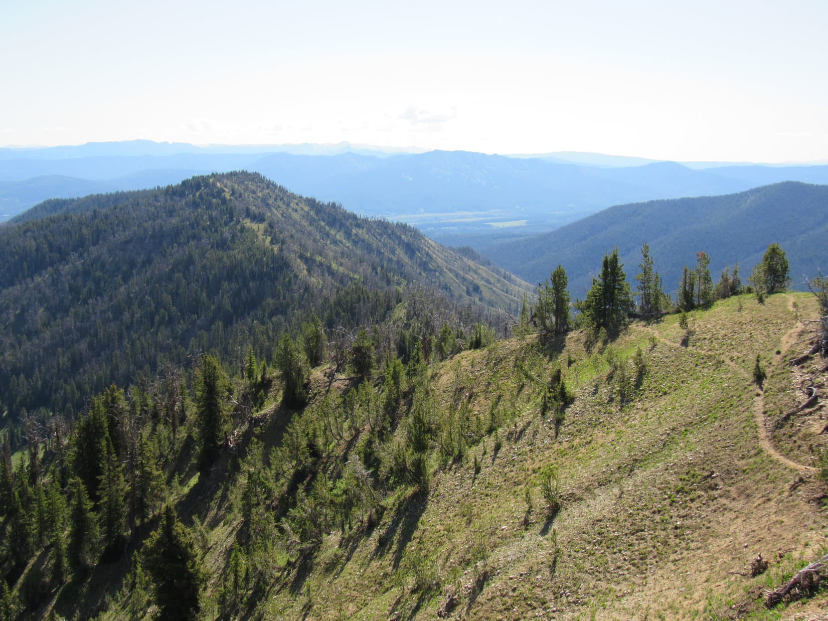
Approaching Pass 9176. Photo looks WSW.At Pass 9176 where 2 mysterious trails left it. Photo looks SSW.Pass 9176. Photo looks N at the slope leading to Mount Leidy.
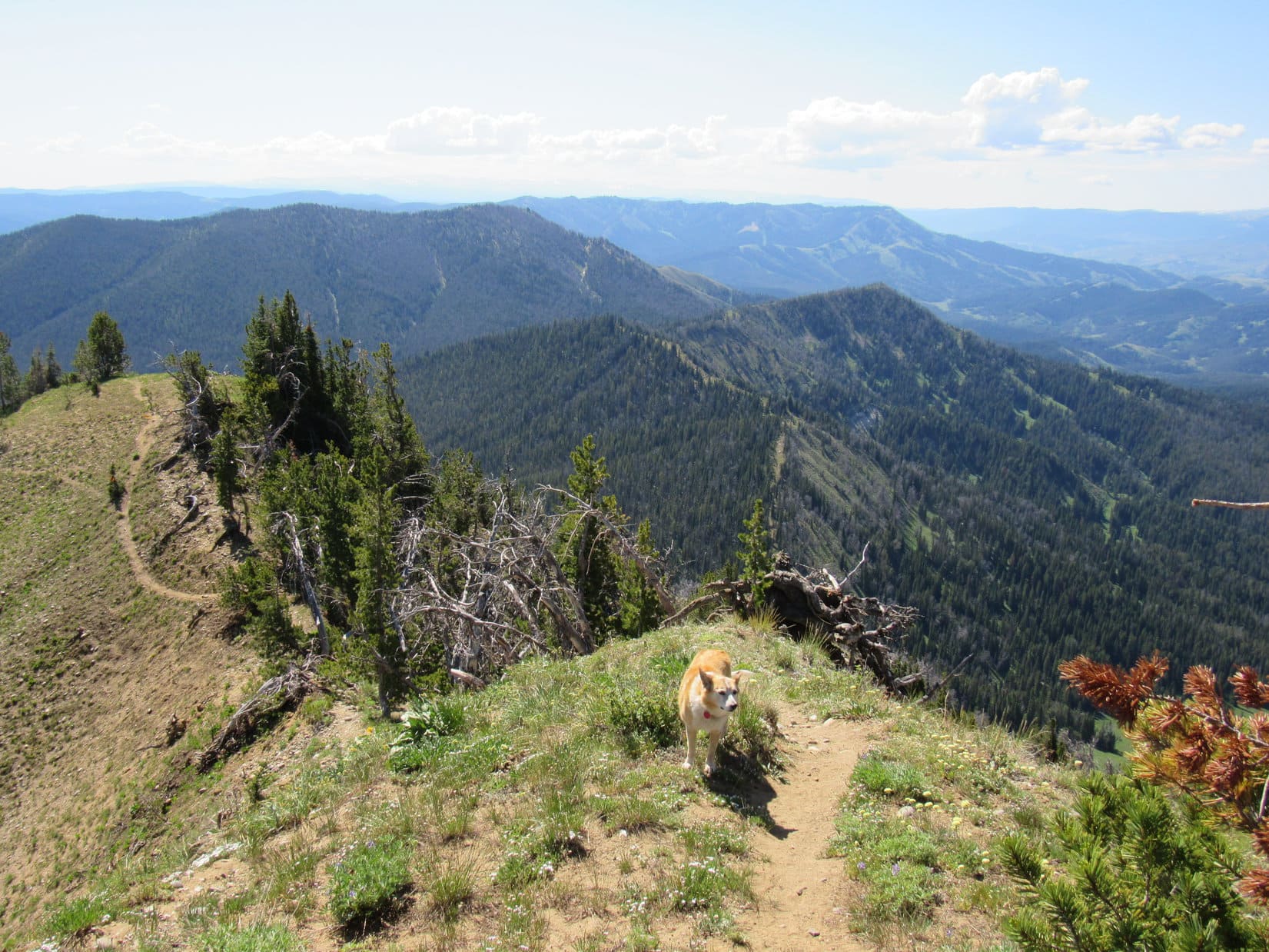
The climb was fairly steep from almost the very start. Looper roamed a forest that was sunnier and more open than expected, passing lots of big yellow wildflowers growing in clearings. Although many trees in this forest were dead, nearly all were still standing.
Heading up Mount Leidy’s SE ridge. Photo looks NW.
Early on, Lupe came to a view of big mountains to the S. She continued to get glimpses of them, and Wyoming’s fabled Teton Range off to the W, as she worked her way higher.
An early view. Photo looks SW.
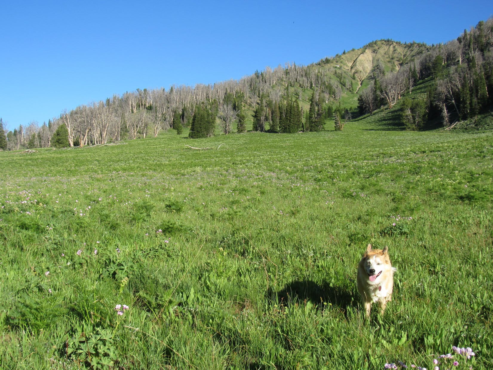
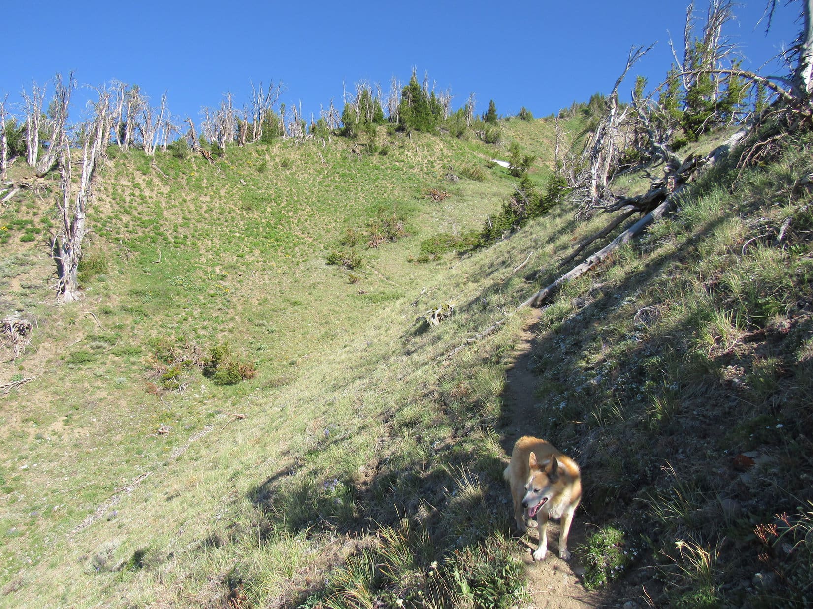
The SE ridge Lupe was following was broad for a long way. The soil was noticeably odd, consisting of a powdery loose dirt with rounded rocks of modest size mixed in. The wildflowers must have liked it. Lupe passed many of them.
The SE ridge was quite broad for a long way. Photo looks NW.
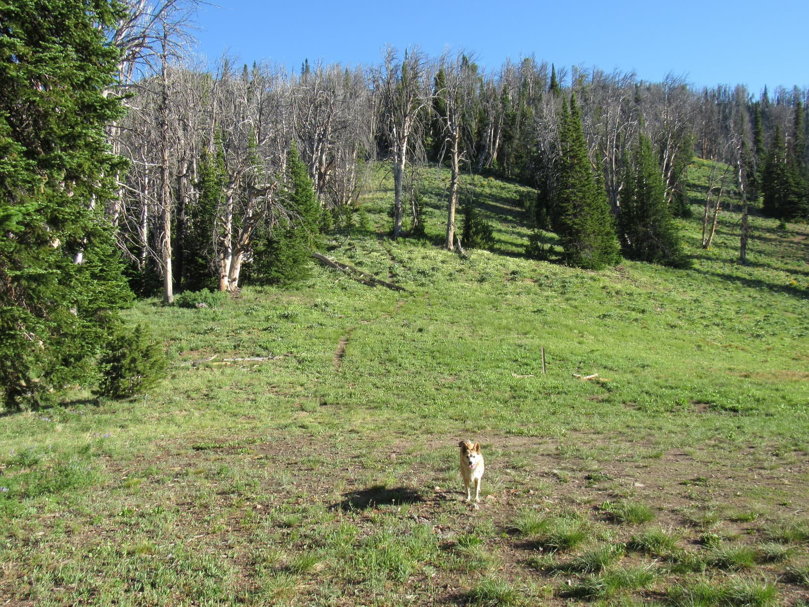
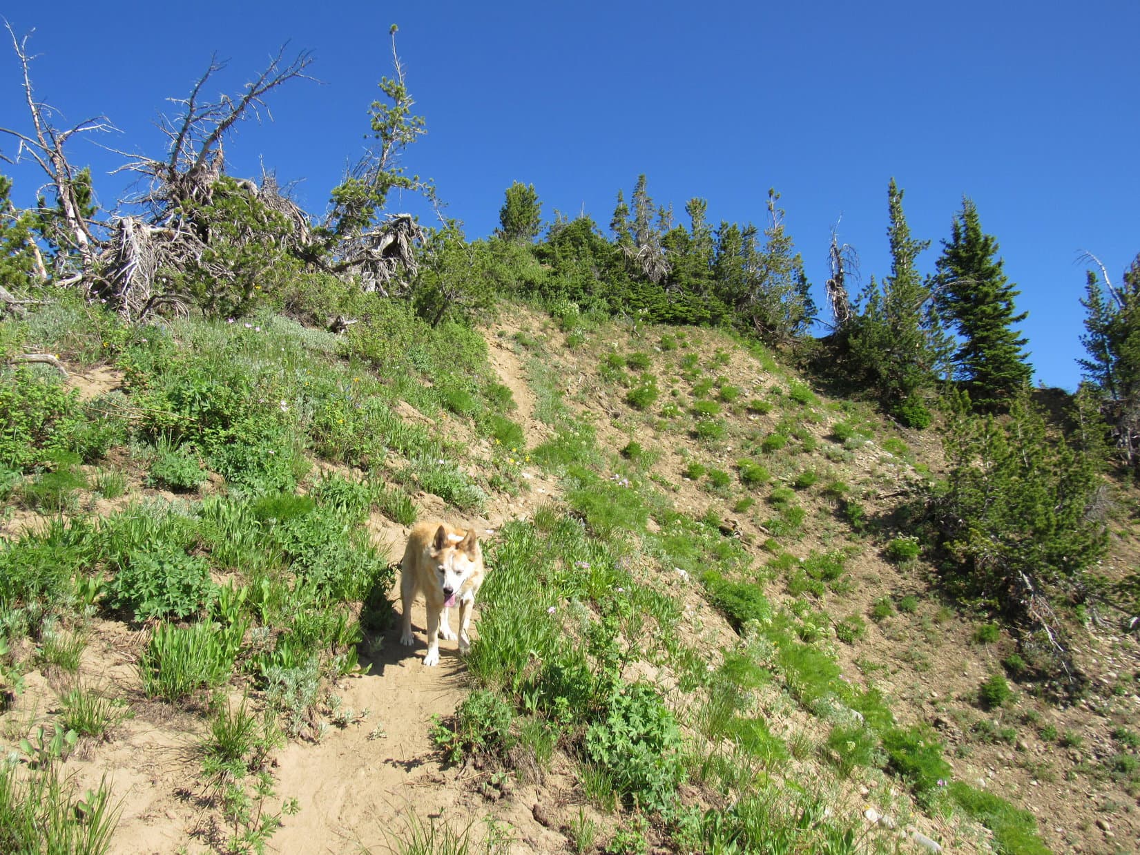
Two thirds of the way up, the ridge narrowed to a skinny edge. The trail dropped over to the W side, losing minor elevation before proceeding higher again at a more gradual pace as it traversed a very steep slope. Soon the trail swept around a ravine and began angling up to a higher ridge toward the W.
The SE ridge narrows down. Mount Leidy (Center). Photo looks NW.Approaching the next ridge (L). Photo looks NNW.
Despite a few level spots, the next ridge was both narrow and generally even steeper. In some places, short, almost vertical chutes of packed dirt provided little traction. SPHP clung to trees or bushes for support. Stumps and branches in the way were additional obstacles.
On the second ridge.Leidy Lake (Center) in the distance beyond the first ridge (foreground) where the trail can be seen below. Photo looks ESE.
Lupe kept climbing. The summit came back into view. Almost there!
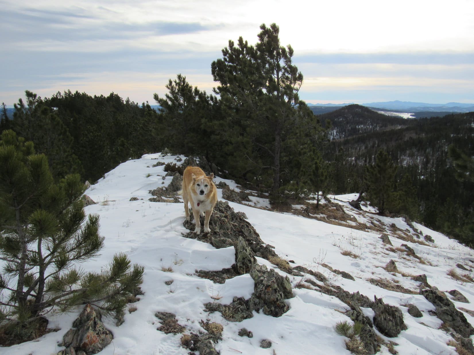
Closing in on the summit. Photo looks NNW.
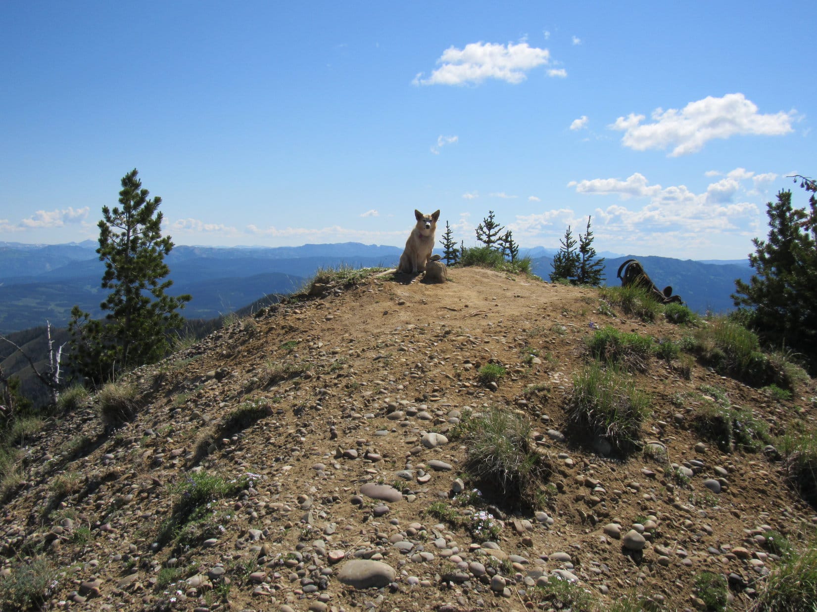
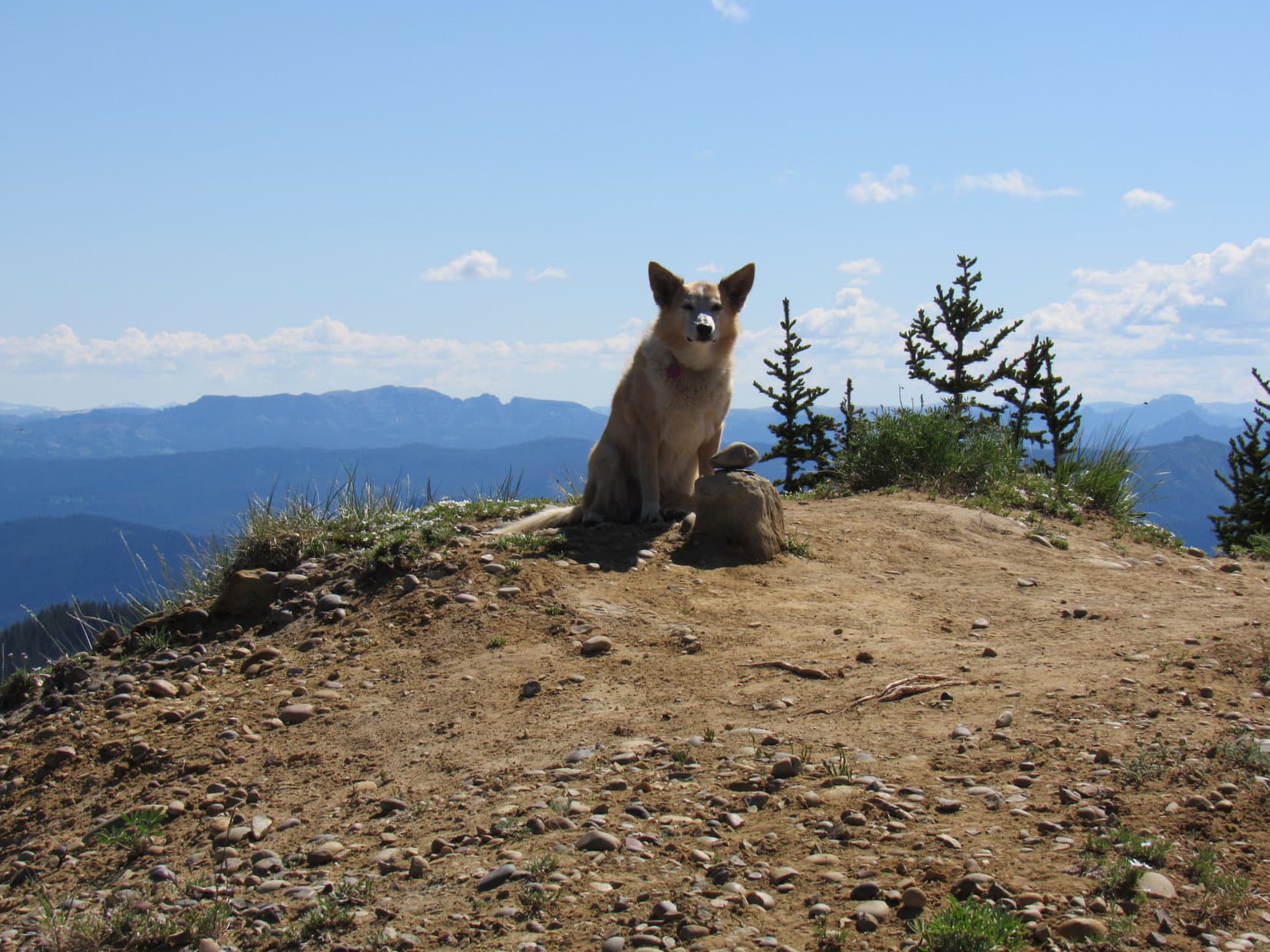
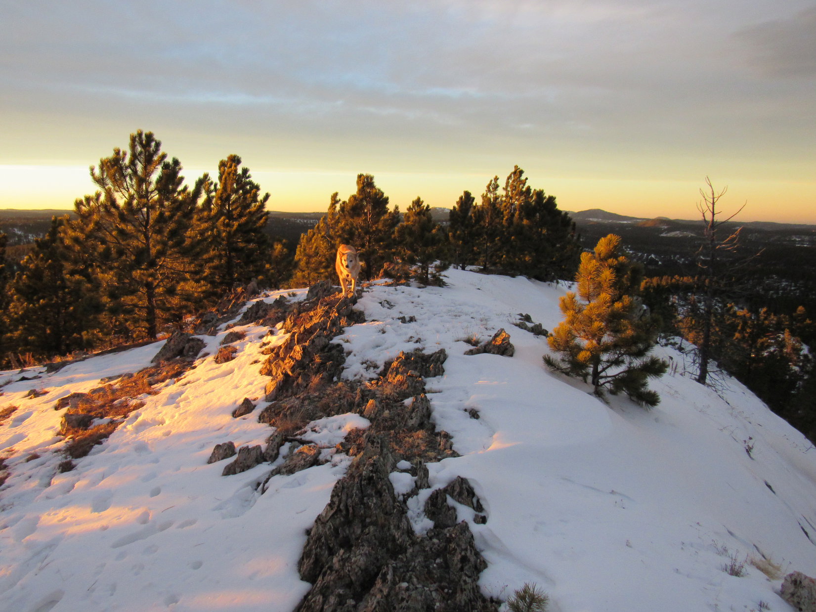
Well, not quite! Lupe arrived at the apparent summit only to find that it was a false one. However, the true summit was now in sight only 200 feet farther NW. Crossing a minor saddle, a final short climb and the American Dingo was there!
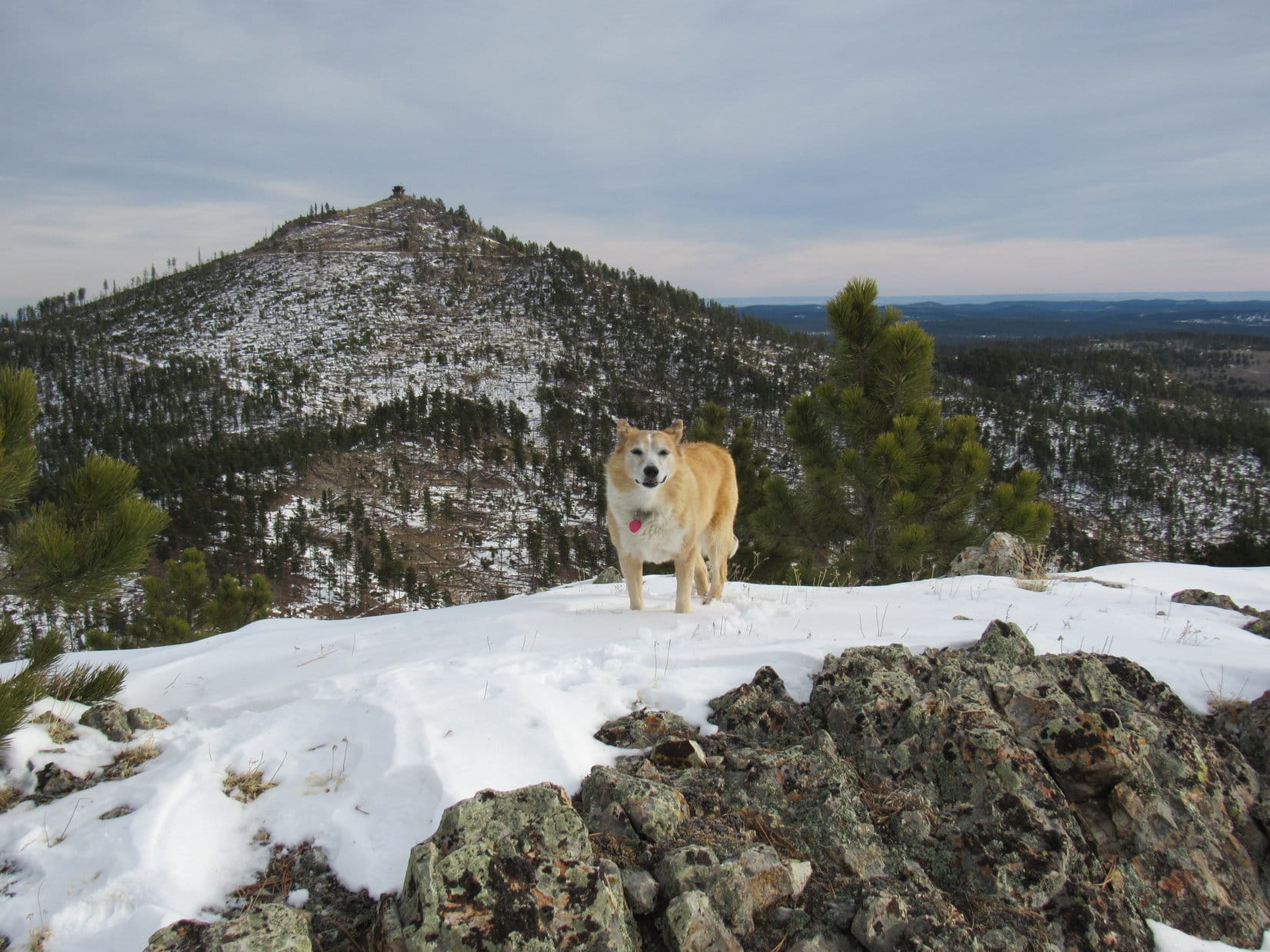
Mount Leidy’s true summit (R) from the false one. Photo looks NW.False summit (L) from the S end of the true one. East Leidy(10,145 ft.) (L of Center). Peak9680 (R) in the foreground. Photo looks SE.
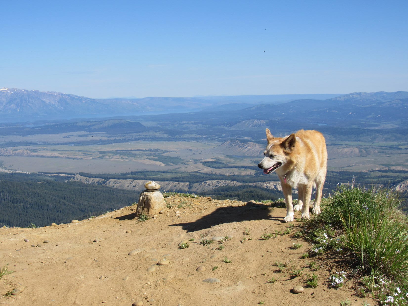
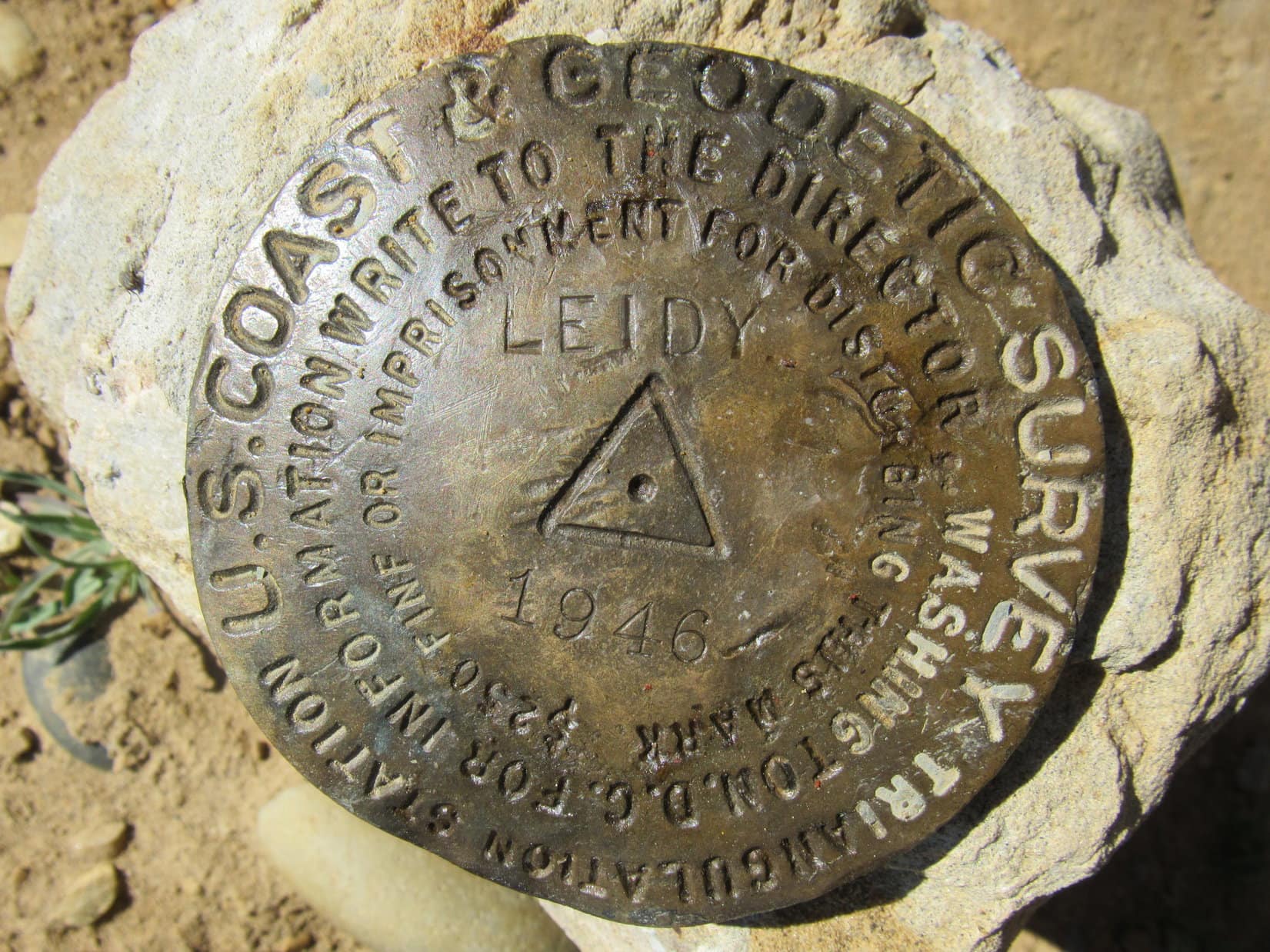
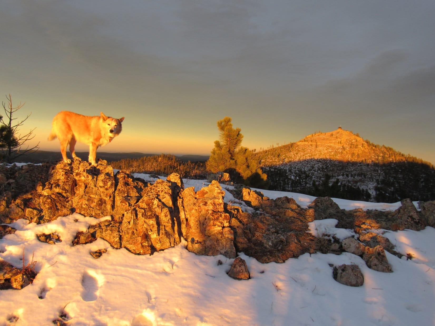
Mount Leidy’s true summit encompassed a small region no more than 15 feet across, and in most places less. A short wing sloped away to the SE, the way Lupe had come up, and a similar one extended out to the W. Along the N edge, near the high point at the intersection of these wings, sat a single stone with a smaller one perched on top. Hidden beneath the smaller stone was the Leidy survey benchmark.
At the true summit. Jackson Lake (L) in the distance. Photo looks NW.Leidy survey benchmark.True summit from the end of the W wing. Photo looks E.
Far to the ENE was a long blue ridge of particular interest. Took SPHP a moment or two to be sure, but it had to be, didn’t it?
Hey, Looper! Look at that! Isn’t that North Breccia Cliffs(11,240 ft.) where we were just 2 days ago?
North Breccia Cliffs (L). Photo looks E with help from the telephoto lens.
If you say so, SPHP! Think I’ll go lay in the shade, if you don’t mind.
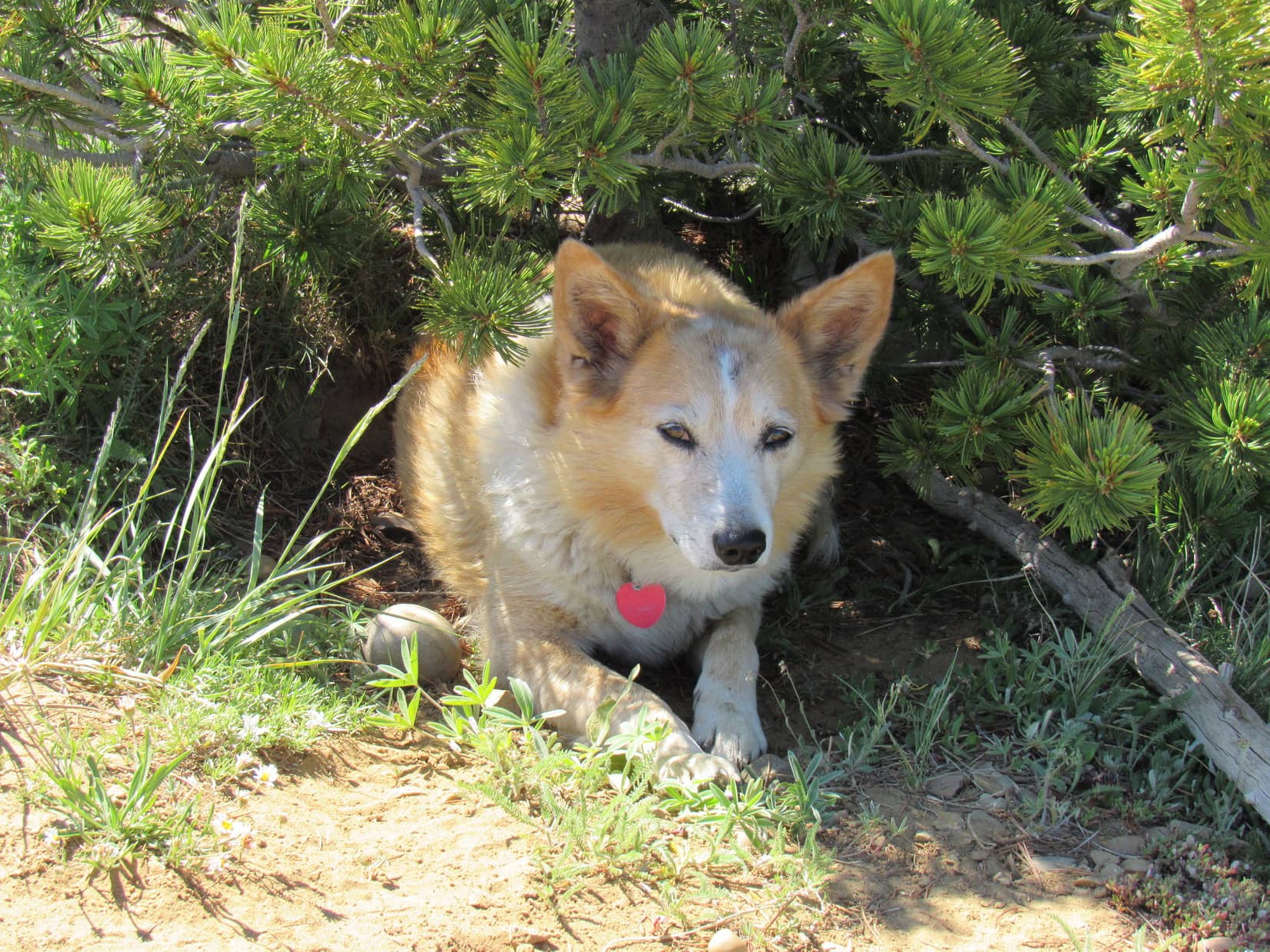
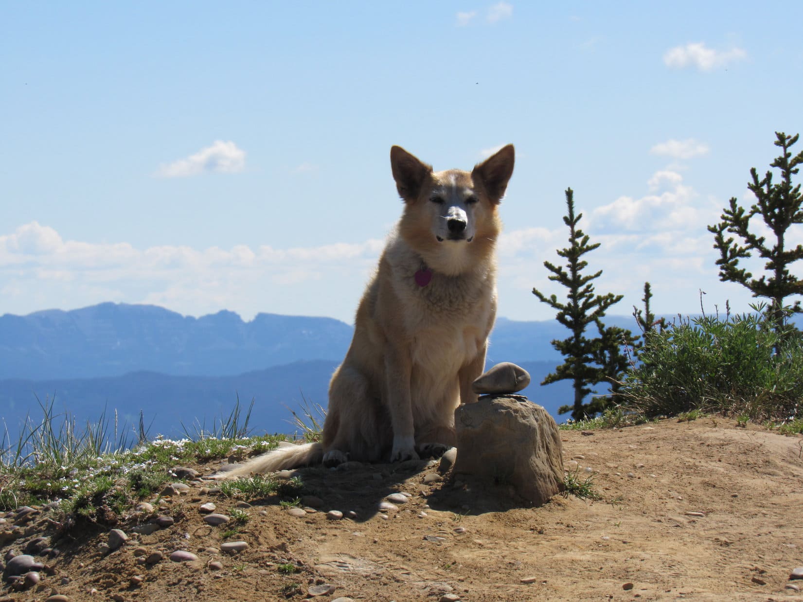
Cloudy only near the horizons, Mount Leidy(10,326 ft.) was baking in the early July sun. Warm alright, and with scarcely a breeze. Actually felt pretty comfortable to SPHP, but Lupe was hot. She quickly sought out the shade of a few small trees or bushes along the summit’s edge.
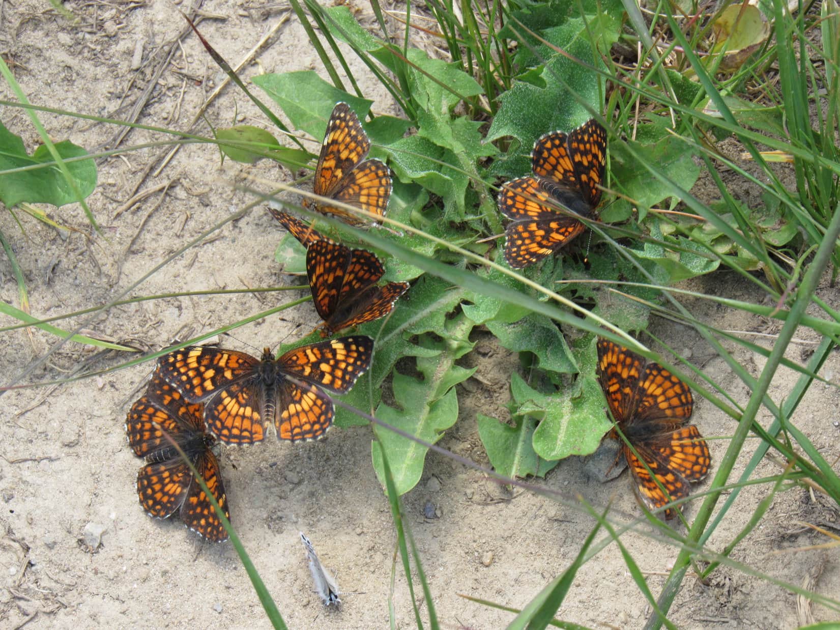
The air was humming with flies and bees of various sizes. Loop hid out snapping away at them. Butterflies performed wild acrobatics, chasing each other in groups of 6-8. The whole place seemed alive and happy that it was summertime.
Hiding from the July sun.
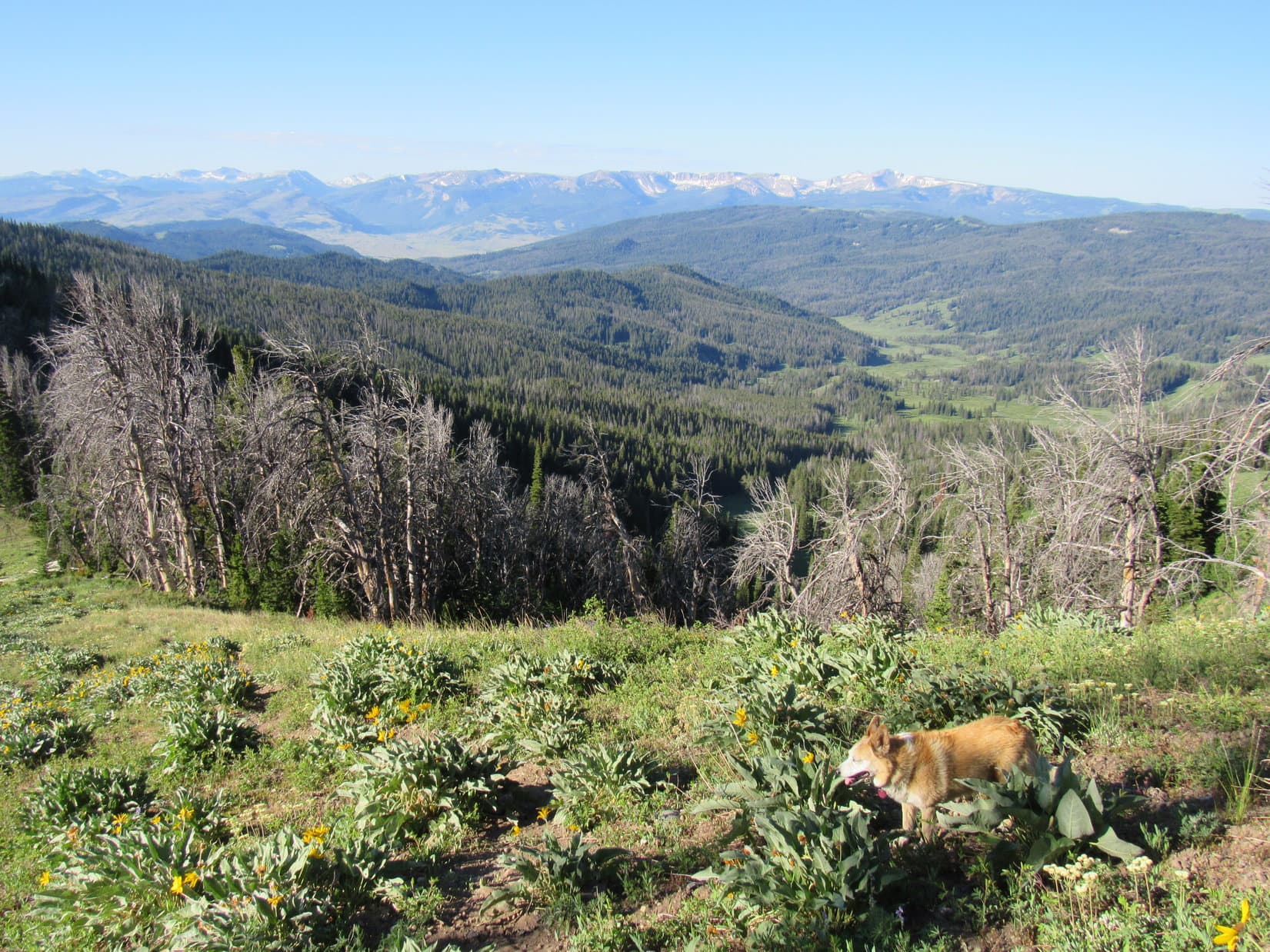
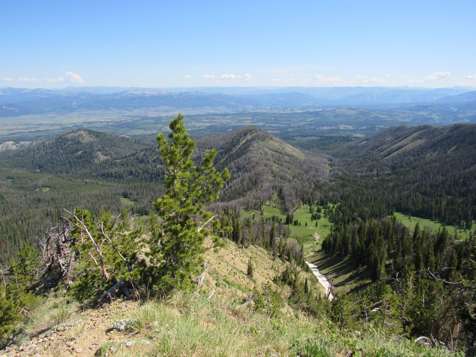
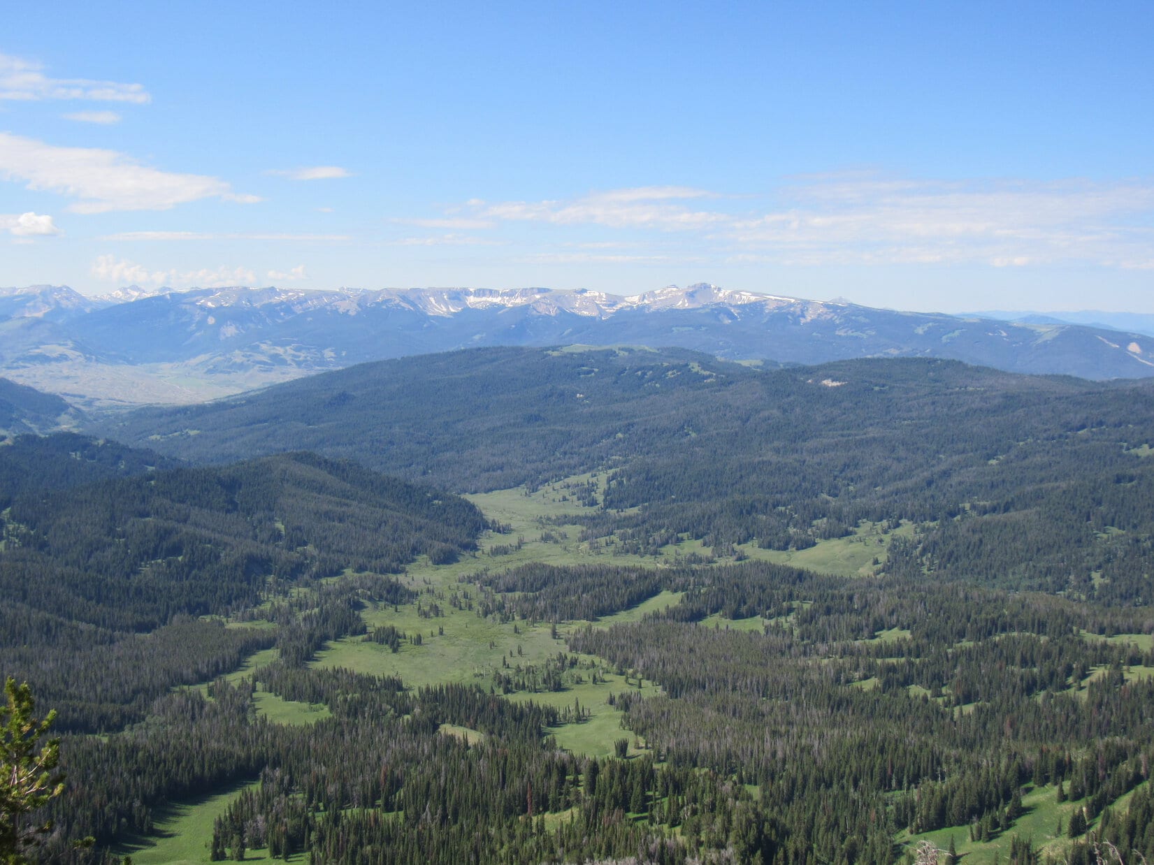
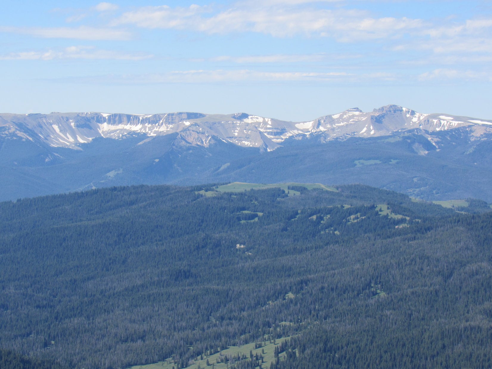
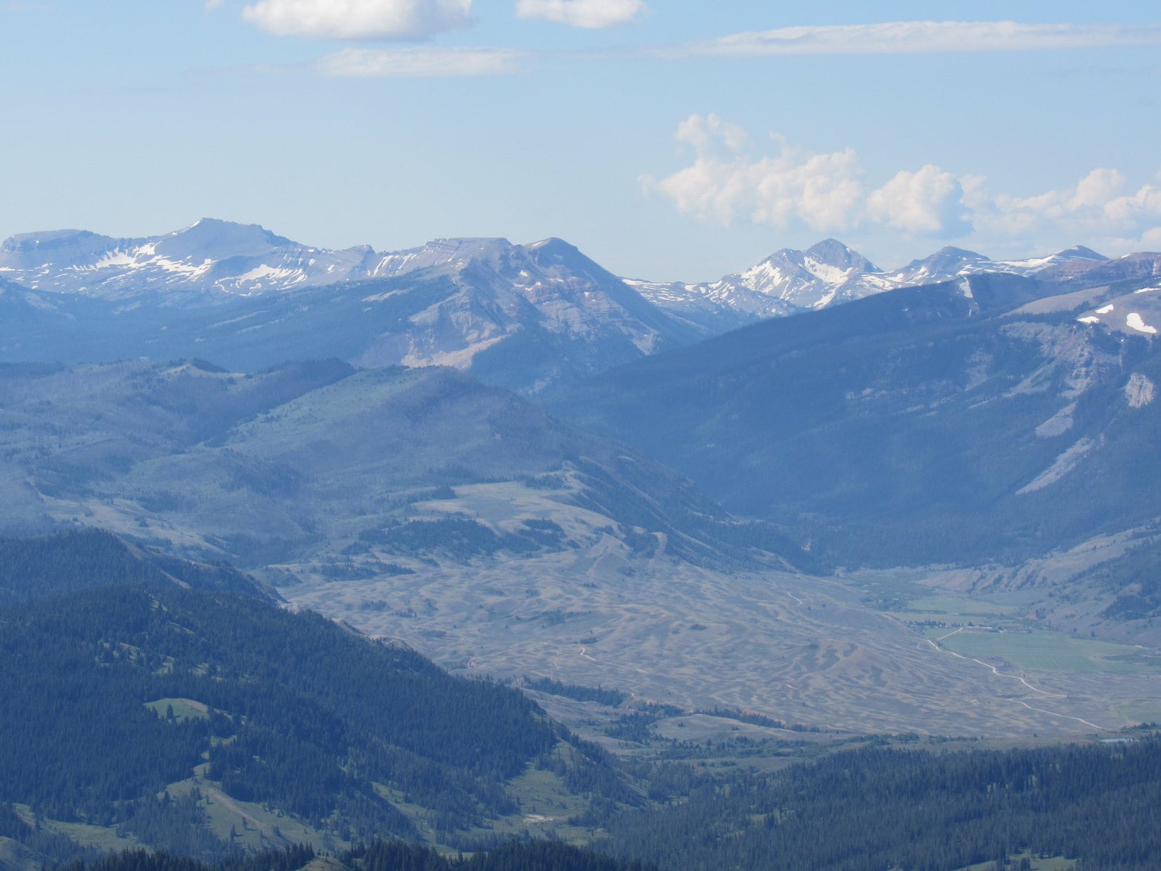
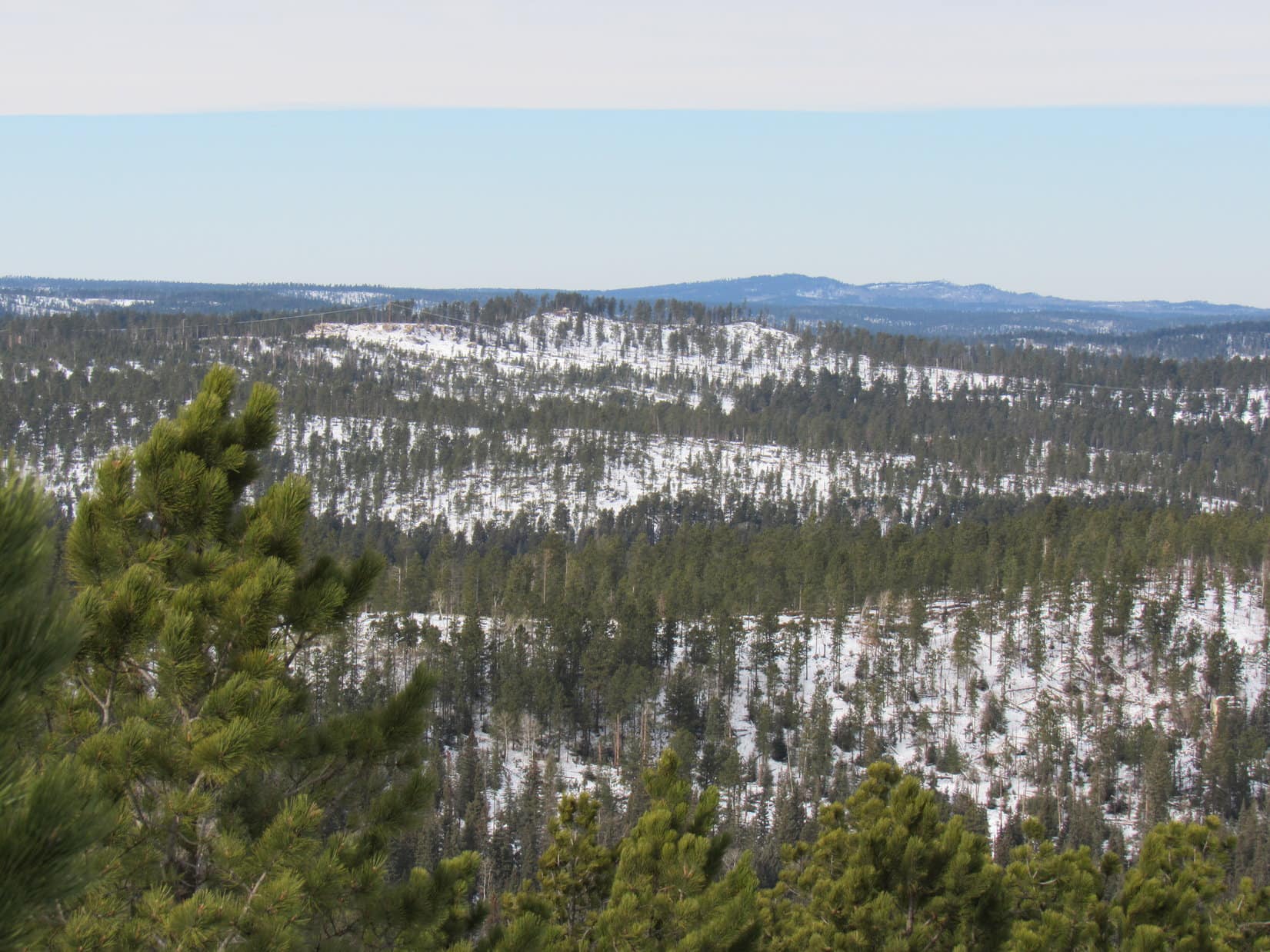
Water and a shared chocolate coconut bar. SPHP had a fruit cup, too. The views were tremendous, although the air was sort of hazy. Smoke? Humidity? Hard to say, but it seemed more like smoke. Far to the SE, the Wind River Range was scarcely discernable.
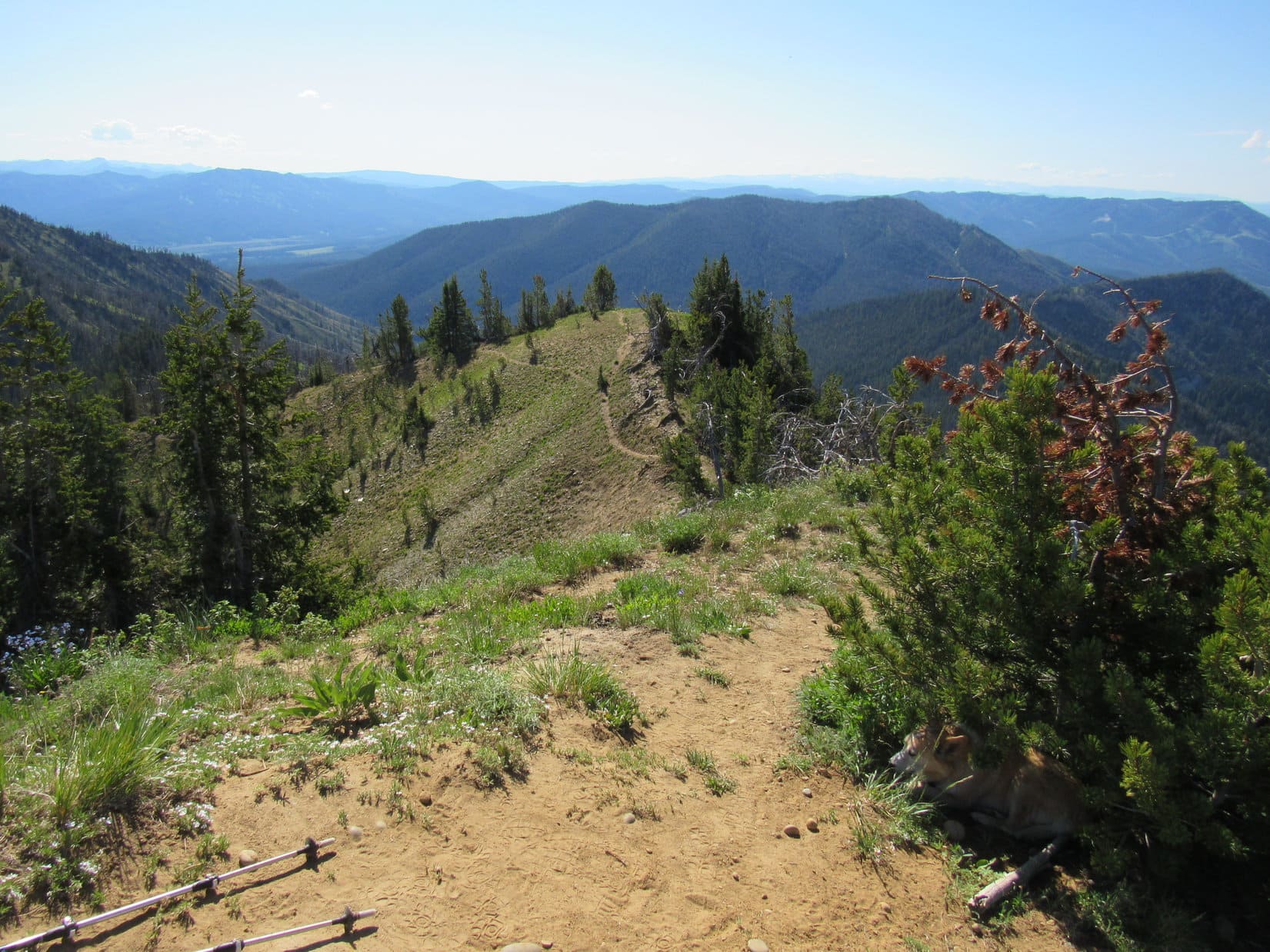
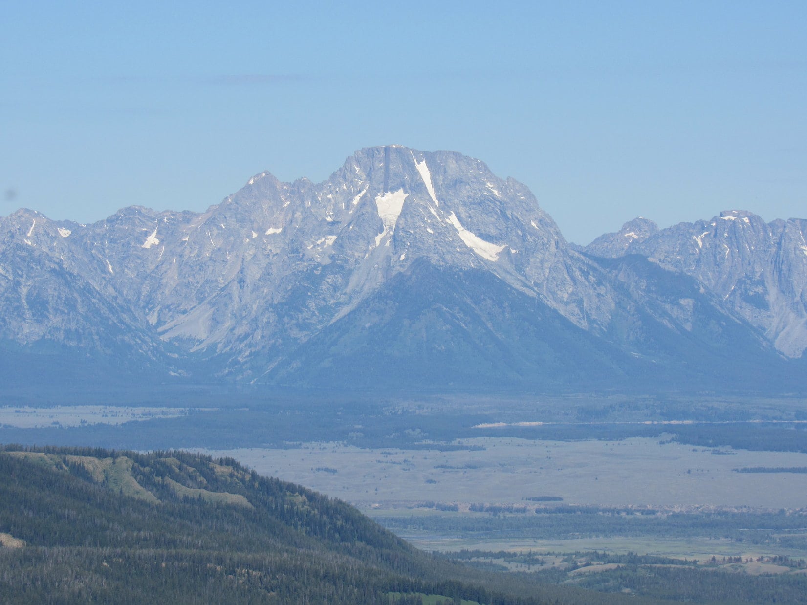
The terrain to the N was all much lower. Peak 10195 was only a mile E. To the S was the line of high peaks that Lupe had seen on the way up.
Lowlands to the N. Photo looks NNE.Peak 10195 (L). Mount Leidy’s false summit (R). Photo looks E.Looking SSW.Same view with help from the telephoto lens. Photo looks SSW.Interesting territory! Photo looks S with help from the telephoto lens.
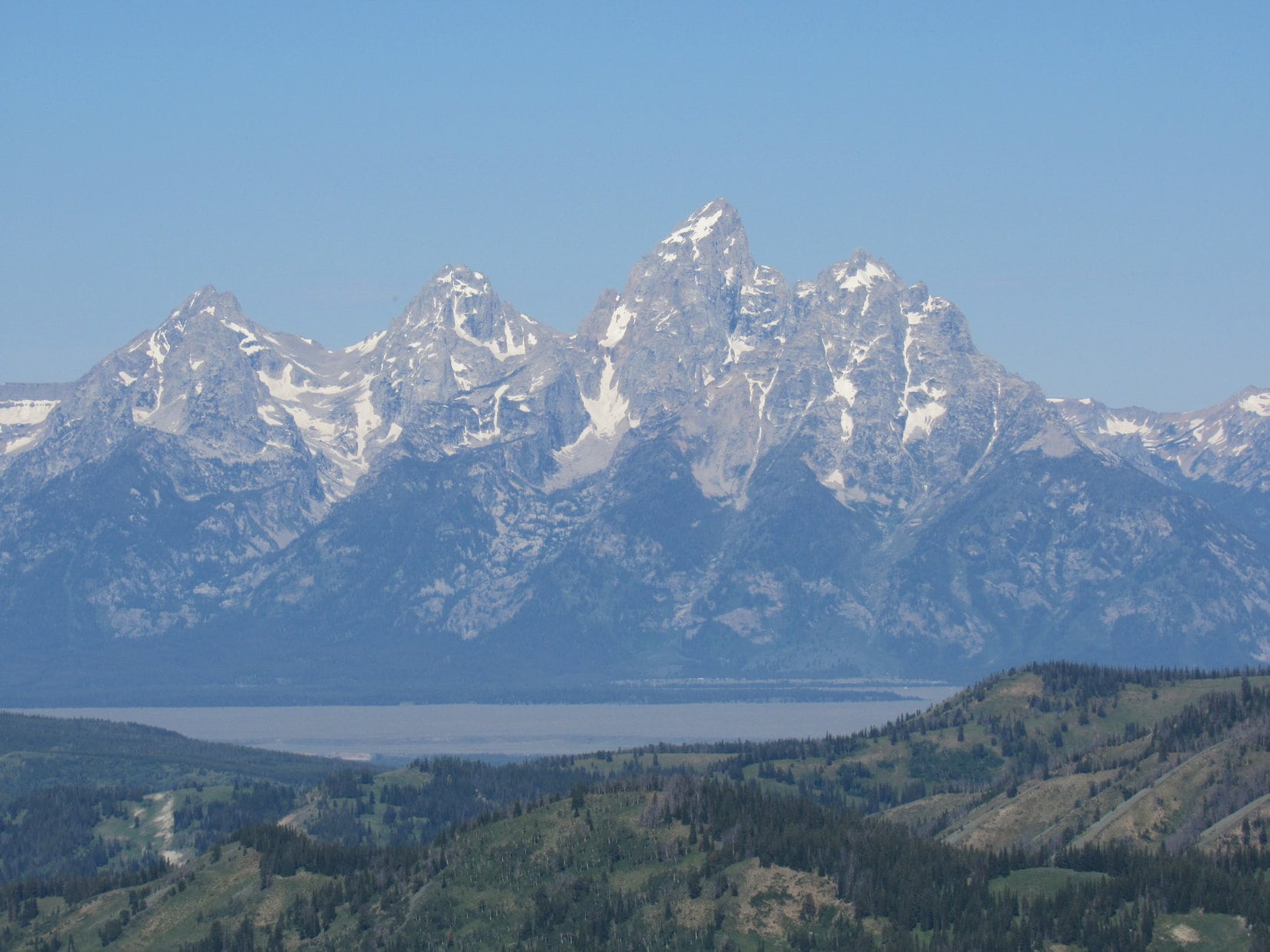
The real treat that Mount Leidy is famous for was off to the W, though, a tremendous view of the Tetons! The entire range was on display with soaring Grand Teton(13,770 ft.) and the more massive, but lower Mount Moran(12,605 ft.) standing out as particularly recognizable.
Grand Teton (L) and Mount Moran (R). Photo looks W.Grand Teton. Photo looks W with help from the telephoto lens.Mount Moran. Photo looks WNW with help from the telephoto lens.
Completing the scene, Jackson Lake was visible to the NW, although it was a little hard to see due to the haze.
Jackson Lake from Mount Leidy. Photo looks NW with help from the telephoto lens.
A very pleasant hour shot by. Suddenly, sadly, it was time to go.
Onward! Puppy, ho!
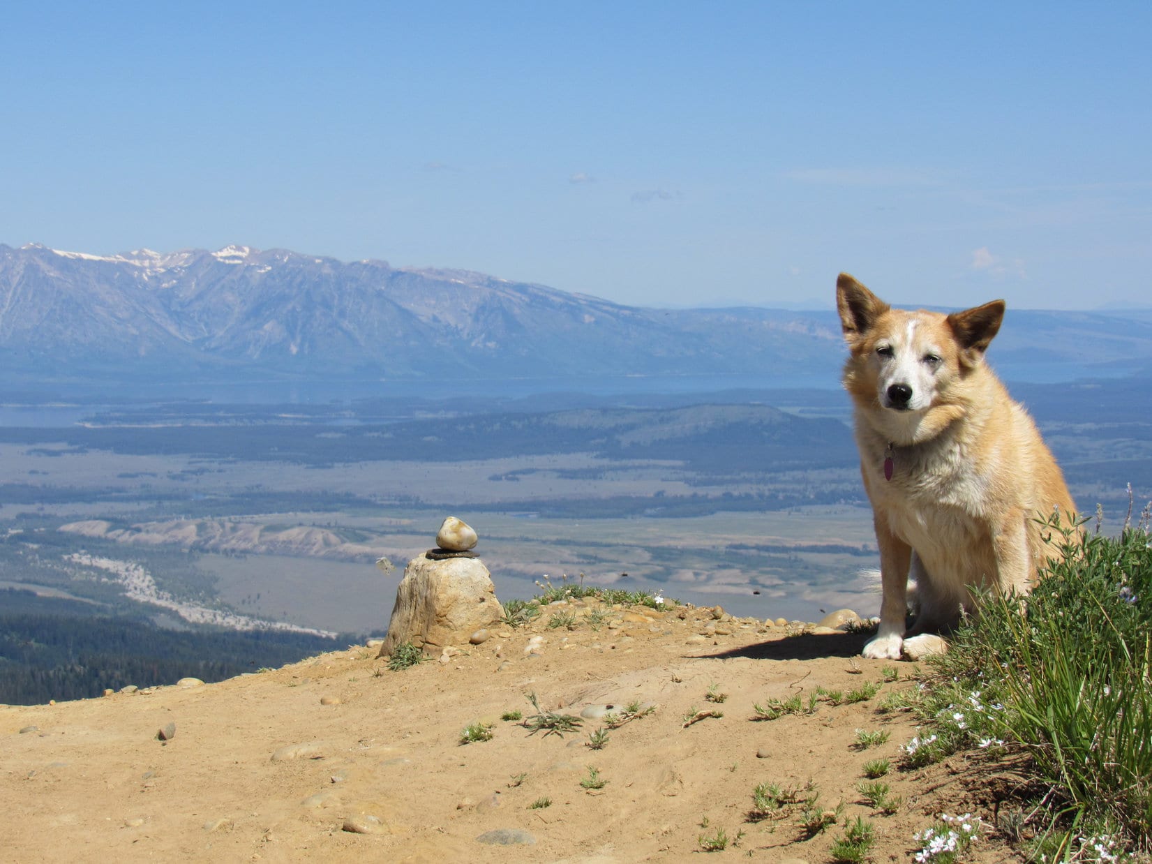
One thing that had not been visible from Mount Leidy’s true summit was Leidy Lake. However, it was easily seen from the false summit. Lupe and SPHP paused for a moment to admire the scene.
Leidy Lake (L) from the false summit. Photo looks SE.
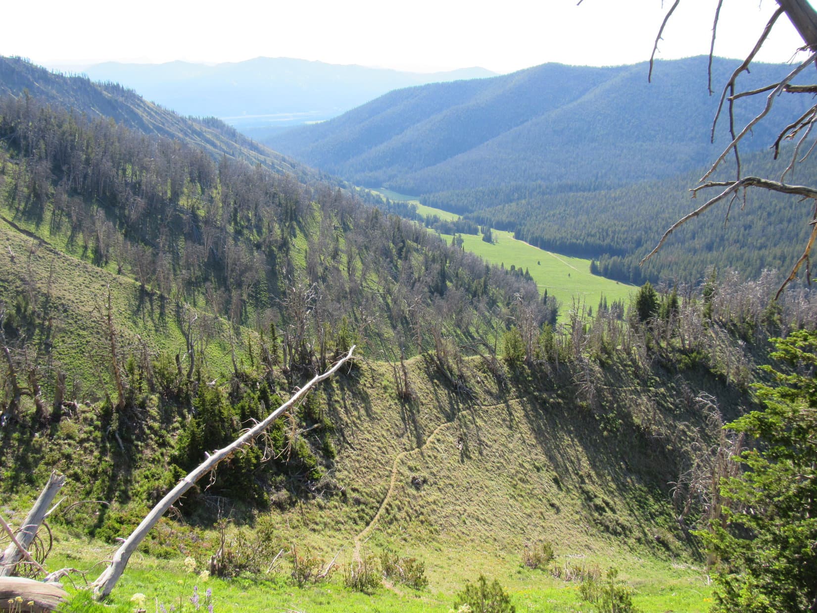
Then it was down the mountain the same way Lupe had come up. A bit of caution was required in some spots, but soon there was nothing to worry about except sniffing the exotic wildflowers. The American Dingo arrived back at Leidy Lake to find a butterfly convention underway near the RAV4. (12:29 PM, 67ºF)
An intricate stalk of splendid little purple flowers.Approaching Leidy Lake again. Photo looks E.The butterfly convention.
Still early. Mount Leidy had been a quick, easy peak with lots of scenic reward for effort expended. The view of the Tetons alone had made it all very worthwhile!
The Tetons weren’t where Lupe was headed next, though. The afternoon got spent on a beautiful drive over Union Pass NW of the Wind River Range. At exactly 5:00 PM, as raindrops began sprinkling beneath a dark gray sky, Loop arrived at the Kinky Creek trailhead. Half an hour later, a near cloudburst poured buckets for 40 minutes before easing up.
Well, that ought to clear the air for the Carolina Dog’s next adventure! In the meantime, sweet dreams of warm breezes, dancing butterflies, and buzzing bees on magnificent Mount Leidy.
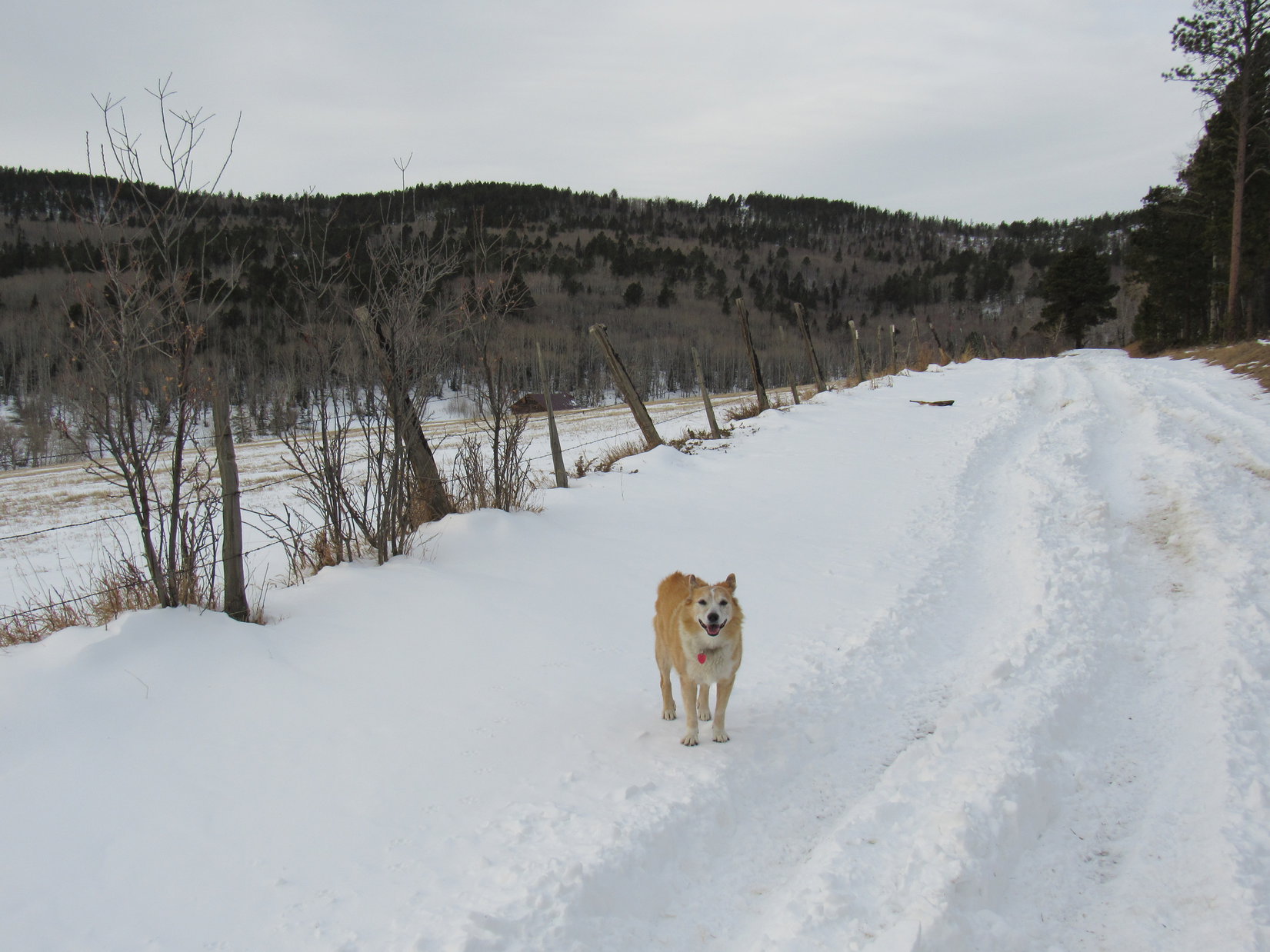
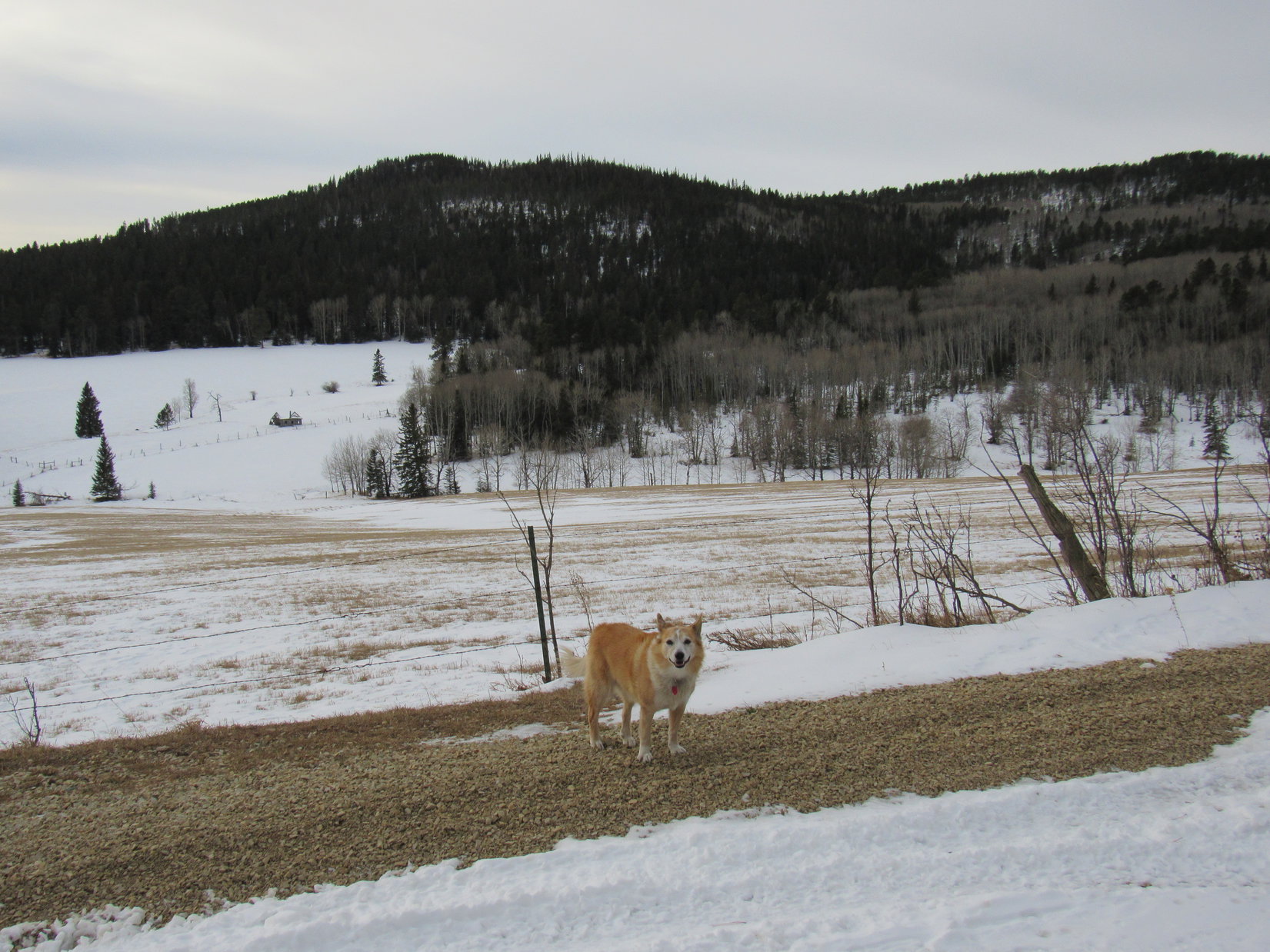
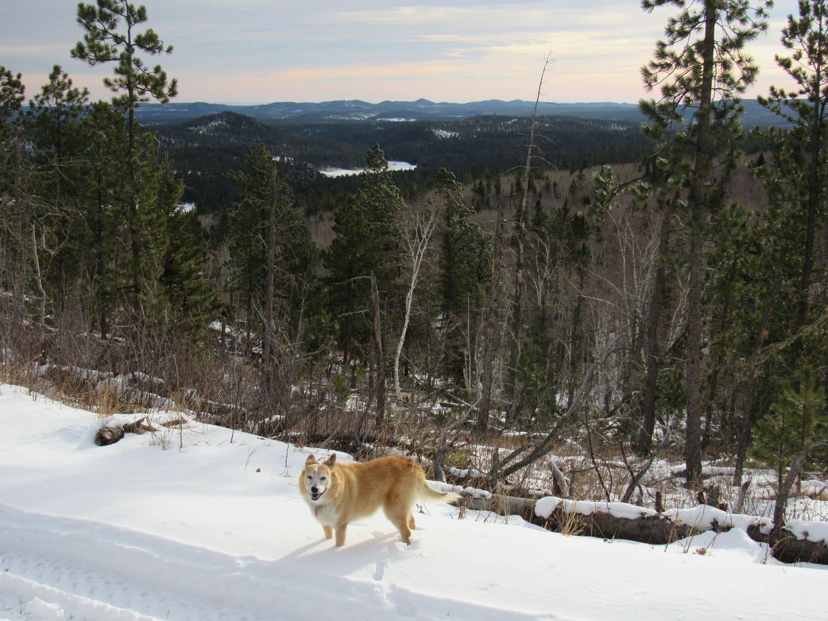
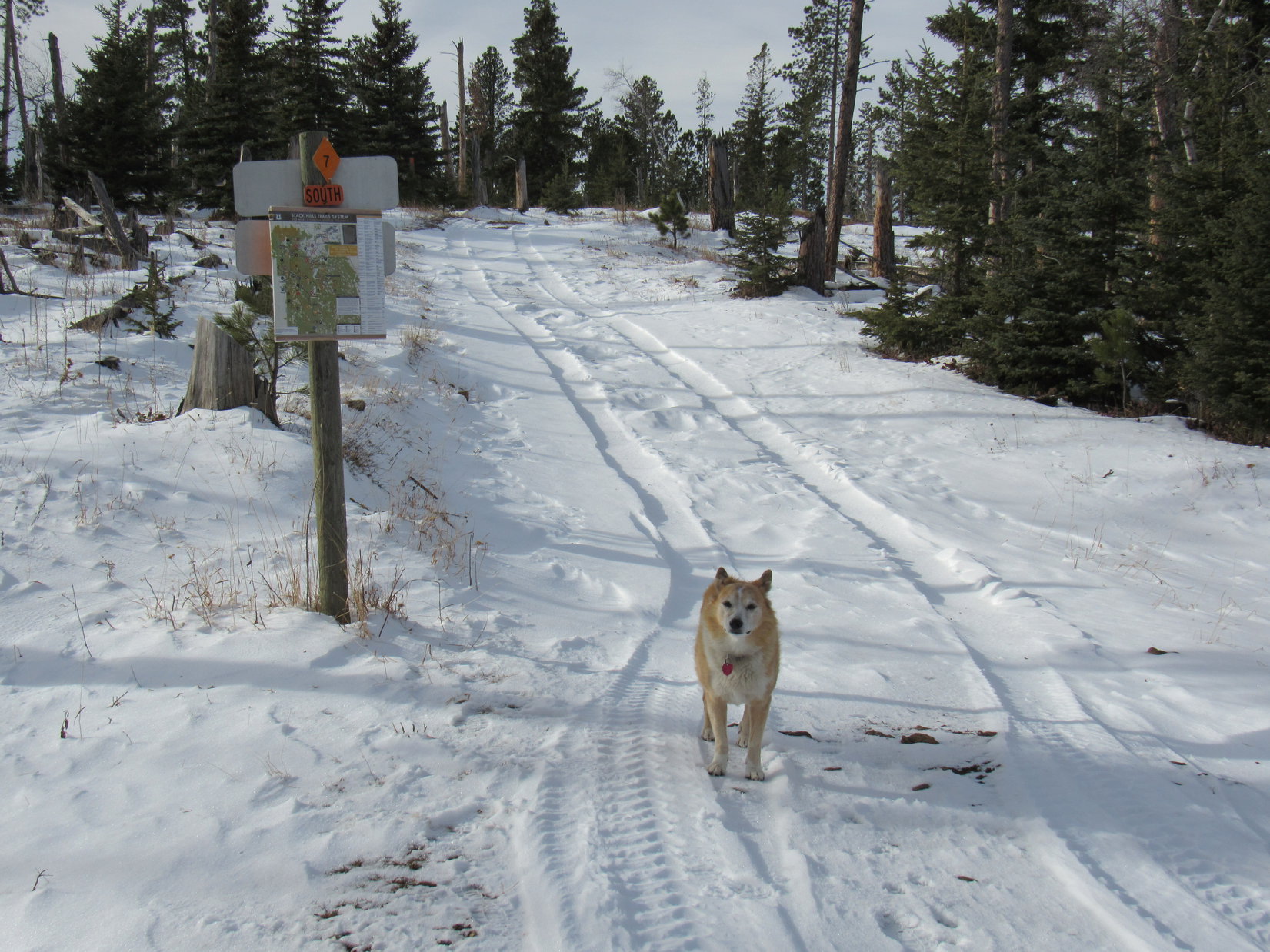
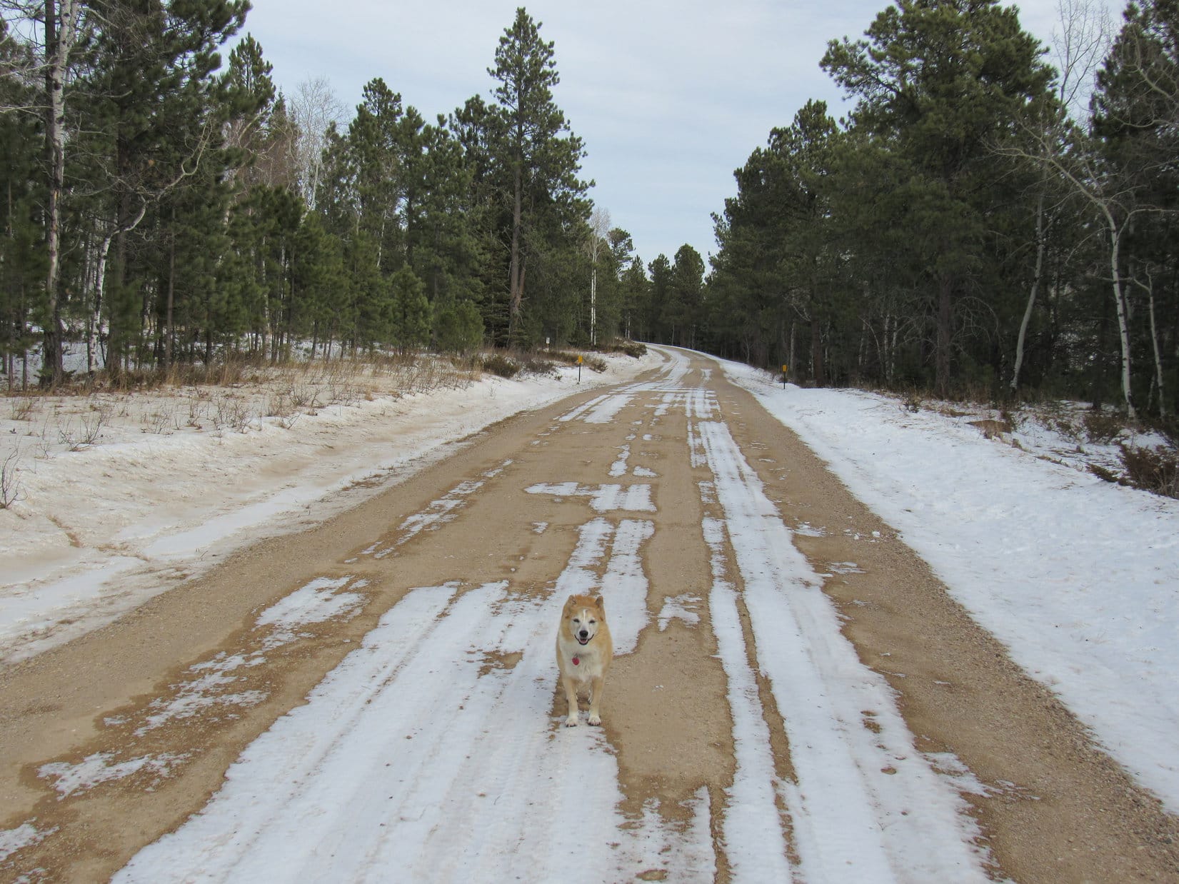
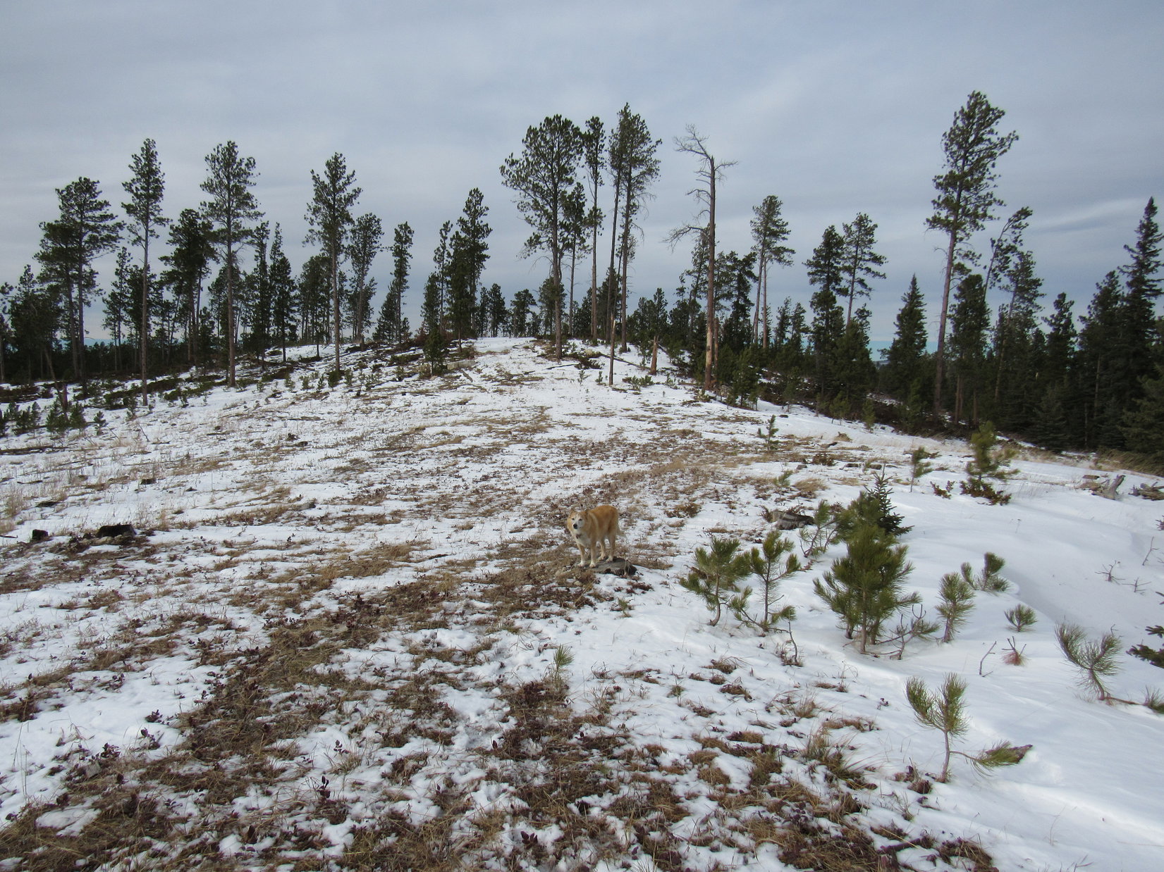
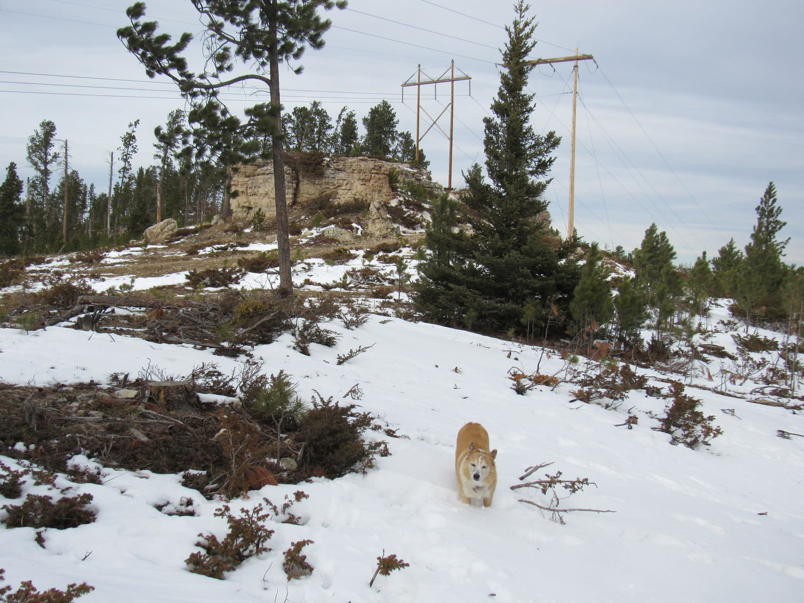
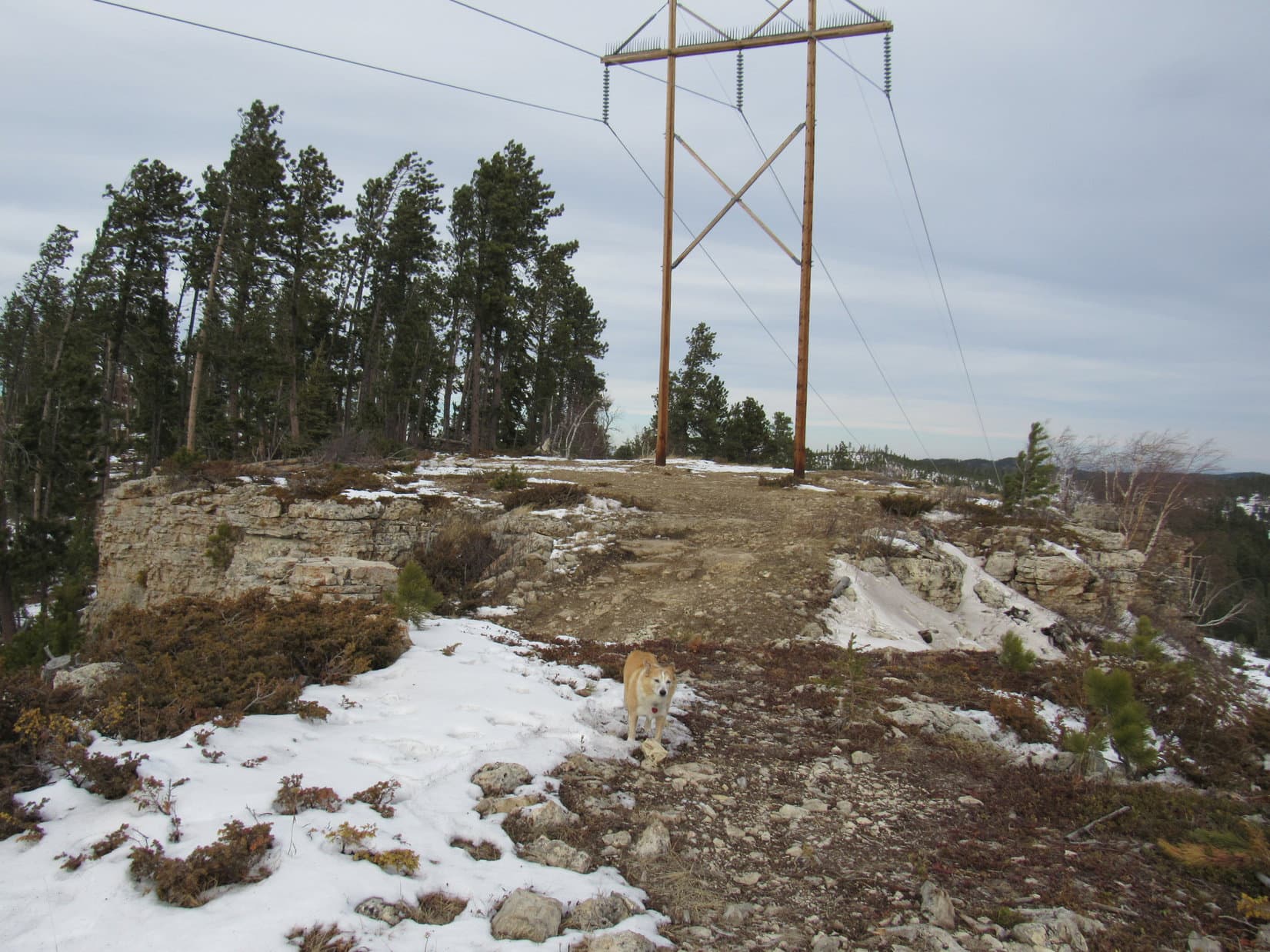
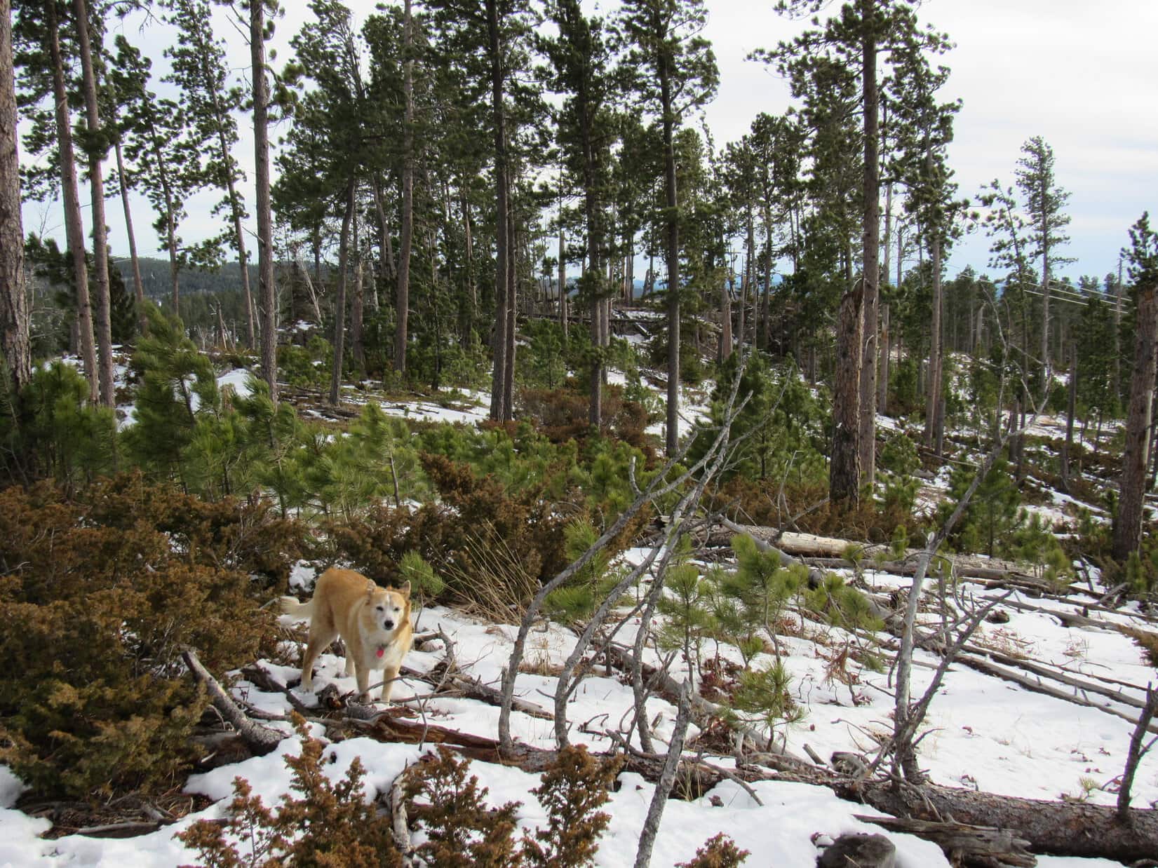
8:37 AM, 47ºF, USFS Road No. 216 about 0.7 mile SE of Custer Peak – Better take the warm jacket! Sort of a surprise. With a high 20ºF above normal expected, SPHP had thought a light jacket would suffice. A 25 mph wind out of the W changed everything. Not exactly cold, but it did feel pretty cool out.
The birthday girl was unfazed! For a mid-December birthday, conditions weren’t bad at all. Could be a lot worse. Thrilled at the chance to spend the day roaming the Black Hills, Lupe headed W on USFS Road No. 216.
Setting off for an 11th birthday romp in the hills. Photo looks W.
The road went past a beautiful snowy field flanked by pine and aspen covered mountains. Beneath an overcast sky, the contrast between the white field and the dark pines made it easy to see how well the Black Hills live up to their name.
Pausing to admire the snowy field and Black Hills. Photo looks S.
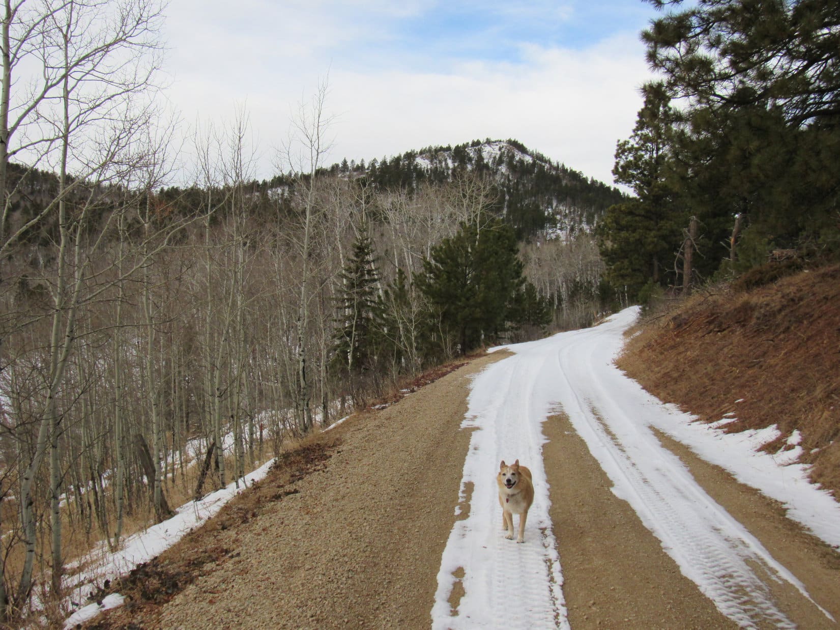
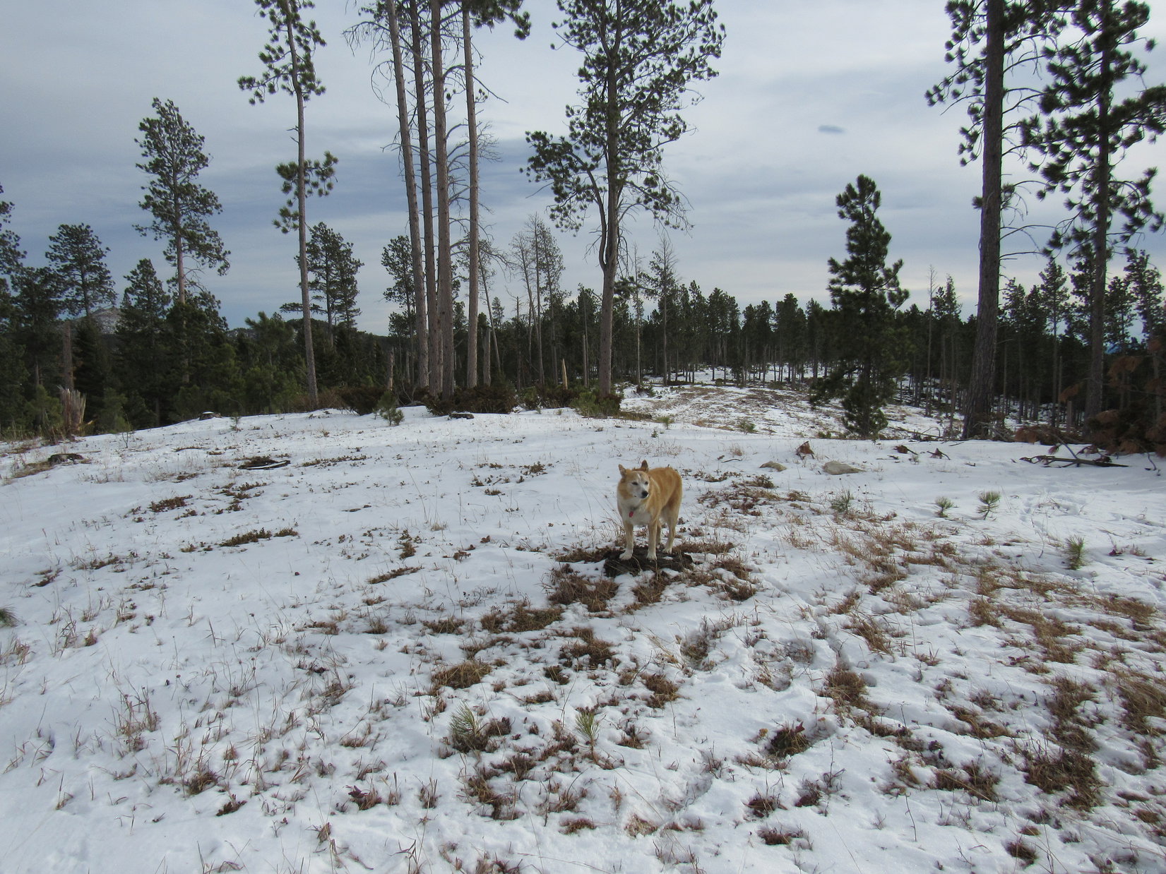
This stretch of USFS Road No. 216 was familiar territory. As the road gradually turned NW, Peak6600 came into view.
Approaching Peak 6600 (R of Center). Photo looks WNW.
Sort of intended to, Loop, but with it so windy right now, maybe it would be better to wait until later in the day? Hoped it would be sunnier than this, too. How about we hit it on the way back, if there’s still time?
Fine with me, SPHP, but on the way back from where?
Oh, remember back in February when we climbed both Custer Peak and Peak 6600, then went on to try to climb Peak6480, but never got very far because it got so foggy and started to snow?
Of course, I do! Is Peak 6480 where we’re going now?
Yup, if we can find it.
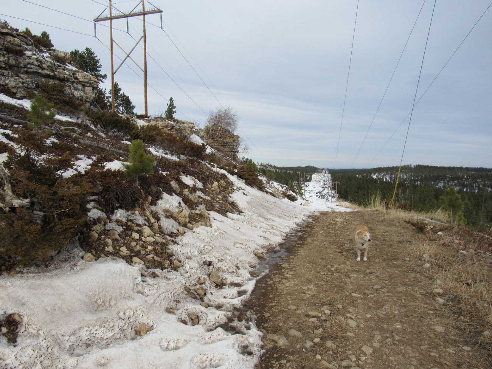
No. 216 began climbing more steeply. A little shy of the saddle between Custer Peak and Peak 6600, Lupe reached the junction with No. 216.1A, the spur to Custer Peak. No. 216 leveled out as it made a big sweeping curve around to the SSE. Since conditions hadn’t improved, Lupe stuck with No. 216, foregoing any attempt on Custer Peak.
At the junction with USFS Road No. 216.1A where No. 216 makes the big curve. Lupe came up from the L, and kept going to the R. Photo looks SE.
Beyond the big curve, No. 216 soon began angling S along the lower E slopes of Peak 6600. The road provided a nice view of Custer Peak from along in here. A bit farther on, No. 216 started gaining elevation again as it curved W around the S end of Peak 6600. A decent view to the SE began to appear as Lupe got higher.
Custer Peak (R of Center) from USFS Road No. 216. Photo looks NNE.Looking SE.
The road went past the end of Peak 6600’s S ridge. Still windy, but the sky had brightened. Weak sunshine cast shadows on the snow.
Loopster! Want to go up Peak 6600 while we’re so close? Won’t take long. At least it’s kind of sunny now. Might not be on the way back.
The American Dingo was all for it! Leaving No. 216, she headed N.
Starting up Peak 6600. Photo looks NNE.
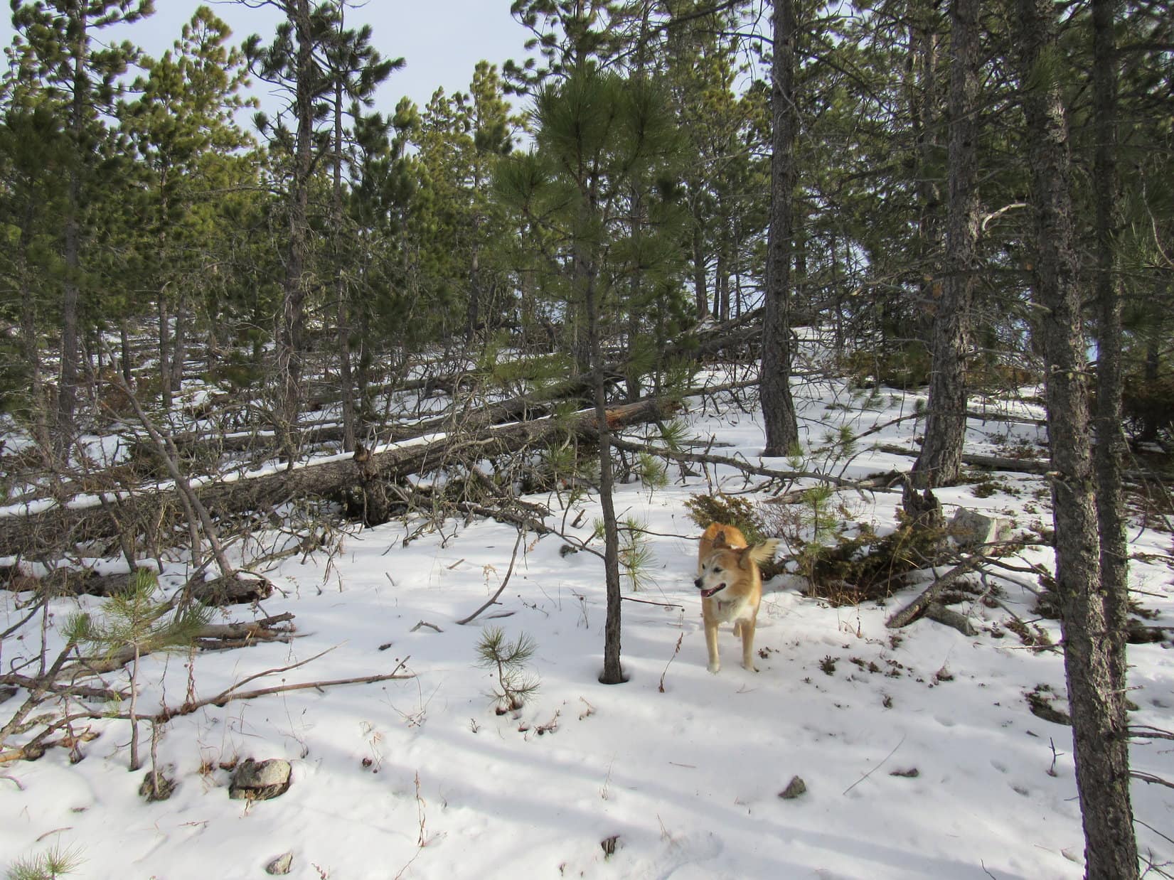
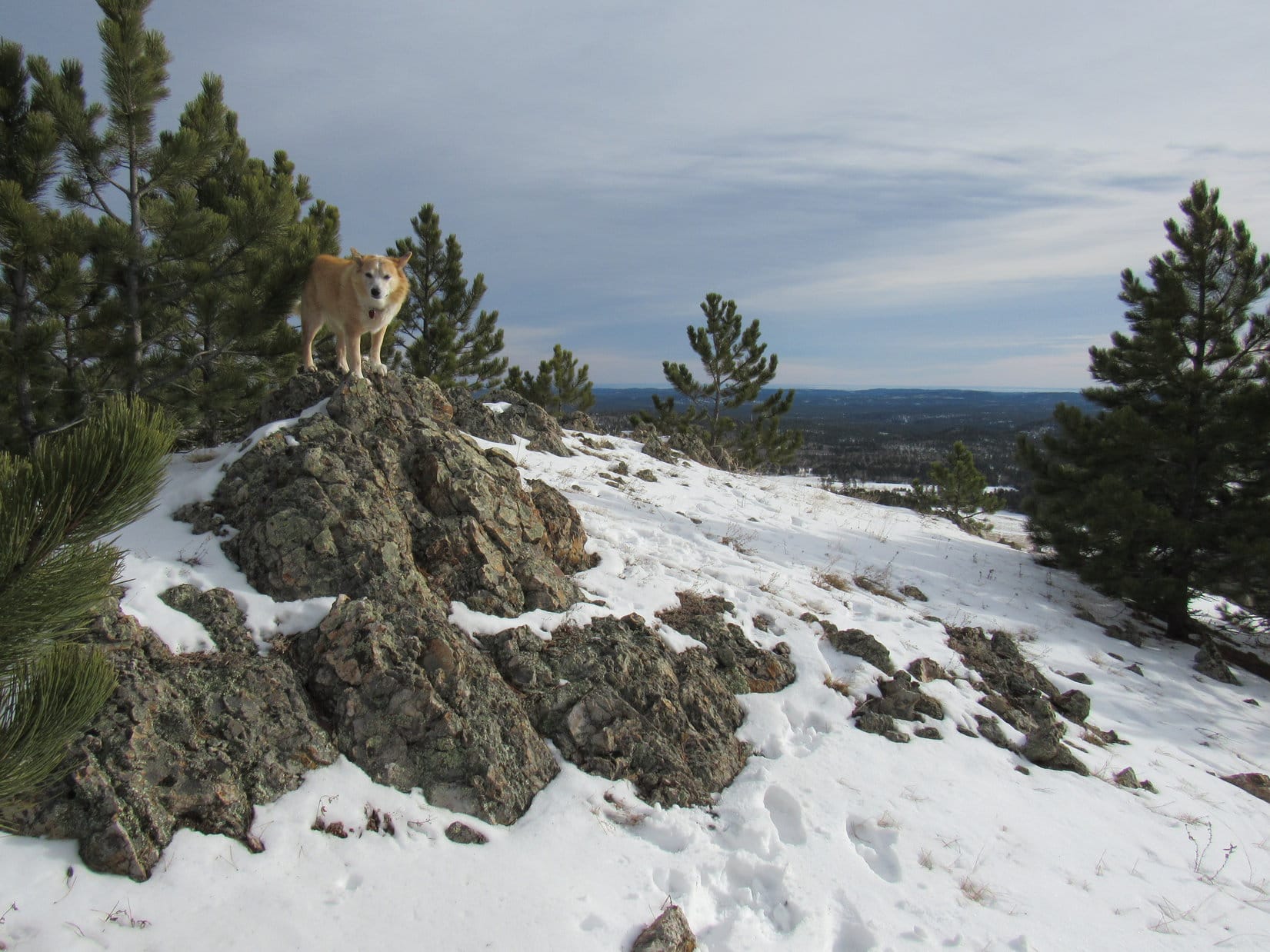
At first there was quite a bit of deadfall to contend with, but Lupe had no trouble getting past it. By the time the S ridge started getting rocky, she was already close to the top. Peak 6600’s true summit was along a line of rocks next to a small clearing at the SE end of a long summit ridge. The clearing provided excellent views toward the S.
Shaking the birthday girl’s paw while she stood on the highest rocks, SPHP congratulated Lupe on her first mountain ascent as an 11 year old.
Getting a little rocky near the summit. Photo looks N.View from the clearing by the true summit. Photo looks SE.On the true summit of Peak 6600! Photo looks N.
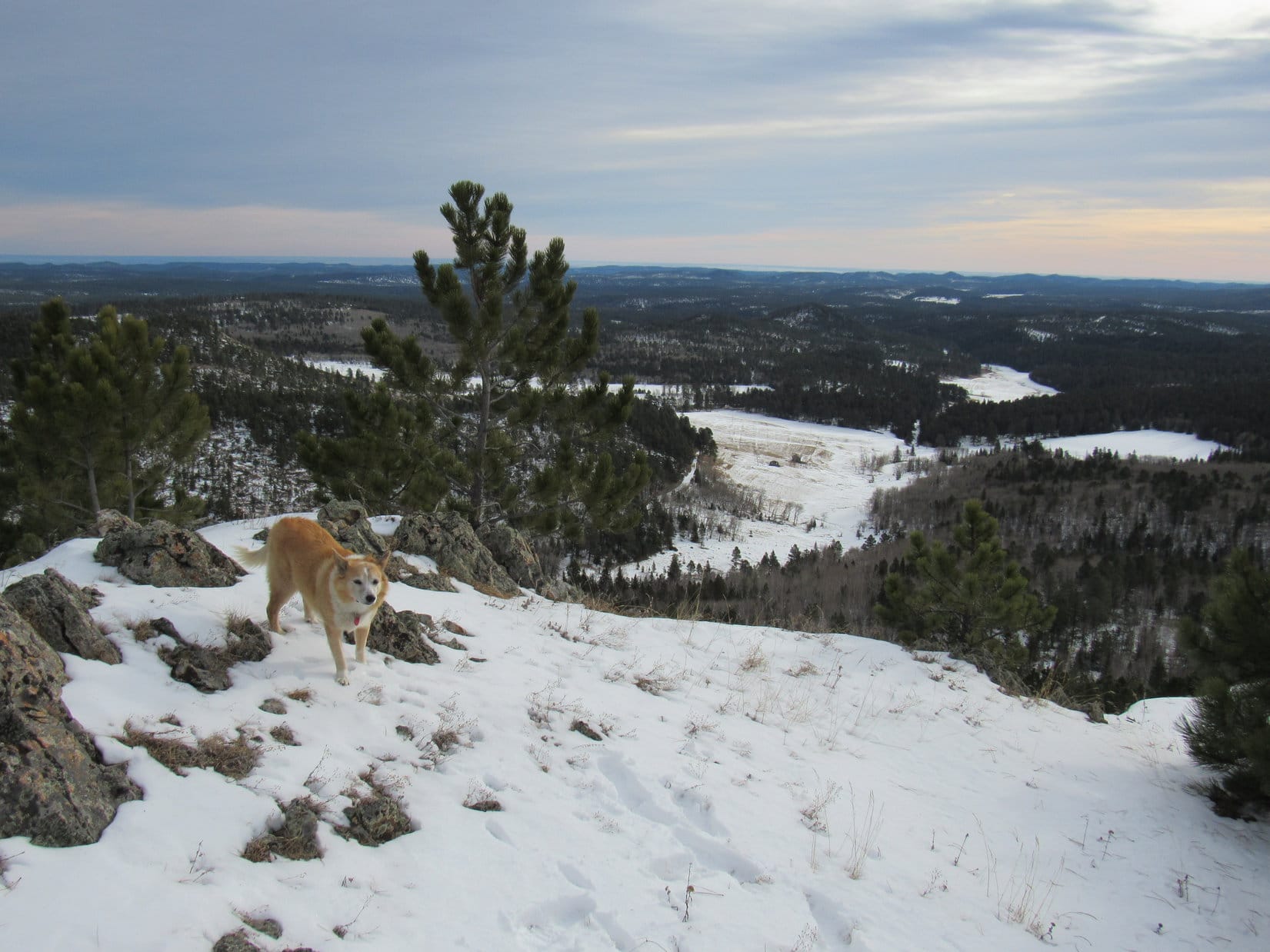
Custer Peak(6,804 ft.) was visible from the true summit region, but the best, most open viewpoint was 700 or 800 feet away over at the opposite NW end of Peak 6600’s long summit ridge. The still powerful SW wind shook the pines, as Lupe wound her way through the forest to get there.
At the NW viewpoint. Photo looks NNE.Looking back toward the true summit (L). Photo looks SSE.Custer Peak (L) from the NW viewpoint. Photo looks ENE.
Since the NW viewpoint was a favorite spot on Peak6600, a short break was taken to share a chocolate coconut bar while enjoying the views.
The cool, gusty SW wind prevented a prolonged stay. Before departing, SPHP surveyed the territory off to the NW. A snowy ridge seen several miles away had to be Peak6480, Lupe’s next objective.
Contemplating Custer Peak during the chocolate coconut bar break. Photo looks NE.Peak 6480 (Center) is the long snowy ridge in the foreground. Photo looks NW with help from the telephoto lens.
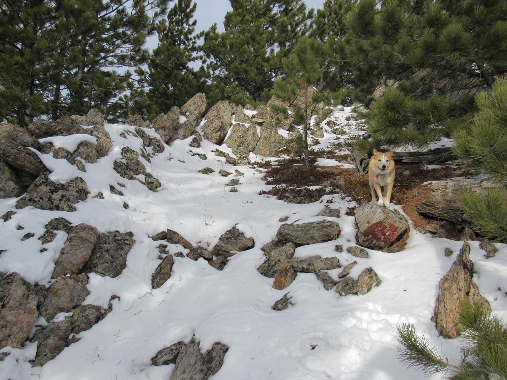
Soon the American Dingo was on her way back to the true summit. She briefly got up on the highest rocks again before heading back down Peak 6600’s S ridge. Reaching USFS Road No. 216 where she’d left it, Loopster followed it SW to a cattle guard where the road topped out near HP6427.
Back at Peak 6600’s true summit. Photo looks SE.Heading down the S ridge. Photo looks SSE.Back on USFS Road No. 216 at the cattle guard near HP6427. Photo looks SW.
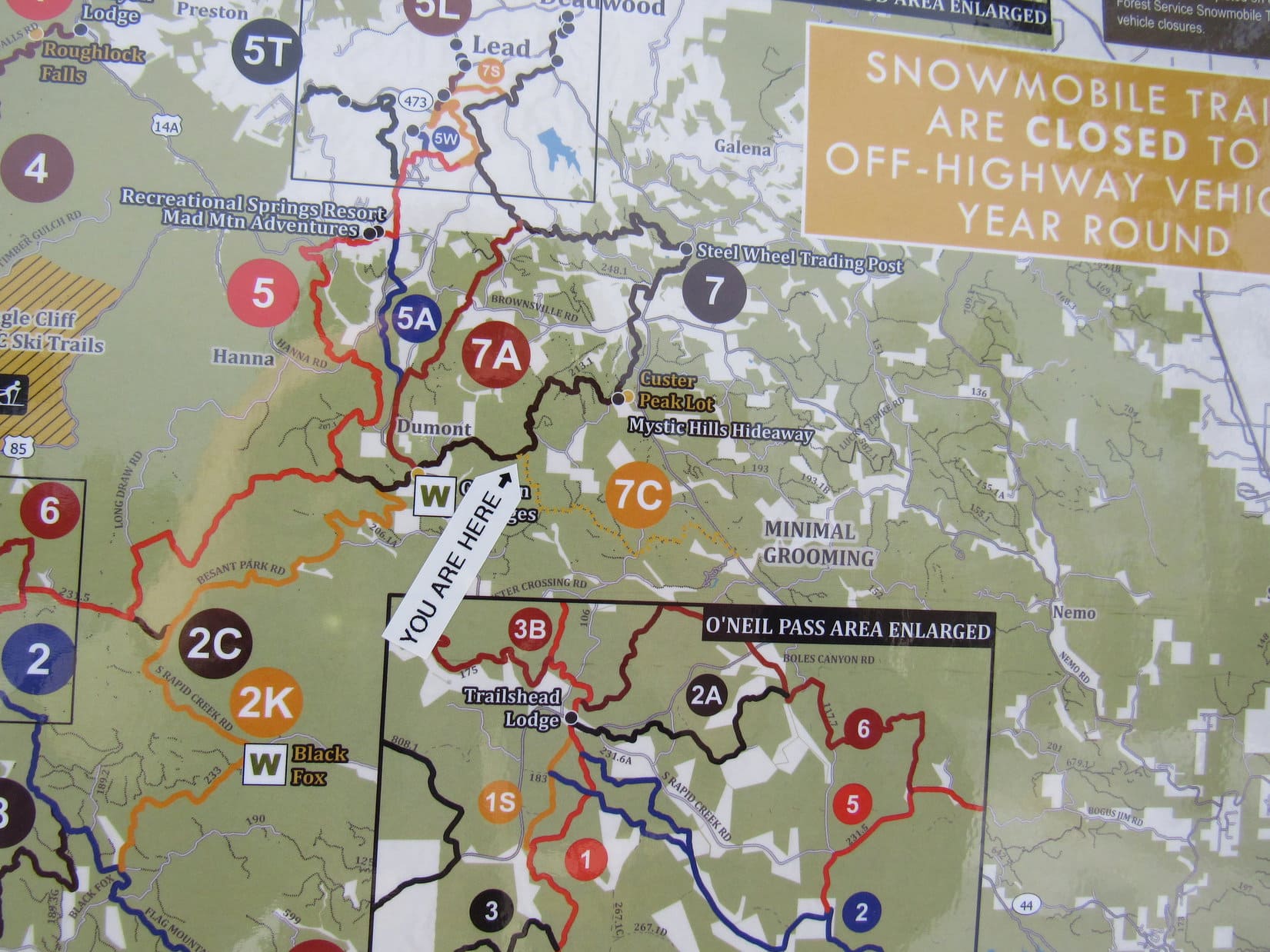
Ahead the road dipped a little. Lupe soon reached an intersection where a snowmobile trail system sign was posted. This sign was as far as she’d gotten on Black Hills, SD Expedition No. 265 before being forced to turn back due to snow and fog.
At the snowmobile trail system sign. Photo looks SW.The sign was interesting, but on such a large scale that it wasn’t much help.
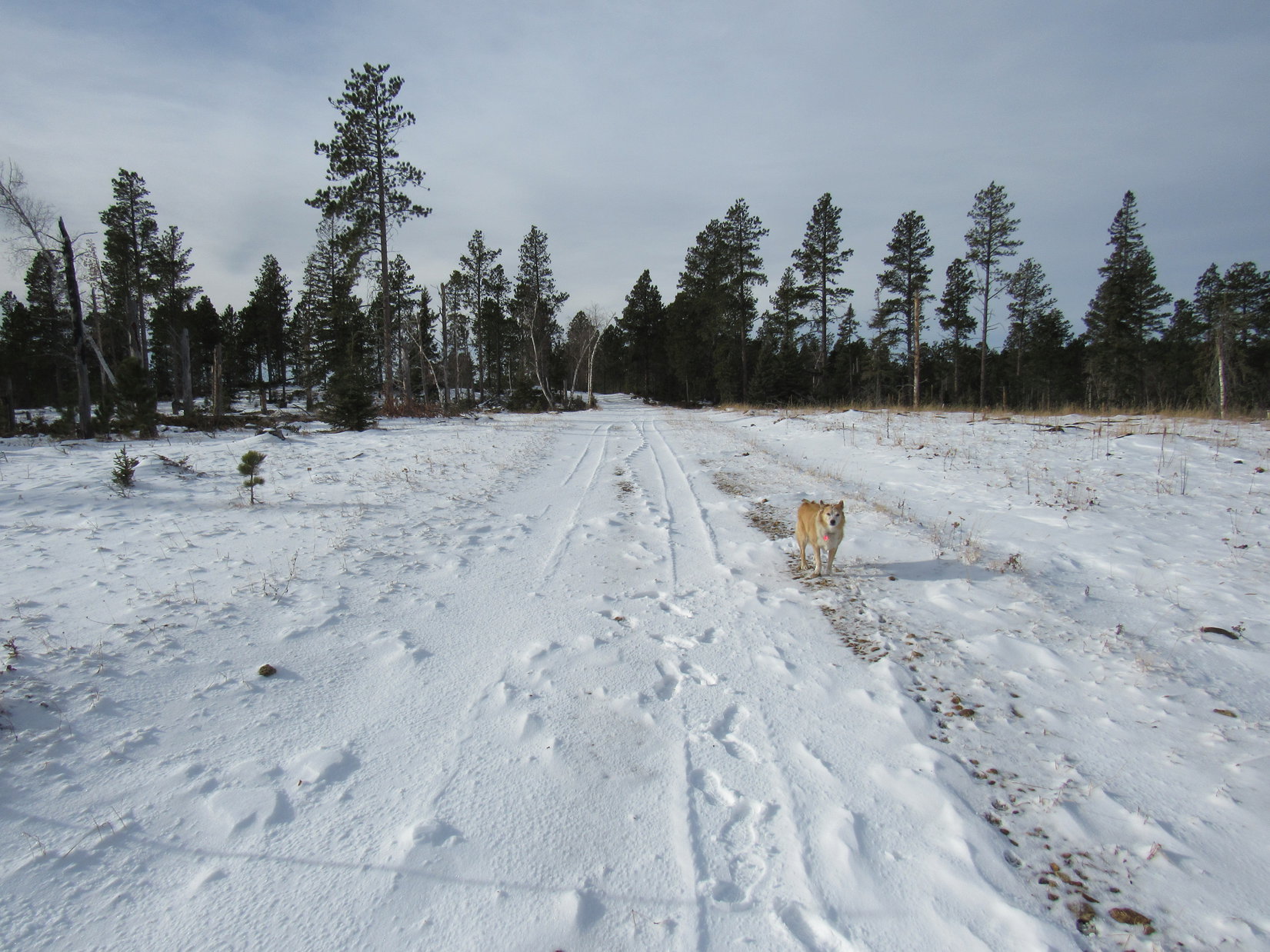
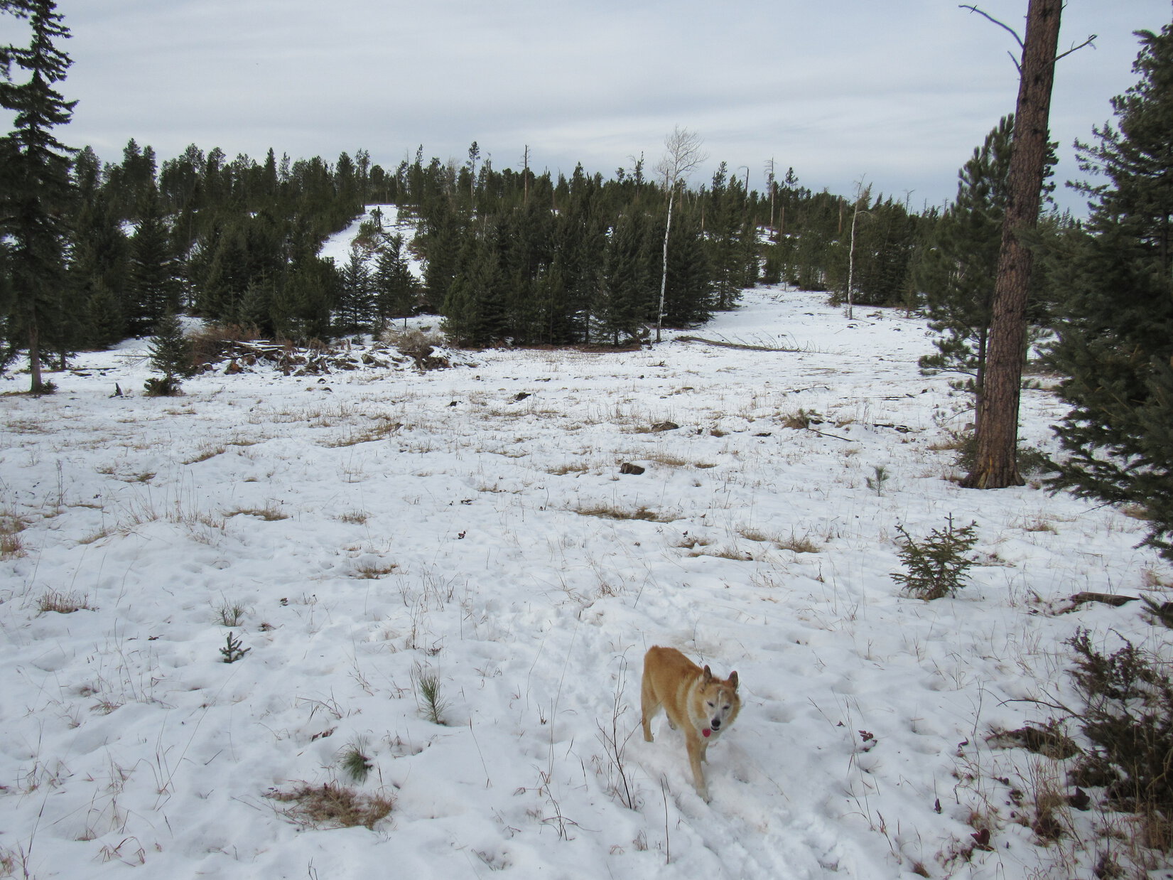
Continuing on past the intersection, the terrain rose a bit then flattened out. A long march ensued along the snowy road as it gradually turned W, then NW, while staying up on fairly high ground. Despite the balmy temperature, the SW wind still made it feel quite cool.
Beyond the intersection, continuing W along USFS Road No. 216. Photo looks W.The snowy road went on and on. Photo looks WNW.
Do you remember any of this, Looper? I’m sure we’ve been in this region before, but I must have it confused with somewhere else. It’s not like what I thought I remembered.
Pleasant enough here, SPHP, but kind of non-descript. Looks like a lot of places in the Black Hills. Nothing stands out as familiar to me, either. What does your topo map say?
Doesn’t even show a road here, just a trail, but I’m almost certain we’re still going the right way.
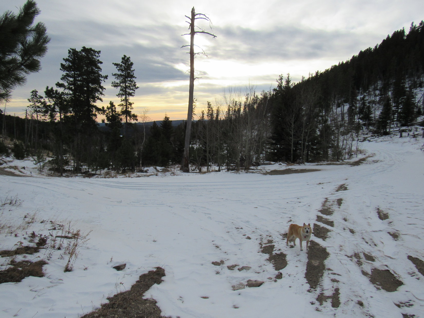
A brief glimpse of Terry Peak(7,064 ft.) came into sight just before the road reached the end of the high ground and began to drop. After losing more than 100 feet of elevation, music could be heard. At an unmarked intersection, the music seemed to be coming from off in the forest to the NE. Peering over in that direction, Lupe saw what appeared to be a set of large, rusty wind chimes. They were just hanging there in the forest, not close to any visible structure.
That’s kind of weird, SPHP! But the chimes do sound good!
I like them, too, Loop! Never have known they were there without this wind.
At the intersection near the wind chimes. Photo looks N.
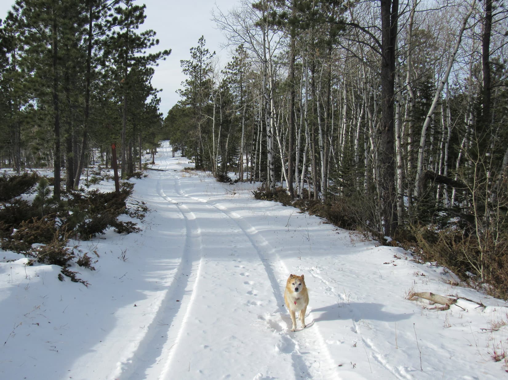
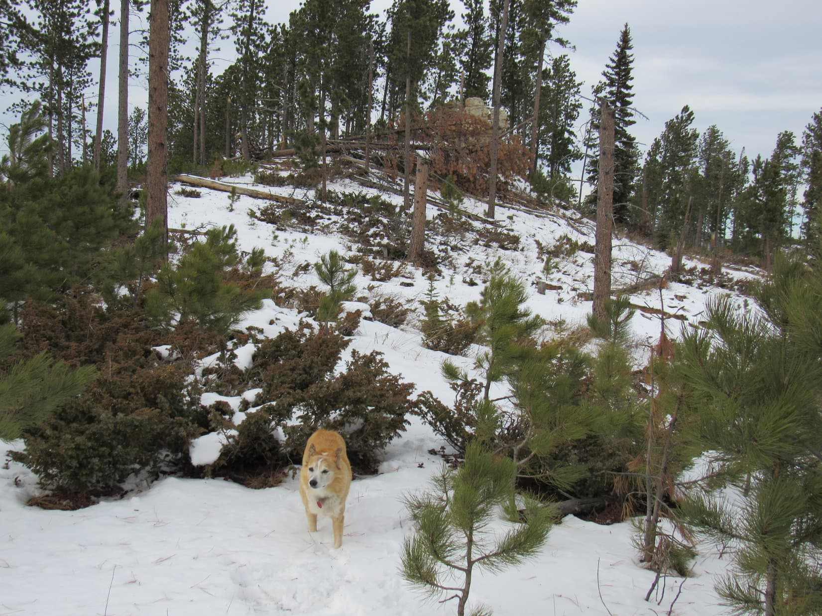
The road curved WSW here, still heading gradually downhill. A quick check of the map revealed that this was likely USFS Road No. 561.1C. Lupe followed it for more than 0.33 mile to where it curved SW.
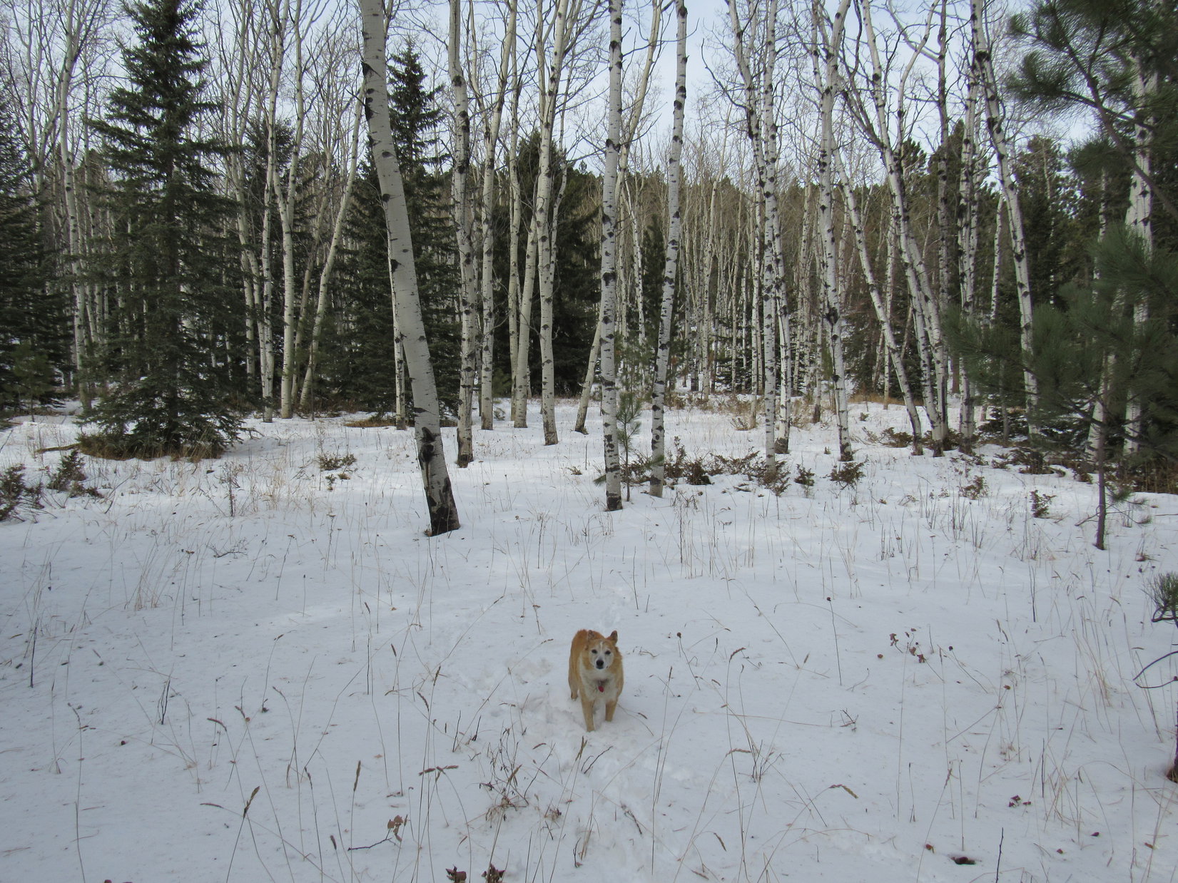
SW was the wrong way. Peak 6480 still had to be NW. Leaving the road, Lupe plunged N into the forest. A short descent quickly leveled out at sort of a magical place full of Christmassy little spruce trees among tall white-barked aspens.
Just beyond the little spruce trees, Lupe came to an open lane that went a short distance E to a clearing. Turning N again here, the terrain led up to the corner of a huge snowy field surrounded by a wooden pole fence. Crossing a small corner of this field, Lupe returned to the forest. A brief climb led to a big gravel road, clearly USFS Road No. 561 on the map.
Heading down USFS Road No. 561.1C. Photo looks W.Among the little Christmassy spruce trees. Photo looks N.At the clearing. Photo looks E.The huge snowy field. Photo looks ENE.On USFS Road No. 561. Photo looks NE.
Crossing No. 561, Lupe headed NW right back into the forest. At first, the terrain sloped gently, but soon she was climbing much more steeply. Another pole fence was encountered. A small power line ran along it. Ducking under the fence, Loop kept climbing. Before long she reached flatter terrain.
Continuing NW after crossing USFS Road No. 561. Photo looks NW.By the wooden pole fence. Photo looks S.
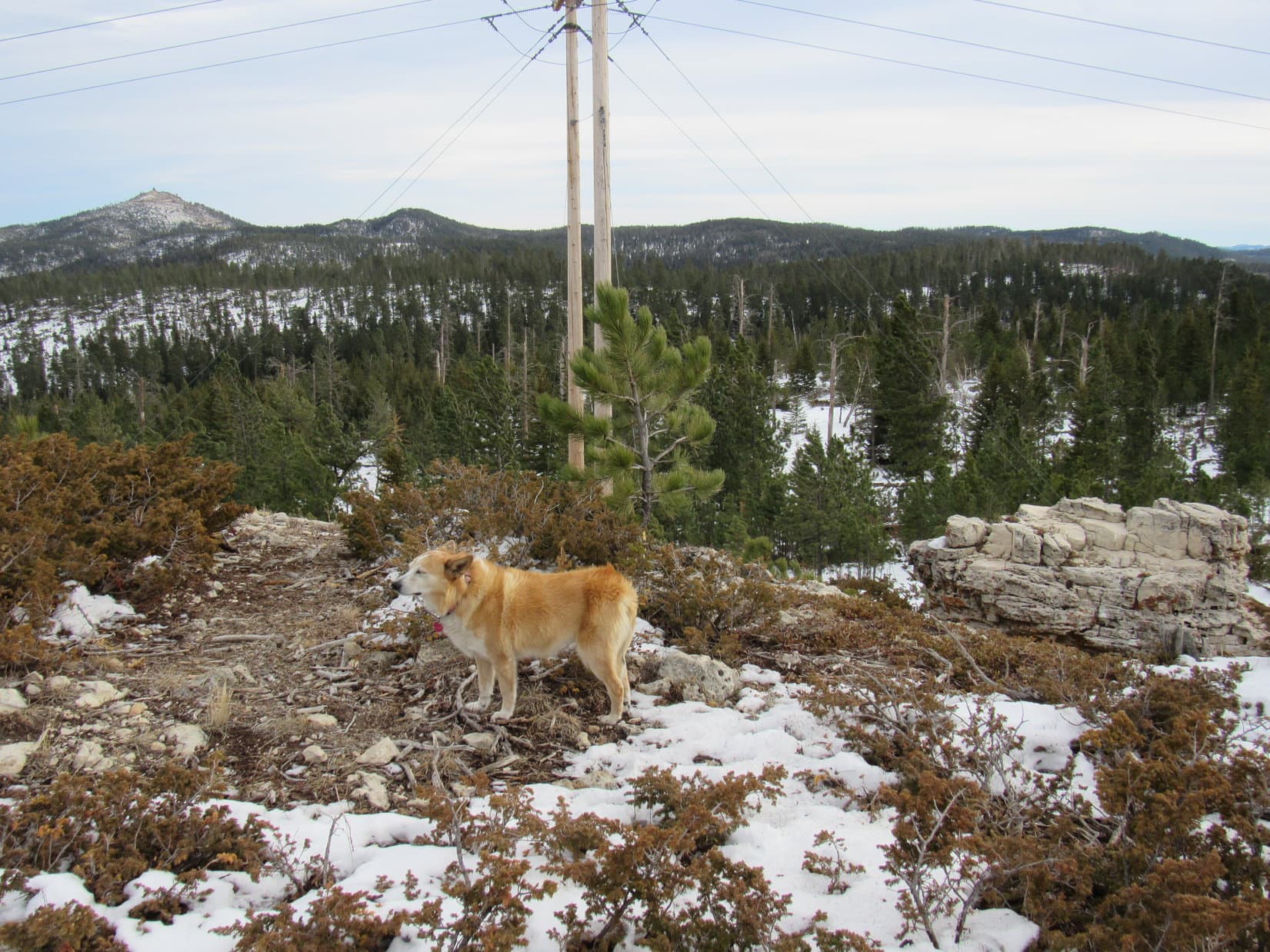
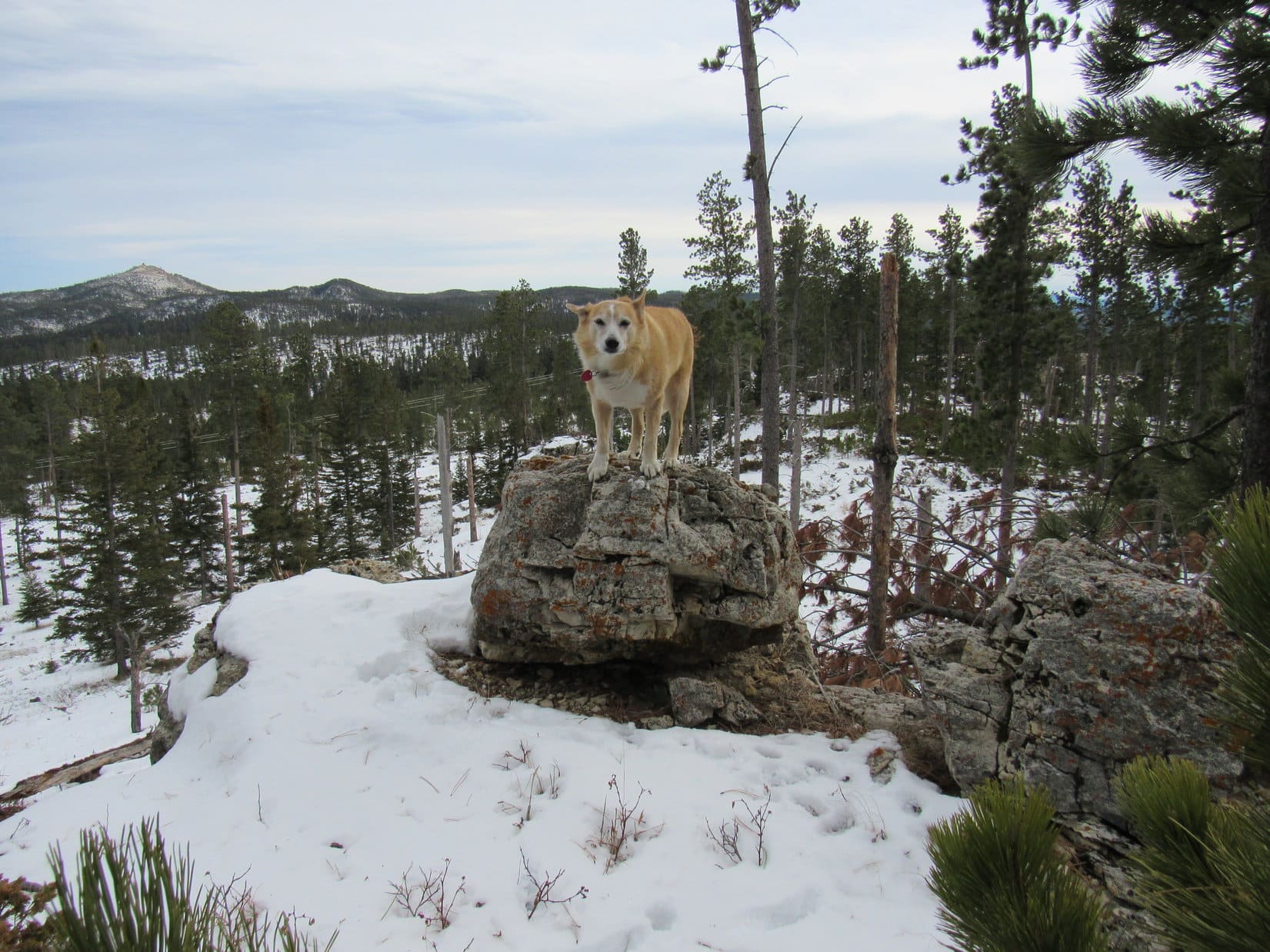
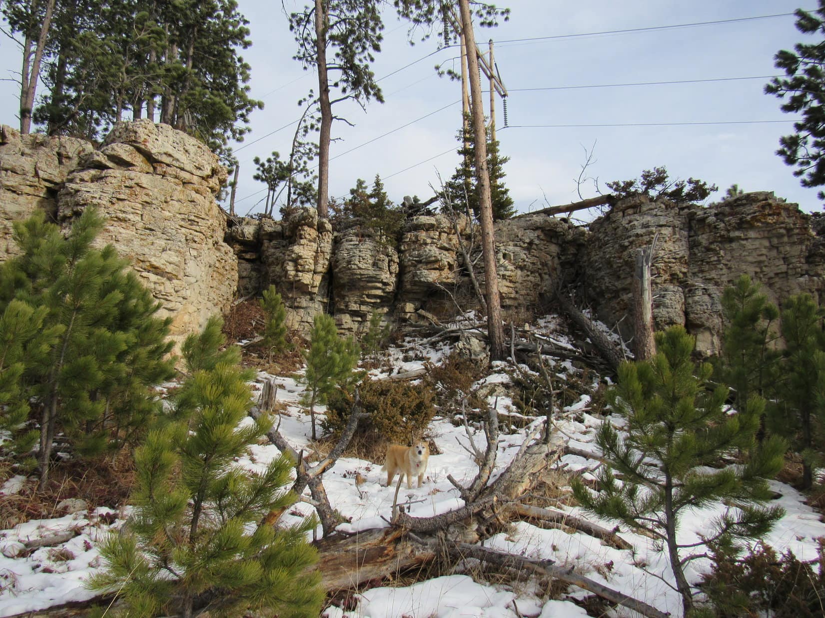
Lupe was now up on the SE end of the 6,400 foot ridge SE of Peak 6480. Glancing back, both Custer Peak and Peak 6600 were visible 2 miles E. This broad ridge ran NW/SE, so Loop followed it 0.2 mile to its high point at the far NW end. From here, a big power line could be seen 0.5 mile farther NW atop a small cliff. That was the S end of Peak 6480!
At the SE end of the 6,400 foot ridge. Custer Peak (L) and Peak 6600 (beyond Lupe) in the distance. Photo looks ESE.Approaching the high point at the NW end of the 6,400 foot ridge. Photo looks NW.Looking back from the high point of the 6,400 foot ridge. Photo looks SE.
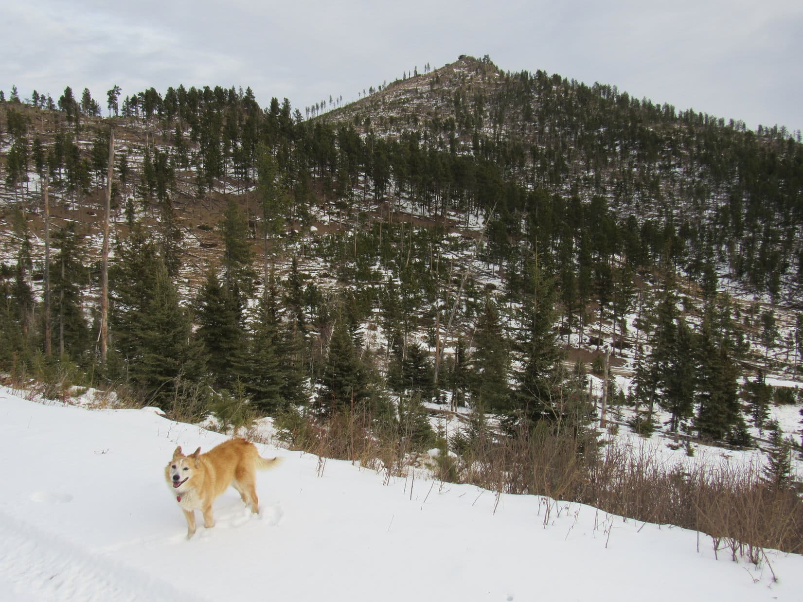
A gradual, mostly open slope led down to the broad saddle connecting to Peak 6480. This region looked like it had been logged at some point. Once across the saddle, Loopster began climbing as she continued NW, eventually reaching a region of young pines and large bushes where the terrain began to level out. Lupe was already quite close to the big power line above the small cliff by the time she saw it again.
Crossing the saddle leading to Peak 6480. Photo looks NW.View back to the S on the way up. Photo looks S.Approaching the power lines on Peak 6480. Photo looks N.
Turned out there were 2 big power lines running parallel to each other. The cliff the higher one stood on wasn’t very tall. Finding a route up was a cinch, but Lupe scrambled to the top rather reluctantly.
The wind had been blowing all day long. Back in the forest and down in the valleys, it hadn’t been bad at all, often more heard in the treetops than felt. This exposed limestone platform was another matter entirely. The wind was stronger than ever here, a 35 to 40 mph gale out of the W. Not much fun to a Carolina Dog’s way of thinking!
Although this was a good viewpoint, Lupe stayed only long enough for a quick look around.
By the power lines. Photo looks NNE.On the limestone platform above the small cliffs. Photo looks SSW.Custer Peak (far L) and Peak 6600 (L). Photo looks SE.The upper power line. Photo looks N.
The power lines weren’t at the true summit. Lupe was happy to leave the exposed platform to look for it. Continuing NNW partially protected by the forest again, a rock outcropping appeared ahead. Clearly higher than anything else around, that had to be it!
Approaching the true summit of Peak 6480 (R of Center). Photo looks NNW.
2:04 PM – As Lupe approached the true summit of Peak6480, tall pines swayed wildly with each new violent blast out of the W. Getting worse! 40 to 50 mph! A short climb led to two boulders perched on a small flat platform. Despite the crazy wind, the American Dingo leapt up onto the highest one.
Custer Peak (far L) and Peak 6600 (L) from the true summit of Peak 6480. Photo looks ESE.
A couple of quick photos, and that was it.
That’s good, Loop! Get off that rock before you get blown off!
Only a few feet below the top, the Carolina Dog tried to find a place to get comfortable. SPHP sat so awkwardly on a rock, that SPHP’s lap was soon rejected. Laying on a little patch of snow, Lupe stared up at SPHP somewhat accusingly.
Attempting to relax on Peak 6480.
You sure know how to show a birthday Dingo a good time, don’t you, SPHP? What a hurricane!
Heh! Yeah, this is going to be a birthday peak to remember isn’t it, Loop?
Or forgotten! What do you have against palm trees, SPHP? I’ve never even seen one! Couldn’t we go somewhere with palm trees on my birthday for a change?
Oh, well, I didn’t know you were even interested in palm trees, Looper!
I am now!
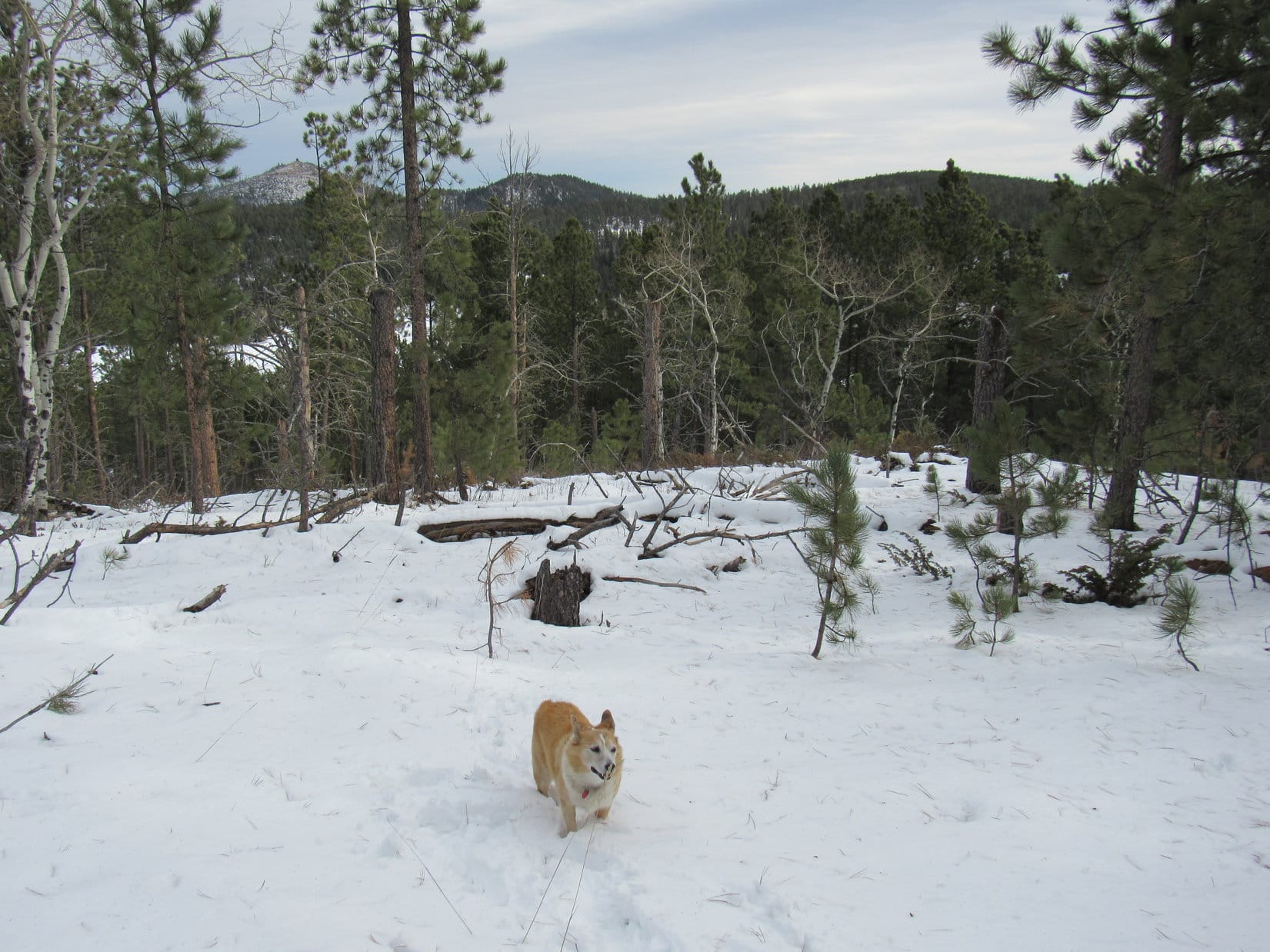
Attempting to relax and simply enjoy being on Peak 6480 while watching the trees sway alarmingly was only partially successful. At any moment one might snap off entirely, a sobering thought considering the millions of beetle-killed trees that were now deadfall in the Black Hills.
After 20 minutes, an exceptionally powerful gust put an end to Lupe’s stay. Ripping SPHP’s stocking cap off, the wind flung it off into space. Peering over the edge, there it was, caught on a short dead tree branch only a few feet away, but unfortunately 20 feet above the ground.
OK, that’s it! A few more photos, Loop, then let’s get out of here!
Despite the disappointing lack of palm trees, the birthday girl complied, returning to the summit rock for the last time.
By the highest rock again. Photo looks ESE.A precarious perch in the gale.Final moments atop Peak 6480.
Circling around to the E side of the summit block before departing, Lupe took shelter from the wind, while SPHP saw to retrieving the stocking cap. Turned out that it had already blown off the tree branch, and was now caught in a bush only a couple of feet above ground level. Grabbing it before the cap could launch off on new adventures, SPHP restored it to its rightful place.
At least that was easy! C’mon, Looper! Let’s go!
Well protected from the wild W wind on the E side of the summit block. Photo looks W.A last look back at Peak 6480’s summit. Photo looks N.About to depart. Photo look SSW.
On the way back to the power lines Lupe stayed a little to the W, below the line of small cliffs.
Heading back to the power lines. Photo looks SSE.Below the cliffs. Photo looks SE.A scenic spot near the power lines. Photo looks SE.
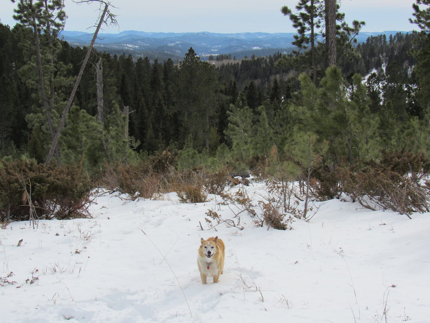
The rest of the return was virtually identical to the route taken to Peak 6480. The journey seemed to go faster on the way back. Lupe arrived at the lower end of Peak 6600’s S ridge again while it was still light out.
Sure! The wind isn’t so bad now! We can even go on to climb Custer Peak, can’t we? You said we could this morning, remember?
Sounds like a plan, Looper! Let’s do it!
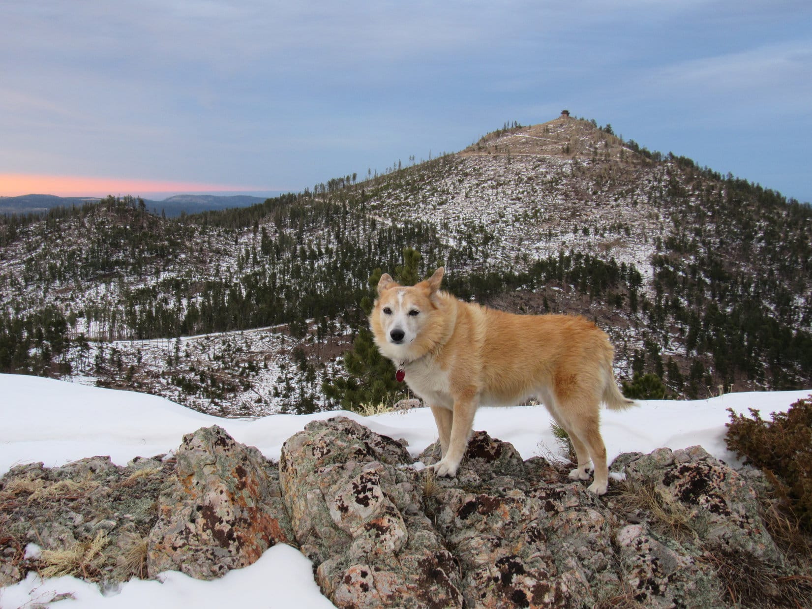
Lupe returned to Peak 6600’s summit. However, by the time she got to the NW viewpoint, it was too late to go on to Custer Peak. The sky had been overcast or nearly so all day, but was now clear to the NW. Far to the SW, the sun suddenly dipped below the remaining cloud cover. For the first time, the American Dingo stood in brilliant sunshine.
Wouldn’t last! The sun was already hovering barely above the horizon.
Custer Peak (R) from Peak 6600’s NW ridge for the 2nd time today. Photo looks NE.In the alpenglow. Photo looks NW.End of a long day.
10 minutes, and the sun vanished. Looper headed down the N ridge. Although short, this route was snowy and very steep at first, and full of deadfall lower down. Light was fading fast when Lupe finally reached USFS Road No. 216.1A. Didn’t matter. A pleasant, downhill road trek the rest of the way.
5:09 PM, 47ºF – Dark and still breezy. SPHP turned the key and the RAV4 sprang to life.Time to head home, but not for long!
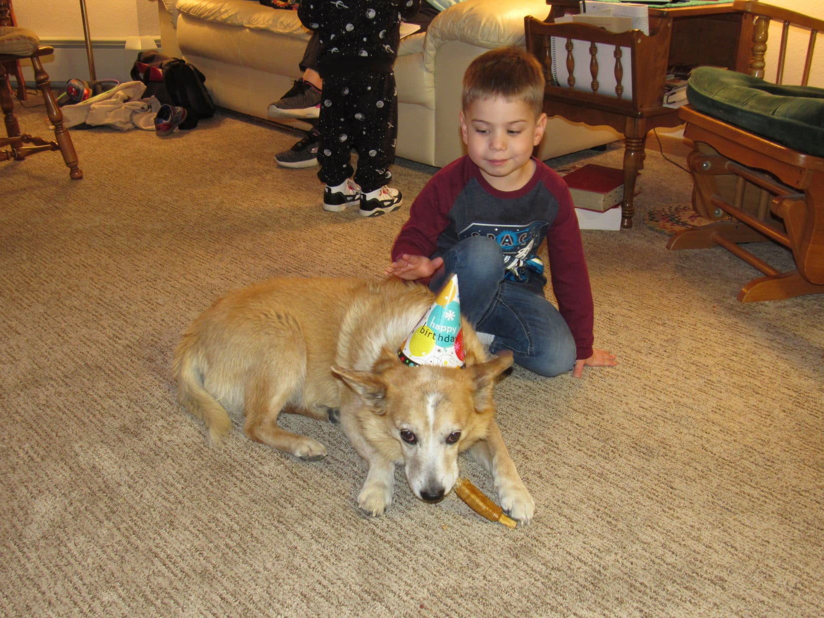
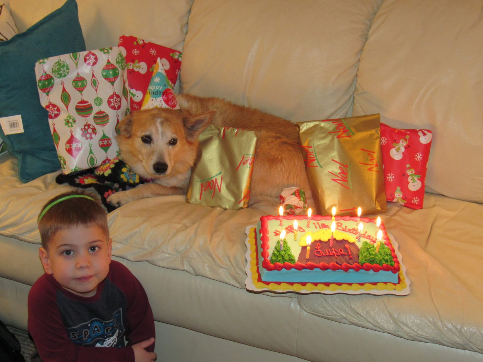
7:00 PM – Let the festivities begin! Barking excitedly, decked out in her hat and birthday girl ribbon, the party animal rushed into Grandma’s apartment. Oh, there were guests! The more, the merrier! Xochitl, Steve, Felix and Asher were all here, too.
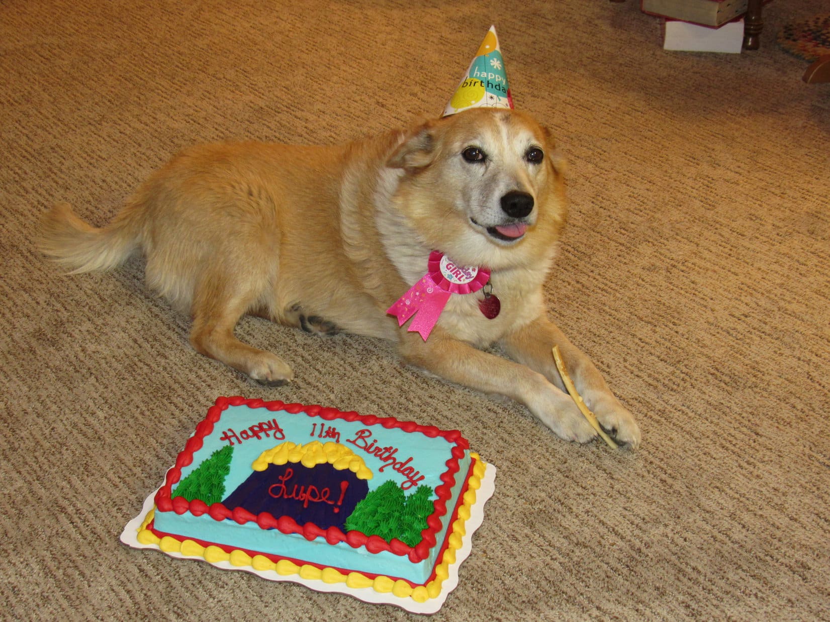
SPHP wasted no time getting things underway, giving Lupe a Busy Rib Hide as an initial treat. Felix petted Lupe while she chomped away, then helped SPHP stick 11 candles into the fabulous 11th birthday cake. Soon Lupe was on Grandma’s white couch, surrounded by presents and an 11 alarm fire!
Felix and Lupe. The party began with a Busy Rib Hide treat and gentle pats.The 11th birthday cake appears!With Felix and the fire hazard.
Everyone sang “Happy Birthday” to Lupe, then cake and ice cream was served. Felix declared the cake “delicious” and almost as good as the shark cake he had on his birthday. Lupe didn’t touch the cake or ice cream she was offered, evidently hoping and holding out for something even better.
Once everyone had their fill, it was time to open presents. Felix and Asher helped Lupe out. The lucky Dingo got plenty of birthday loot!
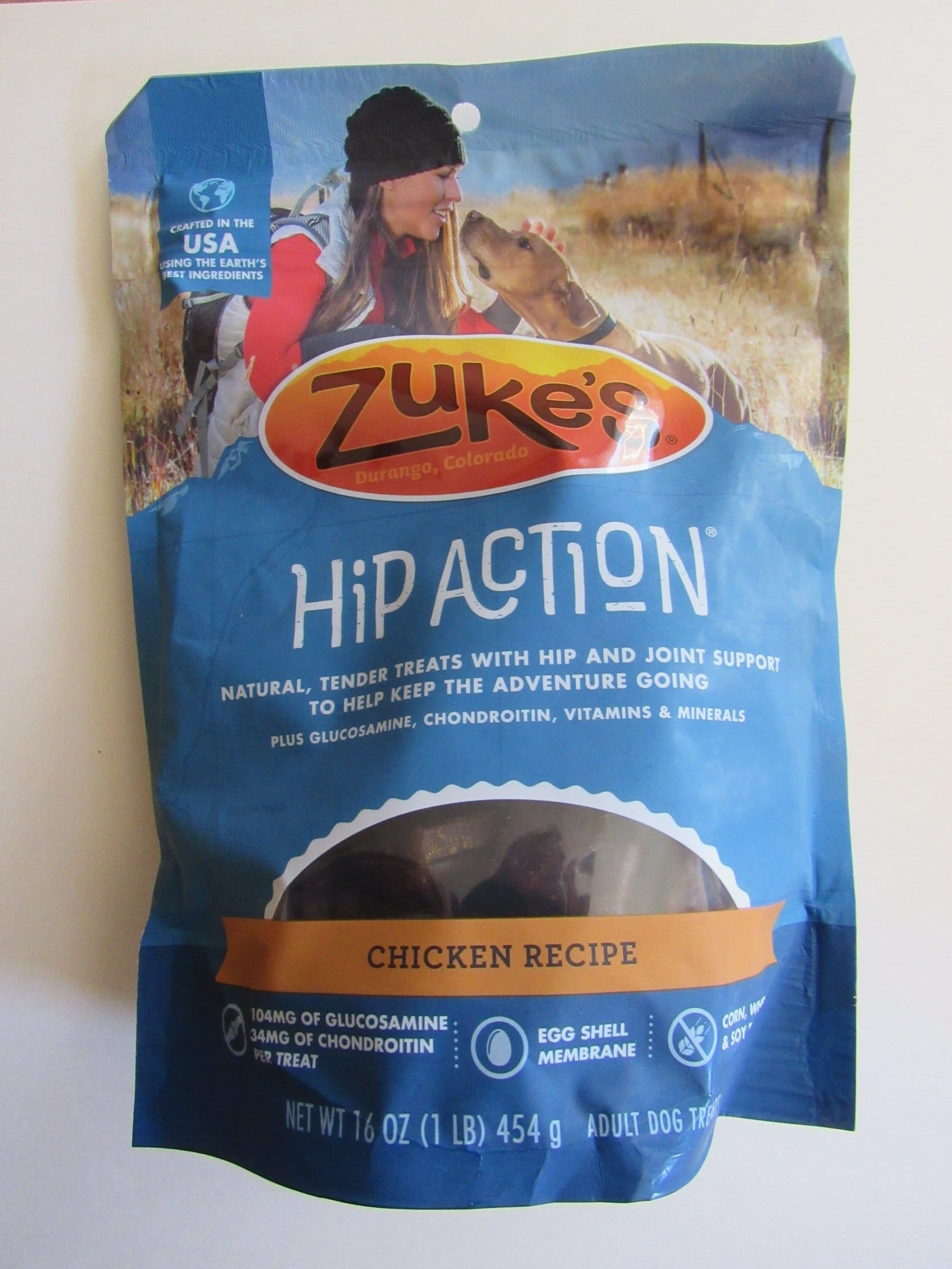
Zuke’s Hip ActionOl’ Roy Rawhide RollsKong Squeaker BallPurina Busy Rib HidesGolden Rewards Chicken Jerky
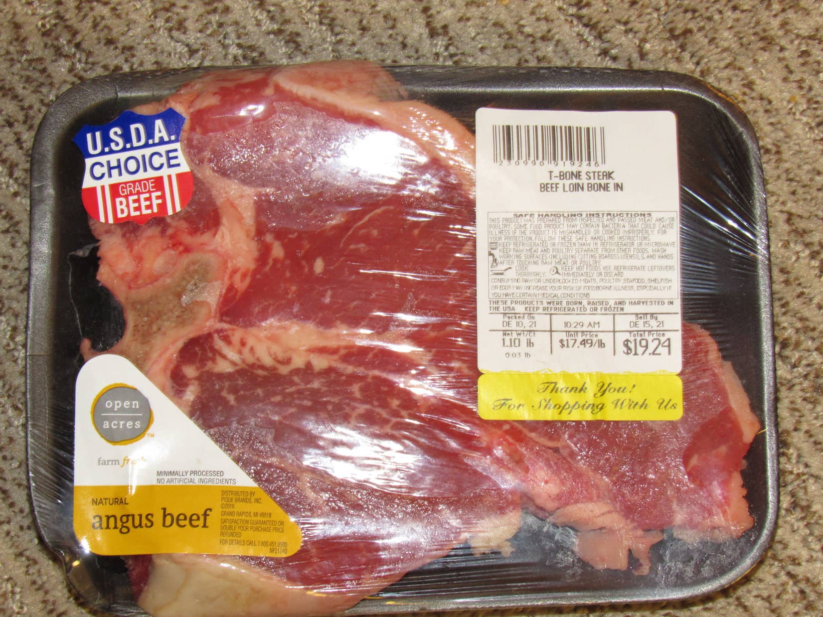
All that and more! The Carolina Dog wasn’t disappointed. The grand prize she’d been waiting for was included, too. A T-bone steak!
Lupe’s traditional birthday T-bone!
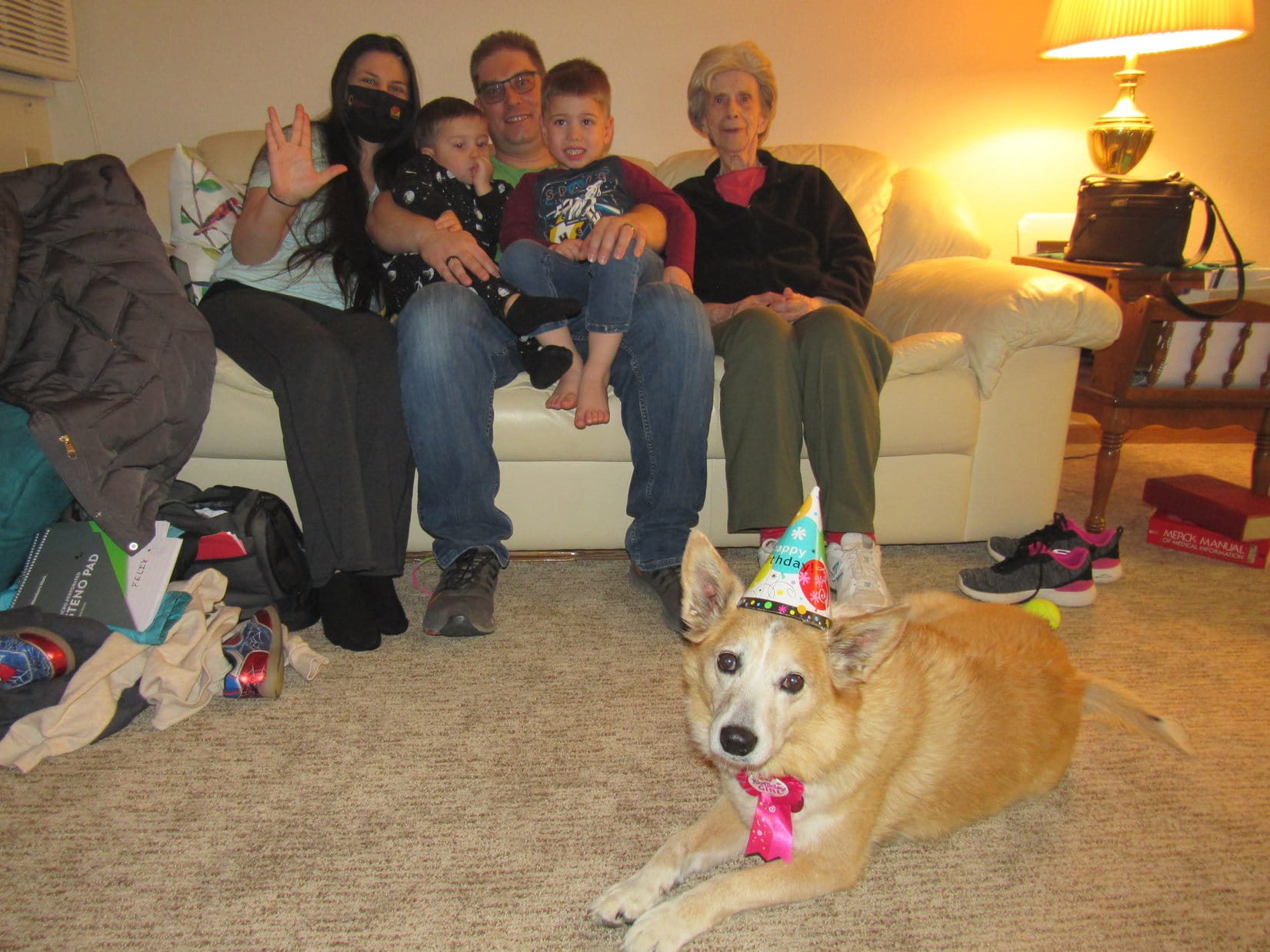
While the steak was broiling in the oven, SPHP got everyone together for a group photo.
Lupe’s 11th birthday guests L to R: Xochitl, Asher, Steve, Felix & Grandma.
Organizing the group photo took so long that when SPHP opened the oven afterwards to check on Lupe’s T-bone, a thick cloud of smoke came billowing out! Soon Grandma’s apartment was a smoky haze. Windows had to be opened to air the joint out.
Grandma’s fire alarm didn’t go off, but every other one in the complex did. Suddenly there were knocks on the door! Out in the hallway, a crowd of anxious people wondered what was going on?
Apparently, when you turn 11, it’s a really big deal! Lupe tried to look innocent.
Who, me? Oh, no! Everything’s fine!
Fortunately, the T-bone steak was perfect. Nice and pink in the middle, and not burned a bit. How it had produced such a vast cloud of smoke was a mystery. A full investigation would have been conducted, but a certain American Dingo promptly devoured the evidence!