Black Hills, SD Expedition No. 61 – Roughlock Falls & Old Baldy Mountain (6-2-13)

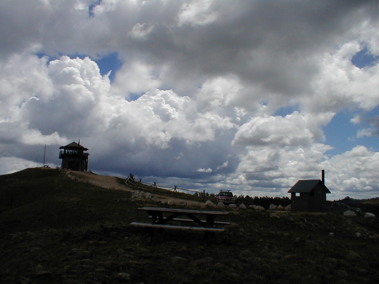
10:47 AM, 66ºF, Latchstring Inn trailhead for Roughlock Falls at Savoy – So much for getting all the way to Cement Ridge (6,674 ft.) today!  SPHP turned L on USFS Road No. 222 at Savoy in Spearfish Canyon, only to find the road blocked.  Suddenly looking like Lupe would have to settle for Old Baldy Mountain (6,096 ft.) as an ultimate destination, instead of merely a preliminary goal.

The intention had been to drive past Roughlock Falls to a trailhead 5 miles away off USFS Road No. 134.  From there, Lupe could have started out much closer to Old Baldy Mountain where Cement Ridge would have been within range, too.  Oh, well!  SPHP parked the G6 at the trailhead just beyond the Latchstring Inn instead.

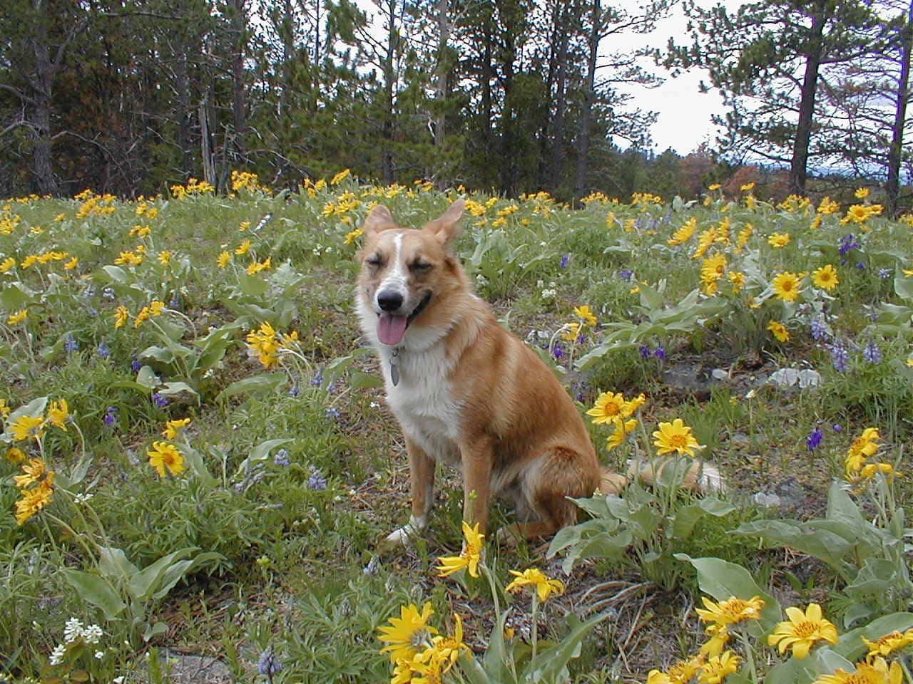
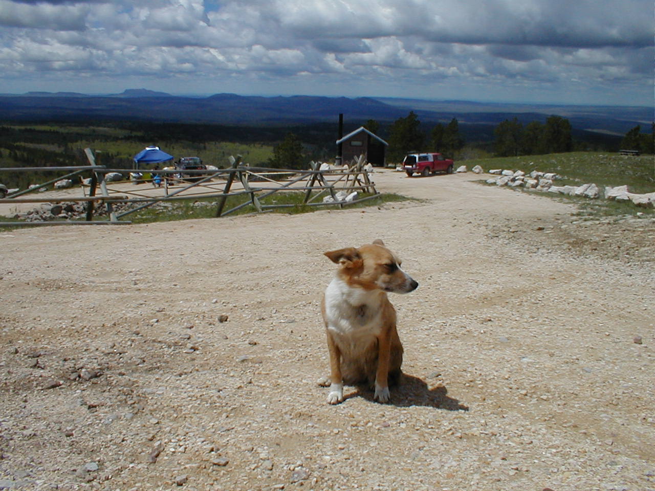
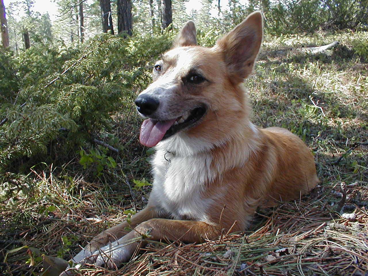
Although Cement Ridge was not to be, the American Dingo didn’t care.  Lupe was thrilled just to be out and about.  Bounding out of the G6, she was soon on the pleasant one mile trail paralleling Little Spearfish Creek that went to Roughlock Falls.  Good thing the trail was well above creek level!  A week of cold, rainy weather had normally clear-running Little Spearfish Creek muddy and way out of its banks.

Little Spearfish Creek with USFS Road No. 222 beyond it on the way to Roughlock Falls. Photo looks NW.

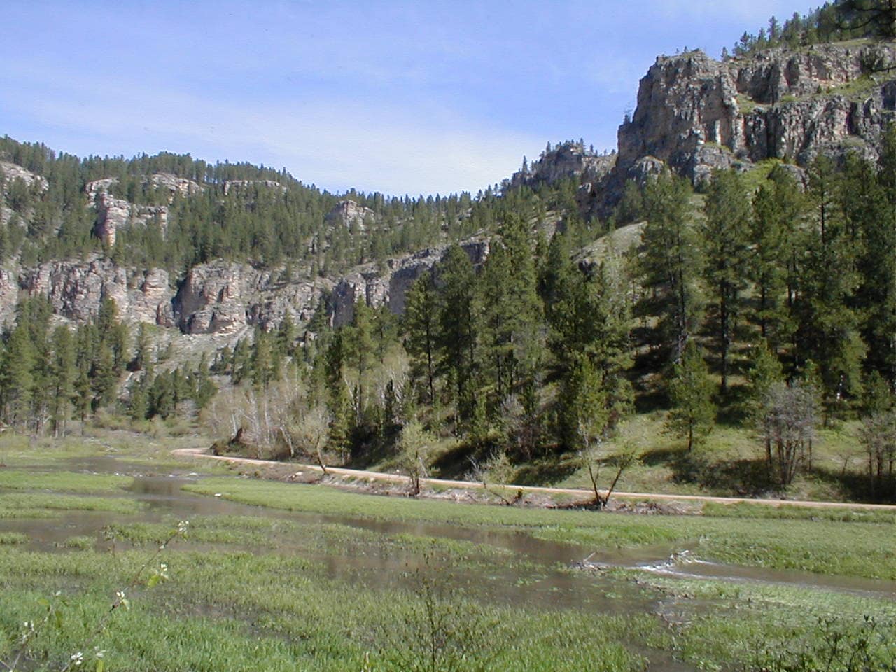
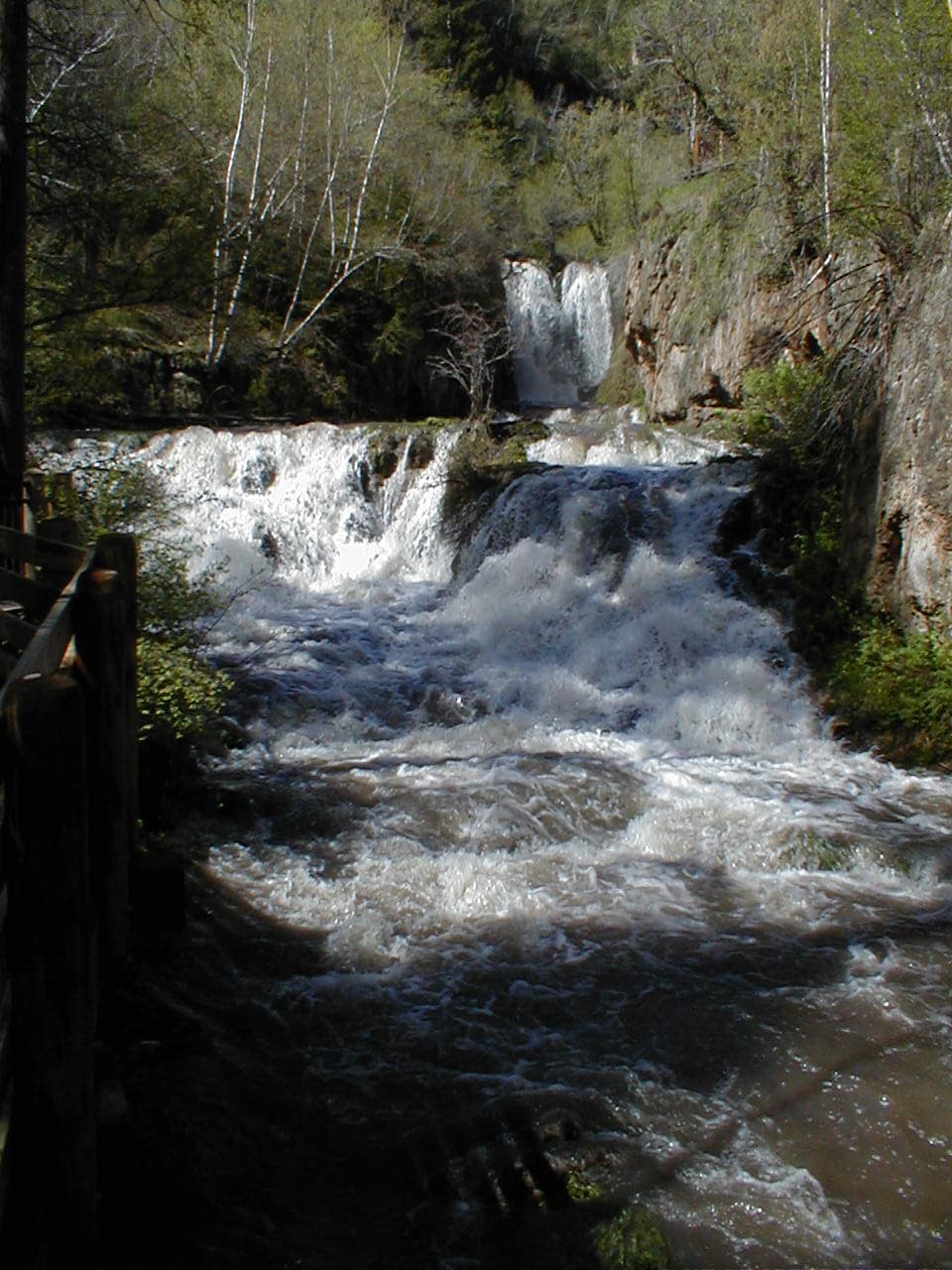
Turned out, flood damage was the reason USFS Road No. 222 was closed in the first place.  Roughlock Falls had tremendous flow when Lupe got there.  Little Spearfish Creek was still flooding the picnic area above the falls, and the road damage was apparent up here.

Roughlock Falls with several times normal flow.
A popular Black Hills destination, Roughlock Falls seldom appears this robust.

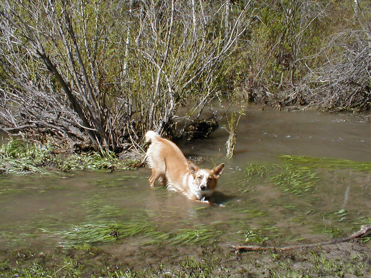
Lupe took advantage of this opportunity to cavort in Little Spearfish Creek on what is normally dry ground.

Cooling off in Little Spearfish Creek. Not as “little” as it used to be!
Little Spearfish Creek was in the process of returning to its banks, but still flowing around this picnic table.

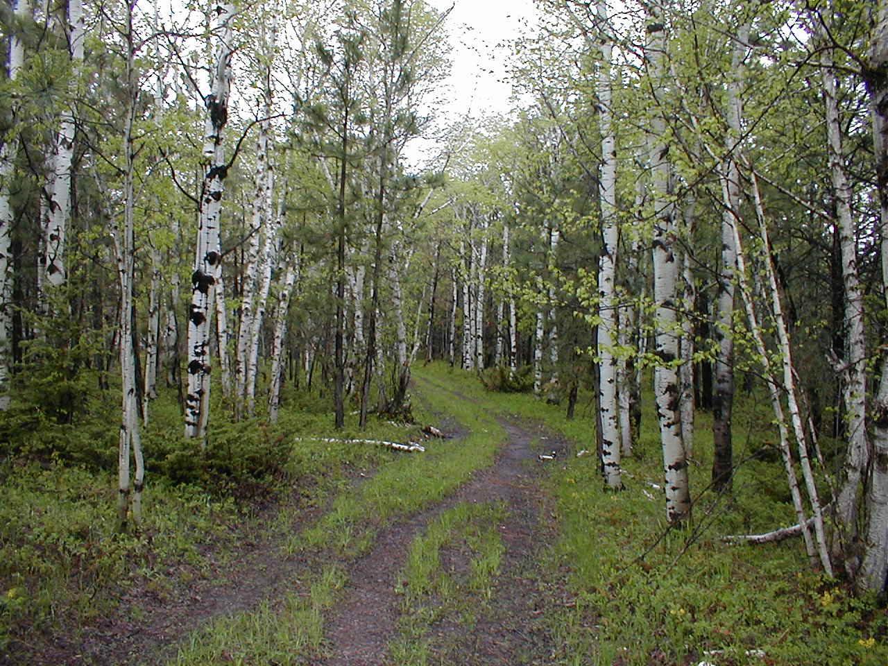
Continuing W beyond the Roughlock Falls picnic ground, Lupe and SPHP trudged along right on USFS Road No. 222.

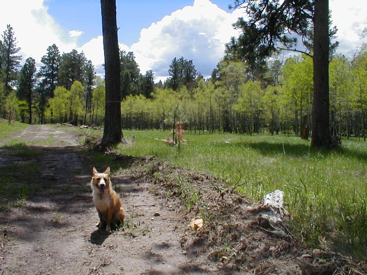
Without a cloud in the sky, it was soon getting hot.  After about a mile, SPHP noticed a trail N of the road.  Turned out there were 2 trails.  One went steeply uphill toward the canyon wall.  Lupe took the other trail, which followed Little Spearfish Creek upstream, enjoying shady relief from the sun provided by trees growing along the trail.

After 0.5 mile, Lupe reached the Rod & Gun campground.  Beyond the campground, the trail soon forked.  Lupe took the Rimrock Trail, which climbed steadily up a side canyon leaving Little Spearfish Creek behind.

The upper rim of the canyon wasn’t much farther when a deer was seen fleeing through the forest.  Upon reaching the place the deer had taken off from, a spotted fawn was seen laying quietly right beside the trail, its slender legs folded beneath it.

The fawn was alive, but remained completely motionless as Lupe and SPHP approached.  Whether it was injured or not, was hard to say.  The fawn was distressingly thin, with practically no meat on its bones.  Its ribs stuck out a great deal.  Was it starving?  Without moving at all, the fawn regarded Lupe and SPHP with with sad brown eyes.

While it was tempting to examine the fawn more closely to determine its true condition, SPHP felt its chances were almost certainly best with its mother.  The faster Lupe and SPHP left the area, the more quickly and likely she would return.  Hard to abandon the defenseless, spotted fawn, but Lupe and SPHP paused only a moment before moving on.

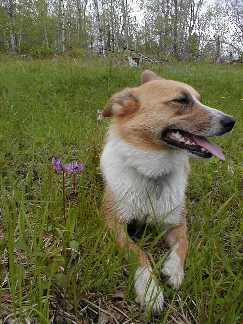
10 minutes past the fawn, the terrain leveled out.  A junction appeared with another trail shown as No. 76 on SPHP’s old Black Hills USFS map.  A short break was taken here in the shade of a large pine tree.  Lupe had Taste of the Wild, while SPHP consumed an orange.

After the break, Lupe headed W on Trail No. 76.  It wound through the forest S of an area where there seemed to be a quarry or old mine, but Lupe didn’t stop to investigate.

On Trail No. 76.

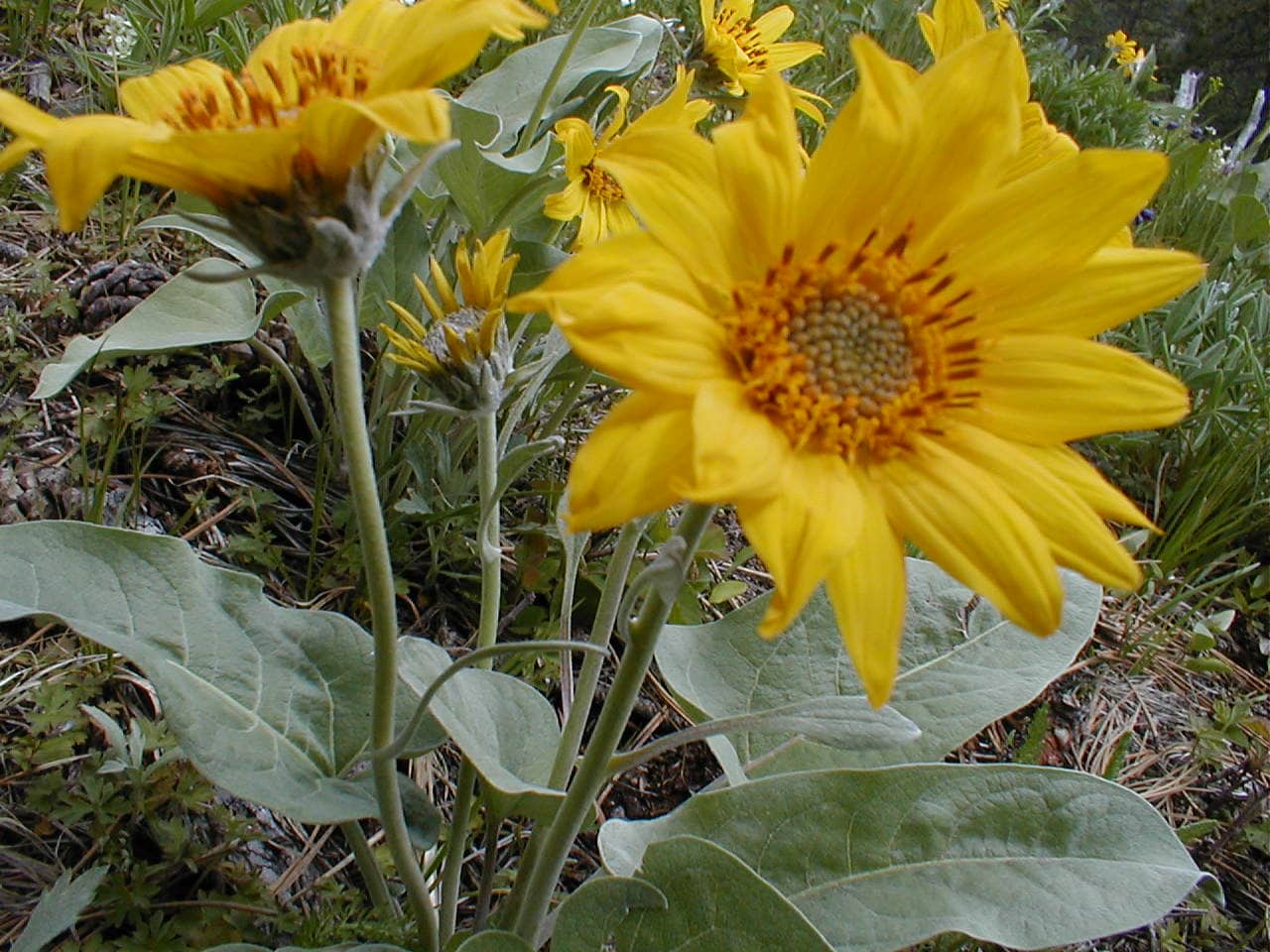
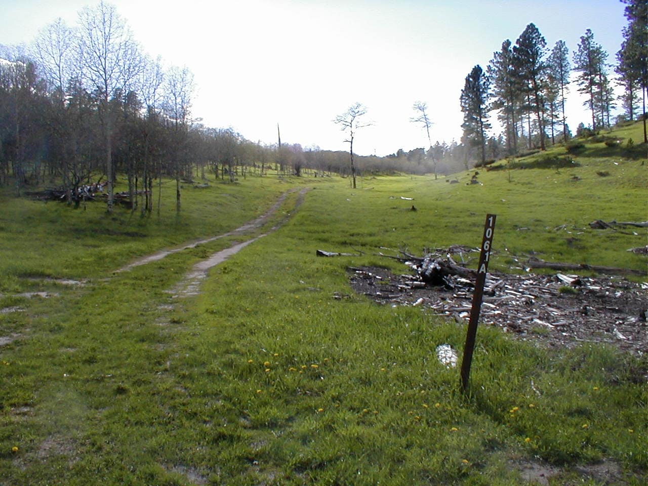
A meadow surrounded by aspens appeared.  Lupe came to USFS Road No. 134 just beyond it.  A sign indicated that after crossing the road, the trail continued on to the Old Baldy Mountain trailhead, precisely where the American Dingo needed to go.

Happy Lupe in the meadow near USFS Road No. 134.

15 minutes after crossing No. 134, Lupe reached the Old Baldy Mountain trailhead.  No vehicles.  Not a soul here.  SPHP paused long enough to take a look at a posted map.

The map showed 2 trails going to Old Baldy Mountain (6,096 ft.), still nearly 1.5 miles NW.  An E route and a W route linked up again not too far from the mountain near a small lake named Baldy Lake.  SPHP’s USFS map also showed a Trail No. 66 with two routes, and an unlabeled tiny blue speck close to where they rejoined.

At first, it wasn’t clear where to go.  The only trail that left the trailhead went W, so Lupe followed it.  The E route to Old Baldy Mountain soon split off to the R.  Deciding to go that way, SPHP led the Carolina Dog N.

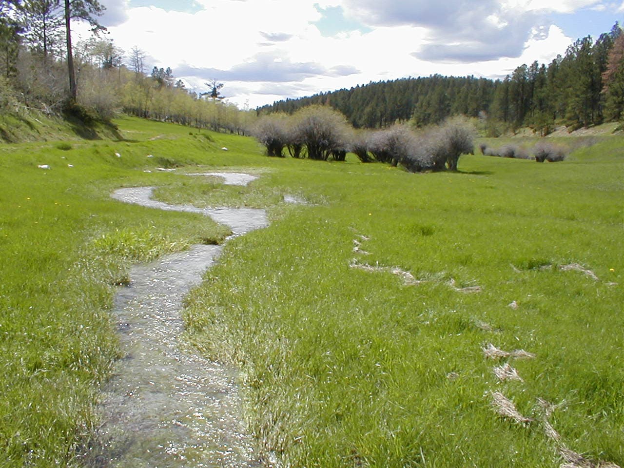
Trail No. 66 went uphill a bit before leveling out.  Turning NE, it then started downhill.  With all the recent wet weather, Lupe began coming to marshy areas feeding numerous little streams.  Despite brief uphill sections, she lost elevation most of the time.

Aspens sprouting new leaves along the E route of the Trail No. 66 loop.

More and more water seeped from the hillsides.  The trail became a small creek.  Every drainage Lupe passed had its own stream running down it.  These were all seasonal streams which wouldn’t ordinarily have had more than a trickle, if that.  Lupe enjoyed splashing along through all the water, free to get a drink whenever she felt like it.

Trail No. 66 finally turned NW and went down a steepish, soggy slope.  Upon reaching a low point, the trail bounced up and down, still winding along in the same general direction.  SPHP concluded that the trail was destined for a particular mountain to the W that didn’t look very high.

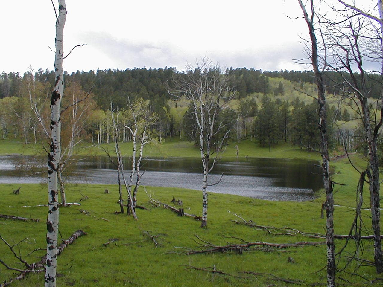
No. 66 eventually started down a slope where the forest gave way to a lush, green field.  Two streams, one from the SW and one from the SE, merged immediately upstream of a small earthen dam.  The combined stream had succeeded in eroding a gap right through the dam, which no longer backed up any water.

So much for Baldy Lake!

Overlooking the broken earthen dam that used to back up Baldy Lake. Photo looks W.

As if to remove any doubt, a sign saying “Baldy Lake” still stood along the edge of the meadow.  Even while in good repair, the earthen dam couldn’t have ever held back much water.  In the best of times, Baldy Lake must not have been any bigger than a typical stock pond.

Due to the circuitous route the E half of Trail No. 66 had taken, a check of SPHP’s USFS map showed that Old Baldy Mountain was still more than 0.5 mile away.  Crossing a small bridge below the broken dam, Lupe went W up the hillside beyond it, as the trail took her up into a stand of aspens.  After going over a ridge, the Carolina Dog reached the junction where the W branch of the Trail No. 66 loop joined in again.

Taking the spur to Old Baldy Mountain, Lupe followed a long stretch of trail serving double duty as a mucky stream bed.  Once beyond this area, the trail began climbing.  Near the end, Lupe gained more elevation than SPHP thought she would, as the trail switchbacked higher.

By the spur trail to the summit.
Wildflowers along the way.
Beaver Creek (L) from a switchback near the top. Photo looks SSW.

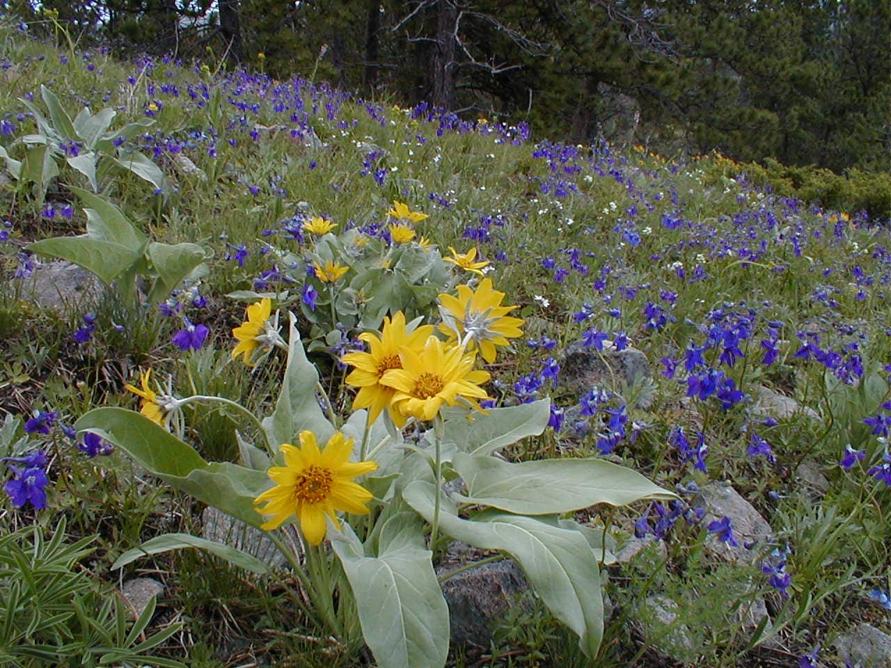
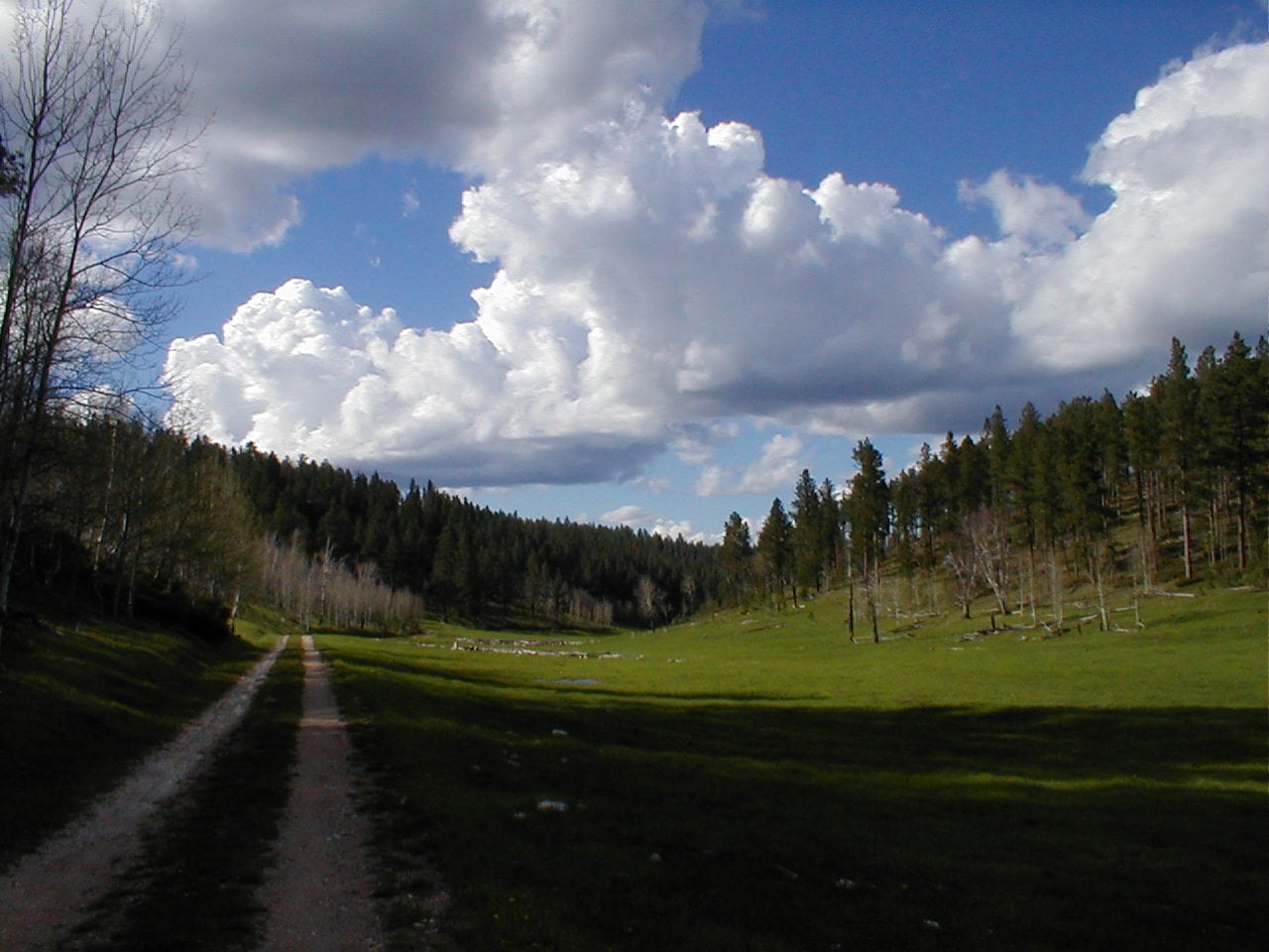
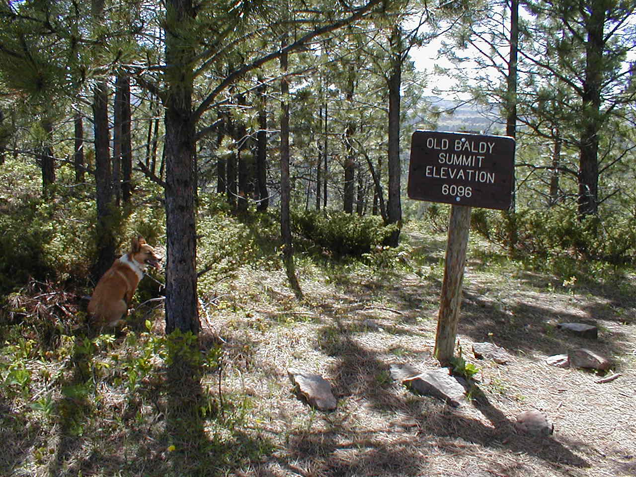
The top of Old Baldy Mountain (6,096 ft.) was forested and plenty roomy enough to move around quite comfortably.  A sign stood at the end of the trail.  From here, the summit area extended somewhat farther SW.  Exploring out that way, Lupe could see Beaver Creek down in a big meadow to the S, a scene she had caught glimpses of on the way up.

On Old Baldy Mountain. Photo looks W.

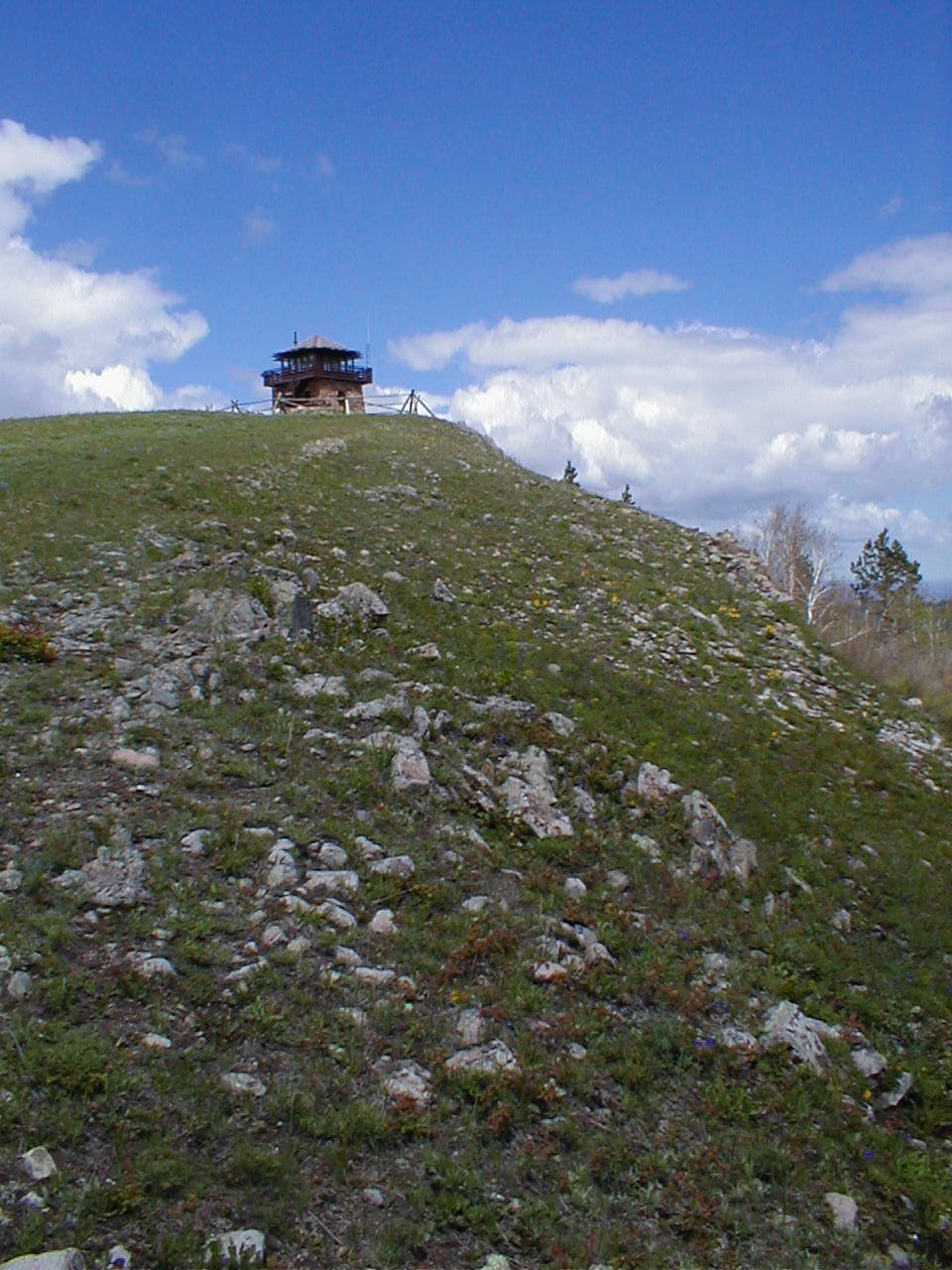
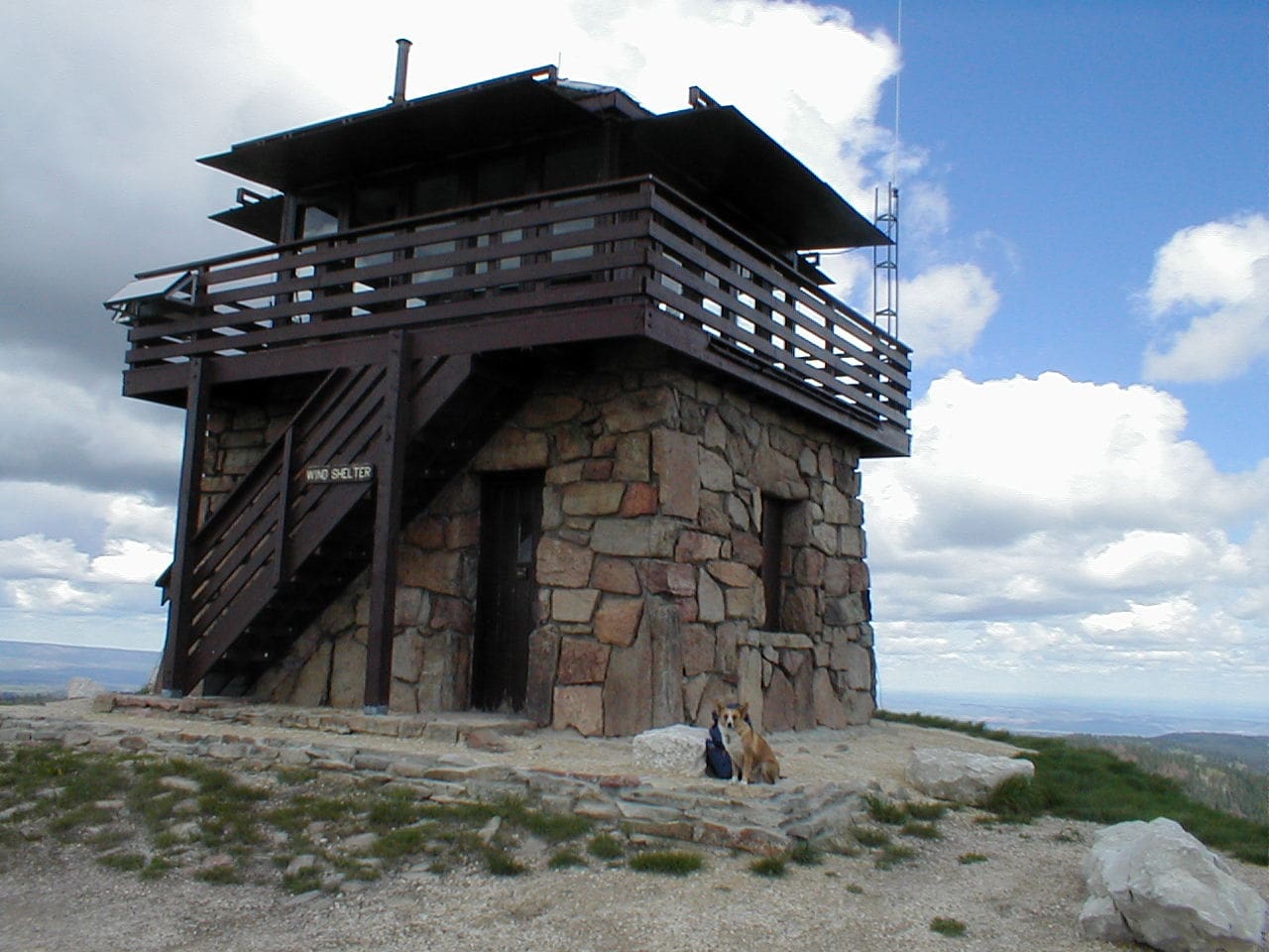
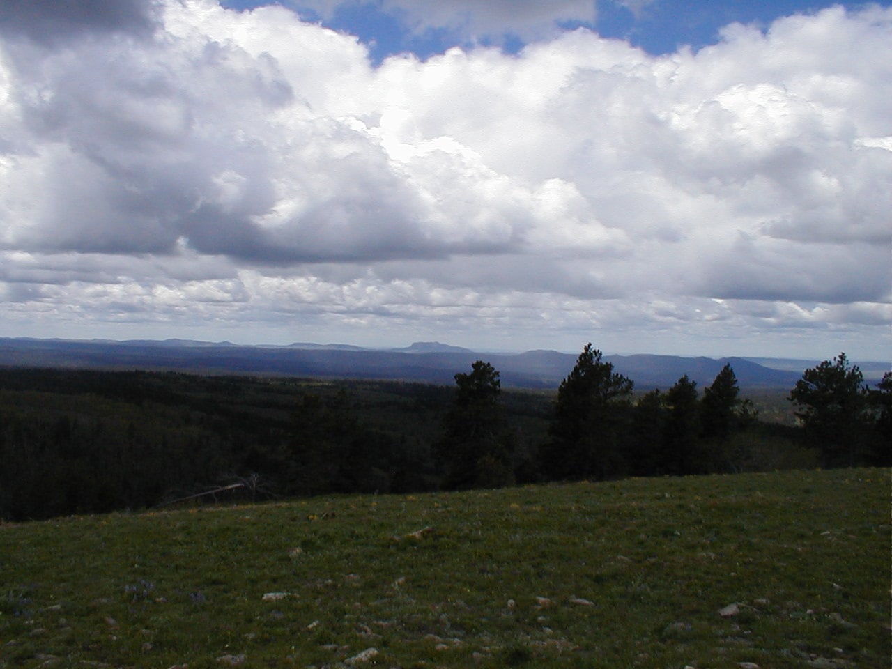
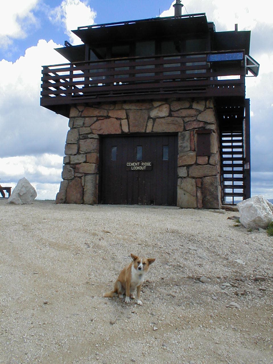
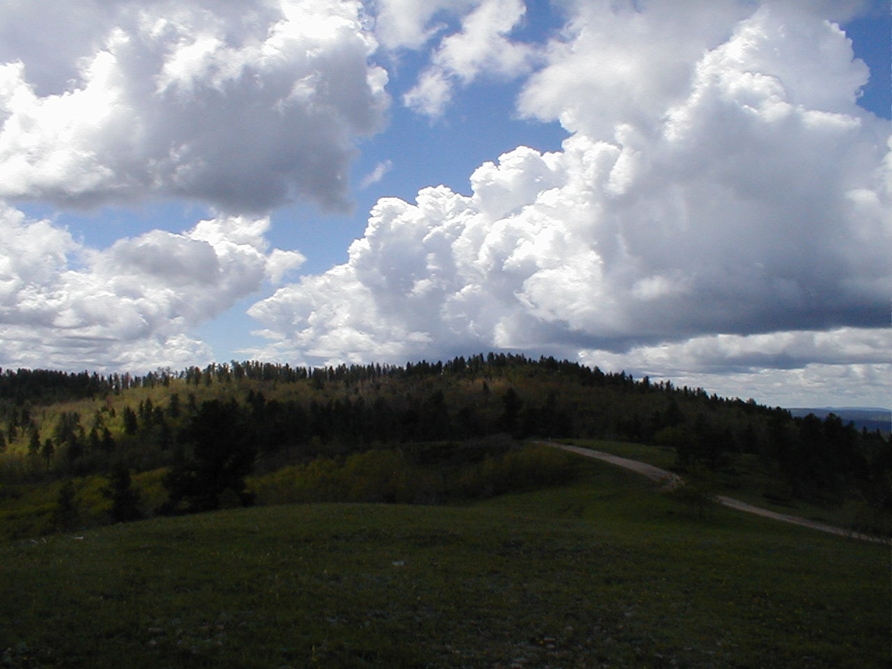
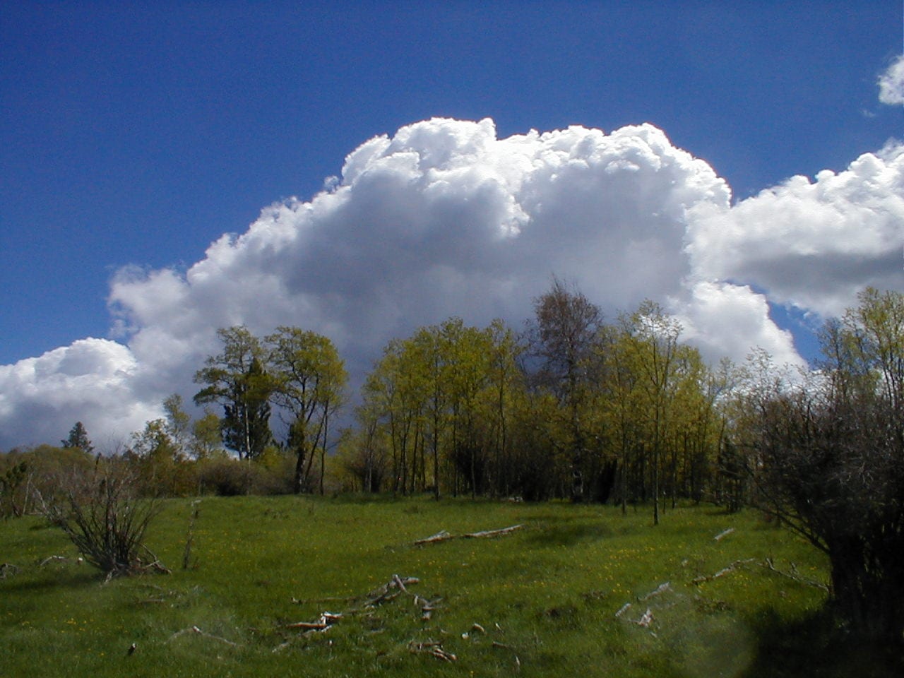
From along the summit’s W edge, Lupe saw the deep forested canyon that Beaver Creek drains into sinking N toward a spot where tall cliffs of dark rock were visible along the upper rim of the gorge.  Several ridges significantly higher than Old Baldy Mountain were in sight off to the W.  SPHP spotted the Cement Ridge fire lookout tower on the ridge farthest N.  It looked dauntingly high and far away.  Clearly, Lupe wasn’t going to get that far today.

Relaxing in the shade, Lupe snapped at flies while having more Taste of the Wild.  SPHP ate some fruit.  Too bad Lupe didn’t have enough time to continue on to Cement Ridge (6,674 ft.), but the distant start due USFS Road No. 222 being closed had pretty much put it out of reach.

On the return trip, Lupe explored the W portion of the Trail No. 66 loop.  Shortly after splitting off from the E route, the trail entered the huge meadow Lupe had seen S of Old Baldy Mountain.  The Carolina Dog was nearly across the meadow when she came to a little stream that drained W into Beaver Creek.  Leaving the trail, Lupe went down to have a look at the much larger stream.

By Beaver Creek. Photo looks NW.

Much of the ground near Beaver Creek was marshy, or just plain under water.  Side streams with good volume were pouring in from every little valley and low spot.

Looking upstream. Photo looks W.

After enjoying the view of Beaver Creek, Lupe turned SW toward a side valley where yet another tributary could be heard, but not seen.  Upon reaching the valley, she turned SE climbing into the forest.  This hillside was also full of springs, but Lupe quickly found the trail again.

No. 66 proceeded S steadily gaining elevation, before eventually turning E and winding its way back to the Old Baldy Mountain trailhead.  From the trailhead, Lupe proceeded E to USFS Road No. 134, crossing it at the same place as she had earlier in the day.

Flowers along the trail E of the Old Baldy Mountain trailhead.

Instead of getting on Trail No. 76 again, Lupe took a logging trail farther N that SPHP thought might be a shortcut.  Heading E, the logging trail climbed over a modest hill past a series of little ponds where frogs sang cheerfully until the entire choir would suddenly go silent when the American Dingo got too close.

The shortcut worked.  Lupe made it back to Trail No. 76 again not too far from the junction with the Rimrock Trail.  Another short rest break was taken here beneath the same big pine tree as before.

Although curious, SPHP didn’t think it was a good idea to take Lupe past the spotted fawn again.  Instead of going down that way, Lupe continued E on Trail No. 76, staying on high ground for another 0.75 mile.  At that point, the trail suddenly turned sharply NW, whereupon it immediately turned E again, descending a big gulch.

Partway down, the American Dingo came to an unexpected divide.  The clearest trail headed uphill over a ridge to the ENE, while a more faded path continued down the gulch.  When SPHP started on the higher trail, Lupe raced ahead, but SPHP was soon having second thoughts.  Probably should have gone down the gulch in search of USFS Road No. 222.

Returning to the lower path, it curved SE into a narrow gorge.  Lupe came to a very secluded and private place where water dripped down tall rock walls covered with moss.  Only a short stretch was flanked on both sides with scenic rock walls like that, but it was very cool.

Going around a bend, the roar of Little Spearfish Creek was suddenly heard down in the much larger canyon.  Descending a forested slope, Lupe found herself at the same point where she had left USFS Road No. 222 to take the shady trail to the Rod & Gun campground much earlier in the day.

The rest of the return was identical to the route Lupe had taken this morning.  SPHP collected Lupe treasures along No. 222, coming up with quite a few of them in short order.  At the Roughlock Falls picnic ground, the water had receded from where it had been this morning, leaving mud drying in the evening sun.

Heading back on USFS Road No. 222.

7:32 PM, 62ºF, Latchstring Inn trailhead at Savoy – Expedition No. 61 was over and done with except for the drive home.  Old Baldy Mountain had been a fun day, but the skinny spotted fawn’s fate would forever remain a mystery.  At home, Lupe was happy to see Guille’s car, and rushed into the house to greet her.

Evening in Little Spearfish Creek canyon.

Links:

Next Black Hills Expedition                      Prior Black Hills Expedition

Black Hills, SD & WY Expedition No. 141 – Old Baldy Mountain & Cement Ridge (10-11-15)

Want more Lupe adventures?  Check out Lupe’s Black Hills, SD & WY Expeditions Adventure Index, Master Adventure Index, or subscribe free to new Lupe adventures!

Black Hills, SD & WY Expedition No. 62 – Cement Ridge (6-8-13)

8:15 AM, 58ºF, Old Baldy Mountain trailhead off USFS Road No. 134 – The skies were clouding up.  Looking like rain again, although any rain was supposed to end later this morning, chased away by 20 to 30 mph winds expected to kick up this afternoon.

The American Dingo was here for the 2nd time in 6 days.  Since Lupe had already visited Old Baldy Mountain (6,096 ft.) last time around, that wasn’t her destination today.  Cement Ridge (6,674 ft.), 4 miles WNW, was the goal, and perhaps some wandering after that.

The air was humid and still at the moment, but it would be good to get to Cement Ridge before the wind.  Lupe left the vacant trailhead heading W on Trail No. 66, this time ignoring the turn for the E route of the No. 66 loop she had taken to Old Baldy Mountain 6 days ago.

The weather had been super wet for weeks.  Must have had yet another substantial rain here again last night.  Verging on mucky, the level trail wound W through a mixed forest of dark pines and white-barked aspens sporting newly sprouted light green leaves.

A cool, humid start on Trail No. 66.

Lupe soon reached the place where the W half of the Trail No. 66 loop turns N toward Beaver Creek.  Instead of making this turn, Lupe took an old abandoned side road that went SW down into Schoolhouse Gulch.  Picking up USFS Road No. 222 here, the Carolina Dog headed N.

Where Lupe reached No. 222, a lush green meadow was visible beyond a thin line of trees W of the road.  A large stock pond brimming with water was seen only a little farther N.  As Lupe drew even with the pond, a man driving an ATV stopped to chat.

Introducing himself as “Hank”, the man said he was on his way to mend fences on property he owned nearby.  Noting SPHP’s interest in the stock pond, Hank said he knew the owner, and had even requested permission to fish there.  The owner readily granted that permission, but told Hank there weren’t any fish to catch.  Although he had once stocked the pond with 2,000 trout, the pond froze solid, winter-killing all of them.

Hank commented that he didn’t see many hikers in this area, and was curious about where Lupe was going and where she’d started from.  When SPHP relayed that information, Hank said he needed to be more active in the hills himself.  Wishing Lupe success, he drove off.

The stock pond in Schoolhouse Gulch W of USFS Road No. 222. Photo looks WSW.

Soon another vehicle came along.  This time it was the driver of a pickup truck that stopped to chat.  He said he was on his way to fix fences with a friend, and was surprised when SPHP told him that Hank was already there waiting for him.

The pickup truck driver also owned property in this region, 270 acres in all, in 2 separate parcels.  160 acres were back in the forest W of USFS Road No. 222, land that had been in his family since the early 1900’s.  He had grown up there, although the old cabin was now in such a state of disrepair that it was unusable.

This driver also commented on how seldom they saw hikers here, and wondered where Lupe was going?  When SPHP said Cement Ridge, he replied that she had a long walk ahead of her.  A neighbor had told him they’d gotten 17 inches of rain in the last 2 storms up that way, the most water received in such a short period of time since the floods of 1965.

Before he drove off, SPHP assured the pickup driver that Lupe had all day, and would have no problem at all getting to Cement Ridge.

For 0.5 mile, No. 222 proceeded NNW, sloping gradually downhill to the confluence of 2 major tributaries of Beaver Creek.  Joining forces at a low point just W of the road, the combined stream turned E flowing through a culvert.

Once past Beaver Creek, Lupe started gaining elevation.  Hank was soon spotted doing something near a spring in a field W of the road.  The pickup driver, who had supposedly been on the way to help him mend fences, was nowhere in sight, but Hank waved and shouted a friendly greeting to Lupe and SPHP.

Climbing steadily, USFS Road No. 222 curved W.  Scattered patches of blue sky appeared amid lots of puffy white, and sometimes gray, clouds.  A light and airy breeze sprang up.  SPHP collected Lupe treasures from the ditches, while Lupe ran sniffing through the woods investigating whatever seemed interesting.

A moment of relaxation on the way to Cement Ridge.

After winding W for more than a mile, USFS Road No. 222 turned N again upon reaching its high point.  No. 103, little more than a jeep trail, took off to the L here.  Leaving No. 222, Lupe took No. 103, which quickly turned S.  For 0.5 mile, the road was fairly straight and level.

Although this region was forested, the trees were young.  Lupe was high enough to get some decent glimpses of views to the E.  She trotted along, drinking from little streams and mud puddles, while SPHP continued to gather Lupe treasures.  No. 103 started to wind SW.  Lupe passed a sign saying a permit was required for off-road vehicles in Wyoming.  She had left South Dakota.

After a mile or so on No. 103, a long switchback turned first SE, then sharply NW, going more steeply uphill.  At the upper end, Lupe reached a saddle where No. 103 linked up with USFS Road No. 850, which had come up past Guidinger Spring from Rattlesnake Canyon.

No. 850 was a much better road, and went NW a little over a mile to the fire lookout tower on Cement Ridge.  Rather than follow the road, Lupe stayed up on higher ground NE of it, traveling the crest of the ridgeline through open forest and fields of wildflowers.

Wildflowers on the way to the Cement Ridge fire lookout tower.
So beautiful! The wildflowers were nice, too!
A healthy specimen of the “yellow wildflower” category.

Wildflowers were beautiful and abundant!  The air – breezy, light, and fresh.  Big clouds sailed overhead, and the views improved with each passing moment.  A bicyclist soon appeared on No. 850, pedaling for the summit.  Before long, another one was spotted, and more kept appearing after that.  At first, the bicyclists were all on their way up to the lookout, but soon some were seen coasting down No. 850, too.  Something must be going on!

The Cement Ridge lookout tower came into view.  People were gathered near a canopy set up along the road SW of the tower, but Lupe headed straight to the top.

Approaching the Cement Ridge fire lookout tower. Photo looks NW.
By the SE corner.
The canopy (L) along access road No. 850 from close to the tower. Photo looks SW.

After giving Lupe some Taste of the Wild, SPHP relaxed at a picnic table near the NW corner of the lookout tower and began eating an orange.  Tremendous views by Black Hills standards in nearly all directions!

Sundance Mountain (5,824 ft.) and Warren Peaks (6,650 ft.) were in sight to the WNW.  Inyan Kara (6,360 ft.) was off to the SW.  Looking back into South Dakota, both Crow Peak (5,787 ft.) to the NNE, and Terry Peak (7,064 ft.) to the E, were easy to spot.

Inyan Kara Mountain (Center) on the horizon. Photo looks SW.
Terry Peak (R of Center). Photo looks E.

Low overhead, an endless procession of big clouds raced by from out of the W.  Although Lupe was sometimes in sunshine, most of the time she was in shadow.  The darker clouds spit a little rain as they passed.  SPHP had only been at the picnic table for 10 minutes when suddenly a NW wind kicked up, coming in 20 to 30 mph gusts, as forecast.

Moving to the more sheltered SE side of the lookout tower, SPHP worked on an apple.  Accepting pieces of a Pop Tart, Lupe promptly decided to bury them for future use, but found it tough to do so in the hard-packed gravel surrounding the tower.

Although the wind was a bit annoying, once the snack break was over, Lupe and SPHP headed down to the canopy to find out what was going on.  A young man and woman, both smartly dressed in genuine western outfits, were busy grilling burgers and hot dogs to go along with water or beer for 140 contestants in a 110 mile long bicycle race that started and ended in Spearfish.  Cement Ridge, 40 miles along the course, was one of the main support stops along the way.  A photographer with a fancy camera was taking pictures of contestants that made it this far.

Curiosity satisfied, Lupe head over to another picnic table for a final look around before returning briefly to the lookout tower.  She would have stayed longer, but Carolina Dogs aren’t fond of wind.  Lupe was soon heading SE back down the ridgeline overlooking USFS Road No. 850, where bicyclists continued to stream by.

A windy and impressively cloudy day at Cement Ridge. Photo looks E.
Despite the wind, Lupe would have gone up to the top of the tower, if it had been open.

Lupe was nearly back to the saddle where USFS Road No. 103 joined No. 850, when she suddenly became very interested in something hidden in deep grass amid a tight group of young trees.  Taking a look, SPHP saw a dead chipmunk.

Picking the chipmunk up to prevent Lupe from eating it, SPHP was in the process of examining the chipmunk, when it suddenly sprang up, leapt back into the grass, and began scurrying away.  The American Dingo was on it in a flash!  SPHP made Lupe release the chipmunk more than once in a span of only seconds, but the episode ended in tragedy with the poor, innocent chipmunk laying motionless in the grass.

Terrible!  Fearing Lupe had killed the harmless chipmunk, SPHP again picked it up, checking for injuries.  Promptly awakening and biting SPHP, the chipmunk made another mad dash for freedom.  This time SPHP managed to prevent Lupe from going after it.  So much for handling “dead” wild animals!

USFS Road No. 103 was just ahead.  Not even noon yet.  The Carolina Dog had the rest of the day to wander now, if she wanted to.  6 days ago on Expedition No. 61, a line of almost equally high ridges had been visible S of the Cement Ridge fire lookout tower.  This was a great opportunity to explore them!

Instead of heading back on No. 103, Lupe left the saddle climbing S up a forested slope.

Approaching the saddle where USFS Roads No. 850 (R) and No. 103 meet. The true summit of Cement Ridge is visible (R of Center). Photo looks S.

Upon reaching level terrain on top of the first ridge S of the roads, Lupe went WNW a little way exploring toward the highest point, ultimately reaching a spot where she had a view of the fire lookout tower more than a mile NW.  SPHP didn’t realize it until nearly a year later, but Lupe was now at the true summit of Cement Ridge (6,674 ft.).

Without any real plan other than to explore whatever high ground she might come to, Lupe headed S through the forest.  Didn’t seem to be any pine bark beetle infestation up here, so there wasn’t much deadfall to contend with.  Juniper bushes growing on the forest floor were about the only impediment, and these were usually easily avoided.

The terrain sloped gradually lower.  SPHP eventually encouraged Lupe to turn SE, losing a bit more elevation as she went down to a meadow in a small valley.  Lupe found a logging road and followed it S.  Before long, she came to a spring bubbling up from a 4″ hole in the road.  The day was getting sunnier and warmer, so she helped herself to a big drink.

On the old logging road. Photo looks S.

Going over a series of hills, Lupe worked her way S, generally heading SE while up on top, then turning SW when the hill or ridge played out to head over to the next one.  She crossed a road, which might have been USFS Road No. 804, where 2 bicyclists from the race appeared, but they were the last ones Lupe saw.  SPHP kept hoping for some distant views, but the hills were all forested, and little could be glimpsed except the next rise ahead.

Exactly where Lupe went, is now impossible to say.  The American Dingo followed various old logging roads up on the ridges, and occasionally crossed USFS roads in the valleys.  None of these roads were marked.  Lupe saw many deer, and once, when the sky darkened for a little while, she saw 2 giant deers (elk) near a dense pine forest.

The sky brightened again.  After crossing a road that went E/W, Lupe came to a small vigorous stream that flowed W.  She laid right down in it to cool off, emerging greatly refreshed.  Pausing to check the old Black Hills NF map, SPHP figured this might be the stream S of USFS Road No. 805 that drains into Wagon Canyon.  A beautiful cloud appeared over the next hill.  It never developed into anything threatening.

The stream that Lupe cooled off in. Photo looks W.
The beautiful cloud.

The magnificent cloud sailed off to the E.  Lupe continued S.  A logging road took her up to a high point where the forest had been thinned enough to permit a view of the top of Inyan Kara Mountain (6,360 ft.), still many miles to the SW.

Going S along a ridge from the high point, the sky darkened again.  Tiny hailstones fell for several minutes before morphing into a 10 minute rain shower. A shallow green valley appeared ahead with a faint road going through it.  Upon reaching the road, a minor pass could be seen 200 yards to the NW.

Lupe ventured up to the pass, where SPHP was surprised to see a brown wand identifying this road as USFS Road No. 393.1.  Nearby to the S was a little hill with lots of pine trees.  Climbing up to see what could be seen from here, the answer was, not much.  SPHP sat down next to a pine tree for another look at the map, while Lupe rested on a bed of pine needles looking like she was truly enjoying this aimlessly wandering adventure.

Happy Lupe in the middle of nowhere.

No. 393 was shown on the map, but No. 393.1 wasn’t.  Lupe must have drifted far enough E to be back in South Dakota, but how far S she was wasn’t clear.  Taking a short break, Lupe and SPHP stayed on the little hill for a while.  Couldn’t stay long.  A few hours of daylight remained, but the sun was starting to sink toward the horizon.

Returning to No. 393.1, Lupe followed it SE.  The shallow green valley led to a larger valley with a better road that turned NE, the direction Lupe needed to go to get to the G6.  At this turn, another marker showed that Lupe had just come down USFS Road No. 106.1A.  Confusing!  SPHP still wasn’t certain where the American Dingo was.

The shallow green valley Lupe had just come down from the No. 106.1A wand. Photo looks WNW.

The evening stroll down the larger valley was gorgeous!  Fabulous clouds drifted by on a cool, light breeze.  Birds sang the happy songs of late spring.  Lupe trotted along, pausing for drinks from each puddle she came to, while SPHP began finding and gathering Lupe treasures again.  Another wand appeared saying that this was USFS Road No. 134.3B, which was on the map.  For the first time in hours, SPHP knew exactly where Lupe was.

On USFS Road No. 134.3B. Photo looks NNE.

After a mile or two, the valley came to an abrupt end.  For the next 0.25 mile, No. 134.3B passed through a narrow gap flanked by limestone walls.  The road was badly eroded in here.  Rocks, silt, and gravel had been washed away and deposited farther down the mini-gorge.

When Lupe emerged from the gap, the junction with USFS Road No. 134 was just ahead.  Another check of the map.  Still 5 splendid miles to go!

8:26 PM, 52ºF, Old Baldy Mountain trailhead – Lupe’s journey to Cement Ridge, and her long wanderings S along both sides of the seldom visited South Dakota – Wyoming border had been a success, a fabulous 12 hour excursion!  76 Lupe treasures gathered, too!  A new record.

A terrific day, but the sort of one that works up an appetite.  About time for some cheeseburgers!  SPHP stopped at McDonald’s in Spearfish and bought 4.  The famished American Dingo made sure she got 2 of them before curling up to snooze the rest of the way home.

Miles S of Cement Ridge, Black Hills National Forest 6-8-13

Links:

Next Black Hills Expedition                     Prior Black Hills Expedition

Black Hills, SD & WY Expedition No. 141 – Old Baldy Mountain & Cement Ridge (10-11-15)

Black Hills, SD & WY Expedition No. 205 – Balm of Gilead Gulch & Cement Ridge (5-20-17)

Want more Lupe adventures?  Check out Lupe’s Black Hills, SD & WY Expeditions Adventure Index, Master Adventure Index, or subscribe free to new Lupe adventures!