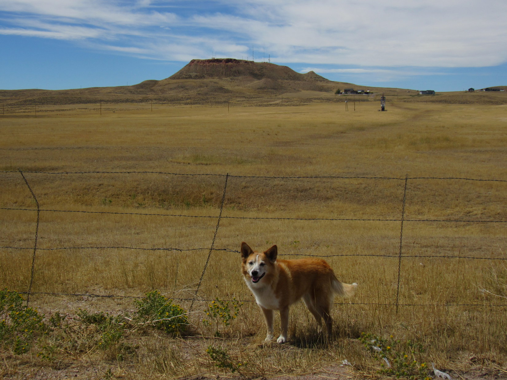
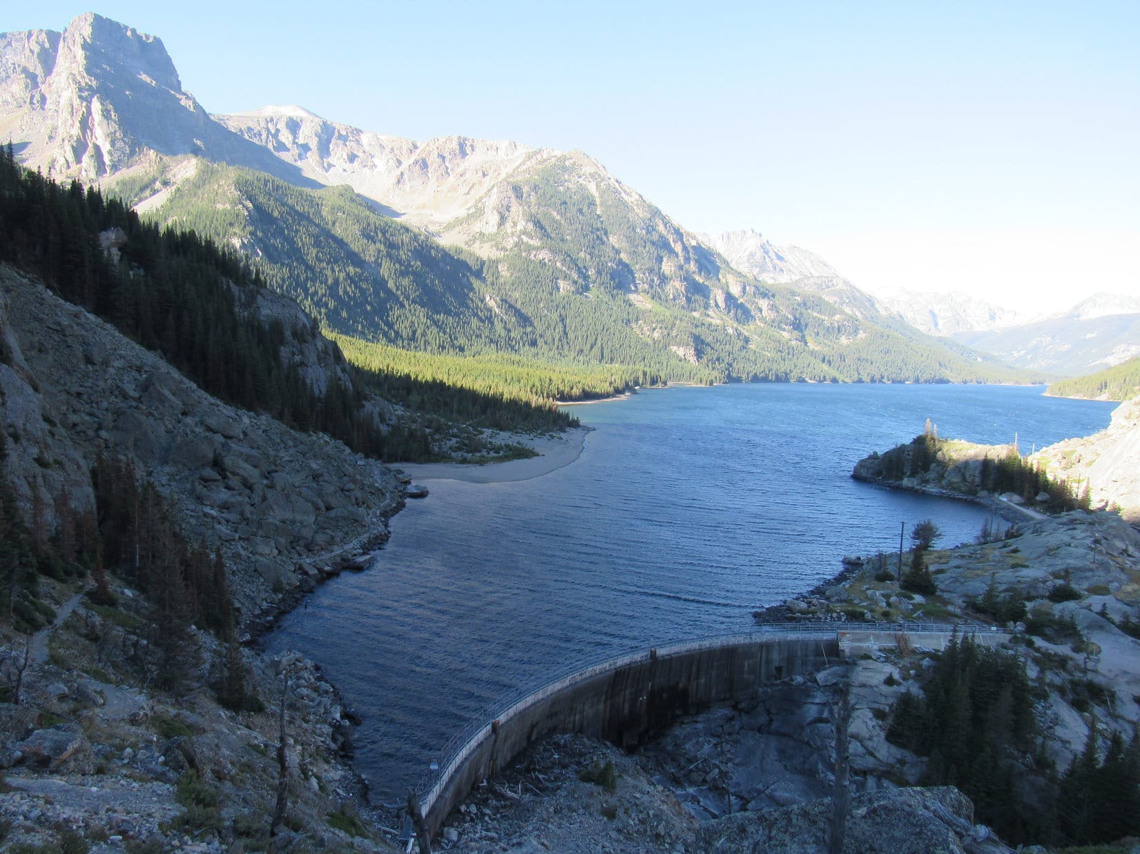
Day 3 of Lupe’s 4th Summer of 2020 Dingo Vacation to Montana & Wyoming!
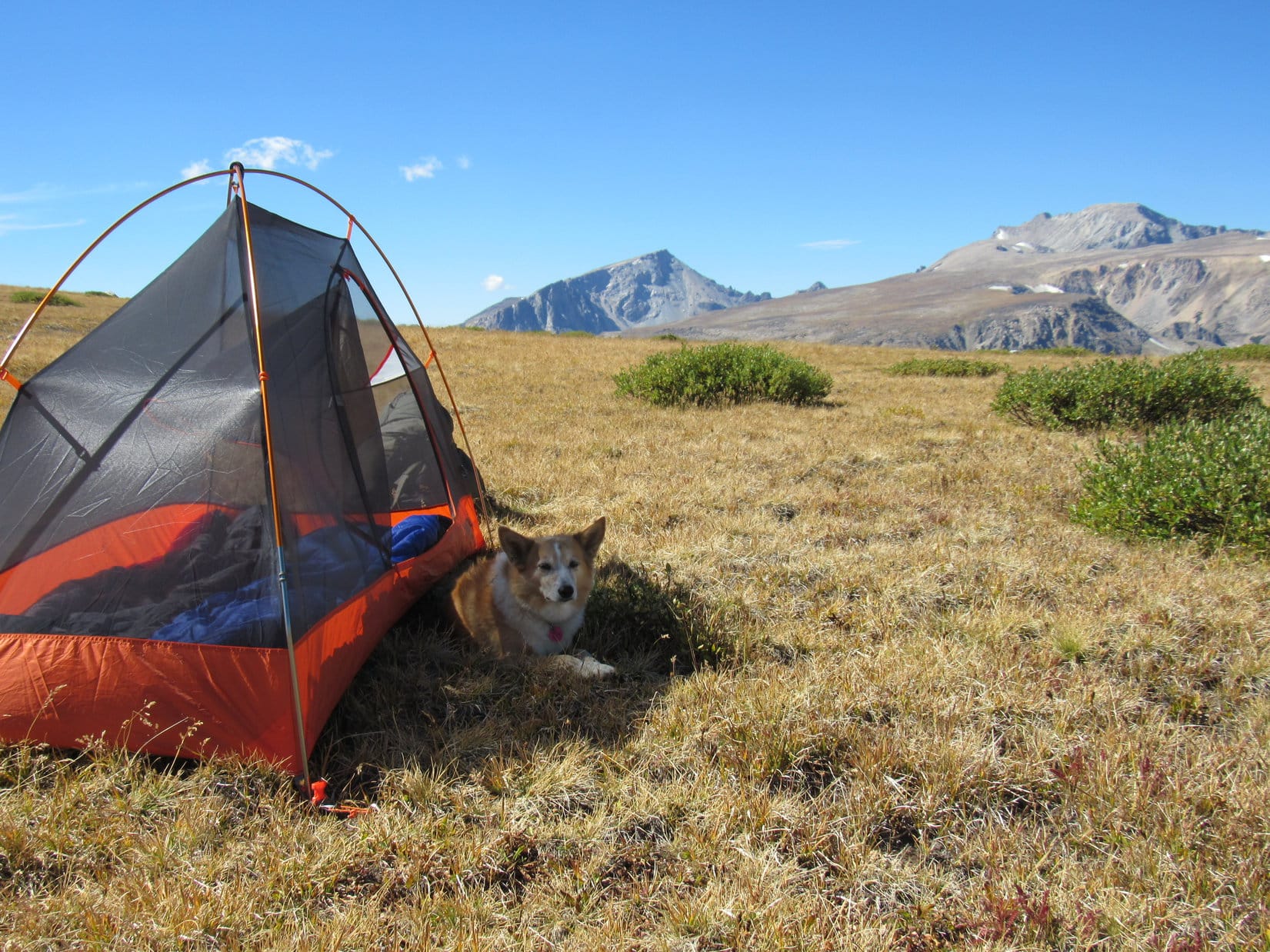
The wee hours, Pass 10140, Beartooth Mountains – Rain? Ugh! Not good. Sounded like light rain on the tiny house. Surprising, since the night sky had been almost completely clear when Loopster finally got back from Saddleback Mountain (10,876 ft.) yesterday evening, which couldn’t have been too many hours ago.
The exhausted American Dingo was still dead to the world, but SPHP was dimly awake. Too tired to even roll over, SPHP laid motionless for a long time, listening. Light rain, or just the wind? Hard to tell, but the tiny house was flapping intermittently in a gentle breeze. Always seemed to rain a little harder when the breeze picked up a bit, too.
At last summoning the energy to unzip the door, SPHP took a look. Hah! Overhead, a pale full moon still beamed down on the empty plain. The grass felt dry. Not raining at all. Good! Just the wind. Back to sleep.
Sometime later, Lupe woke SPHP wanting out. Alright! Unzipping the door again, SPHP let her go. A single woof. Something big bounding away. Silence. SPHP waited, but the Carolina Dog didn’t return.
The sky was brightening in the E when SPHP took another look. A few feet away, Lupe was curled up on the grass calmly watching the world come to life.
‘Bout time, sleepyhead!
You hungry, Loop? We better eat something before taking off.
8:07 AM, Pass 10140, Beartooth Mountains – The American Dingo might have recovered from yesterday’s splendid adventures, but SPHP still felt lethargic. Breakfast had been a leisurely affair. Everything finally ready to go now, though. Better get with it! Daylight’s burning!
Which way, SPHP? Where are we headed?
See that big hill, Loop? That’s Froze to Death Mountain (11,760 ft.), our first objective.
Oh, snap! Looks like another Saddleback Mountain! We can do that. C’mon, SPHP! Step lively!
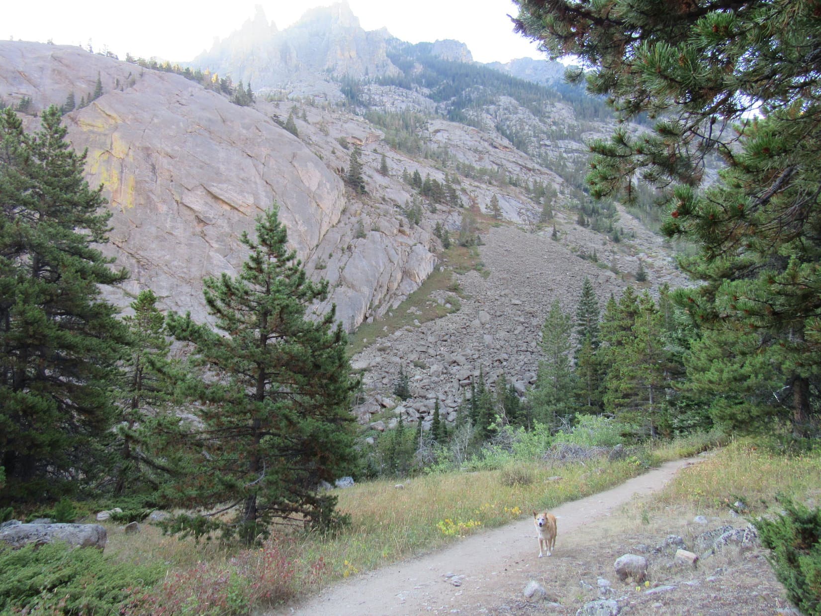
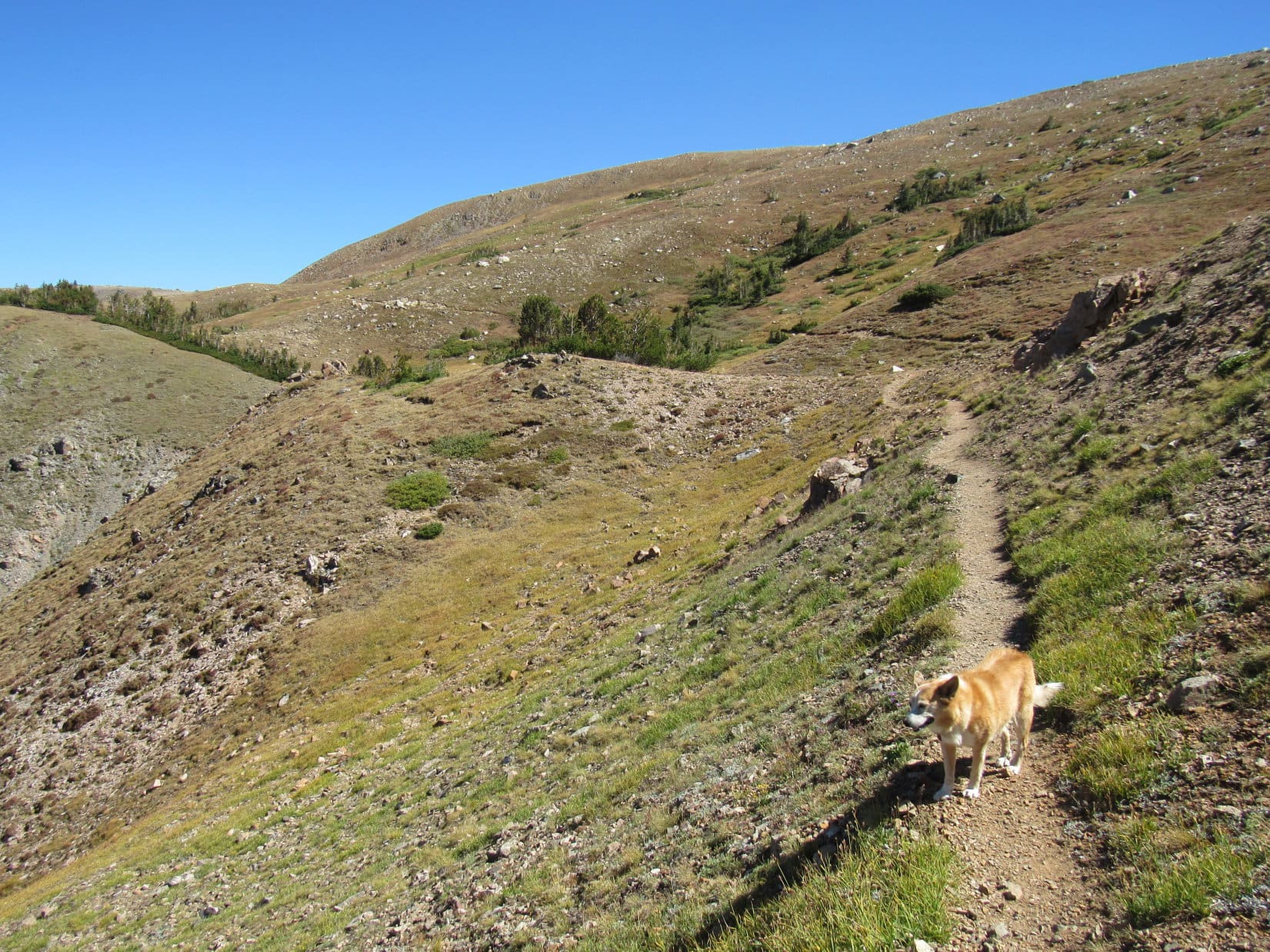
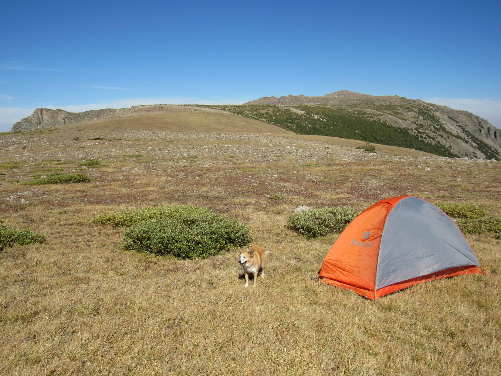
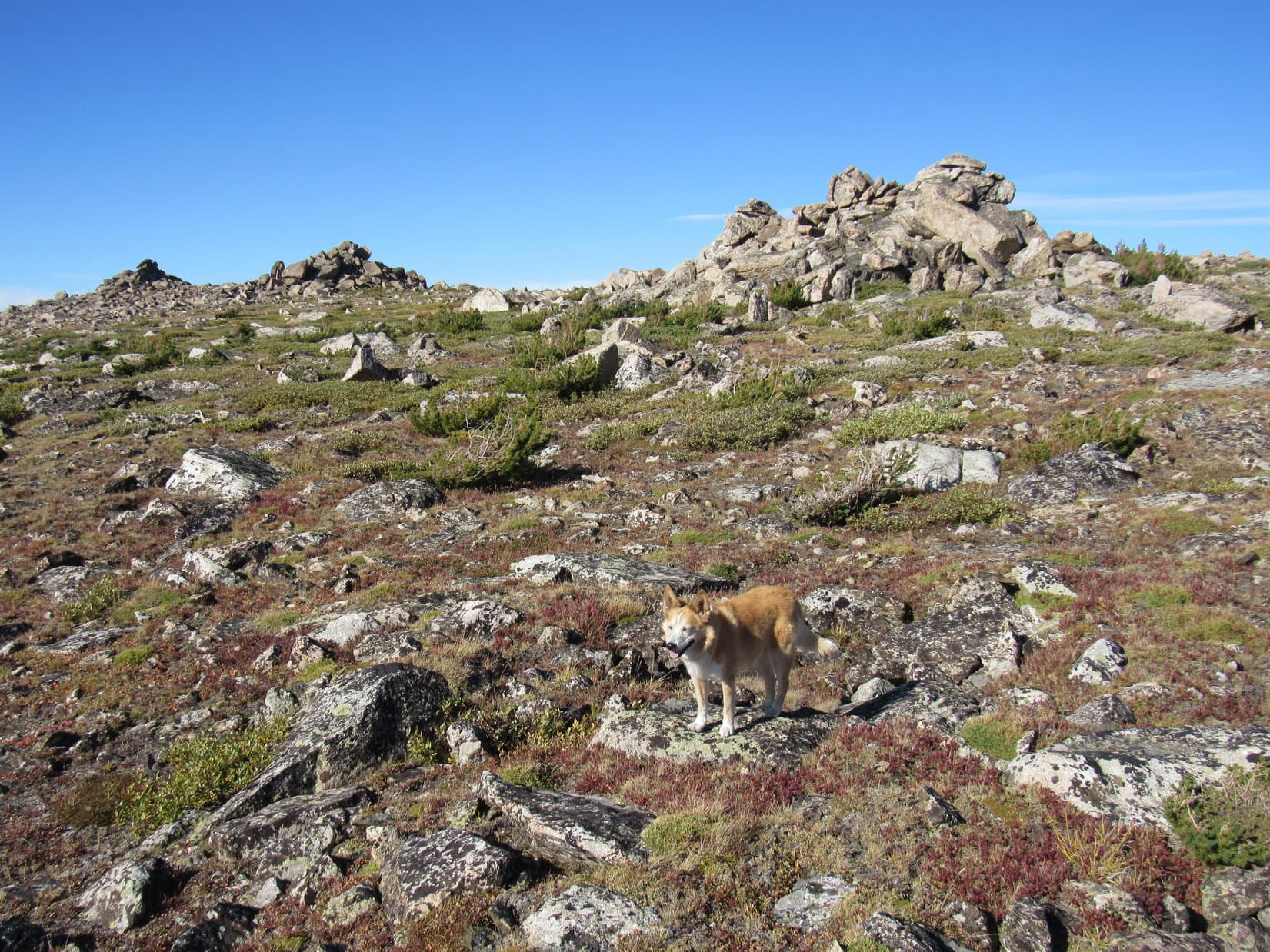
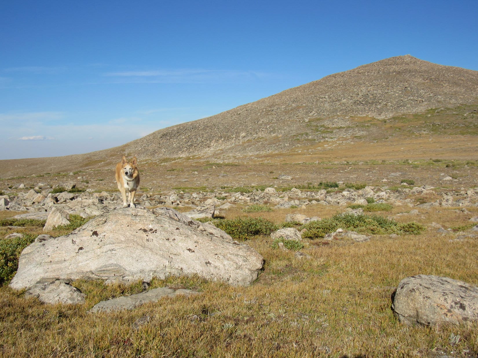
With Froze to Death Mountain already in sight, Lupe set off up the slope behind the tiny house. The mountain promptly disappeared from view, but reappeared as soon as she got up to where the slope leveled out. A vast plain was ahead. No obstacles. With a much lighter pack today, SPHP actually was able to step along at a rather lively pace.
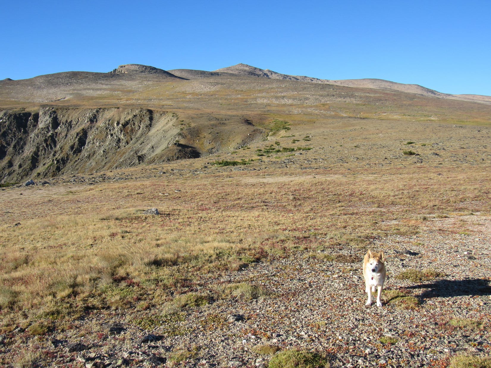
After crossing the empty plain, the trek became a steady climb. Out on such open ground there really wasn’t any question on what route to take. Loopster simply headed pretty much straight for the mountain. For quite a long way, the terrain remained a featureless slope, but that gradually changed. Rivers of rock began to appear separated by lanes of vegetation. An hour from the tiny house, Lupe reached a big cairn.
5 minutes past the cairn, a massive boulder sat off all by itself in a flat region. A grassier stretch was just ahead. Although still much higher, Froze to Death Mountain no longer looked all that far away.
Staying W of Froze to Death Mountain’s NE ridge, Lupe took advantage of the vegetation to avoid much rockier terrain as long as possible. She was soon beyond the flat area, climbing steadily again on the steepest slope yet. Toward the SSE, a small region of bright green grass betrayed the existence of seeping springs and waterholes. After getting a drink, Lupe noticed a depression to the W containing a big snowbank, but she didn’t bother with going over to check it out.
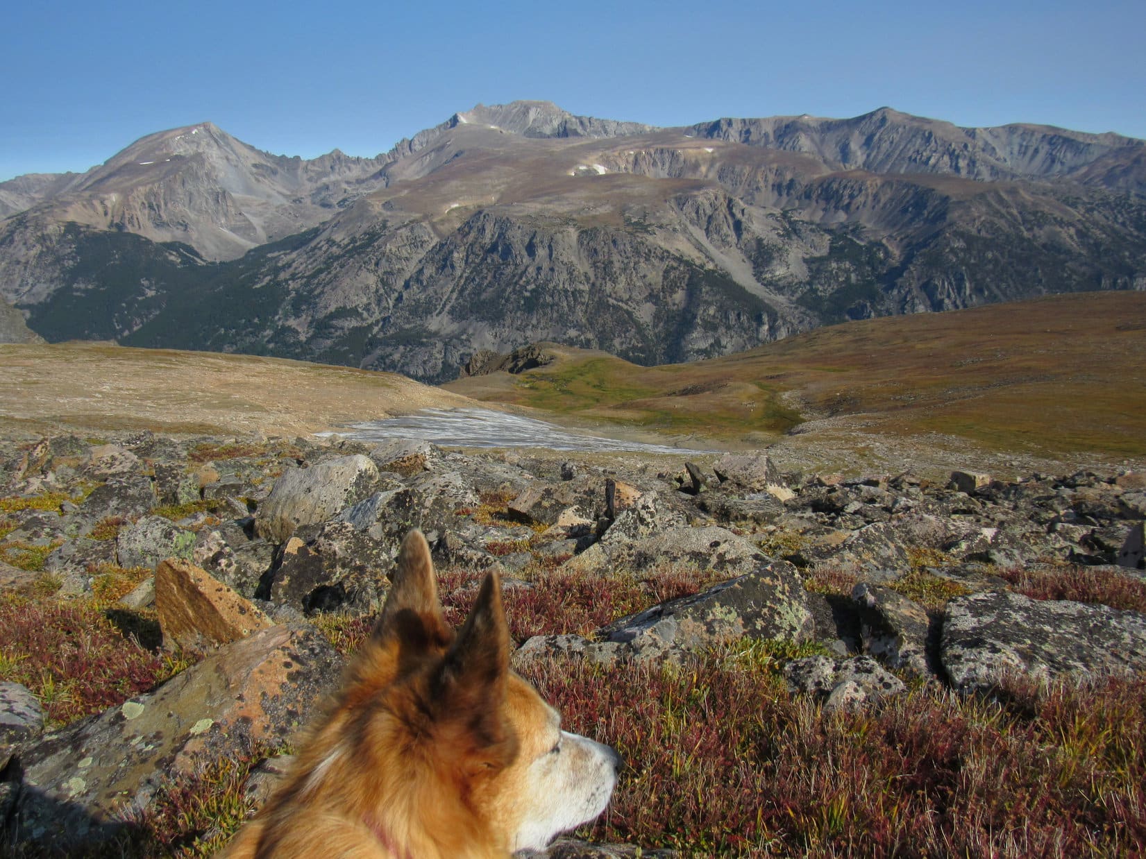
As the climb continued to steepen, SPHP insisted upon stopping now and then to suck in more air. These pauses provided opportunities to enjoy the ever-present views. Mount Wood (12,660 ft.) and Mount Hague (12,323 ft.) were particularly impressive.

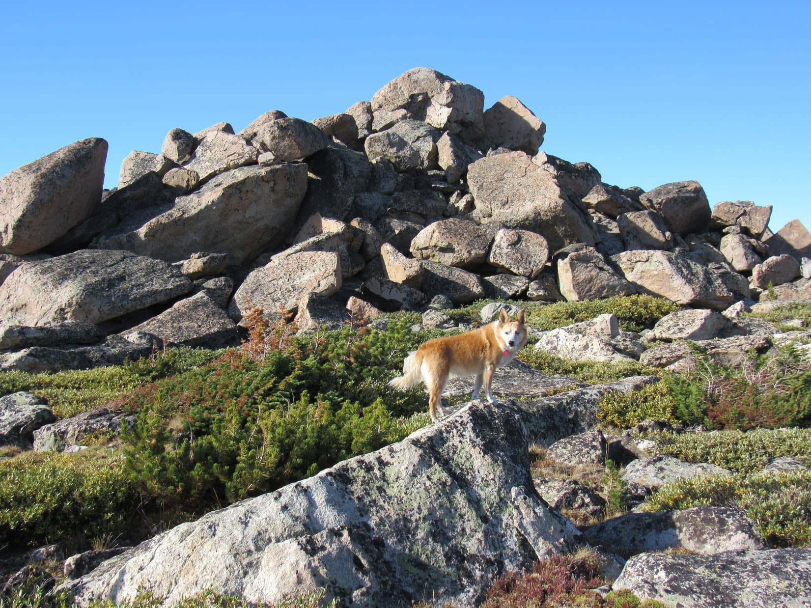
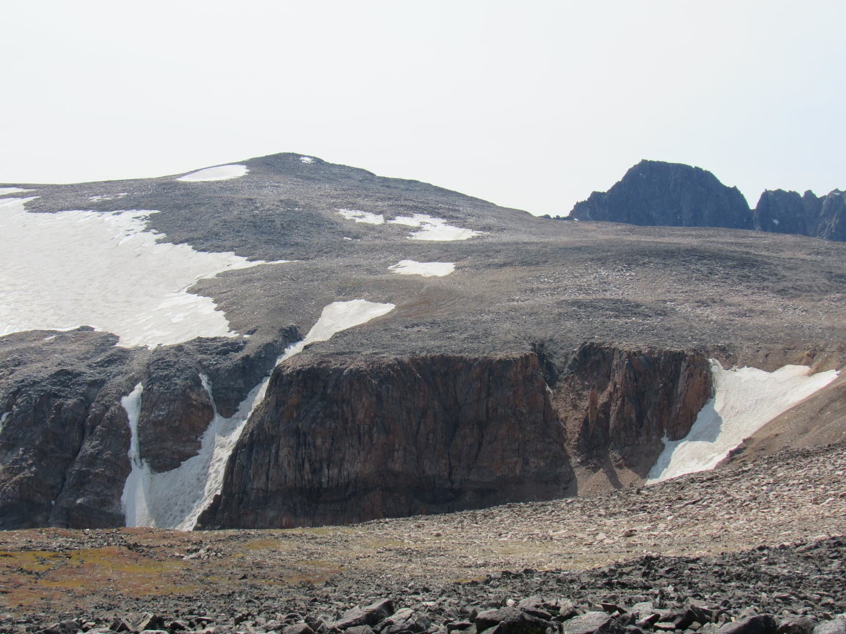
The steeper, rockier terrain couldn’t be avoided forever, but it wasn’t too terrible. Lupe often found relatively easy lanes higher. She was only 0.25 mile from the summit when she finally got up onto Froze to Death Mountain’s NE ridge. Reaching it at a fairly level spot, Loop now faced the toughest part of the entire climb. The summit was just ahead, only a few hundred feet higher.
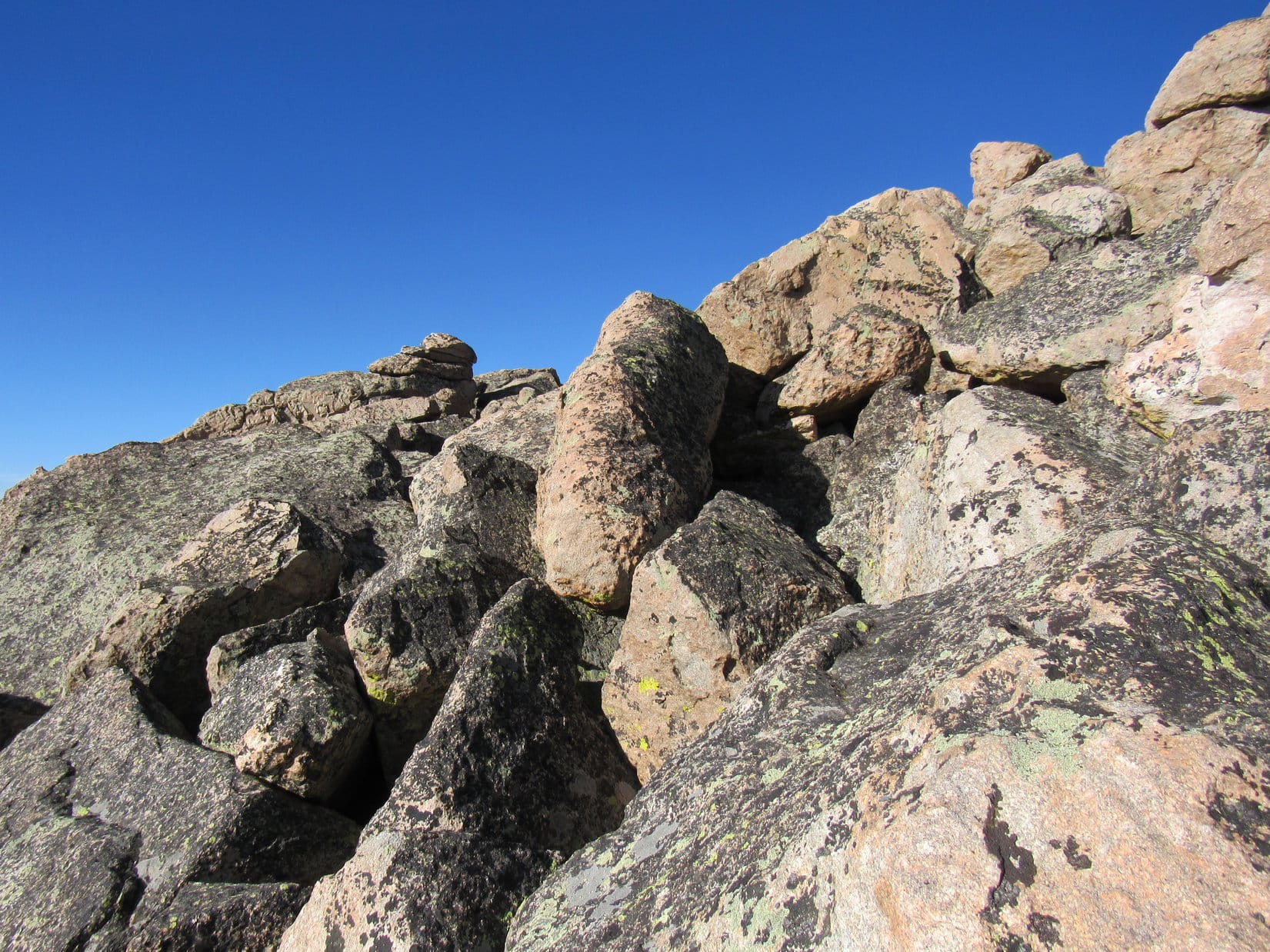
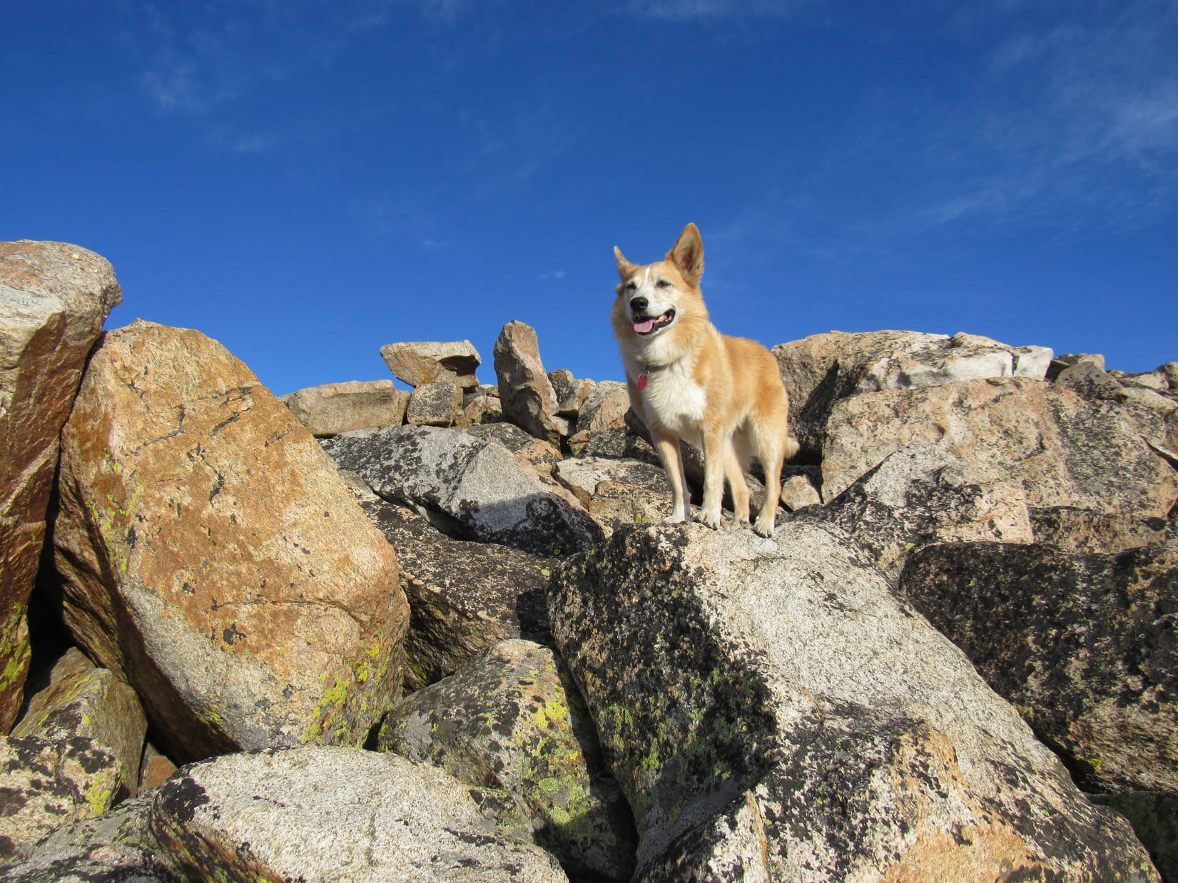
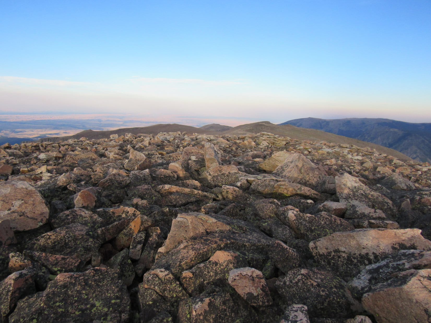
Easier than it appeared! Scattered patches of bare ground allowed SPHP to maintain some semblance of upward momentum. The climb ended with Lupe leading the way during a slow scramble on big talus, but the top wasn’t much farther by then.
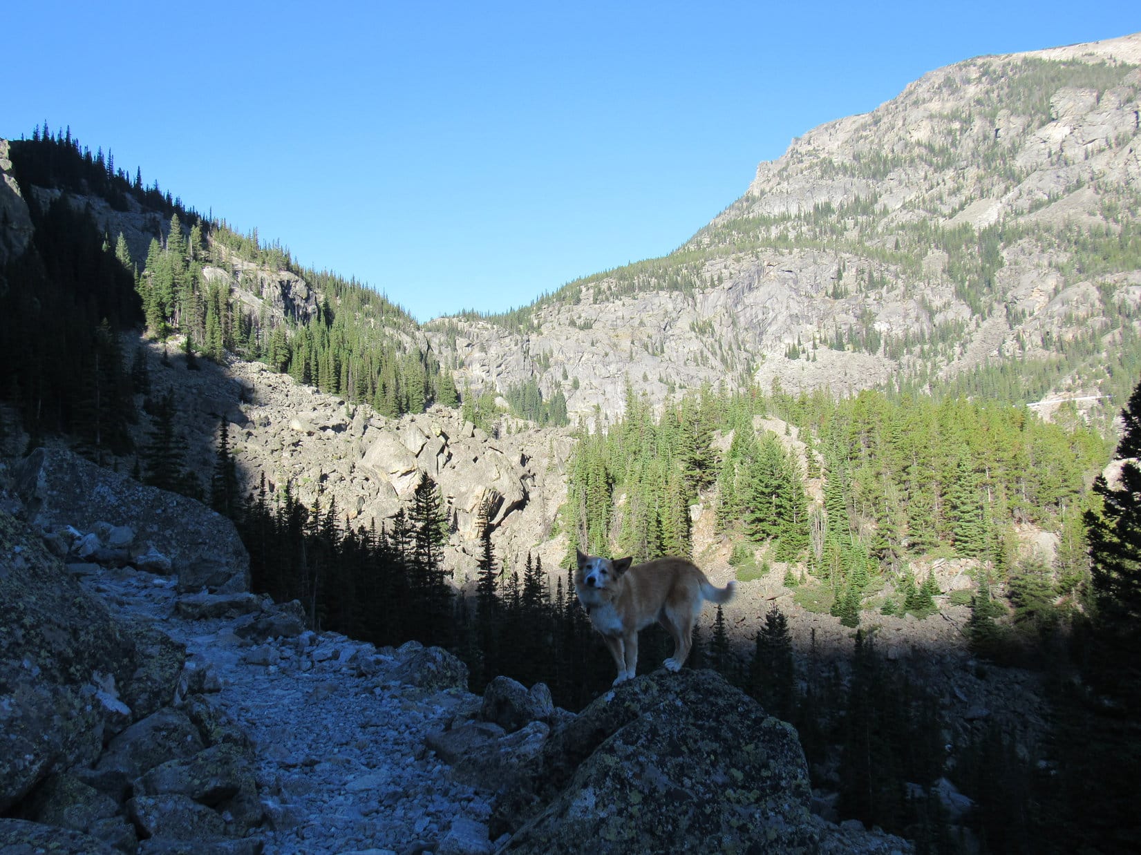
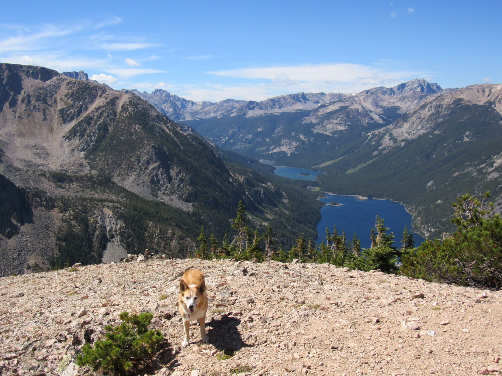
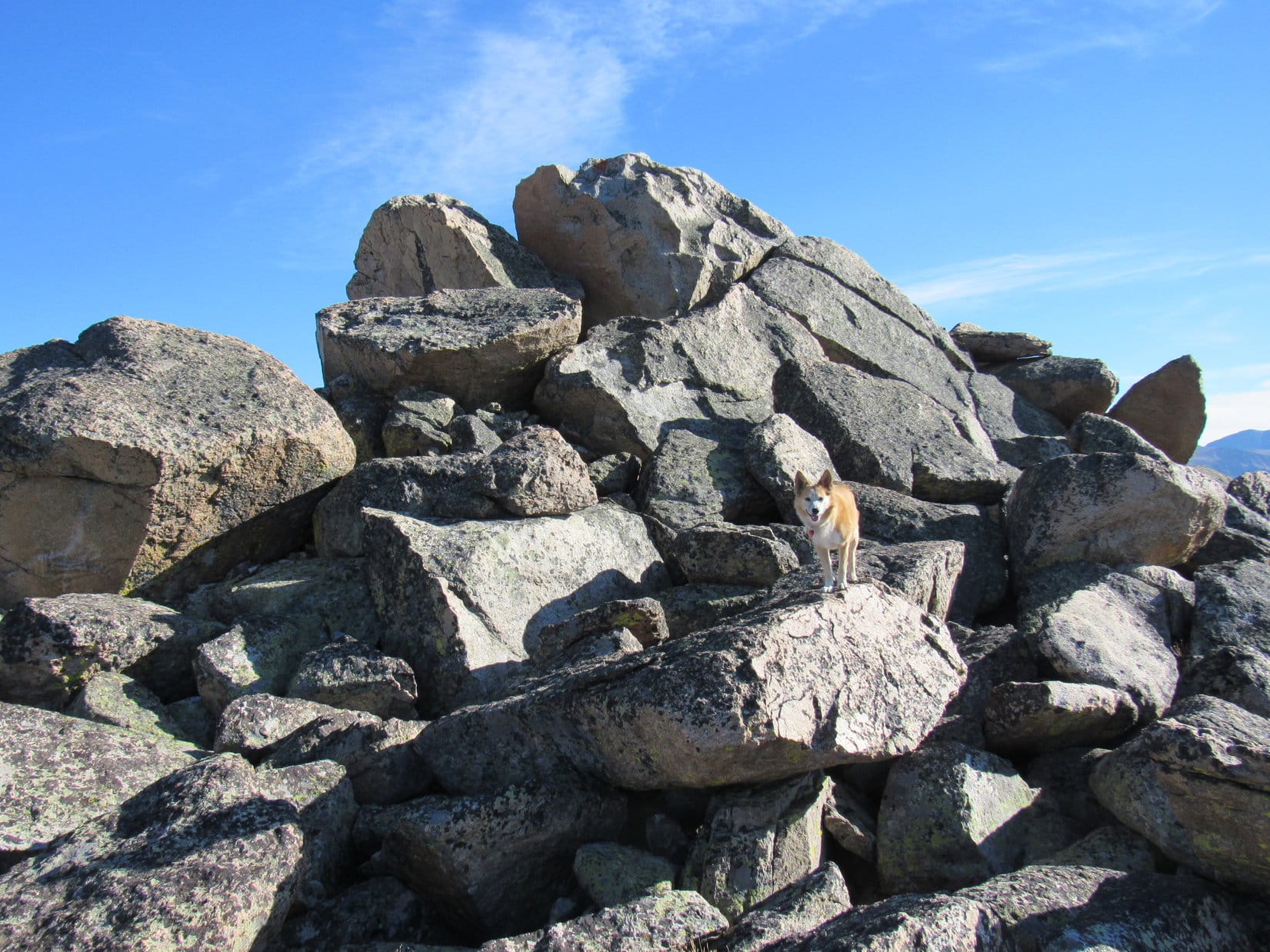
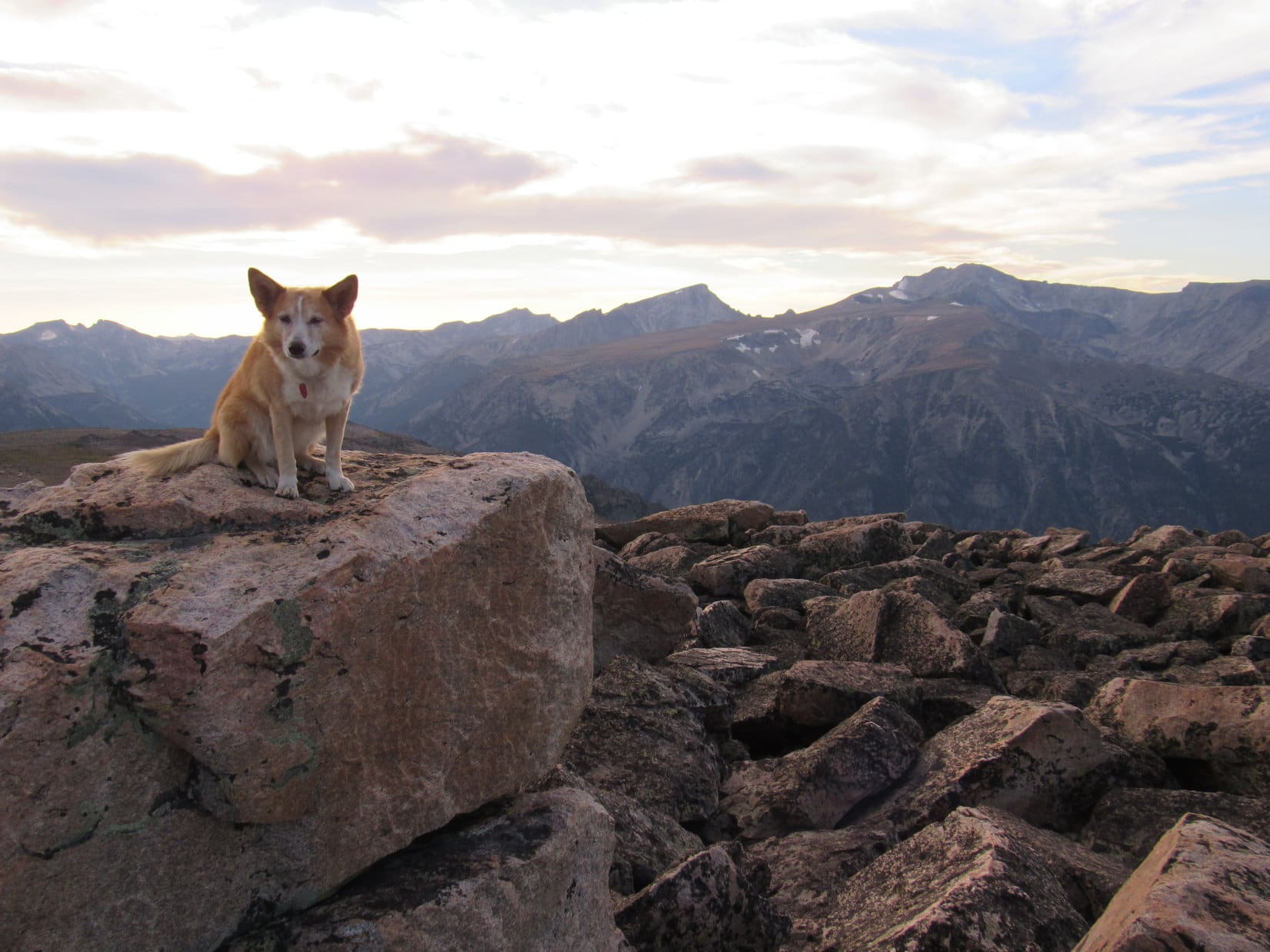
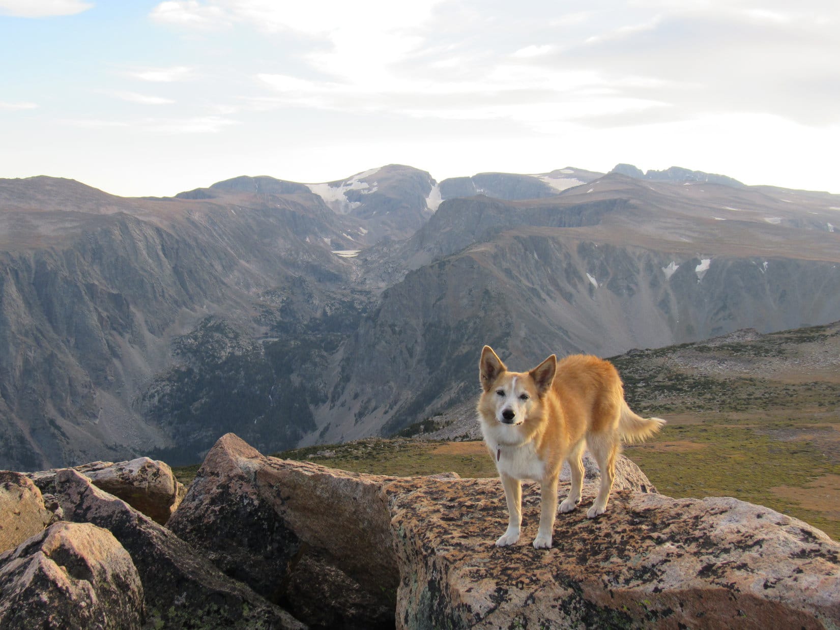
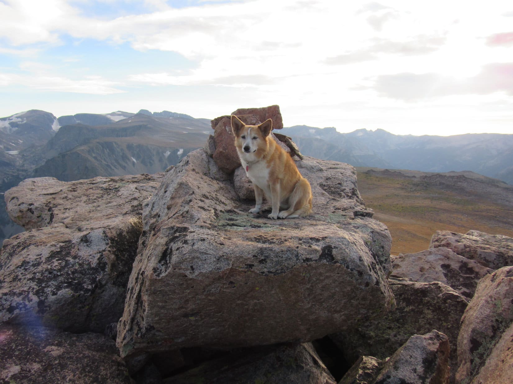
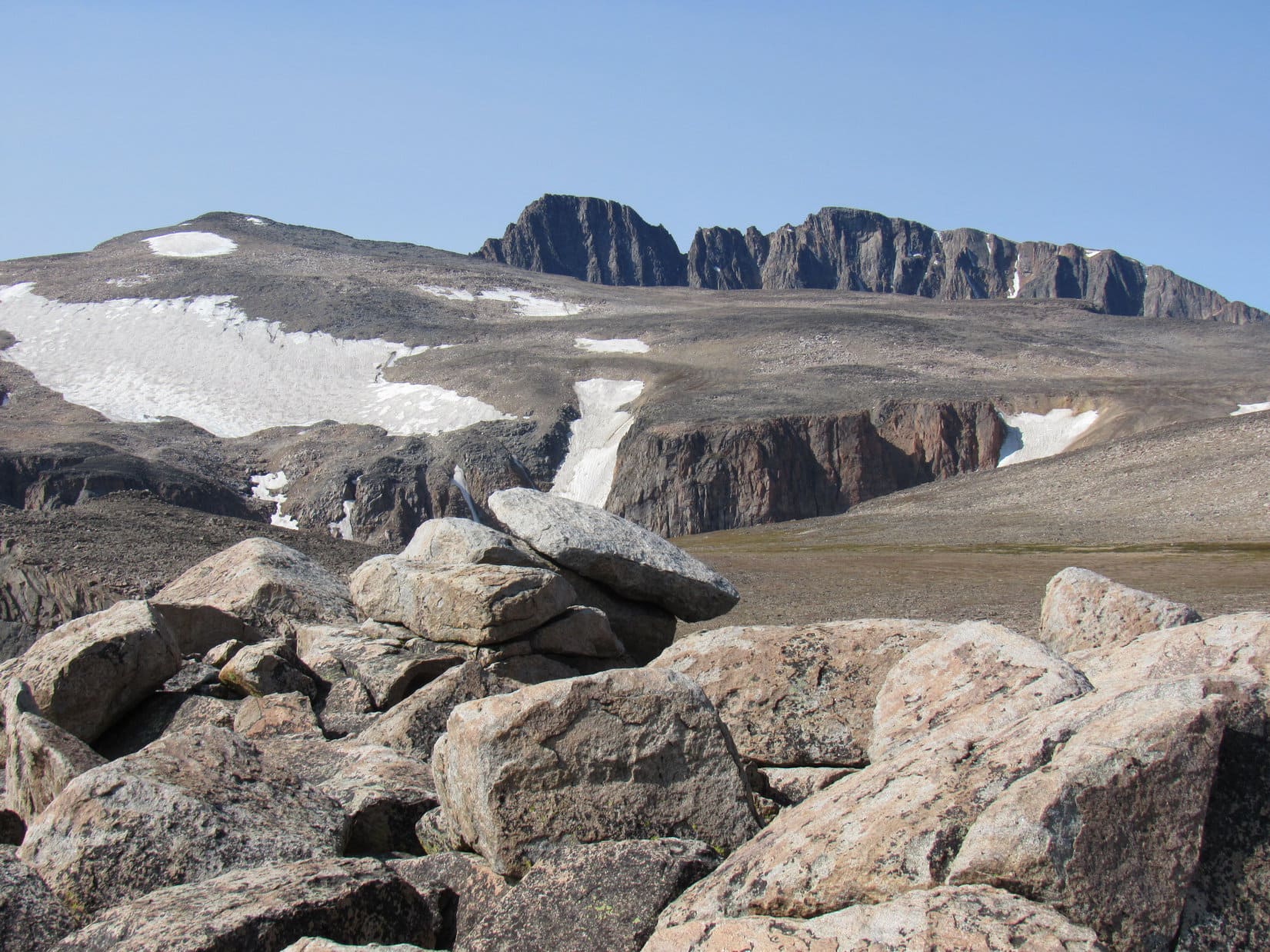
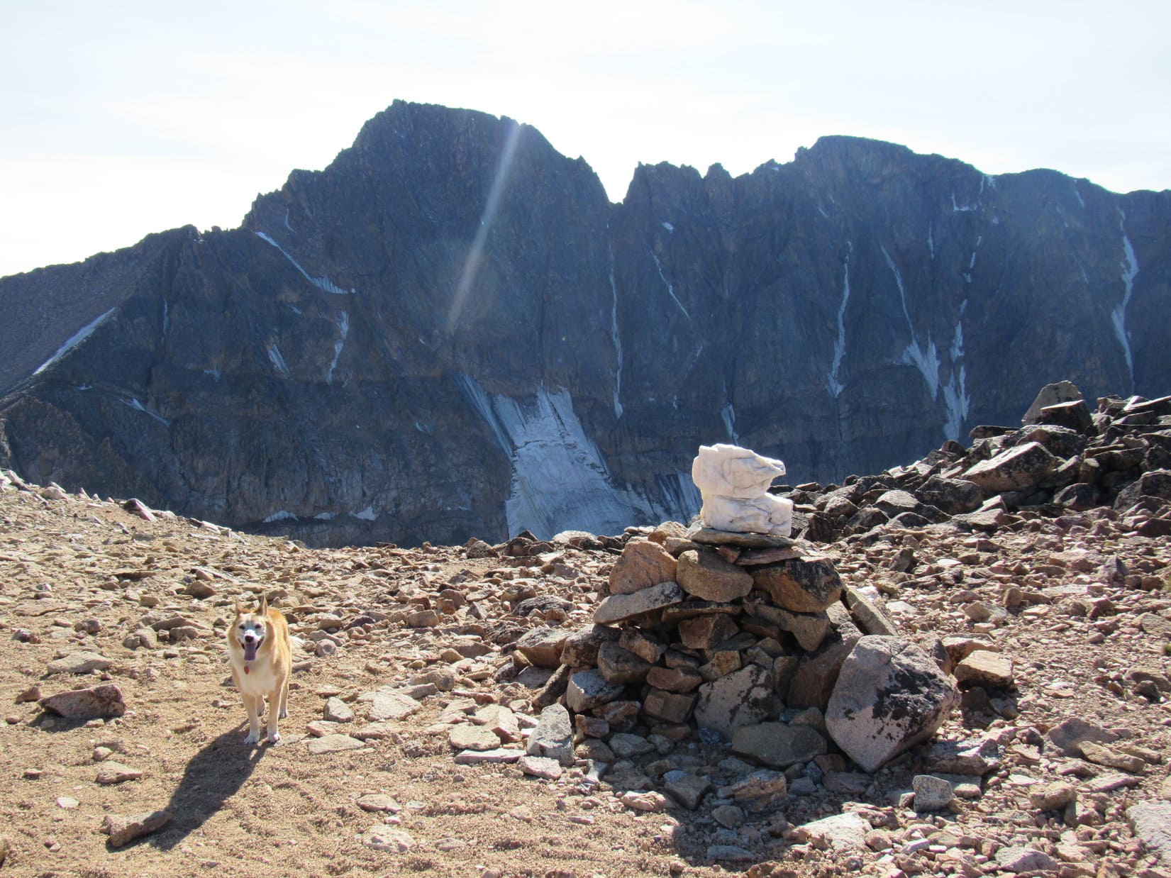
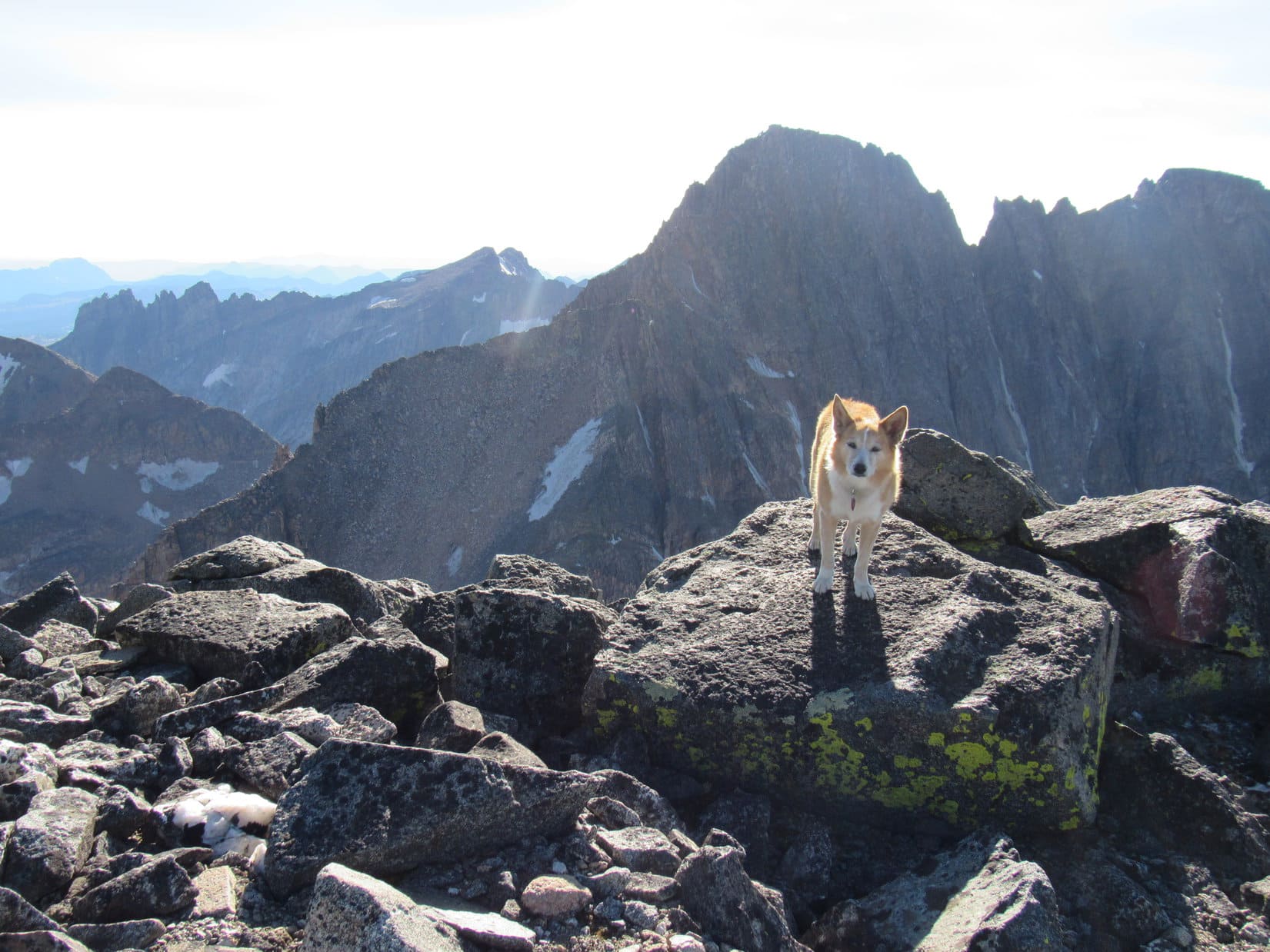
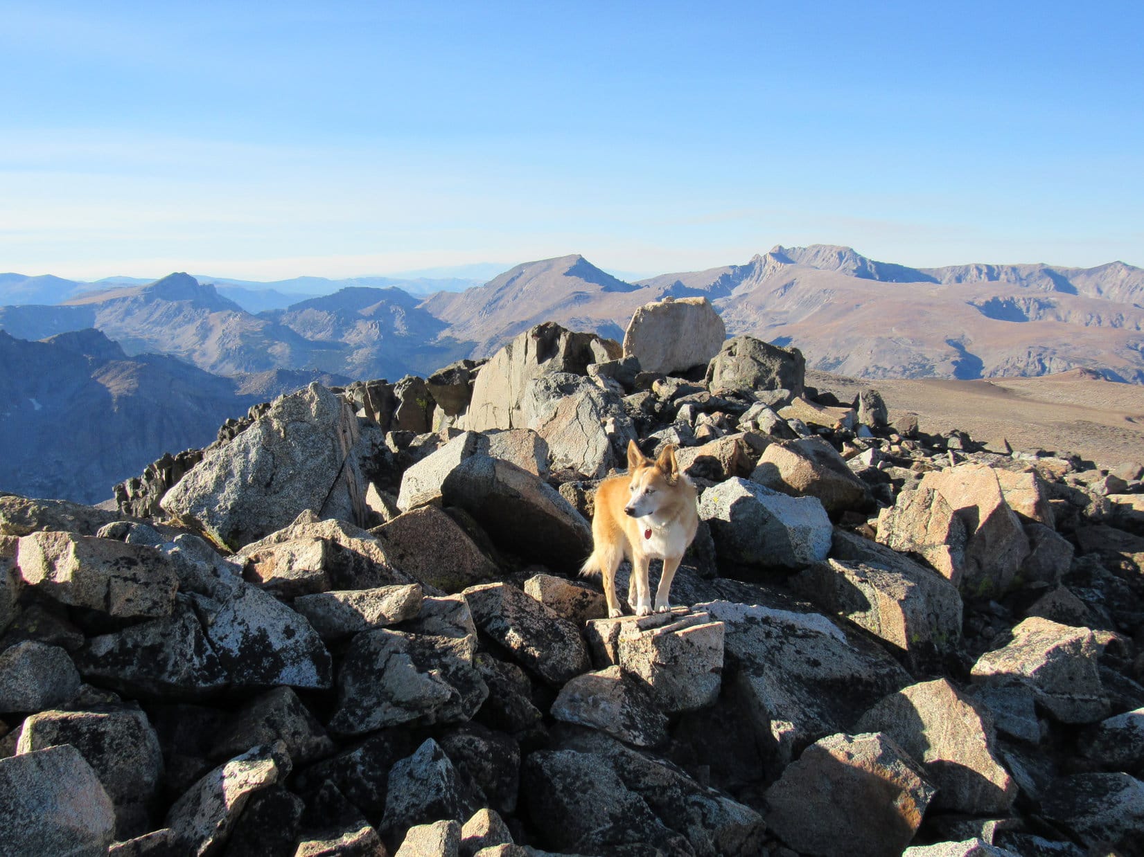
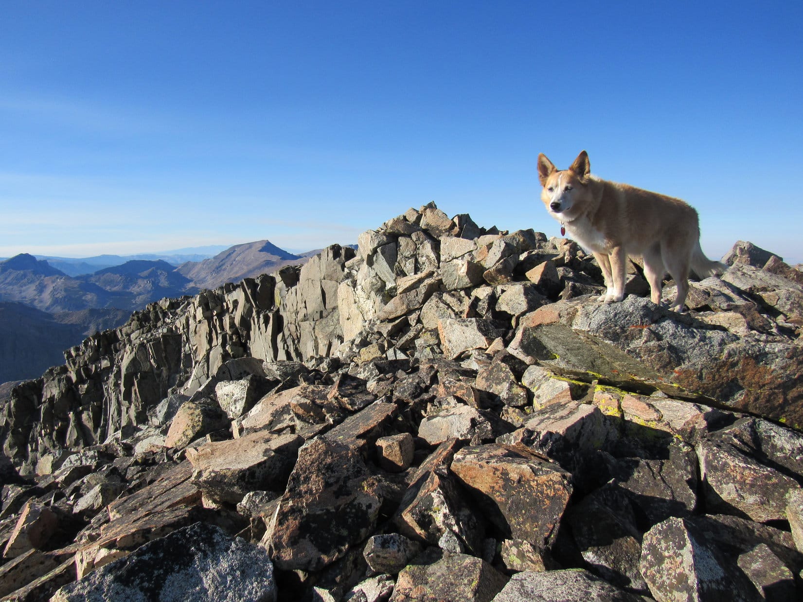
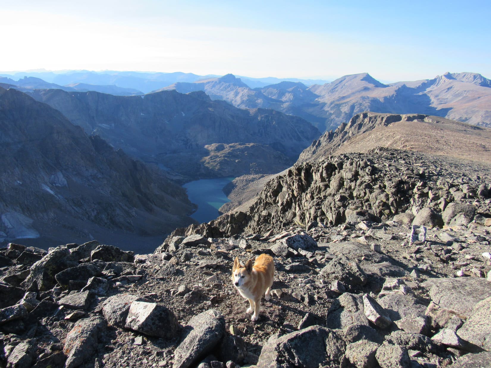
11:00 AM, Froze to Death Mountain – A Carolina Dog stood surveying the situation from the single, massive boulder that was the obvious true summit of Froze to Death Mountain (11,760 ft.). What an awesome place! Not trivial by any means, but it hadn’t been hard to get here.
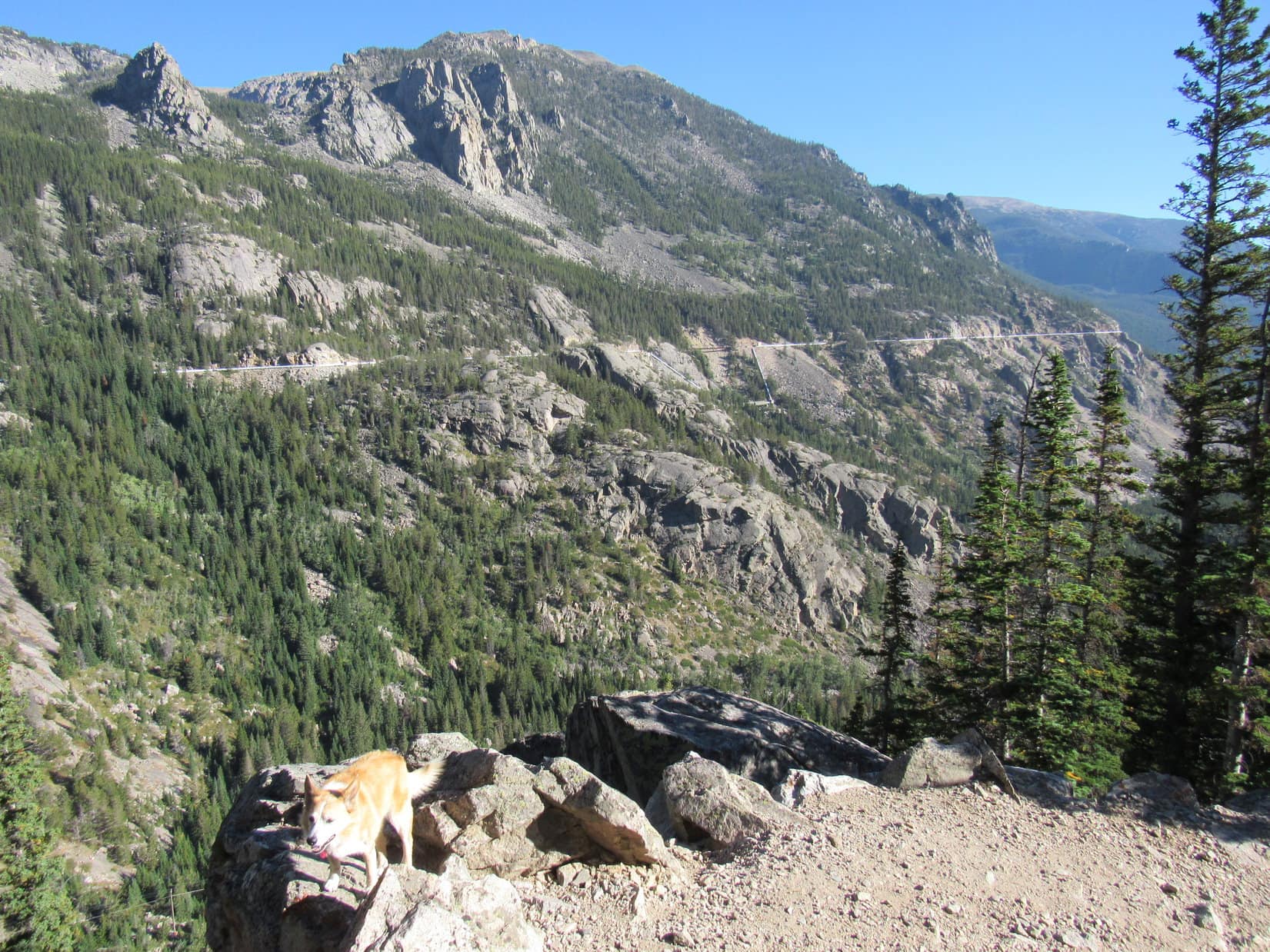
To the NE, both Saddleback Mountain (10,876 ft.), which Looper had visited yesterday, and Pass 10140, where she’d started out from this morning, were in sight looking much lower. Off to the NW was a grand view of Mount Wood (12,660 ft.) and Mount Hague (12,323 ft.).
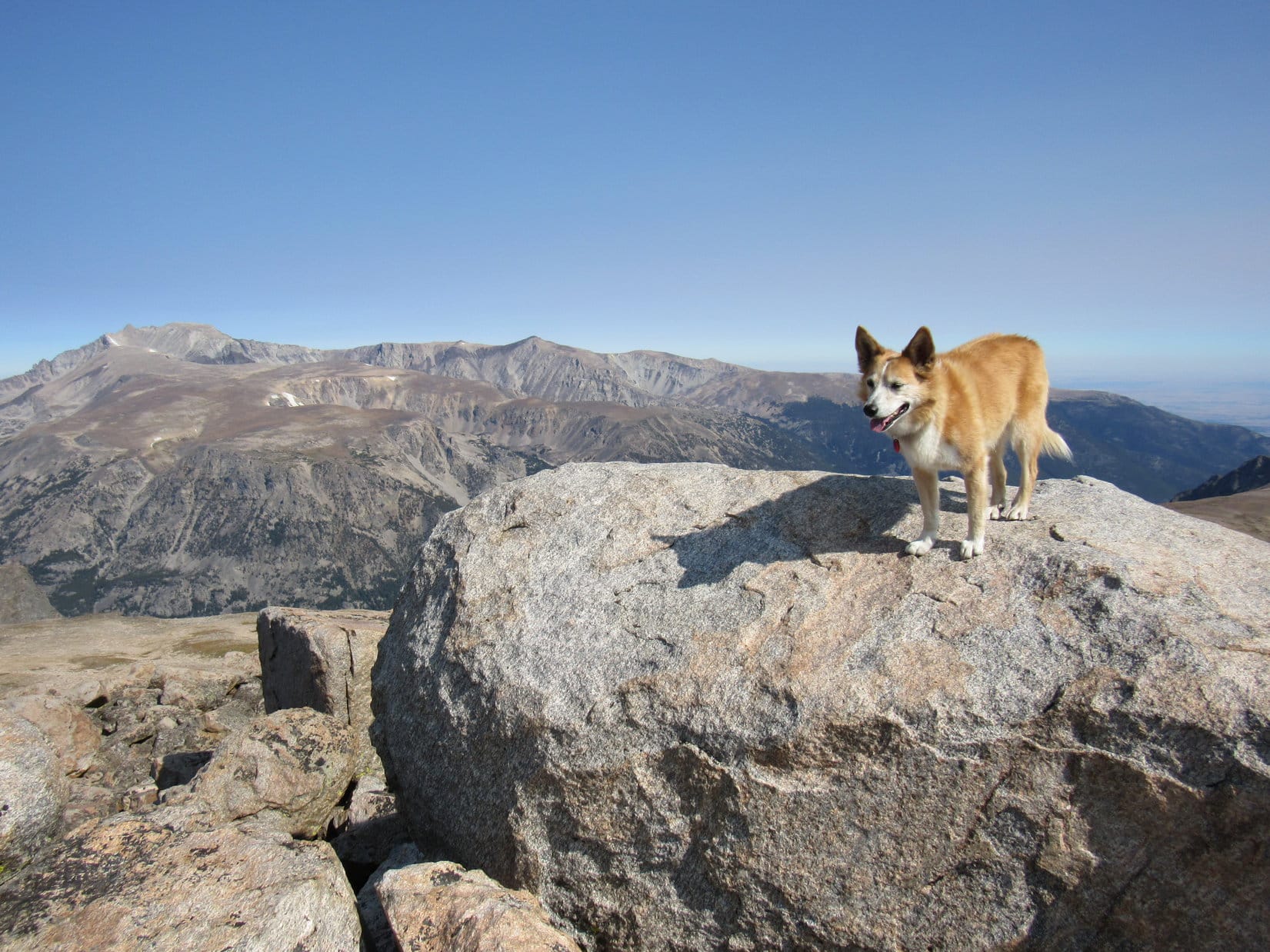
The true summit boulder Lupe stood on was, if not a comfortable perch, at least plenty large enough to inspire confidence. Not a scary spot. It sat along the N lip of a fairly roomy summit region, which slanted lower toward the SE.
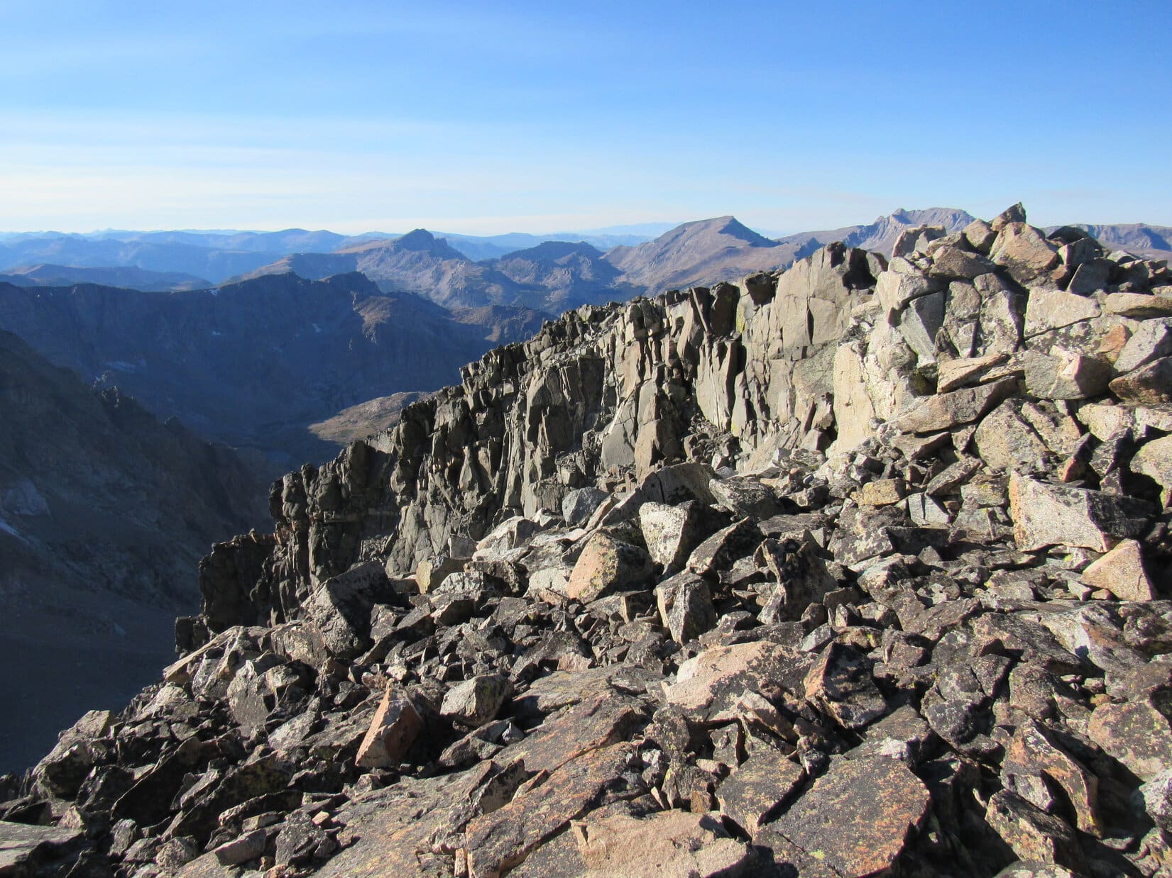
Although spacious, Froze to Death Mountain was not an easy summit to move around on. Large talus covered practically the entire area. The only place where Lupe might be able to rest on anything other than solid rock was a low spot 40 feet S of the true summit where a flat patch of dirt was sheltered by walls of talus 10 to 20 feet higher to the N and W. Potentially a good spot to pitch a tiny house for an overnight stay!
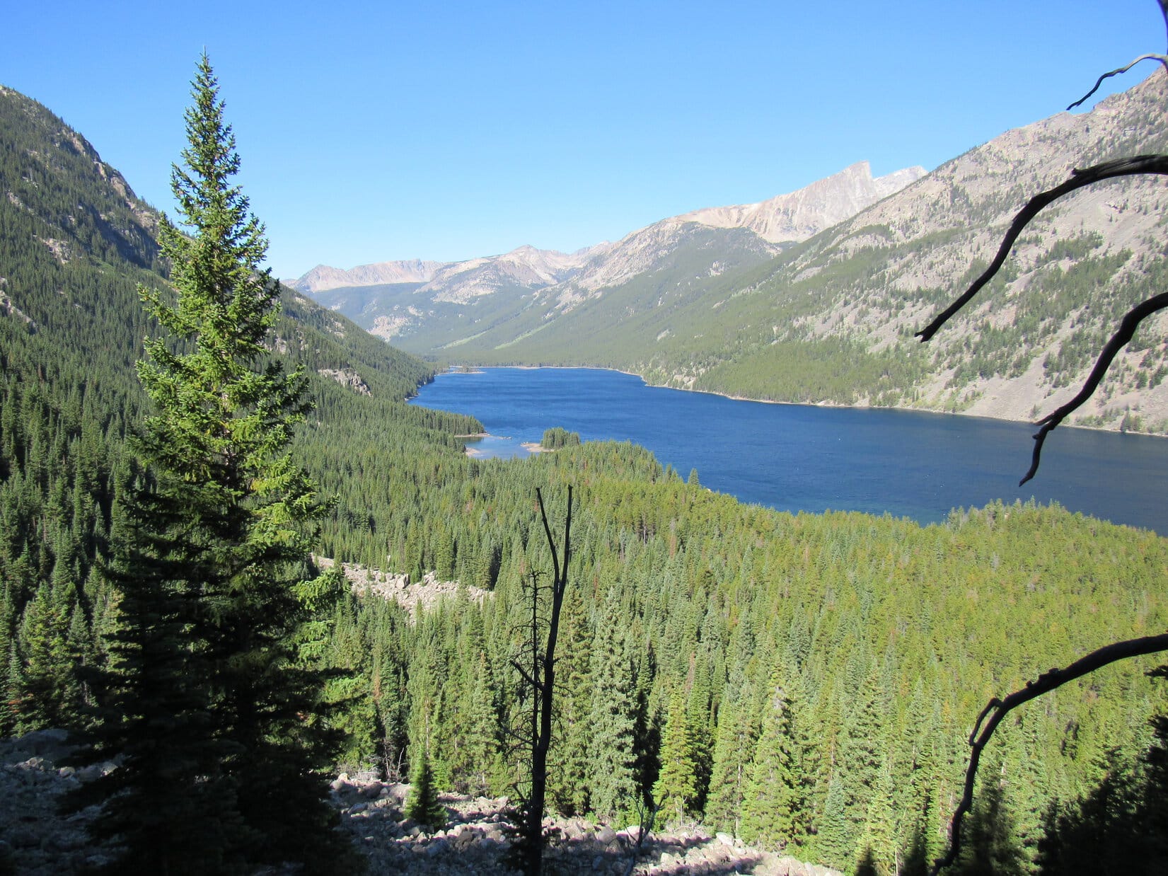
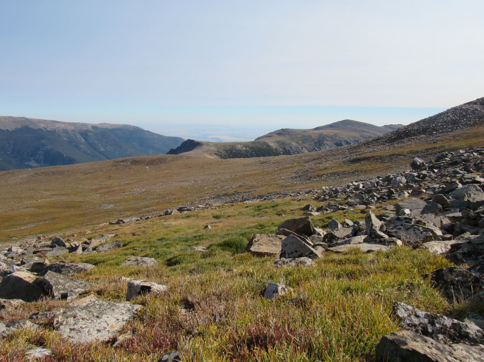
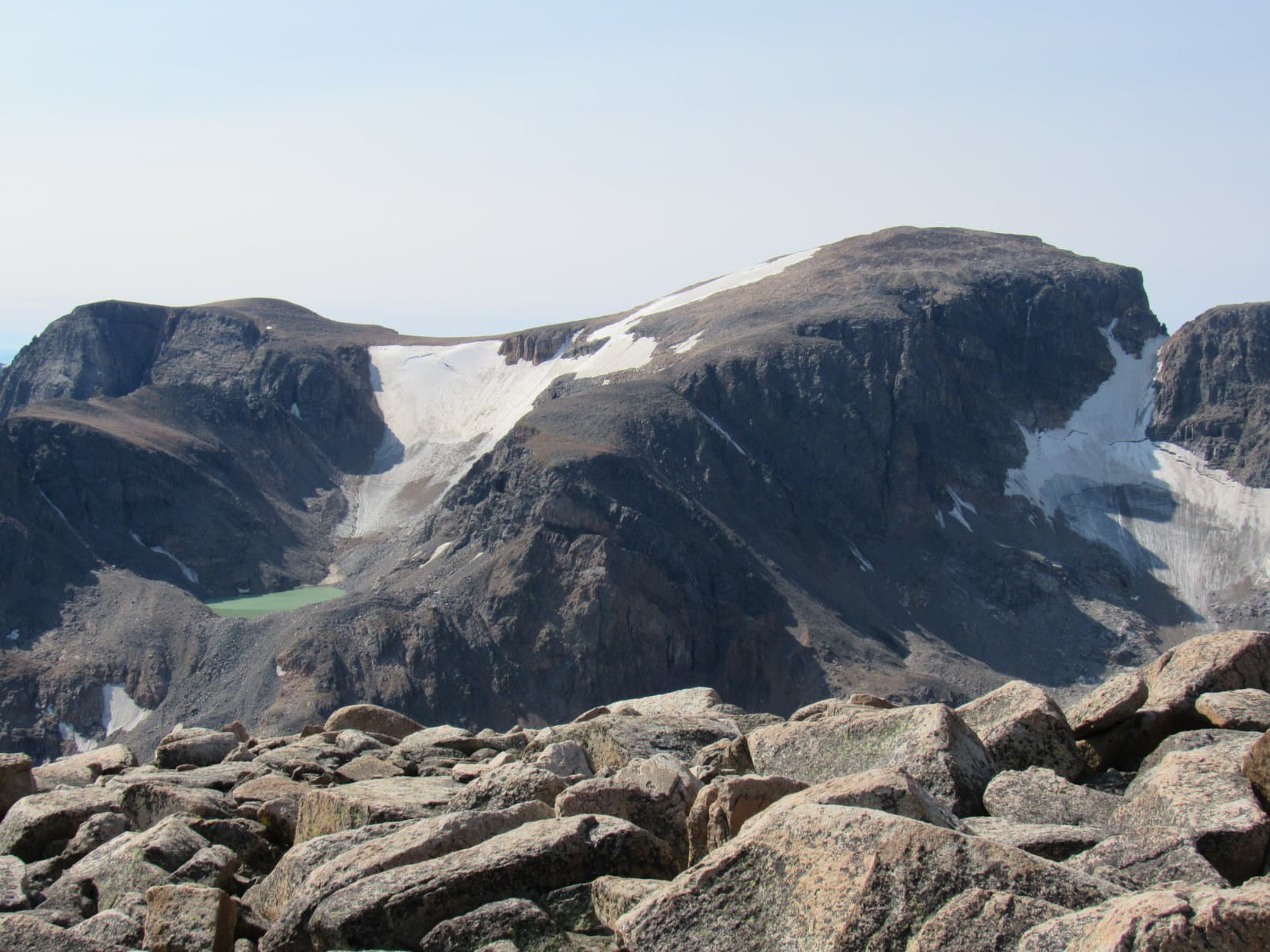
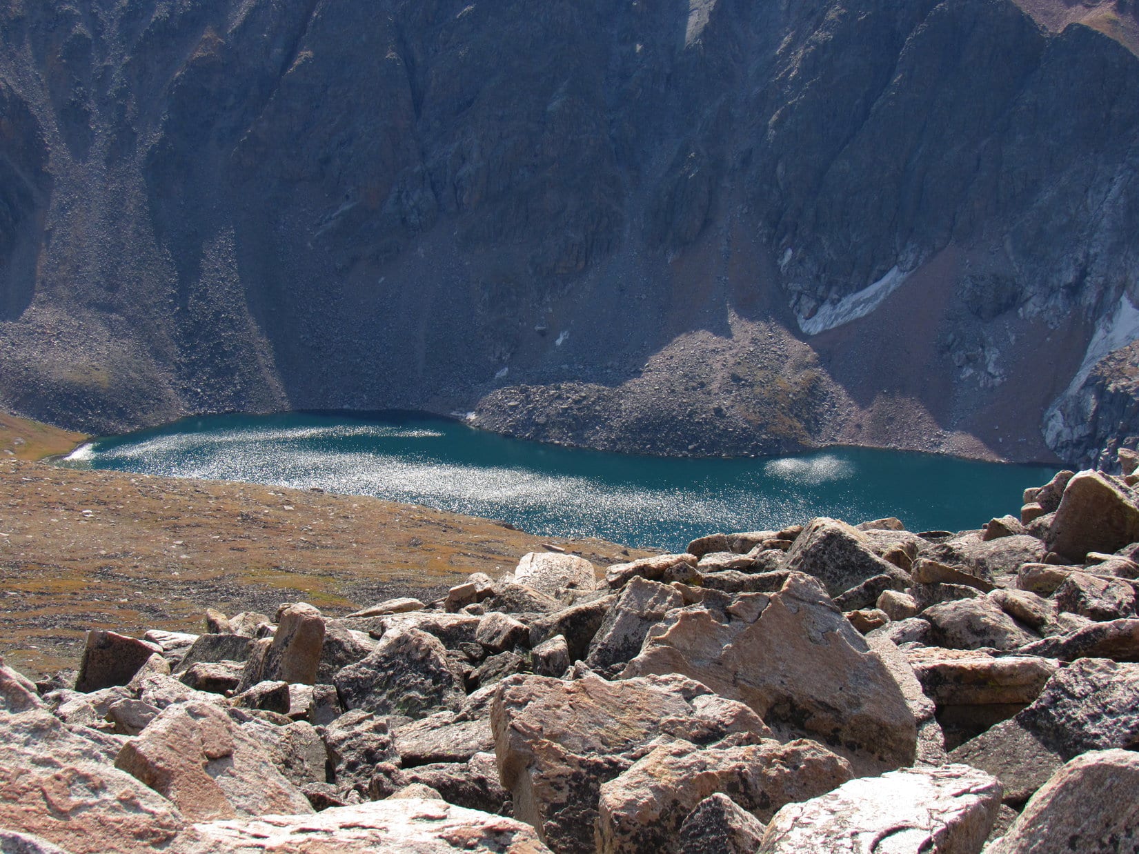
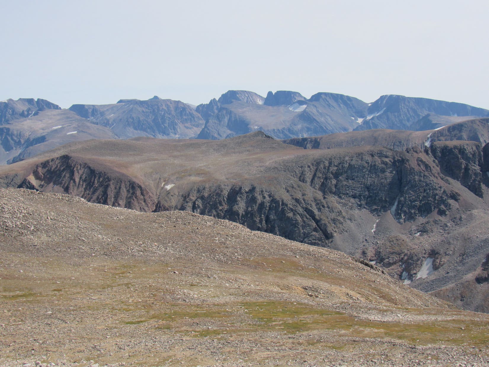
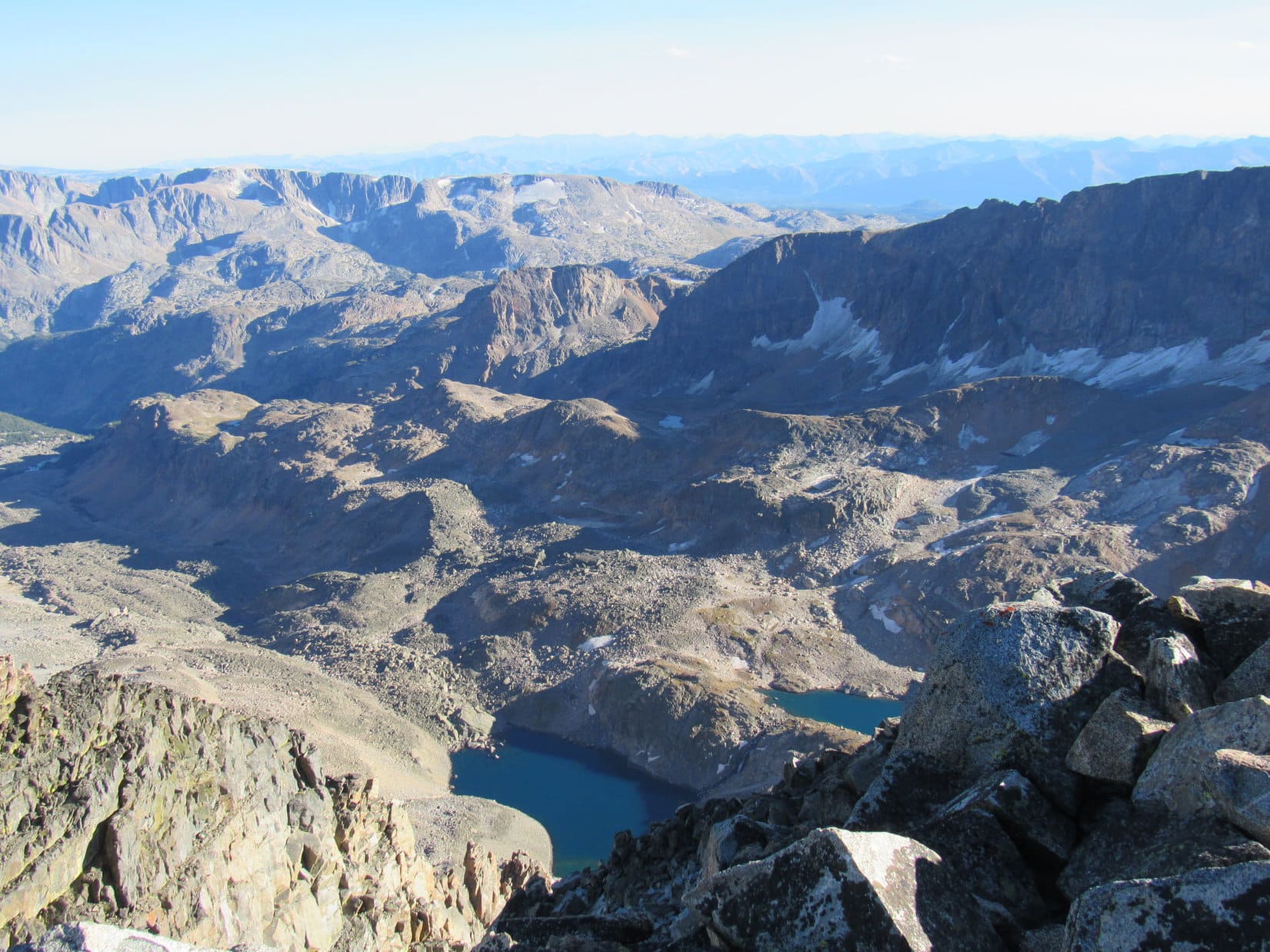
Off to the SSW was a fabulous view of Mount Peal (12,409 ft.) and a pale milky-green tarn near it. Nothing could be seen of Turgulse Lake hidden in the deep canyon between here and there. However, part of Froze to Death Lake was visible to the SE. Leaving the summit boulder, Lupe scrambled over the talus to get closer to that edge for a better look.
Sparkling in the sunlight, Froze to Death Lake was a deep sea green color. Miles beyond it, SPHP was fairly certain that a big flat-topped peak in the distance was Castle Mountain (12,612 ft.).

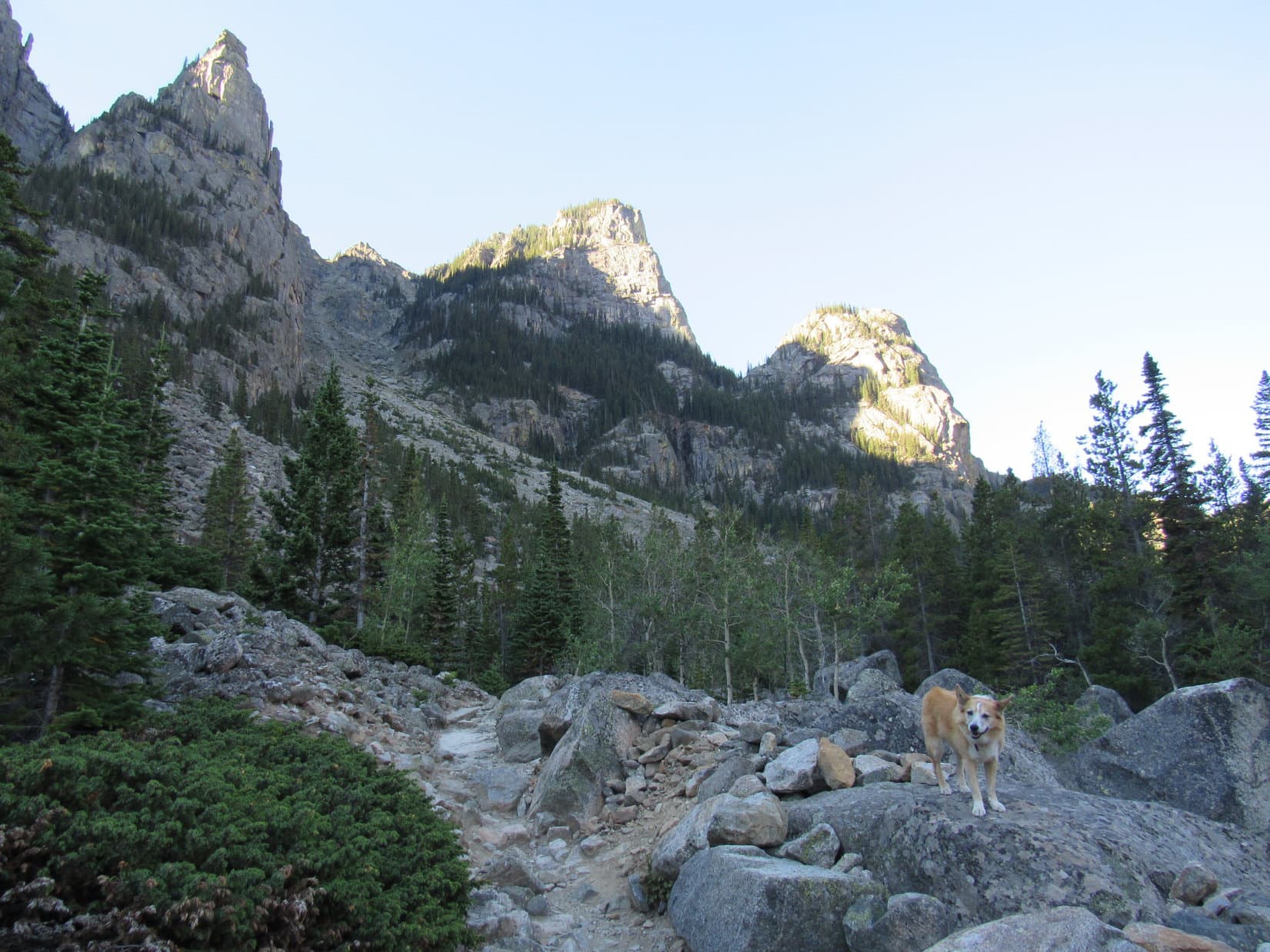
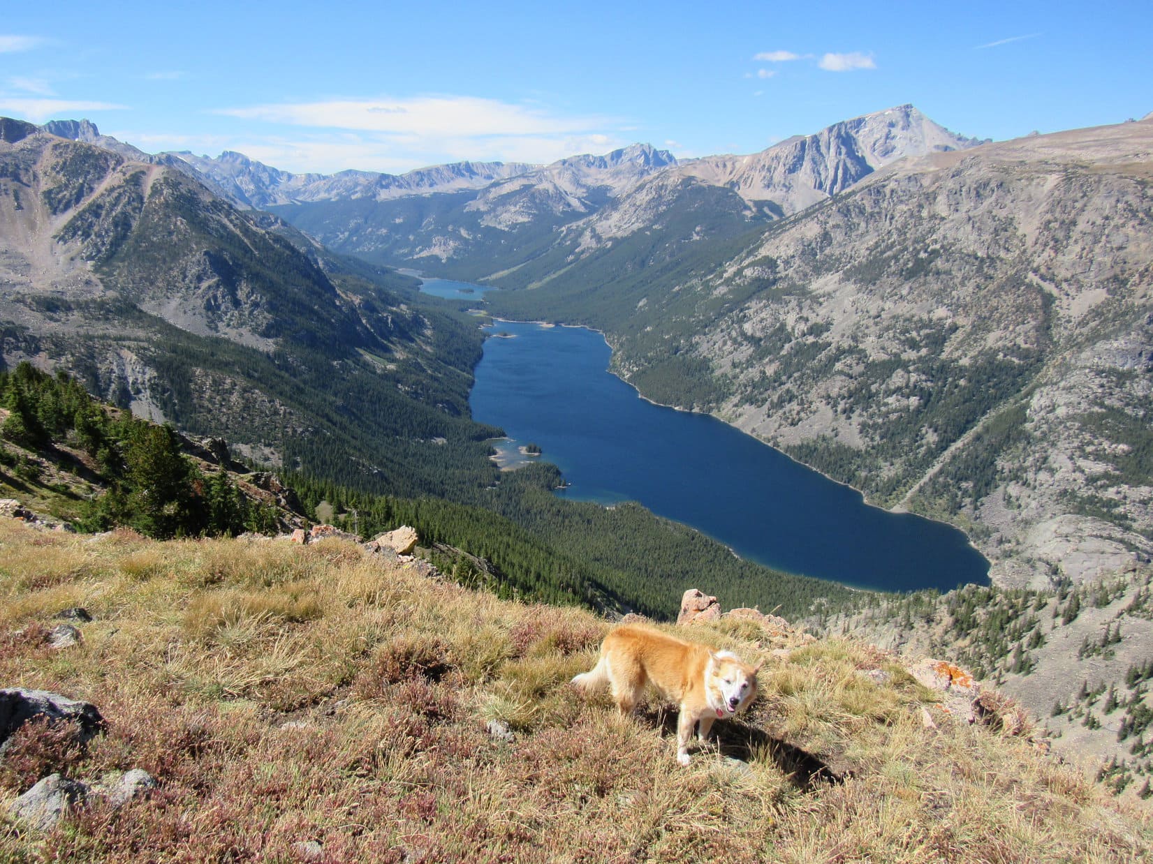
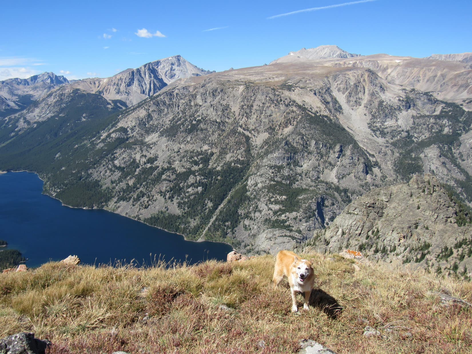
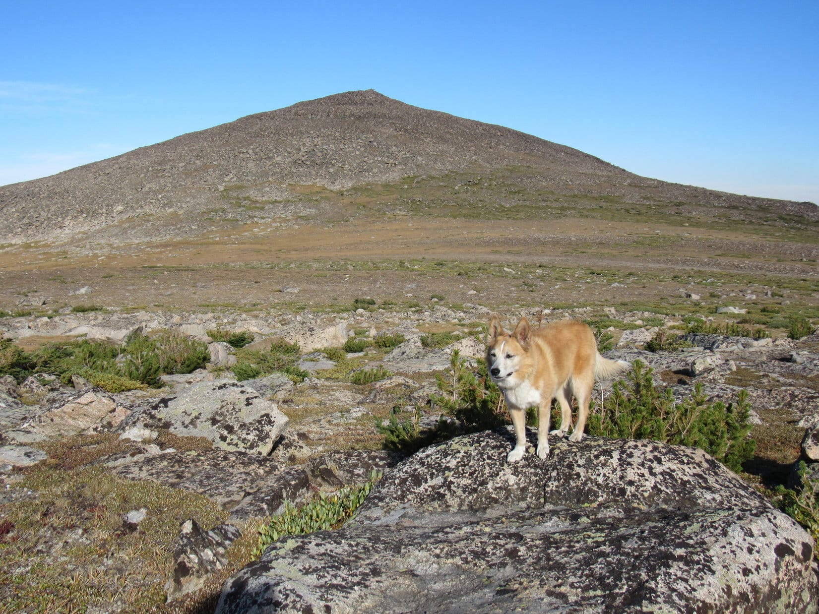
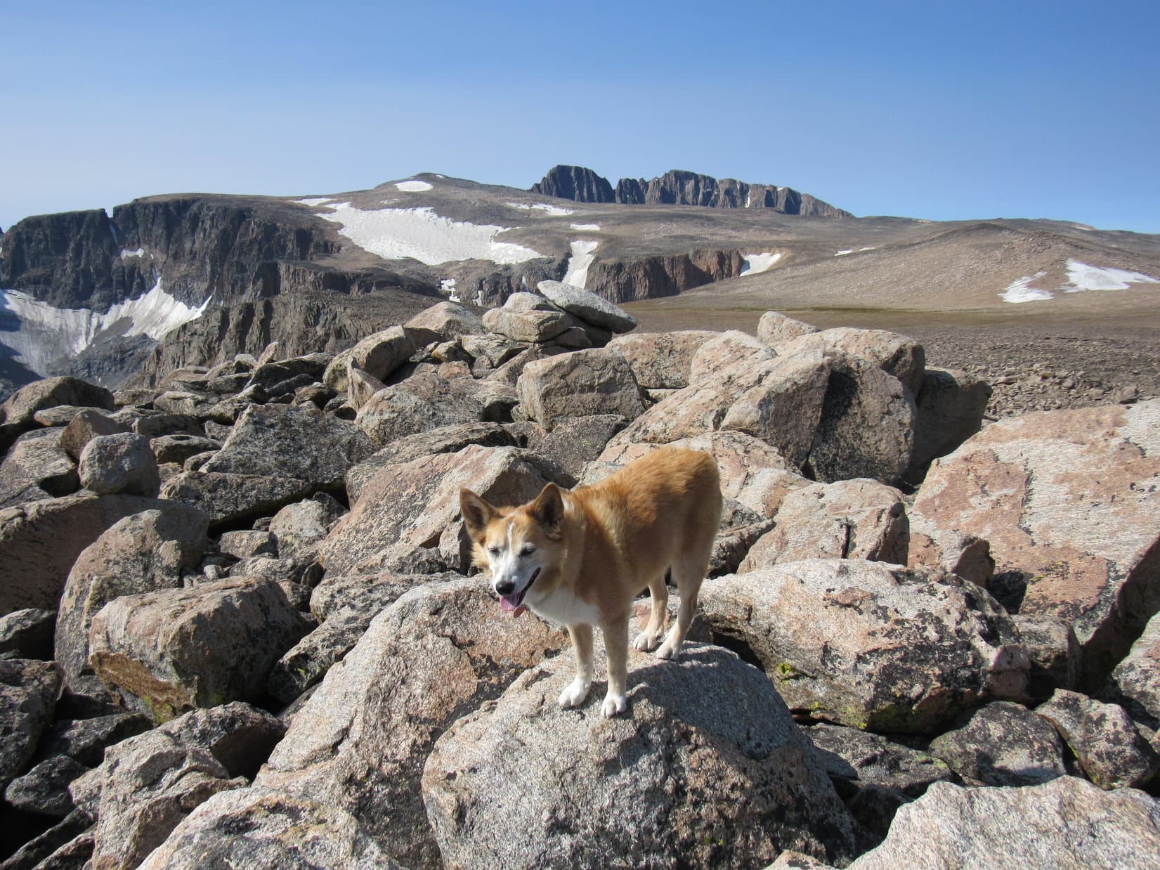
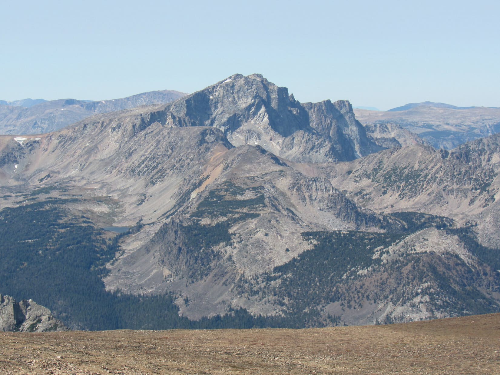
A mile to the WSW, Lupe’s next objective was in sight for the first time. From here, the Froze to Death Plateau (11,792 ft.) region looked like a couple of hills at about the same elevation. The Carolina Dog’s hoped for ultimate destination was also visible 1.5 miles farther S. A long, barren slope leading up to Tempest Mountain (12,469 ft.) inspired confidence. Loopster could do that! Just a matter of getting over there.
The upper regions of a far more problematic, no, make that impossible, peak poked up from beyond that same slope – Granite Peak (12,799 ft.), Montana’s state high point. A serious technical climb, Granite Peak wasn’t even a possibility for Lupe, but a terrific closeup view of it from Tempest Mountain was certainly something to look forward to.
Thinking a rest break or a bite to eat might be in order, SPHP led Lupe down to the flat spot. Certainly protected from the wind here, although lacking the views available higher up. With the wind only 10 mph out of the W, shelter was of minimal value at the moment.
Looper sniffed around a minute or two.
So, what are we doing down here, SPHP? Not much to see.
Thought you might be hungry, or want to cool your jets for a while, Loop. Been a bit of a march.
That’s kind of you, SPHP, but I’m fine.
You don’t need a break?
Still a long way to Tempest Mountain, SPHP. Did you see how rocky it all looks? Maybe we ought to keep going? If you’re up to it, that is. We can rest later.
Oh, OK. I’m good. Onward, then! Puppy, ho!
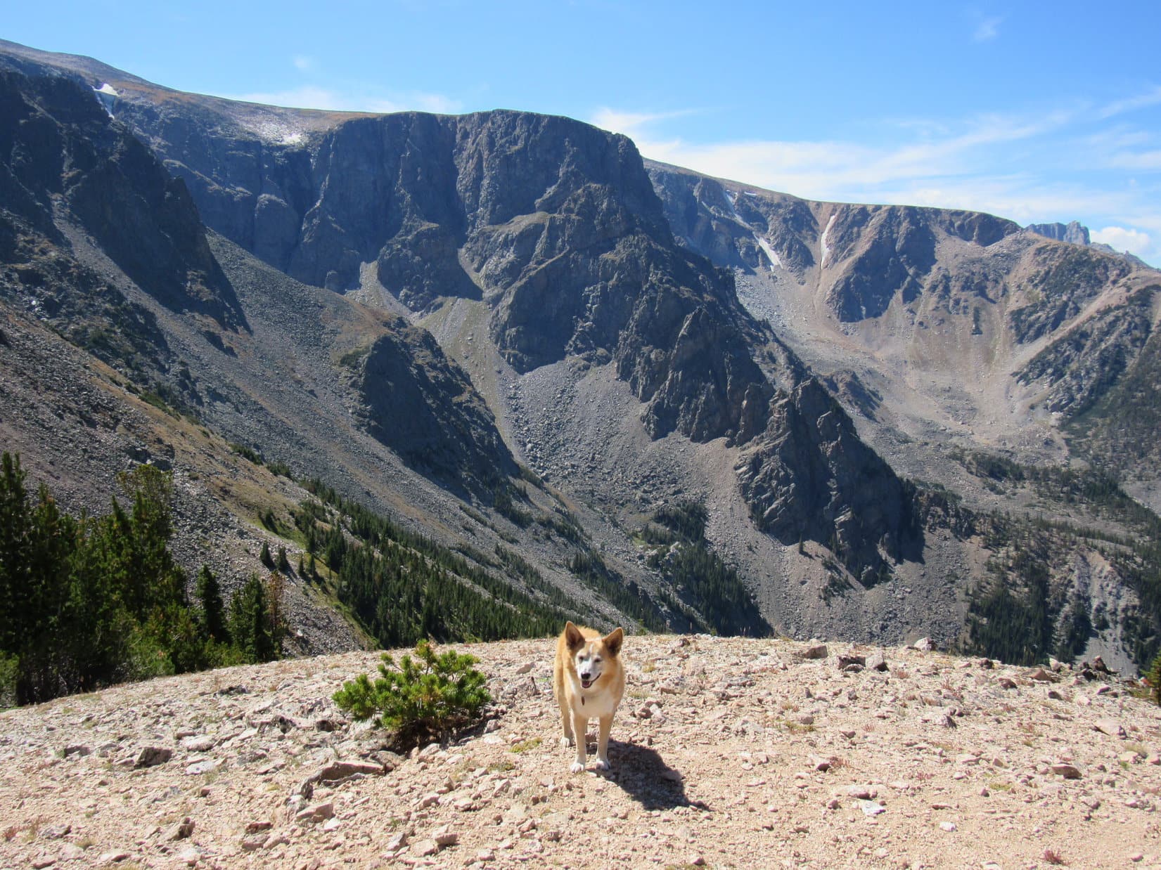
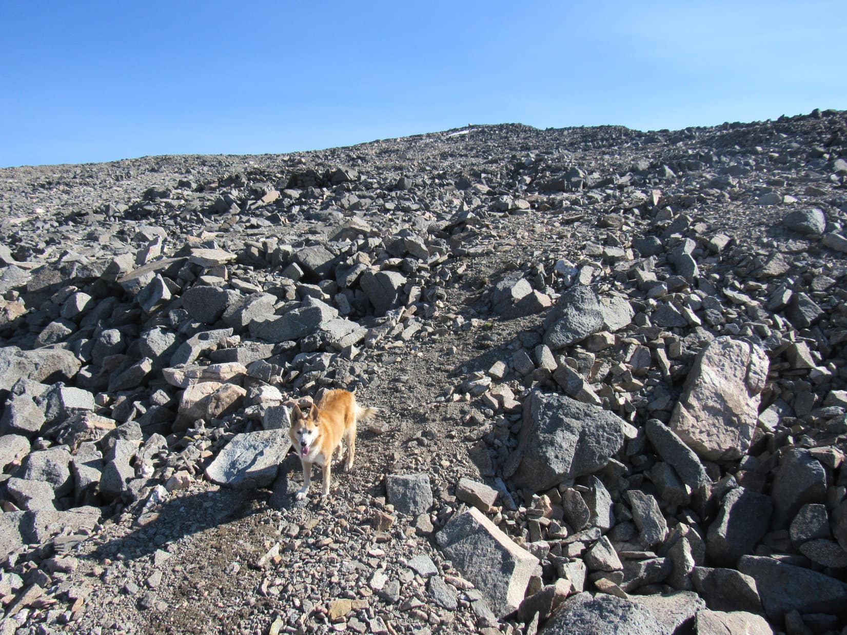
It was true. SPHP had hoped that the relatively level trek between here and Froze to Death Plateau (11,792 ft.) would be a super simple grassy stroll, but an awful lot of rock and not a whole lot of vegetation was in sight. Although Loopster’s remaining objectives weren’t that far away, and the terrain didn’t appear to present any serious obstacles, might be very slow going. Dilly-dallying here was perhaps inadvisable.
Scrambling back up close to the summit, the Carolina Dog found a route through the boulders where it was possible to start down Froze to Death Mountain’s W slope.
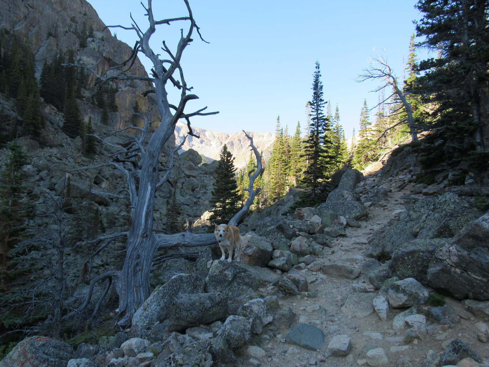
The W slope was a jumble of large talus, steeper and more treacherous than the route Lupe had taken up from the NE. Loop managed it all just fine, but found herself constantly waiting. Only a little more than 100 feet had to be lost, but SPHP’s cautious descent seemed to take forever.
Getting down to where not much of a slope remained provided little relief. Talus everywhere! Farther W was another minor ridge of the stuff. Eventually boulder hopping around the N side, the view ahead was still discouraging. Rocks, rocks, and more rocks!
Nothing to be done about it. Lupe bounded about as she pleased while SPHP spent a lot of time staring at the ground, concentrating on each step ahead. Every now and then a little patch of dirt or grass permitted a micro-burst forward.

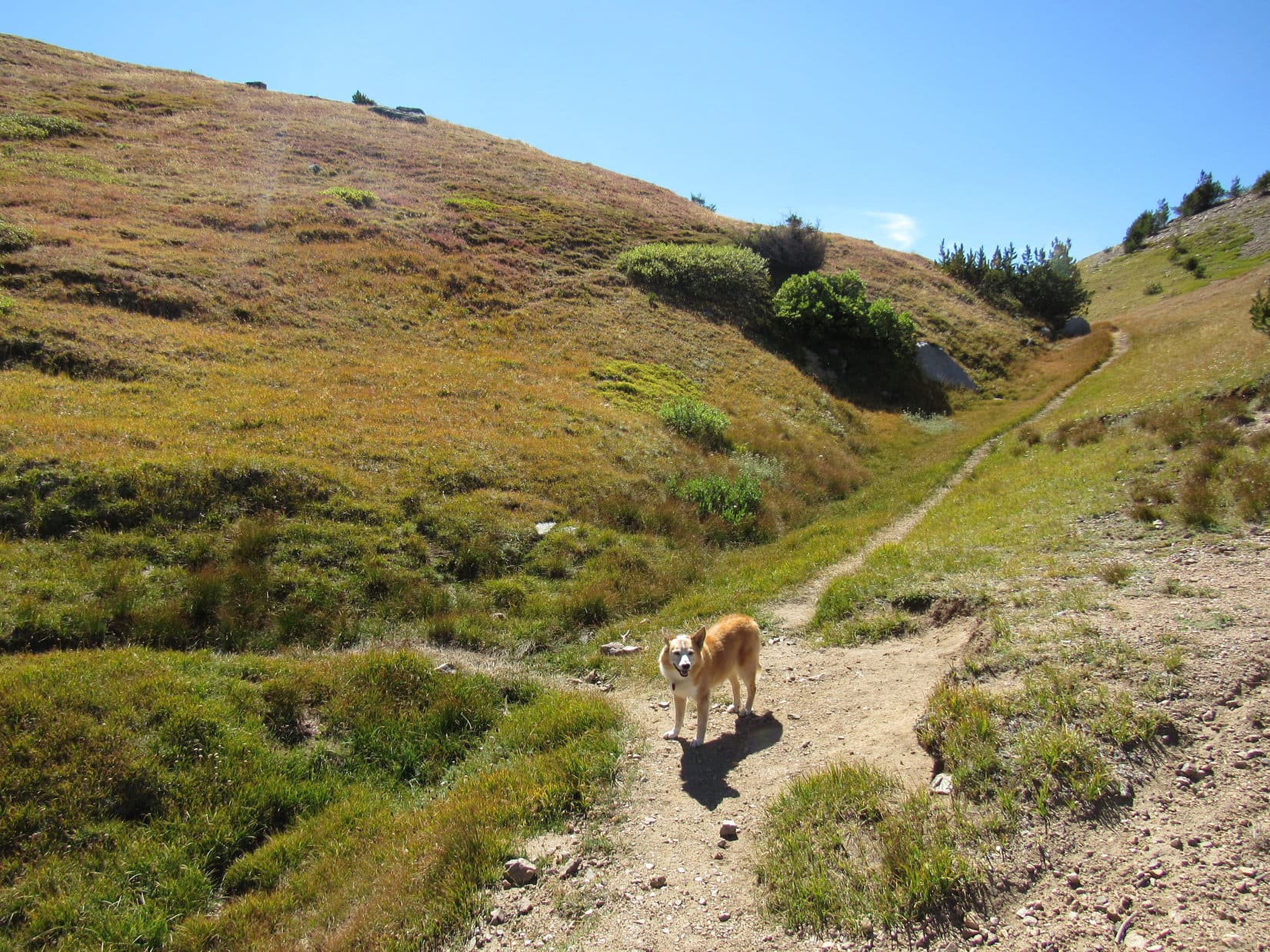
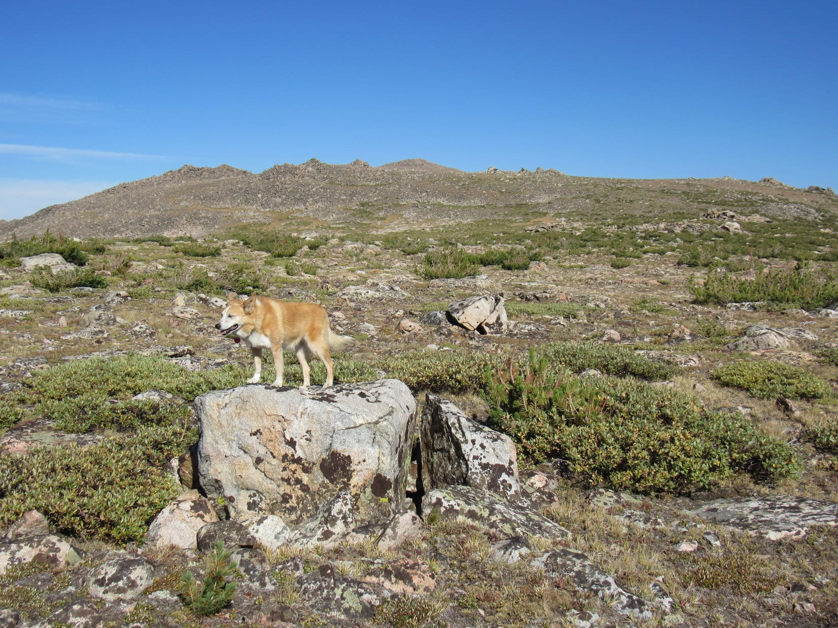
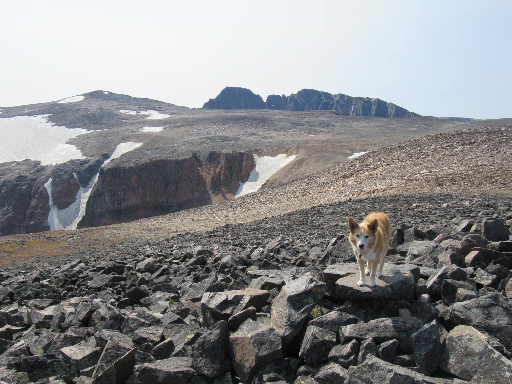
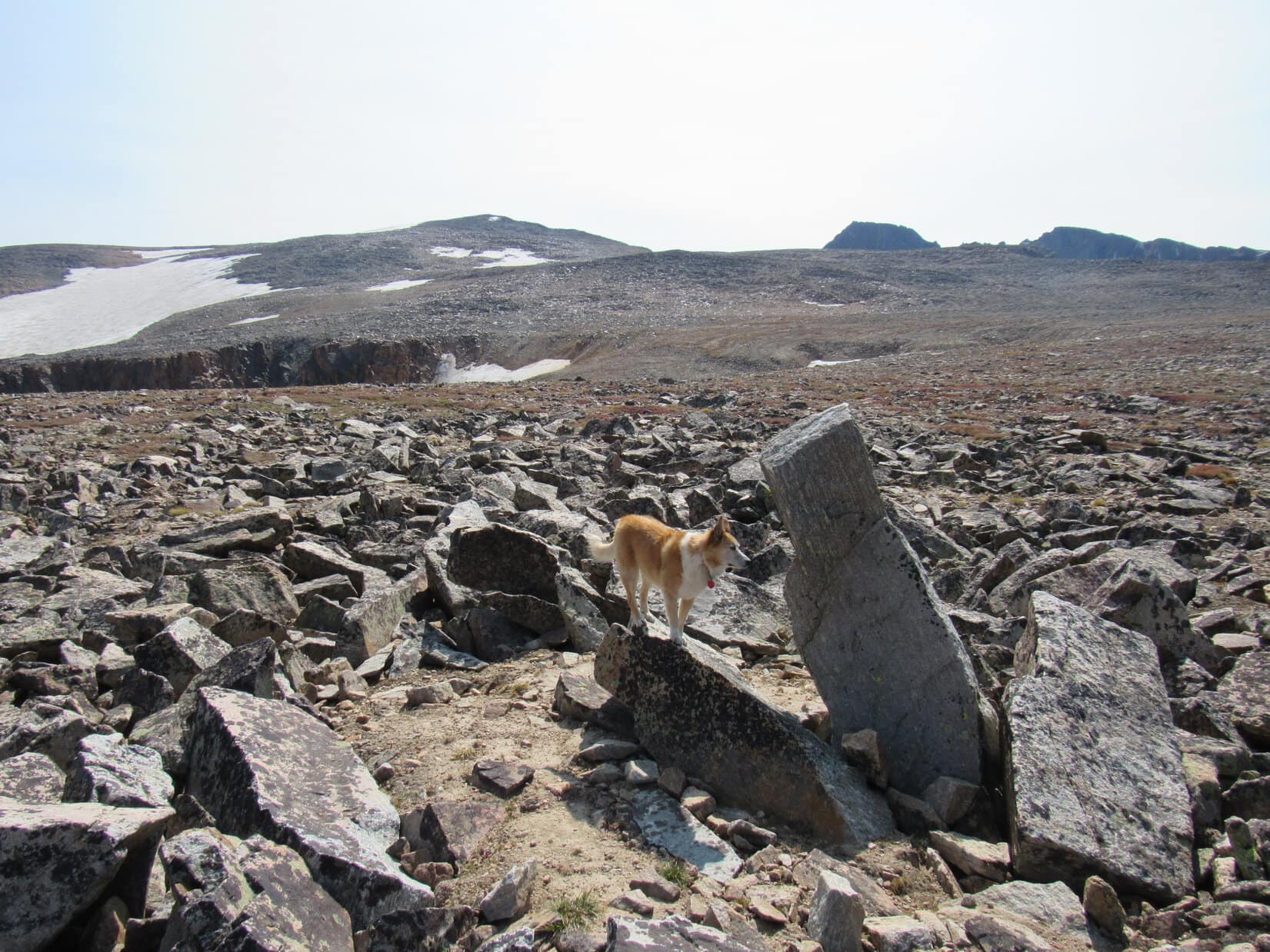
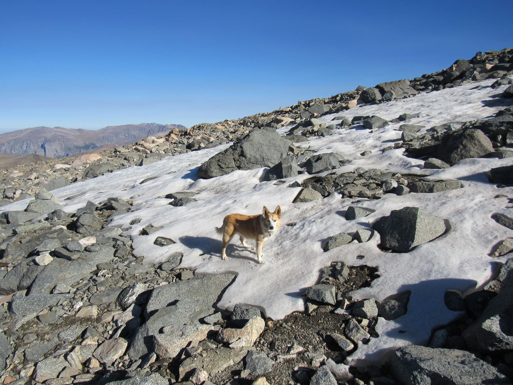
Staying well S of the highest ground, Lupe eventually got to the end of the talus field. Only some scree now, and a bit of vegetation. Suddenly, SPHP could make some tracks. Loop quickly reached a snowbank on the E side of the closest hill she’d been heading for. While she drank from tiny meltwater streams flowing from the snowbank, SPHP filled up the water bottles. A ton of sediment in this water, but oh, well!
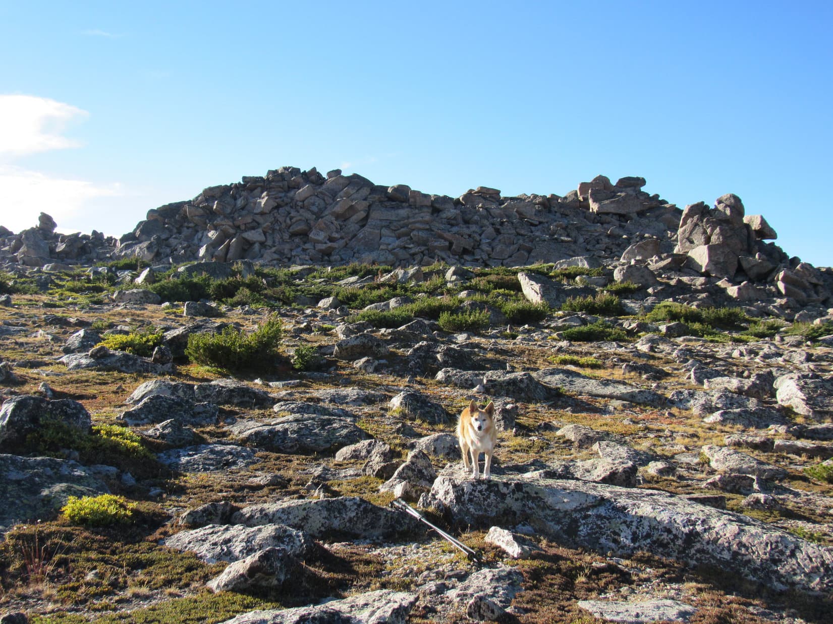
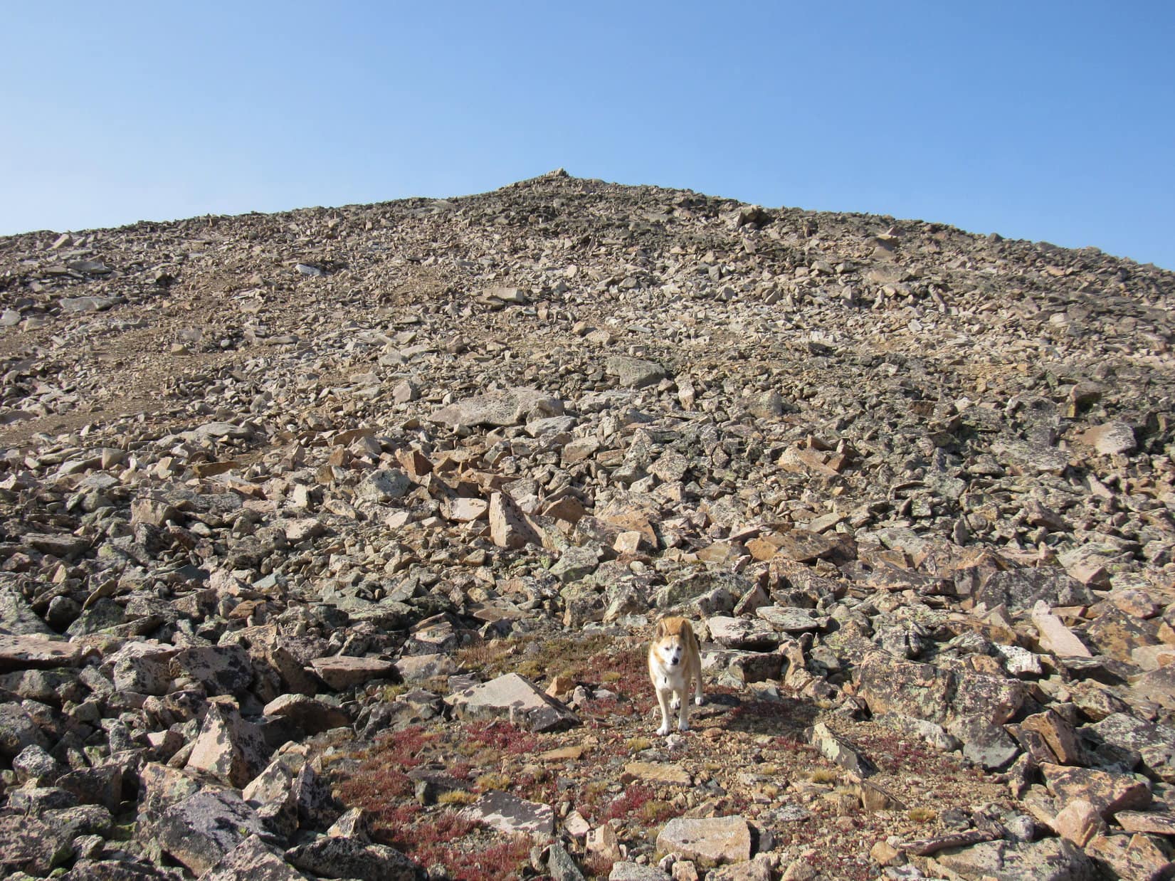
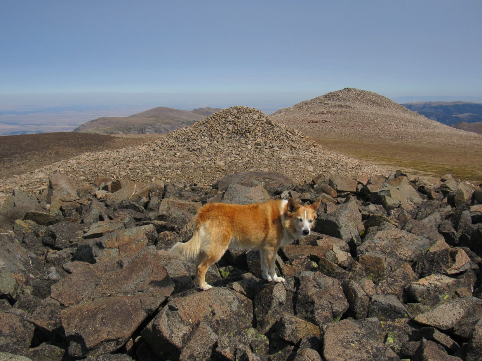
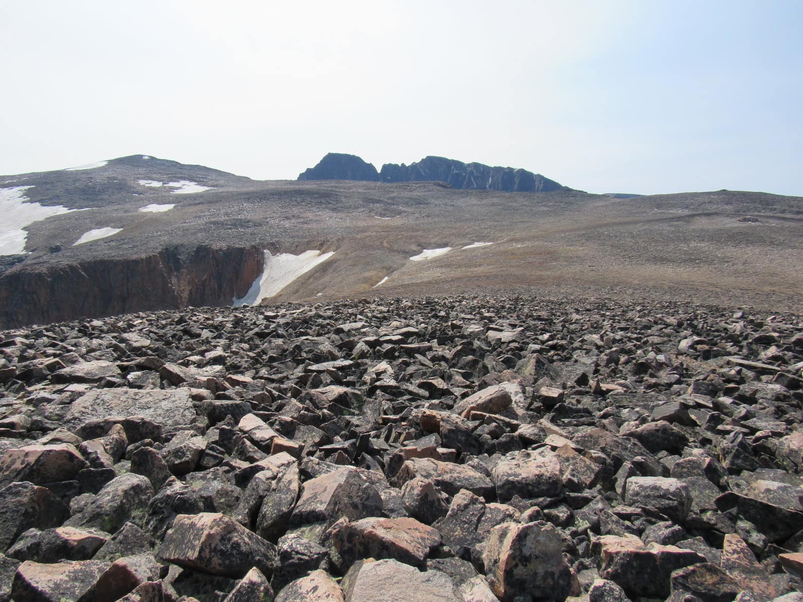
This first hill at the E end of the Froze to Death Plateau summit region was all light-colored stone. No point in climbing it, since a darker hill just beyond it was clearly at least somewhat higher. Trying to take the most direct route, SPHP angled up along the S side of this first hill, which only served to put Loop back into talus. Would have been better to stay lower longer before starting up to the saddle between the two hills.
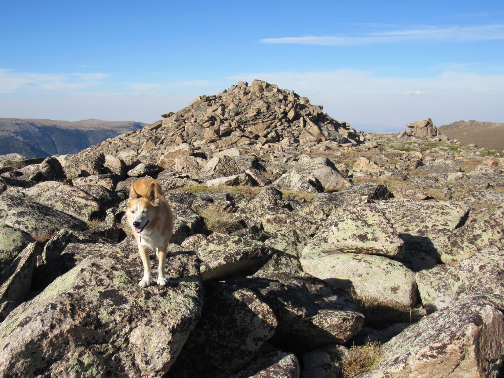
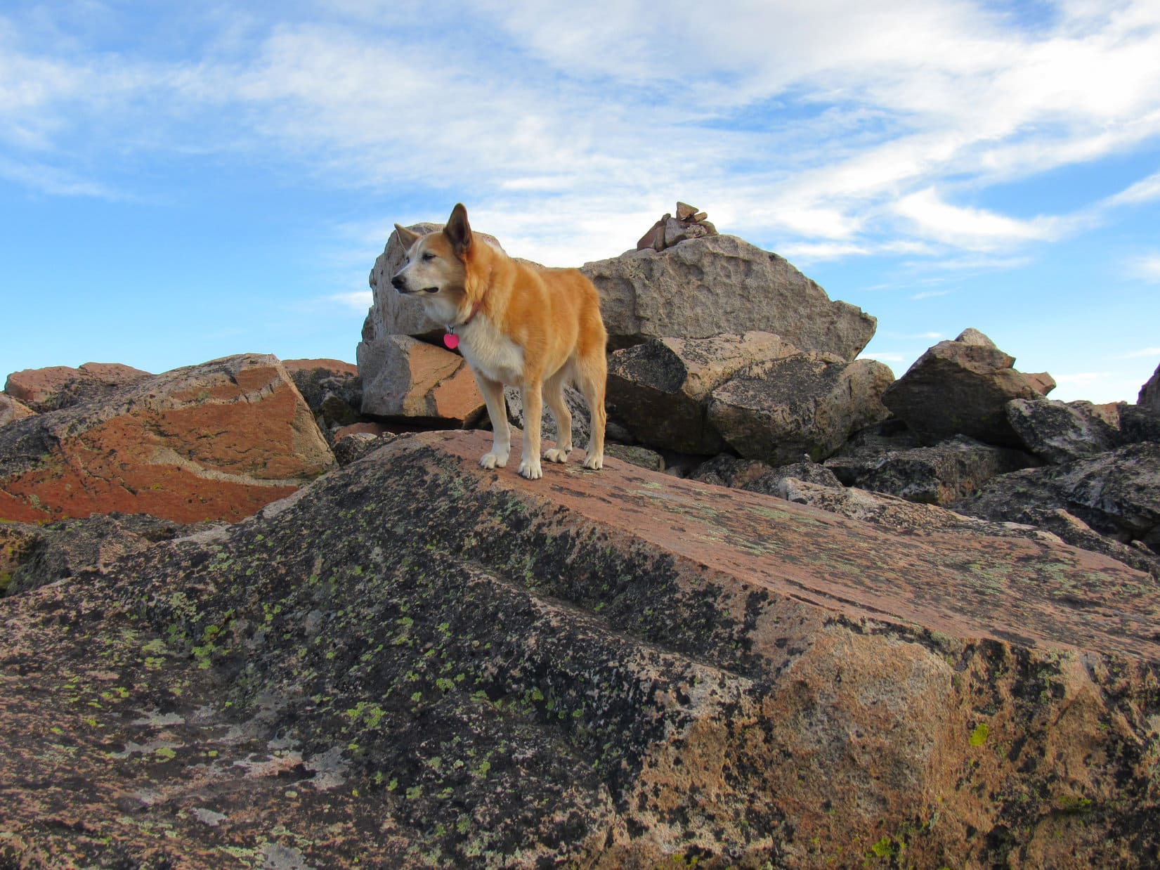
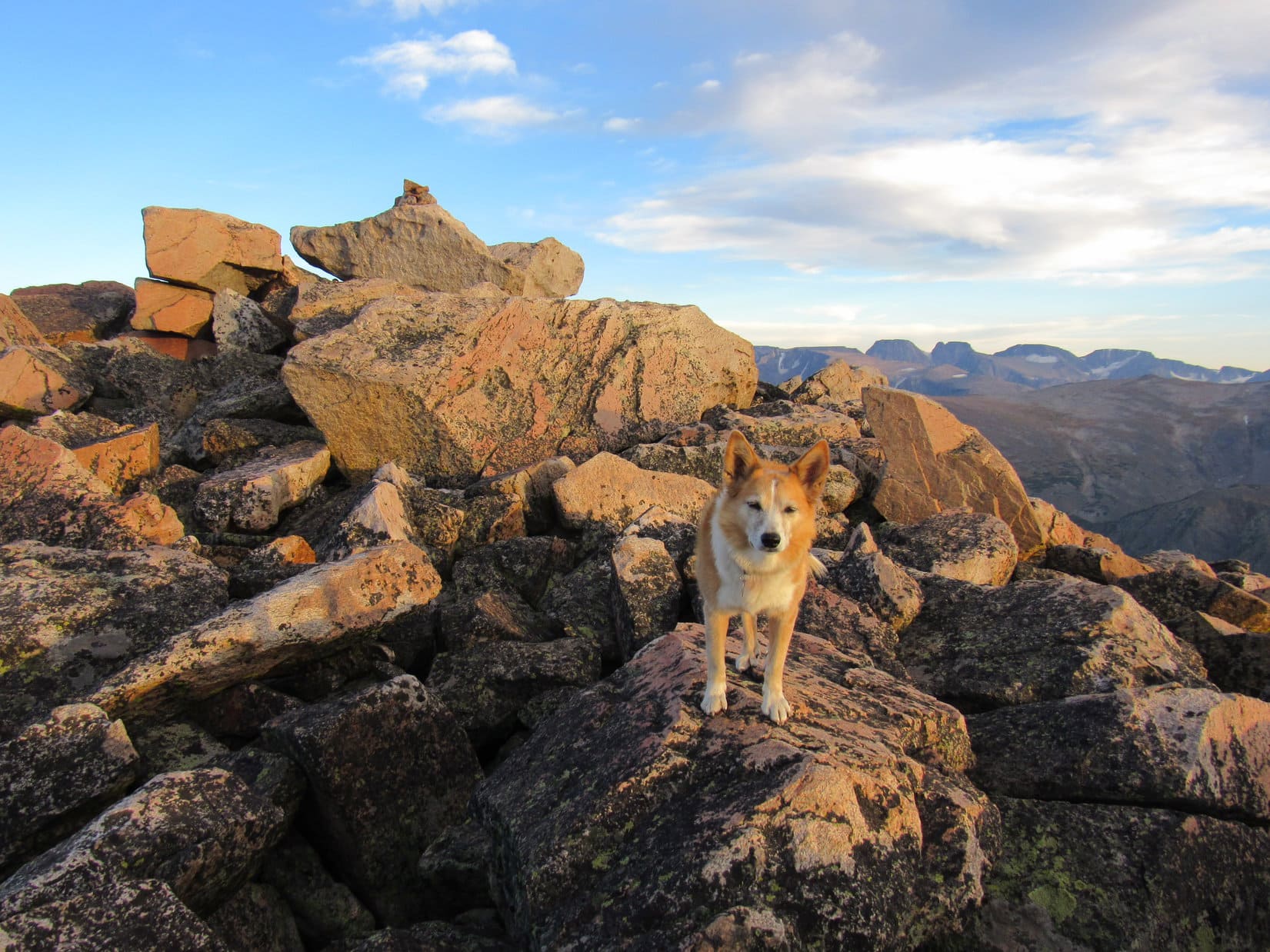
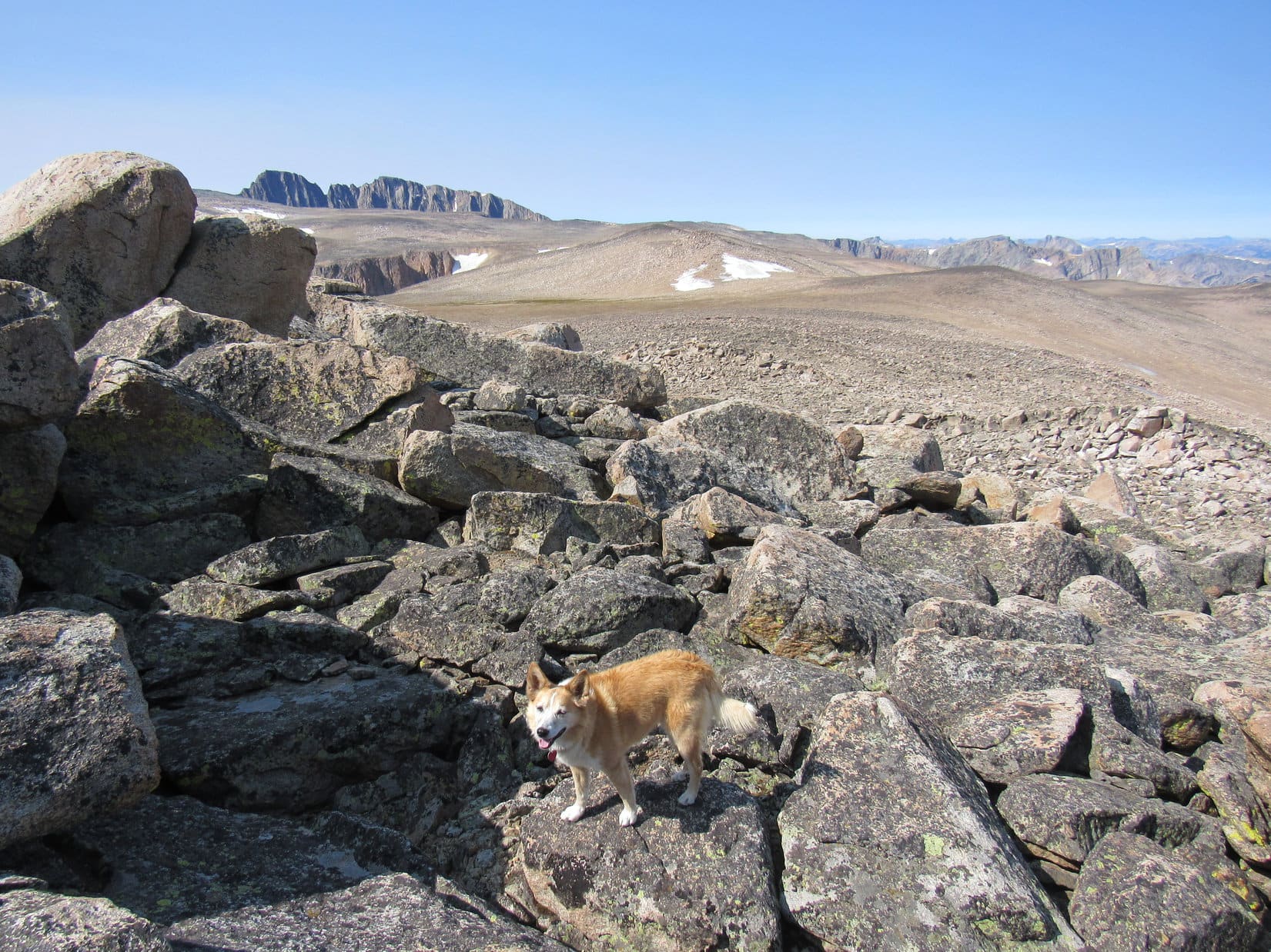
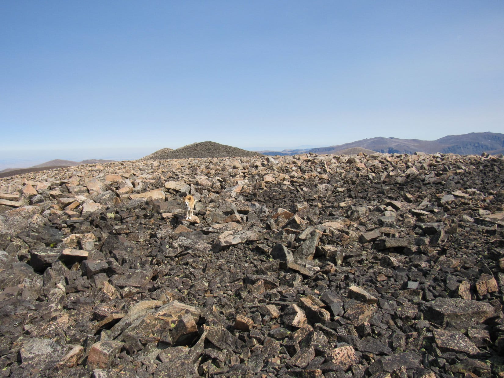
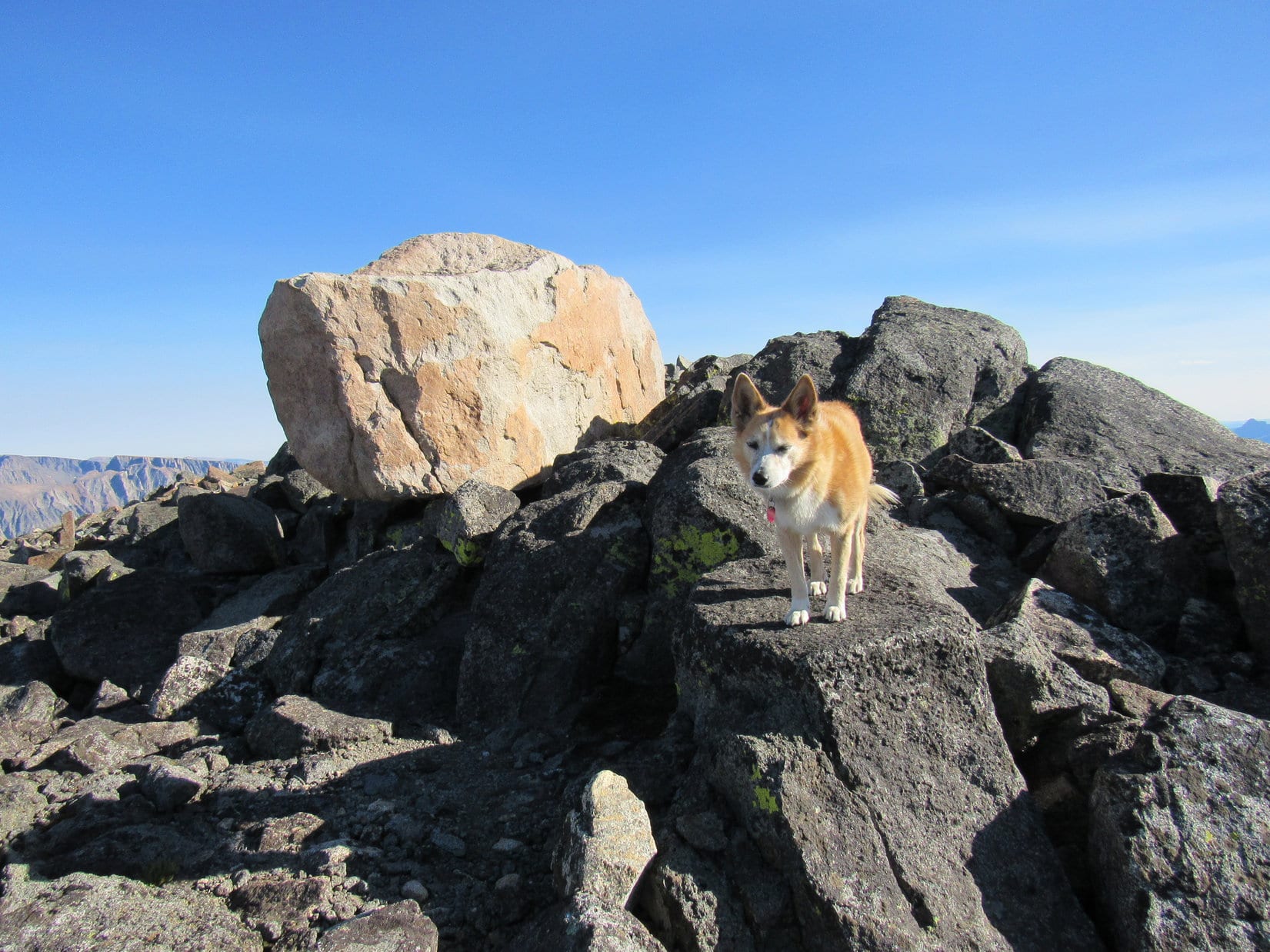
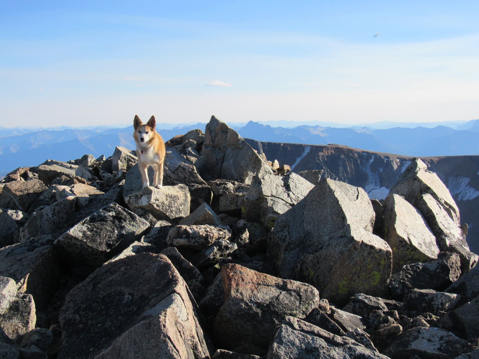
Once out of the talus, Lupe soon made it up onto the E rim of the dark hill. The top of this hill was a good-sized region as flat as a field of stones could be. Impossible to pick out a true summit rock from all the others very nearly the same elevation, so Lupe perched on a likely candidate. For the second time today, SPHP shook the American Dingo’s paw and congratulated her on a successful ascent.
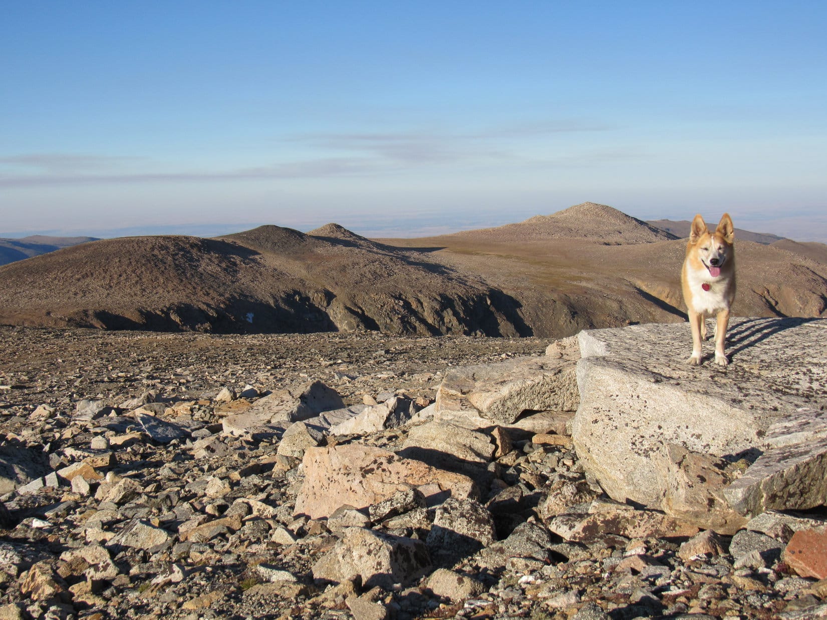
Remaining at the true summit of Froze to Death Plateau (11,792 ft.) for only a moment or two, Lupe continued on. Nothing but rock here, and essentially these same views would be available all along the plodding march ahead. Heading WSW, it took only a couple of minutes to get to where Loop could start down a gradual slope leading to the next part of the plateau. The rock turned from dark to light-colored again in the middle of the coming dip.
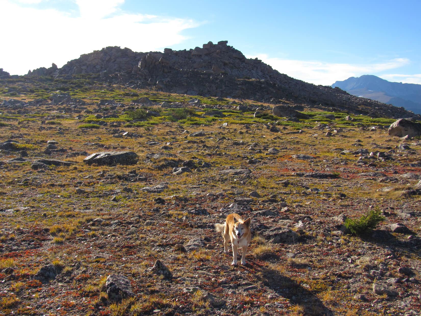
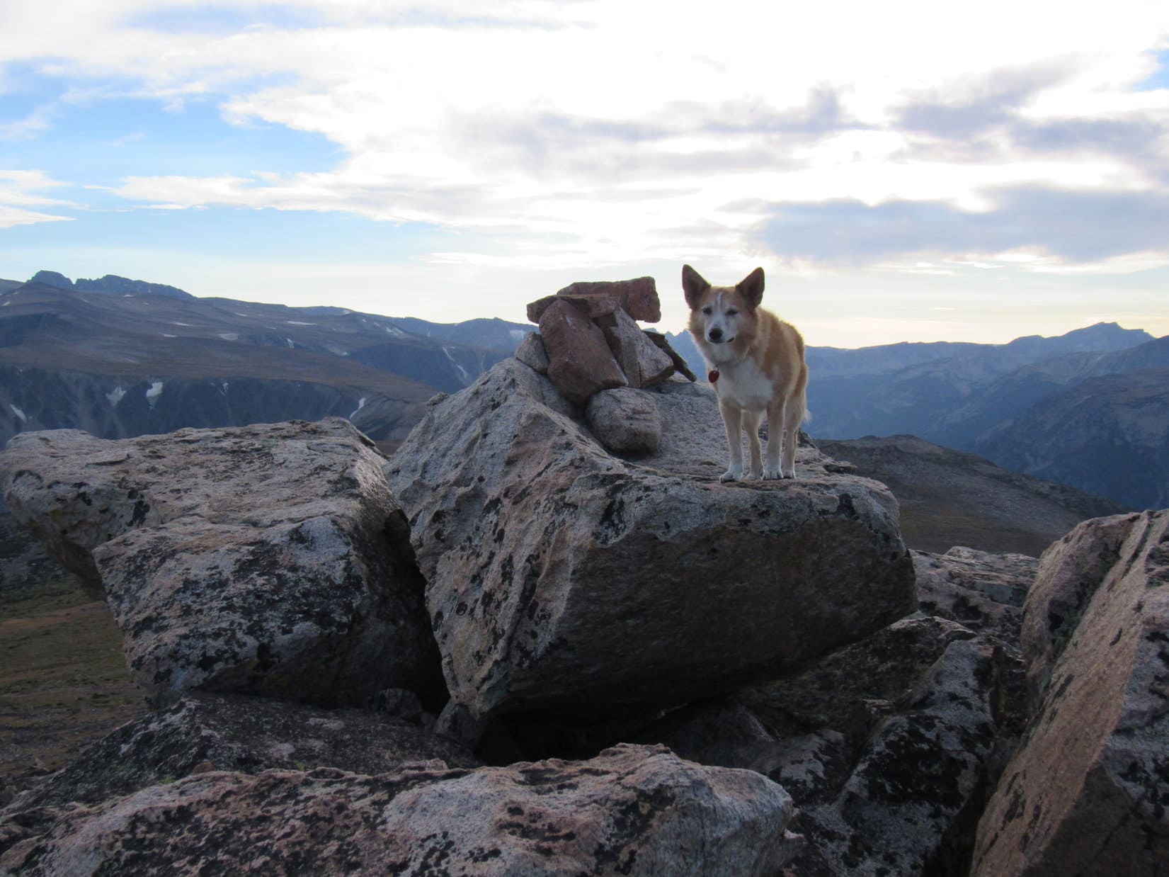
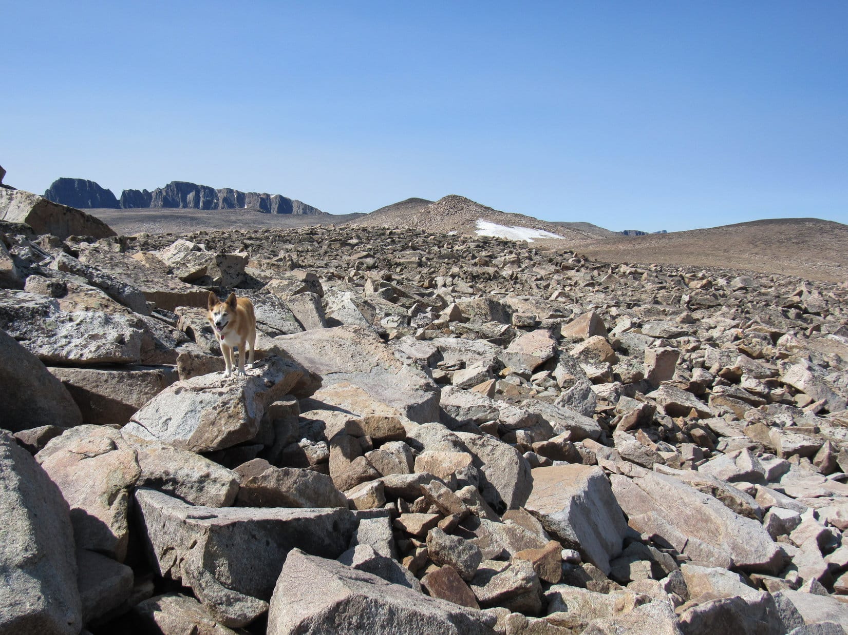
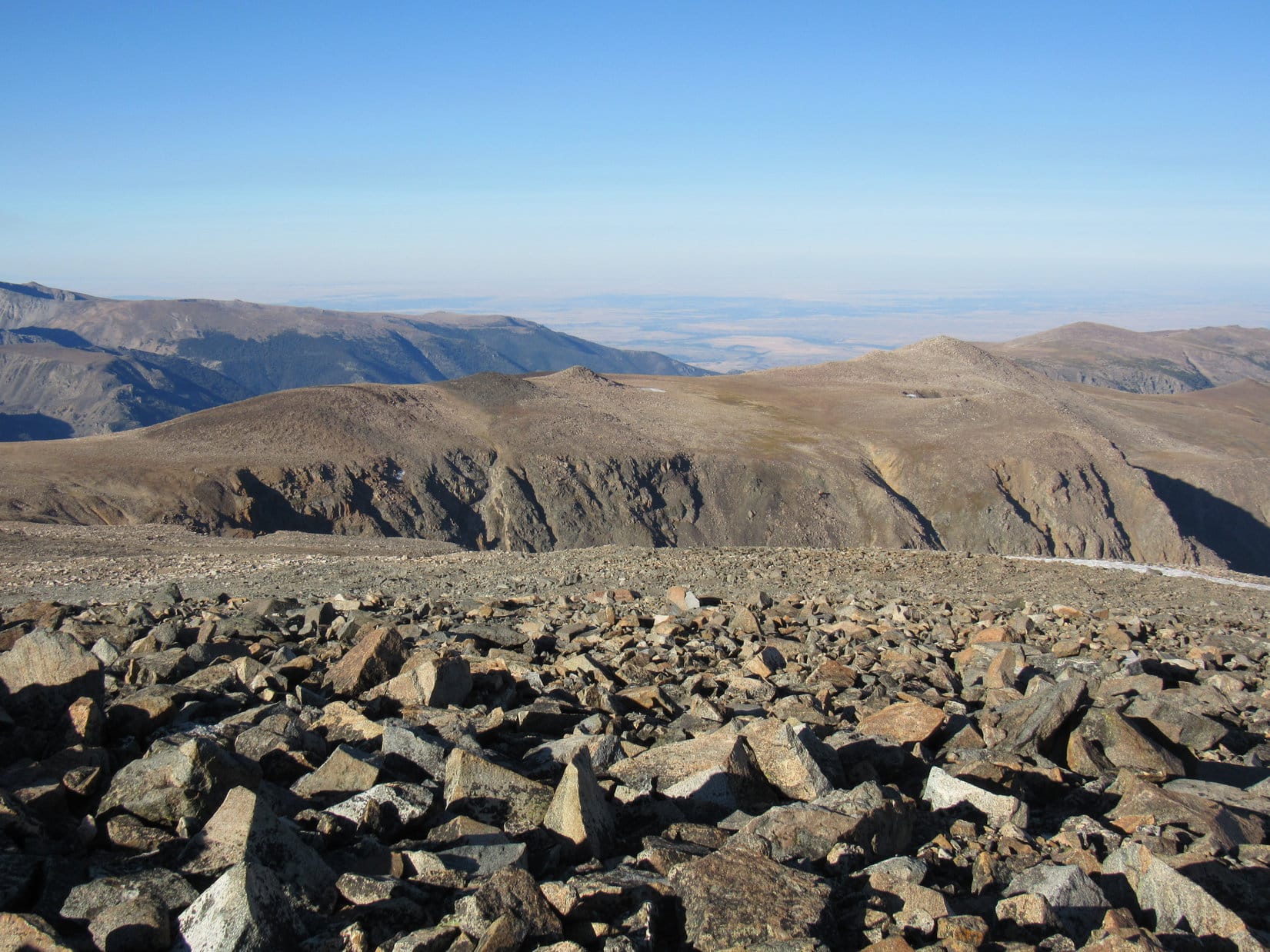
Checking the topo map, this next section of the Froze to Death Plateau ought to be the last of three high points in the region. This was actually where the true summit was supposed to be, but it looked slightly lower than the dark hill where Lupe had just been. Crossing the minor saddle leading to it, Looper only had to regain a small amount of elevation to arrive at a similar rocky plain, except that this one was much larger.
The middle dark hill Lupe had just left still looked like the true summit to SPHP, but who knew? Maybe it was an illusion? Certainly no obvious absolute high point on this part of the plateau, so Lupe simply continued across it, passing from the light-colored rocks of the E end to another band of dark-colored rocks toward the W.
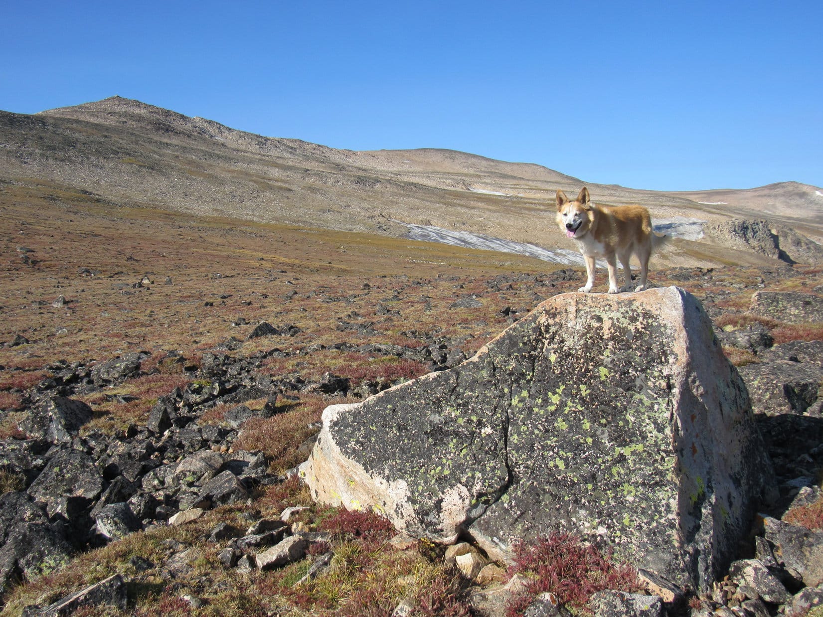
At the W end of this final high point of the Froze to Death Plateau region, Lupe came to a long slope leading down to the saddle between here and Tempest Mountain. Naturally, nothing but rock every inch of the way.
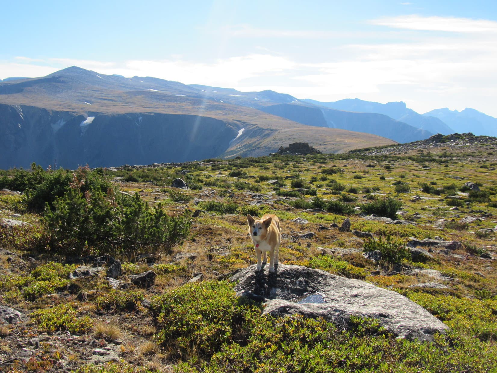
After a gradual elevation loss of close to 150 feet, Lupe reached the low point of this last saddle near Sundial Rock. She was still 1.5 miles N of Tempest Mountain, but the terrain immediately ahead didn’t look nearly as rocky as it had been on the great majority of the long trek to this point from Froze to Death Mountain.
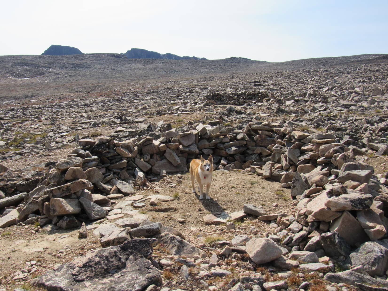
Just SW of Sundial Rock, Loop came to a couple of semi-circular rock walls. Only 2 to 3 feet high, the semi-circles were open toward the NE. The ground within was hard-packed mostly sandy soil, apparently what remained after the rocks had been moved to construct the walls.
What do you suppose these forts are for, SPHP?
Not sure, Loop, but probably meant as windbreaks or camping spots for people coming to climb Granite Peak (12,799 ft.).
No one was around to ask, so Lupe kept going. Once across the saddle, the terrain began to slope upward again, gradually at first, but slowly getting steeper. Loop continued SW for a while, before starting to angle more to the S. The landscape eventually became mighty rocky again.
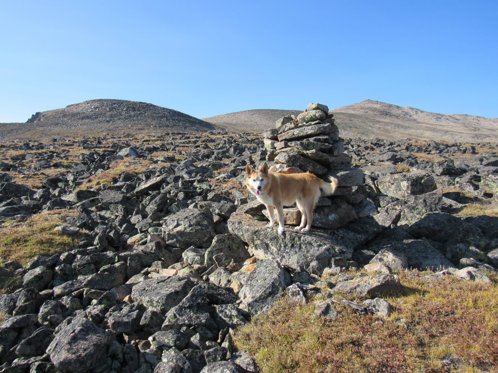
After going quite some distance, a 100 foot high talus ridge was directly ahead. Upon reaching the top of it, the slope only continued higher, but at an easier pace. A few cairns appeared along in here, and occasionally stretches of a crude use trail were found between them.
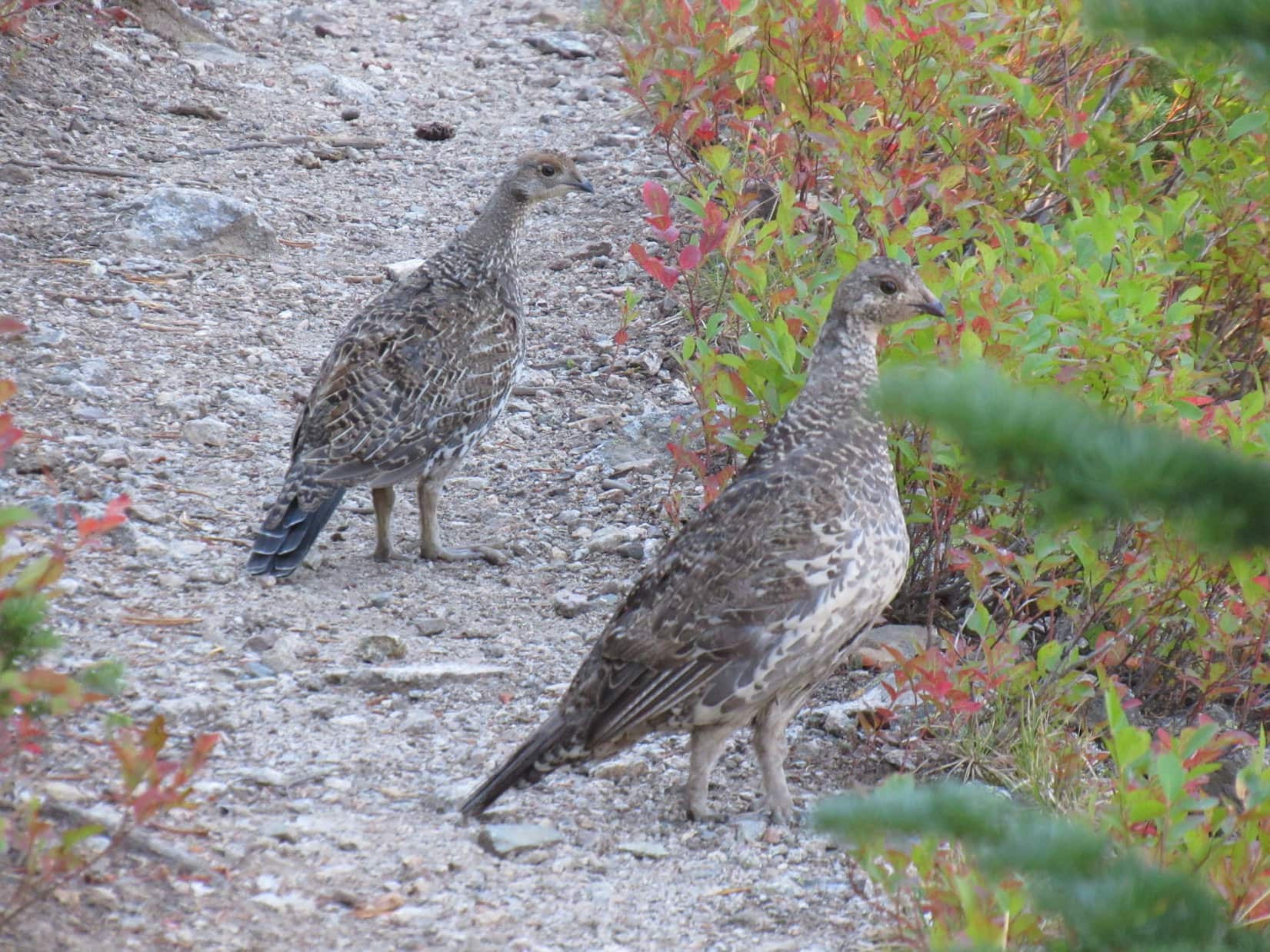
The entire region leading to Tempest Mountain (12,469 ft.), now only 0.5 mile away, was now in sight. SPHP glanced up from the endless rock hopping to see a brown and white speck streaking S. Lupe! Without warning, she’d taken off like a shot.
Oh! That explains it. Mountain goats! 4 of them. Seeing an American Dingo racing toward them, the mountain goats stood staring in wonder at first, before scattering as Looper rapidly closed the gap.
Mountain goats, SPHP! Did you see them?
Yes, I did, but not soon enough to stop you from taking off like that. Sort of a no-no, you know? How did you know they were even there?
Oh, you can sniff them a mile away!
No, actually I can’t, although apparently you can. You must have run at least 0.25 mile up there. Could barely see you or the goats. Wish I had that kind of speed, energy, and agility. We’d climb 20 mountains a day! Before lunch!
You do tend to take your sweet time, SPHP!
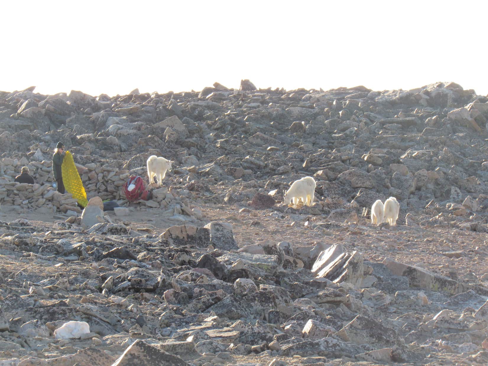
As SPHP trudged along, Lupe covered the same ground for the 3rd time in the past few minutes. Up close to where the mountain goats had been were more semi-circular rock forts. These forts were taller than the ones near Sundial Rock. A bunch of gear was stashed at one of them.
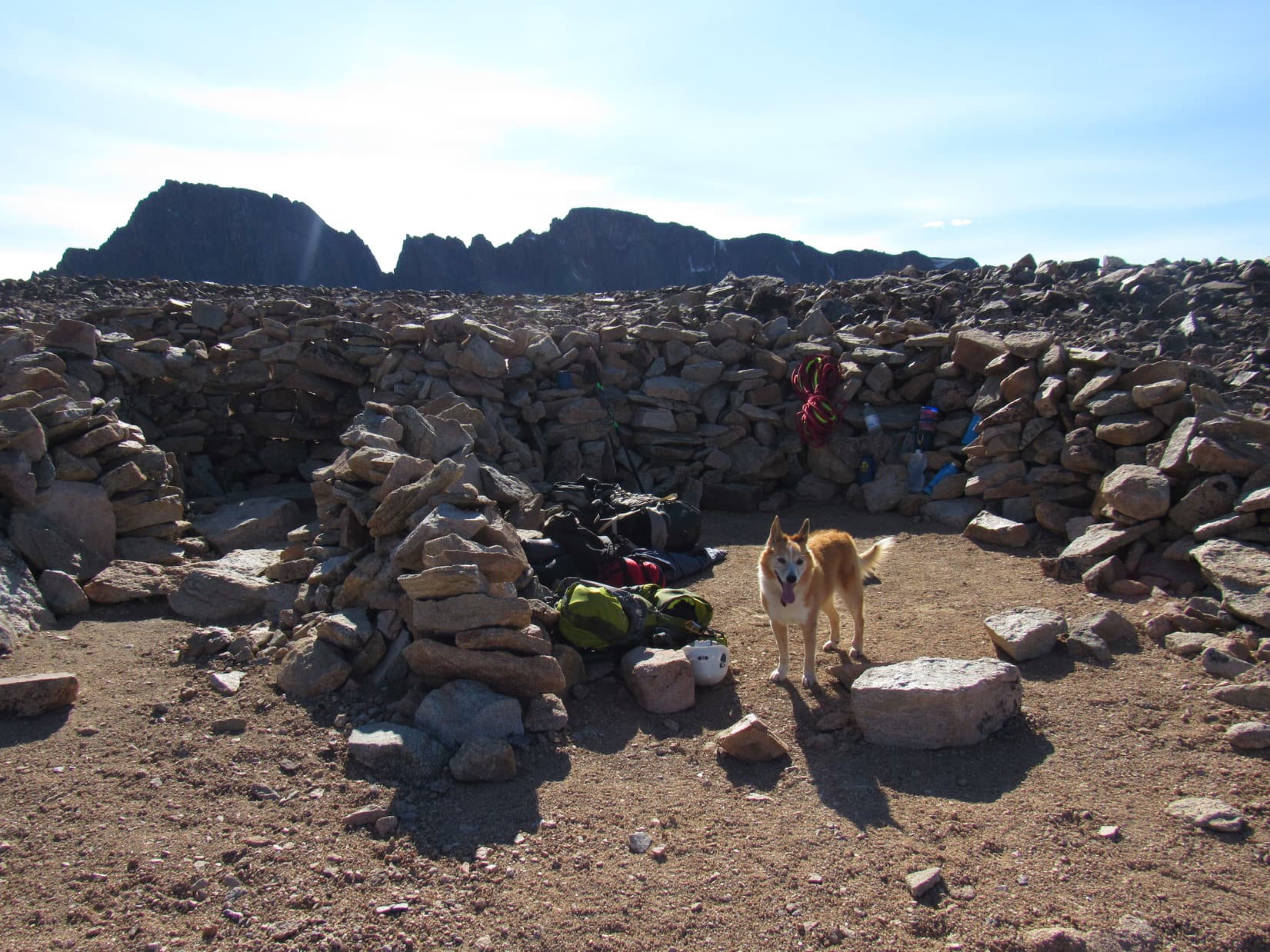
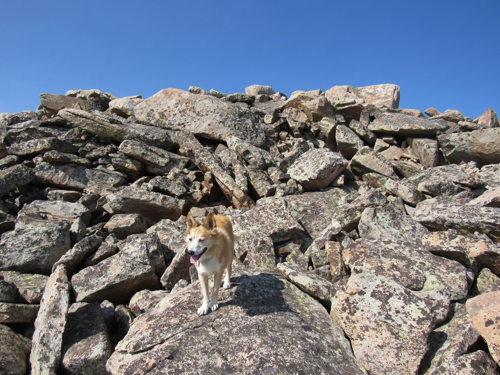
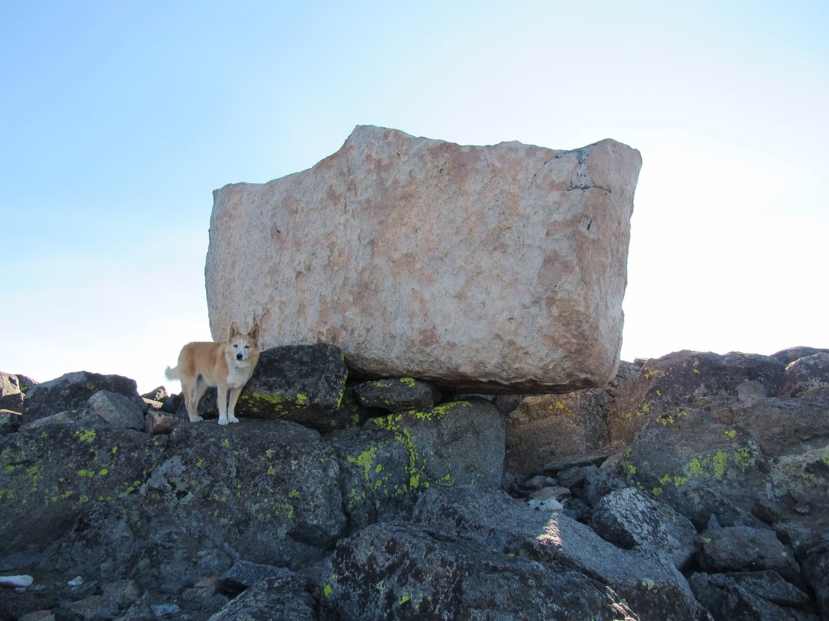
These forts weren’t far from the W edge of the enormous ridge leading to Tempest Mountain. Continuing only a short distance SW toward what appeared to be a pass along that edge, Lupe discovered a huge cairn with a couple of big gleaming white chunks of quartz on top.
This cairn marked the start of the route real mountain climbers take down to the col leading to Granite Peak. The E face of Granite Peak looked so fearsome, and the route so narrow and dizzying, that SPHP was thrilled Lupe had no intention of making an attempt. Terrifying was the word that came to mind while regarding Granite Peak.
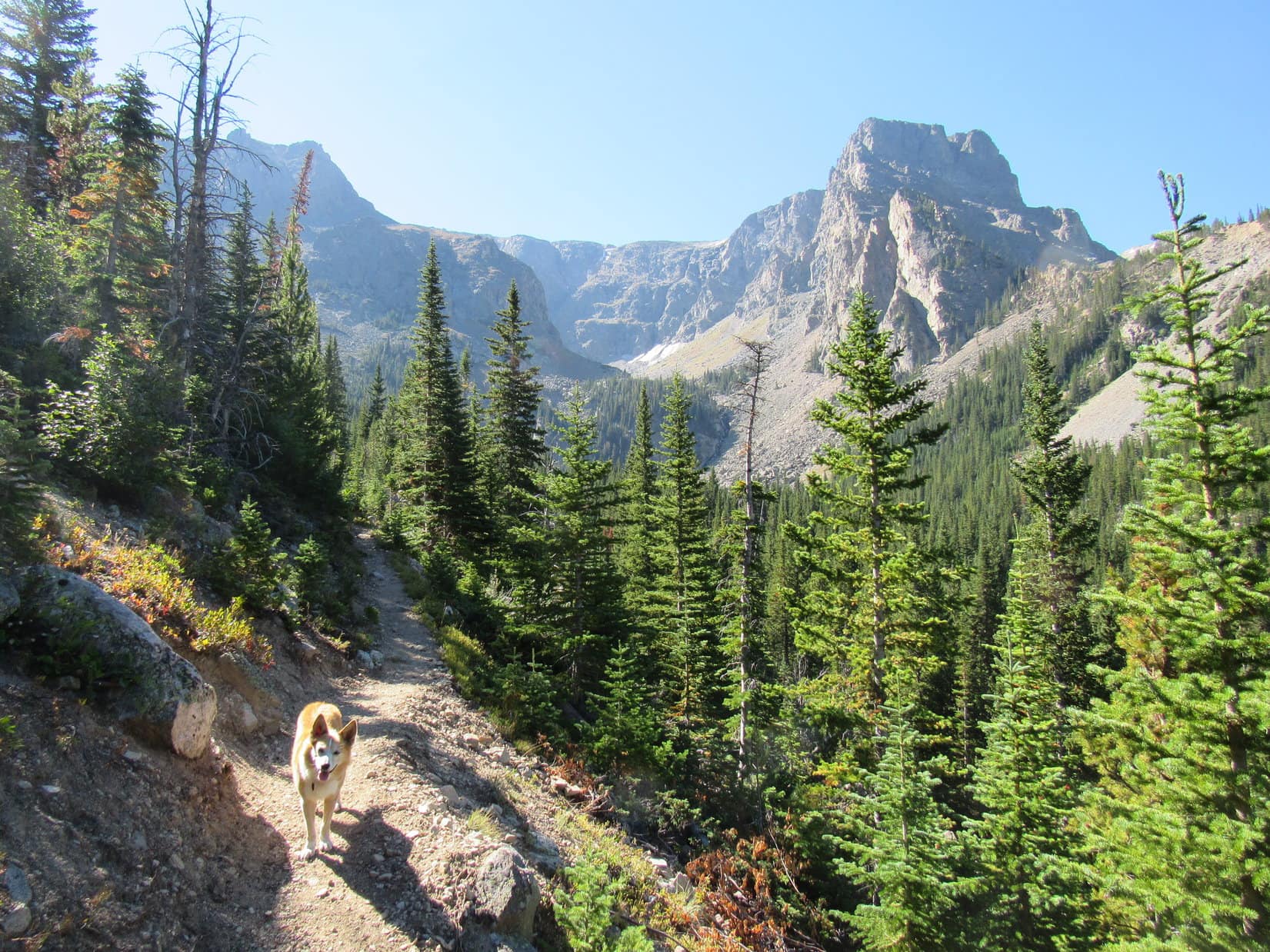
Still 300 or 400 feet to go! A long rocky slope was all that was left to get to the top of Tempest Mountain. Moderately steep, but not tricky at all. No worse than the terrain the Carolina Dog had already spent most of the day on. A huge white boulder could be seen way up at the top.
Following various use trails, or wandering willy-nilly, Lupe headed up.
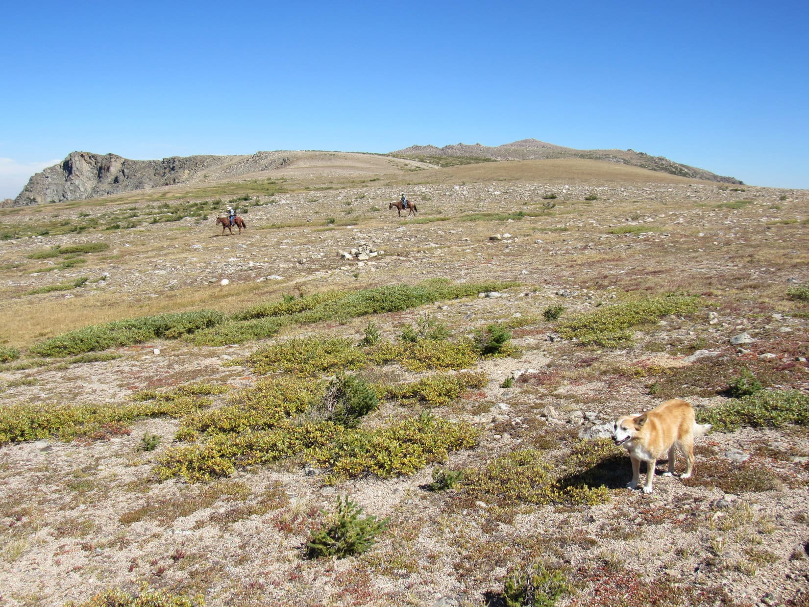
About halfway up, SPHP noticed two people by the light-colored boulder at the top. They hung around there a few minutes, then started down. Turned out to be a man and a woman young enough to be his daughter. The young woman said nothing as she passed by, but the man stopped briefly to chat.
He said they were going to camp at the rock windbreaks tonight before climbing Granite Peak tomorrow. He claimed the mountain goats were just about tame. They hang around waiting for someone to piss on a rock, then lick it for the salt. After relaying that interesting tidbit, he waved cheerily and continued his descent.
Guess we can be glad we’re not mountain goats, Looper! How disgusting! Poor mountain goats!
For sure, SPHP! Say, you don’t happen to have any Fritos in the pack do you?
Naw, they’re all back at the trailhead in the G6.
Well, shoot! There goes that idea. What kind of a porter are you anyway? You’re supposed to be prepared for all sorts of eventualities. The Fritos don’t do us any good in the G6!
I can only lug so much on your behalf, lazy Dingo. What idea are you talking about?
If you’d only thought to bring some Fritos, I could take them to those mountain goats. I bet that if they saw me bringing them a big bag of Fritos they wouldn’t run off! We’d be best friends!
That’s quite the plot! I suspect you’re right, though. It would probably work. Maybe next time? I’ll have to think about it. Mountain goats are awesome, but I’m not entirely certain I want a herd of panhandling goats following us all over the mountain demanding more Fritos.
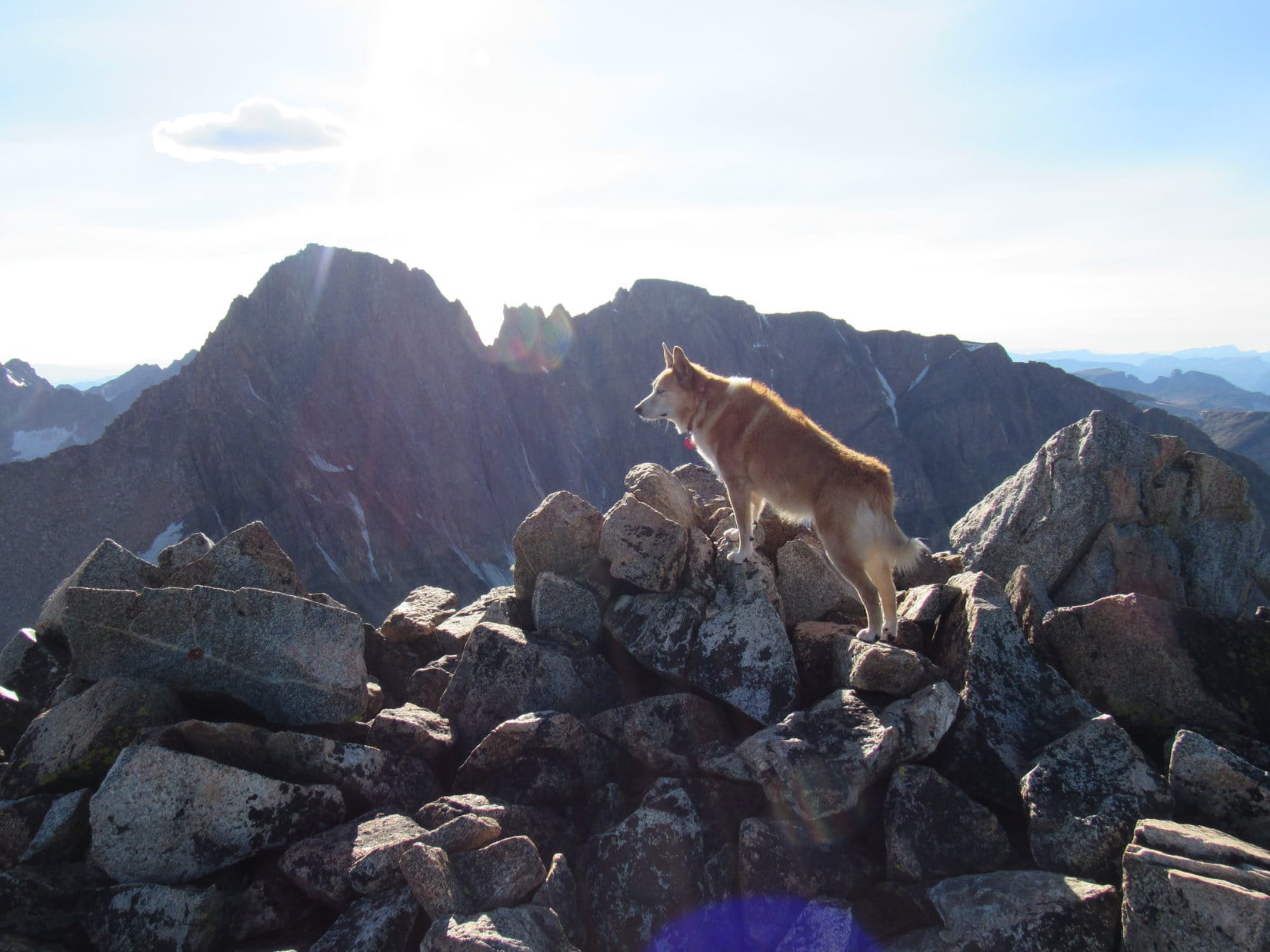
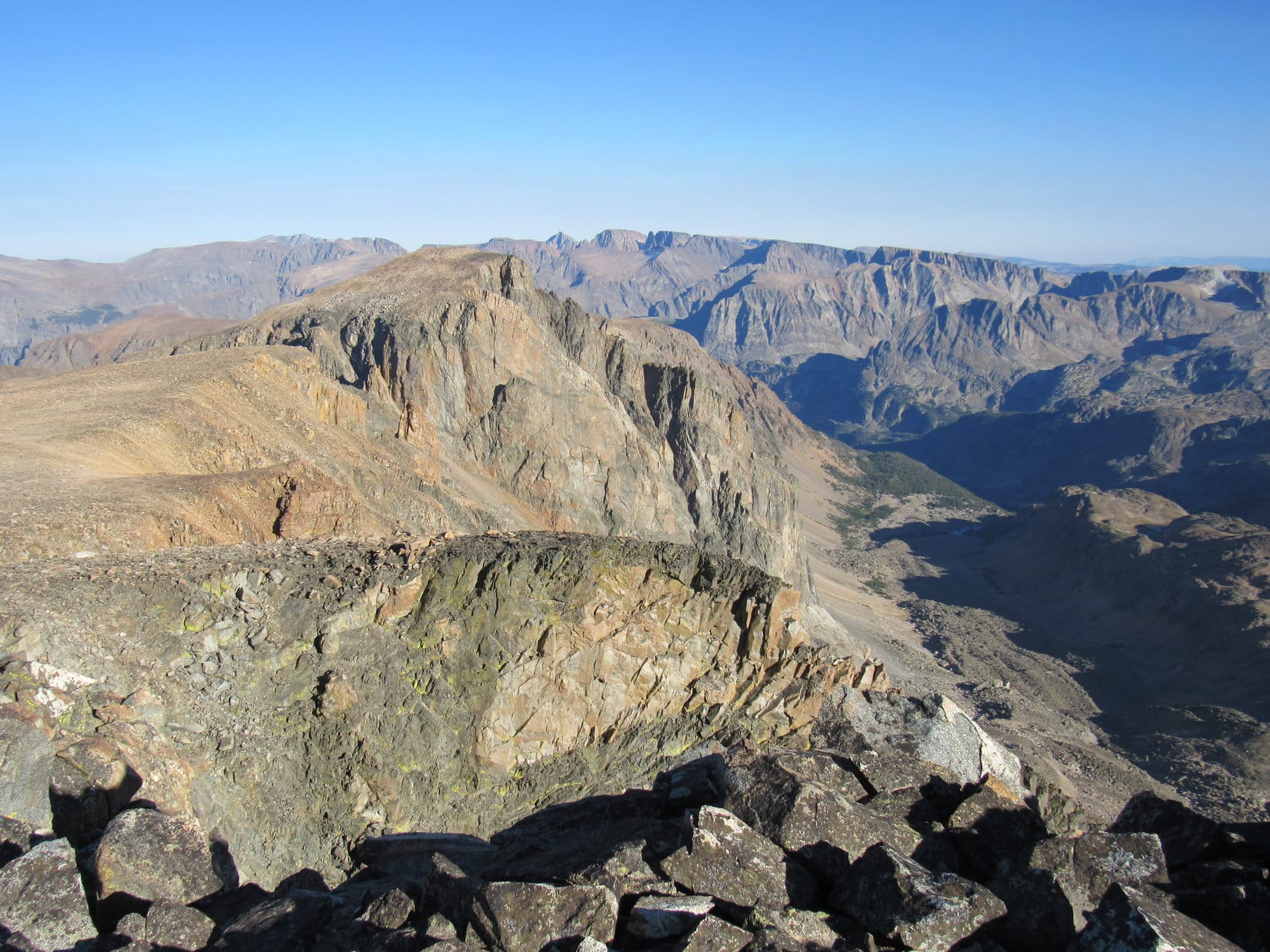
5:06 PM, Tempest Mountain – Approaching the light-colored boulder that had been visible all the way up, it looked so big that SPHP wondered if Loop could get up onto it, even if SPHP gave her a boost? Before making an attempt, the American Dingo paused for a look at that forbidding N face of Granite Peak.
Halfway up the mountain, sheets of ice clung to tremendous cliffs far below a wickedly jagged ridgeline. Below the ice, long piles of talus and scree dropped precipitously hundreds of feet farther into the maw of an enormous canyon. Peering cautiously over the edge, the skinny ridge mountaineers had to traverse to get over to Granite Peak was visible.
Looks like a death wish to me! What do you think, Loop?
Quite a few people climb Granite Peak, don’t they, SPHP? Just have to know what you’re doing.
Oh, but we do! That’s why we’re over here. C’mon lets see what we can do about getting you up onto that boulder. It’s sitting awfully close to the edge, so it ought to be plenty scary enough for Dingo work.

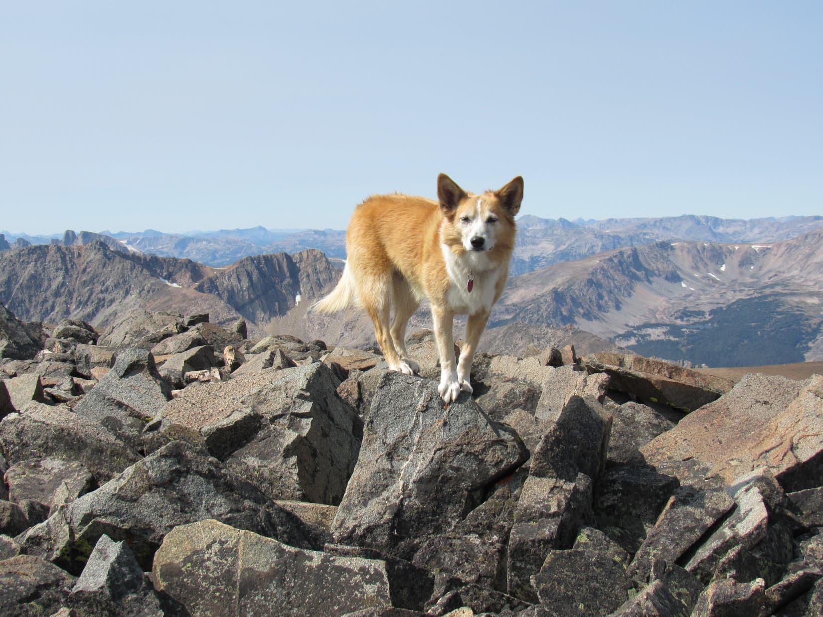
Circling around the E side of the light-colored boulder, Lupe’s prospects for getting up on top were looking rather bleak. Perched up on other rocks, the boulder’s sides were vertical, and no stones that might have provided helpful assists rested against it.
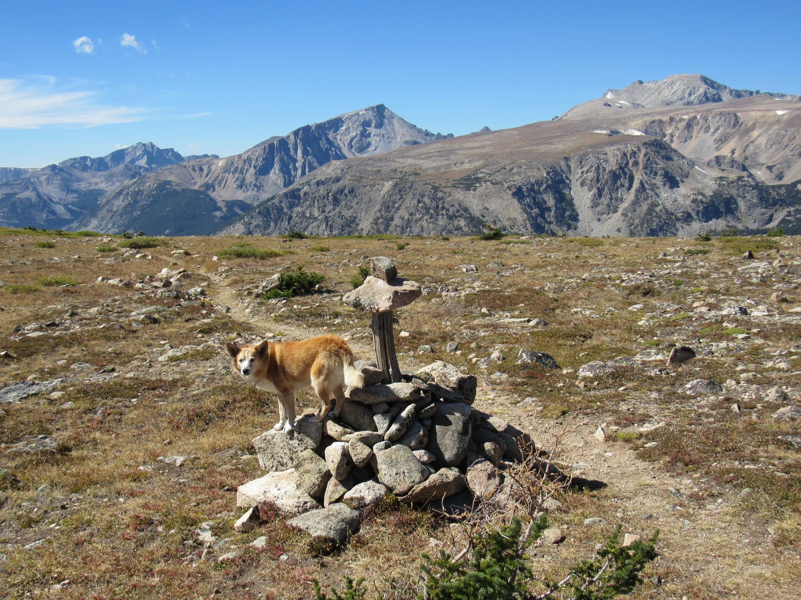
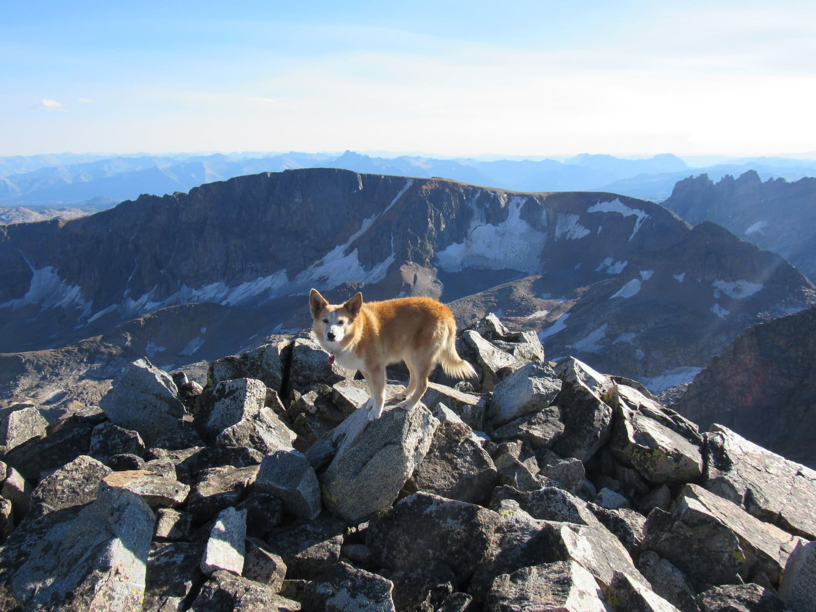
The problem was instantly solved, however, when Loop got around to the S side of the boulder. No need to get up on this monstrous rock at all! Not the true summit! 40 or 50 feet away, along the brink of a gaping chasm to the W, was a much smaller pointy rock that appeared to be at least a foot or two higher.
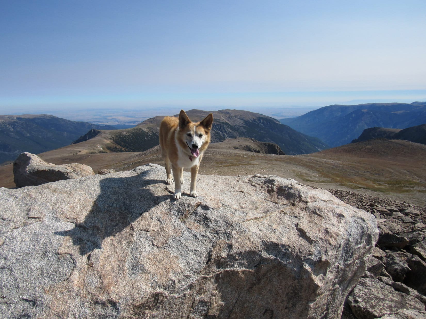
The pointy rock wasn’t big enough to stand on, but Loopster had no problem getting to it, and touching the top with her paw. A small cairn nearby confirmed the notion that this actually was the true summit of Tempest Mountain (12,469 ft.). After congratulating Lupe on her 3rd and final successful ascent of the day, SPHP took several commemorative photos as the proud American Dingo posed near the pointy rock.
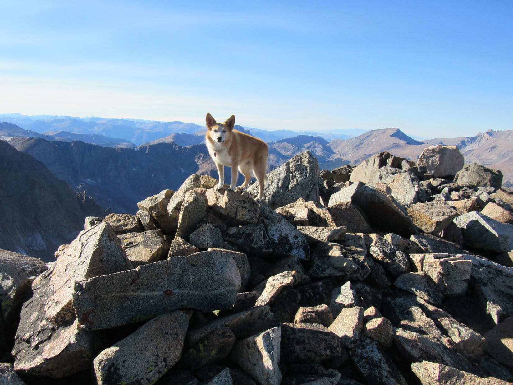
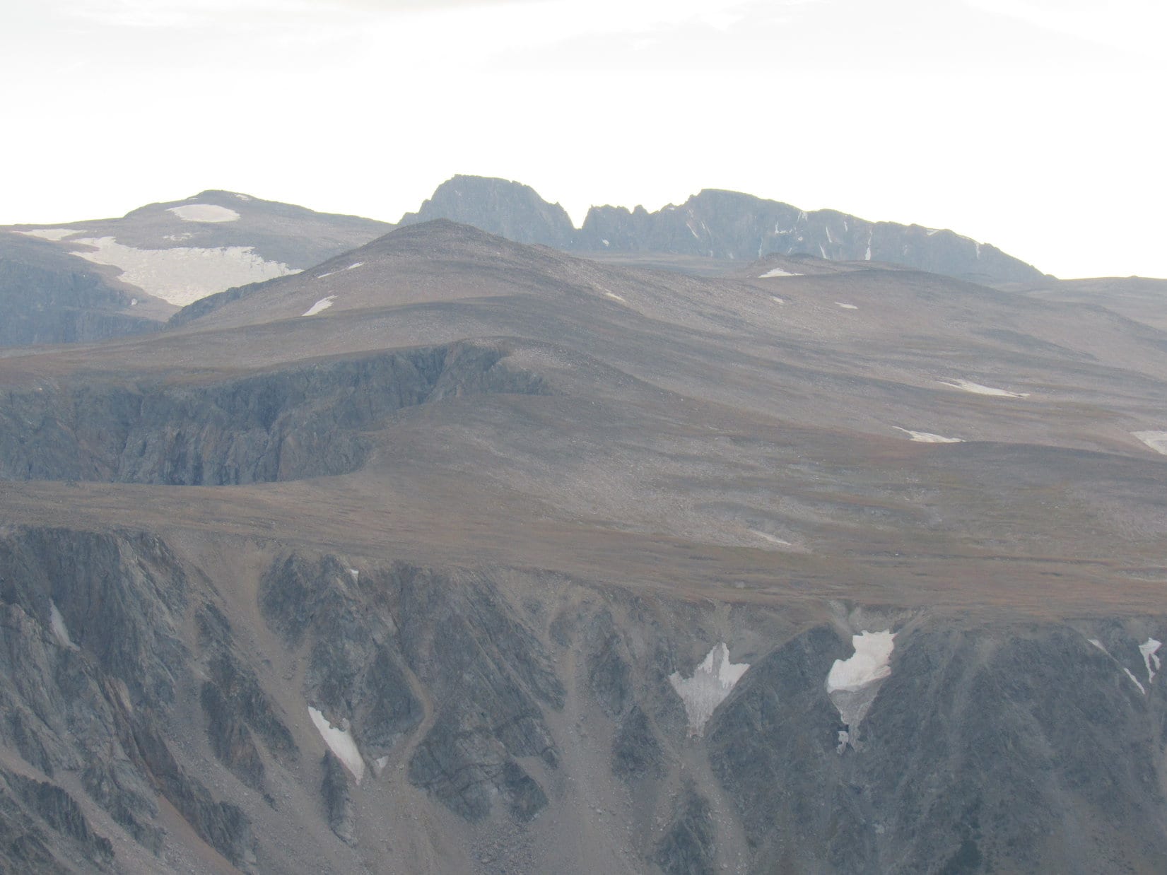
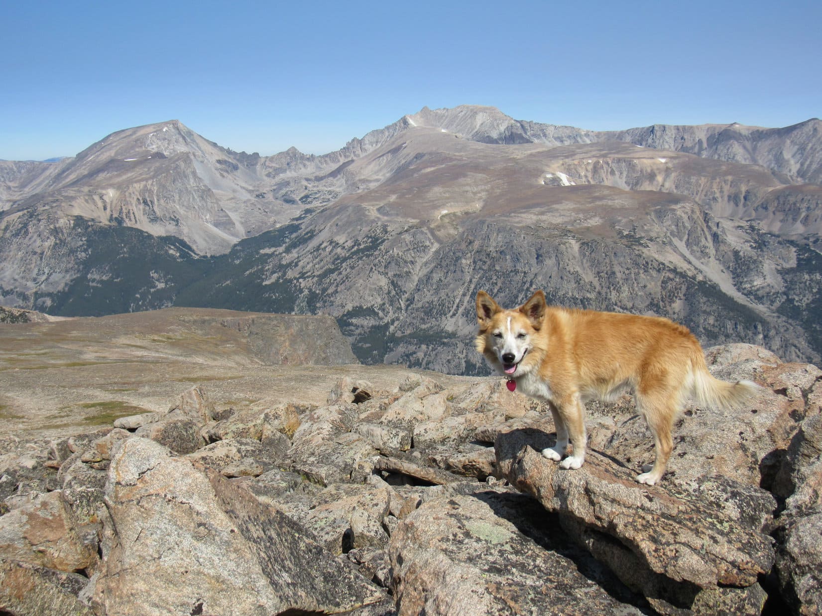
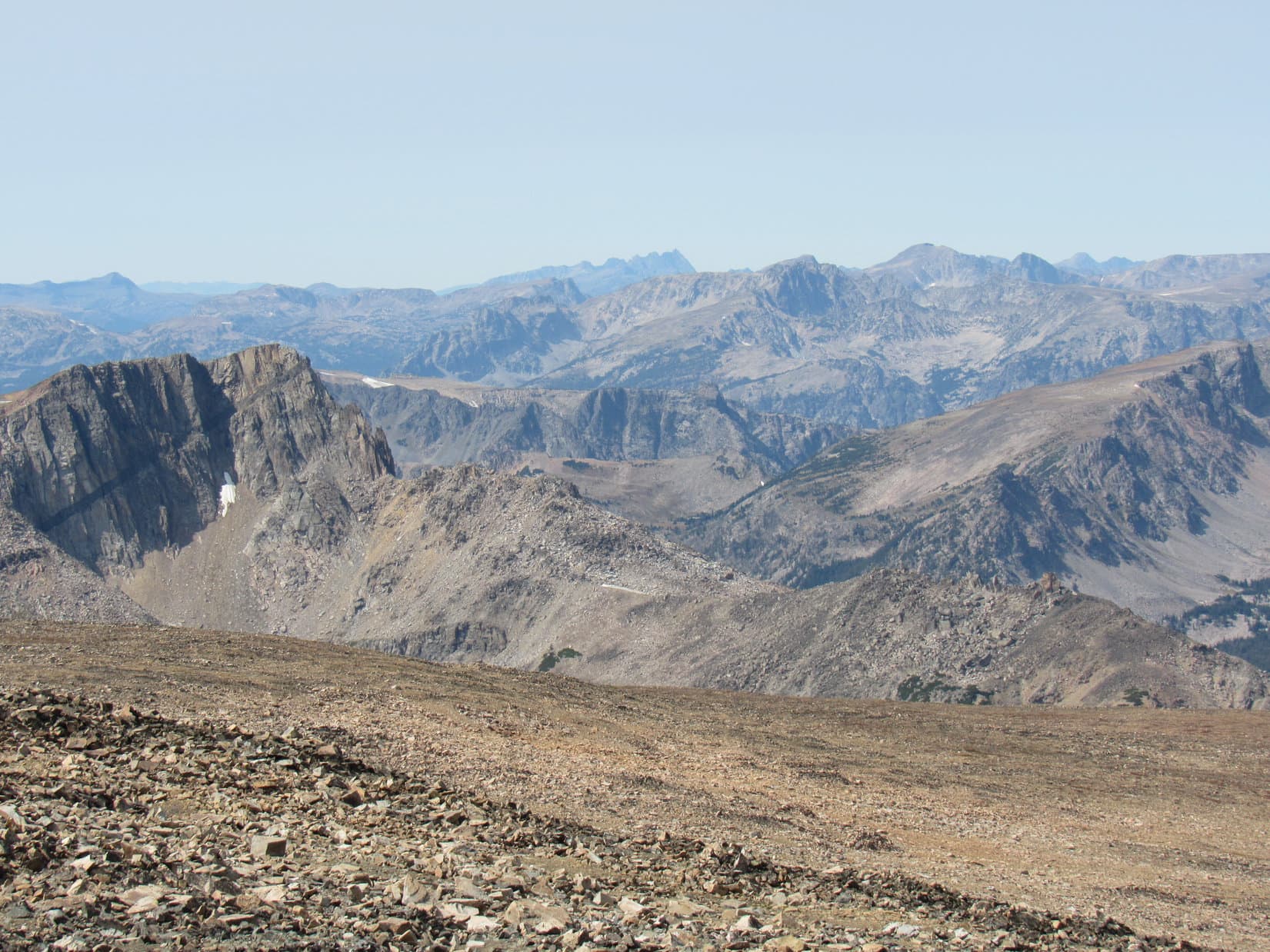
Compared to Granite Peak, Tempest Mountain was as tame as a kitten, but the views were still stupendous! A mile SE, Mount Peal (12,409 ft.) overlooked an enormous canyon containing a rock glacier. Far beyond Mount Peal, Bowback Mountain (12,351 ft.), Whitetail Peak (12,551 ft.), and the Castle Mountain (12,612 ft.) group were all in sight.

Venturing S of the true summit, Lupe had a fabulous view of the cliffy N face of Cairn Mountain (12,200 ft.). Peering down Tempest Mountain’s S face, parts of both Granite Lake and Lowary Lake were visible.
Back to the N and NW were the now familiar, but more distant views of Twin Peaks (11,793 ft.), Mount Hague (12,323 ft.), and Mount Wood (12,660 ft.) from a new perspective.
And, of course, to the WSW was that frightening, awe-inspiring view of Montana’s true summit, Granite Peak (12,799 ft.), now backlit by the sinking sun.

5:58 PM, Tempest Mountain – A precious, glorious hour had flown by, the last few minutes now slipping away. Loopster stood near the pointy true summit of Tempest Mountain for the last time. No way to get back to the tiny house until hours after dark now, but no regrets. Totally worth it. What a splendid day in the Beartooths it had been!
Simply fabulous! But this is about it, Loop.
Onward, Puppy ho! time, SPHP?
Yep. You know it.
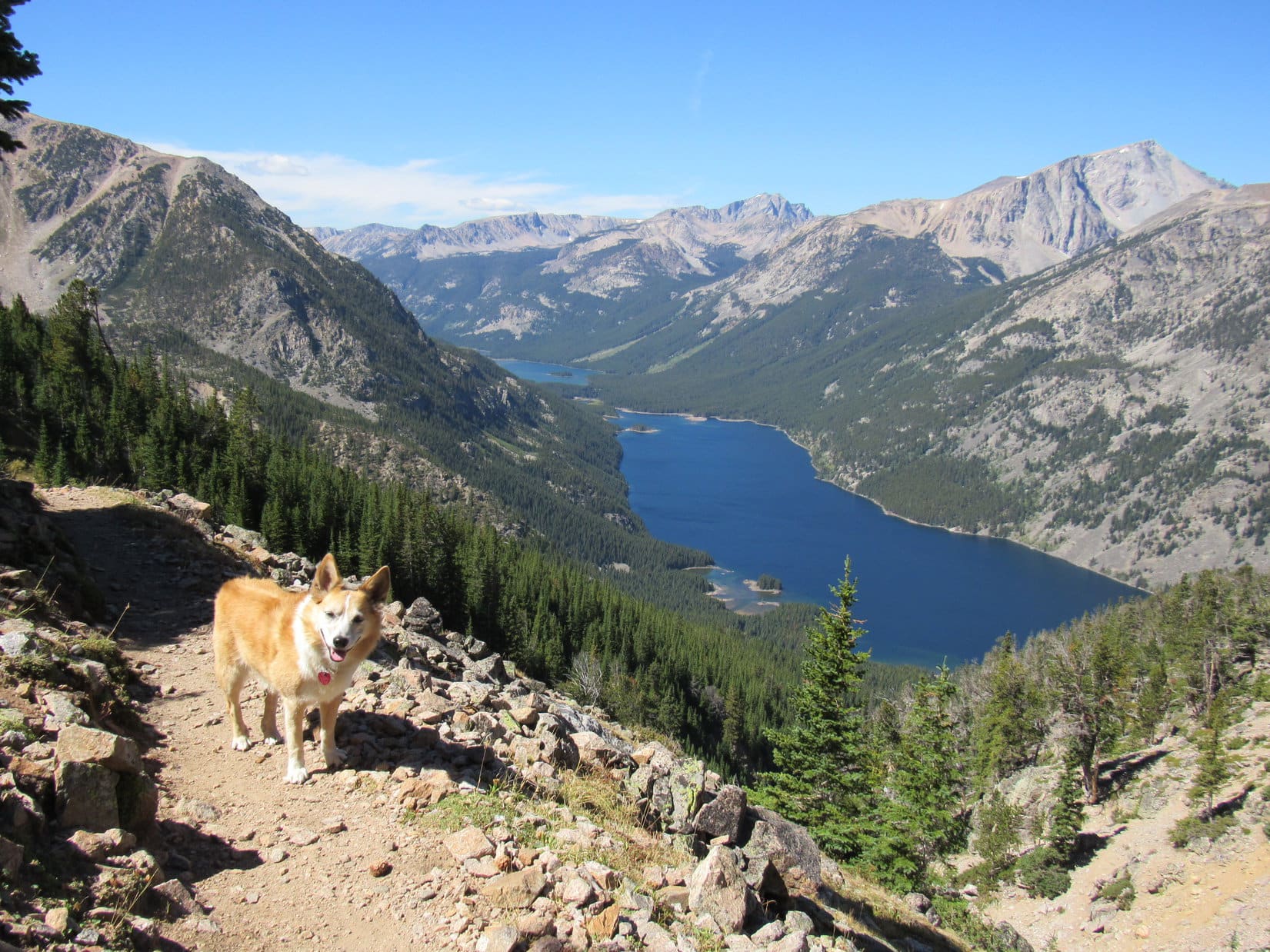
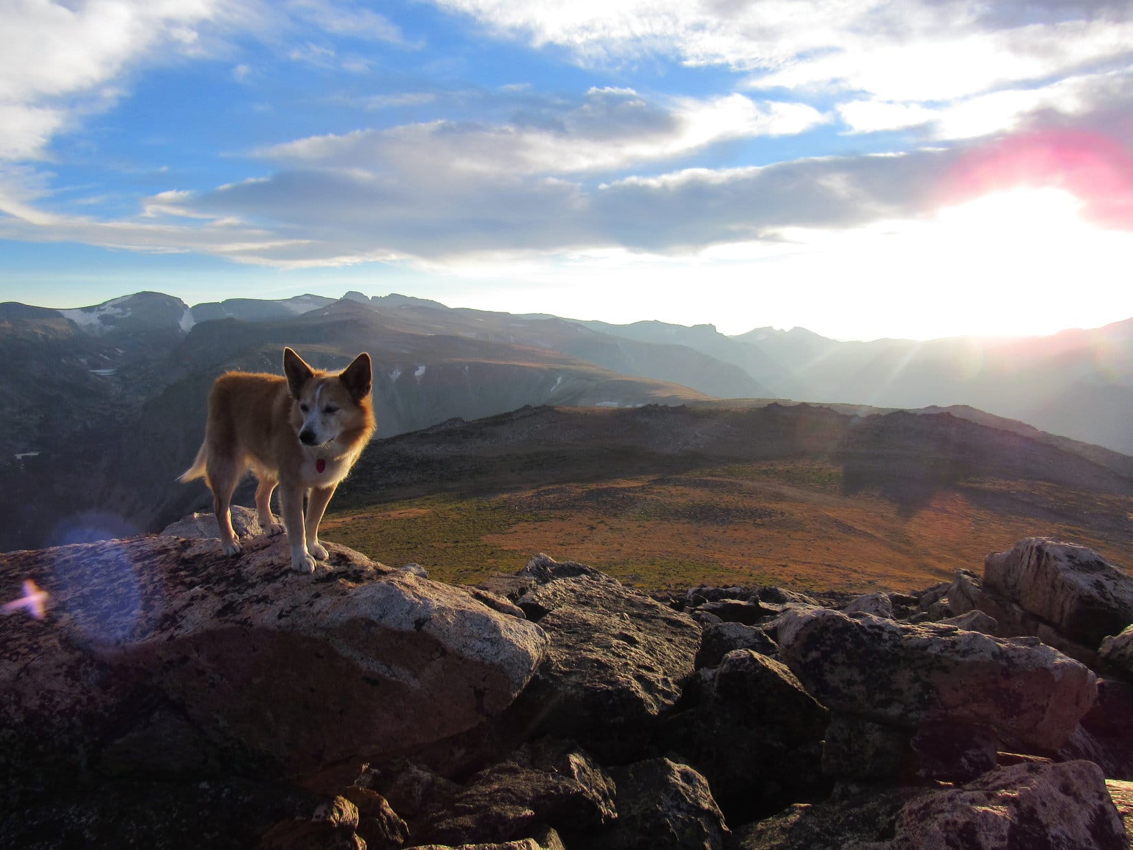
Working her way N past the light-colored boulder, a grand view of the long, rock-strewn march Lupe had made to get here was on display. The whole trek from Froze to Death Mountain (11,760 ft.) to the several high points of the Froze to Death Plateau (11,792 ft.) was in sight. Even Saddleback Mountain (10,876 ft.), where Loop had been about this time yesterday evening, was in view.

A need for speed! Better get as far as possible before the light is gone. During the descent, staying close to the W edge of Tempest Mountain, Lupe was soon rewarded with a view of Avalanche Lake.
A few people were at the semi-circular rock shelters down by the route to Granite Peak when Lupe went by again. So were the same 4 tame mountain goats, no doubt anxiously waiting for someone, anyone, to take a piss. Lupe was beside herself whining with disappointment when SPHP wouldn’t let her race over to say hello, and wishing SPHP had had enough brains to bring the Fritos.
Ugh! It was a long march. SPHP’s paws were getting sore. A wonder that Lupe’s weren’t, too, with all this rock, but it never seems to bother her. The last of the evening alpenglow was about gone by the time the Carolina Dog made it back to the pass near Sundial Rock W of the Froze to Death Plateau.
No way! Not going to try to do all that again in the dark! SPHP left Lupe’s earlier route, leading the Carolina Dog N over a wide, shallow pass, picking up a use trail on the way. On the far side of the pass was a barren slope. Rocky, but nowhere near as troublesome as the Froze to Death Plateau was. Down, down Lupe went as the remaining light faded, occasional large cairns helping to keep her on track.
This morning, a broad band of vegetation had been visible down here N of the upper Froze to Death Plateau region while Lupe had been on the way to Froze to Death Mountain. Yet even though harboring suspicions that there was likely easier terrain and quite a good use trail, SPHP was afraid to lose too much elevation. Without having explored the region earlier in the day, if there wasn’t a decent trail, it would be too easy to get lost in the dark close to frightful cliffs to the N.
Even so, Lupe lost a lot of elevation before turning E.
Before the light was completely gone, the American Dingo made it past a large snowfield. Where she roamed after that is impossible to say. E! The rugged terrain gradually forced her lower and lower, but the black as midnight mountainside was vast, never-ending.
There were places where progress was good, patches of thick, tufty grass. Lupe crossed ravines containing little streams, and scrambled through deep gullies full of talus, while SPHP crept cautiously along wielding the little flashlight, trying to figure out which rock could be safely reached next. Mostly, though, there was just rock, rock stretching into an invisible infinity.
Traversing the endless slope, Lupe got around some kind of a ridge, then another one. Finally the dark outline of the long slope leading up to Froze to Death Mountain could be seen against the starlight. Still a long march to get there. How far was impossible to tell. Looper was getting tired, or maybe her paws did hurt now? Pawing frequently at SPHP, she whined, begging for mercy. Stop! Stop!
Sometimes SPHP did stop. 5 or 10 minutes spent sitting together, bathed in moonlight, listening to the cool breeze whisper tales of loneliness and danger among forlorn eternal mountain heights. SPHP stroked Lupe’s fur, reassuring her. Somewhere there was an end. In a field of grass, a tiny house was waiting.
For a long time, a glowing red gumdrop was visible hundreds of feet lower. Another tiny house! A cheery outpost amid the gloom. Gradually it was left behind, far to the NW.
Finally, a climb up onto the slope that went to Froze to Death Mountain. Lupe turned N, heading down. Rivers of rock, few routes between them, steep drops. It hadn’t been this way this morning, had it? Was Loop too far E or W? SPHP couldn’t tell. Back and forth, wandering blindly, searching for the way.
After an eternity, the rocks ended. How high had Lupe been all this time? How could it have been this far? Didn’t matter now. Joyfully across a barren level plain, then down the final grassy slope.
The American Dingo spotted the tiny house first. Respite! Relief! Too tired to eat, Lupe curled up on her soft sleeping bag. SPHP pulled part of it over her. Warmth and comfort! At peace, Lupe sighed, closed her sweet eyes, and dreamed, still wandering the rocky heights of the Froze to Death Plateau. (9-5-20, 12:46 AM)
Links:
Next Adventure Prior Adventure
Granite Peak trip report by Greg Slayden (8-26-91)
Granite Peak trip report by Dave Covill (August 3 to 6, 2002)
Want more Lupe adventures? Choose from Lupe’s Summer of 2020 Dingo Vacations to Wyoming, Utah & Montana Adventure Index, Dingo Vacations Adventure Index or Master Adventure Index. Or subscribe free to new Lupe adventures.