Black Hills, SD Expedition No. 226 – Gap Lode Peak & Black Elk Peak (4-22-18)

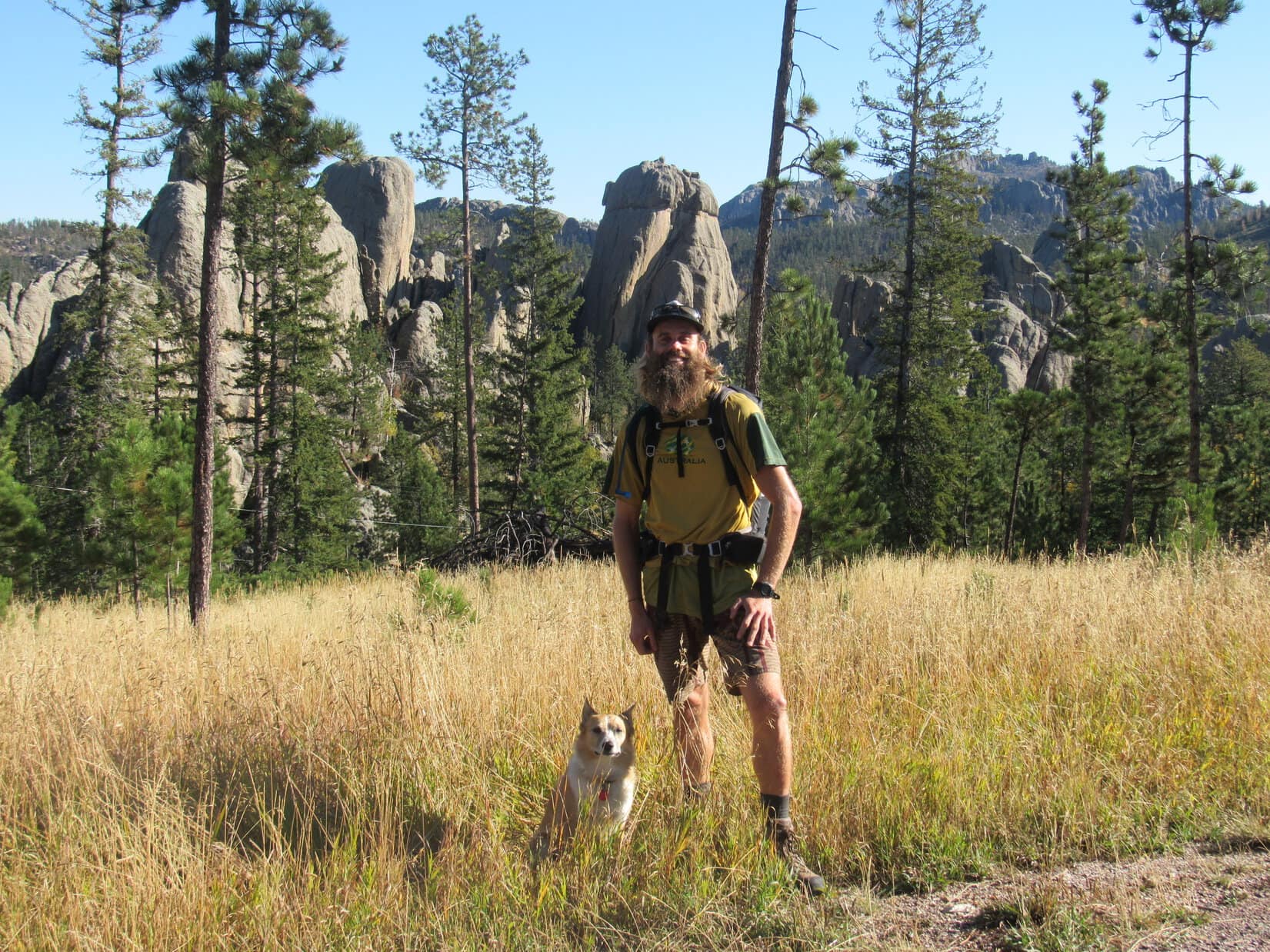
Start – Palmer Creek trailhead W of Mount Rushmore, 7:38 AM, 41°F

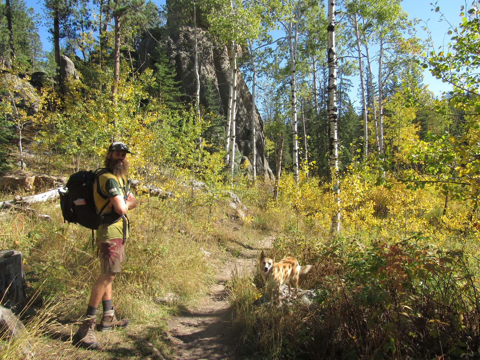
Spring had sprung yet again!  Maybe this time it would stick?  A certain Carolina Dog, sick and tired of winter’s repeated attempts to reassert control, was more than ready.  She arrived bright and early at the Palmer Creek trailhead with an ambitious day of peakbagging planned in the Black Elk Wilderness.

Black Elk Peak (7,131 ft.) from the Palmer Creek trailhead. Photo looks SE.

The first mountain Lupe was going for was Gap Lode Peak (6,560 ft.).  As soon as SPHP was ready, the eager American Dingo was underway.  Following the spur trail from the trailhead, she crossed the Palmer Creek valley.  A bridge got her across tiny Palmer Creek.  0.25 mile later, Lupe arrived at the junction with Lost Cabin Trail No. 2.

In the Palmer Creek valley setting out on the spur trail. Photo looks SW.
Loop reaches the junction with Lost Cabin Trail No. 2. Photo looks S.

At the trail junction Lupe went R.  She soon passed a registration station for entry into the Black Elk Wilderness.  SPHP registered, and Loopster went on.

Lost Cabin Trail No. 2 wound SW up a forested slope.  After Lupe had gone a mile or so, she reached a level area.  A massive granite formation extended a few hundred feet N from the trail.  The exposed granite would provide views in several directions.  Ready for a break, Lupe and SPHP went out onto the granite to look around.

Quite a number of peaks Lupe had been to before were in sight.

Loop out on the granite with a view of St. Elmo Peak (6,458 ft.) (L). Photo looks WSW.
The double peaked ridge in the background is Zimmer Ridge (6,600 ft.). The high point at Center is the true summit. Photo looks WNW.
Many smaller peaks Lupe has been to are seen here. The highest, on the horizon a little to the L of Loop, is Five Points (6,221 ft.). Photo looks N.

Looking SW, a big knob of rock capped the upper end of a sloping ridge.  That knob of rock was the E high point of Gap Lode Peak.  Loop still had a long way to go to get up there.

The knob of rock (L of Center) at the upper end of the ridge beyond Lupe is the E high point of Gap Lode Peak. Photo looks SW.

Lupe returned to Lost Cabin Trail No. 2.  She hadn’t encountered much snow lower down, but as the Carolina Dog continued gaining elevation, more and more snow appeared.  Soon the trail had a couple of feet of snow on it, slowing SPHP down considerably.

Lupe liked the snow.

The snowy trail switchbacked up a long slope.  Pine bark beetles killed a great many trees in this region years ago.  Enough dead trees have fallen over to open up the views to some extent.  Lupe had tree broken views to the N most of the way.

After a tedious climb, Lupe and SPHP reached a sunny, snow-free pass W of High Point 6482.  This pass was the start of the Black Elk Wilderness.

After a long climb, Lupe reaches a snow-free pass W of High Point 6482 on the topo map. This was the start of the Black Elk Wilderness. Photo looks S.

The pass was as close to Gap Lode Peak as Lost Cabin Trail No. 2 was going to get.  Lupe had been to the mountain once before.  Even though Gap Lode Peak is only a little over 0.25 mile WSW of the pass, she knew that getting there wasn’t going to be easy.

The terrain between Gap Lode Peak and Lost Cabin Trail No. 2 is rough, but that wasn’t the big problem.  Large amounts of deadfall timber were the real issue.  The deadfall had been a significant problem the last time Lupe had been here.  The situation hadn’t improved at all over the last few years.  If anything, the deadfall was even worse than before.

As soon as Lupe left the trail, she faced large quantities of deadfall timber. She could travel fairly quickly through it, but the deadfall slowed SPHP down tremendously. Photo looks W.

Several large granite formations were W of the trail.  Lupe went to them, climbing partway up to get a view.  The E high point of Gap Lode Peak (6,560 ft.) was much closer now.

From rocks W of Lost Cabin Trail No. 2, Lupe gets her first close up view of Gap Lode Peak. Photo looks SW.
Gap Lode Peak may not be very far away, but getting there is a pain. All the deadfall makes it an ordeal. It’s an impressive peak, though, for the Black Hills. Photo looks SW.
On her way to Gap Lode Peak, Lupe would travel down past Skinny Rock seen at lower R. She then continued to the far ridge coming up near the R edge. This was a mistake. It would have been better to go L up the snowy slope to reach the ridgeline higher up like Lupe did the first time she came here. Photo looks SW.

To get any closer, Lupe had to descend into a valley chock full of deadfall timber.  This valley had a N exposure, so 2 or 3 feet of snow was present as well.  Progress became dreadfully slow.

Deadfall drove all route decisions.  Lupe was constantly faced with choices.  She had lots of options – bad routes, worse routes, terrible routes, and ghastly routes.  SPHP tried to encourage her toward a nice selection of bad routes.  The goal was to reach the lower end of a wall of rock ahead.

Crossing the obstacle laden valley involved no great distance, but chewed up plenty of time.  Lupe did work her way through, though, and arrived at a tall, thin rock.  She had passed by this same rock the first time she’d gone to Gap Lode Peak, too.  It stood at the far N end of the wall of rock, and marked the point where Lupe could get past it.  SPHP decided this landmark deserved a special name.

Being an endlessly creative and imaginative person, SPHP easily came up with the splendid name “Skinny Rock”.

“Skinny Rock”, SPHP? Oh, yeah, that’s sheer genius. Hope you didn’t strain your brain.

In the immediate vicinity of Skinny Rock, the deadfall wasn’t bad at all.  As, Lupe continued on, however, she was soon back in the thick of it.  Ahead to the W was Gap Lode Peak’s NE ridge.  She pushed on toward it.

The first time Lupe had come to Gap Lode Peak, she had climbed this NE ridge reaching the ridgeline high on the mountain.  This had worked well.  SPHP wondered, though, if the ascent might not be even easier if Lupe could get up on the ridgeline at a lower point?  The American Dingo set out to find out.

Struggling through deadfall and snow, Lupe managed to get close to the ridgeline.  A continuous vertical wall of rock 15 to 30 feet high offered no obvious way to the top.  A search along the base of the wall, revealed a place where it might be possible to scramble up.

Lupe had no problem doing just that without the slightest assistance from SPHP.  From the ridgeline, she had a great view of the territory she’d just come through.  She could also see that this wasn’t going to work.  She was on a narrow, uneven wall of granite with drop offs on both sides.

Loopster reaches the top of a narrow spine of granite along Gap Lode Peak’s NE ridge. Unfortunately, this was a bad place to come up. Photo looks SSW.
Lupe did have a good view of the territory she had just come through. High Point 6482 is on the L. The closer, lower rock formation on the L is where Lupe had the good view of Gap Lode Peak. Skinny Rock is visible lower down L of Center. Black Elk Peak is in the distance at Center. Photo looks E.

After a brief, failed attempt to make progress along this granite spine, SPHP gave up.  Loopster retreated off the wall, and began heading SSW near its base.  After going only a few hundred feet the wall ended.  Loop returned to the ridgeline.

The deadfall on the other side of the ridge was bad, but the slope wasn’t quite as steep.  This area had a N exposure, so there was plenty of snow.  Lupe stayed on the W side of the ridge, leaping over or going under the deadfall as appropriate.  SPHP struggled onward as well.  Both headed SSW steadily climbing higher.

The terrain began to level out.  Gap Lode Peak has two main high points, an E one and a W one, at nearly the same elevation.  Lupe had made it to the deadfall strewn saddle between them.  The topo map shows a tiny area within a 6,560 ft. contour at the W high point, which according to the map makes the W high point the true summit, since the E high point doesn’t have a 6,560 ft. contour at all.

SPHP had a different opinion.  During Loop’s first ascent of Gap Lode Peak she had visited both high points.   SPHP came away believing that the E high point was actually the true summit, though it was admittedly hard to tell for sure.  Nevertheless, the Carolina Dog once again headed toward the W high point first.  When she got close, it was time to take a break.  Loop had an excellent view of Sylvan Peak (7,000 ft.) from a rock near her resting place.

Lupe near the W high point. Sylvan Peak is the high ridge at Center. Closer by on the L is a SW granite arm of Gap Lode Peak that Lupe would visit after the W high point. Photo looks SW.

Lupe curled up in the shade.  She had water and Taste of the Wild.  SPHP munched an apple.  All the snow, deadfall, and rugged terrain on the way here took a few minutes to recover from.

When the American Dingo was ready, she went with SPHP to Gap Lode Peak’s W summit.  She got up on one of the highest rocks.  According to the map, she had reached the true summit of Gap Lode Peak (6,560 ft.).

At the W high point of Gap Lode Peak. This is the true summit according to the topo map. The E high point is seen nearby on the L. Black Elk Peak is beyond Loop on the R. Photo looks E.

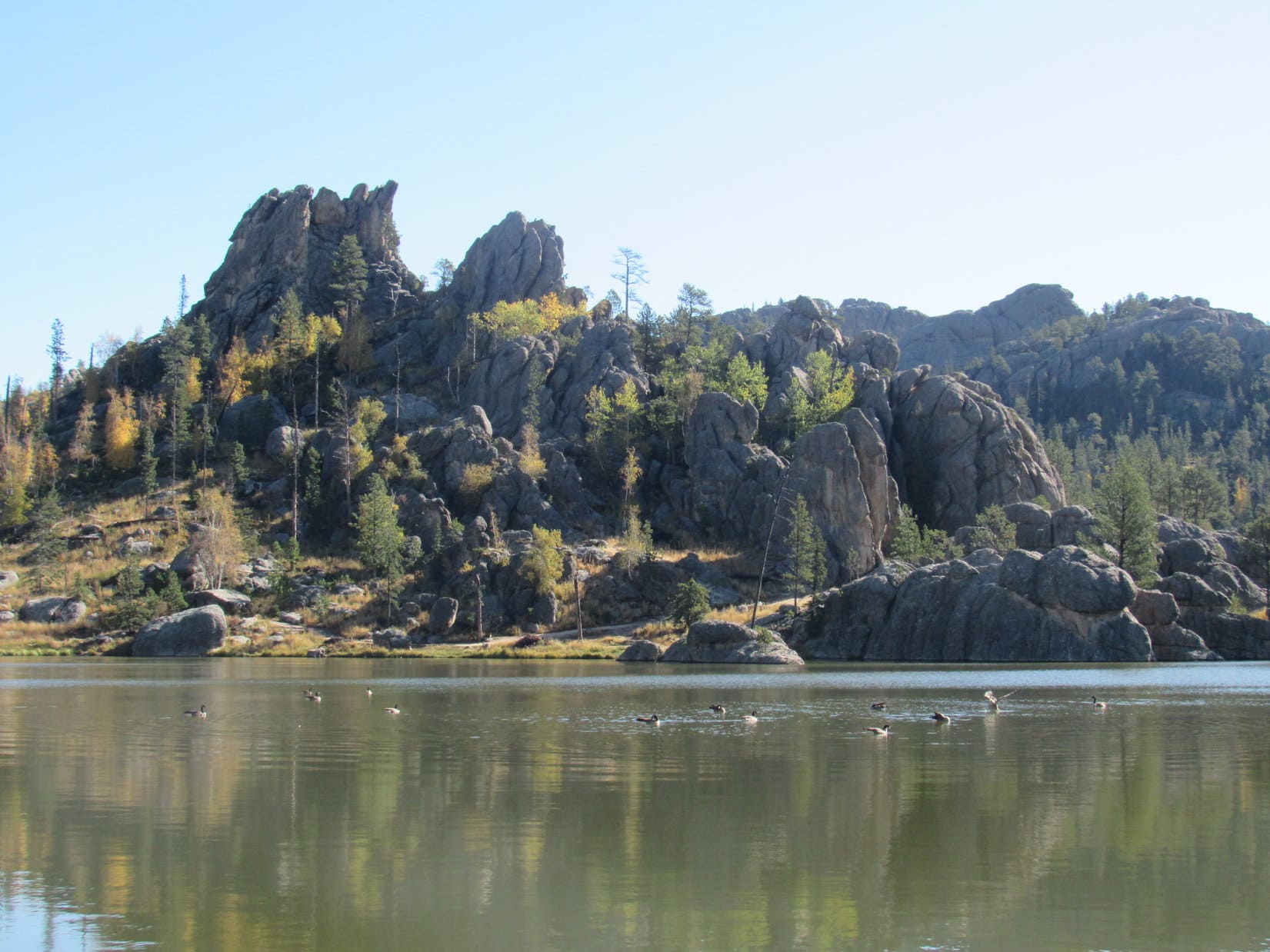
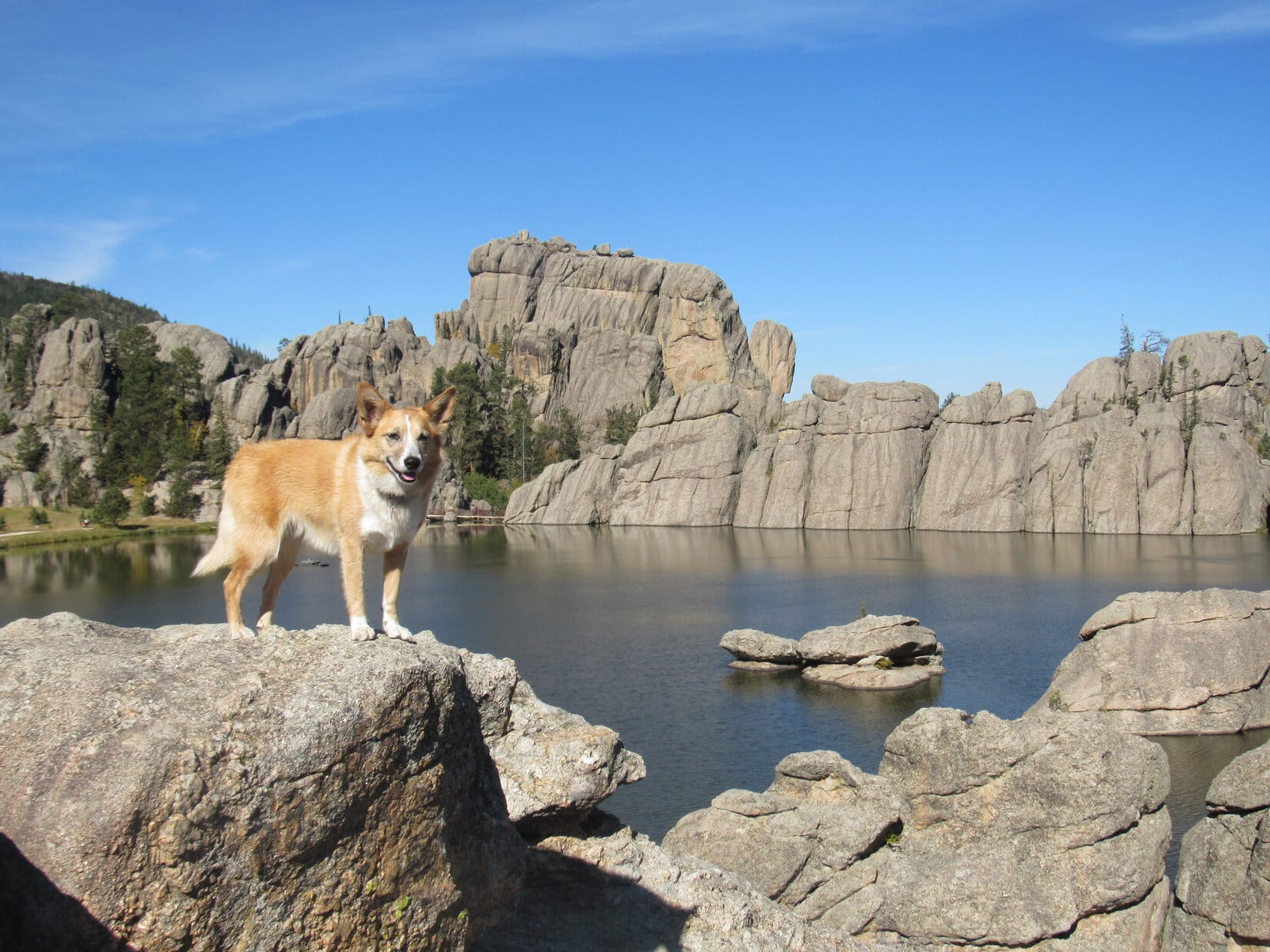
The best views were toward the E and SE into the heart of the Black Elk Wilderness.  This region contains some of the most rugged territory in the Black Hills.  Huge granite formations of Black Elk Peak (7,131 ft.), Peak 6920 and Little Devil’s Tower (6,960 ft.) dominated the landscape.

Black Elk Peak, the highest mountain in South Dakota is beyond Lupe. Large granite formations on the R are part of Peak 6920. Photo looks E.
Peak 6920. SPHP isn’t certain if the summit is in view here or not. Photo looks SE with help from the telephoto lens.
Lupe would soon be going to the E summit of Gap Lode Peak (Center). The route up is from the L. Photo looks E with help from the telephoto lens.

After visiting the W summit, Lupe did not go directly to the E high point.  Instead she went SW out onto a massive granite arm of the mountain.  Deadfall made even this short jaunt time consuming.  Once Loop made it to the exposed granite, though, it was easy to move around and enjoy some pretty spectacular Black Hills views.

At the end of the massive SW arm of Gap Lode Peak. The E high point is in view on the L. Elkhorn Mountain is the nearest of the two distant peaks on the R. Photo looks NE.
Black Elk Peak is beyond Lupe. Peak 6920 is on the R. Photo looks E.
Black Elk Peak from the SW arm of Gap Lode Peak. Photo looks E with help from the telephoto lens.
Bear Mountain (7,166 ft.) is part of the high ridge in the distance L of Center. Saint Elmo Peak is much closer on the R. Photo looks W.

Lupe finished her tour of Gap Lode Peak with a visit to the E high point.  Deadfall once again made the trek difficult despite the relatively short distance.

Lupe nearing the E high point. Photo looks ESE.

Actually getting up on top of the E high point involved a short scramble.  Lupe climbed up unassisted, although the scramble was right on the edge of what she could manage on her own.  Looper did make it to the top, though.  She could now claim her second successful Gap Lode Peak ascent, having once again visited both the E and W summits.

The views from here, of course, were for the most part quite similar to what Looper had already seen from the W high point.

Lupe up on one of the highest rocks at Gap Lode Peak’s E summit. Sylvan Peak is in the distance on the R. Photo looks SSW.
Black Elk Peak (L), Peak 6920 (Center) and Little Devil’s Tower (Lupe’s ear on the R points to it) are all in view. Photo looks ESE.
Looper atop the E high point of Gap Lode Peak. SPHP believes this is the true summit despite what the topo map shows. Photo looks SE.
So I’ve done it, right, SPHP? Made it to both the E & W high points, so now I can claim another successful Gap Lode Peak ascent. …. That’s right, Looper! Great work, puppy! Photo looks SE.

Neither the E nor W summits of Gap Lode Peak are roomy, but there was a small level area up here where Loop could hide in the shade next to the highest rocks.  The Carolina Dog decided she wanted to do that while SPHP admired the views.

Although the topo map shows that the W high point is the true summit, SPHP once again came to the conclusion that the E high point is actually higher.  Admittedly, it’s a close call, but that’s how it appeared.

Sylvan Peak (Center) and the W summit of Gap Lode Peak (R). Photo looks SW.
Bear Mountain (distant ridge at Center) and Saint Elmo Peak (R). The saddle between Gap Lode Peak’s E & W high points is in the foreground. Photo looks W.
Black Elk Peak. Photo looks E with help from the telephoto lens.

After being an eager participant earlier on, Lupe was reluctant to hop up onto any more rocks.  After all, her peakbagging goal was accomplished.  She now preferred relaxing in the shade.  Not until it was getting close to time to leave could she be persuaded to resume her usual cooperation.

I’ve already done this mountain, SPHP. You admitted so yourself only a little while ago. What more do you want? Sheesh! Photo looks N.
OK, OK, how does this look? …. Beautiful, Loop! Always better with a Carolina Dog, you know. Sylvan Peak (L) and the W Summit of Gap Lode Peak (R). Photo looks WSW.

After a leisurely time spent touring the highlights of Gap Lode Peak, Lupe was ready to move on.  She now needed to get back to Lost Cabin Trail No. 2.  SPHP had seen from the E summit that she might be able to take a shortcut, and avoid losing so much elevation.

So after Loop made it back down to the saddle, she gave the potential shortcut a whirl.  Lupe and SPHP plunged down a steep NNE slope in search of a better route E.

Looper still lost a bunch of elevation.  This maneuver looked like it was going to prove to be a complete waste of time.  However, as she neared a wall of rock, a possible saddle could be seen where Lupe might be able to get through.  The saddle was a little higher than where she was at the moment.  The effort of going back up to it was rewarded.  Surprisingly, a narrow passage actually did exist.

Rock formations seen from the saddle between the E and W summits of Gap Lode Peak. These formations are closer to the E summit. Photo looks SE.
Lupe finds a narrow passage to the E. Photo looks WNW.
Hey, what do you know, SPHP? Looks like this is going to work after all. Kind of a cool secret passage! Photo looks NW.

Whether Lupe’s newly discovered secret passage E from Gap Lode Peak really saved any time is debatable.  She certainly avoided losing as much elevation as she would have going all the way back down to Skinny Rock, but she wound up facing a longer than expected trek back to the trail.  The deadfall wasn’t any better on the this route than on the Skinny Rock route, either.  At least there was less snow this way.

At any rate, Loopster eventually did get back to Lost Cabin Trail No. 2.  Although she hadn’t traveled any great distance getting to Gap Lode Peak, hours and hours had gone by.  SPHP had originally foreseen Lupe also visiting Peak 6920 and Black Elk Peak on Expedition No. 226.  The sun would still be up for hours, but Peak 6920 would be another super time-consuming off trail march through deadfall and snow.  Trails go all the way up Black Elk Peak, but the summit was still miles away.

Calling it a day would have been the smart thing to do.  SPHP realized that Peak 6920 had to be dropped from consideration, but maybe Black Elk Peak wasn’t a lost cause yet?  The Carolina Dog seemed energetic and perfectly happy.  Lupe and SPHP continued on Lost Cabin Trail No. 2 intent upon Black Elk Peak.

Pushing on to Black Elk Peak. Photo looks WSW.

On and on along the snowy trail.  A short break was taken in a sunny glade.  Lupe enjoyed a shared chocolate granola bar.  Hitting the trail once again, she came to the Lost Cabin No. 2 spur trail, a shortcut to Trail No. 9 leading to Black Elk Peak.  The spur trail gained elevation slowly following a creek.  There was a lot of minor up and down along the way.

Lupe was nearing Little Devil’s Tower, but she was still far below it.

At the start of the Log Cabin Trail No. 2 spur trail. This was a short cut to Trail No. 9 on the way to Black Elk Peak, so Lupe took it.
Little Devil’s Tower from the Lost Cabin No. 2 spur trail. Photo looks SSE.

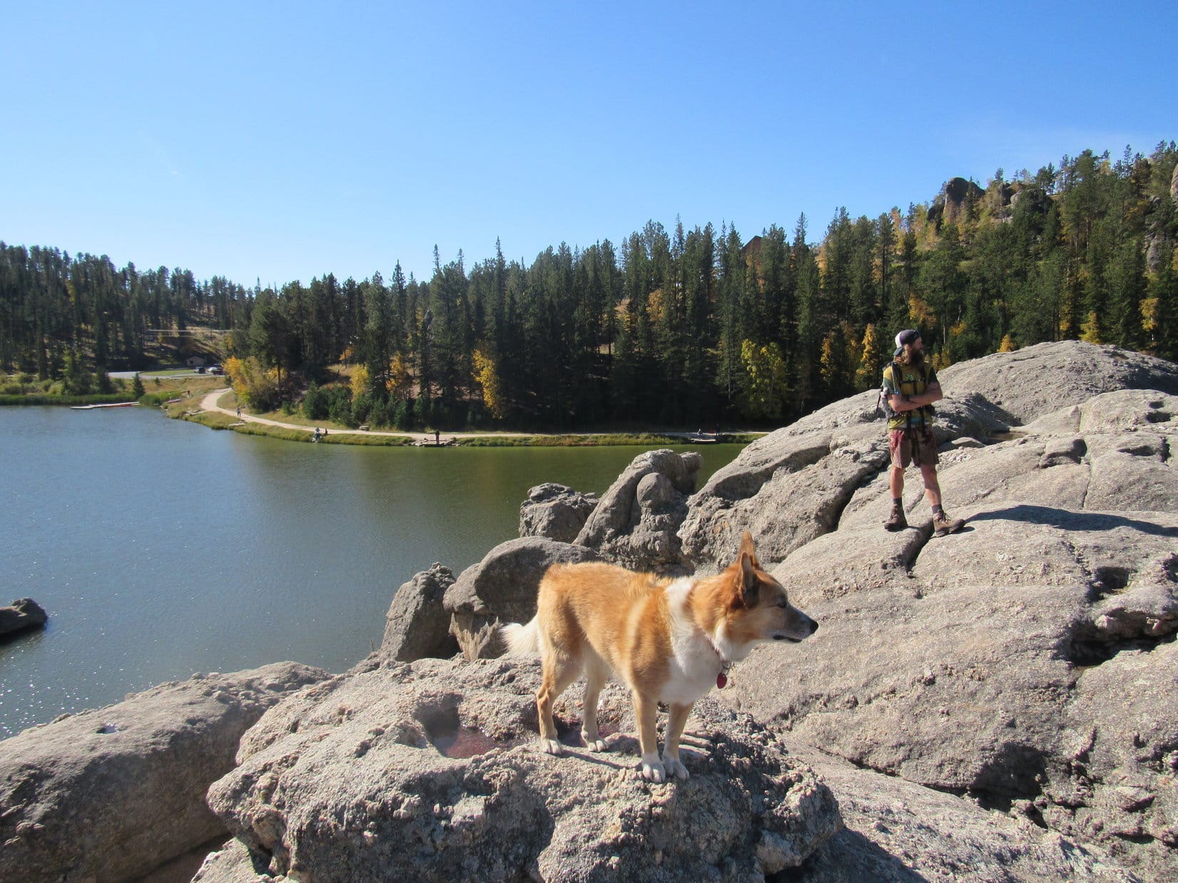
When Lupe finally reached Trail No. 9, she started meeting groups of people on their way down to Sylvan Lake from Black Elk Peak.  These were first people she had encountered all day.  It was getting toward evening, so no one else was on the way up.

Before long, Trail No. 9 was practically deserted, too.  Loop stayed busily engaged watching chipmunks.  SPHP kept trudging higher.  At last, the American Dingo was above Little Devil’s Tower (6,960 ft.) and the Cathedral Spires (6,840 ft.).  Black Elk Peak wasn’t much farther now.

After enjoying chipmunk watching along Trail No. 9, Loopster reaches a view of the Cathedral Spires (R). Photo looks SSW.

Two people were still out on the observation deck of the old Harney Peak lookout tower when Lupe arrived at the summit of recently (2016) renamed Black Elk Peak (7,231 ft.).  Brandon and Nate were rock climbers from Sioux Falls.  The only reason they hadn’t started down yet was that they intended to camp somewhere not too far away.  After a pleasant chat with SPHP, they departed as well.

Lupe left the observation tower, taking a trail from the basement out onto the granite W of the tower.  A cool E breeze was blowing.  SPHP shared the last chocolate granola bar with her.

Out on the granite W of the old Harney Peak lookout tower on Black Elk Peak. Photo looks SE.
Cathedral Spires (R) from Black Elk Peak. Photo looks S.
This was Loop’s 8th ascent of the highest mountain in South Dakota. Photo looks NE.

Lupe had made it all the way to Black Elk Peak, but shadows were lengthening.  She couldn’t stay.  In fact, it would be dark long before she could get back to the Palmer Creek trailhead.  Better get a move on.

On the way back, the American Dingo made a loop, taking Trail No. 9 down to Willow Creek Trail No. 8.  SPHP was thinking this might be a shorter route, but it had been a long time since Lupe had last been this way.  Trail No. 9 stayed high much farther than SPHP remembered.

The scenery was beautiful, but Loop didn’t have time to dilly dally.  It was a race against time and fading light.

On snowy Trail No. 9 on the way down to the Willow Creek trailhead.
Looking back at the lookout tower on Black Elk Peak. Photo looks SW.
Nearing Elkhorn Mountain prior to sunset. Photo looks NE.

Night won.  Two miles before Lupe reached the Willow Creek trailhead, SPHP had to bring out the flashlight.  After a short rest, Lupe trotted on, alert and uncomplaining, beneath silvery stars and a bright half moon.  (End – 10:25 PM, 38°F)

On Gap Lode Peak, 4-22-18

Links:

Next Black Hills Expedition                   Prior Black Hills Expedition

Want more Lupe adventures?  Check out her Black Hills, SD & WY Expeditions Adventure Index, Master Adventure Index, or subscribe free to new Lupe adventures!

Black Hills, SD Expedition No. 208 – Little Devil’s Tower & Black Elk Peak with Australian Adventurer Luke Hall (9-26-17)

Start: Hwy 87/89, 0.25 mile NW of Sylvan Lake Lodge, 9:46 AM, 46°F

Wonder of wonders!  Australian adventurer Luke Hall was actually here – in Lupe’s Black Hills of South Dakota!  He’d arrived yesterday afternoon only a few weeks from the end of a 6 month trip exploring the western United States.

During his recent travels, Luke had scrambled up many notable mountain peaks, including Mt. Whitney (14,498 ft.) in California and Mt. Elbert (14,433 ft.) in Colorado, the two highest mountains in the lower 48 states.  He’d spent a lot of time along the Pacific coast, and visited a great many national parks – Yosemite, Death Valley, Sequoia, King’s Canyon, Grand Canyon, Zion, Bryce, Mesa Verde, Mt. St. Helens, Mt. Rainier, Rocky Mountain – the list went on and on.

Surfing, swimming, backpacking, mountain biking, climbing – Luke had been a busy guy in 2017, but that was perfectly normal for him.  In previous years, he’d explored western Canada, 10 different countries in South America, wandered through much of Europe, and toured Morocco and Egypt.  He spent 2 years living and working in London, England, and another 2 years in Banff, Canada.  Maybe it wasn’t so surprising that Luke had finally landed in the remote Black Hills of South Dakota after all?  He did get around!

Fittingly enough, Lupe and SPHP had first met Luke Hall over a year ago on Gunsight Mountain (6,441 ft.) in Alaska.  Now Luke was here to join Lupe on one of her Black Hills, SD expeditions.  He had already dropped by Mt. Rushmore (5,725 ft.) on his way in, so Black Elk Peak (7,231 ft.), the highest mountain in South Dakota, seemed like a good destination.  For Luke it would be an easy day, but maybe he wouldn’t mind dialing it down a notch after 5+ solid months of more strenuous adventures?

It was a lovely bright, clear day as Lupe, Luke and SPHP set out.  First stop along the way was Sylvan Lake.

Lupe and Luke together again in the Black Hills for the first time since meeting over a year ago on Gunsight Mountain (6,441 ft.) in Alaska. Black Elk Peak, the highest mountain in South Dakota was today’s ultimate destination. Photo looks E.
Only 10 or 15 minutes after setting out, Luke and Lupe reach the NW shore of Sylvan Lake.
The small dam creating Sylvan Lake, which features a short walkway with a railing, is seen beyond Luke. Photo looks N.
Looking NE across the lake.
A few ducks were out on the calm water.

After a look at Sylvan Lake from the NW shore, Lupe, Luke & SPHP followed a trail that goes all the way around the lake back down below the dam.  Lupe led Luke around to the NE & E sides of the lake.

Looking SW from the rock formations along the N shore.
Sylvan Lake is located at the far NW corner of Custer State Park. Though small, the lake nestles among scenic granite formations.  It’s a popular destination for tourists and locals alike with a swimming beach and picnic ground.  Paddle boat rentals, a convenience store and Sylvan Lake Lodge are all nearby. Photo looks W.
Lupe showing her buddy Luke around Sylvan Lake. Photo looks WNW.
Loopster and Luke on a large granite formation that extends out into Sylvan Lake from the E shore. Photo looks SW.
Looking NNW at the N half of Sylvan Lake.

Trail No. 9 from Sylvan Lake is the most direct and popular route to Black Elk Peak, but Lupe had another trail in mind.  She led Luke past the picnic ground at the SE end of the lake, and took Trail No. 4 to the Little Devil’s Tower trailhead instead.

Taking Trail No. 4 was a longer route to Black Elk Peak, but had the advantage of giving Luke a chance to climb Little Devil’s Tower (6,960 ft.) along the way, and get a close look at the Cathedral Spires (6,840 ft.), too.

Luke & Lupe along Trail No. 4 to Little Devil’s Tower.
A 0.25 mile long spur trail off Trail No. 4 leads to the summit of Little Devil’s Tower. Here Lupe is near the spur trail with a view of the Cathedral Spires. Photo looks E.
Luke & Looper on the way to Little Devil’s Tower. Cathedral Spires in the background. Photo looks E.

A 0.25 mile long spur trail leads from Trail No. 4 to the summit of Little Devil’s Tower.  The end of the route involves a quick, easy scramble up the granite.  Even small children can make it with a little supervision and an occasional boost.

Luke & Loop nearing the top of Little Devil’s Tower. Photo looks N.

Luke, Lupe and SPHP quickly arrived at the summit of Little Devil’s Tower (6,960 ft.).  There were cliffs around, especially to the N, but they were of no concern.  Although a bit rough, the uneven granite summit area is quite roomy.

The 360° views from Little Devil’s Tower are among the best in the Black Hills, with Black Elk Peak (7,231 ft.) to the NNW and the Cathedral Spires (6,840 ft.) to the SE being the most eye-catching.

Luke and Loopster arrive at the uneven granite summit of Little Devil’s Tower. Photo looks ESE.
Another view with some of the Cathedral Spires (also known as the Needles) in the background. Photo looks ESE.
Lupe with the Cathedral Spires in the background. This was Lupe’s 5th ascent of Little Devil’s Tower. Photo looks SE.
Although the day had started out clear and bright, quite a few clouds were around by the time Lupe reached the top of Little Devil’s Tower. A chill breeze was blowing out of the S, too. Photo looks SE.
Looking NNW toward Black Elk Peak. For those with insufficient time to climb Black Elk Peak, the shorter trip on Trail No. 4 up to the top of Little Devil’s Tower can provide similarly striking views of the Black Hills.
Sylvan Hill (7,000 ft.) is the long ridge 2.5 miles away with the high point poking up just R of Center. Photo looks WSW.

At first, no one else was around up on Little Devil’s Tower.  It wasn’t long, though, before a couple appeared.  Bryan and Rene Jobo from Franklin, Tennessee joined Lupe, Luke and SPHP at the summit.

Rene and Bryan were on vacation in the Black Hills, and apparently having a good time relaxing and hitting some of the area’s highlights.  Bryan, Rene, Luke and SPHP were soon chatting pleasantly.  Lupe got involved posing for photos.

Australian adventurer Luke Hall poses with Bryan & Rene Jobo from Franklin, TN up on Little Devil’s Tower. Photo looks SE.
Despite a cool SW breeze, Lupe wasn’t about to get left out. Here she poses with Bryan & Rene, too.
In addition to posing with an American Dingo up on Little Devil’s Tower while in the Black Hills, Bryan & Rene were looking forward to attending the Custer State Park annual buffalo roundup in a couple more days. Lupe would have loved to go to help herd buffalo around, too. Unfortunately, SPHP never seems to think that a huge buffalo herd will appreciate a noisy Dingo, so Lupe has never gotten to go.

Bryan and Rene stayed chatting with Luke and SPHP for a while, but didn’t have time to accompany Lupe all the way to Black Elk Peak.  They had other adventures in mind to press on toward.  Soon after Bryan and Rene said good-bye; Luke, Lupe and SPHP resumed the trek to Black Elk Peak.

Luke near the Cathedral Spires on the way back to Trail No. 4 to resume the trek to Black Elk Peak. Photo looks E.

Trail No. 4 went N past some of the Cathedral Spires, and eventually linked up with a short section of Trail No. 3, which led in turn to Trail No. 9.  Near the end of a spur trail off Trail No. 9, a metal stairway hidden in a narrow opening in the granite spiraled up to a rock stairway leading to the old fire lookout tower on Black Elk Peak (7,231 ft.).

Luke reaches the old fire lookout tower at the summit of Black Elk Peak. Photo looks N.
Until August 11, 2016 when the U.S. Board of Geographic Names voted unanimously in favor of the name Black Elk Peak, the highest mountain in South Dakota had been known as Harney Peak. Luke poses by a plaque at the lookout tower which has not been updated yet.  In May, 2015, the South Dakota State Board of Geographic Names had proposed renaming the mountain Hinhan Kaga (Making of Owls), but that recommendation was never enacted.  Lupe would have preferred Squirrel Mountain, or at least Chipmunk Mountain, but, oh well!
Looking ENE from the Black Elk Peak summit. The most distant big square block of granite at Center is the back side of Mt. Rushmore.

Upon arrival at South Dakota’s highest point, Luke, Lupe and SPHP spent a few minutes out on the fire lookout tower’s W facing observation deck taking in the views.  The wind had shifted to the NW by now, though, and was even colder than at Little Devil’s Tower.

View to the NNW from the fire lookout tower observation deck on Black Elk Peak.

Even Lupe was soon ready to retreat back into the lookout tower.  The tower wasn’t very large inside, but Luke enjoyed exploring the winding passage down to the basement.  An open doorway led out to a massive granite shoulder of the mountain immediately W of the tower.  Everyone enjoyed a break in the shelter of a few pines growing out of the rock.

After snacks and water, it was time for photos from various points on the granite near the lookout tower.

Luke and Lupe NW of the fire lookout tower. The tower was last staffed in 1967. Made of stone, it has held up remarkably well during the ensuing 50 years, despite the efforts of any huffing and puffing big, bad Dingoes. Photo looks SE.
Luke & Lupe up on rocks N of the tower. Photo looks NE.
Adventure buddies Lupe and Luke
Lupe on Black Elk Peak. This was her 7th visit to the mountain. Her last visit was over 2 years ago on 9-7-15. Back then the mountain was still officially Harney Peak, as it had been since 1896. Photo looks W.
Helicopters giving tours of the Mt. Rushmore area often make a pass around Black Elk Peak. Lupe loves barking at helicopters! She’s spotted one now!
The view to the SE.
Cathedral Spires (L) and Little Devil’s Tower (R) are in view beyond Lupe & Luke. Photo looks S.
Black Elk Peak was Luke’s 3rd US State high point after Mt. Whitney in California and Mt. Elbert in Colorado. Photo looks S.

All too soon, it was time to depart.  On the way back to the G6, Lupe, Luke and SPHP followed Trail No. 9 all way to Sylvan Lake.  The sun was sinking, but down out of the wind the evening was pleasant.

Starting down. Sylvan Hill is seen in the distance. Photo looks SW.
On Trail No. 9 before the junction leading to Little Devil’s Tower (R). On the return trip Luke & Lupe stuck with Trail No. 9 all the way, the most direct route back to Sylvan Lake. Photo looks SSW.
Little Devil’s Tower from Trail No. 9. Luke & Loopster had been up there only a few hours ago! Photo looks SW.
A view to the NW from Trail No. 9.
Loop & Luke at the last big viewpoint along Trail No. 9 on the way to Sylvan Lake. Photo looks NNE.
Australian adventurer extraordinaire Luke Hall presents the Black Hills of South Dakota!
Looper takes a break on a lovely bench provided by the Highpointers Foundation. This bench is along Trail No. 9 at the first good viewpoint toward Black Elk Peak (formerly Harney Peak) on the way up from Sylvan Lake.

The light was fading fast by the time Lupe reached the G6 again at 6:45 PM (upper 50’s °F).  Climbing mountains with Luke, and getting to show off her Black Hills home territory had been great fun!

The fun wasn’t over yet, though.  There would be pizza and beer with Luke at home.  (What, no beer for the faithful, peakbagging Carolina Dog!?  No fair!)  Even better, Luke was sticking around for a while.  Another adventure was in store tomorrow.

It just doesn’t get any better than that!

Adventurer Luke Hall originally hails from Sydney, Australia. Lupe & SPHP were thrilled that he took the time to come pay a visit to the beautiful Black Hills of western South Dakota!
Adventuring buddies Luke & Lupe on Black Elk Peak, 9-26-17

Links:

Next Black Hills Expedition                  Prior Black Hills Expedition

Badlands National Park, South Dakota with Australian Adventurer Luke Hall (9-27-17)

Gunsight Mountain, Talkeetna Range, Alaska (8-23-16)

Luke Hall’s travel & adventure blog

Want more Lupe adventures?  Check out her Black Hills, SD & WY Expeditions Adventure Index, Master Adventure Index, or subscribe free to new Lupe adventures!