
A brief review of Lupe’s Black Hills, SD & WY Expeditions during 2013 for which insufficient photos were available to facilitate the development of full individual posts, as further explained in The Early Years: 2012.
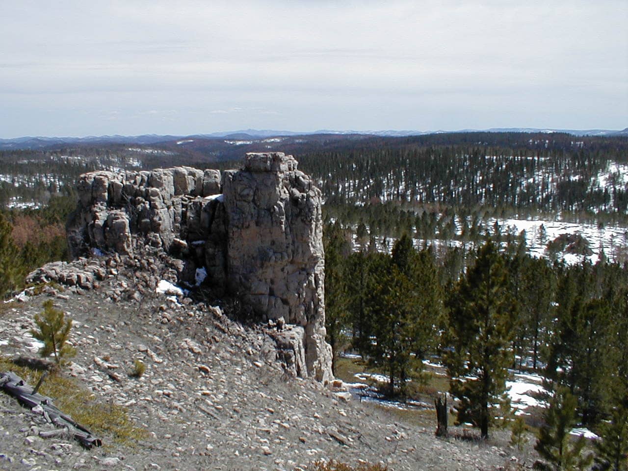
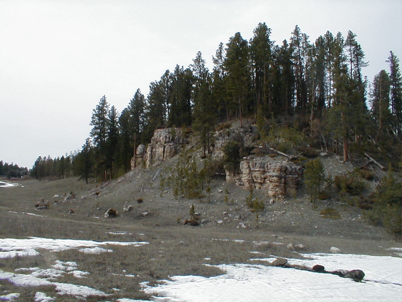
Expedition No. 42 – False North Point (1-1-13)
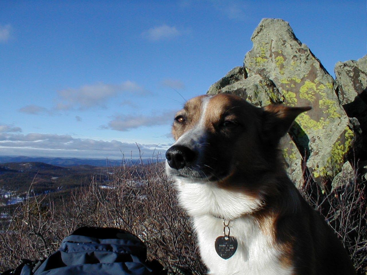
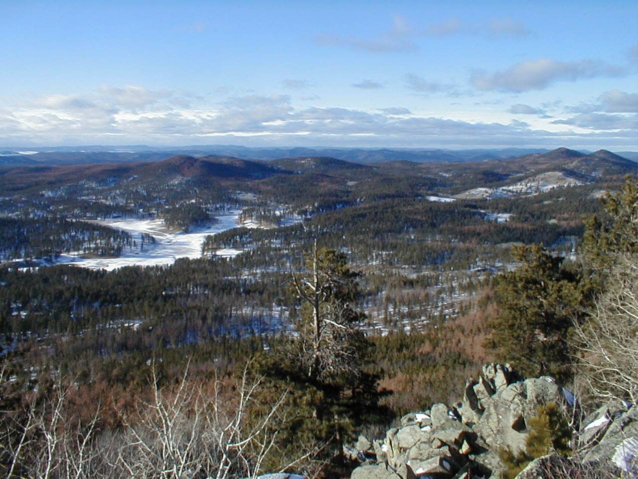
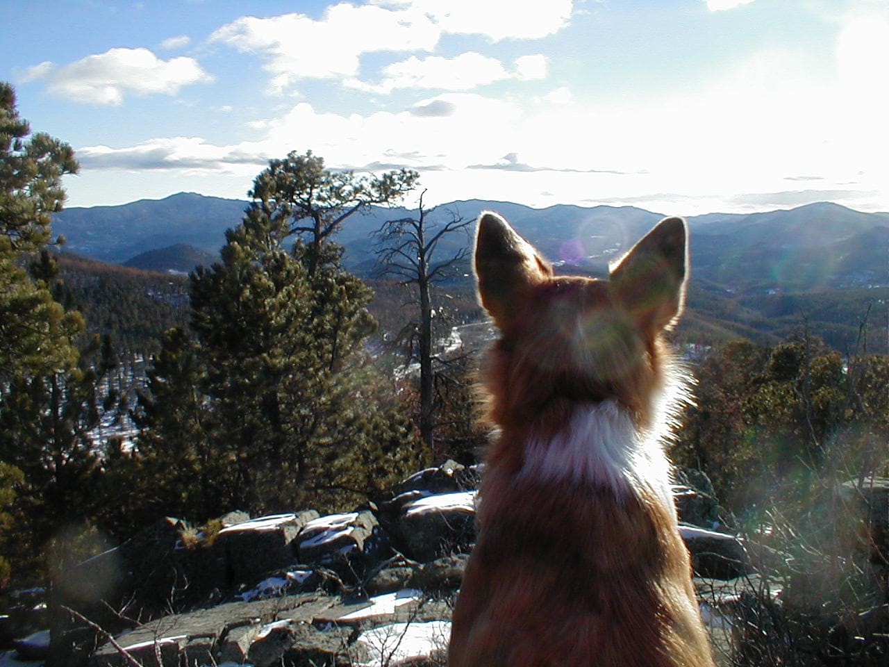
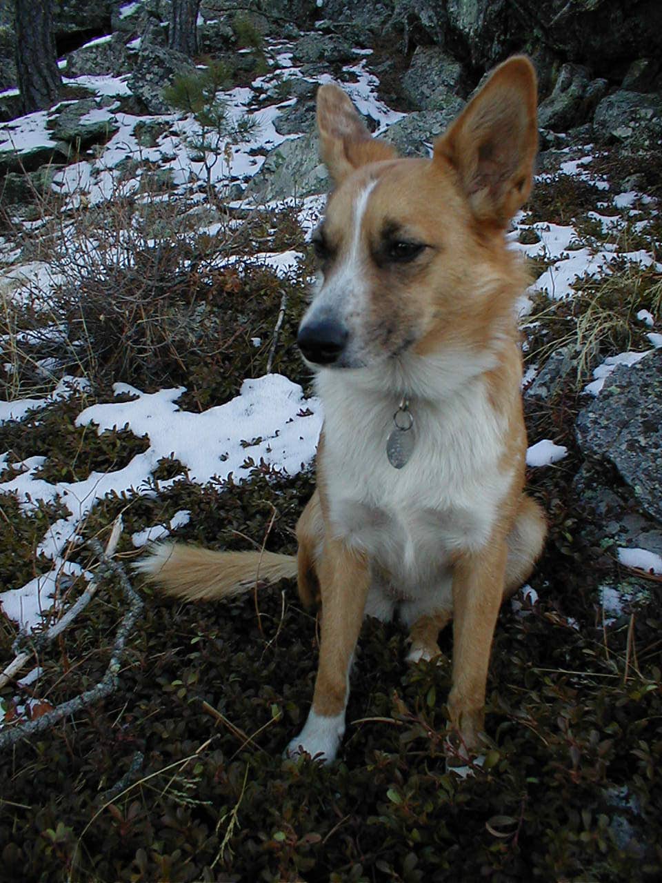
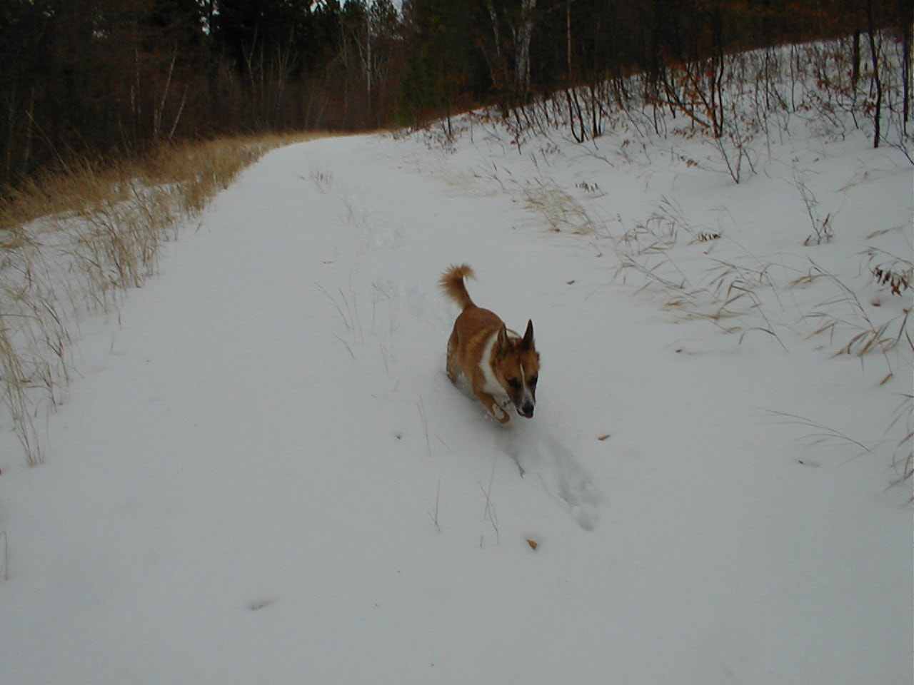
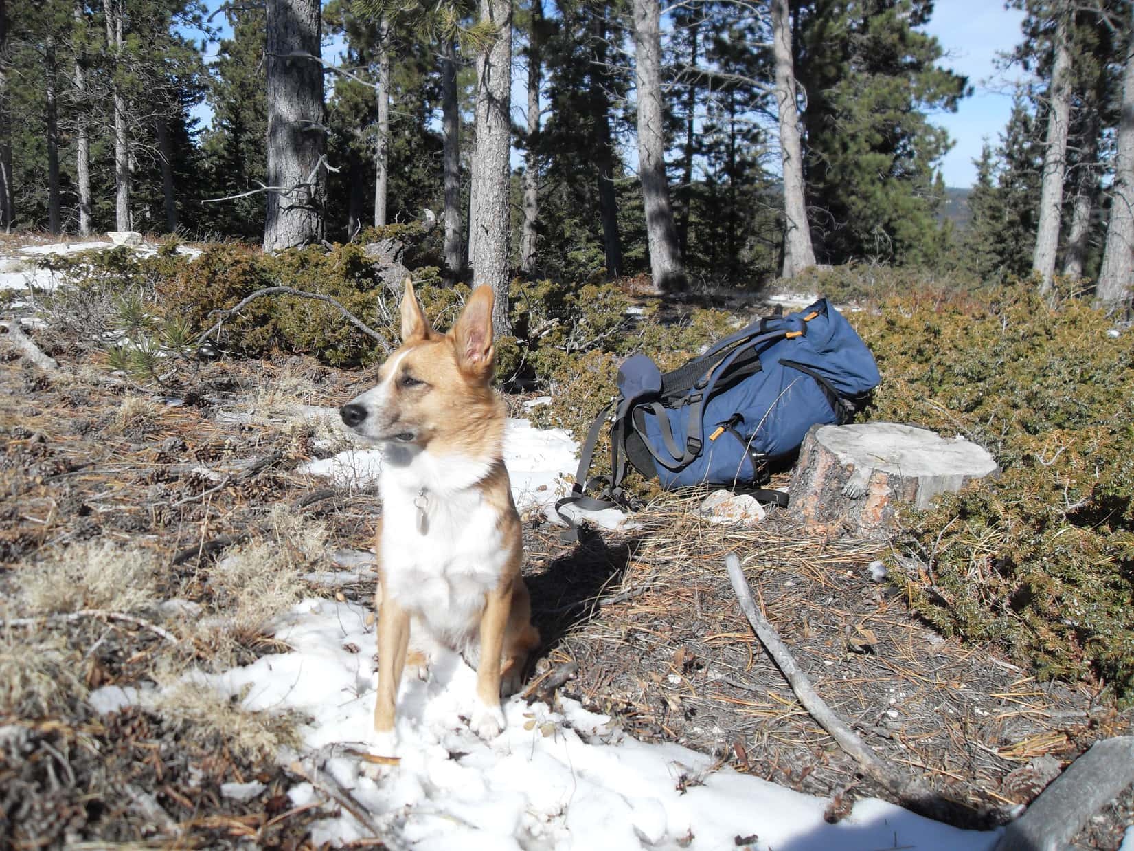
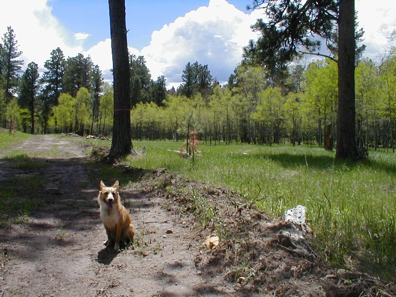
2013 got off to a great start with a New Year’s Day expedition! Starting from Horse Creek Road, Lupe explored USFS Road No. 669 intent upon climbing Five Points (6,221 ft.). She didn’t get there, but the Carolina Dog did make it up False North Point (6,130 ft.). The views from the rocky summit were terrific!


Expedition No. 43 – Five Points (1-6-13)
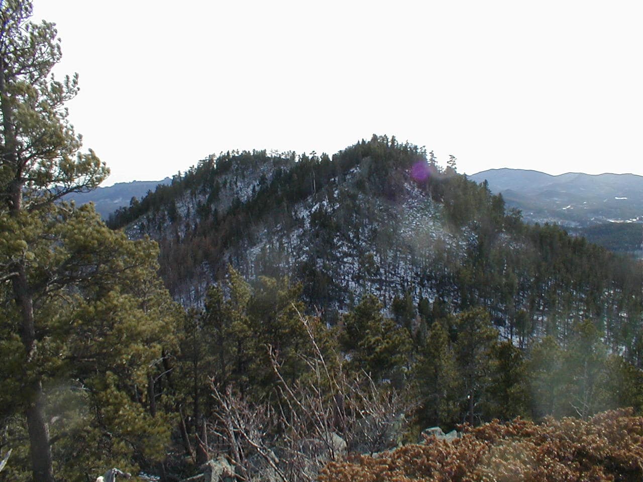
Failing to reach Five Points (6,221 ft.) on New Year’s Day, Lupe returned to the same area on Expedition No. 43 only 5 days later. This time she did climb the 3 highest points of Five Points, but in a camera fiasco later on, SPHP accidentally deleted nearly all the photos. Sheesh!
Expedition No. 44 – Minnesota Ridge (1-27-13) No photos! A pleasant, but unspectacular trek along USFS Road No. 204 to Minnesota Ridge, which encompasses a large region. Lupe did not even attempt to find the summit, instead enjoying a long romp through snow-filled forests and fields.
Expedition No. 45 – Rolling Hills (2-3-13) No photos! A quiet, snowy day wandering NE of the Rolling Hills subdivision off Nemo Road.
Expedition No. 46 – Erskine Gulch & Steamboat Rock (2-9-13) No photos! Lupe explored the Erskine Gulch area clear up to USFS Road No. 144 E of Nemo. Late in the day, the American Dingo nearly reached the top of Steamboat Rock (5,081 ft.), but was stymied by an unbroken line of limestone cliffs along the N, W & S sides.
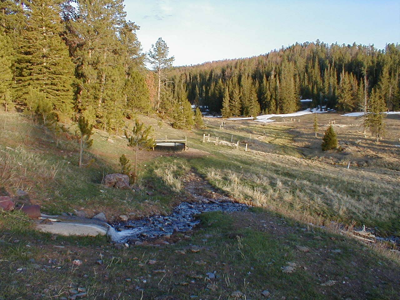
Expedition No. 47 – Stagebarn Canyon (2-16-13)

Starting from a snowy road in Stagebarn Canyon, Lupe managed to find a way to climb out of the canyon. She then made a big loop exploring the ridges on both sides.


Expedition No. 48 – Nugget Gulch, Silver Peak & Spaw Gulch (2-23-13)
Starting from the end of Horse Creek Road, Lupe went through Nugget Gulch, climbed both Peak 5732 and Silver Peak (5,810 ft.), wandered clear down to Rapid Creek and Slate Creek via Stewart Gulch, and finally returned by way of Spaw Gulch. Whew! A big day for sure!

Expedition No. 49 – Wonderland Cave region (3-3-13)
After driving to the NW end of USFS Road No. 203 in the central Black Hills, SPHP realized there was way too much snow for Lupe to continue her explorations of Minnesota Ridge (6,240 ft.).
With no definite Plan B in mind, by chance Lupe eventually wound up exploring an entirely different region. Taking a spur of Centennial Trail No. 89 from Bethlehem Cave Road, the Carolina Dog climbed way up into the hills where she followed various USFS Roads and ATV trails to the Wonderland Cave area. Although a lot lower than Minnesota Ridge, plenty of snow even around here!
Expedition No. 50 – Coon Hollow (3-10-13)

From the Coon Hollow trailhead near Rockerville, Lupe explored Flume Trail No. 50 from the E. (She’d already explored the W half way back on Expedition No. 19.) A howling coyote that Lupe actually saw was the big highlight of the day, and a minor, bloody paw injury, the lowlight.
Expedition No. 51 – Minnesota Ridge & Gimlet Creek (3-14-13)
Lupe made a giant loop wandering various USFS Roads. Starting from the NW end of Minnesota Ridge (6,240 ft.) she took USFS Road No. 203 heading SE. The Carolina Dog eventually explored No. 203.1E and No. 204.1F. A huge white and gray rabbit led her on 2 merry chases through the forest on the way down to Rochford Road and the Mickelson Trail along Rapid Creek.


The adventure ended with a scenic trek up the Gimlet Creek valley, and an unnecessarily long trudge back due to SPHP’s navigation errors.

Expedition No. 52 – South of Neck Yoke Road (3-22-13)
With snow predicted up in the Black Hills, Lupe explored territory along the lower E edge of the hills S of Neck Yoke Road. Expecting a forested trek along USFS Roads No. 686 and 641.1A, Lupe instead came to lots of open ground where the trees had burned years ago. Surprisingly nice views on a day when none were anticipated!
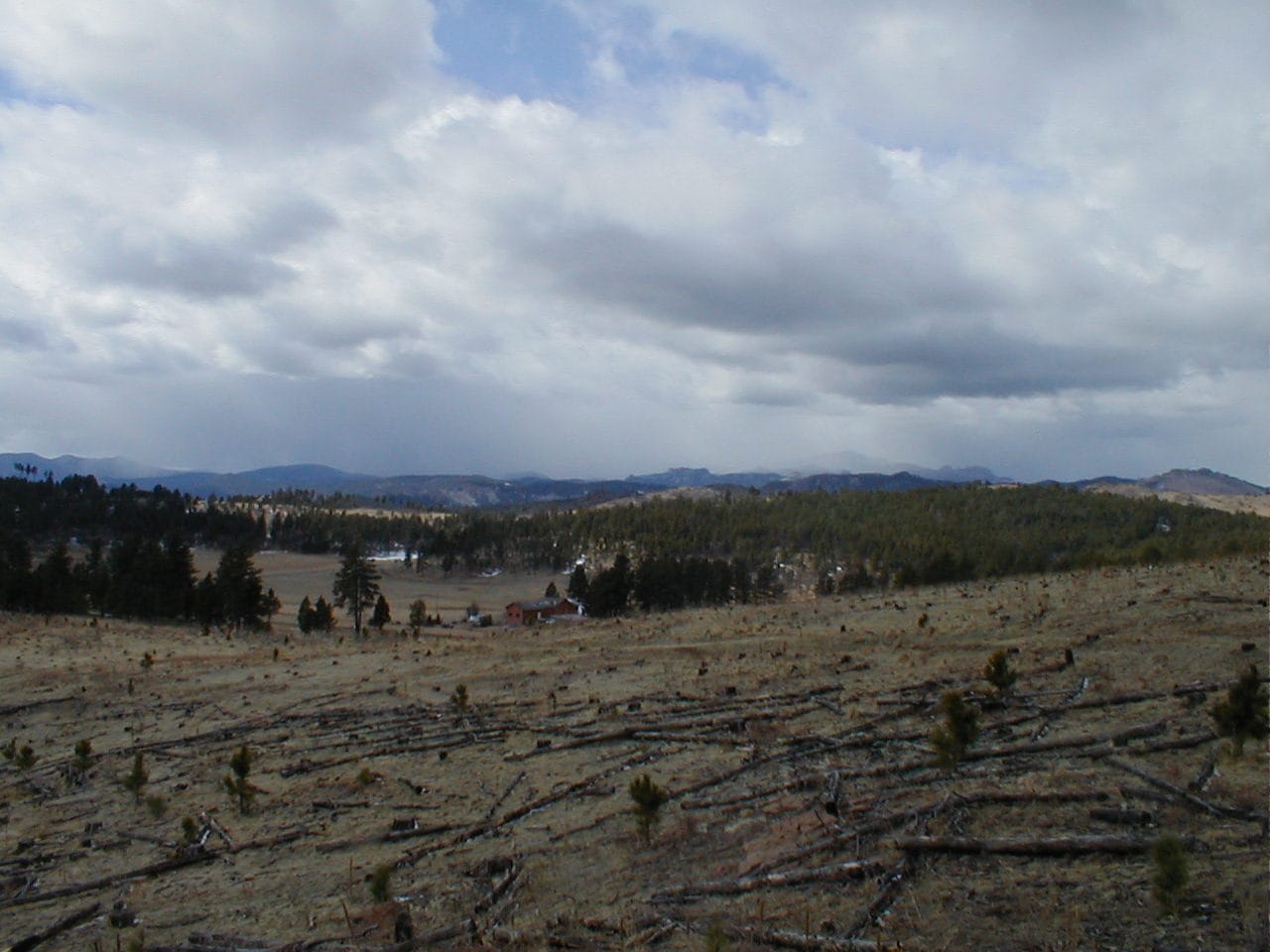
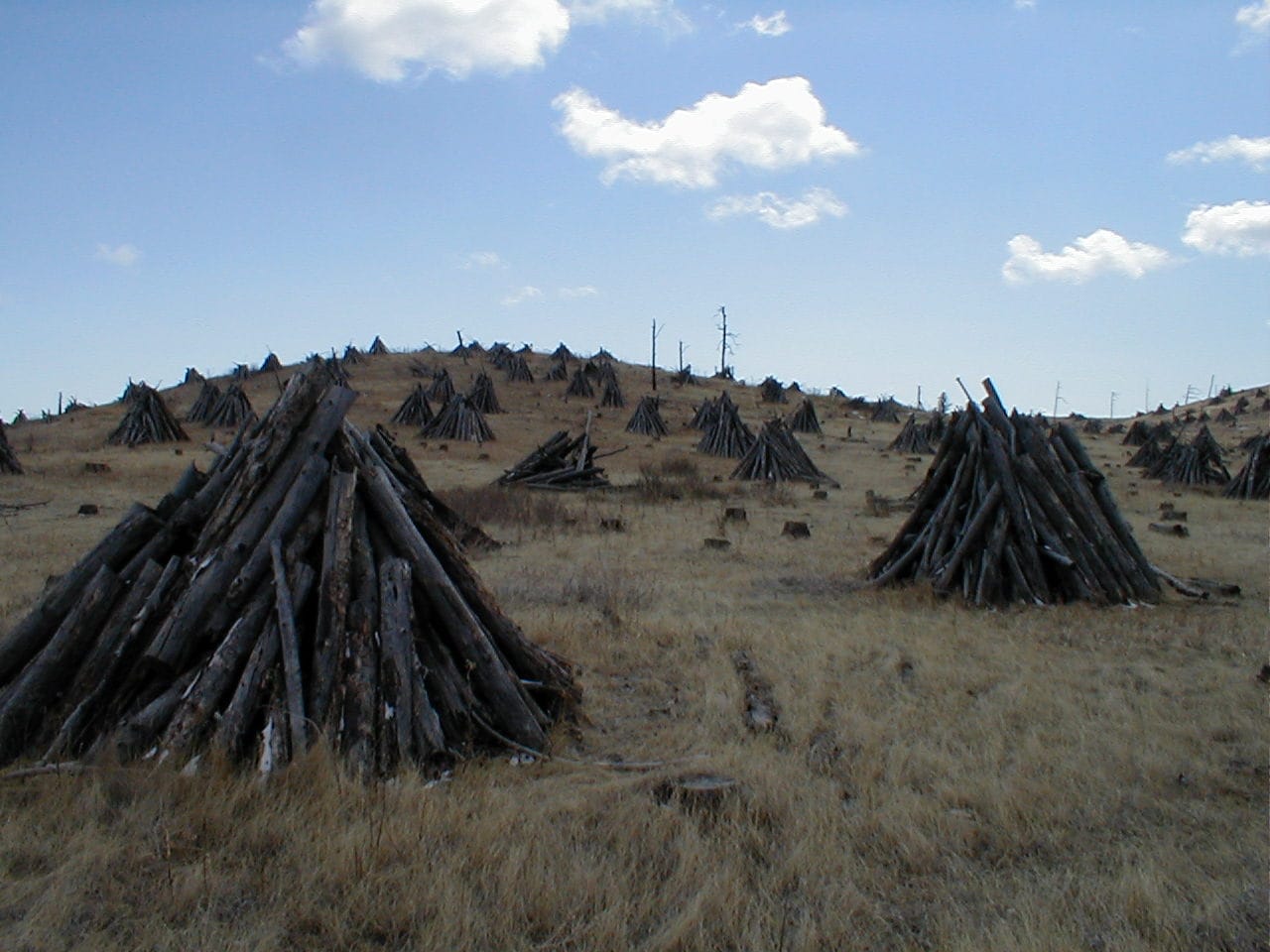
The views disappeared as snow squalls moved in, cutting this adventure short.


Expedition No. 53 – Friday Gulch & Slate Creek (3-29-13)
Starting from a junction with Horse Creek Road, Lupe took USFS Road No. 243 SW up a long valley. Going over a ridge at the upper end, she wandered W and N for hours along a maze of marked and unmarked USFS Roads. Along the way, Lupe visited Friday Gulch, the pond at the Slate Creek dam, and followed Slate Creek downstream for a while. The return was a tiring one over a series of ridges.


Expedition No. 54 – Lowden Mountain (4-6-13)

Expedition No. 54 began at Newton Lake along Deerfield Road. From here, Lupe climbed Lowden Mountain (6,055 ft.). She then roamed N all the way to Slate Creek. Following Slate Creek NE, Lupe turned S on USFS Road No. 530.1A, making a big loop in the region W of where she had been on Expedition No. 53.

Turning W off Burnt Fork Road, Lupe came to a square pond. NW of the pond she discovered the site of the old Gold Mountain mine.


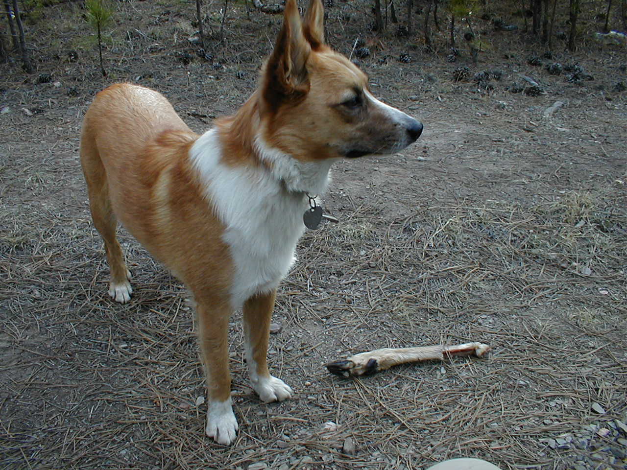
Lowden Mountain was only 0.7 mile SW of the Gold Mountain mine, so Lupe climbed it a second time. On the way, the Carolina Dog discovered a real treasure, a piece of some unfortunate deer’s leg. She carried it for quite a while before finally losing interest.
Expedition No. 55 – Return to Coon Hollow

Such a short jaunt that it barely met minimum Dingo standards for a Black Hills expedition! But cousin Dusty and Uncle Joe were here from Colorado, and they greatly enjoyed the solitude and easy trek on Flume Trail No. 50 to Air Force Vista Point. Fun for Lupe and SPHP to have some company for a change, too!
Expedition No. 56 – 2K Mountain (4-27-13)

Expedition No. 56 sure made up for any “lightness” on No. 55! Starting from SE of Custer Peak (6,804 ft.), Lupe made a long circuitous journey all the way to 2K Mountain (Peak 6701) many miles SW. On the way, the American Dingo explored USFS Roads No. 216 and No. 206.1A.


Both coming and going, Lupe passed a friendly brown and white horse that whinnied in dismay each time she left it behind.

Although it was late April, there was snow. Oh, boy, was there ever snow! Lupe leapt through drifts 2, 3, and even 4 feet deep on several long off-road stretches.

During the return Lupe discovered the source of Buskala Creek, and went on to visit Gudak Gulch. Nearly 11 hours round trip, but Lupe came through it all looking good!

Expedition No. 57 – Clayton Pond (5-4-13)
May! Plenty of daylight facilitating another very long expedition. Lupe roamed for 11+ hours on Expedition No. 57. Starting much farther W this time from the intersection of USFS Roads No. 206 and No. 206.1A, the Carolina Dog explored a huge region E, N and W of 2K Mountain. Her travels eventually brought her to Clayton Pond, where she saw ducks and relaxed while frogs sang, and to Yellowjacket Spring where she got chased by a possibly rabid skunk!


Expedition No. 58 – Swede Gulch, Tillson Creek & Crooks Tower (5-11-13)
As the days kept getting longer, so did Lupe’s expeditions! From Nahant, Lupe roamed up Swede Gulch following a use trail along Tillson Creek. Swede Gulch eventually broadened out, essentially vanishing at the edge of a huge field. Lupe explored part of the field before venturing W through untracked forest.

The Carolina Dog made it all the way to Crooks Tower (7,137 ft.) before having to turn back. Something like 25 miles round trip in all for SPHP. Lupe must have run 100!

Expedition No. 59 – Black Fox & Crooks Tower (5-18-13)

A week after her 3rd ascent of Crooks Tower, Lupe climbed it again! This time the American Dingo started from USFS Road No. 234 near the upper end of Swede Gulch. Taking No. 234 across Tillson Creek, Lupe roamed S, eventually coming to the South Fork of Rapid Creek near the Black Fox campground.

Heading up the Rhoades Fork valley, Lupe took USFS Road No. 233.2D up Beaver Draw. She eventually wound up on No. 189, which she followed to Crooks Tower. Upon departure, Lupe went N from Crooks Tower back to the same viewpoint she’d been to on Expedition No. 58.

With all the miscellaneous off-road wandering the American Dingo did, Expedition No. 59 was once again over 11 hours long. Would have been 12 hours, if SPHP hadn’t hitched a ride from Besant Park for the last mile or two back to the G6.

Expedition No. 60 – Bell Park Cemetery, White Tail Peak & the North Fork of Castle Creek
Starting from the Bell Park Cemetery SW of Rochford, Lupe headed W for White Tail Peak (6,962 ft.), passing S of the Merry-Go-Round Camp region on the way. Her first attempt to get above the limestone cliffs along the upper rim of White Tail Peak was nearly successful, but she was ultimately forced to retreat.
No problem! USFS Road No. 190 got the Carolina Dog up to the summit plateau easily enough, and Lupe was then able to traipse S along an ATV trail to the true summit, which proved to be a small, nearly flat clearing in the woods. Continuing SE on the ATV trail soon got her to fabulous views near the end of White Tail Peak’s shortest SE ridge.

Lupe rested for a while at the viewpoint before returning to the summit. From there, she circled around first to the W, then S, down into the big valley that’s the source of the North Fork of Castle Creek.

Expedition No. 61 – Roughlock Falls & Old Baldy Mountain (6-2-13) Full post!
Expedition No. 62 – Cement Ridge (6-8-13) Full post!
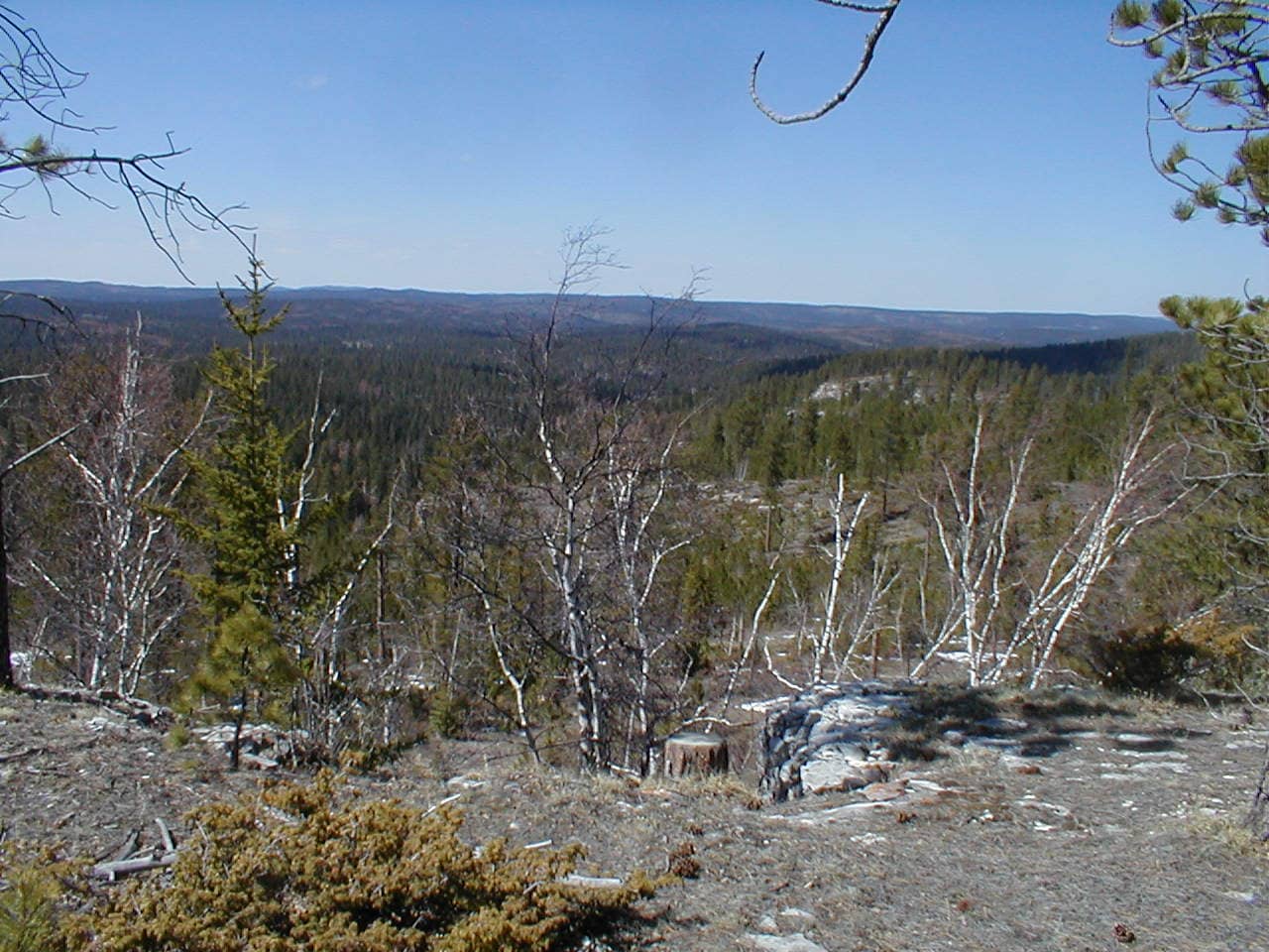
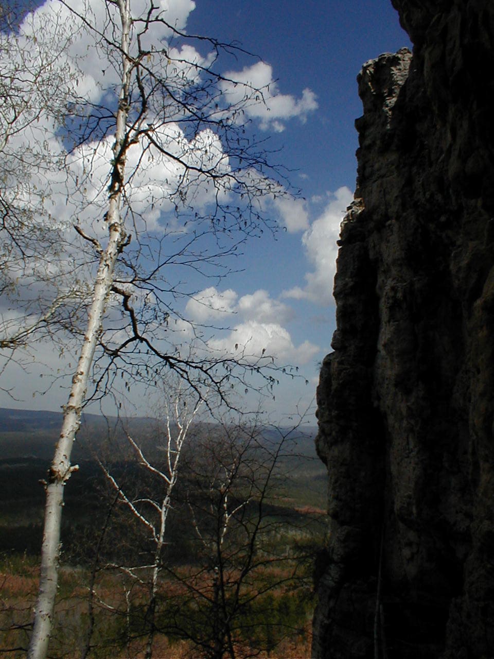
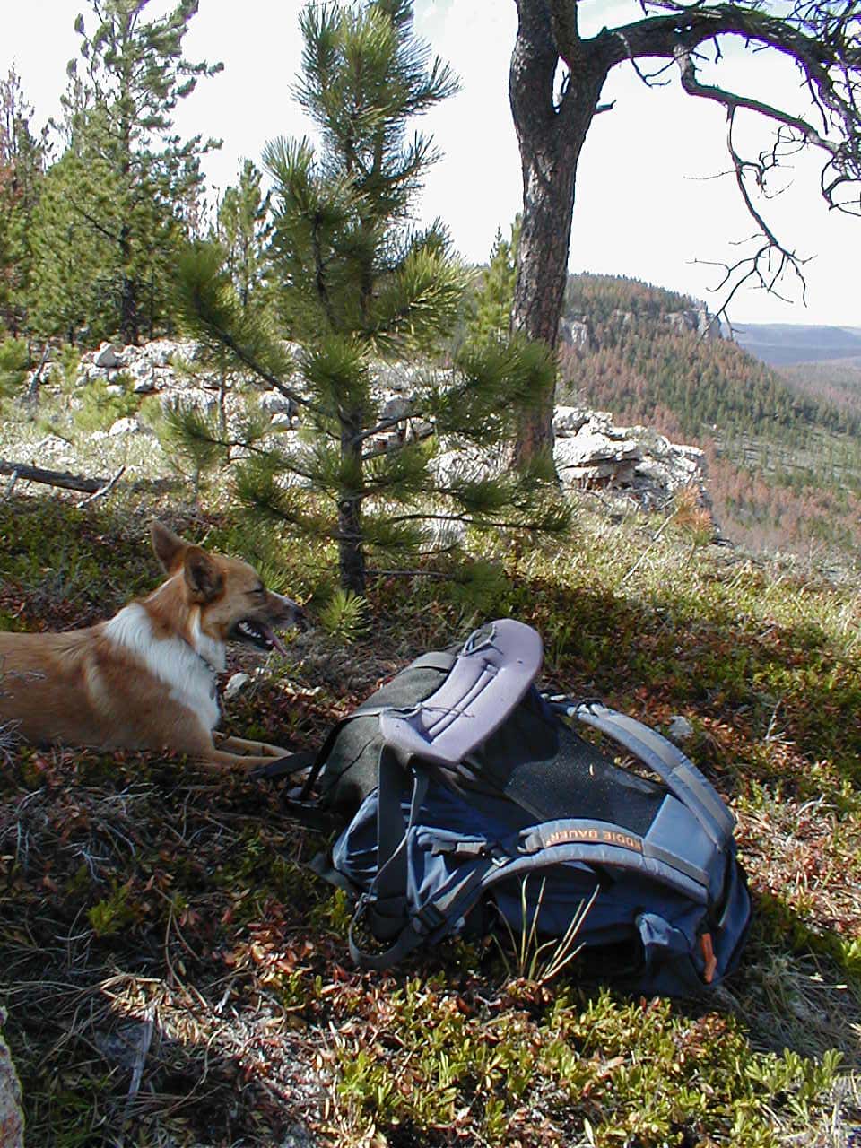
Expedition No. 63 – Upper West Hell Canyon & Wildcat Draw (6-15-13)
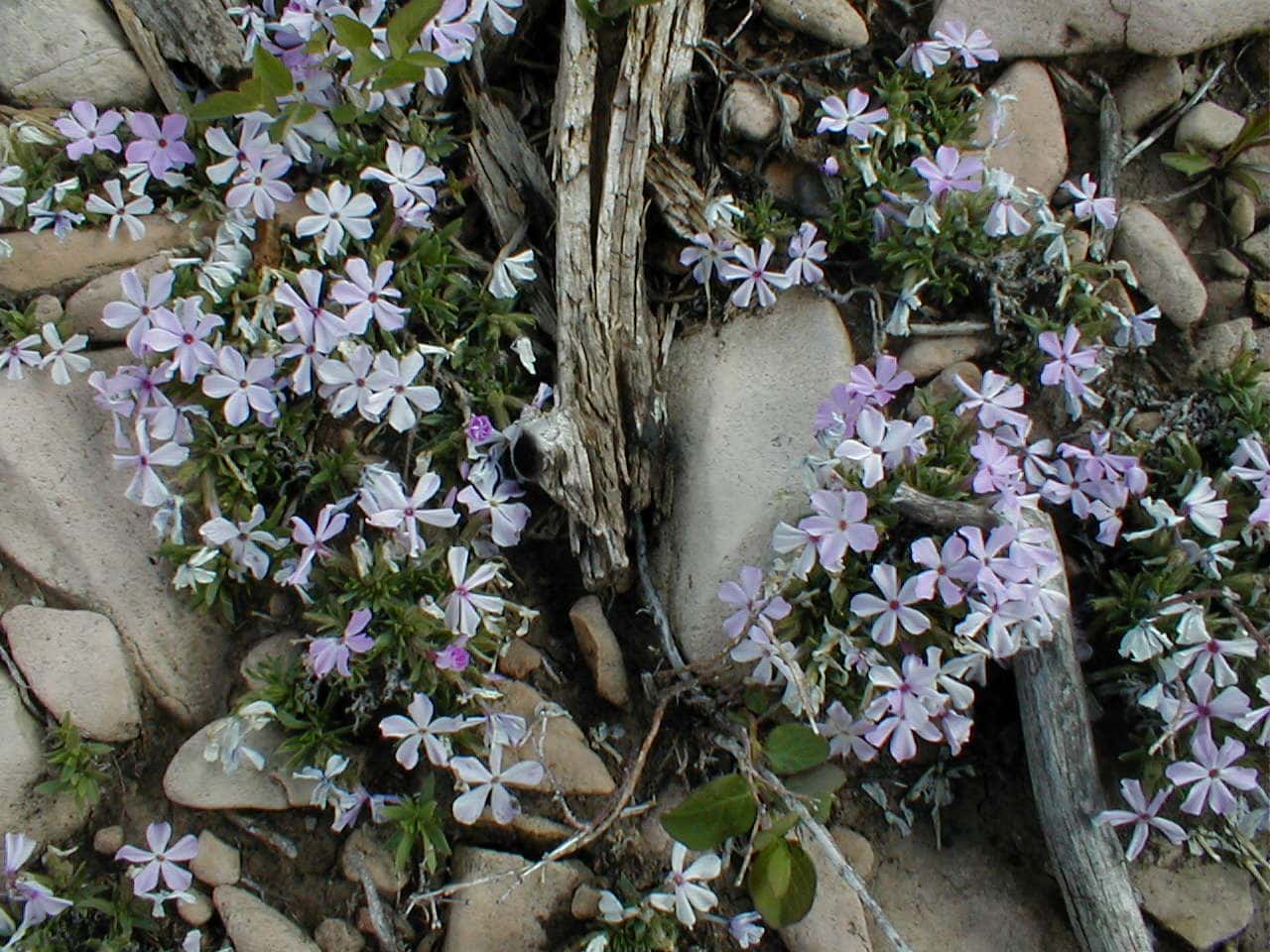
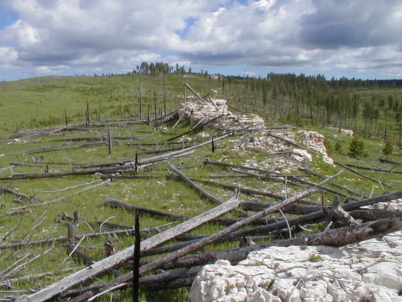
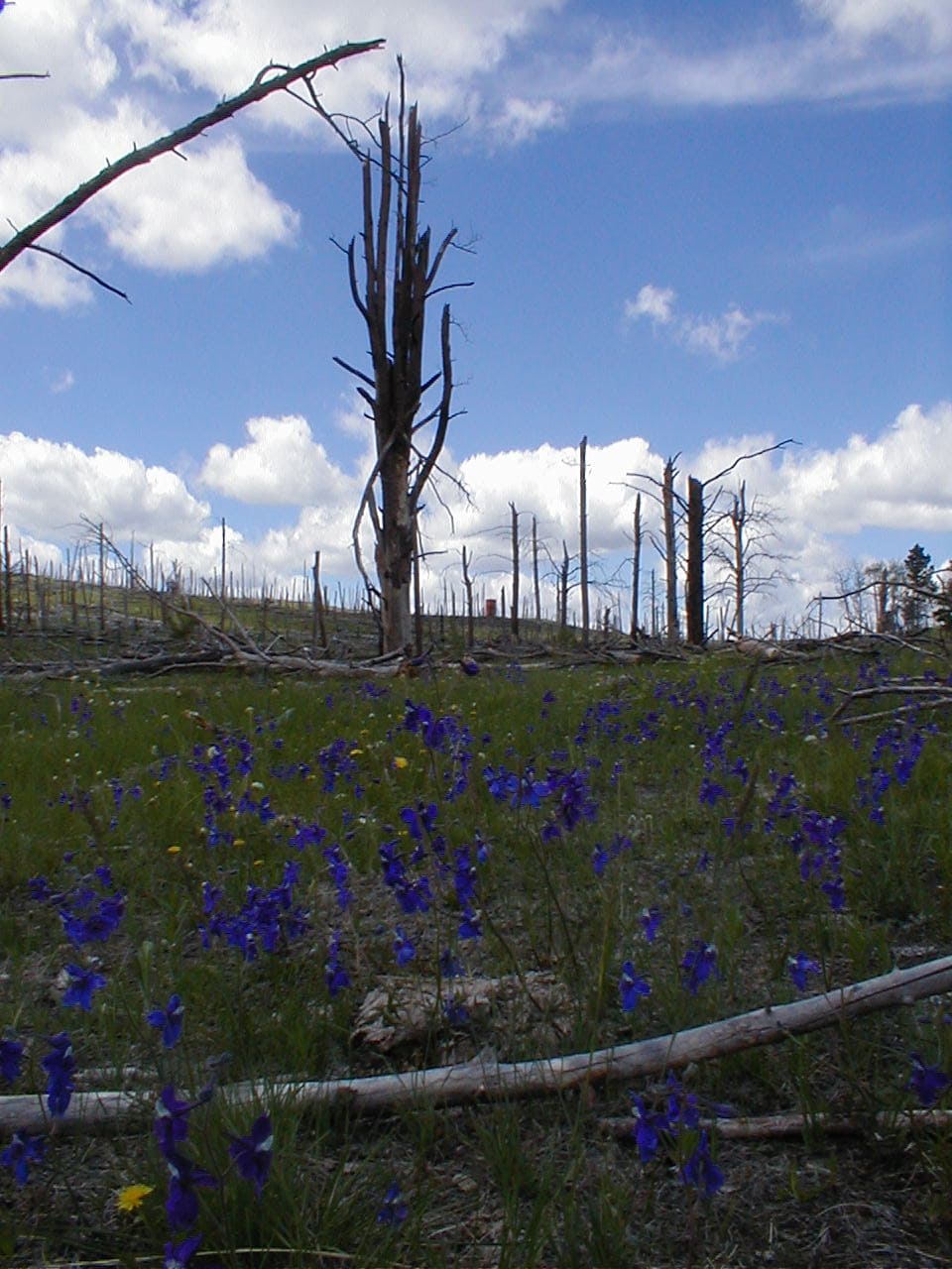
Expedition No. 63 was a day of wildflowers and expansive views! Lupe left USFS Road No. 291 at a point roughly 2 miles SW of Bear Mountain (7,166 ft.) wandering W on long ridges. She explored part of upper West Hell Canyon, and got far enough W by day’s end to begin her return by going up Wildcat Draw. Although part of the huge loop Lupe made went through pine forests, most of this region was wide open territory, having burned in the 83,508 acre Jasper fire back in August, 2000.


Highlights of the journey included a big orange water storage tank Lupe discovered W of West Hell Canyon. Even farther W, she happened upon the Bejeweled Ridge Space Port, which might actually have been some sort of wild animal shelter. The name Bejeweled Ridge came from small geodes full of crystals found on a ridge close to the space port.


Upon reaching Wildcat Draw, 7 miles due W of where she’d started from, Lupe headed back. The Carolina Dog stayed farther N during the return, allowing her to keep exploring new territory.

Despite all the miles she’d roamed, deer were the about only wildlife Lupe had seen all day until she finally ran into a coyote on the way back. Lupe thought about joining the wild dogs to live out here in this beautiful region, but SPHP talked her out of it.
Expedition No. 64 – Gordon Gulch (9-11-13) No photos! Starting from Horse Creek Road, Lupe explored S on USFS Roads No. 243.2J and No. 669 all the way down Gordon Gulch to Hwy 385. During the return, she got onto USFS Road No. 738. Somewhere E of Five Points (6,221 ft.), a helicopter flew low overhead, causing some excitement.
Exactly where Lupe went is no longer completely certain. Heading N, she climbed a number of small hills and a rocky crag. Loop eventually reached a different part of USFS Road No. 669, descended from the W a valley she had been through several times earlier this year.
Expedition No. 65 – Seth Bullock Lookout & Bear Gulch (9-24-13) No photos!
Expedition No. 66 – The Ponderosa Hike with Dusty & Uncle Joe (9-28-13) No photos!
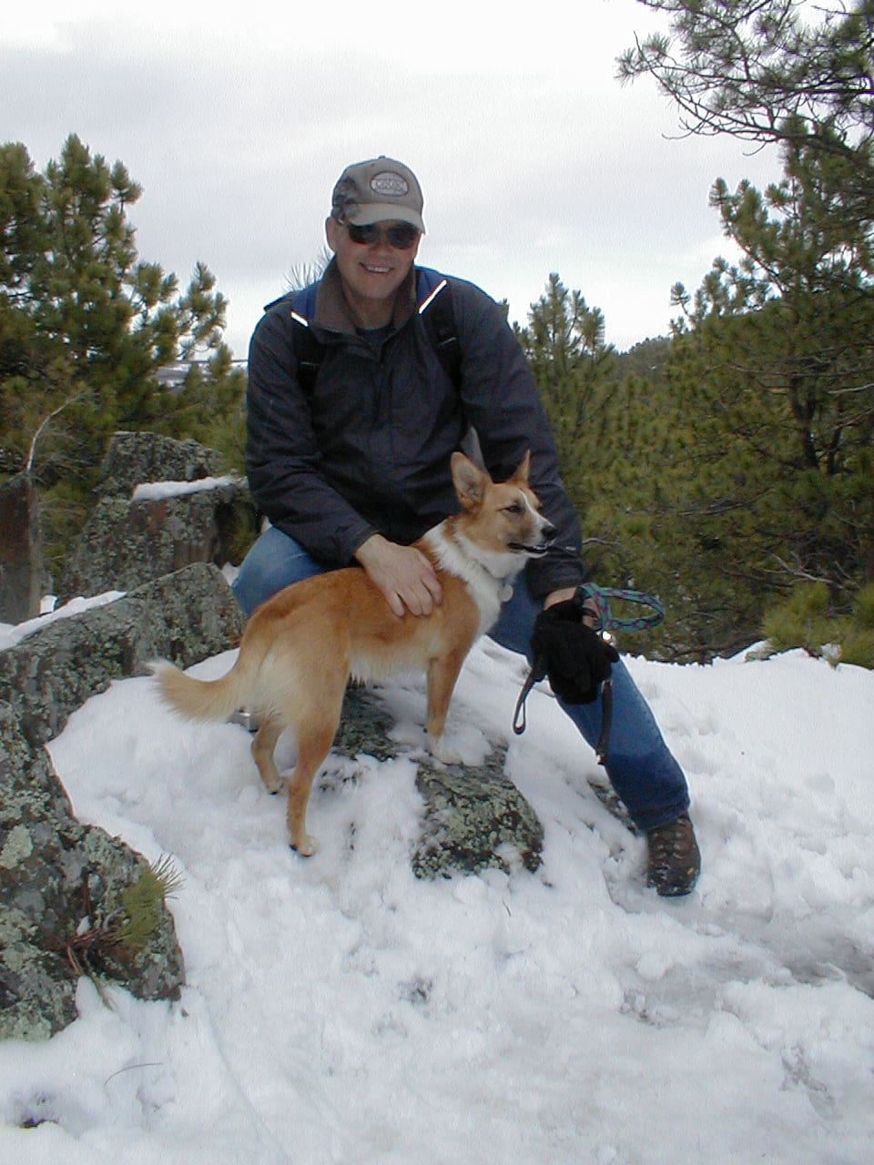
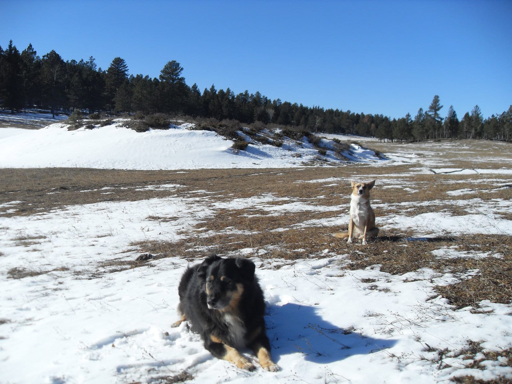
Expedition No. 67 – Big Sid Joins the Pack! (10-26-13) Full post!
Expedition No. 68 – Nichols Creek Quarry (11-2-13)
Big Sid, Lupe’s friend and neighbor, joined her again for a second romp in the Black Hills on Expedition No. 68. Setting off along USFS Road No. 294 from about 2 miles W of Deerfield Reservoir, a big mostly off-road loop was made to the NW.
Big Sid evidently felt a lot more confident this time that he wasn’t about to be abandoned, and really seemed to enjoy roaming at will. Purely by accident, Lupe and Big Sid came across Nichols Creek Quarry a couple of miles into the trek.
Continuing NW from the quarry, Coulsen Hughes Draw was as far as Lupe and Big Sid made it before having to start back. They returned by a long, winding route both on and off USFS Roads.
Big Sid loved the nearly 8 hour long trek with Lupe, but wasn’t used to so much exercise. His owner reported that Sidney could scarcely move for a week afterward, and pronounced SPHP a “dog-killer”!
Expedition No. 69 – Hat Mountain, Ditch Creek & the Dragon Caves (11-16-13) No photos! Big Sid joined Lupe again, making his 3rd Black Hills Expedition appearance, a 9 hour loop to the S & W starting from the Gold Run trailhead at Deerfield Reservoir.
Before reaching Hat Mountain (6,779 ft.), Sidney found a huge, slimy green membrane-covered organ from some kind of large animal laying in the forest. It was absolutely vile looking, so naturally he began eating it. Lupe had enough sense to stay away.
The disgusting organ (maybe a stomach or liver?) must not have been as poisonous as it appeared. Sidney managed to accompany Lupe up Hat Mountain, and explored some very high ridges to the S with her en route to the Ditch Creek campground. The adventure concluded with a visit to the long lost Dragon Caves.
Expedition No. 70 – East of Gillette Prairie (11-24-13) Full post!
Expedition No. 71 – Coulsen Hughes Draw (11-30-13) Full post!
Expedition No. 72 – Deerfield Trail No. 40: Silver City to Slate Creek (12-14-13) No photos! Big Sid joined Lupe on her 3rd birthday for a repeat of her first two Black Hills expeditions ever, an easy trek up Rapid Creek to its confluence with Slate Creek. This was Big Sid’s 6th expedition in a row with Lupe, and they had a great time together.
Many trees killed by pine bark beetles had fallen over the trail since the last time Lupe had been here. They might have come down in the big October 4, 2013 blizzard.
Expedition No. 73 – Mount Warner (12-18-13) No photos! A relatively short expedition this time around on Centennial Trail No. 89. Heading N from the Samelias trailhead, Lupe climbed Mount Warner (5,889 ft), but that was as far as she went. Sadly, Big Sid missed out, bringing his string of 6 consecutive expeditions with her to an end.
Final Note:
Expedition No. 73 turned out to be the last of 32 Black Hills Expeditions in 2013. Lupe had spent these halcyon days wandering seldom-visited USFS roads in remote areas. She’d frequently been completely off-road and off-trail for miles at a time, exploring countless unnamed valleys, hills, and ridges.
2013 had been unique, a year unlike any other. Back in 2012, Lupe had concentrated on completing Centennial Trail No. 89 and Deerfield Trails No. 40 & 40L. By the middle of 2014, her focus would change to climbing one or more peaks on virtually every expedition, largely due to SPHP’s discovery of Peakbagger.com. But in 2013, the young Carolina Dog had been totally free to follow her nose and heart’s desire.
Links:
Black Hills, SD & WY Expeditions – The Early Years: 2012
Black Hills, SD & WY Expeditions – The Early Years: 2014 & 2015
Want more Lupe adventures? Check out Lupe’s Black Hills, SD & WY Expeditions Adventure Index, Master Adventure Index, or subscribe free to new Lupe adventures!