10:04 AM, S end of Pactola Reservoir dam –
Yeah, that’s what I thought, Loopster. Hwy 385 is closed S of the visitor center. Want to stop in for a look at Pactola Lake?
Sure! Seems like a long time since we’ve seen it, SPHP. But with Hwy 385 closed, are we going to be able to get to New Year’s Eve Peak (6,048 ft.)?
Yes. Not from the E, our usual direction, though, or even from the S, as we’ve sometimes done.
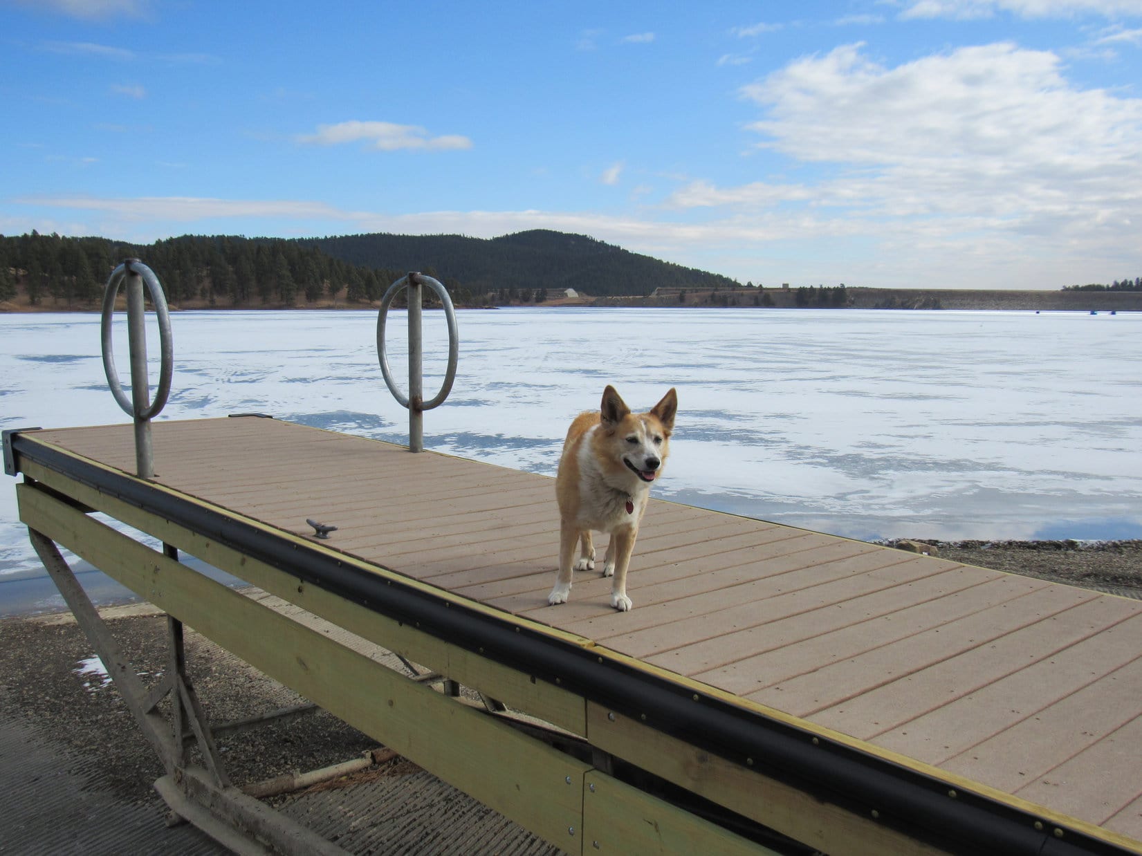
For the last day of the year, the weather was incredible. In fact, it had been unseasonably warm most of December. Beneath a bright blue sky, Pactola Lake was a beautiful deep blue. No winter ice at all. The water level was a little low, but not seriously.

What a day, SPHP! Pactola Lake must be one of the prettiest mountain lakes anywhere. So, I take it we’re somehow going approach New Year’s Eve Peak from the N or W?
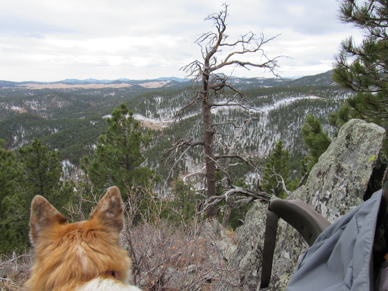
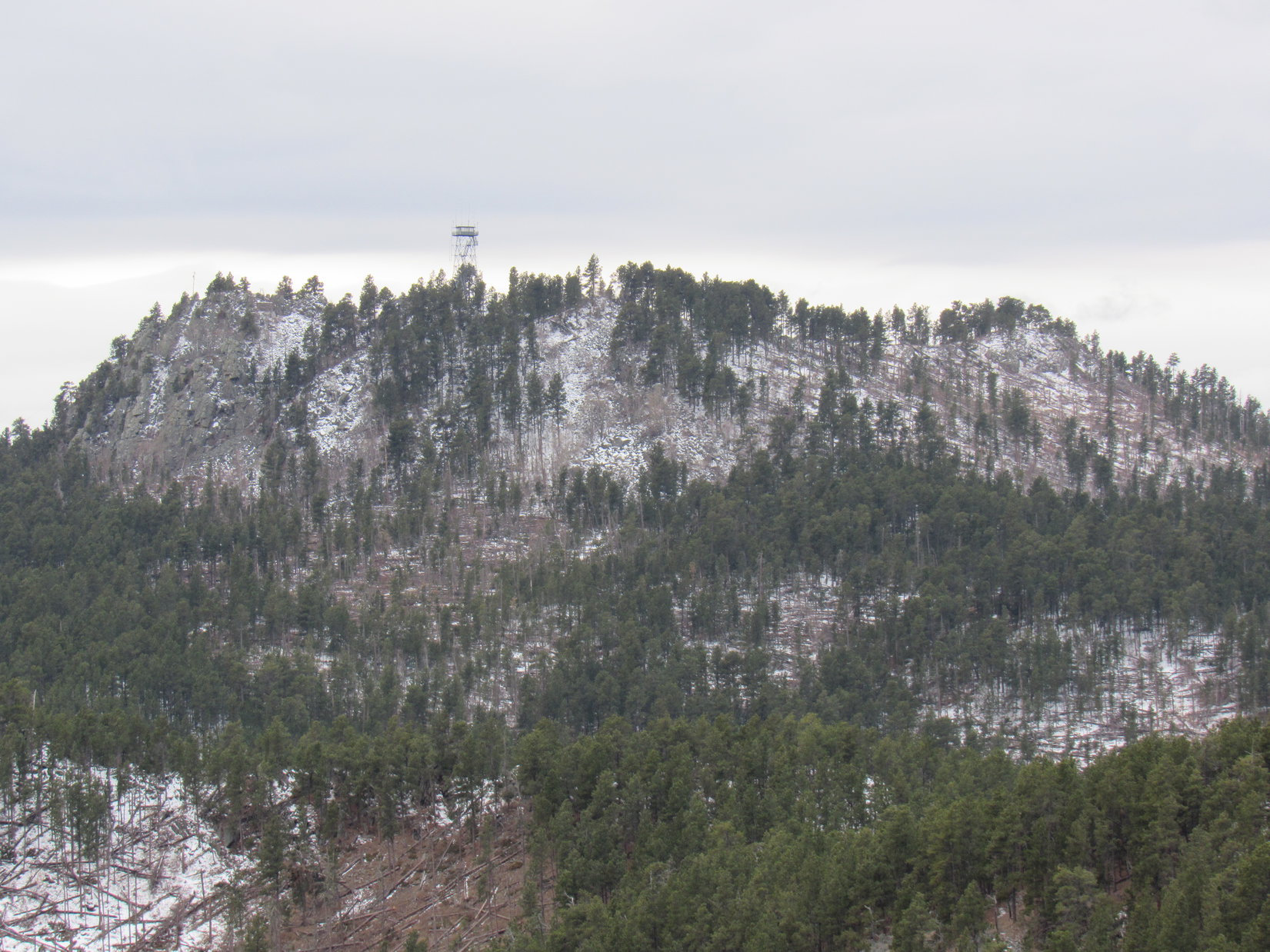
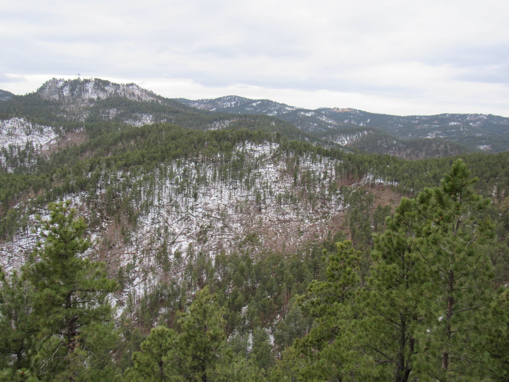
Yup. From the N, Looper. Always wanted to try going that way, but in all these years, we’ve never done it before. Thinking we’ll have plenty of time to visit Scruton Mountain (5,923 ft.) and Peak 6072, too. You can see the old Seth Bullock Fire Lookout Tower on Scruton Mountain from here.

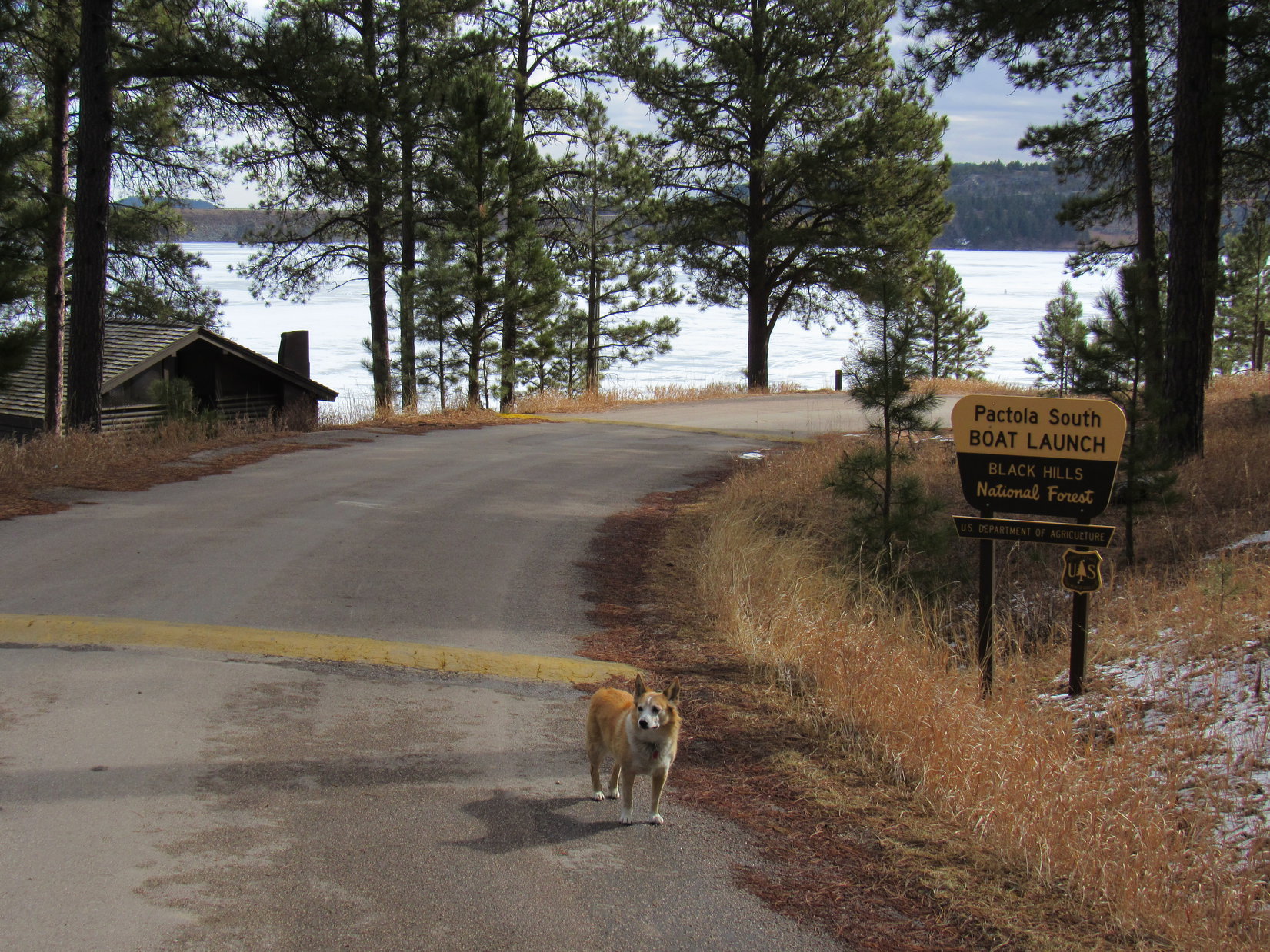
Although Hwy 385 was closed S of the visitor center, the side road to the S marina on Pactola Lake wasn’t. It provided access up Custer Gulch to Edelweiss Mountain Road (USFS Road No. 251).
10:24 AM, 50ºF – After a 1.5 mile drive W on Edelweiss Mountain Road, SPHP parked Shadow at the junction with USFS Road No. 156. Closer now, the old Seth Bullock fire lookout tower on Scruton Mountain was again in sight.

The Carolina Dog grew impatient as SPHP fiddled with the backpack.
Any year now, SPHP! Literally. 2026 is coming!
Almost ready, Loopster. I’ll be right with you.

Do we follow this side road, SPHP? Seems like we’ve been here before.
Yes. No. 156 should take us right up to the lookout tower, Loop.
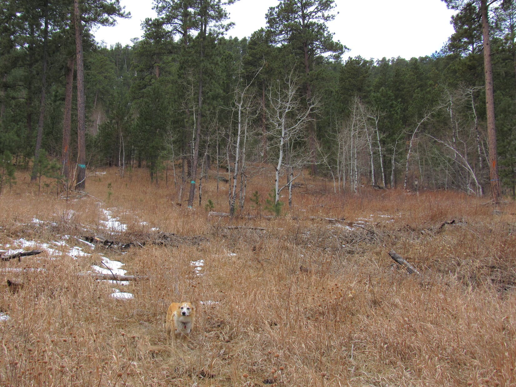
Passing first through a grassy field, USFS Road No. 156 began winding up Scruton Mountain’s E slopes. As Lupe gained elevation, there was a nice view SE toward the Bald Hills region, with the summits of Boulder Hill (5,336 ft.) and Silver Mountain (5,418 ft.) visible in the distance.


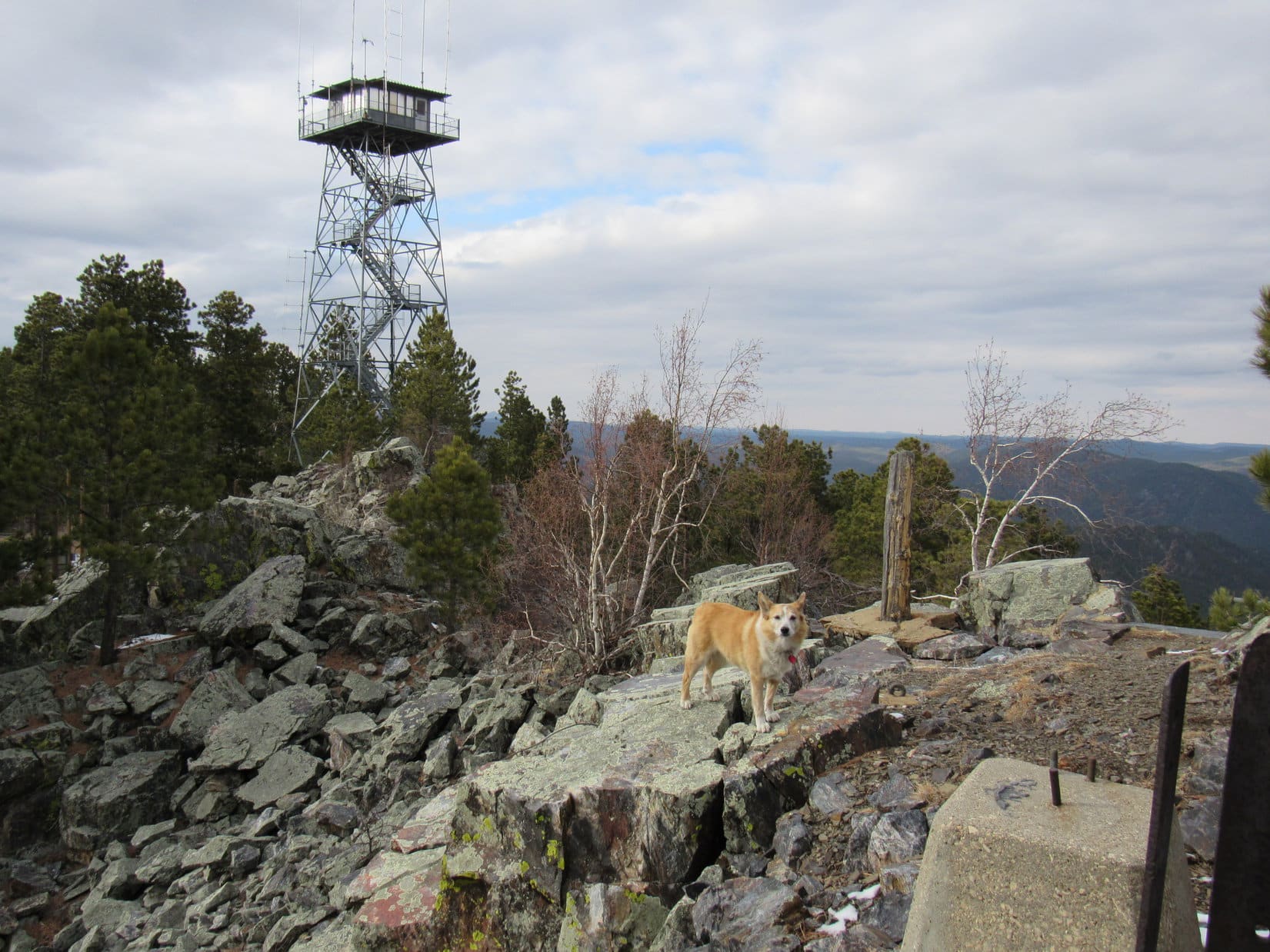
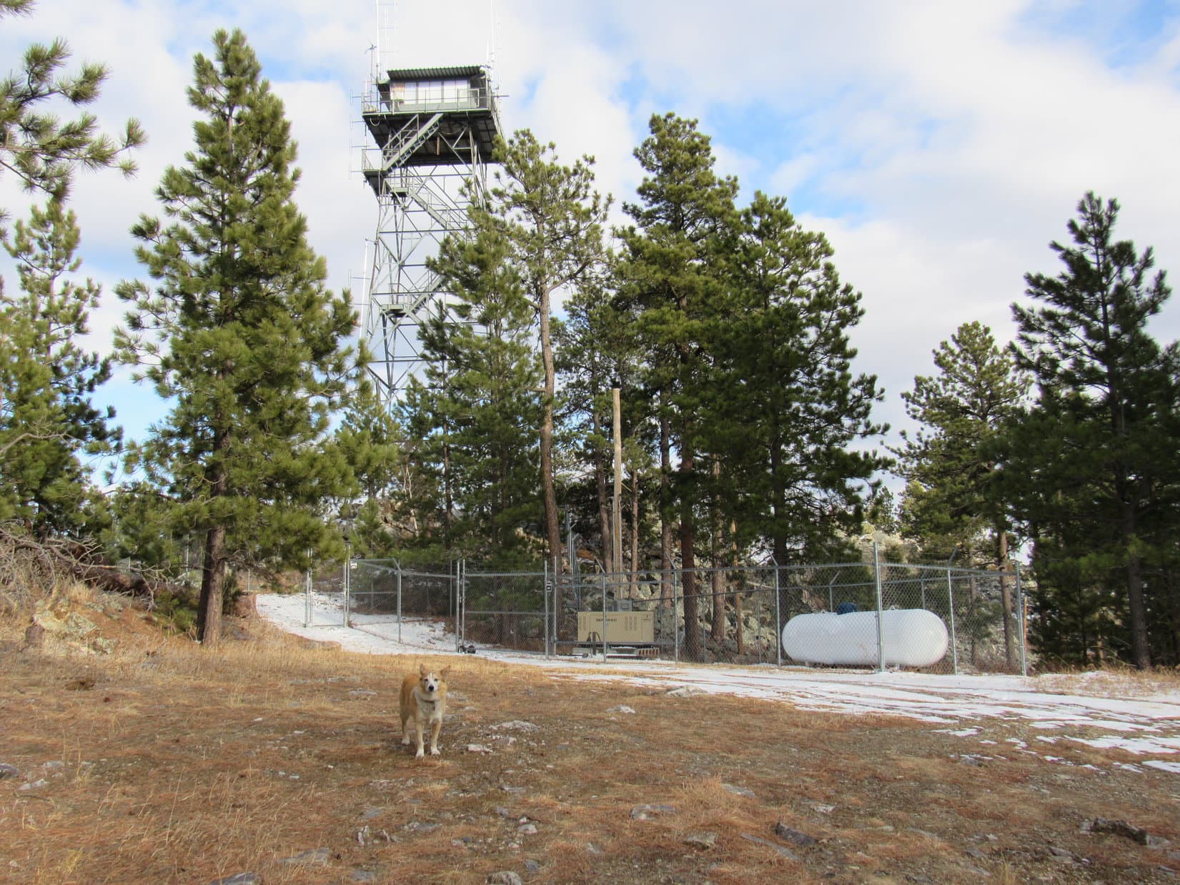
No. 156 soon led up into the forest. Not much in the way of views here, but still a pleasant, easy trek. Before long, Lupe was approaching the old Seth Bullock fire lookout tower.


We can skip the lookout tower, Looper. It’s fenced off. No public access anymore. Believe it’s been closed for many years. It’s not on Scruton Mountain’s true summit, anyway.
Fine with me! Lookout tower stairs are kind of scary, SPHP. I usually don’t like them, especially the see-through kind.
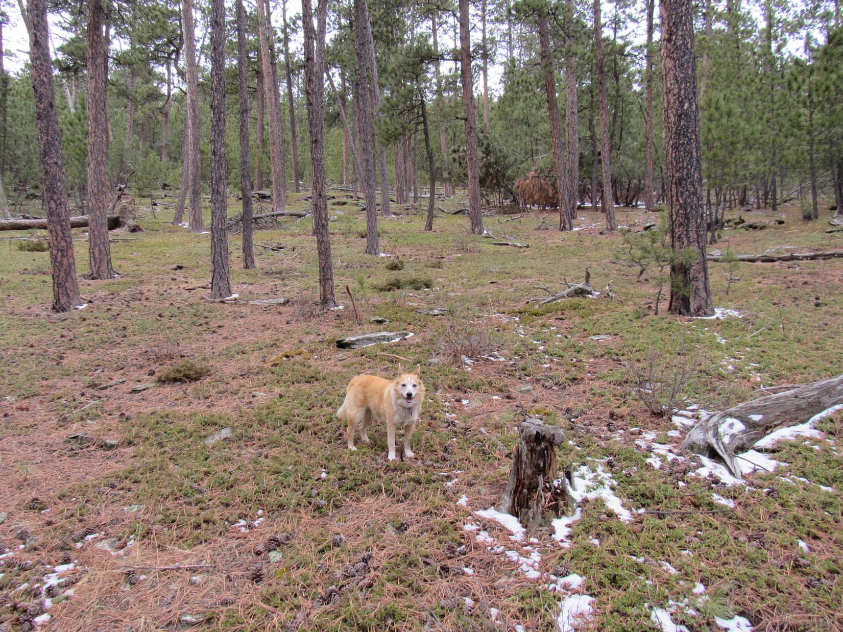
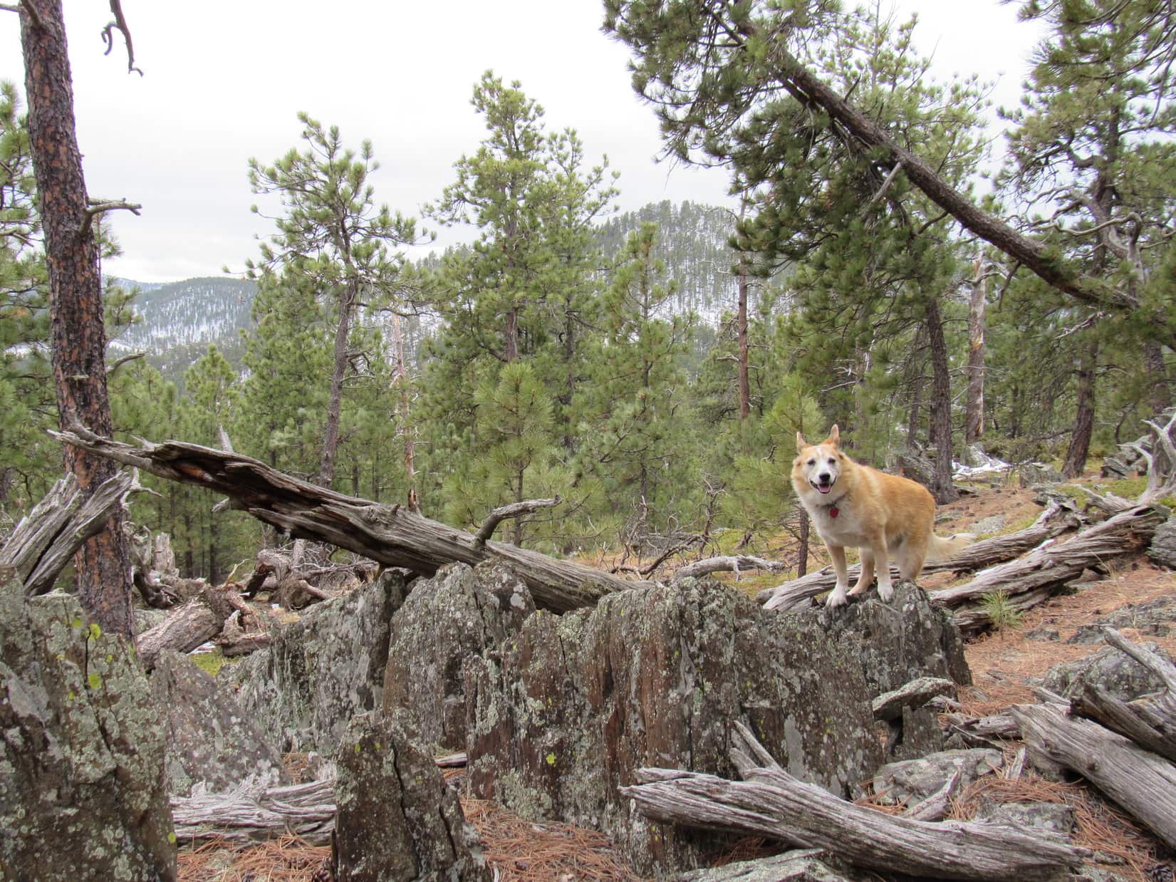
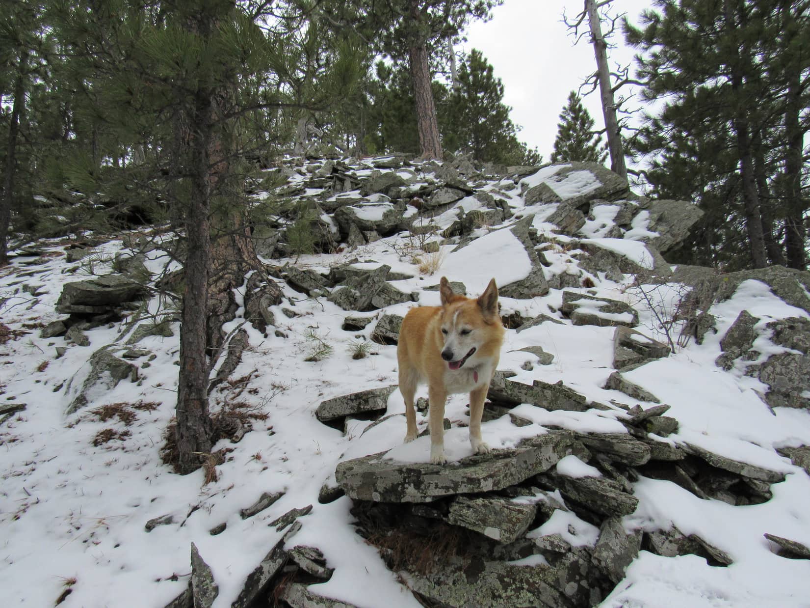
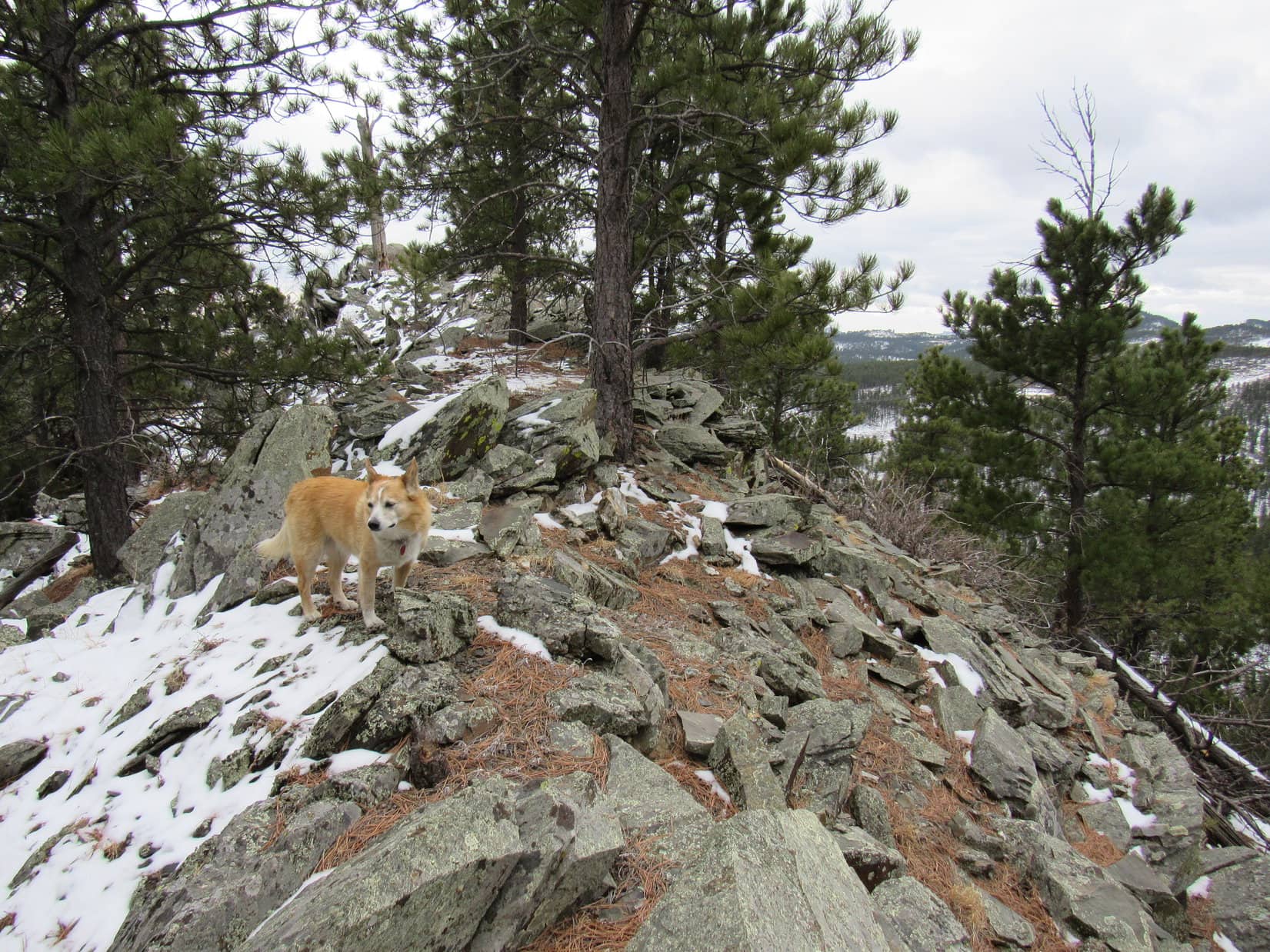
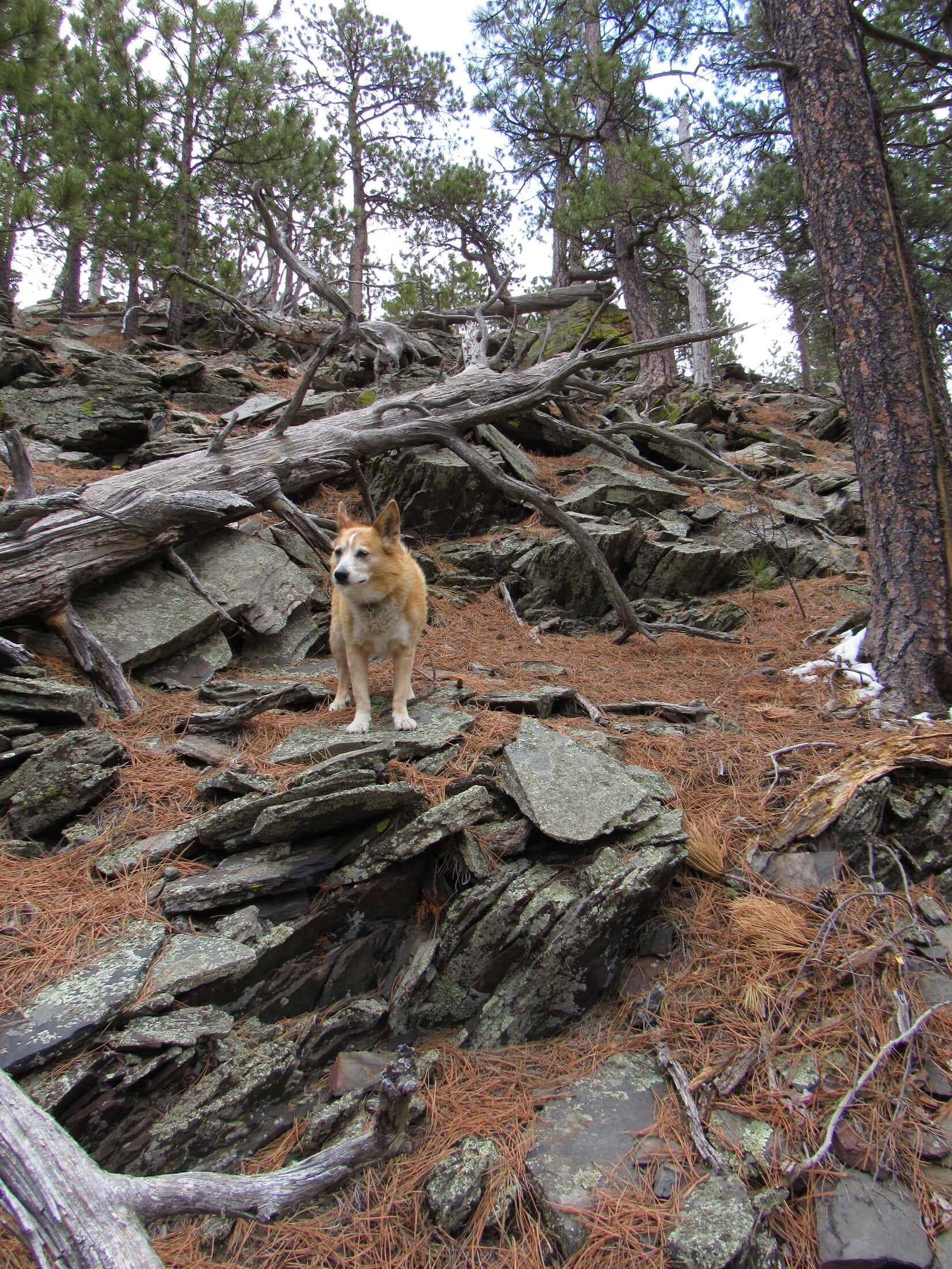
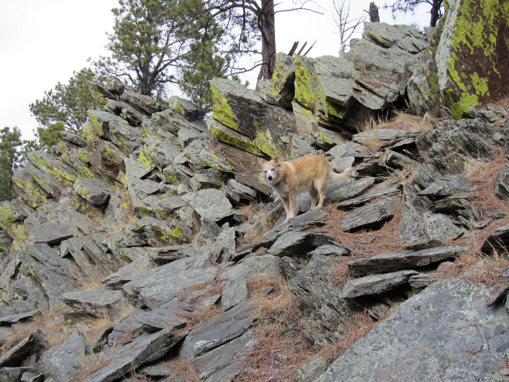
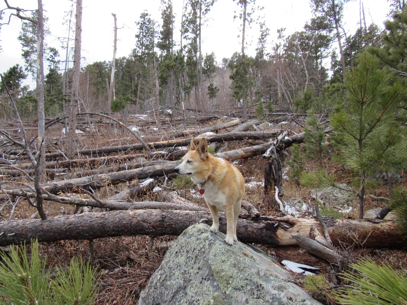
The true summit was several hundred feet SE of the tower. Skirting along the outside of the security fence, Lupe worked her way over to a boulder field below the crest of a rocky ridge.

Gets a bit scrambly, doesn’t it, SPHP? Fun!
The rock-hop was slow. While Lupe managed just fine, SPHP wasn’t as nimble. The American Dingo wasn’t far from the summit, when SPHP remembered something.

We should have stayed below all these rocks, Loopster. Now that I think of it, I’m almost certain that a decent path goes up the SE end of this ridge we’re scrambling up.
A little late for that now, SPHP. Keep climbing!
Might as well. A couple more minutes of rock-hopping was all it took.

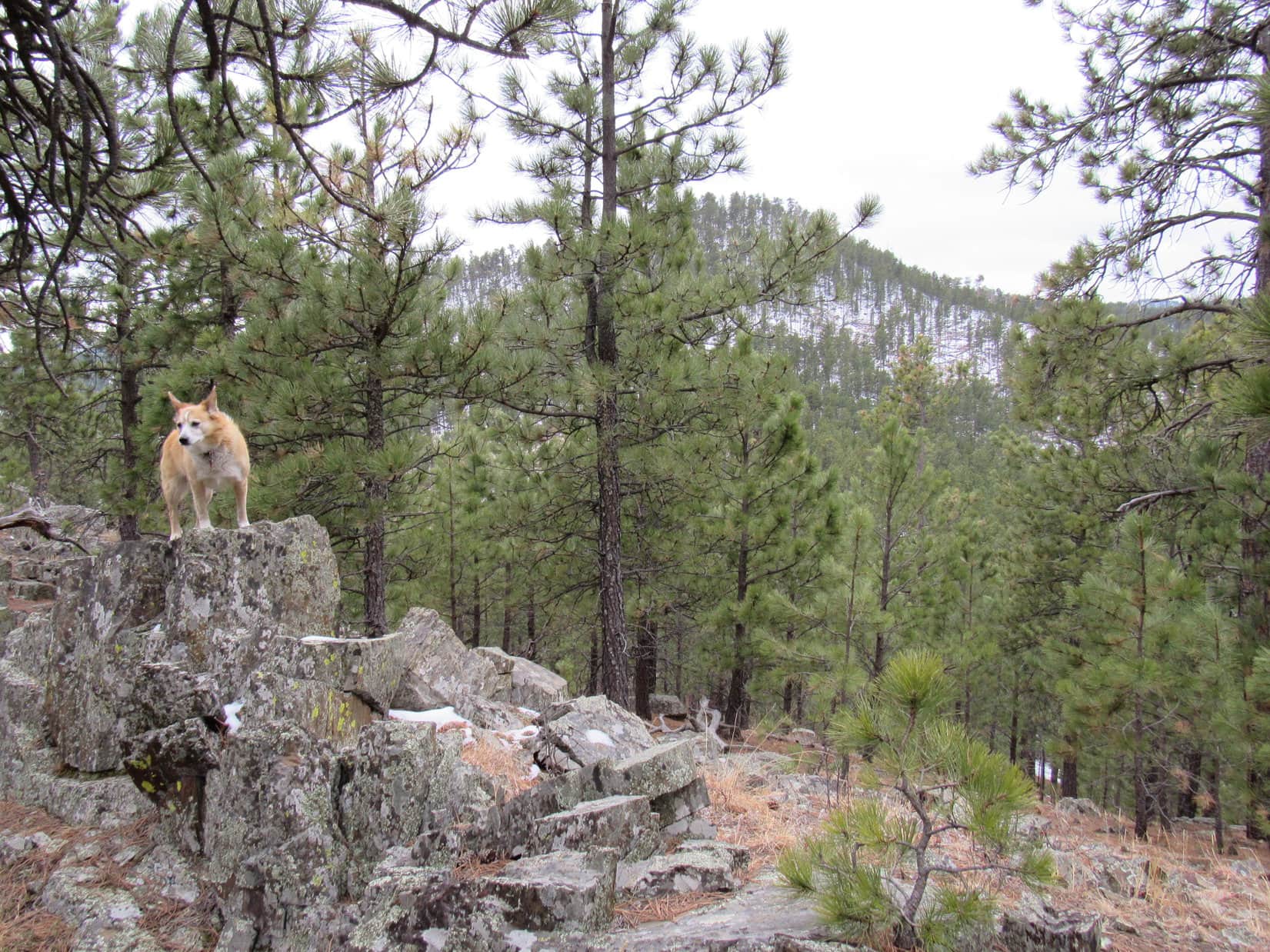
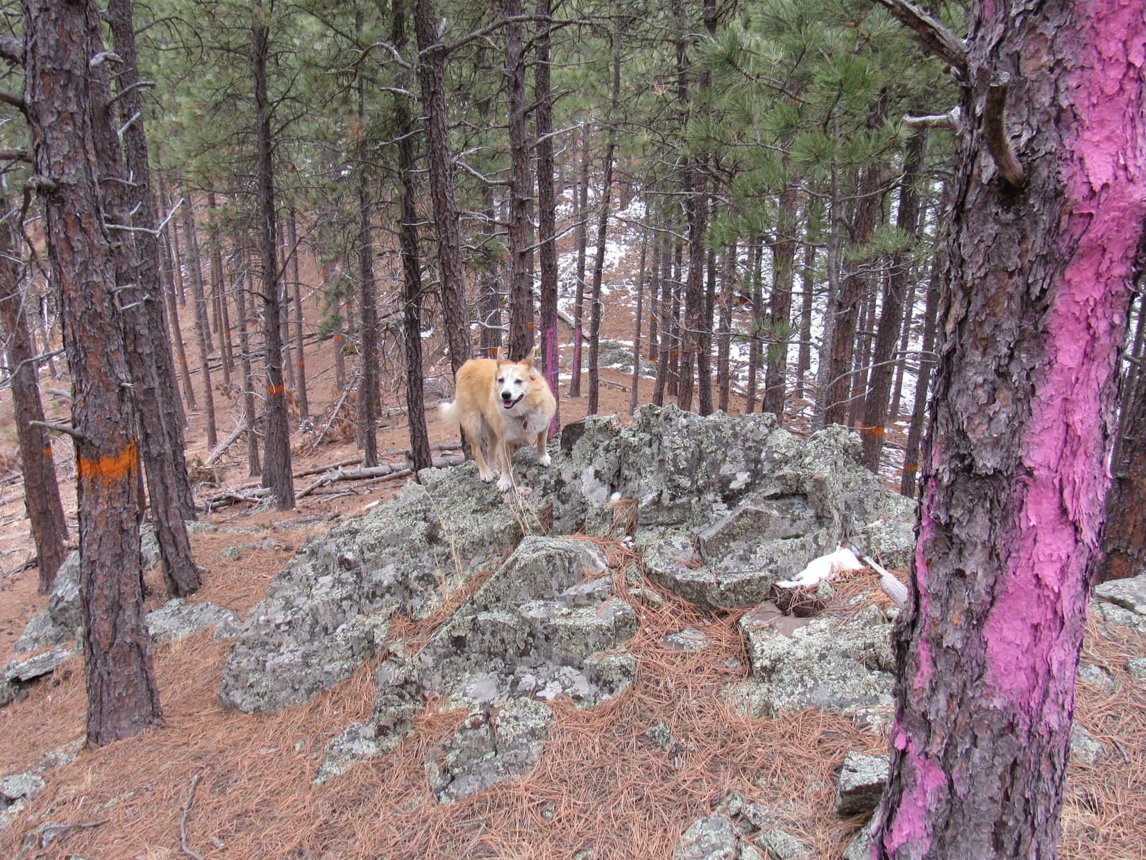
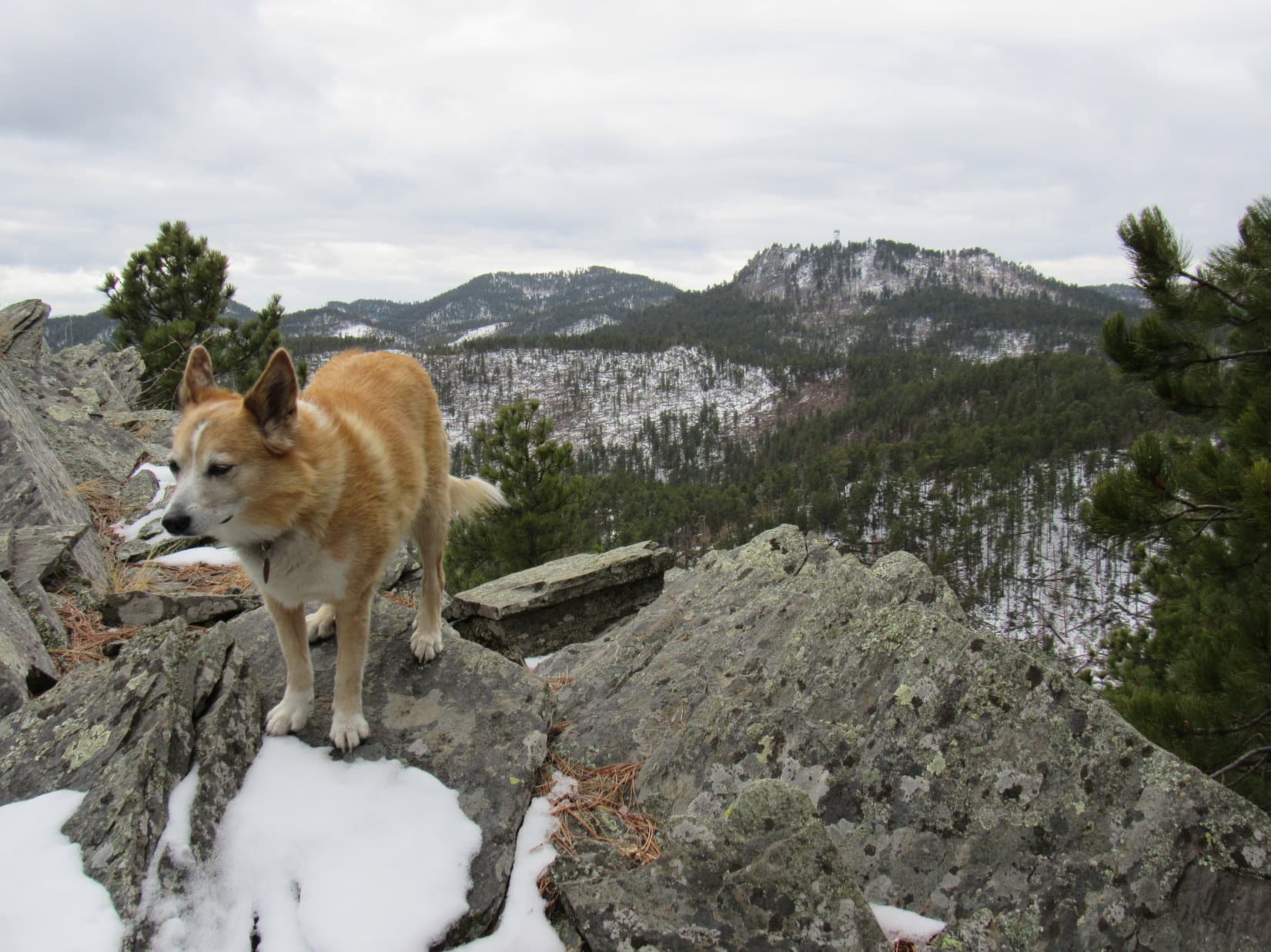
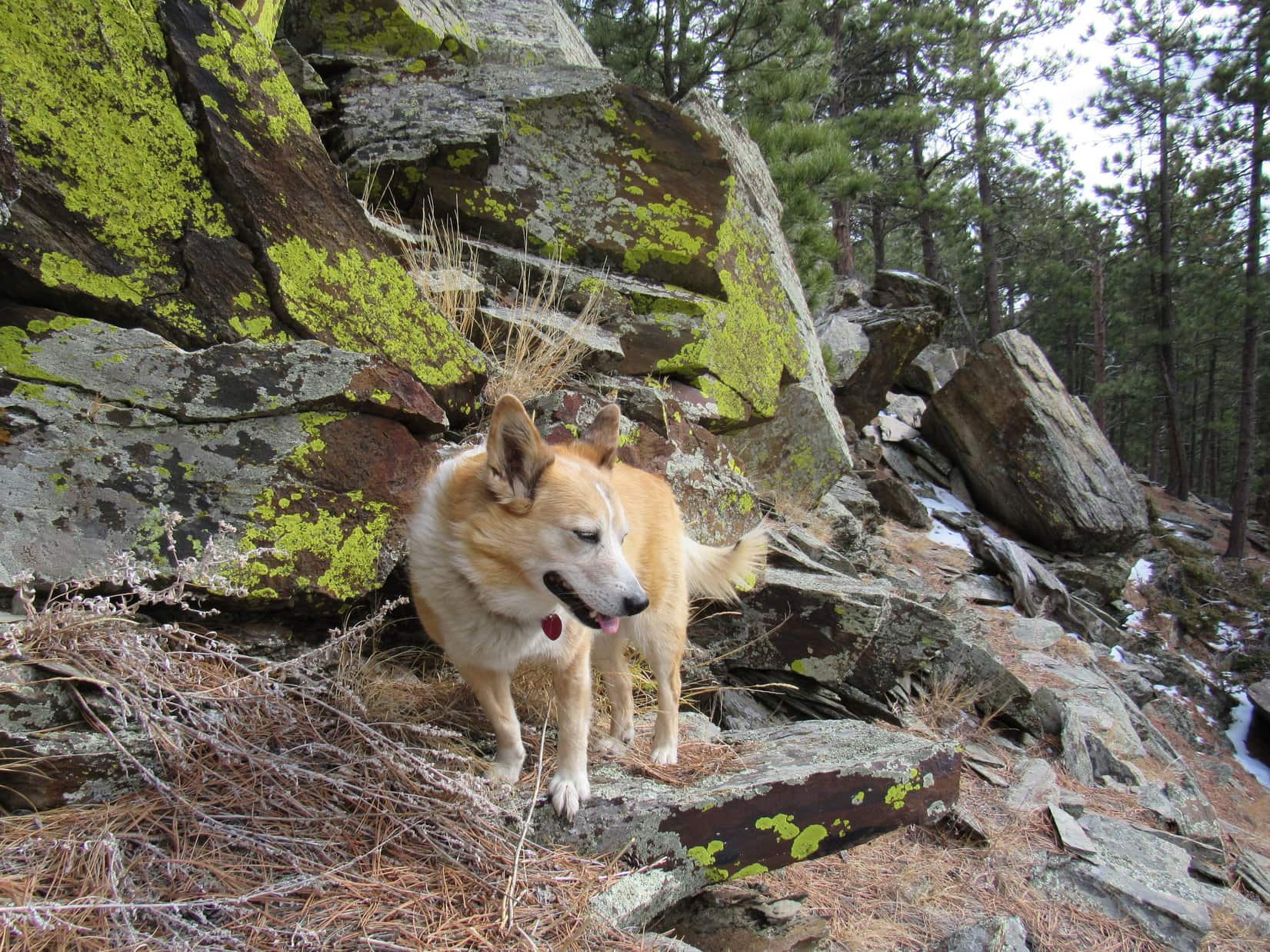
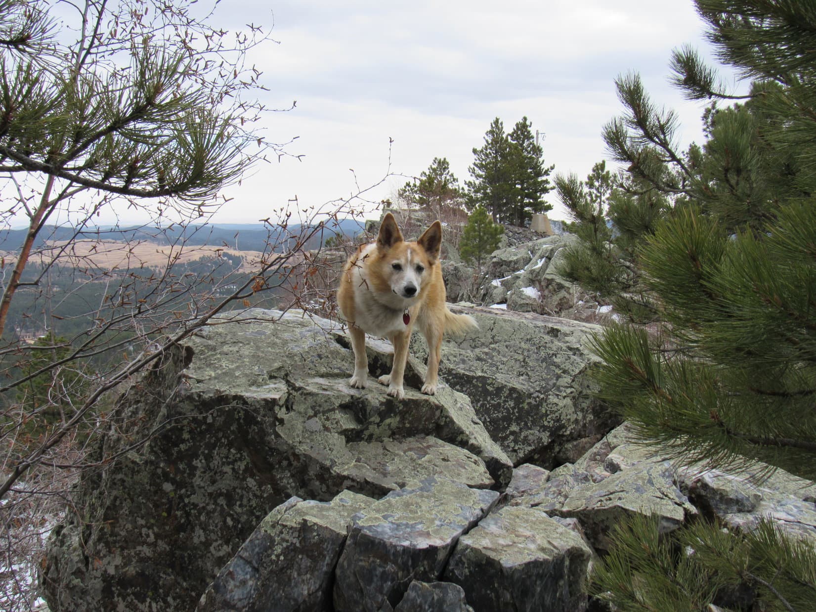
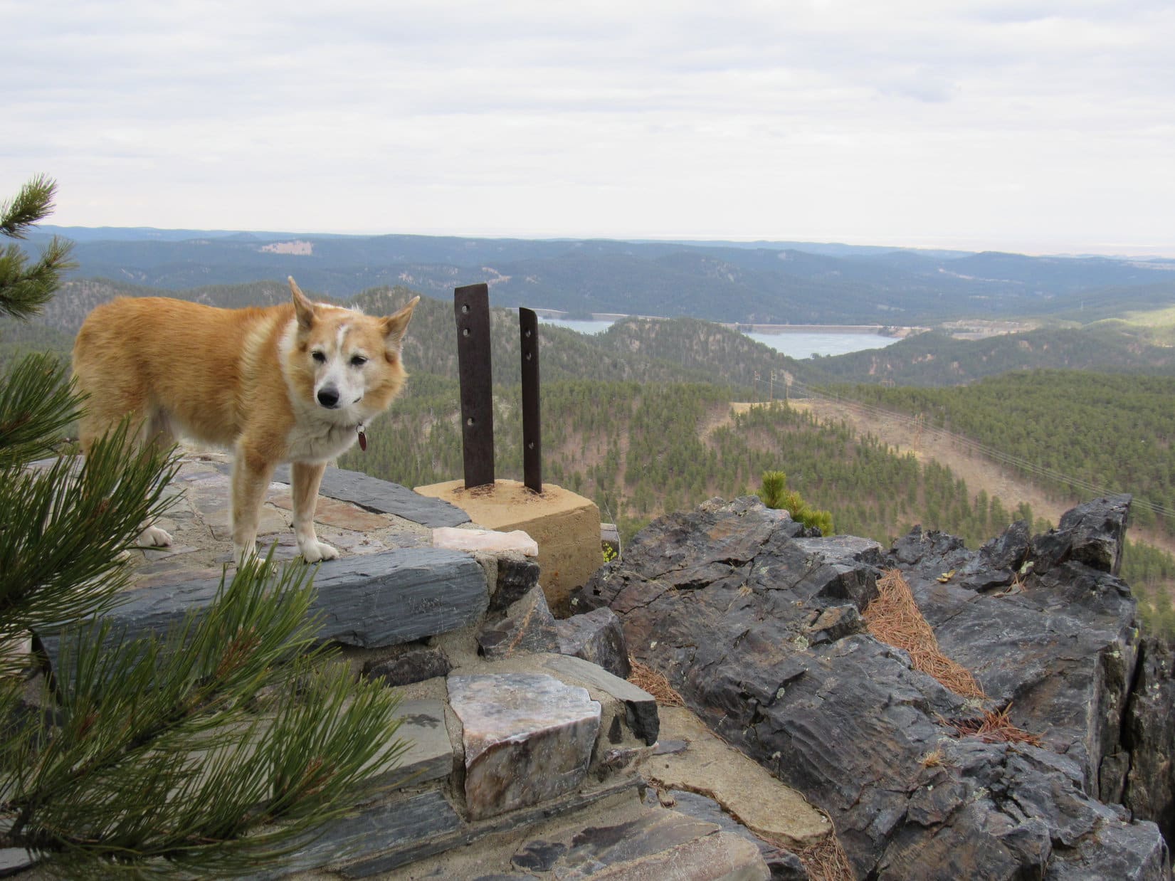
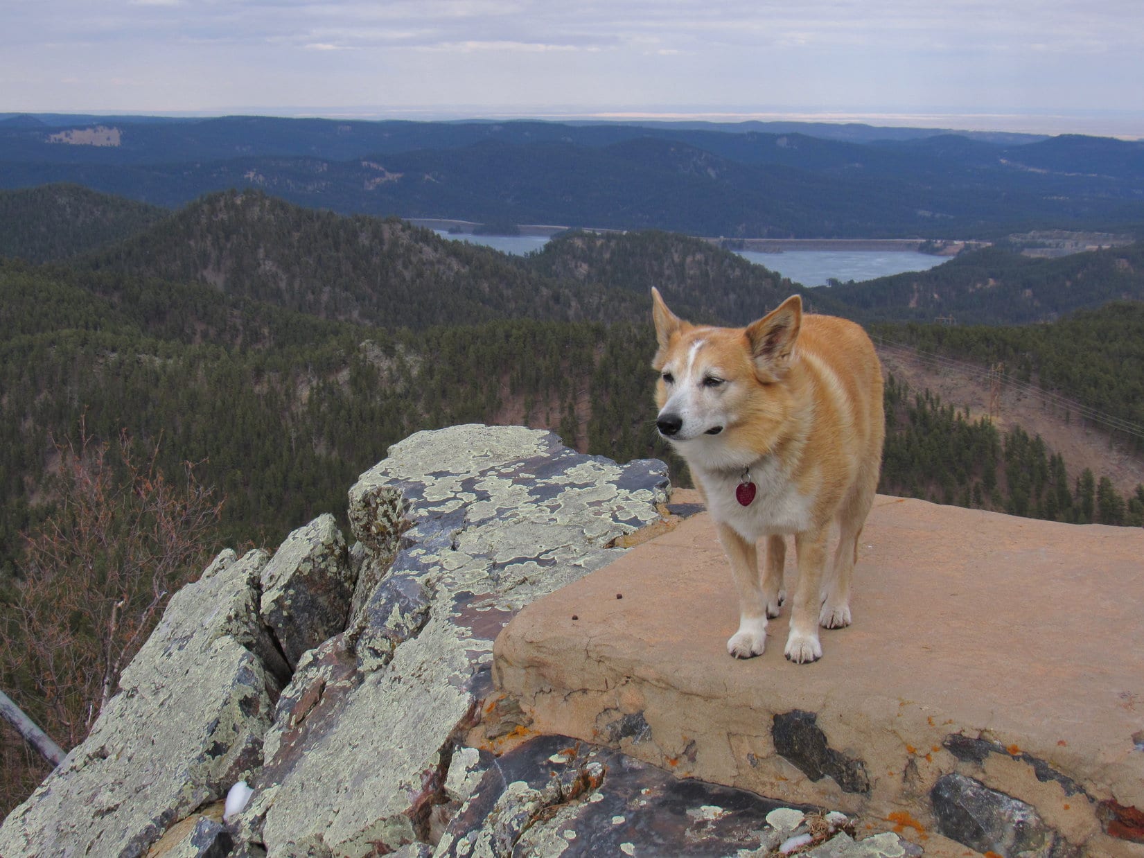
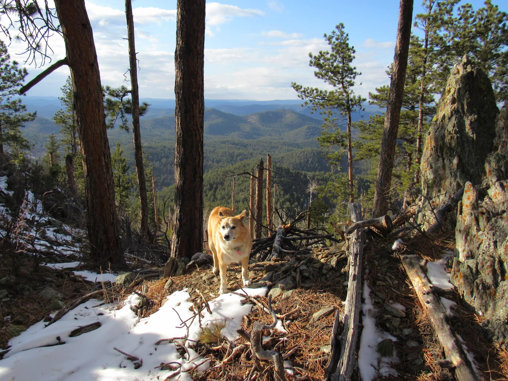
11:30 AM, 48ºF, Scruton Mountain (5,923 ft.) – The 50 foot long rocky summit ridge the American Dingo had reached must have once sported more facilities associated with the lookout tower. At the highest point, a few stone steps led to a small platform with nothing but a grand view of the Pactola Reservoir dam beyond it. This platform had evidently been built on, or right next to, Scruton Mountain’s true summit.

See what I mean, SPHP? A few nice, solid steps, and here we are at the top of the mountain! Easier and far more secure than all those exposed flights of lookout tower stairs. Nothing wrong with these views, either. They’re splendid!
True enough, however, with all these trees around, you have to admit that we don’t have the kind of unobstructed 360º views the lookout tower could offer. That’s kind of the whole point of a fire lookout tower, Looper, to get the best possible views for spotting forest fires.
Well, so what? Nothing’s burning today, SPHP, and you’re telling me that the tower has been closed for years. We can’t do anything about that, but we could have a chocolate coconut bar!
What! Already, Loop? Didn’t take us very long to get here. This Black Hills expedition is just getting started.
An ascent is an ascent, SPHP, and here we are at the top of Scruton Mountain.
Oh, I suppose so. Alright then, Loopster.
SPHP shared the requested chocolate coconut bar with Lupe, then gave her water and Taste of the Wild, too. The best views were of the lookout tower and the Pactola Reservoir dam. Moving around a bit, there were views in other directions, too.
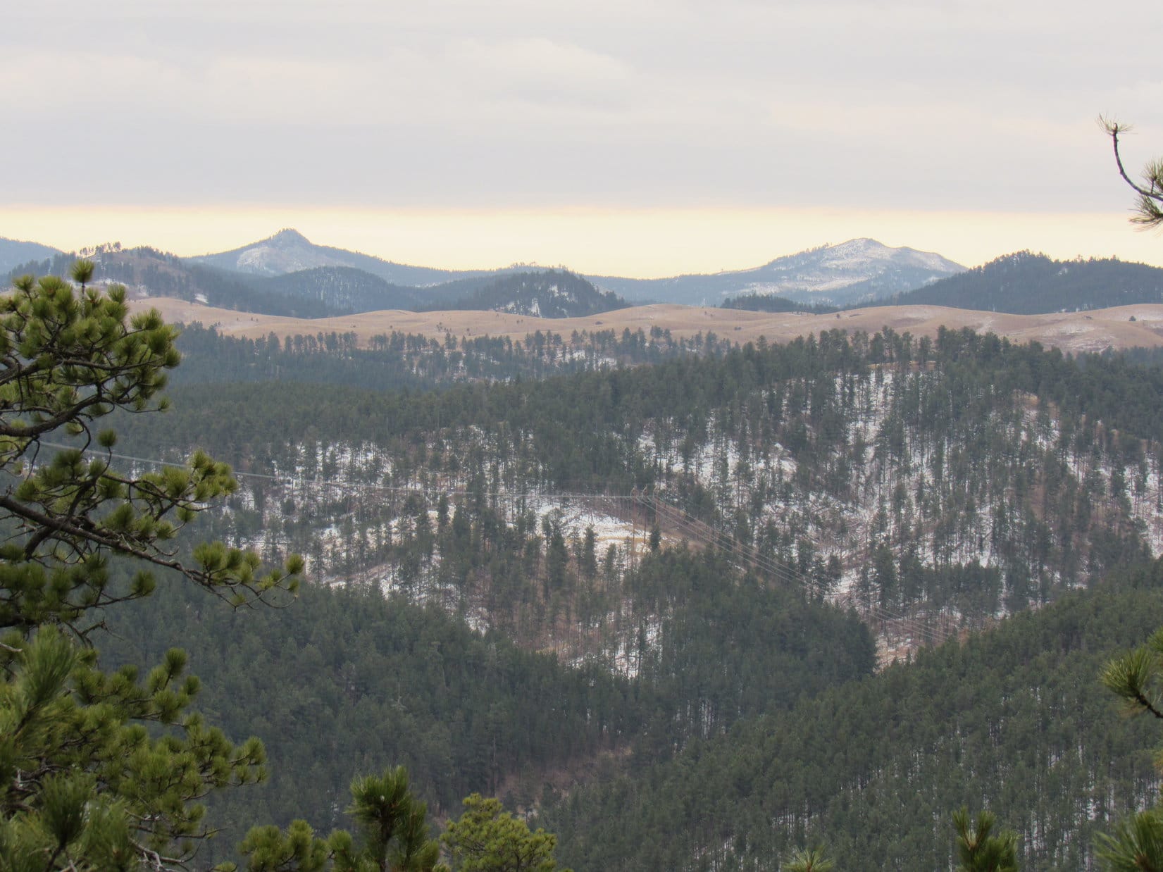
Looking WSW through a gap in the trees, big ridges forming the E edge of the limestone plateau country were visible on the horizon far beyond nearby Peak 6072. From boulders near the SE end of Scruton’s summit ridge, the Bald Hills, Boulder Hill, and Silver Mountain were back in sight again. Much closer, Peak 5803 and Peak 5917 were also in view.


Half an hour shot by.
Suppose we better be moving on, Loopster, if we want to get to both Peak 6072 and New Year’s Eve Peak (6,048 ft.). Days are mighty short this time of year.
Onward then, SPHP!

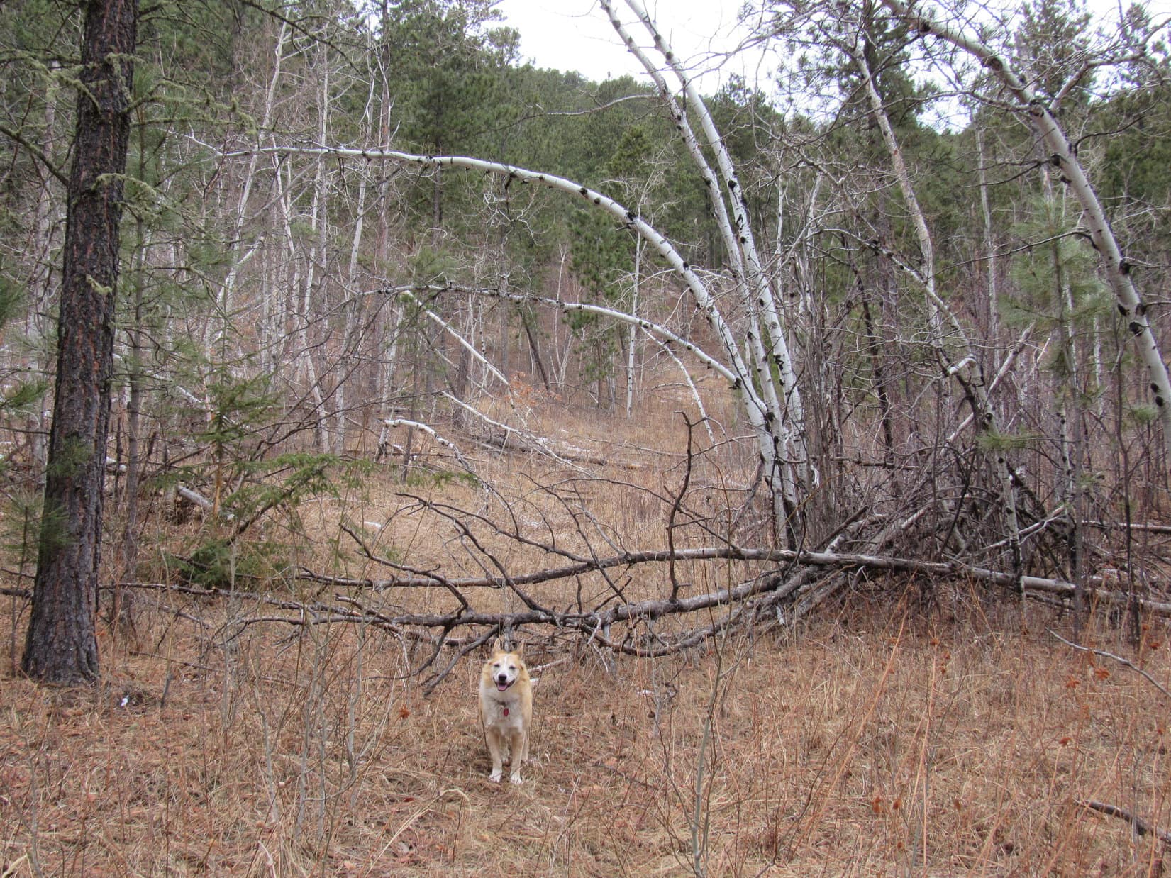
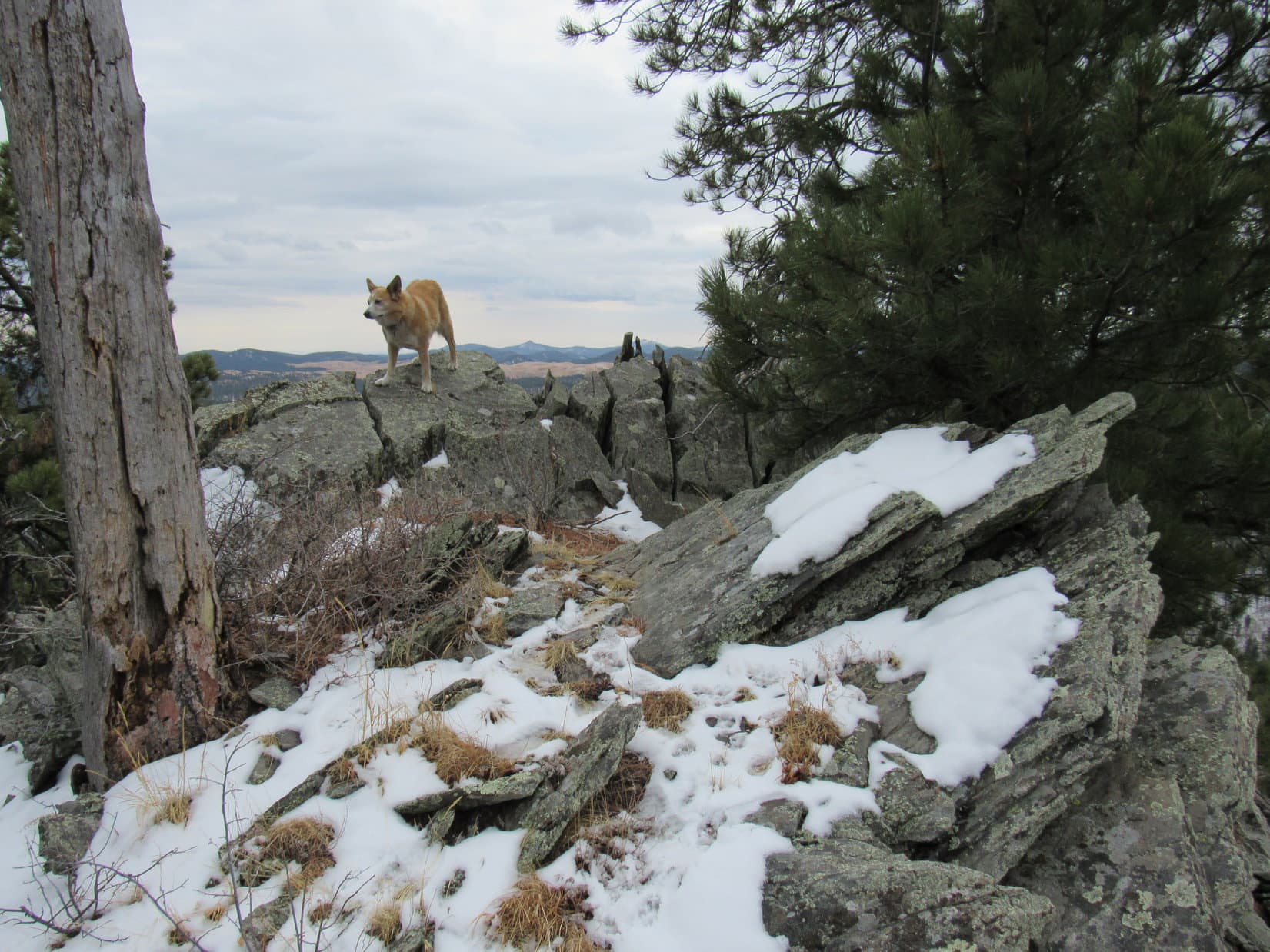
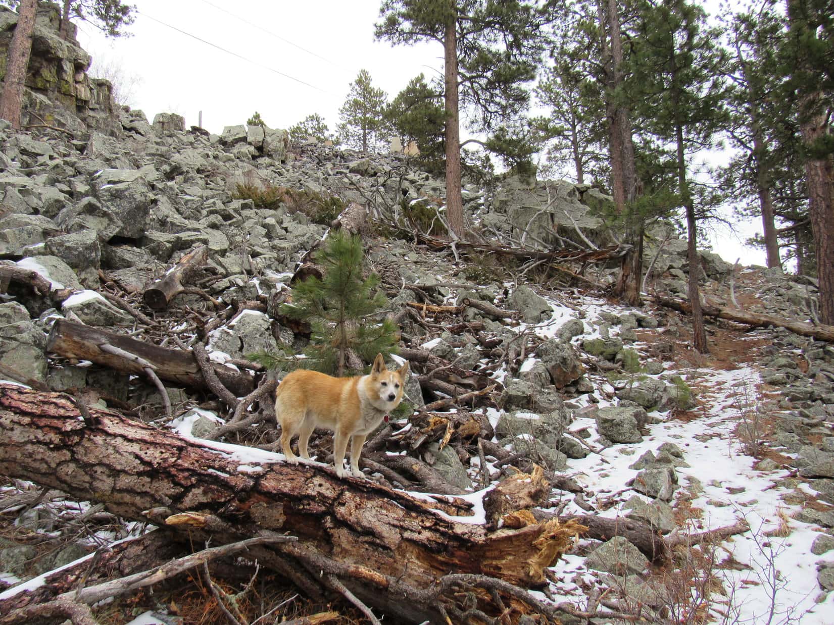
The dimly remembered path leaving the SE end of the summit ridge did exist, making for a much quicker and easier descent than the scramble up had been. This path curled down to the area below the boulder field, where the Carolina Dog left it, shortcutting down to USFS Road No. 156 without going by the lookout tower again.

Following No. 156 as far W as possible, SPHP led Lupe down another shortcut through the forest to reach Edelweiss Mountain Road across from USFS Road No. 251.1C.


This is the route you want to explore to New Year’s Eve Peak, SPHP?
Yes. At least, until we reach the side jaunt to Peak 6072, Looper.

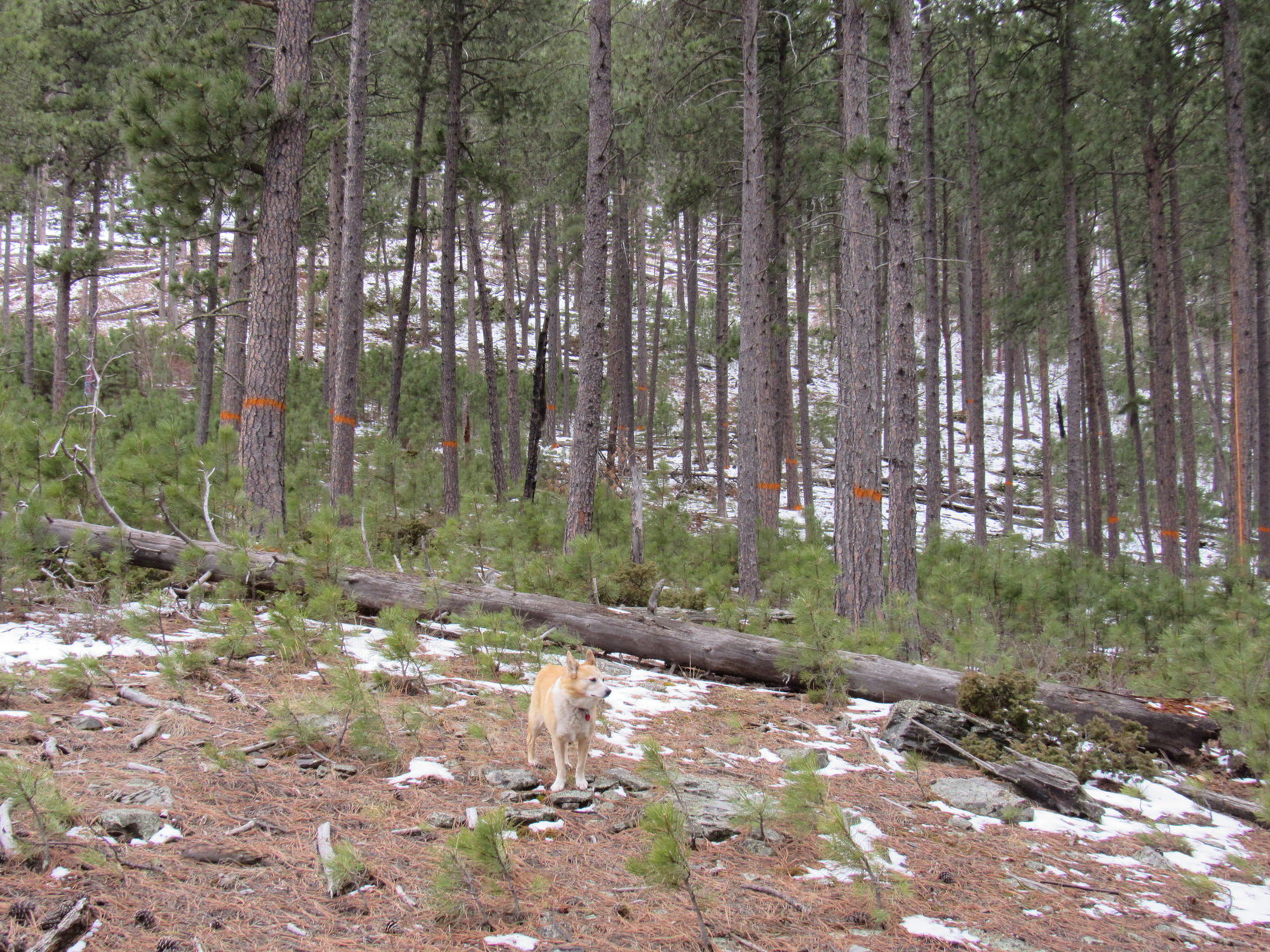
After only 0.2 mile on No. 251.1C, the Carolina Dog came to a power line. The road forked here. An unmarked road continued S. No. 251.1C went SW, climbing an open slope along the power line right-of-way.
Which way, SPHP?
S, if we were going to head straight to the saddle directly W of New Year’s Eve Peak, Looper. However, since we’ve still got time to tag Peak 6072 first, stick with No. 251.1C.

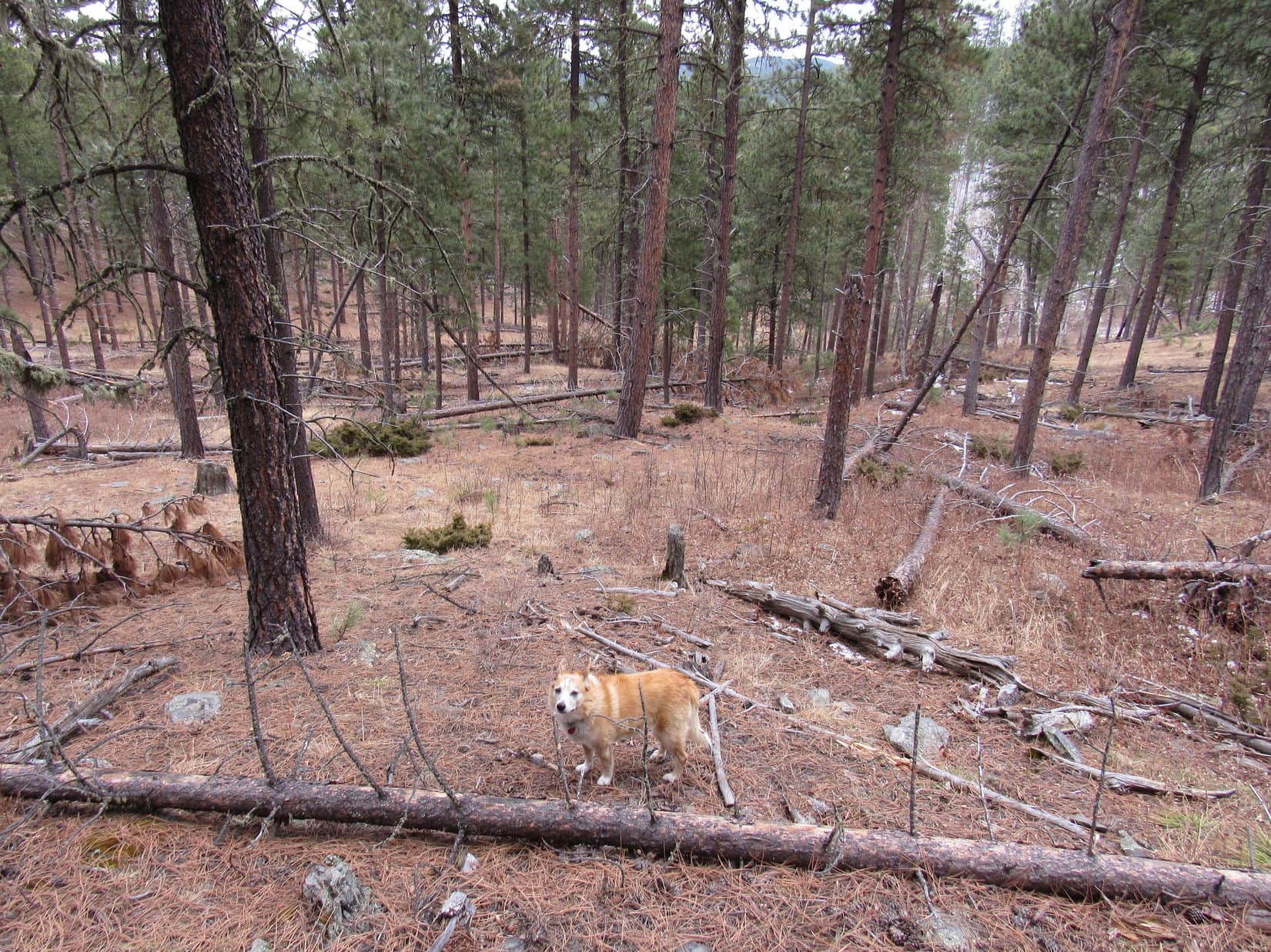
After gaining 350 feet of elevation following the power line, the dirt road leveled out, then dipped slightly as it continued SW.
Oh, I remember this spot, SPHP! We’ve been here on our way to Peak 6072 before. Pretty area! Some really nice views along in here.
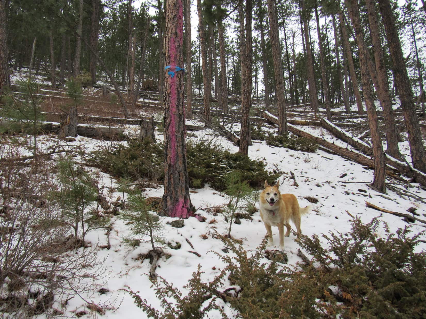
That’s right, Loopster. We’ve reached our usual route to Peak 6072. We’re actually on USFS Road No. 244.1B now. I like this region, too.

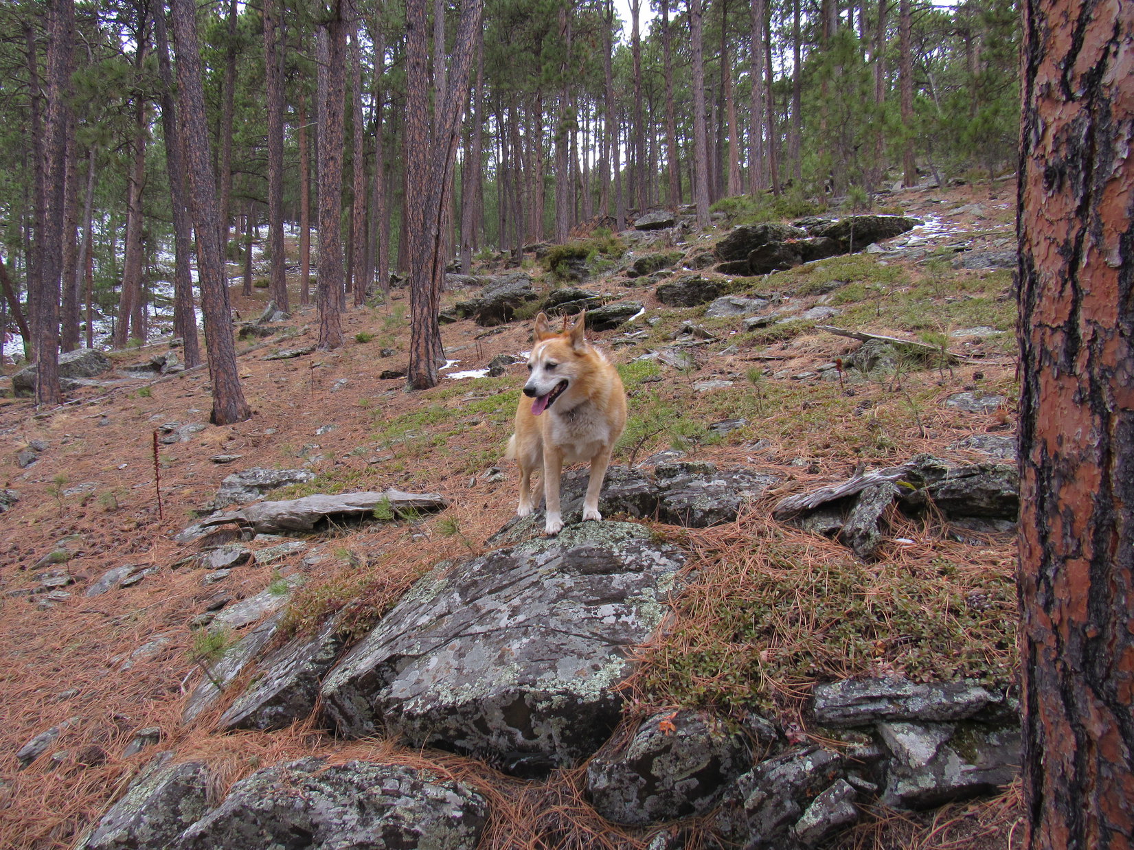
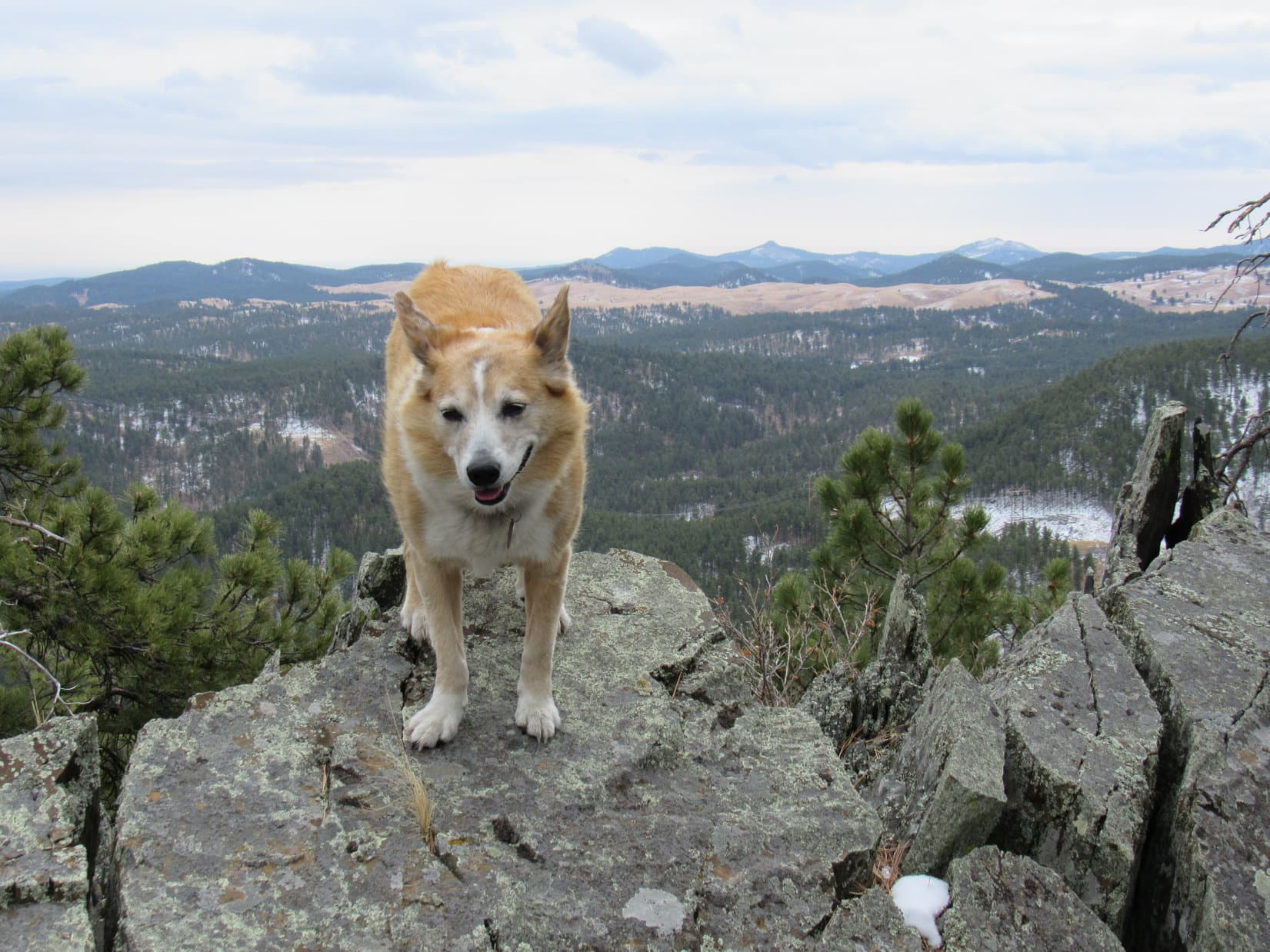
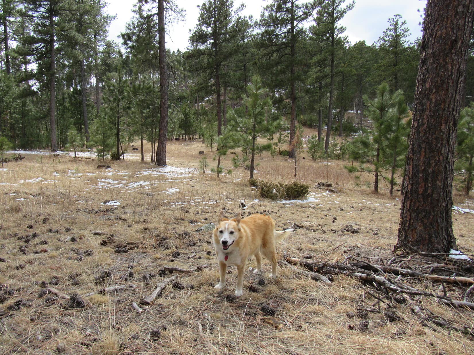
No. 244.1B soon curved NW, away from panoramic views to the S. Just for fun, Lupe left the road sooner than she would have had to, beginning a trek N along the spine of the ridge leading to Peak 6072. Cool little rock formations added variety worth exploring. When the American Dingo reached a familiar grassy clearing, she knew the summit was near.


A steady climb soon led to a glimpse of an expansive S-facing slope just to the W. Not the top of the mountain, but this slope offered the best views from anywhere on Peak 6072. A quick look was justified before proceeding on to the summit. Several favorite peaks were in sight.

Peak 6047 and Old Bald Peak (6,133 ft.), SPHP! Remember them?
Sure do, Loopster. Peak 6047 was the first mountain you ever climbed in your whole life, way back on Black Hills, SD Expedition No. 3 in January, 2012 when you were only 13 months old. We were actually trying to get to Old Bald Peak. I’d thought we’d done it, only to check the maps later on and realize that we’d climbed the wrong mountain!
Too funny, SPHP! Our very first mountain together was a mistake. Seems like an awfully long time ago now, doesn’t it?
Yeah. Too long, Sweet Puppy. Way too long, like something from a dream.

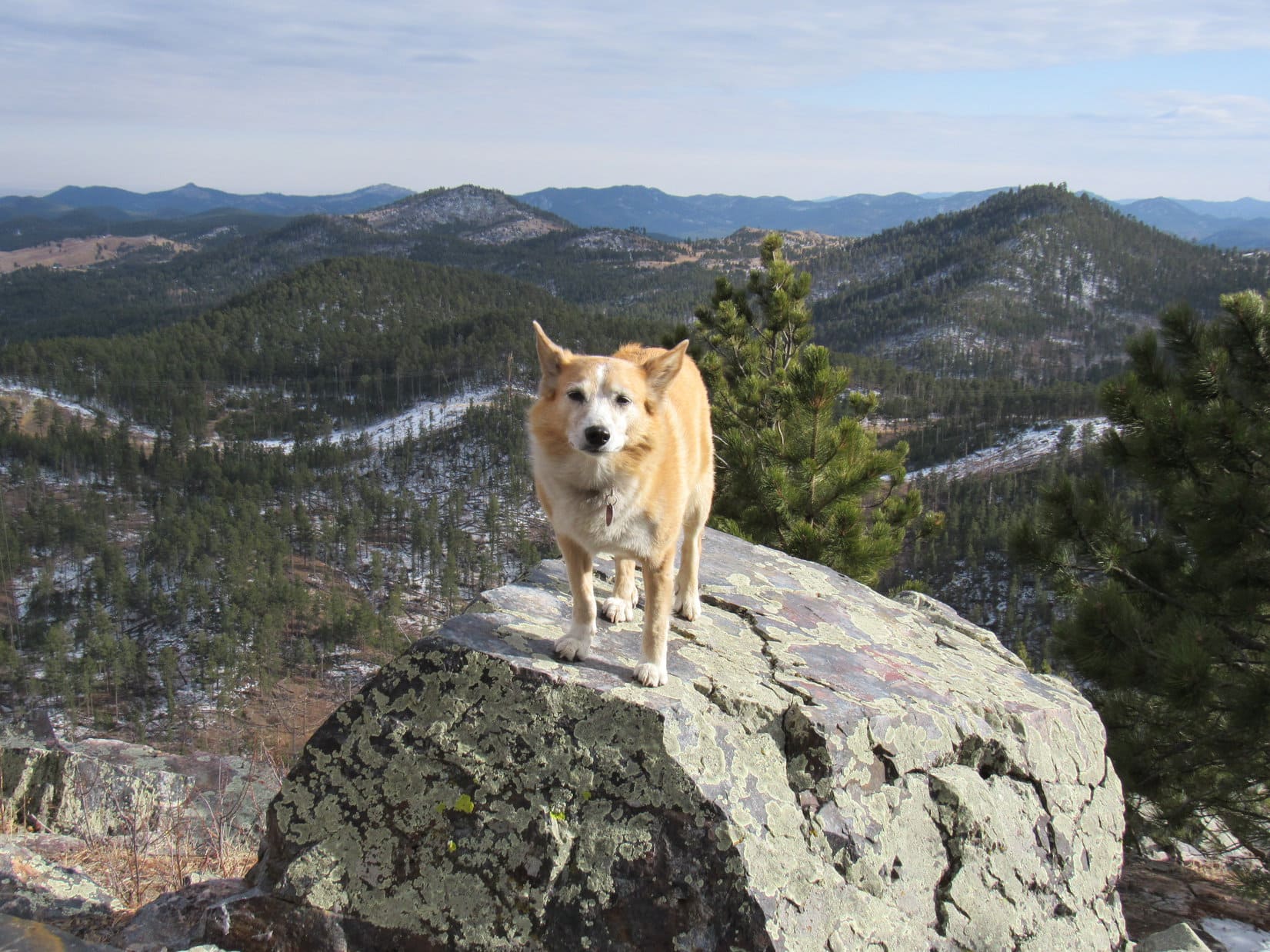
1:32 PM, 54ºF, Peak 6072 – Front paws perched on the highest rocks, Lupe stood grinning at the top of the mountain.
Ta-da! Made it again, SPHP! How many times have we been here?
Congratulations on your 4th ascent of Peak 6072, Loopster! May I shake your paw?
Evidently the answer was yes. The Carolina Dog graciously extended her paw, allowing SPHP to shake it.
Doesn’t seem right that there isn’t any snow up here, SPHP.
Yeah, I’m sure the last couple of times there was snow. Maybe not the first time we were here, though. That was at the end of March many years ago, Loop. Of course, it might have been snowy even then?
Maybe, SPHP. I don’t really remember. I just remember this usually being a cold, snowy place.
It’s been crazy warm and dry this December, Loop. Just the way it is.
No snow, and no views to speak of here at the summit, either. The rocky 20 foot long summit ridge covered with small bushes was surrounded by pines. Distant glimpses here and there, but even less to be seen now than during previous ascents as the pines grew taller.

Lupe sniffed among the bushes a few minutes before starting down a short, narrow stretch of the N ridge. A certain spot here provided the only unobstructed view of Scruton Mountain (5,923 ft.).

After a quick look at Scruton Mountain, the American Dingo wandered SSW down to another viewpoint, this time toward the NW. Once again, from exactly the right spot, both Nugget Gulch Peak (5,991 ft.) and Custer Peak (6,809 ft.) were in sight.

Peak 6072’s sunny S slope with its sweeping panorama in that direction was nearby. This was the best place to relax while enjoying a marvelous view of Five Points (6,228 ft.) and False North Point (6,134 ft.), with Black Elk Peak (7,231 ft.) and Sylvan Peak (6,998 ft.) beyond them.

Perfect place to devour another chocolate coconut bar, SPHP.
I only have one more, Loop. Saving it for New Year’s Eve Peak. How about some water and Taste of the Wild?
A good start, but what else do you have, SPHP?
Um. Let’s see. I’ve got a couple of Golden Rewards Pigs in a Blanket from your birthday, Looper.
Tasty! That’ll do.
While Lupe made short work of the pigs, SPHP munched an apple.
What a day! Makes me want to just keep going, Loopster. Wish 2025 would never end.
We will keep going, SPHP, but the sun is already sinking. 2025 is leaving. New Year’s Eve Peak is as far as we’re going to get.
Yeah, I know. Another look at Nugget Gulch Peak before we move on, Looper?
Sure, why not?

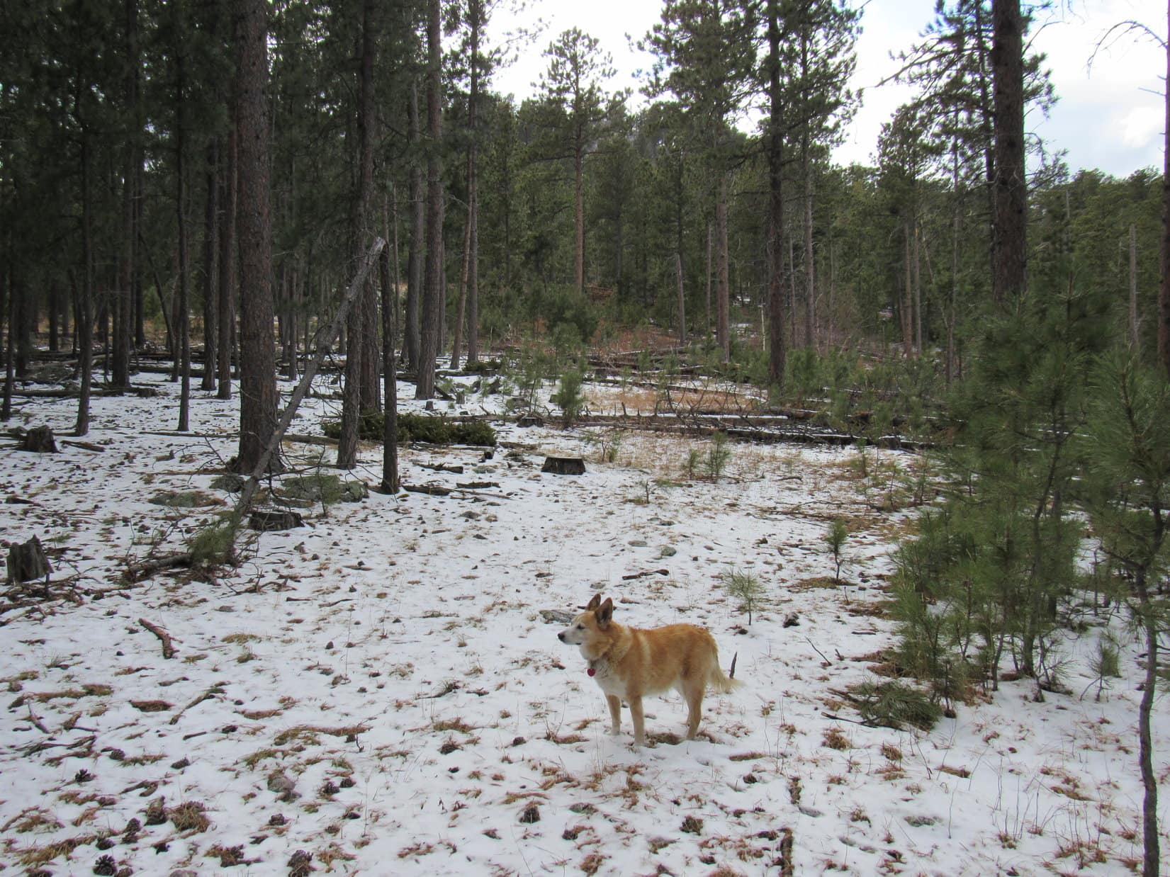
Time to go! Retracing her route along Peak 6072’s S ridge, Lupe returned to the scenic portion of USFS Road No. 244.1B, following it back only as far as Peak 6072’s SE ridge. Exploring rock formations along the crest of this ridge to the end of the high ground, she then turned ENE, starting a 200 foot descent to the saddle leading to New Year’s Eve Peak.


Regaining the elevation she’d just lost and then some, the mountain’s W slope was a steep climb.

3:32 PM, 47°F, New Year’s Eve Peak (6,048 ft.) – Beneath a crystal blue sky, in an almost imperceptible breeze, Lupe stood on the old, familiar summit boulder basking in the glow of 2025’s final sunny hour. Young pines near the boulder had grown up so much that Black Elk Peak was scarcely visible now. SPHP shook the Carolina Dog’s proffered paw.

Congratulations, Loopster! We’re back. Right on New Year’s Eve day, too!
How many times does this make, SPHP?
This is your lucky 13th ascent of New Year’s Eve Peak, Looper. Only the 5th time right on New Year’s Eve, though.
13! Are you sure that’s lucky, SPHP? I’ve heard otherwise.
Why, it must be lucky. Conditions are perfect! Never been better, Loop.
I suppose you’re right, SPHP. At least, it’s lucky enough, if you really have another chocolate coconut bar in your pack.
I do!
Leaping off the summit boulder, the American Dingo went over to the rocks with the best views to the W, then joined SPHP at the traditional break spot on the slope facing that direction.


SPHP produced the promised final chocolate coconut bar of 2025, shared it with the Carolina Dog, then offered water and Taste of the Wild, too. It all vanished in a flash. Less than half an hour of beautiful sunshine left! Sitting together, watching the sun sink steadily toward the horizon, Lupe seemed as happy as ever.
In many ways, 2025 had been a fantastic year. A record 5 fabulous Dingo Vacations! And yet … another year was now inevitably slipping away into history. Epic struggles and adventures, all water under the bridge. Melancholy seized SPHP. Gone forever! SPHP brooded, not only on the adventures and events of 2025, but those of days of the distant, dreamy, not-yet-entirely-forgotten past.
New Year’s Eve Peak felt strange, like something had changed. Nothing seemed quite right. The hills to the W had always been snowy during Lupe’s prior pilgrimages here. Today, for the first time ever, they were completely bare. Not a single flake.
Usually it was so cold that the American Dingo had only occasionally been here on the absolute last day of the year, weather often dictating an arrival either a few days earlier, or into the new year.
Never been this warm when we’ve been here before, SPHP. Remember how deep the snow always used to be in the forest?
Hah! Great minds think alike, Looper. I was just pondering how much even New Year’s Eve Peak has changed over the years.
Some, SPHP, but it’s mostly the same, isn’t it?
Guess you’re right. Does seem very familiar in most respects. Maybe we’re what’s changed, whether we want to or not? Anyway, glad we came. It’s always awesome being here with you, Loopster!
Of course! We can’t miss out on New Year’s Eve Peak, SPHP. It’s tradition, just like your end-of-year gloom that I have to put up with. I’ve noticed that you’re always much cheerier once the new year actually begins.
Indeed. Guilty as charged, I suppose. Well, about photo time, Loopster. The sun will soon be gone.
During 2025’s last sunny moments, Lupe conducted a final tour of the scenic highlights of New Year’s Eve Peak. The most open views were SE or S, where part of Sheridan Lake and many familiar mountains were on display. Boulder Hill (5,336 ft.), Silver Mountain (5,418 ft.), Calumet Ridge (5,615 ft.), Mount Warner (5,880 ft.), Black Elk Peak (7,231 ft.), Sylvan Peak (6,998 ft.), Five Points (6,228 ft.), and countless others. The Carolina Dog had visited all of them at least once upon a time.


Minutes until sunset! Lupe returned briefly to the summit boulder.

You look so happy, Looper! Glad to see it.
I am happy, SPHP! Aren’t you? New Year’s Eve Peak is awesome! I look forward to coming here with you to celebrate the end of every glorious year we’ve spent adventuring together.

SPHP hugged Lupe. A cloudless sky magically vanished in heavy mist.
Oh, yes! Me too, Sweet Puppy. Nothing better in the whole world than ringing in the New Year, and remembering our many adventures while sharing a chocolate coconut bar here with you. I love you so much!

4:18 PM – Lupe and SPHP stood watching the sun slipping below distant hills. Without a cloud in the sky, a colorful sunset worth sticking around for wasn’t in the cards. By the time 2025’s last rays of sunlight were completely gone, the American Dingo was, too.
No S ridge descent to Pistol Point this year. Also strange. Instead, Lupe headed E, skirting around the rock formations of New Year’s Eve Peak’s E high point. Then it was down a broad NE ridge amid the gathering gloom to an ancient roadbed discovered only a year ago where young trees were springing up.
This long abandoned road led to another descent of a NE slope. Even twilight was fading by the time Lupe ran into the big power line again. SPHP had to don the headlamp before she reached Edelweiss Mountain Road 0.25 mile from where Shadow was parked. A silent, downhill stroll ensued, darkness alleviated by the pale light of a nearly full moon. (End 5:34 PM, 37ºF)
Midnight – Fireworks! 2025 was gone. The rest of the world was ringing in the New Year. Lupe’s paws twitched. In Dingo Dreamland, happy and free, the Carolina Dog was racing across bright green fields beneath the forever blue skies, tracking, amid flowers and butterflies, a scent full of promise on the soft, warm breeze, her grand and glorious New Year 2026 adventures already underway.


Links:
Next Black Hills Expedition Prior Black Hills Expedition
Lupe’s Scrollable GPS Track & Ascent Statistics
Black Hills, SD Expedition No. 339 – New Year’s Eve Peak & Peak 5917 (12-29-24)
Want more Lupe adventures? Choose from Lupe’s Black Hills, SD & WY Expeditions Adventure Index, Master Peak Map, Master Adventure Index, or subscribe free to new Lupe adventures!