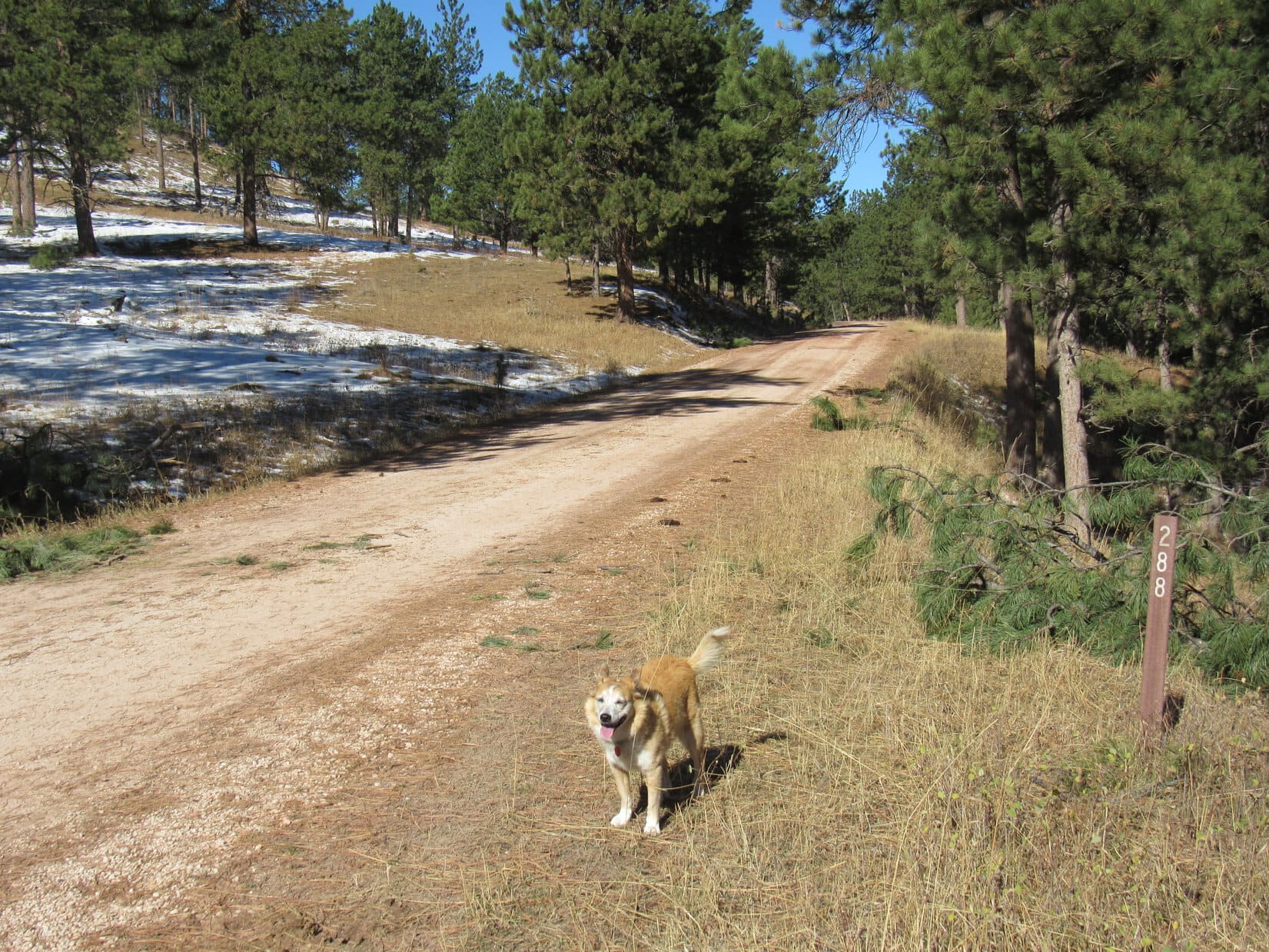
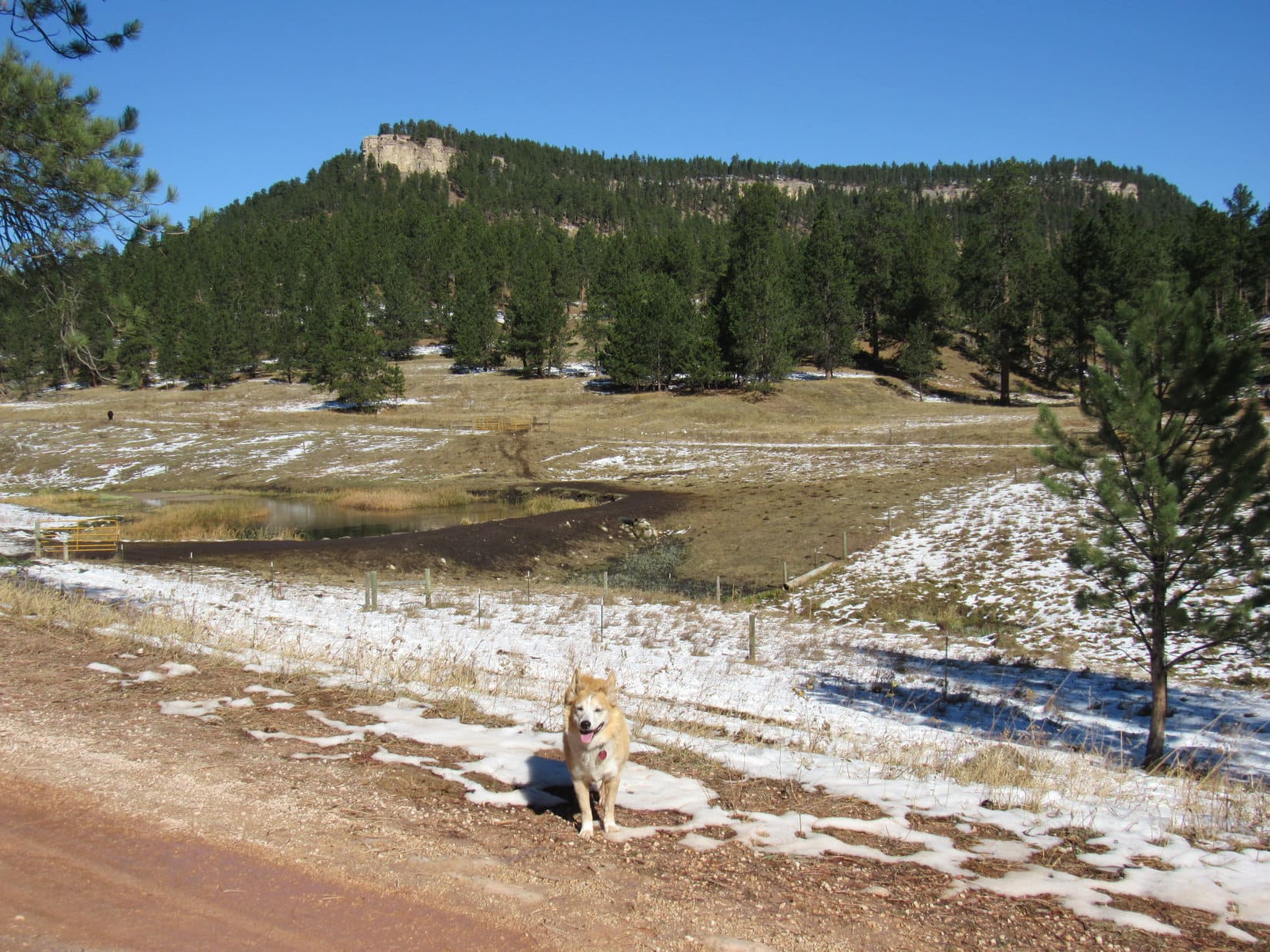
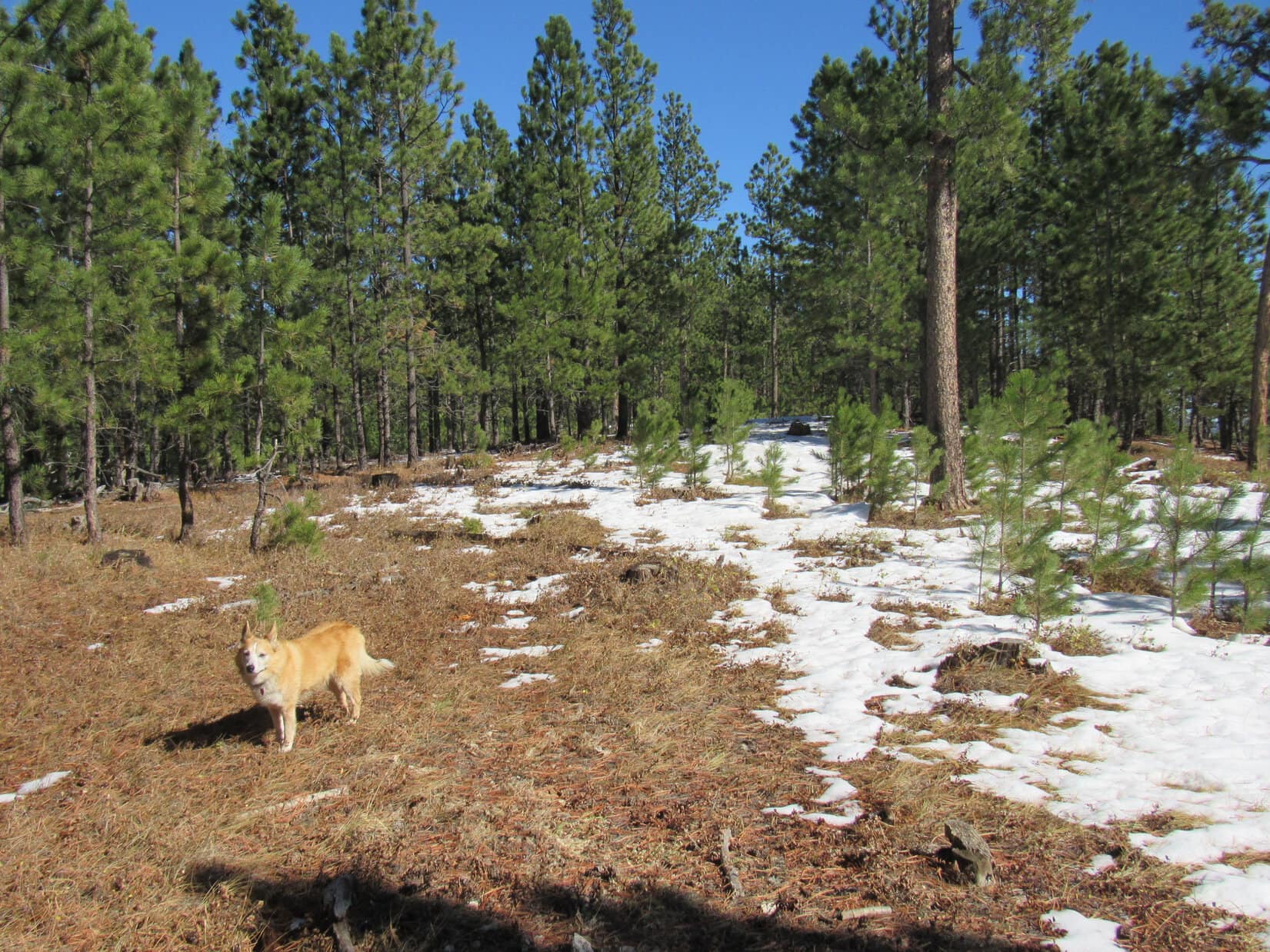
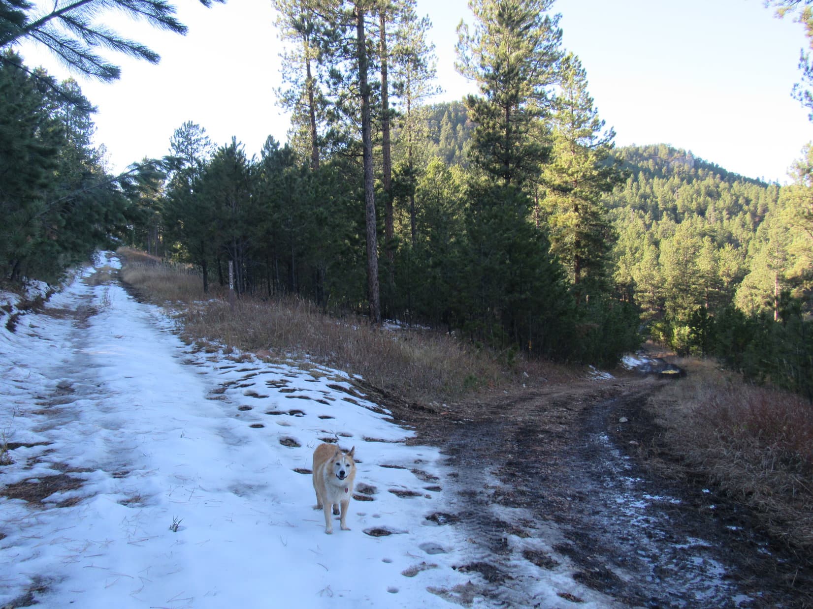
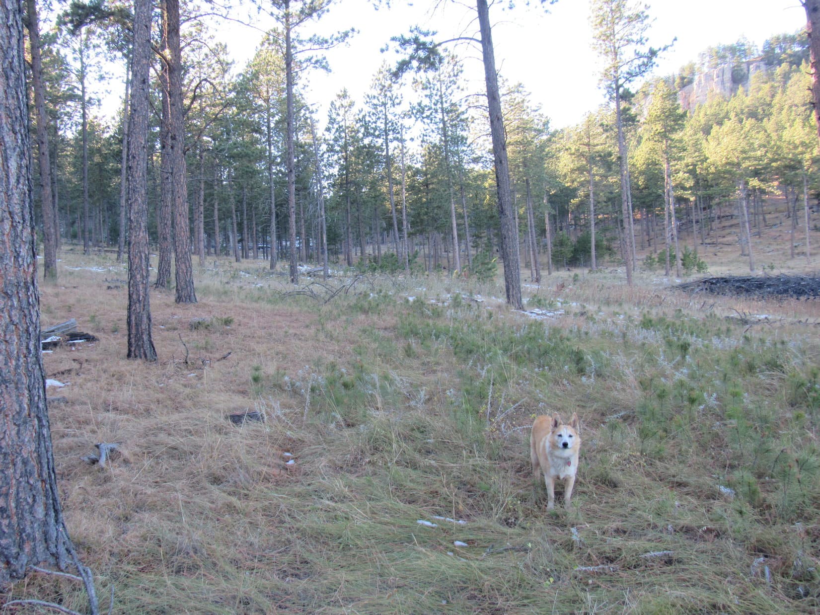
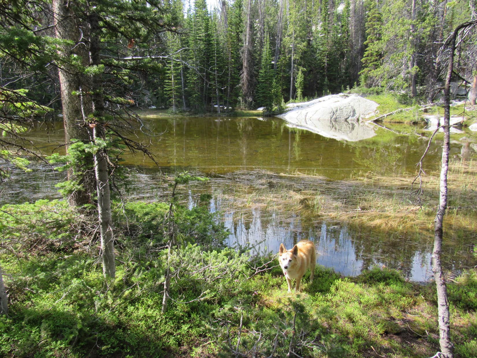
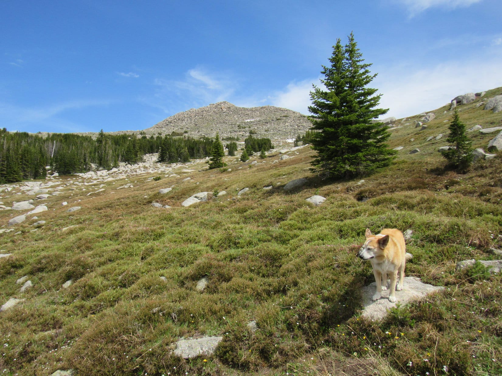
11:20 AM, 58ºF – W of Custer SPHP turned off Hwy 16, parking the RAV4 along Lightning Creek Road (USFS Road No. 288). Lupe bounded out. Blue skies, warm and sunny! A superb day for a Black Hills expedition!
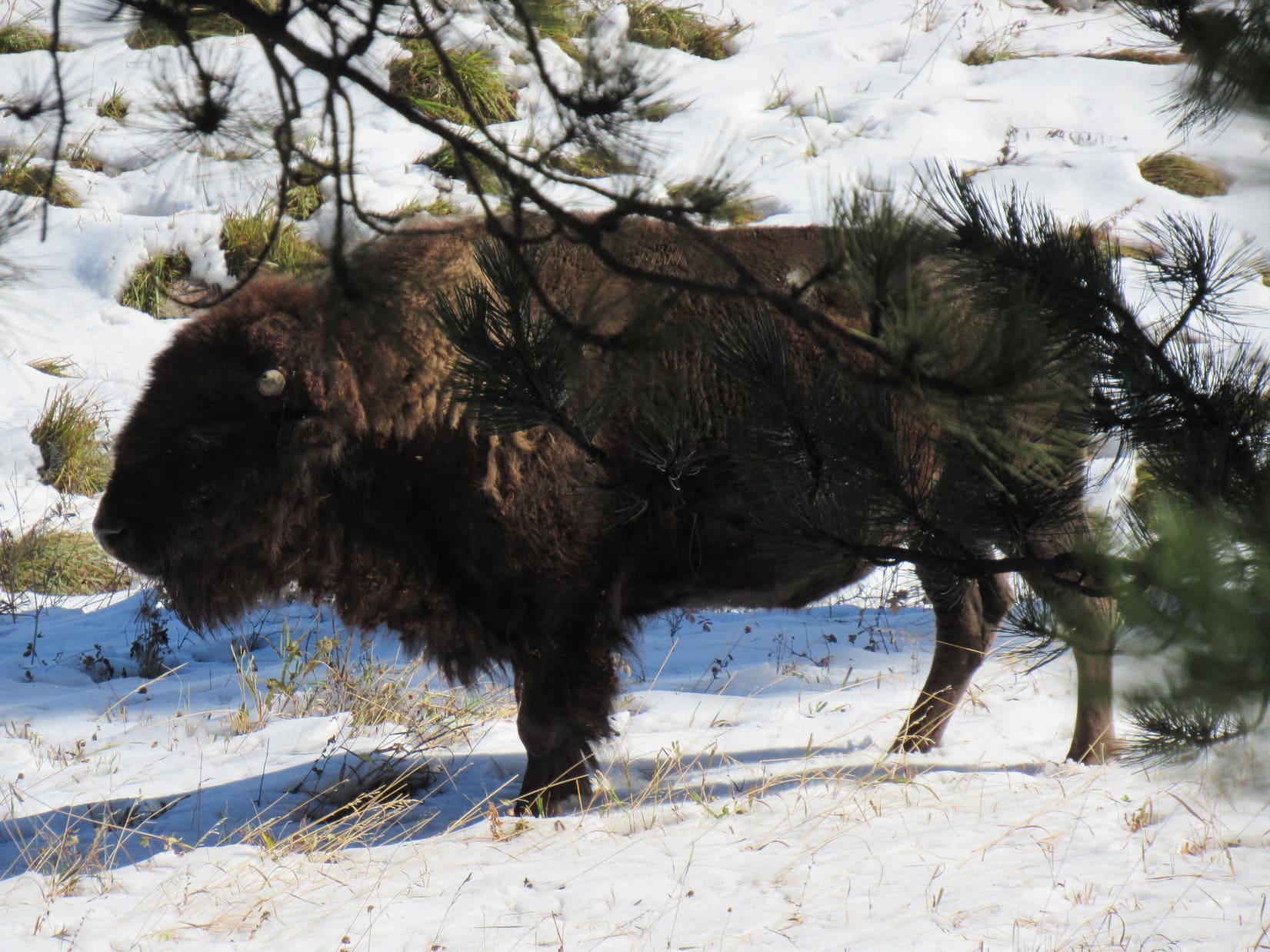
Snow left over from last week’s storm was melting away in the forest as Loopster trotted NW along Lightning Creek Road. The Carolina Dog had barely gotten started, when she suddenly noticed movement down the steep bank to the E.
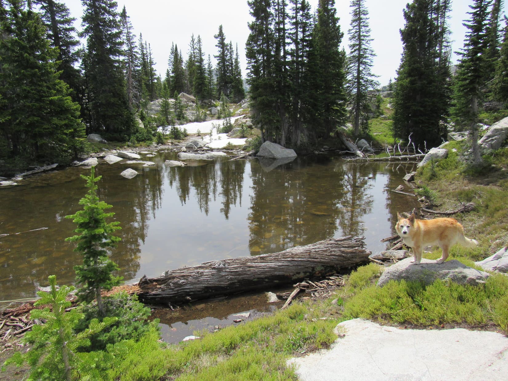
SPHP, look! A buffalo!
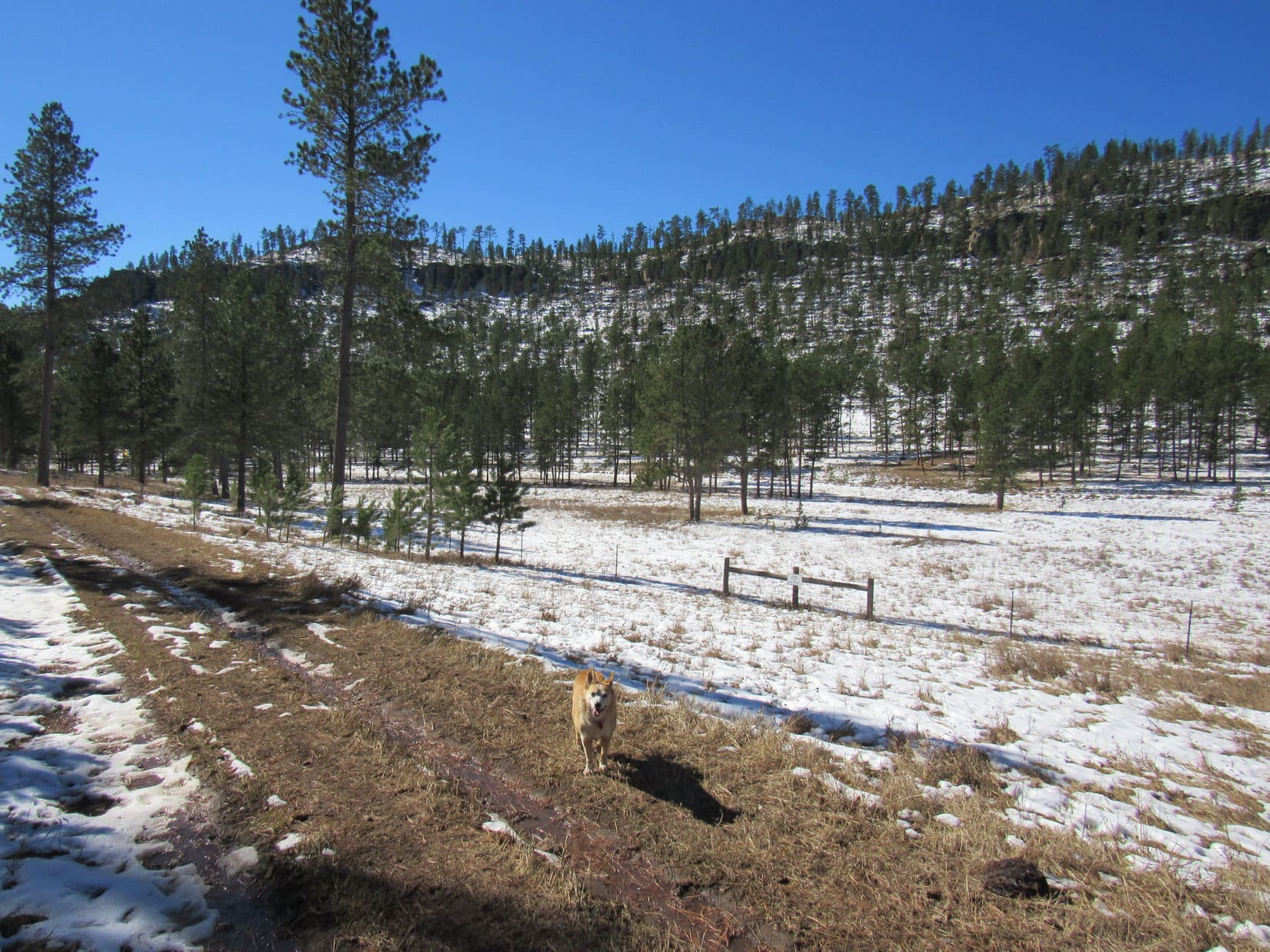
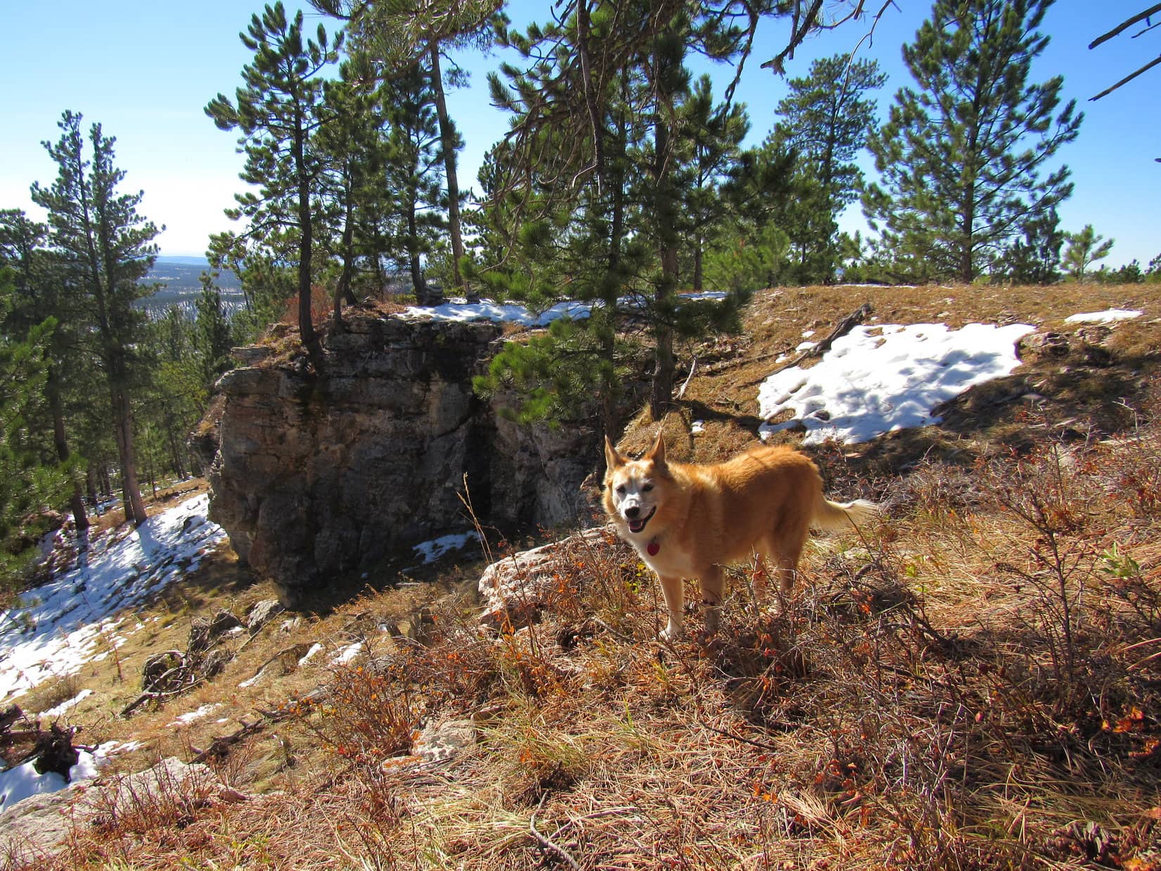
Setting out on Lightning Creek Road. (USFS Road No. 288). Photo looks NW.
Yup! There’s a bison ranch down there, Loop.
You mean to say that’s a tame buffalo, not a wild one?
Tame? Hmm. Don’t know I’d go that far. Used to seeing people and traffic maybe, but bison have minds of their own.
I bet it’s delicious!
Delicious? I’ll say! Don’t go getting any ideas, though, Loop. That buffalo is even bigger than it looks from up here. Easily more than a match for any pipsqueak American Dingo, no matter how feisty.
Pipsqueak!
Yeah, pipsqueak, so leave that buffalo alone! Come on, let’s go! We’ve got mountains to climb!
Lupe hesitated. The buffalo was fascinating! When it just stood around for several minutes, though, the Carolina Dog finally decided she might as well move on, and went running off after SPHP.
Where the pines shaded it, Lightning Creek Road was sloppy with mud and slush from melting ice. Loop soon came to a partial view of a long forested ridge. Near the top, a seemingly unbroken line of limestone cliffs ran along its entire length.
Oh! Another one of your numbered Lists of John peaks with more than 300 feet of prominence, SPHP?
Yup. Figure we might as well do some of them, since you’ve already been to all the named peaks we can climb in the Black Hills, most more than once. These Lists of John peaks are something new and different. Never know what we might see!
Or not see, like a way up!
Eh, don’t worry about that yet, Looper. Topo map looks like Peak 6361 might be easier from over on the other side of the mountain, so let’s head over that way to check it out.
Peak 6361 from Lightning Creek Road. Photo looks N.
As Lupe continued NW along Lightning Creek Road, SPHP kept an eye on Peak 6361. There really didn’t seem to be any way up from the S. Not too worrisome yet. Loop probably really could climb it from the N.
Peak 6361’s true summit was near the E end of the mountain, but the biggest, most impressive cliffs were clearly way over at the SW end. After summiting, Lupe ought to visit those cliffs! The best views Peak 6361 had to offer might well be from up there.
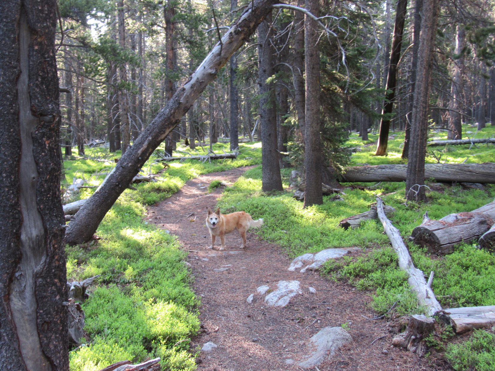
Enjoying the trek along Lightning Creek Road. Photo looks NW.Peak 6361’s SW cliffs (L). Photo looks N.
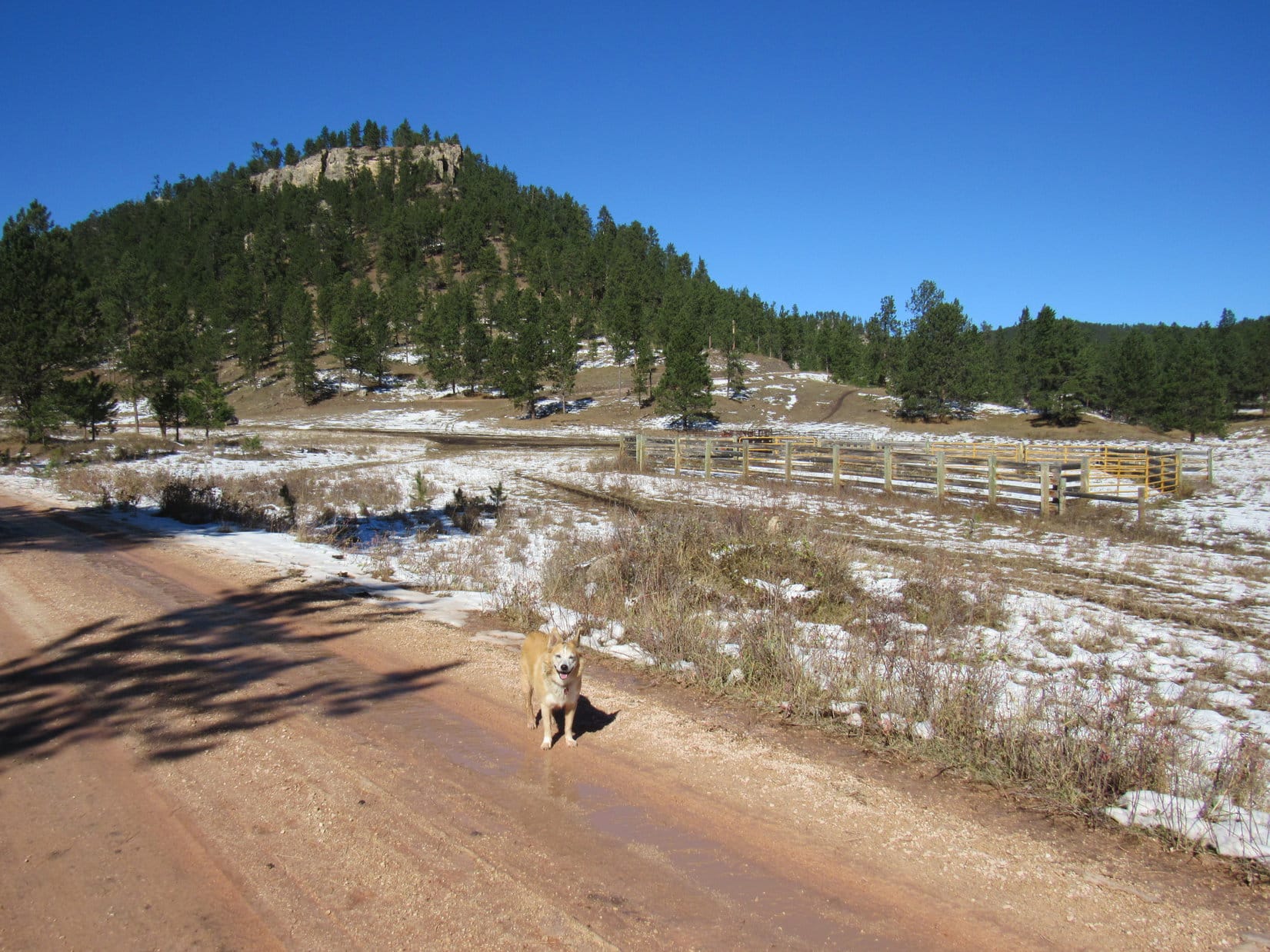
A mile from Hwy 16, Lupe came to some corrals shortly before reaching a junction with USFS Road No. 288.1A. Taking a shortcut through a big parking area for horse trailers W of the corrals, she reached No. 288.1A NE of the junction.
Approaching the corrals near the junction with USFS Road No. 288.1A. Photo looks NNW.
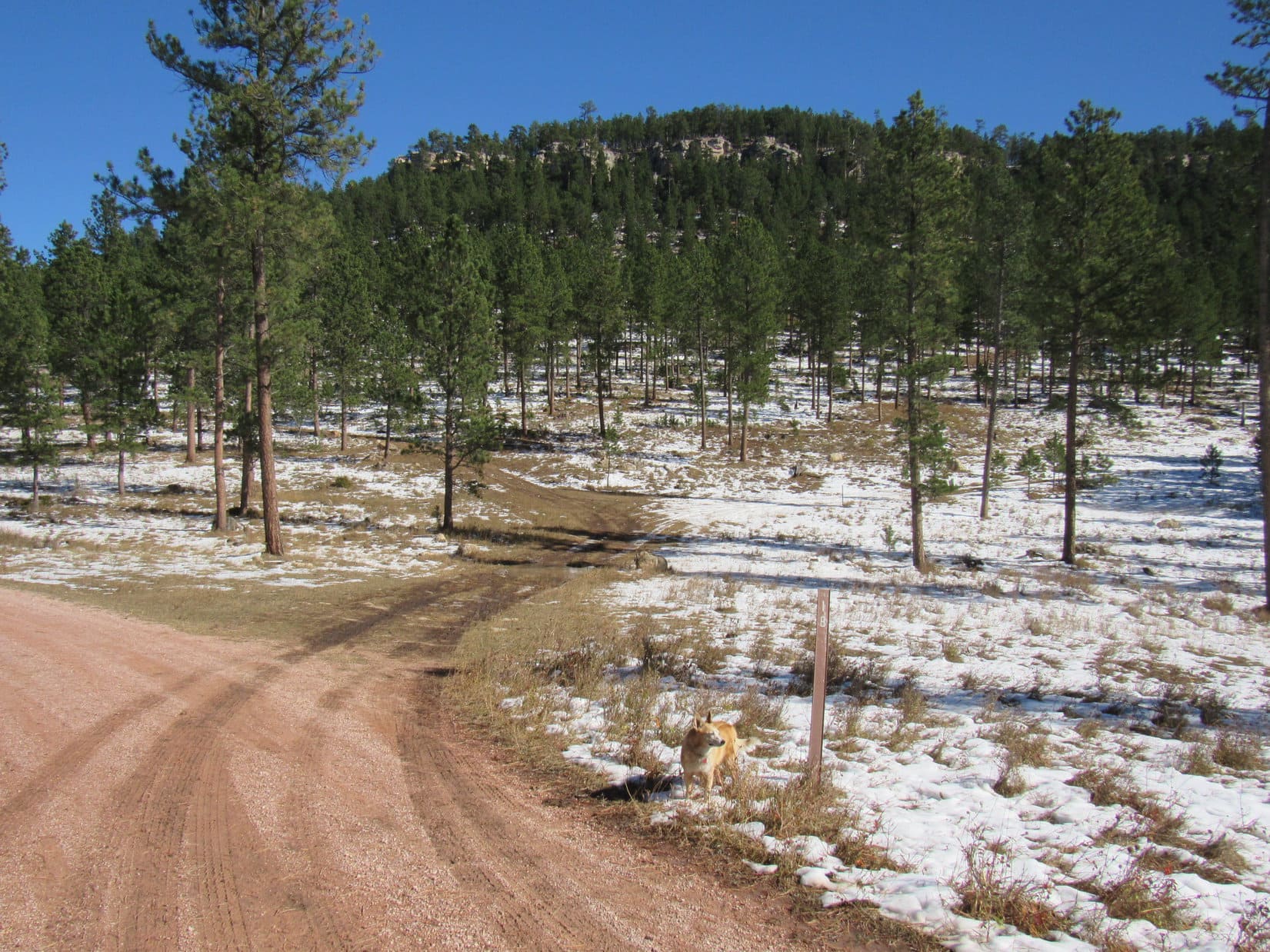
More than 0.25 mile N on No. 288.1A brought Lupe to another junction, this time with No. 288.1B. The Carolina Dog was now due W of Peak 6361. A short section of No. 288.1B headed right for the base of the mountain, where the road forked again.
From here, No. 288.1B veered R (S), destined to curl around to the S side of Peak 6361, an approach that wasn’t going to work. Loopster went L instead, taking No. 288.1C N. To access this route, she had to go under an odd single strand bungie rope gate in a barbed wire fence. Suspecting the rope might be electrified, SPHP was a little leery, but passed through without incident.
W end of Peak 6361 from the junction with USFS Road No. 288.1B. Photo looks ENE.Heading for the N side of Peak 6361 on USFS Road No. 288.1C. Photo looks N.
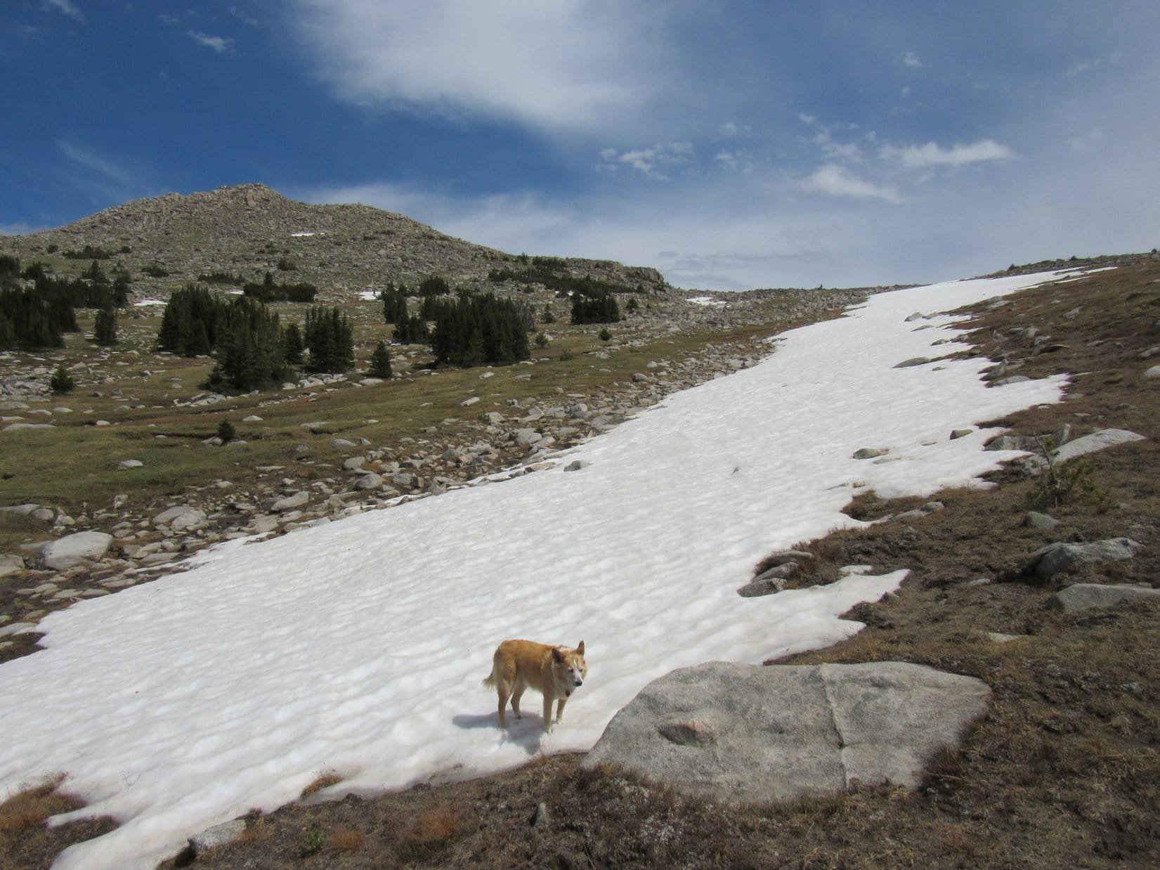
As No. 288.1C swung around to the ENE, the N slopes of Peak 6361 began coming into view. This side of the mountain was a lot snowier, but the terrain was otherwise much more favorable for an ascent. No line of cliffs visible near the top!
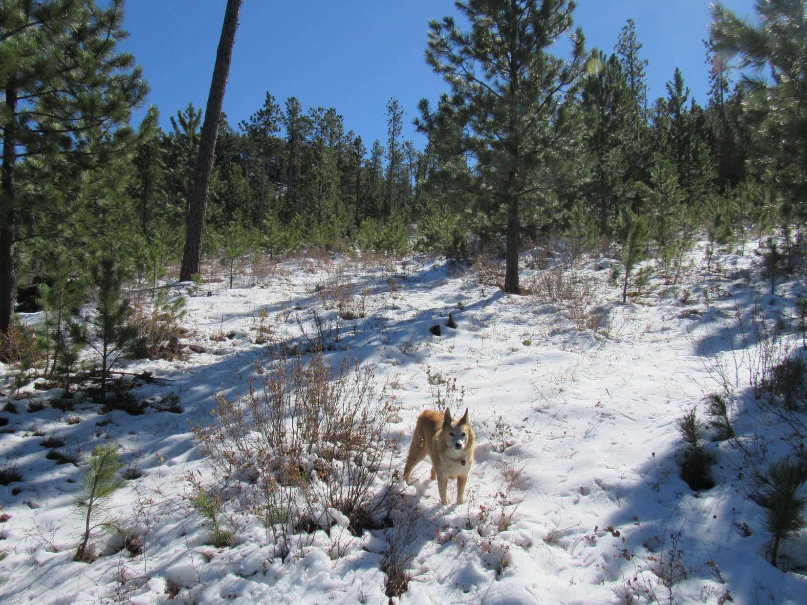
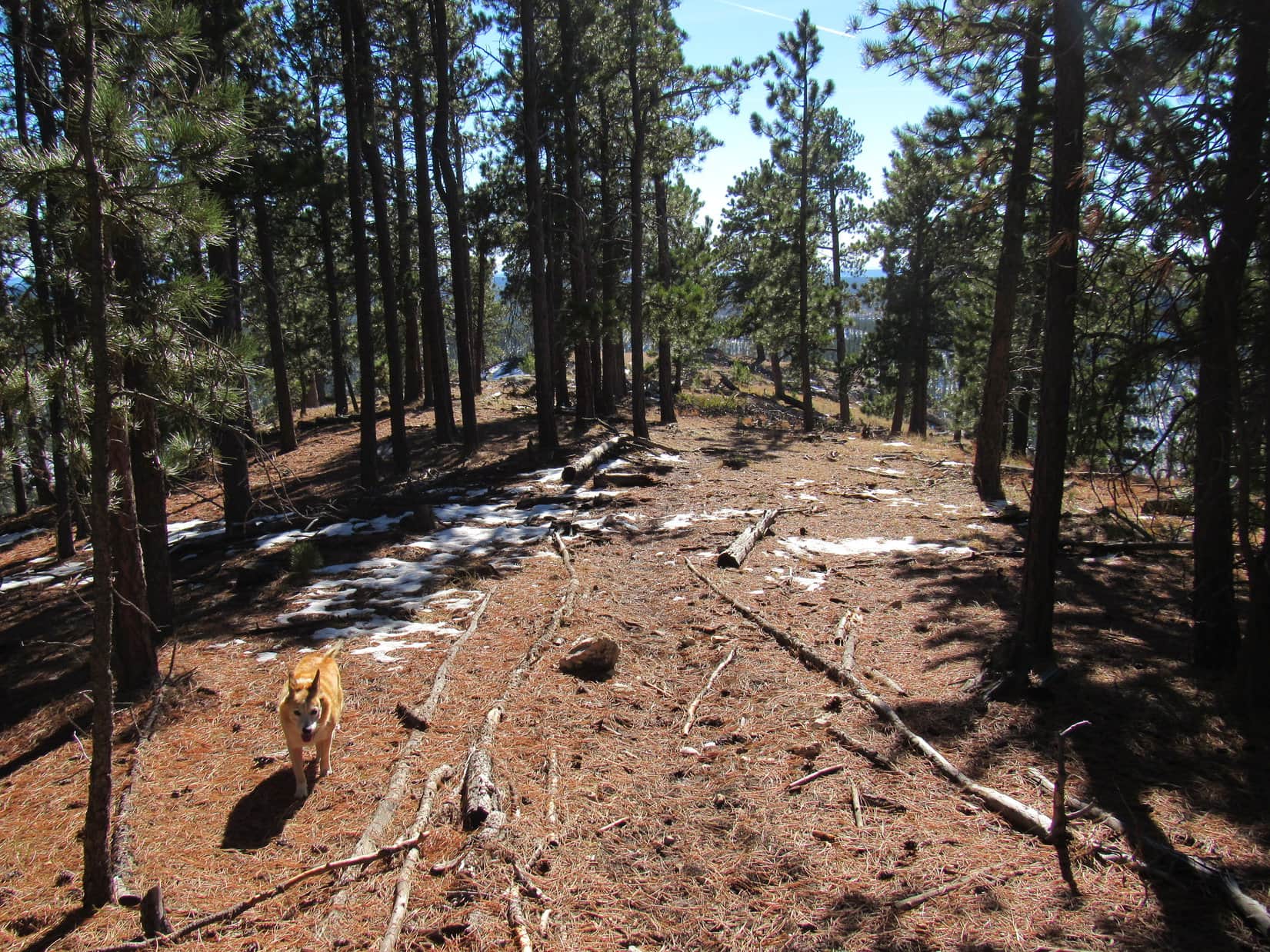
Lupe stuck with the road, slowly gaining elevation, until she reached what appeared to be a favorable spot. The Carolina Dog then left the road, plunging into the forest climbing SSE through 4″ to 6″ of snow.
Ridges across the valley from Peak 6361. Photo looks WSW.N of the mountain. Lupe left No. 288.1C near this point. Photo looks E.Heading up Peak 6361’s N slope. Photo looks SE.
The snowy ascent through the forest never got very steep. Near the top, Lupe saw a yellow cliff off to the E, but never came to one herself. A steady romp higher, and that was about it.
As the American Dingo gained Peak 6361’s main E/W ridge, she made an unexpected discovery. A road was up here! Apparently it originated somewhere farther E along No. 288.1C than Lupe had been.
On the unexpected road near the top of Peak 6361’s main ridge. Photo looks E.
Lupe had come up near the low point of the main ridge about a third of the way E along the mountain from the cliffs at the SW end. Saving the views from those cliffs for last, Loop headed E looking for Peak 6361’s true summit.
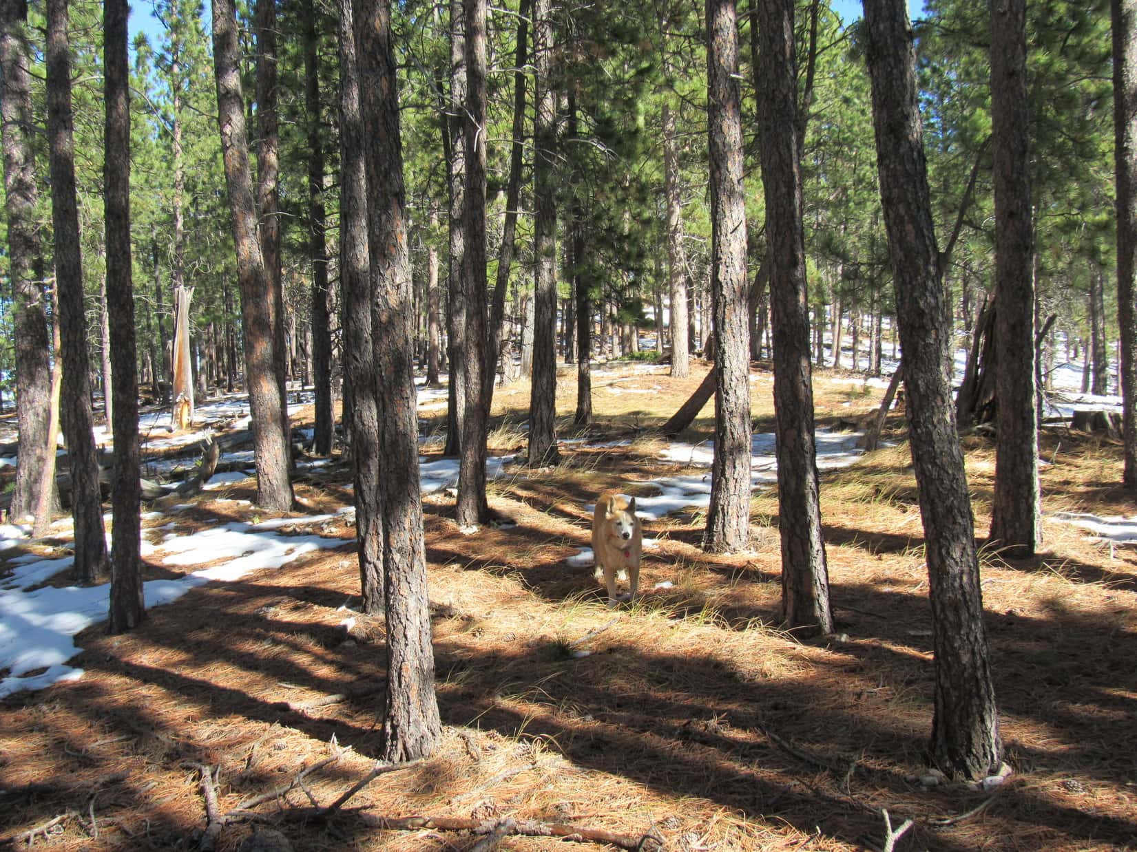
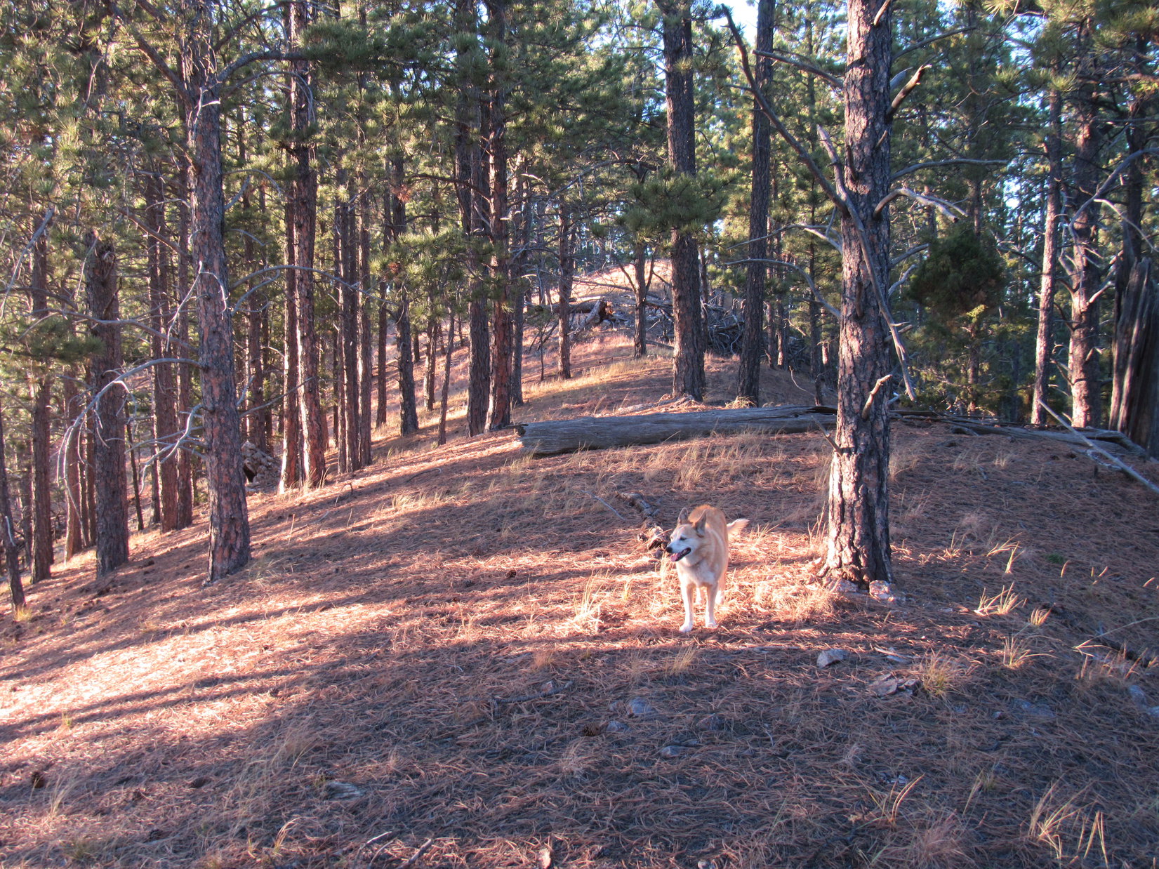
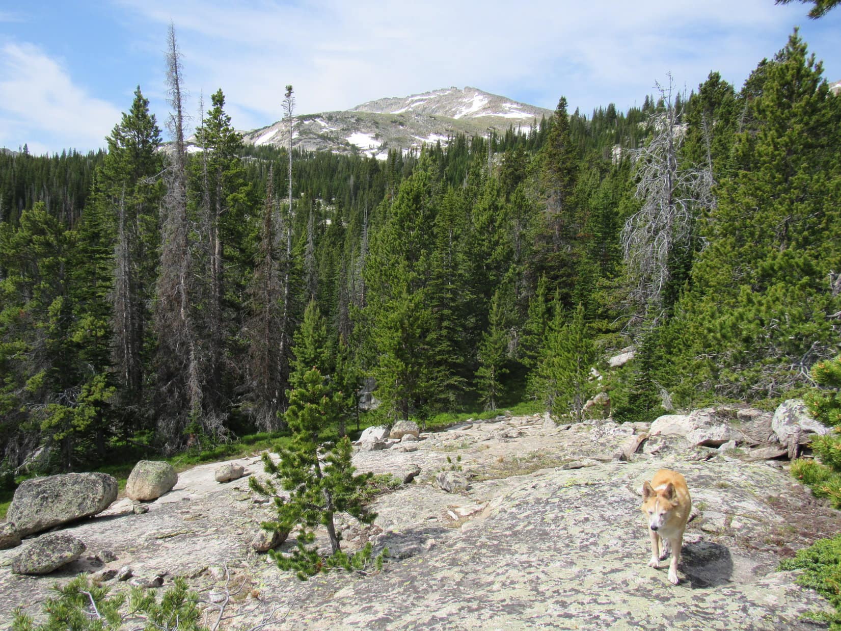
The main ridge was plenty wide and almost flat. Travel was easiest S of the crest where there wasn’t much snow. Forest effectively hid the views, although there were tree-broken glimpses. The terrain rose slowly as Lupe roamed E. The ridge eventually narrowed somewhat. Loop came to a path which began climbing a little more aggressively. It soon brought her to the base of a small hill at Peak 6361’s far E end.
An easy stroll higher, and Lupe was at true summit of Peak6361.
Up on the main ridge close to where Lupe first reached it. Photo looks E.Exploring the forest on the way to the true summit. Photo looks ENE.On the use trail where the ridge narrowed somewhat. Photo looks E.Approaching the summit. Photo looks E.
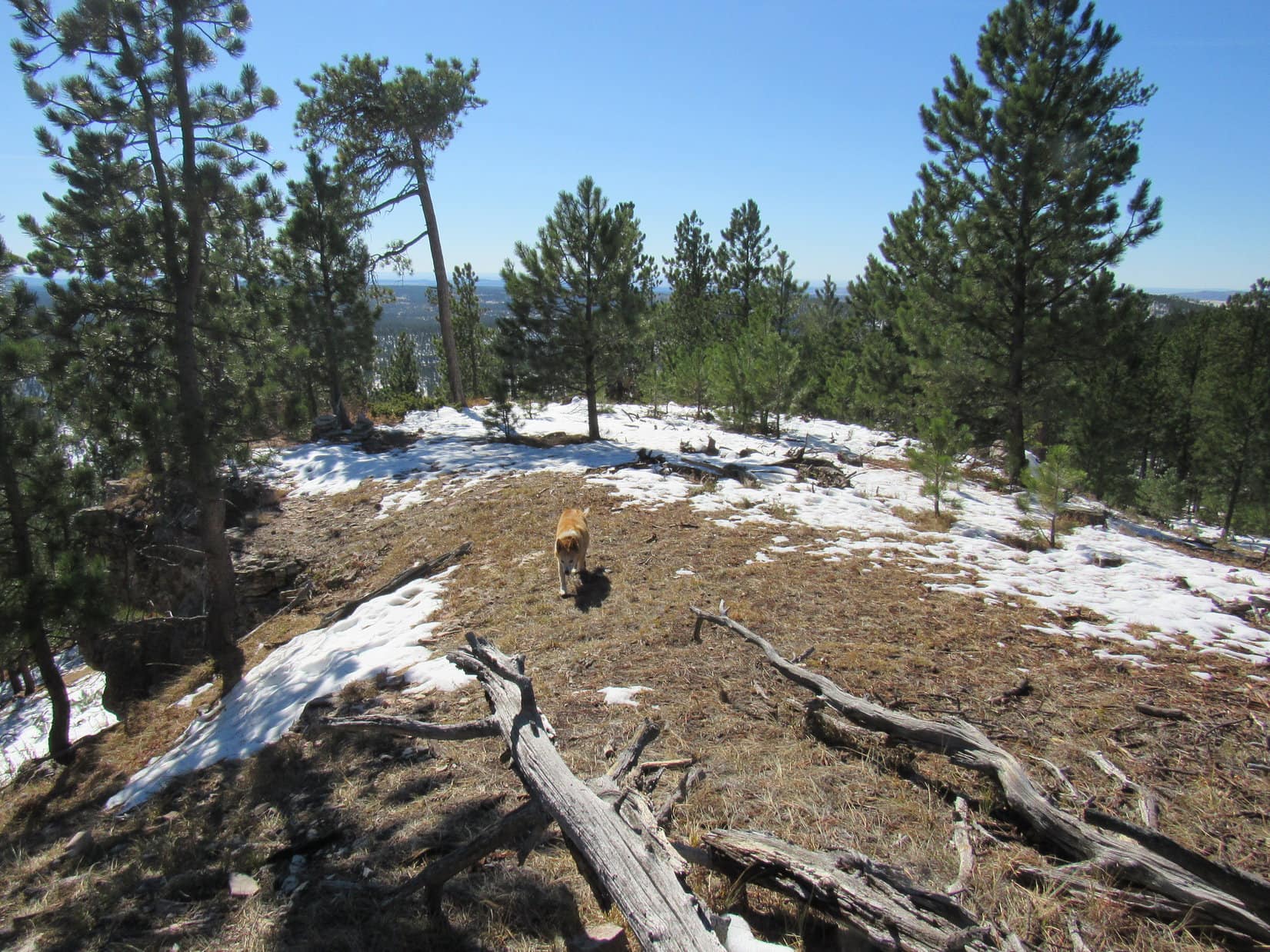
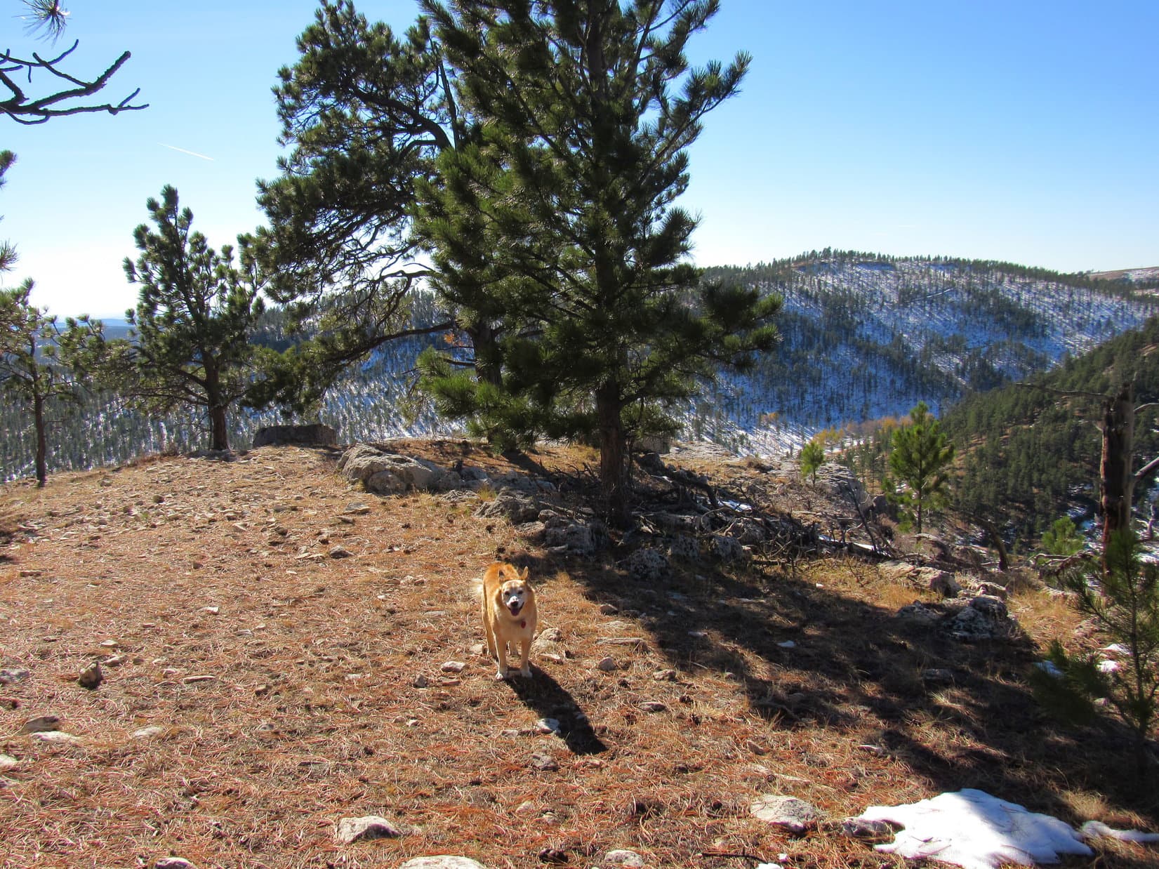
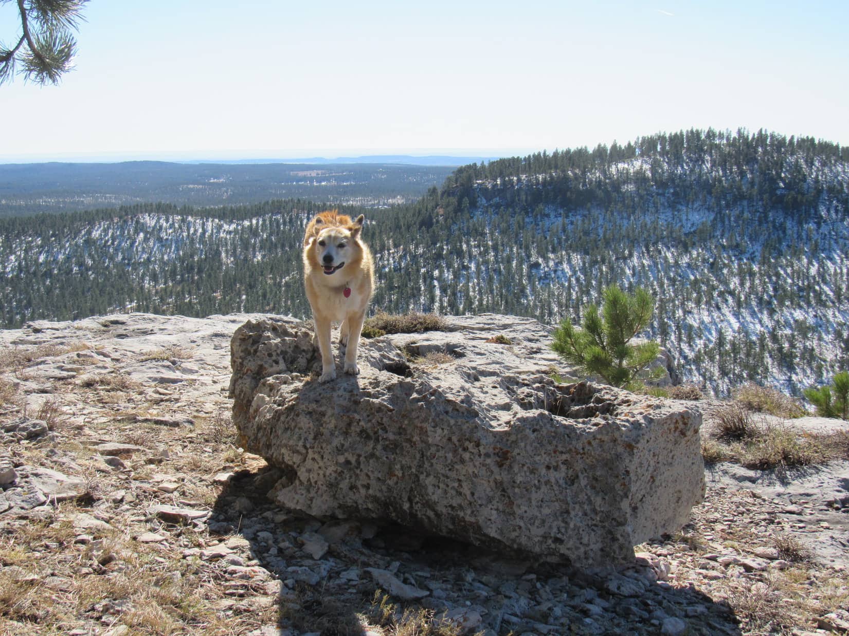
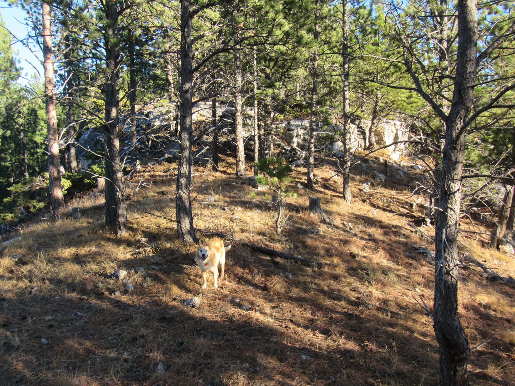
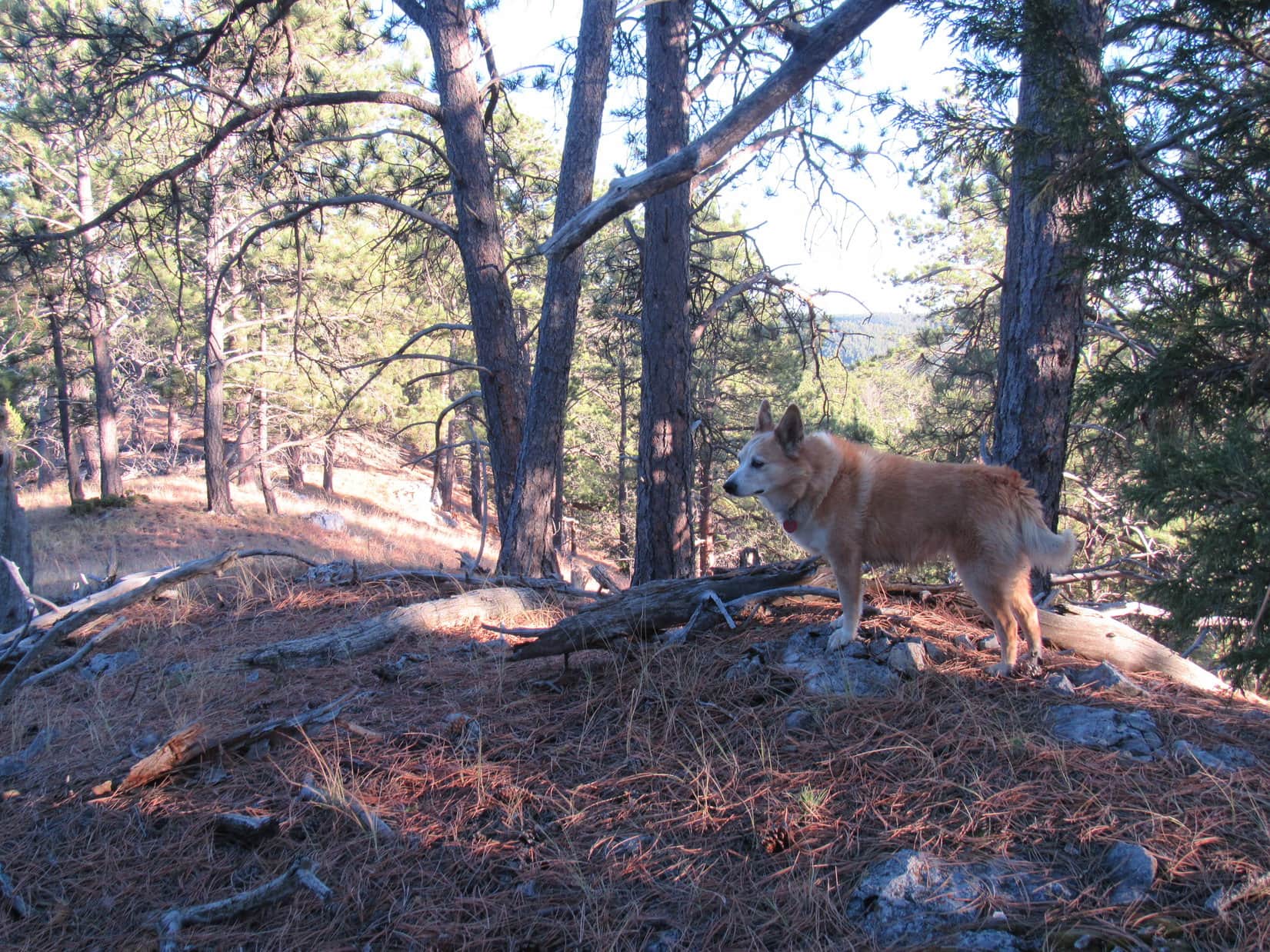
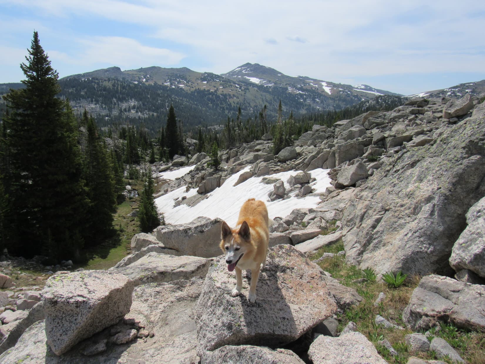
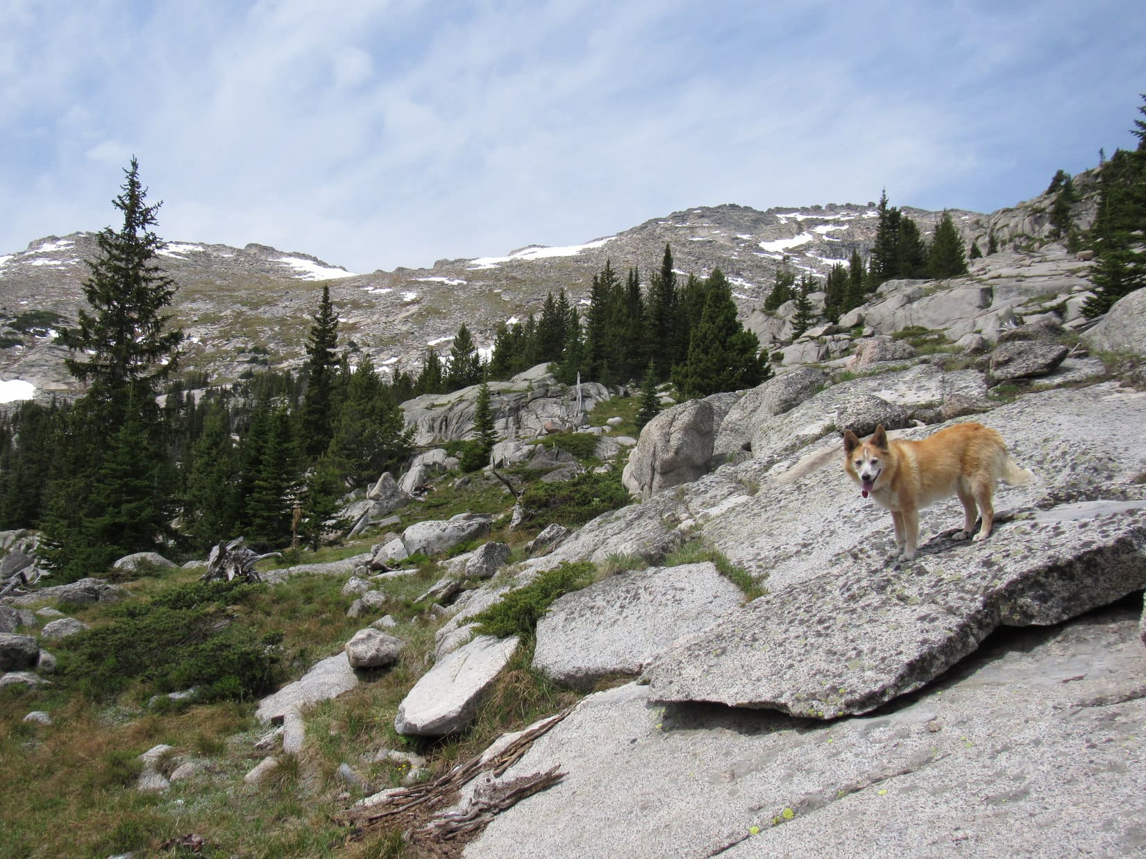
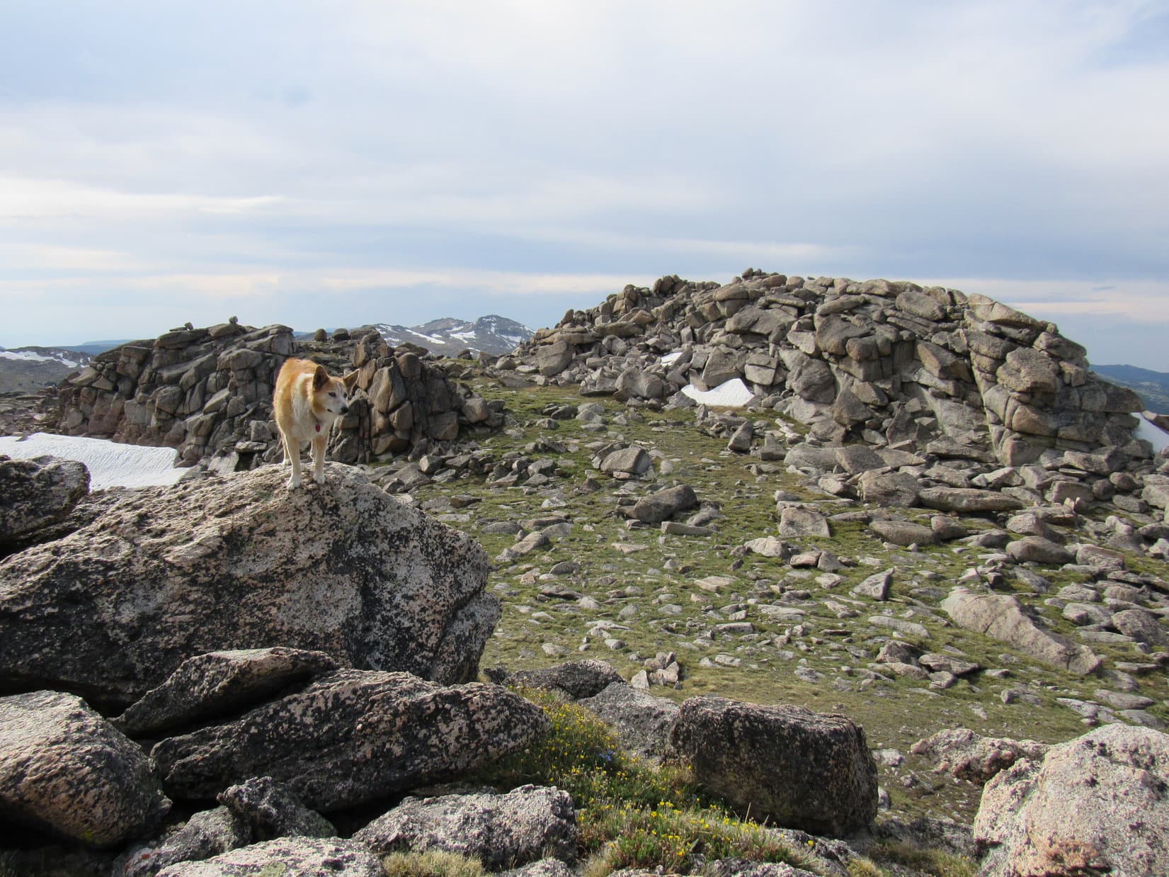
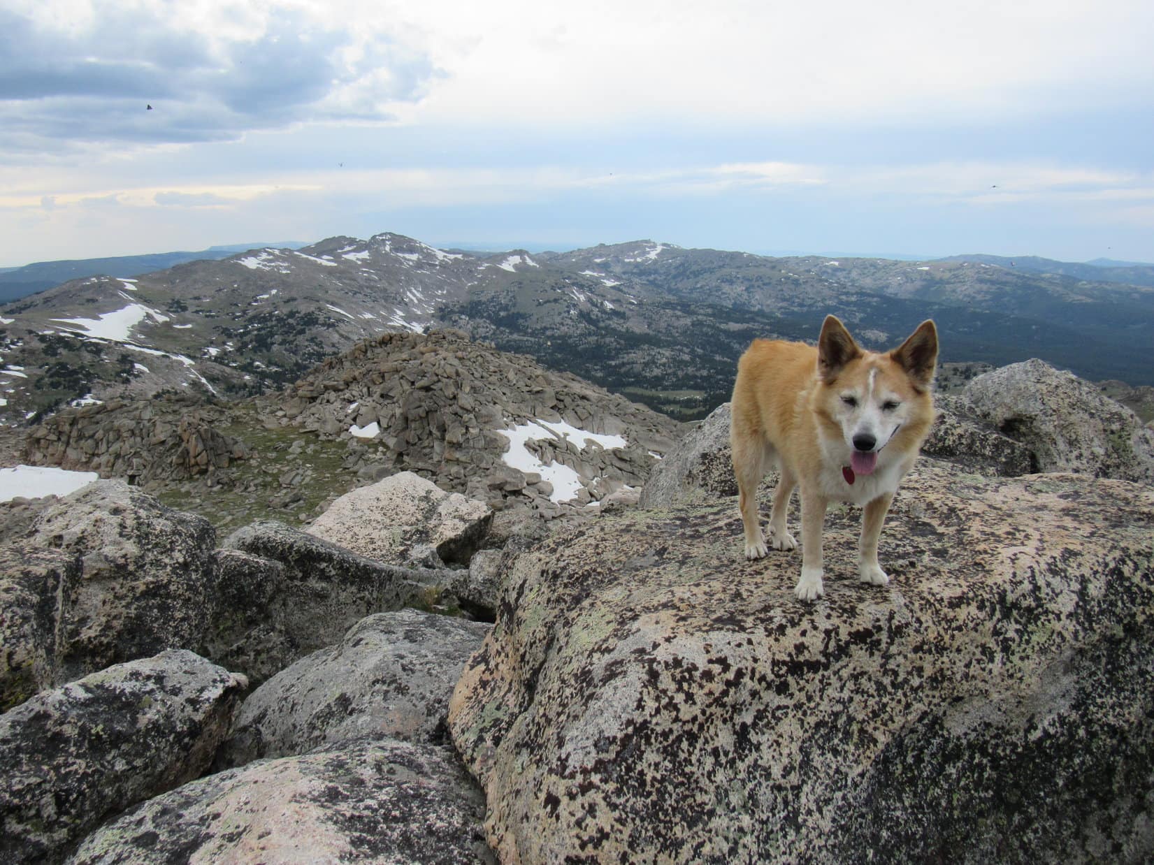
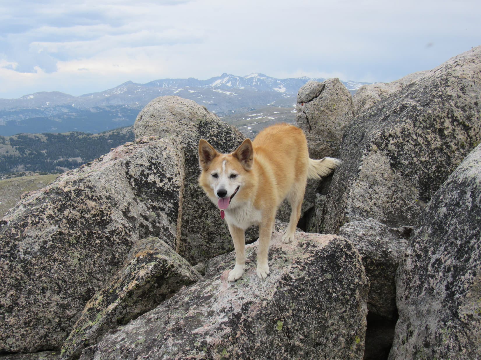
12:57 PM, 64ºF, Peak6361 summit – Peak 6361’s summit had 3 lobes. From a central high point, which was grassy and partly covered with old deadfall, an uninteresting NW lobe extended only a short distance into the forest. Another short lobe went E, also into the forest. As the top of a limestone outcropping, this lobe was more scenic.
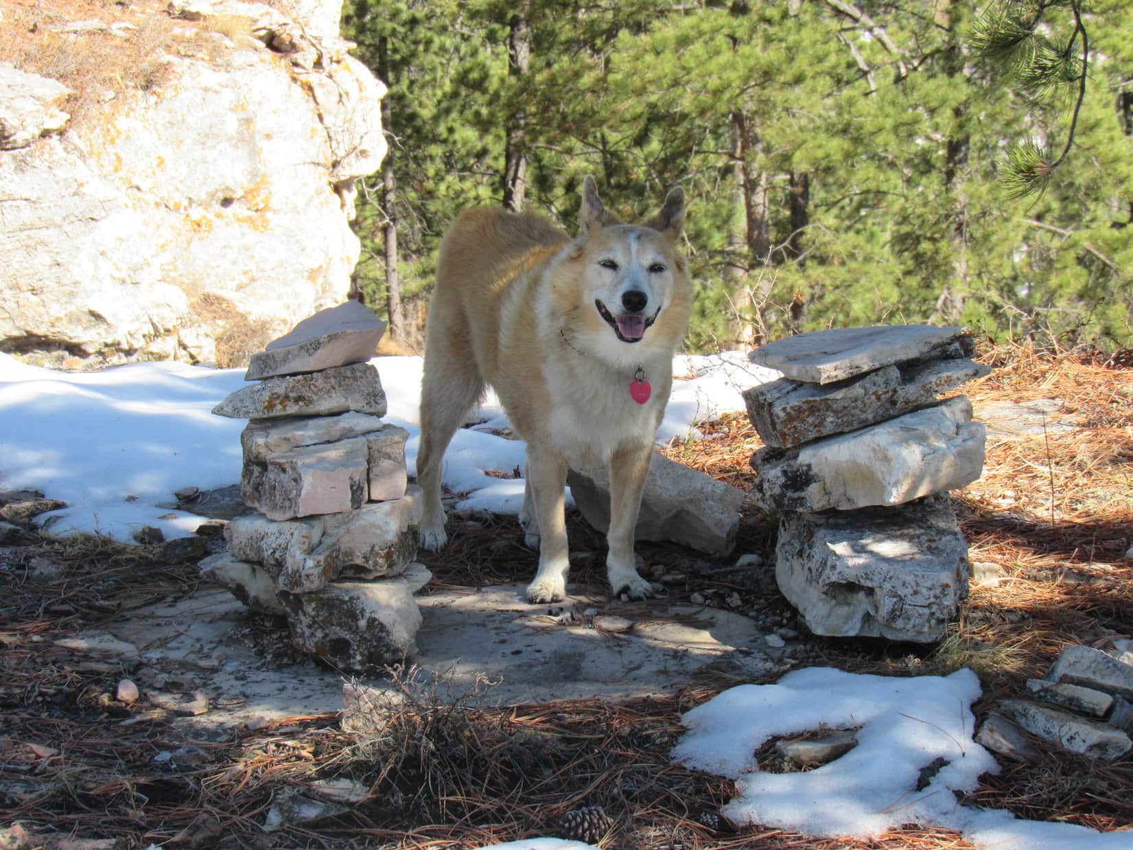
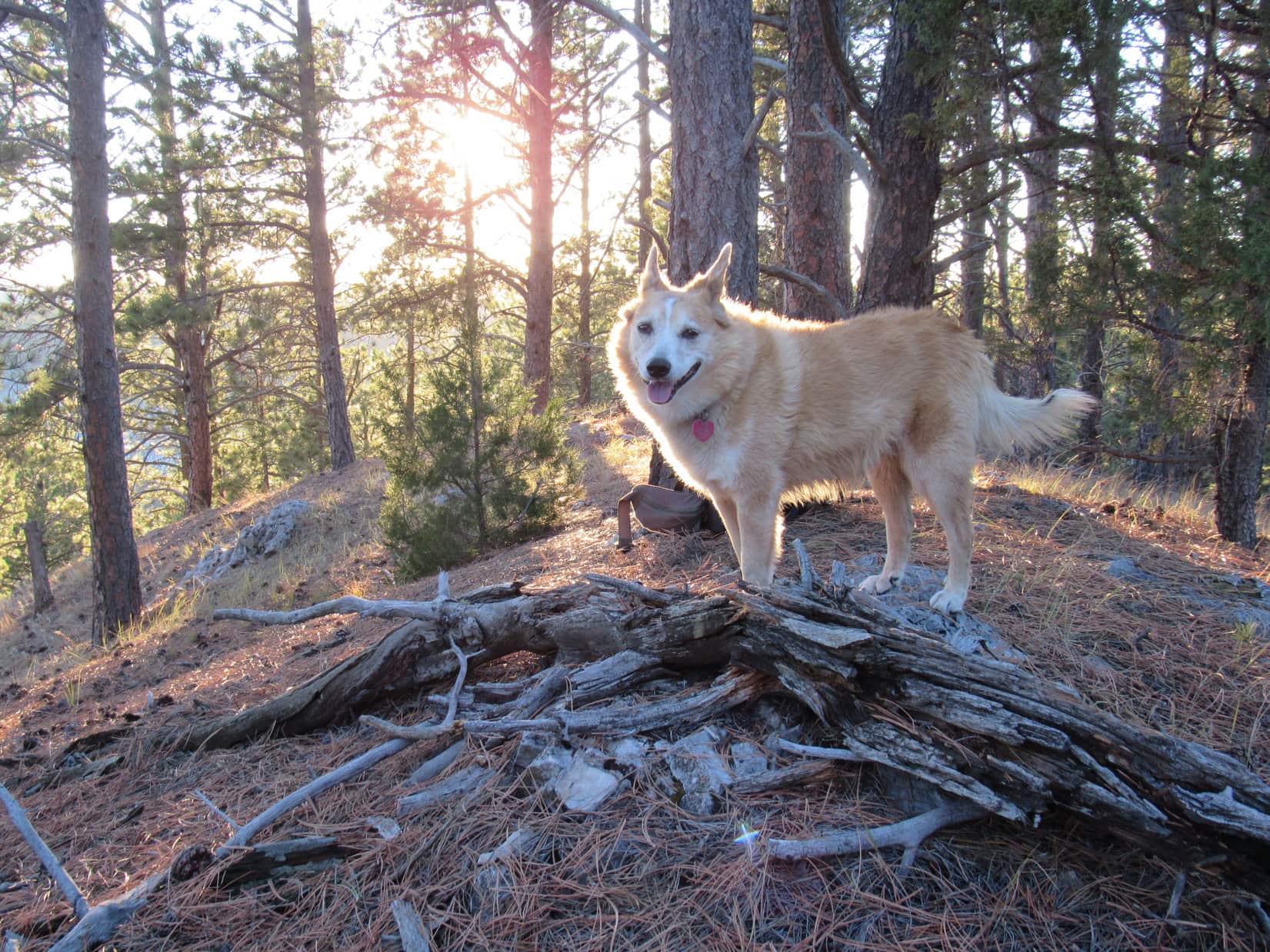
The most interesting lobe was the SW one, which was somewhat larger than the others. The SW lobe featured two cairns sitting next to each other near the best viewpoint, which was where Lupe first came up. After venturing briefly over to the true summit, Loopster returned to this viewpoint to bask in the warm sunshine, and help SPHP polish off a chocolate coconut bar, a task effortlessly completed in nanoseconds.
Lupe followed up the chocolate coconut bar with some Taste of the Wild, while SPHP munched an apple. Northeast Cicero Peak(6,240 ft.) off to the SE was the big view on display.
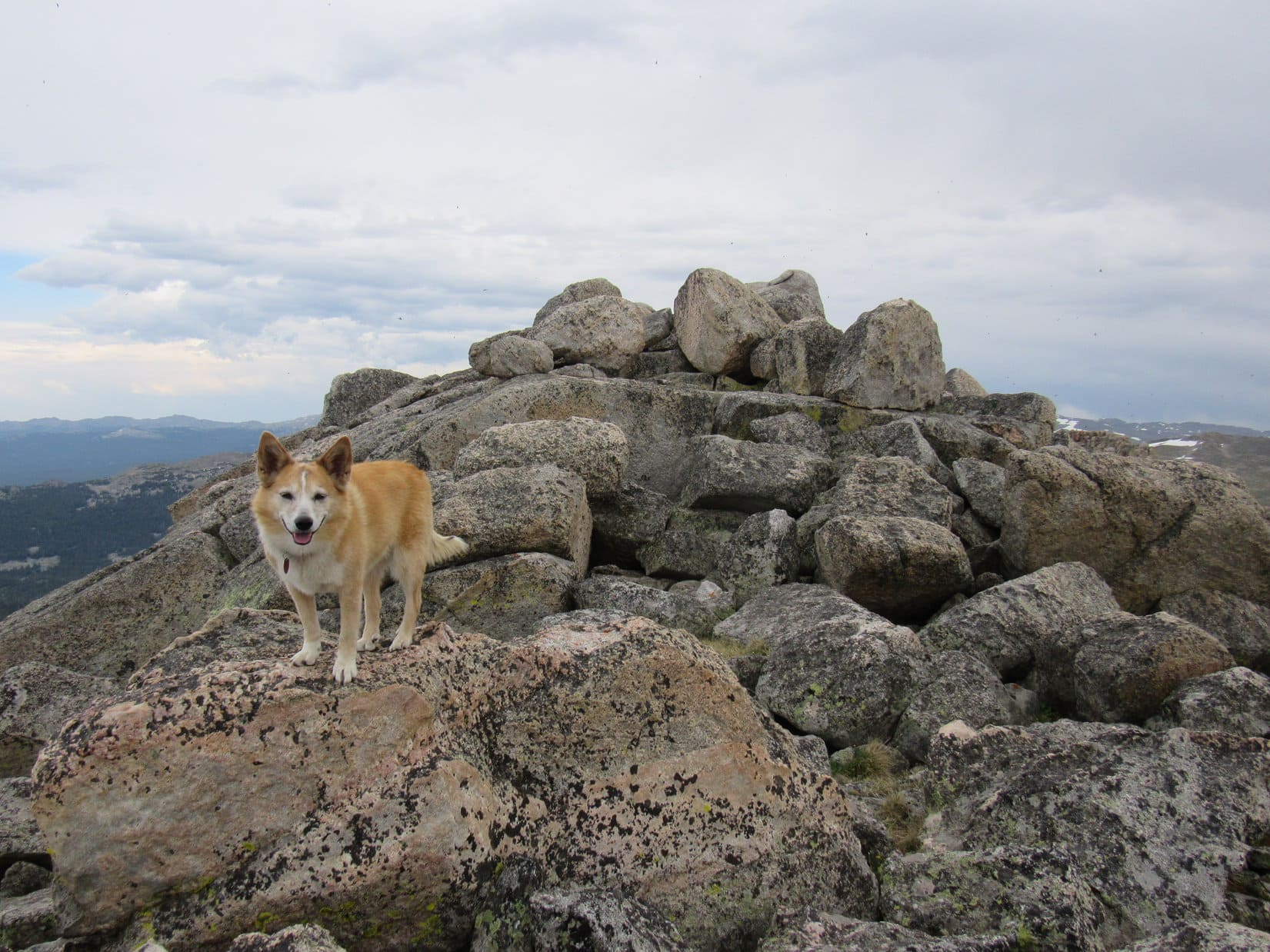
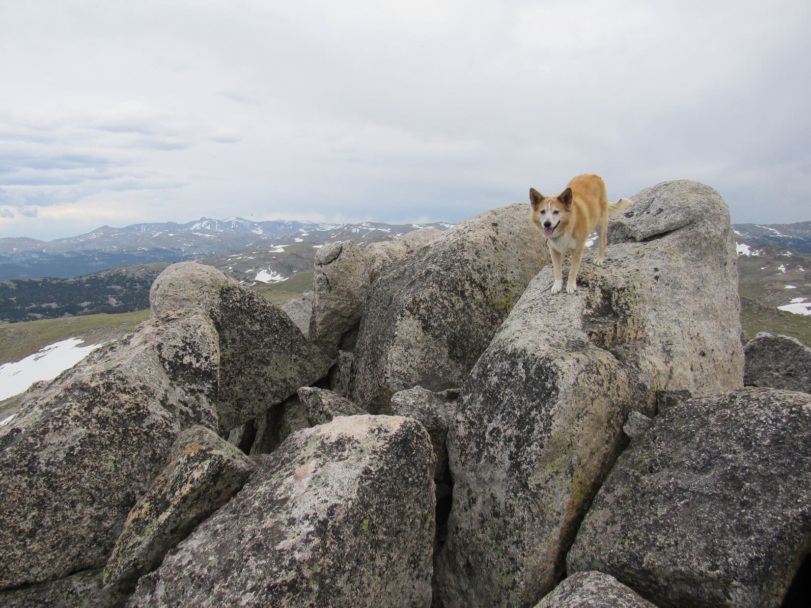
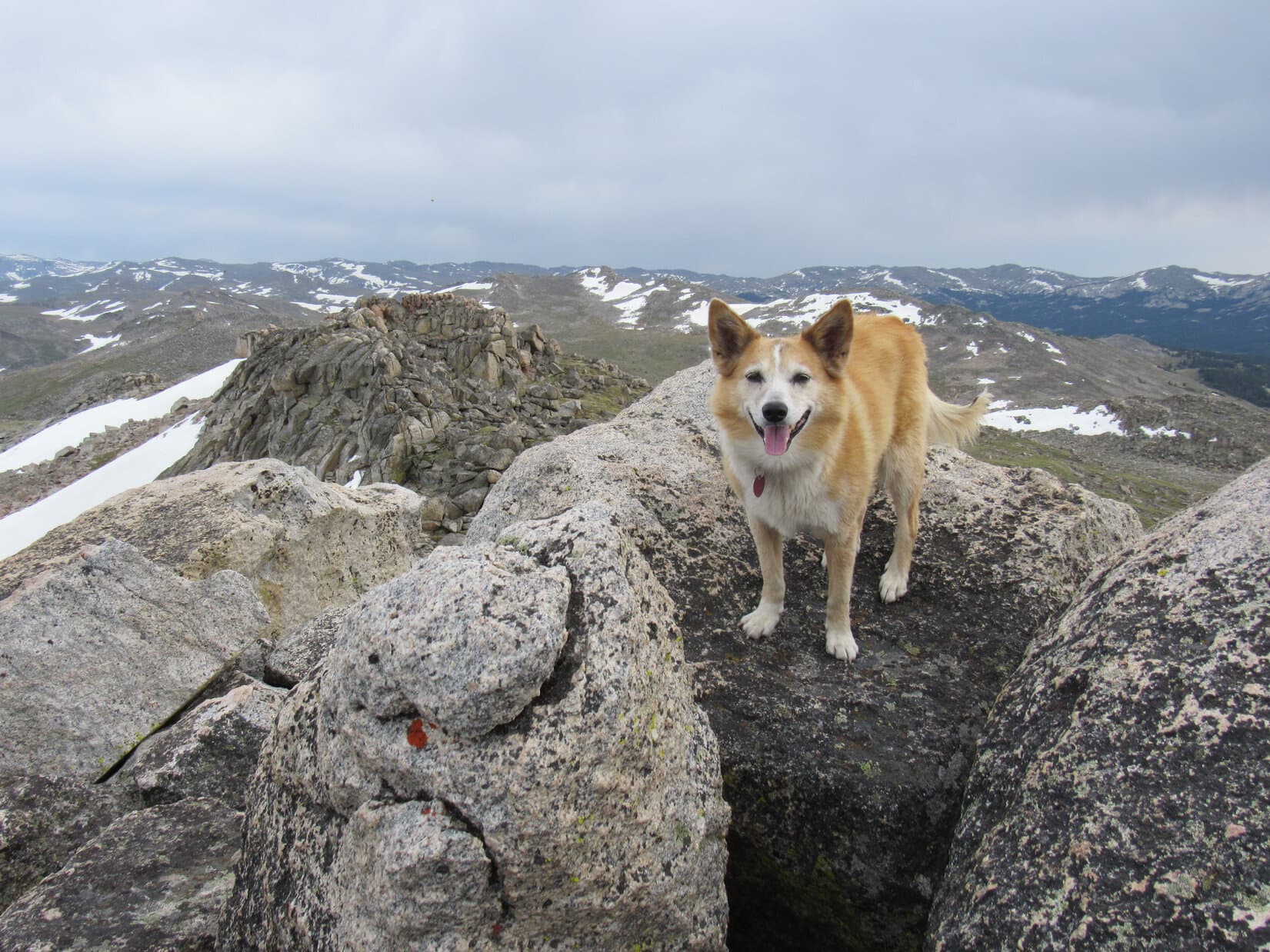
By the twin cairns where Lupe first reached the true summit region.At Peak 6361’s true summit. Photo looks NNE.The summit regions’ SW lobe from the true summit. Photo looks WSW.Northeast Cicero Peak (Center) on the horizon. Photo looks SE.
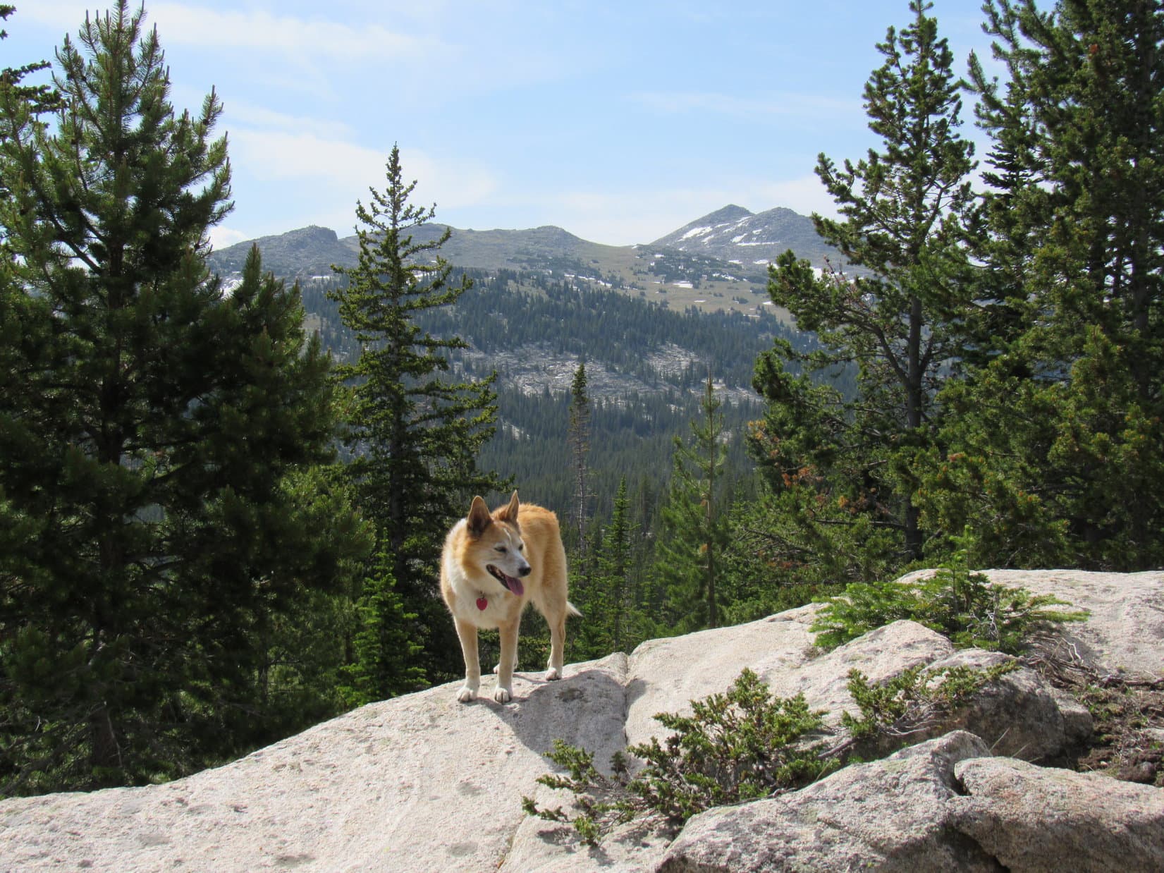
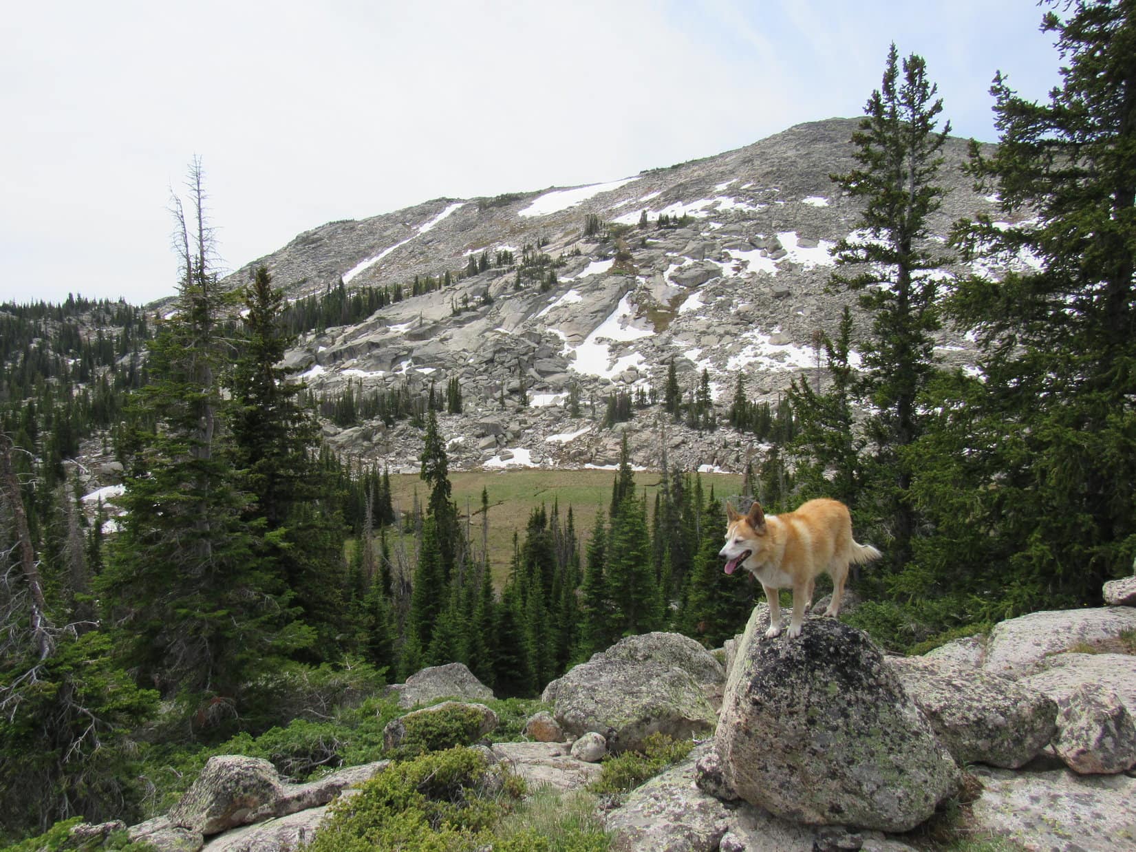
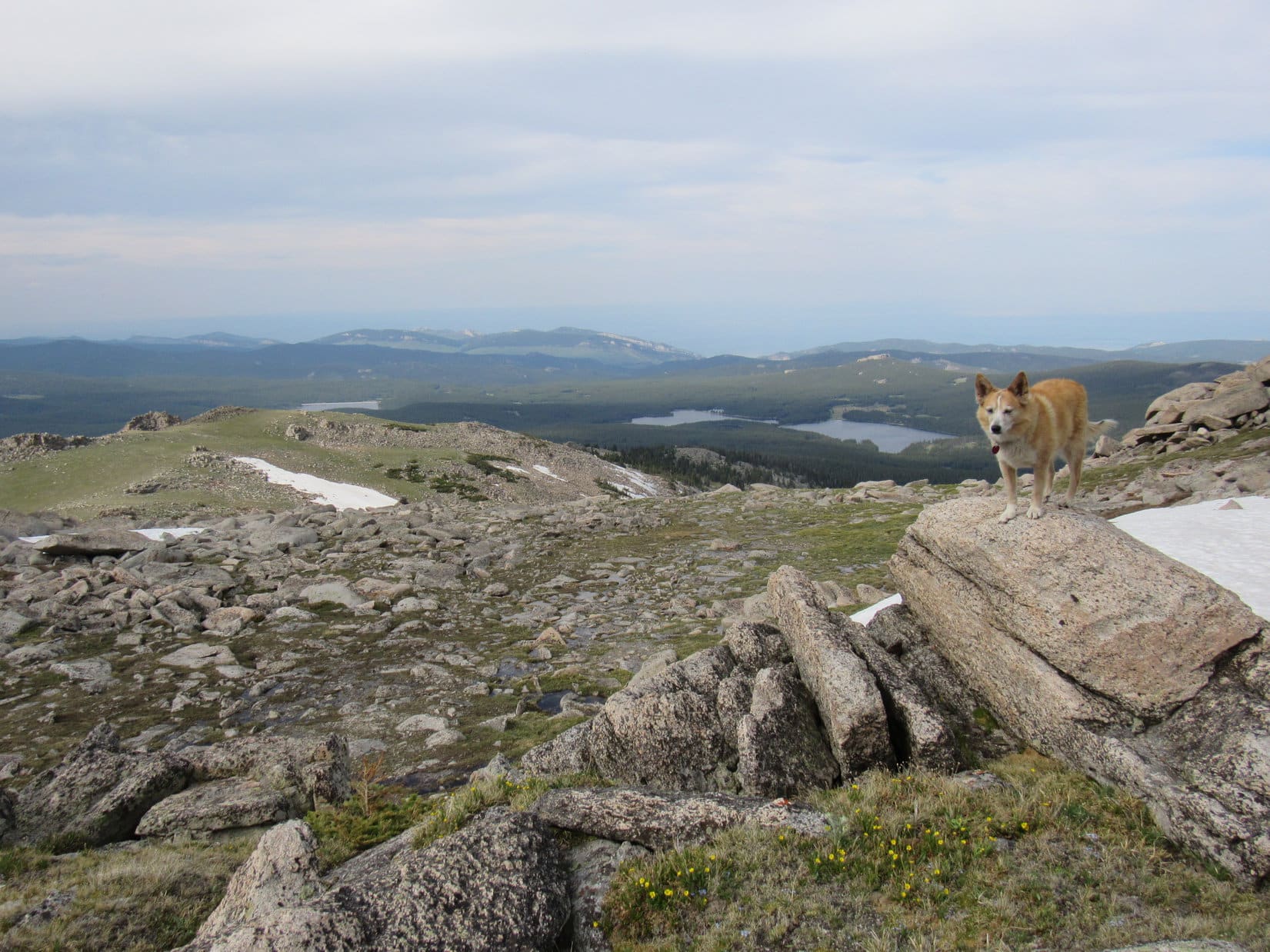
By getting up and moving around the summit region a bit, other decent views were on offer from various gaps between the pines. Lupe saw the plains of Wyoming far to the SW, and both Twin Sisters(5,920 ft.) and Peak5802 to the SSE. Loop had been to Twin Sisters before. The plan was to climb Peak 5802 later on today. It didn’t look very big from here.
Looking SW.Twin Sisters (L of Center) and Peak 5802 (R of Center) are visible beyond the snowiest field. Photo looks SSE.Peak 5802 (Center), which Lupe would be climbing later on today. Photo looks SSE with lots of help from the telephoto lens.
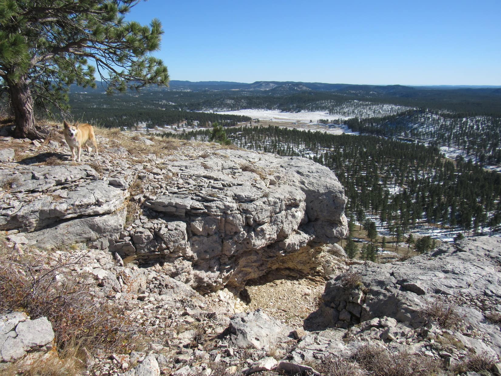
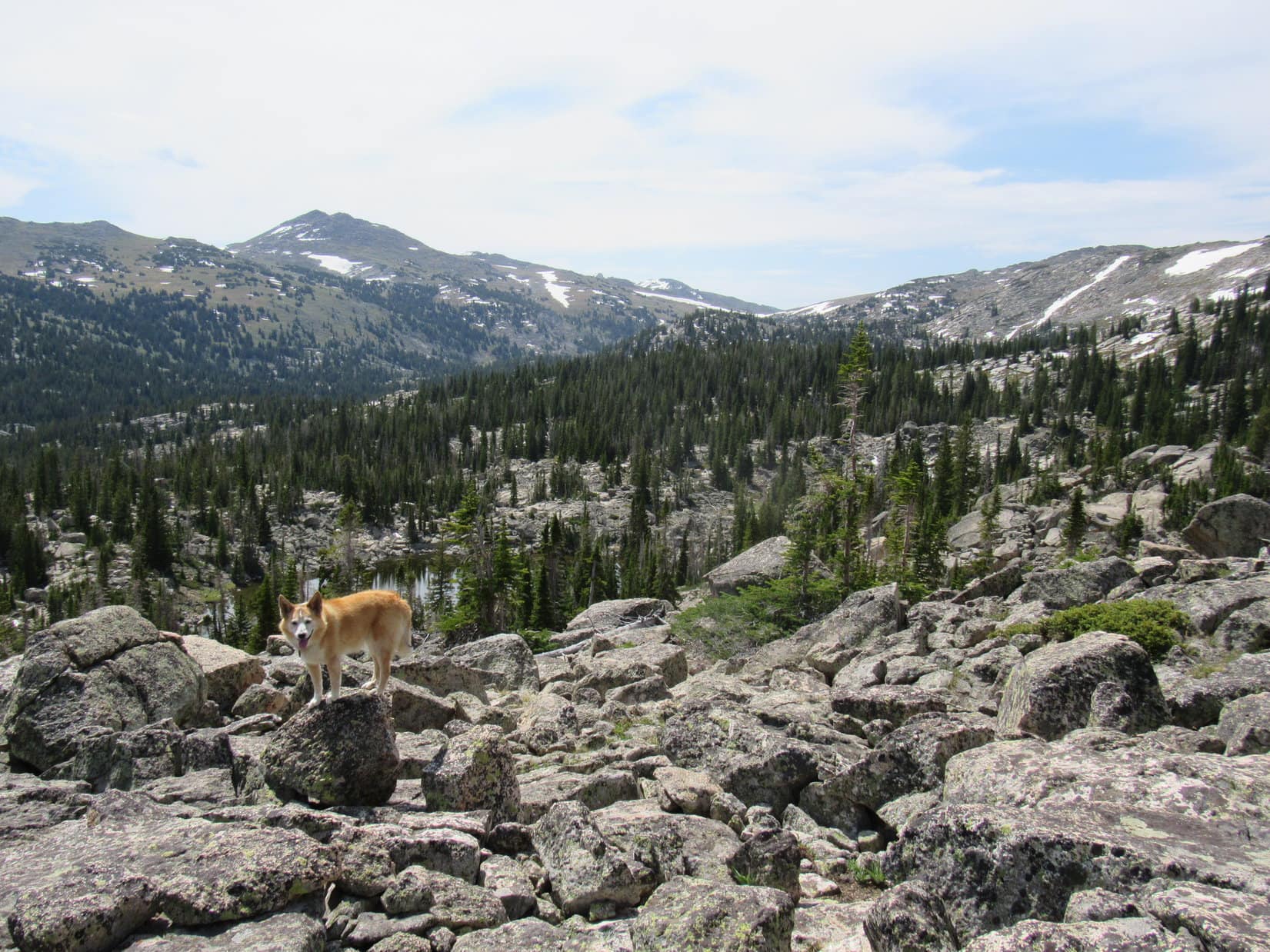
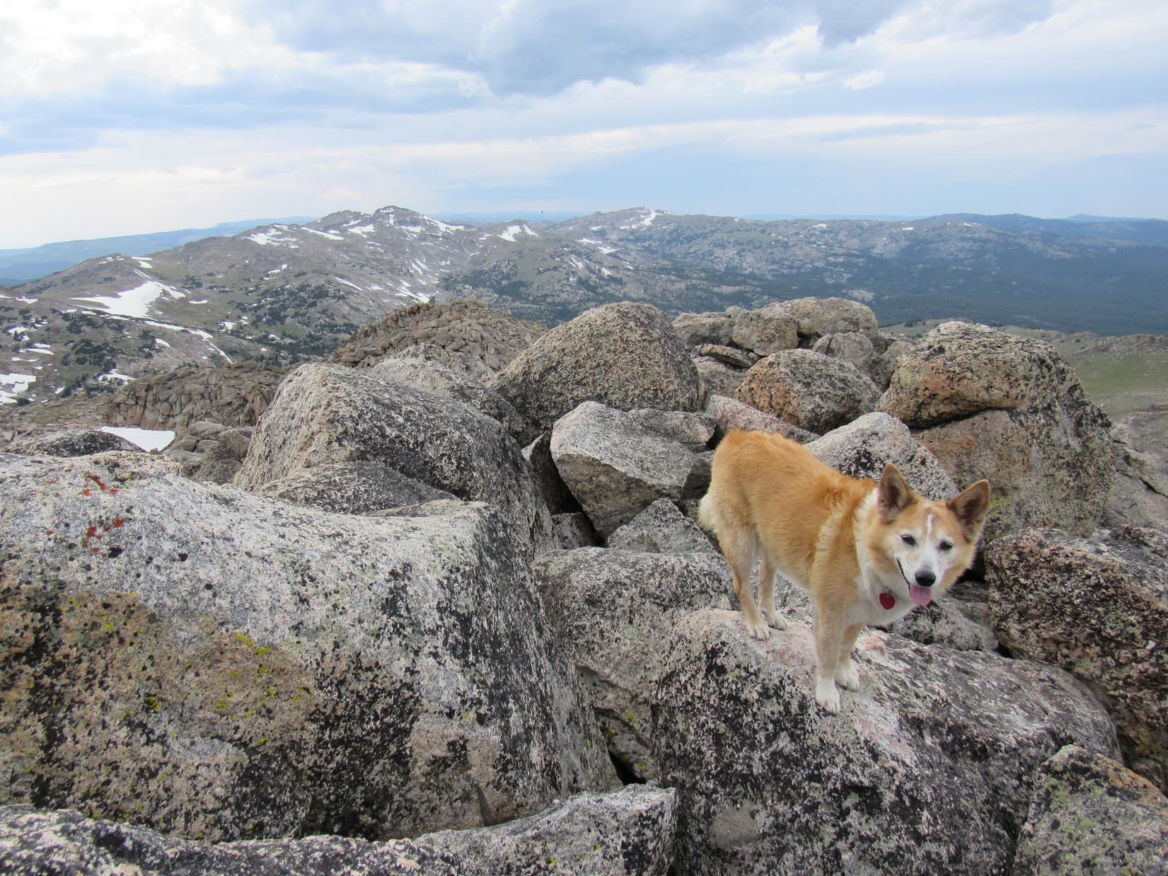
Since Lupe still intended to visit the viewpoint from the cliffs 0.5 mile away way over at Peak 6361’s far SW end before heading down the mountain, she spent only 35 minutes at the summit. Before departing, she toured all 3 summit lobes, and briefly returned to the true summit.
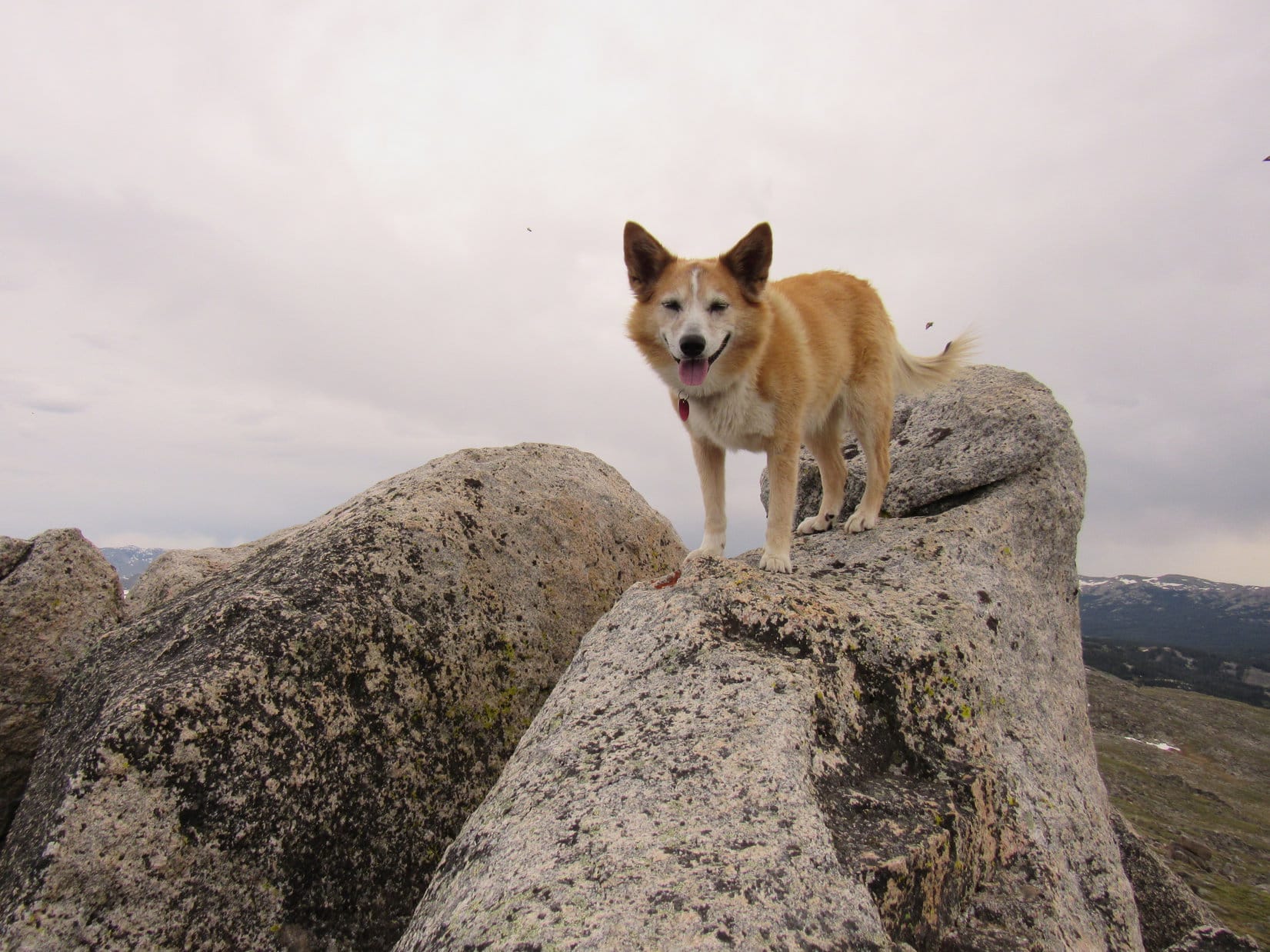
SW summit lobe from the E lobe. Photo looks W.Back at Peak 6361’s true summit. Photo looks NW.Final moments up on the SW lobe before departure. Photo looks E.
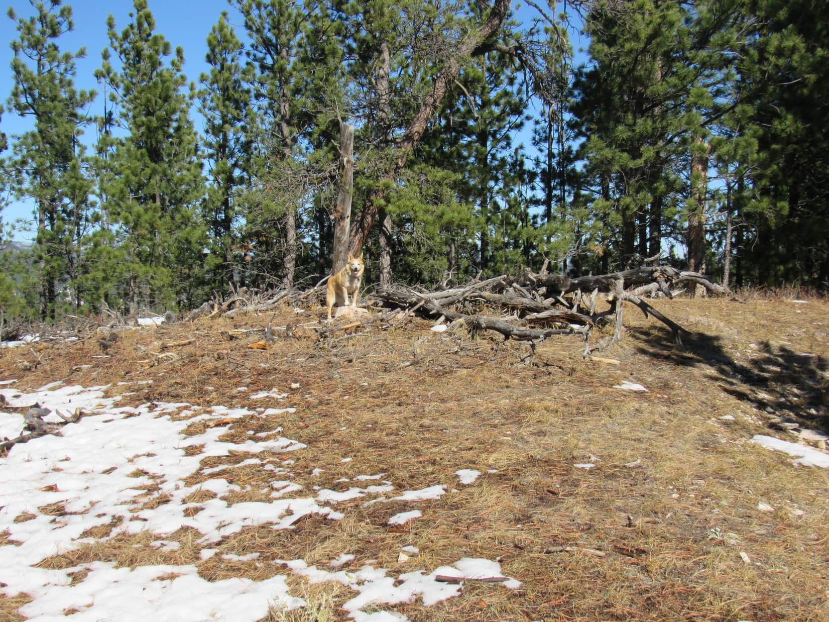
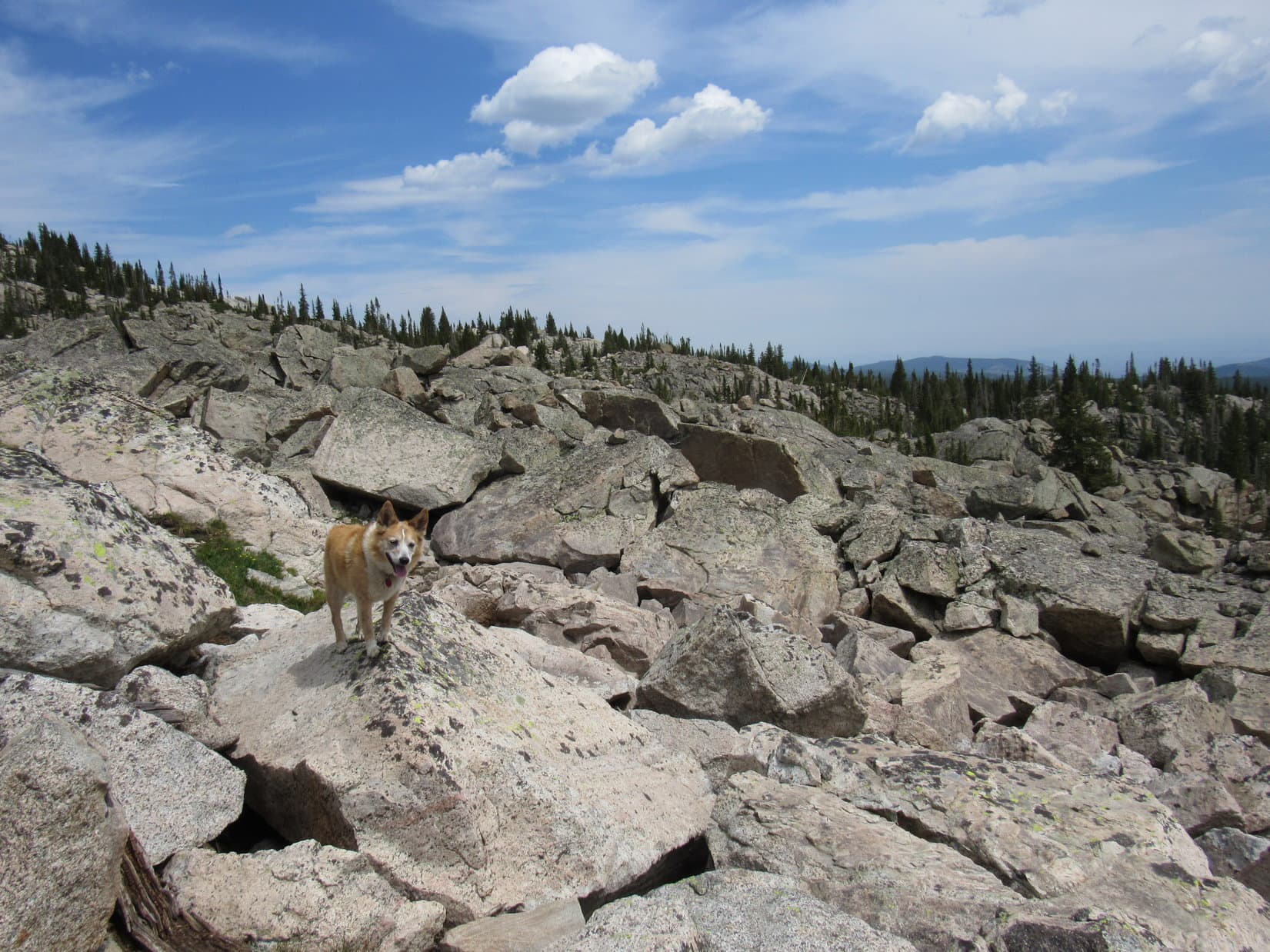
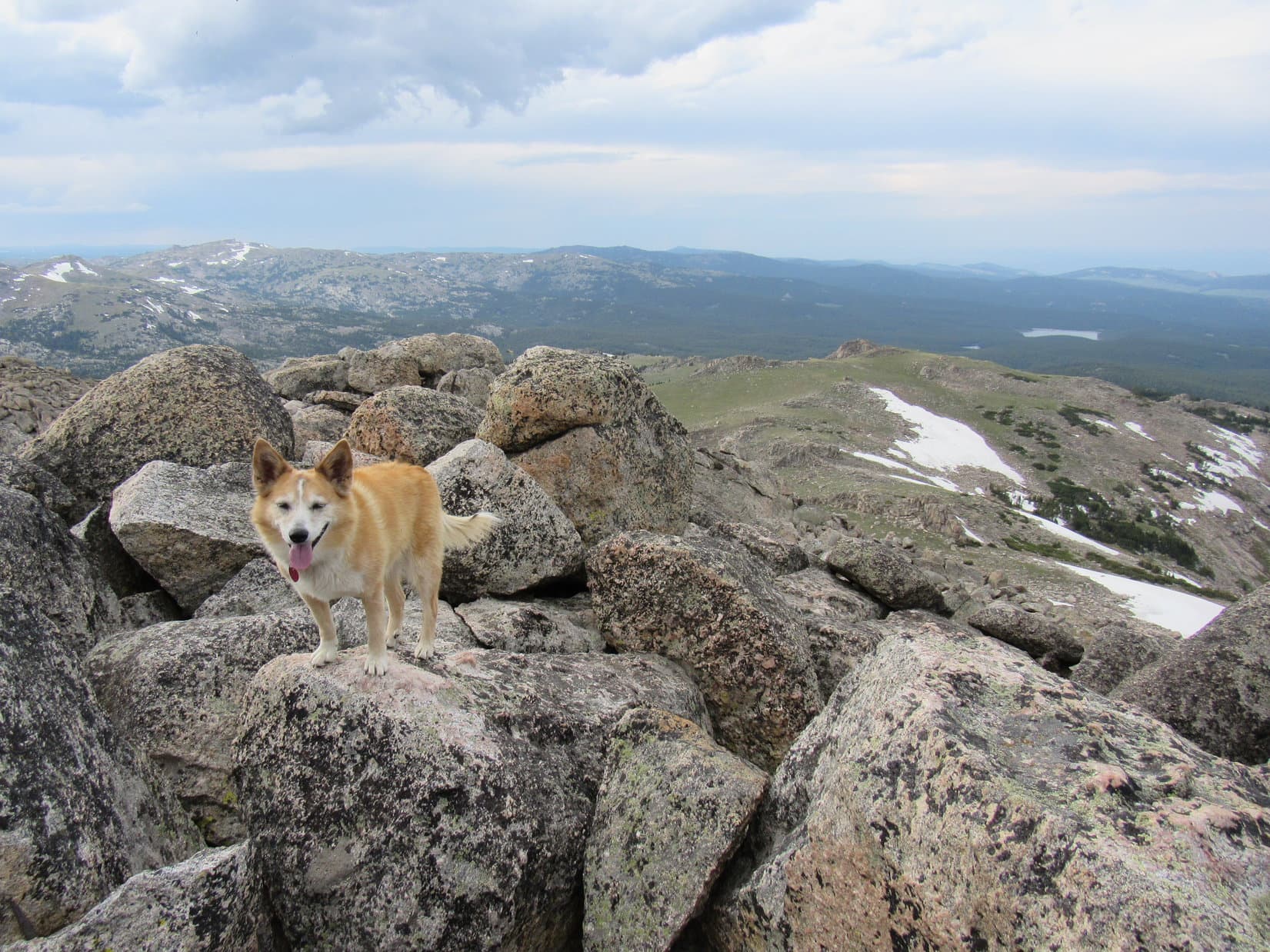
As she headed back W, Lupe explored more of the main E/W ridge. NE of where she’d first reached it earlier in the day she came to a fairly open area featuring just about the only view to the N from Peak 6361. Nothing too dramatic, just some even higher forested ridges beyond the next valley.
View to the NW from the open area N of Peak 6361’s main ridge.
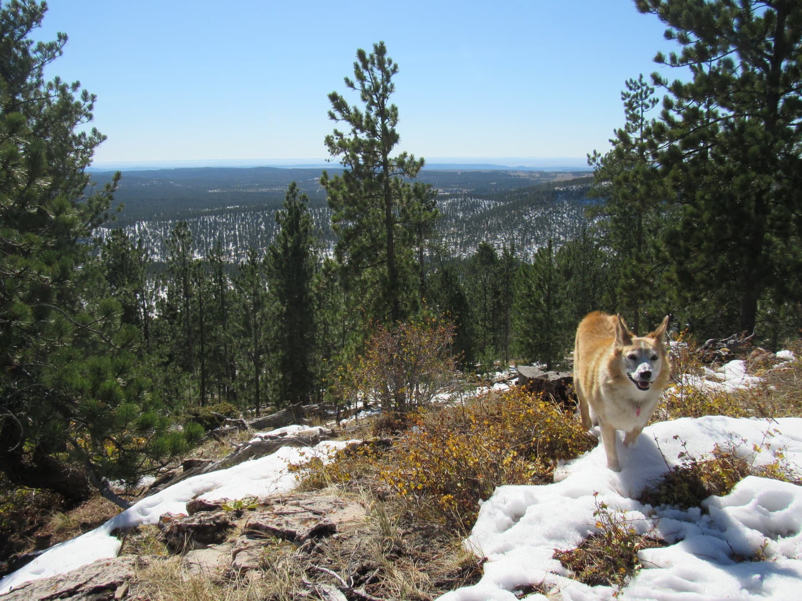
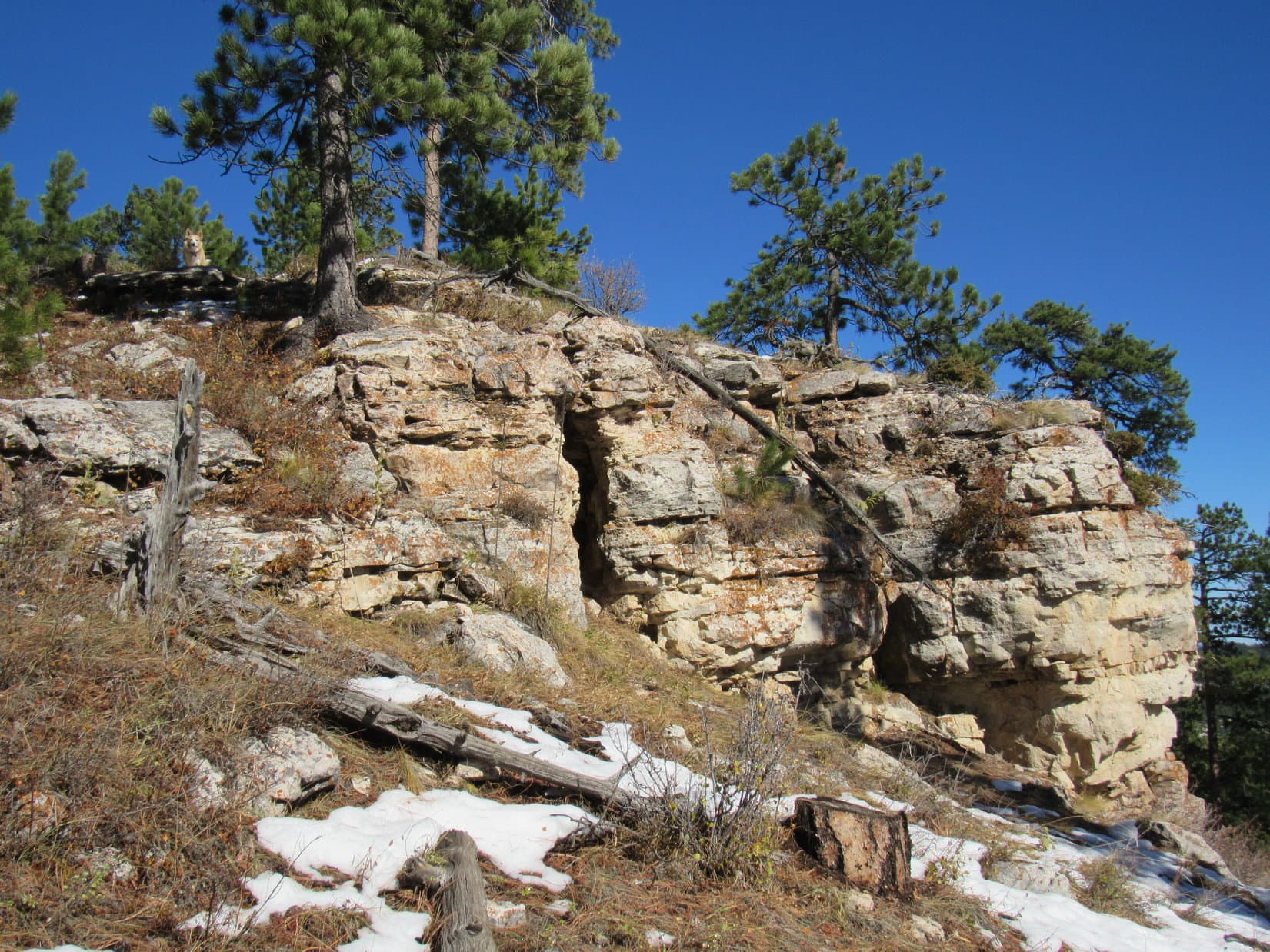
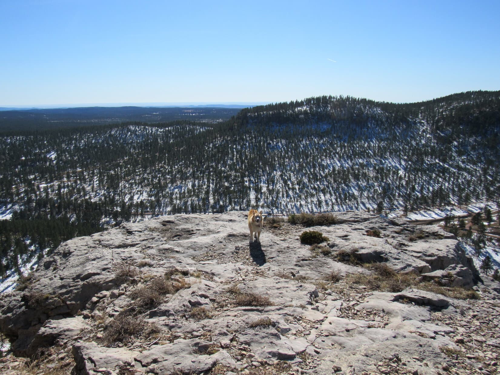
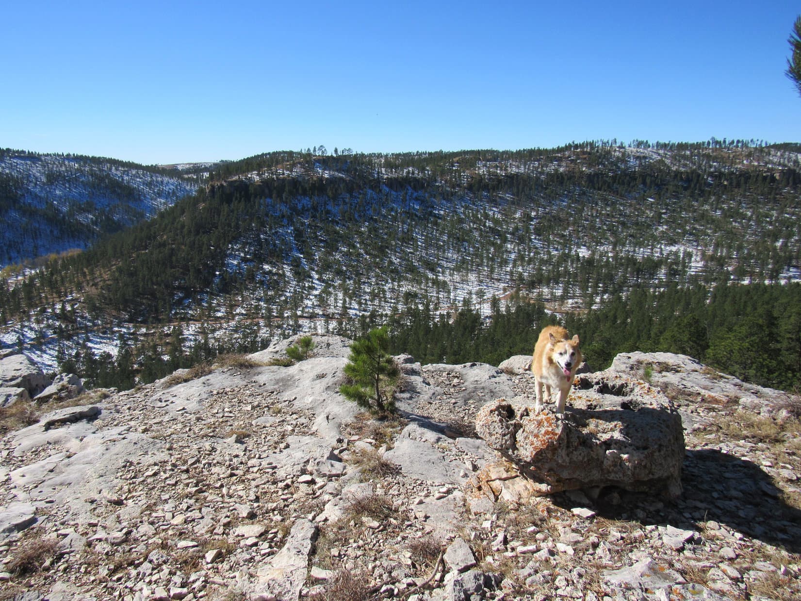
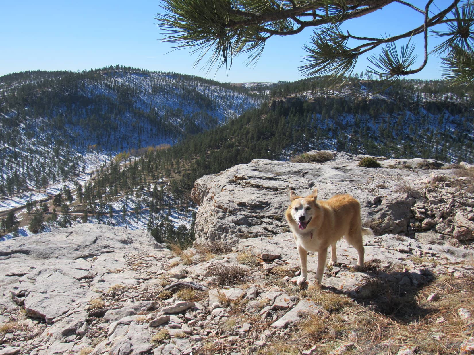
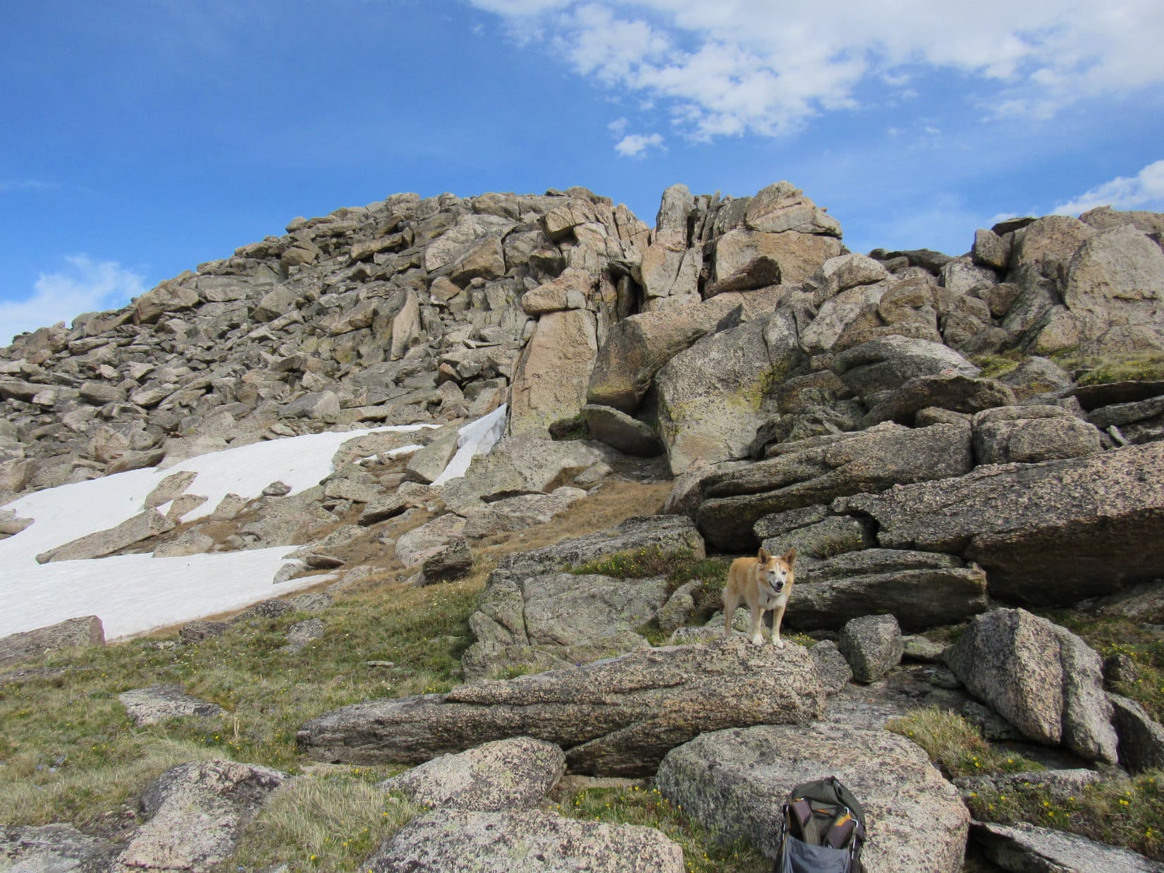
The far SW viewpoint was considerably lower than Peak 6361’s true summit, but did turn out to be a great vantage point. Approaching it, Lupe discovered another trail heading that way. As anticipated, this trail ended at a big flat spot, but instead of the expected exposed limestone, the ground was covered with pine needles.
Approaching the SW viewpoint. Photo looks S.Surprise! Pine needles instead of exposed limestone. Photo looks SW.
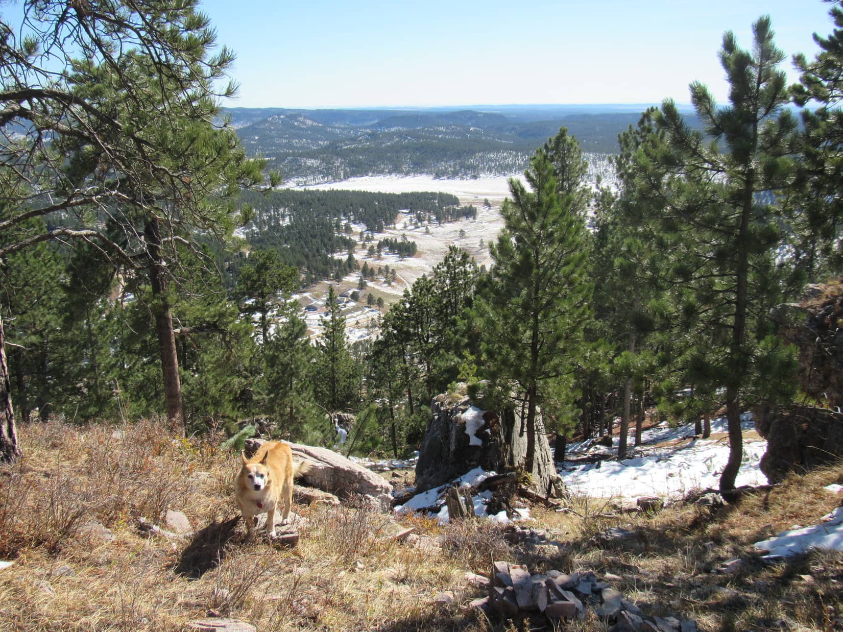
Turned out that the limestone platform was actually a bit lower beyond the initially visible edge. A short easy slope led down to it. Venturing out onto the platform for a look around, the views were certainly worth the effort expended to get here!
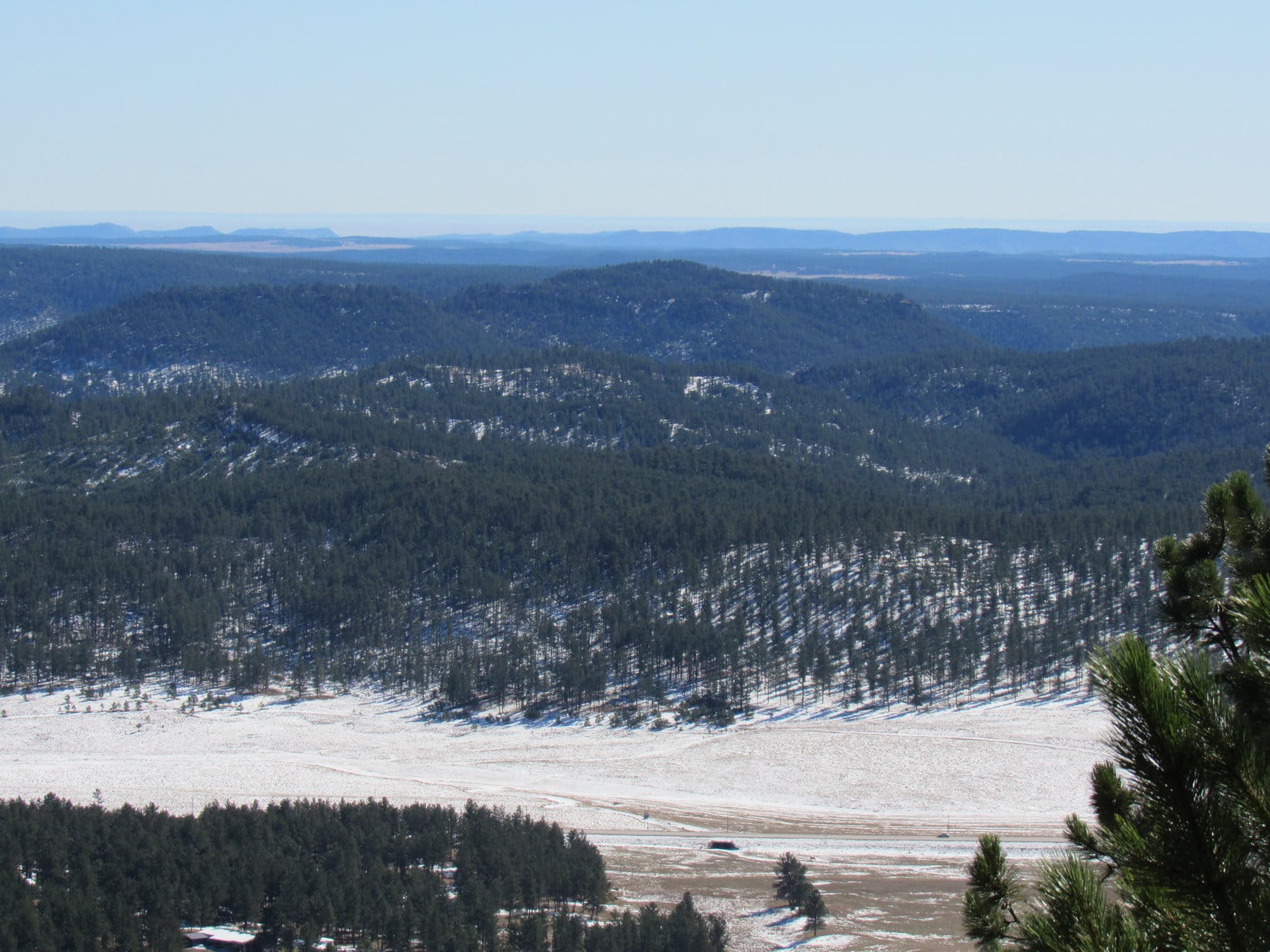
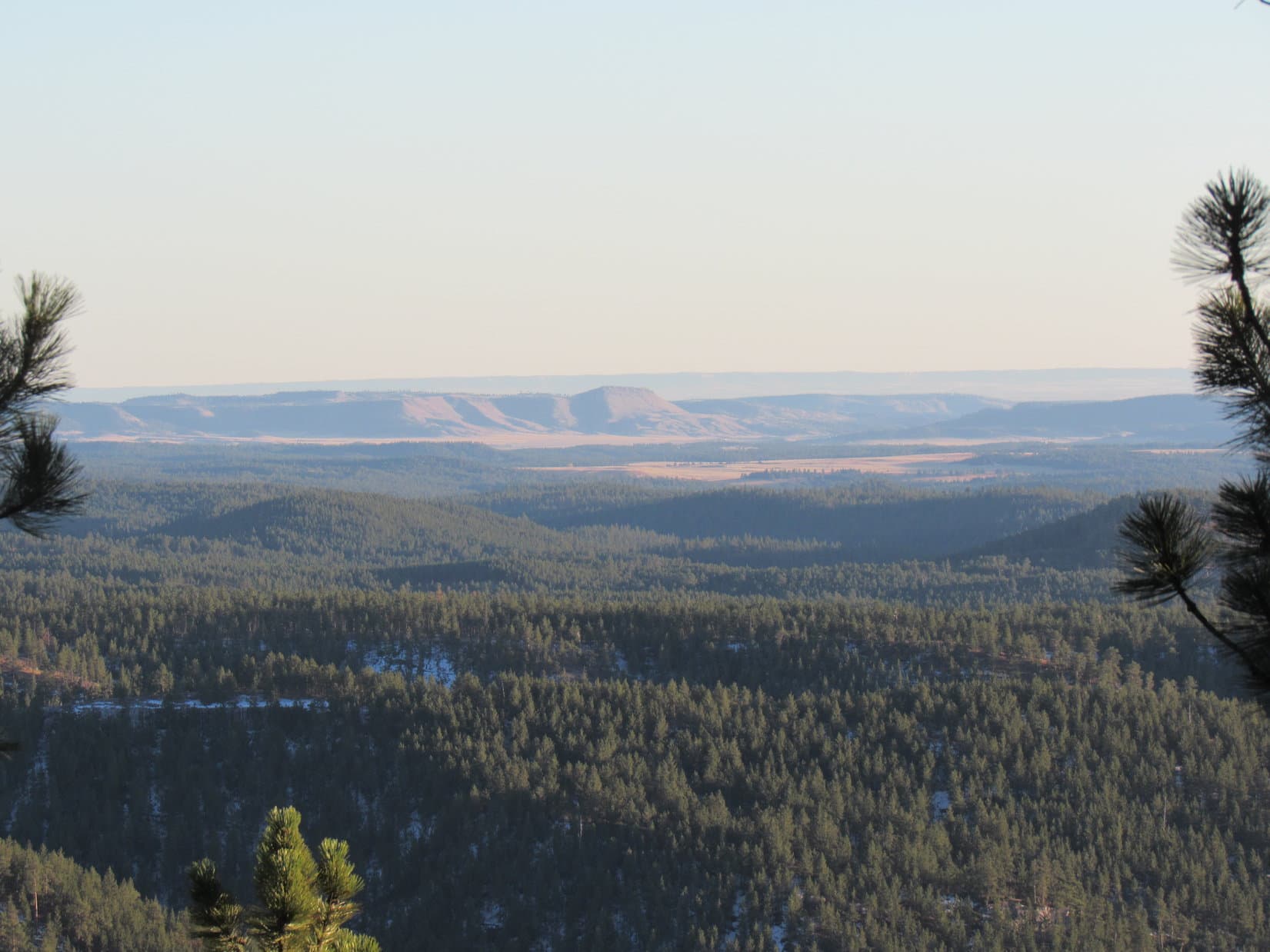
Out on the limestone platform of Peak 6361’s far SW viewpoint. Photo looks SW.USFS Road No. 288.1A is visible down in the valley. Photo looks W.Looking SW with help from the telephoto lens.Intersection of USFS Roads No. 288 and No. 288.1A (L). Photo looks W.Looking SE.
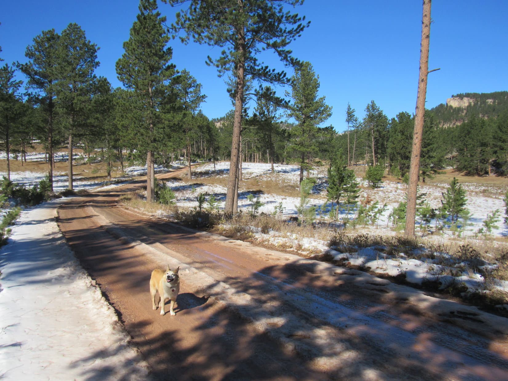
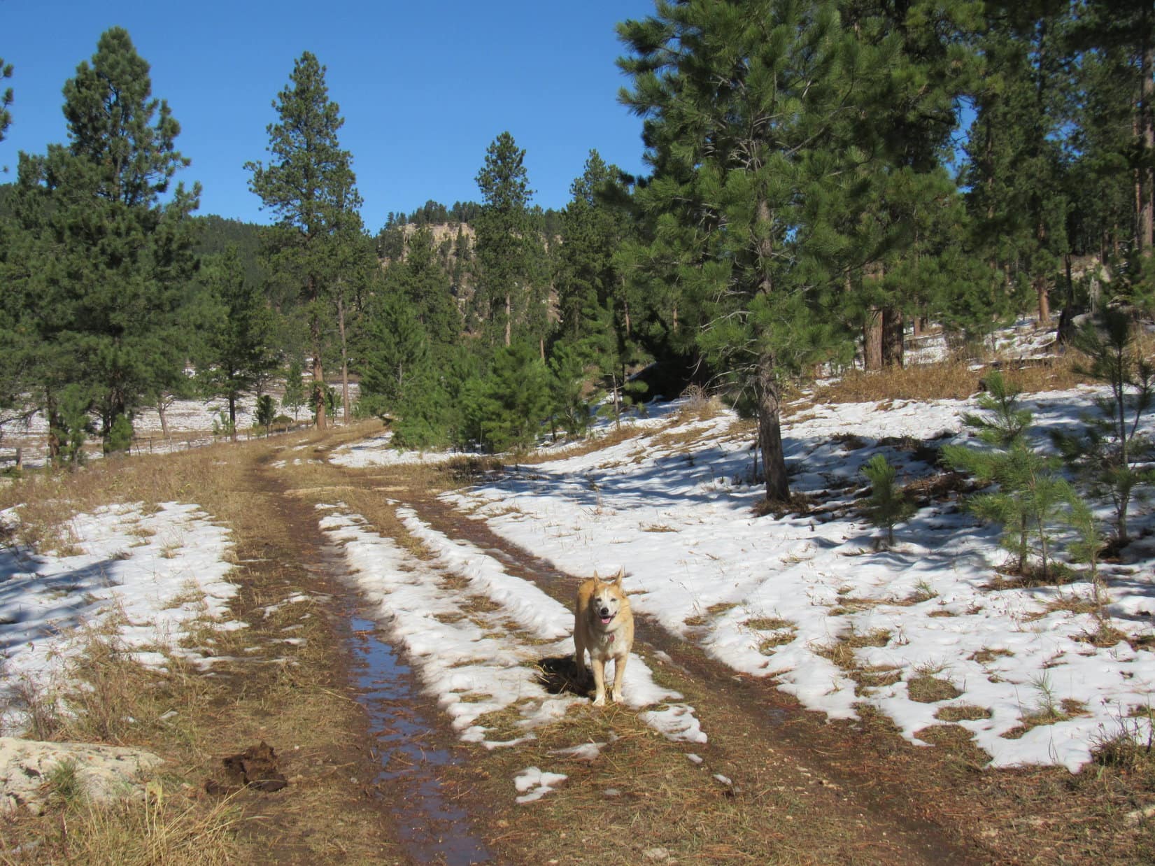
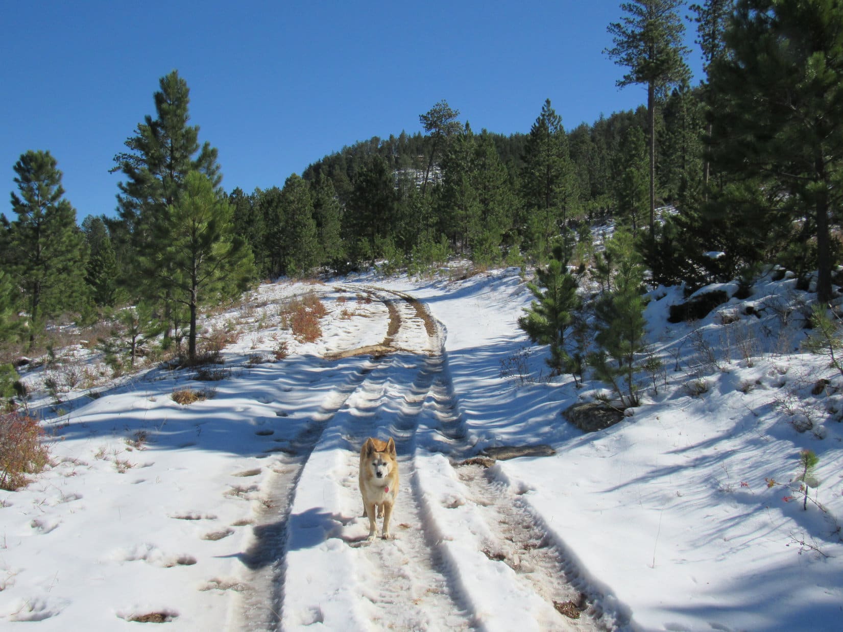
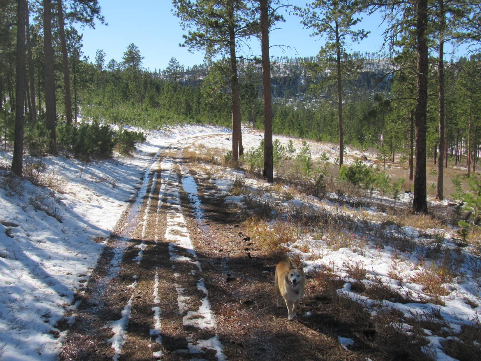
Satisfied with her SW viewpoint experience, Lupe returned to the road she’d found earlier, following it all the way back down the mountain. Sure enough, it linked up with USFS Road No. 288.1C well E of where she’d left it. Enjoying a pleasant, easy return, Loop retraced her former route back to the RAV4. (3:12 PM, 71ºF)
Back on USFS Road No. 288.1C during the return. Photo looks W.
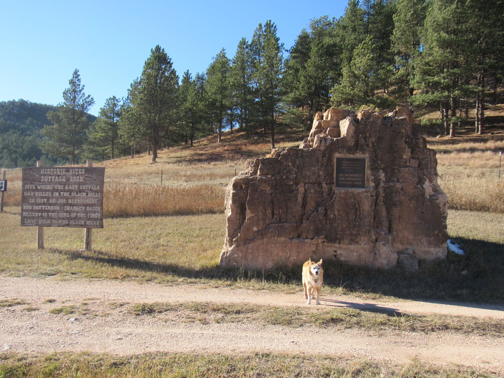
Mid-afternoon on a short October day, Peak 5802 was too far away to simply hoof it on over there from where the RAV4 was parked, so SPHP had to drive a bit to get closer. On the way, 3.5 miles S of Hwy 16 along Pleasant Valley Road (USFS Road No. 715), there was a curious site – a pullout by a big rock with a plaque on it.
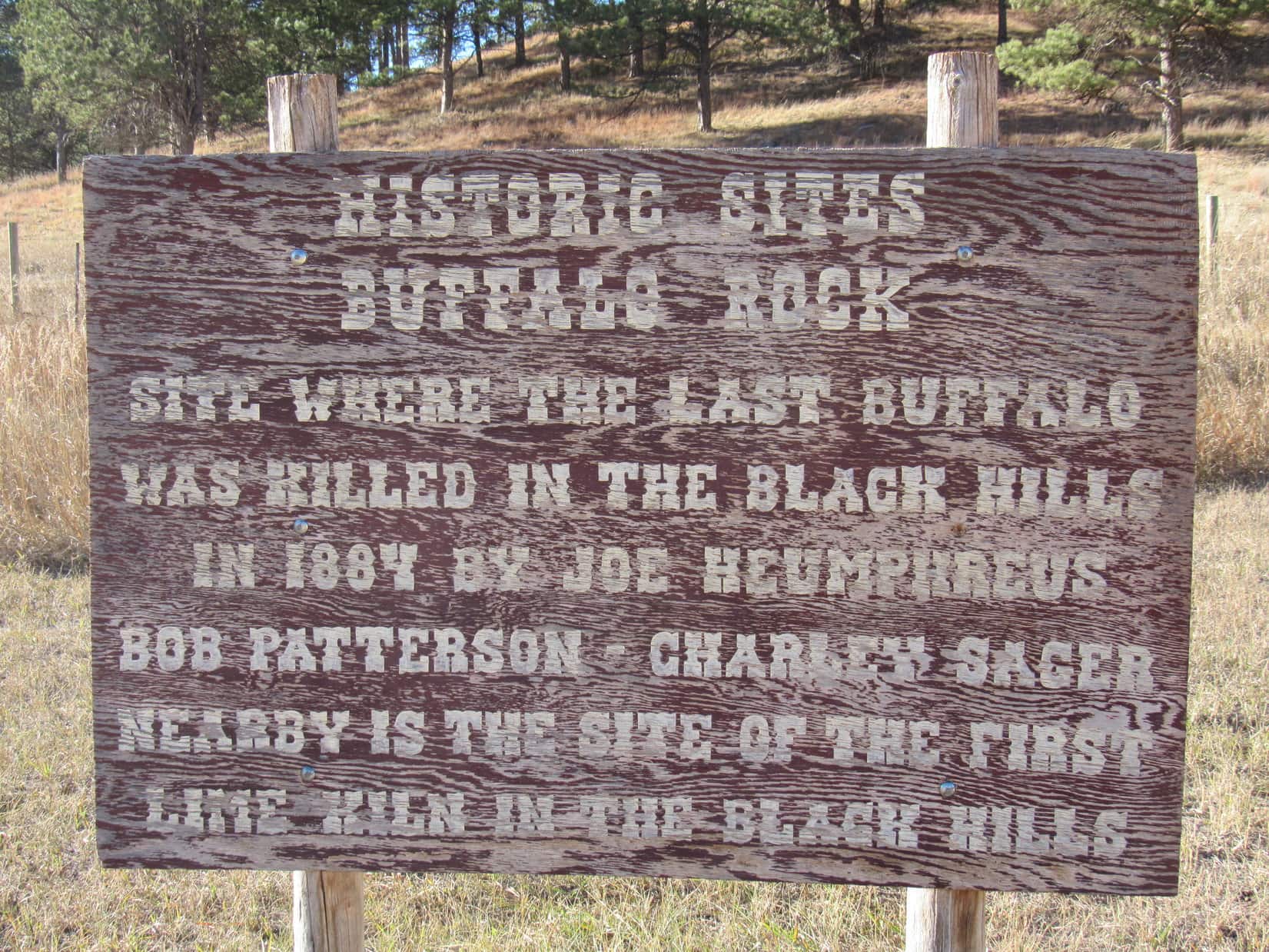
Eh, why not? SPHP stopped so Lupe could take a look. The plaque and a wooden sign nearby both bore a distressing message.
It’s a lie! A complete and total lie, SPHP! We both saw the proof just a few hours ago! Why is this here? Who would ever do such a terrible thing?
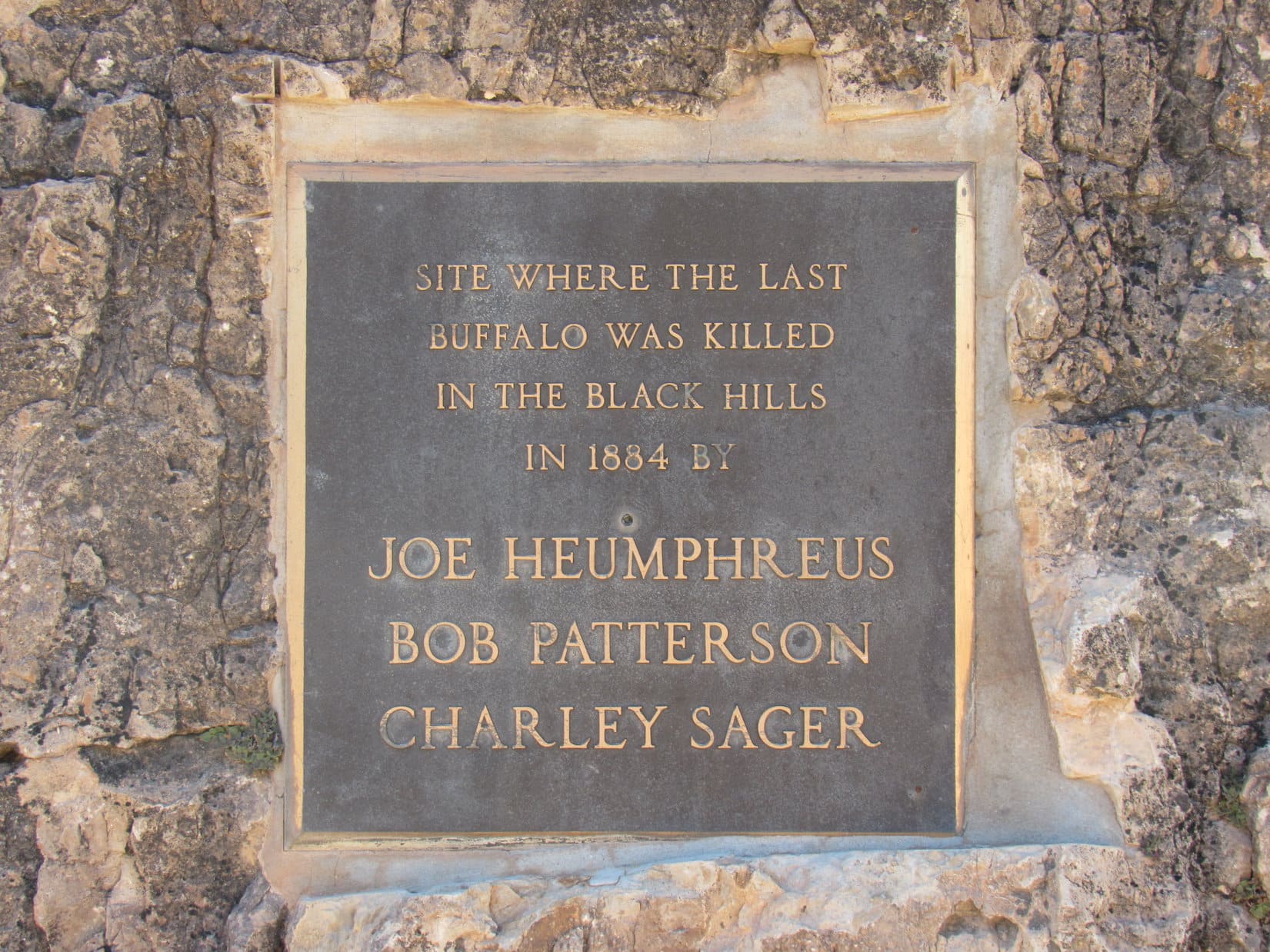
At Buffalo Rock.The evil plaque.Collaborated by this fading sign.
Says right here on the plaque, Loop – Joe Heumphreus, Bob Patterson and Charley Sager.
Well. that’s awful! It’s not true, either, SPHP! We saw that buffalo on the way to Peak 6361 today! Remember? It was alive! We’ve seen plenty of other buffalos in the Black Hills, too! Custer State Park has hundreds of them, maybe thousands!
About 1,300 to 1,500, I think. The sign is probably right, though, Loop. The last native buffalo in the Black Hills probably was killed here in 1884, but there were still some buffalo left in Yellowstone and a few other spots. Wind Cave National Park eventually acquired 14 buffalo in 1913, and Custer State Park brought in another 36 buffalo the following year.
Oh! Really? That’s why we still see buffalo?
As far as I know, yes. The parks aren’t the only places with buffalo these days. There are private herds owned by ranchers, too. The bison we saw this morning was part of a private herd.
Well, however they got here, I’m glad there are still buffalos in South Dakota, SPHP! Hope no one ever kills the last one again!
Me, too, Looper!
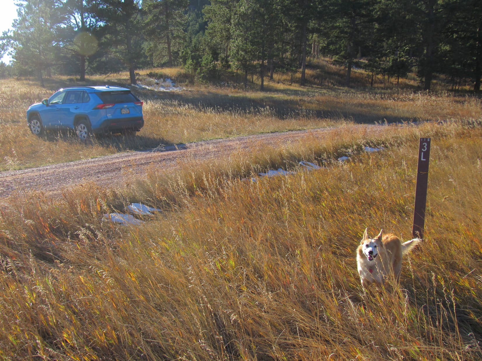
3:37 PM, 68ºF – Roughly 0.6 mile S of Buffalo Rock, SPHP turned off Pleasant Valley Road onto USFS Road No. 715.3L, parking the RAV4 on a grassy slope. Getting a little late in the day, but Peak 5802 was only about a mile NW as the crow flies. Lupe could start for it from here.
About to set off for Peak 5802! Photo looks W.
In the shadow of a mountain to the W, USFS Road No. 715.3L was sloppy with mud and slush as Lupe followed it NW. 0.5 mile brought her to a fork where No. 715.3M split off heading WNW. Peak5802 was already in sight, but looked quite steep from here.
A check of the topo map showed that the easiest route up was likely from the E on a slope N of the mountain. Since No. 715.3L would go right past the base of that slope, Lupe stuck with it, staying to the R.
Peak 5802 dead ahead! USFS Road No. 715.3M (L). Lupe went R sticking with No. 715.3L. Photo looks NW.
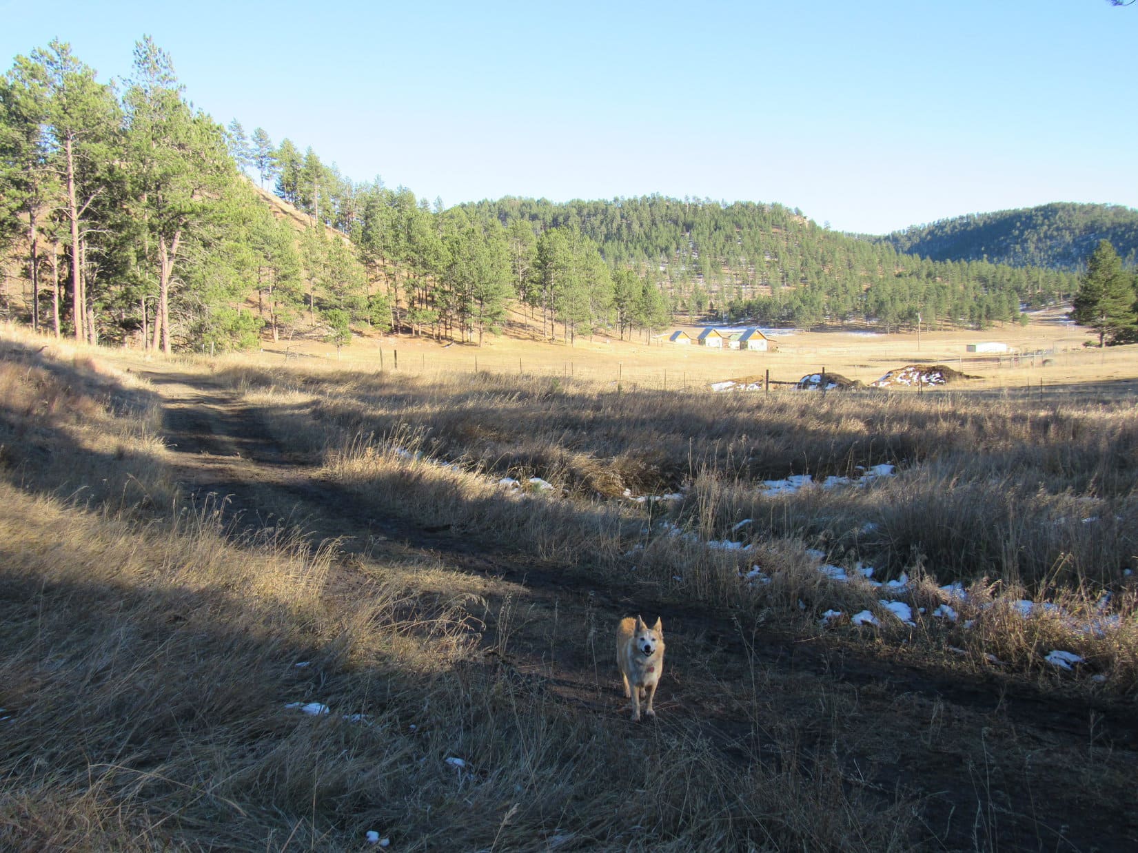
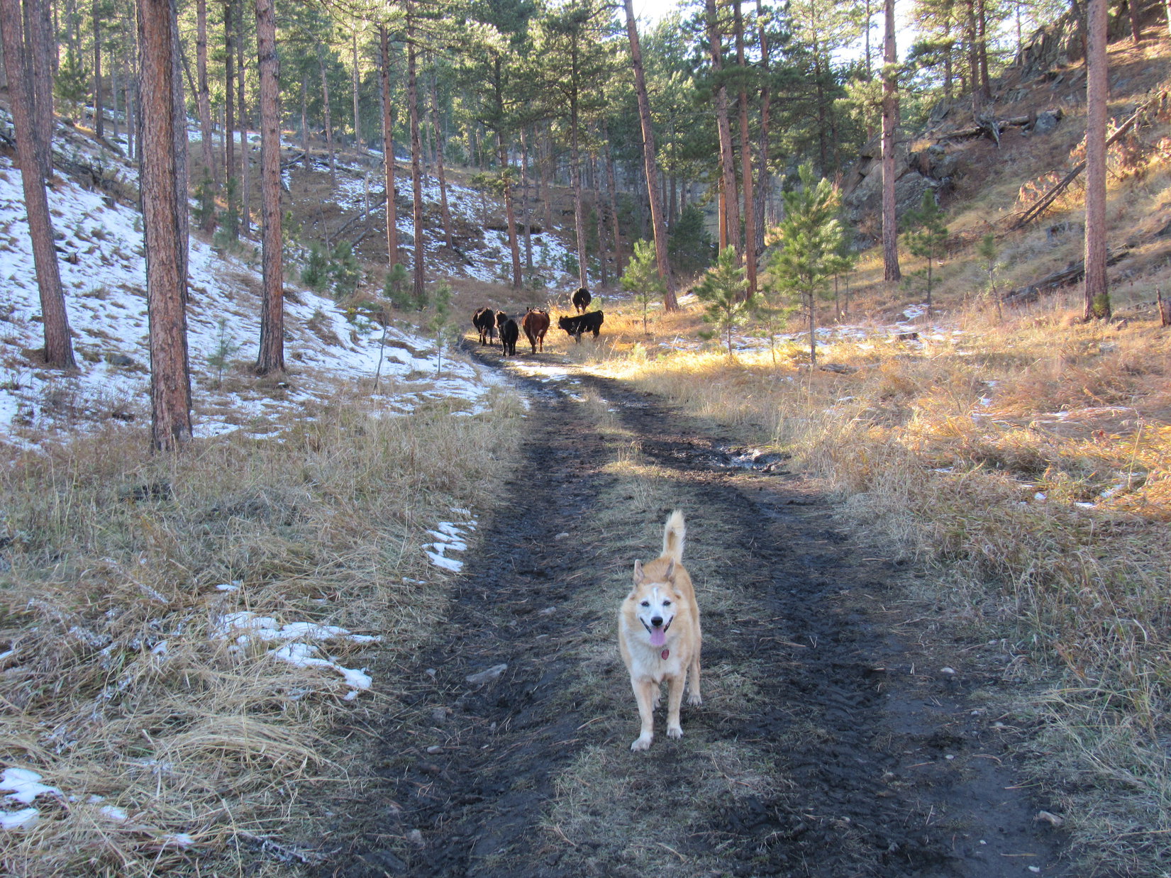
No. 715.3L now went N avoiding a ranch to the E. The road gradually lost elevation, reaching a low point less than 0.25 mile NW of Buffalo Rock, which wasn’t visible from here. No. 715.3L then turned NW going up a narrow valley. A small herd of cattle, concerned by the unexpected appearance of an American Dingo, led the way.
Near the low point of USFS Road No. 715.3L as it heads around a ranch. Buffalo Rock is out of sight just beyond the hillside L of the buildings. Photo looks SE.Starting up the narrow valley. Photo looks N.Following cows, much to Lupe’s delight! Photo looks NW.
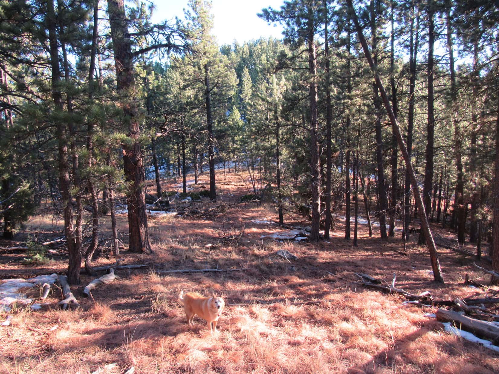
About a mile from the fork where No. 715.3M had split off, No. 715.3L flattened out. Lupe left the road here heading W up a forested slope, gradually curving SW as she climbed higher. The slope steepened and became snowier as she approached a saddle on the ridge to the W, but getting up there was no problem. A short break was taken up on the ridgeline, which was sunny and snow-free.
Heading higher shortly after leaving USFS Road No. 715.3L. Photo looks WNW.Up on the sunny ridgeline. Photo looks SE.
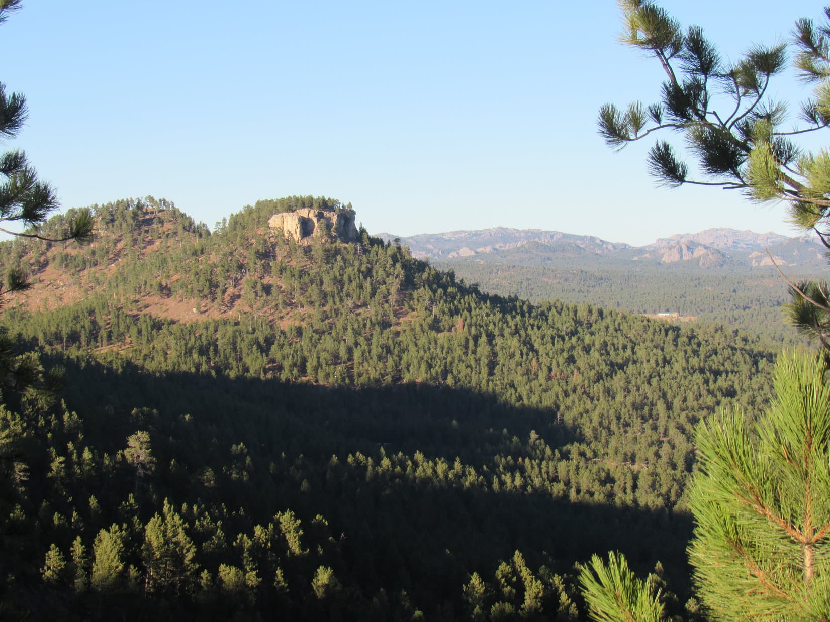
Loop was now 0.25 mile N of Peak 5802, already at 5,700 feet. Heading SE after her break, she climbed a rock outcropping where the ridge was very narrow. These rocks provided a view of Twin Sisters(5,920 ft.) to the NNE. Sylvan Hill(7,000 ft.) and Black Elk Peak(7,231 ft.) were also visible in the distance.
Twin Sisters (L), Sylvan Hill (R of Center), and Black Elk Peak (R). Photo looks NE.
Beyond the rocky viewpoint, the ridge broadened out. Lupe started up a gently-sloping forested hill. Angling S to avoid having to go all the way to the top, she was soon past the hill on a shallow descent toward the saddle leading to Peak 5802.
At the saddle N of Peak 5802 (Center). Photo looks S.
Crossing the saddle, a moderately steep trek 100 feet up Peak 5802’s N slope, and the American Dingo was there.
5:11 PM, 66ºF, Peak5802 – The true summit, which was right where Lupe came up, was a small knoll a few feet higher than than anywhere else on a 500 foot long summit ridge that curved away to the SE. To the W, the ridge extended only another 25 feet. Ponderosa pines blocked the views to such an extent that there really wasn’t much to see. A narrow view of Parker Peak(4,848 ft.) far to the S was about it.
Arriving at the true summit of Peak 5802. Photo looks SSE.Parker Peak, the high point of Fall River County, is the distant barren hill at Center. Photo looks S with help from the telephoto lens.
The sun was already getting quite low. After tagging the high point, Lupe explored the SE ridge. A single large boulder sat at the far end next to where the ridge began dropping off steeply. Loop got up on it briefly before returning to the true summit.
Exploring the SE portion of the summit ridge. Photo looks N.On the boulder at the S end. Photo looks SE.
Shall we take a break here, Loopster? Just to absorb a little Peak 5802 ambiance?
Sure, SPHP! Kind of quiet up here, though, and not much to see, either.
Sometimes that’s just the way it goes, Loop. Not every mountain is going to turn out to be a scenic wonder. They are all unique, though, and simply being up here together sharing the experience makes it a special place. How many other Dingos have ever been to Peak 5802? Hardly any, I bet!
You’re right, of course, SPHP! We like the peace and solitude, don’t we? Still, the ambiance could be improved.
How so, Loop?
Got another chocolate coconut bar in the pack?
As a matter of fact, I do! Hang on, I’ll get it!
The sun was about to set when Lupe started down. At the saddle just N of the true summit, SPHP peered down the steep slope to the W. Looked doable, and would be a bit of a shortcut back to the RAV4. The Carolina Dog gave it a go.
Turned out that a jeep trail must have come up this way once upon a time. As Lupe lost elevation, the faint old road became more and more apparent. Hundreds of feet lower, the road faded away again, the slope of the hillside diminishing as Loopster entered a big valley. Gradually turning SW, the Carolina Dog eventually reached a much better road.
USFS Road No. 715.3M? Probably. Following the road SE for nearly a mile confirmed SPHP’s suspicions. Lupe arrived back at the fork where No. 715.3M left No. 715.3L. Still 0.5 mile to go to get back to the RAV4.
Splish-splash! At the end of a perfect day, her belly dirty and wet, Lupe trotted along the muddy, slushy road in the gathering gloom happy as could be. (End 6:41 PM, 42ºF)
Days 1-3 of Lupe’s 2nd Summer of 2021 Dingo Vacation to Wyoming!
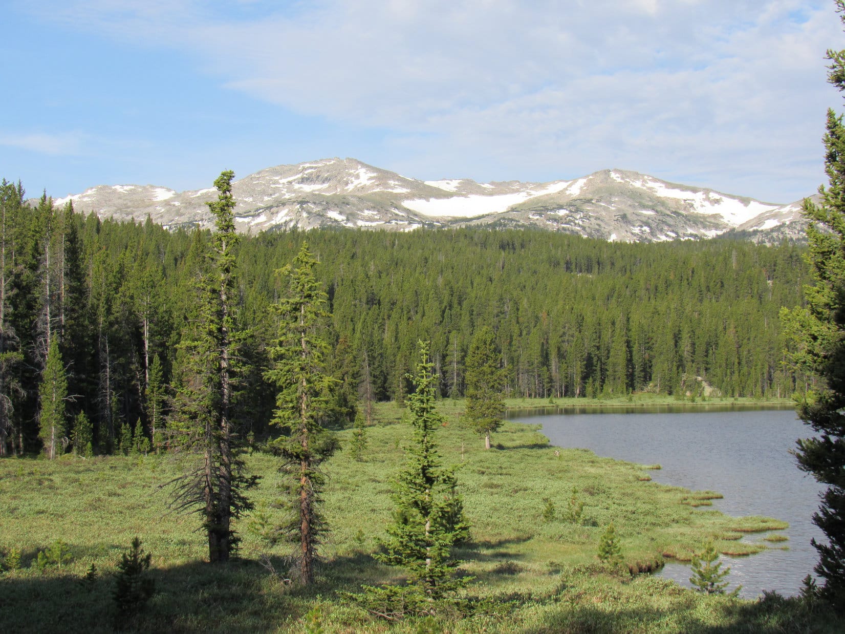
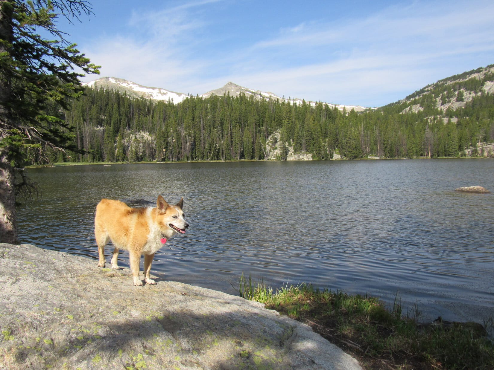
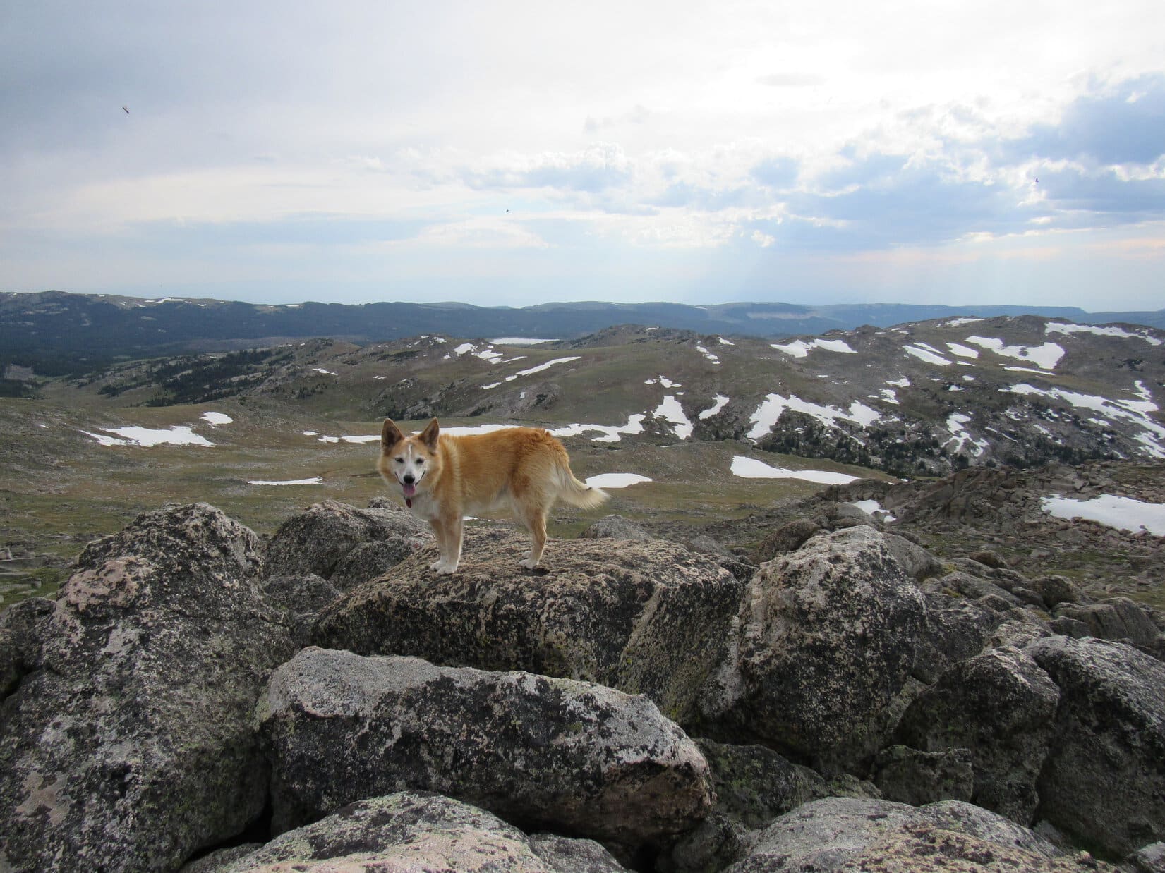
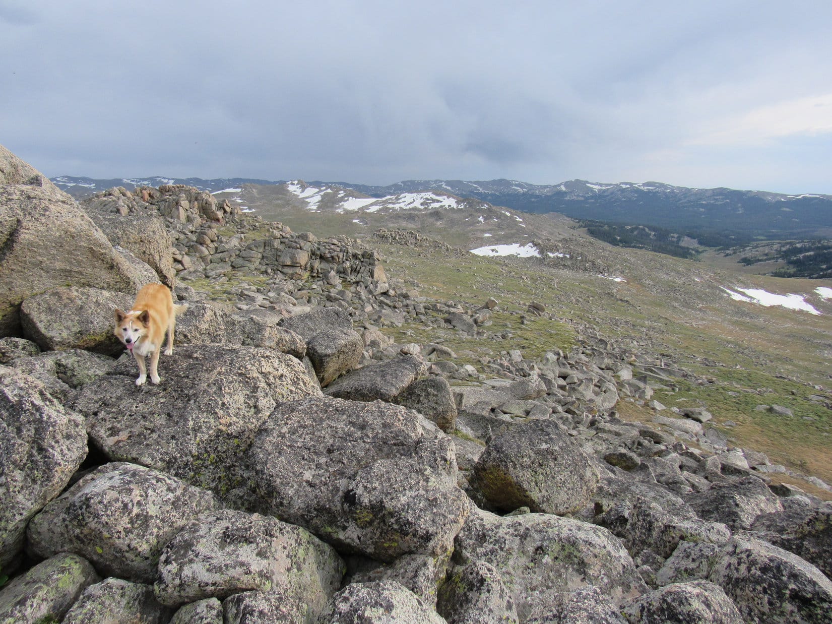
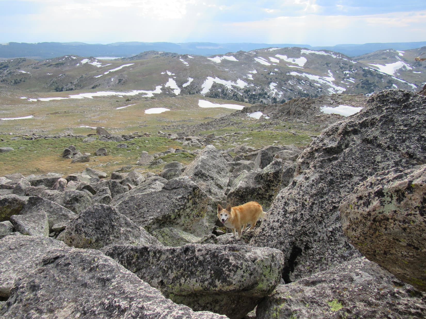
6-22-21, 7:40 PM – Free at last! A whole month had shot by after getting back from New Mexico, but Lupe’s 2nd fabulous Dingo Vacation of 2021 was finally underway. Despite a late start this morning, the Carolina Dog had made it to the Bighorns with enough daylight remaining for an evening romp.
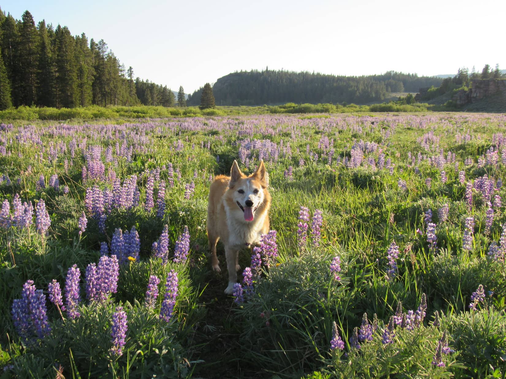
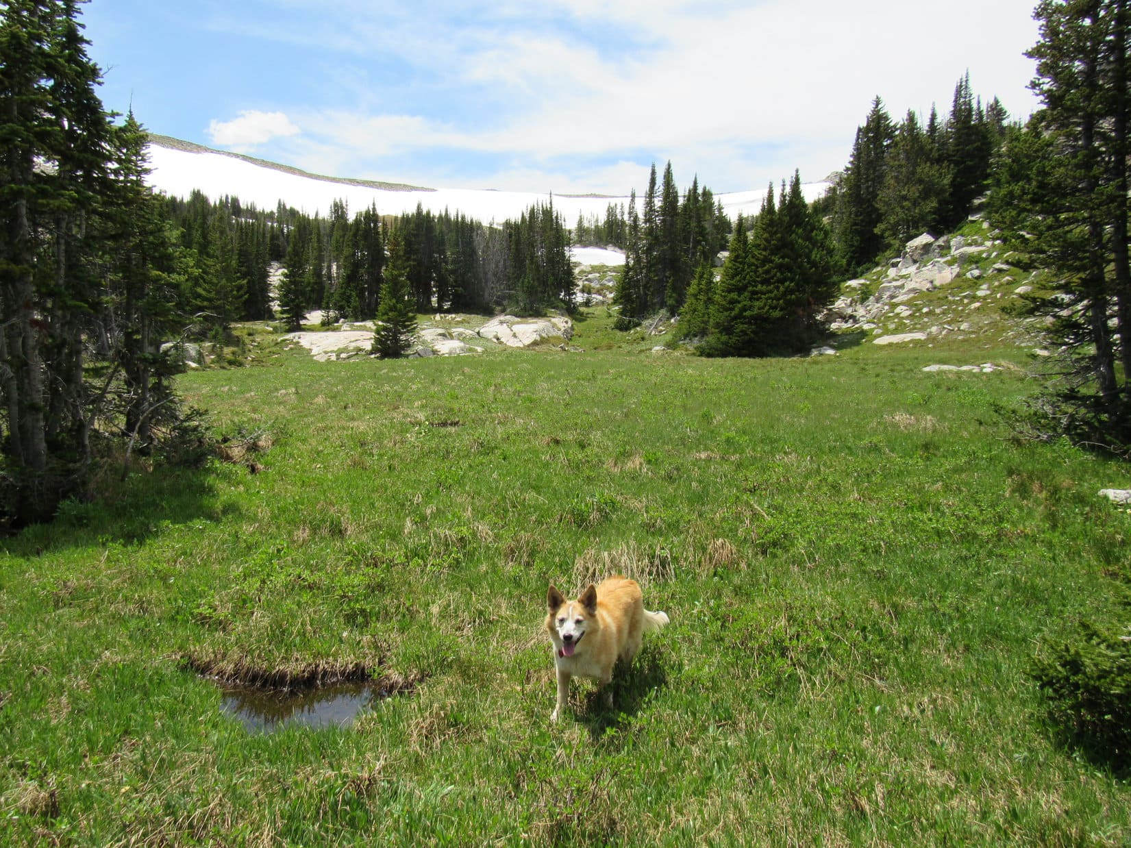
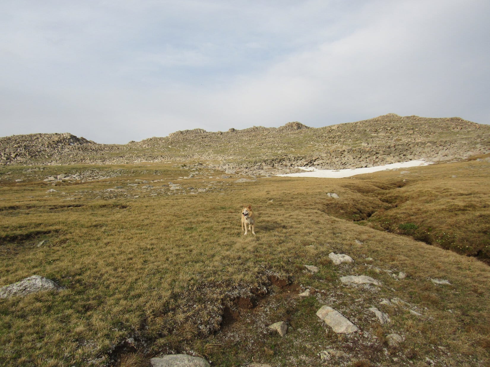
Joyful among sweet-scented lupines, Lupe alternately sniffed or dashed her way through the Elysian Fields of Puppy Happiness, excited by the whistles of marmots coming from over by rock formations on the N side of the valley.
Oh, happy day! Back in the Elysian Fields of Puppy Happiness!
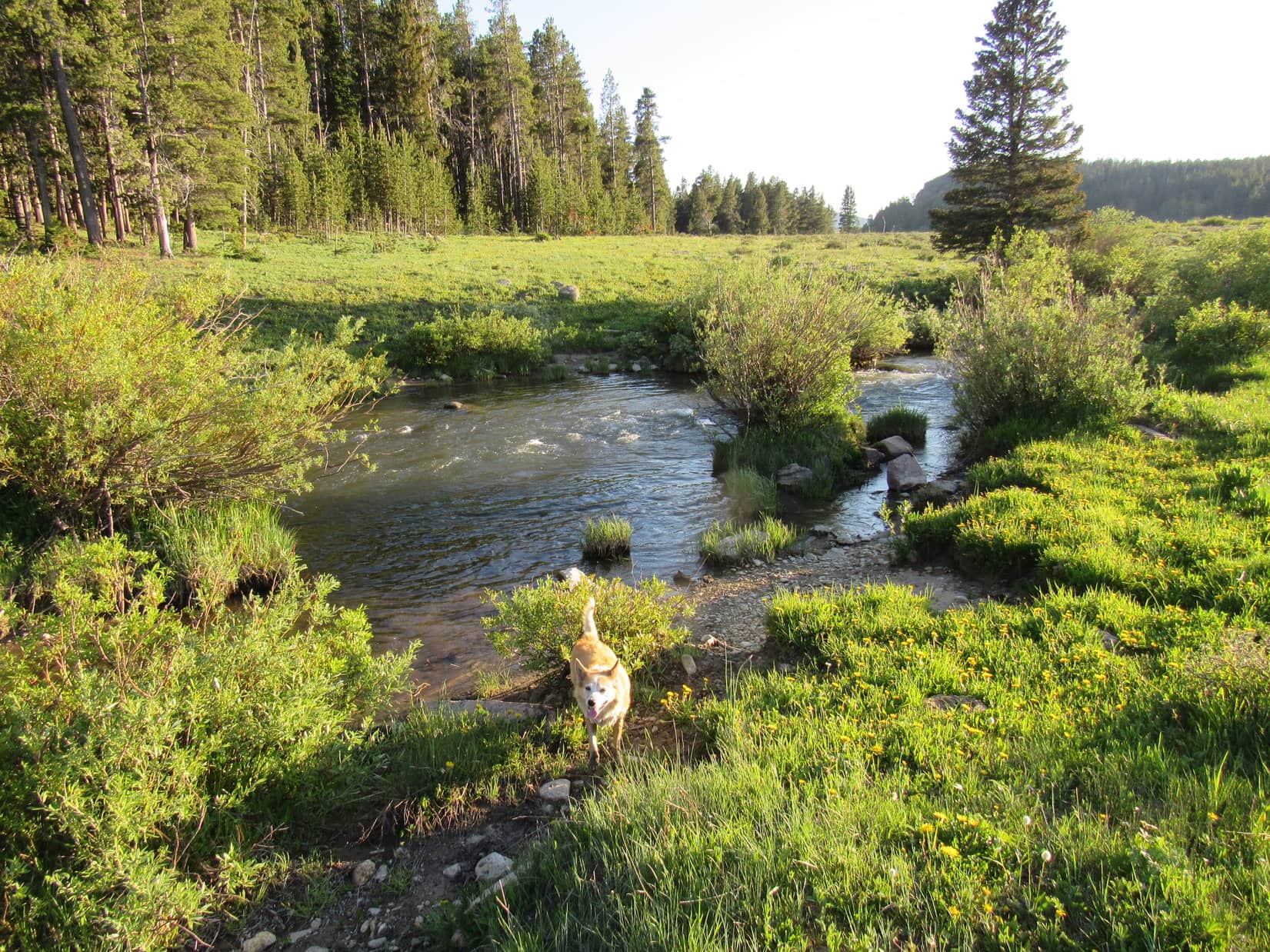
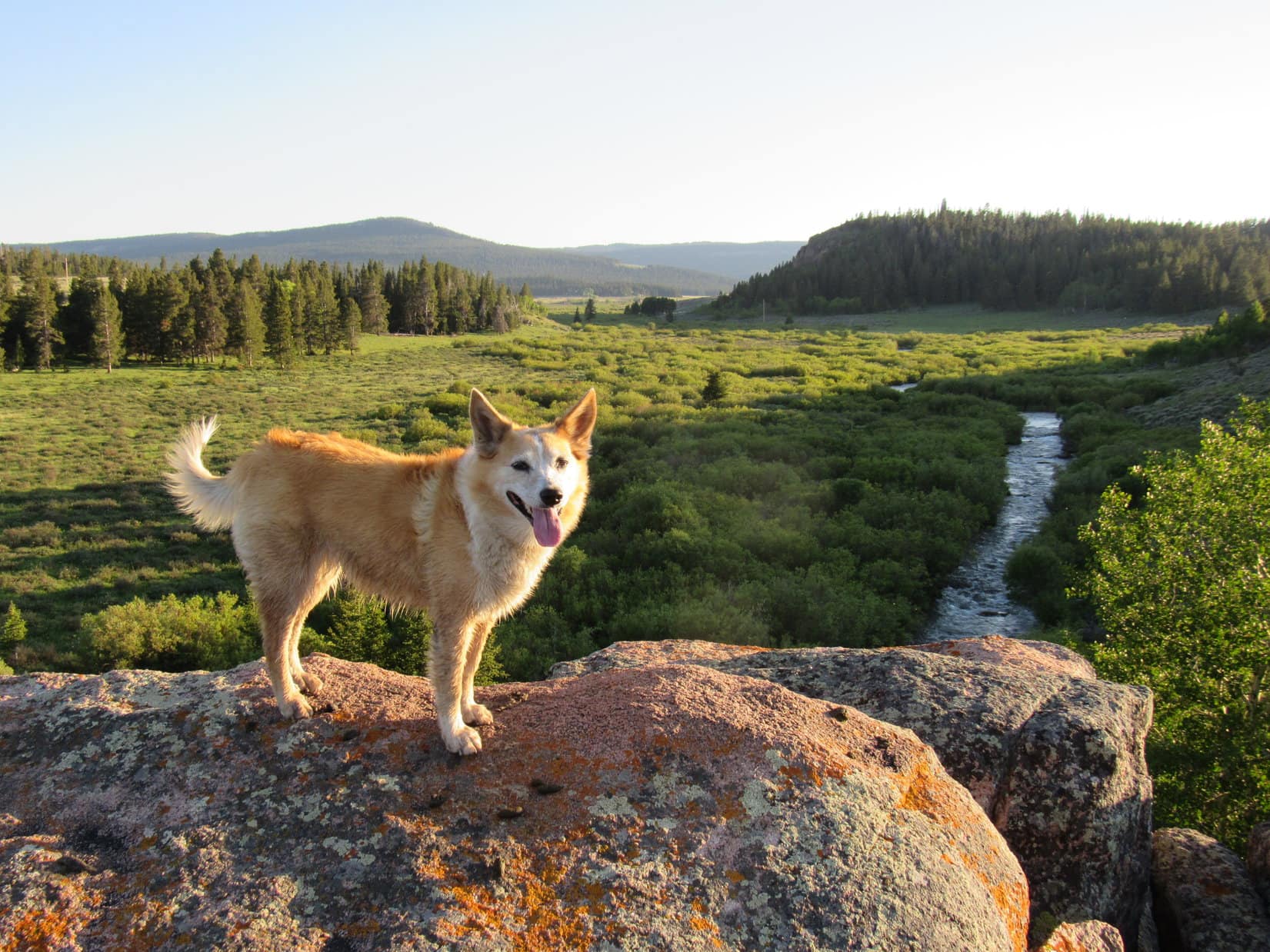
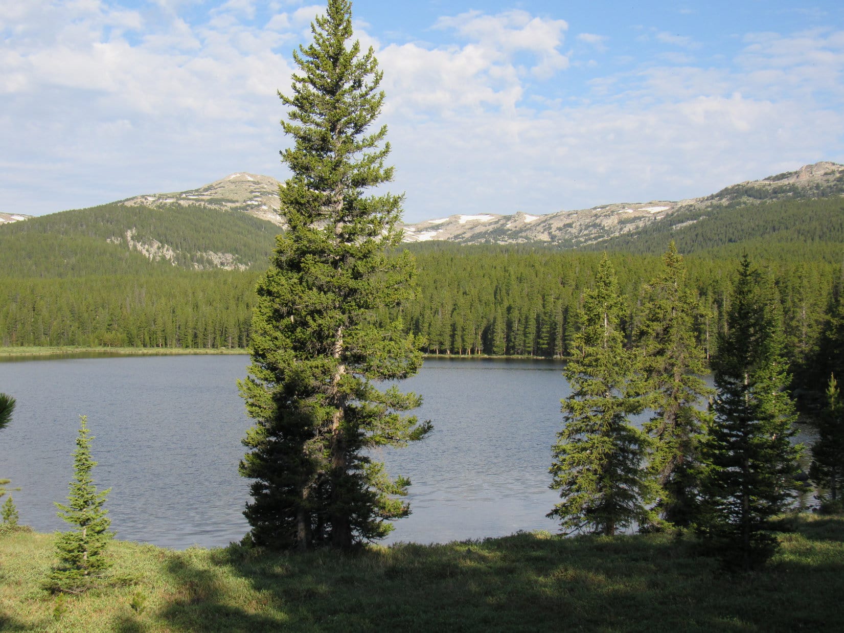
The American Dingo paused for a cold drink out of the North Tongue River. Following the river upstream, Loop surprised a moose hidden among the willows. Splashing noisily over to the far bank, the moose vanished into the woods. Climbing up onto the rock formations, Lupe surveyed the Elysian Fields hoping to see those whistling marmots.
Oh, it’s a glorious evening, SPHP!
That it is, Looper! Nothing so rare as a day in June!
Especially in the Bighorns, SPHP!
No argument there, sweet puppy!
Along the North Tongue River.On the rock formations overlooking the North Tongue River and Elysian Fields of Puppy Happiness. Photo looks SSW.
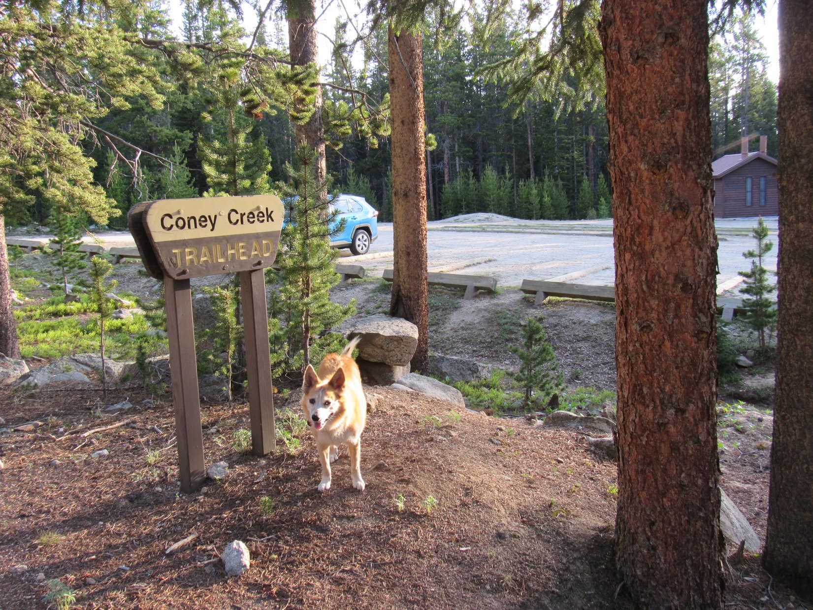
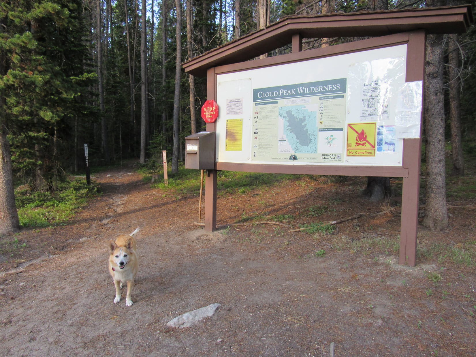
6-23-21, 6:41 AM, 51°F, Coney Creek trailhead along USFS Road No. 26 – Lupe had been bright-eyed and alert an hour ago, but it had taken SPHP this long just to have a bite to eat and get organized. Everything seemed to be ready now, though, and the weather was perfect. A few minutes to register before heading into the Cloud Peak Wilderness, and it was Onward! Puppy, ho! time.
About to leave the Coney Creek trailhead along USFS Road No. 26.The Cloud Peak Wilderness registration station across the road from the trailhead.
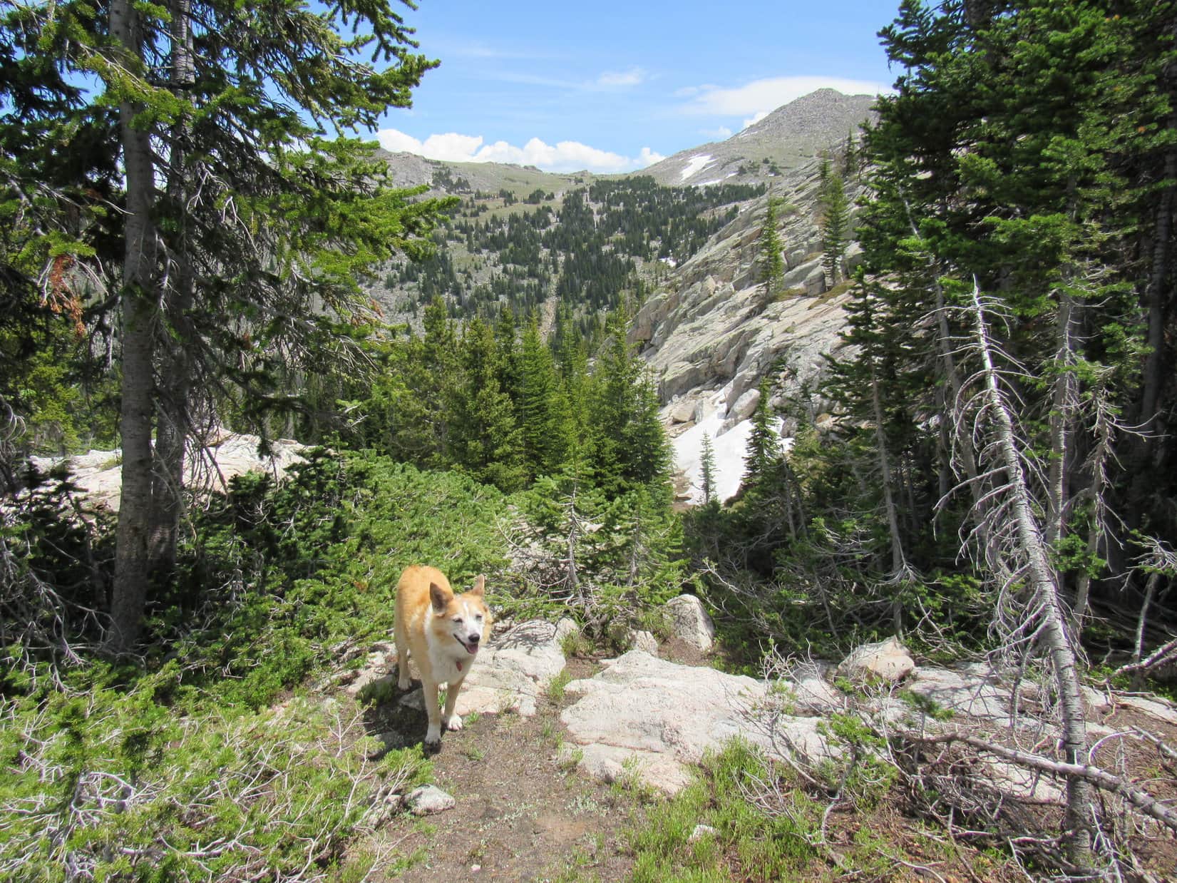
Lupe was in fine spirits as she set off heading S into the forest on Coney Creek Trail No. 21. Racing ahead of SPHP, she lost no time setting about searching for squirrels, scoring some early successes. The forest rang with the American Dingo’s shrill barking – off a marvelous start!
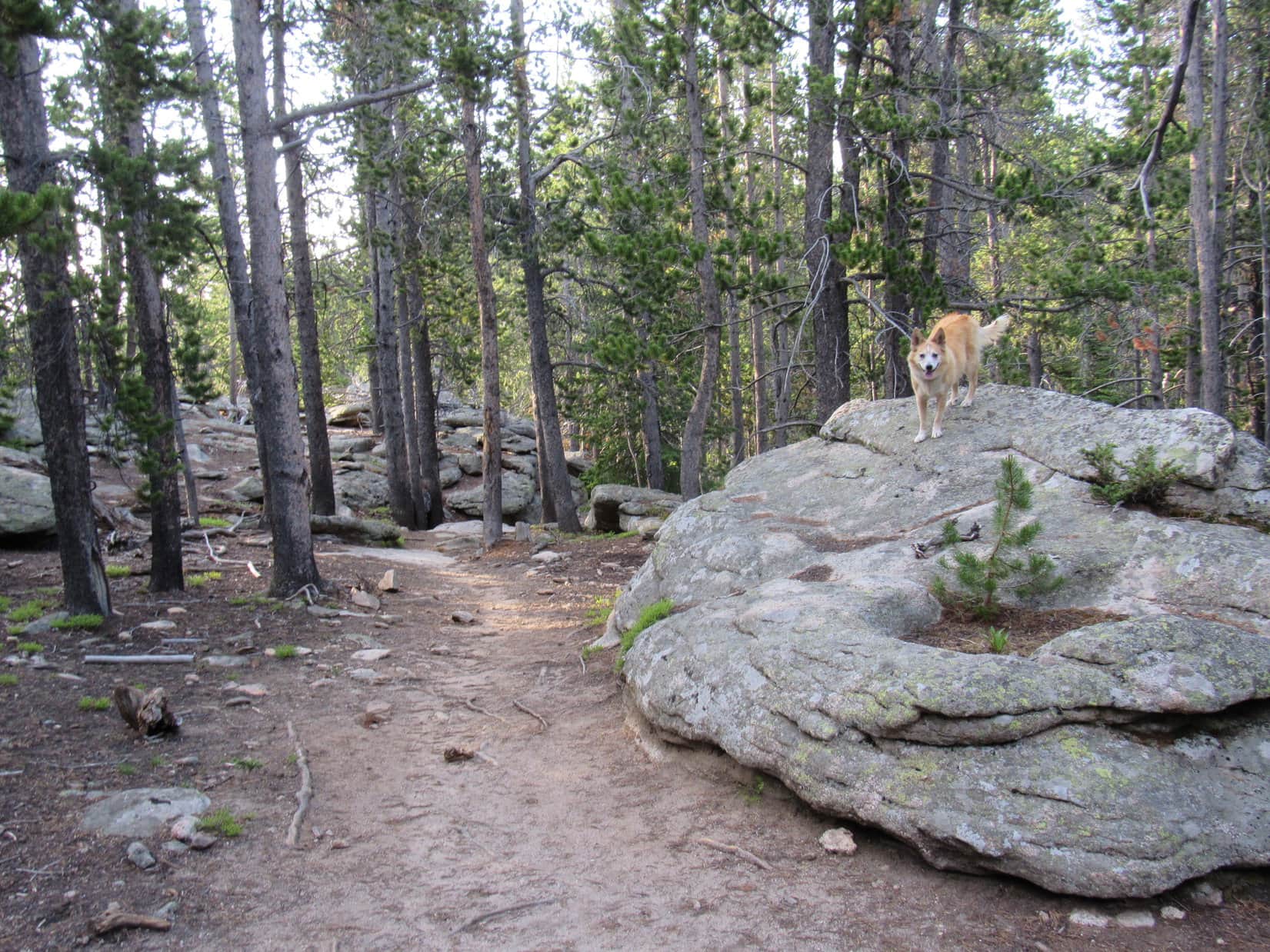
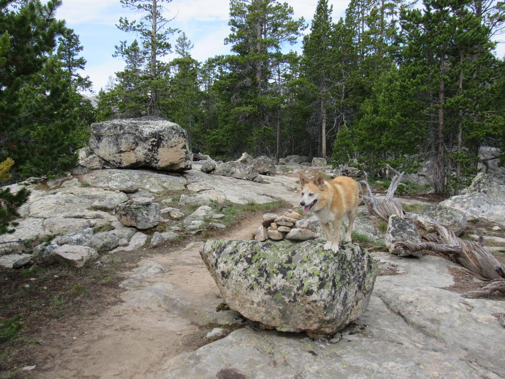
The trail began by climbing at a moderate pace, but soon leveled out on a minor ridge where there were some big boulders. Nothing to see here except forest, but Lupe got up on one of the biggest rocks, anyway.
On a big rock at the top of the first minor ridge along Trail No. 21.
What a great day, SPHP! Where are we going anyway?
Elk Peak(11,050 ft.), or Giant Deer Peak, if you prefer, Loop.
Giant Deer Peak! That sounds awesome!
Hope so. It’s a fur piece, though. Going to be a long day.
A long day in the Bighorns sounded like fun! The Carolina Dog was used to them, but it wouldn’t be until much later that it would become clear just how long a day it was going to turn out to be.
This first minor ridge was the high point of Trail No. 21 the rest of the way to Stull Lakes. From what SPHP had been able to gather online, the Coney Creek trailhead and this route were relatively new. The trail used to start from Twin Lakes which were something like a mile off to the SE.
Since the entire region was forested, Lupe never even caught a glimpse of Twin Lakes. Trail No. 21 wound through the forest making a gradual descent. Lupe passed a river of large white boulders before crossing 3 streams. The first one must have been Snail Creek. It was the smallest, and the only one with a bridge.
Cooling off next to the stone bridge over Snail Creek.
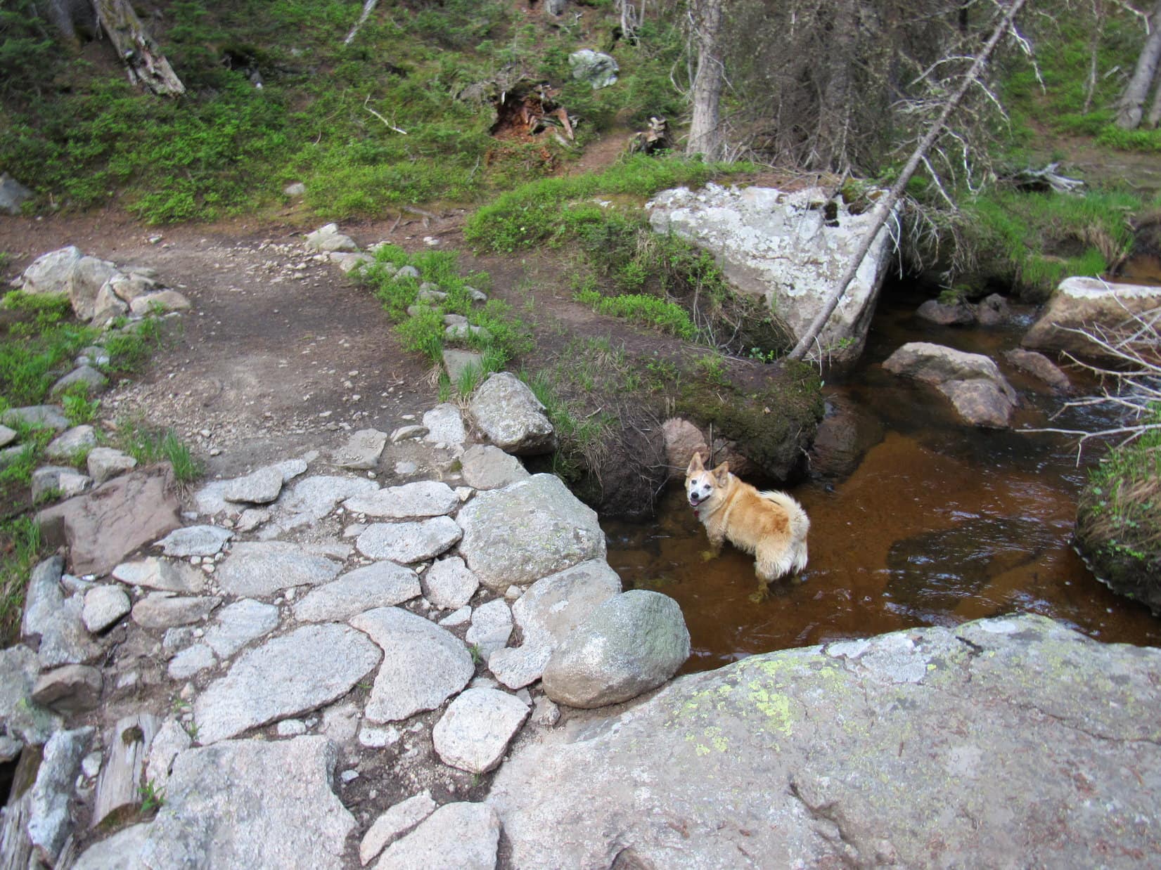
The second stream either came from, or went to, Lost Lake. Although larger than Snail Creek, it was an easy rock-hop. Coney Creek, the third stream, was larger yet and more problematic. SPHP had to search for a place where it could be rock-hopped.
Crossing the Lost Lake stream. An easy rock-hop!A flat stretch of Trail No. 21 on the way to Stull Lakes.Coney Creek where Trail No. 21 reached it. Too wide and deep to rock-hop it here!Rock-hopping Coney Creek 40 feet upstream of where the trail forded it.
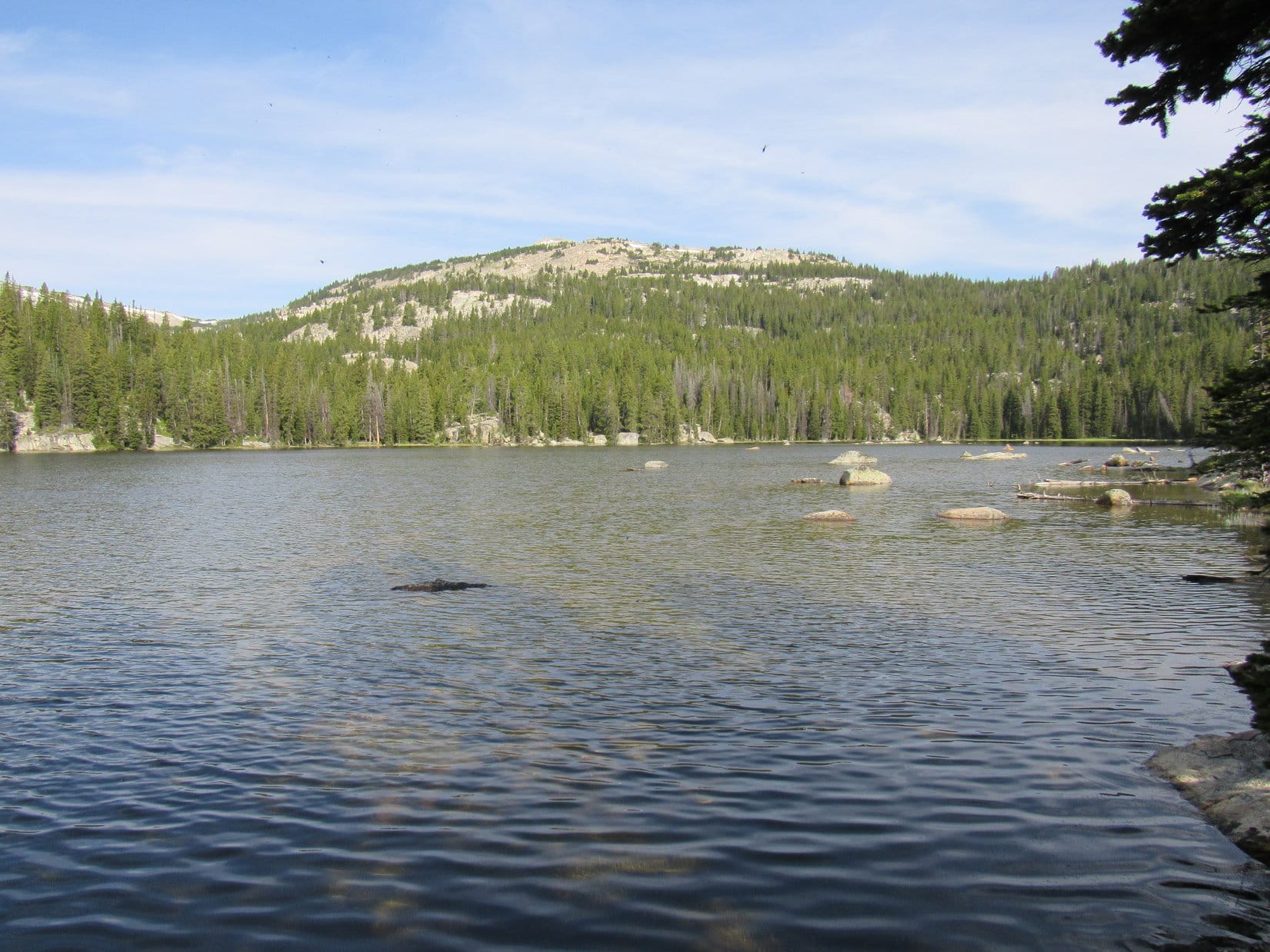
7 minutes past Coney Creek, Loopster reached a boulder overlooking the largest of the Stull Lakes. Here she had a view of the mountains off to the W. Two that the Carolina Dog had climbed in 2020 were in sight. Dome Peak(10,828 ft.) was 3 miles almost due W. The Sheridan County High Point(11,020 ft.) was slightly farther away off to the SW.
On the boulder overlooking the largest of the Stull Lakes. Photo looks SW.Sheridan County High Point (L of Center) from Stull Lakes. Photo looks SW with help from the telephoto lens.Dome Peak (L) from the largest of the Stull Lakes. Photo looks W.
A considerable amount of open ground existed along the S shore of the largest Stull Lake, but an attempt to venture down to the shoreline failed. Turned out this entire area was just a big bog.
Oh, well. No big deal! However, another issue of far greater importance soon became apparent. Although the topo map showed a number of trails intersecting S or E of the largest Stull Lake, SPHP saw no sign of any of these other trails. Even Lupe couldn’t sniff them out. Since the plan had been to take Trail No. 114 from here all the way to Pass 10220 SW of Elk Peak, this was a big deal.
Suddenly, the Carolina Dog was facing the prospect of miles of off-trail travel, the first part of which would be in a forested region unlikely to have any views to help orient by. Furthermore, Lupe would have to ford Wilderness Creek, which from the looks of the area it drained on the map might be nearly a river where fabled Trail No. 114 crossed it, if that point could even be found.
Only Trail No. 21 seemed to continue from here. The topo map showed it ending 1.5 miles WSW at Coney Lake.
So, what’s it going to be, SPHP? Plunge S into the forest, or Coney Lake?
Sure going to be the long way around, Loopster, but Coney Lake, I guess. Kind of afraid of what we might run into down at Wilderness Creek if we try to head S from here.
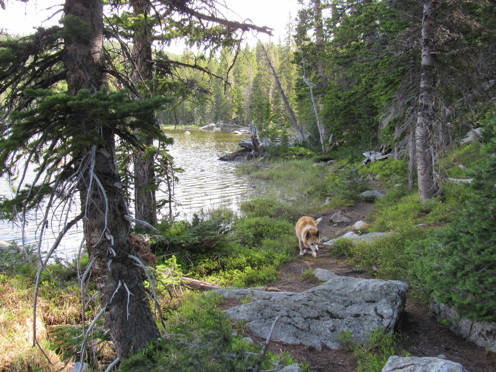
Leaving the largest Stull Lake, Trail No. 21 briefly turned SW. Lupe came to an unmarked trail that split off to the S just before Trail No. 21 crossed a ravine with a tiny trickle of a stream in it. Exploring this side trail up a relatively short slope, the Carolina Dog came to a big pond, which might well have been the smaller of the Stull Lakes.
Since the side trail vanished here, returning to Trail No. 21 seemed to be the only sensible thing to do. Upon reaching it, Lupe crossed the ravine containing the tiny stream and continued WSW.
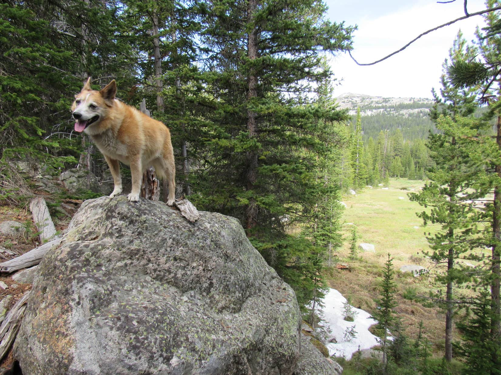
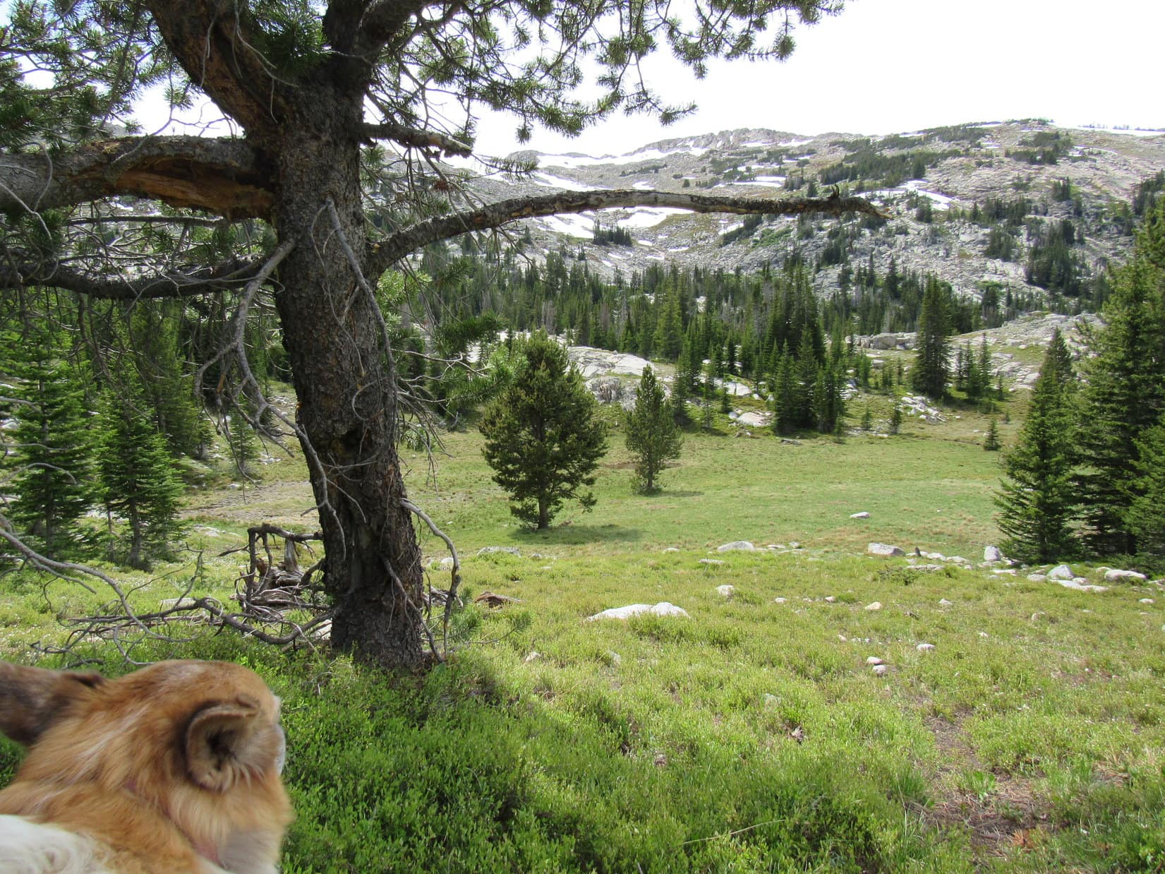
Trail No. 21 wound through the forest, most of the time gaining elevation at a moderate pace. The path was generally easy to follow, but there was little to see other than trees. Lupe eventually came to a level rocky spot where a cairn sat on a boulder, but this point didn’t seem to be of any real significance. Shortly before reaching Coney Lake there was a view to the R of a big meadow down in a valley, with a glimpse Dome Peak in the distance.
By the cairn at the rocky spot.At the meadow viewpoint not far from Coney Lake. Dome Peak (R). Photo looks W.
Trail No. 21 ended at a fine camping spot on a small knoll immediately SE of Coney Lake. It would have been an even better camping spot if not for a wand saying that camping within 100 feet of the lake was illegal. Unfortunately, although largely hidden by trees, the lake wasn’t that far away. Lupe headed down to the shoreline for a better look.
At Coney Lake. Sheridan County High Point (L), HP10740 (Center). Photo looks SW.Dome Peak (Center) beyond Coney Lake. Photo looks NW.
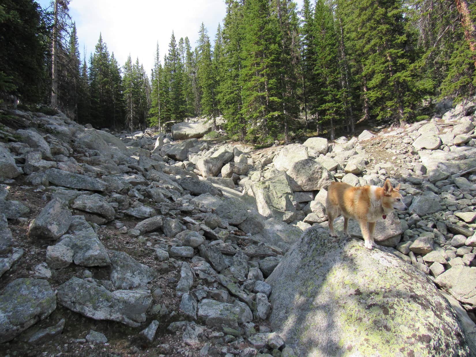
Although Trail No. 21 officially ended here, a use path continued SW along Coney Lake’s SE shore. Going past a boggy region S of the lake, it led to a big ravine full of light grey boulders. The use trail did not cross this ravine, instead turning S and heading up the steep slope just E of it. After a climb of nearly 200 feet, the terrain leveled out.
A pond here, shown on the topo map, confirmed Lupe’s position. She was now less than 0.5 mile due N of where Wilderness Creek coming down from the S made an abrupt 90° turn E.
Following the use trail along the SE shore of Coney Lake. Photo looks NE.Heading up the ravine S of Coney Lake. Photo looks SSW.At the pond where the terrain leveled out 0.2 mile S of Coney Lake.
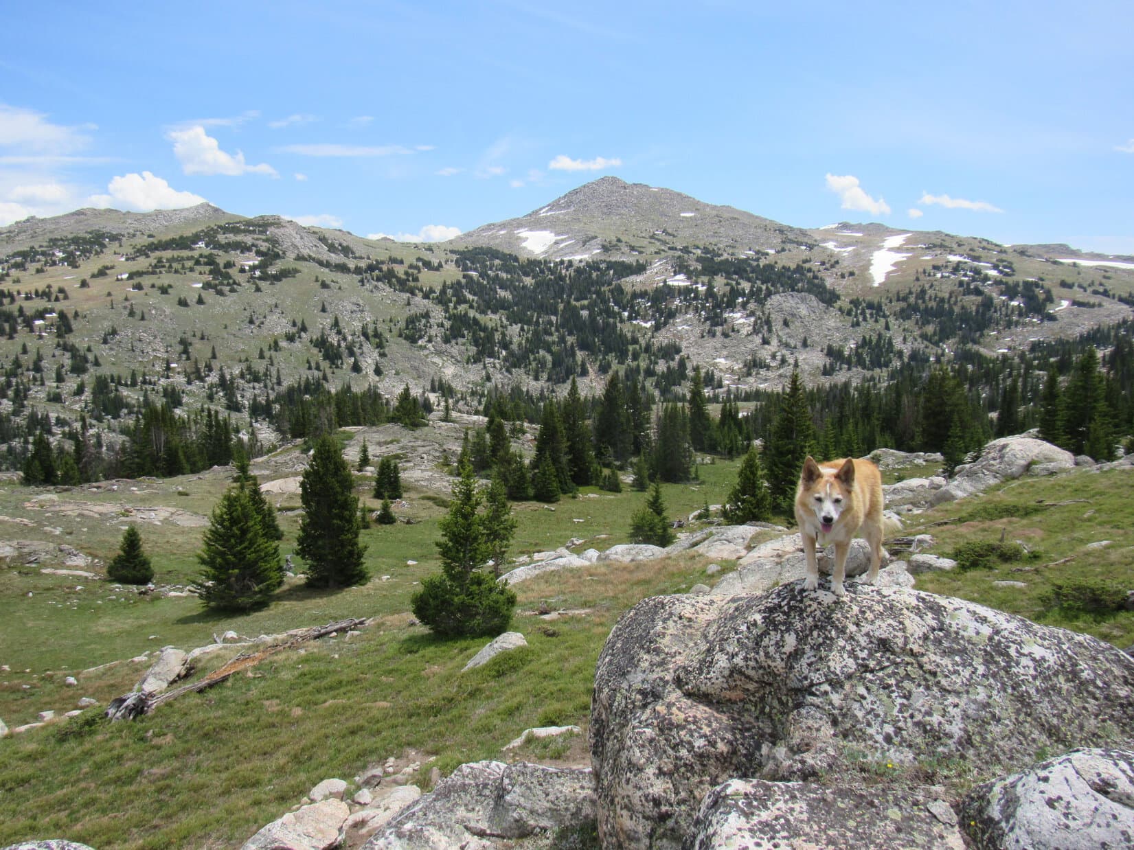
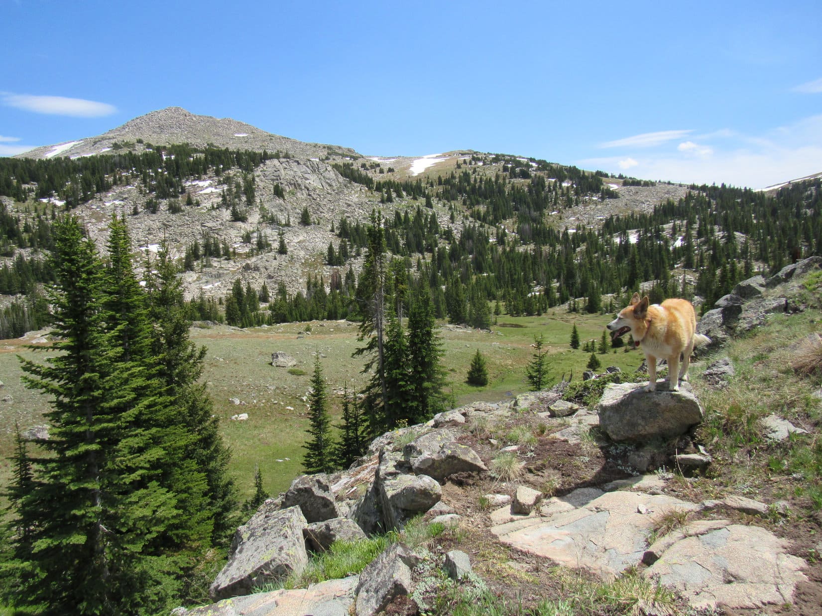
Beyond the pond, a gentler slope went up to a little pass on the big ridge S of Coney Lake. By now the use trail was fading away. It was probably heading up to HP10020 and beyond, since this ridge was a popular route to the Sheridan County High Point(11,020 ft.), now only 1.33 mile SW. Following the S side of the ridge, Lupe kept climbing until she started getting glimpses of Elk Peak (11,050 ft.), still 3 miles SSE beyond the huge Wilderness Creek drainage.
Saddle Mountain (10,569 ft.) (Center) and Elk Peak (R) from the ridge S of Coney Lake. Photo looks SSE.
The plan was now to continue high enough to keep Elk Peak reliably in sight, then head S all the way to Pass 10220. If successful, this meant the Carolina Dog would be traveling through the territory W of Wilderness Creek without ever having to ford it.
Continuing SW somewhat farther up the ridge, Lupe never did get above treeline. The forest had thinned out, though, by the time she turned S.
The Sheridan County High Point (Center) from the first ridge S of Coney Lake. Photo looks SW.
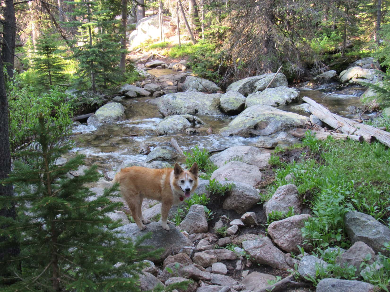
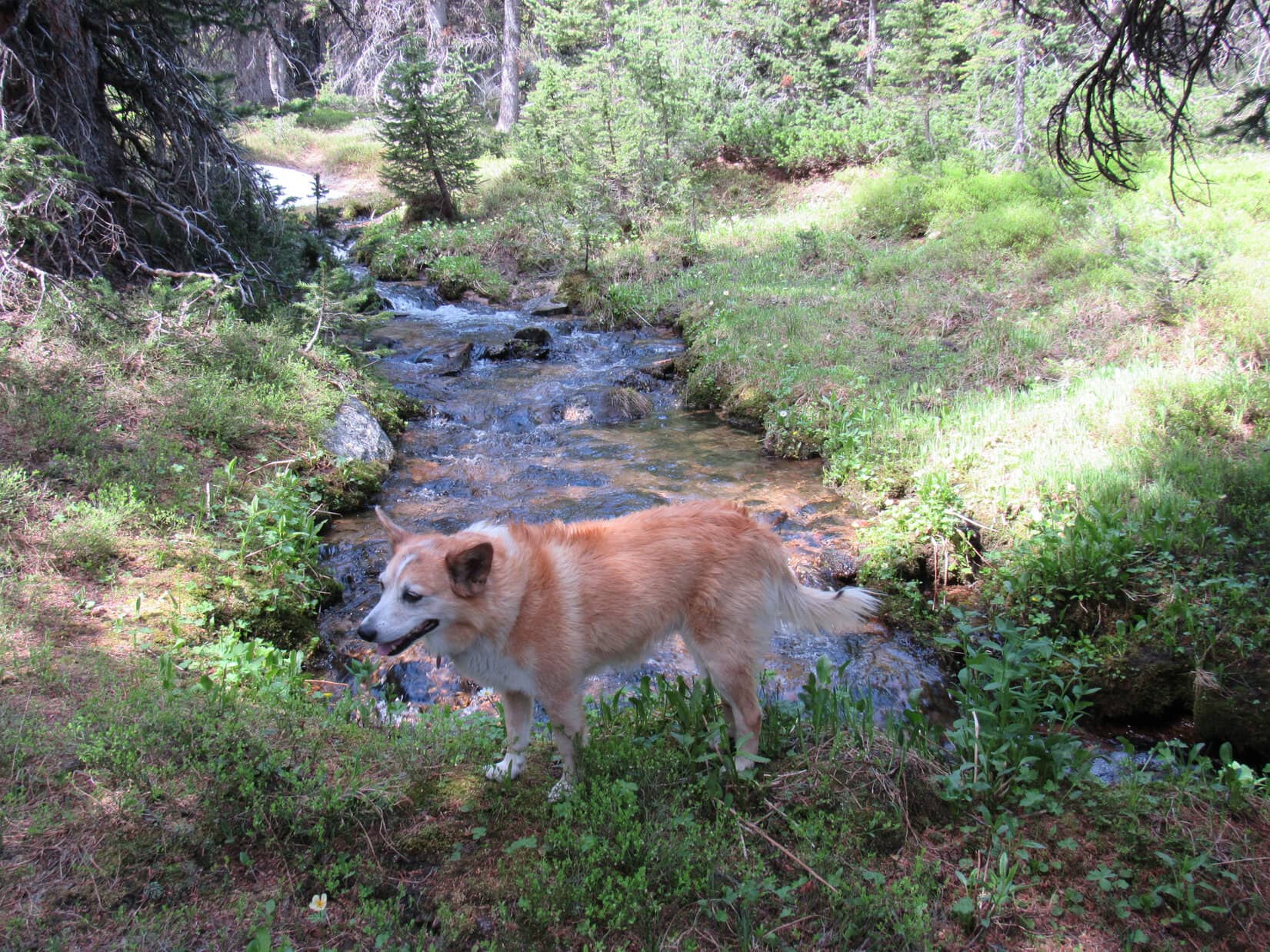
At first, progress was decent. Loopster wandered through relatively easy stretches of forest and open ground. She came to a small, lively stream, a tributary of Wilderness Creek, which was easily leapt over.
By the first of many tributaries of Wilderness Creek. None presented serious difficulty.
Still hoping to get above treeline, SPHP encouraged Lupe to keep slowly gaining elevation. However, this policy eventually backfired. The views kept improving, but the going got tougher as the mountainside Loopster was traversing became much rockier. The Carolina Dog was still E of the Sheridan County High Point when she came upon a large field of talus overlooking another small pond.
The territory ahead looked discouragingly rugged.
Saddle Mountain (L) and Elk Peak (Center) as the terrain gets rocky. Photo looks SSE.At the pond (visible beyond Lupe) overlook. Elk Peak (L). Photo looks SSE.Among the boulders. Photo looks NNE.
Loop kept going, but SPHP’s progress was very slow. Fortunately, this first boulder field proved to be the worst of the rocks. Once through it, the terrain became considerably easier again.
The march S continued. Lupe came to another pond, a long skinny one difficult to get past. Beyond it was a descent into a boggy valley toward the W. After crossing another tributary of Wilderness Creek running through the bog, Lupe faced a climb back up into another rocky area.
Cooling off in a snowbank.At the skinny pond, which extended way off to the R. Photo looks S.E of the Sheridan County High Point (R). Photo looks W.About to head down into the first boggy region. Photo looks SW.
Losing and regaining elevation in order to cross bogs and streams in side valleys toward the W developed into a pattern that kept repeating itself. At one point Lupe came to a spot where it looked a lot easier to just head down into the Wilderness Creek valley, but SPHP was reluctant to lose the elevation.
An easy opportunity to enter the Wilderness Creek valley. Instead, SPHP encouraged Lupe to remain high. Saddle Mountain (L) and Elk Peak (Center). Photo looks SE.
Staying high back-fired. Another climb, followed by yet another drop into a boggy side valley, was ahead. S of this bog, a massive wall of rock extending out from the enormous ridge to the W finally put an end to this wearying and time-consuming process. Lupe was forced to begin a steep descent into the Wilderness Creek valley.
Down in the last boggy side valley. Photo looks W.The rock wall on the R prevented Lupe from continuing S, forcing a steep descent into the Wilderness Creek valley. Photo looks ESE.Following another tributary of Wilderness Creek lower.Approaching the Wilderness Creek valley. Elk Mountain (L) and Pass 10220 (R). Photo looks SSE.
Upon reaching the floor of the valley, the American Dingo discovered plenty of open ground occupied by another bog. Only a mile due N of Pass 10220 now, if Lupe could cross the valley here, she could head SE straight up Elk Peak! Fortunately, it wasn’t too hard to find a relatively dry route with minimal splish-splashing required to get through it all. Better yet, Loopster was far enough upstream so that Wilderness Creek itself was no longer a significant obstacle. Even SPHP managed to leap over in a single bound.
After crossing the valley, Lupe started up Elk Peak. Grassy, easy terrain soon got so steep that SPHP had to pause frequently gasping for air.
Looking NW back across the Wilderness Creek valley.
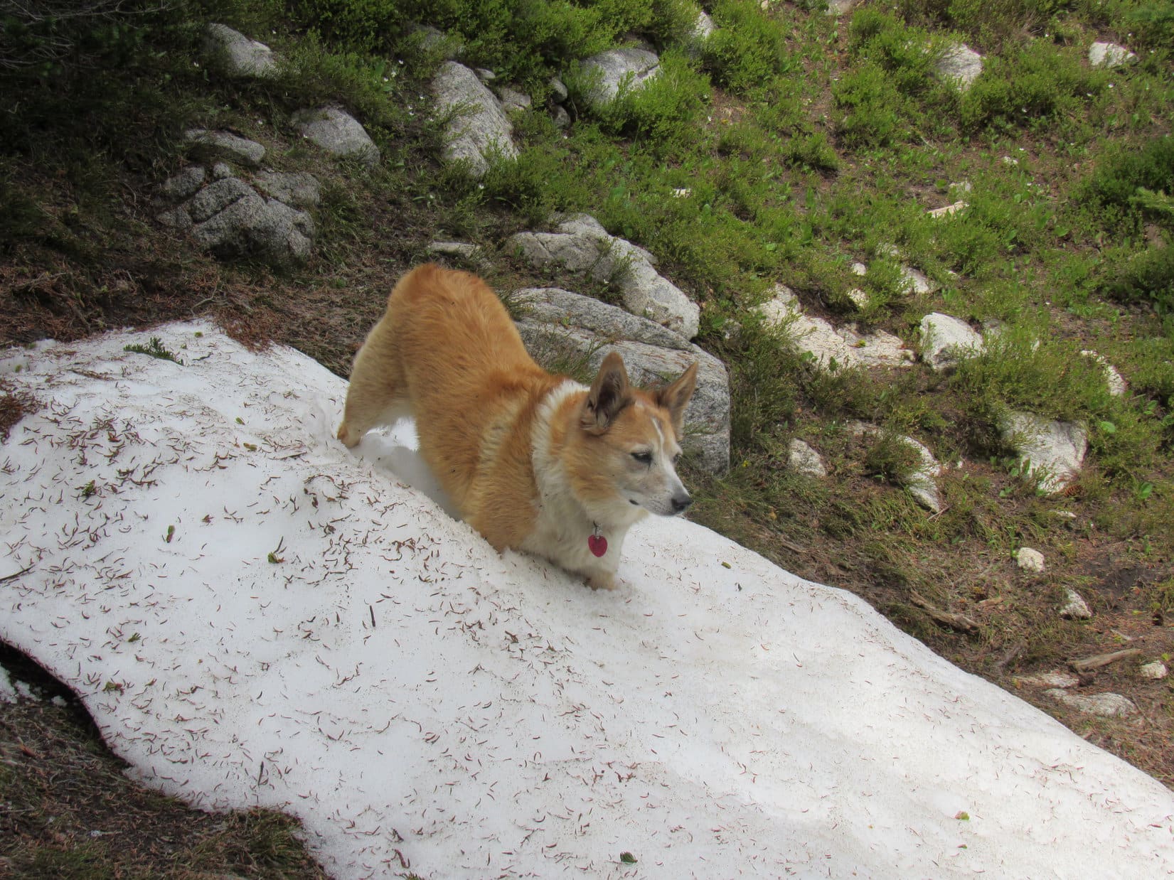
After gaining several hundred feet of elevation, the rate of climb began to diminish. Still a long way to go, though! Above treeline, the grassy slope started getting rockier. The Carolina Dog came to a long snow bank, and enjoyed wandering up it.
Near treeline. Elk Peak (Center). Photo looks SE.At the start of the long snowbank. Photo looks SE.
By the time Looper reached the upper end of the snowbank, she wasn’t all that far from an obvious high point directly E. Following the easiest terrain higher rather than heading straight for it, she approached from the SW. This last slope wasn’t all that steep, but quite rocky.
Above the long snowbank. Photo looks WSW.Getting might rocky. Photo looks NE.
Scrambling NE through a field of talus, Loopster finally reached a wide, flat saddle toward the NW end of Elk Peak’s summit region. Sandwiched between several large rock formations, this saddle sported a fair amount of grass among scattered boulders.
Whew! I’m pooped, Loop. How about taking a longer break right here?
The Carolina Dog was all for that notion. Looper curled up on the soft green grass. Water and a bite to eat. A little dozing. 20 minutes ticked away before SPHP managed to stagger up again.
Which of these rock formations is the true summit, SPHP?
This one right next to us, I think. C’mon, let’s see if we can get up it!
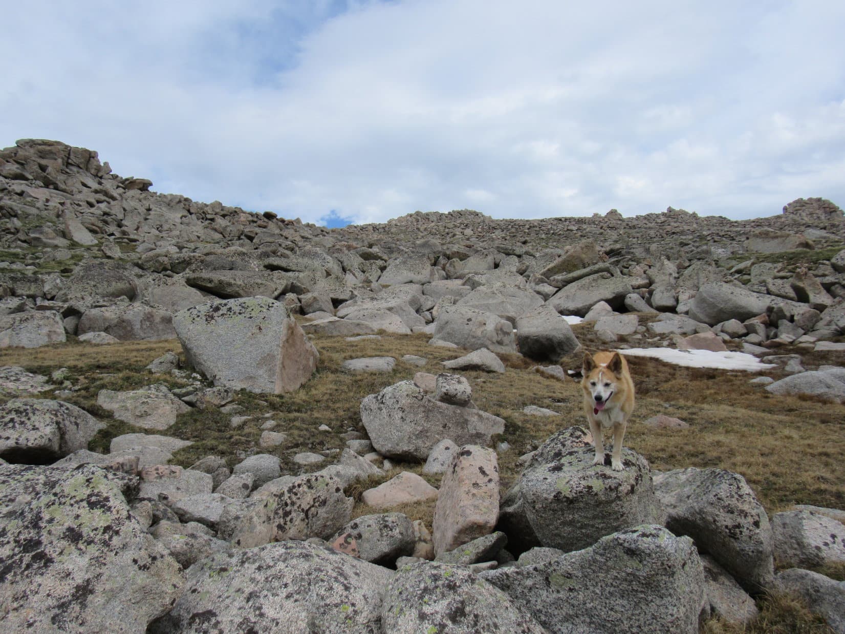
In truth, the huge pile of talus looked rather dicey. Scrambling SE, Lupe got most of the way up easily enough, but the final stretch was a doozy. Still tens of feet below what appeared to be the top, Loop was confronted by an almost vertical wall of massive boulders with treacherous holes between them. Unable to see a safe route higher, SPHP balked. Uh-uh. Not going to work!
Partway up with a view of the grassy saddle. Photo looks NW.Looking down on Saddle Mountain (L) and Dome Lakes (R). Photo looks NE.Heading for the insurmountable wall of rock. Photo looks SE.
Well, shoot, Loopster! All this way, and we can’t get to the top?
Oh, there has to be a way! Let’s try another spot, SPHP!
A partial retreat, and Lupe tried again, this time working around to the SW side of the rock formation. At first it didn’t appear that this attempt was going to pan out, either, but the situation improved once the American Dingo managed to get past a few particularly enormous chunks of talus.
Hah! Promising! Keep going, sweet puppy! We’re almost there!
Scrambling higher, Lupe made it to the top of the rock formation that had been insurmountable from the NW. She had a terrific view of the Sheridan County High Point(11,020 ft.) and Dome Peak(10,828 ft.) back in that direction.
Past the biggest talus, now over on the SW side. Photo looks SSE.Scrambling higher. Photo looks NE.Sheridan County High Point (L) and Dome Peak (Center). Photo looks NW.
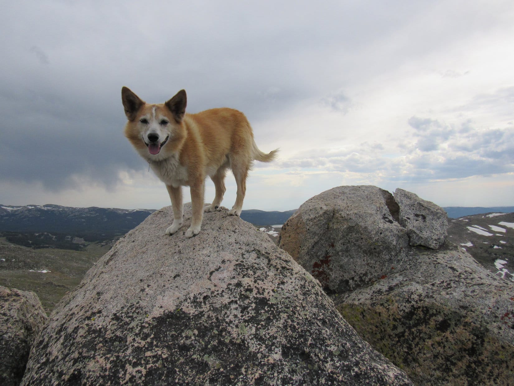
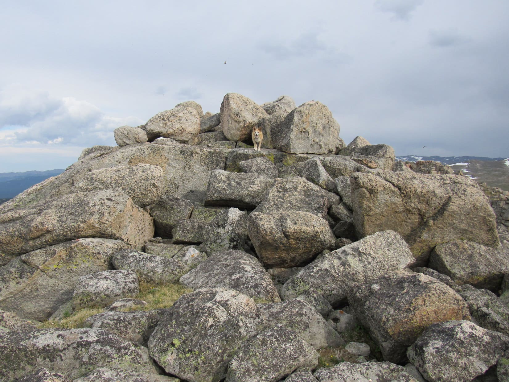
This vantage point still wasn’t quite the top of Elk Peak(11,050 ft.). The true summit, another collection of big boulders, was a little farther SSE. Fortunately, most of the boulders were fairly conveniently arranged. Getting over to the highest rock wasn’t all that difficult. With a boost from SPHP, Lupe claimed her latest peakbagging success!
Approaching the true summit. Photo looks SSE.On the highest rock! Photo looks SSE.True summit of Elk Peak. Photo looks SSE.
The cluster of tall boulders in the immediate vicinity of the true summit was a cramped spot. Hardly any room to move around! Lupe couldn’t see a thing down in the narrow spaces between the huge rocks, but the views from up on top were stupendous!
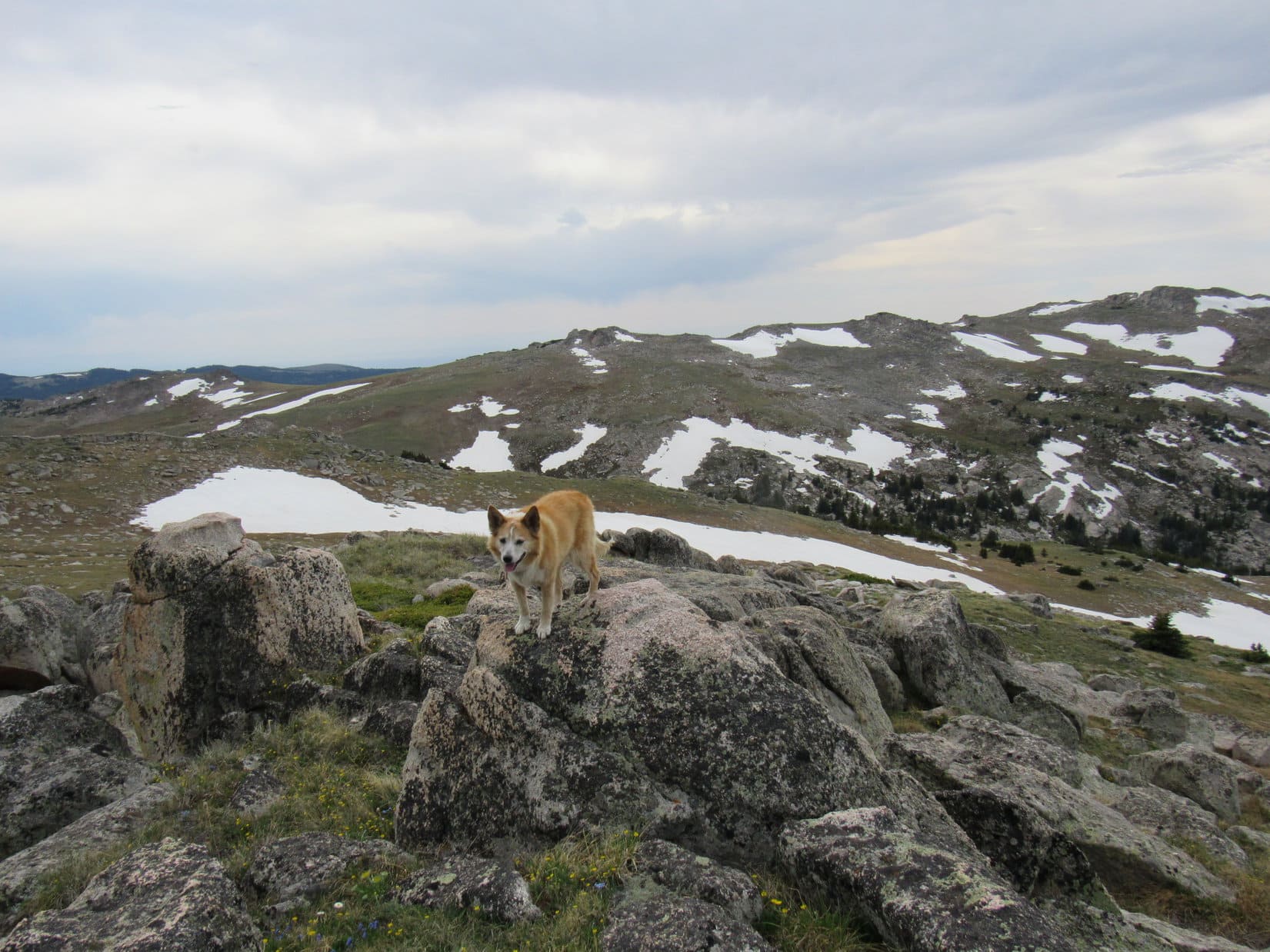
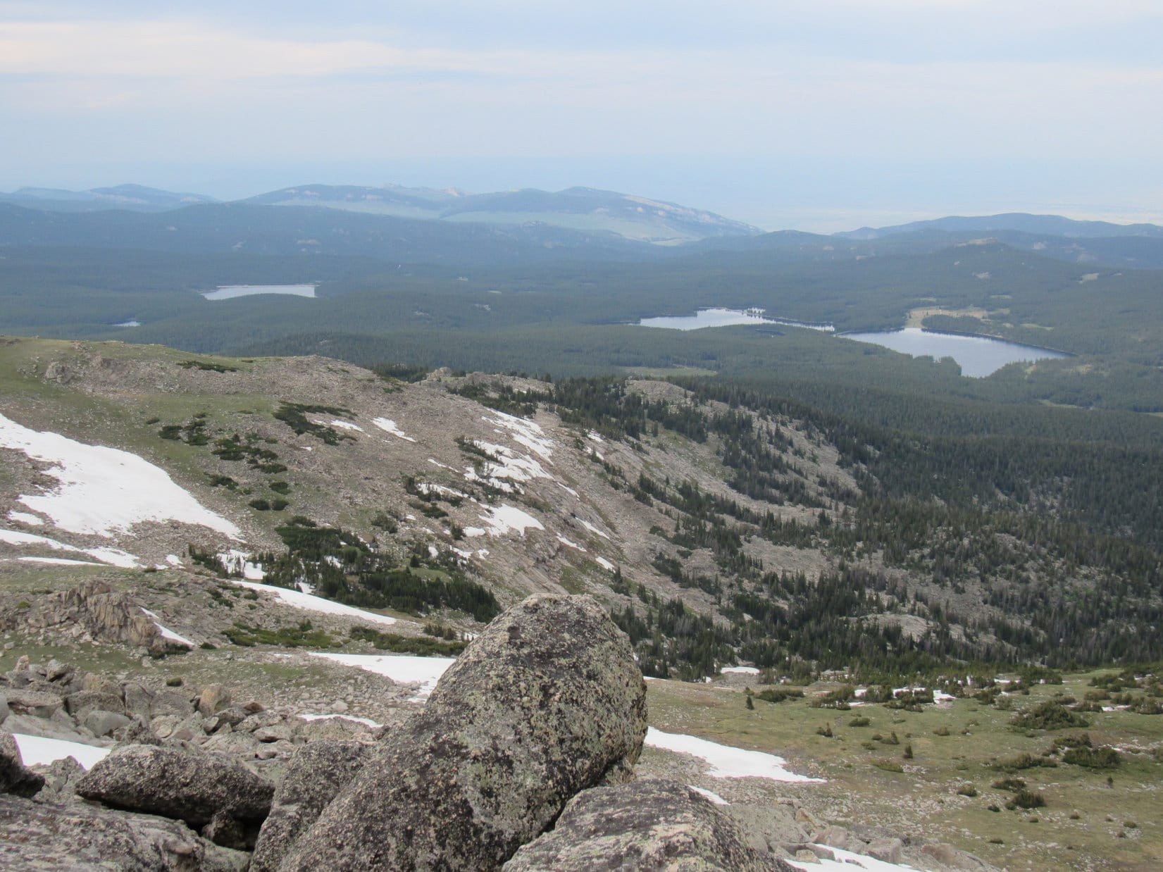
Far to the SSE, Cloud Peak(13,167 ft.), highest of the Bighorn Range, was the big attraction. To the S, and considerably closer, was a line of unnamed peaks about as high as Elk Peak. Pass 10220 at the upper S end of the Wilderness Creek valley, was off to the SW. Another line of peaks ran N from there over to the Sheridan County High Point and Dome Peak, which together dominated the scene to the NW.
Cloud Peak (Center) on the horizon. Photo looks SSE with help from the telephoto lens.View to the S of unnamed peaks of similar height.Sheridan County High Point (L) and Dome Peak (Center) from Elk Peak’s summit. Photo looks NW.
0.67 mile to the N, Lupe gazed down on a green pasture featuring several notable rock formations. That was Saddle Mountain (10,569 ft.). Both Lookout Mountain(10,147 ft.) and Black Mountain (9,489 ft.) could be picked out far beyond it, but they weren’t too impressive from here.
Dome Peak (L). Saddle Mountain is the green pasture (R). Both Lookout Mountain and Black Mountain (Center) on the far horizon. Photo looks N.
Nothing to the NE or E was anywhere close to being as high as Elk Peak, but the largest of the Twin Lakes and both Dome Lakes were in sight.
Dome Lakes (R) and the largest of the Twin Lakes (L). Photo looks NNE with help from the telephoto lens.
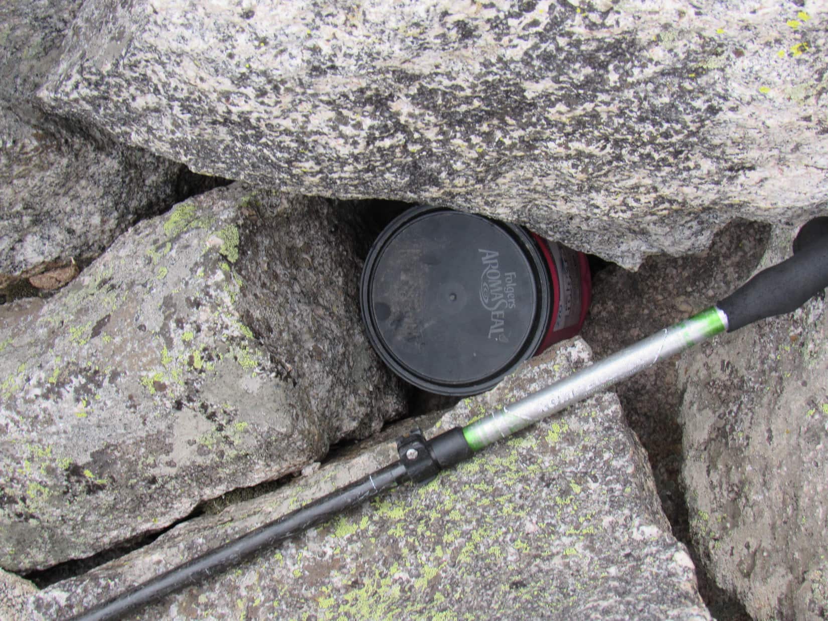
Looking around for some sign of a registry, SPHP noticed a red plastic Folgers coffee jar with a black lid tucked down in a cubby hole between the two highest rocks. Upon inspection, this jar contained only 2 items. Both were sopping wet. One was a Cloud Peak Wilderness permit stating Annie Kill had been here on 8-6-20, having come up from Dome Lakes.
The other item was what SPHP had hoped to find, a small notebook with a yellow cover serving as a registry. Sadly, the water-logged notebook was in such bad shape that it was basically garbage at this point. Having abandoned the pack back down at the grassy saddle, SPHP had no pen or paper to leave any separate entry for Lupe.
The Folgers coffee jar in its hiding spot.On the 2nd highest rock on Elk Peak. True summit (R). The coffee jar was down in the deep slot between these 2 rocks. Photo looks SW.
Elk Peak was glorious, but time waits for no Dingo. 20+ minutes shot by. Sadly, already time to head back down to the grassy saddle to retrieve the backpack. SPHP’s slow-as-molasses scrambling gave Lupe plenty of opportunity to continue enjoying the views along the way.
Final moments near the true summit. Photo looks SSE.Starting down. Pass 10220 (Center) with part of Shell Reservoir visible beyond it. Photo looks SW.View to the S during the initial descent.Come on, SPHP! Can you hurry it up a bit?Pass 10220 (L). Photo looks SW.Rock formations SSE of the true summit (Center). Cloud Peak (L) on the horizon.
6-23-21, 6:45 PM, the grassy saddle toward the NW end of Elk Peak – SPHP grabbed the backpack and strapped into it. Egads! 12 hours gone since the American Dingo had struck out for Elk Peak from the Coney Creek trailhead this morning, and she was still here! A few hours until dusk, and that would be it as far as natural light.
At as lively a pace as possible despite a certain degree of weariness, SPHP set off heading N, but only went far enough to get another look at Saddle Mountain. A long, broad, rounded ridge led down from Saddle Mountain into a thickly forested region surrounding the Dome Lakes.
Cripes, Loop! I should have brought the Cloud Peak Wilderness map! These little topo maps I printed out don’t even cover the Dome Lakes region.
You thinking of going back that way, SPHP?
Yes! Only about 3 miles down to the lakes, and it doesn’t look bad at all. Annie Kill made it, and I know there are roads somewhere down there. Might be a longer return overall following the roads, but so what? If we can get to the Dome Lakes and find a road before sunset, we’d have it made in the shade the rest of the way back.
Does tend to get pretty shady at night, SPHP.
Yeah, no doubt. On the other paw, having seen how open the Wilderness Creek valley is, I think we could make much faster progress going down it than on the rough high route farther W that we took getting here.
If we can get back to the trail at Coney Lake before dark, wouldn’t that be just as good then, SPHP? Trail No. 21 was in good shape.
Yeah, but I seriously doubt we’d get that far, Loopster. Too late already. We’d probably wind up wandering through the pitch black forest looking for the trail after dark.
Well then, if you think it’s better, SPHP, let’s head for the Dome Lakes! Decide quick, though! Your precious daylight’s wasting!
Map or no map, the Dome Lakes route was almost certainly a better choice under the circumstances. Loopster might even be able to tag the summit of Saddle Mountain (10,569 ft.) along the way, provided the rock formations weren’t too gnarly!
SPHP hesitated, then turned around, heading SW back through the grassy saddle.
Wilderness Creek, SPHP? Really?
Yup! Onward! Puppy ho!
Fine with me, SPHP, but why didn’t you choose Dome Lakes?
Oh, I don’t know, Loop. Mental illness, I suppose, or at least a personality disorder. Exploring the remote Wilderness Creek valley seems a lot more exciting than just following that ridge down to the lakes and a long dreary road hike.
And if we can’t find the trail in the dark?
We’ll cross that bridge when we come to it.
So Lupe left Elk Peak enjoying a long romp down the spacious, gentle SW slope leading to Pass 10220. SPHP strode after her making hay while the sun still shone.
Exploring the wide open spaces of Elk Peak’s SW slope. Elk Peak (Center) didn’t really look like much of a mountain from here! Photo looks NE.Frolicking on a snowbank on the way to Pass 10220. Photo looks ENE.
With time of the essence and such favorable terrain, it wasn’t necessary to go all the way to Pass 10220. Before Lupe got that far, she turned NW following one of many snow melt tributaries down to Wilderness Creek.
Heading down to the Wilderness Creek valley. Sheridan County High Point (R). Photo looks NW.
Upon reaching Wilderness Creek, a series of small waterfalls drained N as the creek rushed down to the flatter, boggy region where Loop had first crossed this valley on the way to Elk Peak. In that same area, the Carolina Dog leapt back over to the W side of the stream. Heading NW just far enough to reach drier ground, she turned N again.
Following waterfalls down the upper Wilderness Creek valley. Photo looks S.
Progress was rapid. The terrain, partly forested, but with lots of open space, too, was much easier down here than the high route taken earlier way up on the steep slopes to the W. The only genuine obstacles were occasional big bogs fed by tributaries of Wilderness Creek. These bogs forced long detours way around their W edges.
As the valley broadened out, the best route drifted farther and farther from Wilderness Creek. Lupe eventually lost sight of it off to the E, and after a while the creek could scarcely even be heard. Wilderness Creek appeared to have disappeared into a lower heavily forested region. As Loop passed the last of the big bogs, the terrain ahead began to slope up into the trees.
By now the sun was long gone. As the Carolina Dog entered the forest, already fading light deepened into a dim gloam. Before long SPHP’s tiny flashlight had to come out. Dreaded night had arrived.
Lupe was tired. All the way down the Wilderness Creek valley, she’d been hanging back, taking little rest breaks and following only when SPHP was out of sight. It was like being stalked, always looking back to see if Looper was still coming, or listening for the tinkle of her tag. Now that it was dark there was no reason not to stop for a while to rest up.
As a full moon rose over the ridge to the E, SPHP stroked Lupe’s big soft Dingo ears.
We seem to be at that bridge you talked about crossing when we came to it, SPHP. What now? How much farther to the trail according to your map?
Dunno, Loop. Not sure if we’re past where Wilderness Creek turns E or not. Even if we’re not that far yet, we ought to be before too long. Just guessing, I’d say we’re only a mile or so S of Coney Lake.
A mile through the forest didn’t sound so bad, but maybe it wasn’t a good estimate? After a decent rest, Lupe continued N, SPHP navigating by moonlight. The forest went on and on, though. Deadfall, rocks, small streams and bogs, uphill and down, one obstacle and steep rocky hillside after another. In the black forest, the terrain seemed much more rugged than the topo maps had led SPHP to believe.
More rest breaks were followed by more frustration. The helpful moon vanished. Hard to say at any given moment exactly what direction Lupe was going, other than that SPHP felt reasonably confident it was likely still some version of N. Who knew for sure, though? She might be going in a circle. Or S!
No sign of Coney Lake. No sign of anything other than faint animal trails that gave out almost right away. SPHP began to worry that it might be awful easy to cross Trail No. 21 in the darkness without realizing it. Maybe it had already been missed?
At long last, Lupe climbed to the top of a high ridge. Despite hopes, no trail up here, either. Trying to continue N, the ground soon began to drop steeply away in all directions. Ultimately descending toward what SPHP thought was the NE, Lupe lost what seemed like a ton of elevation, yet the terrain just kept dropping. The American Dingo wanted to rest again. Obliging, SPHP laid down in the dirt.
Hope you don’t mind if I curl up, too!
Please do, SPHP! How much farther to the trail now? Seems like we’ve been going forever!
I know it. I have no idea what hour of the night it is, other than that it’s very late, or any clue where we are now. No sense in going any farther.
We’re lost, SPHP?
Well … yes! You could say that, at least to some degree. Of course, we still have a general notion of where we are, within a few miles or so. If we keep going, though, the most likely result is that we’ll just get even more lost. So sweet dreams, Loopster! This is it for tonight.
Sleeping right on the dirt in a lonely dark forest high in the mountains after an exhausting all day march isn’t all it’s cracked up to be, never mind that the brochures aren’t all that tantalizing in the first place. Lupe dozed more peacefully than SPHP did, her head resting on SPHP’s hand.
6-24-21, 4:00 AM?, lost in the forest – A bit of light in the sky. Dawn! Thank heavens! SPHP rolled over, becoming instantly alarmed. Where was Lupe?
Oh, there she was! The Carolina Dog was only a few feet away, already awake and listening intently, apparently refreshed and excited by the strange night spent lost in the wilderness. SPHP heard nothing but a light breeze in the pines.
Fortunately, the night had been a fairly warm one. Chilly toward the end, but not that bad considering what it might have been. SPHP got up stiffly. Soon it would be light enough to resume the march N. Suddenly, Lupe was off like a shot! She was after something, something bigger than a squirrel. SPHP never saw what it was, but called her back right away.
So what’s the emergency, SPHP? Spoil sport! This day was about to get off to an epic start!
Save that energy, Loop! You can’t go running off after the wildlife. What did you see, anyway?
Not telling!
Breakfast. Lupe crunched up the last of her Taste of the Wild. SPHP had applesauce. As soon as it was light enough to see some brown in Lupe’s fur, the return from Elk Peak adventure got underway again.
Losing so much elevation at the end last night had been a big mistake. Not going see any landmarks to navigate by way down here in the dense forest! At least the sunlight gave some idea of the general direction Lupe was going. For 2 hours she roamed N or NW through gently undulating territory, gradually gaining elevation most of the time. Nothing looked at all familiar.
At last, Looper was high enough to catch a glimpse of Saddle Mountain and Elk Peak. A bit farther, and a big mountain could be seen off to the W, but whether it was the Sheridan County High Point or Dome Peak wasn’t clear. Soon Lupe reached a better view. Dome Peak was off to the NW. Coney Lake had to be just down the steep slope directly ahead!
Getting down to Coney Lake was a bit of an unexpected ordeal. Lupe was somewhere E of the ravine full of white boulders, and trying to go N directly down to the lake kept cliffing her out. Eventually, working W to the ravine solved the problem.
And that was it, as far as adventure was concerned. Picking up Trail No. 21 again at the SE corner of Coney Lake meant a known route back. Still weary from yesterday’s exertions, SPHP plodded along, pausing to rest after each tiny uphill stretch.
Somehow the American Dingo showed no ill effects. She amused herself searching for squirrels in the sunlit forest. Too bad SPHP couldn’t bottle up some of that energy and take a giant swig!
6-24-21, 9:01 AM, Coney Creek trailhead, USFS Road No. 26 – 26 hours and 20 minutes after leaving for Elk Peak, the Carolina Dog’s longest “day hike” ever was over. Eager to curl up on her pink blanket, Lupe leapt into the RAV4. Food, sleep, more food, more sleep, was pretty much it for the rest of the day. After an afternoon visit to the Dead Swede picnic ground along the beautiful South Tongue River, the lucky Dingo grabbed the last dispersed camping spot next to the spruce forest 0.5 mile SW of Owen Creek campground.
During an evening stroll out to sniff the air under a sky that looked like rain, SPHP wondered how that last mile back to Coney Lake could have possibly taken so many hours? No telling where Lupe had been, but it must have been a very convoluted route indeed! Only two things were certain. She’d never be there again, and as beautiful as the Wilderness Creek valley had been, next time the American Dingo was taking that big ridge down to Dome Lakes!