Bruce Mountain, Bighorn Mountains, Wyoming (6-25-21)

Day 4 of Lupe’s 2nd Summer of 2021 Dingo Vacation to Wyoming!

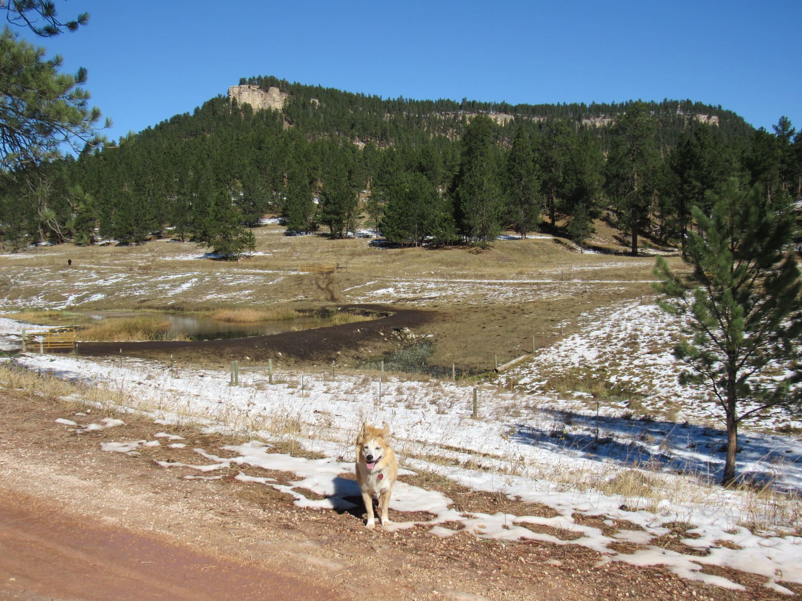
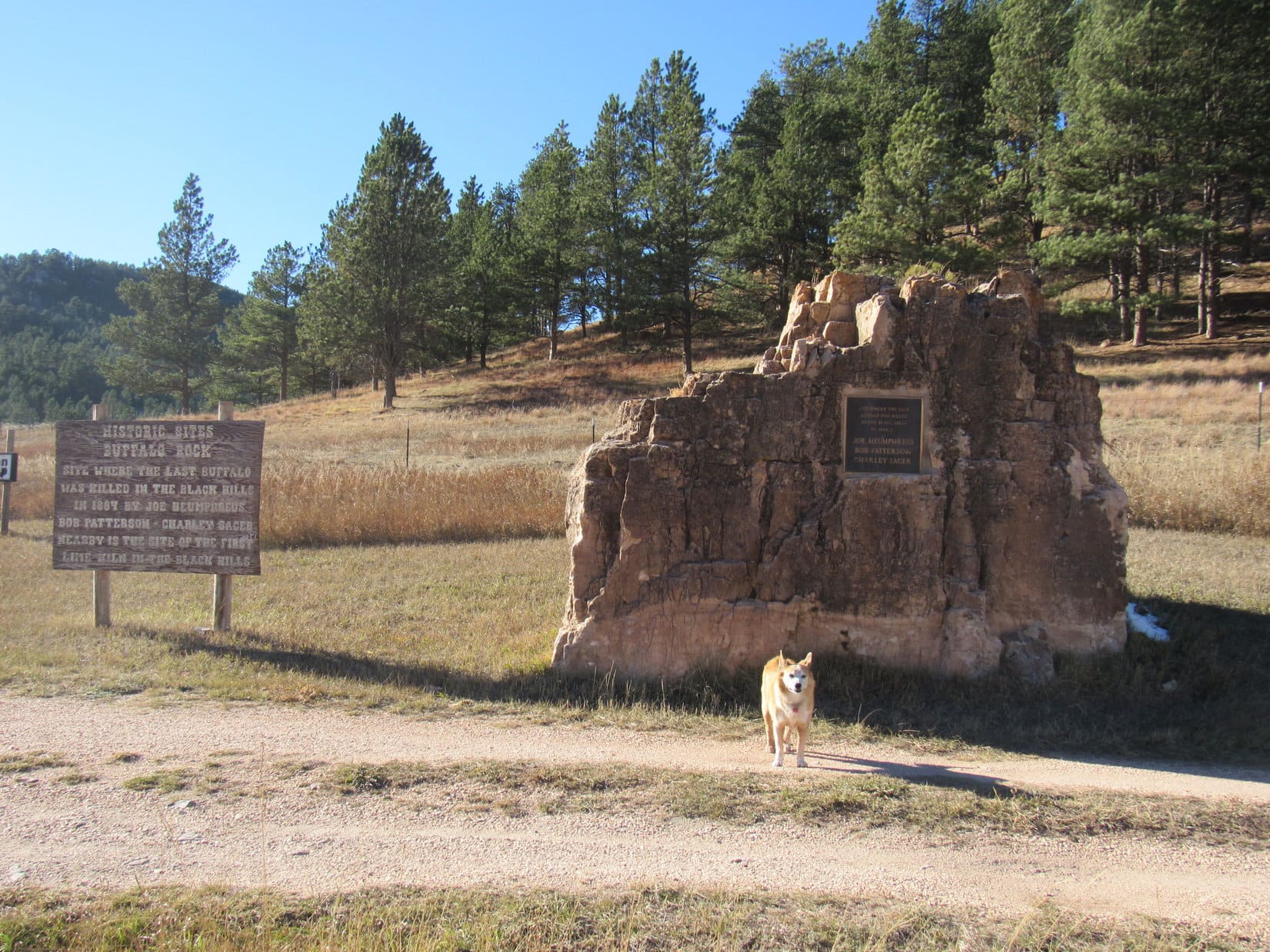
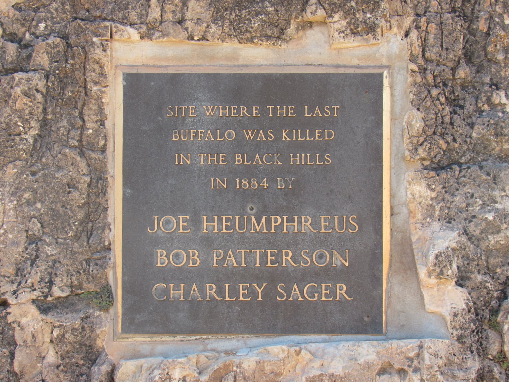
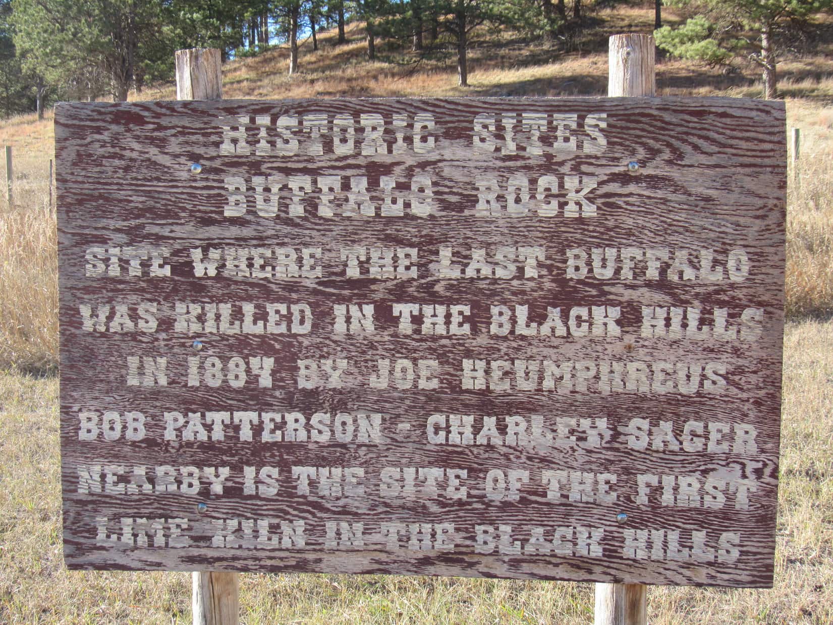
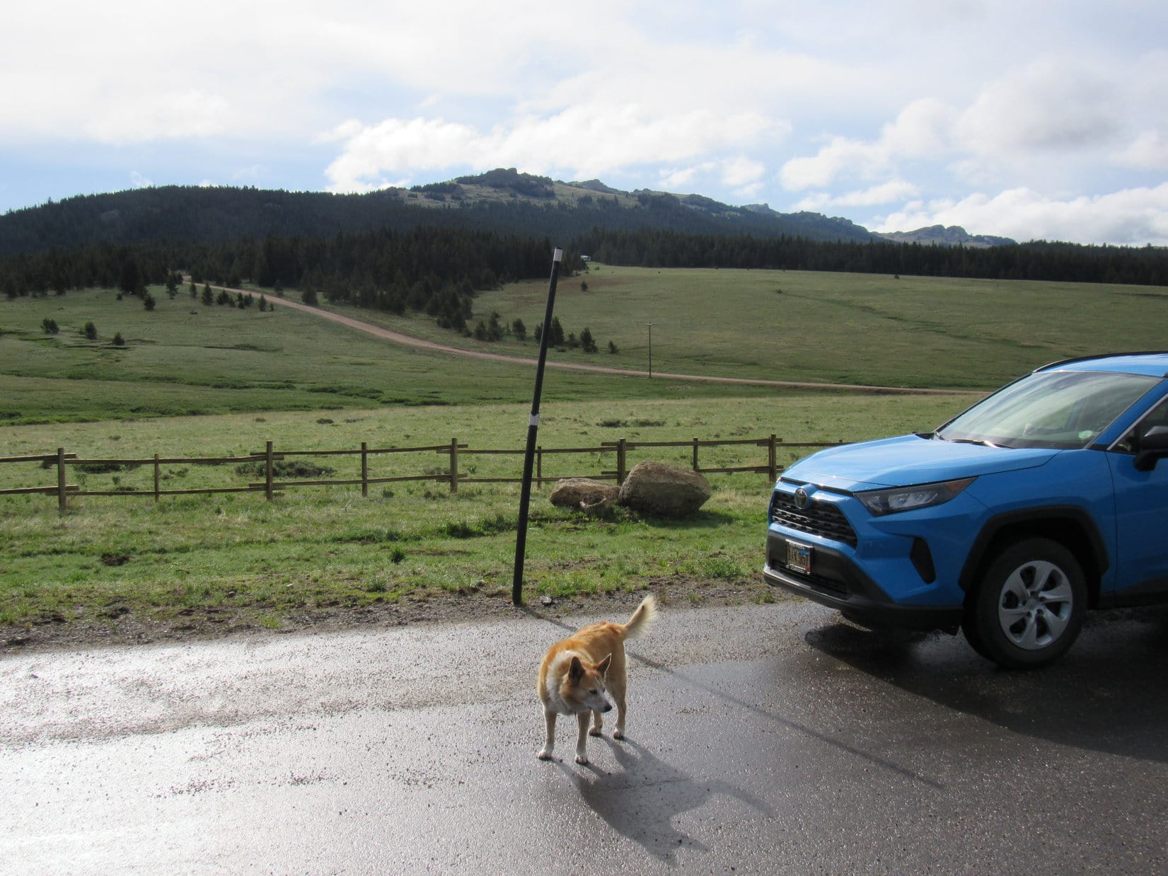
8:19 AM, 46ºF, paved pullout on the E side of Hwy 14 at the start of USFS Road No. 277 – Sort of iffy, but the sky seemed to be clearing after last night’s showers.  Loopster was anxious to go, and could always bail if the weather deteriorated.  Bruce Mountain (10,340 ft.) wouldn’t be nearly so hard to get back from as Elk Peak (11,050 ft.) had been, if it did.

About to set off for Bruce Mountain (Center). USFS Road No. 277 in the foreground. Photo looks ESE.

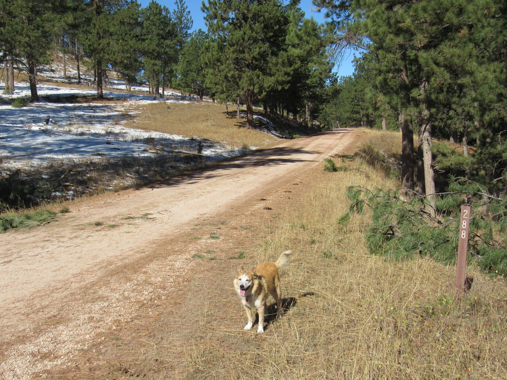
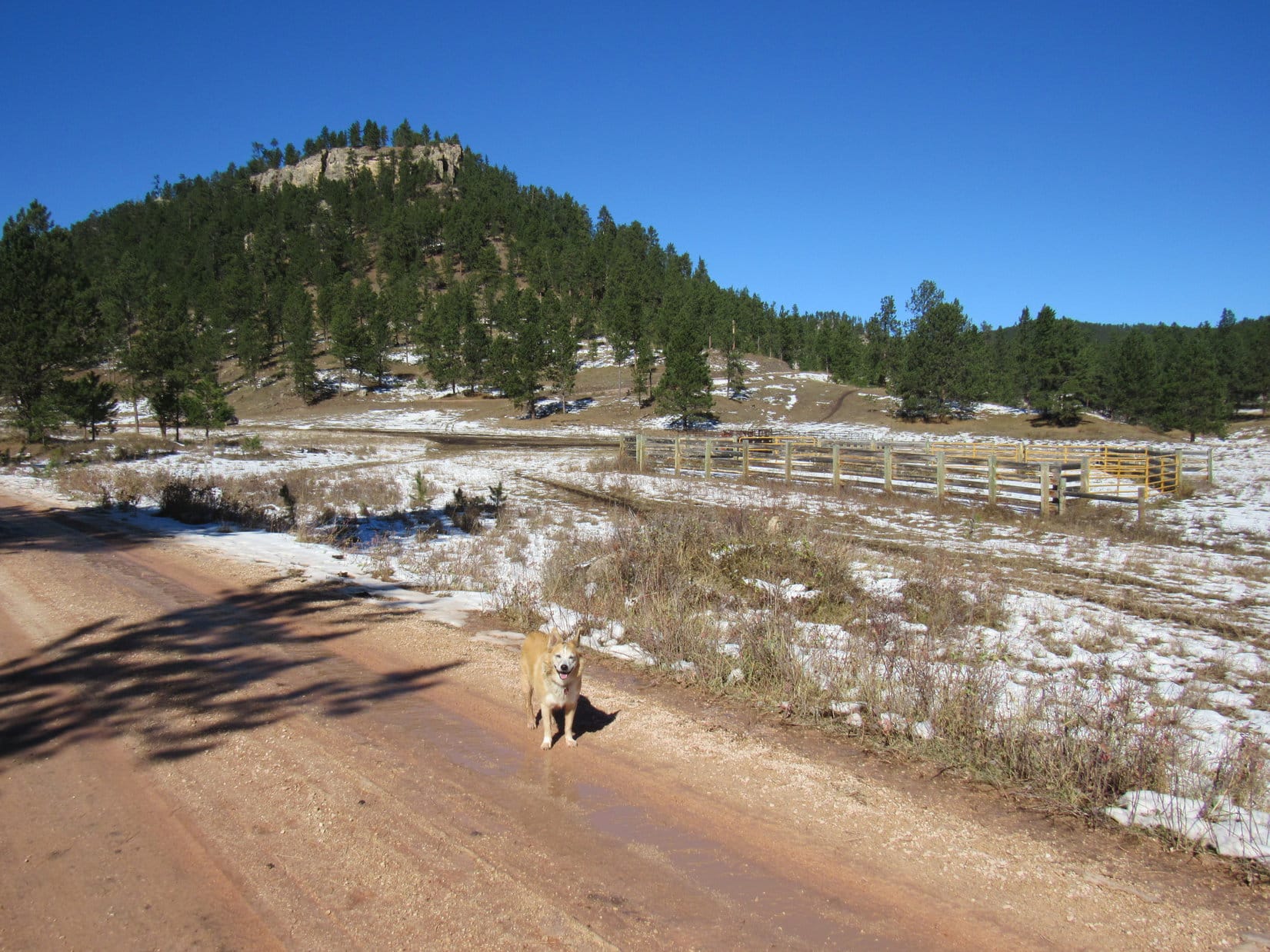
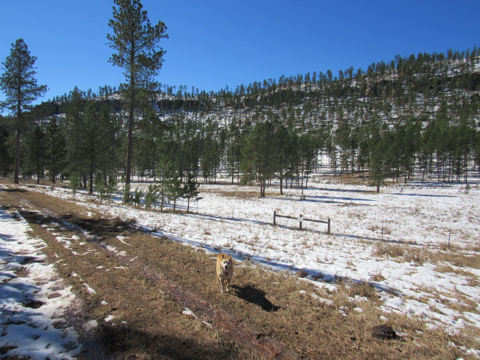
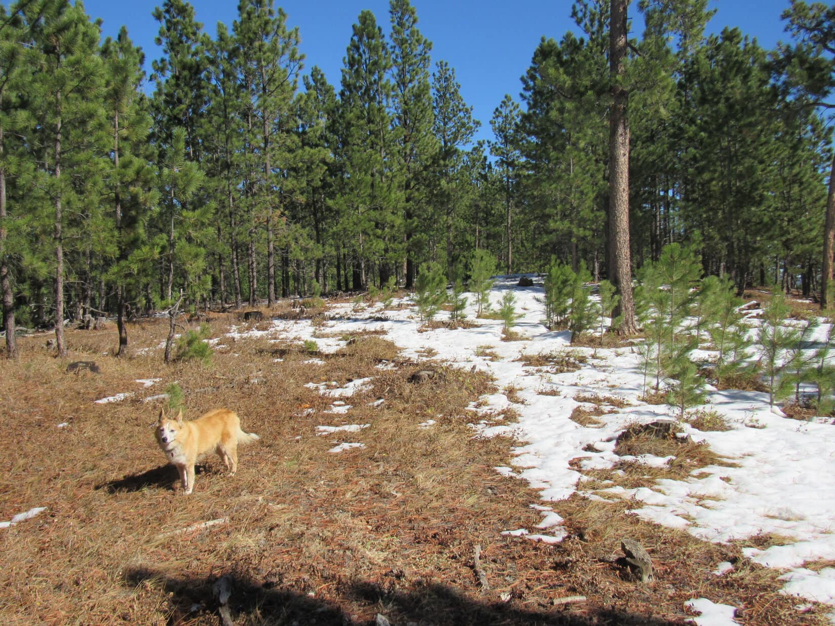
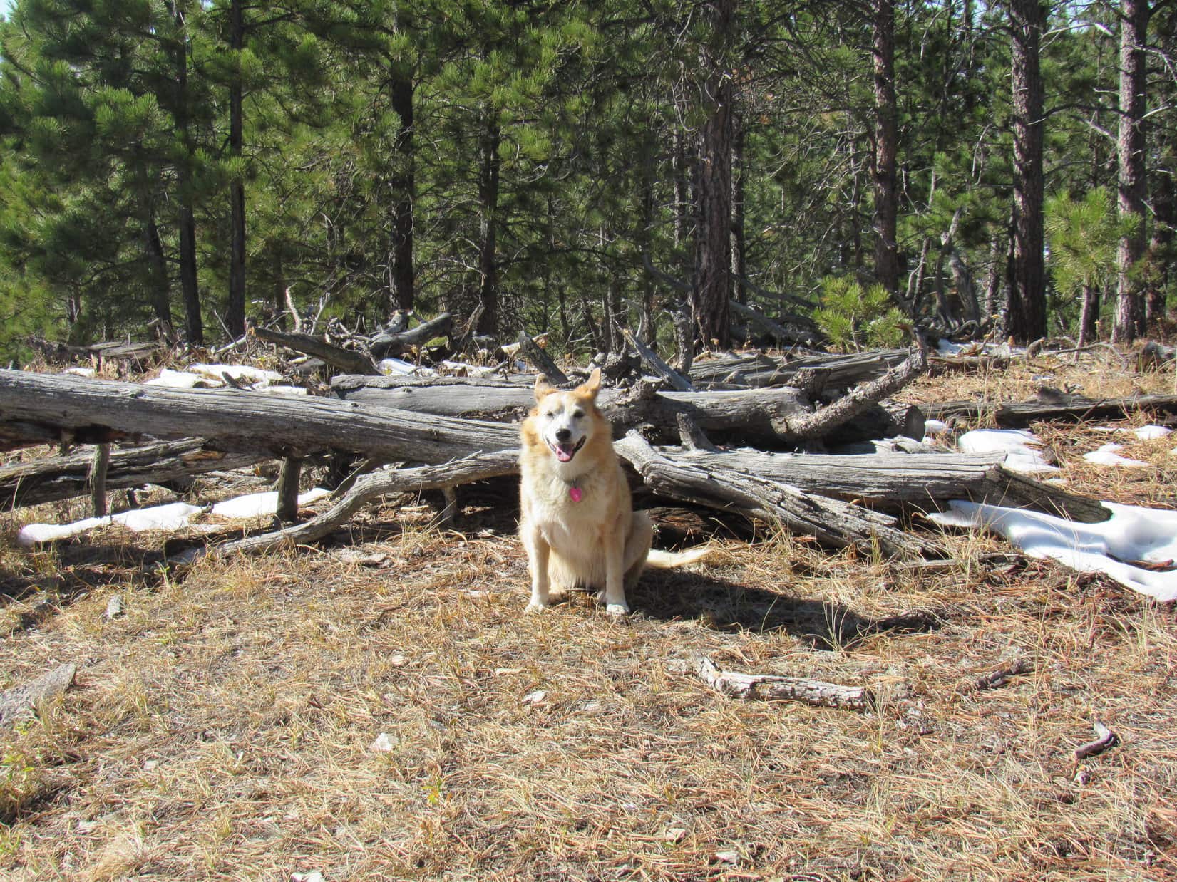
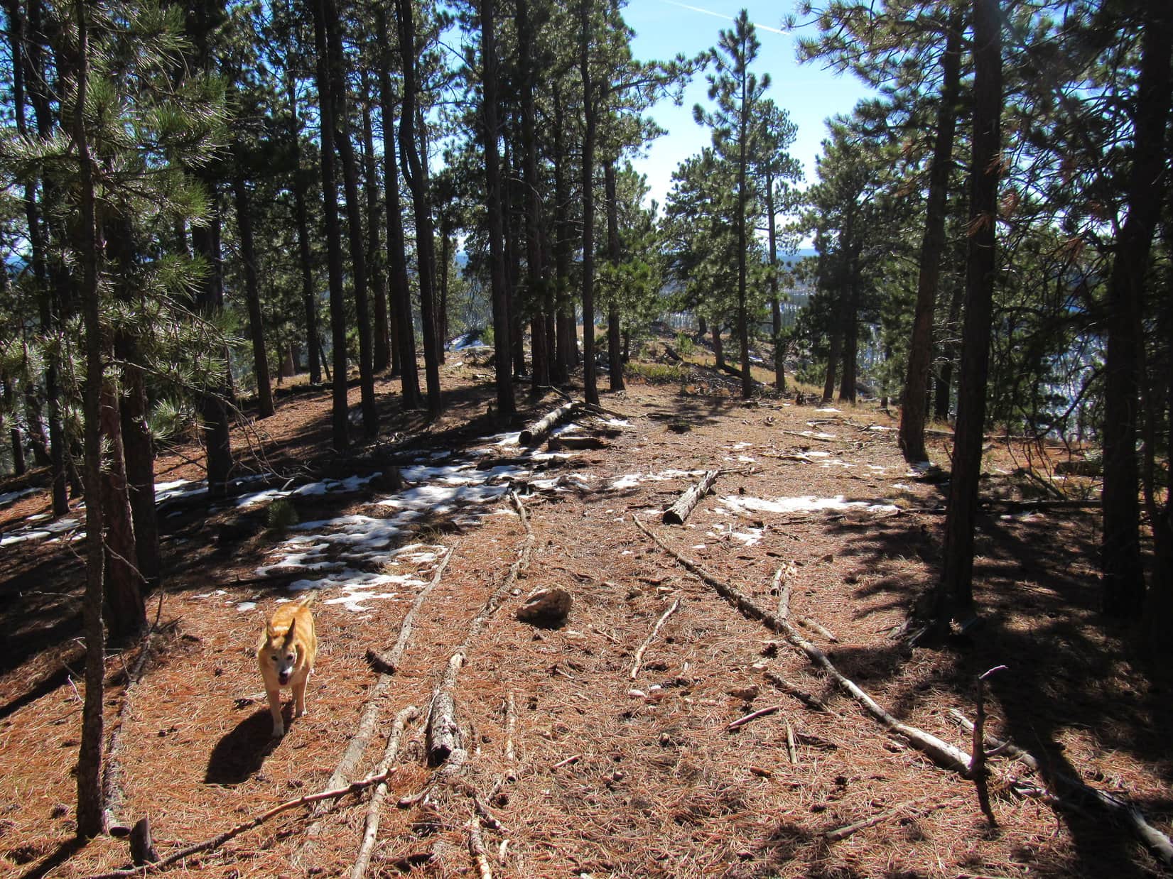
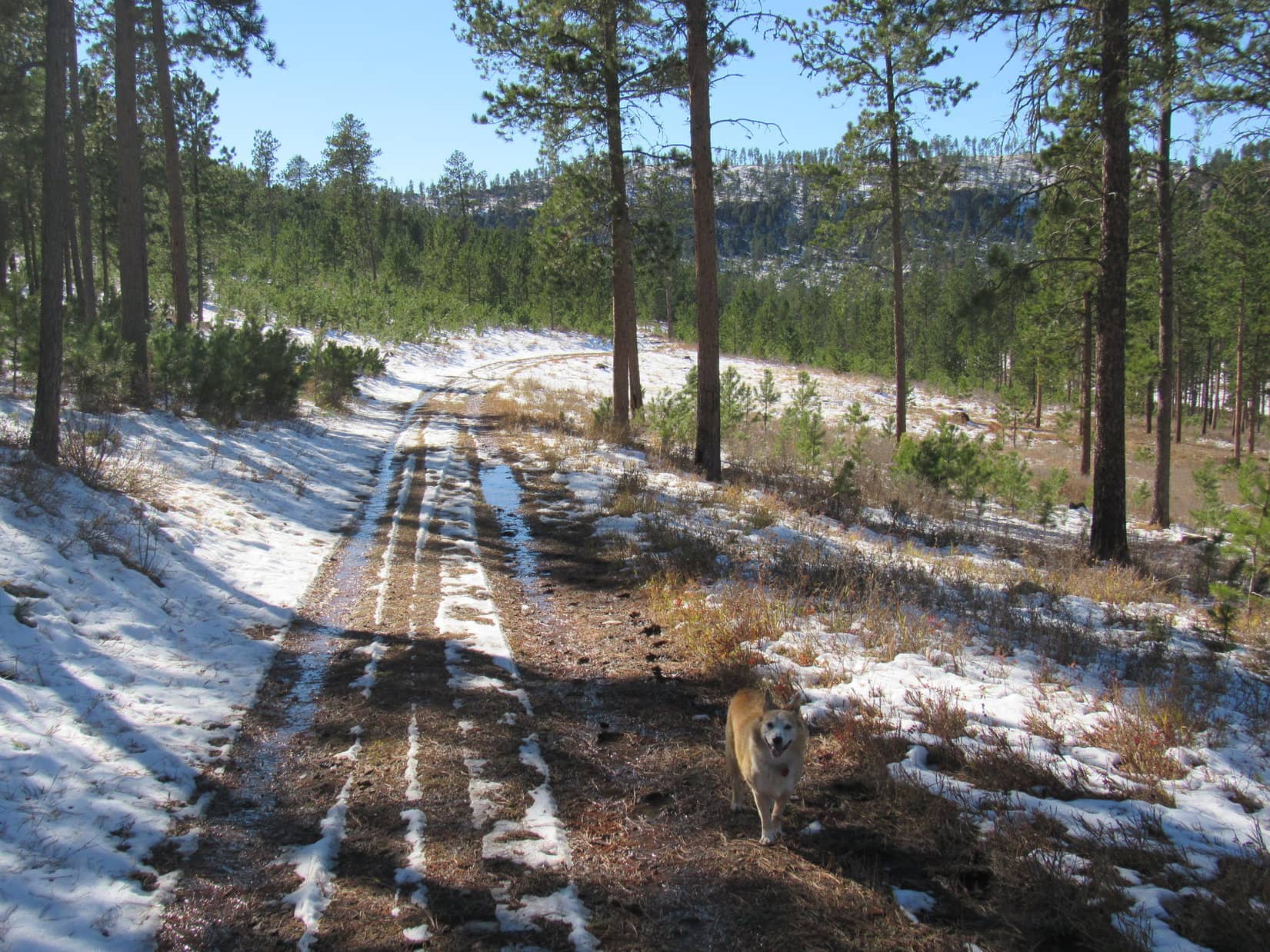
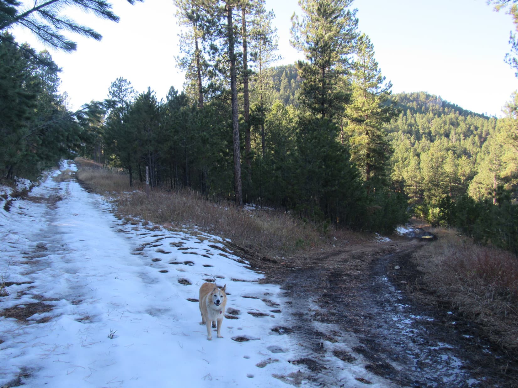
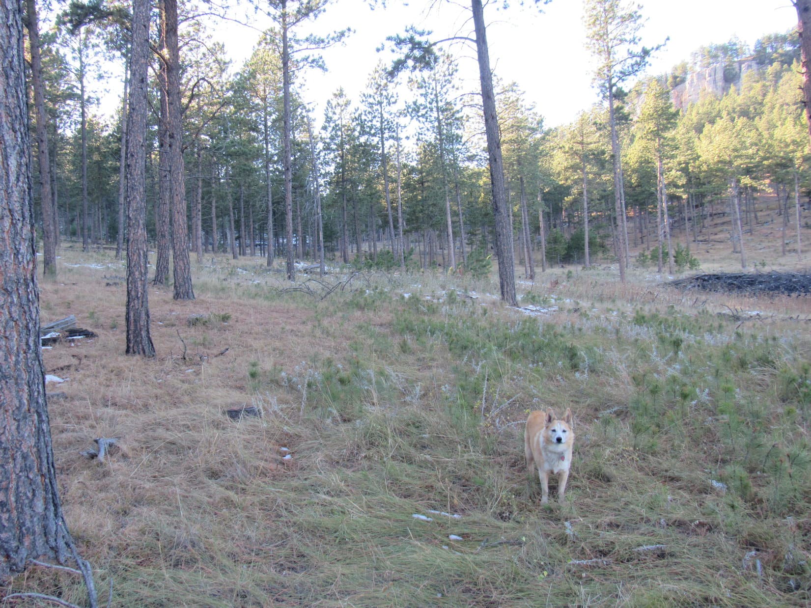
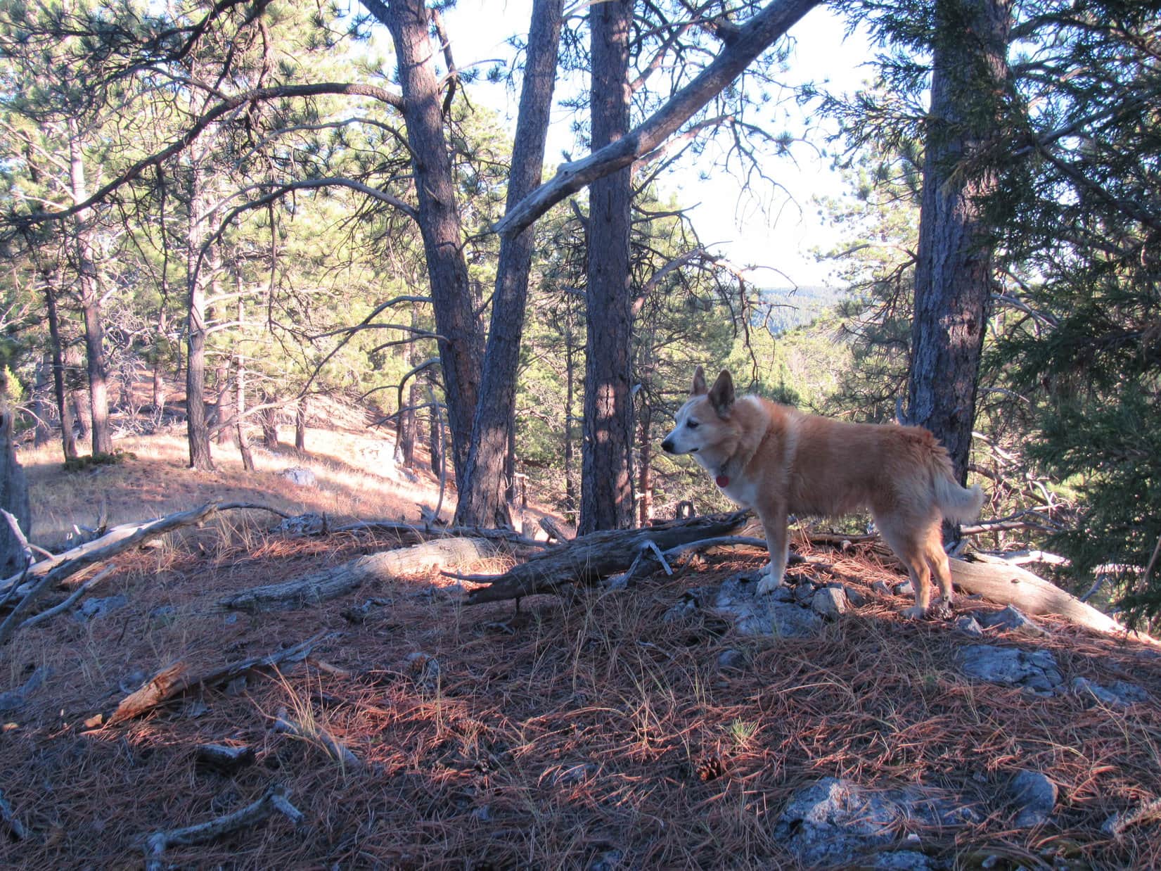
The American Dingo took USFS Road No. 277 across a field down into a drainage, then up the other side to a low hill forested near the top.  The road curved SE, then went past a big gravel yard on the L.  Beyond the gravel Lupe passed several dispersed camping sites on both sides of the road.  Most were occupied.

By the gravel yard. Photo looks ESE.
USFS Road No. 277 in the region of dispersed camping sites. Photo looks SE.

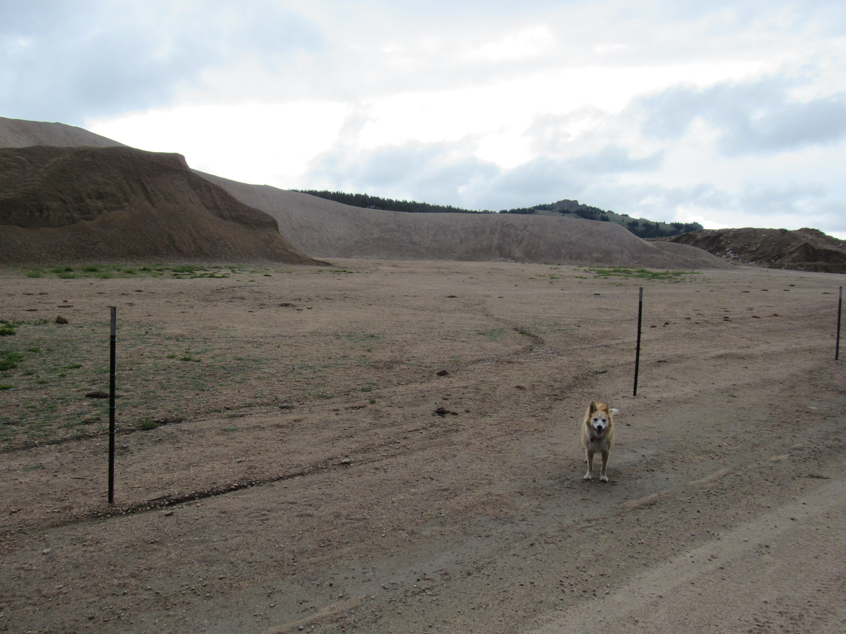
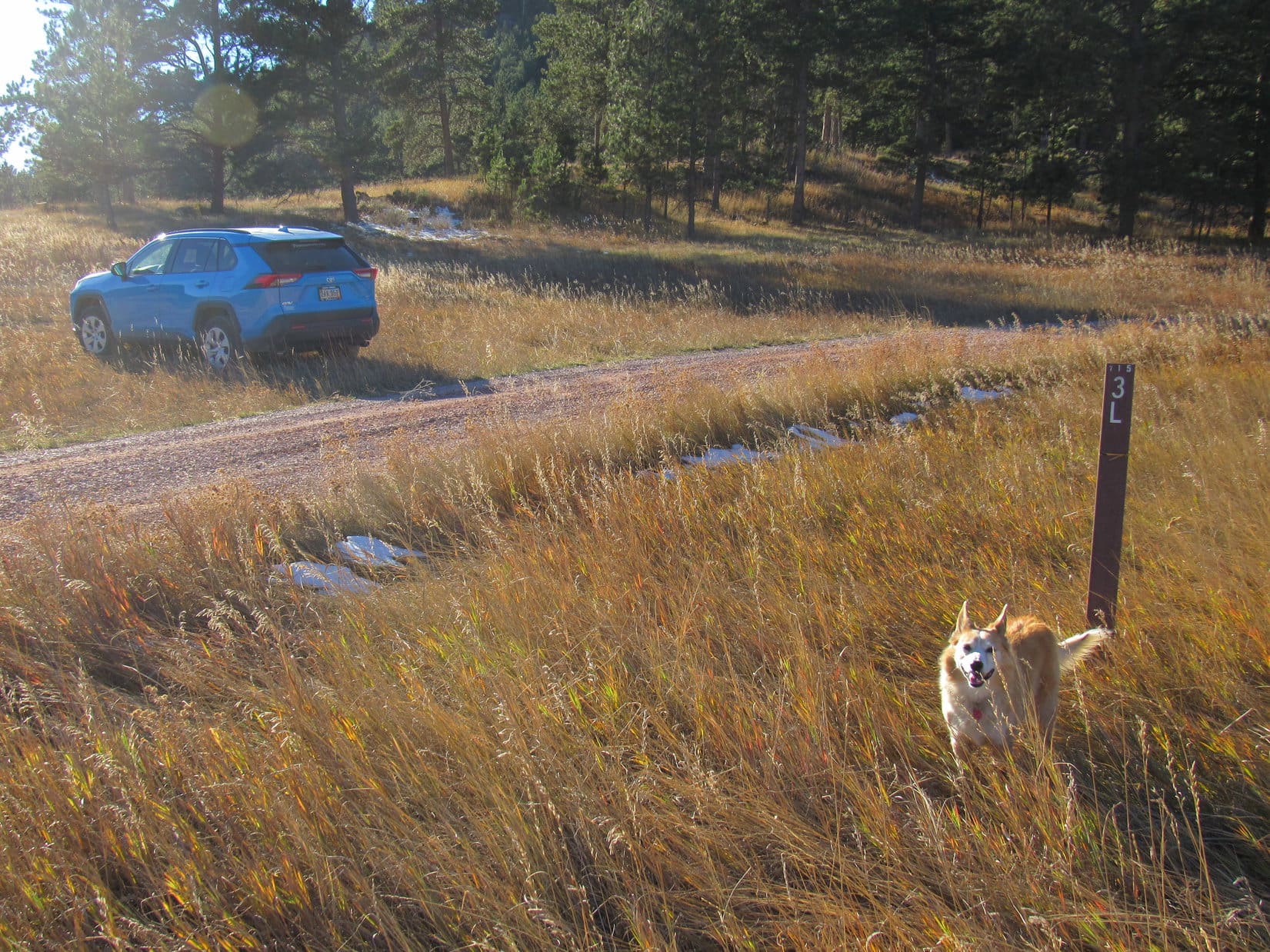
Could have driven the RAV4 this far!  The road was in perfect shape.  However, it soon began to deteriorate.  Enormous murky mud puddles, probably shallow, but of indeterminate depth, covered the whole road from side to side.  On paw they were easily avoided.  Maybe it was a good thing the RAV4 was back at the highway after all.

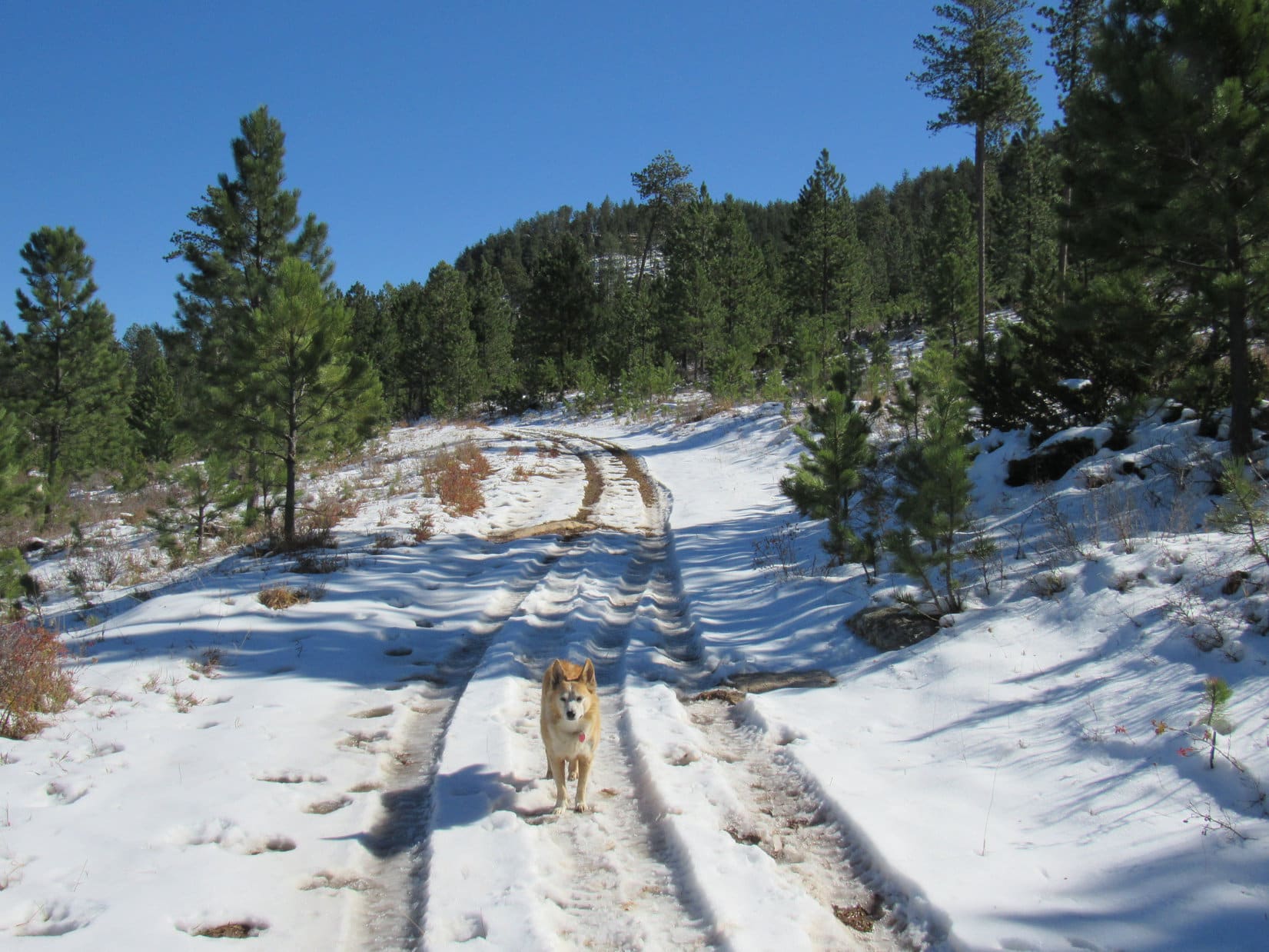
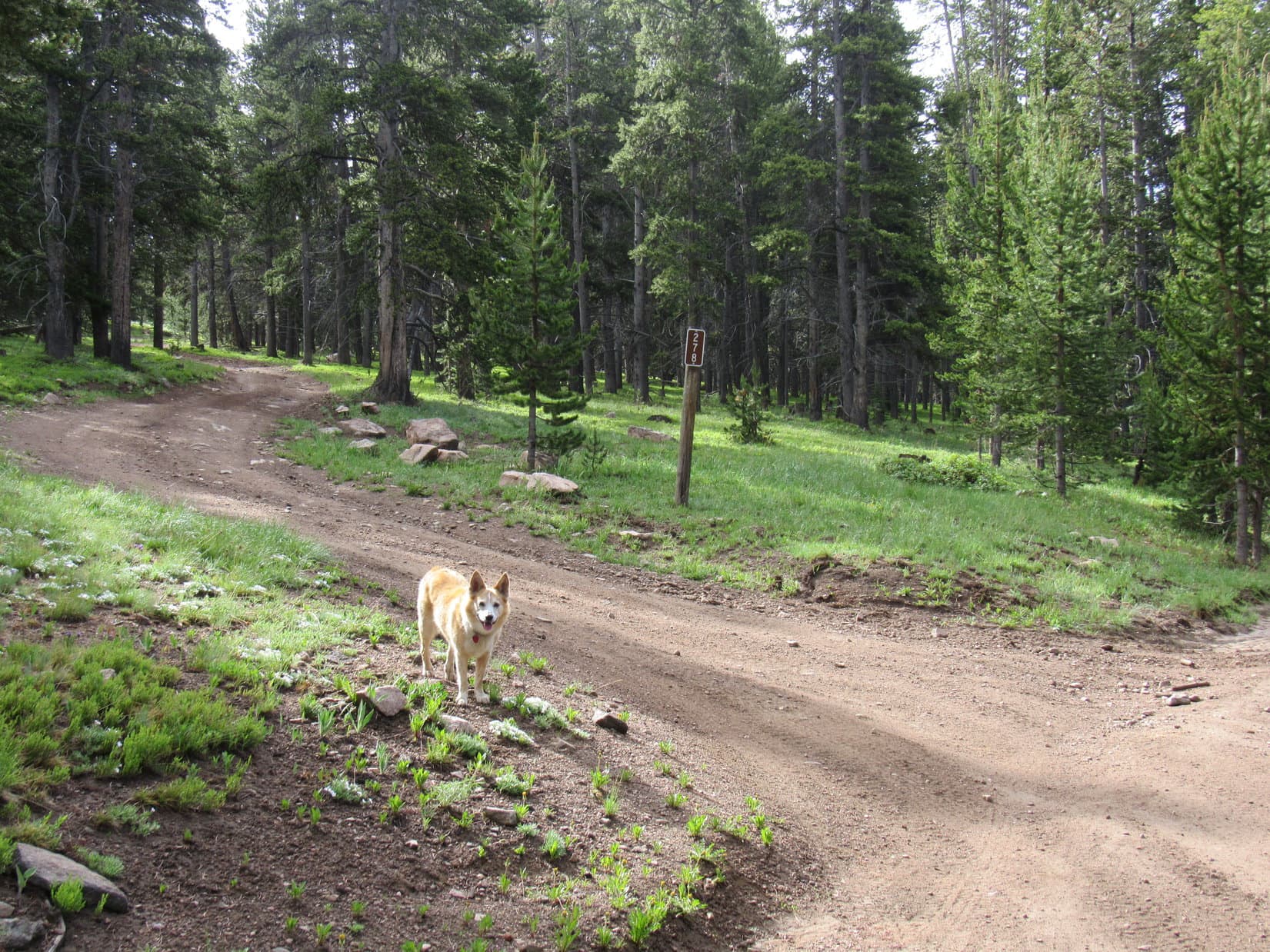
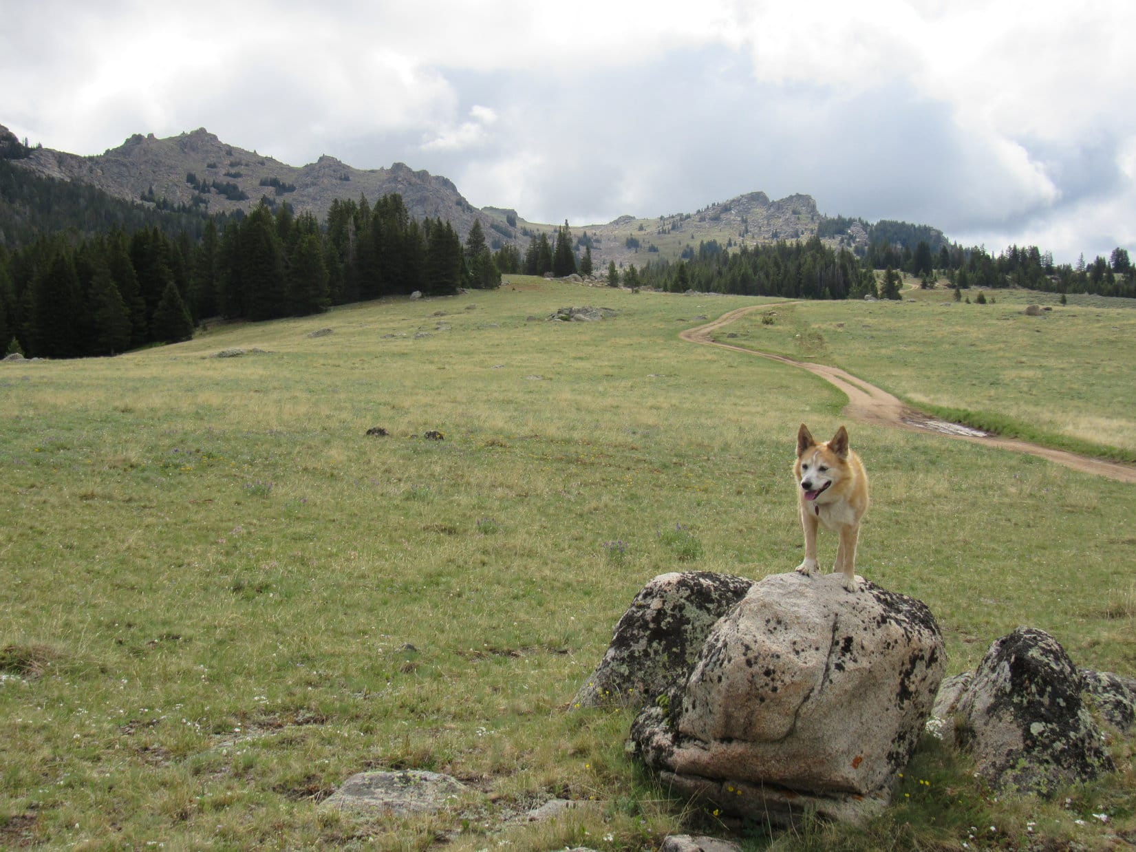
A little more than a mile past the gravel yard, Lupe came to a junction with USFS Road No. 278, a more primitive route.  She had scarcely set out along it when a clearing appeared on the L (E).  An open green slope led up to a minor ridgeline.

Why don’t we go up there, SPHP?  Maybe we’ll see something?

Made sense.  The ridge paralleled the road not far from it, and would be more fun.

Fine with me, Looper.  Hang on a moment, though.  It’s gotten so sunny, I ought to apply some sunscreen.

At the junction with USFS Road No. 278 (L). Photo looks SSE.
Leaving No. 278 to head up onto the ridge (L). Photo looks ESE.

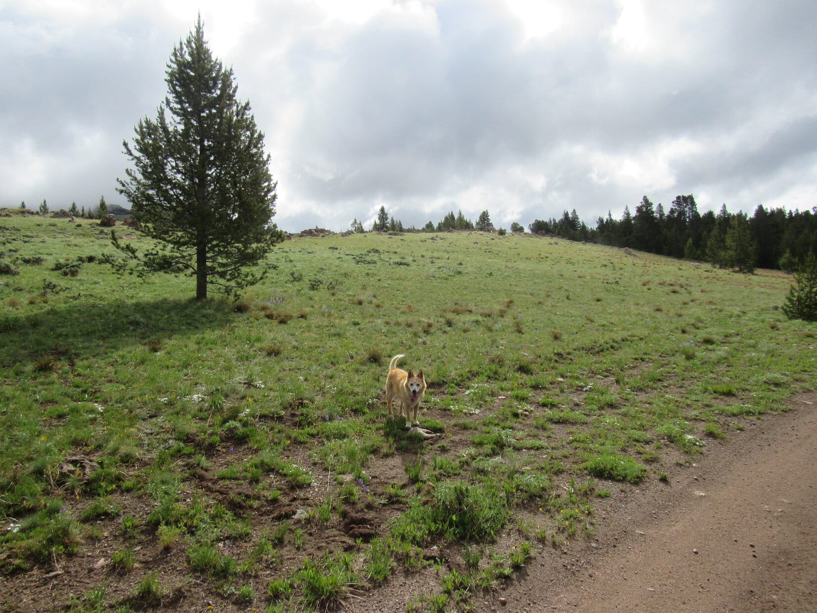
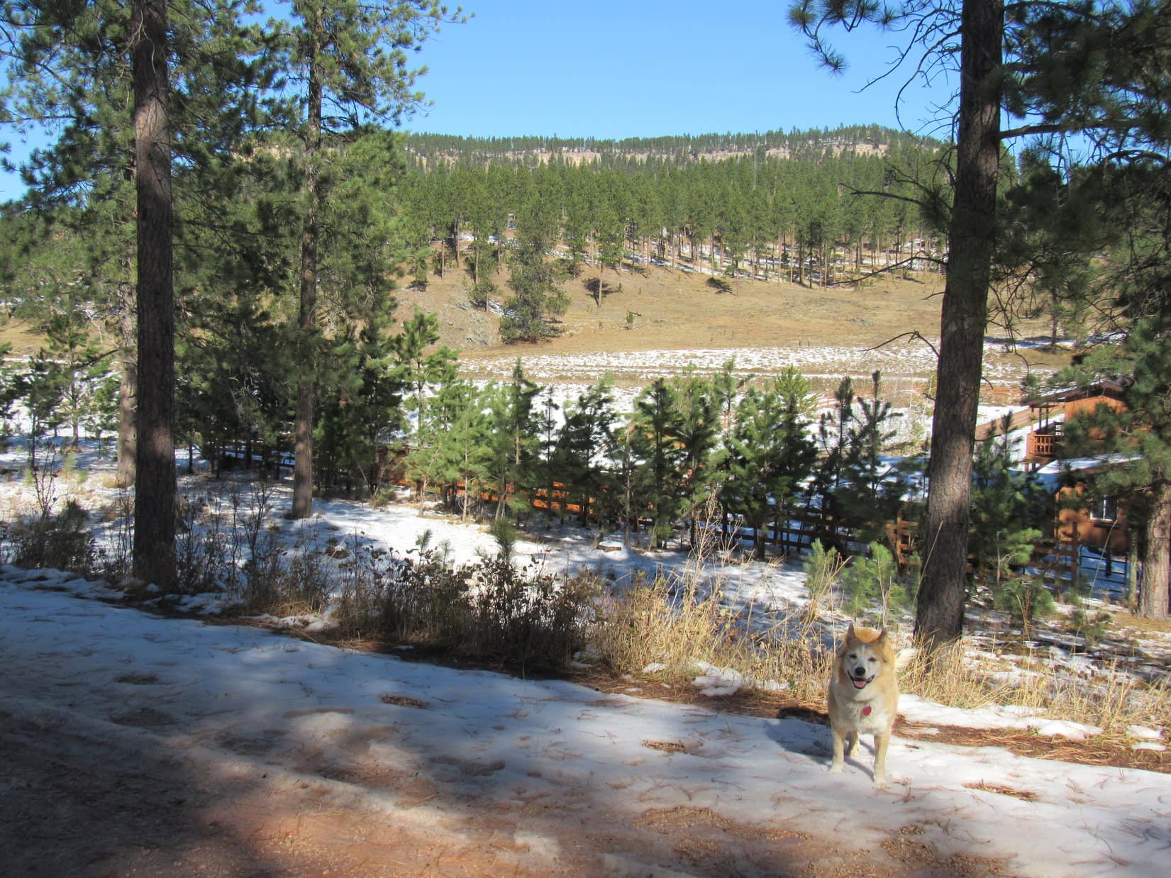
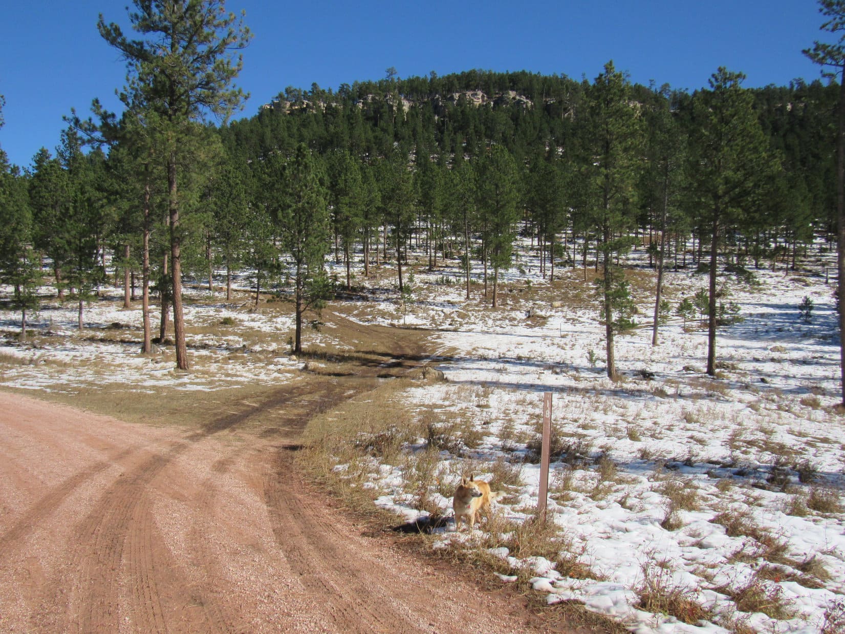
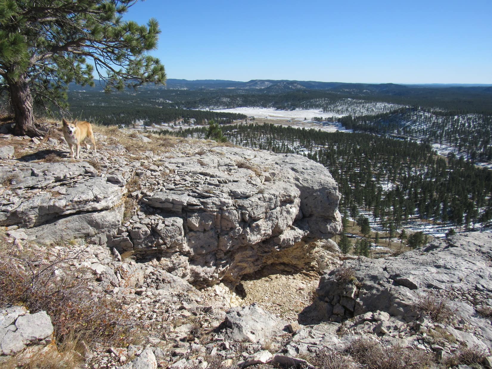
The crest of the ridge overlooked the valley of the West Fork of the South Tongue River.  Bruce Mountain was on the far side, but there wasn’t any need to cross over to it here.  Instead, Lupe followed the ridge SE slowly gaining elevation.  The ridge soon leveled off, melting away as it merged into a large flat meadow.

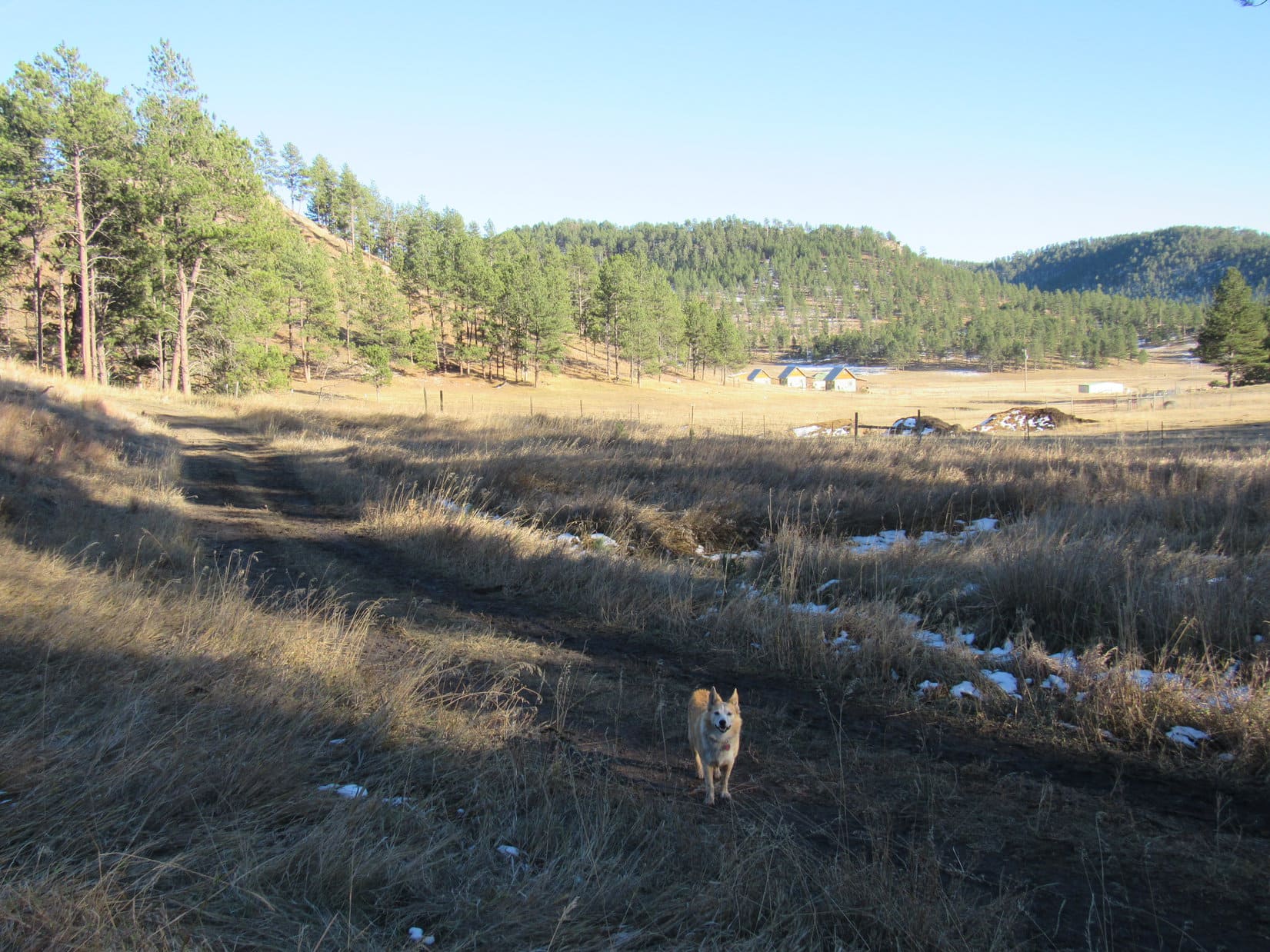
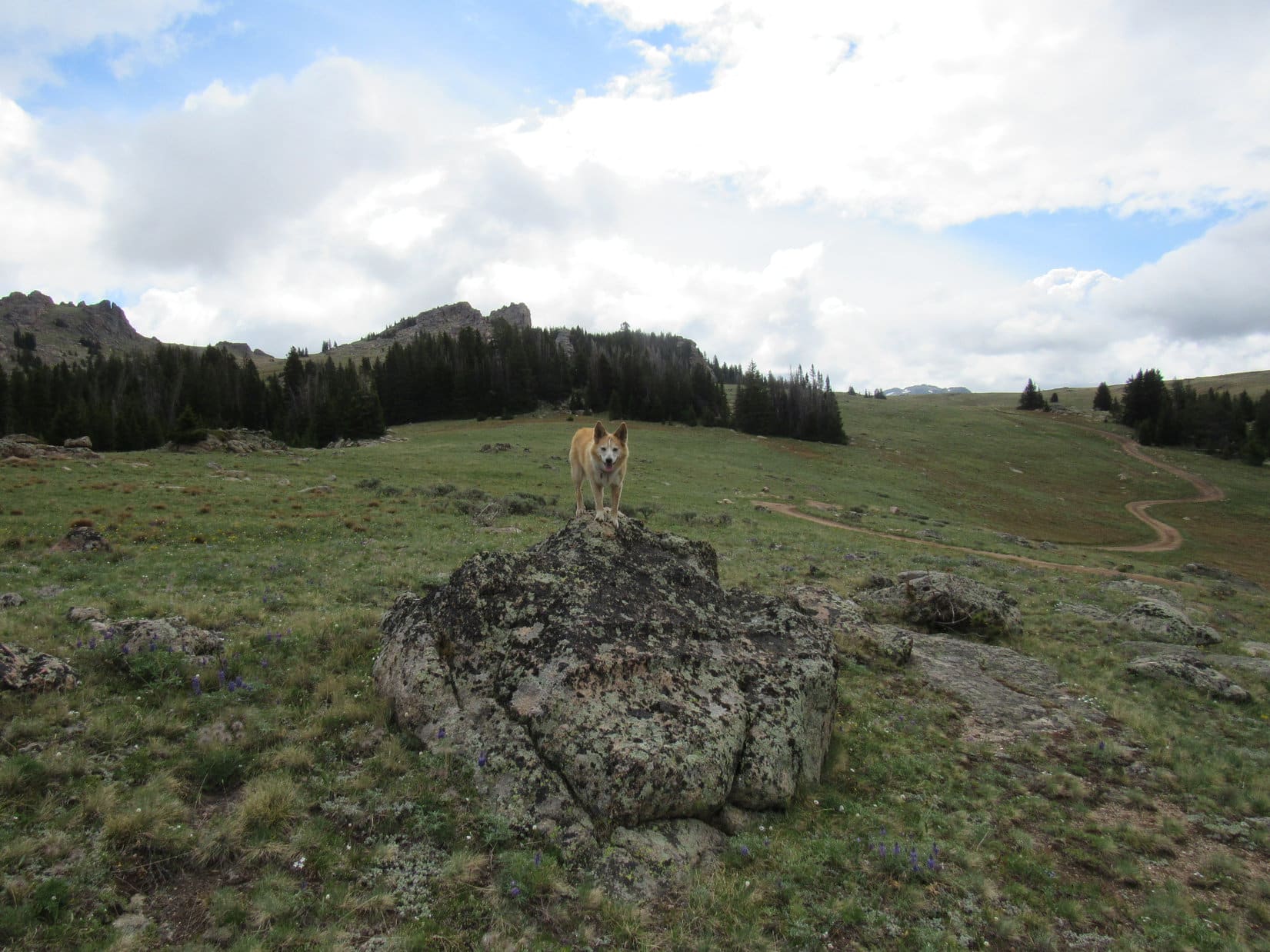
USFS Road No. 278 was straight ahead, winding through the meadow.

Up on the minor ridge with a view of Bruce Mountain and the valley of the West Fork of the South Tongue River. Photo looks E.
SE end of the ridge where it starts merging into the meadow. Bruce Mountain (L). Photo looks SE.
NW end of Bruce Mountain beyond the West Fork of the South Tongue River. Photo looks NE.
Antelope Butte (9,935 ft.) from the same region. Photo looks SW with help from the telephoto lens.

Returning to No. 278, the American Dingo followed it SE for a good mile, a super easy trek all out in the flat meadow.  Once past the upper end of the valley of the West Fork of the South Tongue River, Lupe abandoned the road, turning E toward a saddle visible up on Bruce Mountain.

Approaching USFS Road No. 278 again. The plan was to head for the saddle (Center) seen in the distance. Photo looks ESE.
Getting close to where Lupe abandoned USFS Road No. 278 (R) to head up to the saddle (L). Photo looks ESE.

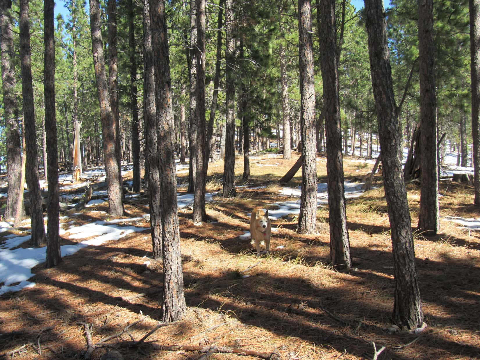
After passing through a short stretch of forest, the saddle was directly ahead, a long open slope leading up to it.  As Lupe roamed higher, what little blue sky there was began vanishing.  Behind the Carolina Dog, dark clouds were gathering toward the W.  Not ominous yet, but something to keep an eye on.  Certainly starting to look like SPHP wasn’t going to get much mileage out of that sunscreen so recently applied.

Heading for the saddle (Center). Photo looks E.
A glance back at the approaching clouds. Photo looks W.

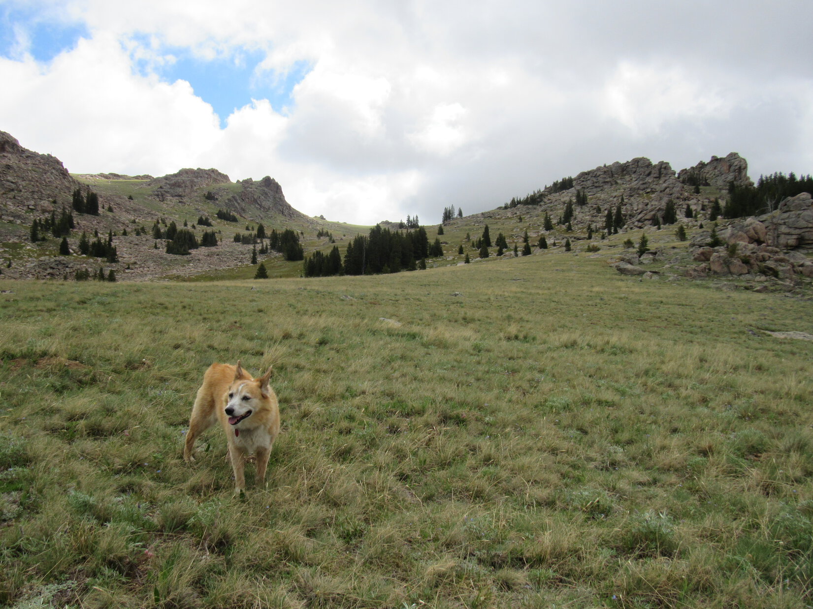
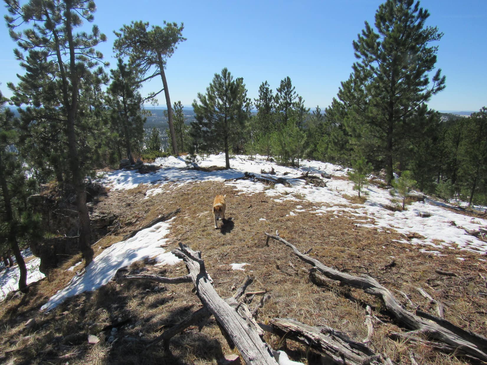
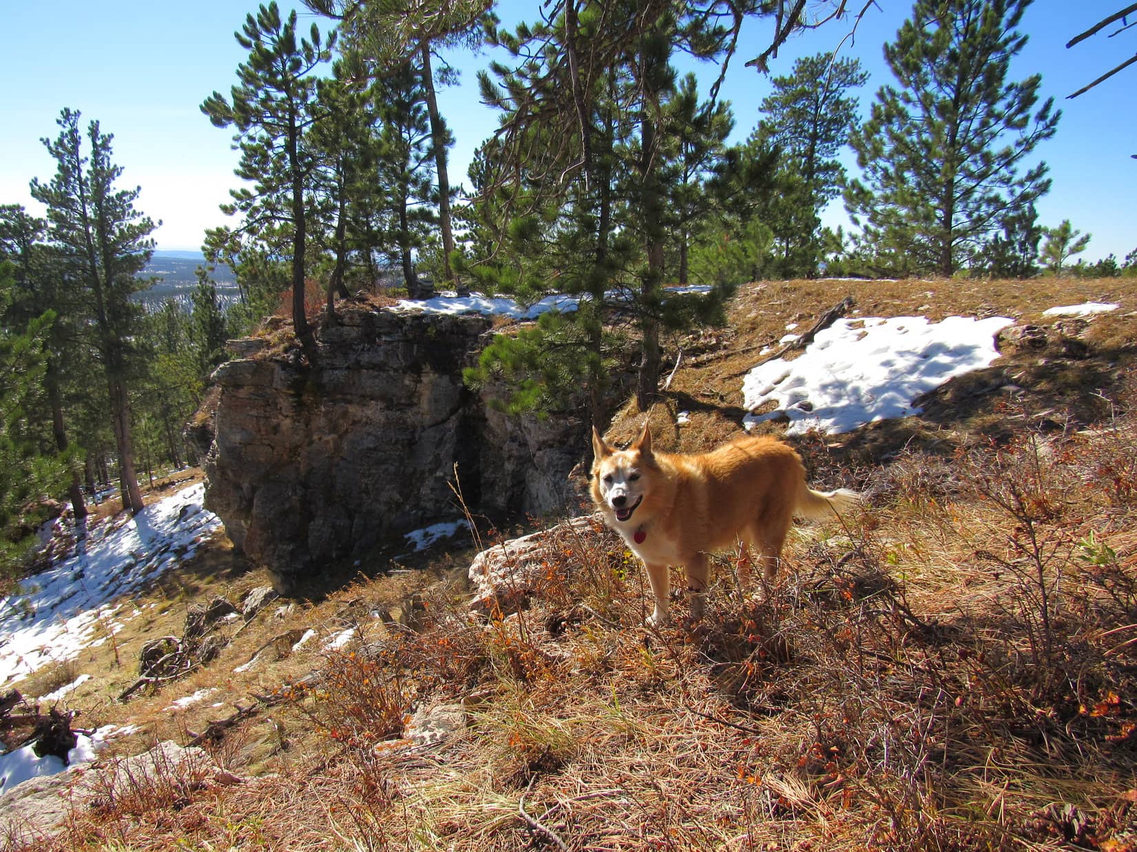
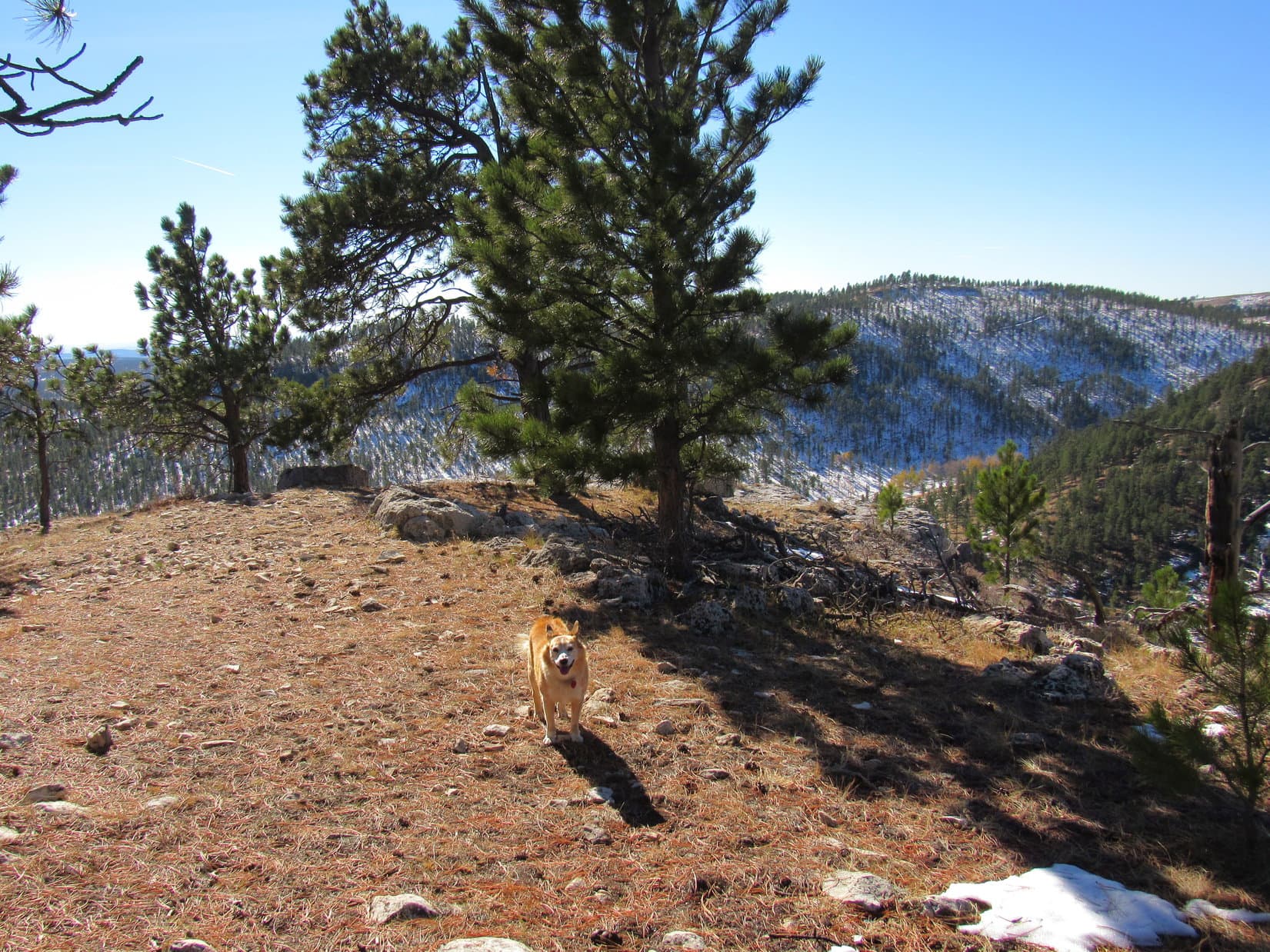
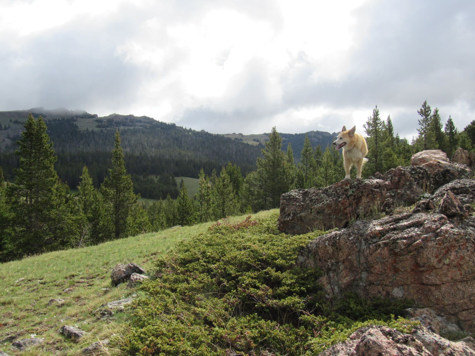
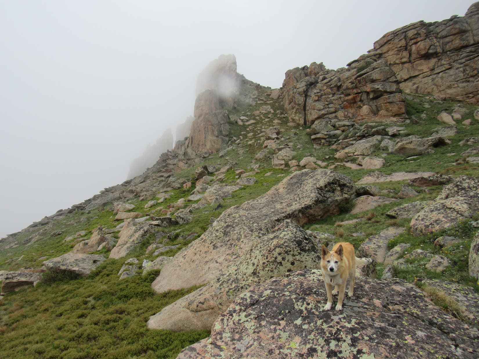
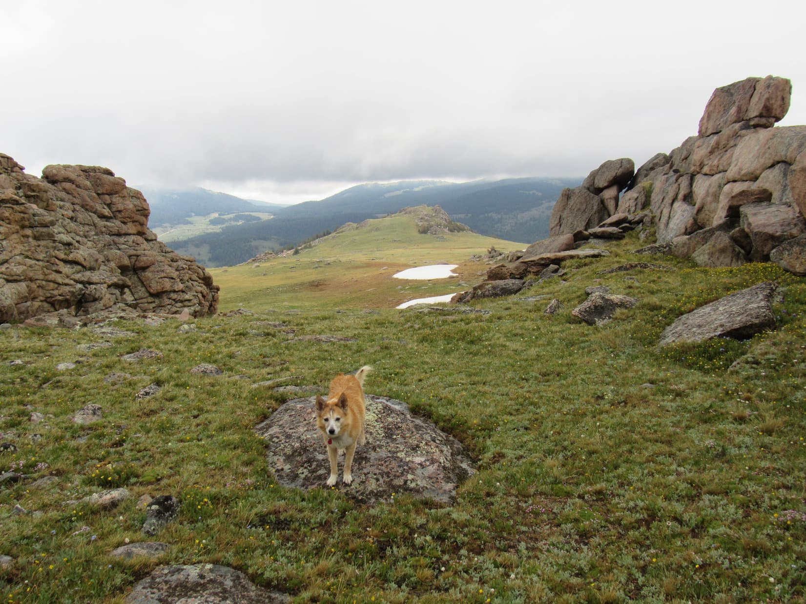
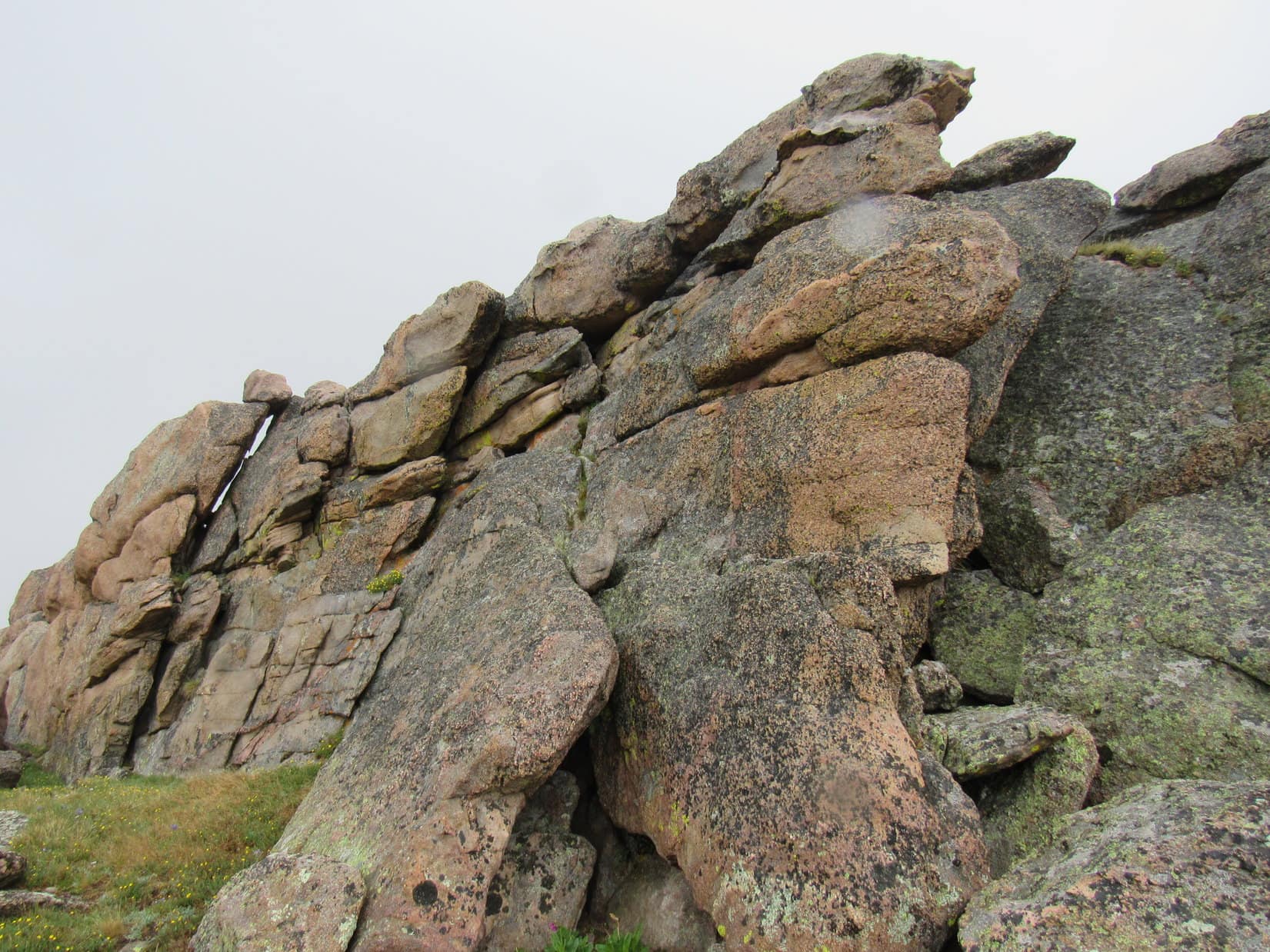
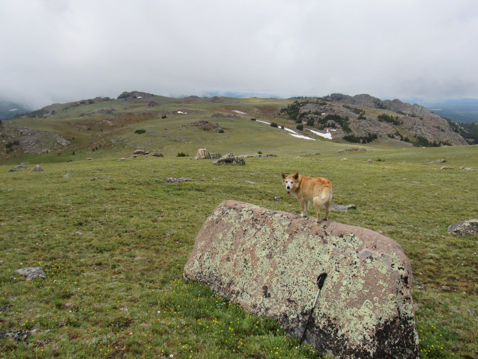
The long slope went on and on.  Lupe stayed toward the S (R), near the base of a ridge that was getting rockier and rockier.  Many of these rocks were peculiar long, rounded slabs.  Scarcely any trees were nearby, but Loop began encountering large patches of low bushes.

In a patch of shrubbery. Photo looks NNW.
On one of the long slabs. Photo looks NE.

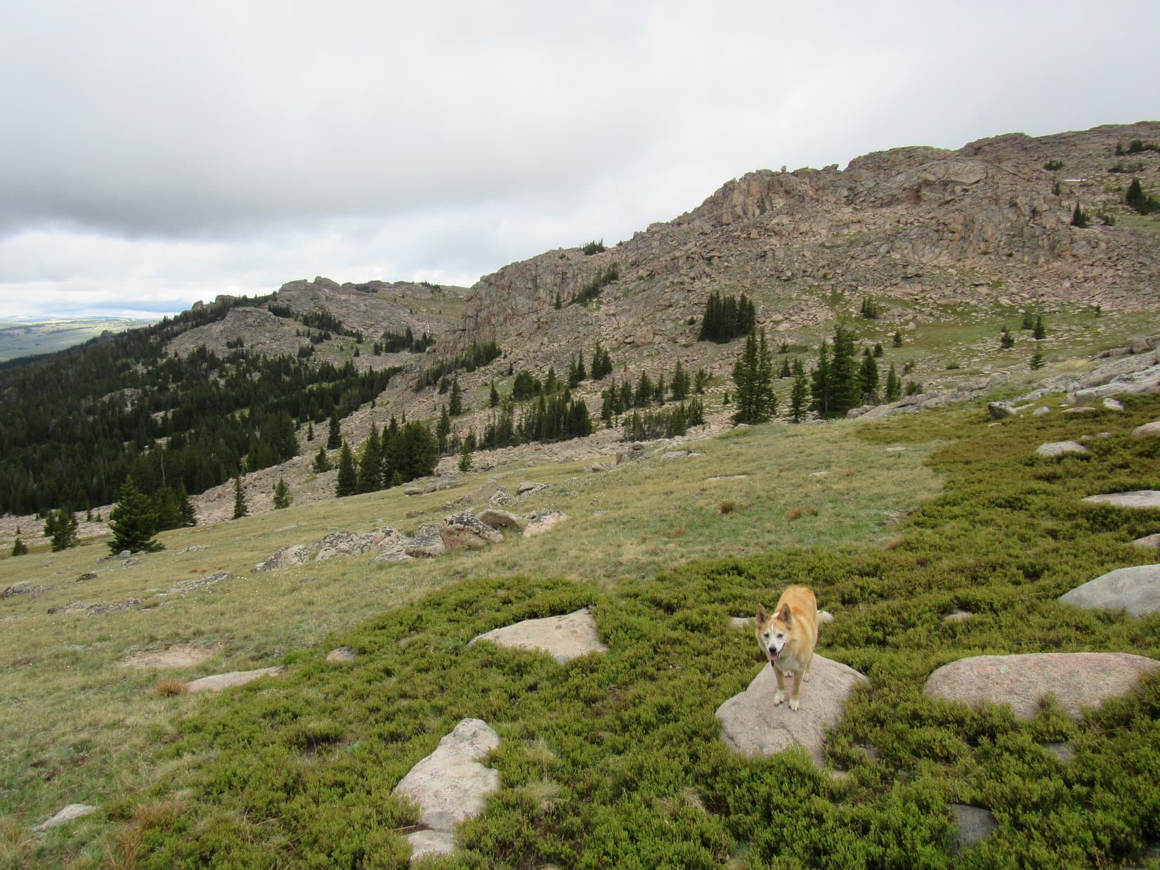
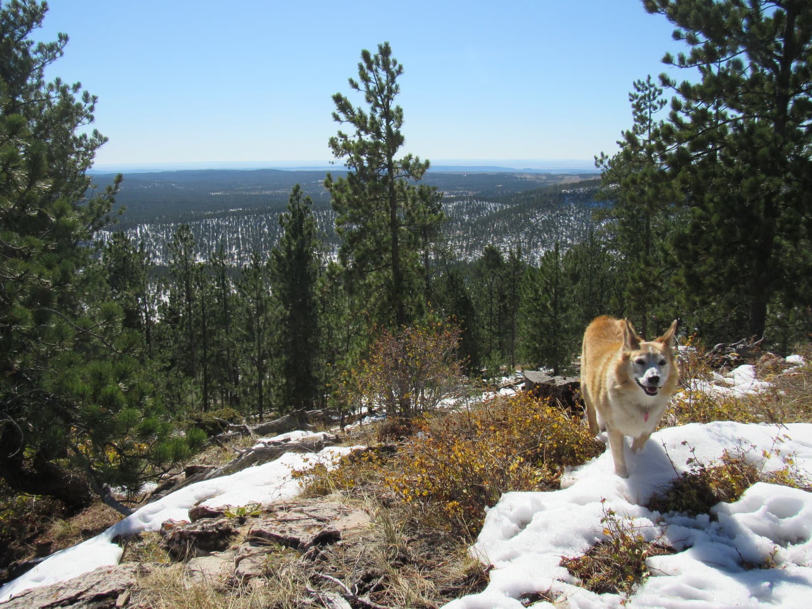
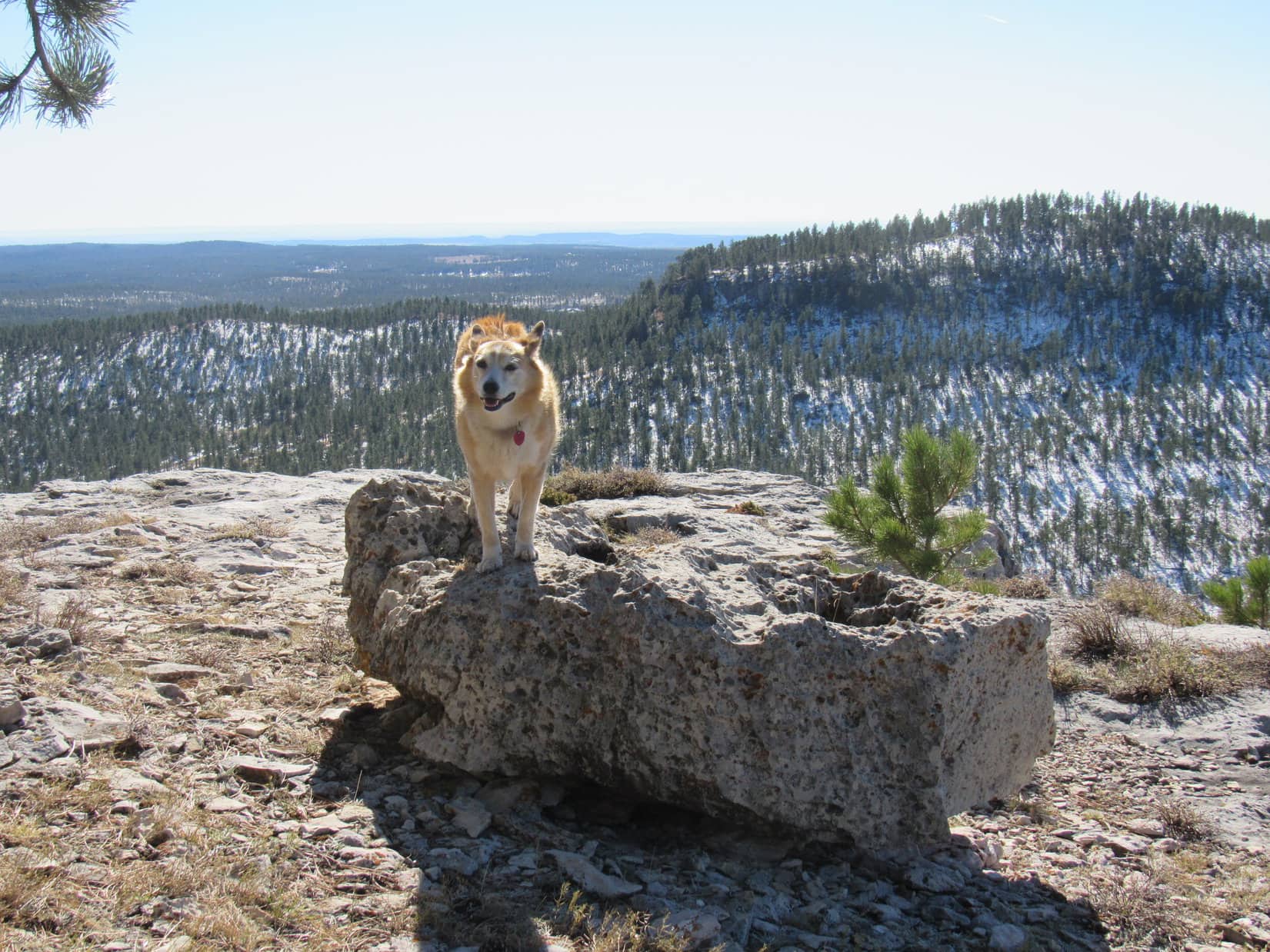
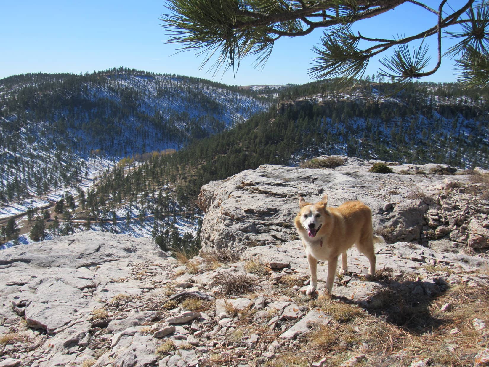
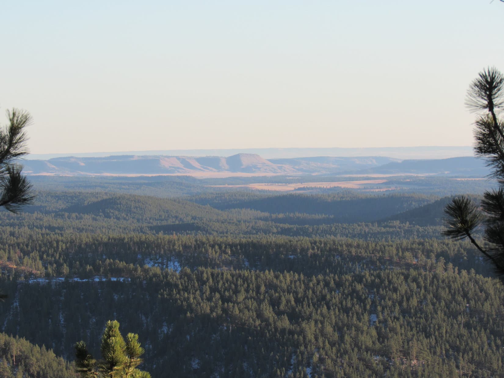
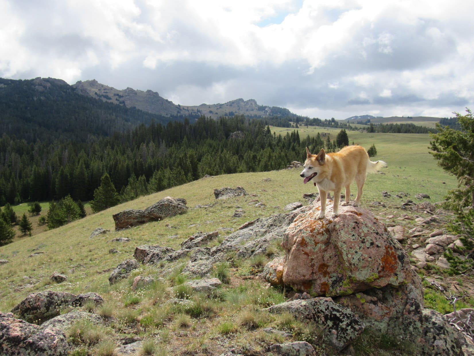
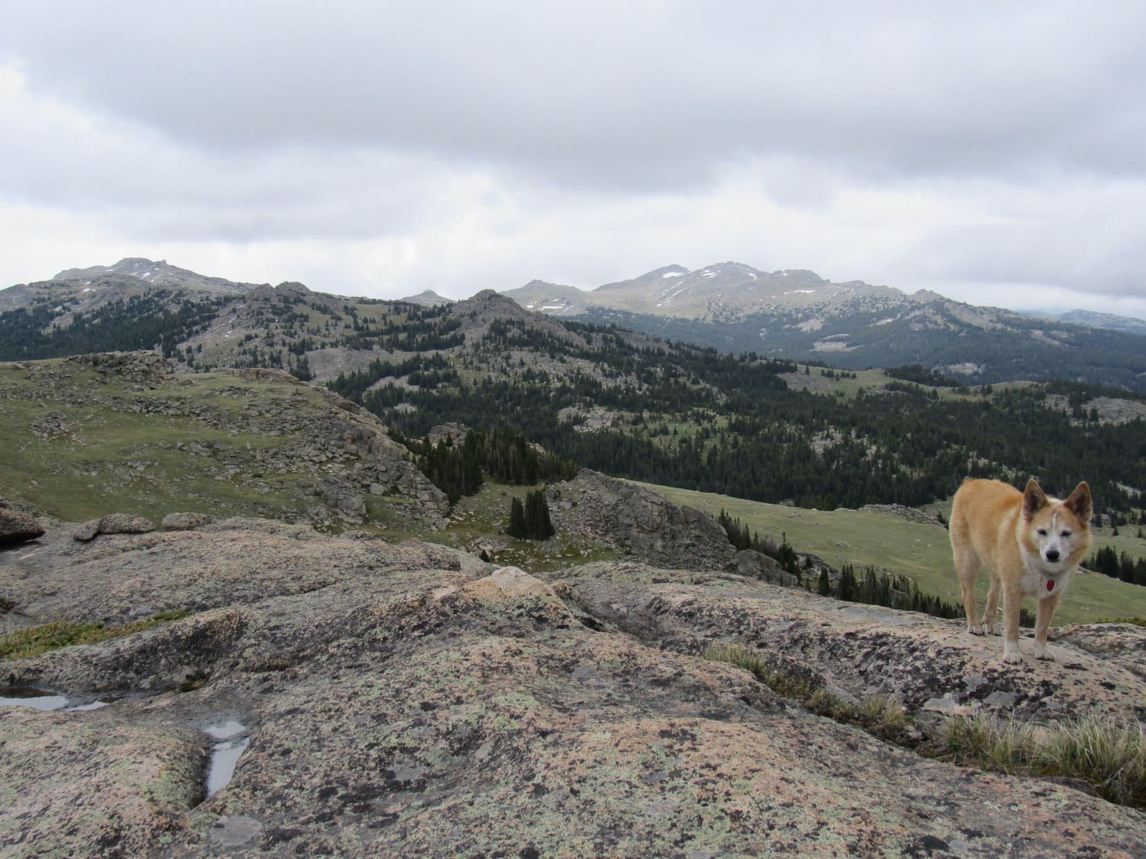
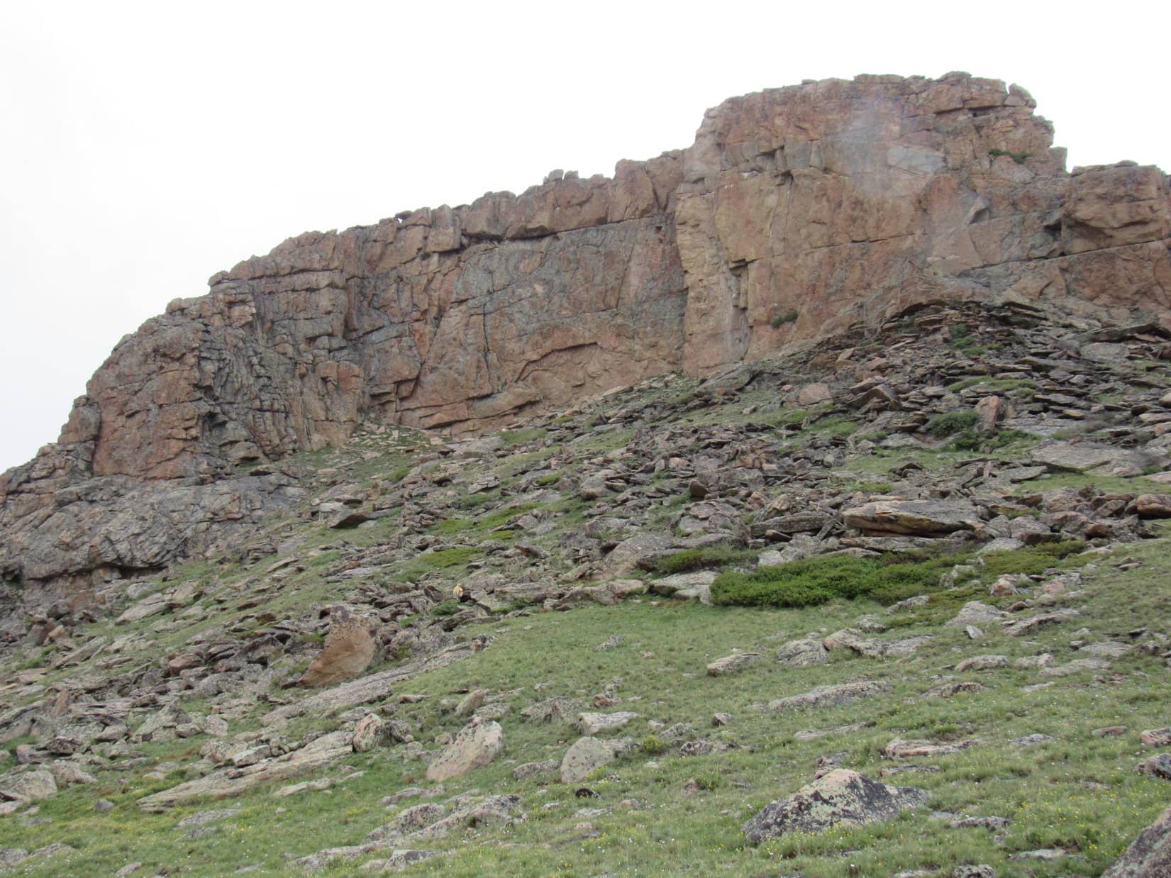
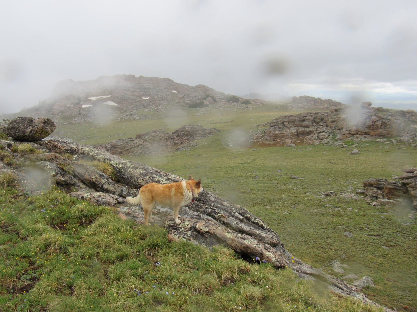
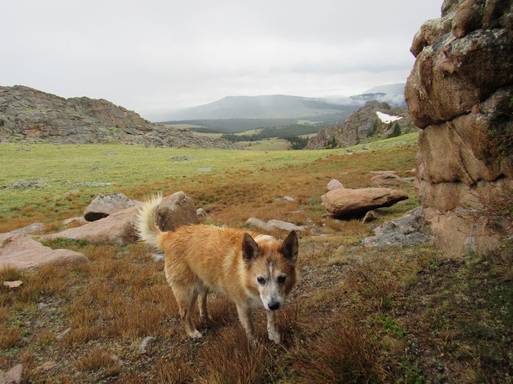
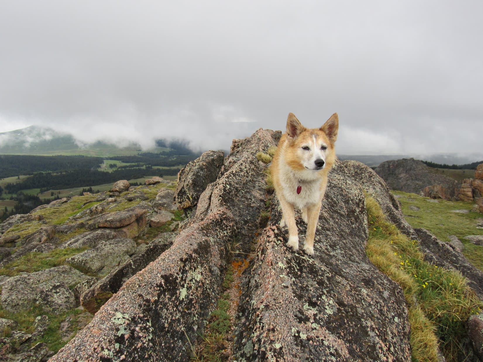
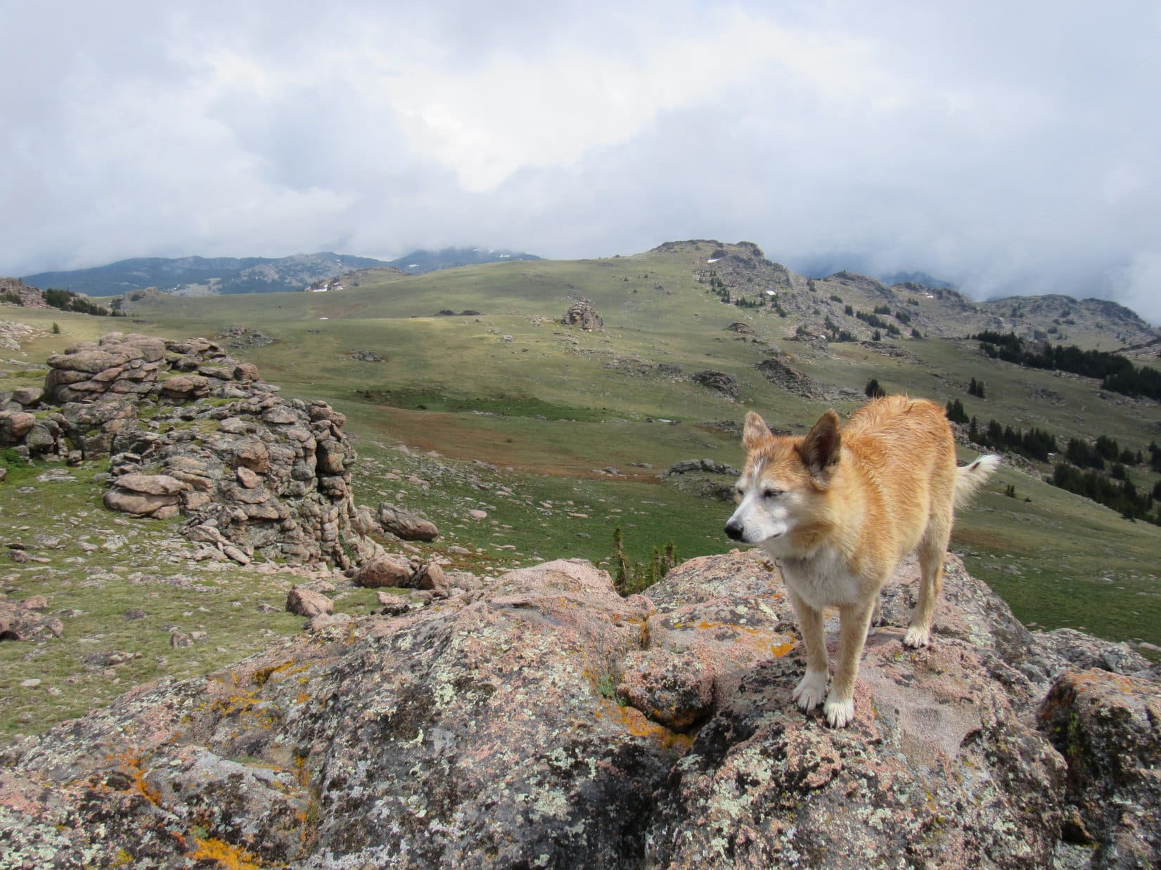
The saddle was still some distance away when it began to appear that Lupe ought to be able to get onto the rocky ridge she was next to.  Going up for a look around seemed like a good idea.  Turning S, a short trek higher brought the American Dingo to the ridgeline.  A big knob of rock was directly to the W.  Gazing off to the S and SE, SPHP was instantly both astonished and confused.

On the rocky ridge looking W toward the stony knob.

Quite the view, isn’t it, SPHP?  Always great to be in the Bighorns!

I’ll say.

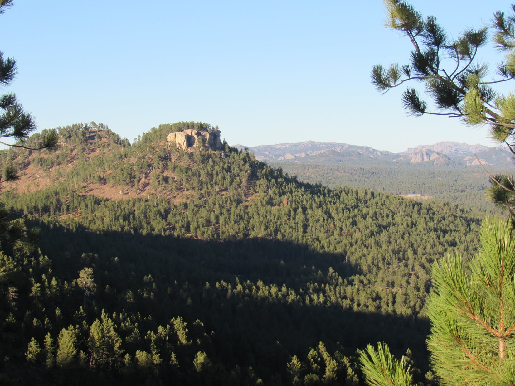
Hey, aren’t those highest mountains off to the SE Dome Peak (10,828 ft.) and the Sheridan County High Point (11,020 ft.)?  I think they are.  Almost certain of it!

You’re right, Loop.  That’s them alright.

Is something wrong, SPHP?  You don’t seem very enthusiastic.

Oh, it’s all gorgeous, of course!  It’s just that I was expecting to see the top of Bruce Mountain beyond this ridge, or at least the terrain leading up to it.  Instead, the whole mountain drops away.  Where the heck are we?

What?  Well, that’s just fabulous, SPHP!  We’ve hardly started up, and we’re lost already?  Tell ya what, Einstein.  You’re the one with all the fancy maps, why don’t you take a look and figure it out?  Better be quick about it, too!  Fog is rolling in!

Upper Willet Creek drainage. Photo looks S from the rocky ridge.
Dome Peak (L) and the Sheridan County High Point (R of Center). Photo looks SE.

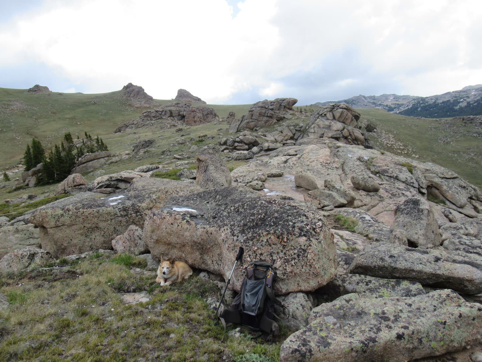
Lupe found a soft spot to lie down.  She gobbled a bowl of Taste of the Wild, then dozed while waiting for SPHP to come to some resolution.  Chilled as the sky darkened, SPHP layered up, then chomped an apple while studying the topo map, trying to make sense of it versus reality.

Awaiting SPHP’s verdict. Photo looks ENE.

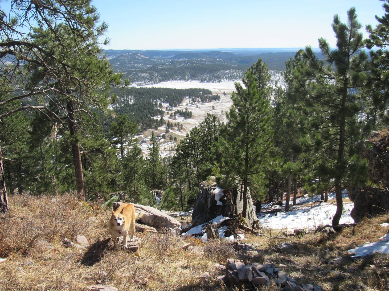
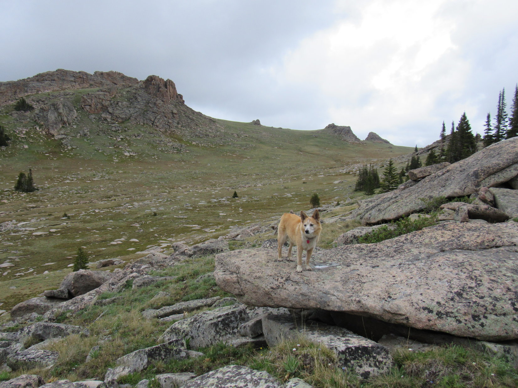
To the N, across the broad slope Lupe had just come up were a couple of huge rock formations.  The more distant one was easily 200 feet higher than this ridge where Loopster was now.  Obviously, Bruce Mountain’s summit had to be somewhere in that direction, since everything to the S was much lower.  SPHP had been so disoriented, though, that it took a few minutes to accept this truth.

Ready, Looper?  It’s Onward!  Puppy, ho! time.

Did you figure out where we are, SPHP?

Yup.  We’re at the far S end of Bruce Mountain.  Sort of self-evident, isn’t it?  I was so incredulous at these views, because I had it in my head that we were coming up N of the summit.  Instead, we’re actually well S of it.

Lovely, I’m sure, to have such a keen innate sense of direction!  So, at least you know which way we need to go now?

I do.  Head for that closest humongous rock formation.

Lupe started her search for Bruce Mountain’s summit heading for the rock formation on the R. Photo looks N.

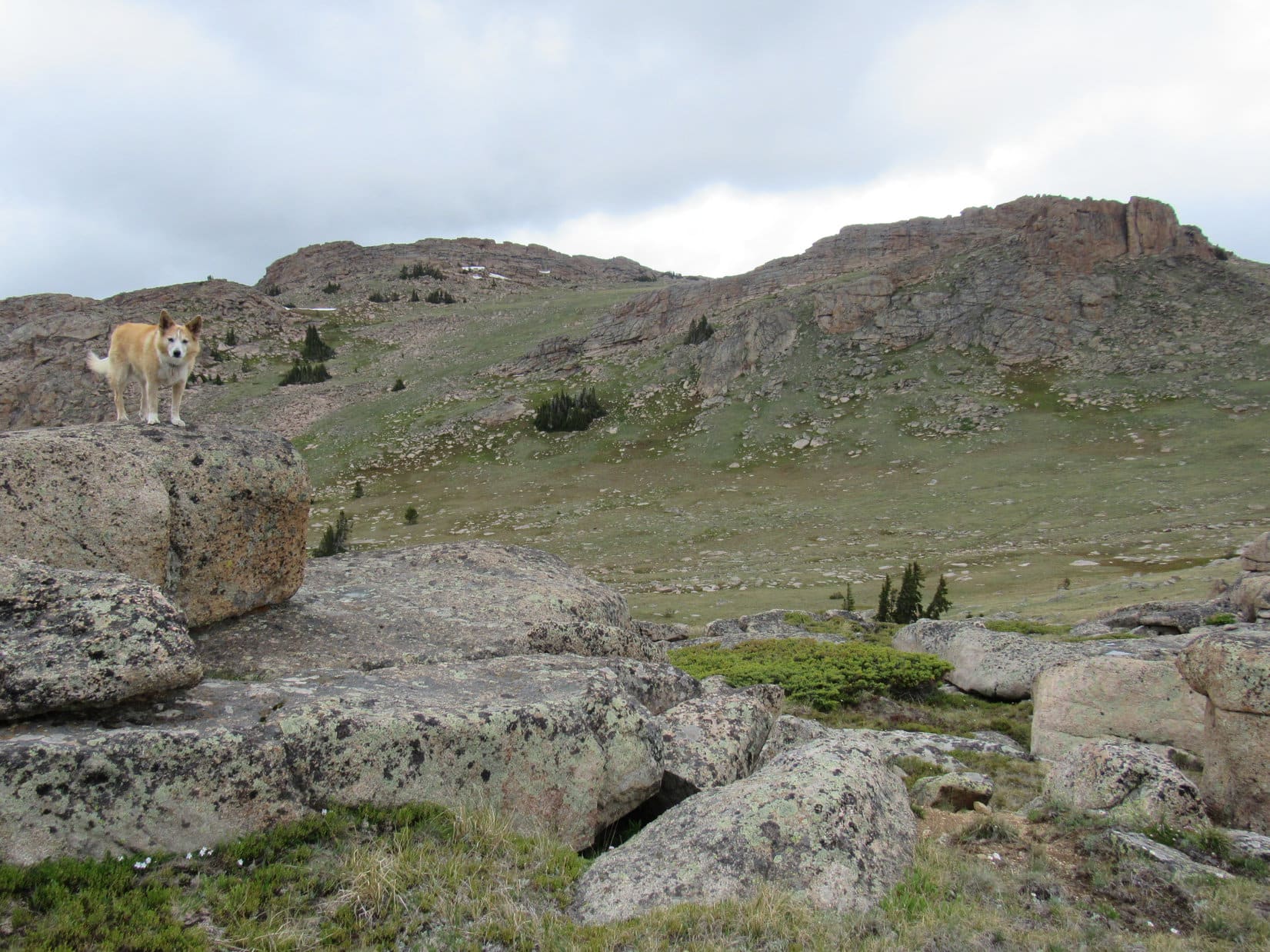
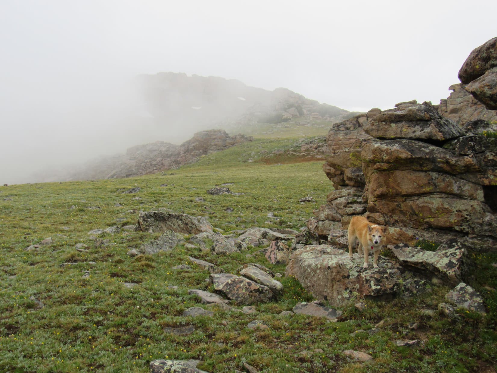
Heading for the closest big rock formation to the NE essentially meant completing the trek up to the saddle Lupe had originally aimed for.  The Carolina Dog lost a good 80 feet of elevation as she left the rocky ridge before starting to climb again.  Expecting there wouldn’t be any problem going around the E side of this formation prior to angling toward the higher, more distant ridge, SPHP was once again surprised when that didn’t turn out to be the case.

This first formation was bigger than it looked, extending much farther E than anticipated.  A continuous wall of rock ran over and well beyond the saddle’s crest.

Starting back down to the green slope leading to the saddle on the R, intending to go around the far side of the rock formation on the L. Photo looks NE.
Near the first huge rock formation. Photo looks N.
Approaching the saddle, with a continuous wall of rock (L) blocking the way N. Photo looks ENE.
Tiny wildflowers of the alpine slope.
Arriving at the top of the saddle only to find that the wall of rock extends down the other side of the mountain. Photo looks ENE.

Well, shoot, Loop!  I can’t believe this!

Why did we come up here in the first place, SPHP?  We could have headed straight for the highest rock formation, if we’d stayed W of this one.  There was an open route the whole way.  Shorter, too!  We both saw it!

I know, but that way looked a lot steeper.  Never dreamed we’d run into this situation.  Guess we’ll have to go back down to the W, if we can’t find a way past this wall of rock.  Hate to lose all the elevation we just gained, though.  Before we do that, let’s have a look around.  Maybe there actually is a way through?

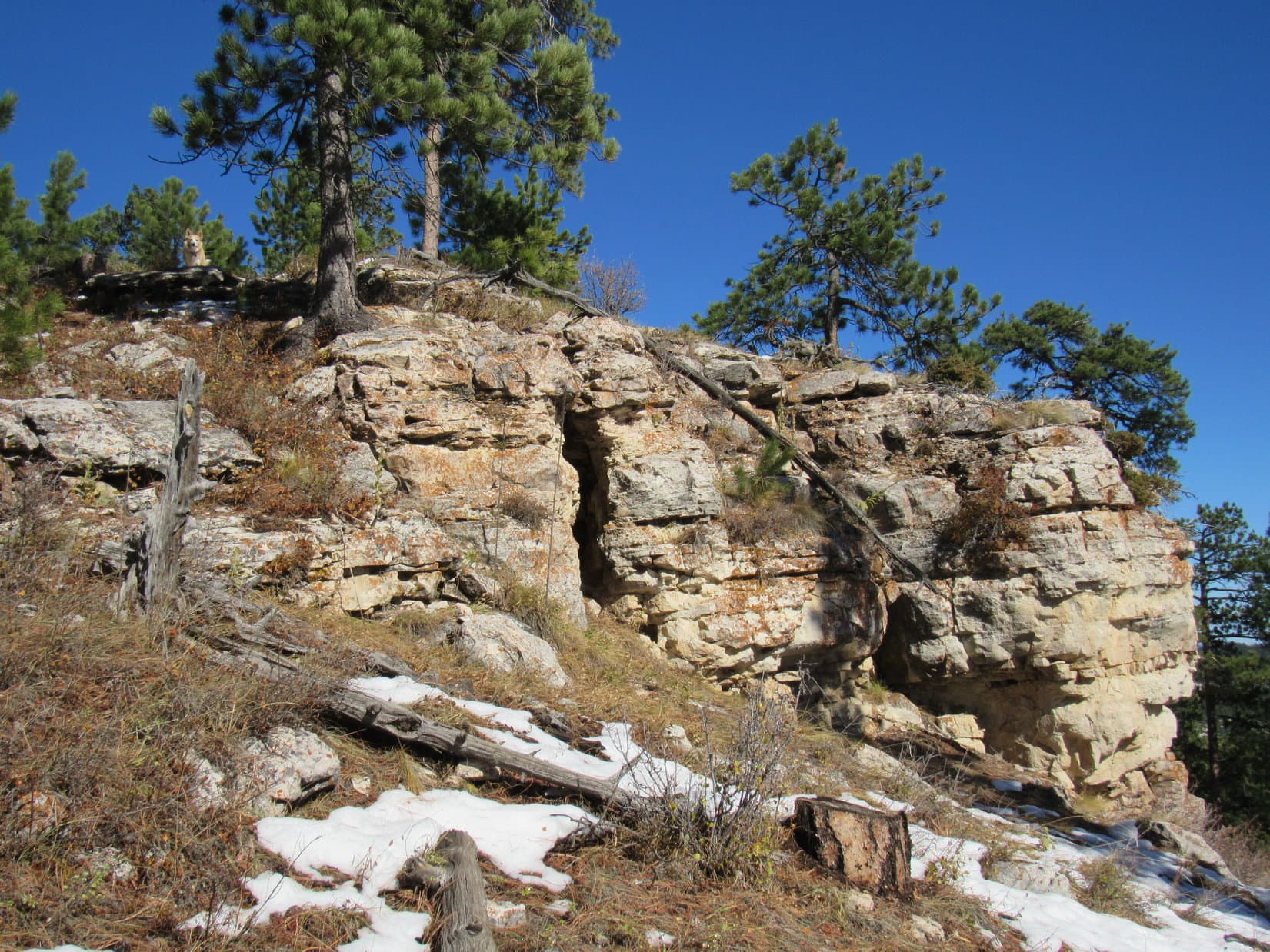
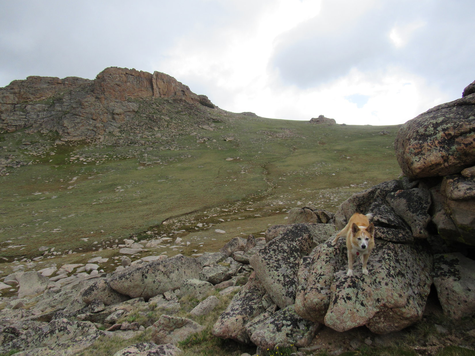
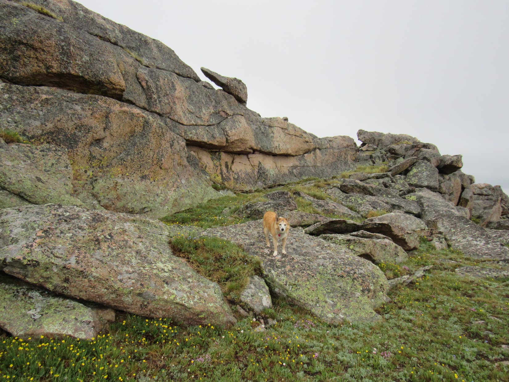
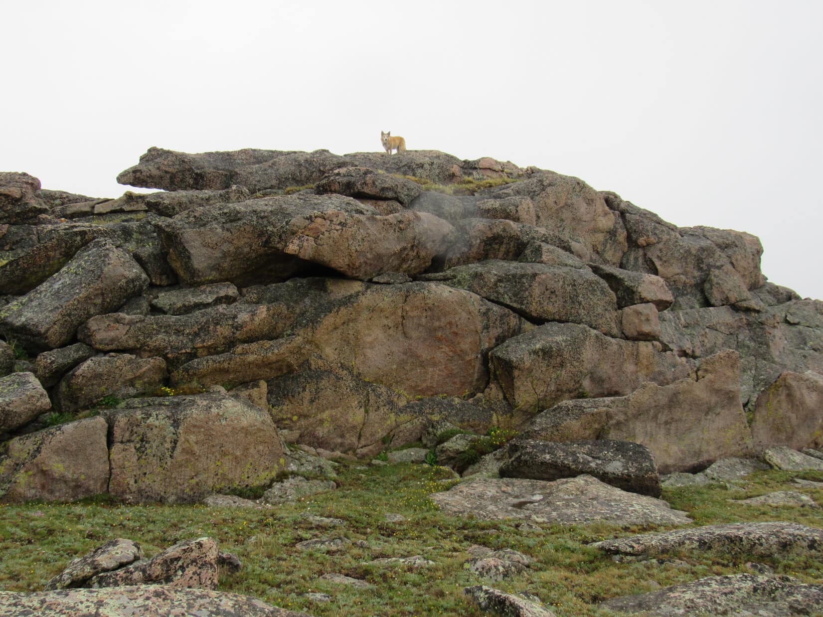
Luck of the Dingo!  There was!  Lupe had barely started searching, when she spied two green ramps leading to the top of the wall.  Quite steep, but certainly doable.  A short climb, and the Carolina Dog was up on top.

The green ramps leading to the top of the first huge rock formation. Photo looks W.

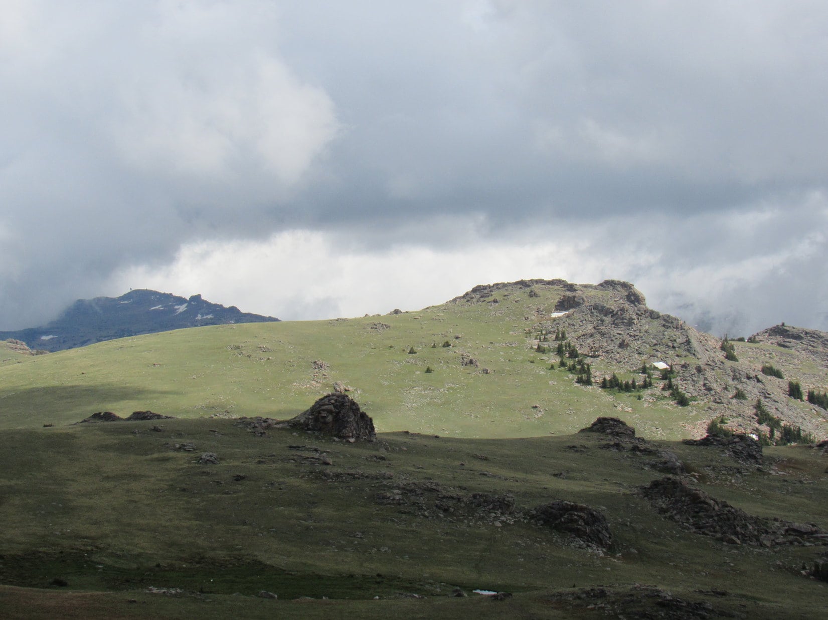
In the time it took SPHP to stagger up behind Loop, fog swept over the region and a light rain set in.  Ahead to the N was an unexpected sight, made all the more mysterious by the cold, damp, gray gloom.  A higher, more formidable wall of rock appeared to run clear across the entire mountain, blocking all hope of further progress beyond it.

Was that the same highest, most distant formation that had been visible from back down at the first rocky ridge?  Sure seemed a lot closer than it should have been.

We have to get past that, too, SPHP?

Afraid so, Loop.

But how?

Search me!  Doesn’t look at all possible, does it?  Going to take a miracle this time.

Above the green ramps of the first rock formation, contemplating the forbidding next wall of rock ahead. Photo looks N.

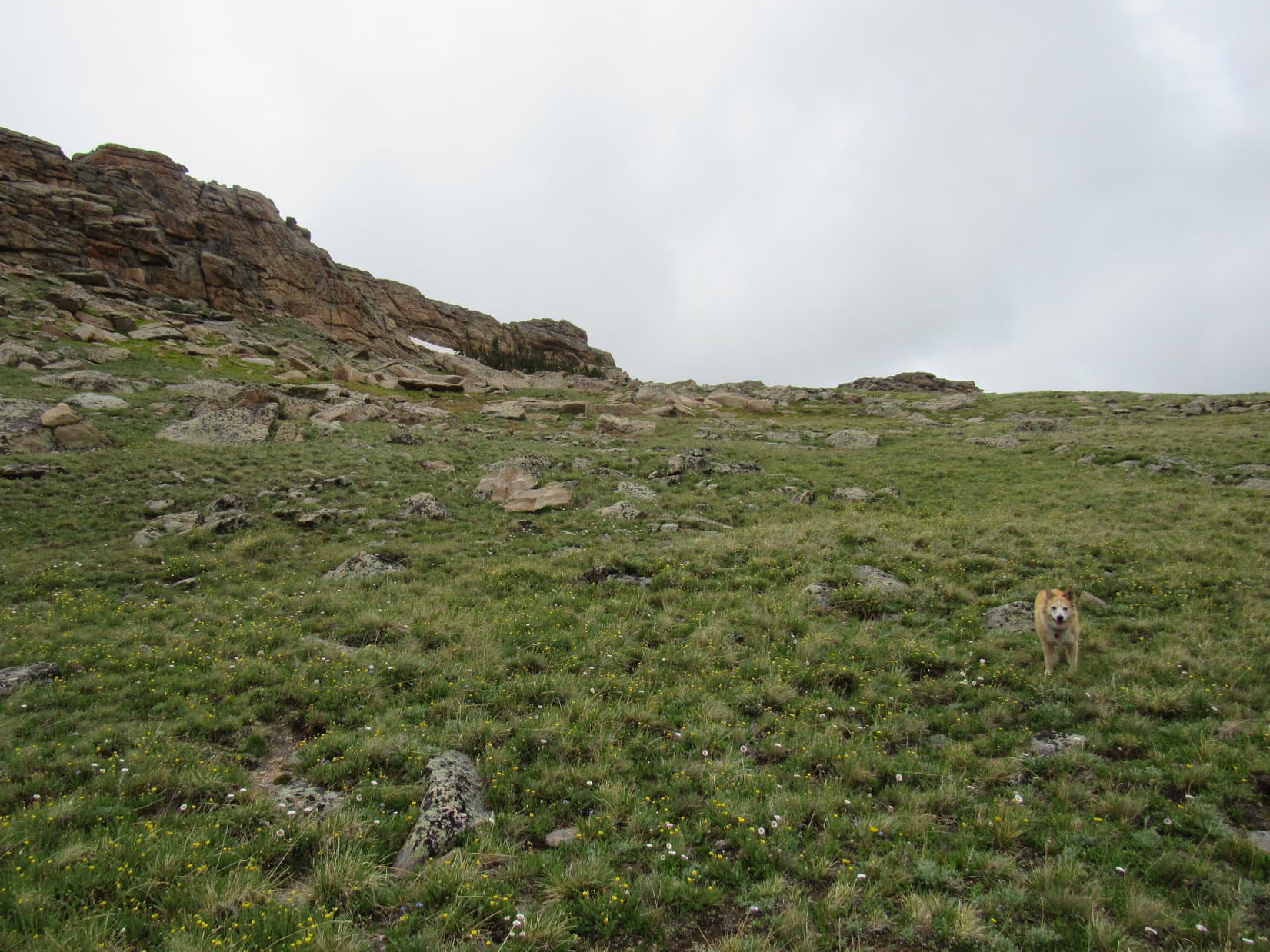
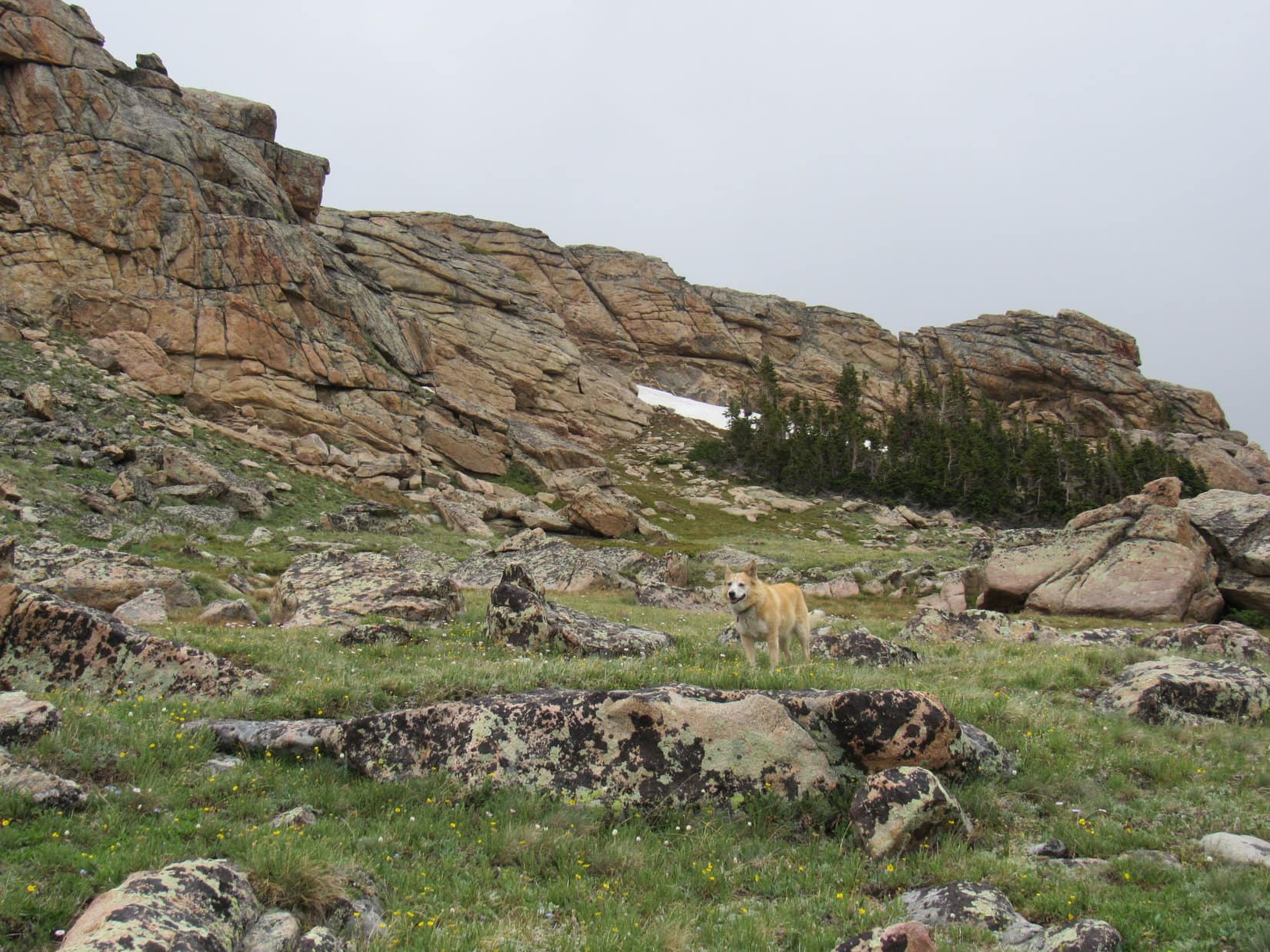
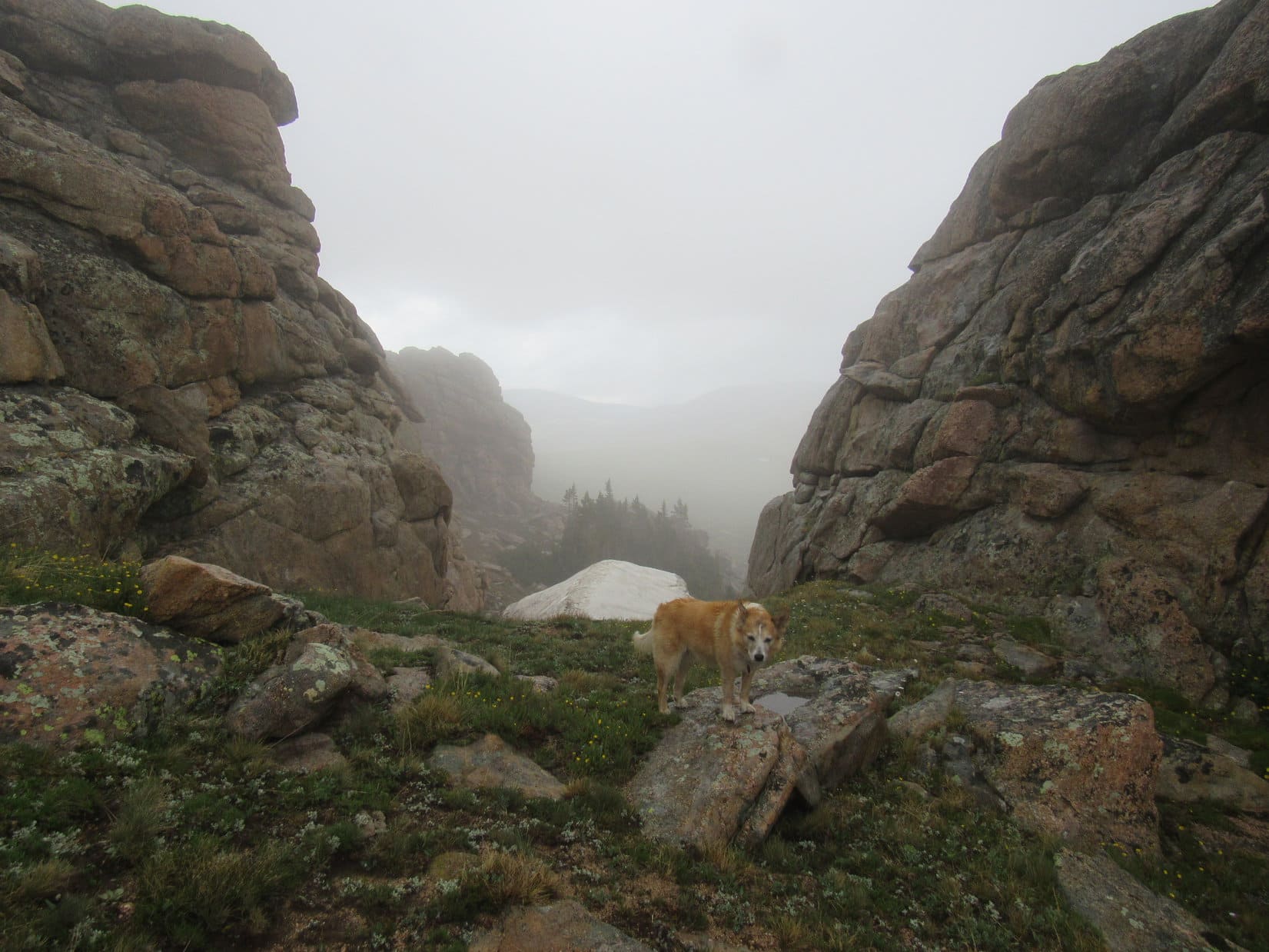
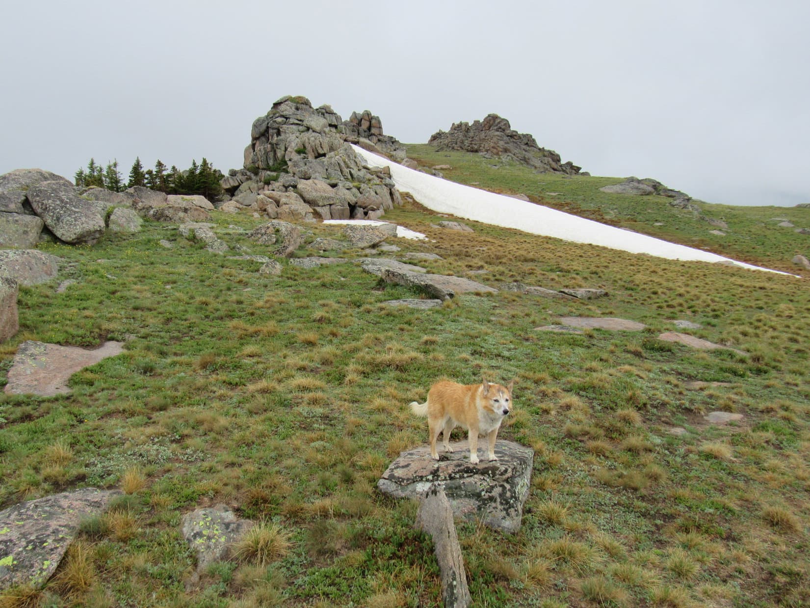
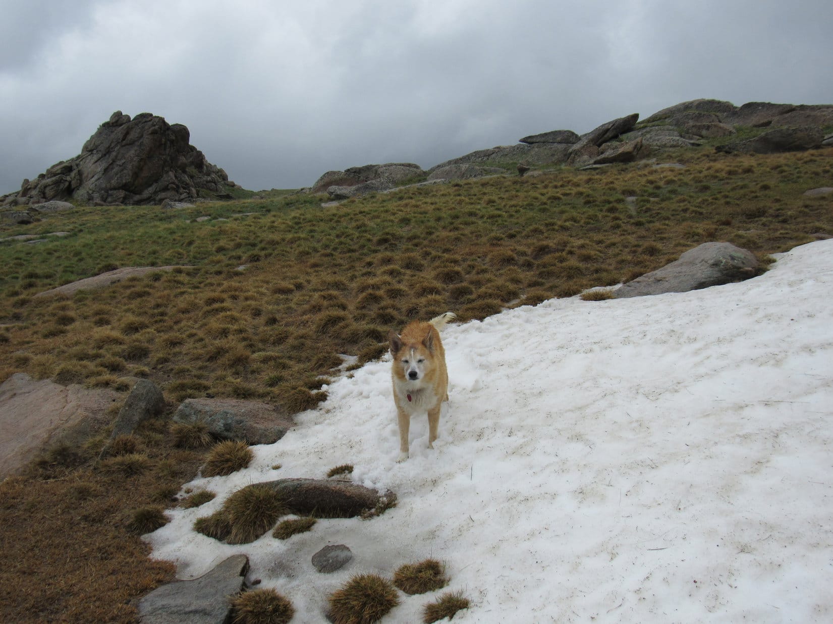
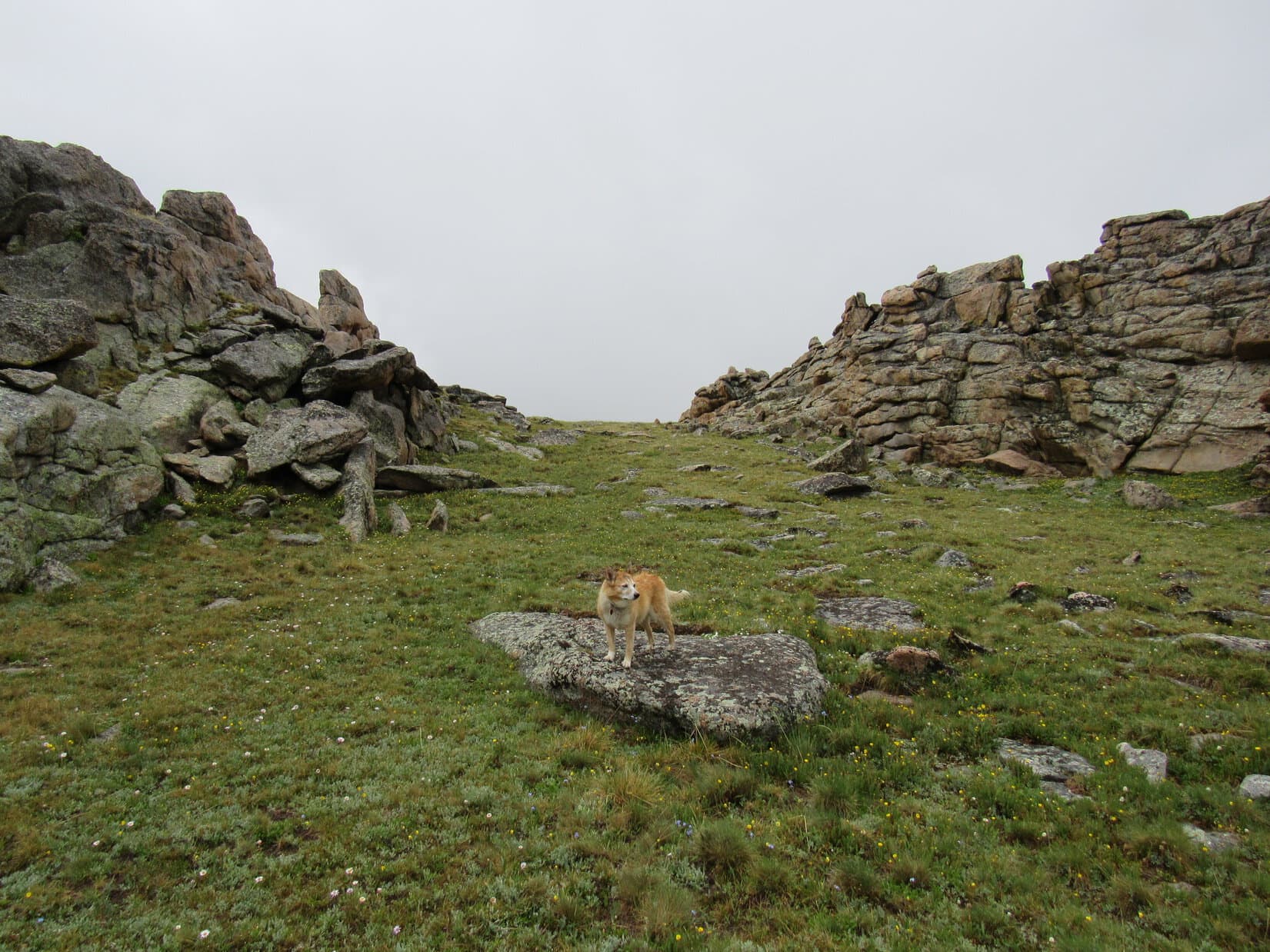
Spirits dampened in more ways than one, Lupe advanced toward the ghostly obstacle ahead.  There were actually two separate walls of rock.  Passing the smaller one, Loop entered a narrow channel heading ENE between it and the larger wall to the N.  The high point of this gap was close by.  Going to it, Lupe saw a hidden snowbank, beyond which the terrain dropped steeply.

No help that way!

At the top of the channel between the rock formations. Photo looks ENE.

It was starting to rain harder.  SPHP yanked the ancient, blue plastic rain poncho from the pack and put it on.  Return of the Cookie Monster!

Guess we’re stuck, SPHP.  By the way, you look ridiculous!

I don’t believe it!  How can this mountain be so complicated, Loop?  Doesn’t look bad at all on the topo map!  Thought we were going to have an easy romp up here, maybe scramble up a few rocks at the very top to get to the true summit.  Never occurred to me that we’d face anything like all these huge, long, vertical rock walls going clear across the top of the mountain to cut us off.

Well, doesn’t look like we’re getting past this one.  The weather is rotten, anyway.  Maybe we should head back to the RAV4 and try again tomorrow from another direction?  The mountain will still be here.  Want to do that, SPHP? … SPHP? … Oh, no!  Forget it!  I’m not doing that!  It’s practically straight up!

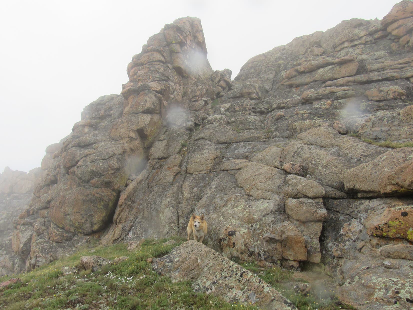
It wasn’t really straight up, though.  The rock wall SPHP was staring at, the big one to the N that Lupe needed to get to the top of, had some lean to it, not a lot, but some.  Looked like there were quite a few possible pawholds, too.  Furthermore, although the rock wall was 30 feet high, there seemed to be some incongruity about 20 feet up, like there was space to maneuver up there.

Now, now, Loop!  You know I’m no rock climber, but I think even I can manage to scramble up the first 20 feet to that cleft or whatever it is up there, provided I’m careful about it.  I’m 100% certain you can, too.  All you need is a boost to get you started!

No!  Stay away from me!  You’re off your rocker, SPHP!

At the base of the scramble higher. Photo looks NW.

SPHP grabbed Loopster, lifting her as high up the wall as possible.  The Carolina Dog fought back, pushing away from the rock.

No!  No!  Let me go, SPHP!  I don’t want to.  Let’s find an easier mountain!  Put me down!  Please!

C’mon, Loop!  Stop fighting it!  You’ll be fine!  Not that hard.  Climb!  You’ll be up there in a flash!  I’ll be coming, too, right behind you.

The struggle lasted only seconds.  Suddenly Looper got the message, clawing her way up to the cleft.  Slowly, carefully, SPHP followed.

Made it!

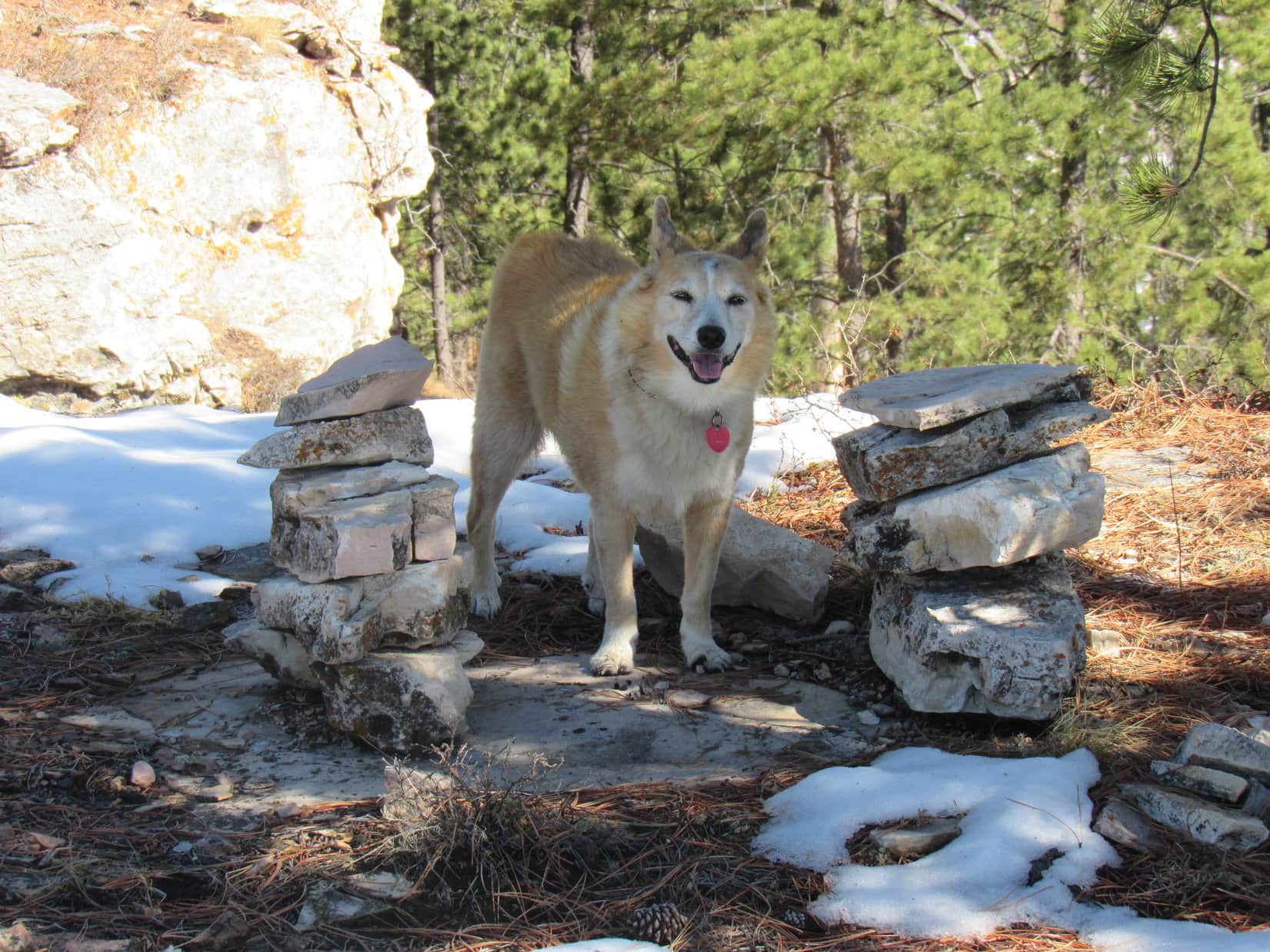
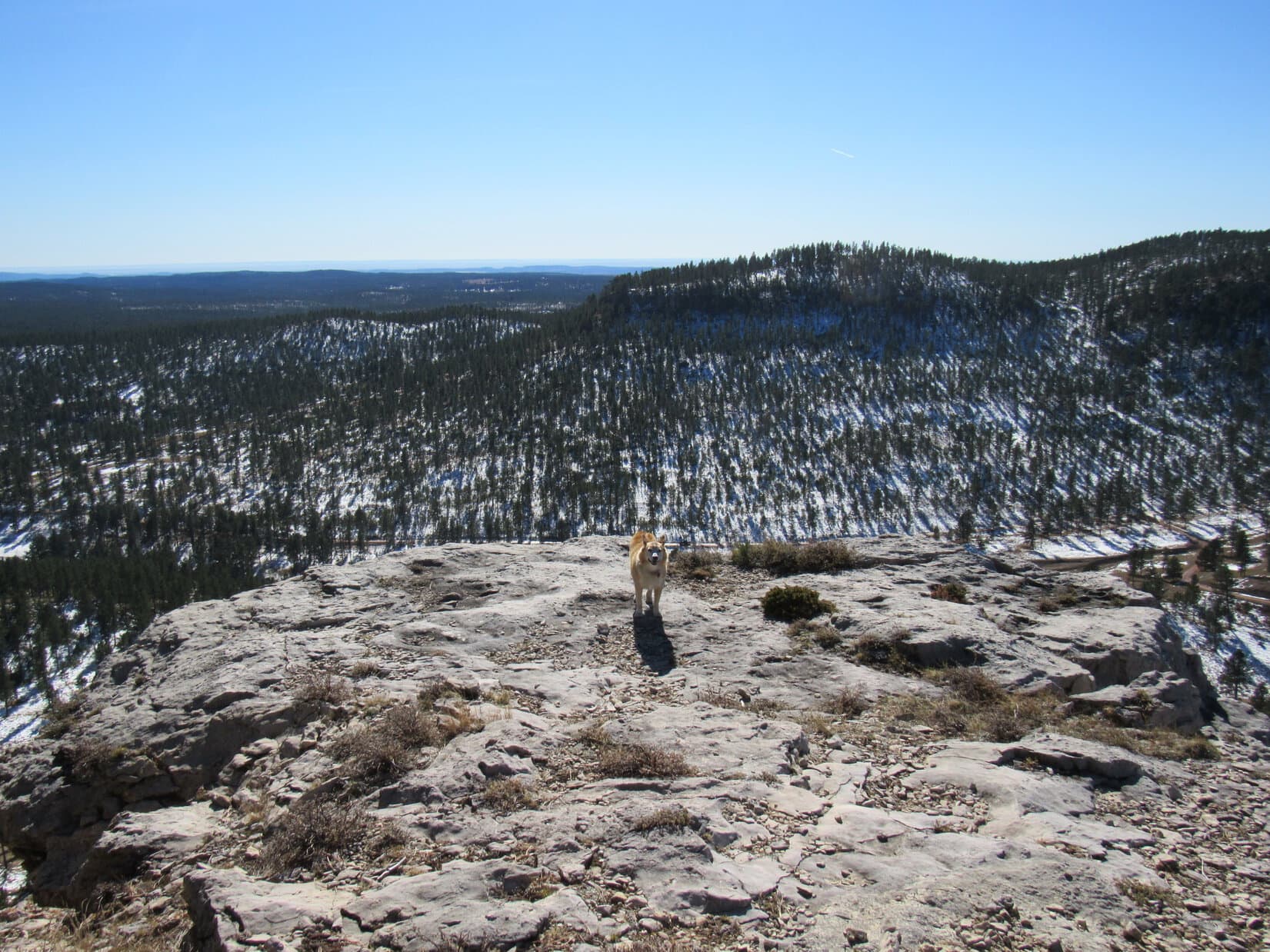
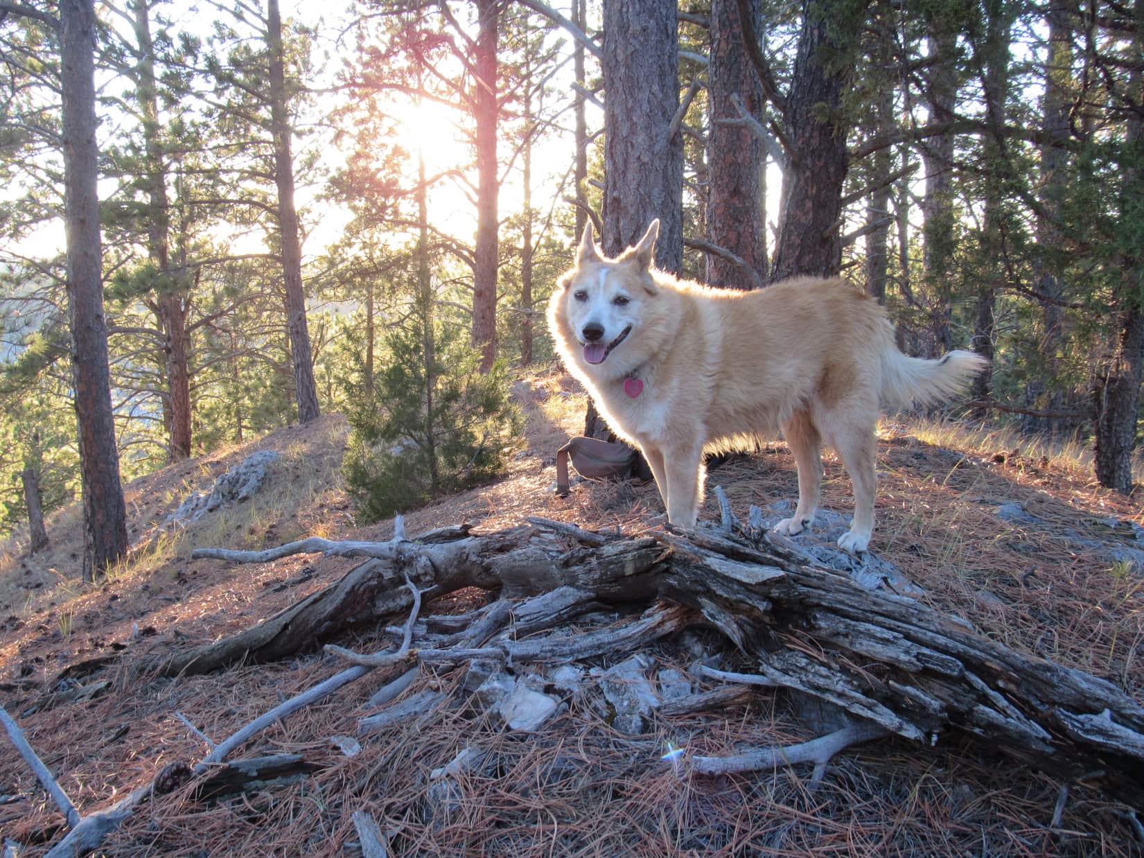
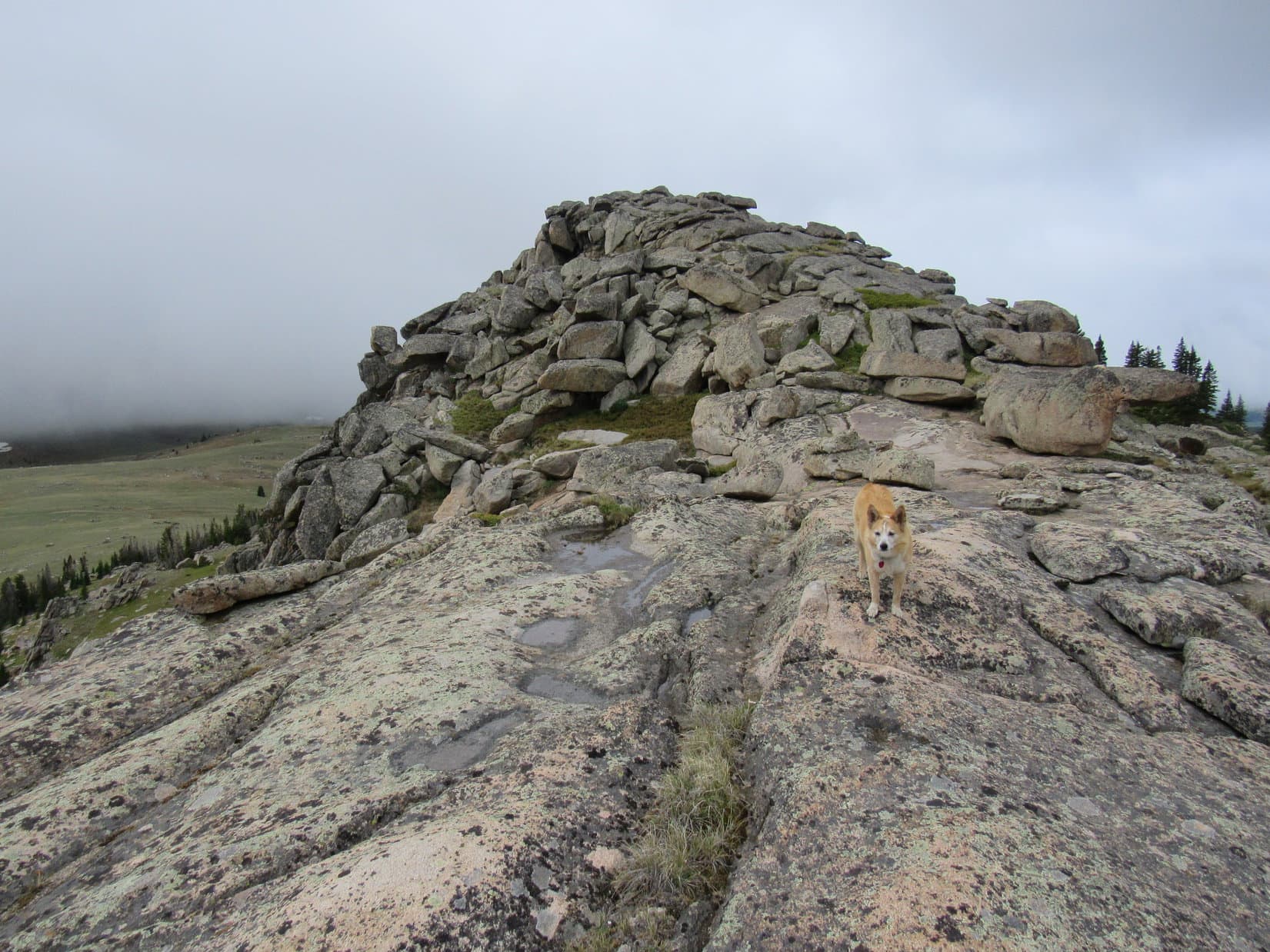
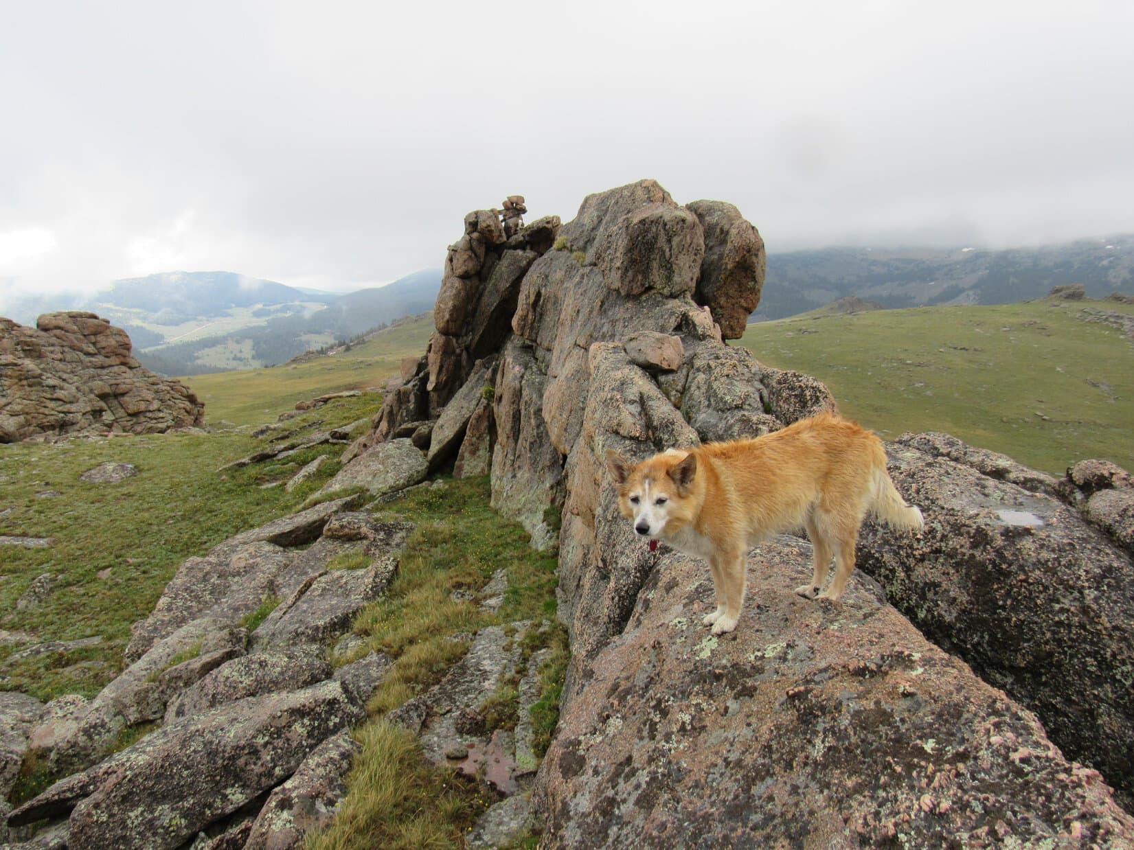
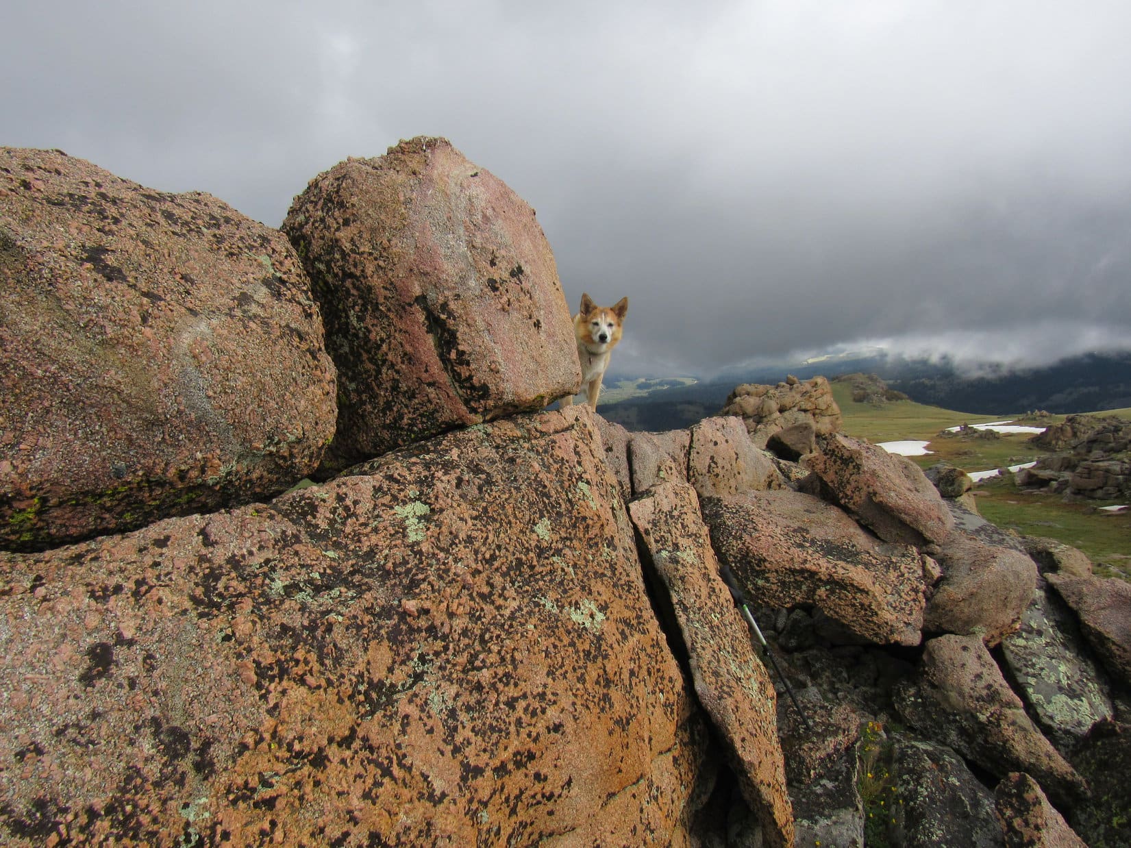
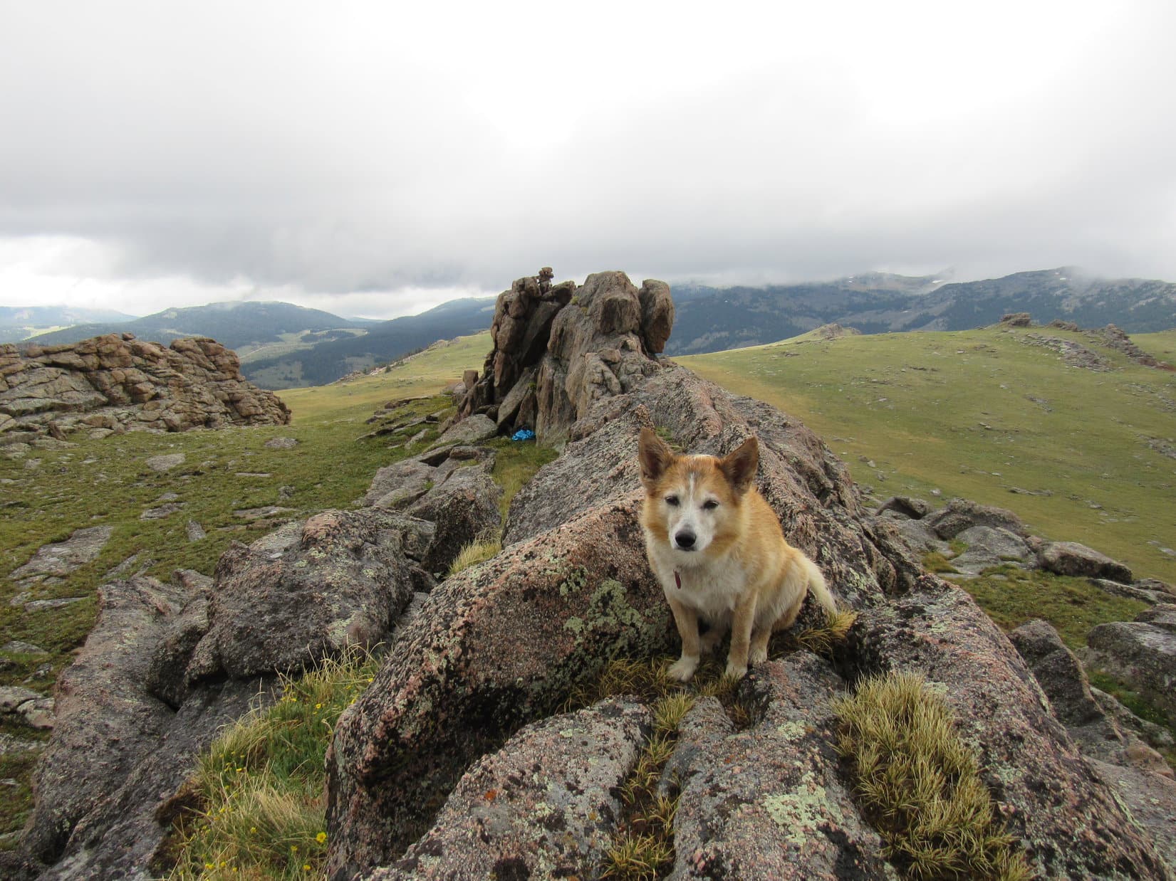
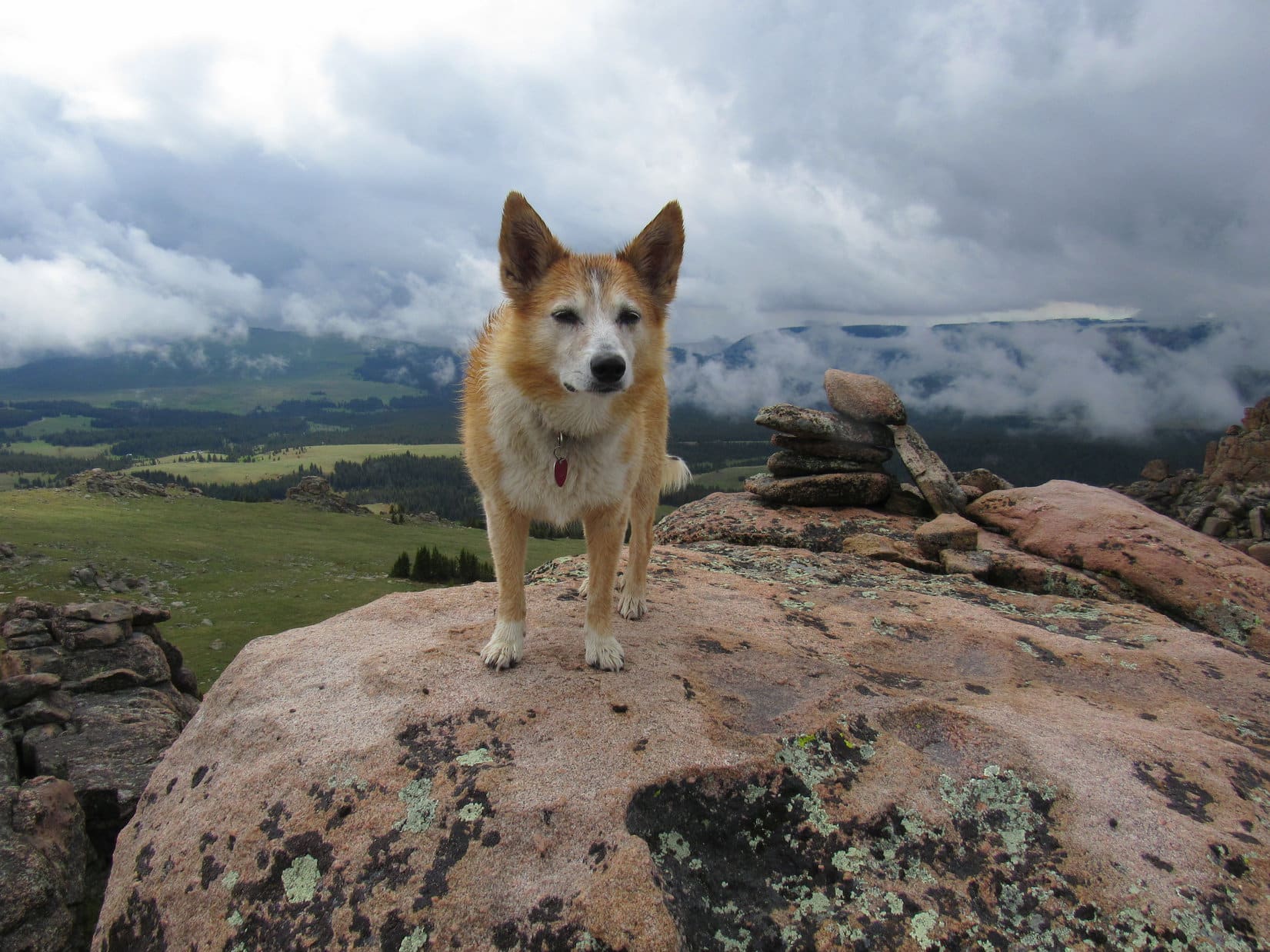
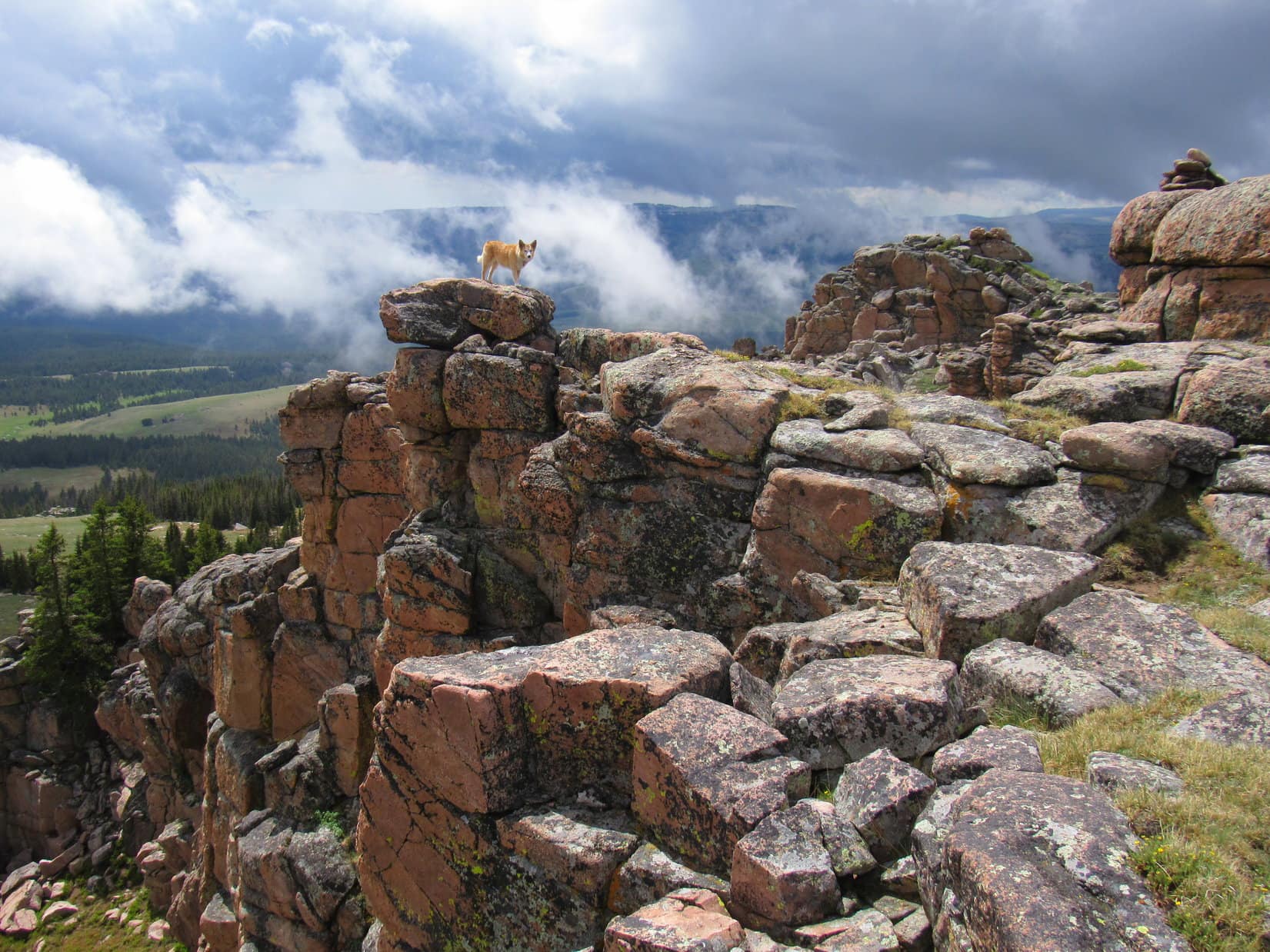
The last 10 feet turned out to be cake.  Easy climb.  Loop reached the top close to a big boulder at the absolute high point.  A cairn sat right on top, calmly waiting to greet Lupe.

The cairn waited in vain.  No need to go to it.  Could have, but off to the NW, beyond several smaller rock formations scattered over a green plain, was another big rock formation, an even higher one than where Lupe was now.  This wasn’t the summit of Bruce Mountain.

Near the absolute top of this wall of rock, with an even higher one (R) ahead. Photo looks NW.
Contemplating the plain leading to the next summit candidate (L). Photo looks NNW.

For pity sake!

We need to go over there, don’t we, SPHP?

Yeah.

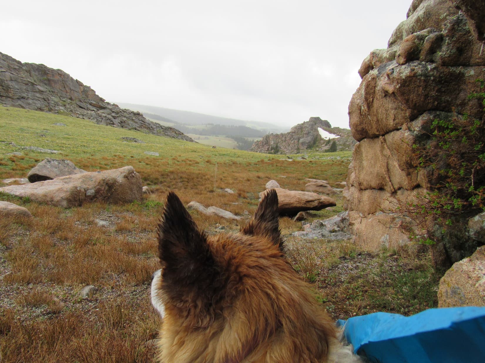
At least it didn’t look hard to get over close to the latest, greatest, true summit candidate.  Lupe headed down to the plain and trotted that way.

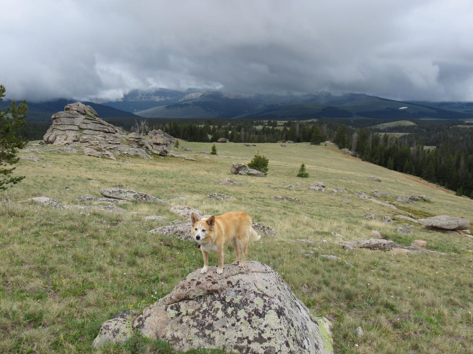
Partway there, the rain started in harder yet.  Poor Lupe was getting soaked.  Despite the Cookie Monster outfit, SPHP was, too.  An overhang at the closest rock formation beckoned.  Time to take shelter.

As far as Loop got before having to take shelter. Photo looks NW.

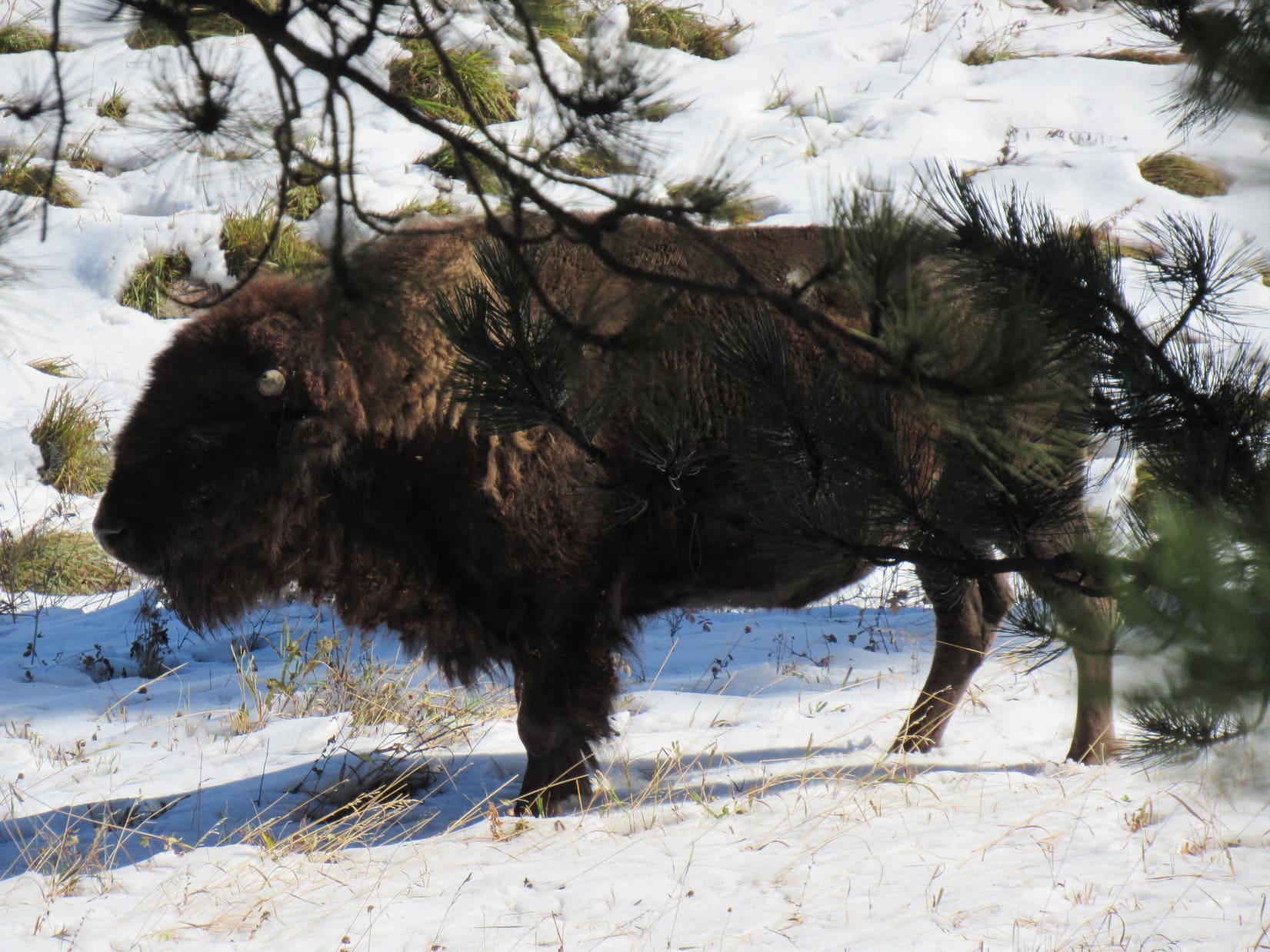
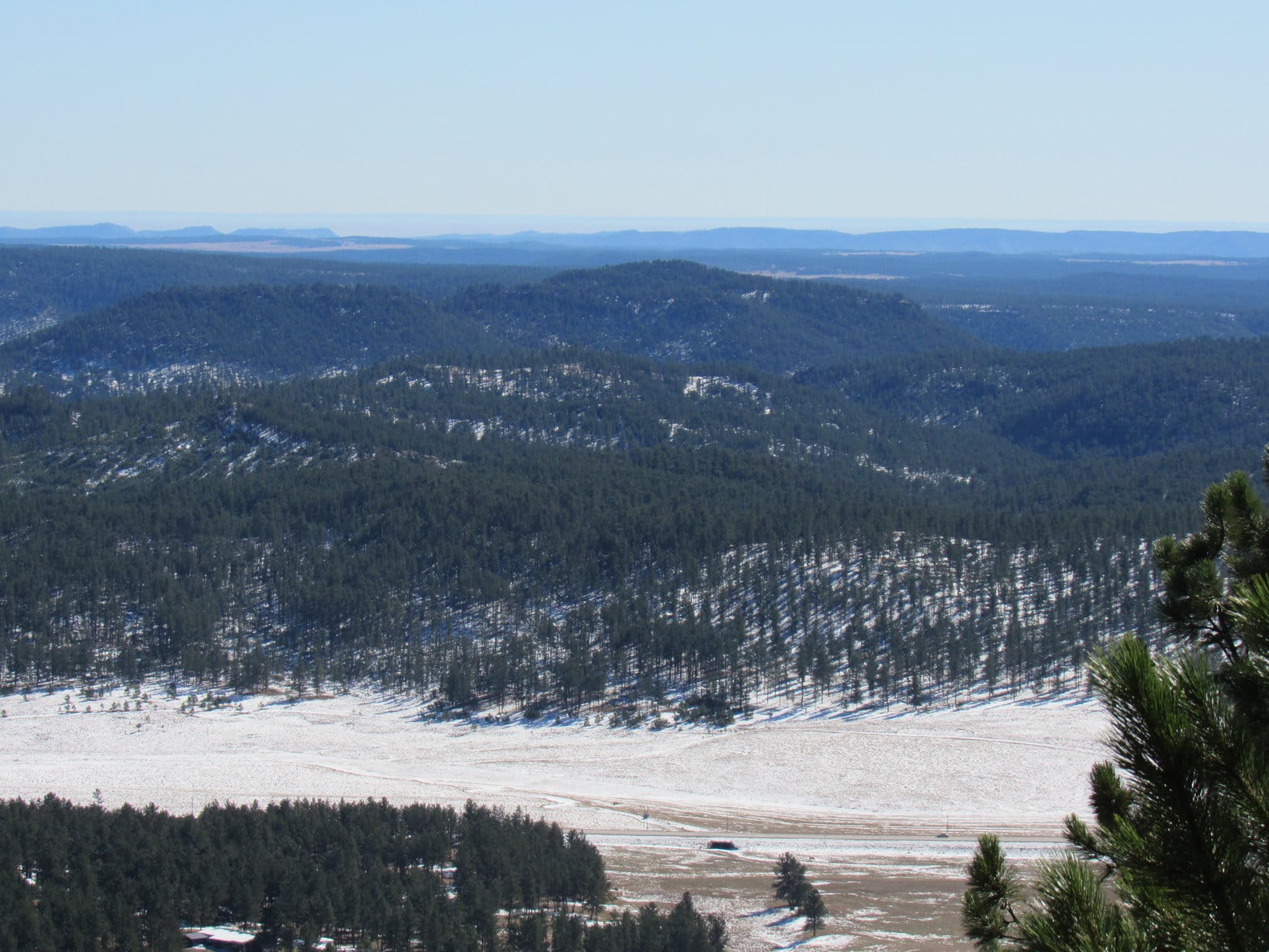
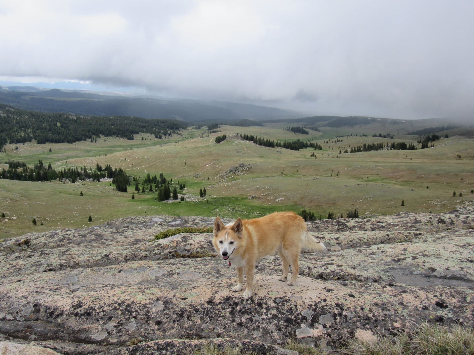
It rained off and on.  Intermittent fog streamed by.  Water dripped from the little overhang, which was barely adequate to provide protection.  Lupe curled up on SPHP’s lap inside the Cookie Monster rain poncho, peering out now and then during lulls in the storm.  Occasionally, Antelope Butte (9,935 ft.) was in sight.  Under Lupe’s weight, SPHP’s lower paws slowly went numb.

Waiting for the storm to pass. Photo looks SW.

Seemed like a day it could rain forever.  For variety, it eventually began to rain in sheets.  This was followed by hail until the ground began to turn white.  Nothing serious, just tiny ice particles.

40 long minutes ticked away before the sky brightened.  Antelope Butte reappeared as the fog swept away.  The Carolina Dog decided that maybe the storm was all over and done with.  No more sitting around!  Looper got up.

Looking S back at the high point Lupe had come from.
Antelope Butte (Center) reappears. Photo looks SW.

C’mon, SPHP!  Let’s do this!

Following the American Dingo over open ground on pins and needles as blood flow restored to SPHP’s lower paws, the journey NW toward Bruce Mountain’s next summit candidate resumed.

Instead of heading directly to the imposing S face of the rock formation, Loop aimed E of it, completely avoiding not only another daunting or impossible scramble, but any rough terrain at all.  Gaining elevation, Lupe soon got far enough N to view the formation from the E, where its appearance was much different.

Beyond a snowbank, an easy green ramp of open ground rose between two parallel walls of rock to a crest between them.  Most encouragingly, the walls didn’t look all that high from this angle.

Ho-ho, Looper!  This is more like it!  If the summit is up there, we’re in business!

E of the next Bruce Mountain summit candidate (Center) with a lovely green ramp providing access almost all the way to the top. Photo looks W.

The weather was still questionable as Lupe headed W for the ramp.  Now and then the clouds still spit a little light rain, or released a fine mist.  The thoroughly dampened Dingo must not have been feeling too frigid, though.  Passing the snowbank, she made a point of rolling on it, evidently enjoying the experience.

Then it was on up the ramp, confident of a Bruce Mountain (10,340 ft.) peakbagging success!

Looking back from the base of the snowbank. Photo looks ESE.
Heading up the ramp. Photo looks W.
Near the top of the ramp, looking back the way Loop came up. Photo looks E.

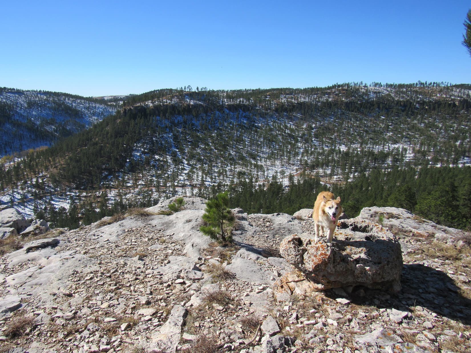
Upon reaching the crest of the green ramp, it was readily apparent that Lupe would have no trouble getting to the top of the rock wall to the N.  Unfortunately, the S wall was clearly higher and far more problematic.

A promising mini green ramp led to the top of the W end of the S wall.  Easy as pie, Lupe sauntered up for a look around.

About to take the mini green ramp up onto the S wall. Photo looks WSW.

Oh, good grief!  How on earth are we going to get over there, Loop?

As my personal representative, I’m looking at you, SPHP.  Have at it!

Looking E, the top of the S wall was surprisingly narrow, lumpy, and full of fissures.  Significant vertical drops on both sides made scrambling, or more likely, crawling clear over to the apparent high point, which was quite some distance away, dicier than anything either Lupe or SPHP was willing to undertake.  Climbing directly up to it from down below didn’t look possible, either.

Looking E along the S wall toward the high point (Center).

Hmm … well, let me see, Loop.  Let’s start with what’s possible without risking our necks.

SPHP headed E along the wall to the closest higher rocks, tagging their tops, which couldn’t have been more than a few feet lower than the more distant high point, with a front paw.  Peering over these rocks – nope, not going any farther!

Nicely done, SPHP!  I’m claiming a peakbagging success!  Close enough for Dingo work, even though that actually is Bruce Mountain’s true summit over there!

Yeah, seems to be, Loop.  We can see an awful lot of territory up here, and nothing else looks even close to being this high.

I know I’m right, SPHP!  I see a cairn, and a registry tube, too!

You do?

SPHP looked again.  Lupe was right.

True summit cairn and registry tube with help from the telephoto lens. Photo looks E.

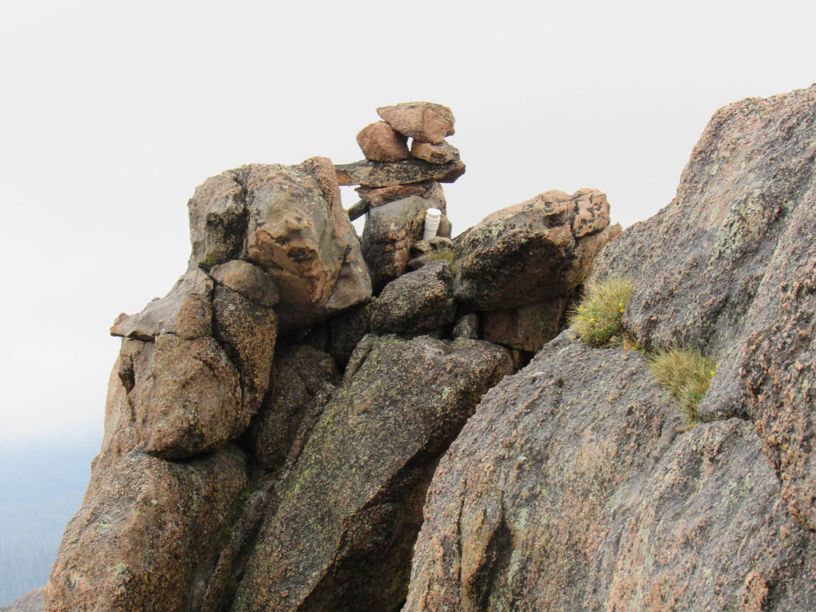
Well, I’ll be, Loop.  Yet another reminder that the world is full of clever people bolder and more capable than me.  Still, it sure would be nice to get your name on the registry in that tube.  This is a pretty cool summit!  Let’s go down and take a closer look from below.  After all, somebody made it up there!

Glancing over at the N wall before heading down the mini ramp. Photo looks N.

Directly below the true summit, with Loopster looking on, SPHP took off the Cookie Monster outfit, then gave it a go, attempting to scramble up a couple of cracks.  Got real close, too, before stalling only 3-5 feet below the registry tube.  SPHP clung to the cold rock, paws going numb, boots scraping away trying to find traction.  One more paw hold would do it!

Looking up the cracks. The registry tube is just out of sight. Photo looks ESE.

You’re almost there, SPHP!  Can you make it?

Maybe, if I give it all I’ve got.  Wish I was stronger!  I can see the tube just above me!  A few more feet and I can grab it.

SPHP hung up there several minutes.  Not to be.  Too intimidating.  Retreat!  Oh, to be a genuine rock climber!

As SPHP’s paws warmed up, further inspection revealed another route via a tiny ledge leading to a scramble to the top a bit E of the true summit.

Second attempt.  SPHP got onto the ledge, actually the narrow top of an almost vertical rock.  This time Lupe tried to follow.  Suddenly leaping onto the ledge, she found it too narrow to keep her balance.  To avoid an uncontrolled fall, she bounded lower.  Fortunately, there was something to bound to.  No harm done.

Second attempt: L on top of the lowest big rock R of Center then straight up at Center. First route visible at R.

Another failure.  SPHP again got close to the top, but the highest rocks were insurmountable.

That’s it, Looper!  Done!  Not happening.  Let the purists whine!

Shall we check out the N wall, SPHP?

Sure!

Lupe needed a boost to get started, but the rest was easy.  A couple of big rocks sat up at the high point.  Loop went right up next to them and might easily have gotten on top, but they were pretty airy.  Since they weren’t the summit, SPHP wouldn’t let her do it.  No point.

Next to the 2 highest boulders of the N wall. Photo looks E.

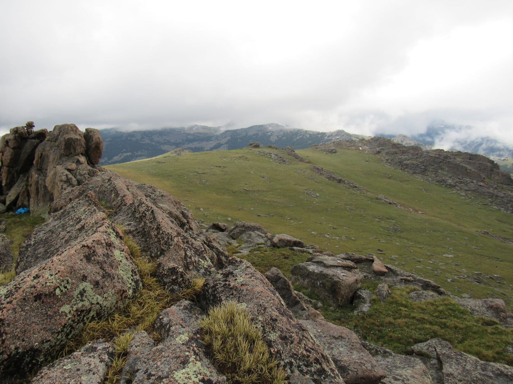
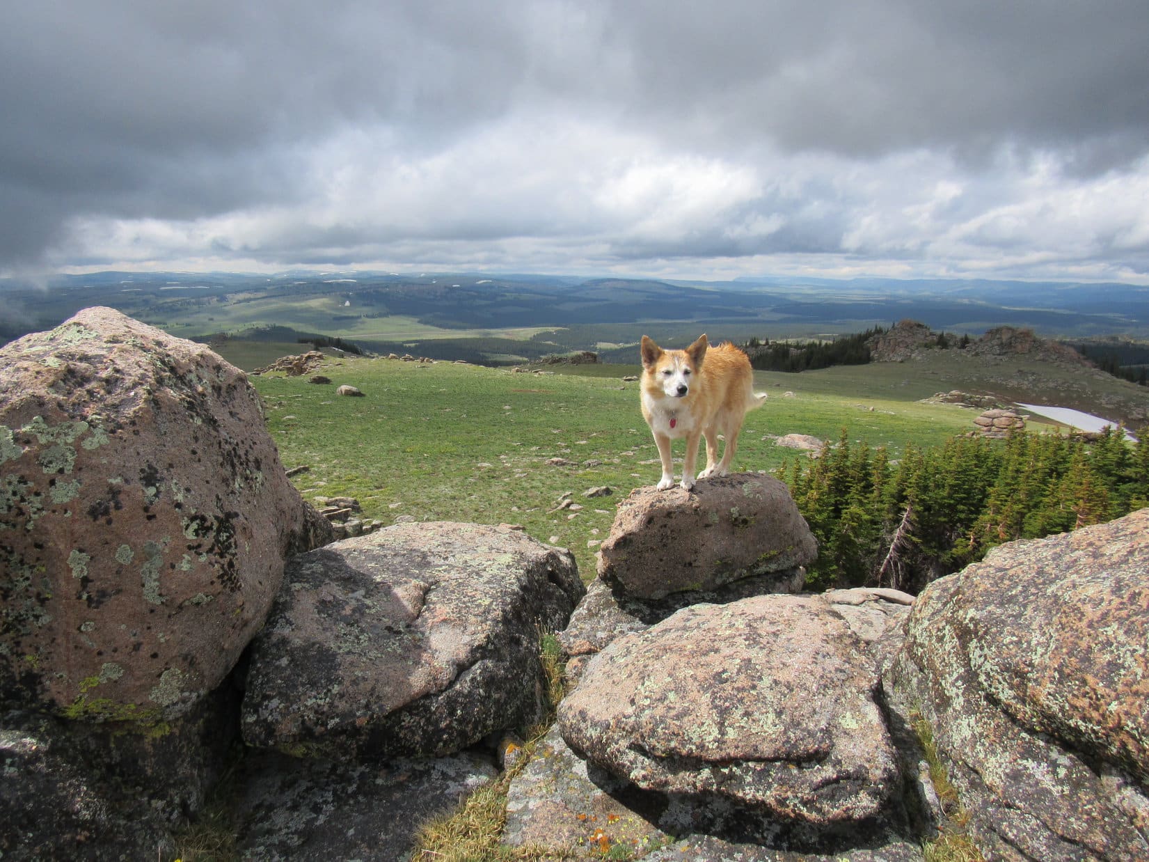
In any case, the views were wonderful!  The Bruce Mountain highlands extended another 1.5 miles NW, a beautiful, broad rolling plain dotted with boulders, and edged with stony fortifications.  Should have come up that way!  Nothing to it!

View from the W end of the N wall. Photo looks WNW.
The rolling highlands of Bruce Mountain. Photo looks NW.

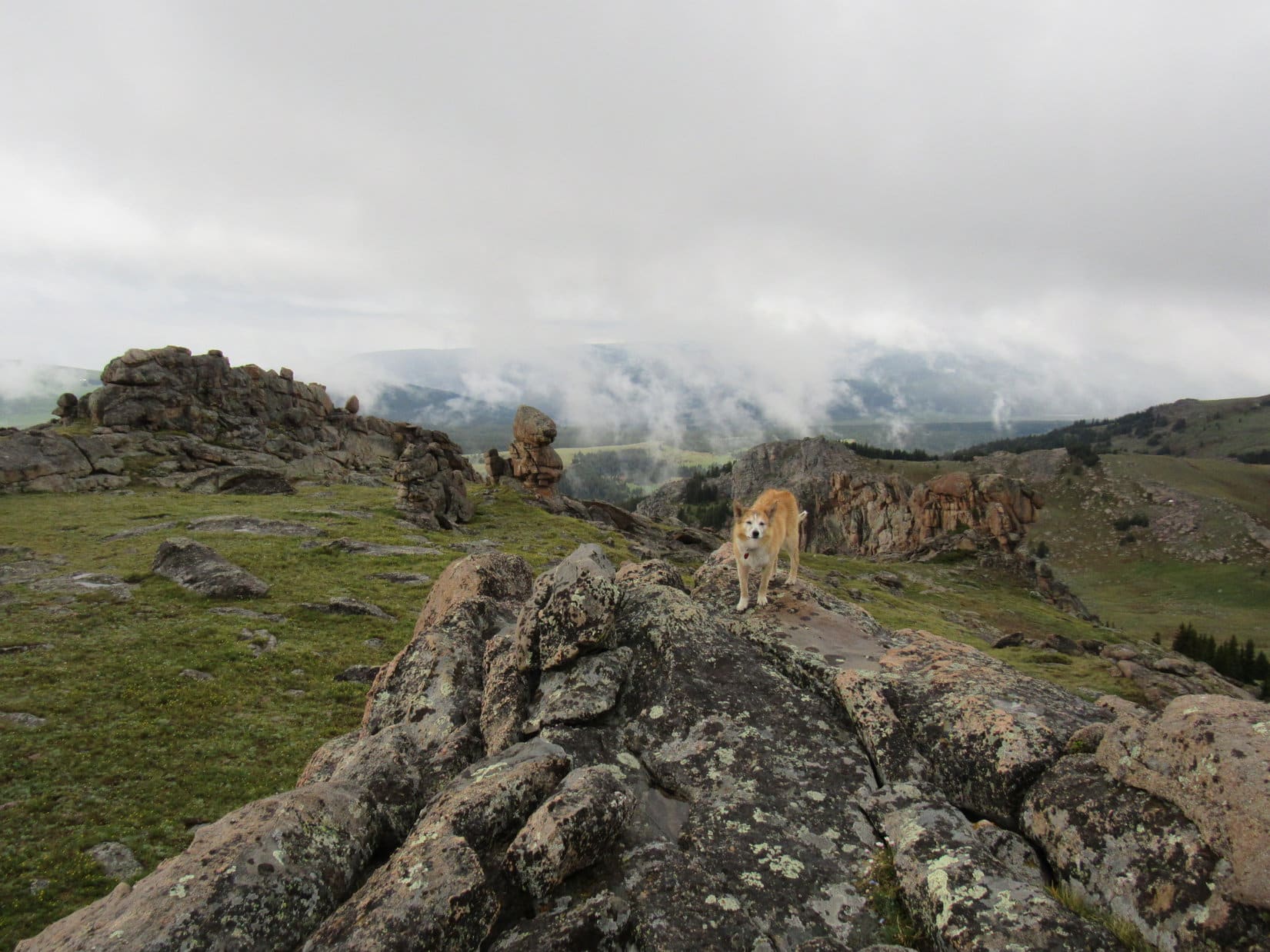
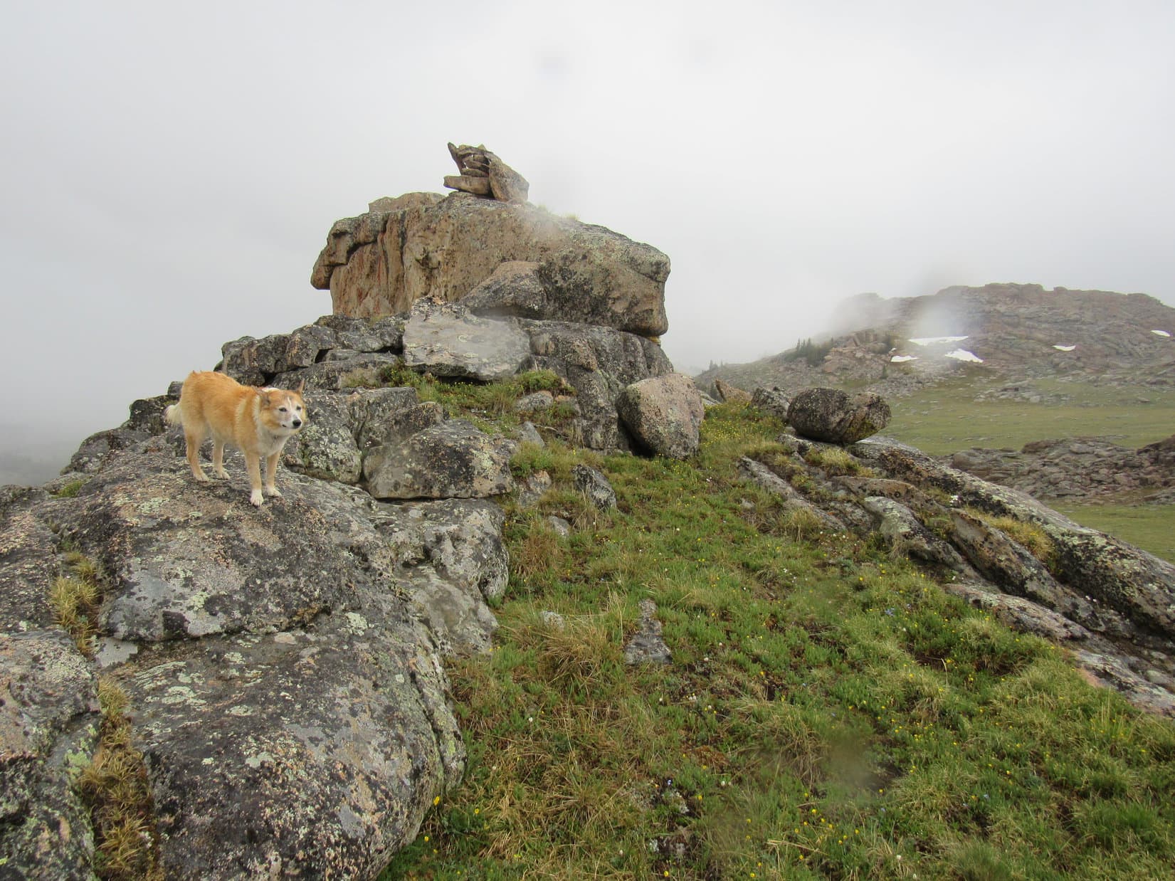
Exploring the highlands looked like fun!  Why not go back that way?  Lupe concurred.  First, though, she went back up the mini green ramp to revisit the highest point she’d reached on Bruce Mountain, up on the W end of the S wall.  From here she could see not only the true summit with it’s cairn and white registry tube again, but the region she’d crossed during the stormy part of her adventures on the way here.

On the W end of the S wall. Photo looks WSW.
Looking back at Bruce Mountain’s true summit (Center), SPHP’s blue rain poncho (Center) still stashed below it. Photo looks E.
The territory Lupe crossed on the way here. The wall of rock she unwillingly scrambled up (R), and the smaller one where she took shelter from the rain storm (Center) are both in view. Photo looks SE.
Final moments up on the S wall. Photo looks SSW.

Time to move on!  SPHP grabbed the pack and ancient blue rain poncho from where they were still stashed below the true summit.  As Lupe left Bruce Mountain’s summit region, another rain shower struck.  SPHP quickly donned the brilliant blue Cookie Monster costume again.  Meanwhile, the not-so-fortunate Carolina Dog endured another soaking.

Happily, the shower didn’t last long.  Soon the sun was peeping through the clouds.  Among yellow buttercups, Lupe headed down a gentle slope toward the enormous saddle connecting to the NW end of the highlands.

Suddenly, SPHP managed to trip and fall, even though there wasn’t a thing to trip on.

Heading off to explore the NW highlands. Photo looks NW.
Buttercups.

Nice going, Grace!  Are you alright?

Perfectly fine, Looper.  Thanks for asking.  Not sure how I did that.

You’re a companion of many … well, at least one or two … talents, SPHP!

Thanks for the vote of confidence … I think.

SPHP may have been fine, but the blue rain poncho SPHP still wore wasn’t.  The brittle old plastic, which had already borne numerous scars, was now virtually ripped in half.

Dang, Loop!  Look at what I’ve done to my rain poncho!  It’s in tatters!

Horrors!  I can’t believe it, SPHP!  It’s the final blow!  The ignoble end of your infamous Cookie Monster costume!

It was true!  The old blue plastic rain poncho that for countless years had made SPHP resemble the Cookie Monster every time it rained was now completely unusable.  The bitter end had arrived.  Nothing but garbage.  Still in shock, SPHP removed the cracked remains flapping in the breeze before they ripped further and fell off all on their own.

End of an era.  Nothing to be done about it.  Onward!  Puppy, ho!

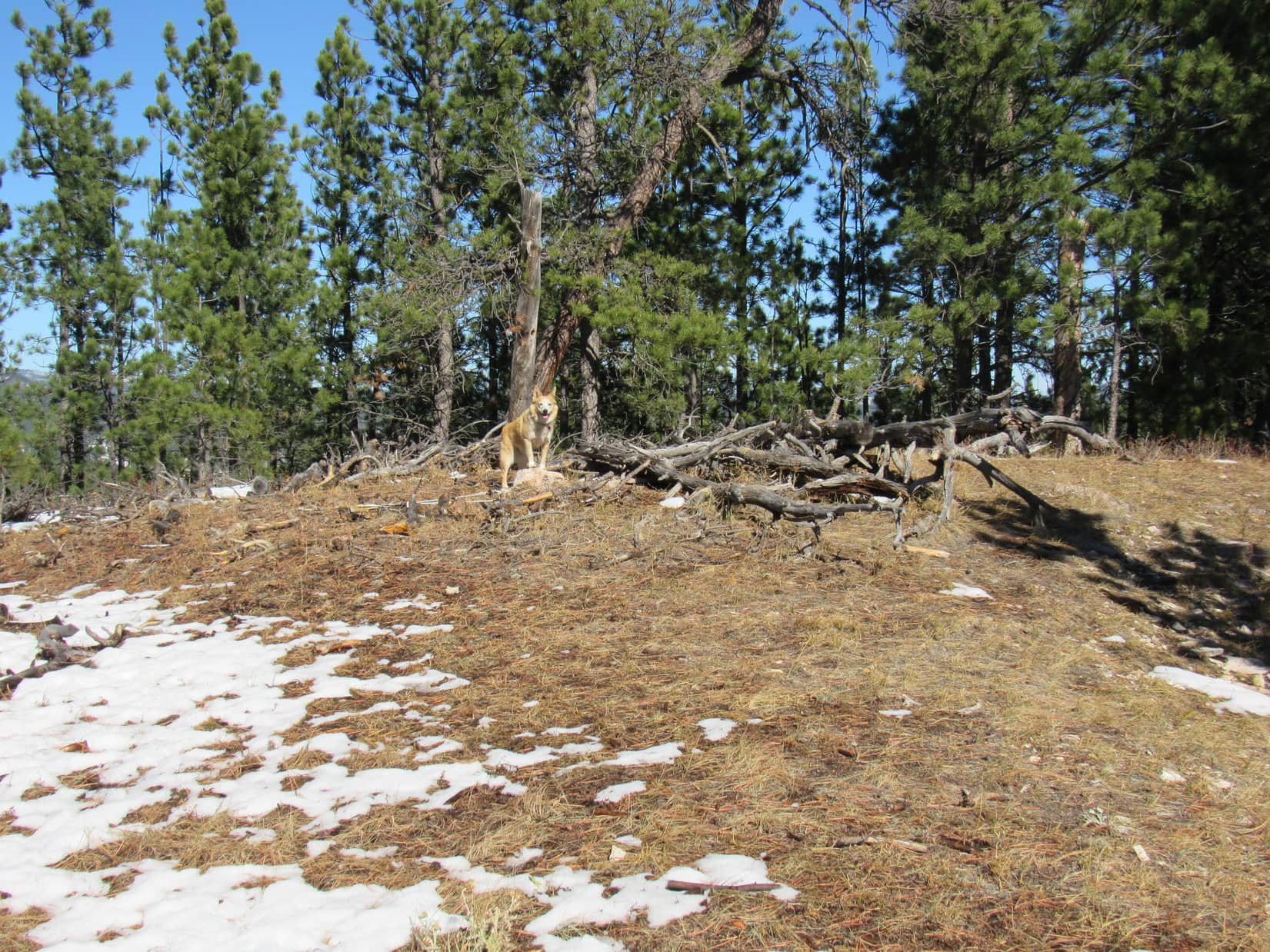
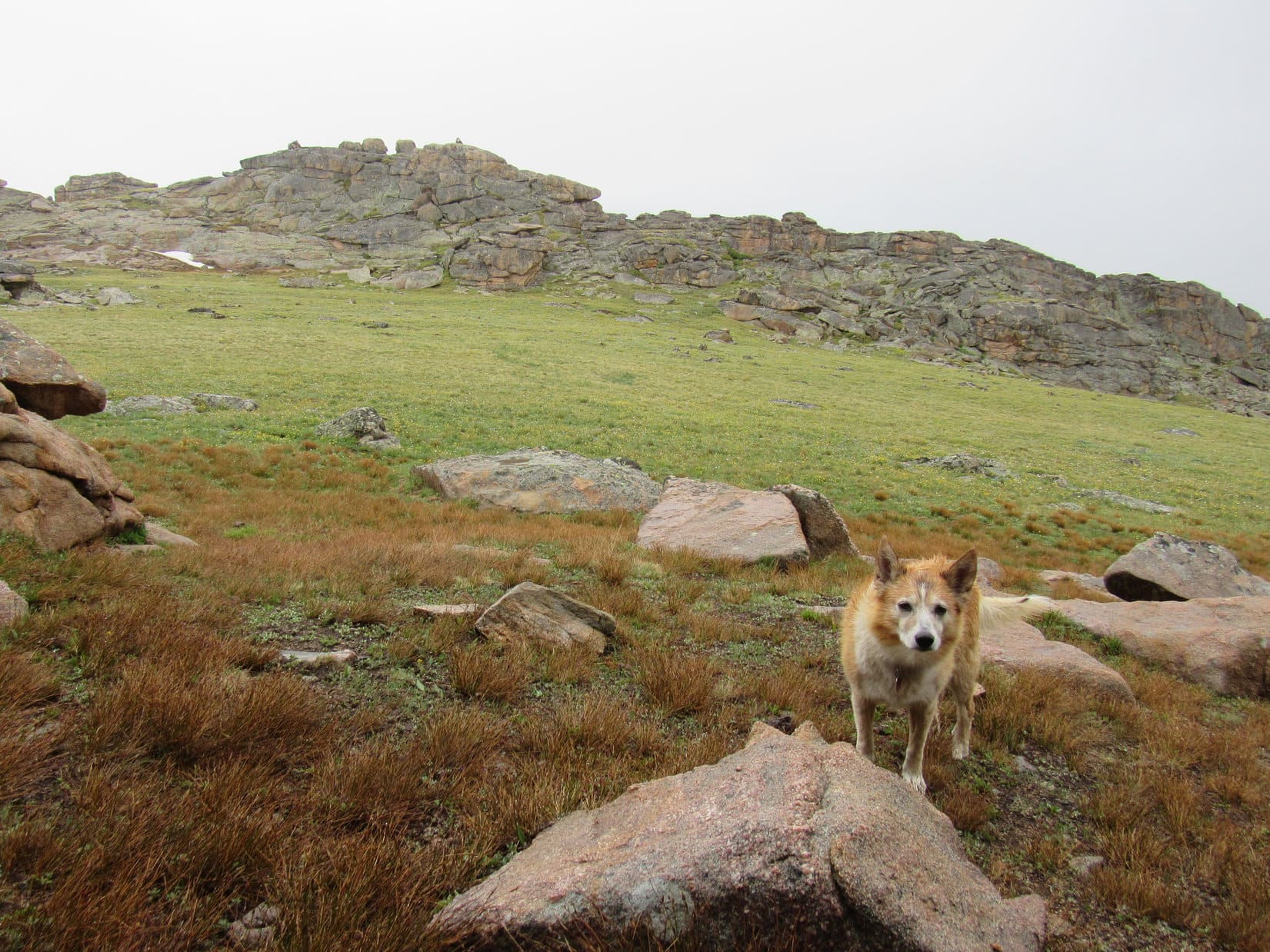
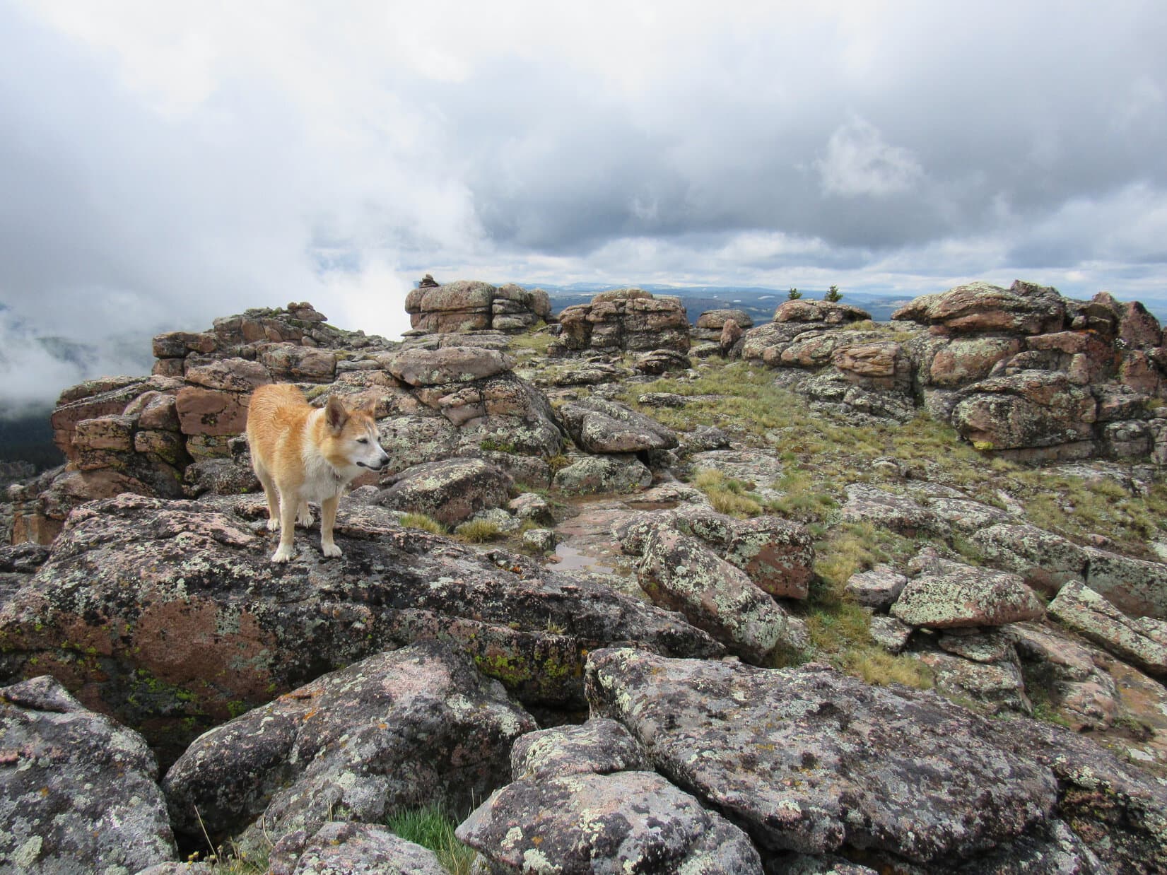
Clouds threatened, but it never did rain or mist again.  The rest of the long trek to Bruce Mountain’s NW highlands over the open plain was easy and enjoyable.  Lupe arrived at the highest ground to find a cairn perched near the mountain’s edge overlooking and surrounded by many interesting and beautiful rock formations.  This region was so scenic, that Looper took a break here.  SPHP shared not one, but two, chocolate coconut bars with her.

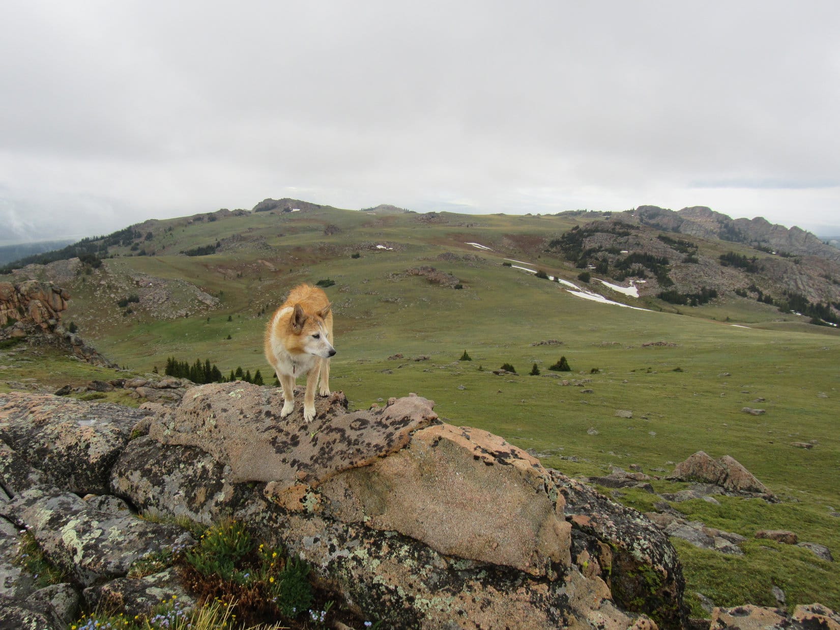
Chocolate coconut bars successfully dispatched, the Carolina Dog set about exploring the area.  Far to the SE, Bruce Mountain’s true summit was still in sight.

By the little cairn perched along the edge of the NW highlands.
Exploring Bruce Mountain’s scenic NW highlands. Photo looks NW.
Bruce Mountain’s true summit (R of Center) in the distance now. Photo looks SE.
True summit (R) with help from the telephoto lens.
Along the edge. Photo looks W.

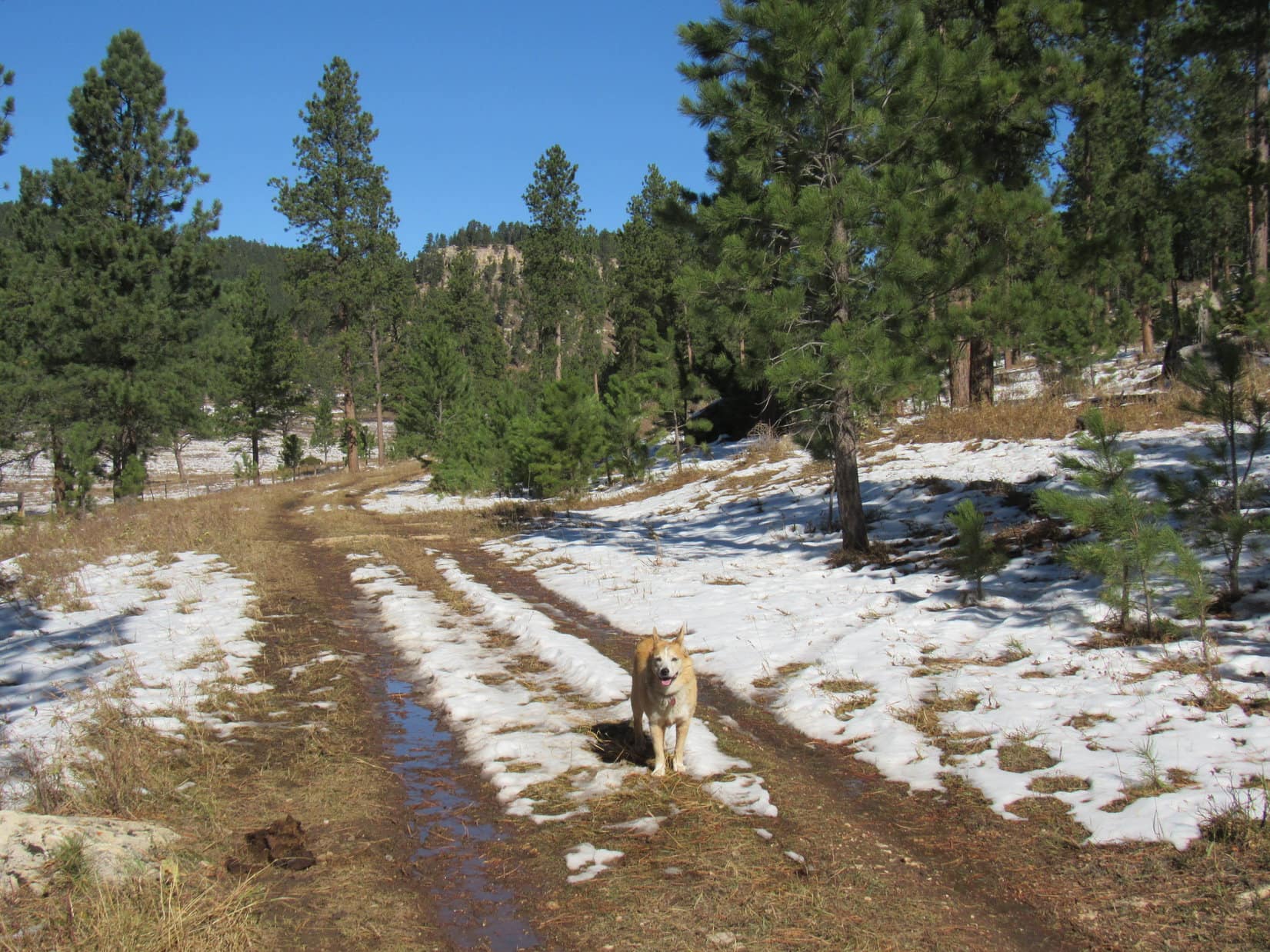
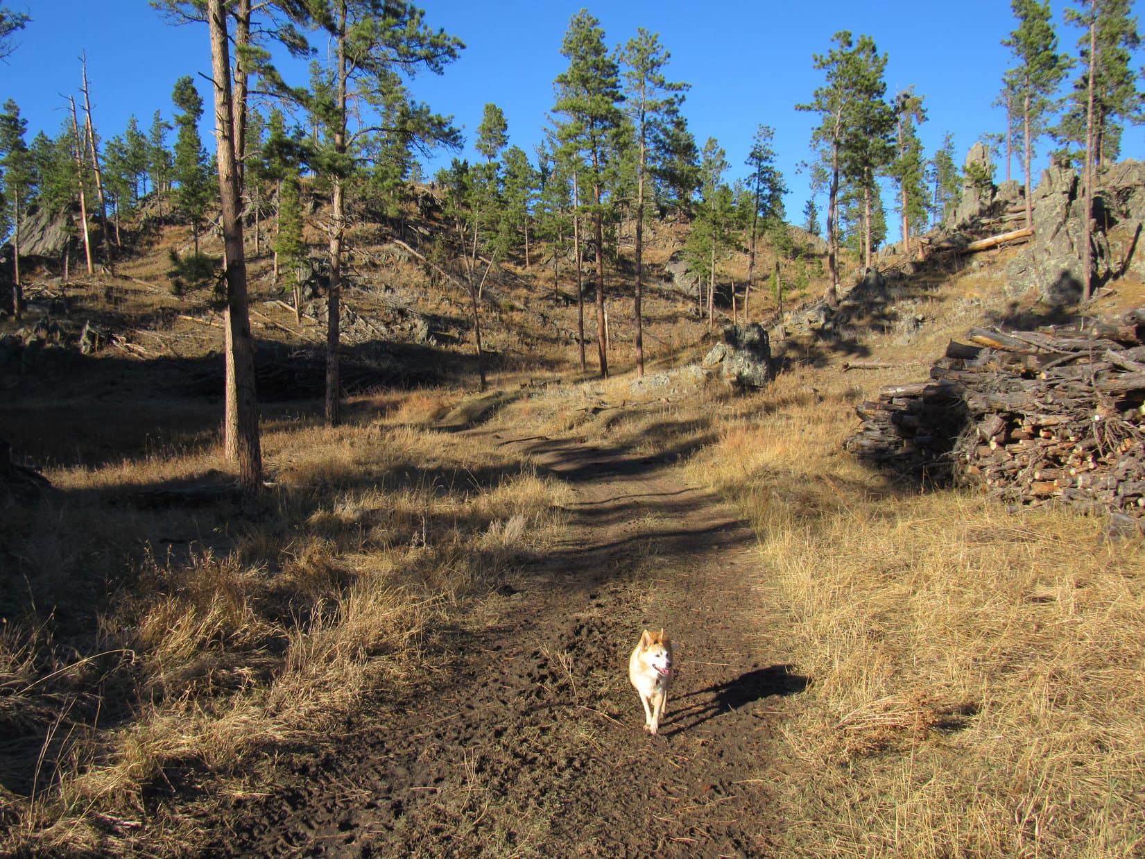
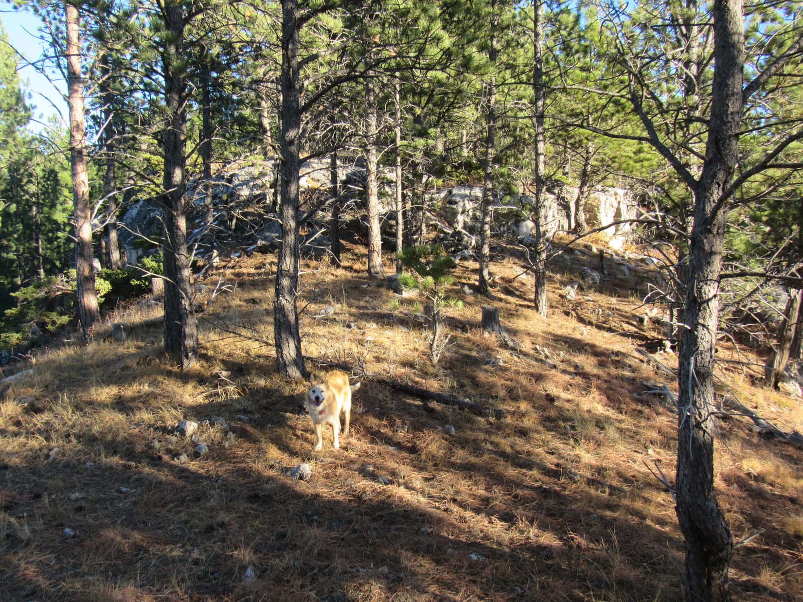
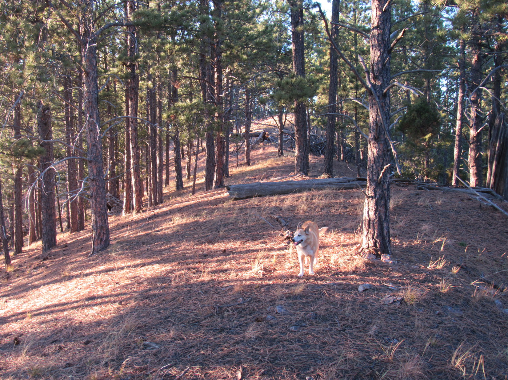
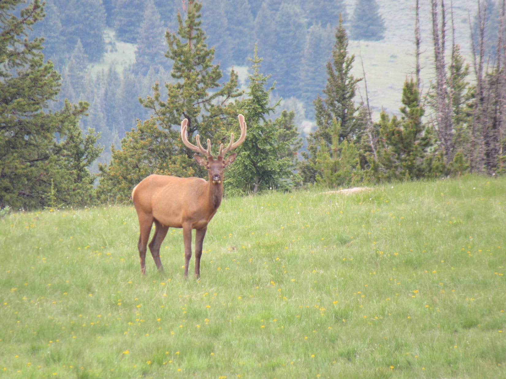
The rest of the return was a downhill march.  On open ground, Lupe continued exploring Bruce Mountain, descending its long NW ridge.  Near the lower end, the ridge became forested.  At a final big clearing, Loop was lucky enough to see 2 giant deers.

About to head down the NW ridge. Photo looks NW.
One of the giant deers.

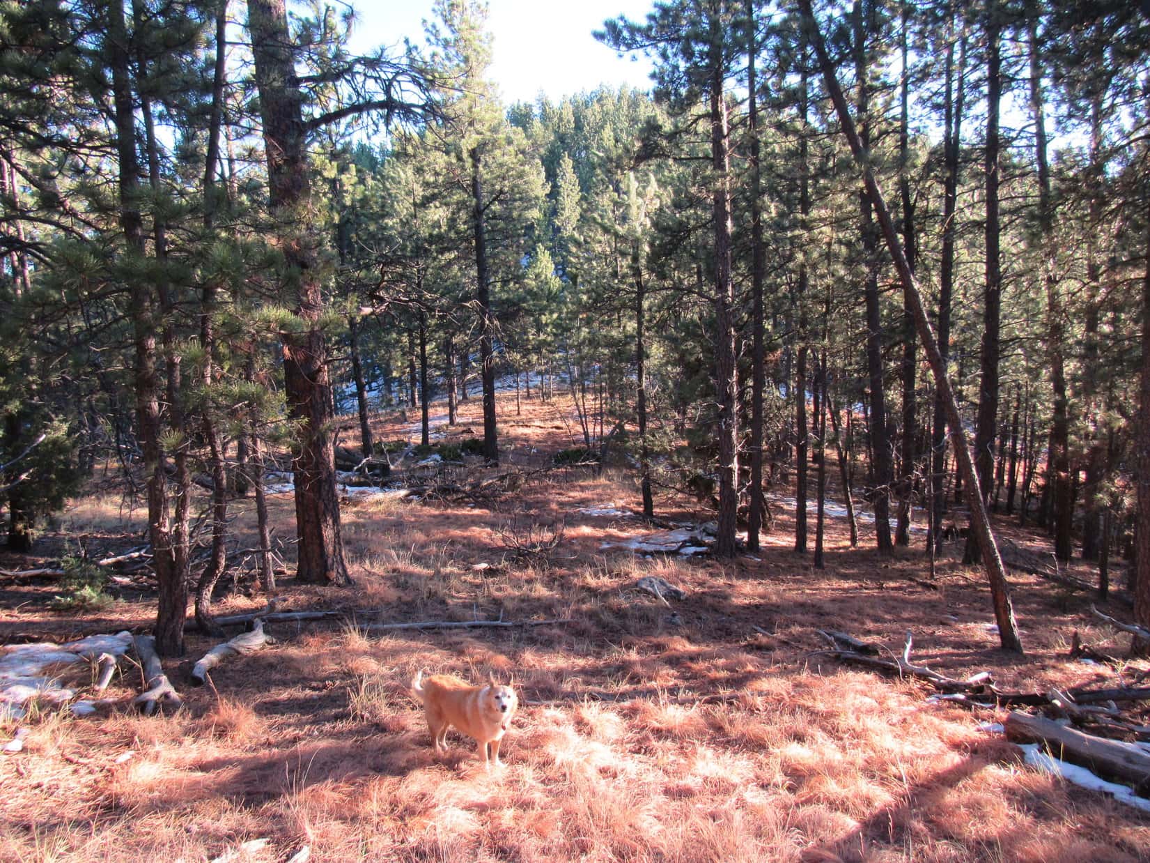
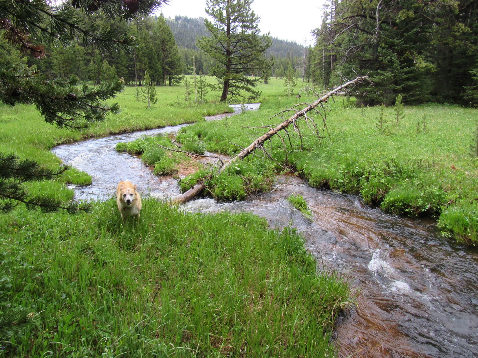
The clearing was the start of a steeper, but still very manageable descent through a beautiful forest.  At the bottom, Lupe reached the West Fork of the South Tongue River, which had to be forded.  Fortunately, it was still just a stream here, not really a river yet.

Wandering SW down through the forest.
By the West Fork of the South Tongue River prior to fording it. Photo looks SE.

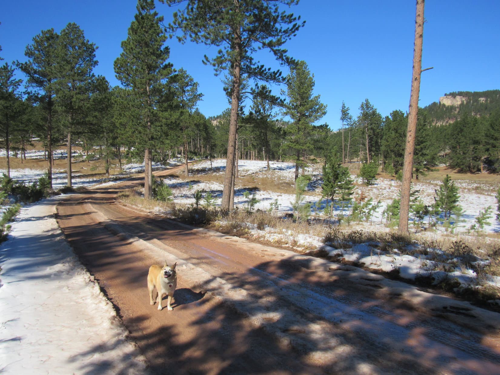
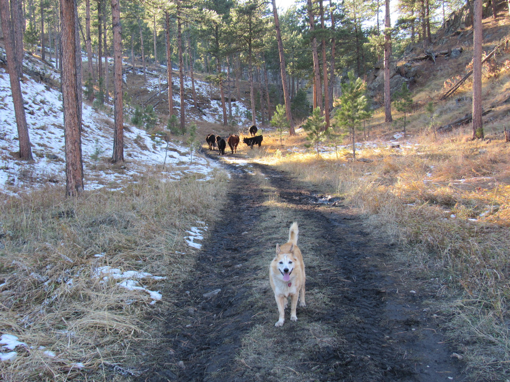
Heading W up an easy slope, then a short distance through level forest, the American Dingo popped out onto USFS Road No. 277 again SE of the big mud puddles covering the entire road, which were now bigger than ever after all the rain.  To avoid them, Loop paralleled the road heading NW through the forest until she got close to the gravel yard.

No more obstacles!  Only a road hike back to the RAV4 remained.  Later on in the evening, Lupe did get to see 3 moose, which was very exciting, but her big Bruce Mountain adventure was over.  (End 5:01 PM, 52ºF)

Bruce Mountain, Bighorn Mountains, Wyoming 6-25-21

Links:

Next Adventure                            Prior Adventure

Want more Lupe adventures?  Choose from Lupe’s Summer of 2021 Dingo Vacations to New Mexico, Wyoming & the West Coast Adventure Index, Dingo Vacations Adventure Index or Master Adventure Index.  Or subscribe free to new Lupe adventures.

Black Hills, SD Expedition No. 280 – Peak 6361 & Peak 5802 (10-17-21)

11:20 AM, 58ºF – W of Custer SPHP turned off Hwy 16, parking the RAV4 along Lightning Creek Road (USFS Road No. 288).  Lupe bounded out.  Blue skies, warm and sunny!  A superb day for a Black Hills expedition!

Snow left over from last week’s storm was melting away in the forest as Loopster trotted NW along Lightning Creek Road.  The Carolina Dog had barely gotten started, when she suddenly noticed movement down the steep bank to the E.

SPHP, look!  A buffalo!

Setting out on Lightning Creek Road. (USFS Road No. 288). Photo looks NW.

Yup!  There’s a bison ranch down there, Loop.

You mean to say that’s a tame buffalo, not a wild one?

Tame?  Hmm.  Don’t know I’d go that far.  Used to seeing people and traffic maybe, but bison have minds of their own.

I bet it’s delicious!

Delicious?  I’ll say!  Don’t go getting any ideas, though, Loop.  That buffalo is even bigger than it looks from up here.  Easily more than a match for any pipsqueak American Dingo, no matter how feisty.

Pipsqueak!

Yeah, pipsqueak, so leave that buffalo alone!  Come on, let’s go!  We’ve got mountains to climb!

Lupe hesitated.  The buffalo was fascinating!  When it just stood around for several minutes, though, the Carolina Dog finally decided she might as well move on, and went running off after SPHP.

Where the pines shaded it, Lightning Creek Road was sloppy with mud and slush from melting ice.  Loop soon came to a partial view of a long forested ridge.  Near the top, a seemingly unbroken line of limestone cliffs ran along its entire length.

Wow, might be harder than I thought, Looper!

Is that the mountain we’re going to climb, SPHP?

Yes.  One of them.  That’s Peak 6361!

Oh!  Another one of your numbered Lists of John peaks with more than 300 feet of prominence, SPHP?

Yup.  Figure we might as well do some of them, since you’ve already been to all the named peaks we can climb in the Black Hills, most more than once.  These Lists of John peaks are something new and different.  Never know what we might see!

Or not see, like a way up!

Eh, don’t worry about that yet, Looper.  Topo map looks like Peak 6361 might be easier from over on the other side of the mountain, so let’s head over that way to check it out.

Peak 6361 from Lightning Creek Road. Photo looks N.

As Lupe continued NW along Lightning Creek Road, SPHP kept an eye on Peak 6361.  There really didn’t seem to be any way up from the S.  Not too worrisome yet.  Loop probably really could climb it from the N.

Peak 6361’s true summit was near the E end of the mountain, but the biggest, most impressive cliffs were clearly way over at the SW end.  After summiting, Lupe ought to visit those cliffs!  The best views Peak 6361 had to offer might well be from up there.

Enjoying the trek along Lightning Creek Road. Photo looks NW.
Peak 6361’s SW cliffs (L). Photo looks N.

A mile from Hwy 16, Lupe came to some corrals shortly before reaching a junction with USFS Road No. 288.1A.  Taking a shortcut through a big parking area for horse trailers W of the corrals, she reached No. 288.1A NE of the junction.

Approaching the corrals near the junction with USFS Road No. 288.1A. Photo looks NNW.

More than 0.25 mile N on No. 288.1A brought Lupe to another junction, this time with No. 288.1B.  The Carolina Dog was now due W of Peak 6361.  A short section of No. 288.1B headed right for the base of the mountain, where the road forked again.

From here, No. 288.1B veered R (S), destined to curl around to the S side of Peak 6361, an approach that wasn’t going to work.  Loopster went L instead, taking No. 288.1C N.  To access this route, she had to go under an odd single strand bungie rope gate in a barbed wire fence.  Suspecting the rope might be electrified, SPHP was a little leery, but passed through without incident.

W end of Peak 6361 from the junction with USFS Road No. 288.1B. Photo looks ENE.
Heading for the N side of Peak 6361 on USFS Road No. 288.1C. Photo looks N.

As No. 288.1C swung around to the ENE, the N slopes of Peak 6361 began coming into view.  This side of the mountain was a lot snowier, but the terrain was otherwise much more favorable for an ascent.  No line of cliffs visible near the top!

Lupe stuck with the road, slowly gaining elevation, until she reached what appeared to be a favorable spot.  The Carolina Dog then left the road, plunging into the forest climbing SSE through 4″ to 6″ of snow.

Ridges across the valley from Peak 6361. Photo looks WSW.
N of the mountain. Lupe left No. 288.1C near this point. Photo looks E.
Heading up Peak 6361’s N slope. Photo looks SE.

The snowy ascent through the forest never got very steep.  Near the top, Lupe saw a yellow cliff off to the E, but never came to one herself.  A steady romp higher, and that was about it.

As the American Dingo gained Peak 6361’s main E/W ridge, she made an unexpected discovery.  A road was up here!  Apparently it originated somewhere farther E along No. 288.1C than Lupe had been.

On the unexpected road near the top of Peak 6361’s main ridge. Photo looks E.

Lupe had come up near the low point of the main ridge about a third of the way E along the mountain from the cliffs at the SW end.  Saving the views from those cliffs for last, Loop headed E looking for Peak 6361’s true summit.

The main ridge was plenty wide and almost flat.  Travel was easiest S of the crest where there wasn’t much snow.  Forest effectively hid the views, although there were tree-broken glimpses.  The terrain rose slowly as Lupe roamed E.  The ridge eventually narrowed somewhat.  Loop came to a path which began climbing a little more aggressively.  It soon brought her to the base of a small hill at Peak 6361’s far E end.

An easy stroll higher, and Lupe was at true summit of Peak 6361.

Up on the main ridge close to where Lupe first reached it. Photo looks E.
Exploring the forest on the way to the true summit. Photo looks ENE.
On the use trail where the ridge narrowed somewhat. Photo looks E.
Approaching the summit. Photo looks E.

12:57 PM, 64ºF, Peak 6361 summit –  Peak 6361’s summit had 3 lobes.  From a central high point, which was grassy and partly covered with old deadfall, an uninteresting NW lobe extended only a short distance into the forest.  Another short lobe went E, also into the forest.  As the top of a limestone outcropping, this lobe was more scenic.

The most interesting lobe was the SW one, which was somewhat larger than the others.  The SW lobe featured two cairns sitting next to each other near the best viewpoint, which was where Lupe first came up.  After venturing briefly over to the true summit, Loopster returned to this viewpoint to bask in the warm sunshine, and help SPHP polish off a chocolate coconut bar, a task effortlessly completed in nanoseconds.

Lupe followed up the chocolate coconut bar with some Taste of the Wild, while SPHP munched an apple.  Northeast Cicero Peak (6,240 ft.) off to the SE was the big view on display.

By the twin cairns where Lupe first reached the true summit region.
At Peak 6361’s true summit. Photo looks NNE.
The summit regions’ SW lobe from the true summit. Photo looks WSW.
Northeast Cicero Peak (Center) on the horizon. Photo looks SE.

By getting up and moving around the summit region a bit, other decent views were on offer from various gaps between the pines.  Lupe saw the plains of Wyoming far to the SW, and both Twin Sisters (5,920 ft.) and Peak 5802 to the SSE.  Loop had been to Twin Sisters before.  The plan was to climb Peak 5802 later on today.  It didn’t look very big from here.

Looking SW.
Twin Sisters (L of Center) and Peak 5802 (R of Center) are visible beyond the snowiest field. Photo looks SSE.
Peak 5802 (Center), which Lupe would be climbing later on today. Photo looks SSE with lots of help from the telephoto lens.

Since Lupe still intended to visit the viewpoint from the cliffs 0.5 mile away way over at Peak 6361’s far SW end before heading down the mountain, she spent only 35 minutes at the summit.  Before departing, she toured all 3 summit lobes, and briefly returned to the true summit.

SW summit lobe from the E lobe. Photo looks W.
Back at Peak 6361’s true summit. Photo looks NW.
Final moments up on the SW lobe before departure. Photo looks E.

As she headed back W, Lupe explored more of the main E/W ridge.  NE of where she’d first reached it earlier in the day she came to a fairly open area featuring just about the only view to the N from Peak 6361.  Nothing too dramatic, just some even higher forested ridges beyond the next valley.

View to the NW from the open area N of Peak 6361’s main ridge.

The far SW viewpoint was considerably lower than Peak 6361’s true summit, but did turn out to be a great vantage point.  Approaching it, Lupe discovered another trail heading that way.  As anticipated, this trail ended at a big flat spot, but instead of the expected exposed limestone, the ground was covered with pine needles.

Approaching the SW viewpoint. Photo looks S.
Surprise! Pine needles instead of exposed limestone. Photo looks SW.

Turned out that the limestone platform was actually a bit lower beyond the initially visible edge.  A short easy slope led down to it.  Venturing out onto the platform for a look around, the views were certainly worth the effort expended to get here!

Out on the limestone platform of Peak 6361’s far SW viewpoint. Photo looks SW.
USFS Road No. 288.1A is visible down in the valley. Photo looks W.
Looking SW with help from the telephoto lens.
Intersection of USFS Roads No. 288 and No. 288.1A (L). Photo looks W.
Looking SE.

Satisfied with her SW viewpoint experience, Lupe returned to the road she’d found earlier, following it all the way back down the mountain.  Sure enough, it linked up with USFS Road No. 288.1C well E of where she’d left it.  Enjoying a pleasant, easy return, Loop retraced her former route back to the RAV4.  (3:12 PM, 71ºF)

Back on USFS Road No. 288.1C during the return. Photo looks W.

Mid-afternoon on a short October day, Peak 5802 was too far away to simply hoof it on over there from where the RAV4 was parked, so SPHP had to drive a bit to get closer.  On the way, 3.5 miles S of Hwy 16 along Pleasant Valley Road (USFS Road No. 715), there was a curious site – a pullout by a big rock with a plaque on it.

Eh, why not?  SPHP stopped so Lupe could take a look.  The plaque and a wooden sign nearby both bore a distressing message.

It’s a lie!  A complete and total lie, SPHP!  We both saw the proof just a few hours ago!  Why is this here?  Who would ever do such a terrible thing?

At Buffalo Rock.
The evil plaque.
Collaborated by this fading sign.

Says right here on the plaque, Loop – Joe Heumphreus, Bob Patterson and Charley Sager.

Well. that’s awful!  It’s not true, either, SPHP!  We saw that buffalo on the way to Peak 6361 today!  Remember?  It was alive!  We’ve seen plenty of other buffalos in the Black Hills, too!  Custer State Park has hundreds of them, maybe thousands!

About 1,300 to 1,500, I think.  The sign is probably right, though, Loop.  The last native buffalo in the Black Hills probably was killed here in 1884, but there were still some buffalo left in Yellowstone and a few other spots.  Wind Cave National Park eventually acquired 14 buffalo in 1913, and Custer State Park brought in another 36 buffalo the following year.

Oh!  Really?  That’s why we still see buffalo?

As far as I know, yes.  The parks aren’t the only places with buffalo these days.  There are private herds owned by ranchers, too.  The bison we saw this morning was part of a private herd.

Well, however they got here, I’m glad there are still buffalos in South Dakota, SPHP!  Hope no one ever kills the last one again!

Me, too, Looper! 

3:37 PM, 68ºF – Roughly 0.6 mile S of Buffalo Rock, SPHP turned off Pleasant Valley Road onto USFS Road No. 715.3L, parking the RAV4 on a grassy slope.  Getting a little late in the day, but Peak 5802 was only about a mile NW as the crow flies.  Lupe could start for it from here.

About to set off for Peak 5802! Photo looks W.

In the shadow of a mountain to the W, USFS Road No. 715.3L was sloppy with mud and slush as Lupe followed it NW.  0.5 mile brought her to a fork where No. 715.3M split off heading WNW.  Peak 5802 was already in sight, but looked quite steep from here.

A check of the topo map showed that the easiest route up was likely from the E on a slope N of the mountain.  Since No. 715.3L would go right past the base of that slope, Lupe stuck with it, staying to the R.

Peak 5802 dead ahead! USFS Road No. 715.3M (L). Lupe went R sticking with No. 715.3L. Photo looks NW.

No. 715.3L now went N avoiding a ranch to the E.  The road gradually lost elevation, reaching a low point less than 0.25 mile NW of Buffalo Rock, which wasn’t visible from here.  No. 715.3L then turned NW going up a narrow valley.  A small herd of cattle, concerned by the unexpected appearance of an American Dingo, led the way.

Near the low point of USFS Road No. 715.3L as it heads around a ranch. Buffalo Rock is out of sight just beyond the hillside L of the buildings. Photo looks SE.
Starting up the narrow valley. Photo looks N.
Following cows, much to Lupe’s delight! Photo looks NW.

About a mile from the fork where No. 715.3M had split off, No. 715.3L flattened out.  Lupe left the road here heading W up a forested slope, gradually curving SW as she climbed higher.  The slope steepened and became snowier as she approached a saddle on the ridge to the W, but getting up there was no problem.  A short break was taken up on the ridgeline, which was sunny and snow-free.

Heading higher shortly after leaving USFS Road No. 715.3L. Photo looks WNW.
Up on the sunny ridgeline. Photo looks SE.

Loop was now 0.25 mile N of Peak 5802, already at 5,700 feet.  Heading SE after her break, she climbed a rock outcropping where the ridge was very narrow.  These rocks provided a view of Twin Sisters (5,920 ft.) to the NNE.  Sylvan Hill (7,000 ft.) and Black Elk Peak (7,231 ft.) were also visible in the distance.

Twin Sisters (L), Sylvan Hill (R of Center), and Black Elk Peak (R). Photo looks NE.

Beyond the rocky viewpoint, the ridge broadened out.  Lupe started up a gently-sloping forested hill.  Angling S to avoid having to go all the way to the top, she was soon past the hill on a shallow descent toward the saddle leading to Peak 5802.

At the saddle N of Peak 5802 (Center). Photo looks S.

Crossing the saddle, a moderately steep trek 100 feet up Peak 5802’s N slope, and the American Dingo was there.

5:11 PM, 66ºF, Peak 5802 – The true summit, which was right where Lupe came up, was a small knoll a few feet higher than than anywhere else on a 500 foot long summit ridge that curved away to the SE.  To the W, the ridge extended only another 25 feet.  Ponderosa pines blocked the views to such an extent that there really wasn’t much to see.  A narrow view of Parker Peak (4,848 ft.) far to the S was about it.

Arriving at the true summit of Peak 5802. Photo looks SSE.
Parker Peak, the high point of Fall River County, is the distant barren hill at Center. Photo looks S with help from the telephoto lens.

The sun was already getting quite low.  After tagging the high point, Lupe explored the SE ridge.  A single large boulder sat at the far end next to where the ridge began dropping off steeply.  Loop got up on it briefly before returning to the true summit.

Exploring the SE portion of the summit ridge. Photo looks N.
On the boulder at the S end. Photo looks SE.

Shall we take a break here, Loopster?  Just to absorb a little Peak 5802 ambiance?

Sure, SPHP!  Kind of quiet up here, though, and not much to see, either.

Sometimes that’s just the way it goes, Loop.  Not every mountain is going to turn out to be a scenic wonder.  They are all unique, though, and simply being up here together sharing the experience makes it a special place.  How many other Dingos have ever been to Peak 5802?  Hardly any, I bet!

You’re right, of course, SPHP!  We like the peace and solitude, don’t we?  Still, the ambiance could be improved.

How so, Loop?

Got another chocolate coconut bar in the pack?

As a matter of fact, I do!  Hang on, I’ll get it!

The sun was about to set when Lupe started down.  At the saddle just N of the true summit, SPHP peered down the steep slope to the W.  Looked doable, and would be a bit of a shortcut back to the RAV4.  The Carolina Dog gave it a go.

Turned out that a jeep trail must have come up this way once upon a time.  As Lupe lost elevation, the faint old road became more and more apparent.  Hundreds of feet lower, the road faded away again, the slope of the hillside diminishing as Loopster entered a big valley.  Gradually turning SW, the Carolina Dog eventually reached a much better road.

USFS Road No. 715.3M?  Probably.  Following the road SE for nearly a mile confirmed SPHP’s suspicions.  Lupe arrived back at the fork where No. 715.3M left No. 715.3L.  Still 0.5 mile to go to get back to the RAV4.

Splish-splash!  At the end of a perfect day, her belly dirty and wet, Lupe trotted along the muddy, slushy road in the gathering gloom happy as could be.  (End 6:41 PM, 42ºF)

Peak 5802, Black Hills of South Dakota, 10-17-21

Links:

Next Black Hills Expedition                    Prior Black Hills Expedition

Want more Lupe adventures?  Check out Lupe’s Black Hills, SD & WY Expeditions Adventure Index, Master Adventure Index, or subscribe free to new Lupe adventures!