The Shirley Mountains High Point & Quealey Benchmark, Wyoming (6-14-17)

Day 7 of Lupe’s 2017 Dingo Vacation to the Laramie Range, Wyoming & Beyond!

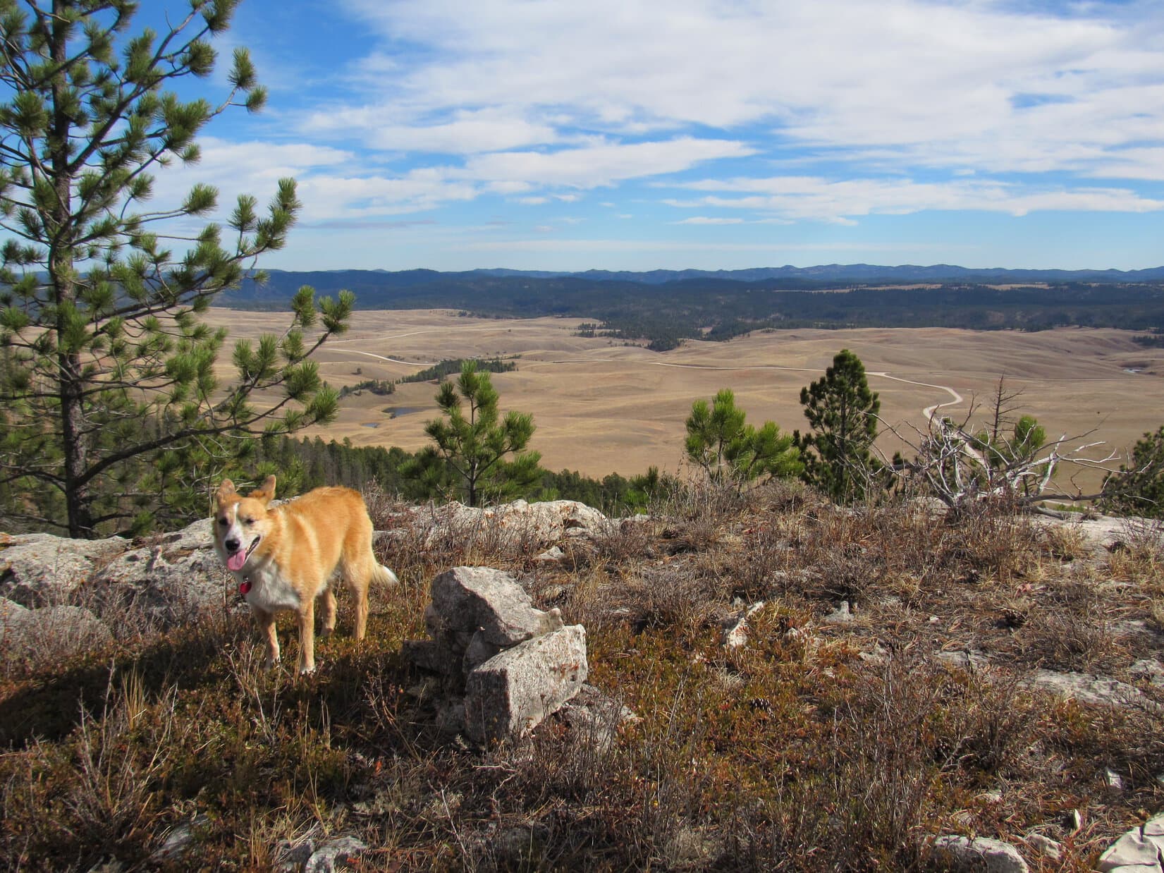
S of Casper, roughly a mile W of Hwy 77, the wide, dusty gravel road (County Road No. 105) came to a “Y”.  Off to the SW, beyond an expanse of prairie, rose an isolated mountain range.  Although reaching more than 9,000 feet in elevation, these mountains didn’t appear particularly high, rugged or striking.  The Shirley Mountains looked more like a collection of big forested ridges.

The isolated Shirley Mountains weren’t particularly rugged, appearing more like a collection of big forested ridges. Photo looks SW.

Lupe was coming to visit the Shirley Mountains High Point (9,151 ft.), but SPHP knew next to nothing about this place.  Copies of an old topo map showed a long dotted road winding 7 miles or so in from the N that passed near the high point.  A 4WD road?  Probably.  In that case, the G6 wouldn’t be able to do it.

That wasn’t the real issue.  The Carolina Dog could travel the 7 miles on her own easily enough.  Two other questions loomed larger.  First, was there even access?  This might be all private land.  In that case, some landowner would have to be sought out, and permission obtained to even enter the area.

Second, even if access was available or could be obtained, did the road shown on the map exist in good enough condition so Lupe could follow it?  If not, the American Dingo might end up lost in the forest, as SPHP tried to make sense of a multi-mile bushwhack based solely on the old topo map.  These mountains didn’t appear to have many prominent features to orient by.  Wandering around up there might prove confusing.

A sign at the “Y” was somewhat encouraging.  Left was BLM Road No. 3115 (E end).  Right was the way to BLM Road No. 3115 (W end) in 6 miles, County Road No. 291 in 19 miles, and Miracle Mile in 25 miles.  A BLM road going up into the Shirley Mountains at least meant there was public access!

SPHP took a L driving S toward (on?) BLM Road No. 3115 (E end).  Lupe rode with her head out the window.  She was loving this!  Herds of pronghorn antelope were out on the prairie.  Unlike cows and horses, the antelope paid attention to the yippy-yappy Dingo.  Racing across the prairie, they inspired even more vigorous, frantic Dingo antics.  No doubt about it, as far as Loop was concerned, the day was off to an exciting, exhilarating start!

SPHP wasn’t nearly as thrilled.  The whole trip S on BLM Road No. 3115 (E end) was a fiasco.  After exploring 3 more “Y’s”, including a useless trip W partway into the impressive Creek Land & Livestock Company ranch, a road could be seen going W up into the Shirley Mountains.  The stony, rutted remnant of a road the G6 was on appeared to link up to it a few miles farther on.

No way!  The G6 was getting beat to death on this miserable excuse for a road.  Continuing without high clearance and a rugged suspension system was a disaster waiting to happen.  Disaster wasn’t likely to hold off much longer, either.  SPHP did the prudent thing and turned around.

Another jarring, nerve-wracking, exciting ride back past the antelope ensued.  To SPHP’s great relief, Lupe reached the first “Y” again.  This time, SPHP drove W on County Road No. 105.  This road did not deteriorate, and some 6 miles farther on Lupe reached another intersection.  A sign indicated that a side road going S was Shirley Mountains Loop Road No. 3115.  Prior Flat Campground was 0.4 mile away.

Hmm.  It was a bit odd that BLM Road No. 3115 (West End) apparently entered the Shirley Mountains from the N instead of W, but whatever.  No point in quibbling.  SPHP was actually rather pleased.  This might be the same road shown on the topo map, in which case Lupe would have public access all the way to the Shirley Mountains High Point.

SPHP made the turn S.  0.4 mile up a grassy slope, Lupe arrived at Prior Flat Campground.

Lupe arrives at Prior Flat Campground. The campground is tucked up against the trees at the N end of the Shirley Mountains, and features an expansive view of Prior Flat, a huge open prairie to the N.

Prior Flat Campground was awesome!  Two loops with campsites were tucked up in or near the trees at the base of the N end of the Shirley Mountains.  To the N was an expansive view of Prior Flat, a broad prairie.  Beyond were thirsty-looking low mountains, ridges and hills.

The whole place felt remote, abandoned.  Not a soul seemed to be around, and apparently the campground was free!  No mention of fees or registrations required anywhere.  A most excellent situation!  Lupe and SPHP grabbed a spot along the W loop, backing the G6 into the shade of aspen trees near a picnic table.

Lupe on open ground within the rail fence serving as the N boundary of Prior Flat CG. On the R, Country Road No. 105 winds away off to the W. In the foreground, Shirley Mountain Loop Road No. 3115 goes right through the CG. Photo looks W.

After a quick bite to eat, Lupe and SPHP left the G6 at the campground, and started up Shirley Mountain Loop Road No. 3115 (11:04 AM, 52°F).  For nearly a mile, the road went steadily SW up a forested valley.  SPHP was quickly convinced this was Prior Draw.  Lupe was on the exact same road on the old topo map that would lead her close to the Shirley Mountains High Point.

At the upper end of Prior Draw, the road turned E near a saddle on a ridge to the S.  Lupe left the road and climbed up to the saddle.  She had a view to the SW, but was more interested in a lone snow bank back in among the trees.  After frolicking and cooling off on the snow, Loop returned to the road.

At the upper end of Prior Draw, Lupe was more interested in this nice, cold snow bank than the view. Photo looks SSW.

No. 3115 now went 0.5 mile SE, then 1.0 mile S.  Lupe gained elevation the whole time.  The forest sometimes gave way to large, open meadows.  A high, distant mountain could be seen off to the W, but SPHP was uncertain what mountain that might be.  After passing by driveways to a couple of cabins in a more wooded area, Lupe reached flatter, open ground.

The Carolina Dog was getting fairly high up now.  Ahead she could see a tower at the top of a ridge.  This tower was at High Point 8712 on the topo map.

Approaching the tower at High Point 8712. Photo looks SE.

Lupe followed No. 3115 to the top of the ridge.  Two side roads, not far from one another, led off in different directions.  The first road went NE to the tower, which was now close at hand.  The second road disappeared into a forest to the WSW.  Instead of going to the tower, Loop took the road into the forest.  This had to be the way to Peak 8720.

Peak 8720 was a Brian Kalet peak, meaning simply that Brian Kalet, a prolific peakbagger, had entered the mountain into the Peakbagger.com database that Lupe also uses to track her ascents.  Early in 2017, Lupe had visited quite a number of Brian Kalet peaks in the southern Black Hills.

Since the Peak 8720 summit was only a 0.5 mile side trip, Lupe might as well visit this Brian Kalet peak, too!  She’d already basically climbed it.  The top of the mountain was no more than 40 to 60 feet higher than where she was now.

The side road going through the forest brought Lupe to a humongous snow drift.  The road disappeared beneath it.

The side road going WSW through the forest brought Lupe to this humongous snow drift!

The giant snow bank was just inside the W edge of the forest.  The snow must have drifted in last winter driven by winds sweeping over a huge flat meadow that was directly ahead beyond the trees.  Since the road disappeared beneath the snow, Lupe had no choice but to go right over the drift, a task she thoroughly enjoyed.

On the other side of the snow bank, the road reappeared.  Lupe followed it as it emerged from the forest and continued through the meadow.  The terrain was flat as a pancake.  The meadow extended all the way to the edge of a canyon, but the road turned N halfway there.  Lupe left the road to go find out what could be seen from the meadow’s edge.

A strong W wind swept across the meadow.  Lupe was traveling right into the teeth of it.  The wind grew stronger and stronger as she neared the edge of the meadow.  By the time she got there, Loop was standing in a gale.  She had a good view of the Cave Creek valley below, and mostly forested mountains and ridges beyond.

Looking W across Cave Creek valley from Peak 8720. The W wind coming from behind Lupe was a gale here near the edge.

The view was nice, but Lupe didn’t want to linger in this gale any longer than she had to.  According to the topo map, the true summit of Peak 8720 was somewhere in the nearby forest to the N.  Among the trees and away from the edge, it wouldn’t be nearly so windy over there.  Lupe was more than happy to go looking for the summit.

As the map indicated, the terrain was somewhat higher in the forest than in the meadow, but not by an awful lot.  This whole area varied very little in elevation.  Lupe and SPHP marched around for a while looking for a clear high point, but found nothing obvious.  Close enough for Dingo work!  Lupe posed for a photo at a point that seemed to be about as high as anywhere else, and called it good.

At the official Dingo summit of Peak 8720! Calling it good, right here!

No more time to waste on this!  Lupe still had miles to go to get to the Shirley Mountains High Point.  She left Peak 8720’s official Dingo summit heading back out of the woods and across the big, windy meadow.

After visiting Peak 8720’s Dingo summit, Lupe heads back across the windy meadow. The humongous snow drift is still ahead out of sight on the L at the edge of the line of trees in the distance. Photo looks SE.

Lupe returned to BLM Road No. 3115 again near the tower at High Point 8712.  No. 3115 had been quite a good road all this way.  SPHP might easily have driven the G6 this far.  This would have been about it, though.  As Lupe continued SE on No. 3115, the road lost elevation steadily and became rougher than the G6 would have liked.

More than a mile S of the tower, No. 3115 bottomed out where it crossed a small, clear stream only a few feet wide.  This was Cave Creek.  Lupe took a little break here for water and Taste of the Wild.  She had lost more than 450 feet of elevation since leaving Peak 8720, and was about to have to regain all of it and more.

Break time done, Lupe crossed Cave Creek.  A long, dull, dusty road trek ensued.  No. 3115 went SW for 0.80 mile, ultimately climbing a good way up a steepish hill.  It then turned and went S more than a mile before bending to the SE.  Most of the terrain was forested, but Lupe came to scattered meadows, too.  A few brief downhill sections broke an otherwise steady grind higher.

Lupe passed a few minor side roads, which went who knows where?  None of these roads, including No. 3115, had any traffic at all.  Signage was missing or meaningless.  No. 3115 eventually topped out at a large, tree-rimmed meadow.  The road turned E here, then began losing elevation.  Lupe quickly came to what appeared to be a more significant intersection.

A sign at the intersection meant nothing to SPHP, but less than a mile off to the SE Lupe could see a forested hill a couple hundred feet higher than where she was now.  The Shirley Mountains High Point?  Although certainly ready to get there by now, SPHP hoped that wasn’t it.  It didn’t look like Loop would see anything but trees from there.

This sign at the intersection meant nothing to SPHP, but Lupe could see a higher forested hill from here less than a mile to the SE. SPHP suspected that hill might be the Shirley Mountains High Point. Photo looks N.

Lupe stayed on No. 3115 going E from the intersection.  The road dipped a little more, then angled SE climbing the forested hill she had seen.  When No. 3115 looked like it was about to start losing elevation again, Lupe left it.  If this hill was really the Shirley Mountains High Point, the summit ought to be only a couple hundred yards to the SW from here.

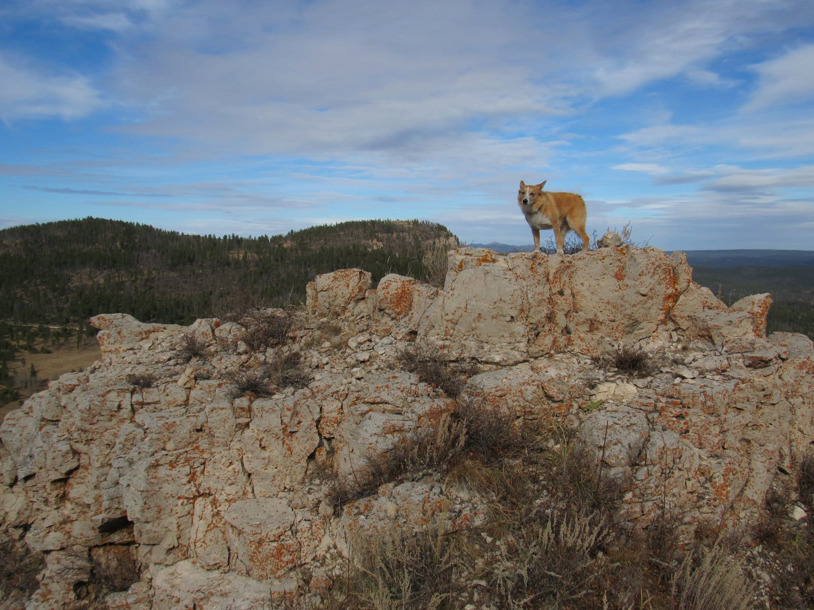
A small meadow sloped up toward open forest.  In the forest, Loop found several rock outcroppings higher than anything else around.  The two highest were separated by 200 feet.  A big snow bank was melting quietly away on part of the ground between them.

The rock formation to the S, a short ridge of white rocks 15 feet taller than the surrounding terrain, was clearly the highest point on this hill.  Lupe scrambled up.  Ten feet S of the highest rocks at the N end of the little ridge, Lupe found what she was looking for – a survey benchmark stamped “Shirley”.

This was it, the Shirley Mountains High Point (9,151 ft.)!

Lupe discovered this survey benchmark 10 feet S of the highest rocks in the Shirley Mountains. Either the benchmark was placed in 1951, or a dyslexic surveyor stamped the wrong elevation on it. According to the topo map, the high point is 9,151 feet, not 1,951.

Old pieces of wood and long strands of smooth wire no longer serving any discernable purpose were scattered around the summit ridge near the benchmark.  Odd.  Lupe went and stood on the highest rocks at the N end of the little ridge to claim her peakbagging success.

Sadly, after coming all this long way, Lupe had no views of anything other than the forest from the Shirley Mountains High Point.  Unsurprising after seeing this forested hill from the NW, but still disappointing to SPHP.  Lupe seemed happy enough, though.

Lupe on the highest rocks of the Shirley Mountains. This view was about what SPHP expected after seeing this forested summit from the NW. Lupe seemed happy enough to be here, though! Photo looks NW.
On top of the Shirley Mountains! Photo looks SW.
Some of the smooth wire is seen draped around the rocks below Loop. What purpose it ever served was unclear. Photo looks SW.
Still on top. Photo looks NNW.

Lupe’s last rest break back at Cave Creek had been a while ago.  Now that she’d made it to the Shirley Mountains High Point, it was time for another one.  Loop went NNW from the summit over to the snow bank closer to the 2nd highest rock formation.  Here she had some Taste of the Wild and relaxed in the shade.

Lupe rests in the shade (lower L) near the melting snow bank. The N rock formation, which was the 2nd highest point on the mountain, is seen on the R beyond the snowbank. Photo looks NW.

Lupe had followed No. 3115 a good 7 miles to get here.  Yes, it was great that Loopster had reached the Shirley Mountains High Point, but SPHP remained dissatisfied with the lack of any significant views.  From the top of an entire mountain range, you’d think you would see something.  Not here.  Even on the long trek, Lupe hadn’t seen too much of interest.

Hours had gone by and it was a long way back, but maybe Lupe wasn’t done yet?  The map showed another benchmark on another mountain 1.25+ miles to the SE as the crow flies.  Quealey Benchmark (9,150 ft.) was only 1 foot lower than the Shirley Mountains High Point.  Maybe Lupe could see something from over there?

Going to Quealey Benchmark actually meant another mile E on BLM Road No. 3115, plus a 0.67 mile bushwhack S of the road.  By the time Lupe reached Quealey Benchmark, she would be nearly 9 miles from Prior Flat Campground.  Worth it?  Unknown.  Now or never, though.  When her break was done, Lupe returned to BLM Road No. 3115 and headed E.

A long forested ridge came into view.  Not too promising.  Somewhere near the S end of it was Quealey Benchmark.  The road lost 250 feet of elevation before starting to climb the ridge.  Instead of following the road all the way to its next high point, Lupe cut SE through the forest to save a little distance.

Once the American Dingo reached the ridgeline, she turned S.  The broad ridge sloped gradually upward.  This was easy terrain.  At first, Loop was in open forest.  She eventually came to meadows, but even at the meadows, forest always prevailed along the edges of the ridge.  No views.

Exploring a snow bank (of course!) on the Quealey Benchmark ridge. Photo looks S.

At the first big meadow Lupe came to, a rocky high point was in view not too far away.  She went to it and scrambled to the top.  No sign of the actual benchmark.

On top of the first high point in the first big meadow. Lupe found no sign of the actual Quealey Benchmark here. Photo looks SSE.

Onward!  Continuing S, suddenly there was movement!  Close by, a coyote emerged from the forest heading E across the meadow.  When Lupe saw it, she trotted toward the coyote wagging her tail.  She recognized it as another canine and was hoping to make a new friend.

The coyote didn’t want to be friends with Lupe, and most certainly didn’t want to be friends with SPHP.  As Lupe approached, the coyote fled.  Instantly, the emboldened American Dingo gave chase!

Loop (R) dashes after the fleeing coyote (L). Photo looks SE.

It was an exhilarating moment, but the coyote was gone in a flash.  Lupe returned to SPHP.  She continued S finding more rock formations, each one higher than the last.  Lupe investigated them all, but turned up nothing.

Lupe investigates another big rock formation on the Quealey Benchmark ridge. Still nothing. Photo looks WNW.

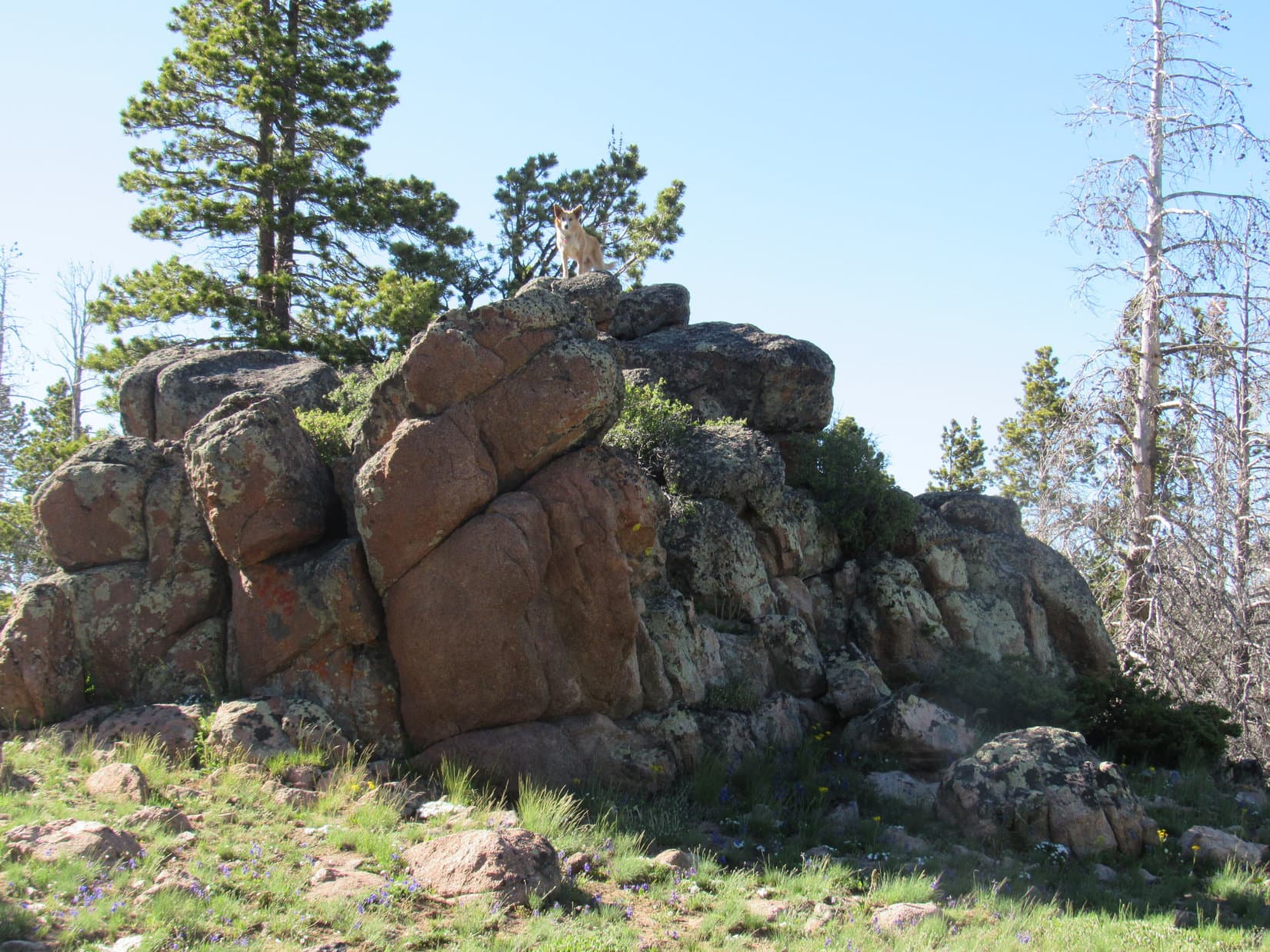
The big meadow ended.  Forest was ahead.  Lupe plunged right into it.  She was still gaining elevation, so it was no wonder she hadn’t found the Quealey Benchmark yet.  She emerged from the forest at a second big meadow.  Another rock formation, largest of any she’d come to so far wasn’t far off.

As Lupe drew near it, SPHP could see some wood and smooth wire up there.  Oh, that was promising!  Lupe led the way up.

Lupe at the top of the first large rock formation of the second big meadow. This was the highest rock formation so far. The wood and smooth wire seen here gave SPHP hope the Quealey Benchmark might be up here. Photo looks SW.

When SPHP joined Lupe at the top, it was clear in an instant that this was the highest point on the ridge.  Another substantial high point off to the SW wasn’t quite as high as this one.  Everywhere else, the terrain was sloping down.  Best of all, Lupe had a sweet view of a big snow-capped mountain far to the S from here.

Lupe was at the true summit of this whole long ridge!  The Quealey Benchmark had to be around here somewhere, didn’t it?

A shiny metal hubcap was hidden under a juniper bush.  Moving the hubcap aside revealed – yes, a survey benchmark!

Hidden beneath a low juniper bush almost at the top of the rock formation was this shiny metal hubcap. When moved aside, the survey benchmark was revealed.

To SPHP’s surprise, the benchmark was not stamped “Quealey” as shown on the old topo map.  Instead it was stamped “Que Ley”, Spanish for “What Law?”.

To SPHP’s surprise, the survey benchmark was not stamped “Quealey” as shown on the topo map. Instead it was stamped “Que Ley”, Spanish for “What Law?” Now that was cool!

Quealey or Que Ley, which was right, the map or the survey benchmark?  No telling.  Lupe and SPHP preferred Que Ley!  What Law? was a cool name for a mountain.  It conjured up images of outlaws hanging around in this territory back in the days of the Old West.  Maybe a really Old West, if the Spanish had named this place.

At any rate, Que Ley Benchmark (9,150 ft.), though officially one silly foot lower than the Shirley Mountains High Point, was everything the Shirley Mountains High Point was not.  Coyotes roamed this place.  The Que Ley name was cool.  The view of the distant snow-capped peak was awesome.  The summit was farther from the road, and felt even more remote.  SPHP was glad Lupe had come here!

Yes, Que Ley Benchmark was worth the extra effort!

At the top of Que Ley Benchmark. Photo looks SSW.
On the summit of Que Ley. Coming here was worth it, and felt like it had really made the day, even though Lupe had already made it to Peak 8720 and the Shirley Mountains High Point as well.
The big view to the S from Que Ley Benchmark. Elk Mountain (11,156 ft.) (Center) is the snow-capped peak on the far horizon. The even more distant ridge on the L is the Snowy Range in the Medicine Bow National Forest. Binoculars would have been nice to have up here.
Elk Mountain as seen from Que Ley Benchmark with help from the telephoto lens. Photo looks S.
Lupe remained at the top of Que Ley Benchmark while SPHP climbed down and circled around to the S to get this shot. Photo looks N.
Lupe’s success at Que Ley Benchmark felt like the high point of the day.

After enjoying the views up on Que Ley Benchmark, Lupe went to visit the other high point to the SW.  Just to make absolutely certain it wasn’t higher, you know.  It wasn’t, but also offered some decent views.

Looking S toward Elk Mountain (Center) on the far horizon again, this time from the SW high point.
Looking SE.
At the top of the SW high point. Photo looks WSW.

And that was that.  Except for the long trek back, nearly all of it retracing her route here, Lupe’s big adventure in the Shirley Mountains was over.

Of course, the Carolina Dog made the most of the return trip!  She ran, explored, and sniffed.

She rolled in snow banks.

Enjoying a snow bank on the Que Ley Benchmark ridge on the return trip.

She sniffed and examined beautiful flowers.

One of hundreds of natural floral arrangements growing right along BLM Road No. 3115.

She returned again to the Shirley Mountains High Point (9,151 ft.).

Back at the Shirley Mountains High Point for a second ascent after her journey to Que Ley Benchmark. Photo looks S.

Loop even made the 0.5 mile side trip back to look for Peak 8720’s Dingo summit again. The sun was down by the time she got to the big, flat meadow.  The wind, which hadn’t been much of an issue up on the Shirley Mountains High Point or Que Ley Benchmark, was still blowing here, though not nearly as powerfully as earlier in the day.

Back on the big, flat meadow on Peak 8720. The wind was still blowing, but not nearly as strongly as it had been earlier in the day. Photo looks E.

Lupe and SPHP searched around for the same Dingo summit as before, but couldn’t find it.  Light was fading and the forest was getting gloomy, so a new Dingo summit had to be selected.  Naturally, this still counted as an official ascent as far Lupe and SPHP were concerned!

At the 2nd Dingo summit of Peak 8720. This wasn’t the exact same spot Lupe was at earlier in the day, but that high point couldn’t be found. The whole area was so flat, this place had to be about the same elevation anyway.

Once Looper was back at BLM Road No. 3115 following her 2nd visit to Peak 8720, it was all downhill the remaining 2.5 miles to Prior Flat campground.  The Carolina Dog was still on high ground, but twilight was fading fast, when she saw the distant high peak to the W again.

What peak was that?  No telling.  The sky grew black, then lit up with stars.  SPHP still pondered the question as Lupe arrived back at Prior Flat campground (10:12 PM).  To this mystery remains an unresolved mental souvenir of Lupe’s long, happy day spent high in the remote Shirley Mountains of Wyoming.

Links:

Next Adventure                      Prior Adventure

Want more Lupe adventures?  Choose from Lupe’s 2017 Laramie Range, Wyoming & Beyond Adventure IndexDingo Vacations Adventure Index or Master Adventure Index.  Or subscribe free to new Lupe adventures.

Black Hills, SD Expedition No. 212 – South Castle Rock, Castle Rock, Nipple Butte & Flag Mountain (10-22-17)

Start – 10:28 AM, 46°F, at the first pullout along West Deerfield Road near Castle Creek W of the intersection with Deerfield Road (County Road No. 306)

Fall colors were over and done with.  Sad, but the glories of autumn fade quickly.  Nothing new about that.  Lupe was still enthused!  This bright, comfortably cool day in late October was made to order for a continuation of the Carolina Dog’s recent tour of some of the highest peaks of the Black Hills along the E edge of the western limestone plateau.

Today, Lupe would visit 4 such peaks.  She’d been to all of them before more than once, but it had been well over two years since her most recent visit and would be fun to see them again.  Besides, SPHP had promised Loop she would get to explore a whole new canyon on the way back at the end of the day.

Something old, something new, that’s what we’re gonna do!

If that’s supposed to be poetry, SPHP, don’t quit the day job.

Hah, too late, I already have!

My, what a big deficit you’re running, SPHP!

Never mind that, the better to go adventuring with you, my dear Dingo!

Loopster was totally in favor of that.  She started off with a quick look at pretty Castle Creek, which somehow always has good flow even during seasonally dry periods like this.  Then the American Dingo crossed West Deerfield Road and began the climb toward her first peakbagging objective, South Castle Rock (6,840 ft.).

Expedition No. 212 begins with a quick look at Castle Creek. Photo looks NNW.
Looking NW up the Castle Creek valley after crossing West Deerfield Road.

A short climb through a pine forest brought Loop to a grassy field.  The upper S face of South Castle Rock was already in view.  This was going to be a nice, easy stroll most of the way.  Lupe headed N through the field, passed through another forested stretch, and was soon back out in the open again.  The only short steepish part of the whole climb was up in the trees directly ahead.

After a short climb through a pine forest, Loop reaches a grassy field. The upper S face of South Castle Rock is already in view in the distance. Photo looks N.
Getting closer! Lupe squints in the bright morning sunshine. Photo looks N.
The only steep part of the climb up South Castle Rock is in the trees ahead. Photo looks NNW.

The best views from South Castle Rock aren’t from the summit, but from limestone cliffs high up on the far S ridge.  That was right on Lupe’s way to the summit, so she went there first.  She had a great panoramic view to the S and E from here.  To the N, Loop could see the end of nearby Castle Rock’s E ridge.

From limestone cliffs along South Castle Rock’s far S ridge, Lupe had sweeping views to the S & E. Photo looks SE past Deerfield Reservoir.
The end of Castle Rock’s E ridge is seen on the R. South Castle Rock and Castle Rock are different parts of the same mountain. Photo looks N.
At the edge of South Castle Rock’s S ridge. Photo looks N.

South Castle Rock has two high points.  Being slightly higher, the N high point is the actual summit.  From the cliffs along the S ridge, Lupe circled well W of the S high point before turning N again.

The summit wasn’t far off, but the discouraging sight of all the deadfall timber Lupe had to traverse to get to there made SPHP realize the Komperdell trekking poles generously gifted by Jobe Wymore had been forgotten in the G6.  Doh!  SPHP had used them for the first time a week ago on Expedition No. 211.  The poles had been quite useful for nagivating deadfall then, and would have been handy to have here.  Oh, well!

After circling around the S high point, the sight of all the deadfall on the way to the true summit made SPHP realize the Komperdell trekking poles had been forgotten in the G6. They would have been mighty handy to have here! Photo looks N.

The true summit of South Castle Rock (6,840 ft.) sits at the N end of a fairly large limestone cap surrounded by low cliffs.  Getting through the deadfall to reach the cap was the hard part.  That done, Lupe circled to the SW where the cliffs were lowest.  One mighty, unassisted, clawing leap, and she was on top!

At the highest point at the N end, someone had built a cairn since Lupe was last here.  Trees hid the views in most directions, but Loop did have a tremendous view of Reynolds Prairie to the E.  She also had a clear view of Castle Rock’s E ridge to the NE.

Lupe arrives at the S end of South Castle Rock’s limestone cap. She was able to leap on top from a point farther W (L). Photo looks NW.
At the summit. Someone had built the small cairn next to her since the last time Lupe was here in June, 2015. Although forest hides the views in most directions, Lupe could see much of Reynolds Prairie to the E. Photo looks E.
The slightly lower summit of Castle Rock (6,783 ft.) is on the ridge seen beyond Lupe. That’s where she was heading next. Photo looks NE.

After a short break near the cairn, Lupe left South Castle Rock’s limestone cap at the same SW point where she’d leapt up.  Less than a 0.25 mile trek brought her to Castle Rock’s E ridge.

The E ridge was 200 feet wide and rounded, sloping down toward cliffs on both sides.  The top was nearly level along most of its length.  Lupe followed the ridge ESE all the way to where the ground started dropping toward the cliffs at the far end.  The true summit seemed to be here near the ESE end, but it was hard to tell for certain.  Having traveled the whole length of the ridge, Loop must have been at the actual high point somewhere along the way.

The apparent summit of Castle Rock (6,783 ft.) was forested and clogged with deadfall, but Lupe had great views from the cliffs along the edges of the ridge in every direction except back to the W.

At the summit of Castle Rock as near as SPHP could determine. A glimpse of the N end of Reynolds Prairie is seen below. Photo looks NE.
South Castle Rock as seen from Castle Rock. The summit is on the R. Photo looks SW.
Looking SE from Castle Rock’s E ridge. Parts of Deerfield Reservoir are seen beyond Reynolds Prairie. The distant high ridge on the R is Green Mountain (7,166 ft.).
Nipple Butte (6,810 ft.) (L) and Flag Mountain (6,937 ft.) (Center), Lupe’s 2 remaining peakbagging destinations for the day, from Castle Rock’s E ridge. Photo looks N.

After visiting Castle Rock’s summit on the E ridge, Lupe headed back W.  Although the mountain’s long, skinny N ridge is somewhat lower, she went out onto it.  A big, flat, barren area at the southern end of the N ridge provides good views to the W and NE.  This area is Lupe and SPHP’s favorite part of Castle Mountain.  Despite the openness, the whole place has a secluded, tucked-away feel.

Loop on the big barren area near the S end of Castle Peak’s long, skinny N ridge. This is a favorite spot! Flag Mountain is seen beyond Nipple Butte on the R. Photo looks N.
An expansive view of the N end of Reynolds Prairie. Photo looks NE.
Looking W from Castle Peak’s N ridge. SPHP promised Lupe she would get to explore this big canyon on the way back to the G6 later on.
Flag Mountain is partially hidden by Nipple Butte on the L. Custer Peak (6,804 ft.) is the distant high point on the R. Photo looks N with help from the telephoto lens.

The easy way off Castle Rock’s N ridge is found on the E side almost at the S end.  Lupe followed an animal trail down there.  She lost elevation traveling N well below Castle Rock’s N ridge where the slope wasn’t too bad.  This was a forested area full of long grass hiding an annoying amount of deadfall timber.  SPHP was soon wishing for those Komperdell trekking poles again.

Nipple Butte (6,810 ft.), Lupe’s next destination, was 0.5 mile away.  The deadfall didn’t let up until she reached the saddle leading to Nipple Butte from Castle Rock.  Once she traversed the saddle, the climb steepened quickly.  Lupe was approaching from the S, but the best way up is a chute on the WNW side of the mountain, so she circled around to the W as she went higher.

The top of Nipple Butte is a ragged, rugged chunk of limestone with lots of broken rock below on most of the surrounding slopes.  Of all the peaks Lupe was visiting on Expedition No. 212, Nipple Butte was the only one that was at all scrambly.  The Carolina Dog got a bit too high, too soon, reaching the rocky slopes while she was still SW of the summit.

Loop reaches the rocky zone while still SW of Nipple Butte’s summit. Photo looks NE.

It would have been faster, if Loop and SPHP had circled around farther to the W before getting so high, but it didn’t really matter.  Lupe crossed a slope of broken limestone scree, and reached the chute on the WNW side of the mountain.

At the start of the steep chute up to the summit area. This chute is on the WNW side of Nipple Butte. Photo looks NE.

The chute was steep, but not long.  Lupe was at the top in no time.  Before going to Nipple Butte’s true summit, she got up on the high point N of the upper end of the chute.

On Nipple Butte’s N high point. Flag Mountain is in view at Center. Photo looks N.

From the top of the chute, a six foot high wall of limestone was all Lupe had to get up to reach the summit.  The six feet were simply too high and vertical for her to manage on her own.  However, there were a couple of rocks SPHP could stand on from which she could be boosted to the top.

Meekly, the American Dingo lifted one of her front paws.  She needed help and was ready for assistance.  SPHP picked her up, stepped into position, and lifted her to the small limestone platform at the top of Nipple Butte.  SPHP then scrambled up after her.

A single chunk of limestone 1.5 feet higher than the rest of the summit platform is the true summit.  It was large enough for Lupe to stand on.  So easy, yet dramatic.  She’d made it!  There Lupe stood, on the tiny absolute top of Nipple Butte (6,810 ft.) with 360° views!

Oh, yeah!  Nice work, Loop.  Photo time!

Loop at the summit of Nipple Butte. Photo looks SW.
Most of the summit platform is in view here. Photo looks SW.
Oh, so beautiful, Looper! If your big soft Dingo ears were any larger, you look like you could use ’em to take off and fly away. Don’t try it, though!
Looking SW. The summit rock is now in the foreground on the R.
Next to the summit rock. Still looking SW.
The N end of Reynolds Prairie. The N high point of Nipple Butte, which Lupe was on earlier is seen on the L. Photo looks NE.
Flag Mountain (6,937 ft.) (R) from Nipple Butte. USFS Road No. 189 is in view. Photo looks N.
The middle of Reynolds Prairie. Photo looks E.

Lupe and SPHP sat together up on Nipple Butte for a little while.  The sense of space and airiness from the tiny platform is among the best on offer anywhere in the Black Hills.

When the time came to go, SPHP climbed down first.  The American Dingo remained on top for one last photo atop the summit rock.

The summit as seen from Nipple Butte’s N high point. The 6′ high limestone wall SPHP boosted Loop up is at Center. The vegetated area below is the top of the chute Lupe climbed to get here. The forested ridge on the L is Castle Rock. Photo looks S.
The S end of Reynolds Prairie, bits of Deerfield Reservoir, and the distant high ridge of Green Mountain (R) from Nipple Butte. Photo looks SSE.

One more peak to go!  SPHP helped Loopster off the summit platform.  Puppy, ho!  Back down the steep WNW chute to broken limestone scree leading to scattered boulders, and finishing it all off with the usual deadfall infested trek in the forest.

Heading down the WNW slope. Photo looks W.

Lupe reached USFS Road No. 189 at the saddle leading to Flag Mountain.  Half a mile NW of here a spur road leaves No. 189.  The spur winds 0.75 mile NE almost to the top of Flag Mountain.

Nah, not that way!  Instead, Loop crossed No. 189 heading N.  Traveling directly up Flag Mountain’s S ridge would be shorter and more fun.  An hour after leaving Nipple Butte, the Carolina Dog was standing in the remnant of the old fire lookout tower on Flag Mountain (6,937 ft.).

Lupe in the remnant of the old fire lookout tower on Flag Mountain. Photo looks E.
Perched up on the wall, feeling good about her 4th successful ascent of the day!
Looking S back where Lupe had come from. Nipple Butte is seen in front of Castle Rock (Center).
Looking W along Flag Mountain’s summit ridge.
Near the remnant of the fire lookout tower. Photo looks E.
Another look from a bit farther W.

Flag Mountain was the highest of any of the peaks Lupe climbed today.  The views were grand, though this much larger summit area did not give quite the same feeling of exposure and airiness she’d had up on Nipple Butte.

Early in the day, there had only been a light NW breeze.  By the time Lupe reached Nipple Butte, the wind had switched to the SW and picked up to about 15 mph.  The same SW wind was still blowing up here.  With the sun now noticeably progressing toward the horizon, the breeze felt a bit chilly.

Lupe and SPHP lingered up on Flag Mountain anyway.  This was warm compared to what would likely be coming before too long.  Who knew how many more weeks it would be before cold and snow would take over up in this western high country?

Lupe lingers on Flag Mountain. Who knew how much longer it would be until snow and cold would take over in this western Black Hills high country? Reynolds Prairie is on the L. Both Nipple Butte and Castle Rock are on the R. Photo looks SSE.
White Tail Peak (6,962 ft.) is the long ridge at Center. Lupe had enjoyed some fabulous views from there only 3 weeks ago on Expedition No. 209. The more distant mountain on the R is Terry Peak (7,064 ft.). Photo looks N.
From the wall of the old lookout tower, Peak 6962 (Center) is in view. Photo looks NNW.
Black Elk Peak (7,231 ft.) is the high point on the far horizon at Center. As the highest mountain in South Dakota and the Black Hills, many of Lupe’s expeditions feature a view of Black Elk Peak from one direction or another. Photo looks SE.

With 4 successful ascents, Lupe had completed all of her peakbagging objectives for Expedition No. 212.  The time had come for SPHP to honor the promise to let her roam some never before explored territory in the big canyon W of South Castle Rock, Castle Rock and Nipple Butte.

Final moments up on Flag Mountain’s summit ridge before descent. Photo looks NE.

Lupe left Flag Mountain traveling W.  She ultimately took a route down similar to her path up, following the S ridge much of the way.   An early turn to the SW served as shortcut to USFS Road No. 189.

Once across No. 189, the American Dingo began her explorations of the big canyon traveling SSW.  It was downhill from here all the way to West Deerfield Road.

NNW of Nipple Butte looking forward to starting the long trek down the big canyon. Photo looks SSE.

Lupe saw lots of deer.  She got muddy paws and drank from a small stream, a tiny tributary of Horsethief Creek, itself no great torrent.  Looper was one busy Carolina Dog the whole way, free to run and play.

In the upper part of the canyon W of Nipple Butte. This seldom, if ever, used road went most of the way down the canyon. Photo looks SSW.
Miss Muddy Paws after a drink from the tiny stream. The road was reduced to a single track trail here. Photo looks S.
Somewhere W of Castle Rock or South Castle Rock. The faint road is back. Looking S.
Near Horsethief Creek in the lower end of the canyon, now more of a wide valley. Photo looks NNE.

The sun was close to setting by the time Lupe neared West Deerfield Road.  The G6 was a only short walk SE along the road.  Expedition No. 212’s adventures were almost complete.  Behind Loop, the top of South Castle Peak still glowed in the last light of day.

South Castle Rock glows in the last light of another great day spent in Lupe’s Black Hills. Photo looks NNE.

That glow was gone before Lupe even got to the G6 (6:01 PM, 36°F).  Expedition No. 212 might be officially over, but Lupe’s fun wasn’t.  She was back early enough so twilight would last a long time.

For nearly an hour on the ride home, a frantic American Dingo watched for deer, cows and horses to bark at.  Many decibels provided near constant earsplitting proof of the success of this project.  No doubt a hugely satisfying encore to a splendid day!

South Castle Rock.

Links:

Next Black Hills Expedition                   Prior Black Hills Expedition

Want more Lupe adventures?  Check out her Black Hills, SD & WY Expeditions Adventure Index, Master Adventure Index, or subscribe free to new Lupe adventures!