Black Hills, SD & WY Expeditions – The Early Years: 2014 & 2015

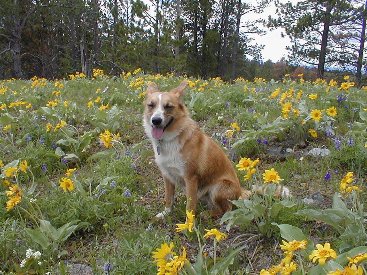
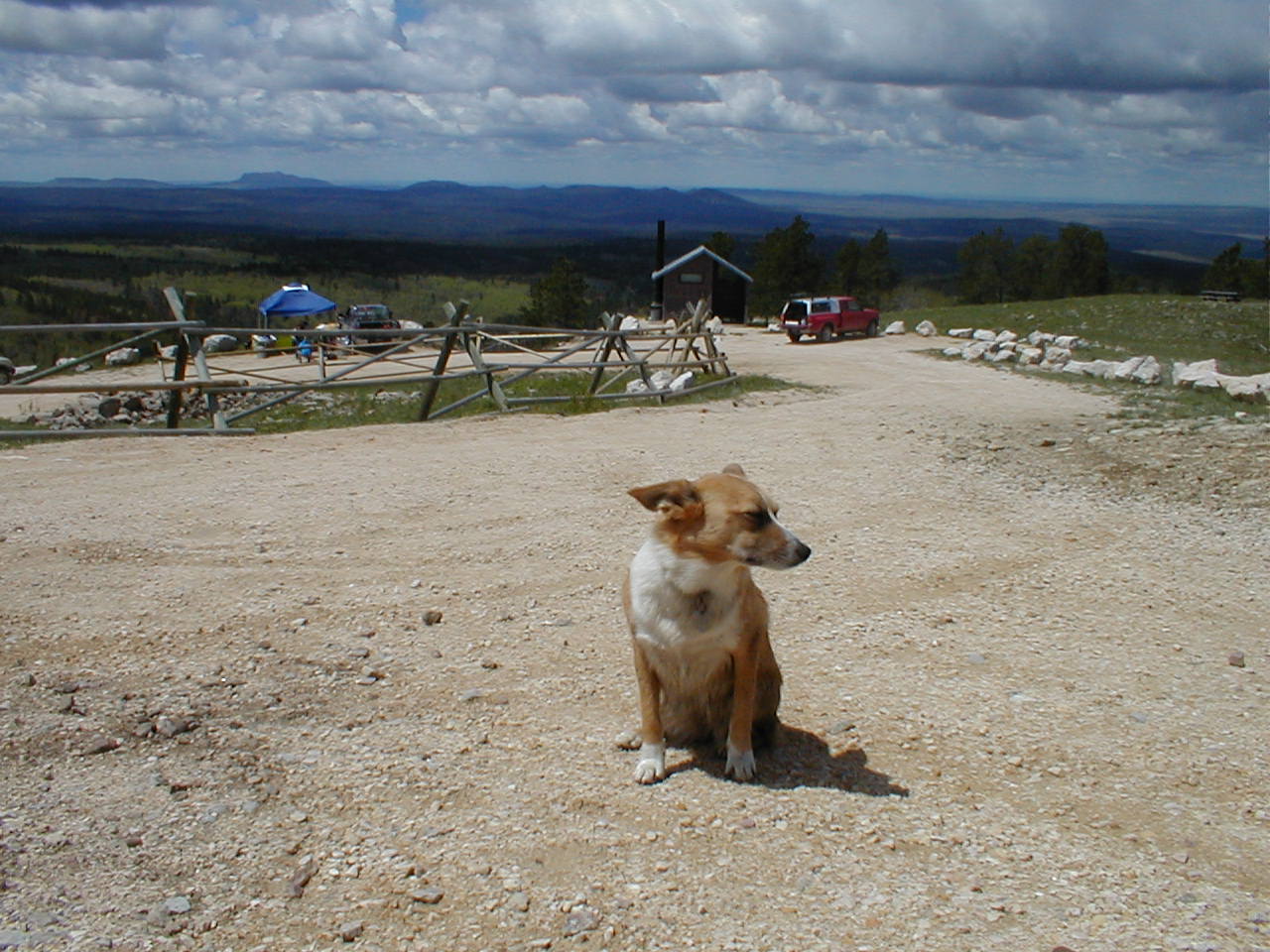
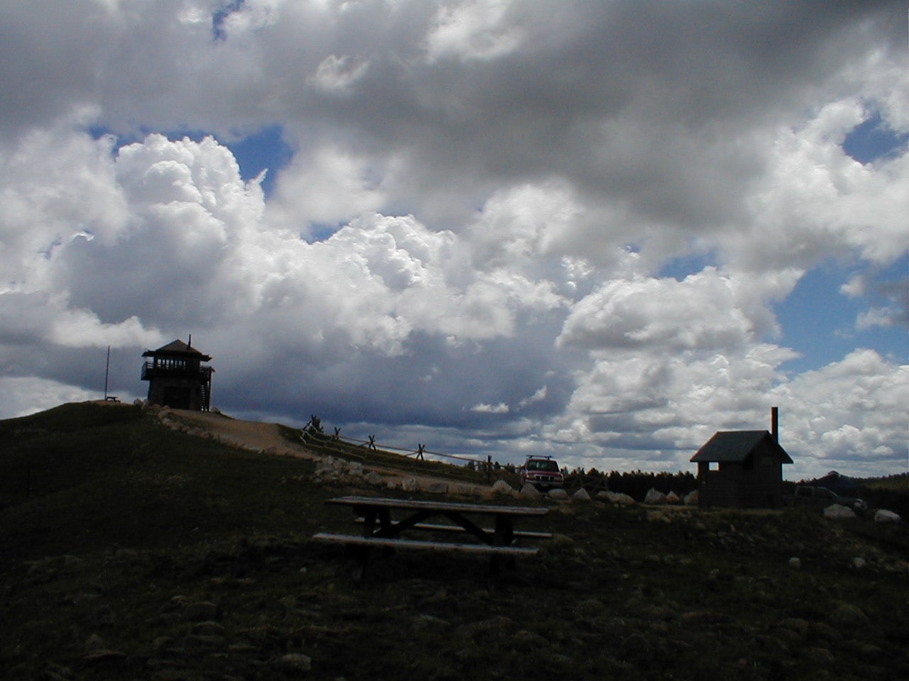
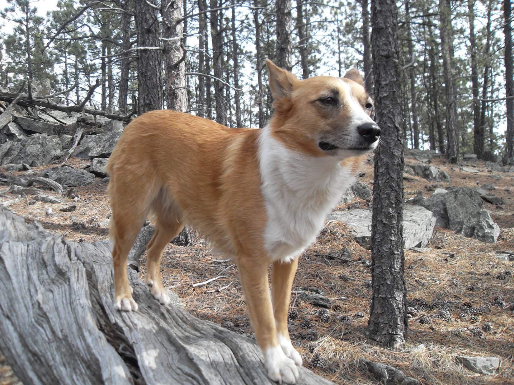
A brief review of Lupe’s Black Hills, SD & WY Expeditions during 2014 & 2015 for which insufficient photos exist to facilitate the development of full individual posts, as further explained in The Early Years: 2012.

Expedition No. 74 – Willow Creek to Sylvan Lake (1-19-14)  Full post!

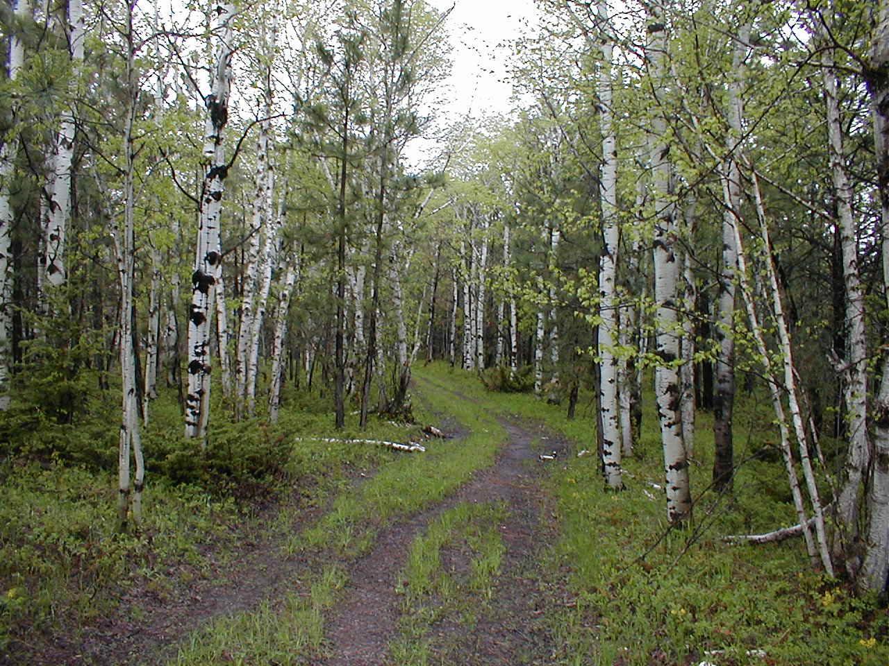
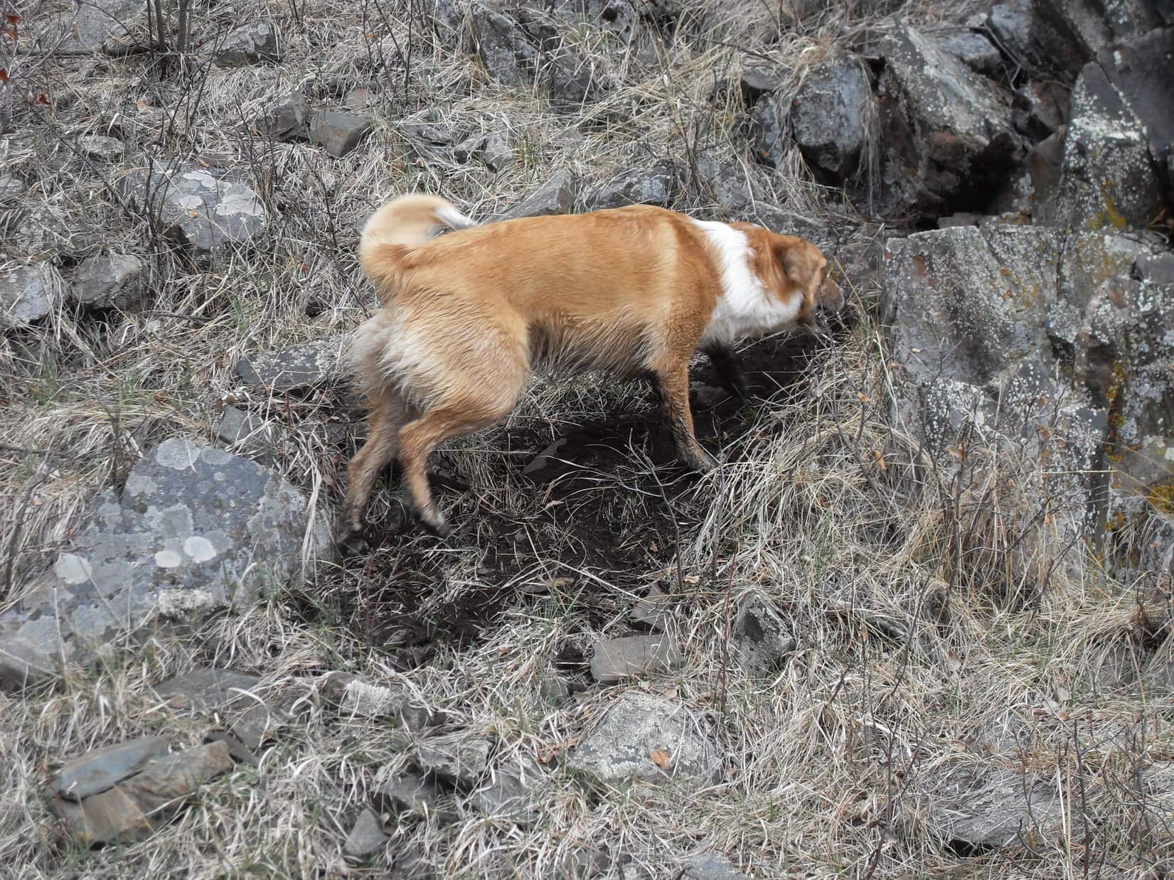
Expedition No. 75 – The Mysterious Black & Pink Checkered Trail (1-25-14)  No photos.  On this warm January day, Lupe discovered a trail while wandering in the forest somewhere between Sheridan Lake Road and Victoria Lake Road.  Persisting for miles, the mysterious trail’s route was marked only by pink and black checkered tape attached to trees.

Expedition No. 76 – To the Bald Hills & Back (2-2-14)  Full post!

Expedition No. 77 – Search for the Tall Blue Water Bottle (2-16-14) During Expedition No. 76, SPHP lost the tall blue water bottle that had nearly always been brought along since Lupe’s earliest adventures.  Lupe returned to the same area N of Sheridan Lake Road to look for it.

On the lookout for the tall blue water bottle.

Although Lupe ventured all the way back to the Twin Sisters (5,244 ft.) region in the Bald Hills, her search turned out to be in vain.  SPHP could hardly believe it!  The bottle had been lost on many prior occasions, but had always been found again.  Not this time.  Sadly, gone for good.

The Bald Hills.

No choice, but to make the best of it!  Lupe roamed W clear over to Hwy 385, followed part of Centennial Trail No. 89, and explored numerous hills, ridges, and USFS Roads.

On USFS Road No. 160.2B.

Expedition No. 78 – The Experimental Forest & Minnesota Ridge (3-9-14)  Full post!

Expedition No. 79 – The Snow Trek (3-16-14)  Full post!

Expedition No. 80 – New Year’s Eve Peak (3-23-14)  Full post!

Expedition No. 81 – Peak 6070 & Nugget Gulch Peak (3-30-14)  Full post!

Expedition No. 82 – Marshall Gulch (4-6-14)  Climbing out of the Horse Creek valley, Lupe headed W directly over hills and ridges all the way to Marshall Gulch.

The Horse Creek Valley. Peak 5800 (Center). Photo looks ENE.
False North Point (6,130 ft.) (Center). Photo looks S.

In Marshall Gulch, Lupe ran off all by her lonesome over to sniff with 2 coyotes.  SPHP was deeply concerned, but the coyotes were friendly.  Sadly, no photos exist of this daring Carolina Dog – coyote meeting.

Marshall Gulch, where Lupe joined the coyotes.

Plans to climb Lowden Mountain (6,055 ft.) were abandoned when SPHP lost track of it.  Lupe ended up exploring a large region to the N.

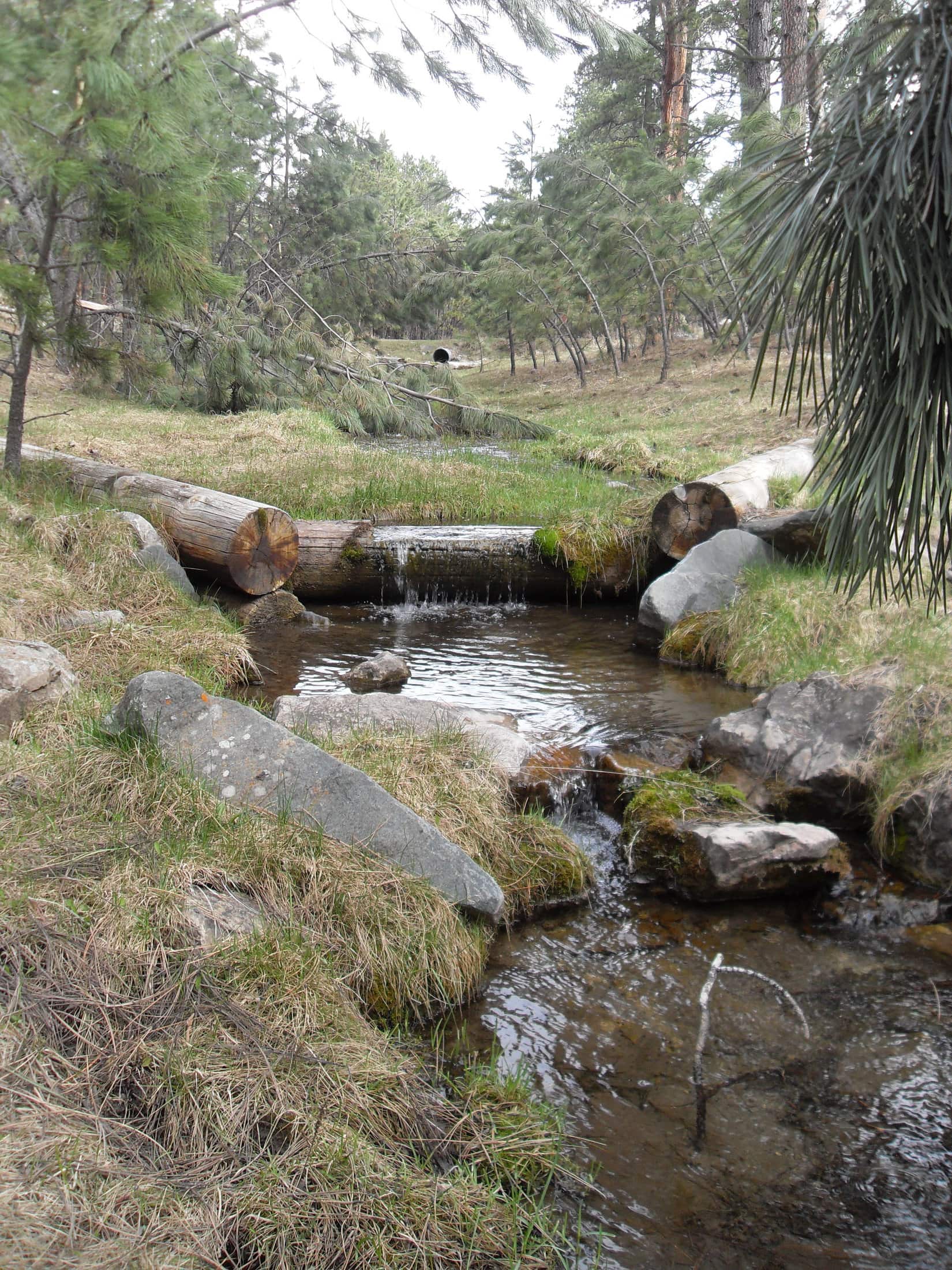
Expedition No. 83 – Greens Gulch & Telegraph Gulch (4-12-14)  Lupe spent another long day wandering at will.  Starting from USFS Road No. 256 at the NW end of Minnesota Ridge (6,240 ft.), she headed SE on No. 203, eventually traveling down Greens Gulch to Silver Creek.

Greens Gulch.
Silver Creek.
After something among the rocks near Silver Creek.

After climbing out of the Silver Creek valley, Lupe followed ridges NW all the way to USFS Road No. 217, which took her to Hwy No. 17 miles N of Rochford.  W of Hwy No. 17, Lupe visited Bergesonville, then followed the Mickelson Trail S from the Montana Mine to USFS Road No. 231.

N Fork of Rapid Creek from the Mickelson Trail.

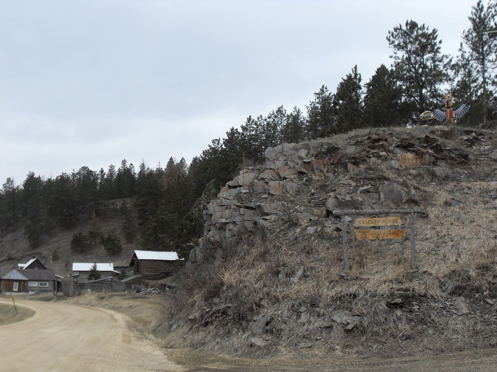
Turning W on No. 231, Lupe passed Chicken House Draw where a totem pole sat up on a hill near crumbling old buildings.  Expedition No. 83 ended with a jaunt N on USFS Road No. 259 through Telegraph Draw to Nahant, then E on USFS Road No. 256 back to the G6.

Near Chicken House Draw on USFS Road No. 231.

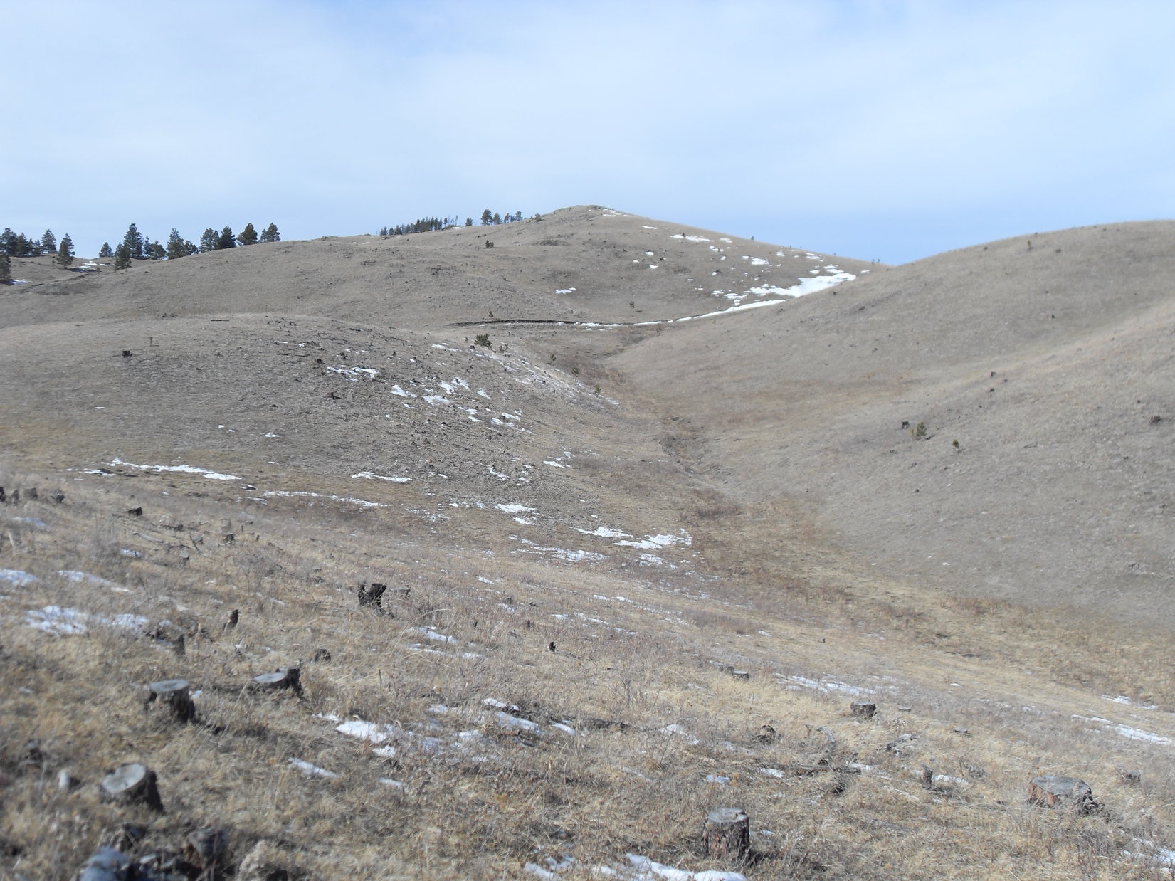
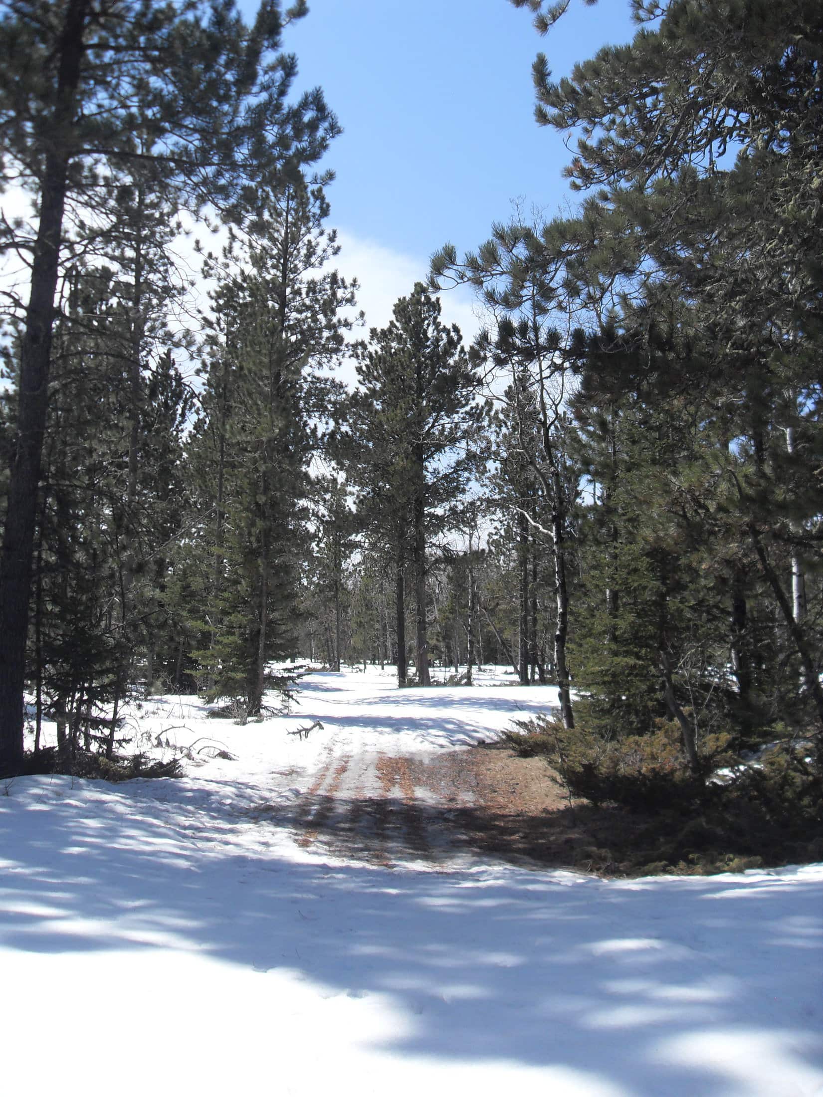
Expedition No. 84 – The Mini-Snow Trek (4-19-14)  A case of spring fever!  SPHP had the notion that Lupe ought to try to find Crows Nest Peak way up in the limestone plateau country of the western Black Hills.  Several miles NW of Deerfield Reservoir, the American Dingo started her trek on USFS Road No. 157 after seeing a bald eagle.

Might not have been any snow for a while back home, but this was high country.  Plenty of snow up here!  The higher Lupe went, the more snow there was.  The Carolina Dog made it up to the flat region near the N end of Coulsen Hughes Draw before SPHP realized that Crows Nest Peak was completely out of the question.

USFS Road No. 157 NW of Deerfield Reservoir.
Questioning SPHP’s sanity.
A snowmobile would have been just the ticket.

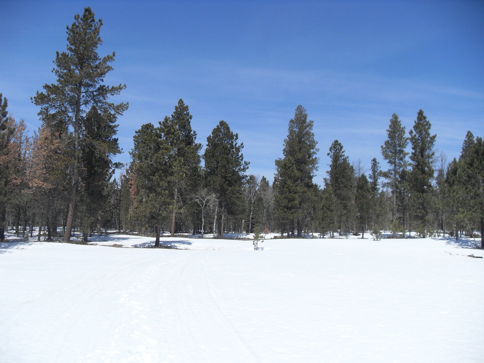
Lupe had a good time, but Crows Nest Peak (7,048 ft.) would have to wait for another day.

Enjoying the return after the adventure got cut short.

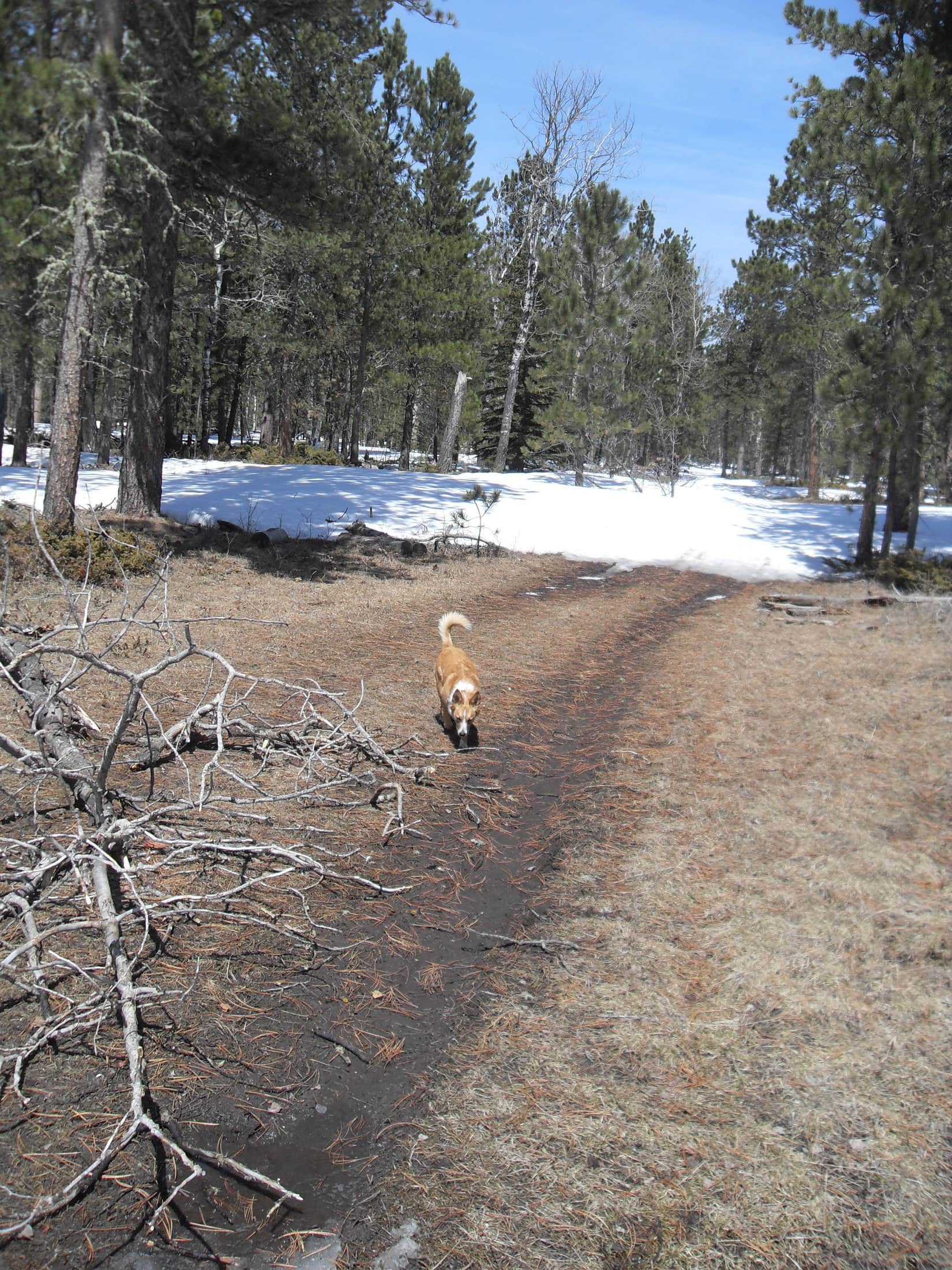
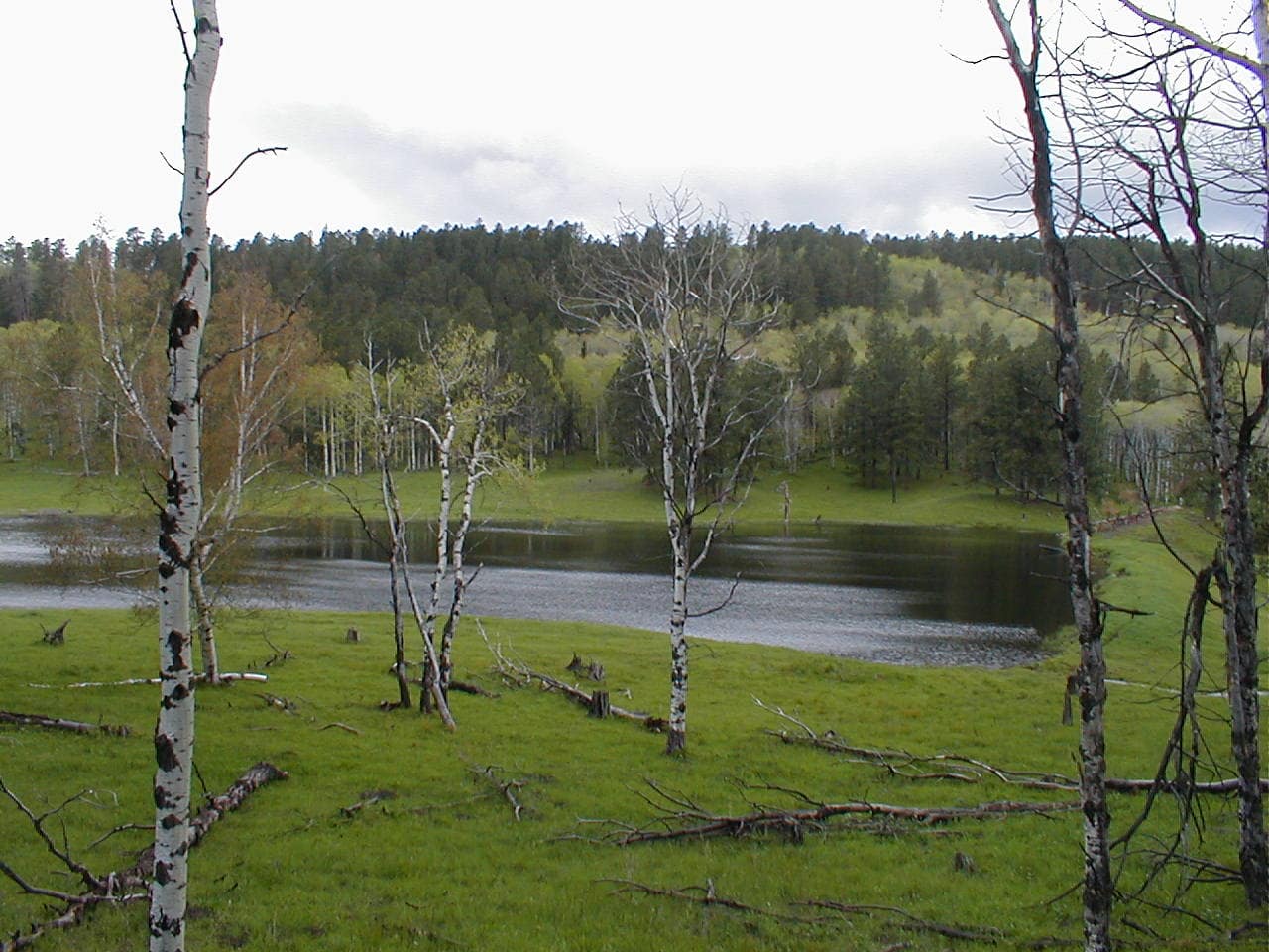
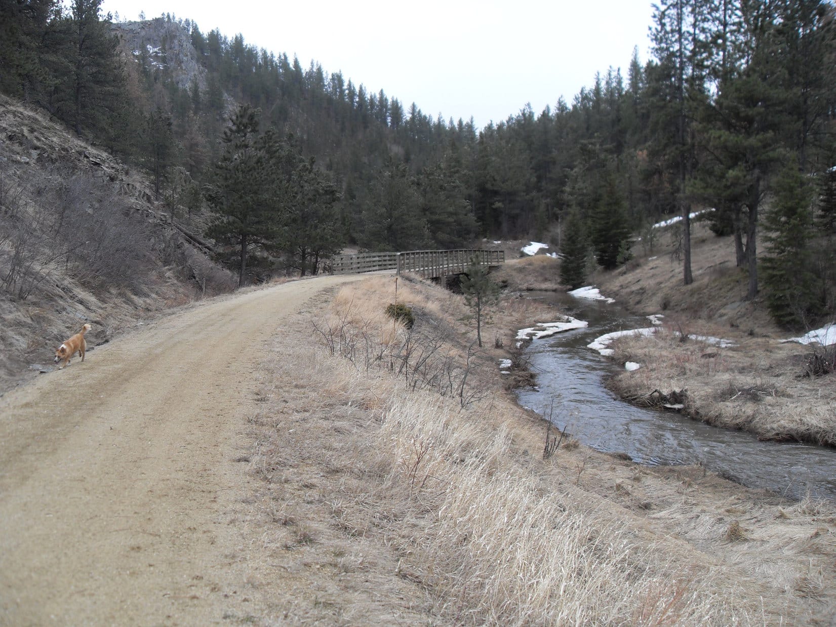
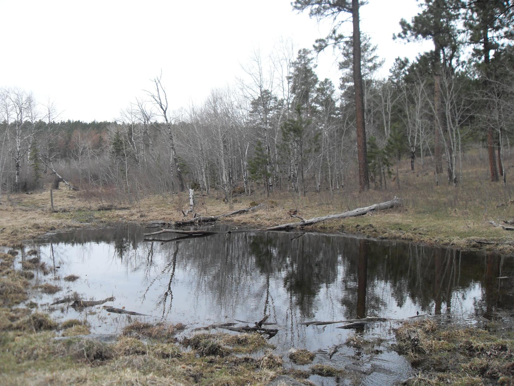
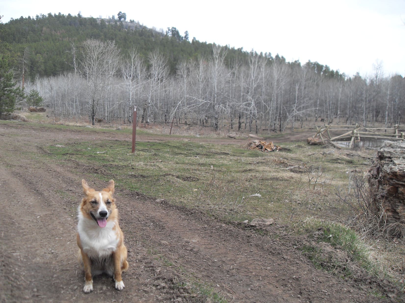
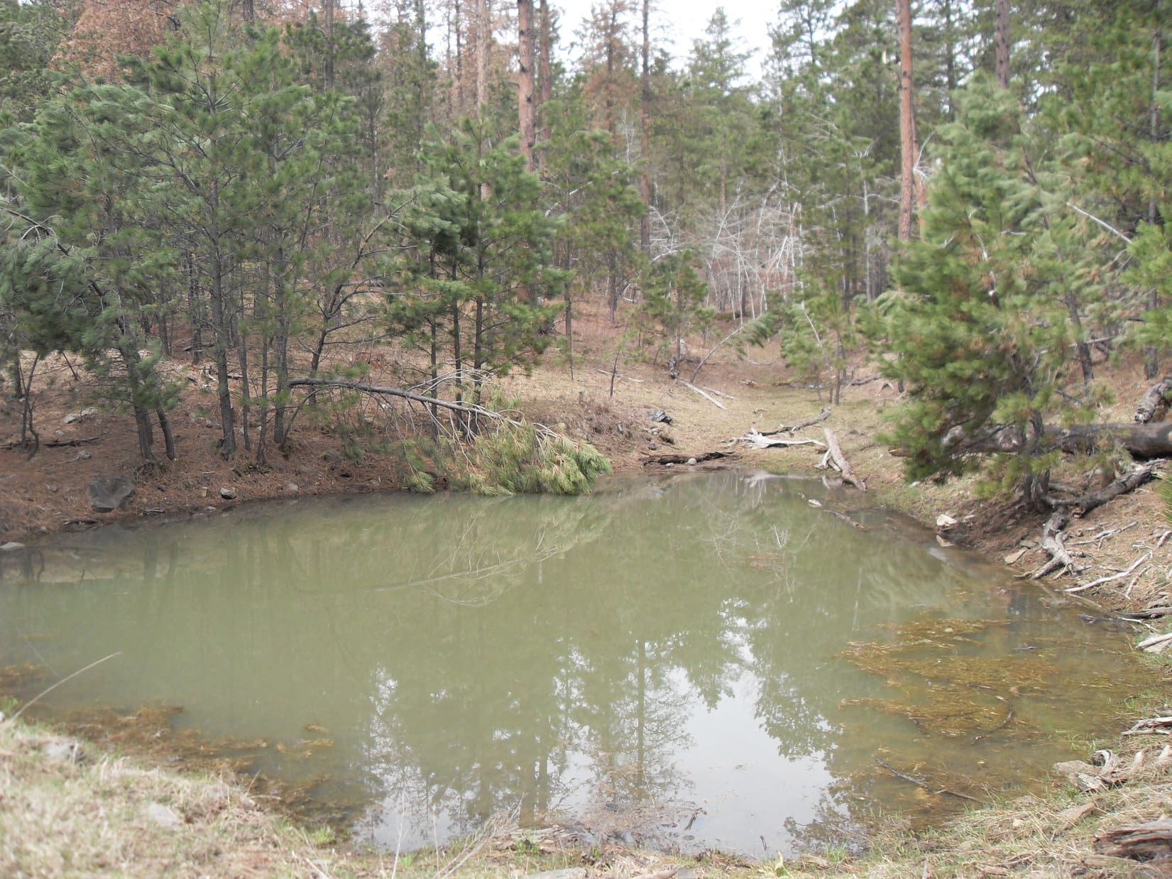
Expedition No. 85 – Estes Creek (4-26-14) Taking USFS Road No. 208.1K, Lupe explored up the Estes Creek valley.  She soon came to Trail No. 8, and a series of ponds where frogs were croaking.  Lupe got almost far enough W to reach Hwy 385, and at one point saw Pilot Knob (5,440 ft.) not too far to the S.

Estes Creek.
The first frog pond.
Approaching Trail No. 8.

For the first time ever on a Black Hills expedition, SPHP dozed off in the woods.  The highlight of the trek was waking up 20 minutes later to find the American Dingo still there!  Frogs, squirrels, and deer were what kept Lupe entertained.

The last frog pond.

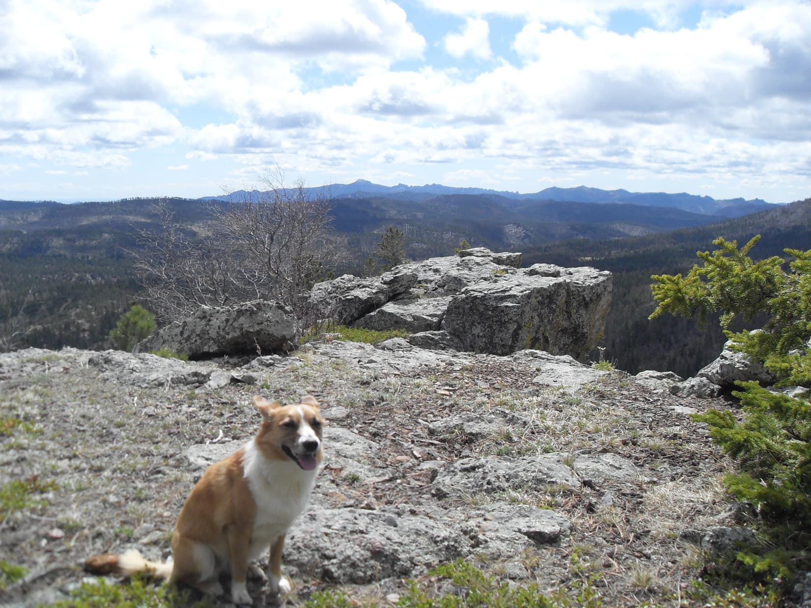
Expedition No. 86 – Crow’s Nest Peak (5-3-14)  Full post!

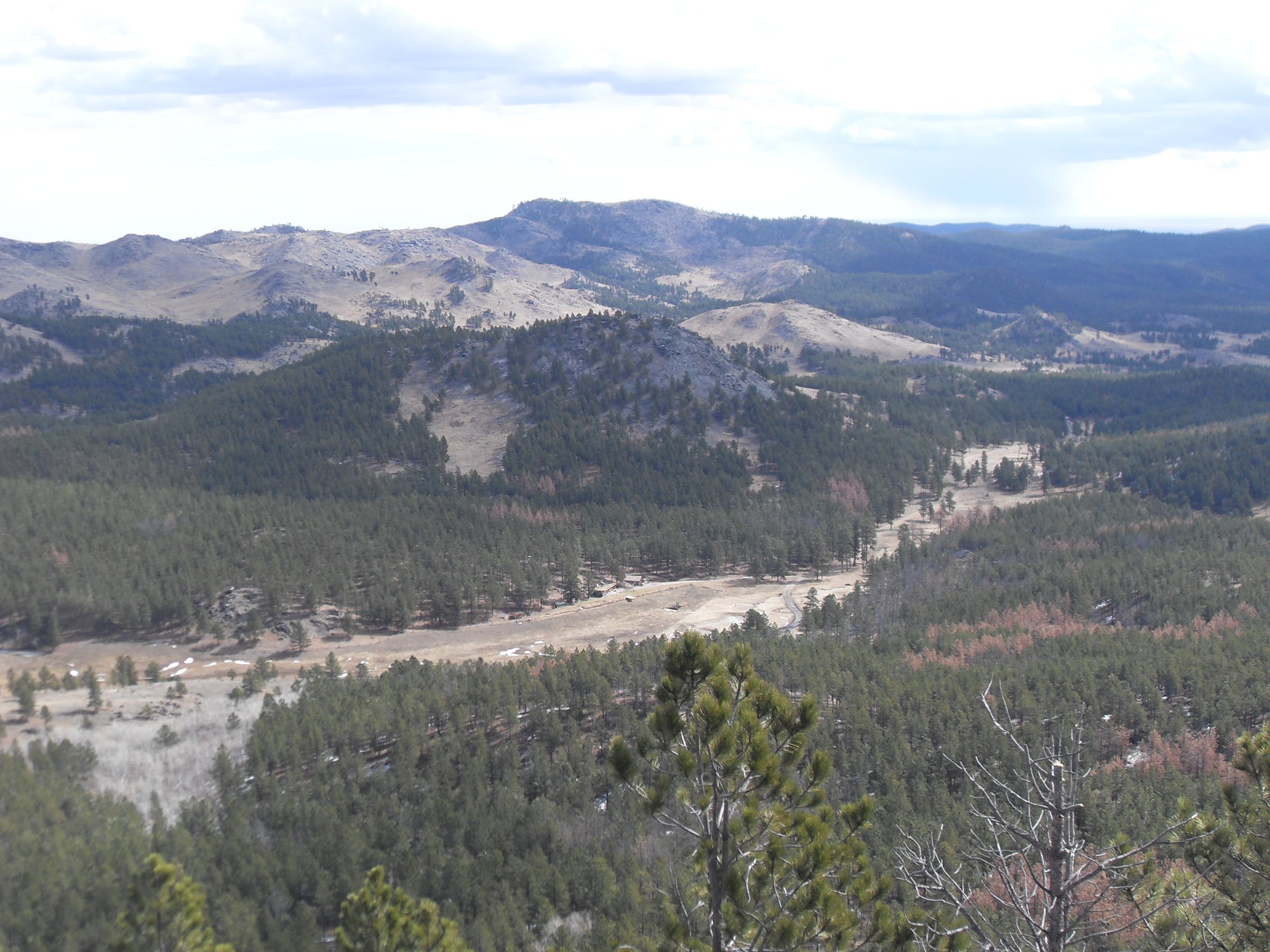
Expedition No. 87 – Copper, Odakota & Green Mountains (5-10-14)  A fabulous day in the high country!  Lupe visited 3 peaks along the E edge of the limestone plateau.  Copper Mountain (6,920 ft.) was the lowest, but had the best viewpoint, a platform of rock along the SE edge.

Harney Peak (7,242 ft.) (Center) from Copper Mountain.

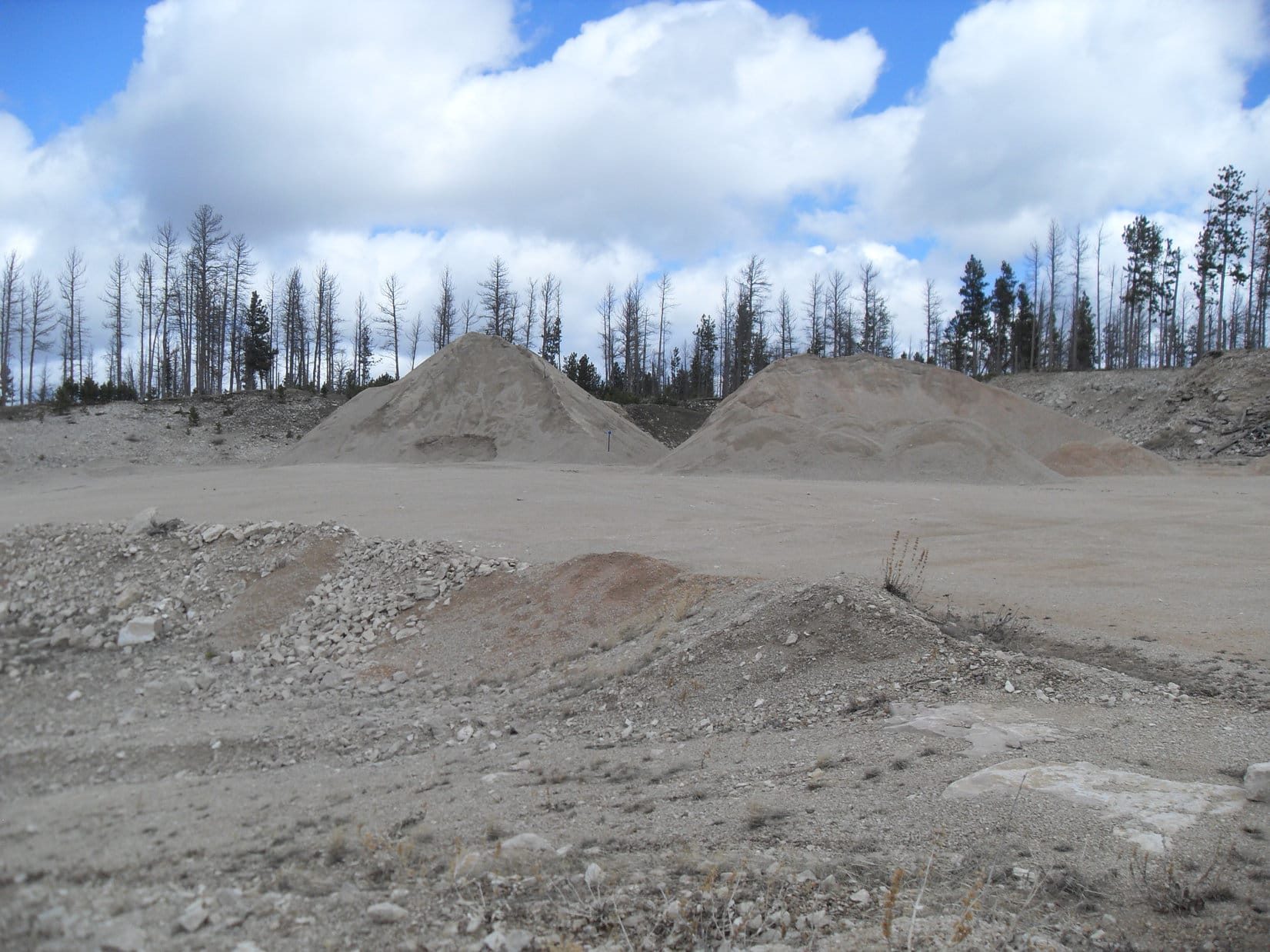
Odakota Mountain (7,200 ft.), South Dakota’s 2nd highest, was next!  Along the way, Lupe stopped by the Copper Mountain Quarry.

Copper Mountain Quarry.
At the quarry.

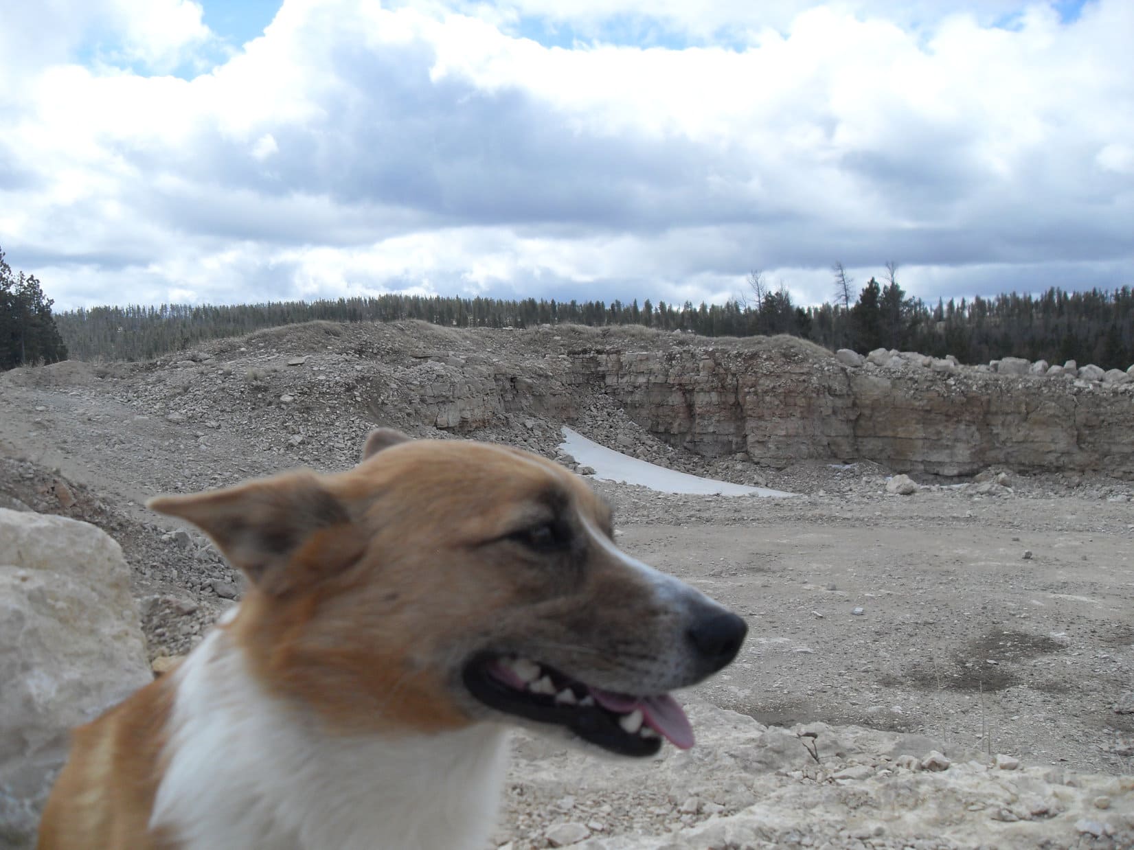
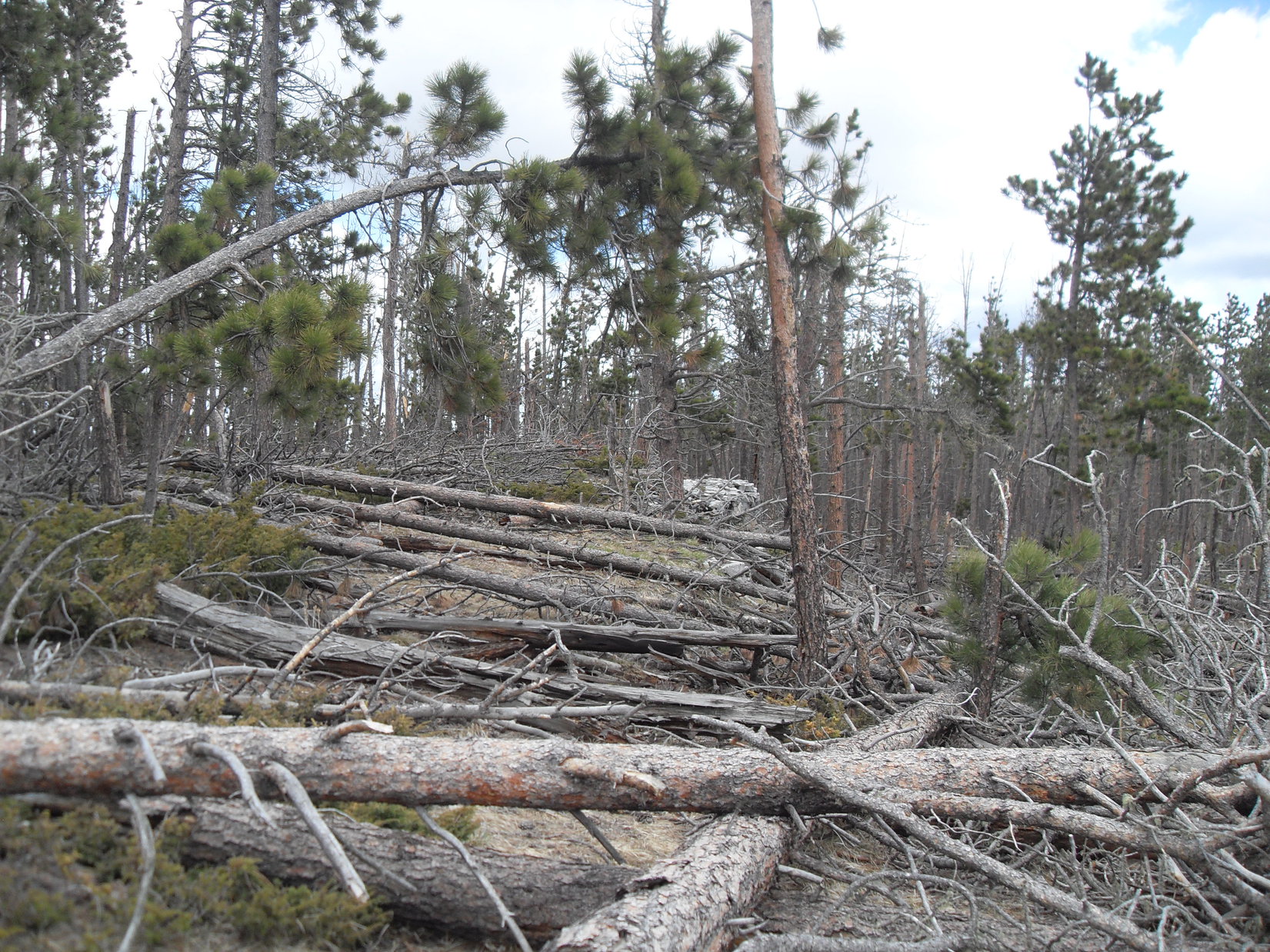
Odakota Mountain turned out to be a disappointment in some respects.  The summit area was a dreadful mess of deadfall timber.  Views were limited to what could be seen through the shattered forest killed a few years ago by pine bark beetles.  Even so, Lupe was glad to be here!

Odakota Mountain’s summit.
Hey, Odakota is the 2nd highest mountain in South Dakota! Don’t knock it!

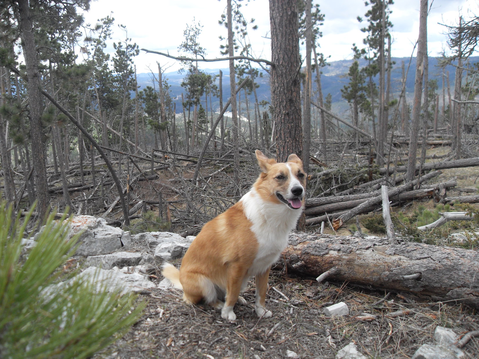
Green Mountain (7,164 ft.) was the last mountain Lupe visited.  The views were better here, nearly up to Copper Mountain standards.

At Green Mountain, along the E edge of the limestone plateau country.

Lupe had plenty of time to do more exploring, too!  She wandered N to the end of Green Mountain, then W as far as USFS Road No. 291 in the Ditch Creek valley.  The Carolina Dog made it all the way S past Six Mile Road to the Four Corners Well before turning E again.  Lupe saw lots of deer, and even 3 giant deers, on the way back to the G6.

Expedition No. 88 – Little Devils Tower & Harney Peak (5-17-14)  Full post!

Expedition No. 89 – Sylvan Hill, the Custer County High Point (5-17-14)  Full post!

Expedition No. 90 – South Castle Rock, Castle Rock, Nipple Butte, Flag Mountain & Peak 6962 (5-24-14)  Full post!

Expedition No. 91 – Peak 6888, Bald Hills, the Weston County, Wyoming High Point, Peak 6645 & Laird Peak (6-1-14)  Full post!

Expedition No. 92 – Peak 6735 (6-9-14)  Full post!

Expedition No. 93 – Mount Warner (9-1-14)  Labor Day!  Uncle Joe and Cousin Dusty were visiting from Colorado, hoping for a nice romp in the Black Hills.  Lupe treated them to a stroll on Centennial Trail No. 89 from the Samelius trailhead to the summit of Mount Warner (5,889 ft.).

With Uncle Joe & Cousin Dusty on Mount Warner.

Expedition No. 94 – Harney Peak (9-2-14)  Uncle Joe had 2 extra days off work after Labor Day, so Joe and Dusty were still here!  They were up for something a little more strenuous than Mount Warner, so Lupe took them to Harney Peak (7,242 ft.), the highest mountain in South Dakota.  Trail No. 9 from Sylvan Lake was busy, but everyone had a grand time!

On Harney Peak, out on the granite W of the lookout tower.
Cousin Dusty and Uncle Joe.
Cathedral Spires (6,840 ft.) (L of Center) and Little Devils Tower (6,960 ft.) (R).

Expedition No. 95 – Peak 6720 & Medicine Mountain (9-13-14)  Full post!

Expedition No. 96 – Bear Mountain & Peak 6680  No photos.  (Brought the camera, but minus both the battery and memory card.  Doh!)  Lupe climbed Bear Mountain (7,166 ft.) coming up from the E on USFS Road No. 299.1C.  After visiting the lookout tower, she headed N along the edge of the limestone plateau, eventually reaching the Boy Scout overlook.

The American Dingo explored Grand Vista Draw before taking the Spring Creek valley E to where she could cross USFS Road No. 299 to climb Peak 6680.

Expedition No. 97 – Harney Peak & Little Devil’s Tower (9-25-14)  Full post!

Expedition No. 98 – The Northern Hills Day of Deterioration (10-2-14)  Full post!

Expedition No. 99 – Peak 6820 & Crooks Tower (10-8-14)  Full post!

Expedition No. 100 – Round Mountain, Peak 6740, Limestone Hill & Elliot Ridge (10-16-14)  Full post!

Expedition No. 101 – Zimmer Ridge & Peak 6600 (10-23-14)  Full post!

Expedition No. 102 – St. Elmo Peak & the Search for Peak 6733 (10-29-14)  Full post!

Expedition No.103 – Peak 6733 (11-6-14)  Full post!

Expedition No. 104 – Inyan Kara Mountain (11-9-14)  Full post!

Expedition No. 105 – Silver Mountain (11-22-14)  Full post!

Expedition No. 106 – Smith & Flag Mountains (11-28-14)  Full post!

Expedition No. 107 – Lowden Mountain & Union Hill (12-6-14)  Full post!

Expedition No. 108 – Calumet Ridge & Silver Mountain (12-11-14)  Full post!

Expedition No. 109 – Cicero, Northeast Cicero, Daisy & Kruger Peaks (12-13-14)  Full post!

Expedition No. 110 – Samelius & Hardesty Peaks, Mount Warner (12-20-14)  Full post!

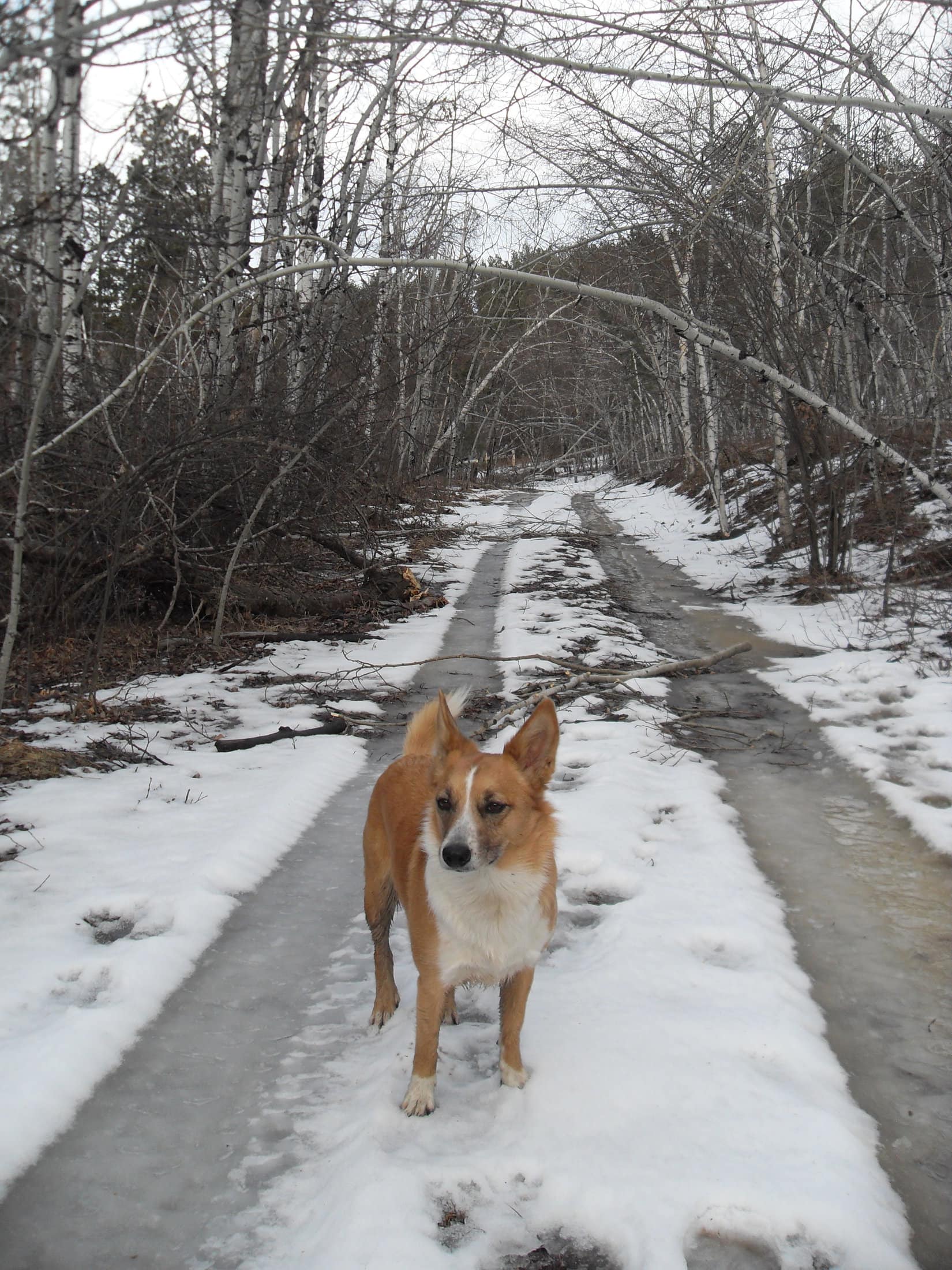
Expedition No. 111 – Centennial Trail No. 89 – The Ponderosa Hike from Alkali Creek (12-24-14)  Christmas Eve!  Uncle Joe & Cousin Dusty had arrived a few days ago, and were eager to go on another romp in the Black Hills.  Unfortunately, Joe’s left knee had been bothering him, so he didn’t want to be gone too long, or go anywhere too steep or rough.

For its combination of forested ridges, rolling prairie, and views of Bear Butte (4,422 ft.), a hike Joe had always referred to as “The Ponderosa” was decided upon.  Starting at the Alkali Creek trailhead near Sturgis, the whole gang headed N on Centennial Trail No. 89.

Going down a ridge, Uncle Joe suddenly plunged 1.5 feet into a hidden snow-filled rut.  His accident at the “Sturgis glacier” became the joke of the day.  Fortunately, his left knee wasn’t bothered at all by the mishap, in fact, it was feeling better.

Joe & Dusty on the Ponderosa hike with Bear Butte in the background.

The Sturgis glacier incident wasn’t the only memorable event of the day.  Christmas Eve dinner was served at Grandma’s house.  Lupe dined on Christmas ham, vanilla ice cream with chocolate sauce, Beggin’ Strips, Milk Bones and chocolates.  After dinner, one of Lupe’s presents was a huge pork femur from Lanis.  The Carolina Dog’s eyes grew big as it was unwrapped!  She couldn’t believe the size of the prize!

Cousin Dusty didn’t get a giant pork femur.  She was jealous, and later in the evening got too close to it.  Defending her pork femur, Lupe attacked Cousin Dusty and a fight ensued.  Happily, the issue was quickly settled by making the pork femur disappear for a while.

Late that night, SPHP woke up.  The sound SPHP heard wasn’t Santa coming down the chimney.  A very happy Carolina Dog was up on the bed busily chomping away at the magnificent pork femur.

Expedition No. 112 – New Year’s Eve Peak (12-31-14)  Full post!

Expedition No. 113 – The Search for Thrall Mountain (1-1-15)  Full post!

Expedition No. 114 – Thrall Mountain (1-10-15)  Full post!

Expedition No. 115 – Campaign Hill, Peak 6048 & Flag Mountain (1-18-15)  Full post!

Expedition No. 116 – Green Mountain, Northern Rainbows & High Point 5219 (1-24-15)  Full post!

Expedition No. 117 – The Search for Hat Mountain & Return of Big Sid (1-31-15)  No photos.  Way back on 10-26-13, Lupe’s friend and neighbor Big Sid had joined the pack, accompanying her and SPHP for the first time ever on Expedition No. 67.  Although initially worried that he was being dog-napped, Sidney soon realized his fears were unfounded, and enjoyed the biggest, best romp of his life!  It was all so wonderful, he could hardly move a muscle for a week afterwards.

During the next few months, Sidney enthusiastically joined Lupe on 7 more Black Hills Expeditions.  Big Sid’s participation had come to an abrupt end, though, after Expedition No. 79 on 3-16-14.  An exceptionally long day and a very late return had Sidney’s owners none too pleased with SPHP.  They’d been worried sick about their boy, and it was way past his curfew when SPHP finally returned Sidney to their care.

Time heals, not all, but some wounds.  For the first time in 10.5 months, Big Sid joined Lupe again on Expedition No. 117, a happy circumstance actually suggested by his owner when SPHP happened to mention that Lupe was going out for a relatively short trek this time around.  Sidney was thrilled and leapt into the G6 with a big smile.  He remembered what this was all about!

Lupe’s objective was to find and climb Hat Mountain (4,883 ft.), at least that was SPHP’s intention.  On this cold and foggy day, Sidney and Lupe were having too much fun roaming the forest looking for squirrels to worry about Hat Mountain.  Exploring a maze of USFS Roads and ATV trails S of Bogus Jim Road, Hat Mountain remained elusive for a second expedition in a row, but Lupe again managed to reach HP5219.

Having found HP5219, SPHP had a hard time losing it again, returning to it unintentionally more than once in the fog.  Eh, no big deal!  Being lost ended well, with everyone safe and happy despite a trip home on black ice once the G6 was reached.  Expedition No. 117 was Big Sid’s 9th with Lupe.  He’d had a grand time during his reappearance, but sadly it was the last expedition he ever went on.

Expedition No. 118 – Redfern Mountain & Signal Knob (2-7-15)  Full post!

Expedition No. 119 – Meade County High Point & Custer Peak (2-13-15)  Full post!

Expedition No. 120 – Pillar Peak (2-20-15)  Full post!

Conclusion:

On February 22, 2015, The (Mostly) True Adventures of Lupe launched online!  It was the start of a new era.  From then on, SPHP consistently carried a camera and took more photos to help tell the American Dingo’s story.  Every subsequent expedition and adventure has been the subject of a post of it’s own.

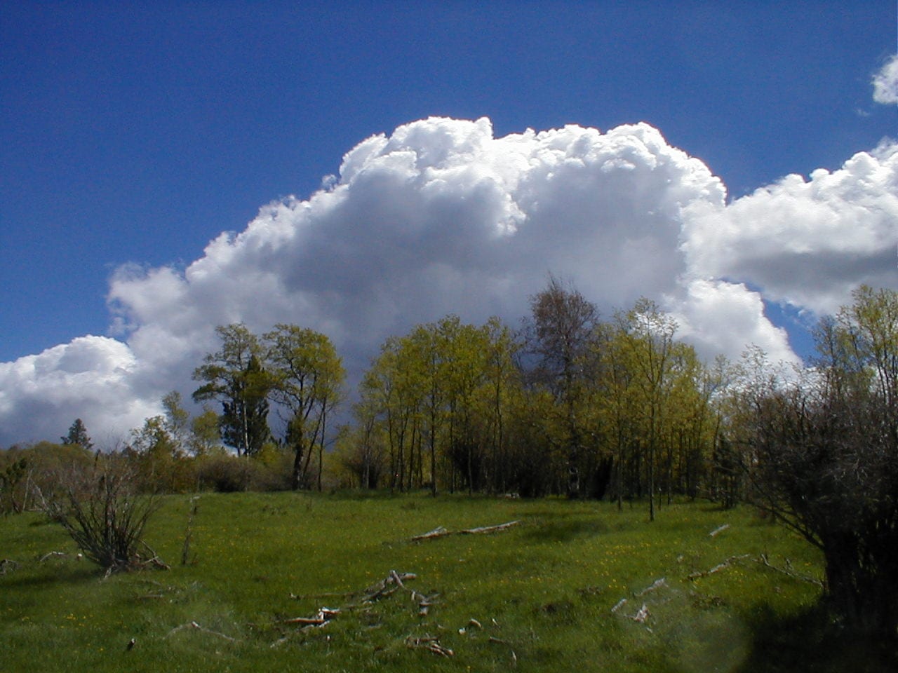
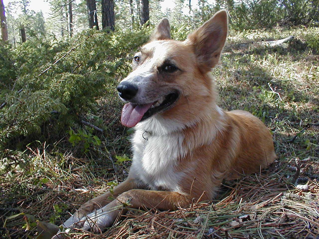
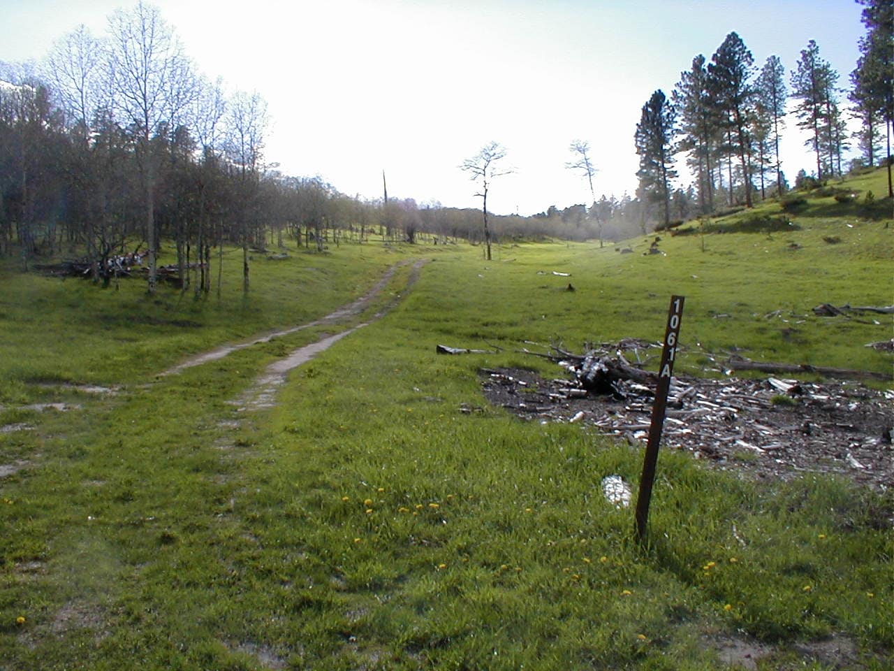
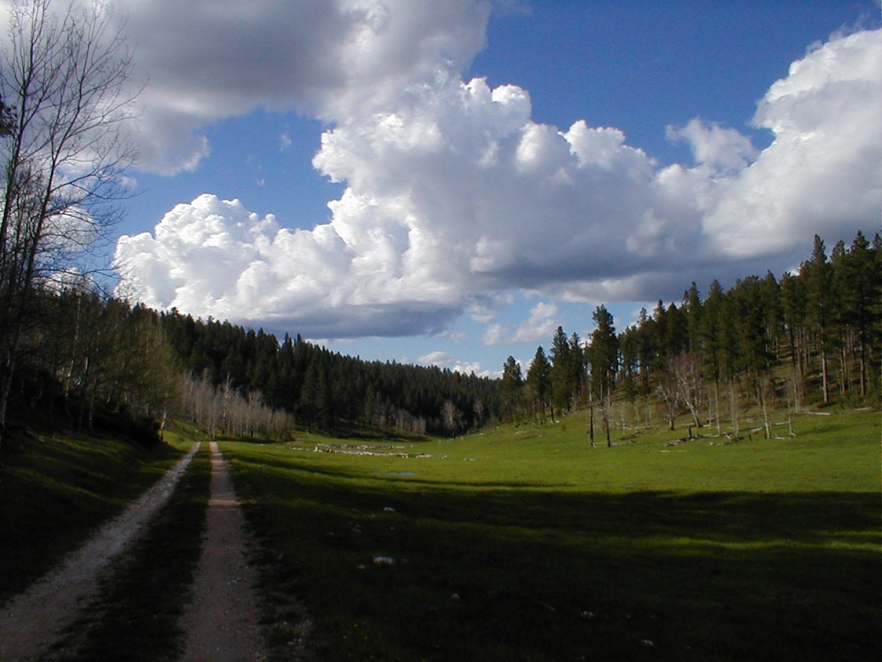
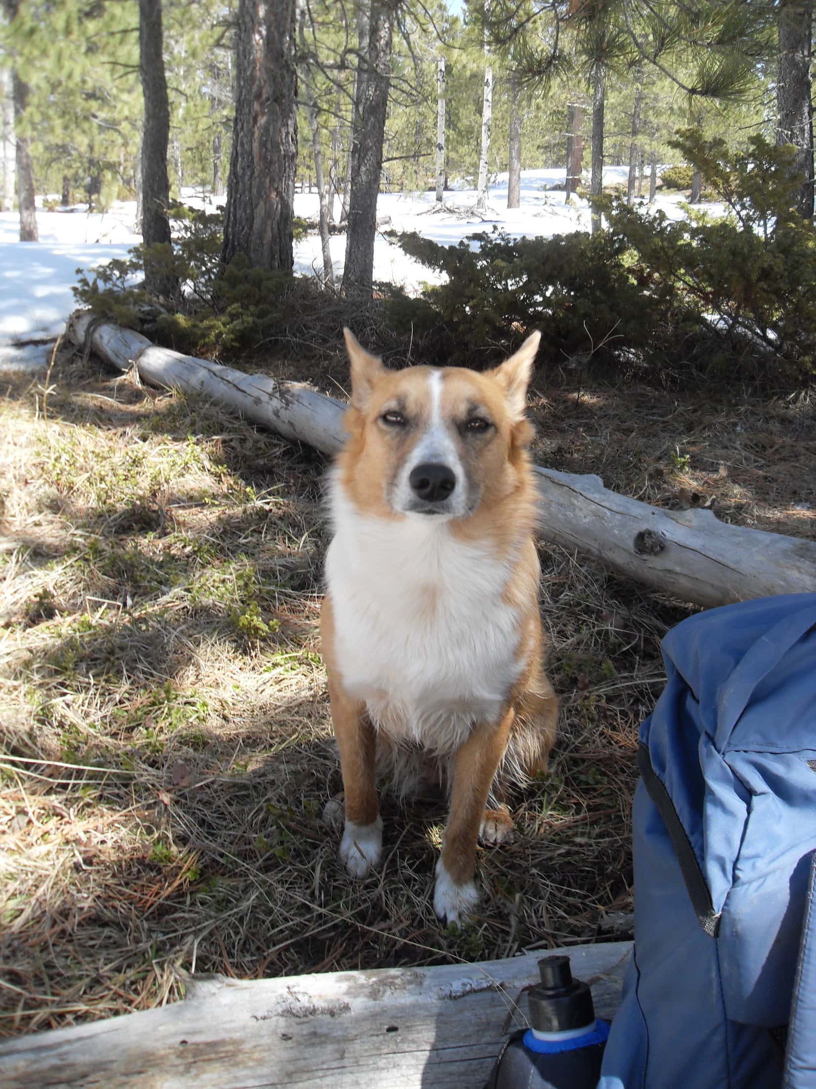
The full tale will never be told, but all these years later, in these few posts about The Early Years, at least a synopsis of what there is to say about Lupe’s 120 Black Hills expeditions over the course of more than 3 years prior to the launch of T(M)TAOL is finally complete.  These Early Years posts partially fill in the void, sharing a brief description of each adventure for which SPHP was unable to create a full post, and the best of whatever few photos might exist.

Although not as well documented as Lupe’s later exploits, the period from her first Black Hills Expedition in January, 2012 to the launch of T(M)TAOL in February, 2015 was an exciting and incredibly important time.  For a young Carolina Dog these were years of fun, adventure, and discovery in her beloved Black Hills of South Dakota and beyond.

Looking back on it all, although partially shrouded in the mists of time, Lupe’s Early Years were rich in some of the fondest memories of all!

Odakota Mountain, Expedition No. 87, 5-10-14

Links:

Black Hills, SD & WY Expeditions – The Early Years: 2013

Black Hills, SD & WY Expeditions – The Early Years: 2012

Want more Lupe adventures?  Check out Lupe’s Black Hills, SD & WY Expeditions Adventure Index, Master Adventure Index, or subscribe free to new Lupe adventures!

Black Hills, SD & WY Expedition No. 62 – Cement Ridge (6-8-13)

8:15 AM, 58ºF, Old Baldy Mountain trailhead off USFS Road No. 134 – The skies were clouding up.  Looking like rain again, although any rain was supposed to end later this morning, chased away by 20 to 30 mph winds expected to kick up this afternoon.

The American Dingo was here for the 2nd time in 6 days.  Since Lupe had already visited Old Baldy Mountain (6,096 ft.) last time around, that wasn’t her destination today.  Cement Ridge (6,674 ft.), 4 miles WNW, was the goal, and perhaps some wandering after that.

The air was humid and still at the moment, but it would be good to get to Cement Ridge before the wind.  Lupe left the vacant trailhead heading W on Trail No. 66, this time ignoring the turn for the E route of the No. 66 loop she had taken to Old Baldy Mountain 6 days ago.

The weather had been super wet for weeks.  Must have had yet another substantial rain here again last night.  Verging on mucky, the level trail wound W through a mixed forest of dark pines and white-barked aspens sporting newly sprouted light green leaves.

A cool, humid start on Trail No. 66.

Lupe soon reached the place where the W half of the Trail No. 66 loop turns N toward Beaver Creek.  Instead of making this turn, Lupe took an old abandoned side road that went SW down into Schoolhouse Gulch.  Picking up USFS Road No. 222 here, the Carolina Dog headed N.

Where Lupe reached No. 222, a lush green meadow was visible beyond a thin line of trees W of the road.  A large stock pond brimming with water was seen only a little farther N.  As Lupe drew even with the pond, a man driving an ATV stopped to chat.

Introducing himself as “Hank”, the man said he was on his way to mend fences on property he owned nearby.  Noting SPHP’s interest in the stock pond, Hank said he knew the owner, and had even requested permission to fish there.  The owner readily granted that permission, but told Hank there weren’t any fish to catch.  Although he had once stocked the pond with 2,000 trout, the pond froze solid, winter-killing all of them.

Hank commented that he didn’t see many hikers in this area, and was curious about where Lupe was going and where she’d started from.  When SPHP relayed that information, Hank said he needed to be more active in the hills himself.  Wishing Lupe success, he drove off.

The stock pond in Schoolhouse Gulch W of USFS Road No. 222. Photo looks WSW.

Soon another vehicle came along.  This time it was the driver of a pickup truck that stopped to chat.  He said he was on his way to fix fences with a friend, and was surprised when SPHP told him that Hank was already there waiting for him.

The pickup truck driver also owned property in this region, 270 acres in all, in 2 separate parcels.  160 acres were back in the forest W of USFS Road No. 222, land that had been in his family since the early 1900’s.  He had grown up there, although the old cabin was now in such a state of disrepair that it was unusable.

This driver also commented on how seldom they saw hikers here, and wondered where Lupe was going?  When SPHP said Cement Ridge, he replied that she had a long walk ahead of her.  A neighbor had told him they’d gotten 17 inches of rain in the last 2 storms up that way, the most water received in such a short period of time since the floods of 1965.

Before he drove off, SPHP assured the pickup driver that Lupe had all day, and would have no problem at all getting to Cement Ridge.

For 0.5 mile, No. 222 proceeded NNW, sloping gradually downhill to the confluence of 2 major tributaries of Beaver Creek.  Joining forces at a low point just W of the road, the combined stream turned E flowing through a culvert.

Once past Beaver Creek, Lupe started gaining elevation.  Hank was soon spotted doing something near a spring in a field W of the road.  The pickup driver, who had supposedly been on the way to help him mend fences, was nowhere in sight, but Hank waved and shouted a friendly greeting to Lupe and SPHP.

Climbing steadily, USFS Road No. 222 curved W.  Scattered patches of blue sky appeared amid lots of puffy white, and sometimes gray, clouds.  A light and airy breeze sprang up.  SPHP collected Lupe treasures from the ditches, while Lupe ran sniffing through the woods investigating whatever seemed interesting.

A moment of relaxation on the way to Cement Ridge.

After winding W for more than a mile, USFS Road No. 222 turned N again upon reaching its high point.  No. 103, little more than a jeep trail, took off to the L here.  Leaving No. 222, Lupe took No. 103, which quickly turned S.  For 0.5 mile, the road was fairly straight and level.

Although this region was forested, the trees were young.  Lupe was high enough to get some decent glimpses of views to the E.  She trotted along, drinking from little streams and mud puddles, while SPHP continued to gather Lupe treasures.  No. 103 started to wind SW.  Lupe passed a sign saying a permit was required for off-road vehicles in Wyoming.  She had left South Dakota.

After a mile or so on No. 103, a long switchback turned first SE, then sharply NW, going more steeply uphill.  At the upper end, Lupe reached a saddle where No. 103 linked up with USFS Road No. 850, which had come up past Guidinger Spring from Rattlesnake Canyon.

No. 850 was a much better road, and went NW a little over a mile to the fire lookout tower on Cement Ridge.  Rather than follow the road, Lupe stayed up on higher ground NE of it, traveling the crest of the ridgeline through open forest and fields of wildflowers.

Wildflowers on the way to the Cement Ridge fire lookout tower.
So beautiful! The wildflowers were nice, too!
A healthy specimen of the “yellow wildflower” category.

Wildflowers were beautiful and abundant!  The air – breezy, light, and fresh.  Big clouds sailed overhead, and the views improved with each passing moment.  A bicyclist soon appeared on No. 850, pedaling for the summit.  Before long, another one was spotted, and more kept appearing after that.  At first, the bicyclists were all on their way up to the lookout, but soon some were seen coasting down No. 850, too.  Something must be going on!

The Cement Ridge lookout tower came into view.  People were gathered near a canopy set up along the road SW of the tower, but Lupe headed straight to the top.

Approaching the Cement Ridge fire lookout tower. Photo looks NW.
By the SE corner.
The canopy (L) along access road No. 850 from close to the tower. Photo looks SW.

After giving Lupe some Taste of the Wild, SPHP relaxed at a picnic table near the NW corner of the lookout tower and began eating an orange.  Tremendous views by Black Hills standards in nearly all directions!

Sundance Mountain (5,824 ft.) and Warren Peaks (6,650 ft.) were in sight to the WNW.  Inyan Kara (6,360 ft.) was off to the SW.  Looking back into South Dakota, both Crow Peak (5,787 ft.) to the NNE, and Terry Peak (7,064 ft.) to the E, were easy to spot.

Inyan Kara Mountain (Center) on the horizon. Photo looks SW.
Terry Peak (R of Center). Photo looks E.

Low overhead, an endless procession of big clouds raced by from out of the W.  Although Lupe was sometimes in sunshine, most of the time she was in shadow.  The darker clouds spit a little rain as they passed.  SPHP had only been at the picnic table for 10 minutes when suddenly a NW wind kicked up, coming in 20 to 30 mph gusts, as forecast.

Moving to the more sheltered SE side of the lookout tower, SPHP worked on an apple.  Accepting pieces of a Pop Tart, Lupe promptly decided to bury them for future use, but found it tough to do so in the hard-packed gravel surrounding the tower.

Although the wind was a bit annoying, once the snack break was over, Lupe and SPHP headed down to the canopy to find out what was going on.  A young man and woman, both smartly dressed in genuine western outfits, were busy grilling burgers and hot dogs to go along with water or beer for 140 contestants in a 110 mile long bicycle race that started and ended in Spearfish.  Cement Ridge, 40 miles along the course, was one of the main support stops along the way.  A photographer with a fancy camera was taking pictures of contestants that made it this far.

Curiosity satisfied, Lupe head over to another picnic table for a final look around before returning briefly to the lookout tower.  She would have stayed longer, but Carolina Dogs aren’t fond of wind.  Lupe was soon heading SE back down the ridgeline overlooking USFS Road No. 850, where bicyclists continued to stream by.

A windy and impressively cloudy day at Cement Ridge. Photo looks E.
Despite the wind, Lupe would have gone up to the top of the tower, if it had been open.

Lupe was nearly back to the saddle where USFS Road No. 103 joined No. 850, when she suddenly became very interested in something hidden in deep grass amid a tight group of young trees.  Taking a look, SPHP saw a dead chipmunk.

Picking the chipmunk up to prevent Lupe from eating it, SPHP was in the process of examining the chipmunk, when it suddenly sprang up, leapt back into the grass, and began scurrying away.  The American Dingo was on it in a flash!  SPHP made Lupe release the chipmunk more than once in a span of only seconds, but the episode ended in tragedy with the poor, innocent chipmunk laying motionless in the grass.

Terrible!  Fearing Lupe had killed the harmless chipmunk, SPHP again picked it up, checking for injuries.  Promptly awakening and biting SPHP, the chipmunk made another mad dash for freedom.  This time SPHP managed to prevent Lupe from going after it.  So much for handling “dead” wild animals!

USFS Road No. 103 was just ahead.  Not even noon yet.  The Carolina Dog had the rest of the day to wander now, if she wanted to.  6 days ago on Expedition No. 61, a line of almost equally high ridges had been visible S of the Cement Ridge fire lookout tower.  This was a great opportunity to explore them!

Instead of heading back on No. 103, Lupe left the saddle climbing S up a forested slope.

Approaching the saddle where USFS Roads No. 850 (R) and No. 103 meet. The true summit of Cement Ridge is visible (R of Center). Photo looks S.

Upon reaching level terrain on top of the first ridge S of the roads, Lupe went WNW a little way exploring toward the highest point, ultimately reaching a spot where she had a view of the fire lookout tower more than a mile NW.  SPHP didn’t realize it until nearly a year later, but Lupe was now at the true summit of Cement Ridge (6,674 ft.).

Without any real plan other than to explore whatever high ground she might come to, Lupe headed S through the forest.  Didn’t seem to be any pine bark beetle infestation up here, so there wasn’t much deadfall to contend with.  Juniper bushes growing on the forest floor were about the only impediment, and these were usually easily avoided.

The terrain sloped gradually lower.  SPHP eventually encouraged Lupe to turn SE, losing a bit more elevation as she went down to a meadow in a small valley.  Lupe found a logging road and followed it S.  Before long, she came to a spring bubbling up from a 4″ hole in the road.  The day was getting sunnier and warmer, so she helped herself to a big drink.

On the old logging road. Photo looks S.

Going over a series of hills, Lupe worked her way S, generally heading SE while up on top, then turning SW when the hill or ridge played out to head over to the next one.  She crossed a road, which might have been USFS Road No. 804, where 2 bicyclists from the race appeared, but they were the last ones Lupe saw.  SPHP kept hoping for some distant views, but the hills were all forested, and little could be glimpsed except the next rise ahead.

Exactly where Lupe went, is now impossible to say.  The American Dingo followed various old logging roads up on the ridges, and occasionally crossed USFS roads in the valleys.  None of these roads were marked.  Lupe saw many deer, and once, when the sky darkened for a little while, she saw 2 giant deers (elk) near a dense pine forest.

The sky brightened again.  After crossing a road that went E/W, Lupe came to a small vigorous stream that flowed W.  She laid right down in it to cool off, emerging greatly refreshed.  Pausing to check the old Black Hills NF map, SPHP figured this might be the stream S of USFS Road No. 805 that drains into Wagon Canyon.  A beautiful cloud appeared over the next hill.  It never developed into anything threatening.

The stream that Lupe cooled off in. Photo looks W.
The beautiful cloud.

The magnificent cloud sailed off to the E.  Lupe continued S.  A logging road took her up to a high point where the forest had been thinned enough to permit a view of the top of Inyan Kara Mountain (6,360 ft.), still many miles to the SW.

Going S along a ridge from the high point, the sky darkened again.  Tiny hailstones fell for several minutes before morphing into a 10 minute rain shower. A shallow green valley appeared ahead with a faint road going through it.  Upon reaching the road, a minor pass could be seen 200 yards to the NW.

Lupe ventured up to the pass, where SPHP was surprised to see a brown wand identifying this road as USFS Road No. 393.1.  Nearby to the S was a little hill with lots of pine trees.  Climbing up to see what could be seen from here, the answer was, not much.  SPHP sat down next to a pine tree for another look at the map, while Lupe rested on a bed of pine needles looking like she was truly enjoying this aimlessly wandering adventure.

Happy Lupe in the middle of nowhere.

No. 393 was shown on the map, but No. 393.1 wasn’t.  Lupe must have drifted far enough E to be back in South Dakota, but how far S she was wasn’t clear.  Taking a short break, Lupe and SPHP stayed on the little hill for a while.  Couldn’t stay long.  A few hours of daylight remained, but the sun was starting to sink toward the horizon.

Returning to No. 393.1, Lupe followed it SE.  The shallow green valley led to a larger valley with a better road that turned NE, the direction Lupe needed to go to get to the G6.  At this turn, another marker showed that Lupe had just come down USFS Road No. 106.1A.  Confusing!  SPHP still wasn’t certain where the American Dingo was.

The shallow green valley Lupe had just come down from the No. 106.1A wand. Photo looks WNW.

The evening stroll down the larger valley was gorgeous!  Fabulous clouds drifted by on a cool, light breeze.  Birds sang the happy songs of late spring.  Lupe trotted along, pausing for drinks from each puddle she came to, while SPHP began finding and gathering Lupe treasures again.  Another wand appeared saying that this was USFS Road No. 134.3B, which was on the map.  For the first time in hours, SPHP knew exactly where Lupe was.

On USFS Road No. 134.3B. Photo looks NNE.

After a mile or two, the valley came to an abrupt end.  For the next 0.25 mile, No. 134.3B passed through a narrow gap flanked by limestone walls.  The road was badly eroded in here.  Rocks, silt, and gravel had been washed away and deposited farther down the mini-gorge.

When Lupe emerged from the gap, the junction with USFS Road No. 134 was just ahead.  Another check of the map.  Still 5 splendid miles to go!

8:26 PM, 52ºF, Old Baldy Mountain trailhead – Lupe’s journey to Cement Ridge, and her long wanderings S along both sides of the seldom visited South Dakota – Wyoming border had been a success, a fabulous 12 hour excursion!  76 Lupe treasures gathered, too!  A new record.

A terrific day, but the sort of one that works up an appetite.  About time for some cheeseburgers!  SPHP stopped at McDonald’s in Spearfish and bought 4.  The famished American Dingo made sure she got 2 of them before curling up to snooze the rest of the way home.

Miles S of Cement Ridge, Black Hills National Forest 6-8-13

Links:

Next Black Hills Expedition                     Prior Black Hills Expedition

Black Hills, SD & WY Expedition No. 141 – Old Baldy Mountain & Cement Ridge (10-11-15)

Black Hills, SD & WY Expedition No. 205 – Balm of Gilead Gulch & Cement Ridge (5-20-17)

Want more Lupe adventures?  Check out Lupe’s Black Hills, SD & WY Expeditions Adventure Index, Master Adventure Index, or subscribe free to new Lupe adventures!