West Butte of the Sweetgrass Hills, Montana (8-17-20)

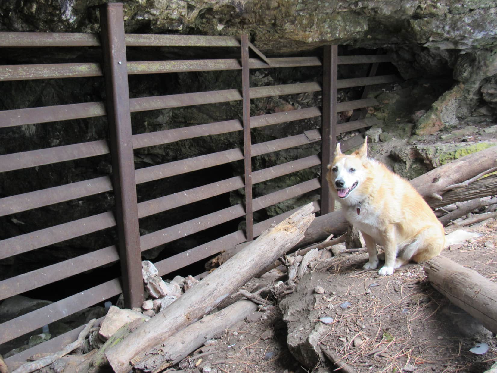
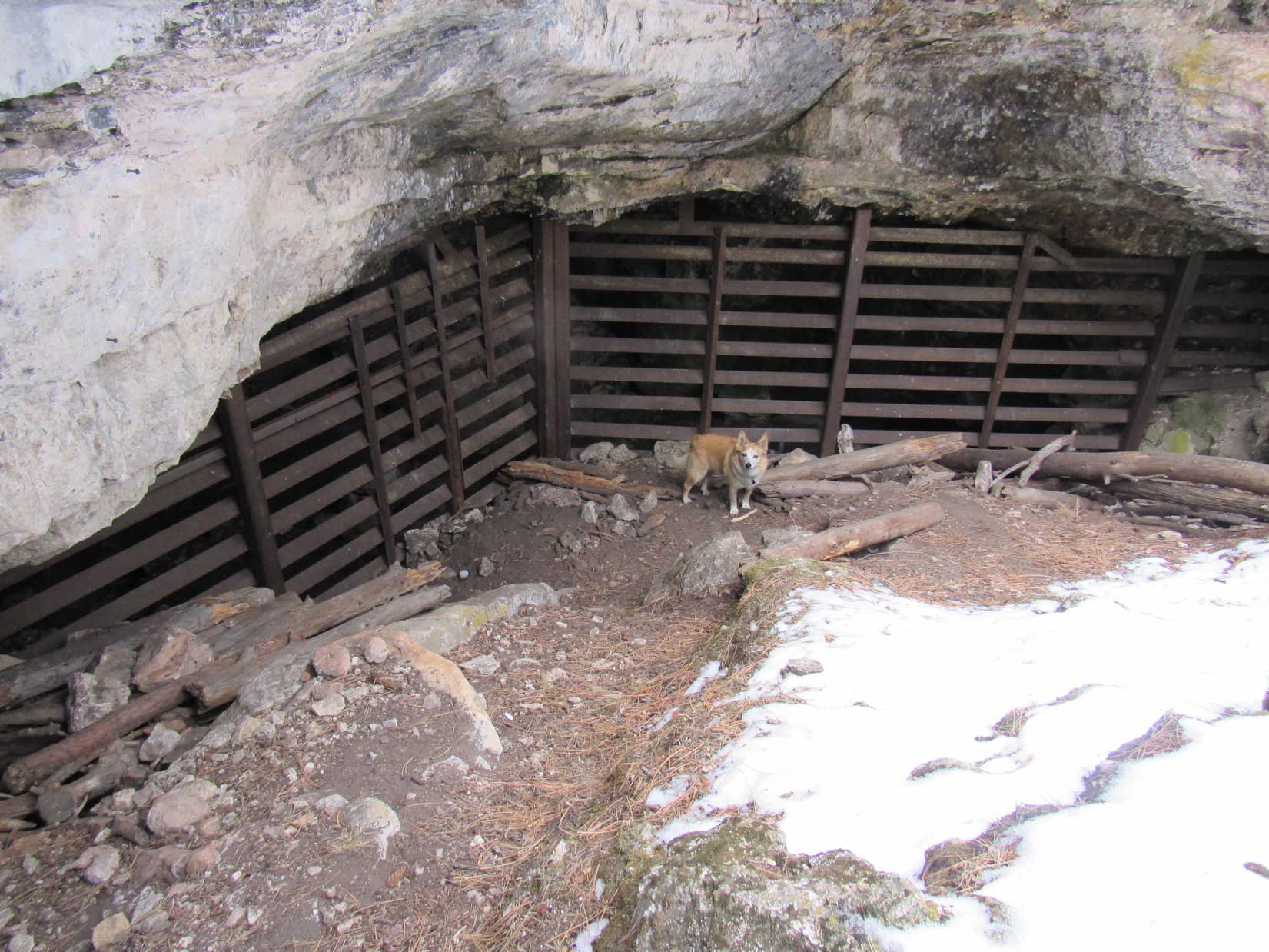
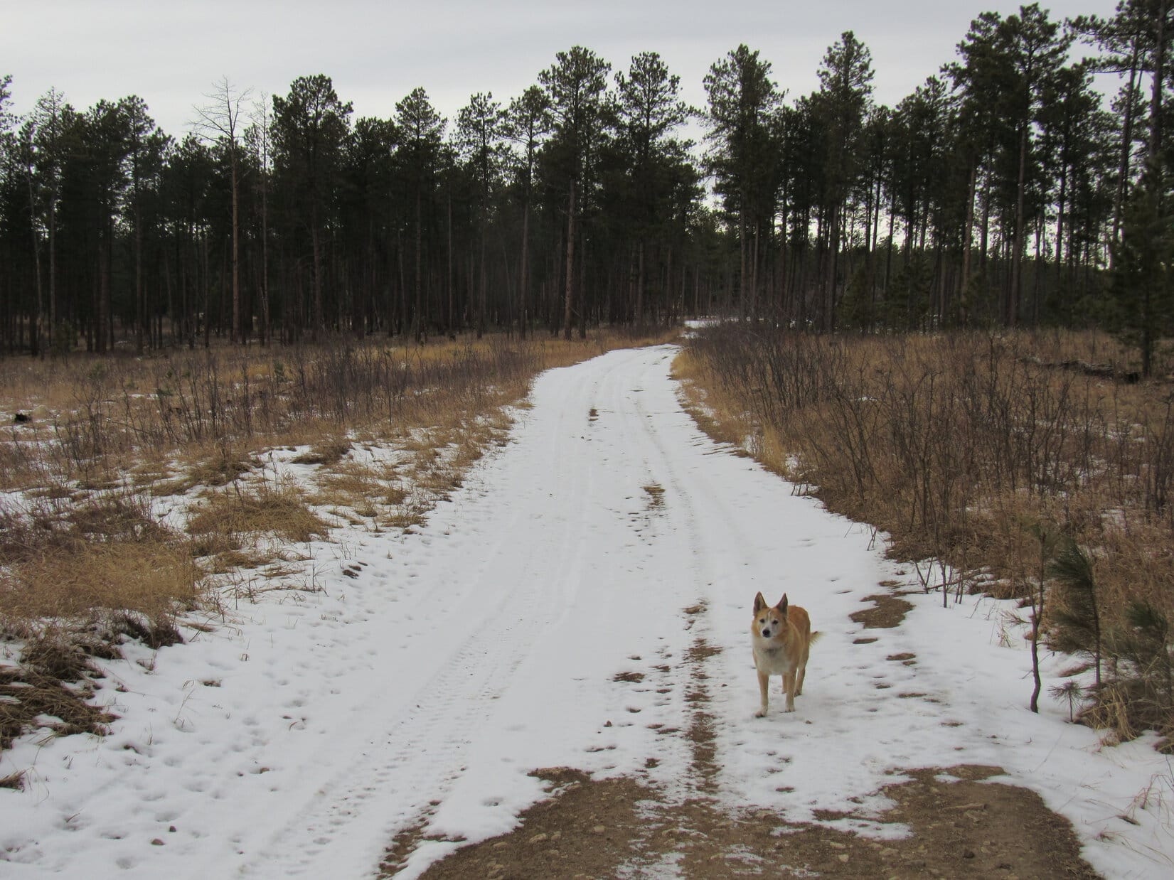
Days 12 & 13 of Lupe’s 3rd Summer of 2020 Dingo Vacation to Wyoming & Montana!

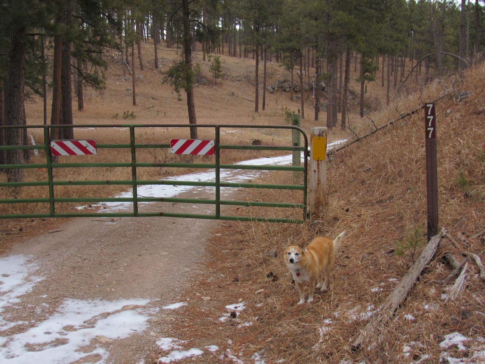
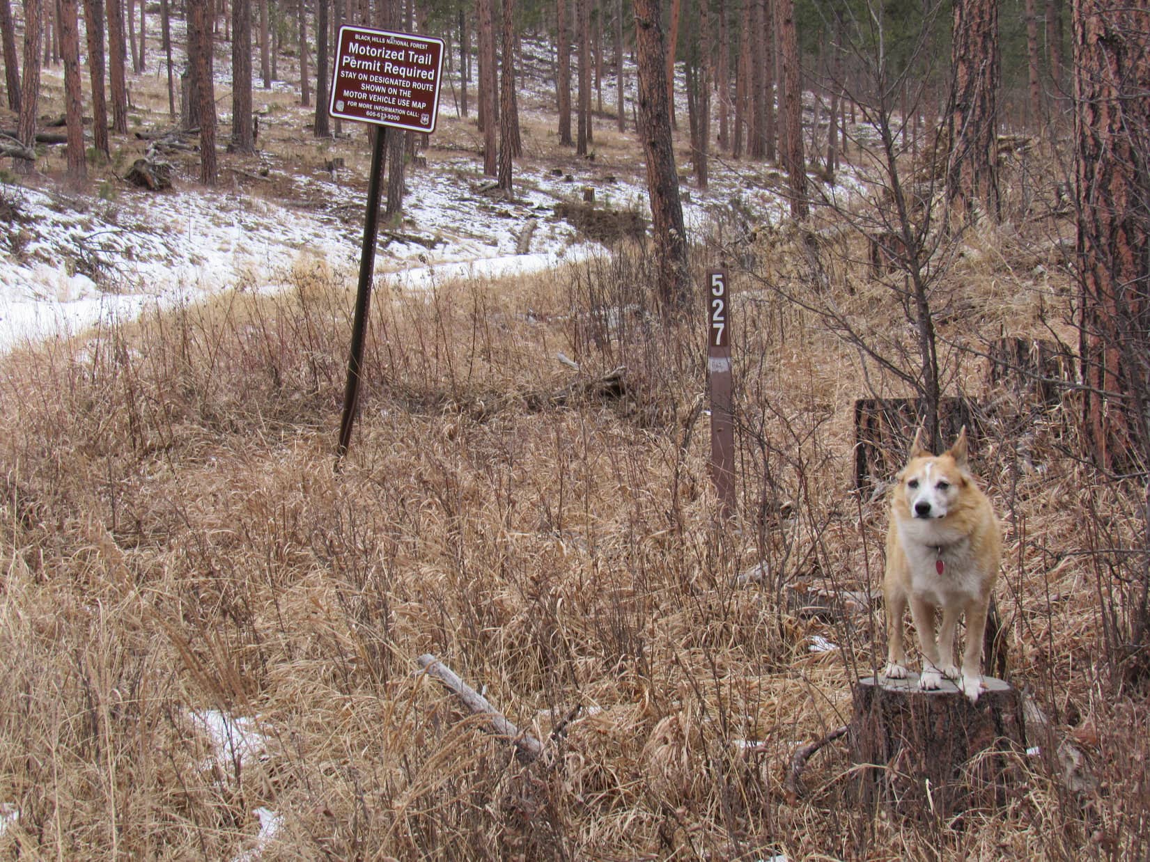
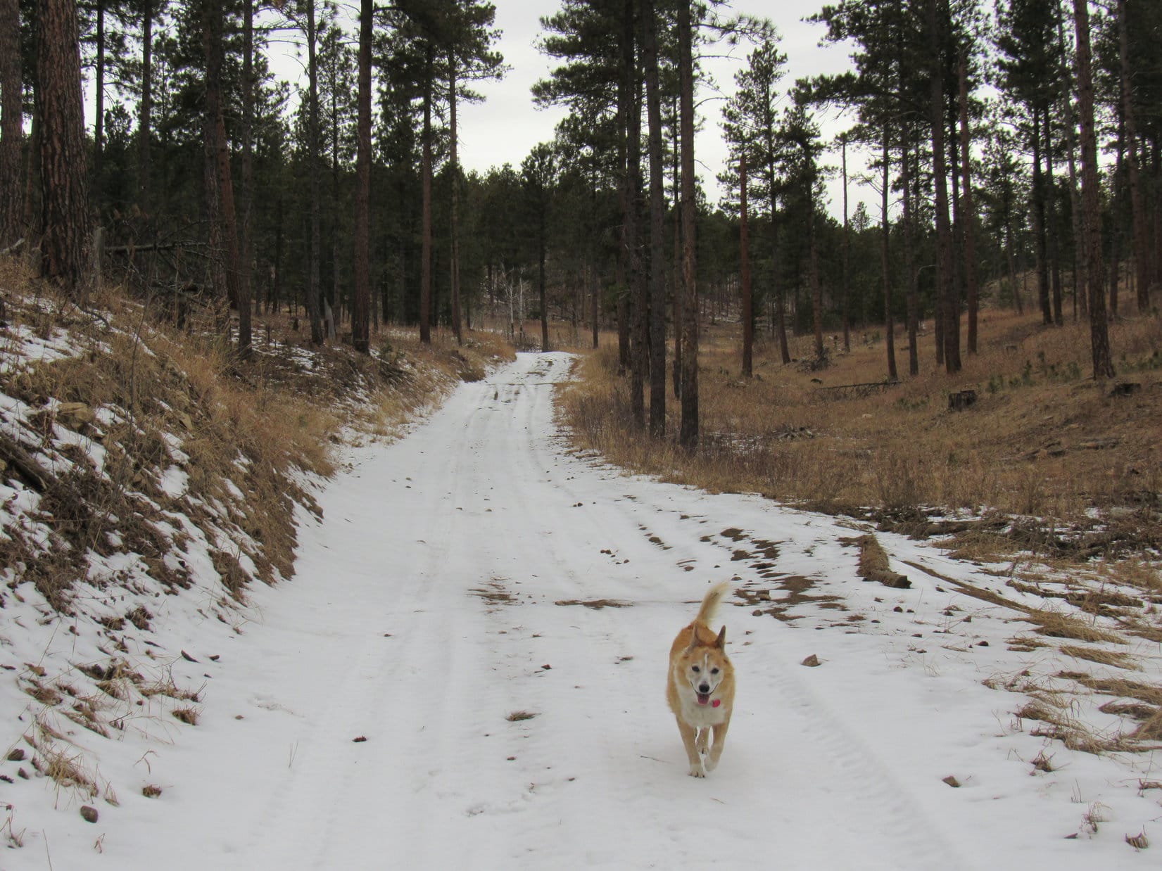
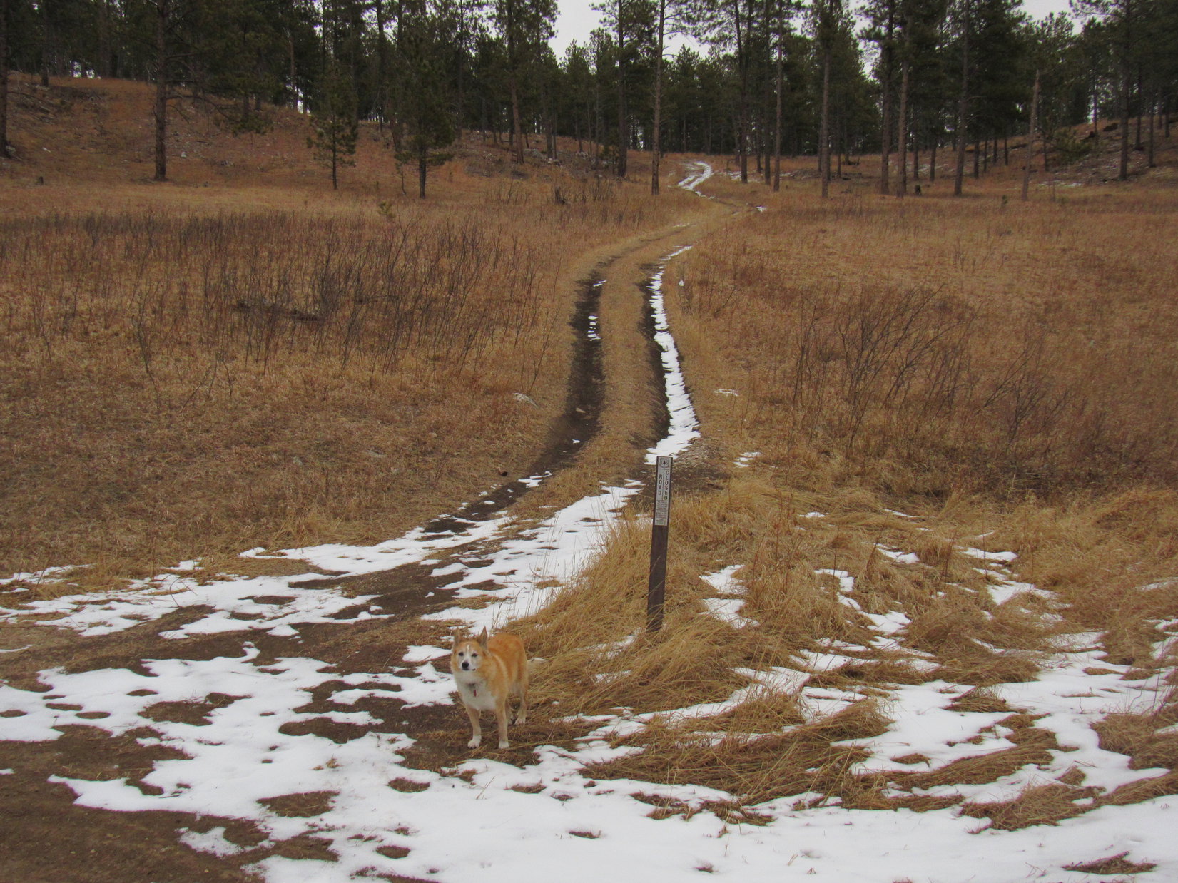
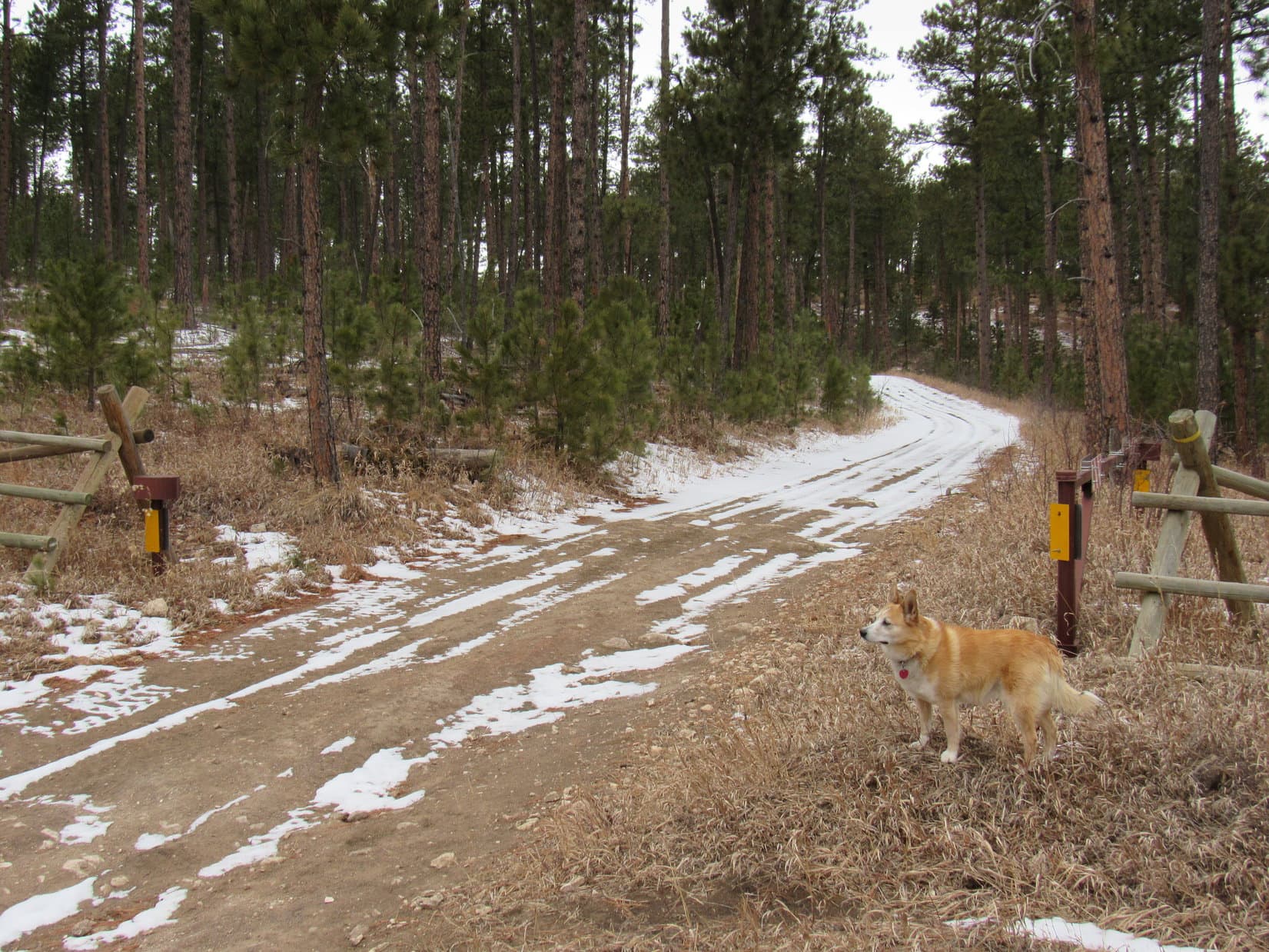
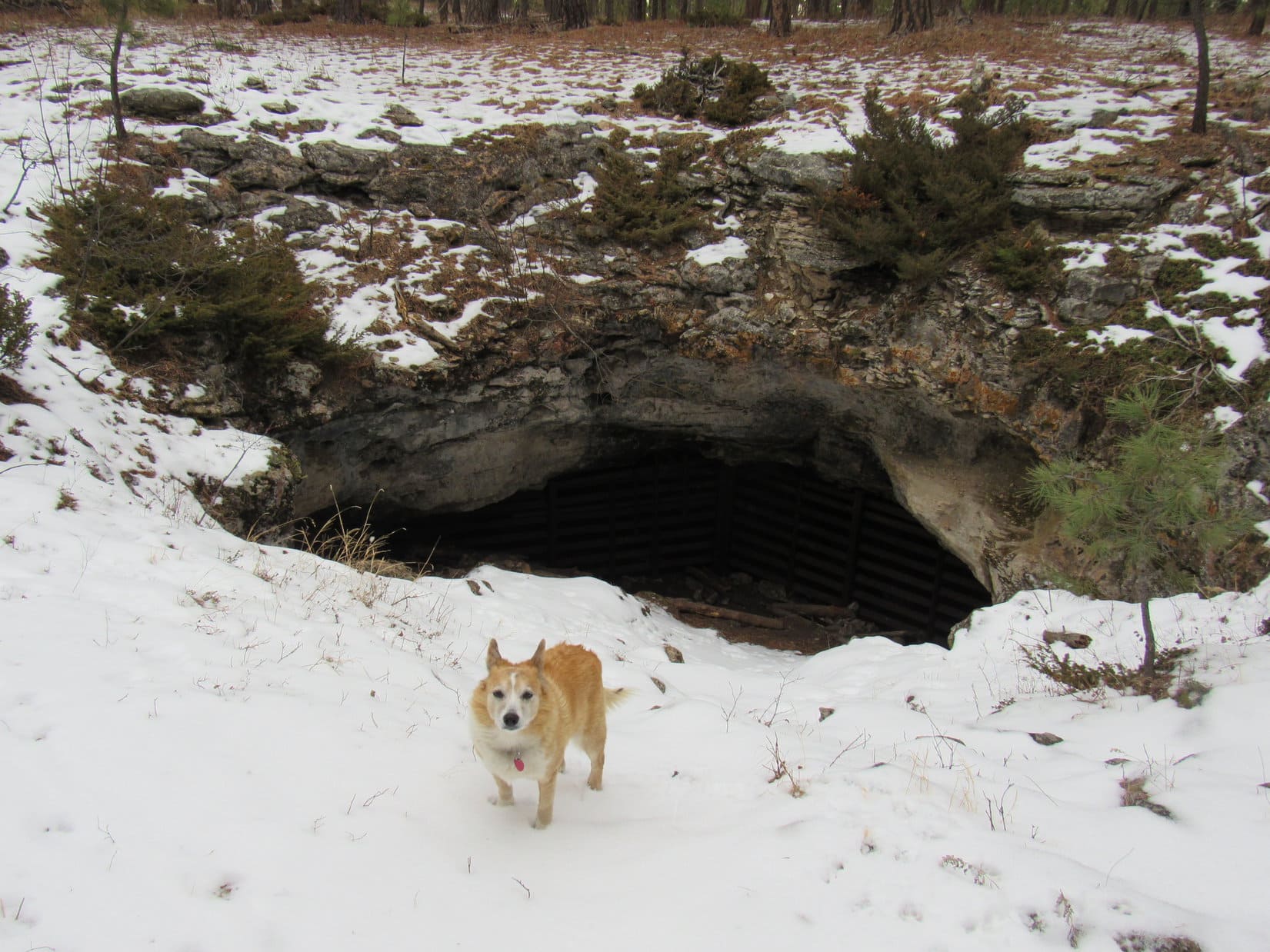
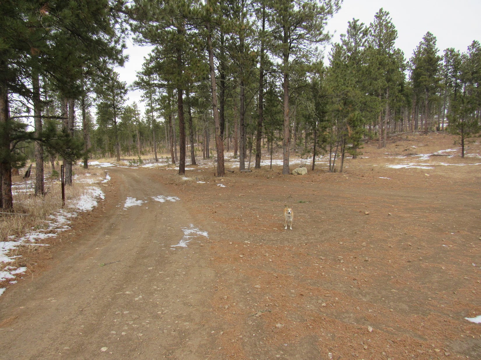
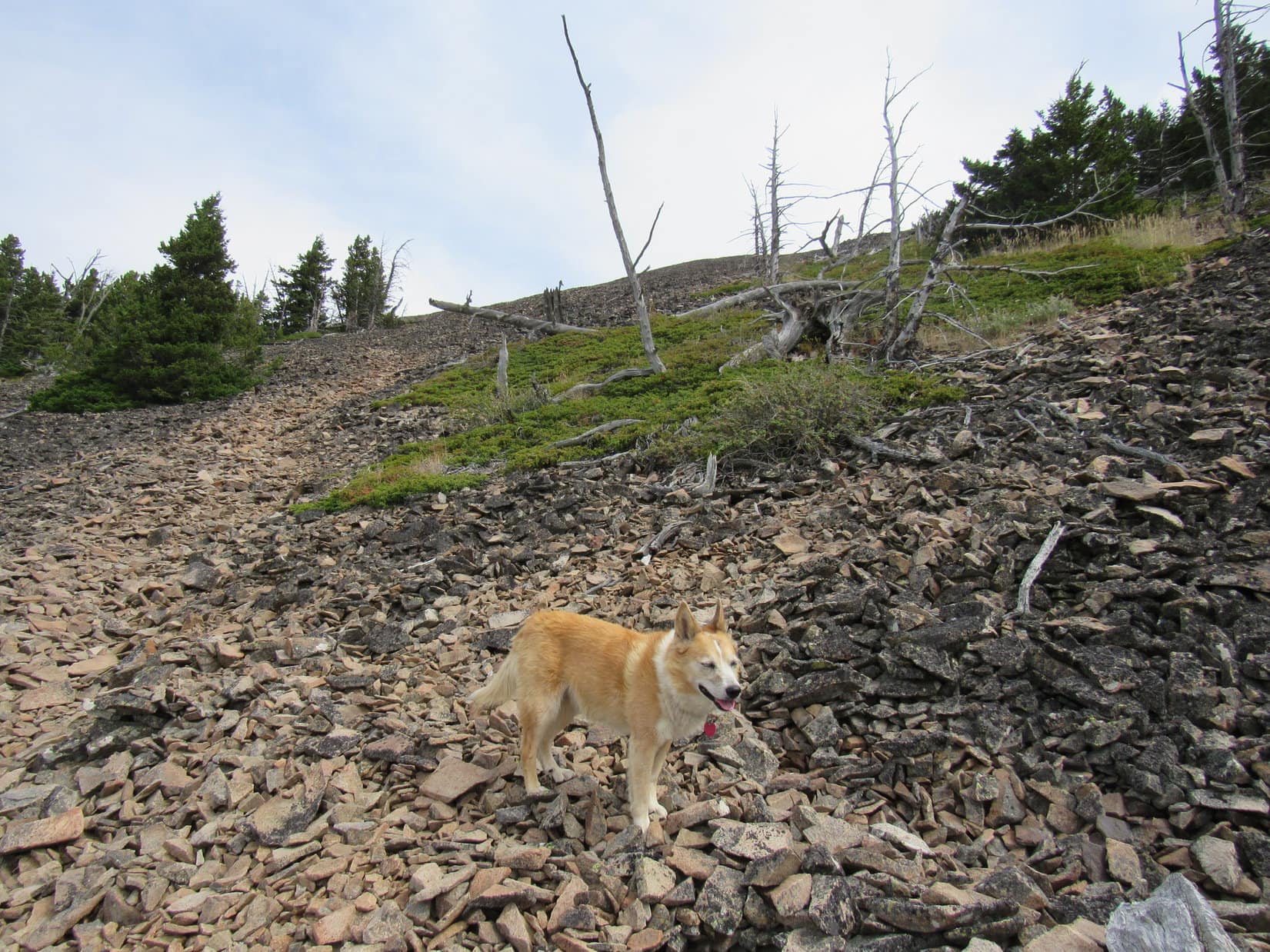
8-16-20, early morning, W Fork of the Bitterroot River – Lupe streaked by, a newly-prized stick clenched in her teeth, dodging, weaving, returning again and again, defying SPHP to catch her while showing off just how fast and agile she was.

At least someone’s recovered from Trapper Peak (10,157 ft.)!

Oh, c’mon!  Aren’t you even going to try to catch me, SPHP?

Sure!  As soon as my paws aren’t sore.  Won’t win then, either, but at least I’ll be able to move.  Till then, that fabulous stick is all yours, Loopster!

Clearly disappointed, perhaps disgusted, the Carolina Dog dropped the stick.

Phooey!  You’re no fun, SPHP!  When are your paws going to toughen up?  You’re always whining about them these days.

As soon as these boots are broken in, I’ll be fine again.

Think those boots are breaking in your paws in instead.

Heh.  It’s been a slow process, that’s for sure.  C’mon, I’m going to soak my paws in the river for a little bit before we head out.  Numb sounds good.  Maybe that squirrel that was here yesterday is still around?

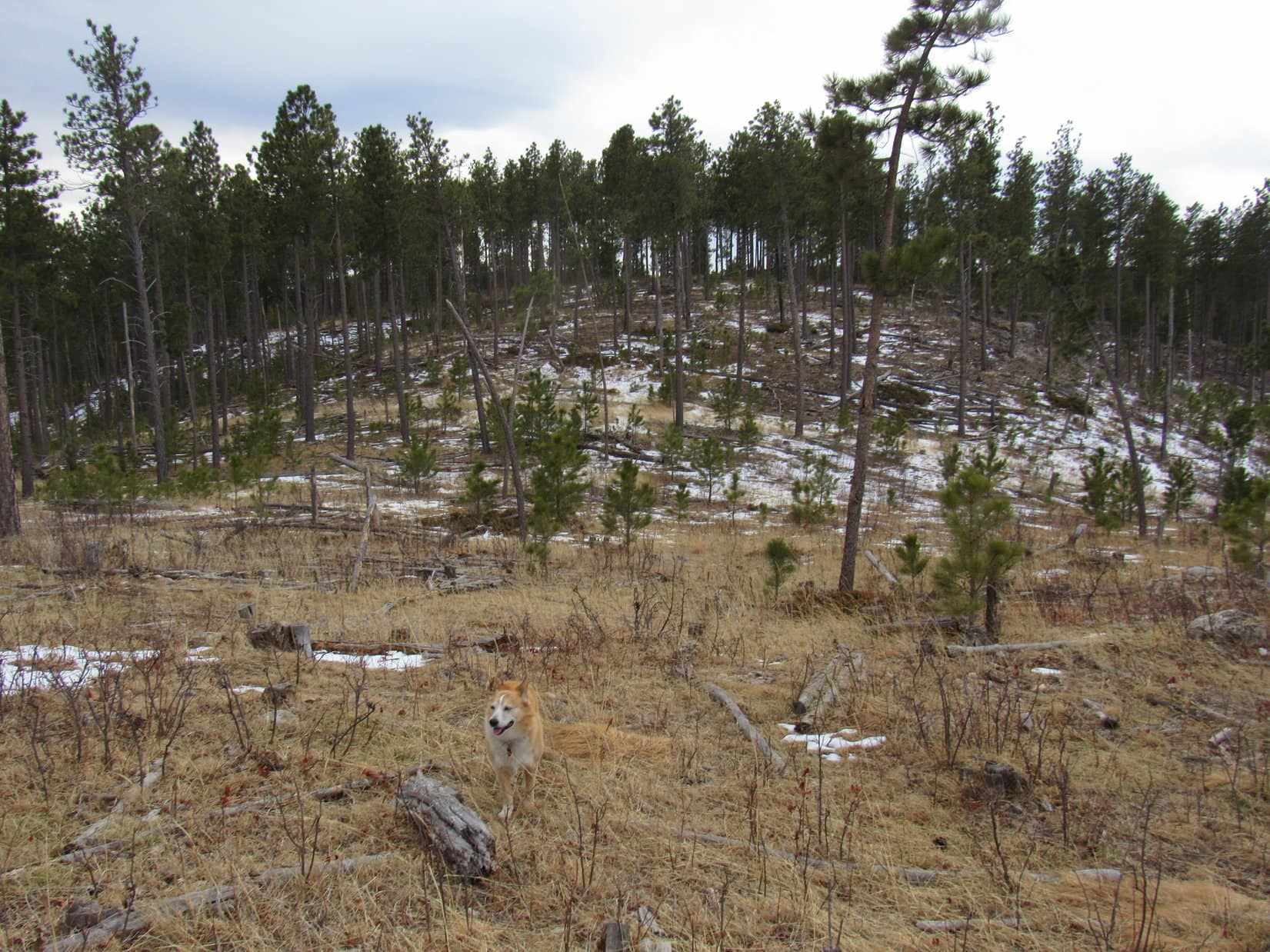
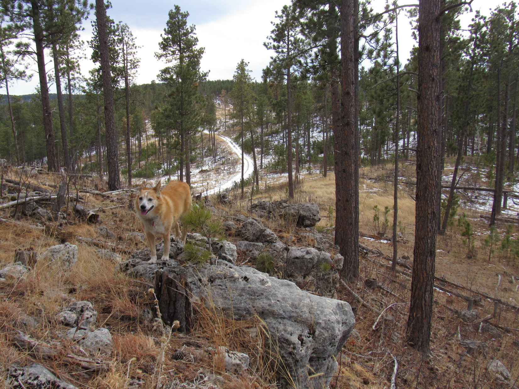
The mere mention of “squirrel” and Lupe was racing off to check out those trees over by the river access point.  Sadly, no luck.  The squirrel must have been sleeping in.  The river was beautiful, though, and the soaking did SPHP’s paws a lot of good.  Happily, those paws didn’t look nearly as bad as they’d felt.

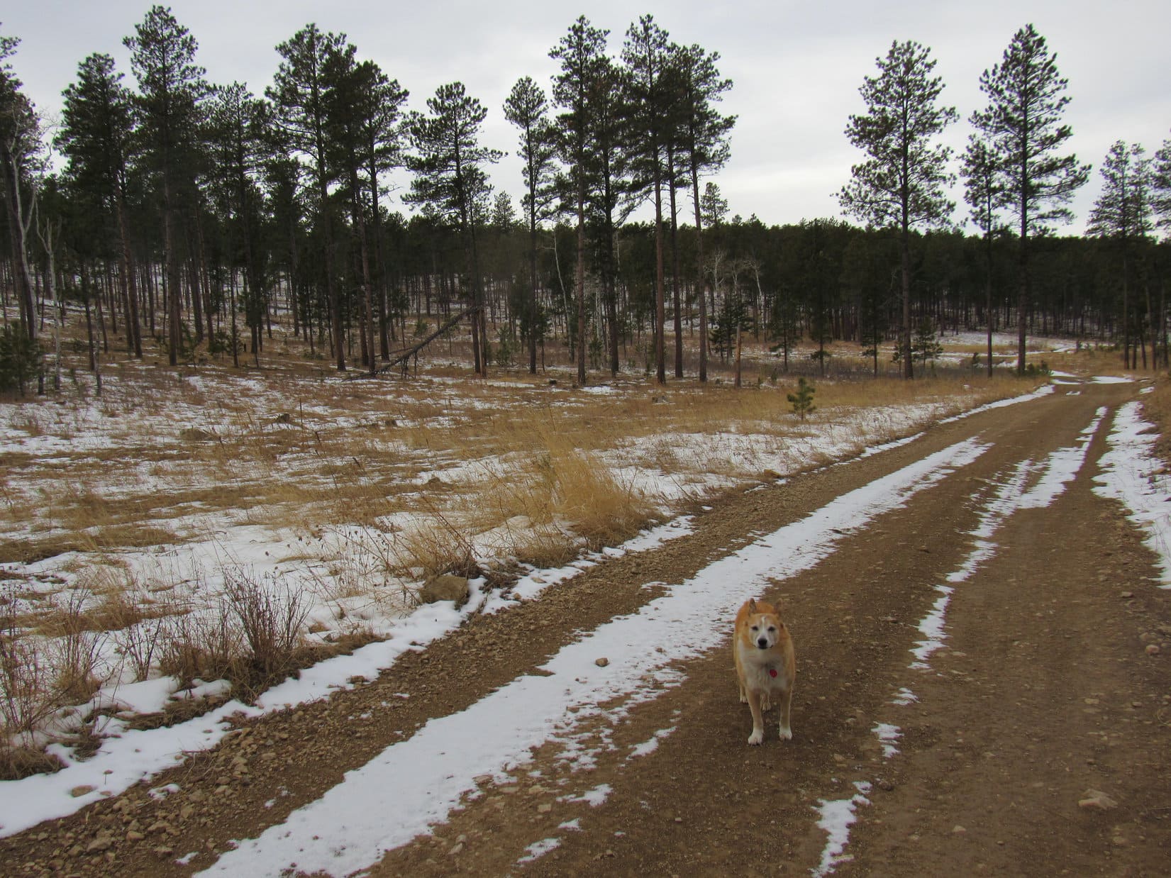
8-16-20, 10:12 AM, Hwy 200, Clearwater River

Montana sure has a lot of beautiful rivers, doesn’t it, SPHP?

This part certainly does, Loop!  Getting to be big fans of all these nice river access points, aren’t we?

They do help break up the trip!  By the way, where are we going, anyway?

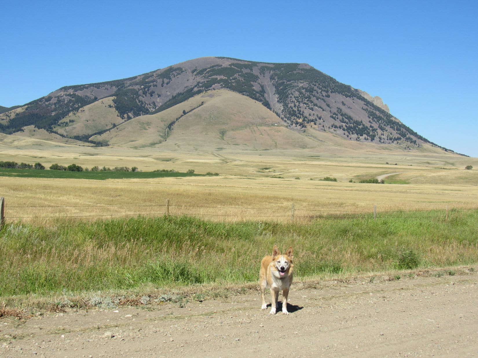
West Butte (6,983 ft.) of the Sweetgrass Hills, Looper!  Remember those big hills we always see off in the distance E of I-15 when we’re on the way to Canada?

The ones you’re always wondering whether they are in the United States or Canada?

Yup.  Those hills.  Well, it turns out they are in the US.  West Butte is the highest one, so guess what, Lucky Dingo?  You’re going to get to climb it, if we can figure out the access situation.

Are we going to Canada, too?

Unfortunately, no.  Not this year.  Crying shame, but the border is closed.  West Butte is so close to Canada, though, that you’re going to get to see it!

Not quite the same, SPHP.

I know.  Not the same at all.  Sorry ’bout that, but it’s the best we can do in the Year of Perfect Vision.

Enjoying a romp along the Clearwater River.

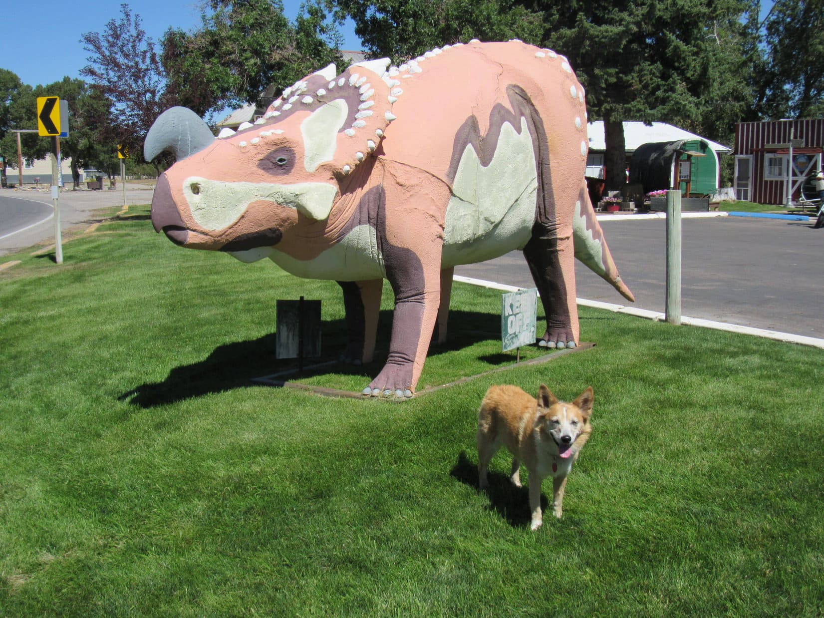
Montana not only had lovely rivers with great access points to explore, but dinosaurs, too!  In Choteau, Lupe visited a snazzy pink one.

Dingoes & Dinosaurs! What more could you want?

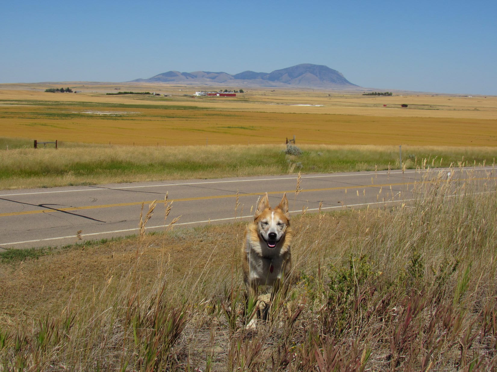
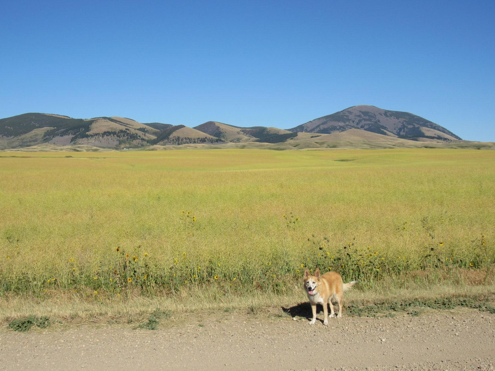
3:20 PM, Hwy 343 at Oilmont – Coming down out of the big mountains had been a mistake.  Hotter ‘n blazes on the prairie!  Lupe parted leaping billows of the Grasshopper Sea as she sniffed her way up a little rise at the E end of what more or less amounted to the ghost town of Oilmont.

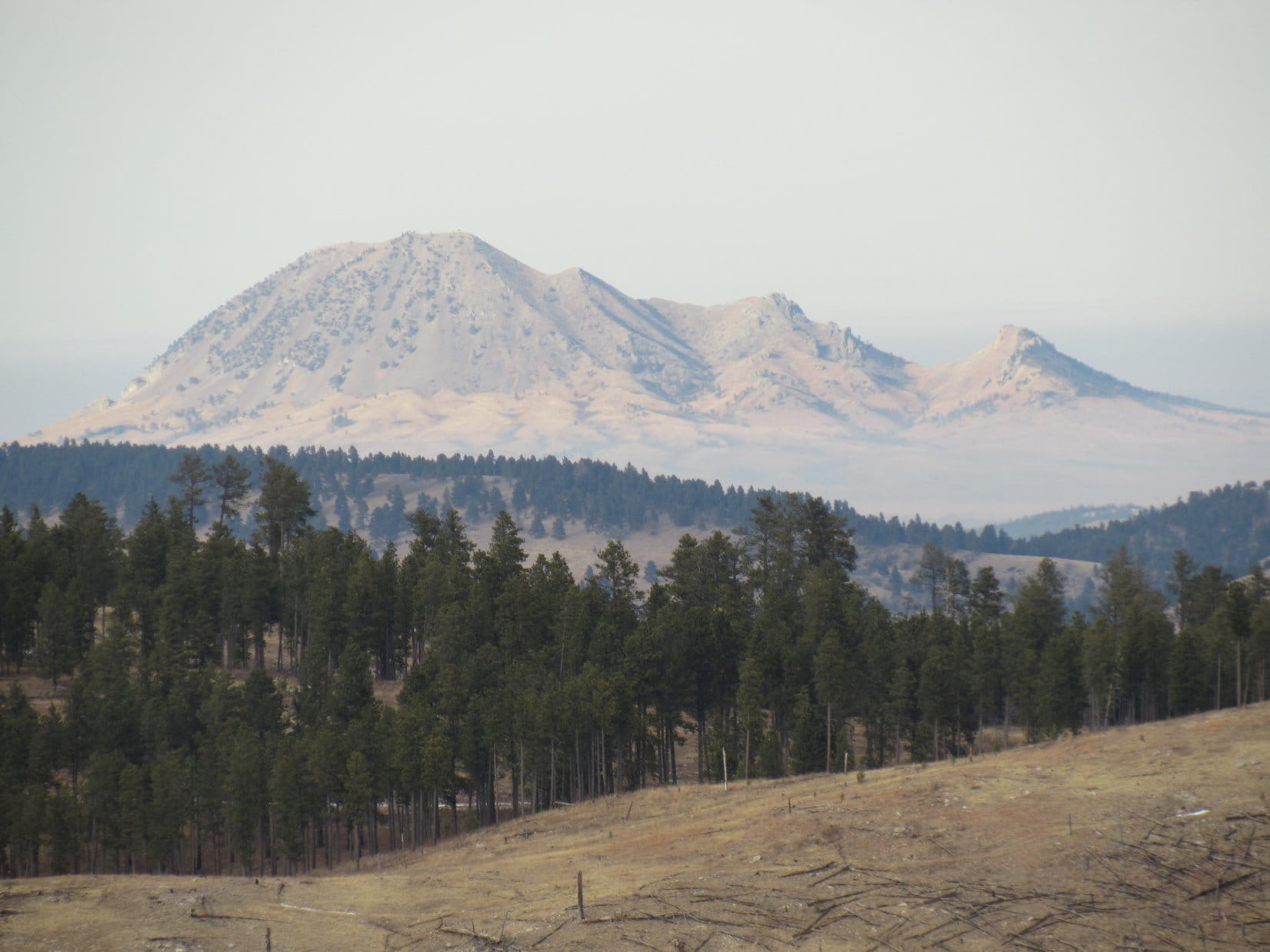
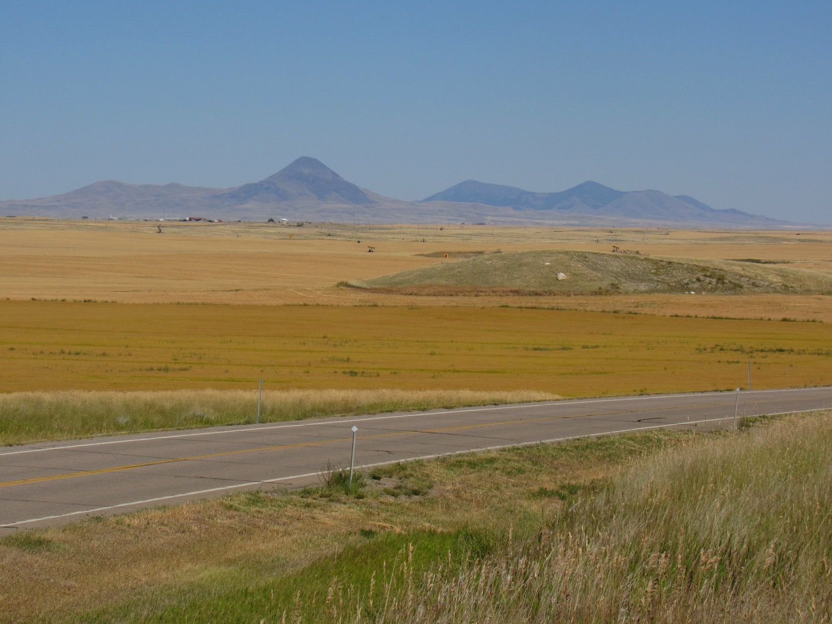
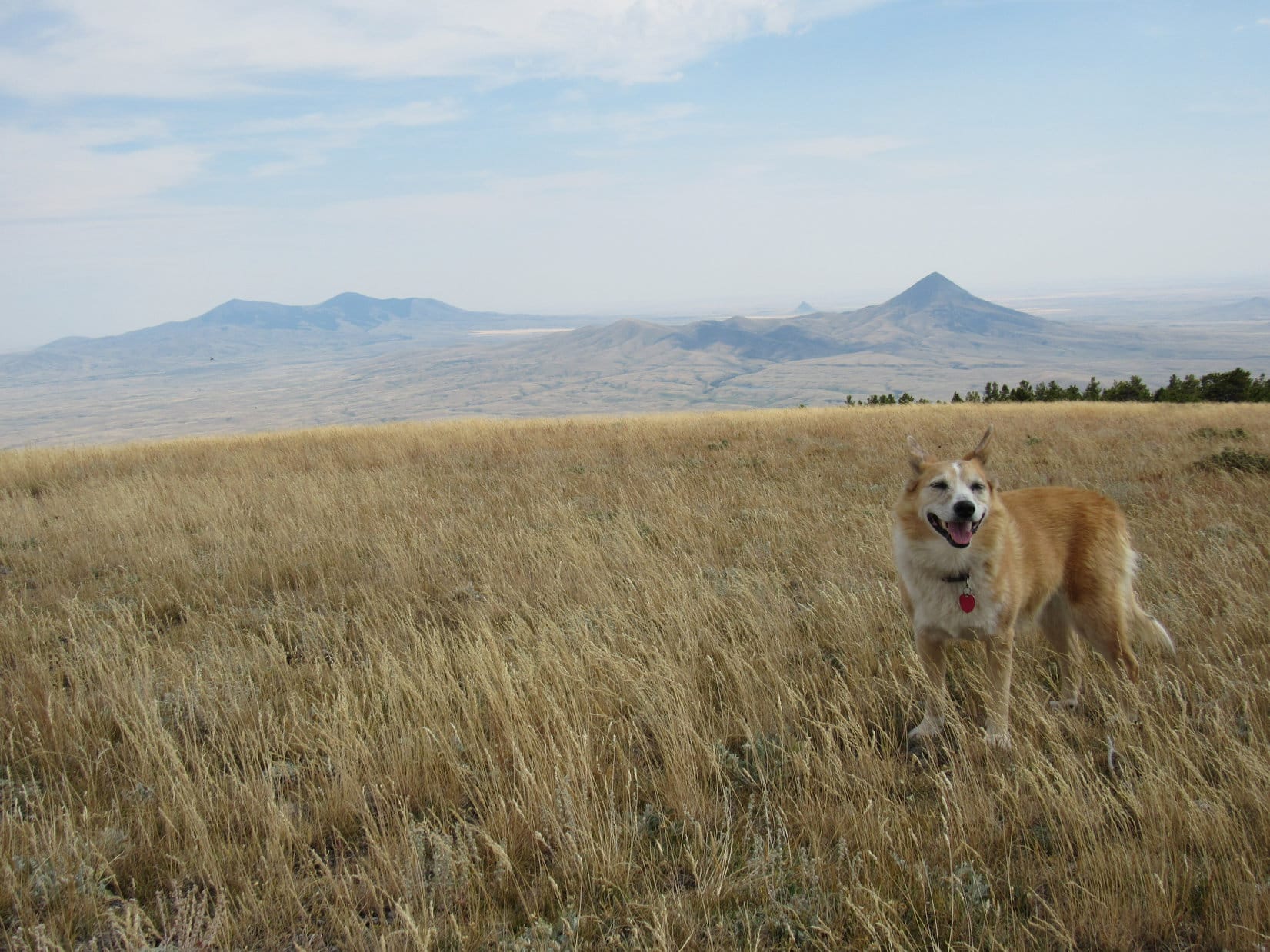
Miles across the parched golden fields of August, the Sweetgrass Hills were in sight, stretched out in 3 isolated groups like American sentries guarding against unexpected invasion from Canada.

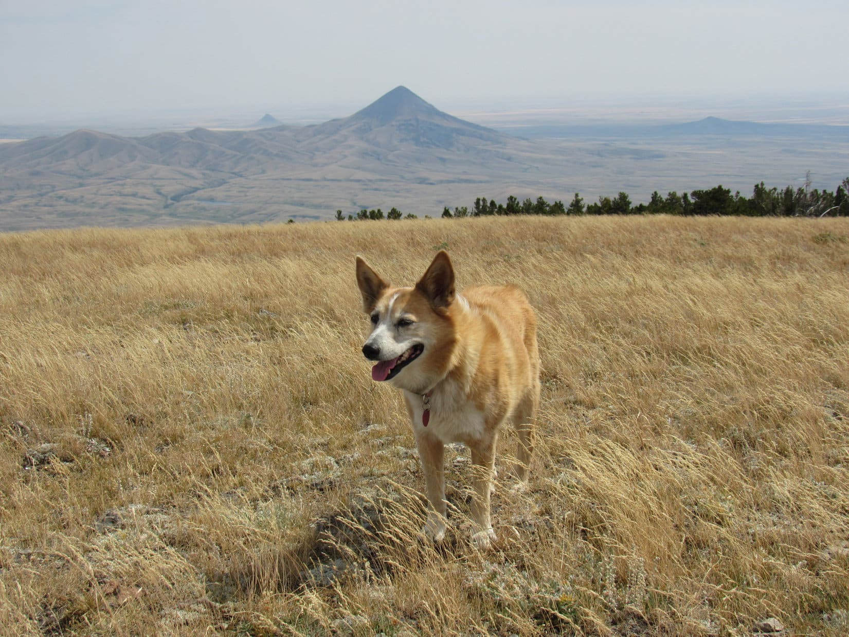
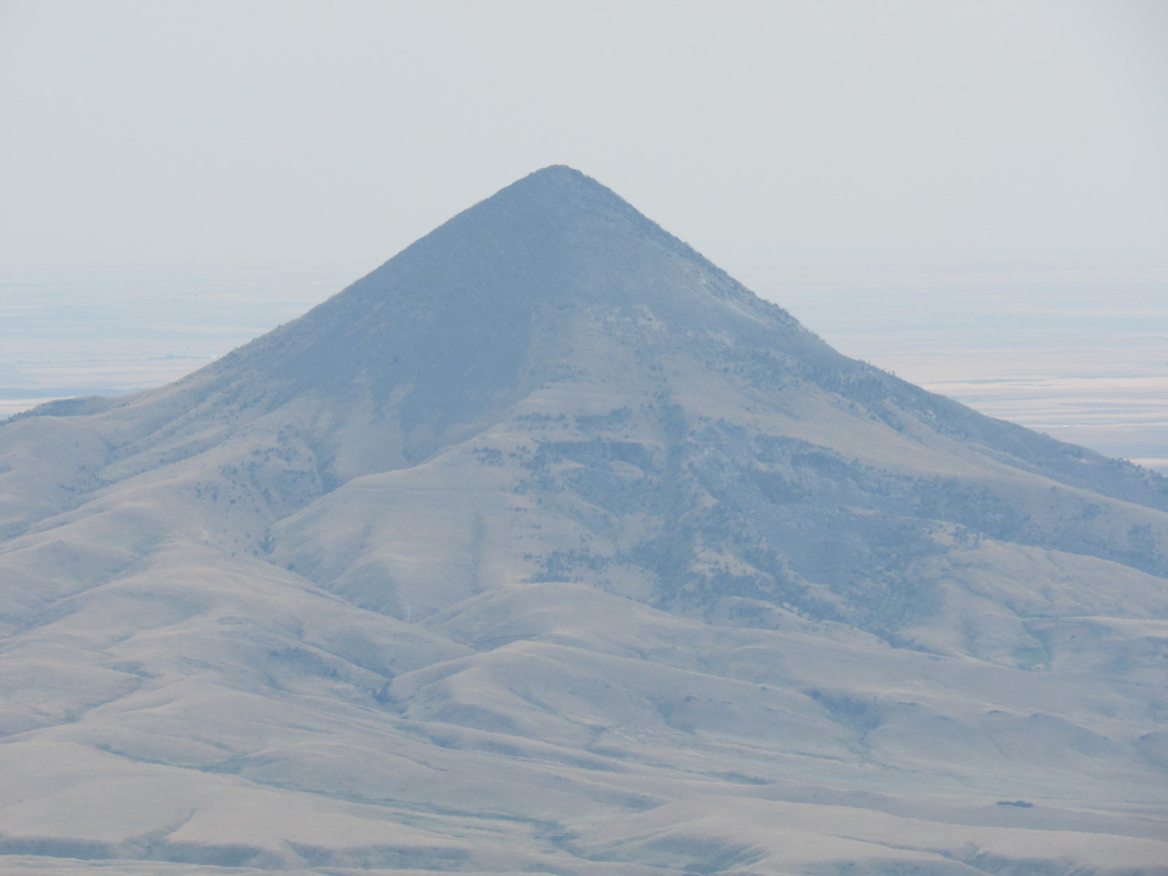
West Butte (6983 ft.) was closest to both Oilmont and Canada, and had the support of lower hills to the NW.  Nearly 20 miles ESE of West Butte, stood the similar, only slightly lower East Butte group containing both Mount Royal (6,914 ft.) and Mount Brown (6,958 ft.).  Between these strongholds, the lone cone of Gold Butte (6,512 ft.) held the otherwise undefended center of the line.

West Butte from Hwy 343 near Oilmont. Photo looks NE.
Gold Butte (L), Mount Brown (Center) and Mount Royal (R). Photo looks ENE with help from the telephoto lens.

Driving E from Oilmont, the search for decent West Butte access began.  Supposed to be available from the SW.  12 miles E of I-15 came a L (N) turn off the pavement onto Suphellan Road, a good, wide gravel road.  Miles of dust, but after a few minor jogs and a couple of intersections, Lupe was getting close.

West Butte from Nine Mile Road. Photo looks NE.

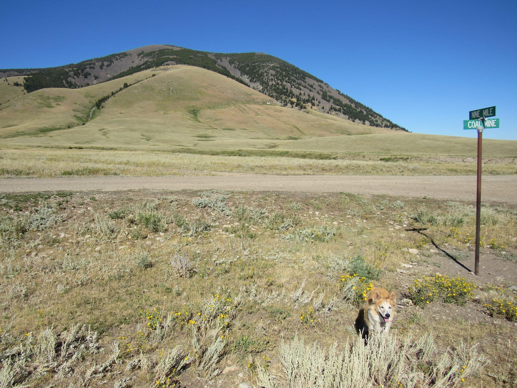
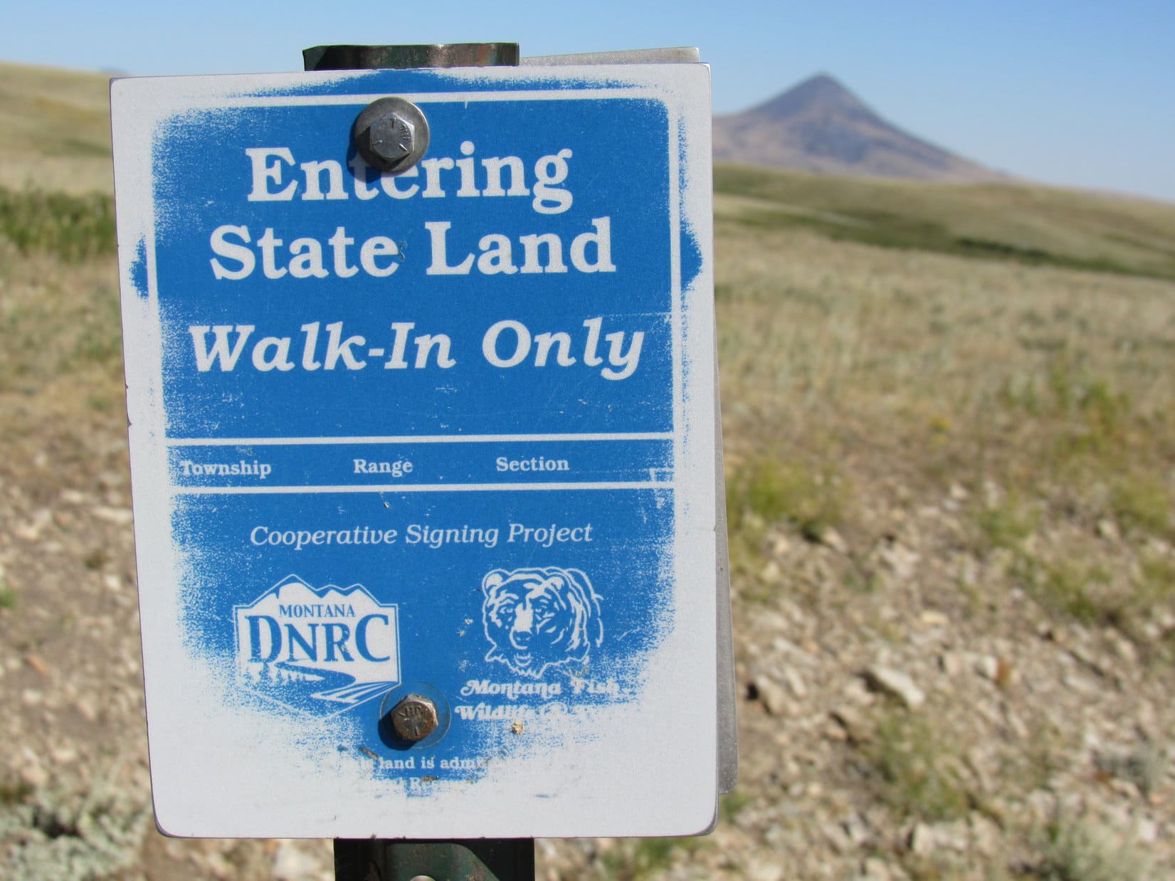
By now, Suphellan Road had led into Nine Mile Road, which worked it’s way NE.  West Butte’s lower SW slopes were only 0.5 mile away when a junction was reached with Coal Mine Road.  Private property here, but further investigation revealed a little blue sign 0.1 mile E.

Bingo!  Dingo!

At the intersection of Nine Mile Road and Coal Mine Road. Photo looks NE.
Gold Butte from the N side of Coal Mine Road 0.1 mile E of the junction with Nine Mile Road. Photo looks SE.
Official public access confirmation!

Farther E, Coal Mine Road led to a private ranch.  Turning back around and exploring it W, the road dipped into a draw containing a ford of a rocky creek that was almost dry now, but might be an issue during wet weather.  Coal Mine Road continued NW, winding through some of the lower Sweetgrass Hills.  Clearly, no better access from this direction.

West Butte (R) and the Sweetgrass Hills from the WNW.

8-16-20, 5:55 PM, I-15 at Sunburst – Still 96ºF!  Full scale retreat was called for.  Luxury was on the agenda, air-conditioned luxury all night long!  The Carolina Dog sure didn’t object.  The Comfort Inn, the finest motel in Shelby, was nearly vacant with the Covid-19 panic going on.  Stretching out on the big soft bed, Lupe heaved a sigh of delight.  SPHP enjoyed a swim in the small, unoccupied pool.  Not another soul!  Sort of like Loopster and SPHP owned the joint.

Good thing, we don’t own it, Loop!  Must be losing money hand over fist, if it’s this empty during tourist season!

Star Wars!?  Change the channel, SPHP!  Maybe they’ve got Lassie or Rin Tin Tin?

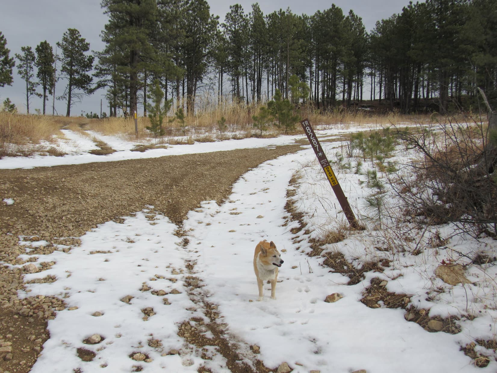
8-17-20, 10:26 AM, 81ºF, SW of West Butte – SPHP parked the G6 a few hundred feet E of the junction of Nine Mile Road and Coal Mine Road.  High clouds and hazy out.  Plenty warm, but not sweltering, at least not yet.  Lupe trotted a little farther E along Coal Mine Road to the blue sign before heading out into the flat field leading to West Butte.

Starting for West Butte. Photo looks NE.

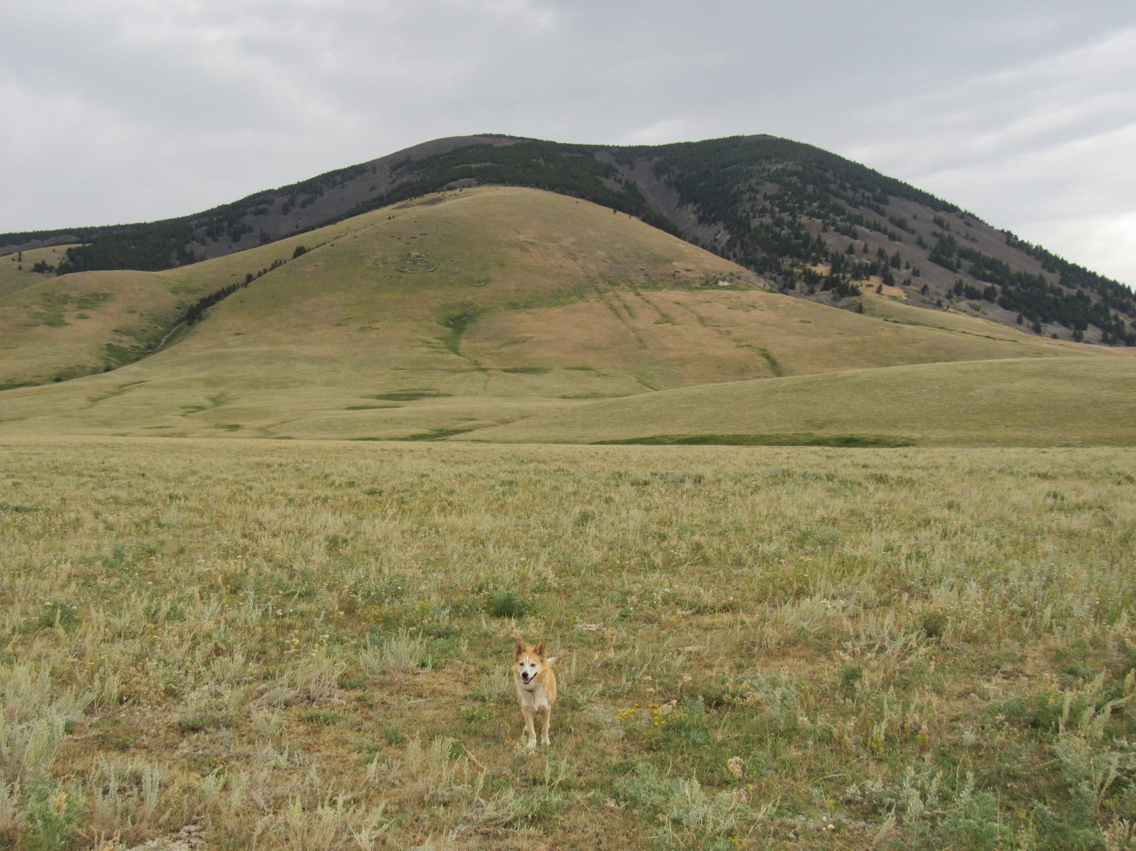
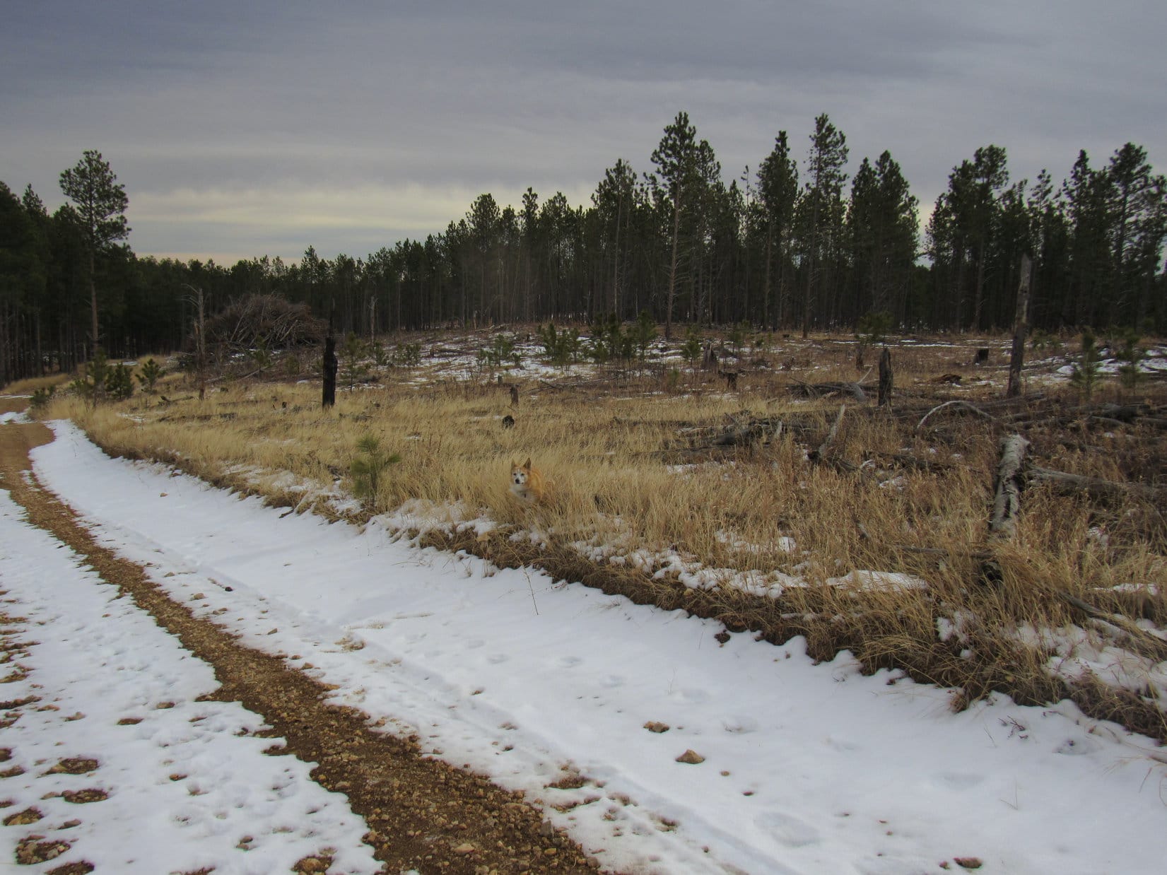
Surprisingly, thankfully, no cactus.  Looper crossed the Grasshopper Sea without encountering any.  Entering a shallow drainage, she followed it higher until she was almost at the base of West Butte’s first big grassy slope.  Leaving the drainage, up she went!

Down in the drainage. Photo looks NNE.
Warm dry day, long steep slope, and a resulting bad case of big pink tongueitis.

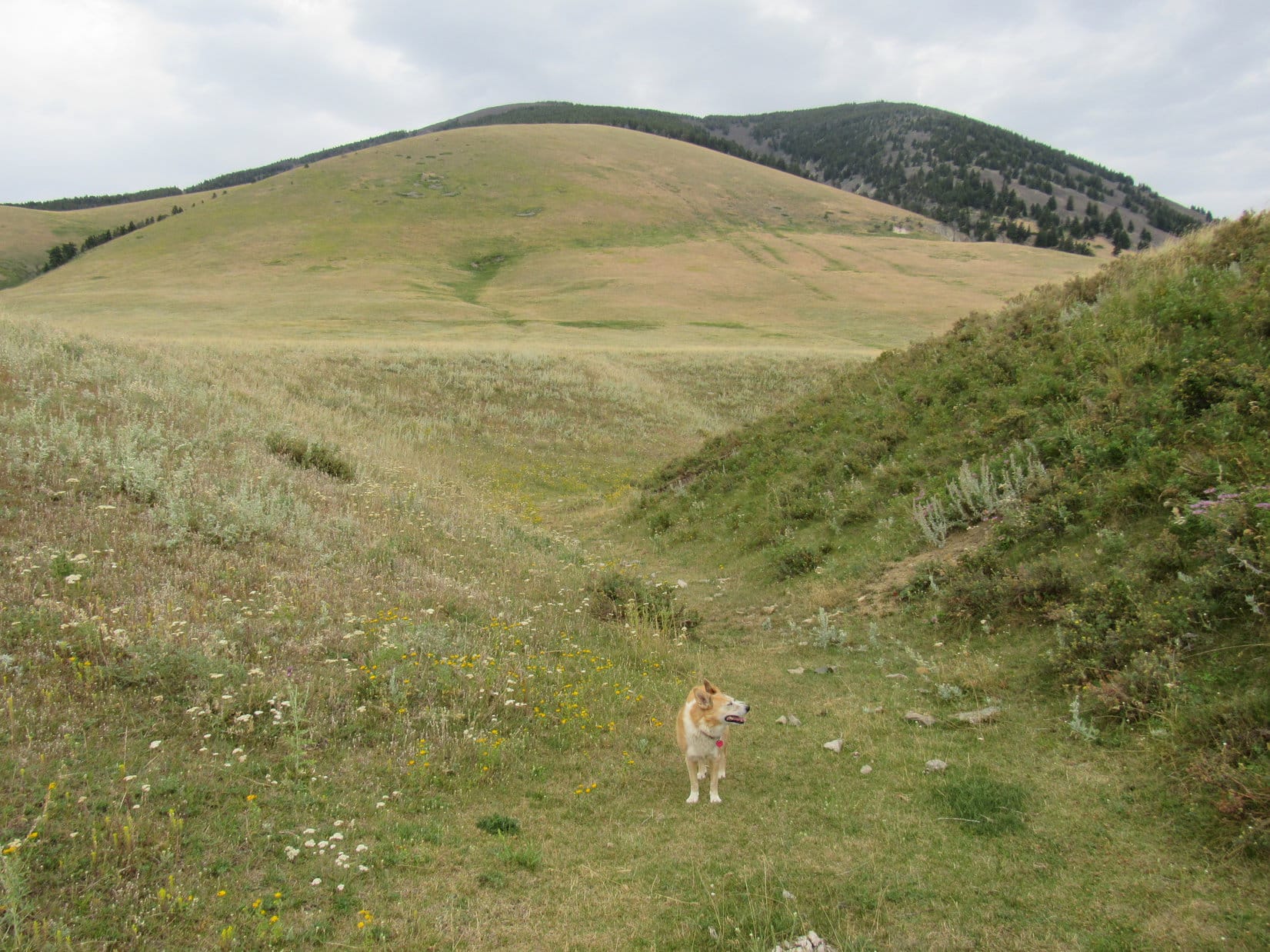
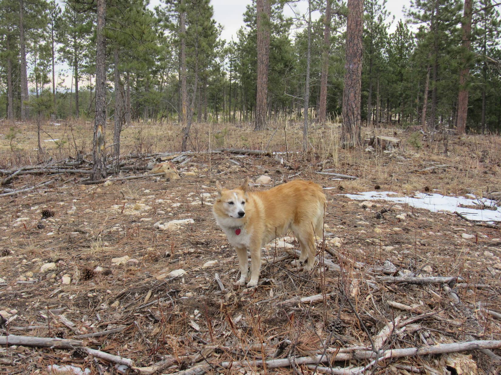
The long grassy slope got pretty dang steep, but the Carolina Dog kept at it.  Climbing hundreds of feet higher, she eventually reached a windswept tree that was 90% dead.

At the windswept tree. Photo looks NW.
Sweetgrass Hills W of West Butte from near the windswept tree. Photo looks NW.

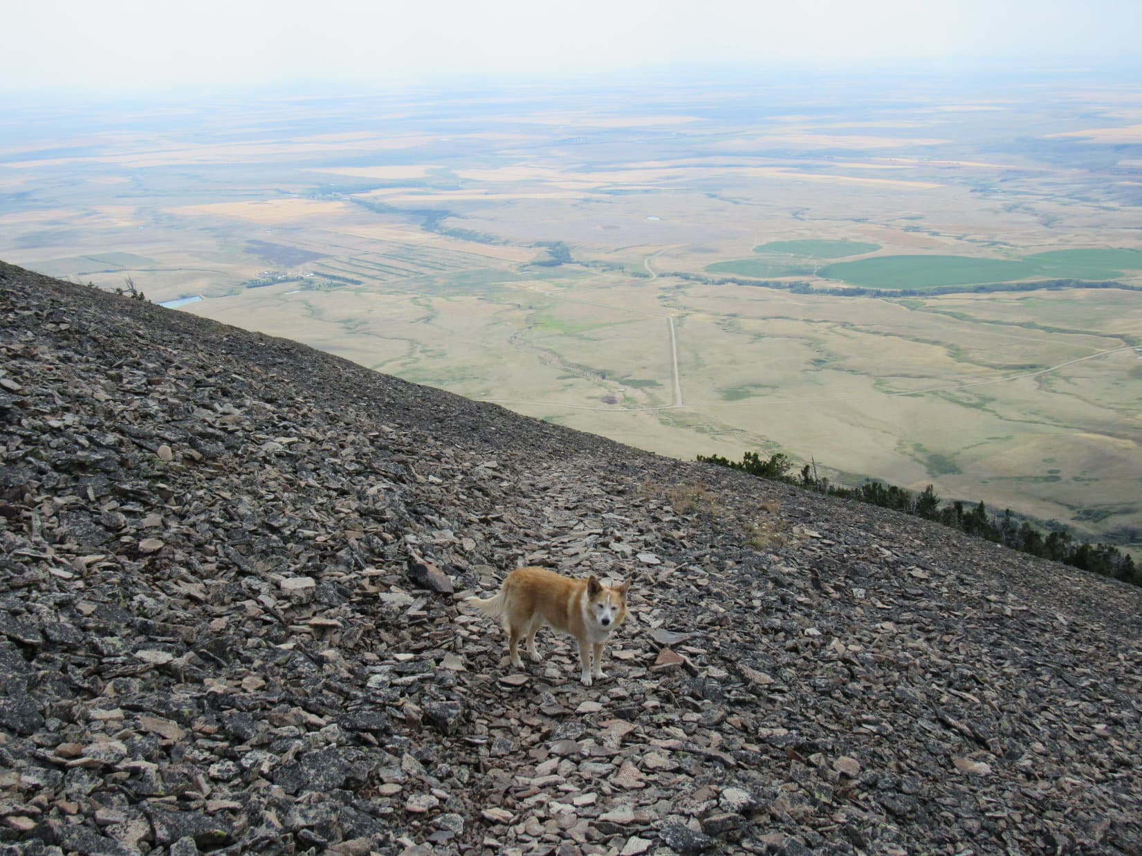
Not too far above this tree the rate of climb slowed a bit.  Forests and rock fields prevalent on West Butte’s upper slopes were in sight again.  Lupe kept heading for them.

Beyond the steepest part of the climb already. Photo looks NE.
Closing in on the trees. Photo looks NNE.

Shortly before reaching the trees, Lupe came to the first rock slides.  A path crossed these rocks angling up toward the NNE.  Following this path higher, the rocks were loose and relatively small, yet still large enough to provide decent support.  For such rocky terrain, this was easy going!

On the first path below the forest. Photo looks NNE.
Crossing the first big scree slope. Photo looks NNE.
Looking back to the SSW.

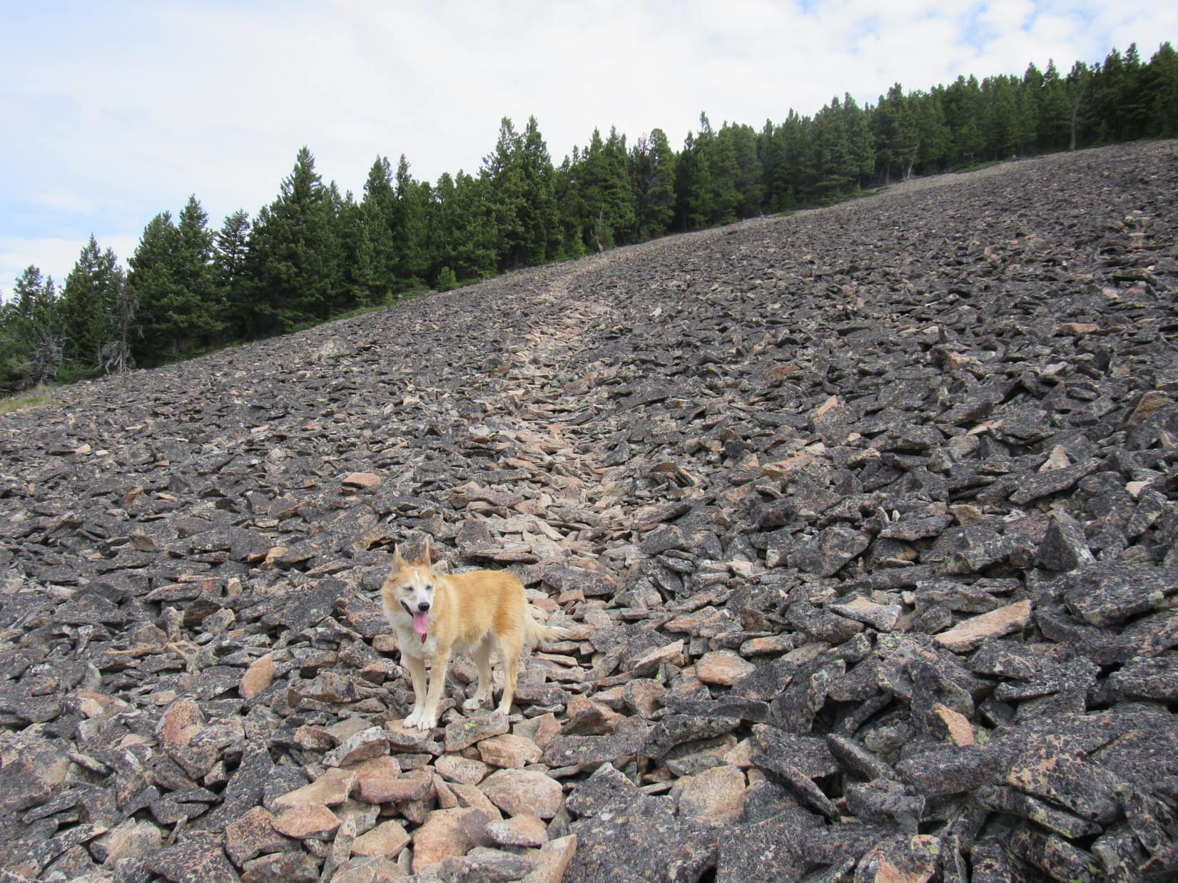
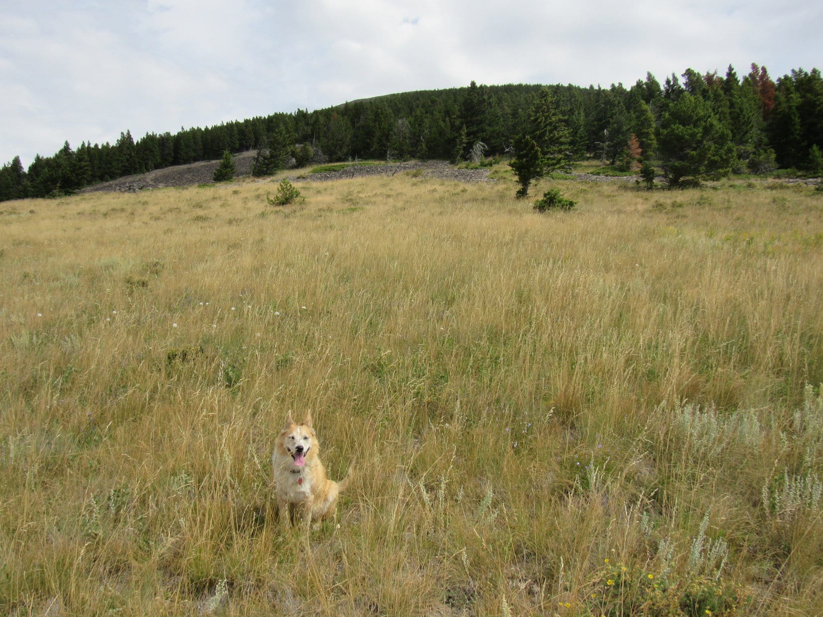
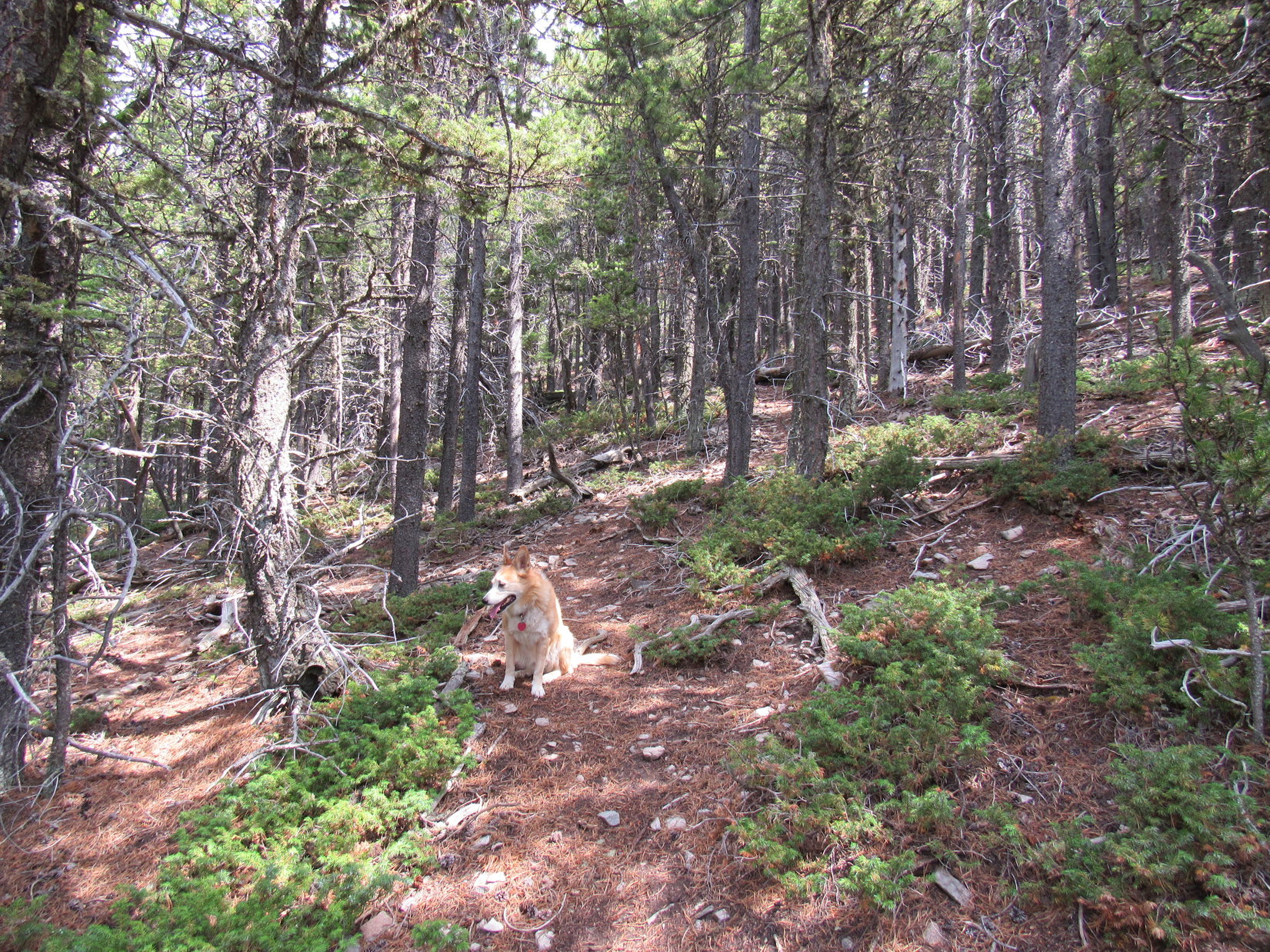
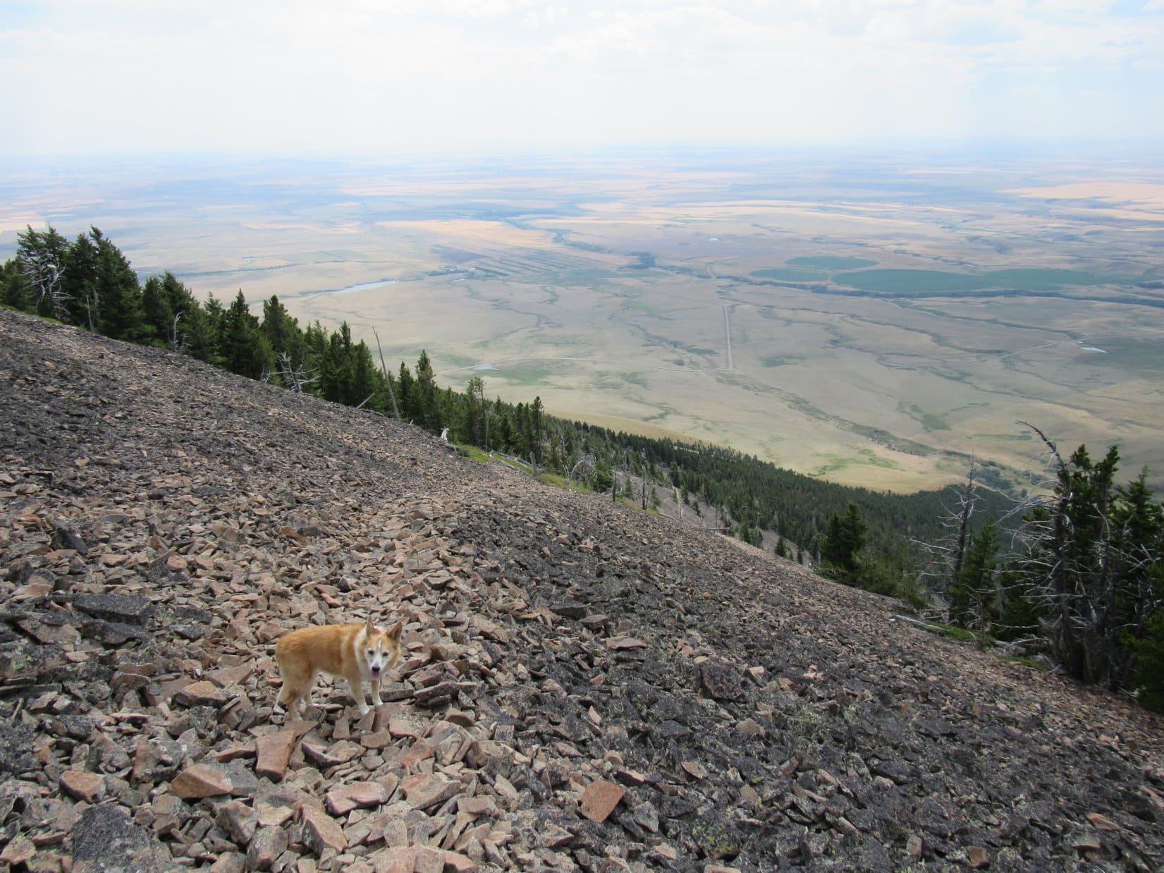
The path soon led into the trees.  Overhead, the cloud cover was getting thinner.  Patches of blue sky were beginning to appear, and the day was getting warmer.  Enjoying the shade, Lupe and SPHP took a water break and a long breather.

Relaxing in the shade.

Resuming her climb, Loopster went right up the forested slope for a while, but eventually got far enough NNE to emerge from the trees again.  More paths angled up another scree slope.

Out in the open again. Photo looks N.
Looking up an unscathed scree slope the trail went by. Photo looks ENE.
Another look back. Getting higher! Photo looks SW.

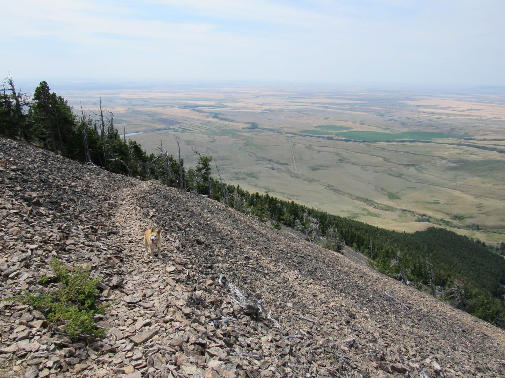
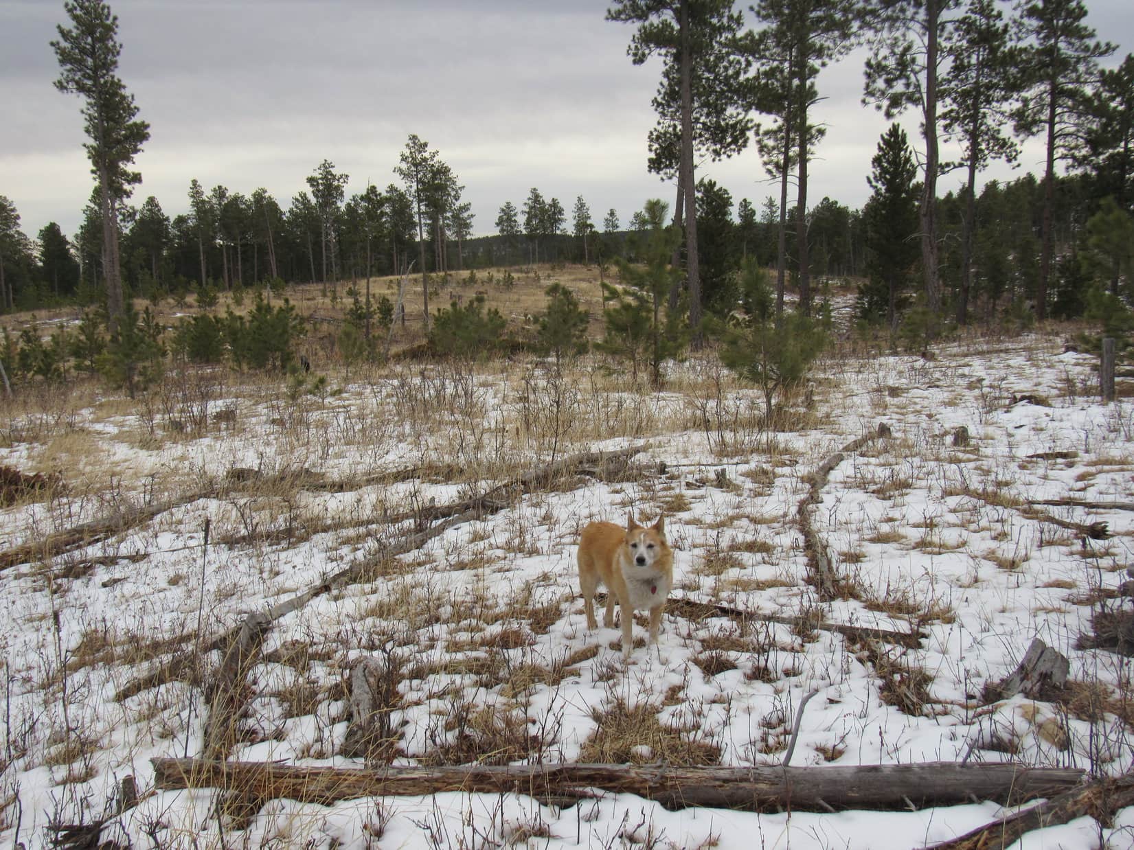
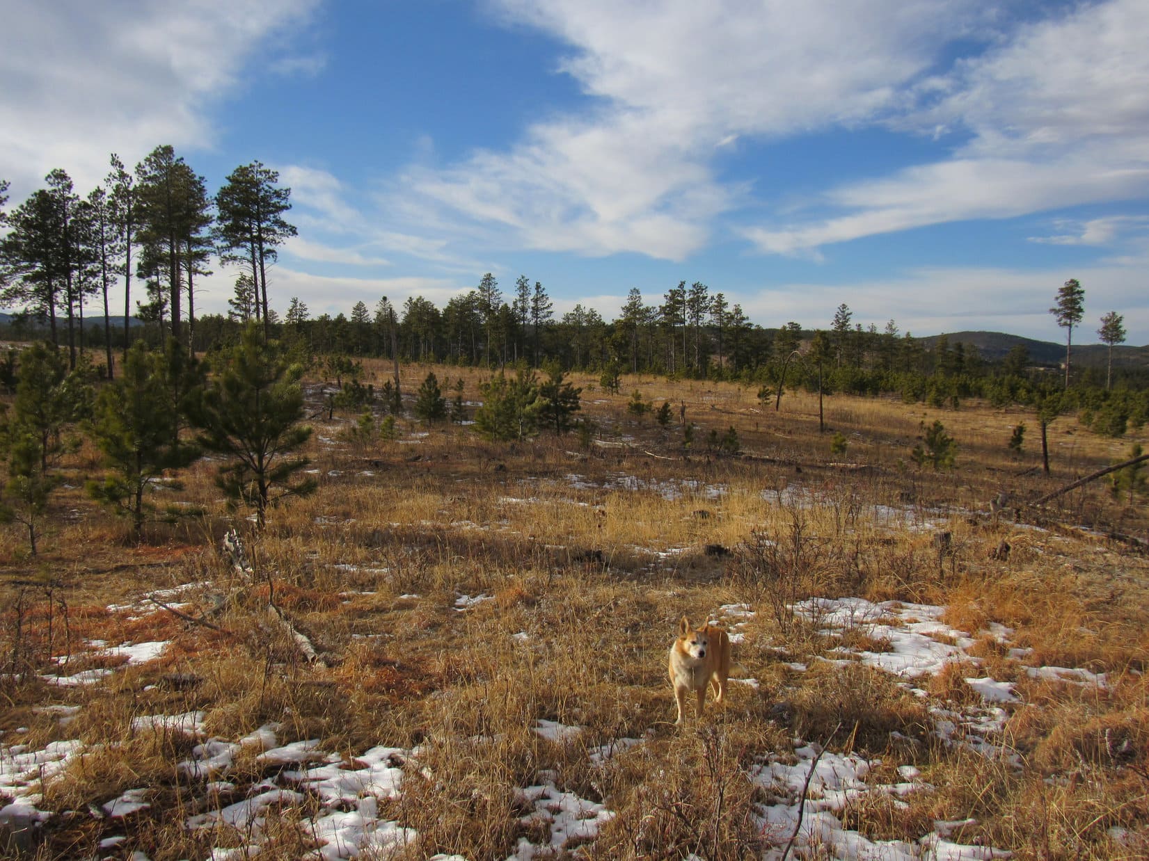
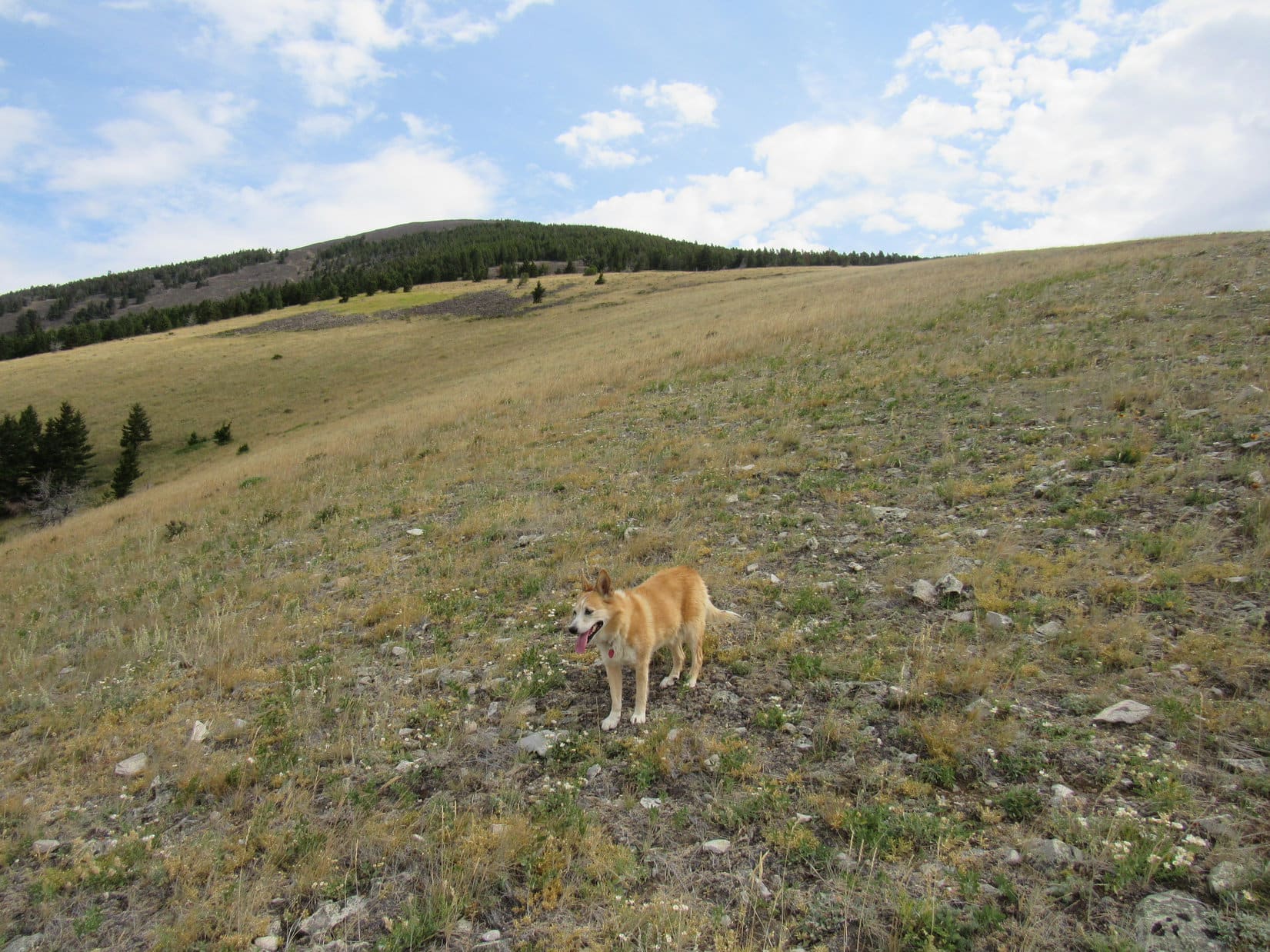
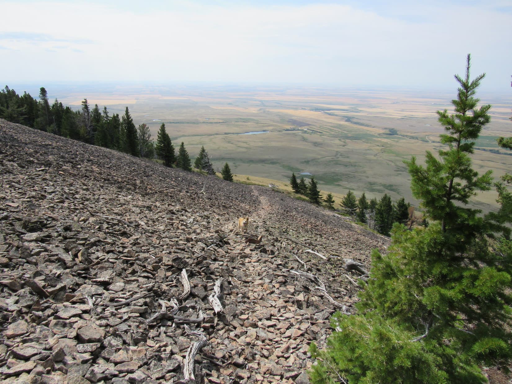
The scree slopes went on and on.  Numerous paths were available to choose from.  The Carolina Dog passed through another smaller stretch of forest.  After that, she came only to scattered trees or bushes.  The higher Loop got, the rockier West Butte seemed to be.

Continuing higher. Photo looks NNE.
Near the end. Photo looks NNE.

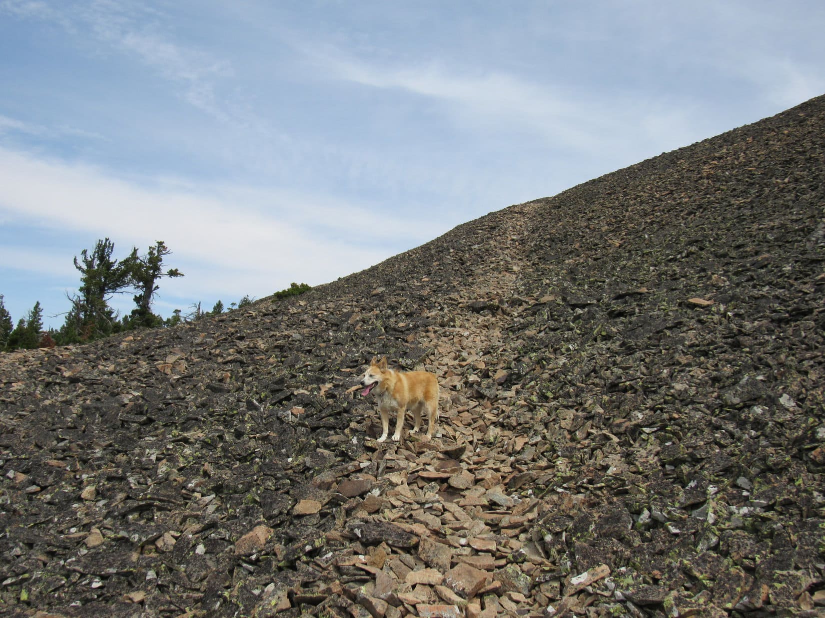
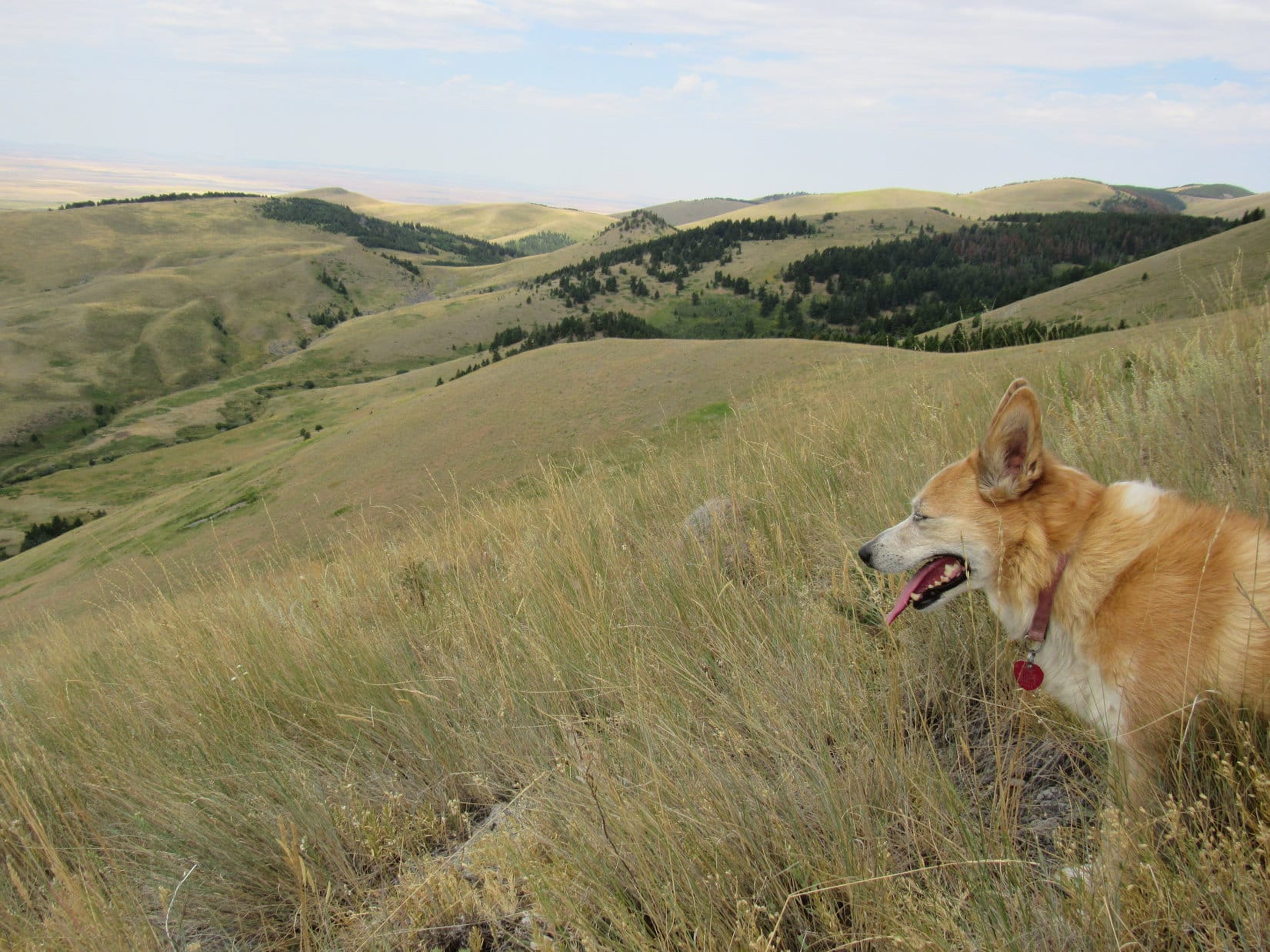
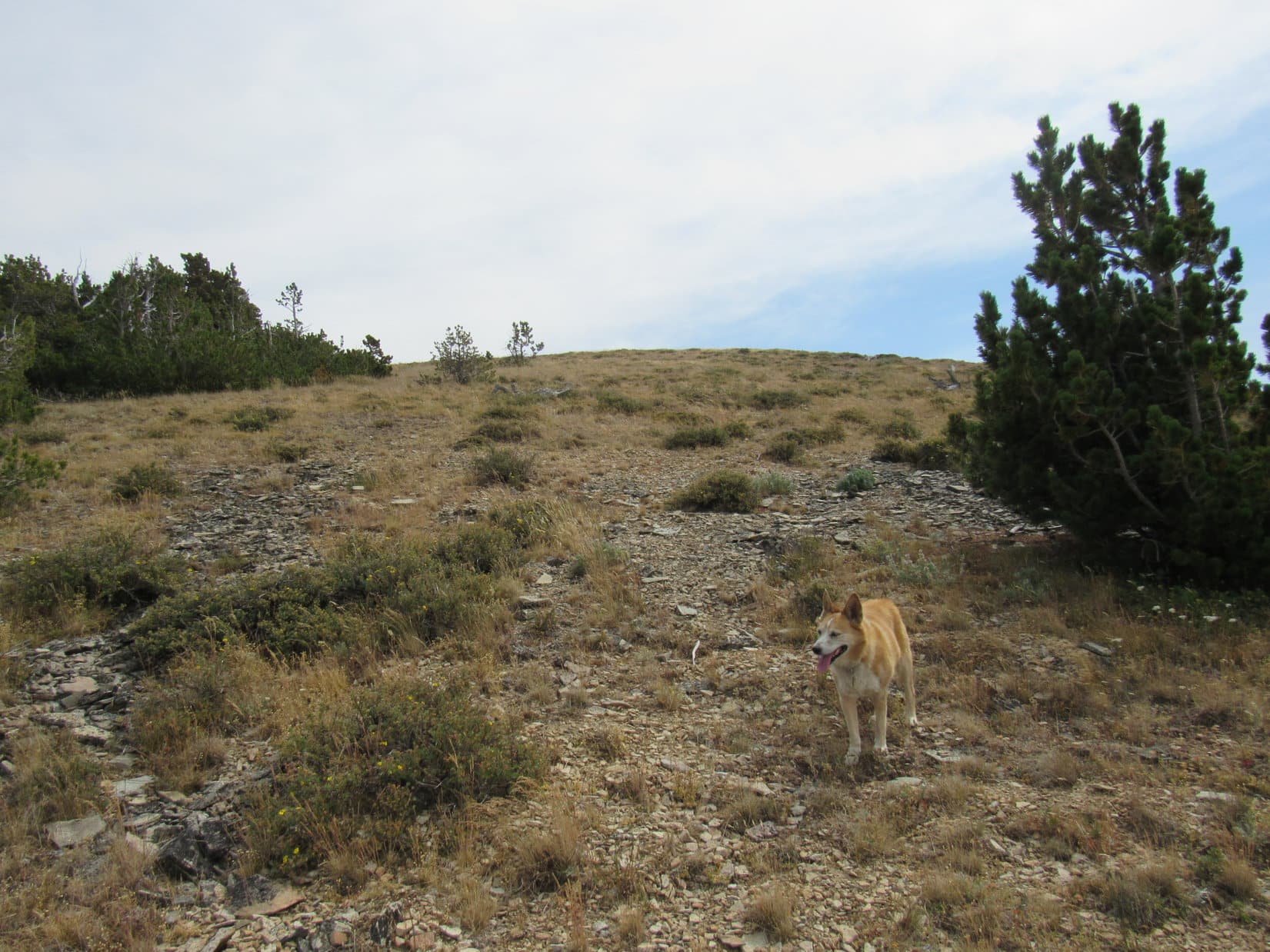
For a long way, it was just more and more of the same sort of thing.  Lupe followed whatever path seemed handiest up the scree.  If anything, the slope of the mountain was getting steeper, but at last that changed.  As the terrain began to level out, the rocks disappeared.  Lupe reached a grassy slope.  A band of trees was off to the N, but Loop turned E heading for the summit.

Almost there! Photo looks E.

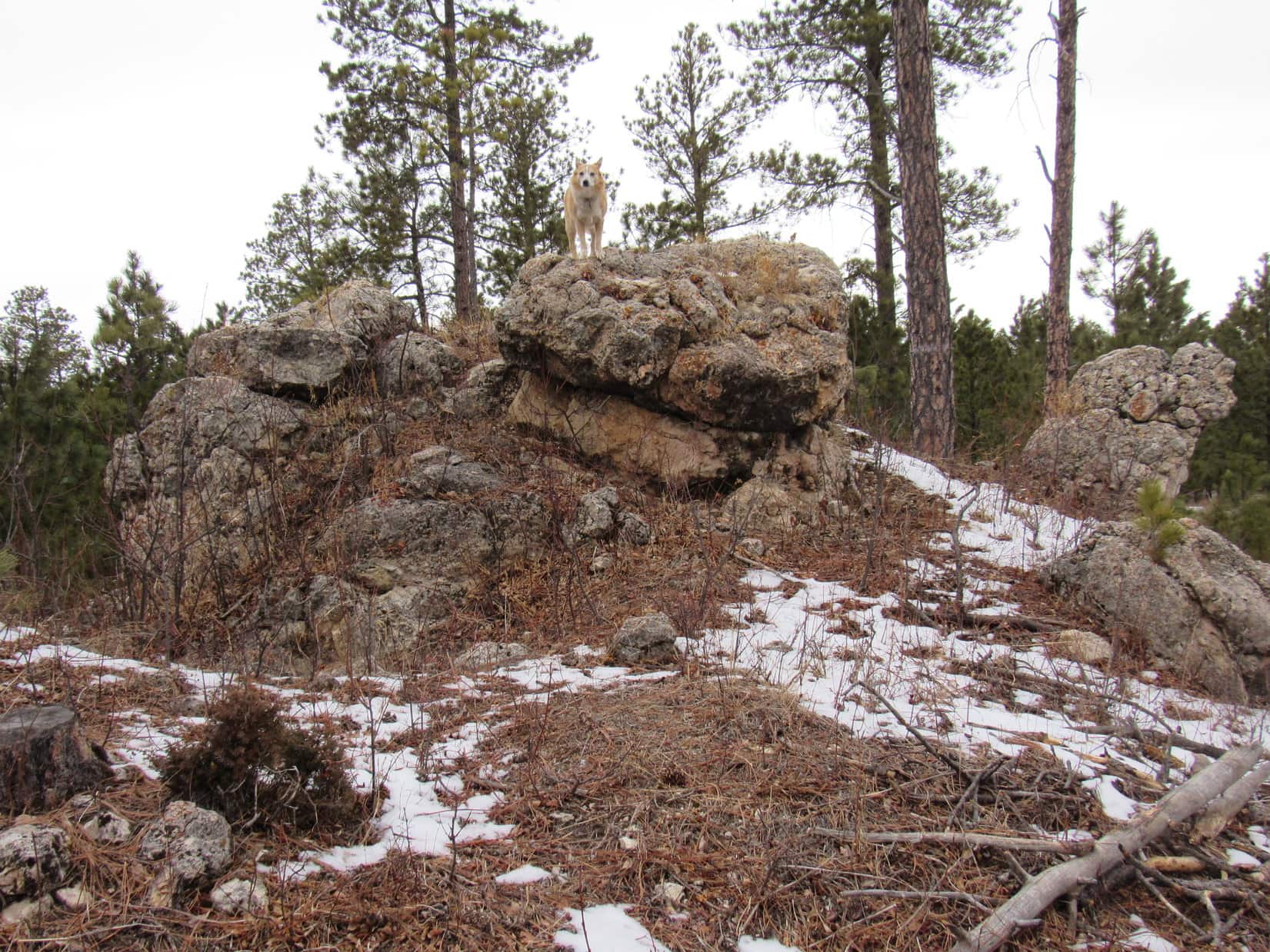
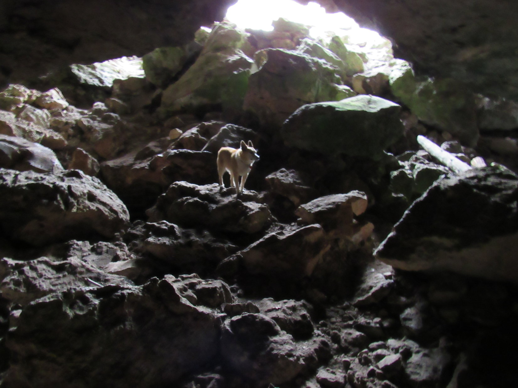
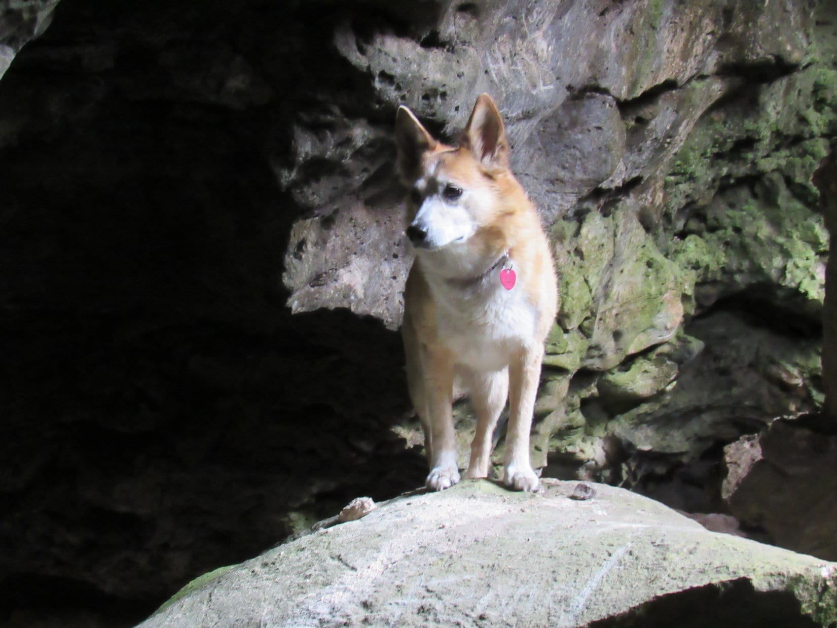
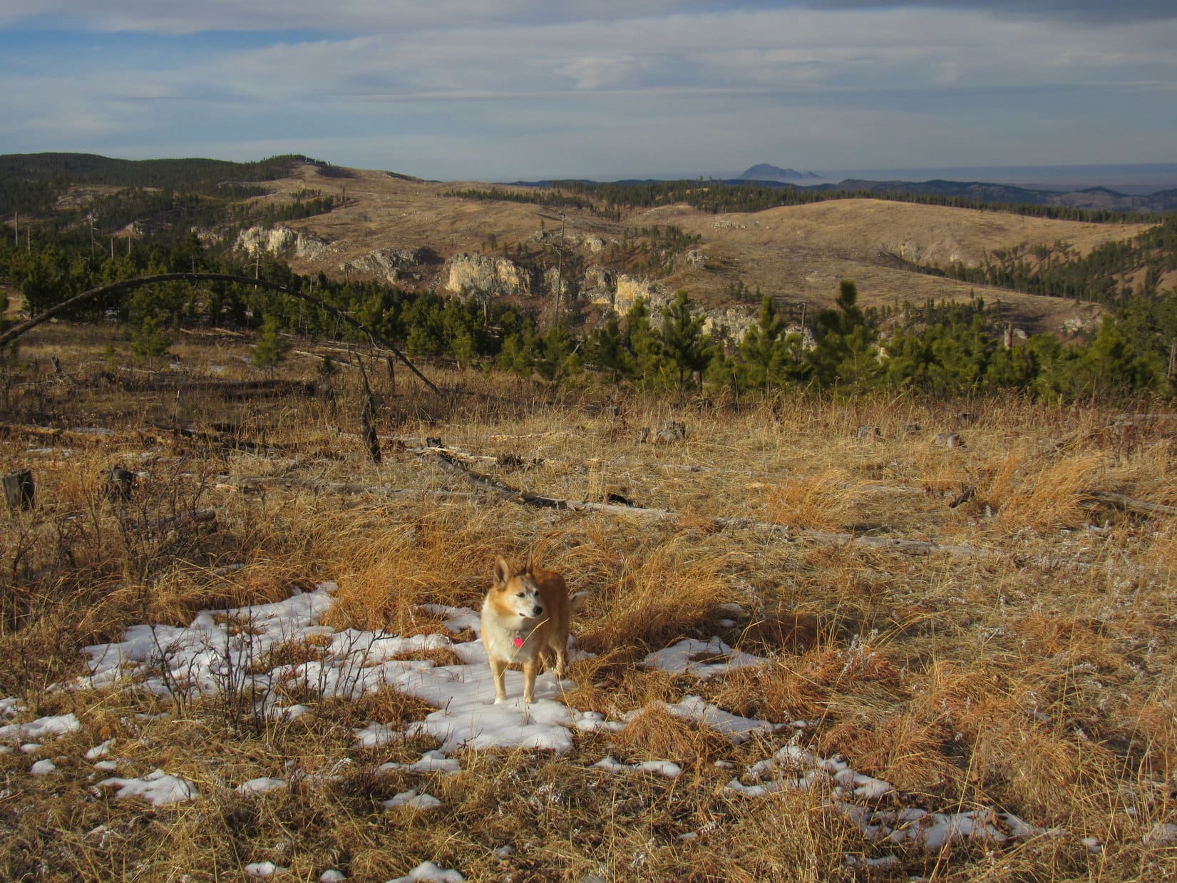
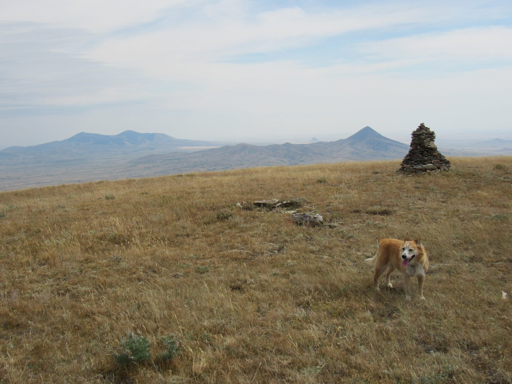
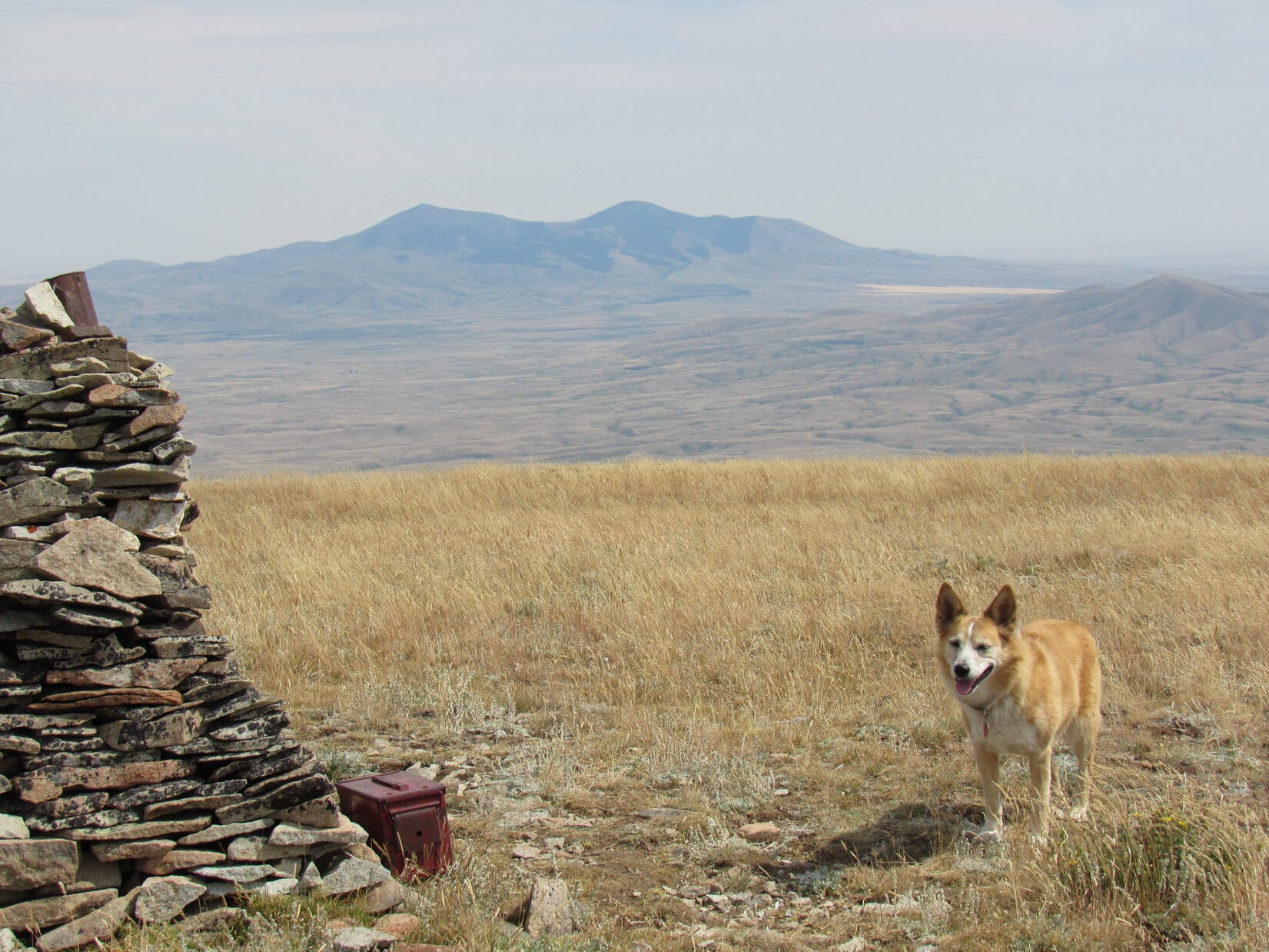
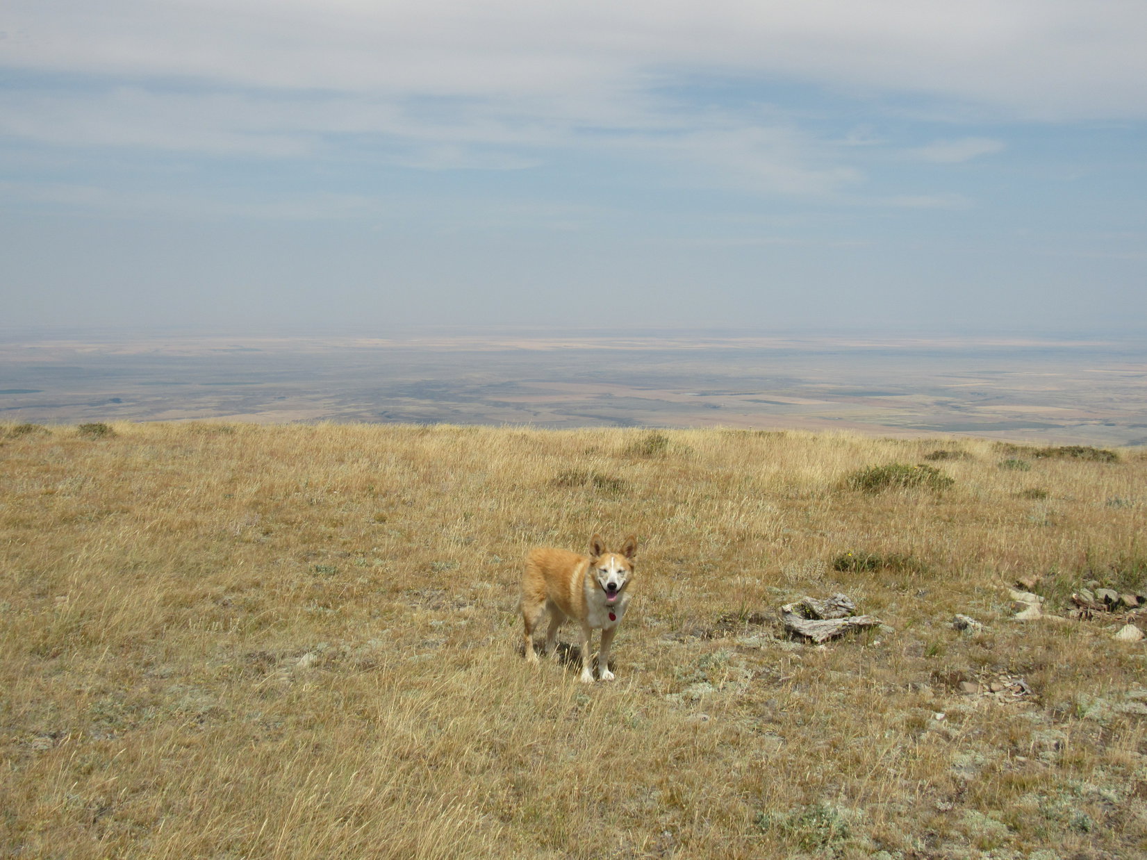
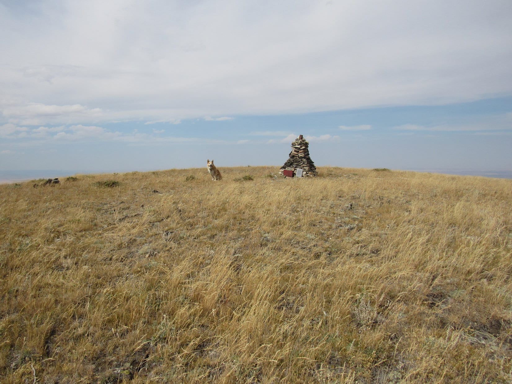
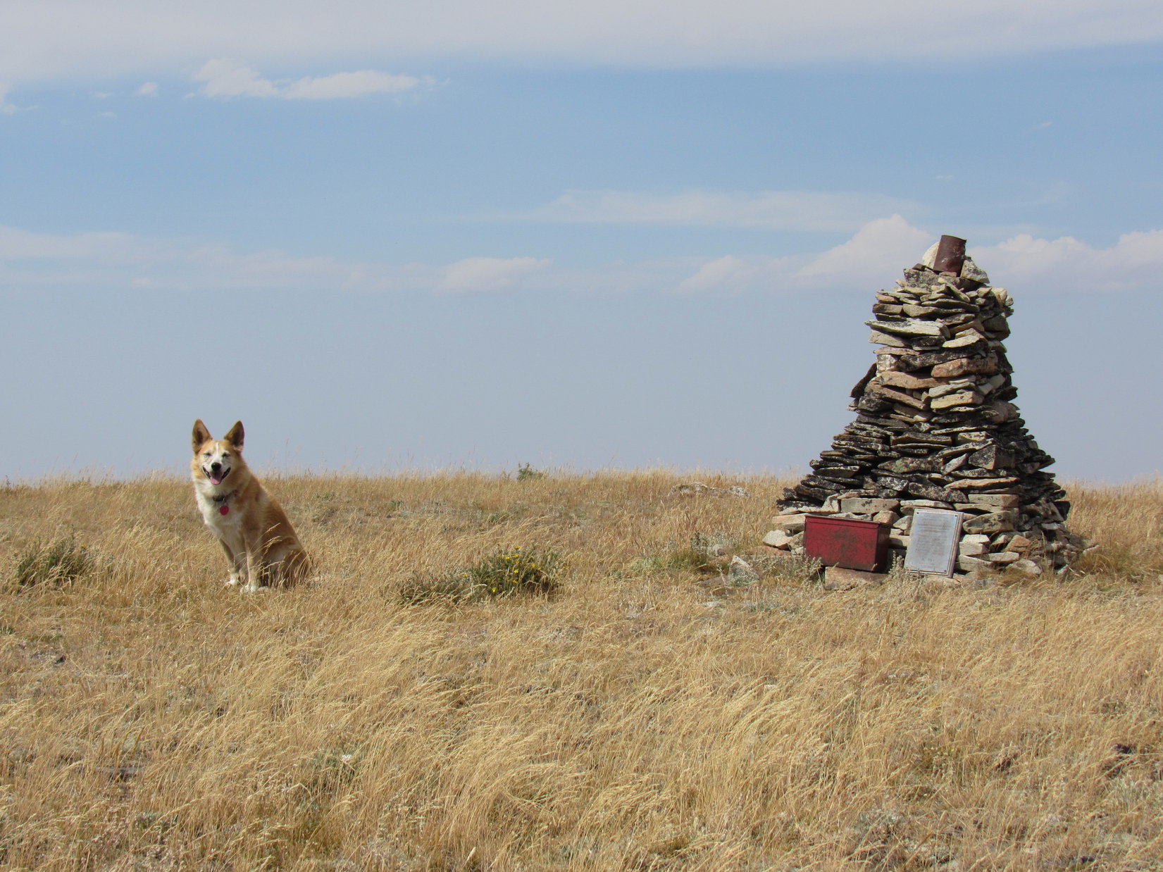
8-17-20, 1:17 PM, West Butte – The top of West Butte (6,983 ft.) was a roomy plain, flat in the center, edges rounded in all directions.  Toward the SE stood a tall, well-constructed cairn, the only significant feature up here.  A rusty can perched near the top of the cairn, and a red metal box and a plaque sat next to one another along the base.

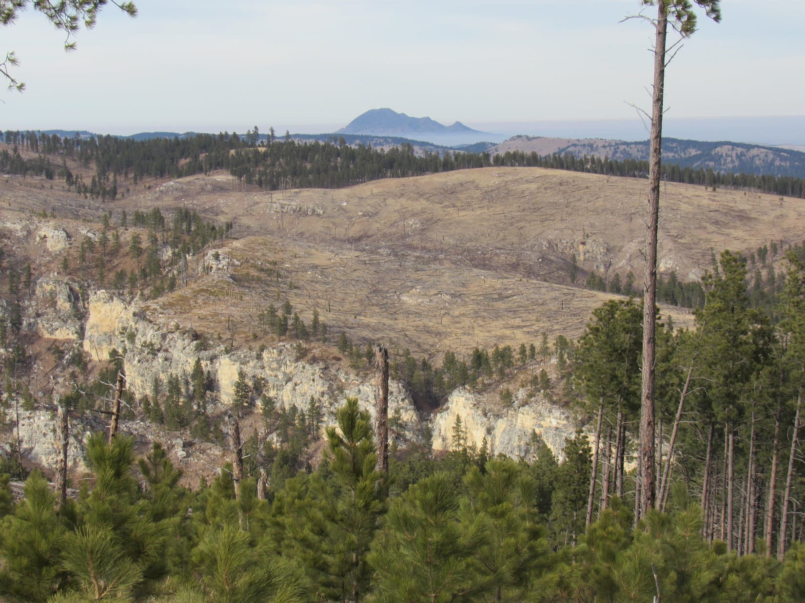
Almost everywhere, yellow fields 2,500 feet lower stretched to murky horizons blurred by a smoky haze.  No sign at all of the mighty peaks of Glacier National Park far to the W, which might have been visible on a clear day.  Instead, the eye was drawn SE where Gold Butte (6,512 ft.), Mount Brown (6,958 ft.) and Mount Royal (6,914 ft.) were close enough to be on display.

Lupe’s first thought was to seek out the shade of the cairn.

The big view from West Butte on a hazy day! Mount Brown (far L) & Mount Royal (L). Gold Butte (R). Photo looks SE.
By the summit cairn.
Since I’m wearing a fur coat, SPHP, I’ve got dibs on the shade!

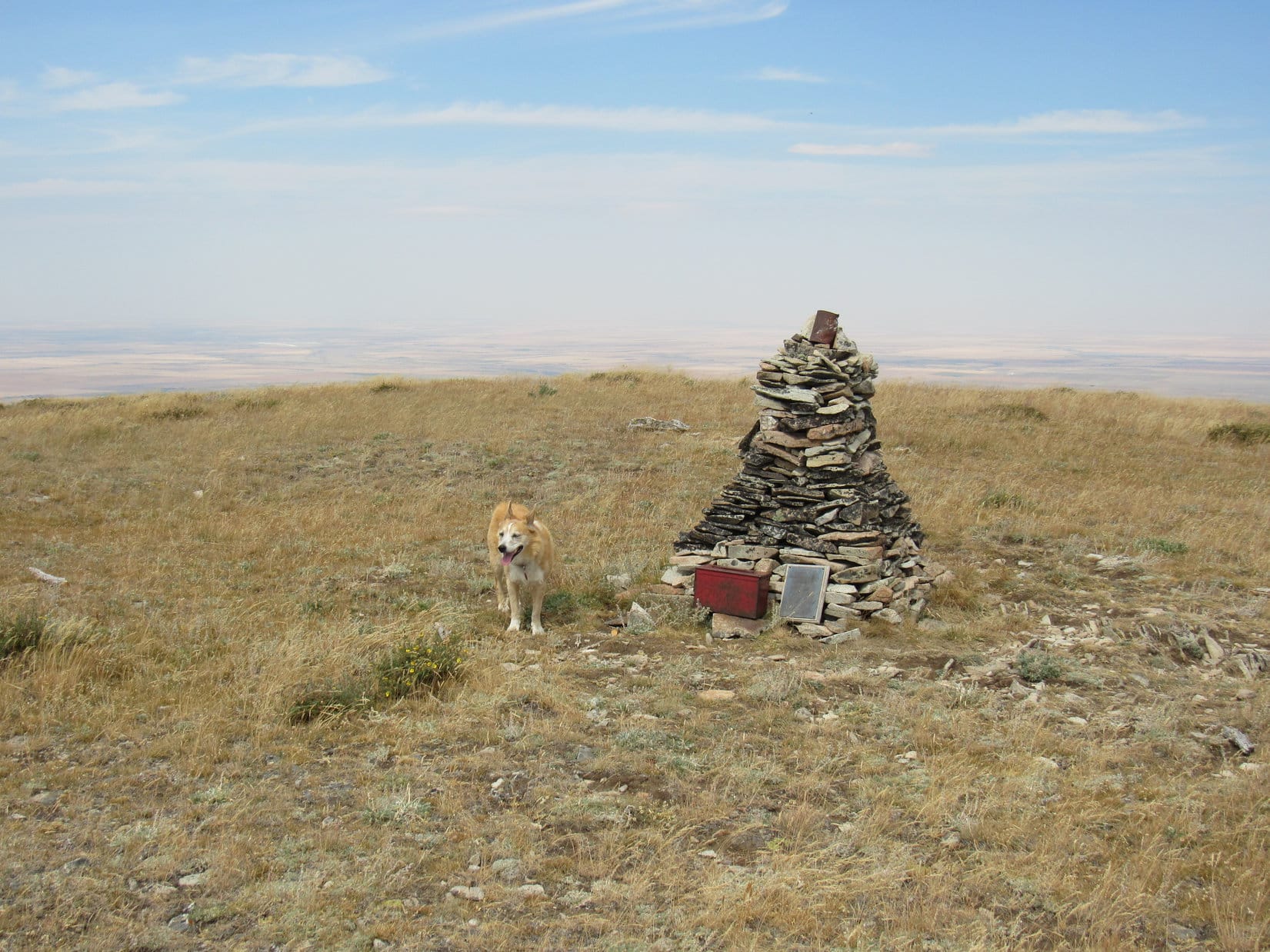
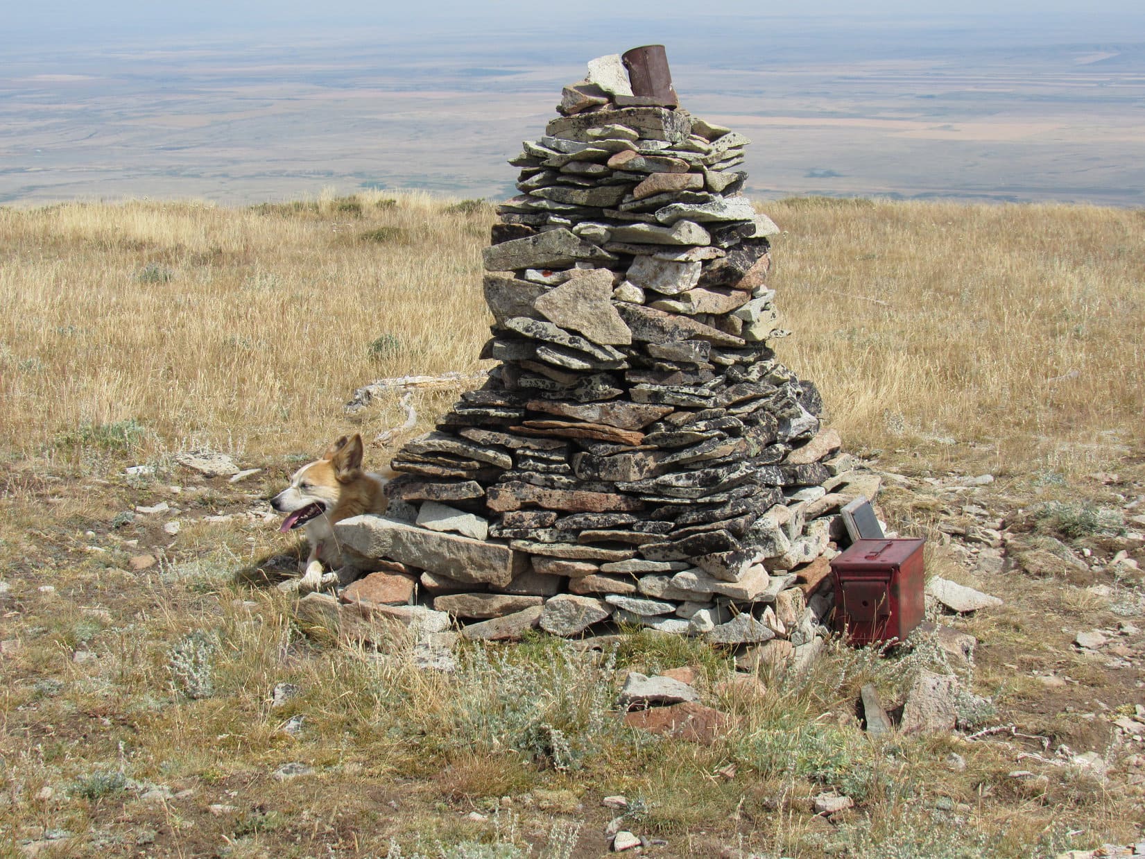
While Looper spent her time panting, SPHP opened the red metal box.  Full of registry notebooks and assorted junk.  Lots of people make it up here!  Way too many entries to read them all, although SPHP did take a look at some of them.  The last entry was only 4 days ago.  SPHP added Lupe’s name to the list.

The rusty can on top of the cairn contained a collection of small white stones.  For what conceivable purpose, SPHP couldn’t imagine unless Hansel and Gretel came up here from time to time.

The plaque was more interesting.  Placed by A. Taft, whose last ascent was over 8 years ago on 7-22-12, the plaque was entitled “You know you’re home when you see The Hills”.  Seven “Sonnemaker Homestead Children who grew up in the shadow of The Sweetgrass Hills” were listed.  All of them had been born between 1910 and 1924.

Not too likely any of them were still alive today.

Sonnemaker Homestead Children plaque.

100 years and more since most of the Sonnemaker children had been born.  A sobering thought.  Lupe’s name was on a mountain, too, far away in the Bighorns in Wyoming.  Not on a plaque, just made out of loose rocks.  Been a couple of years since Loopster had seen it.  SPHP wondered if it was still there?

Most of the cloud cover had burned away by now.  Gotta be at least 85ºF, although a 10 mph S breeze provided some relief.  SPHP had brought a White Claw raspberry-flavored spiked sparkling water in the backpack, and proceeded to drink the entire thing.  Between that and the Benadryl taken earlier to control hay fever, SPHP was soon left in a lethargic state of wooziness.  Using the backpack for a pillow, with the old Alaska cap pulled down for shade, SPHP tried to nap.

Didn’t work.  The heat was oppressive, the hard ground uncomfortable, and SPHP wasn’t really tired, just sort of drugged.  Still, SPHP laid there long enough for the Carolina Dog to start wondering what was wrong?  Lupe came over to check for some sign of life.

Still among the living, SPHP?  Or have you met your Sonnemaker?

Eh.  Not yet, Loop.  Want more water?  Bet you do!  Here, ya go!

Thanks, SPHP!  What now?

Well, I suppose we ought to take some more photos.  A shame it’s so hazy.  Montana always seems to start filling up with smoke this time of year.  Could see forever from here on a clear day.

The haze isn’t that bad, SPHP!  At least we can still see the rest of the Sweetgrass Hills.  Let’s get those photos then head back to the Comfort Inn!

Hah!  So that’s you’re plan is it?

Hotter ‘n blazes again, in case you hadn’t noticed, SPHP.

Yeah, but we’ve got another card up our sleeve for tonight, Sweet Dingo!  But c’mon, let’s finish up.

Gold Butte (Center). Photo looks SE.
Gold Butte with lots of help from the telephoto lens and hindrance from the smoke.
Mount Brown (L) and Mount Royal (Center). Photo looks ESE.

Which way is Canada, SPHP?  You said yesterday that we would see it from here.

Less than 5 miles straight N, Loopster!

Canada was out there, alright.  A featureless plain North Dakota flat.  Details, if there were any, couldn’t be made out.

Canada from West Butte. Photo looks N.

Oh, I hope Canada is what you have up your sleeve, SPHP!  We’ve had so many fabulous adventures there!

8-17-20, 2:20 PM, West Butte – The traditional summit hour had flashed by.  Lupe stood by the cairn for the last time.  Sadly, West Butte was going to be as close to Canada as the Most High Exalted Dingo of the Arctic Sisterhood would get this year.

Looper was happy, though!  SPHP had brought plenty of water, and West Butte had been fun.  Surely, the next time the Most High Exalted Dingo of the Arctic Sisterhood did go to Canada, she would see West Butte again and remember this day.

And I’ll remember the Comfort Inn, too, SPHP!  Don’t forget that!

West Butte summit region. Photo looks WNW.
Happy Lupe on West Butte.

Onward!  Puppy, ho!

The descent began.  Lupe headed back down the grassy slope on the W side of the summit.  Took only a few minutes to get back to the trails leading down the long scree slopes.  Loopster’s return route was nearly identical to the one she had taken up, although she did stray somewhat farther W after reaching the windswept 90% dead tree.

Starting down the W slope. Photo looks W.
Descending the upper scree slopes. Photo looks SW.
Approaching the forest. Photo looks SW.
Wildflowers on the lower slopes.

8-17-20, 4:39 PM, at the G6 along Coal Mine Road – Ugh!  96ºF again!  A 15 mph wind blew out of the W like a furnace.  Time to crank up the G6 and enjoy some serious AC!  After taking Nine Mile Road and Hwy 552, SPHP turned S on I-15 at Sunburst.

What a strange year!  This close to Canada, I-15 was all but vacant.  Just like the Comfort Inn, as nearly the sole users, Lupe and SPHP practically owned the road as the G6 sped S through a beastly hot haze permitting no hint of the tremendous peaks hidden to the W.

No Comfort Inn tonight!  Along Hwy 89 SE of Great Falls, came a brief stop at the Al Buck Memorial Park.  Twilight was deepening as SPHP let Looper out to cool her paws off and enjoy her traditional drink from the cold, clear spring that gushed out of the mountainside.  Then it was S again, up into the Little Belt Mountains.

9:50 PM, 62ºF, Kings Hill Pass – Comfortably cool!  The oppressive heat of the Grasshopper Sea infesting the parched yellow fields surrounding the Sweetgrass Hills was already just a memory.  Yet today’s pilgrimage in the Year of Perfect Vision to the sunny summit of West Butte, where an American Dingo had peered through the murk into the fabled, and now forbidden land of Canada would not be forgotten.

Lovely Alberta, gorgeous British Columbia, the Canadian Rockies, the mighty Yukon, misty Northwest Territories, and gleaming Alaska!  Three thousand miles N, summer was weakening, dying.  The empty tundra of the North Slope was already a land of gold awaiting the silent pristine white of winter.  Ever so far away, reds, oranges, and yellows were spreading S beneath the pale, darkening Arctic sky.

Today’s dim vision from lofty West Butte had been a mere glimpse in the direction of glories Lupe knew lay beyond.  Glories held for the moment in the mind’s eye only, but they were real, they were out there.  Someday!

Yes, someday the Most High Exalted Dingo of the Arctic Sisterhood would return.

West Butte of the Sweetgrass Hills, Montana 8-17-20

West Butte access:  From I-15, take Exit 389 at Sunburst.  Head E on paved Hwy No. 552.  The pavement ends 9 miles E at a 4 way intersection with crossroad Pederson Road.  Keep going straight E, now on unsigned Nine Mile Road, which is good gravel.  4 miles from this intersection, turn N (L) at a “T” intersection with Suphellan Road.  Wind N and E another 4 miles (still on Nine Mile Road) to the junction with Coal Mine Road.  Public access is 0.1 mile E at the blue sign on the N (L) side of Coal Mine Road.  Good pavement/gravel all the way.  Any vehicle can do this with ease.

Links:

Next Adventure                             Prior Adventure

Want more Lupe adventures?  Choose from Lupe’s Summer of 2020 Dingo Vacations to Wyoming, Utah & Montana Adventure IndexDingo Vacations Adventure Index or Master Adventure Index.  Or subscribe free to new Lupe adventures.

Black Hills, SD Expedition No. 263 – Erskine Cave, Ice Cave & Stagebarn Ridge (1-29-21)

8:54 AM, 45ºF, Rolling Hills Road 1.75 miles N of Nemo Road at the start of USFS Road No. 777 –  Not a ray of sunshine anywhere, but pretty warm out for the end of January.  With only a skiff of snow on the ground and a leaden sky, it felt more like late fall than the depths of winter.  Good day for a mood march, and the locked gate over USFS Road No. 777 meant there ought to be plenty of solitude.

Loopster was fired up for it!  Anxious to get going, she led the way on the first 0.125 mile down No. 777 to the junction with No. 771.1A (3 miles E of Steamboat Rock on the topo map).  The intersection was marked with not one, but two brown wands.  One saying No. 777.1A as expected, the other saying TR8282.

At the start of USFS Road No. 777 off Rolling Hills Road. Photo looks N.
At the S end of USFS Road No. 777.1A, also part of TR8282, Photo looks NW.

No. 777.1A headed NW up a shallow valley hemmed in by rolling hills.  The hills were all forested with Ponderosa pines that had been thinned during logging operations at some point, so it was possible to see much of the terrain.  Lupe kept an eye out for deer, but didn’t notice any yet.

After 0.2 mile, the American Dingo came to a fork in the road.  Seemed that No. 777.1A was over and done with already.  USFS Road No. 777.1B, marked with a wand, angled off to the R.  Another wand indicated that USFS Road No. 527 went to the L.  Taking No. 527, Lupe went on.

At the start of USFS Road No. 527. Photo looks WNW.

No. 527 continued NW up the shallow valley.  A sad breeze sighed in the pines, but it wasn’t windy in the valley.  Another 0.2 mile, and another road veered off to the R.  This one only had a wand saying the road was closed.  The trek went on.  A grassy road, also to the R, looked interesting, but Lupe skipped it, too.

No. 527 continues up the valley. Photo looks NW.
The grassy road. Intriguing, but Lupe didn’t take it.

The valley narrowed, and No. 527 steepened a bit.  A rougher, somewhat larger ridge featuring numerous minor rock outcroppings was on the R.  Just beyond this ridge, the road leveled out.  No. 527 was split in several places due to deep depressions worn into the original route.  Yet another unmarked road veered off to the R, disappearing into the forest.

Beyond the flat region, No. 527 resumed its climb.  Partway up this slope Lupe came to an open gate.  After going through the gate, she continued higher, but the road soon leveled out again.  SPHP could now see a rock formation off to the NE, a high point several hundred feet away.  Leaving the road, SPHP led Looper toward it.

The rock formation wasn’t all that big.  Upon arriving, the Carolina Dog easily climbed to the top.  Way off to the NW, Lupe could see the summit of Custer Peak (6,804 ft.).

At the open gate.
On the rock formation.

SPHP searched around the rock formation.

Naw, not what we’re looking for, Looper.

Doesn’t surprise me, SPHP.  This isn’t much of a mountain!

Oh, we’re not climbing mountains today, Loopster!  We’re in search of two caves.  I thought Erskine Cave might be over here, but it’s been so long since I’ve been there, I don’t really remember what the area around it looks like.

Caves!  Why are we looking for caves, SPHP?

We’re just doing one of our old style expeditions today, Loop.  Remember the days way back before we got so wrapped up in peakbagging?  We used to wander here and there up gulches and valleys, seeing whatever there was to see.  Felt like doing that today.  I’ve thought for a long time that we ought to go find Erskine Cave and Ice Cave just for fun!  So here we are.

I’ve got news for you, SPHP!  American Dingoes enjoy climbing mountains, and wandering hither and yon is fine, too, but we’re really not all that keen on subterranean adventures.  Remember the Dragon Caves?  Spooky!  Enough to make your hackles stand on end!  You took me dragon hunting!  We must have been nuts!  We were lucky the dragon didn’t return while we were in there.  Took that huge risk, and we never did find the dragon’s treasure, or any damsels in distress!

No reason to worry about dragons at Erskine Cave or Ice Cave, Loop.  They’re both way to small for a dragon to fit inside.  Besides, I’ve read that the USFS has blocked off the entrances.  Don’t think we can go inside either cave anymore, at least not very far.

We can’t go in?  Seems kind of pointless to even go looking for these caves, if that’s the case.  Can’t say I’m terribly disappointed, though.

Well, who knows if it’s true, or not?  We’ll go take a look.  Even if it turns out the entrances really are blocked, still fun just to try to find the caves.  Something different, a break from peakbagging!

You’re off your rocker, SPHP!  Maybe I’ll see some deers while you search for your goofy caves?  Sounds like a deer will be the high point of the day.

I guess caves are apt to be low points, being underground and all, Looper,  although I seem to remember the entrances to both caves being up on hillsides.  Anyway, Erskine Cave doesn’t appear to be around here.  Maybe we haven’t gone far enough yet?  C’mon, let’s keep going!

Returning to No. 527, Lupe continued NW.  Felt like she was getting pretty high as the road climbed out of what remained of the valley.  Near the edge of a big clearing No. 527 reached a broad flat region.  Shortly after Lupe entered this clearing, the first side road she’d seen to the L appeared.  A wand said this was TR8281.  This point was about 1.5 miles from where Lupe had first turned NW on USFS Road No. 777.1A.

Toward the far end of the clearing stood a forest of tall pines on the R (E).  As No. 527 took Lupe past these pines, a wooden pole fence was visible 150 feet back in among the trees.  No signs.  However, a faint remnant of a road partially covered with slash led toward the fence.

Hmm.  A little odd.  This might be it!  Lupe went to investigate.

It does look like there’s some kind of a depression beyond this fence!

The fence formed a semi-circle convex toward the W.  A depression could be seen 50 feet on the other side.  As Lupe got closer, no doubt remained.

Ah-ha!  Found it, Loop!  You’ve reached Erskine Cave!

By the entrance to Erskine Cave. Photo looks ENE.

Peering into the depression, a steep, snowy slope went 25 or 30 feet down to a fence closing off the cave entrance.

Peering into the maw of Erskine Cave.

So, this is it, huh?  That’s great, SPHP!  You go first!  I’ll stay up here and guard the entrance.

Alrighty, I will!

The snowy slope was slick, but not so steep that SPHP couldn’t get down there in one piece.

Loop guards the entrance while SPHP conducts an initial investigation.

The fence turned out to be metal.  Possible to peer in between the bars and see a little more of the cave, but that was about it.  Even if the entrance hadn’t been blocked, SPHP hadn’t come prepared to do any spelunking.  Still, it was kind of cool just being at the mysterious entrance.

So what’s it like down there, SPHP?  Can you see anything interesting?

Just a metal fence, and beyond it a little of the cave entrance.  Come on down, and see it yourself, Loop.  Nothing to worry about!

Are you sure this is smart, SPHP? This opening is big enough for a dragon!
By the metal fence blocking the entrance.
Hey, this is pretty cool! Sort of makes you wonder what’s down there doesn’t it?
Looking between the metal bars a few feet deeper into Erskine Cave.

Did you say you’ve been into Erskine Cave before, SPHP?

Yes!  Several times, Looper, but long before you were ever even around.  It wasn’t blocked off back then.  Anyone could go inside.

Really!  What’s down there?  What’s it like?

Hah!  Been so long ago, I can barely remember, Loop.  I do remember a tight spot close to the beginning that has to be crawled through.  You even crawl up at one point.  It then opens up after that for a while, but I don’t remember for sure if it gets large enough to stand up.  I think it did.

How far in did you go?

Maybe a few hundred feet?  Can’t really say any more.  It was very cool, though.  Toward the end, you crawl quite some distance, but it eventually gets too tight to go any farther.  Not a place for claustrophobics, that’s for sure!  I do remember it goes a lot farther in than Ice Cave does.

Were there any side passages, or just one long cave?

Yes, I believe there were side passages, but they played out pretty quickly.  I only remember one sort of long route.

Was it full of bats?

Nope, never saw any bats at all.

Was it dark?

What kind of a question is that, silly Dingo?  Black as Death, if your light went out!  Always carried a flashlight with extra batteries, plus tied a strong string to a rock near the entrance and unraveled it while exploring, just in case something bad happened.  Happily, never actually had to use it.  Anyway, no more questions.  We’re done here.  So, if you will just stay another minute or two, I’ll get your picture from partway up, OK?

Posing at the entrance of Erskine Cave before moving on.

Returning to USFS Road No. 257, Lupe kept going.  The road was flat at first, then climbed gently heading due N between a dense forest on the L (W), and a shattered one on the R (E).  0.33 mile from Erskine Cave, Lupe came to another open gate, a less elaborate one in a barbed wire fence.  A few hundred feet farther and No. 527 reached its high point.

Back on USFS Road No. 527 (aka TR8282) after leaving Erskine Cave. Photo looks NW.
At the second open gate Lupe came to. High point of USFS Road No. 527 just ahead.

0.25 mile after starting downhill, Lupe came to a 4-way intersection at a big flat open saddle.  TR8285 went SE, and a blocked road went NE.  Lupe simply stuck with USFS Road No. 527 (TR8282) as it now went down a scenic valley.  Another 0.50 mile brought Loop to a T intersection with USFS Road No. 144.2B, which was marked as TR8283.

At the 4-way junction saddle. Loop continued down to the L. Photo looks N.
Heading down the next valley on USFS Road No. 527 (TR8282). Photo looks WNW.
Approaching the T intersection with USFS Road No. 144.2B.

Which way to the Ice Cave, SPHP?  That’s where we’re going next, isn’t it?

Yup!  Go R, Loop!

No. 144.2B went downhill a bit then climbed 40 or 50 feet going around the N side of a hill.  Once past the high point, the road wound ENE as Lupe descended into yet another valley.

Looper had already seen a number of deer in the forest, but now topped that with a coyote sighting.  Seeing a coyote was very exciting!  Lupe would have gone over to have a sniff with it, but the coyote was far away.  Already aware of SPHP, the coyote quickly disappeared in tall grass.  All the American Dingo could do was stand on the road whining about how deliberately unfriendly the wild dog had been.

You’re killing my social life, SPHP!

Yeah, join the club!  One of my strong points.

Heading E on USFS Road No. 144.2B (TR8283).

After a mile or so, a yellow and gray cliff appeared ahead.  A fork in the road came into sight below it.  A tiny pond shown on the topo map near this junction (Point 4497) turned out not to exist.

Upon reaching the fork, Lupe took the road marked as TR8287.  It curved off to the L, heading up onto Stagebarn Ridge.  The other branch, which went R continuing down the valley, was marked TR8284.

Approaching the fork at Point 4497. TR8287 goes straight before curving L. TR8284 goes R. Photo looks ESE.

TR8287 curved up past the gray and yellow cliff.  As Lupe got close to the top of Stagebarn Ridge, she came to another junction.  TR8286 headed NW from here, but Loop stuck with TR8287, which now curved R (SE) heading up to a higher part of the ridge.  The road soon topped out.  Off to the E was the first big distant view of the day, a panorama looking over Stagebarn Canyon all the way to the prairies beyond the Black Hills.

At the junction with TR8286, which went off to the L, and TR8287, which Loop kept following to the R. Photo looks E.
Stagebarn Canyon from Stagebarn Ridge. Photo looks E.

Stagebarn Ridge was enormous and lower toward the SE where the road was heading.  Lupe hadn’t gotten far beyond the road’s high point when SPHP paused to check the map.

What’s it say, SPHP?

Looks like we’re about 0.5 mile N of the Ice Cave now.  We need to leave the road here to go search for it.

This road doesn’t go to the cave?

Nope.  Just continues SE down a draw and dead ends.

About to leave TR8287 to head into the trees. Photo looks S.

Leaving TR8287, Lupe crossed a small field and entered the forest.  This part of Stagebarn Ridge was a series of non-descript minor ups and downs.  The forest had been thinned, so it was relatively open territory, but plenty of slash had been left on the ground by the loggers.  SPHP stumbled along, as Lupe watched for squirrels or deer.

At a minor high point while searching for Ice Cave. Photo looks S.

After maybe 0.33 mile, Lupe reached a flat area at the top of a little hill.  Possibly HP4600 on the topo map?  If so, Lupe wasn’t far from the Ice Cave now.  A clearing could be seen to the S, although with the sky so overcast, SPHP wasn’t certain if it was SE, due S, or SW.  Heading over to it, the clearing extended off to the R, which was the right direction.

At HP4600. Photo looks SE.
At the clearing. Photo looks S.

After passing through the clearing, another hill was directly ahead.

I’m thinking this is it, Loop!  The Ice Cave ought to be somewhere up on that hill.  Keep an eye out for any kind of an opening.  If I remember right, it ought to be easy to spot.

Almost there! Photo looks S.

According to the map, the cave entrance should have been on the near side of the hill, but Loopster went right on up to the top without seeing any sign of it.  The cave didn’t seem to be anywhere up on top, either.  Lupe reached the far side of the hill.  A road was visible heading off toward more hills.

No Ice Cave yet! Maybe it’s still a little farther? Photo looks S.

Keep going, SPHP?

Not sure, Loop.  Doesn’t seem right that it could be that much farther.

Well, there’s no cave here.

No, there isn’t.  Hang on, let me check the map again.

Any exciting conclusions?

Maybe.  If we really were at HP4600 earlier, that road we see from here, which doesn’t appear on the map at all, might be heading for the HP4581 region.  That’s way too far S.  Kind of think maybe we’re already too far S.

Go back then?

Yeah, I think so, let’s try shortcutting back N to the region W of HP4600.

Heading N, Lupe crossed a big field in the upper end of a drainage before reaching a heavily forested saddle SW of HP4600.  Surprisingly, a road curved up to this point from the canyon to the W.

On the unexpected road in the saddle SW of HP4600. Photo looks WSW.

Lupe followed the road farther up the slope.  She’d barely gotten started when there it was – the Ice Cave!

This must be it!

Good job, Looper!  Yes, this is the Ice Cave, alright, but how do we get down there?  It’s just a vertical drop on all sides!

You tell me, SPHP!  You’re the one who has been here before.  Did you use a rope?

Hmm.  I don’t remember using any rope.  But I don’t remember any issue getting into the cave, either.

Well, we’ve found the Ice Cave, but SPHP doesn’t remember how to get down there!

Circling around to the SE, Ah-ha! – another opening!

Here we go, Looper!

A path led down through an opening so large that even SPHP didn’t have to duck.

At the Ice Cave easy access entrance. Much better than leaping into the pit! Photo looks NW.
Partway in.
Looking back out.

The short tunnel led down into the pit with vertical walls that Loop had discovered first.

In the pit below the vertical entrance.
Overhead opening (L) and the easy walk-in access (R). Photo looks SE.

Along the W side of the pit, a jumble of rocks, many coated with an odd, thin, light-green layer of moss or algae slanted down into a dimly lit region.  The American Dingo, now turned spelunker from peakbagger, began a wary descent into the gloom.

By the opening into the lower chamber.
Descending into the Ice Cave.
Is this really a good idea?

It wasn’t far to the bottom.  Still enough light to see, but the camera worked better using the flash.

At the bottom. Dark recess (L).

At the bottom was a solid rock wall, containing a single dark recess.  Other than that, there was just the slope of collapsed material Lupe had come down.  No doubt that dark recess was the route deeper into the Ice Cave.

Look, Loop!  It’s not blocked off!

Oh, joy!  Are you sure about this, SPHP?  We aren’t going in, are we?

Yeah.  We won’t go far.  Hold on a minute, I’m going to put new batteries into the flashlight.  These are about shot.

An illusion!  The dark recess wasn’t a passage at all.  2 or 3 feet back in was just another part of the solid wall of rock.  SPHP searched along the lower edge of the entire rock wall, soon exhausting all possibilities.  The whole thing was as solid and continuous as could be.

Huh!  I don’t get it?  Where is the opening into the rest of the cave?

You sure there’s more to it than this, SPHP?

Yah.  Absolutely positive.  Ice Cave isn’t as long as Erskine Cave, but it went at least 50 or 100 feet into absolute darkness, something like that.  The passage wasn’t as tight as at Erskine Cave, either.

And what was in there?

At the very end there was a room, easily big enough to stand and move around in.  From the ceiling, a huge icicle hung down.

That sounds awesome!  Explains the Ice Cave name, too!  Was the icicle dripping?

Oh, it was super cool!  Don’t remember for sure if the icicle was dripping, but I suppose it must have been, at least part of the time.

Shining the flashlight around some more, a glint of metal revealed bars fastened into the slope of debris Lupe had come down.

Hey, Loopster!  Here it is!  The passage into the lower cavern.

Oh, it is blocked off!  What a relie … I mean, what a crying shame!

Yeah, it’s a pity!  Would be fun to go in there again.

Looks like a mighty tight opening, SPHP.

Yeah.  I thought it was larger.  Such a long time ago, though.

By the small opening (at lower L).
A better look.

Hey, SPHP!  There’s a bigger opening over here!

Is it blocked, too?

Yes, come and take a look.

Oh, that’s it!  This must have been the way we went in before.

We?

Yes.  The only other time I’ve been to this Ice Cave was with my friend, Mark.  He lived not too far from here and knew about this place.  I’d never heard of it before.

Mark?  The Mark Anderson with his friend Hillary that we climbed Boulder Hill with a few years ago?

Yup, one and the same.

By the big opening in natural light.
Same spot using the flash.
Looking between the bars deeper into the cavern.

Well, I guess that’s about all there is to see here now, Looper.  Nothing more we can do with all the cave entrances blocked.

Yes, such a tragedy, isn’t it?  Can we go?

Sure.  But what did you think of Erskine Cave and Ice Cave?

Much more interesting than I thought they would be, SPHP!  I’ve learned some dark secrets, past and present, and can see where spelunking might be fun!  Think I’ll stick to peakbagging, if you don’t mind, though.  Never going to see any deers or squirrels in a hole in the ground!

True dat!  OK, c’mon, let’s get out of here.

Back out.

So are we done for the day, SPHP?

Not quite, Loop.  Want to explore a little more of Stagebarn Ridge?  Maybe we can get a good view of Stagebarn Canyon?  It’s really quite impressive from down in it.  Kind of wonder what it looks like from above?

Fine with me!  Let’s do it!

Heading NE, Lupe went back up and over HP4600.  From there she worked her way N, crossed TR8287, then went SE up onto another portion of Stagebarn Ridge a mile away from the Ice Cave.

Exploring more of Stagebarn Ridge. Photo looks ESE.

The views were pleasant, but not as impressive as SPHP expected.  Lupe got to see part of Stagebarn Canyon, but never went far enough SE to see South Stagebarn Canyon, since the portion of the ridge overlooking it appeared to be heavily forested.  A chocolate coconut bar, apple, and Taste of the Wild break was taken at a point where Bear Butte (4,422 ft.) could be seen off in the distance.

About as far SE on Stagebarn Ridge as Lupe went. Photo looks ESE.
Stagebarn Canyon (Center) and Bear Butte (R of Center) from Stagebarn Ridge. Photo looks N.
Stagebarn Canyon and Bear Butte (Center) with help from the telephoto lens.
Zoomed in on Bear Butte.

Break time over, Lupe headed NW.  Blue sky!  For the first time today, the sun was breaking through the clouds.  The wide open spaces of Stagebarn Ridge were beautiful in the late afternoon sunlight!

On Stagebarn Ridge.

Lupe sniffed and roamed on the way back to TR8287.  Once there, she faced the same long road hike back.  The Carolina Dog did not go past the Ice Cave again, but Erskine Cave was right along the way, and she did stop by to peer into it once more.  Mostly, though, it was a fun, quiet trek watching for deer as the light began to fade.  Loopster saw some, too!

Never did see that coyote again, though!  (End 5:11 PM, 41ºF)

At the Ice Cave, Black Hills of South Dakota 1-29-21

Links:

Next Black Hills Expedition                      Prior Black Hills Expedition

Black Hills, SD Expedition No. 134 – Copper, Odakota, Green & Hat Mountains Plus The Dragon Caves (6-20-15)

Recommended Black Hills Regional Caves:

Jewel Cave National Monument

Wind Cave National Park

Rushmore Cave

Want more Lupe adventures?  Check out Lupe’s Black Hills, SD & WY Expeditions Adventure Index, Master Adventure Index, or subscribe free to new Lupe adventures!