Atlantic Peak, Wind River Range, Wyoming – Part 1: The Christina Lake Trail & Beyond to Atlantic Lake (9-14-20)

Days 1 & 2 of Lupe’s 5th Summer of 2020 Dingo Vacation to Wyoming!

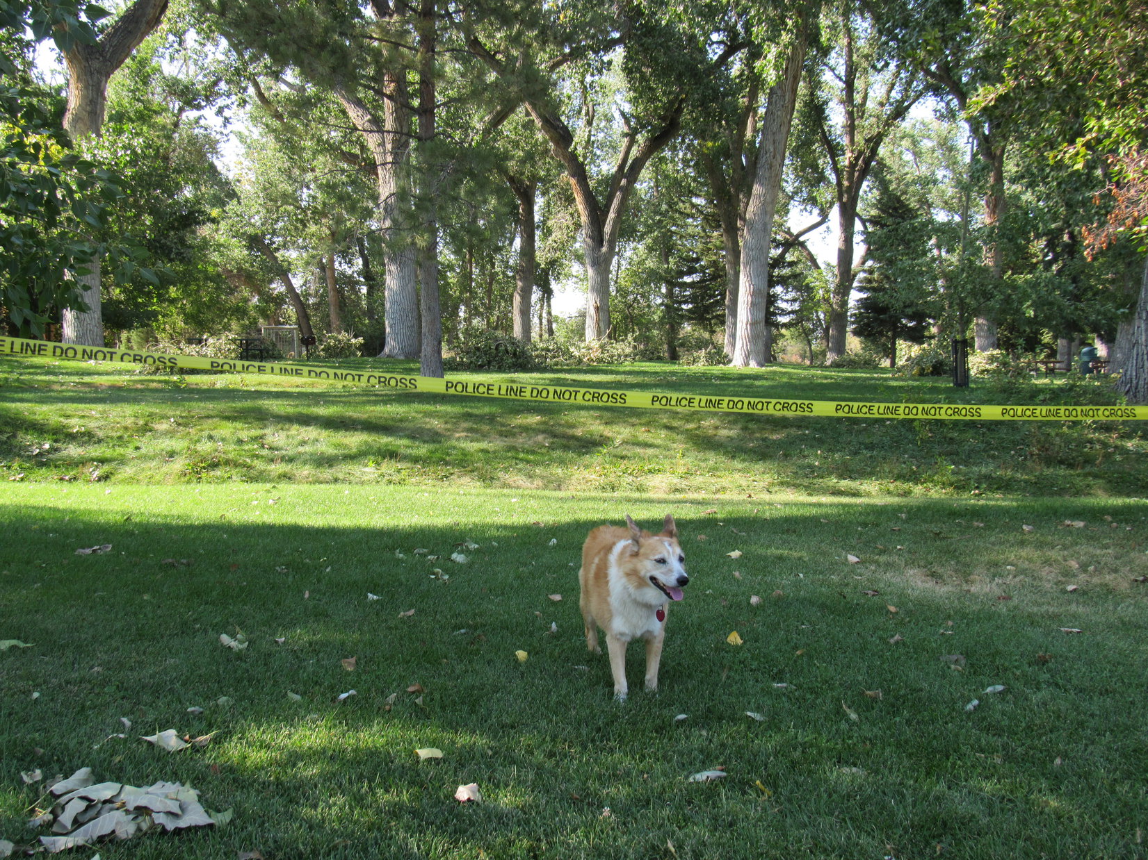
9-13-20, 3:20 PM, 85ºF, Lander city park – Only 6 days ago, Lupe had left Lander intent upon climbing Atlantic Peak (12,490 ft.).  Instead, she’d wound up fleeing S into Utah in a futile attempt to avoid a freak Labor Day blizzard.  Well, guess what?  85ºF!  Summer of 2020 was back, and the American Dingo was, too!

“Police Line Do Not Cross” said a plastic yellow streamer cordoning off most of the deep green lawn beneath the big old cottonwood trees.  Piles of broken branches, damage from the recent storm, were heaped up throughout the park awaiting removal.

Didn’t matter.  Loopster loves Lander City park!  Free camping and squirrels!  Going to be home for tonight.  Tomorrow morning she would head up into the SE end of Wyoming’s mighty Wind River Range.

Return of the Dingo! Back at Lander city park.

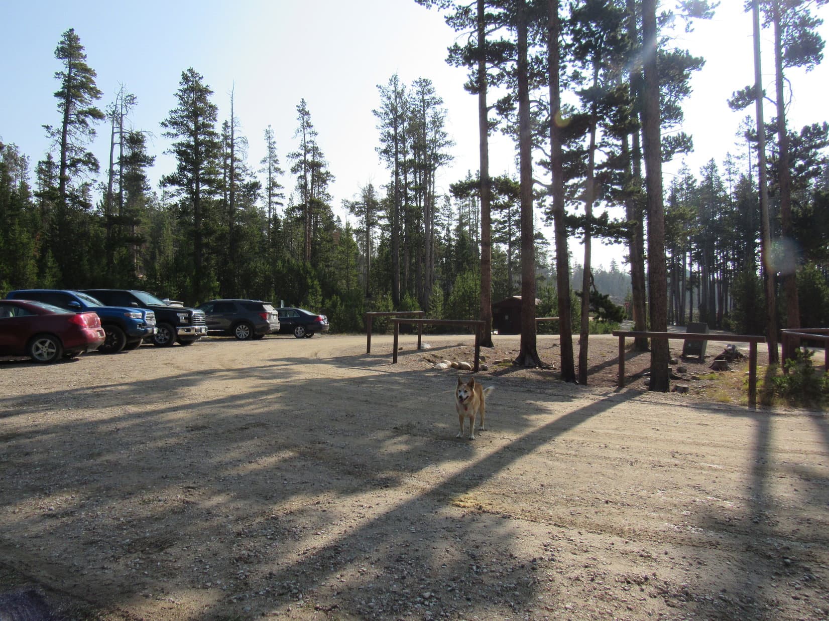
9-14-20, 9:49 AM, Christina Lake trailhead just off County Road No. 300 – The W was still on fire.  The blizzard may have cleared the air for a while, but smoke was already drifting back into the Wind River Range.  Didn’t seem to be too bad.  Nothing to be done about it in any case.

Smoky or not, Looper was doing this!  Just getting to the trailhead this morning was as close to Atlantic Peak as she’d made it this summer.  Her first “attempt” had been back in July, when it turned out that the access road, County Road No. 300, had been closed for repairs.  Then, of course, there was the Labor Day blizzard, which had once again forced a retreat before the Carolina Dog ever even left the highway.

3rd time’s a charm, Loopster!  C’mon, let’s hit it!

At the Christina Lake trailhead off County Road No. 300, just S of Fiddlers Lake.

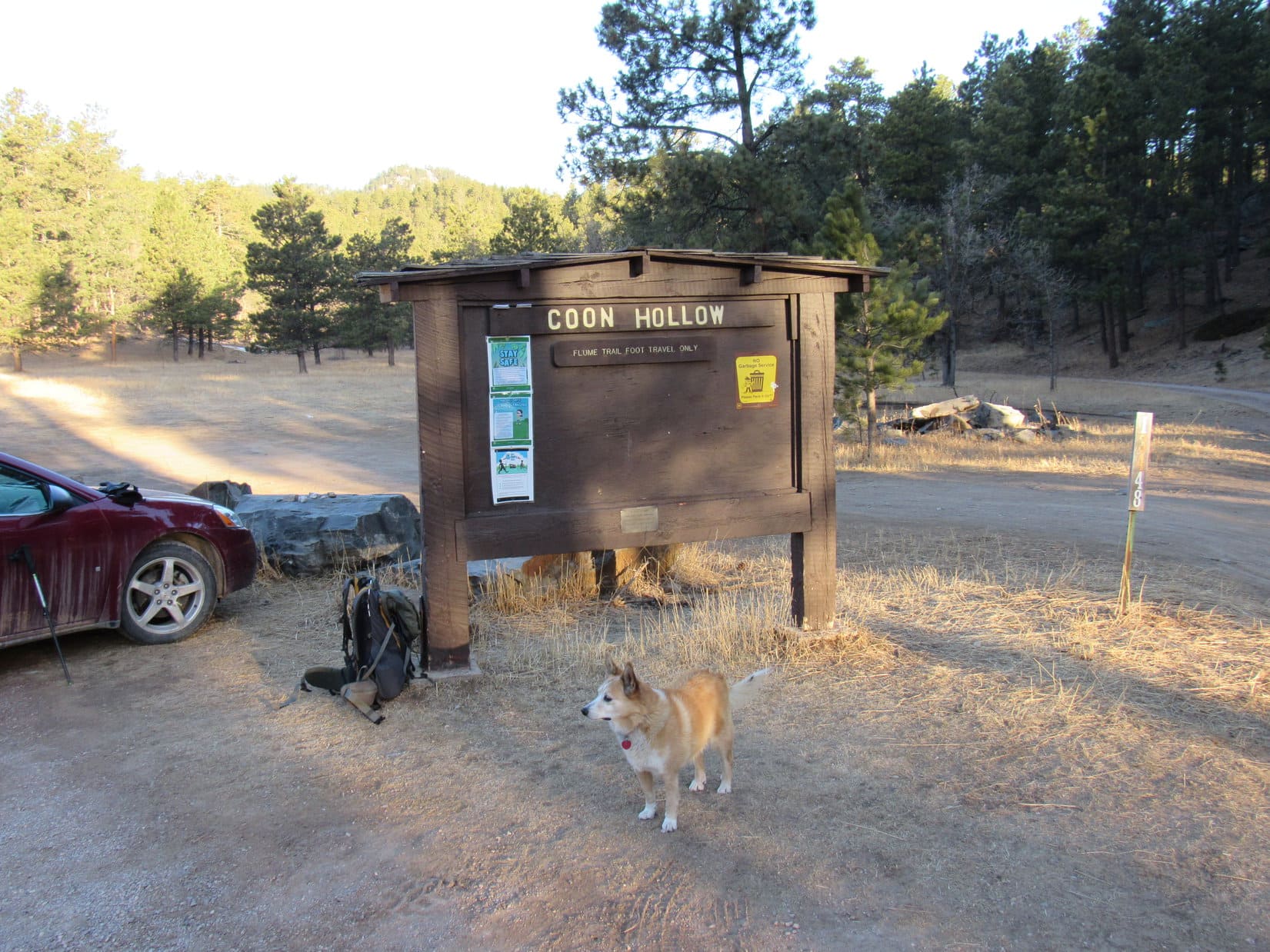
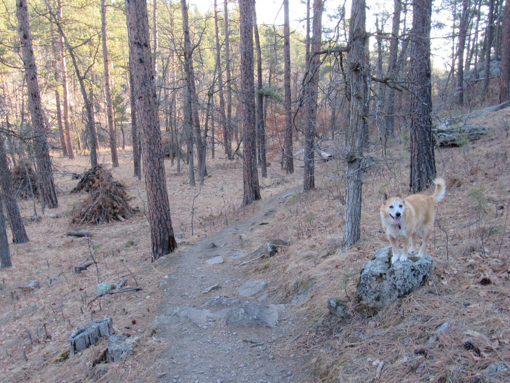
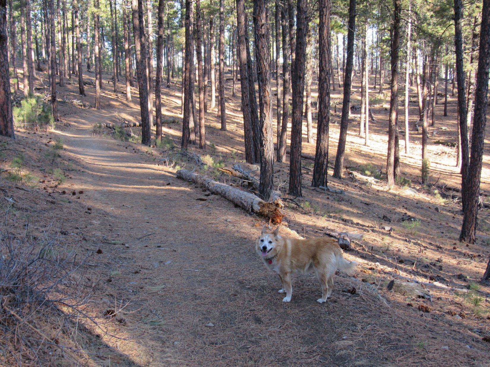
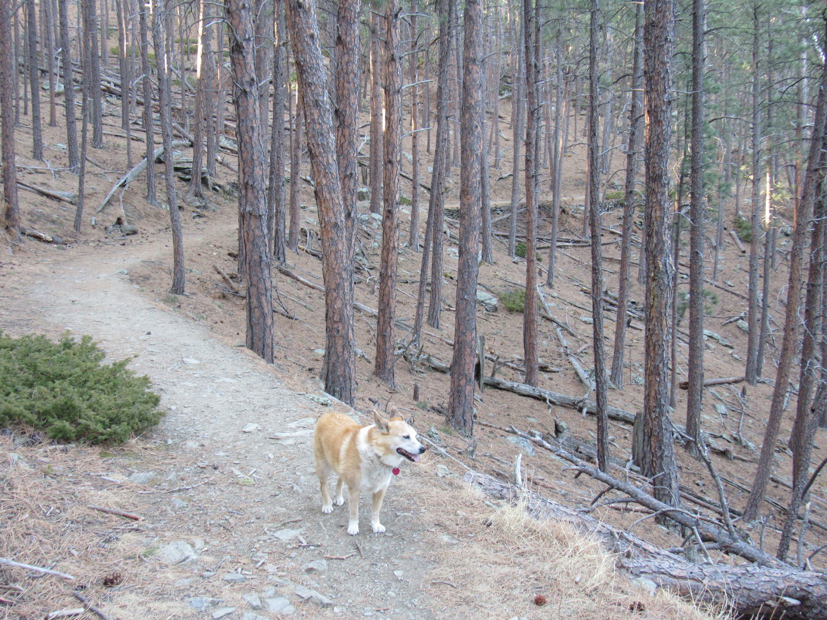
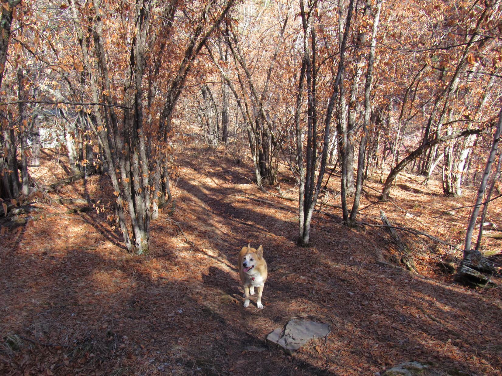
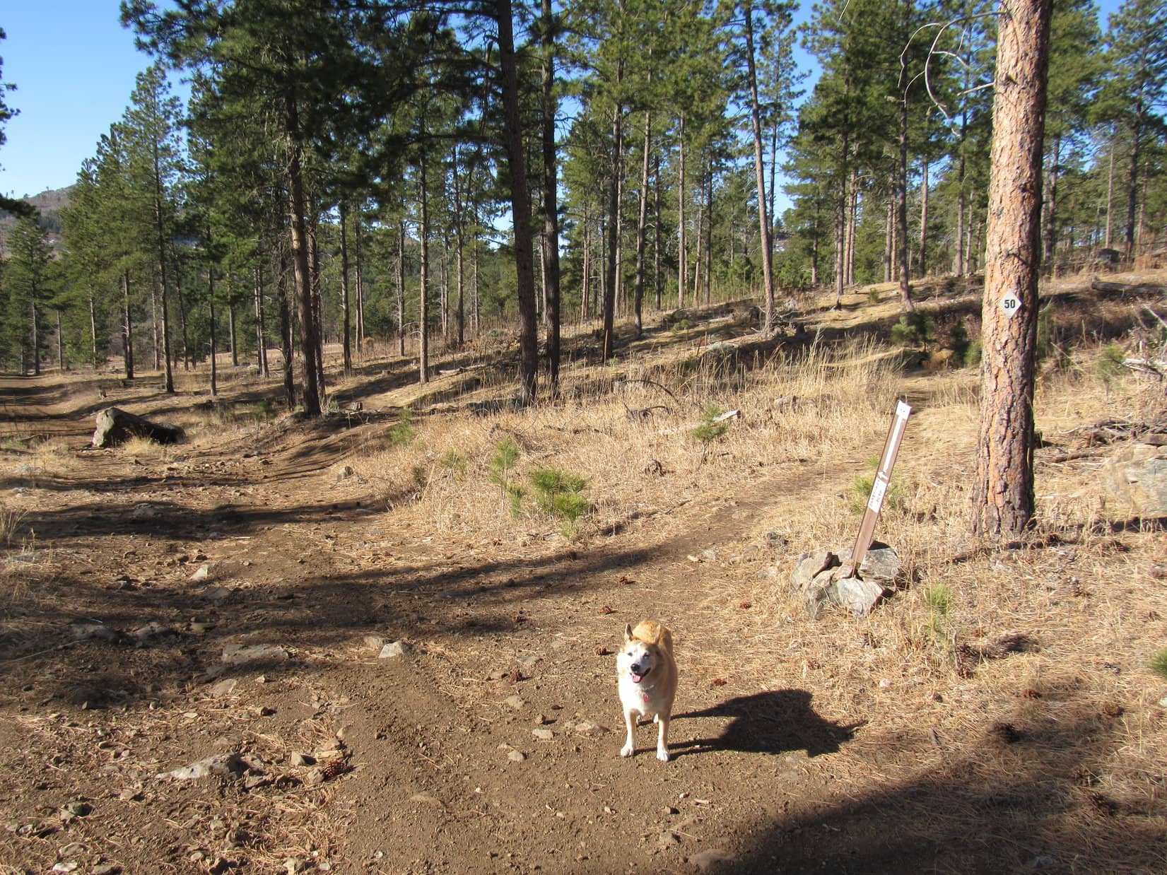
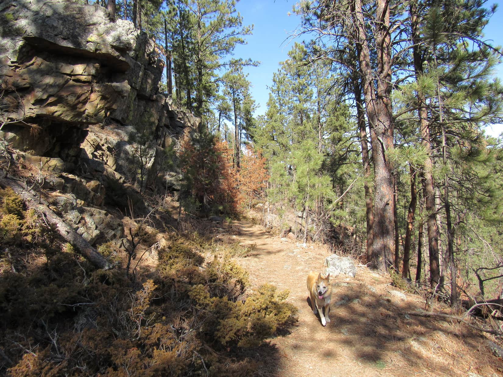
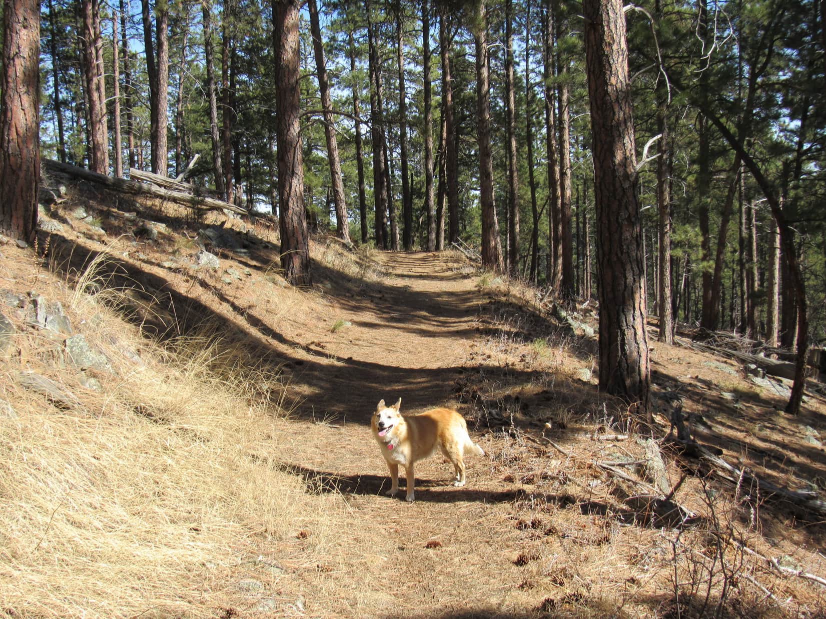
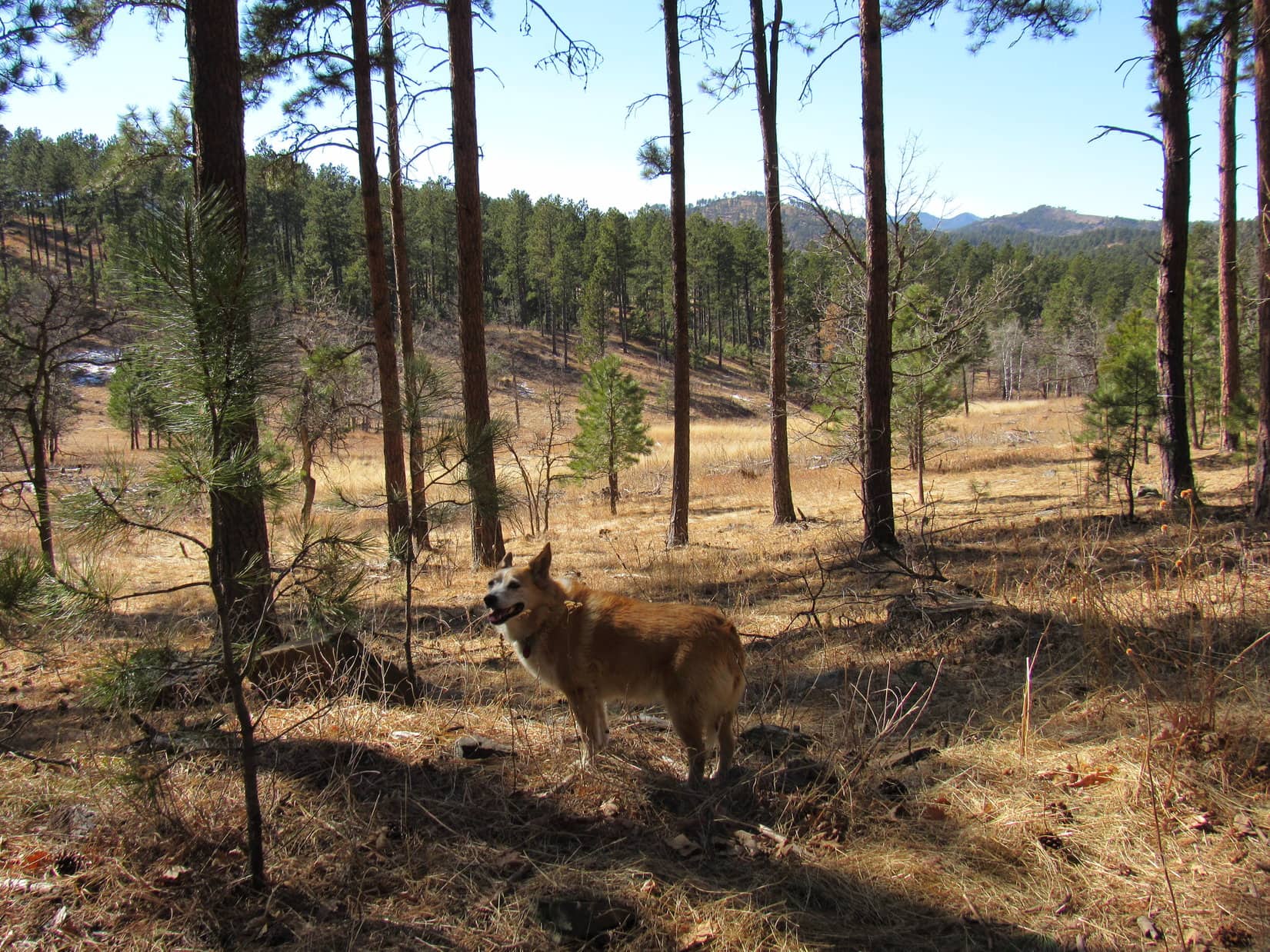
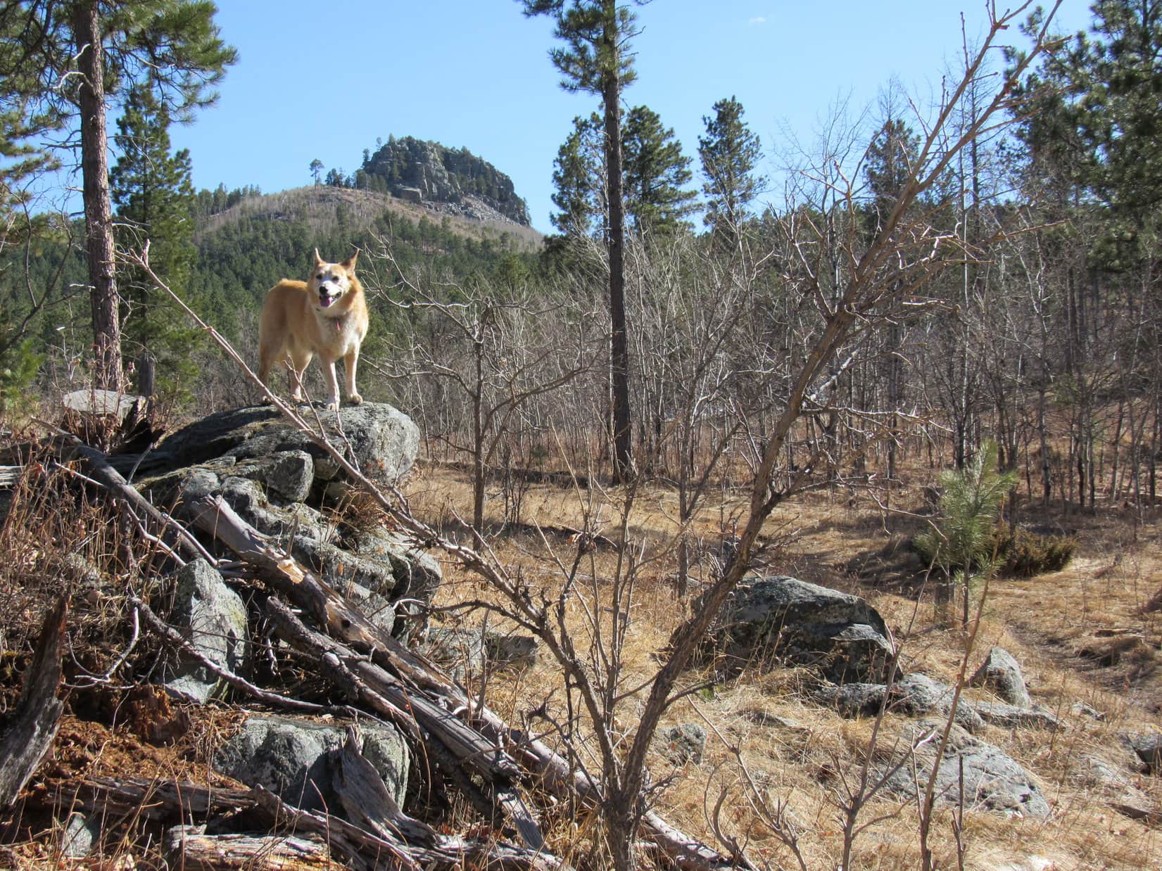
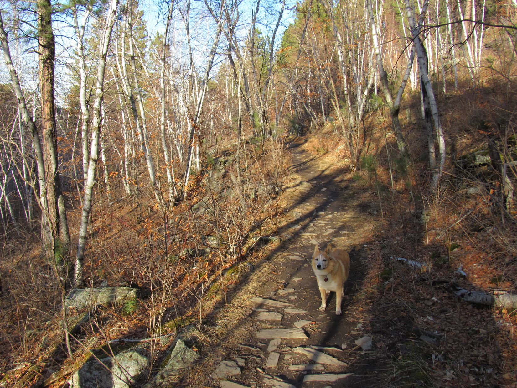
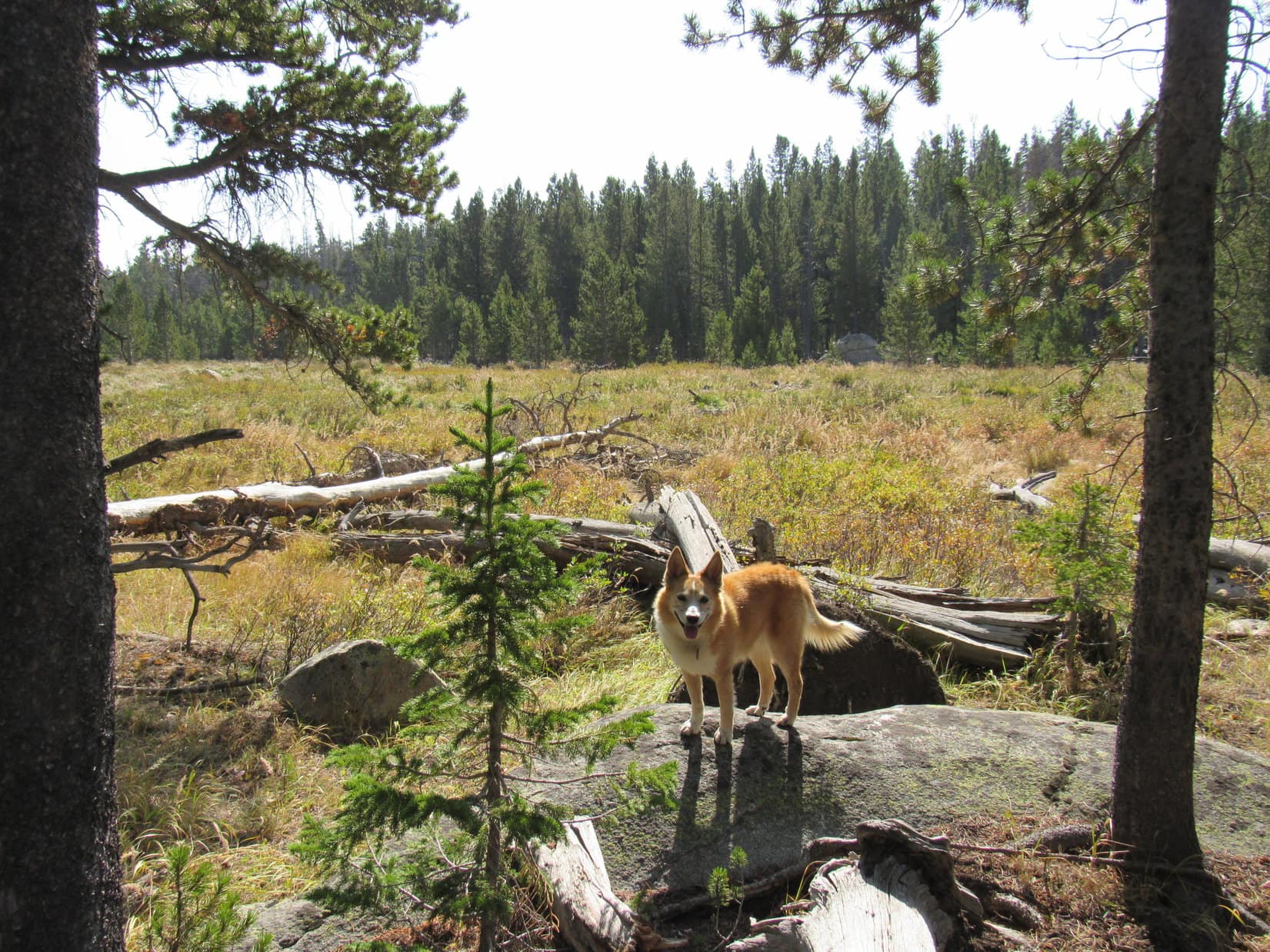
Near a small corral, Christina Lake trail No. 721 left the trailhead as a stony path heading N up into the forest.  The trail turned W after a brief climb, leveling out before getting quite to the top of a minor ridge.  The topo map showed Fiddlers Lake nearby, likely just on the other side.

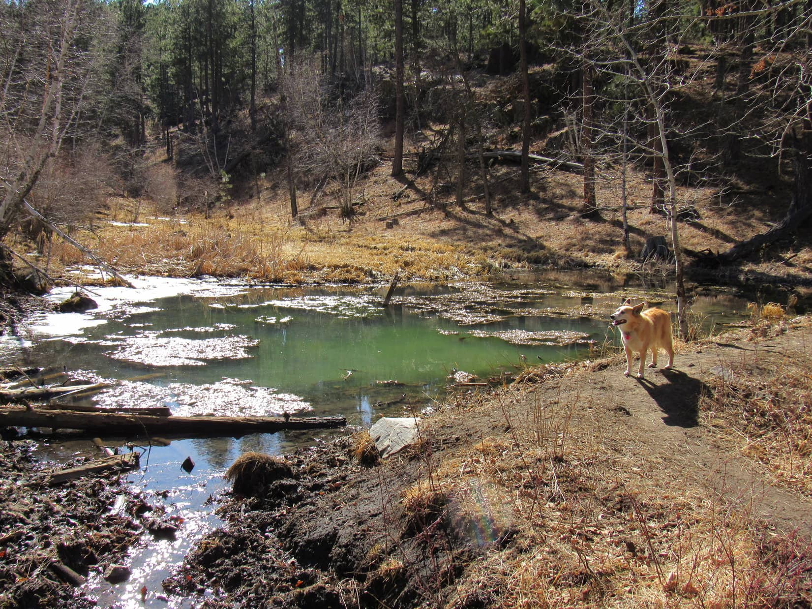
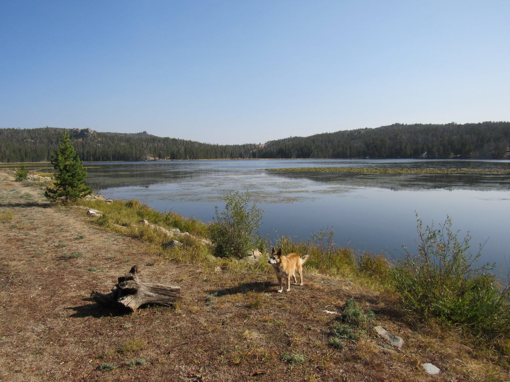
Here now!  Might as well take a look!  Lupe left the trail, angling NW up onto the ridge.  Sure enough!  There was Fiddlers Lake.  A rocky dam was visible not too far away along the SW shore, which ought to be a good viewpoint.  Loop sniffed her way over to it.

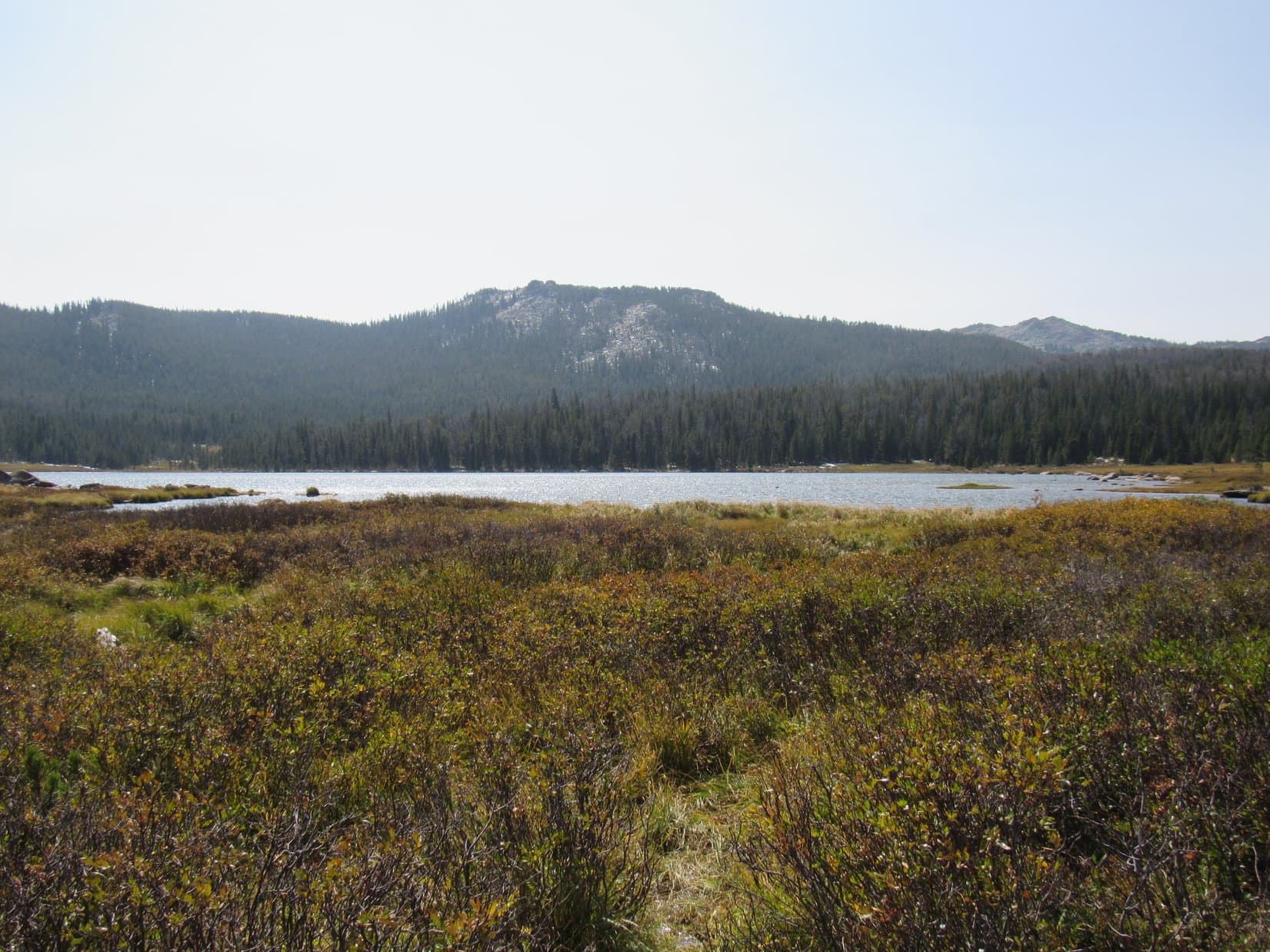
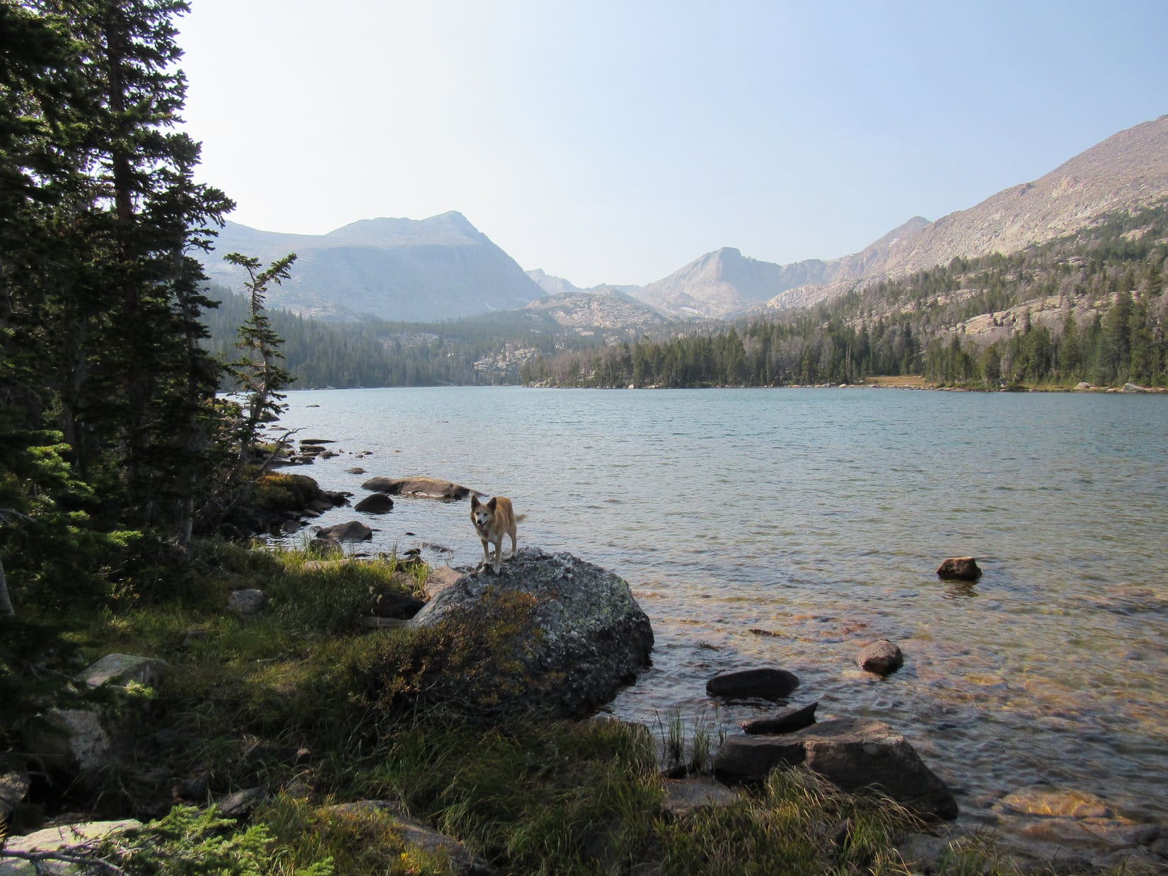
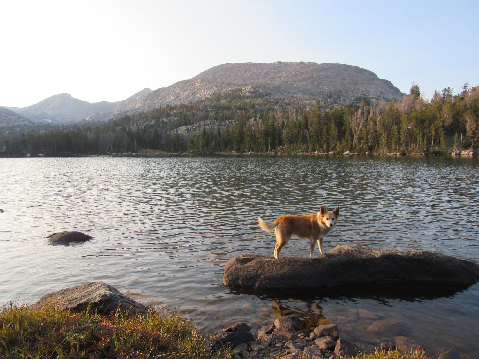
Near the dam, Fiddlers Lake was calm and weedy.  Looked like there were lots of lily pads farther out before reaching truly open water.  Nice, but not super impressive.  Fiddlers lake resembled an overgrown pond.  Most of it probably wasn’t very deep, but maybe the fishing was good?

Carolina Dogs don’t fish much.  Lupe returned to the Christina Lake trail.

Leaving the Christina Lake trailhead. Photo looks N.
Sign at the start.
Fiddlers Lake. Photo looks NE.

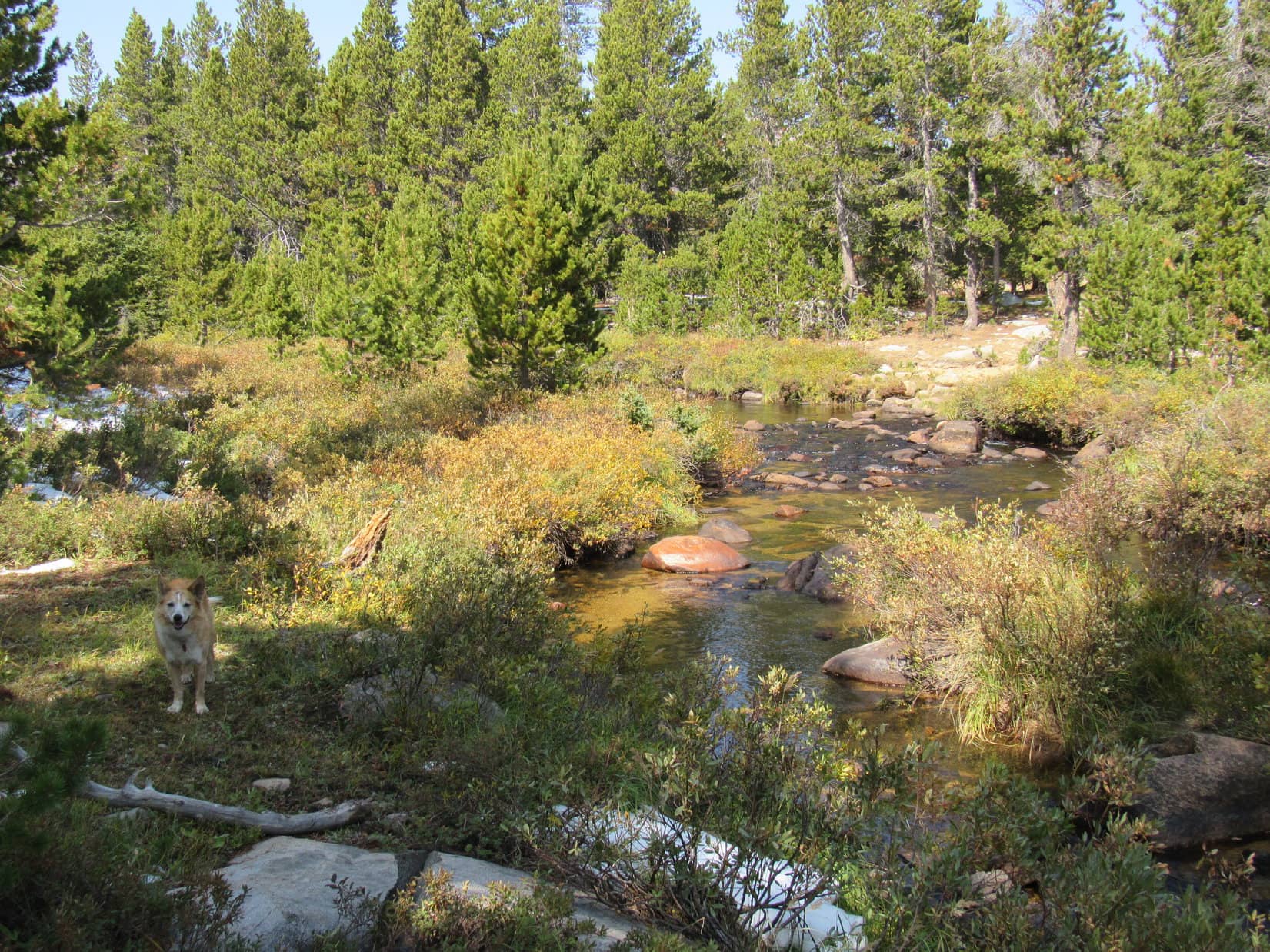
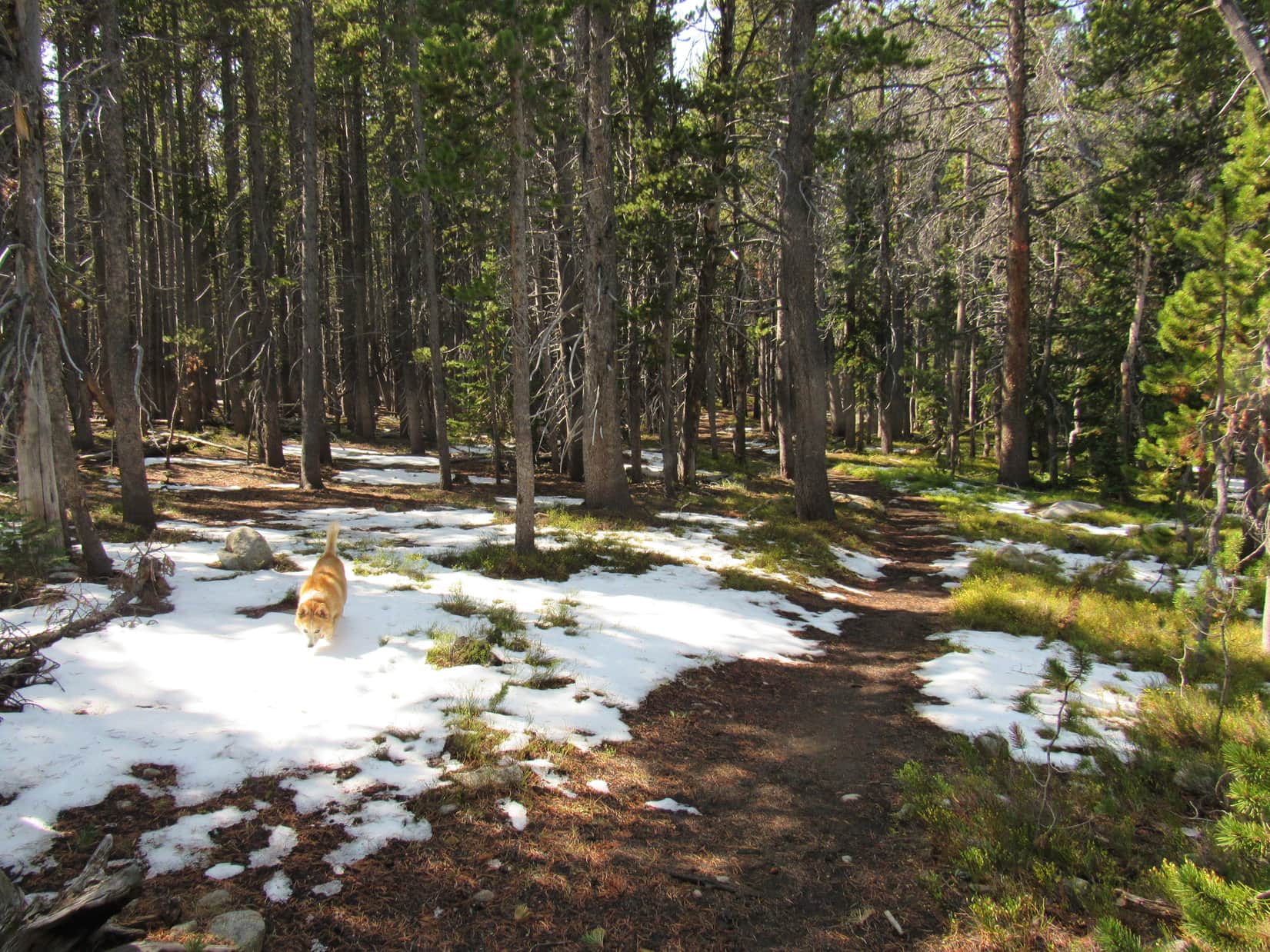
Morning sunlight streamed through the trees.  The air was humid and fresh.  Scattered patches of snow melting in the forest made it feel more like spring than mid-September.  Easy to follow, the Christina Lake trail bounced along neither gaining nor losing much elevation.  Less than 0.5 mile from the trailhead, Lupe reached Fiddlers Creek.  No bridge, but Fiddlers Creek was too small to present any difficulties.

Feels like spring with all this melting snow! Christina Lake trail No. 721.
Fiddlers Creek.

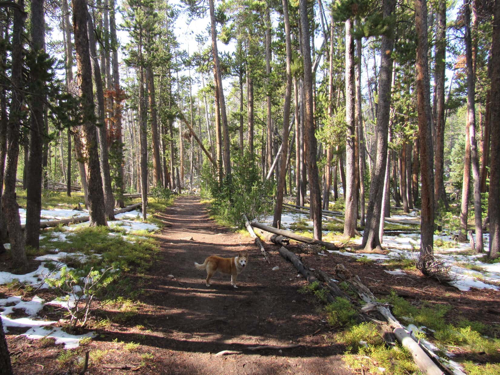
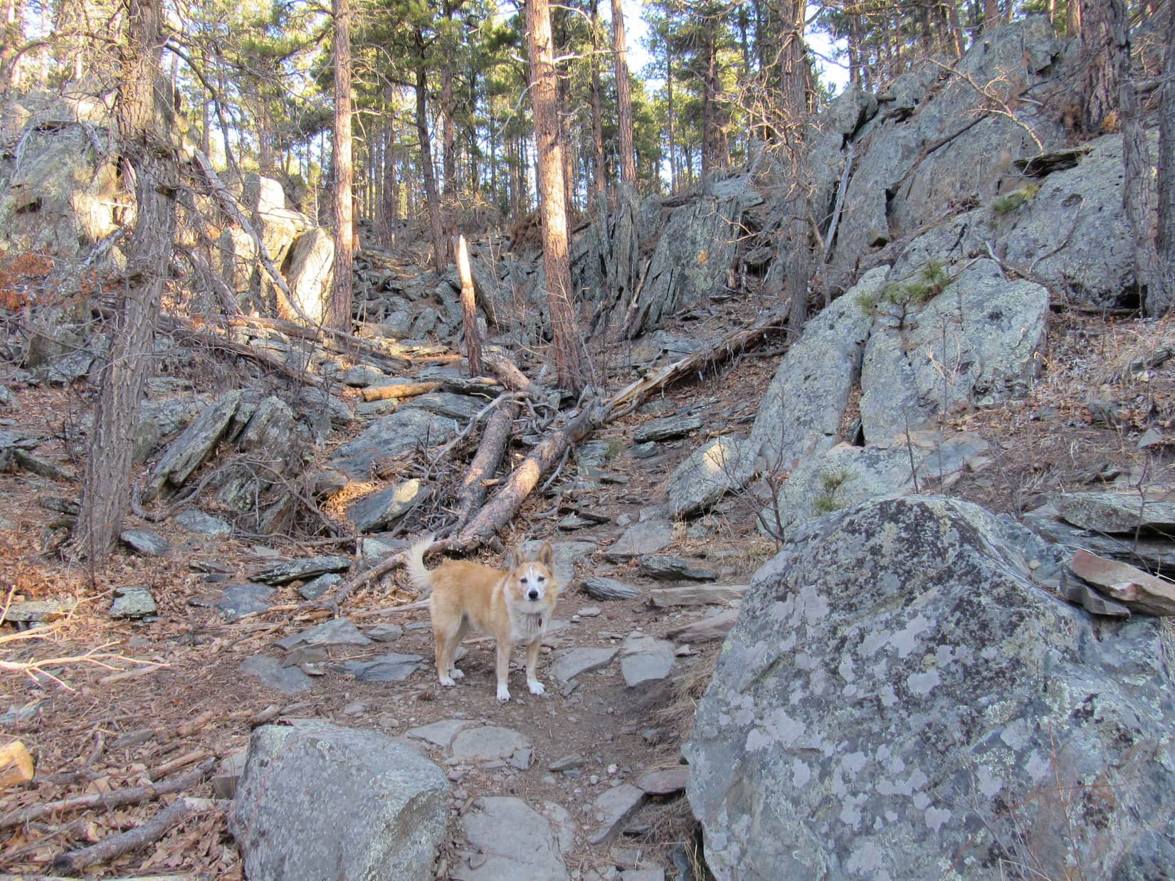
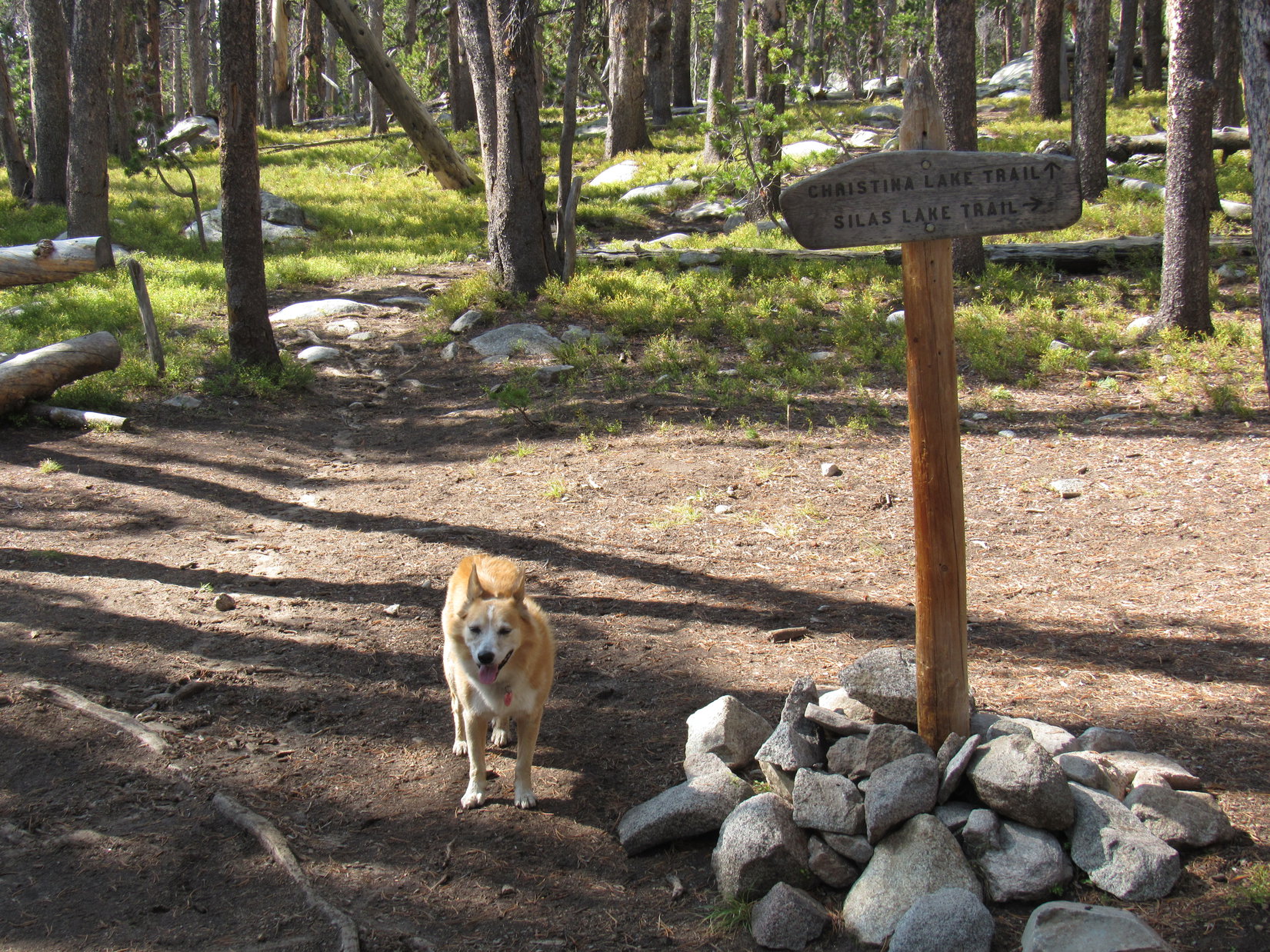
After crossing Fiddlers Creek, Lupe gained 200 feet of elevation before the trail leveled out again.  Proceeding SW, a gradual downhill section led to several more streams, all mere trickles.  After another modest climb, the trail straightened and flattened well up on the side of a steep slope.  At the end of this straightaway came a curve to the R.  Beyond it, Loop arrived at a junction.

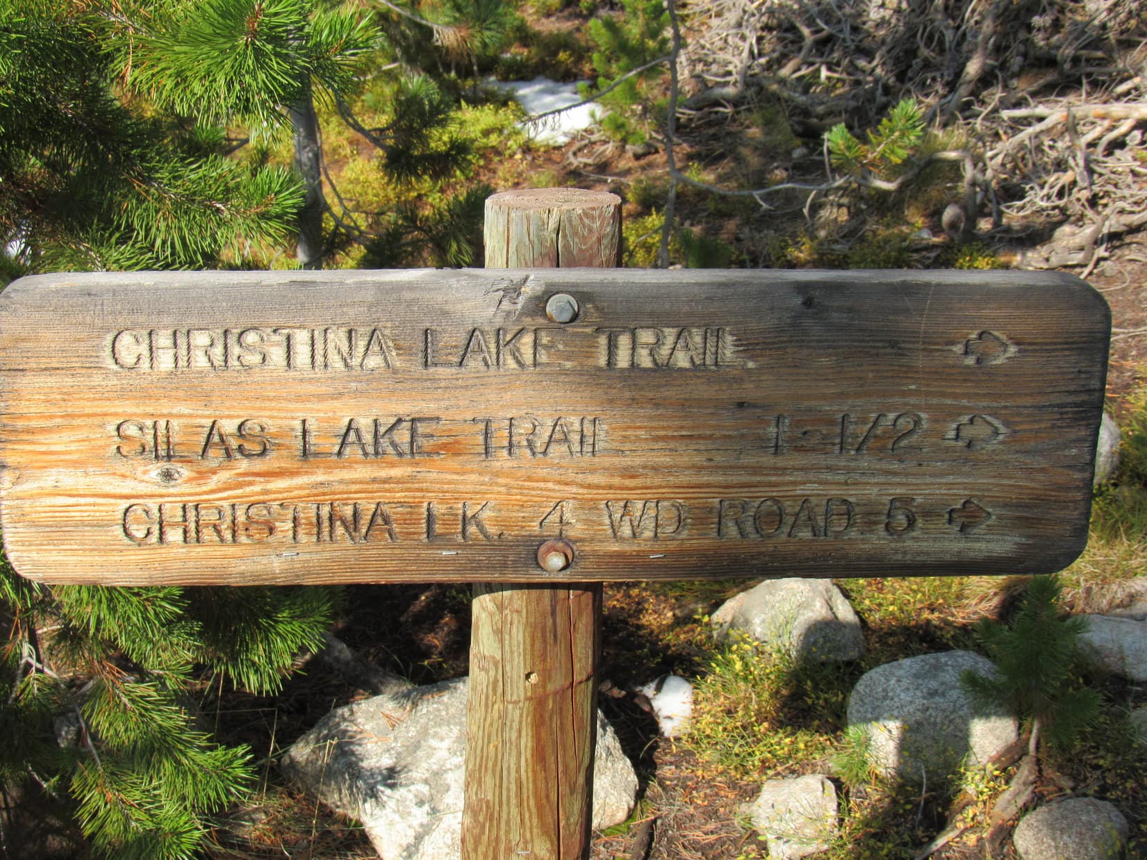
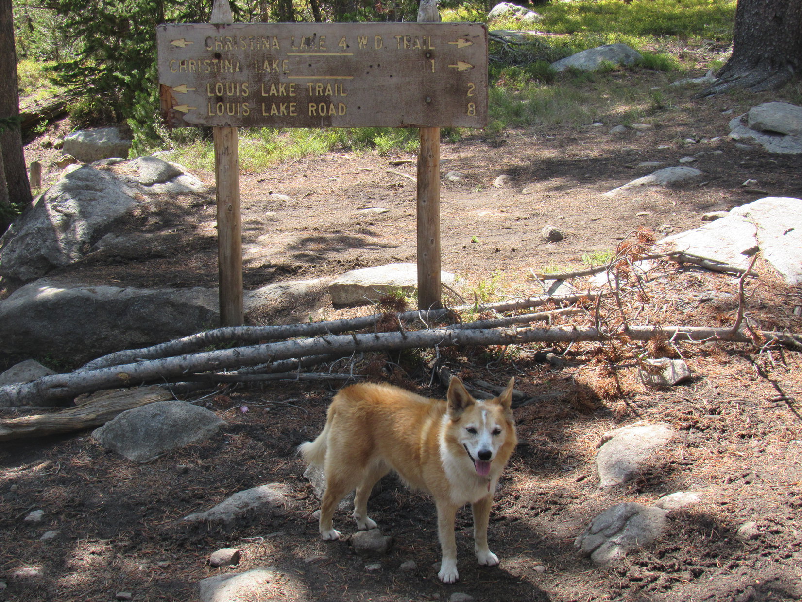
Silas Lake trail No. 722 headed off to the W (R) here on its way to Upper Silas Lake, a popular destination judging from the registry 1.5 miles back at the trailhead.  Lupe, however, didn’t need to go to Upper Silas Lake.  Sticking with the Christina Lake trail, she continued on.

At the junction with the Silas Lake trail.

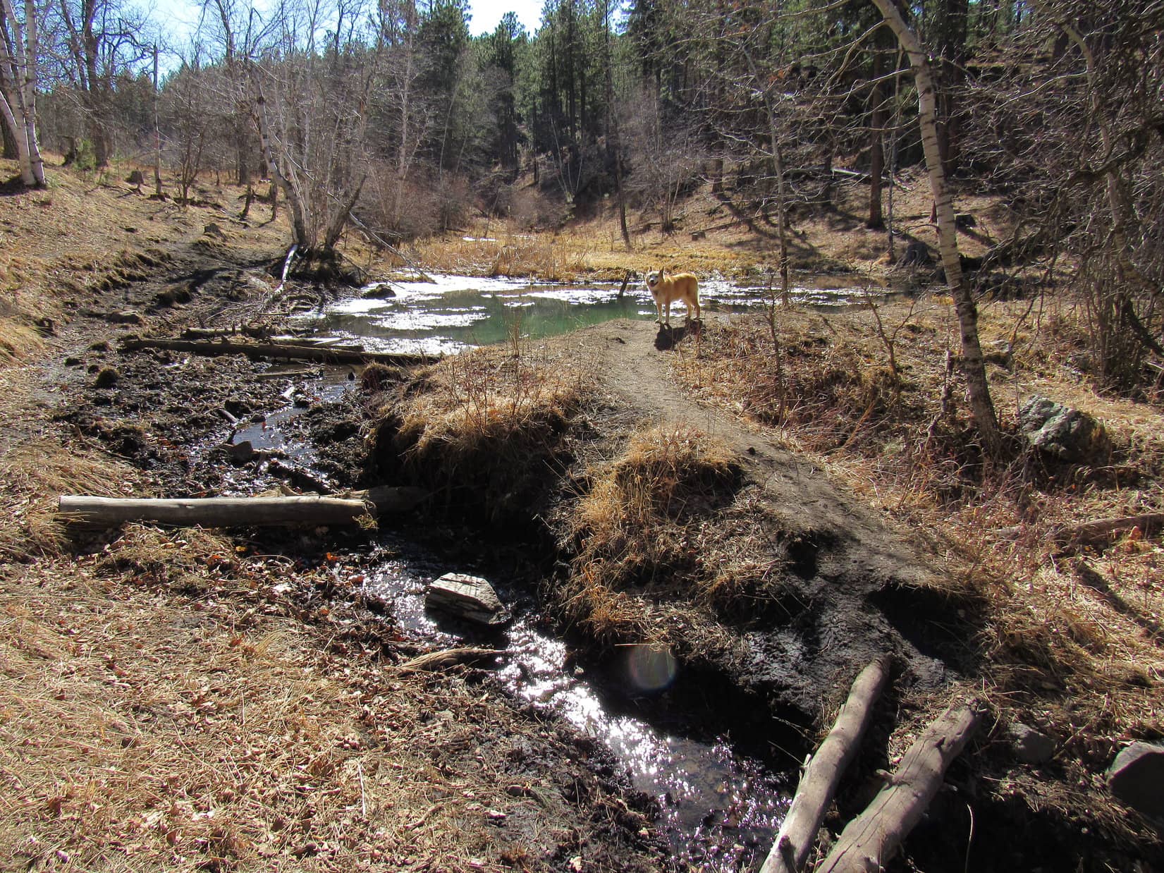
Occasionally, small clearings had been visible off to one side or another, most of which looked like boggy regions.  20 minutes past the Silas Creek trail junction, the largest clearing yet appeared on the L.  A little beyond it, Lupe reached Silas Creek, the biggest stream she had come to so far.

Glimpse of the big clearing on the L side of the trail. Photo looks S.
Silas Creek.

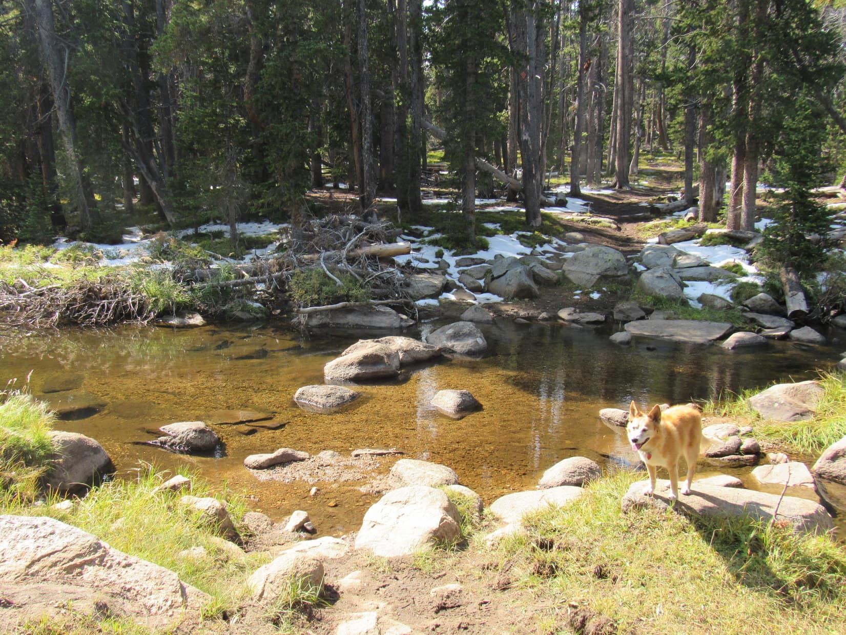
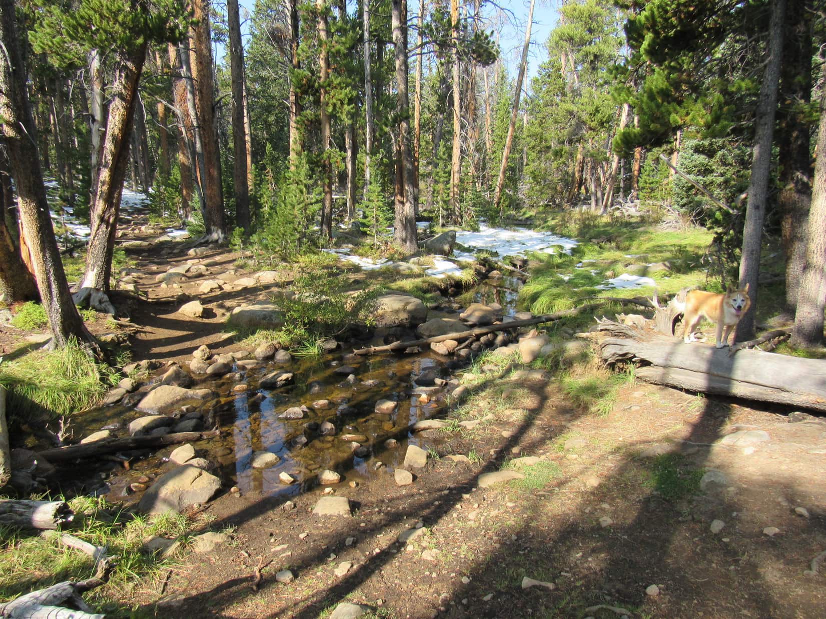
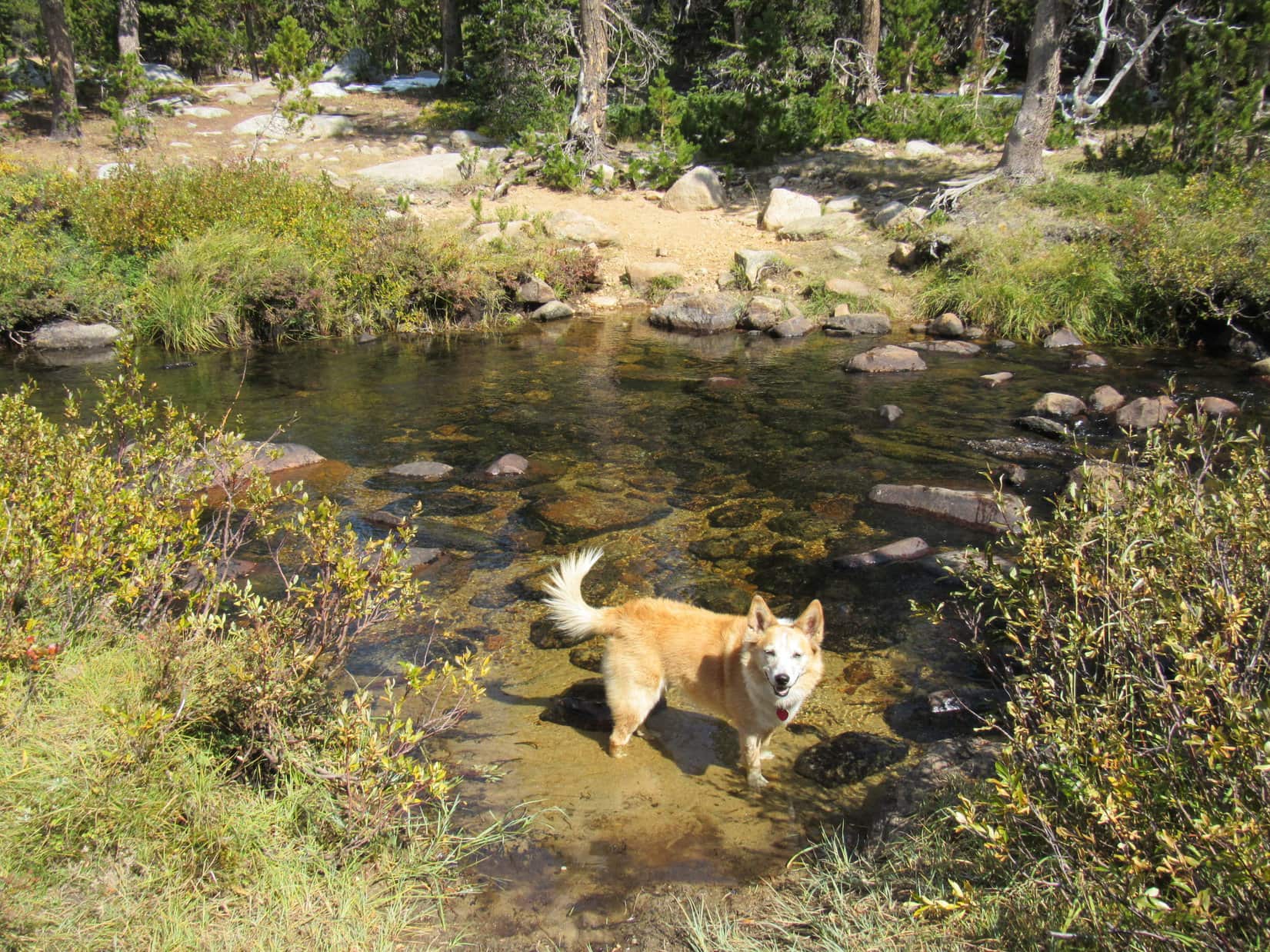
Silas Creek wasn’t all that big, either, but was fairly wide where the trail crossed it.  Many rocks were in the stream, both upstream and down, but a quick check didn’t reveal any spots where they were arranged quite fortuitously enough to permit a rock hop.  Oh, well!  Shedding boots and socks, SPHP waded across.  Lupe followed after.

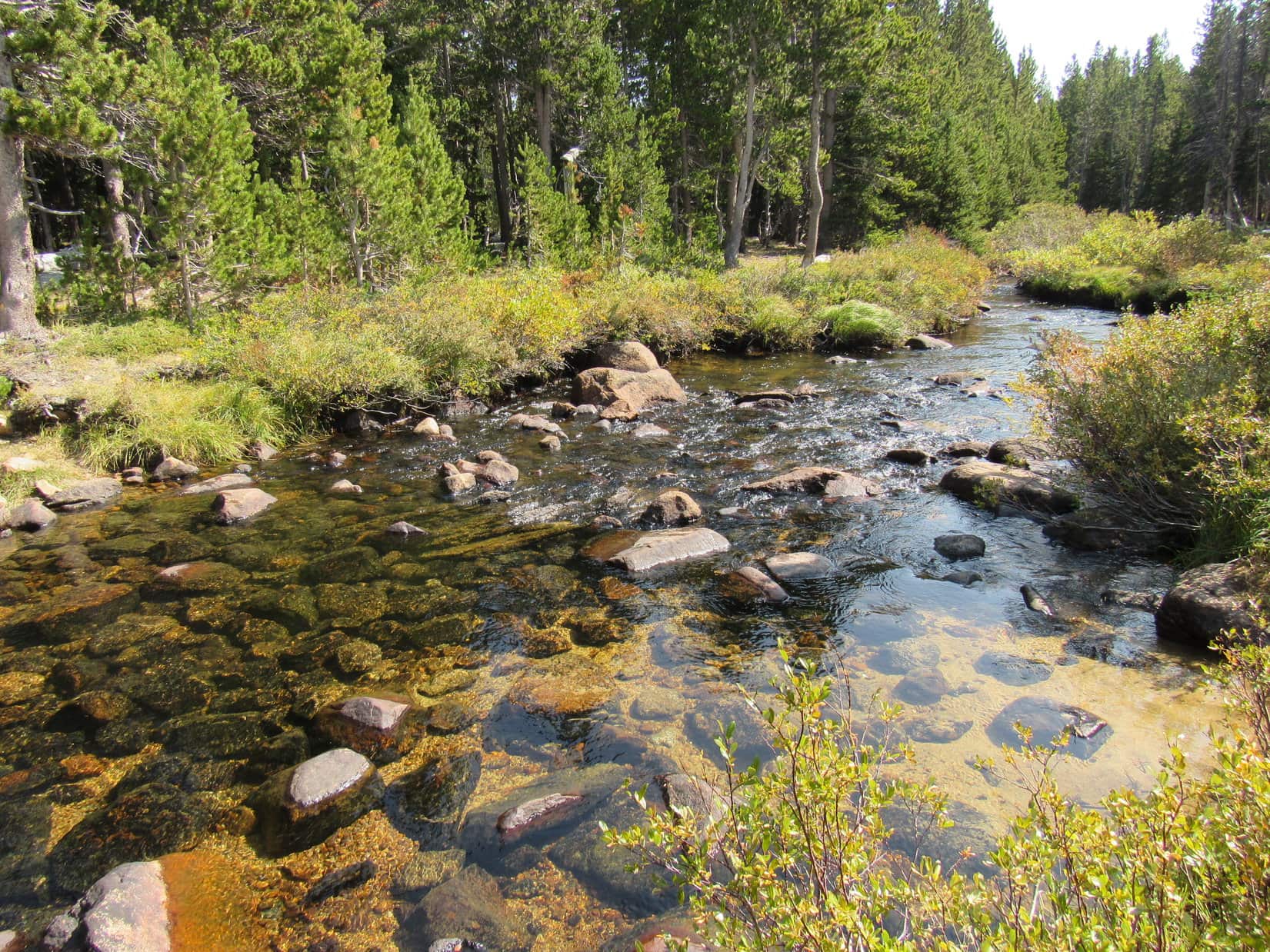
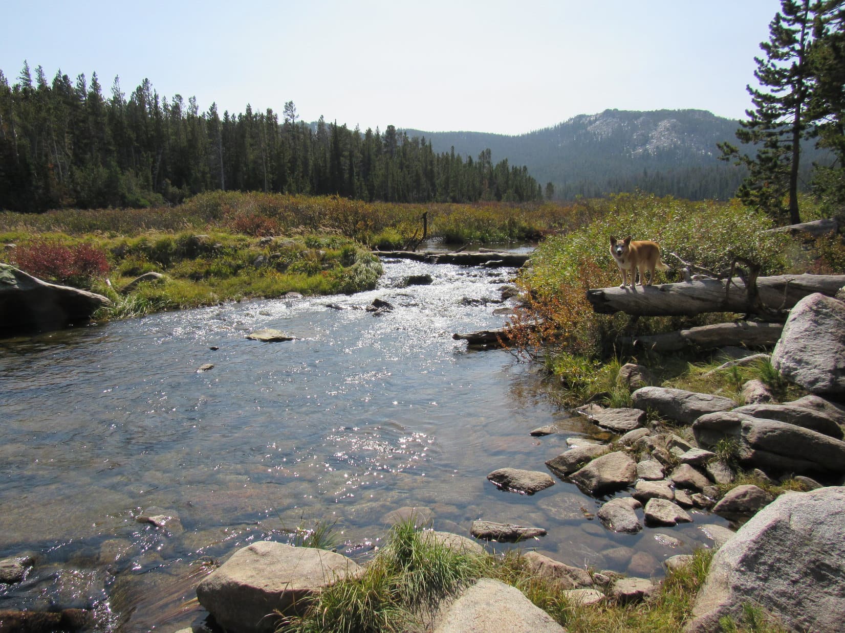
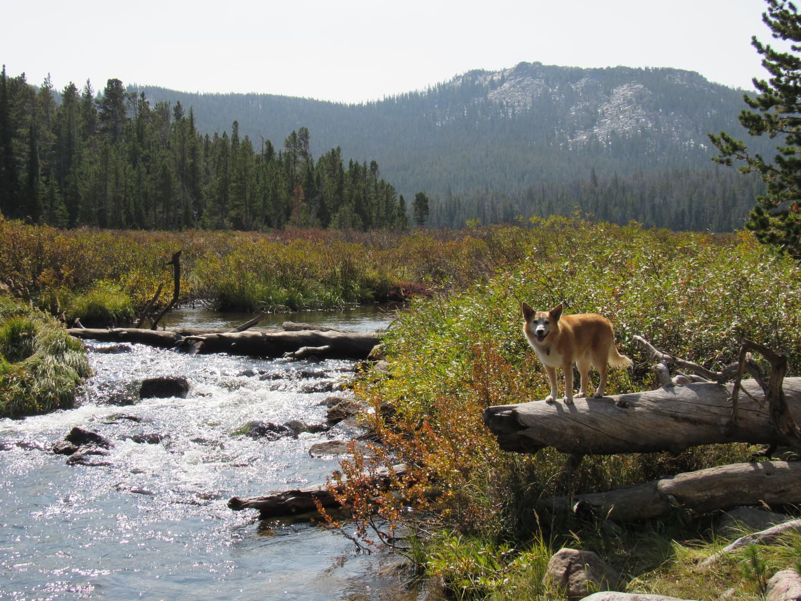
That was easy enough!  However, the American Dingo didn’t get much farther before coming to an even larger stream.  Atlantic Creek had twice, maybe triple, the flow that Silas Creek did.  The bottom of Silas Creek had been sand and gravel, but Atlantic Creek was rocky.  As much as 2 or 3 feet deep, the prospect of wading across Atlantic Creek’s stony bottom wasn’t too attractive.  Fortunately, the water was just low enough to permit a rock hop on stones barely protruding above the surface.

Atlantic Creek.
SPHP’s such a tenderpaw! Nothing to it!
Looking back after crossing Atlantic Creek. Photo looks NW.

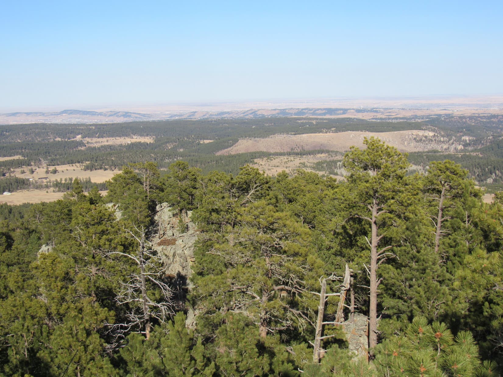
Shortly after leaving Atlantic Creek, the Christina Lake trail went over a minor rise, passing through a clearing strewn with rocks and several large boulders.  Beyond this clearing, the trail re-entered the forest going gradually downhill.  At a low spot, the Carolina Dog came to the edge of an enormous field.  This field looked grassy and dry, but was actually quite soggy.

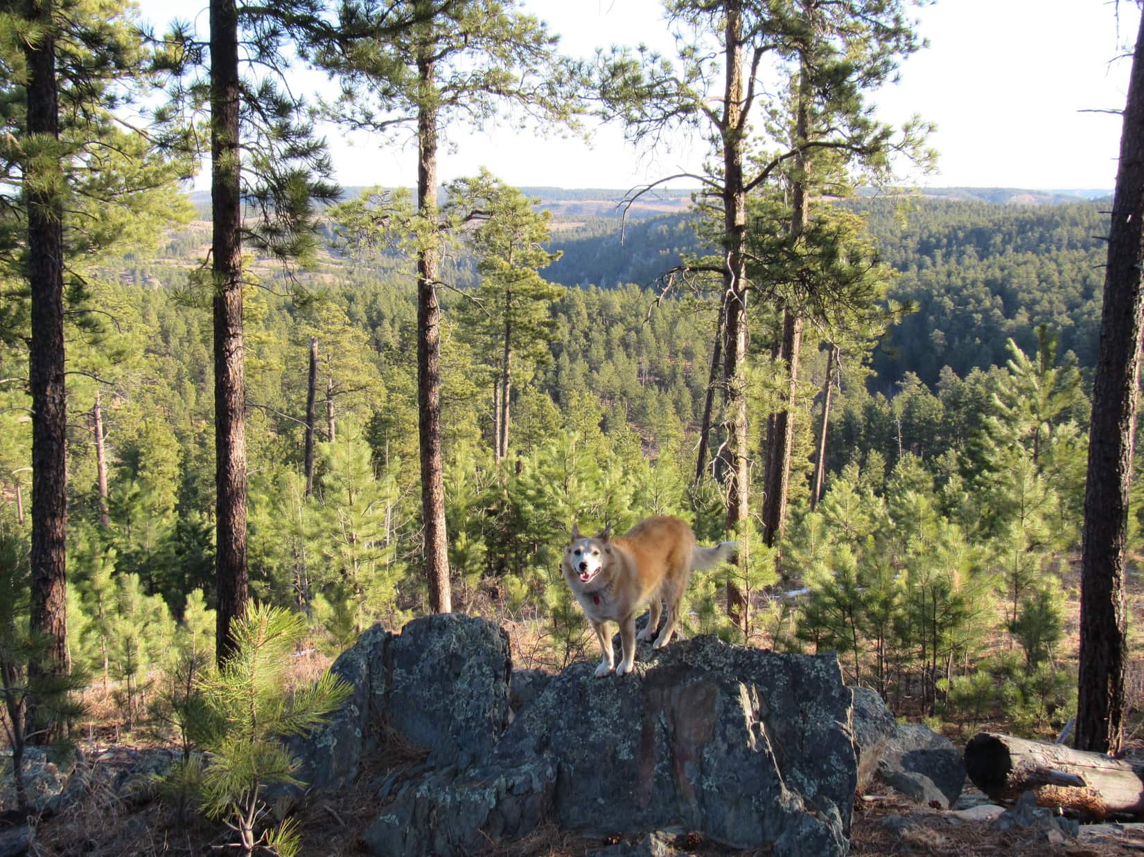
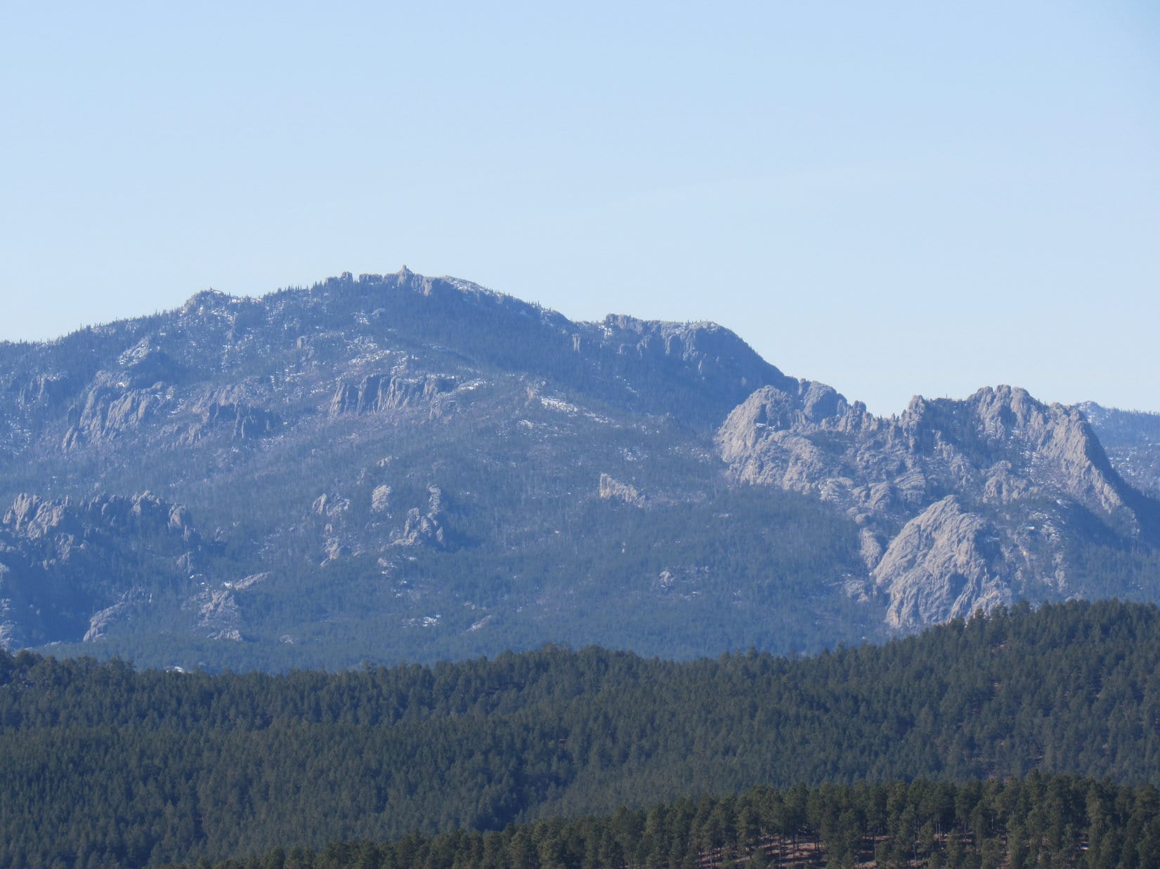
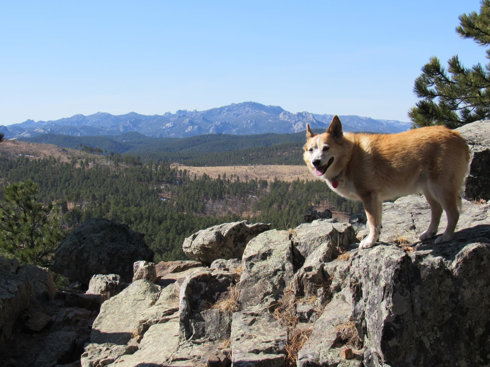
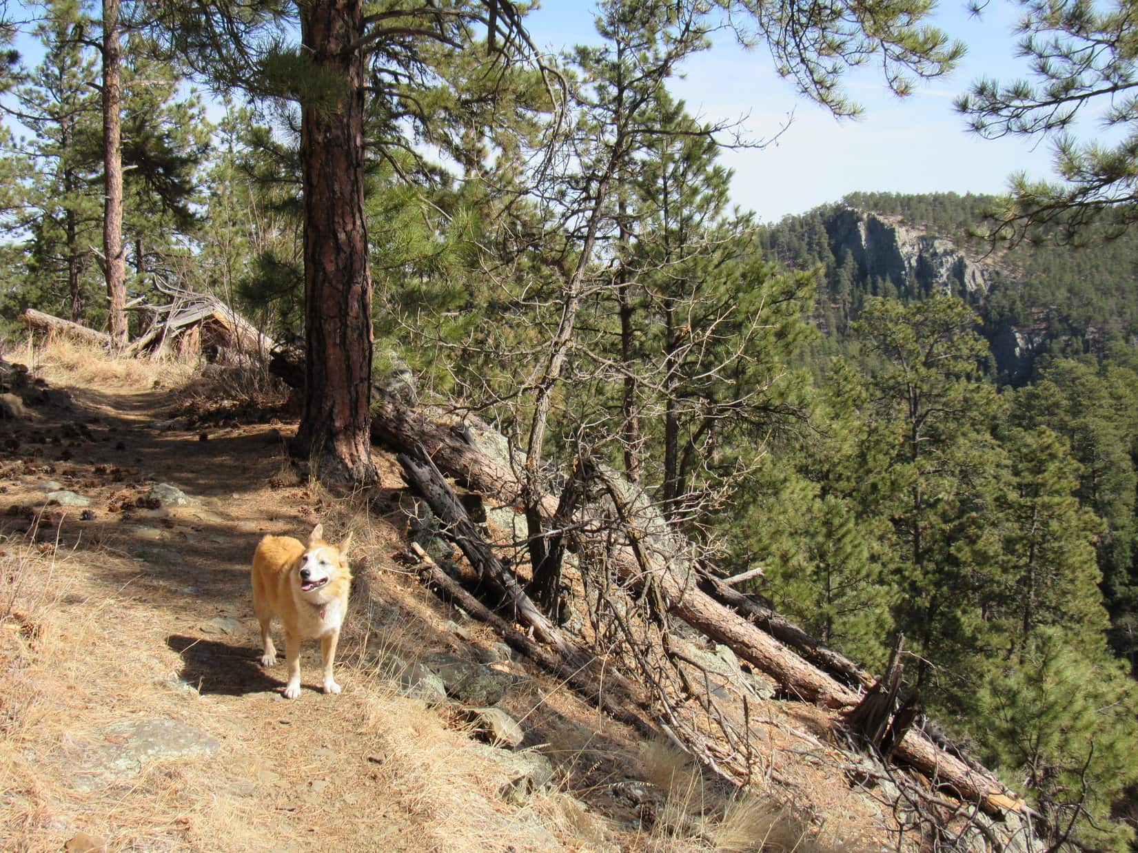
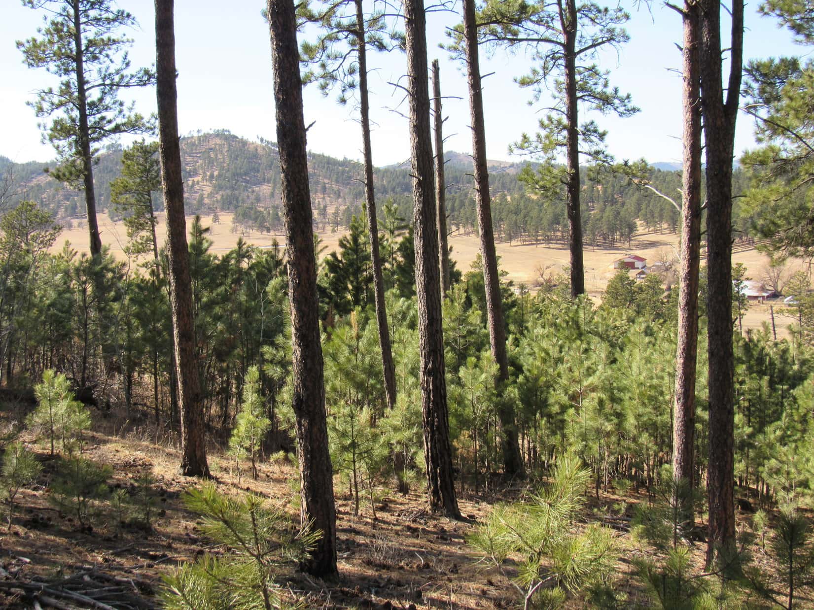
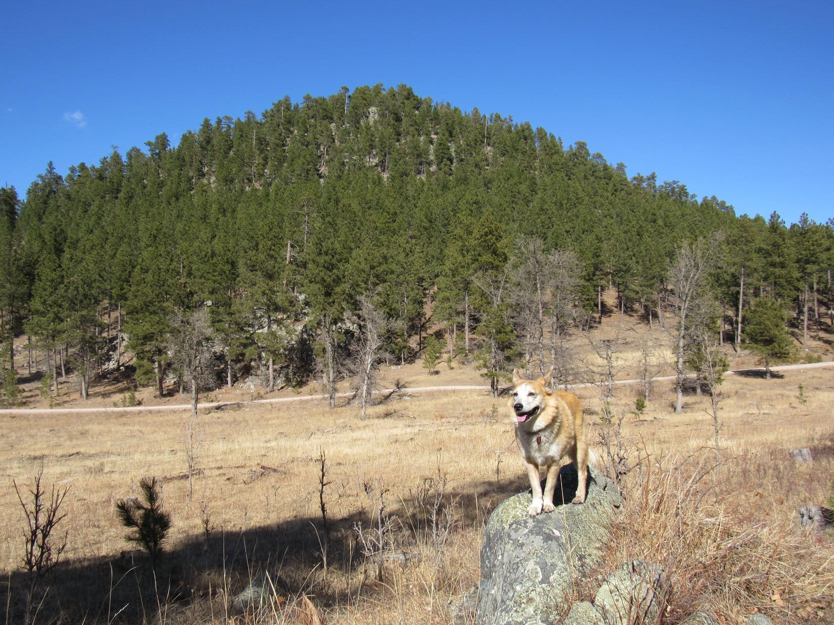
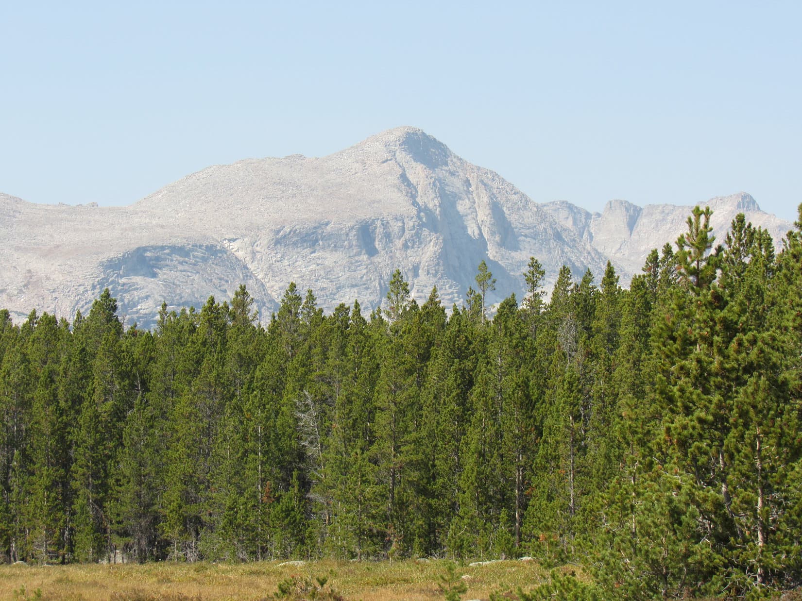
While looking upstream back at Atlantic Creek, Loopster had caught a glimpse of a high mountain.  SPHP had wondered at the time if it might have been Atlantic Peak?  A much better view of that same mountain, plus a number of peaks along a ridge S of it, was now available.  A quick check of the topo map convinced SPHP that the high mountain probably really was part of Atlantic Peak (12,490 ft.).

Crossing the rocky clearing.
That’s HP12261, the E end of Atlantic Peak behind me! Photo looks WNW.
HP12261 (Center). Photo looks WNW with help from the telephoto lens.

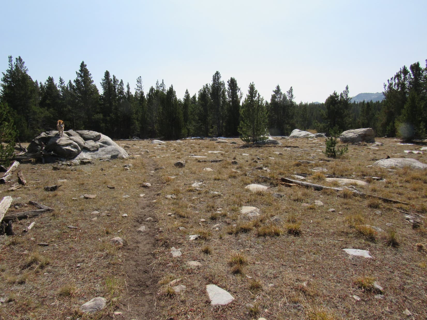
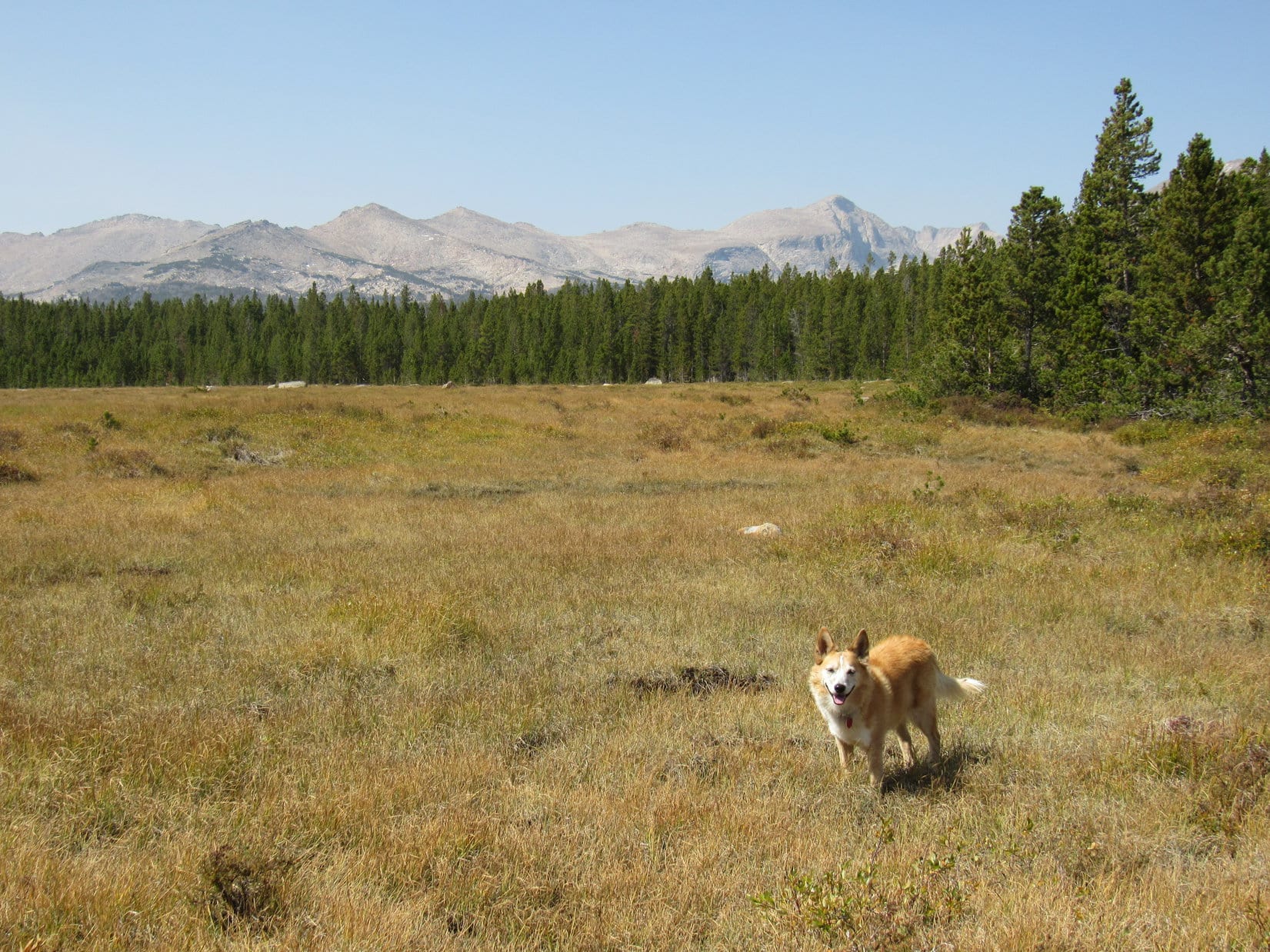
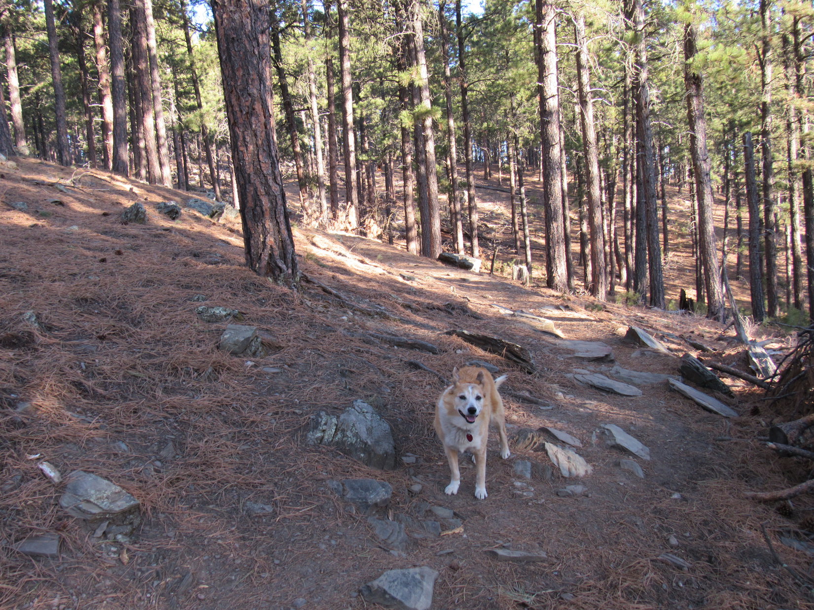
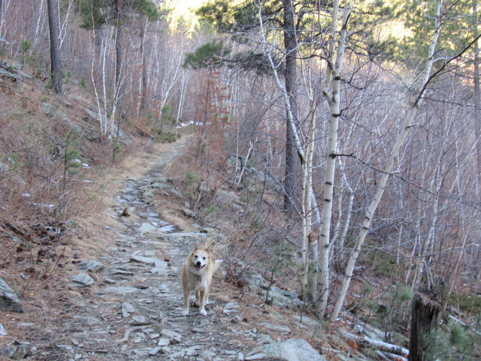
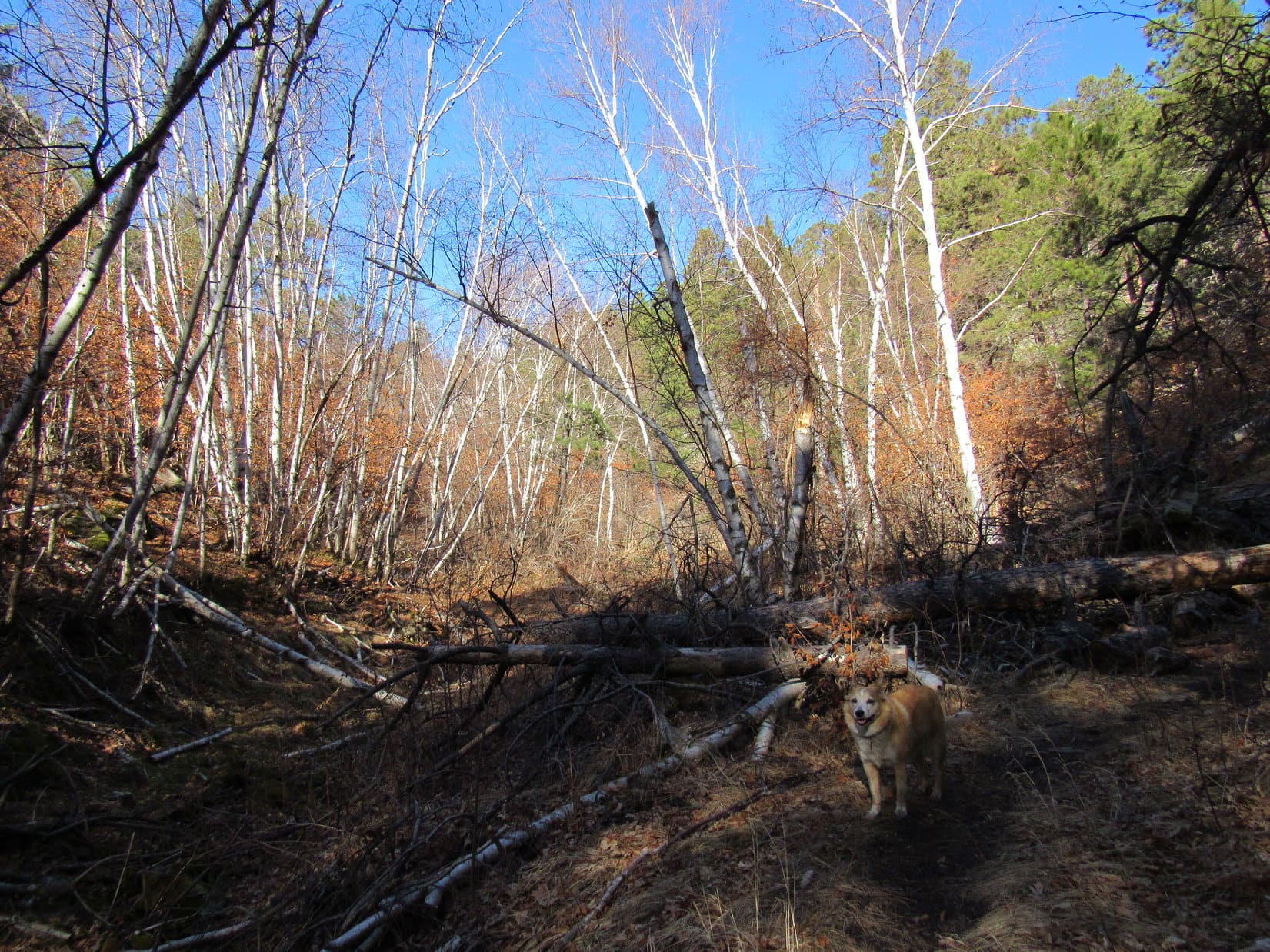
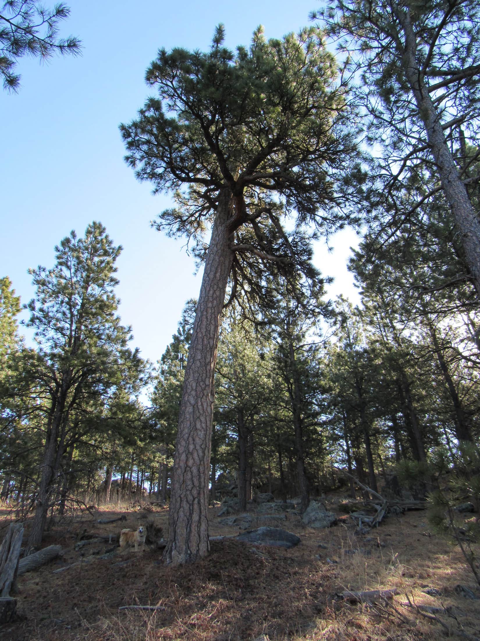
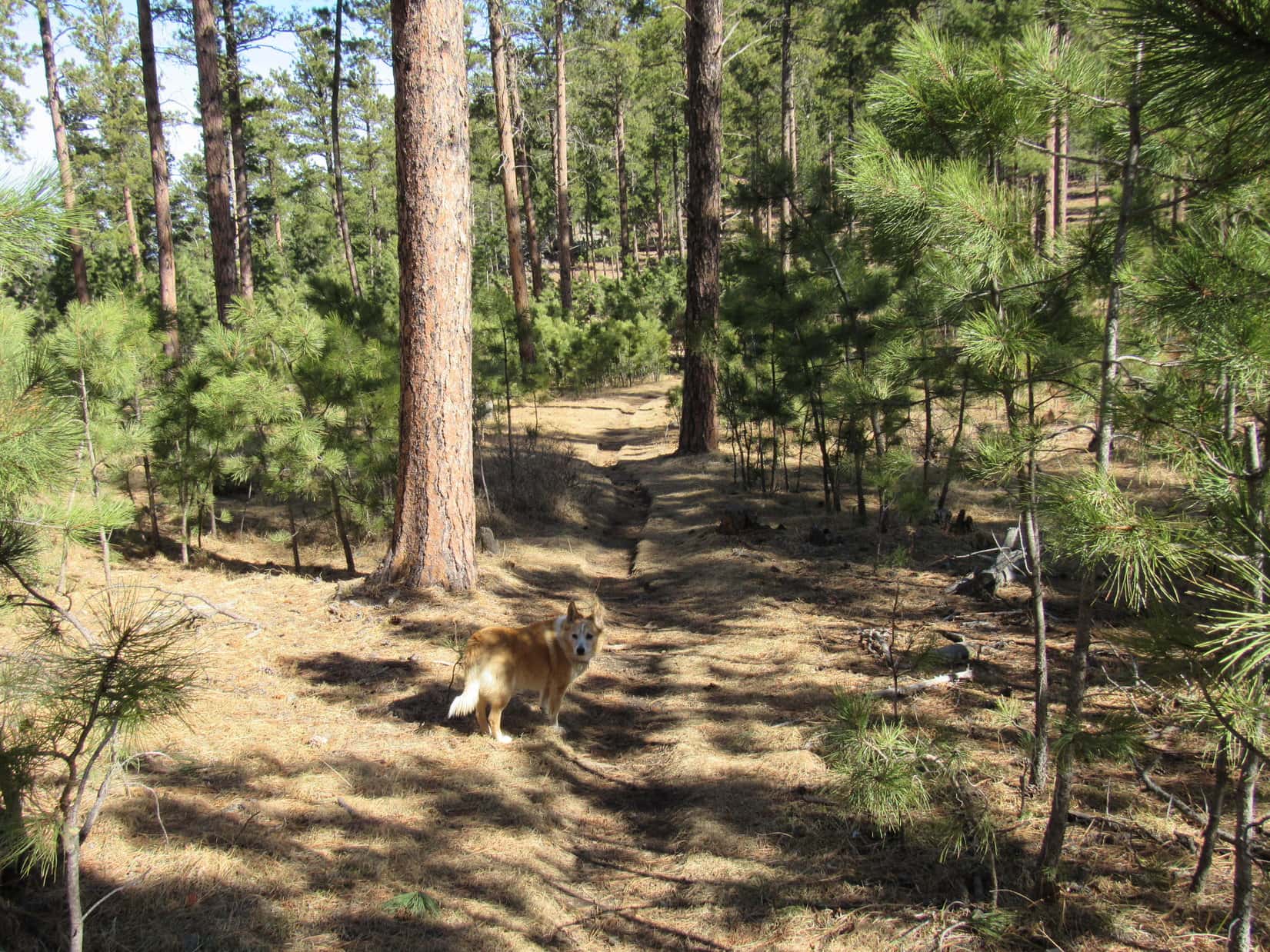
Staying near the edge of the damp field, the American Dingo followed the Christina Lake trail through a boggy depression before returning to drier ground in the forest.  For a little way, the trail paralleled the field closely enough to still see it between the trees.  After that, Lupe roamed SW at will for another mile.  Meanwhile SPHP had an easy time, making good progress on a gradual incline.

Enjoying an easy trek through the forest.

Christina Lake trail No. 721 ended as a single track at a “T” junction with the Christina Lake 4WD trail, a dirt road liberally endowed with plenty of protruding boulders and an ample assortment of mud puddles.

Signage at the junction with the Christina Lake 4WD trail.
Not exactly G6 territory! Christina Lake 4WD trail.

This junction was very close to where the 4WD trail crossed the Little Popo Agie River.  SPHP had originally intended for Lupe to get here by taking Louis Lake trail No. 724 to the Christina Lake 4WD trail, but had ultimately decided against it, leery of what Loop might have to face in order to get across the Little Popo Agie.  The Christina Lake trail avoided this necessity entirely, and also had the additional advantage of saving an extra 800 feet of elevation gain required coming from Louis Lake.

Ditching the backpack for the moment, SPHP led Loop down to the Little Popo Agie River, 150 feet away.  One look, and SPHP was thrilled!  The decision to come by way of Christina Lake trail No. 721 had been a great call.  No bridge, and the Little Popo Agie River was 5 to 10 times the size Atlantic Creek had been.

Hah!  Don’t get too used to it, Looper, but every now and then I do manage to do something right!

You know what they say, SPHP!  Even a broken clock is … well, never mind.  Good call, SPHP!

Never would have rock hopped this baby! Little Popo Agie River. Photo looks SSW.
Of course, maybe crossing that little log jam would have worked! I could have done it!

Since Gustav Lake was only a little farther upstream, Lupe might as well have a look at it, too.  However, Gustav Lake proved to be surrounded by bushes and marshy ground.  Getting all the way to the shoreline wasn’t going to be possible.

Gustav Lake. HP10669 (Center) beyond it. Photo looks SSW.

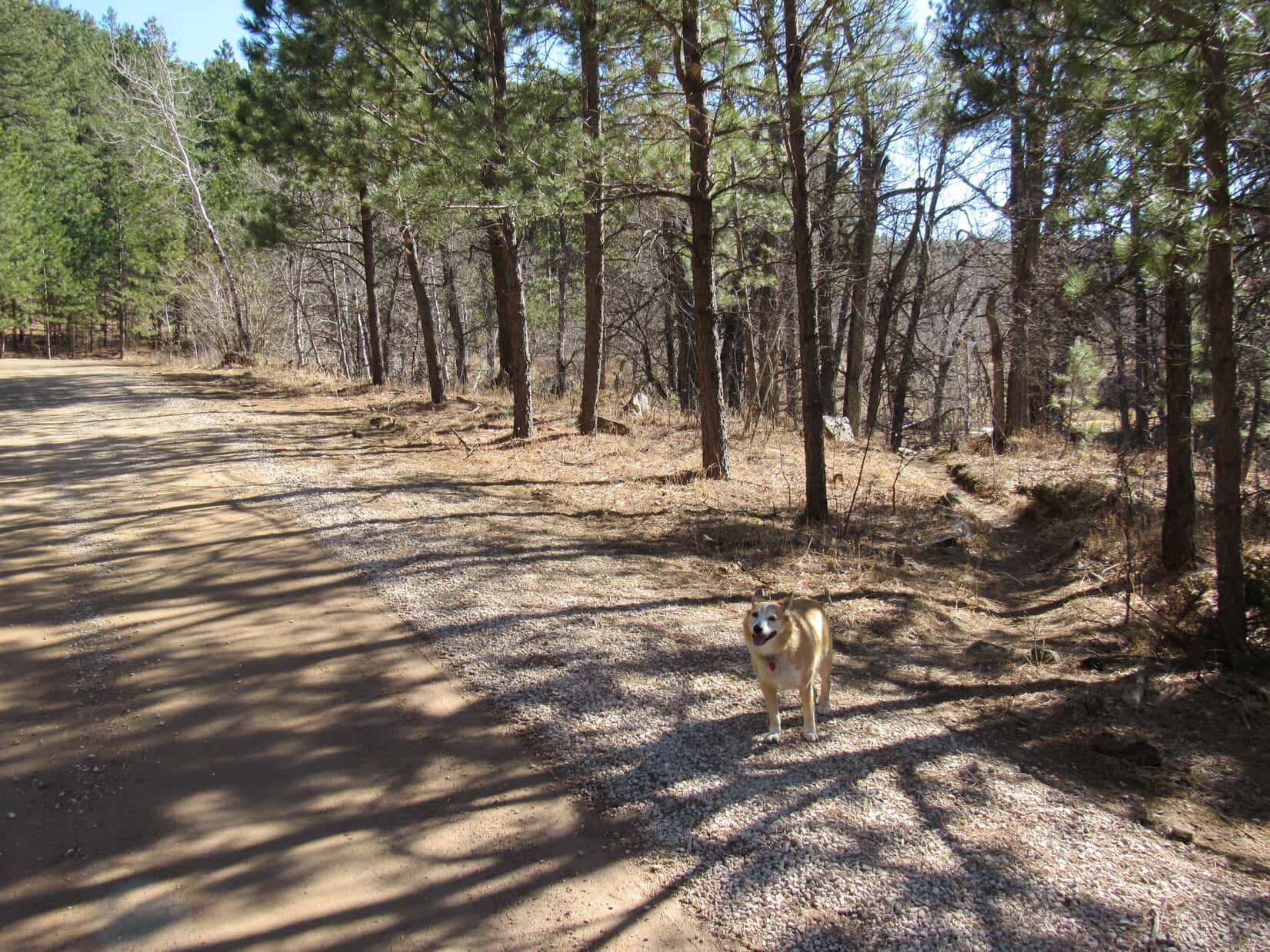
Returning to the junction, SPHP grabbed the pack.  Lupe now headed W on the Christina Lake 4WD Trail.  The road would have been a G6 killer, but was fine as a hiking trail.  Only 0.5 mile to Christina Lake!

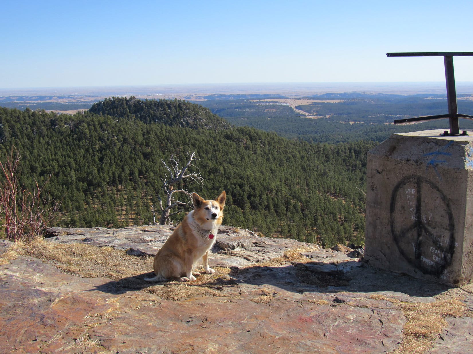
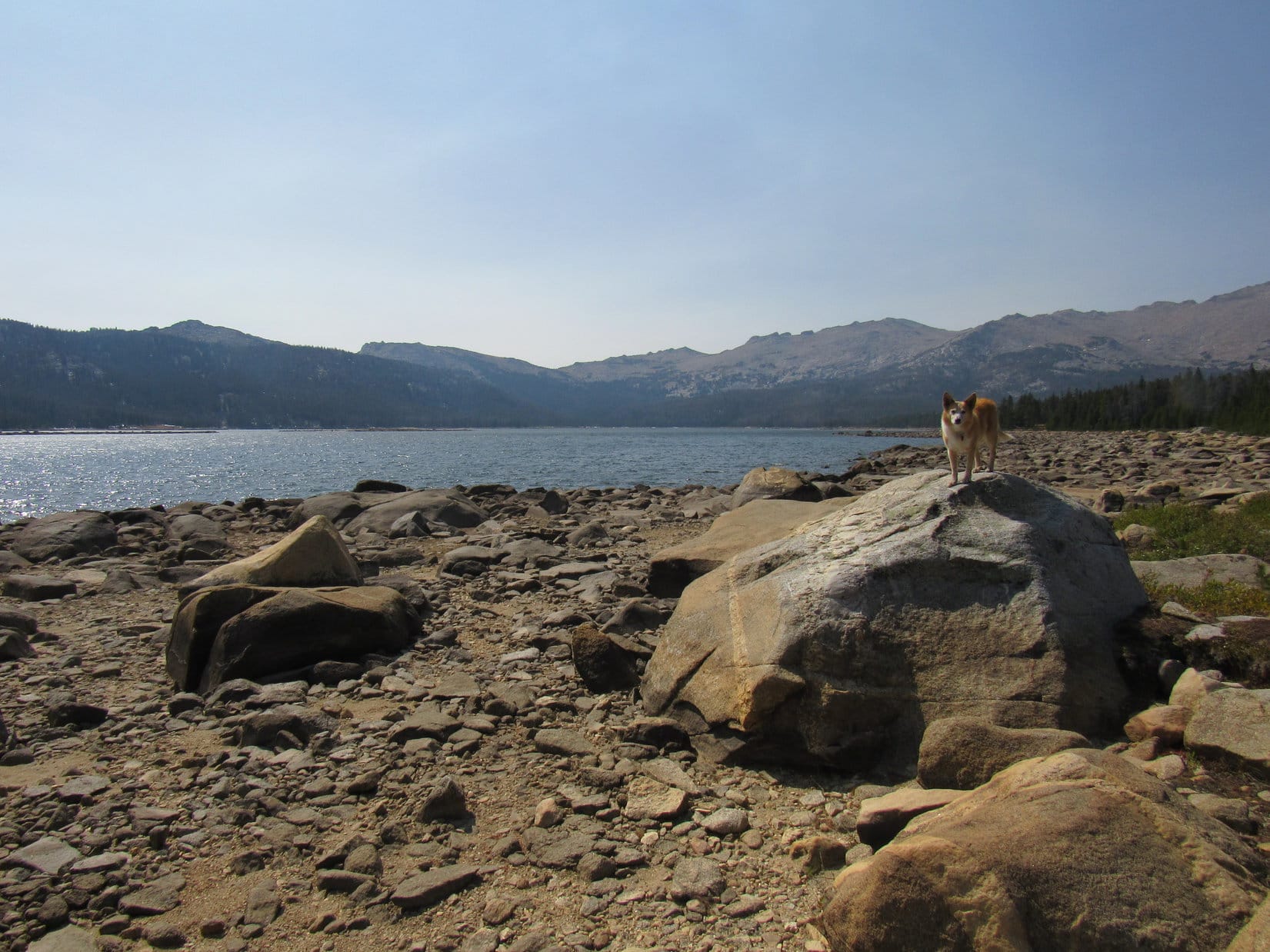
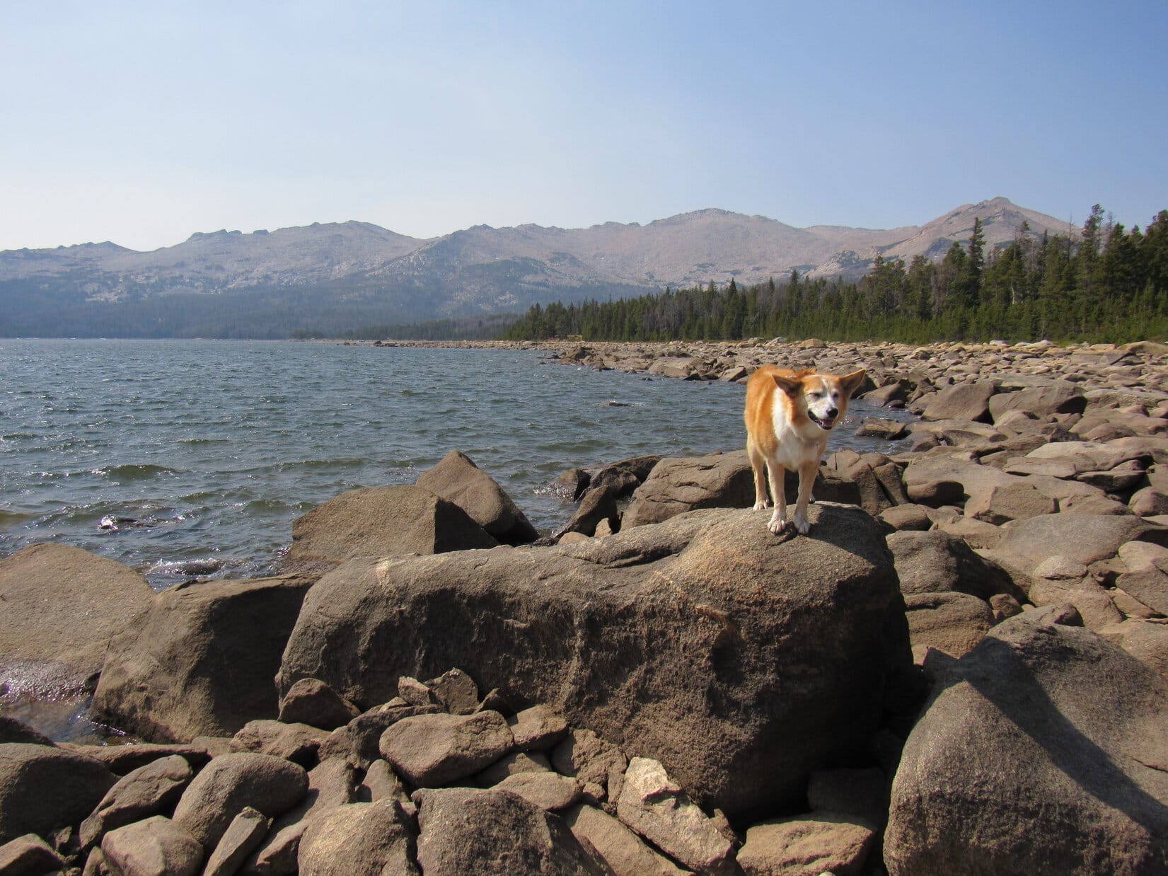
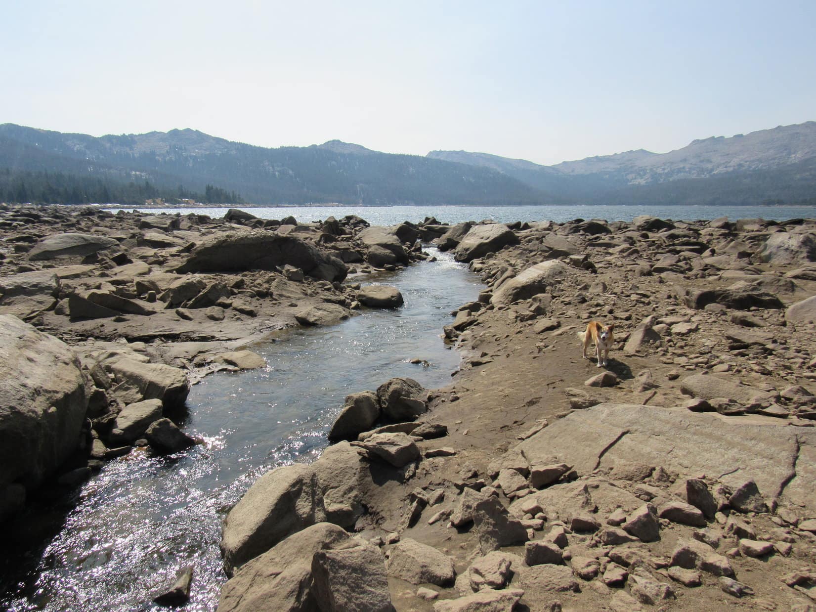
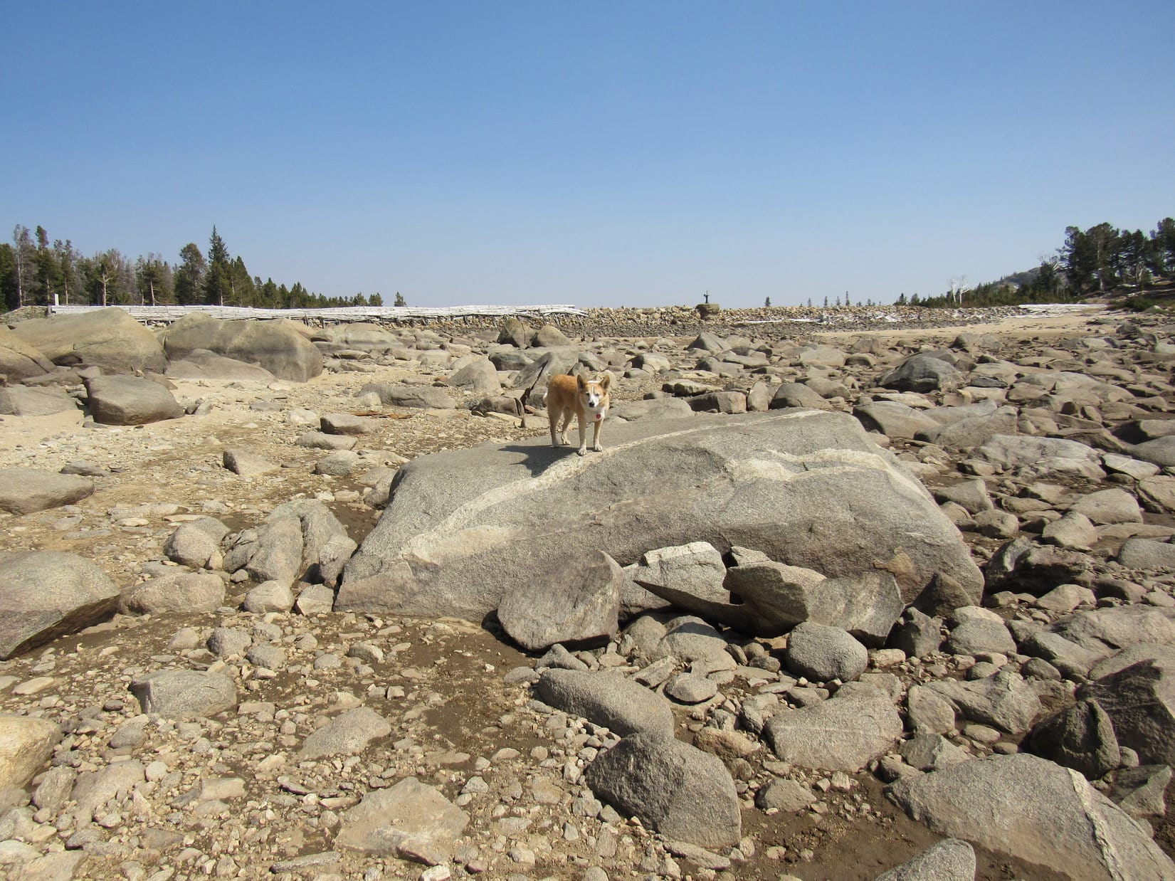
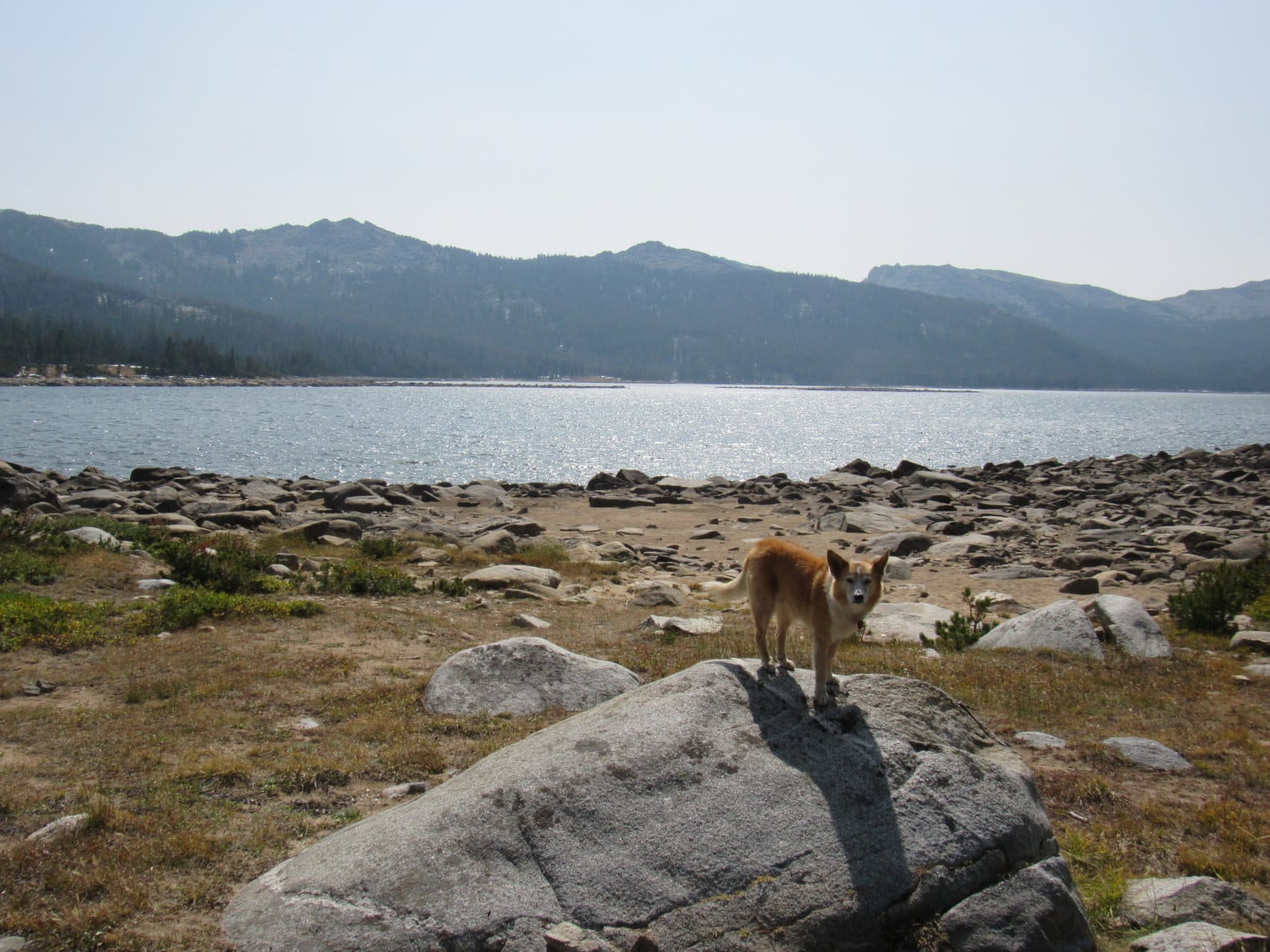
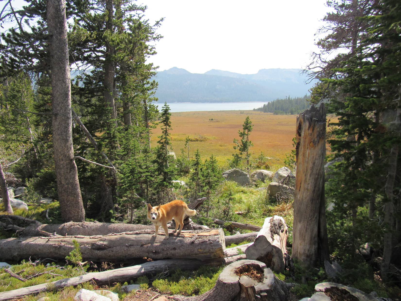
9-14-20, 1:31 PM, Christina Lake – A spur off the 4WD trail led to a long rock dam at the NE end of Christina Lake.  It was immediately apparent that the big lake was far below capacity.  The shoreline wasn’t even close to the dam.  Christina Lake was surrounded by a broad swath of sand and boulders exposed below the normal high water mark.

Arriving at Christina Lake. HP10669 (Center). Dam (L). Photo looks SSE.

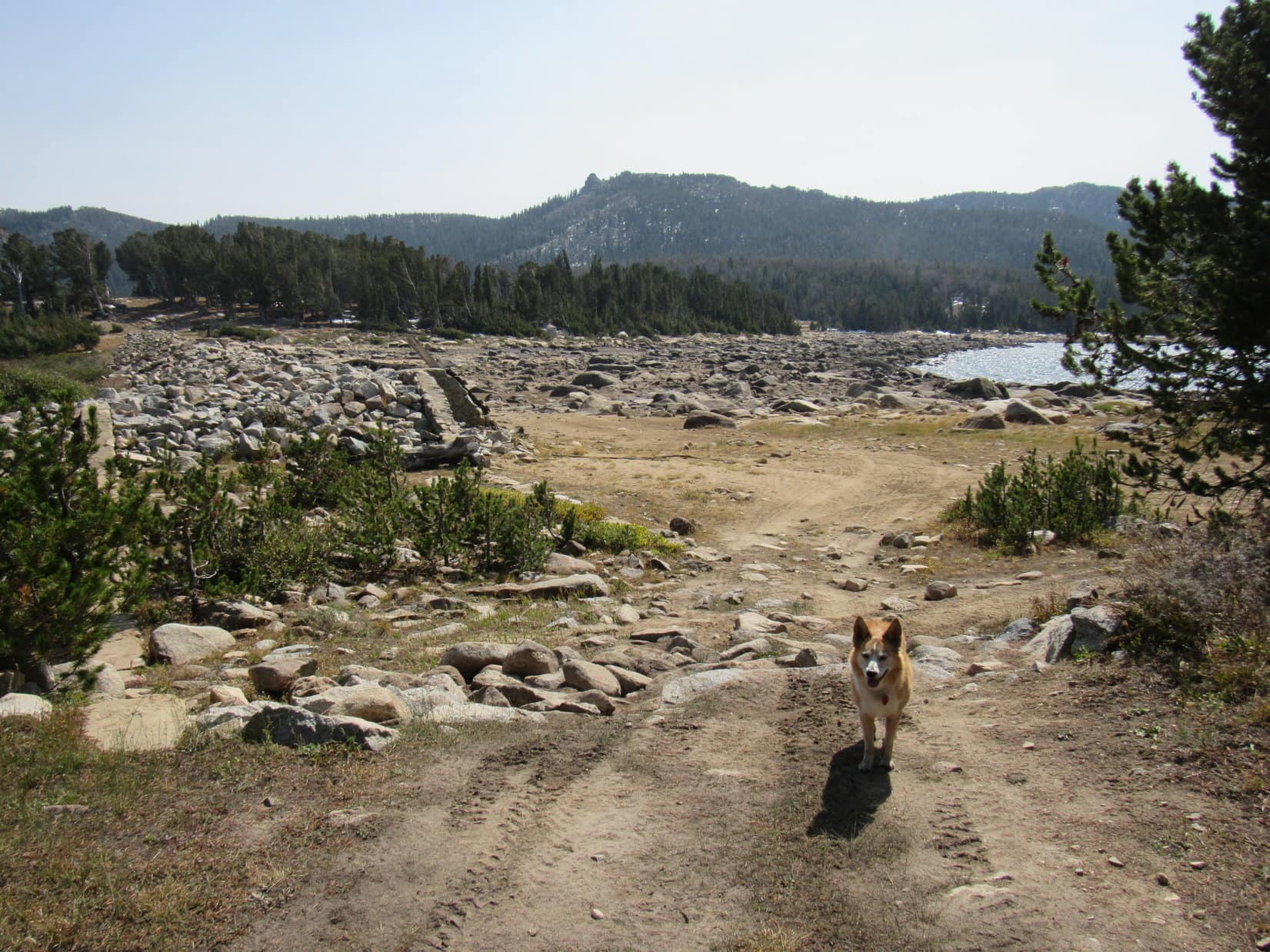
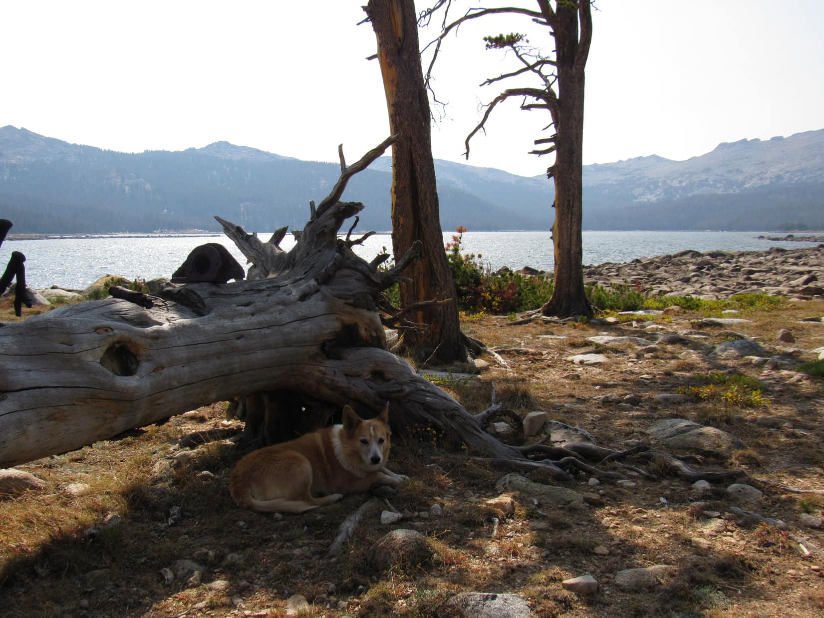
A little off to the W along the N shore was an open flat region with a great view.  SPHP stashed the backpack against a sun-bleached log here.  About time for a rest break, but Lupe was going to do a little exploring first.  As soon as SPHP was ready, she wandered down to the beach.

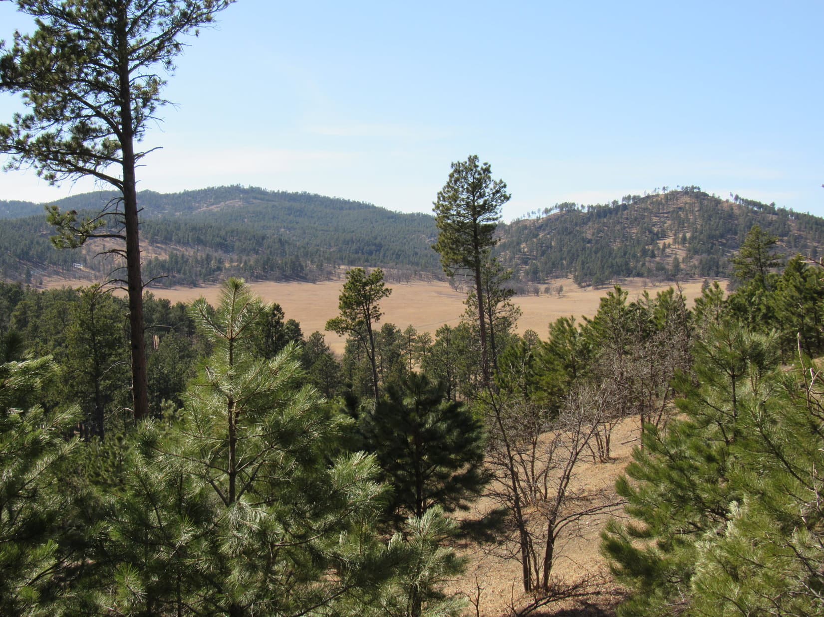
At capacity, Christina Lake is more than a mile long, and still must have been close to that big even now.  Flanked by mountains to the S and W, Christina Lake was much larger and far more impressive than Fiddlers Lake had been.

Christina Lake. Peak 11448 (R) beyond Lupe. Photo looks SW.

Atlantic Peak (12,490 ft.) was in sight.  However, it was clear that Loop would be able to get a better look at it if she went farther SE.  Continuing in that direction, she soon came to a narrow channel that the Middle Popo Agie River was surging through.  Following the channel E toward the dam, the whole river disappeared into a hole.

Christina Lake was being drained like a bathtub!  Up on top of the dam, a valve could be seen, no doubt used to control the flow.

Atlantic Peak (R). Photo looks WNW.
By the Little Popo Agie River as it drains out of Christina Lake. Photo looks SW.
Approaching the dam. Flow control valve (R of Center) up on top. Photo looks E.

Once S of the Little Popo Agie River channel, Lupe ventured down to the lake again.  From here she could see the true summit of Atlantic Peak, still 4 miles away.

Atlantic Peak (Center) from Christina Lake. Photo looks NW.
Atlantic Peak (straight up from Lupe) with help from the telephoto lens.

Satisfied with having gotten about as good a look at Atlantic Peak from Christina Lake as possible, Lupe and SPHP returned to the backpack.  A pleasant half hour was spent having lunch and resting in the shade of a couple of large pines while enjoying the view.

Christina Lake as seen during a break for lunch. Photo looks SW.
Relaxing in the shade.

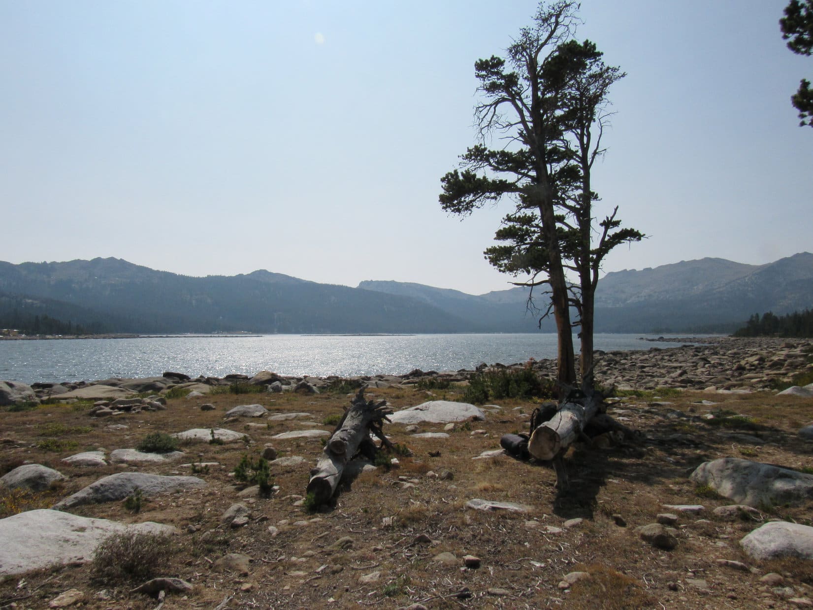
Nearly an hour after arriving at Christina Lake, it was about time to press on.  Lupe hopped up on a boulder for a final look around before returning to the Christina Lake 4WD Trail.  Heading W, the road forked almost immediately.  Loop took the L branch paralleling Christina Lake’s N shore.  However, the lake was seldom seen, since the road stayed back in the forest as much as several hundred feet from the shoreline.

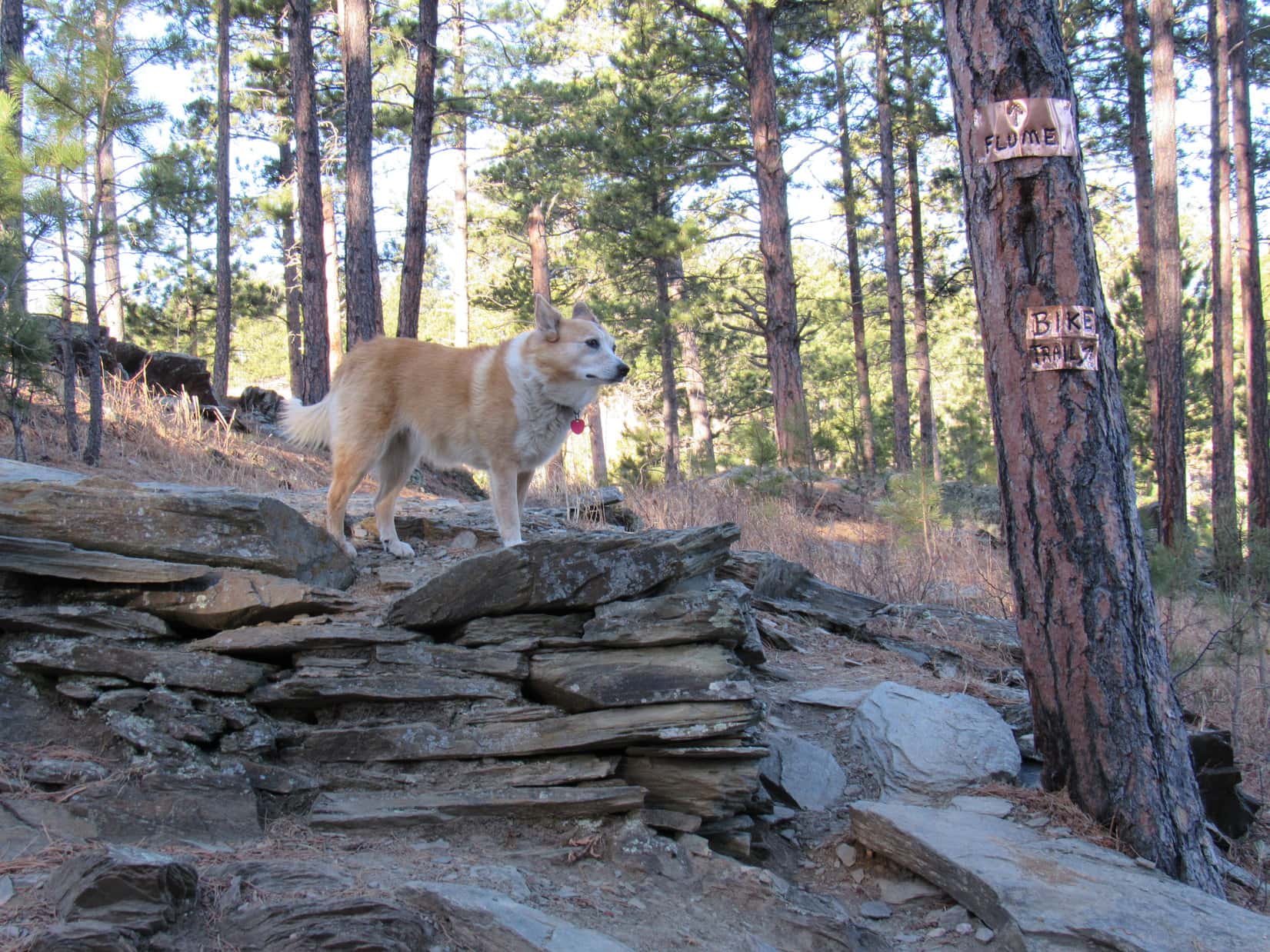
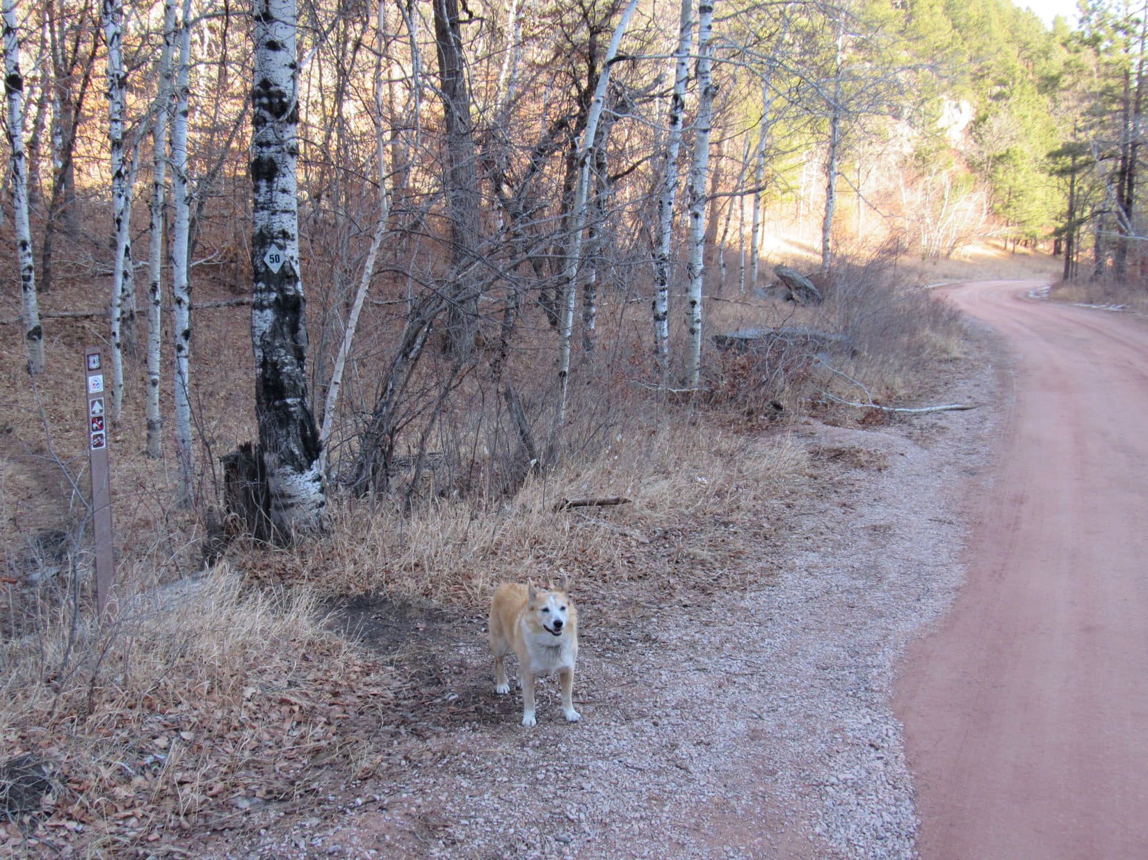
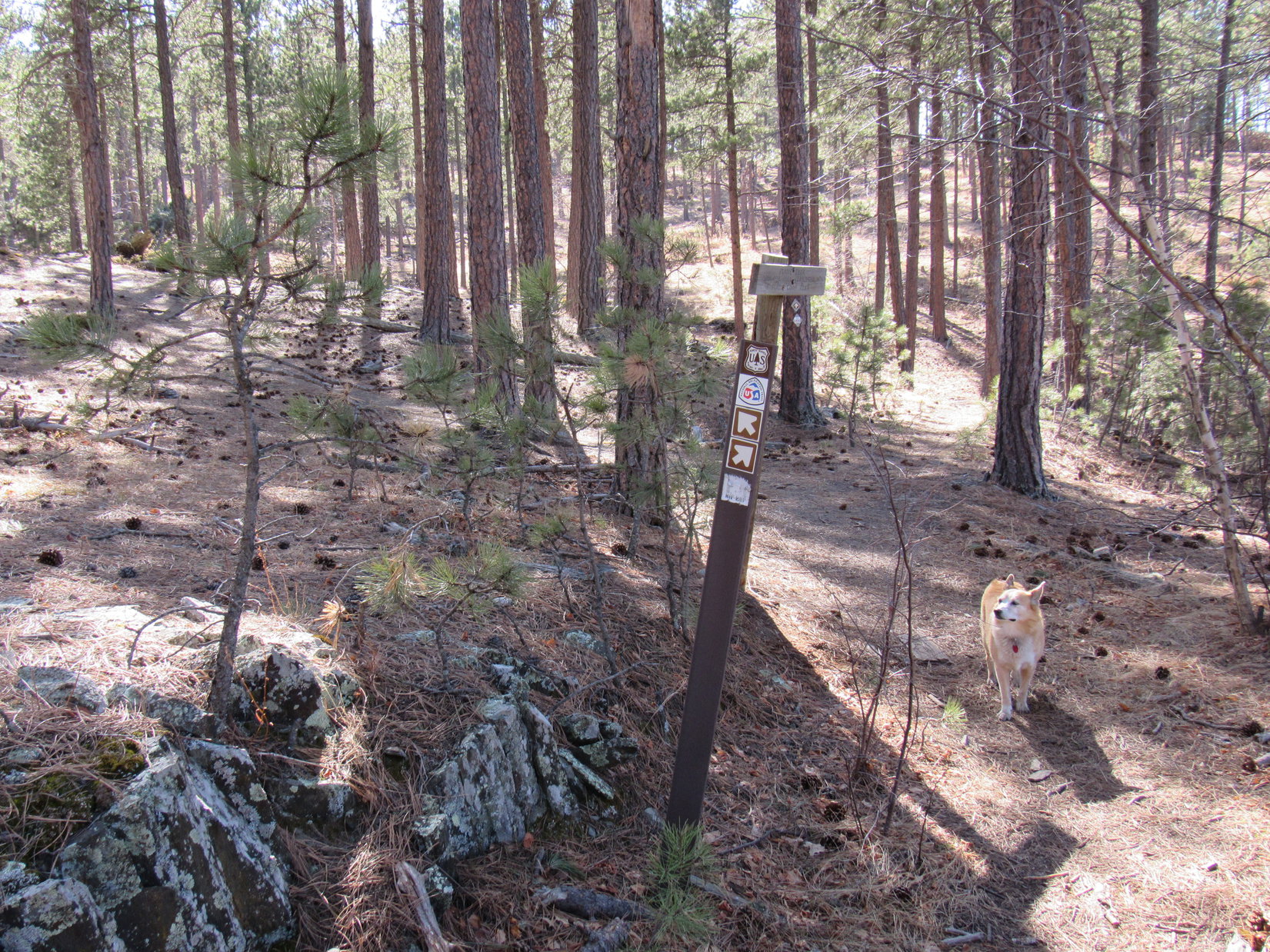
After nearly 0.5 mile, the road curved N away from Christina Lake shortly before ending at a sign for Atlantic Lakes trail No. 723.

About to depart from Christina Lake.
Start of the Atlantic Lakes trail.

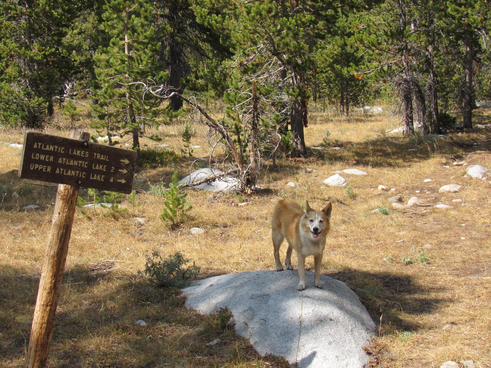
Somewhat unexpectedly, the sign said it was 2 miles to Lower Atlantic Lake, or 4 miles to Upper Atlantic Lake.  Hmm.  SPHP didn’t remember seeing more than one Atlantic Lake on the topo map.  A quick re-check confirmed the existence of only one lake named “Atlantic Lake” as far as the map was concerned, which had to be the lower one referred to by the sign, since it wasn’t any more than 2 miles away.

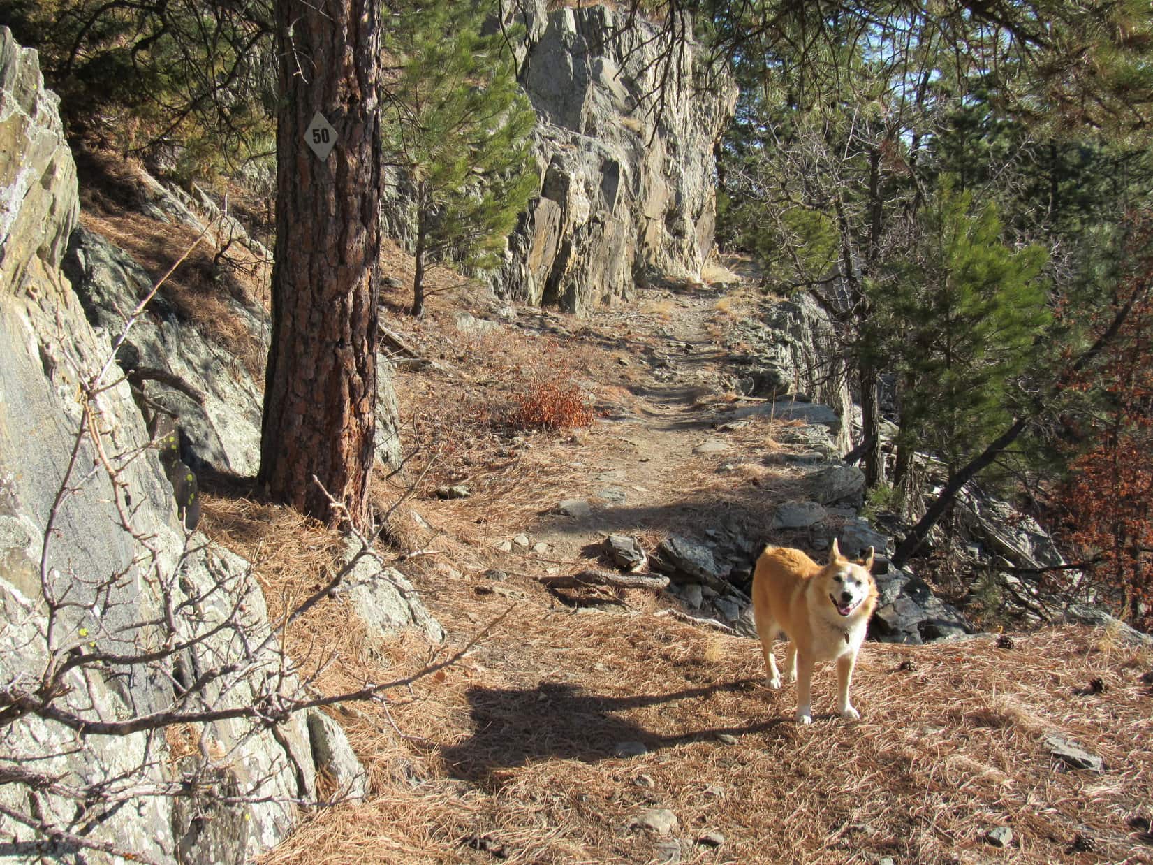
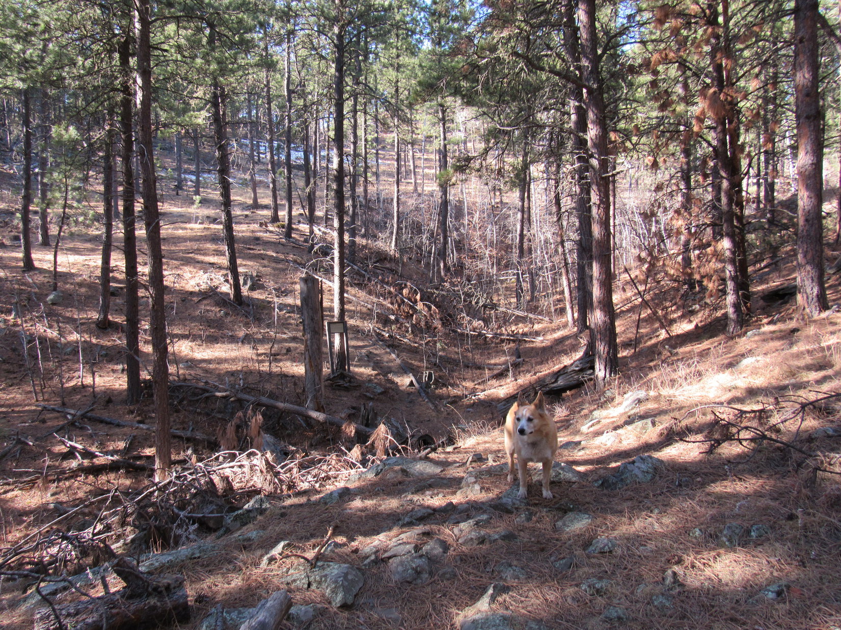
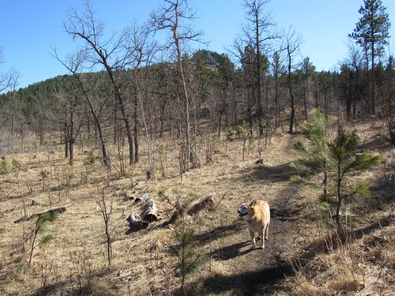
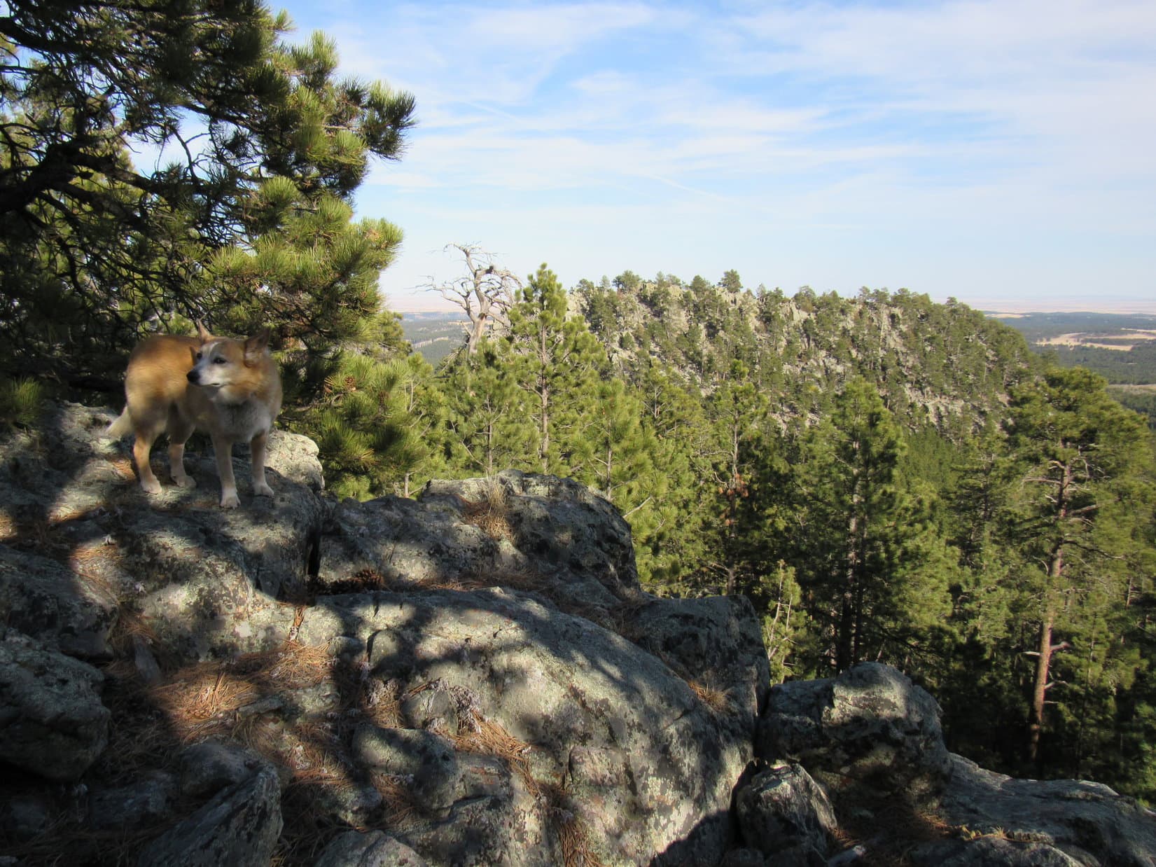
Heading N deeper into the forest as a faint single track, the Atlantic Lakes trail was a bit worrisome at first.  Before long, though, the route became clearer and stayed that way, the trail ultimately proving to be easy to follow.

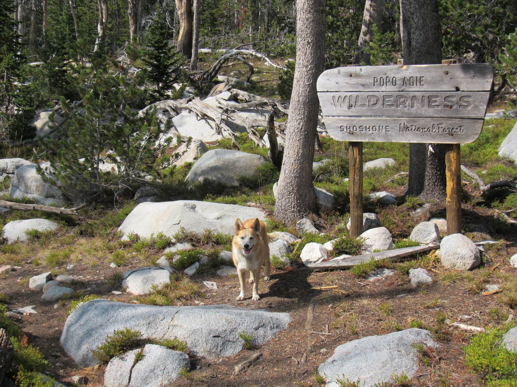
Gradually gaining elevation, the trail soon curved NW.  Lupe came to a sign for the Popo Agie Wilderness.  She’d barely left the sign behind, when a last glimpse of Christina Lake appeared.

Entering the Popo Agie Wilderness.
The only glimpse of Christina Lake from Atlantic Lakes trail No. 723. Photo looks S.

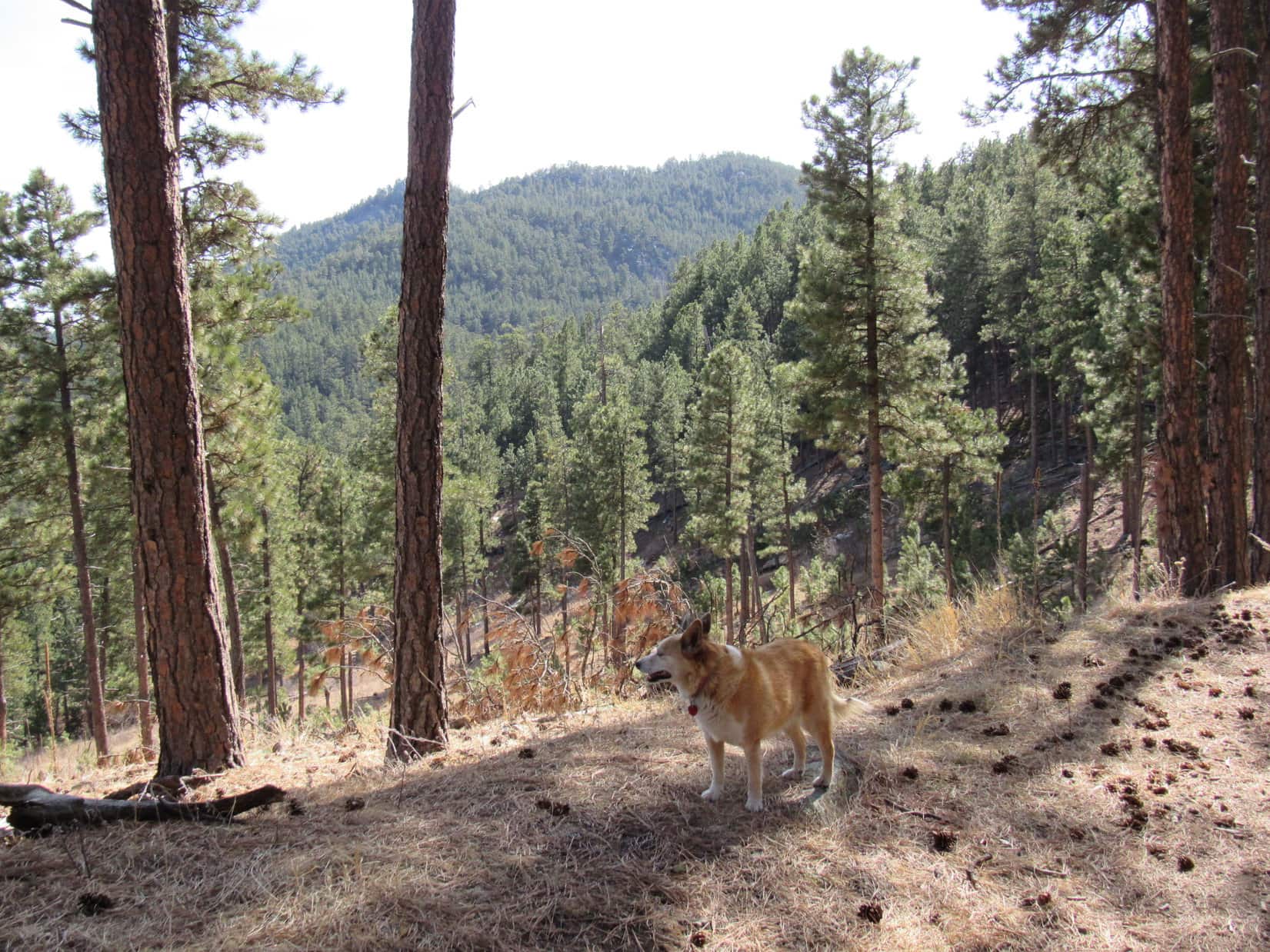
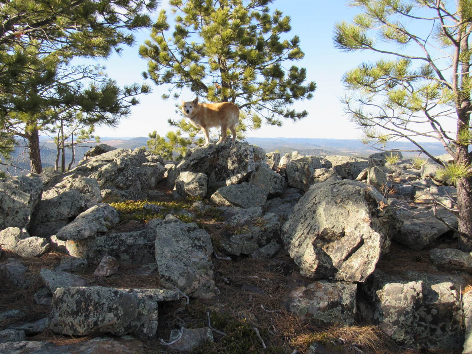
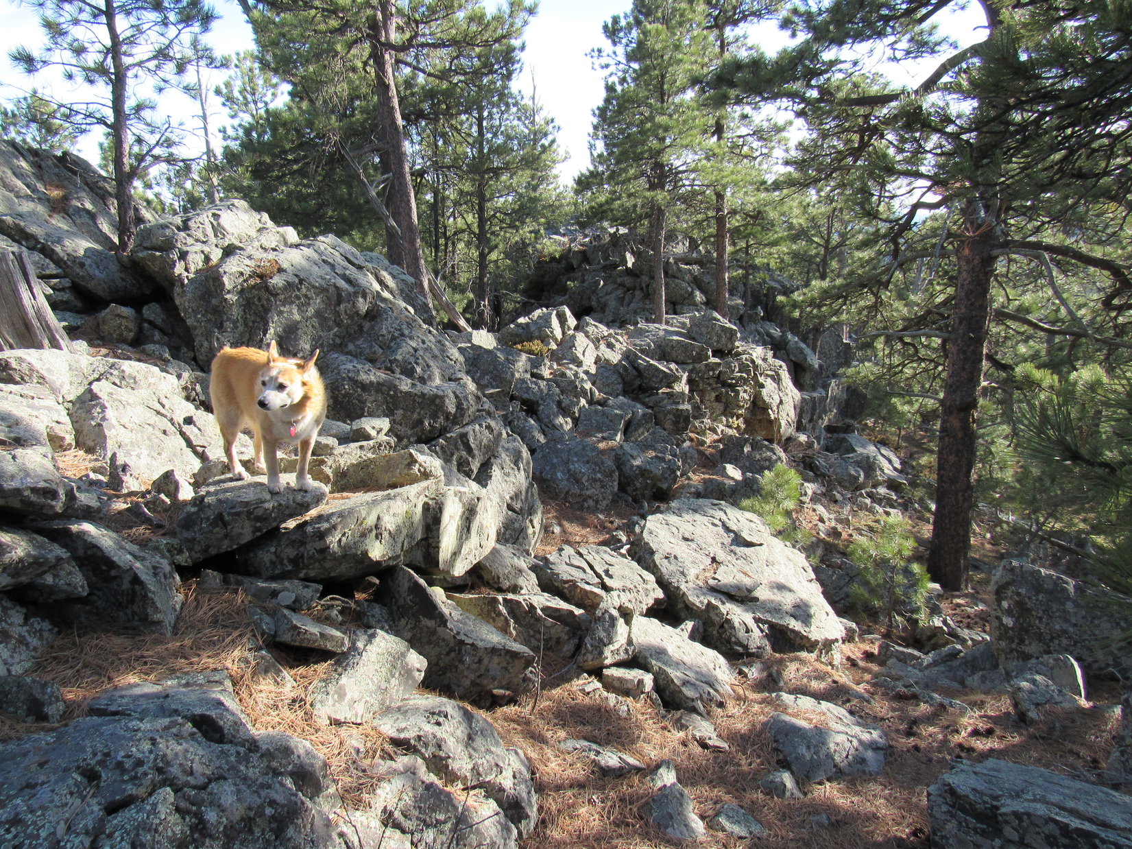
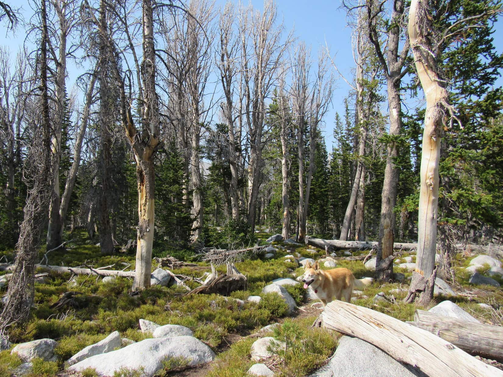
The Atlantic Lakes trail continued NW through a featureless forest, still slowly gaining elevation most of the time.  The forest contained many dead trees.  Plenty of rounded light-gray boulders were scattered about.  Small plants provided a bright green ground cover.

After a while, the trail passed a rocky depression on the R, then leveled out.  A dip led to a tiny stream, the only water seen along the way.

Dead trees and scattered boulders along the Atlantic Lakes trail.
Exploring the forest.

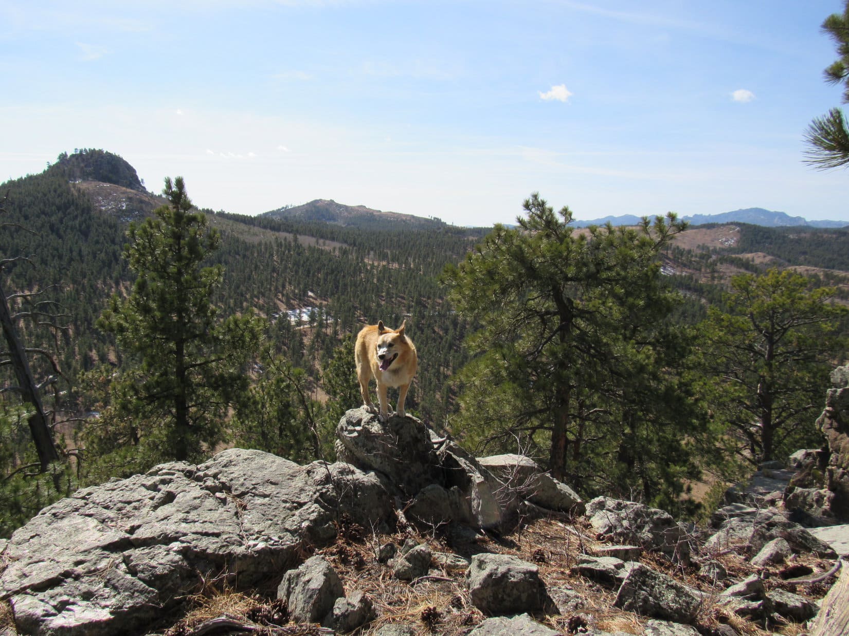
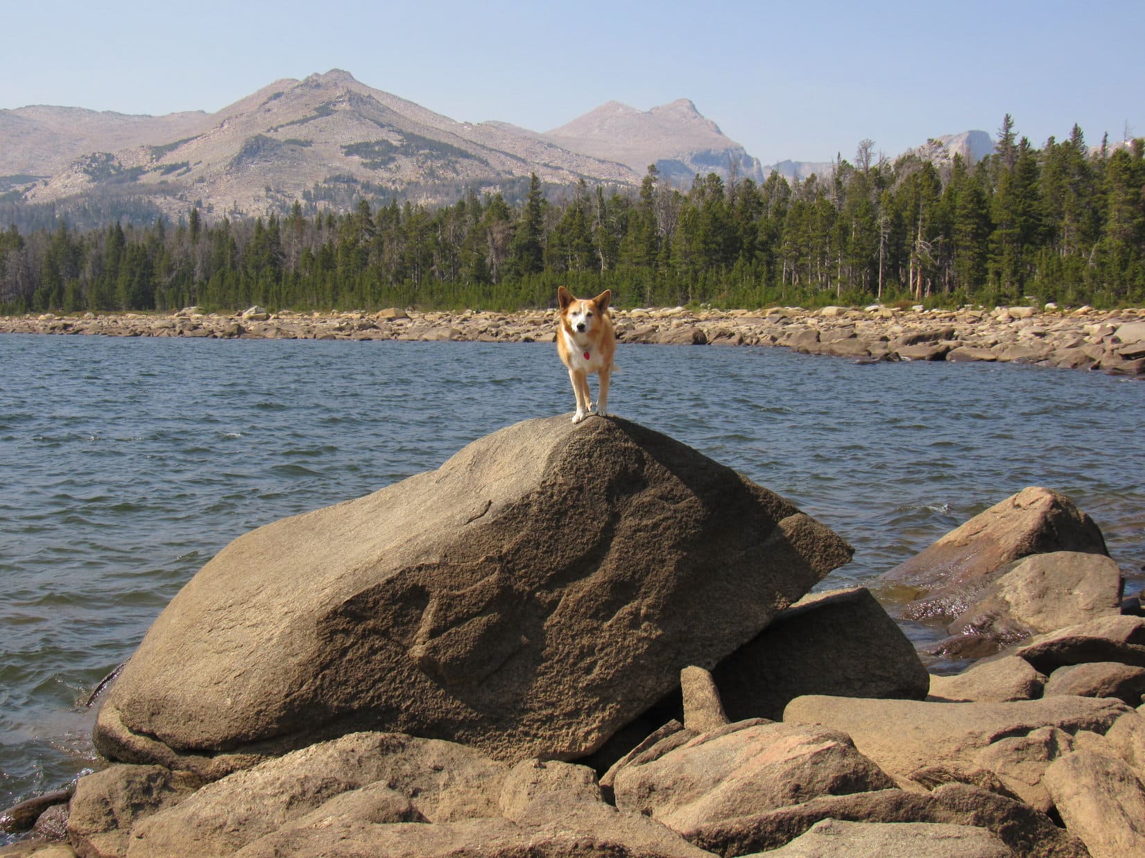
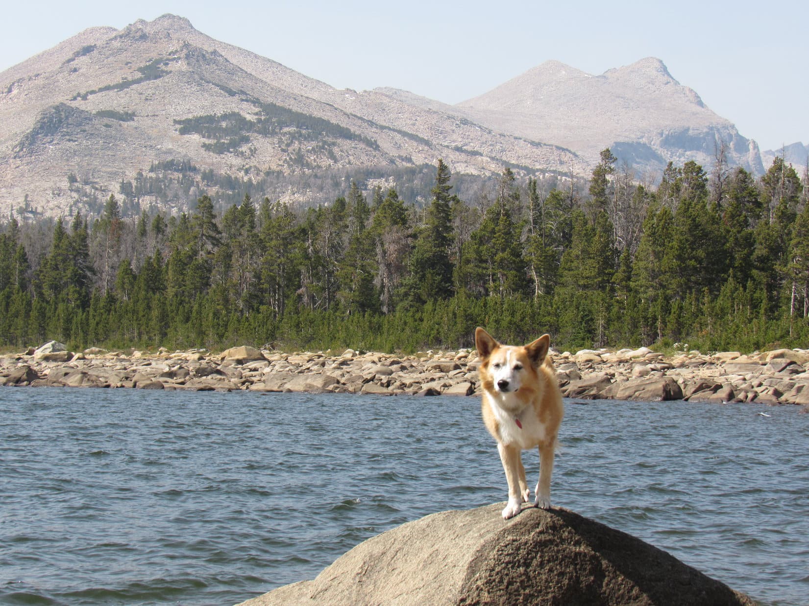
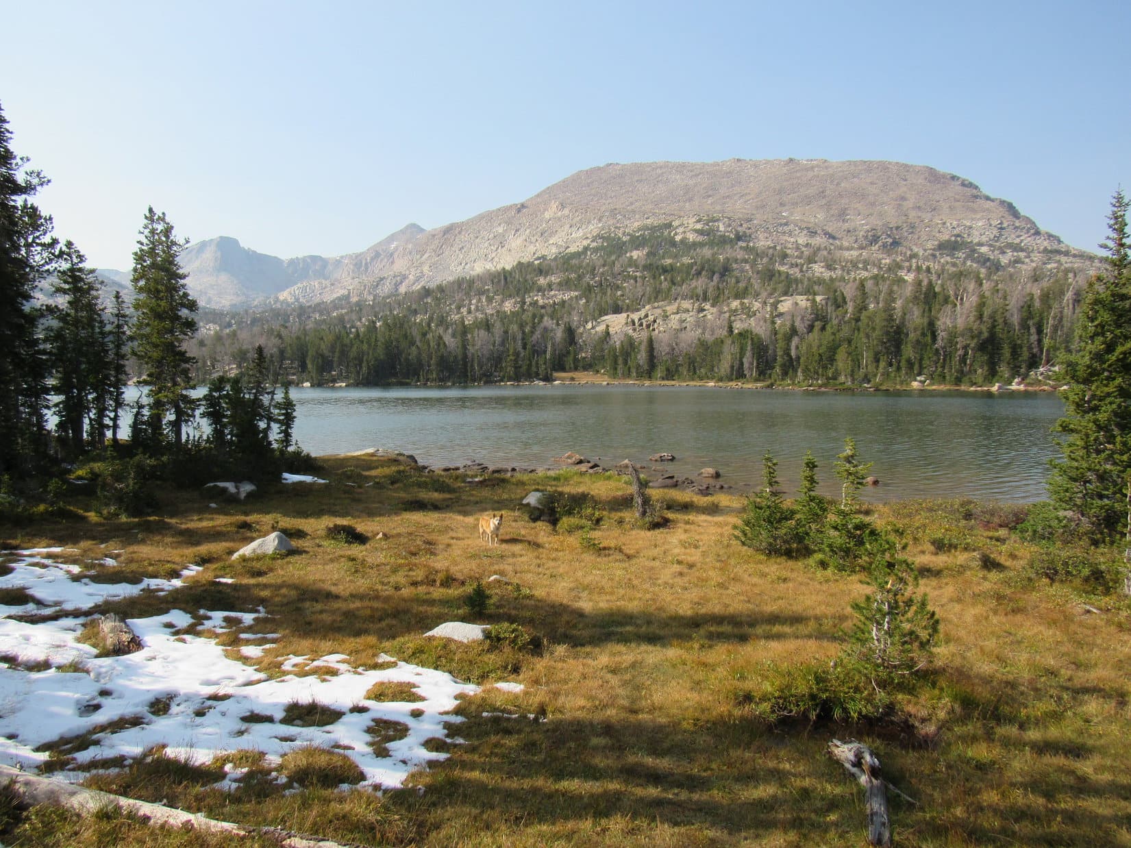
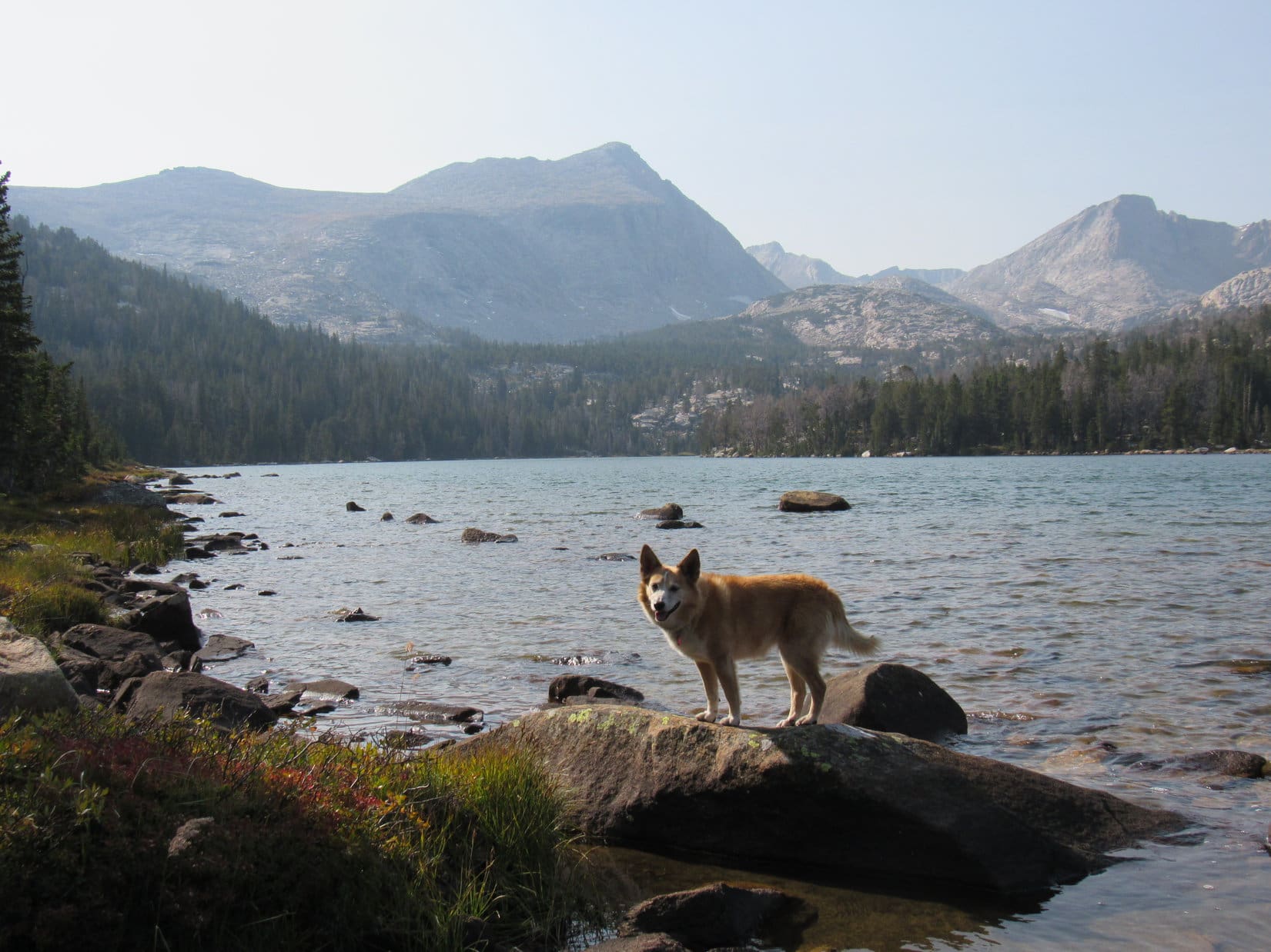
9-14-20, 3:54 PM, Atlantic Lake – Between the trees on the N (R) side of the trail Lupe could see a clearing, and beyond it, water.  This must be it!  Leaving the trail, Loop and SPHP went down for a look.  A little under 0.5 mile long, and not nearly as wide, Atlantic Lake wasn’t anywhere close to being as large as Christina Lake had been, but tucked in among big mountains at the SE end of Atlantic Canyon, it was even more scenic.

2 miles to the NW, the summit of Silas Peak (12,248 ft.) was sight.  From the shoreline, Atlantic Peak (12,490 ft.) was also visible to the WNW.

Atlantic Lake. Silas Peak poking up L of Center. Photo looks NW.
Atlantic Peak (L) and Silas Peak (R) from Atlantic Lake. Photo looks WNW.

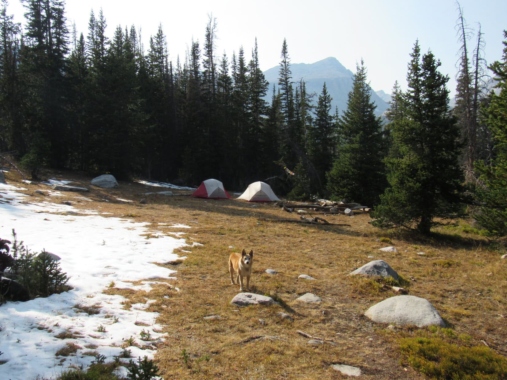
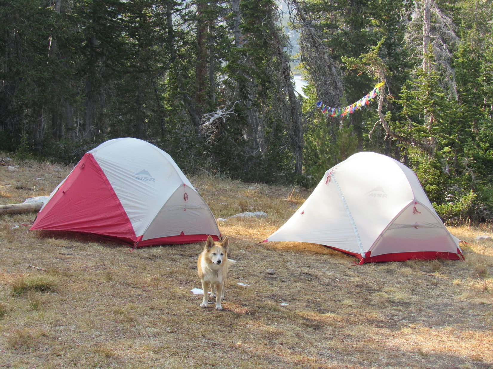
Returning to the trail, Lupe continued W.  A few hundred feet farther, the Atlantic Lakes trail appeared to end at a clearing.  Back from the lake a little way, this clearing would have been an ideal spot to pitch Looper’s tiny house, but SPHP was surprised to see that it was already taken.

With the exception of a forest ranger riding an ATV, Loop hadn’t seen anyone at all since leaving the Christina Lake trailhead this morning.  No one was here at the moment, either.  After a brief search, SPHP settled on another spot to pitch the tiny house.

What a great spot! Atlantic Peak (R). Photo looks WNW.
No one around at the moment, but they’ll be back sooner or later!
Not as nifty as that clearing was, but this will work!

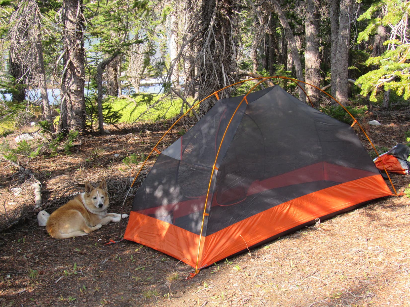
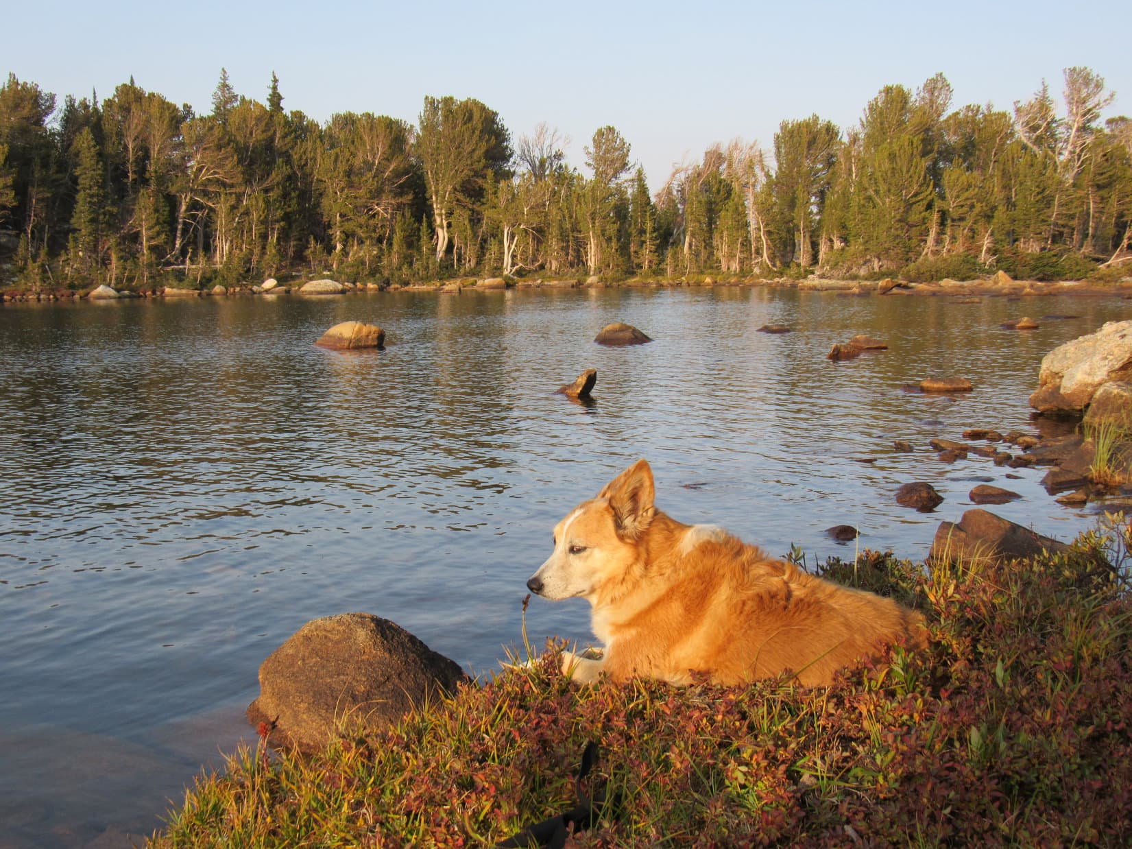
After dinner, Lupe was free to enjoy the rest of the evening.  She spent most of it exploring, or just relaxing along the S shore of Atlantic Lake.

On Dingo Island! Photo looks NW.
E end of Atlantic Lake from the S shore. Photo looks NE.

What a fun day this had been!  Atlantic Lake was roughly 7 miles from the trailhead where Lupe had started out this morning – 5 miles to Christina Lake, and another 2 miles to get here, yet this had been about as easy a mountain trek as the American Dingo had ever been on.  Only 800 feet of net elevation gain, good trails the entire way, and no steep sections at all.

Tomorrow would be different.  More than 2,200 feet of elevation gain in a little over 2 miles to get to Atlantic Peak (12,490 ft.)!

Watching the sun sink behind her ultimate destination as she rested by Atlantic Lake’s S shore, Lupe didn’t have to think about that yet.  Dusk was deepening when a man appeared a few hundred feet away.  The other campers must have returned!  Whether he saw Looper or not, wasn’t certain, but he gave no indication of it.

Evening repose at Atlantic Lake. Atlantic Peak (R). Photo looks W.

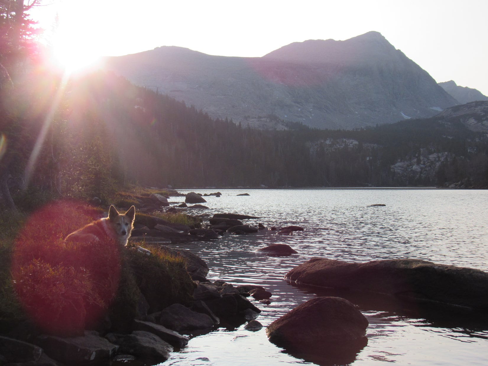
Shortly after the man disappeared again, Lupe retired to her tiny house, hoping for blue skies in the morning.  Not too likely with all the wildfires out W, but hope springs eternal.  With a little luck, sometime tomorrow an American Dingo would stand atop Atlantic Peak!

That’s where were going next! Hope you will return to join us for Atlantic Peak!

Links:

Next Adventure                          Prior Adventure

Want more Lupe adventures?  Choose from Lupe’s Summer of 2020 Dingo Vacations to Wyoming, Utah & Montana Adventure IndexDingo Vacations Adventure Index or Master Adventure Index.  Or subscribe free to new Lupe adventures.

Black Hills, SD Expedition No. 268 – Flume Trail No. 50: Coon Hollow to Boulder Hill & Loop B (3-7-21)

7:14 AM, 42ºF, Coon Hollow trailhead off Silver Mountain Road

Flume Trail No. 50 again, SPHP?

Yes, indeedy, Looper!  We’ll finish it up today!

With a little peakbagging on the side, I suppose?

You know it!  After all, you’ve got your reputation to think of.

At the Coon Hollow trailhead near Rockerville.

This plan met with instant approval.  And why not?  Carolina Dogs aren’t picky about outdoor adventures, as long as there are some.  Flume Trail No. 50 would be easy, and climbing a mountain or two along the way would provide a Dingo’s-eye view of the scenery.

Ready when you are! C’mon, let’s go!

Flume Trail No. 50 set out heading NW along the side of a pine-forested slope, but soon curved NE down into Rockerville Gulch.  A little stream at the bottom was covered with ice so thick it even supported SPHP.  Crossing the stream, the trail went N to a steep, rocky slope.

Entering Rockerville Gulch. Photo looks NNE.
Already, a rare steep spot along Flume Trail No. 50! Photo looks NNW.

Not much of a climb at all!  Steep, but short.  The trail didn’t even go to the top of the ridge.  Instead, halfway up, it turned E and leveled out.

Lupe could have save a bunch of distance by simply continuing N up and over the ridge, which wouldn’t have been hard at all.  Flume Trail No. 50 was going to wind around the entire E end of the ridge before turning W, but the American Dingo was here to enjoy the trail, so she stuck with it.  Didn’t take too long to get about as far E as the trail was going to go.

At the E end where the trail starts winding N. Photo looks NW.

The E end of the ridge was broad and gently sloping.  The trail curved N, and wound along it in that general direction.  Before long, Lupe reached a cut where the trail made a sharp turn W.  The cut was a sure sign she had reached part of the original 1880 Spring Creek to Rockerville flume bed that the trail was named after.

At the cut. Photo looks W.

After going through the cut, Flume Trail No. 50 wound a little farther N, before finally making a decisive turn W.  For the first time, Lupe had a distant view only partially blocked by the pines.  Mostly just forested hills no higher than where she was now, but it was something.

Beyond the cut. Photo looks NW.
First distant view. Photo looks NNE.

Storm Hill’s E ridge, a more impressive sight, came into view only a few minutes later.

Storm Hill’s E ridge. Photo looks WNW.

Heading W, Flume Trail No. 50 led to a dirt road, which apparently also served as a mountain bike trail.  On the far side of the road, some of the rock work of the old flume bed was on display.  After crossing the road, Lupe came to a particularly rocky stretch that was pretty much intact.

On the edge of the flume bed after crossing the dirt road.
An impressive rocky stretch of the 1880 flume bed. Photo looks NW.

Before long, the Flume Trail turned SW traversing fairly steep SE slopes of the Coon Hollow valley.  Still following the 1880 flume route, the trail itself remained almost perfectly level the entire time.  Soon another road could be seen down in the valley.  Just before the trail met up with it, the pine forest gave way to a grove of aspens.

Heading into Coon Hollow. Photo looks SW.
Doesn’t get much easier than this, does it? Photo looks SSW.
We’ve reached the aspens in Coon Hollow! Photo looks SW.

USFS Road No. 676 was a much better road than the first one Flume Trail No. 50 had crossed.  40 feet downhill, a brown wand and a “50” diamond on an aspen tree showed where the trail continued on the other side.

After crossing USFS Road No. 676 (R), the trail goes off to the L here. Photo looks N.

Now on the NW side of Coon Hollow, Flume Trail No. 50 headed NE.  The trail remained flat, but the hillside it was traversing was much rockier and even steeper than on the other side of the valley, almost a cliff.  In some places, parts of the old flume bed had collapsed.

On the NW side of Coon Hollow. Photo looks N.
Scenic, but don’t step off the edge! Photo looks NE.

The flume bed suddenly ended at a knob of rock.  The trail climbed 20 feet up to Air Force Vista.  An old trail system map, yellow with age, but still legible, was posted here.

Air Force Vista display.
Closer look at the relevant part of the map.

Air Force Vista wasn’t much of a viewpoint.  No doubt the trees had grown up over the years.  However, a narrow opening between the pines still provided a distant view to the NE.

So, this is it! The big view from Air Force Vista! Photo looks NE.

From Air Force Vista, the trail bent sharply SW along the side of a small, rocky ridge, and soon turned NW going over it.  Dropping back down to the old flume bed, which reappeared on the other side, the trail headed W into a side canyon off Coon Hollow.  An enormous, nearly vertical rock formation on the N side of this canyon was hard to miss.

Back to the flume bed in the canyon W of Air Force Vista. Photo looks WNW.
Impressive rock formation on the N side of the canyon.

Before long, the flume bed once again came to an abrupt end at a point overlooking a 15 foot dip into a little drainage.  The flume bed actually continued over on the N side of the canyon, but wasn’t in sight from here, and wasn’t where Flume Trail No. 50 was headed anyway.

In the drainage where the Flume Trail left the flume bed.

After crossing the dip, the Flume Trail continued W up the canyon.  Lupe passed through a woods still sporting autumn’s dead brown leaves, and came to a tiny stream where she got a cold drink.

In the autumn brown woods.

Crossing the stream, Lupe followed the trail higher.  The canyon became a gentler valley, gradually widening out as the American Dingo gained elevation.  Loop came to a sign of the style found at Air Force Vista that spoke of an old log bridge, but virtually nothing was left of it.

Heading up the valley. Photo looks W.
Approaching the “Log Bridge” sign (L of Center) in the upper valley. Photo looks SW.

In the broad upper end of the valley, the Flume Trail reached a dirt road which led almost immediately to an intersection.  The main trail headed NW from here, still climbing as a single track.  The other choice was to follow the dirt road SW up to a gently sloping saddle.

At the intersection, looking up the dirt road. Photo looks WSW.

I presume we’re climbing Boulder Hill this time, aren’t we, SPHP?

Spot on, Looper!  Take the road.

Heading for Boulder Hill! Photo looks SW.

This intersection was only 0.25 mile E of Boulder Hill (5,331 ft.), but the Flume Trail spur to the summit wrapped 0.9 mile clear around the S side of the mountain to approach it from the SW.  The first part of the spur followed the dirt road over the saddle that was already in sight.  150 yards down the other side, Lupe reached a wand and a 50 diamond marking the point where the spur left the road as a single track.

Turn R here! Photo looks SW.

The spur trail was easy going until Lupe got clear around to the SW side of the mountain.  It then turned NE directly up a grassy slope passing through open forest.  Moderately steep, but no worse than that.

Shortly before reaching another dirt road, Loop discovered an enormous squirrel tree.  An absolute giant for a ponderosa pine!  The squirrel was so high that the Carolina Dog quickly gave up barking at it as an exercise in futility.

The massive squirrel tree.

Upon reaching the road, Lupe followed it around a bend.  It promptly ended at the base of Boulder Hill’s rocky summit.  The spur trail angled off toward the S end of the summit ridge, turning N almost as soon as Loop started climbing.

At the base of Boulder Hill’s rocky summit. Photo looks NNE.

The ascent was fun!  A nice route wound among big rocks with views at every turn.

“Dingo Gap”. Photo looks E.
A rocky ramp. Photo looks N.
Close to the top. Photo looks NW.

The Boulder Hill (5,331 ft.) summit region consists of 2 separate rock platforms almost equally high separated by a minor dip 30 or 40 feet wide.  Lupe checked out the sunny S platform first, where the views were unobstructed except to the N.

Silver Mountain (5,405 ft.) and more distant Black Elk Peak (7,231 ft.) were the big attractions, but Storm Hill’s E ridge with the prairies of western South Dakota miles beyond it was interesting, too.

Silver Mountain (L) and Black Elk Peak (R). Photo looks SW.
Silver Mountain. Photo looks SSW with help from the telephoto lens.
Black Elk Peak. Photo looks SW with help from the telephoto lens.
Storm Hill’s E Ridge (L of Center). Photo looks ENE.

Break time!  Before checking out the N platform, SPHP decided an apple had to go bye-bye.  Lupe wasn’t interested in that, but made certain she got her fair share when SPHP brought out a chocolate coconut bar.

Once the chocolate coconut bar was gone, Loopster was ready to move on, too.  She posed briefly atop the otherwise unremarkable rock that SPHP considered Boulder Hill’s true summit and another one at the N end of the S platform, then ventured over to the N platform.

At Boulder Hill’s scintillating true summit. Photo looks NNW.
On the N rock of the S platform. Photo looks NW.

The N platform had more trees, but fewer distant views.  With lots more of the Flume Trail to explore, Lupe didn’t stay long.  She did have a look around, though, before saying sayonara to Boulder Hill.

On Boulder Hill’s N platform. Photo looks NW.
“Boulder” survey benchmark.
The survey benchmark is visible toward the R. Photo looks SE.
A glimpse of the S platform (Center) from the N one. Photo looks SE.

Retracing her entire route along the Boulder Hill spur, Lupe returned to the intersection with the main Flume Trail.  A relatively short uphill trek got Loop to the crest of a pass to the NW.  Downhill all the way from then on for nearly 0.5 mile to the Boulder Hill trailhead.

Gotta admit that’s a mighty nice view of Black Elk Peak! Descending Boulder Hill. Photo looks SW.
Back on Flume Trail No. 50.
Heading down to the Boulder Hill trailhead. Photo looks NNW.
Arriving at the Boulder Hill trailhead.

Lupe had been here only 4 days ago.  On Expedition No. 267, she’d started her exploration of the W half of Flume Trail No. 50 from this trailhead.  First, though, she’d climbed Peak 5048 just 0.2 mile NW.

So, do I get another chocolate coconut bar, if I climb Peak 5048 again, SPHP?

I’ll split one with you, Looper!  That enticing enough?

It was.  Lupe was soon back up at Peak 5048’s best viewpoint, just a bit below the summit region’s SE high point.  After a good look at Boulder Hill, Silver Mountain, and Black Elk Peak, she continued on to the true summit to collect her share of the promised chocolate coconut bar.

Boulder Hill (far L), Silver Mountain (L of Center) and Black Elk Peak (far R) from Peak 5048. Photo looks SSW.
Alright, I’m here! Now about that chocolate coconut bar! True summit of Peak 5048. Photo looks N.
Oh, yes! It was delicious! Peak 5048 summit region. Photo looks SE.

After a brief stay on Peak 5048, Lupe went back down.  Picking up Loop B of Flume Trail No. 50 a short distance NE of the Boulder Hill trailhead, she began following it N.

On Flume Trail No. 50 again, this time on Loop B. Photo looks NNE.

Loop B (aka the Spring Creek Loop), along with Section 2 of the Flume Trail, together comprise a 4.4 mile long loop circumnavigating Peak 5048 and a hilly region to the N.  Going counter-clockwise, the first part of this loop was all super easy, mostly a stroll through ponderosa pine forests.  (Flume Trail map)

A sunny clearing NE of Peak 5048. Photo looks NNE.
Passing a rock formation. Photo looks NNW.
Typical stretch among the tall pines. Photo looks W.

For a while, the scenery didn’t change much.  20 minutes went by before the first partial semi-distant view appeared, a cliff along a hill to the E.

On a relatively sunny stretch. Photo looks NE.
Back in the shade. Photo looks W.
At last, a bit of a view! Photo looks NE.

The trail turned NW, and Storm Hill (5,192 ft.) briefly came into sight back to the SE.  Tree-broken views of other hills were soon seen ahead.  At the N end of Loop B, Lupe came to a lingering patch of snow and ice.

Storm Hill (Center). Photo looks SE.
More hills appear ahead. Photo looks NW.
About the only icy spot Lupe encountered all day. Photo looks W.

Most of Loop B followed the old Spring Creek to Rockerville flume route.  Nearly perfectly flat, the trail wound along the mountainsides for miles.  Lupe was already clear around to the NW side of the loop when a break in the trail’s continuity appeared at a rocky spot.

Looks like the flume bed might have partially collapsed here! Photo looks S.

Beyond the rocky section, Loop B made a foray SE, skirting the edges of a shallow valley W of Peak 4972.

Oh, isn’t this nice! In the valley W of Peak 4972. Photo looks WSW.

Leaving the lovely valley behind, the trail curved S.  Baker Park could be glimpsed to the W between the trees.  Lupe soon reached a fence where Boulder Hill (5,331 ft.) was in sight again.

N end of Baker Park. Photo looks WNW.
Boulder Hill reappears. Photo looks SSE.
S end of Baker Park. Peak 5040 (R). Photo looks W.

Seeing Boulder Hill again meant Lupe was close to completing Loop B.  10 more minutes, and the trail suddenly went down an embankment.

An abrupt end to the level part of Loop B. Photo looks N.

USFS Road No. 358 was at the bottom of the slope.  Loop B continued across the road, descending slightly as it headed into a small valley.  A short level stretch led to a little creek issuing from an algae-filled pond behind an earthen dam.  The tiny pond was only slightly above Loop B’s low point.  Despite the slimy algae, it was sort of a scenic spot.

Crossing USFS Road No. 358. Photo looks SSE.
Loopster arrives at the tiny pond. Photo looks S.
Actually quite pretty here, isn’t it? Photo looks SW.

After crossing the dam, Loop B made a short climb up a forested hill.  Lupe reached a junction.  This was the end of Loop B.  The Carolina Dog could now take either Section 1 of the Flume Trail W to Sheridan Lake, or Section 2 back to the Boulder Hill trailhead.

Intersection of Loop B, and Section 1 (R) or Section 2 (L). Photo looks SW.

To complete her circumnavigation of Peak 5048, Loop took Section 2.  She’d been through this area 4 days ago.  The trail went gently uphill nearly all the way.  Both Boulder Hill and Peak 5048 were in sight.

Boulder Hill (Center) from Section 2 of the Flume Trail. Photo looks SE.
A clearer view. Boulder Hill (L). Photo looks SE.
Peak 5048. Photo looks NNE.

Upon reaching the Boulder Hill trailhead again, Looper had completed her explorations of Flume Trail No. 50 for the day, but still had to go all the way back to Coon Hollow.

The Carolina Dog’s return route retraced all she’d done earlier, except that this time she didn’t take the side trip to Boulder Hill.  Instead, when she reached the pass between Boulder Hill and Storm Hill, she left the trail heading NE into the forest.

After climbing the S end of Storm Hill’s long N/S ridge, Lupe headed N for the summit.

Storm Hill summit. Photo looks E.

Chocolate coconut bar time again!  Fortunately, SPHP had one left.  The views from Storm Hill (5,192 ft.) were somewhat limited due to all the trees, but a nice level platform provided a good view to the NW.  SPHP sat facing this view with Lupe curled up on SPHP’s lap.  Expectations were high!  SPHP didn’t disappoint.

The last chocolate coconut bar appeared, only to vanish.  Taste of the Wild for Lupe, and an apple for SPHP.  Plenty of water for all, too.

For a while, Lupe and SPHP gazed down on Peak 5048 and Baker Park.  Toward the horizon, plenty of other recognizable peaks out there, too.

Baker Park (far L), Peak 5048 (L) above Lupe’s rump, Peak 5171 (Center) above her shoulder. Photo looks NW.

The increasing slant of the sunlight eventually broke the mutual trance.  A quick tour of the other views available, and the American Dingo was on her way back to the pass.

Looking NE toward Rapid City with help from the telephoto lens.
Storm Hill’s E ridge (R). Photo looks E.
Storm Hill’s summit region. Lupe at the true summit. Photo looks NNW.
Traveling Storm Hill’s S ridge. Photo looks S.

Rejoining Flume Trail No. 50 at the pass leading to Boulder Hill, it was down to Air Force Vista and back to Coon Hollow.

A perfect evening!  End of a perfect day.

Well, I guess this is about it for Flume Trail No. 50, Loop!  2 consecutive Black Hills expeditions, and you’ve got it done.

Fun times, SPHP!  Nice to do something easy, for once.  Got any more trails like this for us in the future?

The Flume Trail is sort of special, Loop.  Plenty of nice long flat stretches because so much of it follows the old flume route.  The Mickelson Trail is flat, too, since it follows an old railroad grade, but perhaps we should try to finish up the parts of Deerfield Trail No. 40 and Centennial Trail No. 89 that you don’t have posts on yet?

Sounds good to me, SPHP!  You know I’m up for just about anything, as long as you don’t forget the chocolate coconut bars!  (End 5:10 PM, 52ºF)

Flume Trail No. 50, Black Hills of South Dakota, 3-7-21

Links:

Next Black Hills Expedition                      Prior Black Hills Expedition

Black Hills Expedition No. 267 – Flume Trail No. 50: Boulder Hill to Sheridan Lake (3-3-21)

Flume Trail No. 50 – Map & Brochure

Want more Lupe adventures?  Check out Lupe’s Black Hills, SD & WY Expeditions Adventure Index, Master Adventure Index, or subscribe free to new Lupe adventures!