End of an Era – Farewell, G6! Hello, RAV4! (5-8-21)

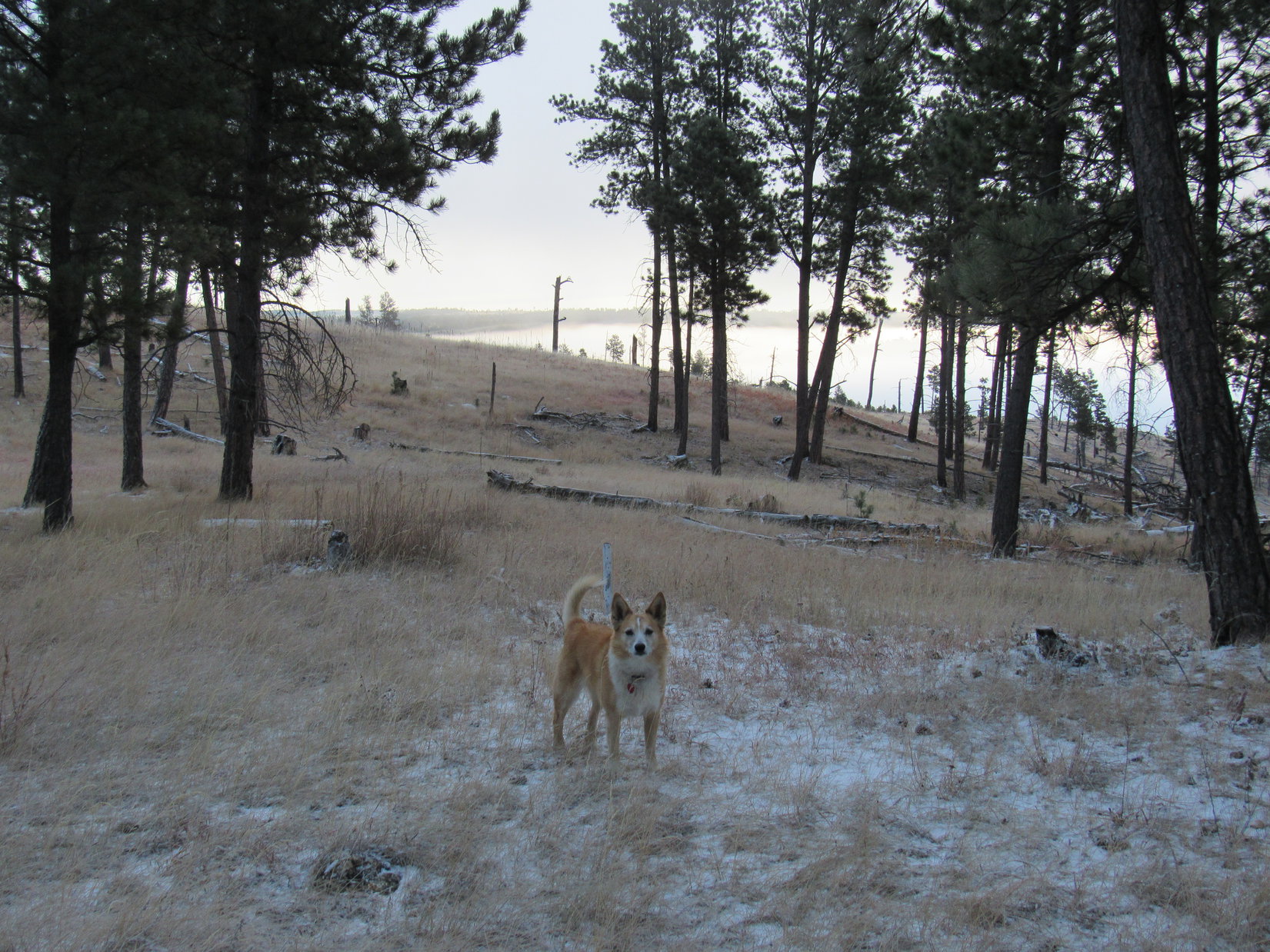
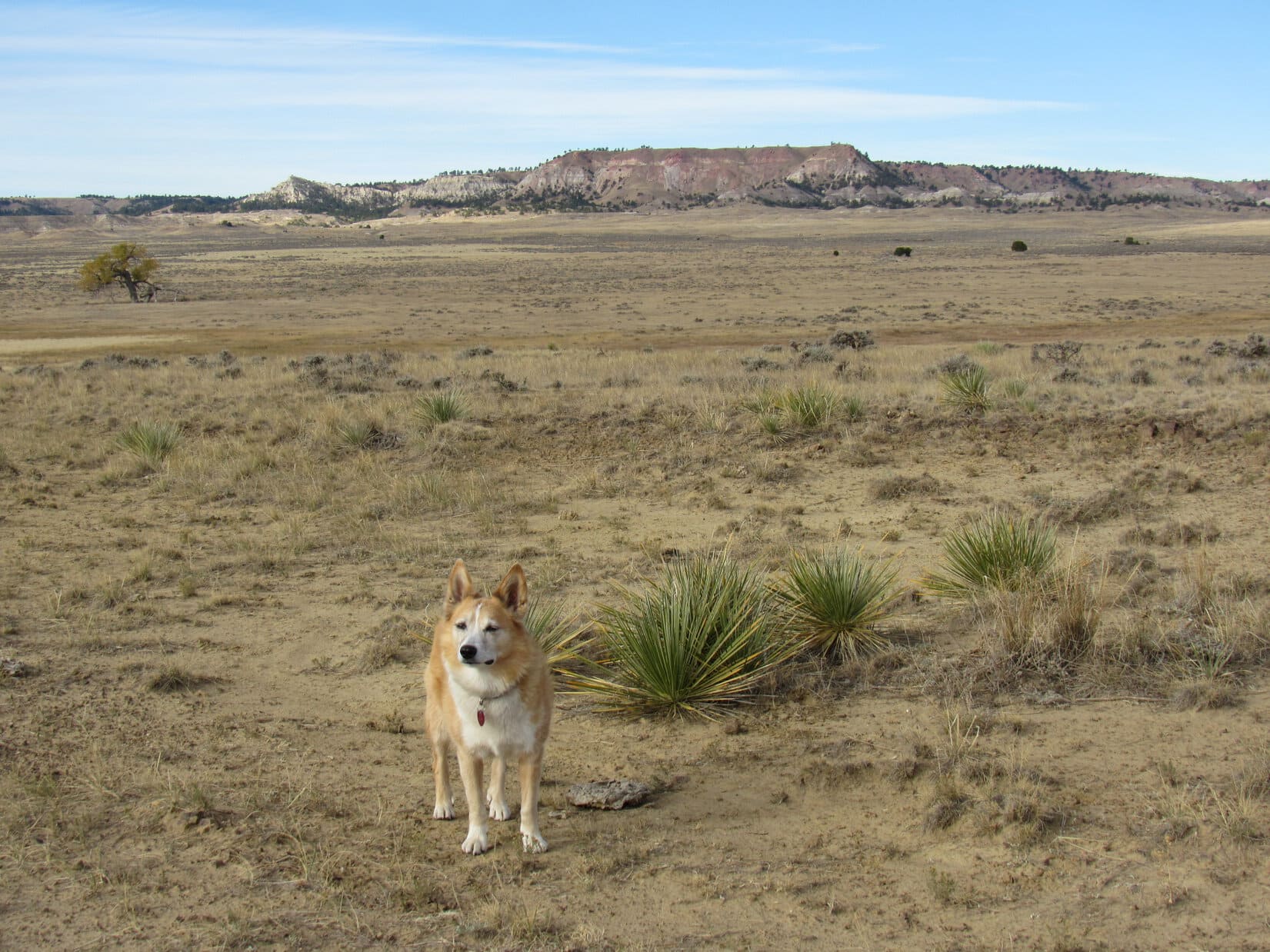
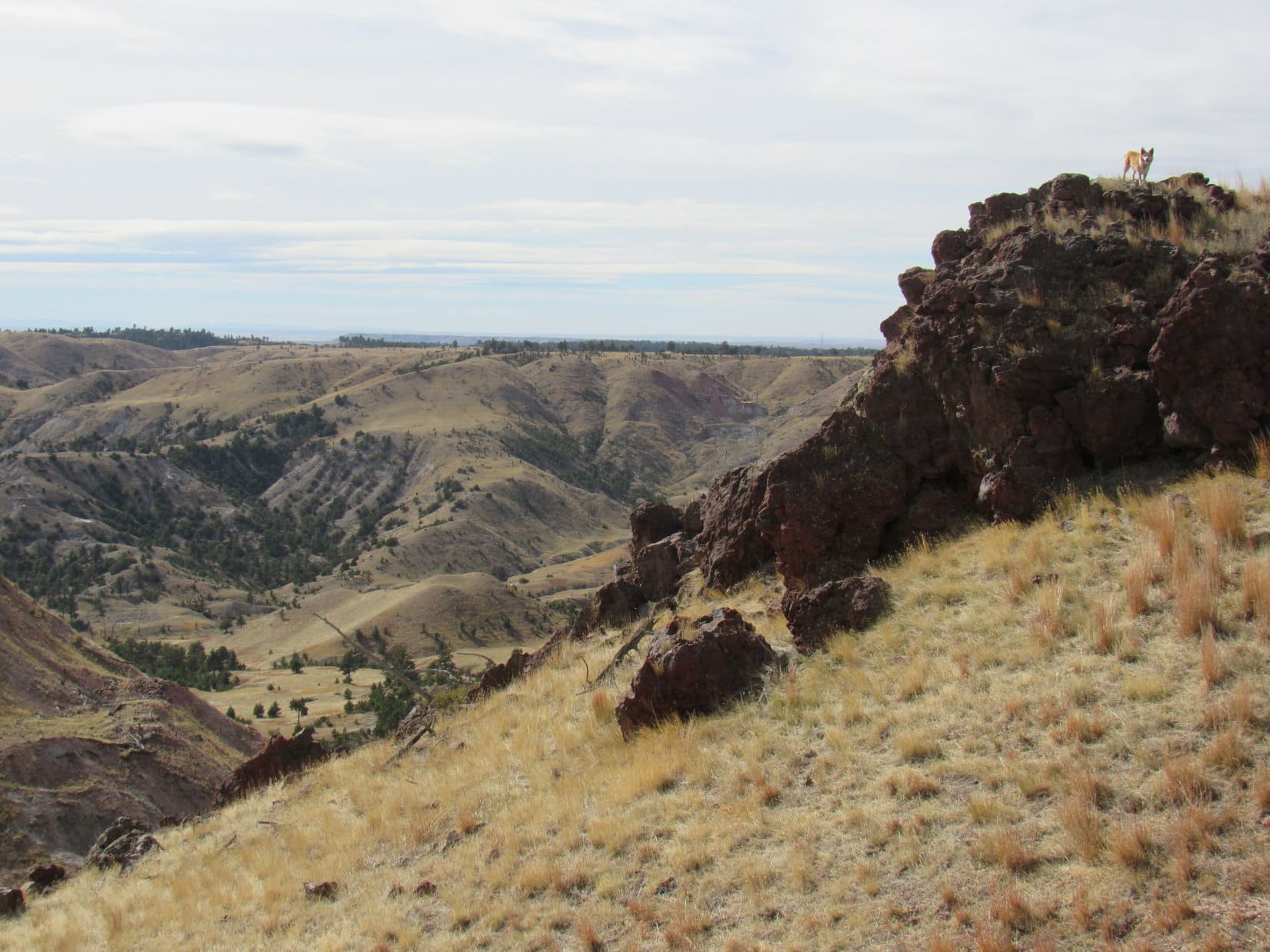
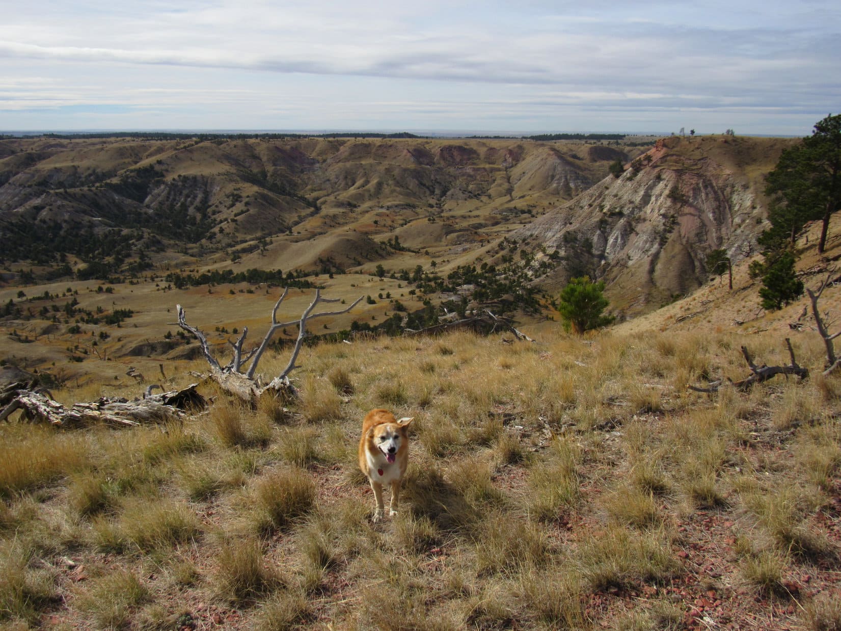
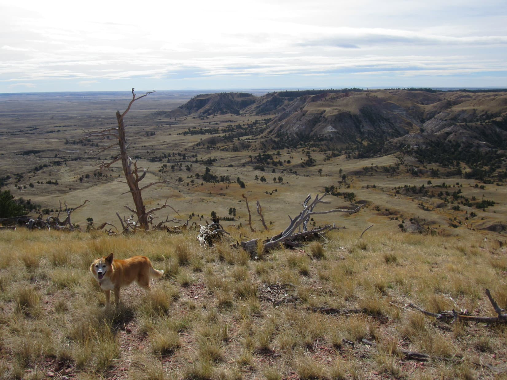
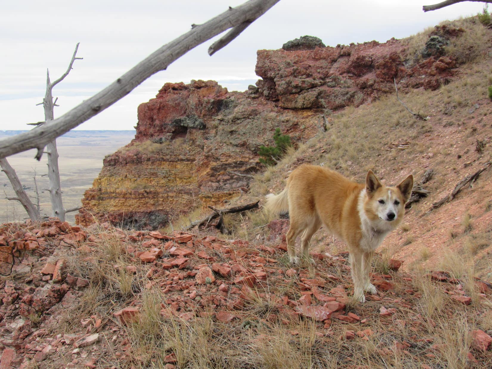
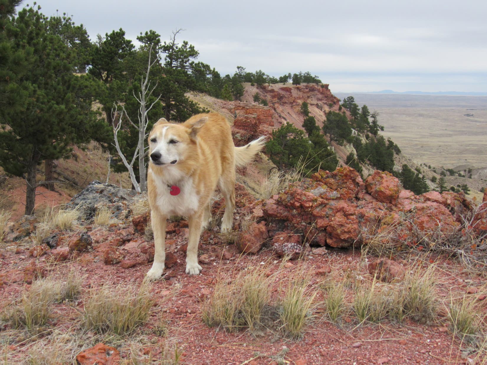
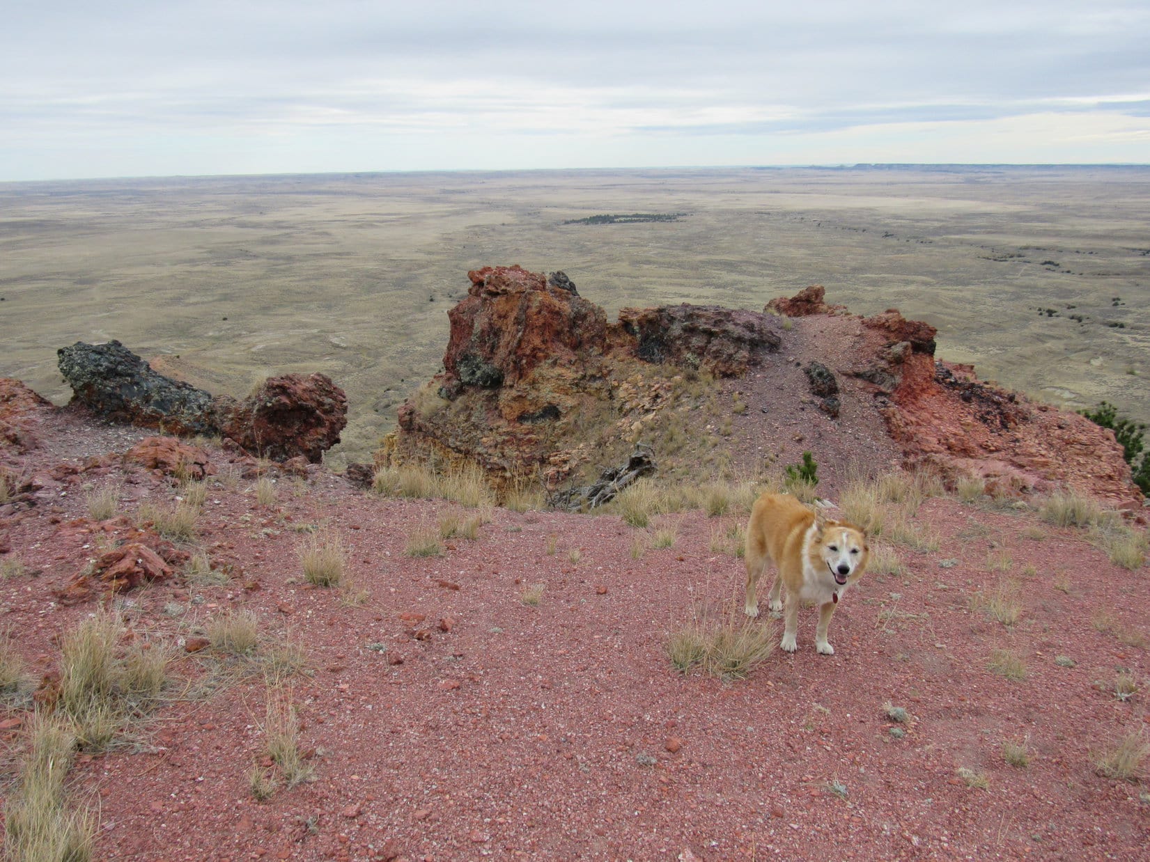
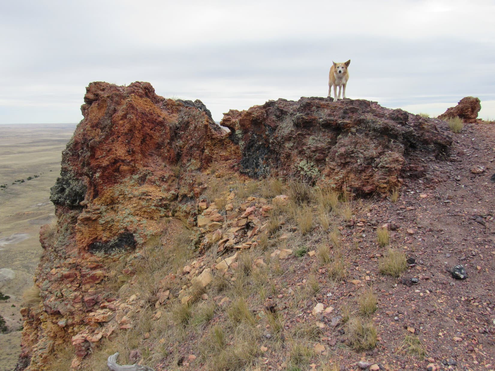
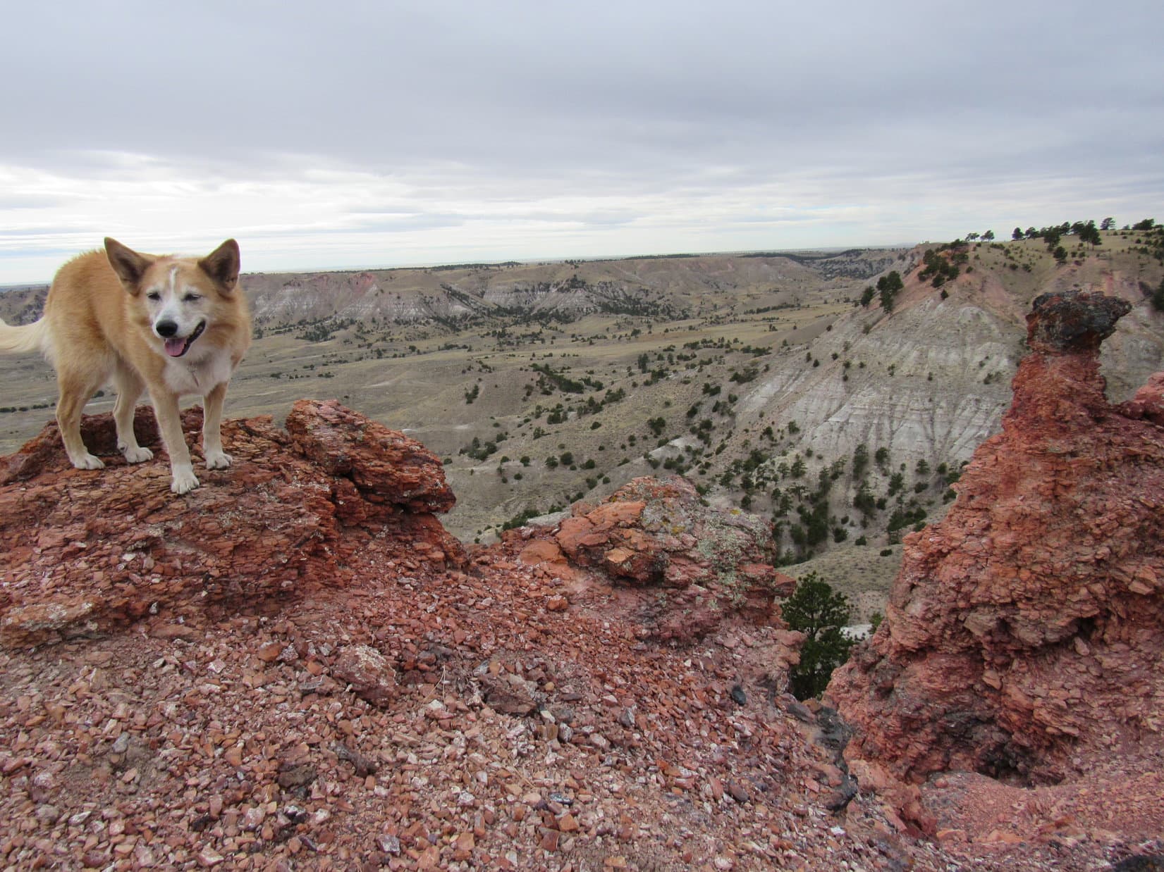
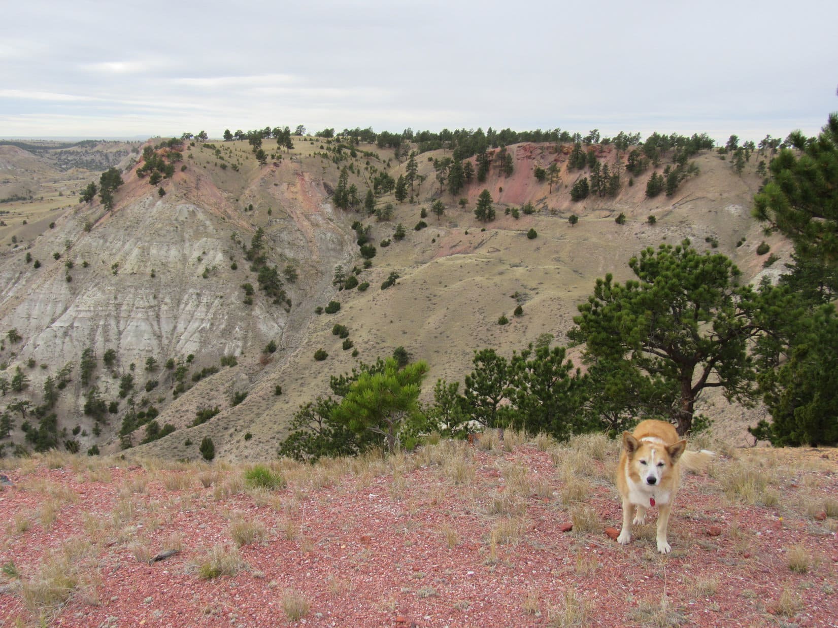
Days 1-3 of Lupe’s 1st Summer of 2021 Dingo Vacation to New Mexico!

4-30-21, late afternoon – Grandma’s computer was on the blink.  Seemed to SPHP like the Wi-Fi wasn’t working, in part because a little message on the monitor said so.  What the message didn’t say, or even hint at, was how to fix it.  Windows 10 – so cryptic!  Fiddling with the Wi-Fi gizmo plugged into the back of the computer in case there was a bad USB port or loose connection didn’t seem to make any difference.

Lanis will know what to do, SPHP!

Yep, Lanis is our ace in the hole, Loopster!  Guess I better give him a call.

Luckily, Lanis answered right away.  He asked a few questions, then told SPHP what to do.  So easy, when you know how!  A couple of clicks and Wi-Fi was working again.  Grandma’s computer was as good as ever!

Thanks, Lanis, we’re golden!  How are you, anyway?  Been months since I’ve talked to you.

Oh, life’s been exciting, SPHP!  The usual work grind, and my van got stolen a week ago.

What?!  Your van got stolen?

Yeah.  From work.  Yvonne went out to bring it around at the end of the day, and came back asking where I’d parked it, because it wasn’t behind the building.  Thought she was joking, but sure enough, it was gone.  We reported it stolen right away.  The very next day, without realizing it was stolen, police in eastern South Dakota tried to stop the van for a minor traffic violation.  A high speed chase ensued all the way to Mitchell where the police blew the tires out with some spike strips to stop it.  Whereupon the van promptly burst into flames and burnt to a crisp.

That’s terrible!  Sounds like a movie!  So now you’re without a vehicle?

Yup!  Gotta run, SPHP!  Been waiting for a ride home, and it’s here now.

OK!  Thanks again for helping with Grandma’s computer, Lanis!  Sorry to hear about your van.

Just one of those things, SPHP!  Glad to help!

5-7-21 – Lanis sounded terrible on the phone.  So down!  Only yesterday he’d been all excited.  Was he sick?

I’m sorry, SPHP, but I can’t go tomorrow.  Have to work.

Work!  But tomorrow’s Saturday, and we’re all set!

I know, but the store is open.  The owner usually comes in on Saturdays so I can get the day off, but she’s attending a graduation tomorrow.  She’s not coming in.  We’re way behind on computer repairs, and Yvonne isn’t fully trained yet, so I’ve got to be there.  I’m sorry, I was really looking forward to it.  Yvonne can go, though.

Oh, I’m so sorry you can’t come, Lanis!  Loopster and I were really looking forward to this trip with you.  It’s been forever since we’ve gone anywhere together.  Of course, we’re glad to have Yvonne come along, but it would have been so much better if you could have come, too!

I know it, SPHP.  Feel the same way, but that’s the way it is.  Nothing I can do about it.

A crying shame.  I’ll call you tomorrow morning sometime between 5:00 & 6:00 AM to let you know when we’re ready to come pick Yvonne up.

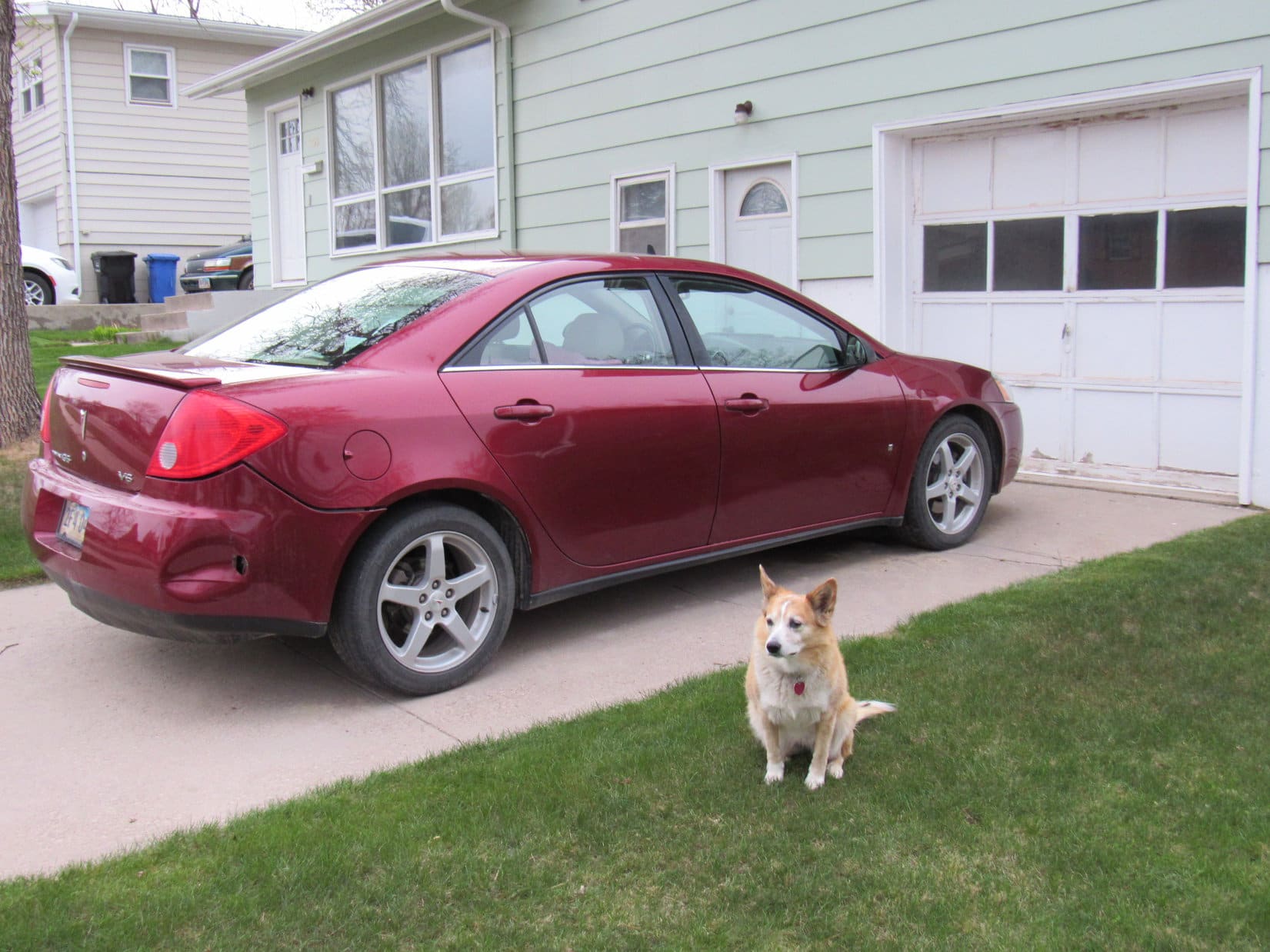
5-8-21, 5:45 AM – Hard to believe this was it.  Last time ever setting out from home on a new adventure in the faithful G6.  An incredibly sad moment.

Alrighty, Looper!  Guess, it’s time.  Puppy, ho!

I’m in back, SPHP?

Yup.  Since we’ll have company.

About to set off in the G6 for the last time.

5-8-21, 6:04 AM – Lanis and Yvonne were ready and waiting.  Loopster’s exuberant greeting was so loud, that SPHP had to plead for some degree of restraint.  A bit early on Saturday morning to be rousing the entire neighborhood!

Lanis, Yvonne, Lupe, & the G6 while stopping by to pick up Yvonne.

Greetings and a few moments of pleasant conversation were exchanged, then everyone except Lanis, resigned to his fate, piled into the G6.

For 350 miles, the G6 purred reliably along as always.  A couple of brief stops in Wyoming at the Mule Creek Junction rest area and a Subway in Wheatland were it.

In the beloved G6 at Wheatland, Wyoming.

5-8-21, 12:30 PM, Pedersen Toyota in Fort Collins, CO – SPHP lowered the windows and provided water.  Fortunately, not a particularly warm day.

Wait here in the G6, Looper, while Yvonne and I go find Megan.  This might take a while, but we’ll come and check on you now and then.

Go do what you need to do, SPHP, but don’t take too long!  I’ll be chillin’ here in the meantime.

Chillin’ in the G6 waiting for the world of high finance to come to a conclusion.

Petersen Toyota was busy!  Megan Alayon, internet sales manager, whom SPHP had been dealing with, was tied up with other clients at first, but soon appeared.  Super friendly and energetic, she had the RAV4 that SPHP had settled on all spiffed up and first in line out front ready for a test drive.

A few minutes explaining any features SPHP had questions about, and Megan turned over the keys.  Yvonne hopped aboard as navigator, while Megan remained at the dealership to tend to other business.

The RAV4 was all so different!  13 days from now it would have been 12 years exactly since SPHP had bought the G6 brand new.  An awful lot had changed technology-wise in that amount of time.  Brand spanking new, though!  What’s not to like?  After 5 or 6 miles of tooling aimlessly around Fort Collins, it was back to Petersen Toyota.  The RAV4 was a go!

Megan confirmed the previously agreed upon price.  There were papers to sign and insurance to set up.  Meanwhile, Yvonne checked on Lupe.

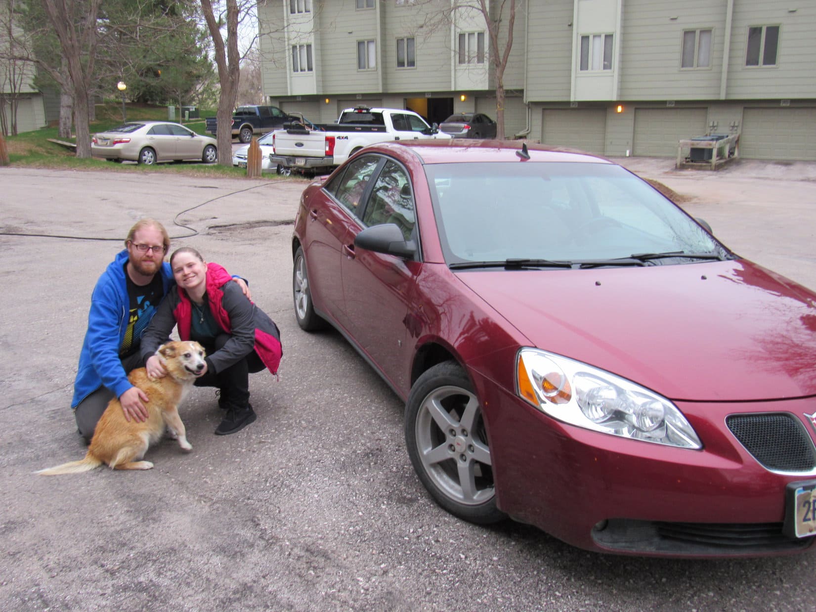
5-8-21, 2:44 PM – Done deal!  Lupe, Yvonne, and Megan Alayon gathered in front of the American Dingo’s blazing blue, brand new adventure toy to commemorate the occasion.

Happy Pedersen Toyota client, Lupe, with Yvonne (L) and internet sales manager Megan Alayon (R) out in front of the new 2021 RAV4.

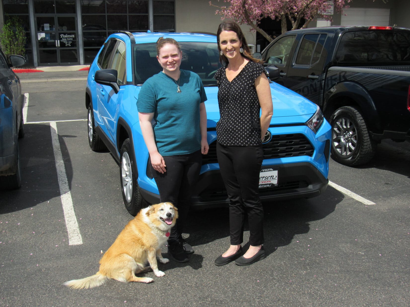
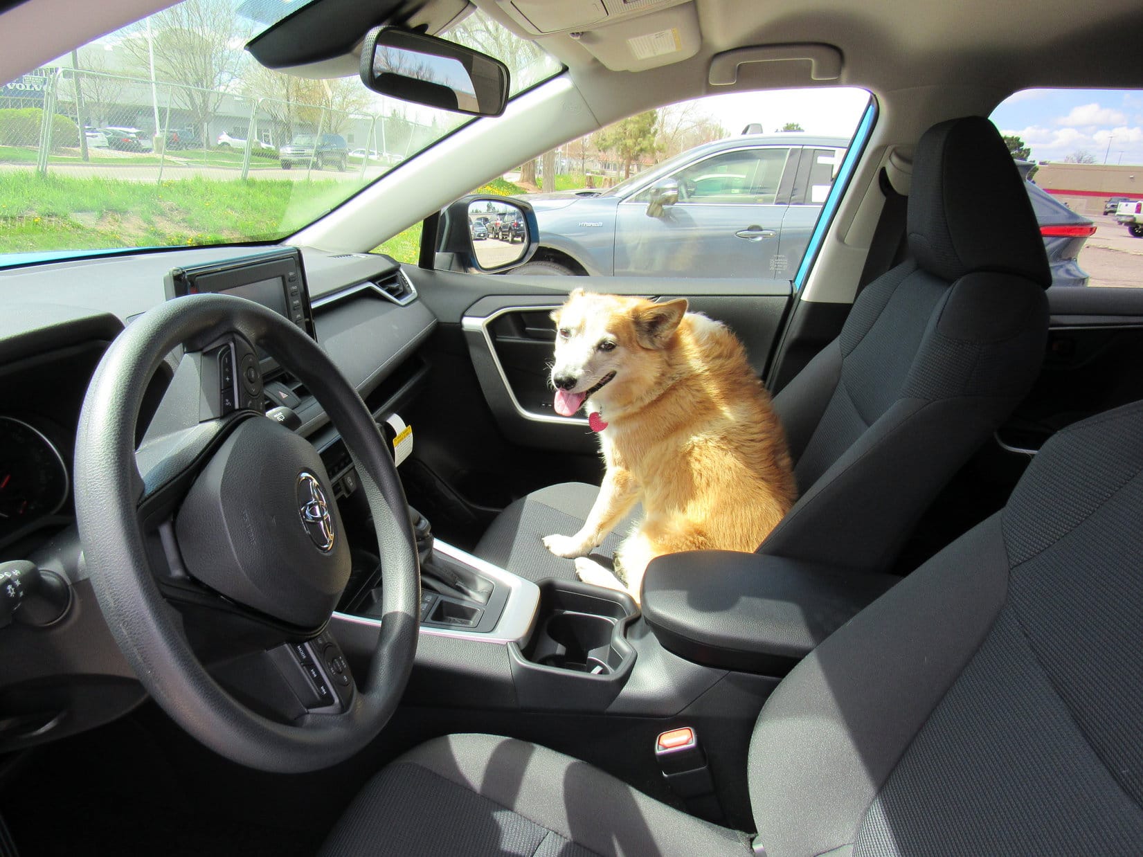
Megan extended congratulations on the purchase of a terrific vehicle, and offered to help anytime SPHP ran into a problem or question.  SPHP thanked Megan for all her help and tremendous responsiveness.  Soon Megan had to head off to assist other clients.  The G6 and RAV4 then got moved to the back of the lot where Yvonne helped SPHP transfer all the adventure gear from the G6 to the RAV4.

A certain Carolina Dog transferred, too!

We might be losing the good ole’ G6, but as consolation prizes go, this will do nicely!
Loopster ready to roll in the blazing blue RAV4!

And that was it.  SPHP’s turn to hand over some keys now!  The G6 was being donated to Lanis, and Yvonne had come along to drive it back to South Dakota for him.  SPHP gave Yvonne the keys.  Fond farewells, and Yvonne started the journey back N in the G6.

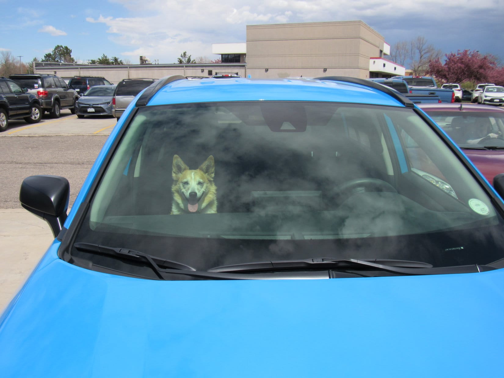
The American Dingo wasn’t going N, though.  Upon reaching I-25, SPHP turned the gleaming RAV4 S.

Where we off to, SPHP?

Oh, not that much farther today, Looper.  Arvada!

Hotel Dusty?

Precisely!  The weather is supposed to turn cold and dreary, so we’ll hole up with Uncle Joe, Aunt Andrea, and Cousin Dusty for a couple of days.  Then it’s off in the new RAV4 on 2021’s first Dingo Vacation!  How does that sound?

Fantastic!

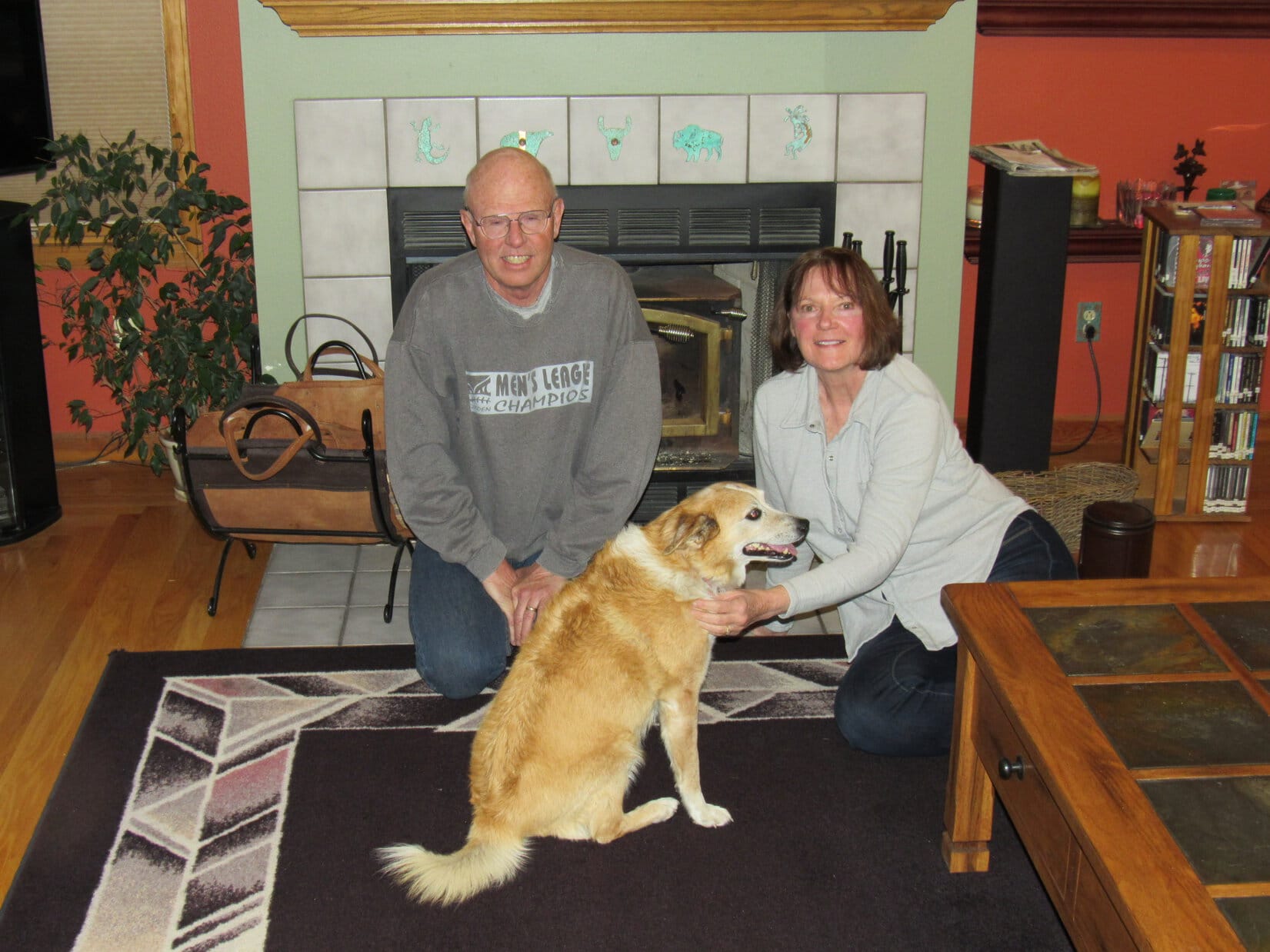
5-8-21, 5:26 PM, Arvada, CO – Uncle Joe, Aunt Andrea, and Cousin Dusty all came piling out out as soon Lupe arrived.  Uncle Joe, especially, was both astonished, and very enthusiastic about the new RAV4.  Lupe hadn’t been to Hotel Dusty in more than 3 years, but she clearly remembered what it was all about.  In no time at all, Lupe and SPHP were ensconced in Hotel Dusty’s luxurious Cowboy Room.

Arriving at 5+ star Hotel Dusty.
In the luxurious Cowboy Room.

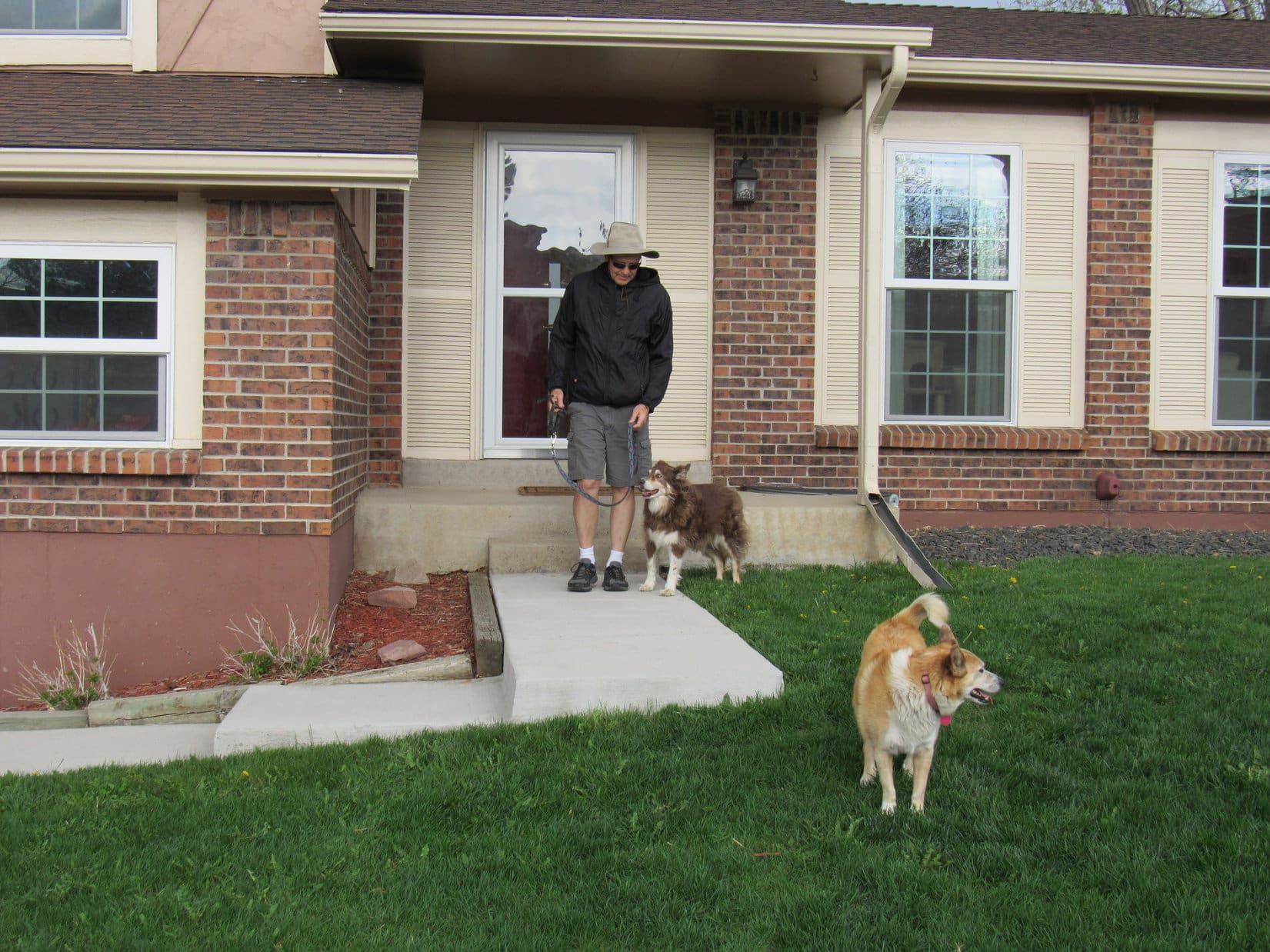
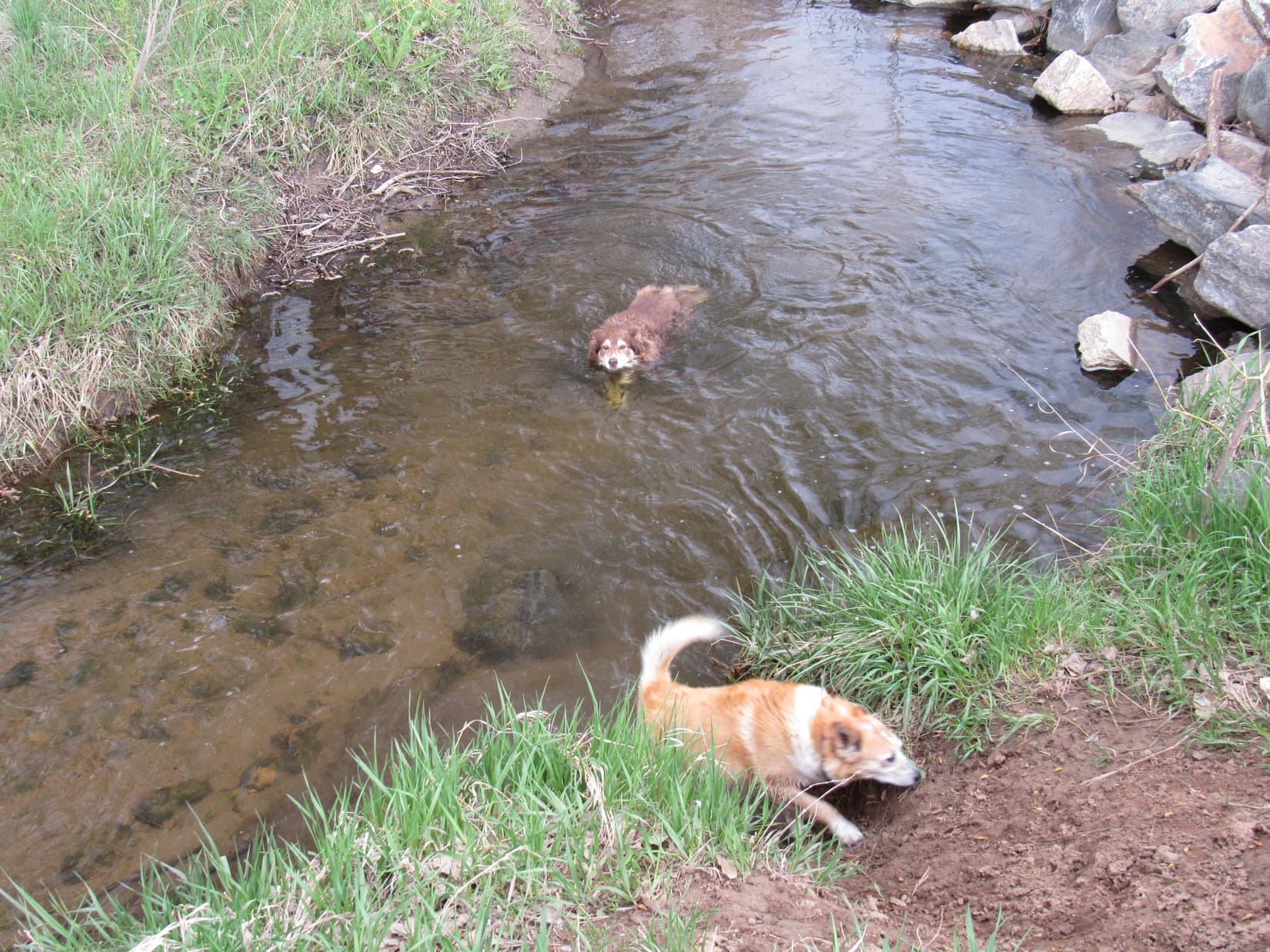
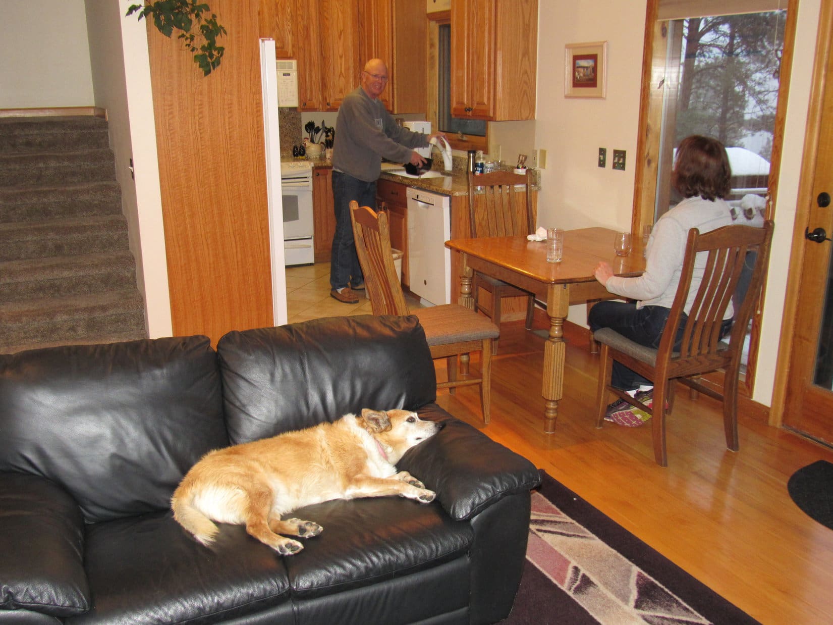
Since the weather was still good this evening, there was a group walk around the 100 acre field.  At nearly 15, Cousin Dusty didn’t want to chase tennis balls or fetch gigantic sticks anymore, but she was still up for a swim in Ralston Creek, an idea that Lupe wasn’t as keen on.

Dusty cools off in Ralston Creek, while Looper decides maybe not.

This momentous day ended with a short evening trip to Golden in the RAV4 for frozen yogurt and a sniff at dusk along Clear Creek.  By the time Lupe got back to Hotel Dusty, a thunderstorm struck with snow granules that fortunately did not turn into hail!

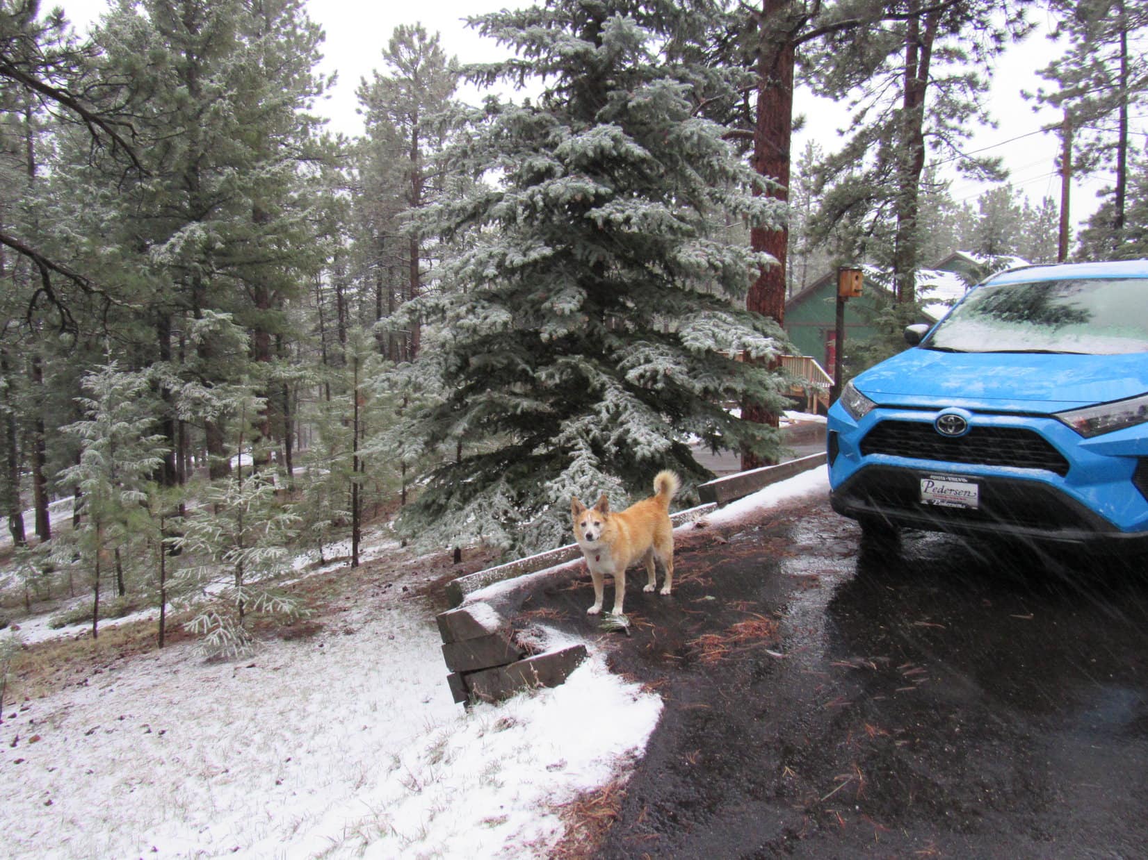
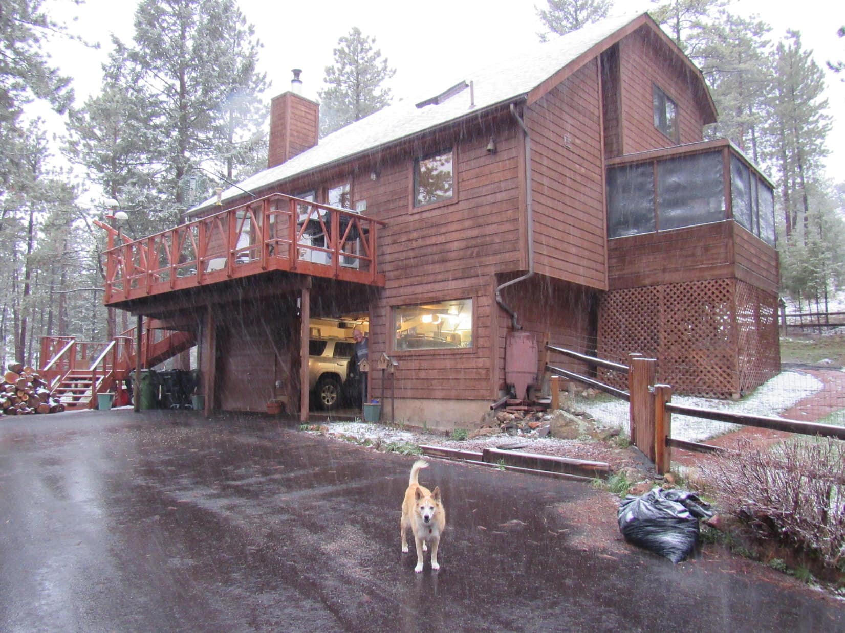
The next 2 days were gloomily overcast with occasional rain.  Too soggy for walks around the now muddy 100 acre field, but there were journeys on the bike path with Cousin Dusty up Ralston Creek to Jungle Bridge or Utah Bridge.  On the last evening, Lupe got to visit friends Dave & Beckie Covill in their lodge-like home up in the mountains.  May was nearly a third gone, yet it was snowing up there!

Christmas in May upon arriving at the Covill’s!
Dave peers out from the garage of the Covill Lodge while Loopster enjoys the wintry weather.

Lupe received a warm welcome from both Dave and Beckie.  They even presented her with a package of Dream Sticks.  Naturally, the Carolina Dog had to try one right away.  It proved to be an instant hit!

Dave & Beckie welcome Lupe into their beautiful home.
Shaking paws with Beckie.
Dream Sticks – Dingo tested and approved!

Loopster then got to relax on the comfy black couch while Dave, Beckie and SPHP enjoyed a delicious dinner of pizza, salad, and a beer followed up by ice cream for dessert.

Beckie was into birding, so there were birds to watch flitting about the feeders out by the big deck.  Dave had plenty of news about upcoming peakbagging expeditions he was going on this summer, including Denali (20,310 ft.) in early June!

Relaxing on the comfy couch before dinner.

It was all very interesting!  The time flew.  Soon it was getting dark and starting to snow hard.  As Lupe and SPHP prepared to depart, Dave and Beckie both had presents for SPHP, too.  So super nice of them!  What a great evening it had been!

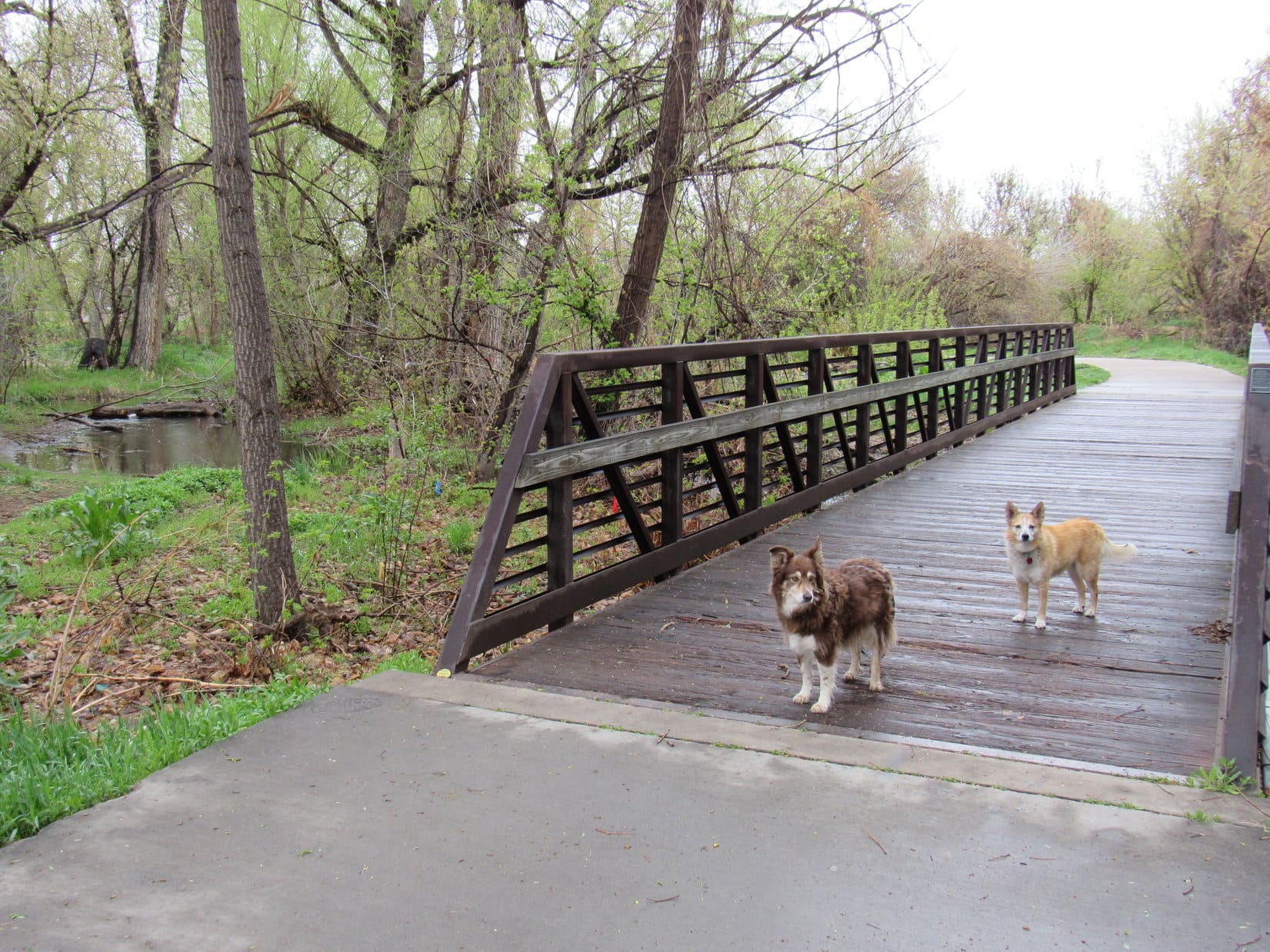
5-11-21, 8:04 AM, Arvada, CO at the Jungle Bridge along Ralston Creek – Still cool, overcast, and drippy this morning.  Lupe and Cousin Dusty had made it to the Jungle Bridge, but it was time to turn around.  Both Uncle Joe and Aunt Andrea were back at work.  Basking in the luxury of their hospitality at Hotel Dusty was coming to an end.

With Cousin Dusty at the Jungle Bridge.

An hour later, the Carolina Dog was on her way.

Where to now, SPHP?

As cold as it is, we’re going to keep going S, Loopster!  Farther S than you’ve ever been before!

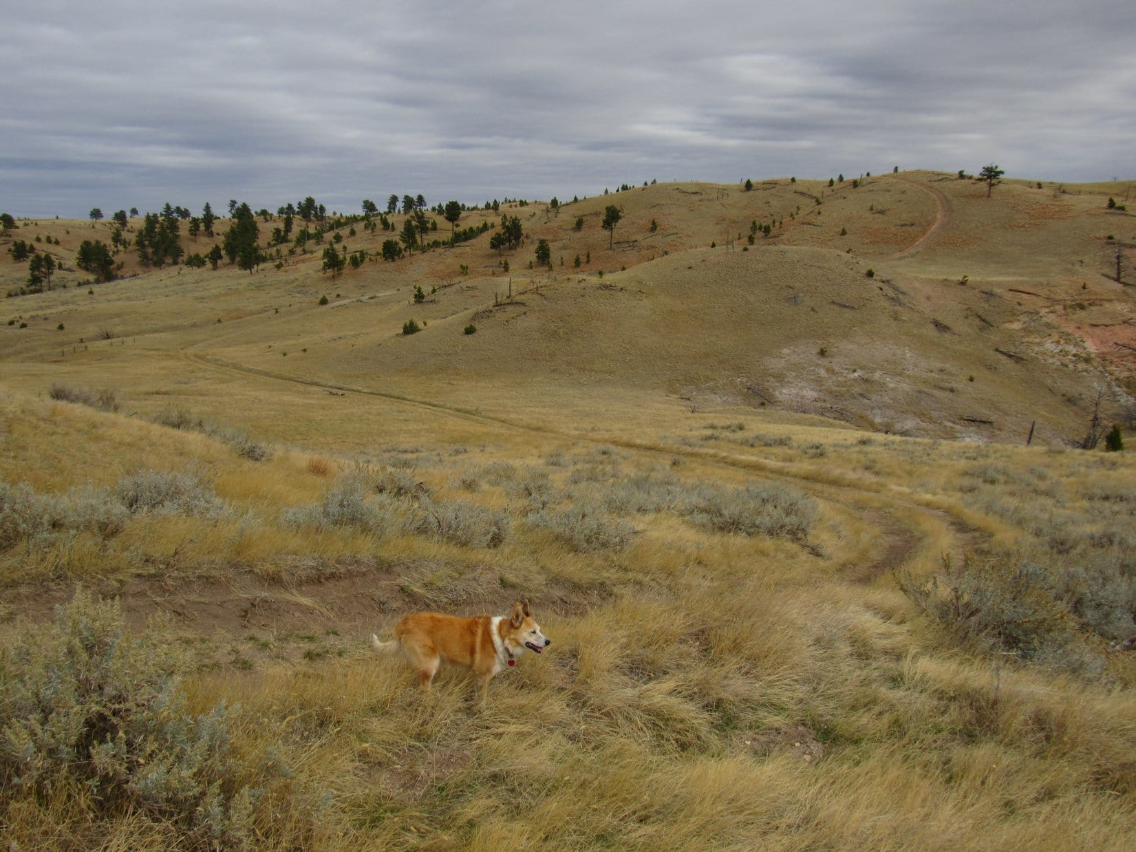
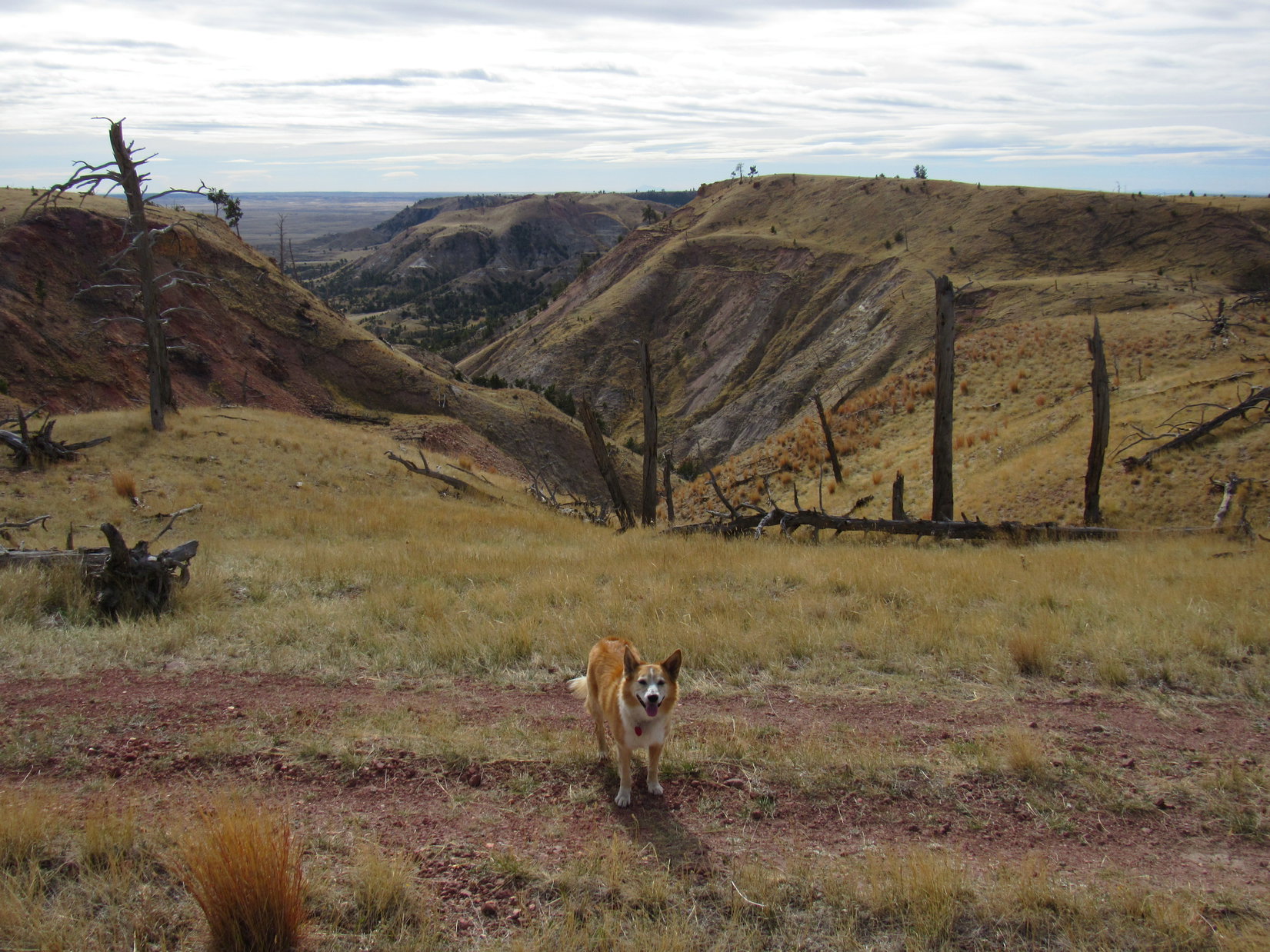
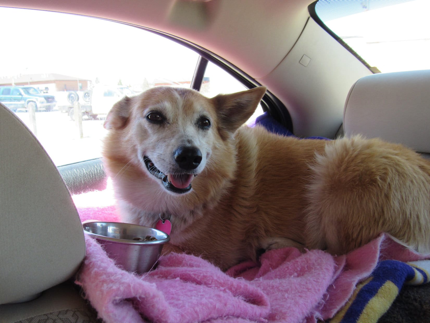
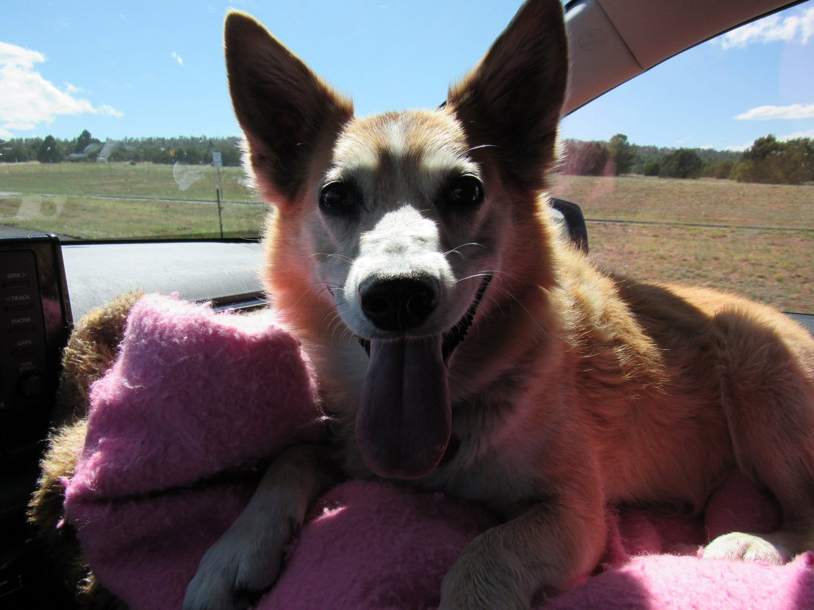
The mighty RAV4 cruised onward, Lupe perched high up on the usual pile of gear, pillows and blankets.  Dingo Vacation time!  On the road to adventure, now with more room, new capabilities, and new horizons ahead!  So much to look forward to!

This RAV4 is gonna be totally awesome!

Yet the G6 and hundreds of fabulous adventures in it were in mind, too.  Fantastic times now in the rear view mirror, but never to be forgotten.  Hopefully, years of happy days in the G6 were still ahead for Lanis, too.

The G6 (R) at the Arctic Ocean, Tuktoyaktuk, Northwest Territories, Canada 8-19-18

Links:

Next Adventure                    Prior Adventure

Black Hills, SD Expedition No. 233 – Meeting Dave Covill, Lead Director of the Highpointers Foundation & the Mighty Dingo Missile Launch (6-21-18)

Megan Alayon, Internet Sales Manager – Pedersen Toyota, Fort Collins, CO:

email: malayon@pedersentoyotavolvo.com

mobile: 970-691-1624

Want more Lupe adventures?  Choose from Lupe’s Summer of 2021 Dingo Vacations to New Mexico, Wyoming & the West Coast Adventure Index, Dingo Vacations Adventure Index or Master Adventure Index.  Or subscribe free to new Lupe adventures.

Mile High Hill in the Rochelle Hills, Wyoming (10-16-20)

7:42 AM, 20ºF, Black Hills, USFS Road No. 282 just N of Hwy 16, W of Jewel Cave National Monument – A bank of fog filled the valley beyond the hill Lupe now stood on, paws in an inch of new snow that must have fallen overnight.  It had been 37ºF when the G6 pulled out of the driveway this morning, with a high in the 50’s expected.  So much for that.  20ºF here!

SPHP hadn’t bothered to check the forecast for anywhere else.  After passing Crazy Horse, everything had changed on the way into Custer.  Snow on the ground, and the temperature plunged as SPHP drove into a dense fog.  Stayed that way W of Custer, but this hill was a high point.  High enough to be above the fog.

I don’t know, Loopster!  Had no idea it was going to be like this.

We’re going to keep going aren’t we, SPHP?

I suppose.  Newcastle isn’t that much farther.  Guess we can go see how things are down on the plains, but if it’s all socked in, or any colder than this, that’ll be it.  No sense in doing Mile High Hill (5,280 ft.) in the fog!

A frigid start for mid-October!

9:01 AM, 32ºF, corner of Lynch Road & Piney Creek Road – A mile back, SPHP had turned S off Hwy 450 at MP 37.1.  Now Lupe stood near the old Darlington school.  Conditions were considerably improved.  What had ultimately proven to be merely an extensive ground fog had broken up on the way here.  Blue sky now!  A heat wave, too, at a balmy 32ºF.

Lupe had been at this intersection several times in the past few years, as SPHP tried to figure out if it was even possible for the American Dingo to get to Mile High Hill.  This was as far as she’d ever gotten, but a little new information had been gleaned during each visit.  Last time Loopster had been here a few months ago, Piney Creek Road had been a sea of mud, but not now.  Mile High Hill was a go!

The big question was how close the G6 could get to it.  Piney Creek Road (Piney Canyon Road on the topo map) might still be 4WD territory.

Piney Creek Road (L) and the old Darlington school (R) from the junction with Lynch Road. Photo looks W.

Still 9 or 10 miles to go just to get to the Rochelle Hills, a region of flat-topped ridges hundreds of feet high.  Incredibly, as the high point of the Rochelle Hills, Mile High Hill’s claim to fame was that it was one of only 19 “peaks” in the entire mountainous state of Wyoming with at least 25 miles of isolation, meaning no higher ground in a 25 mile radius in any direction.

Not expecting much of a climb, Lupe had plenty of time to stop at scenic points along the way.

Looks like Piney Creek is all dried up this time of year! Photo looks SSW.
Love the old cottonwoods!
Approaching the Rochelle Hills. Photo looks WSW.
Mile High Hill is somewhere back in there! Photo looks S.

Piney Creek Road was fine for miles, although gravel so coarse that the G6 occasionally scraped bottom had been dumped in various low spots.  These points were all passable, but the whole road eventually began to deteriorate once it turned S a couple of miles from the Rochelle Hills.

However, the road soon turned W again, starting up Piney Canyon.  Here, Piney Creek Road had recently been repaired with a fine layer of reddish gravel.  Smooth sailing for the G6 the rest of the way up to the junction with Rochelle Hills Road!

Heading up Piney Creek Canyon. Photo looks WSW.
Up on the plateau, near the junction with Rochelle Hills Road. Photo looks S.

13 miles from the Darlington school, right after Piney Creek Road went over a buried pipeline, the G6 reached the junction up on a plateau of sagebrush grasslands and scattered stands of junipers.

Turning SE on Rochelle Hills Road, SPHP drove slowly.  Rochelle Hills Road wasn’t nearly as good as Piney Creek Road had been.  Rocky and pot holey in spots, but still quite passable for the G6.  Although Mile High Hill was supposed to be on USFS land, “No Hunting or Fishing without permission on the Two Rivers Ranch” signs were posted on barbed wire fences.  The road crossed a couple of cattle guards along fence lines.

SPHP was watching for a 4WD road that veered off to the L.  This road was shown less than 2 miles from Piney Creek Road on the topo map, and went all the way to Mile High Hill.  Unfortunately, no sign of it.

At about 2 miles, SPHP did pass a road on the R (S) with a brown wand saying “1171D”, which seemed right, and shortly after “1171D”, a road appeared on the L marked “1171”, but the map showed nothing here, and that was the reverse of the expected order.  Off to the E, a tower could be seen at the far end of a vast field.

Maybe “1171” went over to the tower, which might have been installed since the map was created?  In any case, it was clear that Rochelle Hills Road was soon about to head down off the plateau.  Turning around, SPHP drove NW very slowly.  Nothing seemed any different than before, and the lack of any definitive landmarks other than some convoluted ravines made it hard to tell exactly what was what.

Back at Piney Creek Road, another check of the map yielded no further clues.  Turning around again, SPHP drove SE on Rochelle Hills Road once more, this time parking the G6 at a big flat area just past an open green gate.  This was a high spot (Point 5145 on the topo map) which couldn’t be too far W of where the missing road to the L was delineated on the map.  Lupe hopped out.

You seem to be lost, SPHP!

Yes, and no, Looper!  We’ve got to be close to where I thought we could just follow the 4WD road shown on the map all the way to Mile High Hill, but I haven’t seen it.  Might have to just head NE from here.  See that reddish road heading up onto a ridge about a mile away?  A couple of big ravines between here and there, but if we can get to it, I’m thinking that might be the road that goes to Mile High Hill.

The sign doesn’t help?

Sign?  What sign?

The big one on the green gate.

Huh?  Oh!  That sign.  Actually, I hadn’t noticed it, Loop, was always busy looking the other way for the non-existent 4WD road.  Let’s check it out!

At Point 5145 along Rochelle Hills Road. Photo looks E.
USFS sign on the gate.

In addition to the sign on the green gate, two smaller brown signs were along the barbed wire fence.  Hiking and horseback riding permitted.

Glad you pointed this sign out, Loopster!  Doesn’t explain what happened to our missing road, but at least I’m now 100% certain we’re parked on USFS land, and not on the Two Rivers Ranch.

So we’re going to start for Mile High Hill (5,280 ft.) from here?

Yeah, seems to be the thing to do.

11:02 AM, 38ºF, Rochelle Hills Road, green gate at Point 5145Crossing Rochelle Hills Road, Loopster set out heading NE across a grassy plain.  Sagebrush was ahead, and beyond it a ravine draining to the N.  Worried about cactus for Looper’s sake, SPHP was relieved to see little or none.

Upon reaching the sagebrush, the Carolina Dog turned E.  Descending a small side ravine, she followed it down to the big one, crossed it, and started up the other side.

Heading out across the grassy plain. Photo looks NE.
About to descend into the side ravine (R). Photo looks E.
The main ravine after crossing it from the R. Photo looks SSE.
Looking SW back across the main ravine.

Continuing E through pine forest over a small hill, Lupe soon saw a gray and pink-sided ridge in the distance.  A road was already in sight not too far away!  Loop headed down to it.

Starting down the other side of the hill after crossing it. Photo looks ENE.
The gray and pink-sided ridge, with the road in the foreground. Photo looks ENE with help from the telephoto lens.
Heading for the road. Photo looks ENE.

Didn’t take Loop long to reach the road.  Well, that was easy!  No worries about cacti now!  This road might even be No. 1171, if it curved this way instead of going to the tower?  Lupe could check that out on the way back.  In the meantime, she followed the road N.  Near the bottom of a gentle slope was a marker for the buried pipeline.

By the buried pipeline marker. Photo looks NNE.

Continuing N, the American Dingo passed W of low pine-forested hills.  The road then began to curve NE.  Directly ahead was the reddish road SPHP had seen from the G6.

Approaching the reddish road visible from back at the start. Photo looks NE.

Beyond the reddish segment, which led up onto a ridge, the road curved SE climbing more slowly.  Things were matching up with the topo map.  Seemed like Loop must be on the right track!  SPHP felt confident that the Carolina Dog really was on the road to Mile High Hill.

A high spot was ahead.  The road curved N again just before getting to it.  Looper left the road to take a look, and was rewarded with impressive views of the upper NW Keyton Creek drainage.

Looking S across part of the Keyton Creek drainage. The tower Lupe had seen earlier from the G6 was visible to the naked eye on the far plateau (Center).
Looking SE down Keyton Creek (R).

Returning to the road, it immediately swooped down into a minor saddle to the N.  After climbing up onto a plateau on the far side, the road again resumed a SE course.  A vast region was visible ahead.

About to venture down into the saddle. Photo looks NE.
Up on the next plateau. Photo looks SE.

After a longer trek SE along this plateau, the pattern repeated.  The road again curved N.  Lupe again left to take a look from a high point near the edge, before returning to head N.

Upper Keyton Creek drainage (L). Photo looks WSW.
Looking SE along the edge of the plateau.

After passing a minor grassy drainage beyond which a long ridge, one of the Pumpkin Buttes (6,052 ft.), could be seen on the far horizon, Looper came to a little hill.  From here, the road wound down into a deeper and wider saddle than the first one.

The grassy draw Lupe passed shortly after turning N again. Photo looks NW.
Starting down into the next saddle. Photo looks ENE.
The big saddle and the ridge beyond. Photo looks NE.

Once up onto the next ridge, the road turned SE for a third time.  While the road had never ventured far from the S edge of the high country, the Keyton Creek valley was now so close that Lupe could sometimes see down big side ravines.  A NW/SE oriented fence appeared, and the road ran straight alongside it for a while.

Getting mighty scenic from right here on the road! Photo looks S.
Following the fence. Photo looks SE.

The road eventually curved S away from the fence after getting past a large ravine.  This region featured the first significant rock formations Lupe had come to.  She snooped around a bit before continuing on.

First big rocks we’ve come to! Photo looks SSE.
On a dramatic point overlooking part of the Keyton Creek valley. Photo looks SW.

The road now wound S or E for a while, always staying fairly close to the edge of the plateau.  Lupe was now getting E of the Keyton Creek valley where it broadened out onto the wide open plains beyond the Rochelle Hills.  Periodically checking on the views, it was amazing how beautiful it all looked from up here!

W end of the Keyton Creek valley. Photo looks WSW.
E end of the valley with the Rochelle Hills beyond. Photo looks SW.

On a stretch heading E, the road eventually came to the fence line again.  This time, there was a gate.  After going through the gate, the road again paralleled the fence for a while, but on the other side.

No signs! Guess it’s OK to go through. Loop at the gate. Photo looks E.

Before going too much further, the fence turned NE in order to avoid the edge of the plateau.  The road turned, too, staying within the fence.

By now, Lupe had come a long way.  She was easily 4 or 5 miles from the G6, perhaps more the way the road had wound around.  Couldn’t be too much farther to Mile High Hill.  Ducking under the fence, the Carolina Dog continued a short distance SE, venturing out to a point.

Along the edge here, the upper layers of rock looked volcanic – brittle and laden with unusual minerals.  Bright oranges and yellows!  Deep reds and purples!  About 0.33 mile E, across a deep ravine, was another point.  This point was topped with a layer of intensely red-orange stone.  Nearly surrounding it, steep slopes dropped to a band of chalky white cliffs, and thence to the prairie 600 feet below.

A narrow ridge connected Red Point to a slightly higher, forested plateau only a short distance to the N.  Mile High Hill (5,280 ft.)!

Red Point (straight up from Loop) and Mile High Hill (far L). Photo looks E.
Colorful rocks (R) along the edge of this first point. Photo looks SW.

Close to her destination, Lupe returned to the road, which went N a short distance before winding E.  The plateau was narrower along in here, but soon broadened out.  The American Dingo had reached Mile High Hill.

Approaching Mile High Hill. Photo looks E.

Mile High Hill was scarcely any higher than the approach to it.  Toward the N, a spacious area of grasslands dotted with pines sloped gradually downhill.  Since the road curved that way, this was the end of the road trek.  Slightly higher ground was to the SE, so Lupe headed that way looking for the true summit.

On Mile High Hill, heading off in search of the true summit. Photo looks SE.

Ducking under the fence again, Loopster caught sight of a giant deer!  Startled by her approach, the giant deer took off, racing away through an open forest.  In seconds, it vanished below the edge of the plateau.  A brief, but exciting introduction to Mile High Hill for the Carolina Dog!  However, the giant deer had been alone.  Loop encountered no more during her search for the true summit.

The giant deer races away!

The region in the biggest 5,280 foot contour on the topo map, where the true summit was marked on Peakbagger.com, was flat as a pancake.  No cairn or any discernable highest spot.  However, along the SE edge of the plateau were several rock outcroppings.  Lupe visited what appeared to be the highest one, easily scrambling to the top.  Whether it was any higher than the pancake was debatable.

On a possible true summit location along the E edge. Photo looks NE.

The second largest 5,280 foot contour shown on the map was near the S end of the plateau.  Continuing in that direction, Lupe came to a mound of stones 4 or 5 feet high, topped by the gray, weathered branches of a dead tree.

Impossible to say for sure, Looper, but I think this is it!

The true summit of Mile High Hill, SPHP?

If I had to guess, and I do, since the trees prevent us from having a clear view of the other high spots, yes, I’d say this pile of stones is the summit.  Congratulations on reaching the top of Mile High Hill (5,280 ft.)!

The true summit of Mile High Hill, as near as SPHP could determine. Photo looks SW.

40 or 50 feet from the edge of the plateau, the true summit wasn’t much of a viewpoint.  Lupe continued S to the edge where the ridge leading to Red Point was in sight.

Approaching the ridge leading to Red Point. Photo looks S.

Gone were the morning’s blue skies!  The ground fog hadn’t returned, but high overhead a vast mournful blanket of dismal gray increased a sense of ancient remoteness, silence, and loneliness.  The wind picked up, gusting unpredictably out of the W at 15 mph, seemingly purposely gathering and concentrating its force in sudden blasts designed to thwart Lupe’s advance as she headed for Red Point.

At an initial high spot along the ridge leading to Red Point. Photo looks NNE.
Not far from the end after a short downclimb for a better look at the colored rock. Photo looks S.
In the wind at Red Point. Photo looks NNE.

Most of the ridge was forested.  Lupe was already close to the end when she reached a flat spot beyond the last of the trees.  Bordered by colorful rock formations, gritty red soil and tufts of grass covered Red Point.

Just ahead, a short, gravelly red sand slope led SE down to a smaller airy platform at the far end of the ridge.  The multi-colored rocks down there were every bit as impressive as the sweeping views.

Might as well go down to the very end, don’t you think? Photo looks SE.
At the SE end of Red Point. Photo looks S.
Looking SW toward the Keyton Creek valley.

Going back up to the larger high spot where the precipices weren’t quite so close, Lupe curled up on SPHP’s lap.  55ºF, certainly warm enough, but the wind still made it seem a bit cool.  What a vantage point, though!

The E edge of the Rochelle Hills region stretched miles away to the SW, well beyond the lower end of the Keyton Creek valley.  To the SE, a tan plain broken by long gullies extended to the horizon.  The Miller Hills, a smaller line of ridges than the Rochelle Hills, were visible to the SSE.

Rochelle Hills from Red Point at the far S end of Mile High Hill. Photo looks SW.
Miller Hills. Photo looks SSE with help from the telephoto lens.

To the W, Lupe could see the region where the giant deer had run off to and some of the territory she’d been by on the way here, including the point where she’d first seen Mile High Hill and Red Point.

Looking W at the region Lupe had come from on her journey to Mile High Hill.
Rochelle Hills from Red Point at the S end of Mile High Hill. Photo looks WSW.

A glorious half hour spent in grand isolation at Red Point shot by.  Time to move on.  More to see up on Mile High Hill!  Returning briefly to the true summit, Lupe then explored N along the E rim, stopping at various high points and scenic spots along the way.

Back at the true summit of Mile High Hill. Photo looks N.
At a rocky high point along the E edge. Photo looks E.
Scenic spot along the E rim. Photo looks NE.

One more sizable 5,280 foot contour existed on Mile High Hill.  It was N of Point 5272 along the E rim, well to the N of the other high points Lupe had visited.  Loop went all the way to it, posing on a small rock near the fence that seemed to be the highest point.  She then kept going N until it was clear nothing higher was out this way.

On the horizon, beyond a nearby lower hill, was the long blue line of home.  The Black Hills!

At the NE high point. Possibly the real true summit, but who knew? Photo looks S.
Look! More hills and ridges to the N! Wonder if it’s all officially part of the Rochelle Hills? Photo looks NNW.
As far NE as Lupe went on Mile High Hill. Black Hills (Center & R) on the horizon. Photo looks NE.

Home.  Nearly 3:00 PM already.  Probably time to start back.

Mile High Hill had been fun!  A great, easy trek, and surprisingly scenic, an unexpected delight.  SPHP was glad the American Dingo had finally made it here.

The wind weakened.  Only a gentle breeze as Loopster crossed the long plateaus on the way back.  Never really was much cactus to speak of.  The Carolina Dog roamed fearlessly, pausing every now and then to see the sights.  Far to the NW, long ridges of the Pumpkin Buttes came into view for a while.

Glad we finally made it to Mile High Hill! What a beautiful place! Photo looks NNW.

Loop followed the road all the way.  In the end, it did hook into Rochelle Hills Road.  Yup, she’d been on No. 1171 all this time.

At the start of No. 1171 just off Rochelle Hills Road. Photo looks NE.

Nothing left except a 0.60 mile march on Rochelle Hills Road to HP5145, the green gate, and the G6.  Curly tail held high, the Carolina Dog trotted NW, her fabulous Mile High Hill adventure, years in the making, finally complete.  (End 4:43 PM, 59ºF)

Mile High Hill in the Rochelle Hills, Wyoming 10-16-20

Links:

Next Adventure                         Prior Adventure

Want more Lupe adventures?  Choose from Lupe’s Summer of 2020 Dingo Vacations to Wyoming, Utah & Montana Adventure IndexDingo Vacations Adventure Index or Master Adventure Index.  Or subscribe free to new Lupe adventures.