Black Hills, SD Expedition No. 160 – Crook Mountain & Whitewood Peak (3-5-16)

Pathetic and disgusting!  There were beer cans, bottles, boxes and other trash scattered around the forest near the intersection.  SPHP had a couple extra plastic Wal-Mart bags in the backpack, but they weren’t nearly enough to tote away all this mess.  That would easily require a full size garbage sack or two.

It was all going to have to wait.  SPHP would save the Wal-Mart bags for what Lupe found during her explorations.  If there was any room left, SPHP might gather up some of this stuff when Lupe returned at the end of the day.  Lupe would be willing to curl up in the G6 for a rest then.  While SPHP collected Lupe Treasures, she would need to be in the G6 so she didn’t get hurt.  There was broken glass around, too.

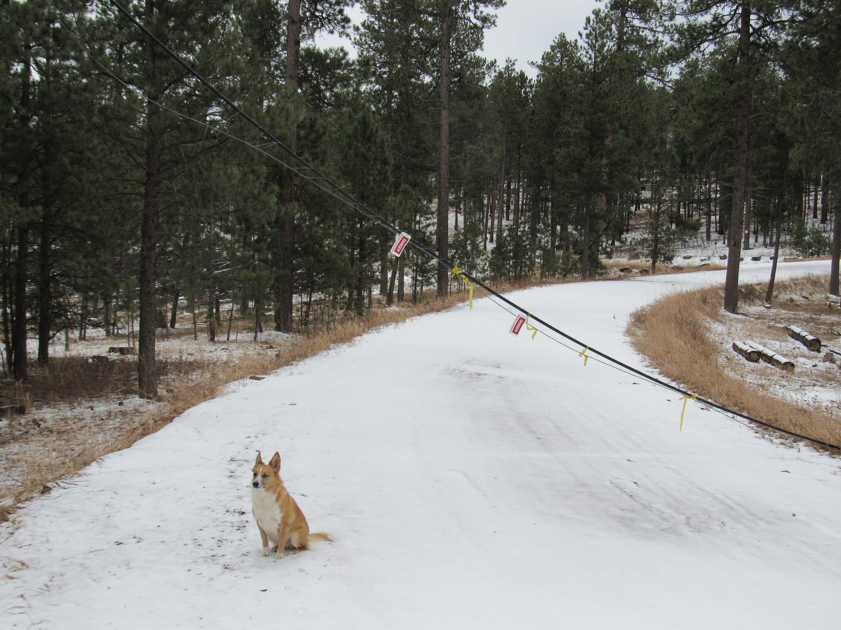
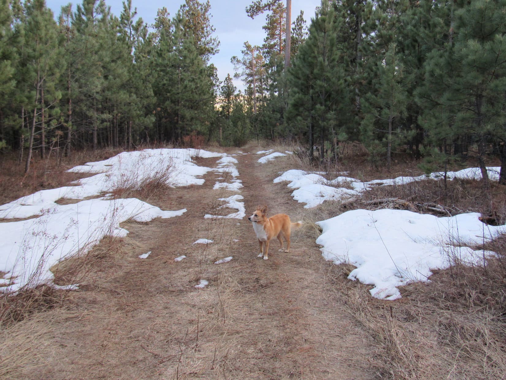
The G6 was parked at the intersection of Crook Mountain Road (USFS Road No. 176) and No. 176.1A (9:54 AM, 55°F).  Lupe had two peakbagging goals ahead of her, Crook Mountain (4,930 ft.) and Whitewood Peak (5,140 ft.).  It was going to be another unseasonably warm day, close to record-setting again, in a winter that had hardly even been winter.  Only early March, and already SPHP was hoping it wasn’t going to be too hot!

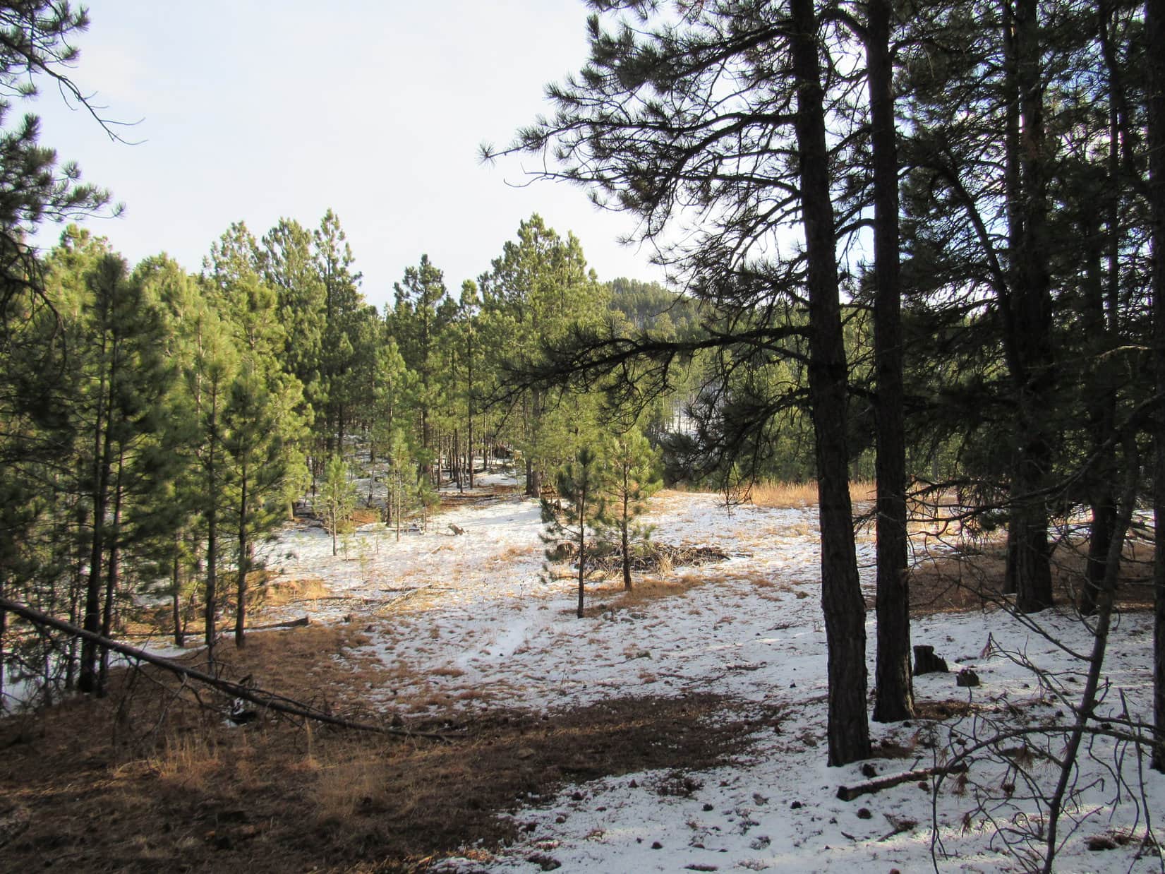
Lupe and SPHP took off on up No. 376.1A.  There were a few patches of snow and ice, but nothing too major.  Clearly, there had been much more snow not too long ago.  The road was quite soft.  In some places, it was just a mucky red dirt mess.  No. 176.1A headed SW for a little way, then turned N.

Lupe had fun romping in the forest, but other than trees, there wasn’t much to see until No. 176.1A had gained a fair amount of elevation, and was starting to level out up on the E slopes of Crook Mountain.  Bear Butte (4,422 ft.) came into view rising up out on the prairie NE of Sturgis, SD.

Bear Butte NE of Sturgis, SD looks like a small volcano, but according to geologists, it never actually erupted. Photo looks ENE from USFS Road No. 176.1A on the E side of Crook Mountain. Taken using the telephoto lens.
On a day of record breaking heat in early March, Lupe kept cool rolling around in patches of snow still remaining in shady spots. Meanwhile, SPHP was shedding layers down to a T-shirt.
Without using the telephoto lens, Bear Butte looks quite some distance away. It is about 11 or 12 miles ENE of Crook Mountain.

Bear Butte from USFS Road No. 376.1A on Crook Mountain, 3-5-16Lupe and SPHP followed No. 176.1A as it wound around the E and then N side of Crook Mountain.  The road was fairly level much of the way, gaining elevation very slowly.  There were glimpses of lower hills and the prairie off to the NE, but there were enough trees along the road so there were seldom any really open views.  There was quite a bit more snow on the road on the shady N side of the mountain, much to Lupe’s delight.

Lupe loved the snowy road on the N side of Crook Mountain.

When Lupe was far enough around the N side of the mountain so that SPHP was starting to get glimpses of Crow Peak (5,787 ft.) off to the WNW, it was time to leave the road and start climbing the rest of the way up Crook Mountain.

The climb wasn’t the hard part about getting to the top of Crook Mountain.  The problem was more one of finding the true summit.  The mountain is pretty broad and level on top for about 0.5 mile N/S with a hook over to the E at the N end.  It is also all forested, so it is hard to see very far.  The topo map shows that there is a fairly large area contained within the 4,920 ft. contour toward the NW end.

Lupe’s explorations on Crook Mountain agreed with the topo map.  There was a pretty big area that was all about the same elevation toward the NW.  This was the highest part of the mountain, but not by much.  Lupe had her choice of little bumps and hillocks to declare the true summit.  No one spot looked clearly higher than all the rest.  With a flat, forested top, it wasn’t surprising there weren’t any views.

Lupe astride the receding glacier at the pinnacle of Crook Mountain. Well, OK, it was just a patch of snow, but this was the top of the mountain.
The best view at the summit of Crook Mountain was of Lupe herself. The Carolina Dog was looking pretty fine!

An unmarked dirt road went right over the highest part of Crook Mountain.  A bit farther N, one end of it turned E, while the other end went S.  Lupe and SPHP left the summit of Crook Mountain heading S along the road.  The road lost elevation gradually, and eventually came to a 4-way intersection.  None of the roads were marked, but Lupe’s next peakbagging goal was to the WSW, so Lupe and SPHP turned W.

As Lupe got toward the W side of Crook Mountain, there started to be bits of distant views toward the S and SW.  Although the forest wasn’t as dense as it had been at the summit, there still weren’t any nice open views.  Before Lupe lost too much elevation, SPHP wanted to get at least some kind of a look off to the W, hoping it would be possible to spot Whitewood Peak.  At a small clearing, SPHP saw a mountain ahead that might be it.

Was that forested peak toward the L Whitewood Peak? SPHP wasn’t certain, but it seemed to be the most likely candidate from what little Lupe could see from Crook Mountain.

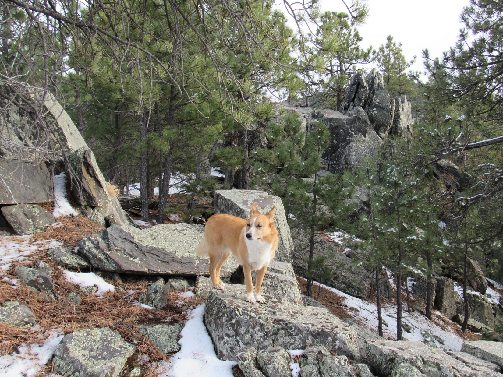
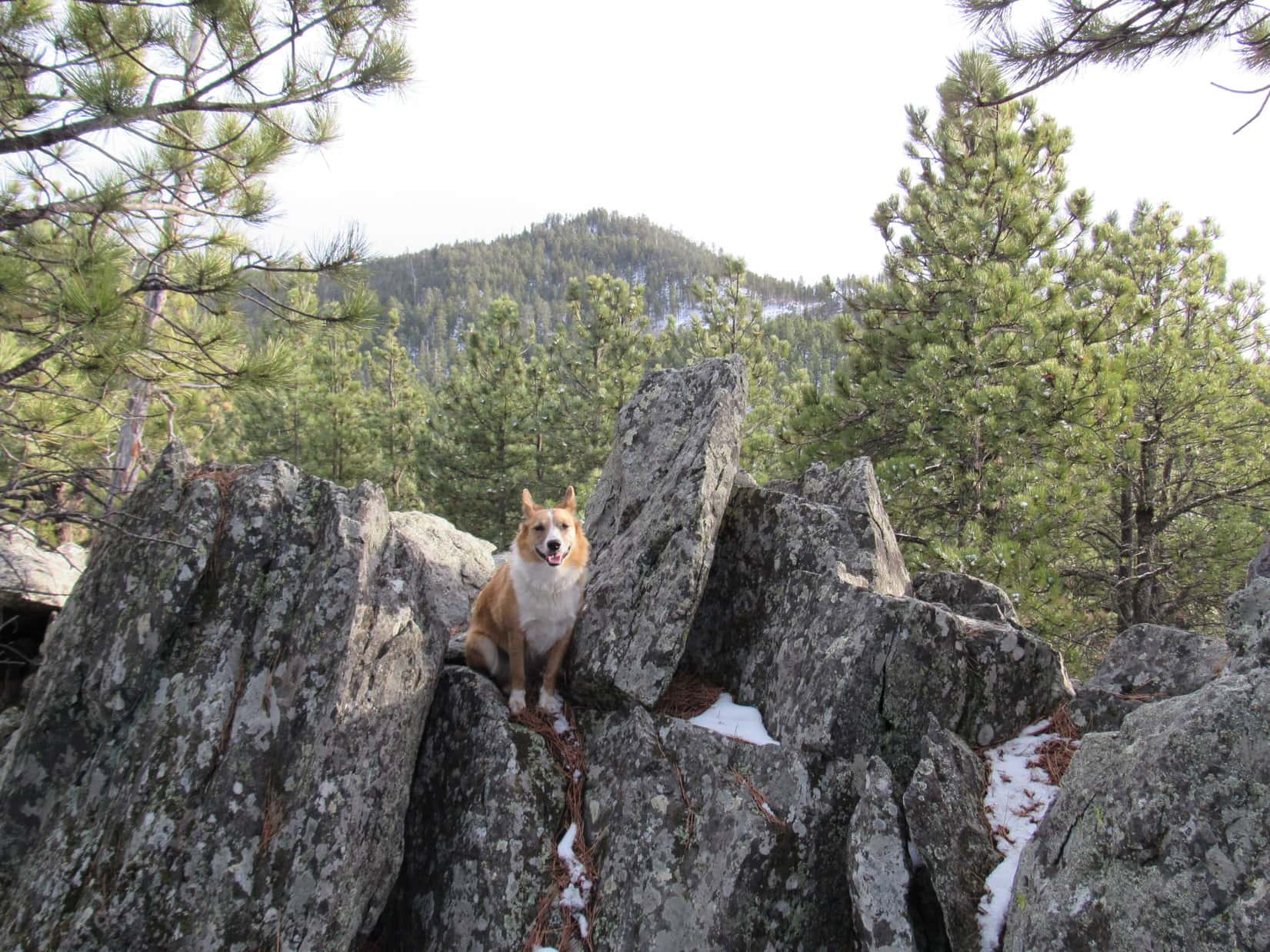
Lupe and SPHP continued SW, sometimes on roads and sometimes off them.  Lupe lost quite a lot of elevation before coming to a fork in a road, where the branch going NW was marked No. 542.1F.  She took the other branch, which went SW.  Lupe had hardly left the fork behind, when she came to a nifty little rock outcropping suitable for an American Dingo display.

Lupe on the American Dingo display rock.

Lupe continued on.  The road gradually turned W and then NW, as it went around the SW side of a big field.  Going N was a problem.  The farther Lupe went N, the more elevation she would have to lose to cross Sandy Creek in the valley just to the W.  Lupe and SPHP doubled back a little before leaving the road to go down a steep slope to the bottom of the valley.

Sandy Creek wasn’t very big, but there was flow in it.  Lupe was quite happy to come across Sandy Creek.  It was the only stream she came to all day.  She hopped in for a drink and cooled off in a deep little Dingo-sized pool.

Lupe cools off in Sandy Creek.
Near the Dingo swimming hole on Sandy Creek.

After Lupe was all refreshed, Lupe and SPHP crossed Sandy Creek and started going W up the other side of the valley.  Lupe came to a couple of roads.  She followed them for only short distances, before leaving them to climb even higher directly up the slope.  She eventually got high enough to reach a road that SPHP suspected was USFS Road No. 699.  Lupe and SPHP followed No. 699 for quite a long way.

Eventually, Lupe came to a fork in No. 699, too.  One branch went SW (L) and was marked No. 699.1D.  The other branch was unmarked.  It circled around a thinly forested knob a few acres in size.  Since there weren’t many trees on the knob, it was possible to get a halfway decent look around.  Lupe was now much closer to the mountain that SPHP thought was probably Whitewood Peak.

Lupe near USFS Road No. 699.1D. She was definitely getting closer to the mountain SPHP suspected was Whitewood Peak. Photo looks NW.

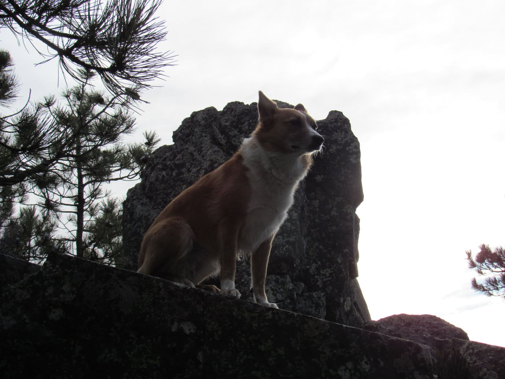
Lupe and SPHP took the little circle route around the knob just to see what could be seen, then Lupe headed SW up No. 699.1D.  The road climbed steadily.  An unusually colorful little rock just a few inches wide was laying on the road, and caught SPHP’s attention.

The interestingly colored rock on USFS Road No. 699.1D.

A little farther on, there was a rock outcropping that featured much larger colorful rocks.  Lupe and SPHP stopped here for a little break.  SPHP had a few chocolate chip cookies.  Lupe took a piece of one, but she must not have been too hungry.  She buried it for future use, pushing grass and dirt over it with her nose.

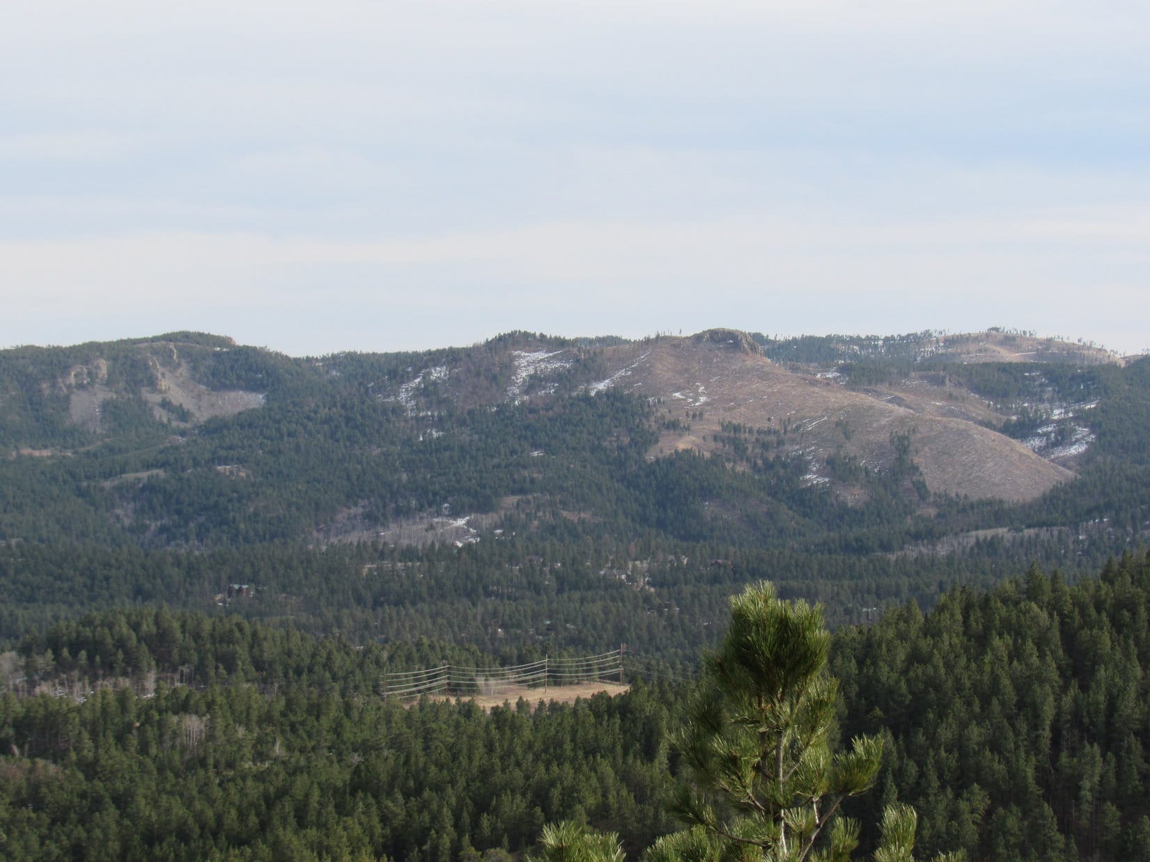
As SPHP looked around from the colorful rocks rest stop, there was a peak to the WSW that looked higher than the peak SPHP had thought was Whitewood Peak.  Maybe this was the real Whitewood Peak?  SPHP studied the topo maps some more, but was having a hard time reconciling what was in view with what the maps showed.

The way the terrain was, Lupe would reach the new Whitewood Peak candidate before she reached the original one.  Maybe the situation would become clearer up there?

Lupe at the pretty rocks rest stop along USFS Road No. 699.1D. She has part of a chocolate chip cookie stashed here in case of a future emergency. The new possible Whitewood Peak candidate is seen beyond Lupe.

After the break, Lupe trotted onward continuing SW up No. 699.1D.  SPHP trudged along behind her.  The road was getting quite high up on the hill it was climbing and leveled off.  It bent S and then curled around to the NW, ending at a little viewpoint.  Lupe was now S of the mountain SPHP had originally thought was Whitewood Peak, and not too far E of the new candidate.

The original Whitewood Peak candidate from the viewpoint at the end of USFS Road No. 699.1D. Photo looks N.

The view from the end of No. 699.1D made SPHP again suspect that the original Whitewood Peak candidate was the real one.  It was still hard to tell for certain, though.  Lupe had to go down into a sizable ravine before climbing up the new Whitewood Peak candidate.  There was a dangerous downed barbed wire fence just to the S.  SPHP also saw homes nearby in the forest, and signs indicating that Lupe was just N of private property.

Lupe went directly W staying on USFS land.  She lost elevation going down into the ravine, and then had to start climbing.  On the other side of the ravine she found a narrow ATV trail that went very steeply up the mountain, staying just N of the dangerous barbed wire fence line.  SPHP had to keep stopping to pant for more oxygen, but eventually made it to the top.

Nope, this wasn’t Whitewood Peak.  It was hard to get a clear view through the forest, but SPHP could see enough to know that the original Whitewood Peak candidate was definitely higher than where Lupe was now.  After a few more minutes spent studying the topo maps, things were starting to make sense.  Yeah, SPHP was virtually certain the original Whitewood Peak candidate was the real deal.

Very conveniently, the narrow ATV trail continued on to the W.  To stay on high ground, Lupe and SPHP needed to circle around in that direction before turning N and then NE.  Lupe and SPHP pressed onward.  The terrain was much more level along in here.  It was really easy going, thanks to the presence of the ATV trail.

The ATV trail divided a few times, and then faded to the point where Lupe lost it for a short while.  By then she wasn’t far from the mountain.  Lupe entered a clearing on the ridge approaching the peak.  There she found a marker right out in the open.  It was a USGS benchmark!  The benchmark said Whitewood Peak, and had an arrow stamped into it pointing directly toward the mountain.

There was no doubt now!  Lupe was about to climb Whitewood Peak.  She was almost there!

Whitewood Peak from the SSW. Getting really close.
Lupe near the USGS benchmark in the clearing SSW of Whitewood Peak.
No doubt now! Lupe is on her way up Whitewood Peak.

The final climb up Whitewood Peak was sort of steep, but it wasn’t too long.  There were some clearings near the top providing some of the best views Lupe had seen all day.  Lupe found a second USGS benchmark at the top of the mountain.

The USGS marker at the top of Whitewood Peak.

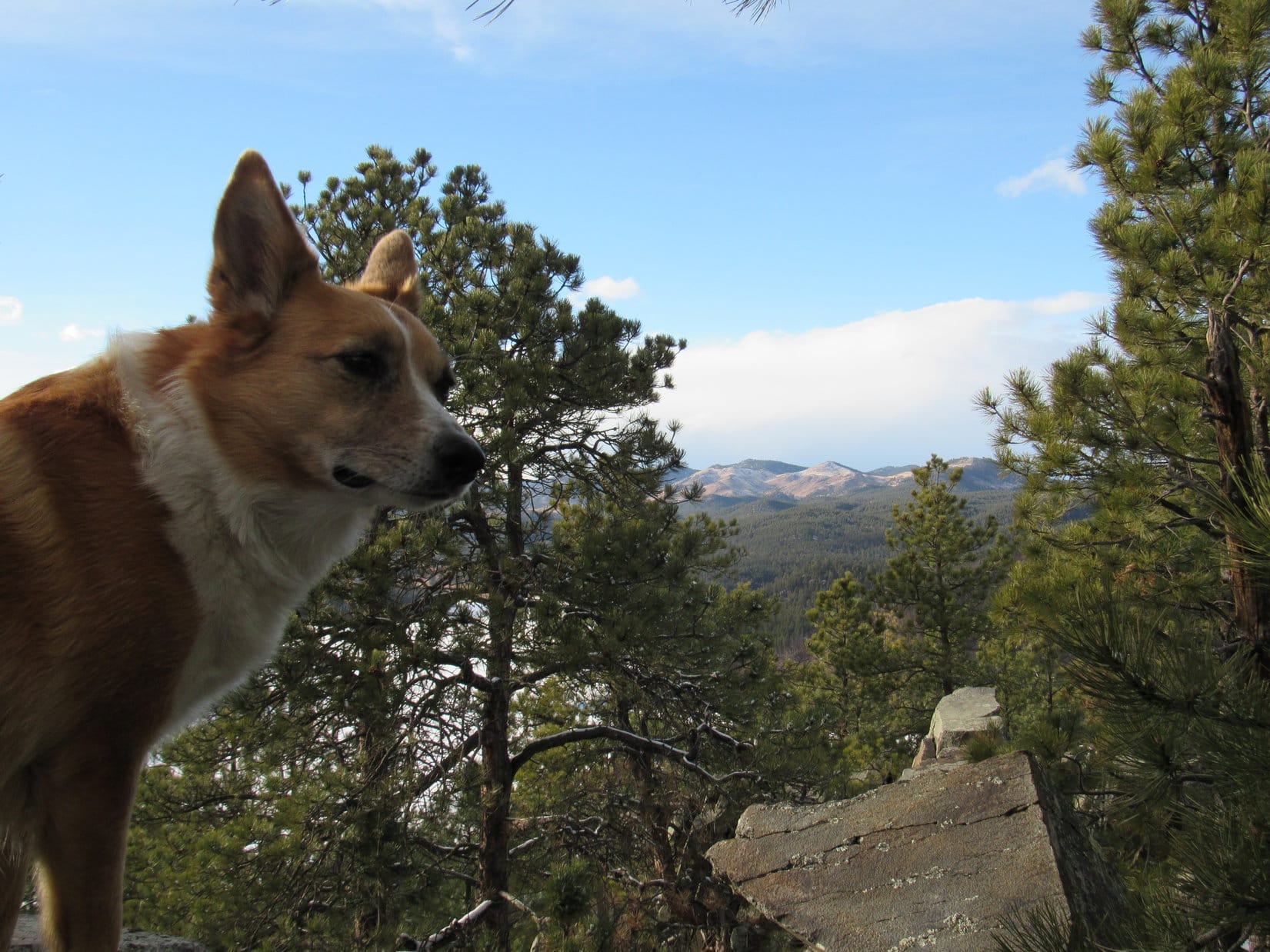
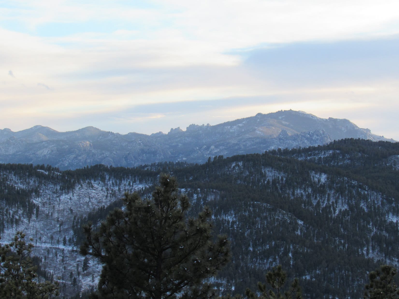
The top of Whitewood Peak was rocky, but they were all small rocks.  The flattish area at the summit was only the size of a modest room in a house.  In most directions the ground dropped off pretty steeply.  There were clear views to the SE and S, and some pretty clear ones to the W.  Whitewood Peak would have had a commanding view off to the N and NE, but the forest blocked views in those directions.

Before SPHP even bothered taking any pictures, it was time for a break – a longer one than before.  This time Lupe helped SPHP eat chocolate chip cookies.  She had a little Taste of the Wild.  SPHP munched an apple.  SPHP sat there so long without stirring that Lupe fell asleep.  It was beautiful out.  Only a light breeze stirred.  The temperature was perfect, maybe close to 60°F, upper 50’s anyway.  SPHP saw other mountains Lupe had visited, and remembered being there with her.

Well, it was a long trek back.  The time at the top always seems so short compared to the time spent getting there.  SPHP took a final look around.  Lupe woke up and smiled for the camera.

Lupe wakes up after a Dingo nap on Whitewood Peak. Photo looks N.
Crook Mountain from Whitewood Peak. Photo looks ENE.
Pillar Peak (5,469 ft.) (just R of Center) and Bear Den Mountain (5,642 ft.)(R). Lupe has been to both of them.
Pillar Peak (5,469 ft.) (just R of Center) and Bear Den Mountain (5,642 ft.) (R). Lupe has been to both of them.  Photo looks SSE.
Deer Mountain (6,652 ft.) (L) and Terry Peak (7,064 ft.) (R) are both downhill ski resorts. Photo looks SW.
Mt. Theodore Roosevelt (5,680 ft.). Photo looks W.
Polo Peak (5,410 ft.) (L) and Crow Peak (5,787 ft.) (R in distance). Photo looks W.
Polo Peak (5,410 ft.) (L) and Spearfish Peak (5,800 ft.) (R in distance). Photo looks W.

 As far as Sandy Creek, Lupe and SPHP went back much the same way they had come up to Whitewood Peak, although now that SPHP had a better grasp of the road system, Lupe was able to stick to the roads almost all the time and avoid all the bushwhacking.

Lupe licks a little snow for moisture on the way back from Whitewood Peak.

However, upon reaching Sandy Creek, Lupe did things a bit differently.  She followed a road upstream, instead of just crossing the creek and heading directly for Crook Mountain.  The creek didn’t go too much farther upstream before it was reduced to a trickle.  There was a spot where there were a lot of Lupe Treasures down by the little stream.  SPHP picked them all up.

Oddly, SPHP found a completely intact Miller Lite Beer, in a 16 ounce can.  Less than a week ago, SPHP had found a completely intact beer on Lupe’s way back from Eagle Mountain (5,254 ft.), though that one had only been an 8 ounce can.  Despite all the many hundreds of Lupe Treasures gathered over the past few years, those were the only two that were intact.  SPHP also found a machete saw.

The machete saw collected from the headwaters of Sandy Creek.

For a while the road went E, but it eventually turned SE.  That was the wrong direction.  Before returning to the G6, Lupe was going to climb Crook Mountain for a second time, just for fun.  Lupe and SPHP took an old overgrown trail E and then turned NE.  There didn’t seem to be any roads going N up Crook Mountain.

It seemed like a much longer, tougher climb than the first time, but Lupe eventually made it back to the summit of Crook Mountain.  The sun was only minutes from setting, but there was still sunlight on some of the tree tops.

Lupe returns to the summit of Crook Mountain a second time near the end of the day.
Lupe on the road at the summit of Crook Mountain. Photo looks S.

Lupe’s explorations still weren’t quite done.  She followed the road at the top of Crook Mountain N.  It quickly turned E, and eventually went very steeply down the E side of the mountain.  It became more of a jeep trail than a road – narrow, rocky and rutted, but there were some great views of the lights of Sturgis starting to shine as twilight came on.

Eventually the jeep trail met up with No. 176.1A, the road Lupe had started out on in the morning.  Before she even got that far, Lupe heard the roar of a large truck.  The truck was somewhere way down below, probably not too far from the G6.  It sounded like it might be stuck in the mud, or going over rough terrain.  Suddenly, there was gunfire.  Several volleys of 8 or 10 shots.  Lupe was alarmed.  There hadn’t been any gunfire all day up until now.

SPHP wondered what was going on.  It was getting almost dark.  People wouldn’t be likely to start target practice this time of day.  Maybe it was poachers?  The gunfire continued sporadically.  Lupe begged SPHP to stop and hide.  SPHP kept encouraging her to keep on going.  She would get to the safety of the G6 before long.

The road was still a muddy, mucky mess.  Maybe even worse than in the morning.  SPHP tried to walk on grass at the side of the road, or on snow and ice whenever possible.  The gunfire gradually slowed down to just an occasional shot or two, but each one echoed loudly through the forest.  The source couldn’t be too far away.  Lupe kept jumping up on SPHP with muddy paws.  Don’t humans know anything?  It was imperative to find a place to hide!

It was almost completely dark now.  A final shot rang out.  Terrified Lupe gave up on SPHP and raced ahead, bolting out of sight into the night.  SPHP yelled, but she didn’t come back.

She hadn’t gone far, though.  Around a bend, and there she was waiting impatiently next to the G6.  She was anxious to get in.  There would be no dilly dallying around sniffing the air and looking at the stars tonight!  The Carolina Dog had had enough of adventures.  Expedition No. 160 was done, done, done!  Goodbye, Crook Mountain!  Goodbye, Whitewood Peak!  Time to go home (6:20 PM, 47°F).

The interestingly colored rock on USFS Road No. 699.1D.

Links:

Next Black Hills Expedition                Prior Black Hills Expedition

Want more Lupe adventures?  Choose from Lupe’s Black Hills Expeditions Adventure Index or Master Adventure Index.  Or subscribe free to new Lupe adventures.

Black Hills, SD Expedition No. 159 – Bluelead Mountain & Calumet Ridge (2-29-16)

While Lupe had been on Expedition No. 158 to Echo Peak, Tepee Peak and Eagle Mountain, SPHP had been thinking about it.  Tomorrow was Leap Day, February 29th, the rarest date on the calendar.

Sadly, American Dingoes don’t live long enough to see more than a handful of Leap Days, 4 or 5 at the very most.  One of Lupe’s few Leap Days (2012) was already behind her.  Lupe should go on another expedition tomorrow, just to celebrate this rare date!  She wouldn’t get many more chances.  So, it was settled.  Lupe was going on Expedition No. 159 in the morning.

Alas, she did not!  Leap Day morning brought gray skies and a cool breeze.  It started snowing.  A Leap Day expedition had been a good idea, but there was no sense going out in this.

Early in the afternoon, though, the snow stopped.  The skies cleared for a little while.  There was still time, not for a long expedition, but Lupe could still go!  It had to be someplace not too far away, though.  There were still a few named peaks nearby that Lupe had never visited.  Climbing one of them would make the day memorable.

SPHP quickly settled on Bluelead Mountain (5,170 ft.) near Sheridan Lake.  It really wasn’t a terribly exciting choice.  Bluelead Mountain is only a sub peak of nearby Calumet Ridge (5,601 ft.), but Lupe had been to Calumet Ridge once before back on Black Hills, SD Expedition No. 108 on 12-11-14.  At least Bluelead Mountain was something new, and the hike up Spring Creek from the trailhead to the lake would be scenic.

No time to lose!  SPHP threw everything together.  Lupe seemed quite surprised that anything was going to happen this late in the day just one day after a prior expedition, but she was all for it.  It was 2:00 PM (37°F) exactly when SPHP parked the G6 at the Spring Creek trailhead for Centennial Trail No. 89.  The sky was overcast again, but it wasn’t snowing.  Lupe and SPHP took off following the trail up Spring Creek.

Lupe on Centennial Trail No. 89 heading up Spring Creek toward Sheridan Lake.

Everything was going well, until Lupe reached the first bridge over Spring Creek.  It wasn’t there!  Well, it was, but it no longer went across Spring Creek.  Instead it was sitting uselessly up along the near shore.  Whether the other end had been loosened and swept back by the creek during high water, or officials had decided to effectively close the trail was unclear.

Lupe sits on the now useless bridge that used to go across Spring Creek.

There were other bridges (or used to be) upstream.  Maybe Lupe could go along the near shore far enough to reach one of them.  A short reconnaissance revealed that the terrain upstream was just too rough to waste time even trying.  The creek was too big and cold to cross.  Lupe had to go back to the trailhead.

Along the way, SPHP seemed to remember another bridge a bit farther downstream that went to a seldom used shortcut to the Flume Trail.  Maybe that would work.  Lupe and SPHP followed Spring Creek downstream well beyond the trailhead.  No bridge anywhere.

Well, piddle!  Now what?  Lupe and SPHP returned to the G6.  On to the Dakota Point trailhead of Centennial Trail No. 89!  It was only a few miles away.  Dakota Point was well above the level of Sheridan Lake.  There was a direct route to Sheridan Lake dam that didn’t involve multiple creek crossings.  The only crossing was on a really good bridge over the spillway.

Oh, please!  Really?  100 yards from the Dakota Point trailhead, a power line was drooping down onto part of the road.  How long had it been like that?  This little snow earlier in the day couldn’t have done that.  SPHP turned the G6 around and parked it (2:37 PM, 37°F).  The G6 wasn’t on the highway.  It would be fine.  Onward!  Lupe and SPHP went under the droopy power line, and hit the Centennial Trail.

Ever get the feeling something wasn't meant to be? Lupe by the droopy power line. The Dakota Point trailhead of Centennial Trail No. 89 is just another 100 yards ahead.
Ever get the feeling something wasn’t meant to be? Lupe by the droopy power line. The Dakota Point trailhead of Centennial Trail No. 89 is just another 100 yards ahead.

Lupe was off to a mighty late start.  It was a good thing Bluelead Mountain is right next to Sheridan Lake.  It wasn’t that high, and wasn’t that far away.  Lupe was still going to climb it!

Things started going better.  Lupe was enjoying exploring the snowy woods.  There was none of the target practice gunfire she had to endure on yesterday’s Expedition No. 158.  SPHP made good time on the trail.

The first part of the trail actually coincided with a dirt road buried beneath the new fallen snow.   When Lupe reached the place where Centennial Trail No. 89 left the road, she stayed on the road instead.  The official trail would have led her winding back down a very scenic route to Spring Creek, but there was no reason to go clear down there, especially not knowing if the rest of the bridges across the creek were still intact.

The road swung around to the S, went over a little rise and then started to lose elevation steadily.  It took Lupe all the way down to the spillway next to the dam.

Lupe reaches the bridge over the Sheridan Lake spillway. Good thing THIS bridge was still intact!
A first look at Sheridan Lake from the spillway bridge. Photo looks SW.

Lupe went over the spillway bridge, hopped over a dead tree fallen across the trail, and followed the trail up a small forested hill.  On the S side of the hill, Lupe got her first view of her Leap Day objective, Bluelead Mountain.

High Point 5516 (L), Calumet Ridge (Center), and Bluelead Mountain (R). Photo looks S across the Sheridan Lake dam.
High Point 5516 was higher and more interesting looking than Bluelead Mountain, but isn't a named peak.
High Point 5516 was higher and more interesting looking than Bluelead Mountain, but isn’t a named peak.

Lupe went down a stone stairway to reach the N end of Sheridan Lake dam.  From the dam she had a better view of the lake than back at the spillway.  Below the dam, Lupe could see Spring Creek.  The level line of Flume Trail No. 50 could be seen on the side of the hill to the E.  Flume Trail No. 50 goes from Sheridan Lake to Coon Hollow near Rockerville.

Sheridan Lake as seen from the N end of the dam. Less than half of the lake is in view here. Photo looks SW.
Spring Creek is barely visible down below the dam, but the line made on the hillside to the E by Flume Trail No. 50 is quite noticeable. Photo looks E.
The spillway is just around the other side of the closest rocky point. Photo looks NW.

Lupe and SPHP crossed Sheridan Lake dam heading SSW.  Beyond the S end of the dam, Lupe followed short segments of Centennial Trail No. 89 and then Flume Trail No. 50.  The base of Bluelead Mountain forms the SE shore of Sheridan Lake.  The summit was only another 0.5 mile or so to the SSW.  After gaining a little elevation on Flume Trail No. 50, Lupe left the trail to continue climbing directly up toward the summit.

Bluelead Mountain is very thickly forested with Ponderosa pines.  Even though Bluelead Mountain is right next to Sheridan Lake, the lake could hardly be seen.  After a short steep stretch, Lupe came to parts of the dense forest that were nearly level.  She had a great time prowling around being a ferocious Carolina Dog.

A ferocious Carolina Dog prowls the dense forest on the N slope of Bluelead Mountain.

Eventually the terrain began to steepen again.  Lupe gained a fair amount of elevation and arrived at the first high point, which was still a little way N of the true summit.  There was a bit of a view between the trees looking NW across Sheridan Lake.

Lupe reaches the first high point a short distance N of the true summit of Bluelead Mountain. Photo looks N.
Looking NW across Sheridan Lake.

Lupe continued S.  It wasn’t very much farther to the true summit of Bluelead Mountain now at all.  She lost a little elevation at first, but then the terrain rose steeply.  The top of Bluelead Mountain turned out to be quite rocky, but was pretty much buried in the trees.  There were only glimpses of views in a few select directions.

Lupe nears the summit of Bluelead Mountain. Those straight up pointy rocks on the right are the very top! Photo looks S.
Lupe sits high up near the very tallest rocks on Bluelead Mountain. Photo looks W.
Those rocks at the top of Bluelead Mountain were big! Photo looks S.
A glimpse to the N from the top.

Lupe on Bluelead Mountain, 2-29-16

Looking S at Calumet Ridge from Bluelead Mountain.

The rock formations at the summit of Bluelead Mountain were rather imposing coming from the N.  It didn’t look at all possible to get near the top from the W.  Lupe and SPHP went around to the E where SPHP was able to lift Lupe up onto a relatively level rock platform next to the very highest rocks.  After a few photos, Lupe jumped down again.

SPHP peered over the ridge expecting to see a straight drop down to the SW, but was surprised to see a very easy route to the top.  Lupe and SPHP scrambled over a few rocks to get over there, and then just strolled up to the summit.  Lupe’s rare Leap Day peakbagging expedition was a success!

Lupe's Leap Day expedition to Bluelead Mountain was a success! She had no way of knowing that her Leap Day expedition was about to get a whole lot more interesting!
Lupe’s Leap Day expedition to Bluelead Mountain was a success! She had no way of knowing that her Leap Day expedition was about to get a whole lot more interesting!

Lupe and SPHP had a chocolate coconut granola bar to celebrate.  The skies had cleared quite a bit and it was sunny out.  It no longer seemed so late.  Of course, Lupe could just call it good and go back to the G6.  However, it seemed like she ought to take advantage of the rest of the day and do something more.  The only other obvious possibility was to continue on S to climb Calumet Ridge again.  Well, why not?

Lupe lost a little elevation continuing S from the summit of Bluelead Mountain.  As the ground leveled out, she reached the edge of a small clearing in the forest.  Lupe stopped.  There was something right out in the open on the other side of the clearing, something Lupe had never ever seen before in 158 prior Black Hills expeditions, or on any of her Dingo Vacations either.

A full grown mountain lion stood staring at Lupe and SPHP.  It was frozen in mid-step, looking like it had just entered the clearing, too.  The lion seemed hesitant.  A ferocious Carolina Dog here in its territory?  The Bluelead Mountain mountain lion was shocked and confused.  It paused, uncertain for a moment what to do about this unexpected intrusion.

Lupe stood quiet and motionless.  She likes cats, but this was one mighty big kitty!  In fact, it looked like kittysaurus!  For a moment, Lupe just stared.  Who knew a kitty could get this big?

The moment wouldn’t last.  Instantly, SPHP knew what to do.  Off with the bulky gloves, grab the camera, off with the lens cap, hit the power button, wait a second or two for the lens to adjust … Lupe took a few steps toward the mountain lion.  It turned and fled into the forest.  Click!  Too late or not?  SPHP hit the review button.

Gah!  Too late.  A nice boring photo of an empty clearing where a moment before the only mountain lion Lupe had ever encountered in the wild had stood.

The clearing where Lupe saw the Bluelead Mountain mountain lion only a moment before.

Almost!  So close!  But, no.  Missed it by what, a second or two?  If that.  Lupe looked up at SPHP.  “Did you see that humongous kitty?”  “Yup, sure did!”  “I was just thinking, maybe you should put the cats at home on a diet?”

The moment wouldn’t return.  The big cat was gone.  Even so, suddenly Lupe’s afternoon expedition on February 29th really did seem special.  Just seeing the lion was a big treat.  Expedition No. 159 was a very memorable success no matter what happened from here.  Funny, if it hadn’t been Leap Day, if hadn’t snowed in the morning, if the bridge hadn’t been missing, Lupe would never have seen the Bluelead Mountain mountain lion.

A rough road left the clearing continuing S from near where the lion had been.  Lupe and SPHP followed it.  SPHP couldn’t help but glance now and then off into the forest to the E where the mountain lion had disappeared, just in case, but the shy cat made no reappearance.

Quite a few rough roads were carved into the side of Calumet Ridge.  At times Lupe and SPHP followed them.  Other times Lupe just climbed along a rocky spine of the mountain up through the forest.  She came to one place with a great open view back toward Sheridan Lake.

Sheridan Lake from the NW slopes of Calumet Ridge. Photo looks NW.
Mount Warner (5,889 ft.) (L of center) from the NW slopes of Calumet Ridge.
Mount Warner (5,889 ft.) (L of center) from the NW slopes of Calumet Ridge.  Photo looks SW.
Five Points (6,221 ft.) (just R of Center) from the NW slopes of Calumet Ridge.

A steep, rough snowy road led Lupe the last part of the way up to the top of Calumet Ridge.  A level spot near the summit featured wide open views to the E.  Silver Mountain (5,405 ft.), which Lupe had seen just yesterday on Expedition No. 158, was once again in sight – this time off to the SE.

Silver Mountain. Photo looks SE.

From the E viewpoint, the road turned SW to reveal a beautiful look at Harney Peak (7,242 ft.).

Harney Peak (R) from near the N summit of Calumet Ridge. Photo looks SW.

Lupe reached the N summit of Calumet Ridge (5,601 ft.), and posed on the highest boulder to claim her 2nd peakbagging success of the day.  The N summit is in the trees, so there weren’t any views.  Just a little to the NW there was a partial look at Sheridan Lake, but it wasn’t as good as the view Lupe had already seen from lower down on the mountain.

Lupe on the N summit of Calumet Ridge. Photo looks NE.

The sun was starting to get pretty low, but Lupe still had a little unfinished business on Calumet Ridge.

Although the true summit appears officially on the Peakbagger.com topo map as 5,601 ft. at the N summit which Lupe had just visited, there is another possible true summit about 0.33 mile farther S along the ridge.  The topo map shows a small area there enclosed by the 5,600 ft. contour.  Lupe was going to go to this S summit, too, just to make certain she really had reached the highest point on the mountain.

The S summit block is considerably trickier to get up onto than the easy boulder at the N summit.  Lupe and SPHP had no problems scrambling up, though.  Now Lupe could claim her Calumet Ridge peakbagging success with absolute certainty.  There was room to move around up on top of the S summit block, but not a great deal.  The best views were to the SW toward Harney Peak.

Lupe approaches the S summit block on Calumet Ridge. Photo looks S.
Success! Lupe up on top of the S summit block. Photo looks N.
Harney Peak (Center) and Mount Warner (R) from the S summit of Calumet Ridge.

Harney Peak using the telephoto lens.

Now it really was getting late in the day.  While Lupe had been up on Calumet Ridge, the sun was sinking ever lower in the W.  It was getting increasingly cloudy again, too.  As Lupe left the S summit heading N back along the ridge, the sun disappeared behind the clouds.

Not far from the N summit, Lupe reached a saddle where roads met.  It was too late to think about going back to the G6 by way of Bluelead Mountain.   Lupe had to stick to the roads now.  Lupe and SPHP took a road leading WNW down the mountain.  It soon curved sharply and went SSE, losing elevation all along the way.

As Lupe headed down the road, an ominously dark cloud bank appeared off to the NW.  It looked like snow was coming, or maybe fog.  Gradually the low, thick cloud drew nearer obscuring the mountaintops and bringing a chilly gloom with it.  Twilight faded.  Just as Lupe reached a junction with another road clear down at the S end of Calumet Ridge, the snow came.  Lupe and SPHP turned white.  Lupe was as far from the G6 as she had been all day.

Lupe still had a lot of elevation to lose.  She followed roads that went NW down toward the Blue Wing subdivision on a S inlet of Sheridan Lake.  It was night, and still snowing when Lupe got to Blue Wing.  No one was around.  Nothing stirred.  There were no tracks on the paved subdivision roads slick with snow-covered ice.

There were security lights on, though.  And a few of the homes sported Christmas lights.  In a year that had almost no winter, suddenly, late on the last day of February, on Leap Night, for a couple of hours, winter reigned briefly again.

Lupe and SPHP found Centennial Trail No. 89.  Leaving the silent lights of Blue Wing behind, the flashlight had to come out as Lupe followed the narrow trail in the darkness.  It wound through the forest high up on a steep bank along the SE side of Sheridan Lake.  The steep bank was part of the base of Bluelead Mountain.  Somewhere up above in the inky black forest was the Bluelead Mountain mountain lion.

Lupe reached Sheridan Lake dam, and crossed it heading N.  By the time she reached the G6 (7:40 PM, 29°F), winter was over.  The snow squall had moved on by.  Amazingly brilliant stars were overhead.

Bluelead Mountain hadn’t seemed like much of a peakbagging destination, but SPHP was glad Lupe had come here.  It would be a long time before she forgot Leap Day 2016, Expedition No. 159, and the Bluelead Mountain mountain lion.

The clearing where Lupe saw the Bluelead Mountain mountain lion.

Links:

Next Black Hills Expedition              Prior Black Hills Expedition

Want more Lupe adventures?  Choose from Lupe’s Black Hills Expeditions Adventure Index or Master Adventure Index.  Or subscribe free to new Lupe adventures.