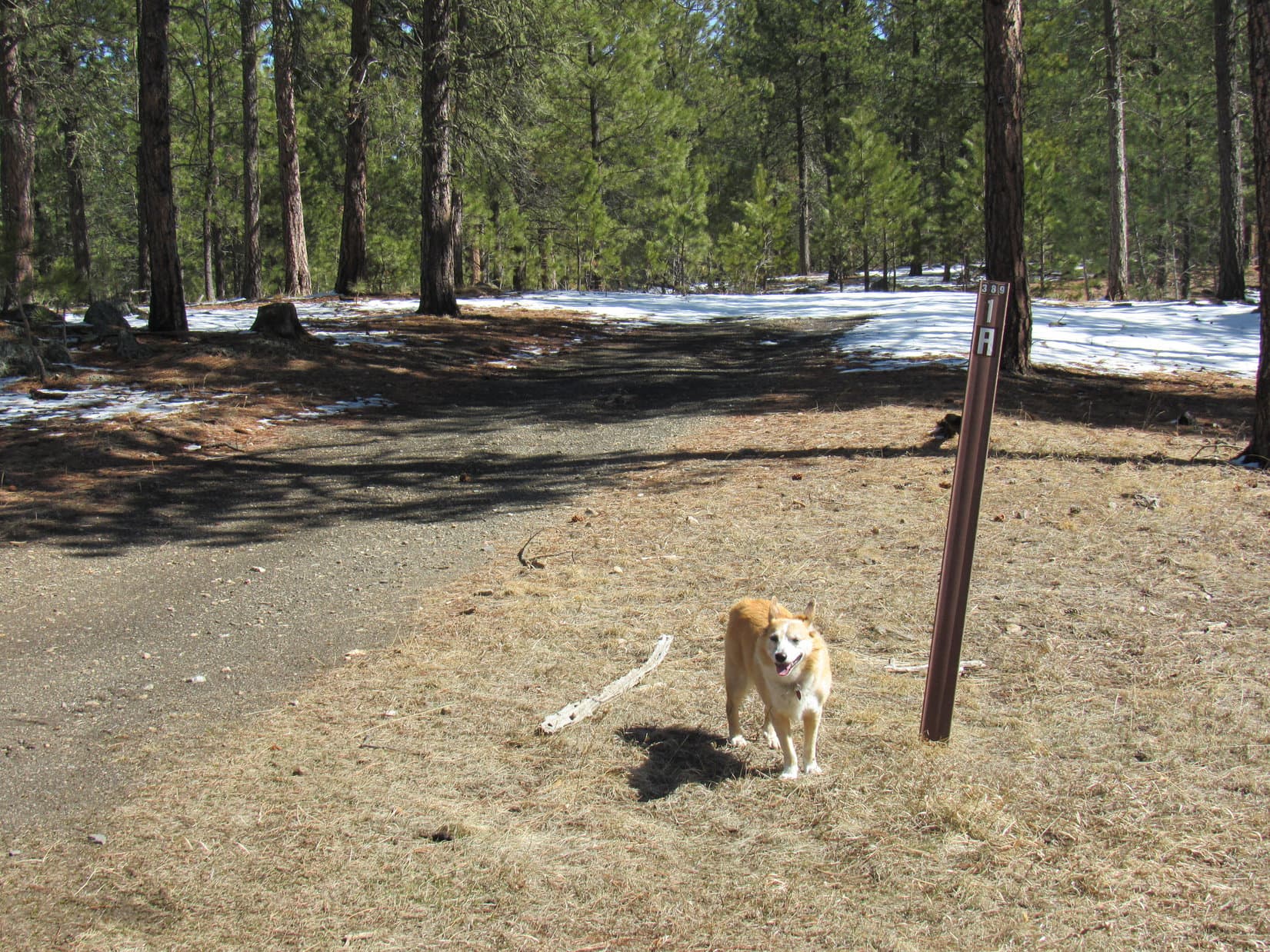
8:29 AM, 32ºF, Centennial Trail No. 89, Iron Creek Horse Camp trailhead –
SPHP! Quiet! Don’t move! A mountain lion!
A lion! Here at the trailhead? Where?
SPHP glanced around. Nothing.
Hah! Made you look! April Fools!
Oh, you’re a riot, silly Dingo! C’mon, it’s a bit of a trek. If we want to have time to climb a couple of side peaks along the way, we better get moving.

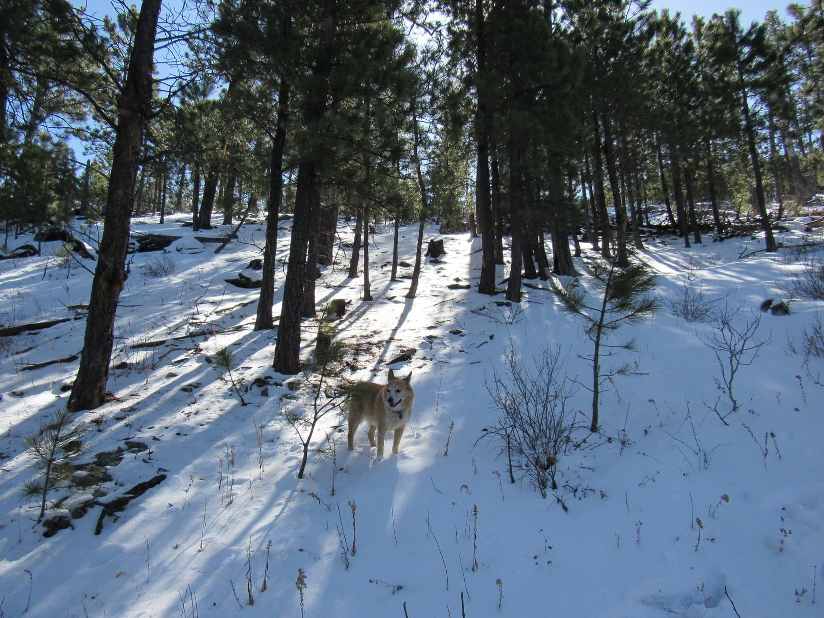
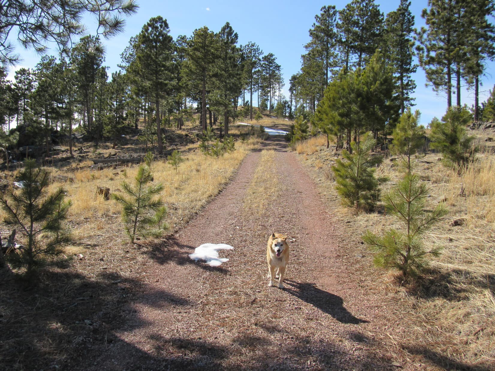
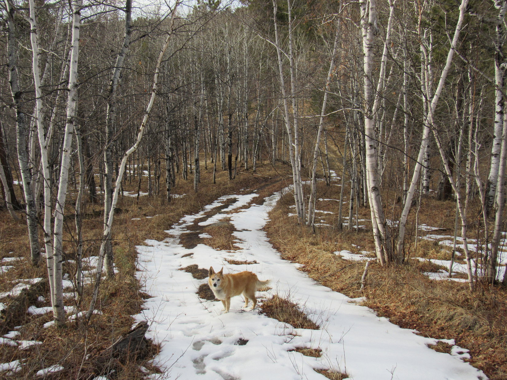
Destined for Badger Hole, Lupe left the Iron Creek Horse Camp trailhead heading S on Centennial Trail No. 89. At least temporarily, spring had sprung! Chilly this morning, but supposed to get as warm as a day in mid-May later on. The trail still had a few icy stretches as Lupe followed it up a gentle valley. Soon she was passing scenic granite formations while approaching a minor pass.


Beyond the pass was another gentle valley. A side trail soon appeared on the L. This was the spur to Centennial Trail No. 89’s official Iron Creek trailhead, which was different from the unofficial trailhead near the horse camp. Lupe went on by the spur, sticking with the main trail. Within a couple of minutes, the main trail turned R. A sign said it was 7 miles to Legion Lake.


Heading SW through the forest over a little rise, the trail quickly brought Looper to Needles Hwy No. 87. Across the highway, a closed gate over a side road could be seen a few hundred feet away. When Lupe got to the gate, Centennial Trail No. 89 took off to the L.


From the gate, Centennial Trail No. 89 went up a to minor ridge offering the first somewhat distant view of the day, several forested hills. Lupe crossed a dirt road that ran along the ridgeline, and started down into the next valley. Passing big granite formations on the L, she arrived at “Badger Gate”, a couple of granite nodes the trail went between.


From Badger Gate, the trail continued down to a tiny creek, a tributary of Grace Coolidge Creek. Off to the L (SE), a big field occupied the valley floor, but the trail didn’t enter it. Crossing a few boards that bridged the tiny creek, Lupe had a view of the field as Centennial Trail No. 89 wound along a hillside staying in or near the trees.

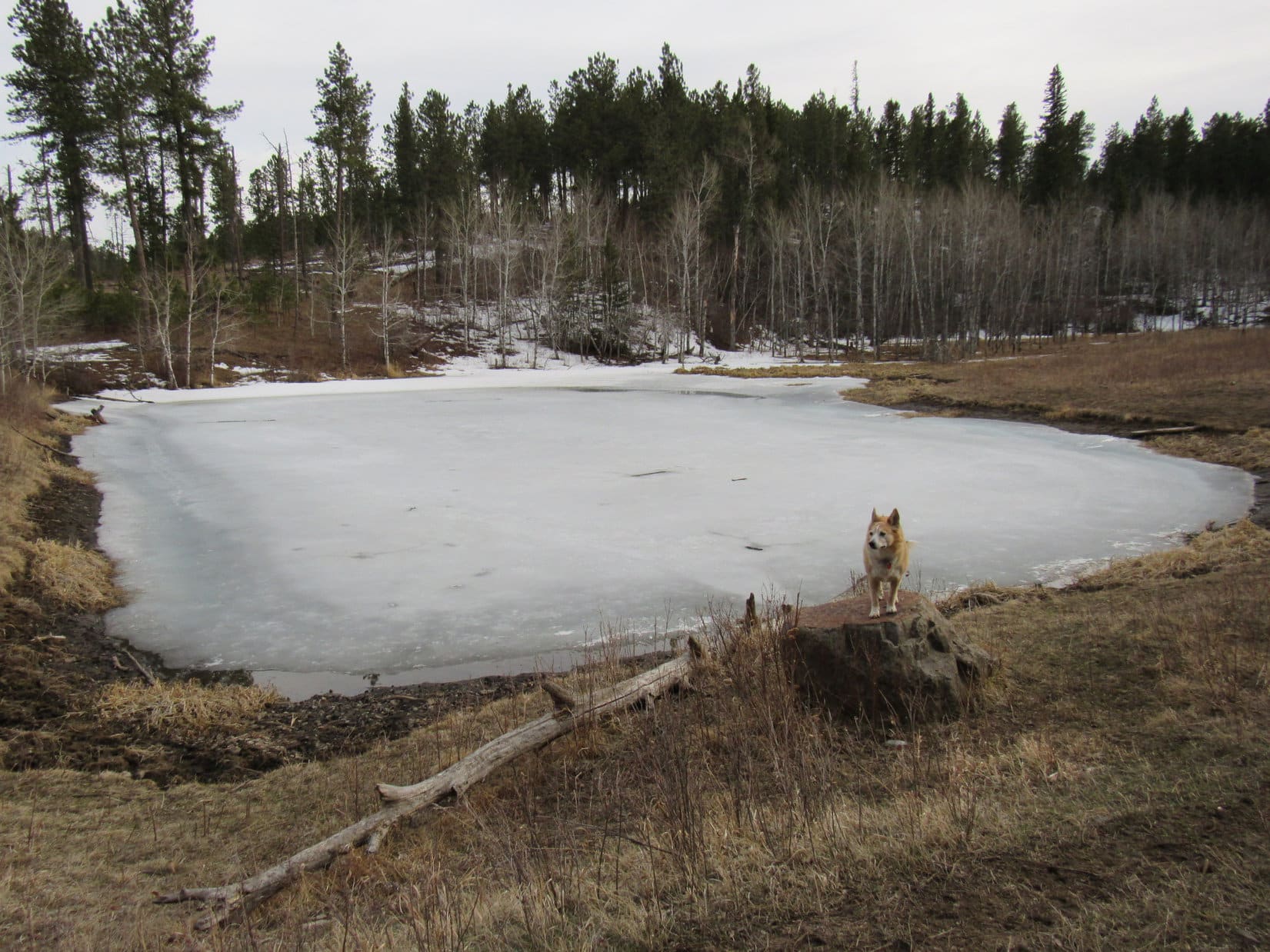
The trail went up a slight rise before descending into a narrower part of the valley right on down to Coolidge Creek itself. The stream was frozen over. Centennial Trail No. 89 headed up the shady valley, never straying far from Coolidge Creek and crossing it twice.


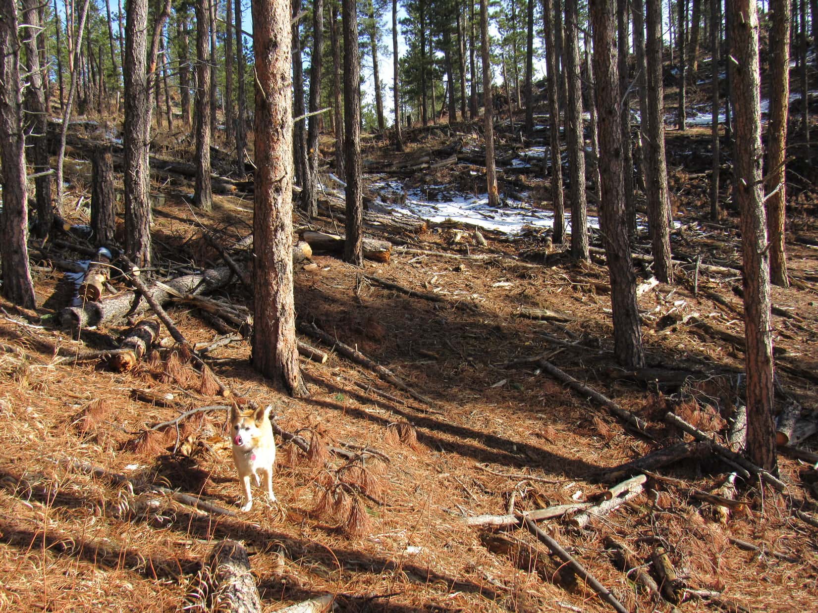
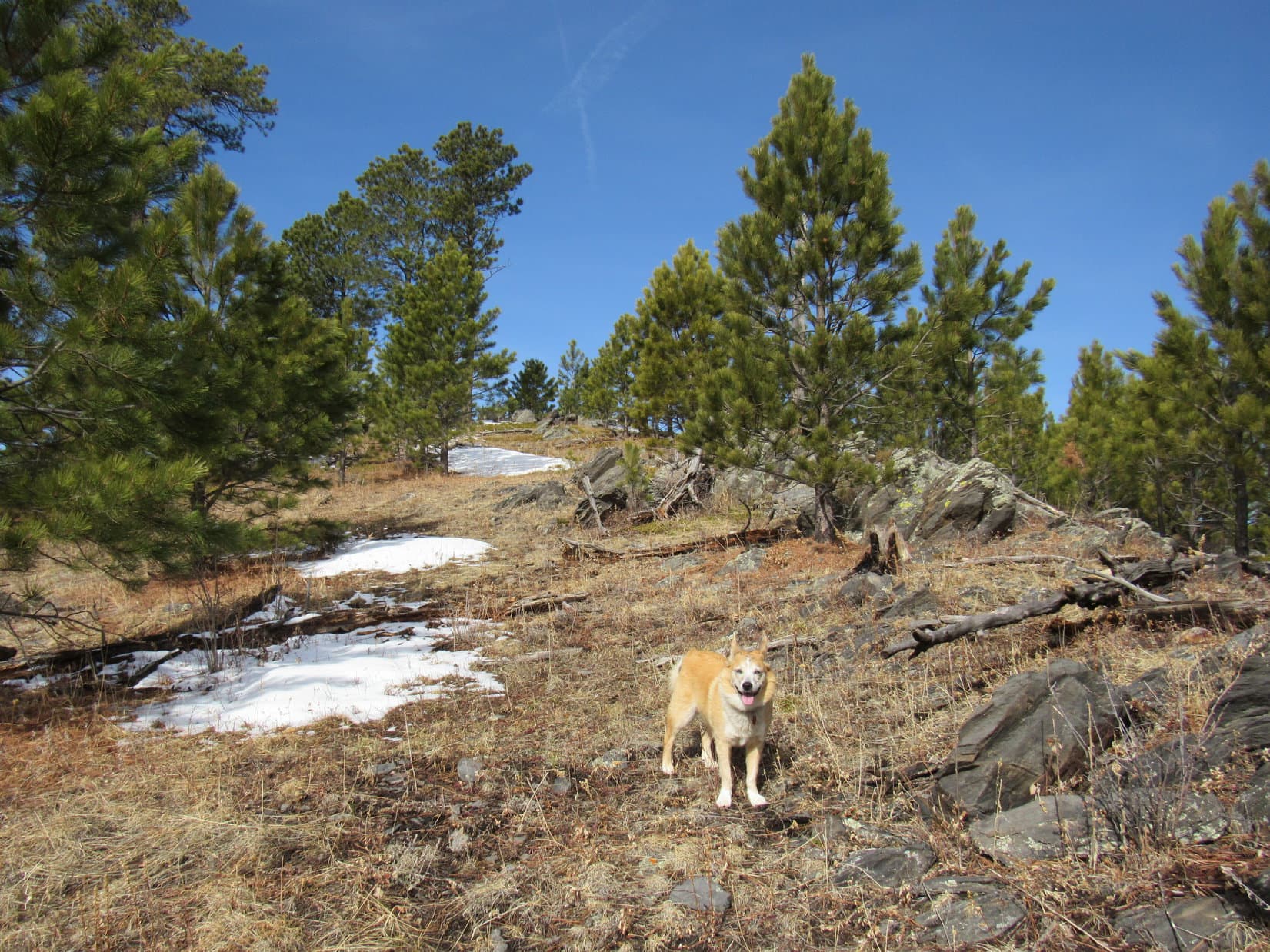
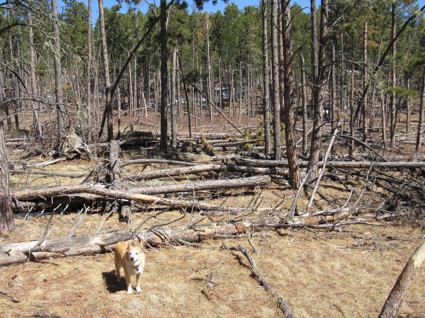
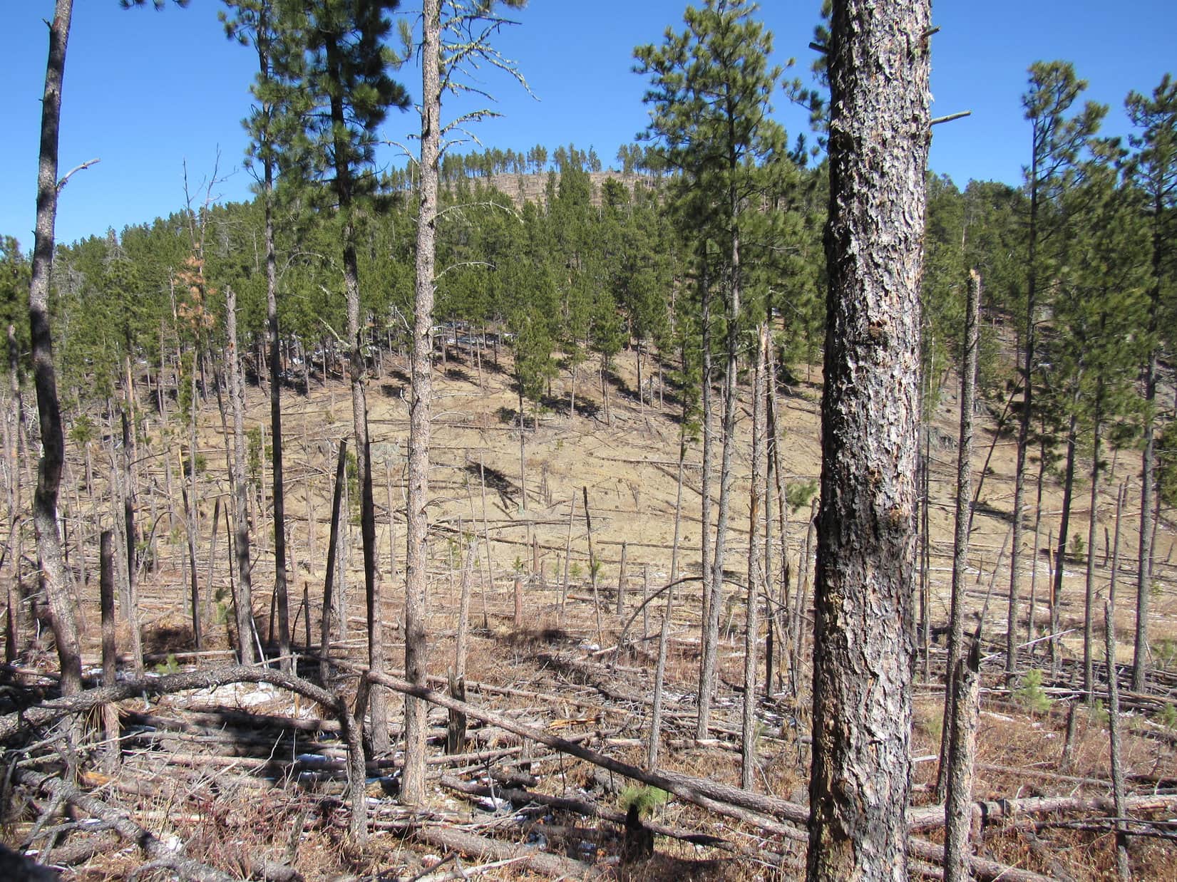
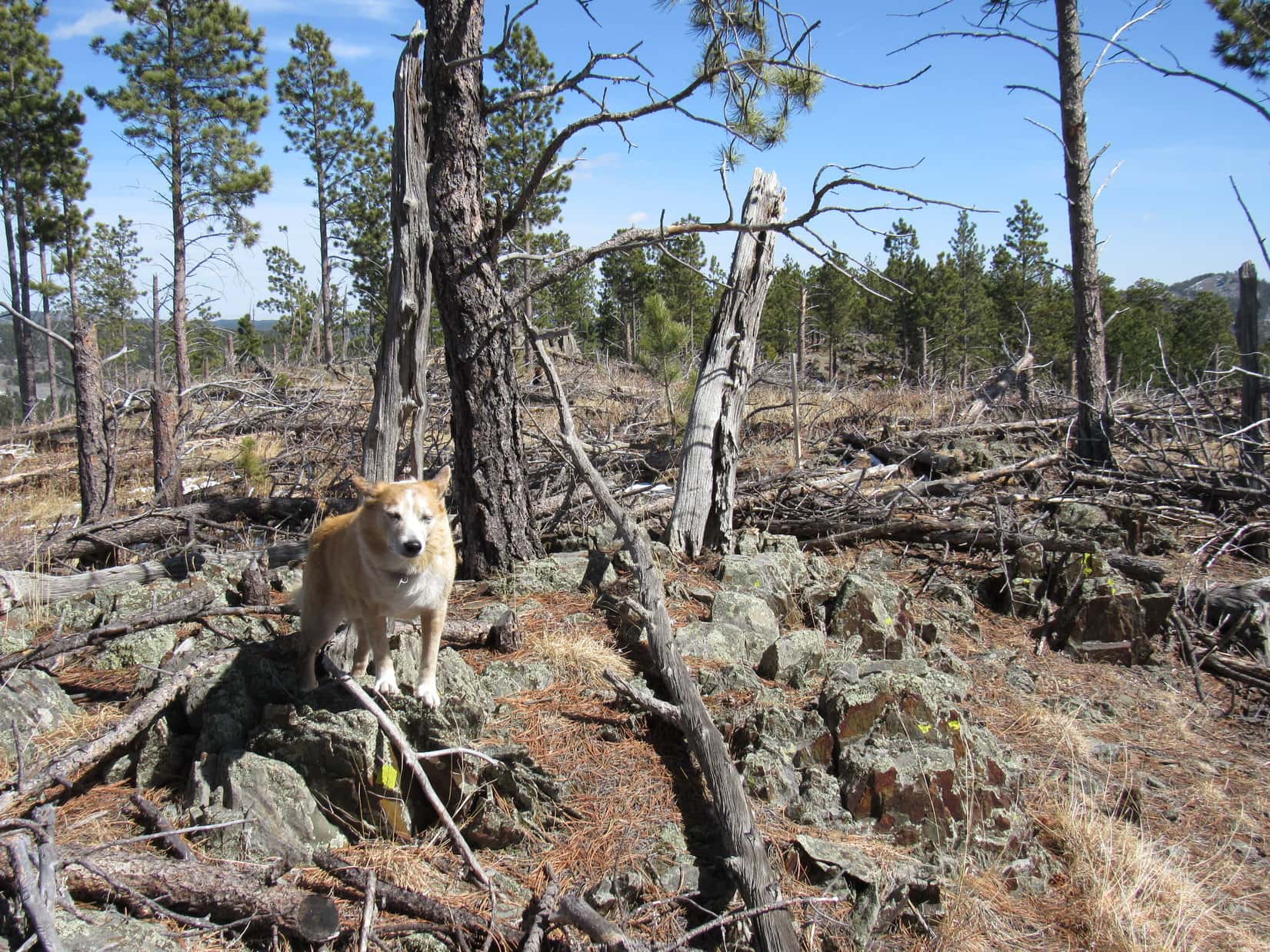
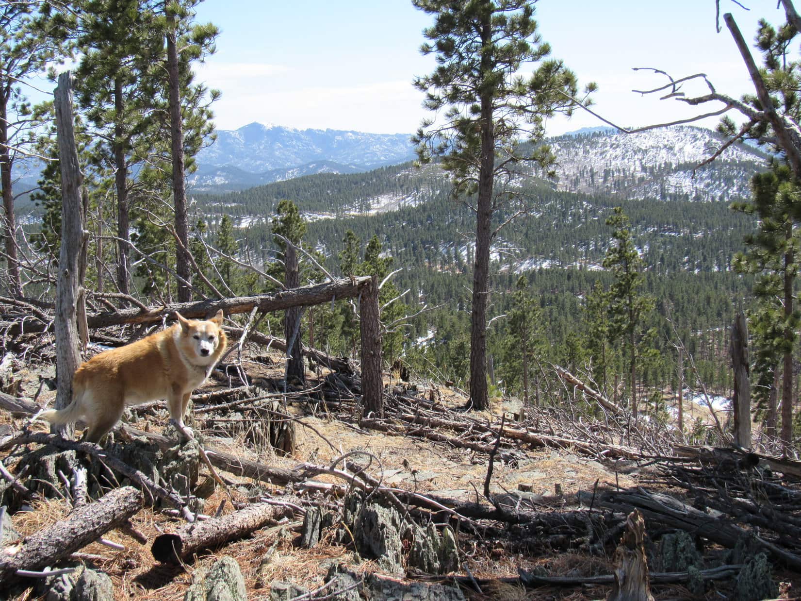
After the second Coolidge Creek crossing, Centennial Trail No. 89 began climbing out of the valley. Lupe came to a region of exposed granite on the way to a broad, forested ridge. Climbing more gradually, an old road led to a sunny open area which appeared to have been logged off some years ago.


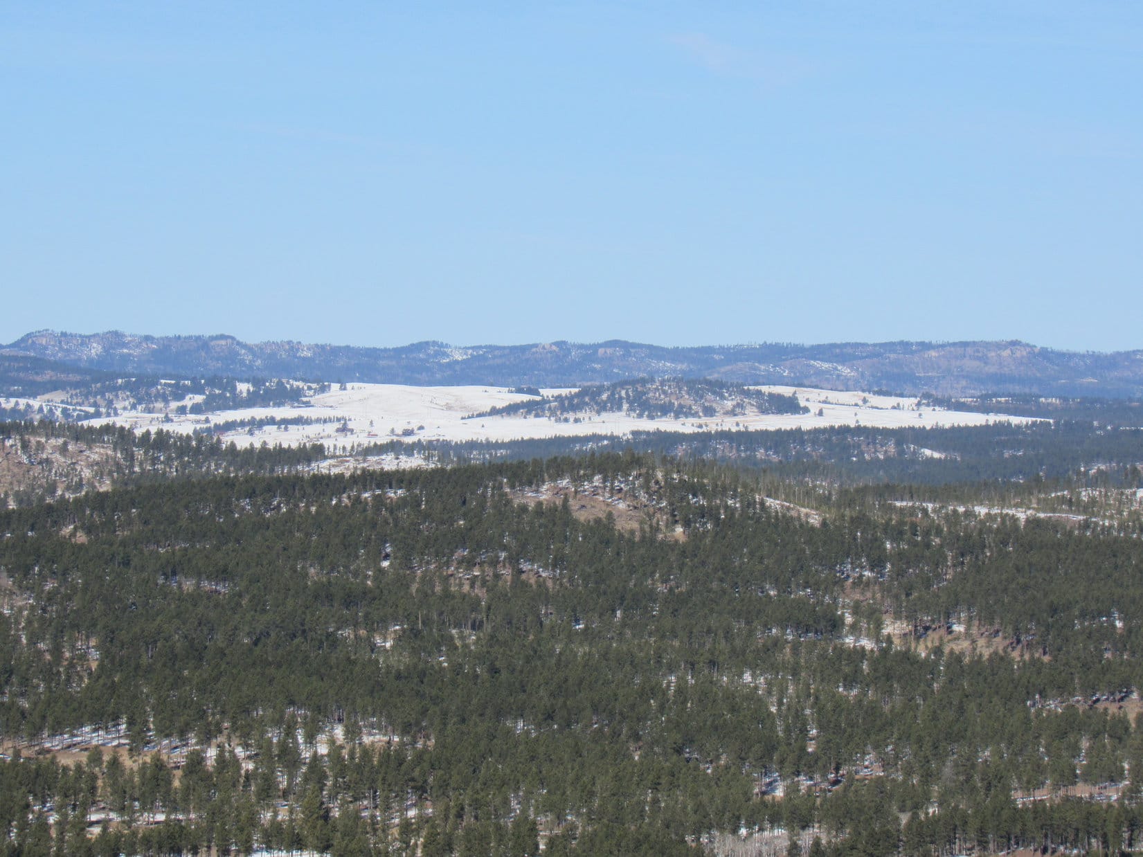
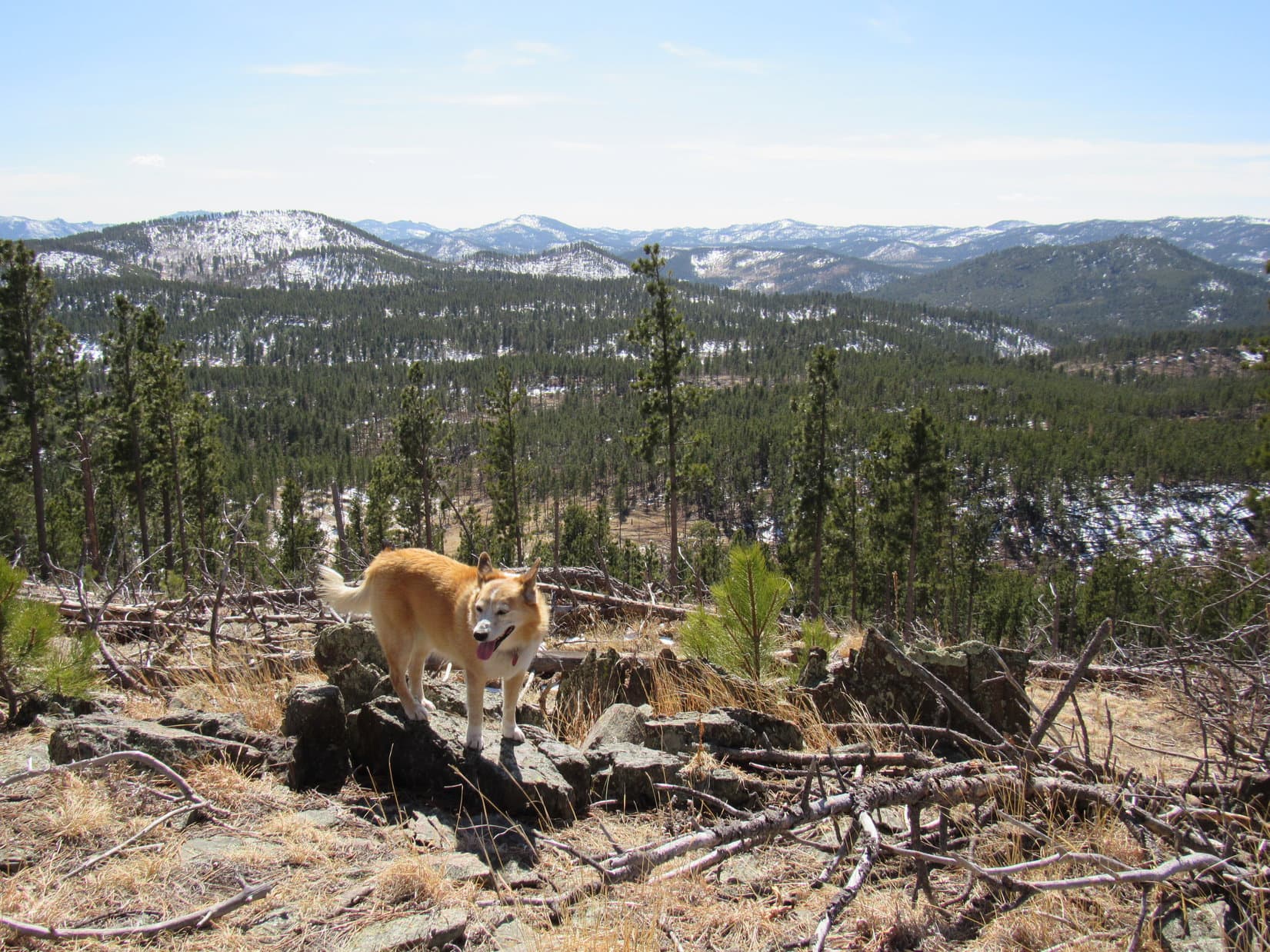
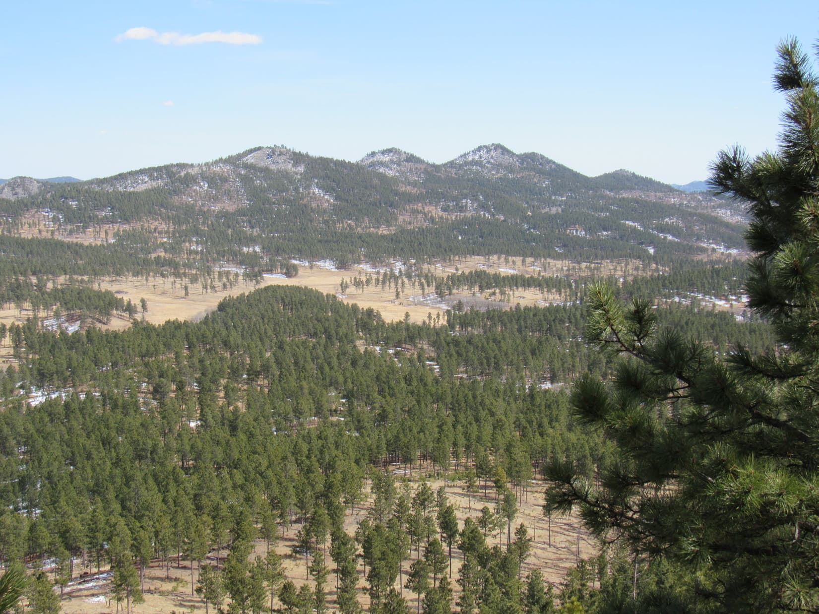
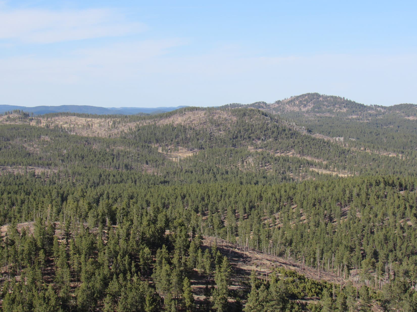
The open region was huge! Despite a few dips, the road went on and on, still gaining elevation. Black Elk Peak (7,231 ft.) was in view off to the NW. Smaller hills could be seen in almost every direction.


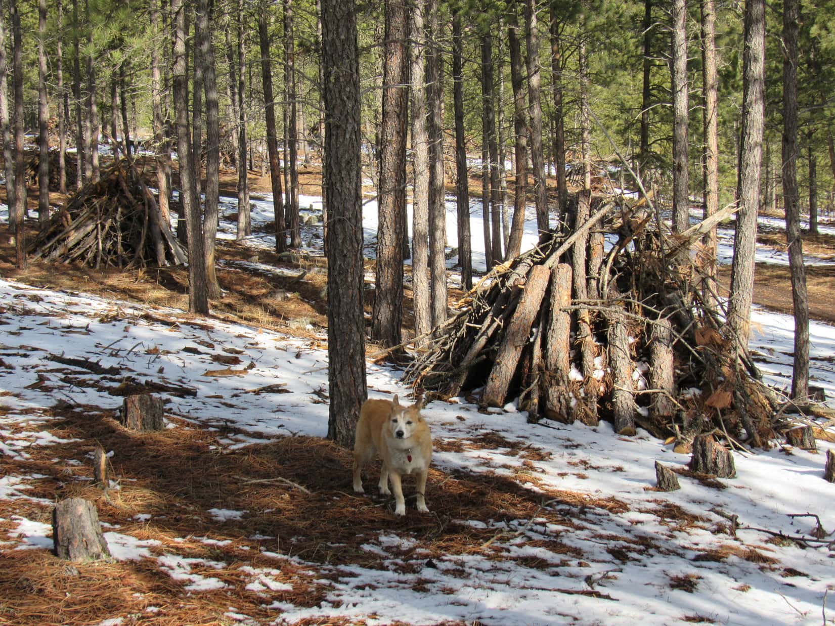
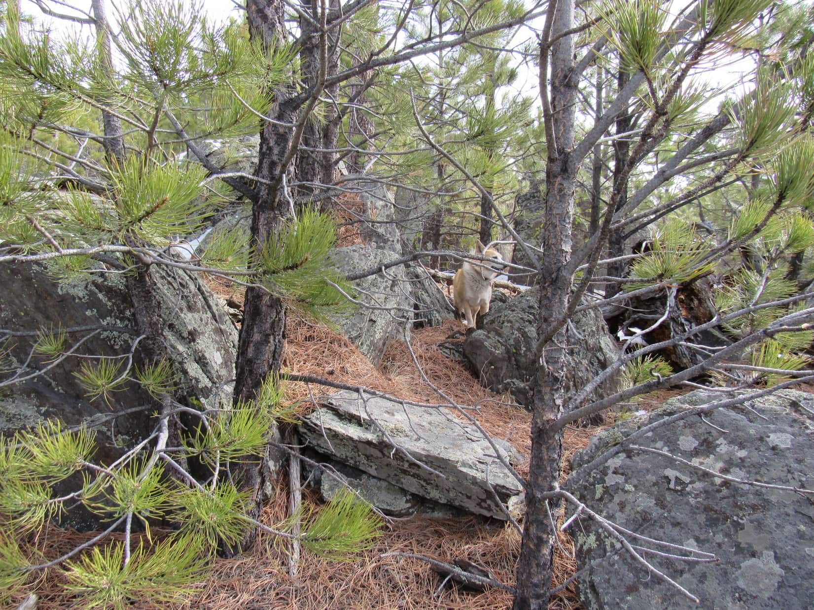
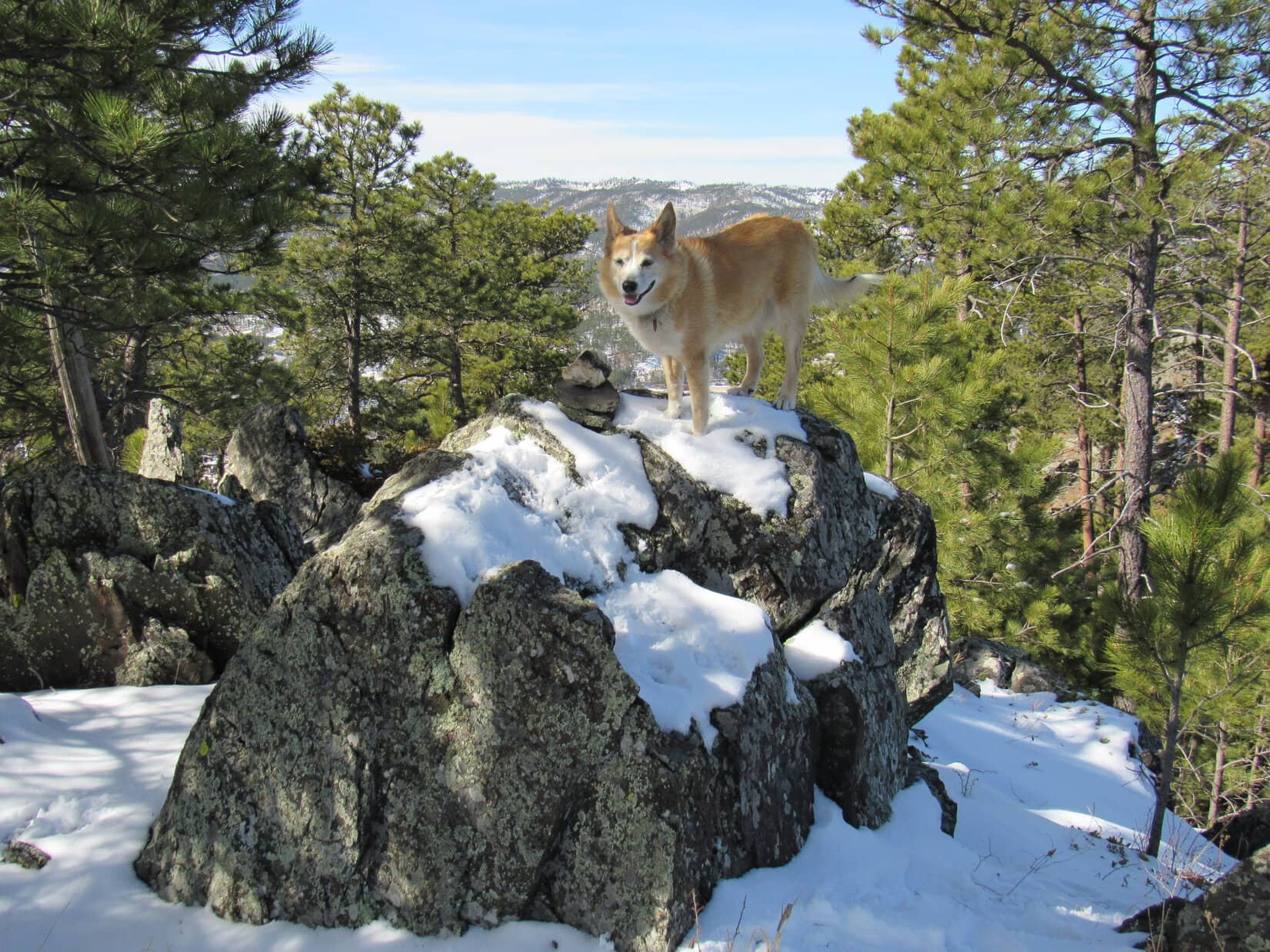
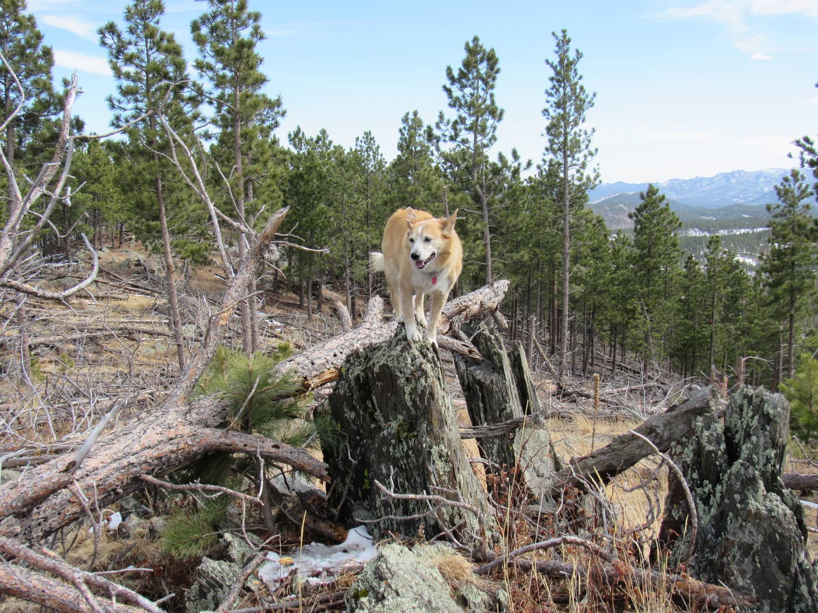
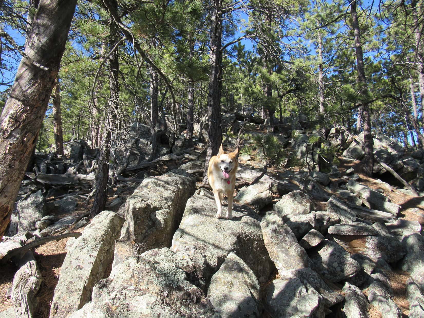
After a sunny mile or so, Centennial Trail No. 89 re-entered the forest. The trees had been thinned here, too. Big granite outcroppings were visible nearby. The trail dipped going around the W side of an especially tall formation. 12 minutes later, Lupe made a discovery.


SPHP! Look! A monster!
Oh, yeah right, Miss April Fools!
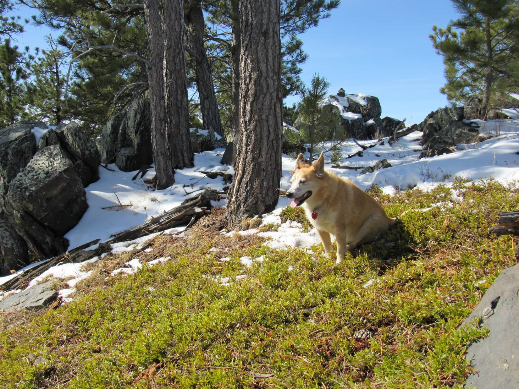
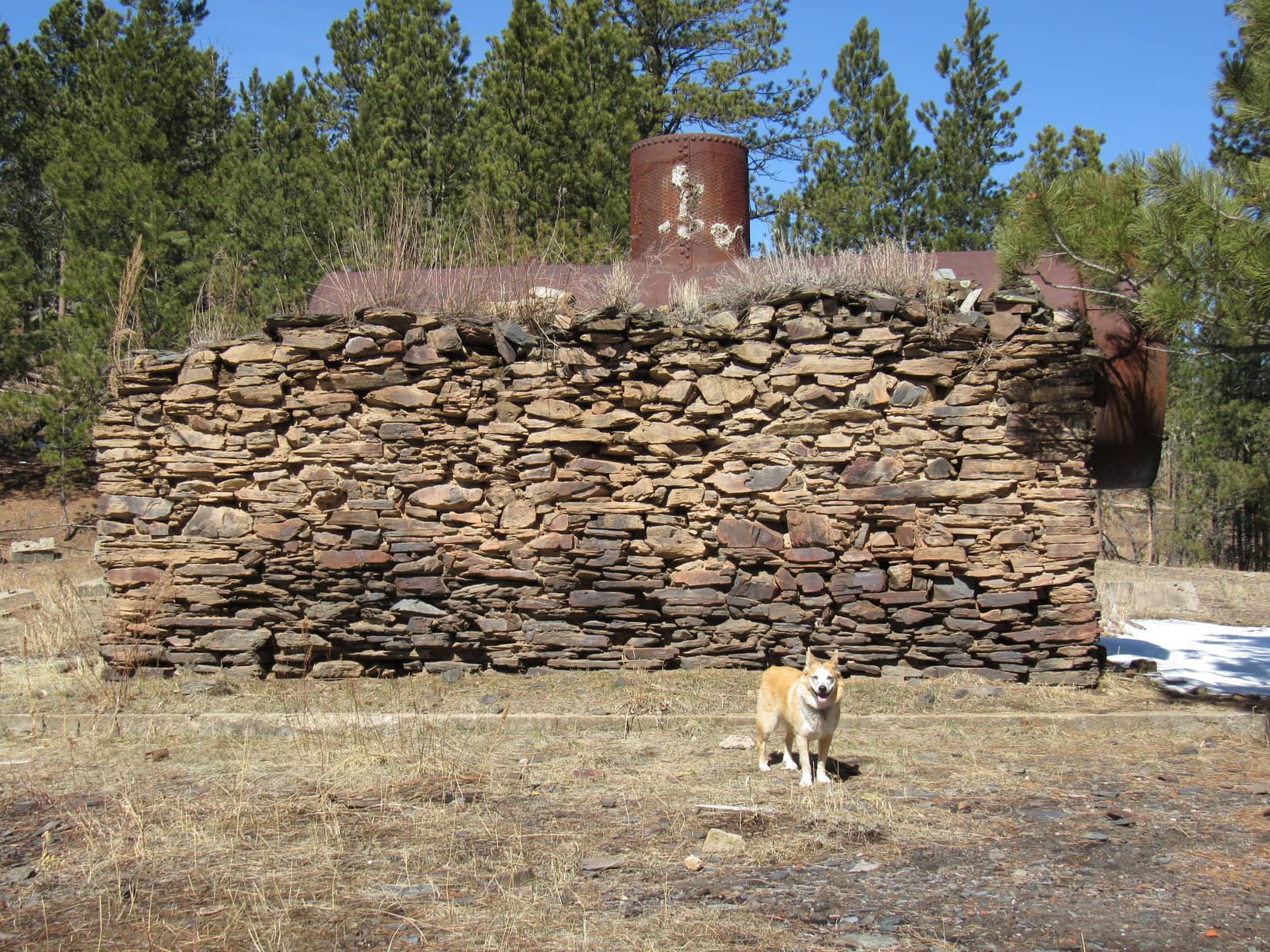
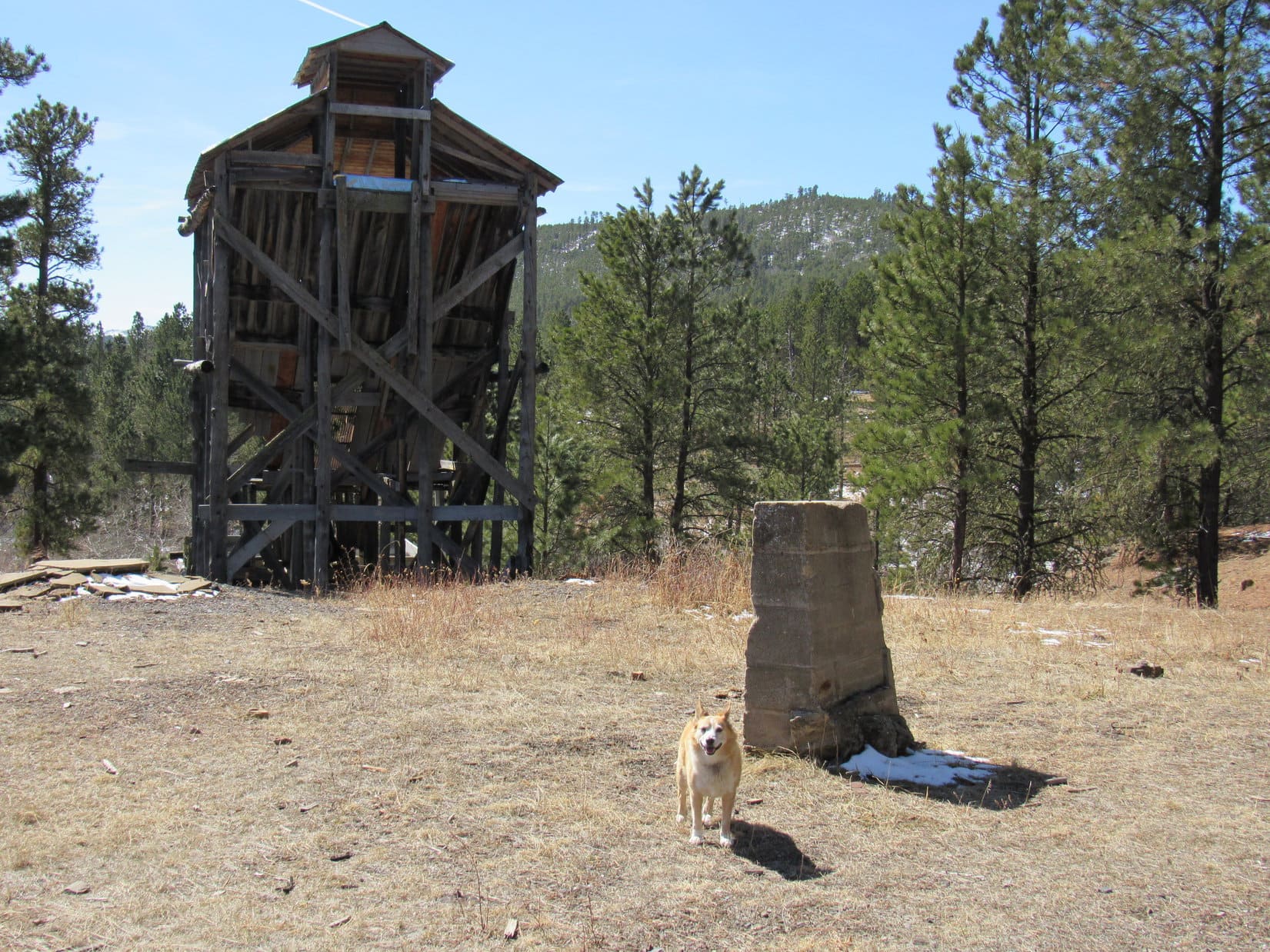
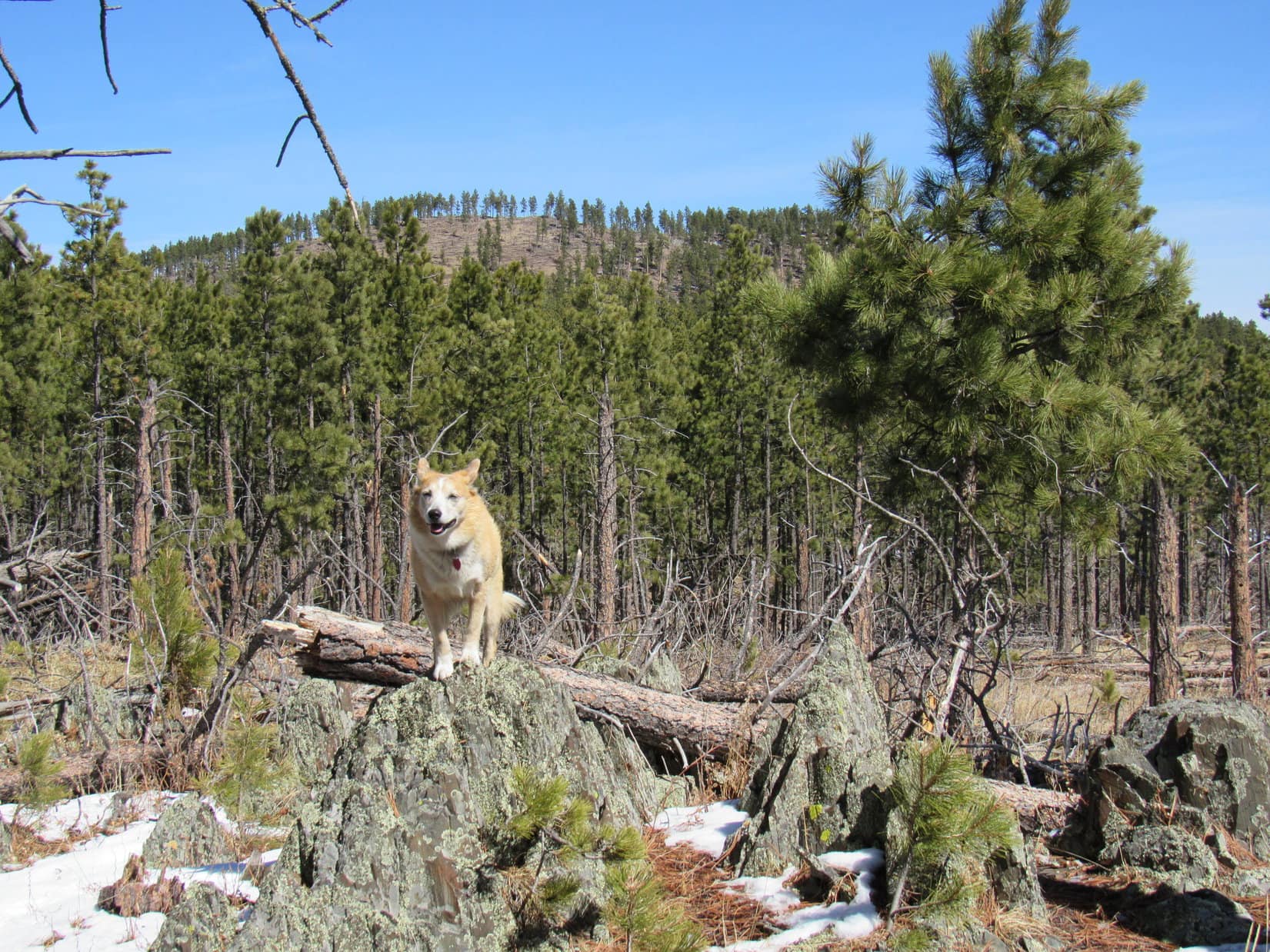
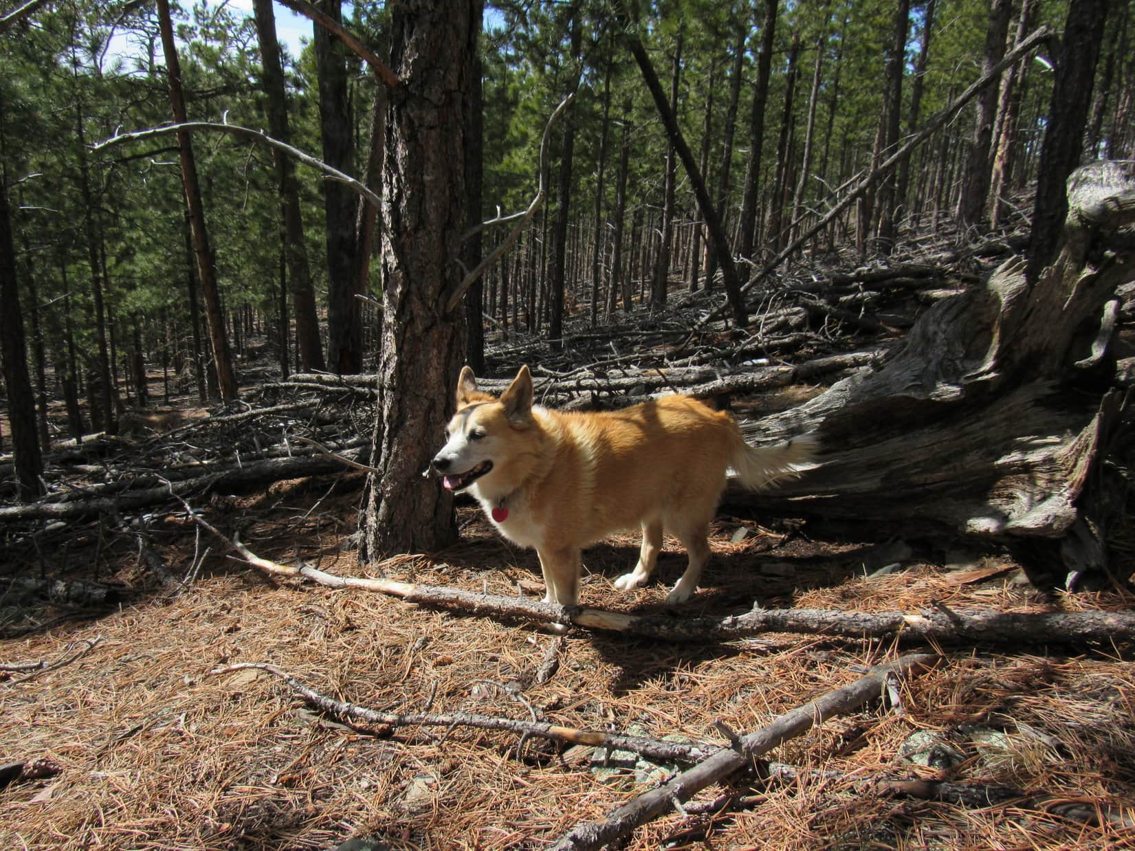
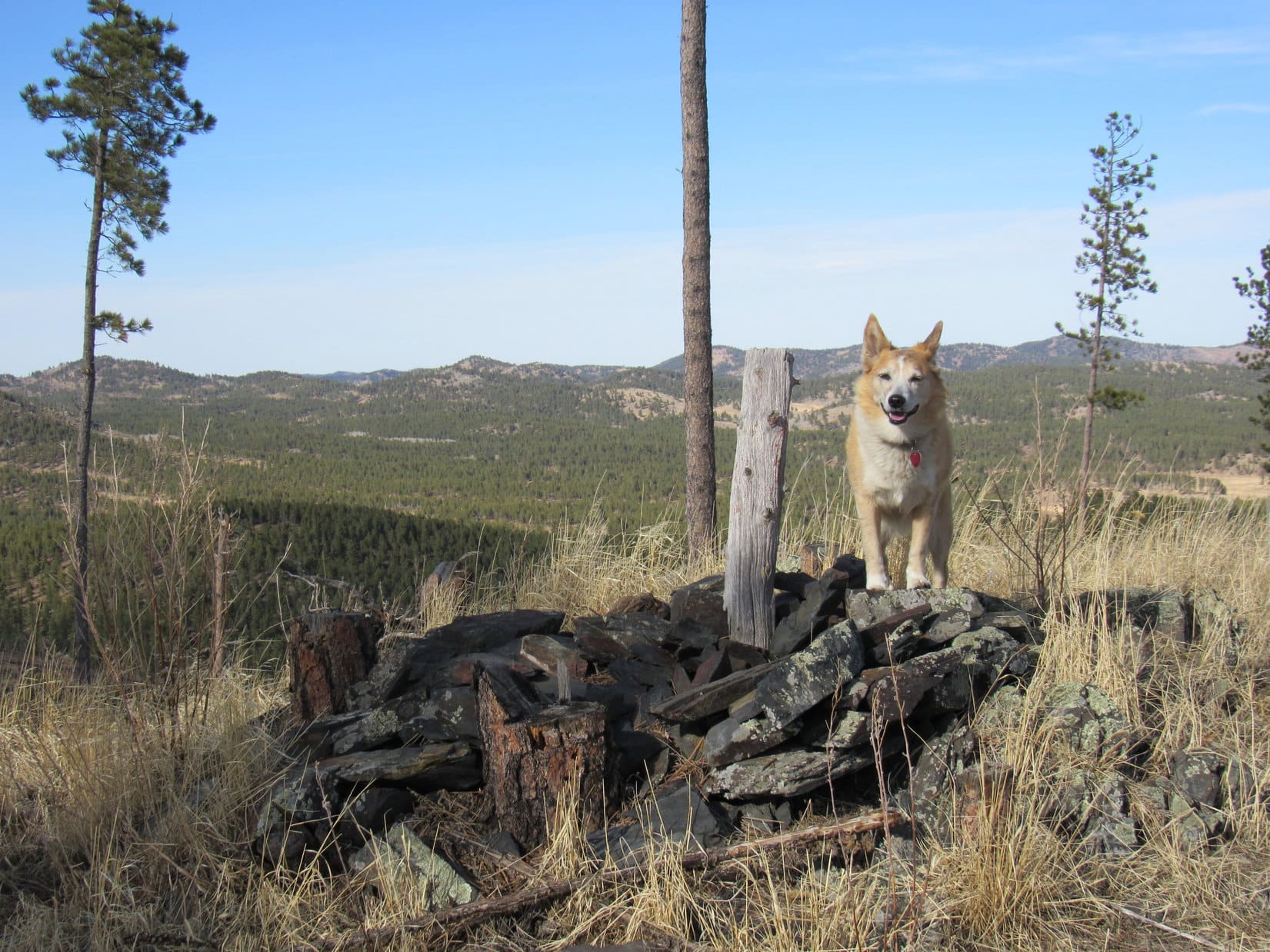
Turned out she was right! This time the American Dingo wasn’t fooling! The Claw was lurking just ahead. Peak 5880 was visible beyond it. Lupe would have to go right past The Claw, if she wanted to get there.

Fortunately, The Claw was acting none too lively. It appeared to have been lurking here for so long that it had forgotten why. Slipping past it was no great feat at all. Soon the Carolina Dog was closing in on Peak 5880. Centennial Trail No. 89 was heading right for it.


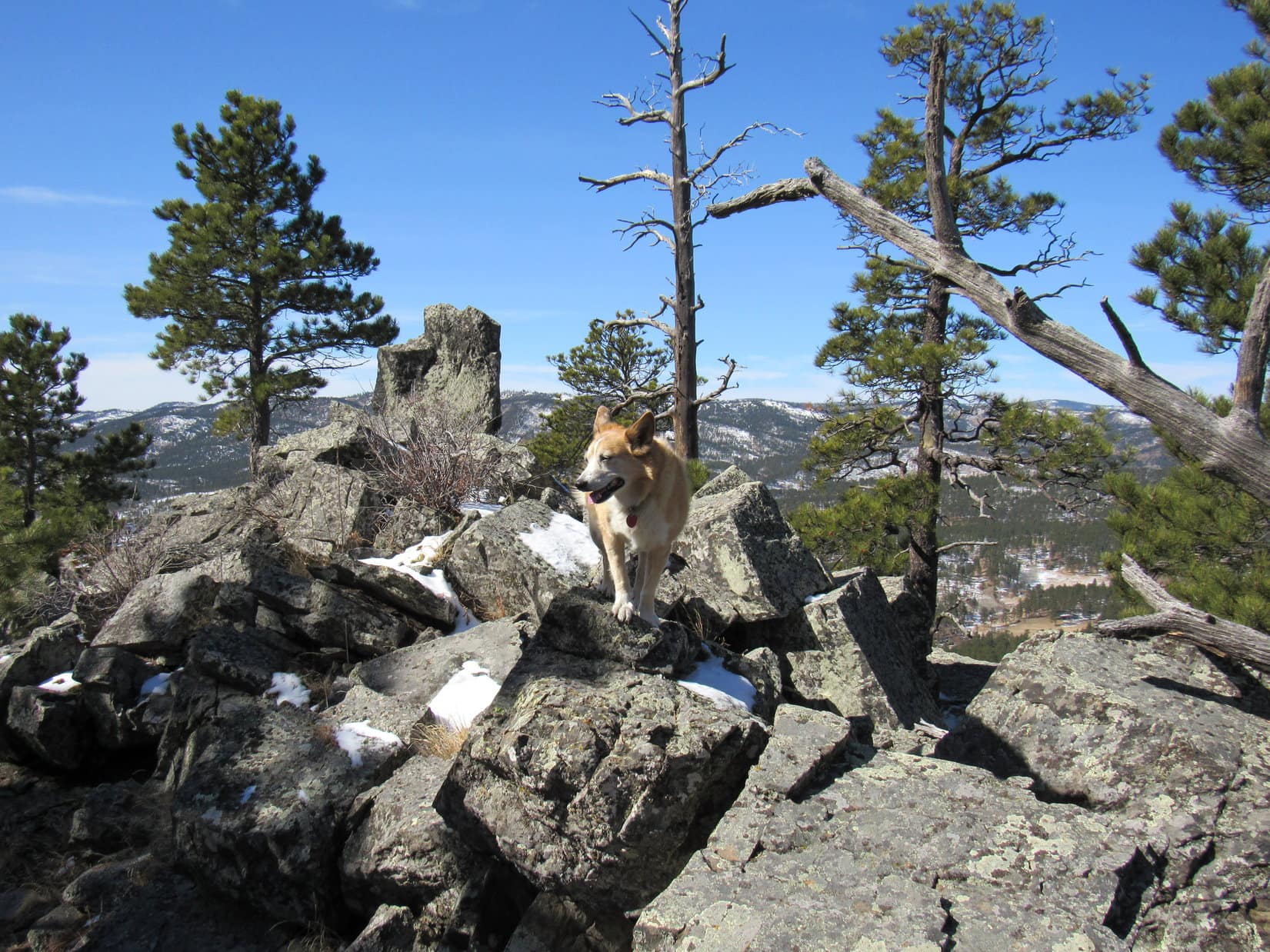
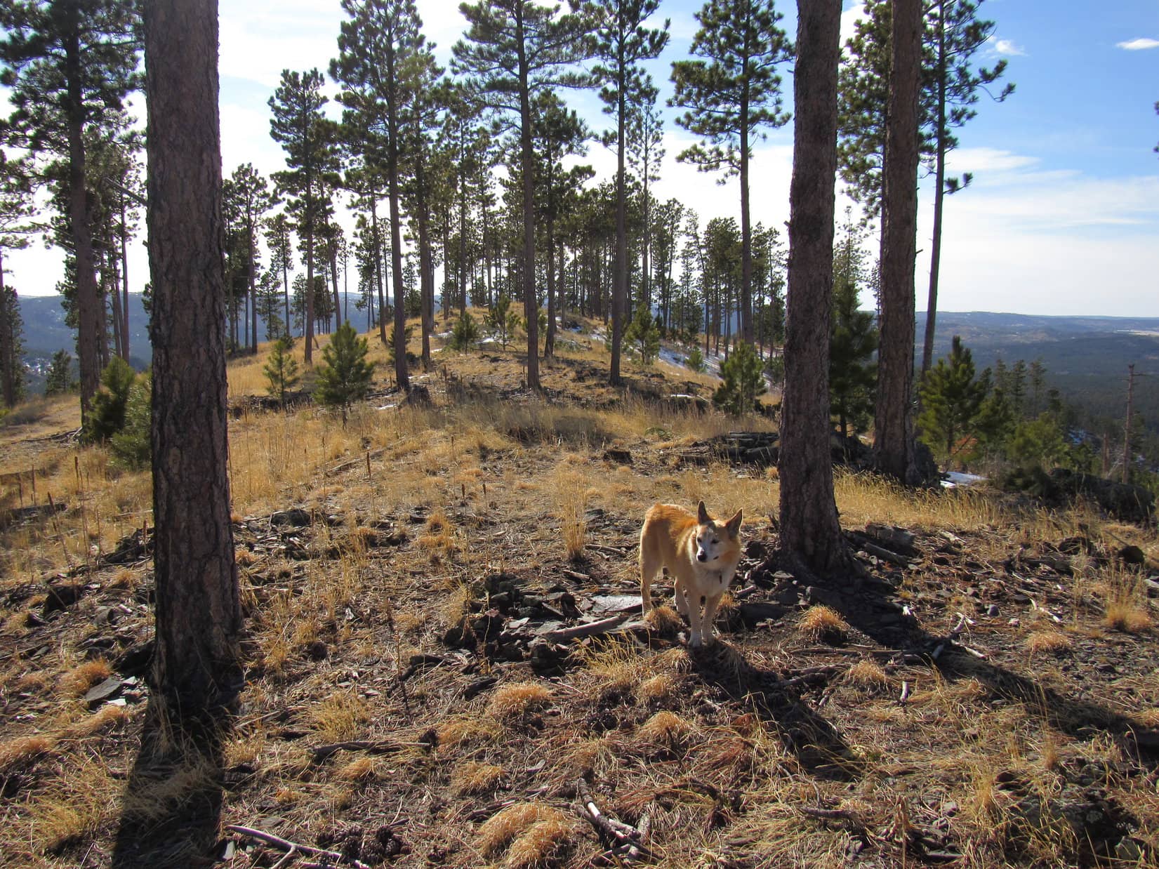
When the trail got to the N side of Peak 5880, it curved SE along its base. Peak 5880 was a chance to do a little peakbagging. In fact, Lupe had climbed it once before only a couple of years ago. The American Dingo left the trail where it got closest to a saddle 0.2 mile SE of the summit.
Snow, slash, and various chunks of wood left by loggers to contend with, but overall, getting up to the saddle wasn’t all that hard. From here, Lupe enjoyed a distant view of Northeast Cicero Peak (6,240 ft.).


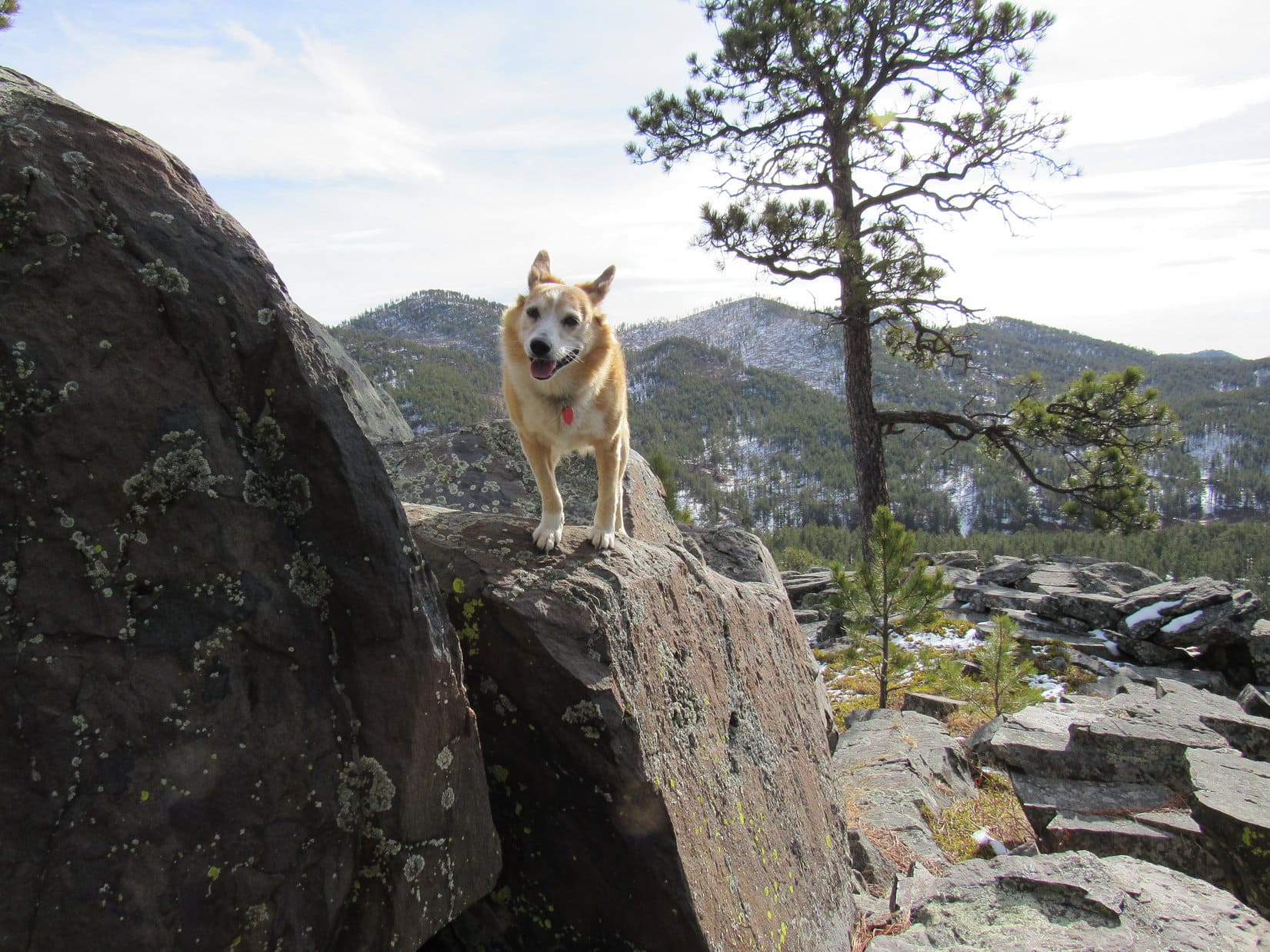
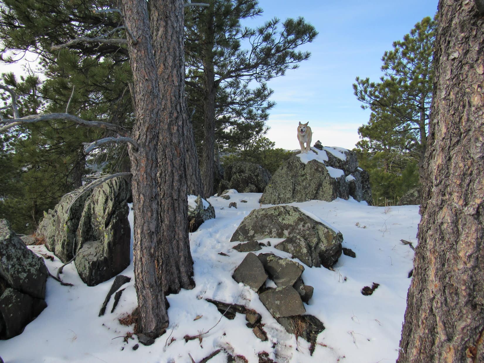
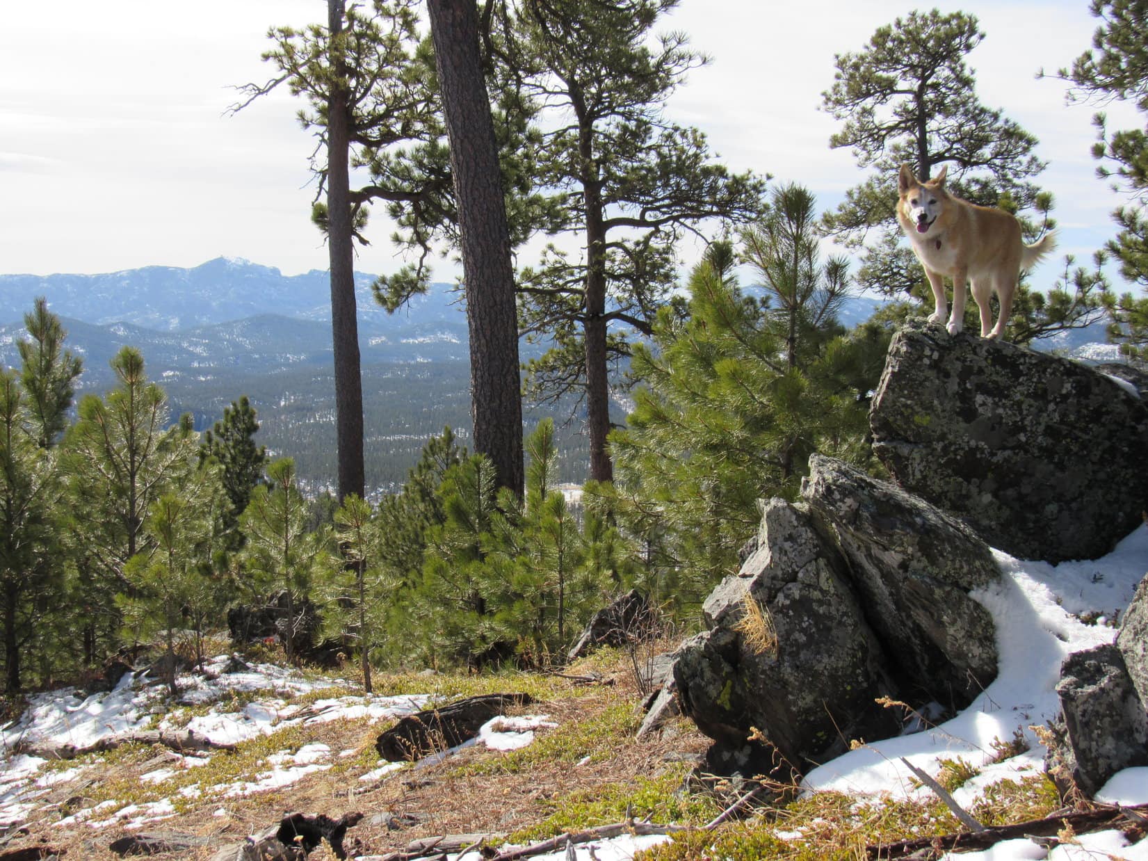
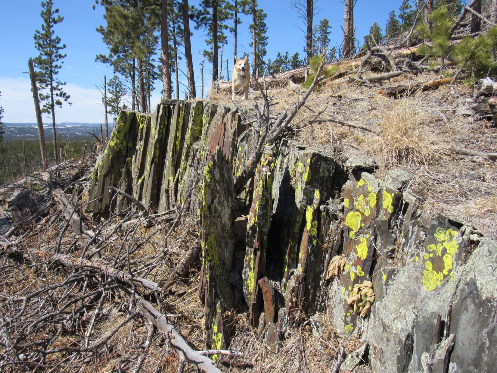
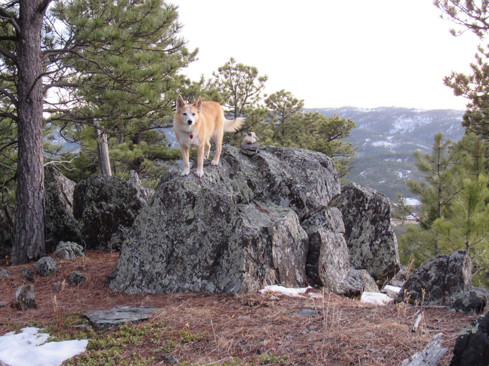
The climb along the SE ridge to the summit was much harder, partly since it was steeper, but mainly due to copious quantities of deadfall. The ridge finally leveled out, though, and Lupe came to a platform of rock overlooking a last slash-filled gap leading to the summit.

11:58 AM, 58ºF, Peak 5880 – Lupe stood on one of the highest rocks, then it was time for a break. Peak 5880’s cramped summit region had enough room to allow the Carolina Dog to relax practically right next to the true summit rock, but not to move around much.

Is it lunch time yet, SPHP?
Practically on the dot, Loopster! You hungry, thirsty?
Thirsty? Not really. Been eating snow. Not that hungry yet, either, but if you happen to have a chocolate coconut bar in that pack, it would go down pretty easy right about now!
You don’t say! As always, I presume. Well, I’ll see what I can do.
The chocolate coconut bar supply took a hit, and minor shrinkage of the Taste of the Wild supply occurred, too. SPHP slowly munched an apple. Off to the E were a couple of ridges Lupe had climbed once upon a time, Peak 5647 and Peak 5733, but that was about it for views due to the big pines that were providing all the shade.

Loop and SPHP lollygagged up by the true summit well after the apple no longer existed, but there was a limit to how long that could go on.
Not a bad spot, but never really thought we would ever be back here, did you, Looper?
Oh, it doesn’t bother me coming back to the same places again, SPHP! A new experience every time! You never know what might be different.
True enough, but that’s not what I meant. This just seems like an out of the way place. If it weren’t for Centennial Trail No. 89 bringing us right past Peak 5880, we probably would have kept busy with other stuff, and never been back.
I’m glad we’ve returned, SPHP, but maybe we ought to have a look around, since this might be it for Peak 5880 the way you talk!
Good idea! We’re still miles from Badger Hole, so let’s do that, then head back to the trail.


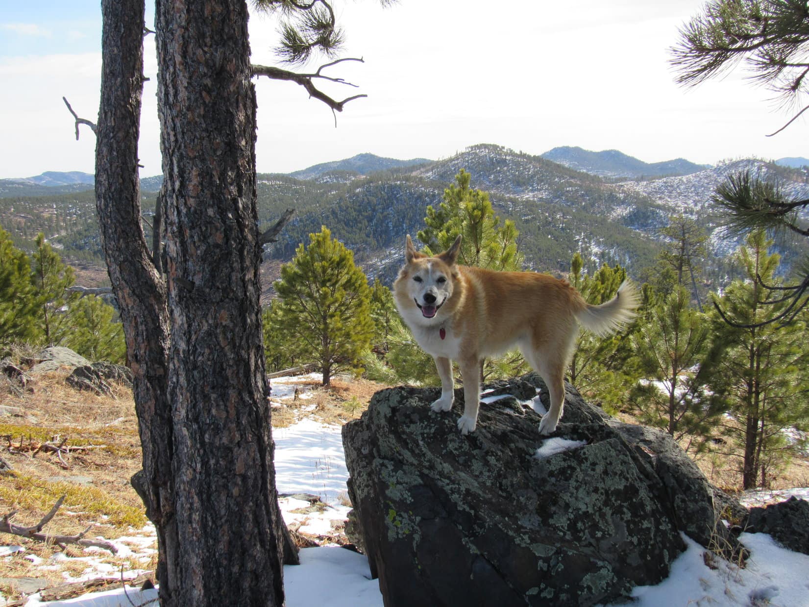
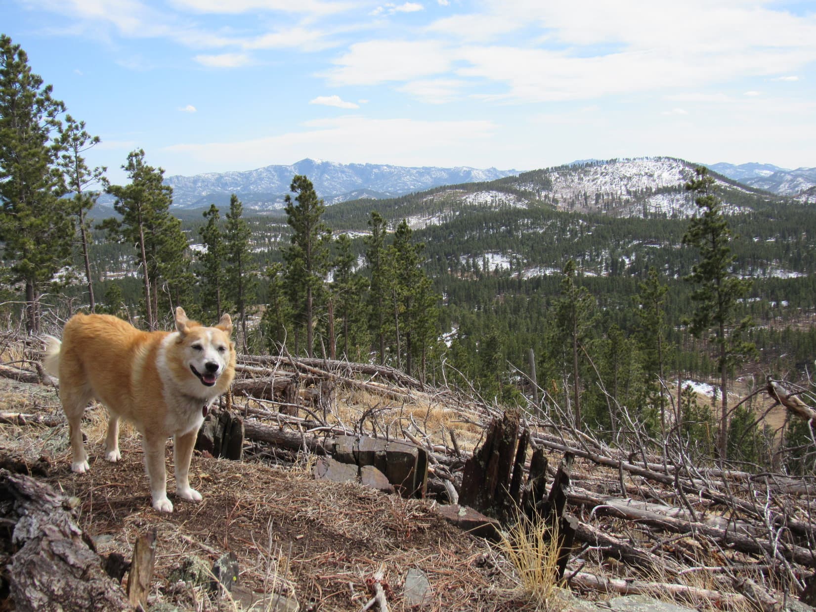
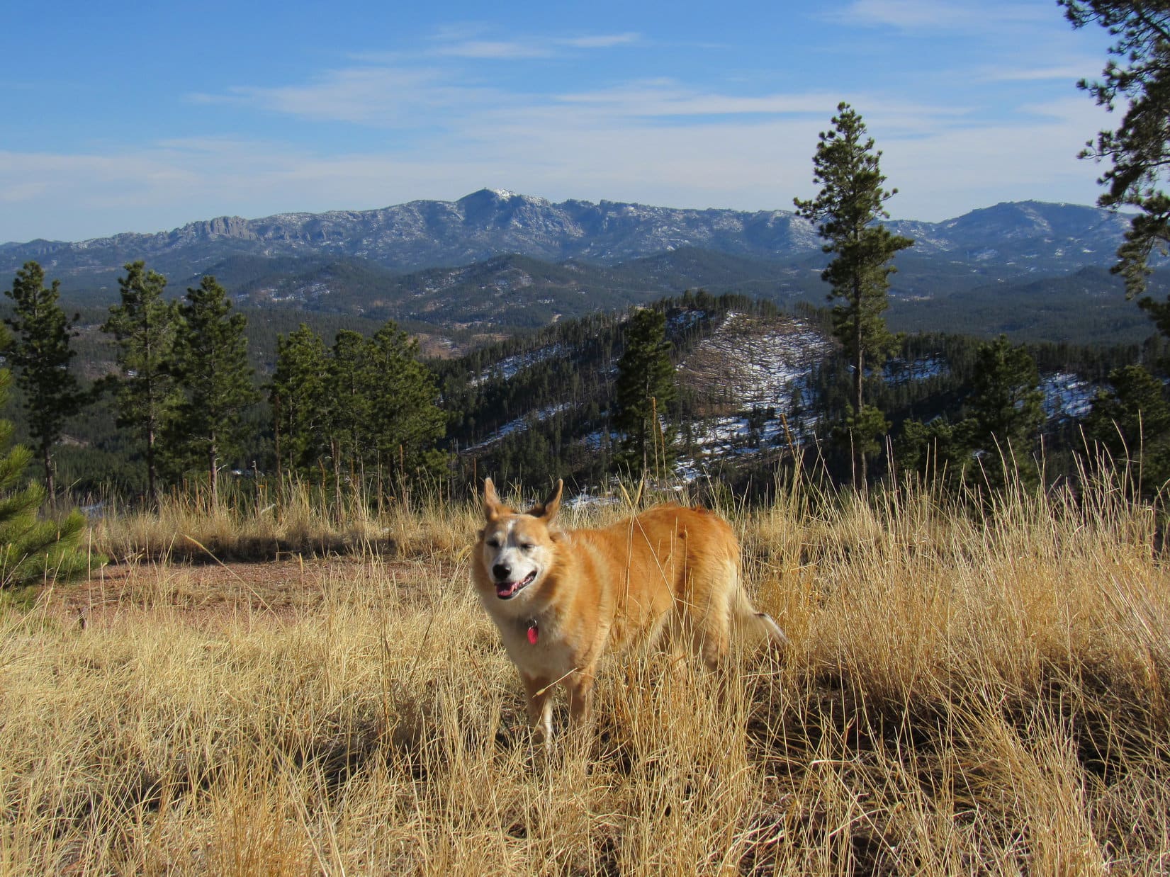
After venturing out onto the steep, rocky N ridge, Lupe had to go back over the summit and downclimb a bit to explore a larger, flatter area to the S. Not much to be seen since this region was densely forested, but Loop did get a glimpse of Mount Coolidge (6,023 ft.) to the S. Off to the SW, Custer Mountain (6,089 ft.) and Peak 6040 were visible beyond Stockade Lake.


Peak 5880 had been a fun break. Having seen what there was to see, Loopster returned to Centennial Trail No. 89 by essentially the same route she had come up. Leaving Peak 5880 behind, the trail curved NE beginning to lose elevation. A turn to the R (E) following a different dirt road led down to a low spot in a wide valley.
Loop was now in the upper reaches of the Little Squaw Creek valley, but so far up it that there was no sign of a creek. Centennial Trail No. 89 went around the N side of a fenced area, turned S, and began to climb. Lupe soon came to a pass with massive granite walls on the L (E).


The next valley, also dry, was part of the Galena Creek drainage system. Huge granite formations E of the trail eventually disappeared as Lupe kept going. The valley widened, and became quite grassy and flat.

10 minutes from the pass, the trail divided at a well-signed junction. The Carolina Dog had a choice. Take the trail veering off to the L (SE), which was the shortest route to Badger Hole, or stay farther W continuing S down the valley?


Any preference, SPHP? I’d sort of like to catch a badger as soon as possible!
Oh, doesn’t that sound like fun? A badger – Dingo fight! However, the short route goes partway up Peak 5733, and I’d like to save that for later on the way back. Take the long route, please.
Siding with the badger, are you, SPHP? Giving it a reprieve? Fine! Just dandy! Only temporary, I assure you. As you wish, the long route it is!
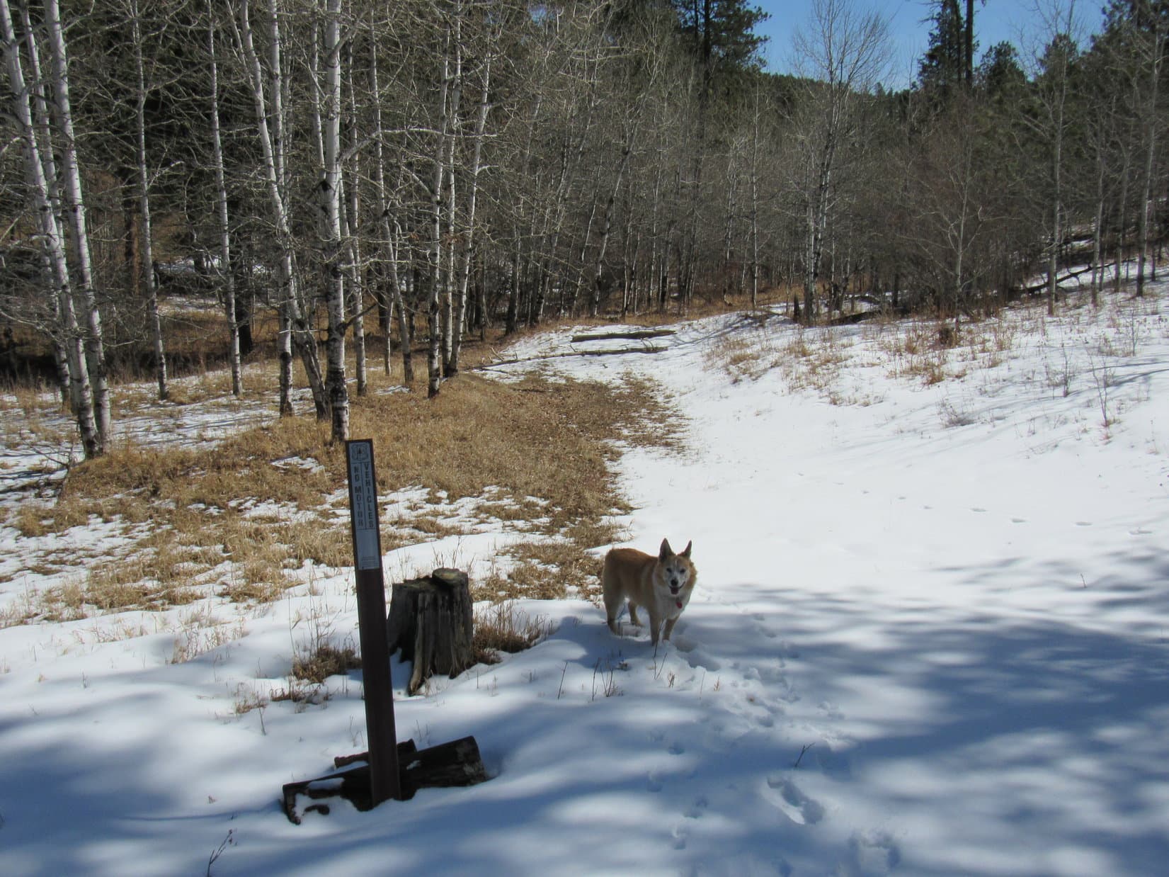
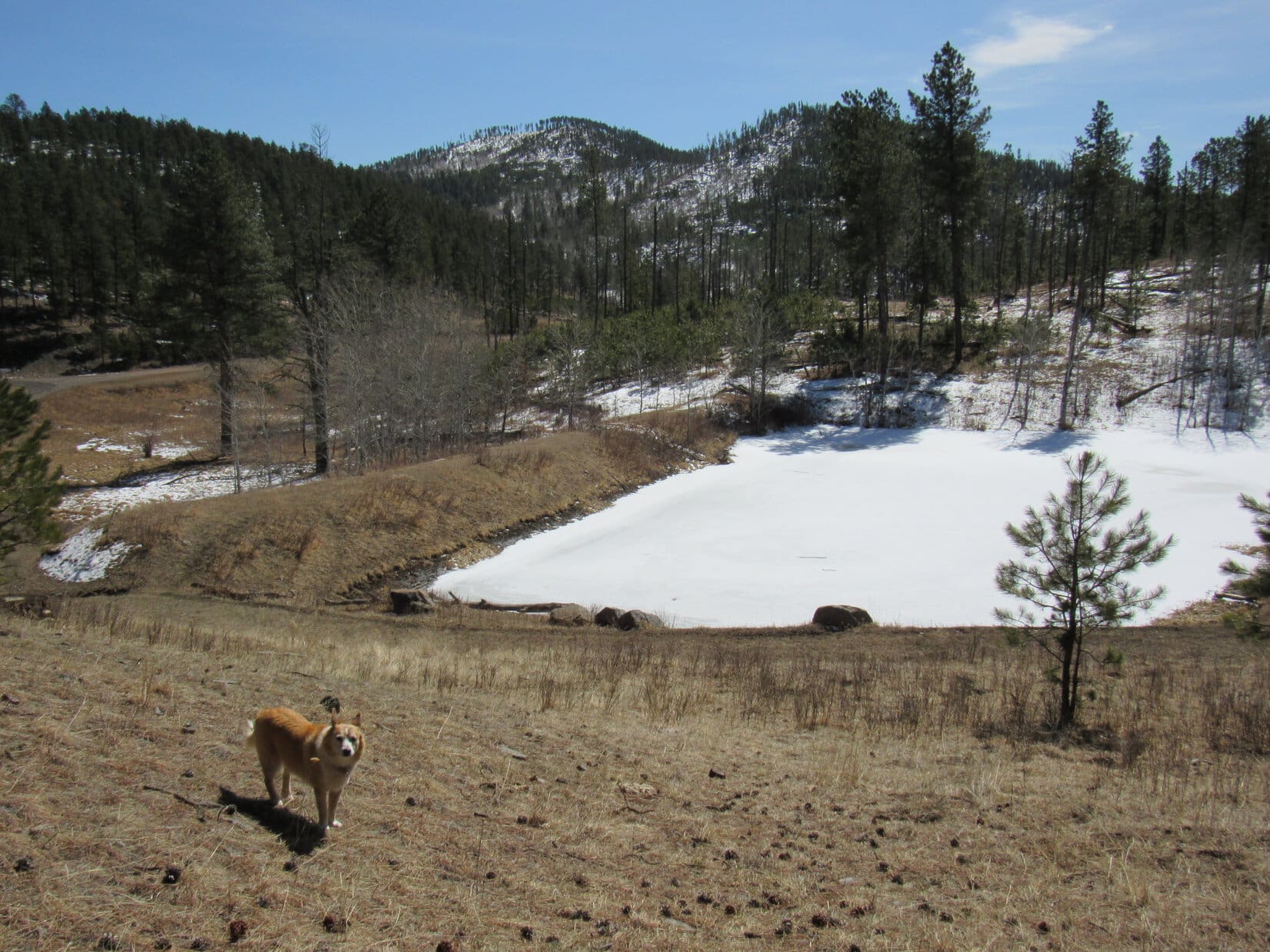
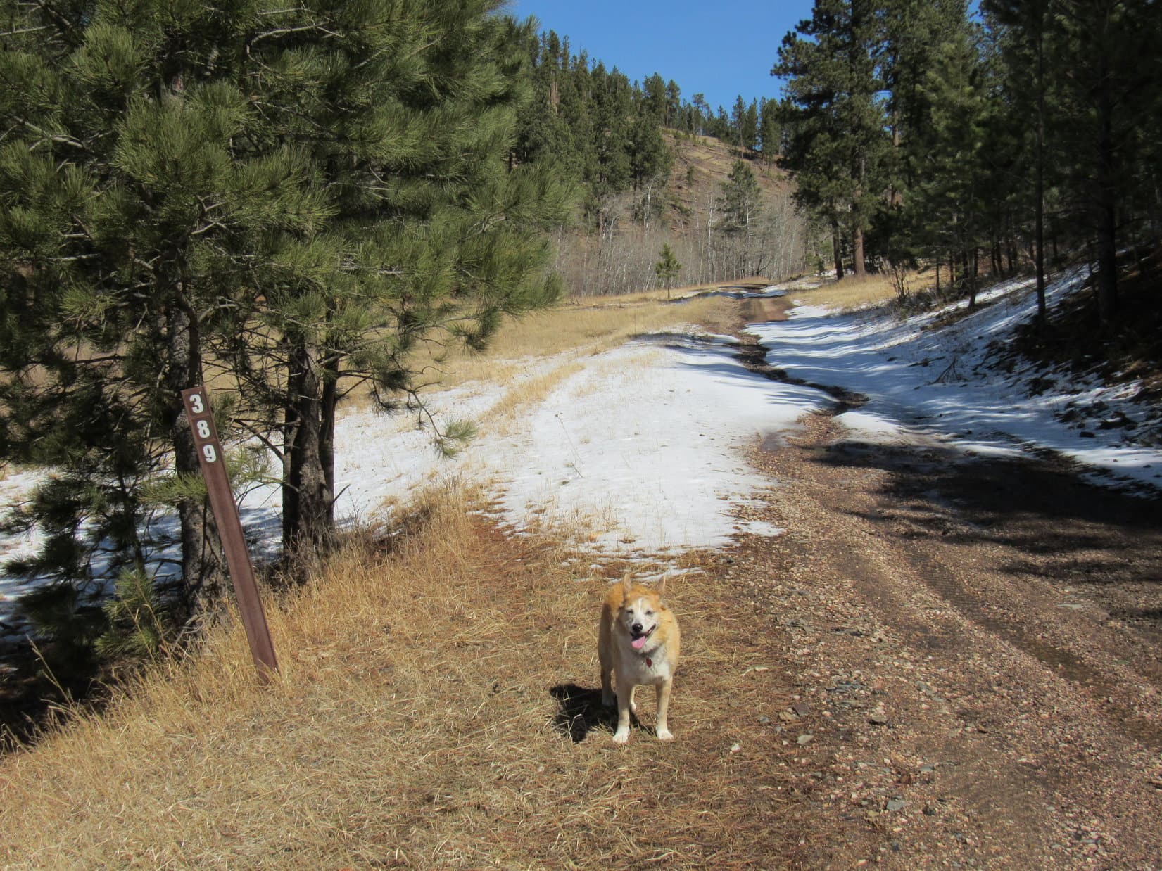
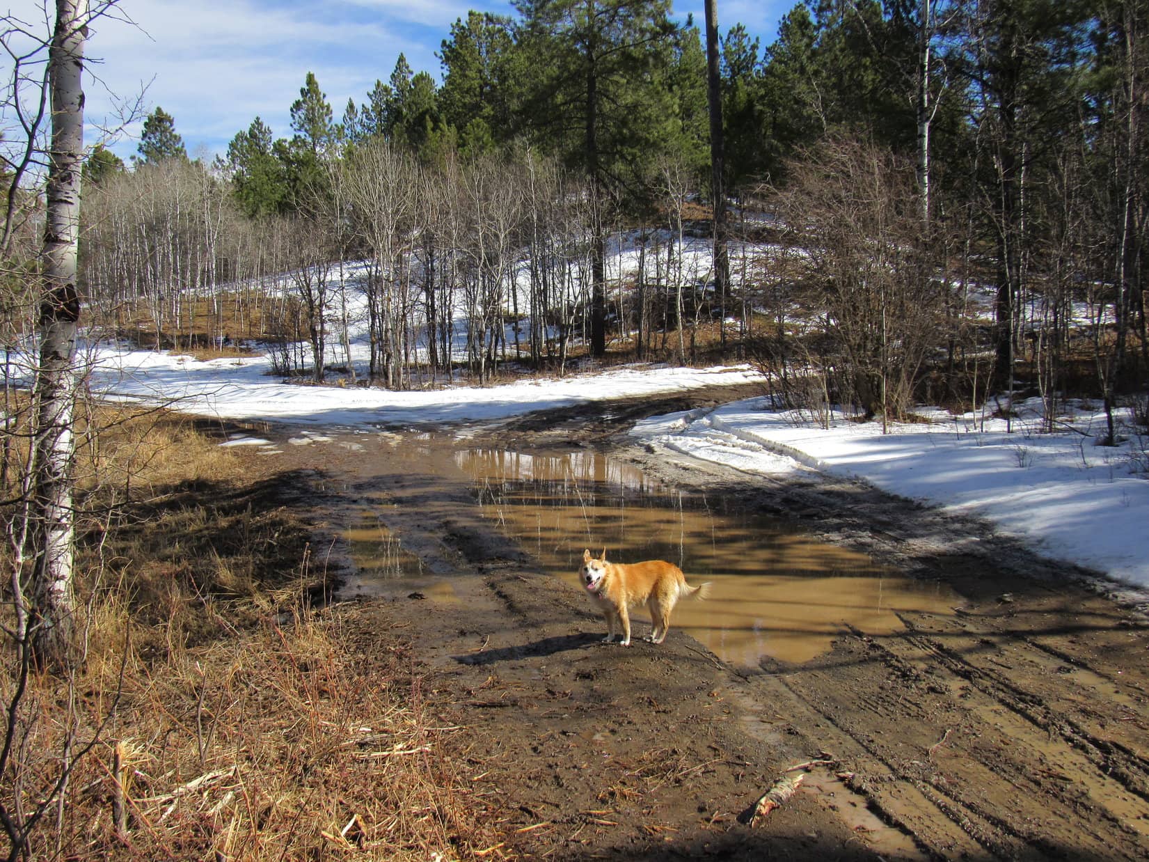
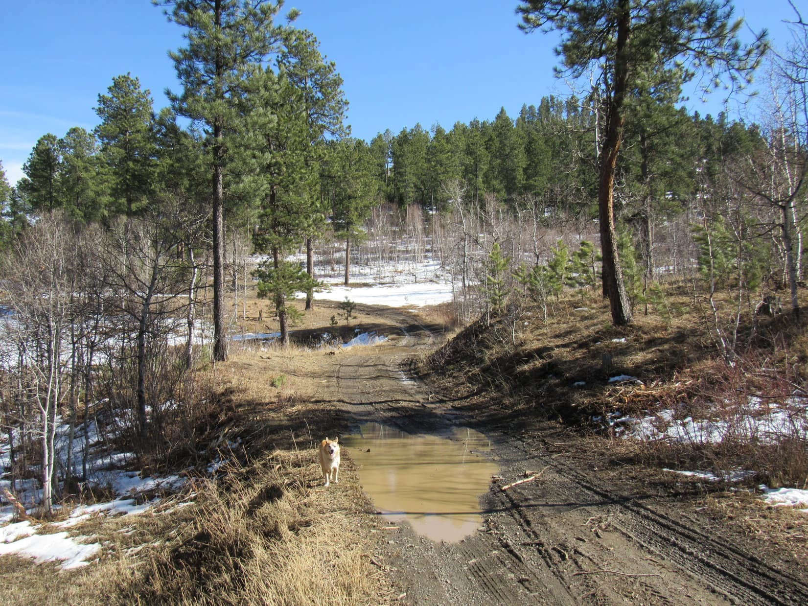
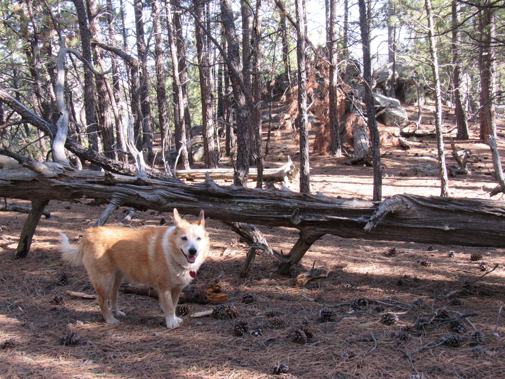
Lupe continued straight. The valley went on and on, soon narrowing and winding. The Carolina Dog journeyed through both grasslands and open forest. A micro-tributary of Galena Creek eventually materialized. In shady regions, sometimes there was still some slushy ice or snow.

The American Dingo must have been nearly 1.5 miles from the last pass she’d gone over when traffic could be heard ahead. Centennial Trail No. 89 went by a house as it reached Hwy 16A.


Unlike the Needles Hwy much earlier in the day, Hwy 16A was busy. Loop had to wait for a chance to cross safely. Galena Creek was down in the ditch on the other side. A couple of boards provided a bridge, but the creek was so small even SPHP could have just stepped across if they hadn’t been there.


Once over Galena Creek, Centennial Trail No. 89 began a steady climb through a forested area. Lupe gained 200+ feet of elevation before the trail leveled out again at a field. Mount Coolidge (6,023 ft.) was directly ahead, not looking all that much higher.


Mount Coolidge looked so close, that SPHP considered taking it on. Only a passing thought. Appearances were deceiving. The actual summit was higher than what could be seen from here. Furthermore, it turned out that there was a deep ravine between this field and the mountain. Upon reaching the edge of the ravine, Centennial Trail No. 89 curved SE, then E, following the upper rim of the ravine lower.
Losing all the elevation she had just regained and more, Lupe ended up down in Sheep Draw where a square stand of aspens stood enclosed within a fence. An off-trail shortcut could have been taken directly to Badger Hole from here, but Loopster stuck with the trail as it turned SE again heading up to yet another pass.

The last pass was a minor one. Lupe was soon over it and down in a low spot in the next valley. Centennial Trail No. 89 turned SW starting to climb again, but Lupe didn’t need to that way. She had reached the spur trail to the Badger Hole trailhead, now only 0.5 mile away.


3:05 PM, 62ºF, Centennial Trail No. 89, Badger Hole trailhead –
Lupe sniffed in vain.
Unbelievable, SPHP! Take the long way you said! You deliberately gave the badger time to escape! What I don’t understand is how the badger managed to take even its hole with it! Not a whiff of badger or hole left!
Sorry, Loopster! Don’t ask me! How am I supposed to know where the badger or its hole went? You see the sign! No doubt about it, this is the right place!

Wait a minute, SPHP! What does that other sign over by the hill say?
Badger Clark Memorial, Open 10:00 AM to 5:00 PM, Memorial Day to Labor Day.

Oh, so that’s the badger’s game, is it? Holed up in a castle on the hill until Memorial Day, aye?
Apparently so! See, it didn’t make any difference which route we took as far as the badger is concerned. Busy hibernating or something until summer.
Well, phooey! Tricky, scaredy-cat badger! Doesn’t dare come out until I’m safely away on my summer Dingo Vacations!
Must be one brainy badger, Loopster! Nothing we can do about it. C’mon, Legion Lake isn’t far from here. Let’s go have a chocolate coconut bar break there.
Nothing to take one’s mind off a slippery badger like a chocolate coconut bar! Lupe headed NW on the road to Legion Lake, and was soon there. The bar was devoured along the shore near the spillway. This time the chocolate coconut bar functioned as a mere appetizer. A healthy helping of Taste of the Wild got crunched up, too.

Strolling along the NE shore of the lake, Mount Coolidge was once again in sight. Lupe came to a sandy beach. Amazingly, even though most of Legion Lake was still covered with ice, a couple of crazy Canadians were out there swimming!


In no big rush, Loop and SPHP ambled on past the Legion Lake Lodge. Closed now, but that would change. Tourist season was due to kick off with Custer State Park’s free weekend the week before Memorial Day.

3:32 PM, 60ºF, Legion Lake in Custer State Park – Getting sort of late in the day with such a long way back to the Iron Creek Horse Camp. Better head out! Crossing Hwy 16A, Lupe and SPHP startled a herd of deer grazing in the Legion Lake campground.
The campground was closed, but Loopster trotted through it. No sign, but way at the far NW end was the start of the E side of the loop that went back to the trail junction where SPHP had advised the American Dingo to take the long route to Badger Hole.

SPHP wasn’t sure if this was even officially part of Centennial Trail No. 89. No brown “89” wands here. Unnumbered blue diamonds on the trees marked the route. The trail started up a little valley, but was soon climbing toward a ridgeline on the R (NE).
Easily the steepest route of the day, except for Lupe’s side jaunt up Peak 5880. SPHP stopped frequently to gasp for air. Reaching the ridgeline did nothing to slow the rate of ascent as the trail began curving W. Mount Coolidge (6,023 ft.) looked a lot higher from here.

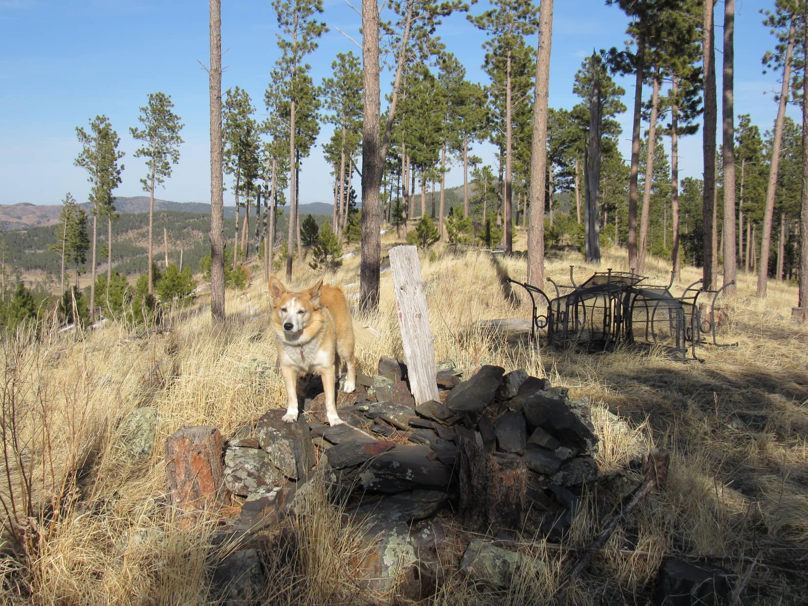
After gaining hundreds of feet of elevation, the trail began to level out as it headed SW traversing a steep slope. The trail was just beginning to turn NW when Lupe reached its high point by a number of big rocks with tree-broken views.


Lupe had been here had been nearly 9 years ago, sometime back in 2012. Directly ahead, the trail started down again at a good clip. SPHP couldn’t remember exactly where it went, maybe even up to a higher spot farther on, but one way or another it would get the Carolina Dog back to the same Centennial Trail junction she had been at earlier.
Decision time, Looper! Want to stick with the trail, or climb Peak 5733?
If we have time, let’s climb!
Heading up a steep, rocky S ridge, SPHP was a little afraid that it might become impassable. It didn’t. Lupe reached a level spot where a short break was taken. Consulting the topo map, it appeared the summit was still nearly 0.33 mile due N and 200 feet higher.
Actually farther than that the way the ridge went. Lupe followed the ridge as it now turned NW. She was soon approaching a significant high point that she really didn’t need to climb. Traversing a steep, thickly forested slope, the Carolina Dog managed to skirt E of the high point to reach a saddle SW of the summit.
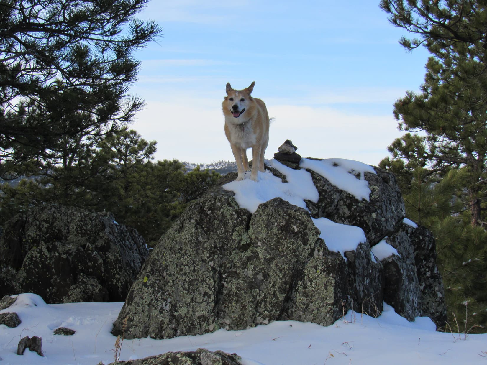
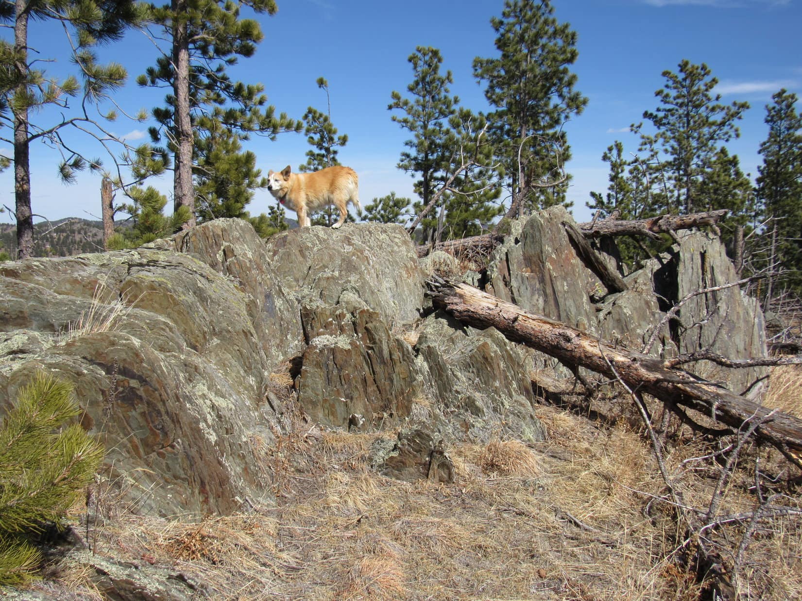
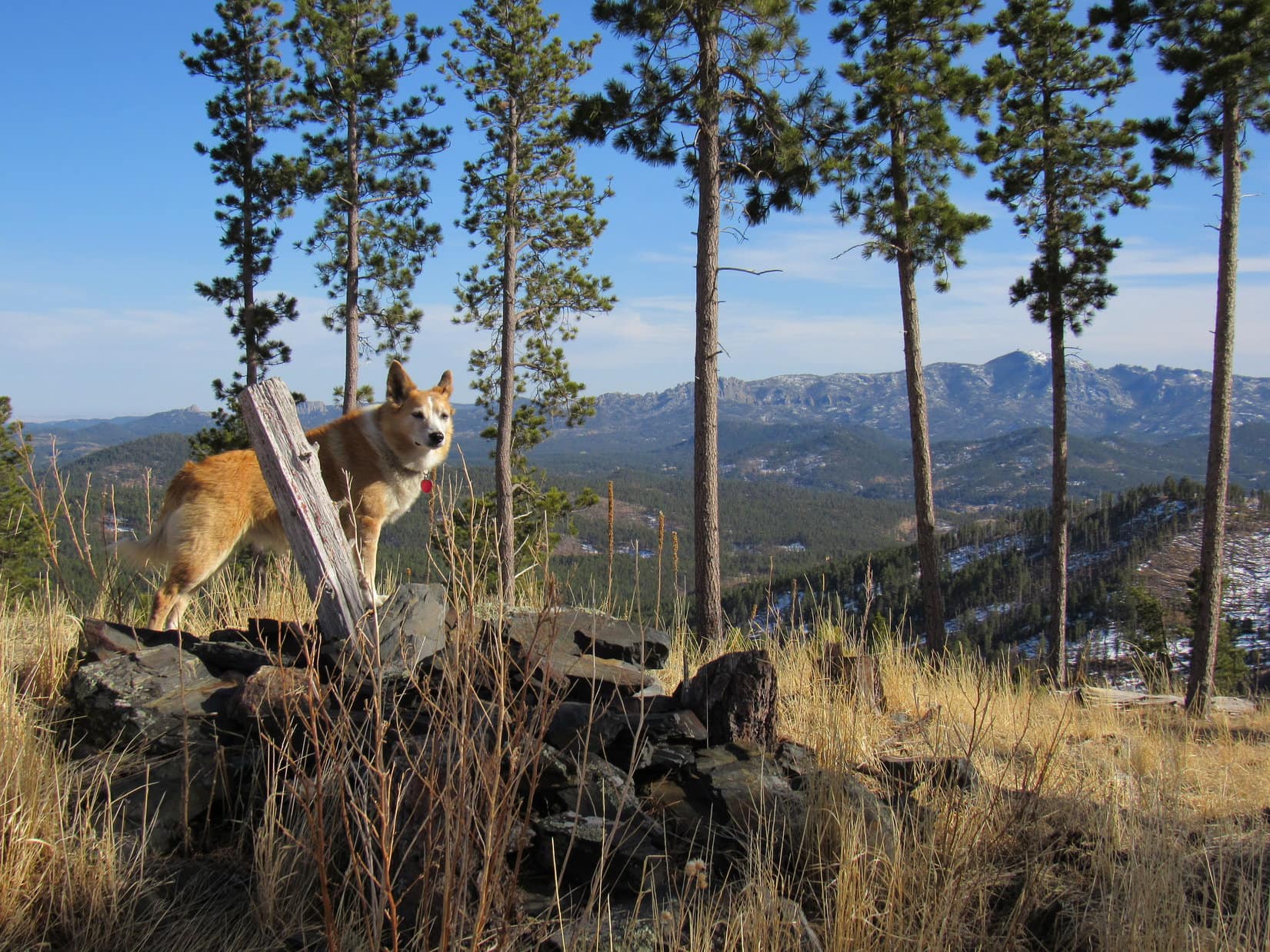
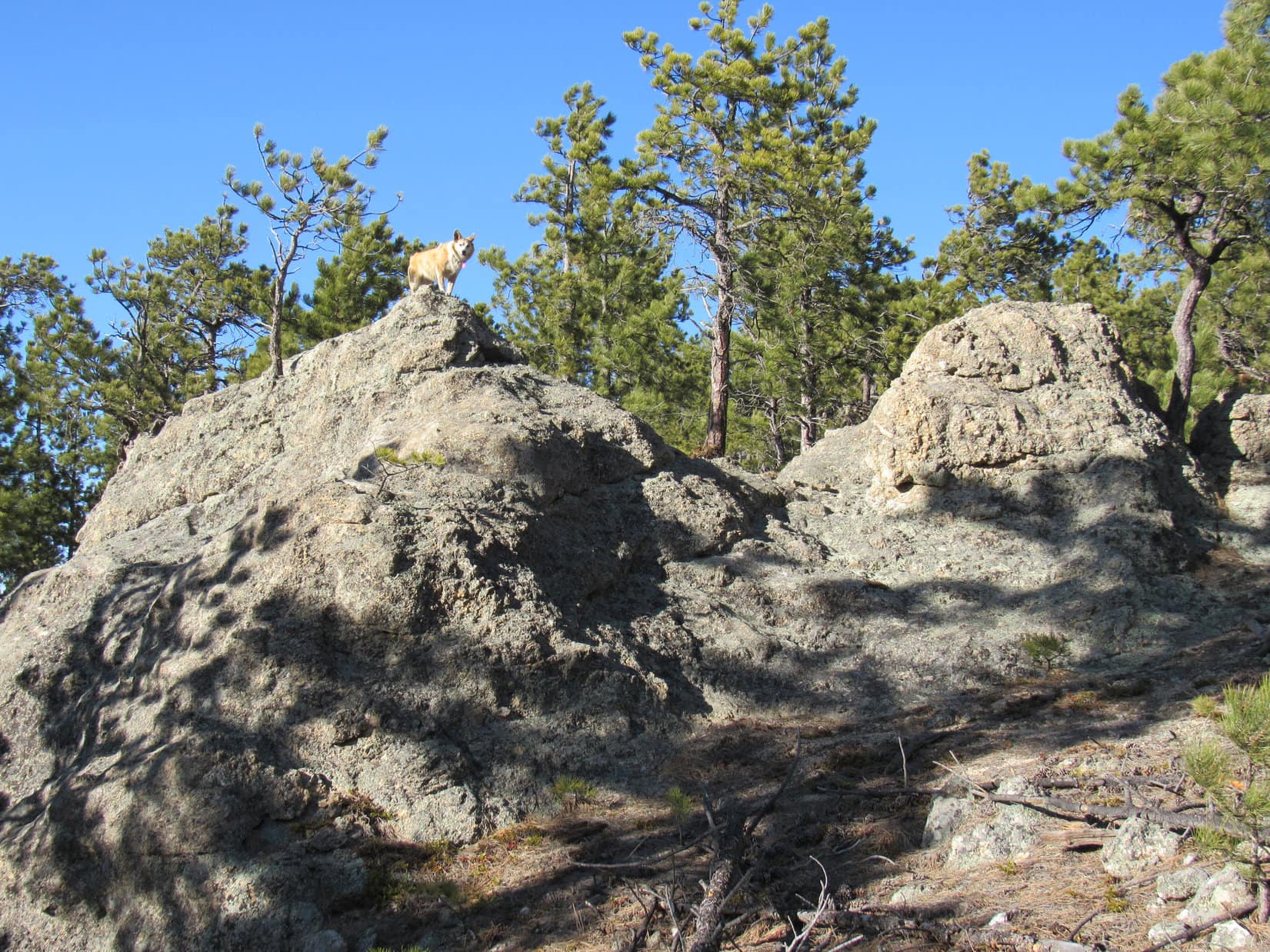
This saddle featured a couple of dramatic knobs of granite. Lupe got up on one of them just for fun.
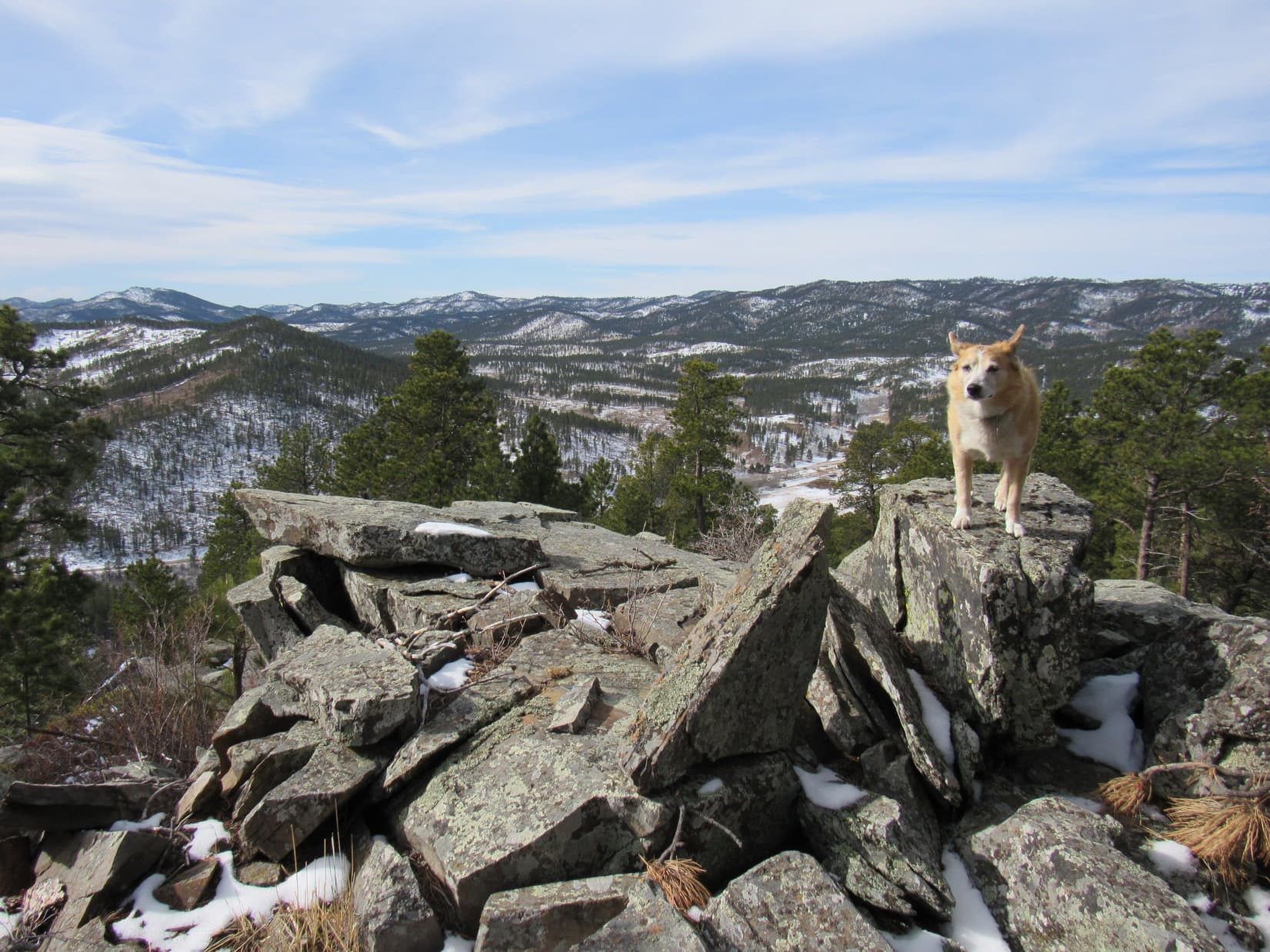
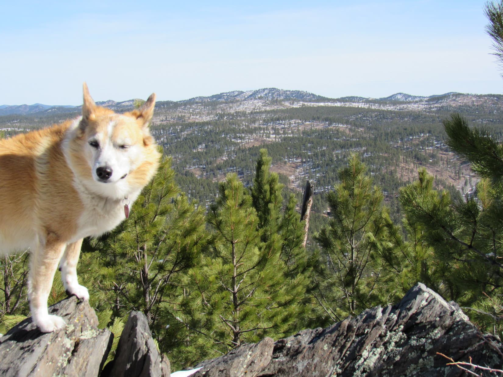
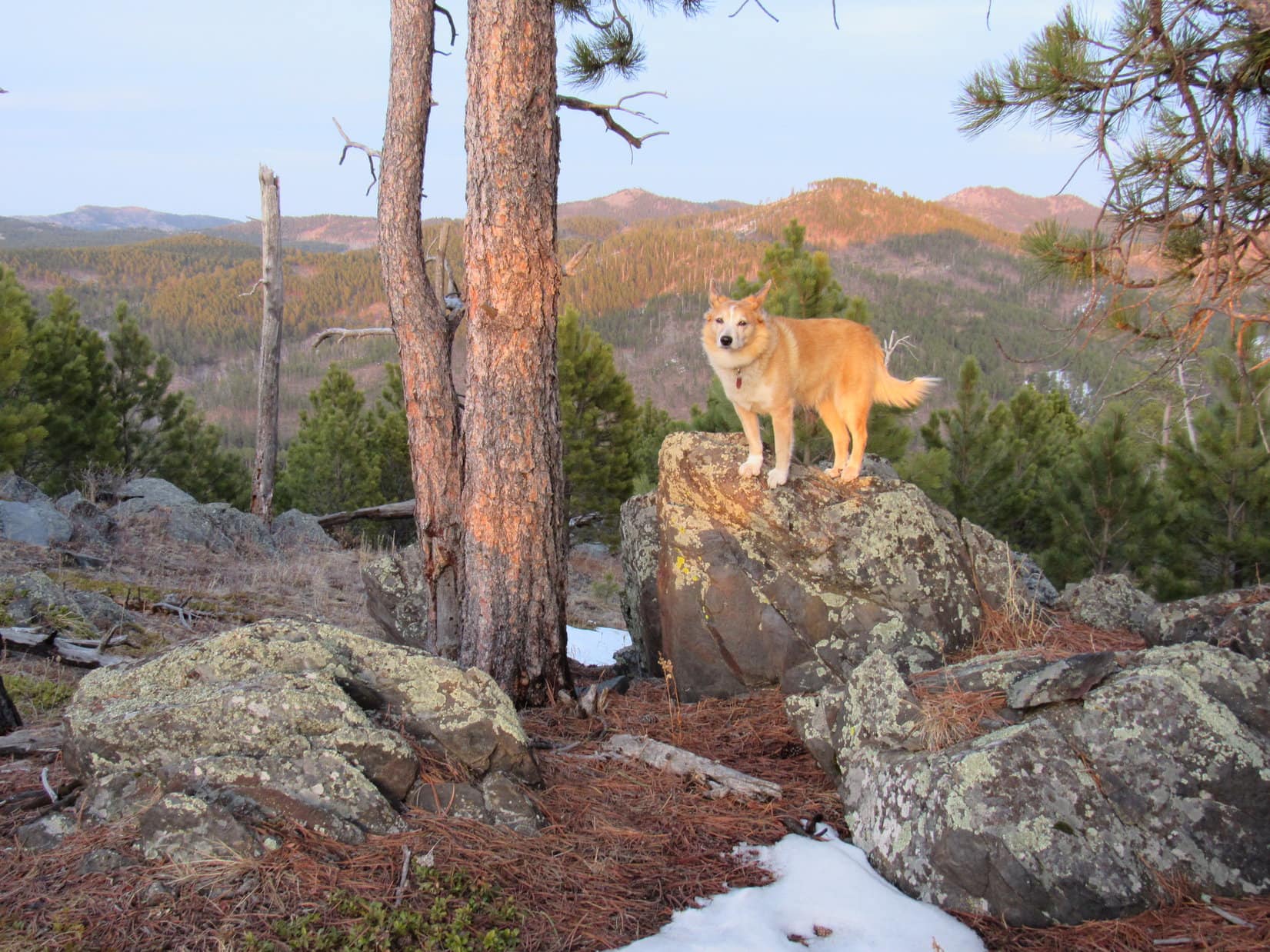
Deadfall and slash! Wasn’t that far from the saddle to the summit, but it was a typical slow trek through the wreckage. Lupe paused for views once or twice on the way. When she finally got to the top of Peak 5733, she leapt onto the true summit rock to claim her peakbagging success, then it was time for a break.


5:14 PM, 55ºF, Peak 5733 – Breezy up here, for the first time today. The last chocolate coconut bar and apple met their fates. Quiet, serene. This was another minor unnamed peak that SPHP had never expected Lupe to return to, yet here she was.
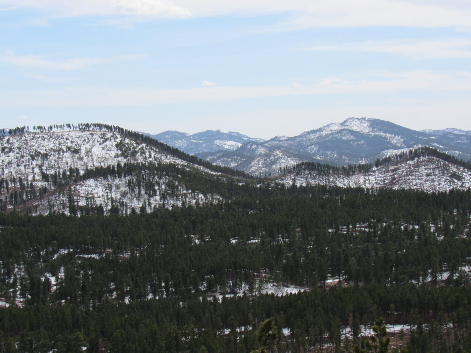
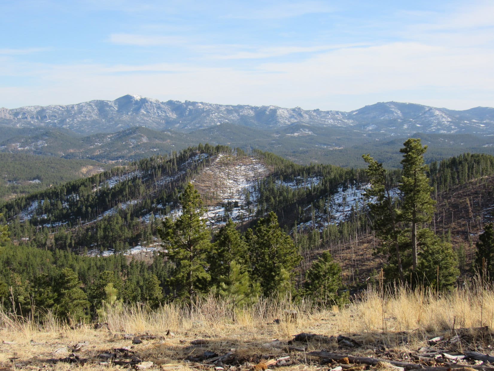
Looper and SPHP sat together for a while, taking in the big view off to the NW. Omnipresent Black Elk Peak (7,231 ft.), plus Cathedral Spires (6,840 ft.), Little Devils Tower (6,960 ft.), Sylvan Hill (7,000 ft.) and Peak 6735, too.
To the W, Peak 5880, where the American Dingo had been only hours ago, and somewhere between here and there, Centennial Trail No. 89.


Definitely going to get dark before the Carolina Dog could make it back to the Iron Creek Horse Camp. No worries! Reach Centennial Trail No. 89 again, and Loop would speed along having a blast on this beautiful early April evening. Something to look forward to!
20 minutes after arriving, it was good-bye to Peak 5733. Lupe headed down the slash-ridden NW slope. As soon as she was below the worst of it, SPHP picked up the pace.
Ahead, sunlight streamed through open forest illuminating a broad, steady ramp lower. Lovely! Getting to the Little Squaw Creek valley where the American Dingo could pick up Centennial Trail No. 89 again was going to be a snap! (End 8:17 PM, 39ºF)

Links:
Next Black Hills Expedition Prior Black Hills Expedition
Next Trail Section North
Next Trail Section South
Centennial Trail No. 89 Brochure & Map
Black Hills, SD Expedition No. 250 – Peak 5647, Peak 5733 & Peak 5880 (5-4-19)
Want more Lupe adventures? Check out Lupe’s Black Hills, SD & WY Expeditions Adventure Index, Master Adventure Index, or subscribe free to new Lupe adventures!